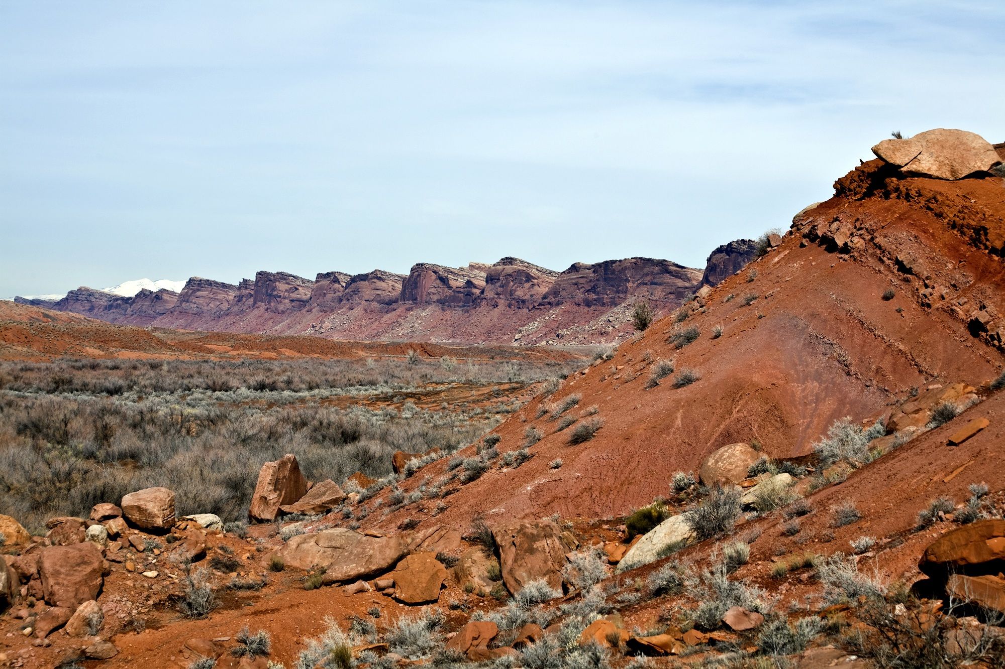
Having decided that Goosenecks State Park would be my home base while I was in the area, I set out to explore.
Just down highway 191, I came across the town of Bluff. Compared with Mexican Hat, it was a buzzing metropolis. According to the 2000 census, 320 people live there. I was heartened that there were restaurants, hotels and RV parks. If I had been able to plug in, I could have moved there. But, since my backing up woes made me rely on my batteries and solar power, it made no sense to move.
I saw a sign directing me to the historical district and decided to investigate. I came across Bluff Fort and a tourism information office. Since I didn’t know what there was to do in the area, I stopped in.
I was enthusiastically greeted at the door by a gentleman dressed in pioneer garb. After ascertaining that this was my first visit to Bluff, he asked if I wanted to see the multi-media presentation about the history of the town. It was free and so I said, “Yes, please.”
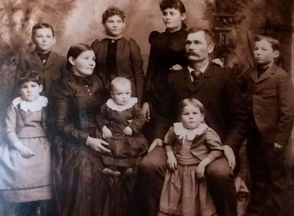
Since I was alone, he got his wife to run the presentation for me. I don’t know if he was afraid that I would take advantage of him or that I might be afraid to be alone with him. He brought his wife over, who was also dressed in period garb. She brought me over to this wall, and the presentation started.
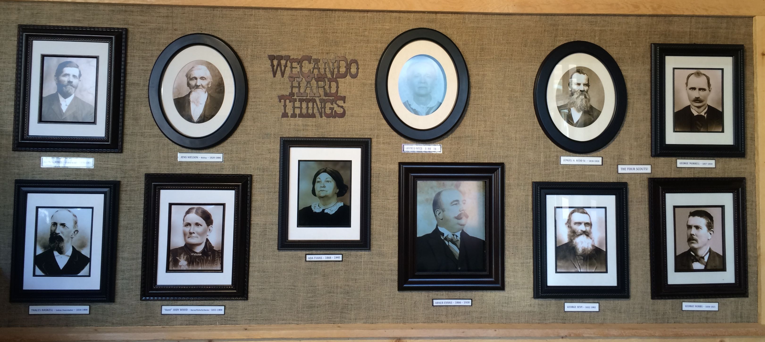
She flipped a switch and three of the portraits started talking to each other! After they finished the introduction, they got up and walked into the next room. That was the most interesting way to begin a presentation I had ever seen.
It turns out the Bluff was founded by the Mormons who sought to stabilize the area by establishing a town, setting up a trading post and farming the area. The settlers were “nominated” by the elders in their temple. They set out to do as they were directed. There were things they expected to happen.

They expected to travel by wagon. Actually, their belongings traveled by wagon. Mostly the people walked.
They expected that they would have to leave things behind.
See those doors in the upper left of the photo? The woman who was giving me the presentation opened the doors and played a video that told the rest of the story.
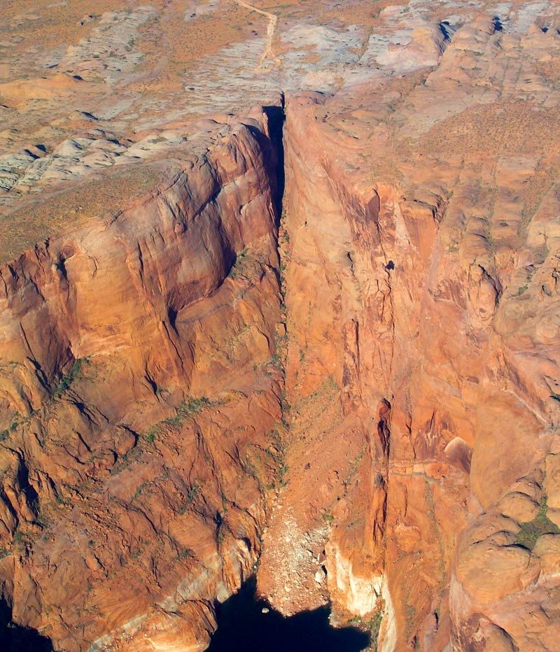
It turns out that there was no road where they wanted to go. I think they kind of expected that, but they had no idea of the terrain they would have to cross to get to this place on the banks of the San Juan River. They expected the 125 mile trip to take about six weeks. They had planned to use a route that a scouting party had called the Escalante short cut, but that route didn’t work out. Instead, the journey turned into an arduous 260 mile trek that took six months during winter conditions.
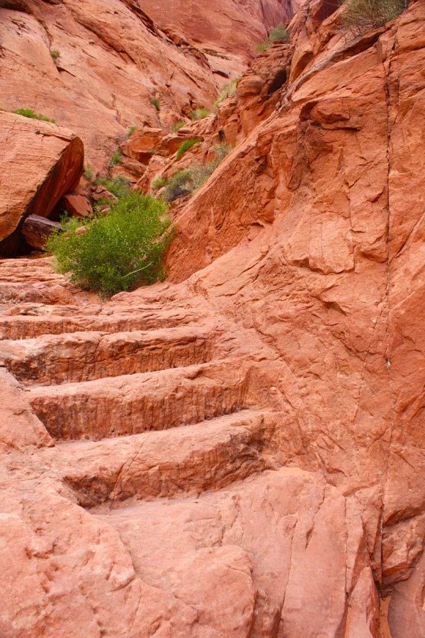
What they ended up doing was spending six weeks blasting and chiseling a trail through a narrow 1,200 foot drop in the sandstone cliffs. It’s known as the Hole-in-the-Rock, which is still visible at present day Lake Powell.
I found out that these kinds of trails are called “dugways”. Merriam Webster defines a dugway as “a road constructed along a hillside by using for the fill on the downhill side material excavated immediately above it”
.I mean, can you imagine going down this cliff? With a wagon, no less!
But, even after they got down this cliff, they still had to cross Comb Ridge, which required that they built another dugway up the face of the ridge.
The pioneers named this “San Juan Hill.” At first, I thought it was named after the battle of San Juan Hill in Cuba, but that didn’t happen until 1898. I imagine it was named after the San Juan River.
Finally they arrived to the site of present day Bluff.
Actually, they were supposed to continue on to a site twenty miles upstream, but they were just too exhausted to continue. They saw that this location had water and good farmland, so they decided to stay here.
After the end of the video, the guide opened the doors and we went to a room that was outfitted like a religious meeting room, where the story was completed.
If you happen to be in the area, I would certainly recommend taking in the presentation. I was absolutely exhausted by the end of it. I can’t imagine what it took to get to this site.

I thought this sign that was displayed on the wall of photos at the beginning of the presentation was an understated representation of what they accomplished.
After the presentation, The guide invited asked me what else I wanted to do in the area and she helped me pick out some brochures to plan my visit. She directed me to the recreated fort that continued the story.

According to the sign, this is one of the original wagons that made the trip down the Hole-in-the-Rock dugway.
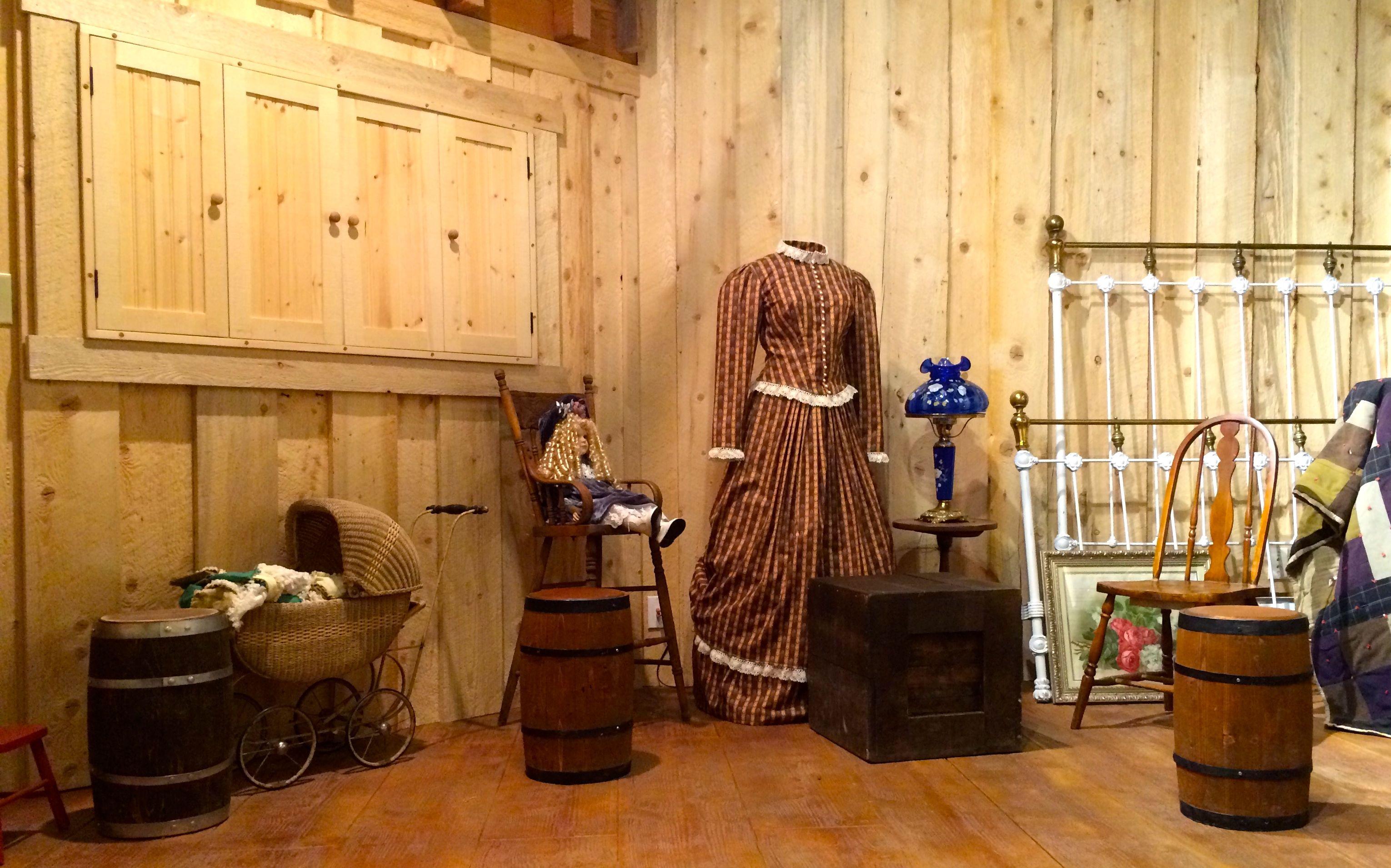
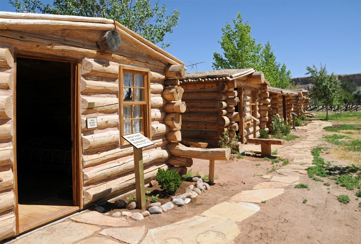
The settlers built their original cabins around a square with the back walls serving as the fortification of Bluff Fort. They reconstructed the cabins and then outfitted them in the style of the time. Outside each cabin were buttons you could press to hear stories about the settlers. The stories were often taken from letters or diaries and were read by the settlers’ descendants. They had a variety of languages you could chose from to hear the stories.
I thought this table had an interesting storage space.

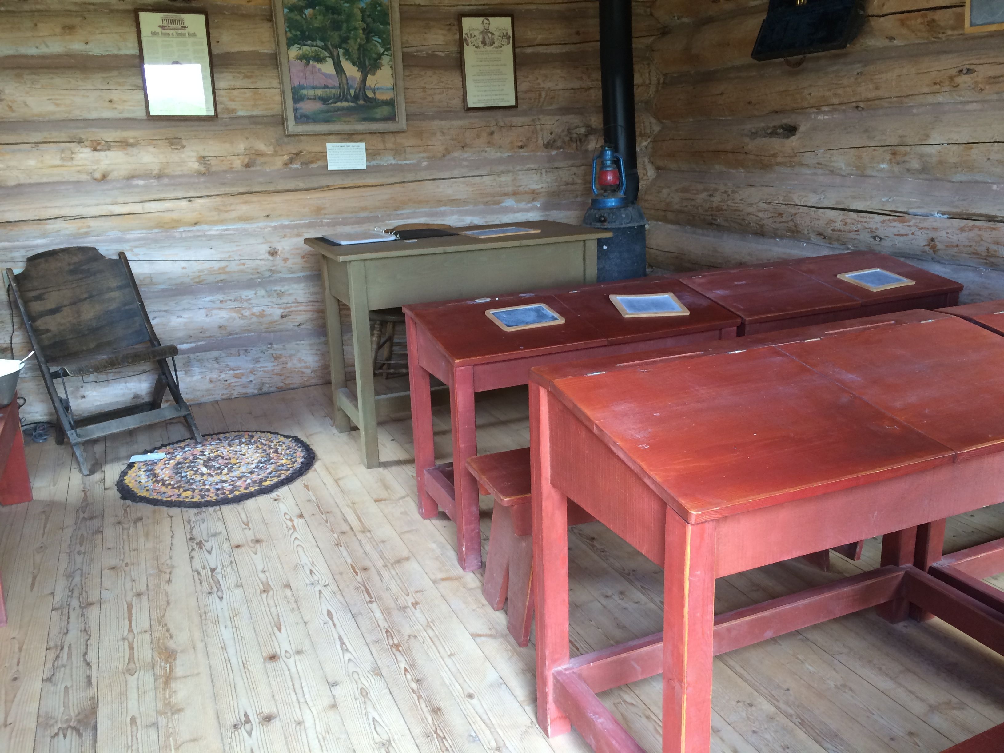
What would a community be without a school? Those are framed Abraham Lincoln quotes on the wall, flanking the painting.
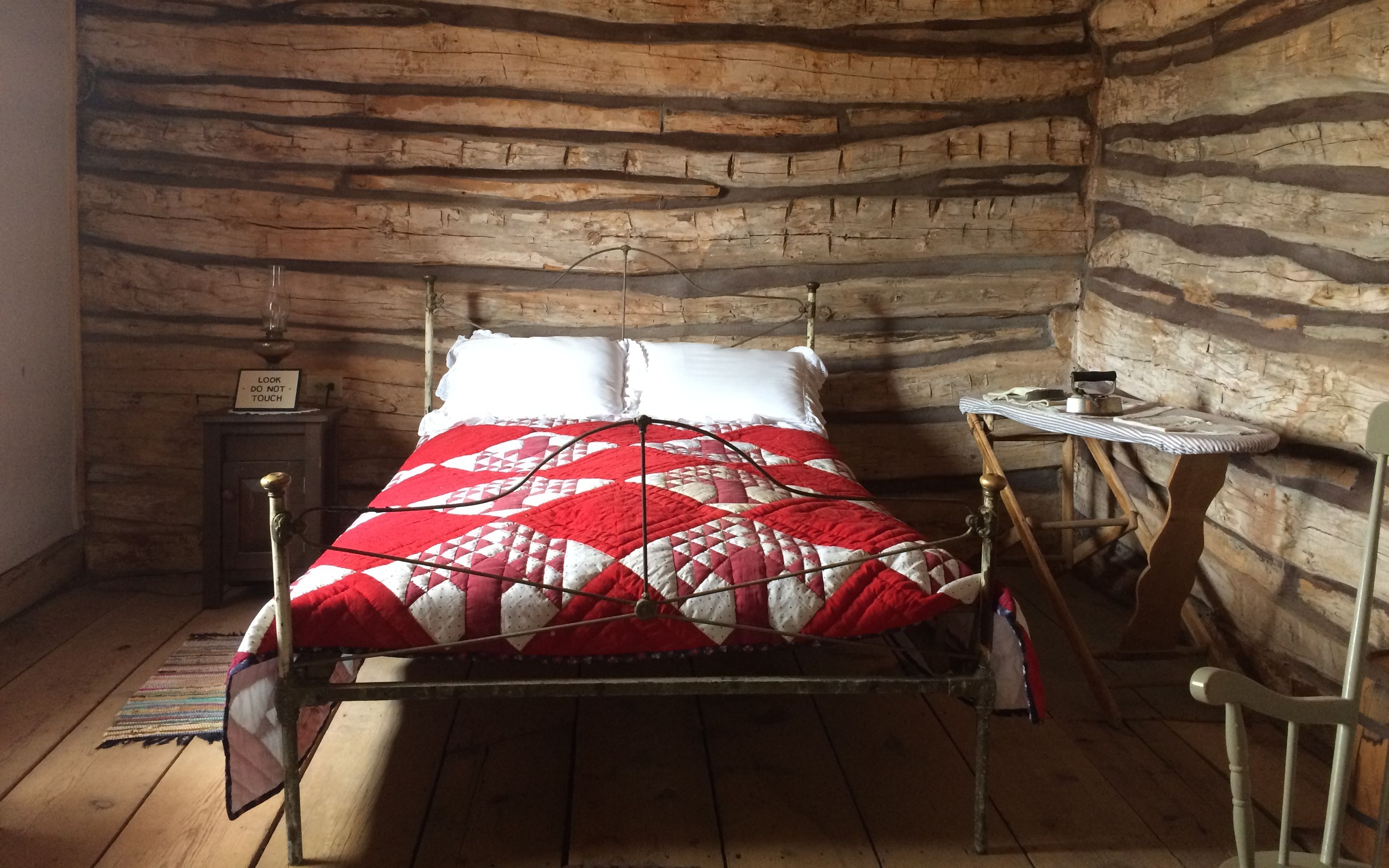
The original cabins were little more than a room that served all purposes.
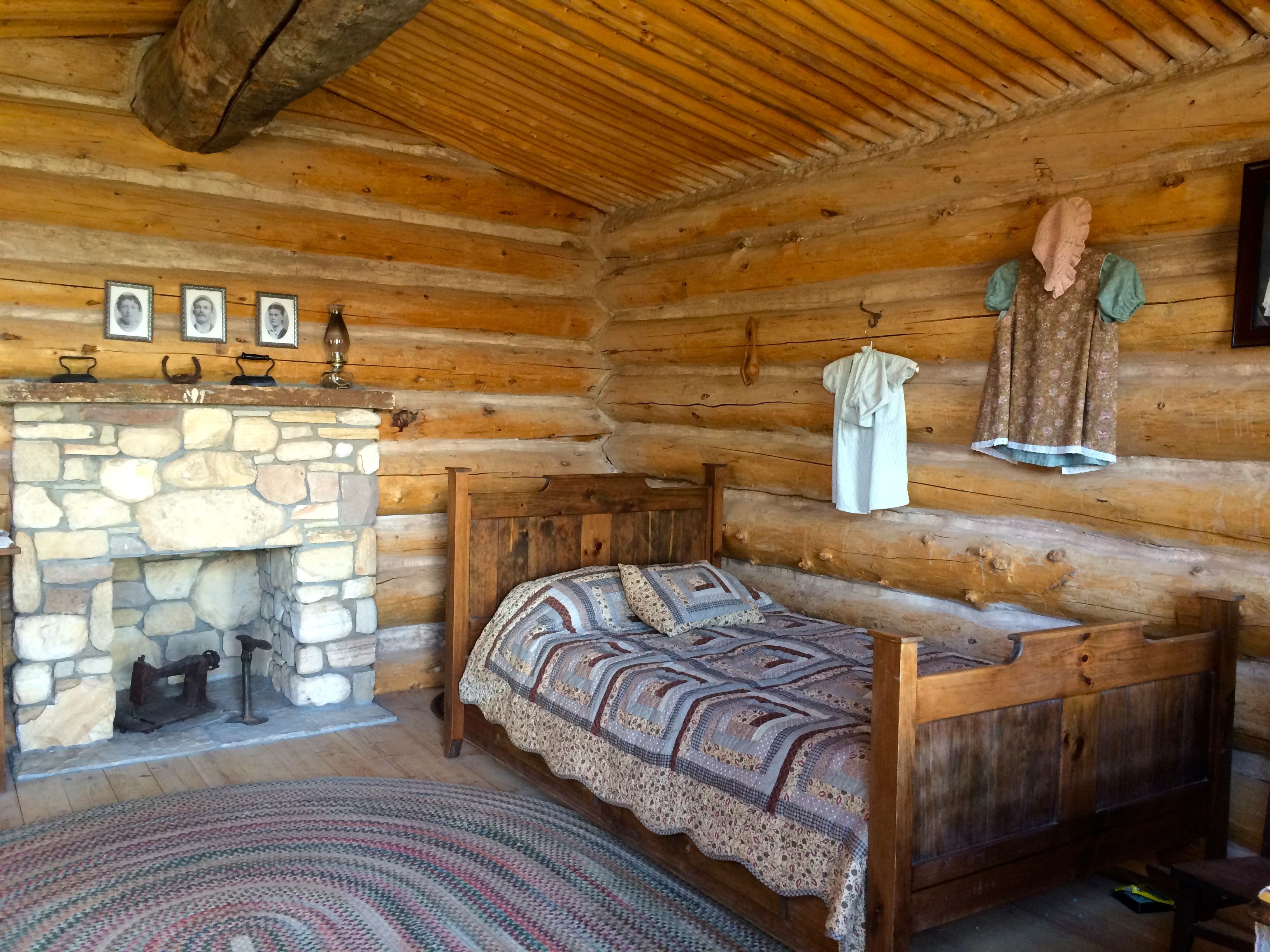
I was surprised to see this quilt in one of the cabins.
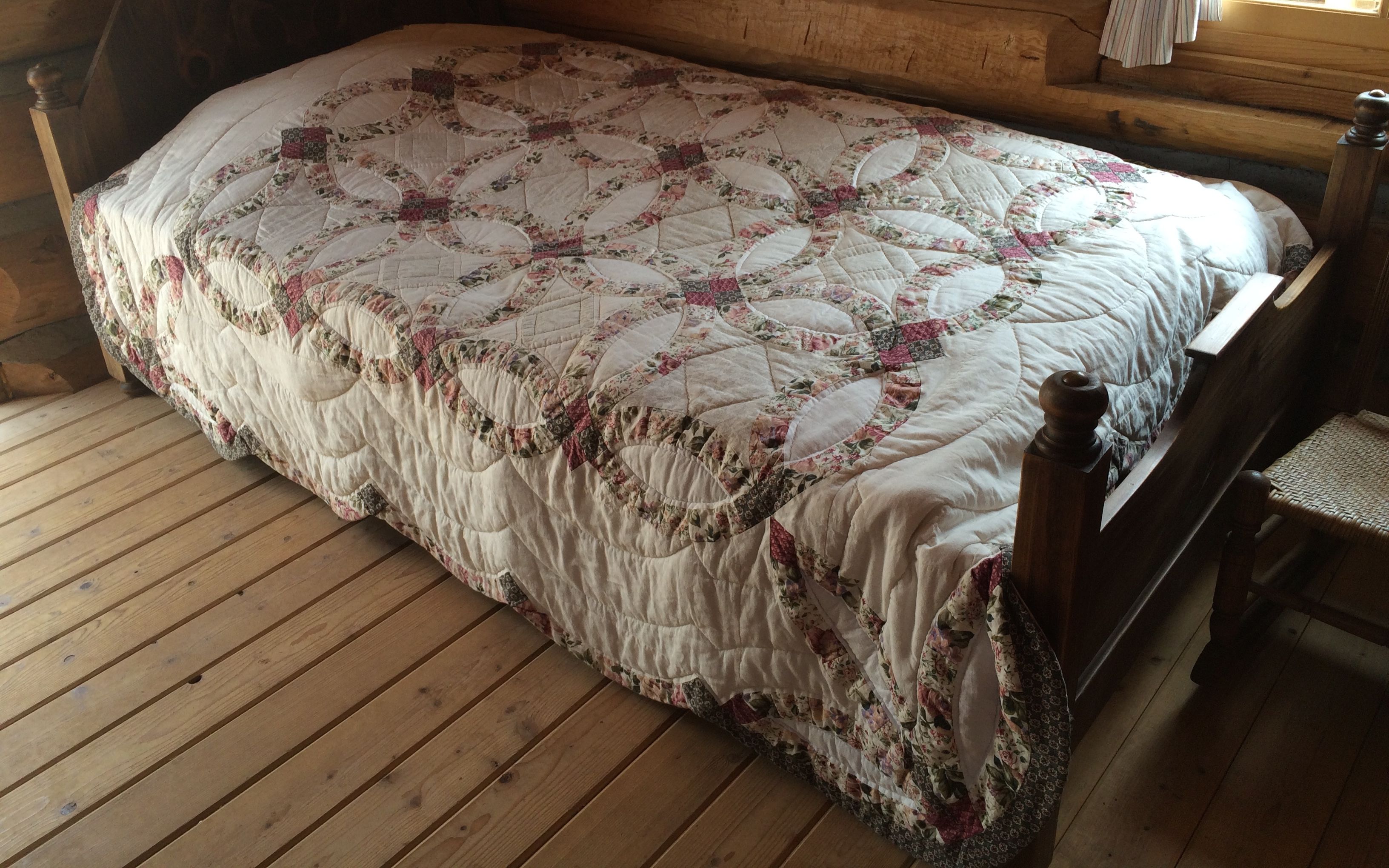
I have that same quilt in my Airstream. It was a gift from my sister. I mentioned this to one of the volunteers. She seemed apologetic, but I reassured her that the important thing is that they are telling a story. This quilt is just a prop.
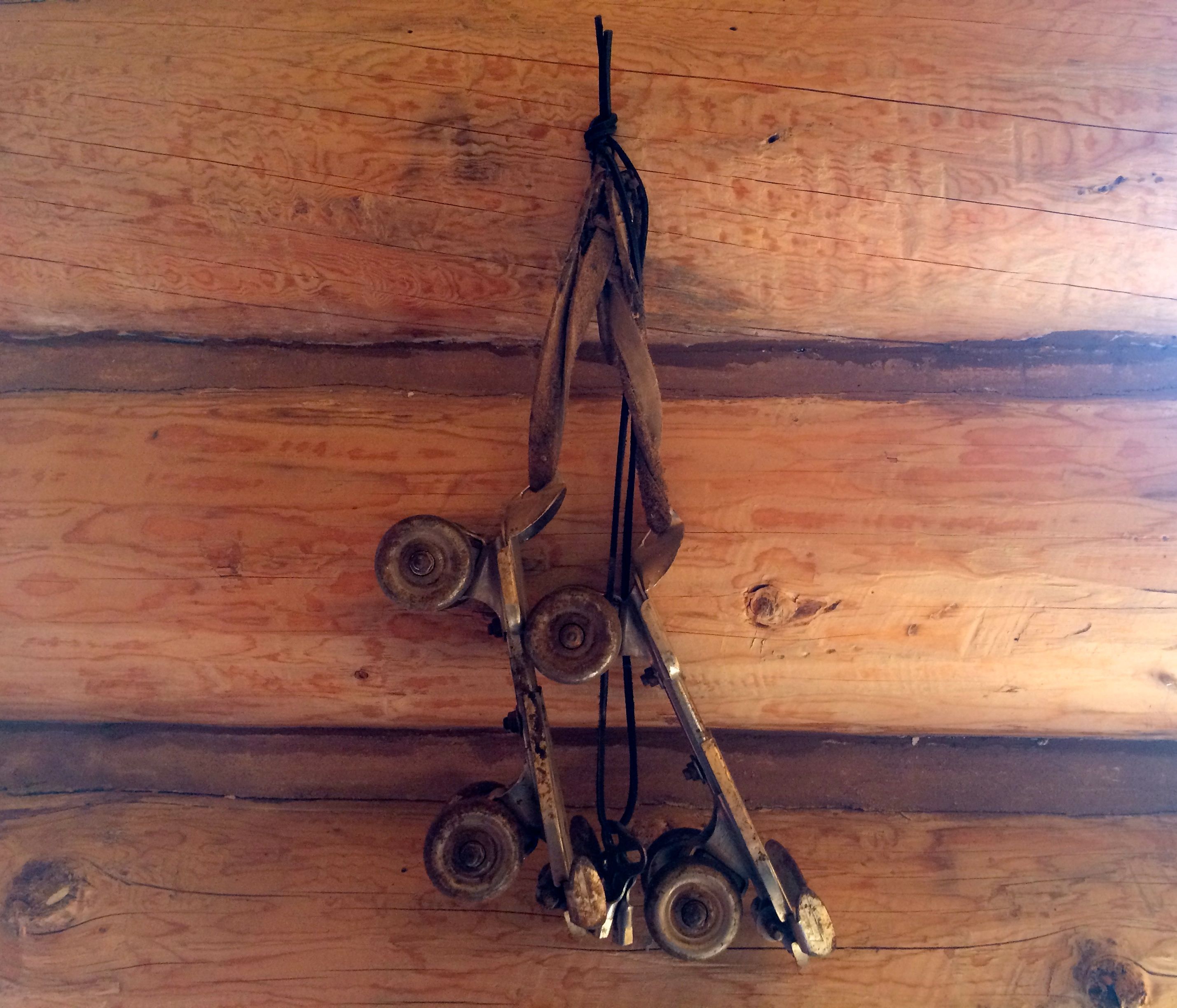
I’m not so sure that the roller skates hanging on the wall were accurate, though.
There is one building that is there from the 1880s. That is the Barton cabin.
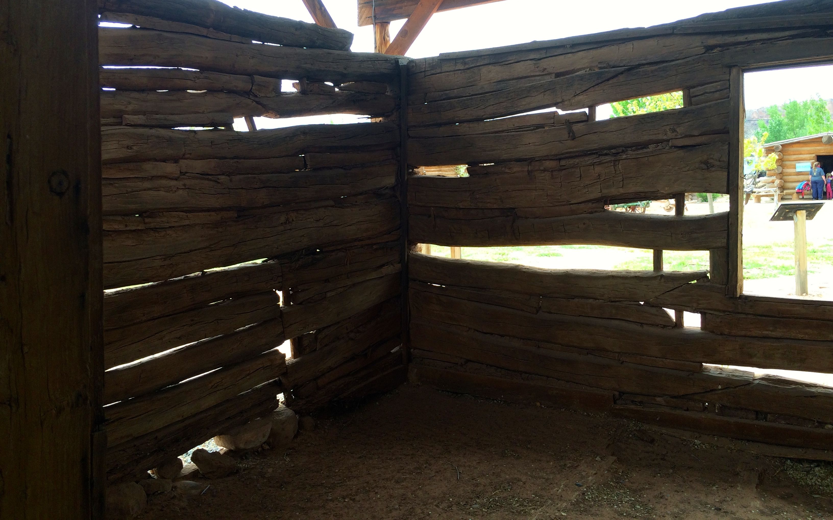
There’s not a lot of it left.
They have reconstructed one room of the cabin, and there is a story that plays there that tells of the death of the mother of the family.
Toward the end of the walk through the fort, I was captivated by these charming toys for the younger visitors to play on.
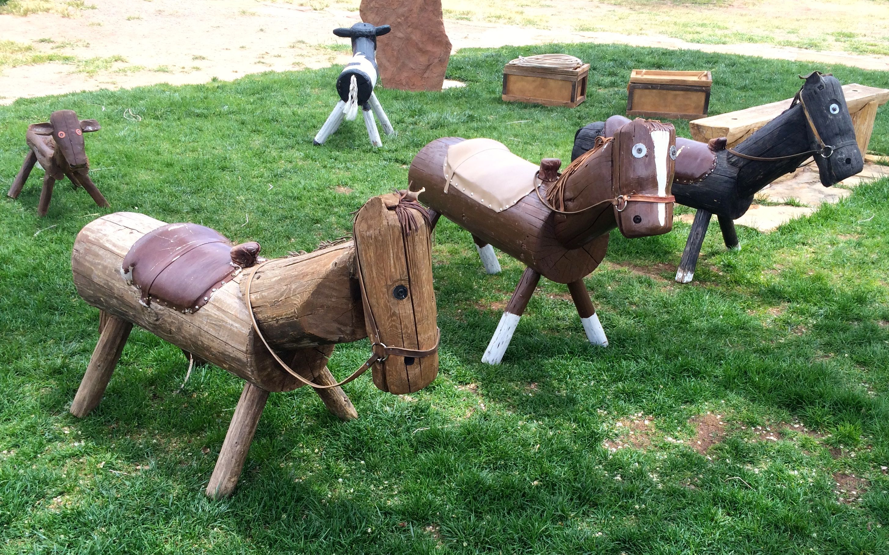
They even had a box full of lariats so that the kids could practice their roping skills.
The building that was used for the visitor center – and gift shop – was a reproduction of a building that was destroyed in 1925. According to the sign, a bank robber named Frank Starr used too many sticks of dynamite when trying to open the safe. His failed attempt cause the demise of the building as well as Mr. Starr.
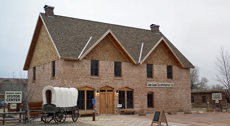
The co-op was rebuilt in 2012 by the settlers’ descendants.
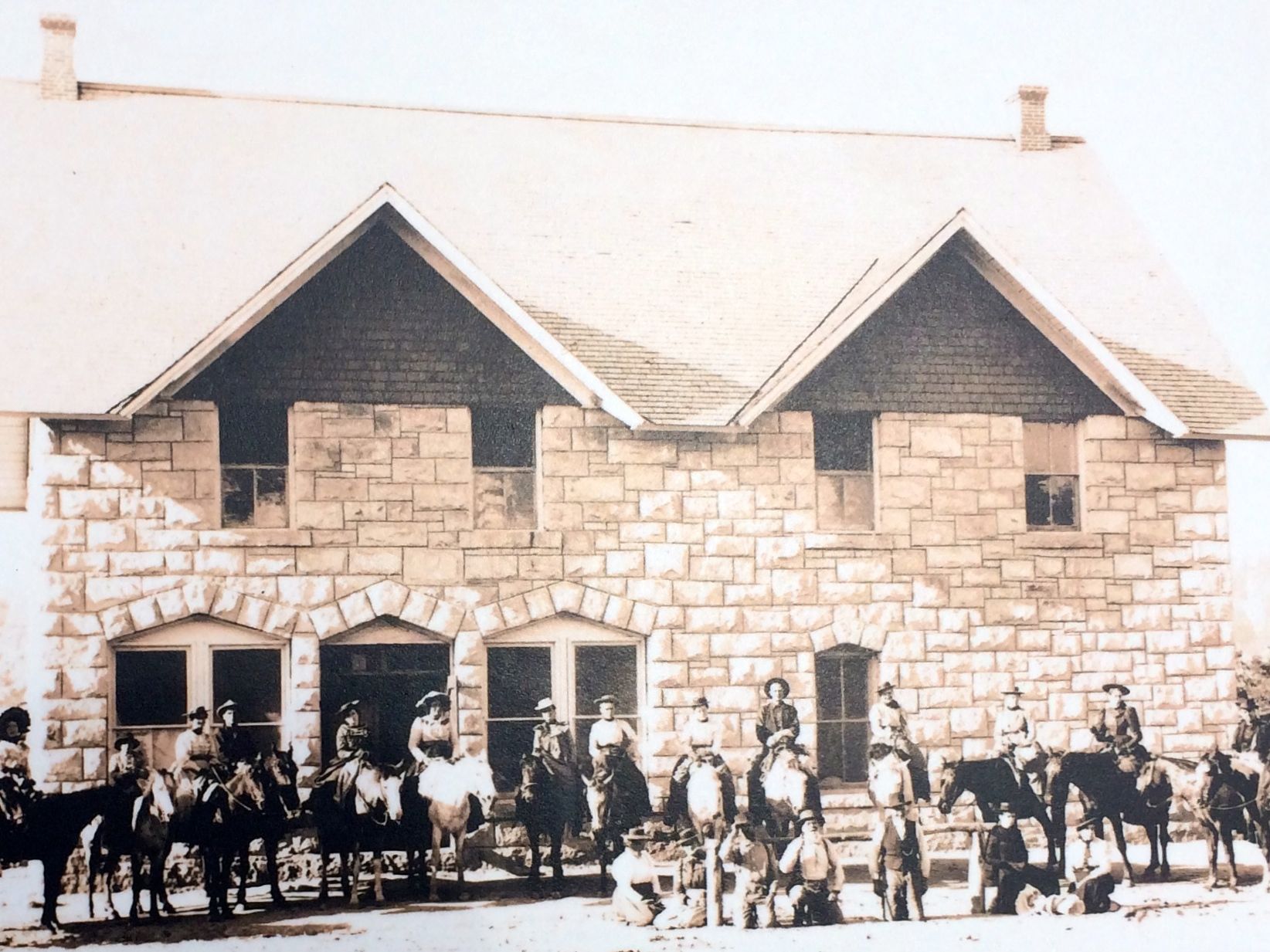
Here’s a photo of it in 1898.
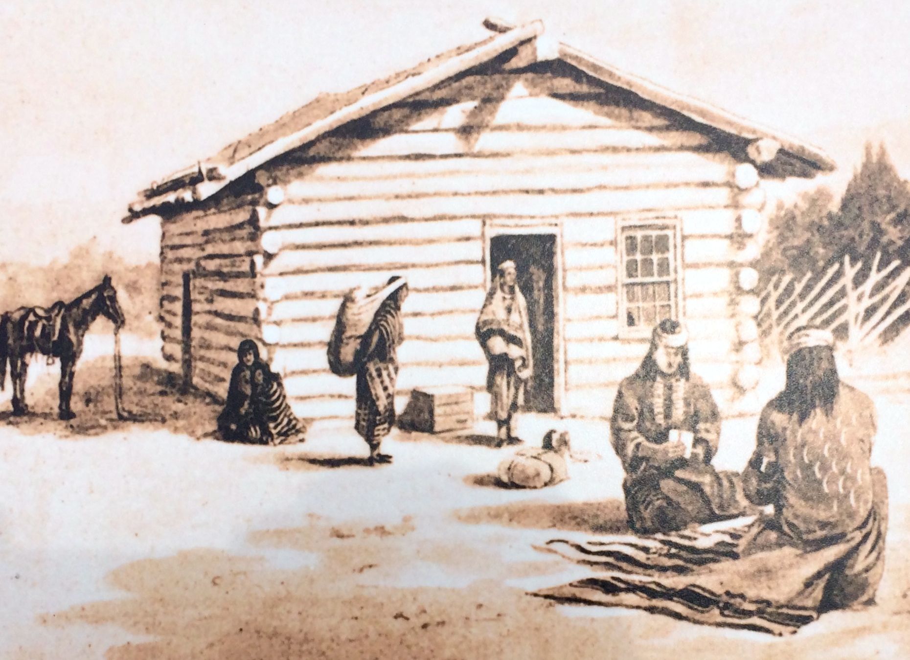
This is a drawing of how it looked in 1894.
After all this history, I was ready for some sustenance. I hopped in ol’ Bart and set out in search of some food.

I decided on the Twin Rocks Cafe. Cars in the parking lot were a good sign.
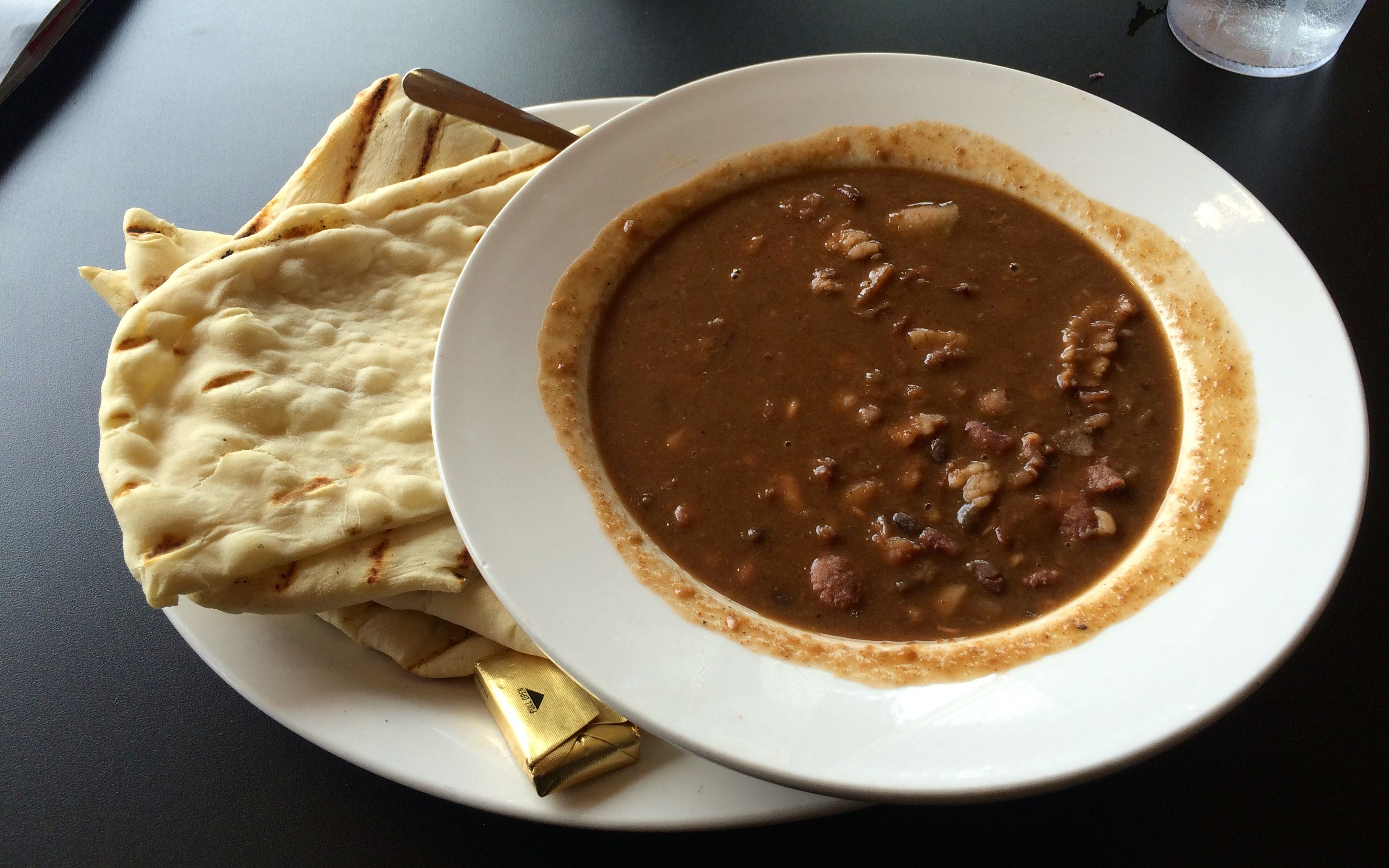
I ordered the special of the day, Cliff Dwellers Bean Soup with Ash Bread. I could choose between fry bread or ash bread. I’d had fry bread before, so I asked for the ash bread. The way ash bread was explained to me was that it was baked over the coals after the main dish had been cooked.

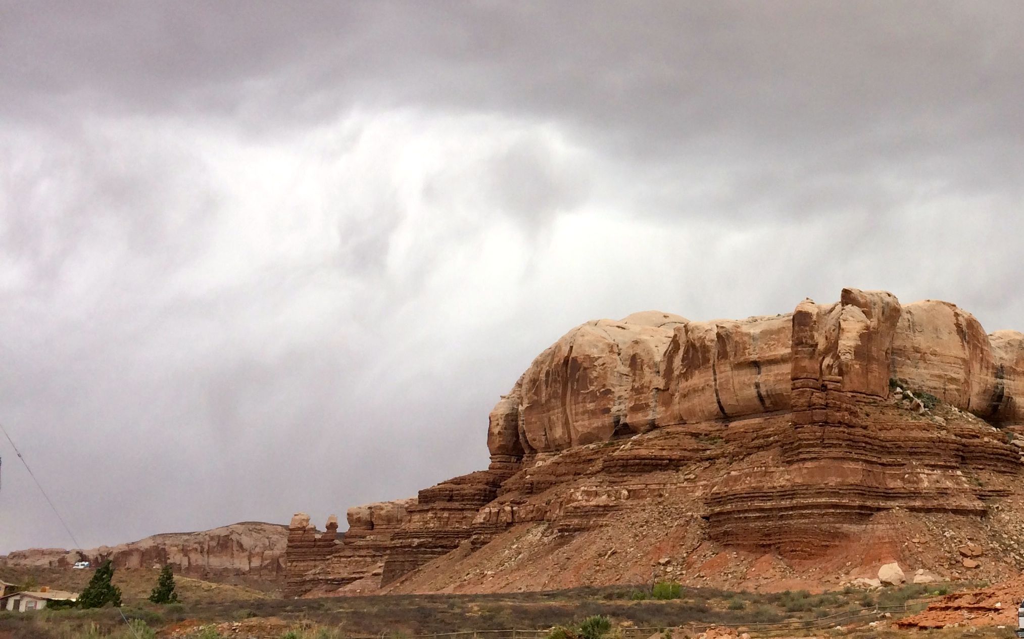
On the way back to Goosenecks State Park, I paused to snap a photo of the twin rocks.
I could have driven further, but tomorrow was another day!