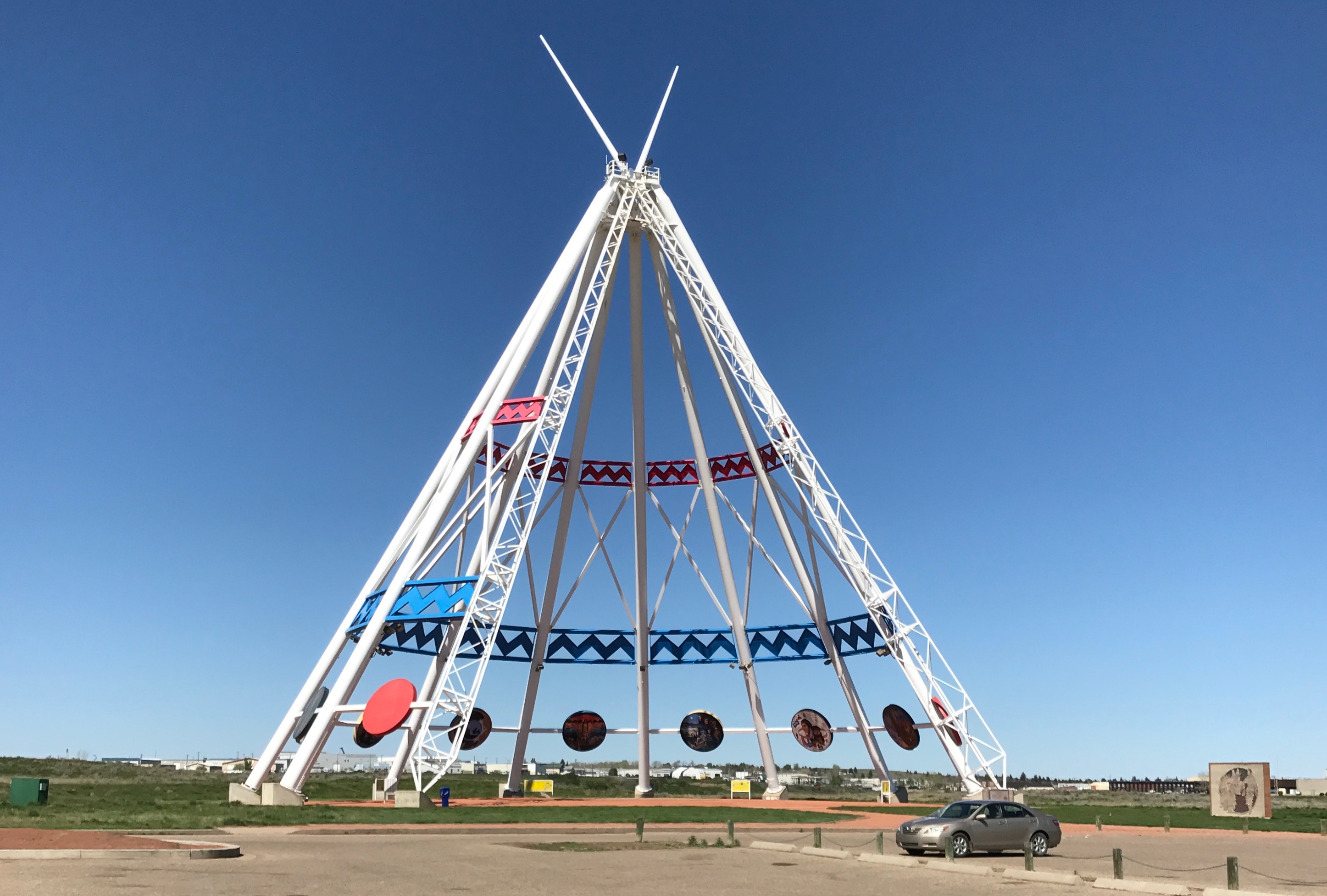
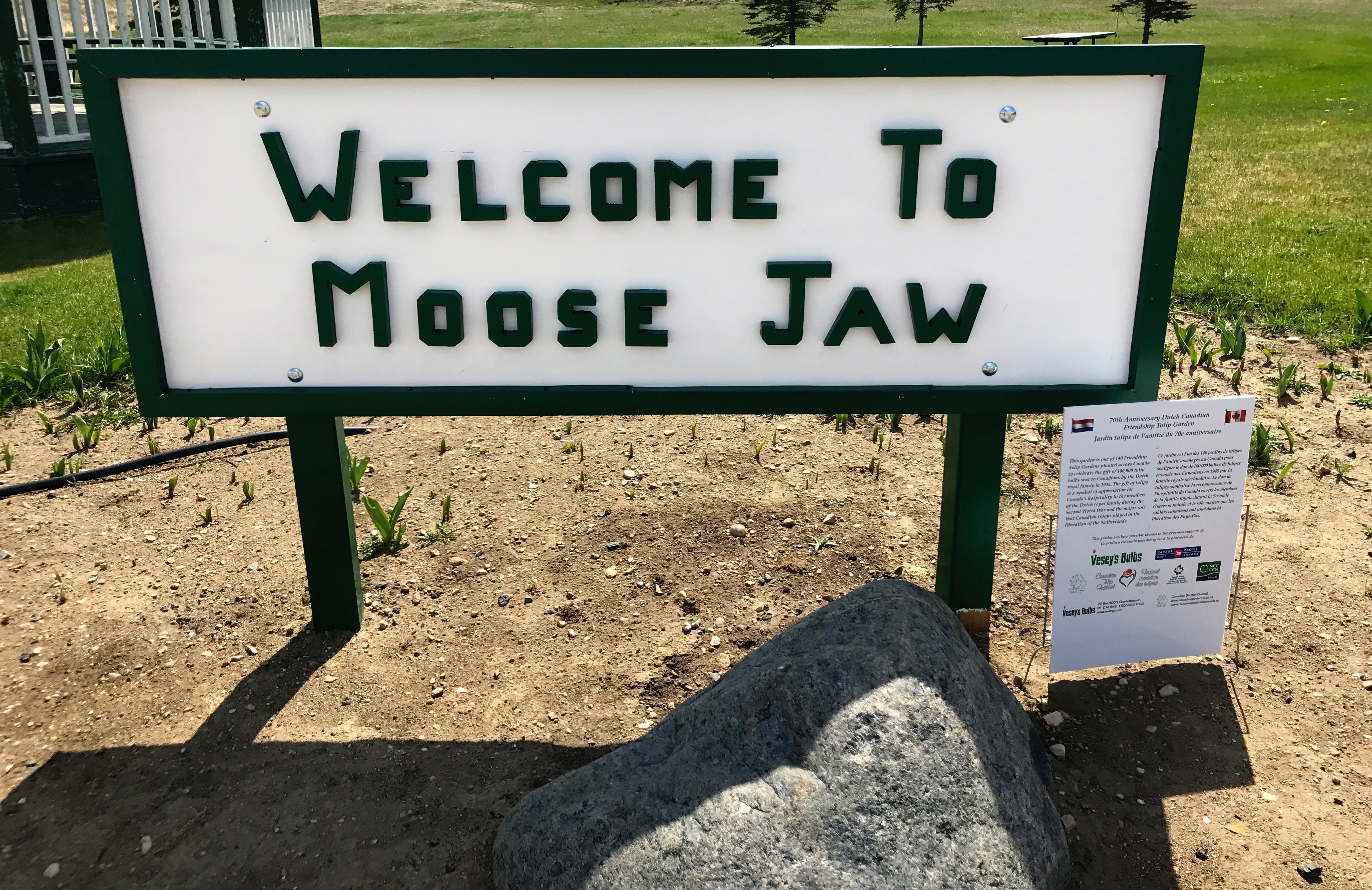
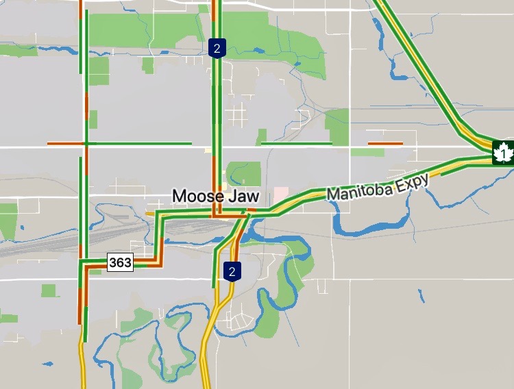
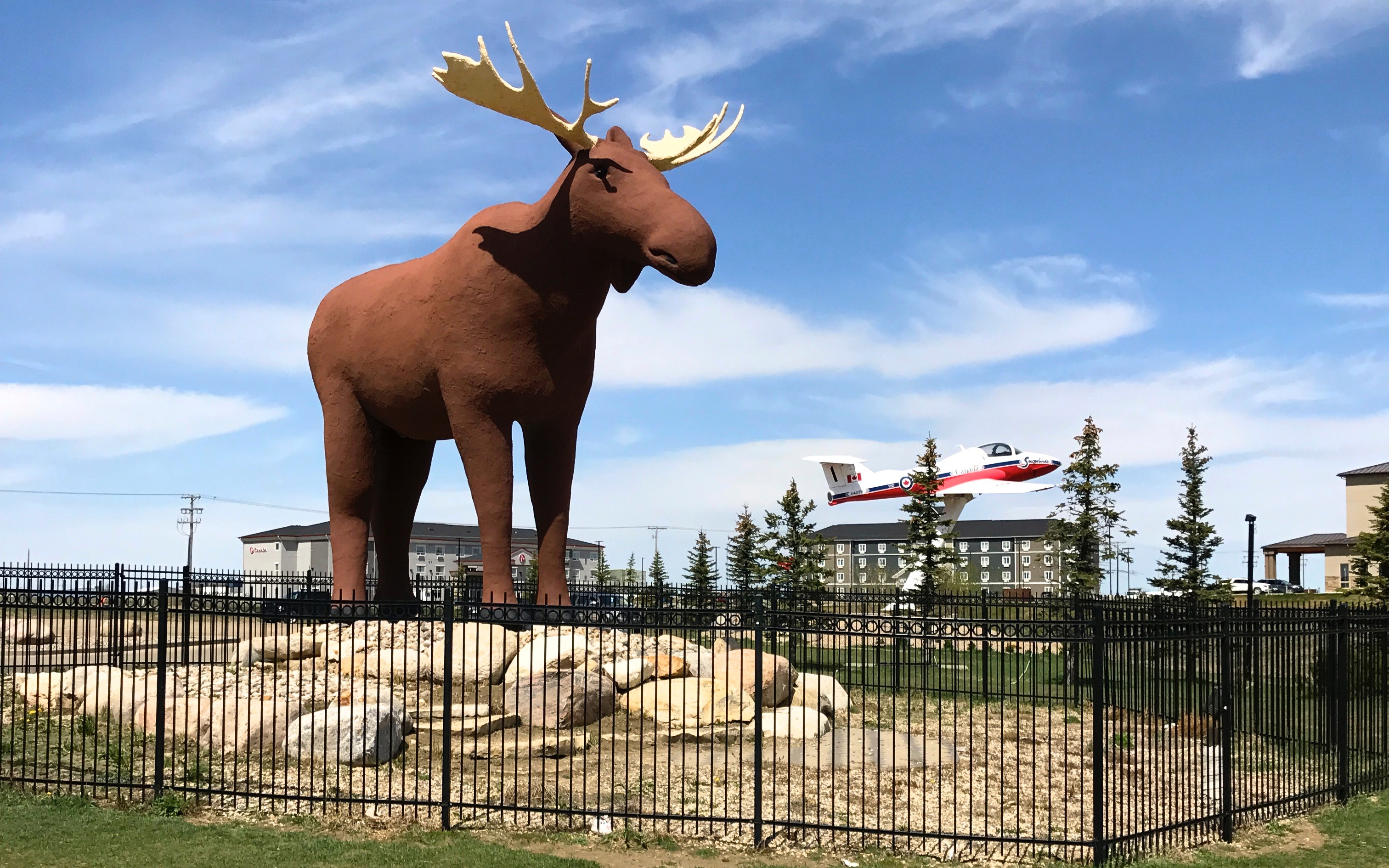
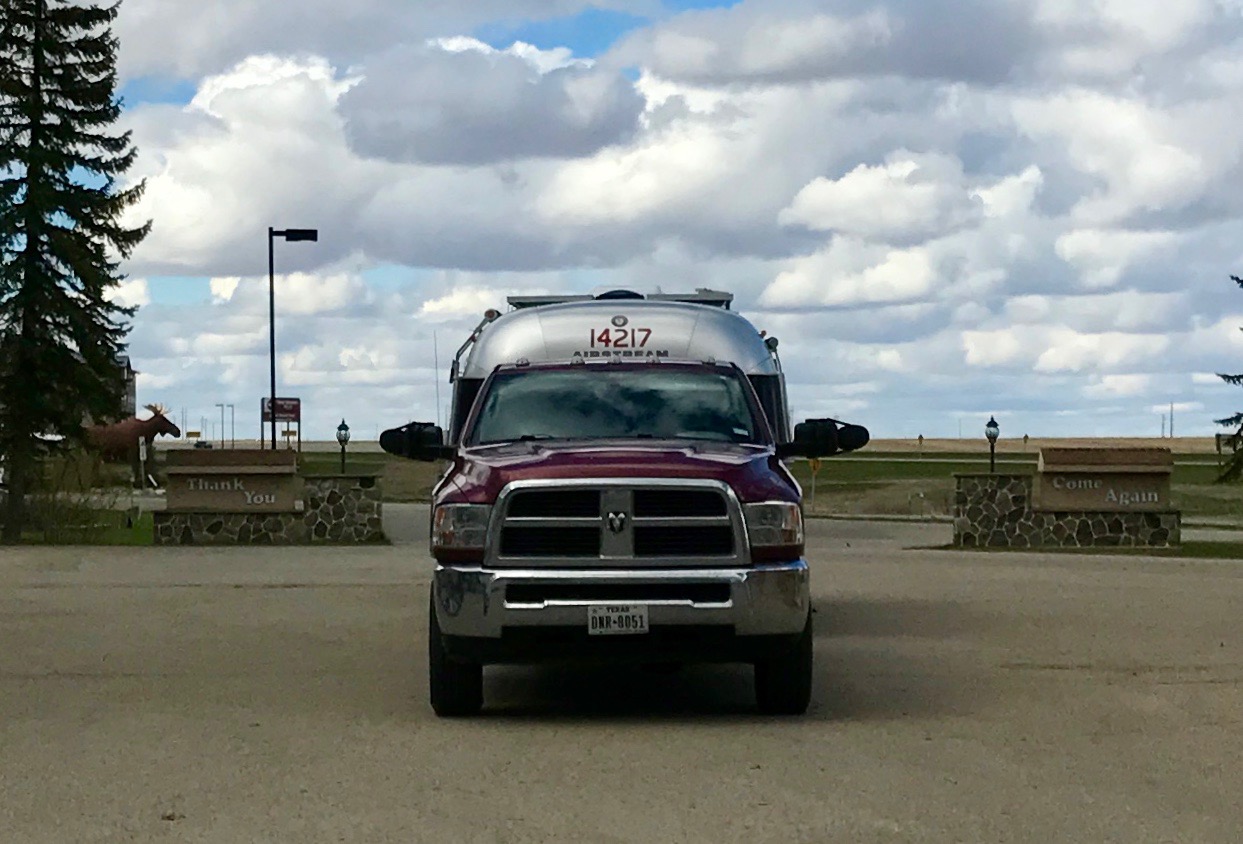
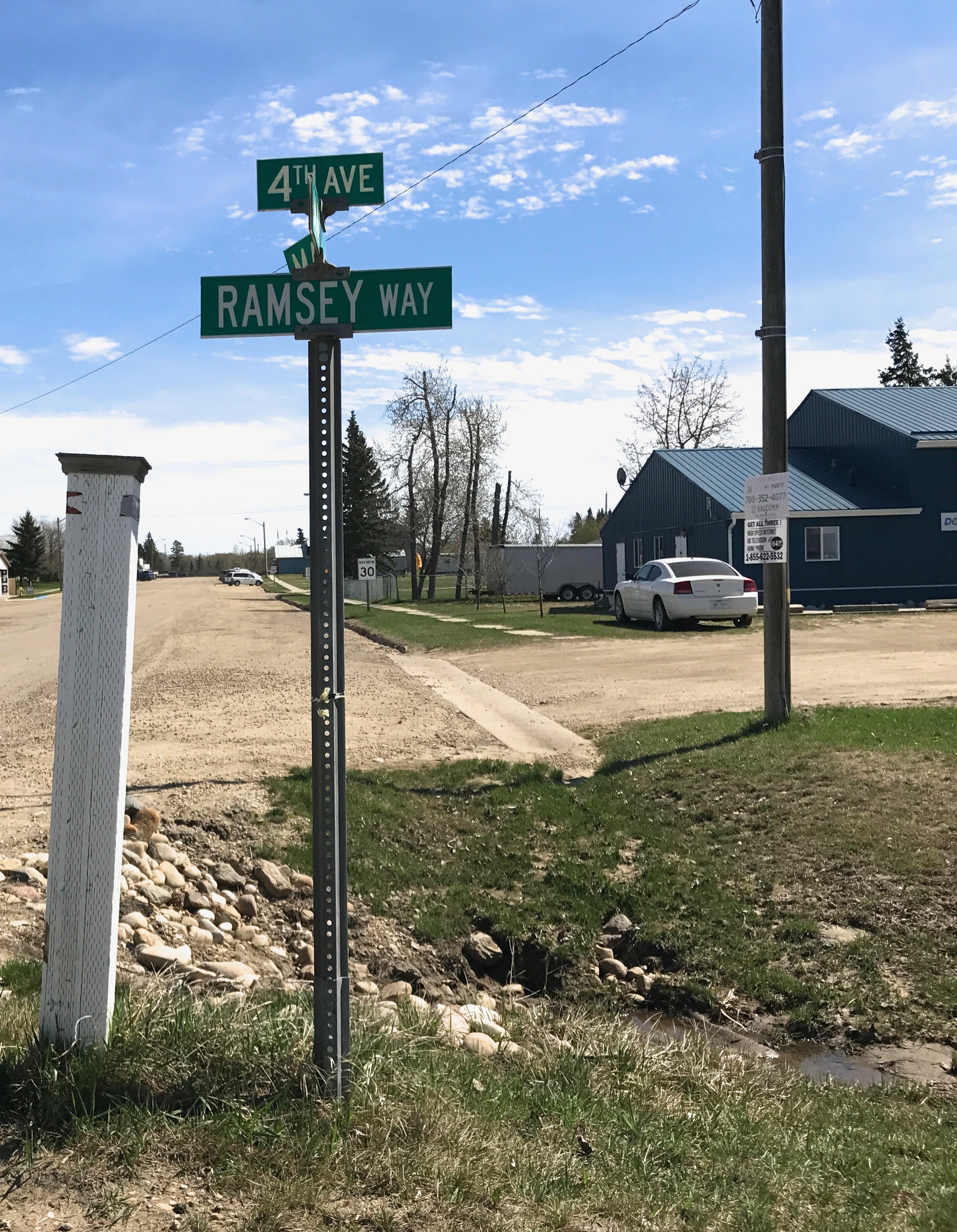
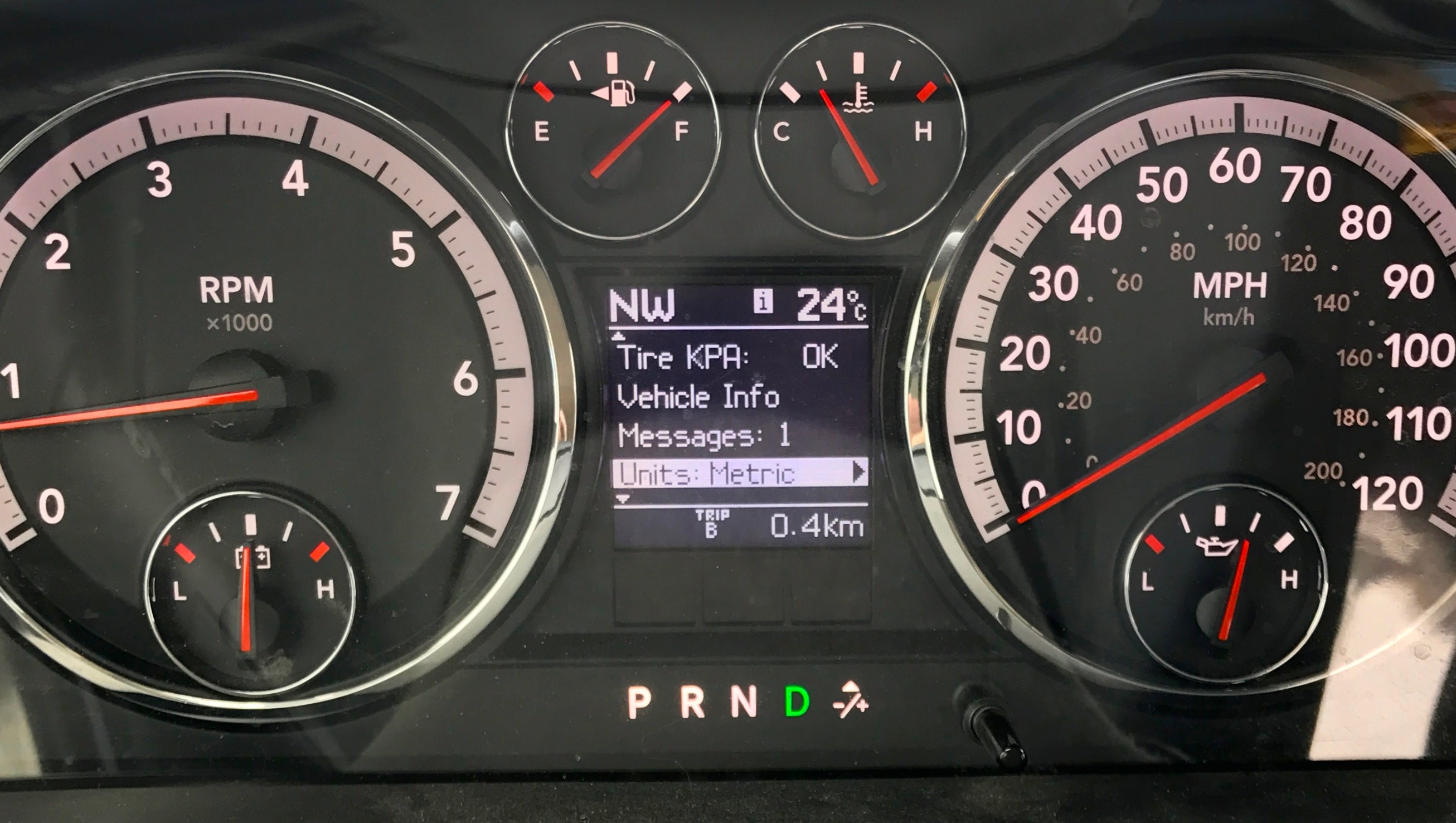
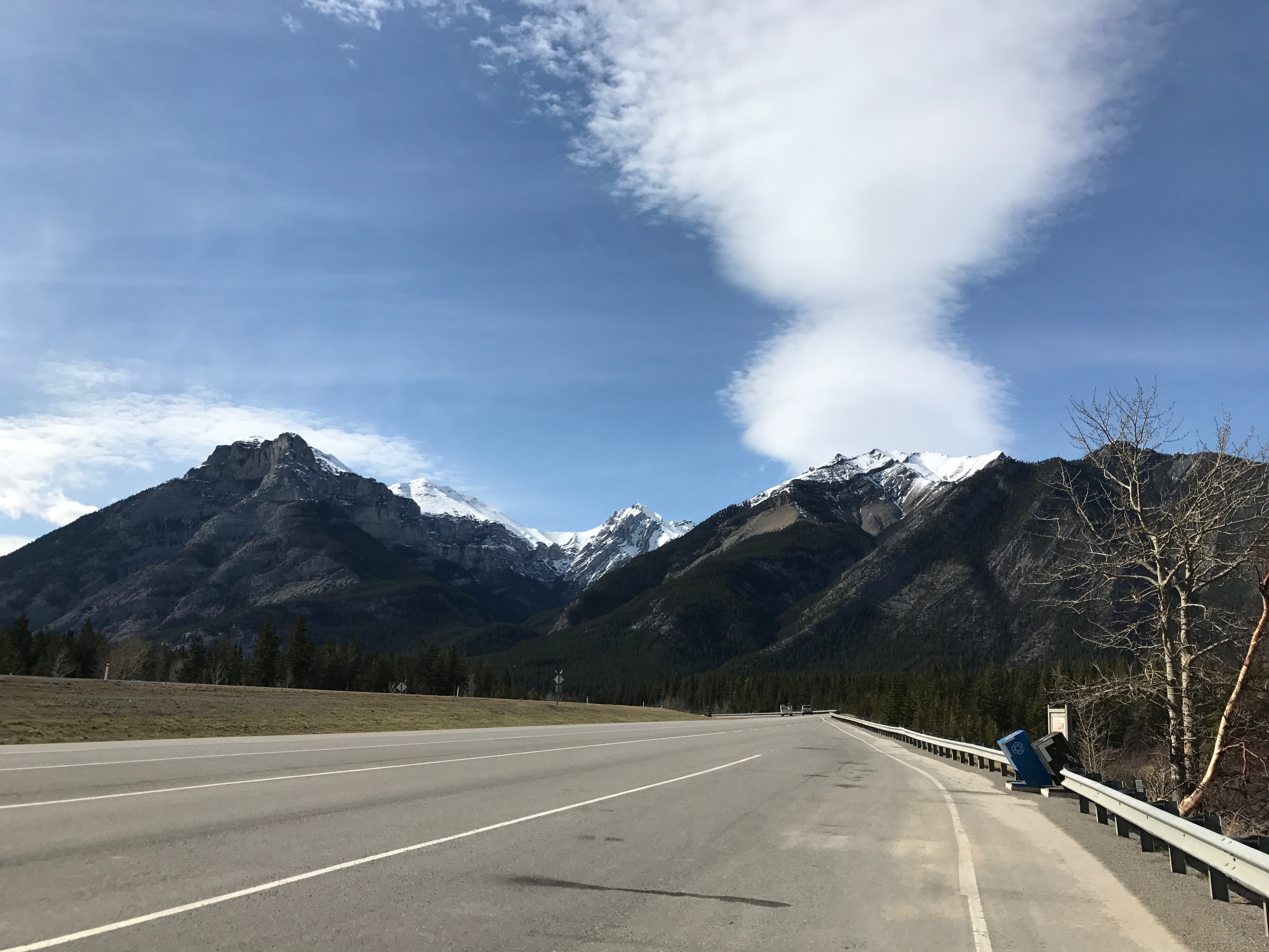
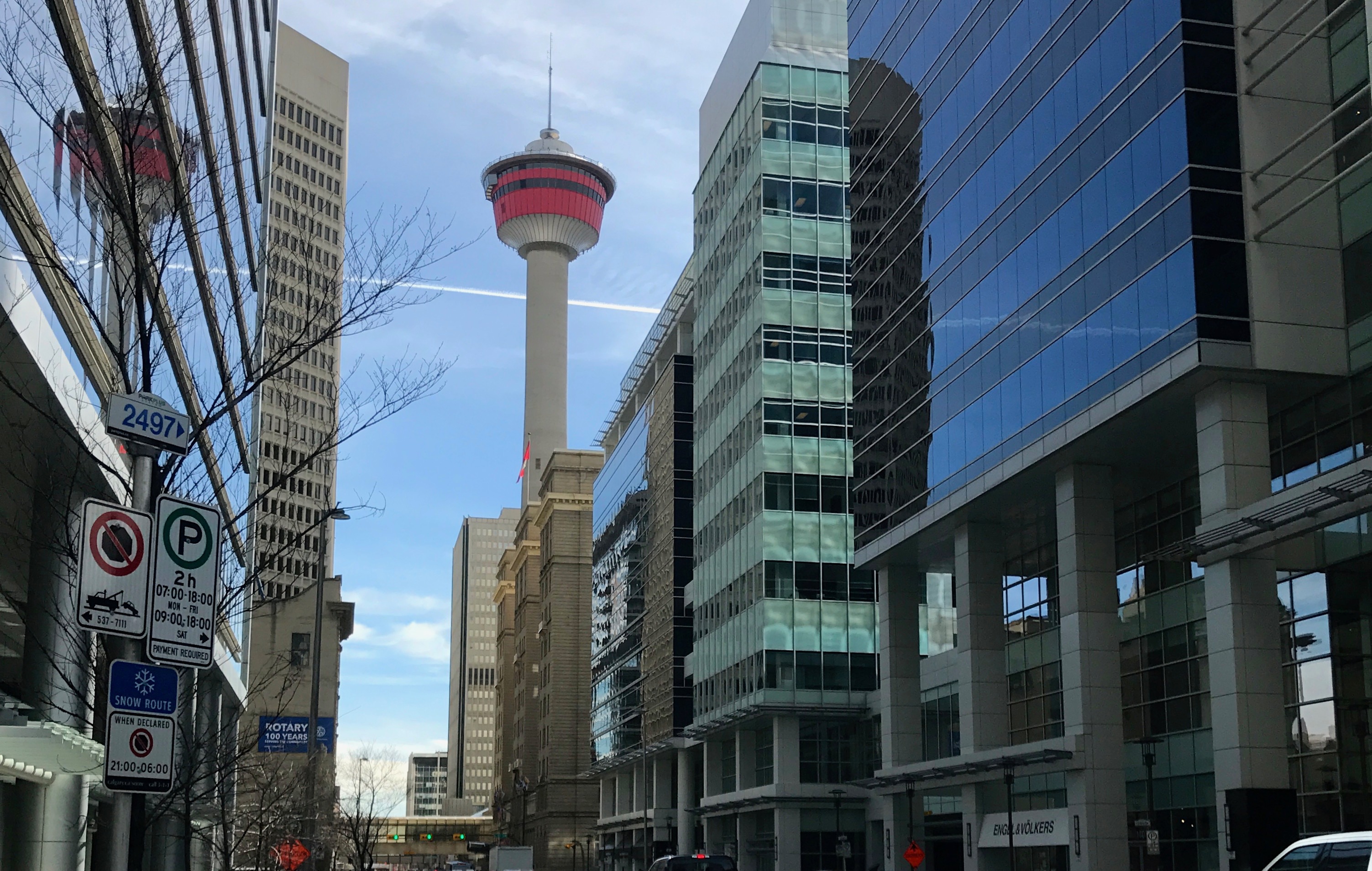
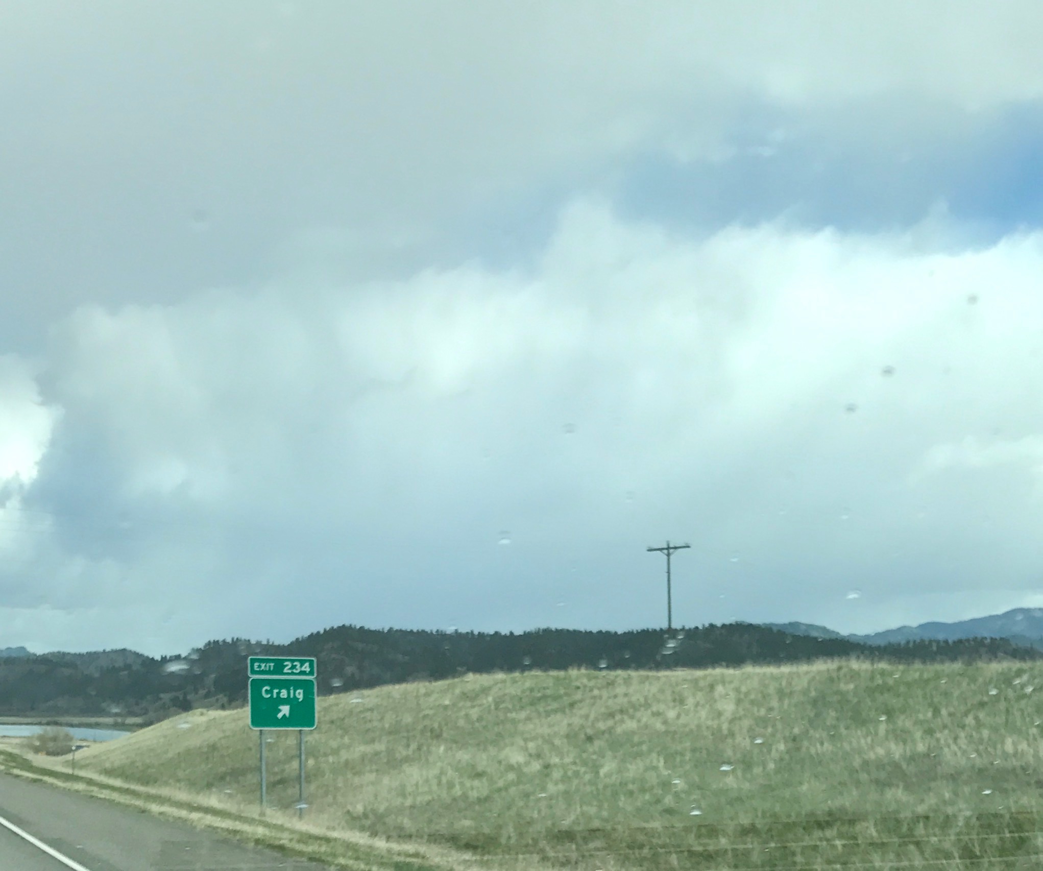
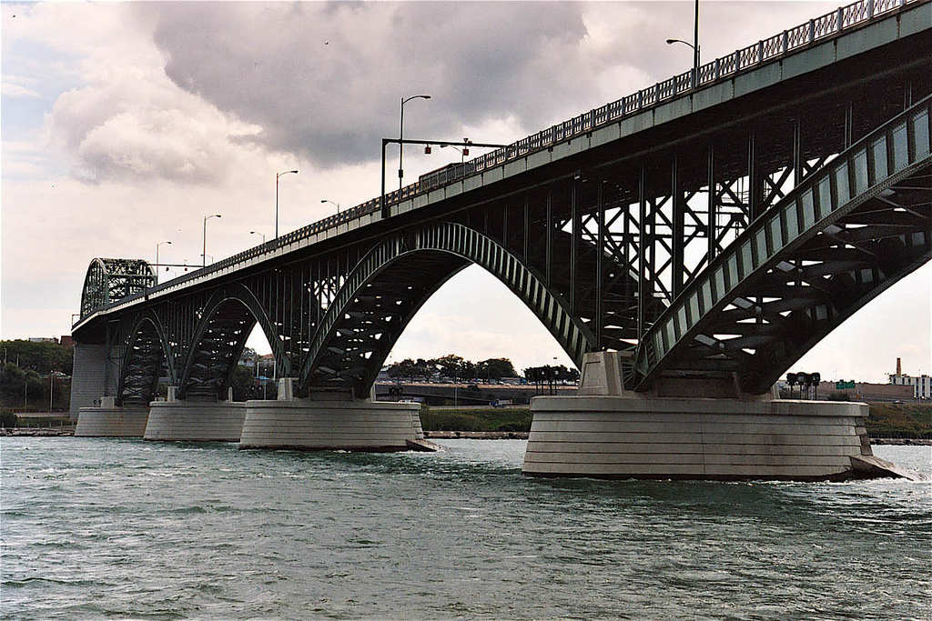
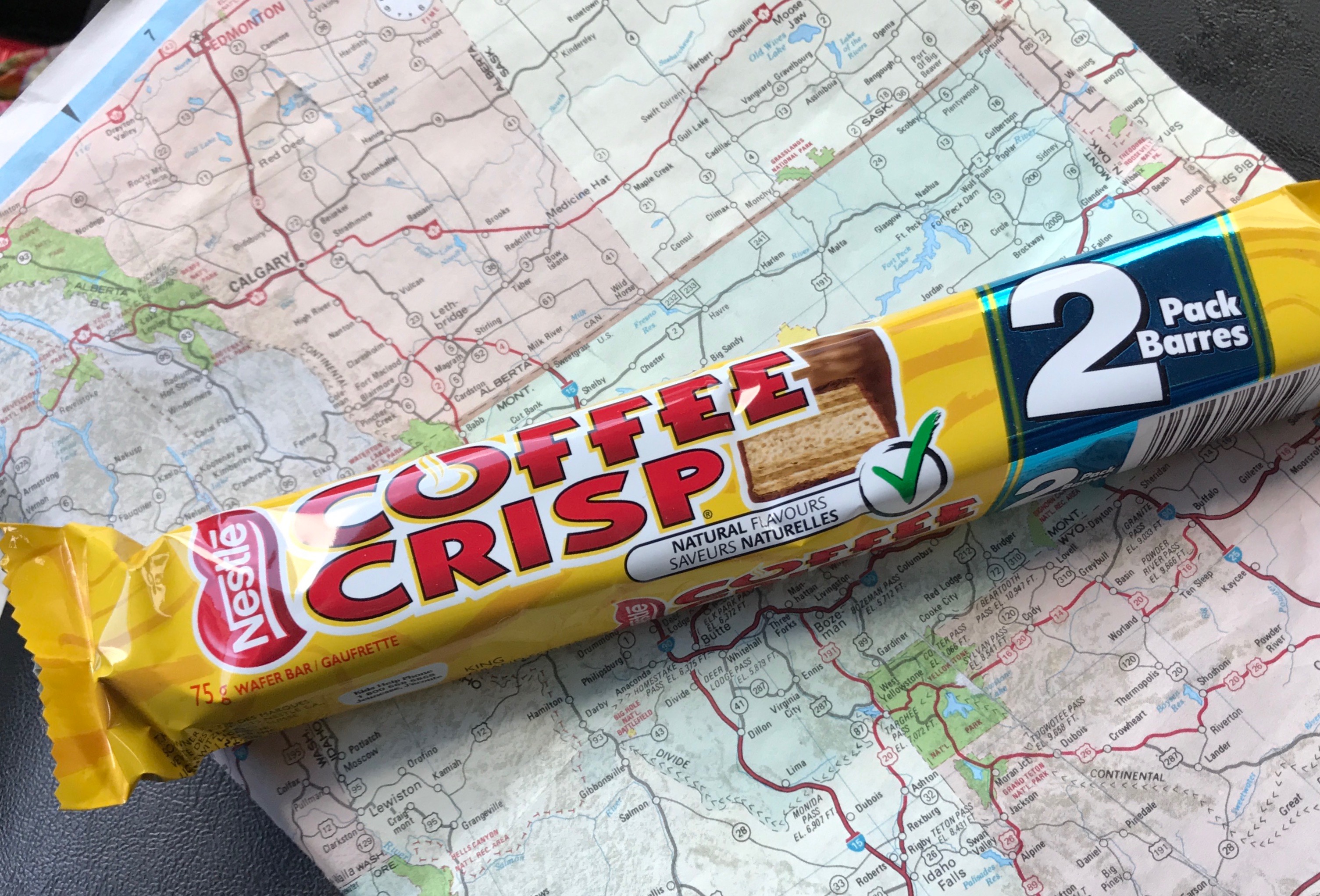
I set out from Moose Jaw, with my eyes set on Estevan. I passed a lot of prairie along the way. Every now and then, I’d pass through a town.

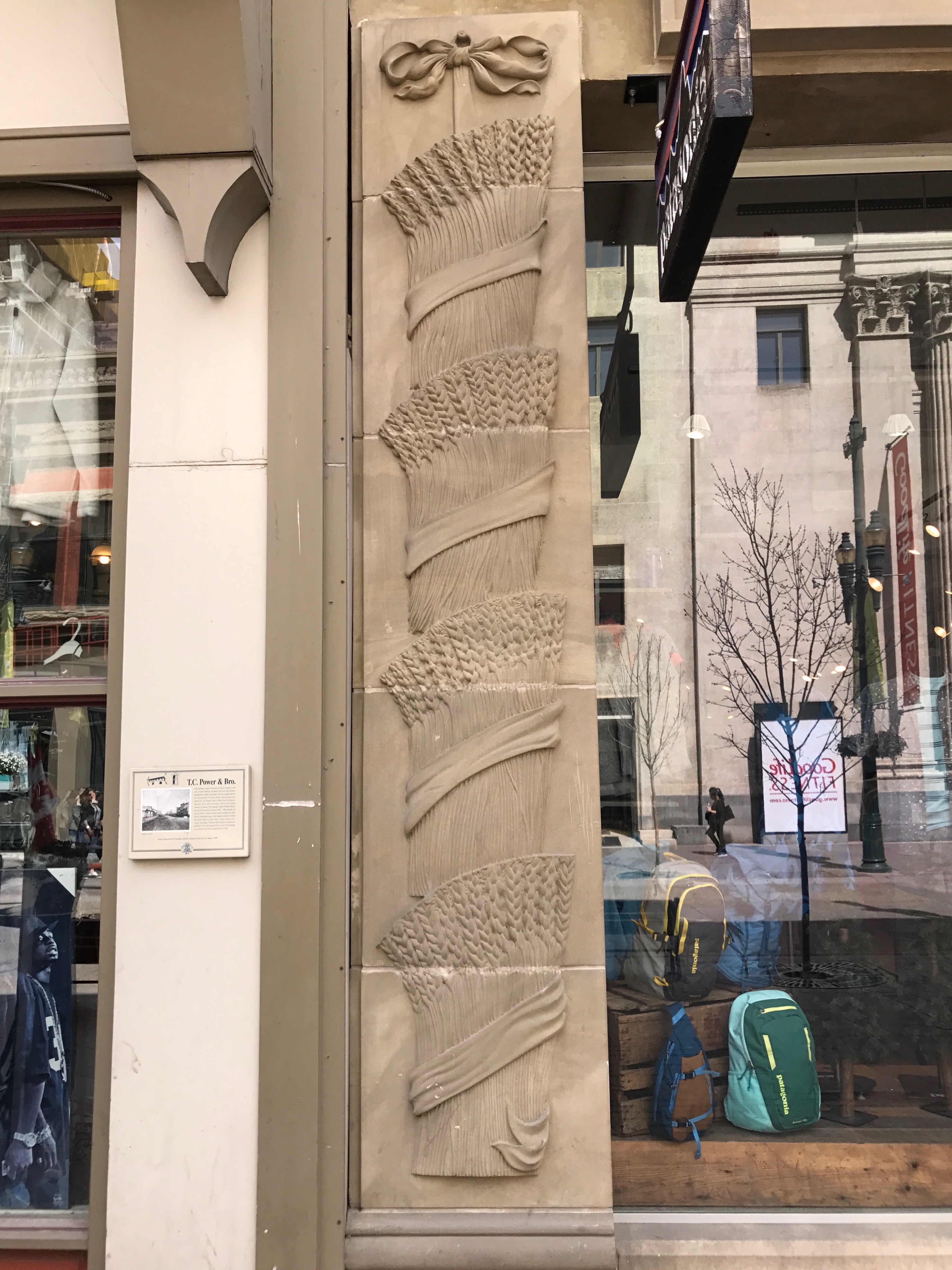
I saw these giant wheat sculptures in the town of Weyburn. I thought they were fitting for Saskatchewan – Canada’s breadbasket.
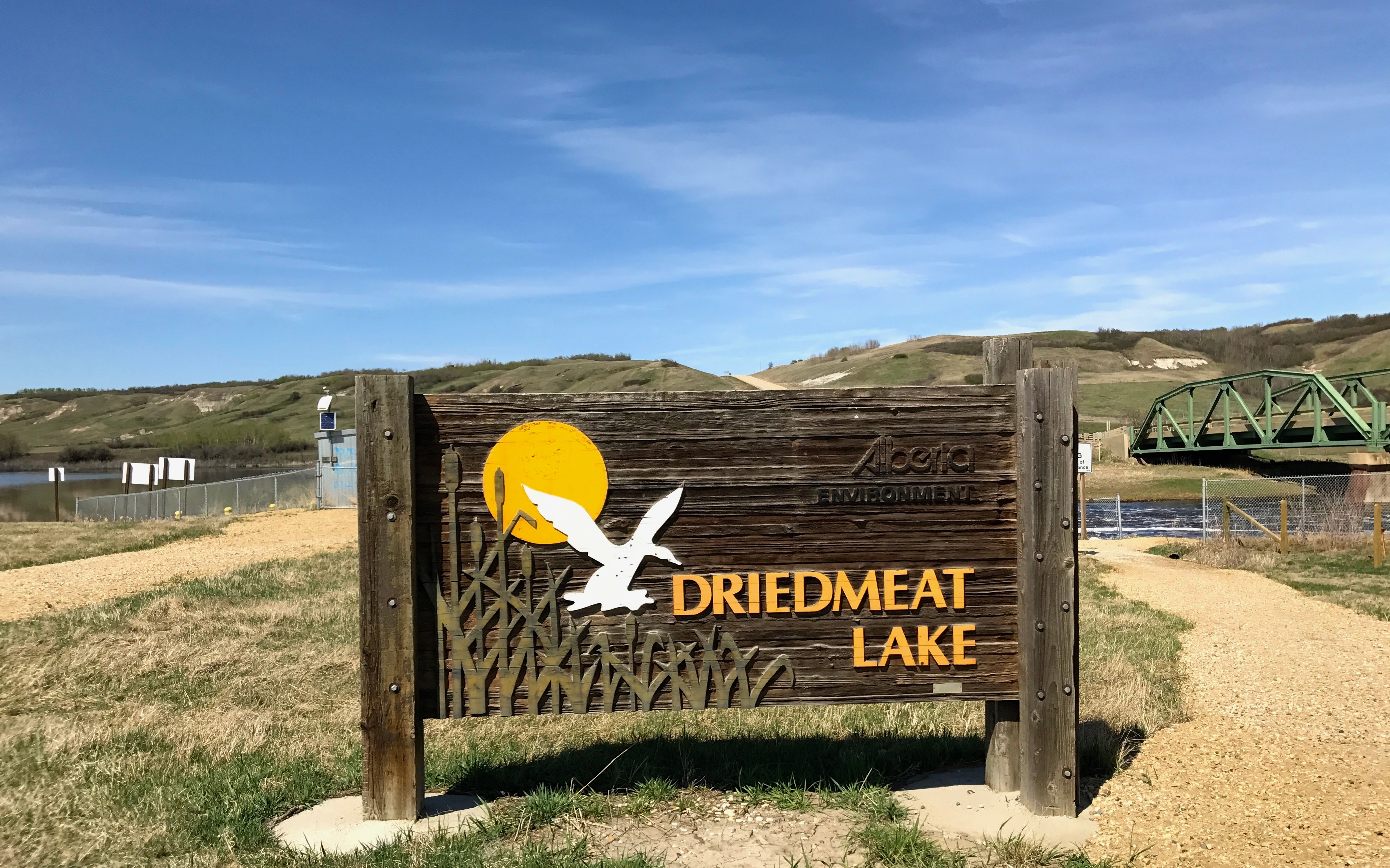
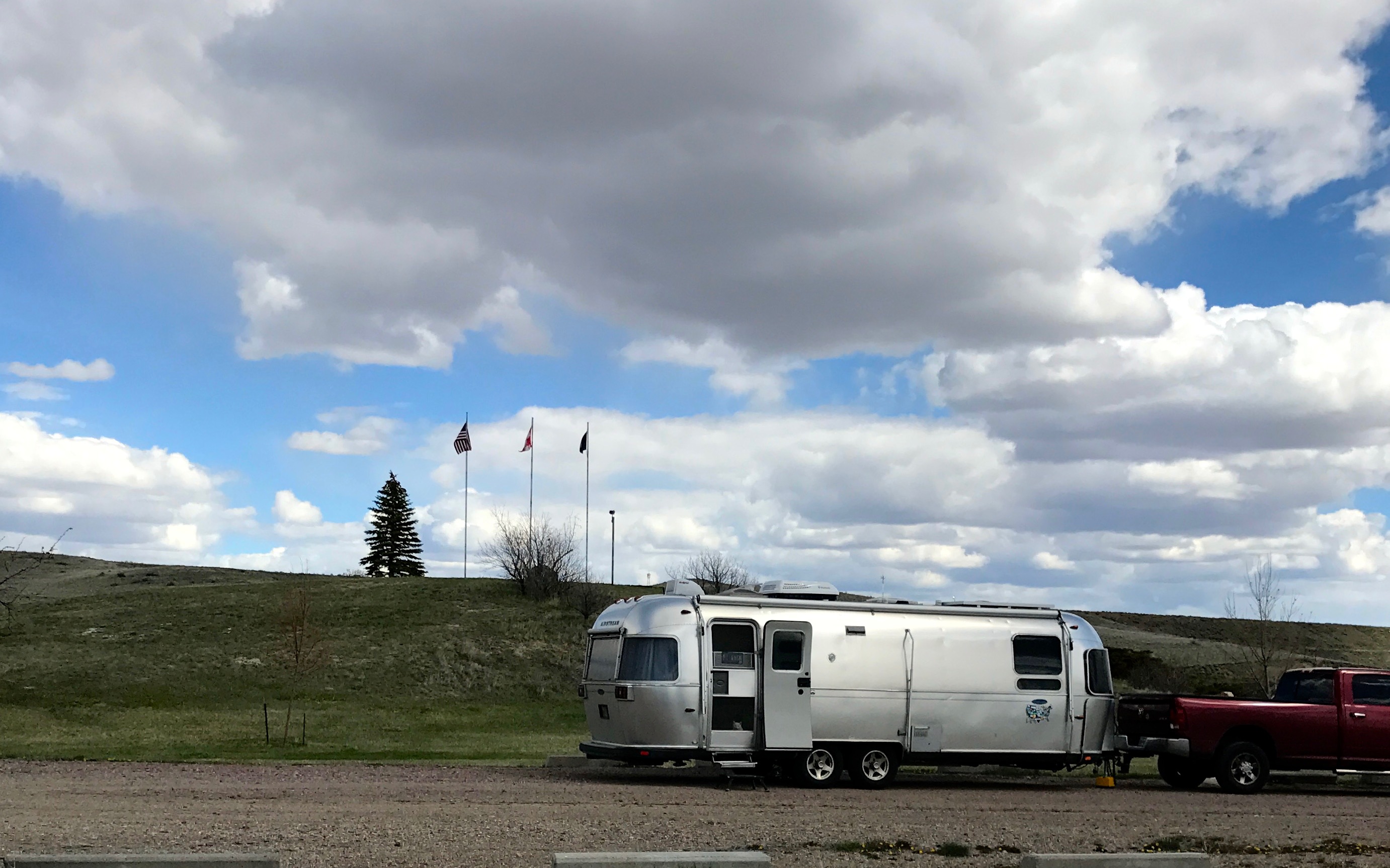
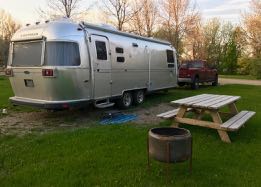
I pulled into the campground in Estevan. Cousin Kelly told me that most golf courses in that part of Canada also had campgrounds. When I checked in, I found proof that the campground was at a golf course.
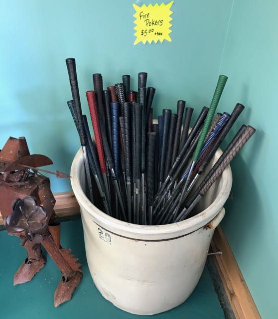
It made me think of something that my father would have done. He was always thinking!
Speaking of things that my father would have done, I am sure he would have made a fire pit out of a washing machine drum, too.
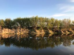
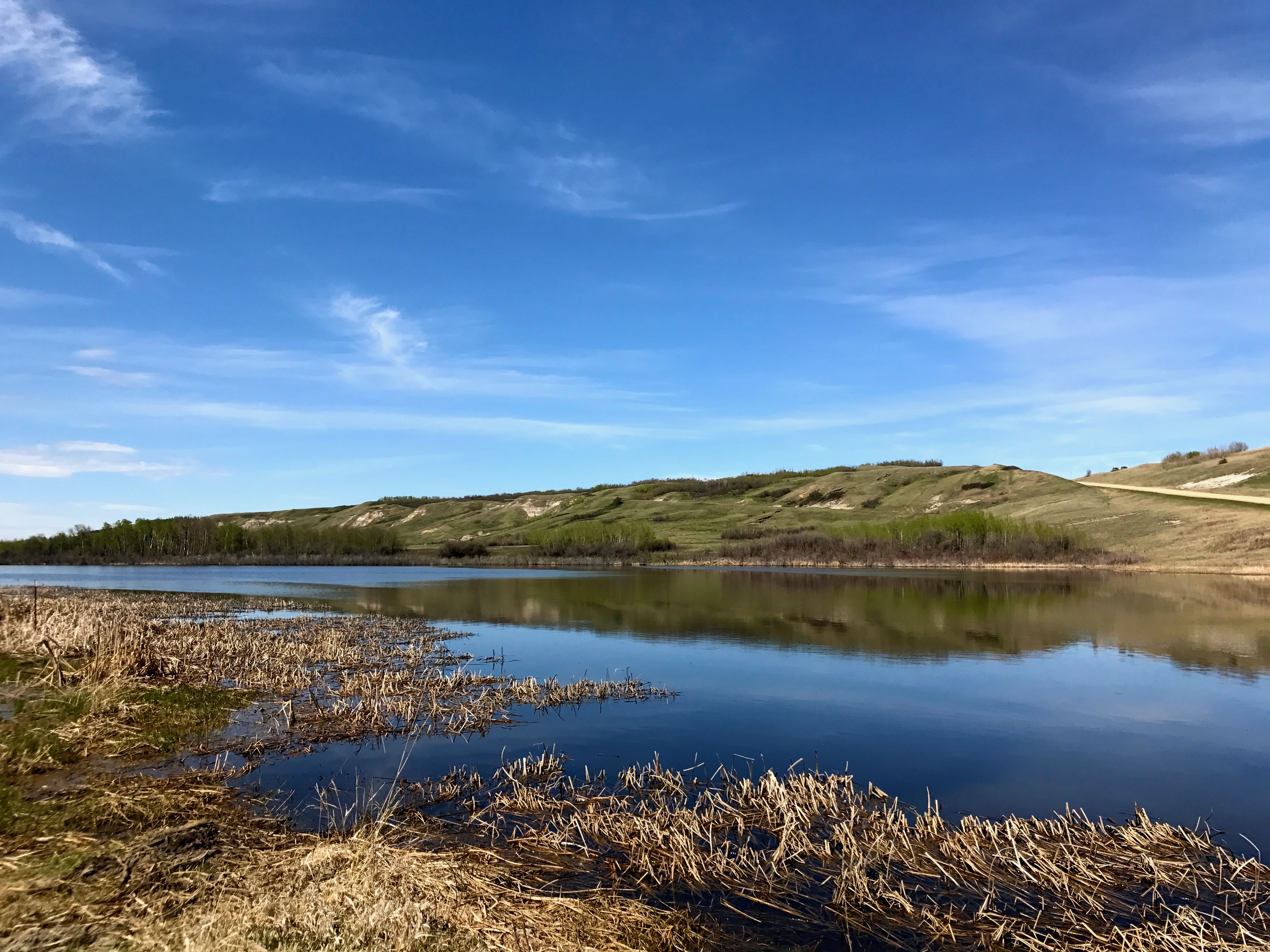
The campground had a lovely water feature, too.
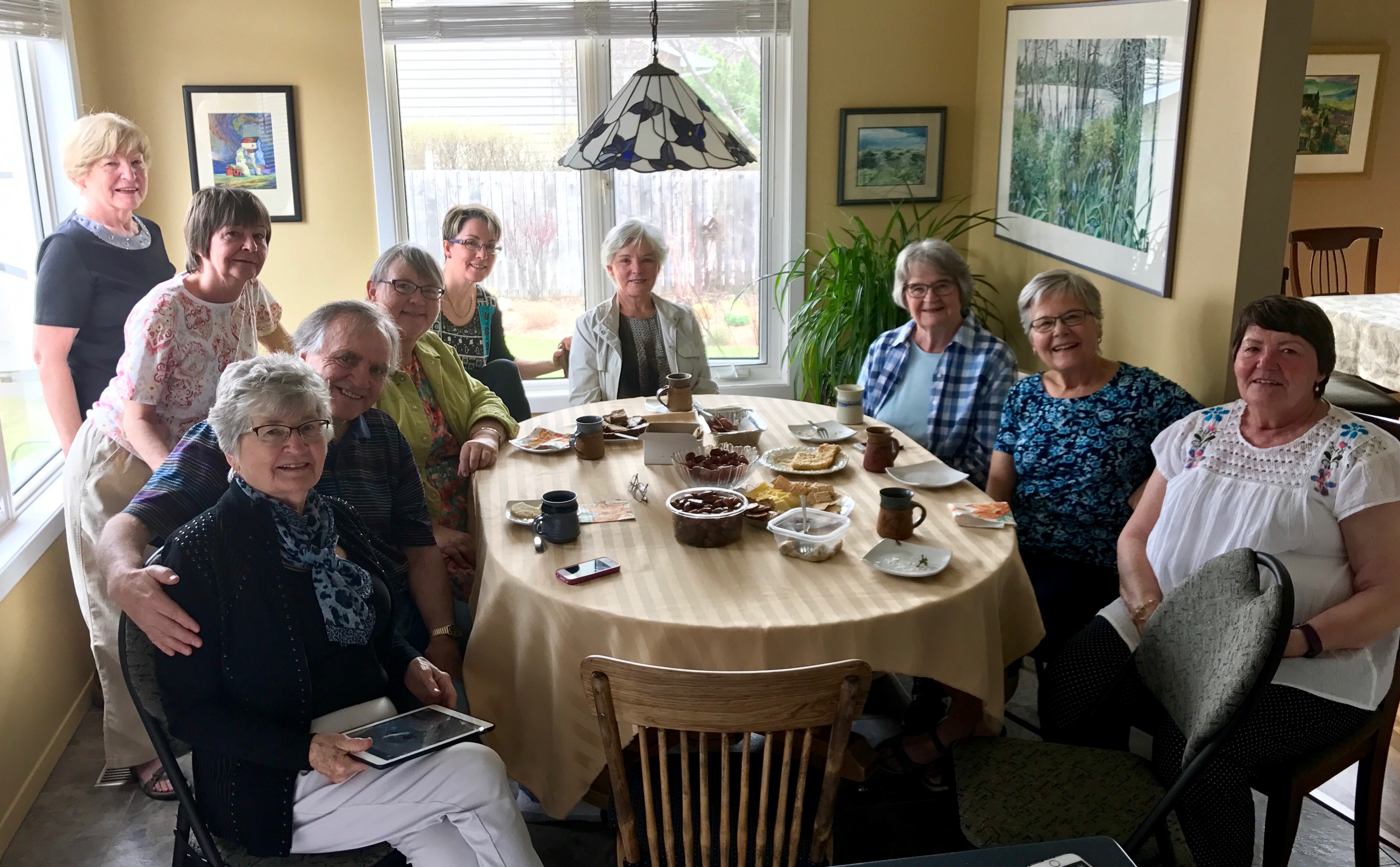
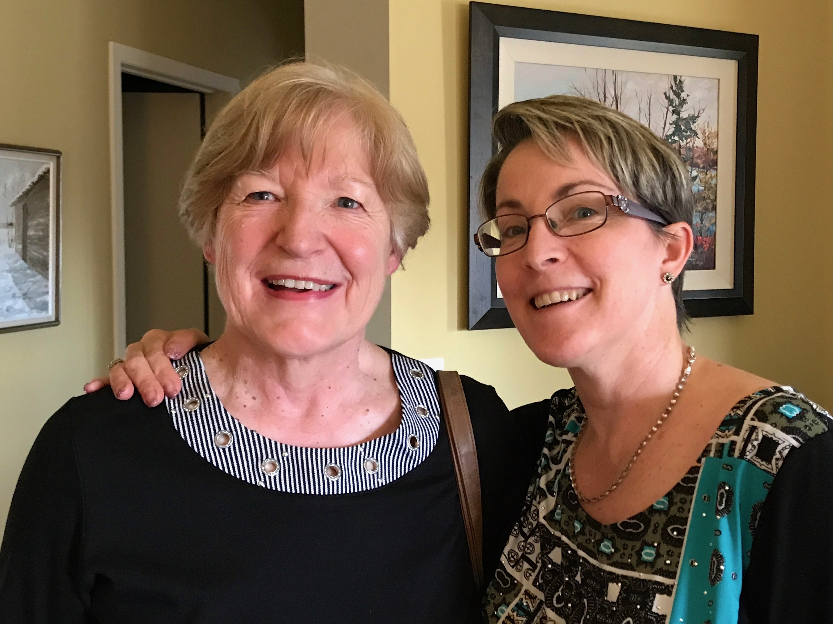
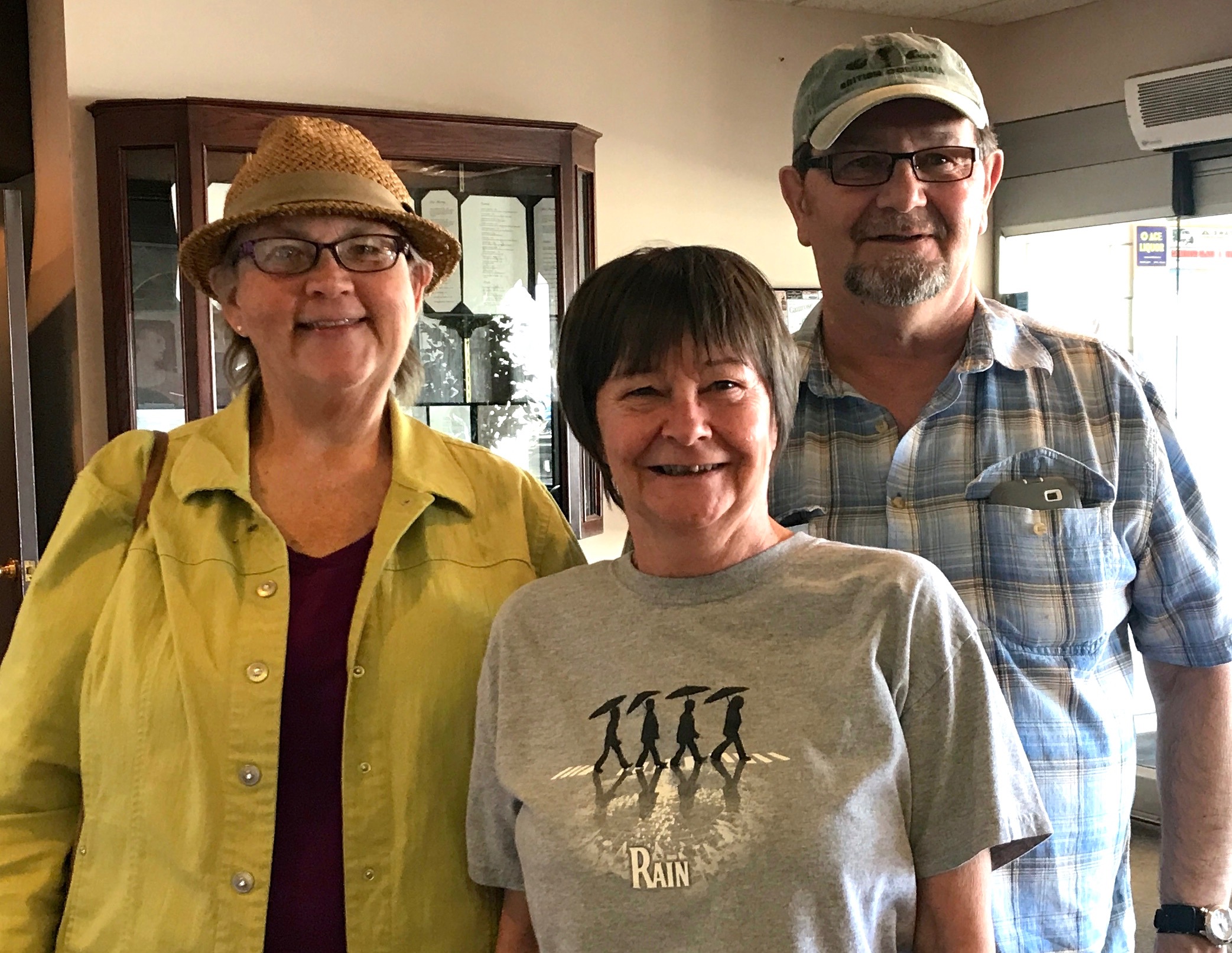
As nice as the campground was, it wasn’t the reason I was visiting Estevan. I had a friend that I met though an internet group so long ago that it was even before Facebook! I left the group we met on, but we met up again on Facebook. When it looked like I was heading to her neck of the woods, we made plans to meet up.
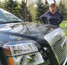
She came over to meet me at the campground. It was good to finally meet her, face-to-face.
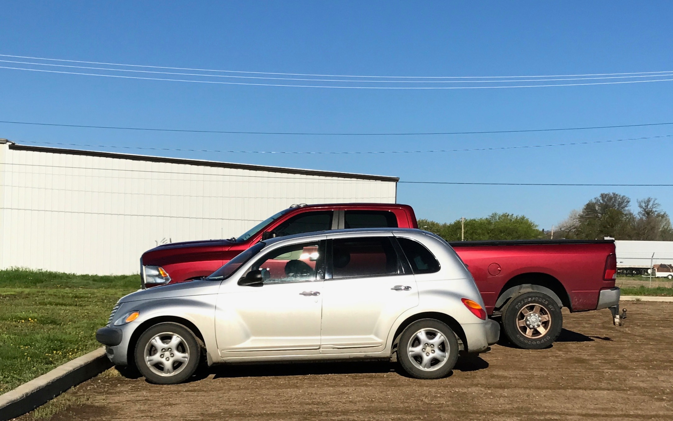
I had always heard of needing to plug in engine block heaters because it got so cold up there, but I had never seen a car with a plug before. I had to capture this shot.
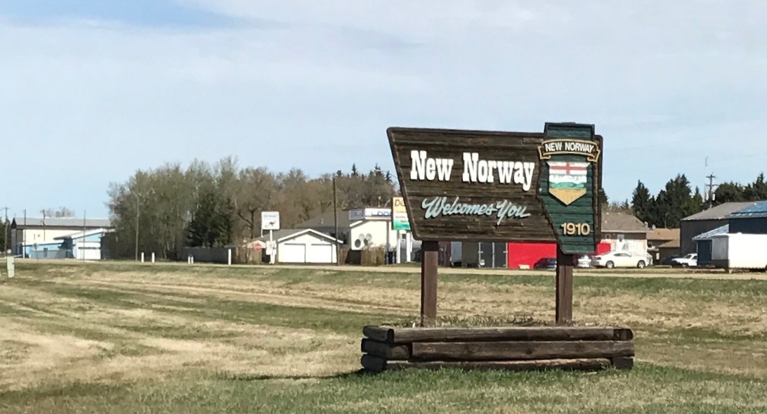
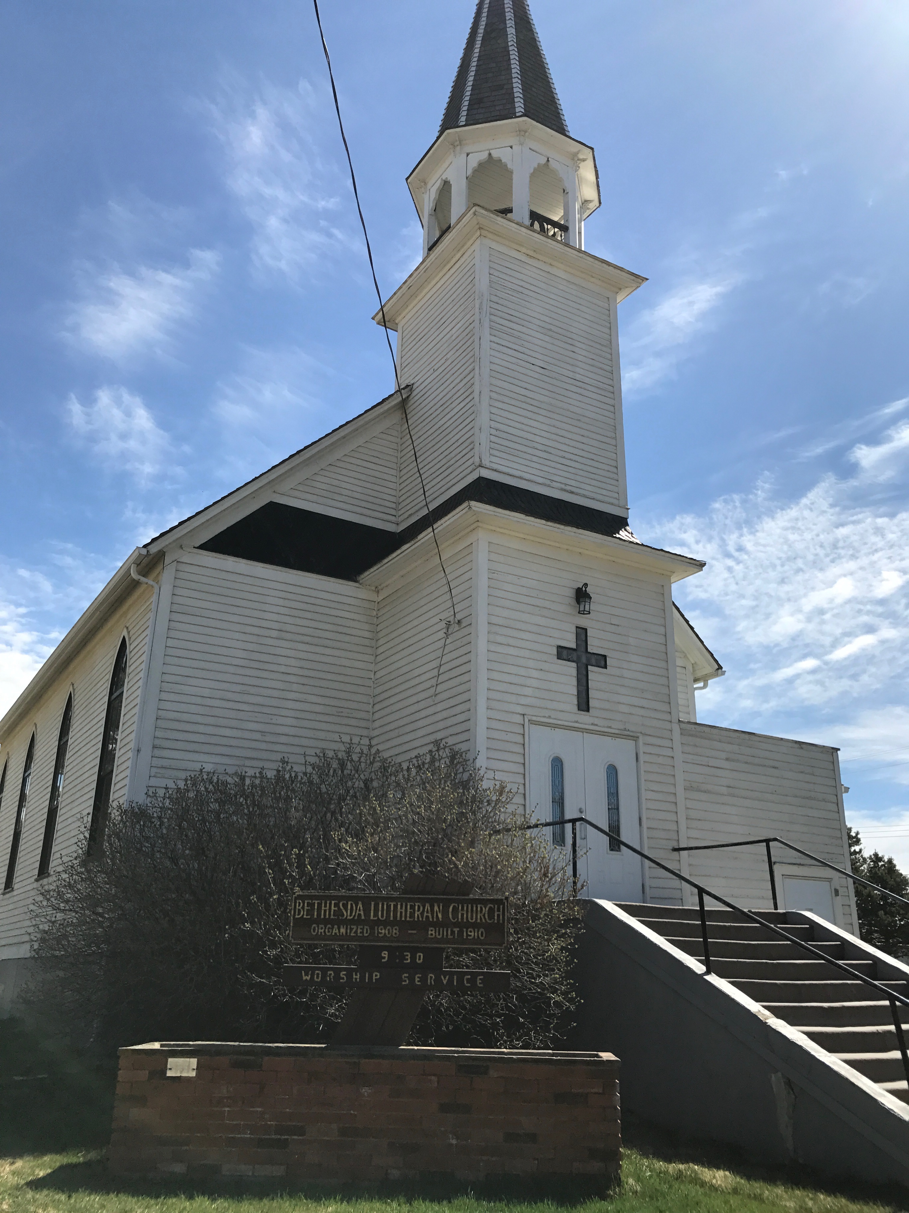
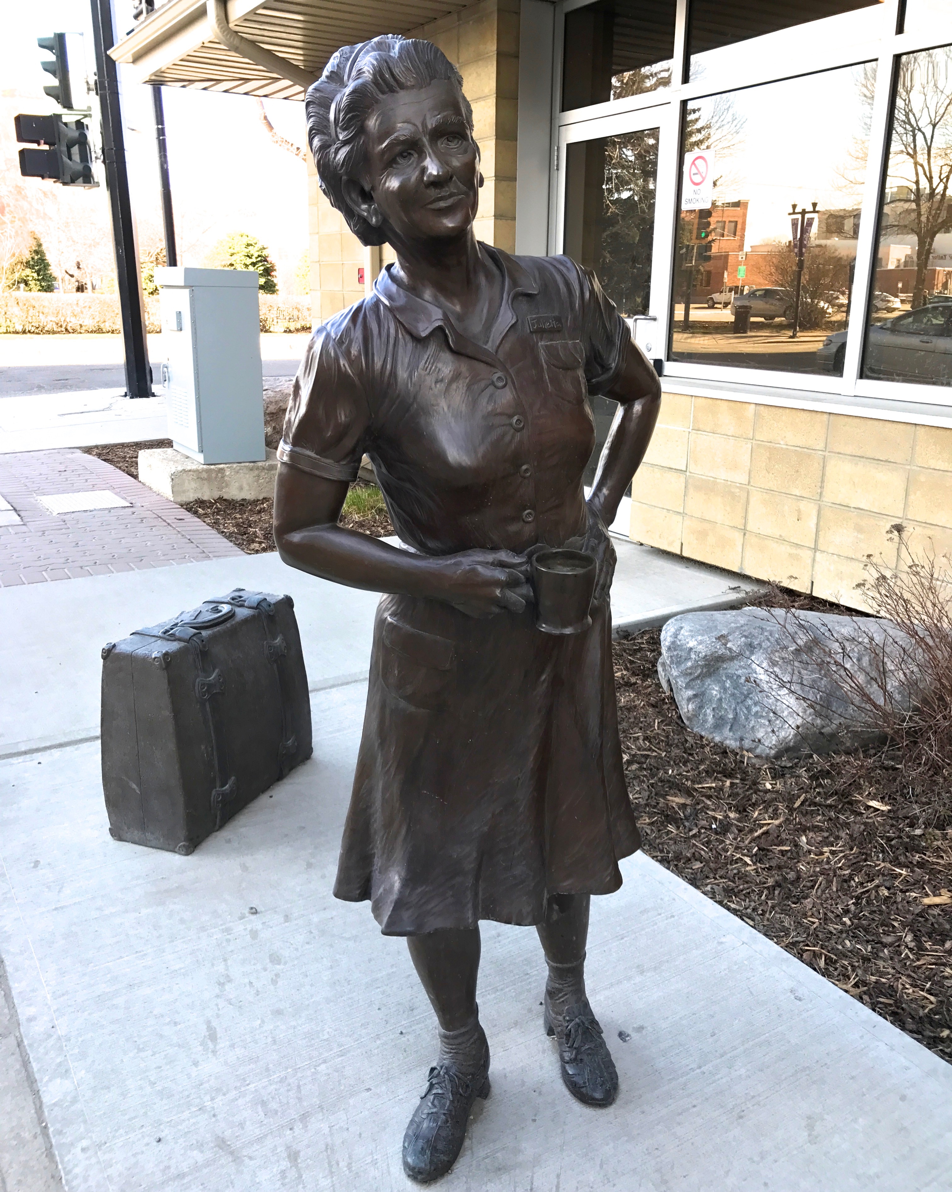
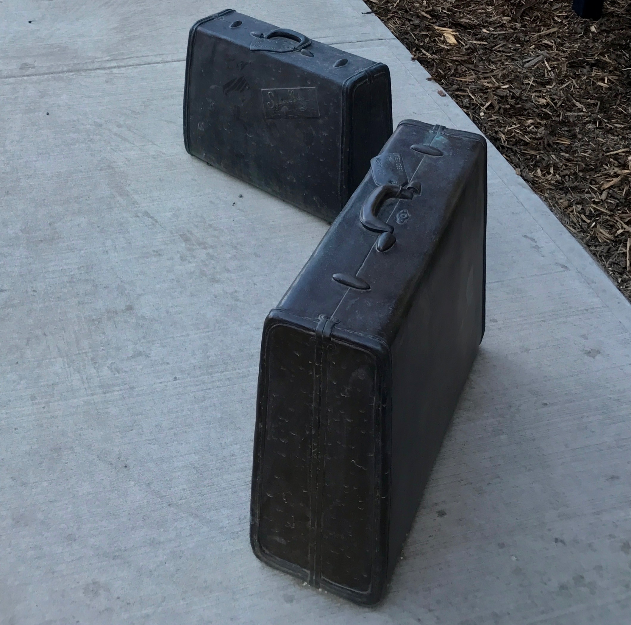
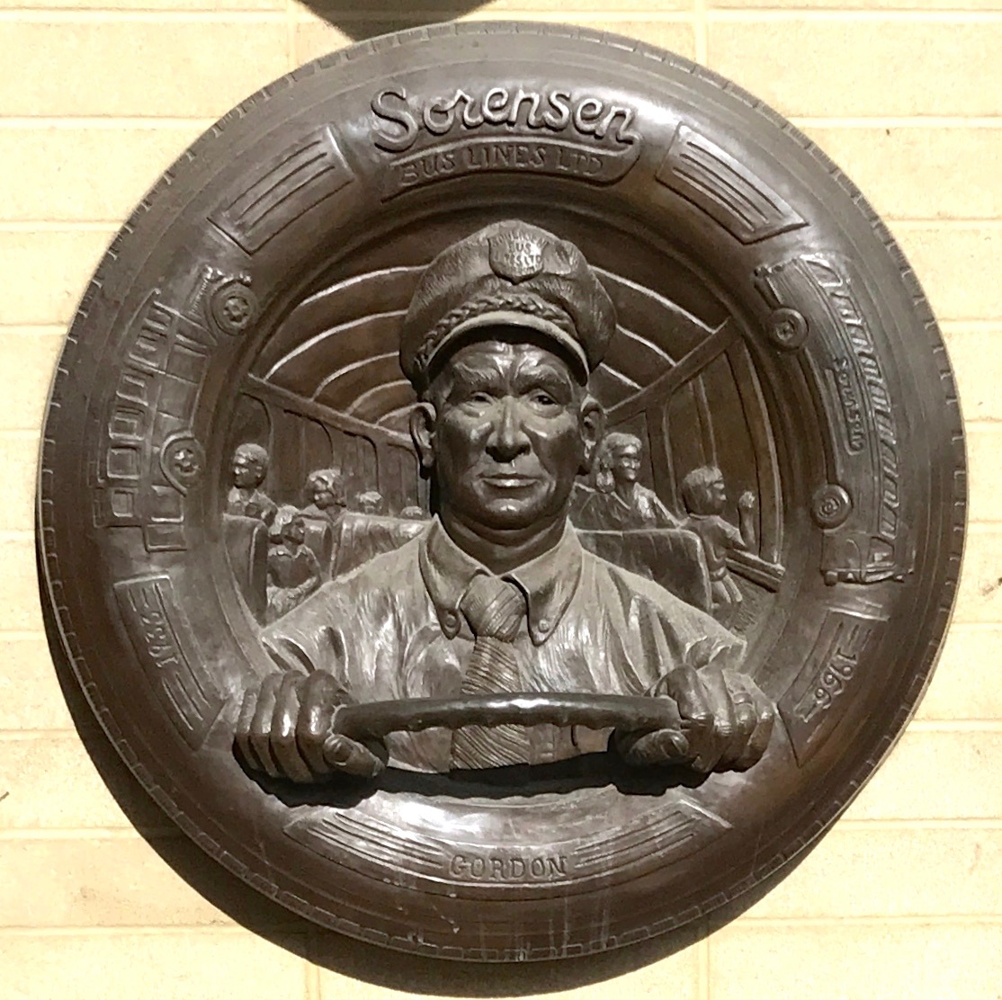
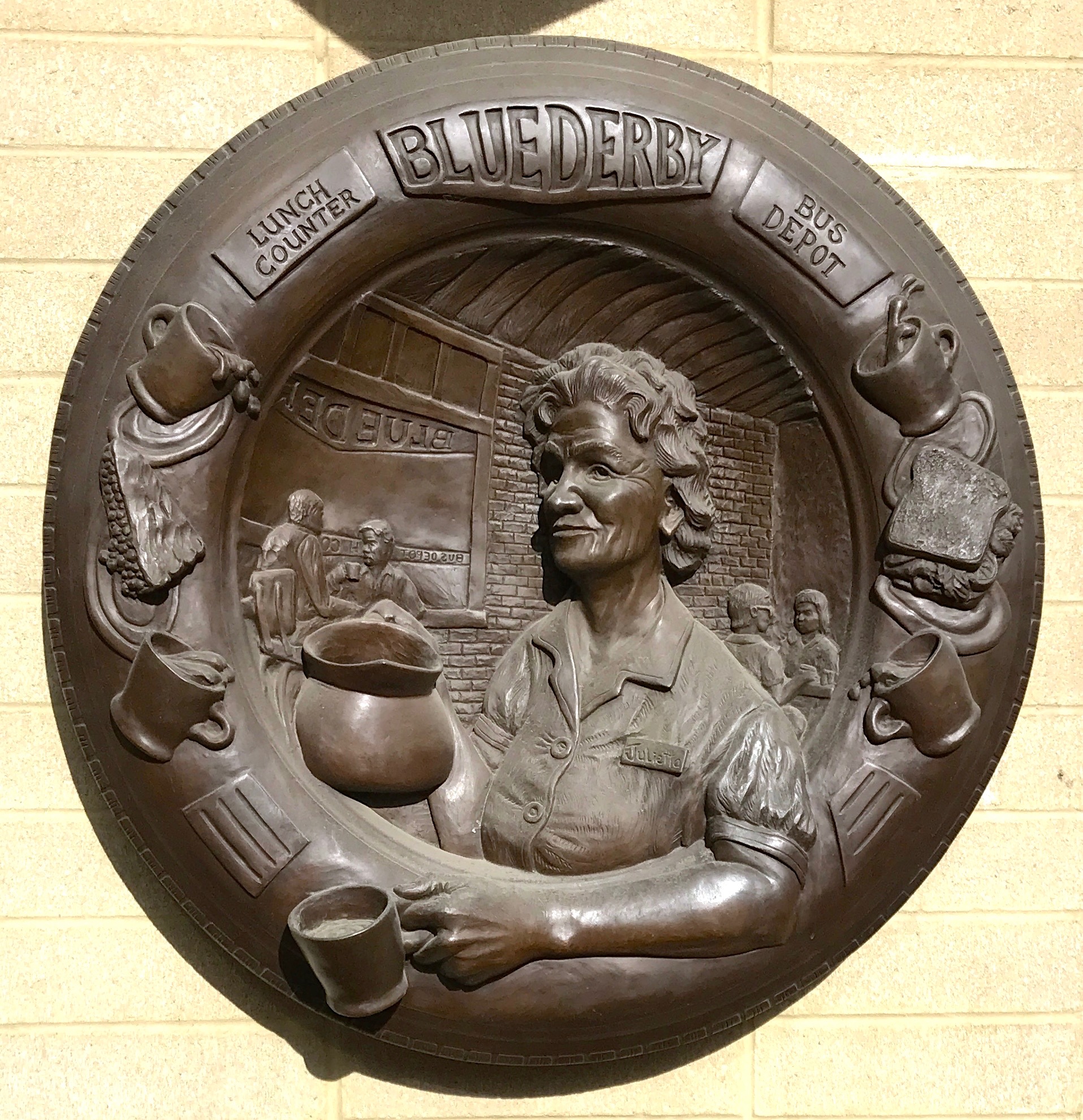
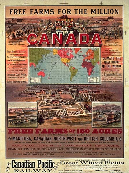
Jackie did a great job showing me around Estevan, which has a similar history to New Norway. The first settlers arrived with the Canadian Pacific Railway at the end of the 1800s and it became a town in 1906. It achieved the status of a city in 1957, which in Saskatchewan is a community of 5,000 or more. Estevan is the eighth largest city in Saskatchewan.
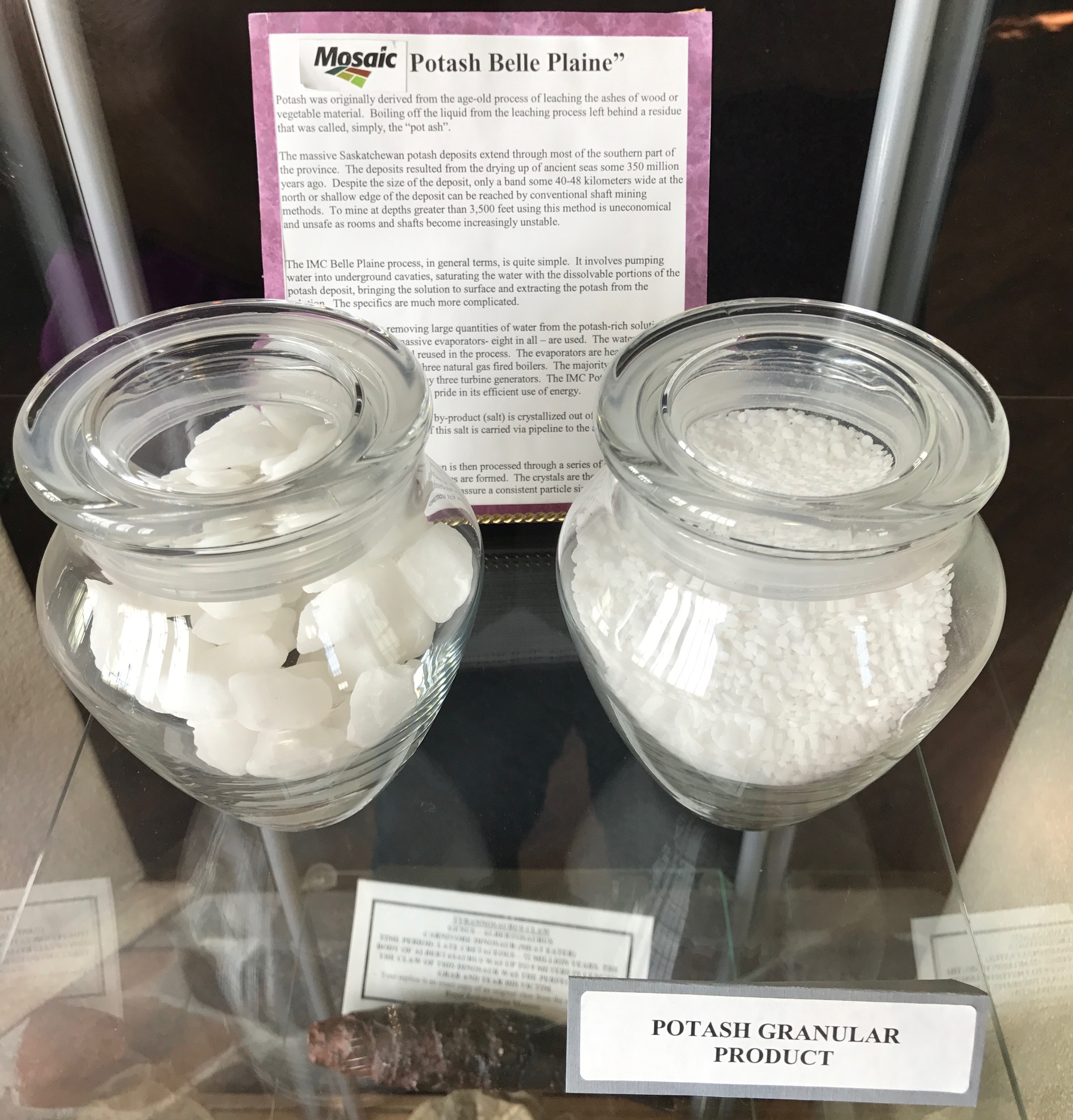
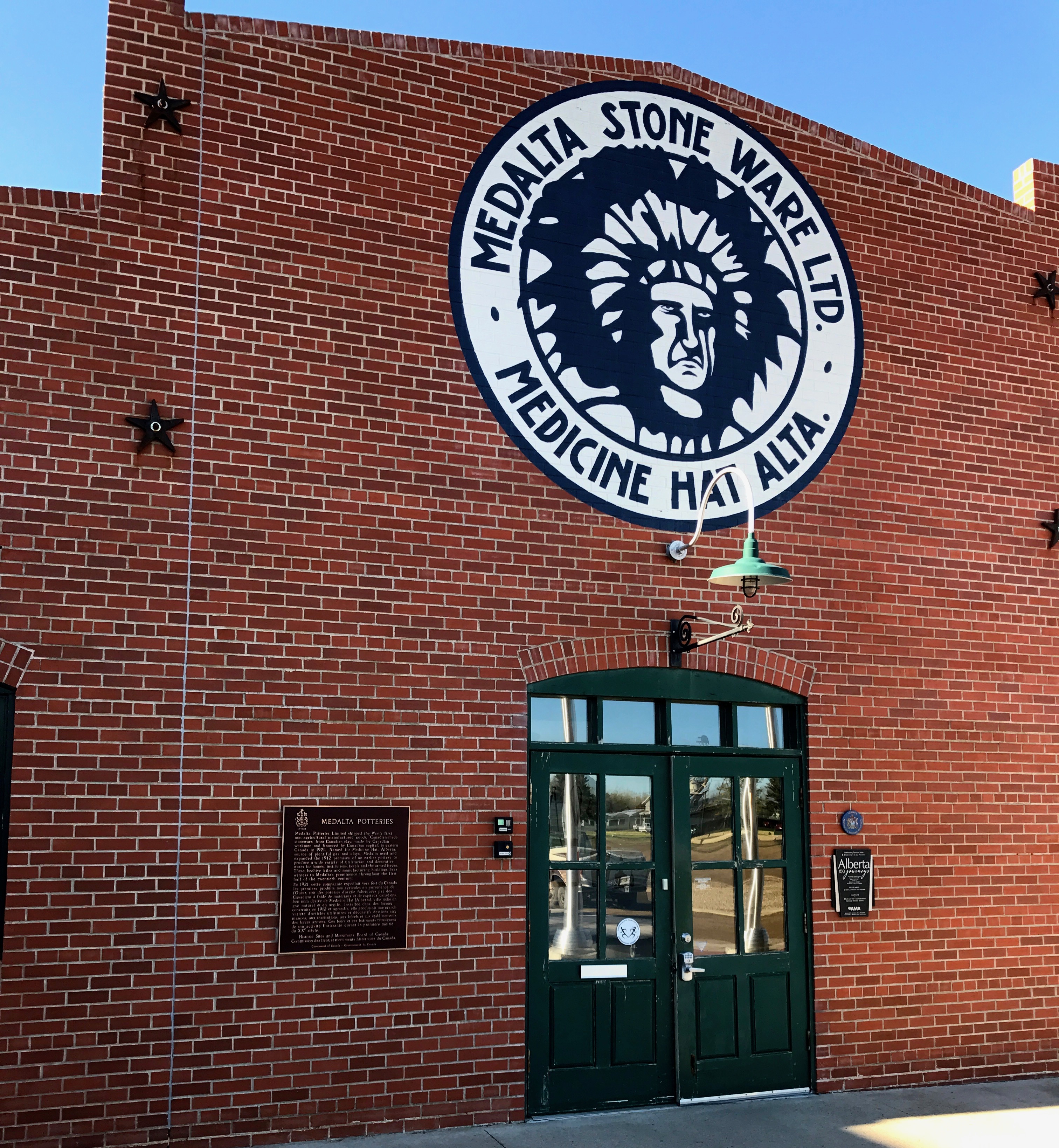
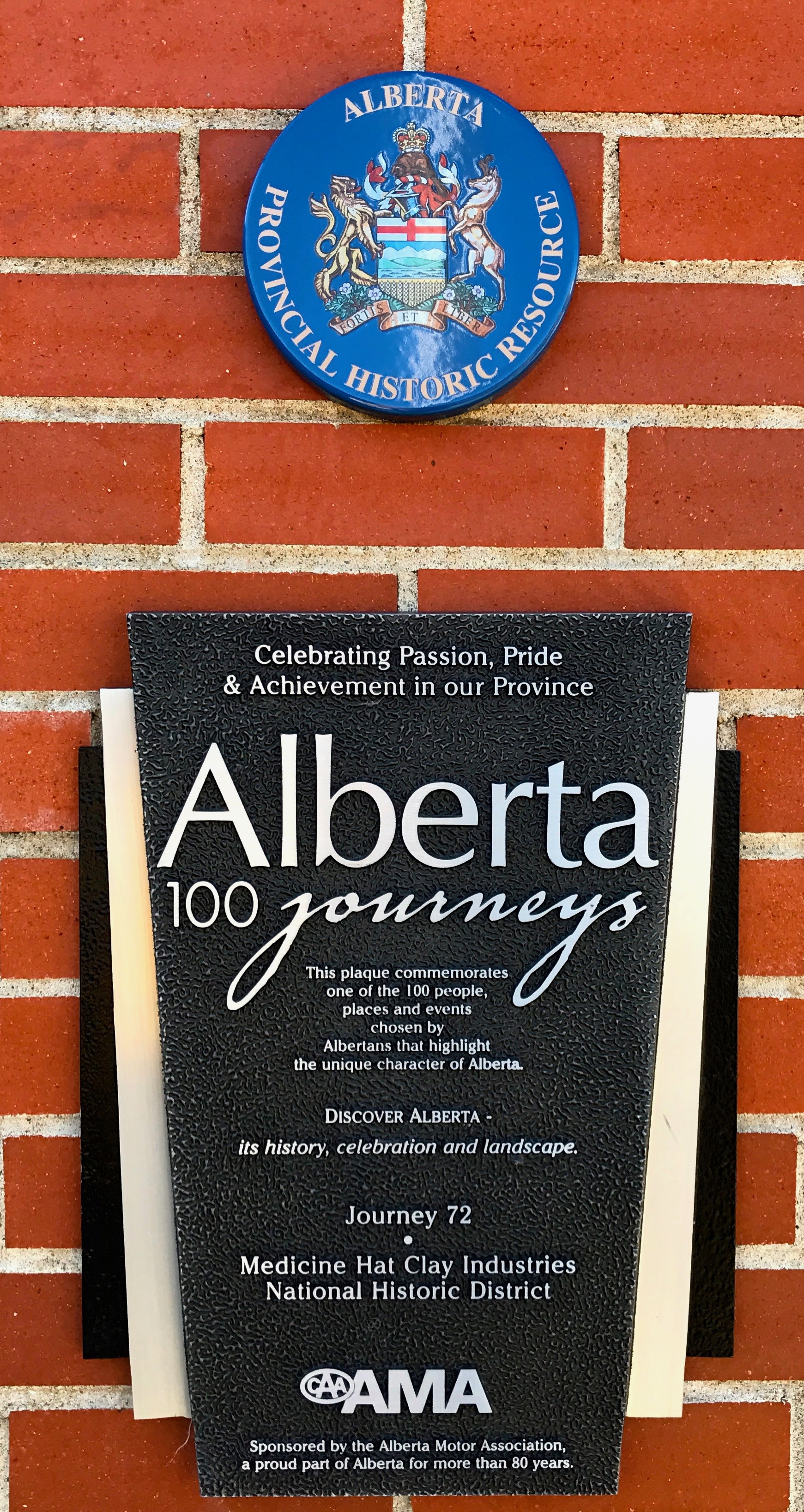
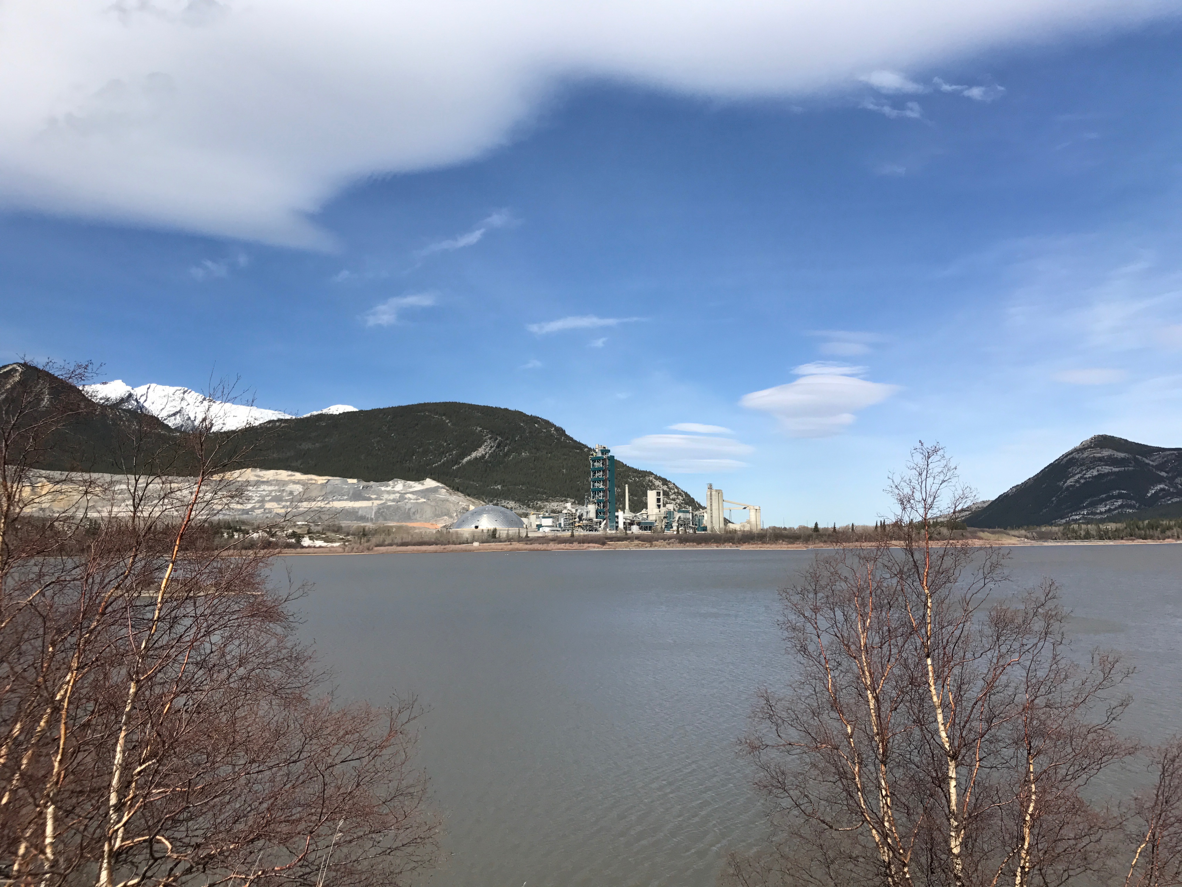
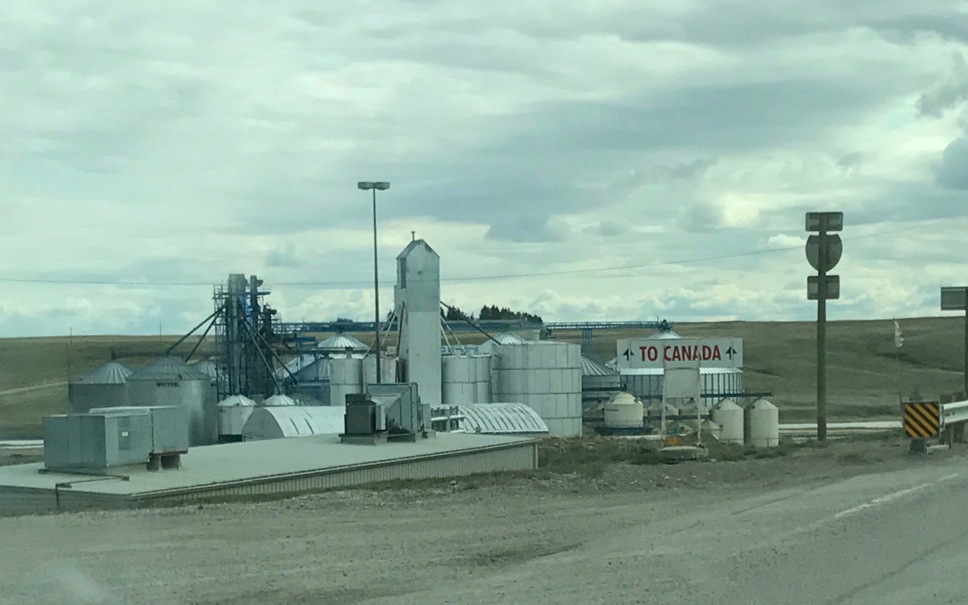
In addition to transportation and grain, Estevan is known for its energy resources.
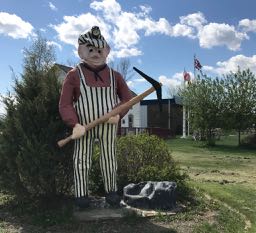
Lignite Louie is the town’s mascot. There are a lot of lignite mines in the area. Lignite is sometimes called brown coal. It is a kind of halfway between peat and bituminous coal. If you want to know more about that, click here.
The area is also rich in oil and gas. They have an interesting display of the pieces of equipment that get the oil from the ground to people.
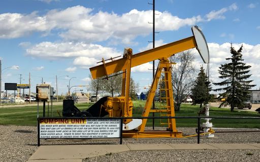
There is the pump jack,
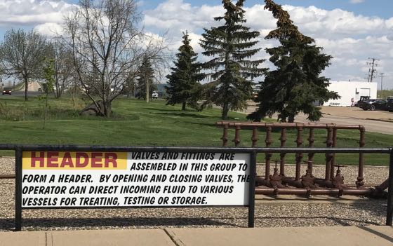
the header,
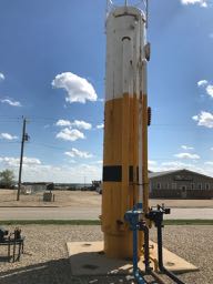
and the separator.

In the end, the oil finds its way to the tanks. I like how they incorporated it into the gateway to the town. Welcome to Estevan!
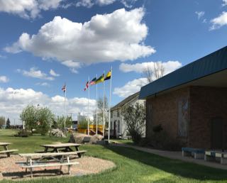
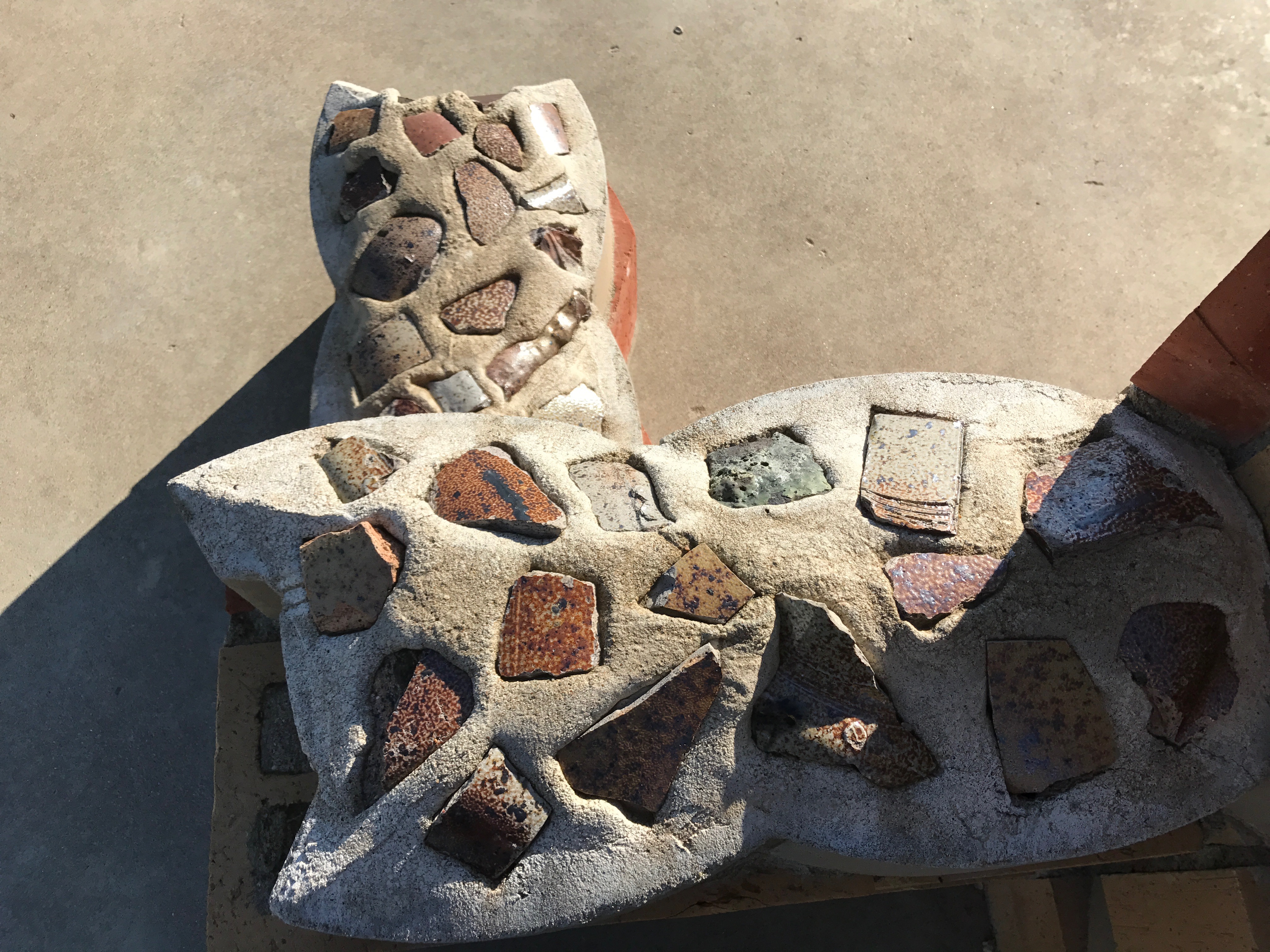
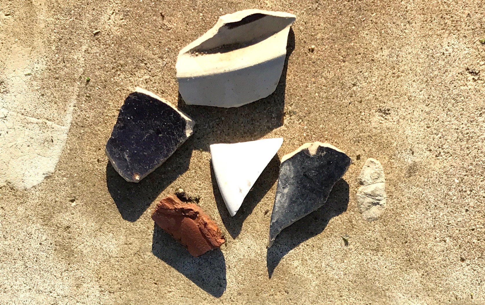
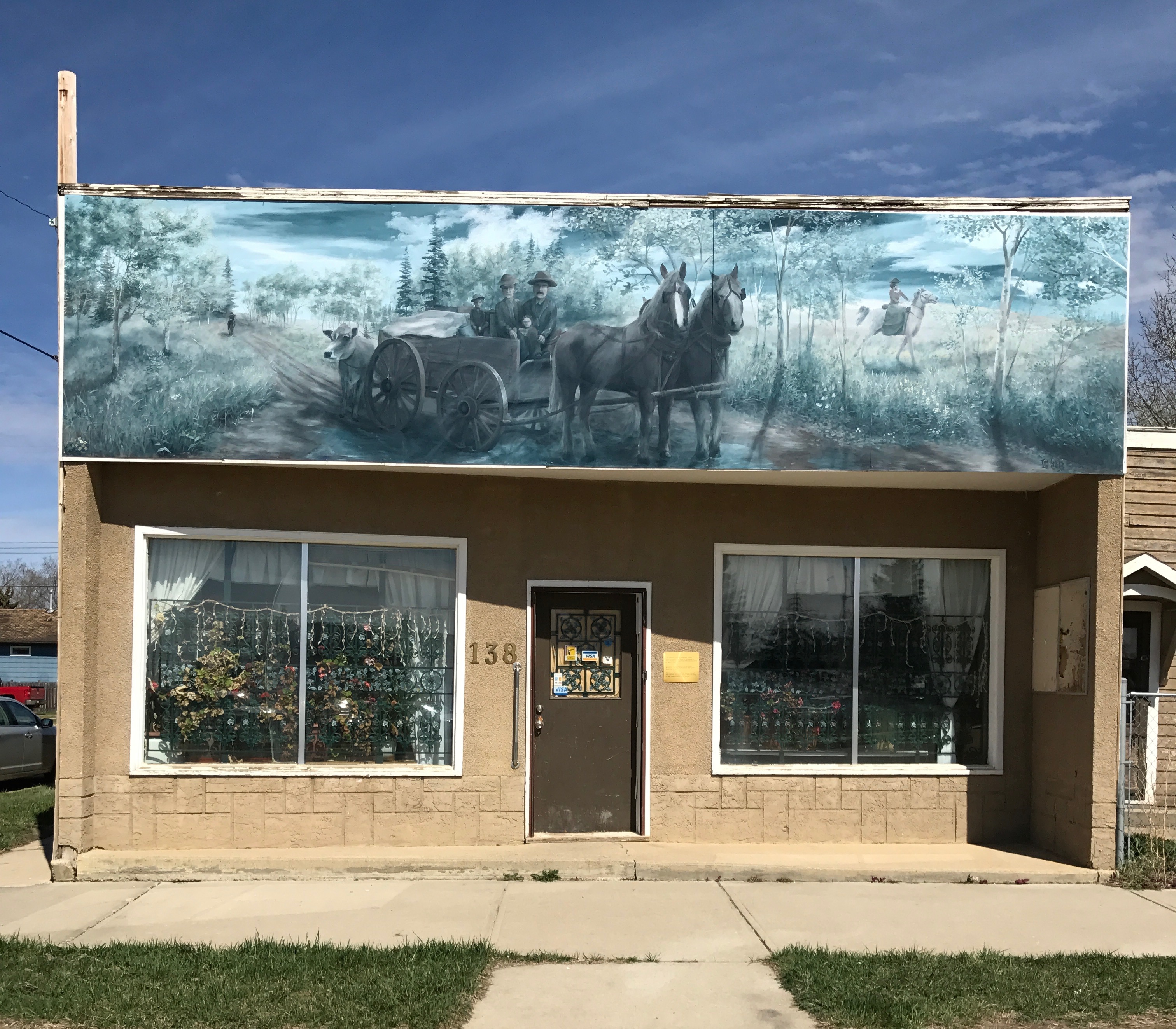
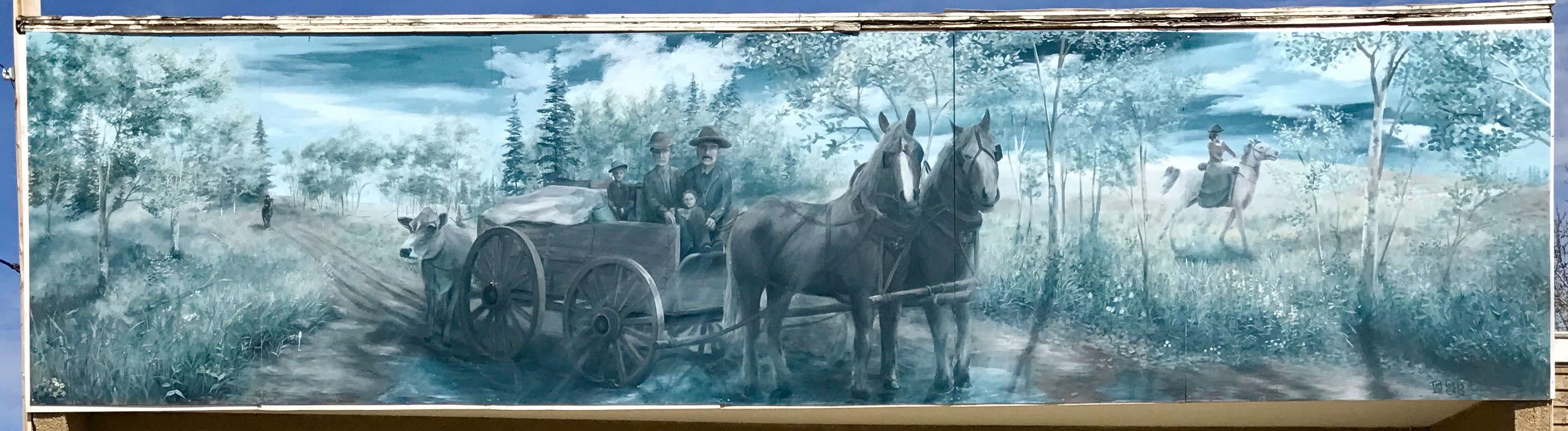
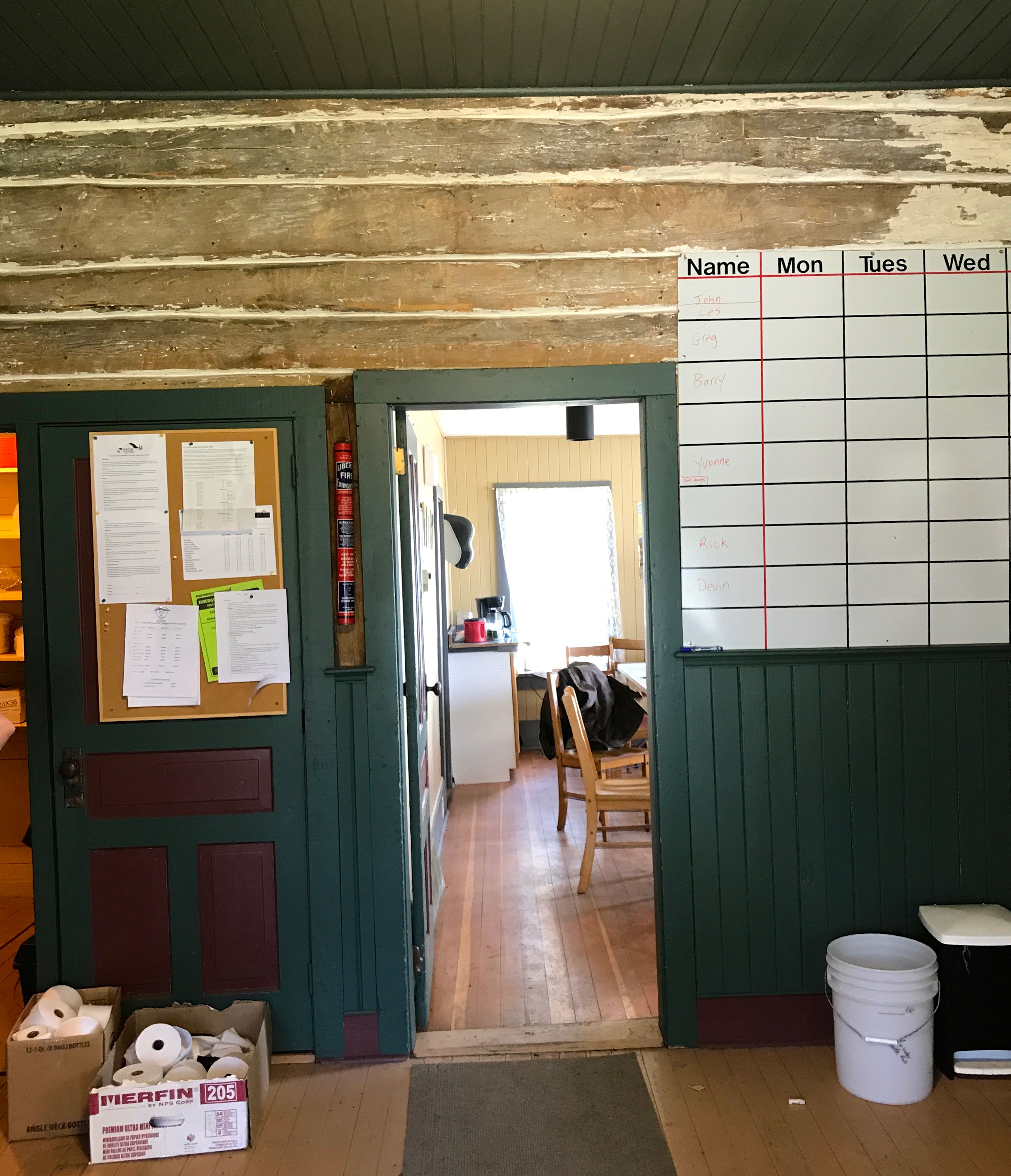
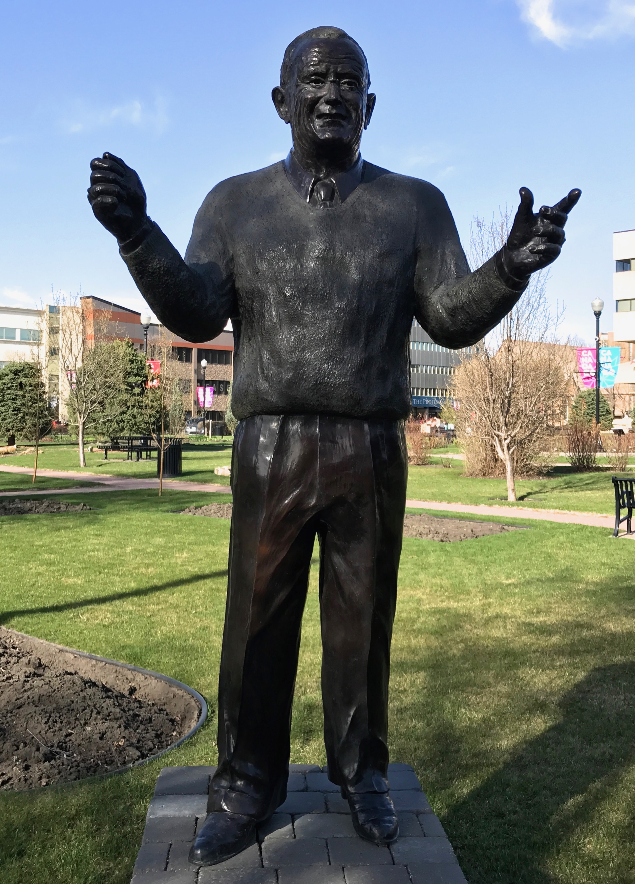
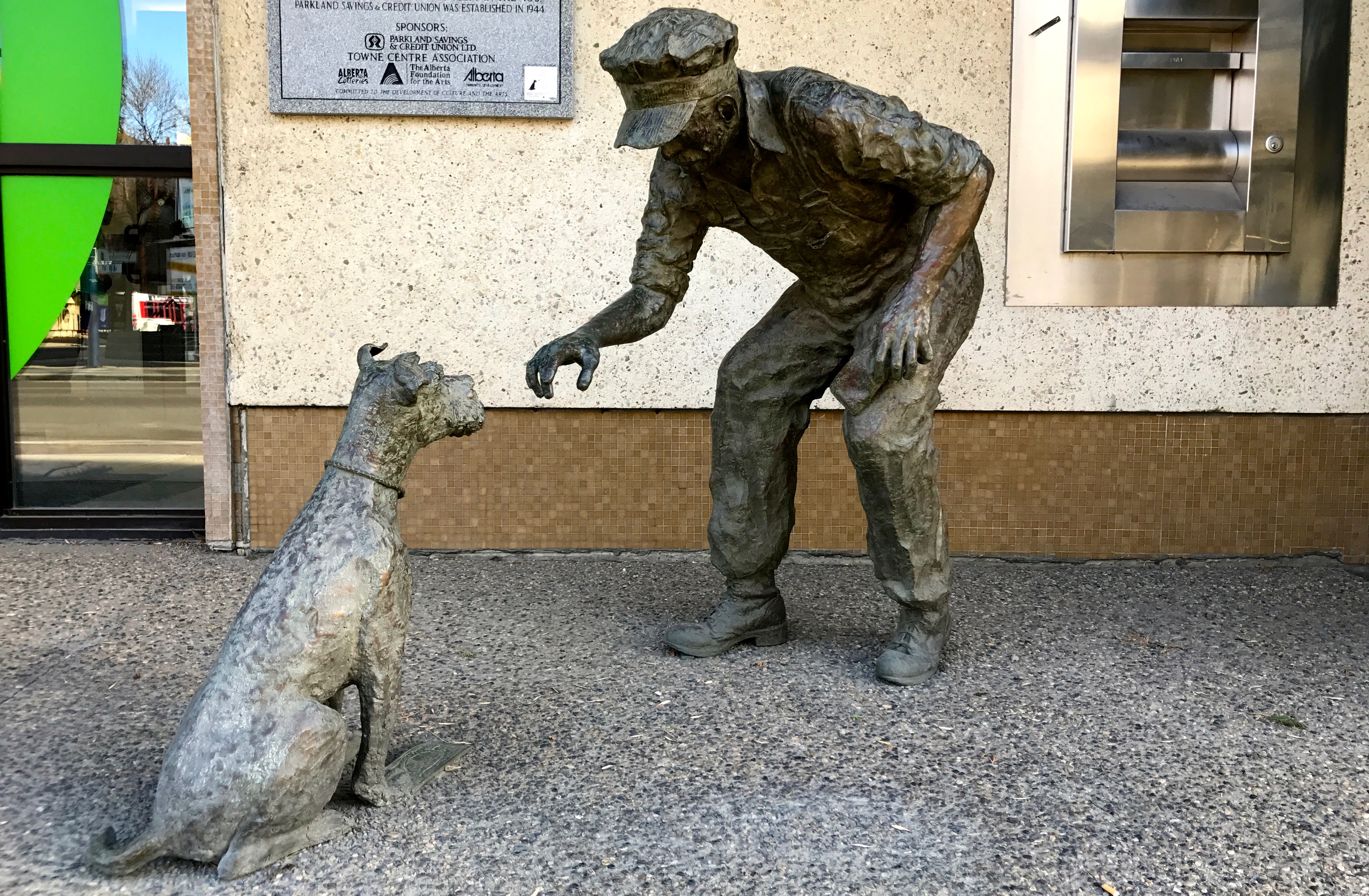
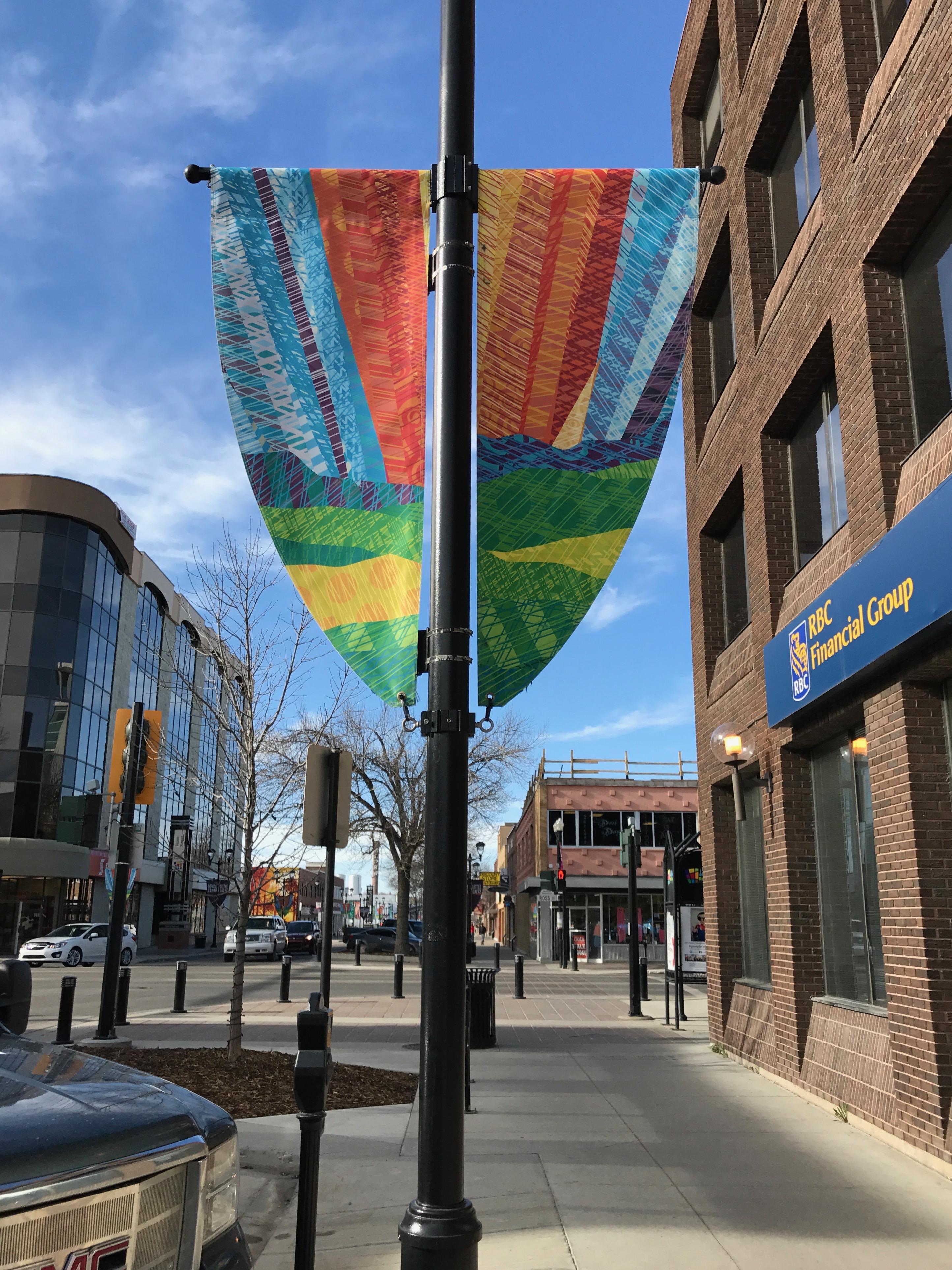
We stopped by a community center.
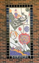
Judging by the mosaics on the outside, it might just be an art centre.
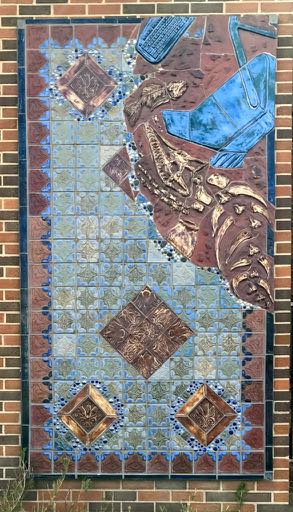
The people of Estevan have an appreciation for art and community involvement.

Jackie took me to visit the Estevan Court house, which was the last court house designed by Saskatchewan’s provincial architect, Maurice Sharon. It was completed in 1930.
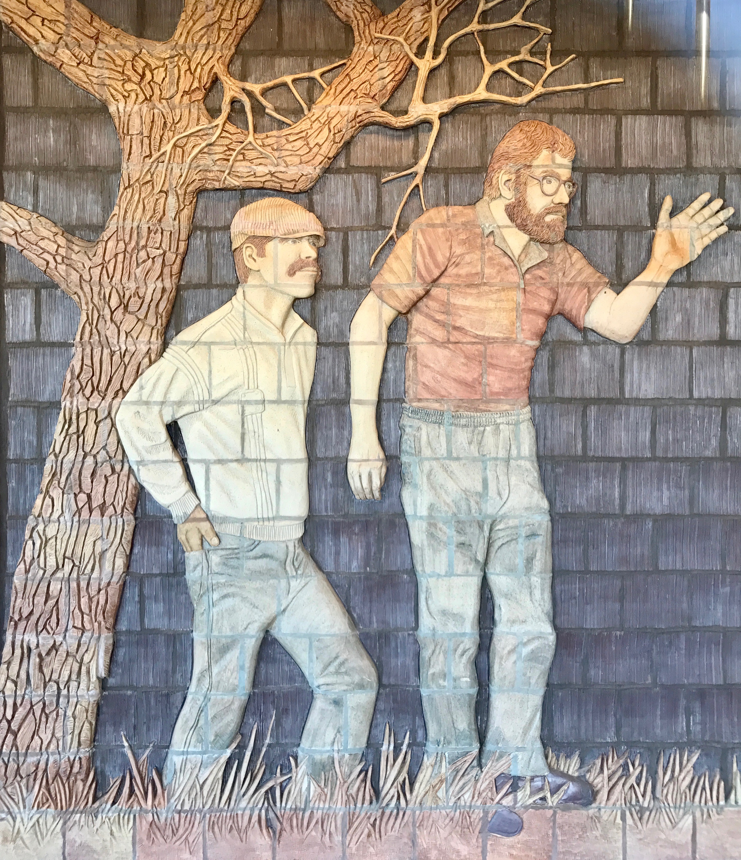
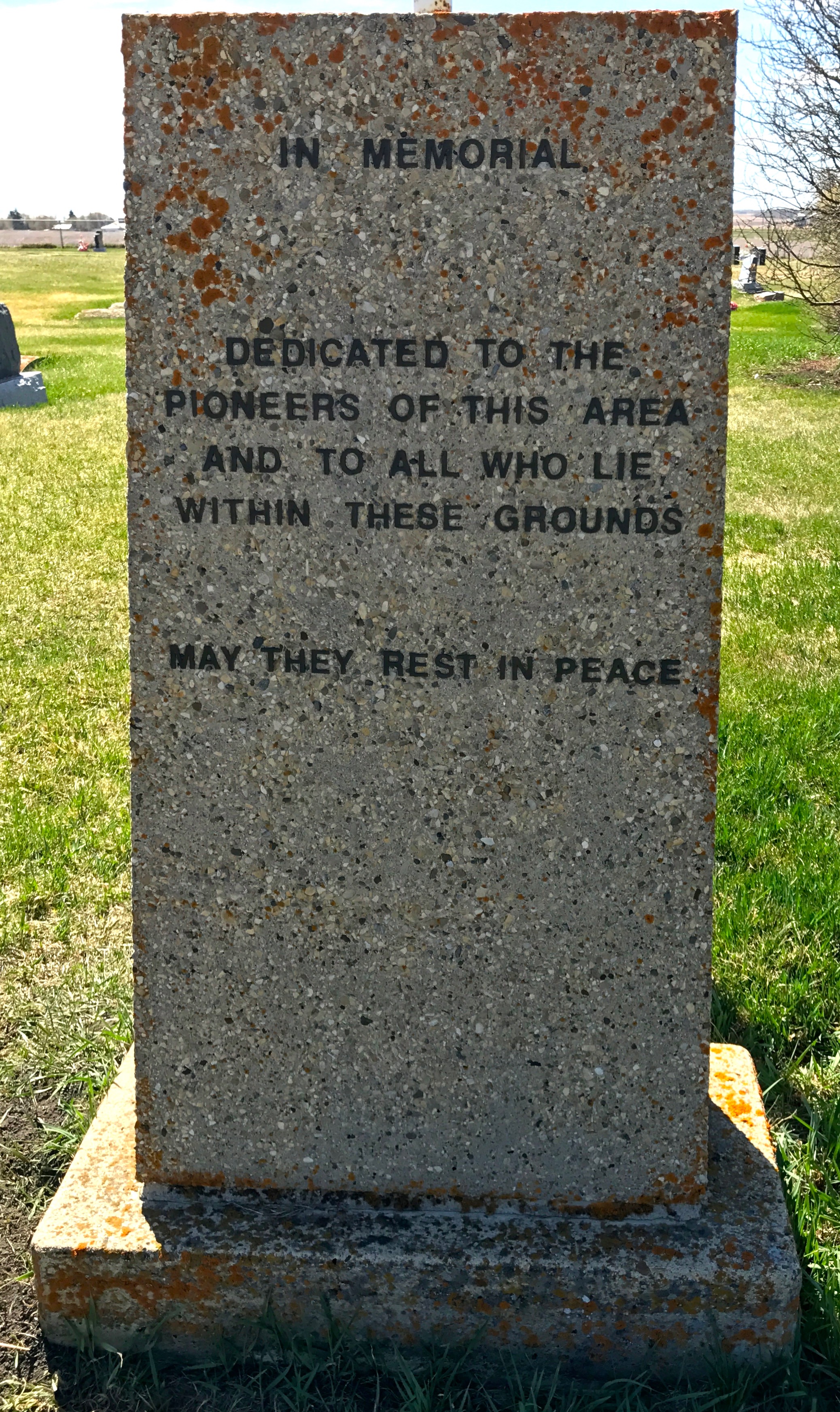
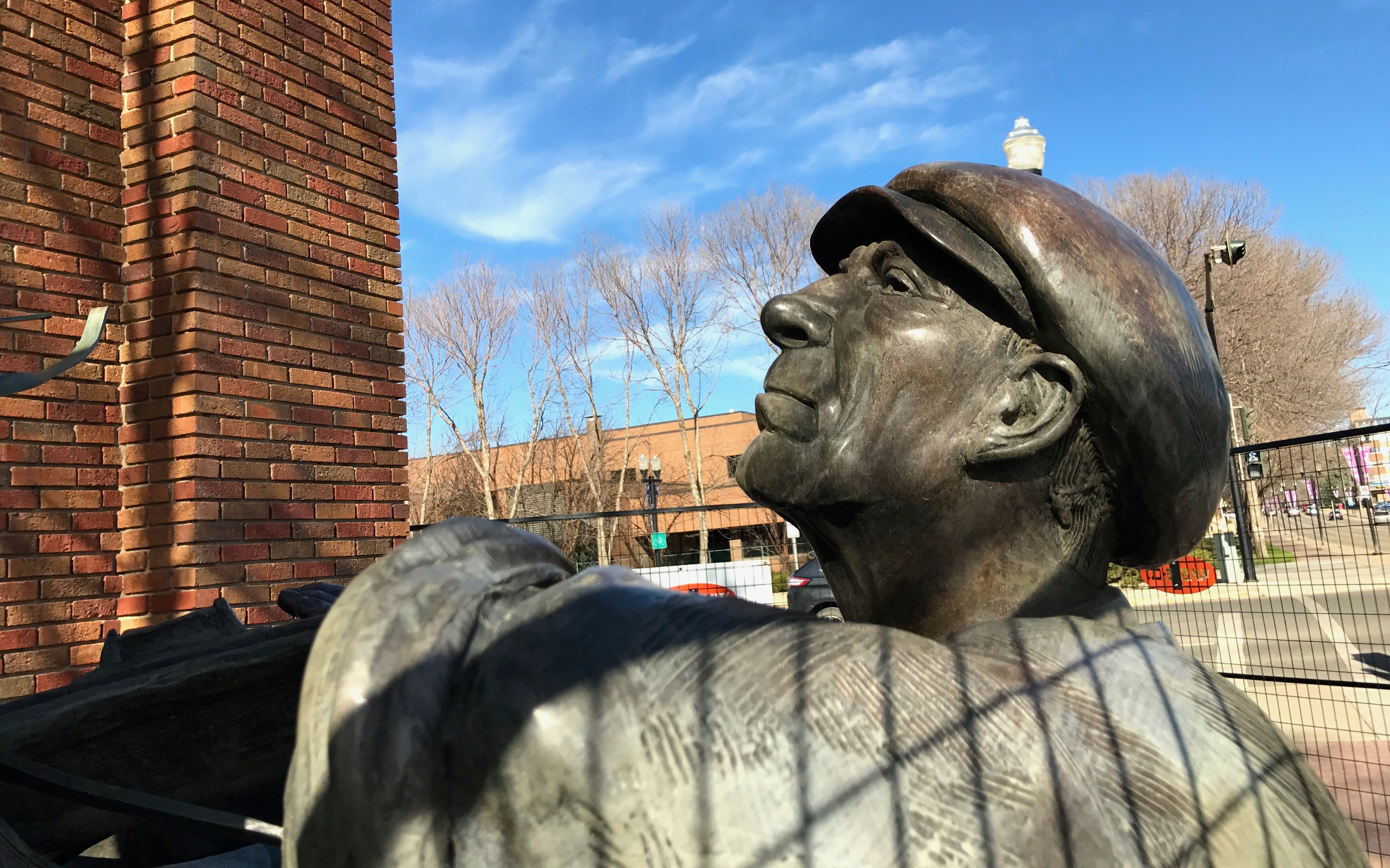
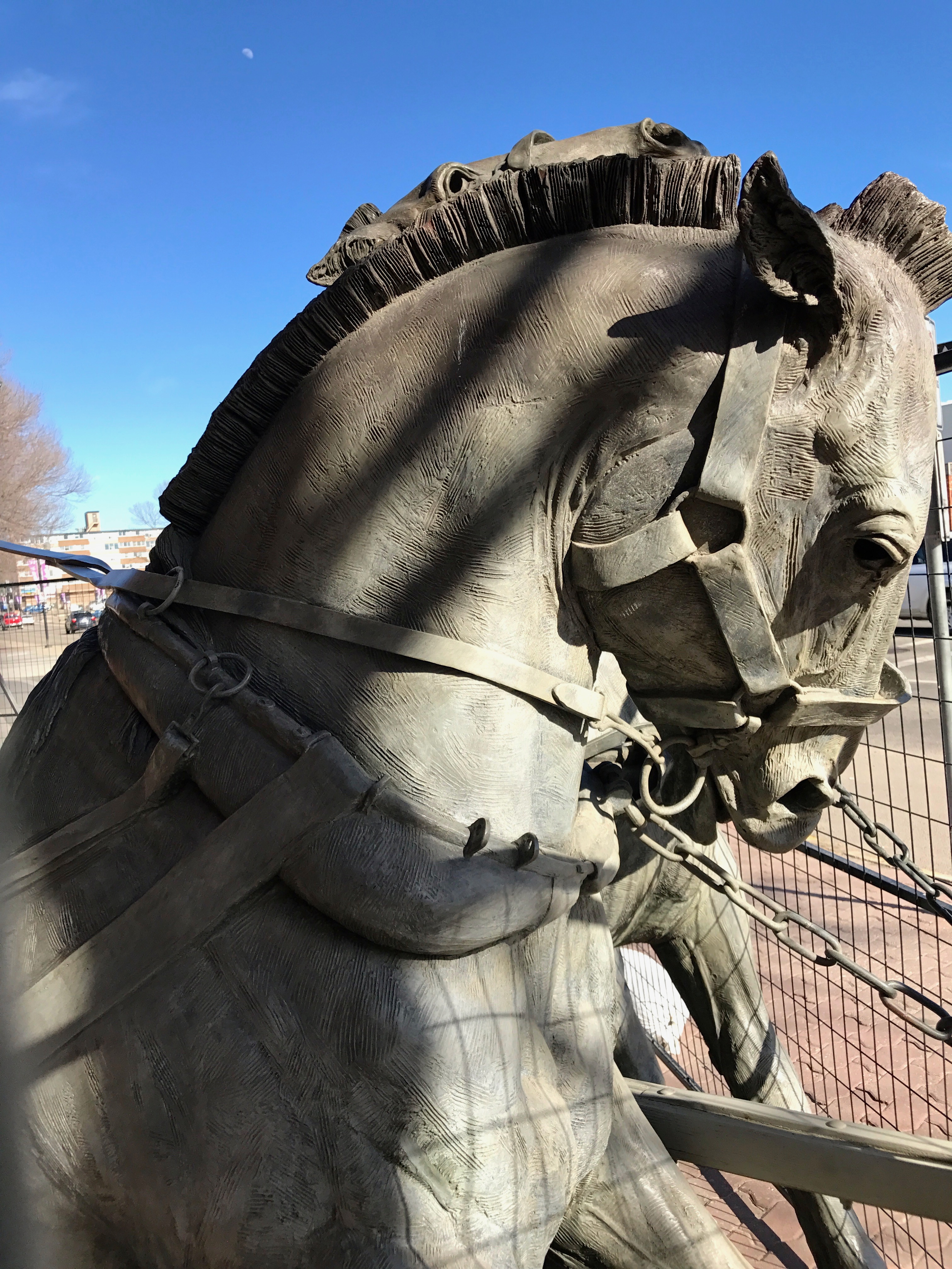
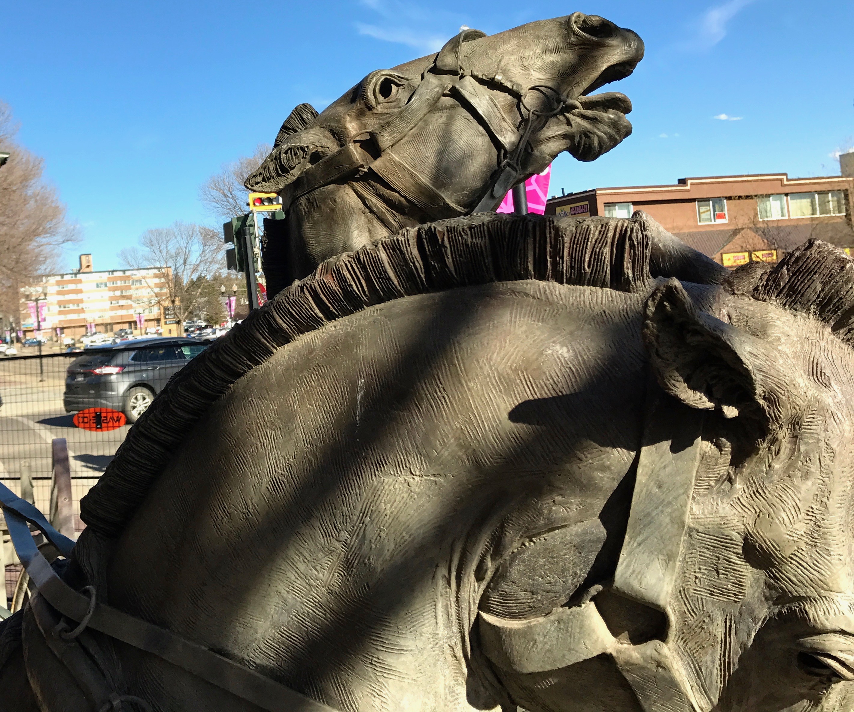
On one corner of the property, there is a unique memorial to World War II veterans.
In 2015, a 102-year-old dying tree was carved by Albertan sculptor Darren Jones.
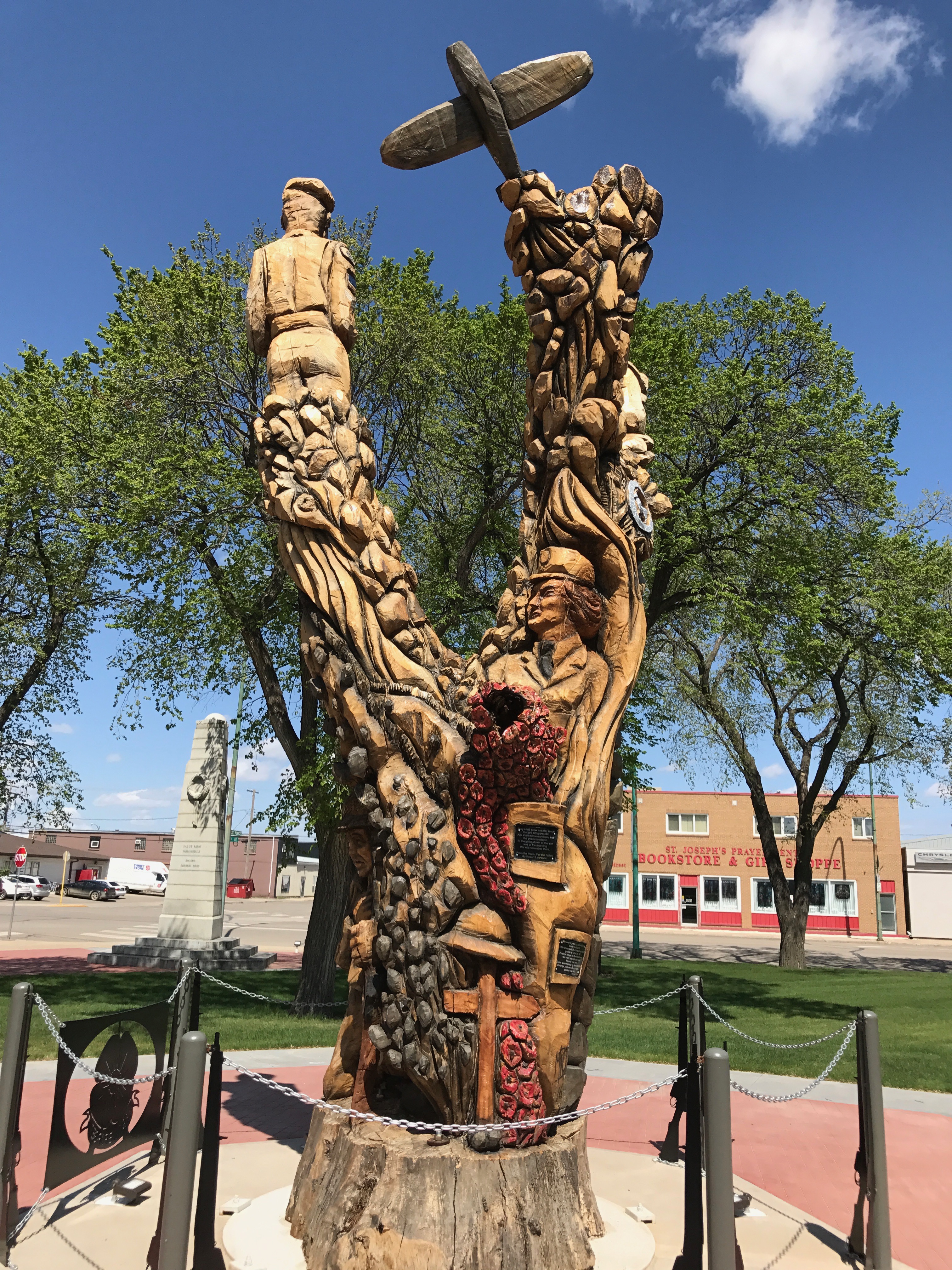
The details are amazing.
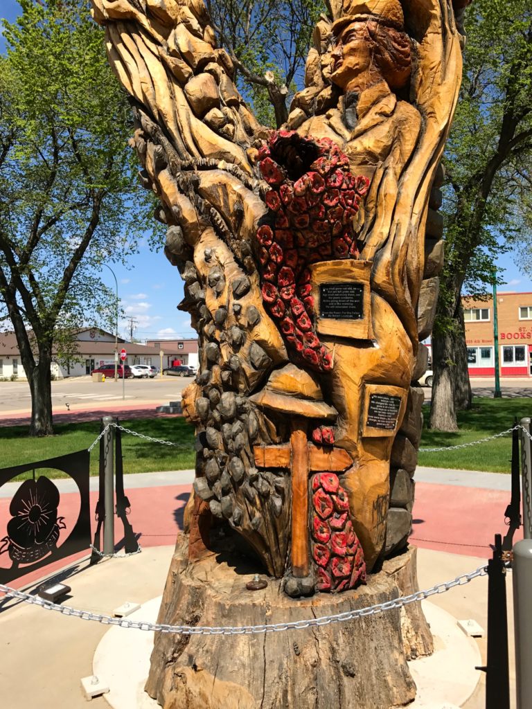
You can really spend a lot of time looking at all the images the artist chose to include.
I like the poppies. That is a nod to World War I and the poem “In Flanders Fields” by Canadian poet, John McCrae.
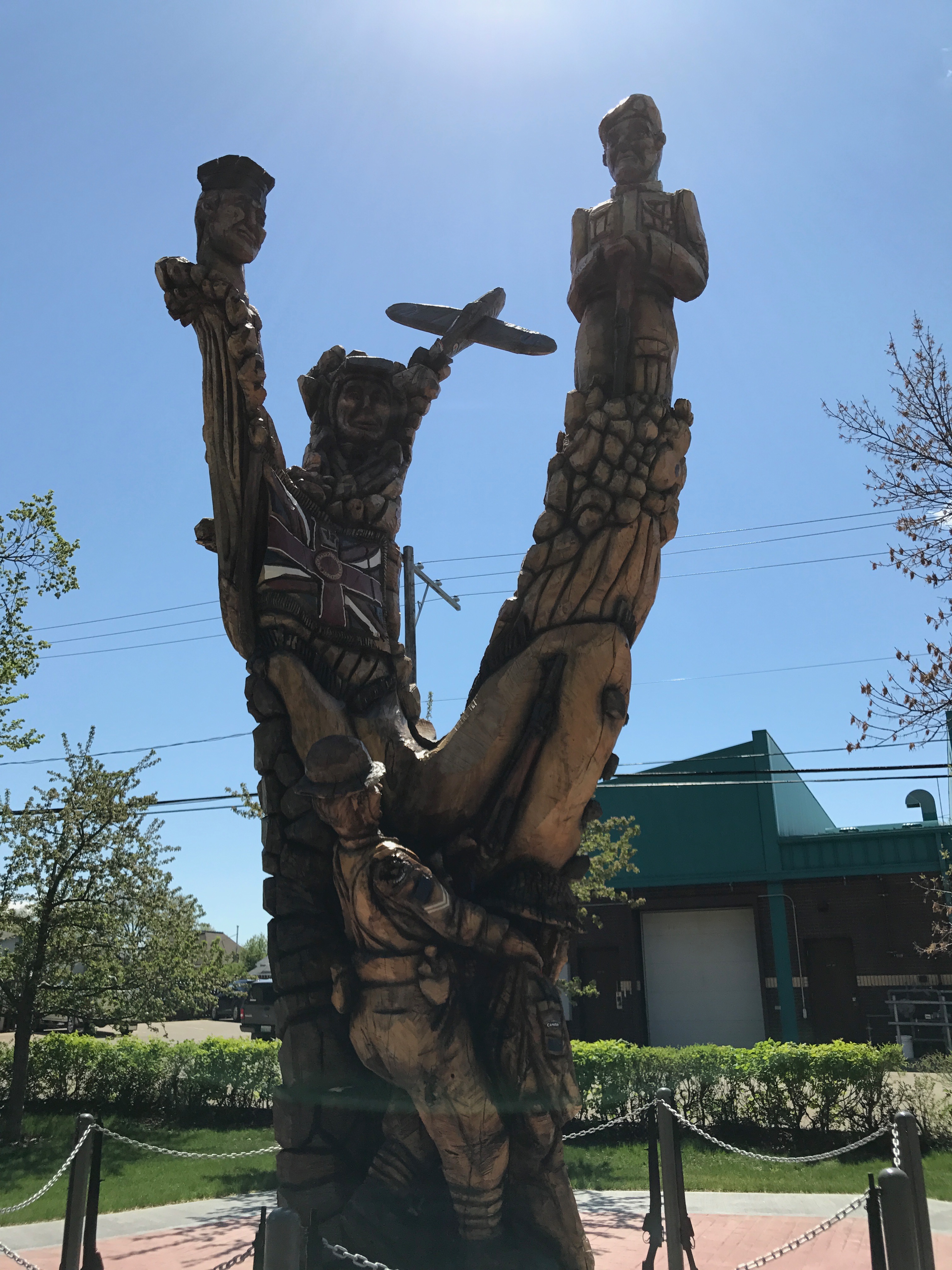
Every side has interesting details. Too bad the bright sun made some of them hard to take photos of.
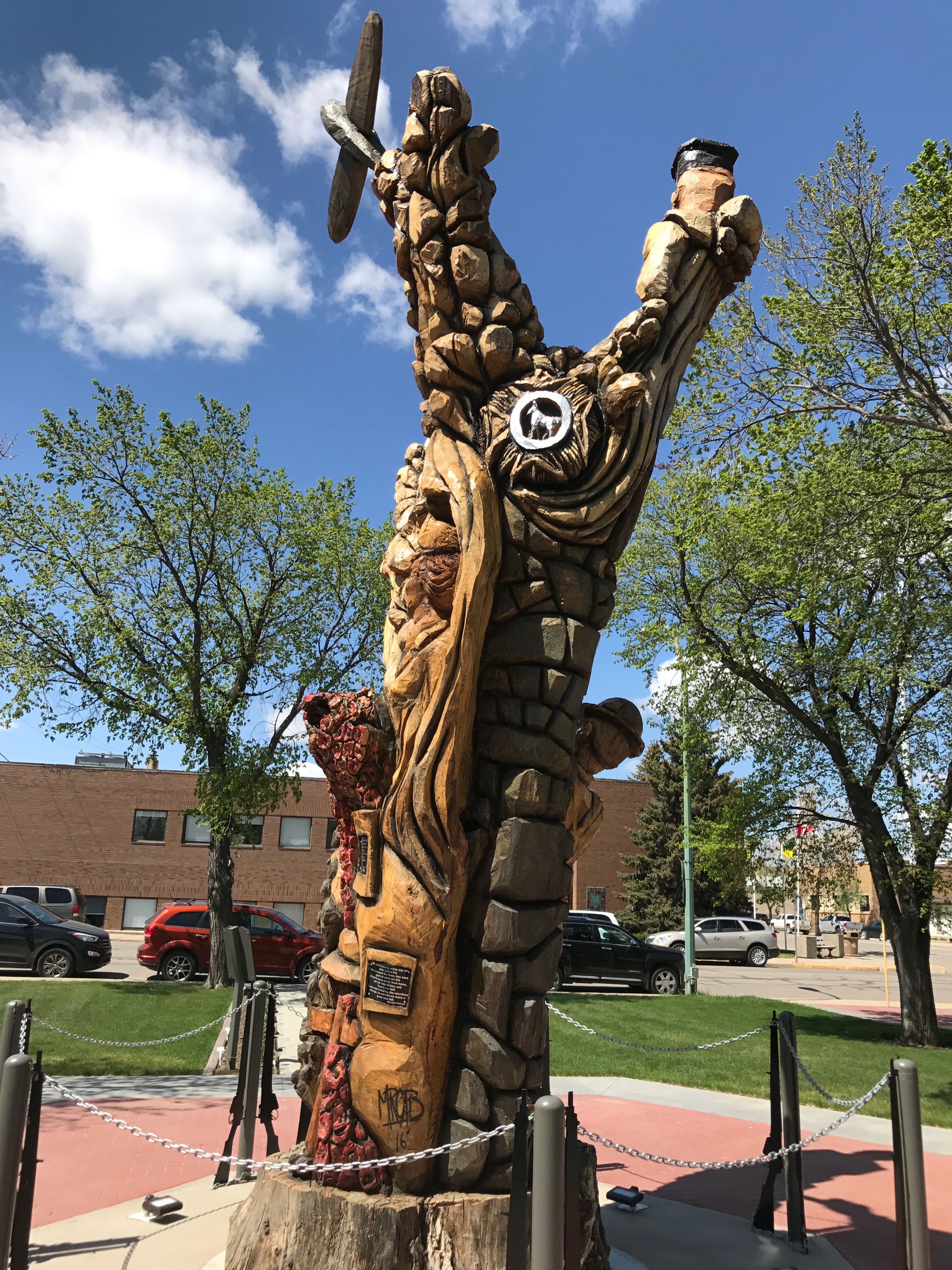
But, where the sun hit the carving, you could really appreciate his work.
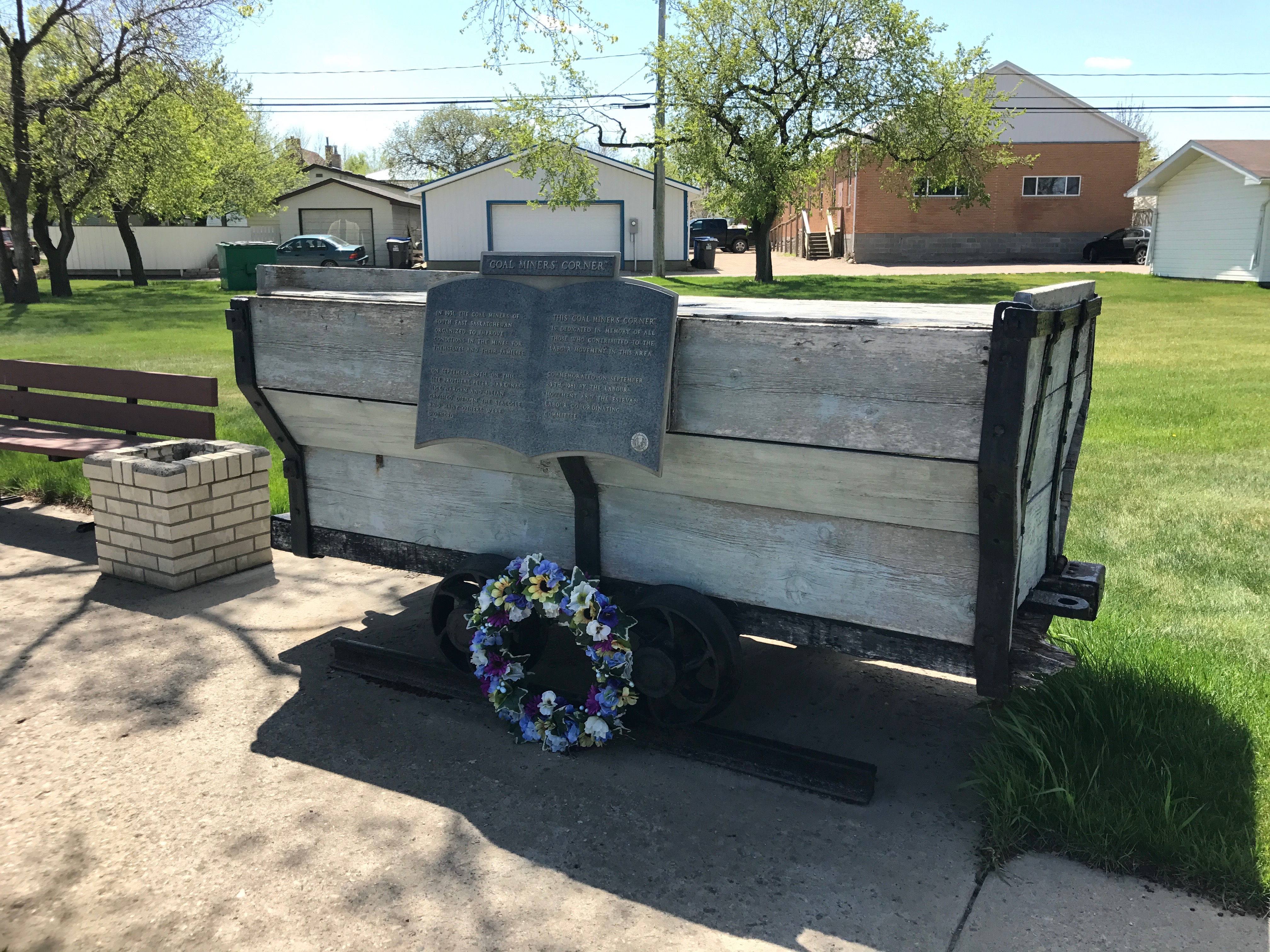
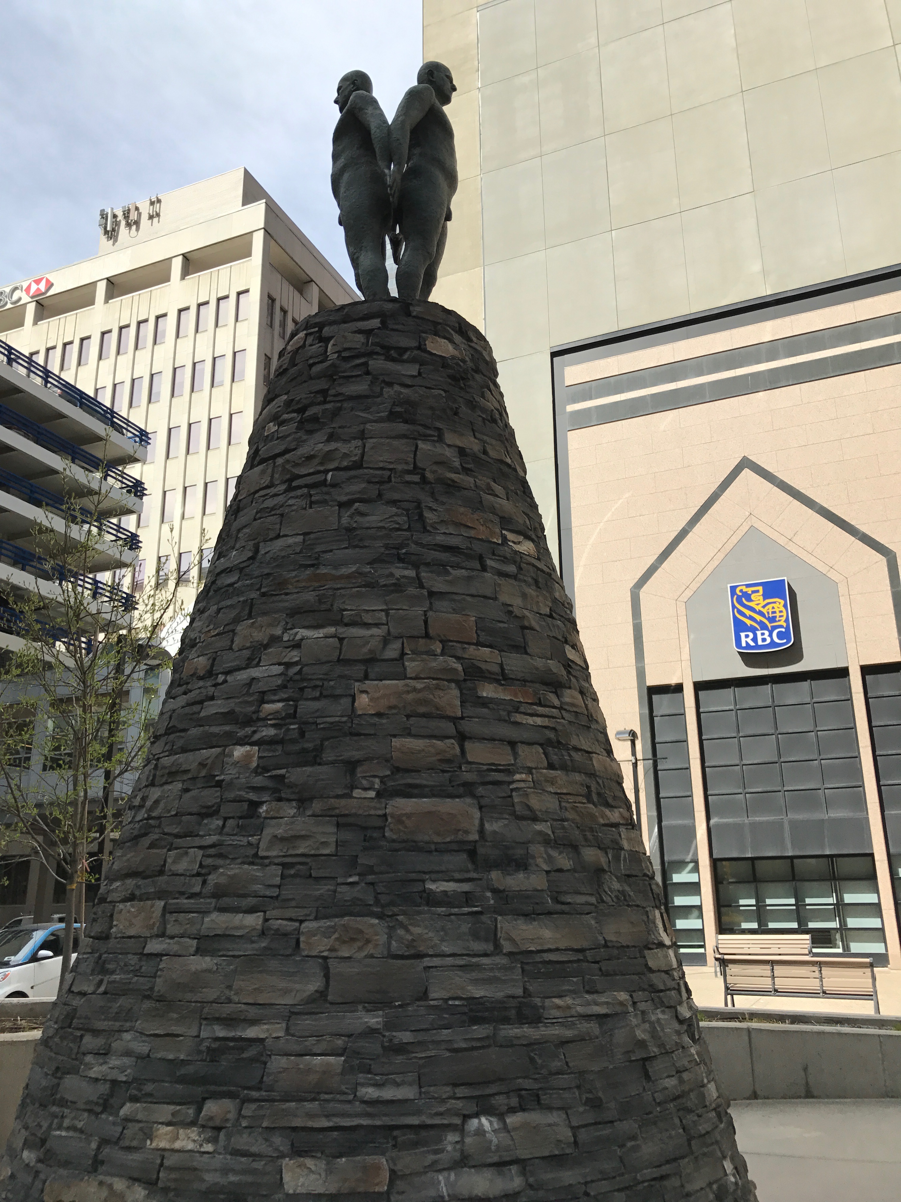
Sometimes I think people are under the impression that Canadians sit around politely sipping tea and saying, “Pardon me.” This memorial commemorates a time when the miners struck for better wages and working conditions. They call this event Black Tuesday.
Three strikers were killed in 1931 when the local police, assisted by the Royal Canadian Mounted Police, confronted a strikers’ parade in front of the Court House. 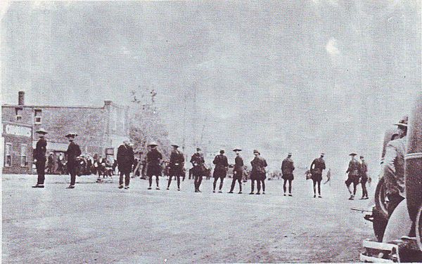
I find it interesting that the sources I found refer to the deaths at the hands of the law enforcement officers as “murders.”
A Royal Commission met to investigate the causes of the strike. Twenty people were charged as a result of their findings.
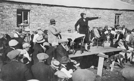
Apparently, the only person who was convicted was Annie Butler, a union organizer. She was sentenced to one year of hard labour and a $500 fine.
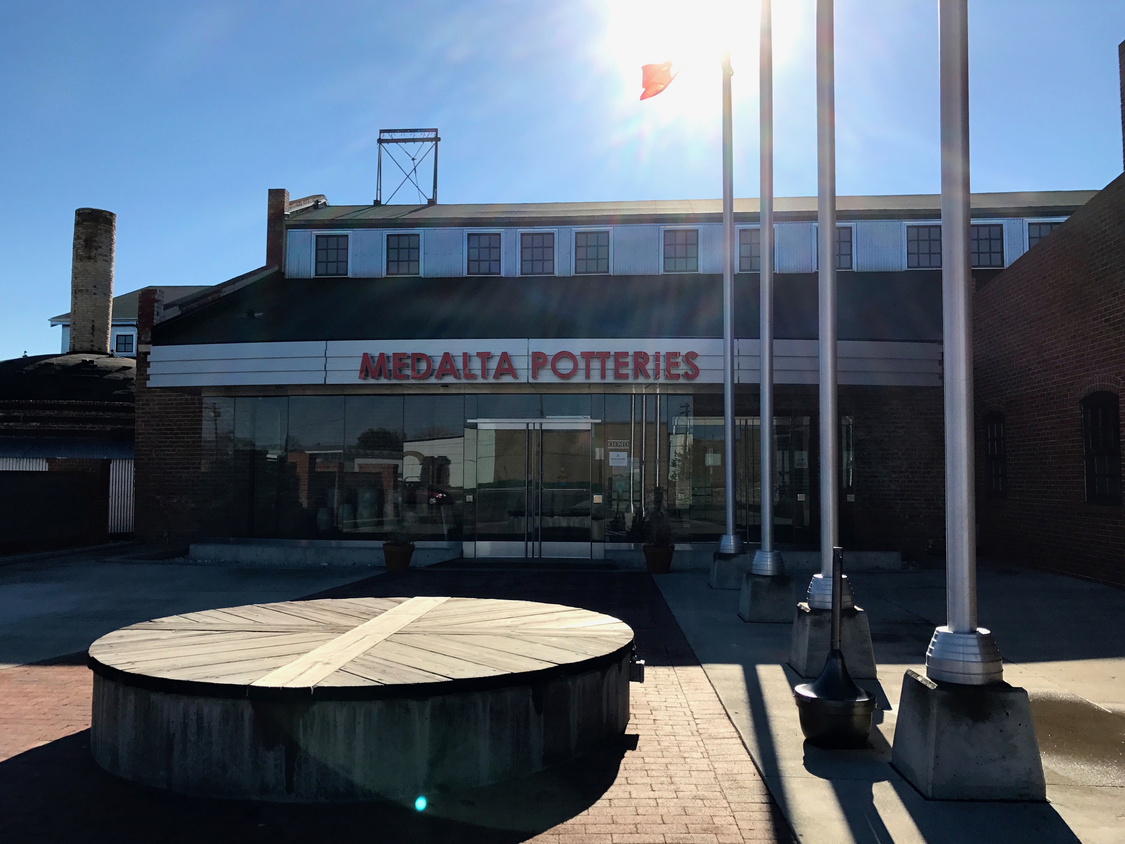
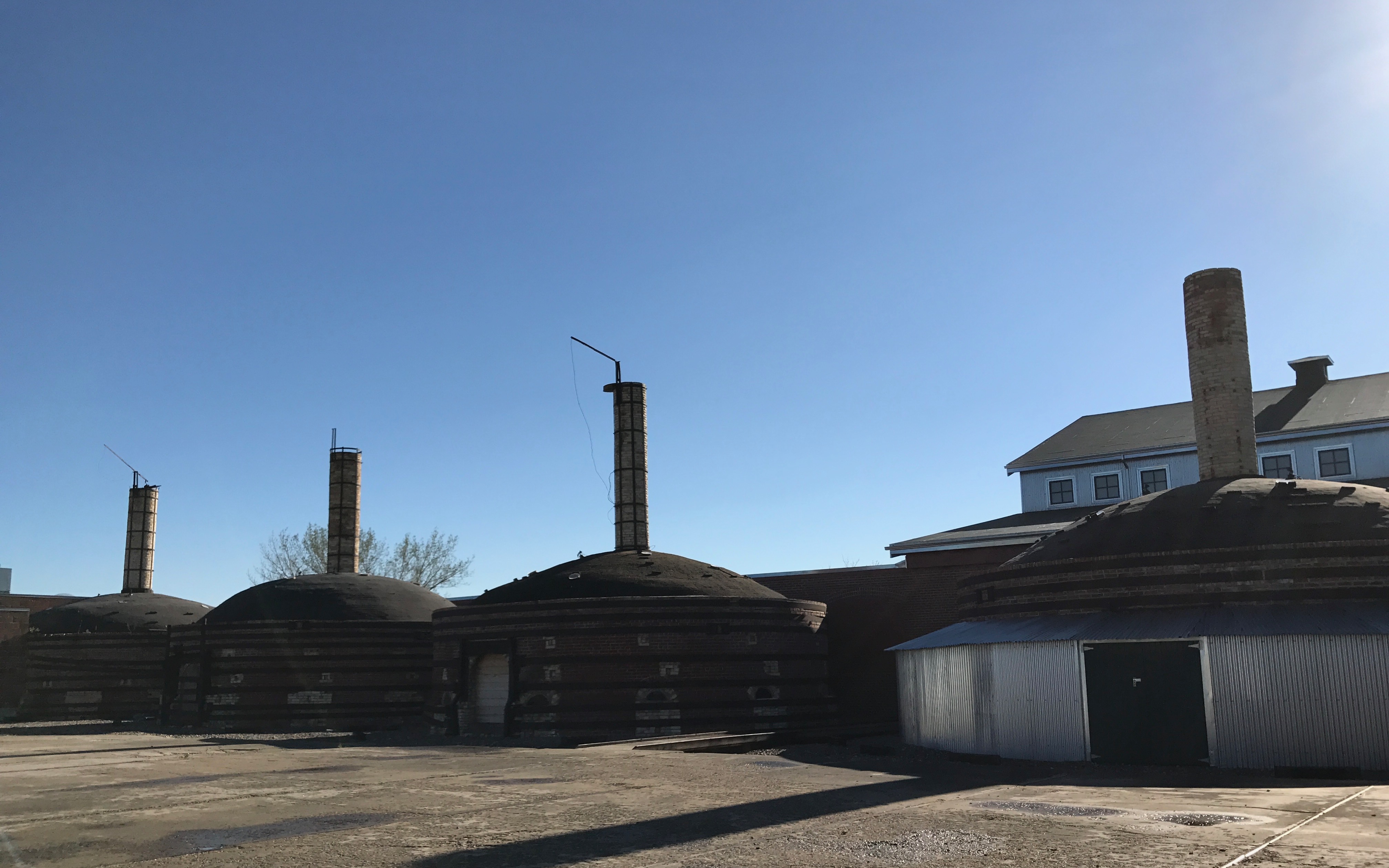
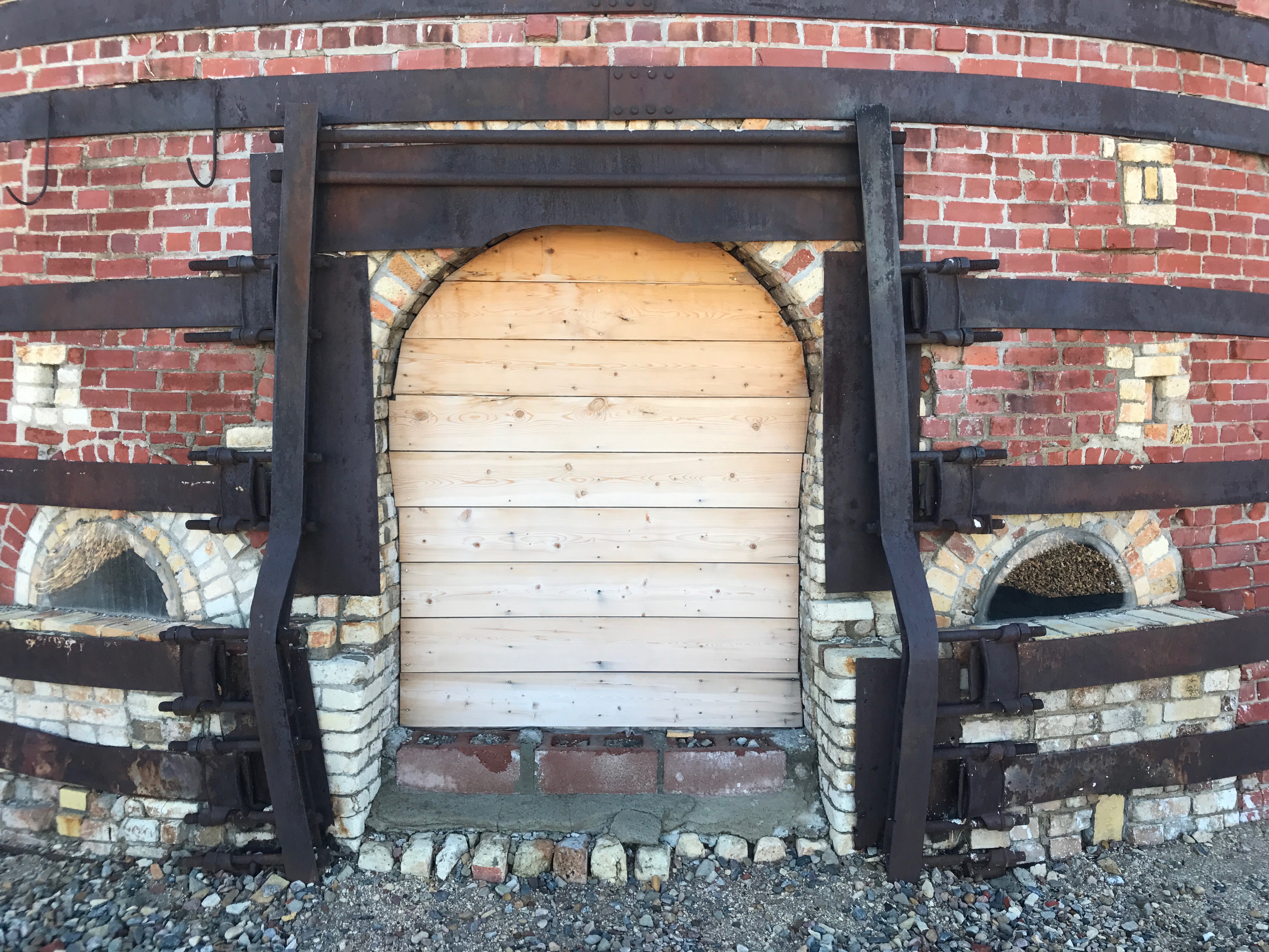
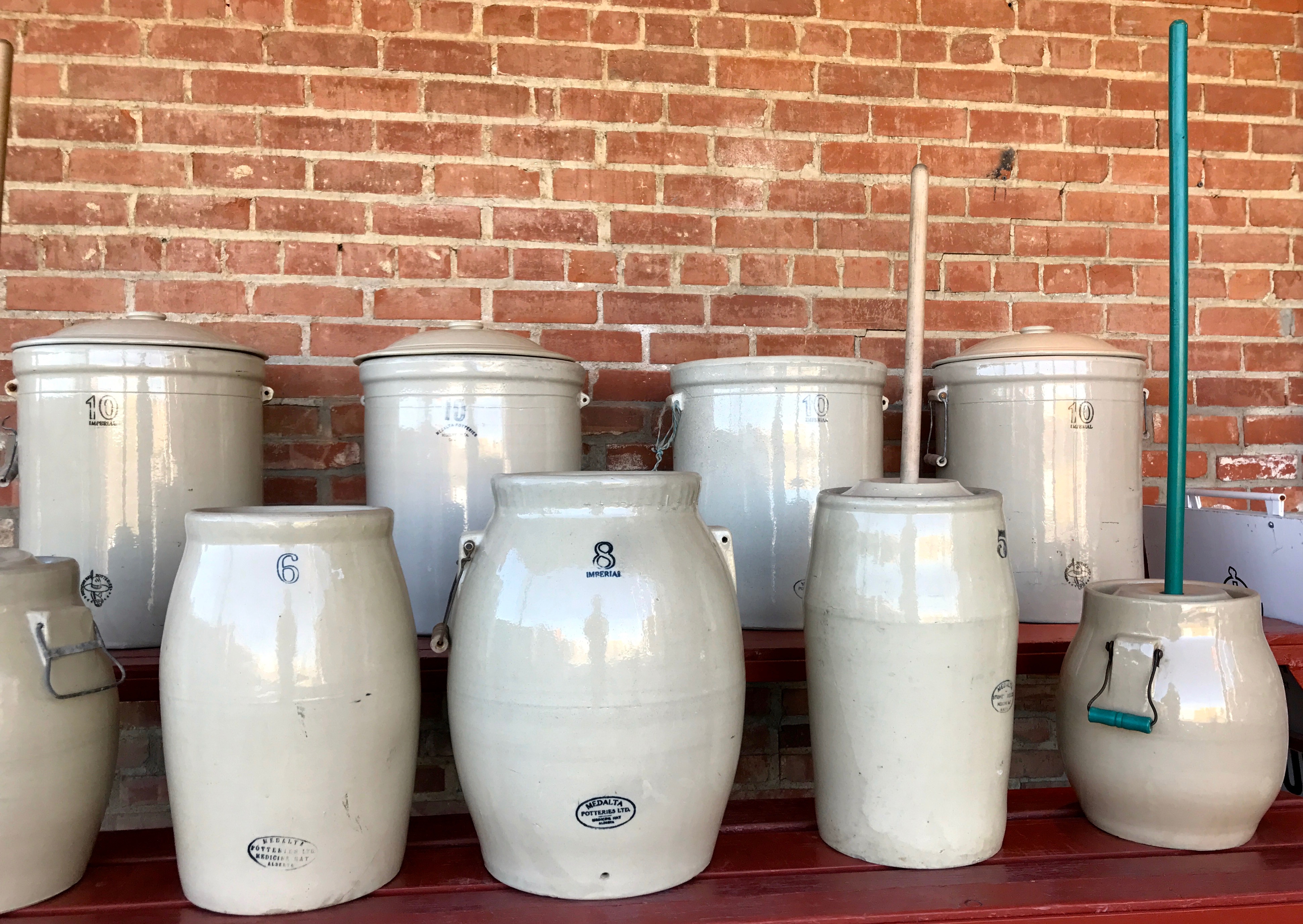
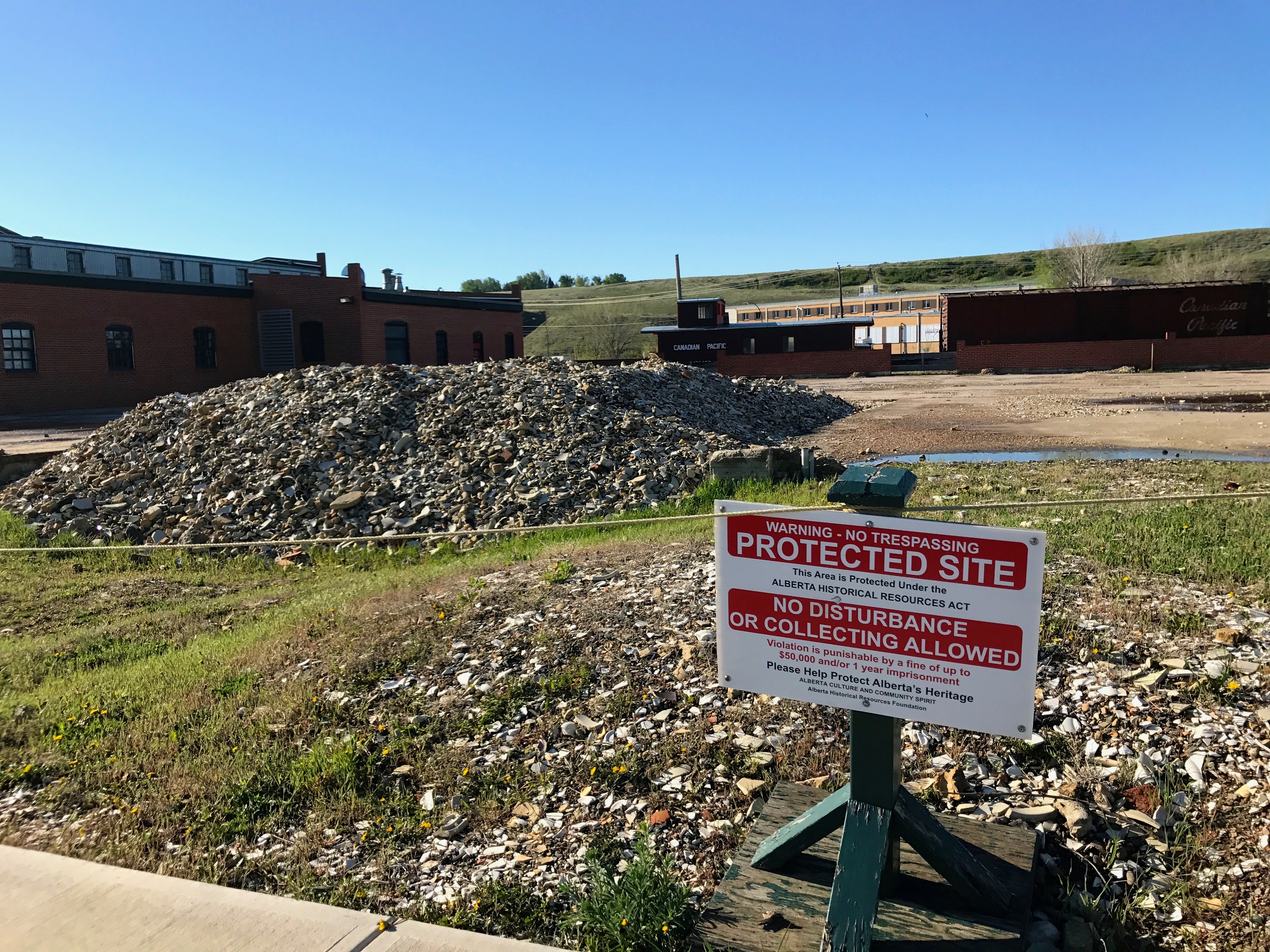
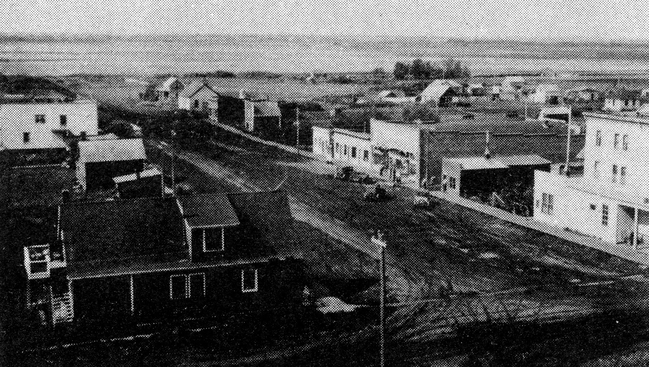
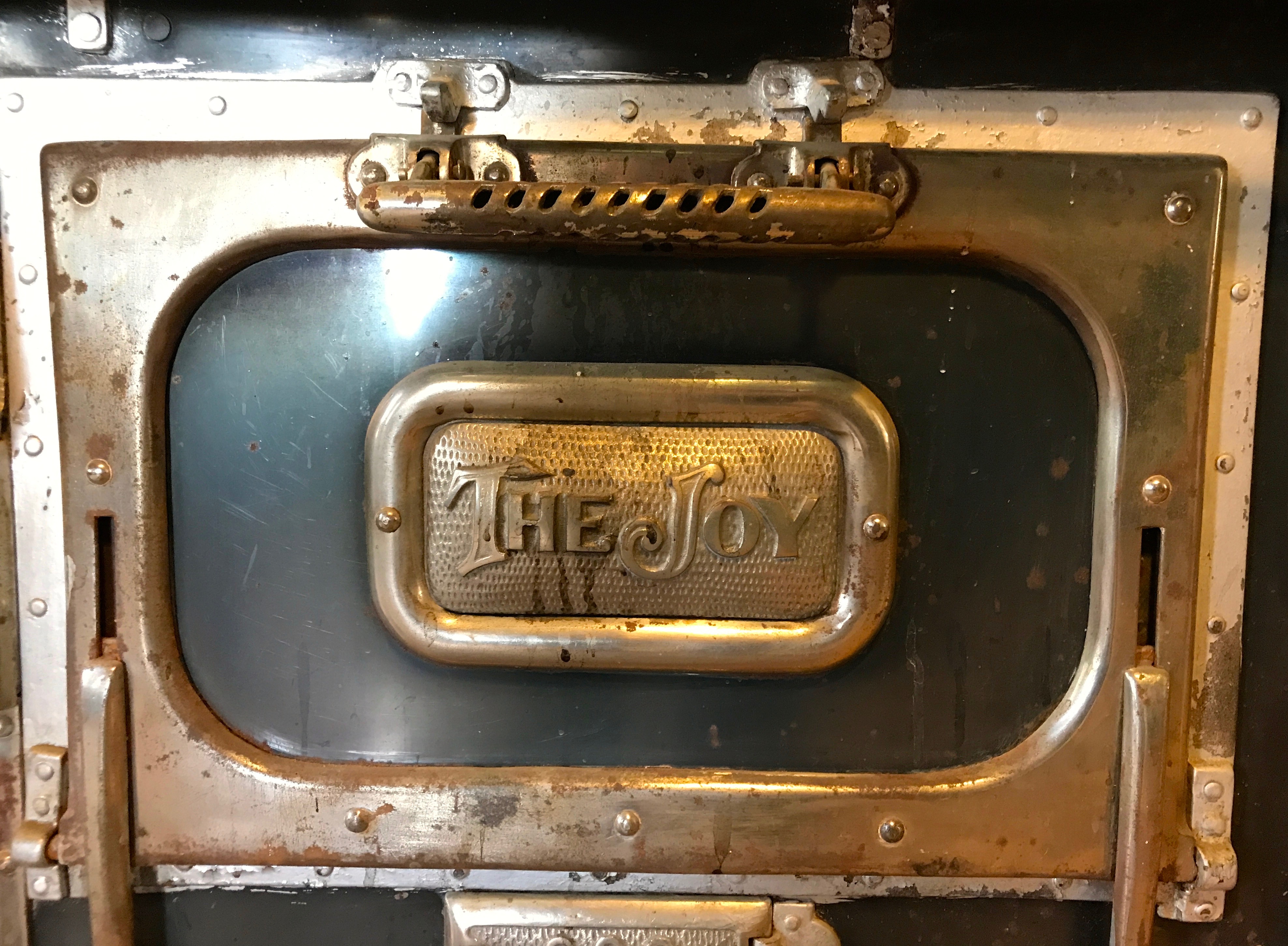
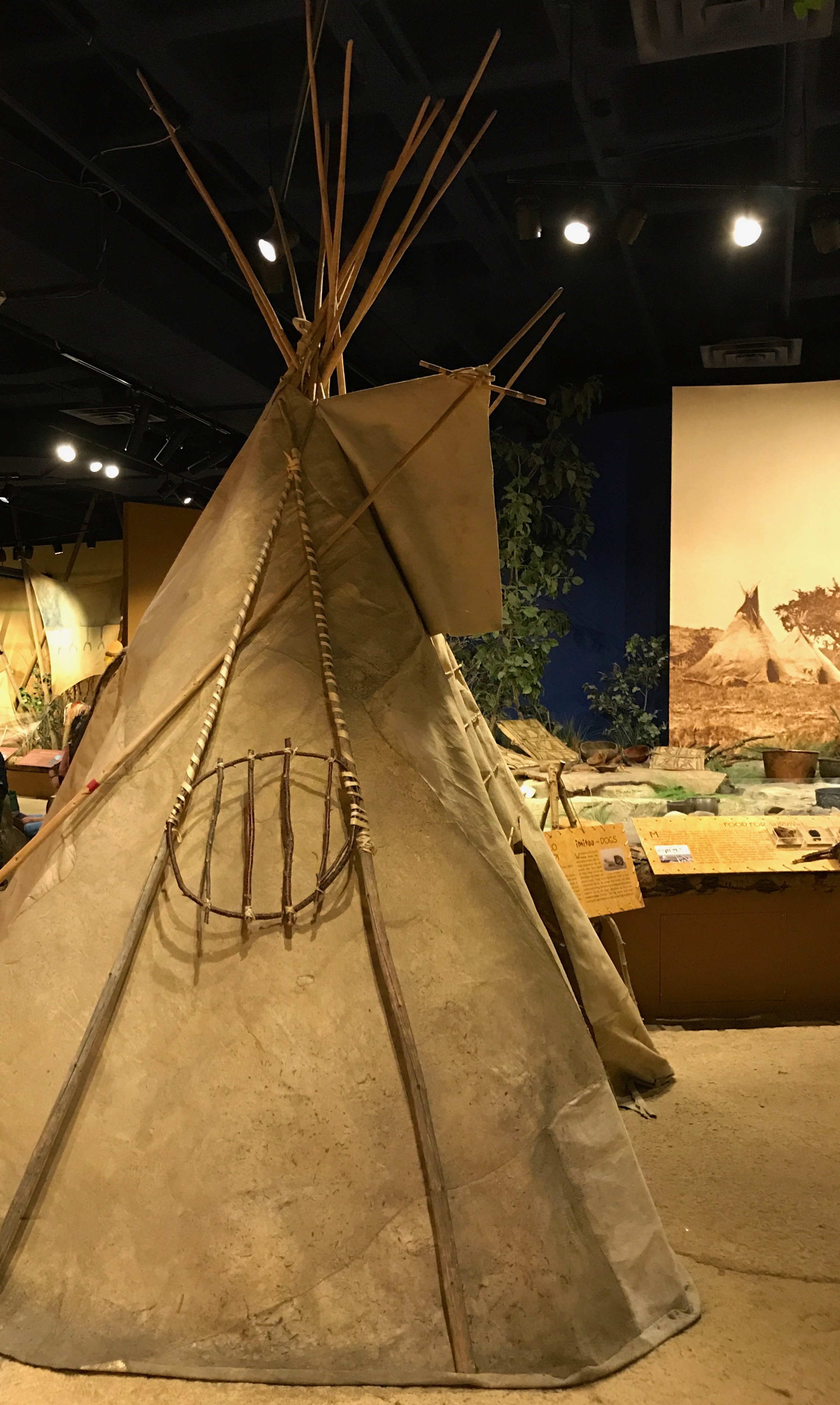
We continued on to the Souris Valley Museum, which documented the history of the area.
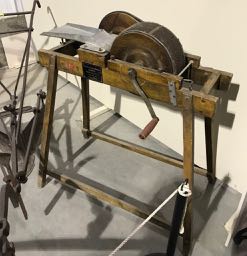
Much ingenuity was required to make it out on the frontier. This machine is a wool carder.
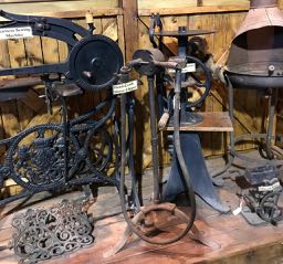
There were lots of old-timey machines.
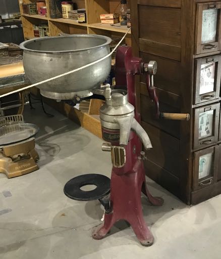
I enjoyed puzzling over the machines. What could they be used for? I decided that this was a cream separator – but I could be wrong.
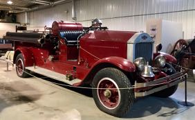
What do you do with a beautiful old firetruck? Put it in a museum, of course!
They don’t make them like this anymore.
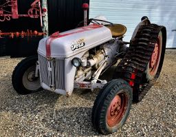
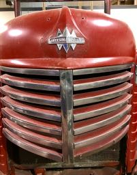
Of course, sometimes the way they were made required some tinkering. I like the way someone figured out how to add tank treads to the rear wheels on the tractor.
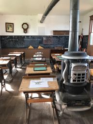
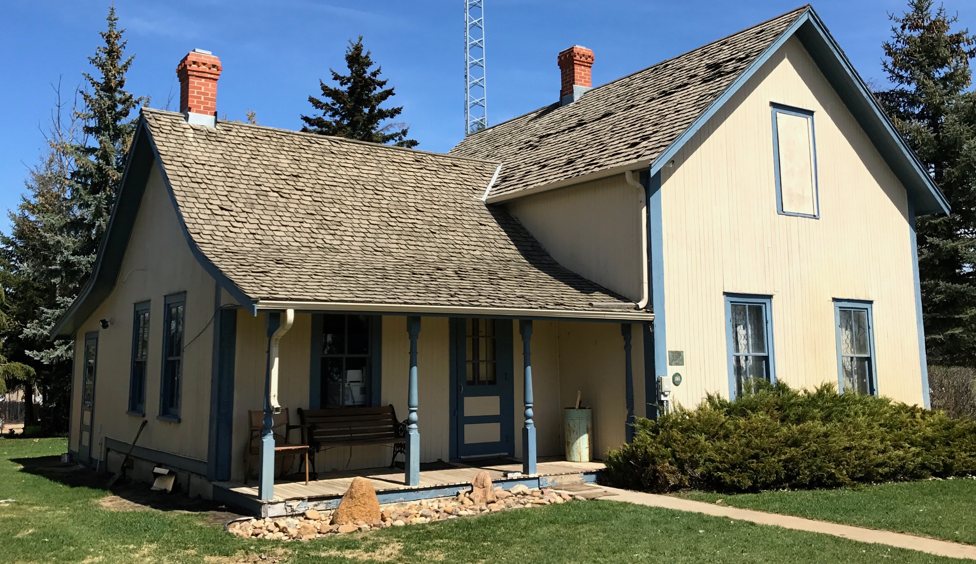
They had an old school house on display, complete with a list of teachers who taught there.
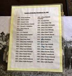
You might notice that there was only one teacher listed for each year. Yes, it was a one-room school house.
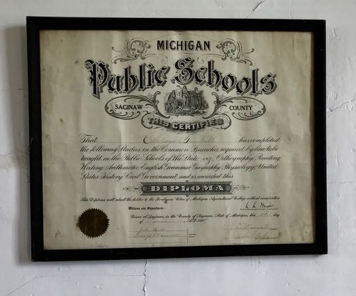
I found it interesting that one of the teachers was educated in Michigan. It makes me wonder what brought them out here.
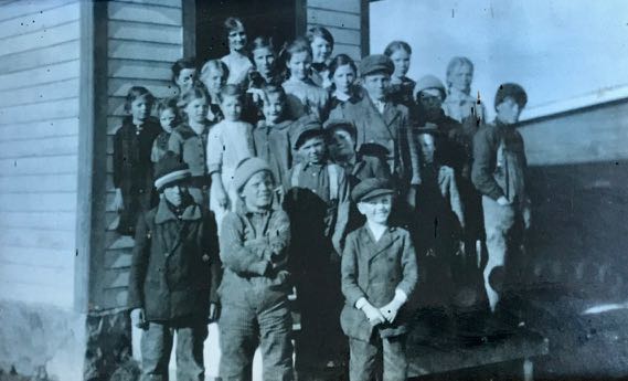
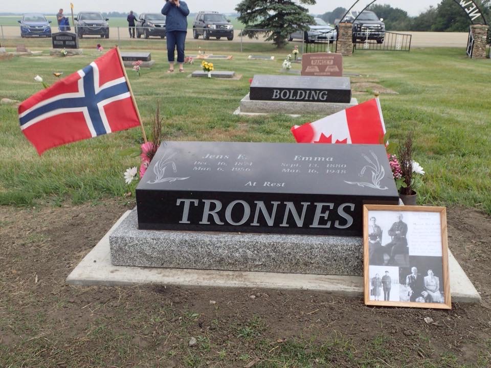
We had a picture of my mother at her school in New Norway that reminds me of this picture. I wonder if she attended school in a one-room school house. I wish I could remember. Just a hint, friends, if you still have the opportunity to ask your parents questions, ask them. Then write the answers down!
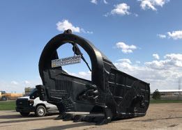
Outside the museum, they had some of the modern equipment they use in mining these days.
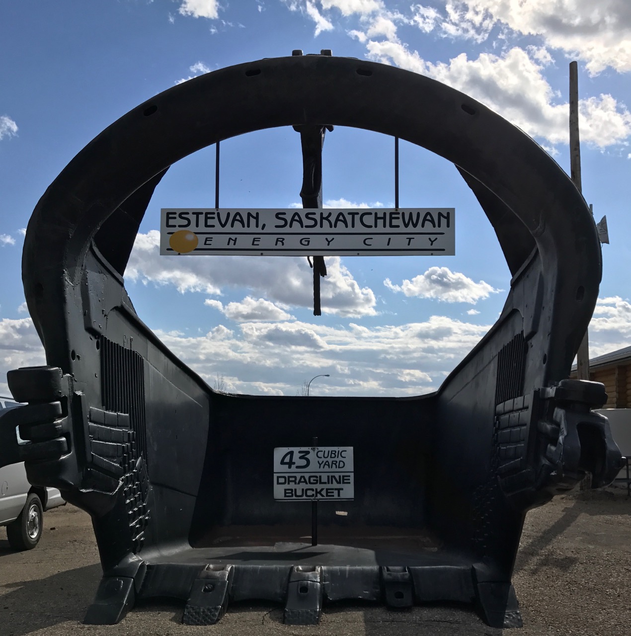
This dragline bucket can dig up 43 cubic yards at a time.
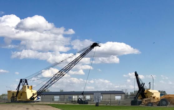
Can you imagine pulling that bucket through the soil with this piece of equipment? I would call it a crane, but there is probably a more technically correct name.
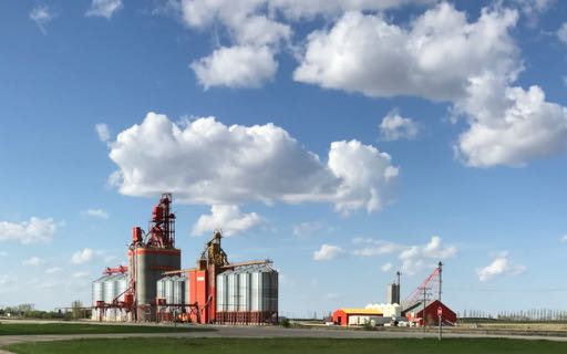
Right across the street was a large modern grain elevator. Saskatchewan – Canada’s bread basket!
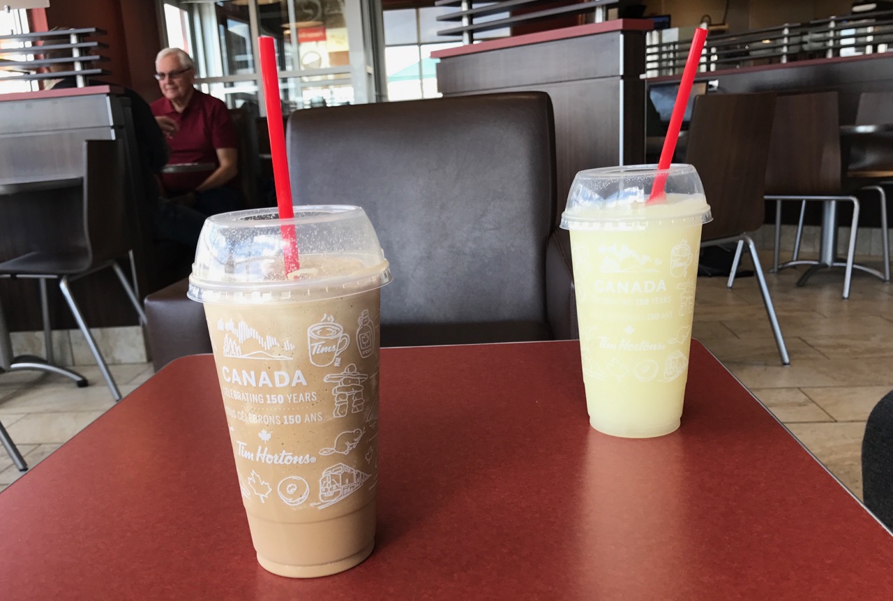
With our tourism completed for the day, we stopped off for some refreshment at another Canadian institution – Tim Hortons! We had to rest up for the next day’s adventures.