On to Pennsyltucky

Dad used to refer to Pennsylvania as “Pennsyltucky.” I don’t know why. I didn’t know if it was really a “thing,” so I looked it up. This is what my Preferred Source had to say:

‘”Pennsyltucky” is a slang portmanteau of the state name Pennsylvania and Kentucky. It is used to characterize-usually humorous, but sometimes deprecatingly-the rural part of the state of the state of Pennsylvania outside the Pittsburgh and Philadelphia metropolitan areas, more specifically applied to the local people and culture of its mountainous central Appalachian region.  The term is more generally used to refer to the Appalachian region, particularly its central core, which runs from Pennsylvania to Kentucky, and its people.’

Who knew?

Anyway, I hitched up and headed down route 5. I was tired of paying the Thruway tolls.

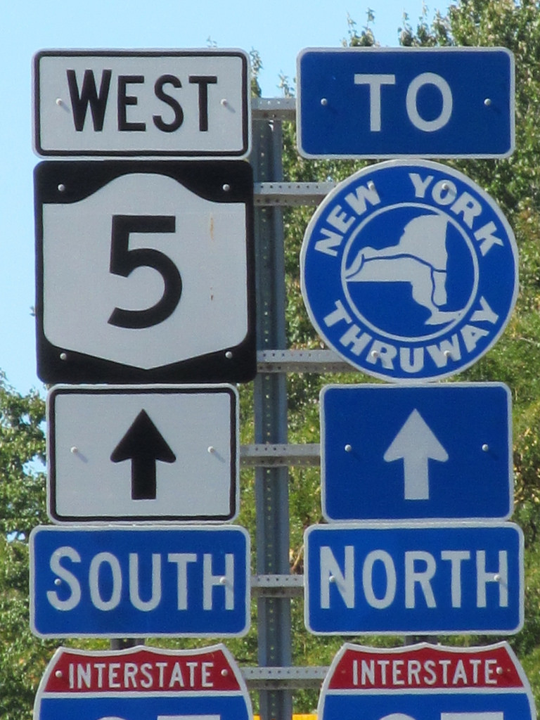
If you have a few extra minutes, Route 5 is a lovely alternative past vineyards with the occasional glimpse of Lake Erie.

I jumped back on I-90 at the state line, just in time to stop at the welcome center with its most welcome restrooms.

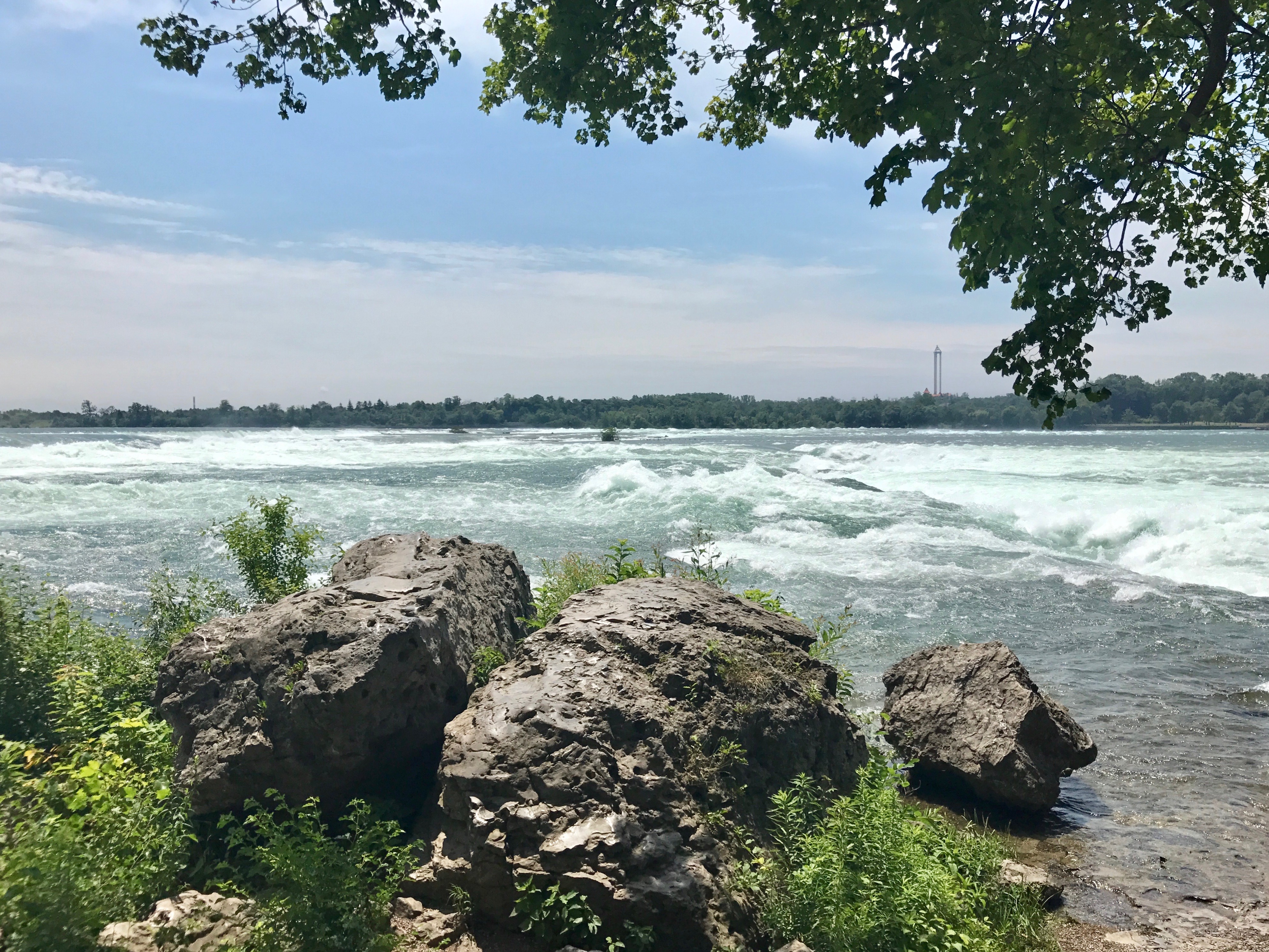
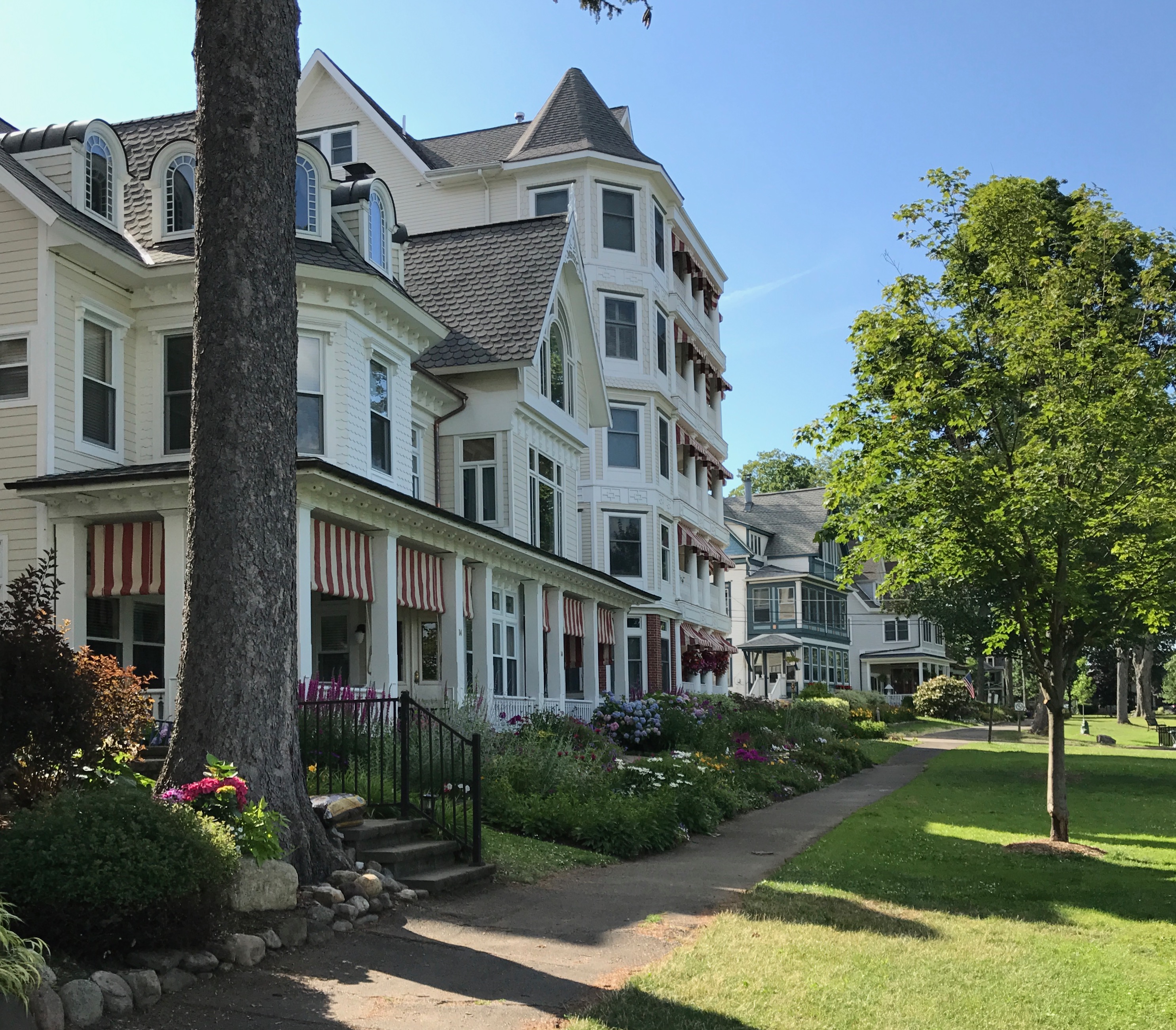
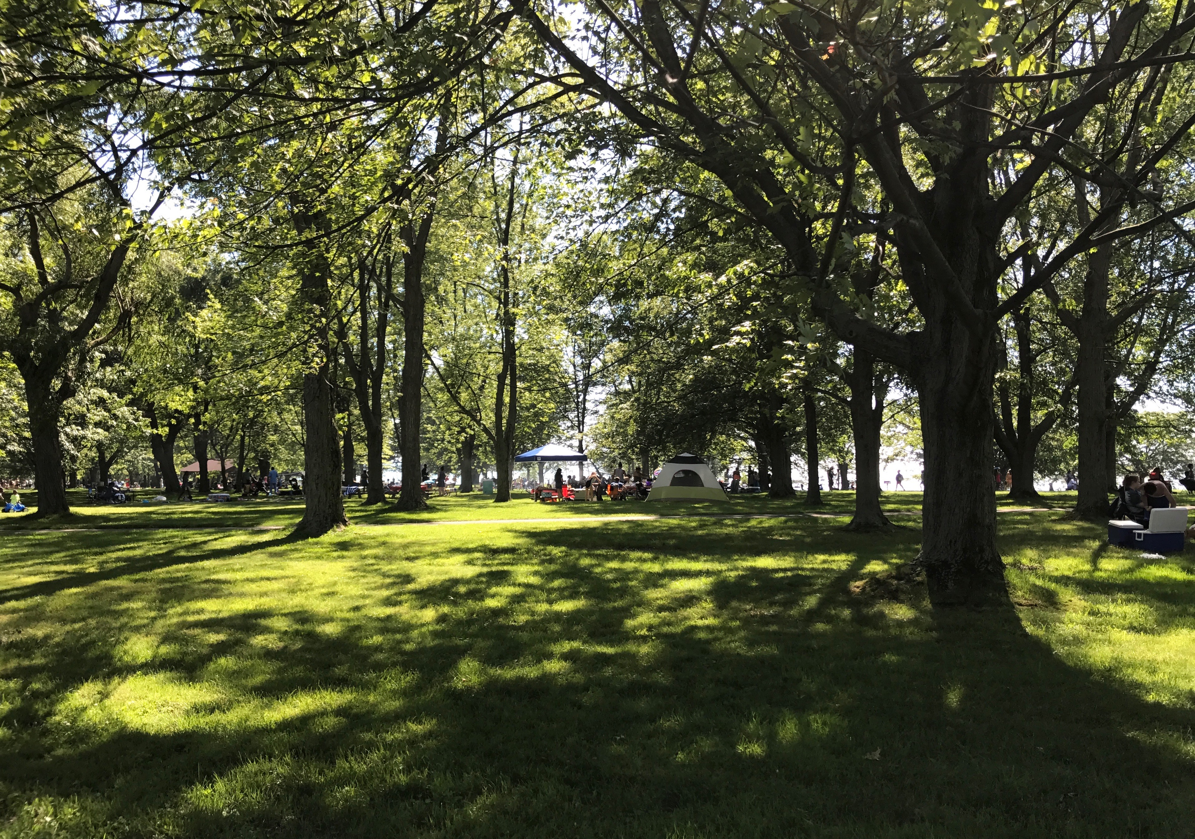
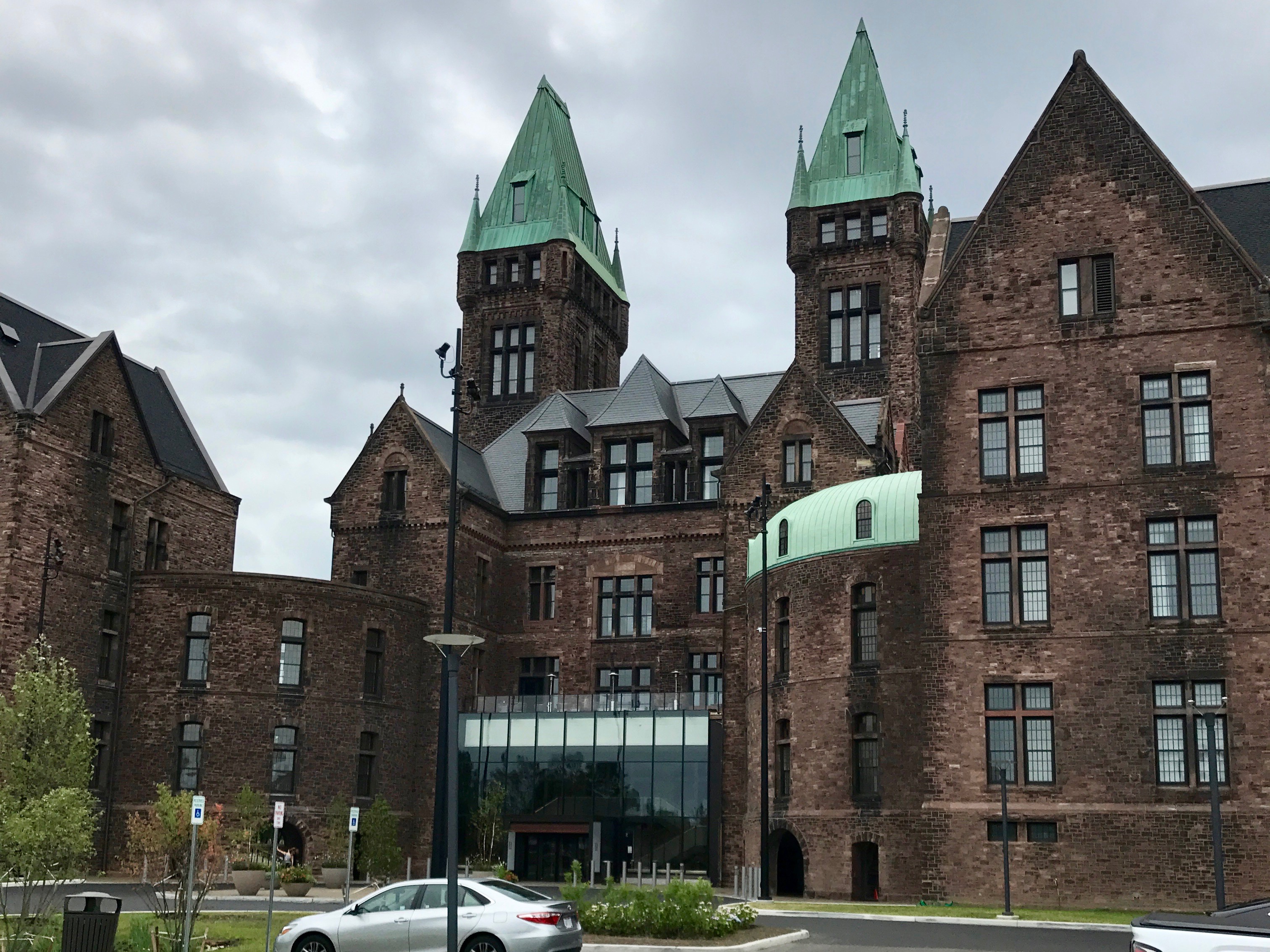
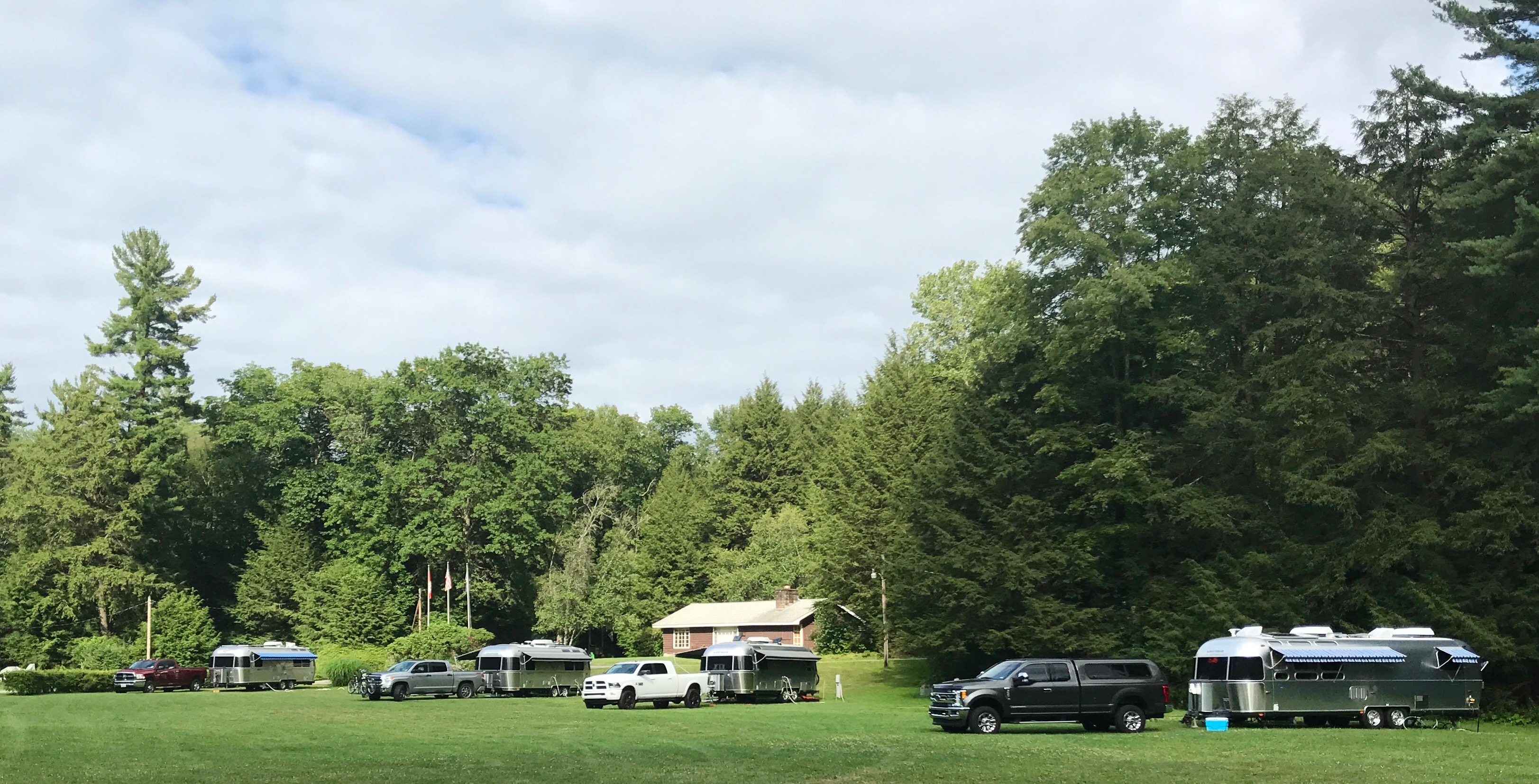
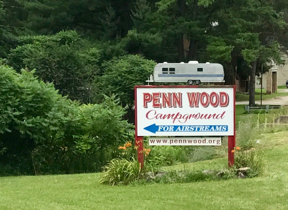
I drove on until I got to the campground I had selected for a couple night’s stay; Penn Wood Campground for Airstreams near Clarion, Pennsylvania. I figured that I’d better take advantage of still being an Airstream owner to visit an Airstream only campground.

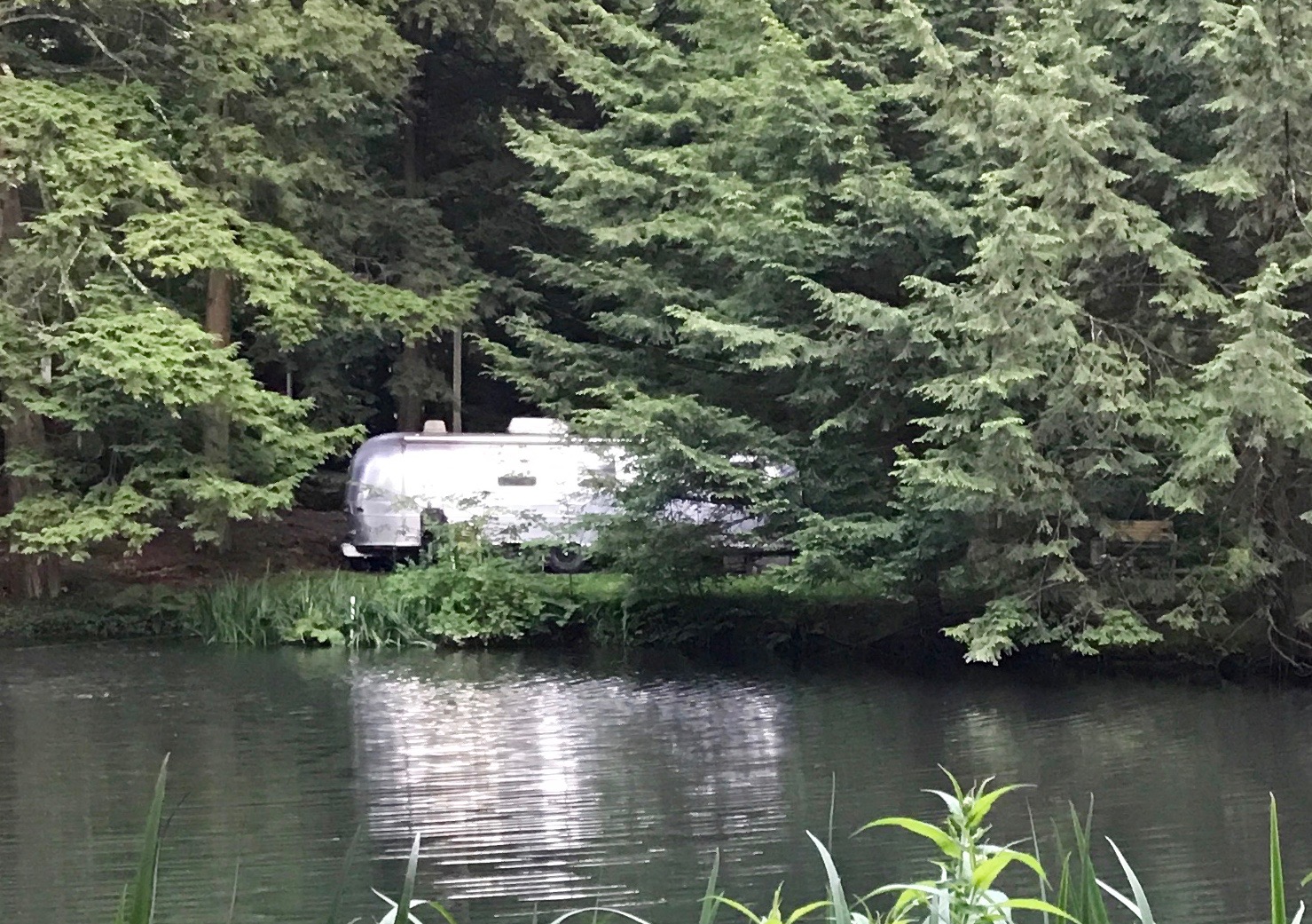
It was a lovely campground and it was so much fun to wander around and see aluminum gleaming between the trees.

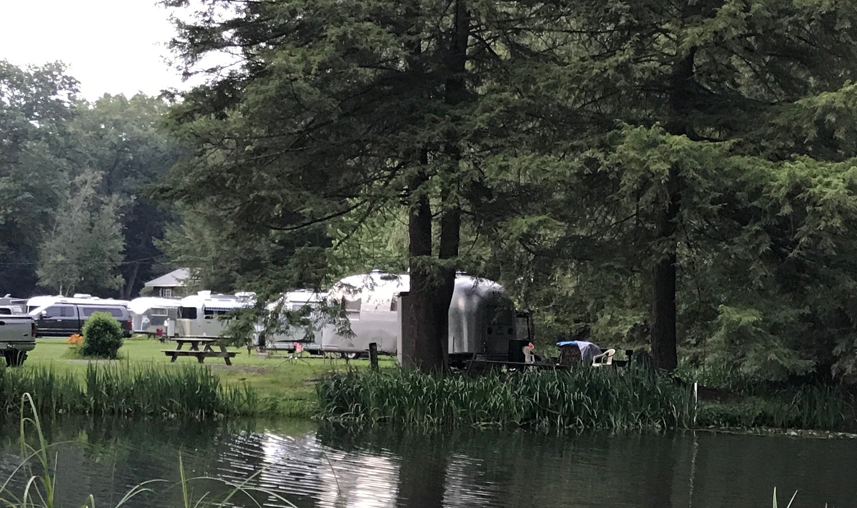
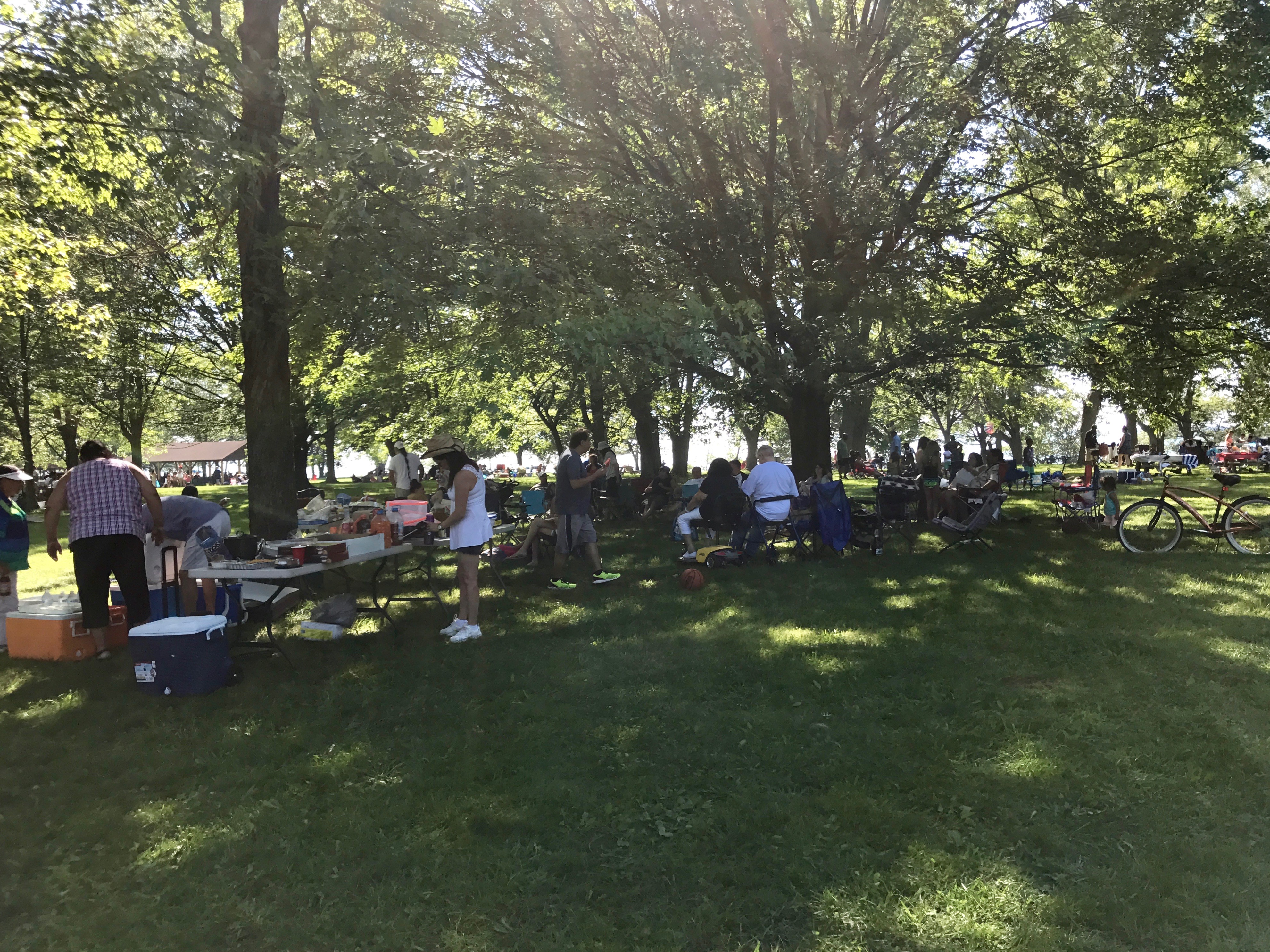
The people there were very welcoming. They invited me to a happy hour and to a pot luck dinner. We also had an art time, where we did some coloring. I’d be happy to go back!

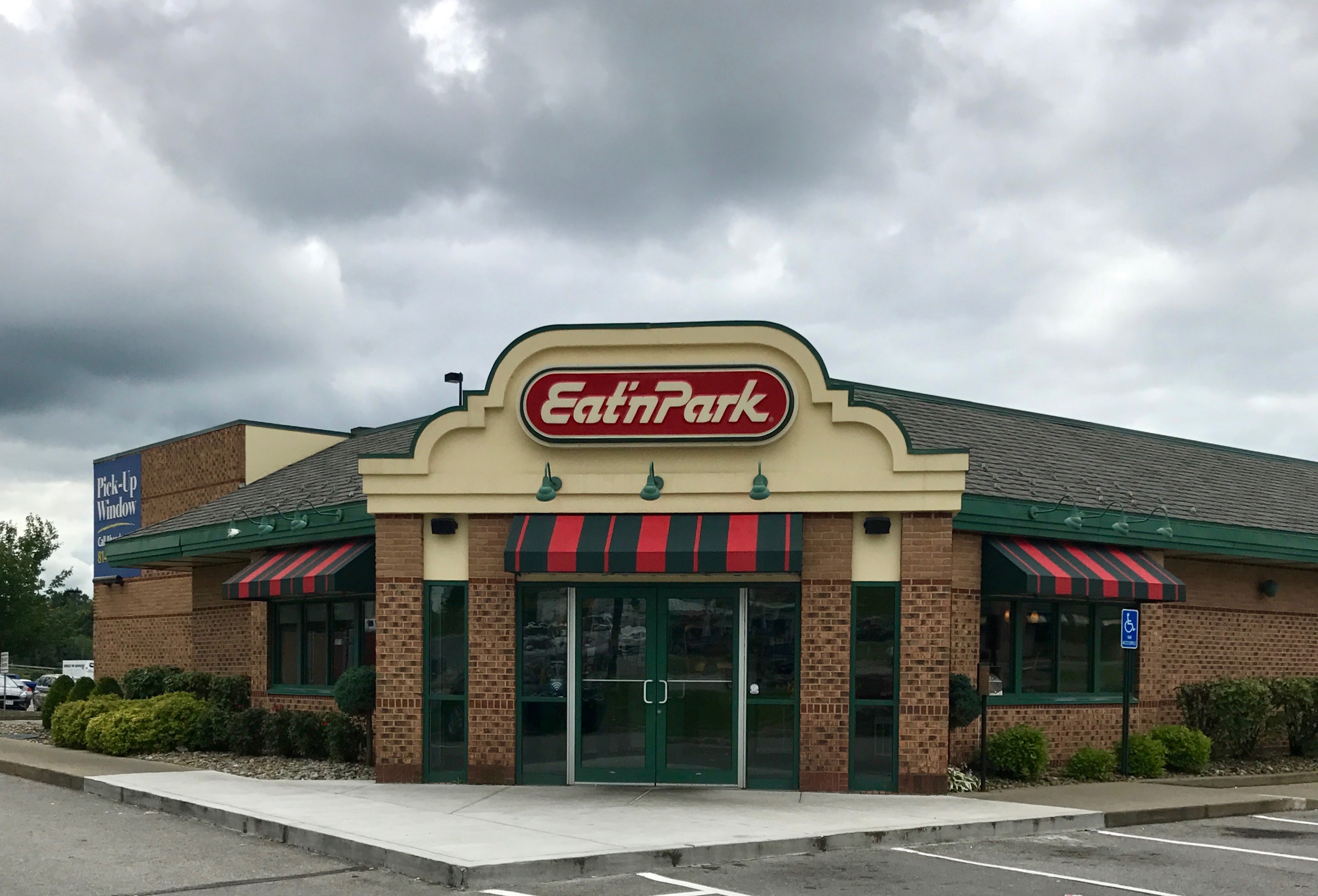
One evening I went out to eat. I’d seen signs for this chain during my travels, but never stopped. Personally, I would think the Parking before Eating would be a better idea, but they didn’t ask me.

Also, if the theme of the restaurant involves Parking, why do they have a pick-up window? Again, they didn’t ask me…

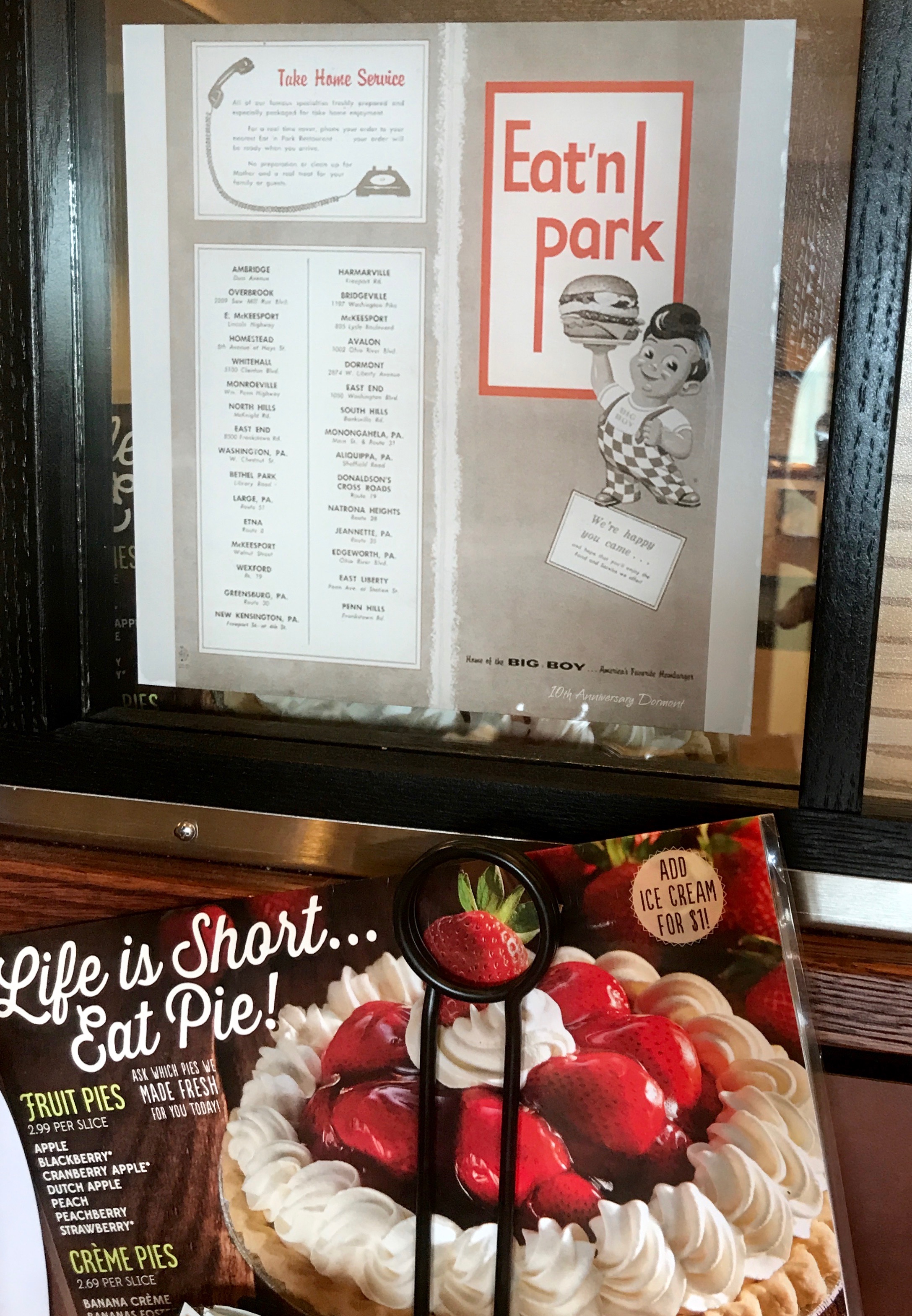
Apparently Eat’n Park is related to Big Boy. Either that, or they are involved in some heavy-duty copyright infringement.

And, as luscious as the pie looks, I skipped dessert.

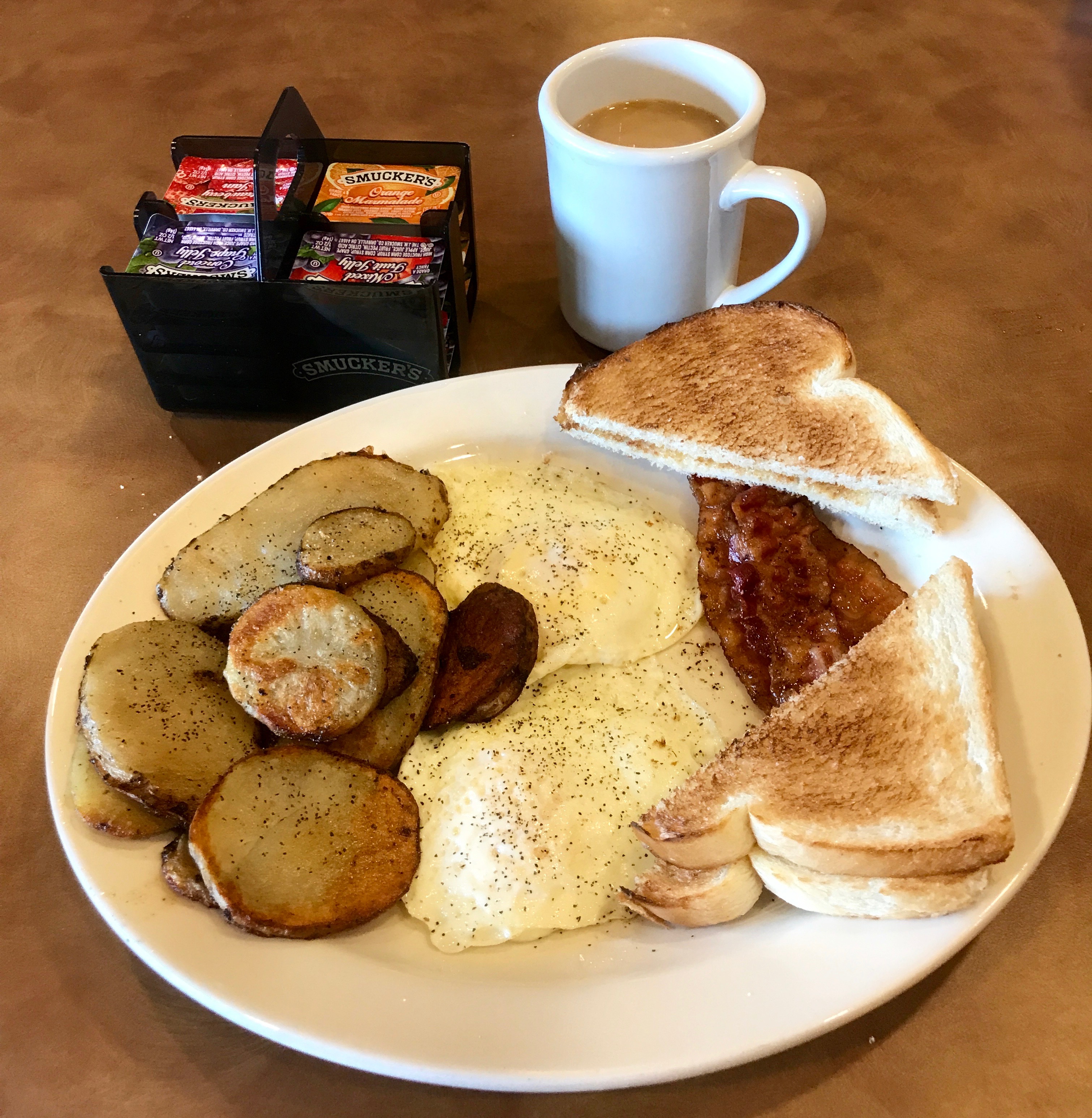
I mean, they had orange marmalade! I didn’t need dessert.

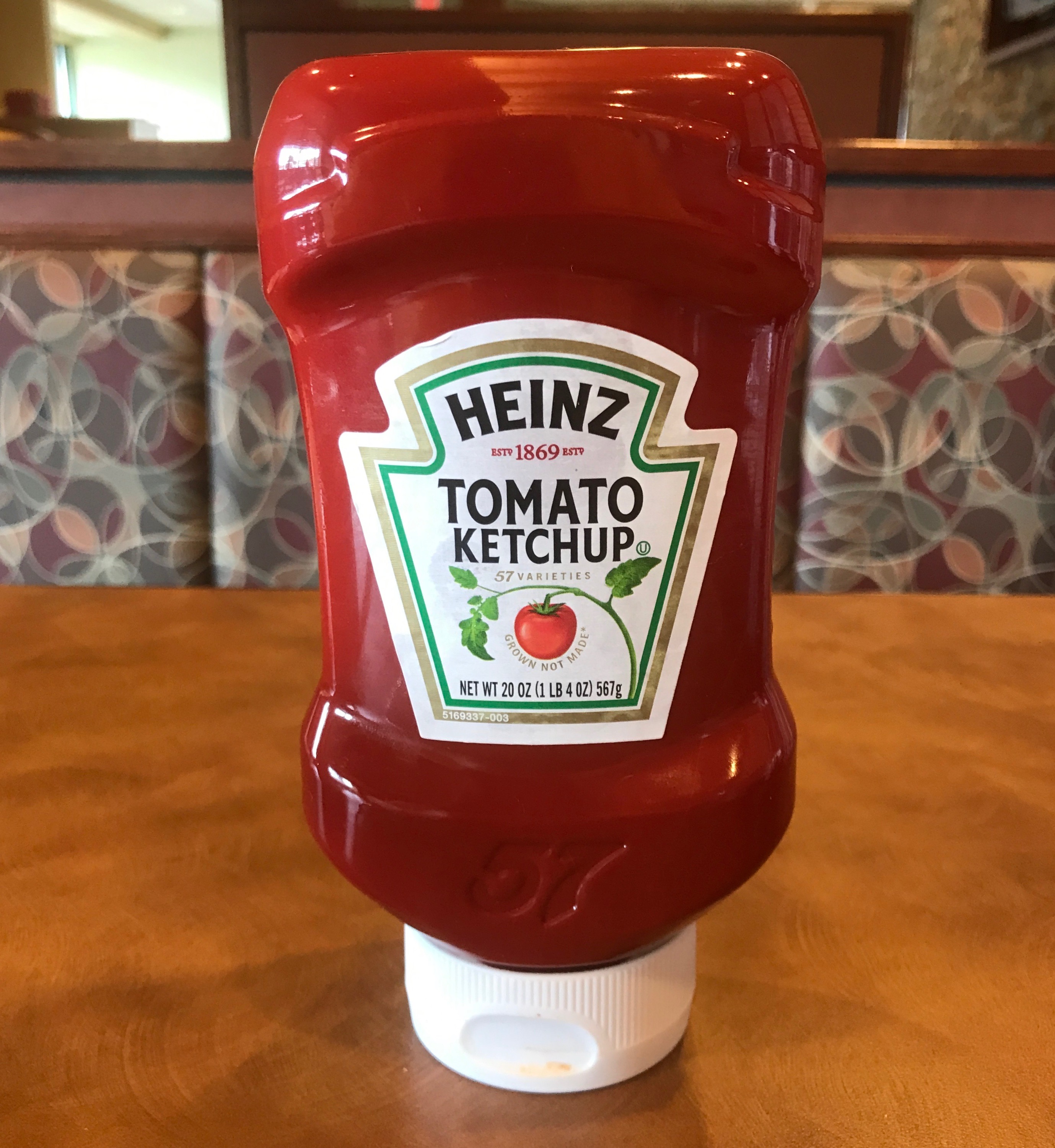
While I was sitting at the table, I took particular notice of the Heinz label.

It bore a striking resemblance to the symbol Pennsylvania uses for their state roads. Now, I know that Pennsylvania’s nickname is “The Keystone State”. According to State Symbols USA that is because it was the middle colony of the original thirteen colonies, and because Pennsylvania has held a key position in the economic, social, and political development of the United States.

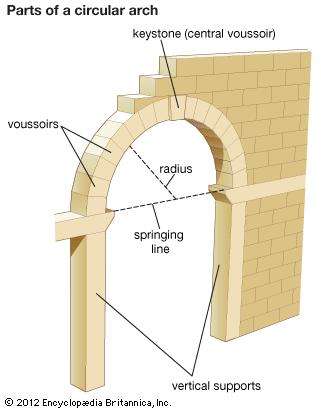
If you want more information about how arches work and why the keystone important, check out this page on ScienceABC.com. There is a cute little gif that demonstrates the principle.

Anyway, I wondered about the relationship between the Heinz logo and the Pennsylvania road sign. Heinz is based in Pittsburgh. I wondered if they convinced the state to use the same shape for their road signs as they used for their labels.

I did some research, and came to the conclusion that the road signs came first. I don’t remember how I decided that was the case, but I think Heinz did a great job piggybacking their brand to the state logo. I know I think about Heinz every time I see a Pennsylvania state route sign.

Well, enough rambling. It’s kind of amazing how your mind wanders and ping-pongs around when you are traveling solo.

Back to Flo. I hitched up in the morning and headed to the Mothership.


Just a Little More Buffa-Love

What would a trip to Buffalo be without a shout out to some popular restaurants?

I’ve already given props to Bocce’s Pizza.

Let us not forget to acknowledge Anderson’s. Those look like some mighty adventurous flavors!

If that wasn’t enough sweetness for you, just a block away and across the train tracks, there’s Paula’s donuts. 

If you need a little savory after all that sweet, Ted’s Hot Dogs is right across the street from Paula’s.

I don’t think I partook of any of Anderson’s, Paula’s or Ted’s offerings on this trip. I did visit a new-to-me restaurant in the waterfront area.

I met Susan, a high school chum, and her wife, Kay, for lunch. We got a table overlooking the Buffalo River.

I tell you, this is not the Buffalo I grew up with! (And that’s a good thing.)

When I lived in the area, the Buffalo River was essentially dead. It was so polluted that nothing lived in it. In fact, in 1968, it caught on fire. According to a report from the United States Department of the Interior:

“The Buffalo River is a repulsive holding basin for industrial and municipal wastes,” said the Federal Water Pollution Control Administration.  “It is devoid of oxygen and almost sterile.  Oil, phenols, color, oxy­gen-demanding materials, iron, acid, sewage, and exotic organic compounds are present in large amounts.  Resi­dents who live along its backwaters have vociferously complained of the odors emanating from the river and of the heavy oil films.  In places the river’s surface is a boundless mosaic of color and patterns resulting from the mixture of organic dyes, steel mill and oil refin­ery wastes, raw sewage, and garbage.” 

It sure isn’t that anymore!

I mean, can you imagine how much the river has improved to make a party boat business a viable investment? It looked like those people were having fun!

What a great advertising use of the old grain silos! I know Buffalo drove the demise of the grain business in Minneapolis. I wonder what city took over for Buffalo?

Some structures are coming down. I imagine other things will take their places.

In the meantime, a few baskets of flowers here and there make the area festive.

Some things are gone and some remain.

It’s almost like an archeological dig. You get to wander through the bits and pieces of the past.

After lunch, we wandered over to Canalside, past the ever-present herds of Buffalo.

This is another part of town that has really expanded since I was young. In the photo, you can see the USS Little Rock, which is part of the Buffalo and Erie County Naval and Military Park. There is a lot more here than the only other time I visited the park. The USS Little Rock was commissioned too late to see action during WW II, although it does have an interesting history you can read in the link.

When I taught at Calasanctius Preparatory School, we took the kids on a field trip to see USS The Sullivans. That Fletcher-class destroyer  has a more active history during WW II, as it was launched in April of 1943. This was the first United States Navy ship named in honor of more than one person. The five Sullivan brothers, aged 20 to 27, lost their lives when their ship, USS Juneau, was sunk by a Japanese submarine during the Battle of Guadalcanal in November 1942. This was the greatest military loss by any one American family during WW II.

Excuse the trip down memory lane with no photo to back it up.

The area is abuzz with people enjoying themselves. I think they call this part “the inner harbor.”

Susan, Kay and I were visiting Canalside. According to my Preferred Source, it is “a master-planned neighborhood and festival marketplace within the inner harbor.”  It is located at the western terminus of the Erie Canal.

And you know what products they carried…

“We hauled some barges in our day
Filled with lumber, coal and hay.”

Ah, yes! Buffalo, the Queen City of the Lakes

At least for a while.

Hey! There’s a photo, so it happened!

After this, we bid each other “hasta la vista” and went our separate ways.

I did a little architectural photography while stuck in traffic. I thought the nautical motifs of the ships’ bows was an interesting touch after visiting the harbor – a reminder of Buffalo’s history as an important part of transportation in the 19th and 20th centuries.

In my notes, I titled this photo “Architectural Detail with Hipster.”

I turned on Chippewa and got to Main Street just at the Light Rail was pulling up to a stop. I’m of an age where Chippewa Street was a red light district – a seedy neighborhood that people of repute didn’t visit. It’s certainly doesn’t appear to be that any more.

The train left the stop and I went back to the campground to get Flo ready to leave Buffalo for one last time.

Niagara Falls

This wasn’t my first visit to Niagara Falls – far from it!

I remember this trip to Niagara Falls in the winter. Dad walked my brother, Craig, and me over to Luna Island. My notes have it as 1962, but brother Scott was born in 1961, so maybe it was in 1961 or 1963. Maybe Scott was with Mom, as I know Mom didn’t walk over with us. I can just hear her saying, “Oof da! George!”

But, this was the first time I visited with Kathy and Dennis and their kids, John, Teresa, Paul and Paul’s wife, Amber. We were all in town at the same time and we set off on an adventure.

This is the typical touristic image of Niagara Falls. The Horseshoe Falls is to the right of Goat Island and the American Falls and Bridal Veil Falls to the left.

I find it amazing to consider that just about all the water in the Great Lakes eventually passes through this straight.

Fun Fact to Know and Share: The Niagara River isn’t really a river. It is a straight.  A strait is a naturally formed, narrow, typically navigable waterway that connects two larger bodies of water. The two larger bodies of water, in this case, are Lake Erie and Lake Ontario. While a straight is “typically navigable” isn’t easy to see why this one isn’t – navigable, that is.

Fun Fact Number Two: Niagara Falls State Park is the oldest continually operated state park in the nation. It began operation in 1885.

Our mission on this trip was to visit the Three Sisters Islands, part of the park that extends out into the river, on the side of Goat Island that faces Canada.

We carpooled over – with such a large group, we needed more than one car – and found a place to park.

If you’ve never been seen the Falls from this angle, I highly recommend it. I was one of the first places I went after I got my driver’s license. Even though we made repeated trips to the Falls when we were kids, I could never get my folks to go explore this part of the park.

You can really feel the power of the water.

We crossed all the bridges and went right out to the edge. That’s Canada on the other side.

I think these shiny spots on the boulders tell the story of centuries of tourism. They remind me of the “buffalo rubs” I saw out west. I suppose the native peoples could have visited here, but it seems like an unnecessary risk when there were so many other places to go.

This is one sign that I didn’t need. There was no way I was leaving the trail – let alone entering the water.

It seems like the birds didn’t see the sign. Still, it is interesting to reflect that there are pockets of calm in every storm.

I was curious about the name of the Three Sisters Islands. I figured that it was some sort of cheesy story invented about the Indian maidens trying to get to their braves on the other shore.

According to a sign posted on the islands, it turns out that the names were given by Parkhurst Whitney, a local businessman and decorated War of 1812 veteran, to honor his daughters.

What did these young ladies do that merited having islands named after them? In 1816, when ice jams in the shallow rapids created natural bridges between the islands, Parkhurst took his three daughters on a walk out to the latest island. He was so proud of the success of their adventure, that he convinced Augustus Porter, the islands’ new owner, to name them after his daughters.

The nearest island is Asenath, the middle one is Angeline and the farthest is Celinda Eliza. There is an island adjacent to Celinda Eliza that is called “Little Brother,” after their brother, Solon.

Asenath Whitney

It’s too bad people can’t resist the urge to make their marks on things when they are traveling.

Angeline Whitney

They didn’t have any photos for poor Celinda Eliza and Solon.

There are so many streets and places named Porter, I thought that I might as well see what I could find out about Augustus Porter. I wondered why he’d agree to name the island he owned after Parkhurst’s daughters.

It turns out that he worked with Parkhurst, who was an engineer and hotel operator. Together, they developed the first bridge from the mainland to Goat Island in 1818, and the first staircase from Prospect point to the base of the Falls in the same year, along with a ferry service, gardens, walks, bridges and other attractions.

It appears that giving Parkhurst “naming rights” was a small concession to keep him involved in the enterprises.

On our way back to Goat Island, we passed this eye bolt and link. I wonder what it was for?

You can see the mist rising from the Horseshoe Falls. That’s Canada on the other side.

We continued on toward Terrapin Point. About 90,000 cubic feet of water per second flows over the Horseshoe Falls during the summer months in the daytime. They can vary the amount of water that goes over the falls and divert water to create hydroelectric power.

You know that green color of the water flowing over the Falls? It is created by the 60 tons per minute of dissolved salts and “rock flour” generated by the erosive force of the River itself. What is rock flour? Well, don’t go baking a cake with it . It is very finely ground rock.

We continued walking along the edge of Goat Island. That boat down there is one of the fleet of boats used by the Maid of the Mist. You can take a ride on one of the boats from the American side or the Canadian side. I’ve done it before, and there is nothing better on a hot day.

We continued on around. At the end of that little footbridge at the lower right corner of the photo is Luna Island, where Craig and I had our photo taken all those years ago.

There is a statue honoring Nikola Tesla, who invented the alternating current induction motor. The statue was dedicated on 1976, 33 years after his death.

We all met up again and headed over for a little refreshment.

What a cute a kitschy ice cream stand! I had never been there before. It was a nice break before we headed over to one last stop: Devil’s Hole.

Devil’s Hole State Park, opened in 1924, is one of the oldest state parks in the region, although the Niagara Falls State Park is older.  It was a portage used by Native Americans to transport canoes around Niagara Falls and the rapids on the Niagara River. It was the location of an early battle between European settlers and Native Americans over control of the portage route.

Just time for a quick look.

And then it was time to head back to Buffalo.


Chautauqua

When I first got to Michigan, back in the 1980s, they used to talk about holding “Chautauquas”. Little did I know, but Chautauqua was an adult education movement that was very popular in the late 19th and early 20th centuries.

By Bureau of Engraving and Printing – USPS, Public Domain, https://commons.wikimedia.org/w/index.php?curid=17321165

Being from Western New York, I was only familiar with the one on Chautauqua Lake,

According to my Preferred Source, this first Chautauqua was organized in 1874 at a campsite on the shores of Chautauqua Lake by Methodist minister John Heyl Vincent and businessman Lewis Miller. It eventually was called Mother Chautauqua because many independent, or “daughter” Chautauquas were developed following their ideas.

I had been there a couple of times in the past. This was the distant past for me. Probably the 1970s. I have been eager to return ever since. Luckily for me, Mary Ellen, a friend from Kalamazoo was visiting her sister at the same time I was in the area.

When we met at choir in Kalamazoo, we found out that we were both from Buffalo. Here were are, just a couple of Buffalo gals!

I managed to get to Chautauqua in time to get parked. Sunday is a big day there. They have free parking and free admission for the Sunday church service. Mary Ellen was singing with the choir, so my mission was to get there in time for the church service.

I wandered my way through the tree and flag lined streets, past the lovely old cottages with porches.

I passed the Presbyterian House.

I passed the entrance to the Athenaeum Hotel.

I made it to the Amphitheater with time to spare. After the service, we met up at her sister’s place.

What a glorious view! I must put “get a porch” on my to-do list!

After a little lunch, we strolled about the grounds.

We admired the gracious old buildings.

There were lovingly tended gardens everywhere.

Where there weren’t gardens, there were planters.

We happened upon a craft show, with artists selling their wares.

There were also demonstrations.

We came upon a vendor selling gorgeous winter coats. For some reason, this vendor didn’t seem to have a mirror, so I made a new friend when I offered to take her photo so she could see how she looked in her coat. If I remember correctly, she ended up buying it.

Mary Ellen had to try on a coat, too. She didn’t buy hers.

I must admit, I don’t understand why this stop sign was wearing a dress. Maybe it was channeling its inner Klinger.

We wandered about a bit longer and then went to a nearby store to pick up sandwiches for dinner.

Really, is there anything more peaceful looking than these gracious old houses? A company of military musicians that travel about giving shows was on the schedule during the afternoon and we went to the amphitheater to watch. I have caught several performances by these groups. If you ever have one coming to your town, be sure to catch it. Your tax dollars at work!

It was great to get back to Chautauqua and to see my friend, Mary Ellen again.

Back to Evangola State Park in time for the sunset.


I love Lake Erie!

I know that many people consider Lake Erie to be the least great of the Great Lakes, but it holds a special place in my heart. It is “home” for me – the American and Canadian sides.

My campground was right on the shore, just west of Buffalo – Evangola State Park. Actually, the campground was on a bluff above the lake, but there was a beach that was park of the park, and we were allowed access as part of our camping fees.

While I was there, I made a couple trips to the beach. There was this archway constructed. On my way back up, I ran into the bridal party. It looked like a great day for a wedding.

The sun was shining and the sky was blue.

I headed to the beach on the Independence Day. People were in serious picnic mode, with tents and canopies galore. As much as I love sun, I think I love the shade under these beautiful trees even more.

If I had a dollar for each cooler in the park, I think I could have almost have afforded to buy a Yeti.

Yeti – the Airstream of coolers.

I headed down to the water’s edge and I saw something I haven’t seen in years. I saw a lifeguard on duty at a public beach!

I decided to wander down to the cliff and then back to where I started from.

What a beautiful day to be on the water.

It was also a great day to look at rocks!

Rocks and water! What a great combination!

I find the fracture patterns interesting in these rocks. They cleave into rectangular slabs.

I found a smaller slab and used it as a base for one of my catch-and-release rock collections.

First, a photo of it dry. Now let’s see it wet.

That’s more like it! The colors are so much more vibrant.

I did a few where if marveled at the dry-vs-wet rocks, but I decided that I really preferred the wet ones.

This composition reminds me of a snowman, well, except that it’s not white.

What a lovely array of colors!

I found this fossil, and I thought it was pretty interesting. What the heck! Let’s see it wet.

I came across a fellow rock aficionado – a young boy of about eight. I had picked up this one and was thinking of keeping it. After all, I was going to have a house soon. It wouldn’t turn out like Lucy’s collection in The Long, Long Trailer.

By Source (WP:NFCC#4), Fair use, https://en.wikipedia.org/w/index.php?curid=43379887

But, I gave the rock to him and told him that it had fossils in it. I explained what fossils were and that he might find some more if he kept looking. I swear, I’ll be a teacher until the day I die!

One last photo of rocks arranged by Mother Nature and it was time to head up.

I was fortunate to catch a few lovely sunsets while I was visiting during this trip. Just because I feel like it, I will post them here.

I took this one from the beach at Evangola State Park.

I took this one from Hamburg Town Park. If you look one way, there’s Buffalo in the background.

If you look in the other direction, you see a glorious sunset.

It all depends on where you focus your attention.


The Old Buffalo Psych Hospital

I have always enjoyed Buffalo’s architecture. I’ve written about it in earlier posts. This time, I visited a gem that I was sure was going to be lost, due to lack of maintenance, neglect and obsolescence.

During this trip to the area, I was able to visit the old Buffalo Psych Center. The official name when it was built was the Buffalo State Asylum for the Insane.

Sister Jeanne taught us about this building during my art history classes at Rosary Hill – now Daemen College. Back in the 1970s, when I was studying with her, the buildings were in rough shape and its future was in doubt. Every now and then over the years, I’d drive by and look, and it seemed less and less viable each visit. The visit before this, the complex was even fenced in. I was sure that it was in the process of demolition.

Why does this building matter? It was designed by H.H. Richardson, who was one of the “recognized trinity of American architecture”, along with Louis Sullivan and Frank Lloyd Wright. He had his own design style, which was referred to as “Richardsonian Romanesque”.

H.H. Richardson must have been quite a character. (Incidentally, H.H. stands for Henry Hobson.)

And, not only is the building a work of a prominent American architect, it was done with Frederick Law Olmsted, the famed landscape architect who gave us New York City’s Central Park.

(To be fair, Olmsted was the junior partner with Calvert Vaux, but I don’t recall ever hearing that name before. Maybe people just like saying the names of people who use their middle names.)

During this visit, I heard something about a renovation at the old hospital and that it had been repurposed as a hotel – Hotel Henry.  I decided to see what was going on. I followed the signs and pulled into the parking area at the back.

They did a good job of designing an entrance with an atrium that blended in with the original design.

I passed through the atrium to see what I could see.

It’s not much to look at now, but this sign was hanging nearby.

In an effort to keep things as current as possible (even though I am writing this fifteen months after the fact) I called the hotel to see if the center did open as planned. As with many things in this world, they didn’t get it open last year, but are on schedule for a spring 2019 opening. Maybe I can check it out next summer.

I wandered on. I thought this was an interesting view.

I made my way upstairs and came across this elegant dining room. It turns out that there is a restaurant in the new Hotel Henry called 100 Acres: The Kitchens at Hotel Henry. According to the information I could glean, it offered a selectively sourced, seasonal New American menu.

This installation was in a bar I came across. From one of the people I spoke with, the name “100 Acres” refers to the amount of farmland that was set aside for the purpose of creating the Buffalo State Asylum for the Insane. According to the Kirkbride Plan, much of the farmland remained productive and provided healing, rehabilitation and meaningful work for the patients.

There were the elegant touches that one expects in a grand building, like this dramatic staircase.

These elaborate corbels were set off by the subtle choices of paint.

Elaborate tile inserts made it look like corridors had rugs in them.

Even the edges of the curving corridor that connected the main building with the wings had decorative tile work,

There were ample windows that kept the place bright. Bear in mind that this structure was designed in the 1870s, before electrification.

Even the smallest details had a special touch. I love the window latch.

The window pull also received design attention.

The register cover was also elegantly designed. Bear in mind that this was a state mental facility.

I came across this door with the tantalizing sign, “historic stair”. You know I had to try the door. It opened – and no alarm sounded.

Here’s the view going down.

And then there’s the view going up. Is this “up the down staircase“?

And if you knew what I was referring to, you are officially old. I decided not to go up or down. I was a bit concerned that the door would lock behind me and I would be trapped.

I wandered into the ballroom. They were in the midst of cleaning it after a reception. I liked these stacks of chairs.

I stopped by the registration desk to inquire about the rooms. I wondered what they cost. I was surprised that they only cost in the neighborhood of $150.

The clerk offered to let me see one, and I leapt at the chance.

I could see myself in that chair. The rooms are small, so they combined functionality. This is a chair, side table and desk. The coat rack next to it doubles as a work of art.

This is a luggage rack and bench.

It also doubles as a dresser.

The bathroom was sleek and modern, but given the small space, I couldn’t get a good angle to take a photo.

I wandered around a bit more. I just love hotels – especially unique ones.

What a gracious setting for a casual meal! With that, I decided to look around outside.

This is from the front of the back looking back at the curved corridor that connects the main building to the wings.

These windows were on the wing to the right as I looked at the front of the building.

Looking up at the towers as I walked toward the front of the building.

The front entrance to the main floor.

I find it a little surprising that it wasn’t put on the National Historic Landmark list until 1987. After all, Sister Jeanne told us about it in the first half of the 1970s.

I walked across the front of the building and looked back at it. I needed to investigate the columns more closely.

I suppose those are Corinthian capitals.

However, they are not your typical Corinthian capitals. It looks like Richardson chose to go with feathers instead of acanthus leaves.

There is ribbed groin vaulting in this area. I remember my art history classmates tittering when Sister Jeanne talked about ribbed groin vaults. The tile work on the outside compliments the tile work inside.

I started back toward the parking lot where I had left Bart, when I noticed the cornerstone with the Masonic inscription. It does rather make sense that masons would have had a hand in creating this building.

On my way back to the parking lot, I passed this door. I wondered what the label said?

I guess the historic stair does go somewhere. I tried the door, but it was locked.

Back in the parking lot, you can see some of the other buildings that were part of the hospital at one time. Some parts have been torn down, and others appear to be in transition.

And with that, I left. I had things to do and people to see.

Once again, thank you, Sister Jeanne!