Natchez Trace (April 2019)

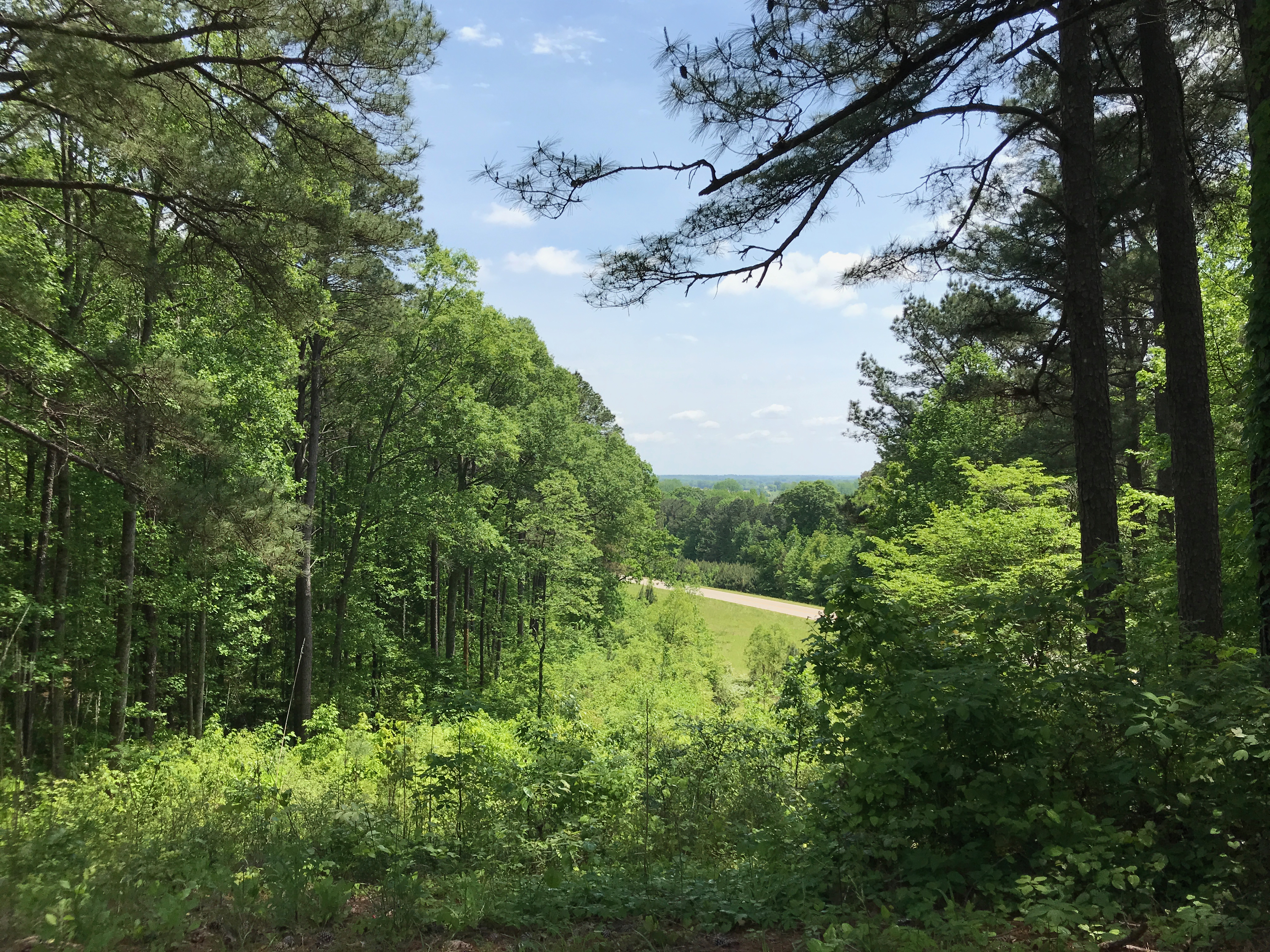
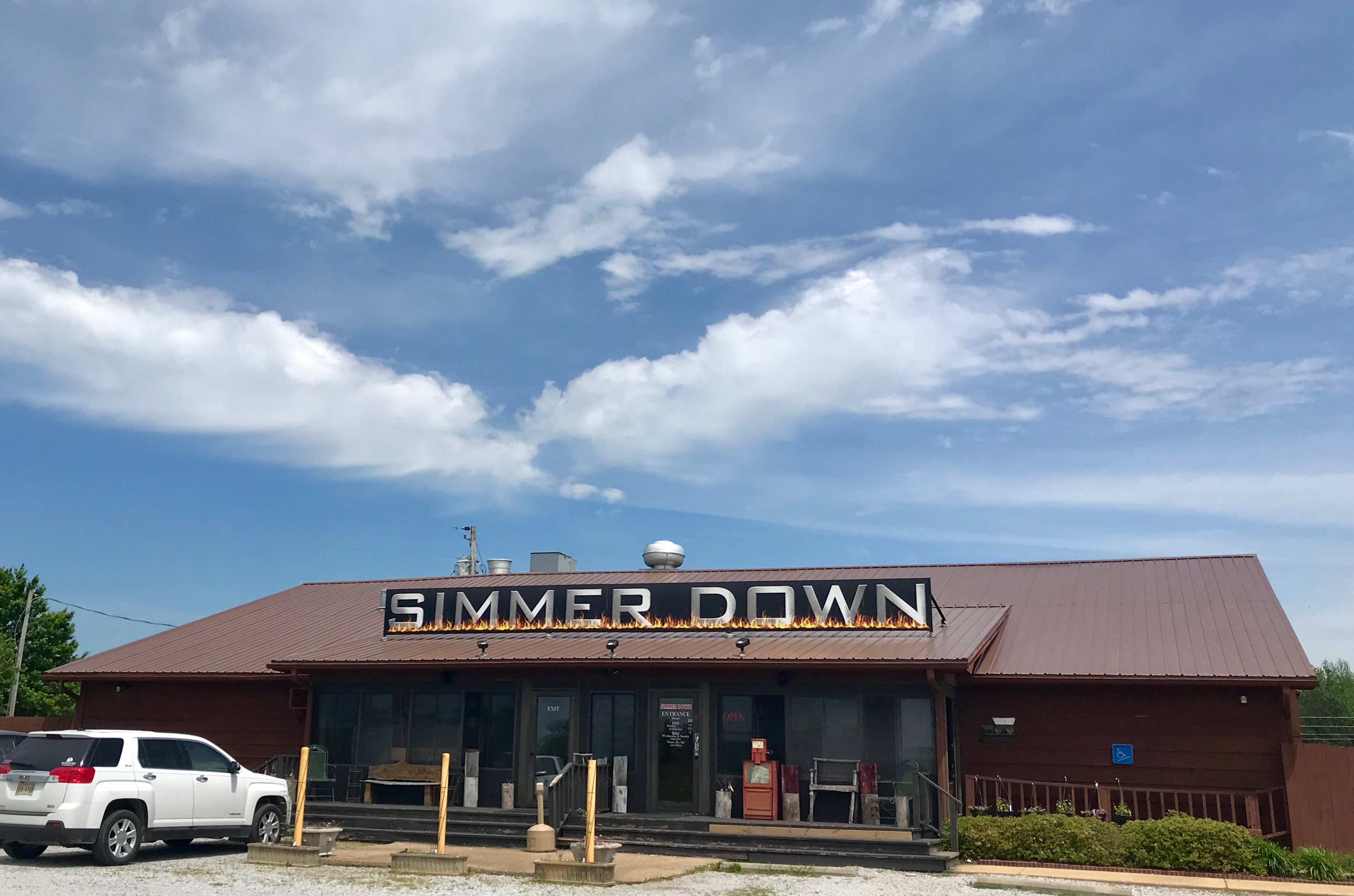
The next morning, I hitched up and started up the Trace. It was the end of April and it was full-blown spring/early summer down here. I wonder what it’ll be like by the time I get home. Will I watch the seasons reverse themselves? Will it be spring when I get home or will it be winter/spring? I don’t imagine that it will be quite as nice as it is here.

With that thought, I was happy to take advantage of many of the places to pull off and enjoy the season and the land.

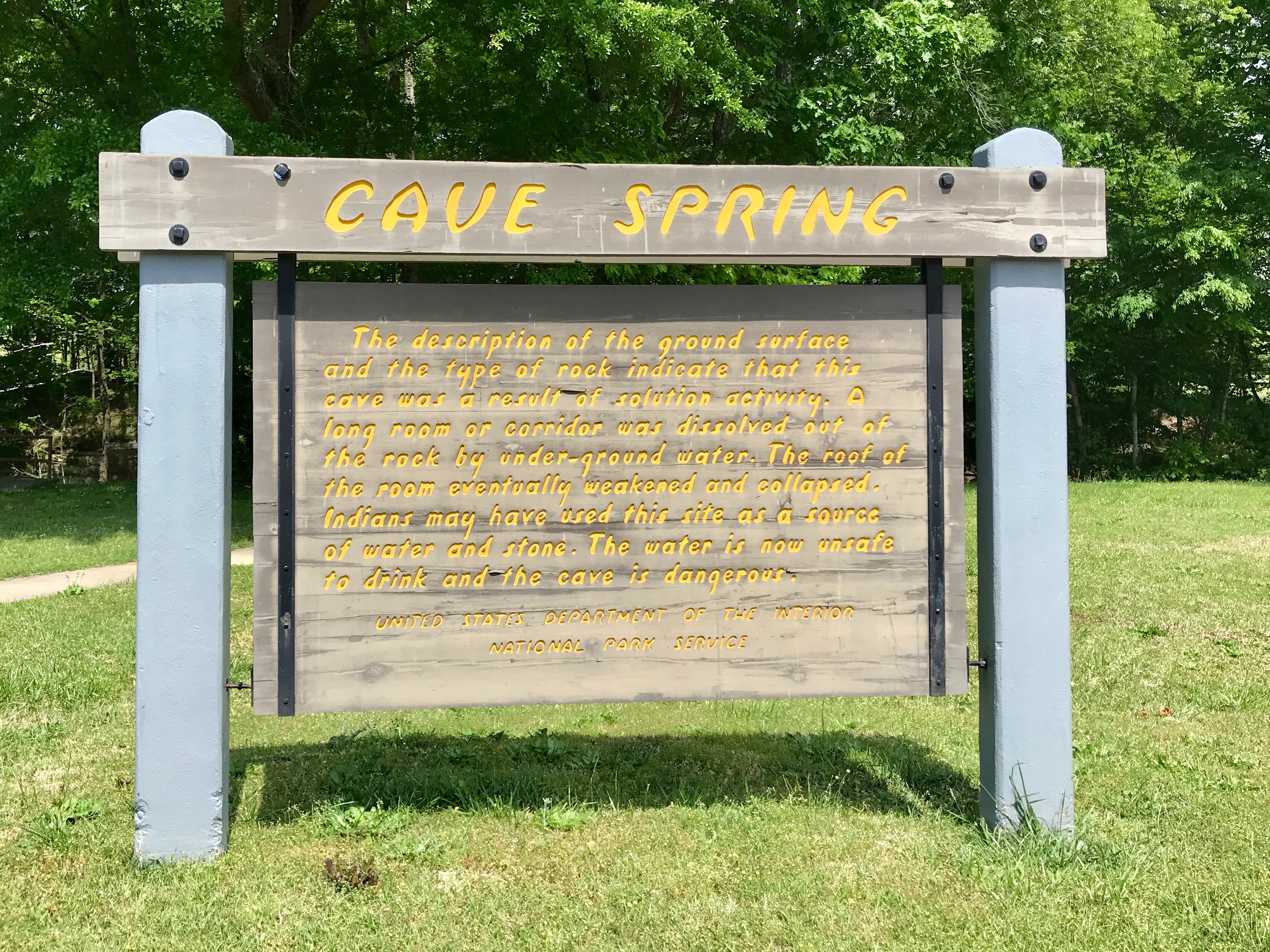
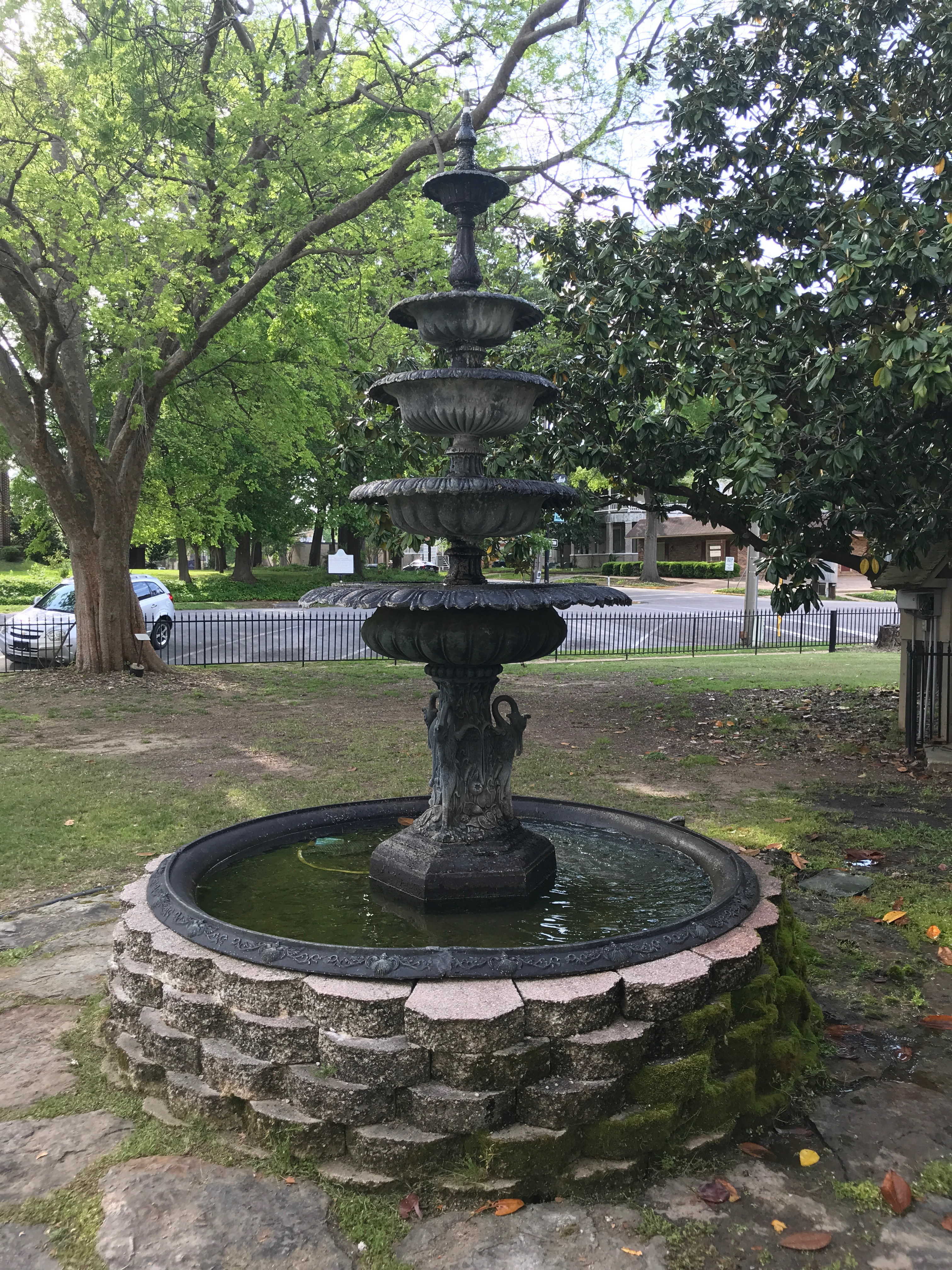
The first place I pulled over was Cave Spring. Based on the description, it sounds like the spring was something like a sinkhole or a cenote.

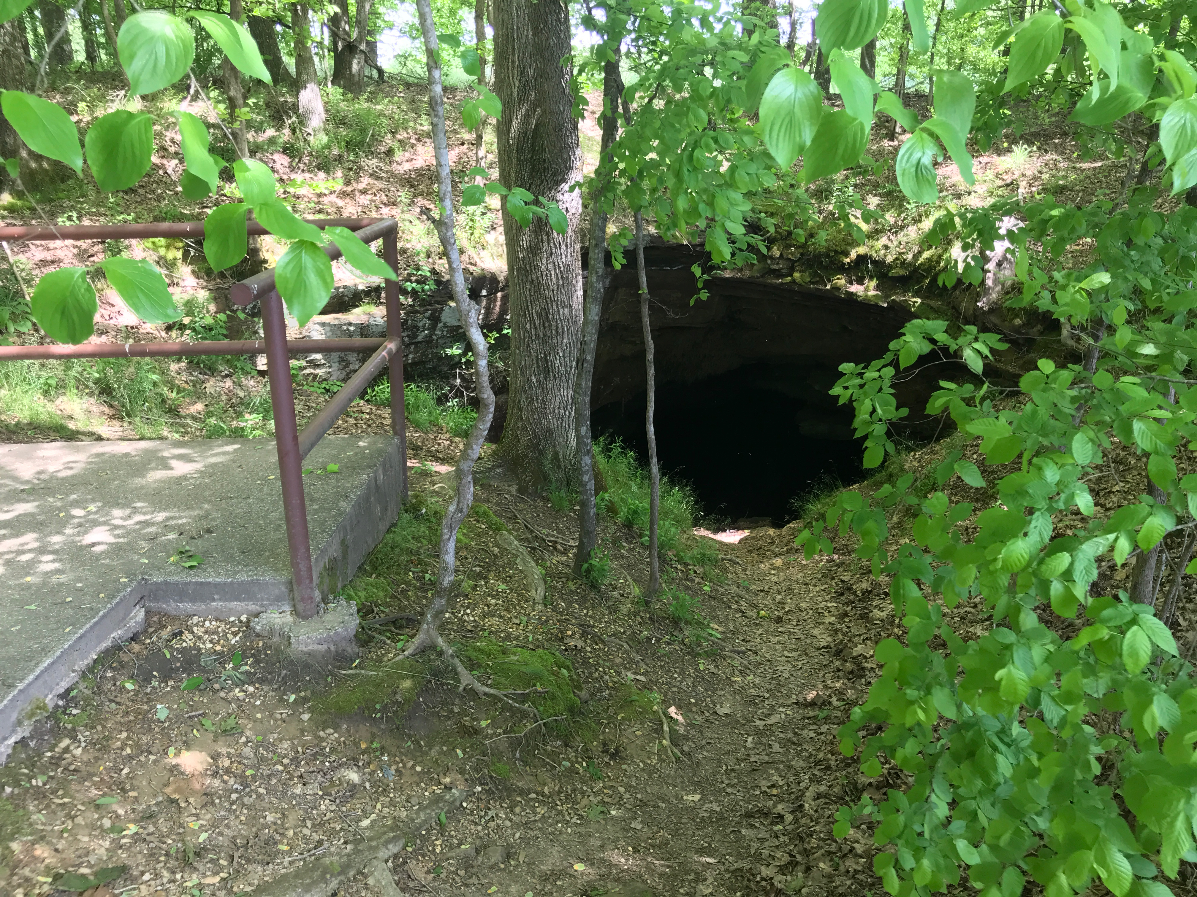
It’s not much to look at now-a-days, but it had its uses as a source of water and stone.

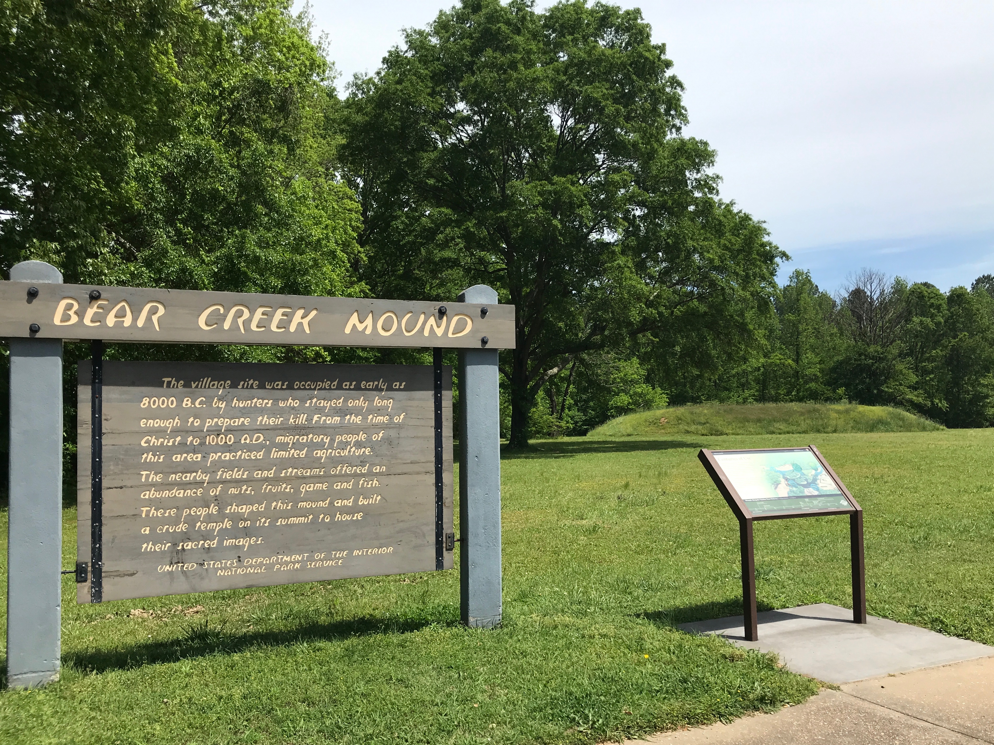
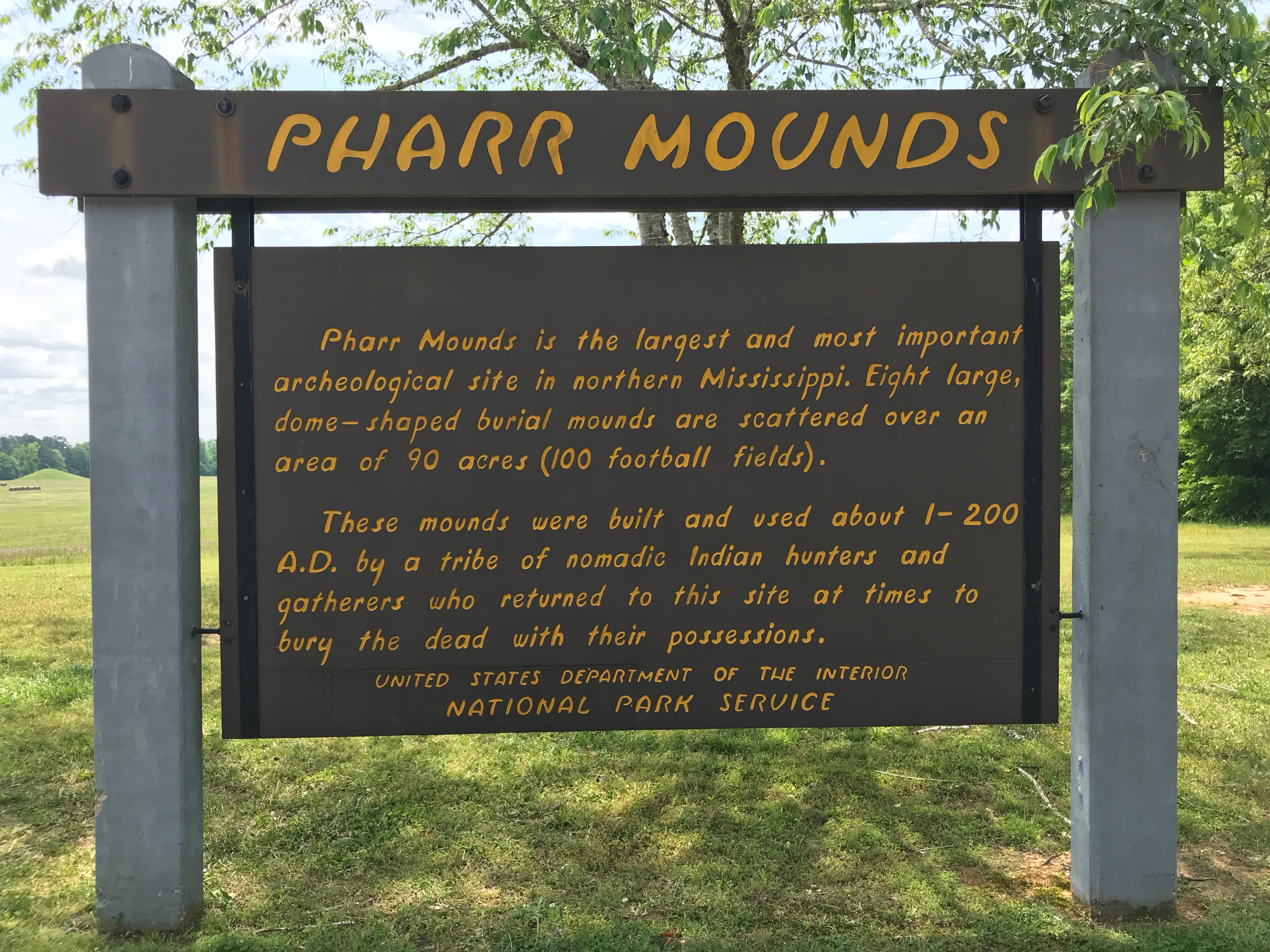
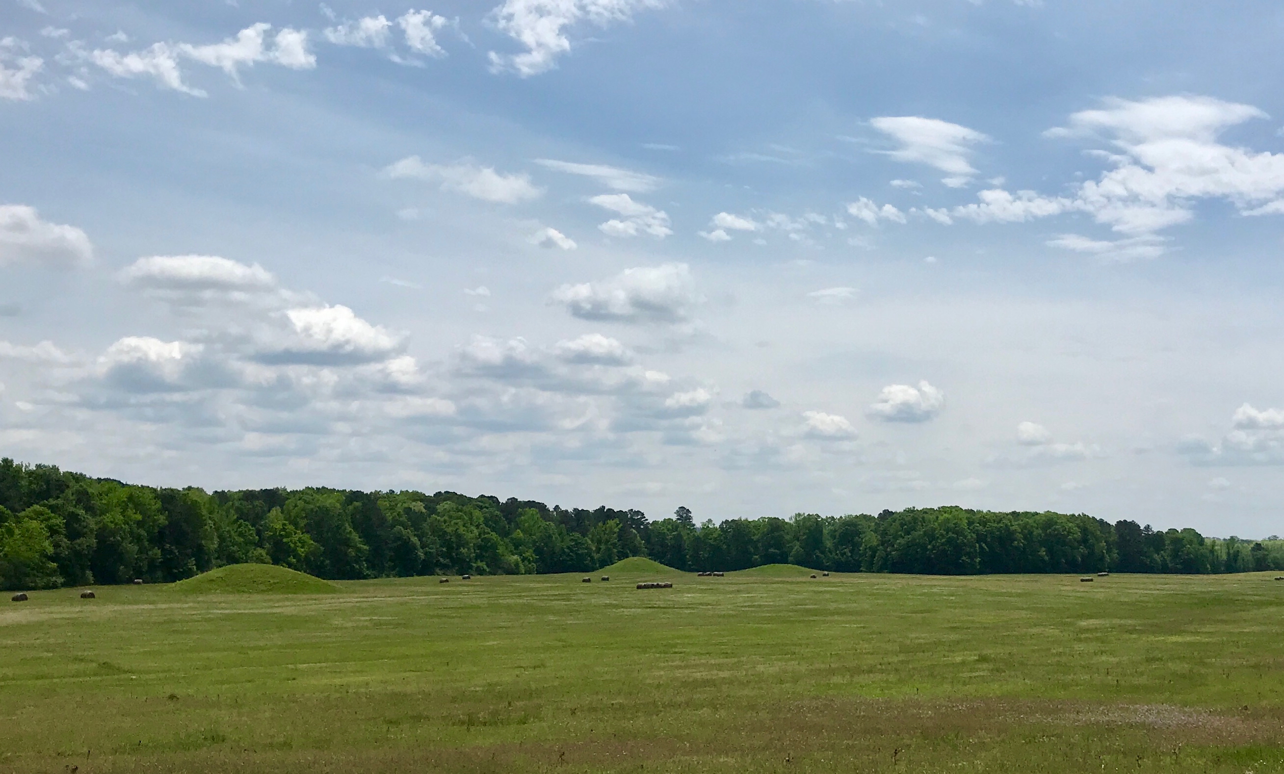
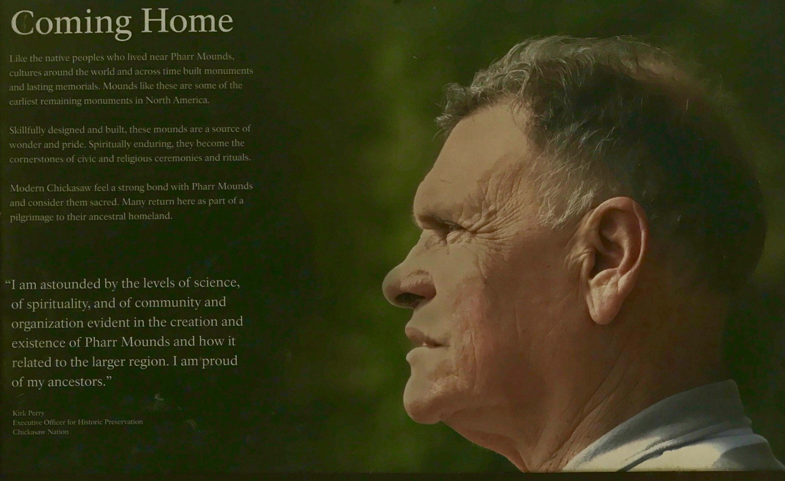
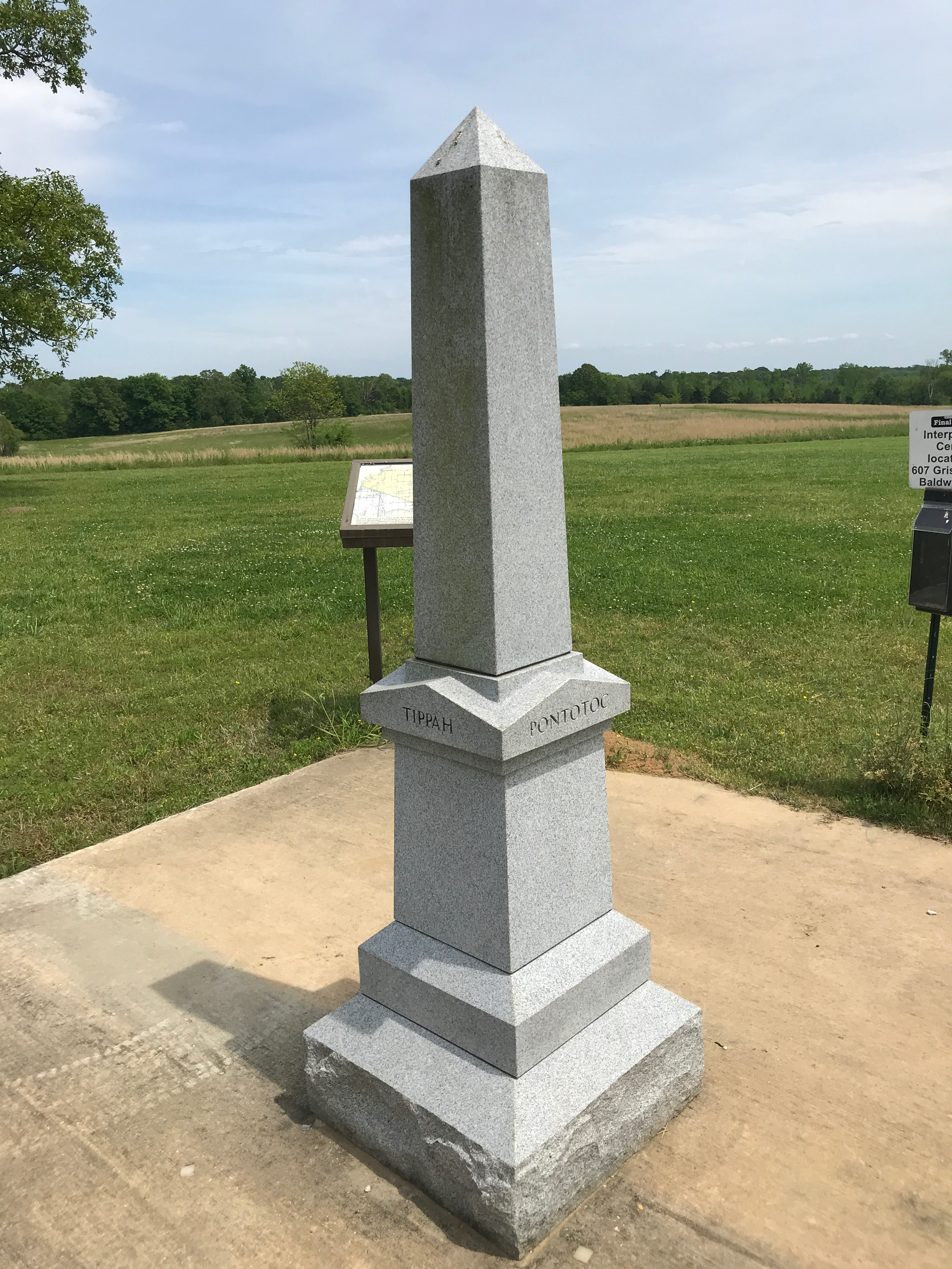
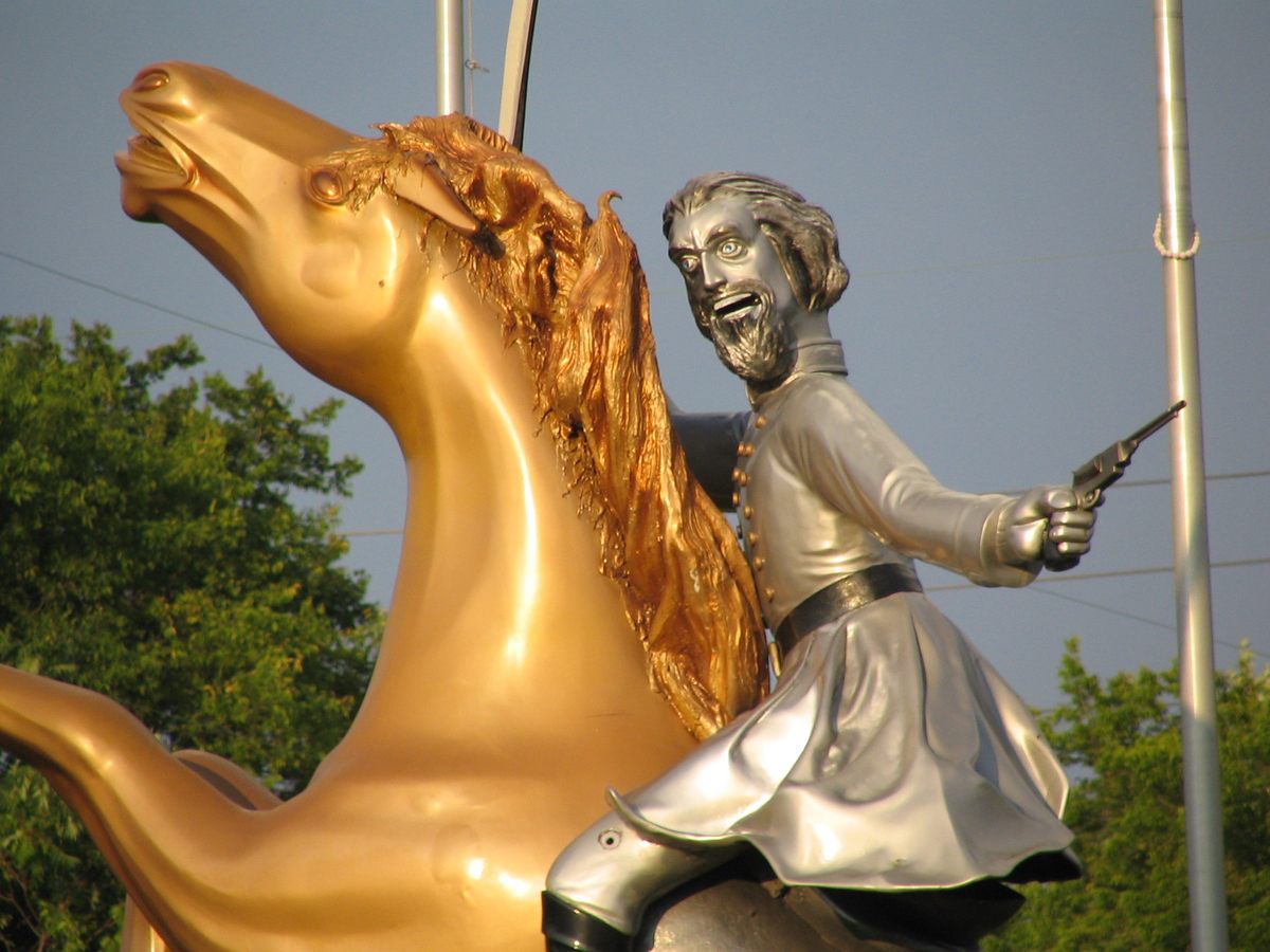
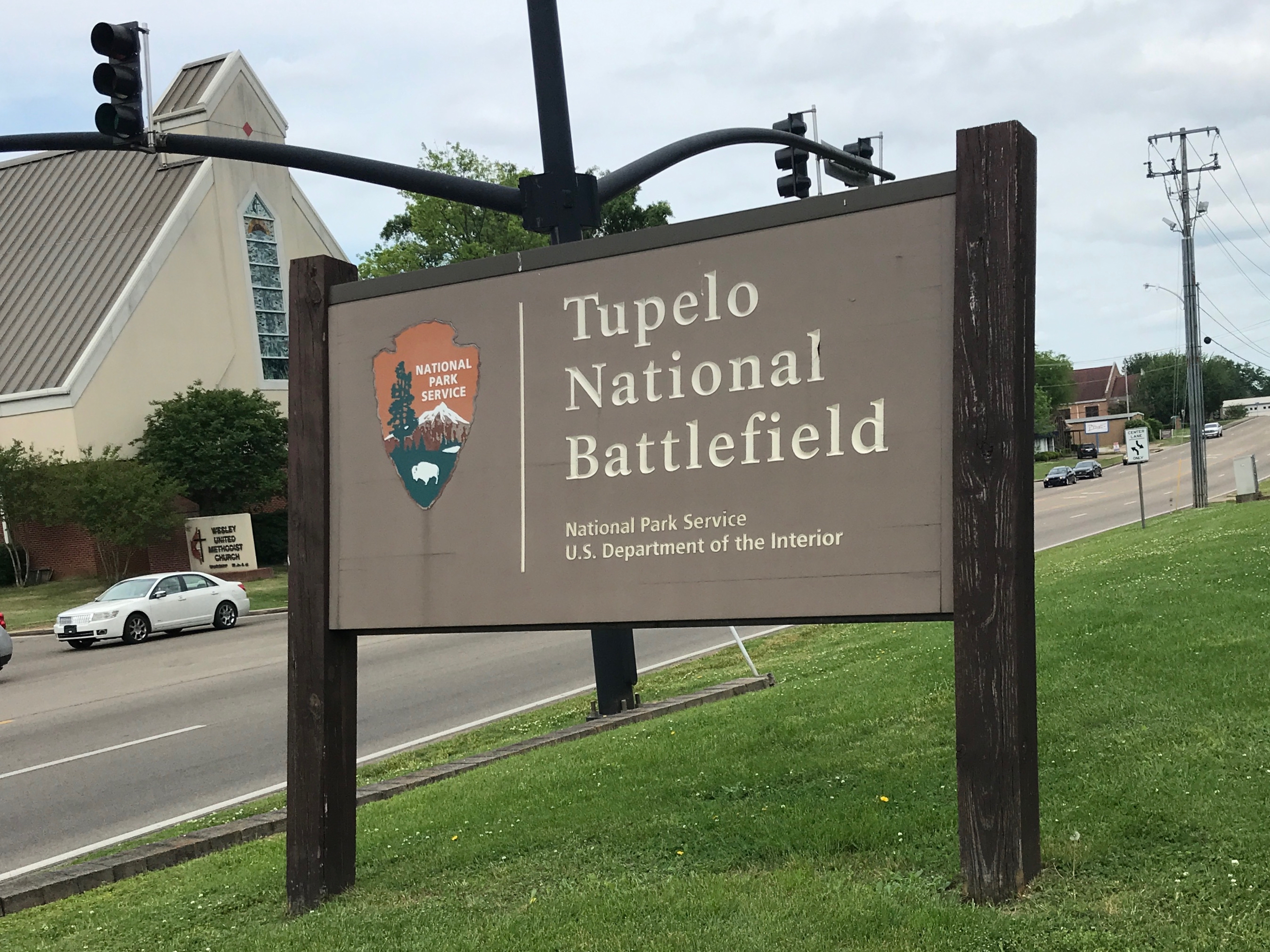
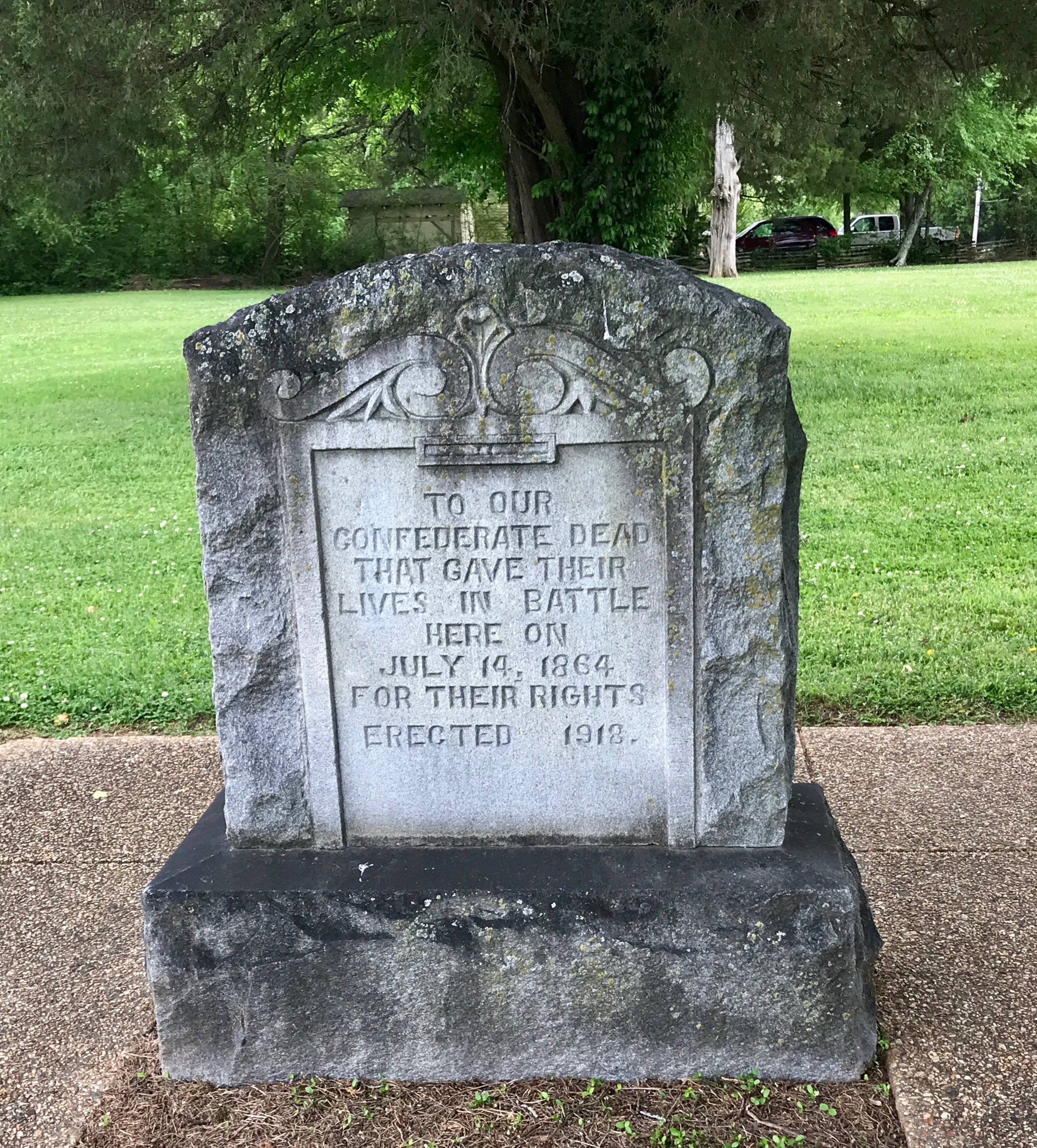
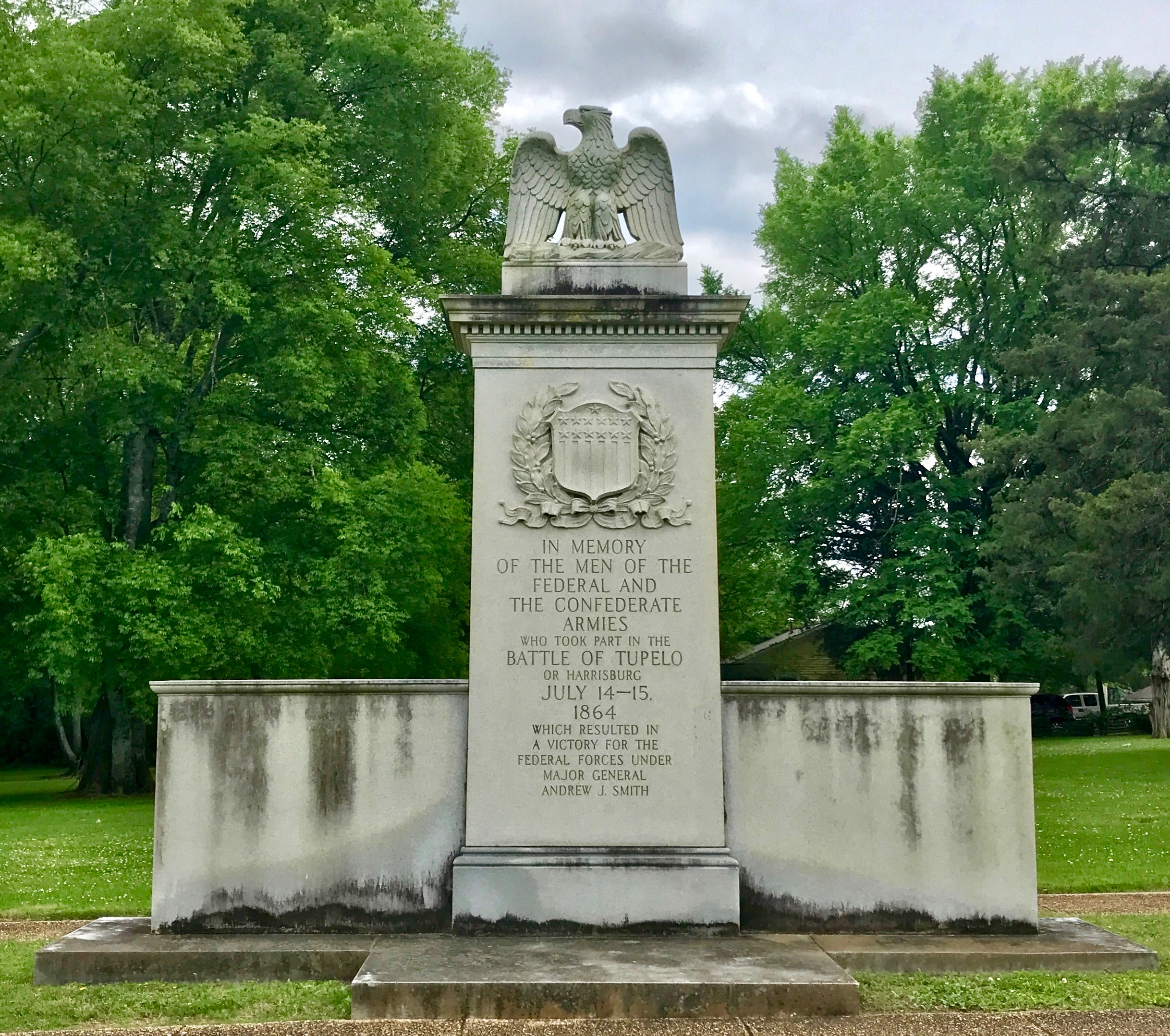
I stopped at another mound.

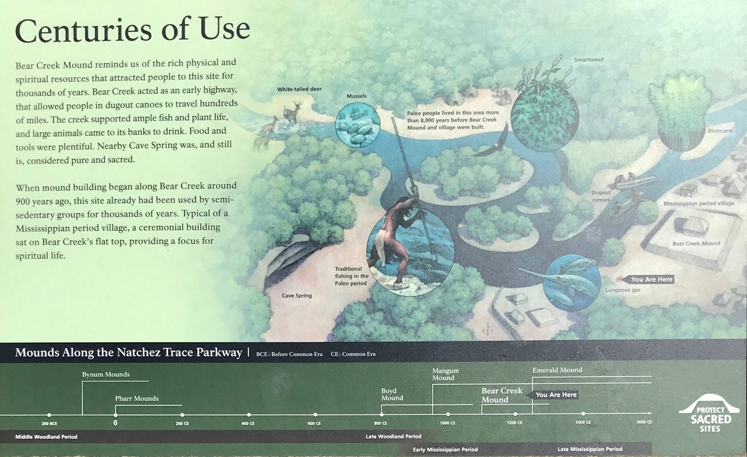
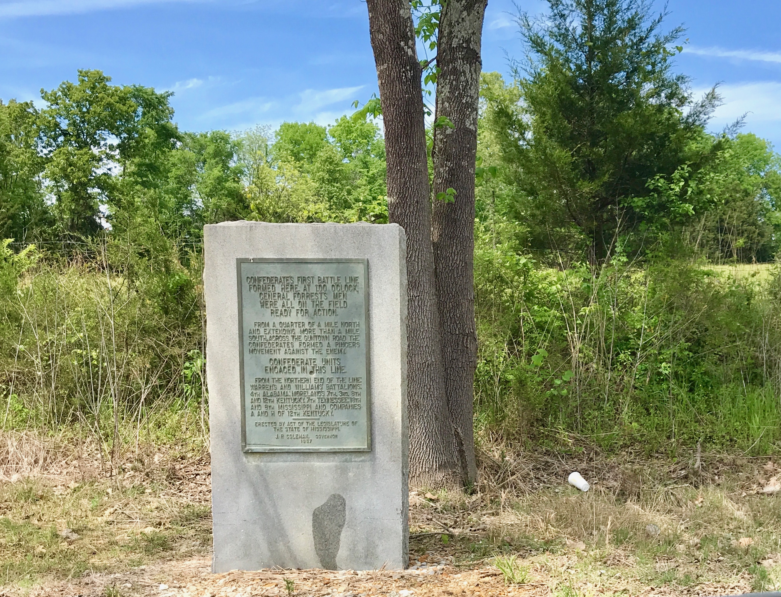
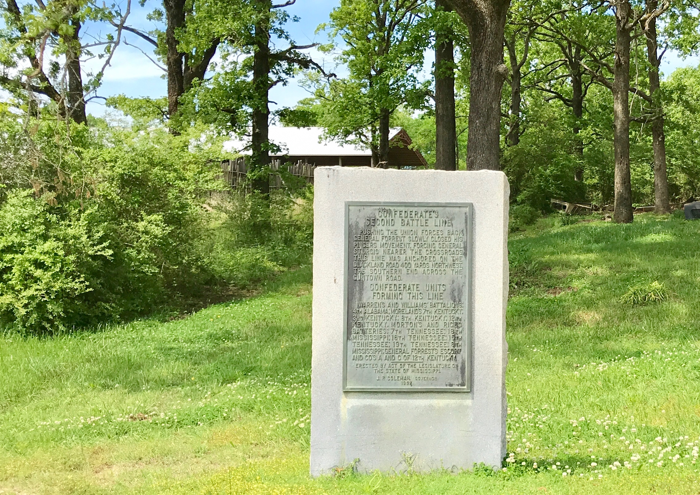
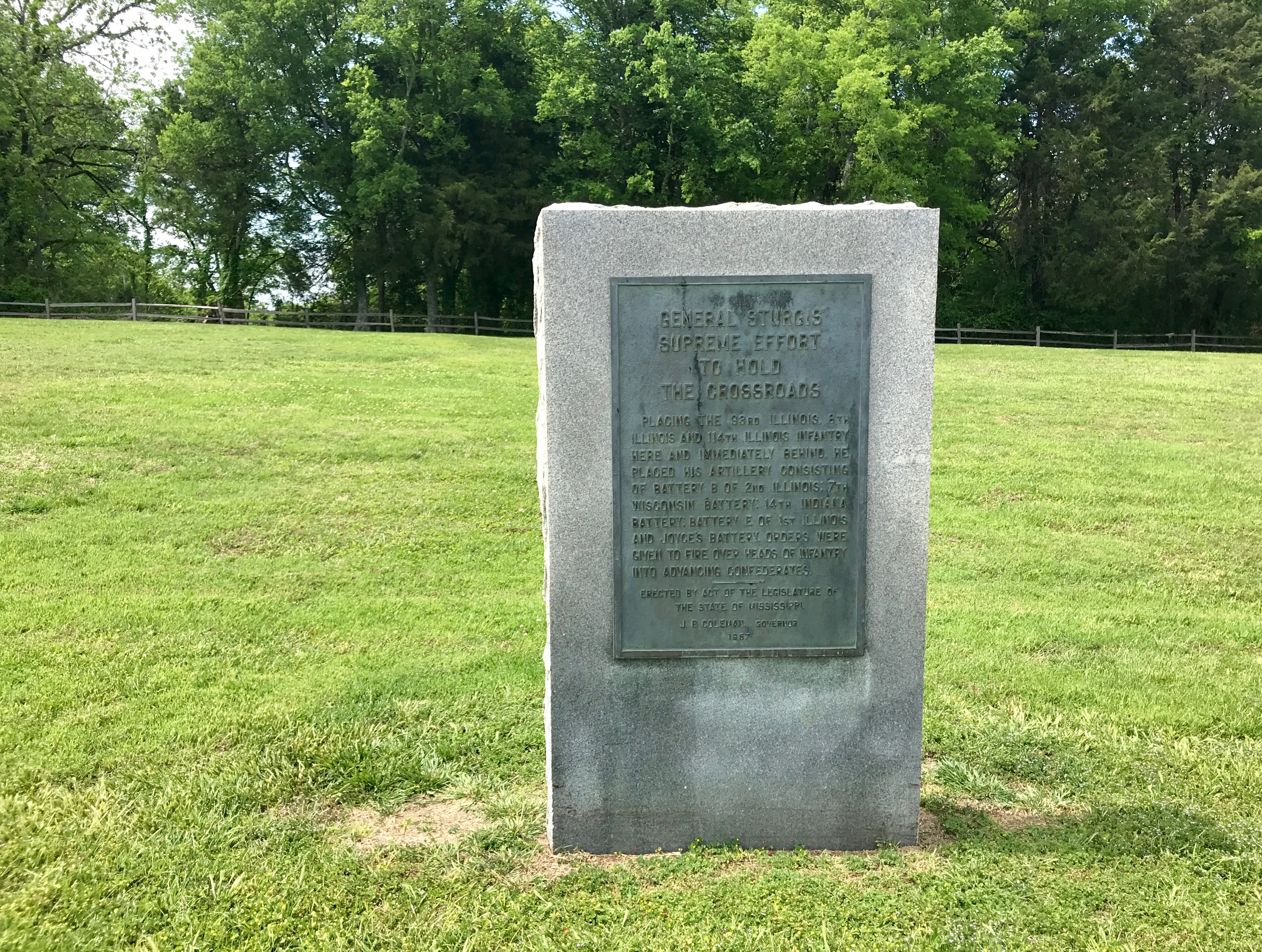
I was impressed with the interpretive signage that the National Parks service provided.

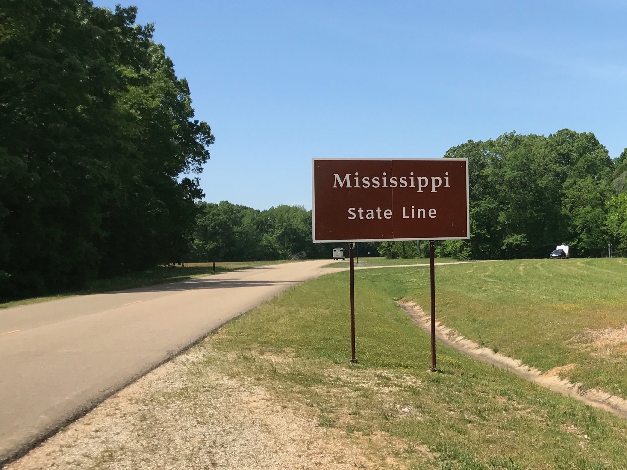
Leaving Mississippi…

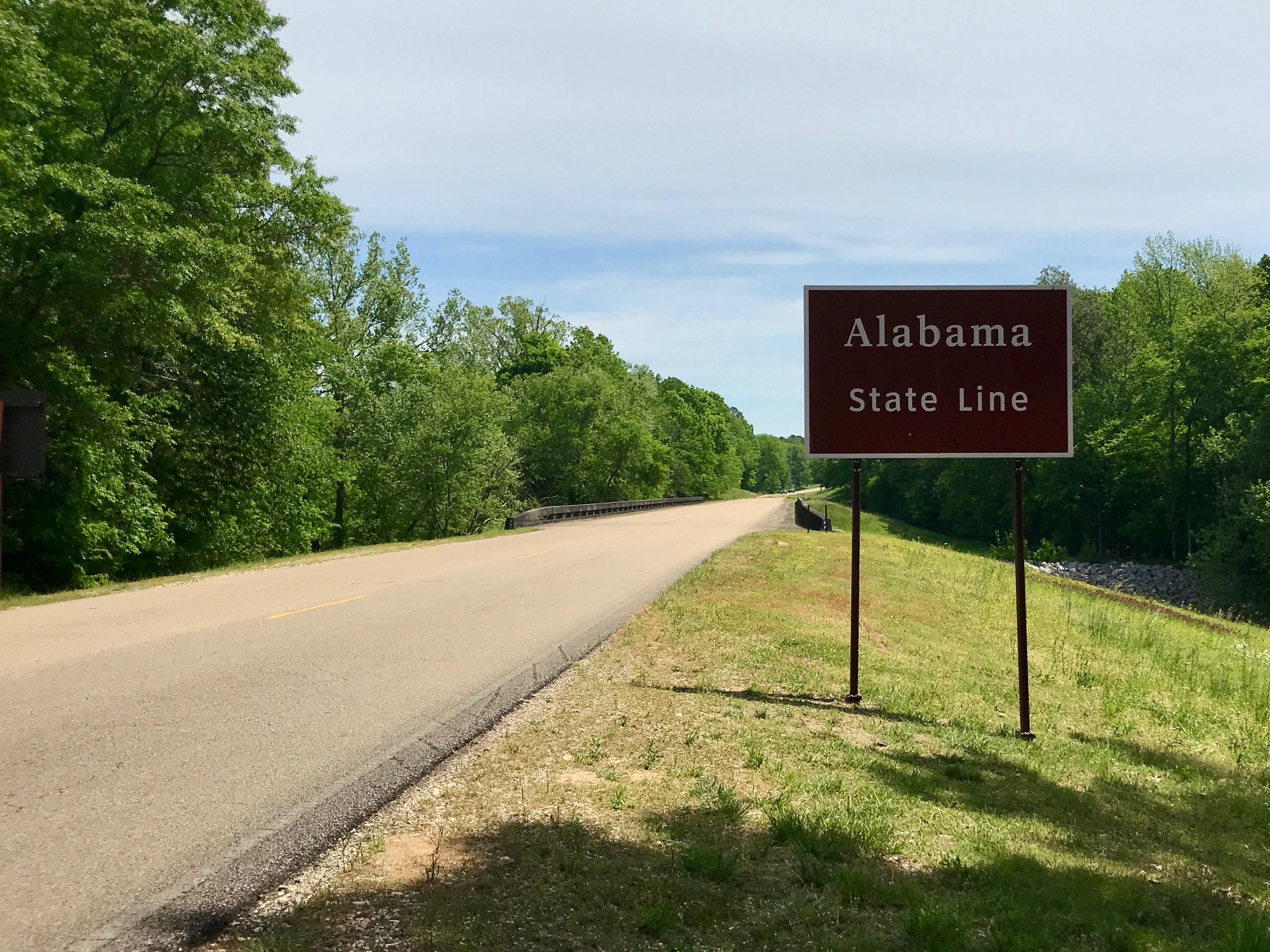
…and entering Alabama for a few miles. This is important because this was one of the first – if not THE first Interstate in the nation.

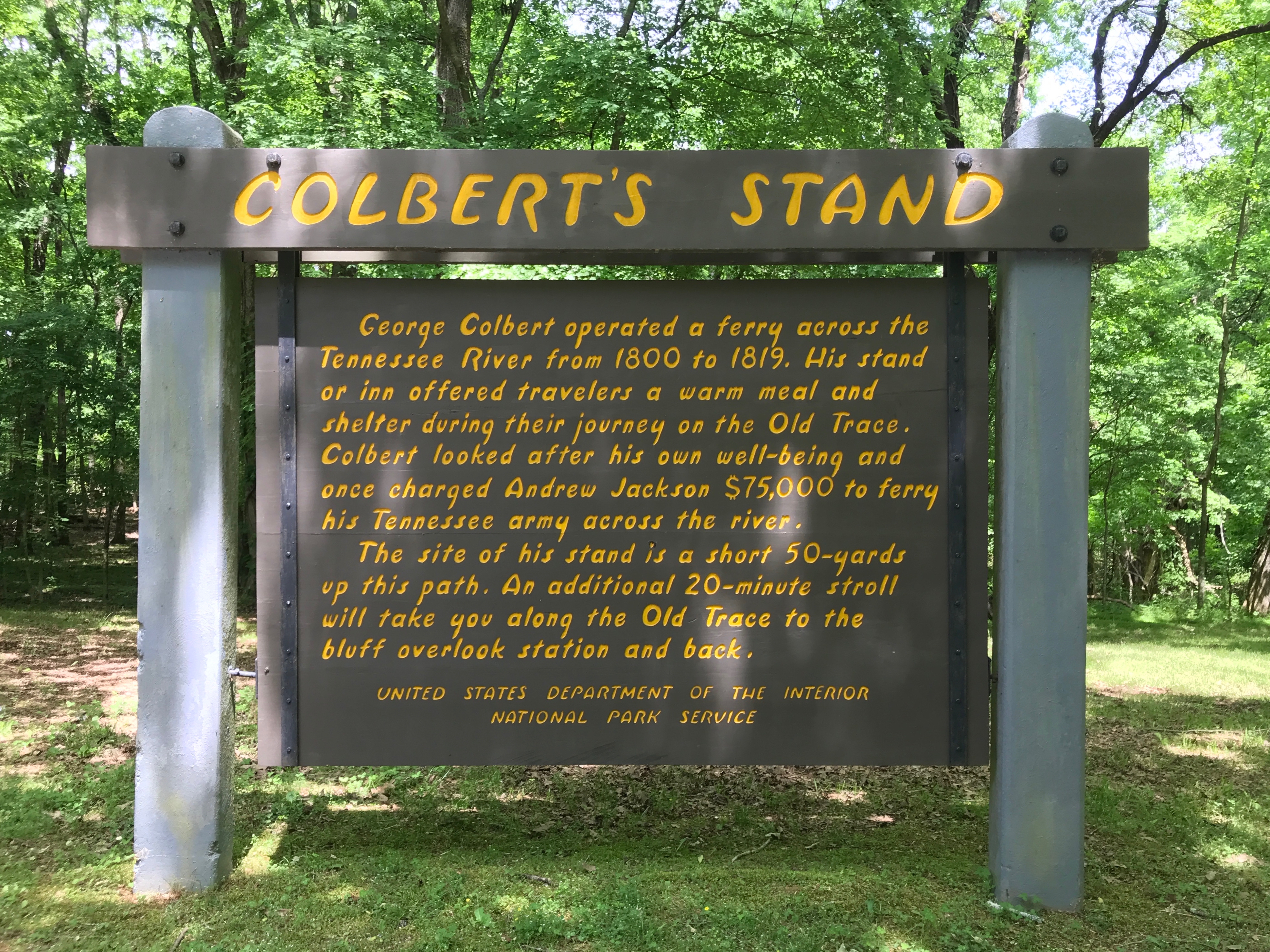
Okay, tell the truth.

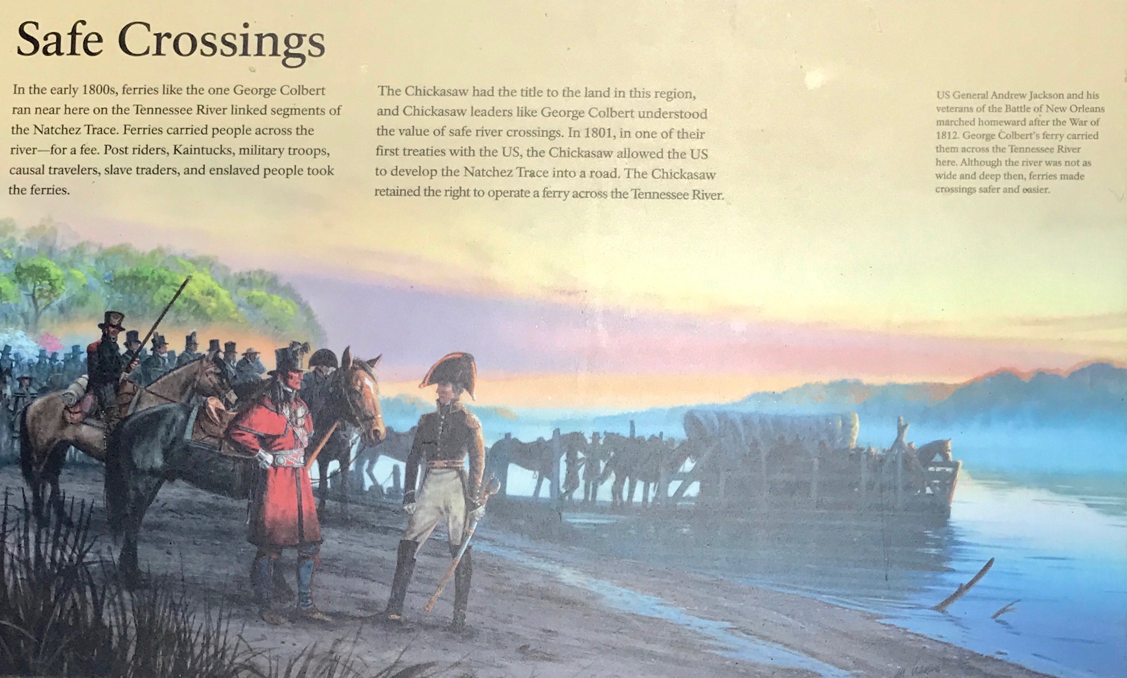
When you read the name of this location on the sign, did you read it as ColberT…

…or Colbear? (As in Stephen Colbert.)

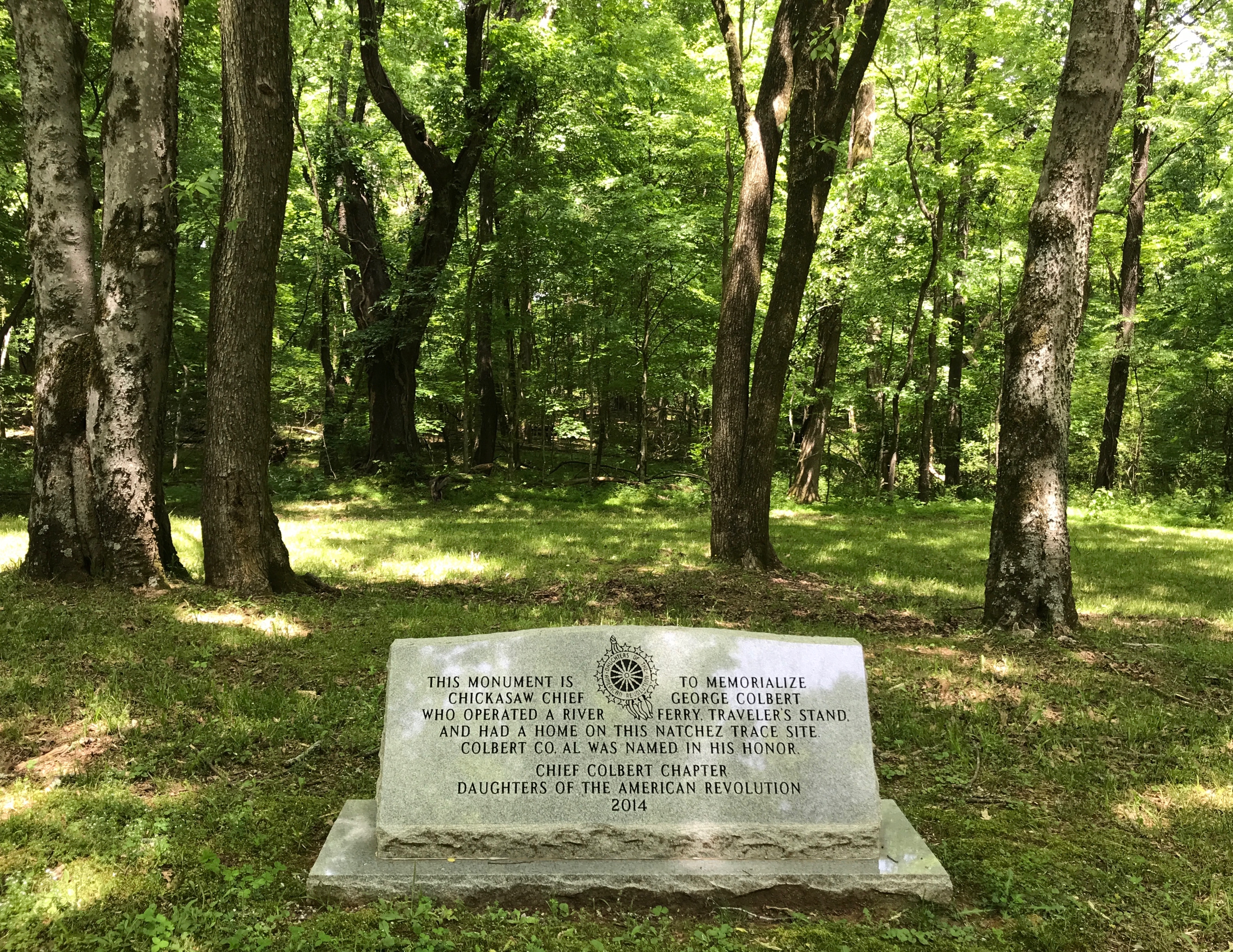
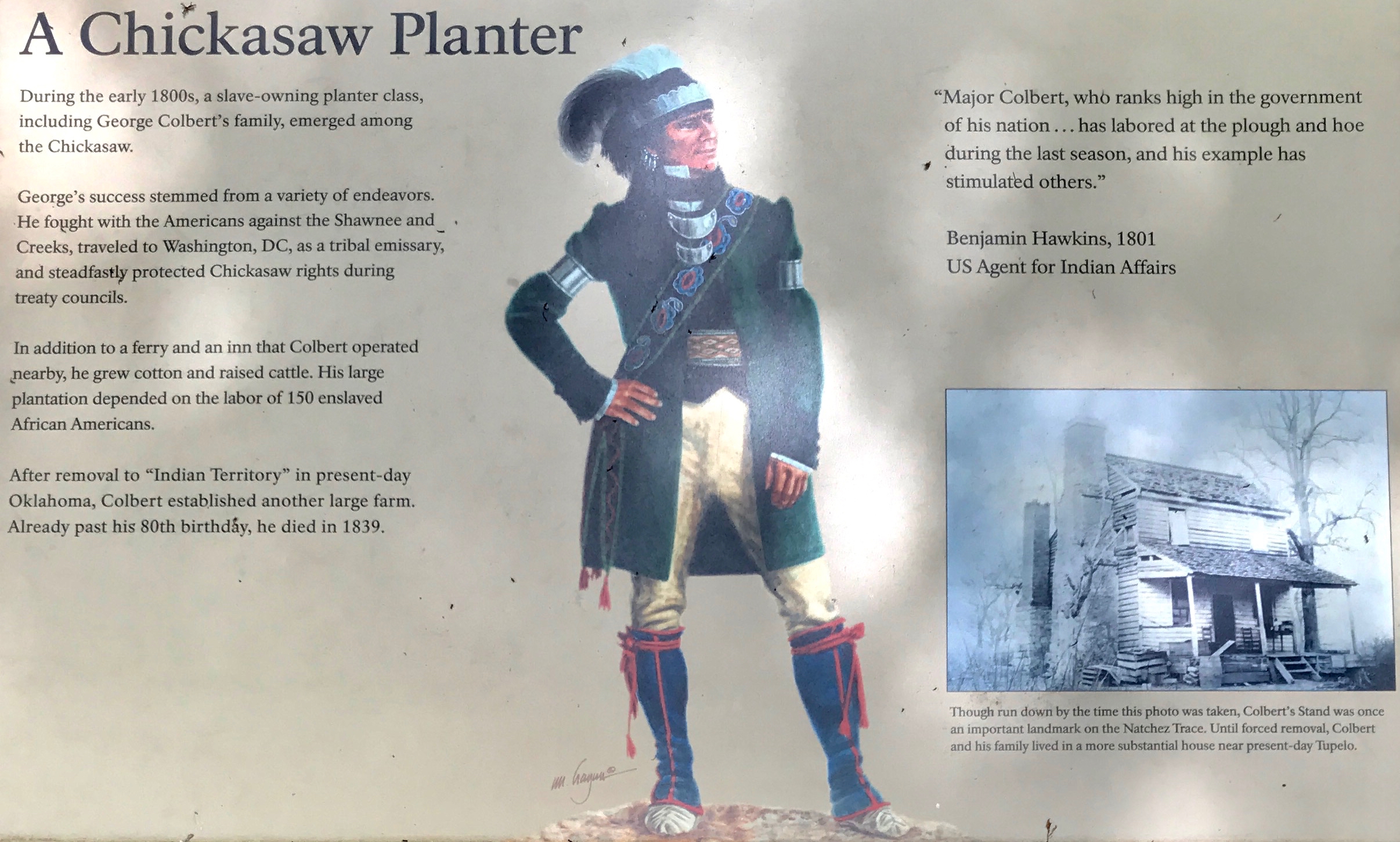
In any event, George Colbert was an interesting person. I invite you to click on the link to read more about him. He did many things, according to the Wikipedia entry.

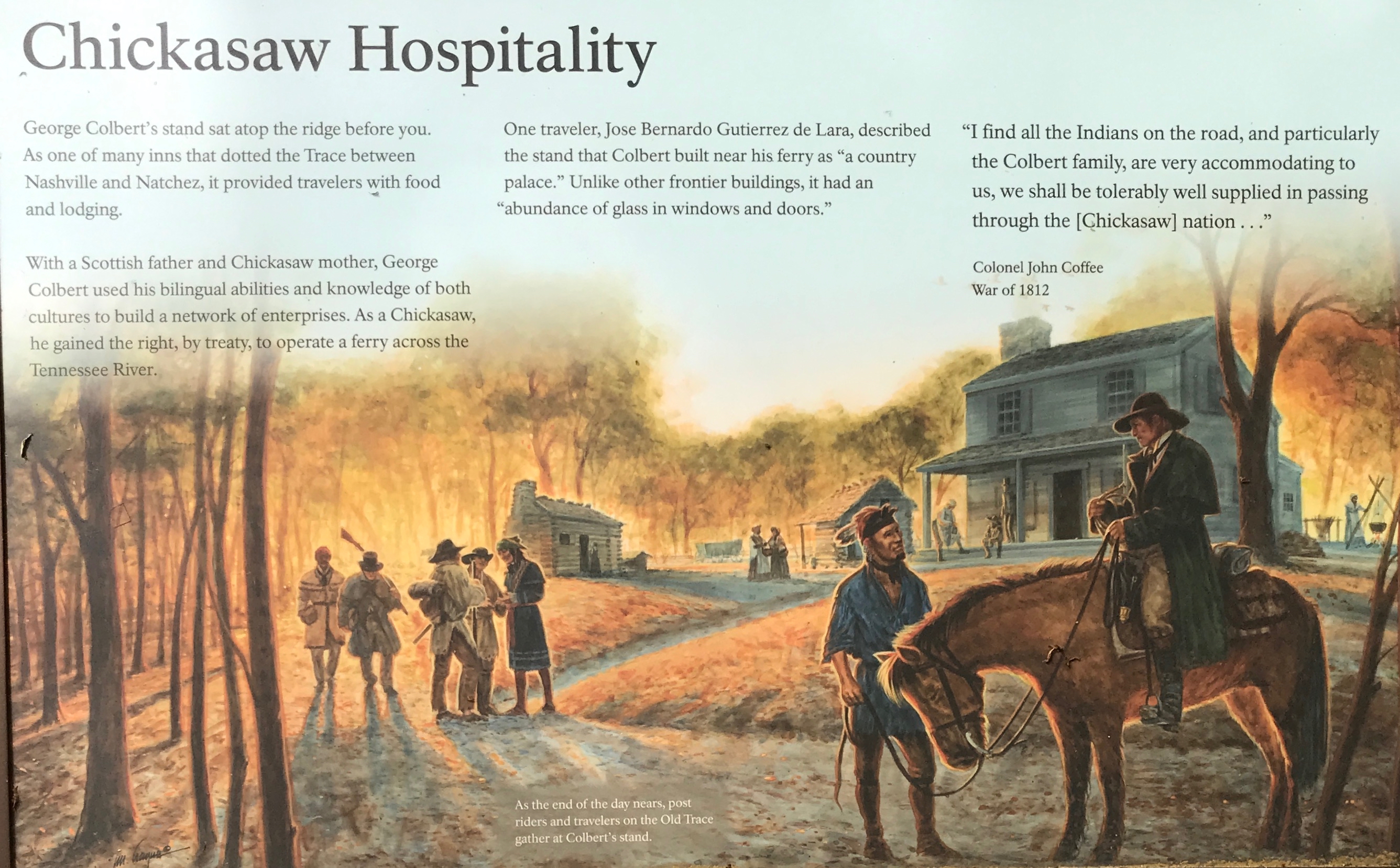
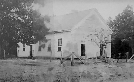
At this stop, they focused on his ferry across the Tennessee River and his “Stand” which was an inn.

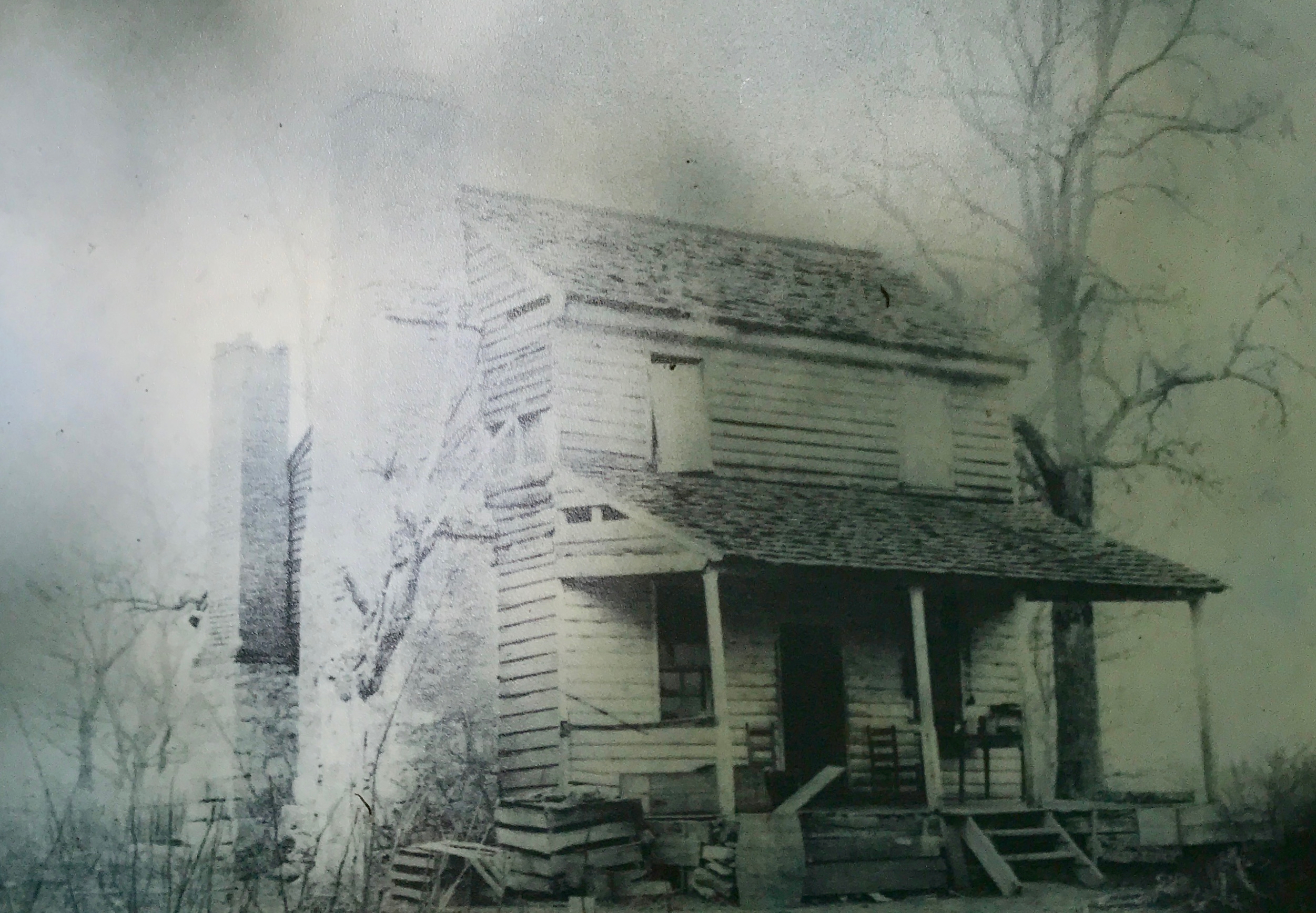
This photo was taken after it was no longer offering lodging to travelers, but was important in its day.

Something I read someplace said the George Colbert ferried Andrew Jackson’s troops across the river after the War of 1812 for an enormous sum. The figure $15,000 sticks in my mind, but that seems like an outrageous amount, and I can’t find where I originally saw it, so I may be way off.

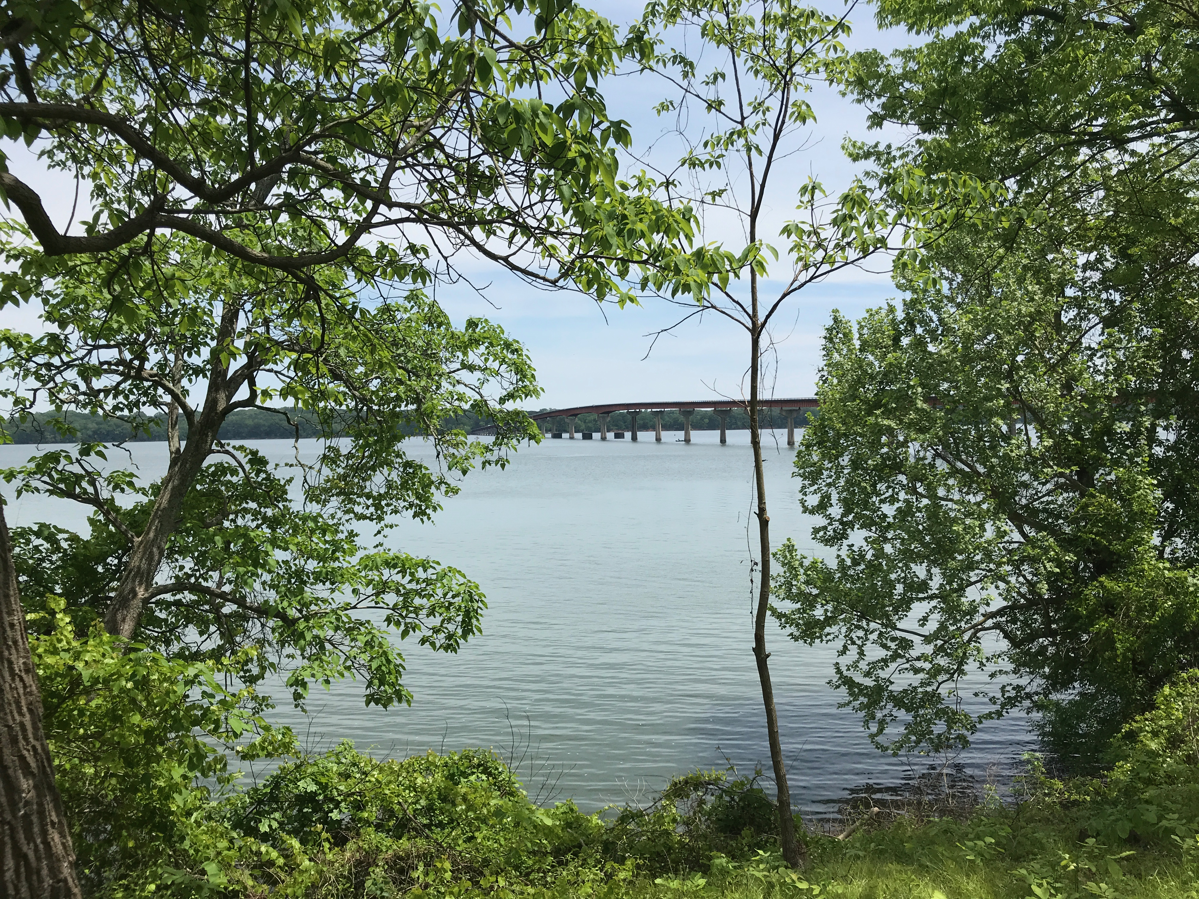
I took the trail down to the river to see where the ferry had been.

I saw this on a plaque, which didn’t photograph well, so here is the text:

“The mail – and the military muscle – that kept the isolated Natchez district bound to the Union, based along these ruts. n 1801 the loose chain of Indian trails was made a post road, vital to the communication, defense, commerce and settlement. Bu 1820, steamboats made upstream travel practical and the Trace fell into disuse.”

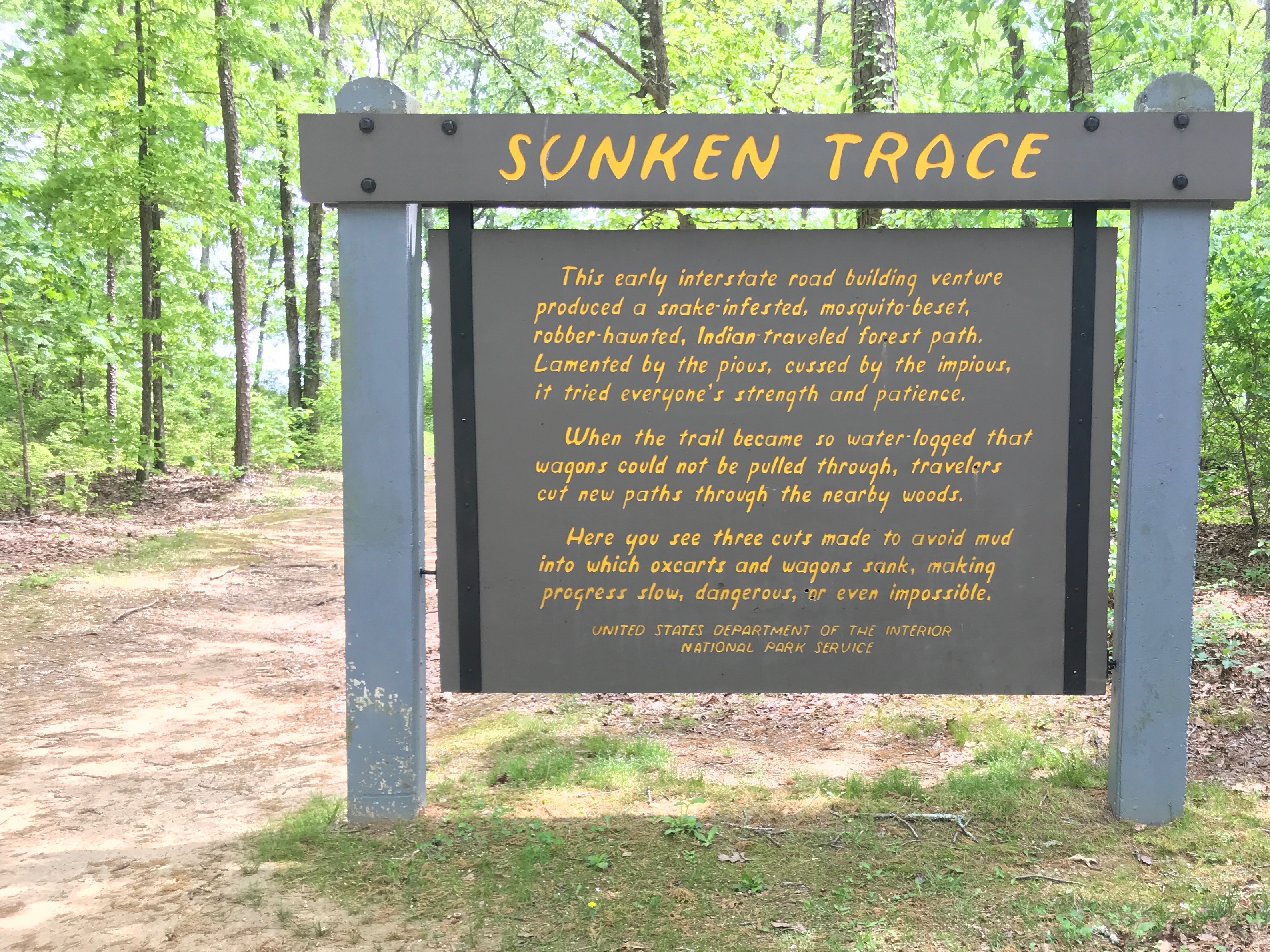
Next time you are grousing about the conditions of the current Interstates, Give thanks that you are not walking on the Trace, which this sign describes as “snake-infested, mosquito beset and robber-haunted”. The potholes may be troublesome, but I have never felt that I needed to cut new paths to get where I was going. (I have used service roads on occasion, though.)

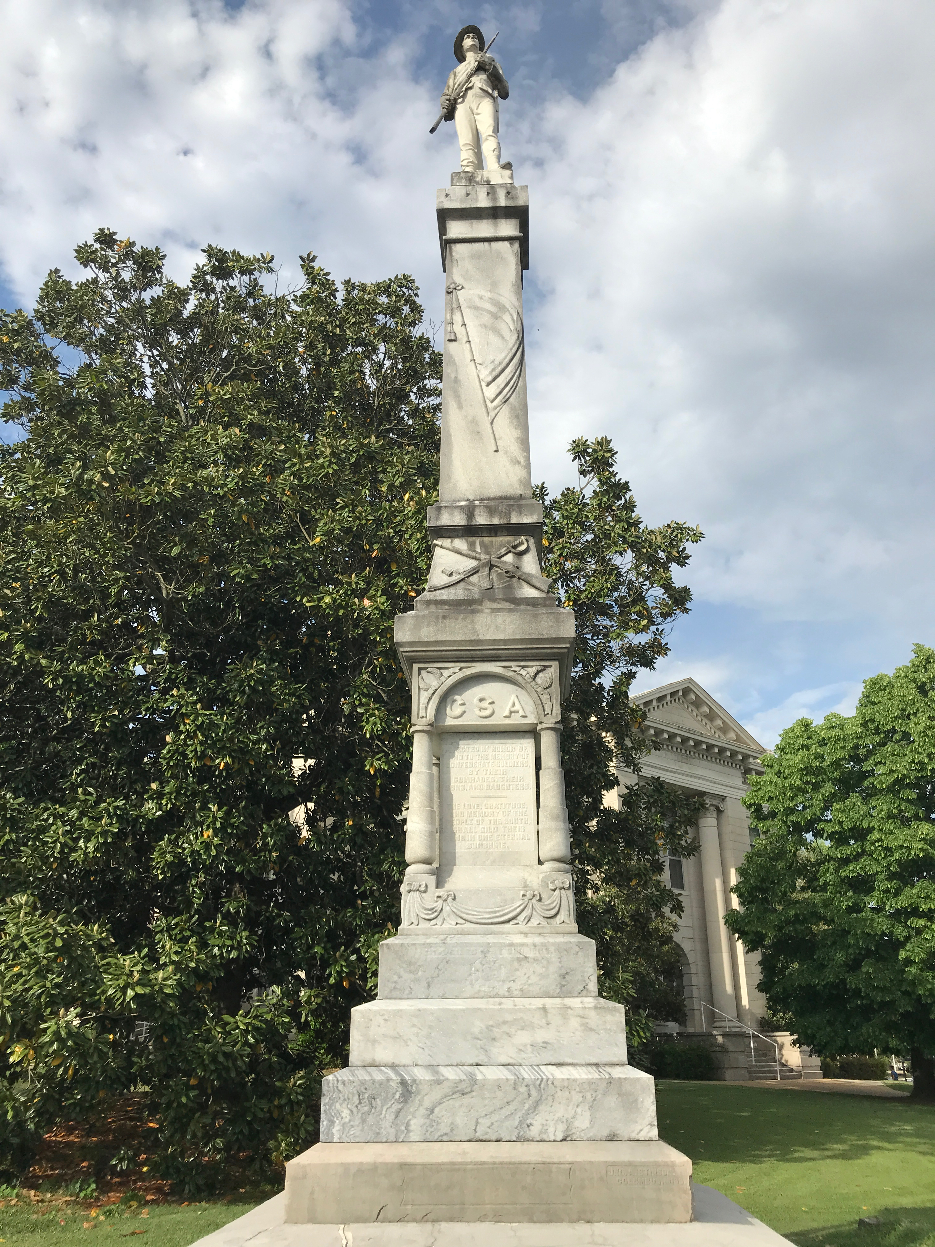
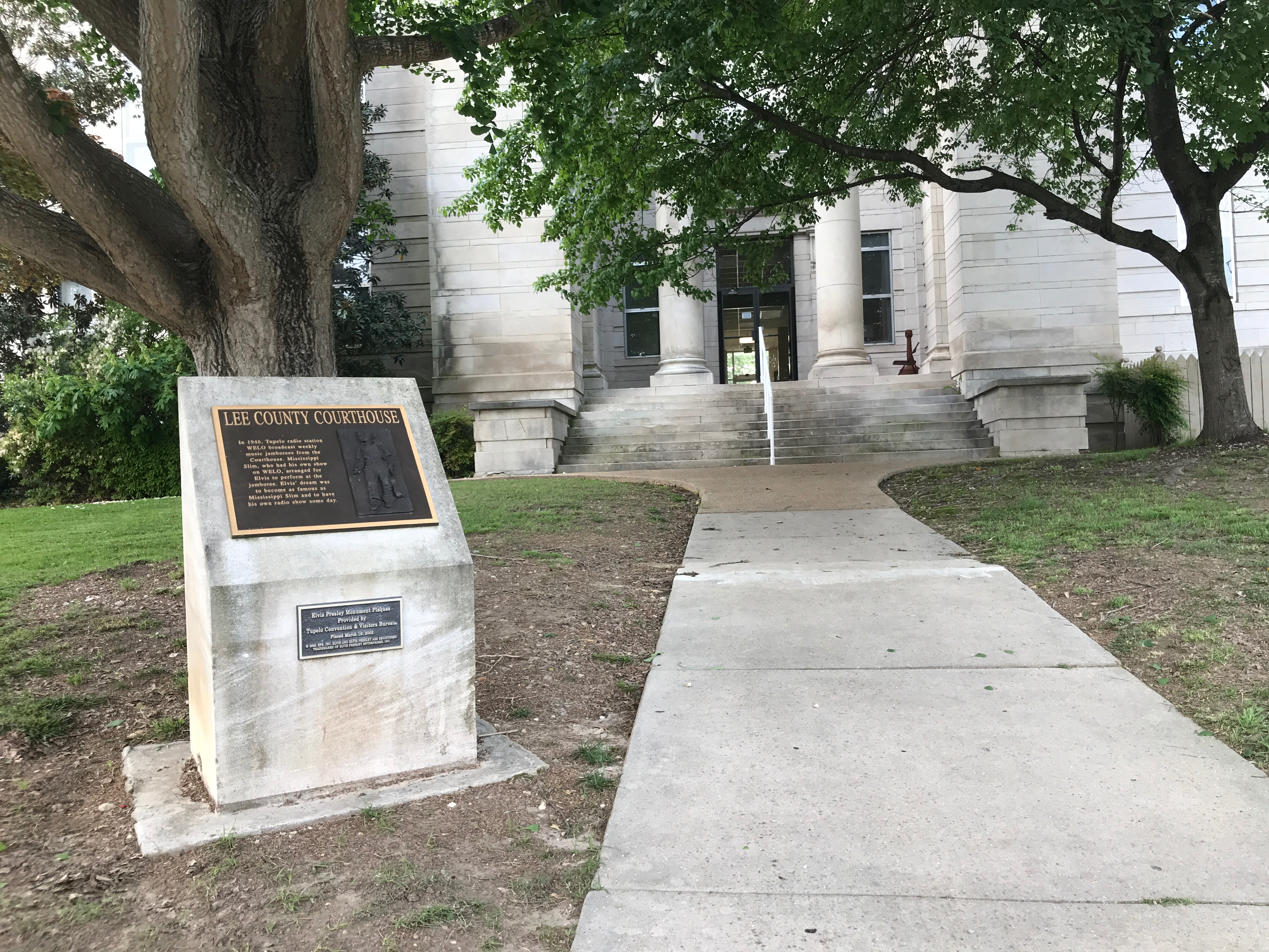
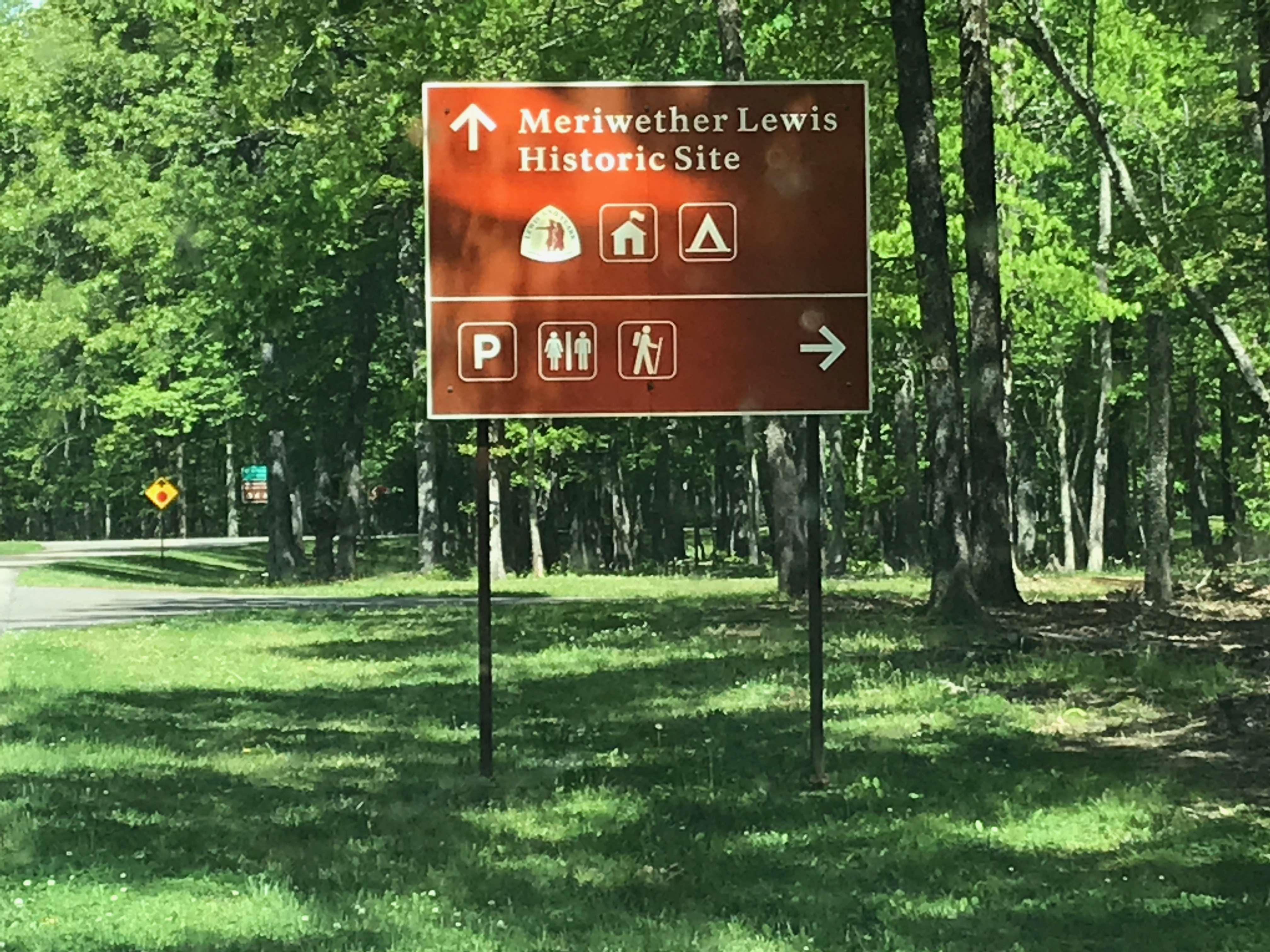
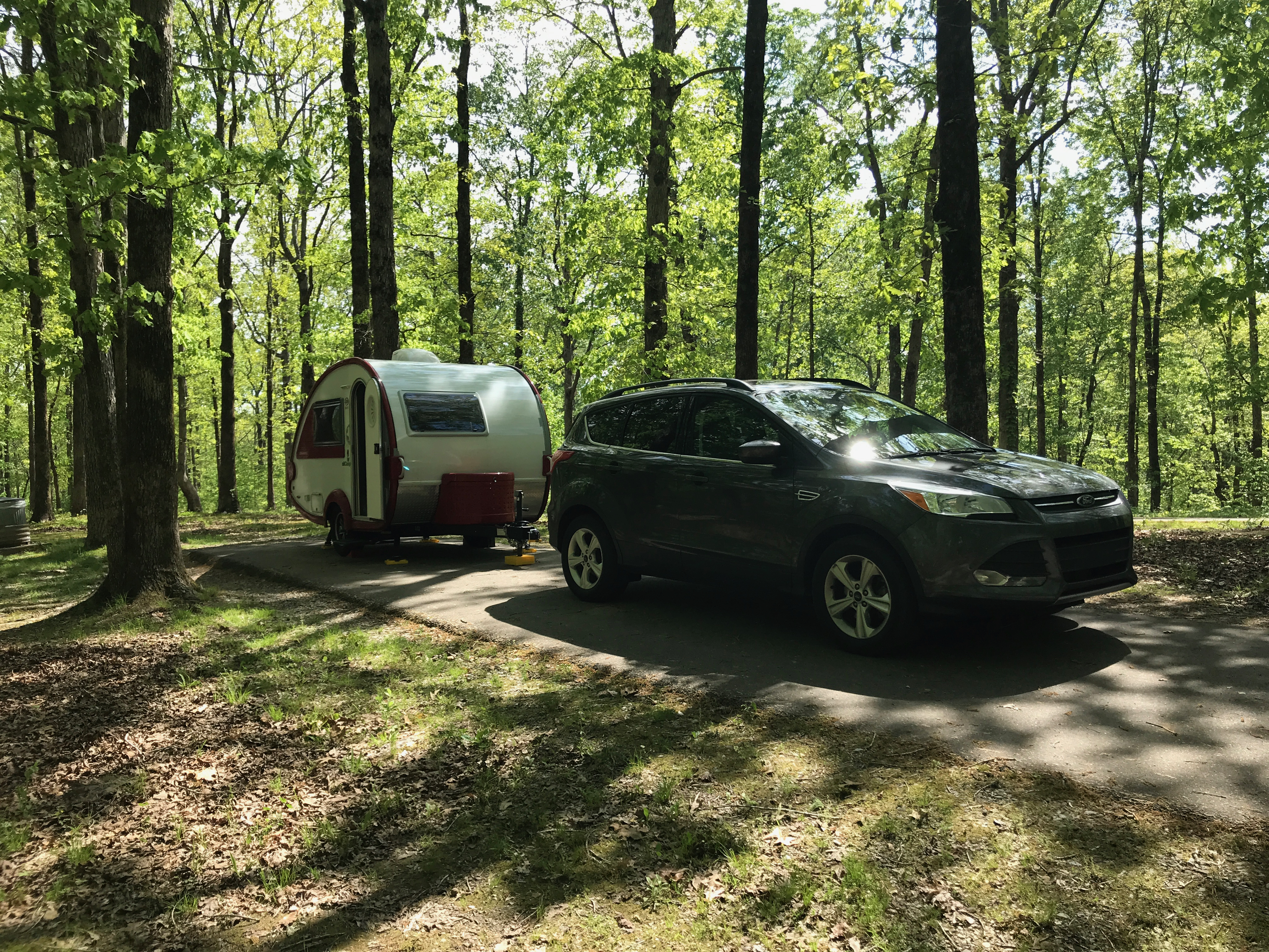
My next stop was the Meriwether Lewis Historic Site. Back at the Park office near Tupelo, I learned that there was a free campground there. No hook ups, but it was my favorite price. FREE!

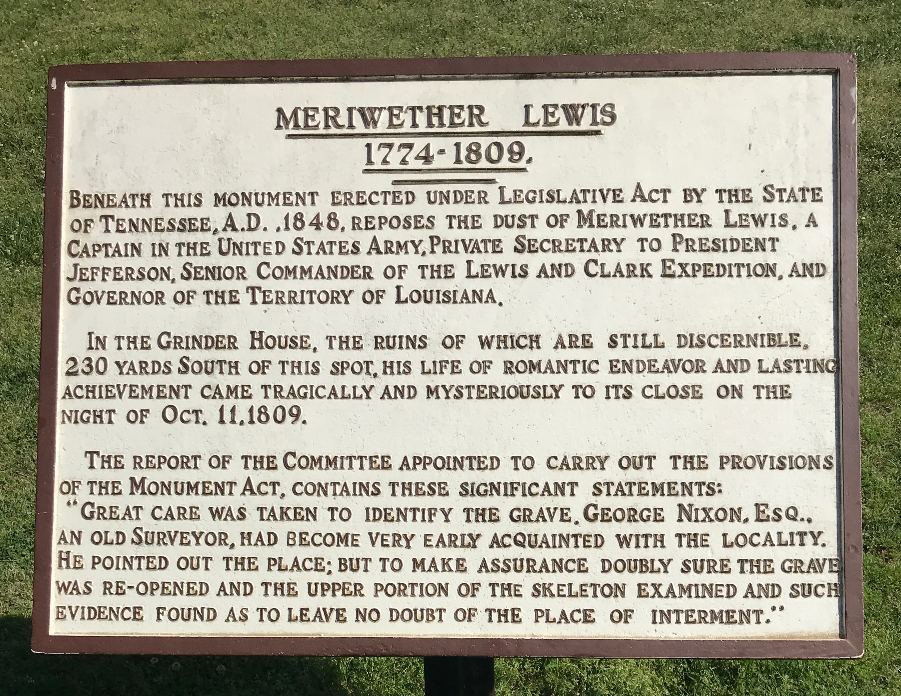
I dropped my trailer at a site and headed over to see Lewis’ grave.

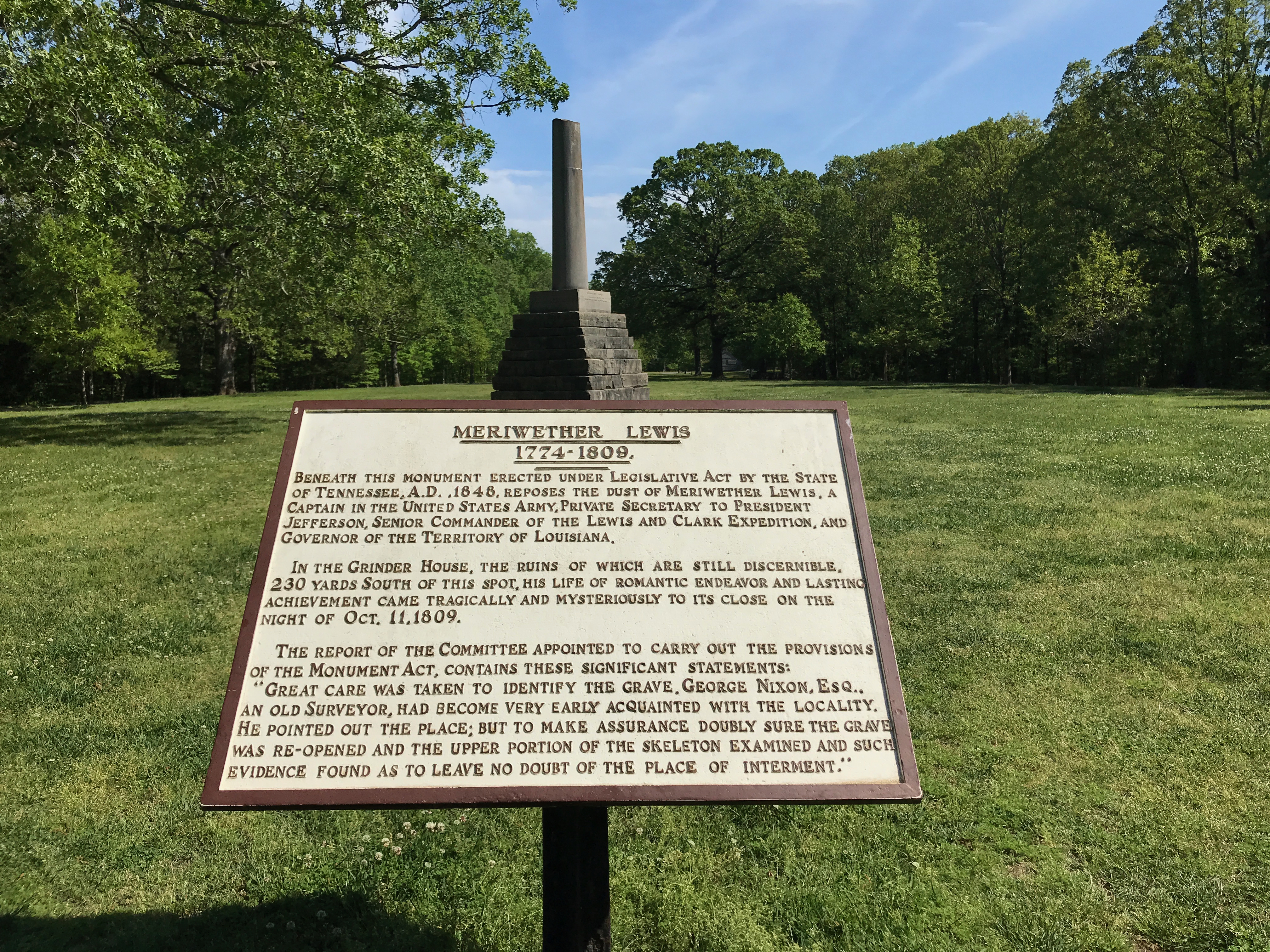
Just below this photo, I’ll post a close up of the sign for you to read.

It was a lovely day! Look at that blue sky!

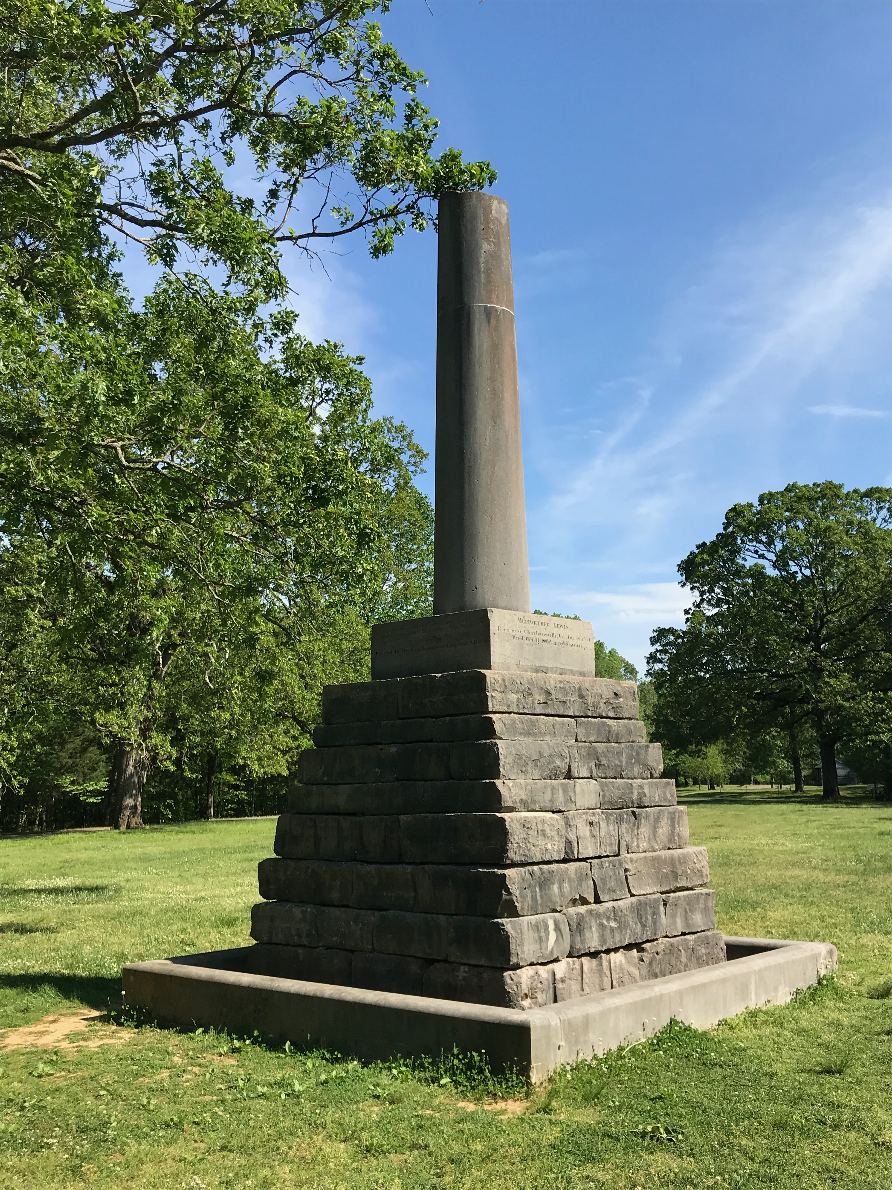
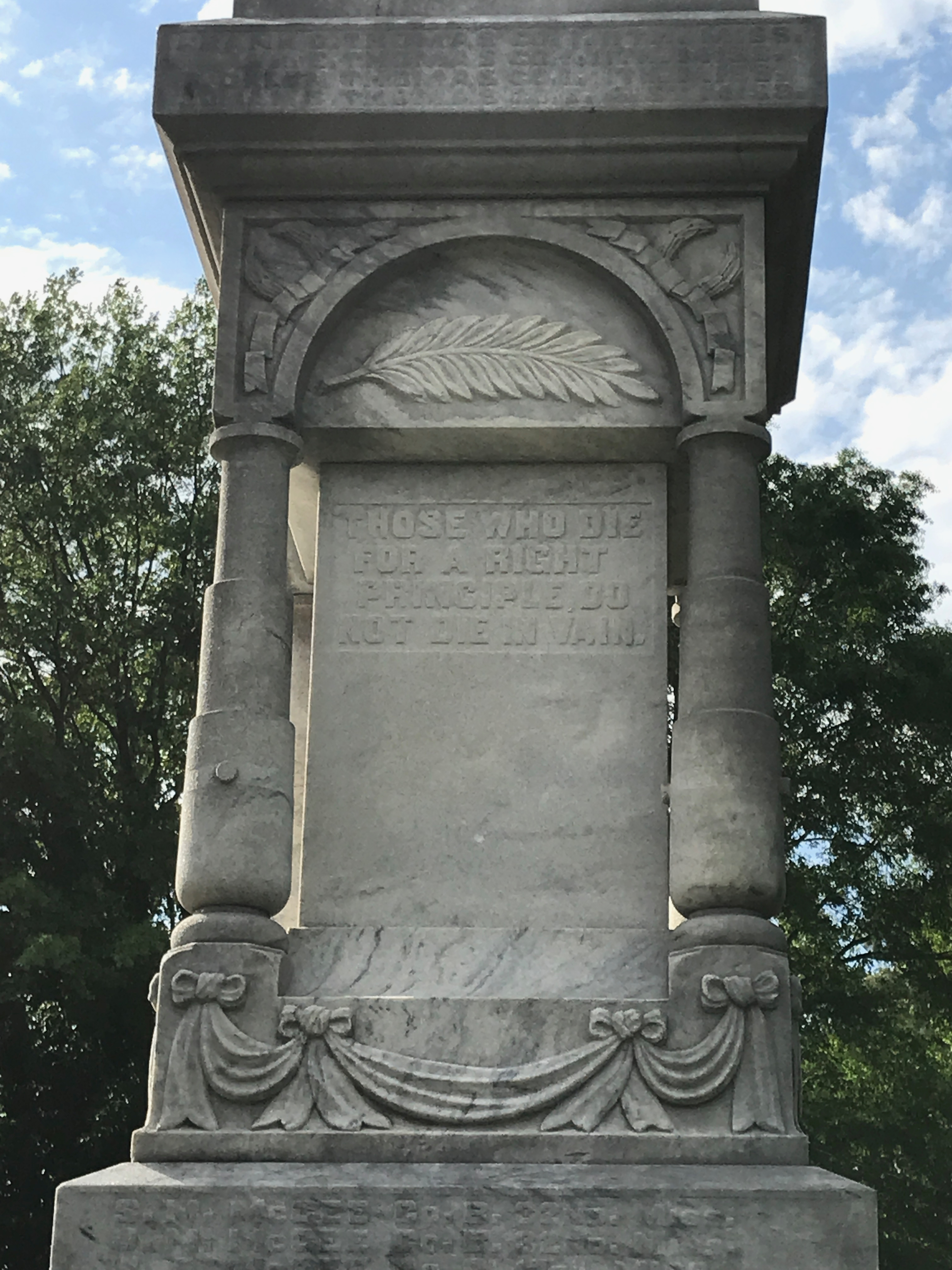
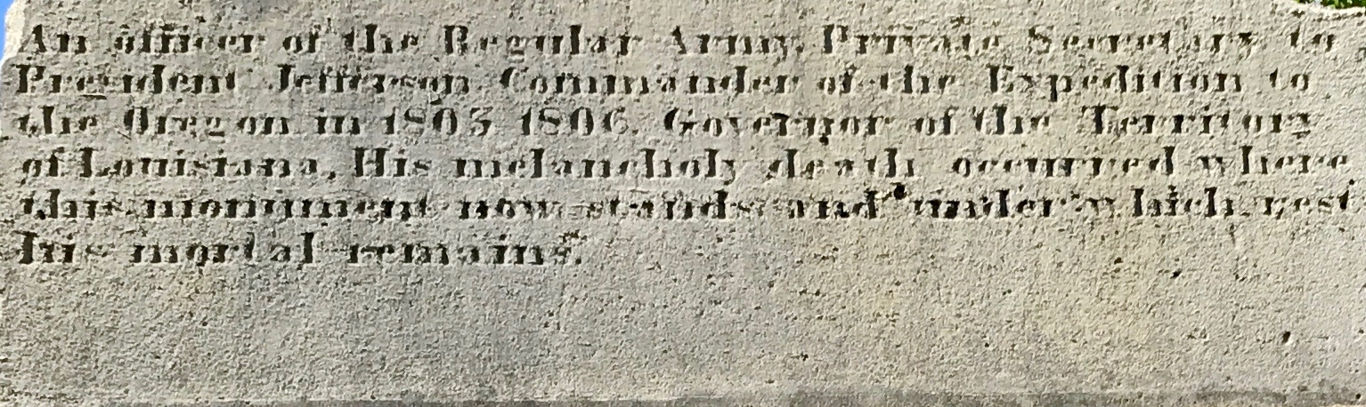
There was writing around the bottom of the column, but the angle of the sun made it hard to see. This portion says:

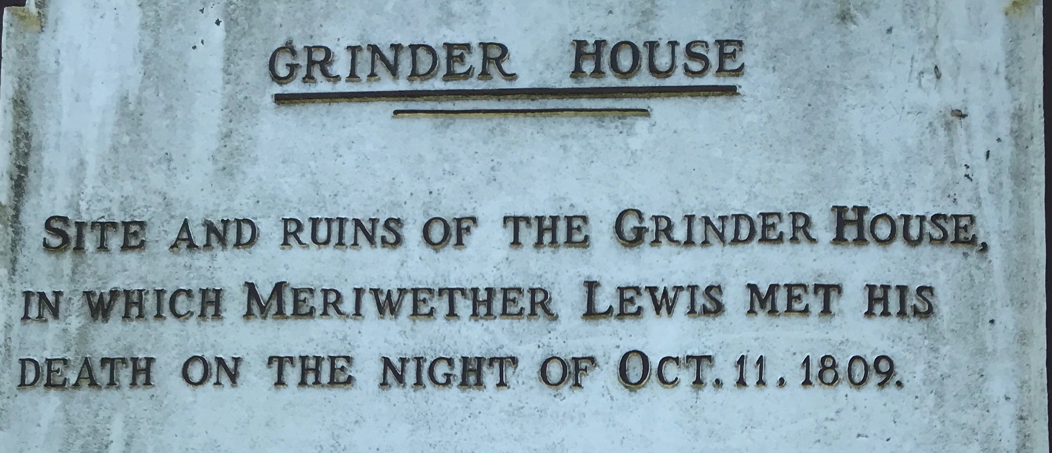
“An officer of the Regular Army, Private Secretary to President Jefferson, Commander of the Expedition to the Oregon in 1803-1806. Governor of the Territory of Louisiana, His melancholy death occurred where this monument now stand and underneath rest his mortal remains.”

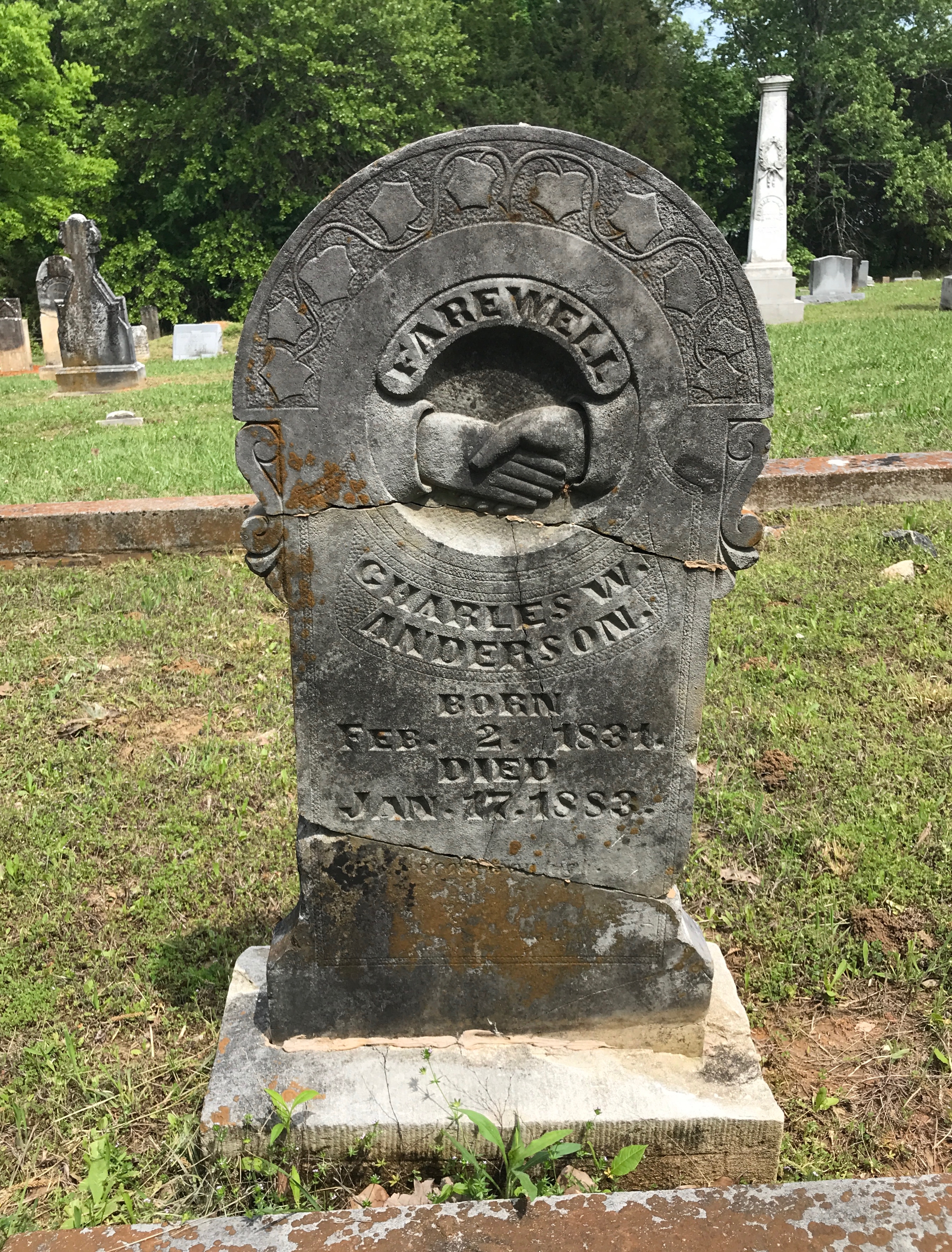
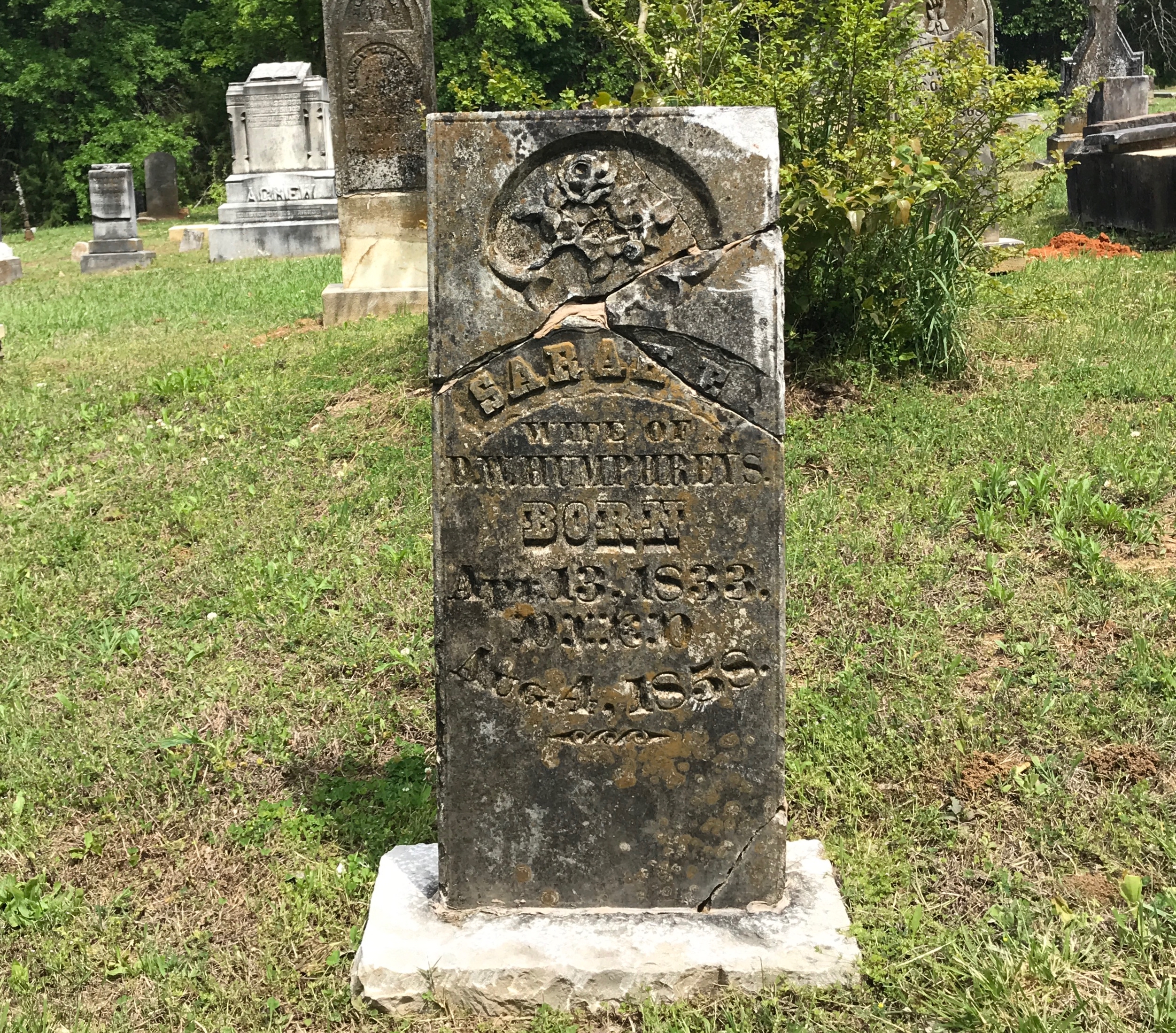
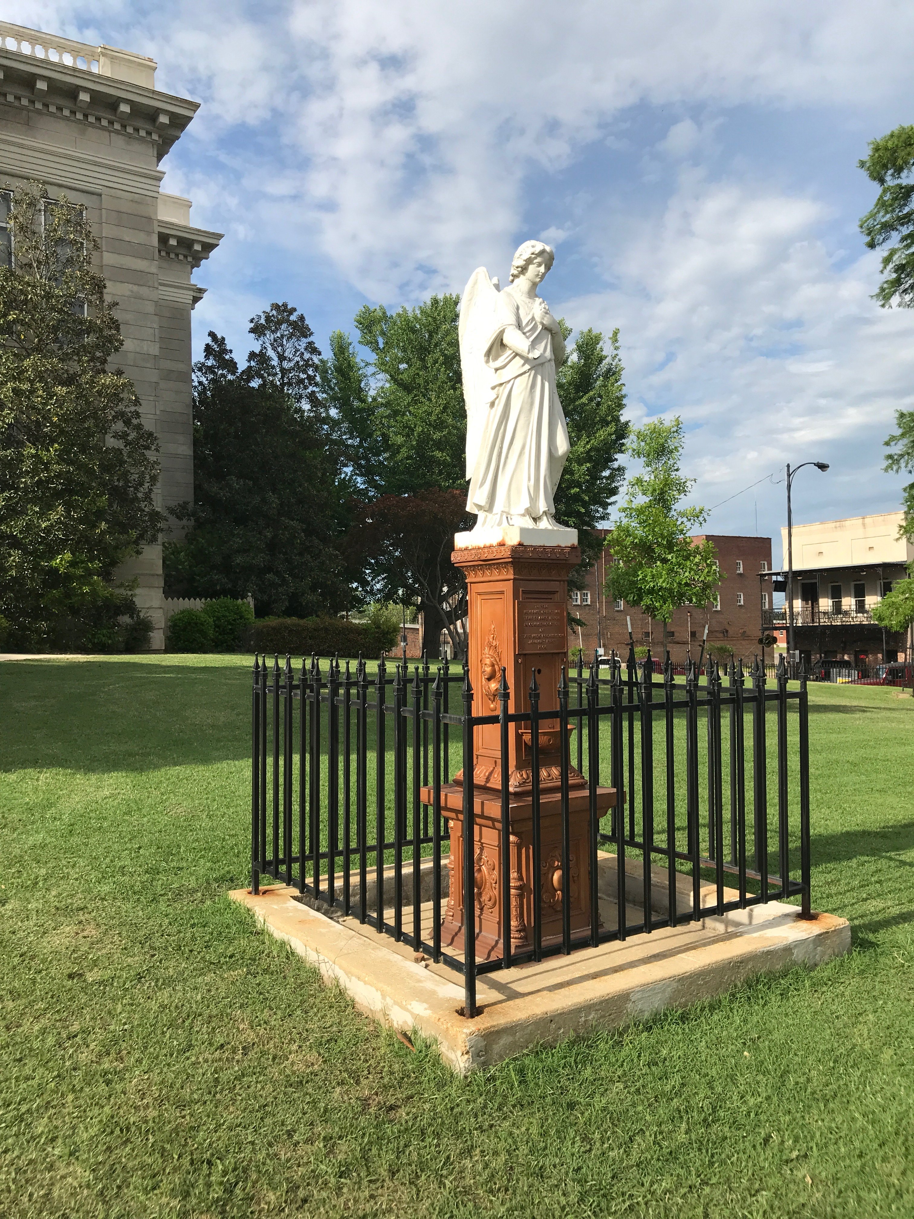
I came across this marker, too.

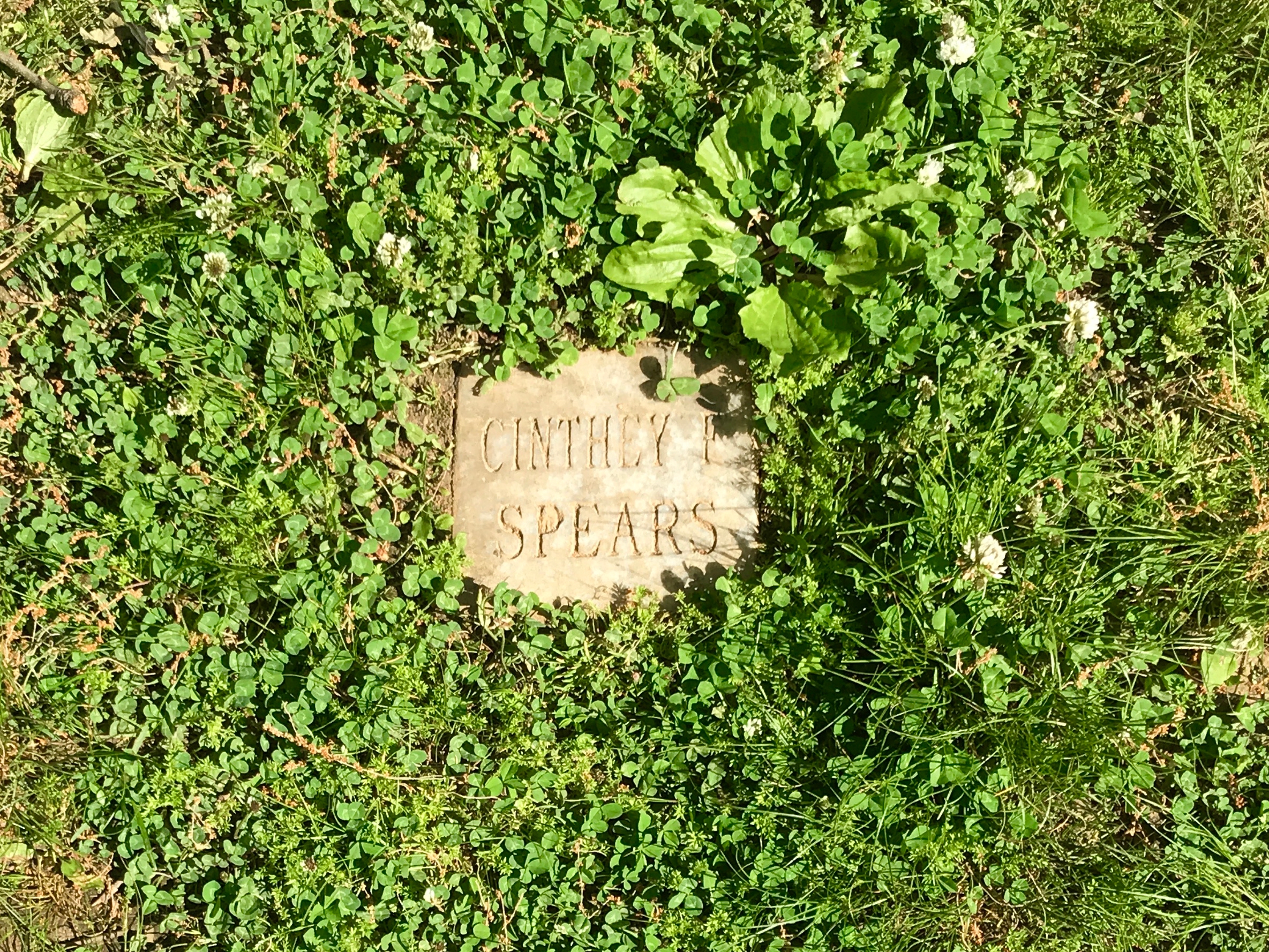
I wondered if I could find anything about it. Whaddaya know? I did! I don’t know anything about Cinthey F Spears, but there is information about her in Findagrave.

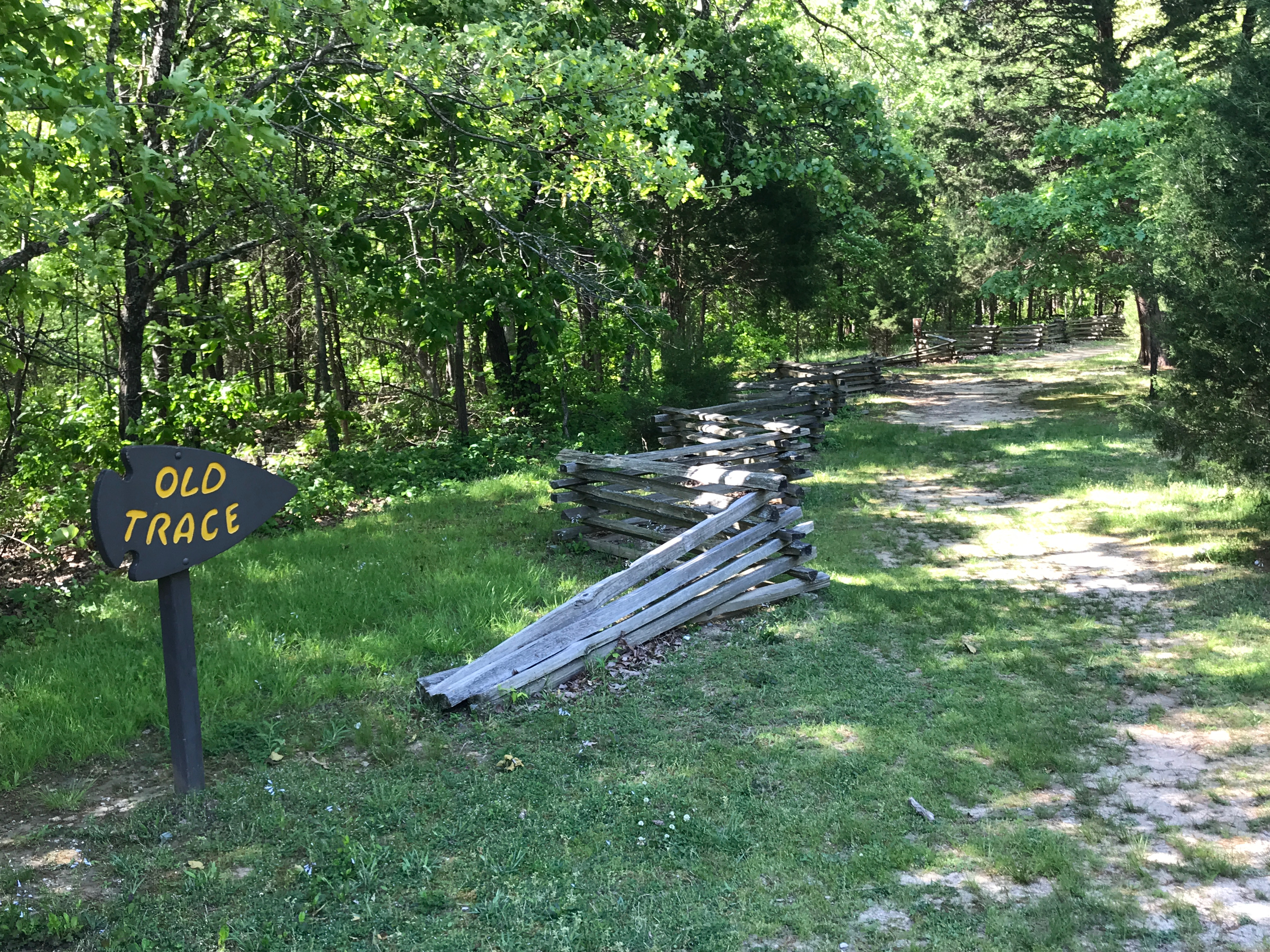
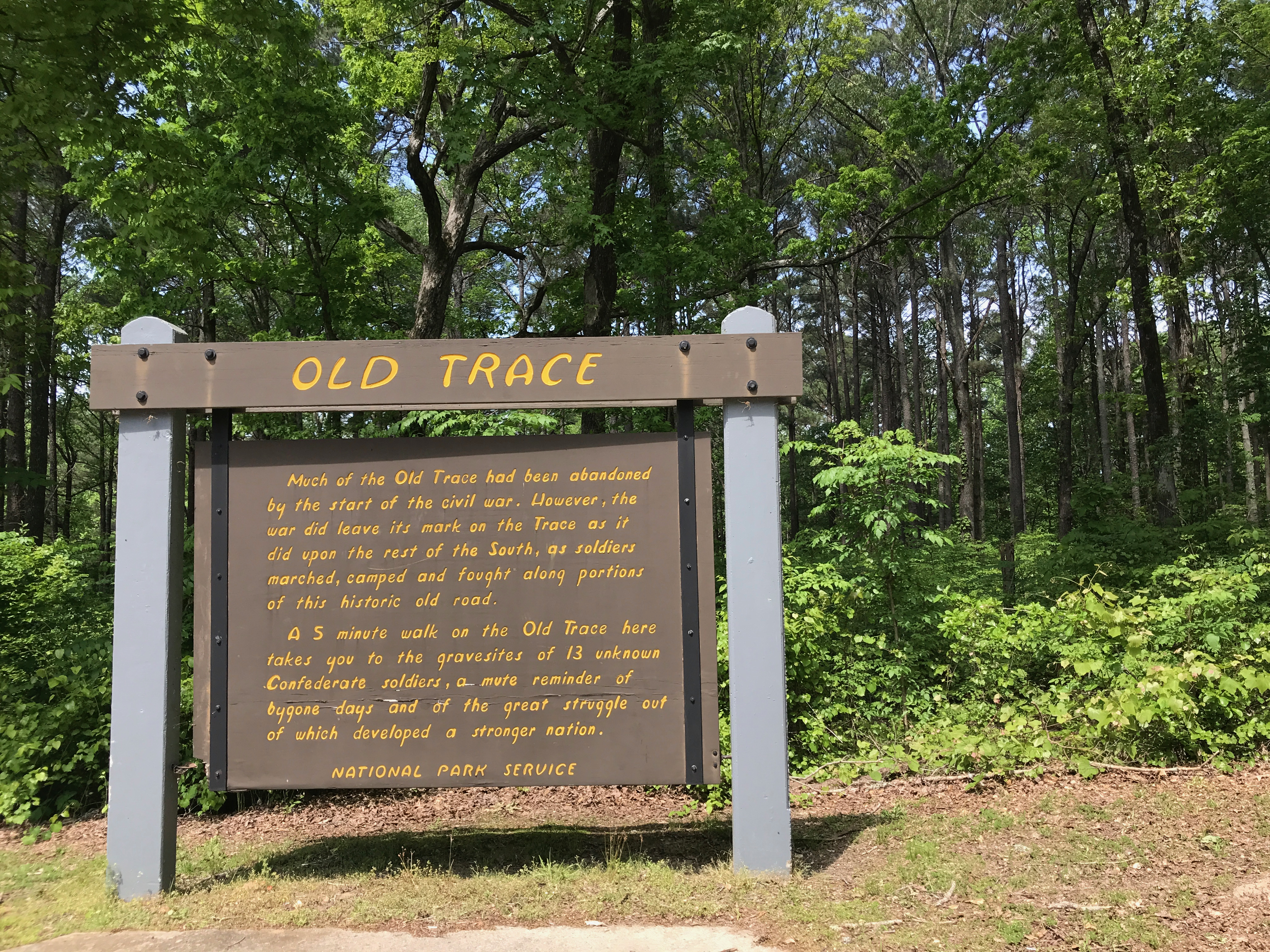
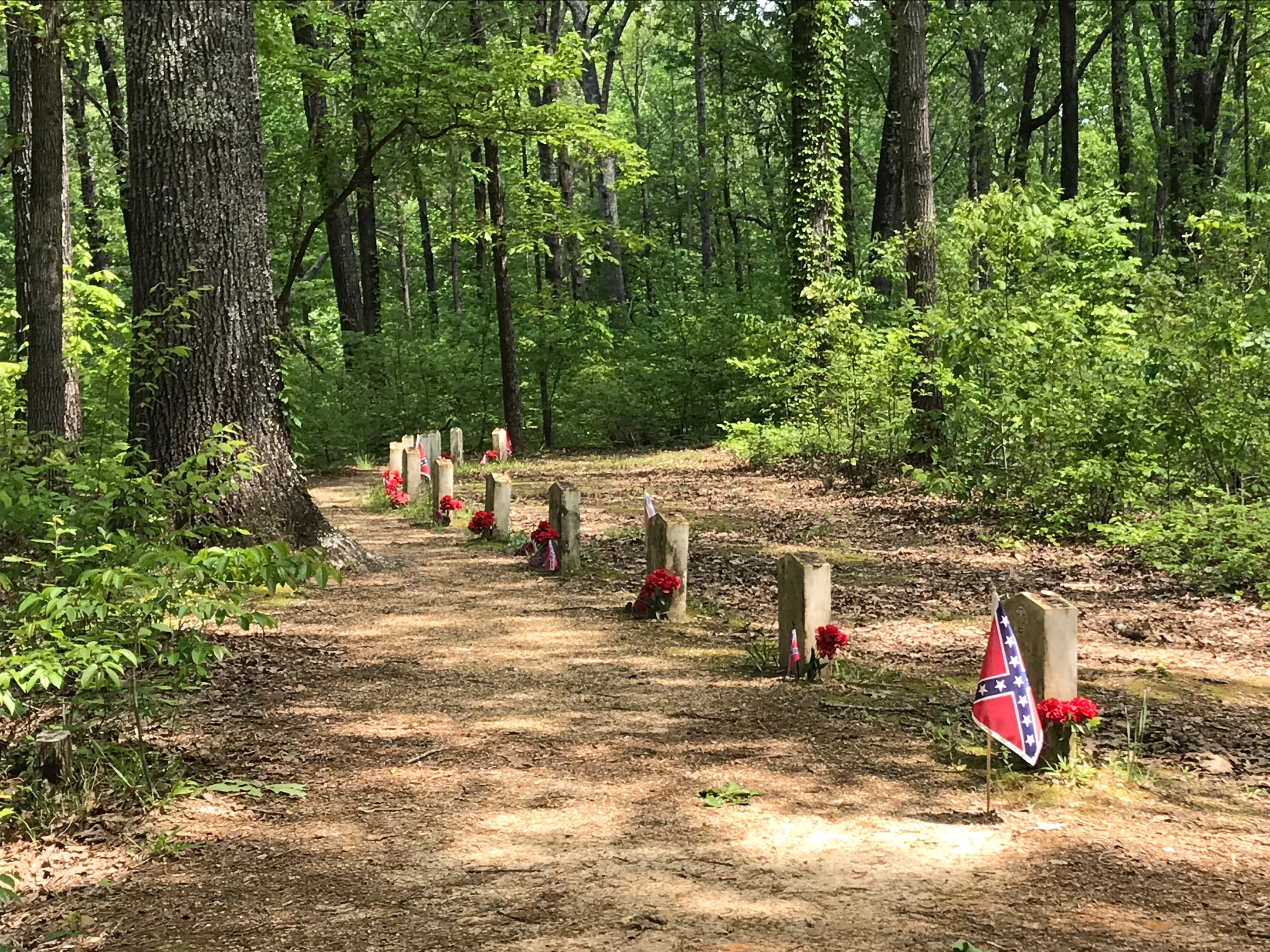
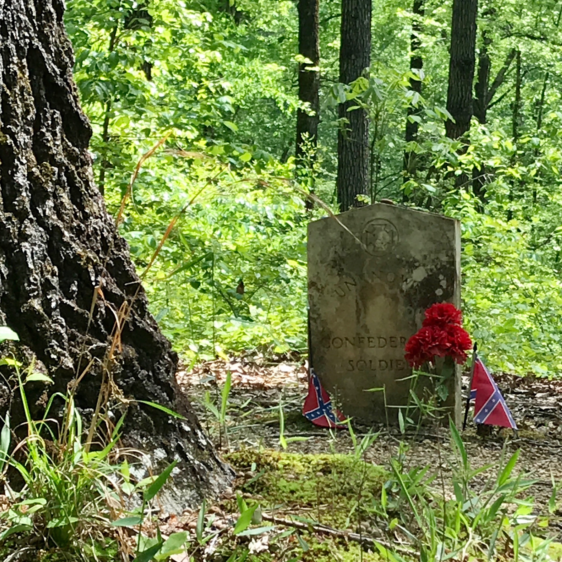
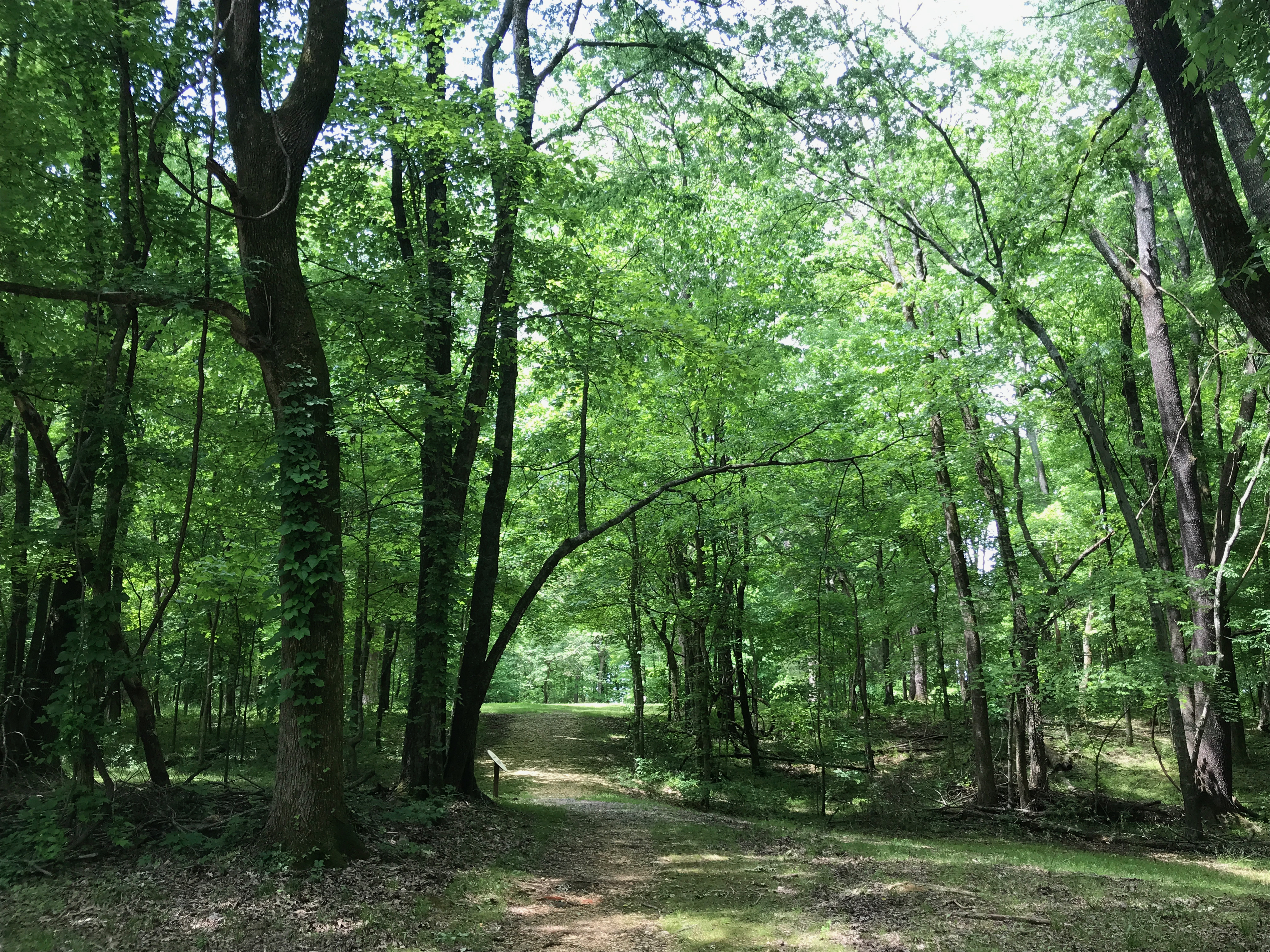
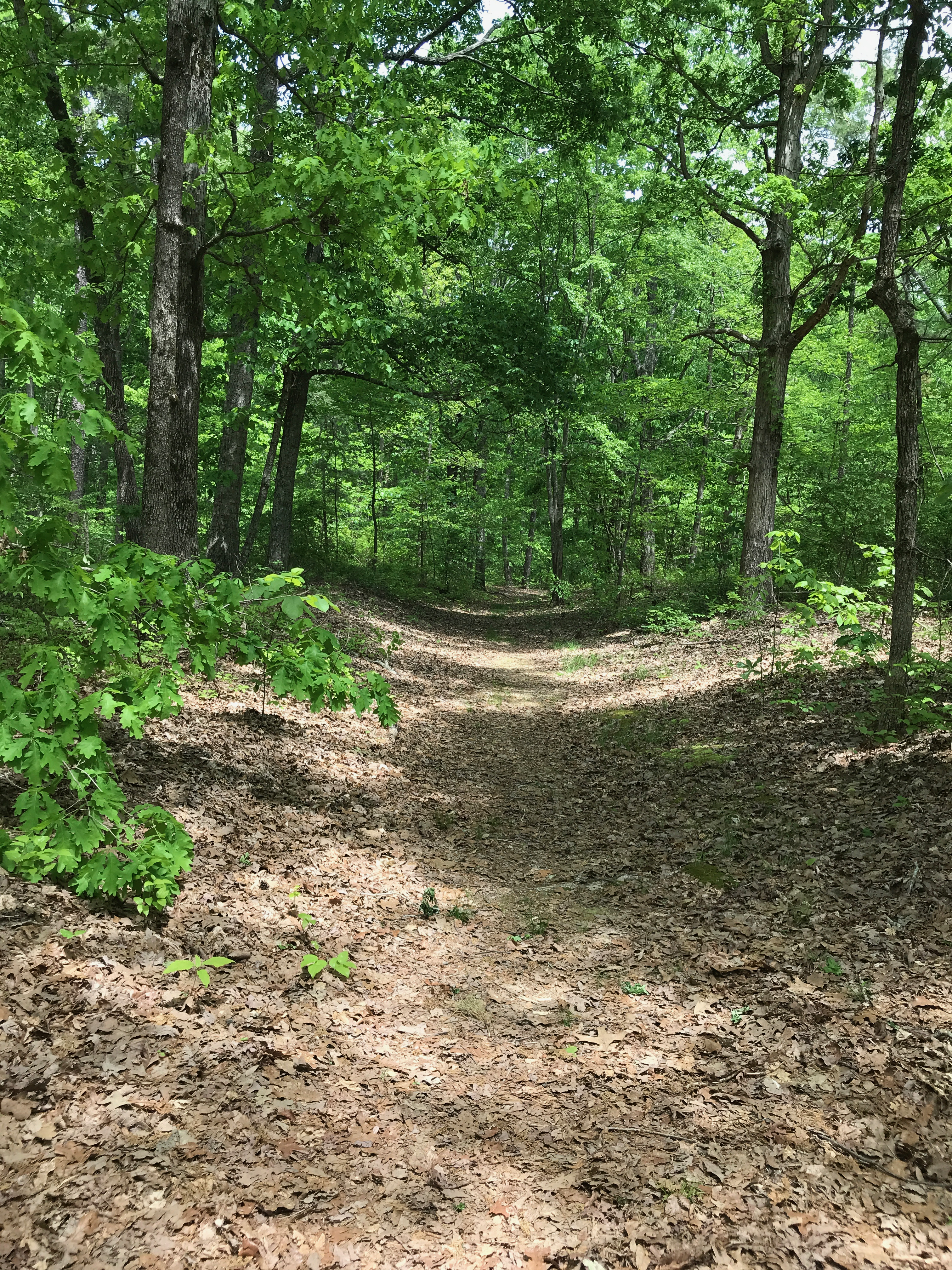
There is a little more of the Old Trace.

And another sign that you can read, if you so choose.

Ah! The ruins of the Grinder House.

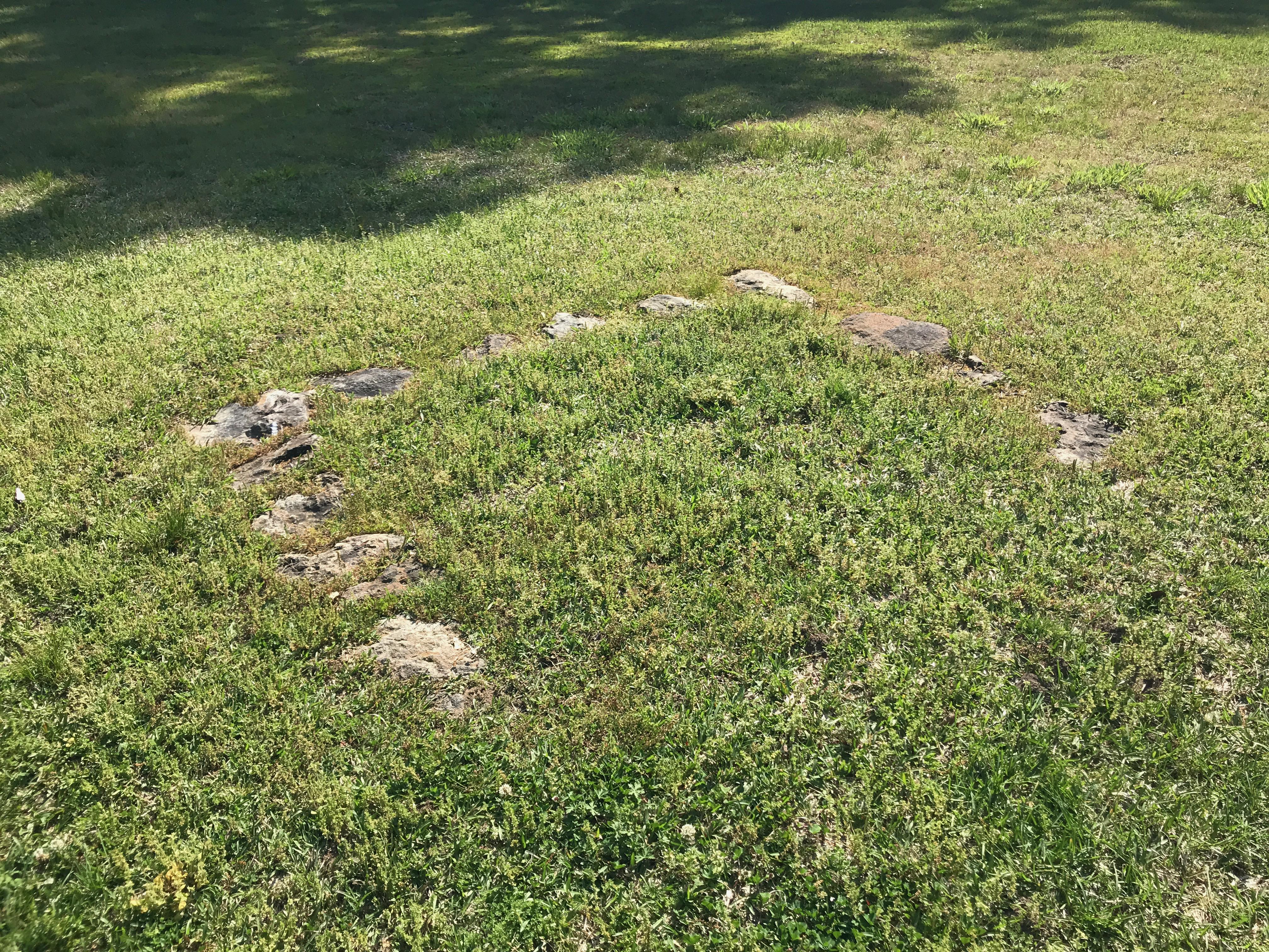
There isn’t much left of it.

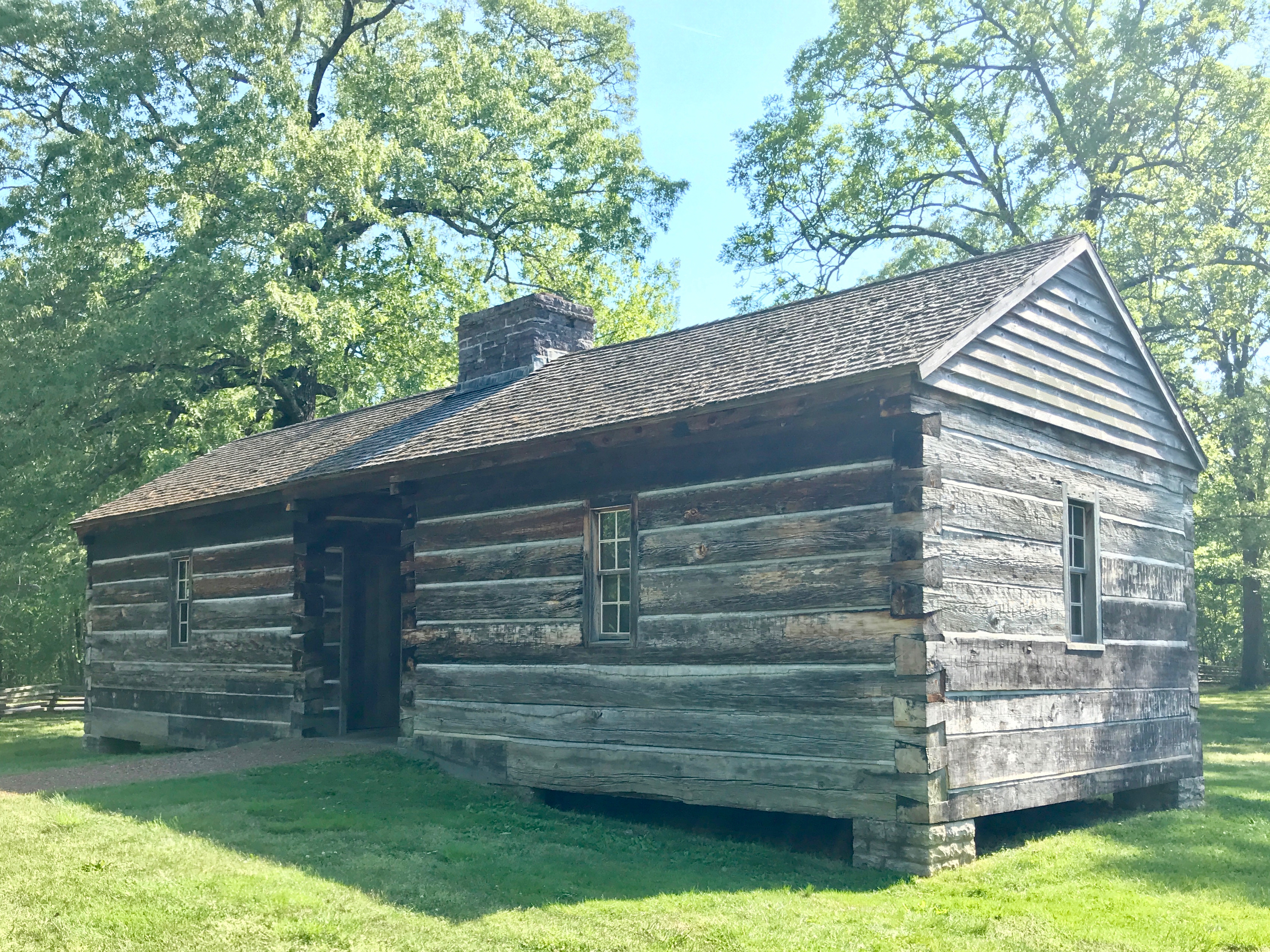
They did build a recreation in the vicinity.

It looks like they used hand tools and old construction techniques.

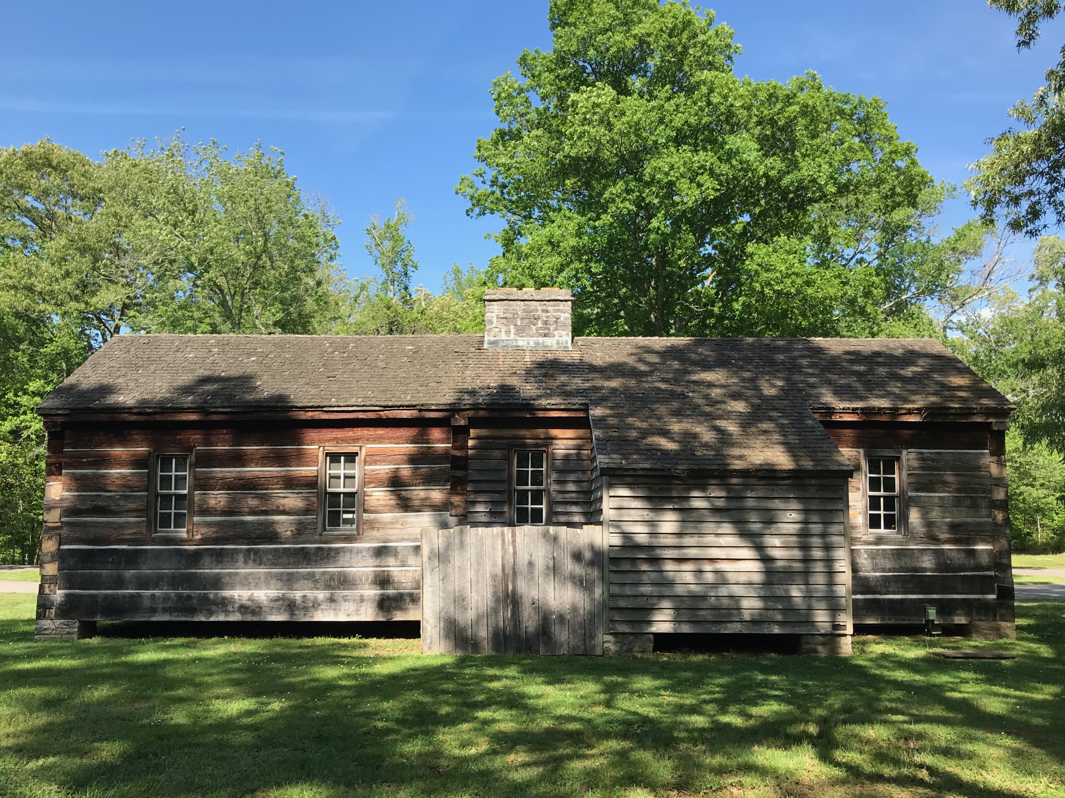
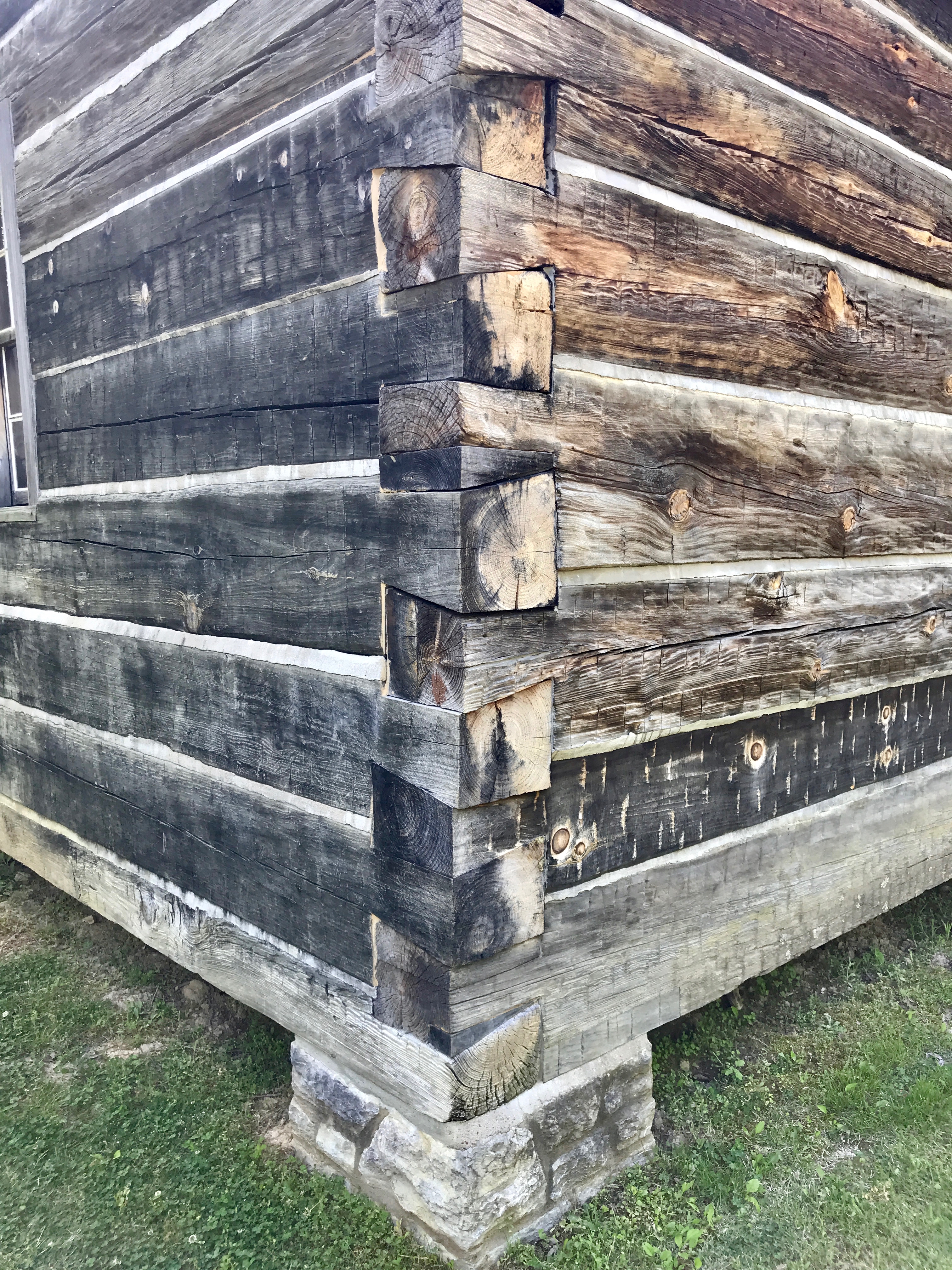
I always walk around the back, when I can, just in case there is something interesting to see.

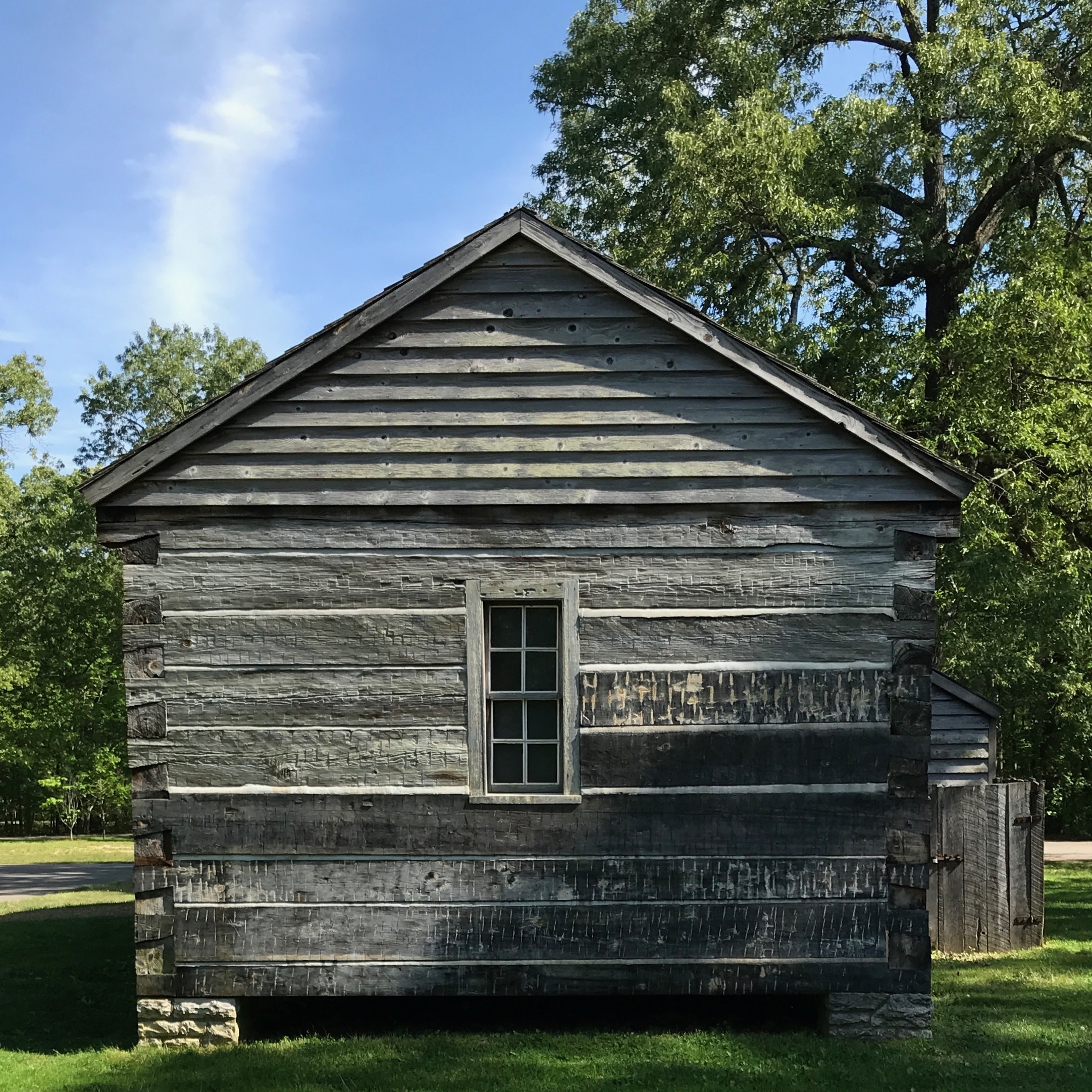
And, as long as I am walking around, here is the end of the building.

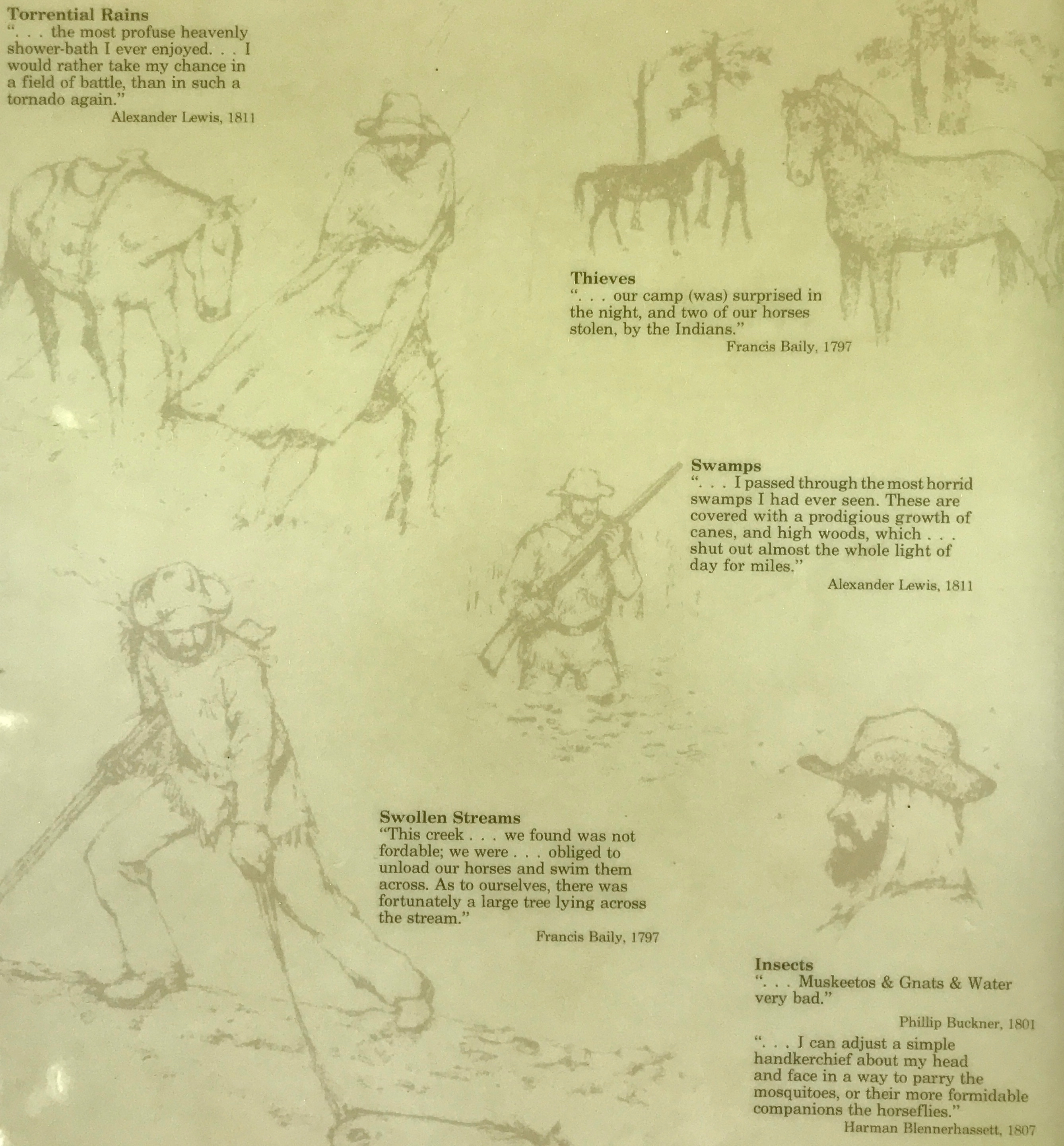
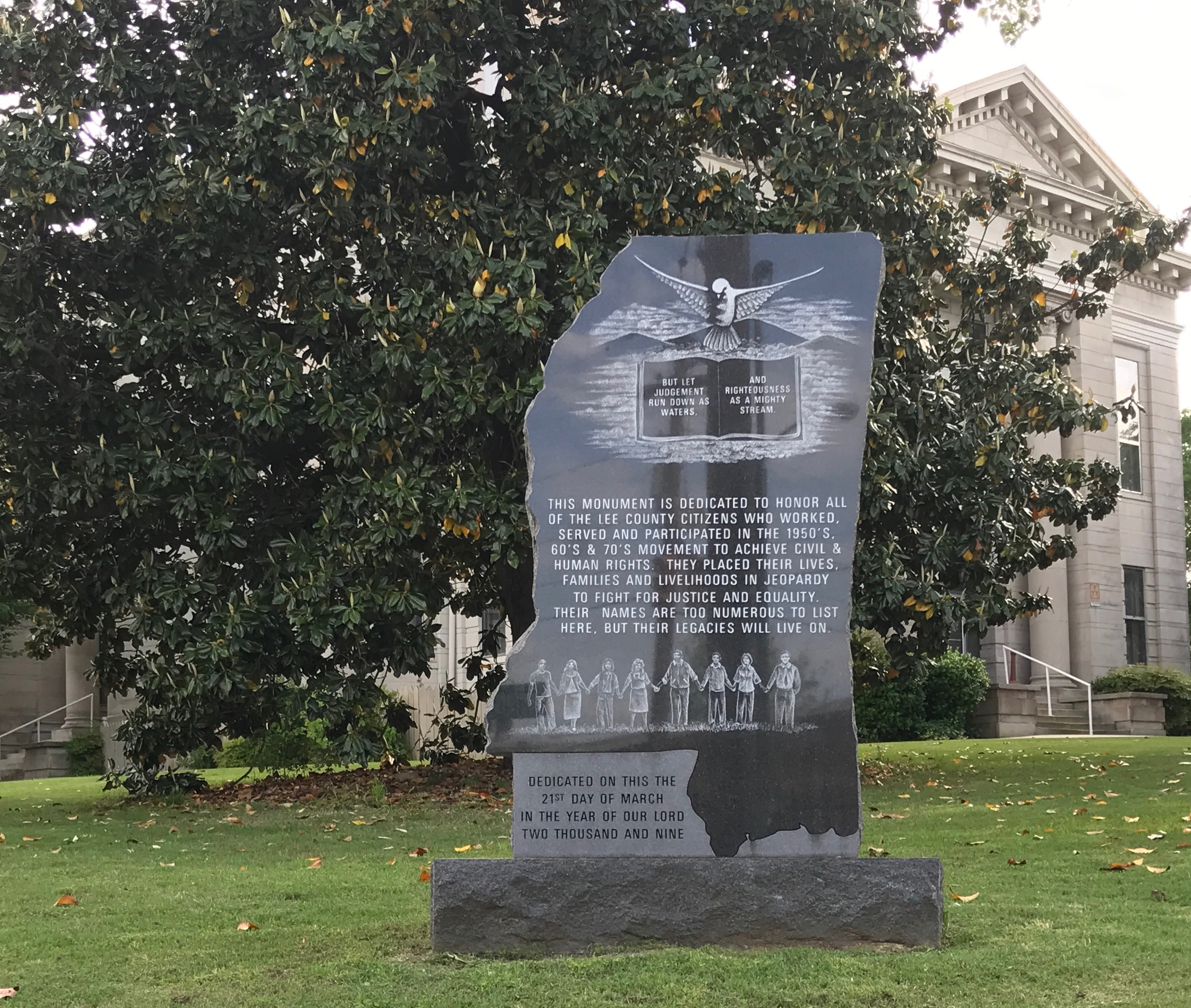
Here are some comments by the travelers along the Trace.

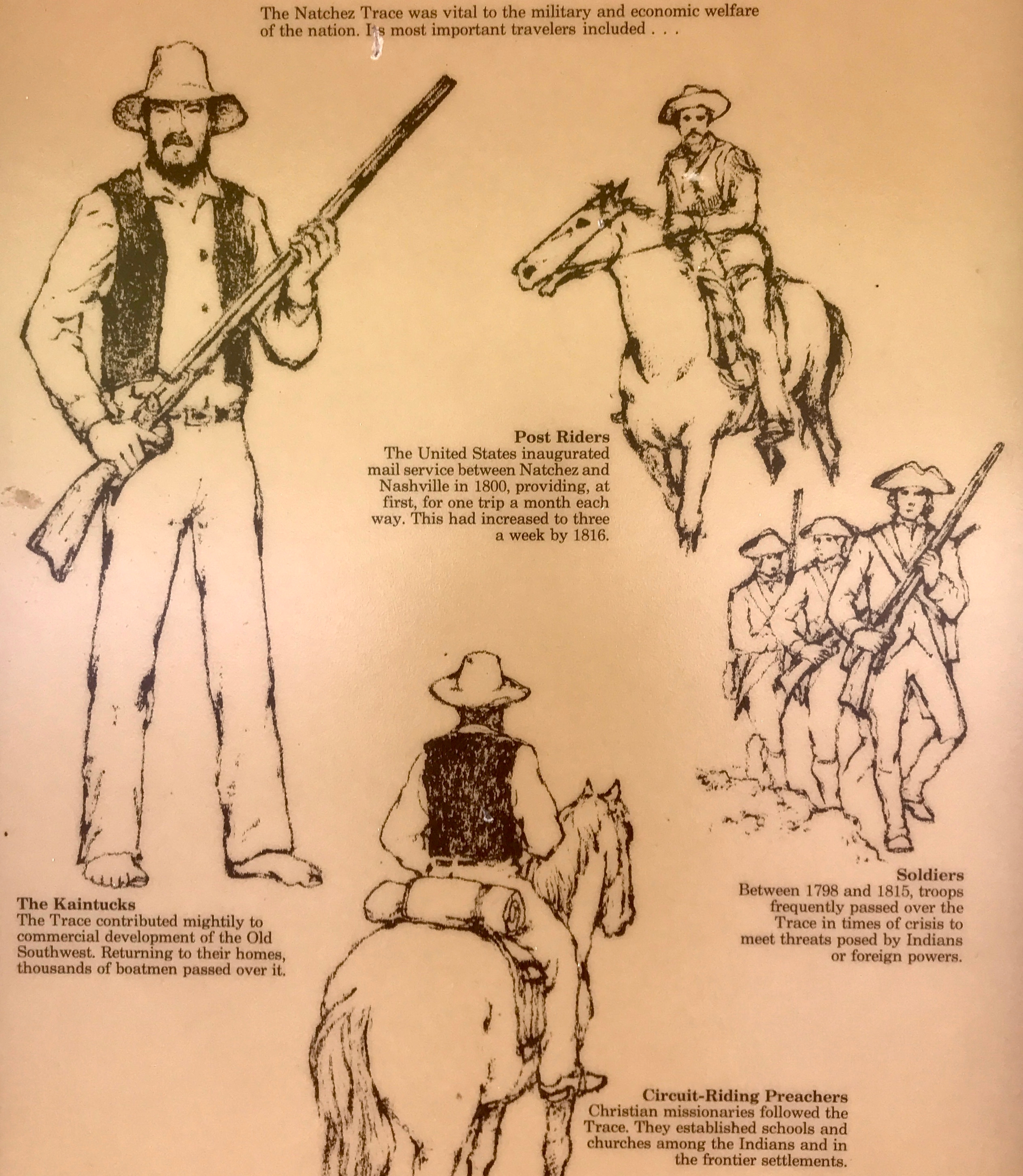
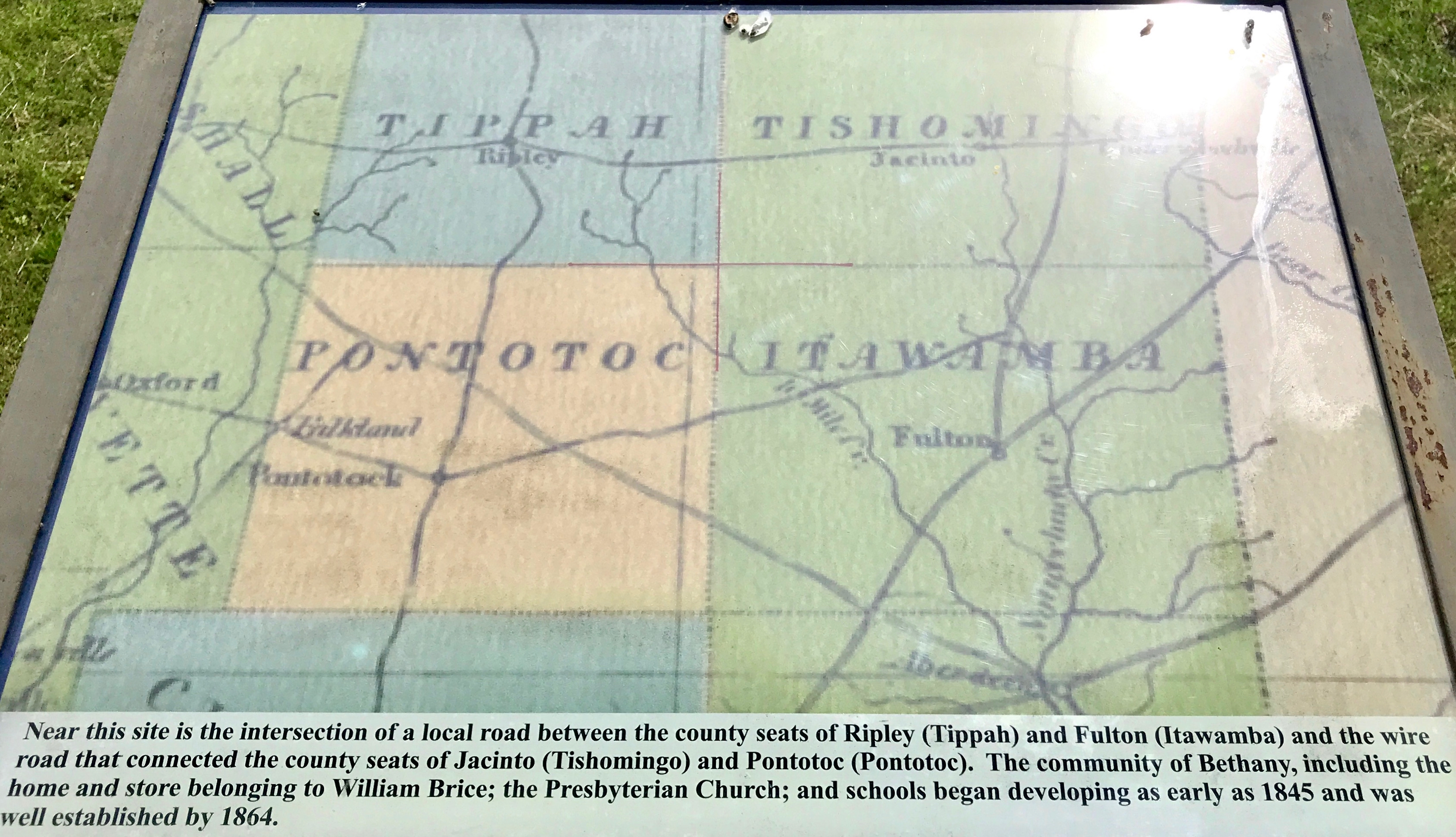
Just who was using the Trace? According to this sign, these are some of the people you might find along the way.

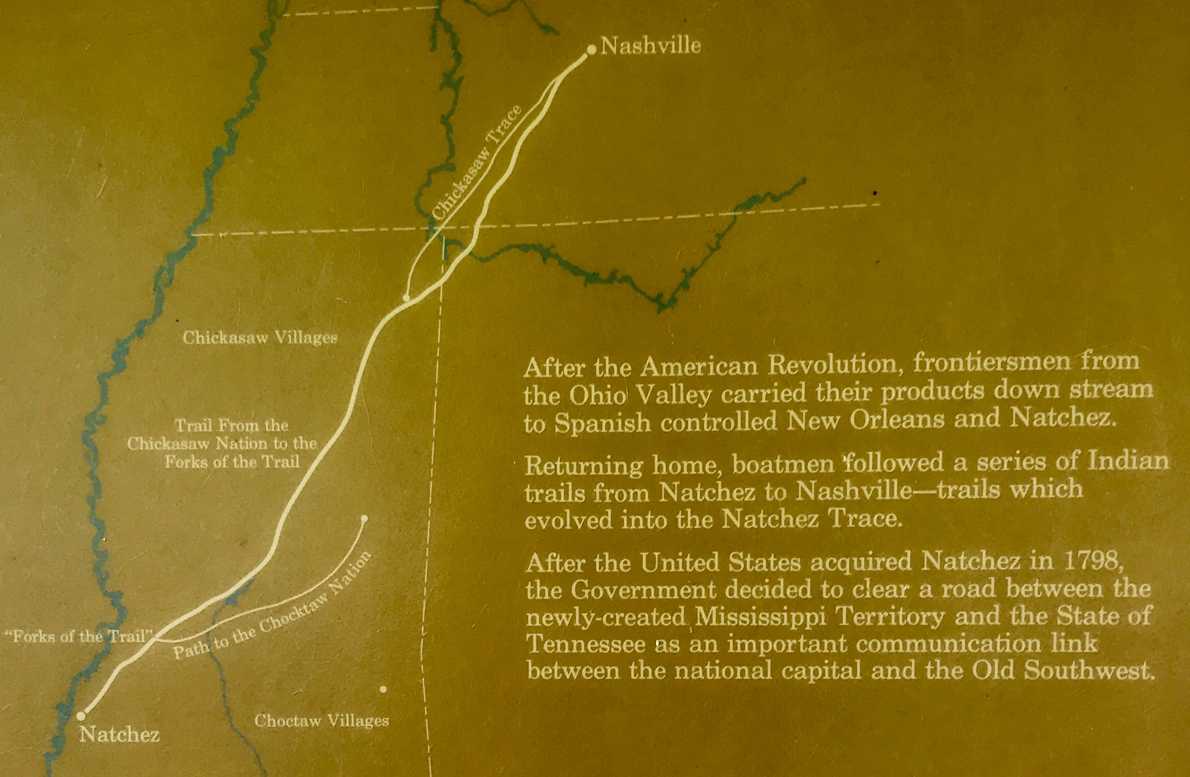
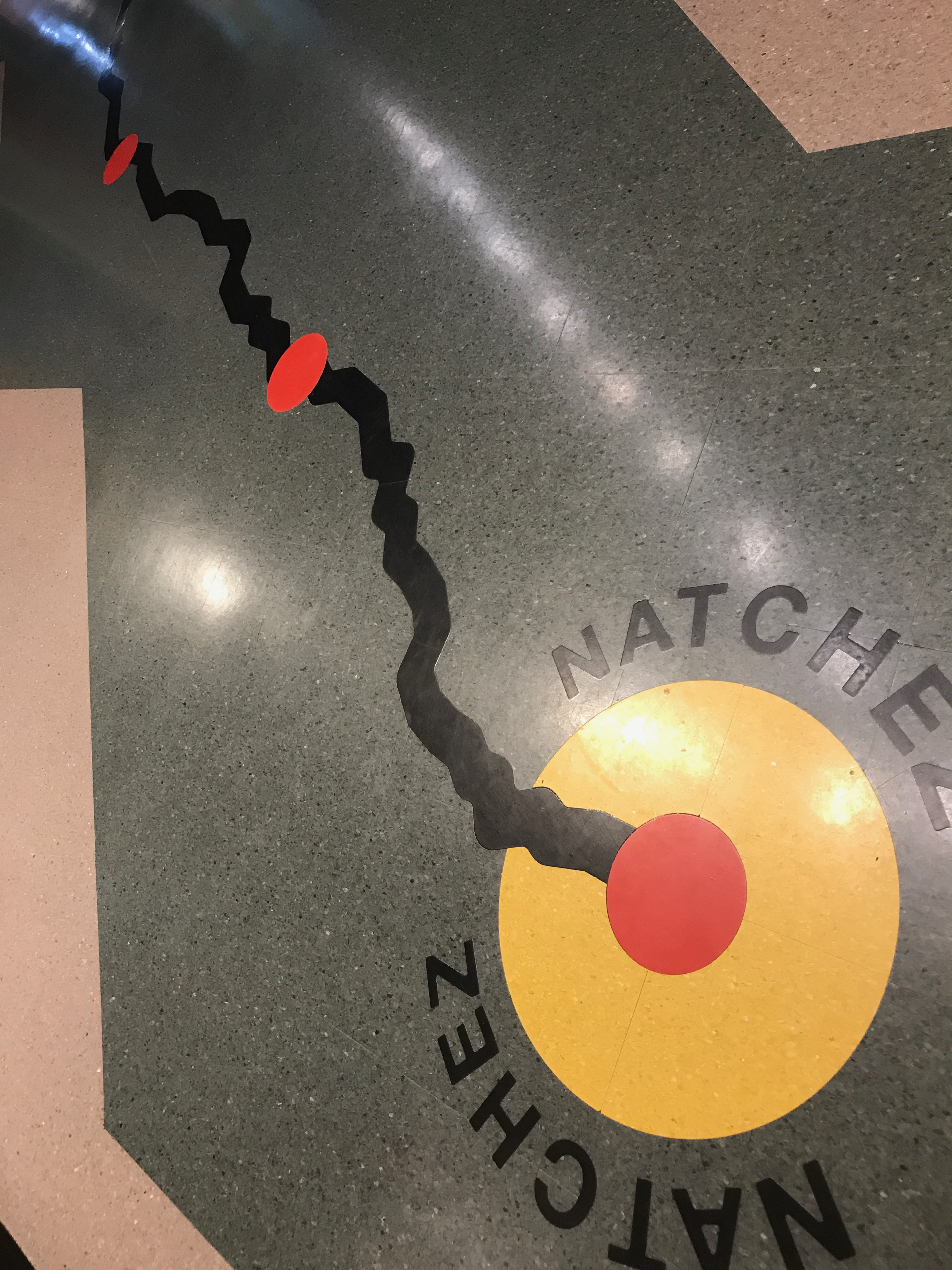
Here’s the route the Trace followed.

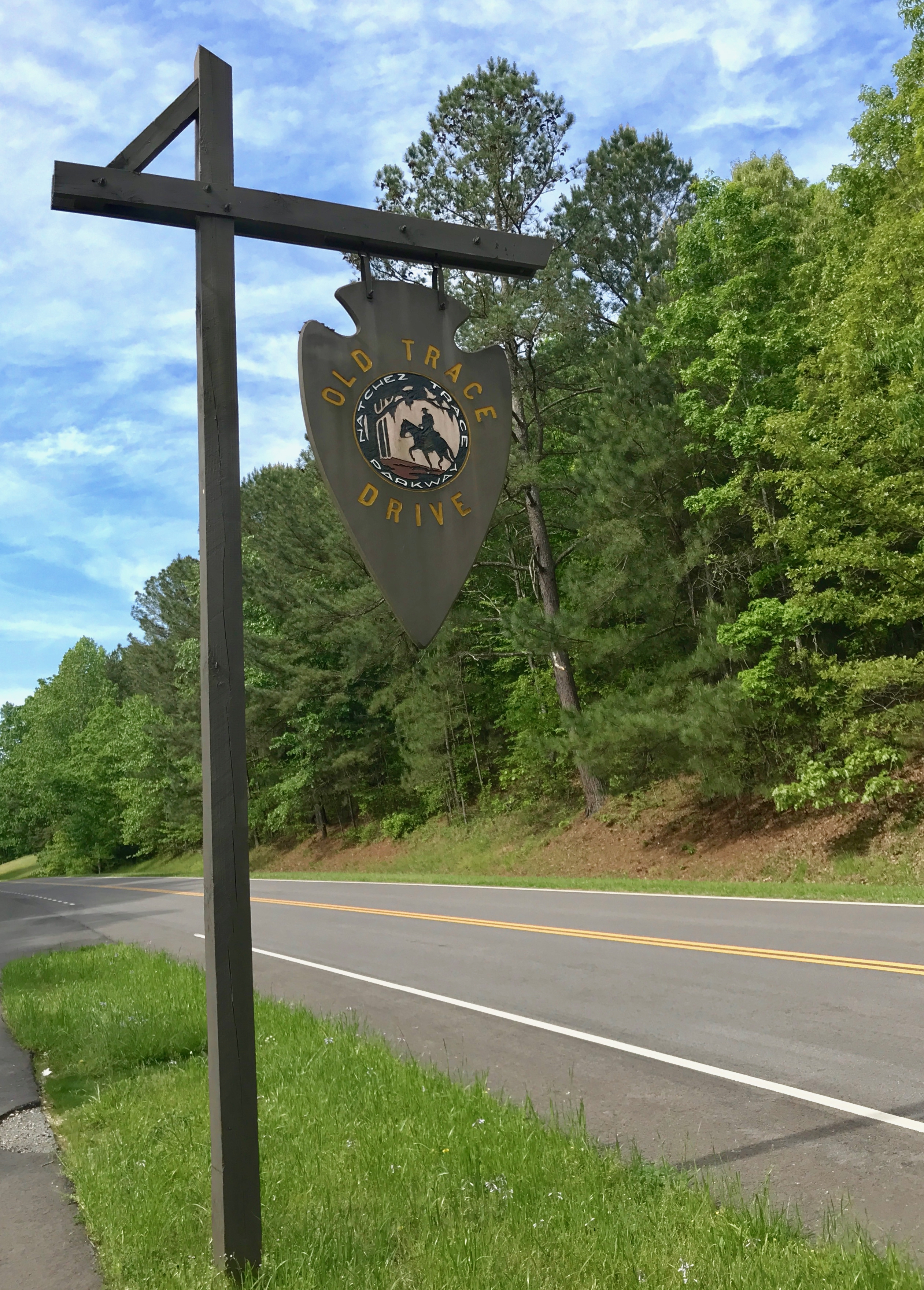
I had a little time before the sun set, so I decided to check out this Drive and then head in to Hohenwald, the nearby town.

And why did I do it then and not in the morning on my way north?

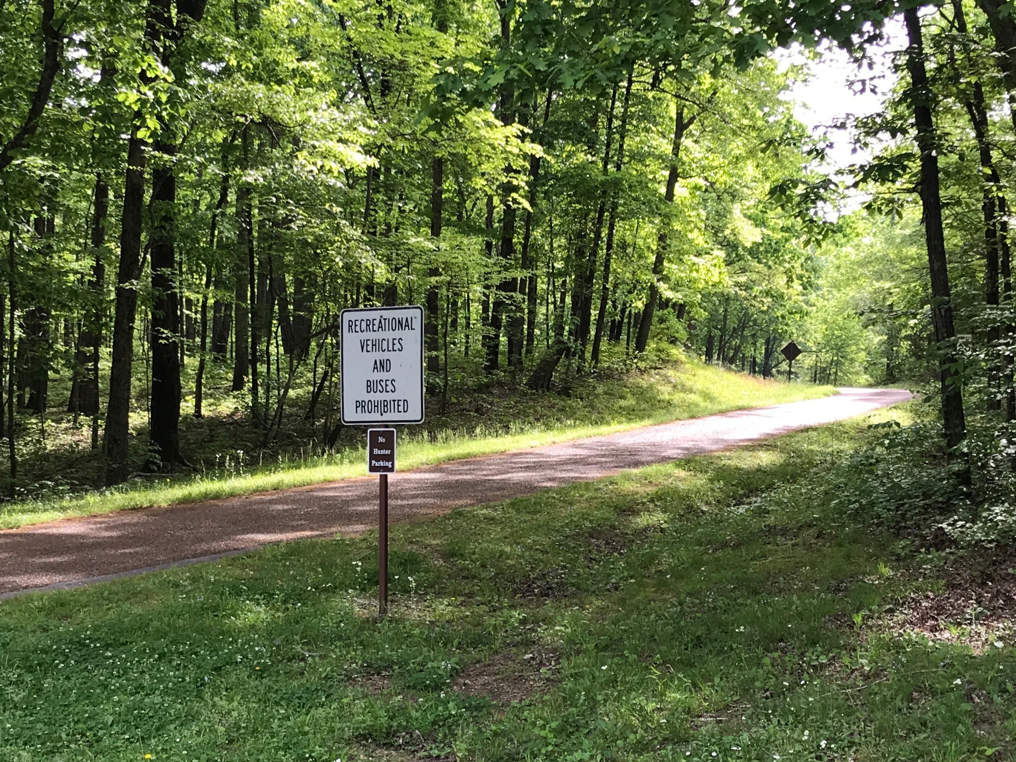
See that sign? Recreational Vehicles prohibited. the road wasn’t meant for towing.

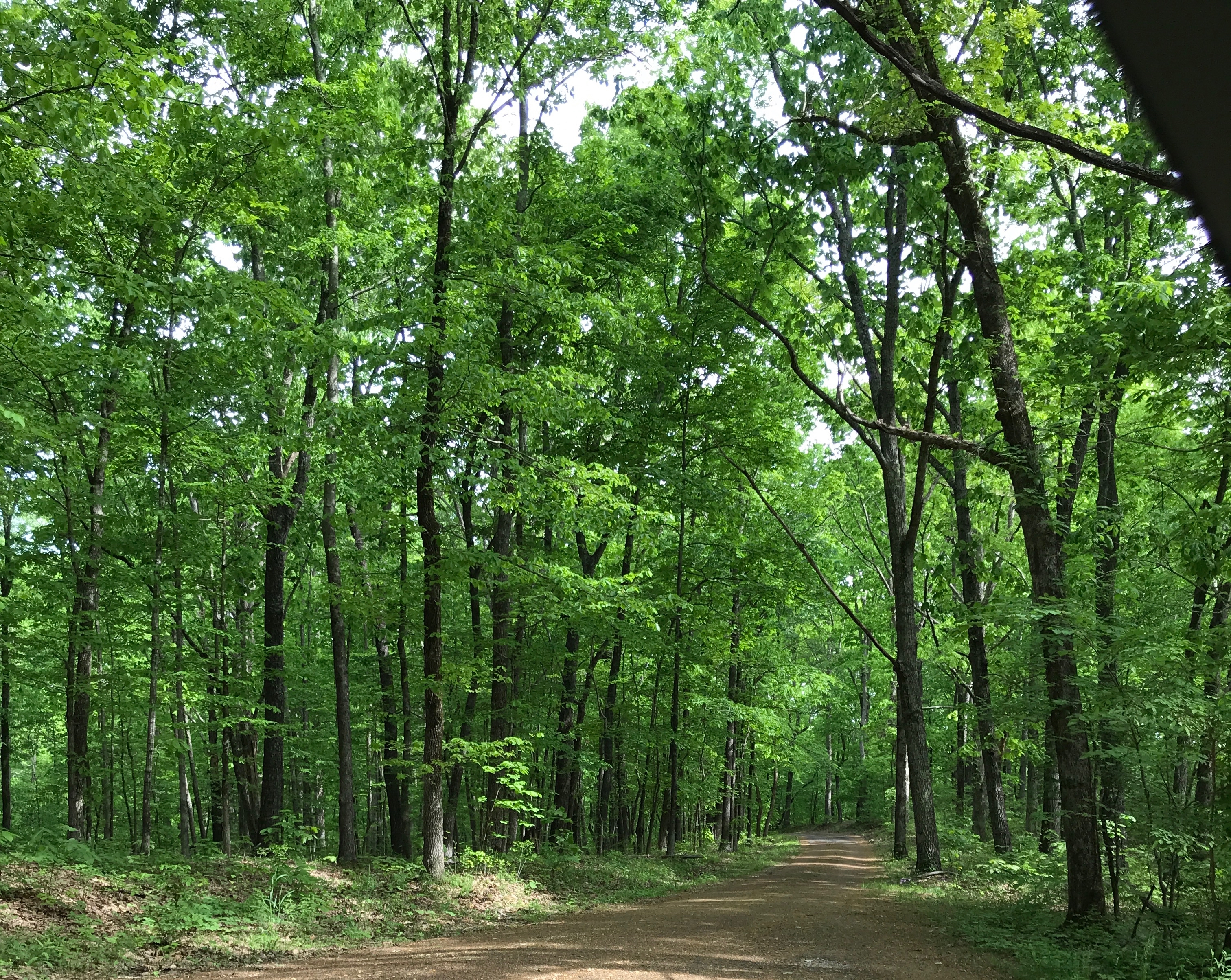
It’s kind of narrow. In fact, if I remember correctly, it’s currently a one way drive.

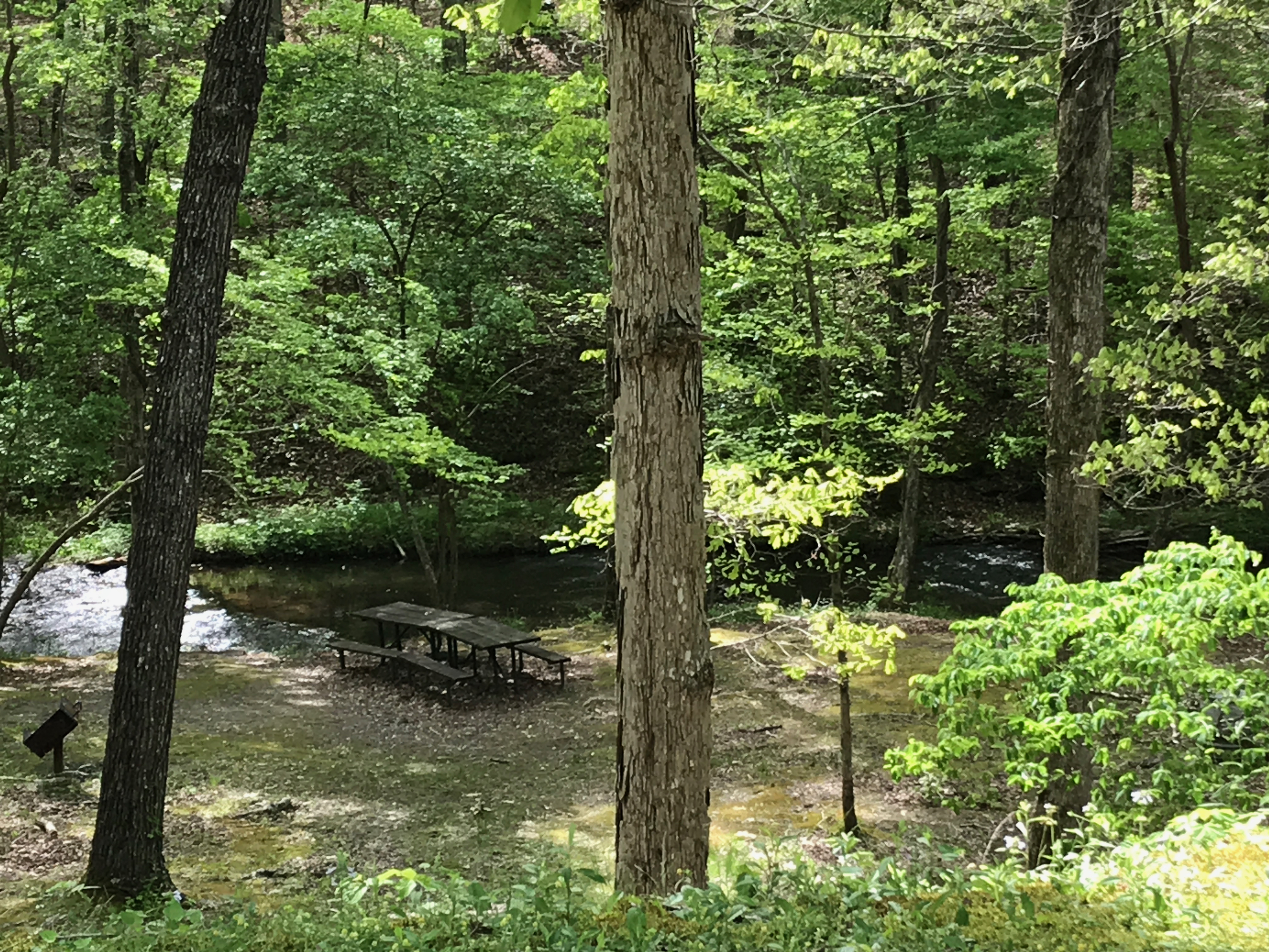
There was  a nice little picnic area.

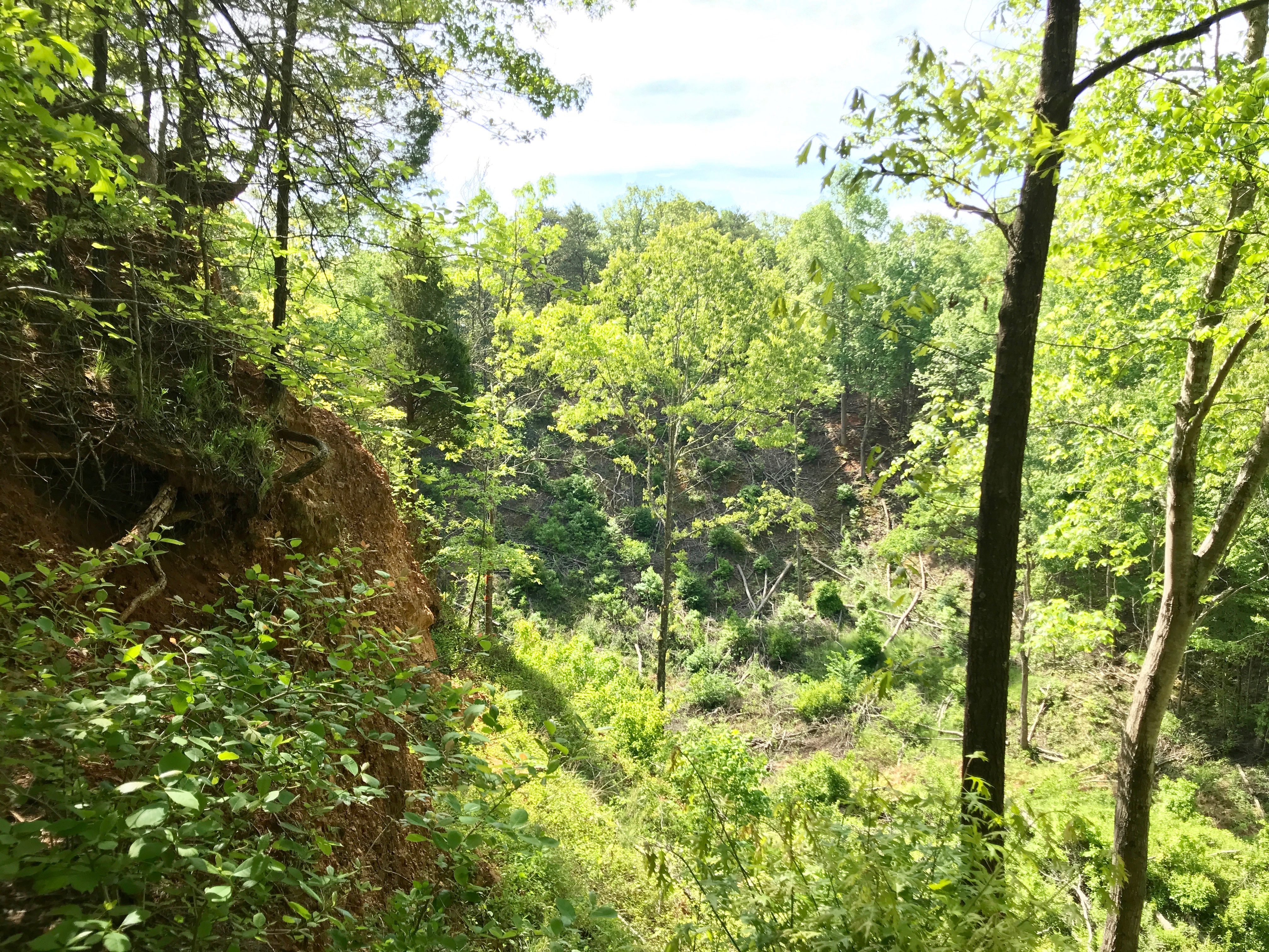
I came across an abandoned iron mine. The deposits were so shallow that they were relatively easy to extract. They dug it out with pick axes, transported it out of the pits using mule-drawn wagons and then the men used 26 pound sledge hammers to break up the large pieces. Then they washed the ore to remove dirt, sand, gravel and rock so that it could be smelted.

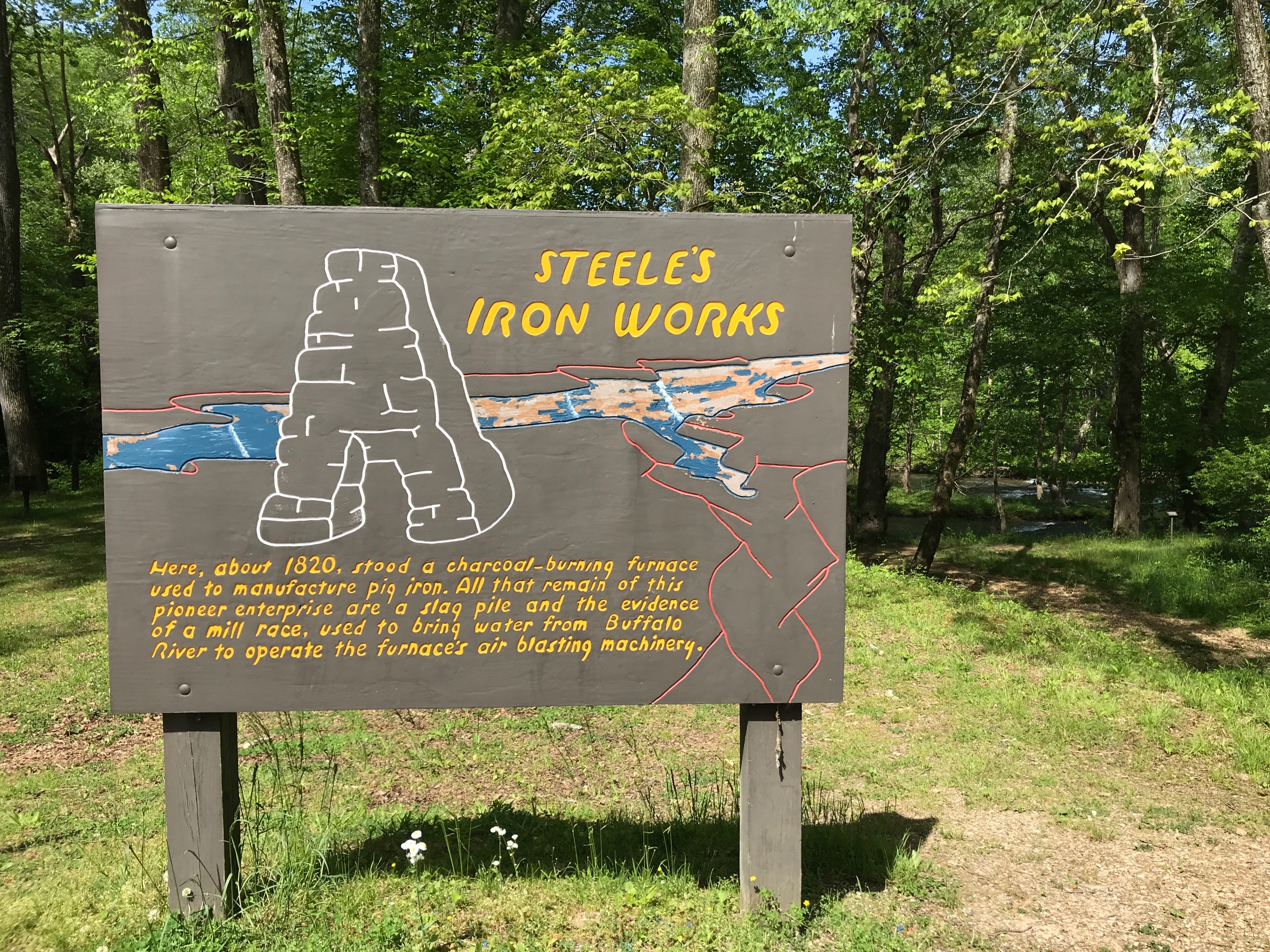
Speaking of smelting, another stop lead me to this spot.

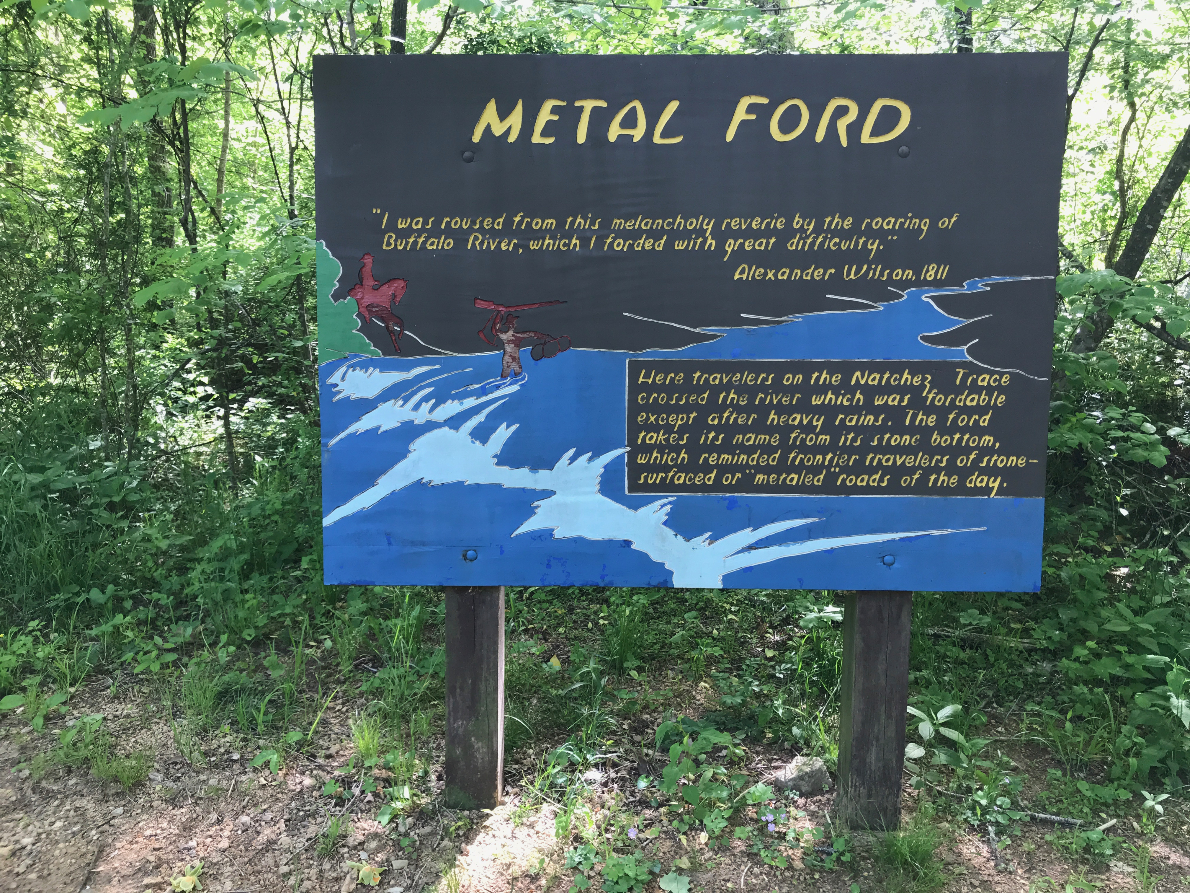
I might as well head down to the Metal Ford.

I love the sound of the river.


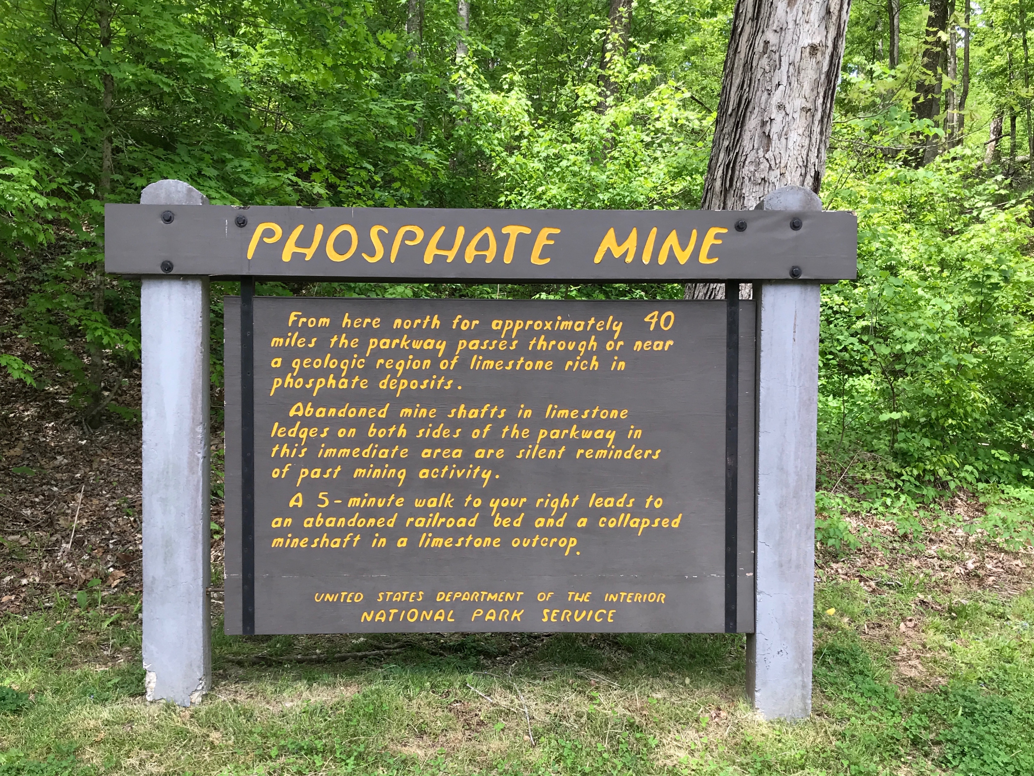
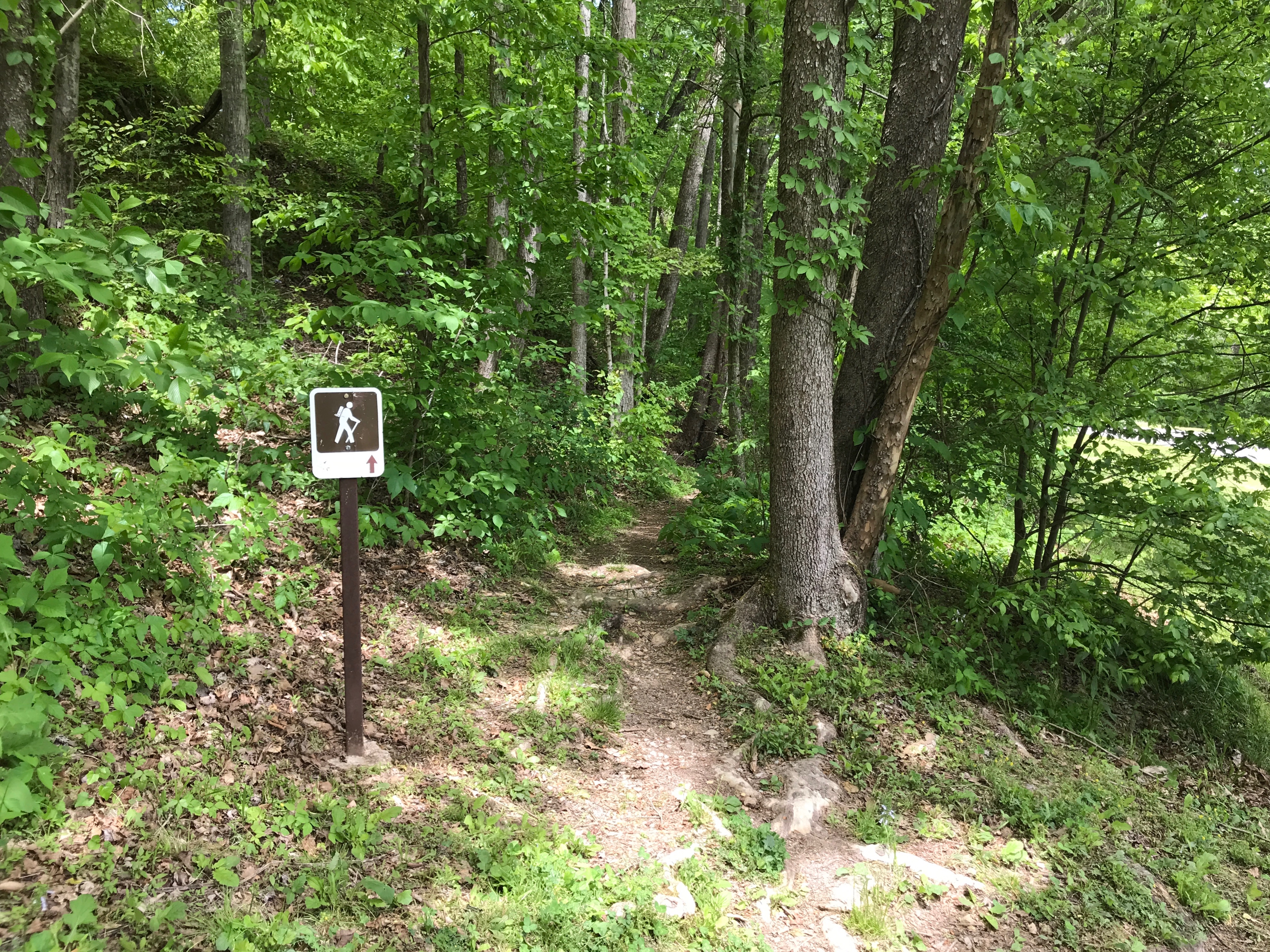
A five minute walk? That sounds doable!

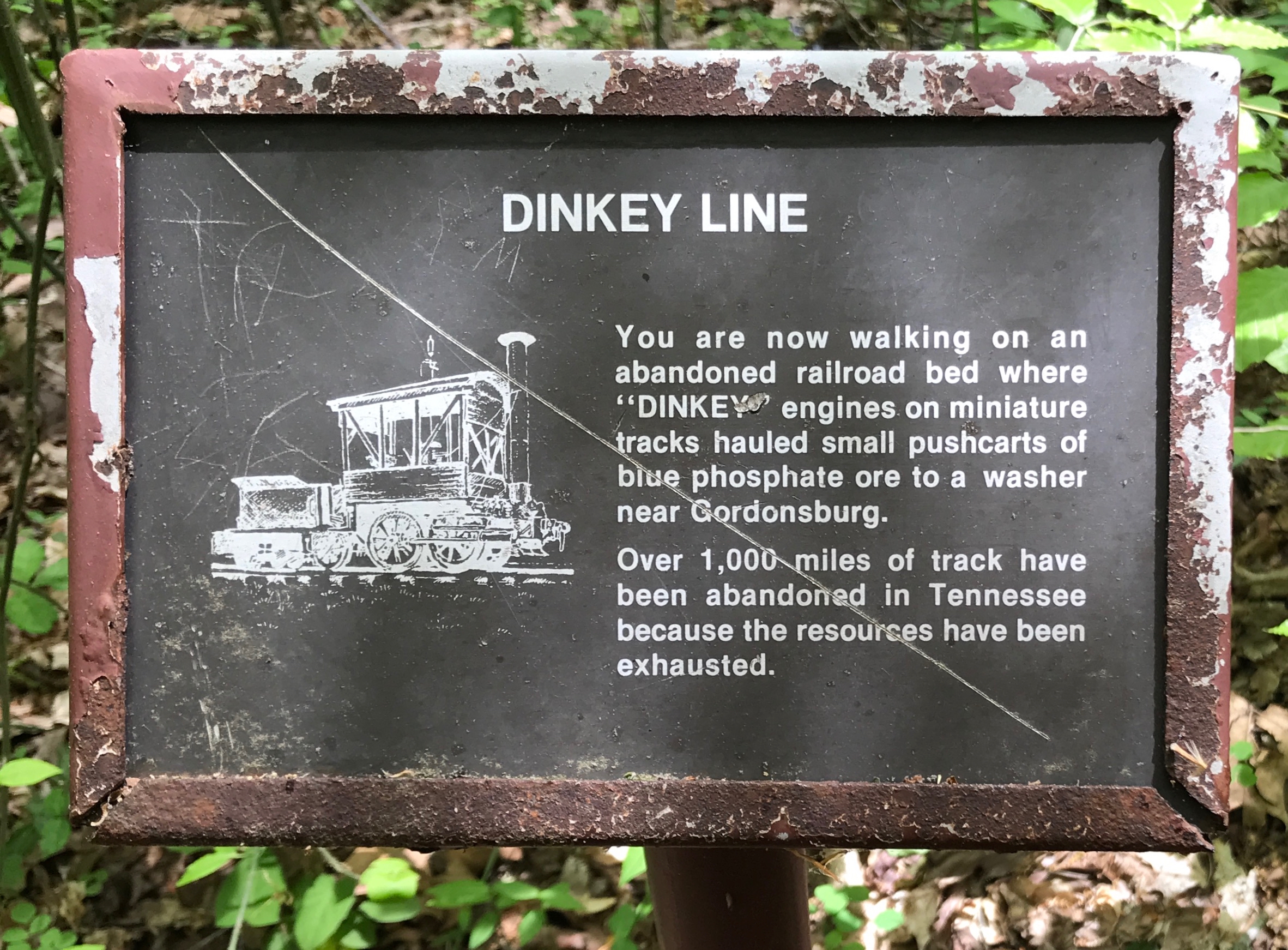
What do you know? I’m walking on an abandoned railroad bed!
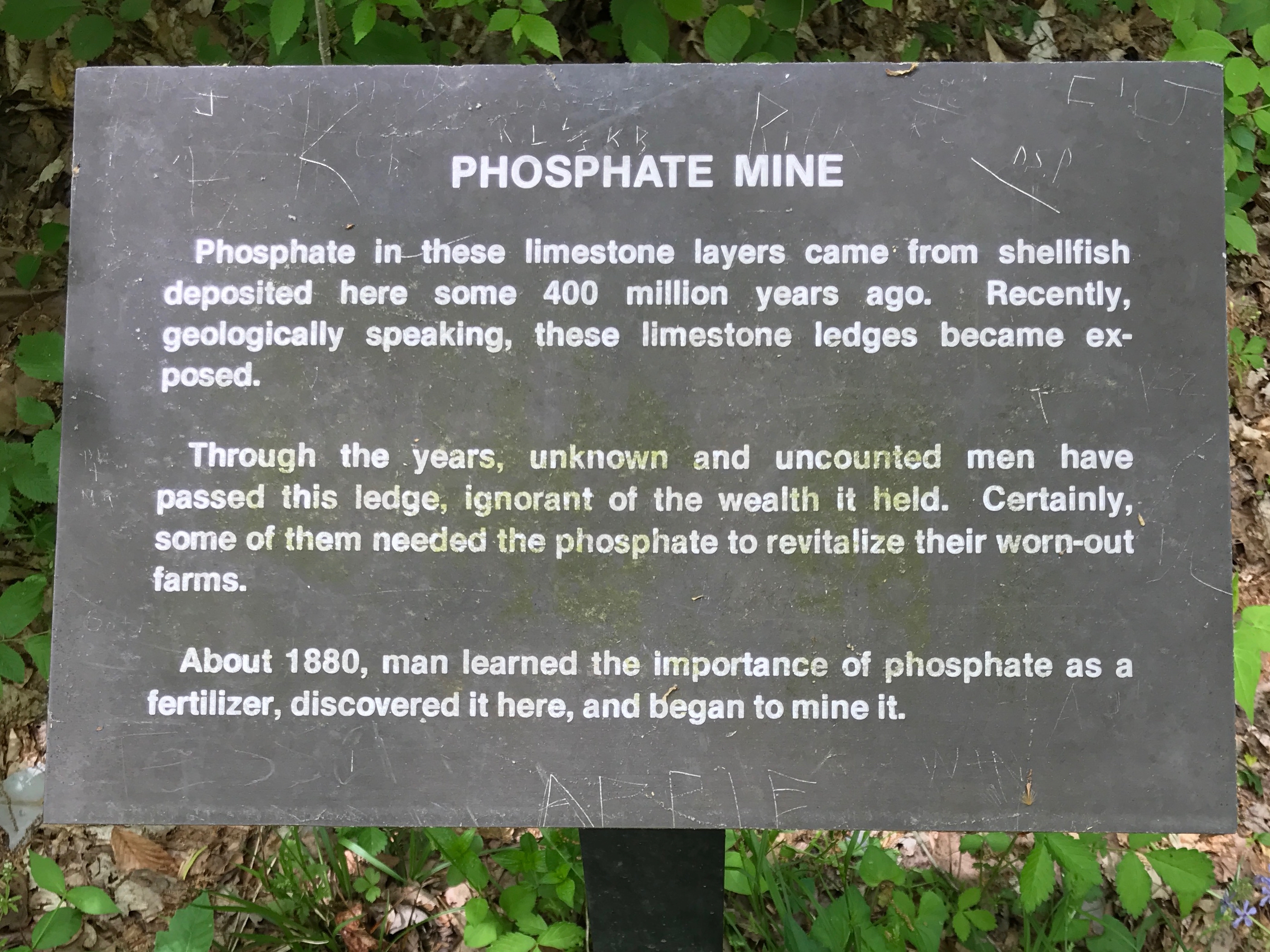
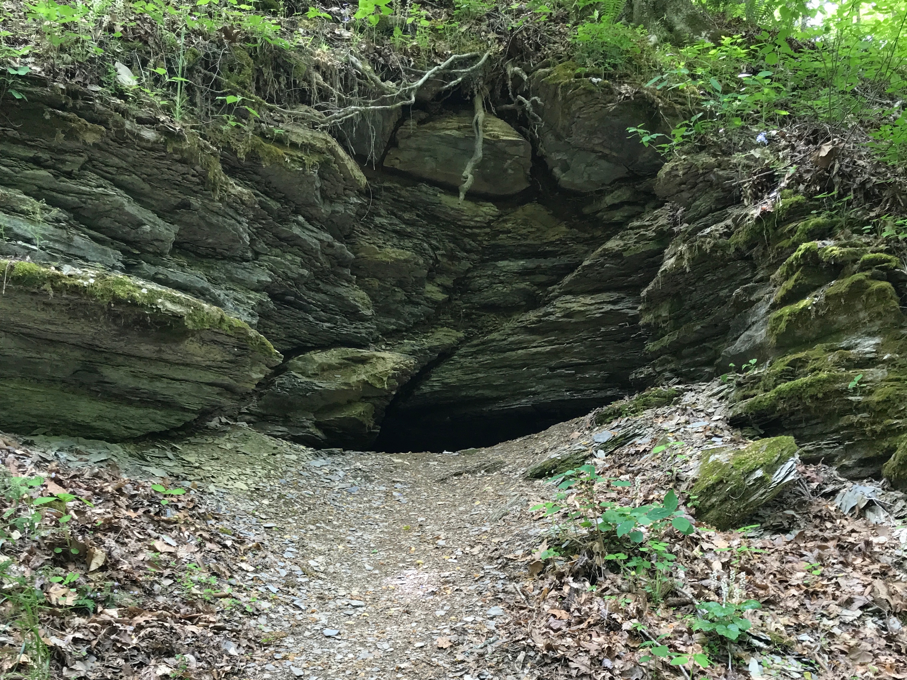
On to the phosphate mines!

Here’s one mine.

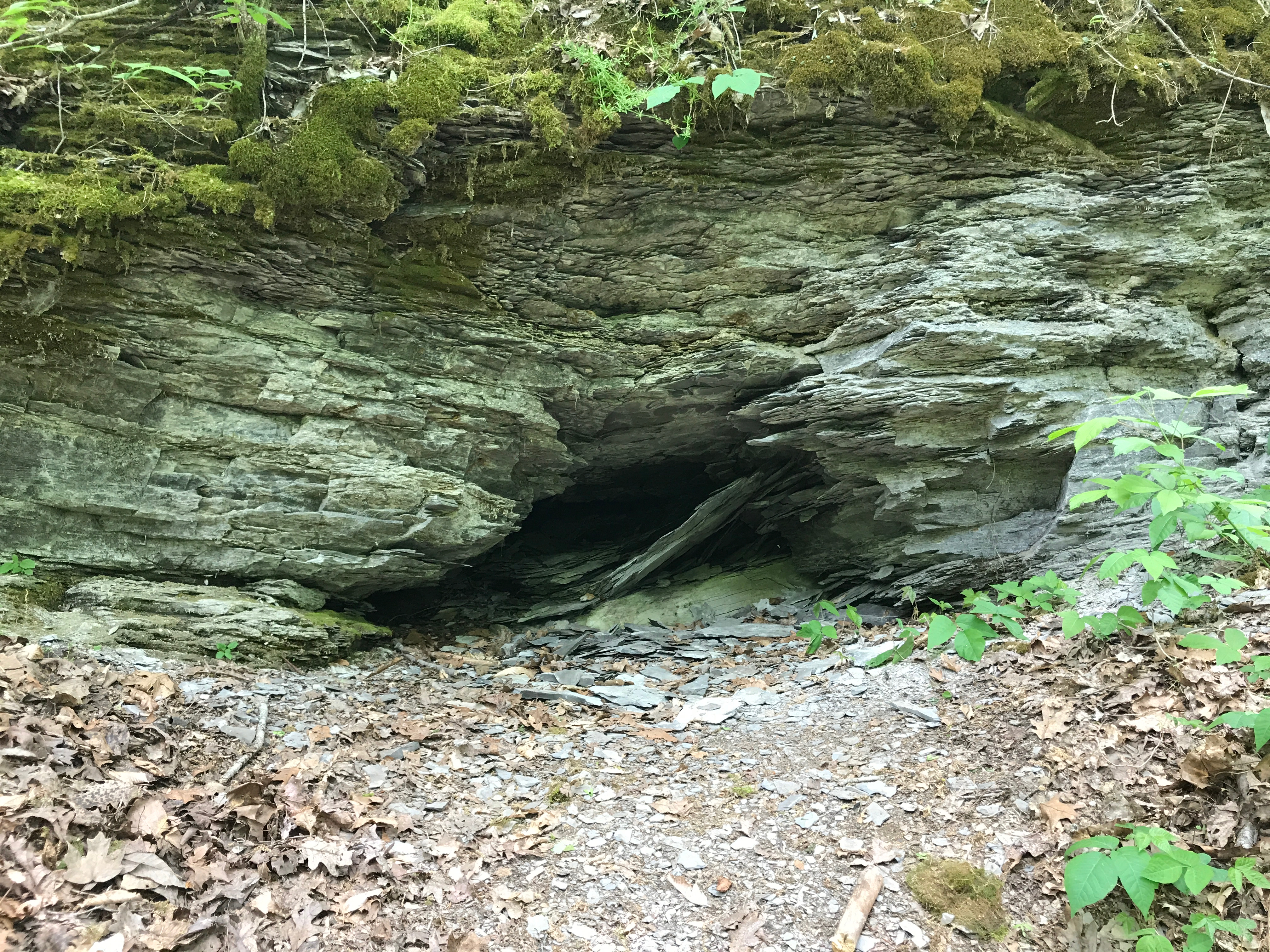
Here’s another. Where’s OSHA when you need it?

After that, I zipped into town and got gassed up for the morning. Then back to the campground for a good night’s sleep.

One more sleep after this an then I’ll be home!


Tupelo – Part Tu (April 2019)

At this point, I had been on the road for a month. I had decided to book two nights in Tupelo before making the trek north. This was a day of rest and preparation.

I had a scenic campsite, and it was early in the season, so it was peaceful there. I hung out a bit, got things squared away and set out to see what I could see.

My first stop was the Natchez Trace Visitor Center. There were a number of interesting displays about the Parkway, and the volunteer was very informative. I decided to hit a few places along the Trace and then circle back to town.

My first stop was a section of the Old Trace, which was a trail through the woods.

Can you imagine setting out on a journey and encountering this level of growth? I’ll bet no one was fighting to go first in that line! A trail must have seemed like a real improvement!

I walked down the Old Trace until I came to the graves of the unknown Confederate soldiers.

These graves aren’t identified, and they are not sure how they came to die here. The original markers may have borne names, but they disappeared long ago.

In 1940, Senator Theodore Bilbo arranged for marble headstones, but they were stolen.

The National Park Service erected the headstones that are now in place.

Ah, but what a beautiful world we live in!

I continued north on the Trace until I came to Pharr Mounds.

The next time you are driving past fields with mounds that seem out of place, stop to consider what they might be and why they might be important.

At this point, I was starting to feel peckish. I got off the Parkway and found a restaurant.

Isn’t that a great name? My mother would always tell us to do that.

I stopped for a “meat and three” – which apparently came with dessert. If I remember correctly, the dessert was Chess Pie.

I came across a memorial for a battle I had never heard about. All around the area there were markers about significant events in the battle.

The first shots…

The first Confederate battle line…

The second Confederate battle line…

The Union soliders’ supreme effort to hold the crossroad.

This is where the fighting took place…

and the marker of the spot where the four counties connect.

A major portion of the Battle of Brice’s Cross Roads was fought through the  cemetery, much of it was destroyed. The church and William Brice’s house, which flanked the cemetery, were also involved.

This is the second church, which was build in 1872.

It was a lovely day to stroll through a cemetery.

And back to the Confederate graves.

Everyone deserves to be remembered.

I wonder when this memorial was erected?

Something about it reminds me of artwork from the ’30s and ’40s.

Incidentally, did you notice the name of the Confederate leader who is credited with the win? Brigadier General Nathan Bedford Forrest.

https://youtu.be/zn3tLGL_Zx4

The first time I’d heard the name was in Forrest Gump.

Before coming across this monument, The only other time I’d heard of him was when this sculpture was in an Atlas Obscura email.

Time to head back to Tupelo, and another battlefield.

Well, we can see when time memorial was erected.

Hmm…something about this memorial looks familiar.

I headed over to the Tupelo Fairpark.

It was refreshing to see a monument to a native American leader.

Piomingo lead his people at a crucial time in their history. The alliances he forged and the choices he made paved the way for Chicasaw prosperity into the 19th century.

I walked about the park a bit more, and saw this delightful splash pad. The children were having fun playing and the adults were sitting around relaxing.

What would Tupelo be without Elvis?

Well, Elvis and the people who love him.

Goodbye, Elvis!


It’s time to bid adieu to Tupelo and start my trip north in the morning.


Land o’ Elvis Tupelo, Mississippi (April 2019)

My next stop was Tupelo, Mississippi, birthplace of…

The King!

After a short drive, I set up camp in Tombigbee State Park and set out to see what I could see. I pulled in to the parking lot at Elvis Presley Birthplace and was greeted by this gorgeous piece of automotive design.

I’ve always been partial to Plymouths.

There wasn’t any information nearby, so I decided to puzzle about it while I token what I could at the site without paying the admission fee. While it wasn’t all that expensive, I just wan’t into the full experience.

I set out on his walk of life.

This plaque was in front of the two-room house his father built.

I’ve always liked houses with porches.

I had to take a look at the back, because that’s just the way I am.


Further along his walk of life, we come to another milestone.

The first day of school is always a milestone.

Nothing’s certain but death and…

1946 is when it all started.

Apparently, a guitar wasn’t his first choice, though.

As I continued along the walk of life, I came across some plaques about his music career.

They also had his childhood church at the birthplace.

They moved it to the birthplace and restored it to its original condition in 2008.

Thankfully, the outhouse was a replica.

I continued along to the chapel.

There were some dramatic stained glass windows.

A series of smaller windows was there, too.

I liked the symbolism that was used.

It reminded me of the windows used to remind the congregation of the Bible stories back in the cathedrals of Europe.

If you’re interested, I’ve included a shot of a chart of the meanings of the individual windows.

I’ve always been fascinated by this method of making a stained glass window. I saw a video about it years and years ago. The artists take thick chunks of glass and stand them up in a bed of sand to make the design.

Then the cement is poured in around the pieces and allowed to set up.

They remind me of one method of making a mosaic.

After the chapel, I went to the Fountain of Life.

It is a rather nice memorial.

From birth until death.

And the circle is complete.

I had one more stop to make. The souvenir store. Oddly enough, you didn’t have to exit through it. While I was inside, I came across some information about the car that was in front of the entrance.

Apparently, this is a car like the car that Elvis’s family used to leave Tupelo in 1948.

What a gorgeous car!

I headed in to town to see what I could see.

It was all happening there, including a wedding!

Ah! There’s the famous hardware store where Elvis’s mother got him his first guitar.

They had these guitars around town.

I asked a passerby to snap a photo of me with one.

Elvis was all over, too.

His eyes…

…they seem to follow you.


Elvis is everywhere!

I strolled over to the courthouse to see what they thought was worthy of honoring.

This piece of sculpture looks like it was probably a fountain at one point. It was erected by the Tupelo Woman’s Christian Temperance Union in commemoration of statewide prohibition beginning January 1, 1906.

Huh. I didn’t know that some states were dry that far back.

Then there is the statue commemorating the Civil War dead.

Those who die for a right principle do not die in vain. Interesting.

Bicentennial Time Capsule…I wonder if they had bicentennial fire hydrants, too?

Incidentally, the United State Semiquincentennial is coming up in 2026.

Get ready! Lay claim to your fire hydrants now!

There was also one of those graceful cascading fountains that are found so often down south.

This memorial commemorates those who “worked, served and participated in the 1950’s, 60’s & 70’s movement to achieve civil & human rights.” It was dedicated in 2009.

One more memorial before I head back to the campground.

Elvis!