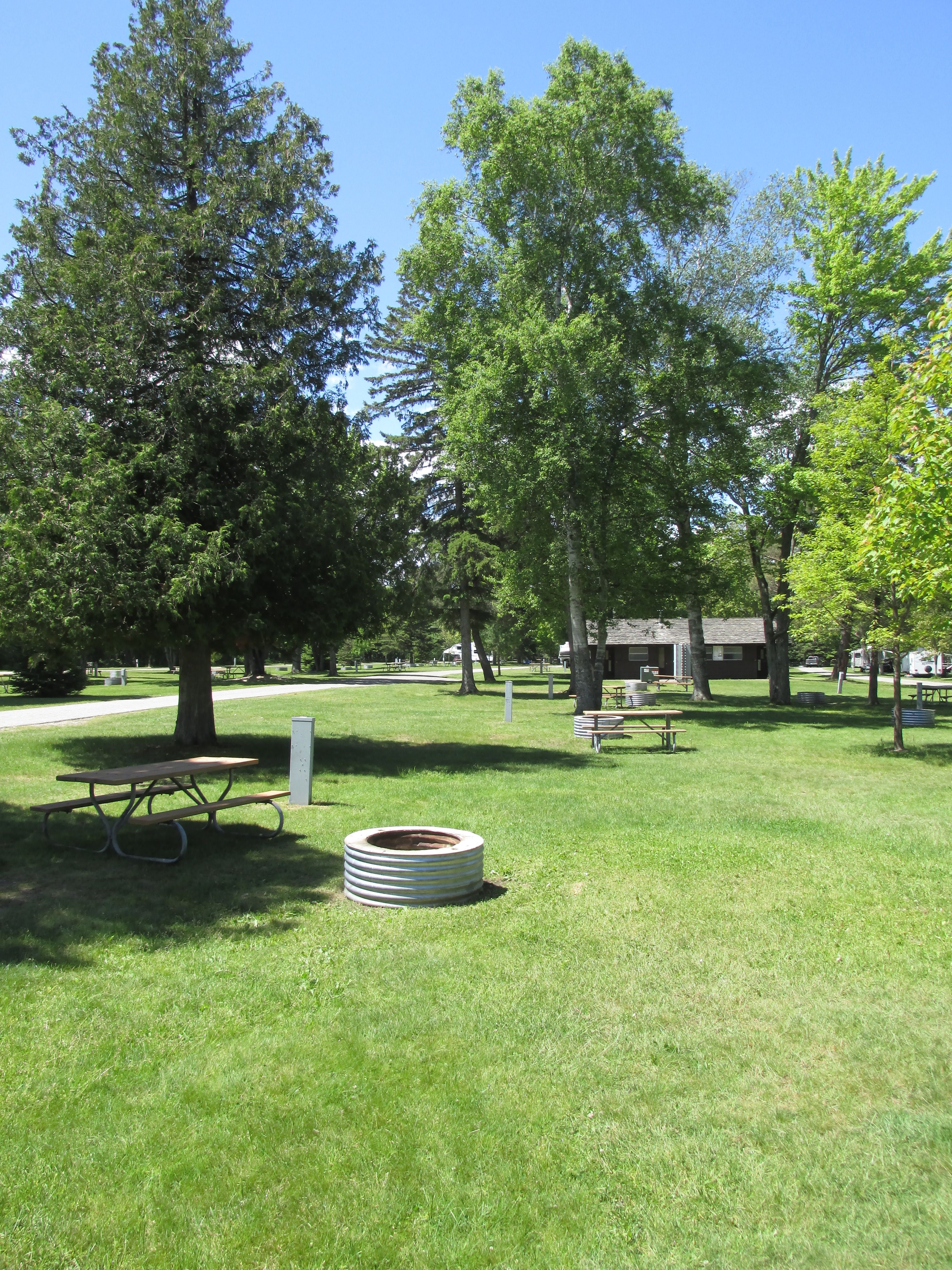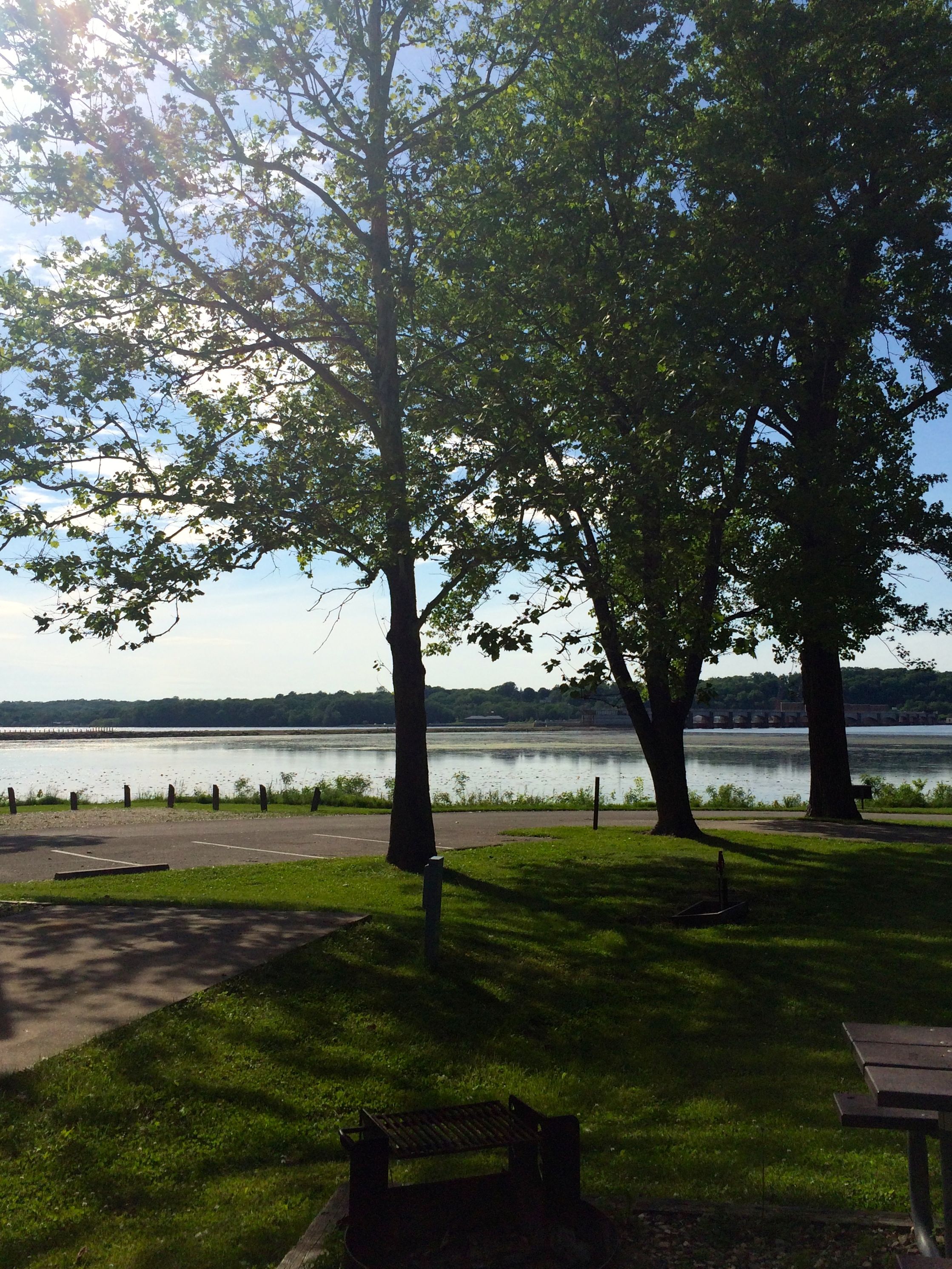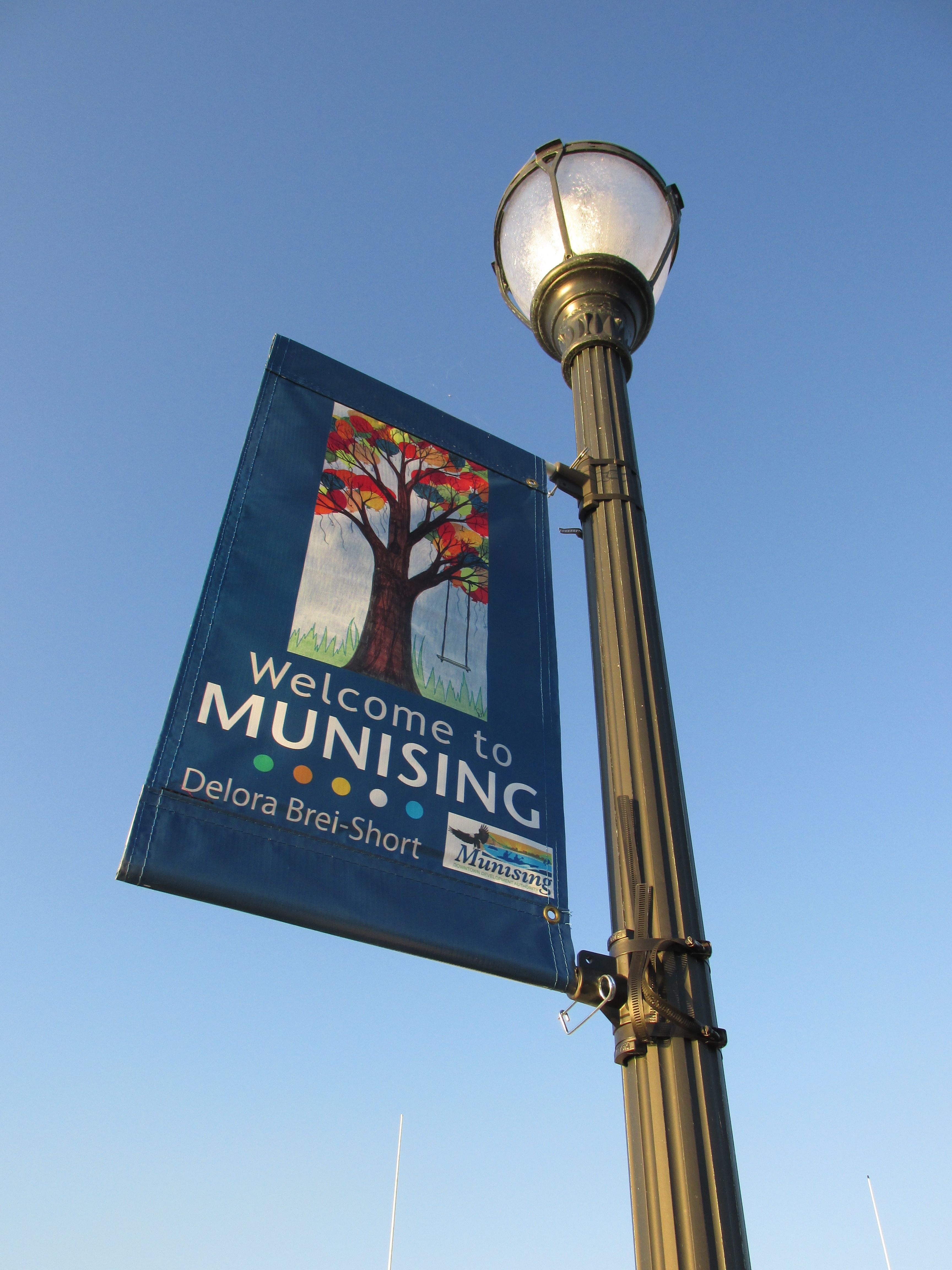
The jumping off point for visiting the Pictured Rocks National Lakeshore is Munising, Michigan, a lively little town of about 2,500. They also have a municipal campground with Wifi. With its location on the shore of Lake Superior, I had no trouble with mosquitoes. This was truly a blessing.
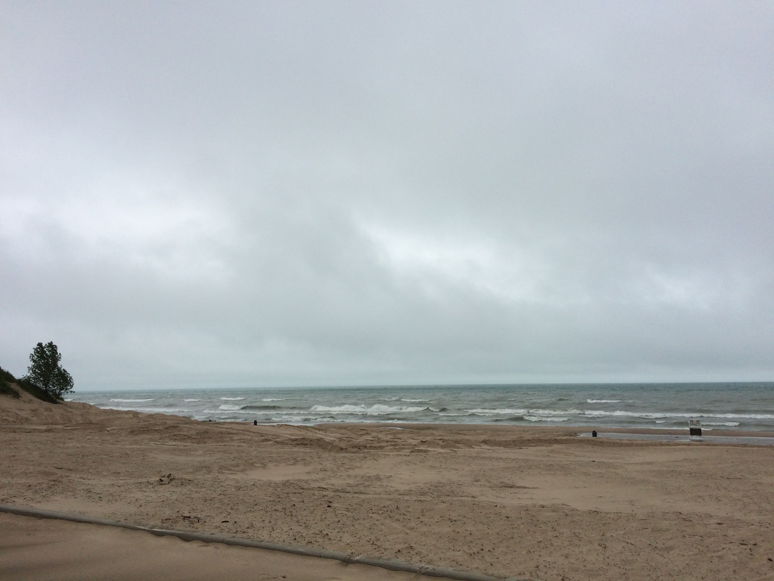
I wasn’t too sure that I was going to be able to take the tour. While the water inside the harbor was calm, sheltered by Grand Island, the lake outside the harbor was not. The day I arrived, they had to cancel the last tours of the day, and they told me to call in the morning.
The weather that night was wild. It rained, the wind blew so hard it made poor old Flo feel like a ship at sea, and it was cold. Between waves of weather, I went outside to look for the northern lights. I couldn’t stay out long, but I heard that they were spotted by people in the area. “See the Northern Lights” is still on my bucket list.
The morning was overcast and did not look promising. I called the cruise office around 11:00 and asked if they were going. They said they were, so I booked a ticket for later and took a nap.
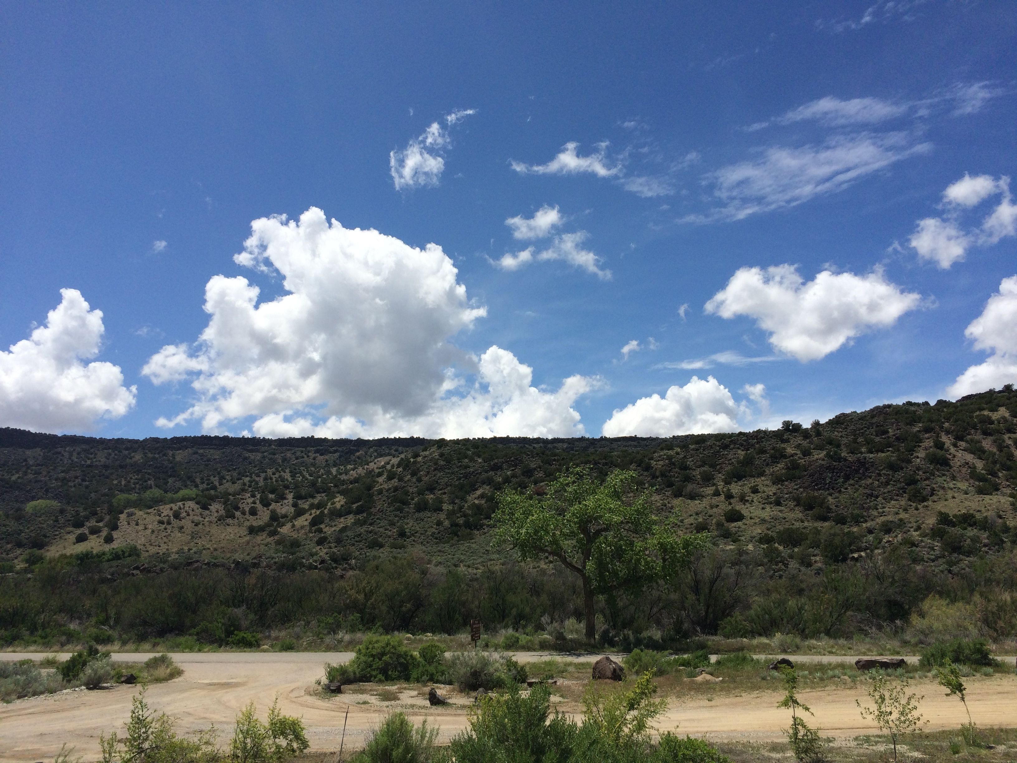
When I woke up, the weather was glorious!
I drove into town, got my ticket and found a seat on the upper deck and got settled in.


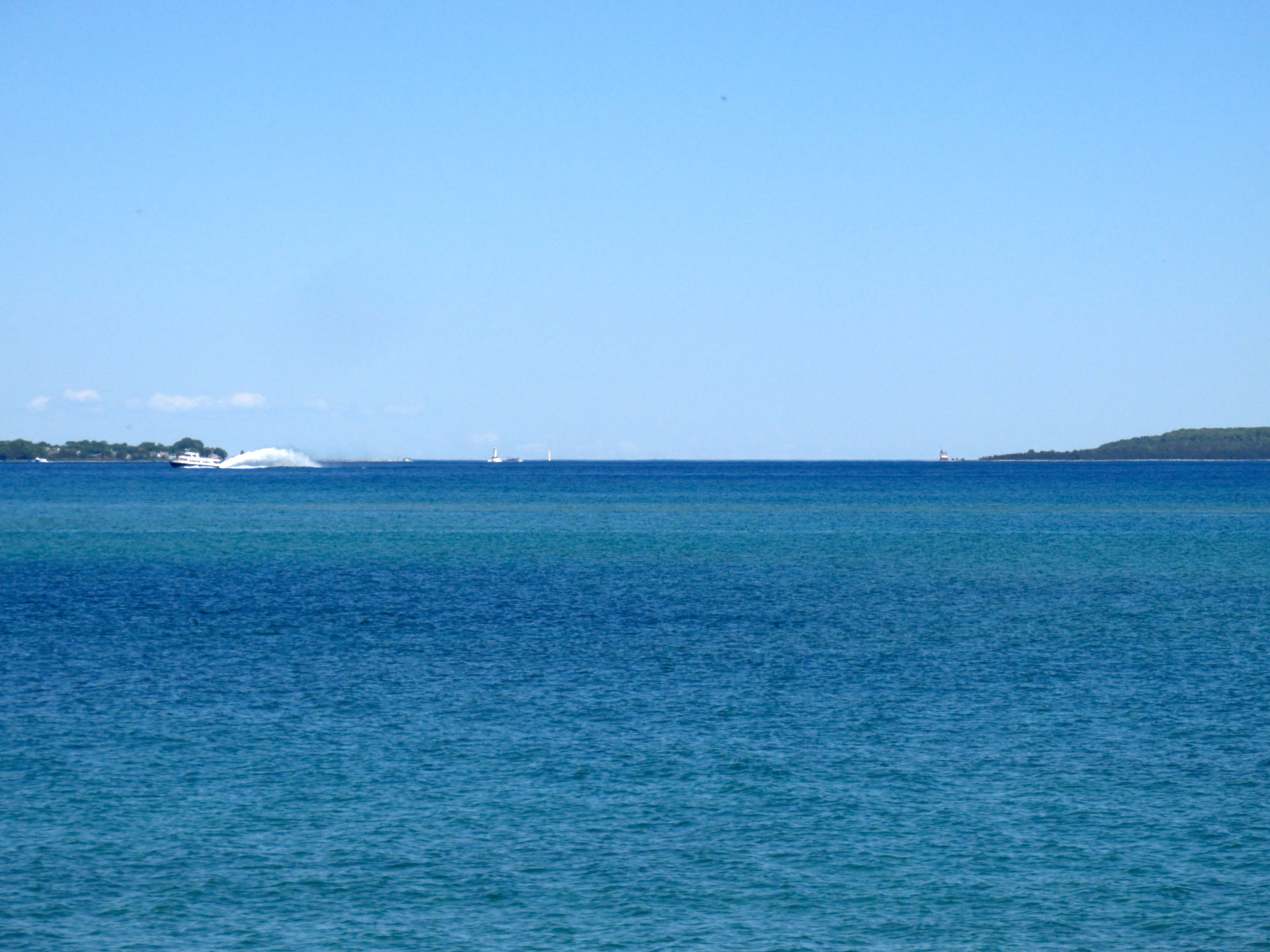
As we crossed the harbor, the water was very calm.

There was a bit more wave action once we passed Grand Island, but it really was a smooth trip. Once we got out on the lake, though, there was a noticeable temperature drop.

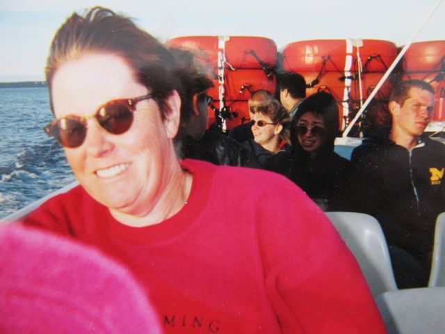
People started putting on all the clothes they had with them. This woman had three jackets with hoods attached.
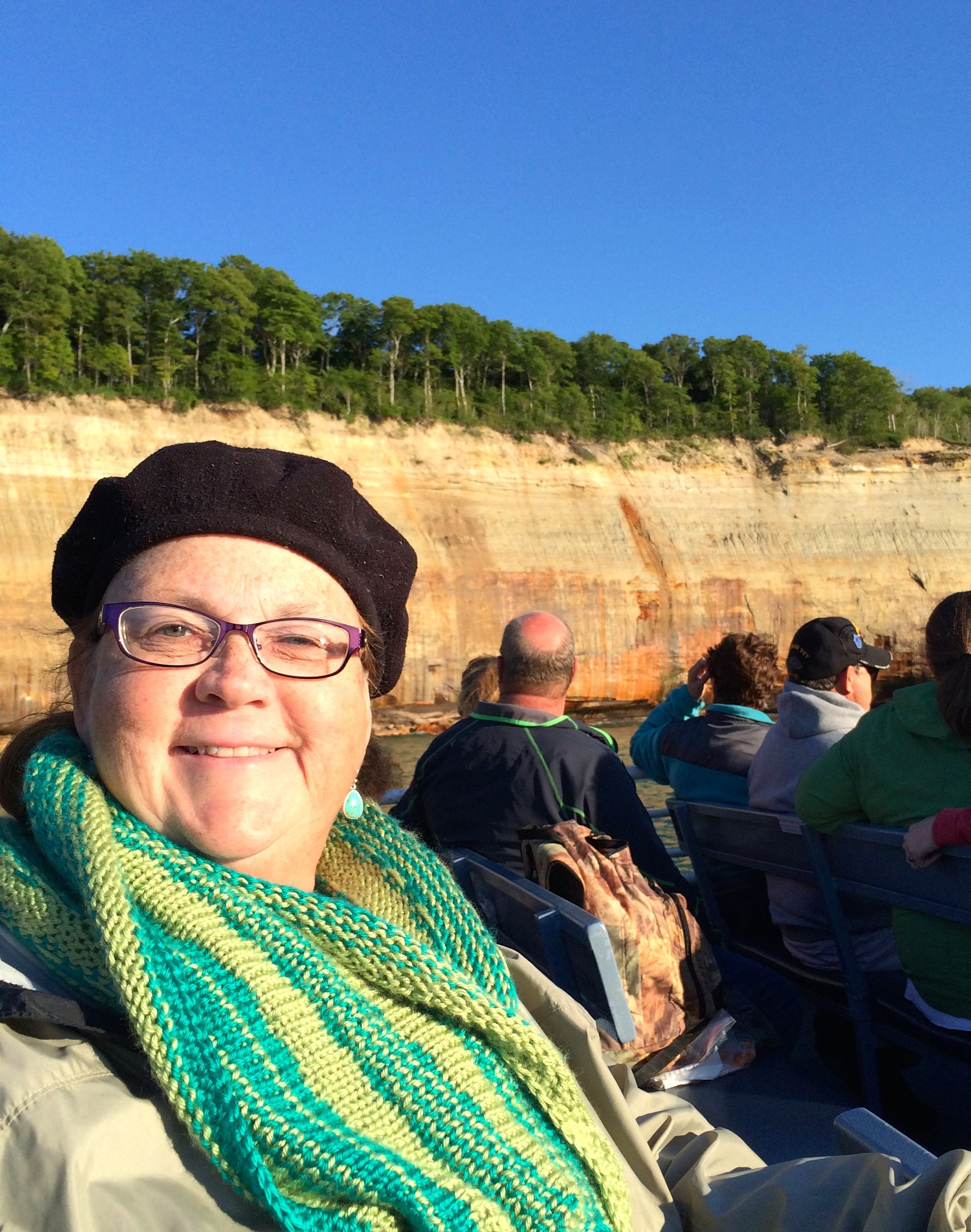
I was also well-swaddled. Two jackets, a hat and the scarf I knit last winter. I wish I had thought to bring gloves. I had them in the truck.
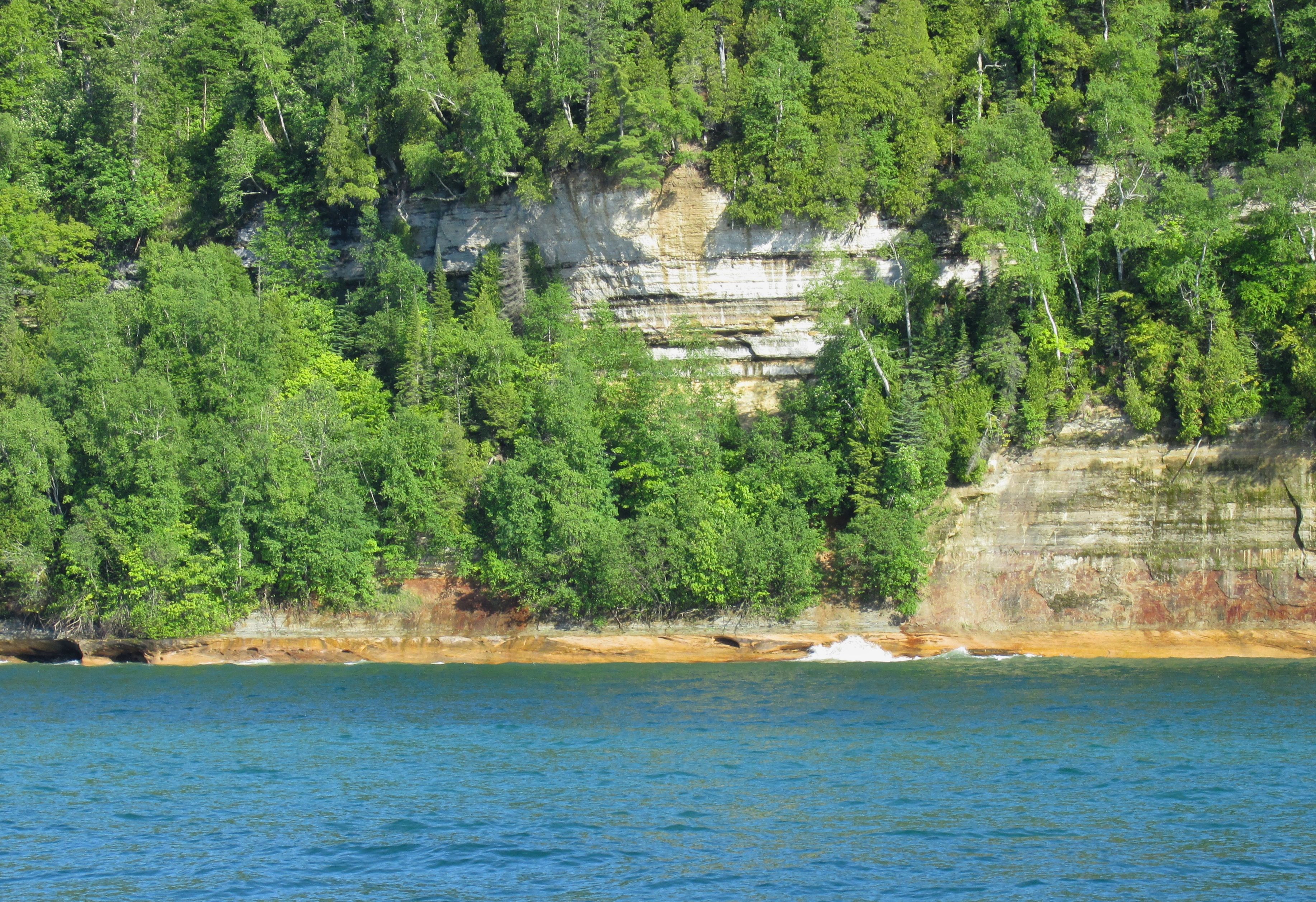
The cliffs started once we left the harbor. “Nice,” I thought, but hardly impressive.
Getting more interesting.

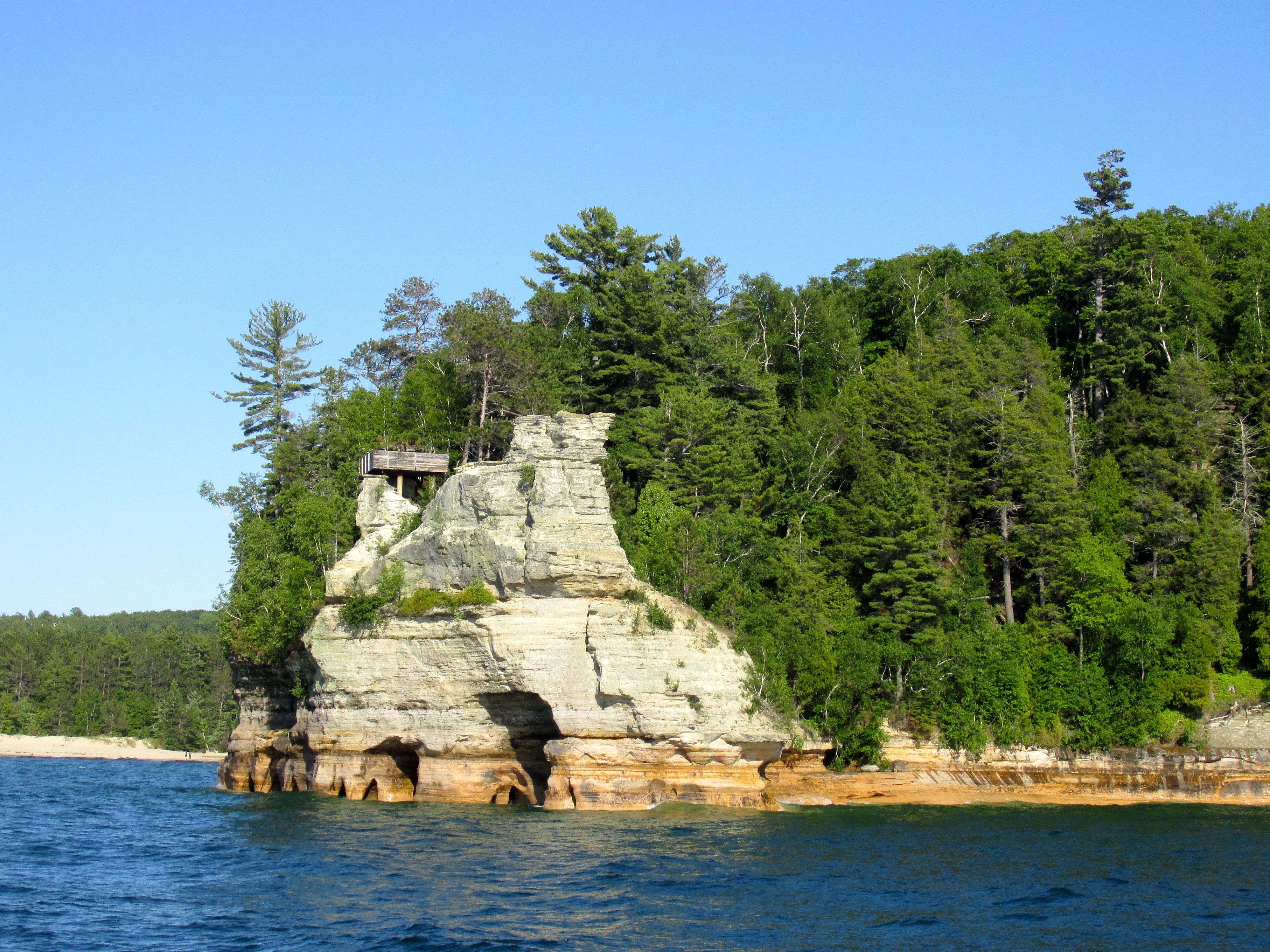
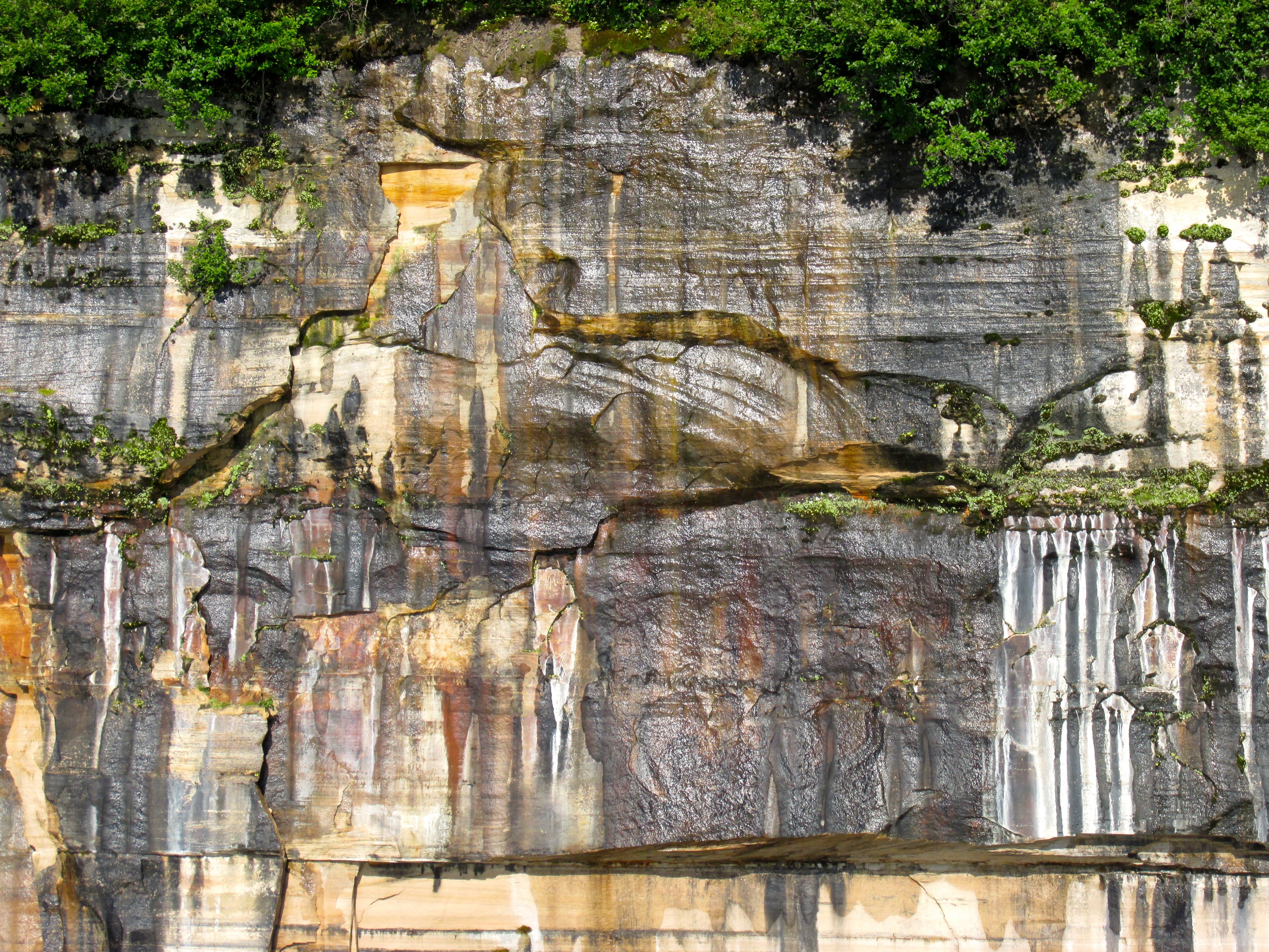
Interesting. Eroded cliffs. This one is called “Miners Castle.”
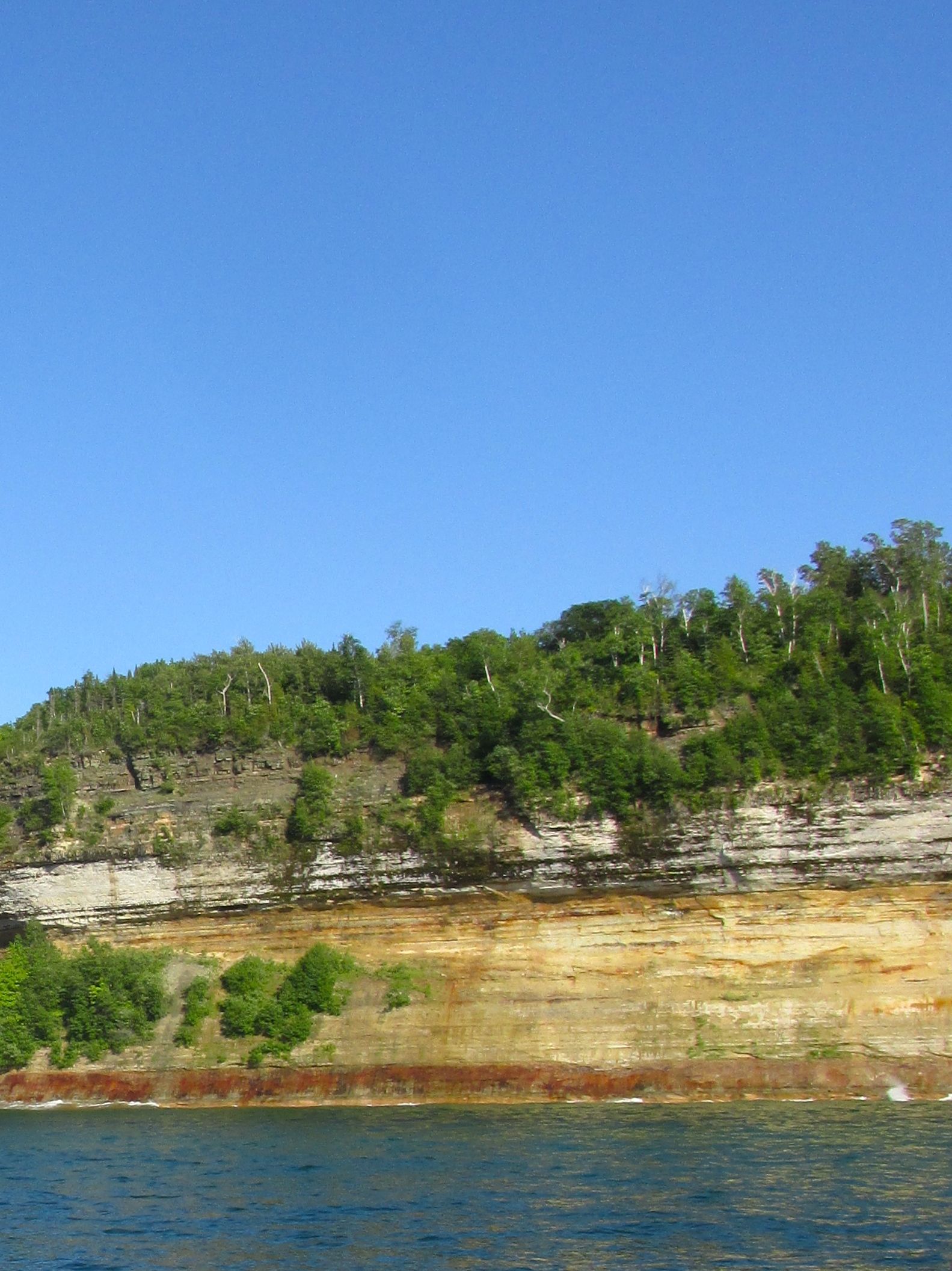
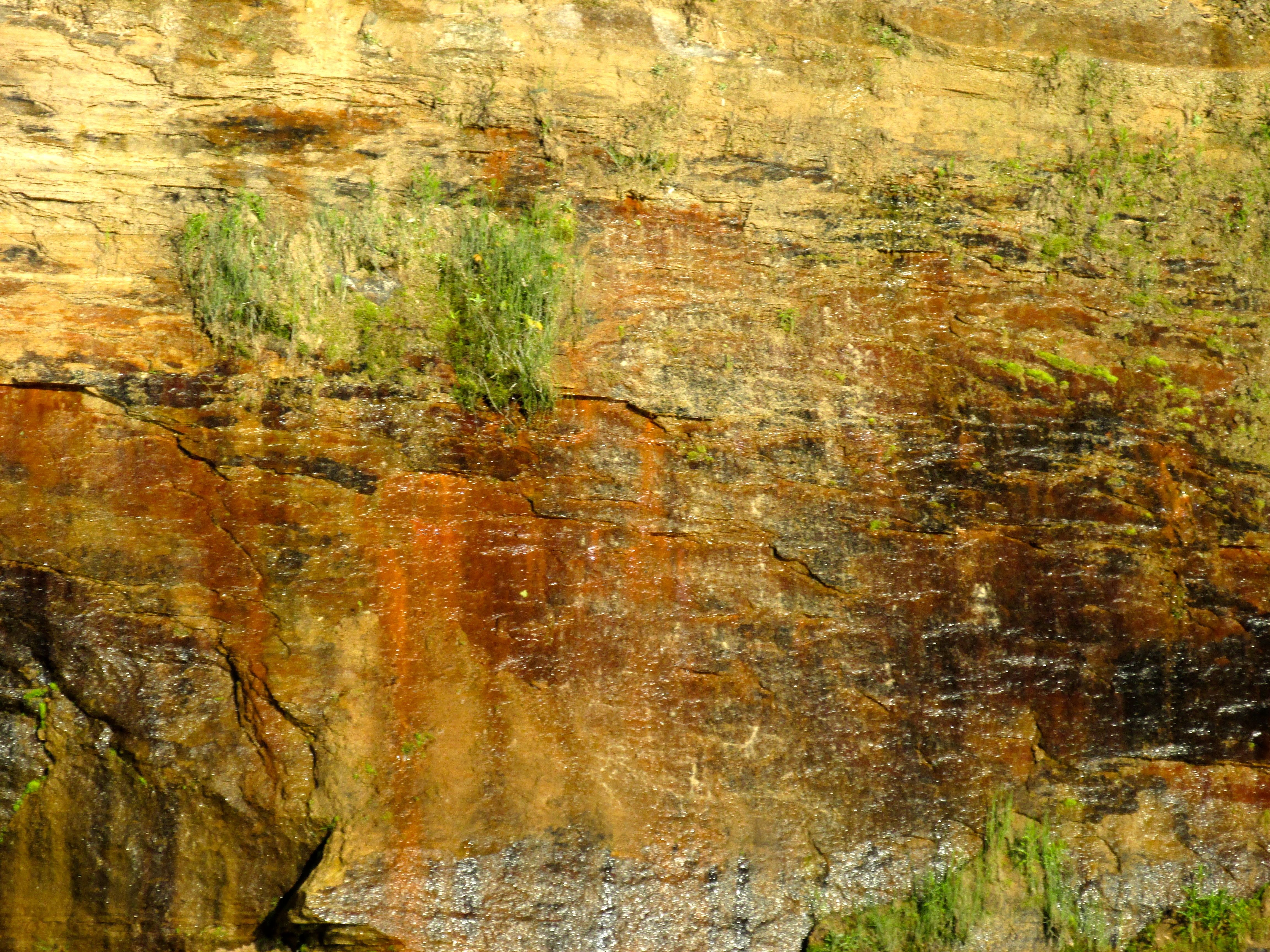
Captain Sliter told us that the brown comes from iron ore leaching through the sandstone. Black is from manganese, white is from calcium and the blues and greens are from copper.


Notice the pine growing atop Cathedral Rock. All its water and nutrients come from the root that grows from the tree on top of the rock to the shore. Captain Sliter told us that there used to be a rock arch growing under the root, but it eroded away years ago. That is one tenacious tree!
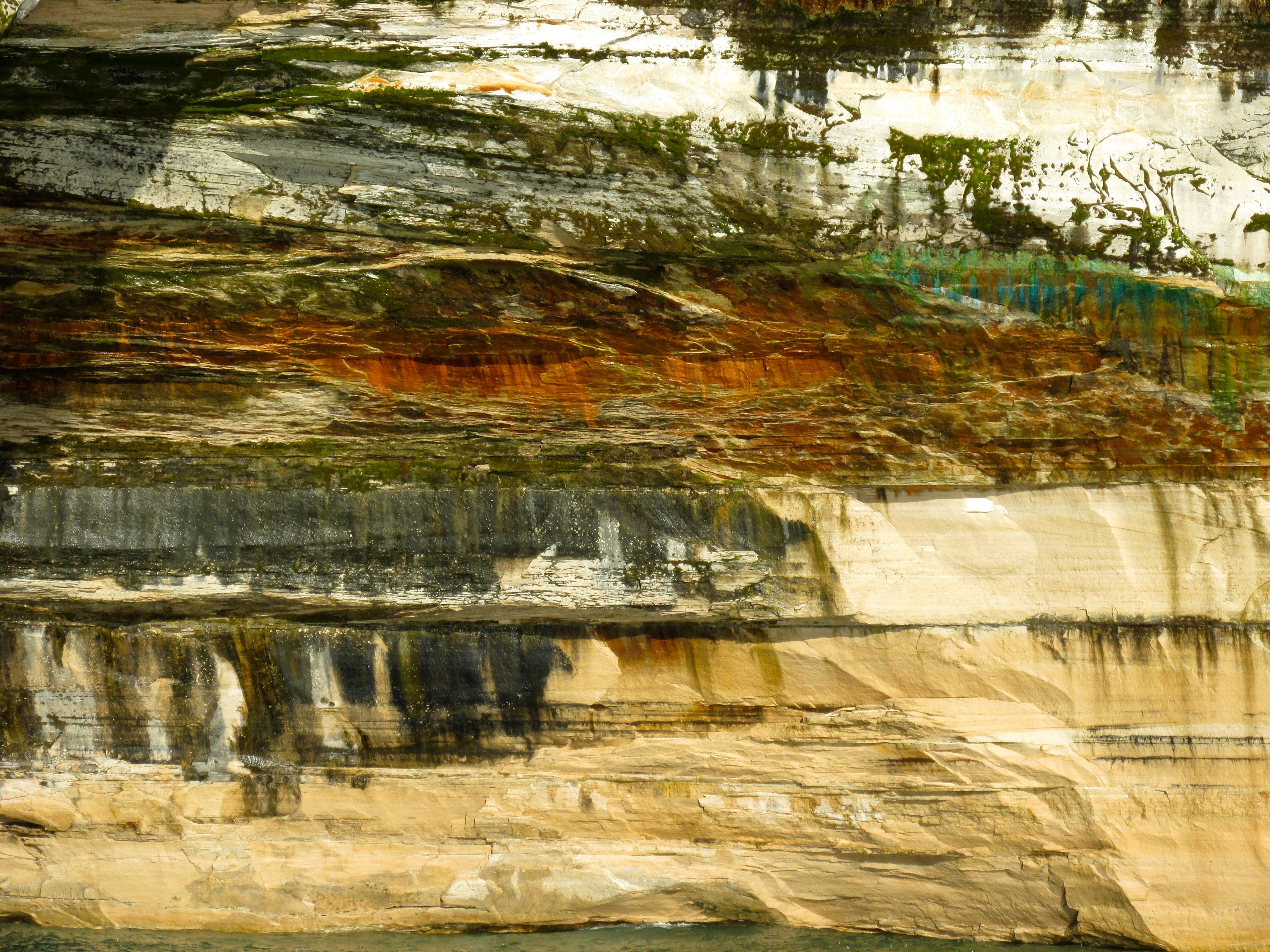
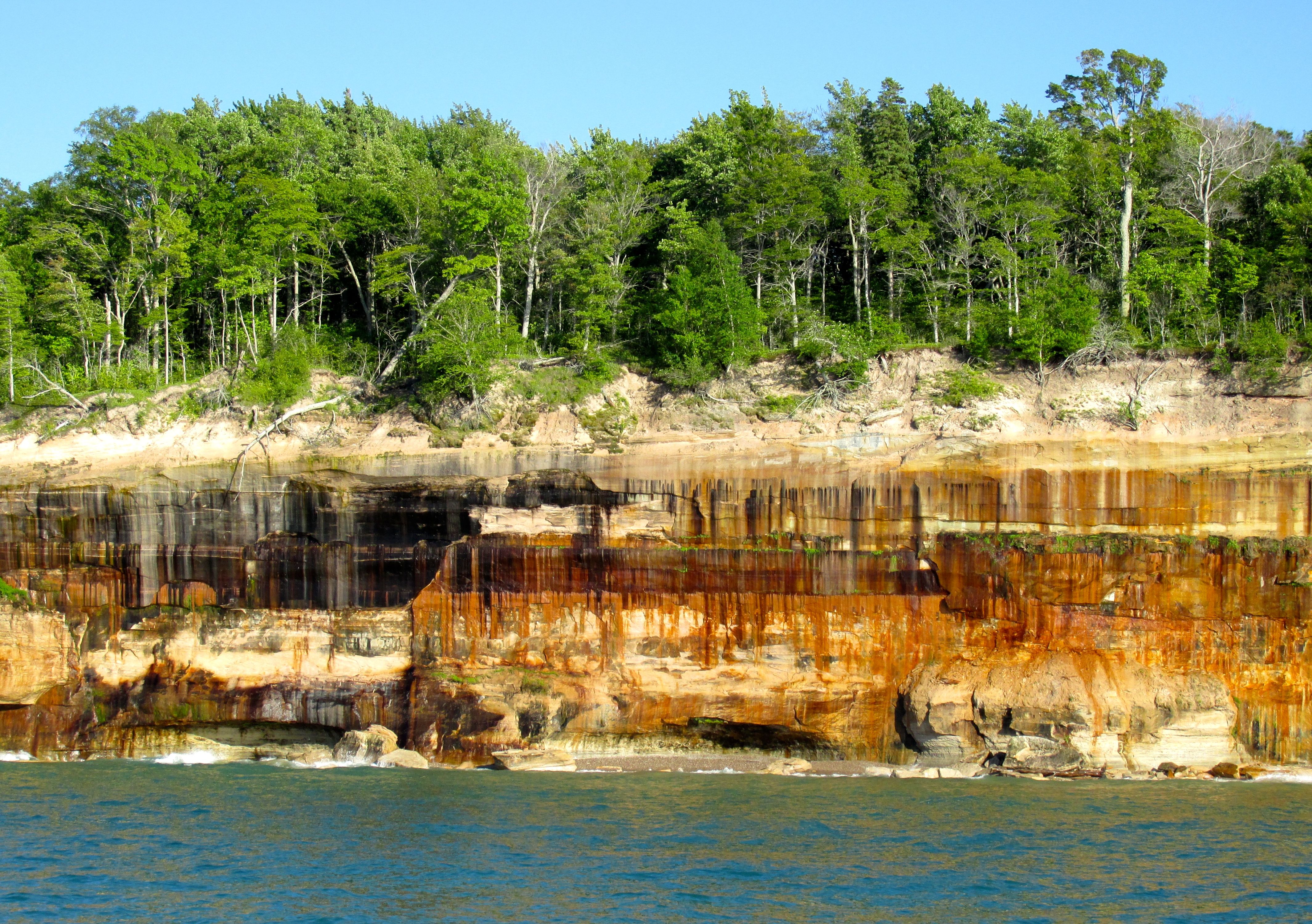
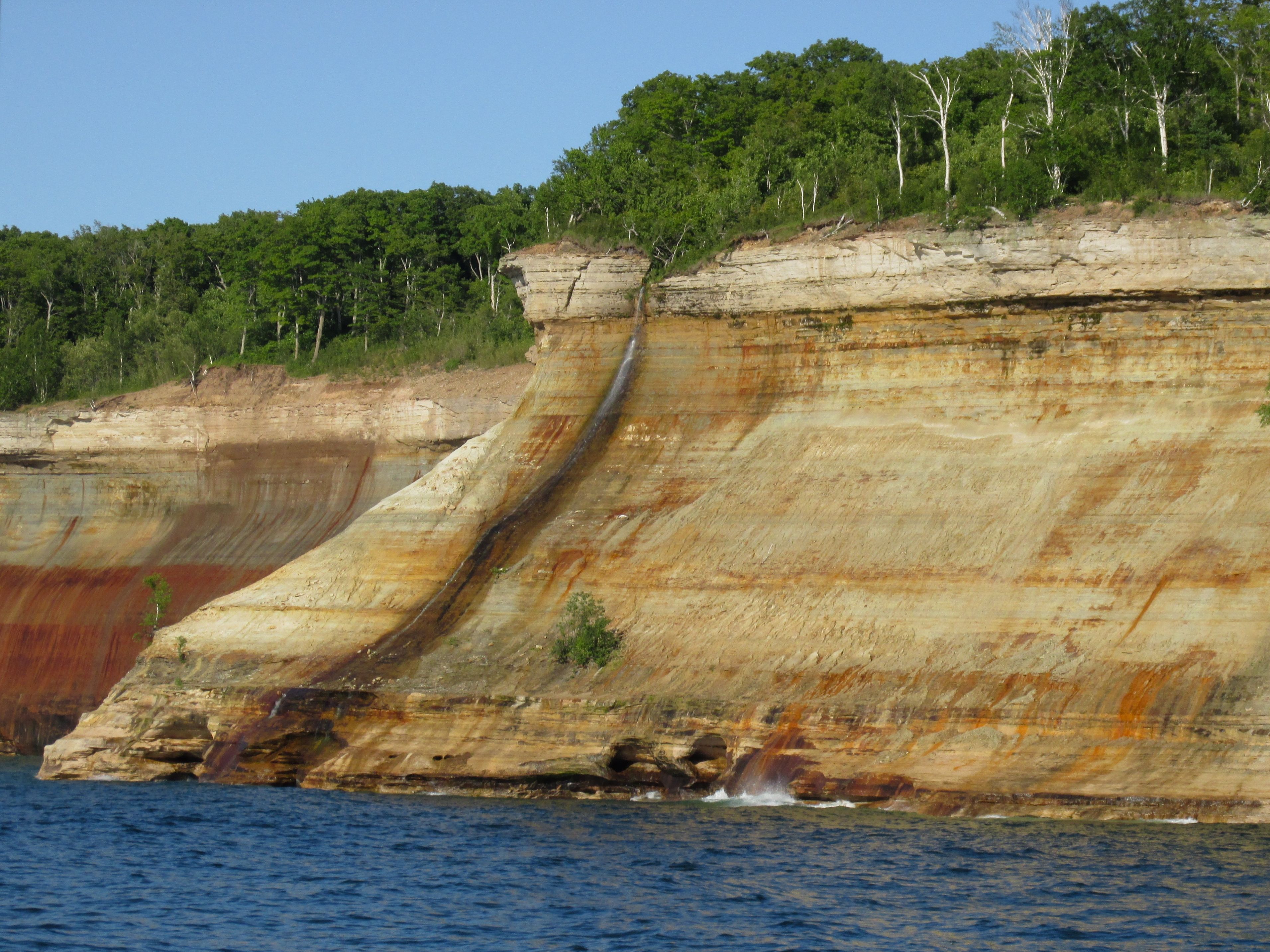
These were the highlights of the Pictured Rocks, as far as I am concerned. What color!
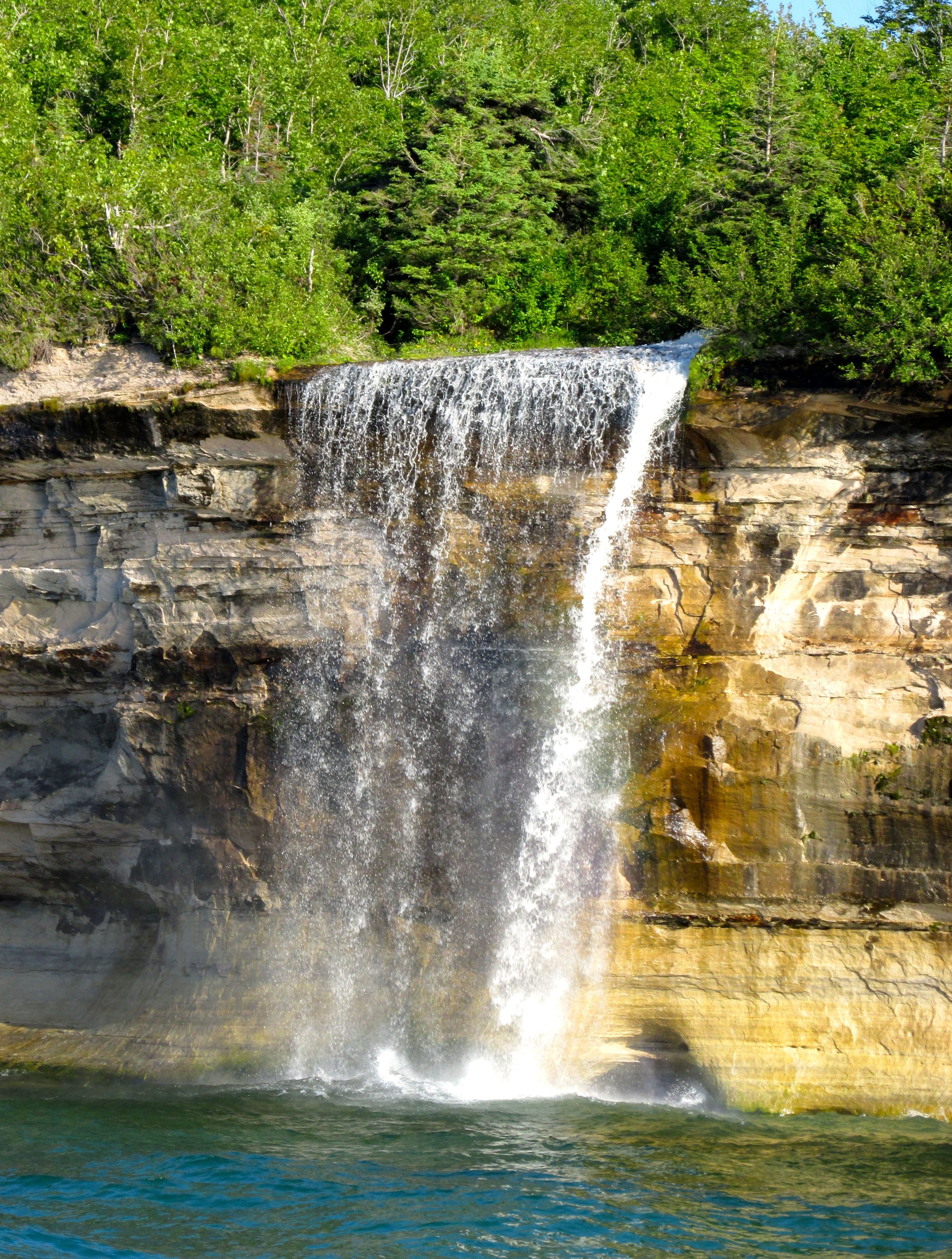
The farthest point we went on our tour was Spray Falls.
And then we turned around for the return trip.

Now, I thought that Death Valley was the lowest point in the United States, but Captain Sliter informed us that the lowest point was really the bed of Lake Superior. The surface of the lake is about 600 feet above sea level, and the depth is about 1300 feet, which means that the bed of Lake Superior is about 700 feet below sea level.
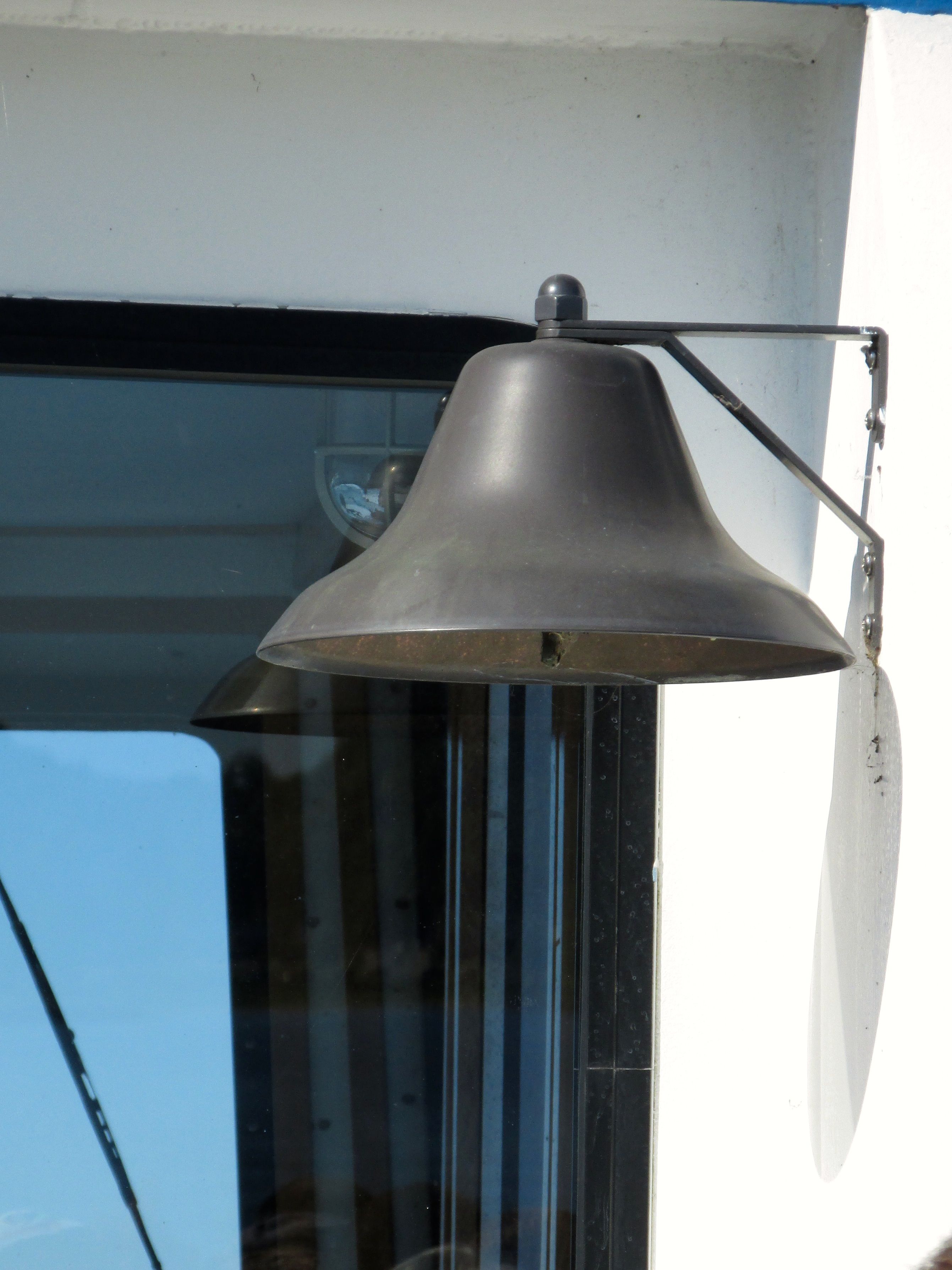
There is a lot of nostalgia for the old ways of doing things on ships. For instance, they have this bell, but I never saw or heard it used. 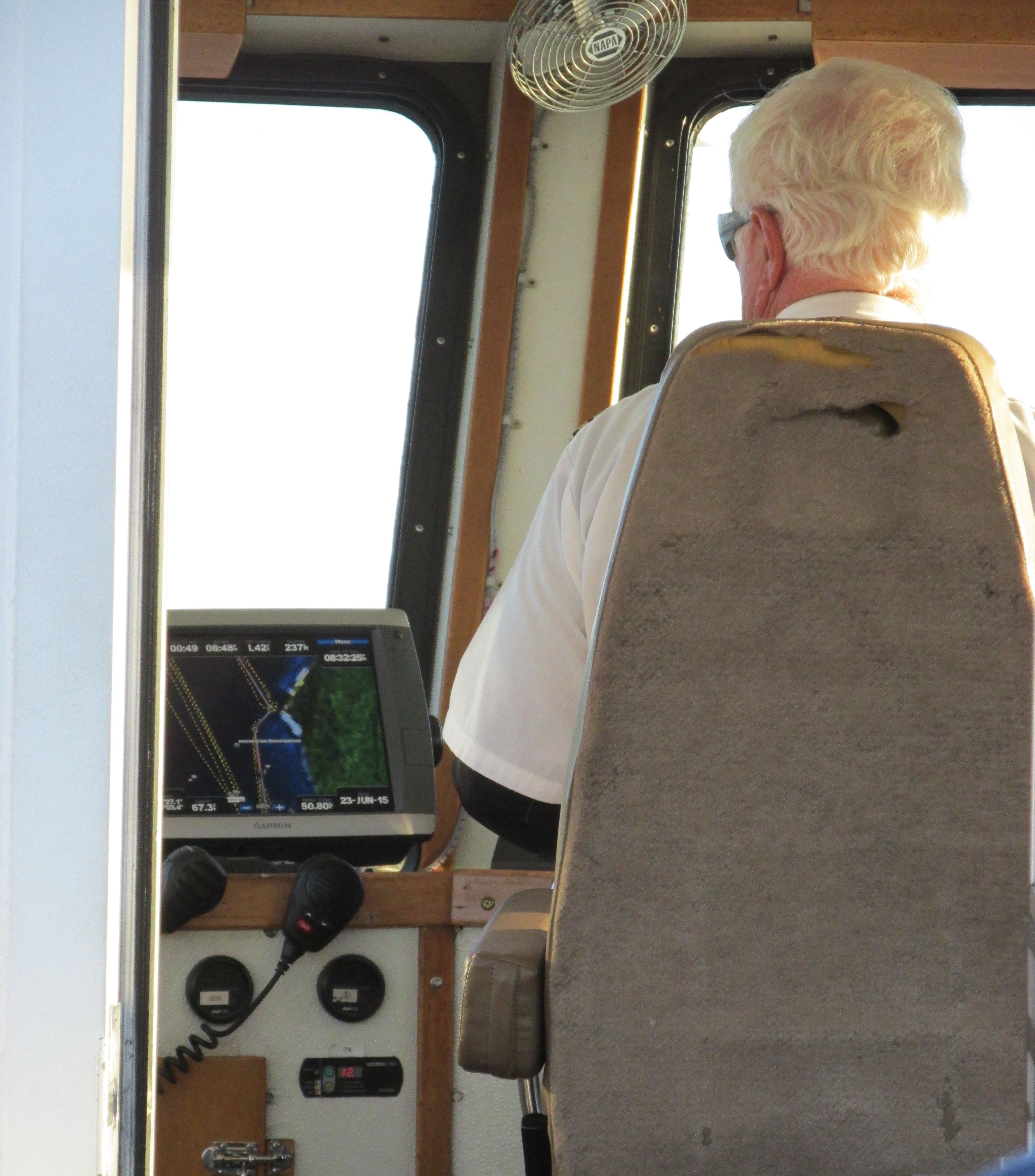
I was pleased to see that they have modern methods of piloting available and they use them.
On the way back, we passed by the old lighthouse on Grand Island. It was built in 1867 and was in use until 1910.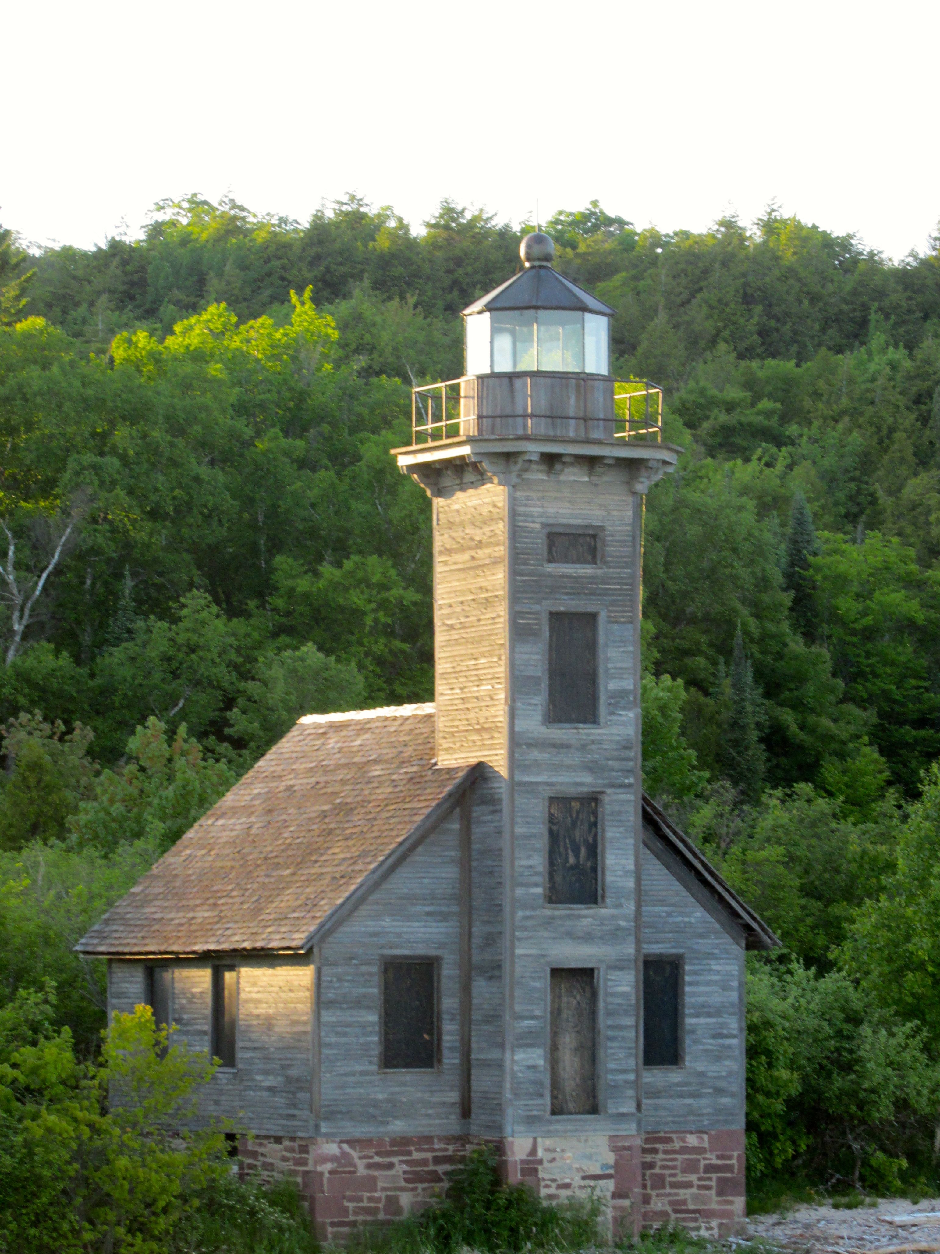
And then we were back at the dock.
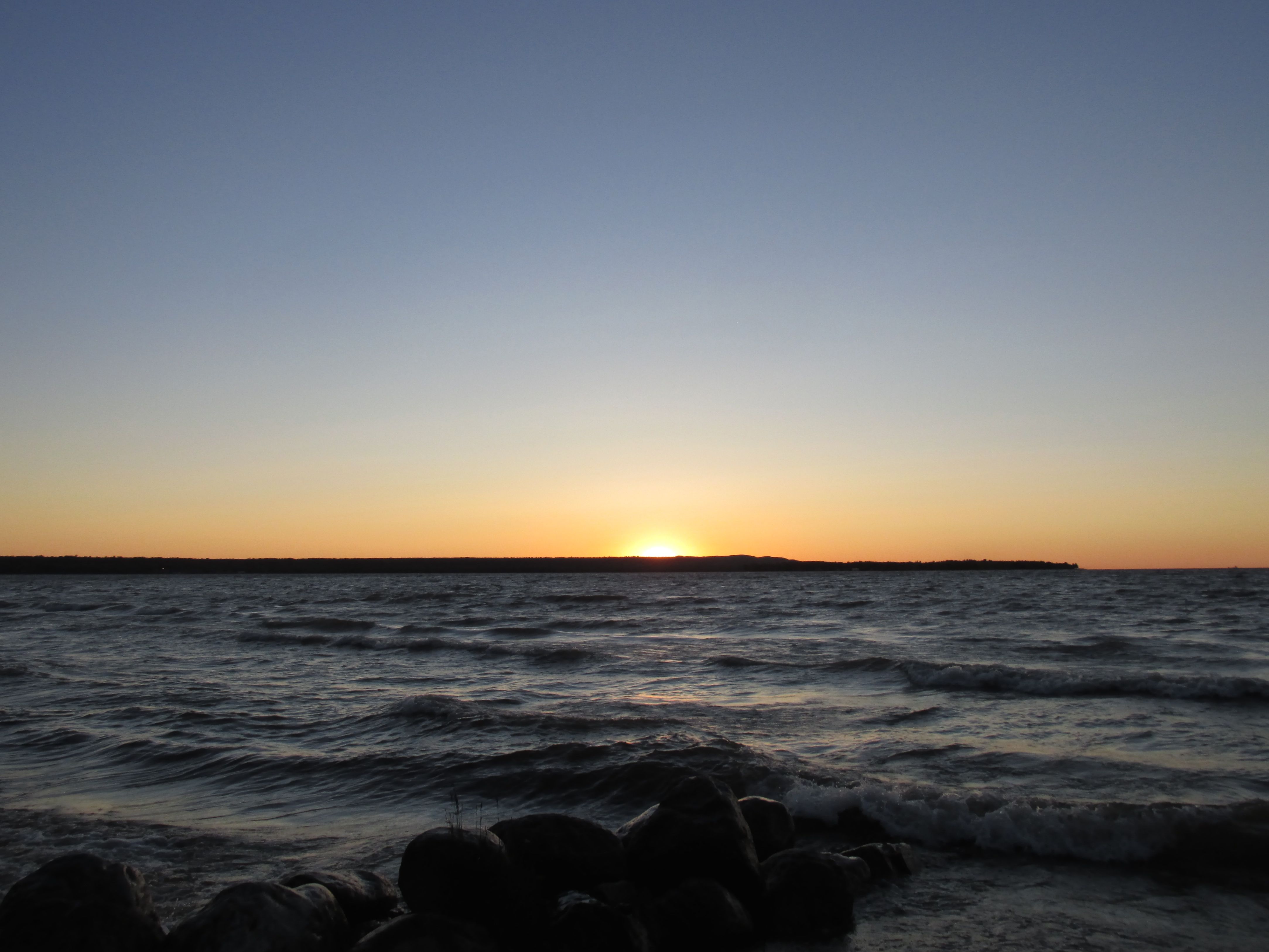
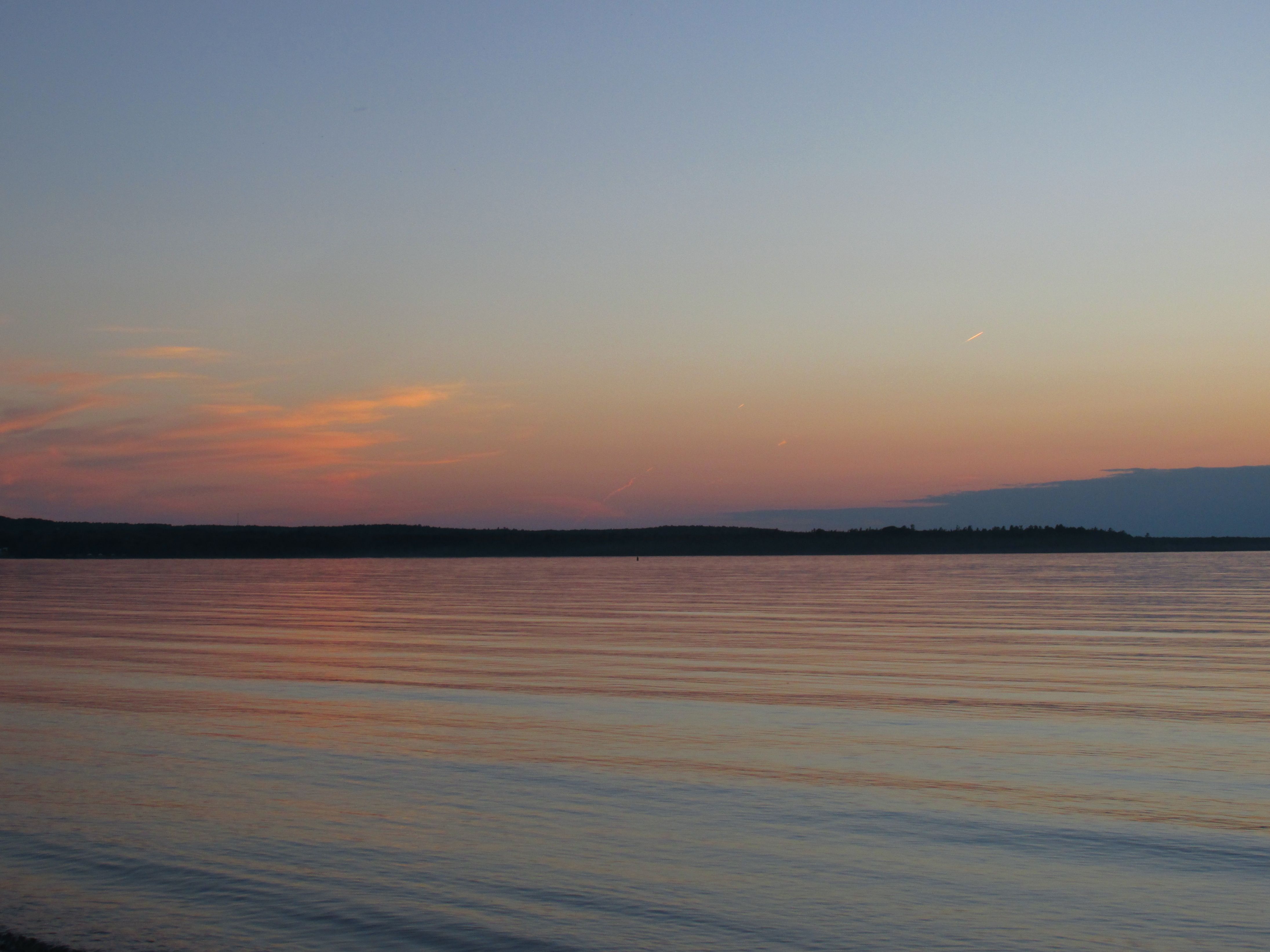 That night, we had a glorious sunset. And, in spite of the clear night sky, once again, I missed seeing the Northern Lights.
It’s still on the bucket list.