Okay, a bad pun that one of my third graders told me many years ago.
(Incidentally, it’s “you da ho”. As Bob Curran in the Buffalo Evening News used to say, “For worst effect, read out loud.”
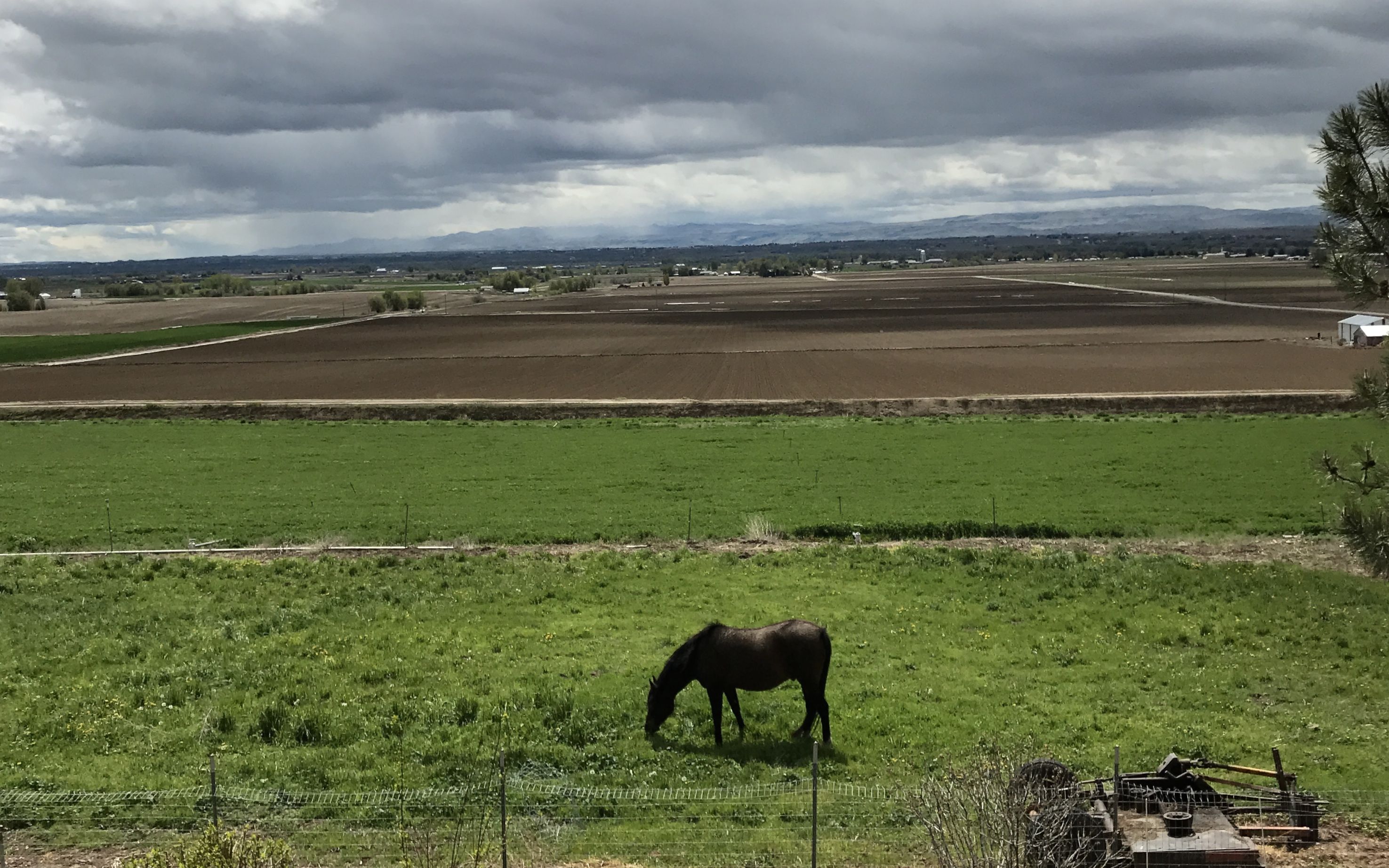
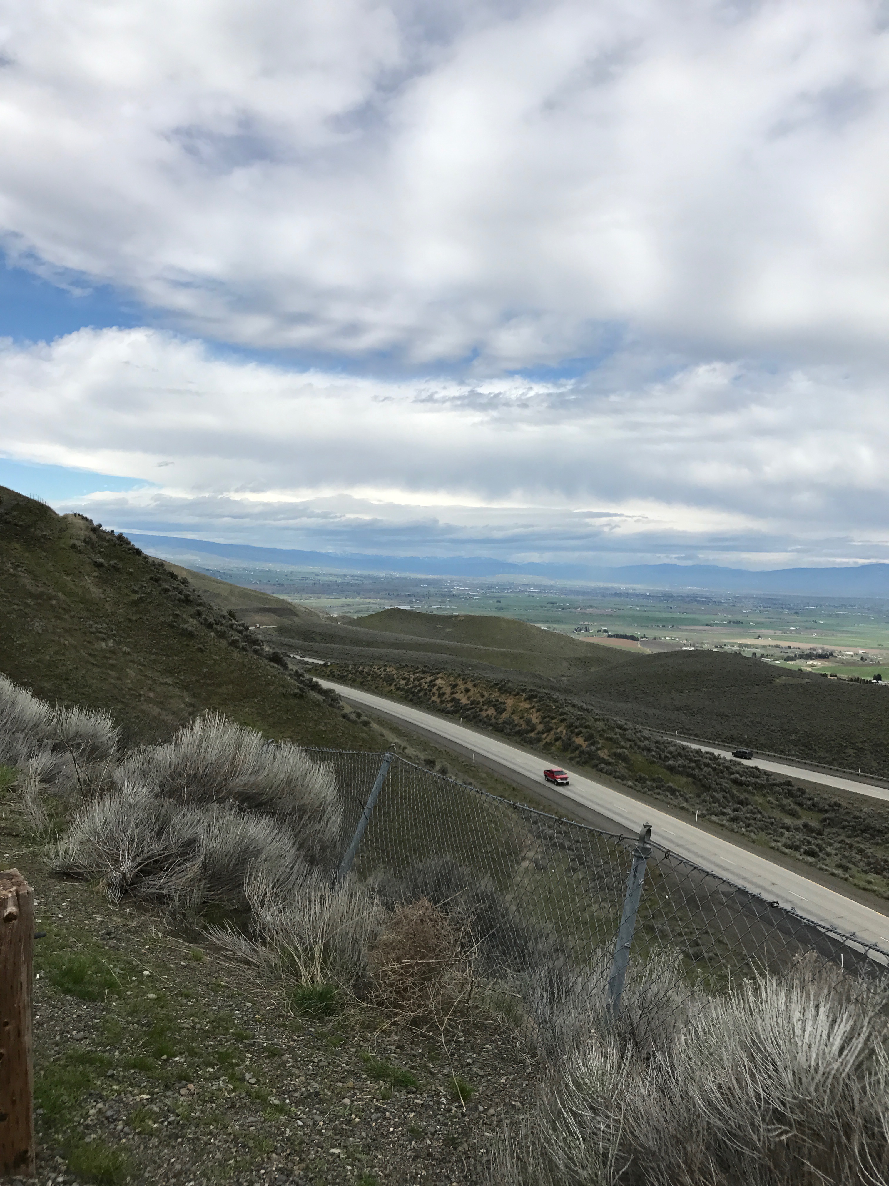
I crossed into Idaho and headed for Boise for a few days. I was in Treasure Valley, which is the area where the six smaller rivers drain into the Snake River and is them out populated region of Idaho. Now, according to my preferred source, the valley had been known historically as the Lower Snake River Valley or the Boise River Valley, but it was dubbed “Treasure Valley” in 1959 to reflect the treasure chest of resources the region offered.
I am sure that the Interstate highway system, which was authorized by the Federal Aid Highway Act of 1956, must have had something to do with increasing the value of the resources of the region, as I-84 went right through the region.
I checked into my campground, Hi Valley RV Park. It had nice level sites, great showers and, in season, the photos of the pool looked lovely. Unfortunately, it was still multiple layer season when I was there.
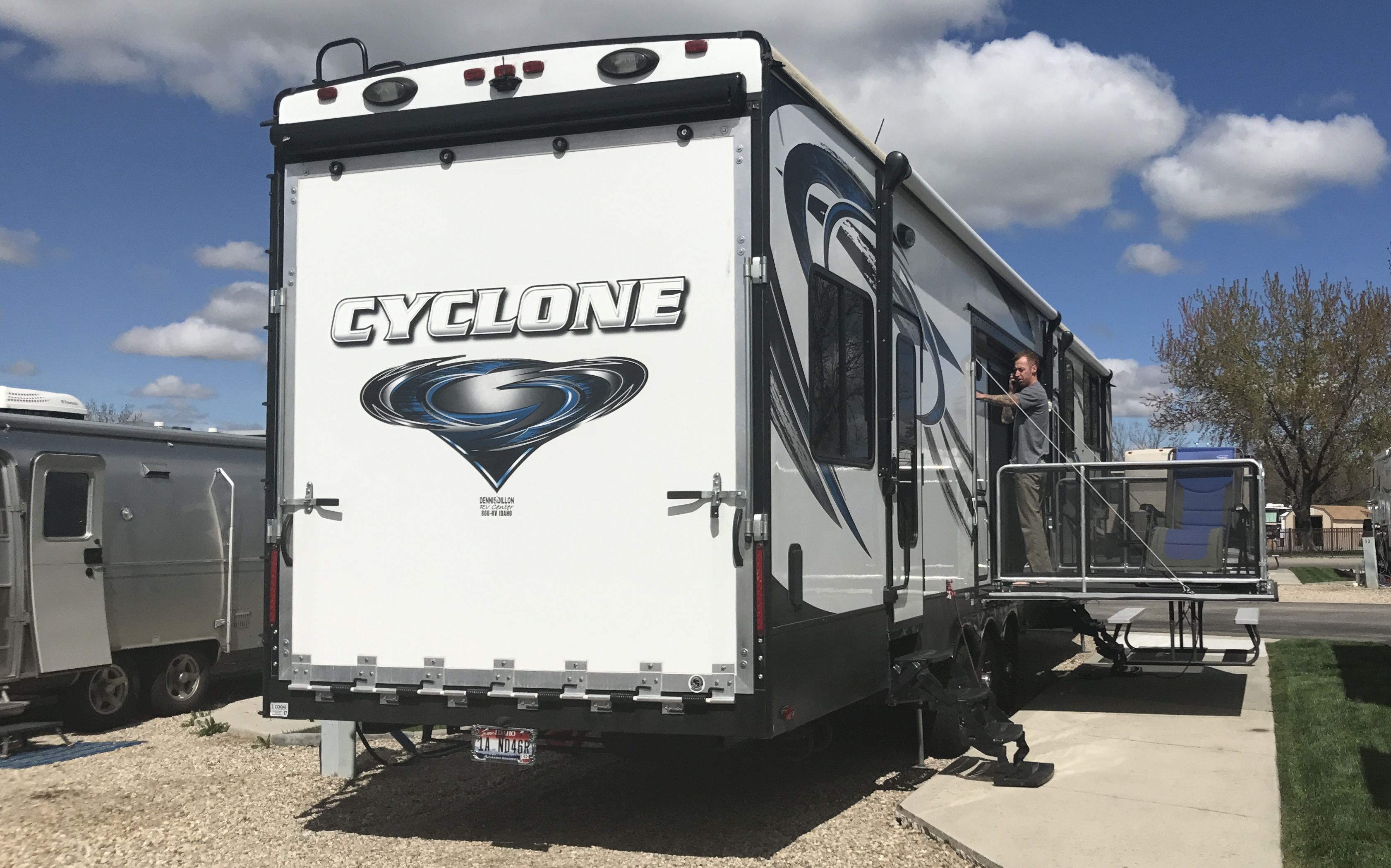
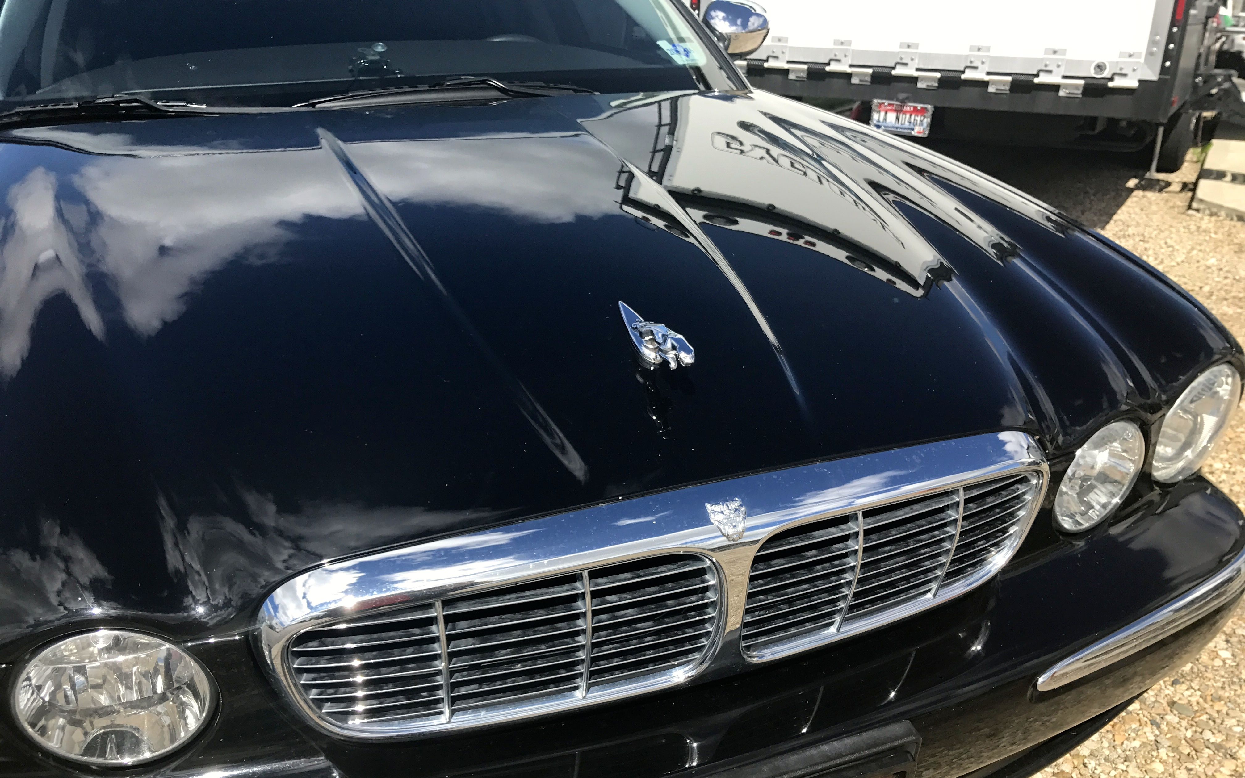
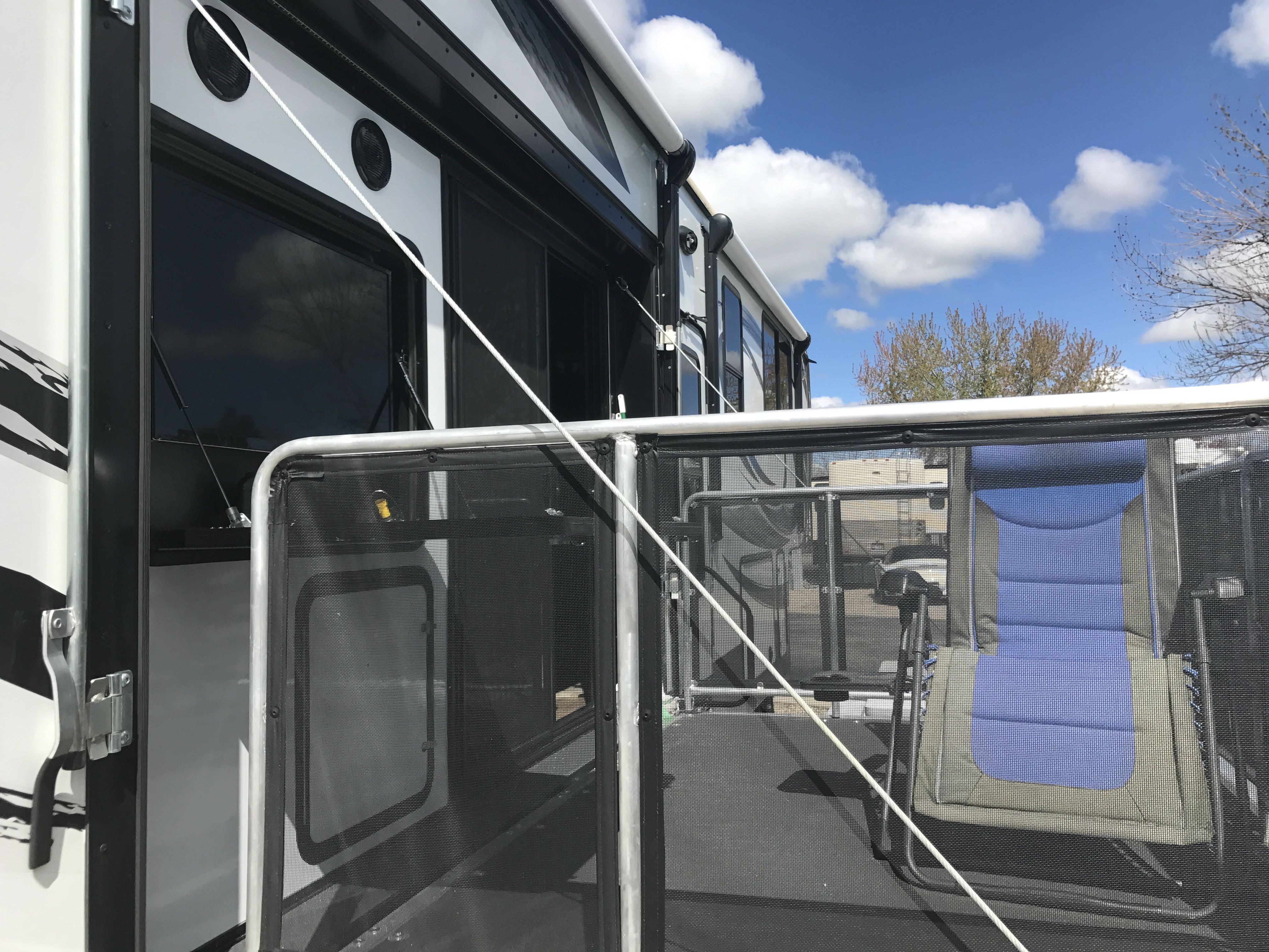
I was parked right next to a rig called a “toy hauler”.
A toy hauler has a back door that lowers down so people can haul their “toys” inside. Sometimes the toys are dirt bikes or motorcycles. So, what toy was this guy hauling?
A Jaguar!
This guy had a porch on the side, with a TV and one chair. That’s a whole lotta RV for one person! I thought Flo was a bit of overkill for me, but I didn’t have to take my Jaguar along with me…
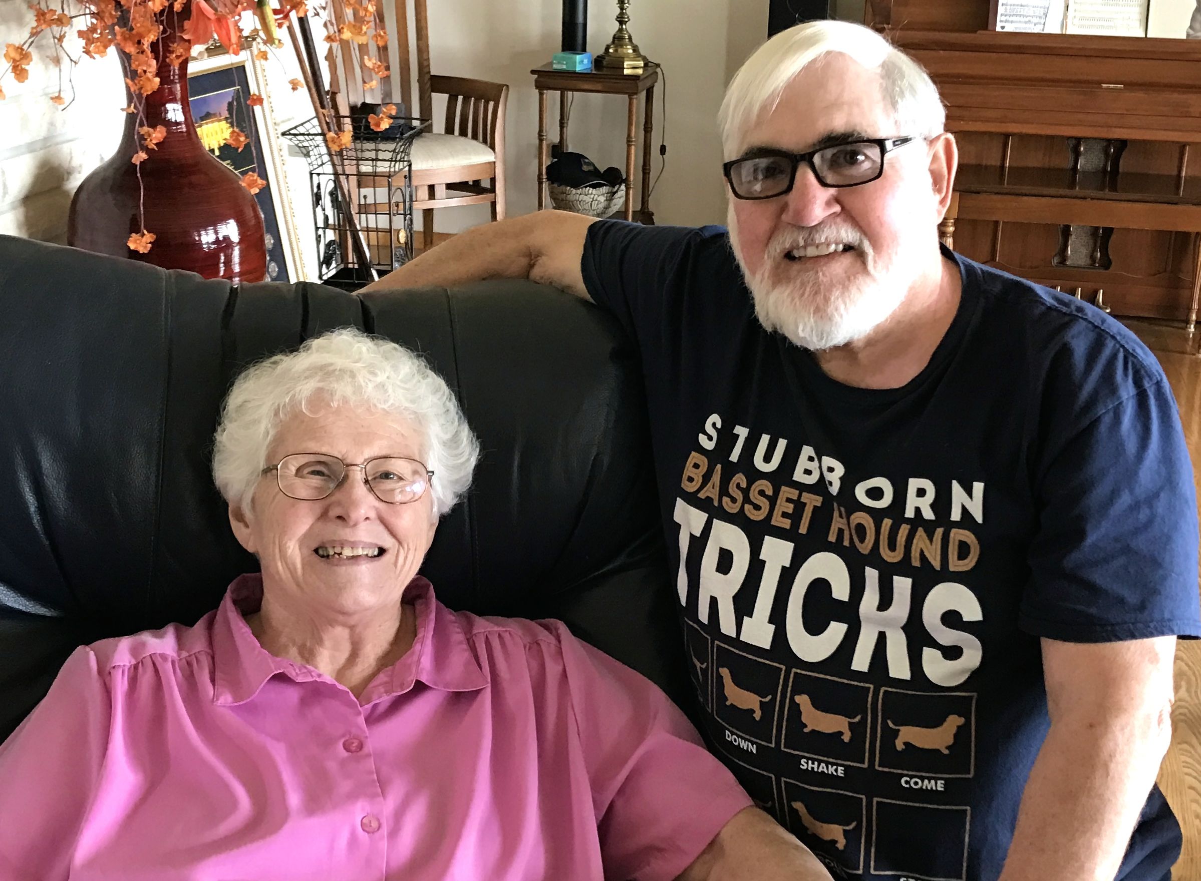
A friend from Kalamazoo was from nearby, and her parents still lived on the family spread. They invited me out to visit.
Talk about a million dollar view!
We chatted and I heard many interesting stories about how the family got there. They offered me a tasty lunch along with the pleasant conversation.
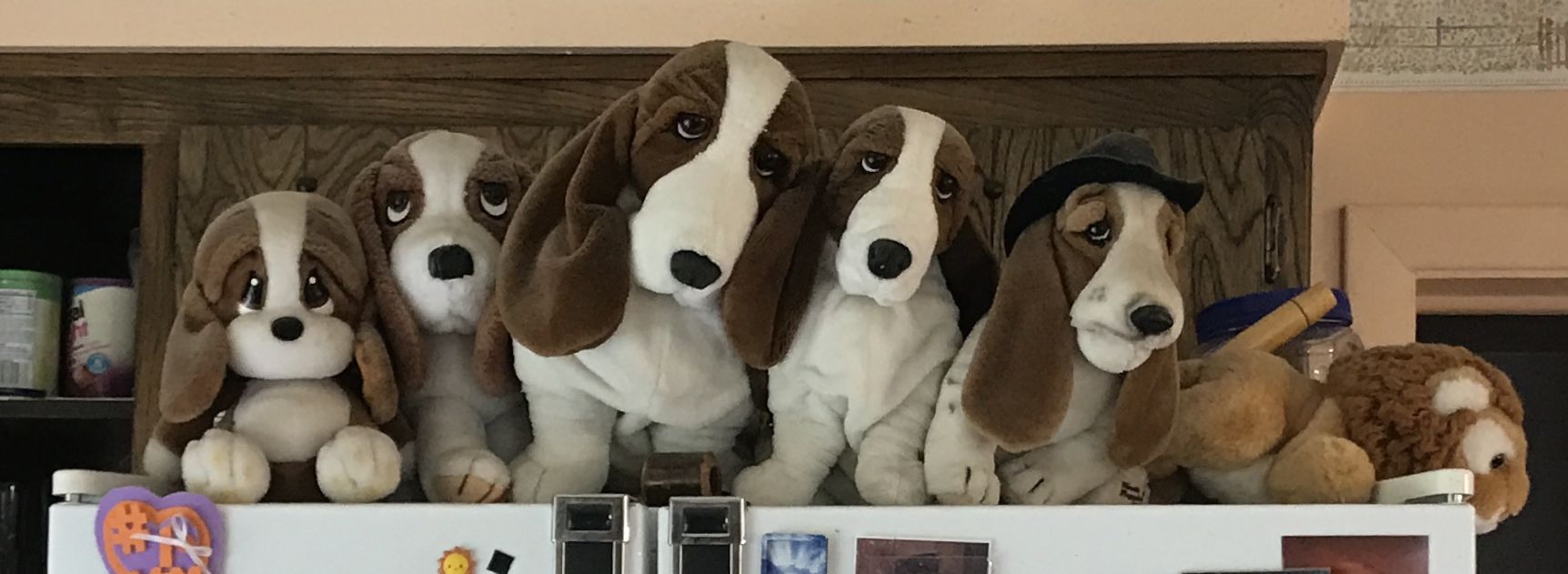
Their house was so homey. Dom and Jody were partial to basset hounds,
They had collections of them tucked here and there around the house.
The hospitality is such as gift! I certainly appreciated my time with Dom and Jody. The weather was starting to look heavy, so I thought it best to head back to Flo.
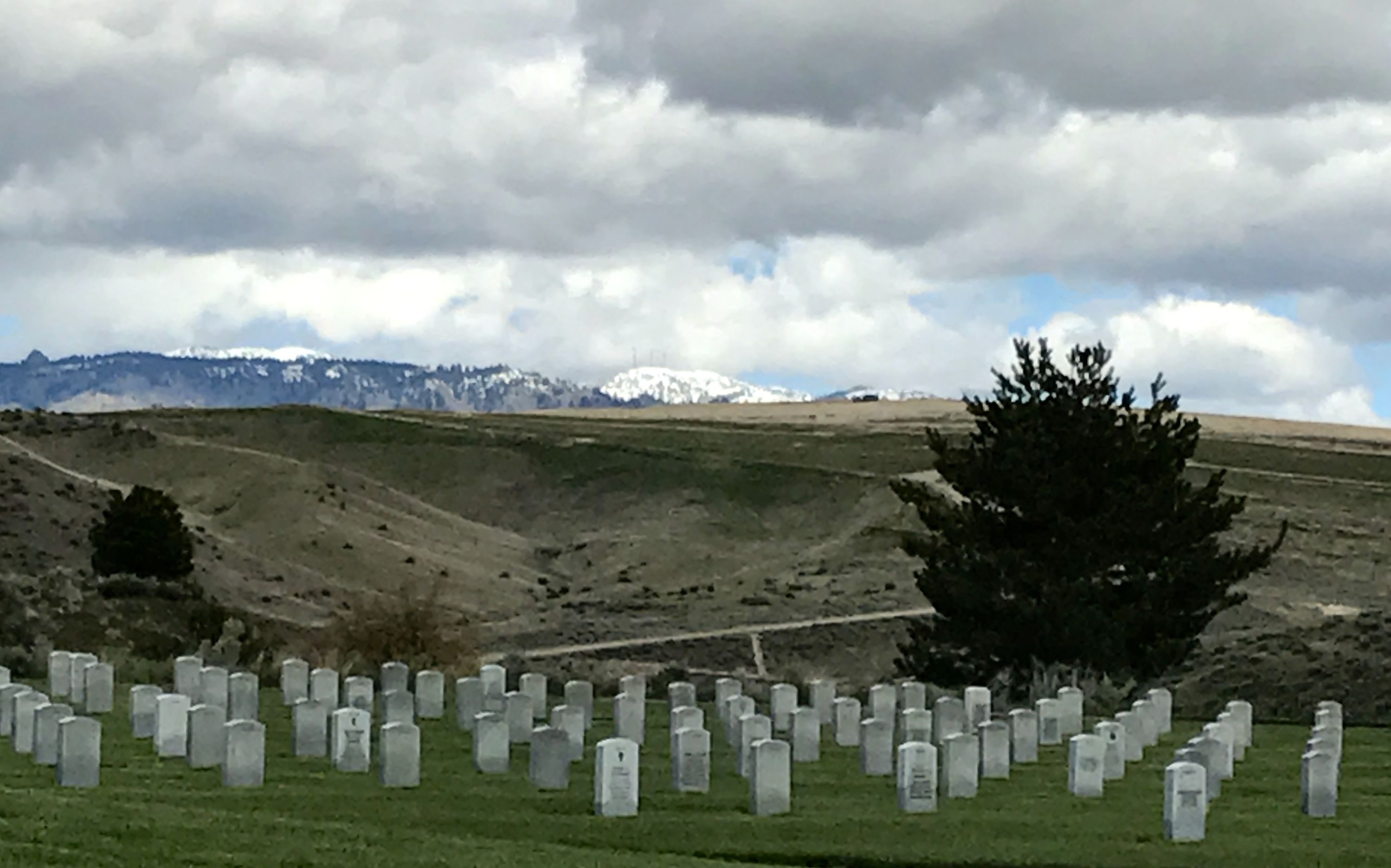
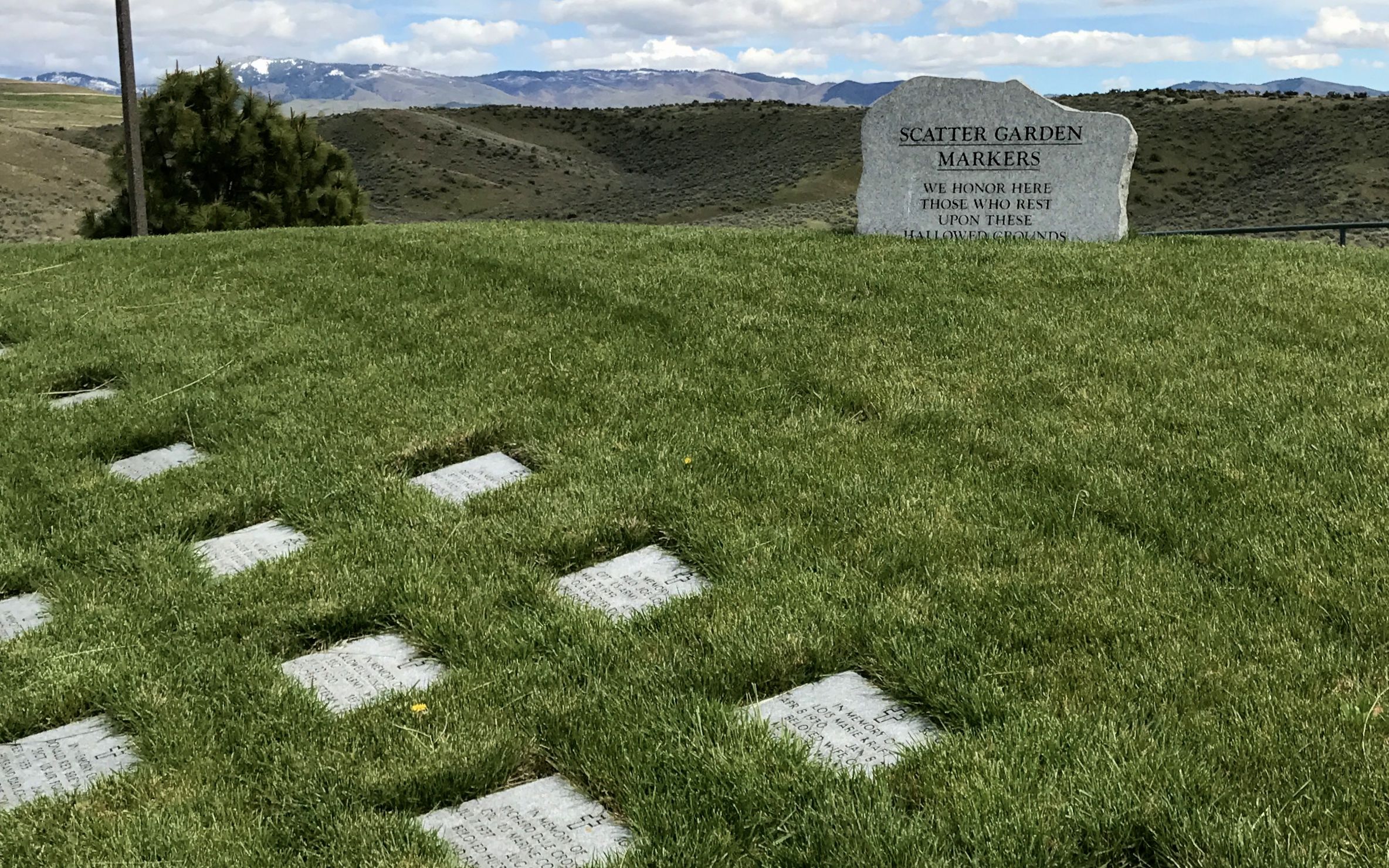
Another day, I decided to investigate the Idaho State Veterans Cemetery, which was right across the street from my campground.
It was a scenic place to be laid to rest.
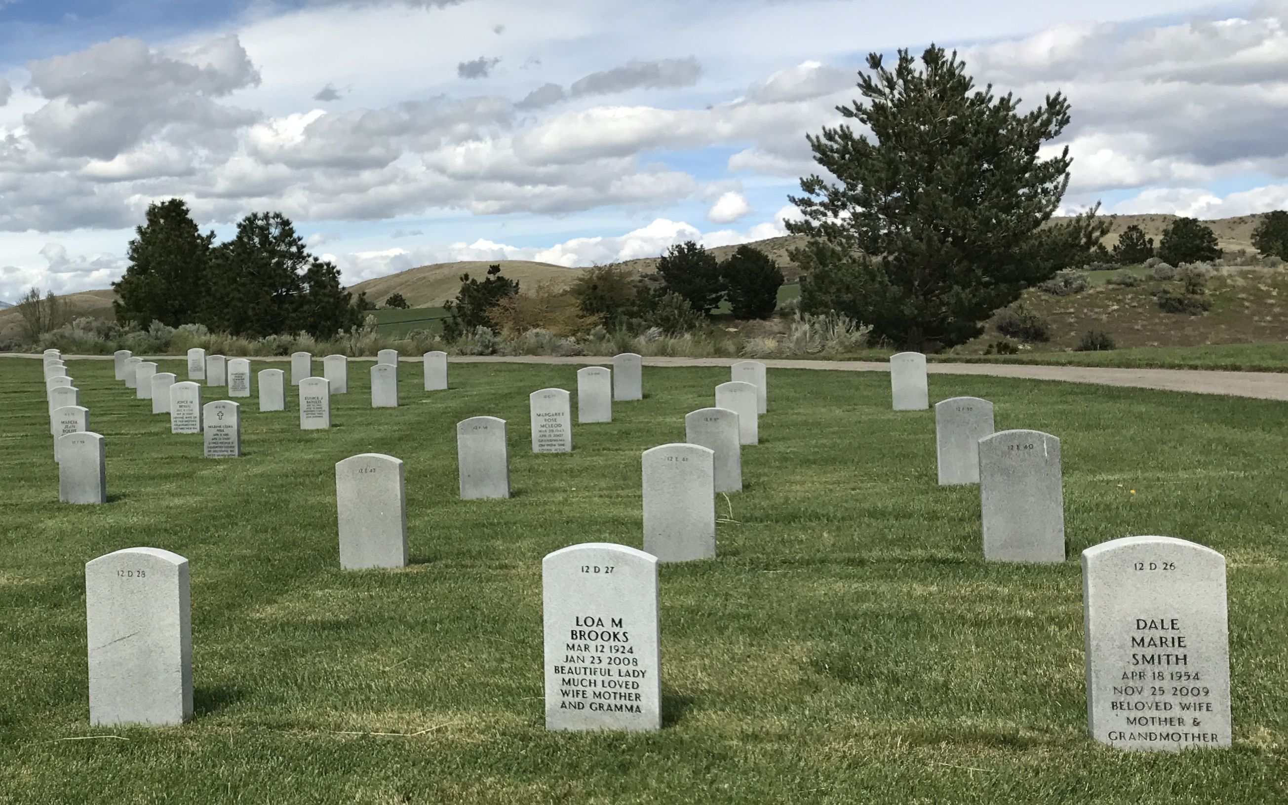
It had some features I had never seen in veterans’ cemeteries before. For one thing, I don’t remember seeing things on the markers like Dennis Leonard Smith has: “Texas Red, Beloved Husband, Father & Papa, Gone Fishing”. It’s really quite charming.
Another charming thing is the burial of the spouse. On the other side of the Dennis Leonard Smith’s marker, you can see that his wife, Dale Marie Smith, beloved wife, mother and grandmother, was buried with him.
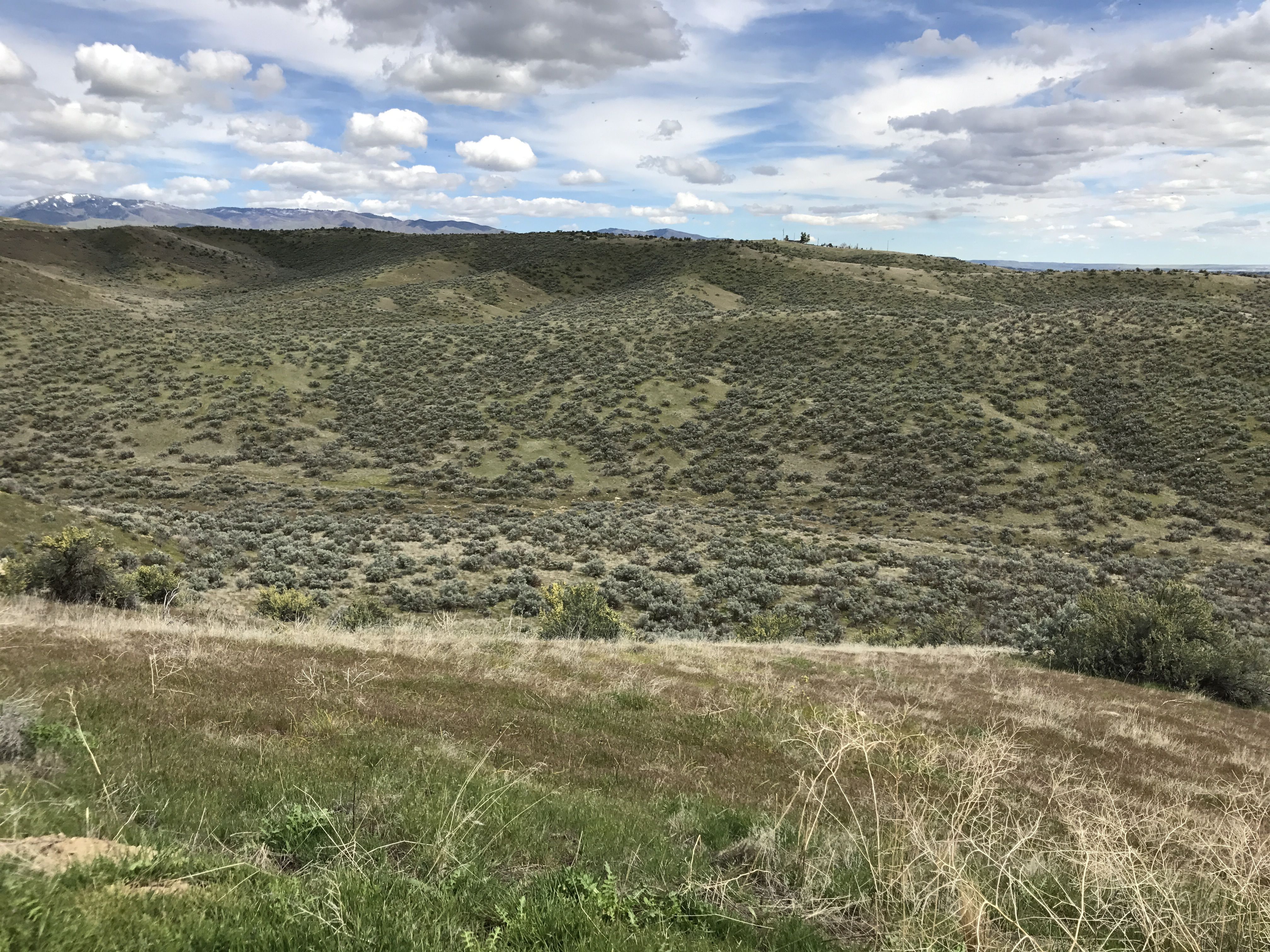
It was a chilly day, and I figured I had seen all there was to see. After all, this wasn’t a tourist destination. I got in Bart, the Big Assed Red Truck, and got ready to leave.
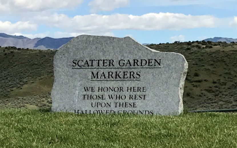
And then I saw this sign. Scattering Garden. I wonder what that could be? I parked the truck and went over to investigate.
There was a part of the cemetery dedicated to the scattering of ashes. This is the view from the platform.
This is the main marker.
Each person whose cremains are scattered have a marker.
And with that, I went back to Flo.
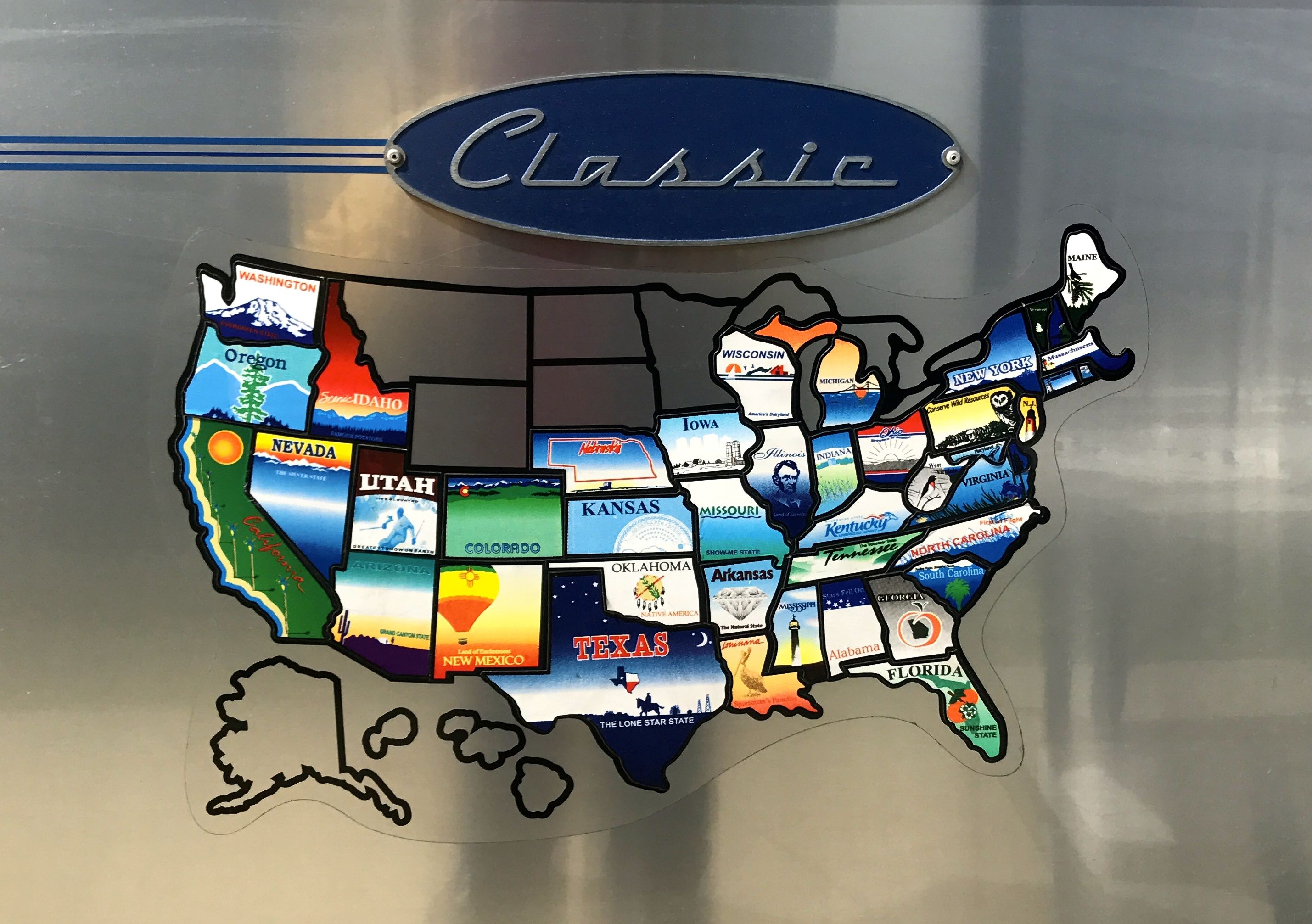
It was as good a time as any to add Idaho to the map.
I am sure there are better travelogs than this one for the next stretch of my trip. I had kind of wanted to overnight in Walla Walla (remember my Pogo reference from a post or two back) but settled on Yakima.
Now, I picked Yakima because my friends once told me that they were putting the Yakima on their car. I had never heard of a Yakima before – I assumed it was some sort of groovy new flotation toy, like a kayak. I was a little surprised to learn that they were talking about something more like a luggage carrier.
Anyway, I never forgot the name, so when I saw Yakima on the map and I saw that it was on my way, I decided to stop at the Yakima Sportsman State Park for the night.
It was so nice to have some dry weather! I made camp and then went to replenish my larder. My map app showed that there was a Grocery Outlet Bargain Market in town, so I decided to head over there. Some Facebook friends had said that it was a great place with wonderful prices. I don’t remember ever seeing this chain before, so I thought I check it out.
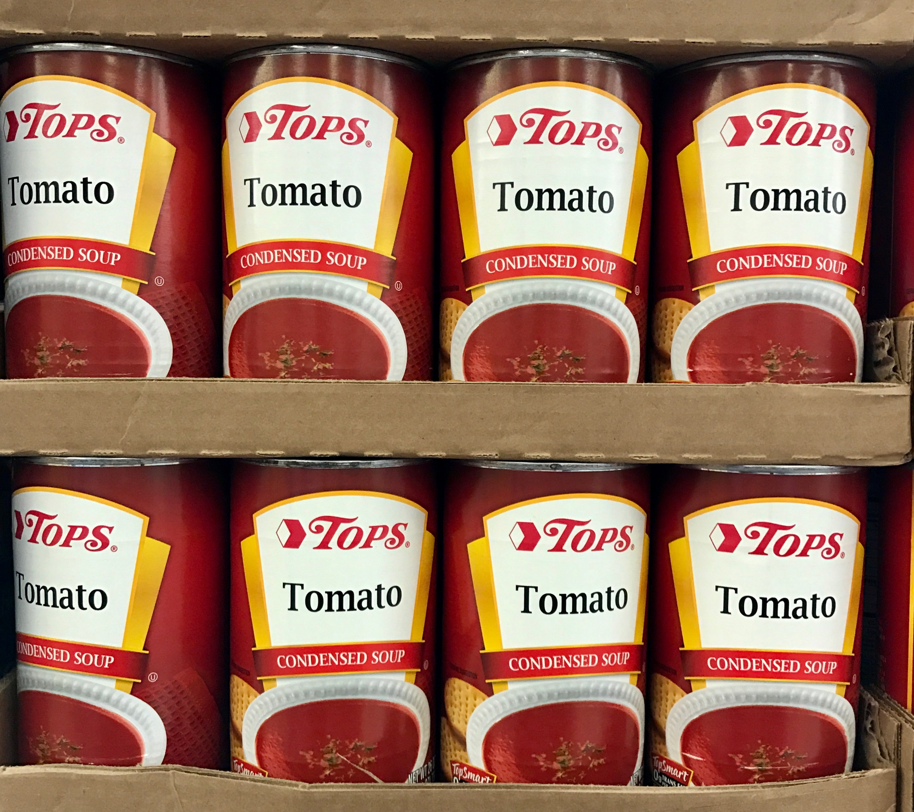
I swear Tops is following me around! I found a Tops store in Redding, California. Tops is a supermarket chain that we shopped at in my hometown.
Yep – Tops never stops!
I didn’t have much that I needed to do in Yakima, but I did have one thing that I needed to do before I left Washington.
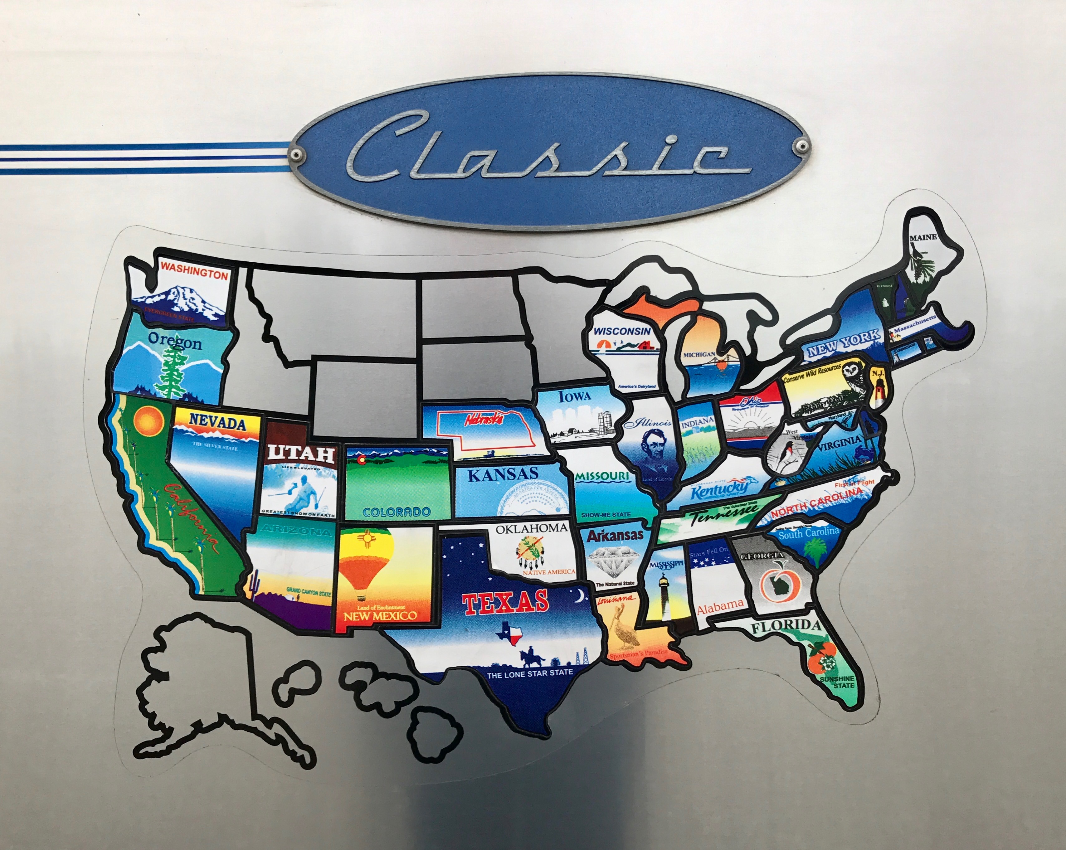
Washington on the map
I needed to put Washington on the map!
It was my 42nd sticker and Washington was the 42nd state to join the union.
The next day, I hitched up Bart and headed out.
There were some scenic roads ahead.
The climate changed. I had heard that it was drier on the east side of the state, and you can see that it is.
I rolled into Oregon. I stopped for gas at the first station I saw – well, the first station that I could pull into easily. Of course, I jumped out of the cab and went to pump my own gas. The attendant came out and greeted me, and I said, “Oh! I forgot that you pump our gas for us in Oregon!”
While I was standing there, a local resident came over and wanted to talk Airstreams. I’m always happy to talk to Airstream enthusiasts. It turns out that he has one, and it’s even longer than Flo. He claims to get 20 miles to the gallon.
Yeah, right.
I paid the attendant and got back on the road.
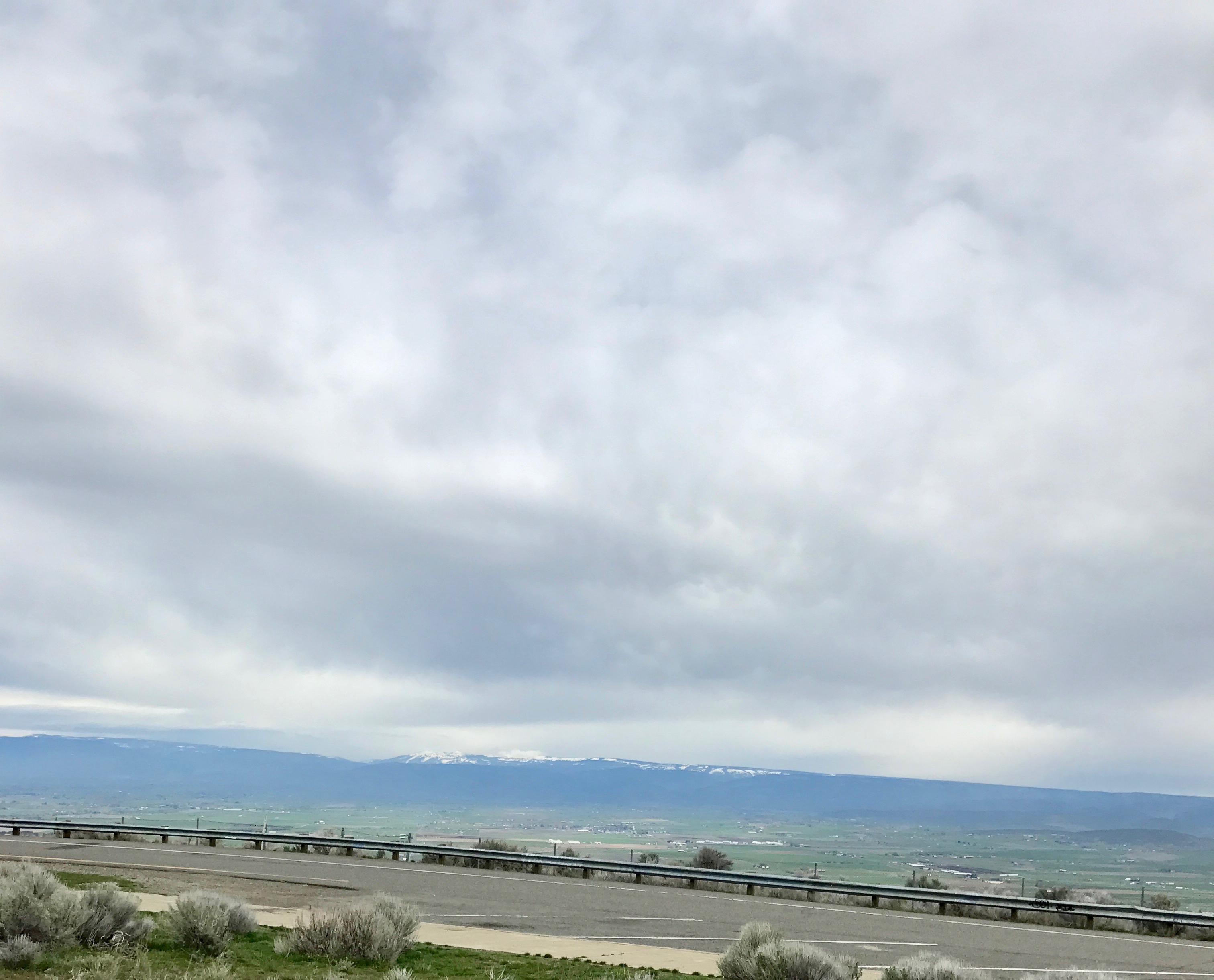
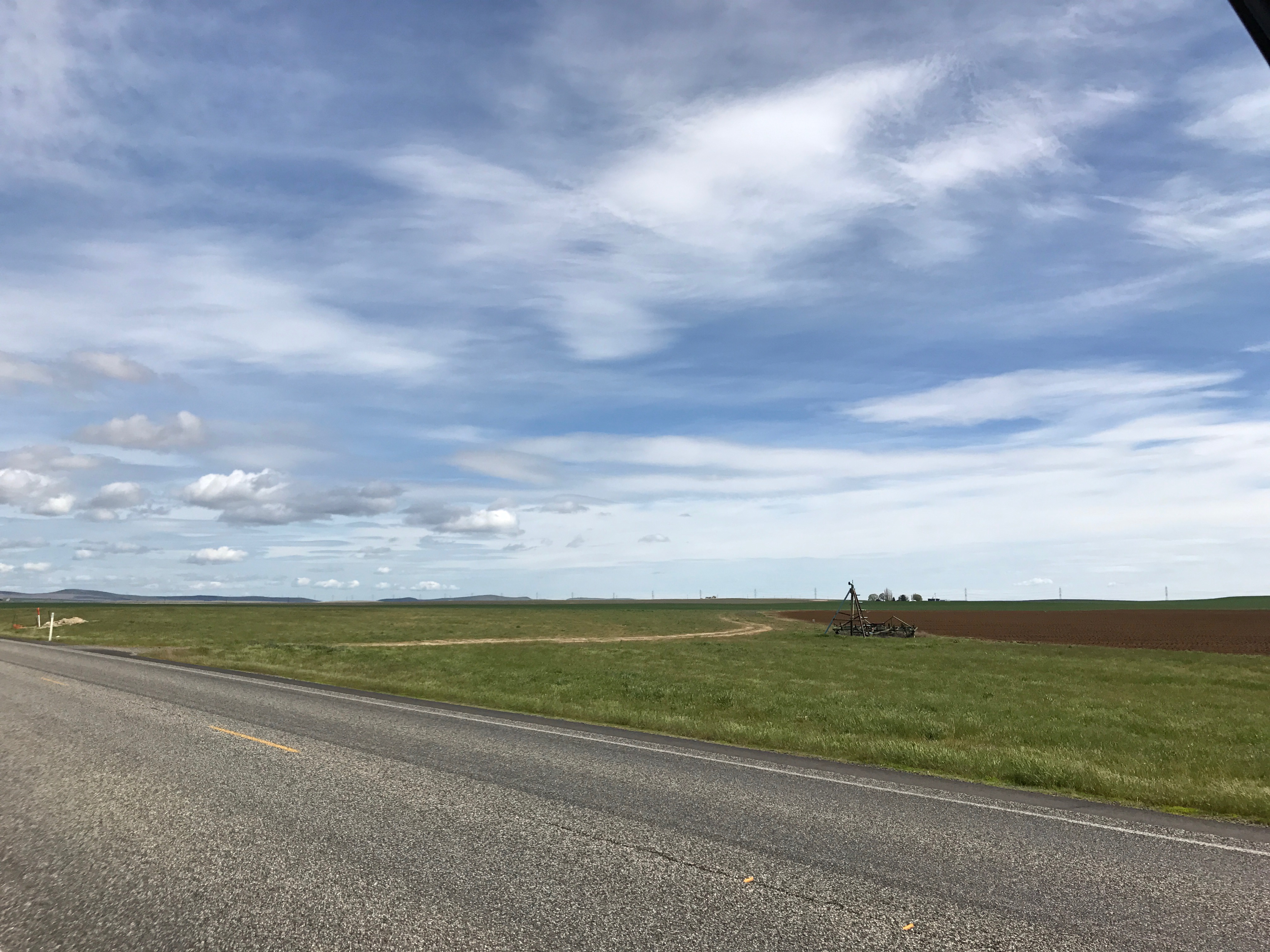
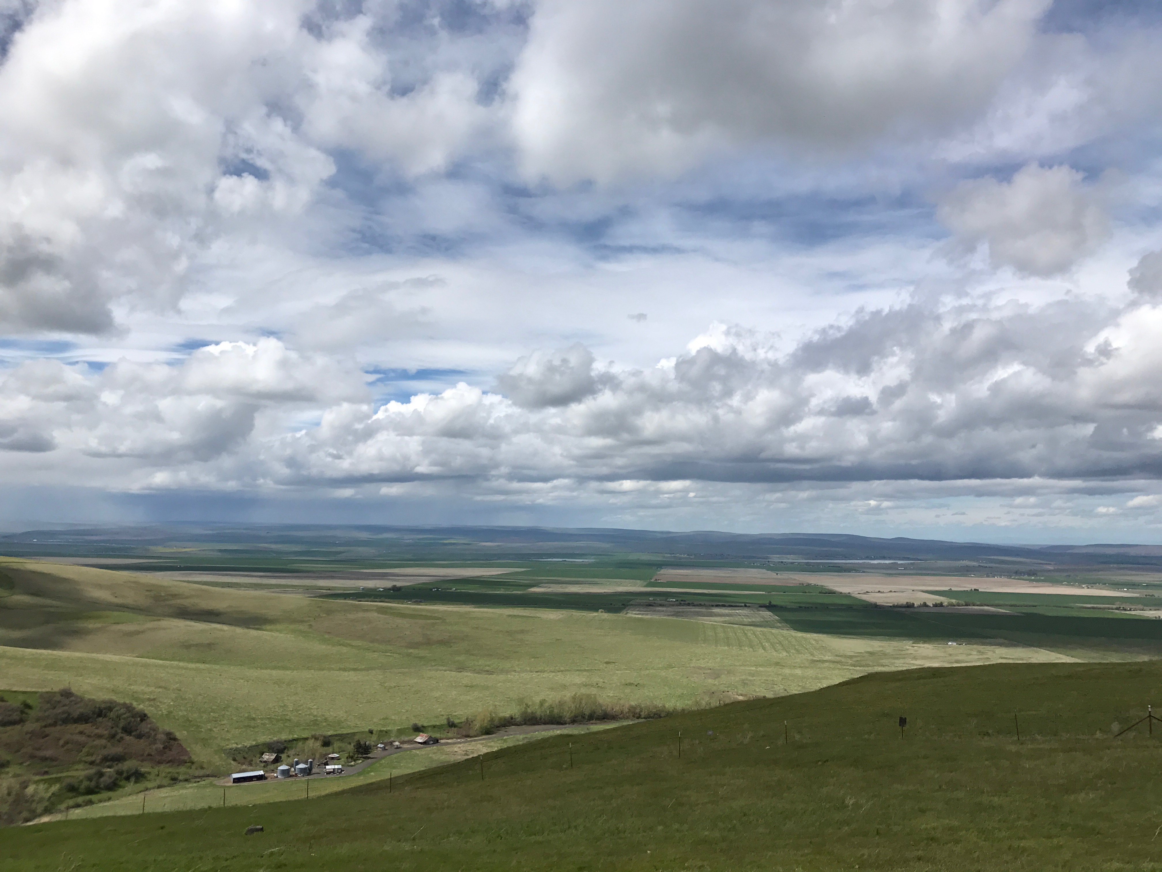
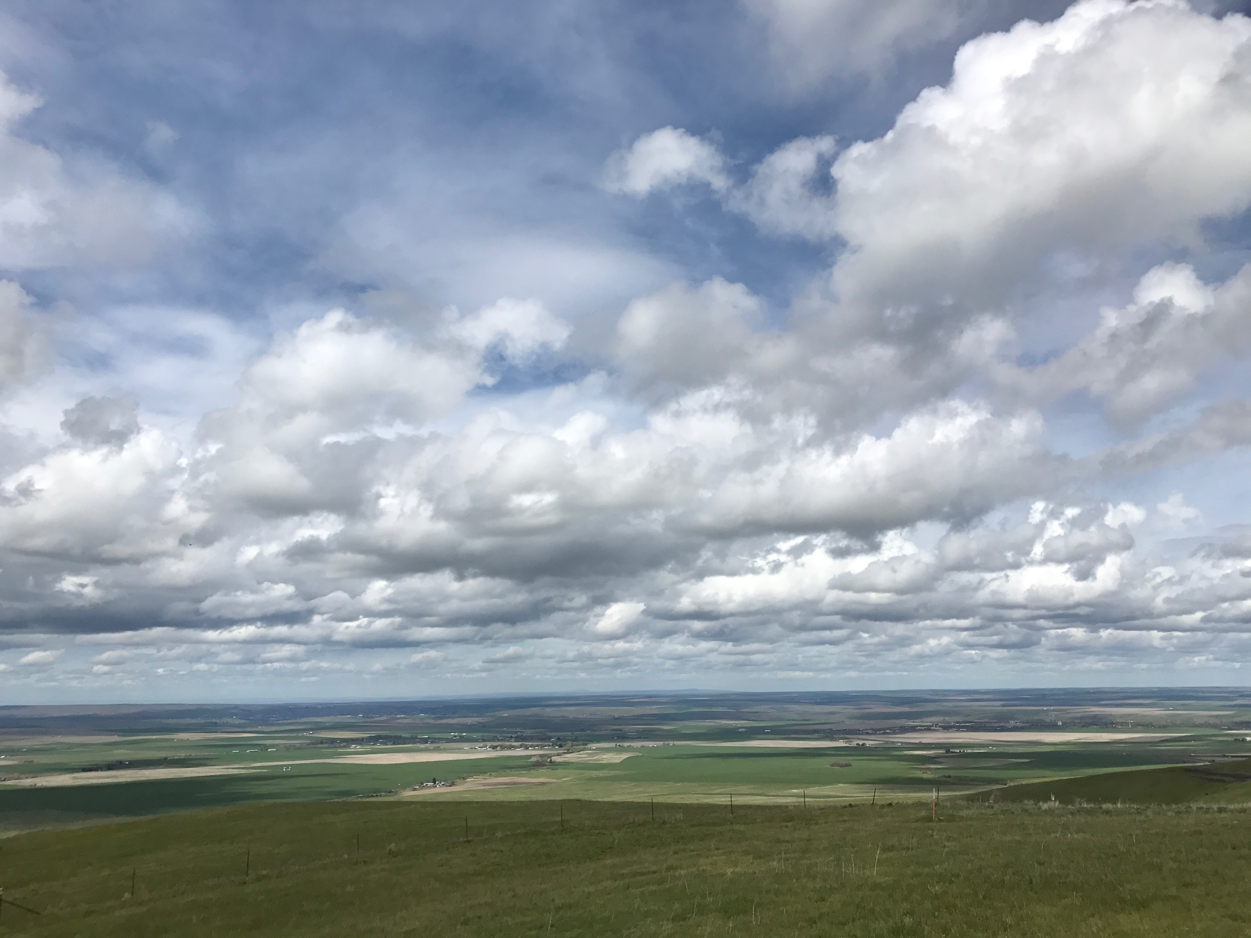
Beautiful land.
The cloudscapes were so dramatic.
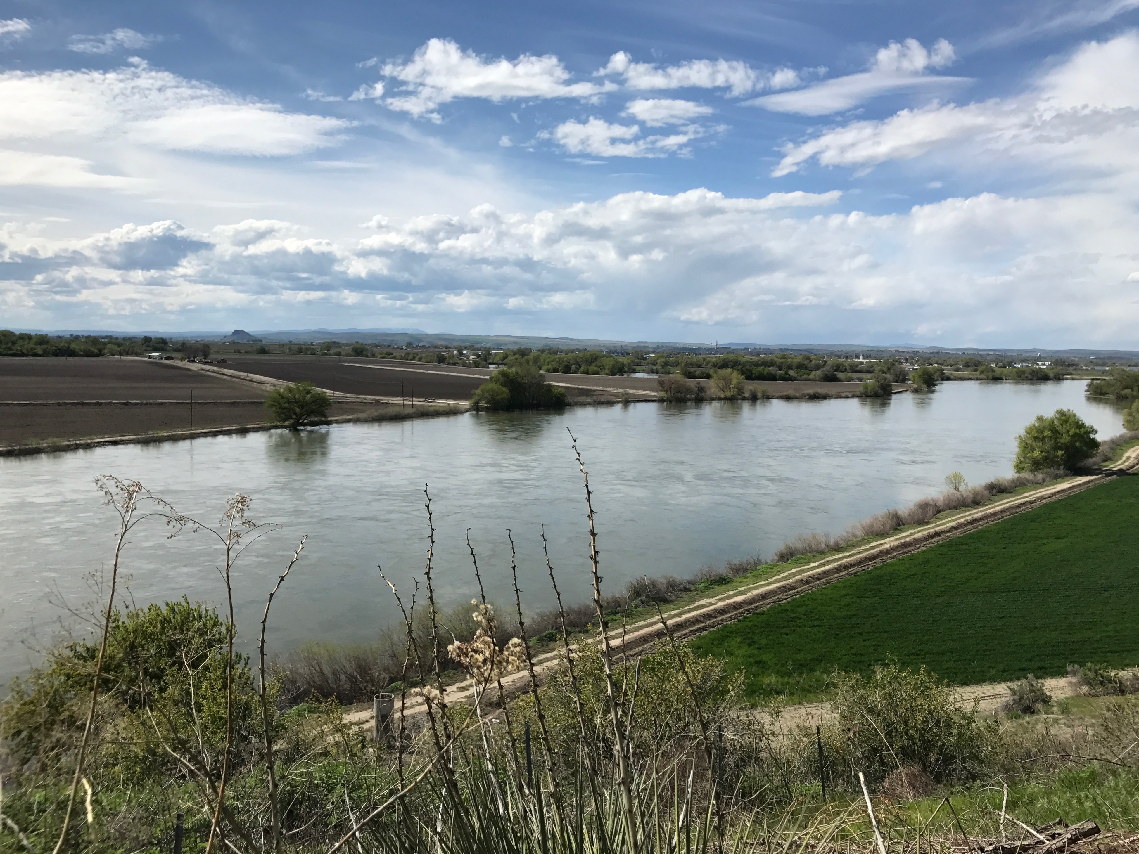
I finally got to the Snake River and crossed over into Idaho.
After stretching my legs at the rest stop, I rolled on toward Boise.
Sunshine and blue skies were such a welcome treat after all the gloom and precipitation I’d experienced – oh, since about when I left Sacramento several weeks earlier.
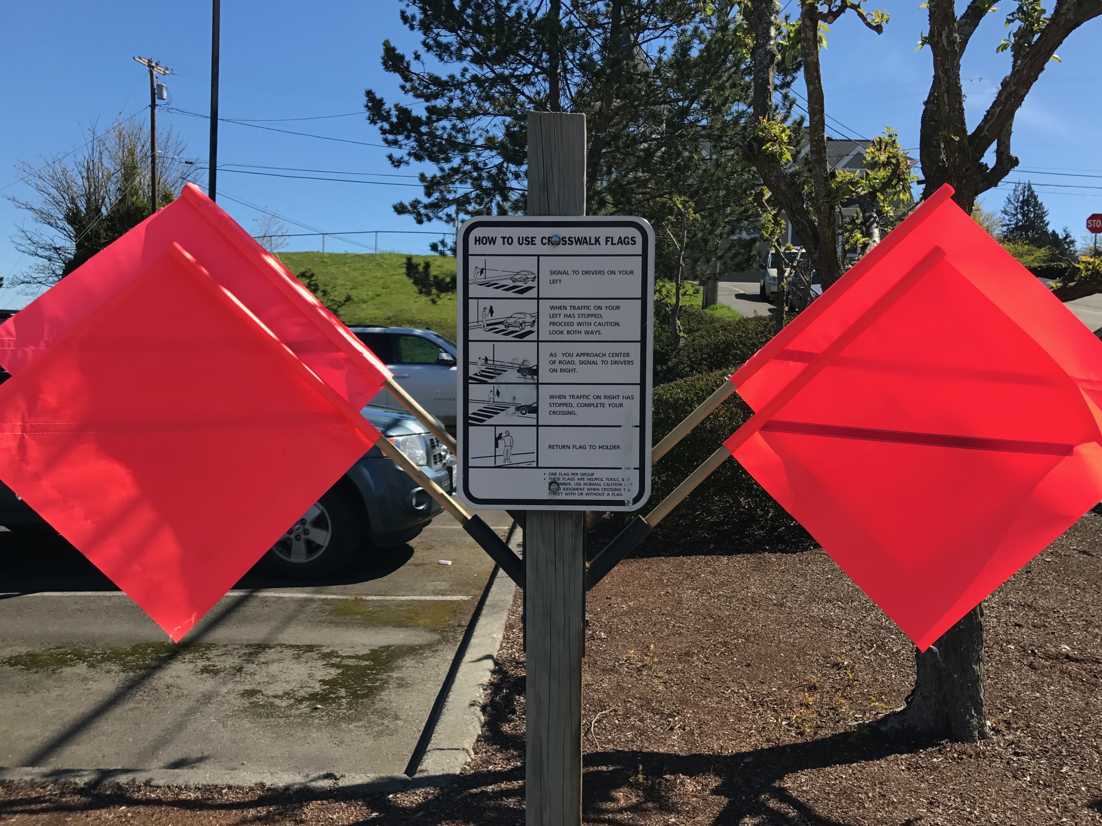
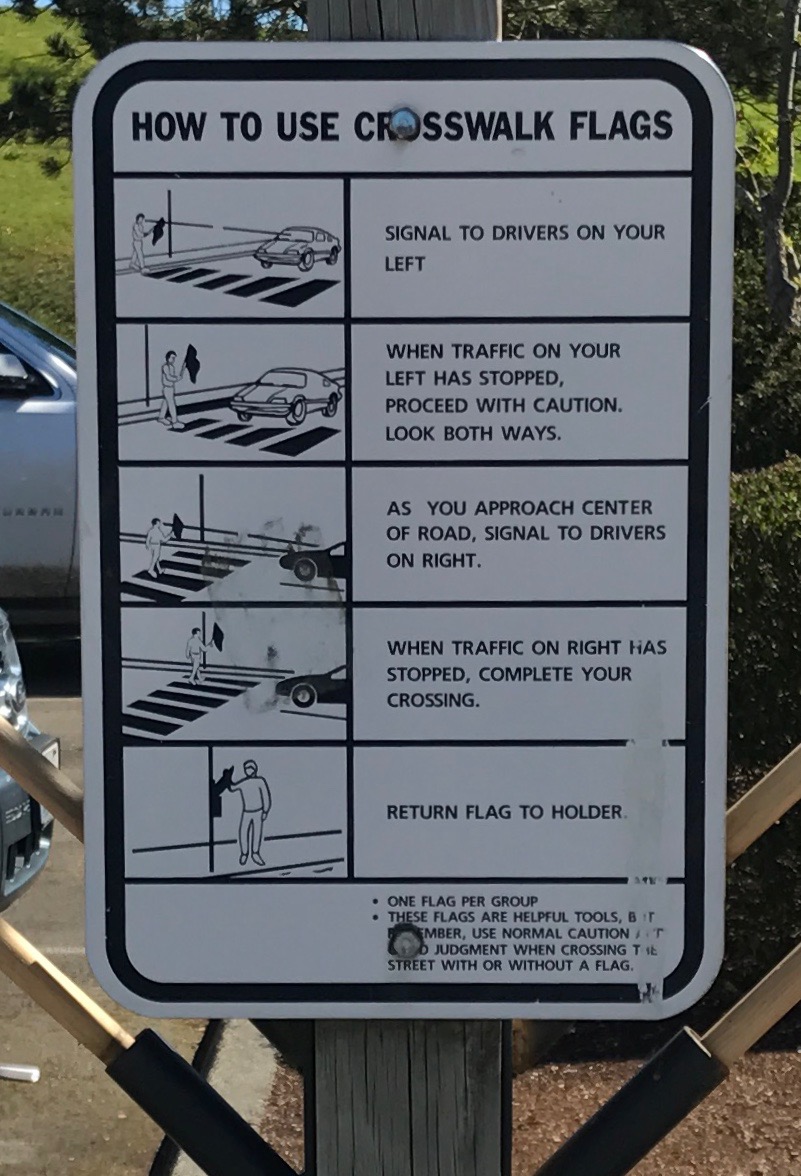
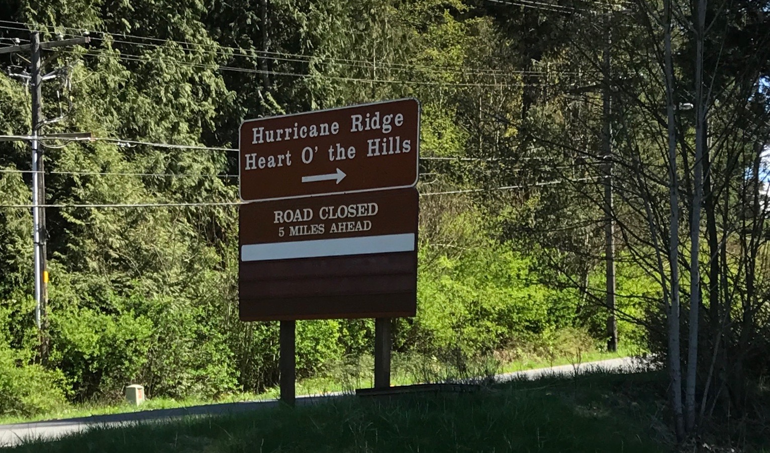
I decided to head out to Olympic National Park. Yeah, the mountain roads weren’t open yet, according to the information, but I might as well head out and see what I could see.
As I zipped toward the park, I kept seeing these unusual signs with flags on them. I pulled over to check out the view and I got to see one of the signs up close.
They weren’t warning signs about construction or some road obstacle – they were low tech aids for crossing the street!
Isn’t that clever?
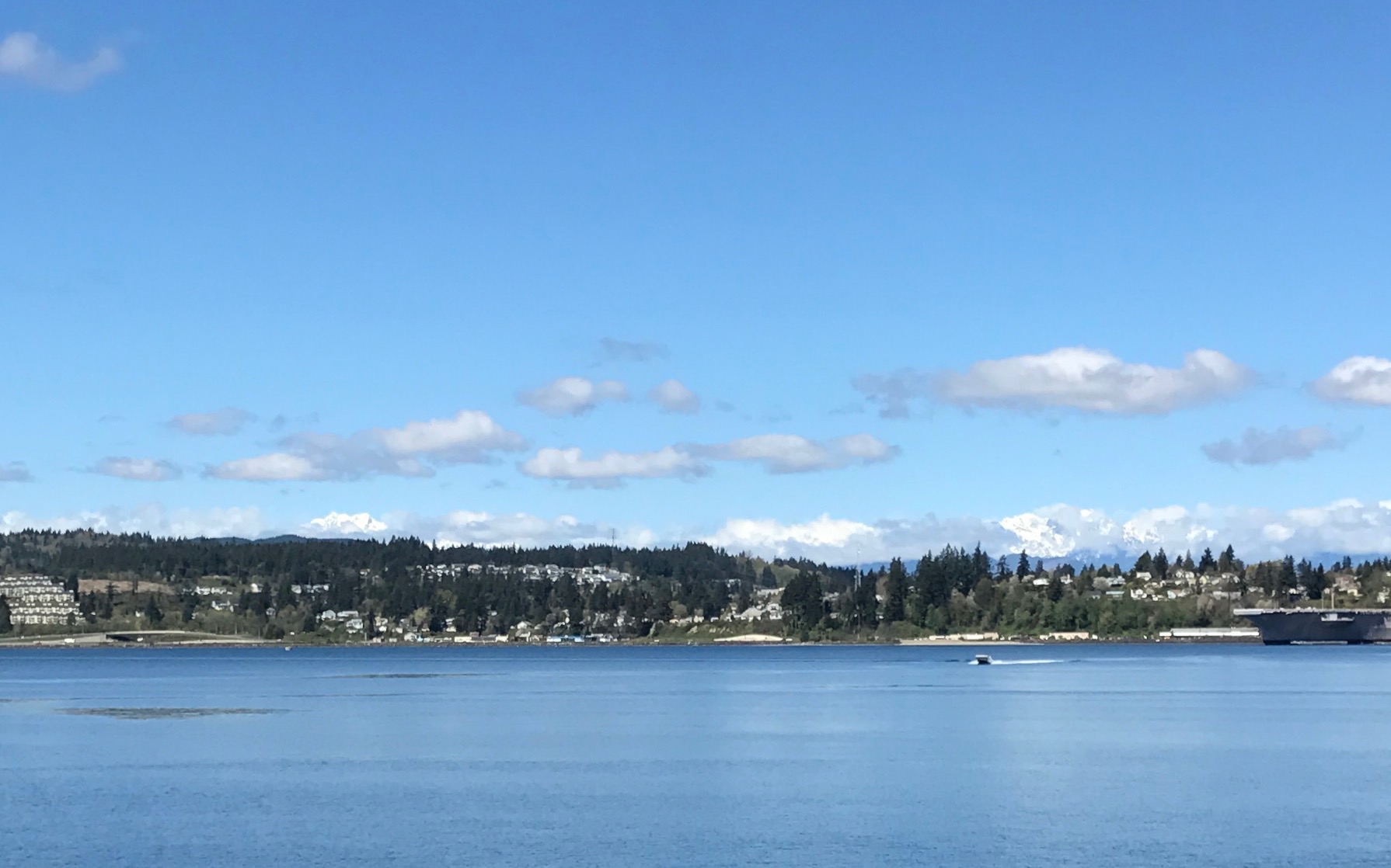
The blue sky really made the water beautiful. Look at the snow on the peaks behind the row of pines.
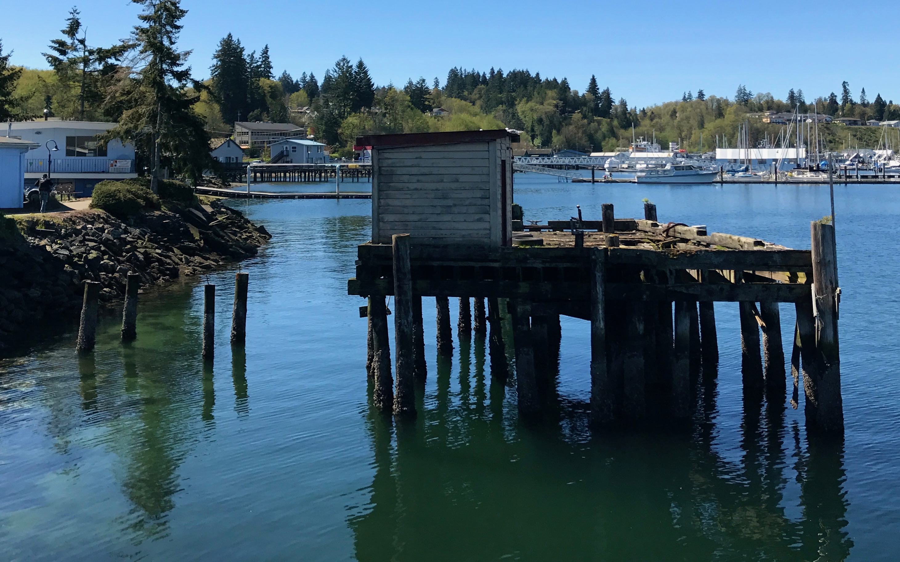
Another defunct dock. It amazes me that such things are just abandoned. Think of how much work went into building them in the first place, much like old farm houses and barns that are just sagging into the ground all across America.
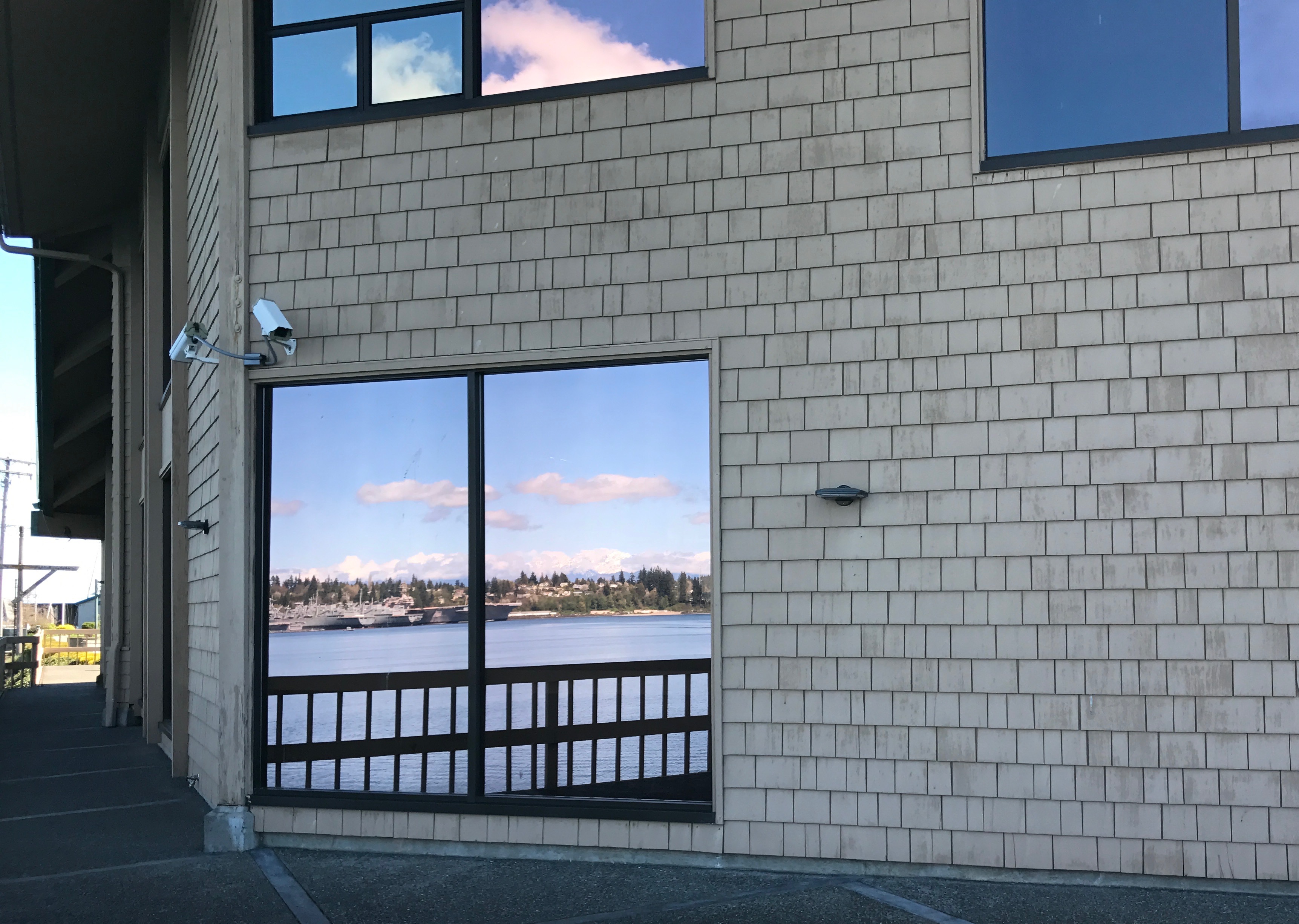
Now this is what I call a picture window!
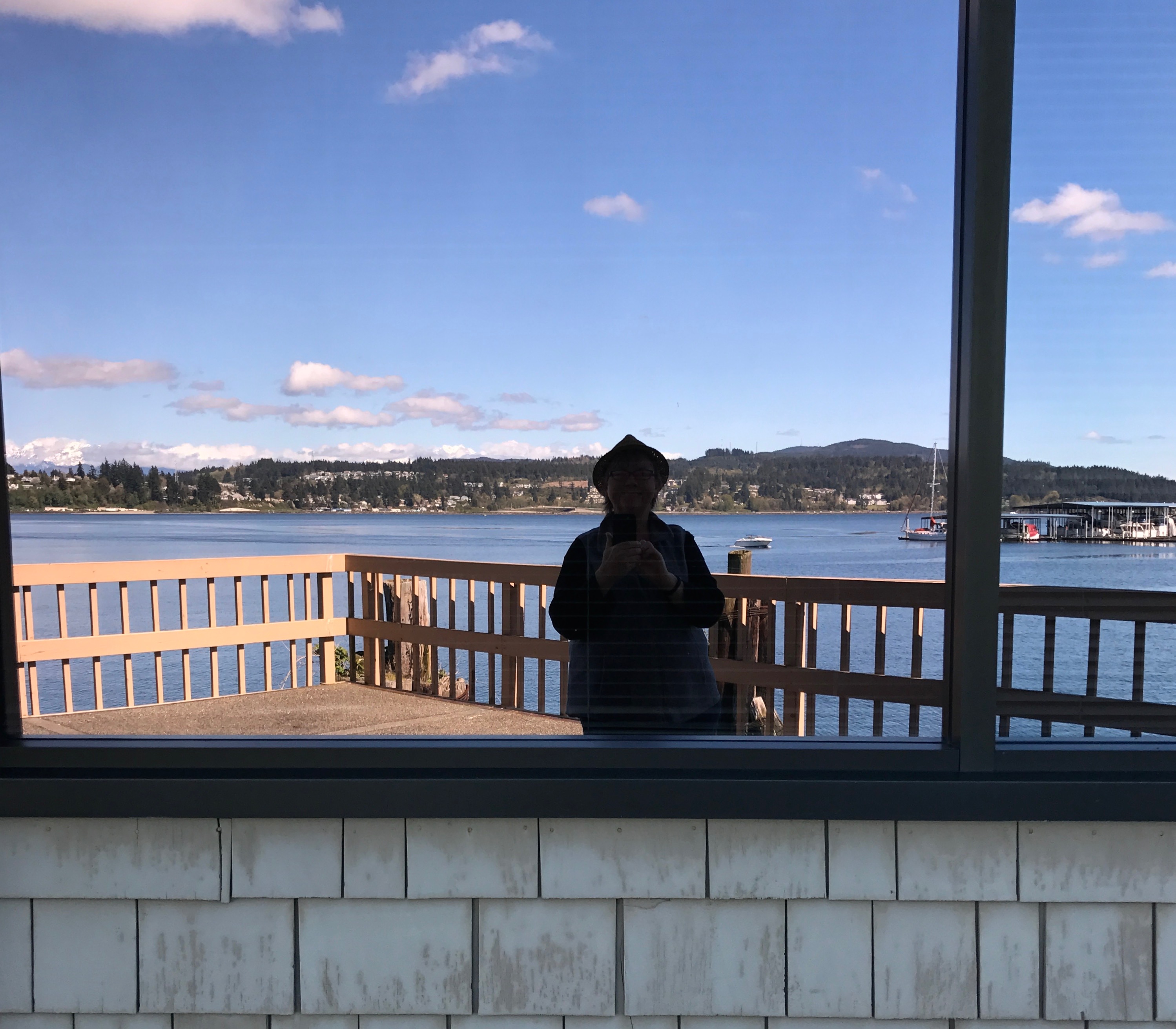
They also work well for selfies.
I arrived at the visitor center, and, yes, the road was closed if I went much further into the park. Visiting the visitor center would have to do.
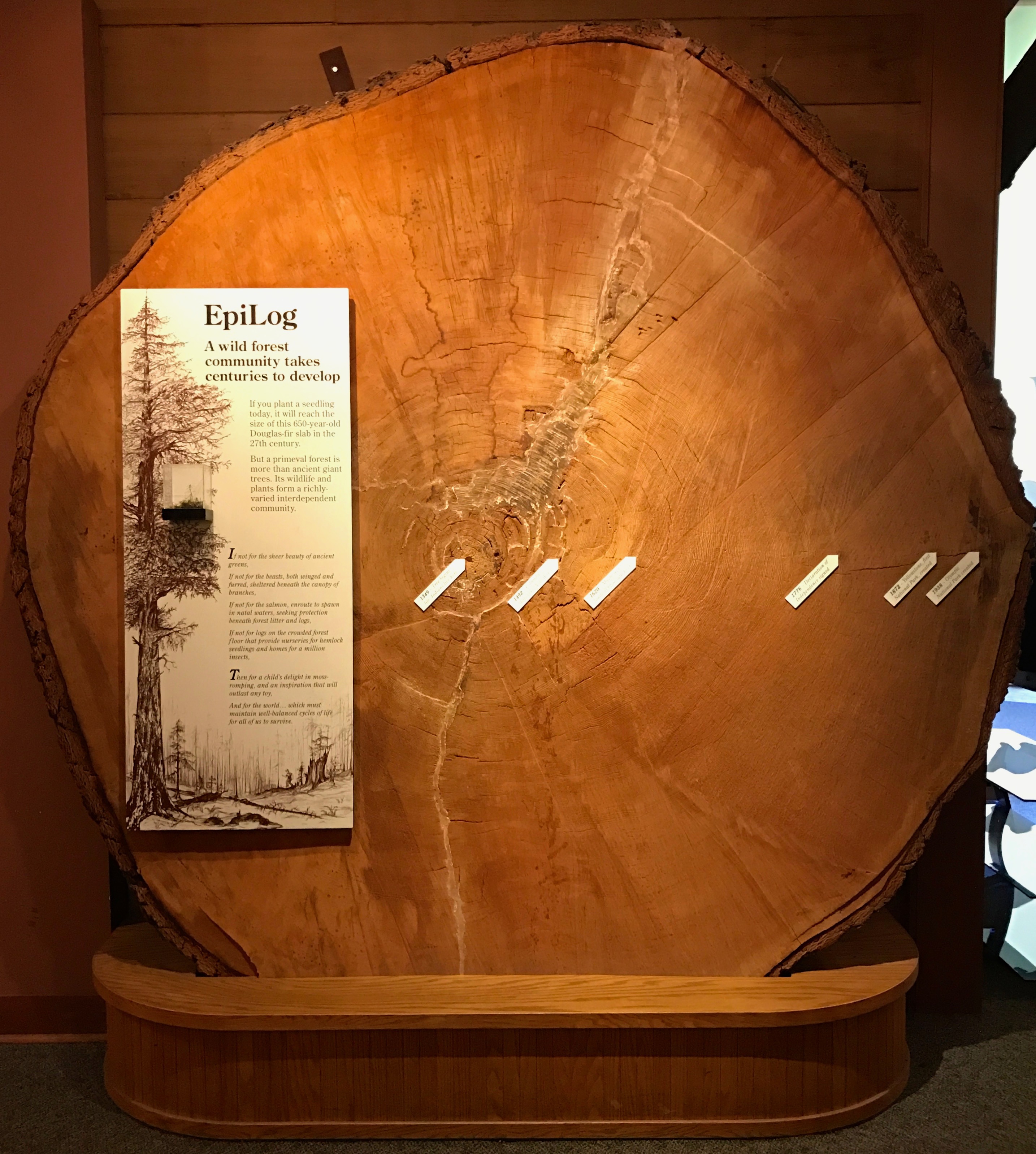
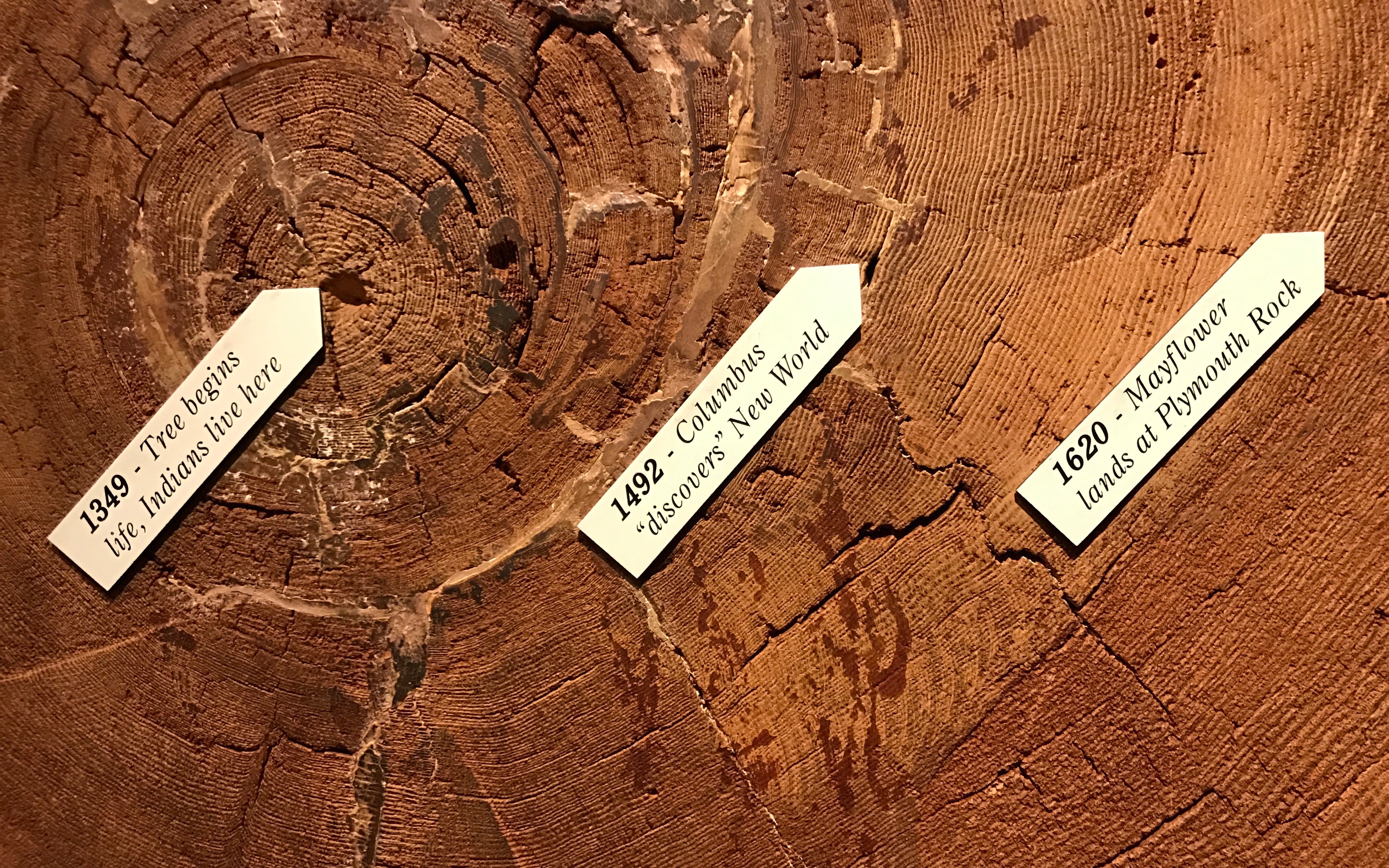
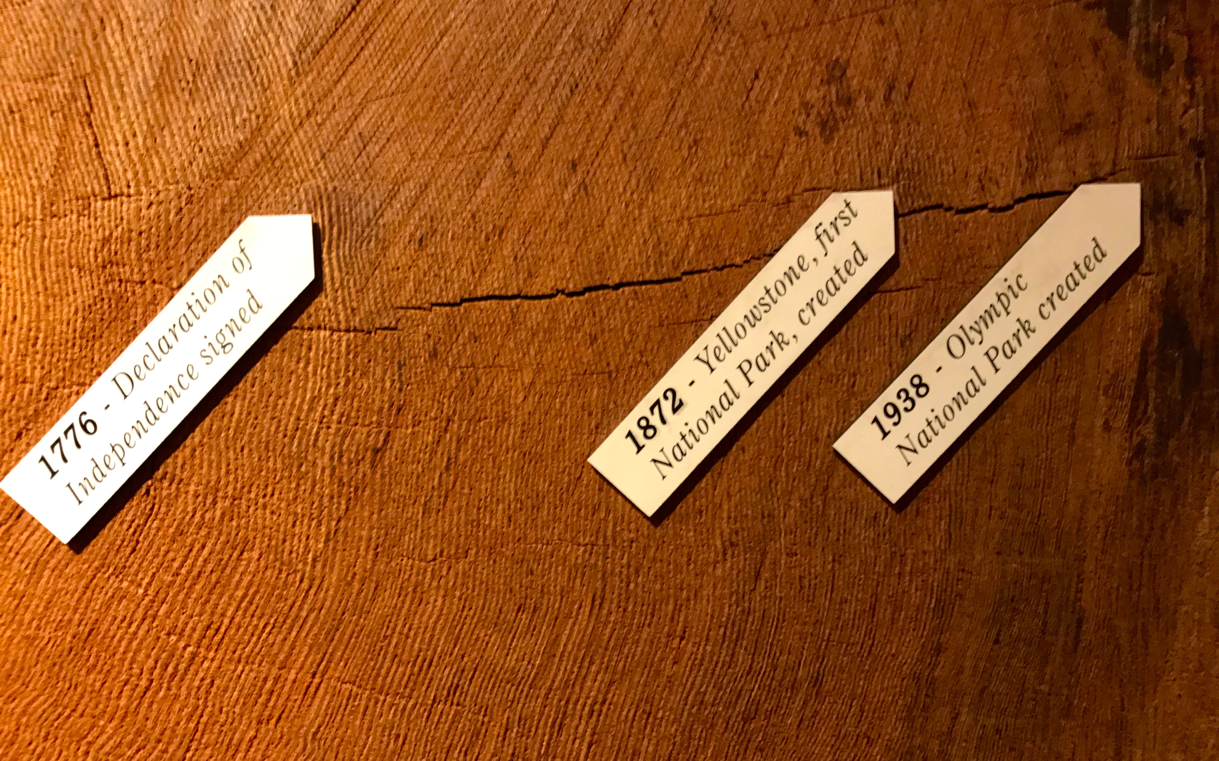
Right by the entrance to the center was a marvel of dendrochronology. (Click on the link if this is a new word for you. Personally, it’s one of my favorite words.)
Working backwards from when the tree was cut, scientists determined that the tree started growing in 1349 – 669 years ago!
That is some timeline. Of course, the tree recorded events that were relevant to it – years of good growing conditions and poor, diseases, most likely the forest fires it survived. Humans overlaid the natural timeline with one that reflected their own interests,
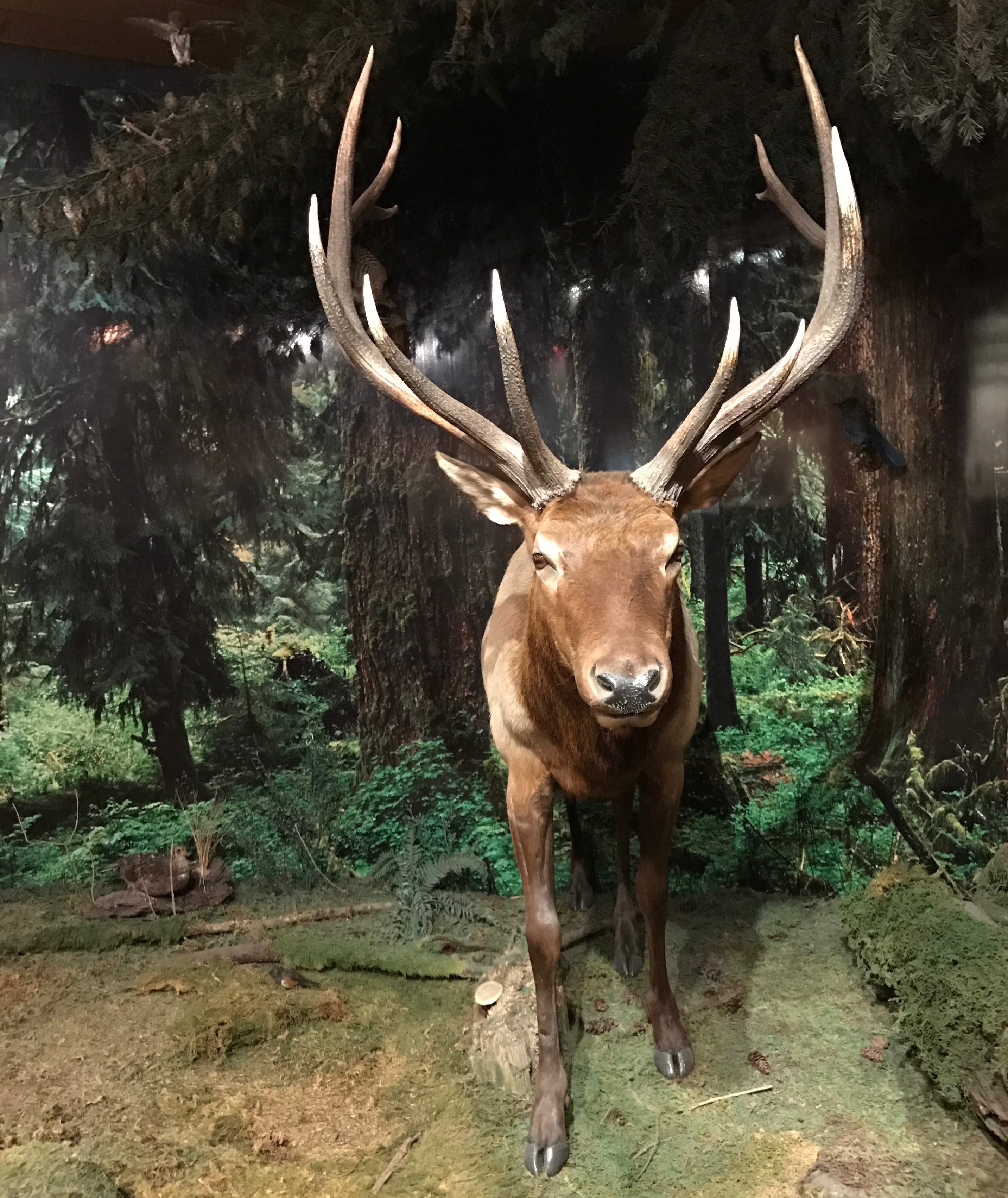
I ventured inside the center.
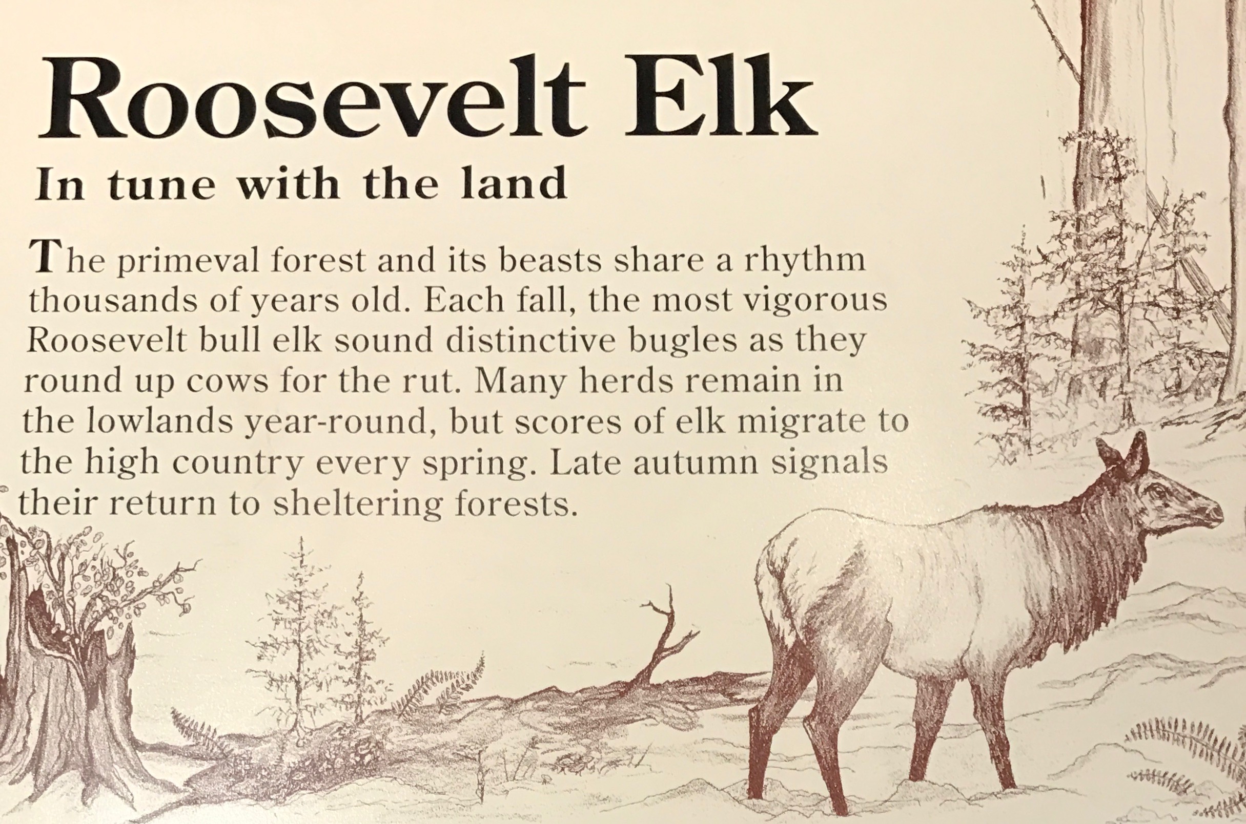
Now, this might be a Roosevelt Elk. There are two reasons I say that this might be a Roosevelt elk:
Olympic National Park is home to the largest unmanaged herd of Roosevelt elk in the Pacific Northwest, and
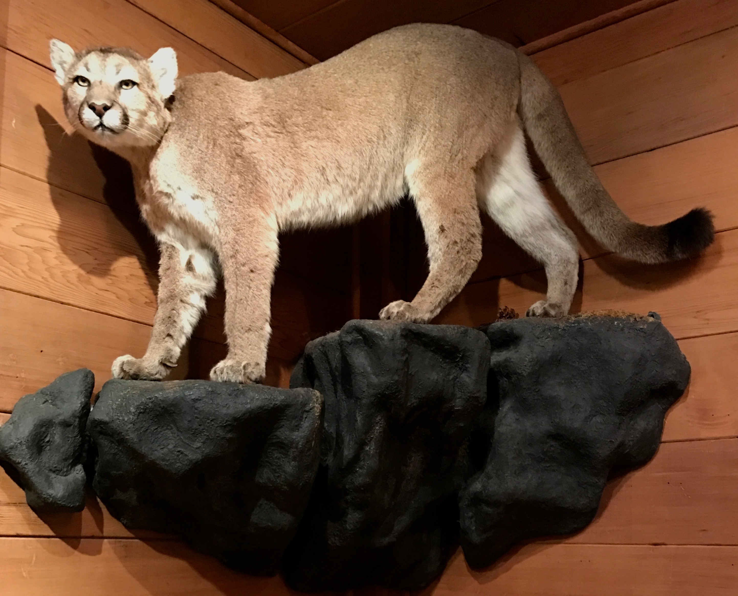
I took a photo of this sign:
Thank goodness for my habit of snapping photos of signs!
I wasn’t sure what sort of feline this was until I scoured my photo files a little more carefully. It was a cougar.
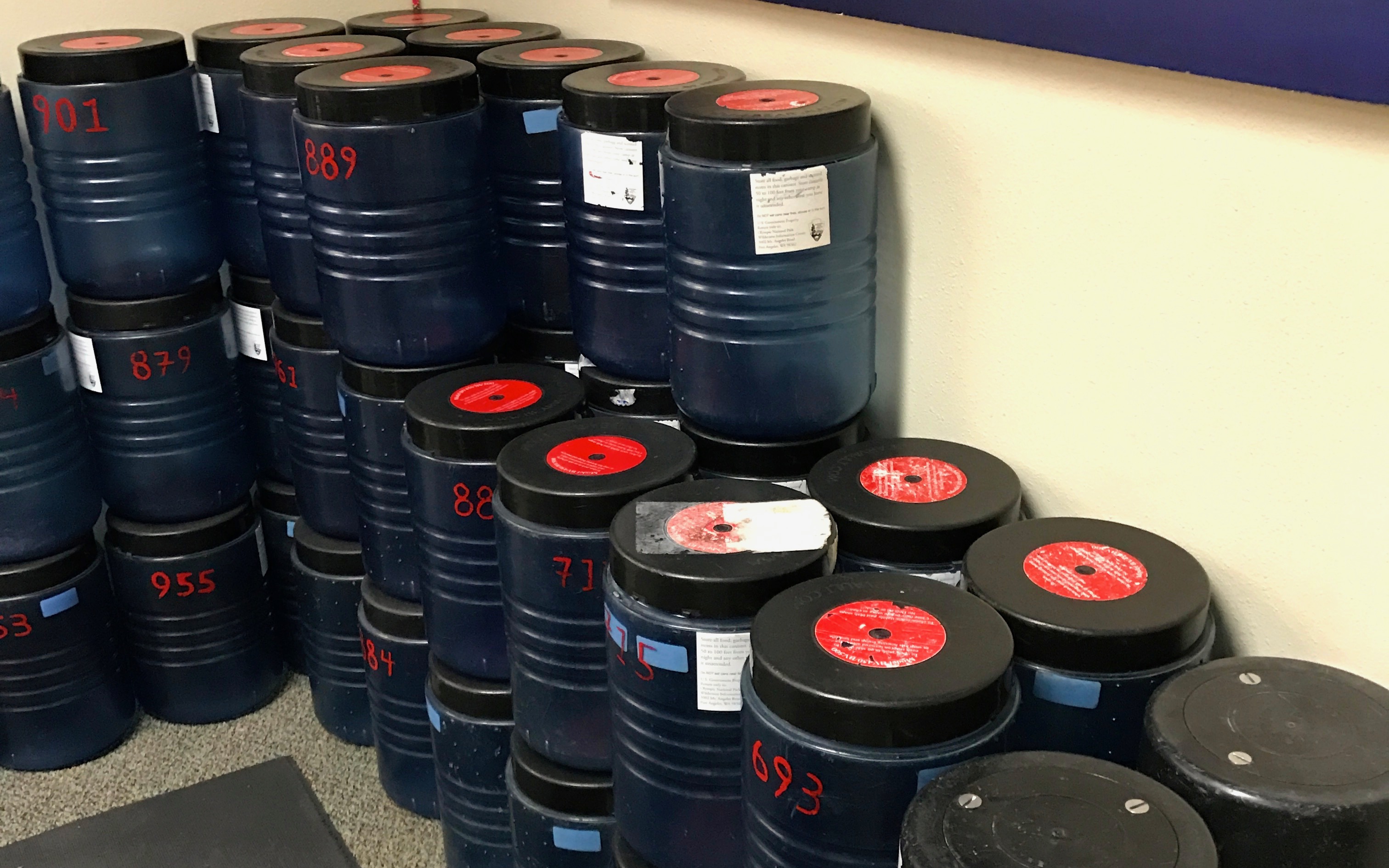
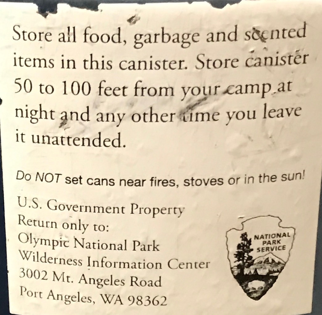
In addition to the Roosevelt elk and cougars, up in the mountains there are also bears. In one corner of the visitor center, they had bear cans that campers could check out.
Just in case you are not sure how to use a bear can, these instructions were provided.
The thought of having to take such precautions makes me thankful that I am “camping” in the middle of a city!
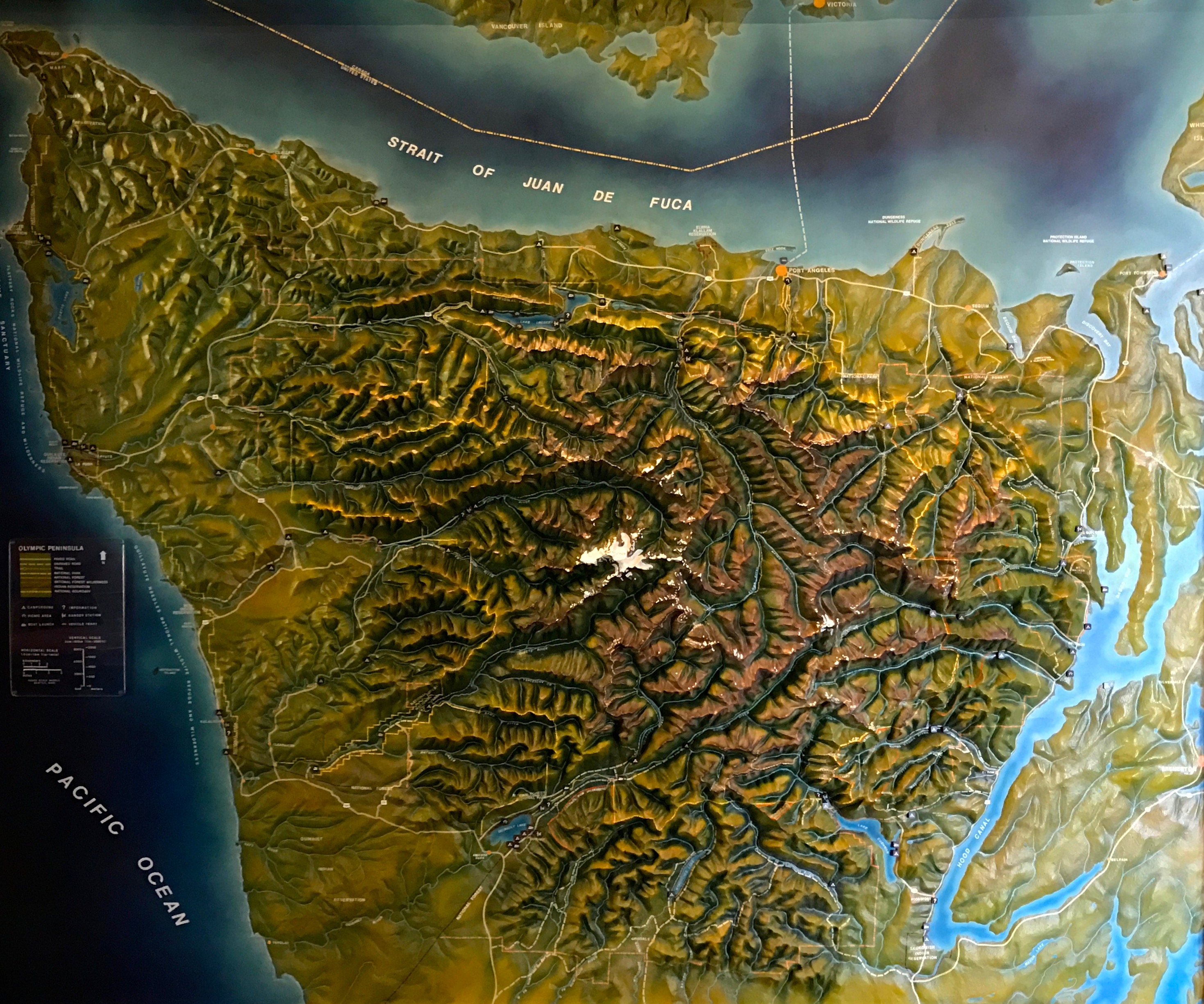
There was a cool 3-D map of the peninsula. I imagine the white area of the park was probably snow-covered when I visited. This part of the map was white was due to people touching it over the years.
And with that, I decided that I had seen enough of Olympia National Park – at least for this visit. Maybe I will return some day when the campgrounds are open and the roads are free of snow.
Or maybe not. The world is so full of places I have yet to visit.
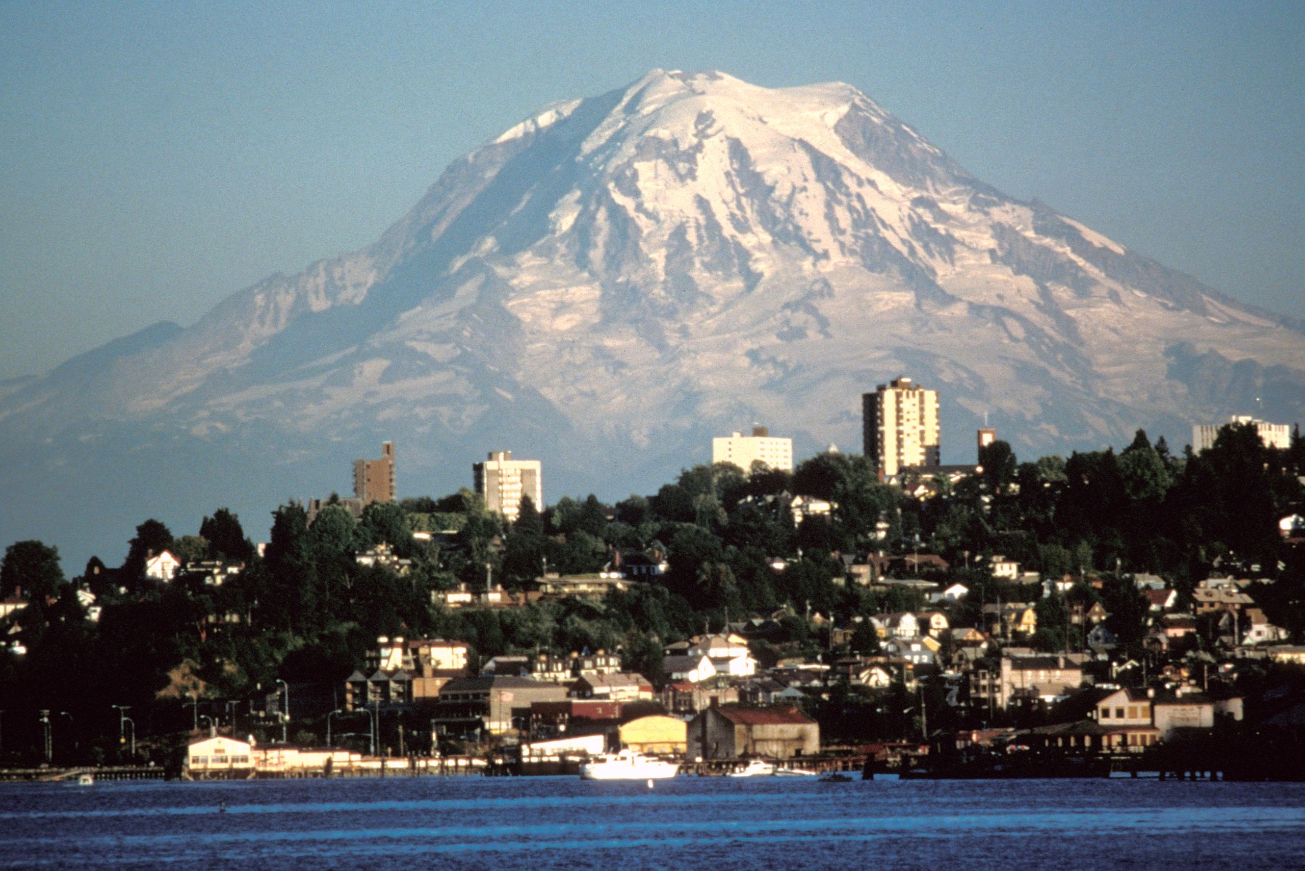
By Lyn Topinka (USGS) – http://vulcan.wr.usgs.gov/Imgs/Jpg/Rainier/Images/Rainier84_mount_rainier_and_tacoma_08-20-84.jpg [1], Public Domain, https://commons.wikimedia.org/w/index.php?curid=337686Once again, as I was heading home, this great big mountain popped into view. How had I missed it the whole time I was in the area? This isn’t my photo and it wasn’t quite the view I had, but once again, I was unable to pull over and take one. By the time I was able to take a picture, I couldn’t find the mountain. How does one lose a 13,000 foot mountain? If you want to know more about Mount Rainier, click here.
(Incidentally, rainier is a great name for this mountain, as I have rarely encountered a rainier place earth.)
In any event, it was time to head back and get Flo and Bart ready for the next day’s travel. It was time to start heading east.
Another day, I decided to drive over and explore Olympia, the state capital.
Am I the only one who has difficulty remembering the difference between capital and capitol? Or Capitol? Most likely not, but if you are now scratching your head, clicking on this link with take you to an explanation.
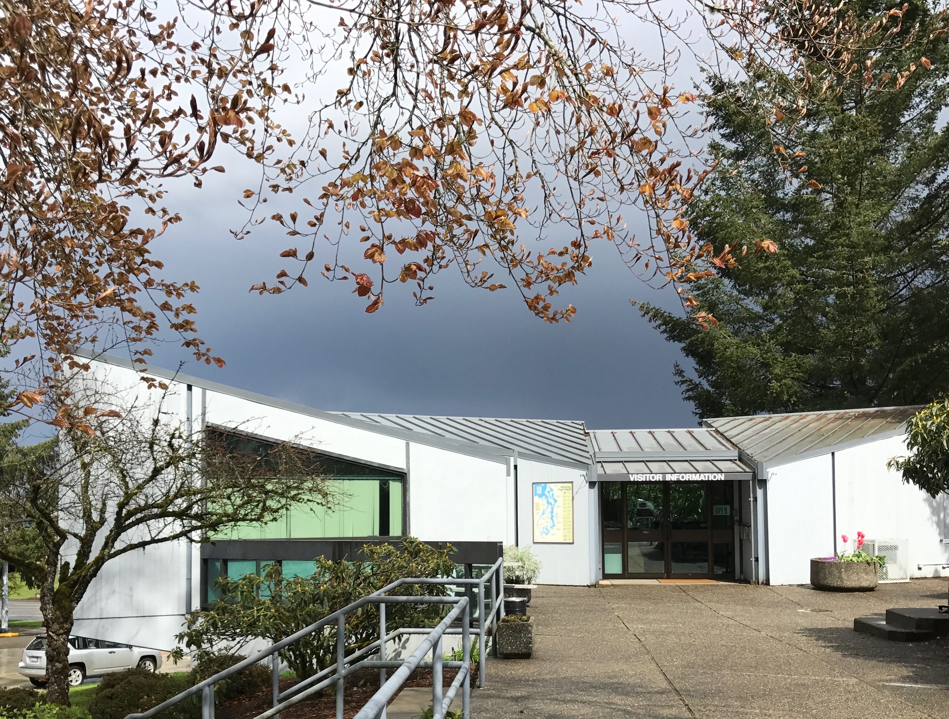
I consulted my HISTORY Here app and made my way over to Olympia. I found parking and stopped in at the Visitor Information Center.
The helpful folks inside told me where to go and how to get on a tour. I headed over.
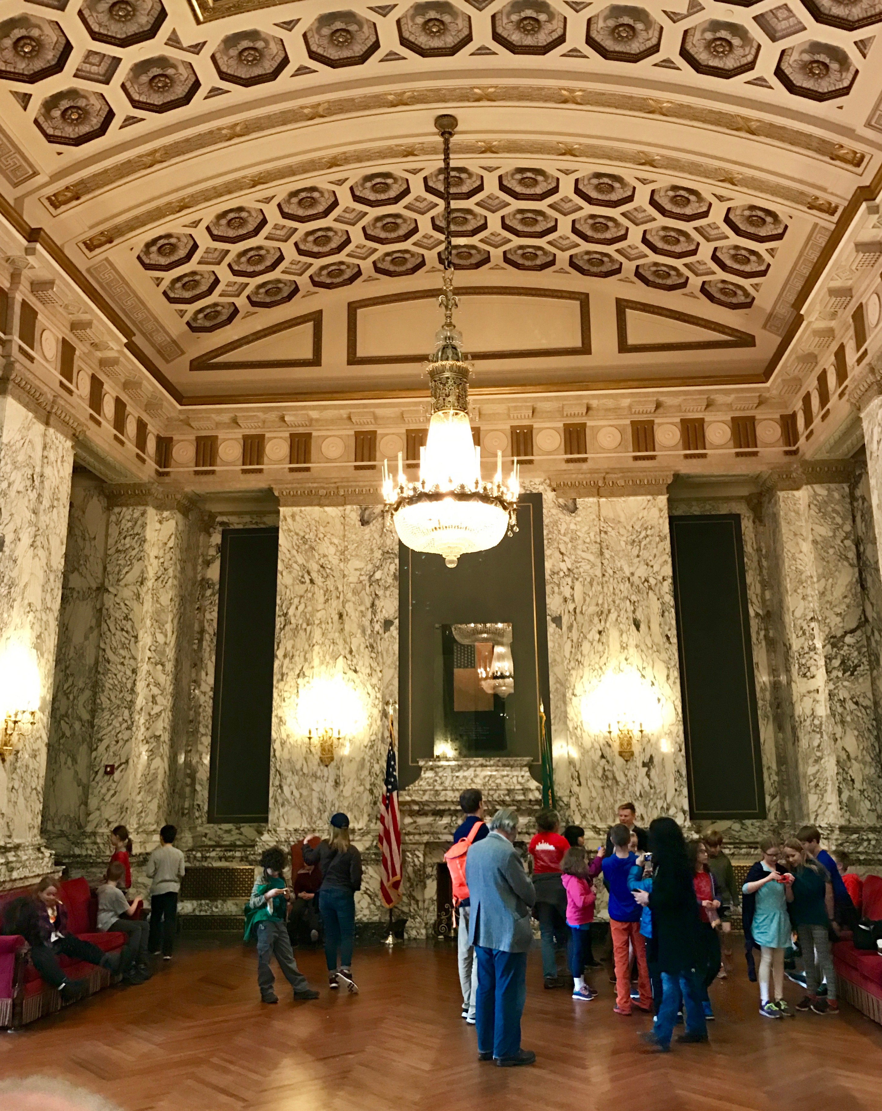
I checked in and found I’d have a short wait until my tour started, so I spent a few minutes looking around. There are always things to see.
For instance, this is one end of the vestibule where I was waiting. How grand!
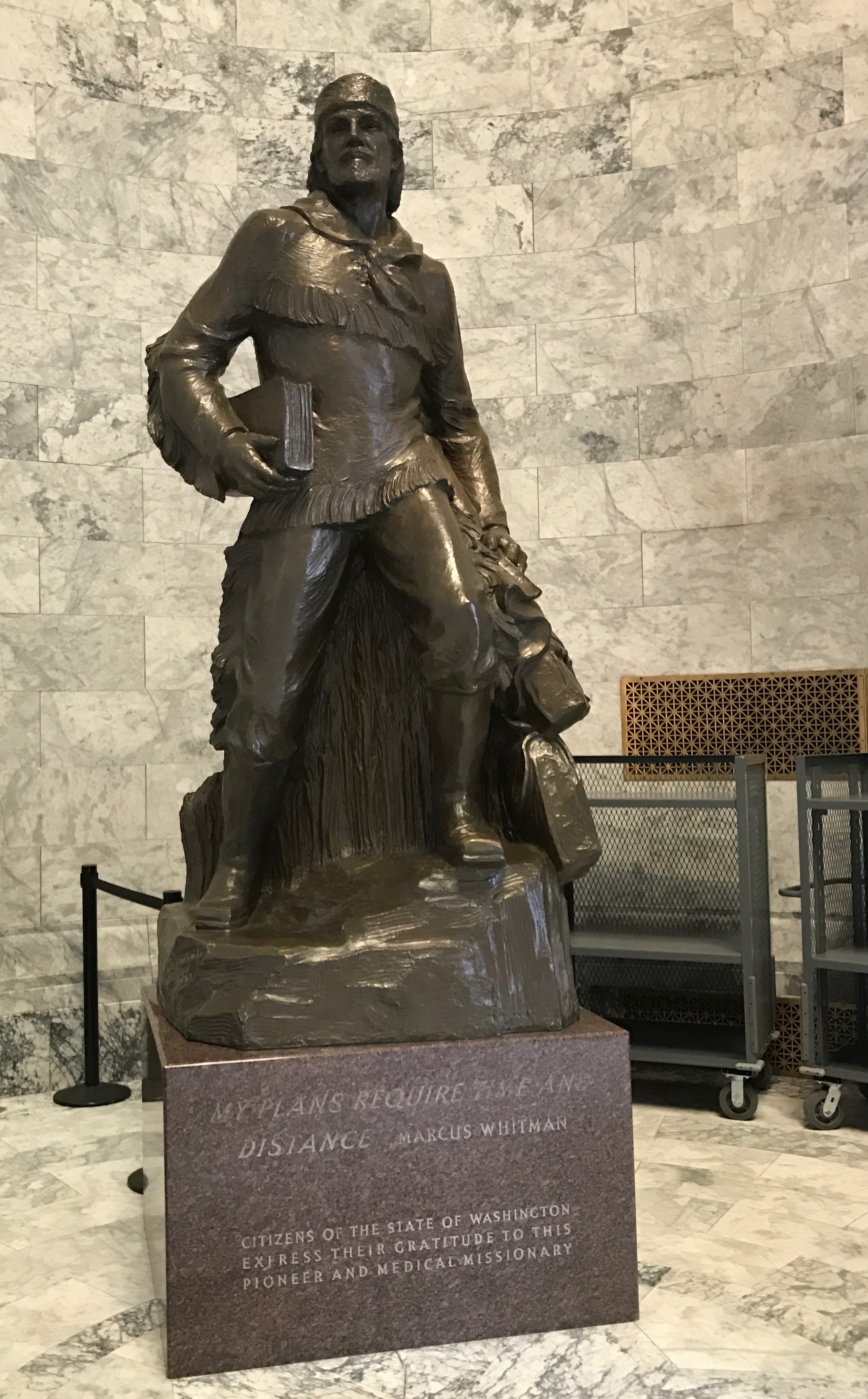
There was this statue of Marcus Whitman, who was a medical missionary from New York State. He had wanted to be a minister, but didn’t have the funds for the necessary education. Instead, He apprenticed himself to a doctor for two years. My, how times have changed in the world of higher education.
In 1843, Whitman lead the first large party of wagon trains along the Oregon Trail, which helped establish it as a viable route for the settlers who used the trail in the following decade. He established a settlement near the location of modern day Walla Walla.
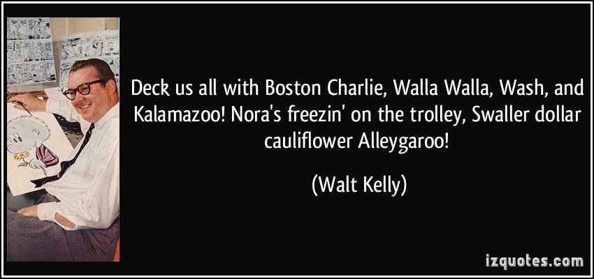
I can’t hear the name, Walla Walla without thinking of Walt Kelly’s Pogo comic strip. Dad used to sing this to us. I never quite understood it, but I remembered it. And now I live in Kalamazoo!
But, I digress.
Whitman’s adventure did not have a happy conclusion. The Cayuse, that he and his wife had hoped to convert, resented the encroachment of European Americans and the infectious diseases that they brought with them. A severe measles epidemic in 1847 resulted in high death rates, as the Native Americans had a lack of immunity to the diseases that came with the settlers. The Whitmans cared for the settlers and the Cayuse, but the Cayuse were hit particularly hard. Half of them died, including nearly all of their children. The Cayuse blamed the Whitmans for the deaths among their people.
According to my ultimate source, the Cayuse tradition held medicine men personally responsible for the patient’s recovery. Chief Tiloukaikt and the Cayuse killed the Whitmans in their home on November 29, 1847, along with twelve other white settlers in the community. They held another 53 women and children captive for a month before releasing them.
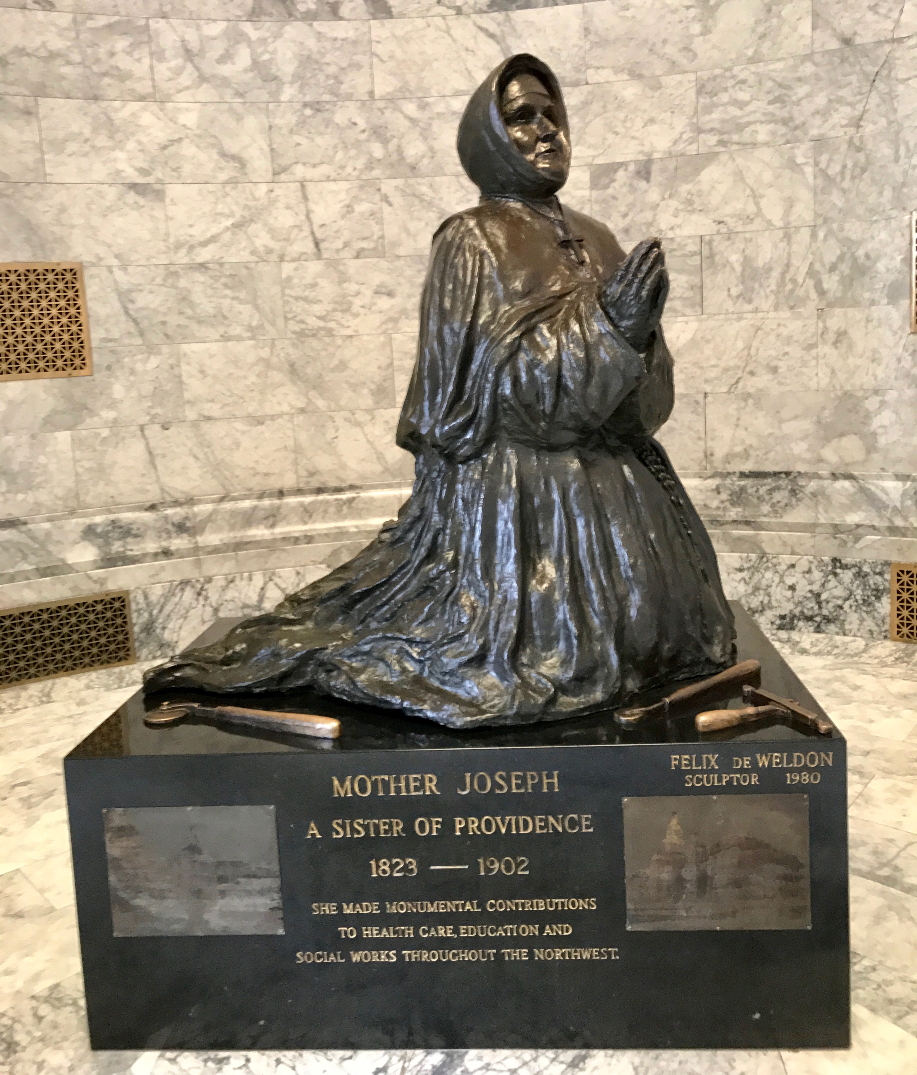
If you want to read about an impressive woman, click on this link to learn more about Mother Joseph.
Known as “the Builder,” Mother Joseph designed and/or supervised construction of 29 schools and hospitals, one of which was Seattle’s first hospital. She is recognized as one of the first architects in Washington Territory.
She was born Esther Pariseau in a farmhouse near Saint Elzear, Quebec. She was the third of 12 children and learned carpentry skills from her father. At age 20, she entered the convent of the Sisters of Charity of Providence in Montreal, and took the name Joseph in honor of her father. At least, that is what the source says. I don’t wonder if she took the name Joseph in honor of Saint Joseph, who was a carpenter.
She arrived in Washington in 1856 and set to work, feeding the poor, caring for the sick and orphaned, and teaching. As their space need increased, Mother Joseph designed new buildings and supervised their construction.
After a life of hard work and dedication, she passed away in 1902. In 1910, when the order once again needed more space they had to hire an architect for the first time. That was a talented woman!
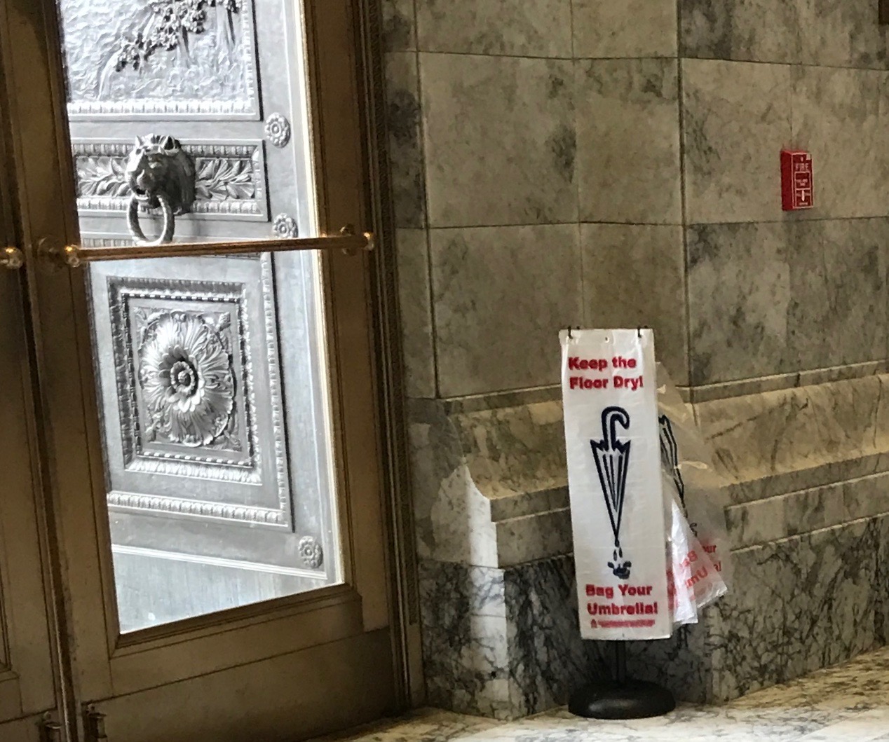
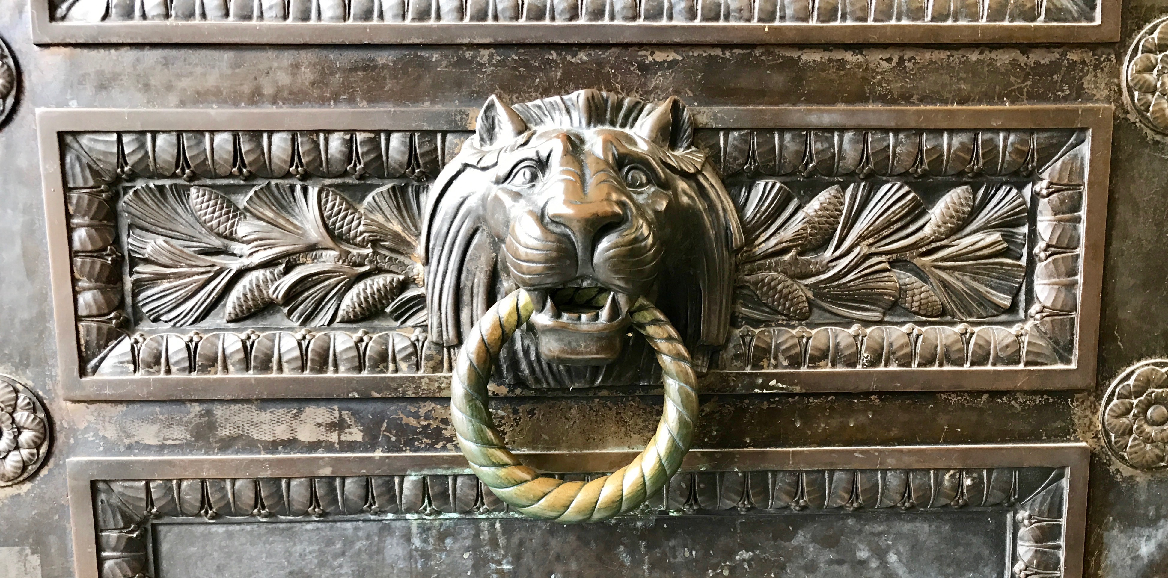
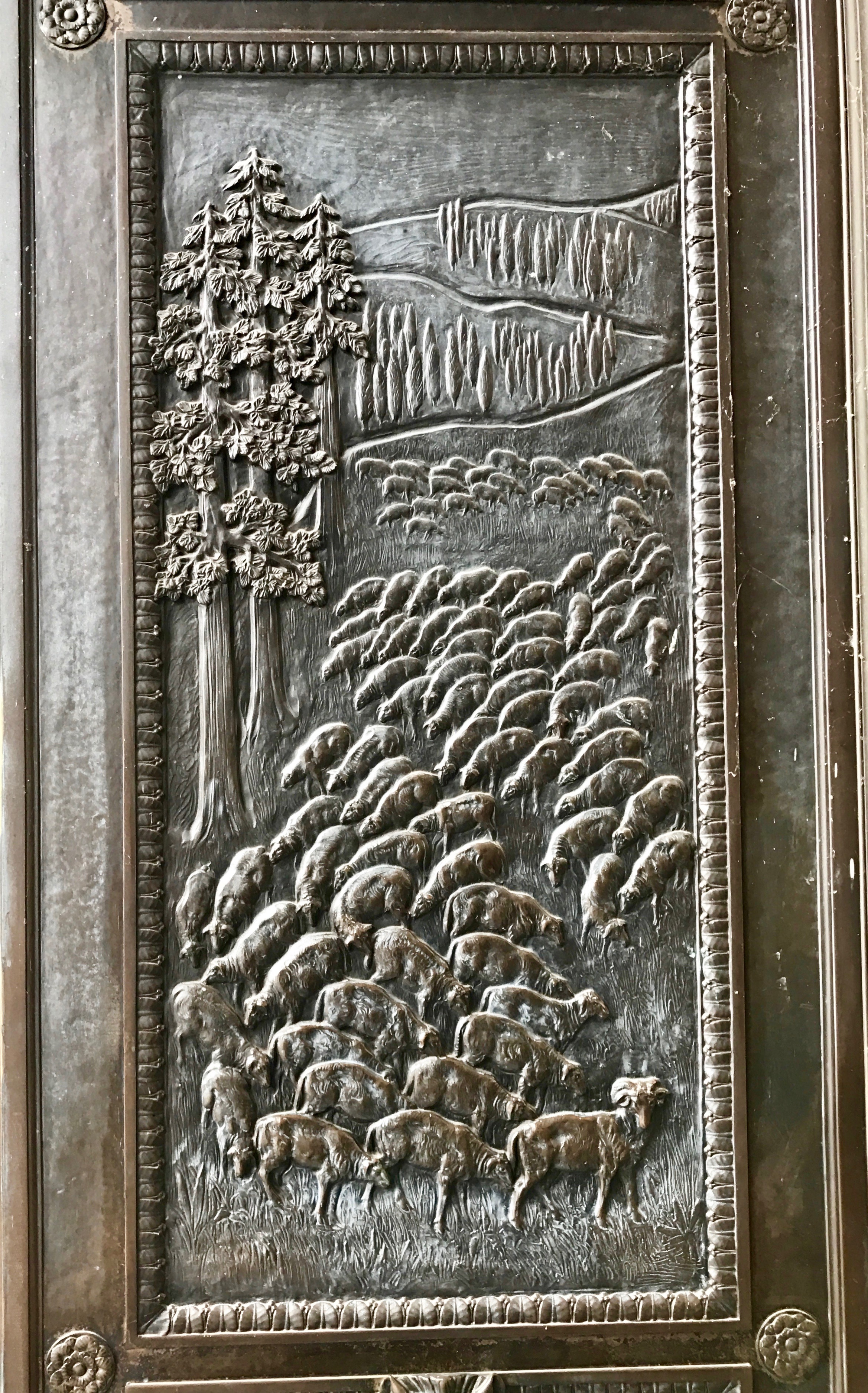
I headed outside to examine the bronze doors. Notice the umbrella bags hanging by the entrance. I am sure they are made use of in the rainy Pacific Northwest climate.
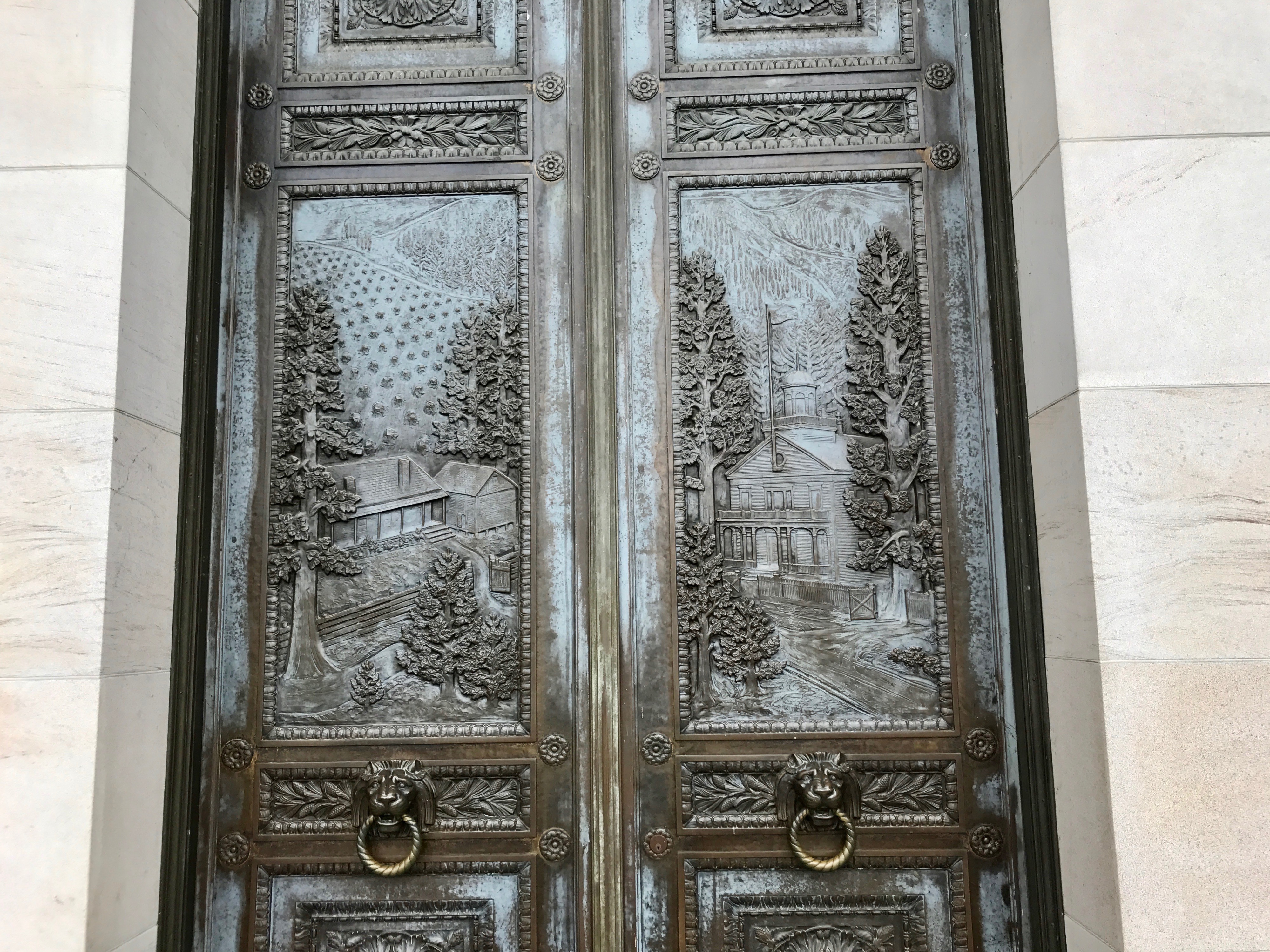
These were some elaborate doors!
Even the door pulls were works of art.
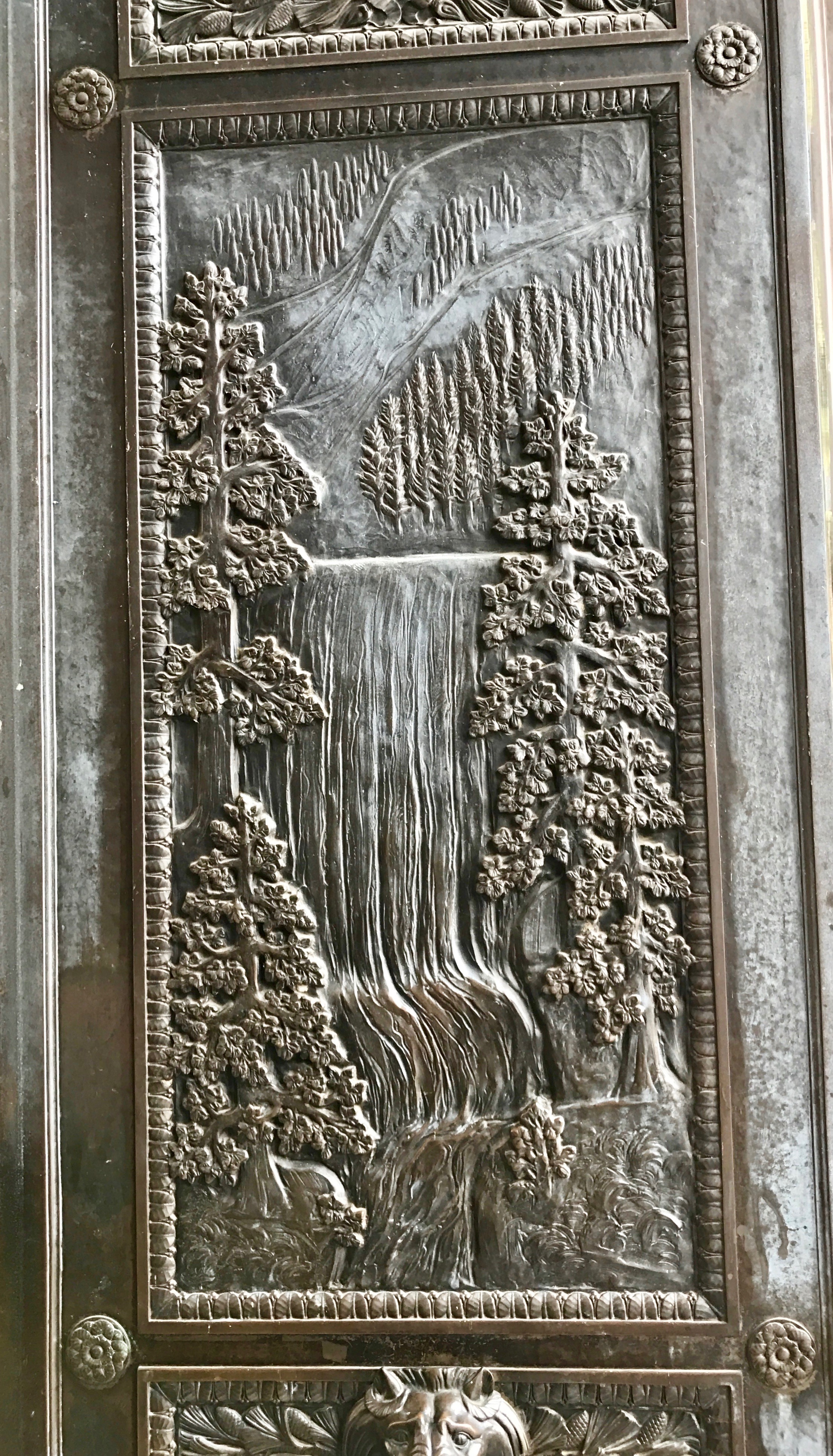
The panels highlighted Washington’s geography. Mountains, waterfalls, trees…
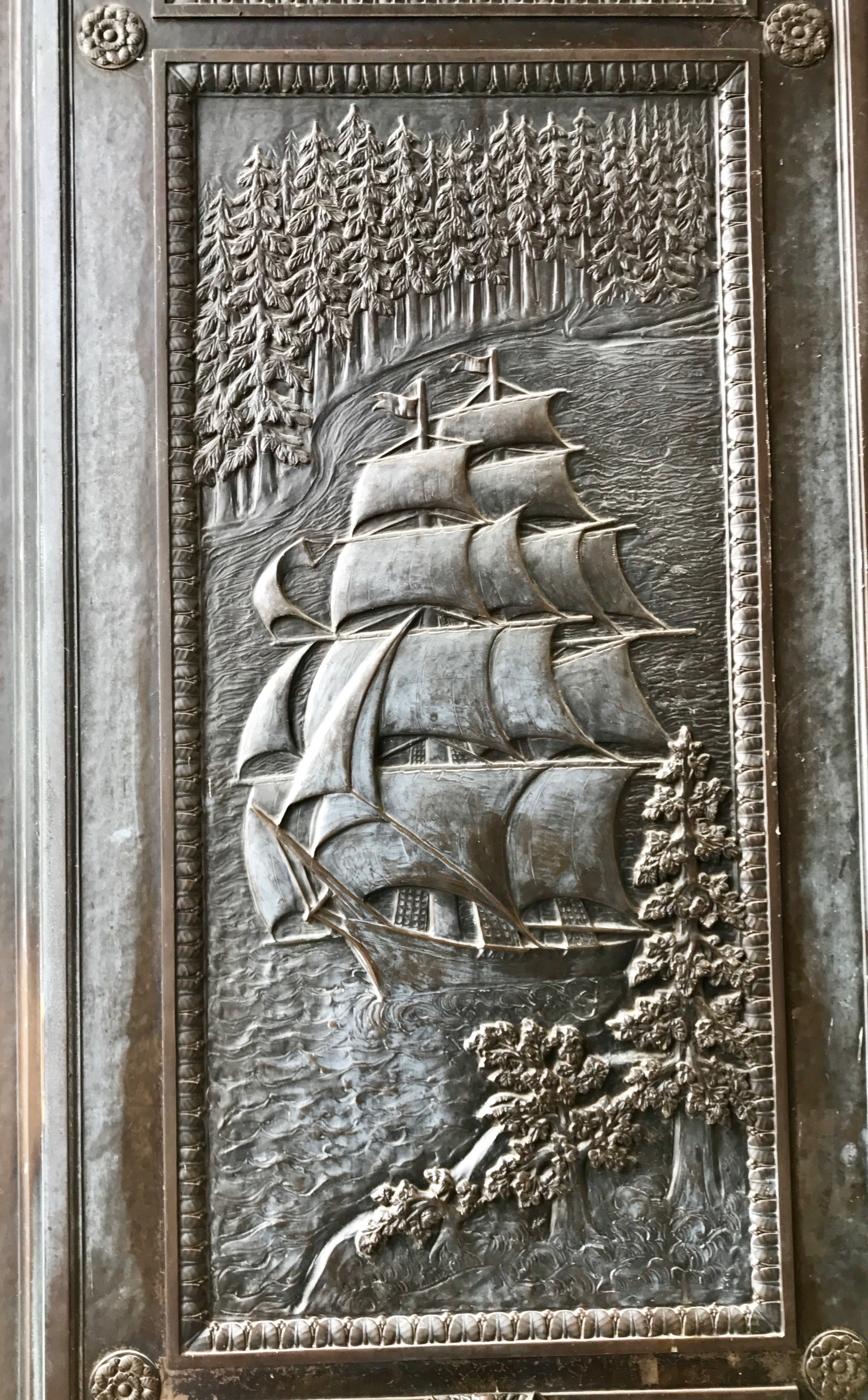
…the rugged coastline that made transportation possible.
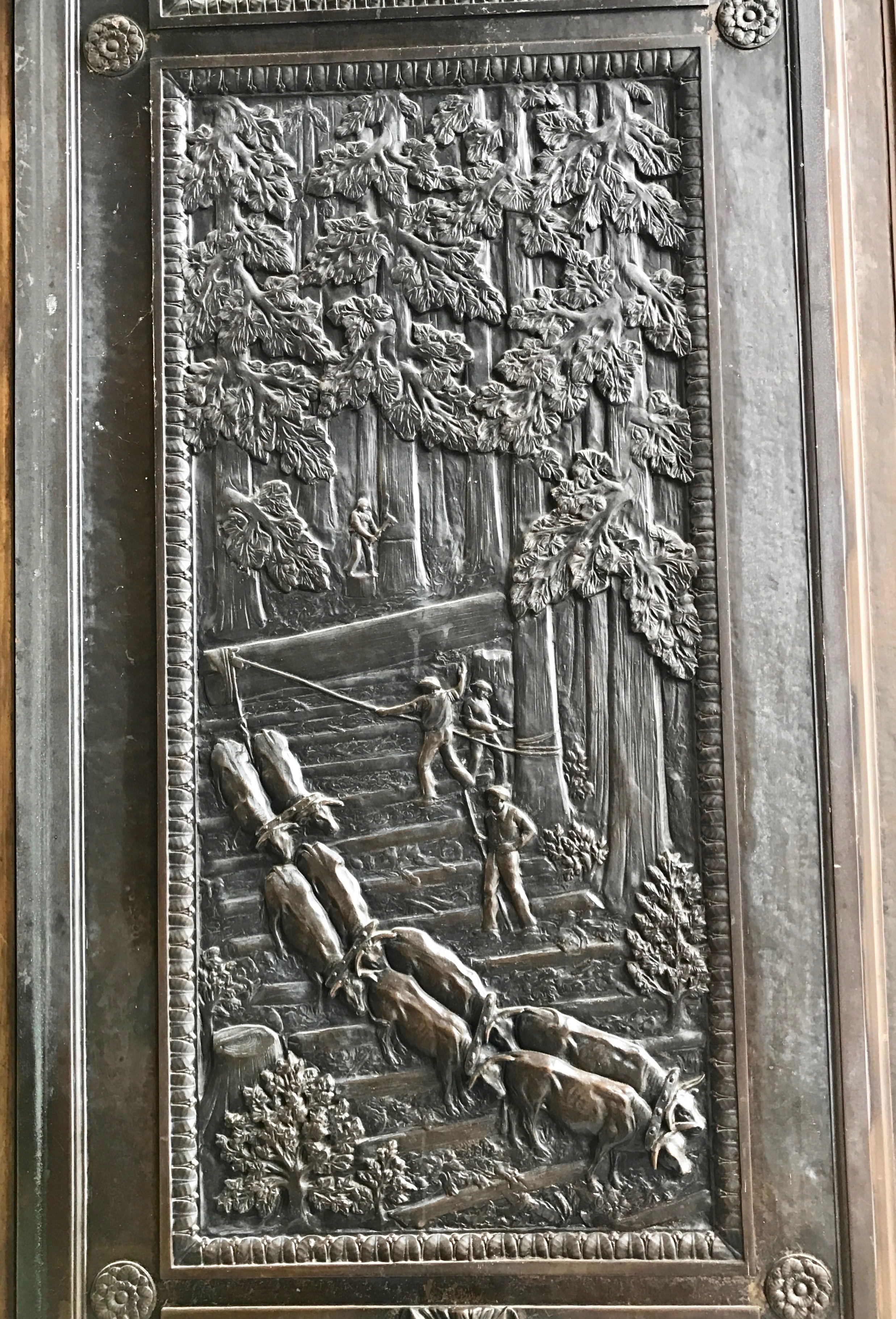
The lumber industry…
ranching.
I imagine that a historian could have told the story of Washington with these panels.
I kept my eye on my watch. I didn’t want to miss the tour, so I headed back inside.
I wonder how the people of Washington saw the future unfolding when they sealed up this time capsule in 1976? More than 40 years on, it would be interesting to see how accurate they were.
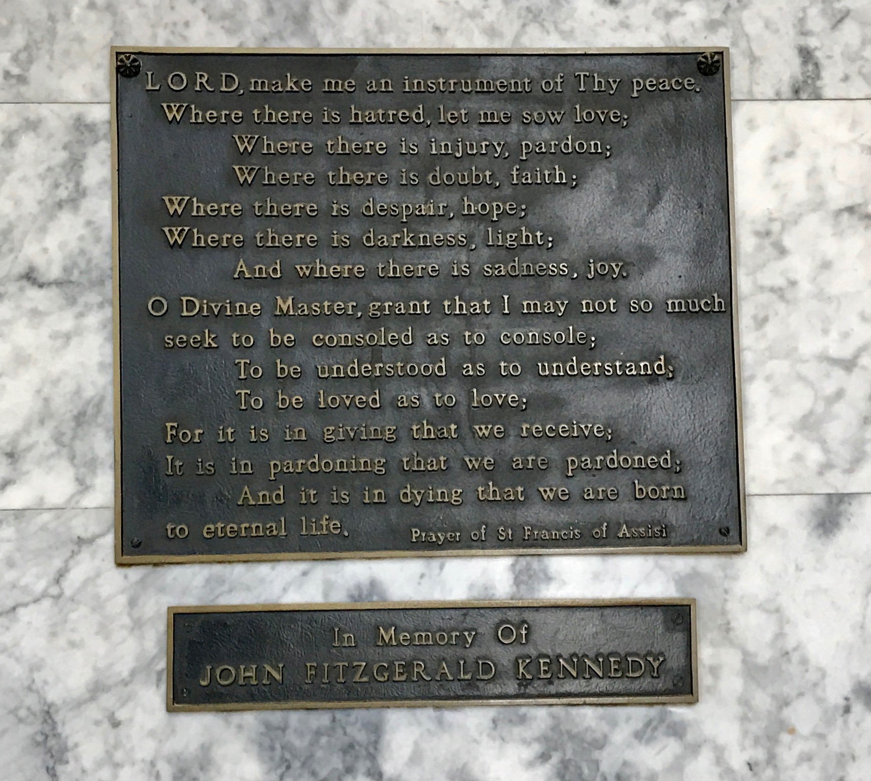
I thought this was a lovely memorial to President Kennedy.
And, with that, it was time to start our tour.
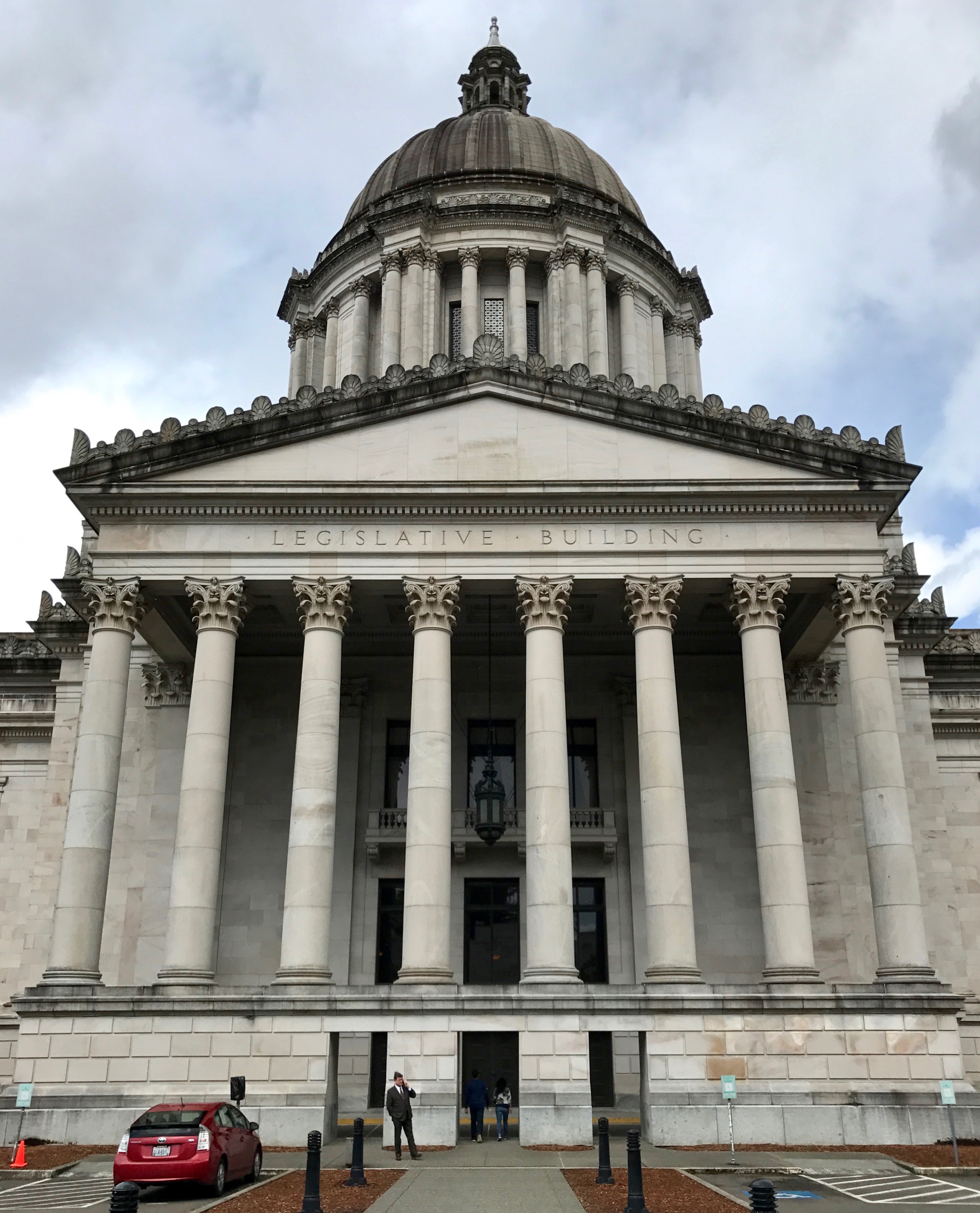
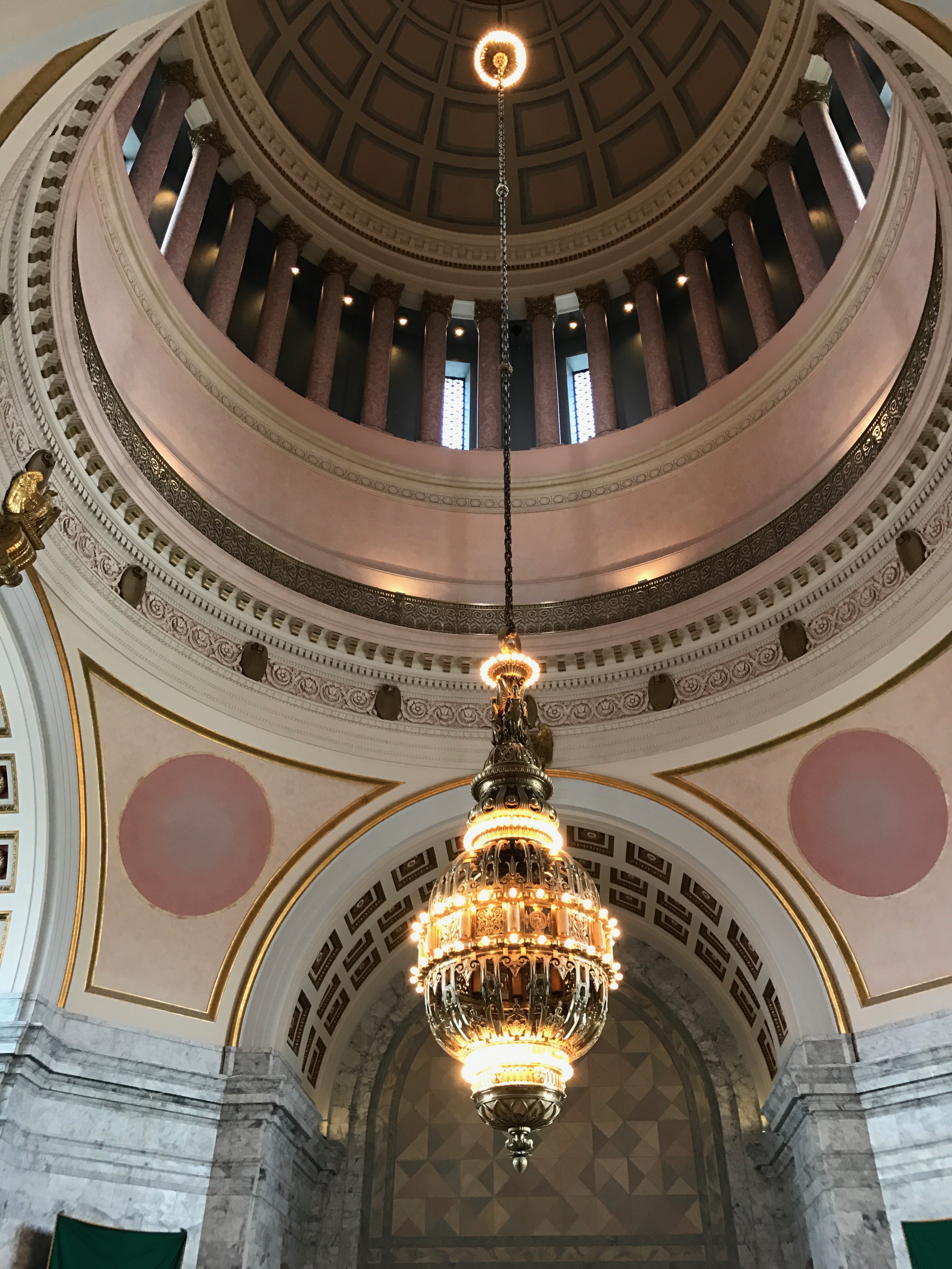
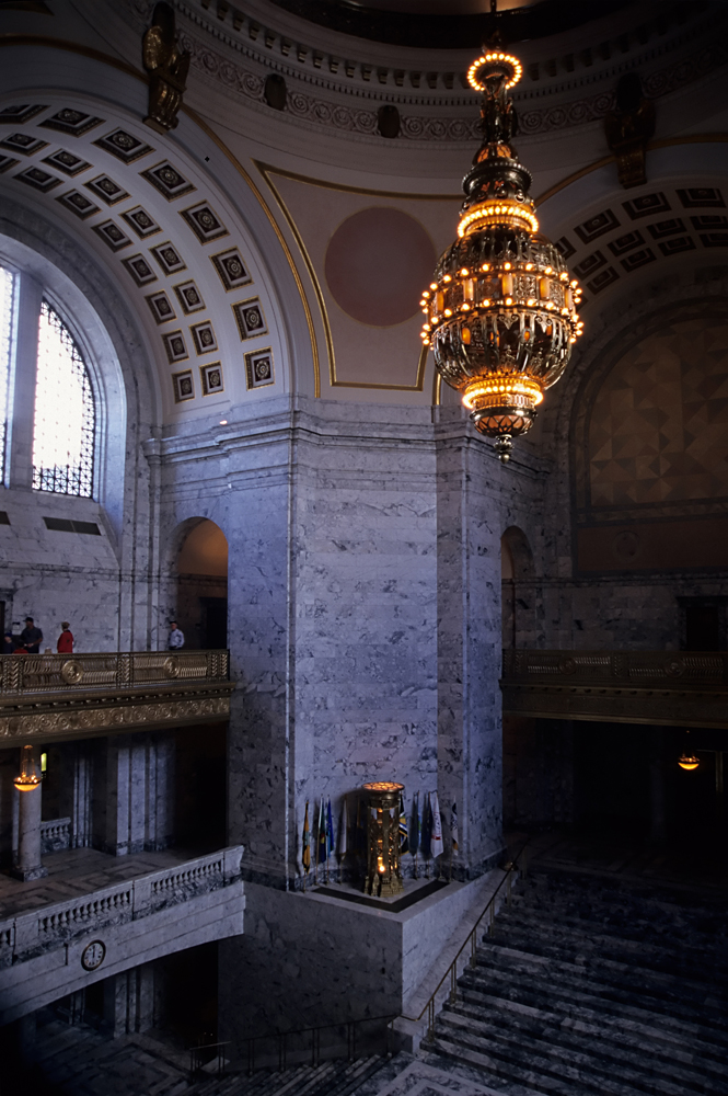
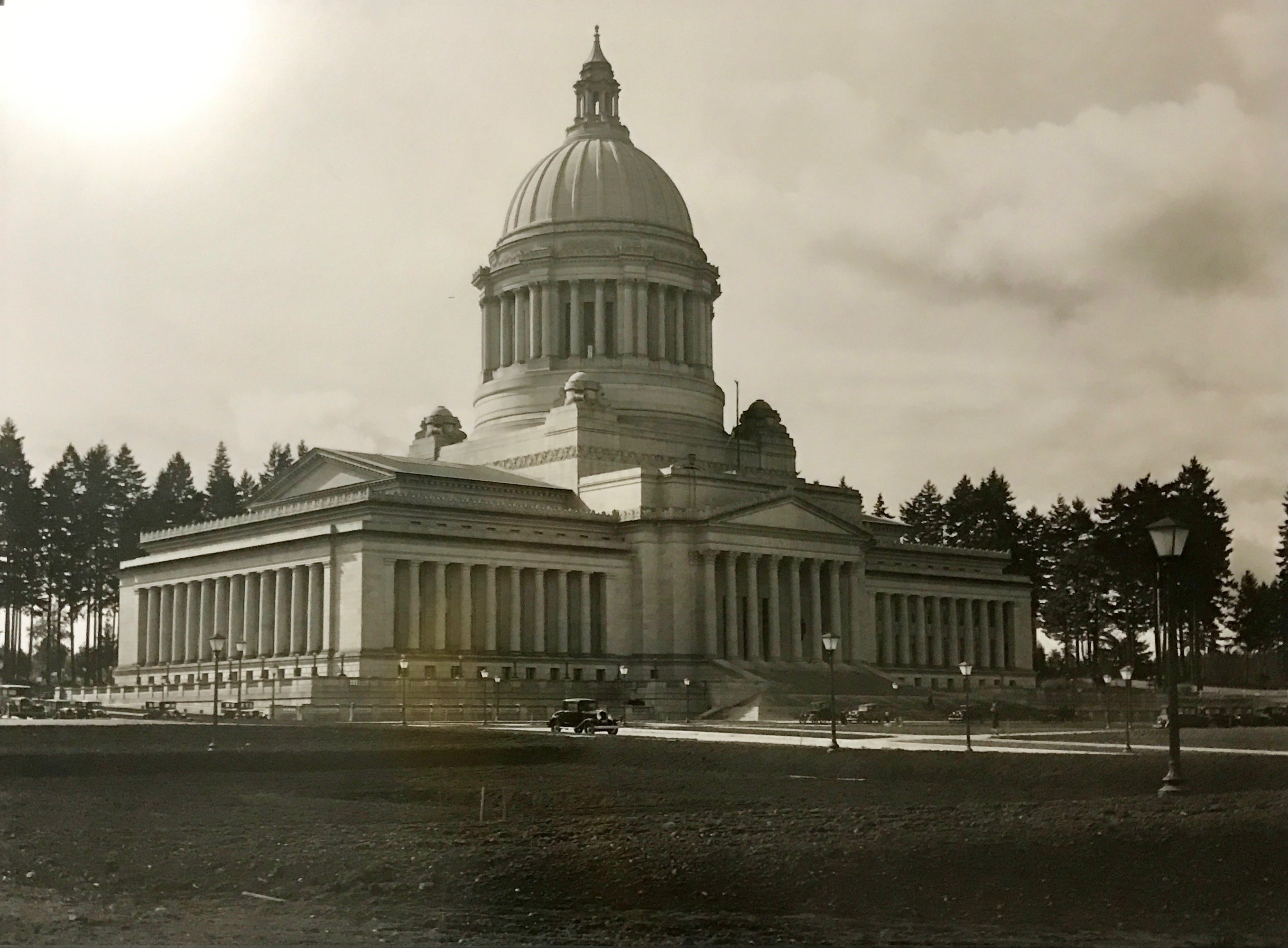
Our guide lead us into the rotunda. The building, designed by Wilder and White, was finished in 1928. Their design called for the dome to be fixed to the supporting structures by gravity. That’s right, they thought it was a good idea to just set a 29,000 ton dome on top of the building and trust that it would be so heavy that it wouldn’t move.
It did withstand several quakes. The cupola was so badly damaged by one in 1949 that it had to be completely replaced. A 6.5 magnitude earthquake in 1965 severely damaged the dome’s brick buttresses. A major aftershock could have caused them to collapse entirely. The Nisqually earthquake of 2001 caused the dome to shift, along with the sandstone columns supporting it. According to my ultimate source, the columns moved as much as three inches.
Three inches! Yikes!
Renovations completed in 2004 fixed the dome permanently to the rest of the building. I’m no architect, but that seems to make sense. I wonder what Mother Joseph would think?
By Eric Hunt – Own work, CC BY 2.5, https://commons.wikimedia.org/w/index.php?curid=1318829
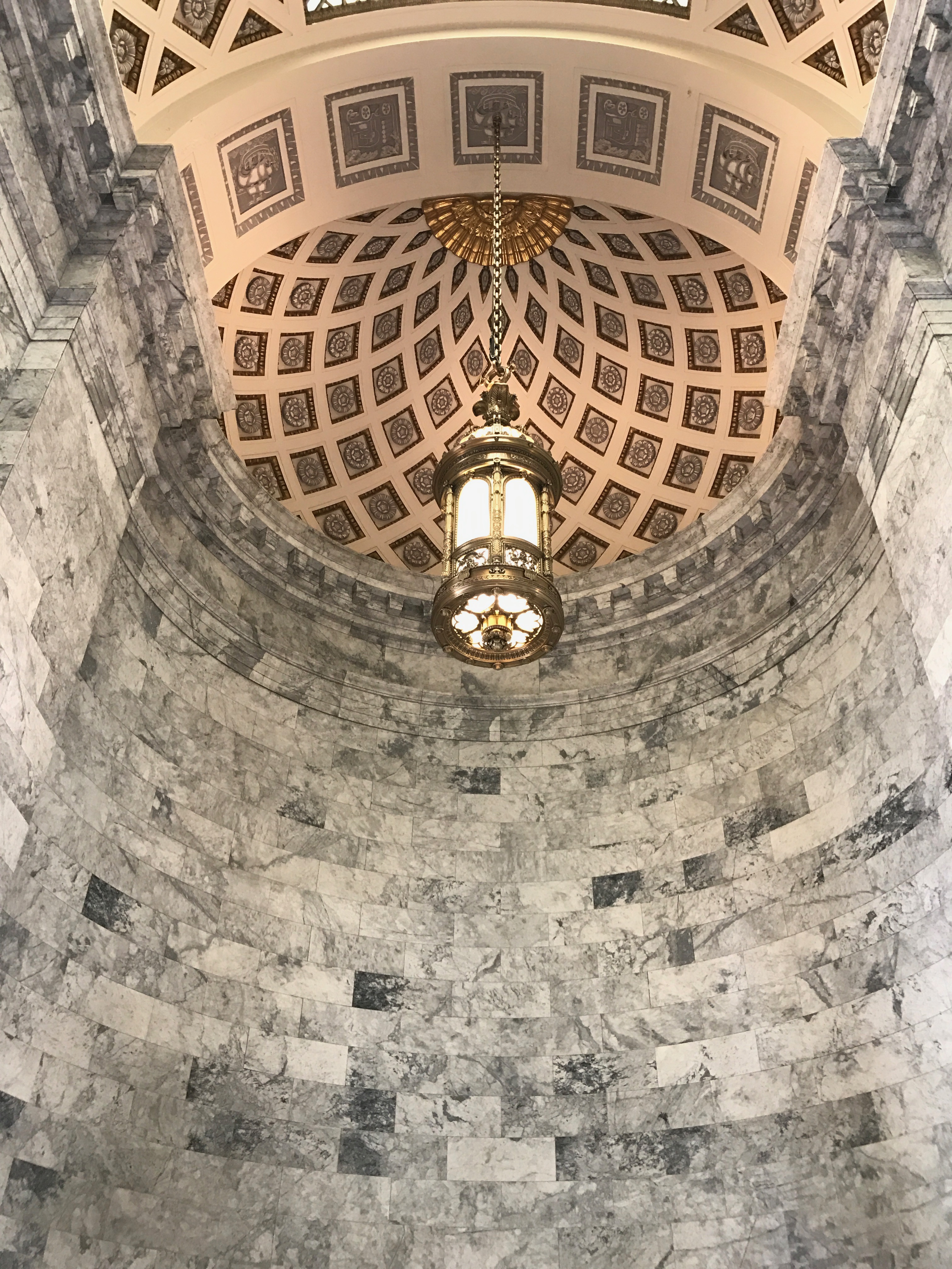
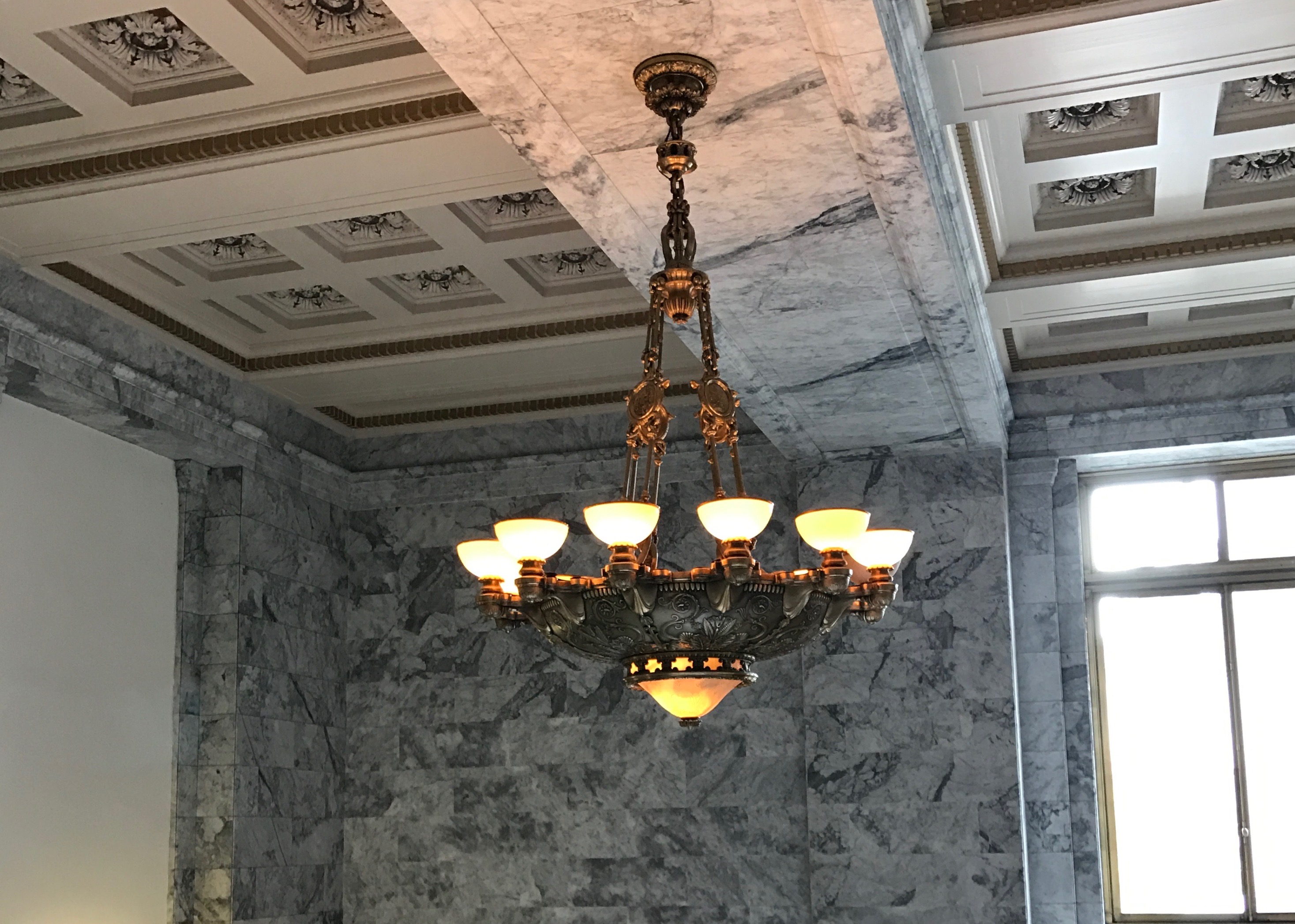
Louis Comfort Tiffany had a major role is lighting the rotunda. The lamps and Roman fire pots are the largest collection of Tiffany bronze in the world and they were his last large commission before his death in 1933.
The chandelier is amazing! They say it could fit a full-sized Volkswagen Beetle “if put in sideways.” I’m not sure what that means, exactly, but I can kind of see if with its front bumper facing the floor.
It weighs 10,000 pounds and measures 25 feet tall. They say it features life-sized faces, human figures and 202 lights. It is suspended 50 feet above the floor by a 101 foot chain. That must be some chain!
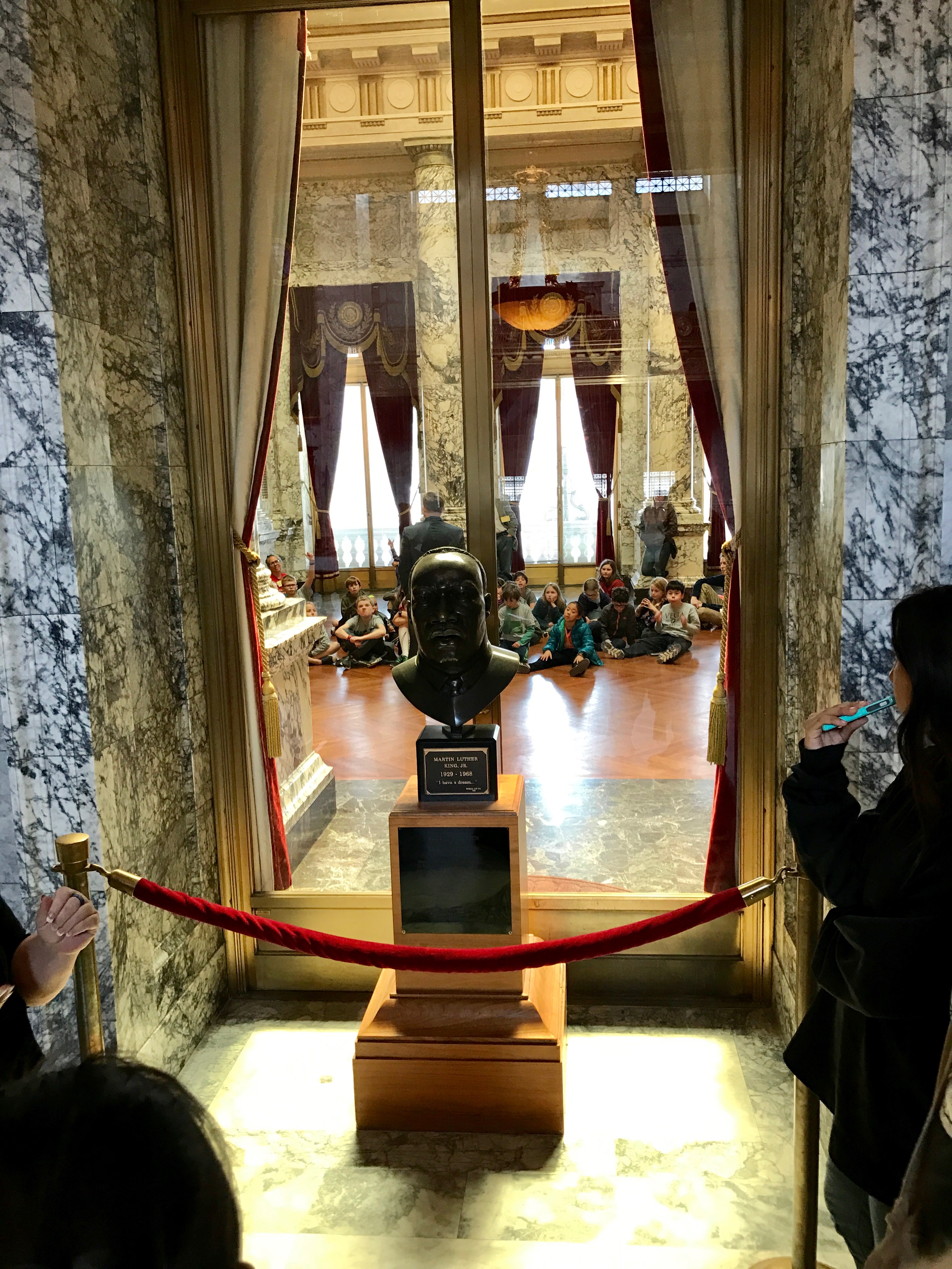
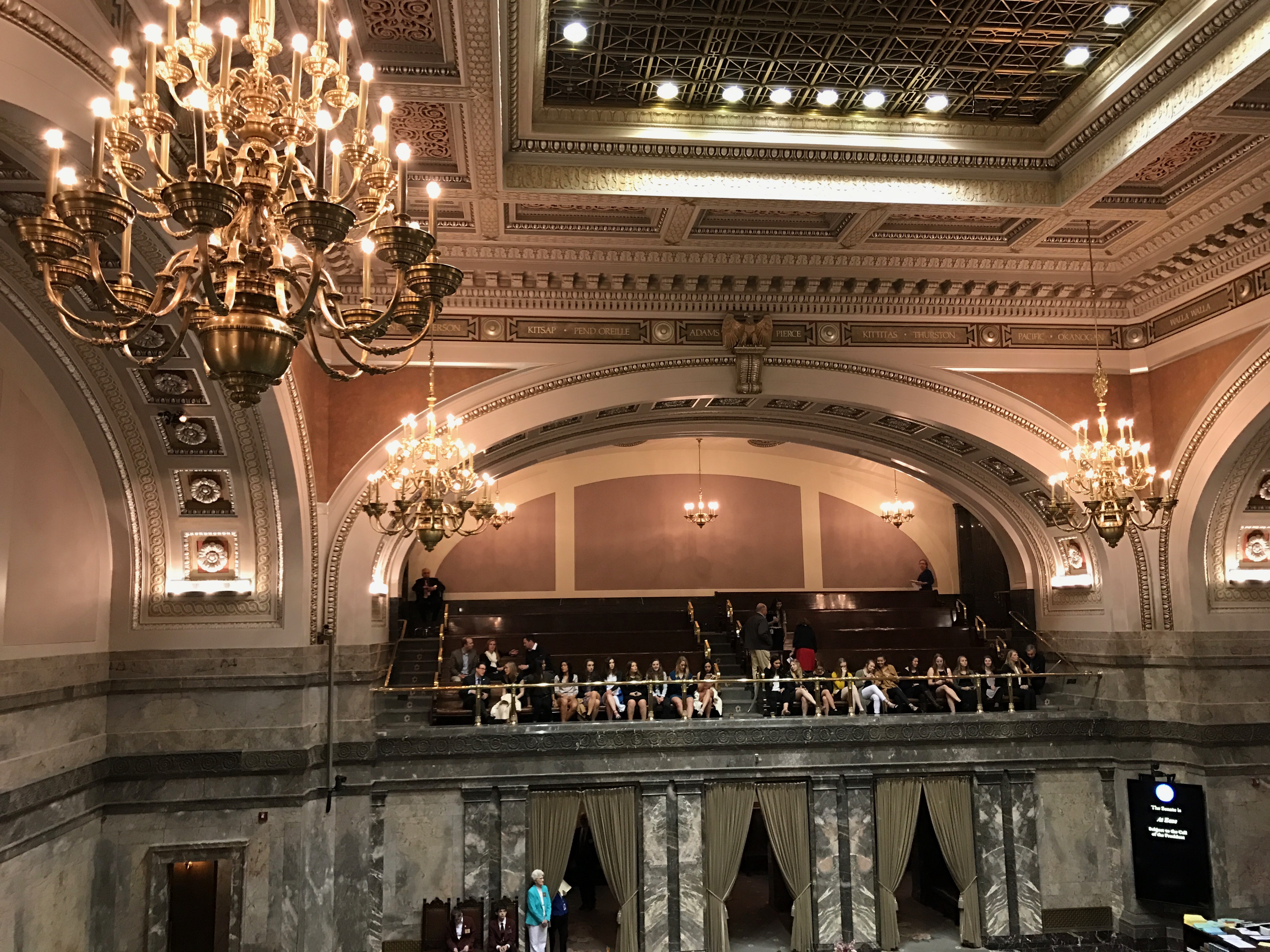
Our guide lead us up the stairs and continued sharing information about the building. Right behind the bust of Martin Luther King Jr, you can see a school tour.
We went over and looked back into the rotunda. In addition to a better view of Tiffany’s Roman fire pots, you can see another school tour.
And another one over there. All I can say is that it must have been field trip season. Keep your eyes peeled for more tour groups.
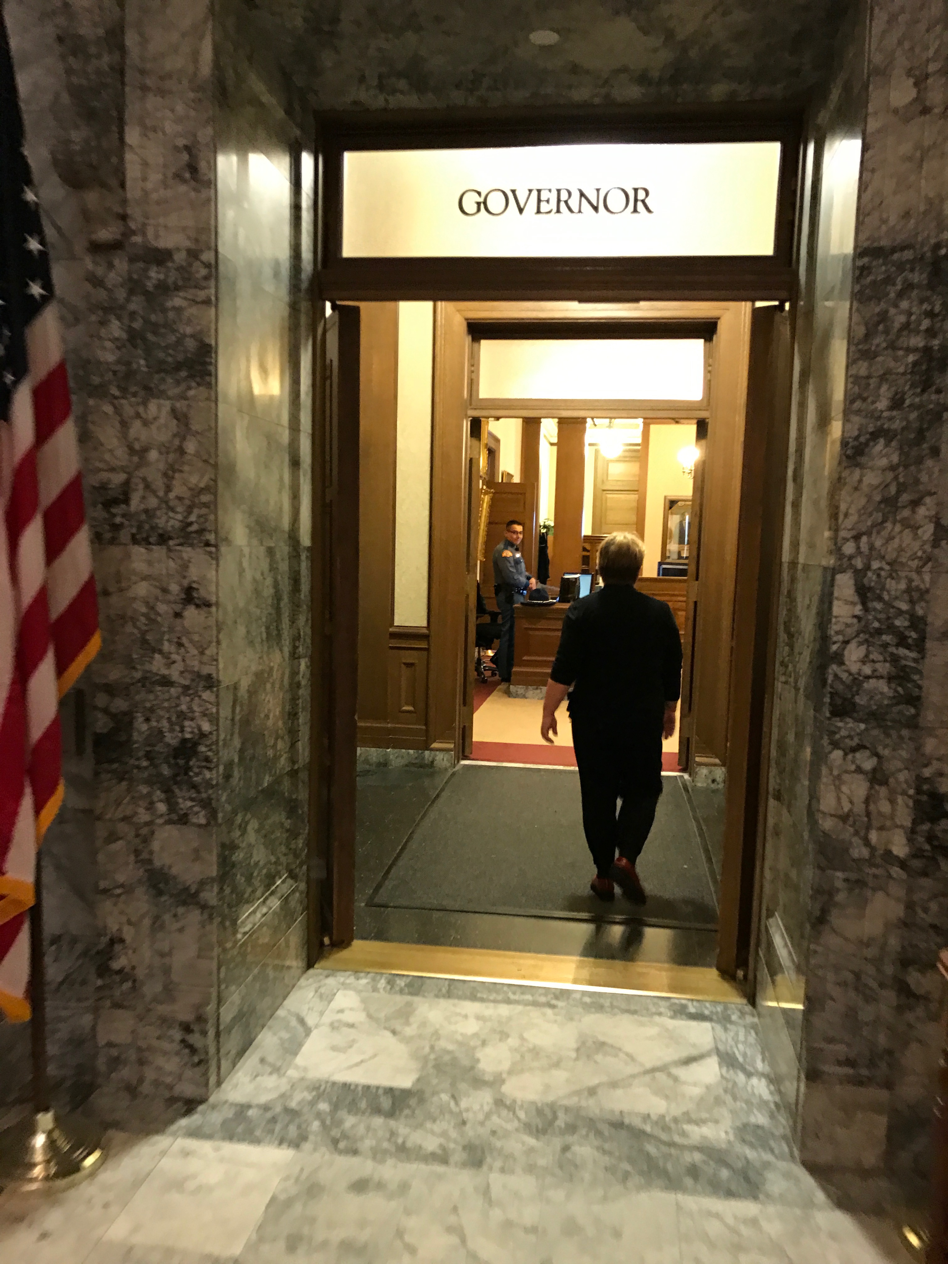
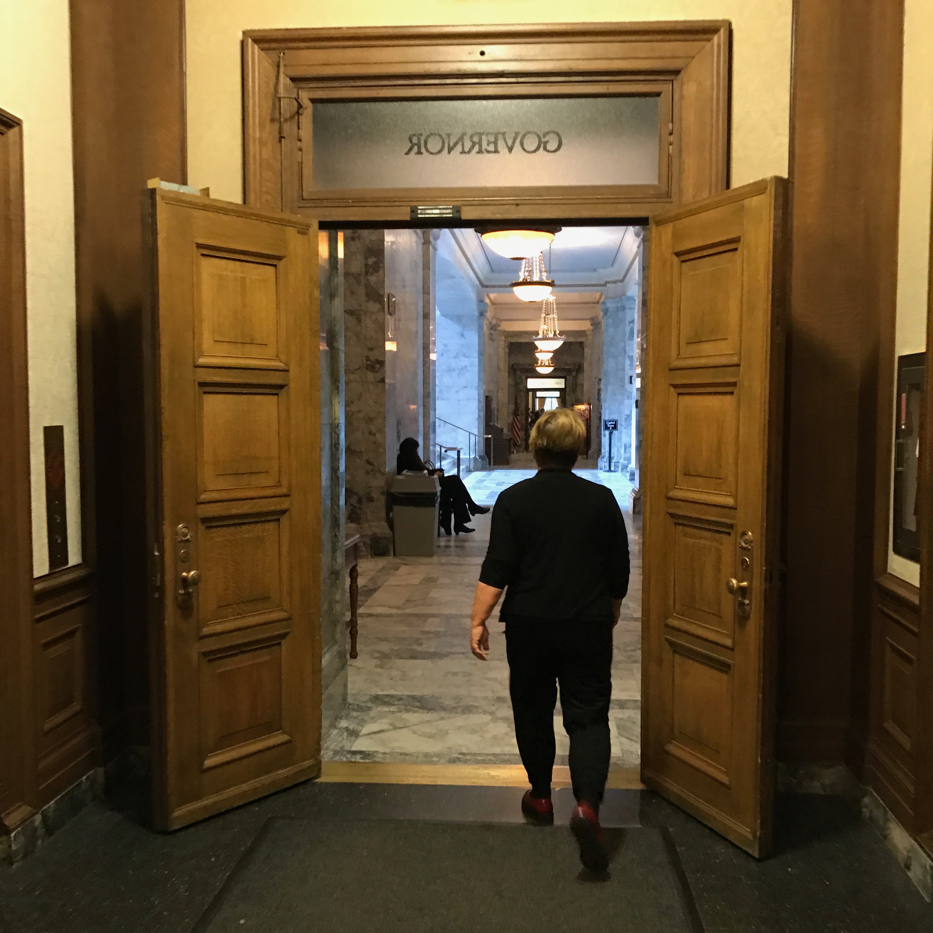
We walked down the hall to the Governor Jay Inslee’s office. We walked in and looked around the reception area.
And then we walked out.
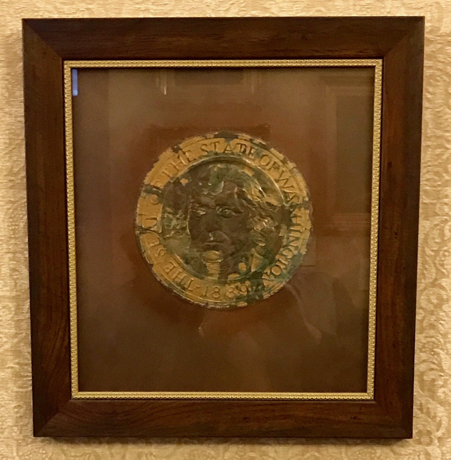
In the midst of all the marble from Alaska, Belgium, France, Germany and Italy and all the elegant Tiffany bronzes, there was this scrap of leather in a frame just outside the Governor’s office.
I’m always curious when things don’t seem like they belong together. So, I read the sign next to it. It turns out that this is the leather embossed state seal from the Governor’s executive chair, which was made in 1927. The Governor’s executive chair has been re-upholstered twice. The first time, the original seal was carefully cut from the original leather and sewn on to the new leather. In 1999, the seal was removed due to deteriorating conditions and preserved in the this frame.
So, now you know.
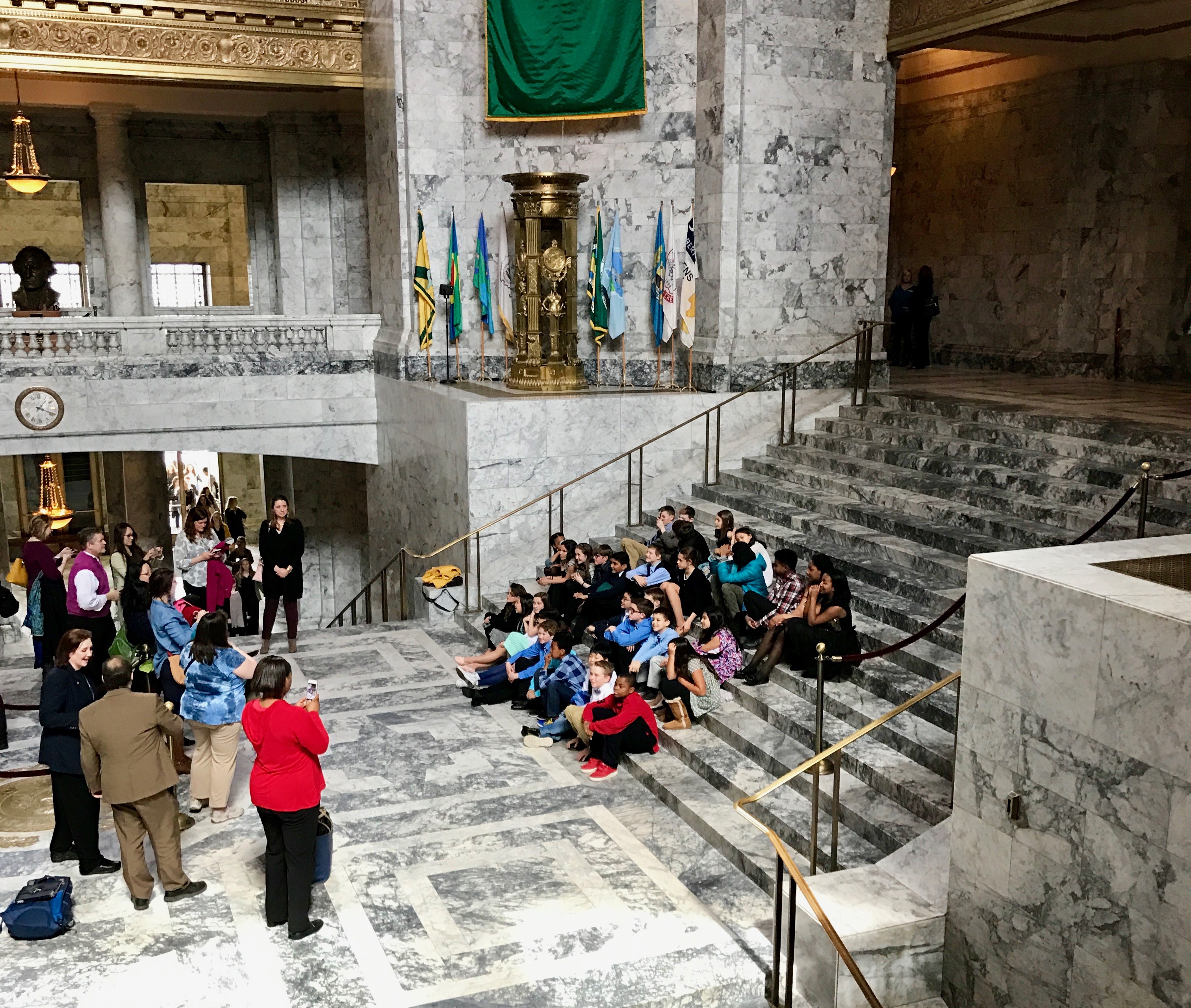
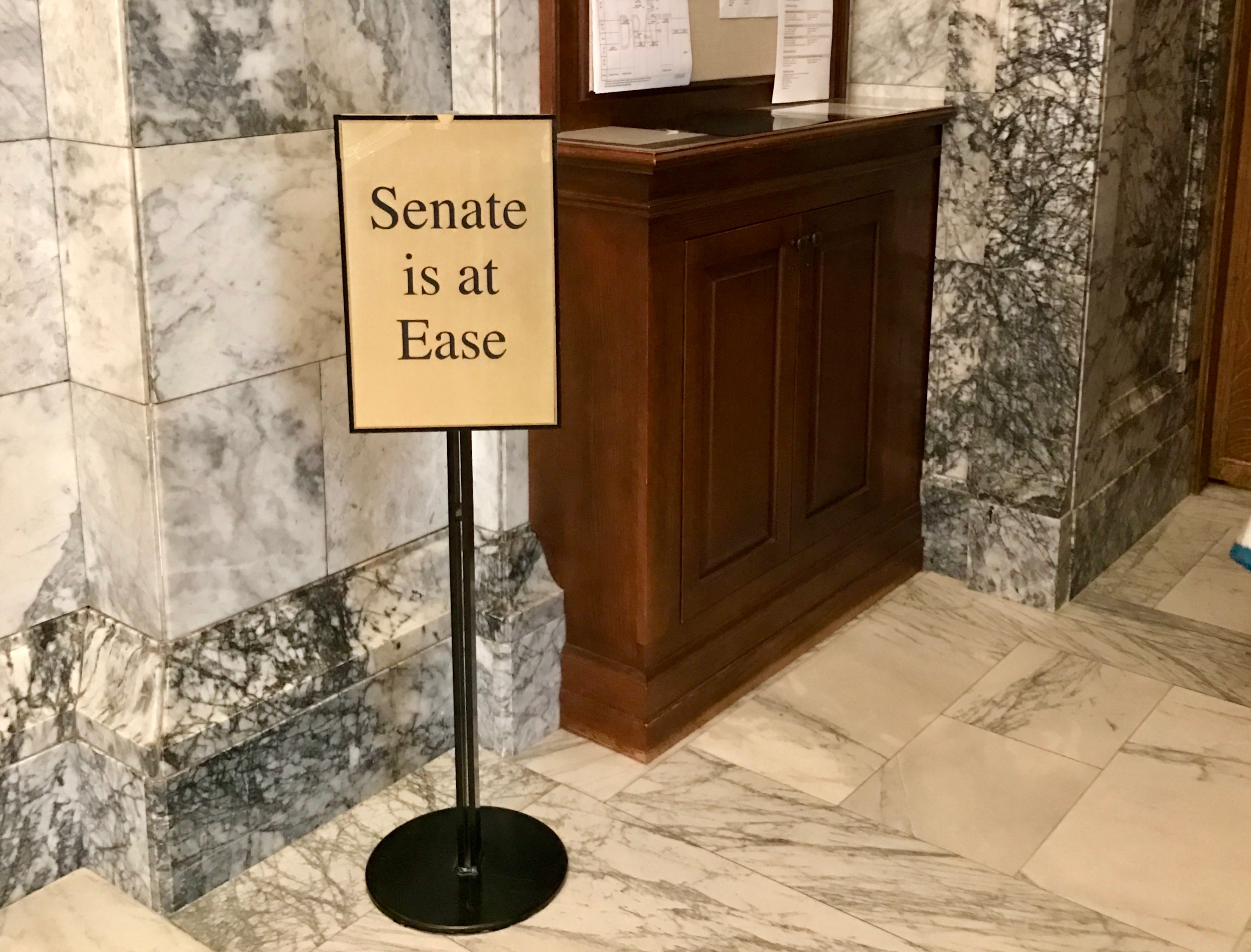
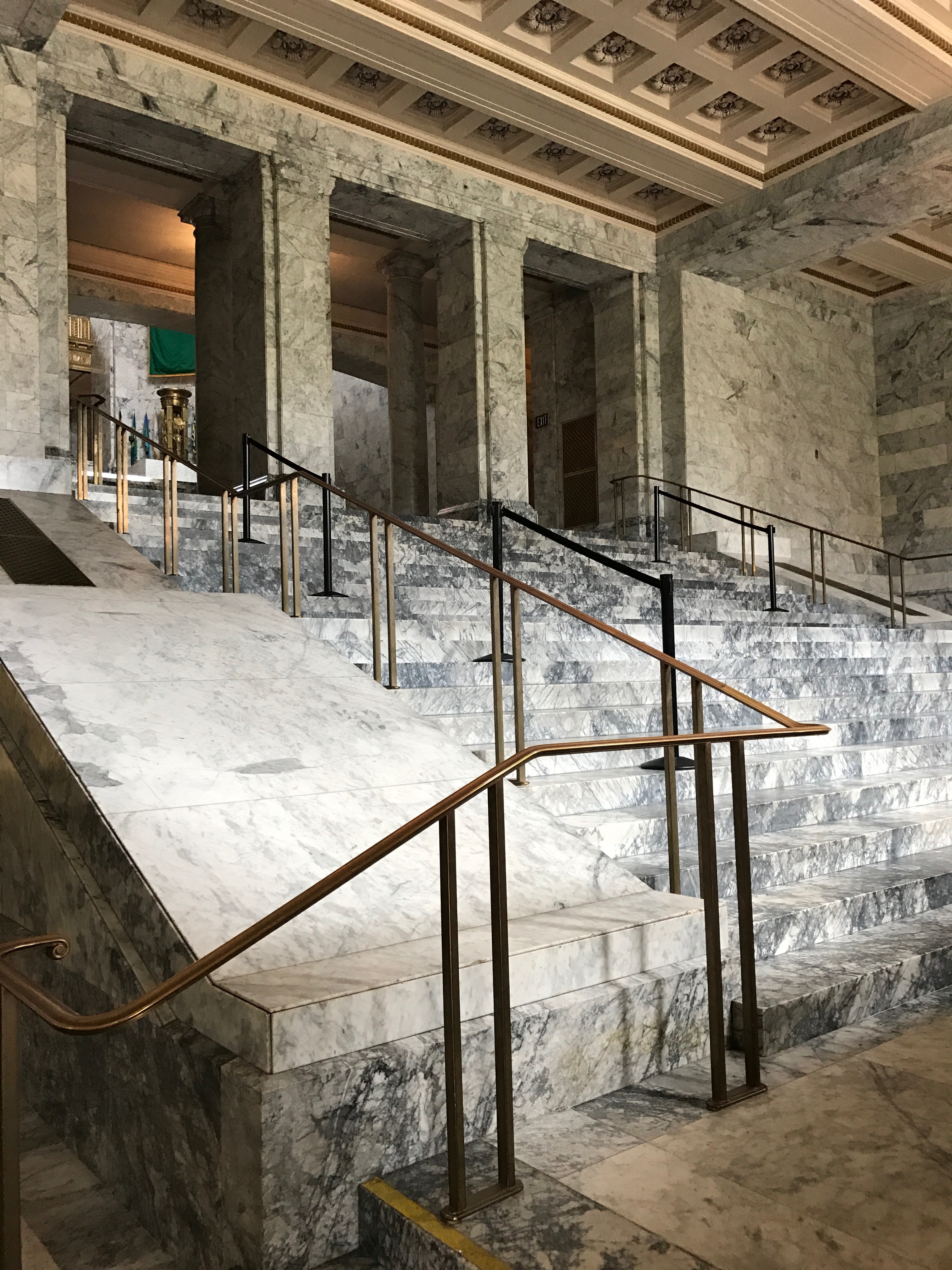
Now, I am not sure what is going on here. As I remember, the legislature had adjourned. I’m tempted to say this was another tour, but the people sitting down there don’t look like school children.
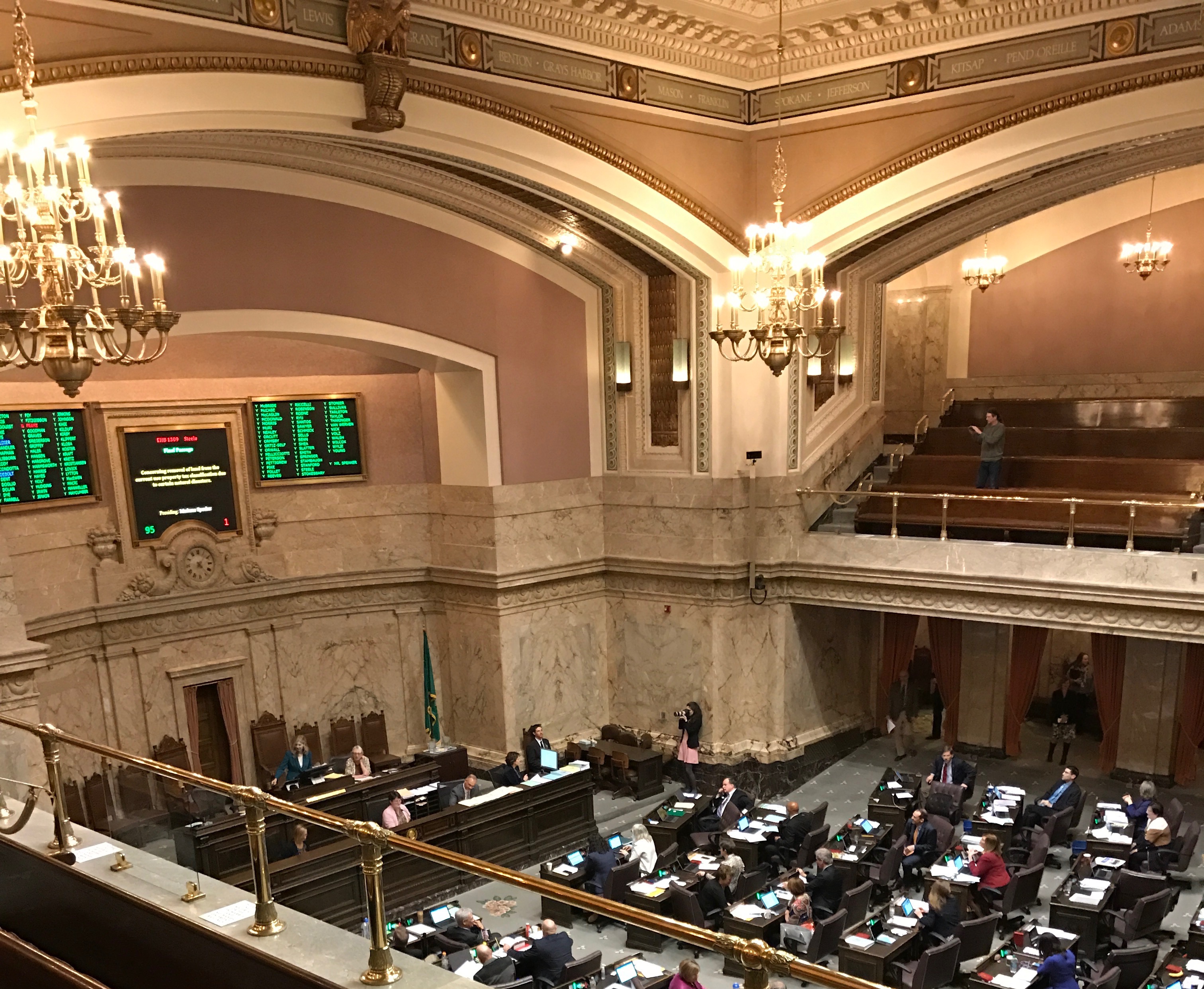
We left the lower house and went over to the Senate.
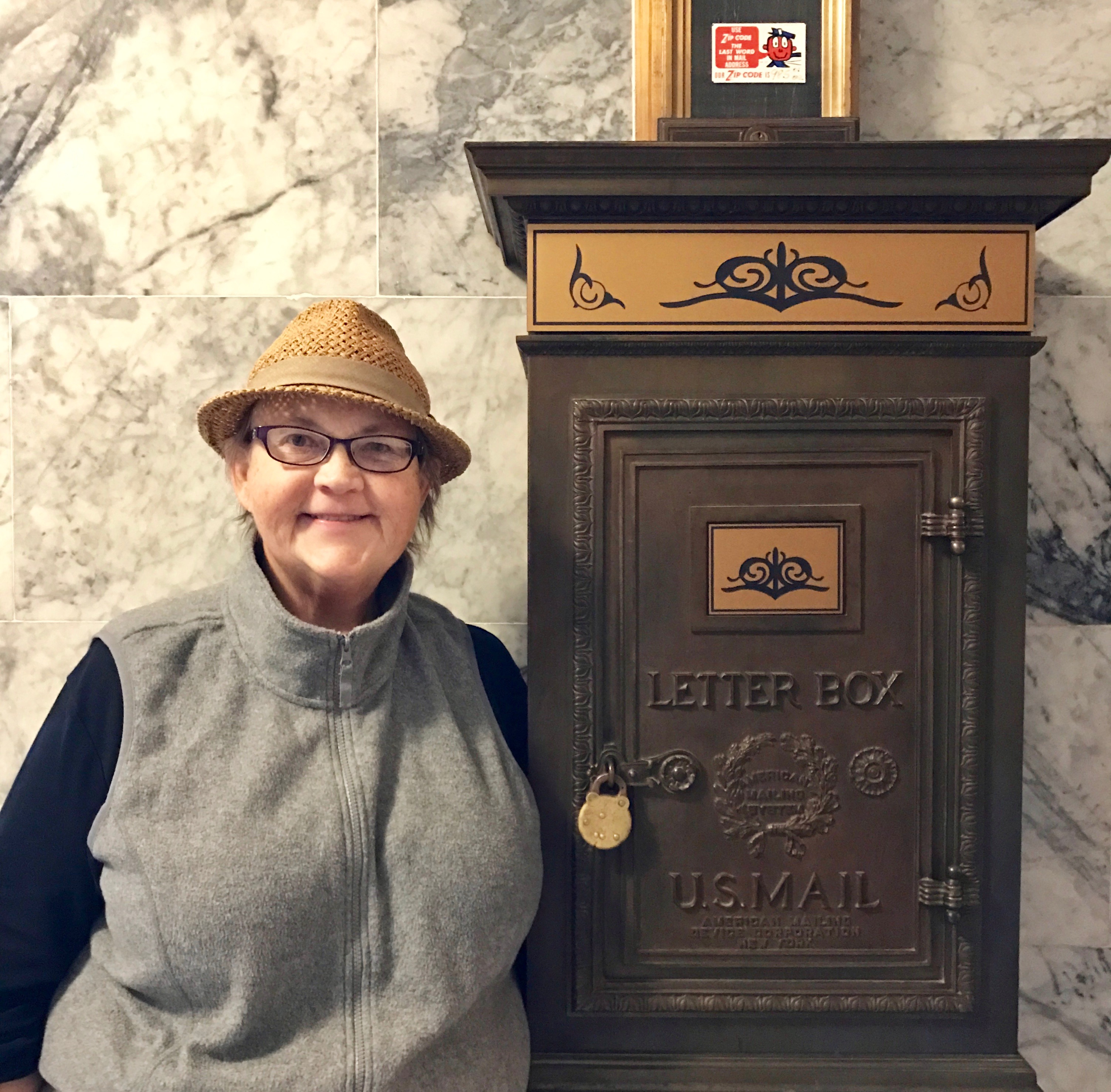
Do you see the tour? After we looked around the Senate for a bit, we headed back to the ballroom. I spied this mail chute on the way.
I always enjoy looking around and spying things I find interesting. Now, I am sure the vast majority of people are not fascinated by mail chutes, but I think they are interesting. In an era before email, they must have speeded up communication.
Oh, look! Another tour!
One of the members of my tour noticed me taking a photo of this mail box, and she offered to take a photo of me with it. Who am I to turn down a kind offer like that?
And that was pretty much the end of the tour. Now I was free to explore a bit before I left. I love just poking around.
Here is one of the Tiffany chandeliers. This one is hanging in a lobby.
Washington was the 42nd state admitted to the union, and the guide said that there were 42 steps here. I took her word for it. I was in search of the gift shop.
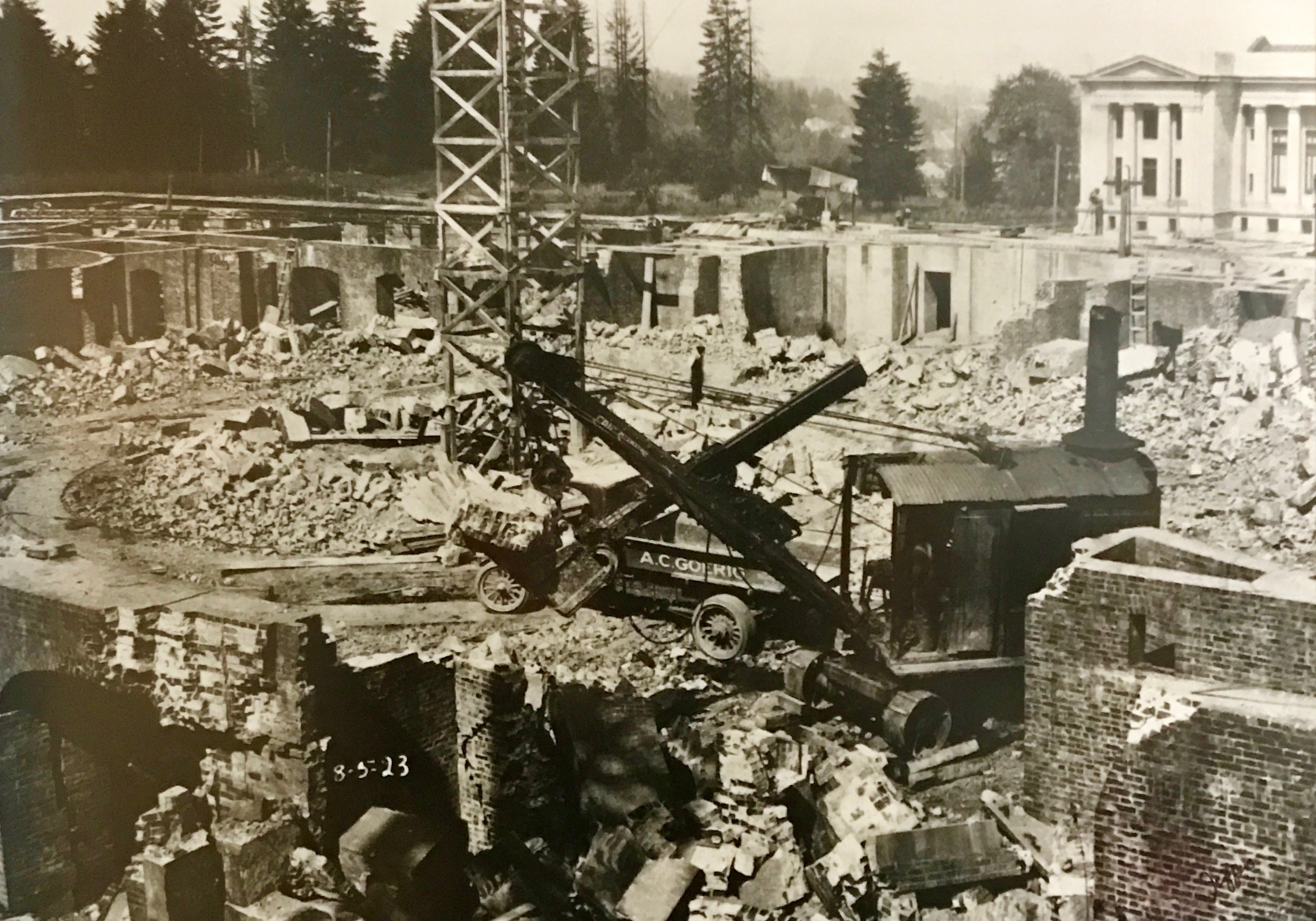
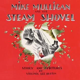
As I walked down the hall, I came across these marvelous historical shots of the construction of the Legislative Building. I love this old steam shovel! It reminded me of Mike Mulligan and his Steam Shovel.
By Source, Fair use, https://en.wikipedia.org/w/index.php?curid=2593915
For any of you not into kiddie lit, click here for some information about this important piece of literature. (Seriously, it is interesting – to me, at least.)
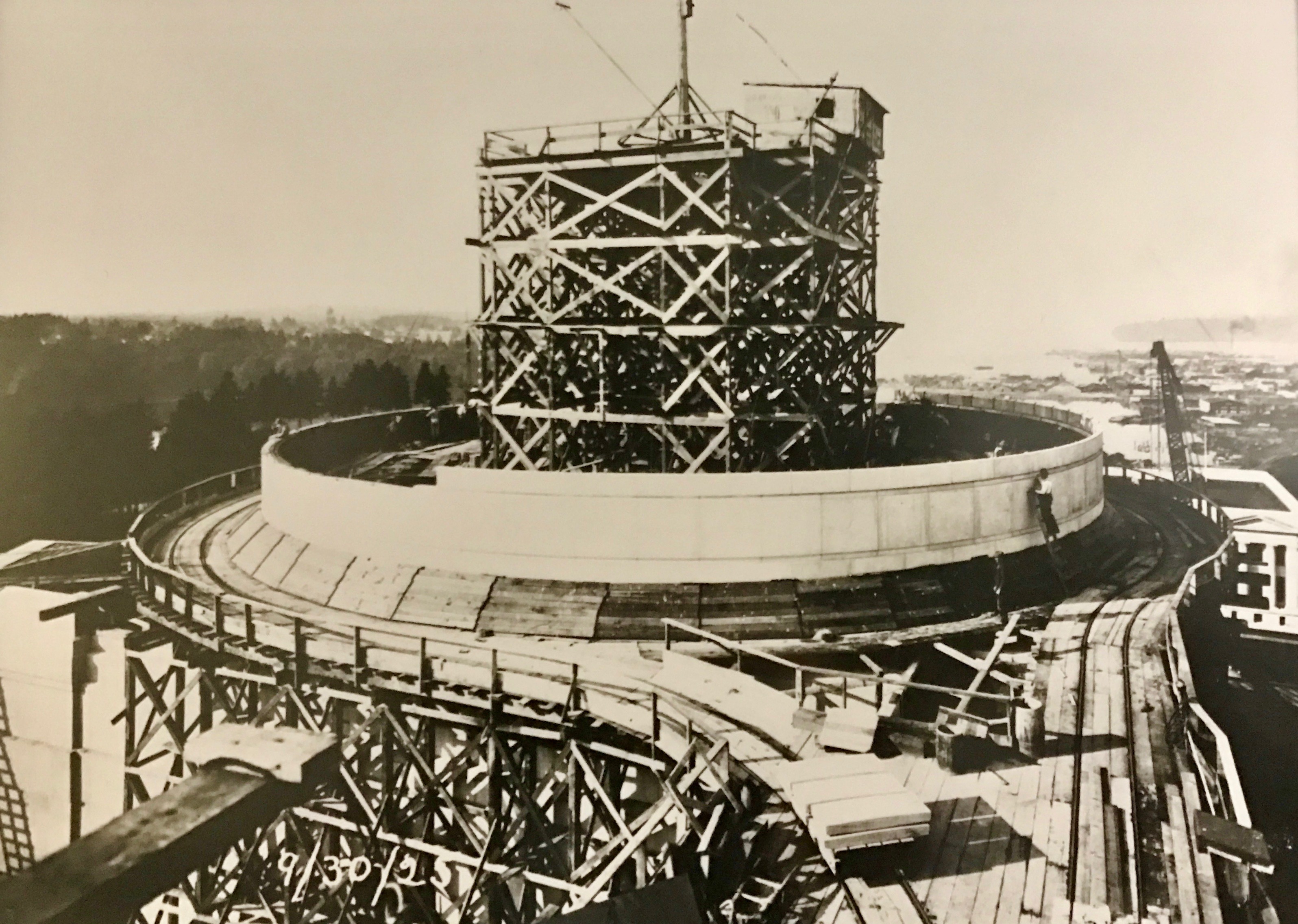
Here they are, working on that 29,000 ton dome. What I neglected to mention earlier is that the dome is 287 feet high, which makes it the tallest self-supporting masonry dome in the United States and the fifth tables in the world, surpassed only by St. Peter’s Basilica in Rome, St. Paul’s Cathedral in London, Global Vipassana Pagoda in Mumbai, and Santa Maria del Fiore in Florence. (I’ve been to three of the four of these.)
Finally, it was completed. The Olmsted Brothers had a hand in planning the landscaping. Apparently, that part of the plan hadn’t been attended to when this photo was taken.
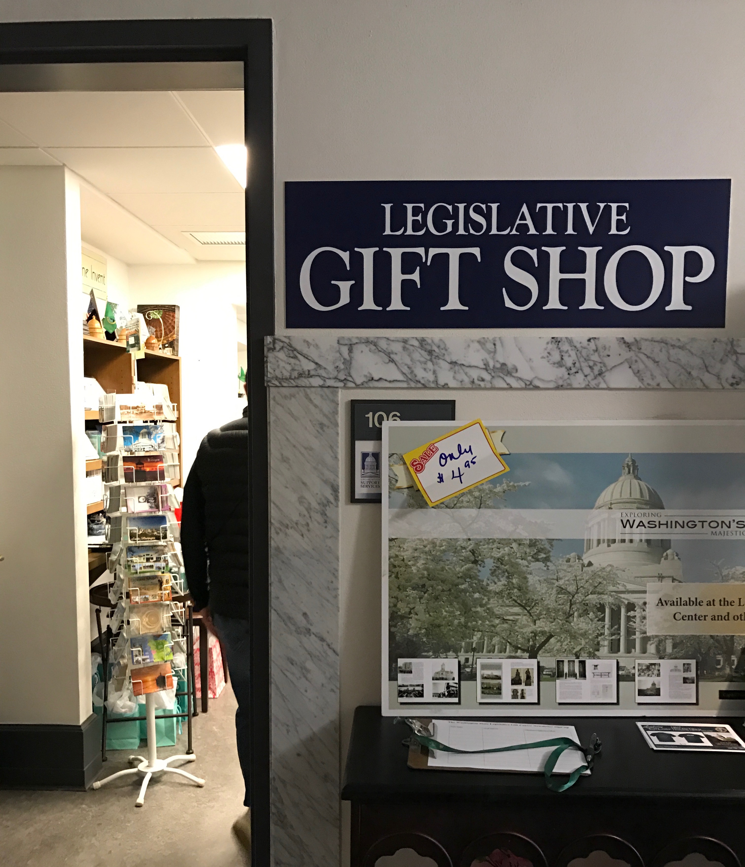
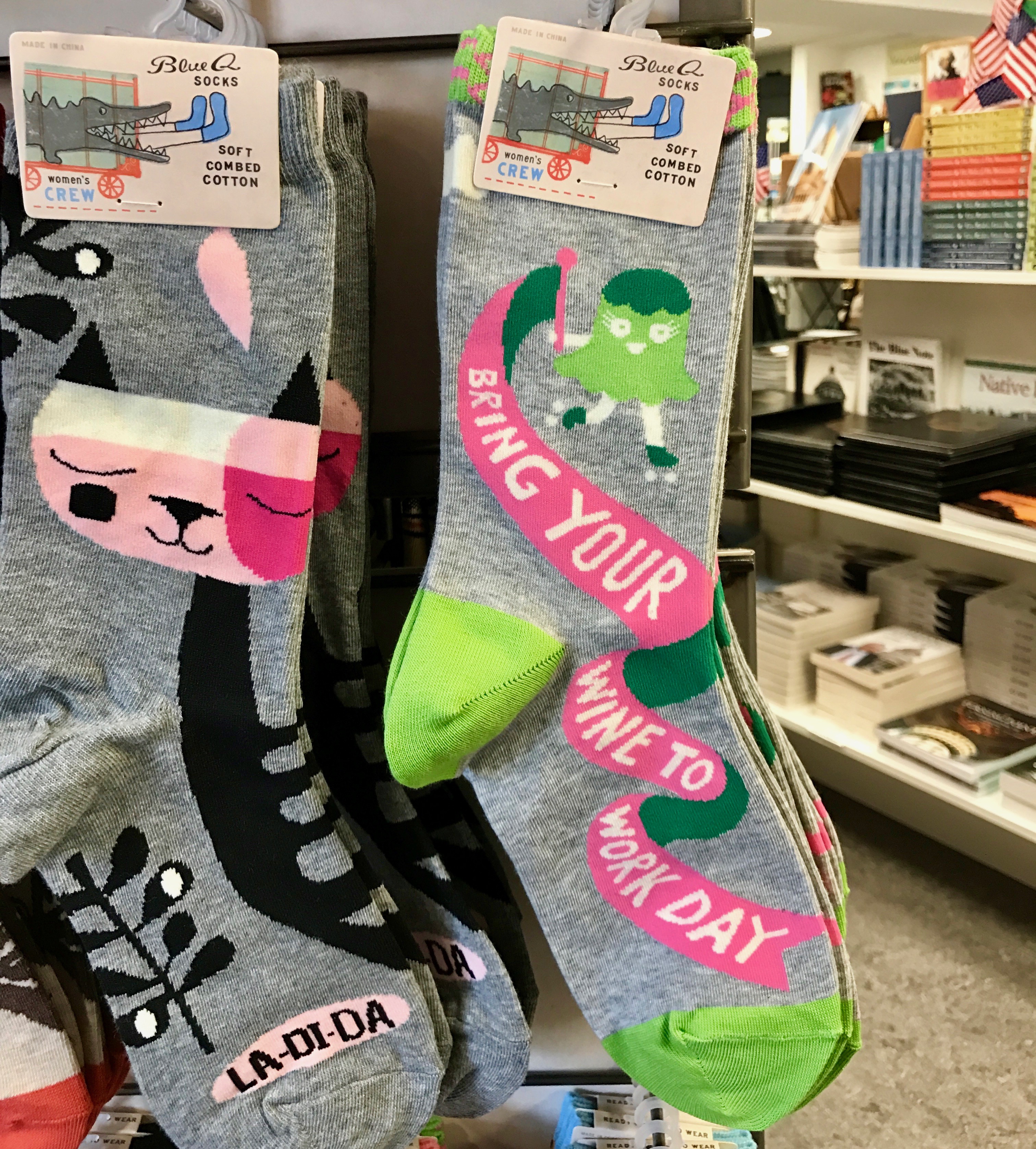
Finally! The Legislative Gift Shop!
They had the usual assortment of postcards and things related to the state and the state government, but I have to admit that I was a bit perplexed by the “Bring your wine to work day” socks.
I did pick up a T shirt commemorating the end of the legislative season.
I learned a Latin legal expression I had never heard before – sine die, which is pronounced “see-nay dee-ay” according to one dictionary I consulted. My ultimate source has this to say about it:
“It can be used in reference to United States legislatures whose terms or mandates are coming to an end, and it is anticipated that this particular body will not meet again in its present session, form, or membership.[3] A legislative body adjourned in this way may be called back into special session, a reason why sine die adjournment rather than dissolution may be preferred in some cases.”
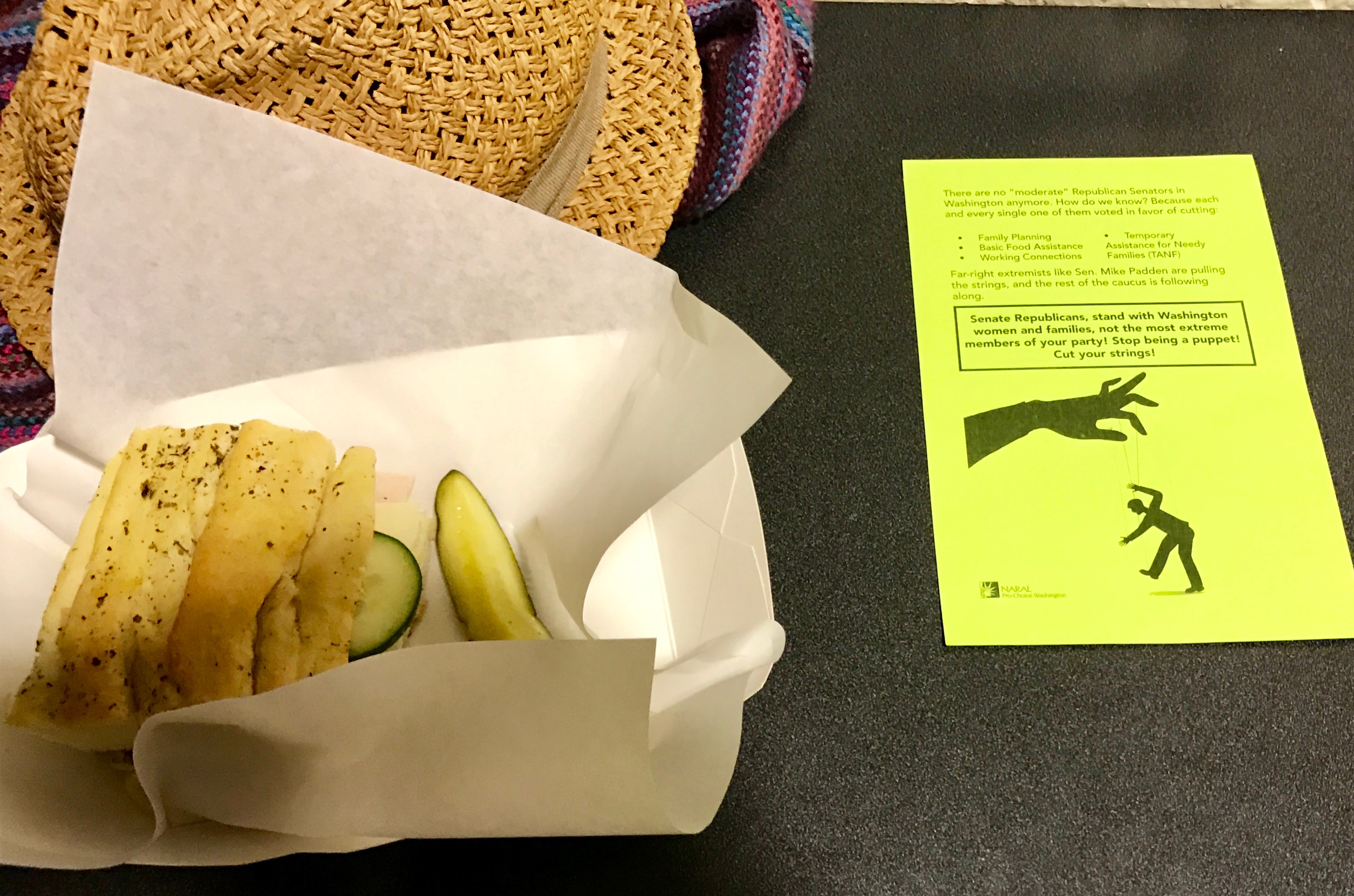
After that, it was time for some light refreshment.
I always appreciate a side of activism with my lunch.
This flyer, that was left on my table, asked Senate Republicans to stand with Washington women and families, not the most extreme members of their party. Stop being a puppet! Cut your strings!
I wonder if that worked?
Thus refreshed, I headed back to my truck.
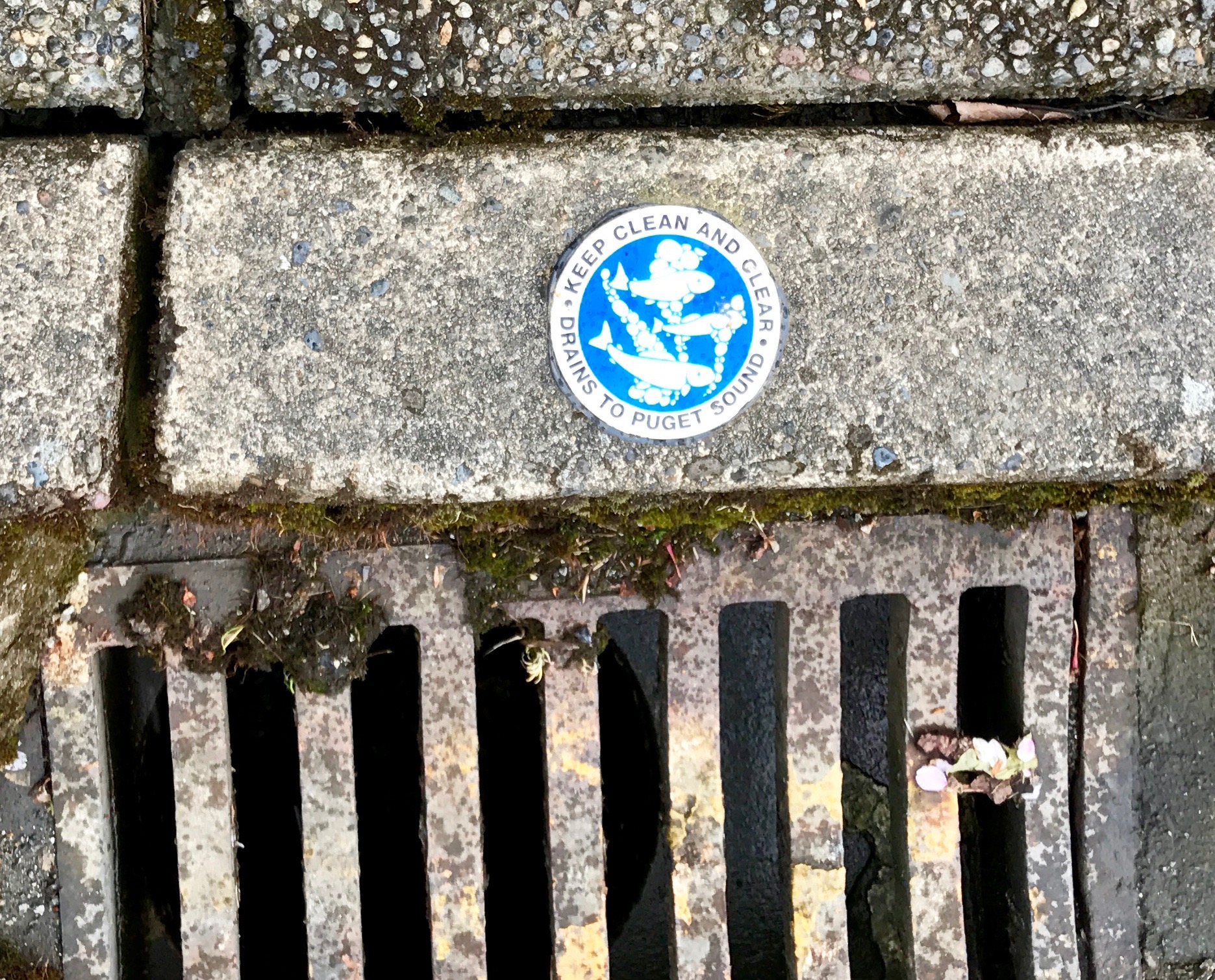
Oh, right! Even though I haven’t really seen it yet, I was close to the Puget Sound.
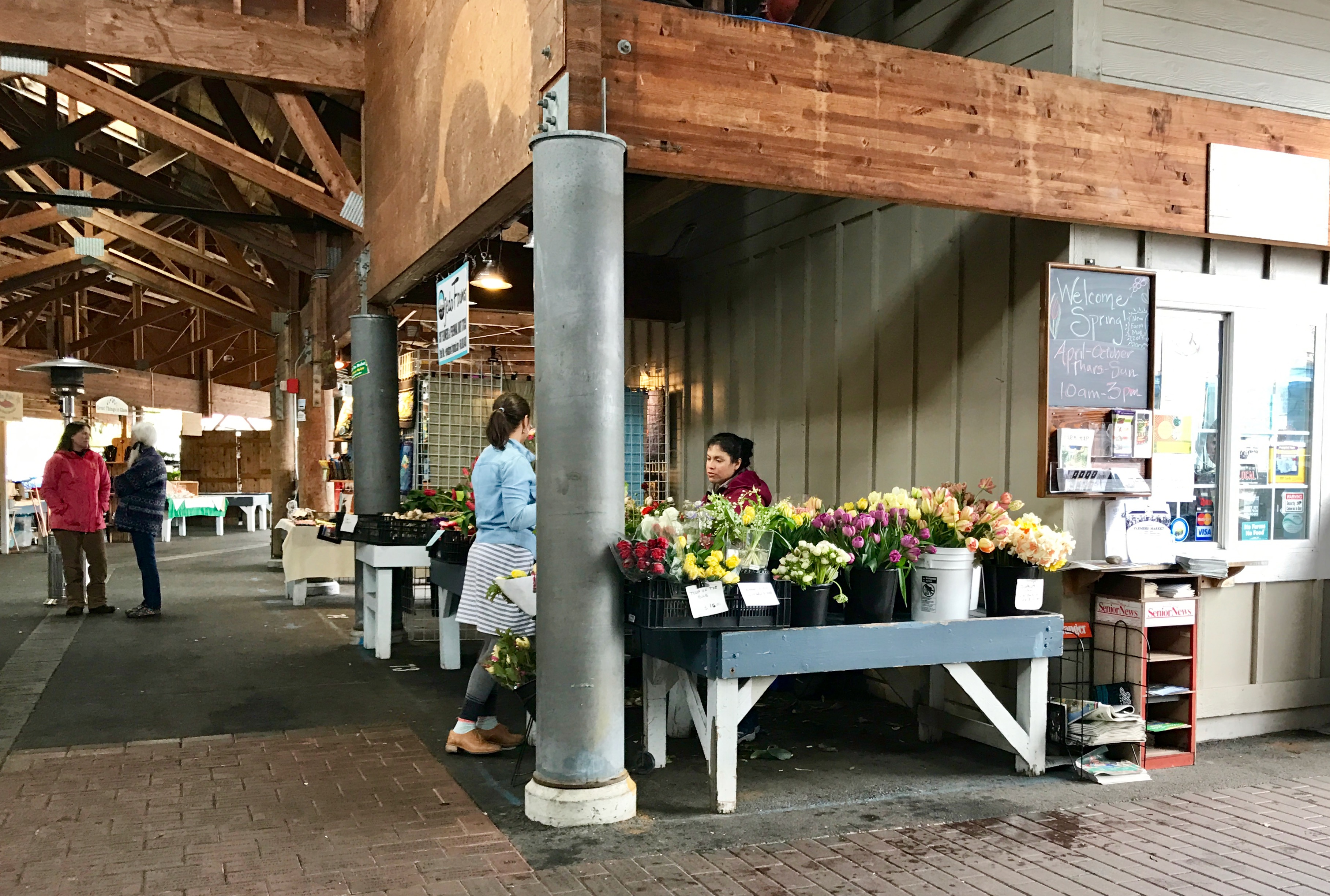
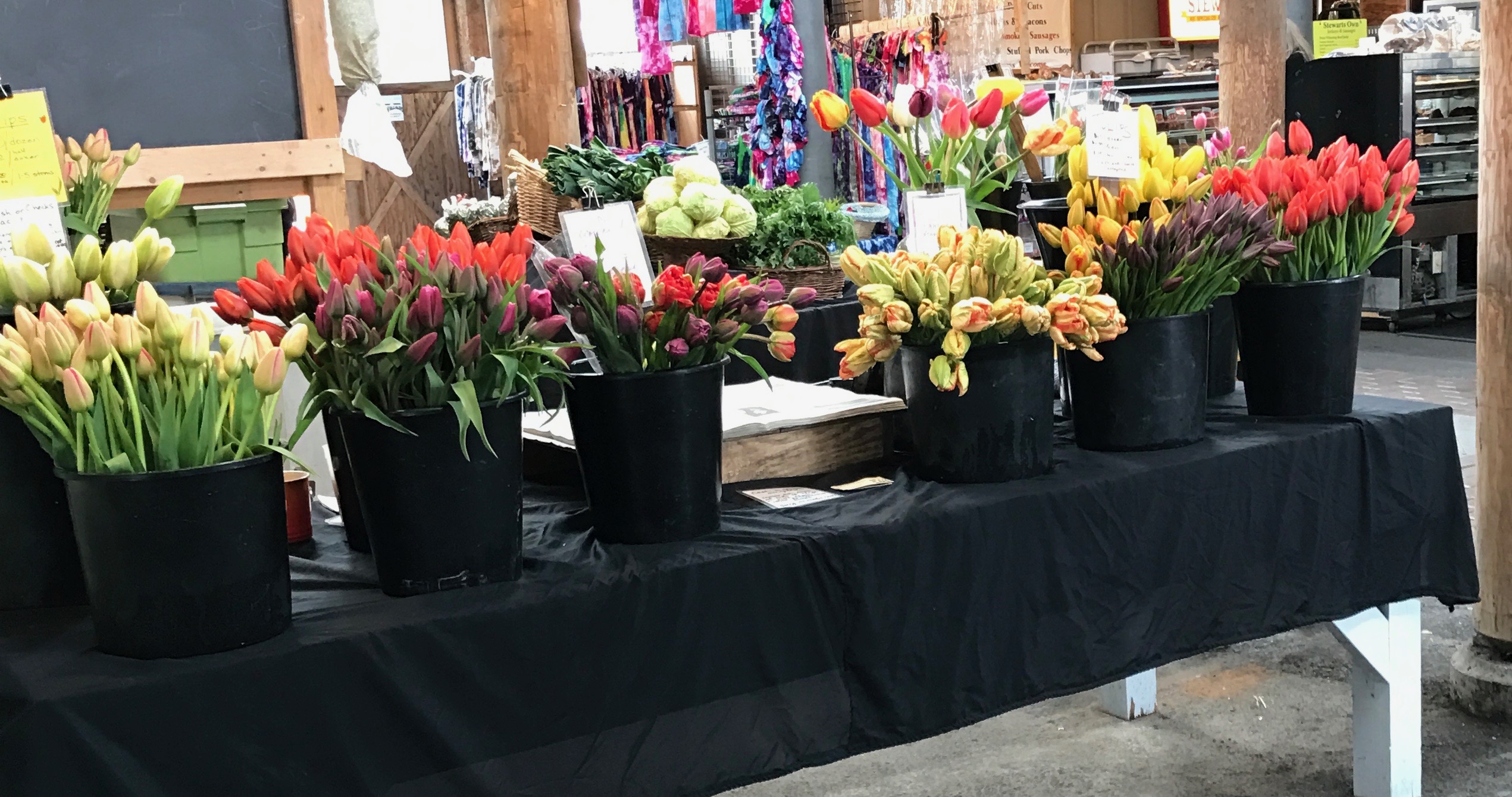
I headed over to the Farmers Market.
Not all of the stalls were in operation, but it was nice to see the fresh flowers for sale.
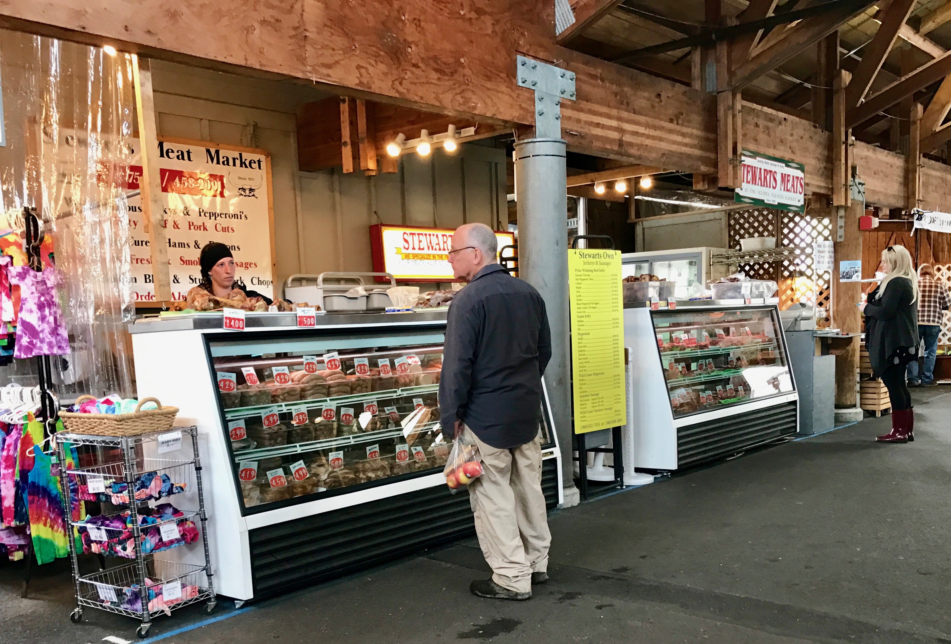
Fresh flowers and meat.
I love it when I see farmers’ markets that actually sell things that are produced locally, as opposed to the ones that have been converted to rows and rows of souvenir shops.
I headed back to the truck.
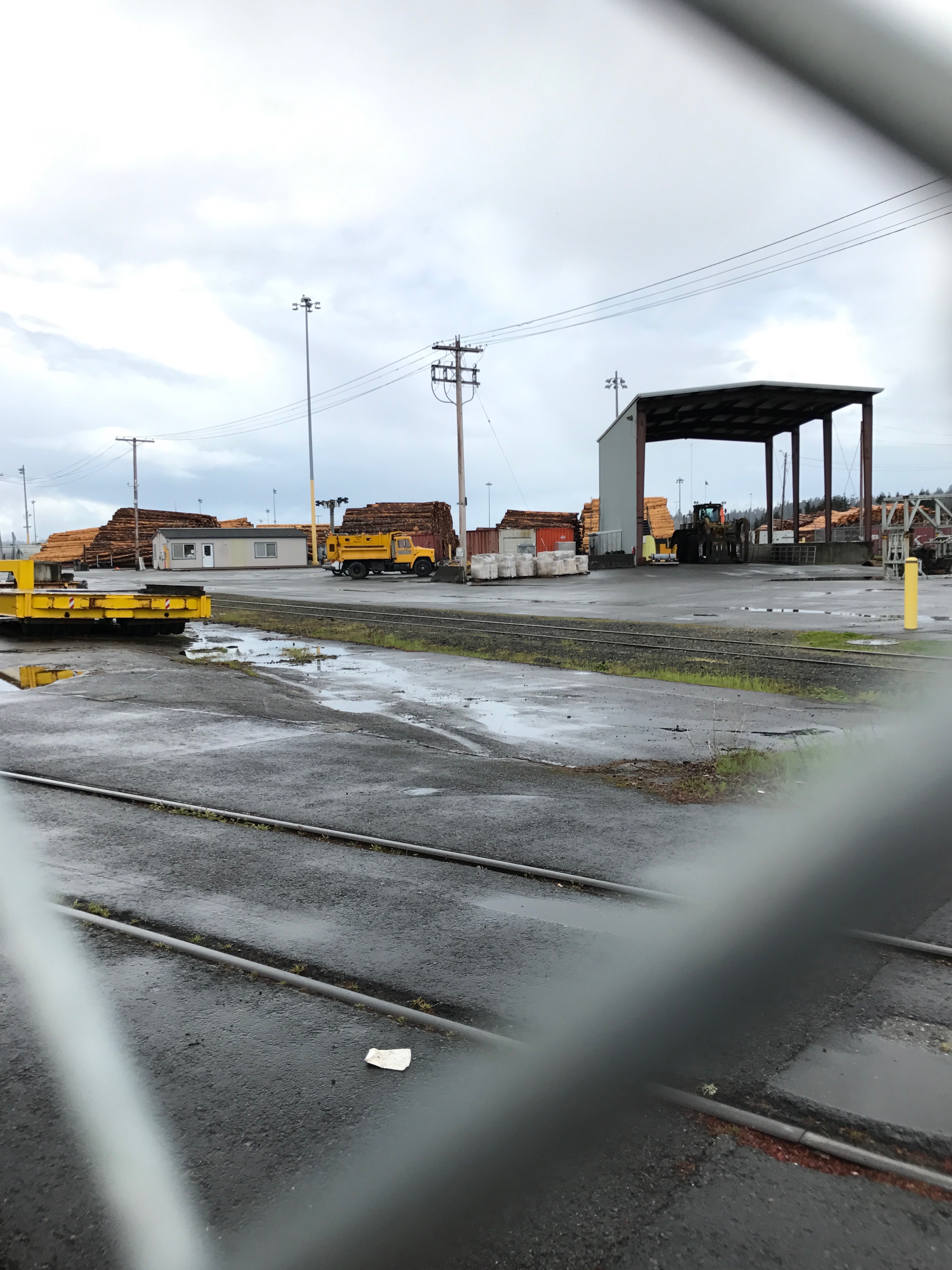
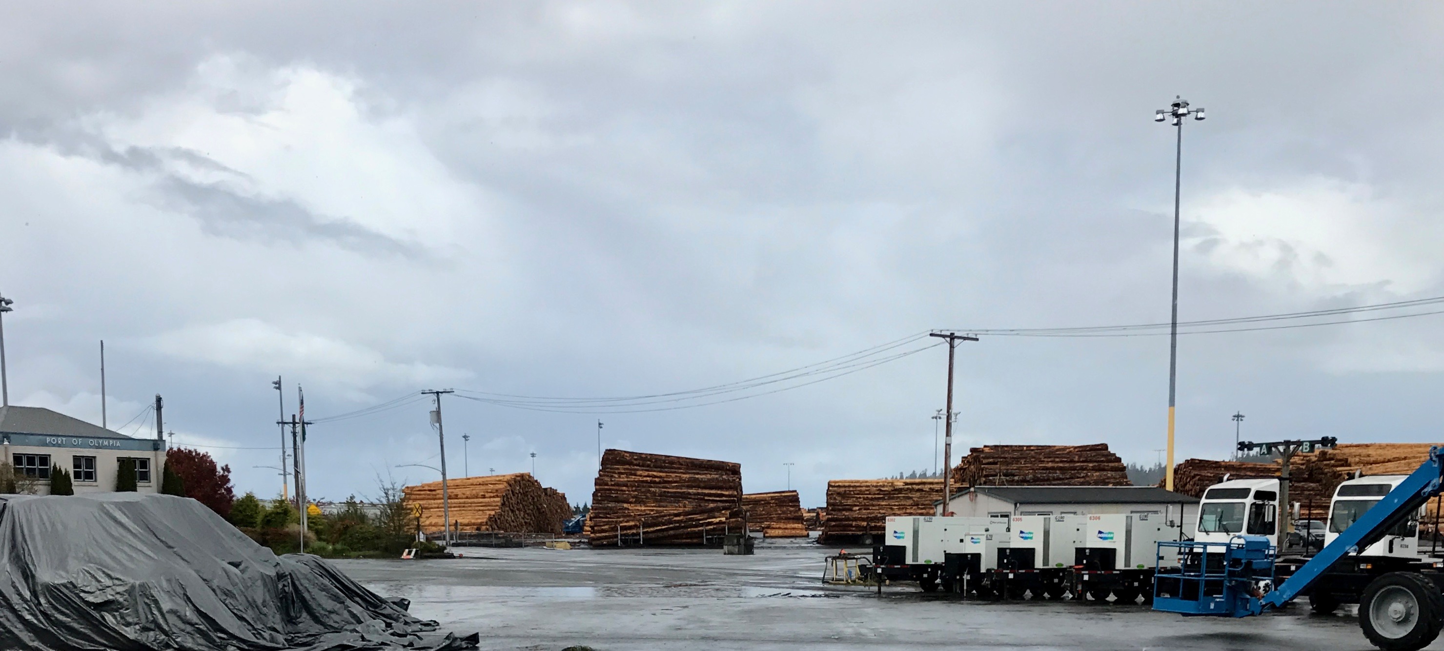
Speaking of things that are actually produced, look at all the lumber that is being prepared to be shipped.
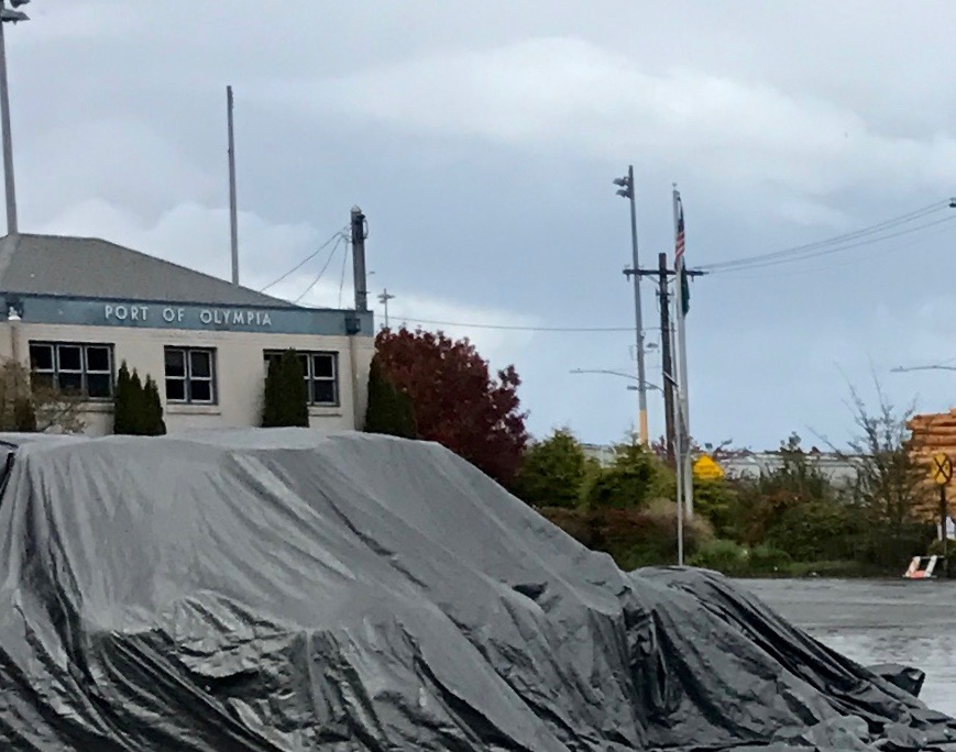
This is the Port of Olympia.
And it was time for me to head back to my harbor.
The Washington Land Yacht Harbor, where my sweet Cora was waiting for me.
Since I had already played tourist in Seattle a few years back, I skipped it. I know, I know…but I just didn’t feel that the reward for figuring out parking or public transportation was worth the hassle, since I had already been there. So, what did I do?
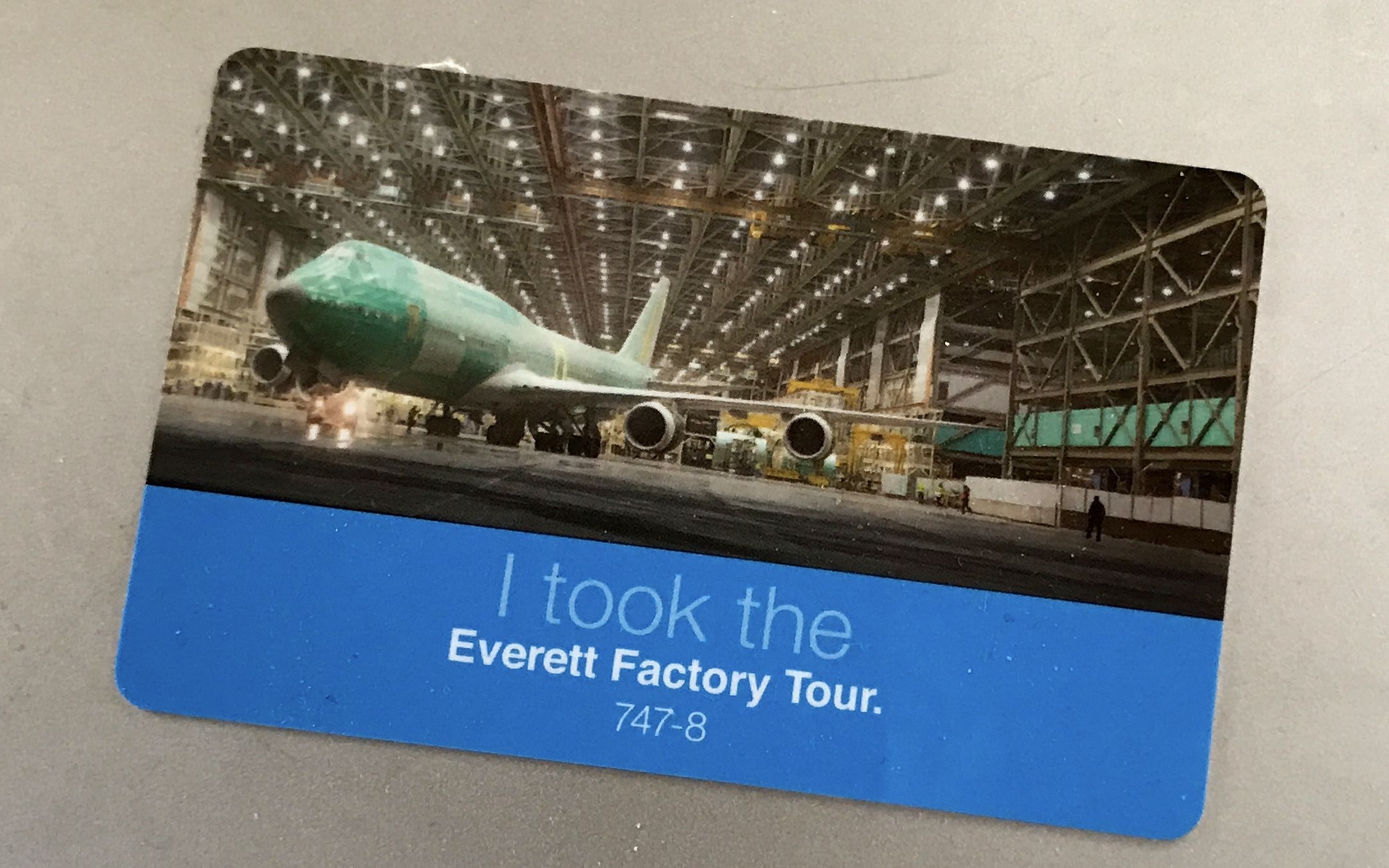
I went to Everett, Washington to watch Boeing build some jets.
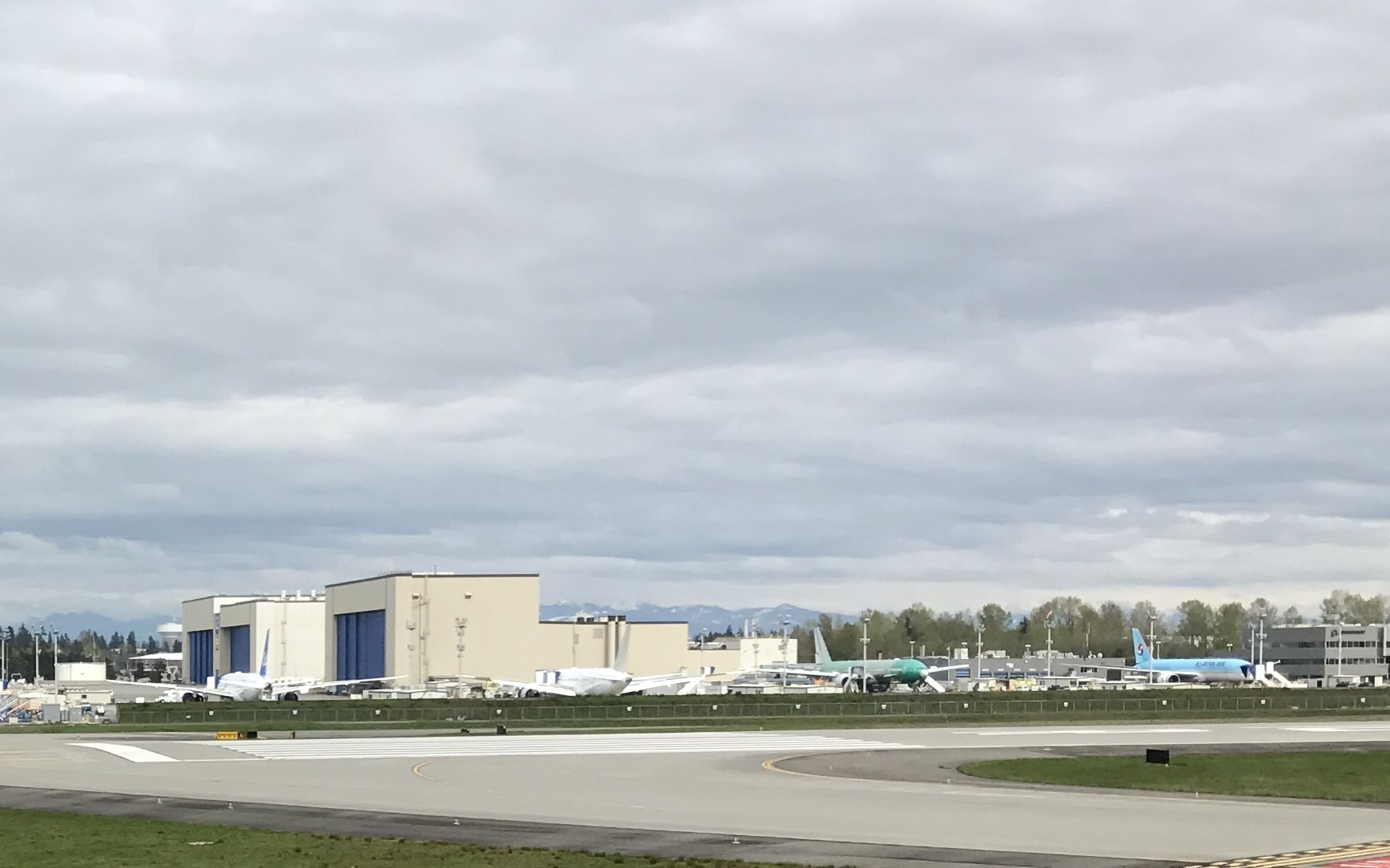
They tout this facility as the “world’s largest building by volume”. I can attest that it is a very large building. In fact, the buildings in the photo above are just where the finished planes go for painting.
When the facility is in full swing, they are building 747, 777 and 787 Dreamliners. There wasn’t a lot of activity the day I was there. It was an interesting tour, and if you like factory tours, I would recommend it, even though it wasn’t a free tour.
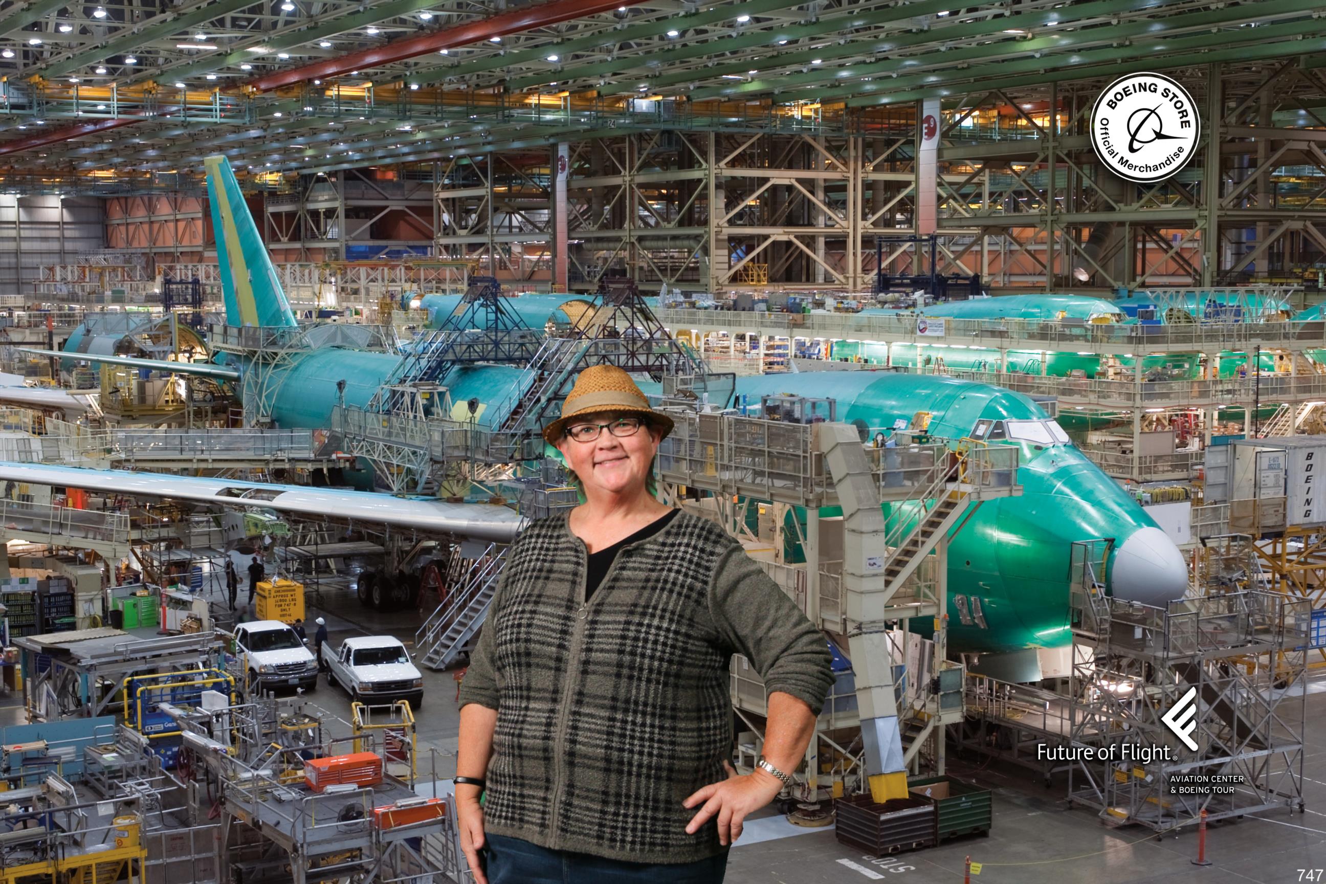
They don’t permit photography inside the factory, so I don’t have any photos that I took.
However, once you get to the Future of Flight, after the tour, they will take your picture and let you choose the background. It kind of looks like I’m inside the factory, doesn’t it?
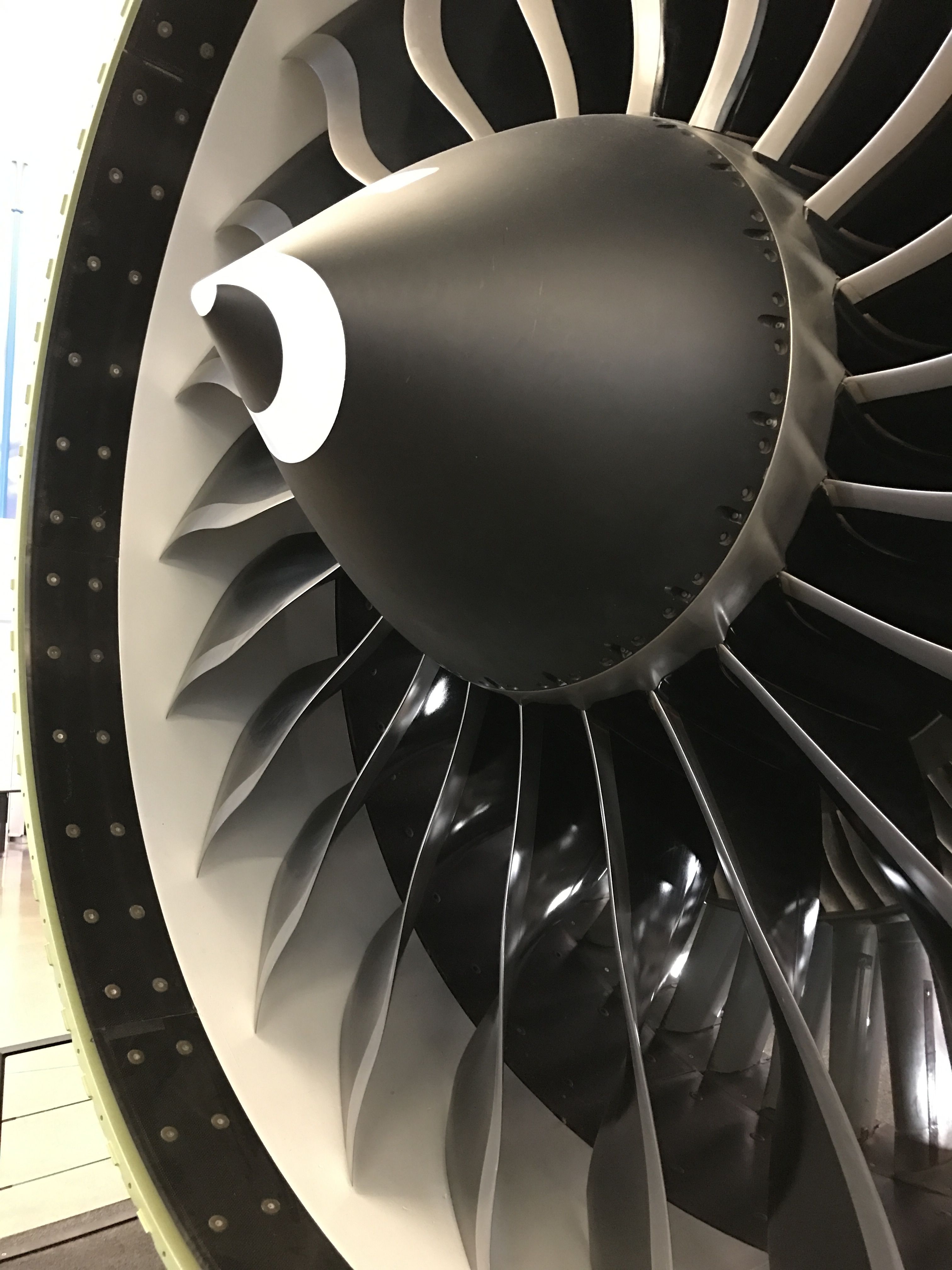
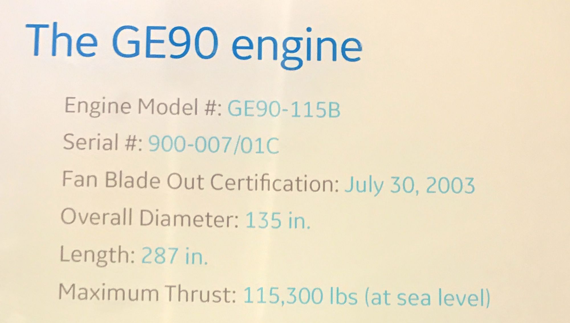
In the Future of Flight portion, they have all sorts of bits and pieces that help explain their products. For instance, this is the GE90 engine.
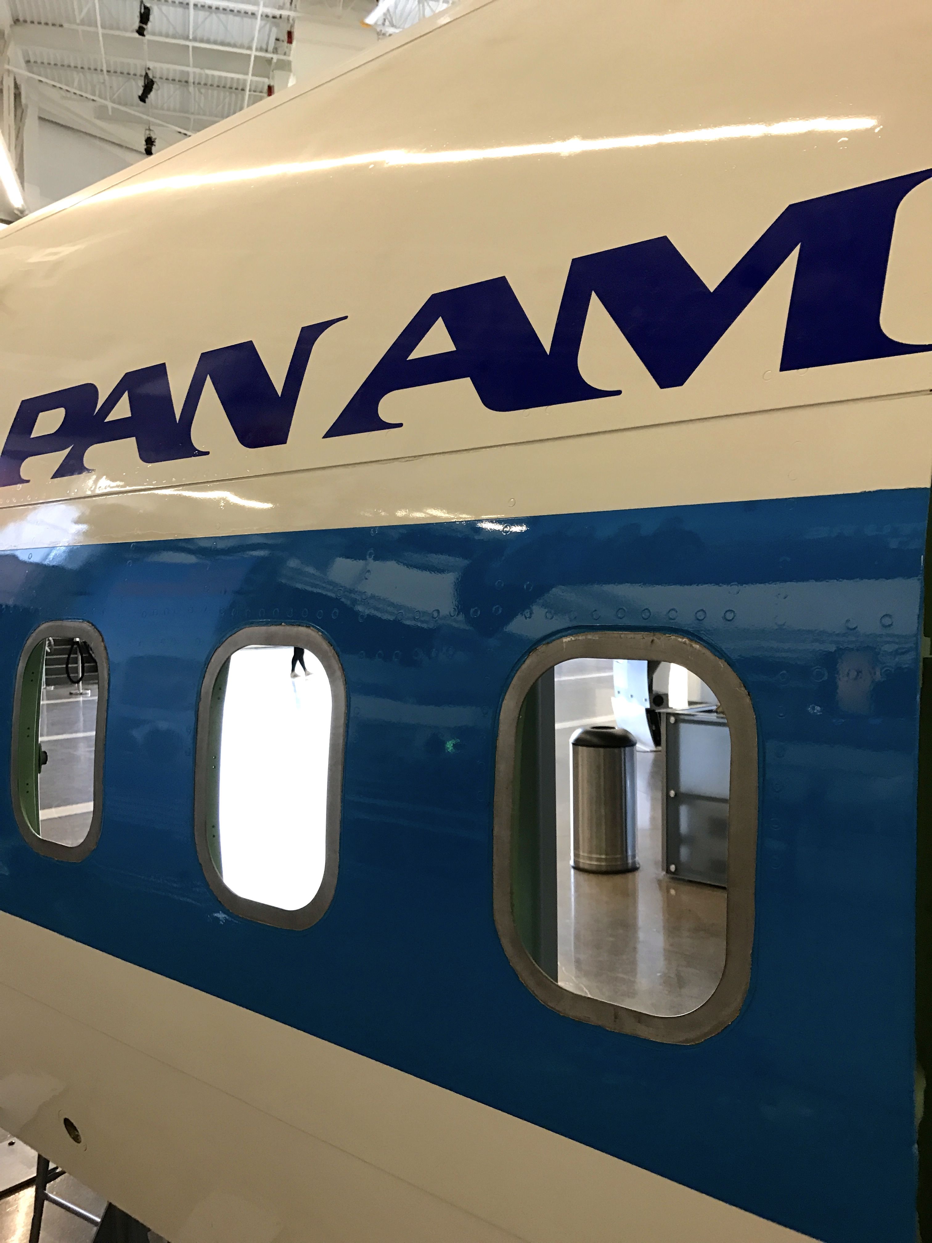
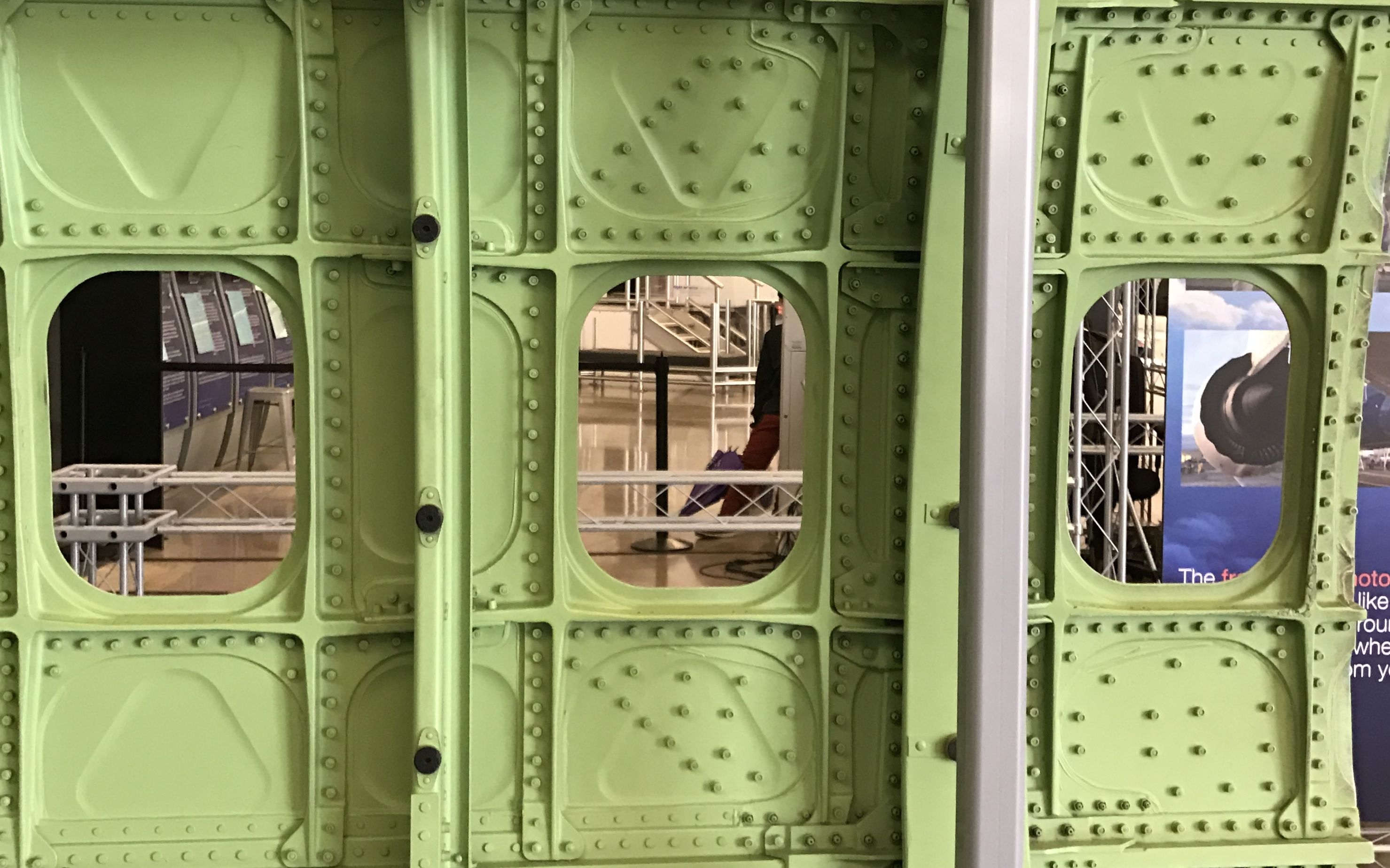
There was this section of a Pan Am fuselage. I used to fly Pan Am when I would go back and forth to Guatemala. I still remember the deep voice of the announcer over the PA before the flights, “Pan Am le agradece mucho…”
The inside of this segment reminds me of an Airstream, what with all the rivets and spars.
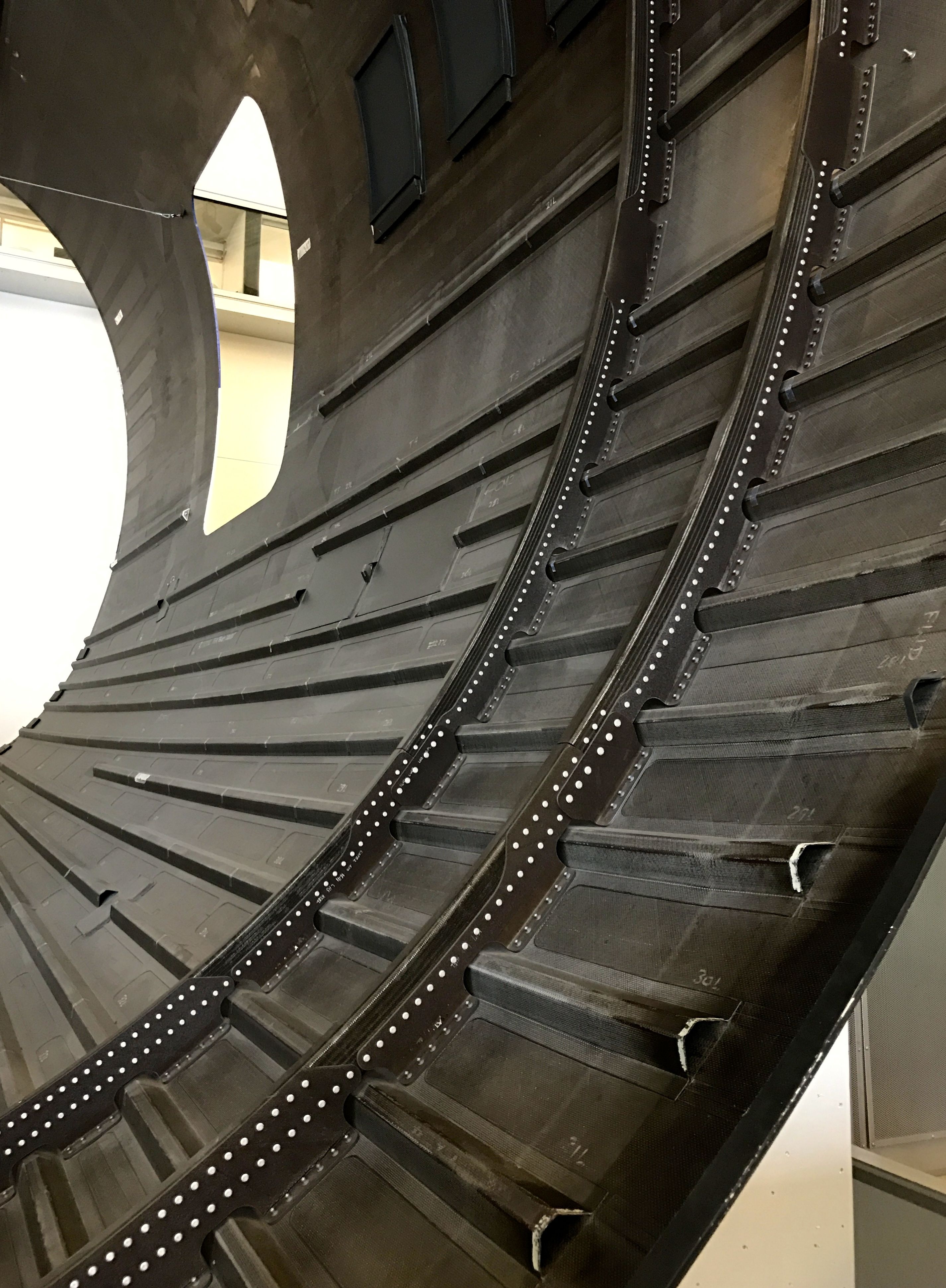
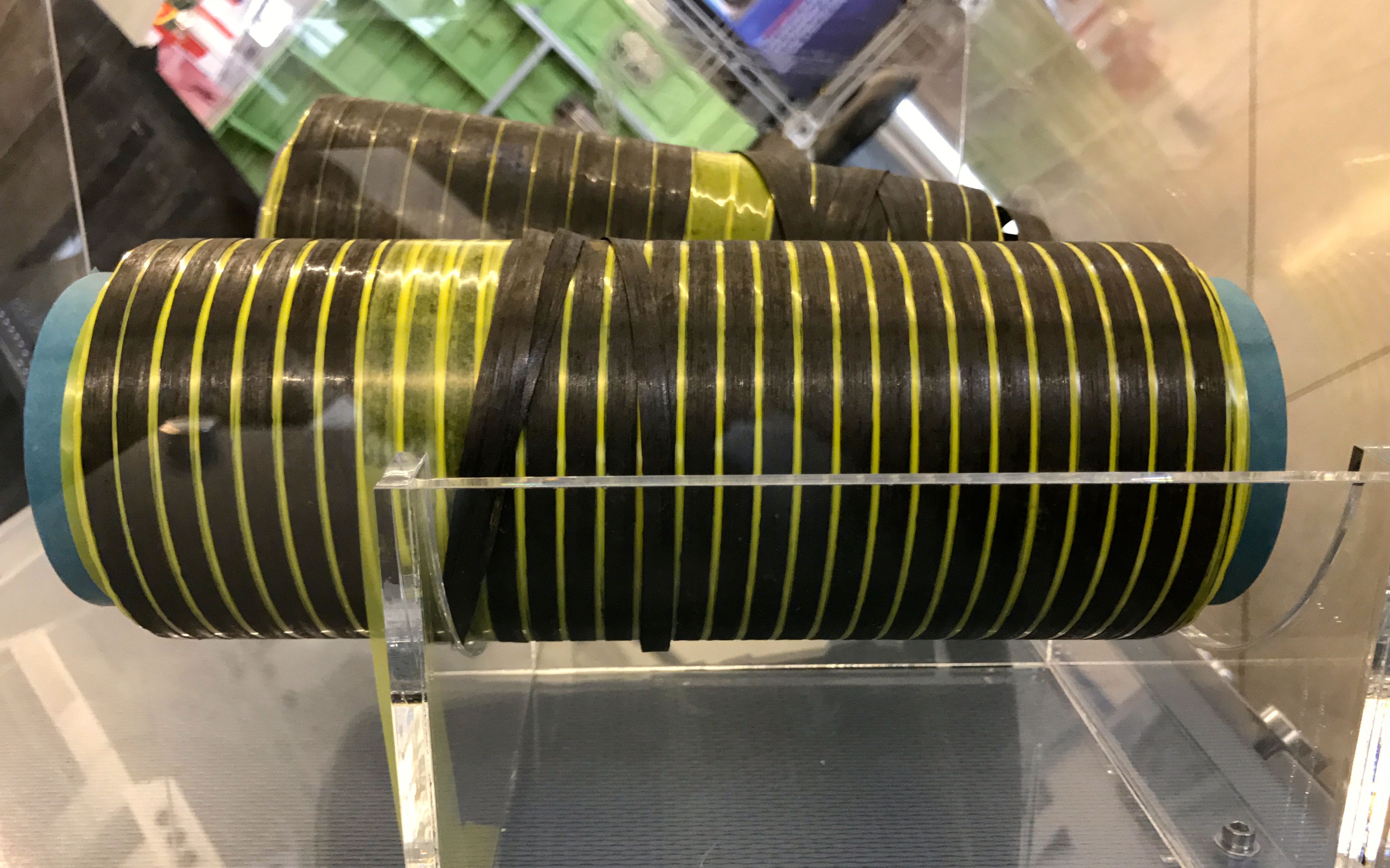
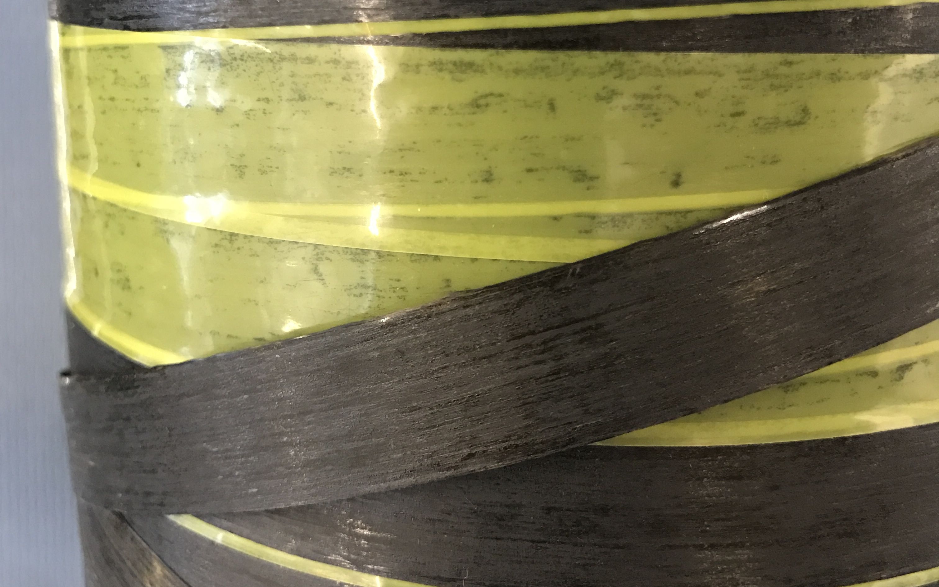
The 787 Dreamliner is a completely different sort of structure.
Believe it or not, it is made out of carbon fiber composite material.
From what I remember, the fibers are wound around a form many layers thick and then they are baked. It takes about 35 tons of the material to build the 787.
Here’s an extreme close up of the fiber.
According to their display, the use of composites add up to a better airplane and a cleaner planet.
1,500 fewer sheets of aluminum are needed per plane
50,000 few fasteners are needed per plane, which is an 80% reduction
reduced aircraft weight for greater fuel efficiency
non-corrosive composites allow for higher, more comfortable cabin humidity
Reduction in use and disposal of hazardous materials
reduced overall materials waste
If you would like to see a “fast build” video of putting together a Dreamliner, your wait is almost over!
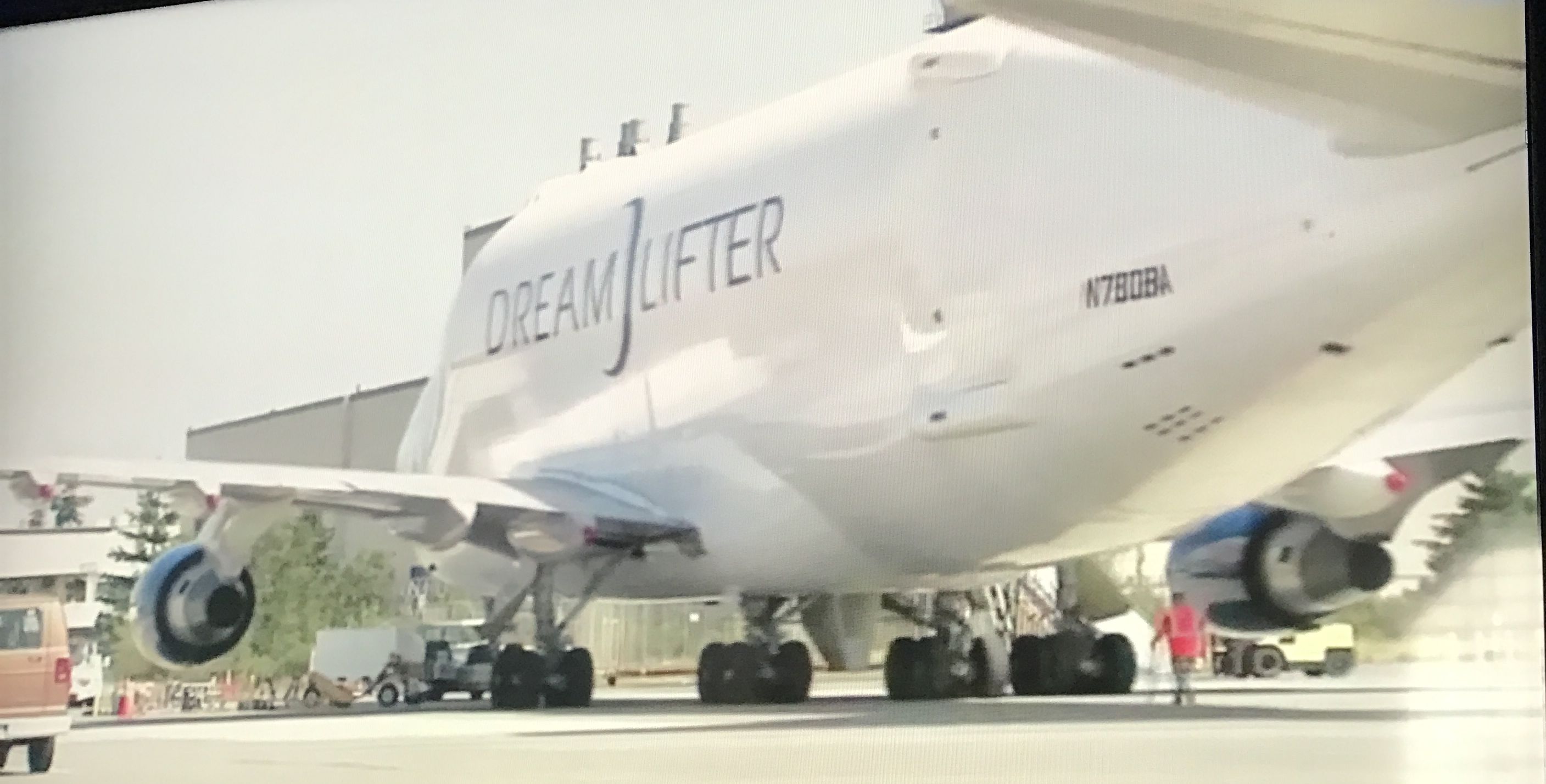
Incidentally, the parts are made in Japan and flown over to the factory for assembly in the Dreamlifter.
Imagine that! They had to build a special plane to bring the parts to the factory. It kind of makes me wonder why they chose to do it that way. I think the guide may have explained it, but I don’t remember now.
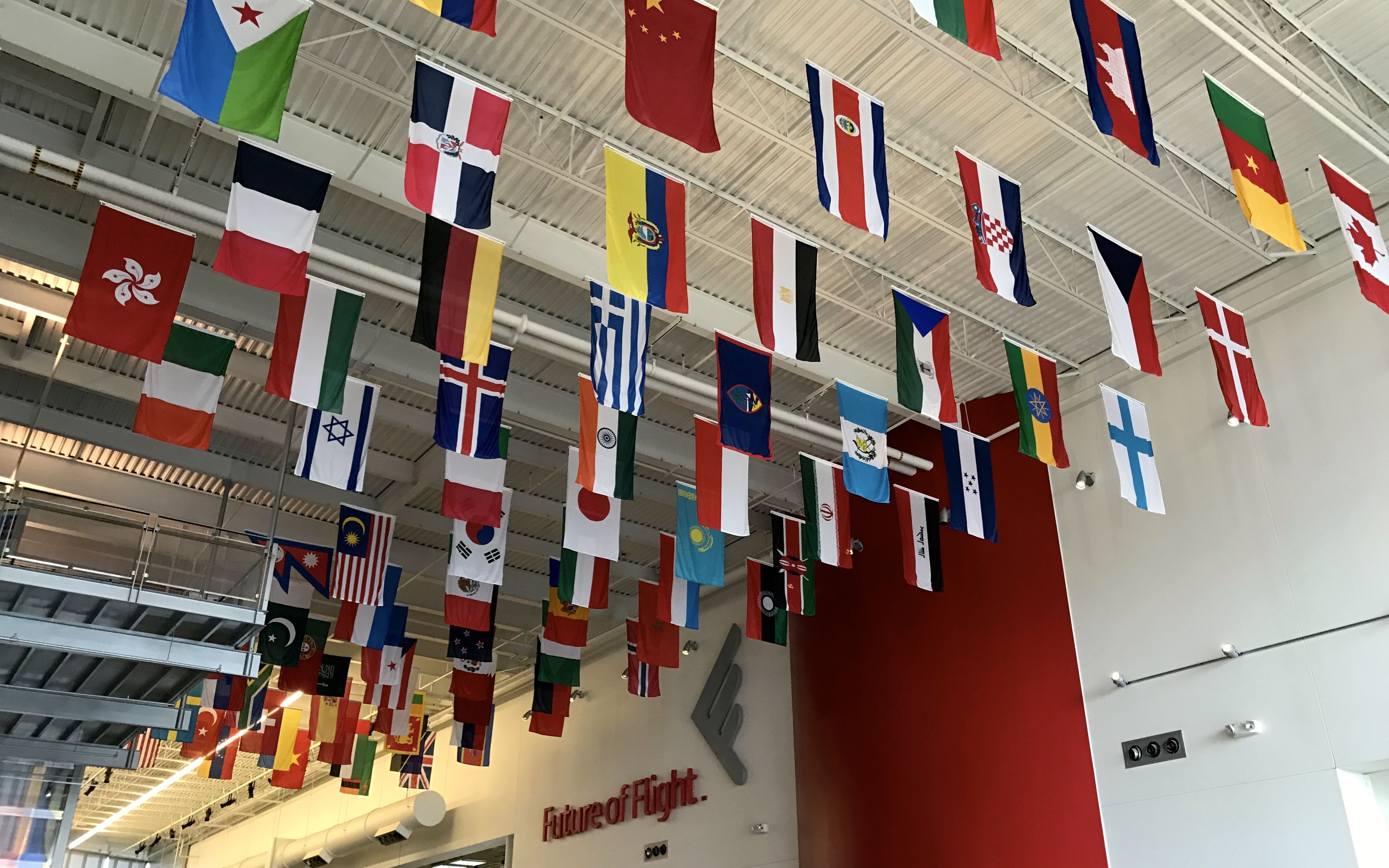
This is an international company. I guess it makes sense to spread out the work.
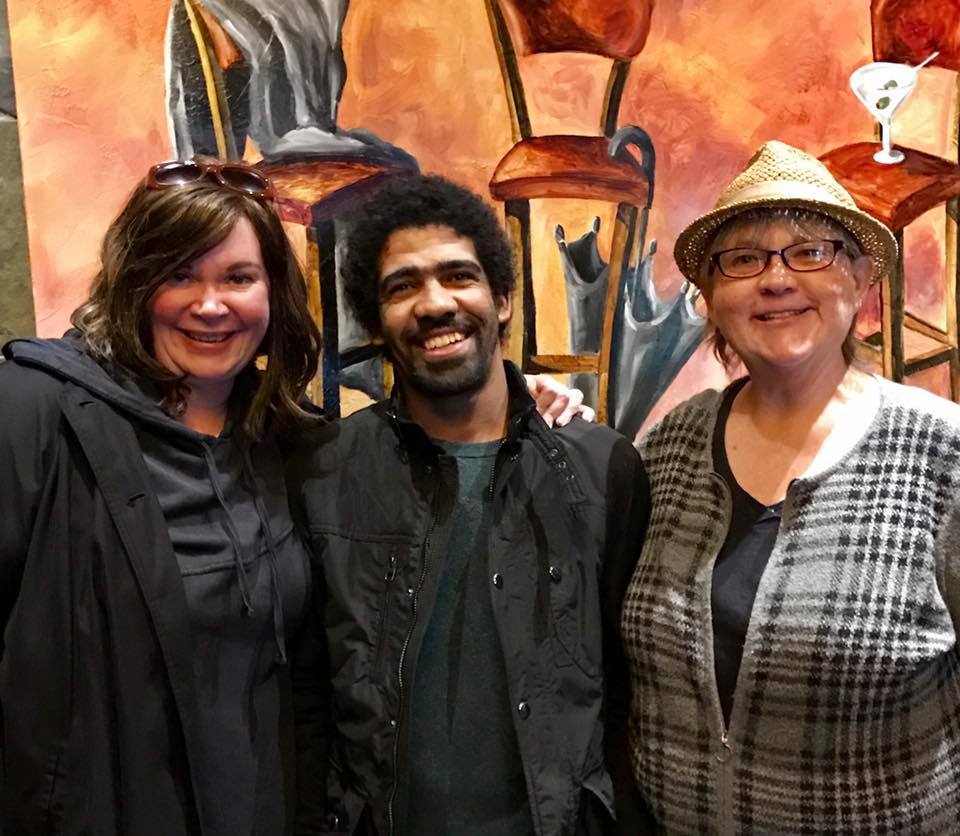
I had another wonderful even happen north of the campground. I got to meet up with a friend from Kalamazoo and her husband.
I’ll bet it had been a decade since we’d seen each other. It was great to see Jen again and to meet with her husband, Brook.
When you’re on the road by yourself for as long as I had been, meeting up with someone you know is a real treat. Finding out that she married a charming and intelligent man is a plus.
And I was glad that I was able to get my truck in and out of the restaurant’s parking lot.