People kept telling me that I needed to see Bisbee. They said it was a really artsy community. That sounded like enough of a reason for a trip.
On the map, I saw that Fort Huachuca was along one of the routes I could take. The name sounded historic, and I thought that there might be something to see there. It turns out that it is an active military garrison that is is involved in patrolling the USA-Mexico boarder.
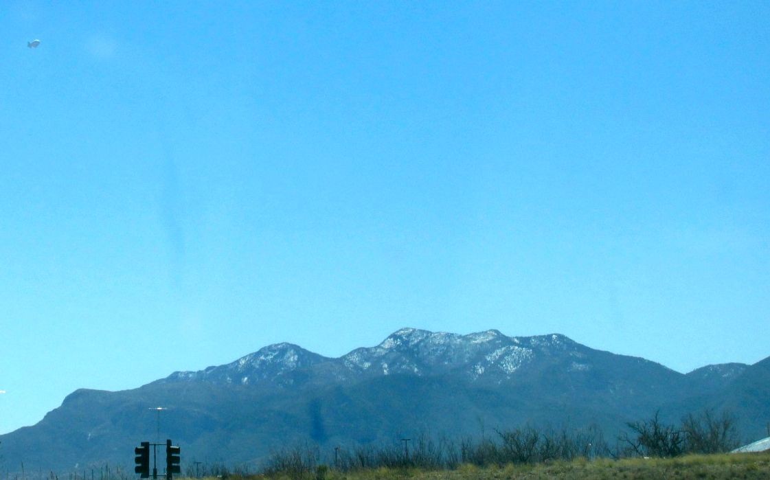
If you look in the upper left hand corner of this picture, you can see another one of those surveillance balloons, like I saw near Columbus, New Mexico.
Incidentally, Fort Huachuca was the home of the Buffalo Soldiers from 1913 – 1933. This was the African American soldiers that made up the 10th Cavalry Regiment. from 1916-1917, the base was commanded by Charles Young, the first African American to be promoted to colonel.
But, as this was an active Army base, I knew better than to just try to drive on and look around. So, I made a mental note to look up information on it when I got back and then I turned toward Bisbee.
Along the way, I saw large green trees in the distance, and then I saw a sign for the San Pedro Riparian National Conservation Area. I like trees and “riparian” is one of my favorite words. In case the word is new to you, riparian means “of, relating to, or situated on the banks of a river.”
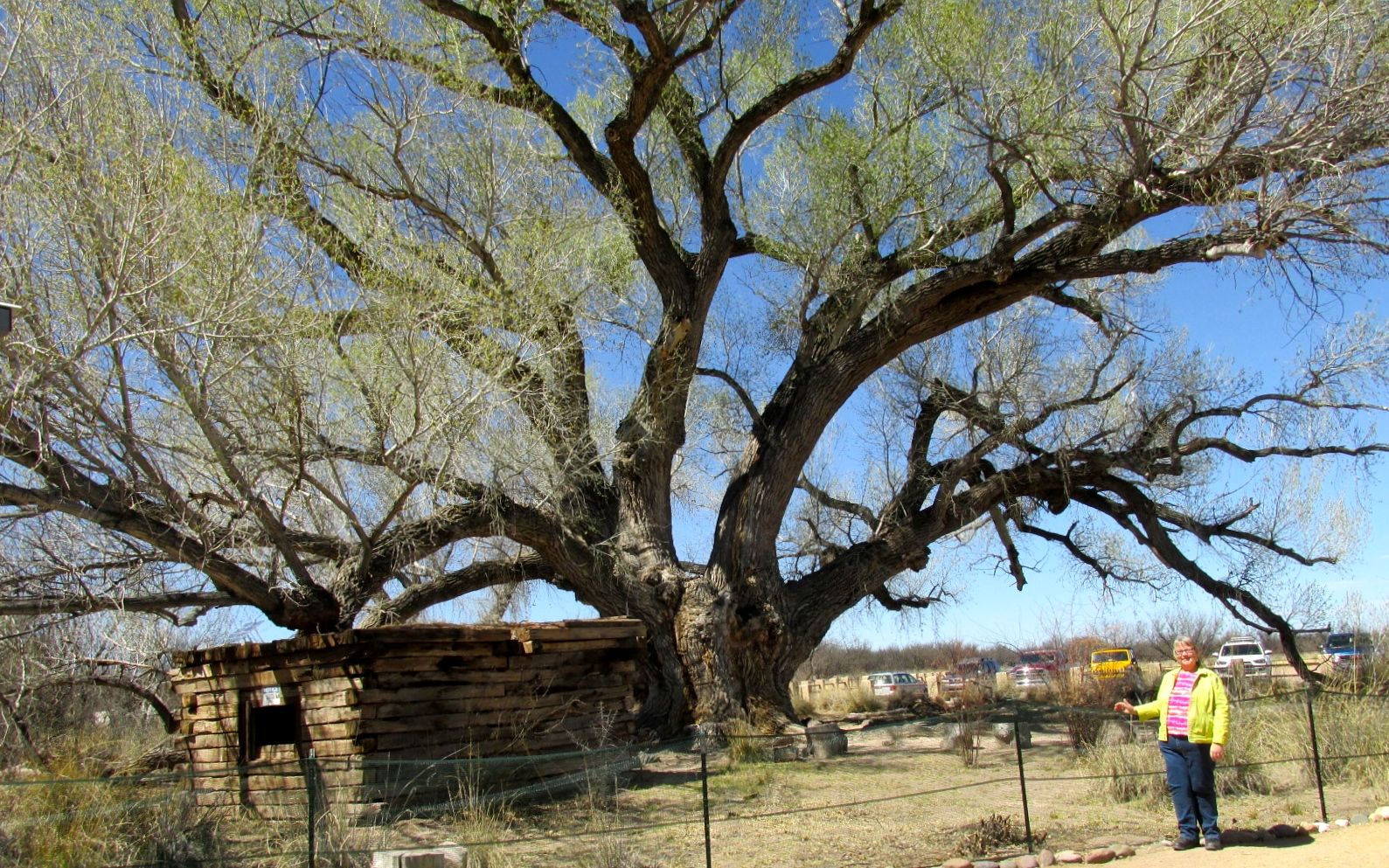
There are large cottonwoods that line the San Pedro River, and this one that was planted near the 1930’s ranch house that is used as a headquarters and gift shop. Since cottonwoods are rather weak trees and this one was getting close to the end of it’s natural lifespan, there is a risk that the branches could drop without warning. They have the tree fenced off to minimize the danger.
This cottonwood was probably between 100-150 years old. The require a lot of water and have very shallow root systems, so they usually grow near rivers, although people do plant them because they are great shade trees. Cottonwoods are part of the willow family. Willows frequently grow near water, too. It’s all in the family.
After admiring the huge cottonwood, I set off on the trail to the river.
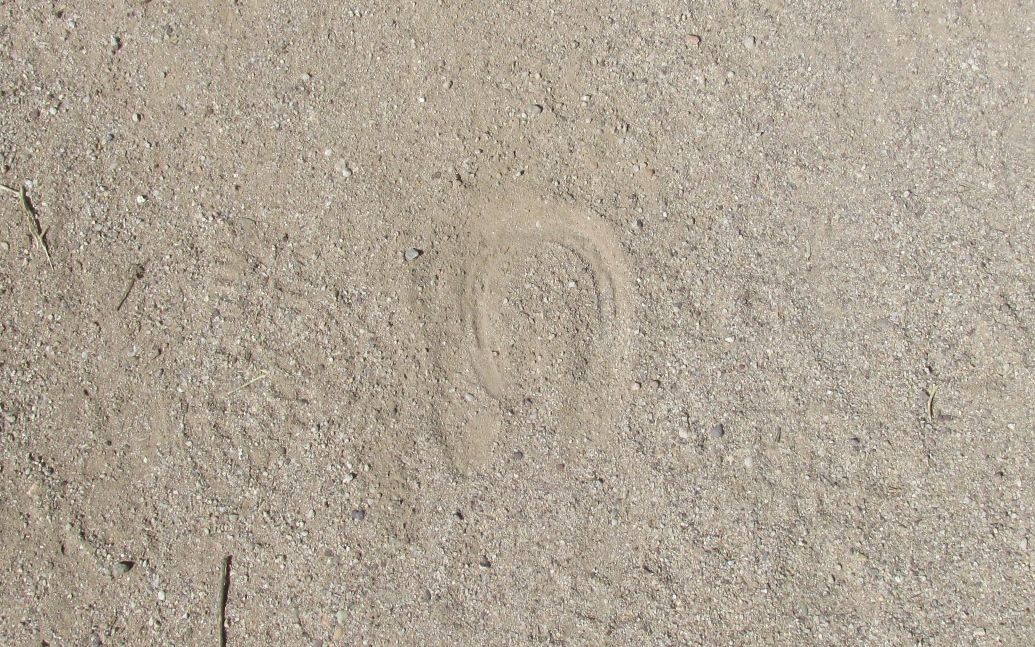
Along the way, I saw hoof prints. Horses! I wonder if I would see any?
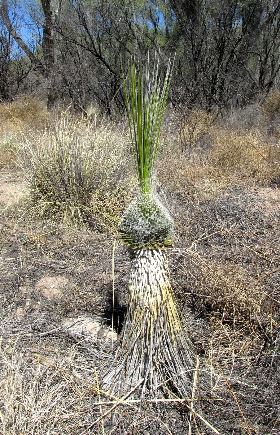
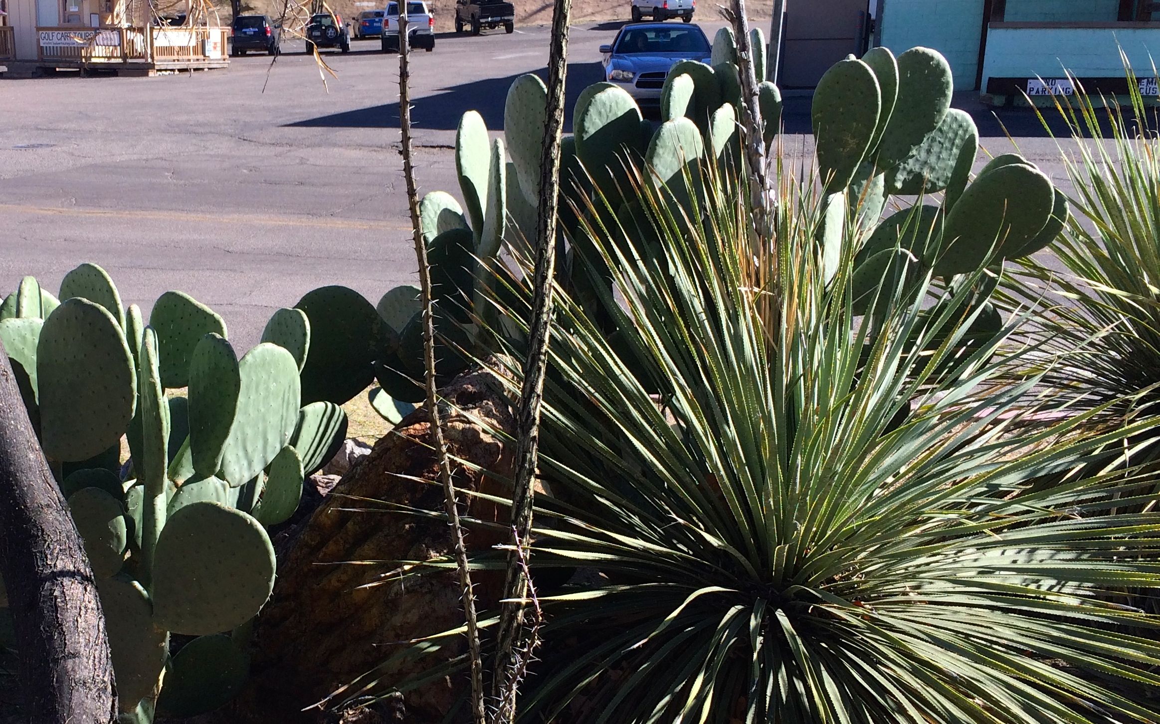
This cactus looked carefully manicured. I imagine that it must be a tasty treat for deer looking for forage. Either that, or rogue landscape artists were on the prowl.
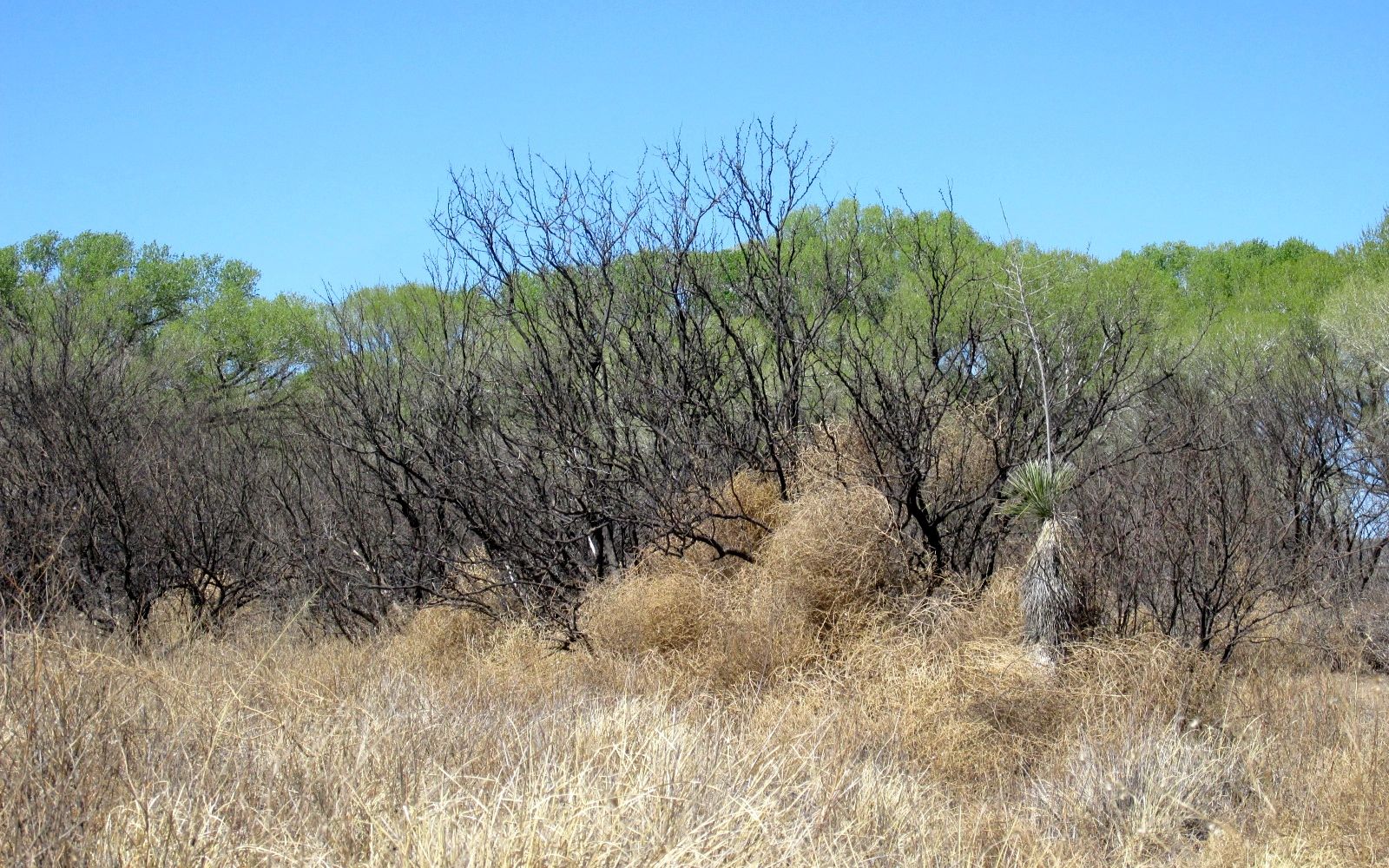
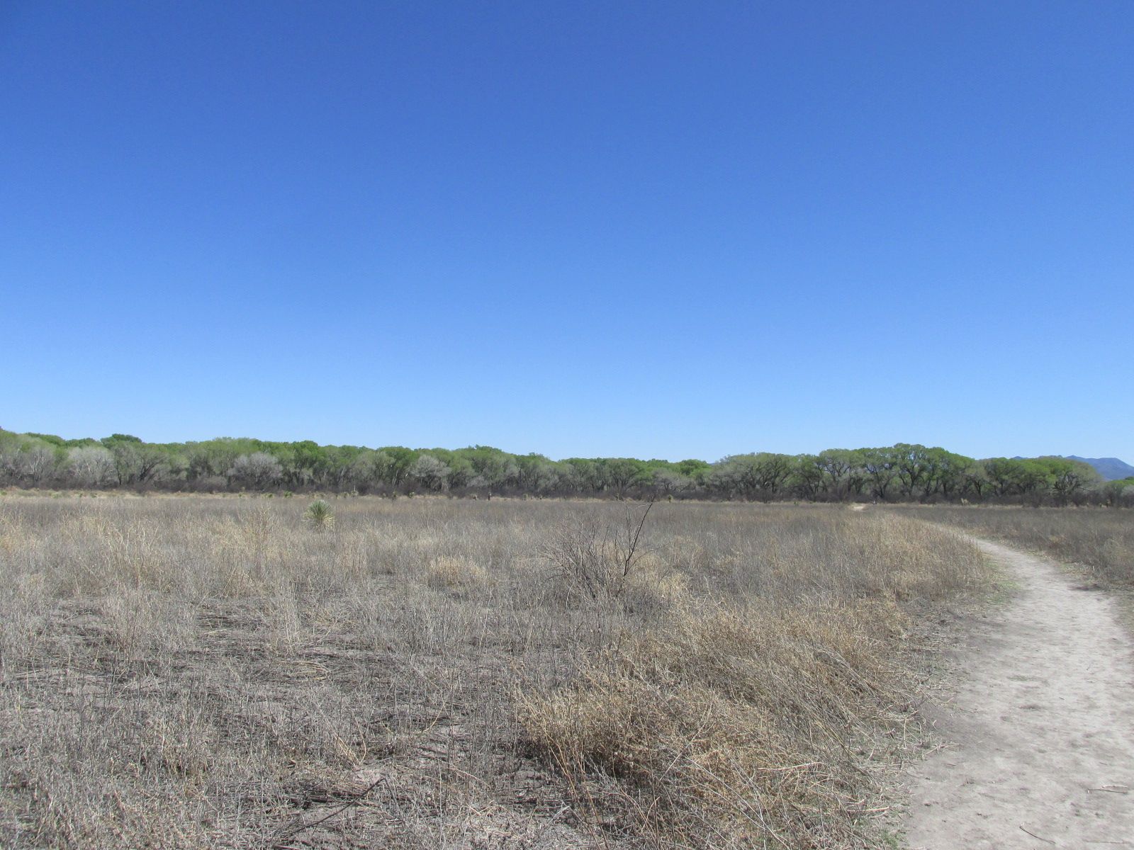
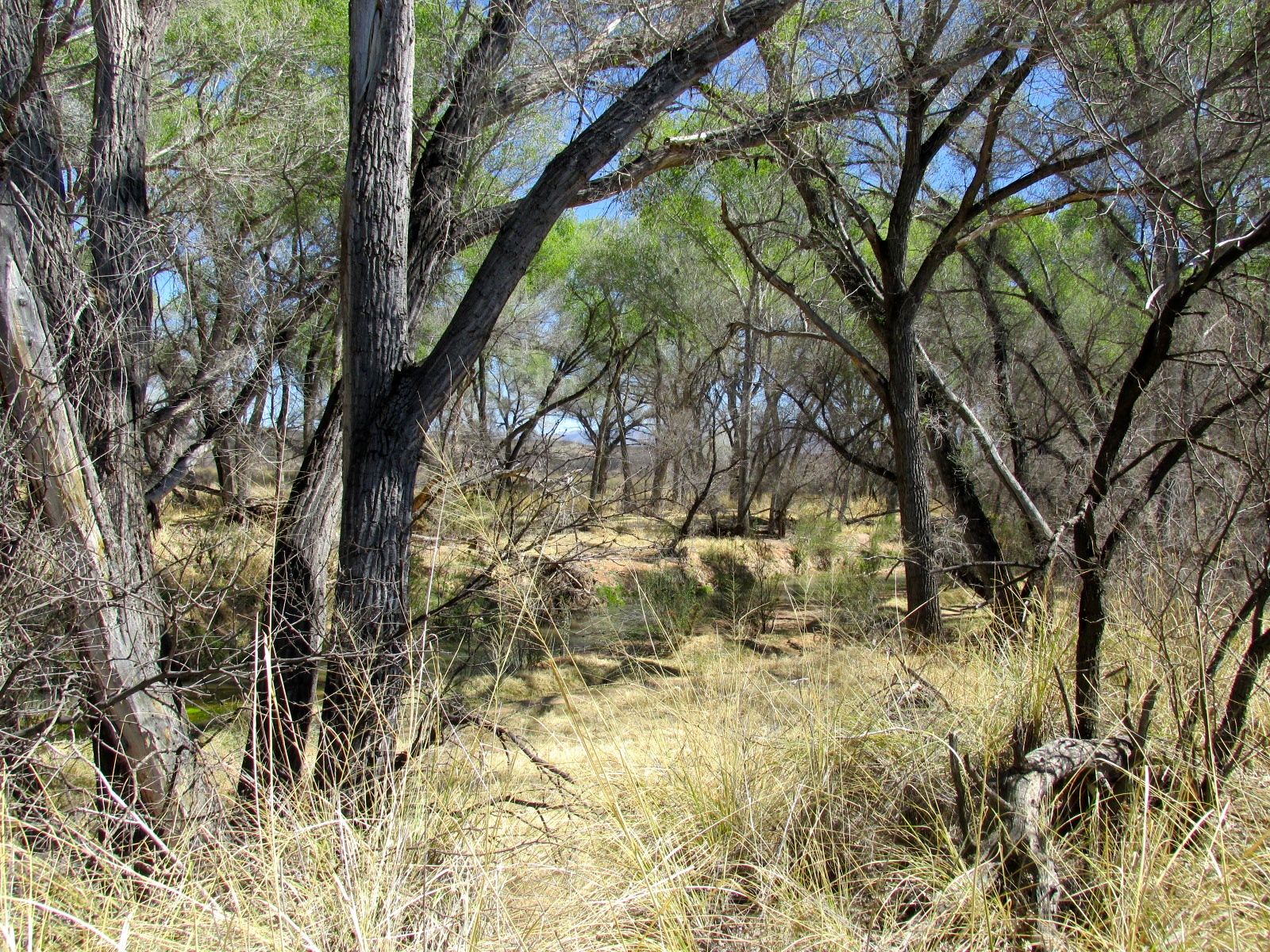
Tumbleweeds got caught in the small trees I saw along the way. And then I got close to the river. The trees were large and the buds were getting ready to burst.
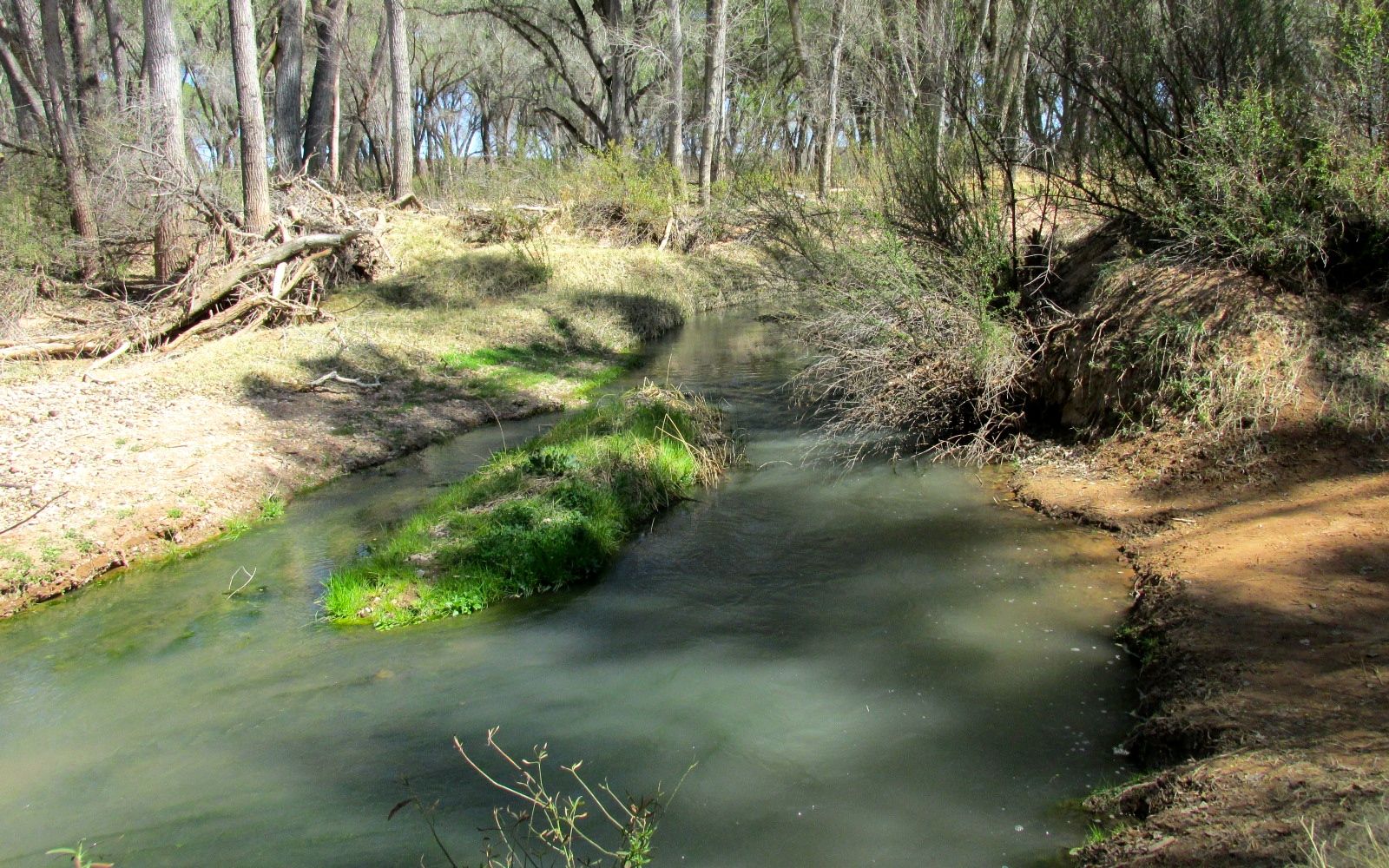
The river ran in channels that would shift depending on the flow.
The signs by the headquarters said that clusters of trees could be found where the banks of the river used to be. I was not equipped for wading or trying to cross the river, so I didn’t explore further than the edge. After my experience along the bank of Bull Run in Manassas, I was very careful where I stepped.
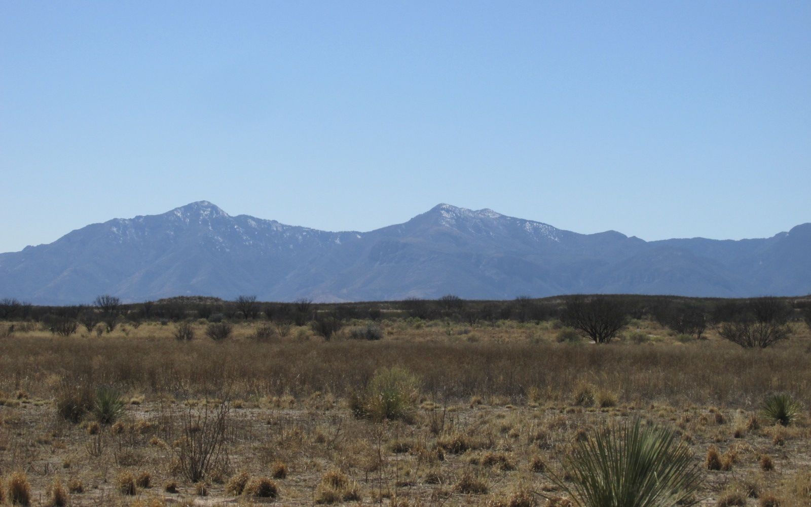
I turned my back to the river and headed toward the parking lot. What a beautiful view of the mountains!
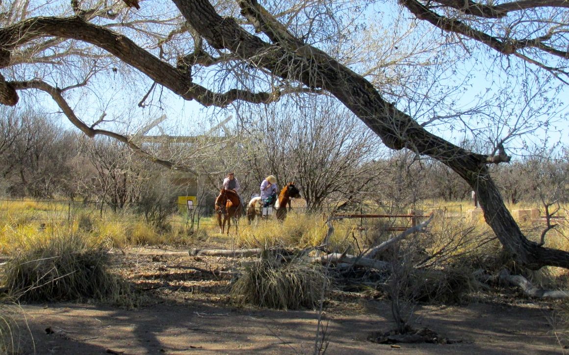
And I found the horses!
Back on the road to Bisbee, the road started climbing. I didn’t realize how high up the city was! The elevation of Benson is about 3,500 feet. The elevation of Bisbee is about 5,500 feet!
The last bit of road before you get to Bisbee is a tunnel that opened in 1958. It eliminated the winding and steep roads that ran over Mule Pass. The drive is still exciting enough.
I pulled over to get some shots of the city.
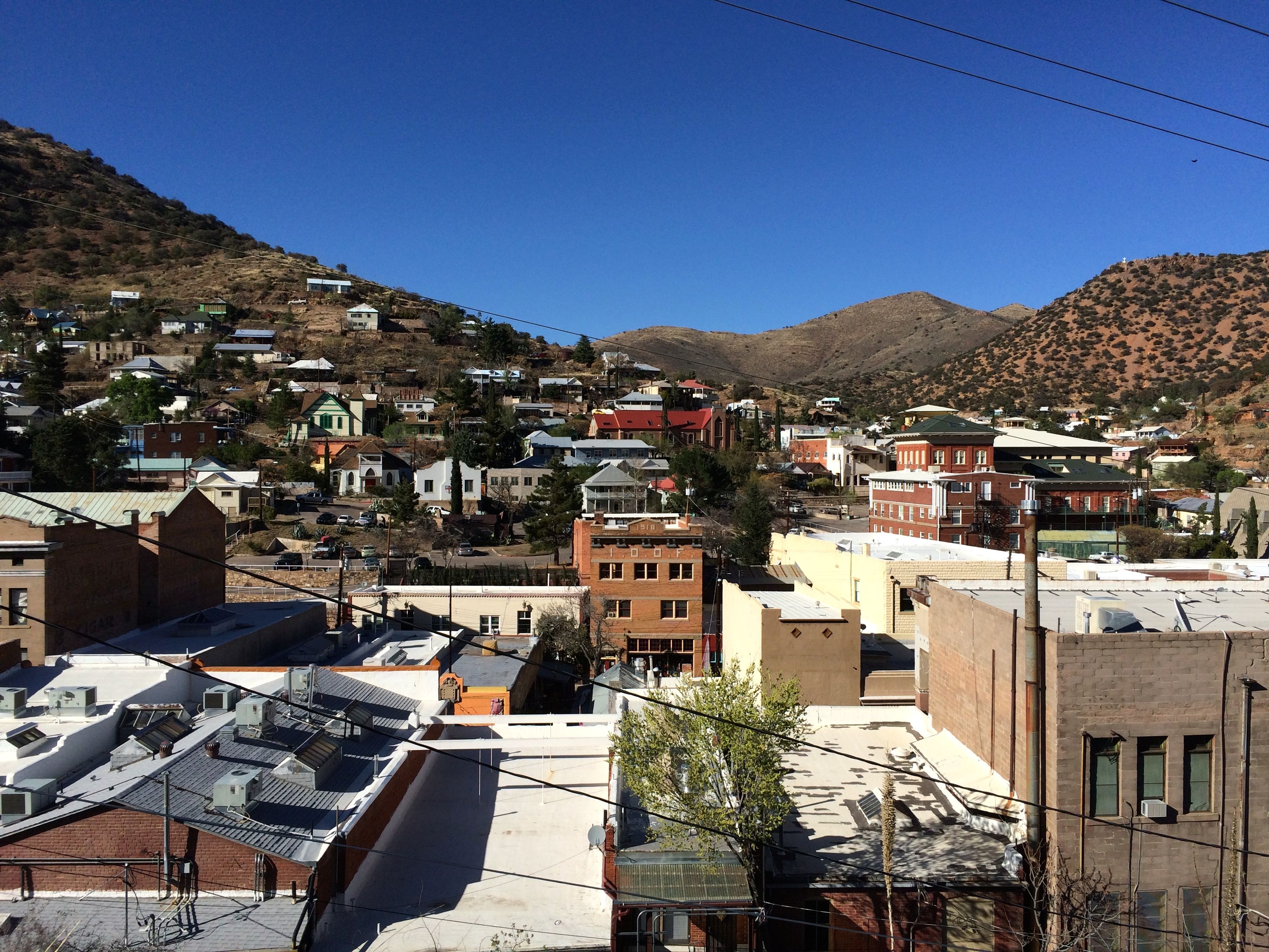
Buildings run up and down the mountains.
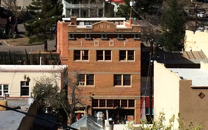
I thought it was interesting that the Oddfellows were here, too. They’re everywhere! I got into the town and tried to navigate around. The roads were narrow and the turns were tight.
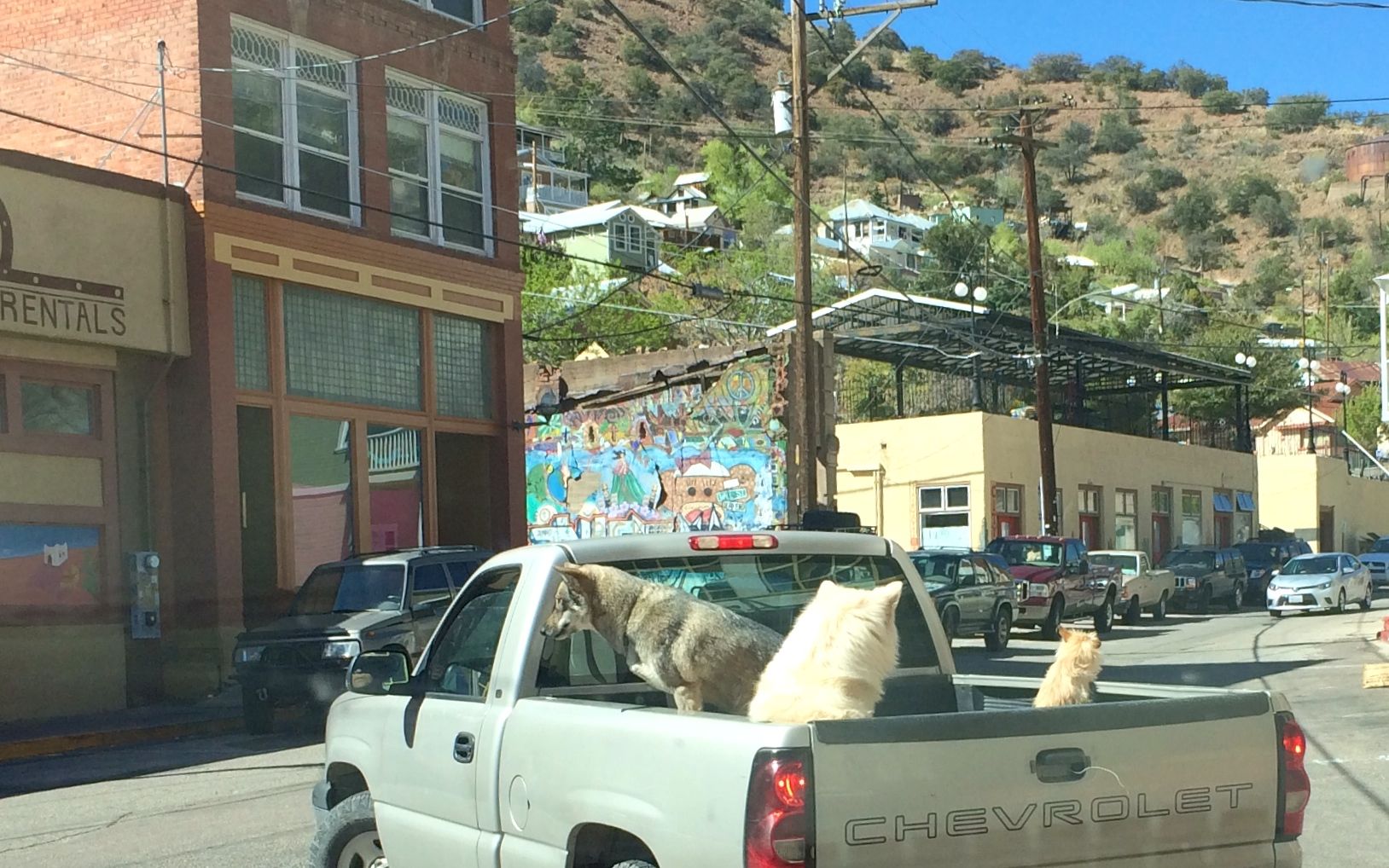
The dogs didn’t seem to mind, though.
There were interesting looking shops and restaurants. I wasn’t in the market to buy anything, but lunch sounded appealing. I saw a restaurant that looked promising and I even managed to find a place to park.
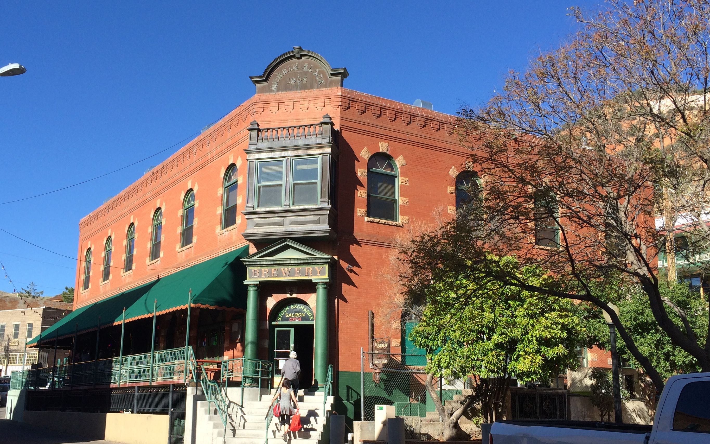
I parked right across from this building.
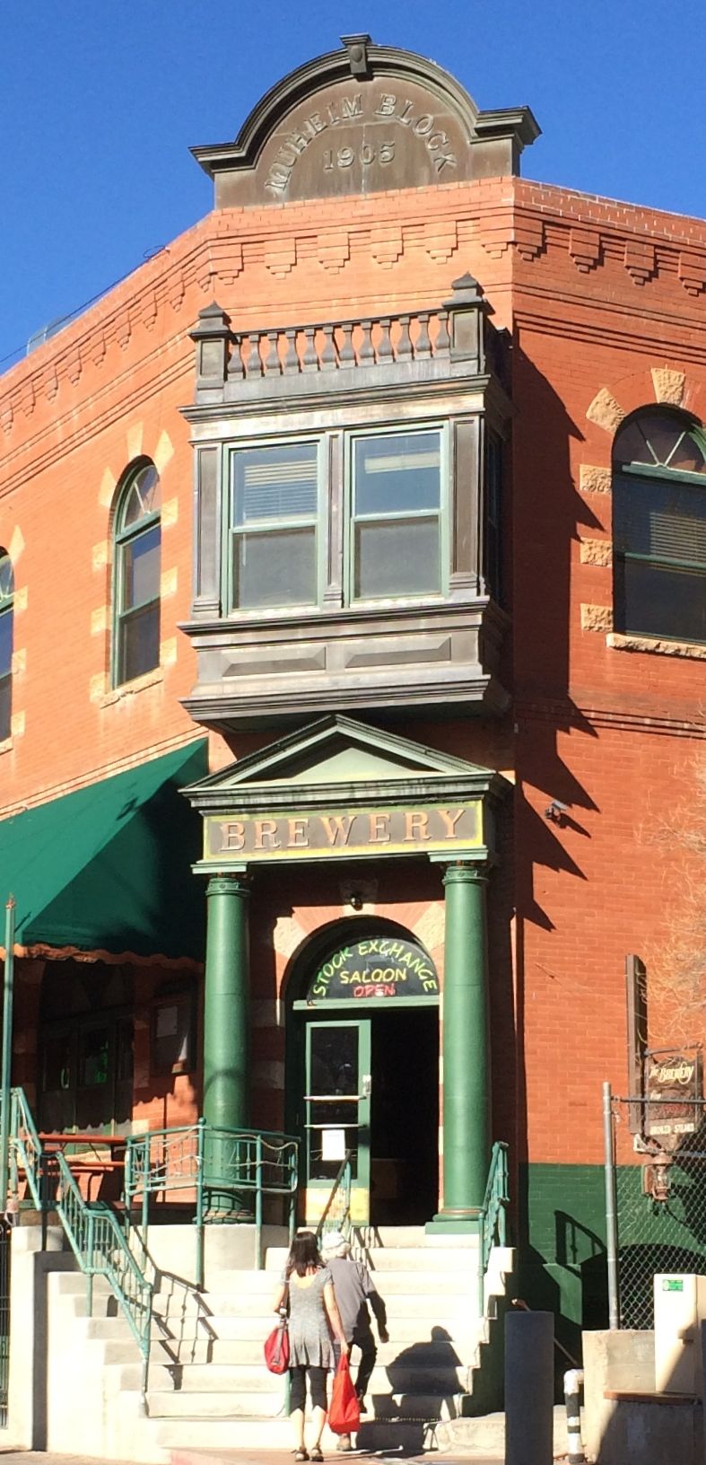
It was a brewery! Maybe I should have looked there. But, I ended up at a place that served tasty fish and chips.
After lunch, I looked at the museum across the street.
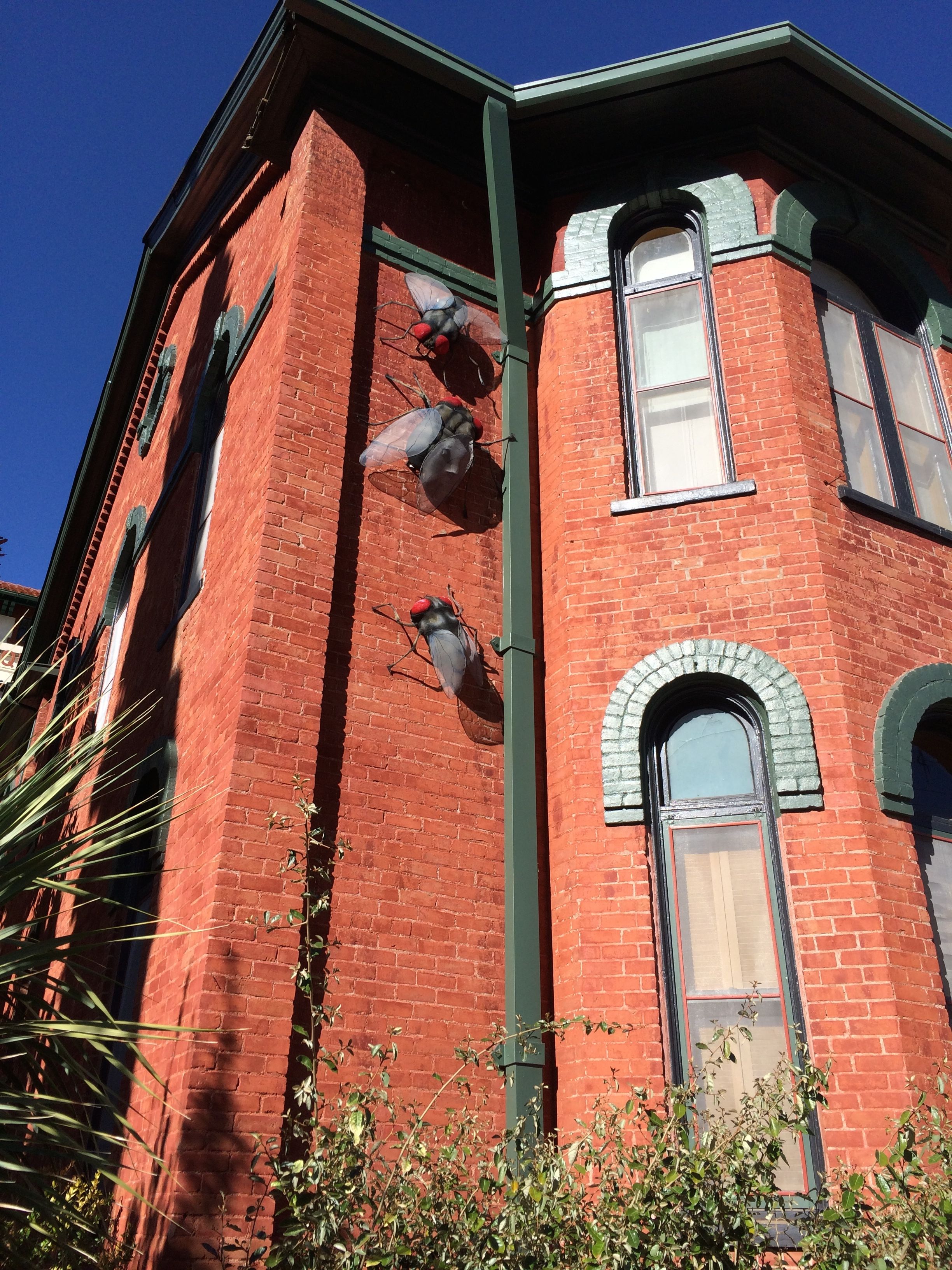
There were fly sculptures climbing up the outside! Apparently, they had a fly swatting contest in 1912 because flies were a public health problem. The contest is memorialized on the building. Personally, I’d just as soon forget about the flies.
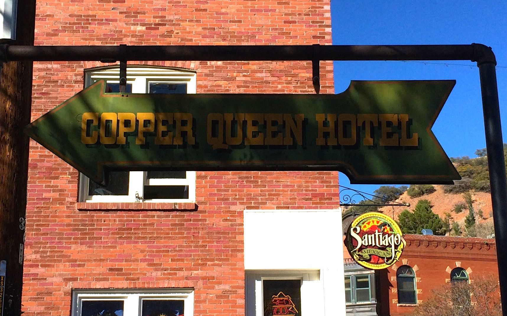
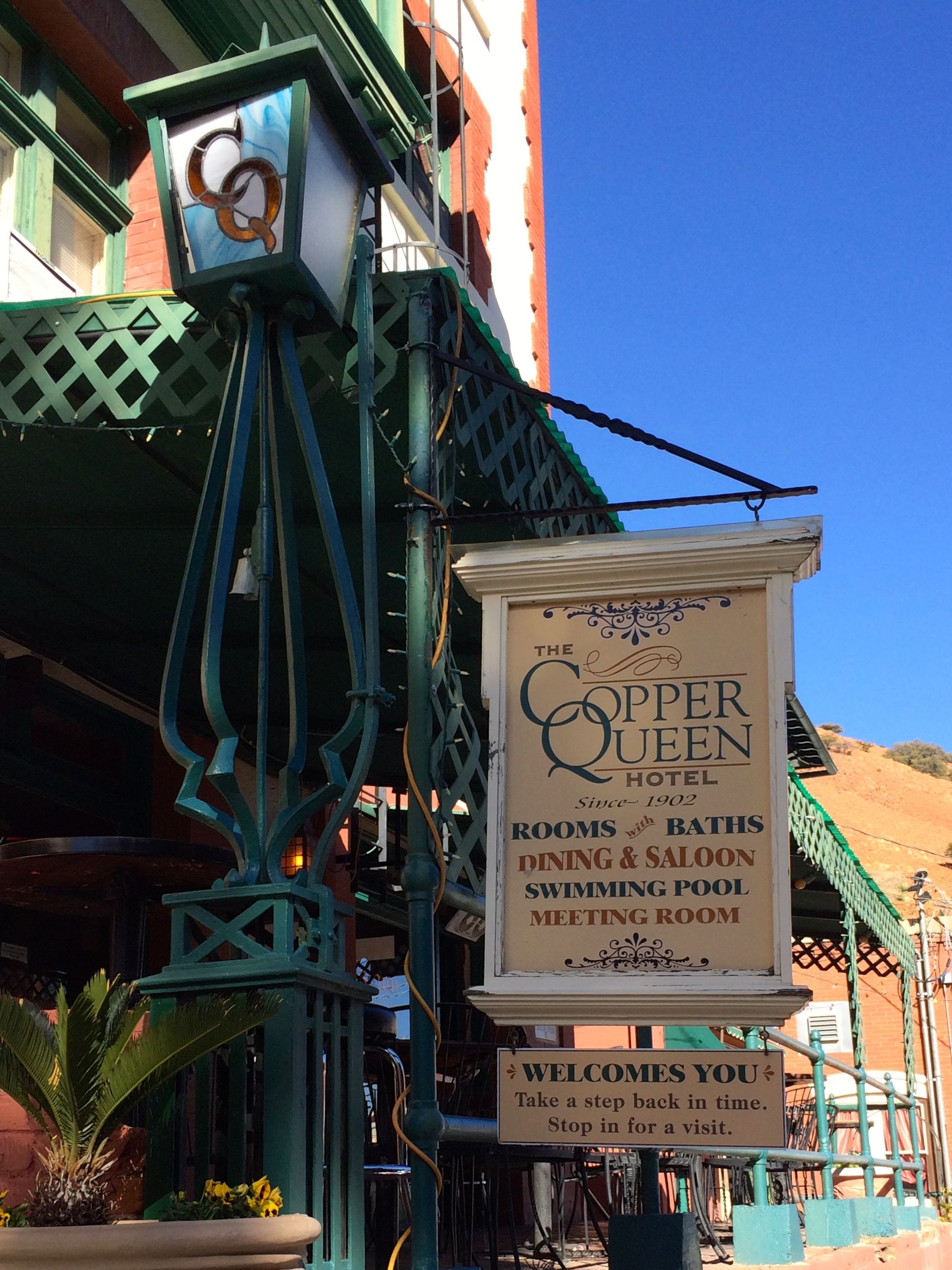
I followed the arrow to the Copper Queen Hotel.
I entered and admired the lobby.

Notice the copper-colored tin ceiling. Heck! Maybe it was copper.
On my way out, I saw a sign that piqued my curiosity.
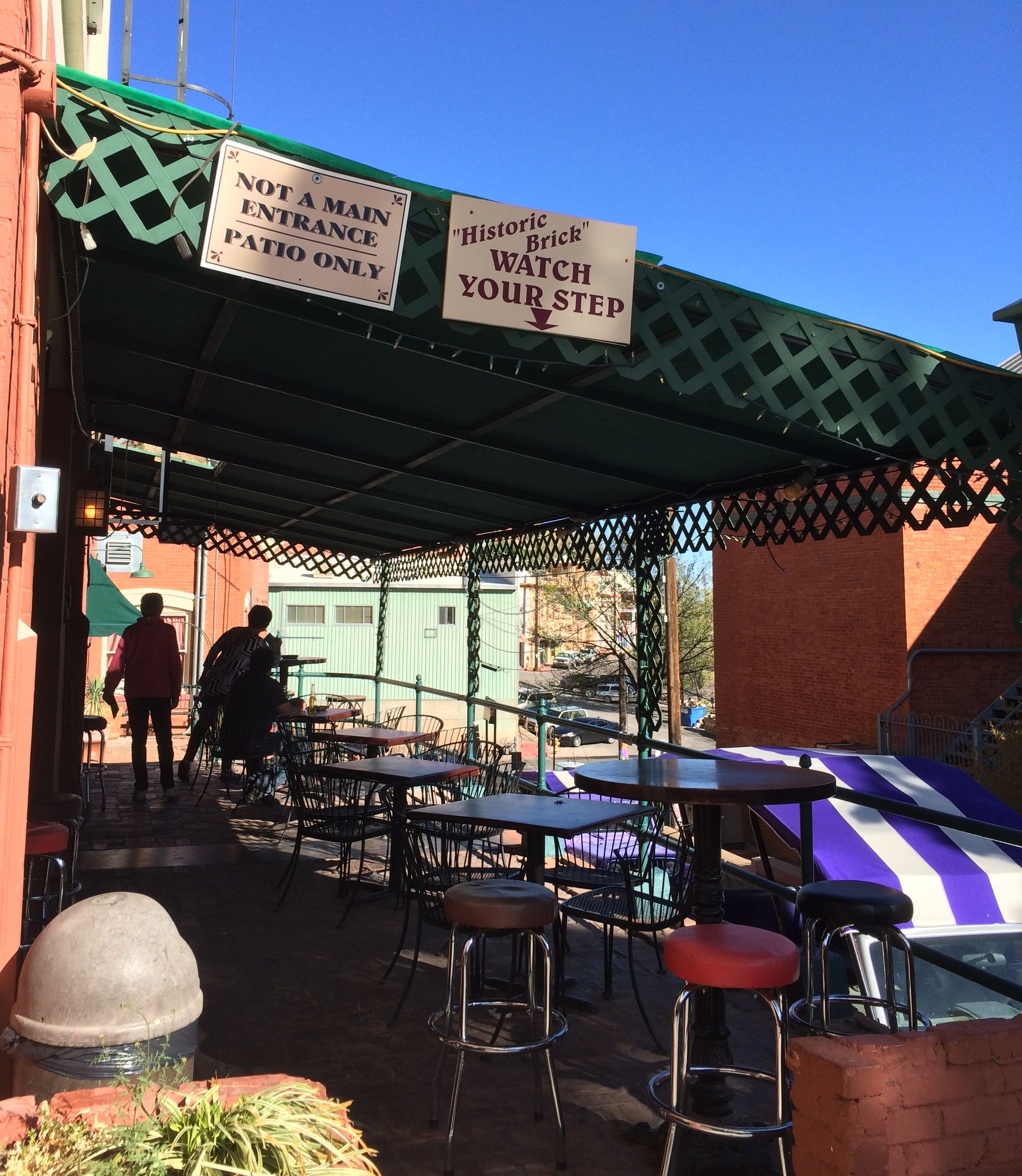
“Historic Brick – Watch Your Step”
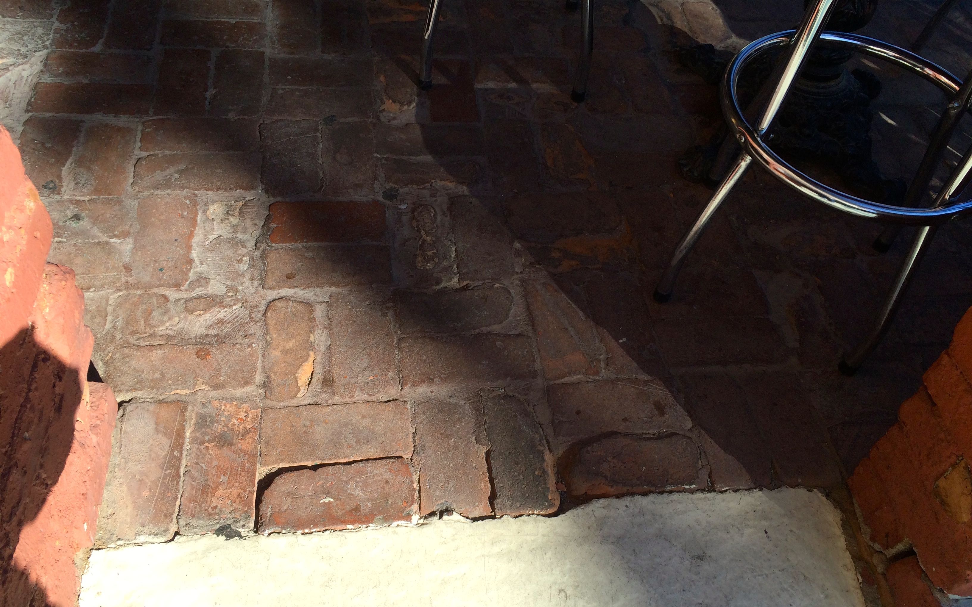
I guess one of these is the historic brick.

I thought this sewer cover was attractive. There is no reason why the mundane can’t be well-designed.
One thing that puzzled me, though, were these prickly pears. They had no spines. So, are these artificial cactus, or some sort of hybrid? Or, did someone take the spines off? Inquiring minds want to know!
I am sure there were many more things to do, but I felt like I had done all I needed to do. So, I got back to Bart – the Big Ass Red Truck – and headed out of town. After I cleared the tunnel and started down, I cleared the setting that tells me the miles per gallon. I thought it would be fun to see how I’d do rolling downhill.
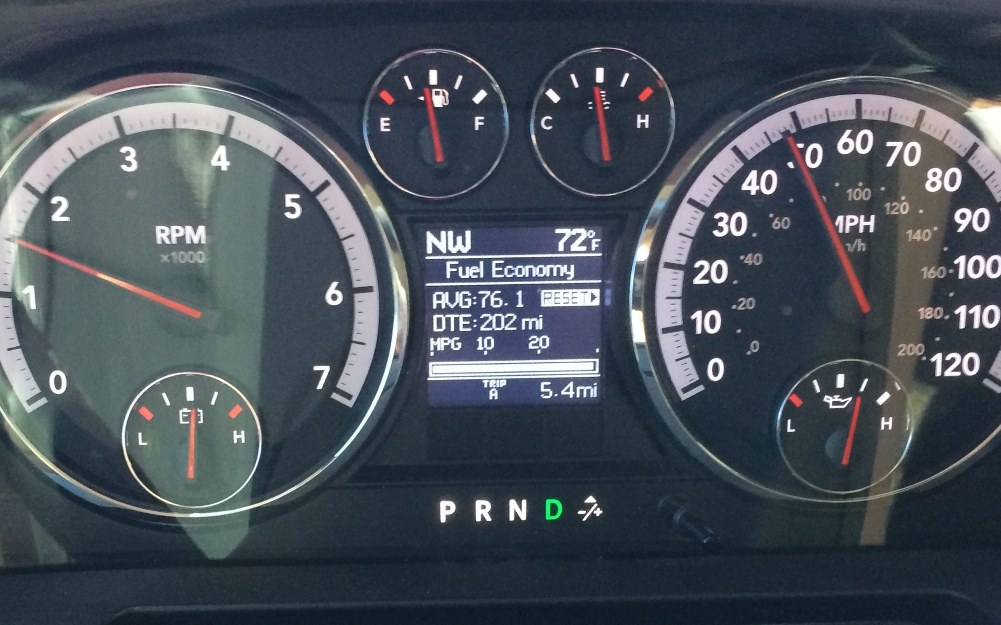
76.1 miles per gallon. Not bad!