Lee’s Ferry is located at the only place within hundreds of miles where one can easily access the Colorado River from both sides. John Lee came to the crossing in 1870 with the goal of setting up a permanent ferry service for Mormon settlers heading south to Arizona. The ferry was up and running by January of 1873 and was in service until 1927 when a bridge was built across the river a little further downstream.
There is not a lot that remains from the ferry – at least that I saw. There are other interesting remnants, though.

This is Lee’s Fort. It was built at about the same time as the ferry at the direction of Brigham Young to protect the crossing from raids by the Navajo.
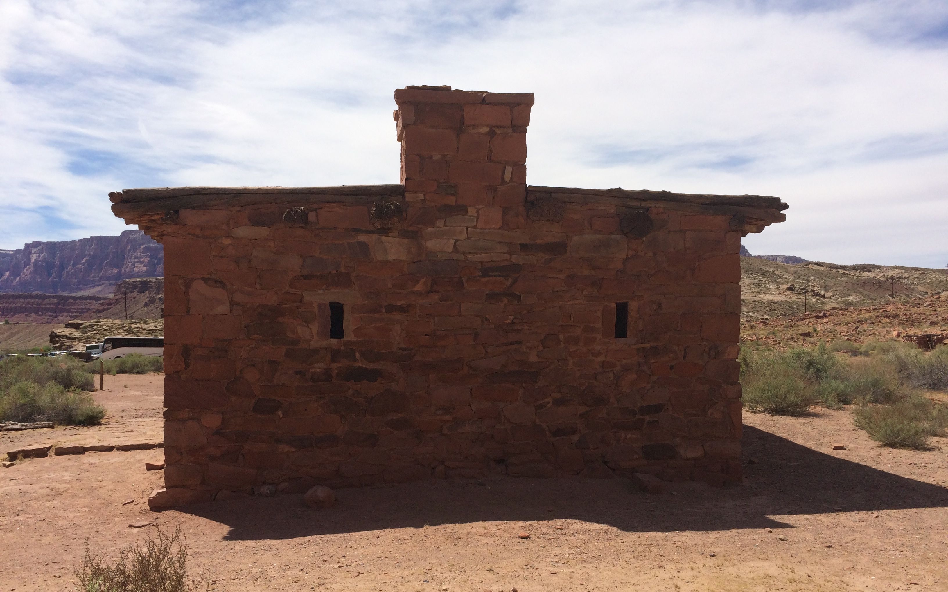
Yes, it was a real fort. Here are the gun slits on one end of the ruins. The building has largely fallen down, but enough remains to make it worthwhile to walk over and take a look.

In addition to serving as an important link in transportation, it was also a site of gold mining in the beginning of the 1900’s. Charles Spencer attempted to extract gold from the greenish-colored chinle layer in the photo below.
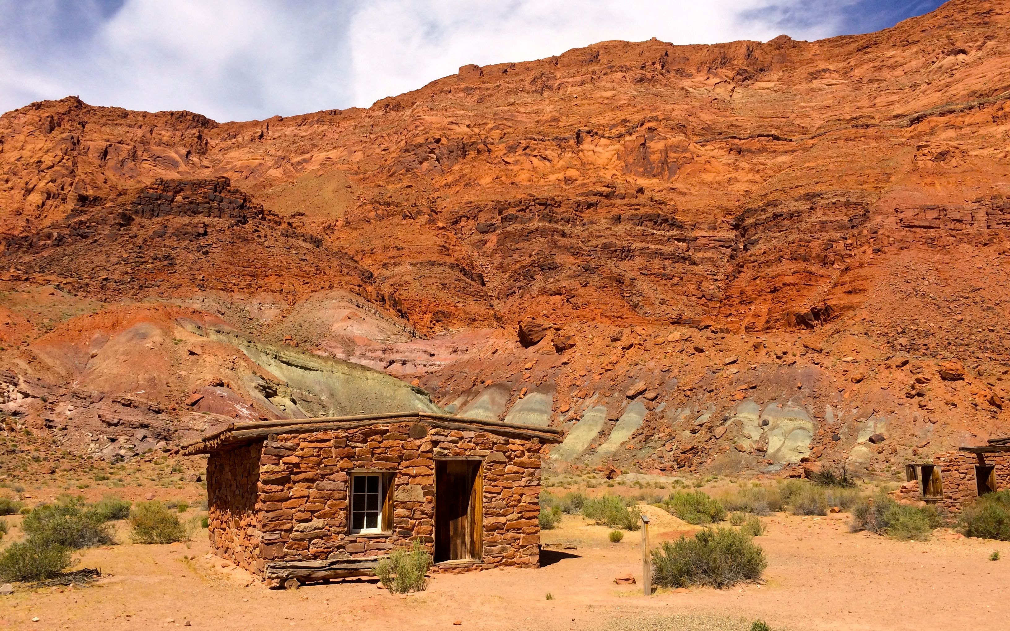
This was his office. He also ran a steamship down the river to bring coal to run his machinery. This was before the Glen Canyon dam was built in the early 1960s.
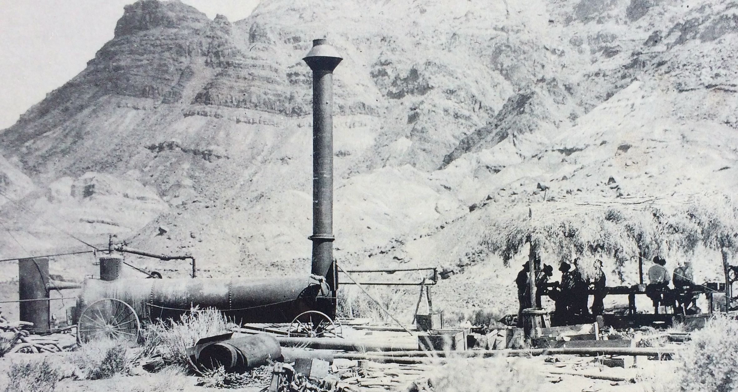
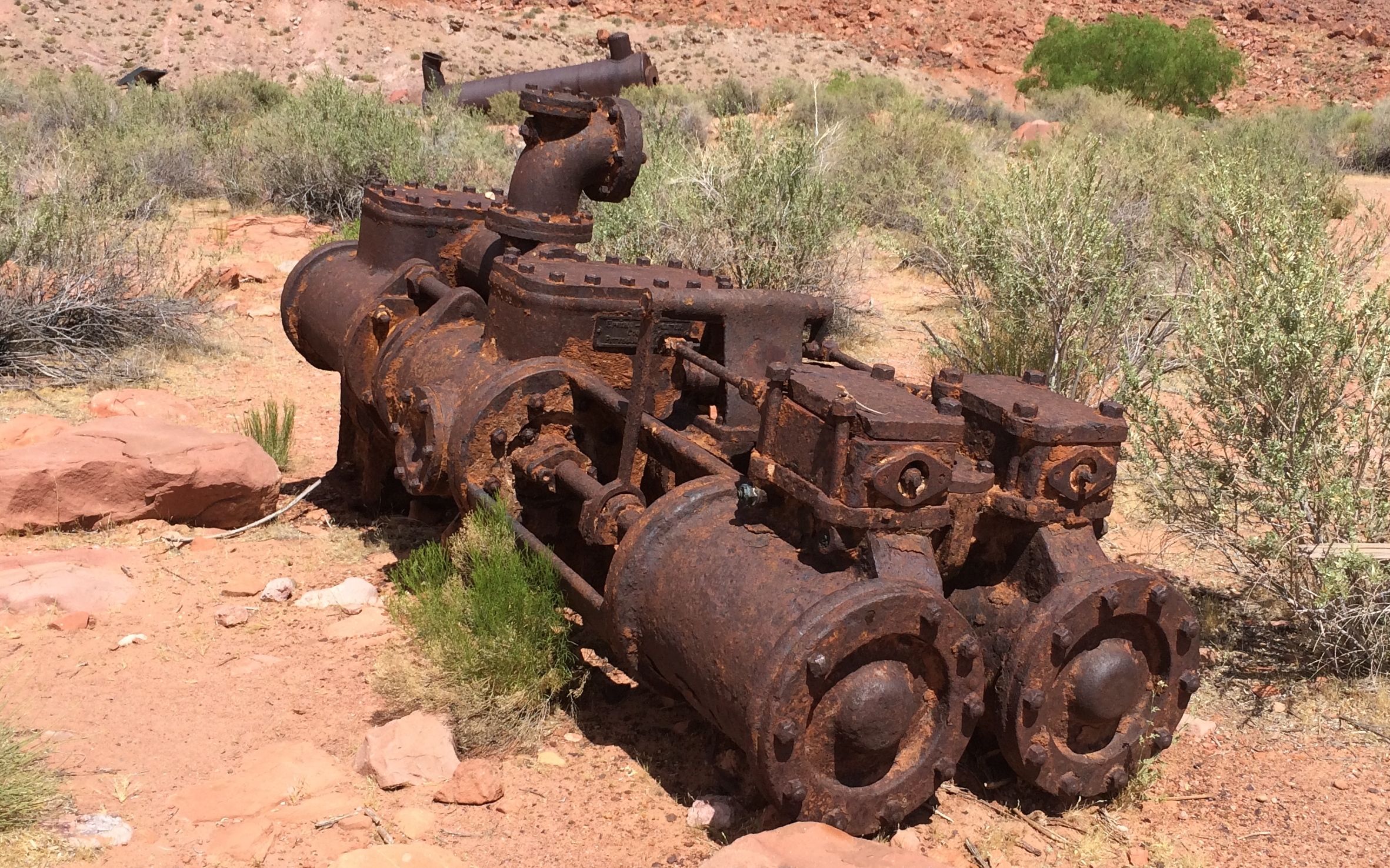
This was the boiler Spencer used back when he was still trying to get gold out of the soil.
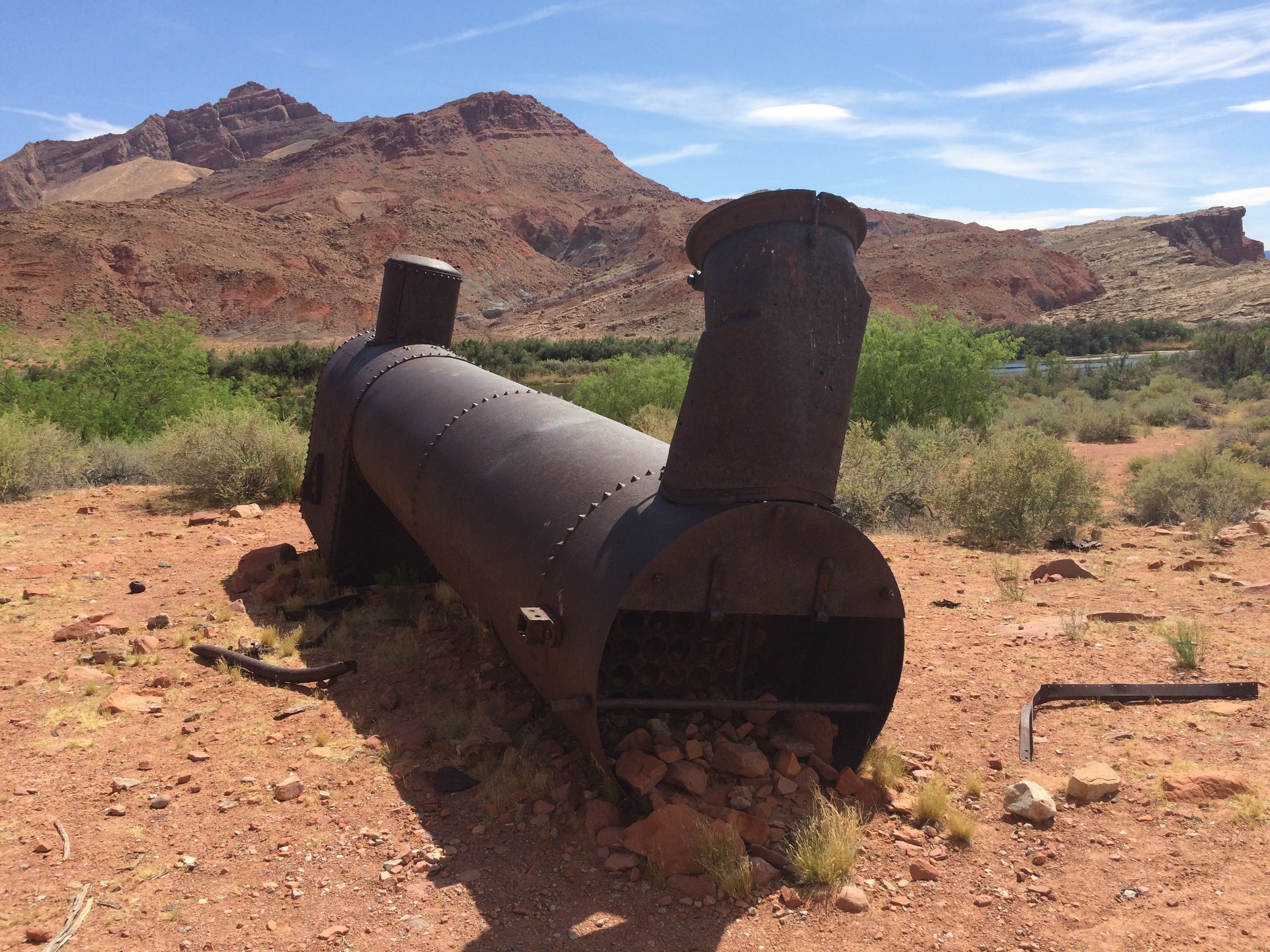
And here it is today.
Ah, mining! It seems that whenever you have mining, there are bits and pieces of machinery left behind.
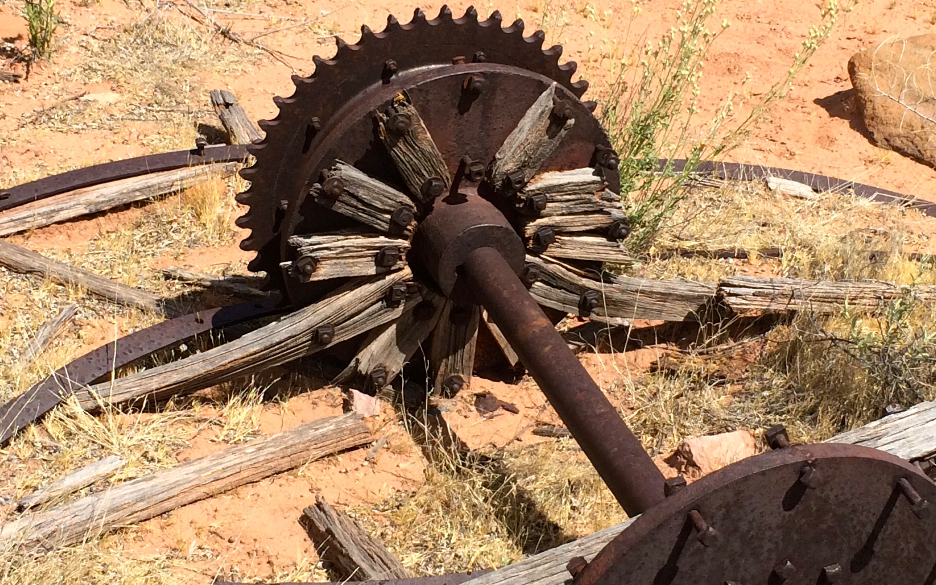
I guess it’s more cost effective to abandon it than to try to do something with it.
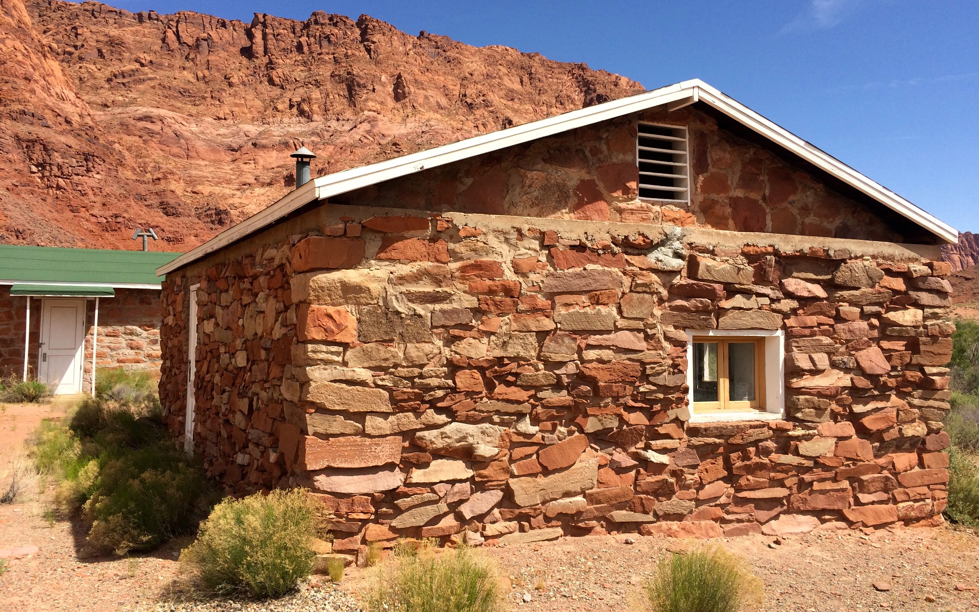
This building was the bunkhouse for Spencer’s operations. When he gave up looking for gold, the US Geologic Survey took it over. According to the sign by the building, it was the silt lab. They didn’t offer an explanation about what a silt lab is, but I imagine that they were measuring the amount silt in the river before the dam went in.
The Colorado River was named for the reddish color that it had from the silt that was carried in it before the dam went in. The river is no longer reddish in color. I imagine that there is a lot os silt built up behind the dam. I should look into that.
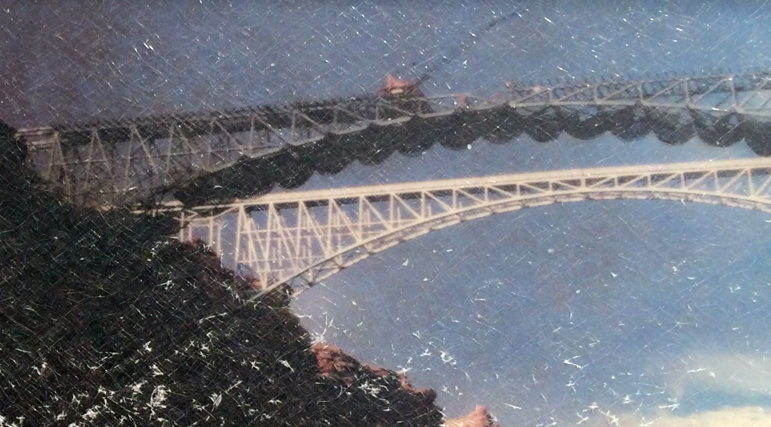
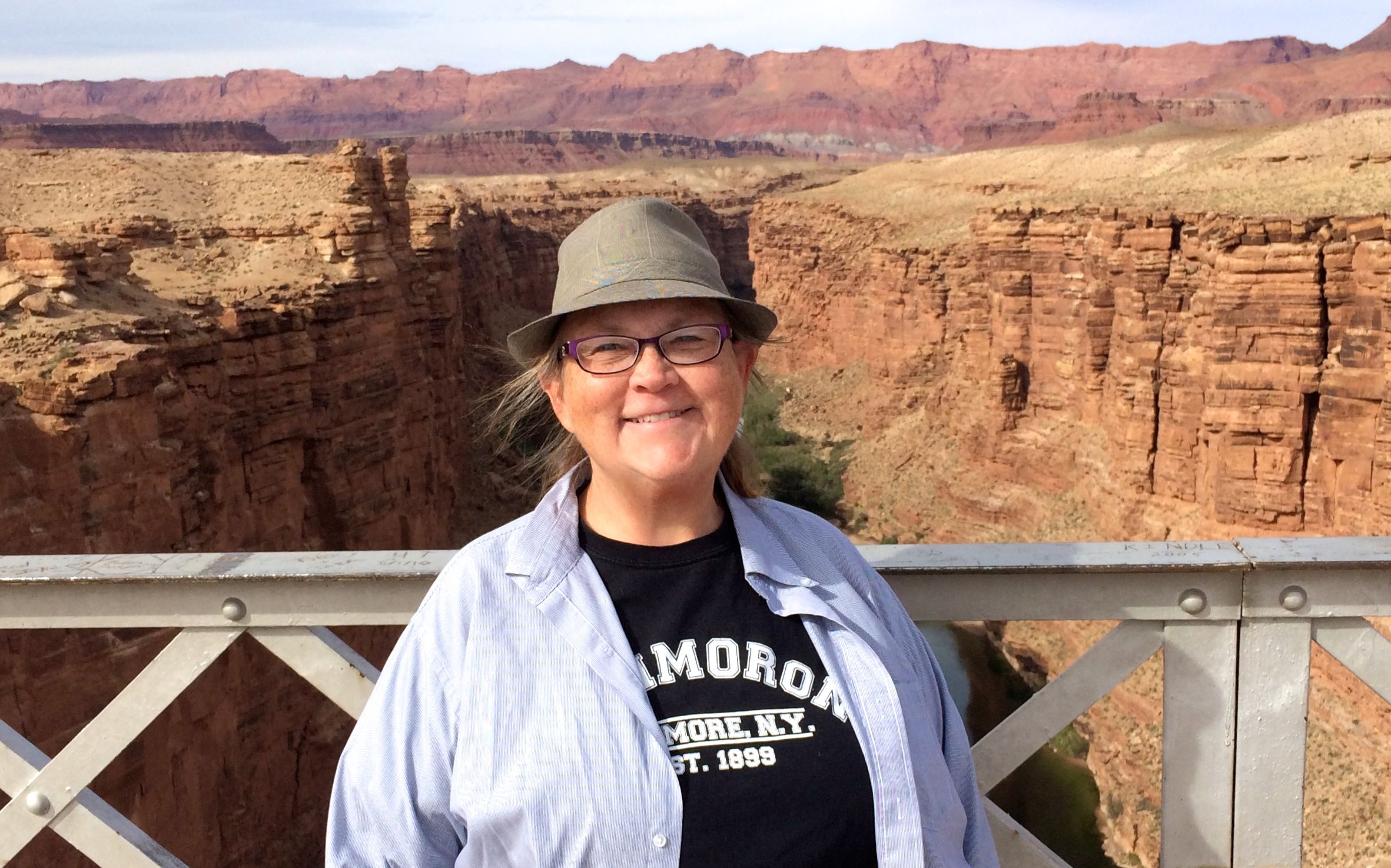
This part of the river is all about crossing it. Right by the entrance to the park, about four miles from the ferry crossing site, is the Navajo Bridge.

The bridge on the left is the original bridge that opened to traffic in 1929 after two years of construction. It was built to meet the needs of the time, and the roadway was only 18 feet wide. In 1990, it was decided that the traffic had become too great for the original span. It took a while to work things out – funding, design and satisfying concerns for preservation of sacred Navajo land, plant species and possible water pollution. The new span opened five years later, in 1995.
When the new span was built, netting was strung beneath to catch anything that might fall into the river.
The new span is 44 feet wide and is constructed with 3.5 times more concrete and 1.75 times more steel than the old bridge.
The old bridge was closed to vehicle traffic when the new bridge opened, but it is still open to pedestrians and equestrians. I didn’t see any horses while I was there, though.

The bridge crossed Marble Canyon about 470 feet above the river. I’m not wild about heights, but there were great guardrails on the sides.
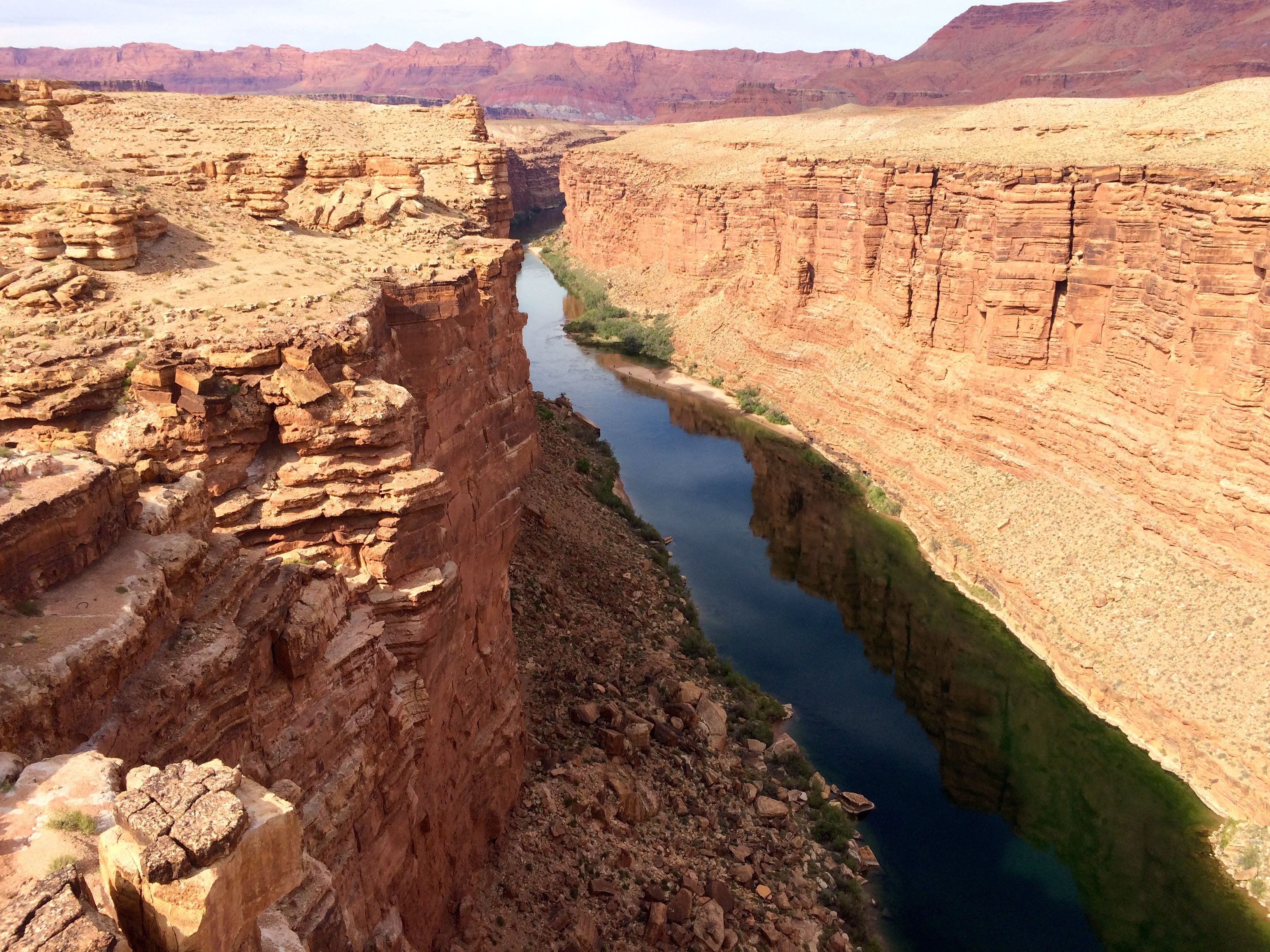
Here’s the view looking upstream.
Do you see the people on the beach down there? No? Well, let me zoom in a bit for you.
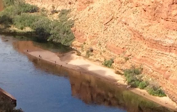
I don’t know how they got there. Perhaps a boat dropped them off. I never really thought about rivers as having sandy beaches, but they do.
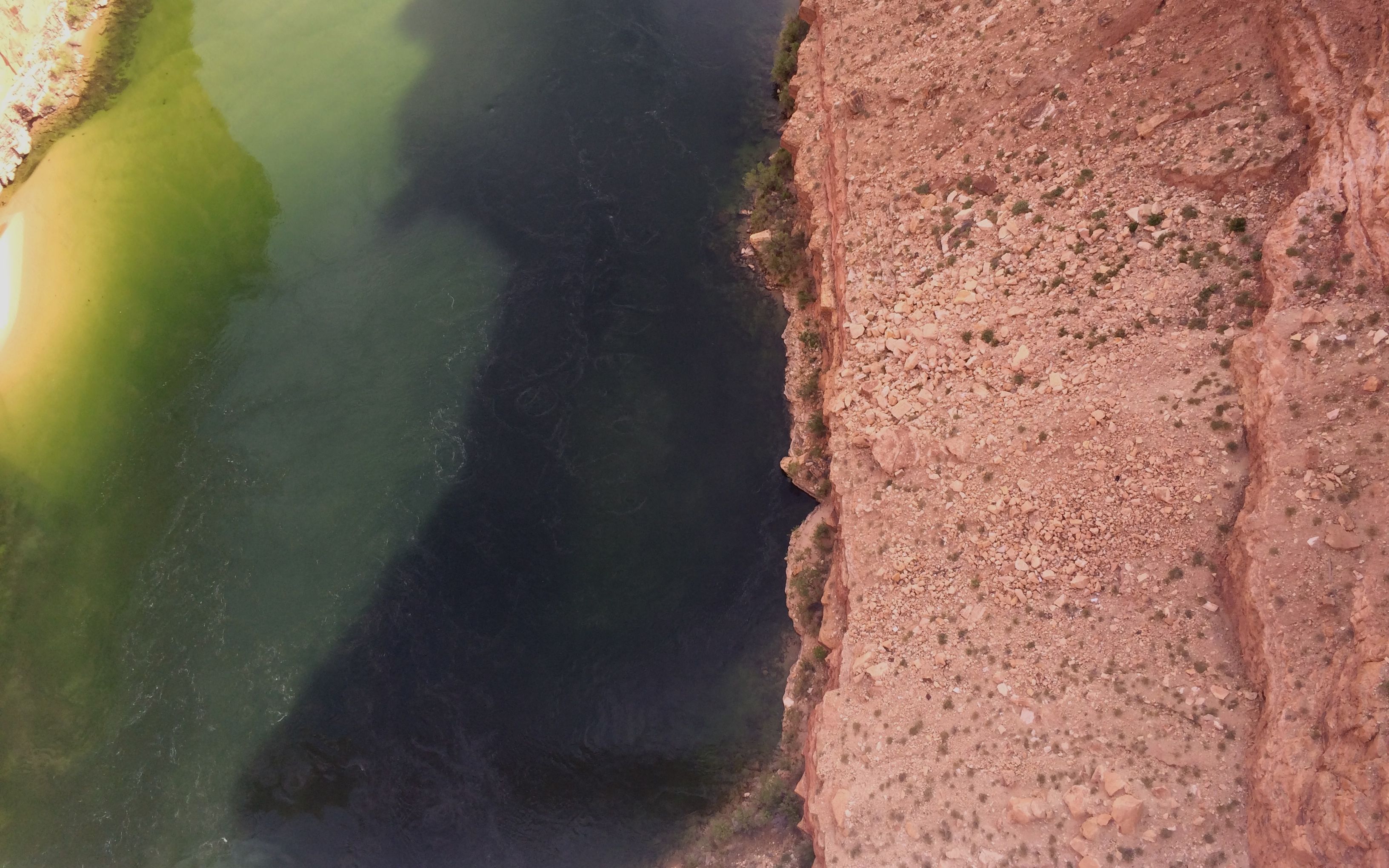
Looking directly down into the water, you can see that there is none of the red colored silt in the river.
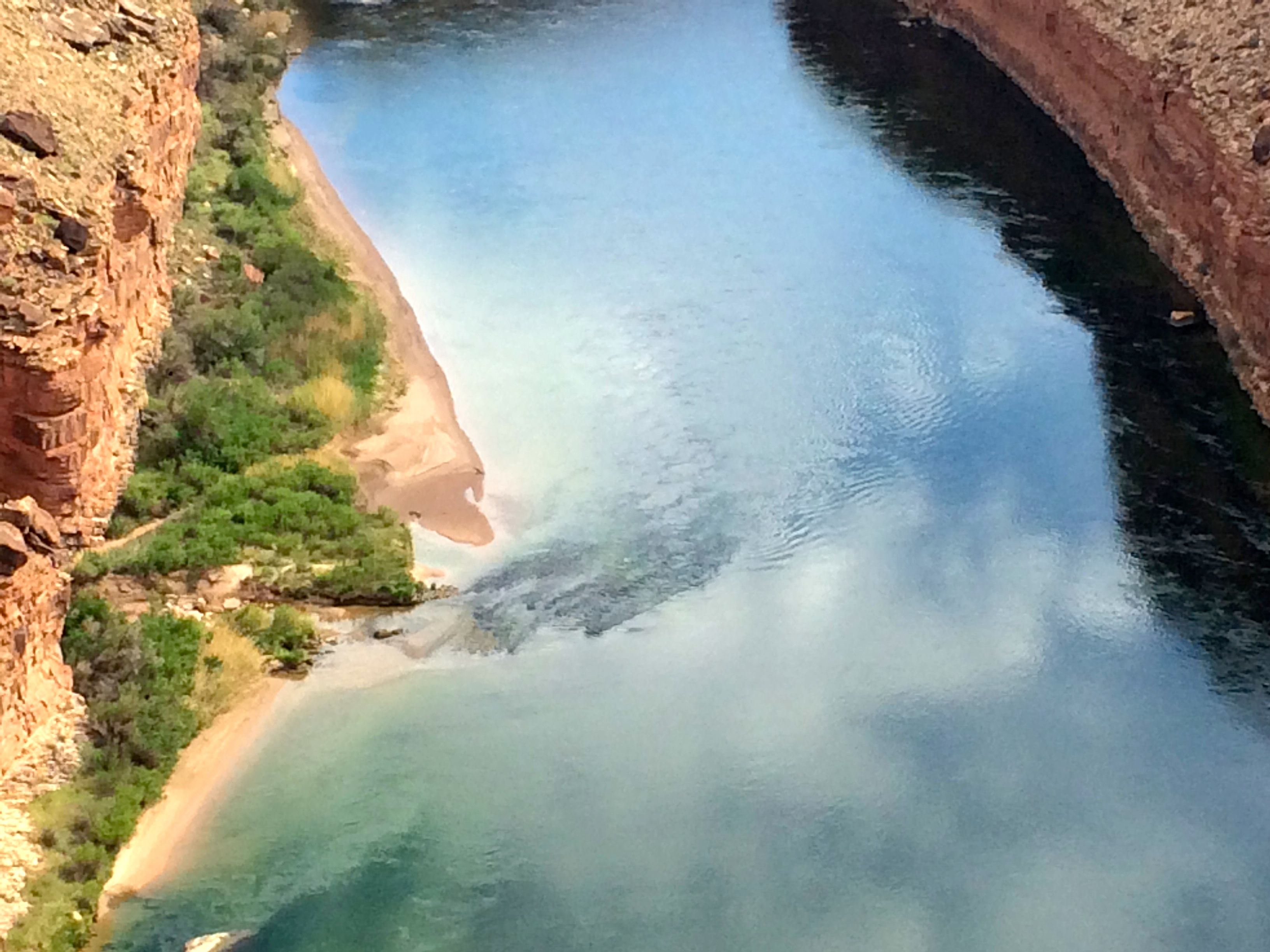
Here’s the view of the river looking downstream.
As exciting as the bridges were, I was amazed to see condors flying around.
https://www.facebook.com/kalamazookim/videos/10153598620566989/
I’m not skilled birdwatcher, but people told me they were condors, and I believed them. I could tell that they weren’t robins, seagulls or flamingos. It was quite exciting.
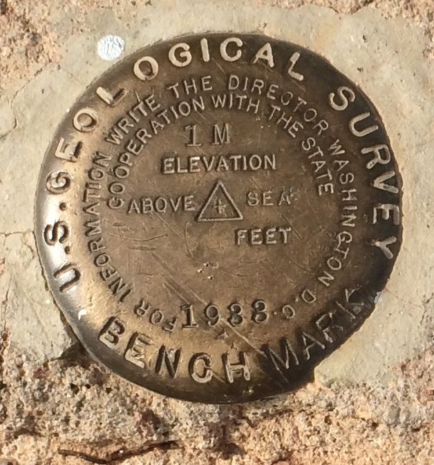
I found another of these benchmarks. Maybe I should contact the Director of the U.S. Geological Survey. I don’t understand how this place can be 1M above sea level.
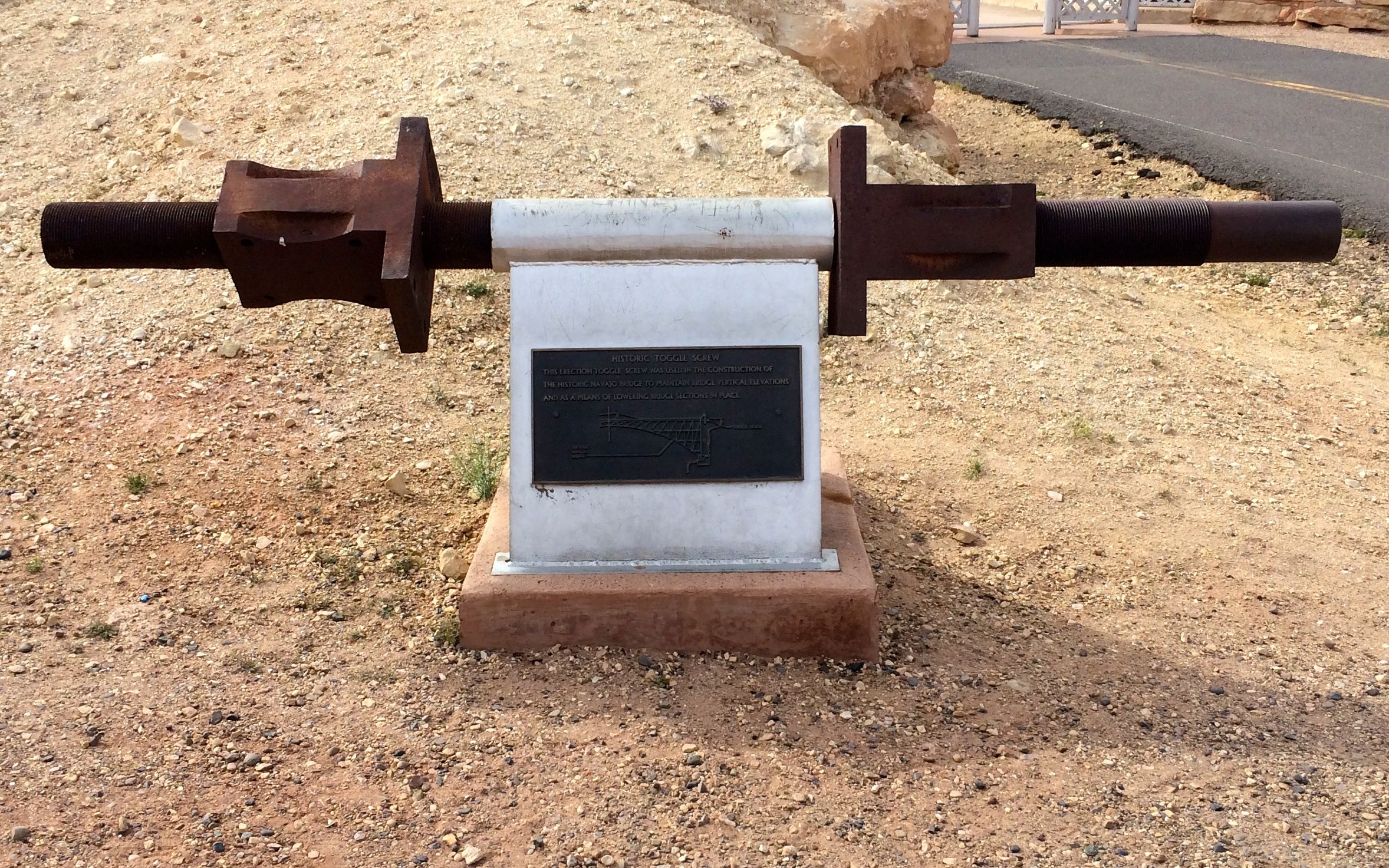
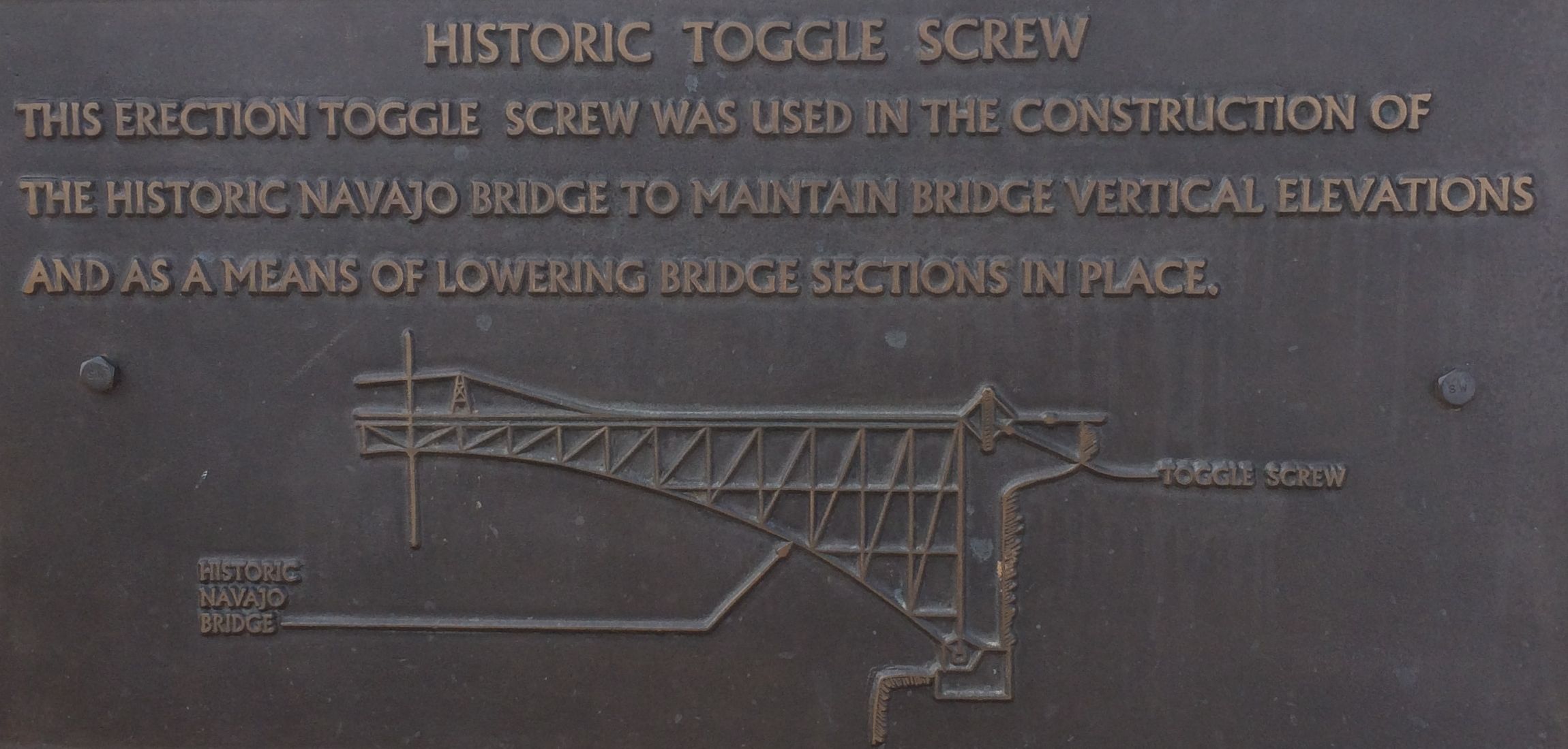
This historic toggle screw is on display on the south side of the bridge. It was an important piece of equipment used in getting the bridge to line up properly.
On the way back to the campground, I stopped to check out the Balanced Rock.

These balanced rocks are formed when boulders from the hard upper layer, which is shinarump conglomerate, break off and roll down the cliff.
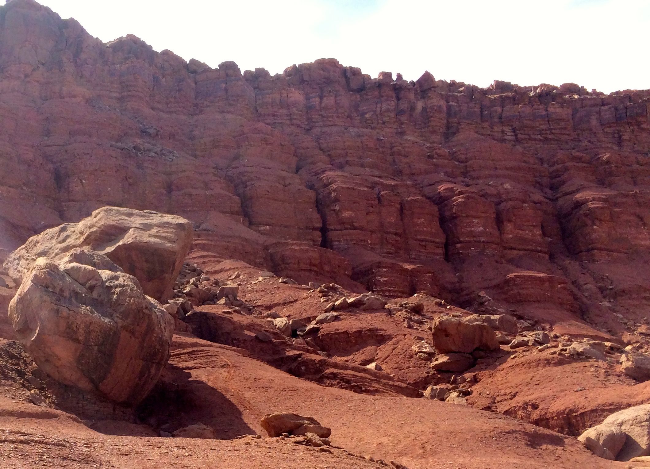
They land on the softer lower layer, which is part of the moenkopi formation. As the softer stone is eroded away, the boulders end up on formations that look like pedestals.

The wind, water and freezing temperatures continue their work, and eventually gravity triumphs.

And then you end up with unbalanced rocks.
I decided to go down to the river’s edge. I wasn’t going to raft the Colorado, but I could go down and put my feet in it.
Just before I got to the river, I passed this sign:
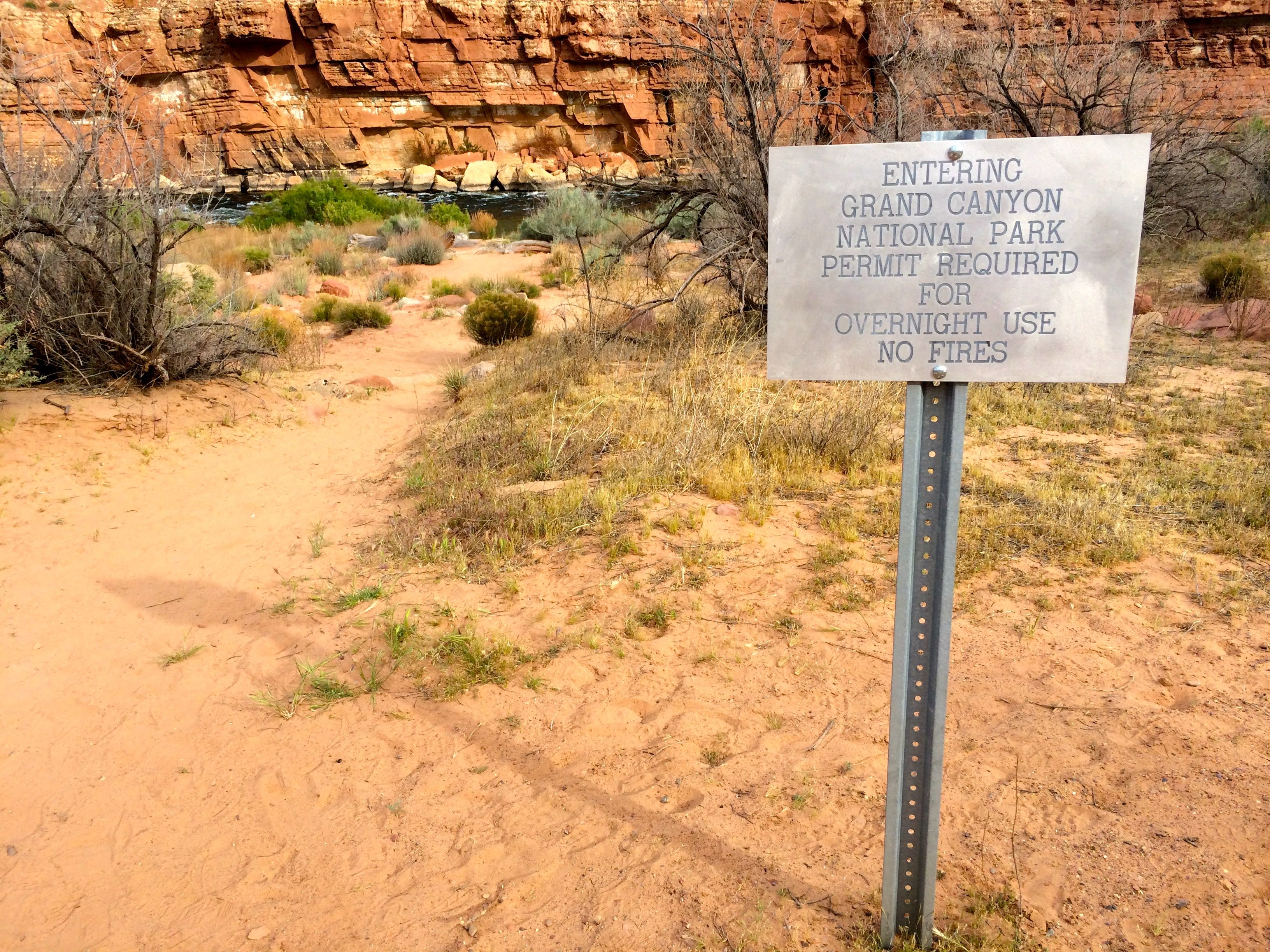
Cool! I made it to the Grand Canyon National Park from the north side – even if the North Rim wasn’t officially open for the season.
http:/https://www.youtube.com/watch?v=EqjLdJINGfQ
The scent of the water going over the Paria Riffle took me back to Niagara Falls. It reminded me of being on the Three Sisters Islands just off Goat Island. The smell of home!
A riffle is smaller than a rapid. This one is formed where the Paria River empties into the Colorado River. At times of high flow, large rocks are pushed out of the mouth of the Paria River and into the Colorado.
I chatted with some folks who were spending the day by the river. The mother agreed to take a photo of me standing in the water.
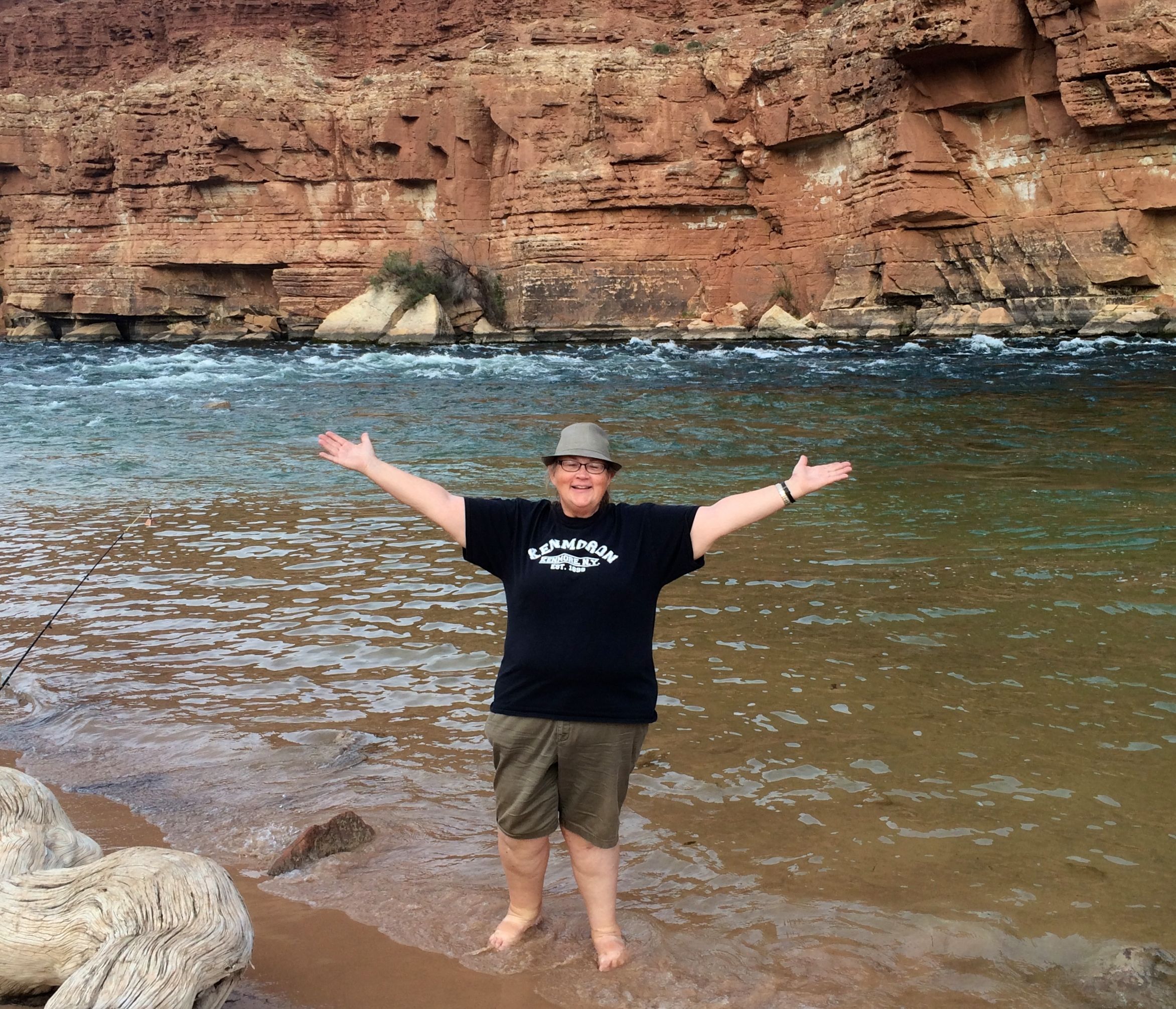
The water was a little cool, but not so cold as to keep me out of the water. Down the river a ways, there were people who were actually swimming in the river.
Her son wanted to get in the photo, too, so we took another.
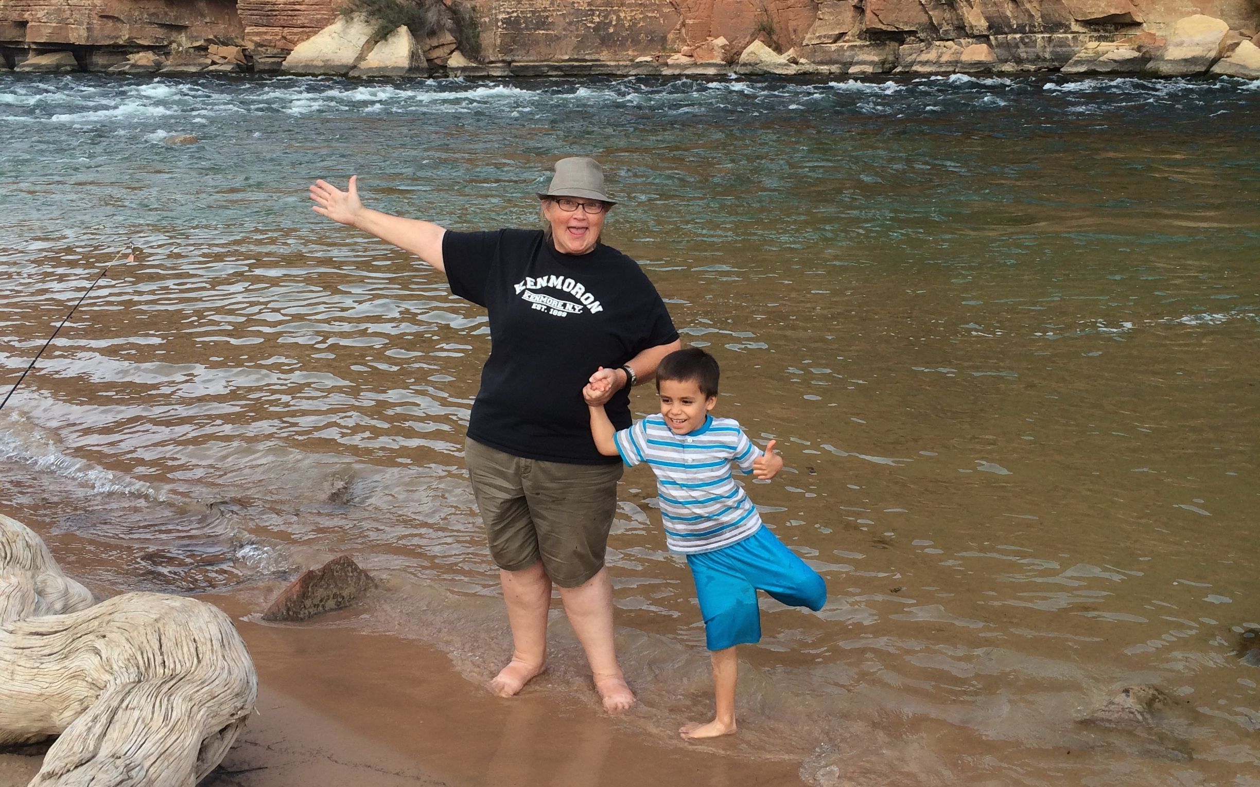
Then, my new buddy wanted to teach me how to fish. First he demonstrated how to cast. His mom told me that there was no hook on the line, so I didn’t have to worry about getting snagged by it.
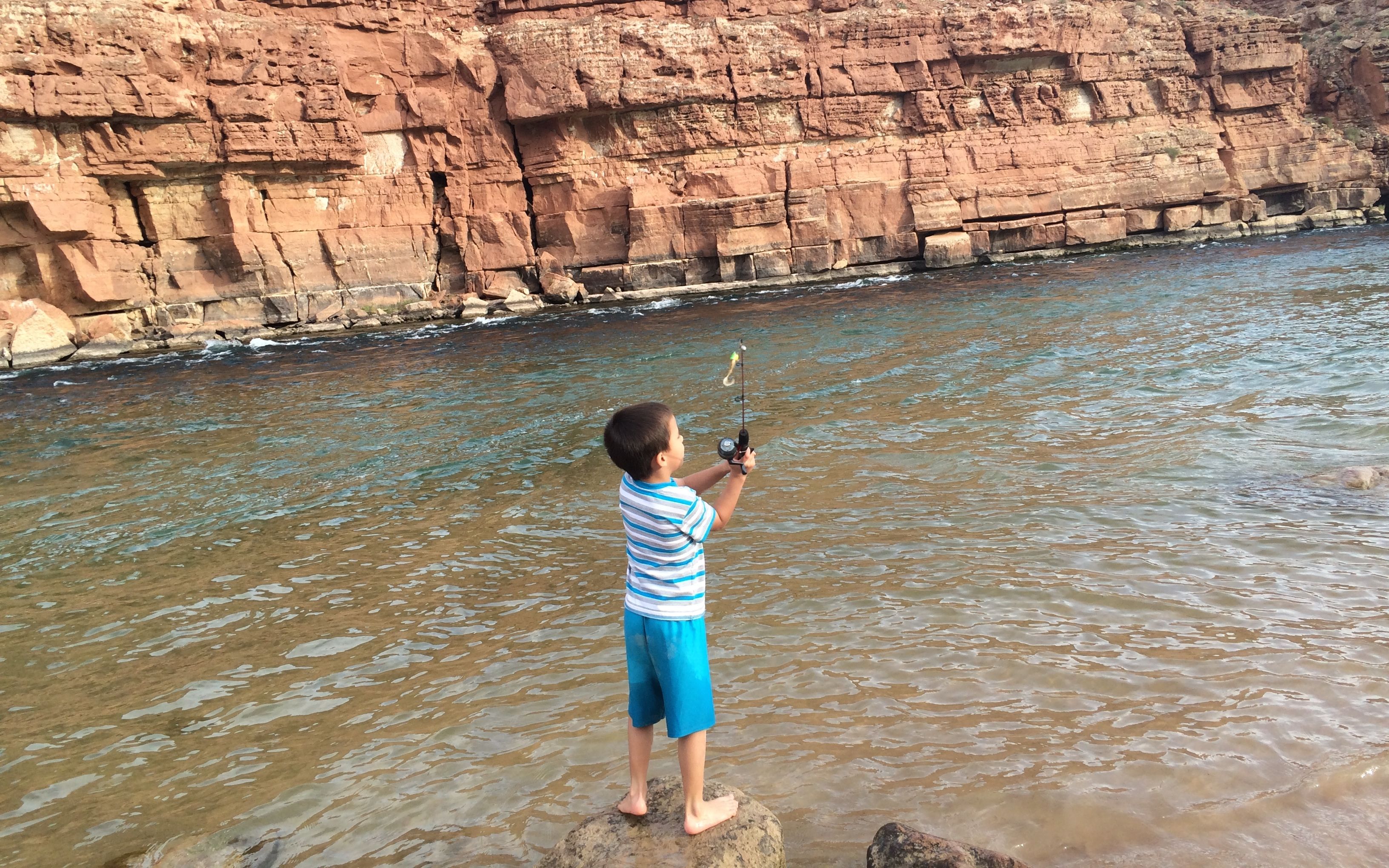
After demonstrating the proper technique, he handed the rod to me. I let it rip and got the fly a good way out in the river.
On the way back to the parking area, I came across these lizard tracks.

The next day, it was time to make tracks of my own.