Susan, a friend of long standing, joined me on the trip to Harpers Ferry, West Virginia. What fun to be touring through a part of the country where I have friends to join me on adventures in real life!
Harpers Ferry. You say those words and you think John Brown. You think of the Civil War. I was amazed to find that the history of the location goes back further than that.

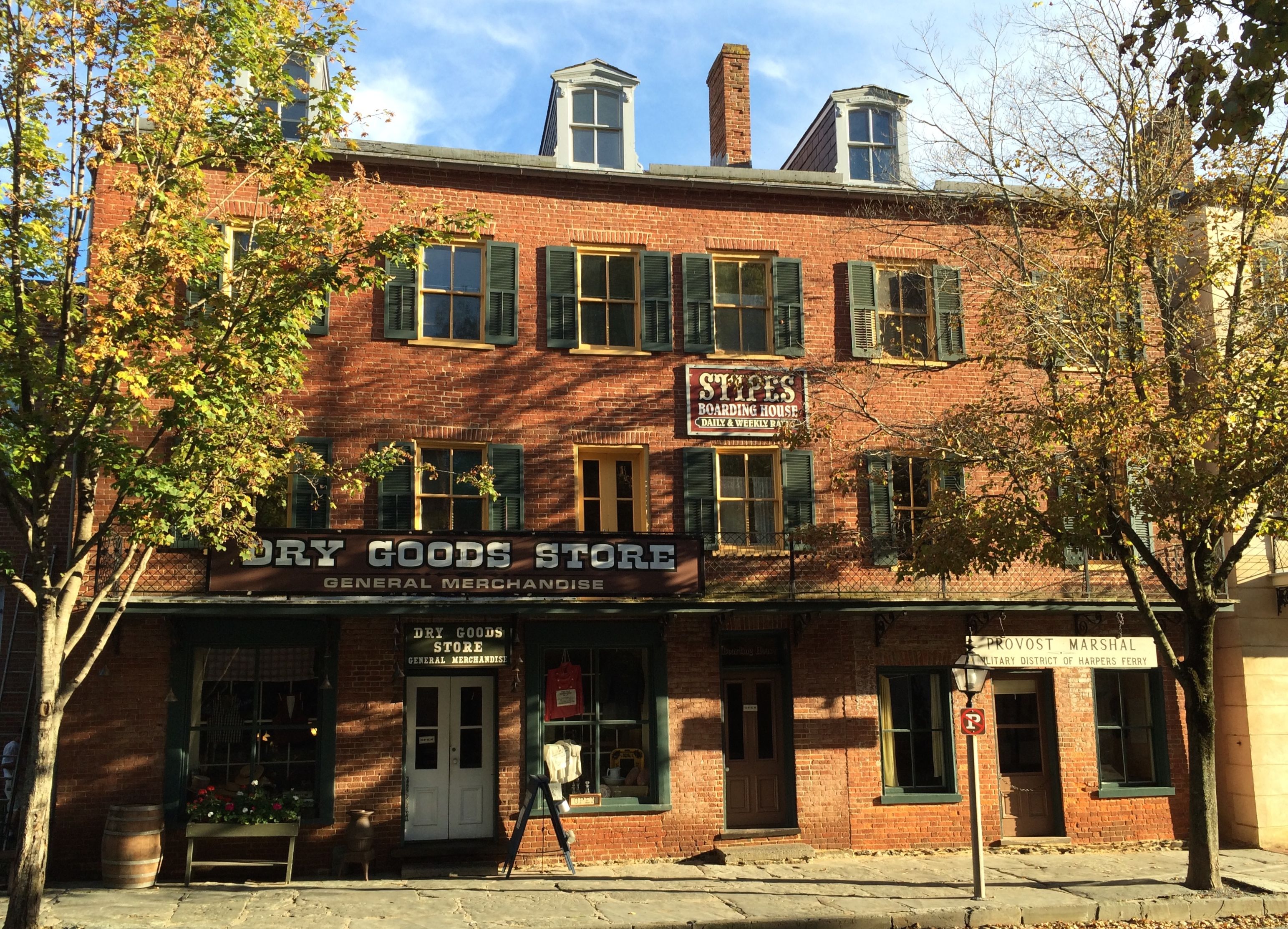
The reason for this town existing is water. It is located at confluence of the Potomac and Shenandoah Rivers and was founded by Robert Harper who recognized the tremendous potential of water for transportation as well as for powering industry.
Actually, according to my research, the Iroquois nations lived in this area before George Washington surveyed the land and Robert Harper established his ferry in 1734, but the information given at the park didn’t go back that far.
In 1794, Congress passed a bill calling for establishing national arsenals. President George Washing chose Harpers Ferry, which was part of Virginia at the time. In 1796, the United States purchased 125-acre parcel of land from the heirs of Robert Harper, and construction began on the national armory in 1799. This was the beginning of the Military-Industrial Complex that President Eisenhower warned us of – 155 years too late.
But the first incident that put Harpers Ferry on the map for the majority of us was John Brown’s raid in October 1859.
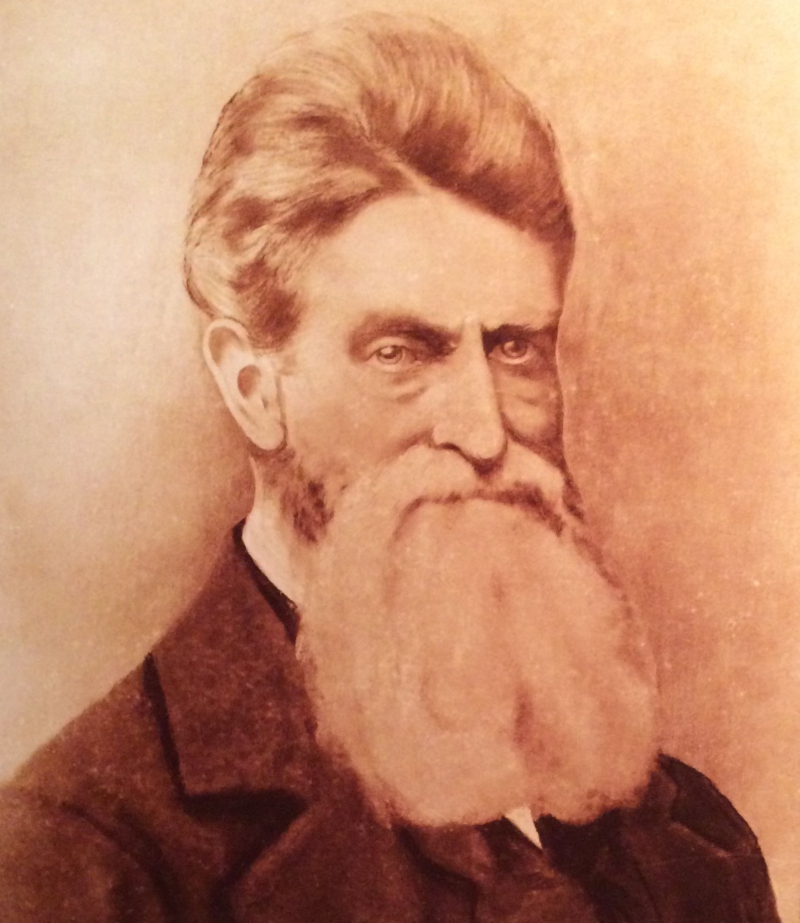
John Brown was a fervent Abolitionist. As early as 1848, he was actively planning on fomenting insurrection to eradicate slavery.
Brown and his band of 22, which included five black men and three of his sons, overran the arsenal at Harpers Ferry on the night of October 16, 1859. The U.S. Marines, led by Colonel Robert E. Lee and Lieutenant J.E.B. Stuart cornered Brown, and ten of his band were killed. Brown would have been killed as well, except that the Marine who captured him left in such a hurry that he brought his dress sword with him instead of a sword suited for battle. The sword buckled and Brown lived to go to trial.
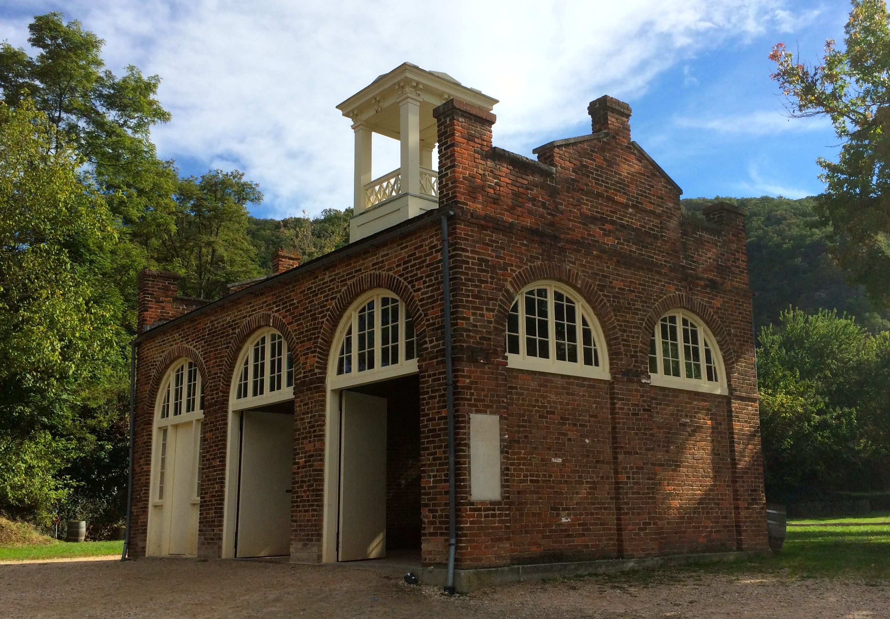
Brown’s band took shelter in the firehouse. Ironically, the firehouse survived the battles that were to come.
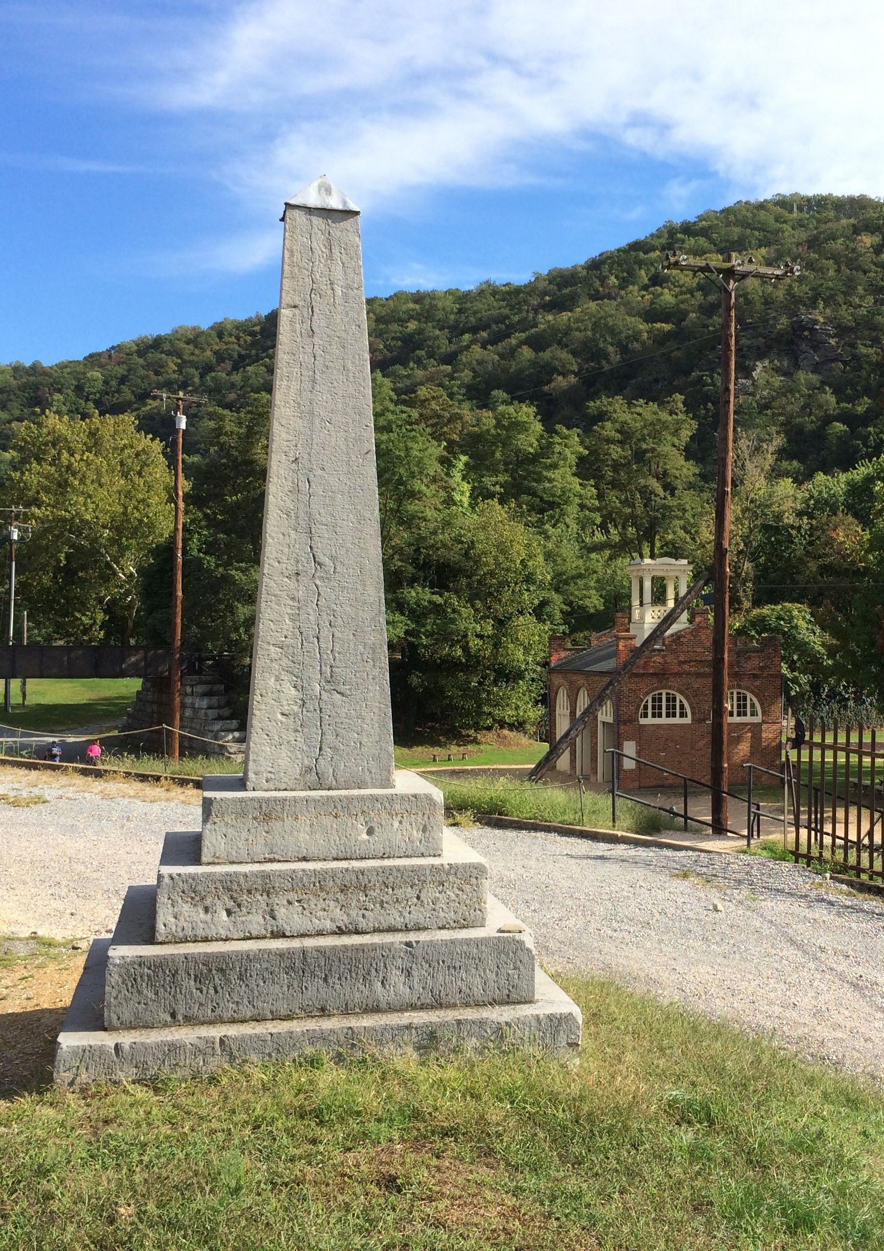
We had a great talk by Ranger Jeff. He walked us over to the remains of the arsenal.
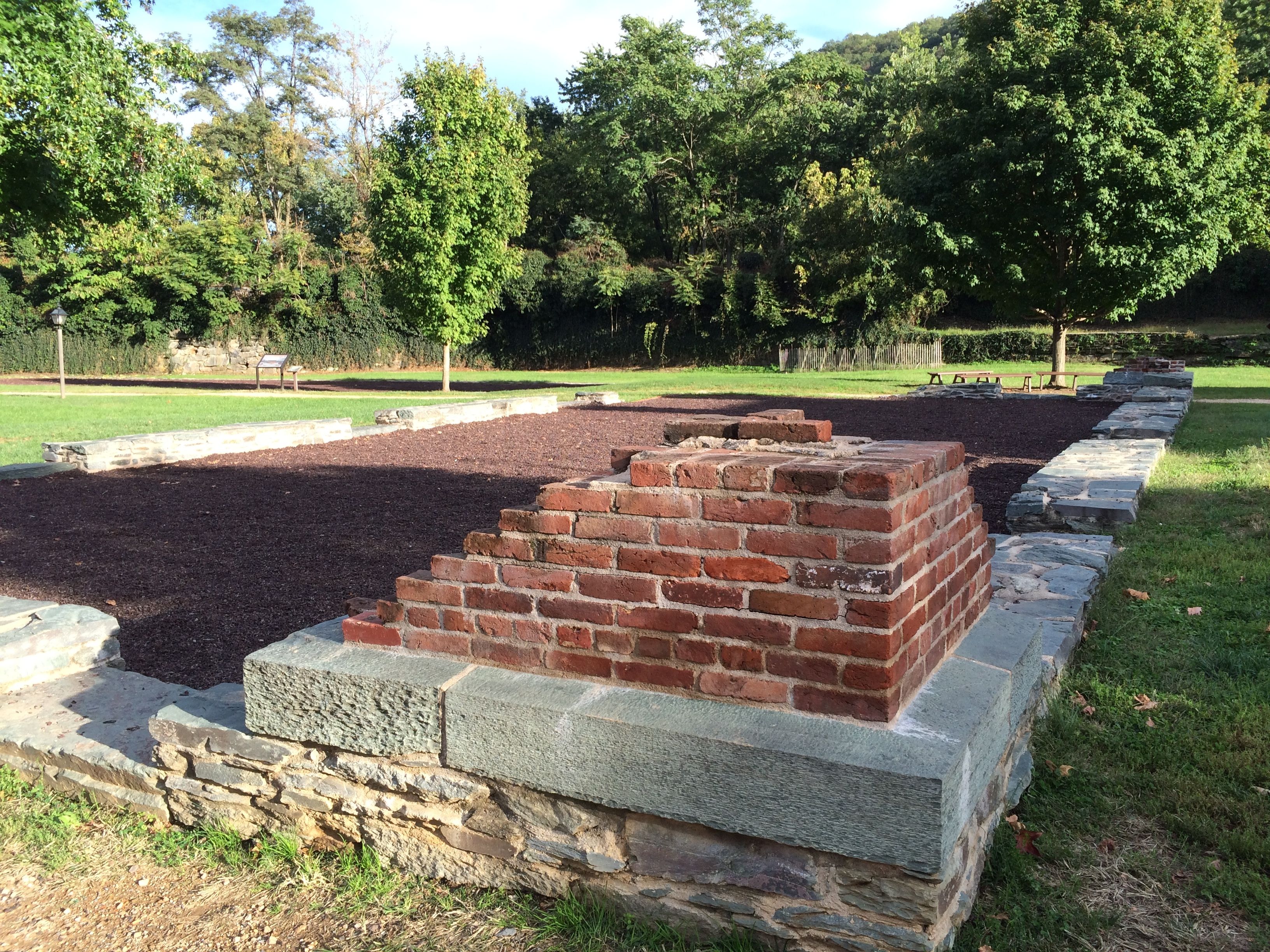
There really wasn’t much left. It was destroyed at the beginning of the Civil War. The perimeter of this building was reconstructed with bricks and stones that archeologists found when they excavated the site.
Lieutenant Roger Jones of the U.S. Army defended the arsenal on April 18, 1861 with 50 untrained regulars and 15 volunteers from the area. The war had just begun April 12, with the attack on Fort Sumter, South Carolina. Everyone was waiting to see what would happen next.
In nearby Charles Town, about 360 members of the Virginia militia were assembled and heading toward Harpers Ferry. Lt. Jones was severely out-numbered and unable to get reinforcements. He set fire to the arsenal and retreated across the Potomac.
Southern forces confiscated the stock, machinery and tools that survived the fire and then burned many of the remaining buildings.
Actually, it is amazing that John Brown Fort survived. Entrepreneurial folks took bricks and sold them as souvenirs.

And, if prying bricks out wasn’t enough to cause stress to the integrity of the building, the building was moved four times. In 1891, it was taken to Chicago to the World’s Columbian Exposition. In 1895, it was moved to the Murphy Farm near Harpers Ferry. In 1909, it was moved to Storer College Campus in Harpers Ferry. In 1968, it was moved to its present location, which isn’t too far from it’s original spot.
Harpers Ferry changed hands eight times during the Civil War. It’s a wonder that anything is left of the town.
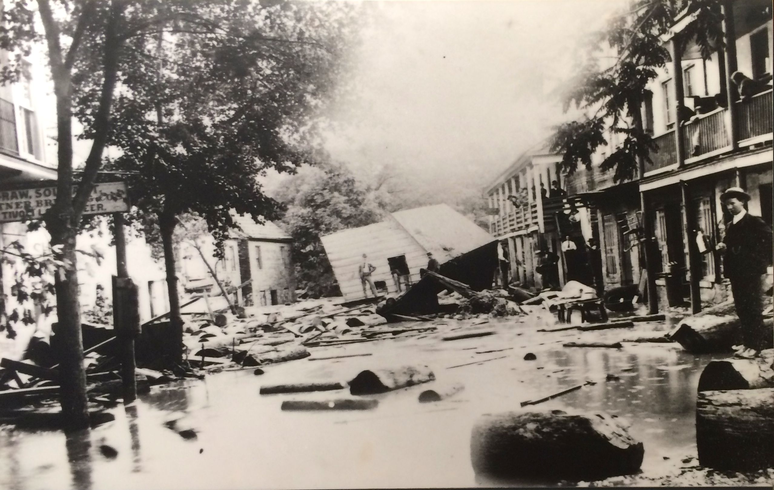
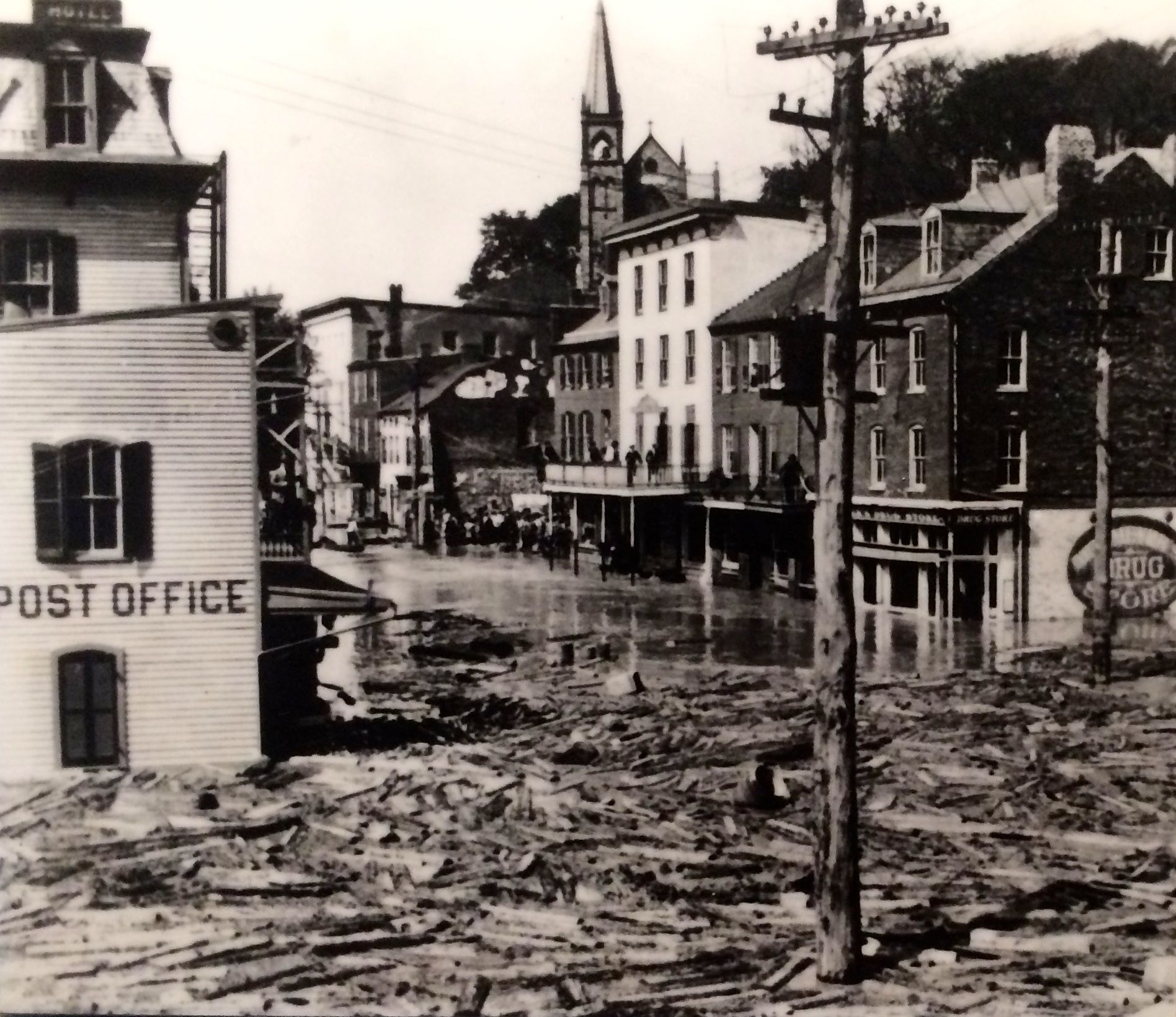
If war the war wasn’t hard enough on the town, there is no arguing with geography. The location at the confluence of two mighty rivers is prone to flooding.
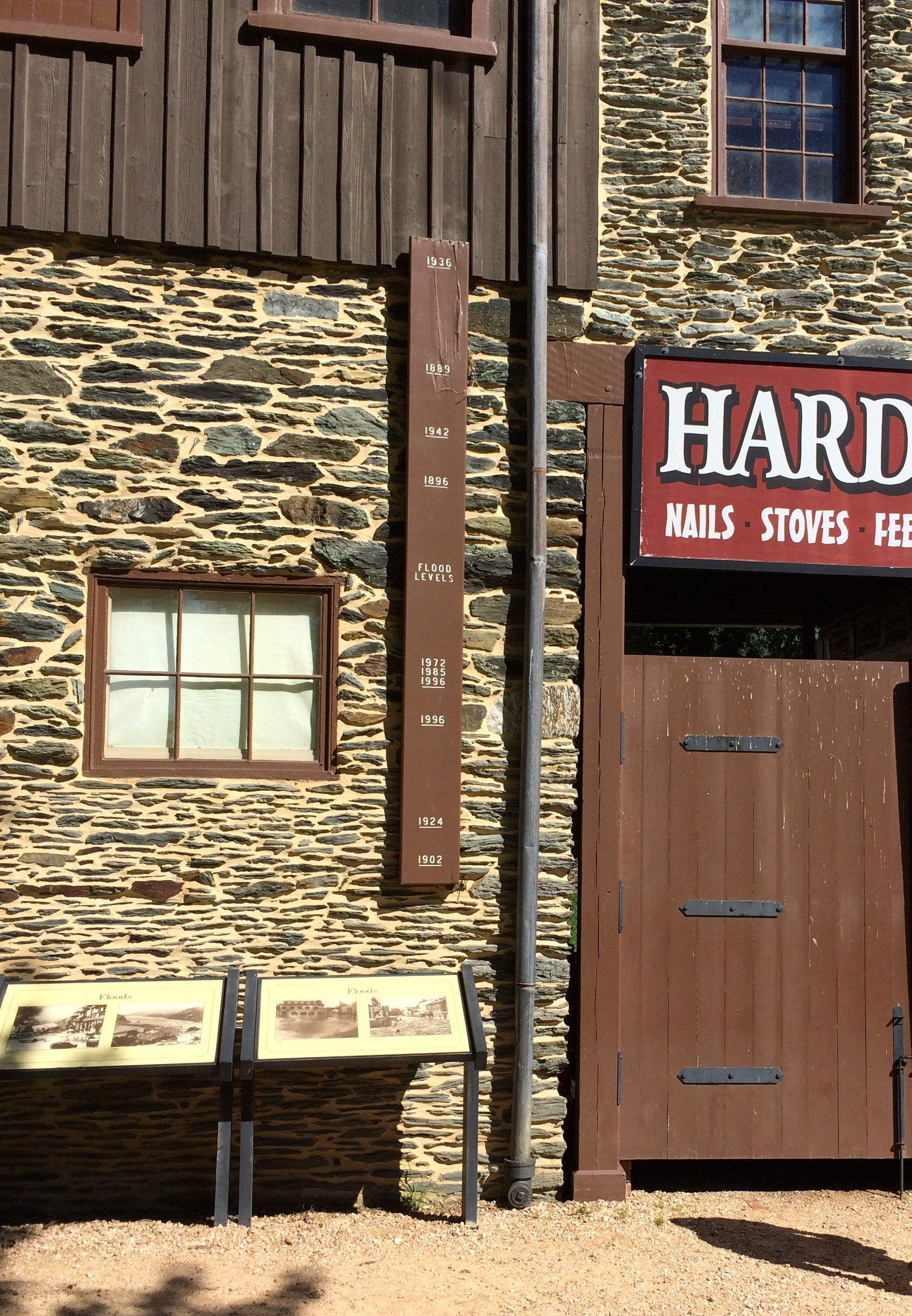
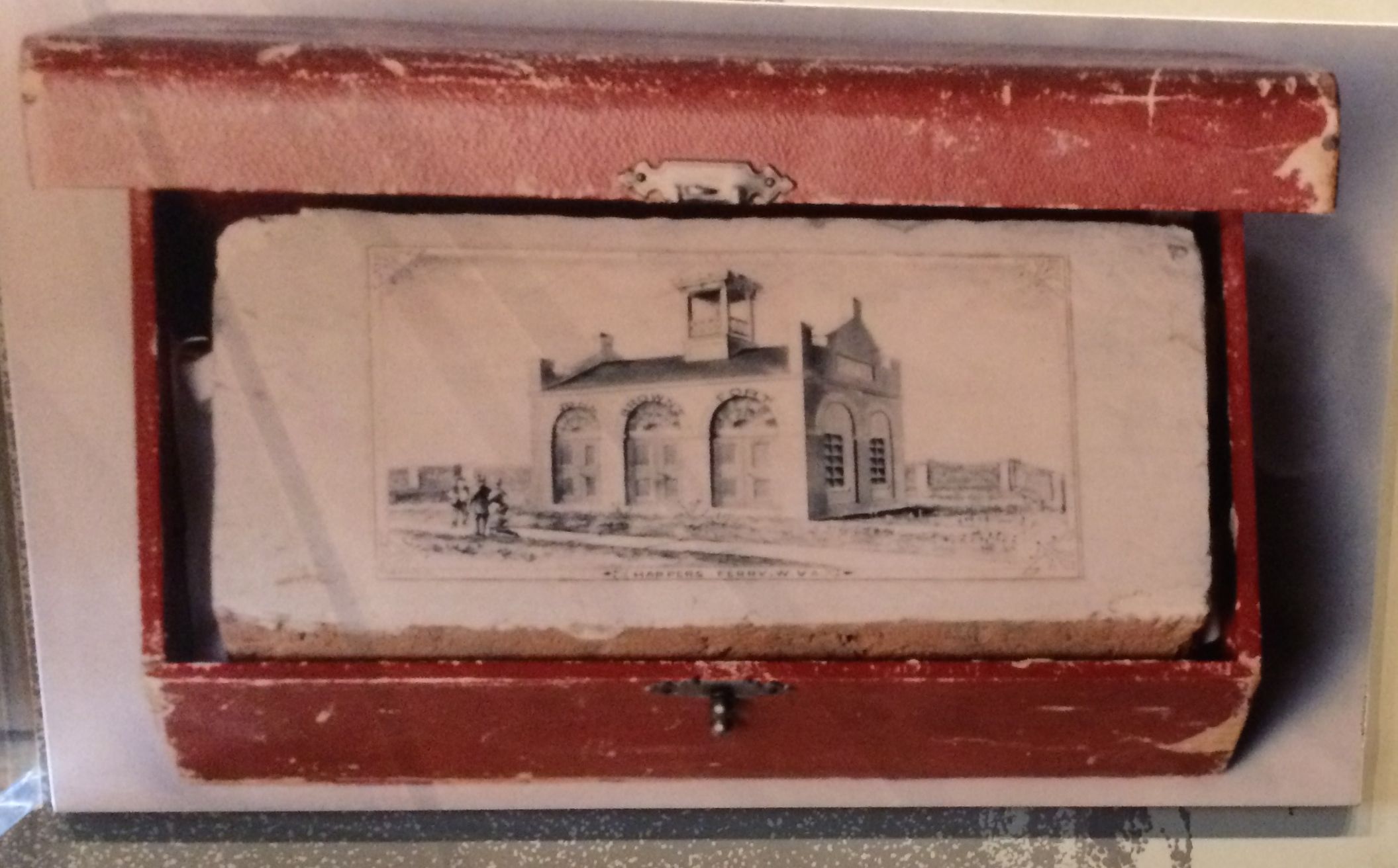
And, here are some photos of the destruction.
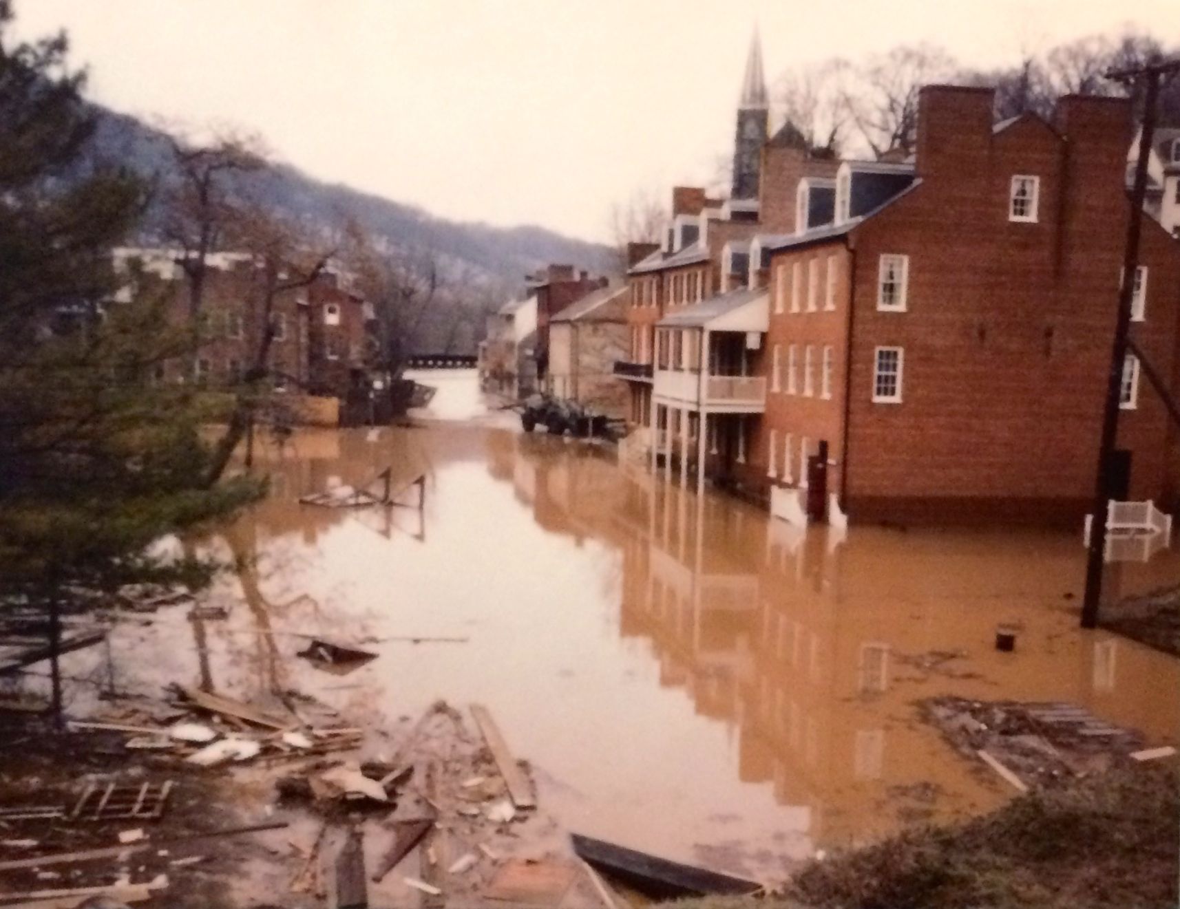
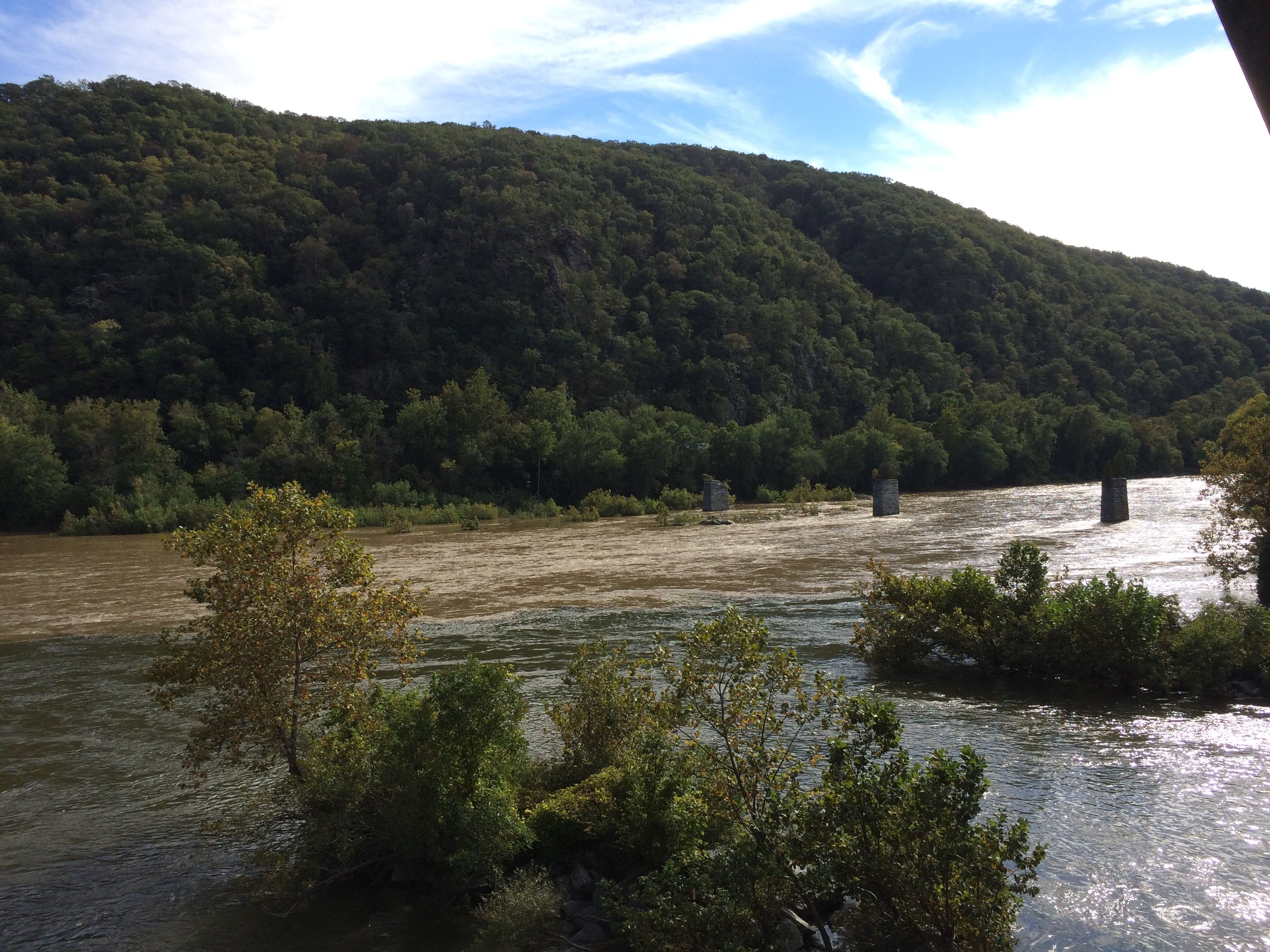
Even on the day of our visit, the water was high.
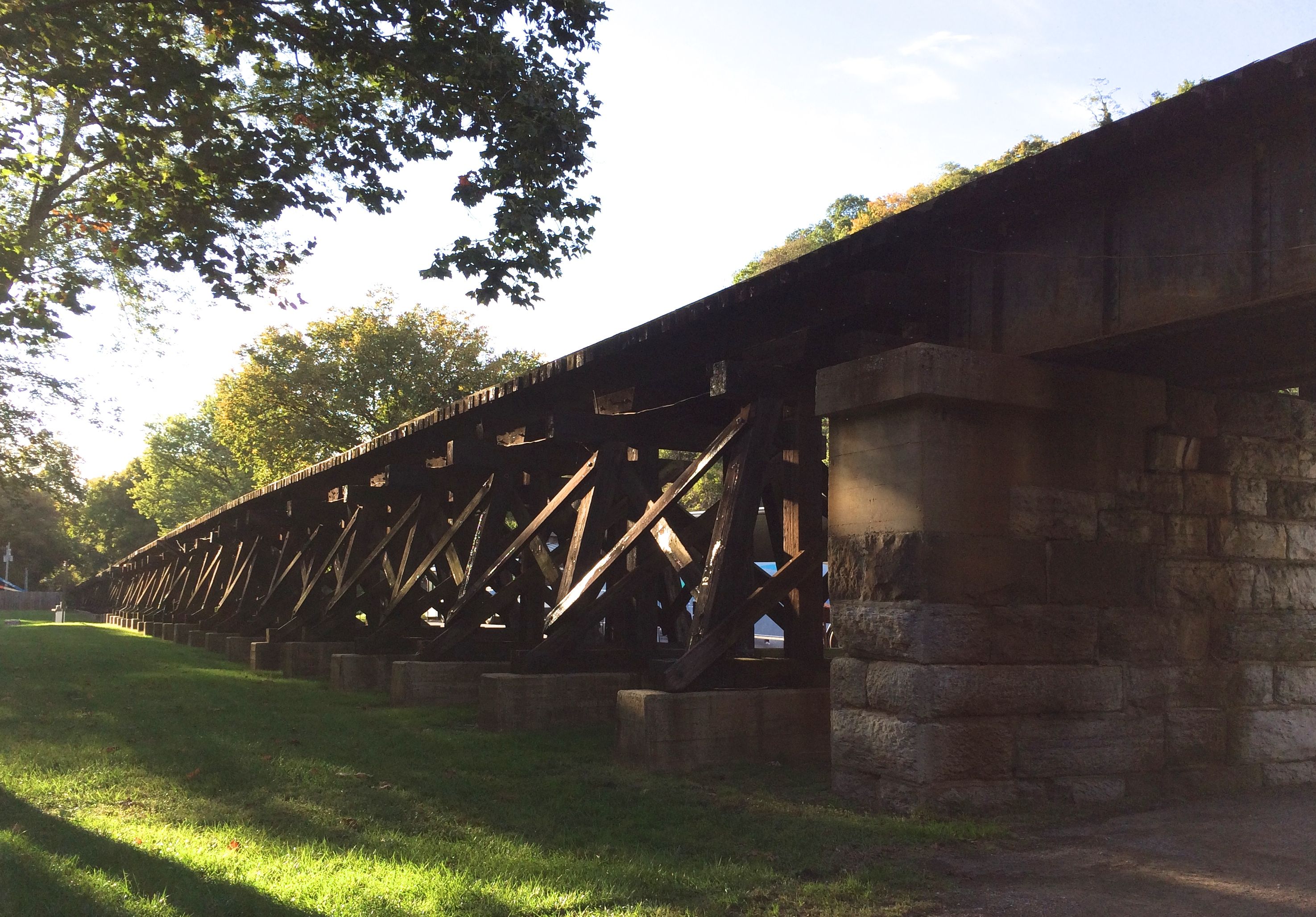
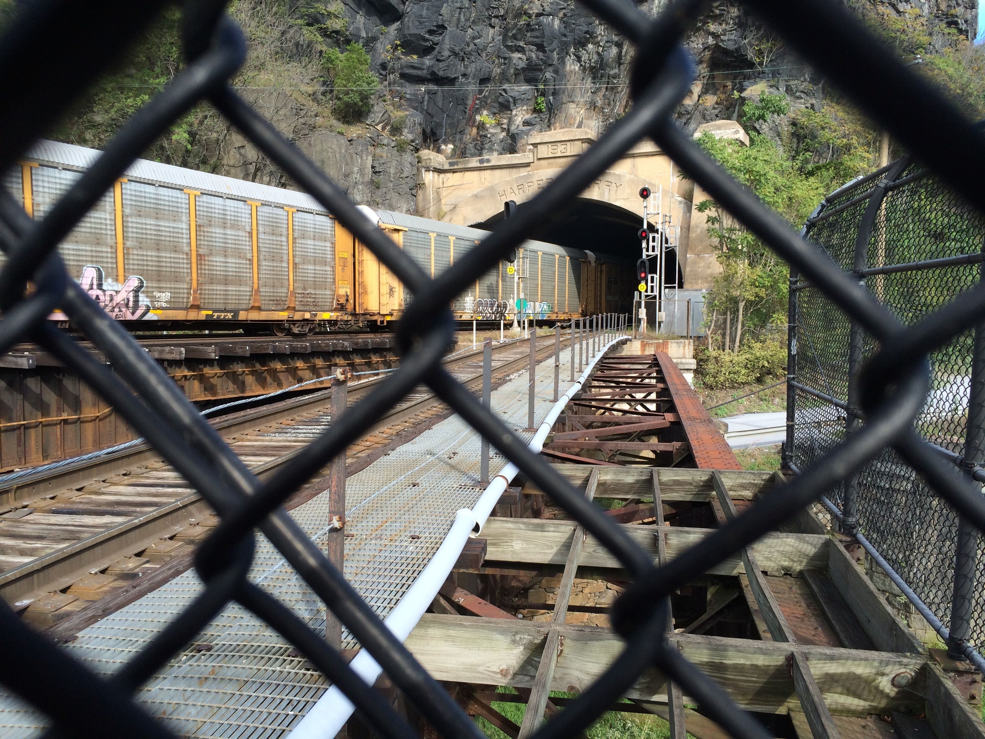
The river is a good route, though. The train tracks run along the river. Several passed through while were were there.
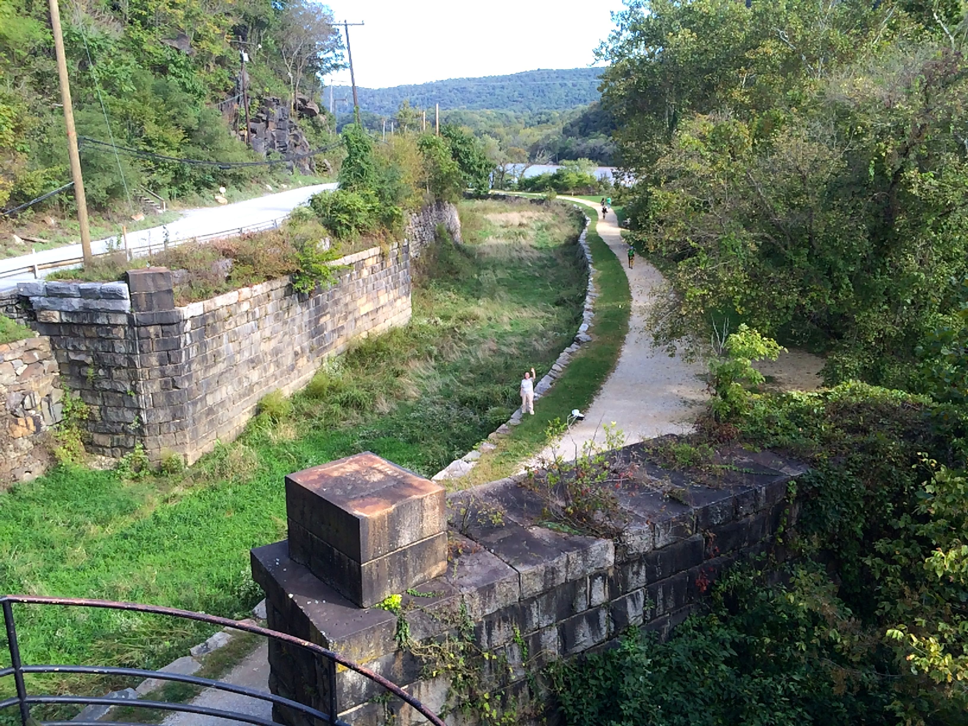
The C & 0 Canal made use of the river, too.
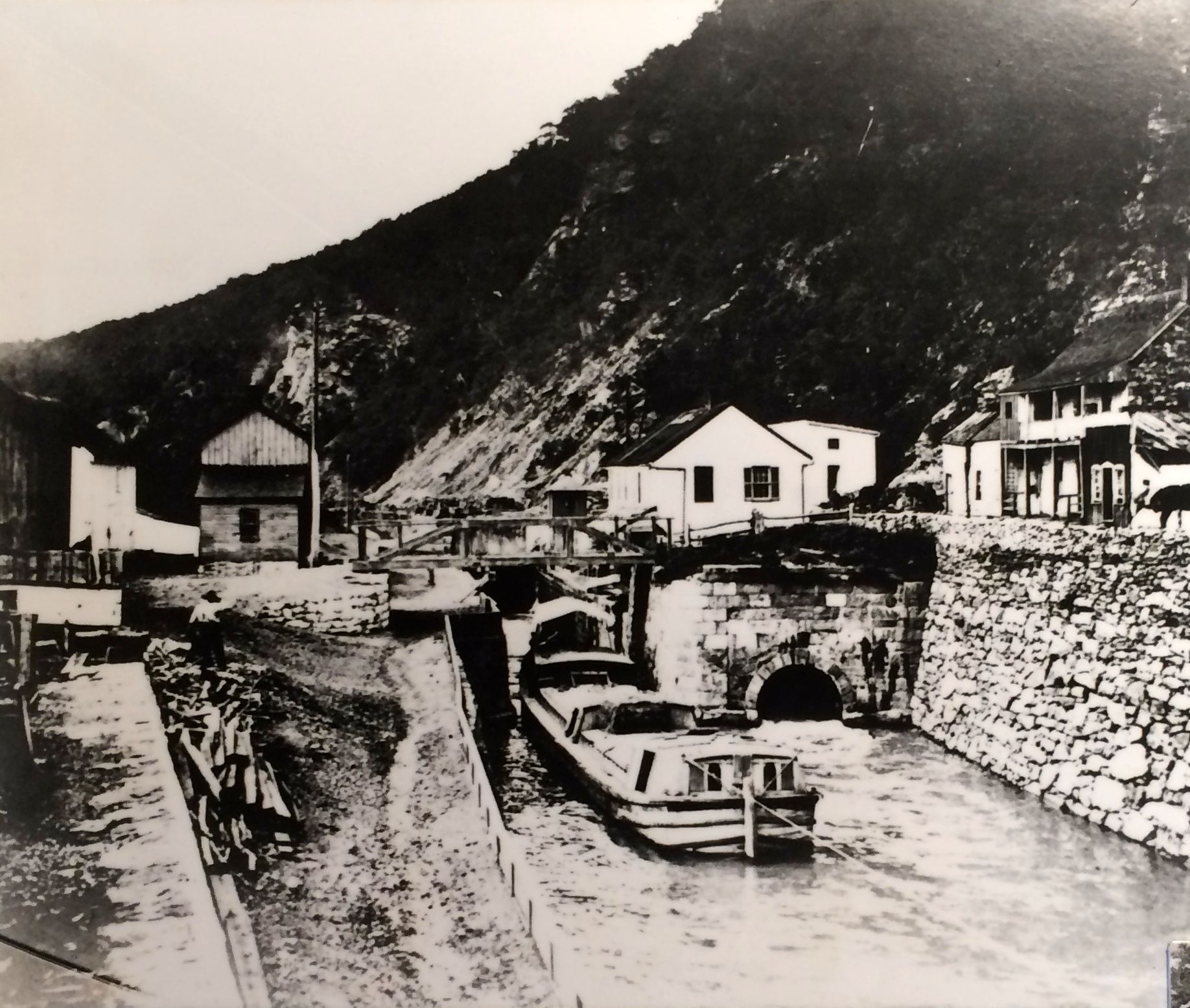
This photo was taken around 1876. According to the text on the plaque, mule-drawn barges carried coal, corn, wheat and flour on the canal, which followed the north bank of the Potomac between Washington D.C. and Cumberland, Maryland. Winter water, flood damage and competition from the railroad kept the canal from becoming really profitable.
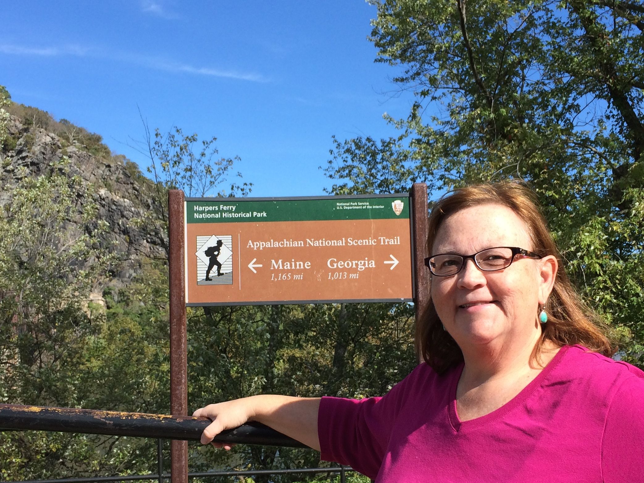
But, now, even though the canal doesn’t carry freight, the towpath is still in use. It is part of the several hiking and biking trails, including the Appalachian Trail.

Just walking into the frame, you can see some Appalachian Trail hikers coming along behind Susan waving at me. They are really moving! I tried to get a photo of them as they passed by me, and I couldn’t get the shot lined up because they were walking so quickly.
I walked across an old railroad bridge that has been repurposed as a part of the trail system. This is my idea of hiking!
And, if you remember my post about the Erie Canal, there are some locks on this bridge, too.
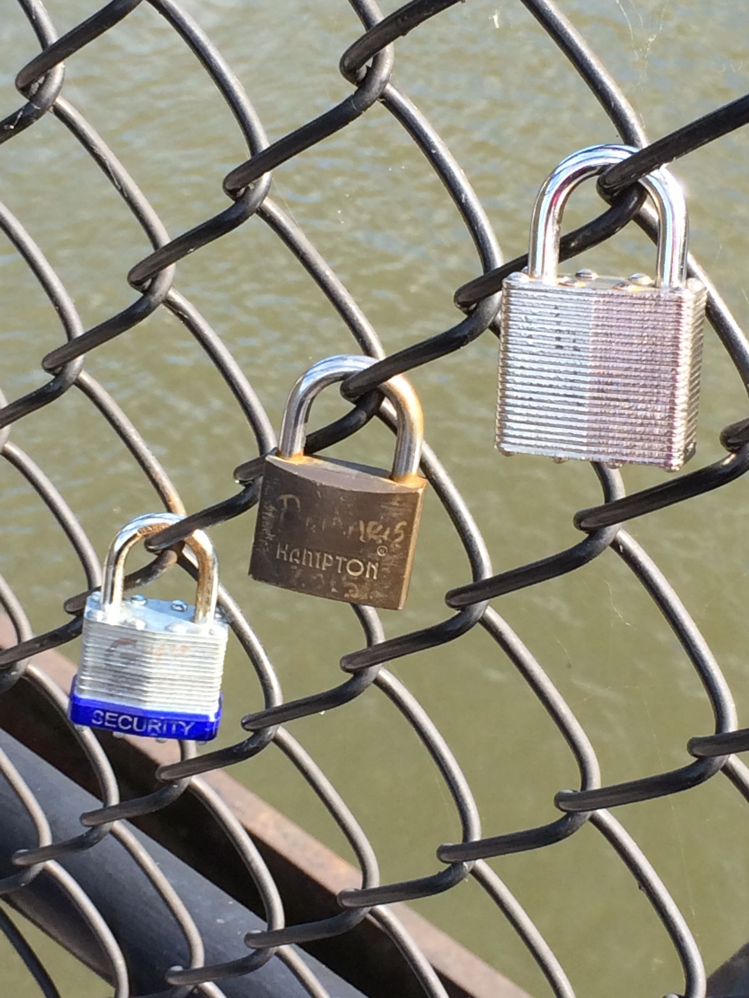
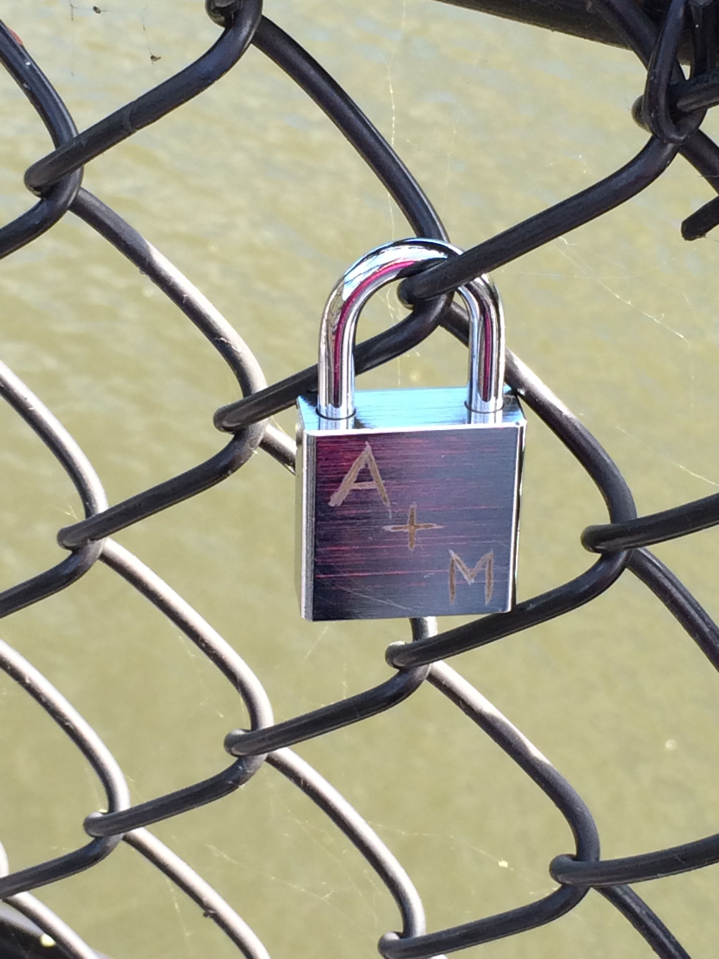
People declare their love, attach the lock to the bridge and throw the key in the water.
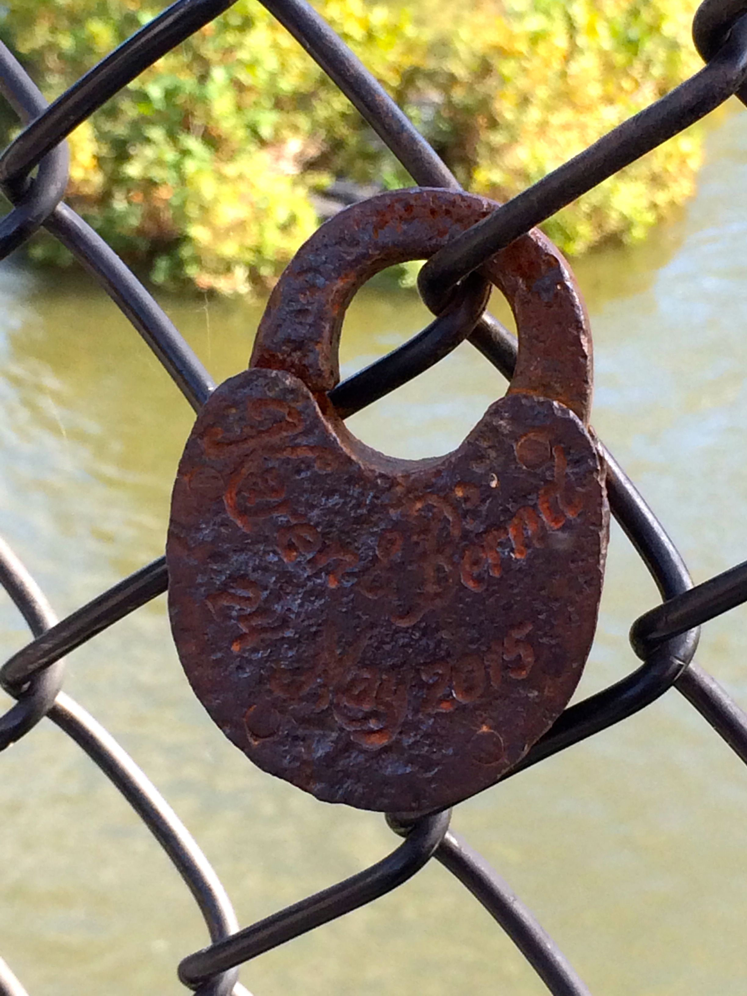
I thought this lock was particularly interesting.
Some people put combination locks on the bridge. I wonder if they threw the paper with the combination into the water?
The water of the two different rivers is quite distinctive. You can see where the waters come together.
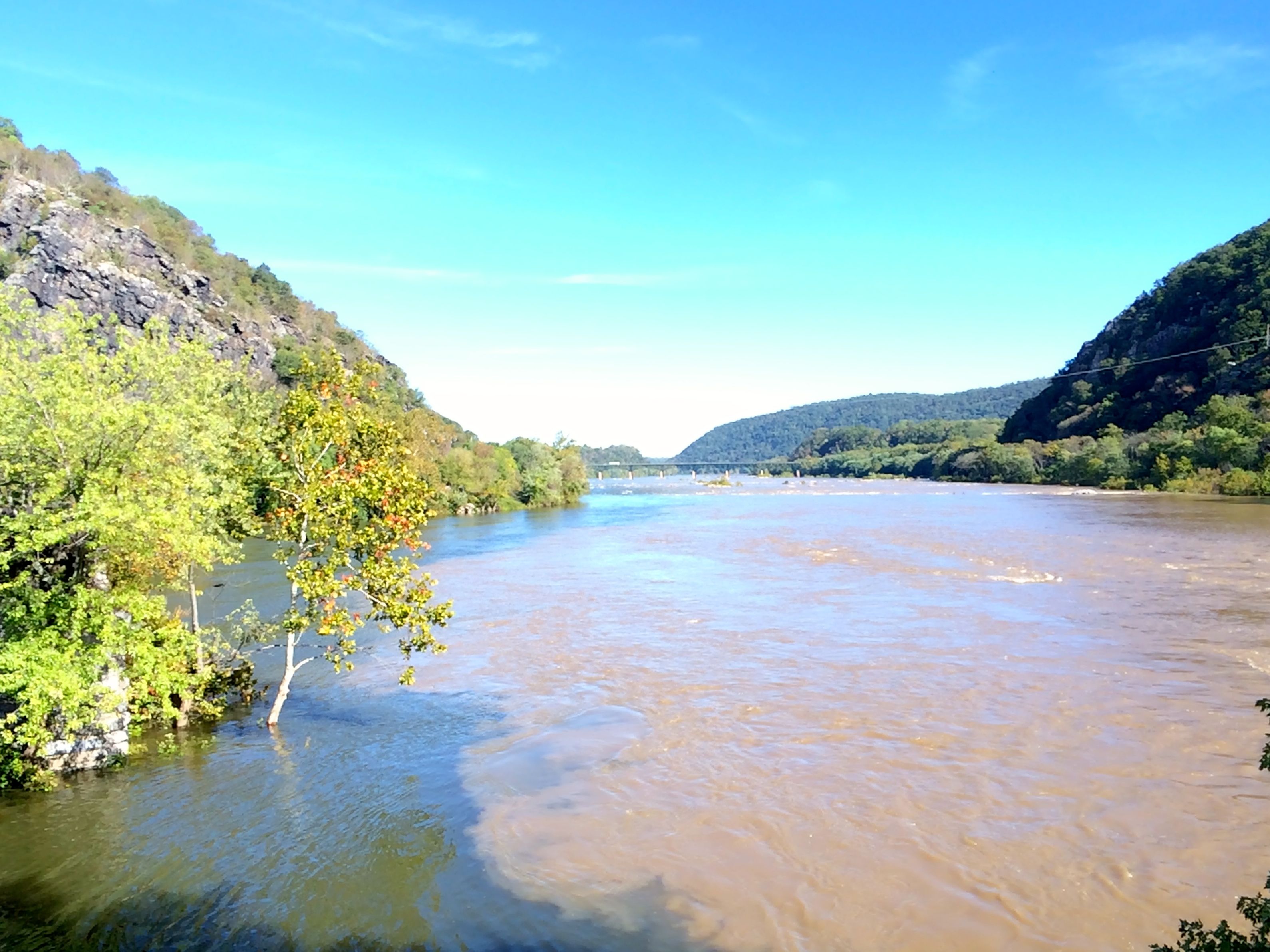
Just for a little clarification, examine the interface between the two rivers.
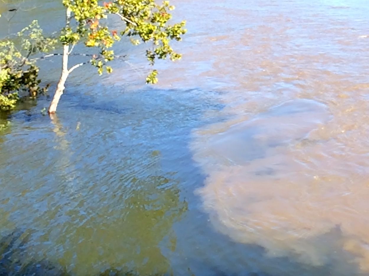
Also, notice how high the water level is.
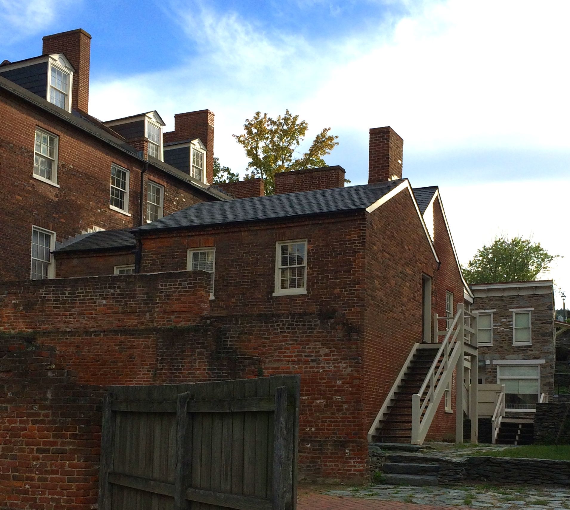
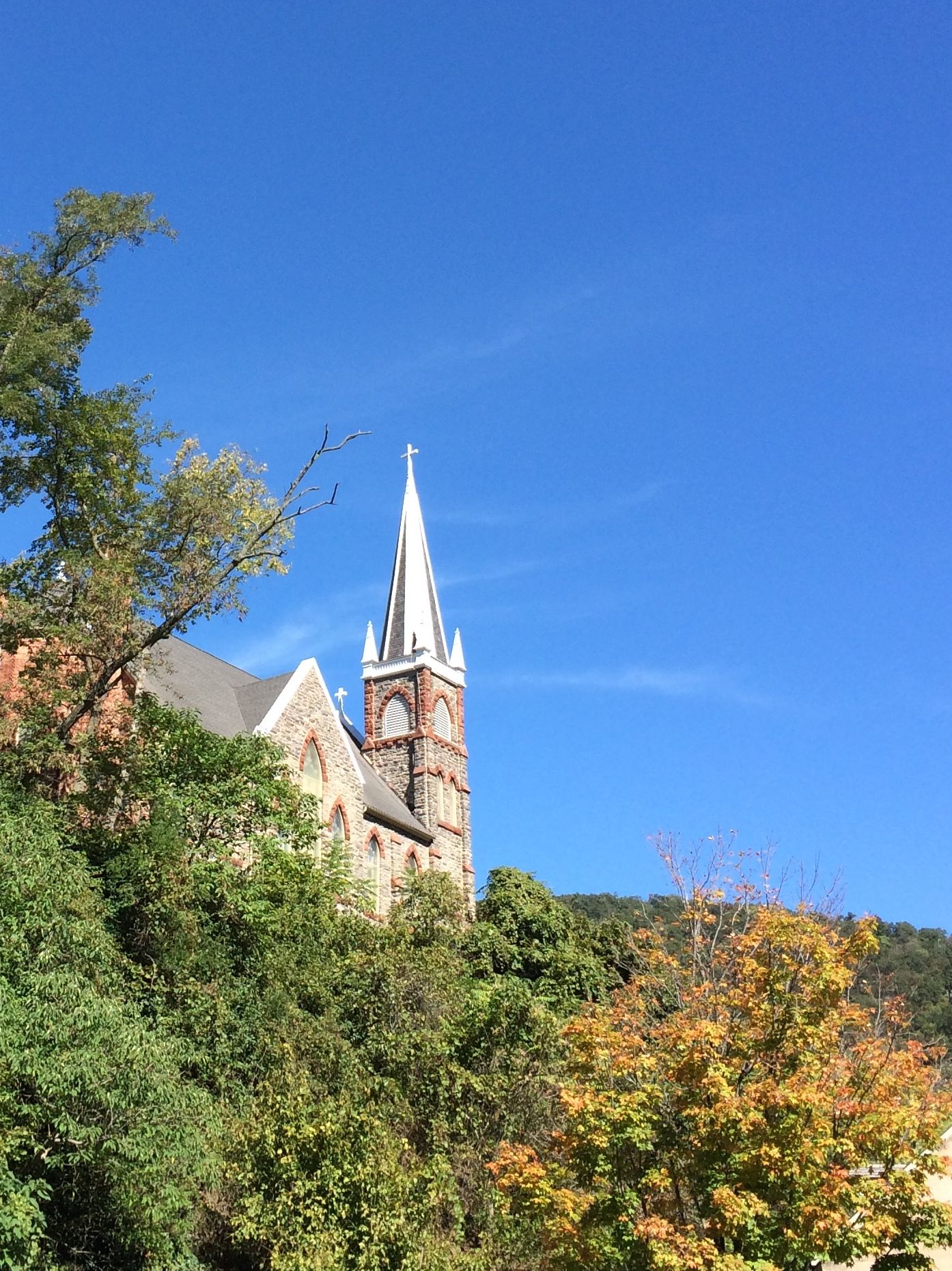
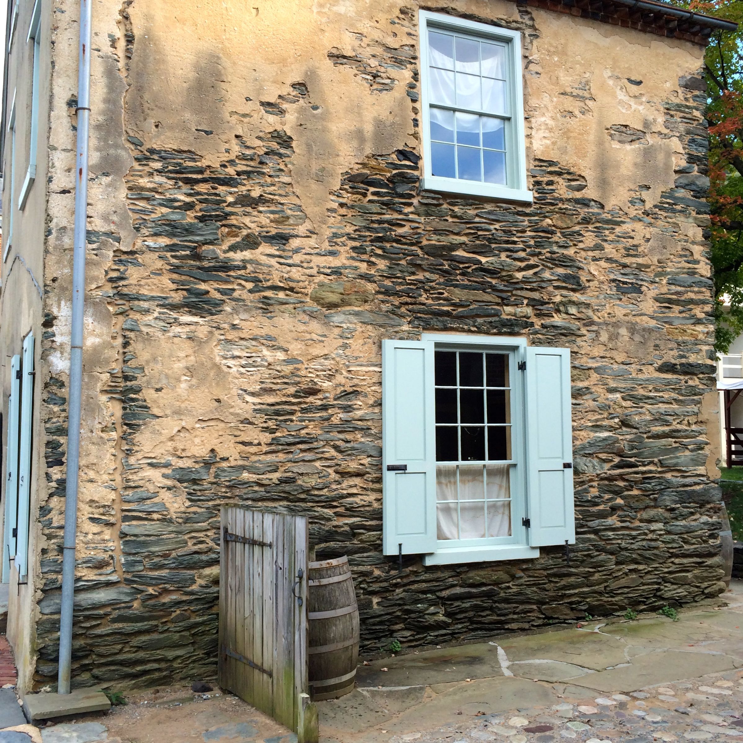
It is amazing that anything is left in the town as it is. Between floods and battles and fires, this area has had its share of devastation. I suspect that the National Park Service is responsible for most of the historic buildings remaining standing.
And with that, it’s time to hit the road.
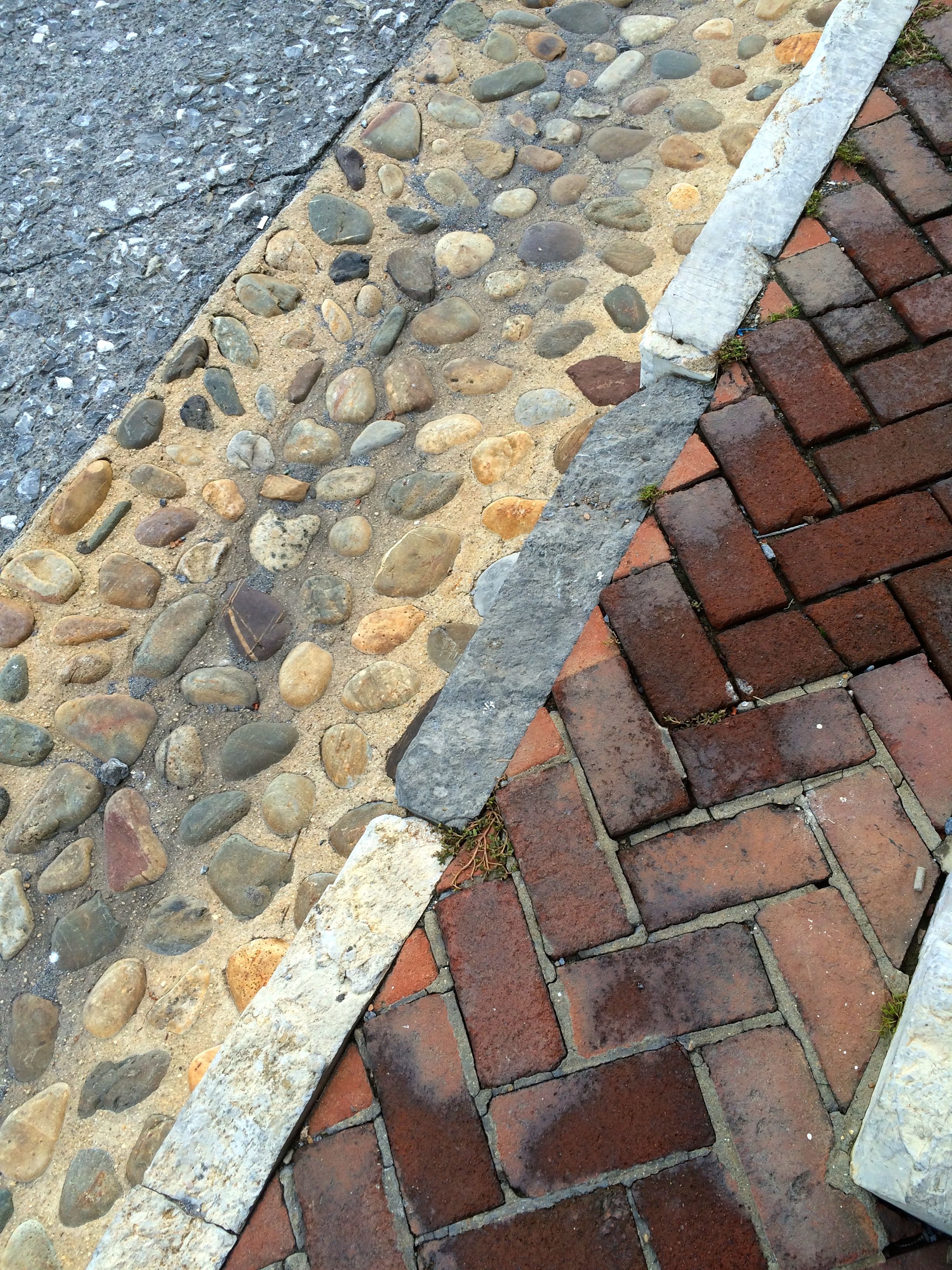
I do love an interesting pavement pattern!