No, don’t sue ME – Sault Sainte Marie, in the Upper Peninsula. “Sault” is pronounced “soo” and most people refer to it as Soo, as in, “I’m going to the Soo.”
If you are going to the Soo from Hartwick Pines, and you are towing a trailer, the most logical route is over the Mackinac Bridge. While the route is logical, the pronunciation isn’t. It is pronounced “Mack-in-aw.”
Mighty Mac, as it is sometimes called, is currently the longest suspension bridge in the western hemisphere, and the fifth longest in the world. It’s about five miles long, and the middle segment between the towers is 3,800 feet. At that point, you are about 200 feet above the Straits of Mackinac, which connect Lake Michigan to Lake Huron.
The bridge opened in 1957. My friend, Teri, always called it “Daddy’s Bridge” because her father worked on building it.
I didn’t get a picture of the bridge this time. It’s hard to get into position when you’re towing a 27 foot trailer. But, if you want to see what it looks like and learn more about the bridge, just go to mackinacbridge.org
Traffic was a little slow, as they had it shut down to one lane in each direction. You don’t want to defer maintenance on a structure like this! I must admit, though, that these signs did give me pause.
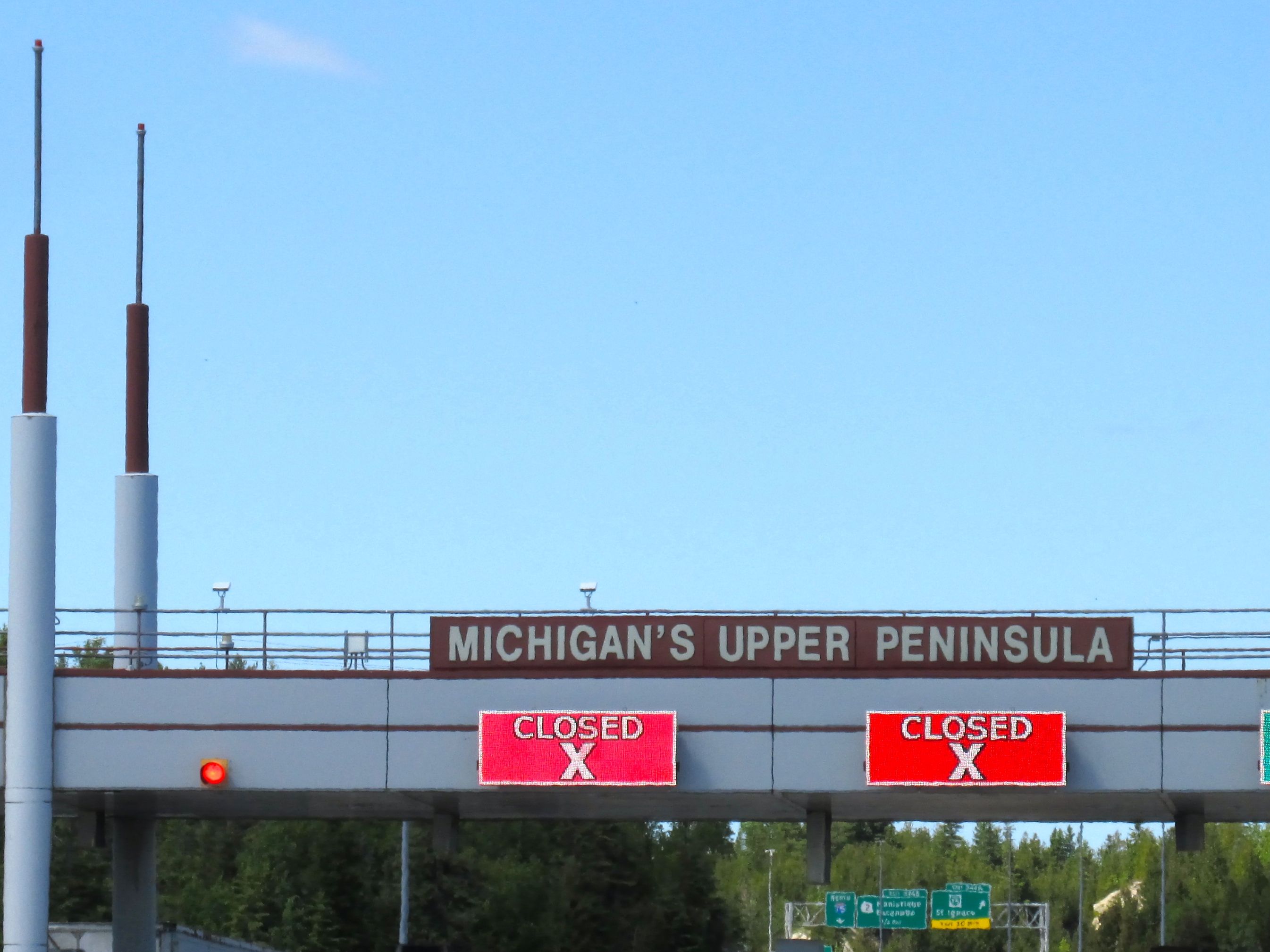
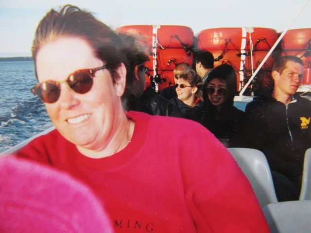
Not to worry! Just two of the lanes were closed. They are updating their computer systems so that we will be able to pay the toll by credit or debit cards. Incidentally, it cost $8 for Flo and Bart to cross the bridge. Cora and I got to go along for the ride.
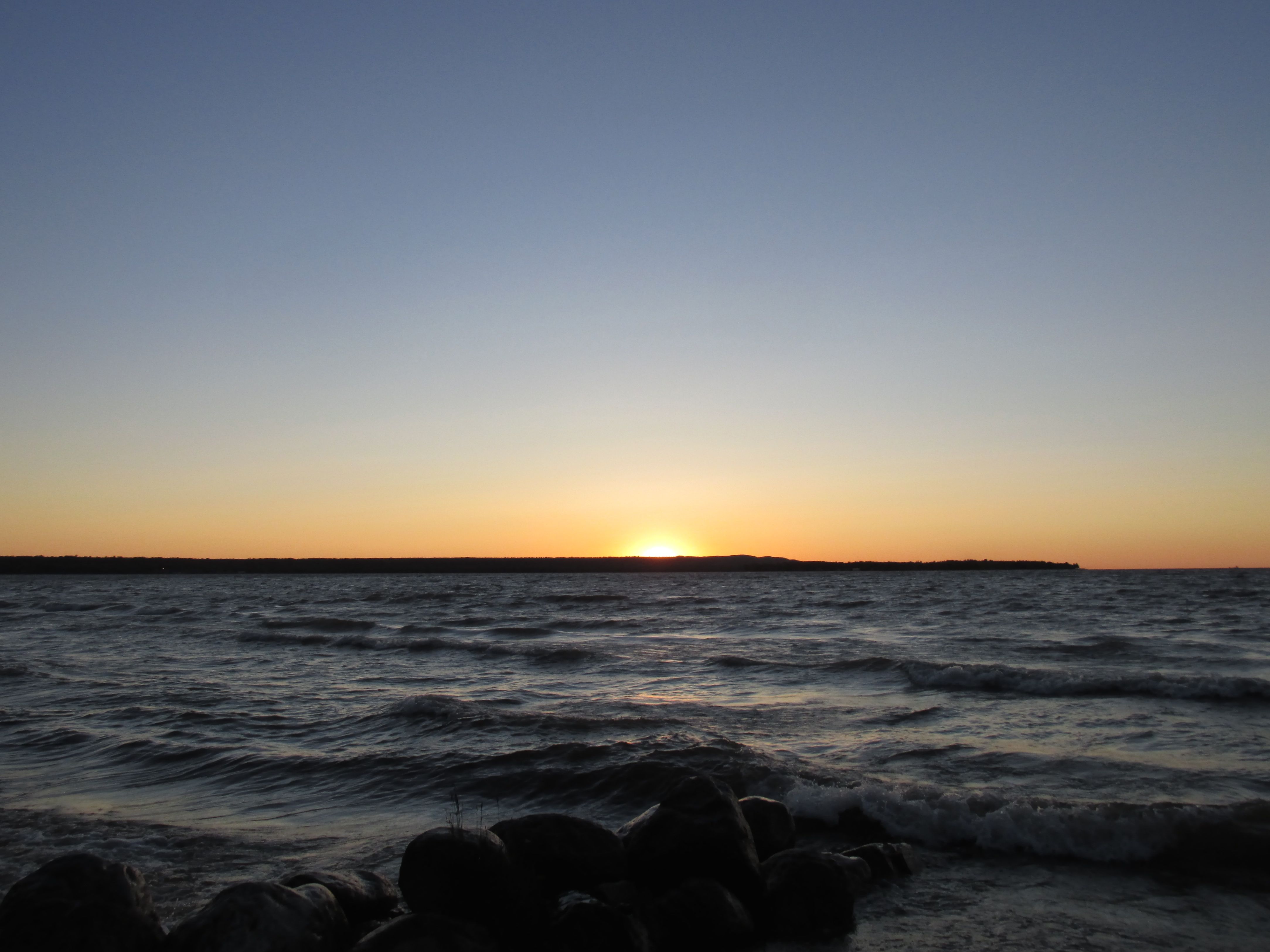
After another 50 miles, I arrived at my campground at Brimley State Park. I stayed three nights.
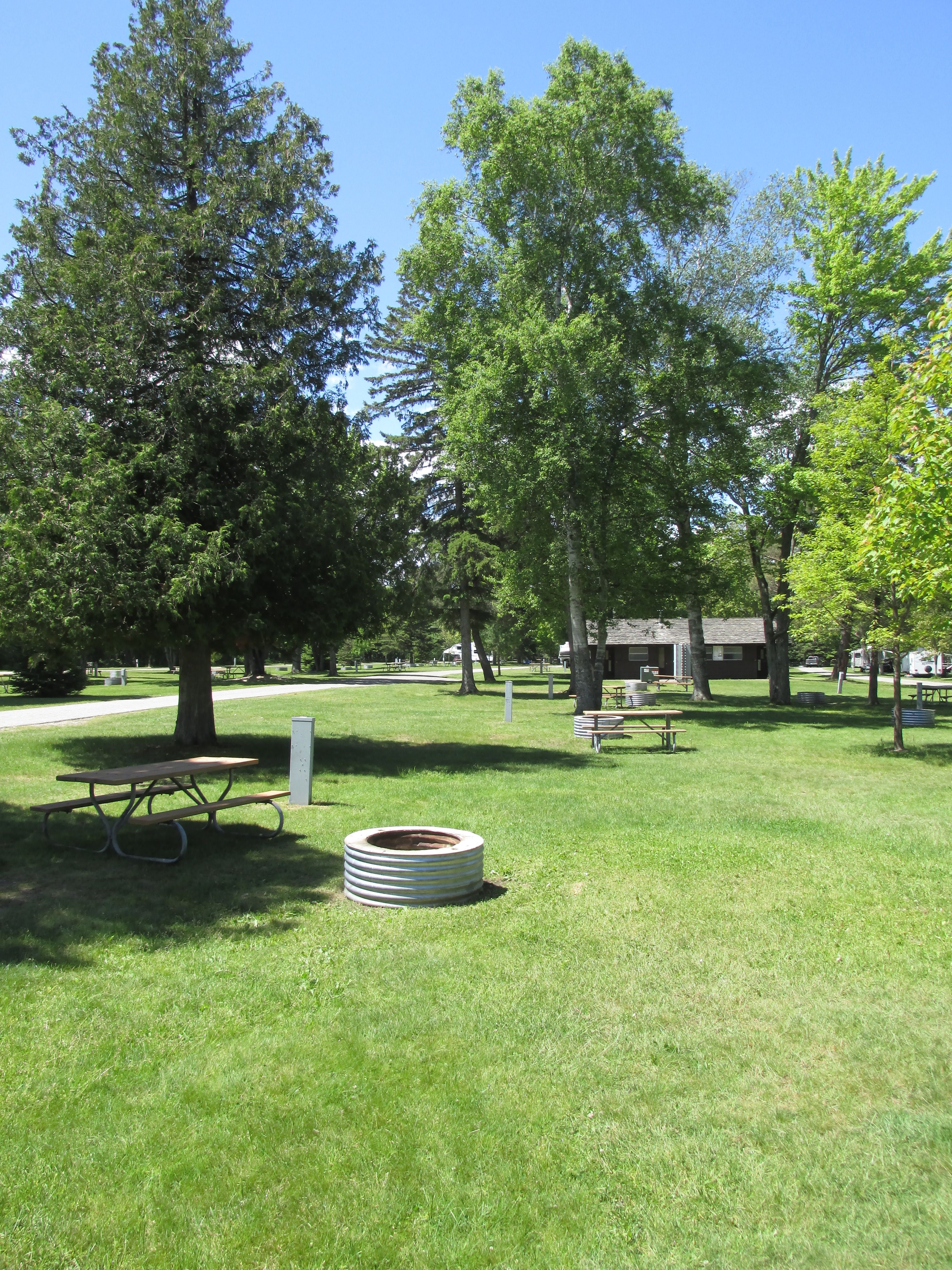
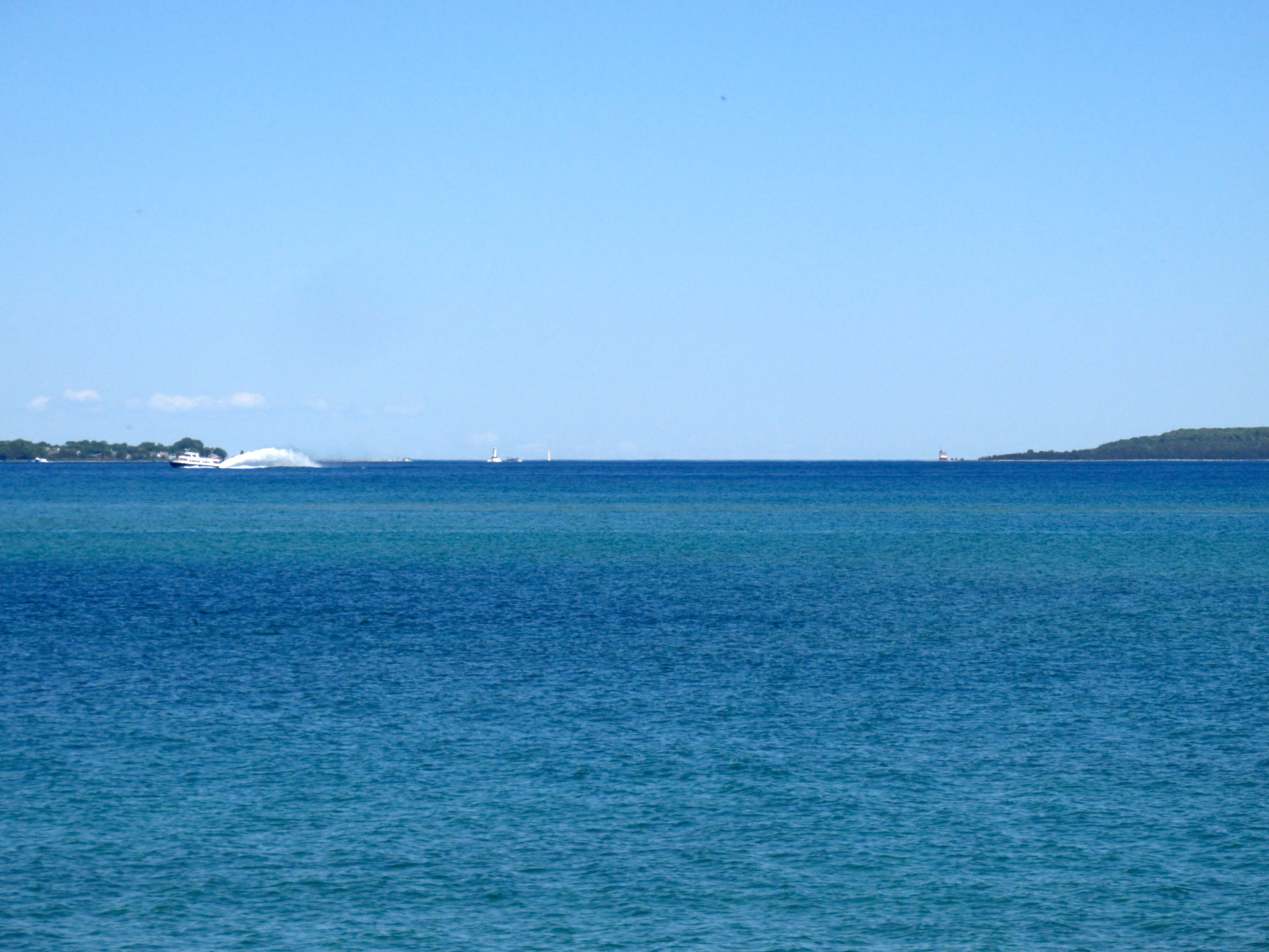
It was a nice place, right on the shores of Lake Superior.
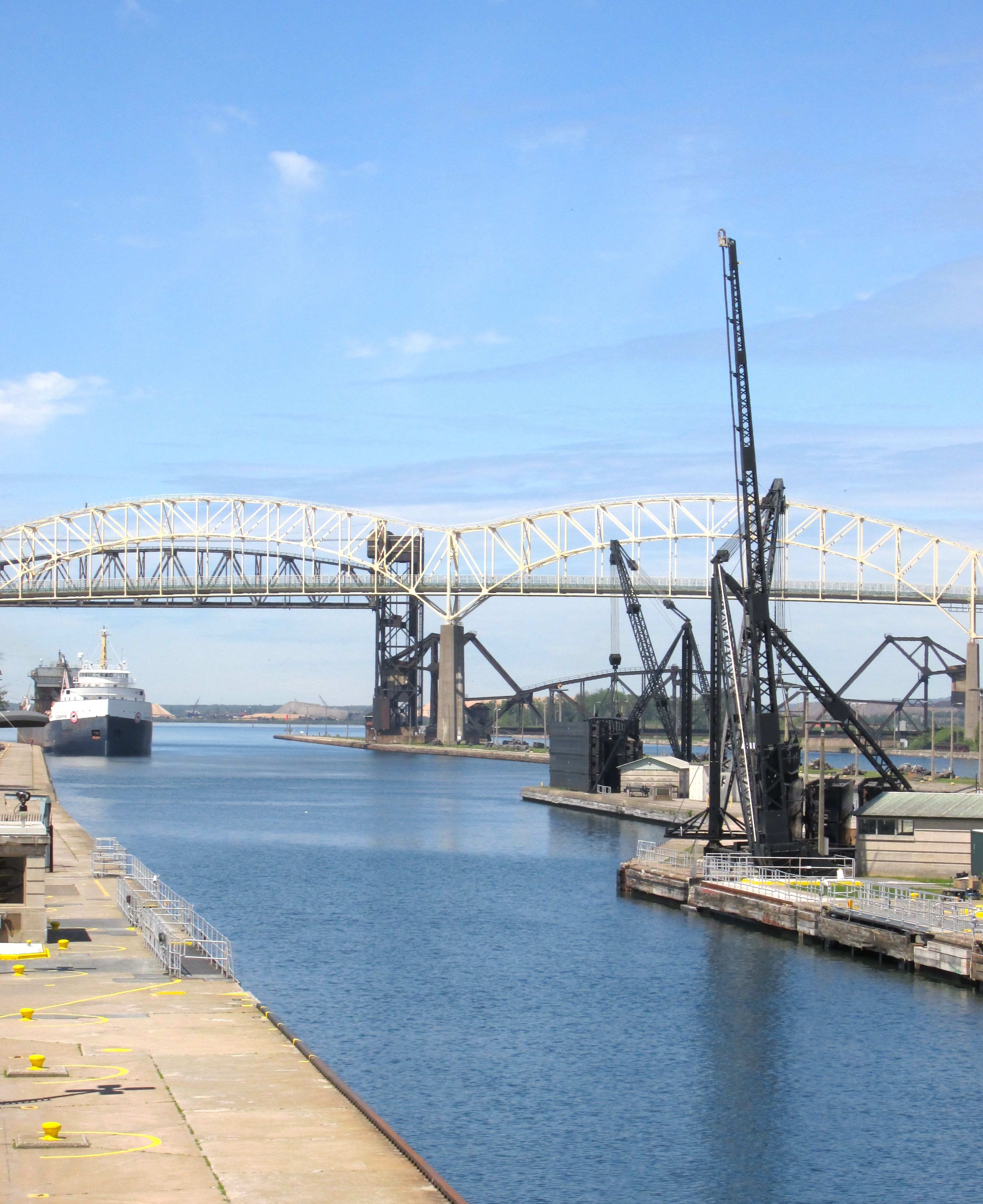
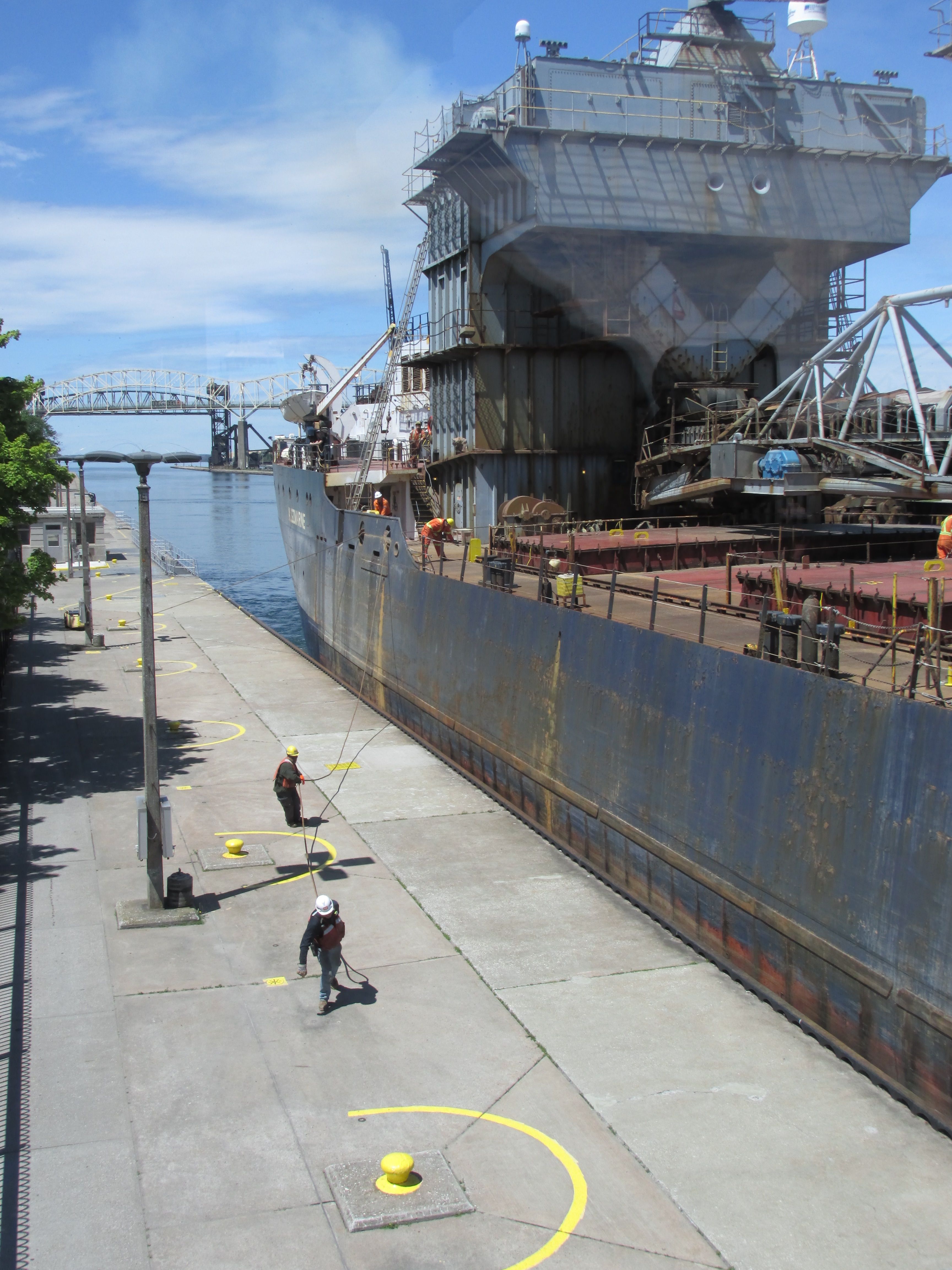
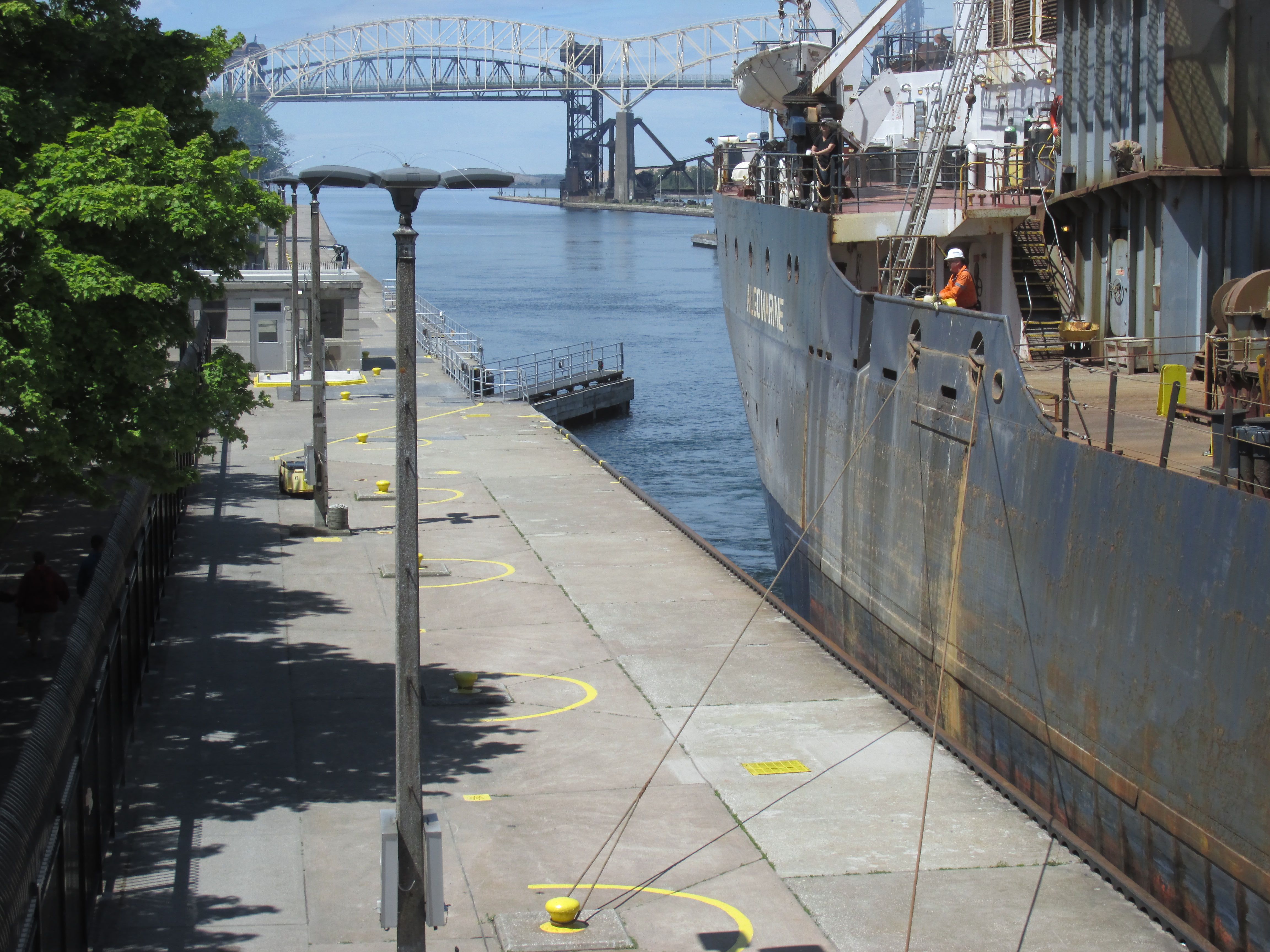
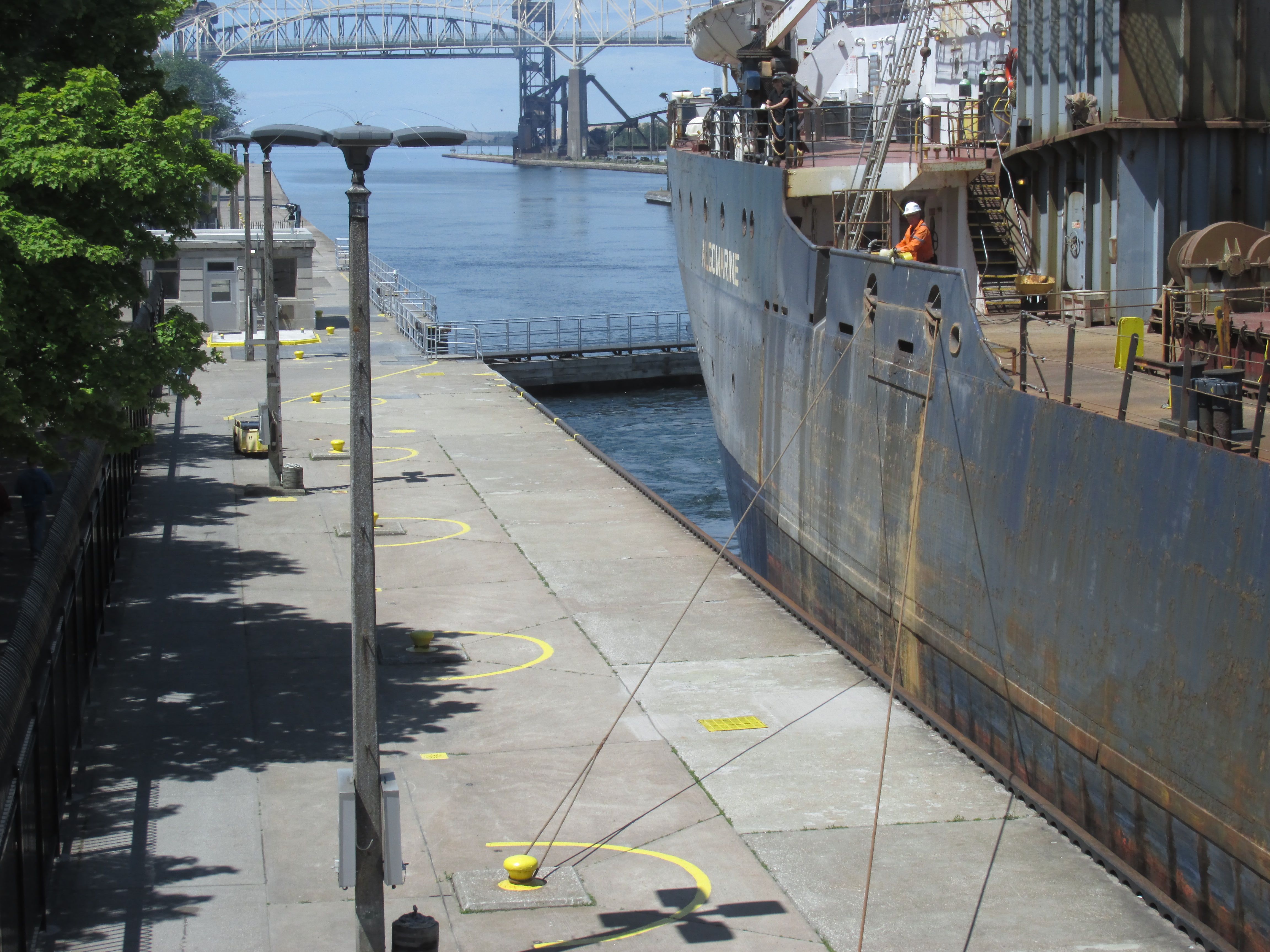
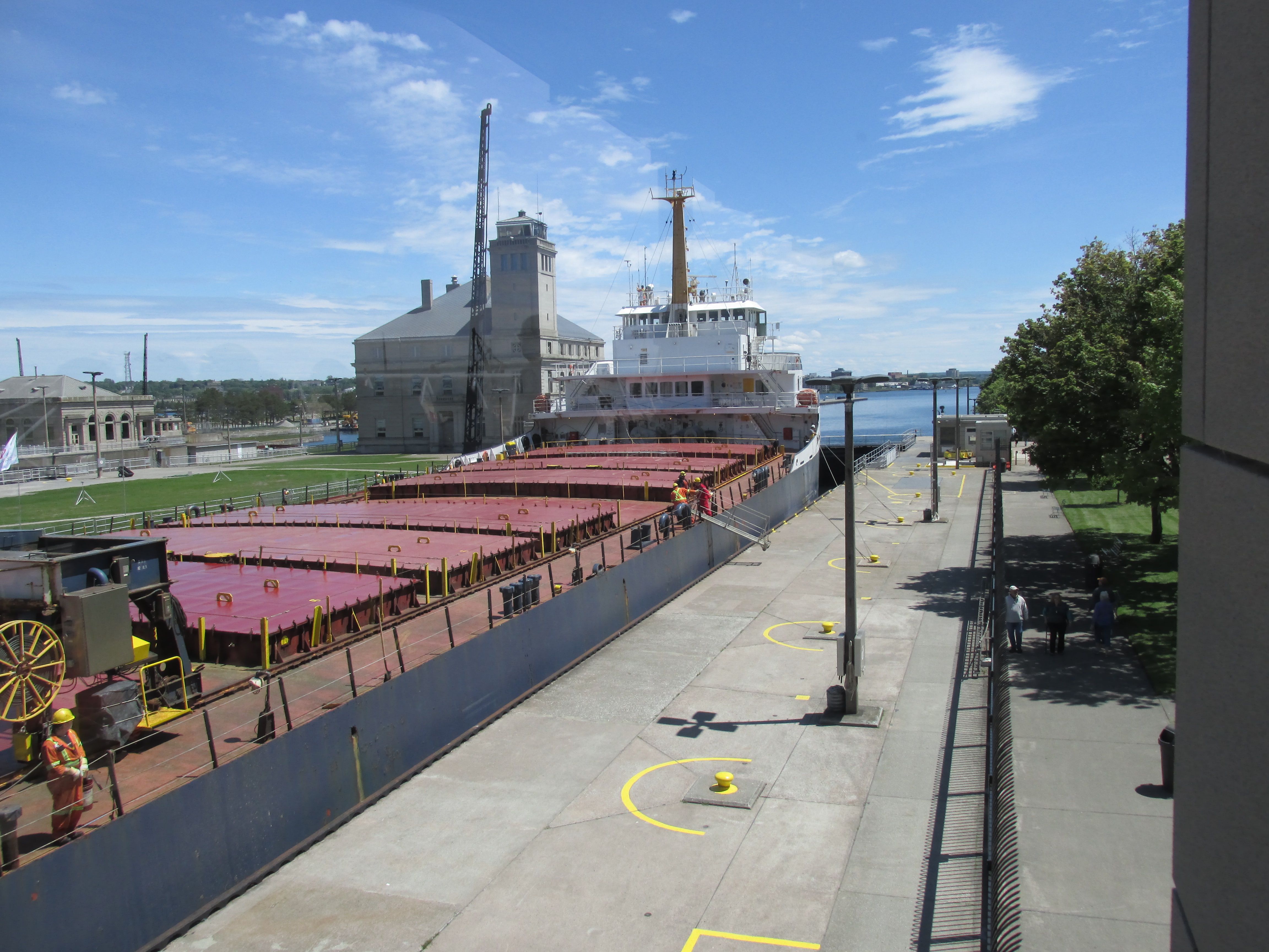
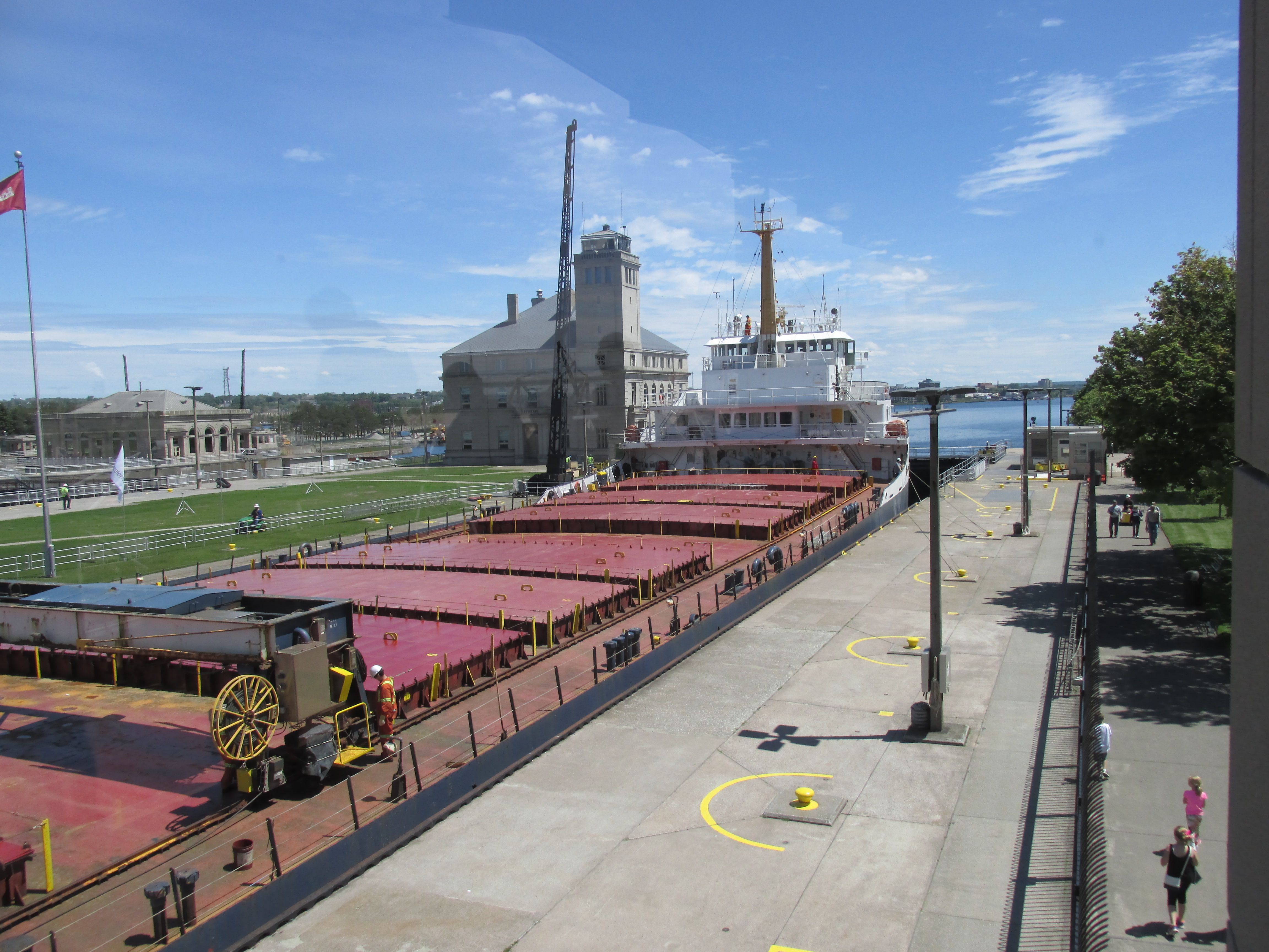
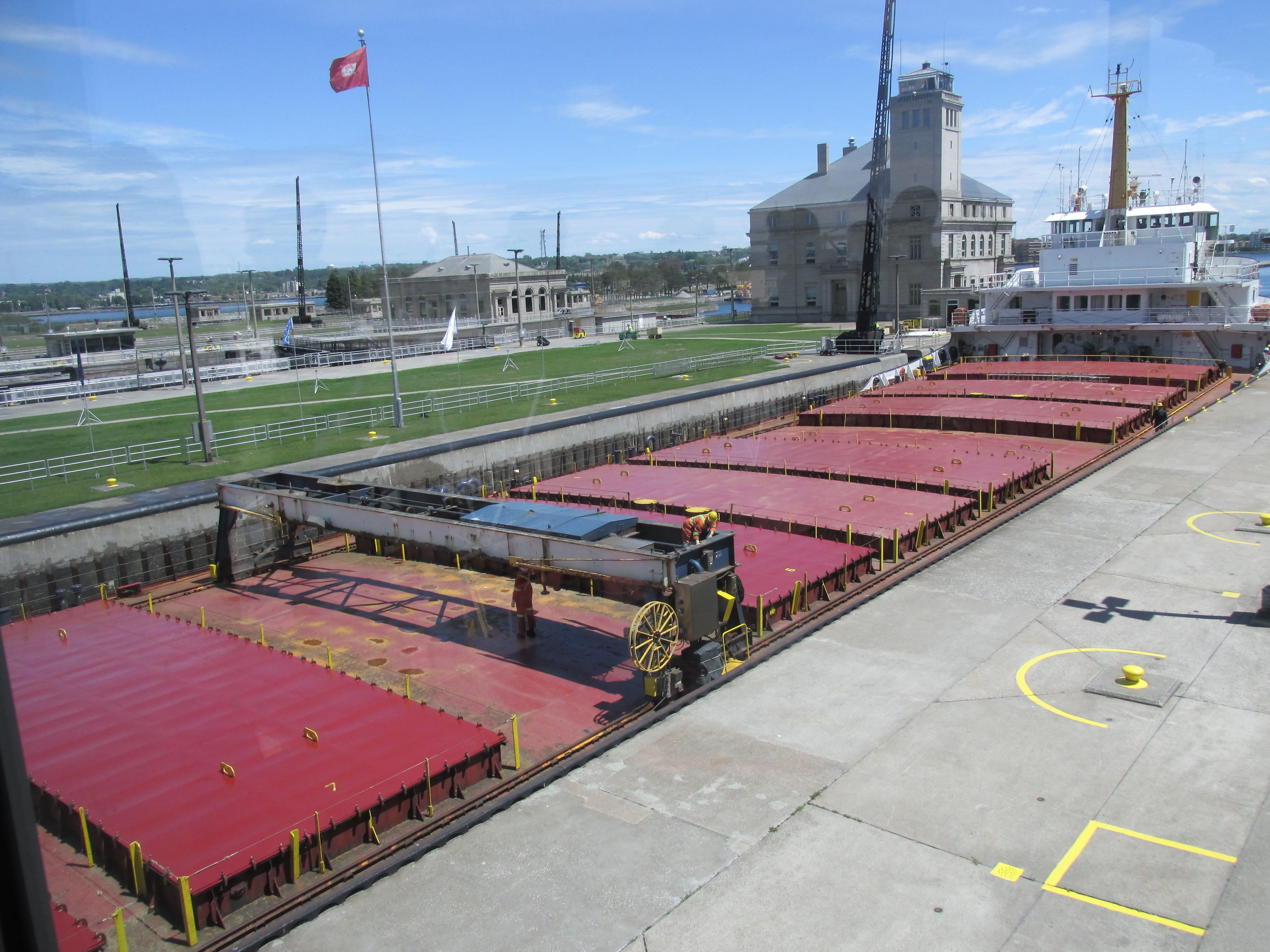
The big draw, as far as I was concerned, was seeing the Locks at the Soo. And, boy, did I get lucky with my timing! I arrived at the locks just as one ship was leaving and another was getting ready to go through.
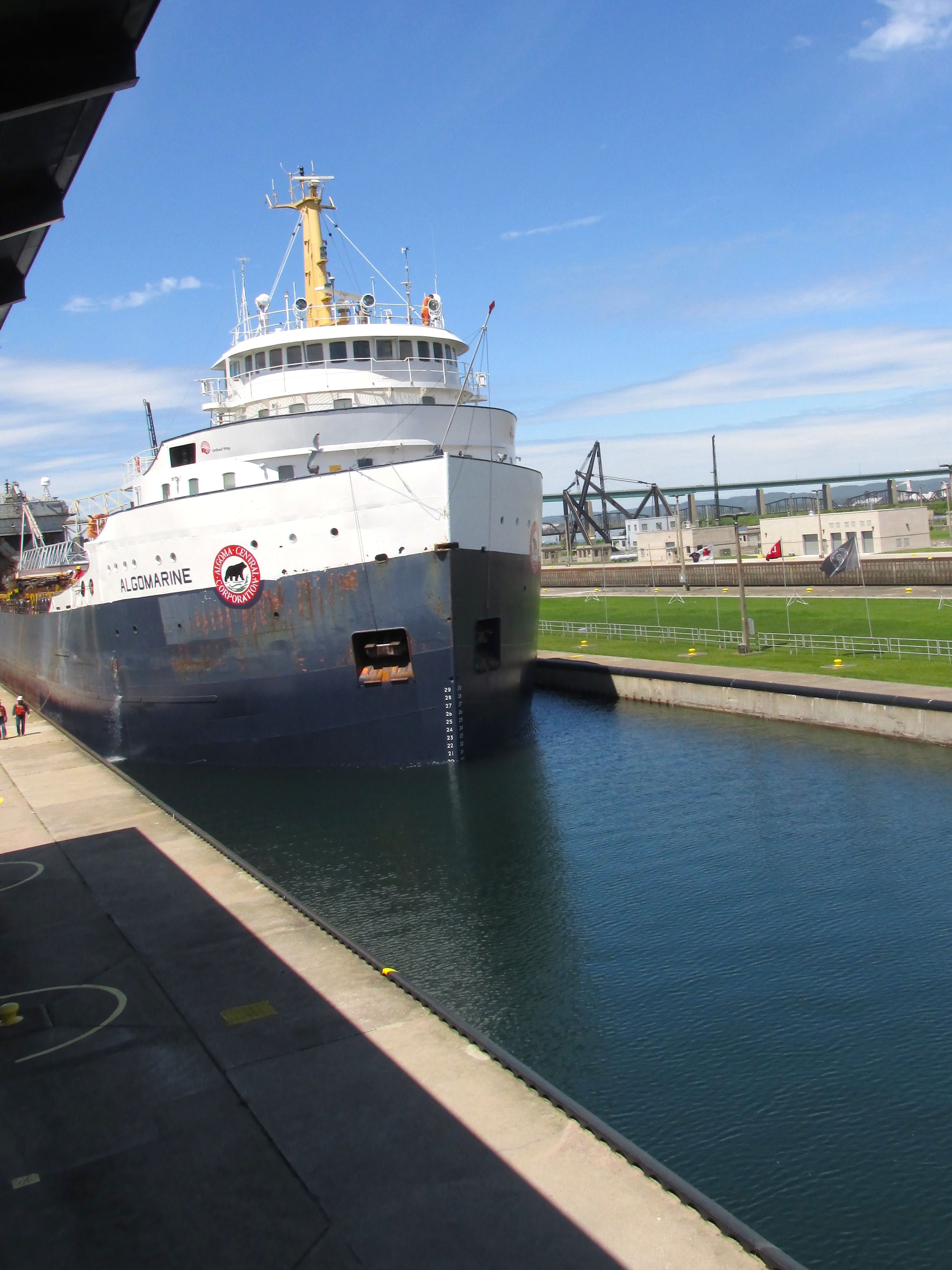
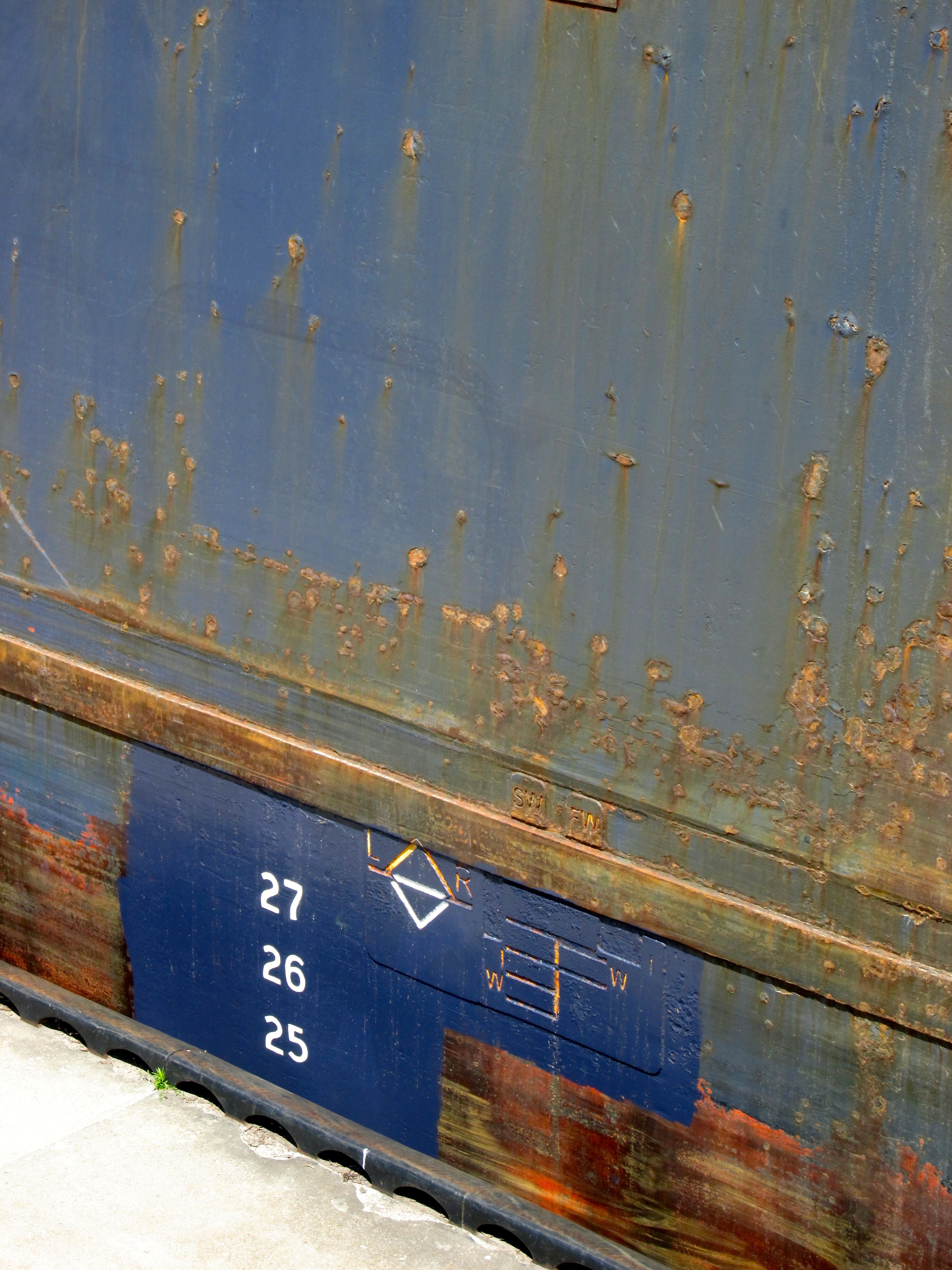
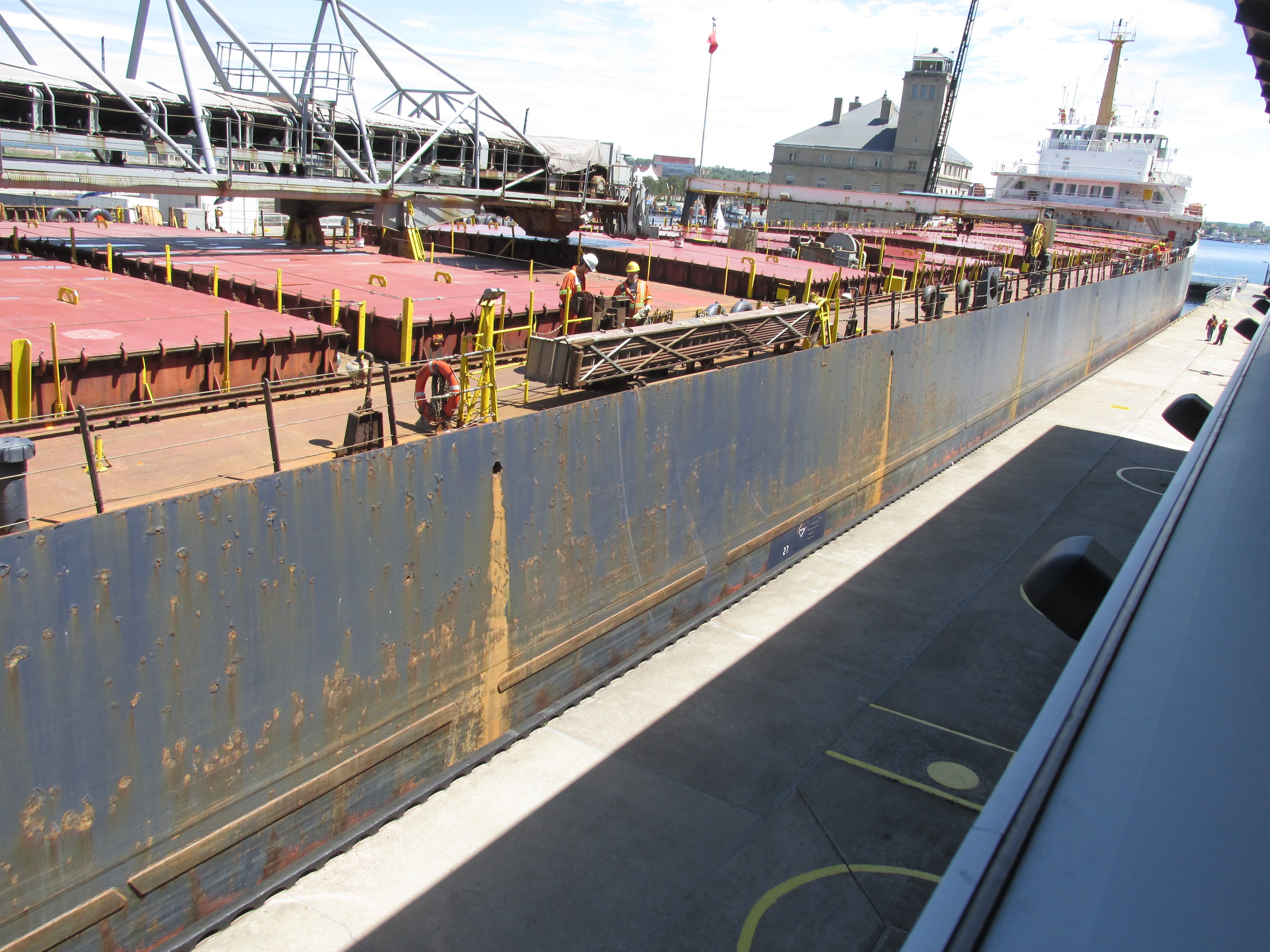
I was quite taken by the scrapes on the bow of the ship. Apparently, they don’t interfere with its seaworthiness. 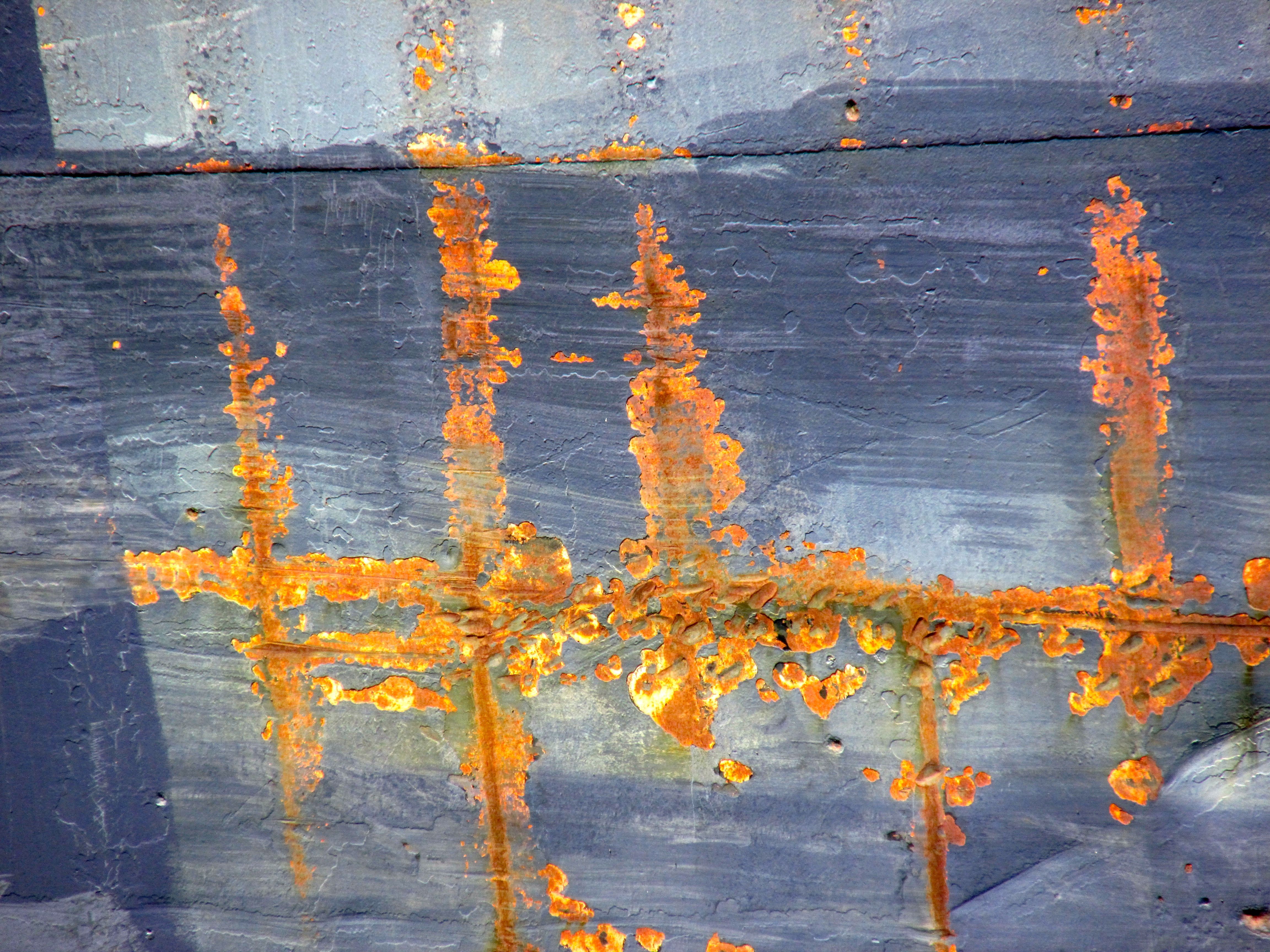
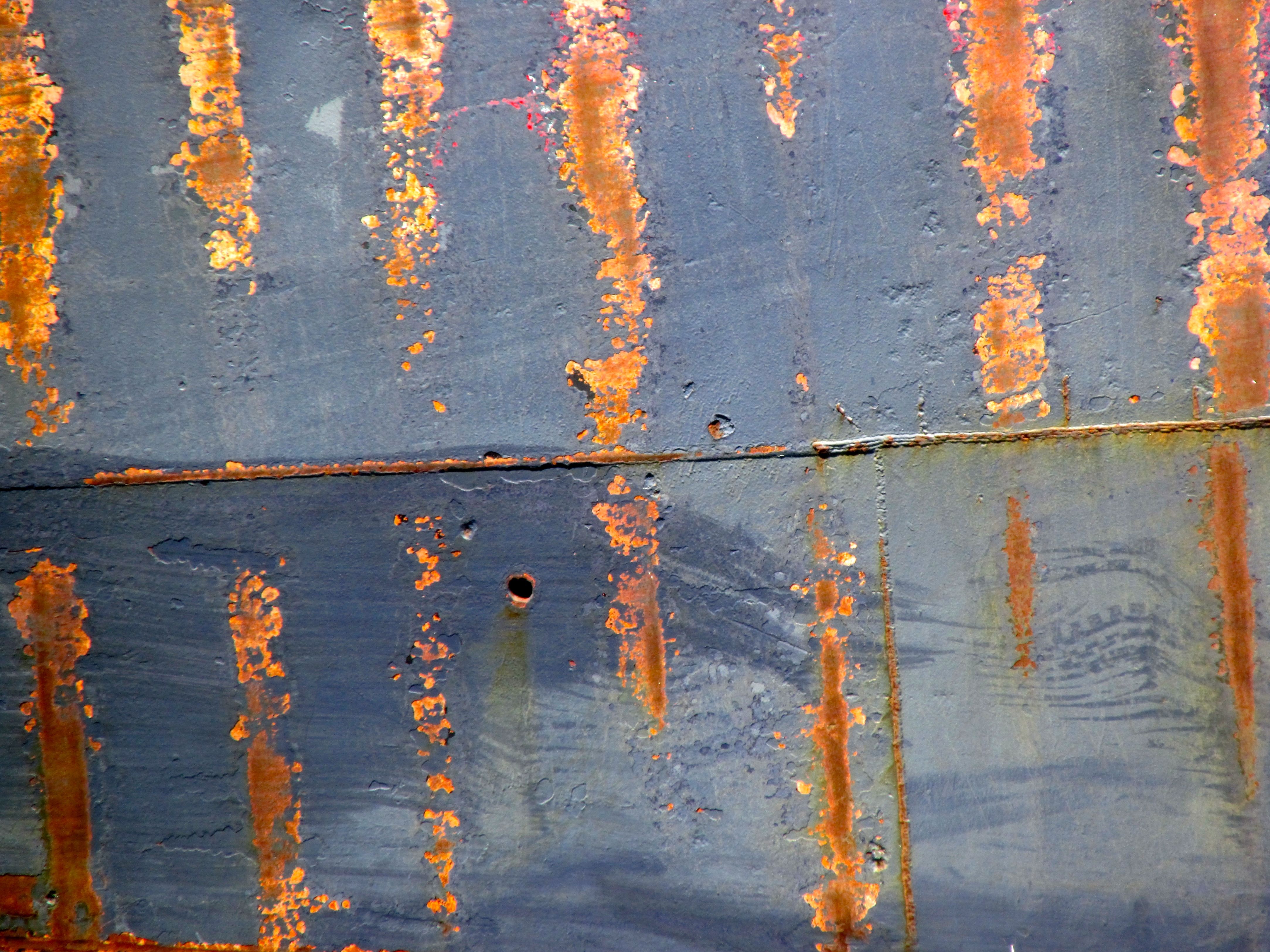
I do love interesting texture!
Now that the lock is closed, they open up the tunnels that allow the water to drain out of the lock. Lake Superior is 21 feet higher than Lake Huron. There are rapids at this part of the St. Marys River that impedes navigation. The water starts to drain out and the ship starts to lower.
Then they pull in the lines, open the locks and sail out.
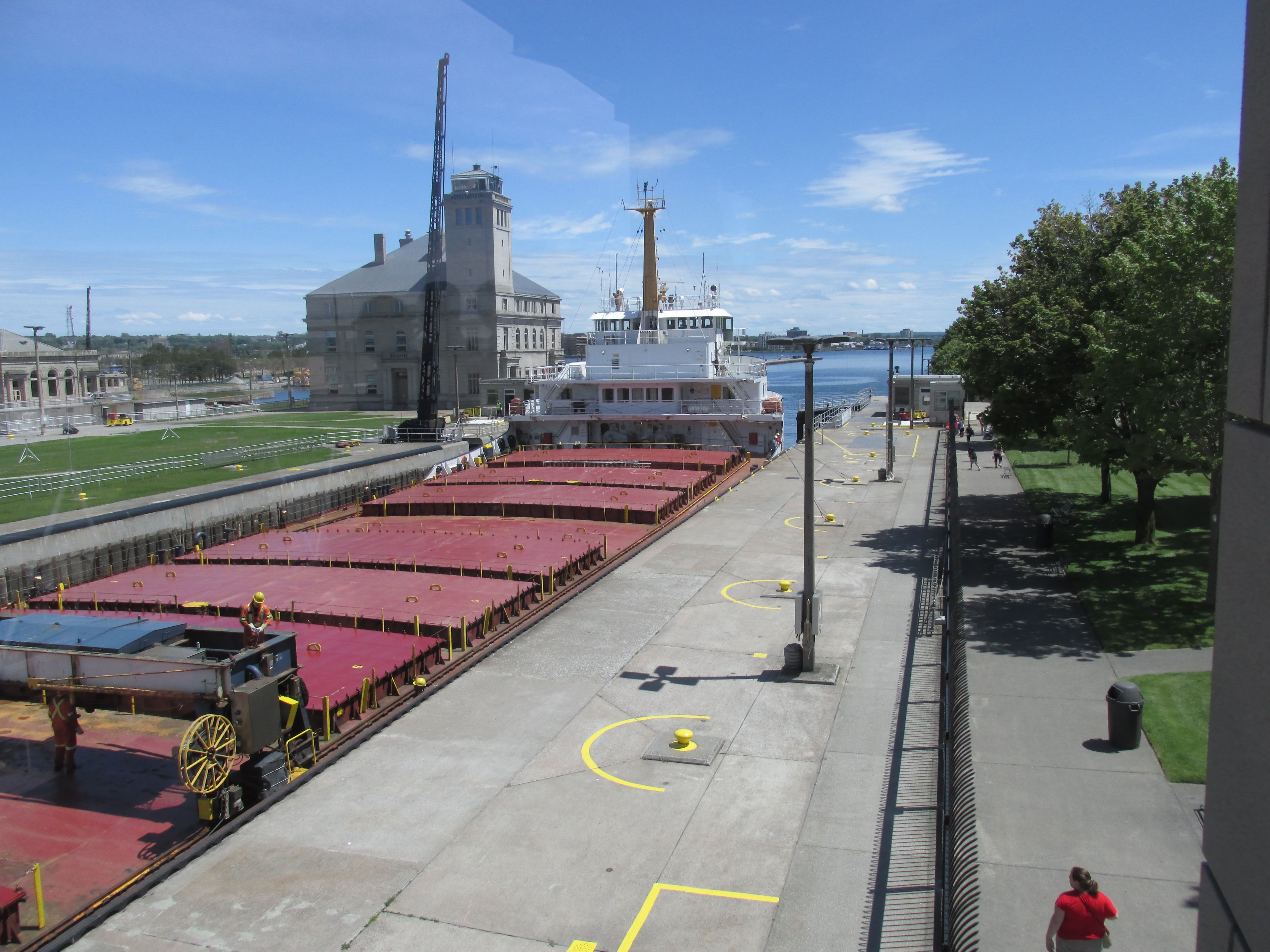
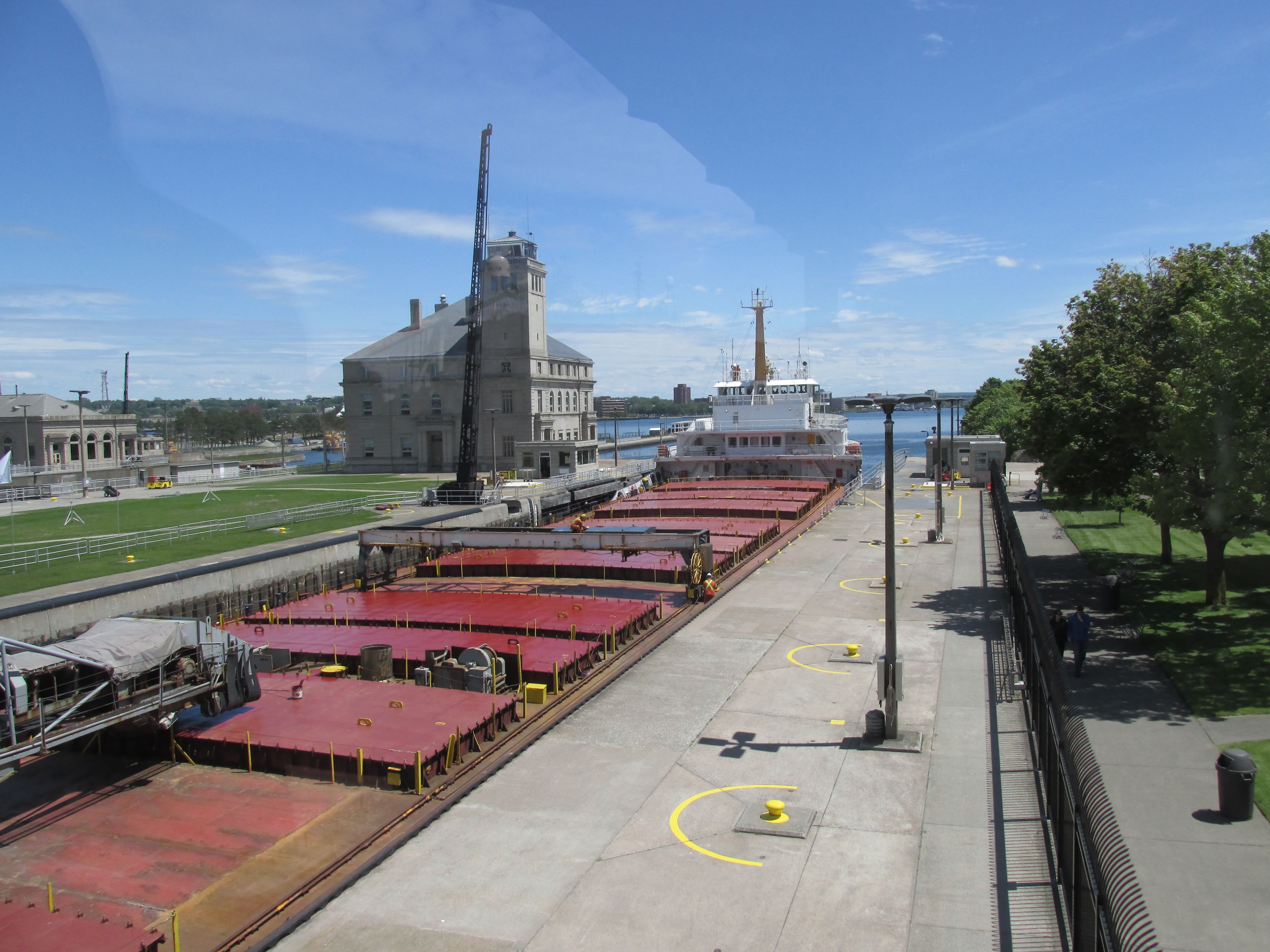
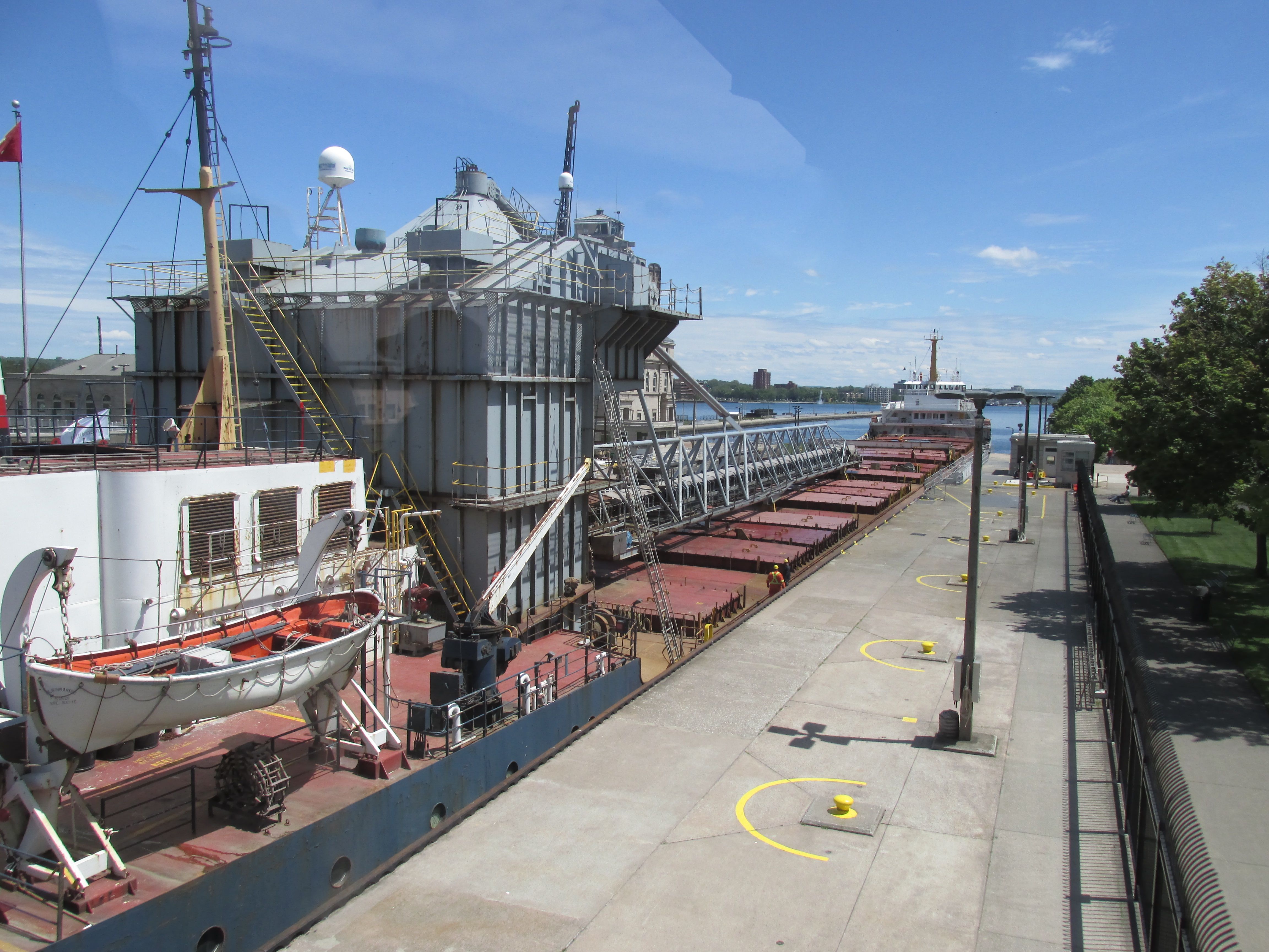
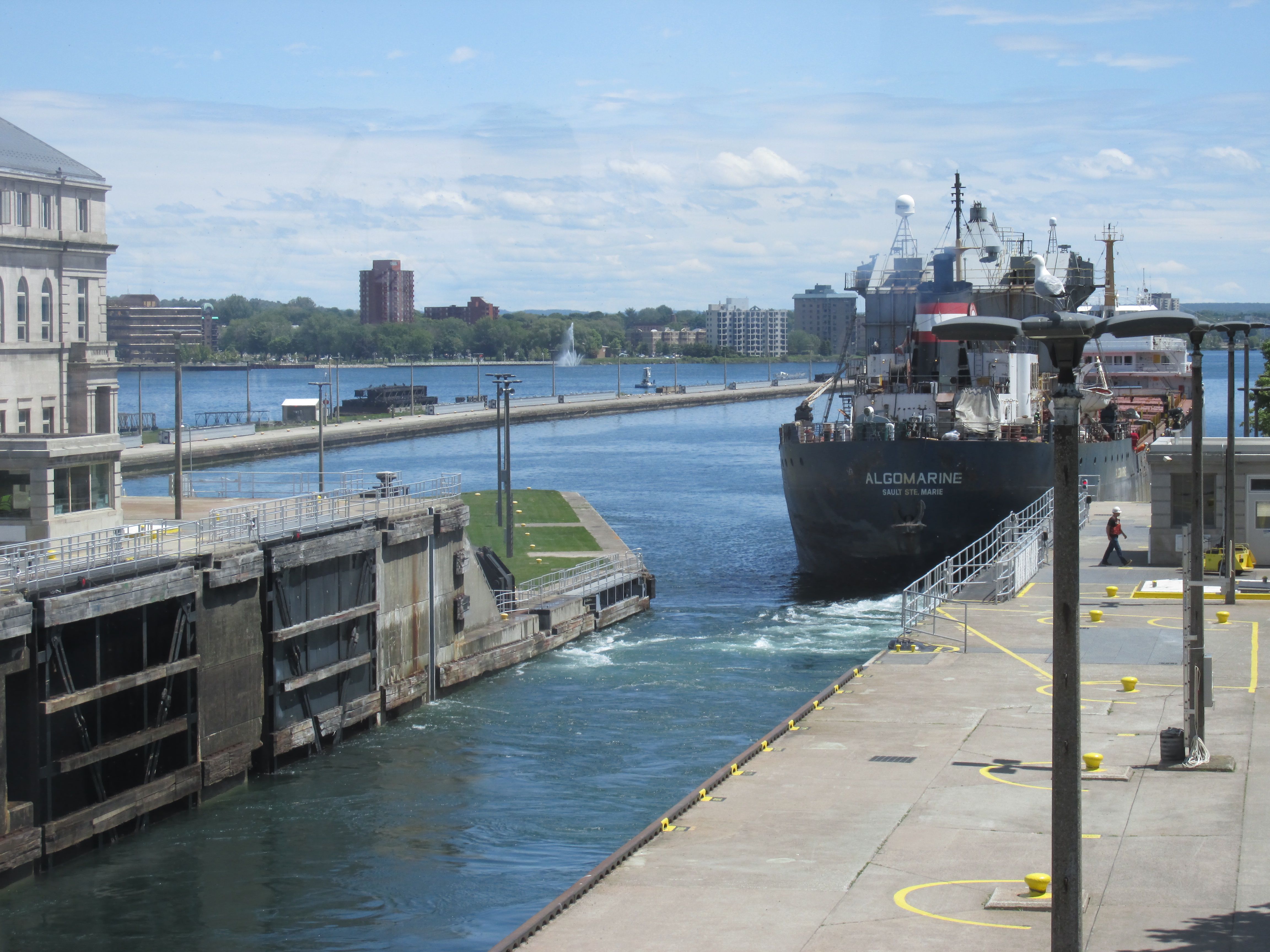
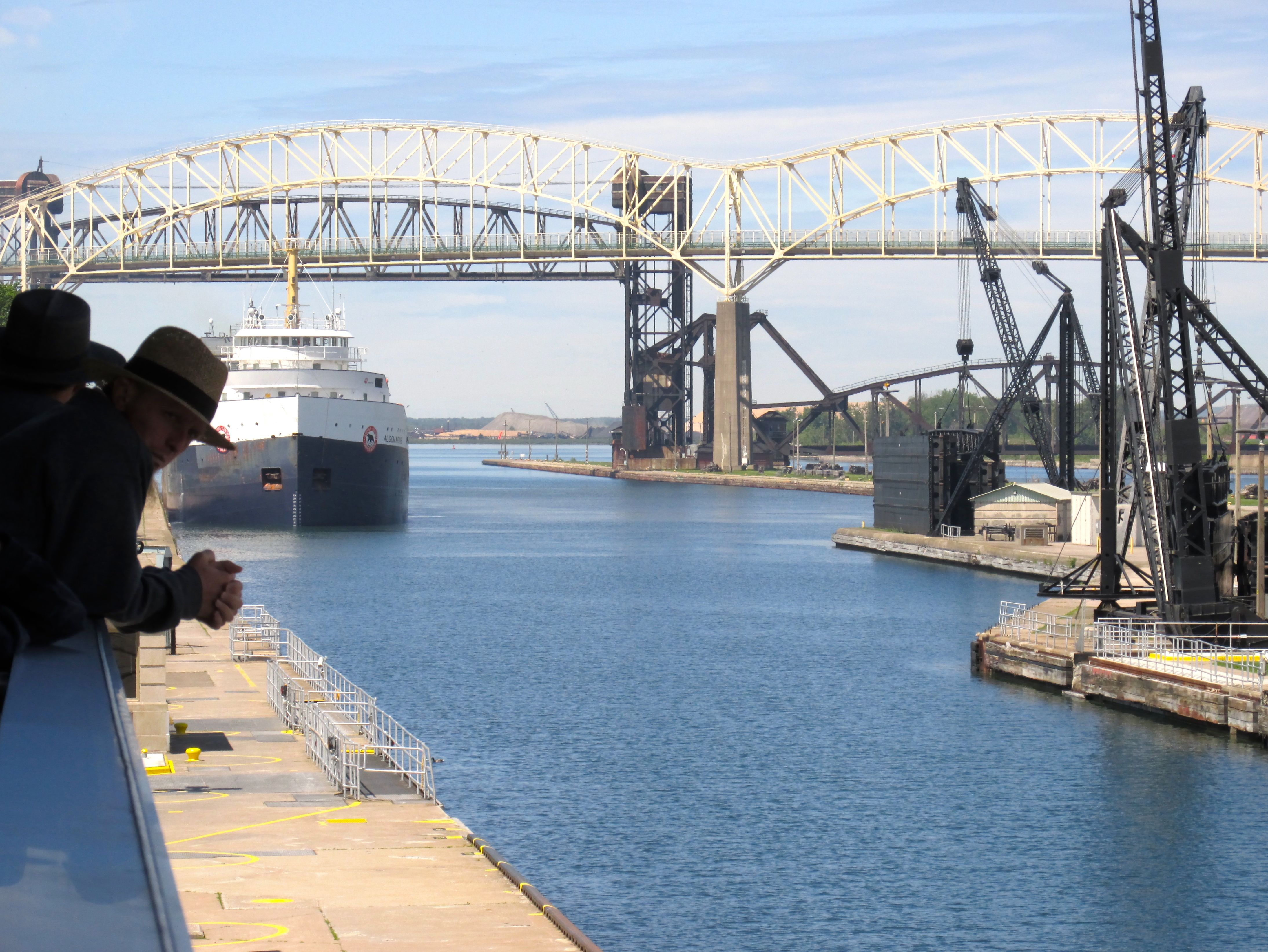
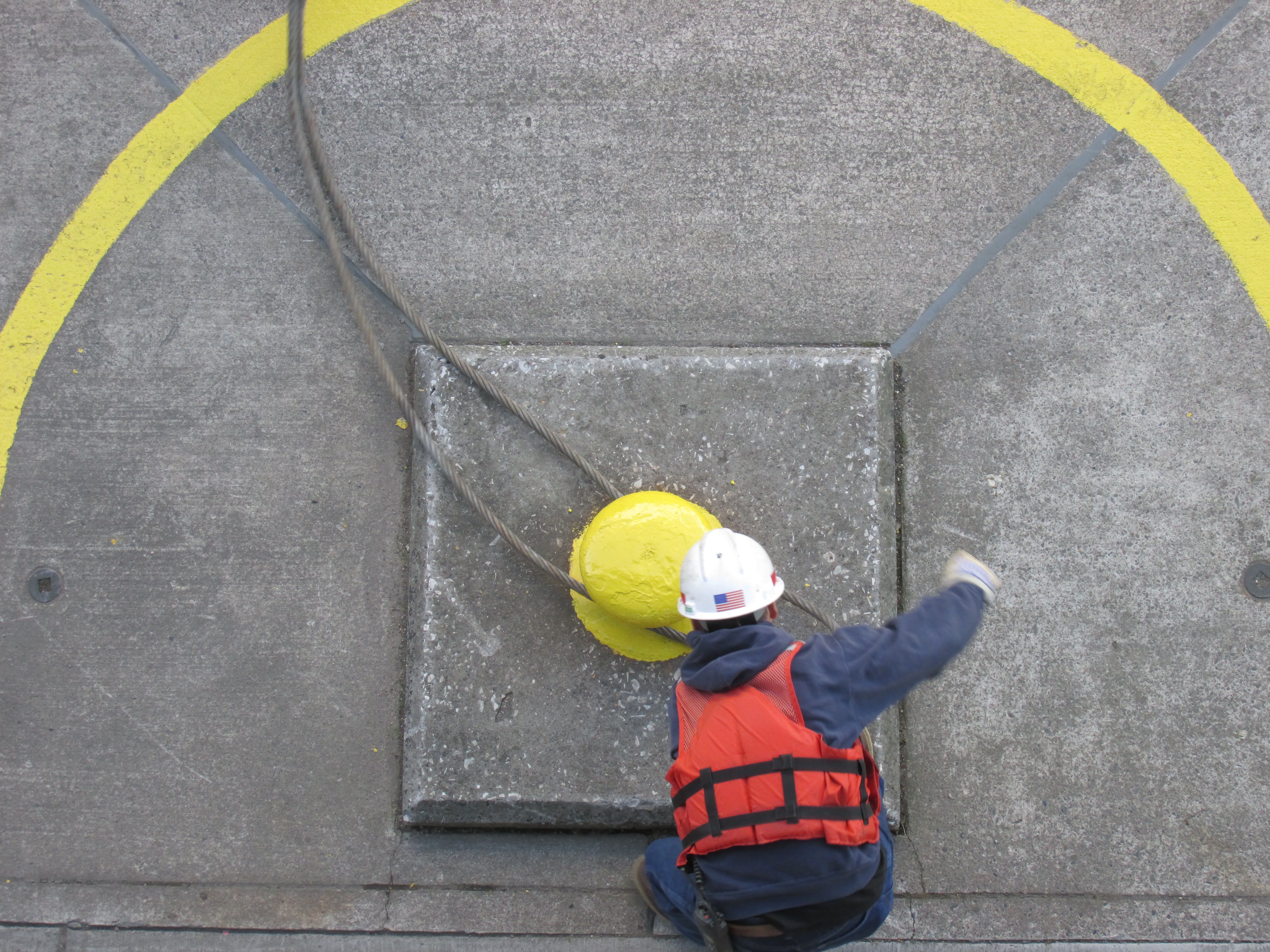
There is an excellent viewing platform that allows you to get up in the air for a bird’s eye view of the whole procedure. There is only about 30 inches of clearance on each side of the ship. The teamwork it takes is quite interesting.
One of the people on the platform with me called out to the ships’ hands and asked what they were carrying. The Algomarine was carrying wheat on this trip.
Interestingly enough, the first lock on the river was built on the Canadian side, but it was destroyed in the War of 1812. The first locks on the American side were built in 1855. There are two major locks in use for commercial shipping on the American side, another that is used infrequently and one that is slated for replacement. On the Canadian side, there is one lock that is used for recreation and tour boats.
After all that work of watching the ship pass through the lock, I found it necessary to take a bit of light refreshment. I adjourned to a nearby establishment.

I’m just a sucker for old neon!