Konnie and I made two trips to an area that was identified as Aztlan, which is an archeological site in the Tonto National Forest.
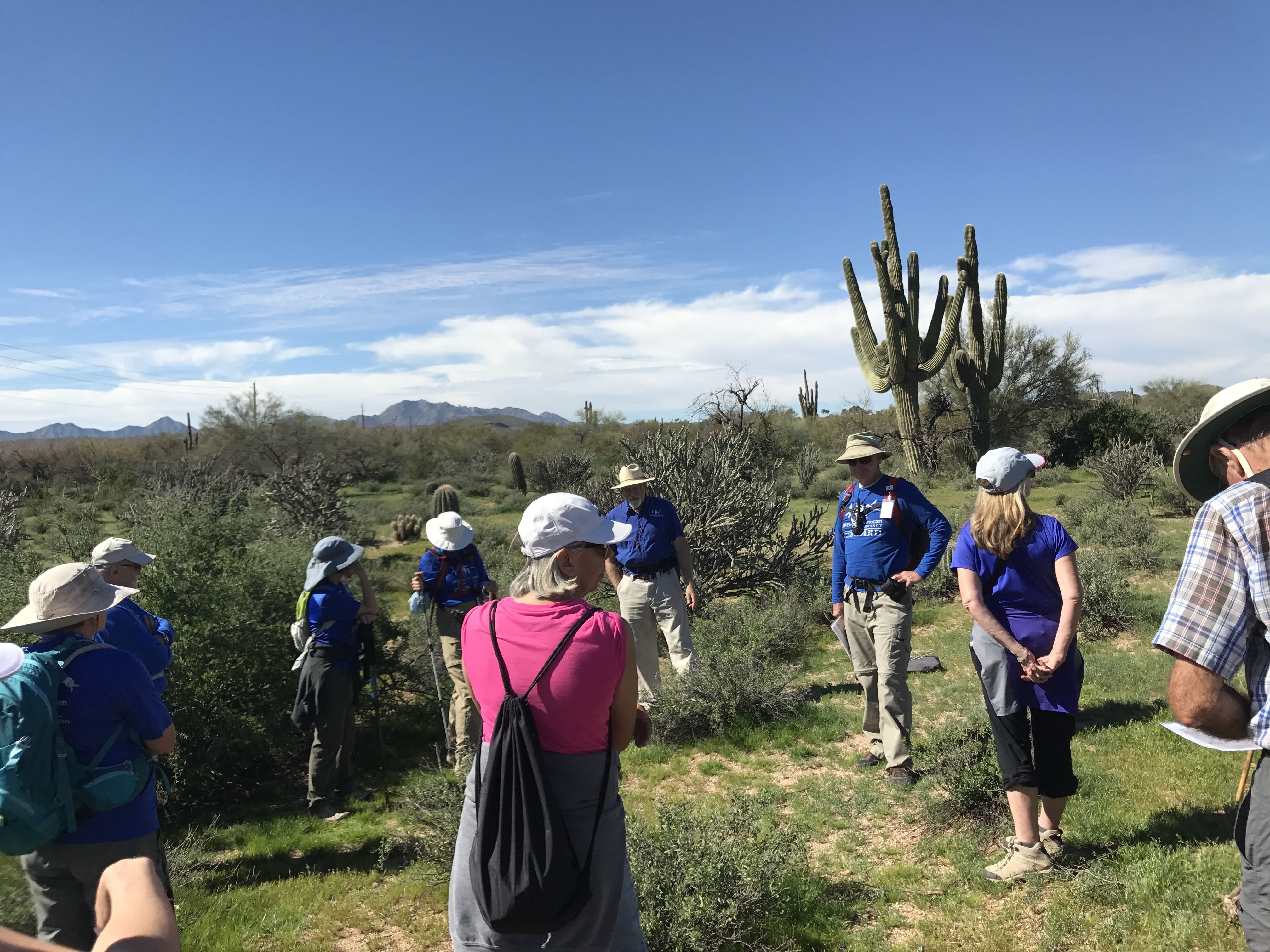
Our first trip was a guided hike put on by the McDowell Sonoran Preserve Conservation Group. We met at a clubhouse nearby and carpooled to the residential neighborhood right in front of the entrance to the site. We walked through an area that looked like it might have been someone’s yard, around a water tank and there we were.
According to our guides, when the housing development was going in, they discovered sites that they believe were the center of the Aztlan civilization, which is the legendary ancestral home of the Aztec peoples.

I guess Phoenix is more or less in the center – especially when you don’t count the Mayan regions in the south of Mexico. Of course, this is all long before our time – maybe a thousand years ago.
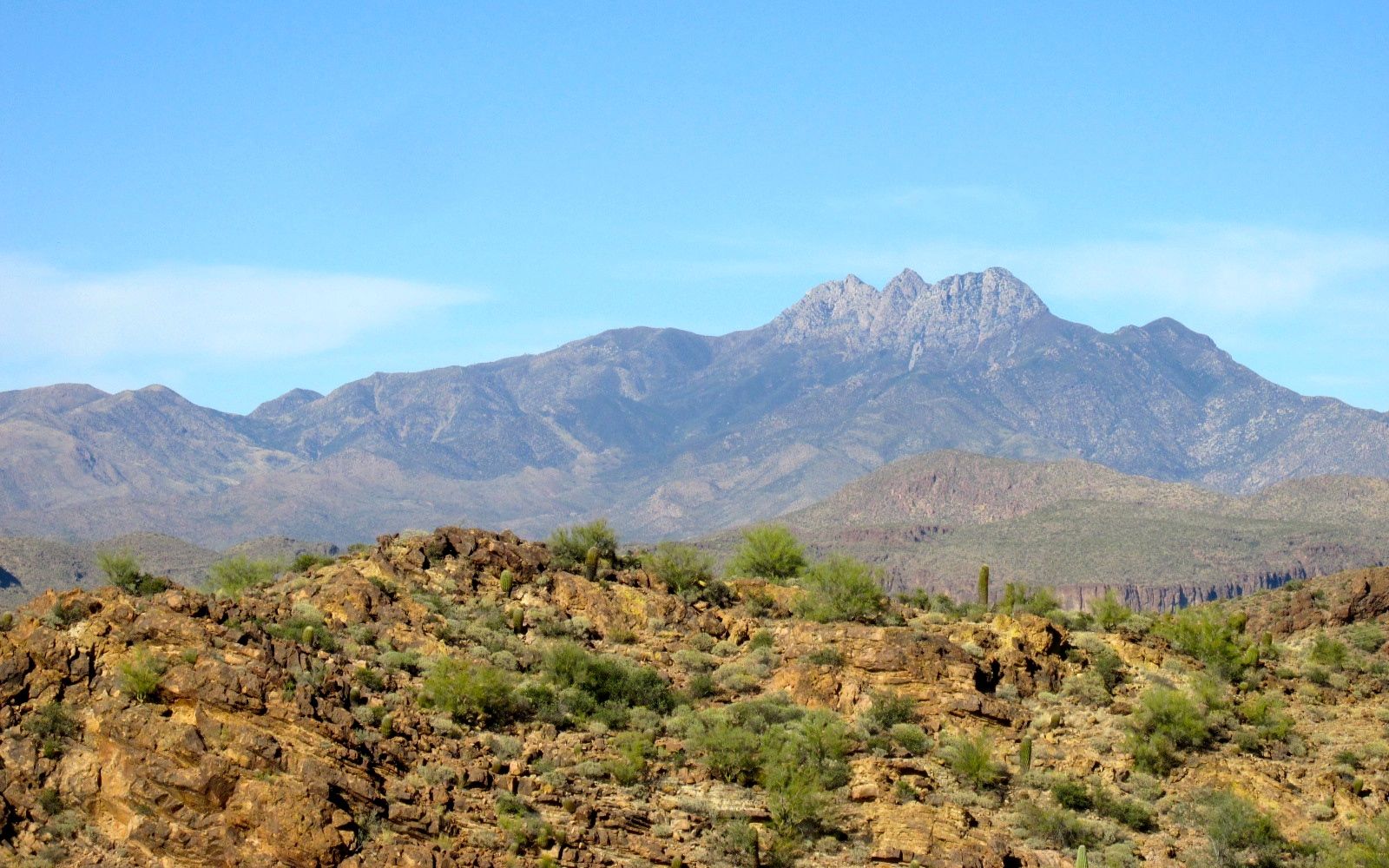
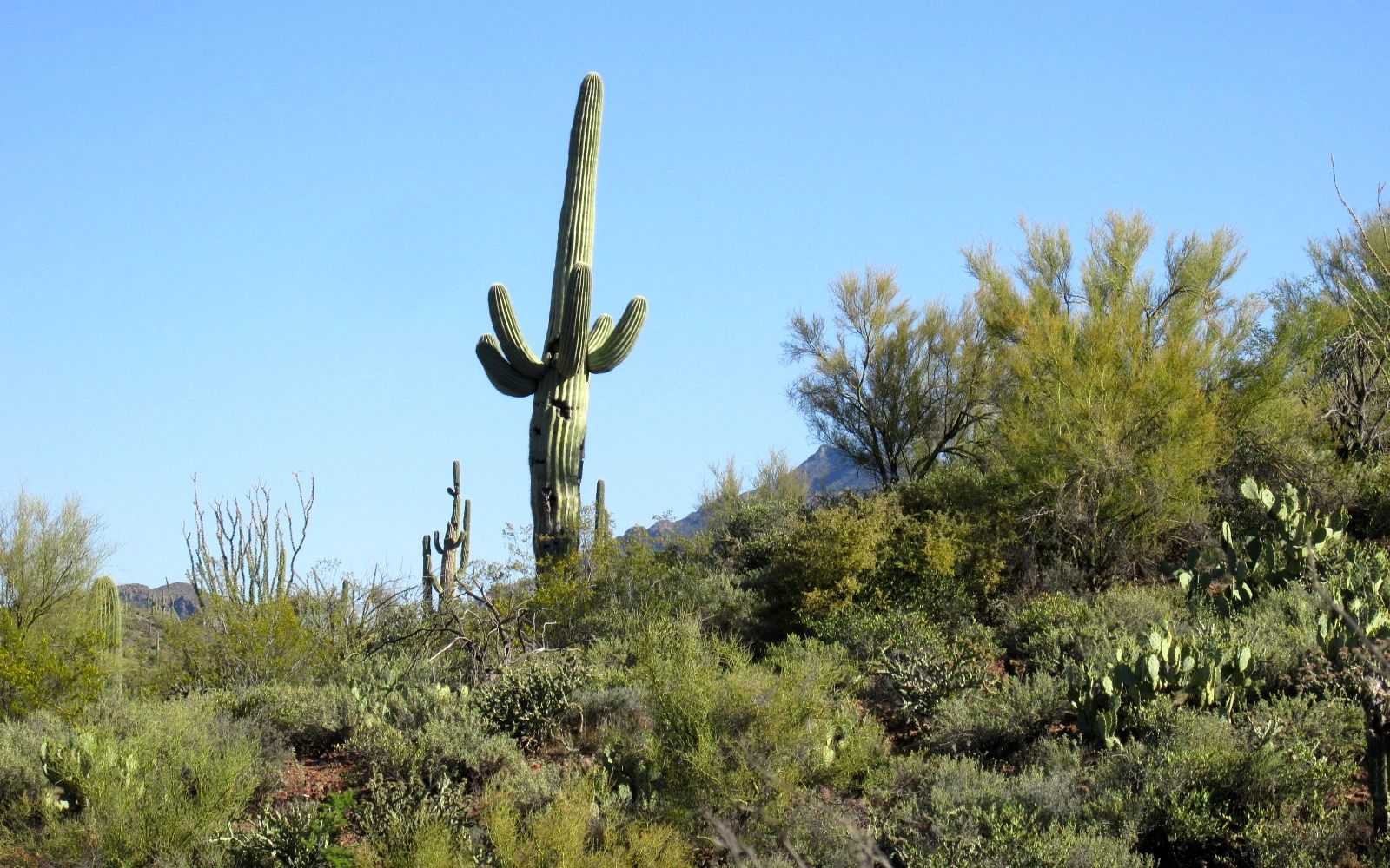
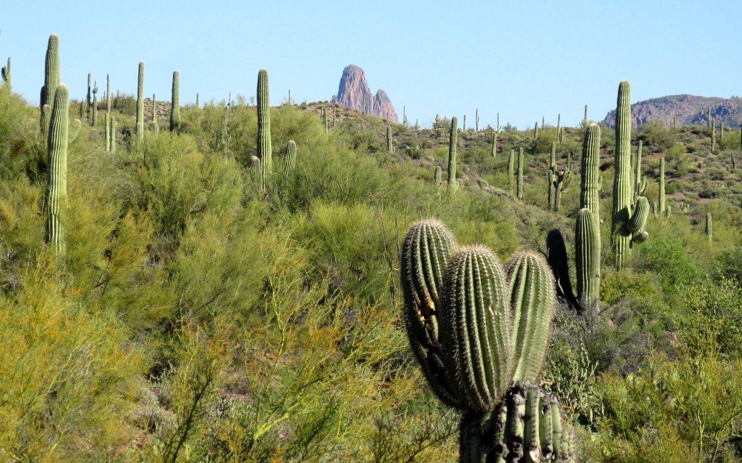
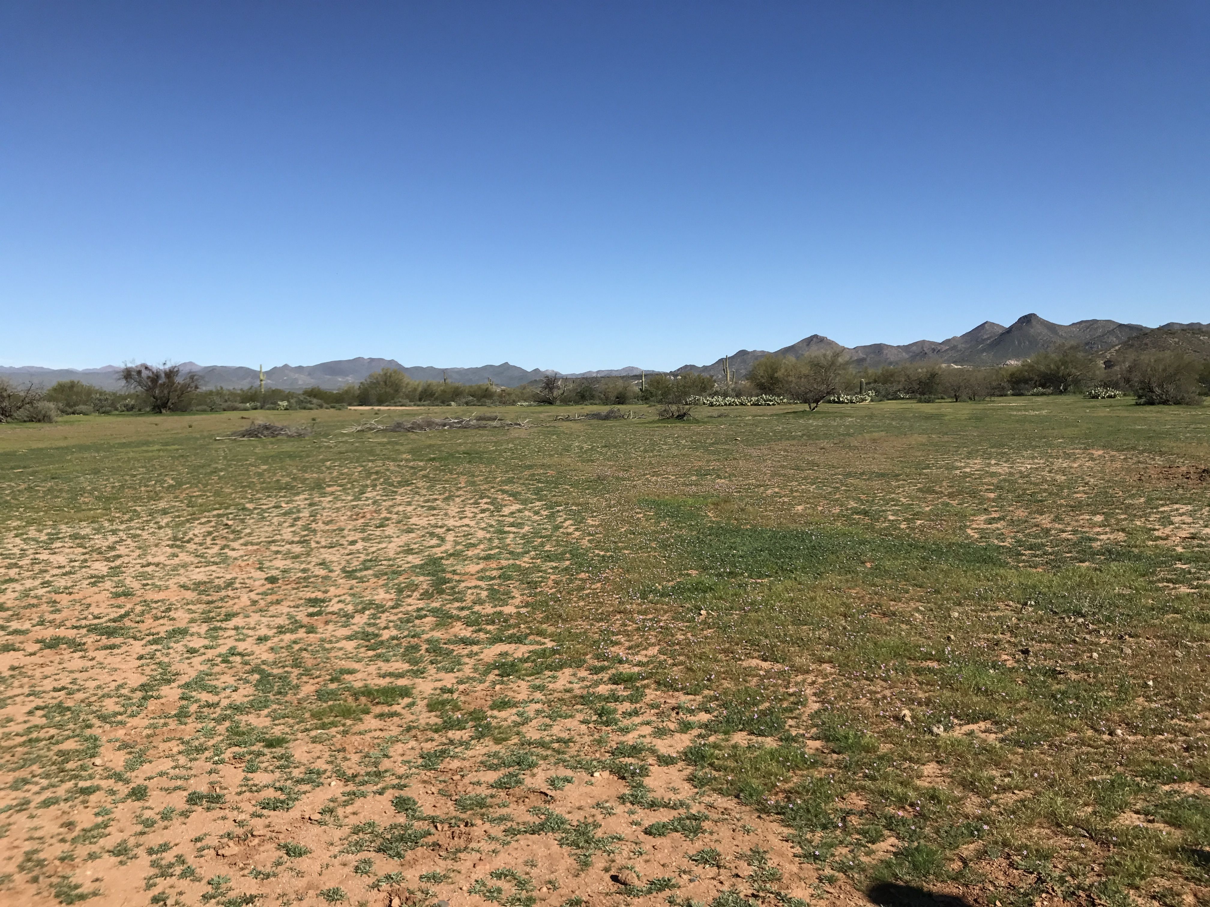
The selected this site for its flat land and proximity to water. This site is along the Verde River.
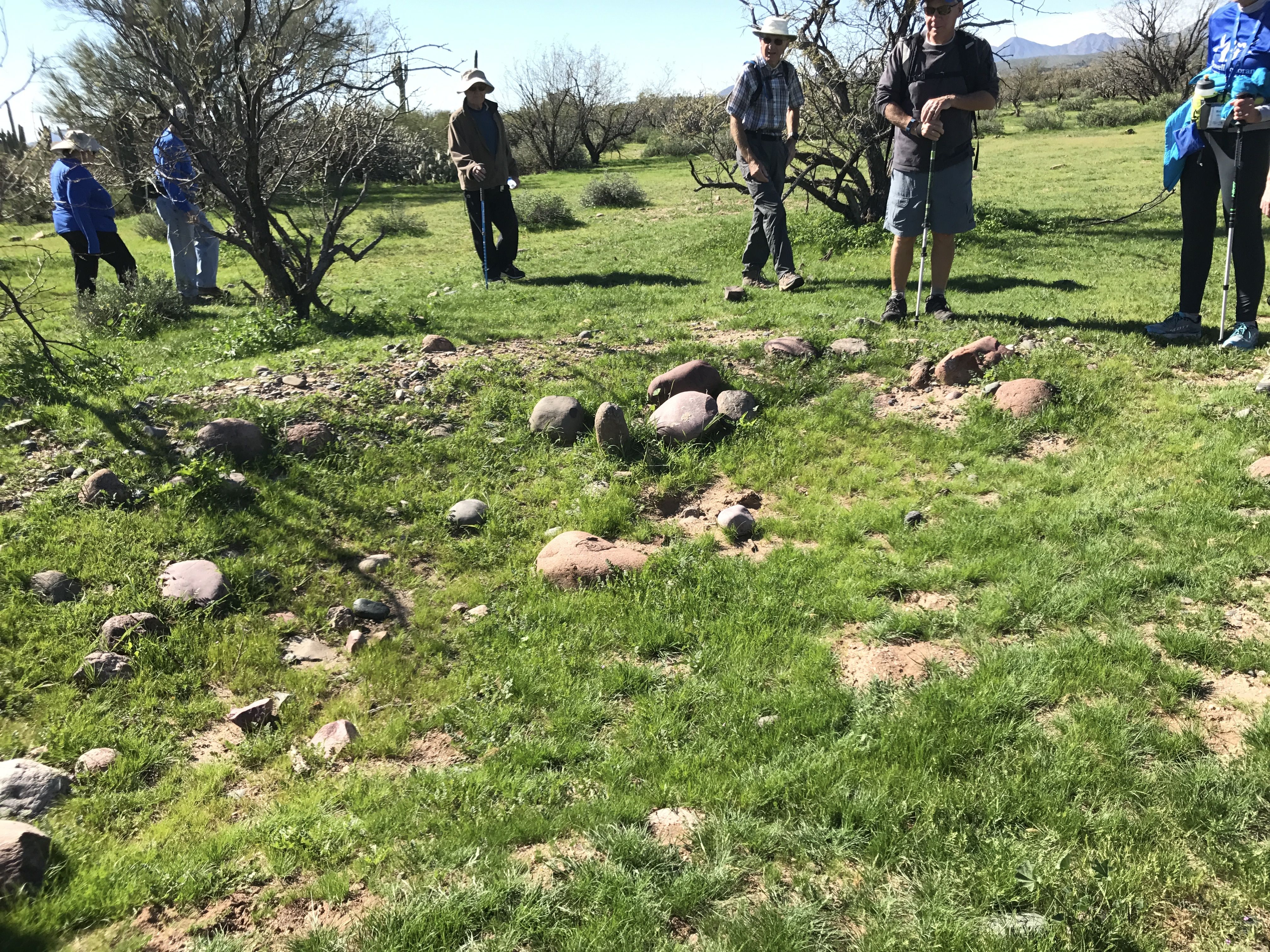
Our first stop was looking for pottery shards. Our guides told us to look for small bumps in the flat landscape. Those would be the trash heaps, or middens.
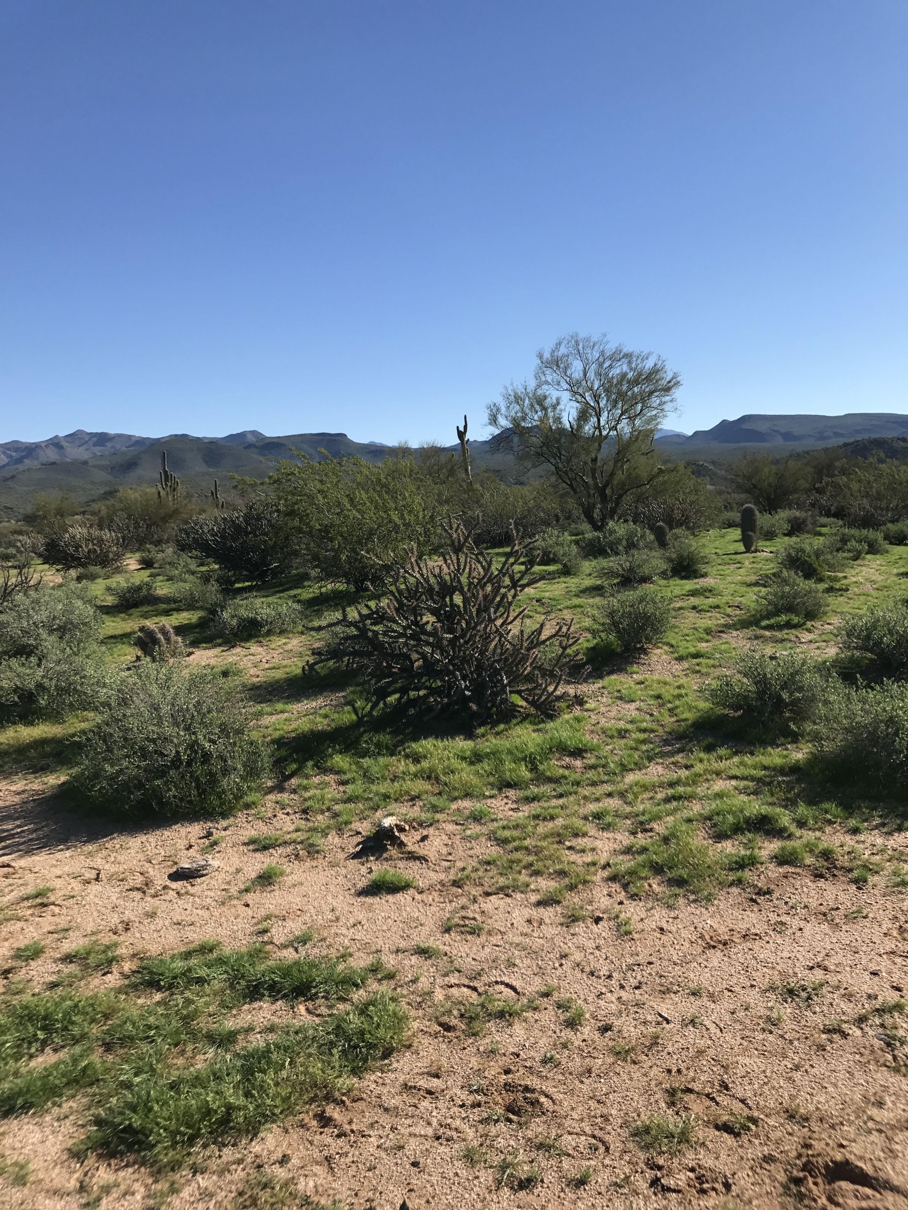
You can detect the irregularity in the landscape, if you look carefully. We divided up into two groups and started scouring the ground for shards.
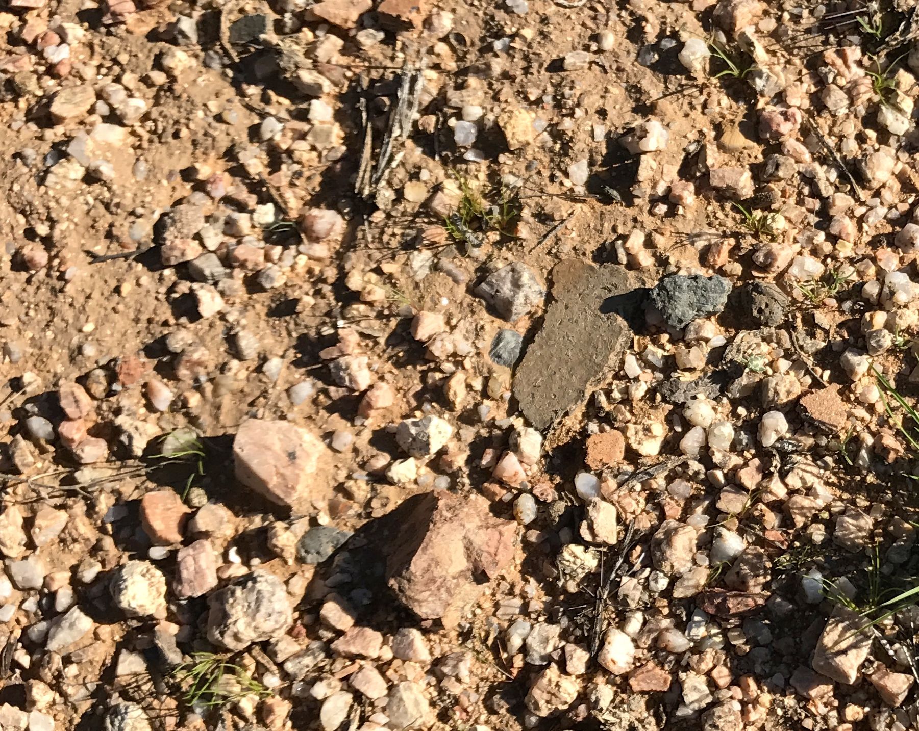
There’s a shard, lying right there on top of the ground!
I picked up a few of them and added them to our group’s collection.
We had a nice collection of pieces of utilitarian-looking pots. None of us found anything that was decorated, but it was fun looking for the pieces and seeing what everyone collected.
There were no excavated dwellings to see along this hike, but it was an interesting hike.
The place had seen many uses throughout the ages. We did see a site that was occupied by settlers who had worked for the U.S. Army at Fort McDowell. They were given permission to move to this area, they acquired the land and built a house. Things were going great. They were making a living and expanding their fortunes. Things were going great until an Army surveyor made a mistake and placed the Fort’s boundary on the other side of the house.
While the parents were off taking care of their businesses, the Army rode in, rounded up the kids and moved them to a tent on the other side the new boundary and burned the house down.
Eventually, the surveying mistake was discovered, but no restitution was ever made. They stress of the events broke up the family and they never returned to their previous holding.
This is what I remember of the story. I may be remembering correctly what I was told and what they told us might be accurate.
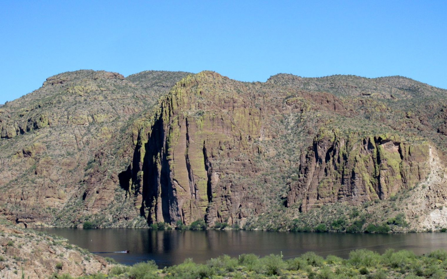
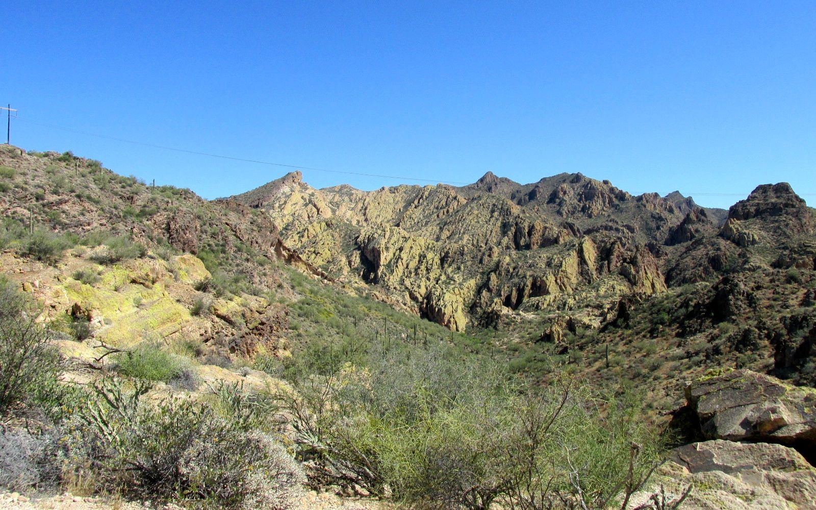
We walked along the edge of the bench by the Verde River. “Bench?” you inquire. Actually, I think it would more accurately be called a fluvial terrace. In any event, the river was quite a ways below us. In theory there was a path to take to get down to the river. I wasn’t interested in trying to find a way down. Besides, the group kept moving.
Another more contemporary use of this area was as an emergency airstrip during World War II.
You can still see the flat area they cleared.
While we were walking in this area, we spotted the wild horses!
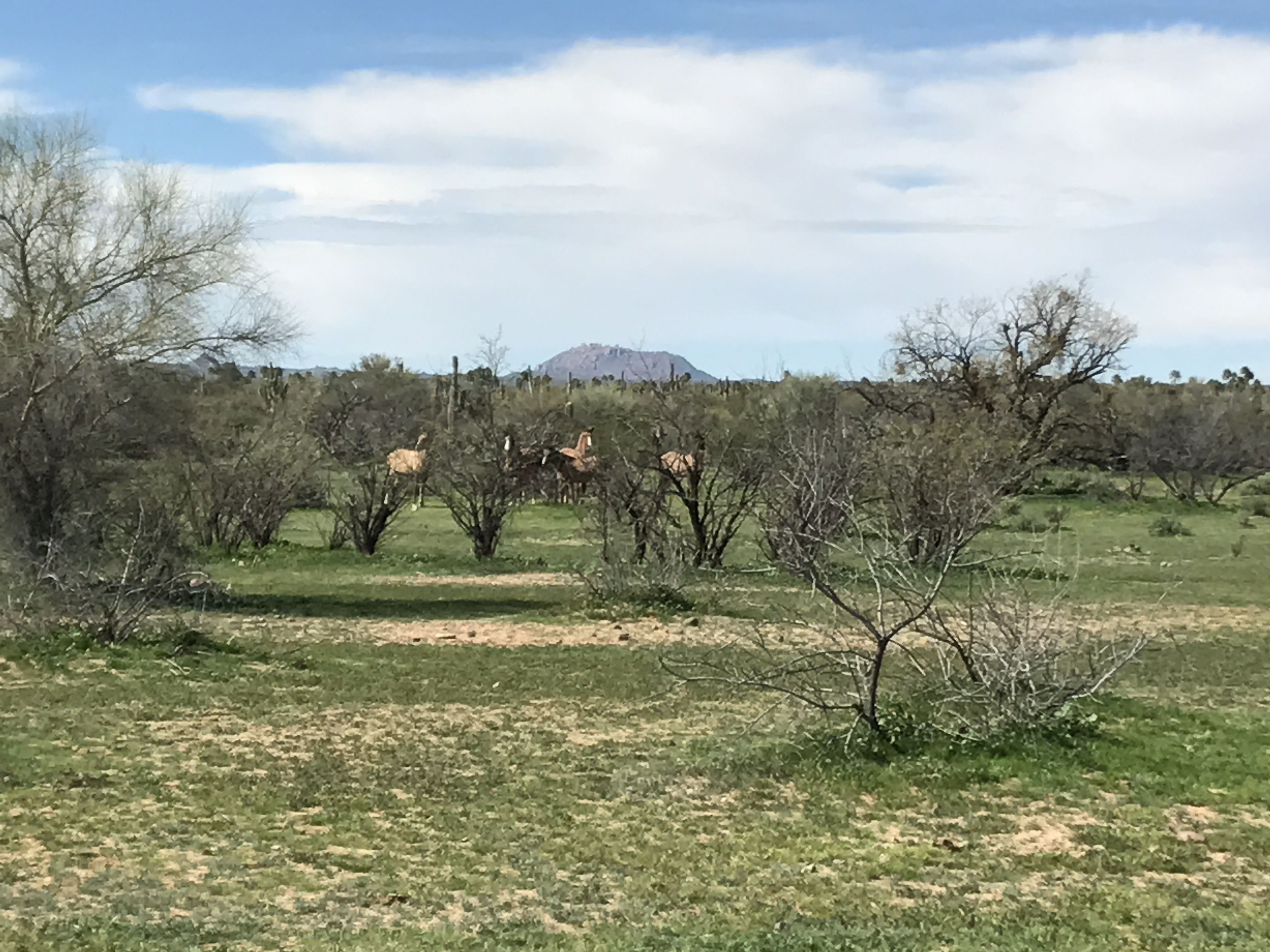
With all the people in the group, it was kind of hard to get to close. Konnie and I decided we’d come back another time to look for them.
Our last stop on the tour was what they told us was a ball court. It definitely looks like human hands have done something here, but it was much smaller than any ball court I’ve seen before.
After that, it was time to head back to our cars. Most of the people there were really fast on their feet. I walked as quickly as I could, but I was the only person walking with the guide who was bringing up the rear. I kept my head down and walked as fast as I could, but my best was no match for the pace the leader set. As I always say, I am more of a stroller than a hiker.
Konnie and I made it a point to get back to the site again. This time, I actually could look at things and snap a few pictures of the things that caught my eye.
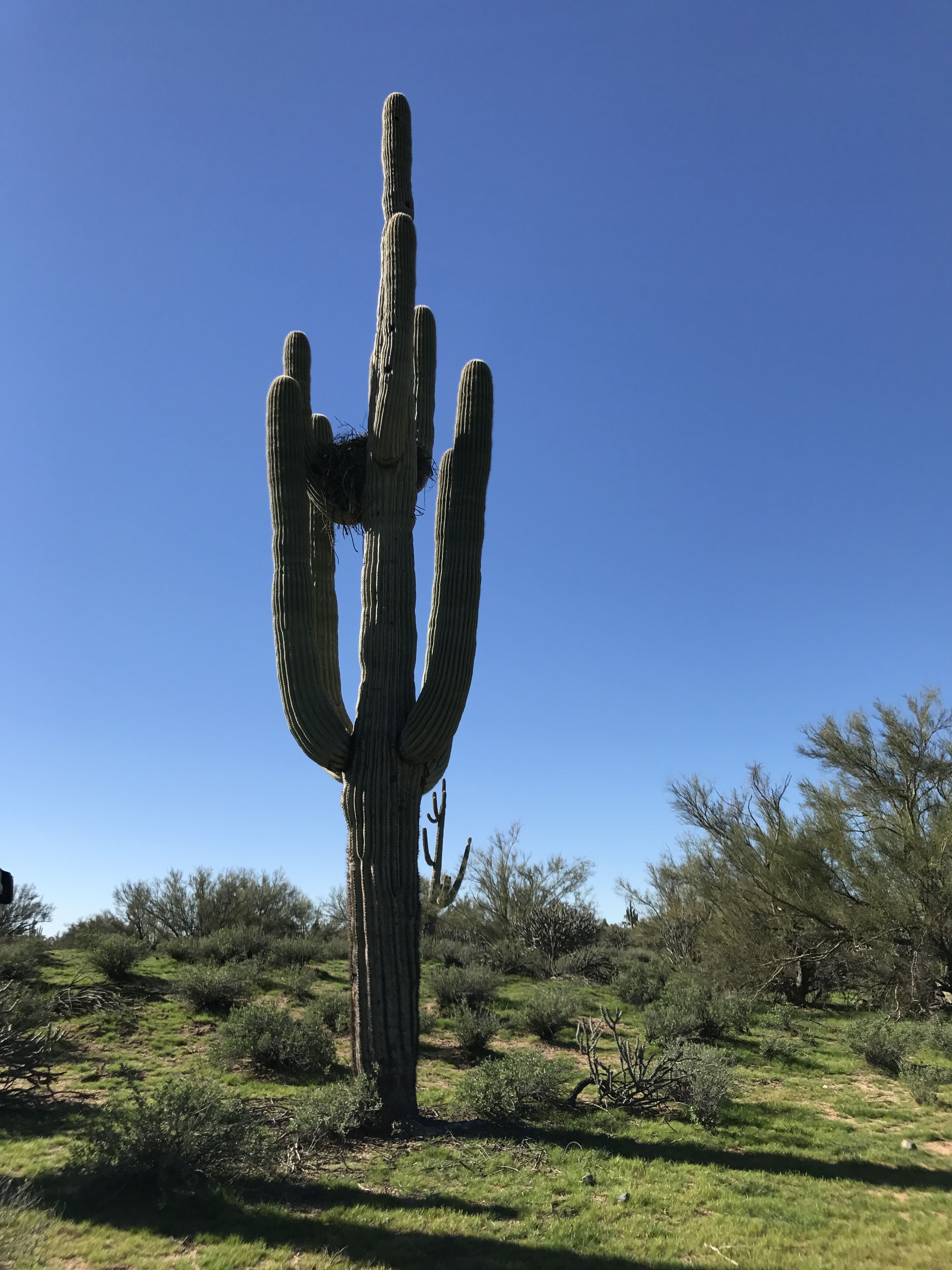
On the group hike, the guide told us that this nest built by a hawk, although other birds may have moved in after they moved out.
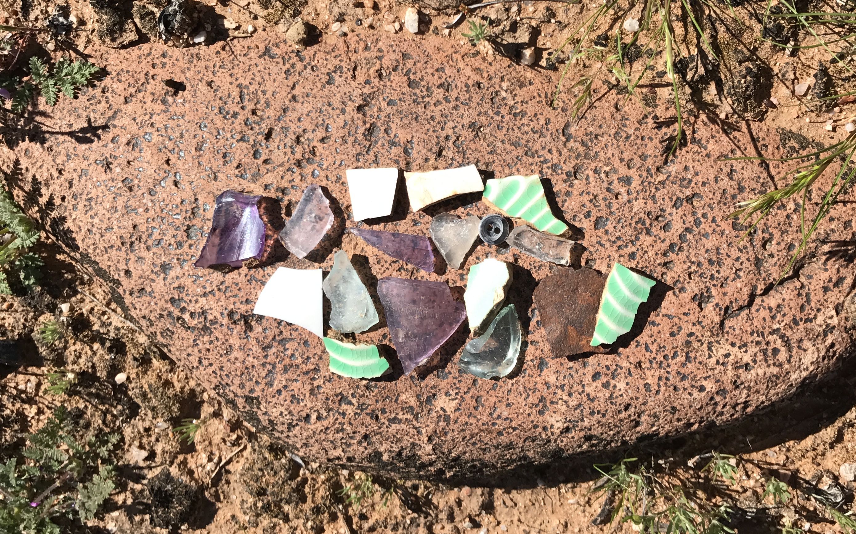
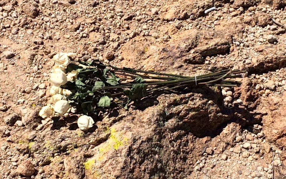
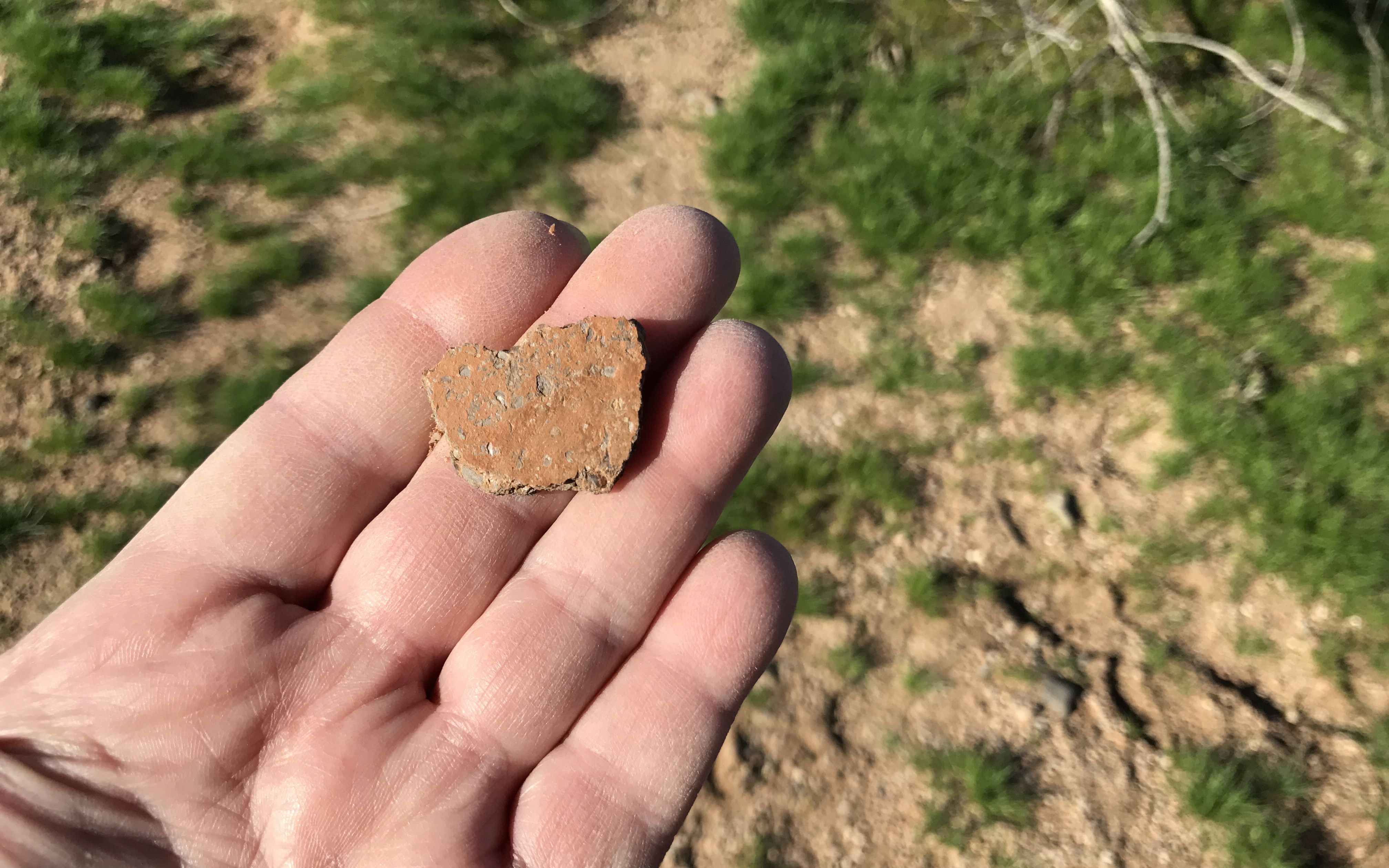
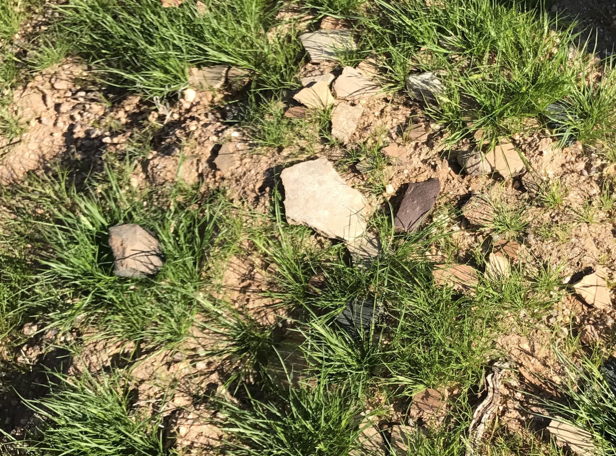
With our eyes on the ground, we found some 20th century pottery shards. I wonder where the purple glass came from?

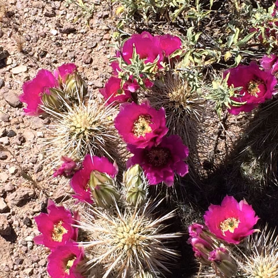
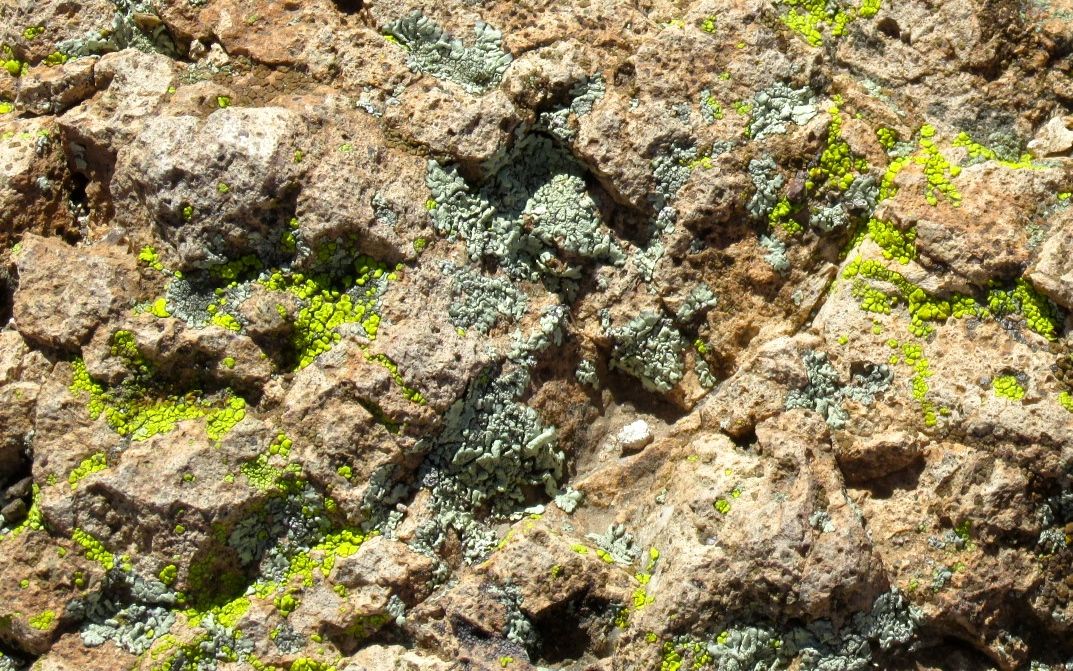
I enjoyed the rocks I saw. You can really see the effect of water on the land. These were all transported from far away.
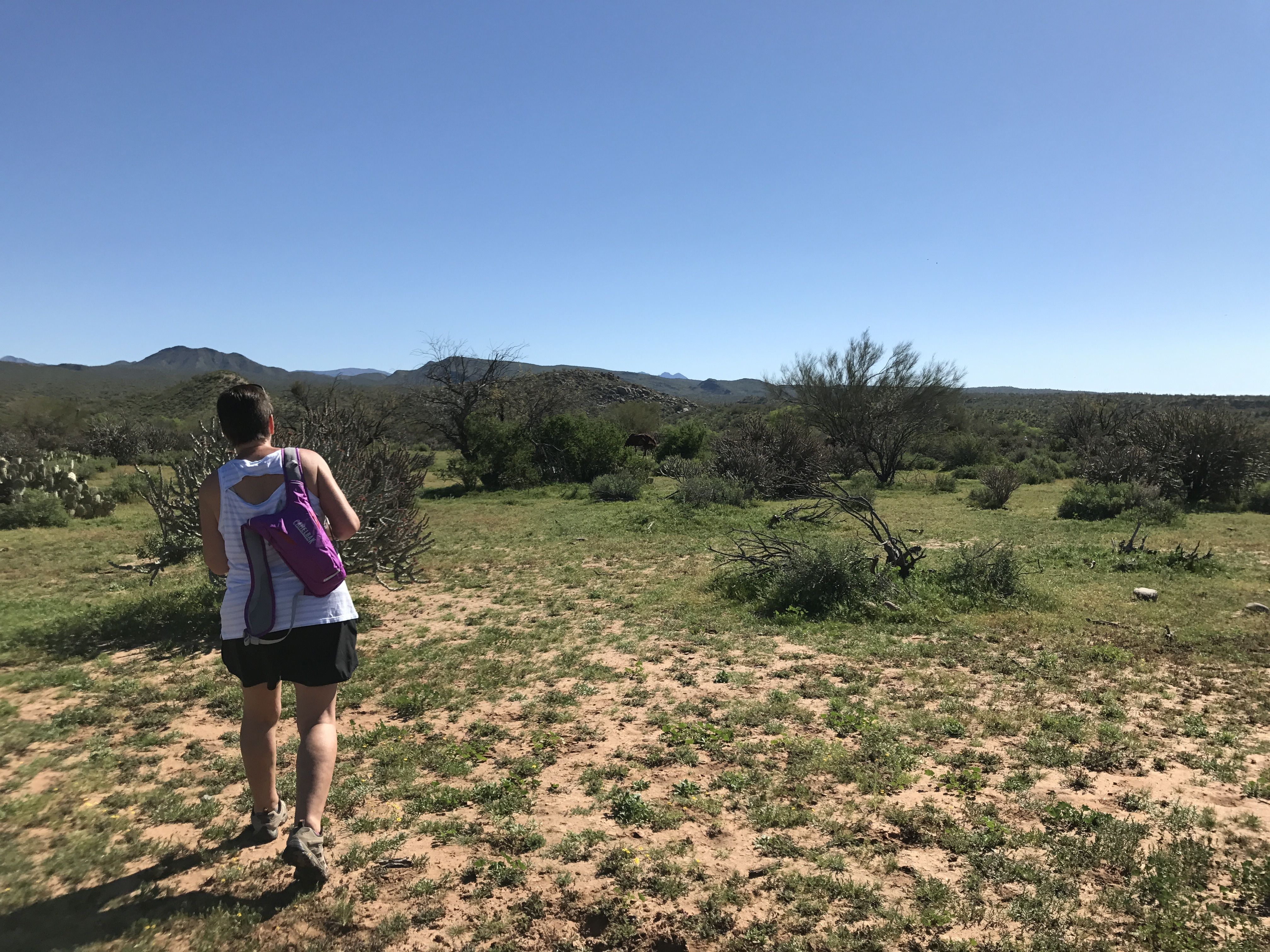
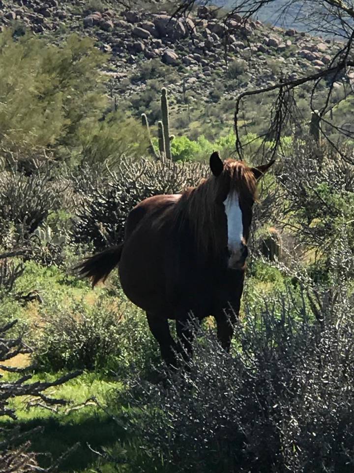
Finally, though, we spotted what we’d come for. The wild horses! Here’s Konnie trying to get closer without spooking them.
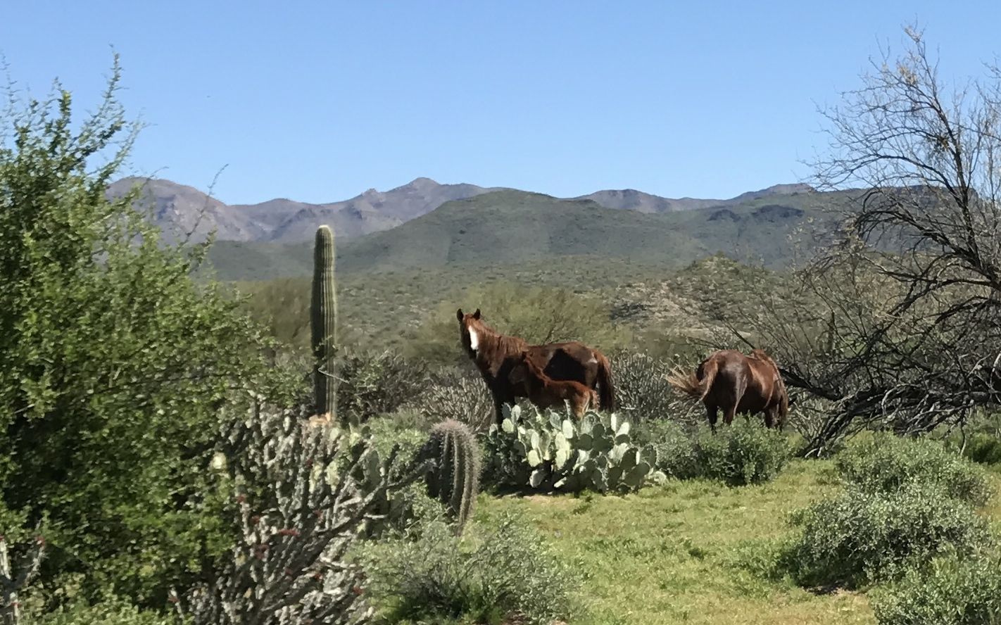
How beautiful!
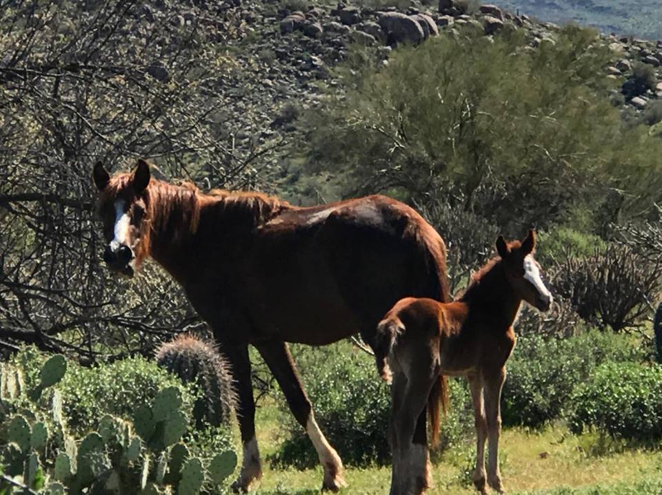
It seems to be foaling season.
This horse looks like she is going to be adding to the herd before too long.
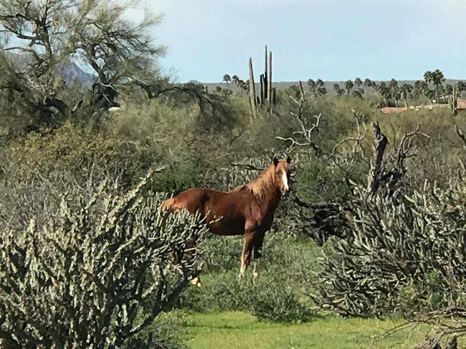
They look so healthy and strong.
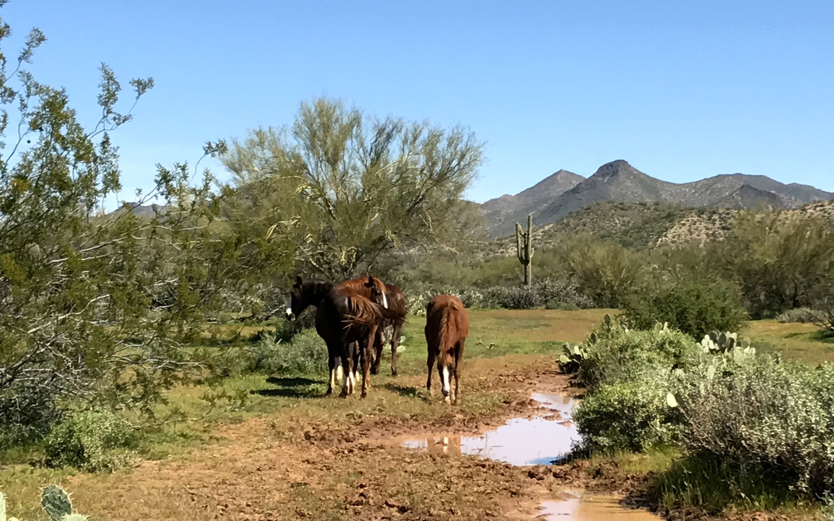
They are close to the river for their serious water needs, but for a quick sip, I guess a puddle will do.
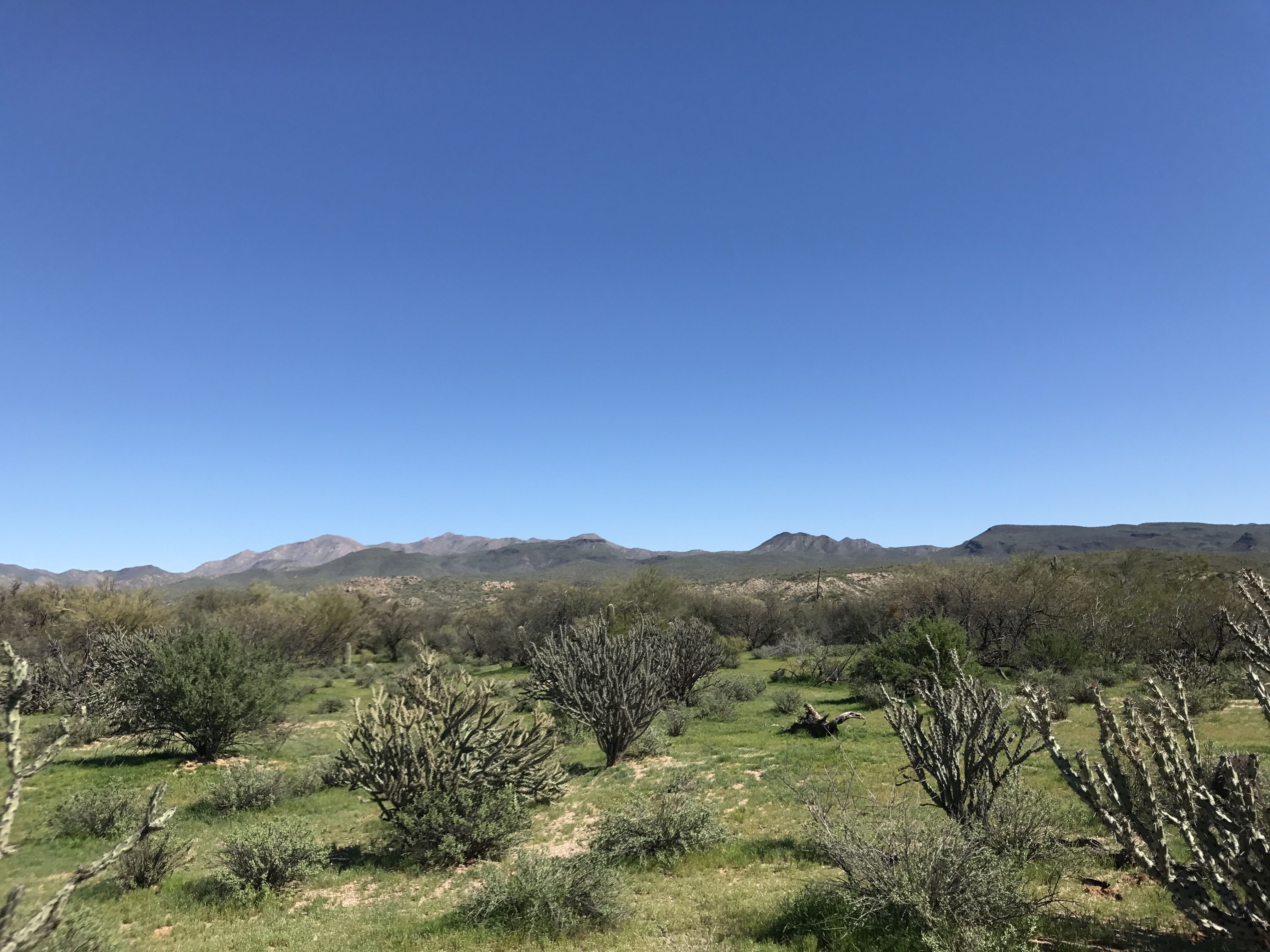
We went to do a little more exploring.
We ended up along the Verde River.
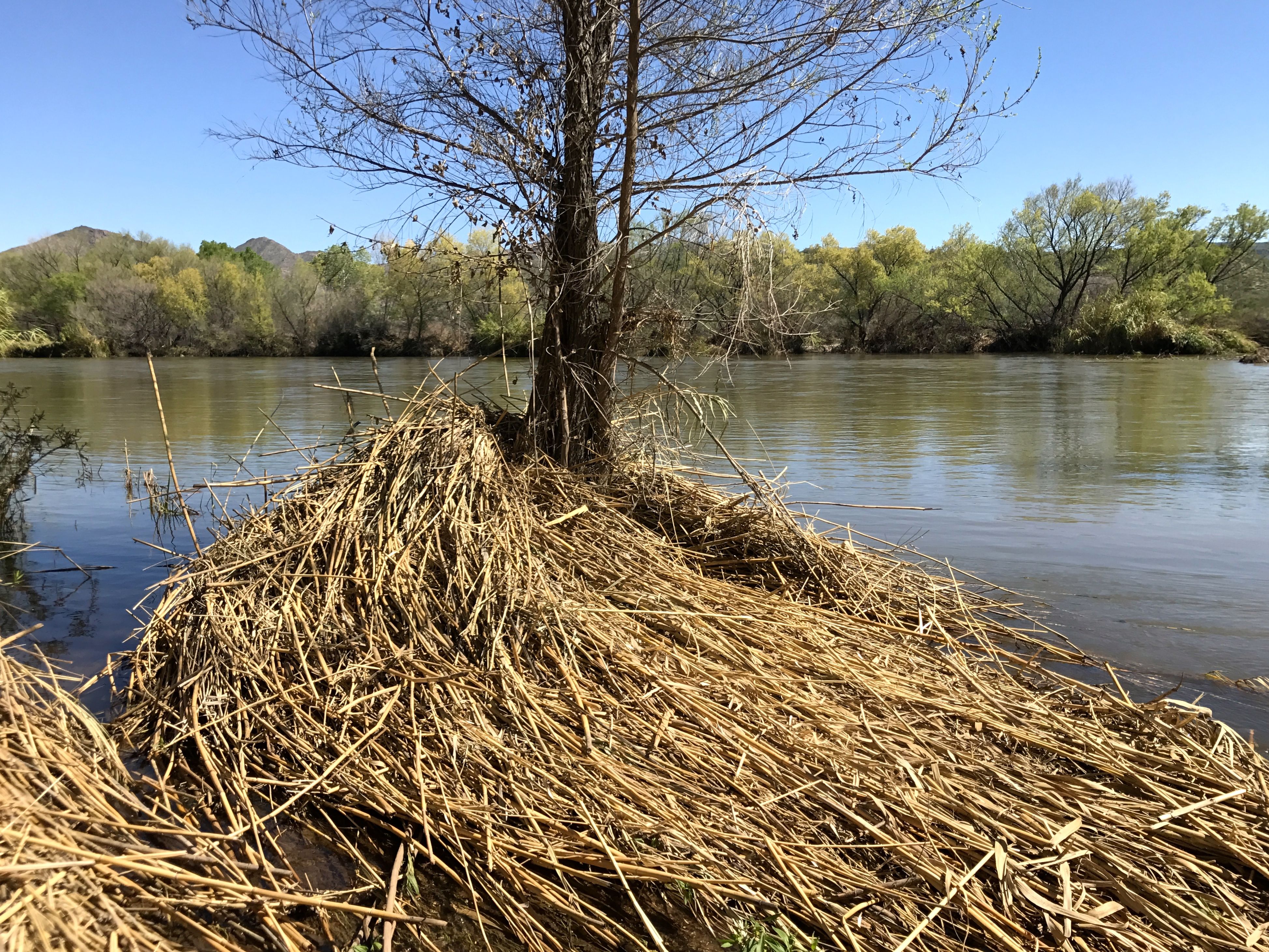
While the river is high, it must have been a lot higher. It was interesting to see it close up.
We met a woman who was sitting along the river, and we had a nice chat. She took a photo of Konnie and me on our last adventure before I headed out.
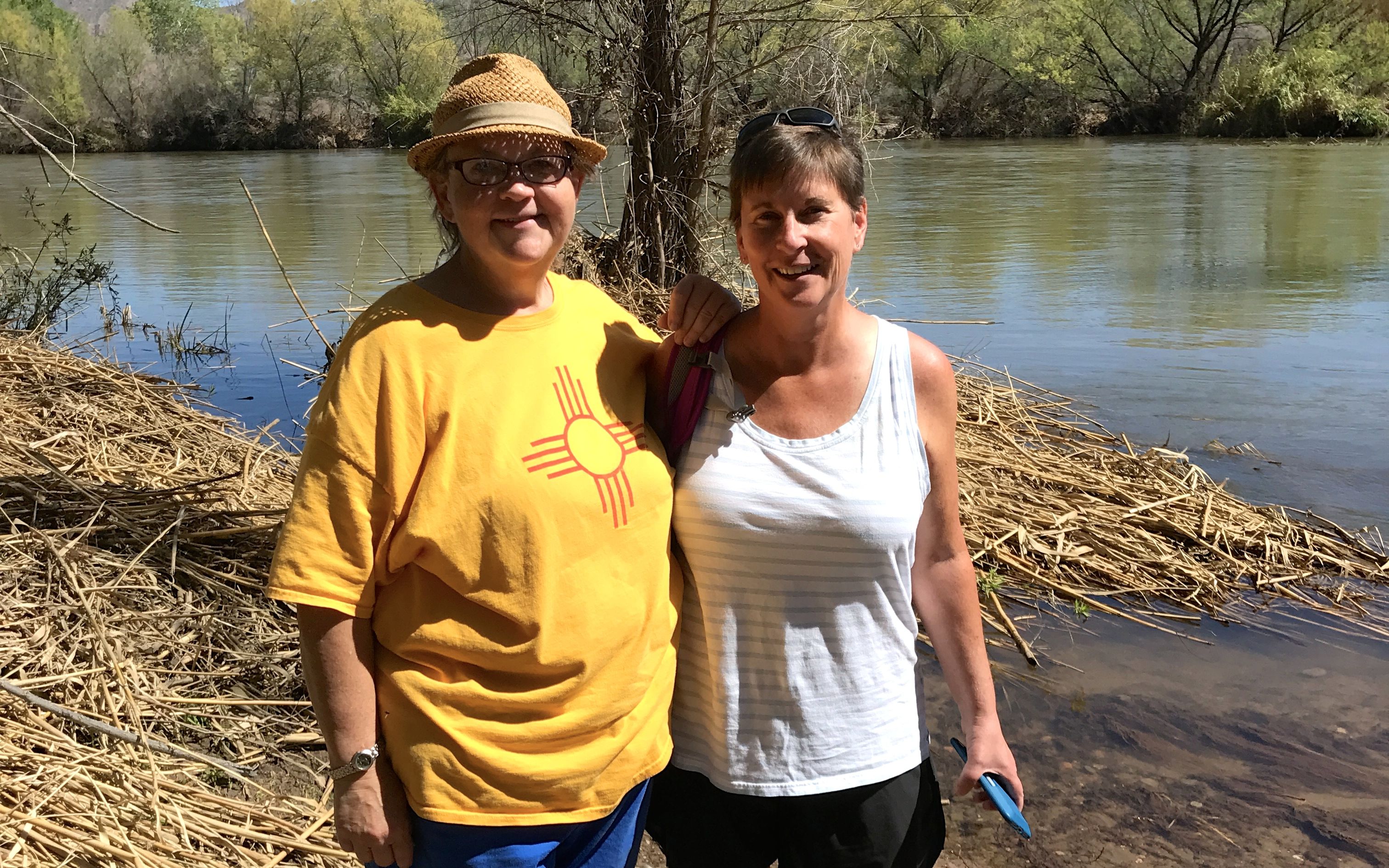
Thanks for all the good times, Konnie!