The day dawned bright and clear.
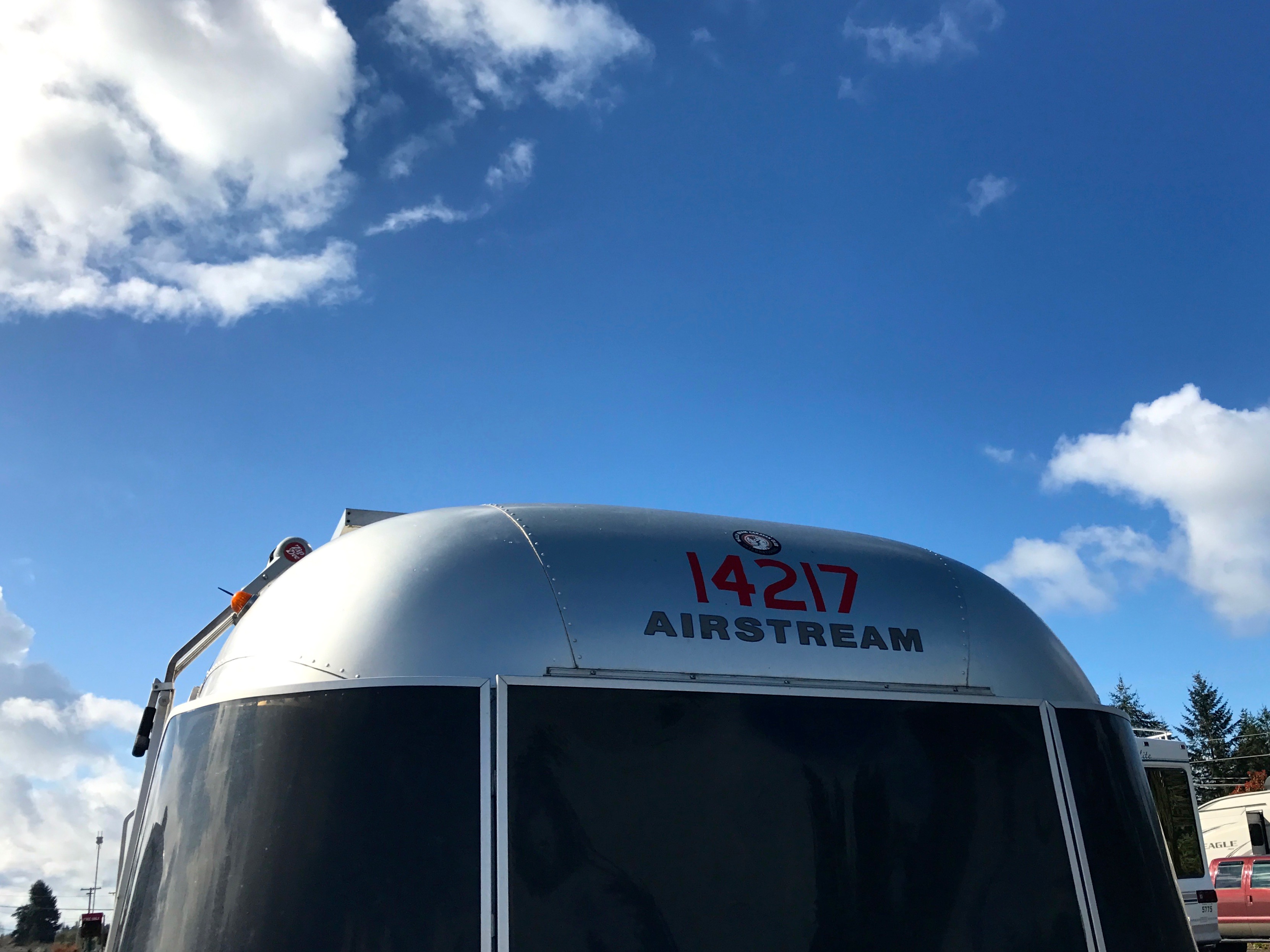
Sunshine and blue skies were such a welcome treat after all the gloom and precipitation I’d experienced – oh, since about when I left Sacramento several weeks earlier.
I decided to head out to Olympic National Park. Yeah, the mountain roads weren’t open yet, according to the information, but I might as well head out and see what I could see.
As I zipped toward the park, I kept seeing these unusual signs with flags on them. I pulled over to check out the view and I got to see one of the signs up close.
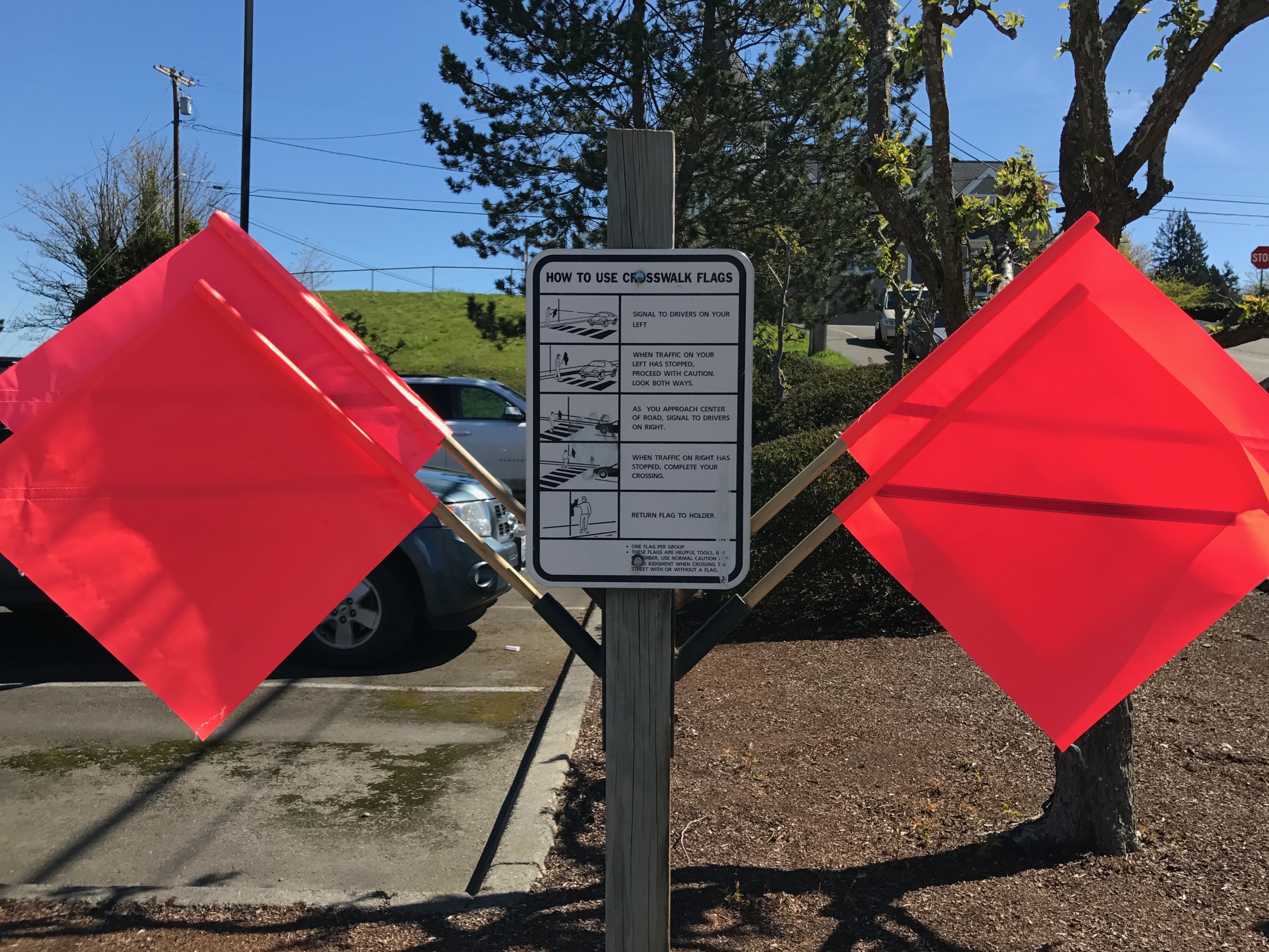
They weren’t warning signs about construction or some road obstacle – they were low tech aids for crossing the street!
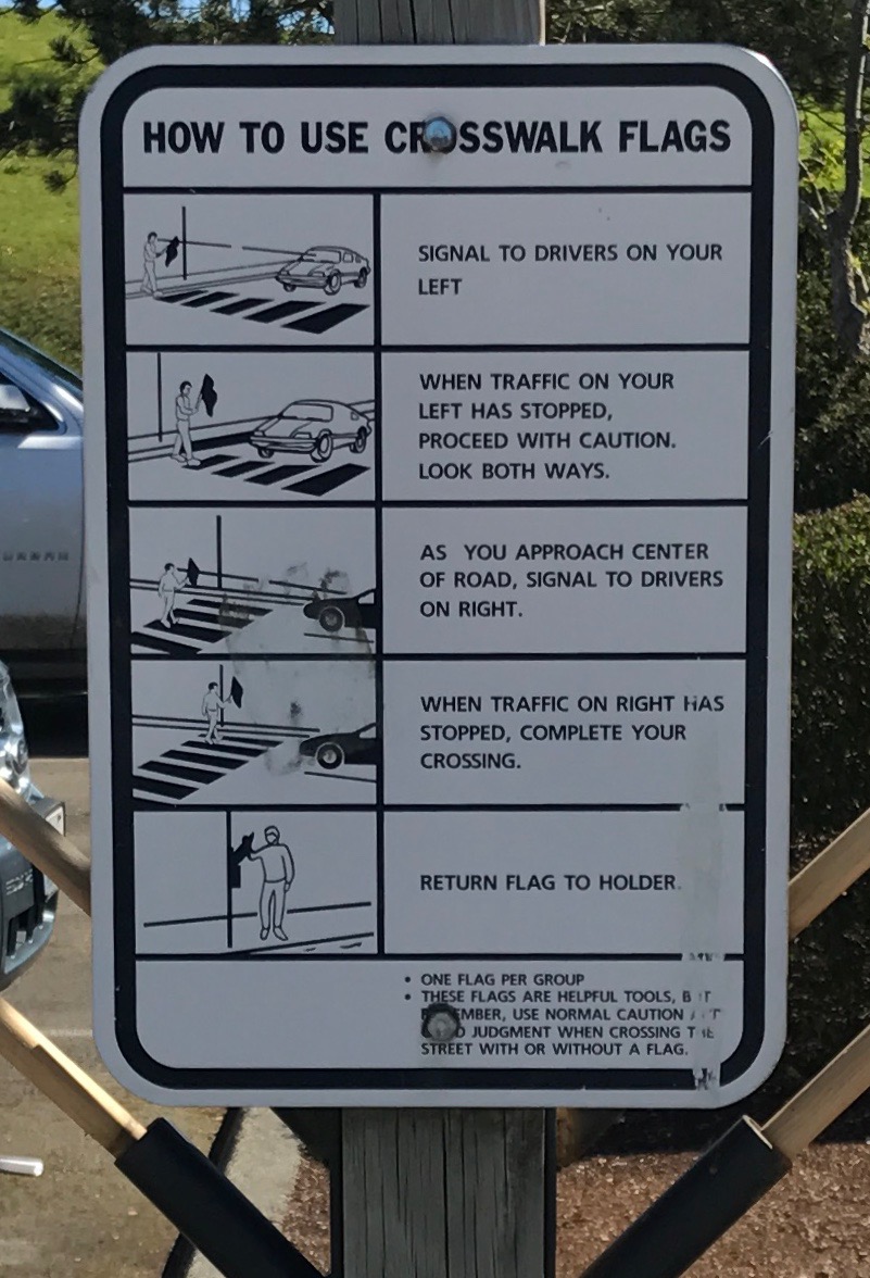
Isn’t that clever?
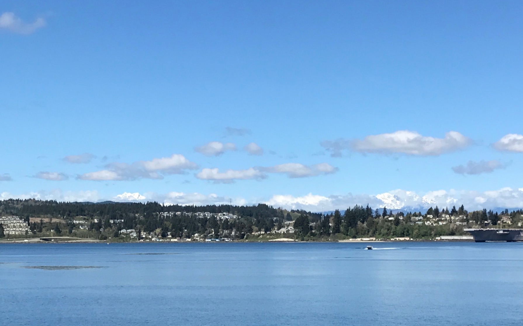
The blue sky really made the water beautiful. Look at the snow on the peaks behind the row of pines.
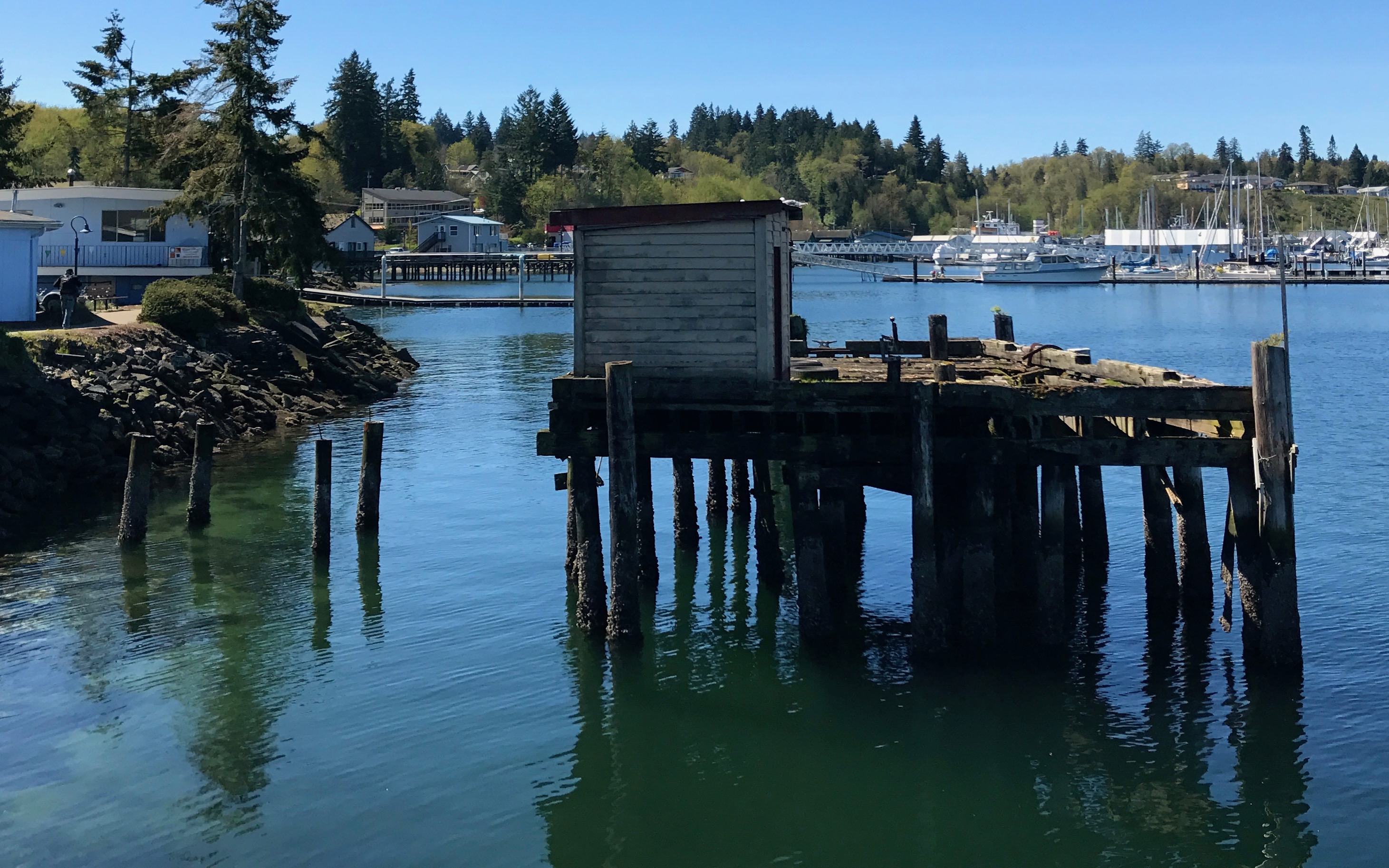
Another defunct dock. It amazes me that such things are just abandoned. Think of how much work went into building them in the first place, much like old farm houses and barns that are just sagging into the ground all across America.
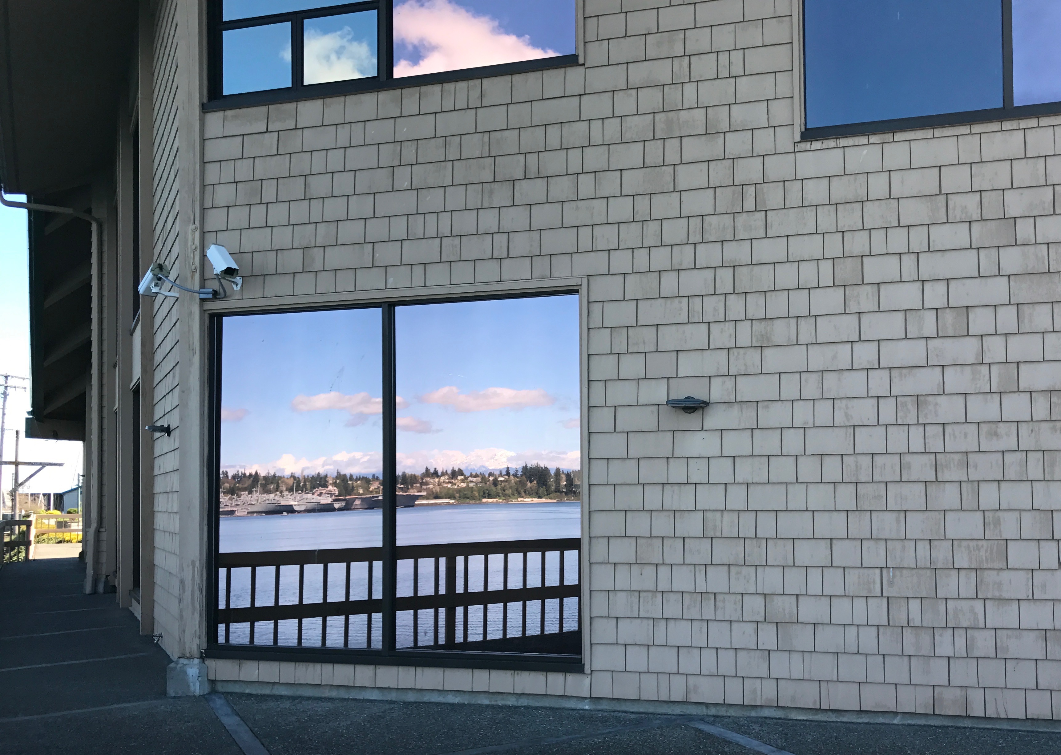
Now this is what I call a picture window!
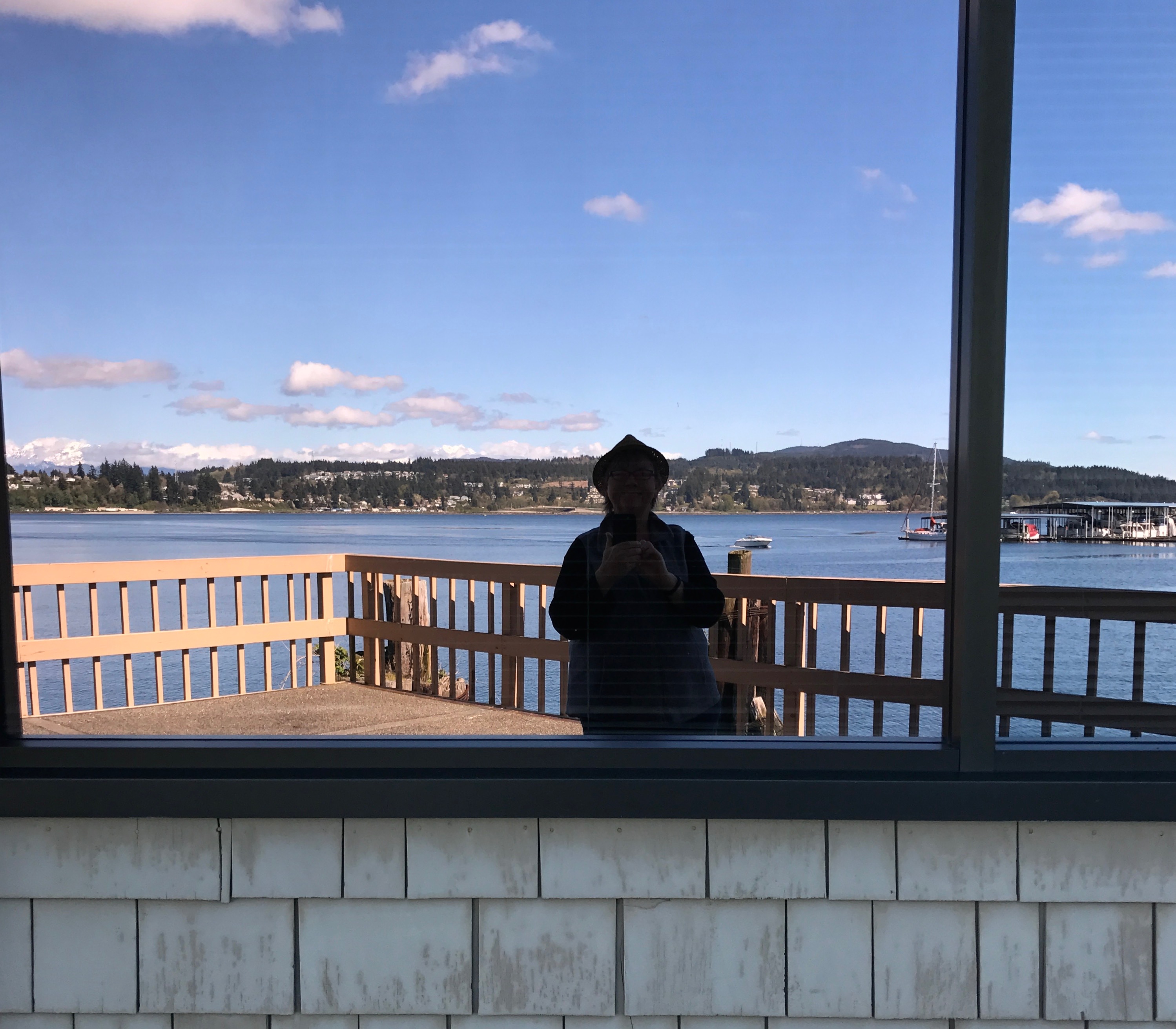
They also work well for selfies.
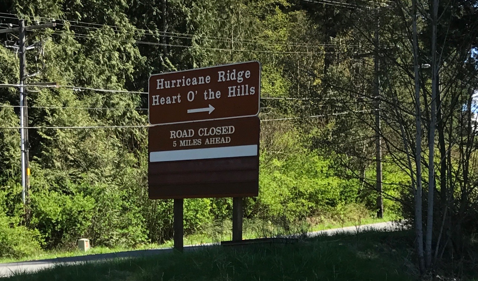
I arrived at the visitor center, and, yes, the road was closed if I went much further into the park. Visiting the visitor center would have to do.
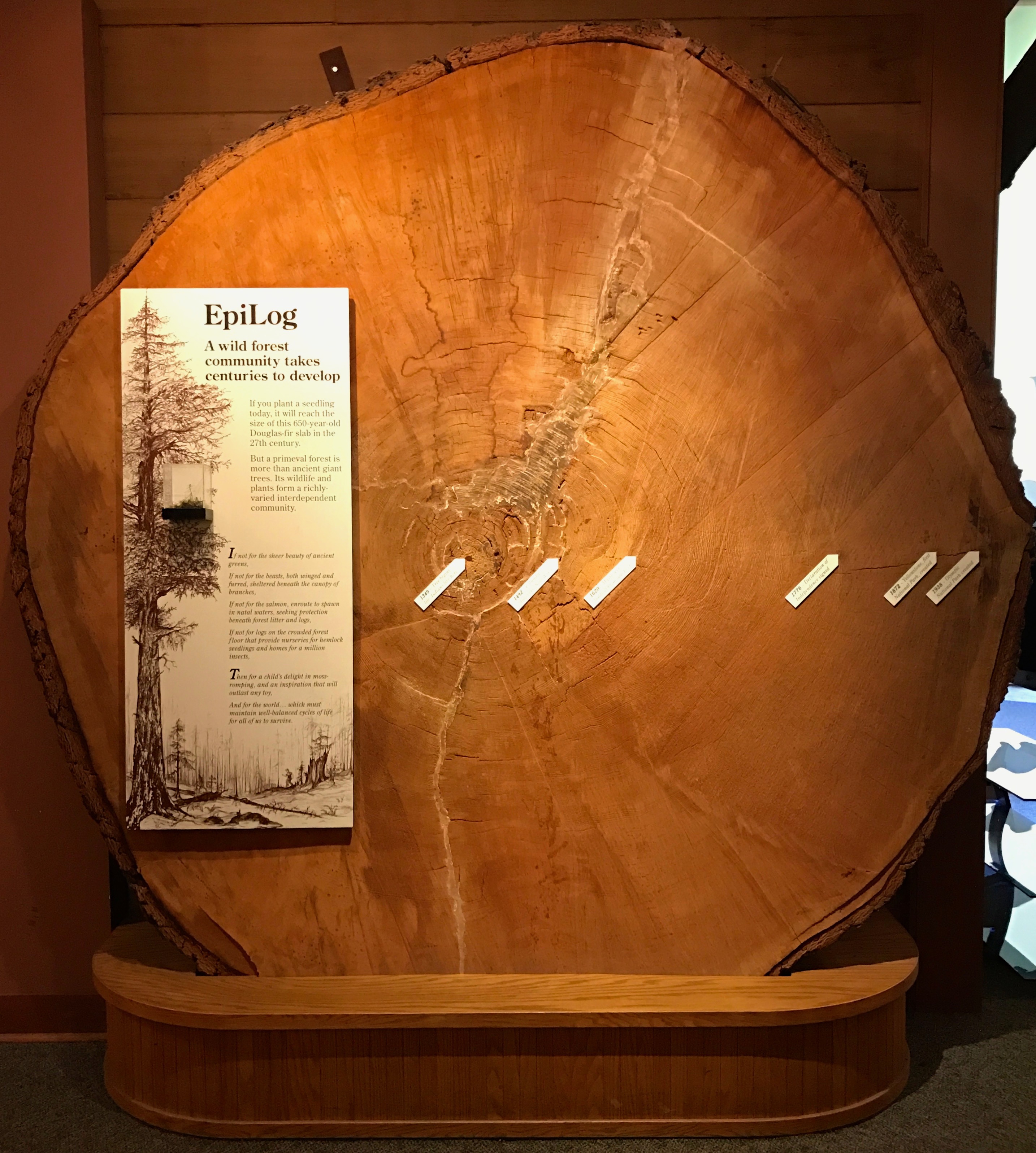
Right by the entrance to the center was a marvel of dendrochronology. (Click on the link if this is a new word for you. Personally, it’s one of my favorite words.)
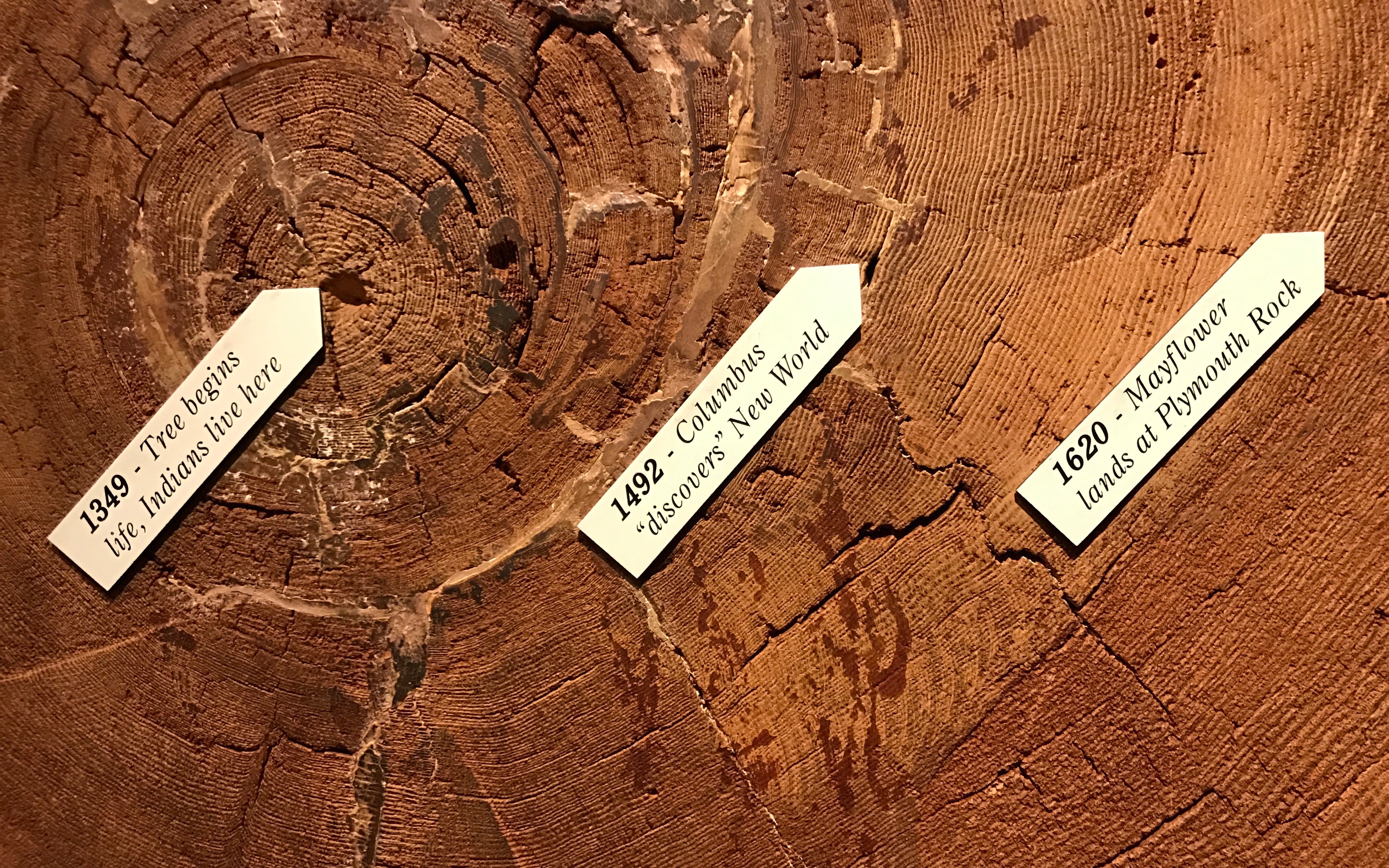
Working backwards from when the tree was cut, scientists determined that the tree started growing in 1349 – 669 years ago!
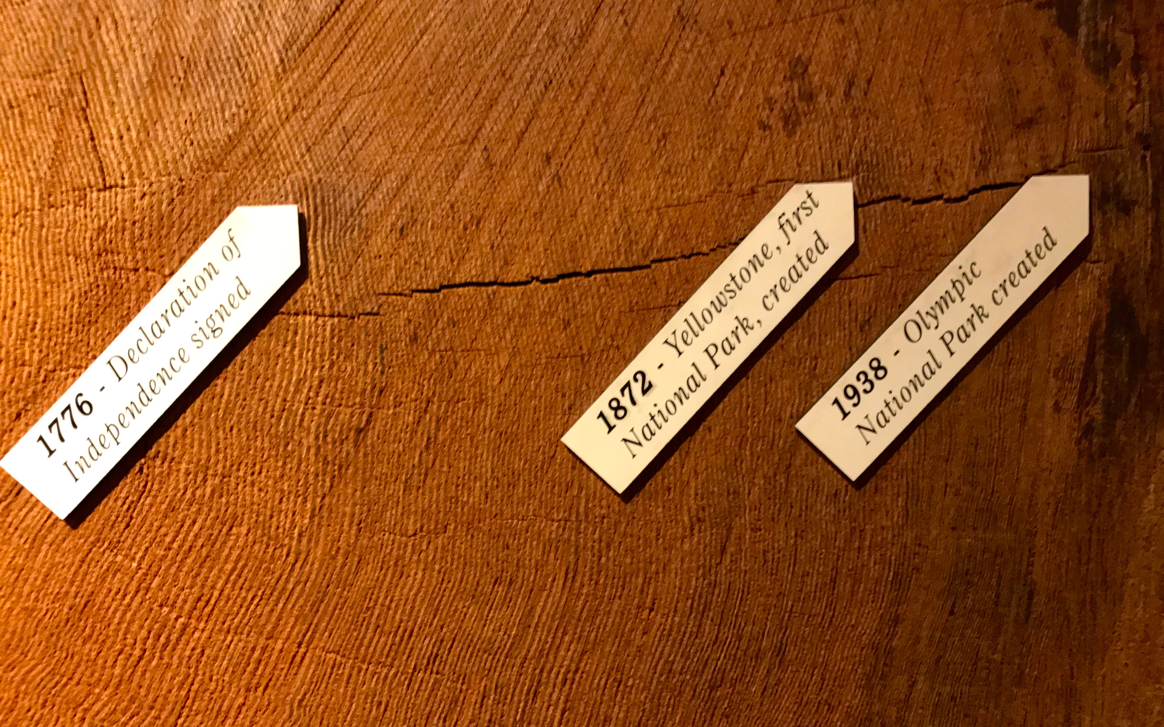
That is some timeline. Of course, the tree recorded events that were relevant to it – years of good growing conditions and poor, diseases, most likely the forest fires it survived. Humans overlaid the natural timeline with one that reflected their own interests,
I ventured inside the center.
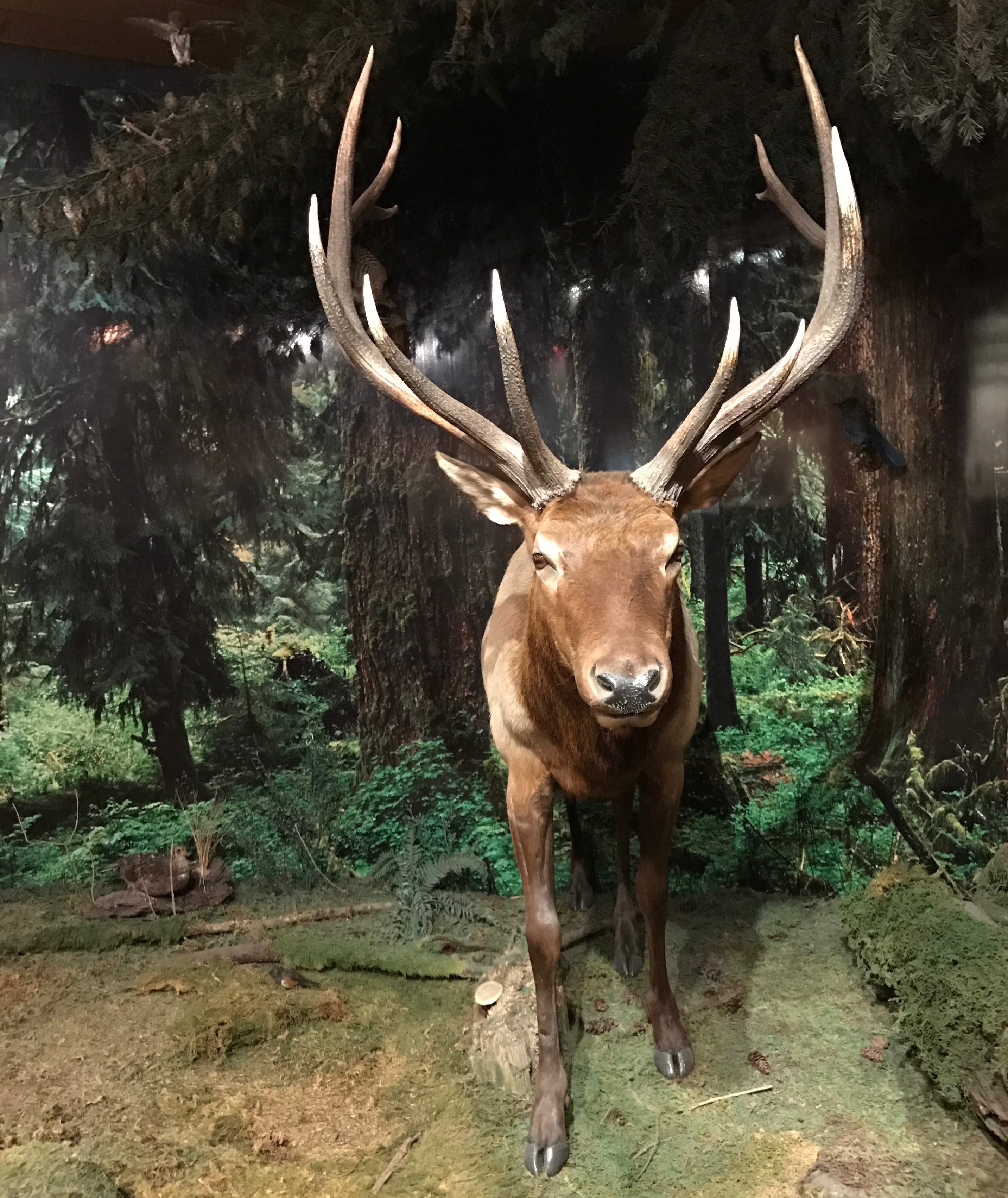
Now, this might be a Roosevelt Elk. There are two reasons I say that this might be a Roosevelt elk:
- Olympic National Park is home to the largest unmanaged herd of Roosevelt elk in the Pacific Northwest, and
- I took a photo of this sign:
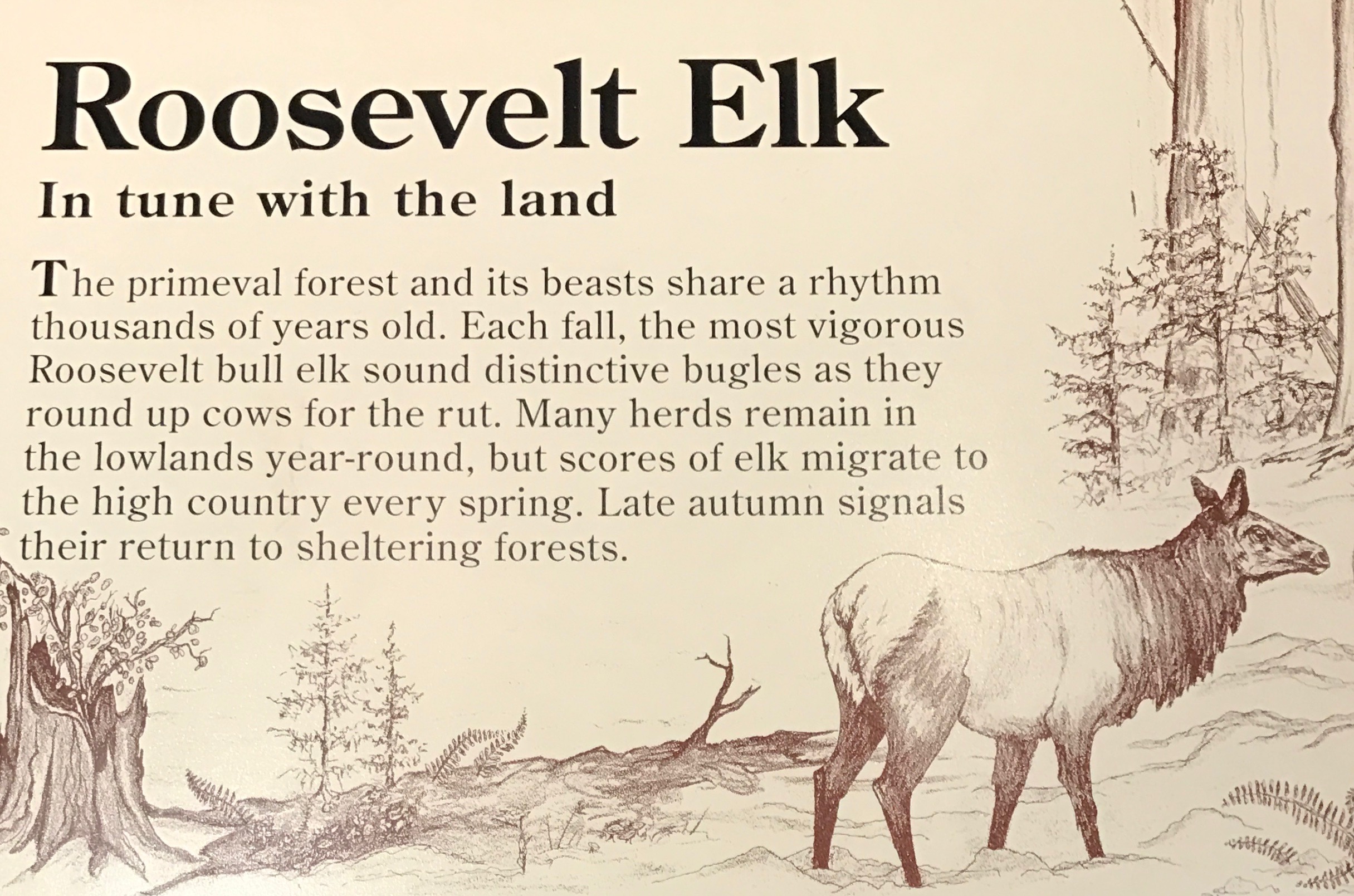
Thank goodness for my habit of snapping photos of signs!
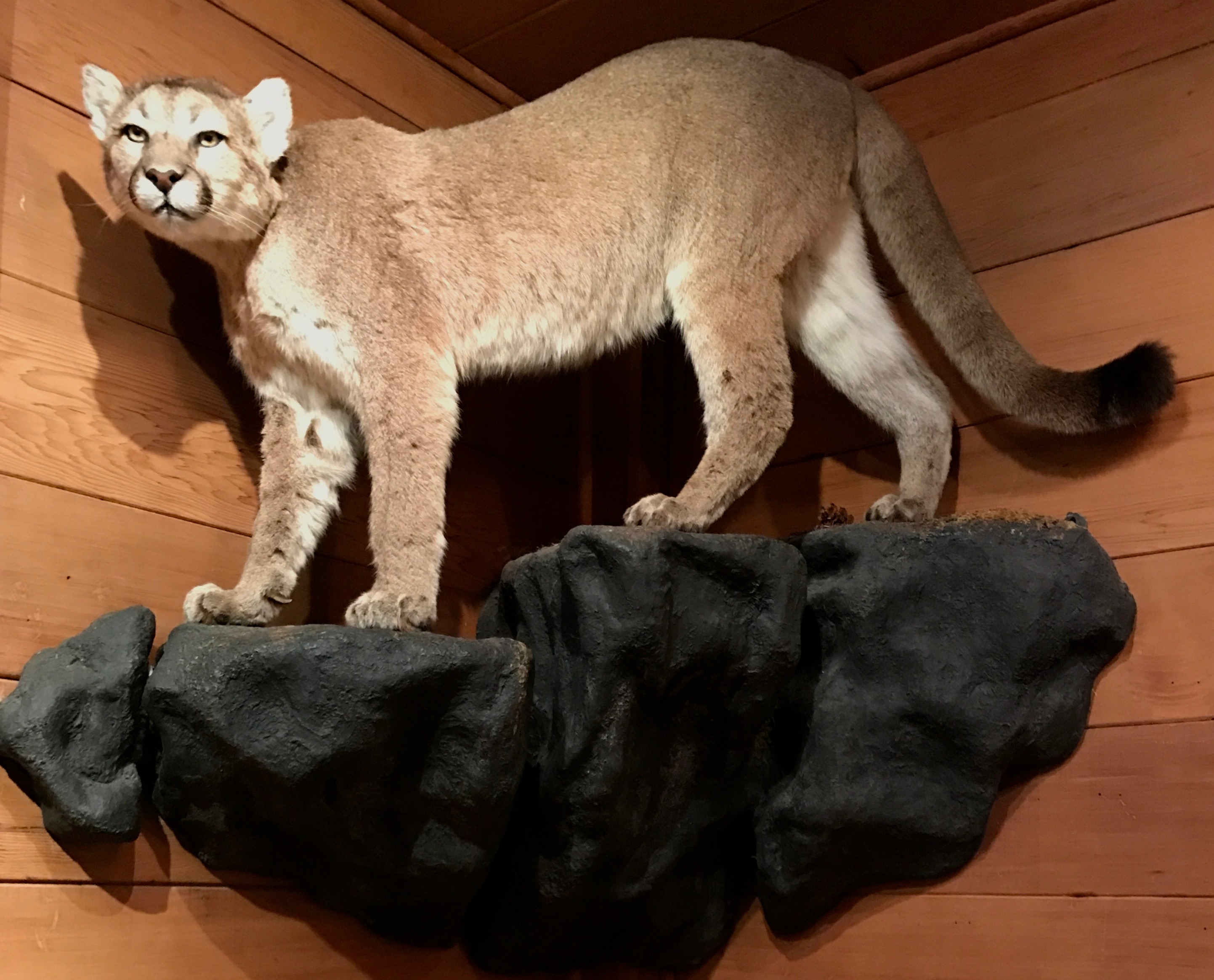
I wasn’t sure what sort of feline this was until I scoured my photo files a little more carefully. It was a cougar.
In addition to the Roosevelt elk and cougars, up in the mountains there are also bears. In one corner of the visitor center, they had bear cans that campers could check out.
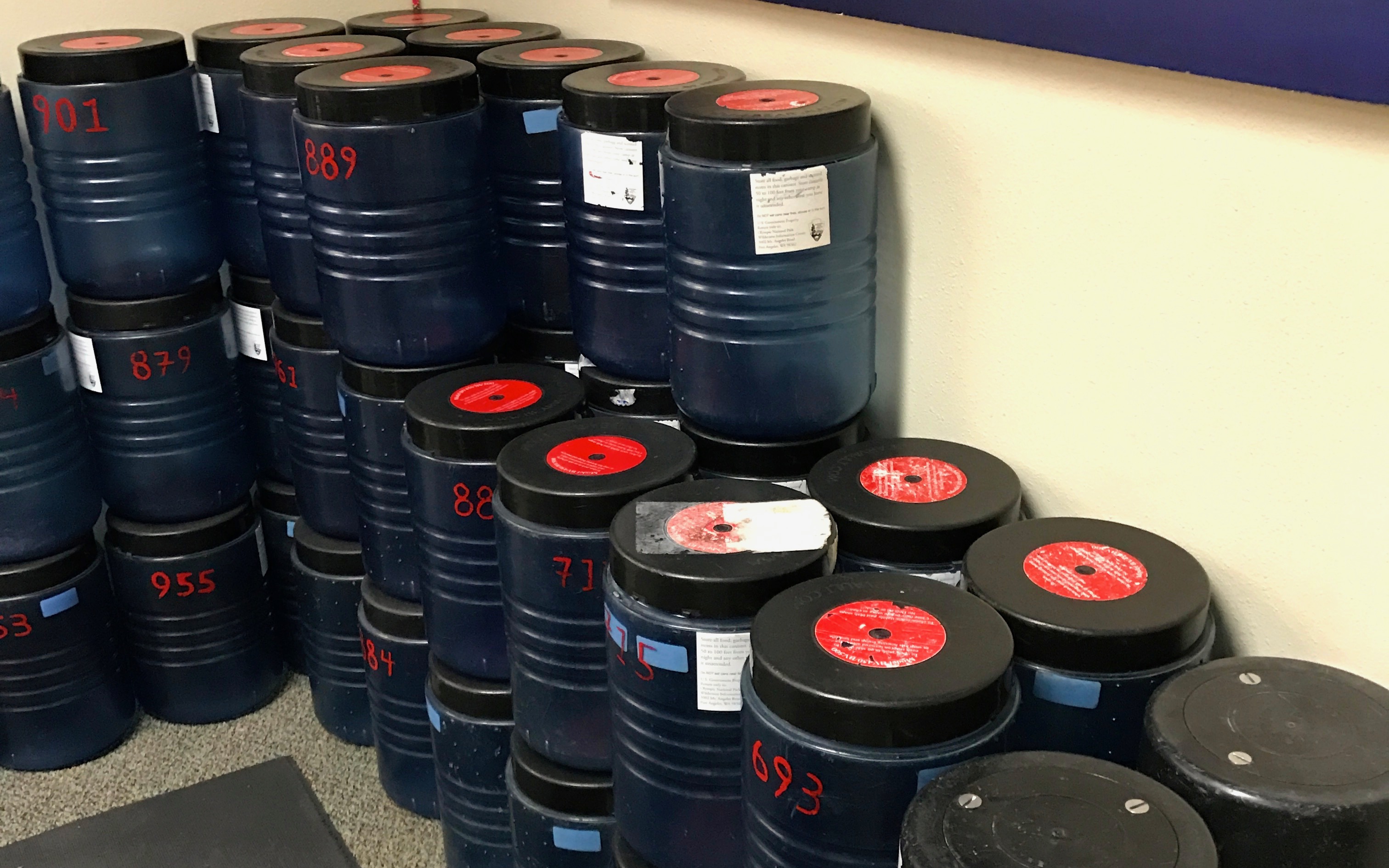
Just in case you are not sure how to use a bear can, these instructions were provided.
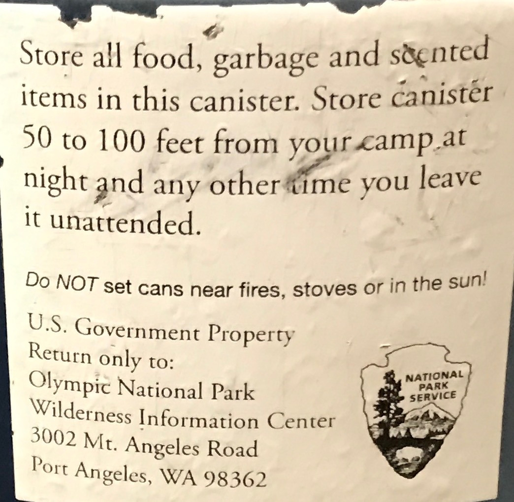
The thought of having to take such precautions makes me thankful that I am “camping” in the middle of a city!
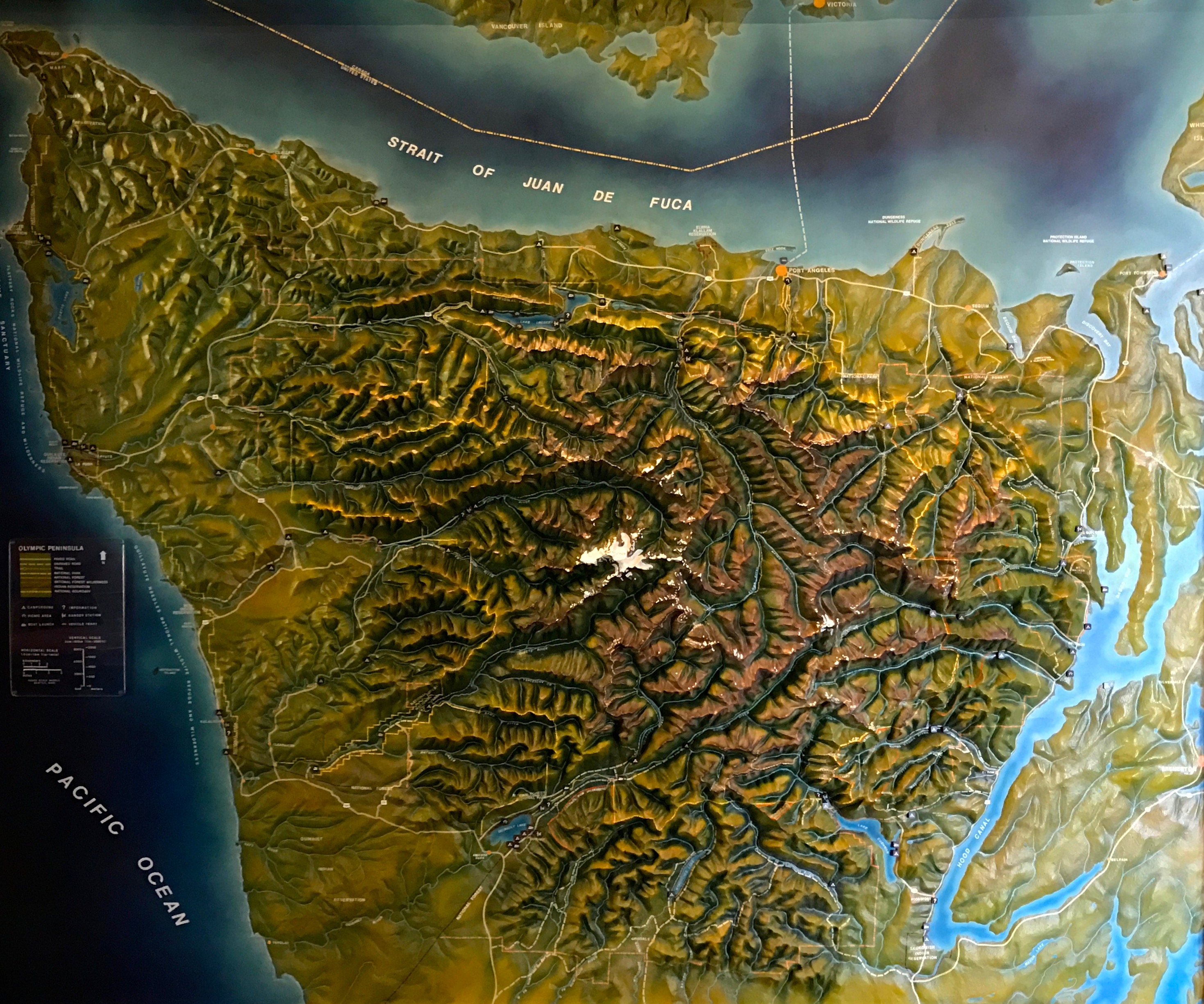
There was a cool 3-D map of the peninsula. I imagine the white area of the park was probably snow-covered when I visited. This part of the map was white was due to people touching it over the years.
And with that, I decided that I had seen enough of Olympia National Park – at least for this visit. Maybe I will return some day when the campgrounds are open and the roads are free of snow.
Or maybe not. The world is so full of places I have yet to visit.
(Incidentally, rainier is a great name for this mountain, as I have rarely encountered a rainier place earth.)
In any event, it was time to head back and get Flo and Bart ready for the next day’s travel. It was time to start heading east.