It was time to head out. Jantzen Beach RV Park was right on the bank of the Columbia River. All I had to do was make my way over to the bridge, drive across and I was in Washington.
While I was in Oregon and Washington, they certainly lived up to their reputations as damp and dreary. When the weather would clear, however, there would be spectacular views. For instance, on that gloomy Easter Sunday, The clouds parted for a bit and I caught of glimpse of Mount Hood.

Now, I wasn’t able to take a photo, as I was driving. I borrowed this photo from www.History.com, and I hope I have attributed it correctly. By the time I got to a spot where I could have safely pulled over, I couldn’t locate it. How does one lose an 11,000 foot tall mountain?
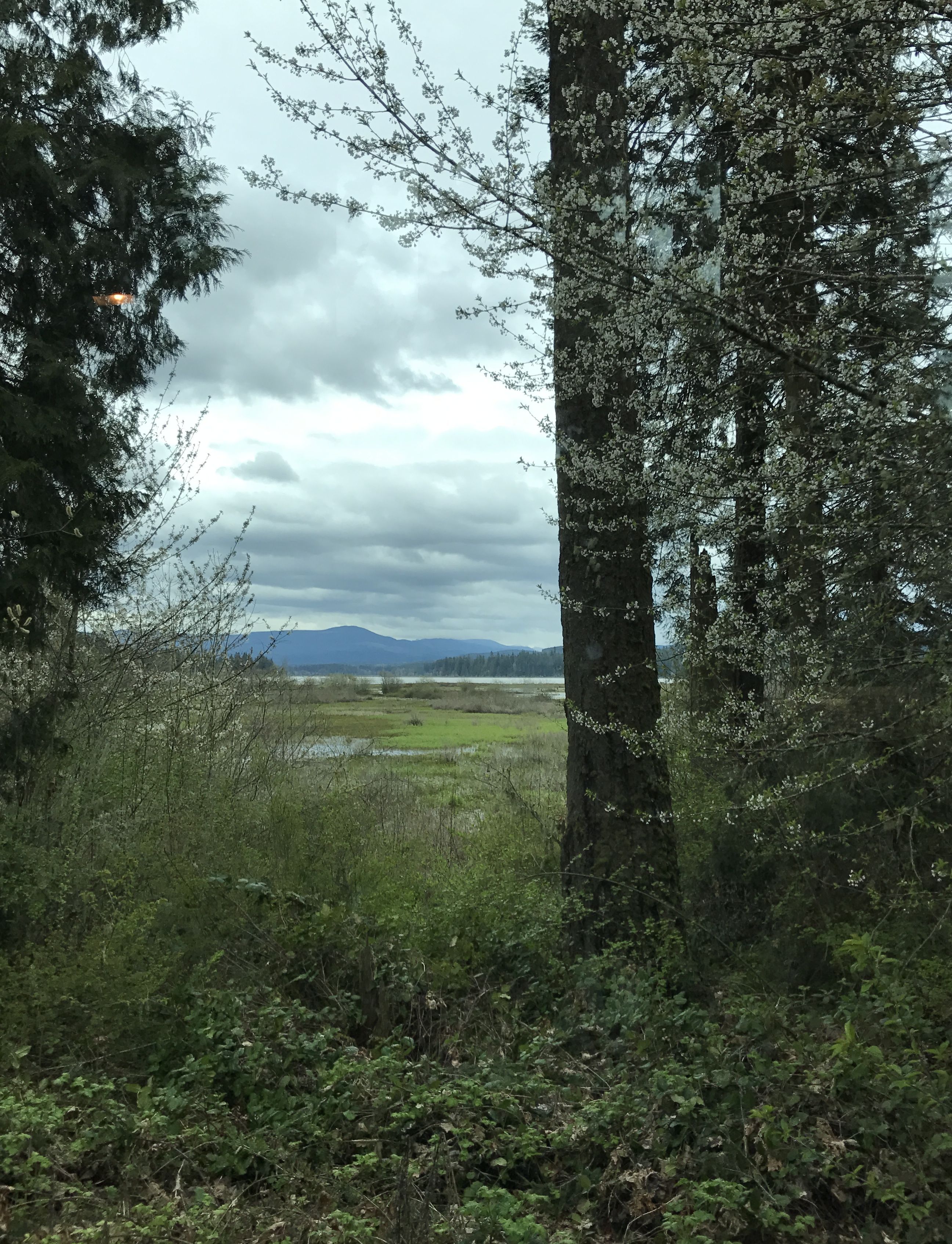
When I set out the next day, the clouds and drizzle had descended once again, like a wet, cold blanket.
One of the places I was going to pass was Mount St. Helens. Everyone my age and maybe a bit younger probably remembers this image.

It had a major eruption back in 1980, which was the deadliest and most economically destructive volcanic event in the history of the United States. I started seeing signs for a Washington State Park Visitors Center and decided to get off the interstate and see what I could learn.
Unfortunately, this was the view from the site. I guess there is an 8,000 foot tall mountain back there. Norman Vader, a volunteer docent, told me it was lost in the clouds today, so I assume that the mountain that is visible in the photo is not Mount St. Helens.
I roamed the exhibits for a while.
The plaque with this exhibit read,
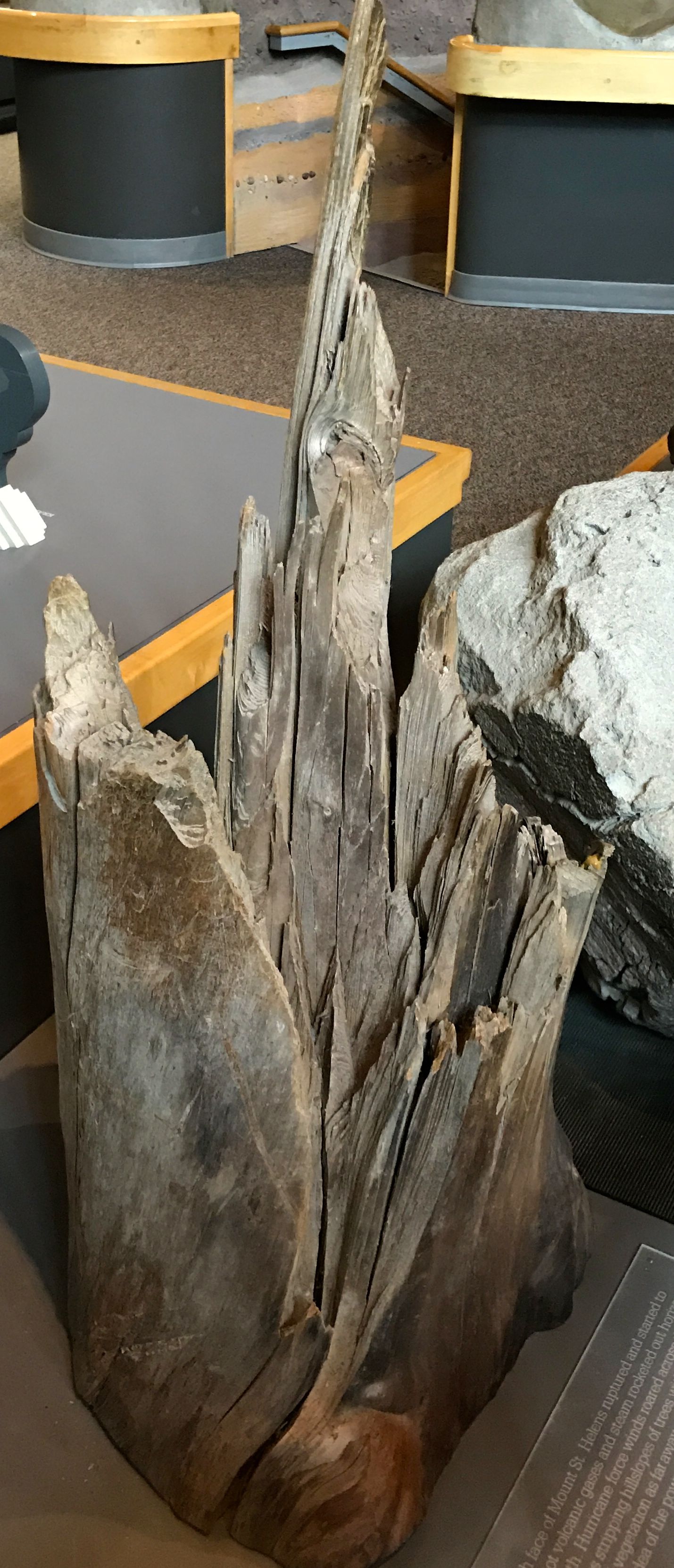
“As the north face of Mount St. Helens ruptured and started to slide away, hot volcanic gases and steam rocketed out horizontally to the north. Hurricane force winds roared across the land for 1015 minutes, stripping hill slopes of trees within 6 miles and leveling nearly all vegetation as far as 13 miles. This tree trunk gives some idea of the power and fury of the initial blast.”
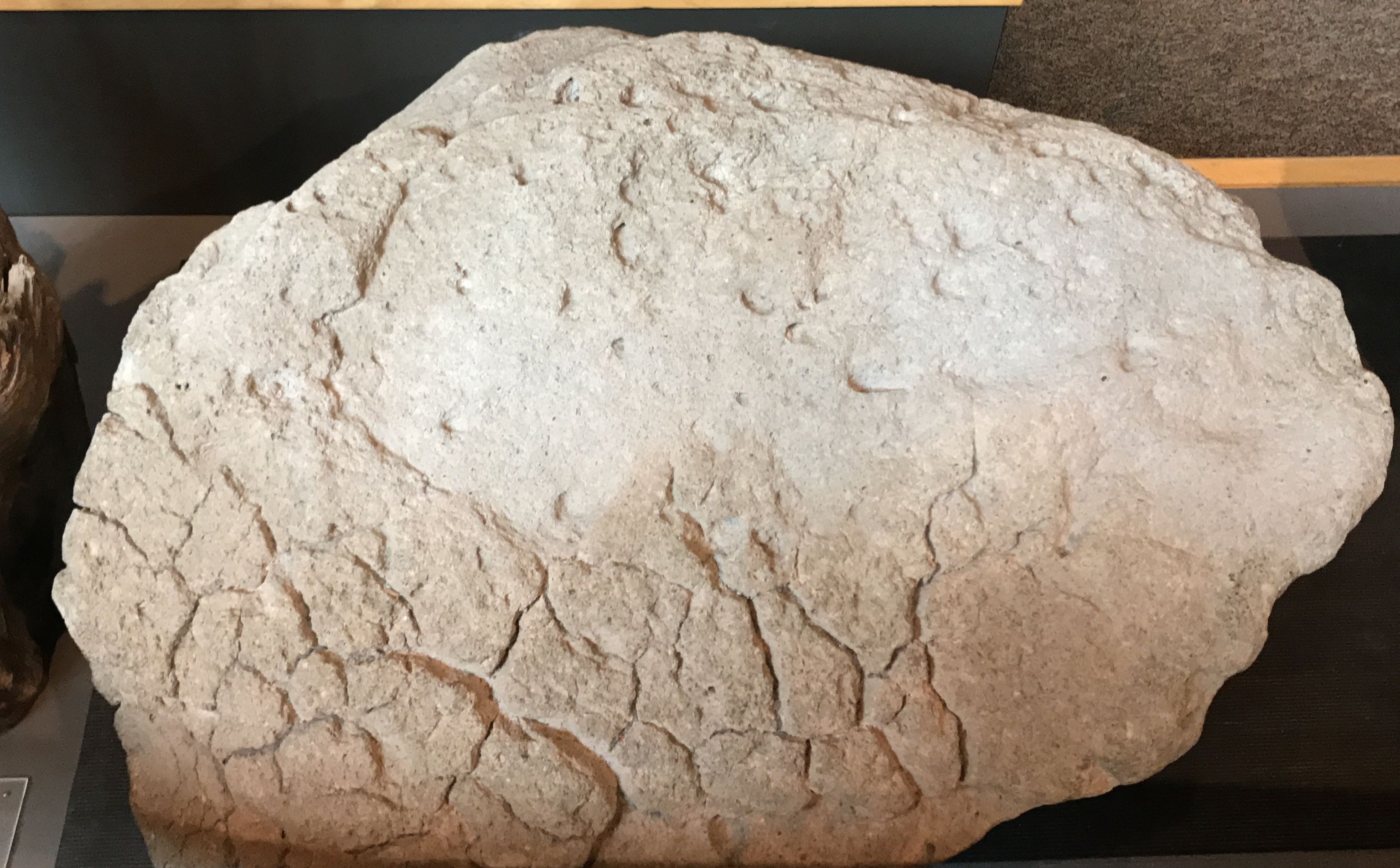
This is a piece of pumice from the eruption. The plaque read,
“This volcanic rock was made when super-heated magma containing a very large amount of water and gas was thrown out of Mount St. Helens. As the gas bubbles escaped from the lava with rapid cooling, they were trapped. The small holes left behind are called pores, and they make the rock very light weight. Pumice rock can actually float on water and covered the surface of Spirit Lake during the 1980 eruptions.”
I used to love to collect pumice, back when I lived in Guatemala. And, yes, it really does float.
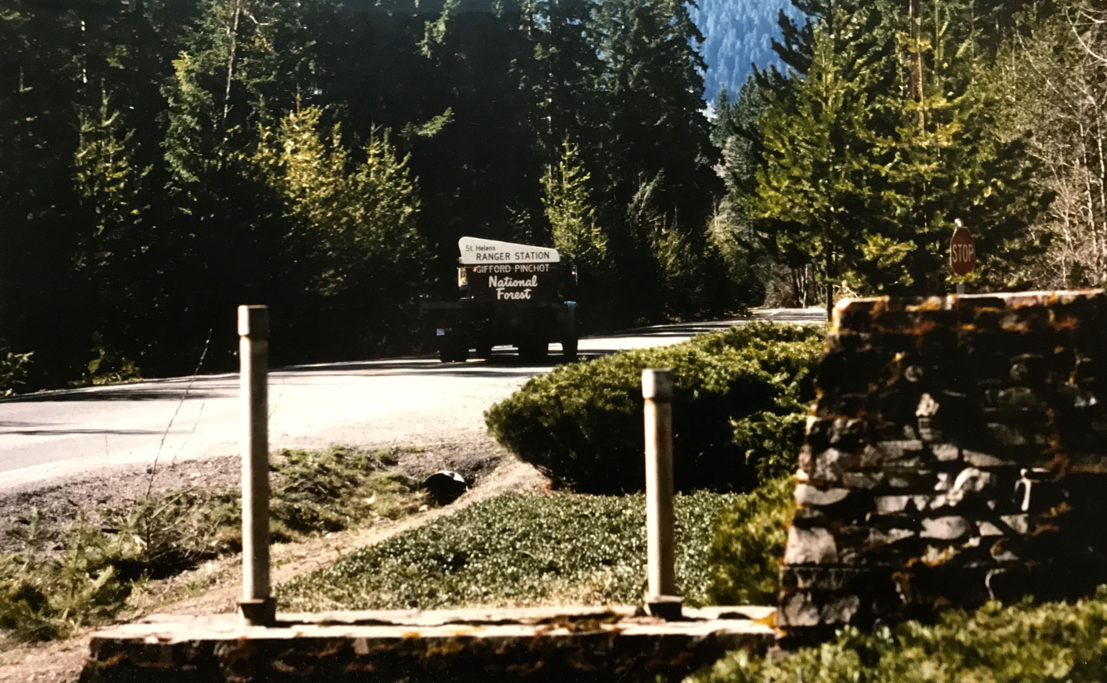
It was kind of hard to take pictures in the visitor center. I took a photo of this photo, though. You have to really start worrying when they take away the signs.
You may have caught the episode about a rescue during the eruption on Ann Curry’s “We’ll Meet Again” on PBS. It was quite the story. If you haven’t seen it, you might want to check it out.
I enjoyed talking with Norman Farber, the docent. He could answer any of the visitors’ question. He had little photo albums that he would pull out to illustrate his answers. I found this pair of photos particularly interesting.
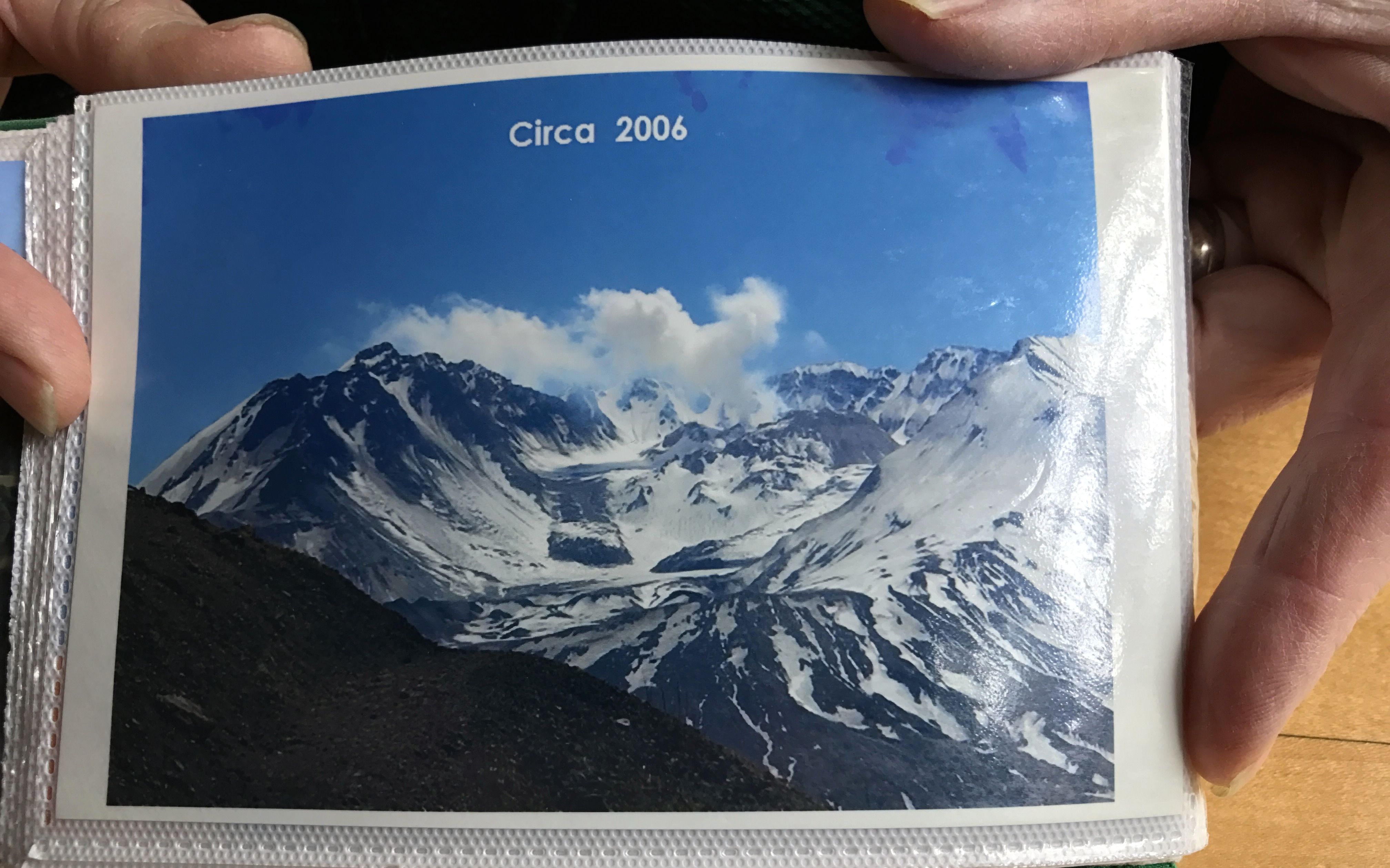
I believe that this is the crater left behind when the eruption occurred. It is interesting to me that glaciers actually started to grow in the crater.
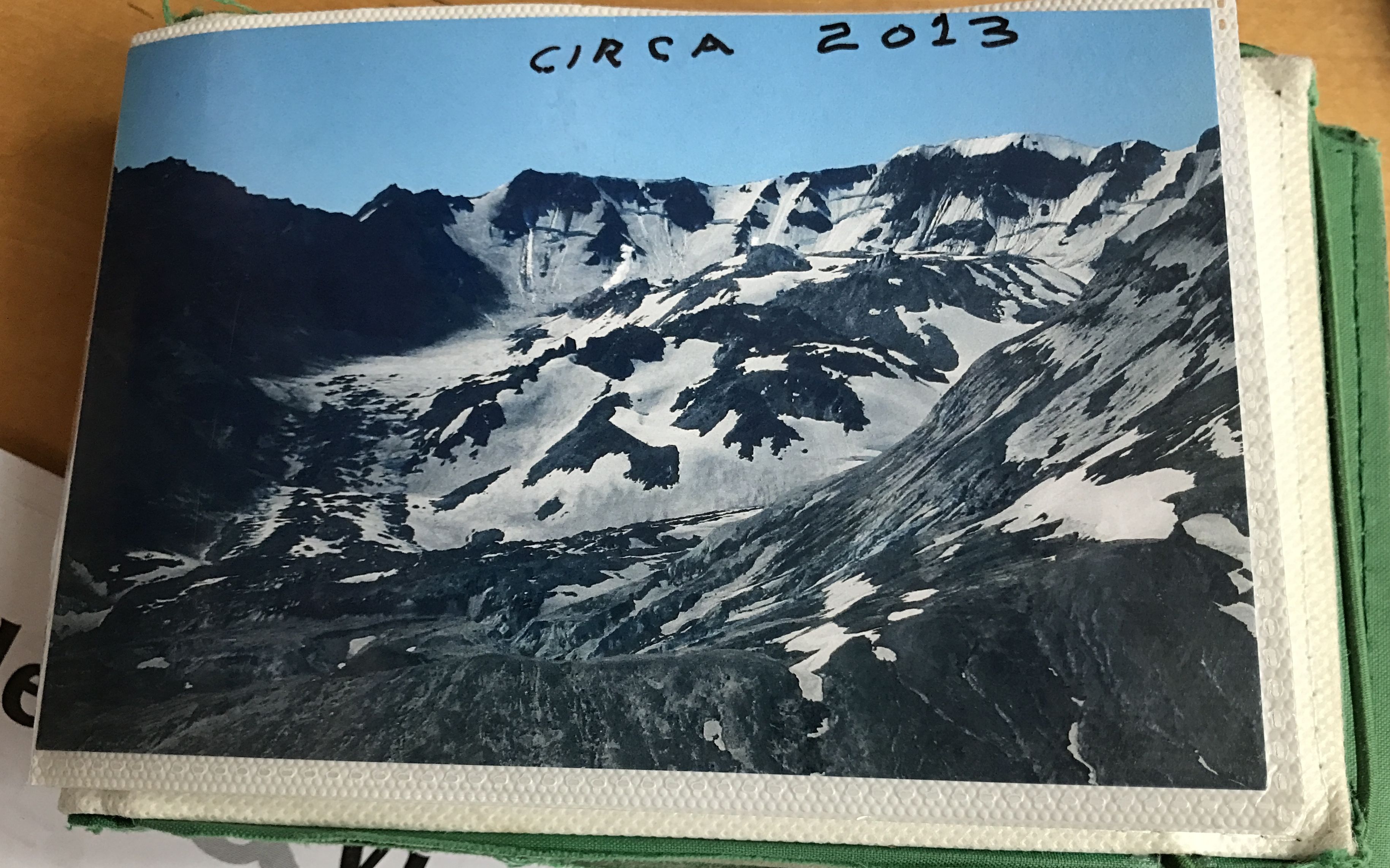
It is a bit distressing that the glaciers that had formed and started to advance have since been retreating.
After about an hour perusing the exhibits and listening to Mr. Farber’s stories, it was time to step into Flo, make a little lunch and head north. Carrying your kitchen with you is one of the delights of RVing.
My next destination was Washington Land Yacht Harbor. I found it on Campendium.com, and I even added my own review to the website. I have to say that it wasn’t the most scenic place I’ve ever stayed.
But, hey, it was only $18 with my WBCCI membership, as it was originally an Airstream-only park. It had full hook ups and it was in a good location for exploring the area. Given the time of year, it was just about that empty.
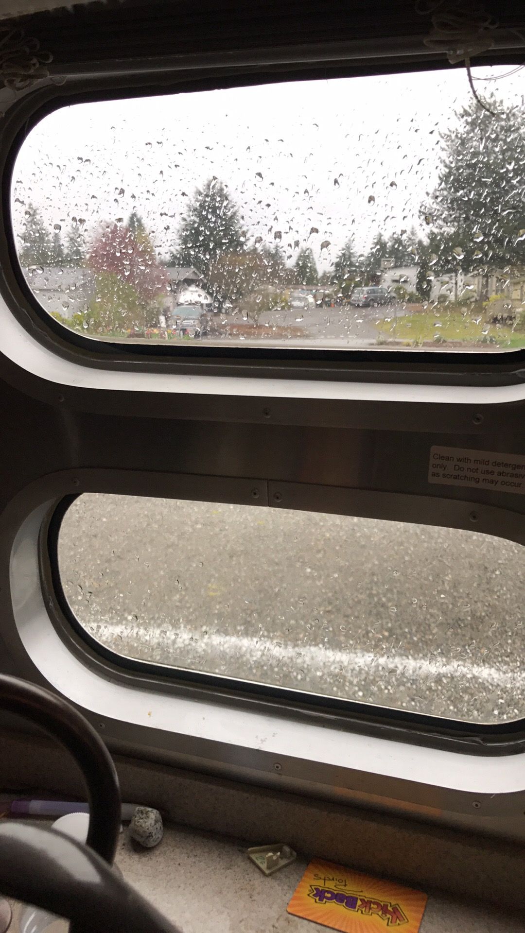
And, yes, it was still raining.