After my day at Bryce Canyon, I decided to see some of the other offerings of the area.
But first, I needed to make a snowman.
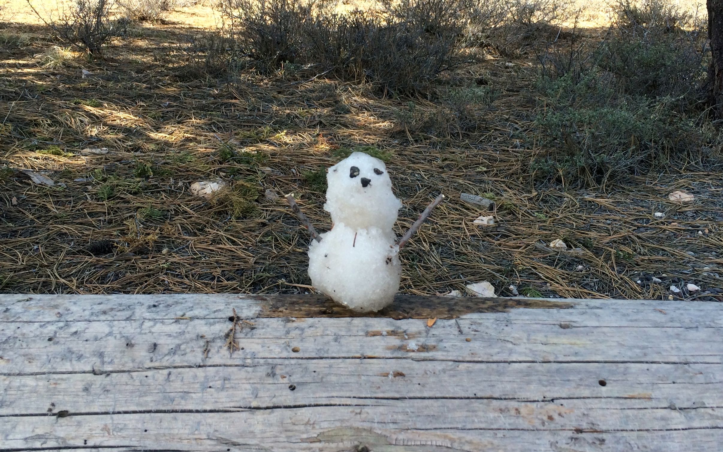
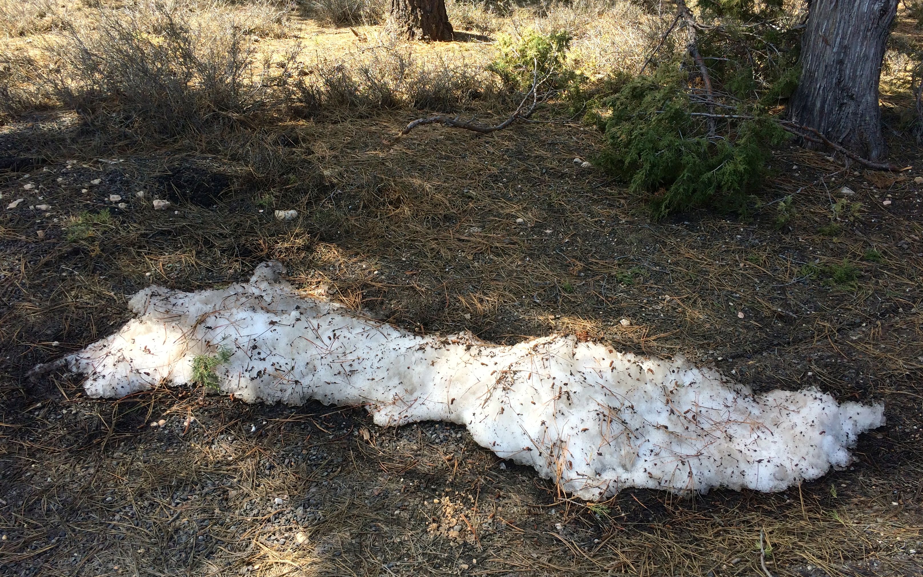
There was just a little snow nearby and I needed to take advantage of it.
After documenting my snowman – after all, if there are no photos, it didn’t happen – I decided to explore Mossy Cave Trail.
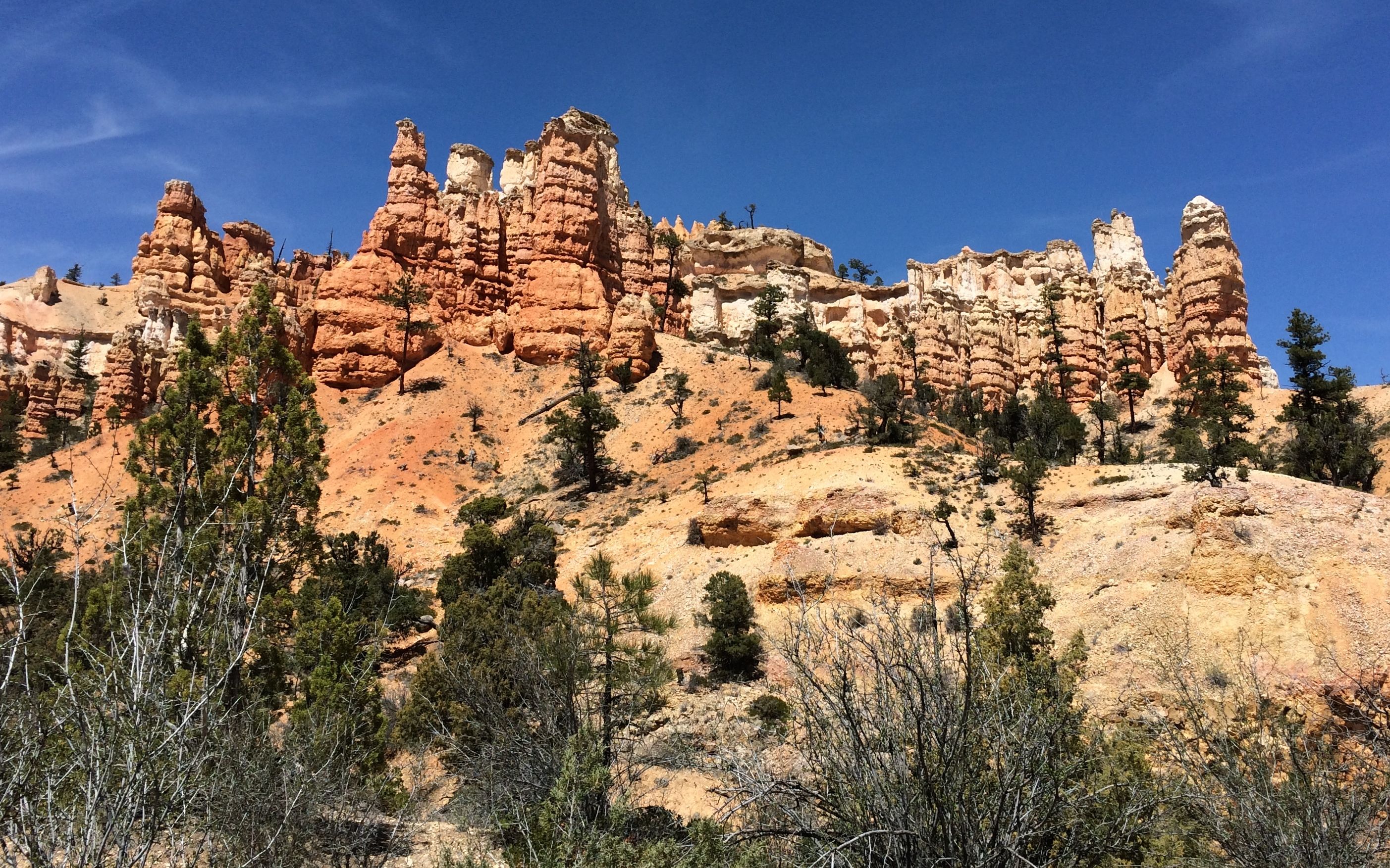
The hoodoos were spectacular!
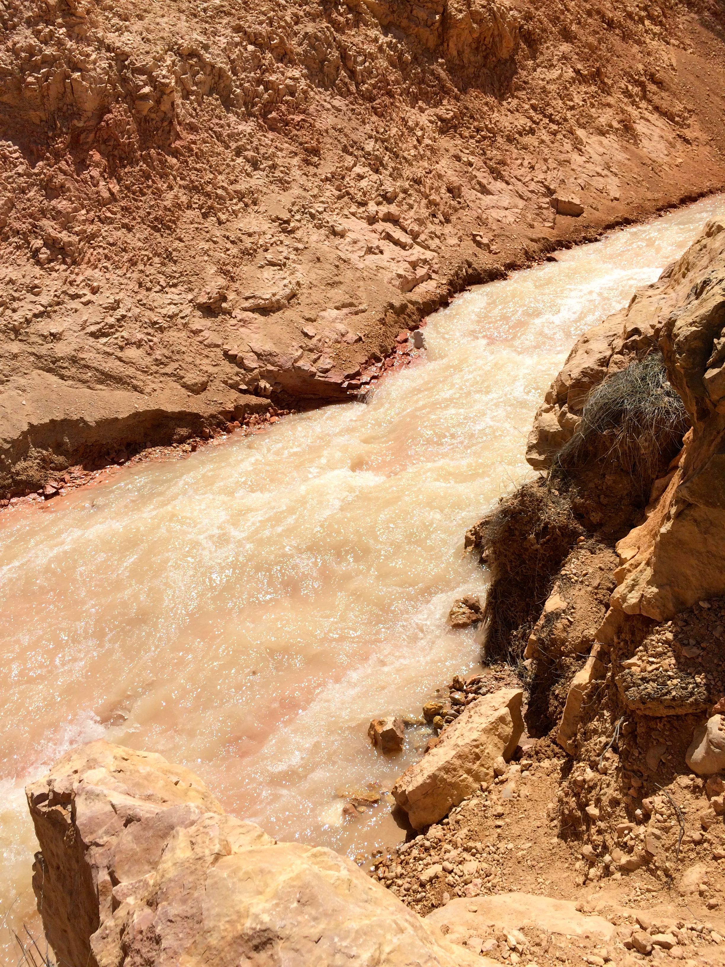
The canyon originally was dry. The Mormon settlers managed to dig a ditch that brought water up an over the ridge from a nearby river and ran it down the canyon.
It was a short but steep trail. I walked up it a ways, but decided that I had had enough walking the day before. It was hot and I felt like I had the general idea. I headed back to Bart.
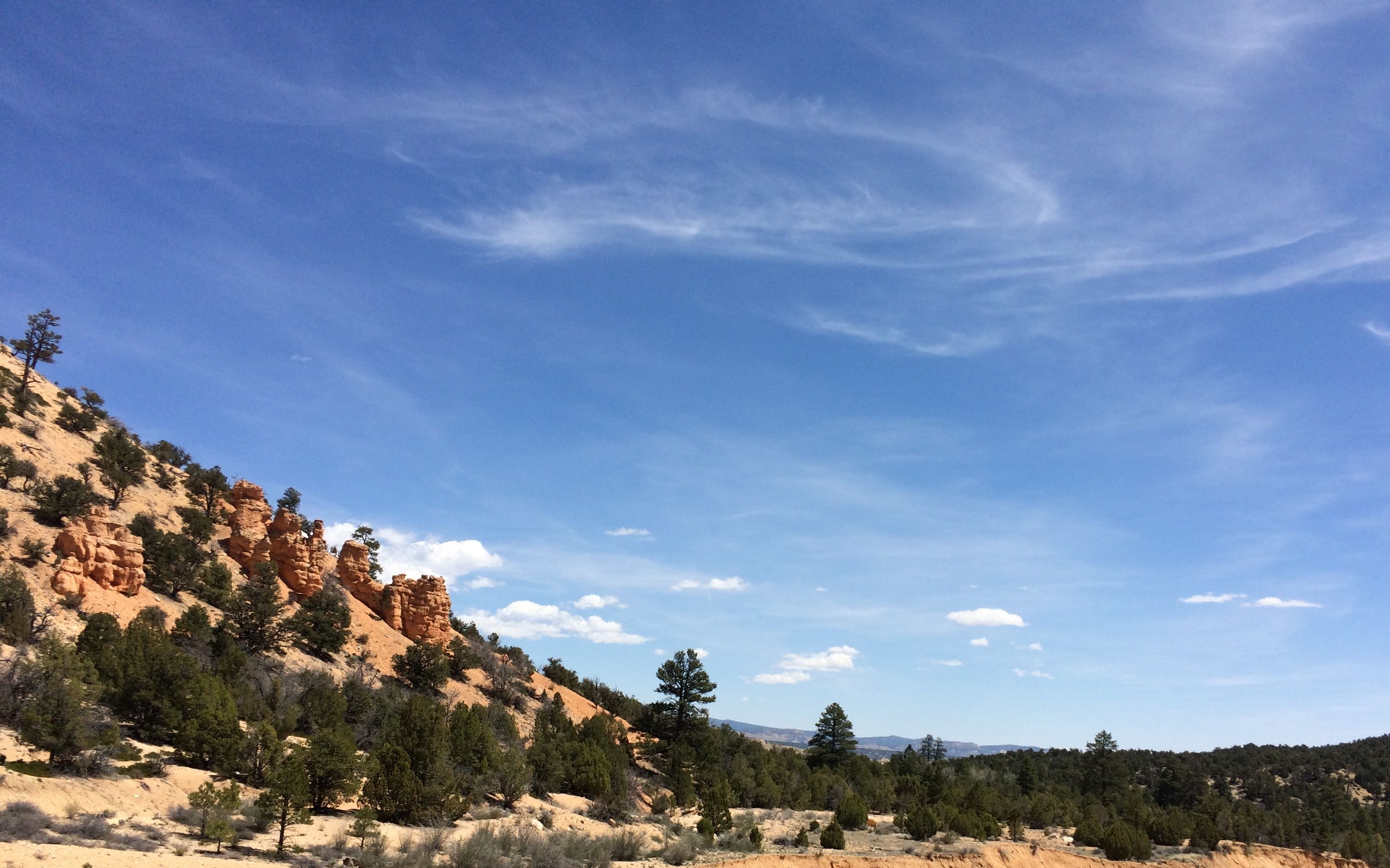
The view from the parking lot shows a change in the scenery coming down the road.
I motored onward and came to a visitor center for various federal lands, including the Grand Staircase-Escalante National Monument. I stamped my National Parks Passport and looked at the displays. One point I found interesting was that the Southern Paiute, who arrived from the Southern Great Basin around 800 years ago believed in following the water. They traveled in a seasonal rhythm and used what the land offered. The Mormon settlers followed a European lifestyle that involved bringing the water to where they wanted it.
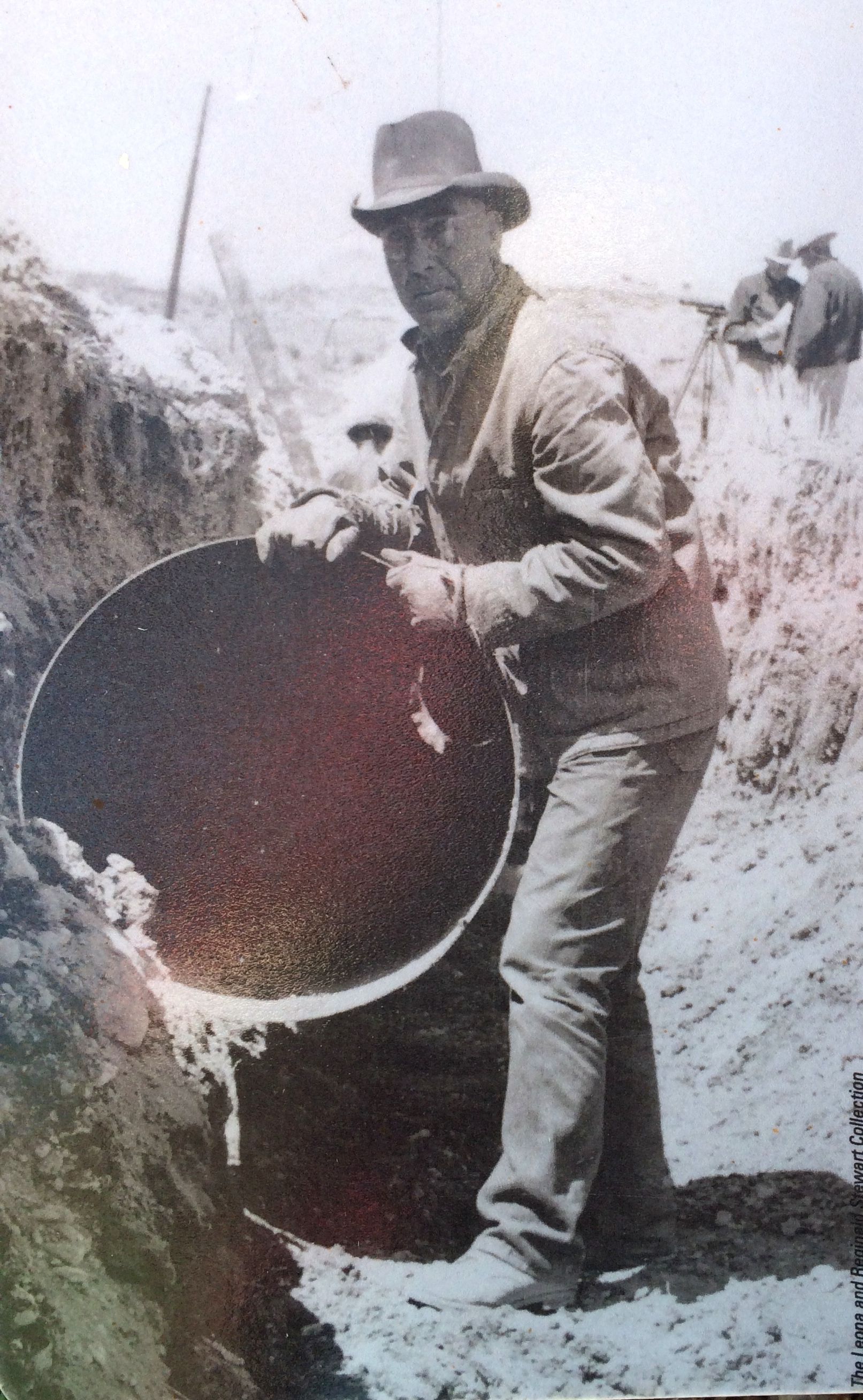
Here we see Reginald Stewart, working on the ditch that brought the water down Mossy Cave canyon.
After looking around a bit, I decided to follow the road a little further to Kodachrome Basin State Park. I was intrigued by the name. Was it named after the film I had to find out!
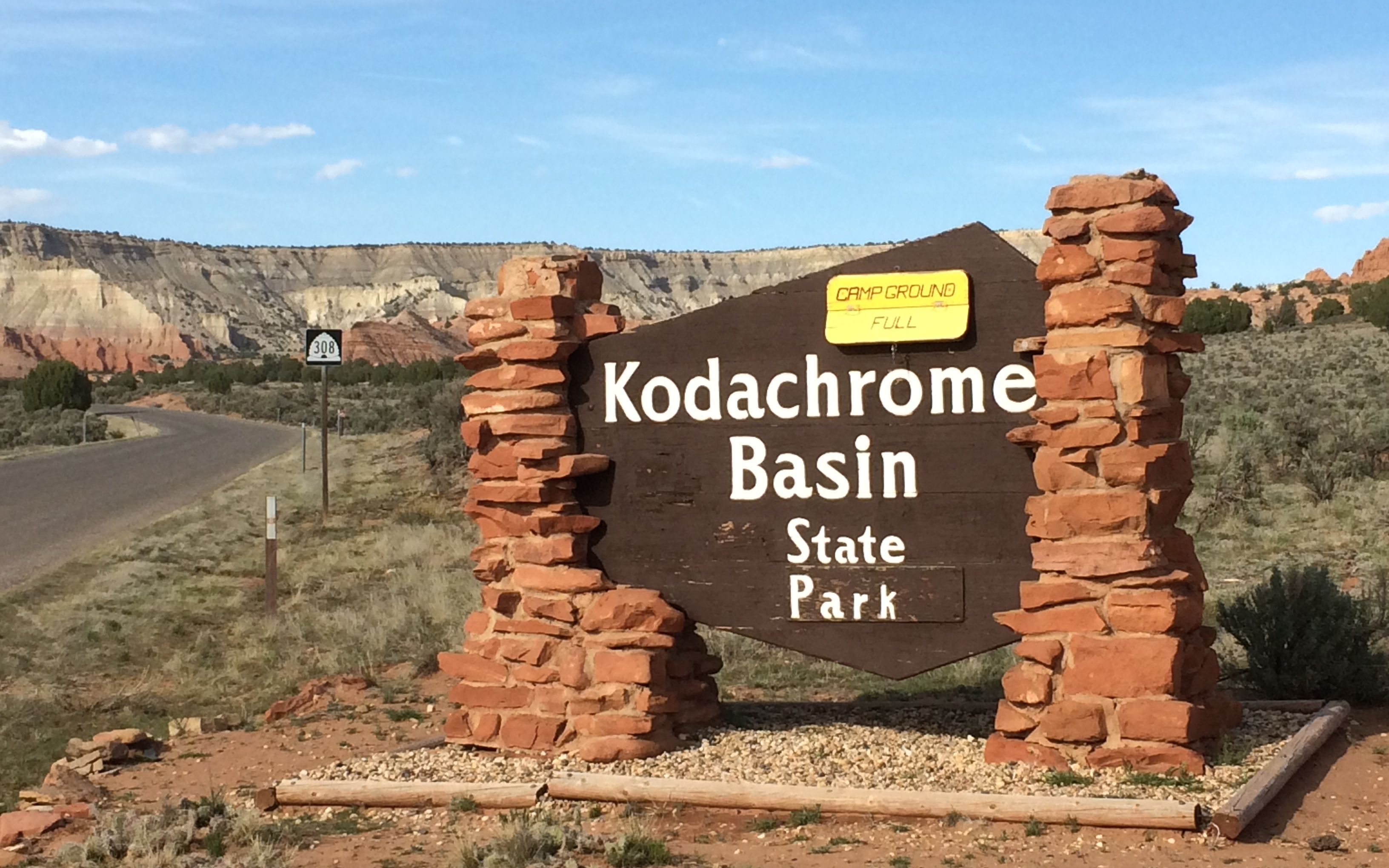
I was tantalized by what I could see from the entrance, but I couldn’t bring myself to spent the $8 admission fee. I chatted with the ranger and he invited me to park and look at the displays they had inside the ranger station.
And, I found out that it Kodachrome Basin was named for the film! Originally, it was called Thorley’s Pasture.
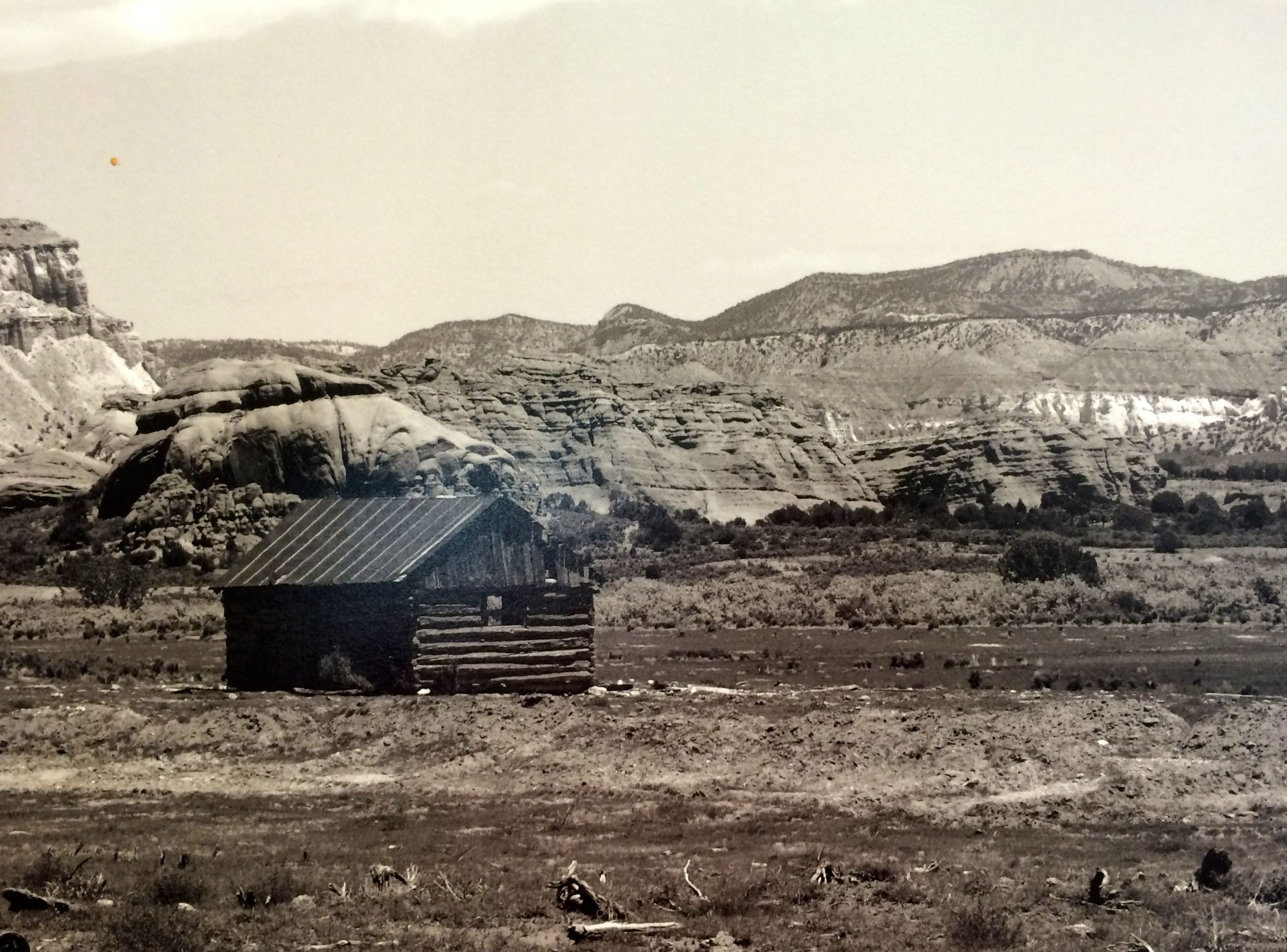
The area is filled with sixty-seven sand pipes that range from six to 170 feet tall. One theory is that the area was once filled with hot springs and geysers, which filled up with sediment ant solidified. Over time, the sandstone surrounding the solidified geysers eroded and left the sand pipes behind.
Around the turn of the 20th century, cattlemen from the nearby used the area as a winter pasture. In 1948, the National Geographic Society explored and photographed the area for a story that appeared in the September 1949 issue of the National Geographic.
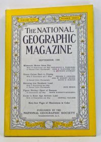
They were writing a story called “Motoring into Escalante Land”. They named this area Kodachrome Flat, after the relatively new brand of Kodak film they used. In 1962, Utah designated the area as a state park, and changed the name to Chimney Rock State Park, to avoid possible repercussions from Kodak for using their trademarked name. It was renamed Kodachrome Basin a few years later, with Kodak’s permission.
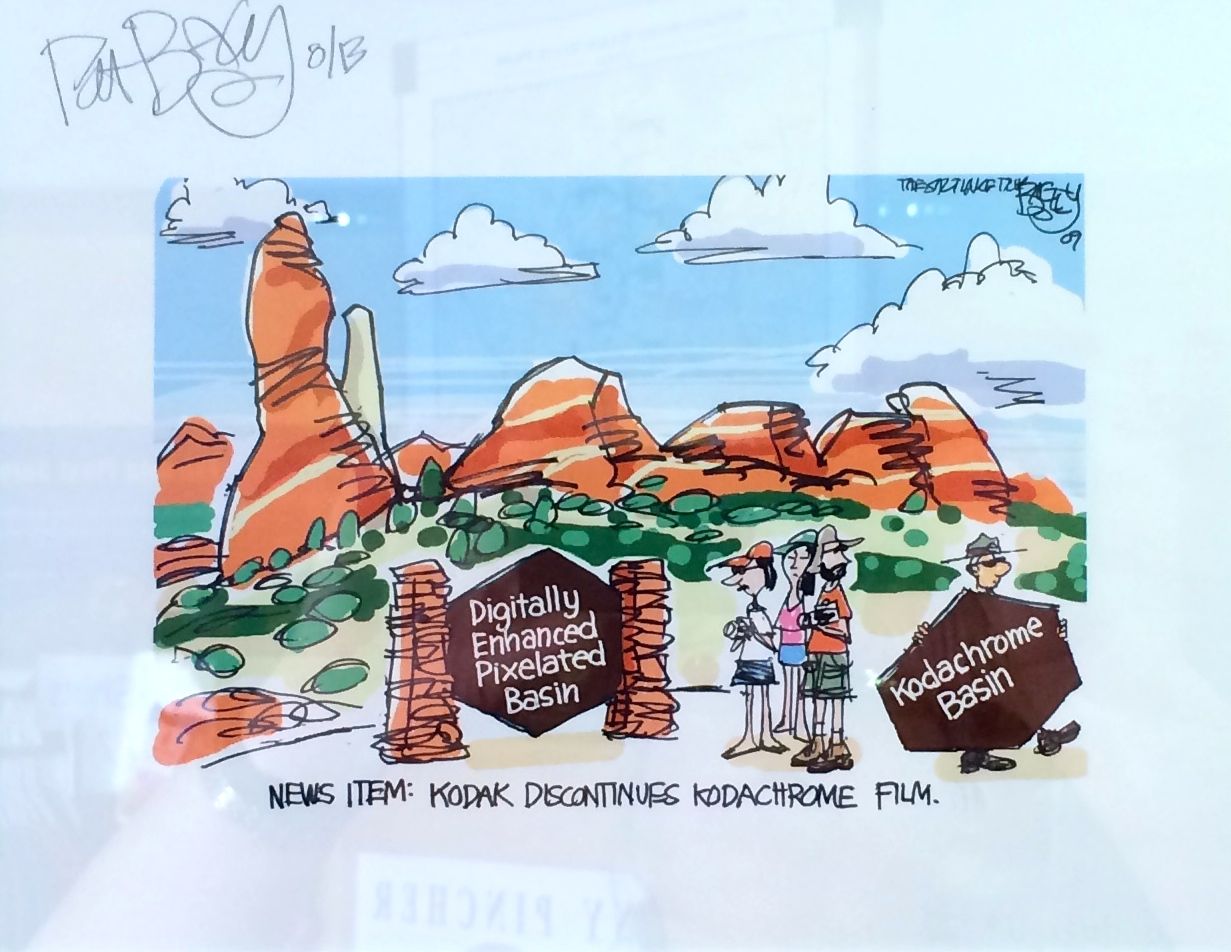
Ah, but time marches on! This cartoon was displayed in the ranger station. No more Kodachrome film, but Kodachrome Basin State Park remains.
In retrospect, maybe I should have sprung for the $8 admission to the park, but I found out the Grosvenor Arch wasn’t too far and the road was in good condition. I decided to head that way and see it.
Grosvenor Arch was named for Gilbert Grosvenor, a president of the National Geographic Society. It is about ten miles down the road from Kodachrome Basin State Park in the Grand Staircase-Escalante National Monument.
Luckily, the roads were dry. But – my-oh-my! – the roads were not smooth! However, they were passable. After a fashion.
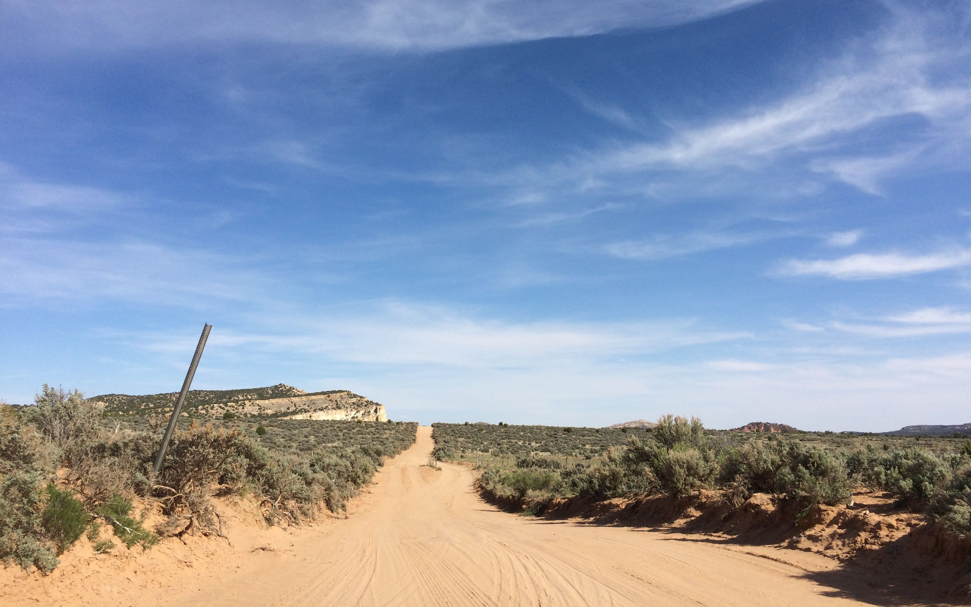
There were sandy spots…

and washboard roads that jarred my teeth. I was so glad to have a steering wheel to hold on to and I learned to clench my teeth so that they didn’t rattle. I went up over ridges and down through washes. It was quite a ride!

There were incredible views along the way!
I finally came to a fork in the road – so I took it. (Quote courtesy of Yogi Berra.)

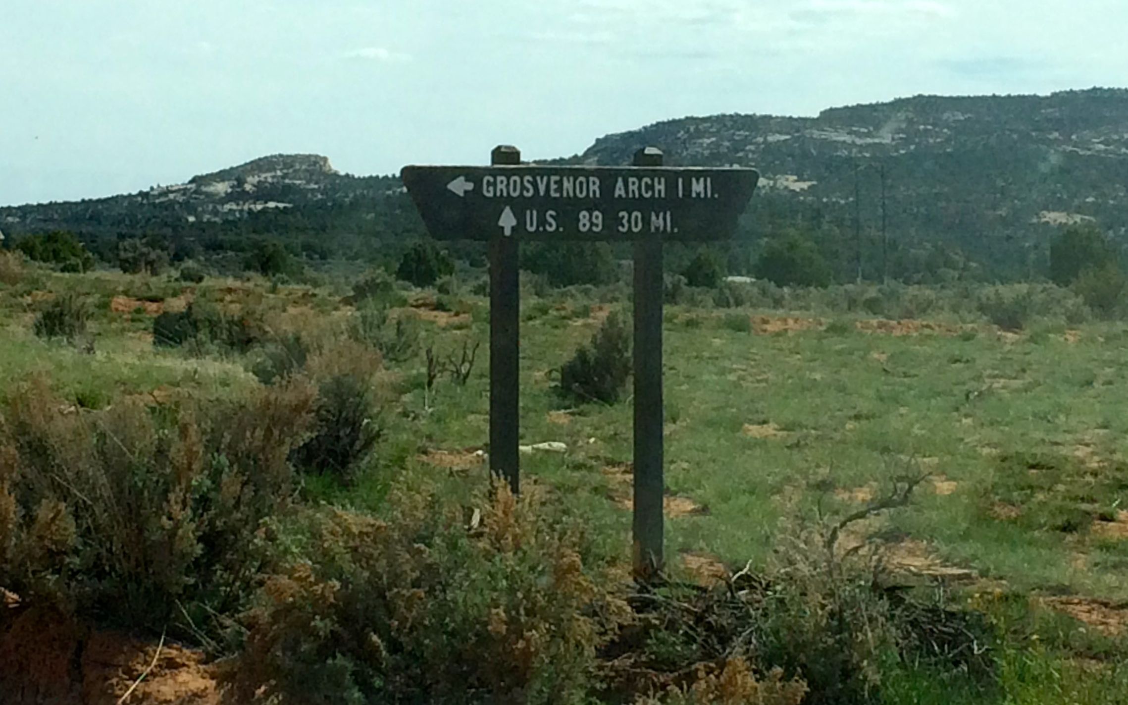
I couldn’t imagine 30 more miles of this rutted, washboard, rocky road to get to US 89. But, one more mile – I could handle that.
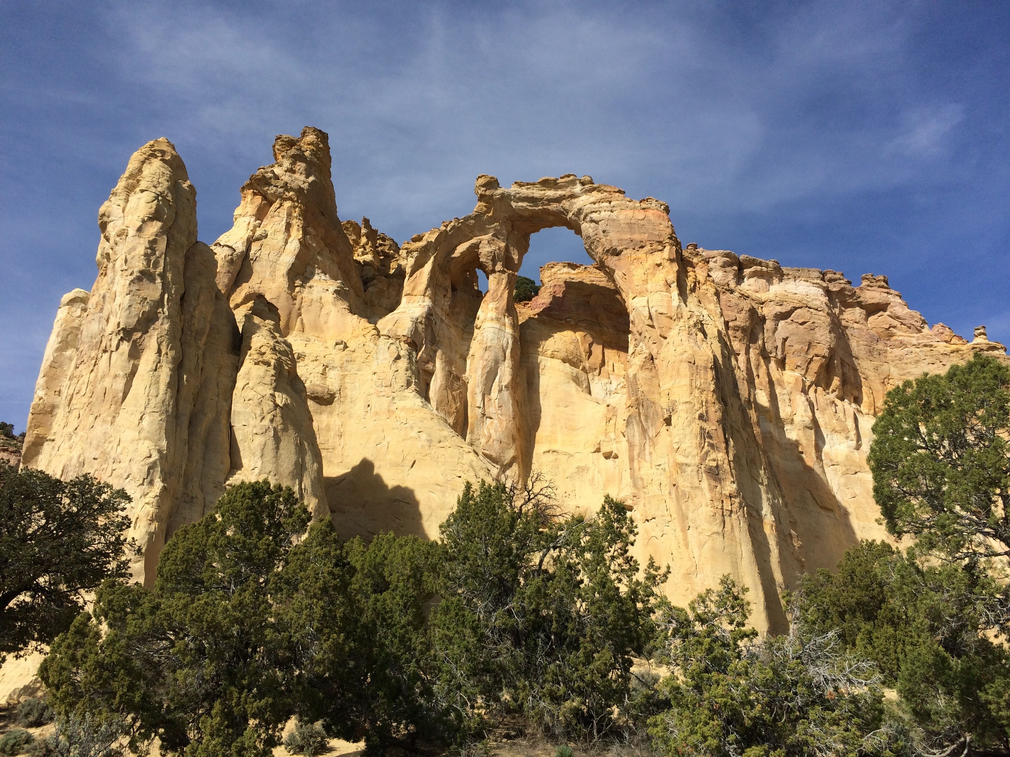
And I arrived!
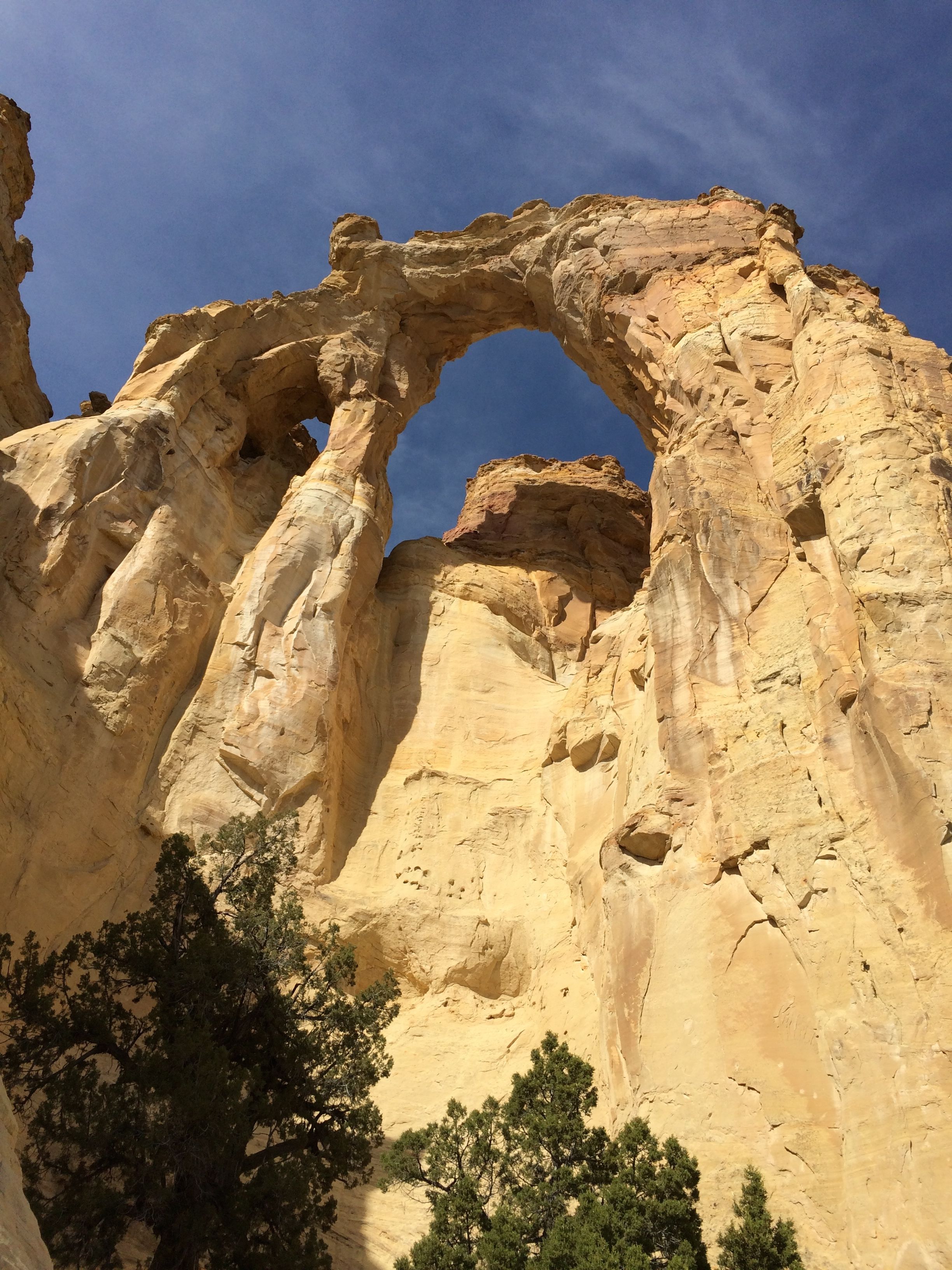
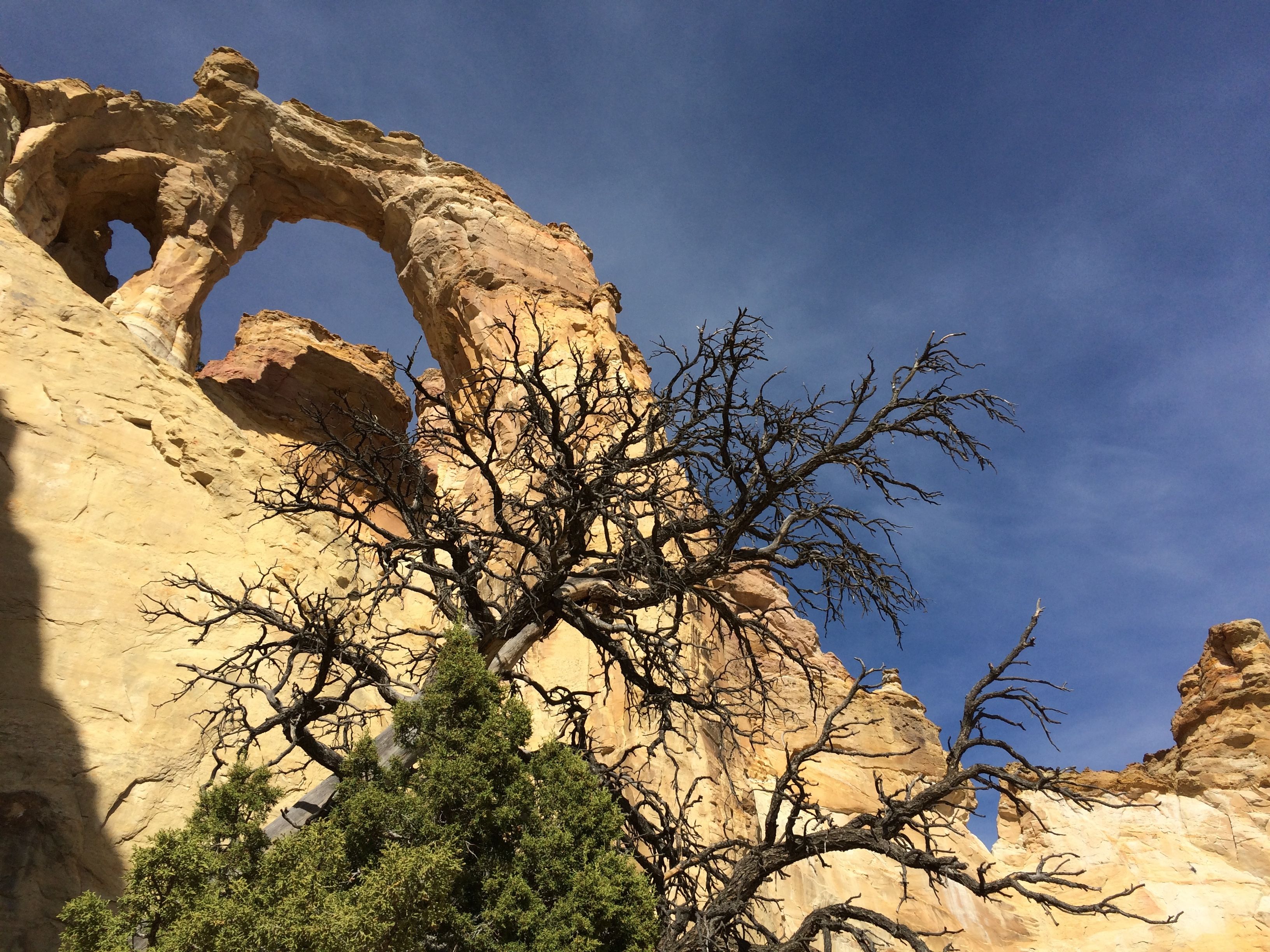
Grosvenor Arch is a unique double arch in sandstone.
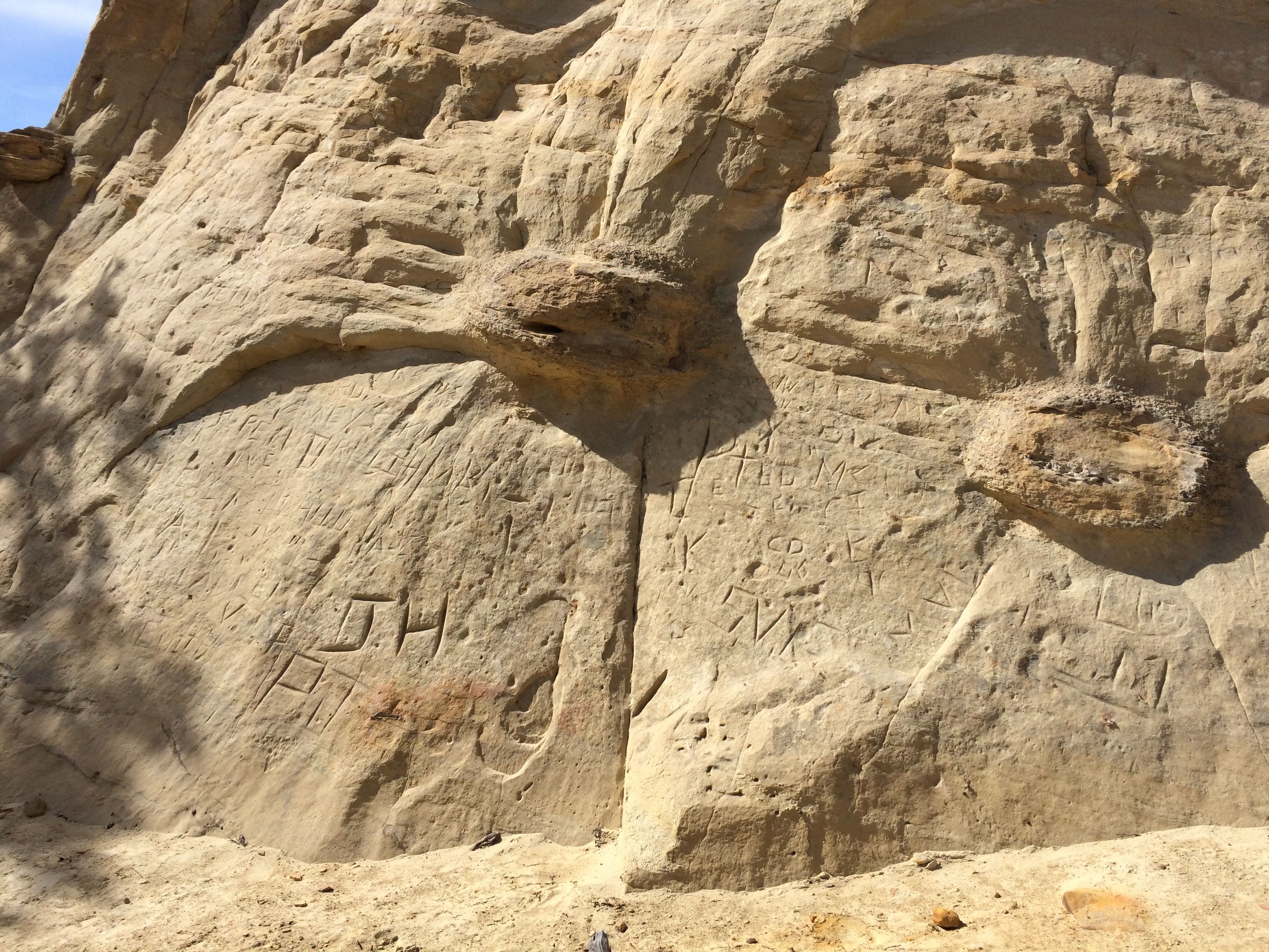
Of course, what would natural beauty be without graffiti?
What is surprising to me is how soft the sandstone is. I got close to the rock and put my hand on it to brace myself when I walked past. My hand was covered with sand when I pulled it away. I wonder how much longer this arch will be standing? Wind, water, freezing temperatures and gravity will take their tolls. One of these days, It will be no more. I’m glad I got to see it.
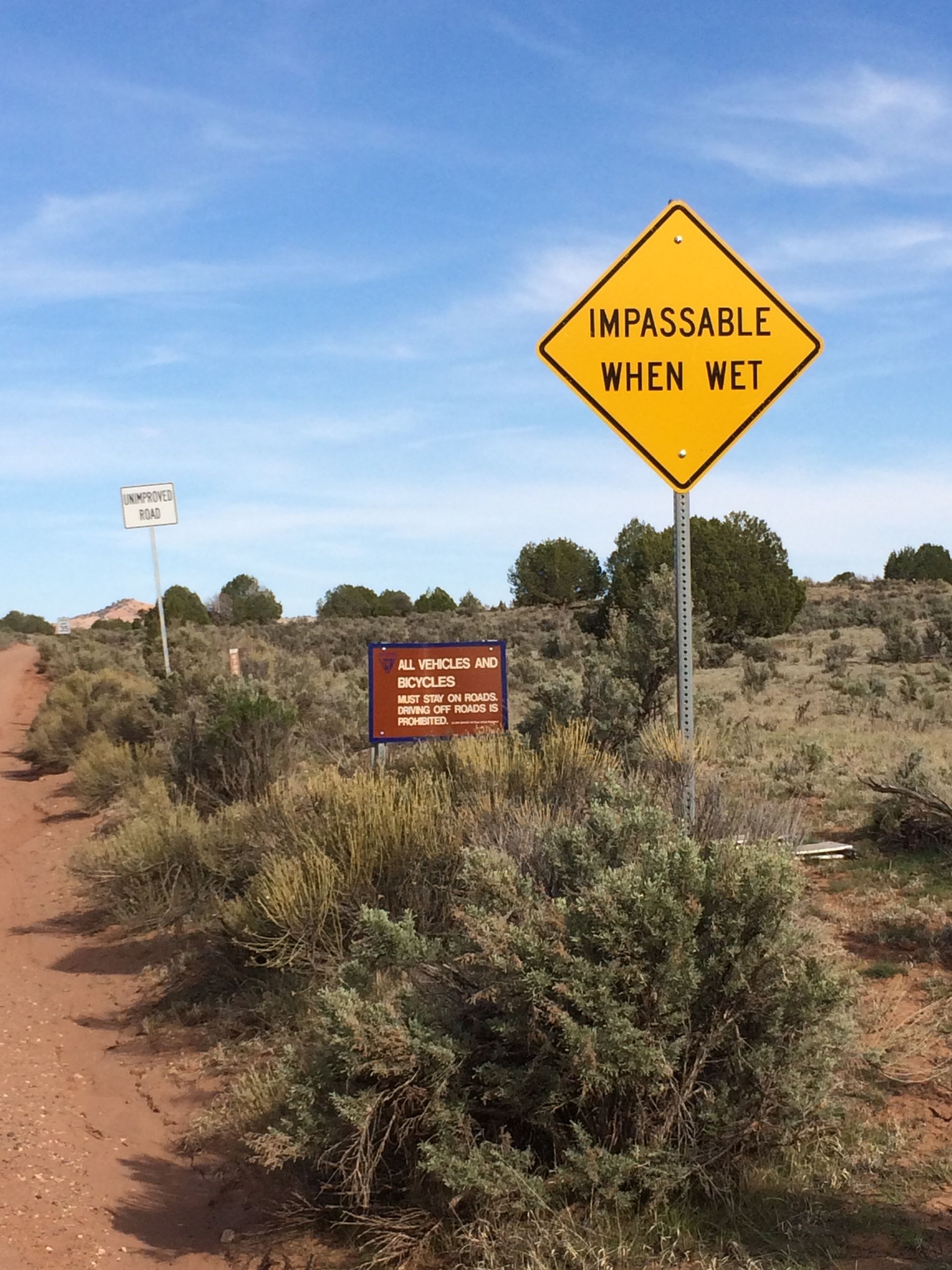
I went back to my truck and got ready to leave. I noticed a sign a little further down the road and decided to walk over and check it out.
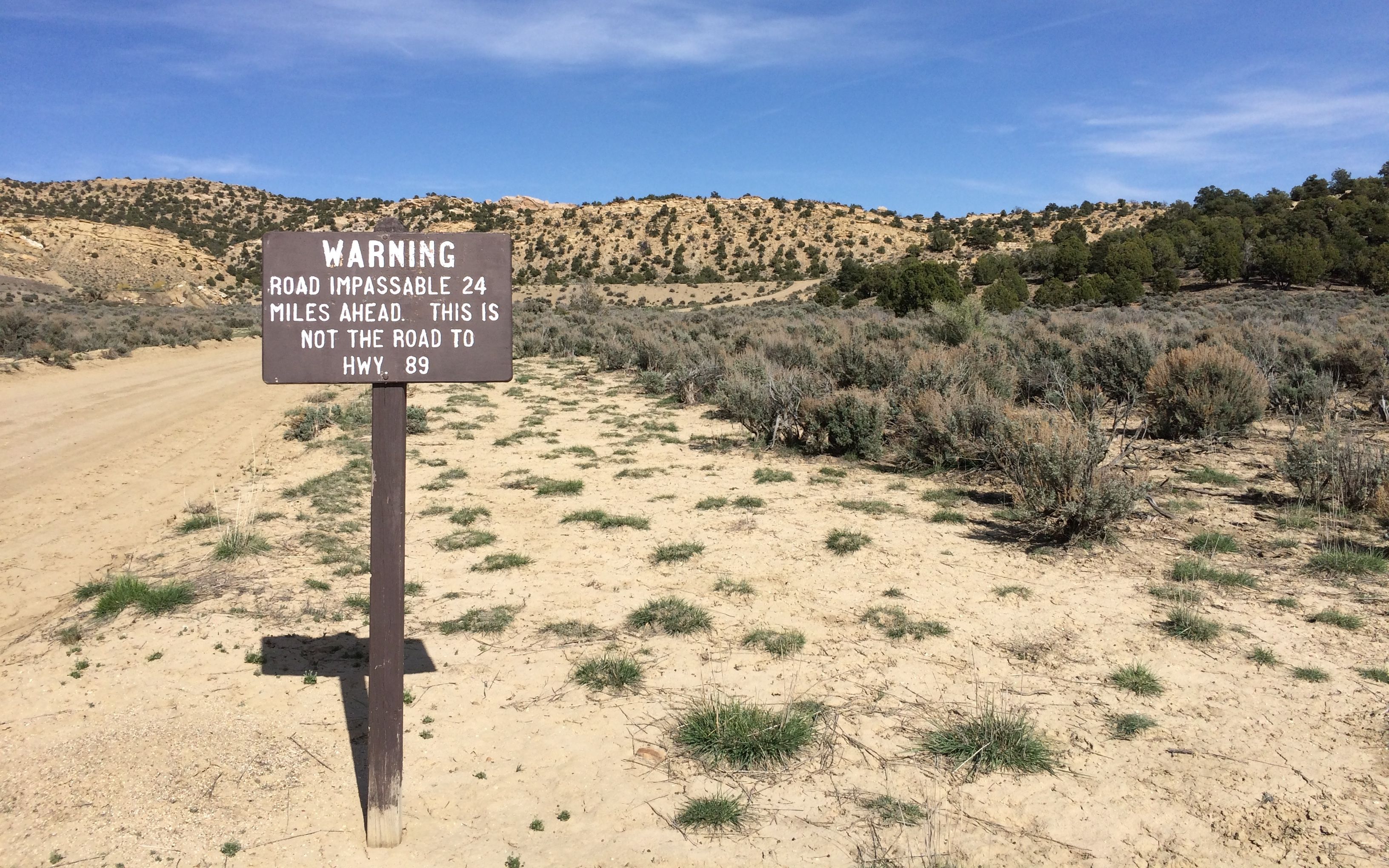
Well, you can’t be any more explicit than that, can you? I have to admit, I was curious about what the impassible section looked like. I was not willing to drive the 24 miles to see it.
I bounced my way back to the paved road – another ten miles or so. I was never so glad to see asphalt!
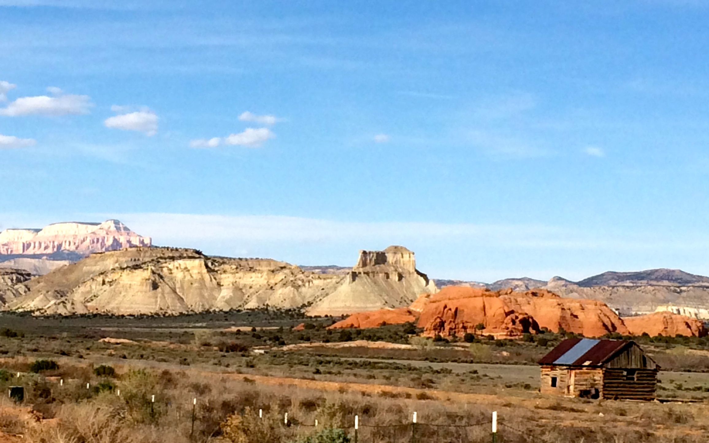
And the scenery was just as good on the way back!