Palo Duro Canyon and TEXAS

Palo Duro Canyon State Park, near Amarillo, has several campgrounds. I was tempted to camp there. For one thing, I generally prefer staying in public facilities. It has been my experience that they are usually not as crowded. They are usually cheaper, too.

BUT the campgrounds in this park are at the bottom of the deepest canyon in Texas. To get to the campgrounds, you have to descend a 10% grade, switchbacking down the side of the canyon. Also, I heard that the campgrounds were muddy, which makes sense since they had had a bit of rain lately – and they were at the bottom of the canyon. Water does flow downhill, after all.  Also, if you descend a 10% grade switchbacking down the side of the canyon, you have to ascend a 10% grade switchbacking up the side of the canyon to get out.

I opted for the Palo Duro RV Park in Canyon, Texas, just ten miles from the park. It was only $25 and had a wonderful view of the interstate.

view from the trailer

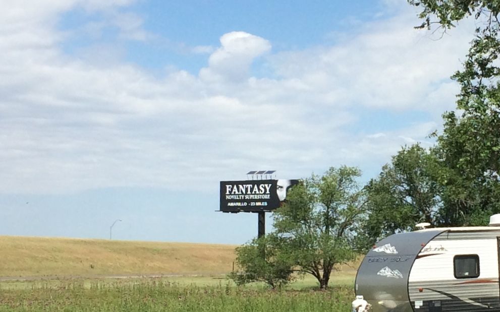
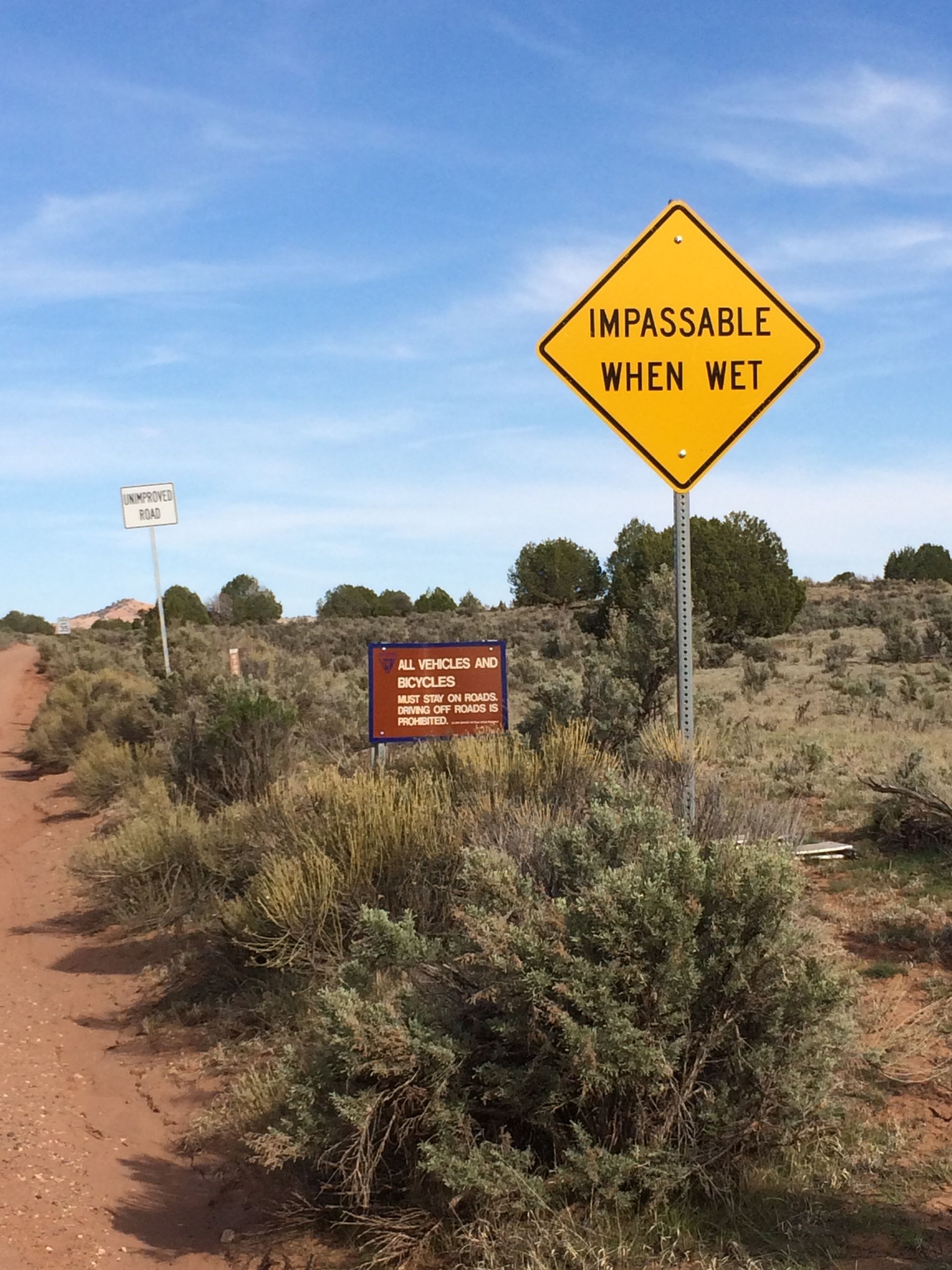
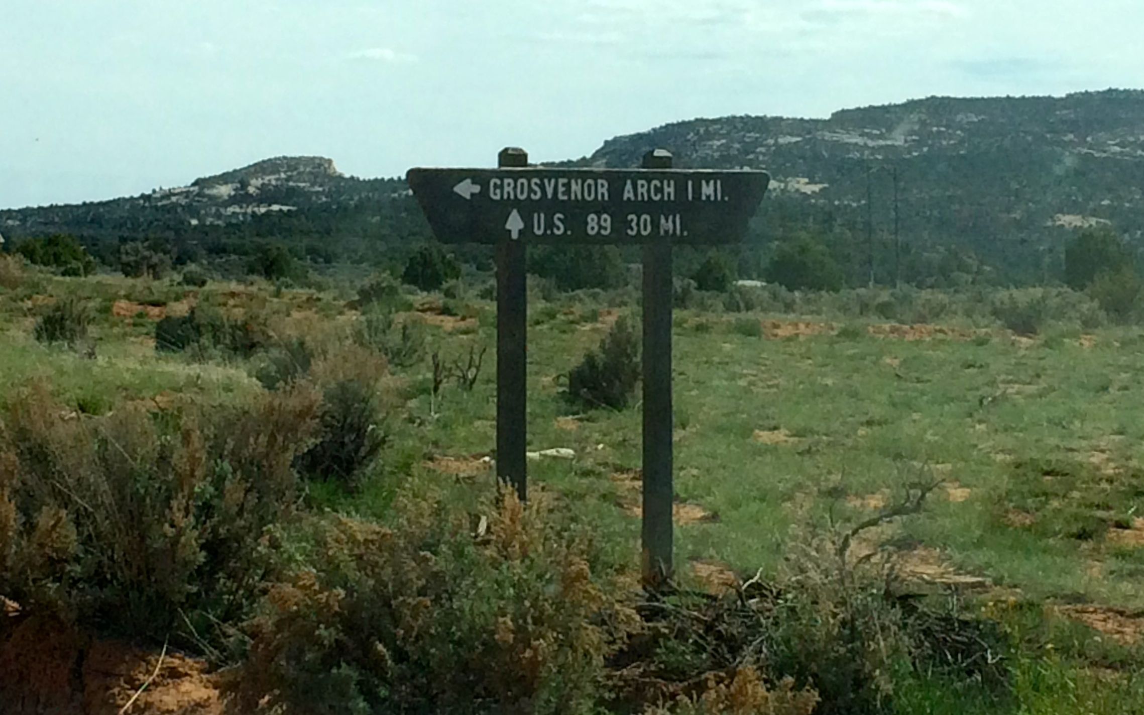
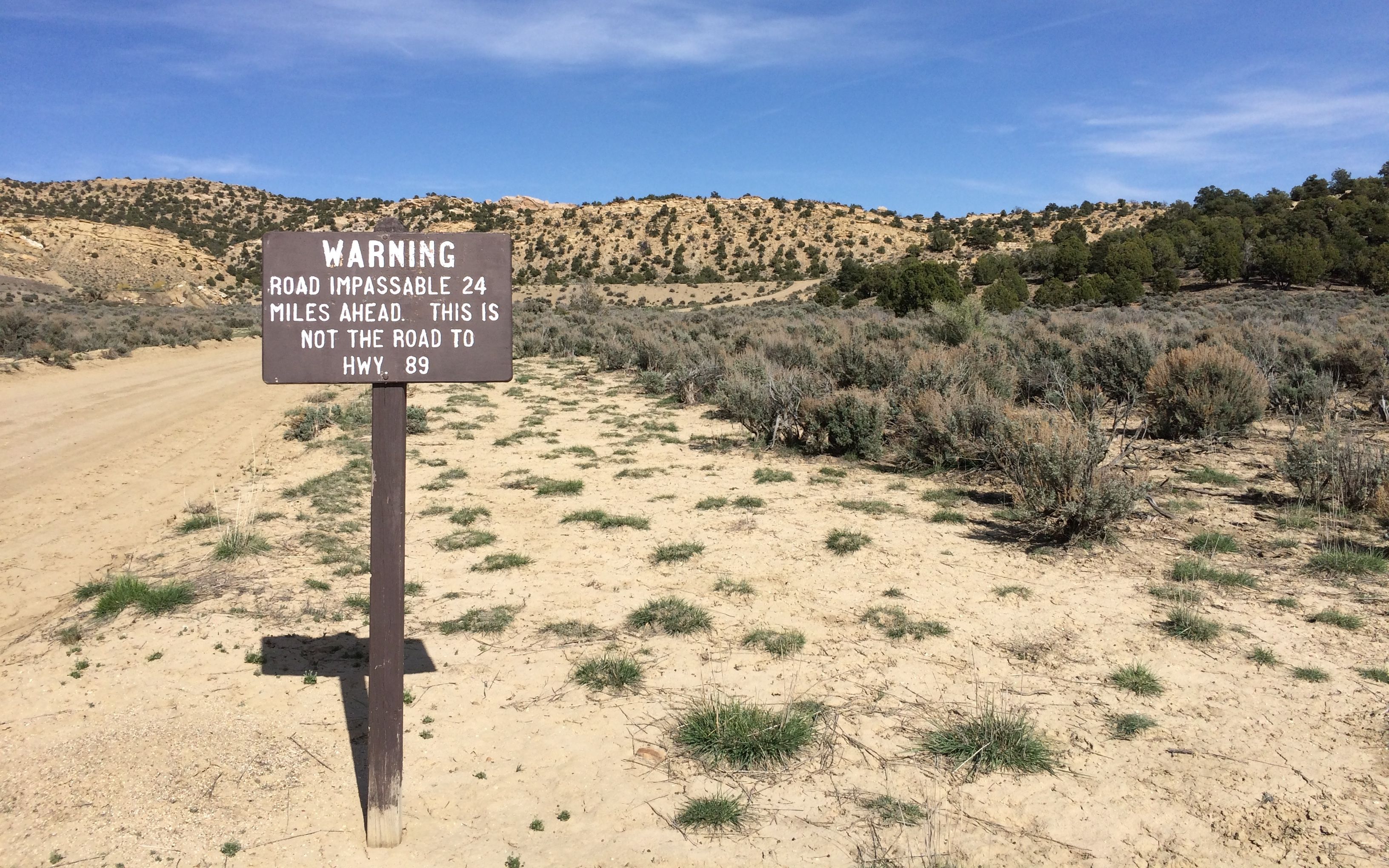
That sign seems to be following me!

After my day of exploring the Alibates Quarries National Monument and the Cadillac Ranch, I just got settled in and prepared for the next day, when I would visit Palo Duro Canyon State Park.

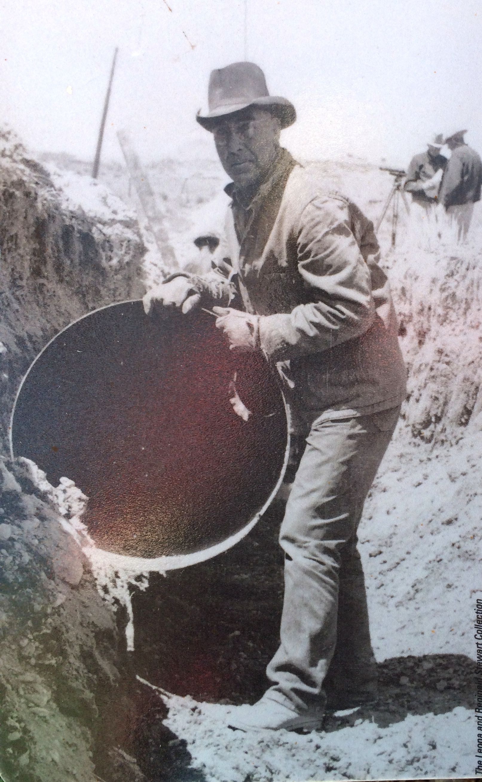
The next day, I headed over to the park. I was happy to be able to make use of the Texas State Parks Pass that I had bought in February. I stopped off at the visitor center. They had an interesting display about the construction of the park, which was done by the CCC during the Great Depression. I had already stayed at one the Texas State Parks built by them, Balmorhea State Park, on my way west a few months ago. I have got to say that I am extremely in awe of the CCC. Not only did they build some wonderful parks, but the work they did and they pay they received was the salvation of many families during those dark days.

dining at the CCC

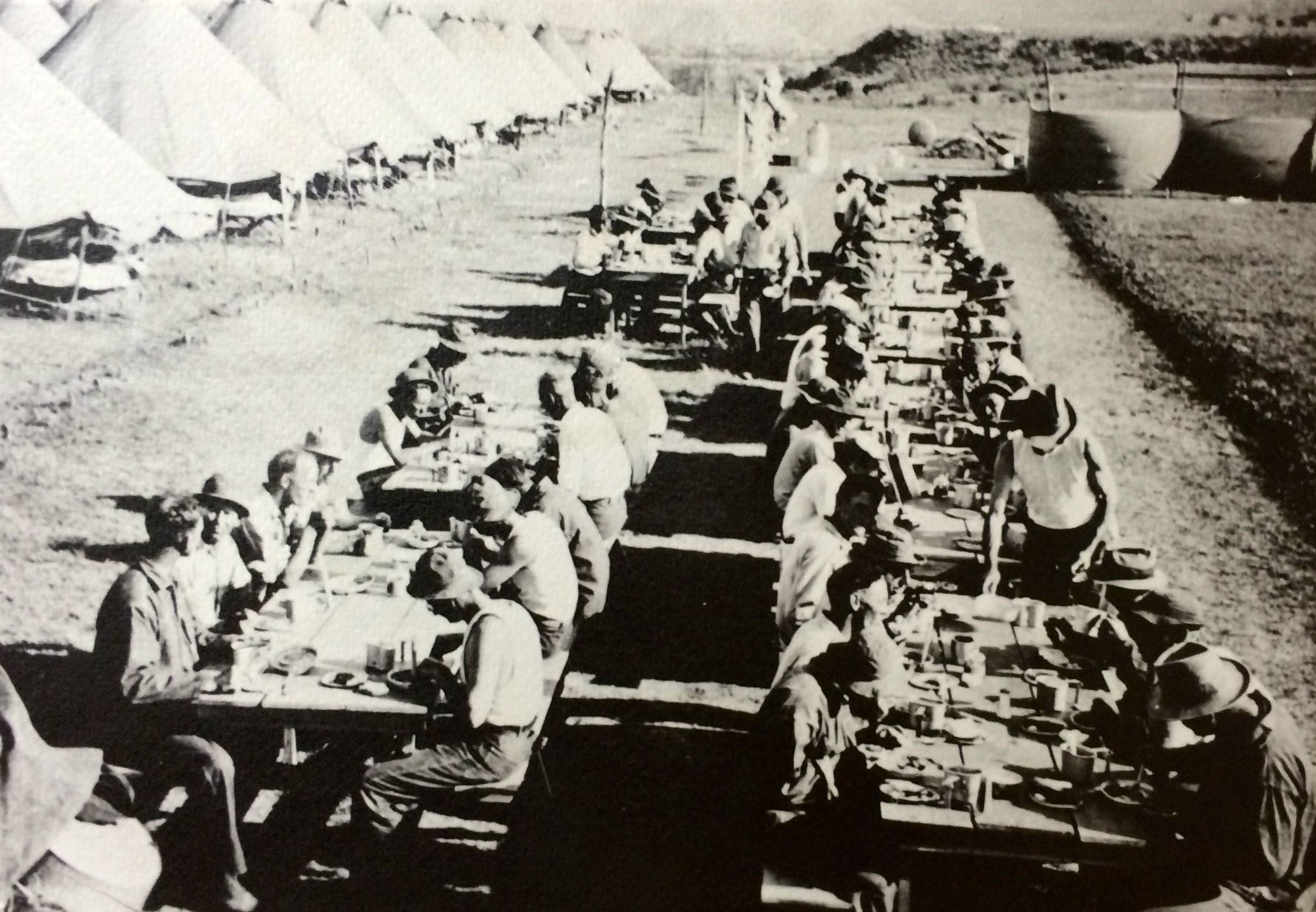
If I remember the numbers correctly, the men working in the CCC received $30 a month plus room and board. They got to keep $5 for themselves and the rest was sent back to their families.

building the road into the canyon CCC

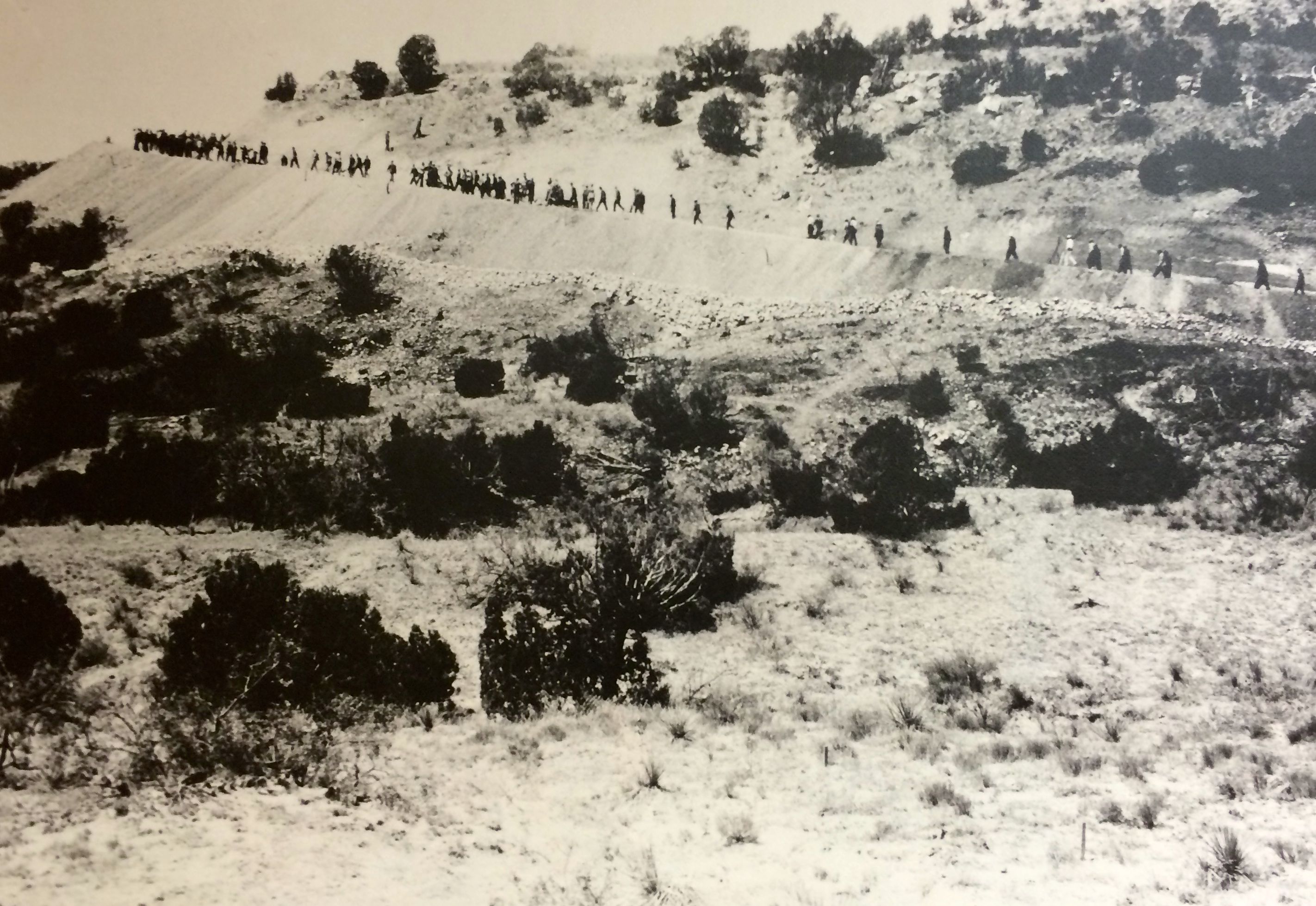
Here’s a photo from the exhibit of them building the road down to the bottom of the canyon. They used dynamite, but, for the most part, it was just plain old hard work with picks and shovels.

The lodge

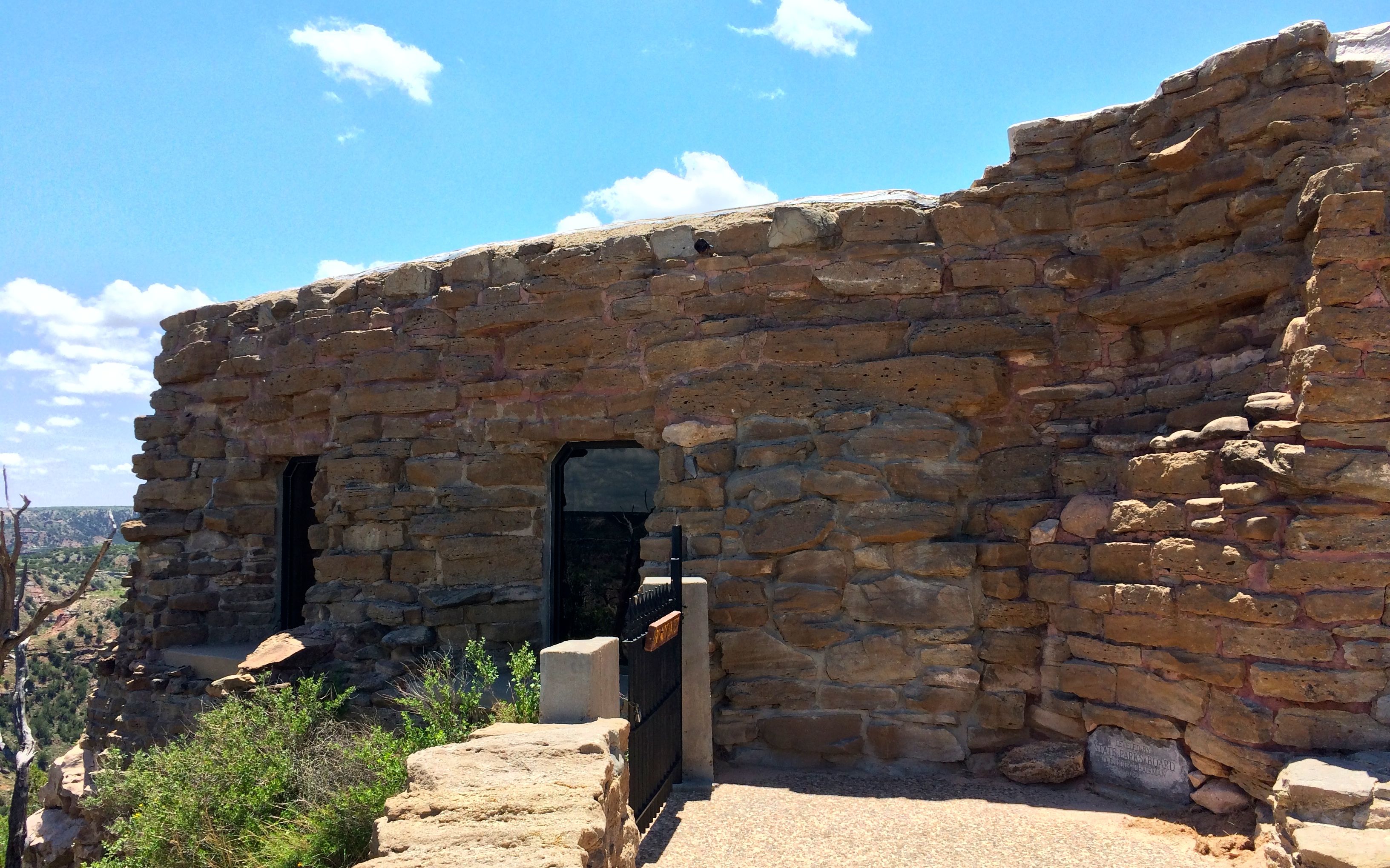
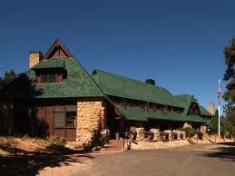
The visitor center is one of the buildings that the CCC built. It was originally the Coronado Lodge. Given the name, I assumed it must have been  hotel, but there was no information that I saw describing how it was used oringially. It seemed like a rather small building to be a hotel. However, it was solidly built and is still in use.

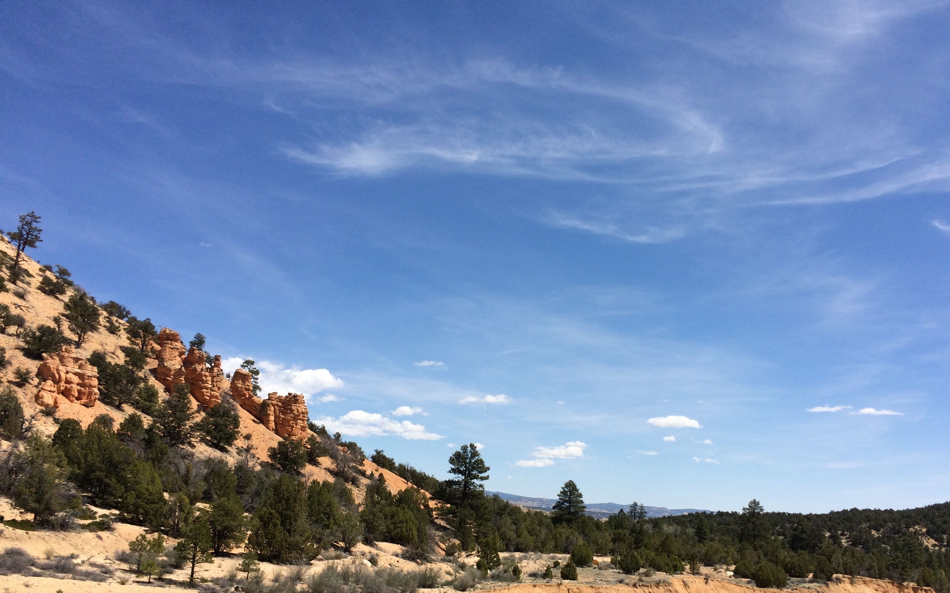
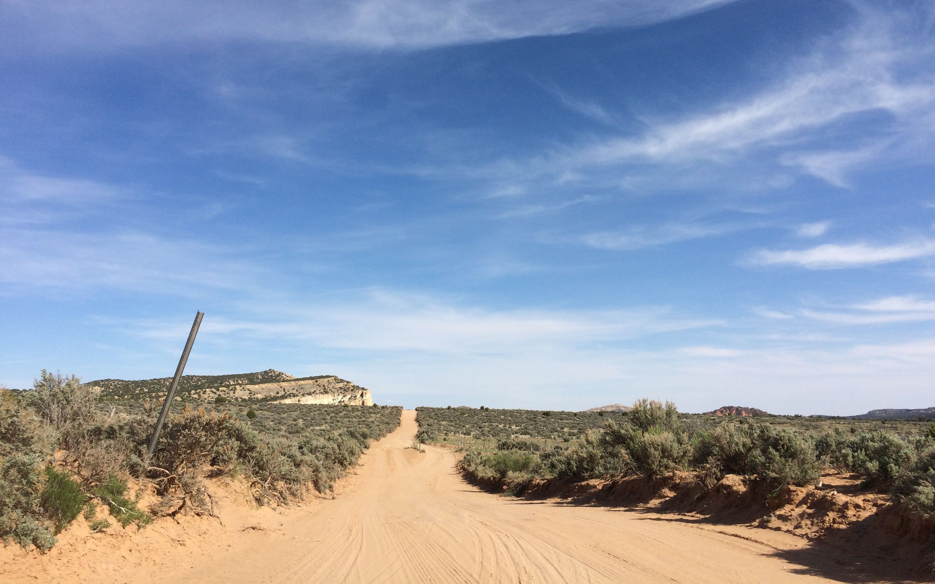
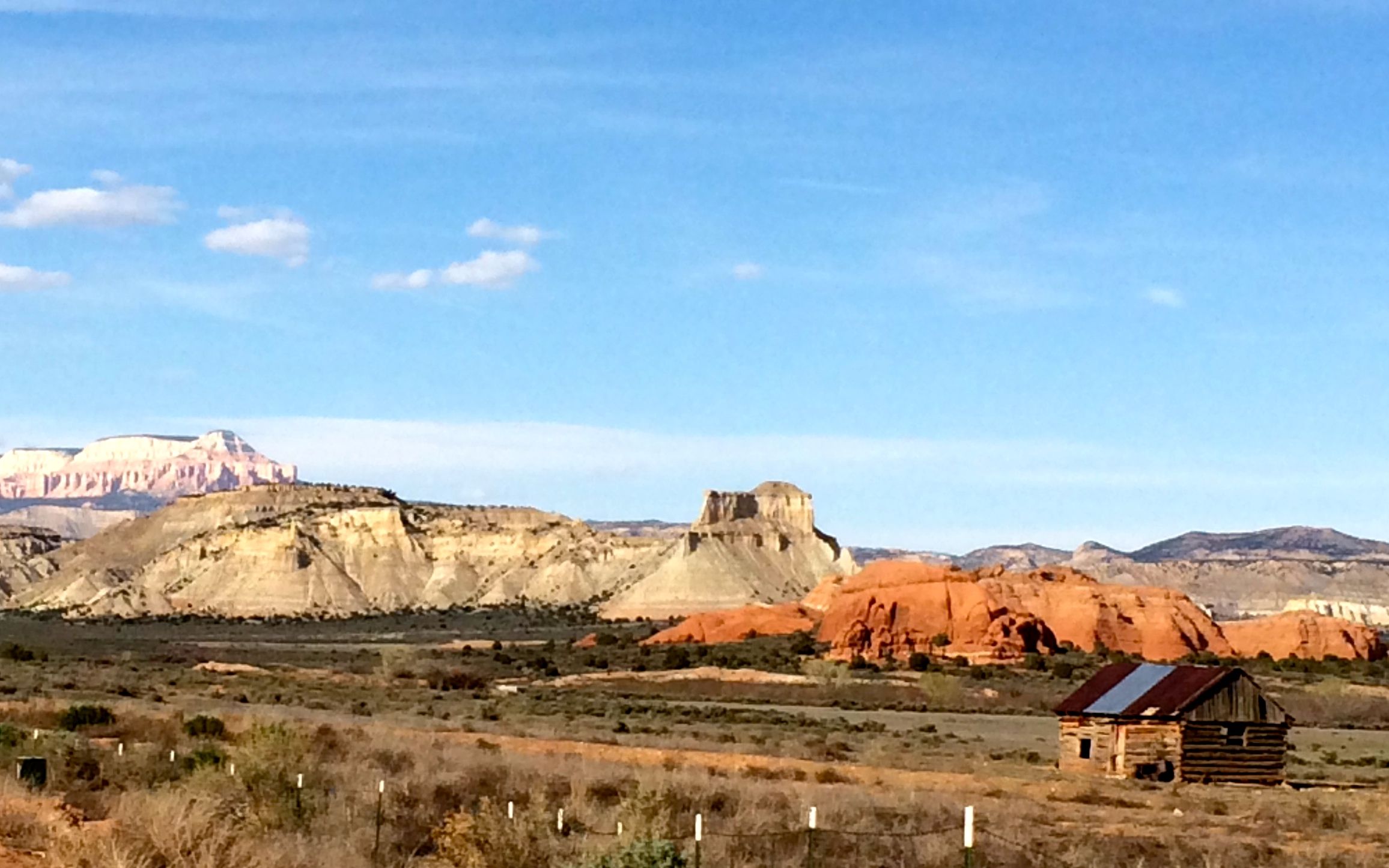
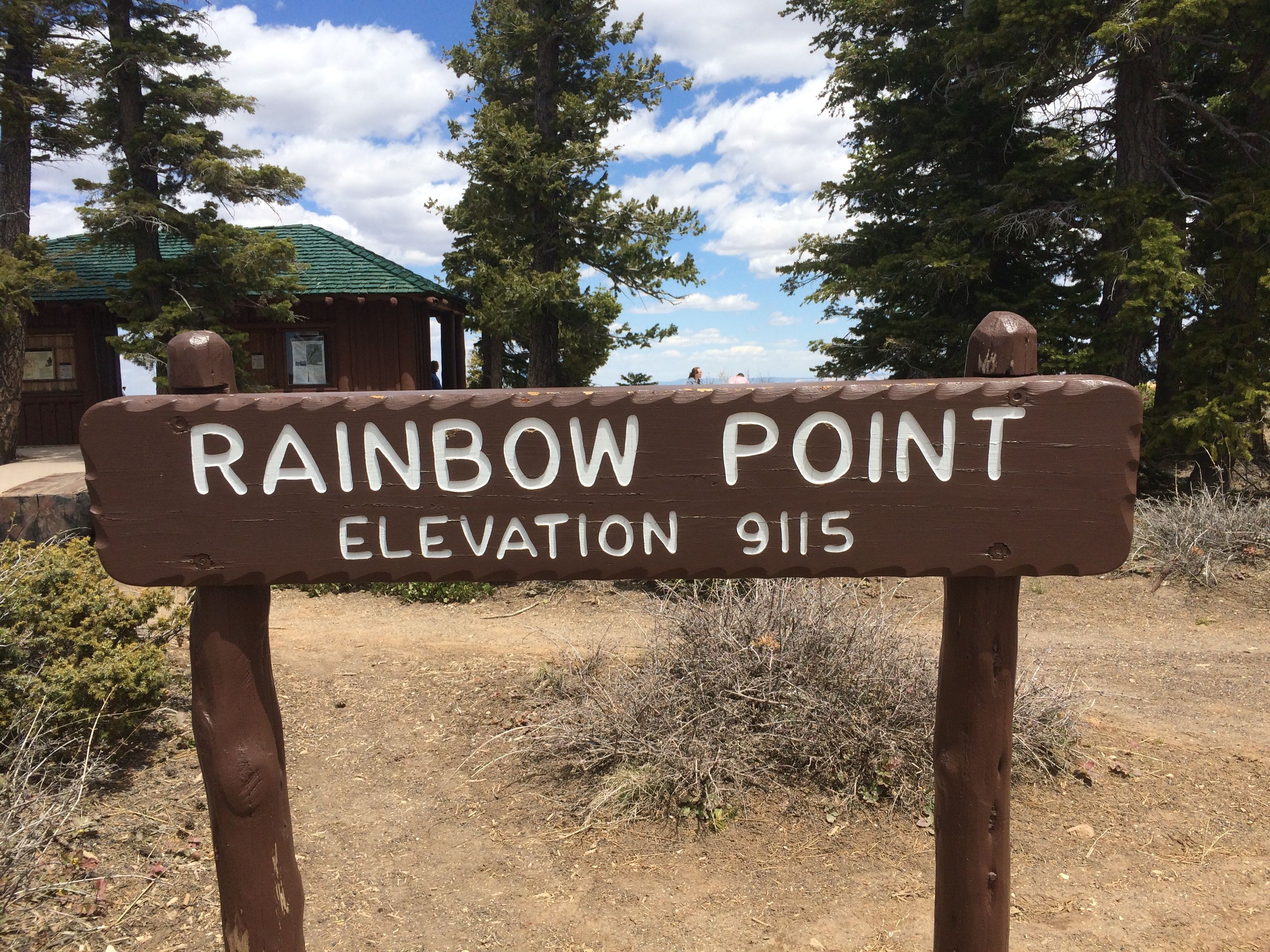
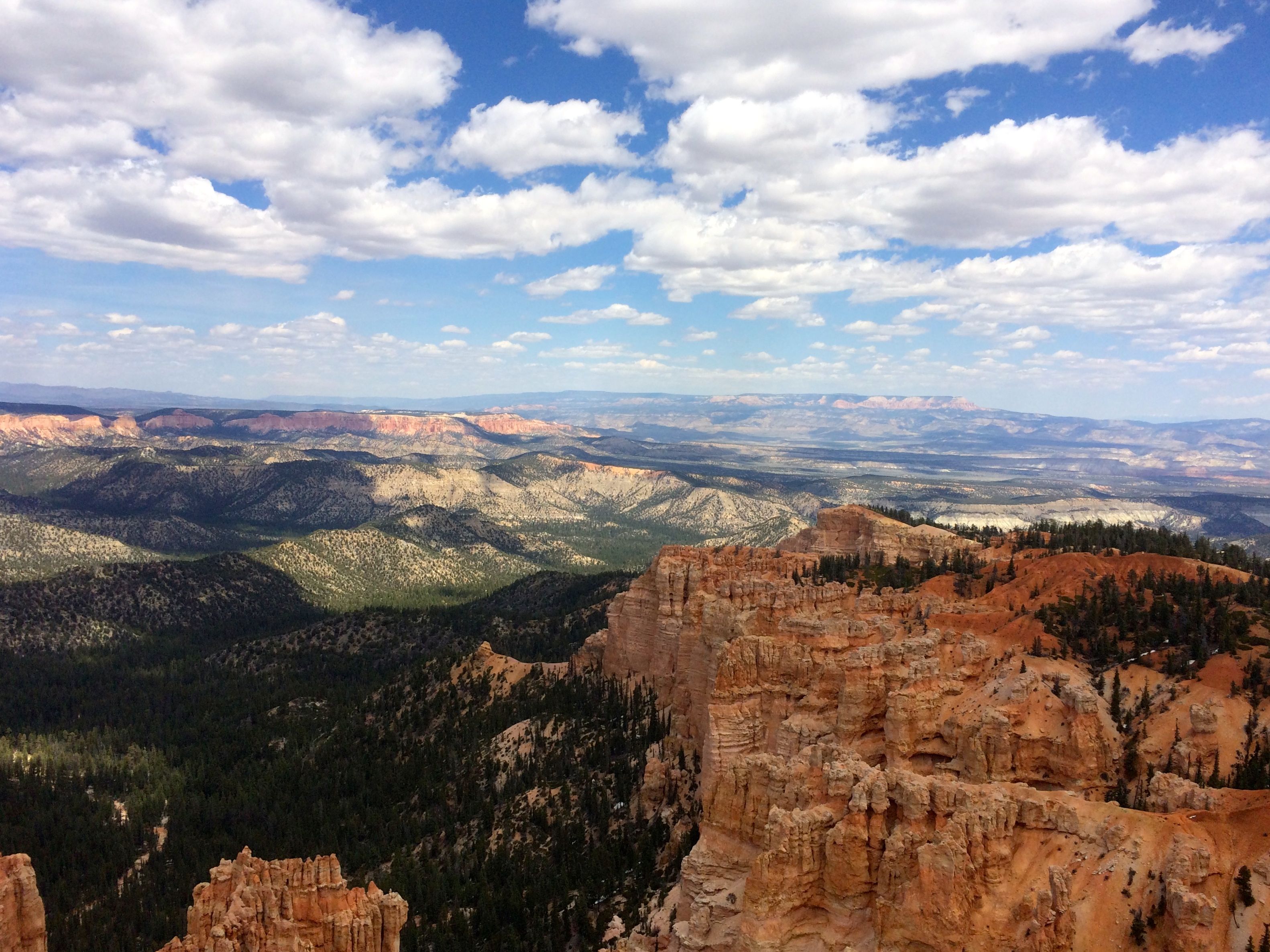
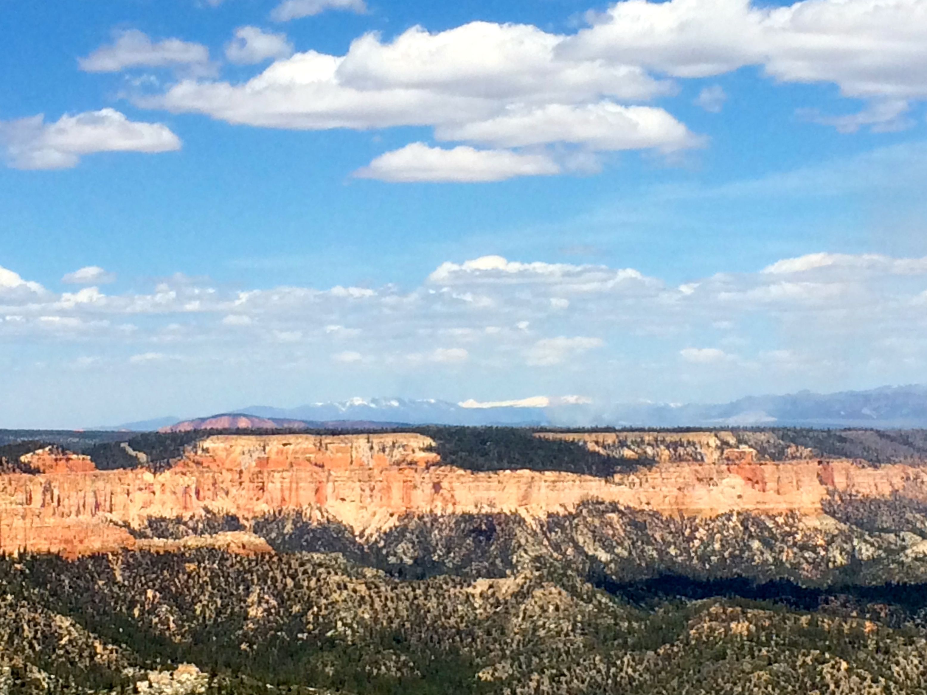
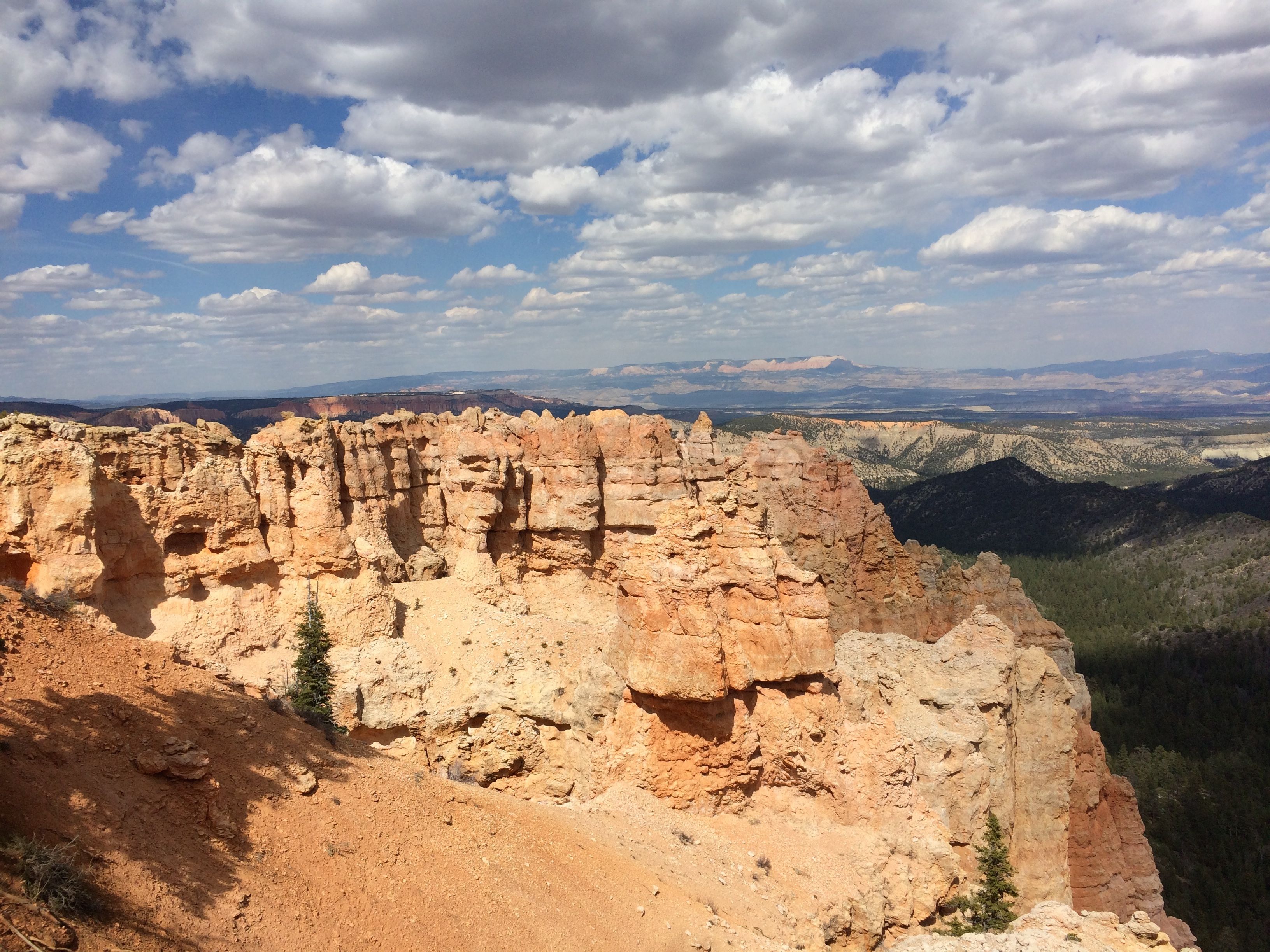
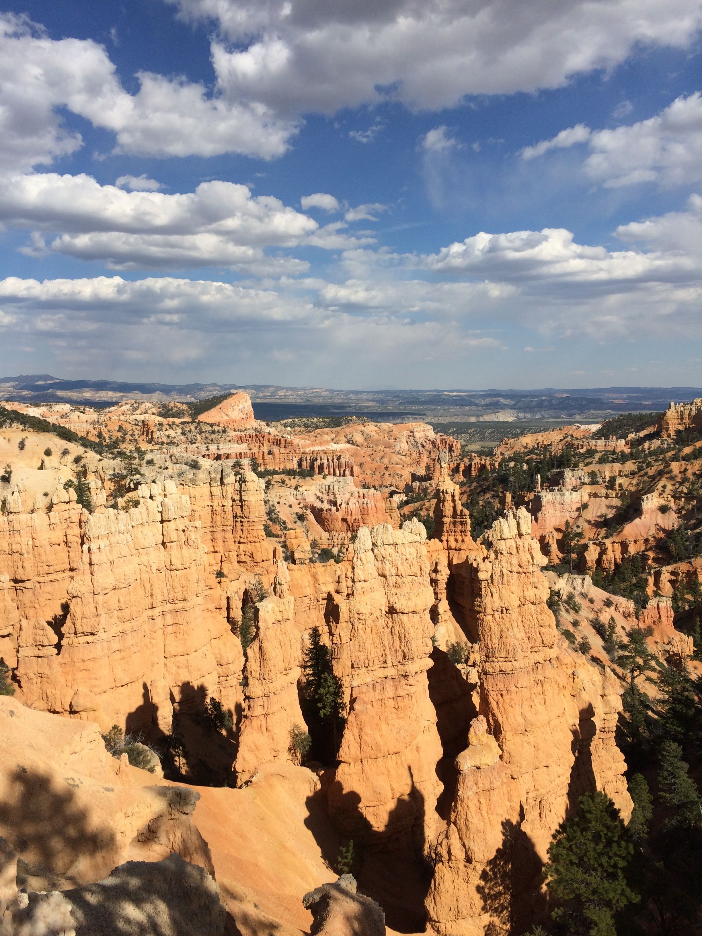
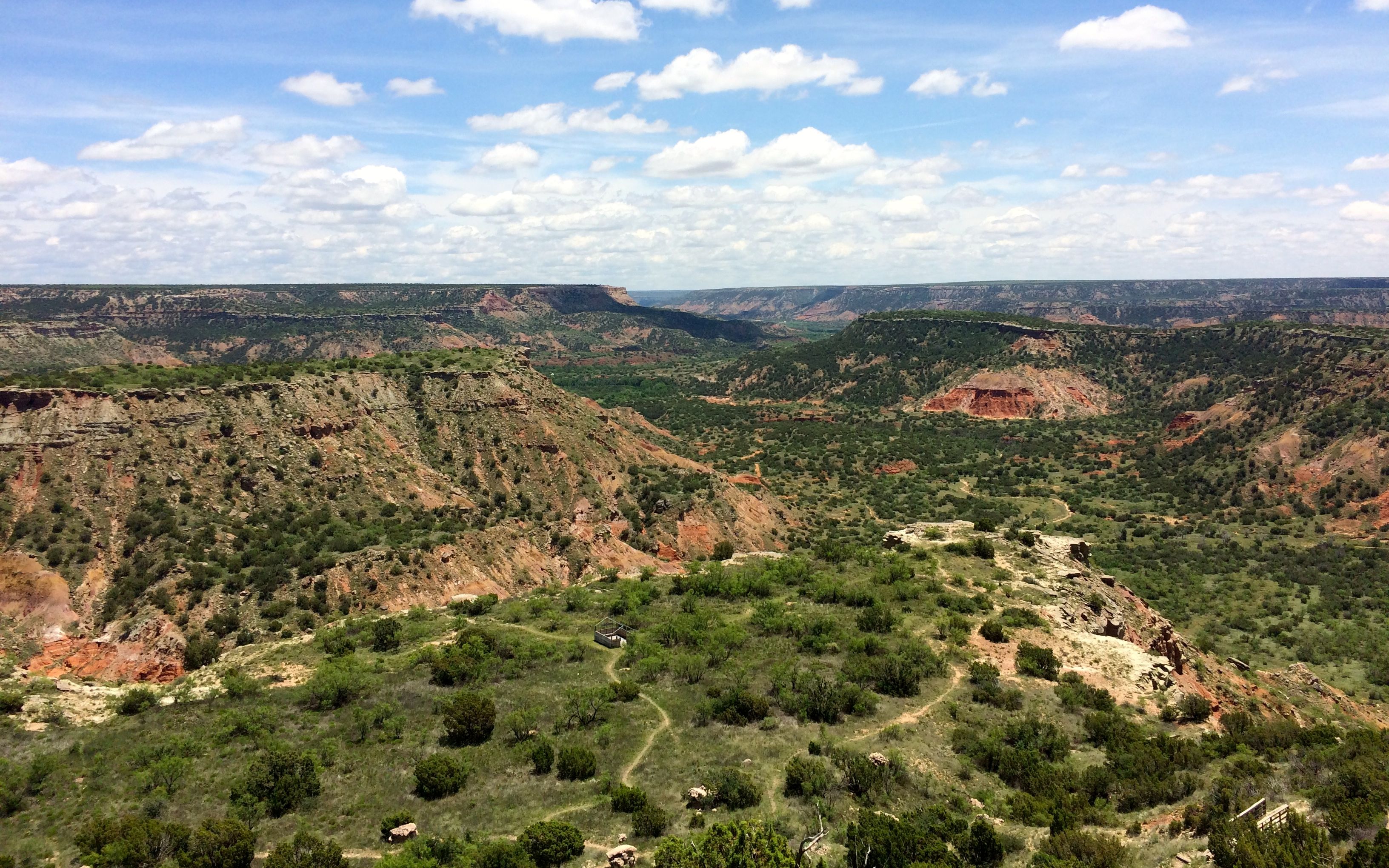
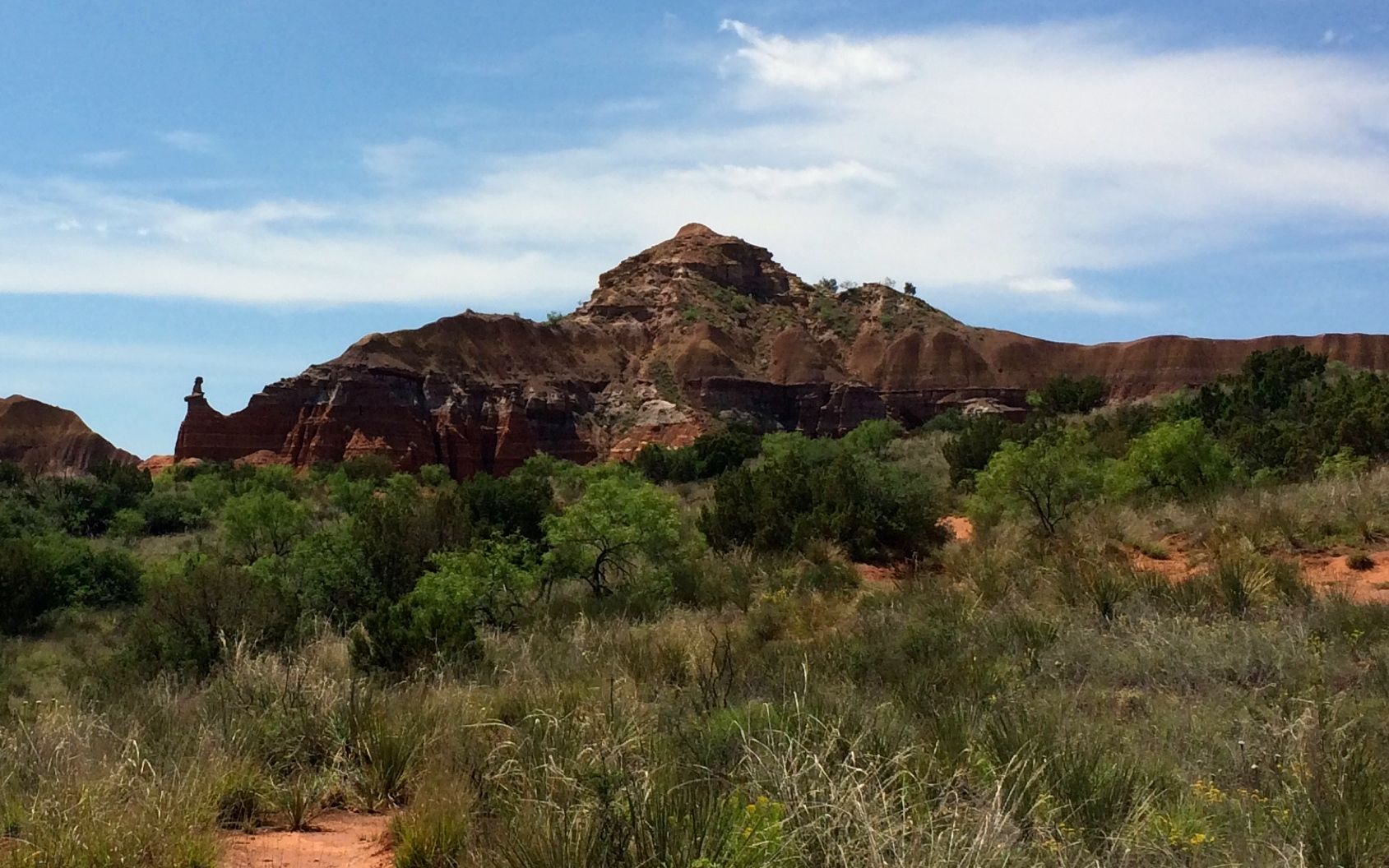
There was a great view from the parking area.

view into canyon from first overlook

When I arrived, the trails were closed due to the rain that they had received.

trail system closed

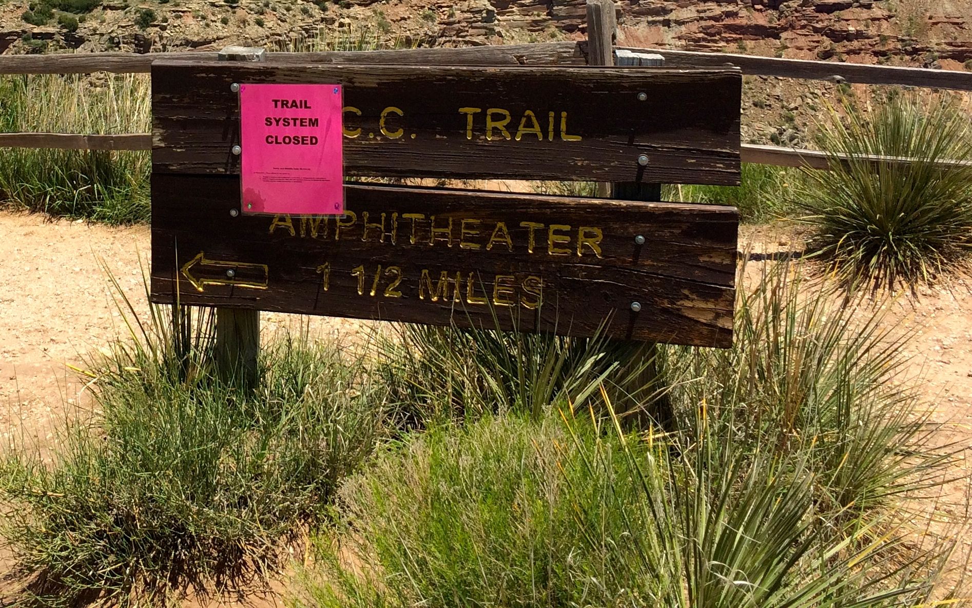
By the time I got to the floor of the canyon, they had determined that the trails had dried out enough for them to allow people back on them.

TEXAS sign

My first stop was not a trail; it was the ticket office of TEXAS. While I was parked at the Visitor Center and before I lost my cell phone connection, I called and ordered tickets for the show and for dinner beforehand. I stopped to pick up the tickets, but “will call” wasn’t open until 6:00. The woman I spoke with was very excited. This was opening night for the 51st season of the open air musical about the history of the Texas panhandle. On my way back to the truck, I stopped off to visit with some of the performers.

One of the stars of the show

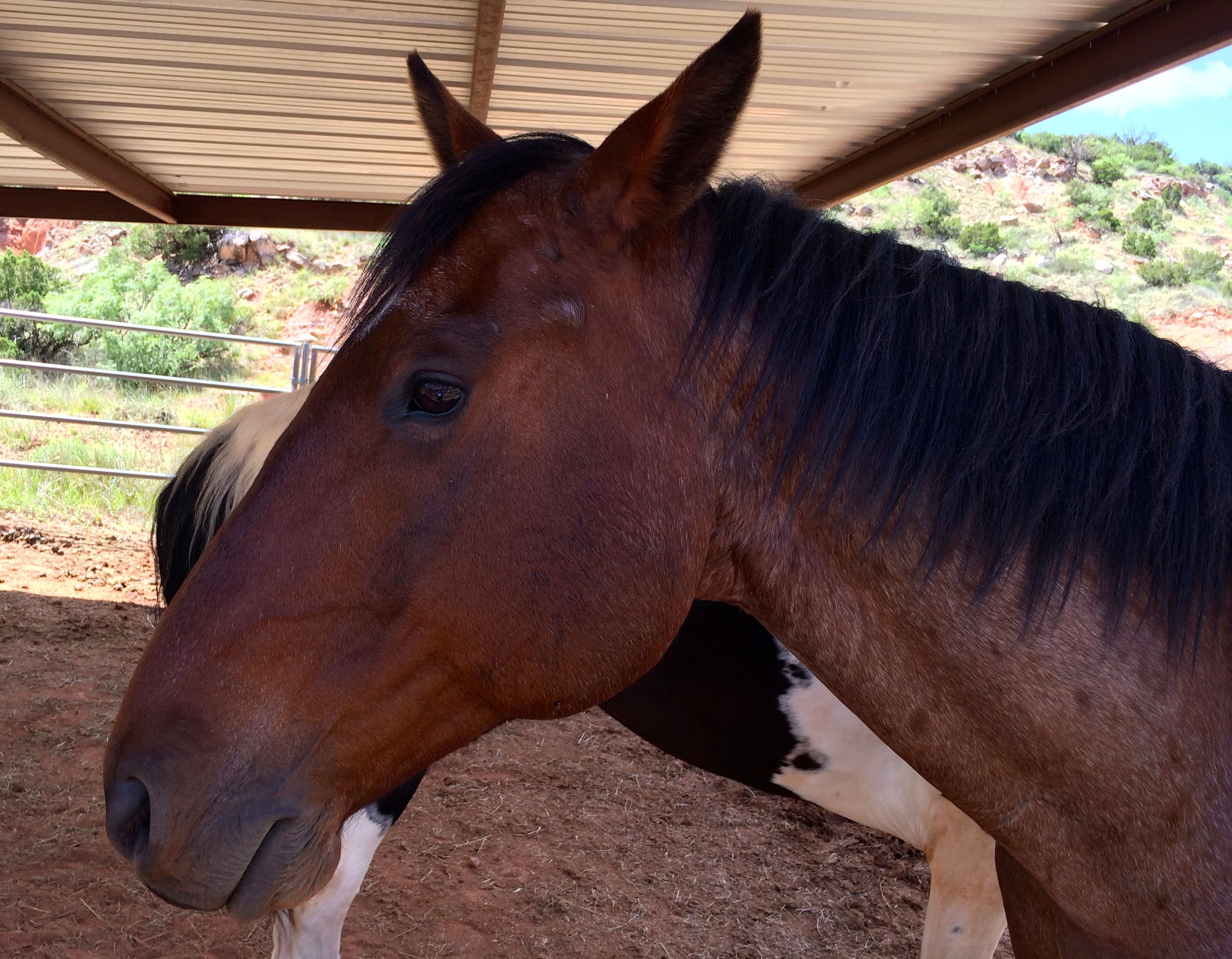
I resisted the temptation to tell him to “break a leg”. That seemed like a bad thing to say to a horse.

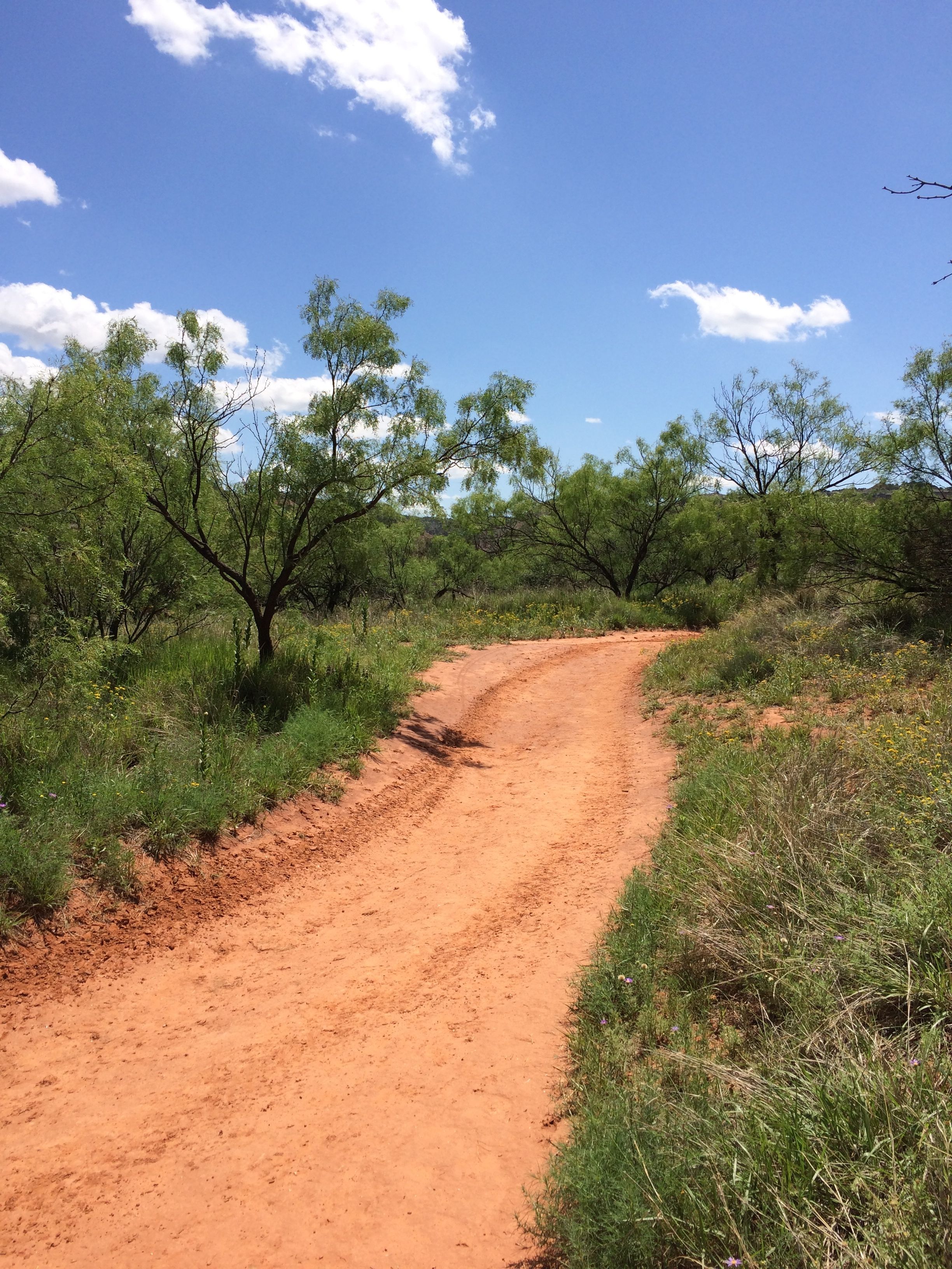
I set out to explore. I drove through some of the campgrounds. They were in good condition, and they would have been fine to camp at – if only there wasn’t that 10% grade with switchbacks to negotiate.

I ended up at the Lighthouse trailhead parking lot. It seemed as good as any, and there was ample parking.

Lighthouse-Rock-profile

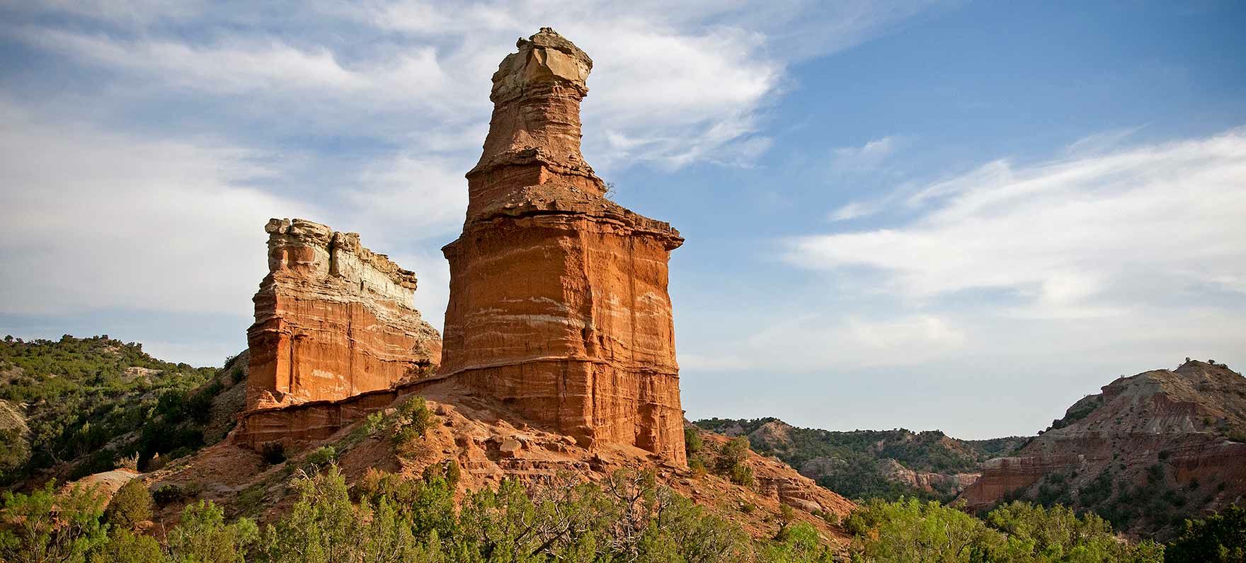
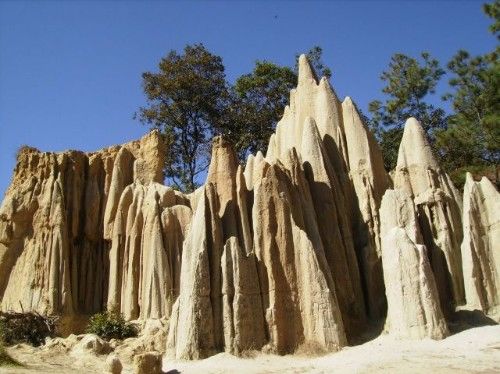
This was the goal of the hike. I didn’t make it all the way. I borrowed the photo from the Texas State Parks website. When you enter the trail, they provide a brochure with the signs of heatstroke and dehydration. It was hot, but I did have water, so I figured that I would give it a shot.

Trail up the hill

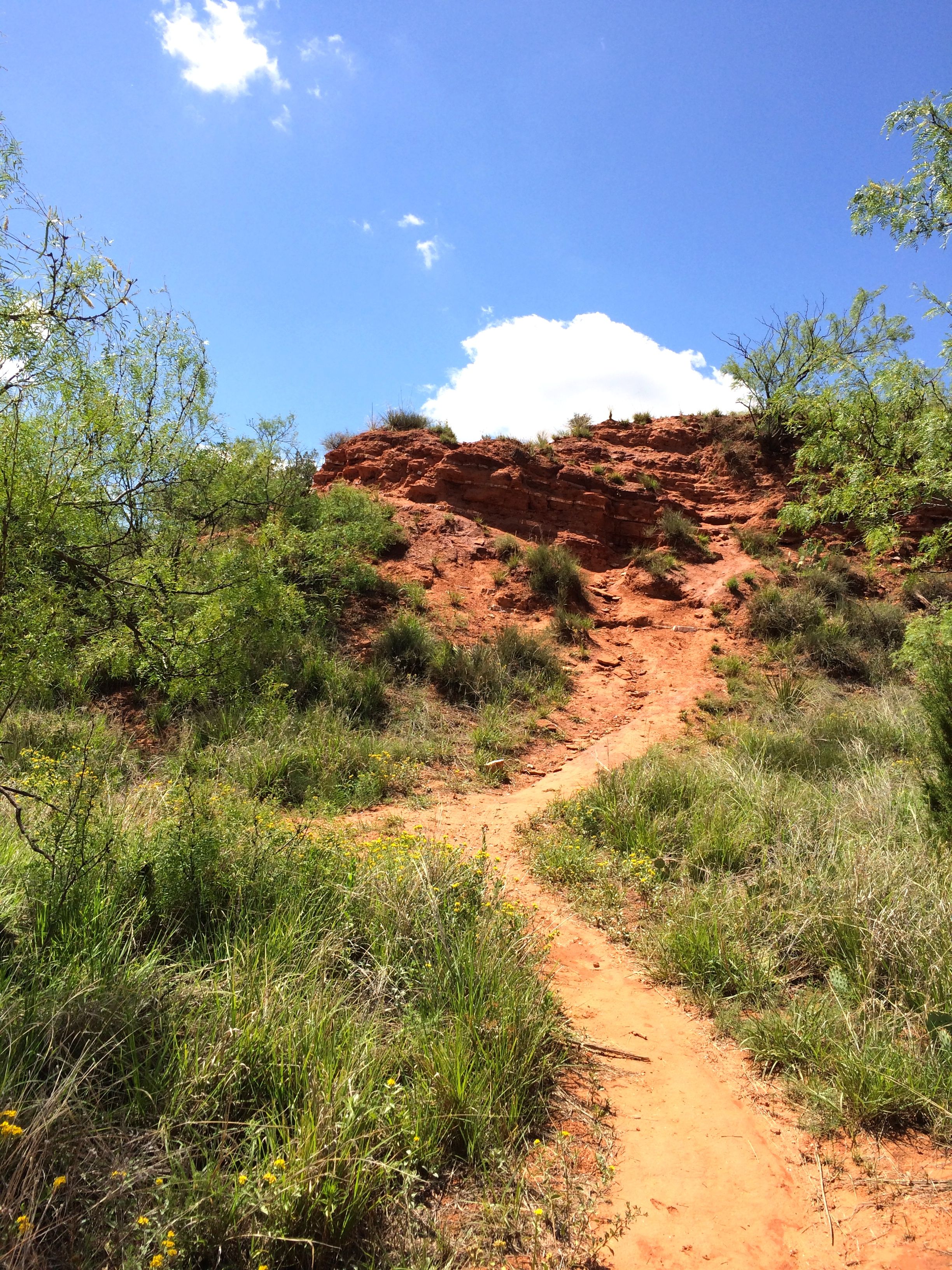
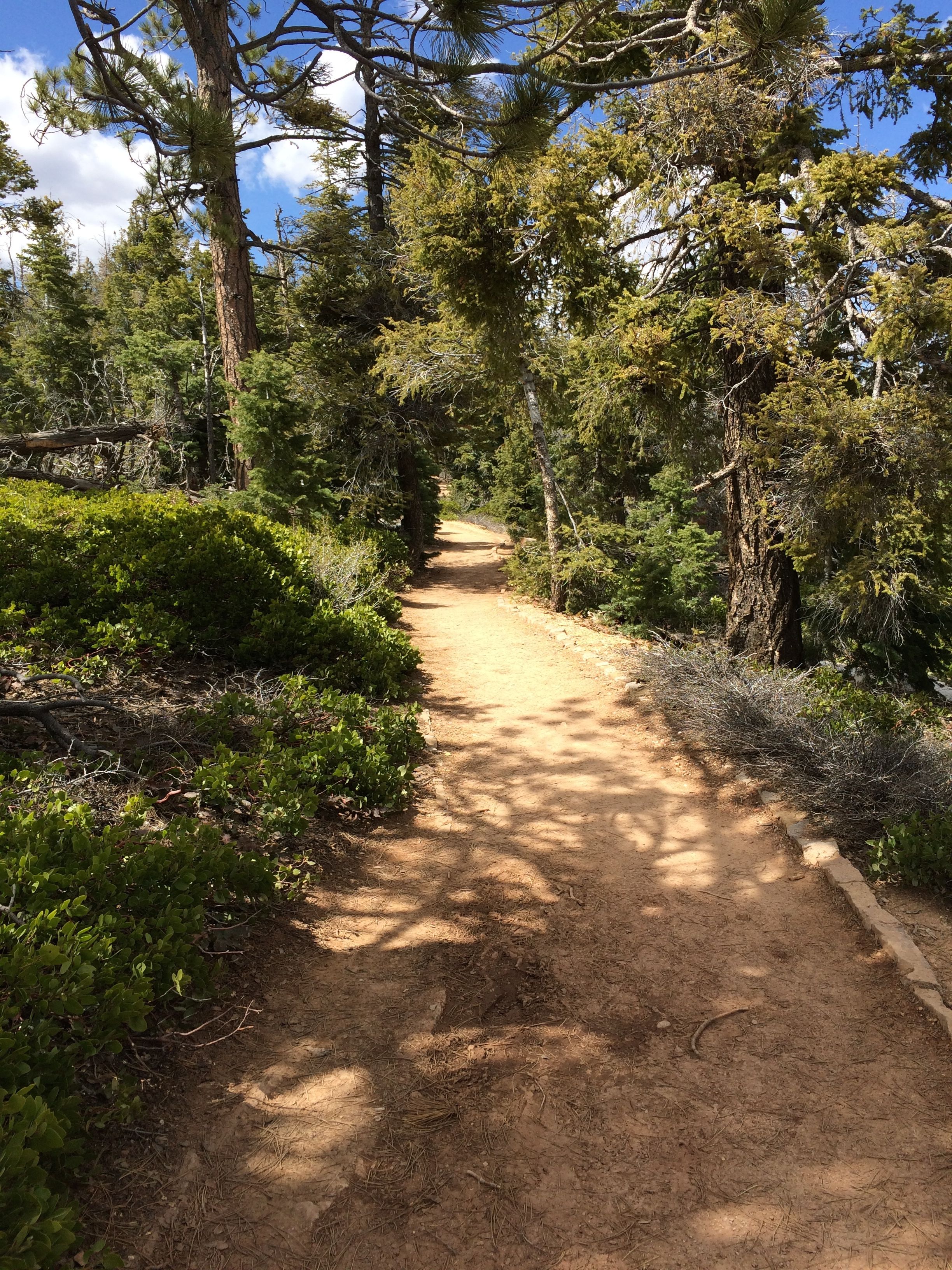
Some of the trails were kind of small footpaths. They seemed interesting, but I figured that they weren’t heading toward The Lighthouse.

Main trail

This one seemed more likely. It had definitely seen more traffic.

I tend to walk like a beachcomber. I walk a bit and then I stop and look at things. I bought one of those fitness trackers, and I continually get reports that my longest active time for a day was two minutes. That’s okay with me. I am walking to look at things, not just count steps.

what are those white layers?

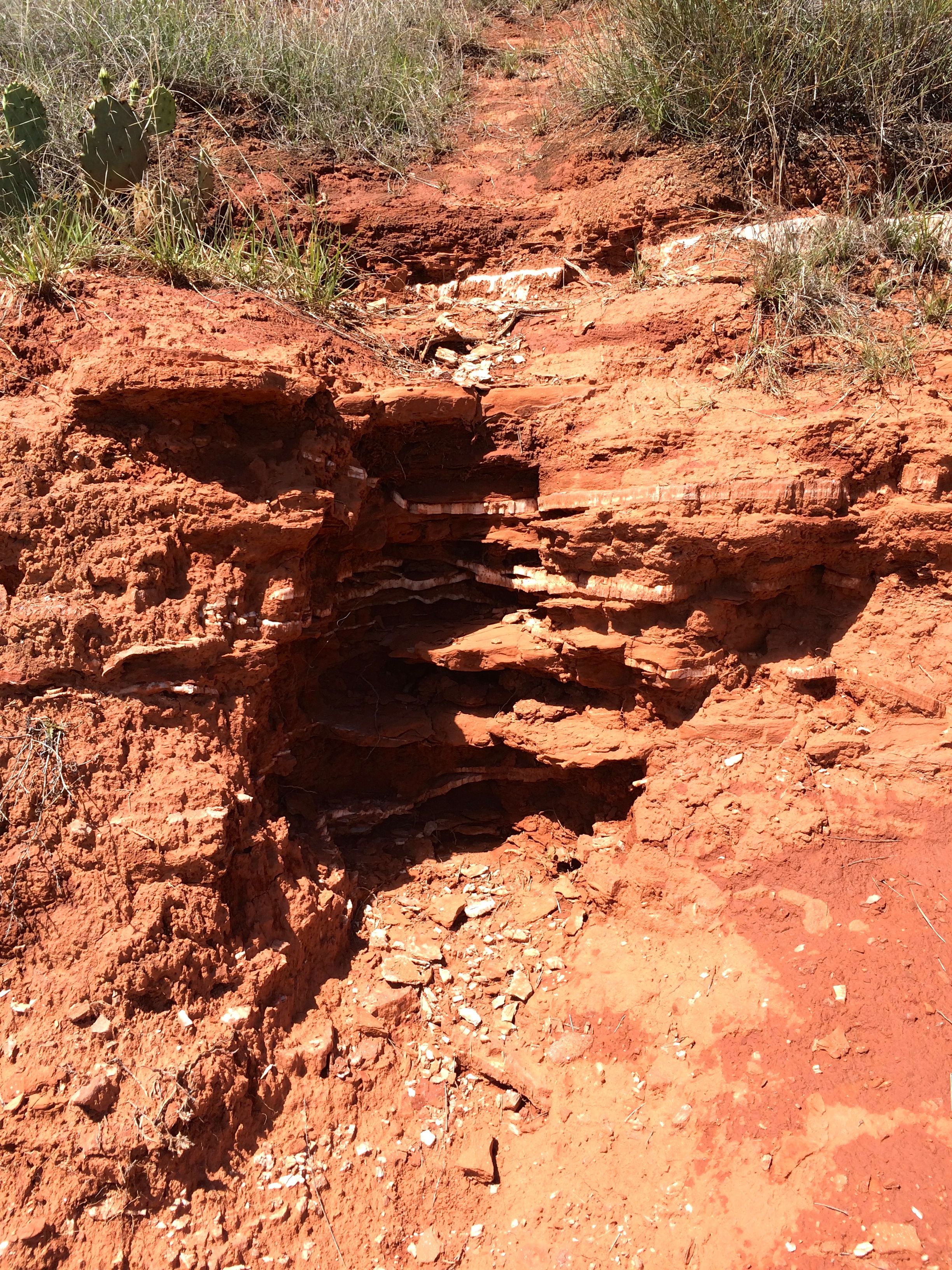
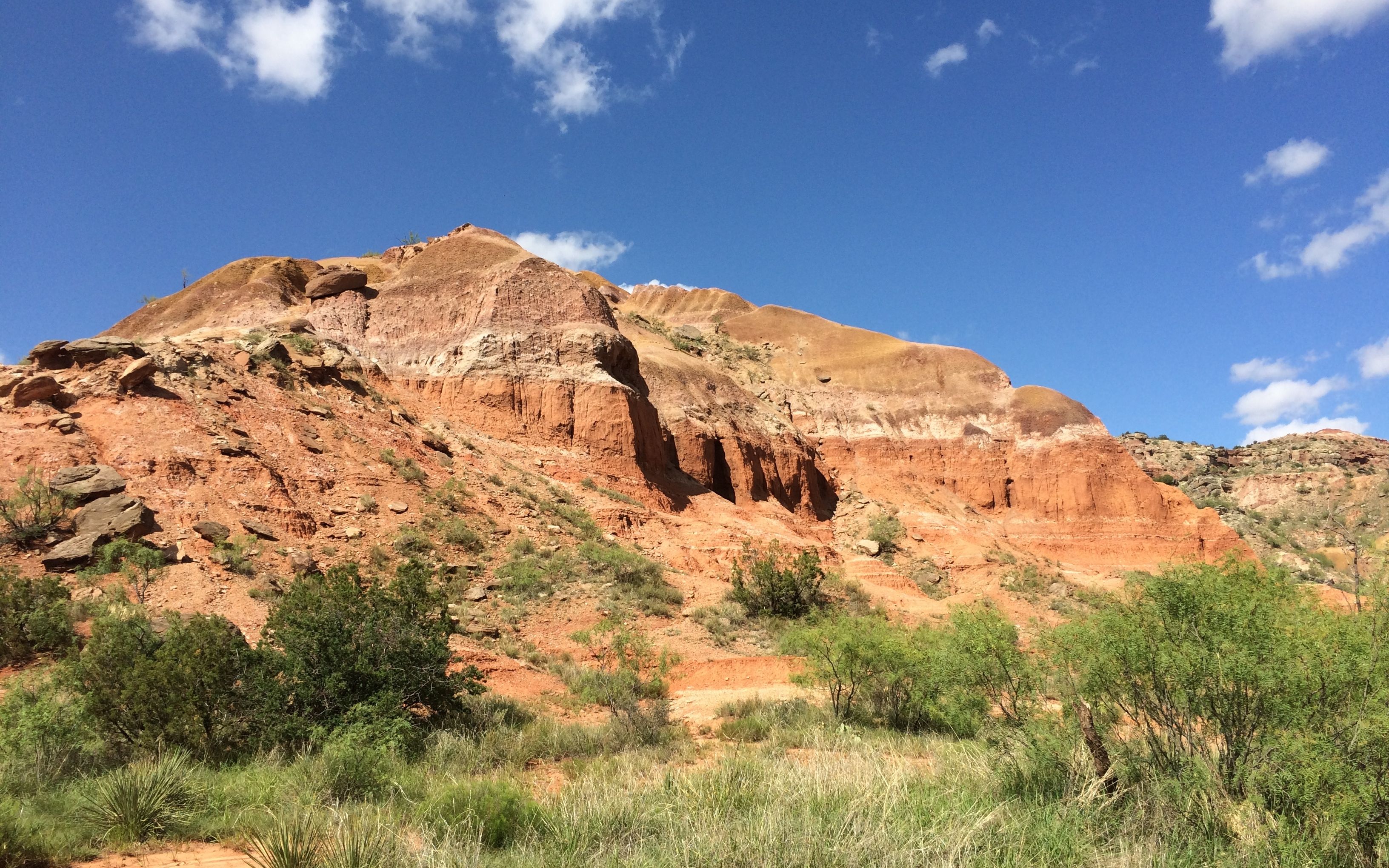
Anyway, I was interested in the white layers that were exposed. I walked over to inspect them more closely.

Layers close up

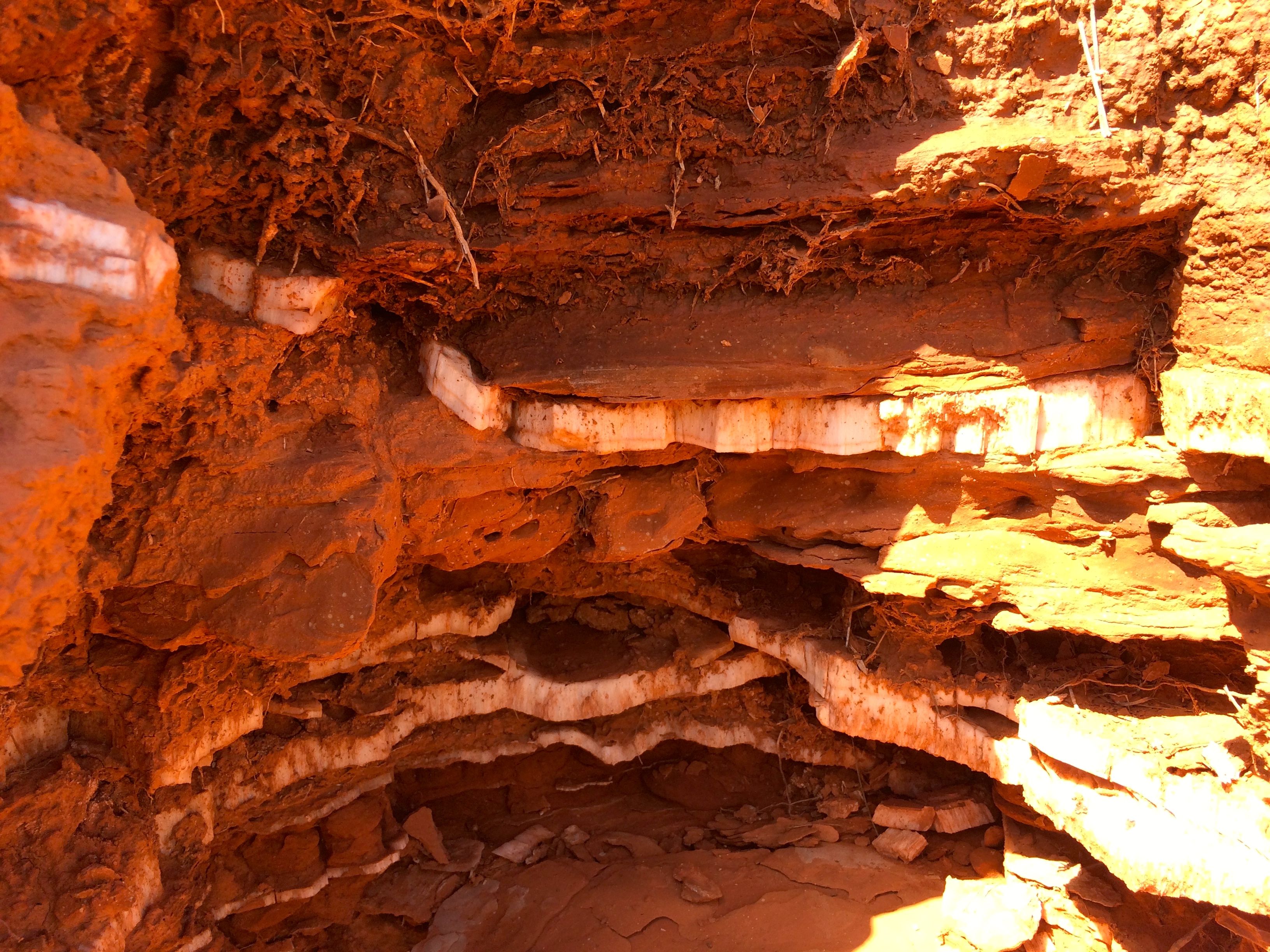
They were very interesting! I found out later that the white layers are gypsum. I took a couple pieces with me so I could identify them. Since they were covered with the red soil, I soaked them in water. The water made them really easy to break apart. Remember the Mohs scale from my last post? Well, the only mineral on the scale softer than gypsum is talc!

indian rock

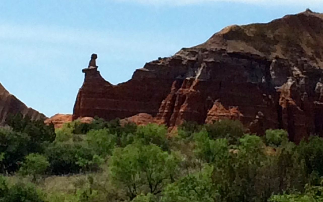
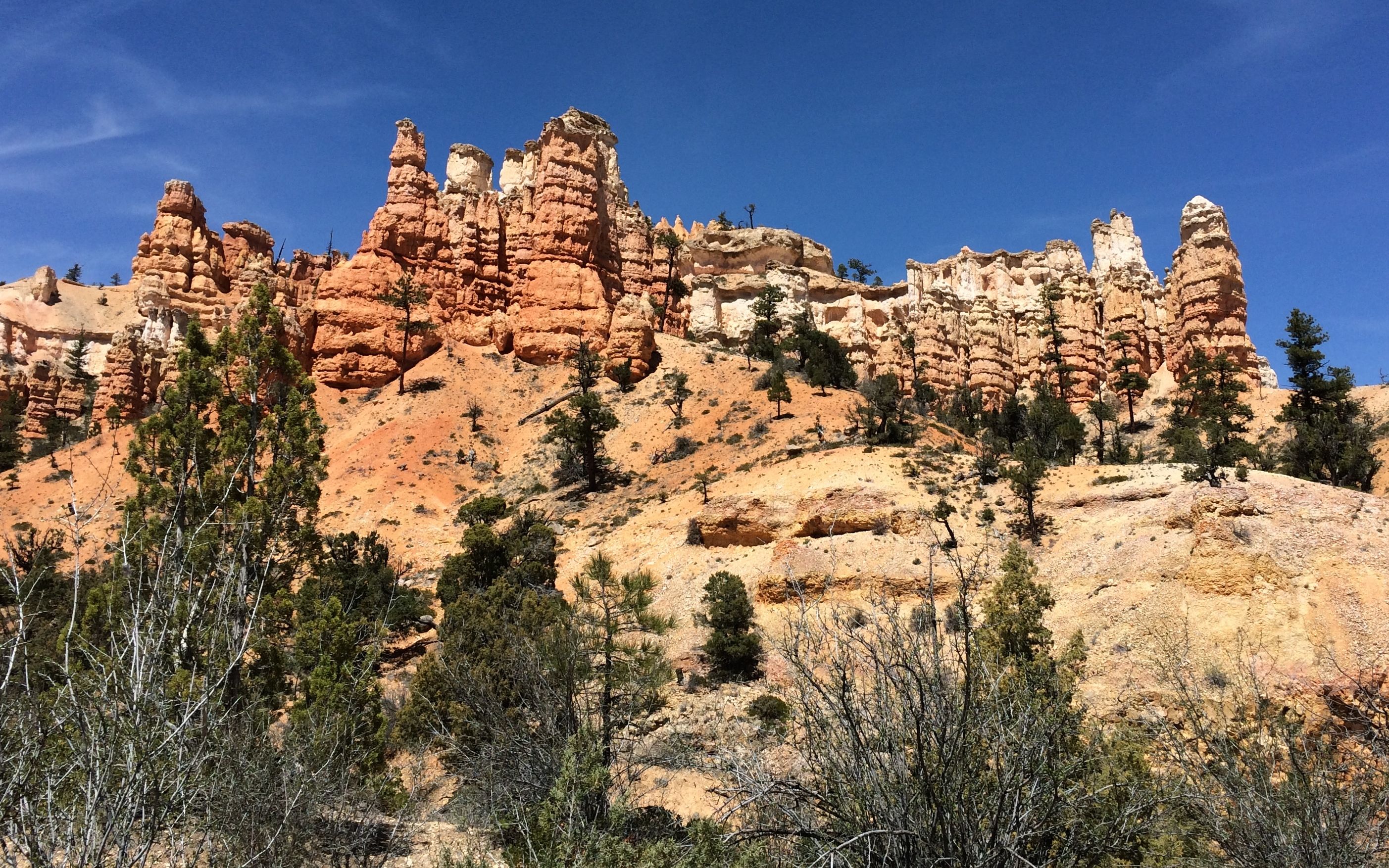
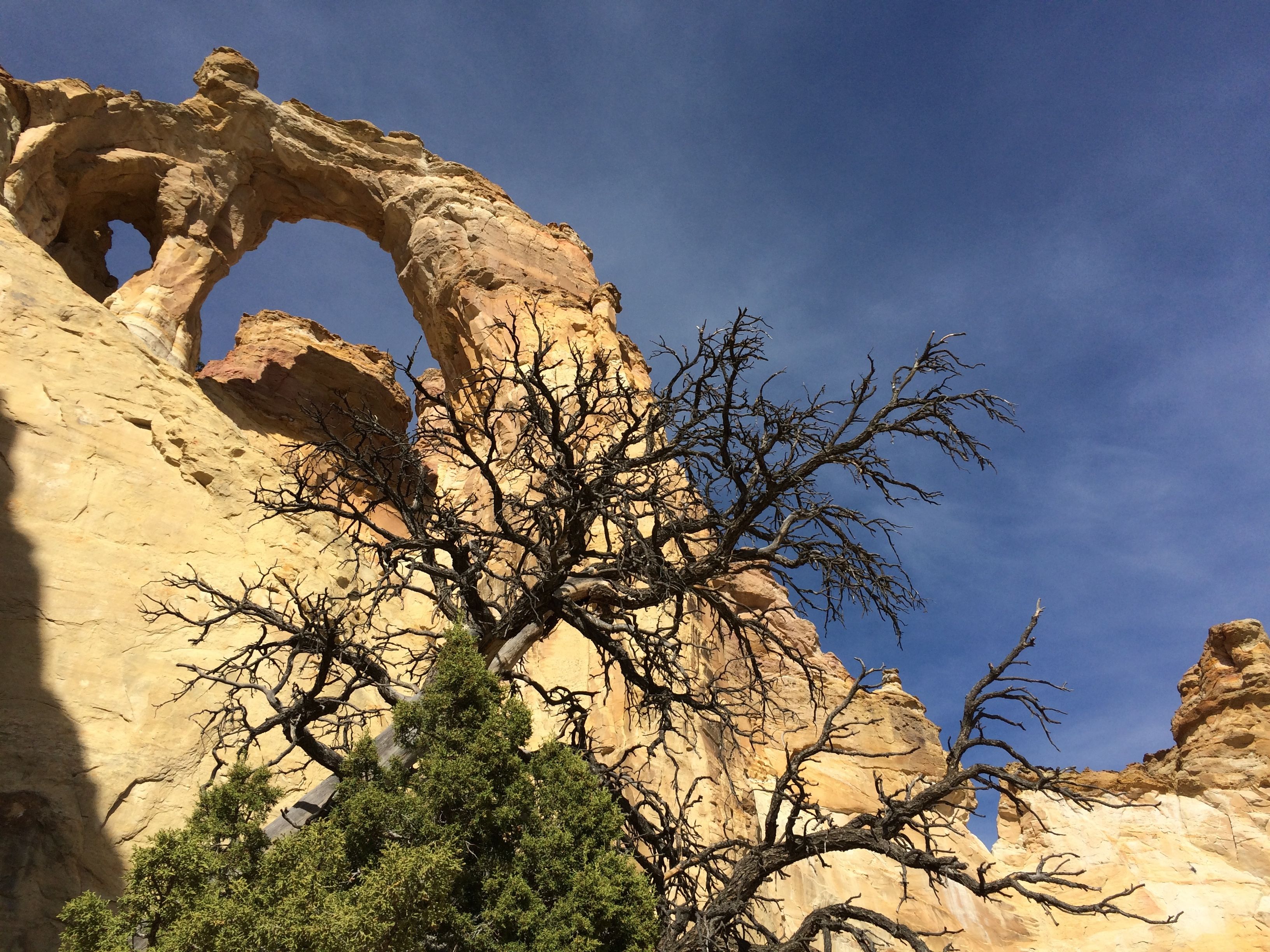
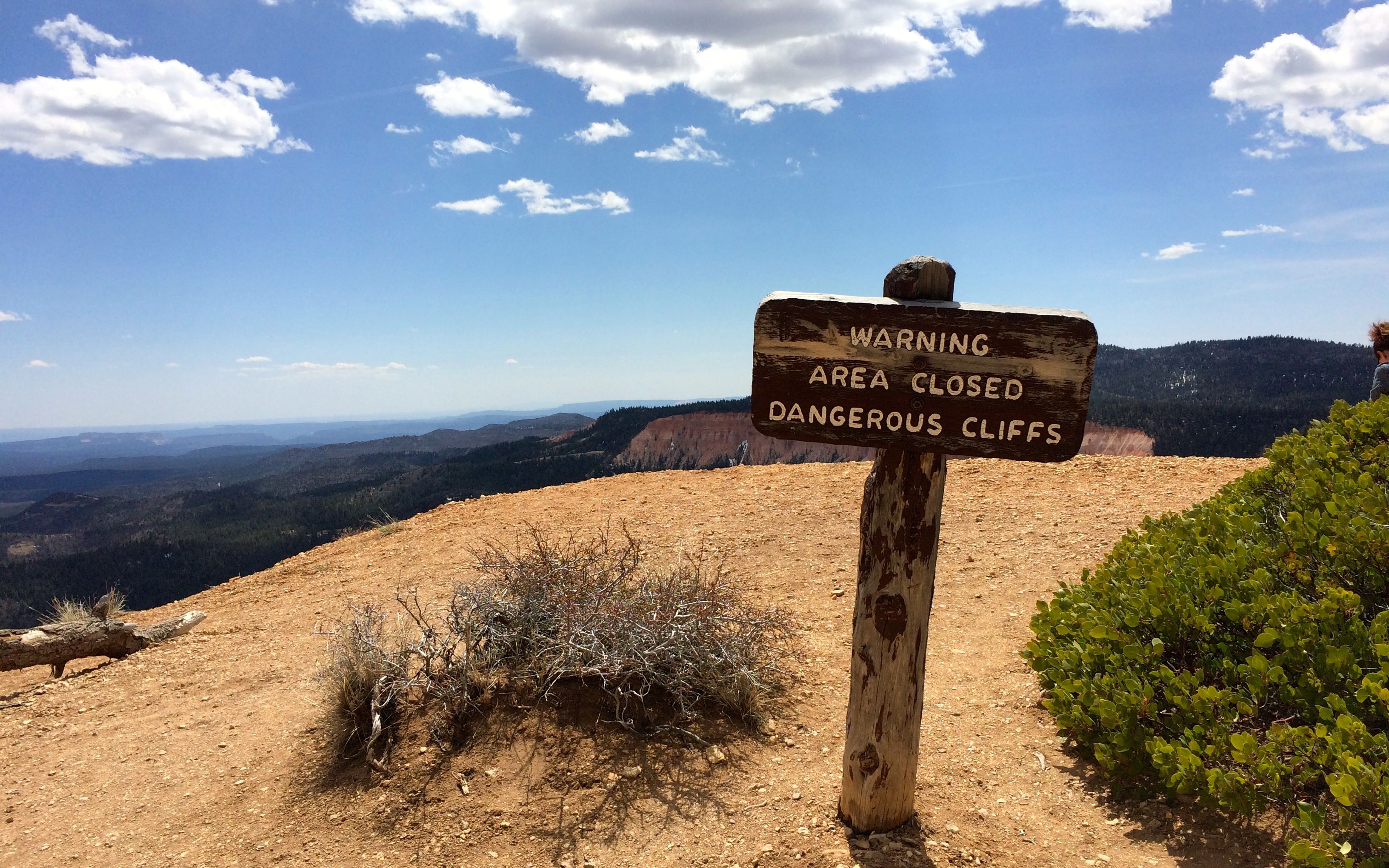
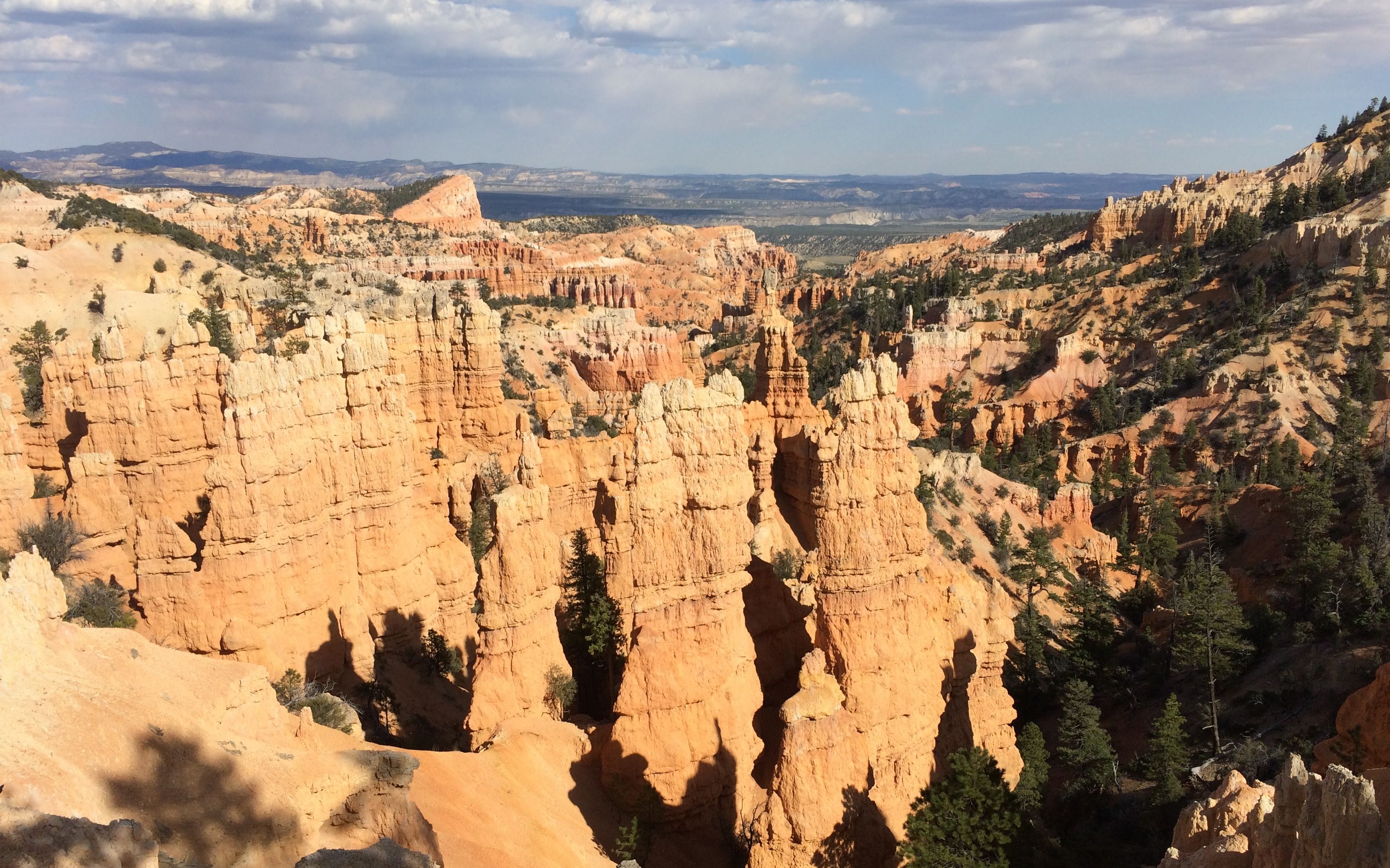
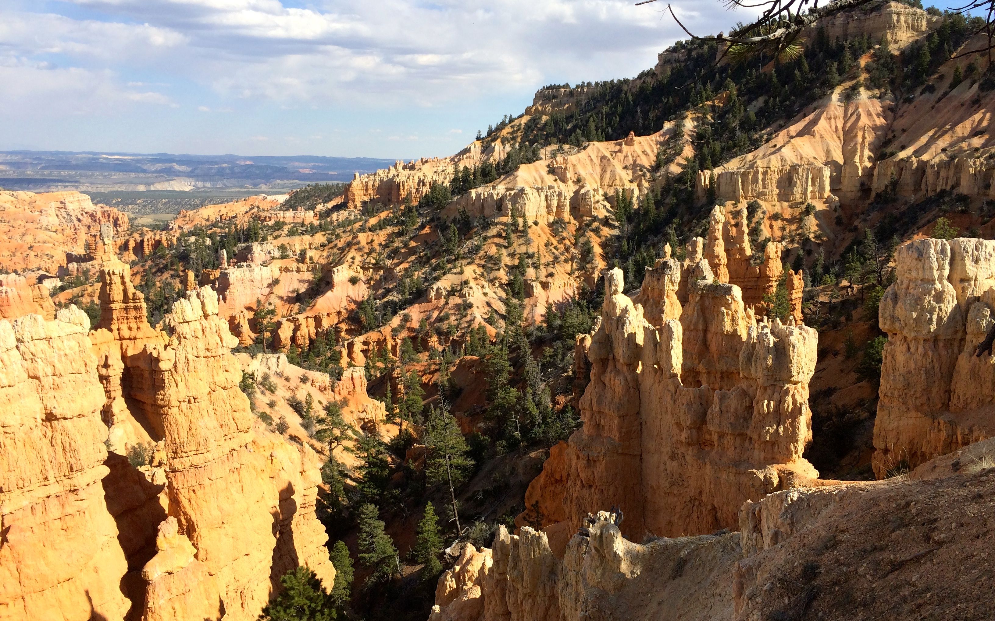
I walked on a bit until I came to a spot the trail guide told me was a place to view a hoodoo that looked like an Indian standing guard.

capitol dome ?

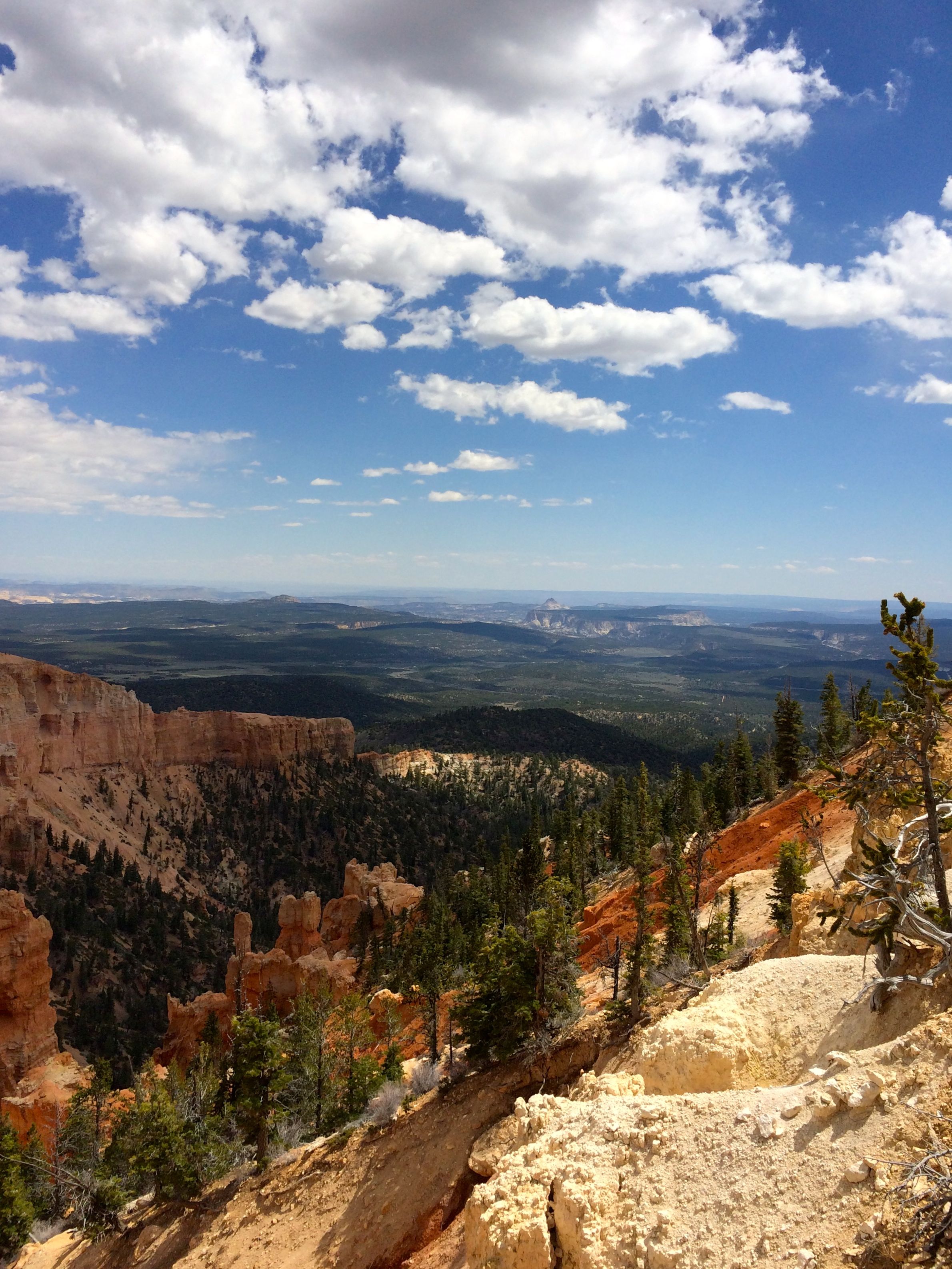
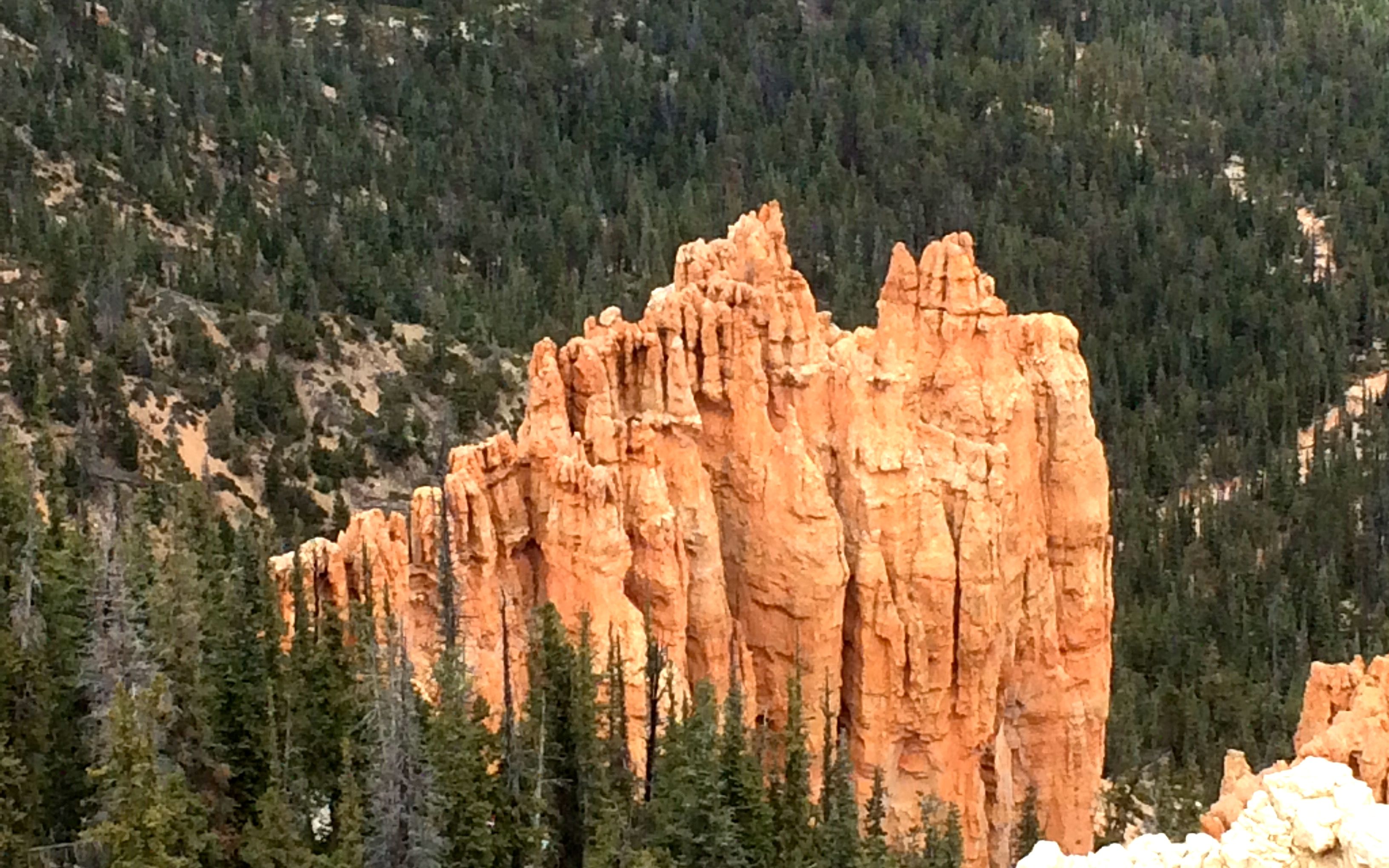
The taller formation is Capitol Peak. It was named for its resemblance to the Capitol Building in Washington D.C. There was a shelter at that spot, and I stopped and enjoyed the shade while I drank my water. I drank all the water I brought with me. I had more than half a gallon in my back pack! I figured that I had walked far enough if I felt the need to drink all my water by that point, so I headed back to the trailhead.

Spanish skirts

The formation across the valley is known as “Spanish Skirts”. At least, I think that’s what I was taking a picture of.

Layered rocks

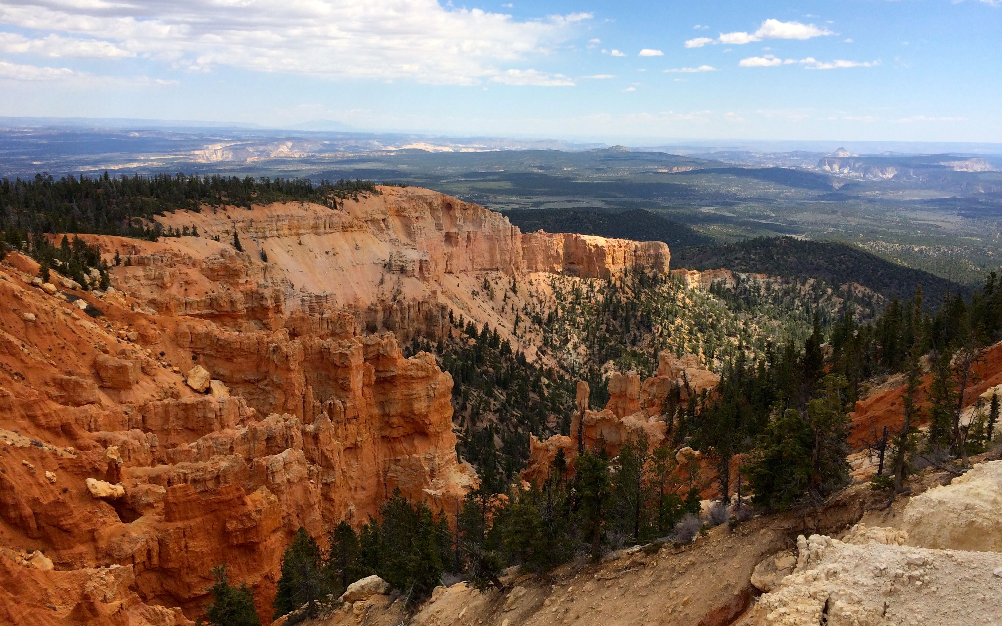
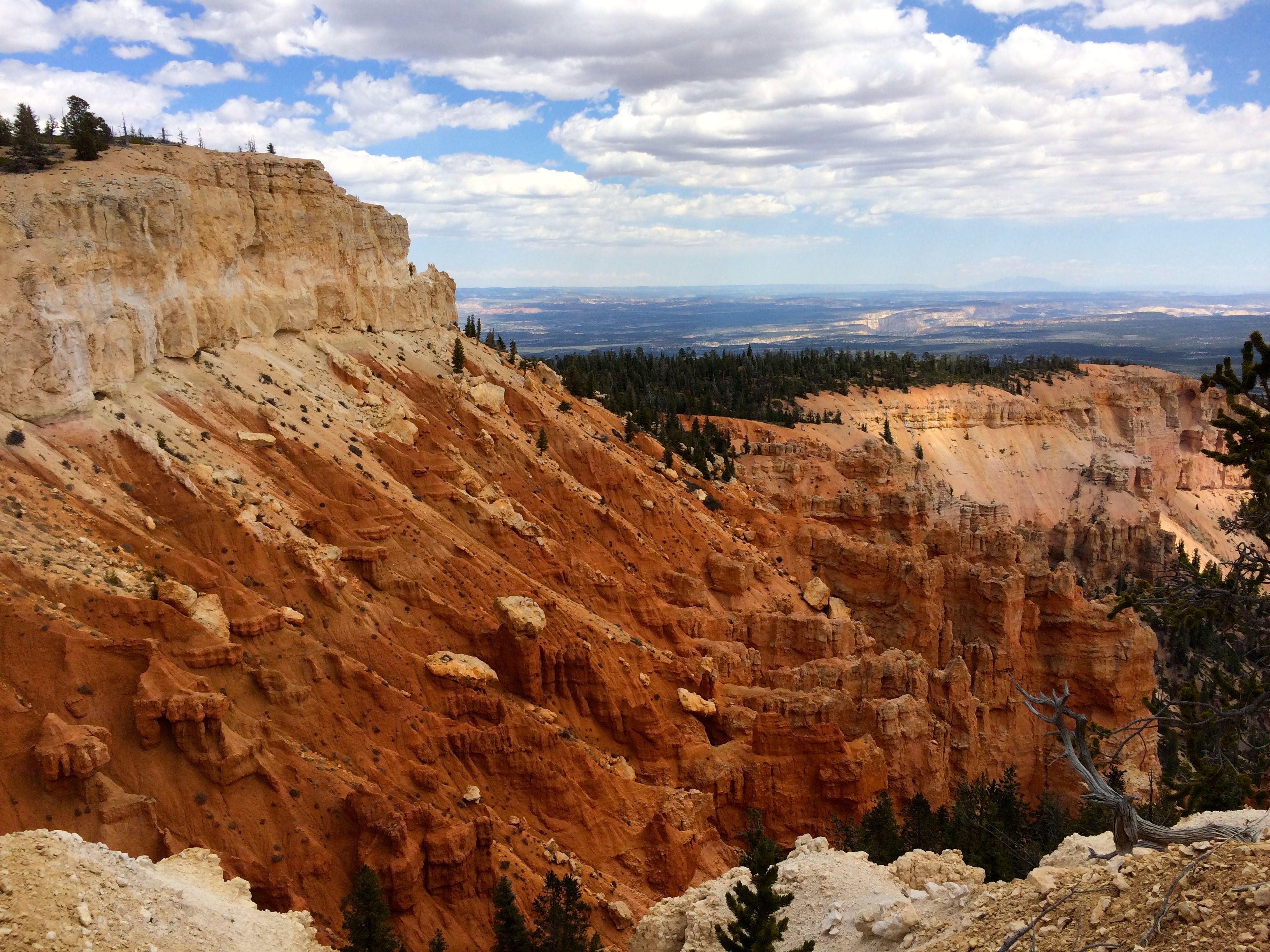
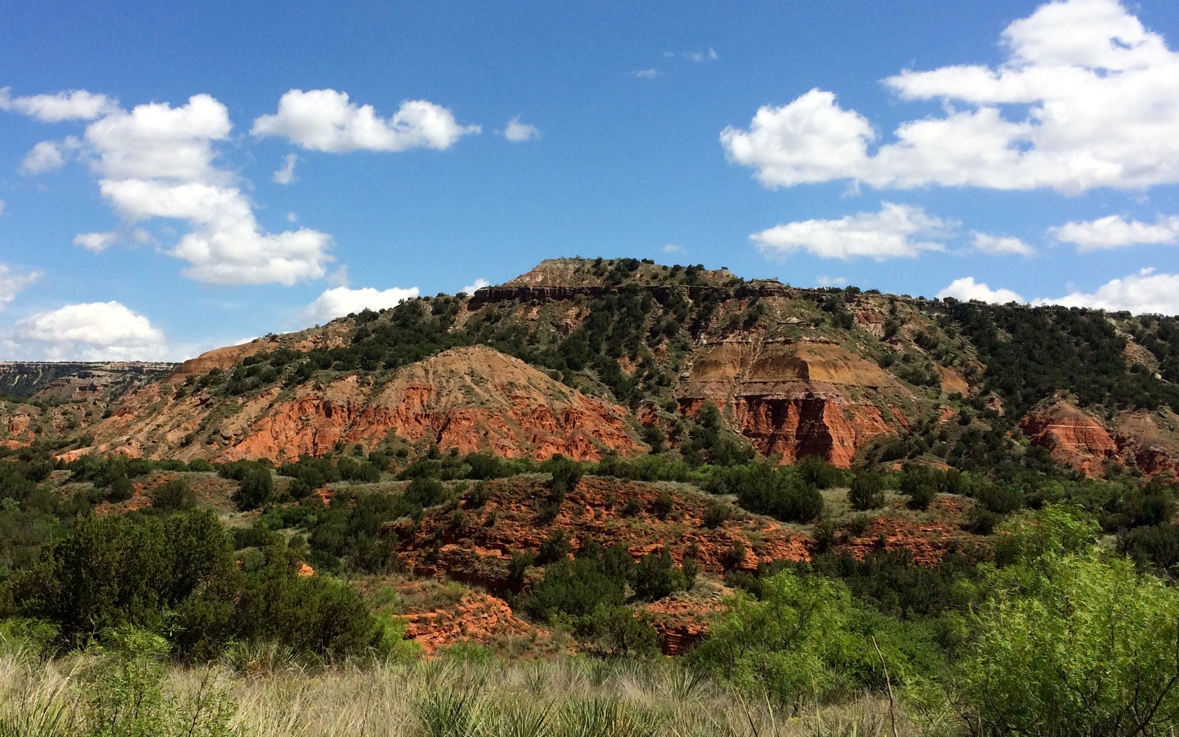
There were lots of lovely layered rock formations. The colors don’t show up as vividly in the photos, but they were quite amazing.

Flood gauge

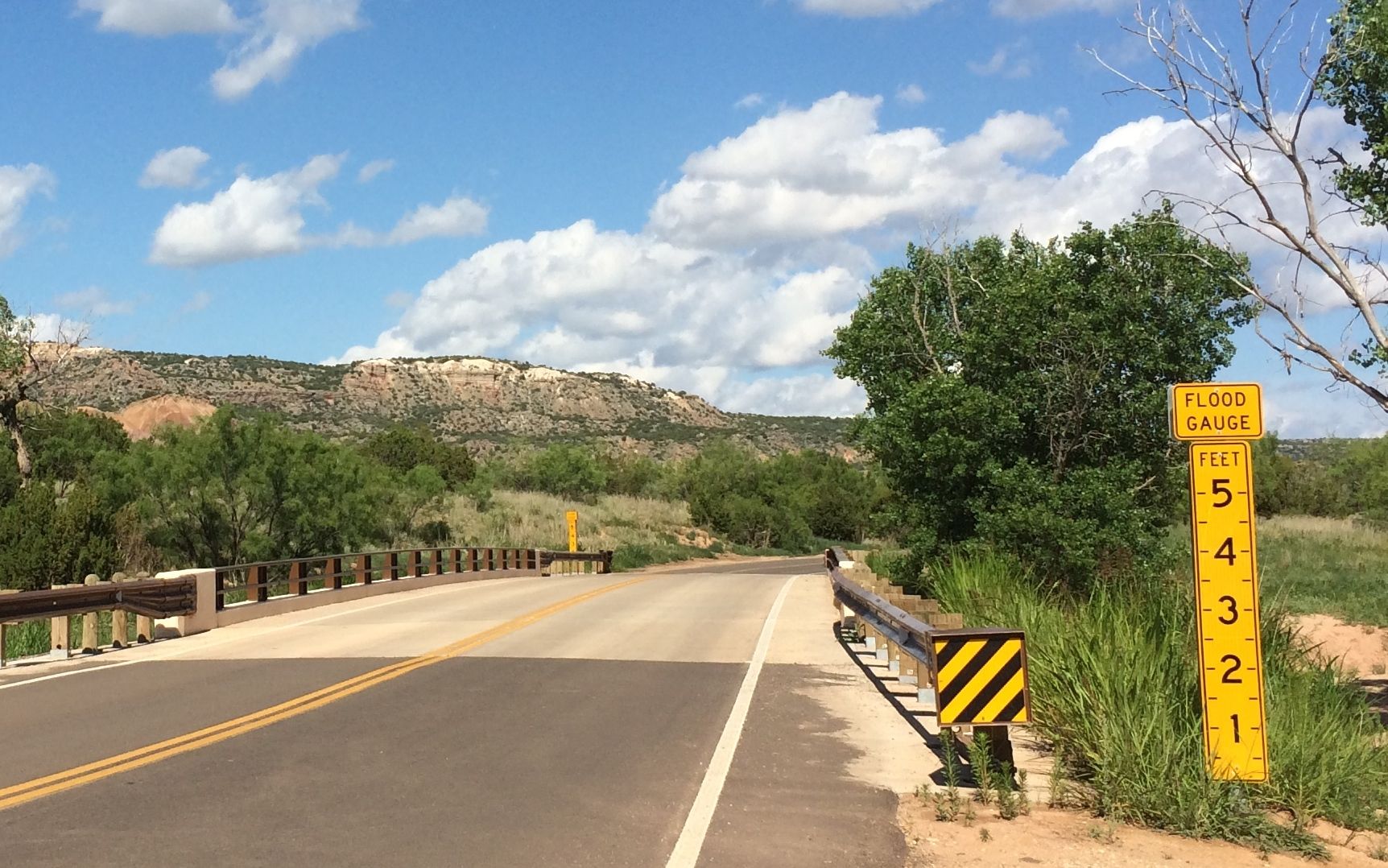
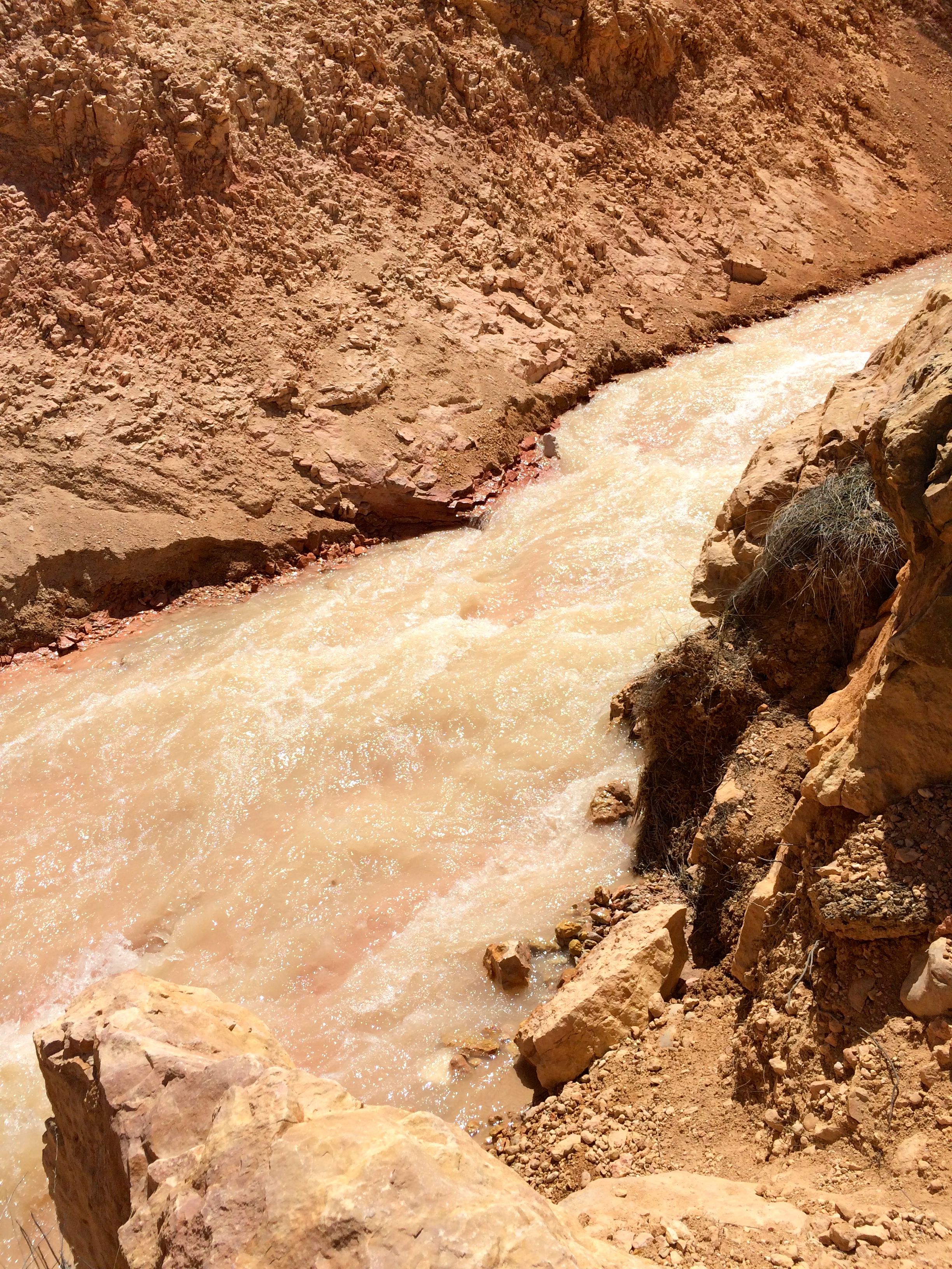
Speaking of amazing, I thought this flood gauge was worthy of a little examination. If you could see that the depth of water was three feet, you might be less inclined to try to go through. As they say out west, “Turn around. Don’t drown.”

What size stream could flood that high?

creek

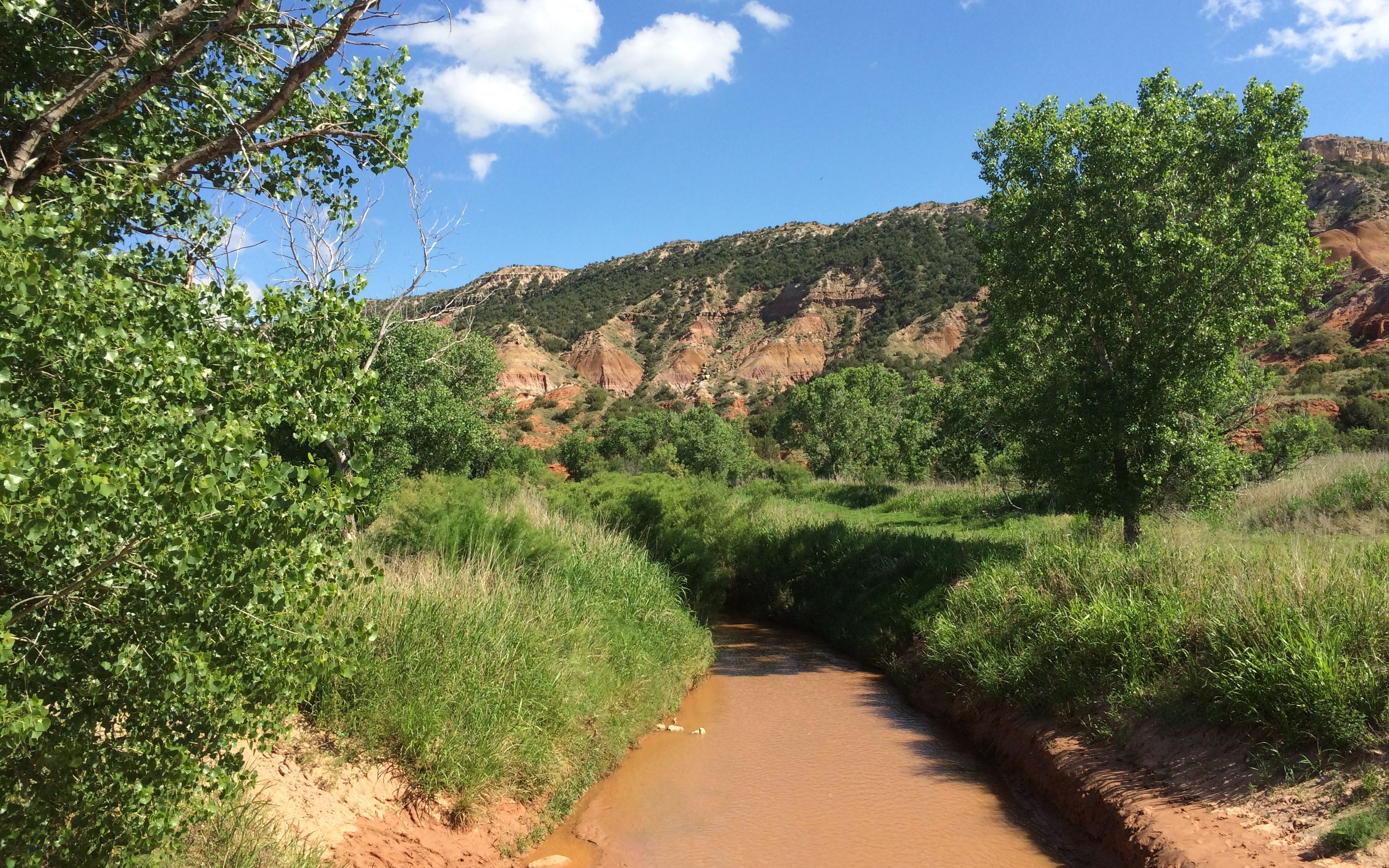
It doesn’t look like much, does it? But, when you consider the size of the area that drains into the creek, I guess it makes sense that the water level could rise dramatically – and suddenly.

Raccoon paw prints

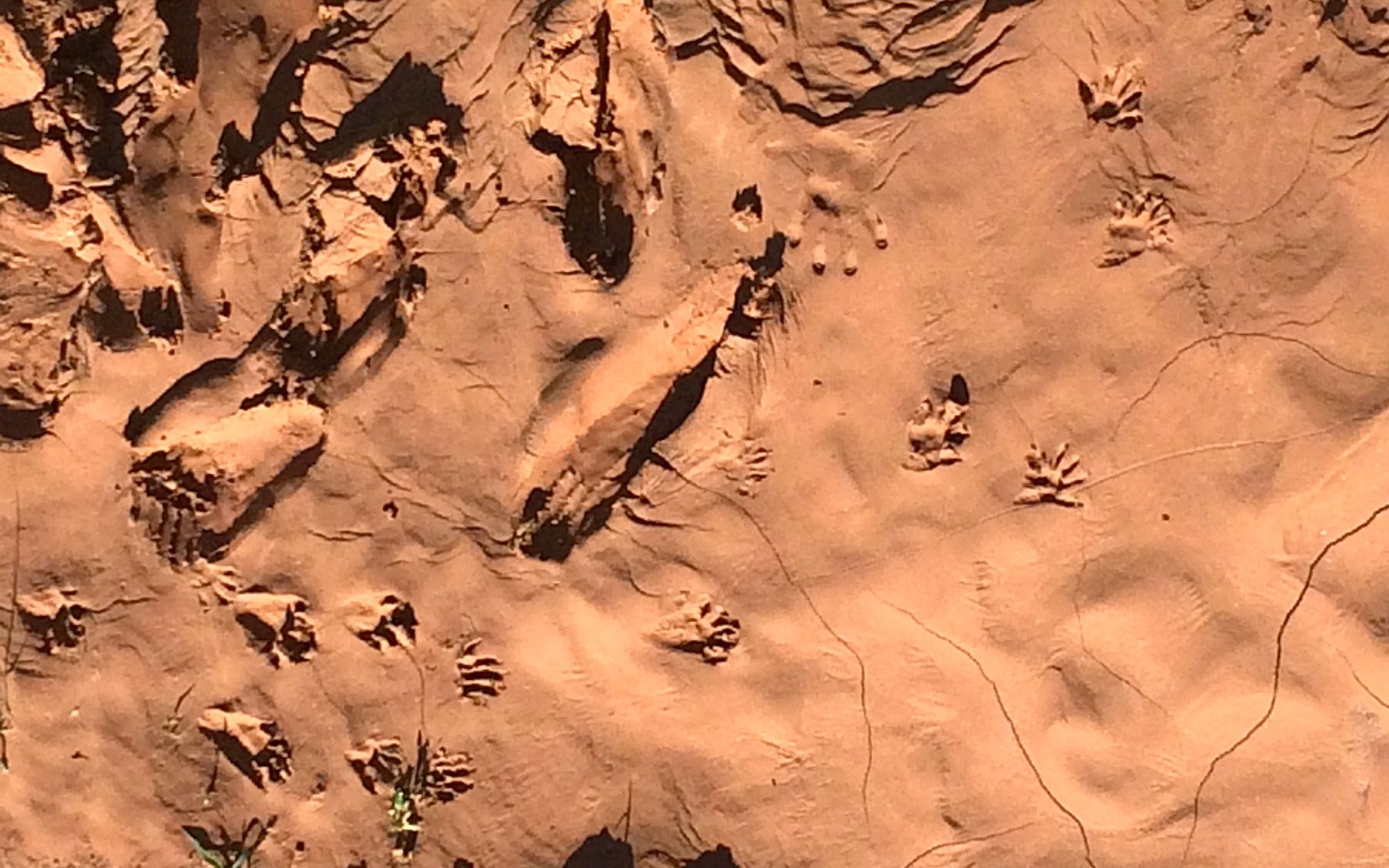
Looking into the mud on the banks of the creek, I could see what looks like raccoon paw prints.

I still had a little time to go before I could pick up the tickets for dinner and the show. I decided to stop off at the trading post for something to drink. I couldn’t help but notice these candies.

expensive candy

The bag is printed with the price, “2 for $1.59 or 89¢ each”. If you look careful at the orange sticker, it reads $1.29. I guess it’s all about supply and demand. As far as I was concerned, at that price I had no demand.

After nursing my diet Coke and enjoying the air conditioning for a while, it was finally time to go pick up my tickets.

TEXAS sign

It was time for TEXAS!

performer and his parents

While I was eating, I got to watch the excitement of performers on opening night. The young man in the white shirt came out to say hello to his parents. You could feel the happy, nervous energy he was exuding, and his parents were so proud of him.

After dinner I went to the entrance to the amphitheater to wait for them to open the gates. While I was there, I got to talking with a gentleman who had on the most gorgeous turquoise bolo tie. He told me that it had been his father’s and that he liked to collect Navajo jewelry. He showed me the bracelet he had on and said that he had just gotten a new one, but it was too big to wear with his dress shirt. Before he retired, he had been the director of history at the Panhandle-Plains Historical Museum.

You just never know who you are going to run into!

They opened the gates, and we went to take our seats. I ended up sitting next to the Cabbages of Hutchinson, Kansas. We got to talking about the PPHM (Panhandle-Plains Historical Museum) and they enthusiastically recommended it to me. I told them that I would give it a visit while I was in town.

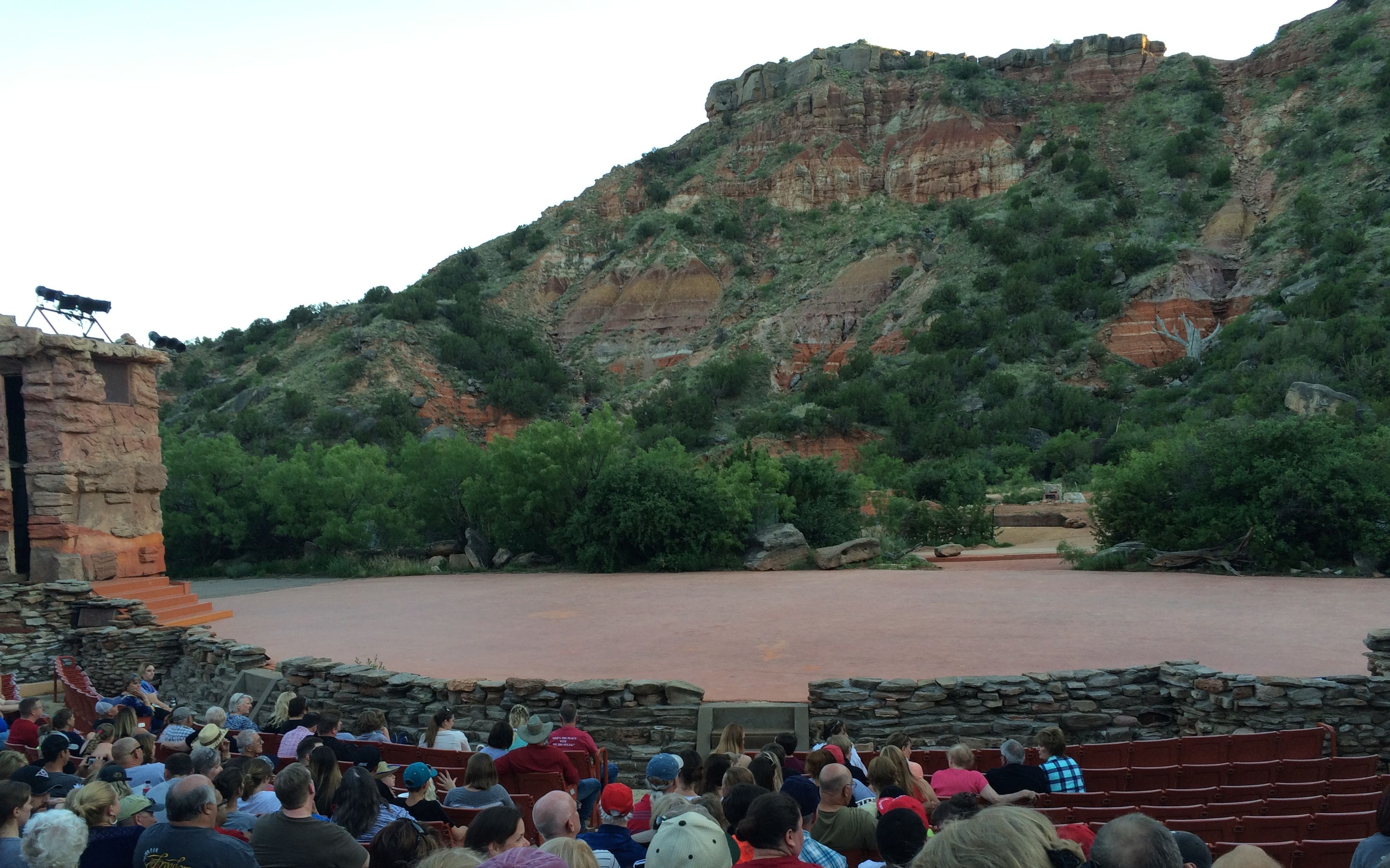
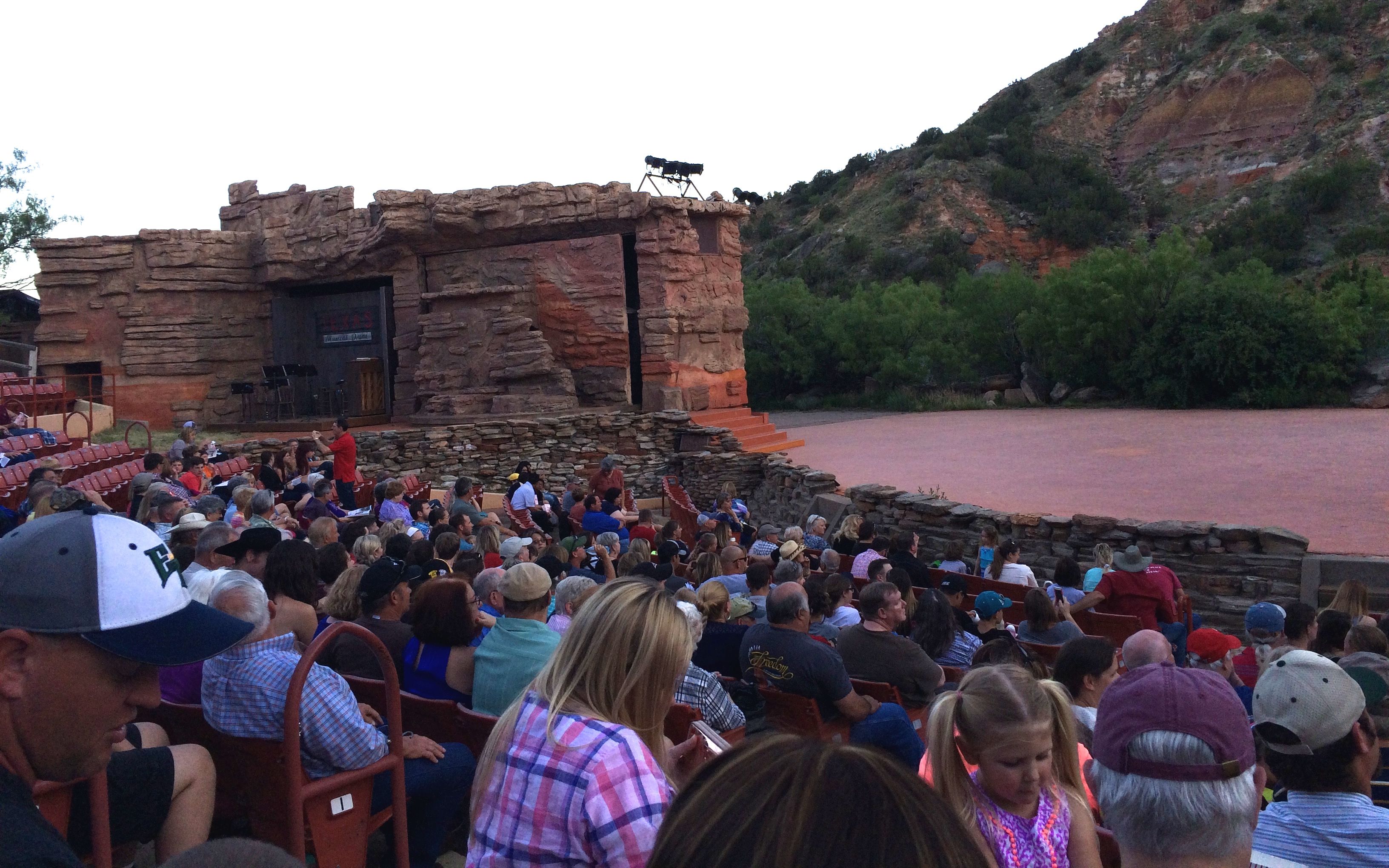
While waiting for the show to start, I examined the stage. It looked like there would be some interesting scenery and set changes.

Stage left

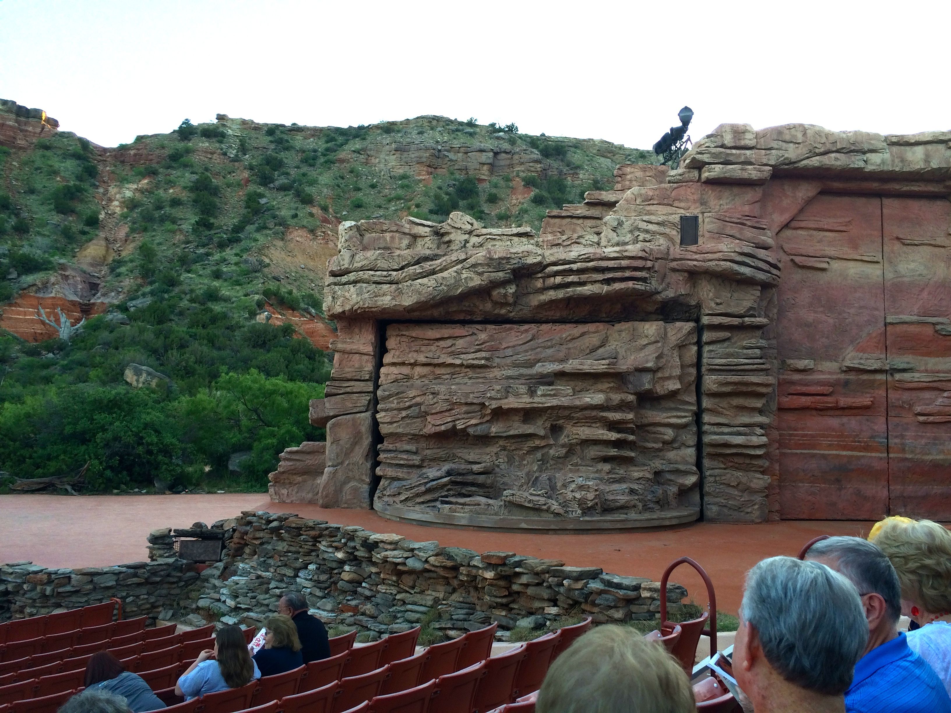
The backdrop was the wall of the canyon.

The backdrop

I just couldn’t wait to see how all those doors would come into play!

Stage right

Unfortunately, I have no shots of the performance to share, as it was prohibited. But, you know how they say everything is bigger in Texas? I think that applies to musicals, as well. They have cast of 60 singers and dancers, at least six horses and a mule. There were three wagons, I think, a train, a cabin and a real, burning campfire that they moved out onto the stage. Oh, and the show ended with the Dancing Waters of TEXAS and fireworks.
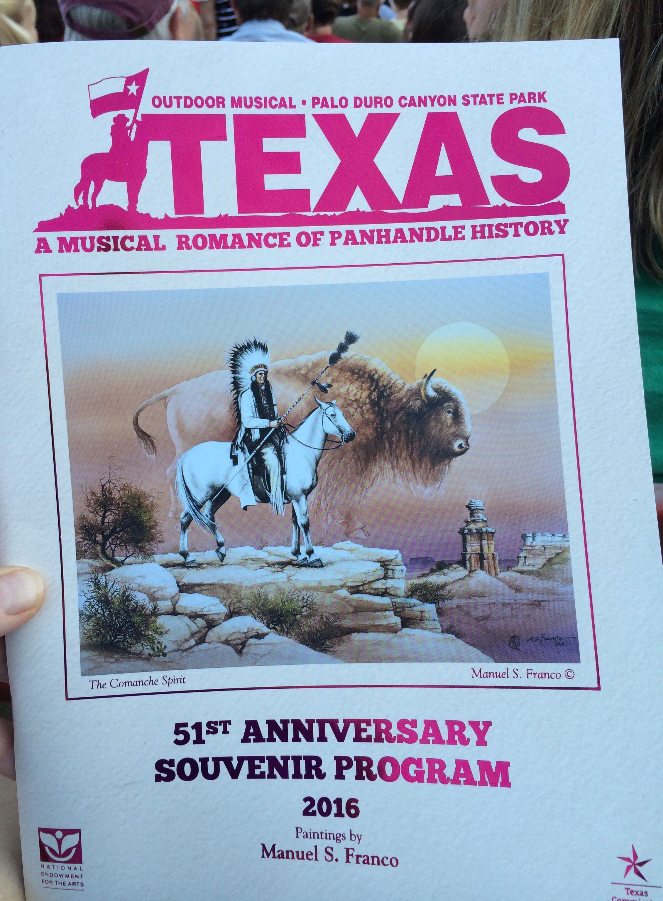
Program

TEXAS! 

After the show, you know that 10% grade with switchbacks? Yep, time to reverse the process, this time in the dark.

Since I am reporting this to you, you know I made it out.

Twenty Miles of Bad Road

After my day at Bryce Canyon, I decided to see some of the other offerings of the area.

But first, I needed to make a snowman.

Snowman

There was just a little snow nearby and I needed to take advantage of it.

Snow

After documenting my snowman – after all, if there are no photos, it didn’t happen – I decided to explore Mossy Cave Trail.

Mossy cave hoodoos

The hoodoos were spectacular!

The canyon originally was dry. The Mormon settlers managed to dig a ditch that brought water up an over the ridge from a nearby river and ran it down the canyon.

Mossy cave water

It was a short but steep trail. I walked up it a ways, but decided that I had had enough walking the day before. It was hot and I felt like I had the general idea. I headed back to Bart.

Mossy cave looking in the opposite direction

The view from the parking lot shows a change in the scenery coming down the road.

I motored onward and came to a visitor center for various federal lands, including the Grand Staircase-Escalante National Monument. I stamped my National Parks Passport and looked at the displays. One point I found interesting was that the Southern Paiute, who arrived from the Southern Great Basin around 800 years ago believed in following the water. They traveled in a seasonal rhythm and used what the land offered. The Mormon settlers followed a European lifestyle that involved bringing the water to where they wanted it.

Reginald Stewart working on the ditch

Here we see Reginald Stewart, working on the ditch that brought the water down Mossy Cave canyon.

After looking around a bit, I decided to follow the road a little further to Kodachrome Basin State Park. I was intrigued by the name. Was it named after the film I had to find out!

Kodachrome Basin sign

I was tantalized by what I could see from the entrance, but I couldn’t bring myself to spent the $8 admission fee. I chatted with the ranger and he invited me to park and look at the displays they had inside the ranger station.

And, I found out that it Kodachrome Basin was named for the film! Originally, it was called Thorley’s Pasture.

Thorley's Pasture

The area is filled with sixty-seven sand pipes that range from six to 170 feet tall. One theory is that the area was once filled with hot springs and geysers, which filled up with sediment ant solidified. Over time, the sandstone surrounding the solidified geysers eroded and left the sand pipes behind.

Around the turn of the 20th century, cattlemen from the nearby used the area as a winter pasture. In 1948, the National Geographic Society explored and photographed the area for a story that appeared in the September 1949 issue of the National Geographic.

National Geographic

They were writing a story called “Motoring into Escalante Land”. They named this area Kodachrome Flat, after the relatively new brand of Kodak film they used. In 1962, Utah designated the area as a state park, and changed the name to Chimney Rock State Park, to avoid possible repercussions from Kodak for using their trademarked name. It was renamed Kodachrome Basin a few years later, with Kodak’s permission.

Kodachrome Basin cartoon

Ah, but time marches on! This cartoon was displayed in the ranger station. No more Kodachrome film, but Kodachrome Basin State Park remains.

In retrospect, maybe I should have sprung for the $8 admission to the park, but I found out the Grosvenor Arch wasn’t too far and the road was in good condition. I decided to head that way and see it.

Grosvenor Arch was named for Gilbert Grosvenor, a president of the National Geographic Society. It is about ten miles down the road from Kodachrome Basin State Park in the Grand Staircase-Escalante National Monument.

warning signs

Luckily, the roads were dry. But – my-oh-my! – the roads were not smooth! However, they were passable. After a fashion.

roadbed to the arch sand

There were sandy spots…

Unimproved road sign

and washboard roads that jarred my teeth. I was so glad to have a steering wheel to hold on to and I learned to clench my teeth so that they didn’t rattle. I went up over ridges and down through washes. It was quite a ride!

Road to the arch

There were incredible views along the way!

Direction to Grosvener Arch and Rte 89

I finally came to a fork in the road – so I took it. (Quote courtesy of Yogi Berra.)

Yogi Berra

I couldn’t imagine 30 more miles of this rutted, washboard, rocky road to get to US 89. But, one more mile – I could handle that.

Grosvner's arch

And I arrived!

Grosvenor Arch is a unique double arch in sandstone.

Grosvnor's arch 2

Of course, what would natural beauty be without graffiti?

Grosvner's arch grafitti

What is surprising to me is how soft the sandstone is. I got close to the rock and put my hand on it to brace myself when I walked past. My hand was covered with sand when I pulled it away. I wonder how much longer this arch will be standing? Wind, water, freezing temperatures and gravity will take their tolls. One of these days, It will be no more. I’m glad I got to see it.

Grosvner's ARch 3

I went back to my truck and got ready to leave. I noticed a sign a little further down the road and decided to walk over and check it out.

Not the road to hwy 89

Well, you can’t be any more explicit than that, can you? I have to admit, I was curious about what the impassible section looked like. I was not willing to drive the 24 miles to see it.

I bounced my way back to the paved road – another ten miles or so. I was never so glad to see asphalt!

Old cabin in landscape

And the scenery was just as good on the way back!


Bryce Canyon National Park – Part Two

The next day, I got up and headed back to the park. I arrived at the entrance at the same time as carload of visitors from France. They asked if I would take their pictures. I love taking pictures of people, and they were happy to take mine, too.

Me by Bryce Canyon Sign

I stopped at the Visitors Center and asked the ranger for a map and advice for how to see the park. She recommended that I drive to the end of the park and then work my way back. I stamped my National Parks Passport and headed out.

The park is a compact 55 square miles, as compared with Zion National Park’s 229 square miles. Bryce Canyon National Park was first established as a national monument in 1923. Its name was changed to Utah National Park in 1924 and it received its current name in 1928.

Ebenezer-Bryce

The park was named for Ebenezer Bryce, a Scottish immigrant and pioneer to the region. He converted to the Mormon faith and left Scotland at the age of 17. According to my sources, (Wikipedia) he was the only member of his family to convert to Mormonism and was “disowned” by his father.

After driving to the end of the park’s road, I arrived at Rainbow Point.

Rainbow point elevation 9115

Wow! That’s some elevation! I walked over to the edge and looked at the view.

view 1

What a view! Spectacular!

view 2

I don’t know how far I saw on that day, but according to the park information, on a clear day, you can see 150 miles and even identify landforms in Arizona. The air is so clear!

I decided to eat my peanut butter and jelly sandwich and drink my water before I hiked the Bristlecone Loop. They had these incredible benches that are made out of split trunks of enormous pines. I do wish I had a photo of the benches. In lieu of the bench photo, here’s a shot of the toilet paper array in the vault toilet.

toilet paper accumulation

Something for everyone: over, under, left and right. Can’t say they don’t celebrate diversity!

Bristlecone loop sign

I headed down the trail to the Bristlecone Loop. I came to the sign and turned left. Anyone notice something about the sign? I wondered why I met so many people coming toward me. Oh, well.

Snow on the trail

Winter hadn’t quite lost its grip up here above 9000 feet in the middle of April. There were a few patches of snow across the trail, but I managed to get around them without incident.

view 3

Every now and then, the trail would lead me back to the rim and another amazing vista.

View 4 hoodoos

When I got to a place with a little shelter, I asked some of the people I met walking toward me to take my photo.

Better selfie

The woman noticed my Kalamazoo jacket and told me that she and her husband were married in Kalamazoo. I asked her where the wedding was, and she told me that it was in Crane Park. What a small world! I lived in the apartments across the street from that park. She and her husband were attending college in Kalamazoo when they met.

marker

Here is the marker that was at the point. They have a program where kids can get a small reward for hiking at Bryce Canyon. No such program for adults, however.

Bristlecone pine close up

I always wondered what a bristlecone pine looked like. I think I may have found one.

Stump

The trees are slow-growing at this altitude. Given the dryness, they don’t even decay that quickly. I wonder how long this stump as been sitting there. view 5 snow in the distance

The views just continued.

Kalamazoo Promise picture

I got to another place for a photo-op and decided to display my Kalamazoo Promise tee shirt.

View 7

Views, views and more views.

Area Closed Dangerous cliffs sign

You know, you don’t need to tell me twice. Actually, after all the views, I was ready to see the rest of the park.

Path

I headed down the trail and back to Bart. I started back toward the entrance to the park. There were pullouts all the way back.

Natural Bridge

One of the stops was called Natural Bridge. It’s natural, but it’s not a bridge. Bridges are created by water flowing through them. This is an arch. It’s still impressive.

view 8

I drove and then pulled over to admire the views.

Black Birch Canyon

There was still snow in Black Birch Canyon.

view 9 hoodoos

There were hoodoos galore. A hoodoo is a tall, thin spire created by erosion. (Just in case you wanted to know.) They actually occur in many places around the world. They first time I encountered something like this was in Momostenango, Guatemala. There they were called “los riscos.”

Los riscos de Momostenango

Ah, but back to Utah.

Compare BART with a motot home

While I was driving back toward the entrance, I noticed RVs being driven on the same road. I was thinking that I was so glad that I didn’t have to drive something so large through the park. When the opportunity arose, I took a photo of Bart with one of them. Imagine my surprise when I discovered that they were about the same length – and Bart had a longer wheel base!

One of my last stops in the park was the Bryce Canyon Lodge. I do like an interesting hotel!

Bryce Canyon Lodge

The Bryce Canyon Lodge was built in the mid-twenties by the Utah Parks Company, which was a subsidiary of the Union Pacific Railroad. This was part of the railroad’s project to develop tourist traffic to the national parks in Utah and Arizona by providing quality destination hotels at each park.

It is elegant, in a rustic way. I thought I might have dinner there. I looked over the menu and decided that I wasn’t hungry enough for a $35 dinner. I enjoyed looking around, though. I thought this was an interesting sign at the registration desk.

sign in lodge lobby - no TV

I actually saw families playing cards and sitting together reading in the lobby as they waited for the dining room to begin serving dinner.

I had one more stop to make before I returned to Flo for my dinner: Fairyland Canyon.

View 11 Fairyland

What a spectacular view!

View 12 Fairyland

My eyes were getting worn out from all the looking!

view 13 Fairyland

But one more shot before I head back to Ruby’s Inn and RV Park for dinner and to get rested up for the next day’s adventures.