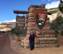
Hello, Utah!
 Finally! A new state to add to the map. My last new state was Florida, and that was some time ago.
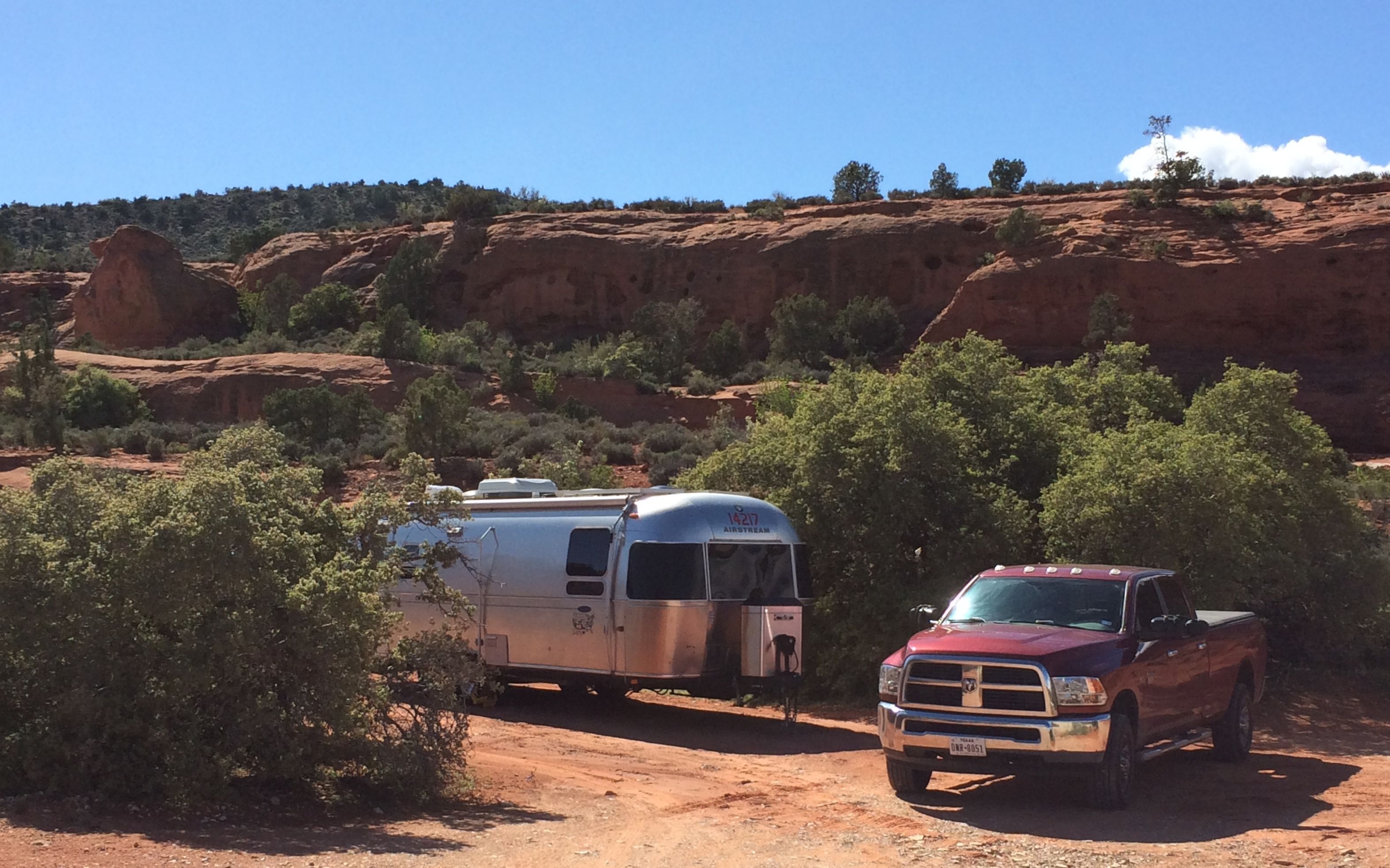
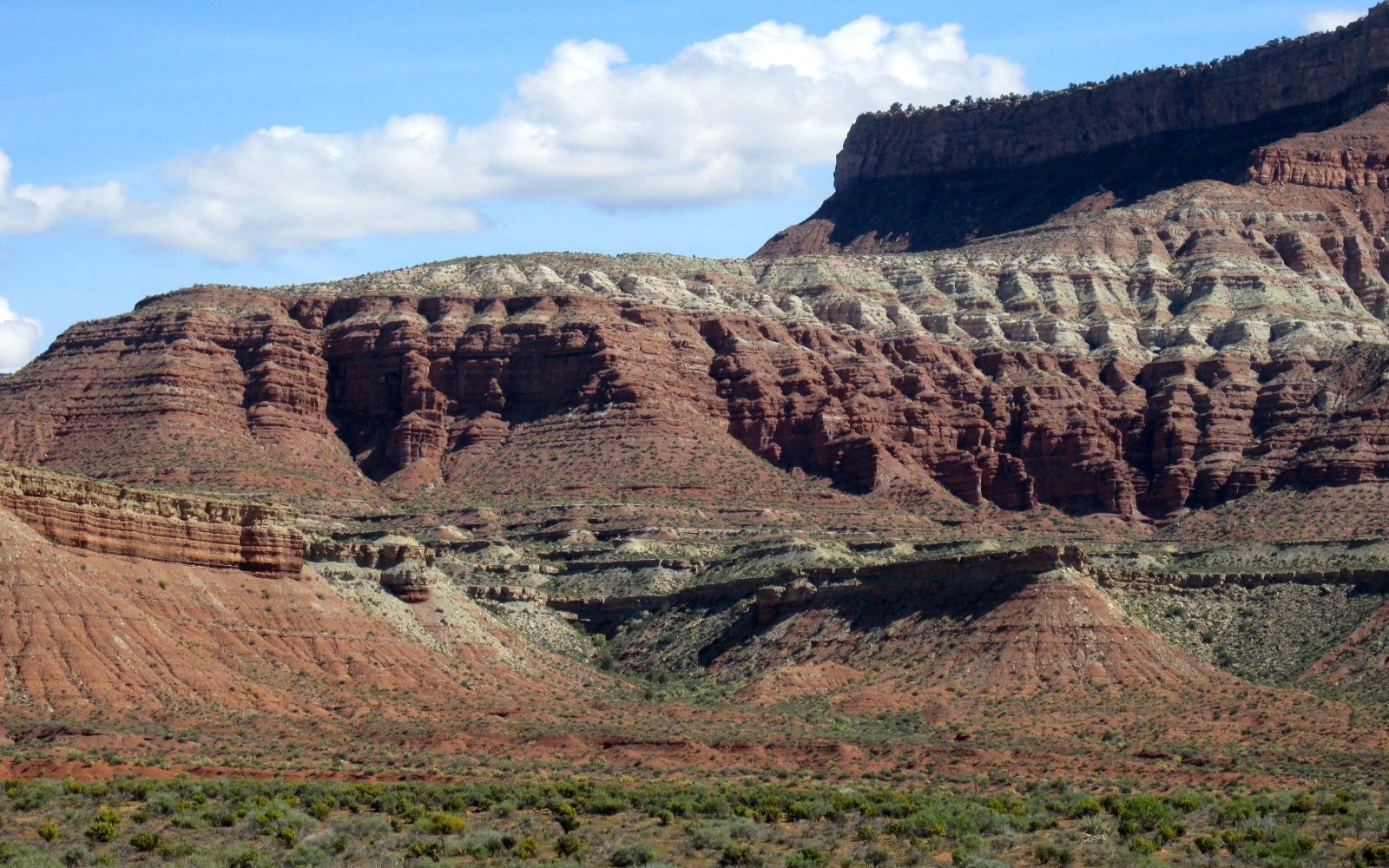
Using a website, Campendium.com, I found some free camping in the Dixie National Forest, just a mile or so off I-15. Do I love the word, FREE? Yes, I do! There are no facilities, but I have my own water and toilet, and I make electricity with my solar panels. Who needs a campground?
You couldn’t pay for a view like this, either.
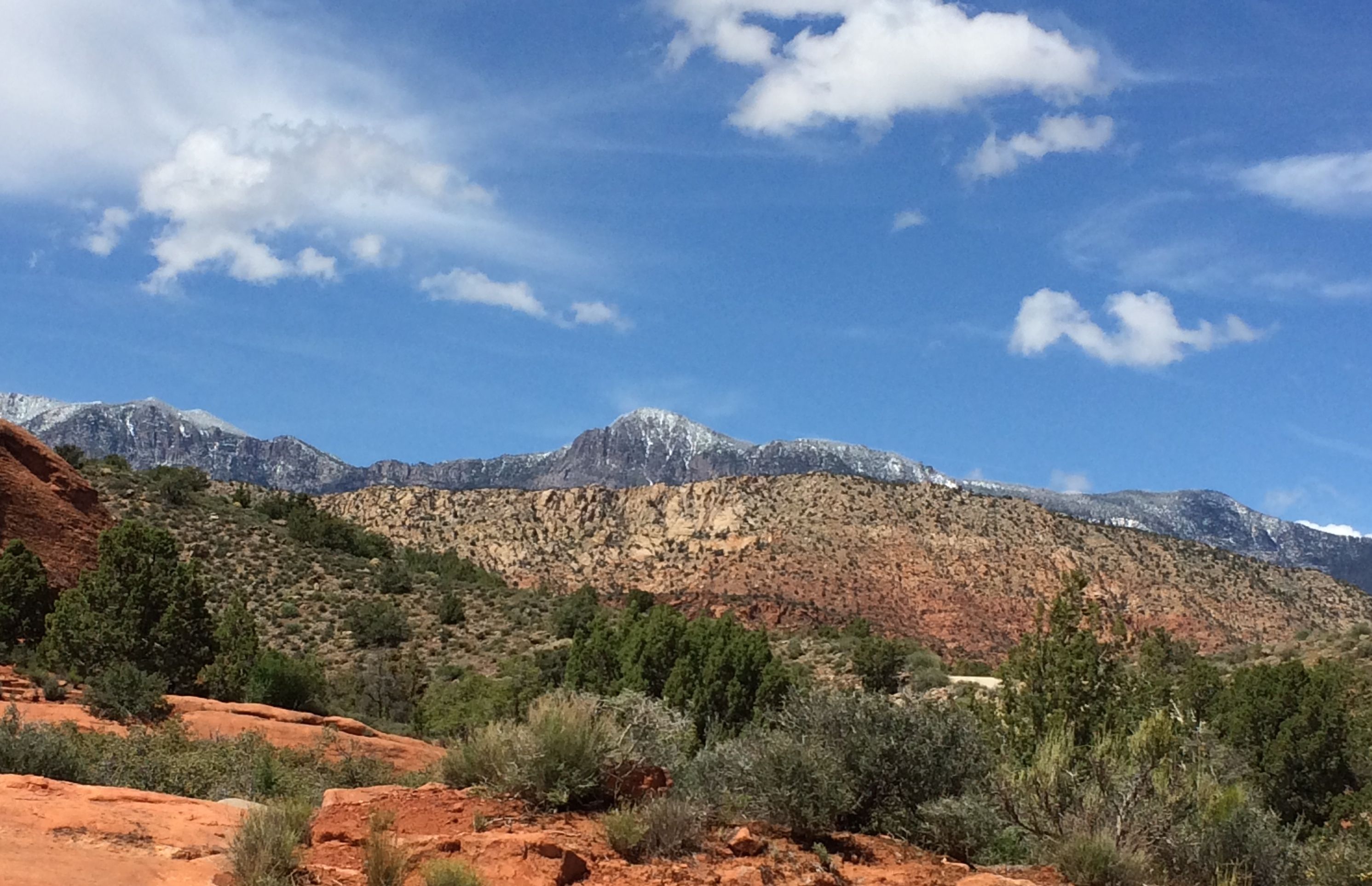
Yep, that’s snow up there. I was warm enough where I was, though.
When you camp in a national forest without facilities, they call it “dispersed camping”. This area was different in that they had assigned places where you could set up camp. I grabbed the first one I came to. It looked good and there was room to maneuver. I am glad that I parked over to the side of my site, because there was at least one site behind mine.
I don’t think it would have been possible to have gotten a trailer up the road, but these folks did fine in their car.
On the cliff behind my site, there were some people practicing repelling. It was fun to watch.
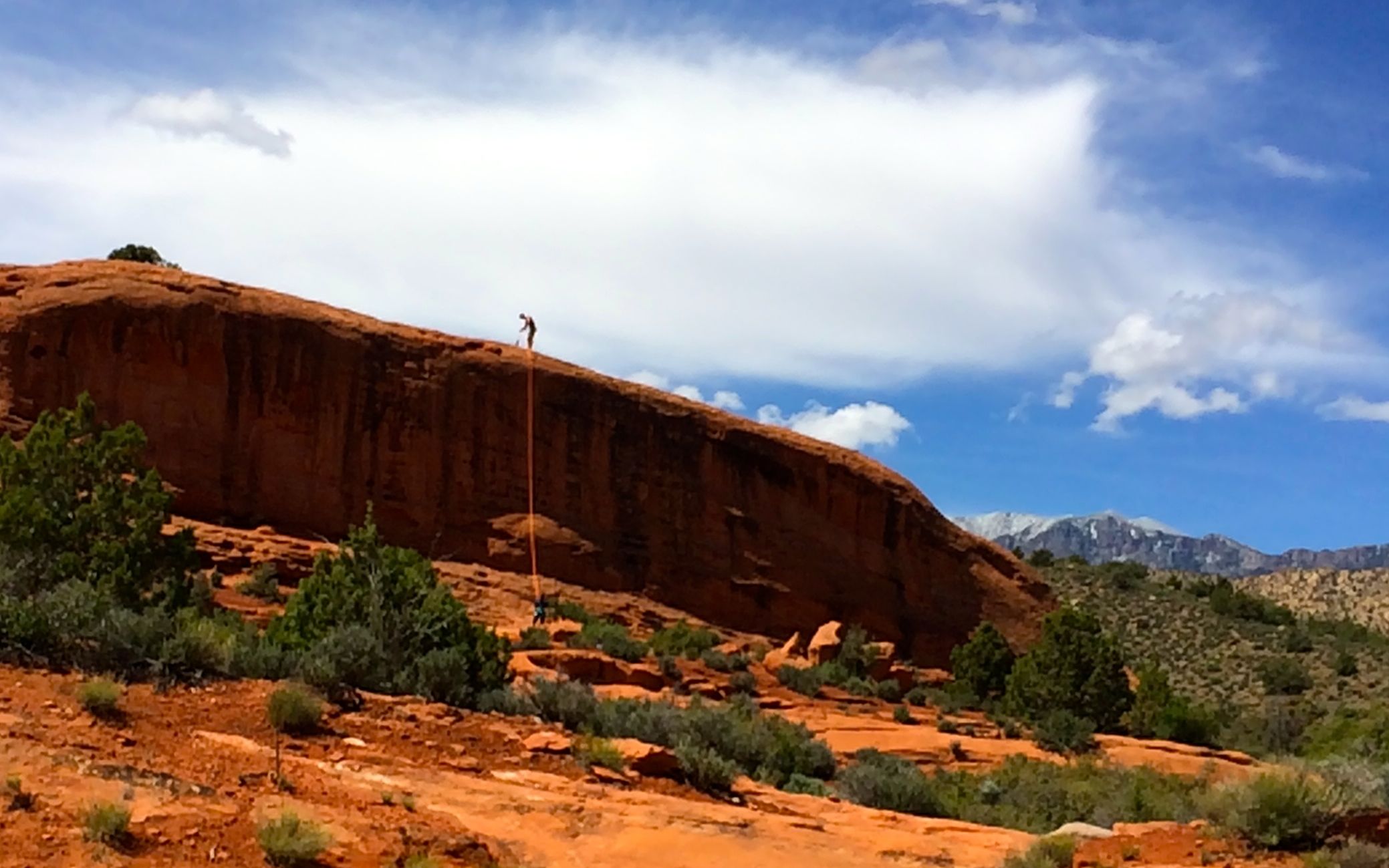
That is one activity that is definitely NOT on my “to-do” list!
The day after I got settled in at my campsite, I met up with a Facebook Friend.

I met Matthew through Airstream groups on Facebook. When he heard I was going to be in the area, he insisted on showing me around. Or, maybe I imposed and he was too much of a gentleman to refuse.
In any event, he spent a day running me around the area. What a great guy!
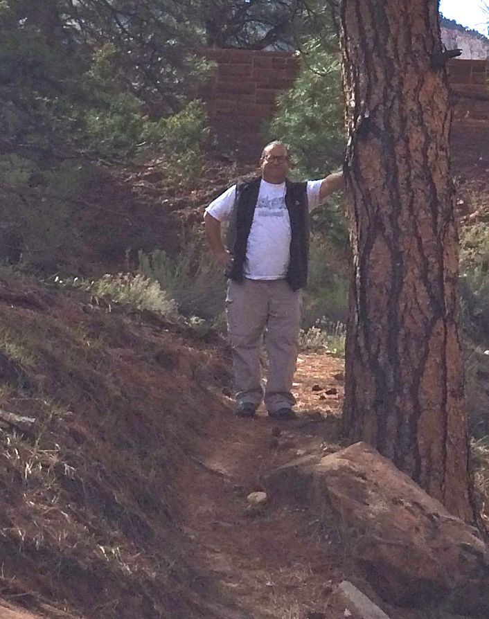
Here he is, holding up a ponderosa pine in Zion National Park. Saint Matthew of the Tundra, I dubbed him.
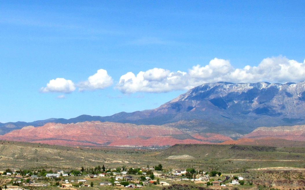
Even after enjoying the magnificent view from my campsite, I think I must have said “Wow!” at least a hundred times.
Wow!
Wow!
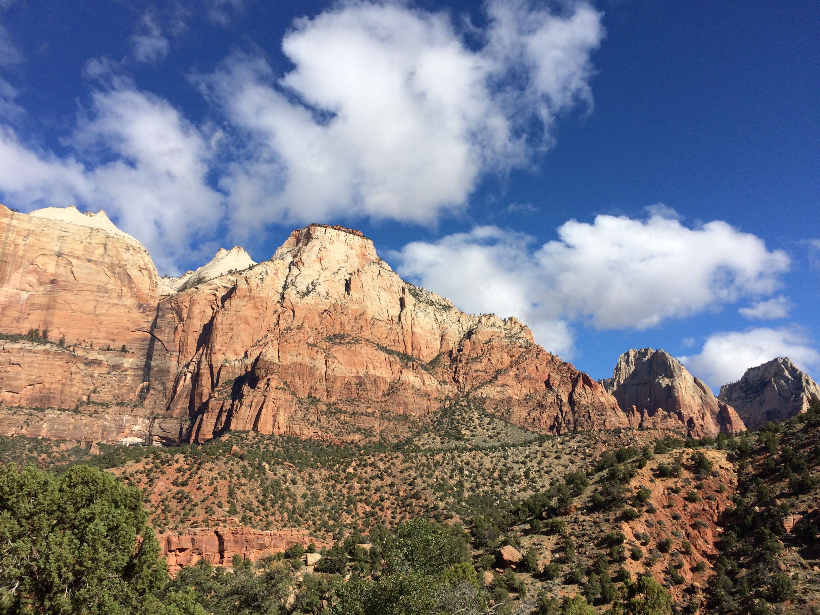
WOW!
At every turn, there was always something amazing.
In Zion National Park, there are two sides. One side you can drive through and one side where you park and take a shuttle to visit various spots in the canyon. Matthew drove me through the side with the tunnels.
Now, I have been through tunnels in mountains before, but these tunnels are really masterpieces of engineering. I have no photos to share with you, and I know it’s become an accepted truth that if there are no photos, it didn’t happen. Take my word. This tunnel is a marvel.

The tunnel was part of a 25 mile long road built to connect Zion with Grand Canyon National Park, Bryce Canyon, Cedar Breaks and the North Rim of Grand Canyon National Park. Work began in 1927 and was completed in 1930.
The tunnel itself is 5,613 feet long and follows the profile of Pine Creek Canyon at a consistent distance of 21 feel from the outside face of the rock to the center of the tunnel. the tunnel was built using mining technology. There are galleries that provide light and ventilation to the tunnel. As you are approaching the entrance, you can see the openings punctuating the canyon wall.
As proof that I actually went through the tunnel, we stopped to take a photo at the east entrance to the park.
Ah, but before we exited the park, we stopped and saw a few things.
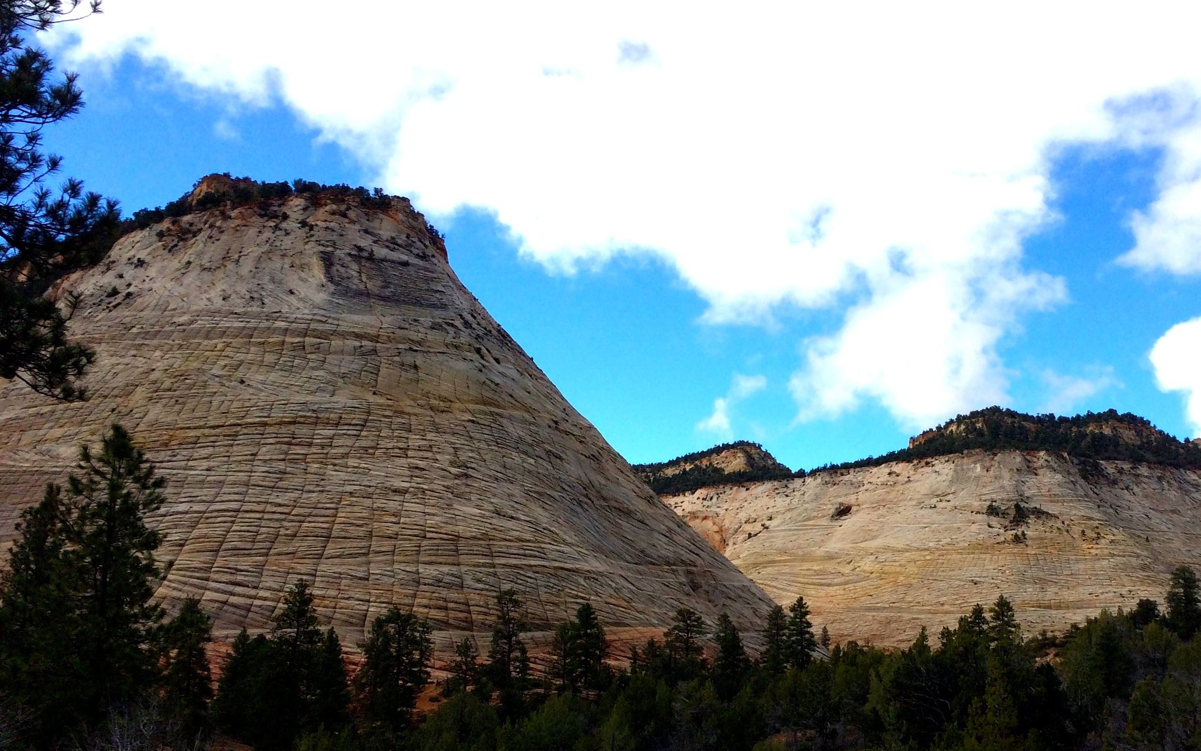
This is the Checkerboard. With the vertical grooves and the horizontal layers of rock, it’s not to hard to see a checkerboard.
We also saw some big horn sheep scampering around on the rocks, but you’ll have to take my word for that, too. No photos.
Ah, but I do have photos of petroglyphs! We parked at a pull-out and then walked down an unmarked path. Matthew said that only locals know about it, and they don’t give information out about where they are. The NPS folks just shrug their shoulders when asked. “Petroglyphs? What Petroglyphs?”
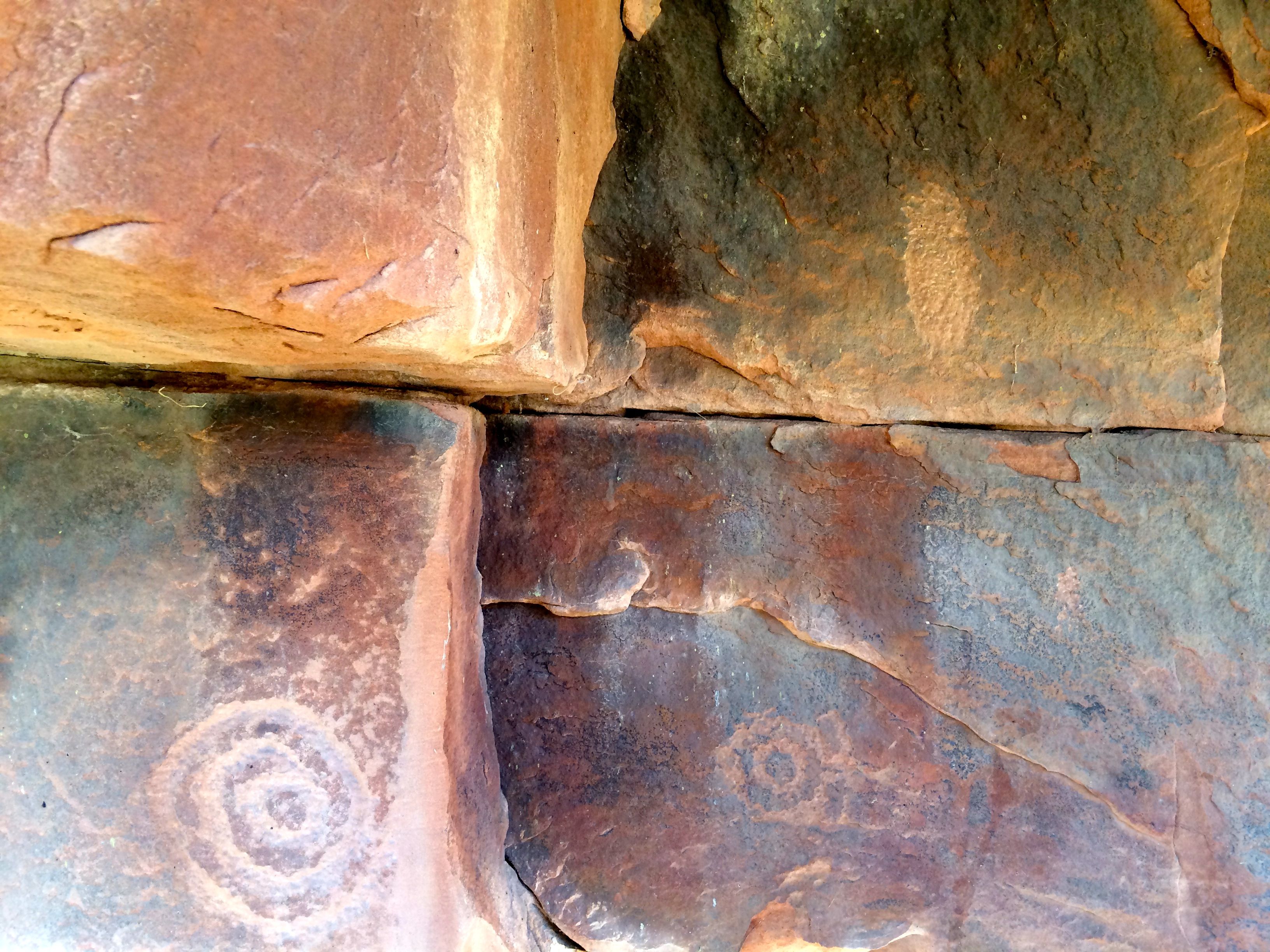
I promised not to tell anyone where they are.
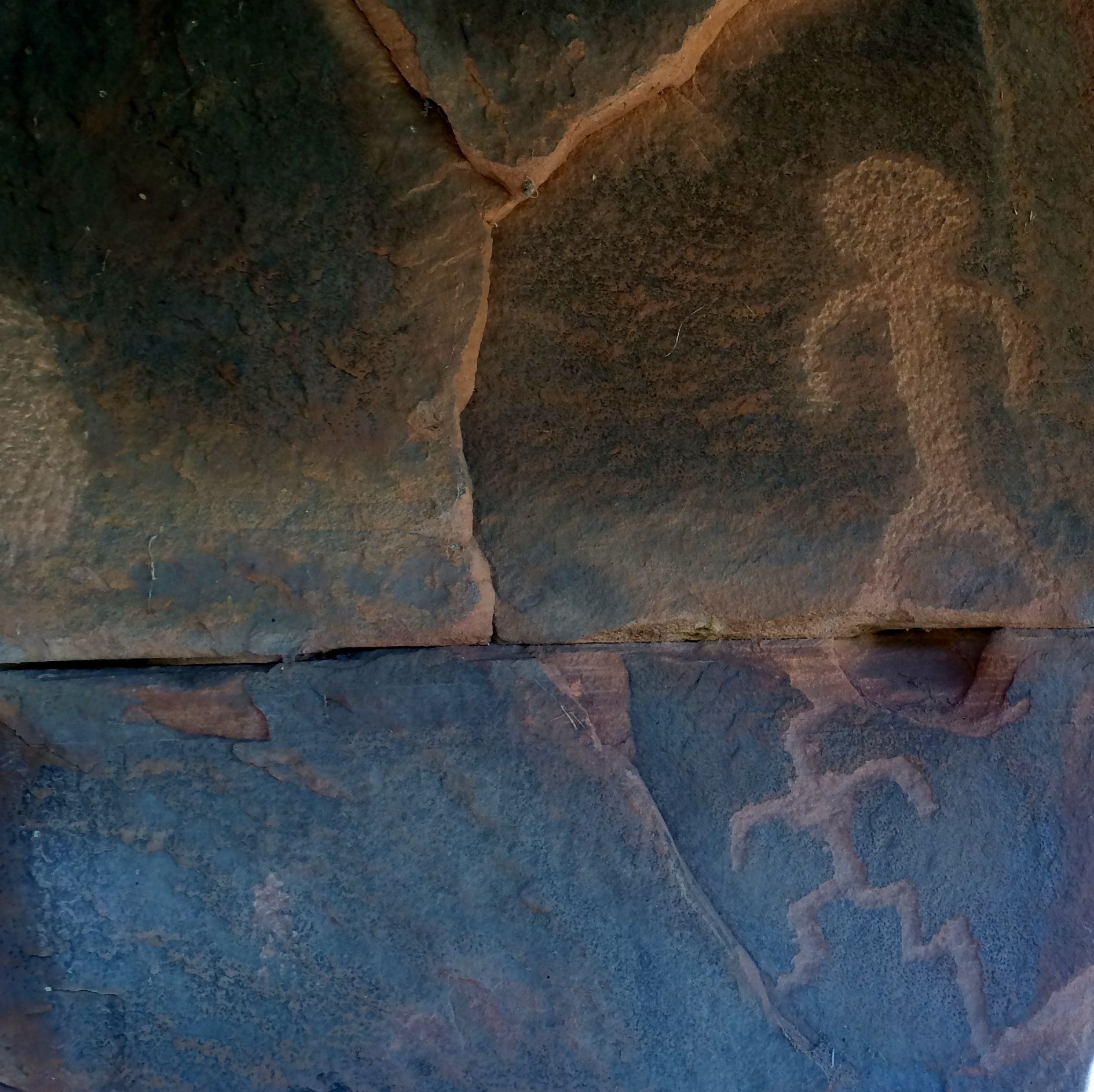
That’s easy.
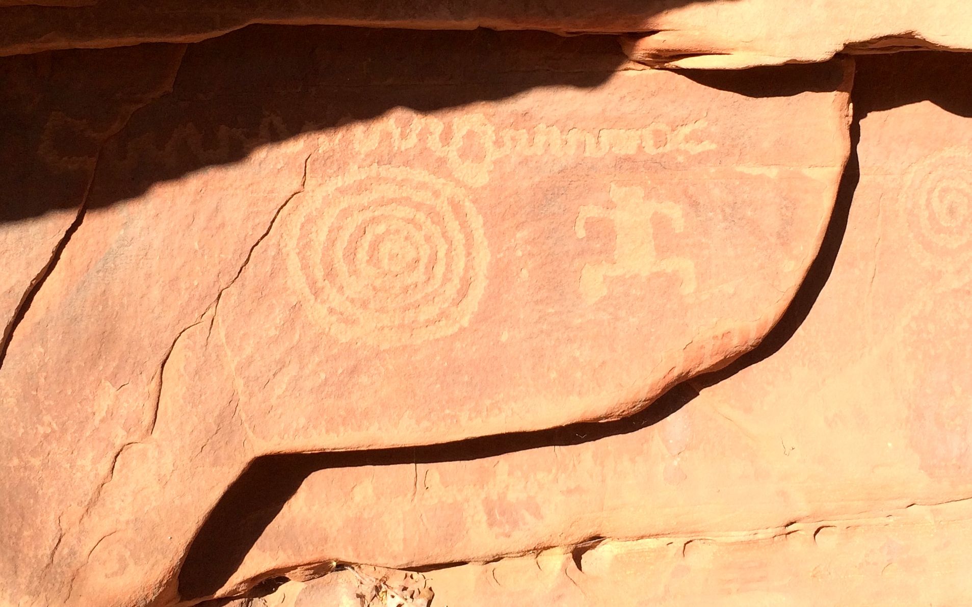
Do you think I remember where they are?
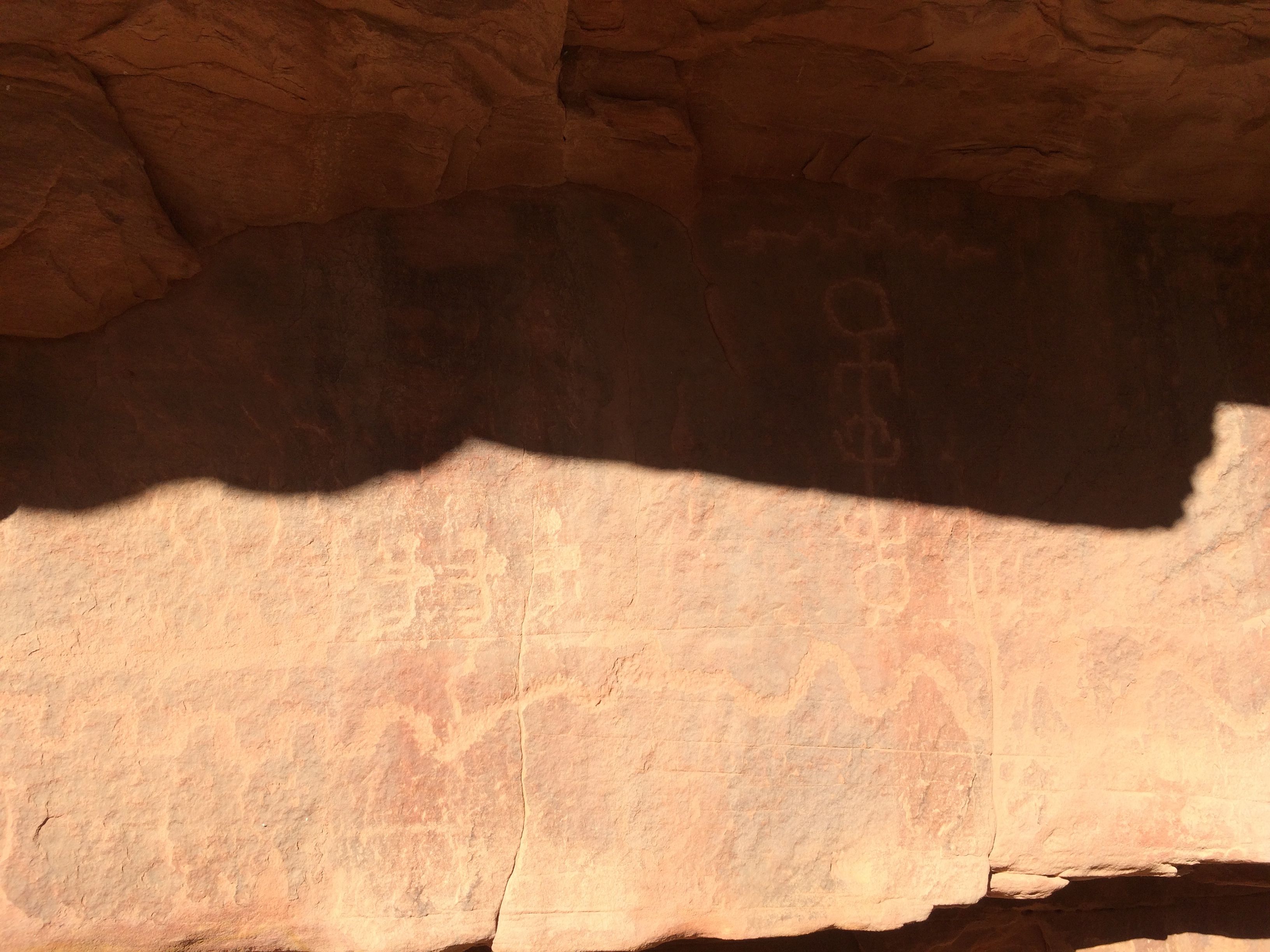
No, I don’t.
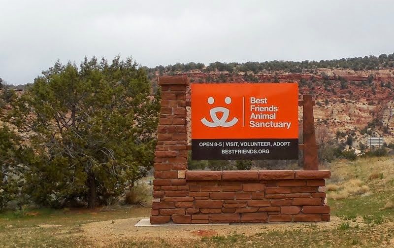
We also made a stop at Best Friends Animal Sanctuary in Kanab, Utah. My photo didn’t turn out, so, here’s one from another blog. They took the tour, so if you are interested in animal rescue, click on the link. The people there were lovely and caring. What a beautiful spot for an organization like this.
Then next stop on our tour was Pipe Spring National Monument. Another stamp in my National Parks Passport!
Pipe Spring was an oasis in the arid region. It’s located in the Arizona Strip, the northern part of Arizona separated from the rest of the state by the Grand Canyon.
The Kaibab Paiute lived there and used the water. They lived lightly on the land, building wikiups out of the local plants. They were hunter/gatherers and, if I understand correctly, would move about as the seasons dictated. The water flowing out of the spring must have made this a favored stopping spot.
Beginning in the 1850s, the members of the Church of Jesus Christ of Latter-Day Saints began to settle the area. They thought the water was just great, too. They thought it was so great that they built a fort right on top of it in 1872!
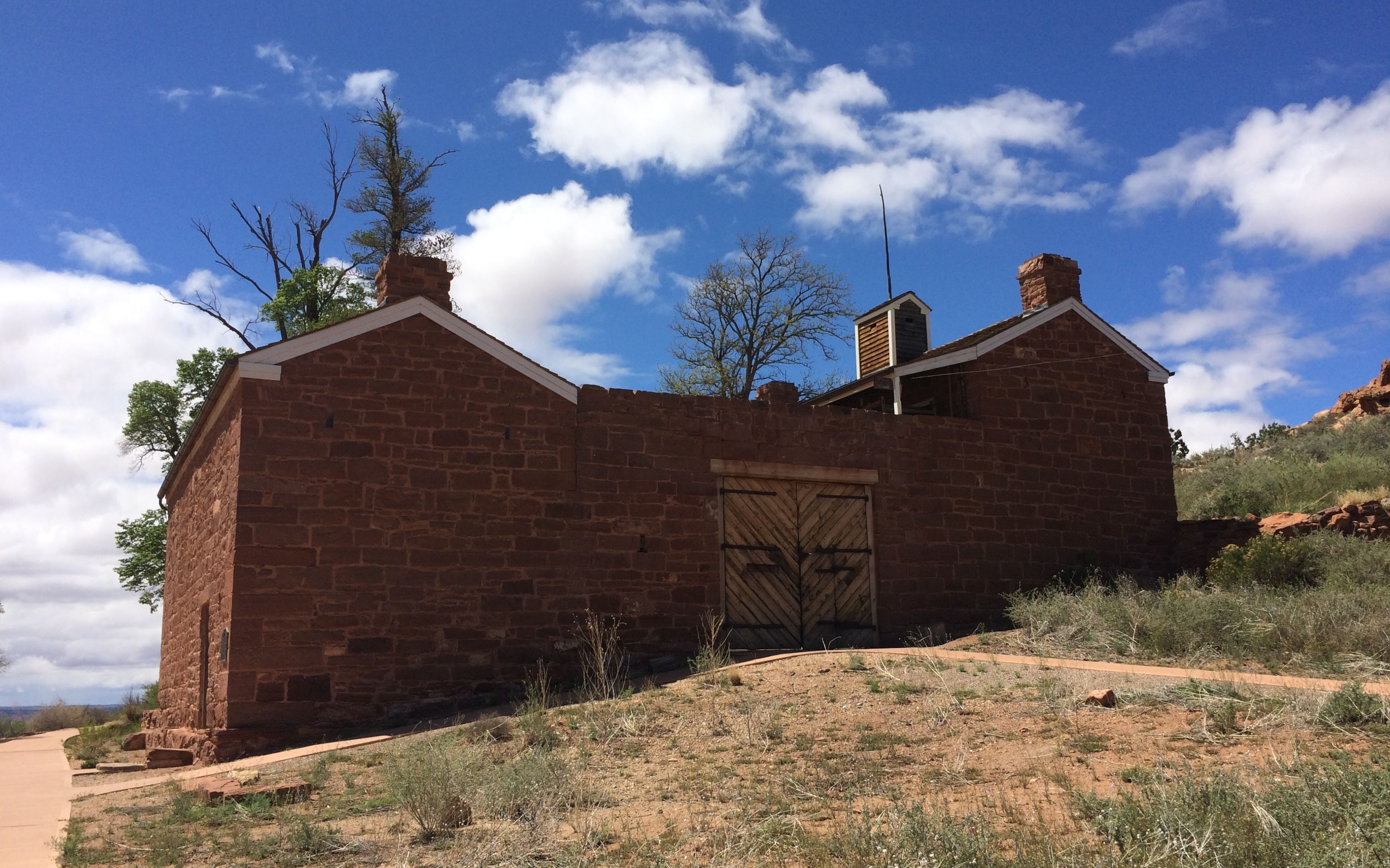
They call this “Winsor Castle”, named after one of the managers of the ranch, Anson Perry Winsor. We weren’t there in time for a tour, but Matthew told me that the women lived in the front part of the fort and the men lived in the back part. I imagine that there is a courtyard or patio in the center, as there are those large doors on both sides.
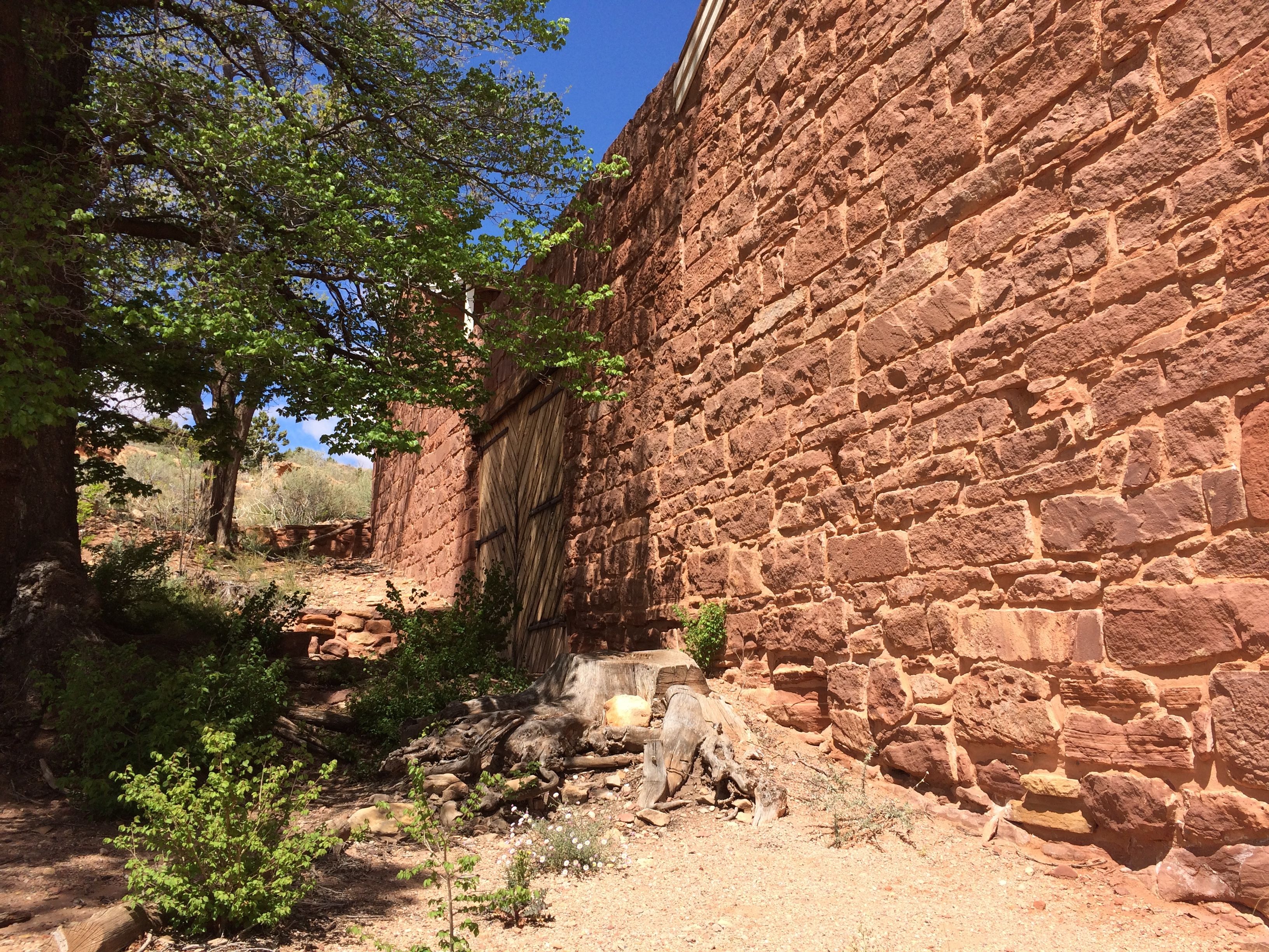
I’m a little perplexed by the door on this side, though. There doesn’t seem to be an access road to it. Maybe it was for ventilation?
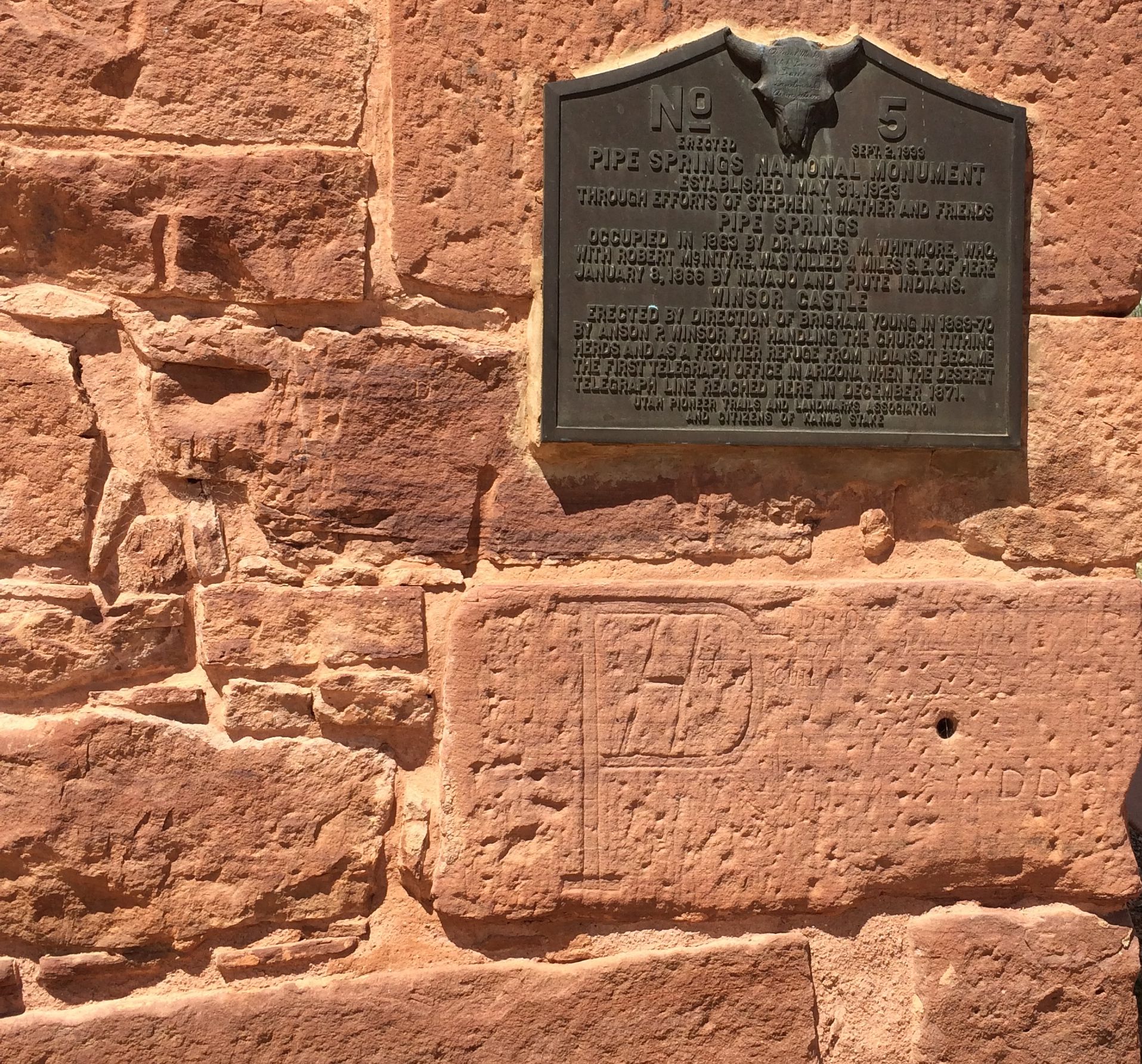
In 1923, the Pipe Spring ranch was purchased and set aside as a national monument to be memorial of western pioneer life. There is plenty of graffiti, which is now part of the historical record.
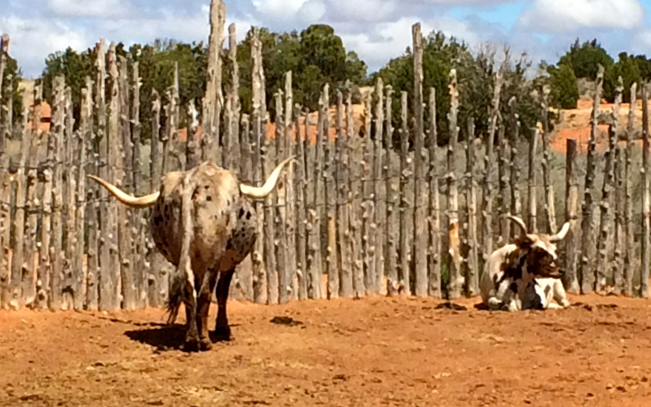
They have some cattle at the site. Figures I have to go to Arizona to see Texas longhorns.
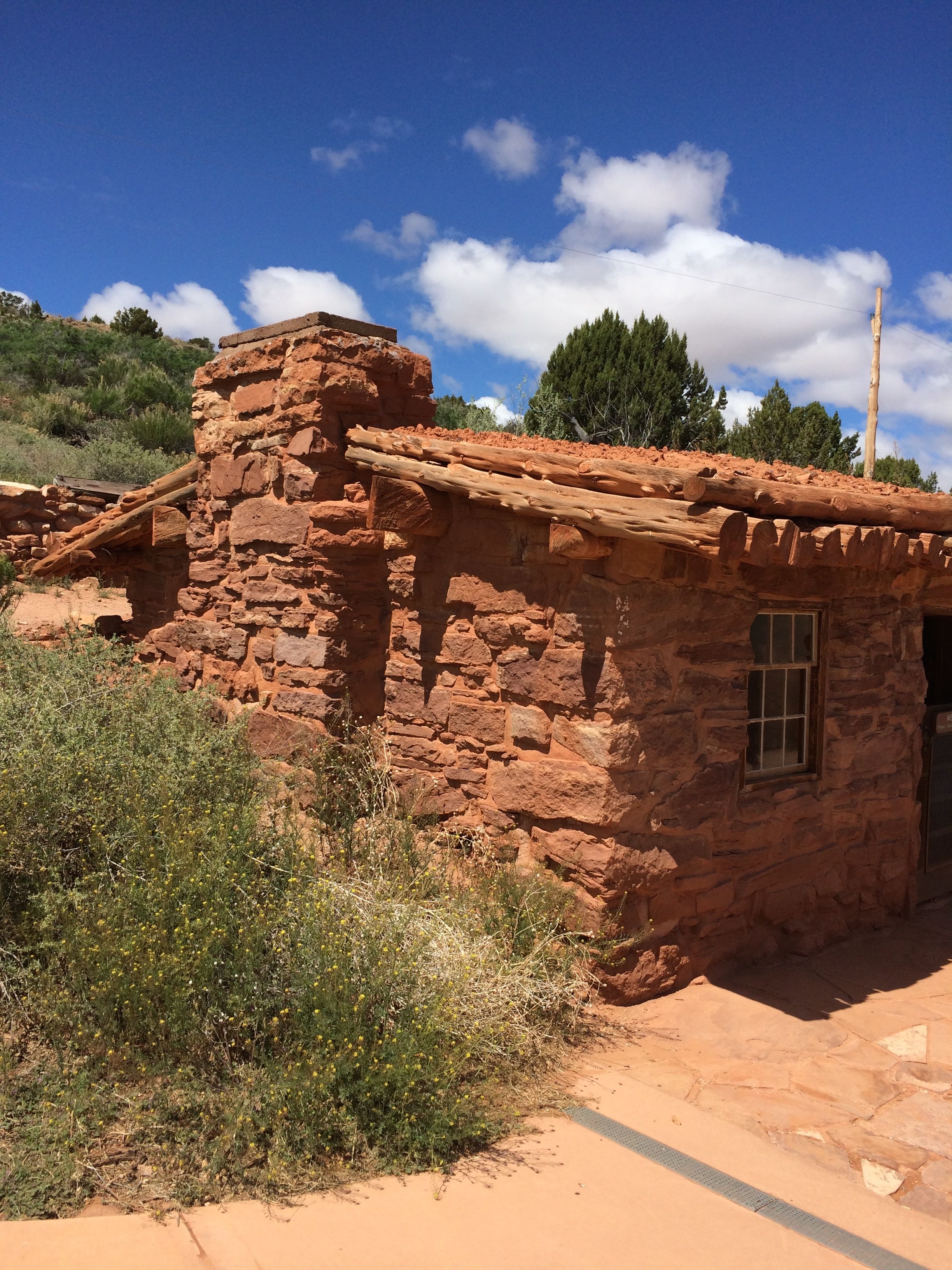
There are also a couple of cabins that have been rebuilt, to give a little more information about how the settlers lived.
And that was our last stop on the whirlwind tour. Thanks for a great day, Matthew!