My next stop was Canyon de Chelly National Monument, near Chinle, Arizona. The main reason I wanted to go there was because I remember studying it in art history back in college with Sister Jeanne. I owe so much of what I know about the world and world history to this woman!
First, note on the pronunciation. Canyon de Chelly is pronounced “Canyon d’ Shay.”
I stopped in at the visitor center to stamp my passport and to inquire about camping. The Navajo Nation runs the campground that is right around the corner from the visitor center, so after checking things out, I headed over and set up camp.
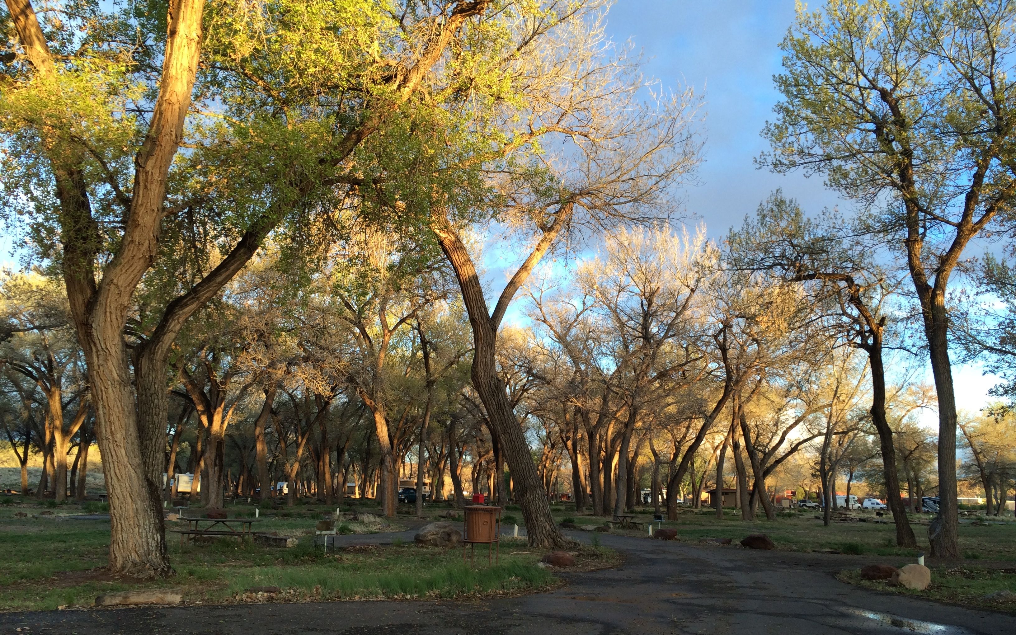
Campsites are available on a first come-first served basis, but I think it was a little too early in the season to need to worry about getting a campsite.
I’ll bet the cottonwoods offer a much appreciated respite from the sun during the summer.
For those who may be interested, the sites cost $14 per night. There are no hook ups, but water and a dump station are available in the campground.
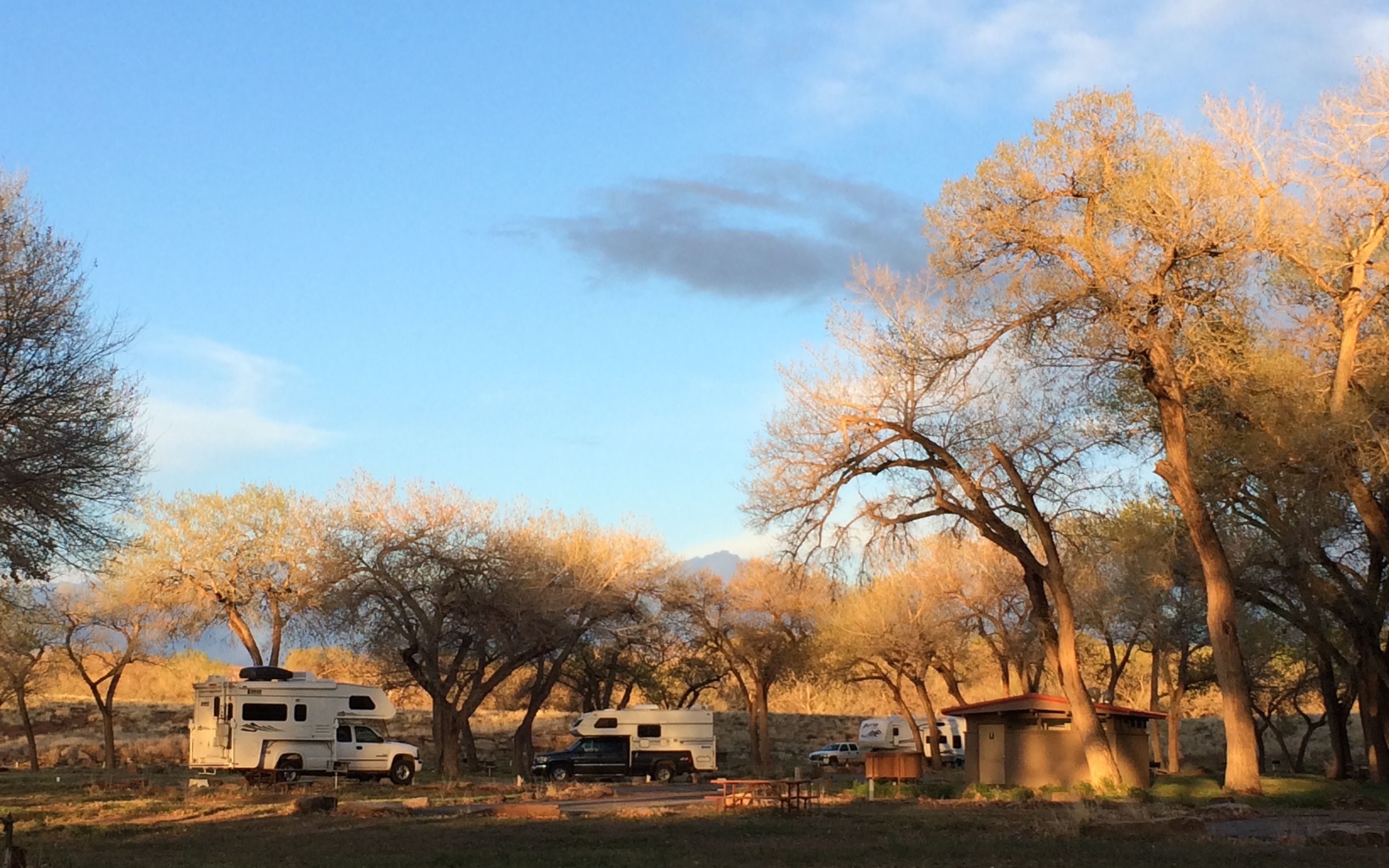
I kind of hunkered down for the night after I arrived. The next day, I headed out to take the drives around the north and south rims.
First, the south rim.
There were many turn outs along the way. This is the Tseyi overlook.
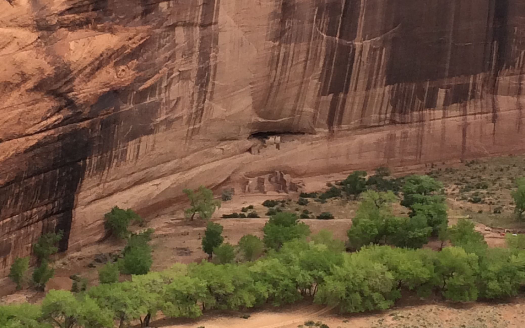
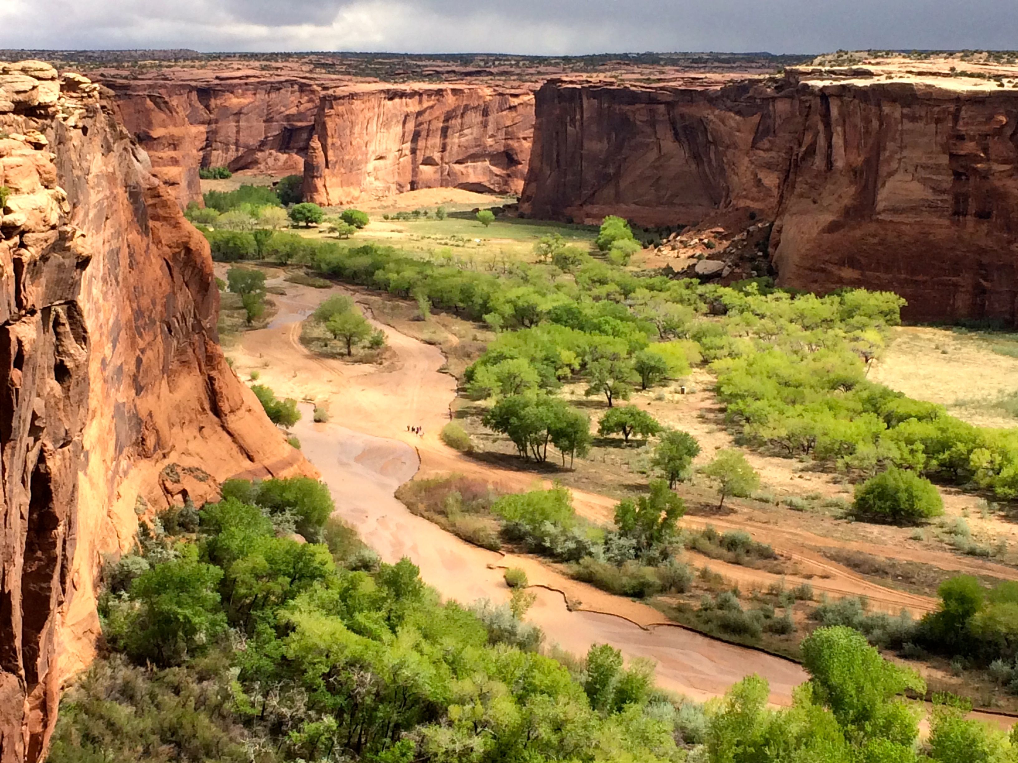
The next stop was White House ruins overlook.
I tried to zoom in a bit. Actually, the ruins are kind of hard to spot from the rim. They are constructed of the same materials as the cliff, so they tend to blend in. This one is called “White House” because one of the rooms was plastered white.
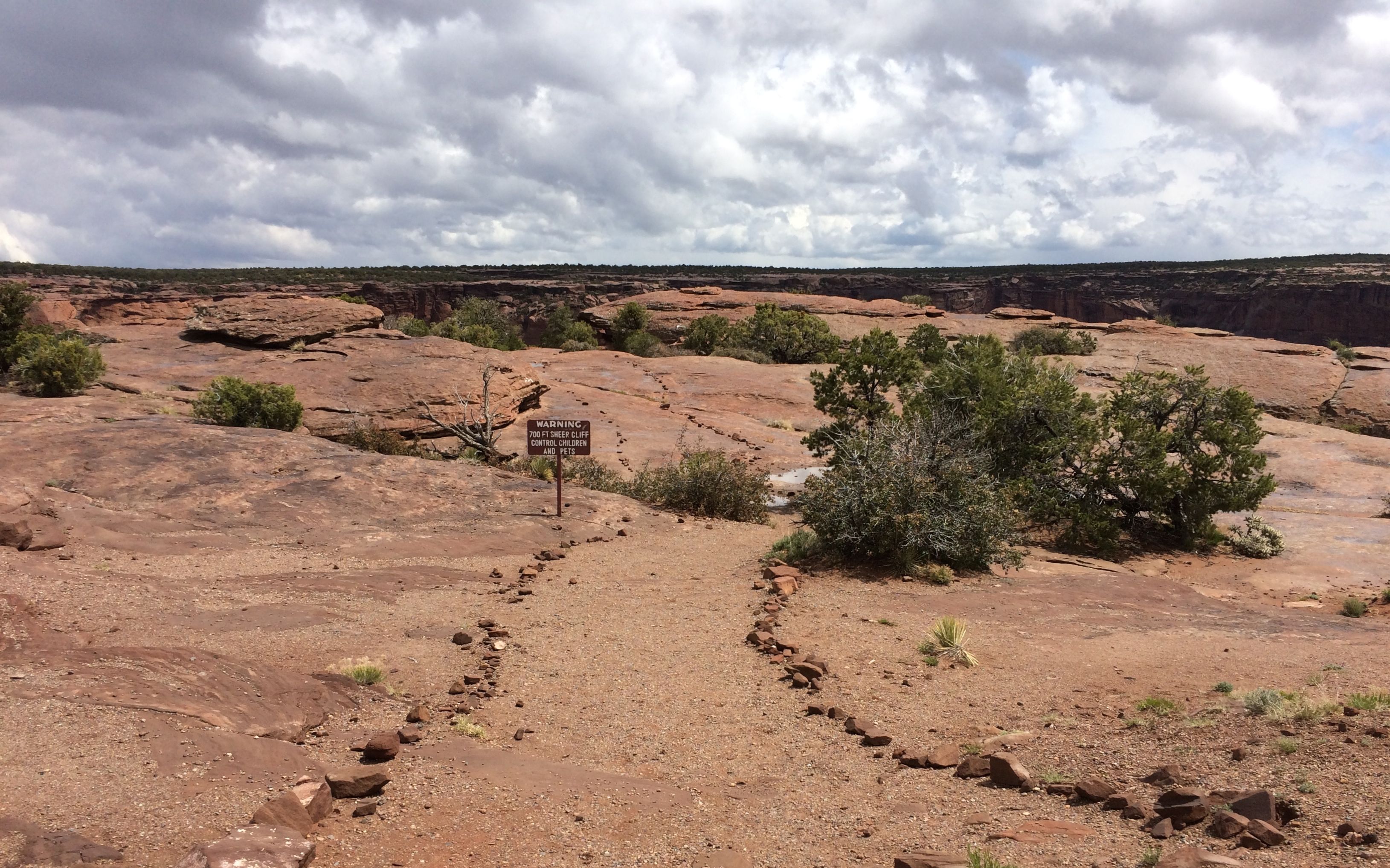
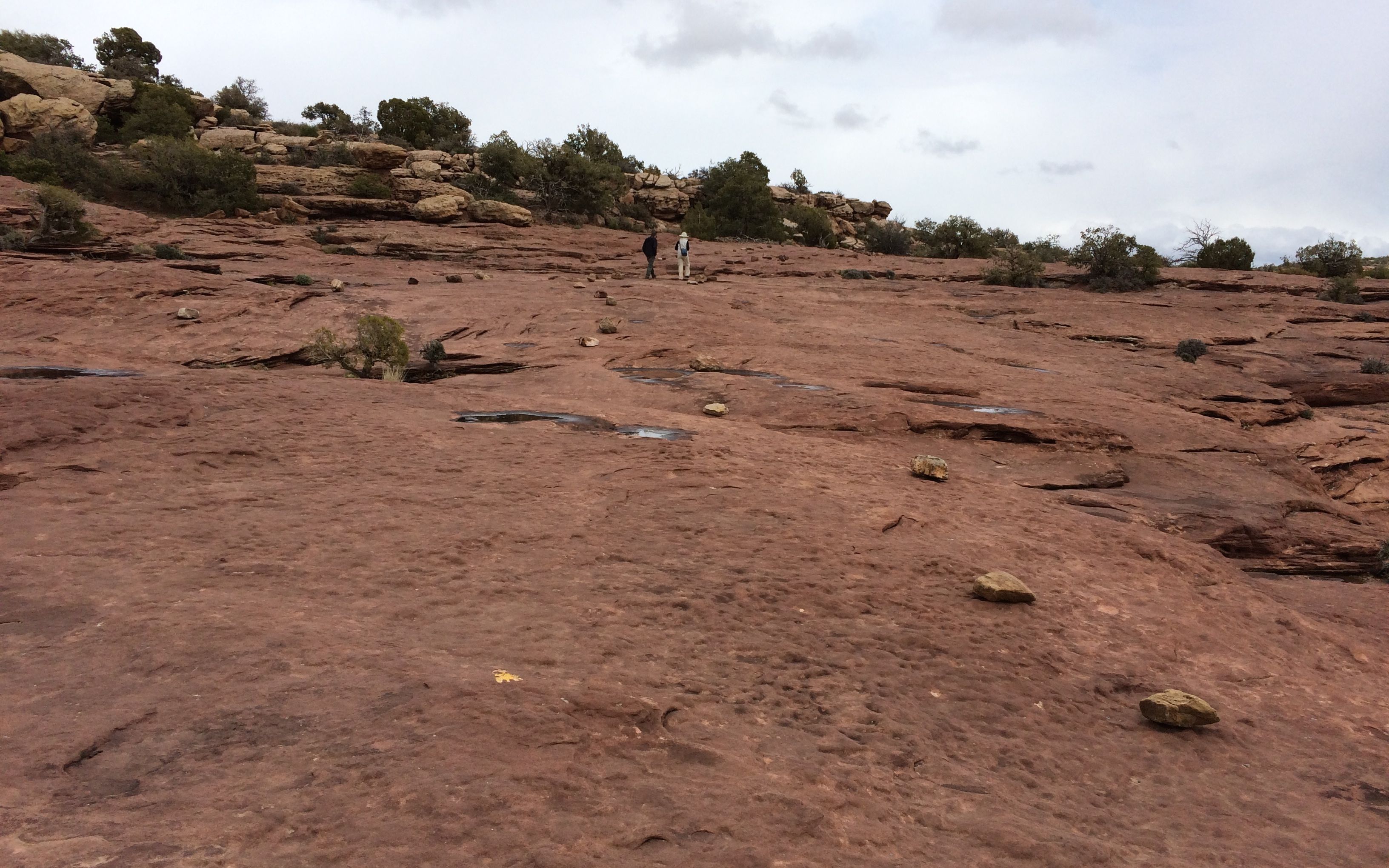
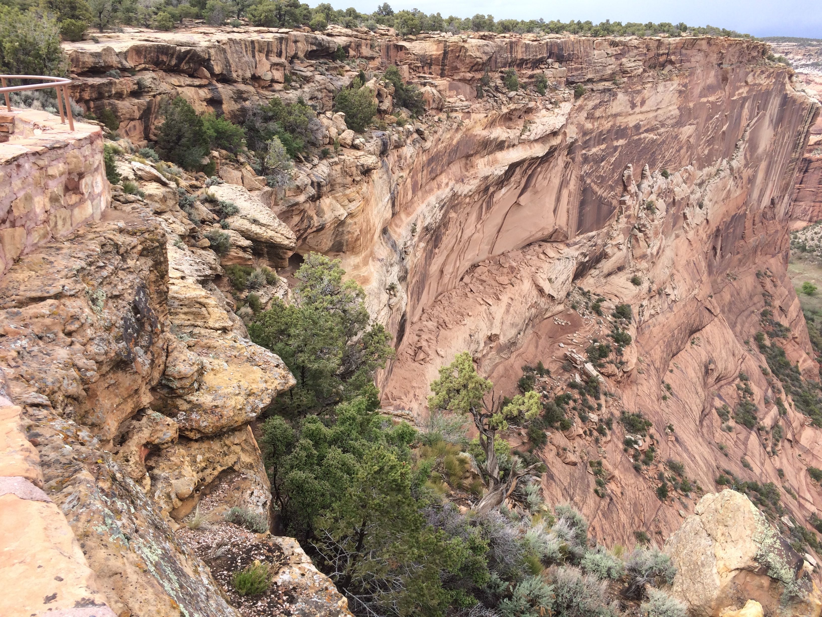
Some of the overlooks required a walk down a trail. The trails went across the rocks on top of the cliff, and the trails were lined with rocks.
Oh! There’s a warning sign. What does it say?
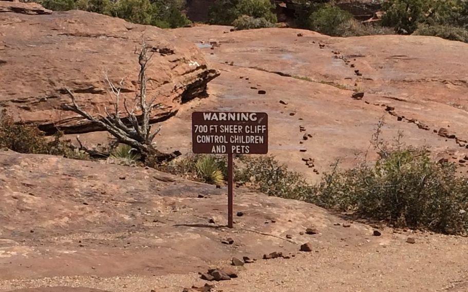
Always sound advice, whether or not there is a 700 foot sheer cliff ahead.
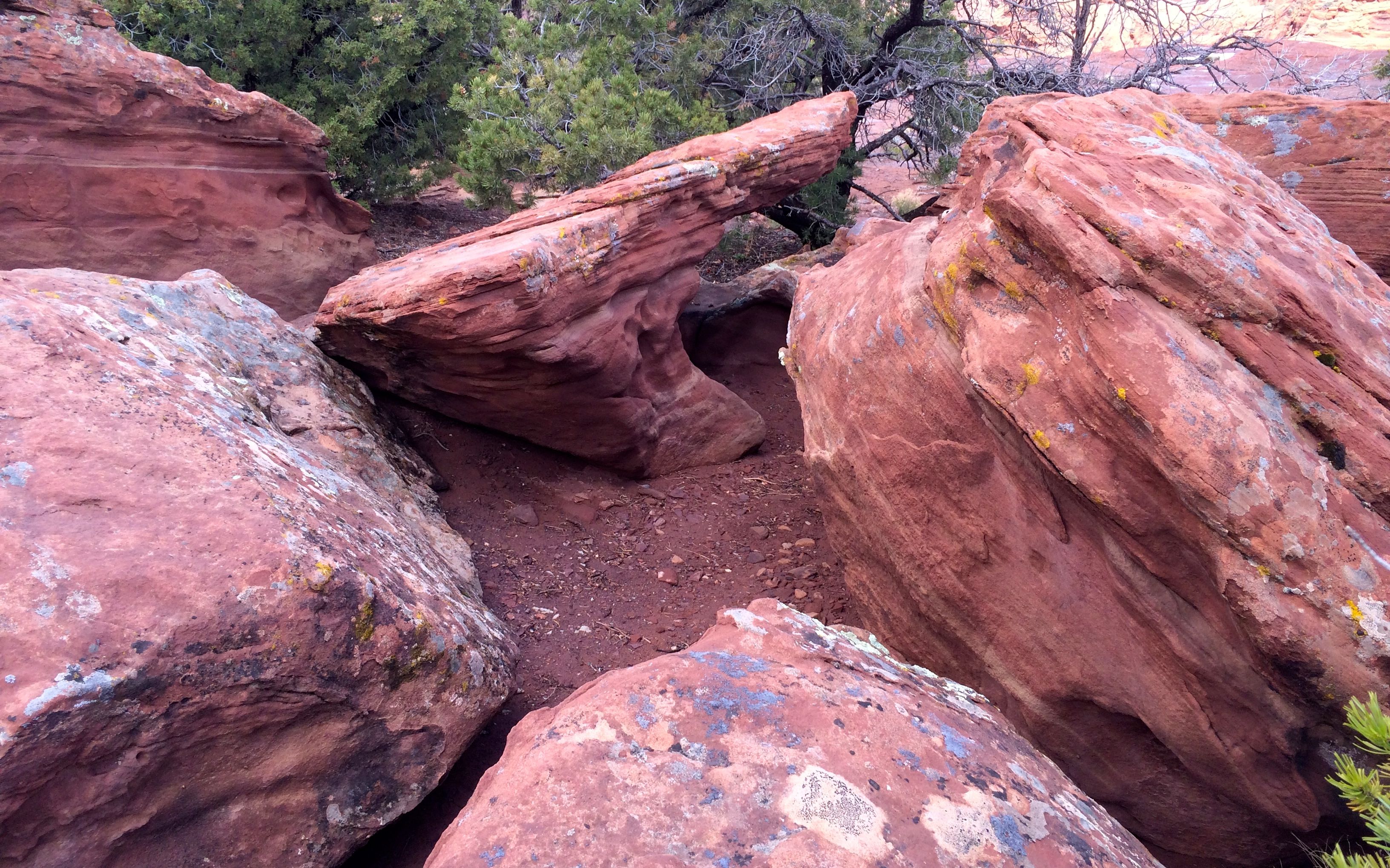
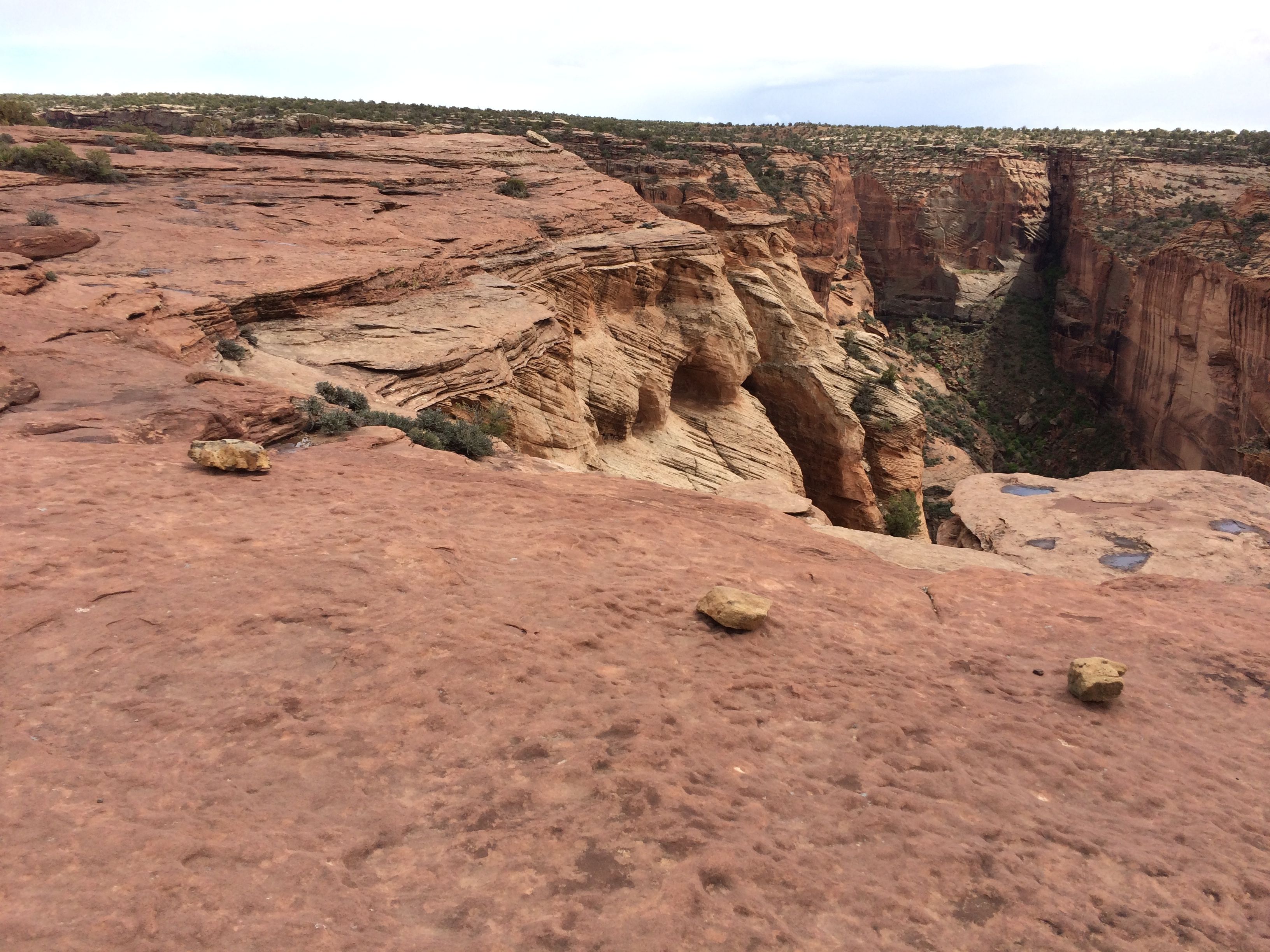
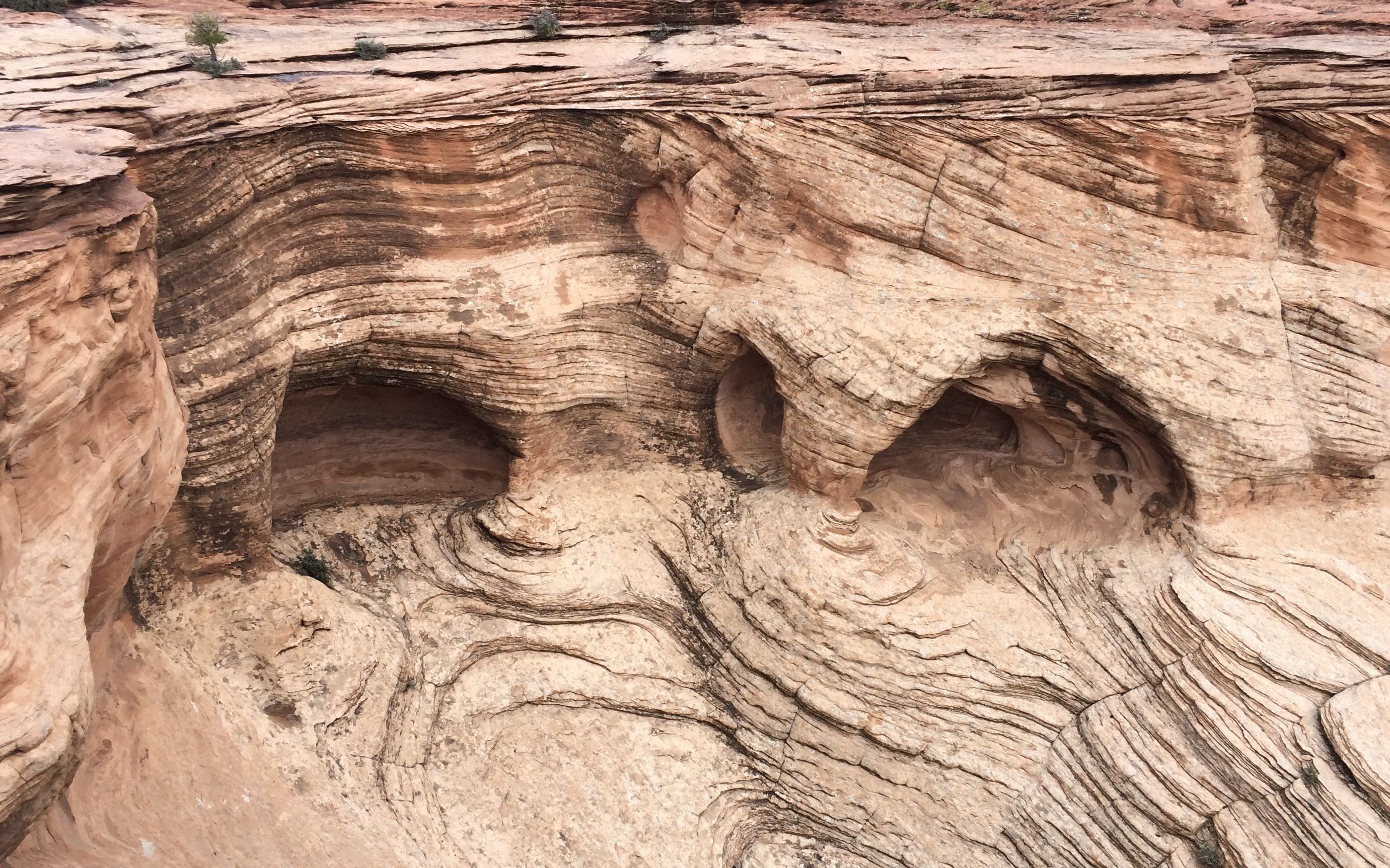
Cool rocks abounded.
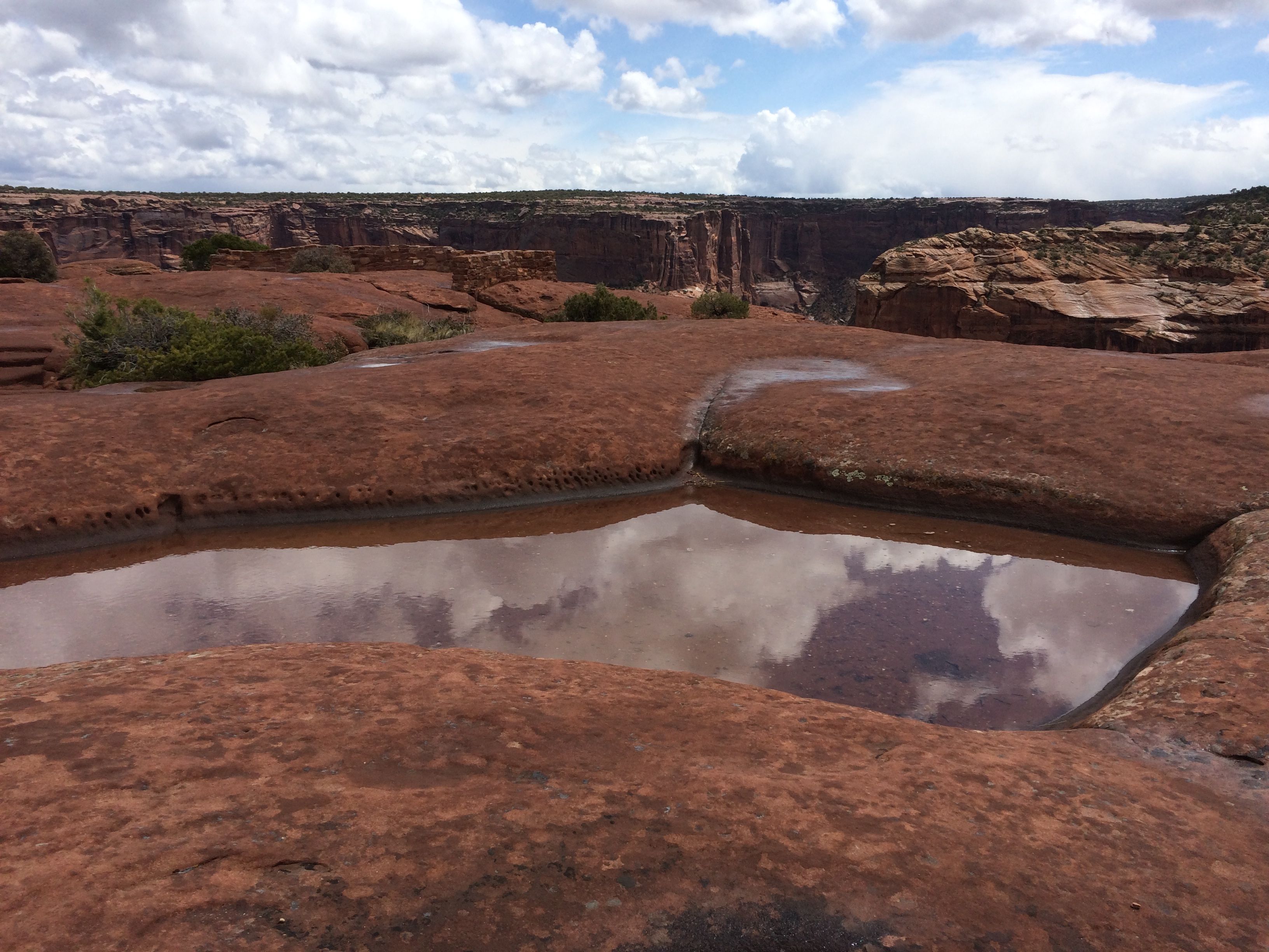
As did pot holes filled with rain water. I took this one before it started raining.
The view from the overlook was Sliding House ruins. I know. Kind of hard to see. Let me try to zoom in a bit.
It’s easy to see where the ruin got its name. It certainly did slide. There’s not much of it left.
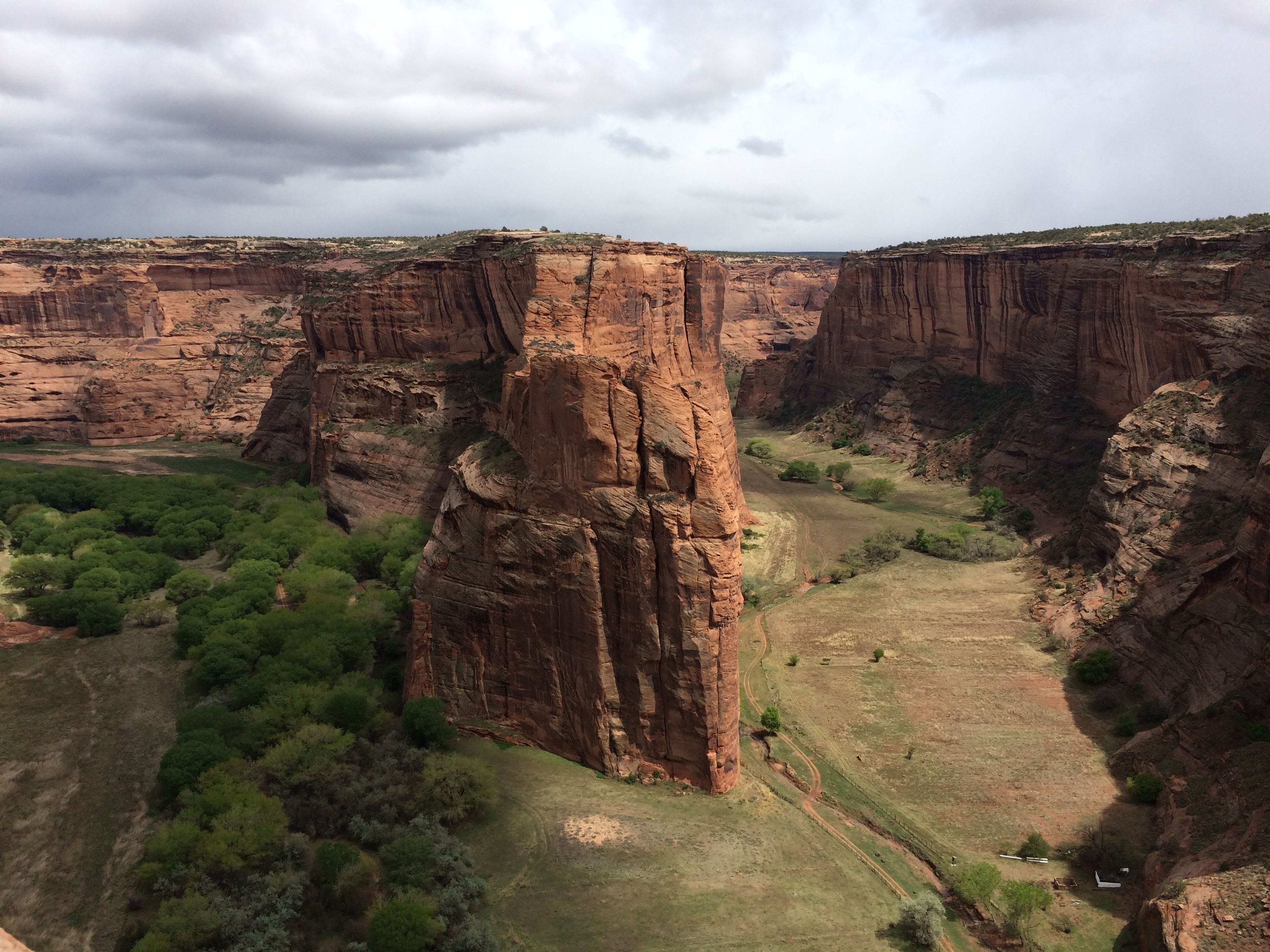
The last stop on the South Rim was Spider Rock.
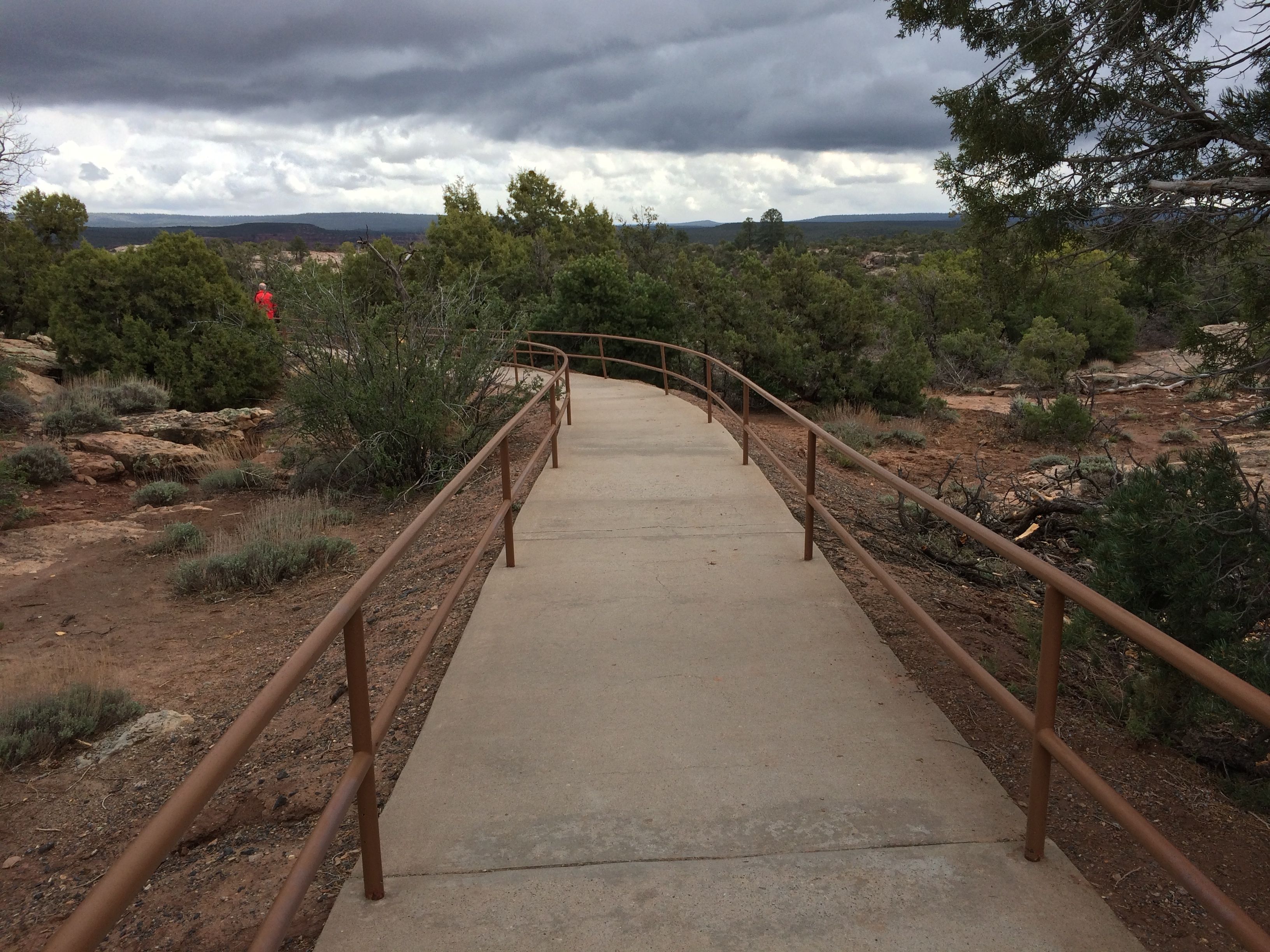
I was pleased to see a nice smooth trail – with hand rails, even.
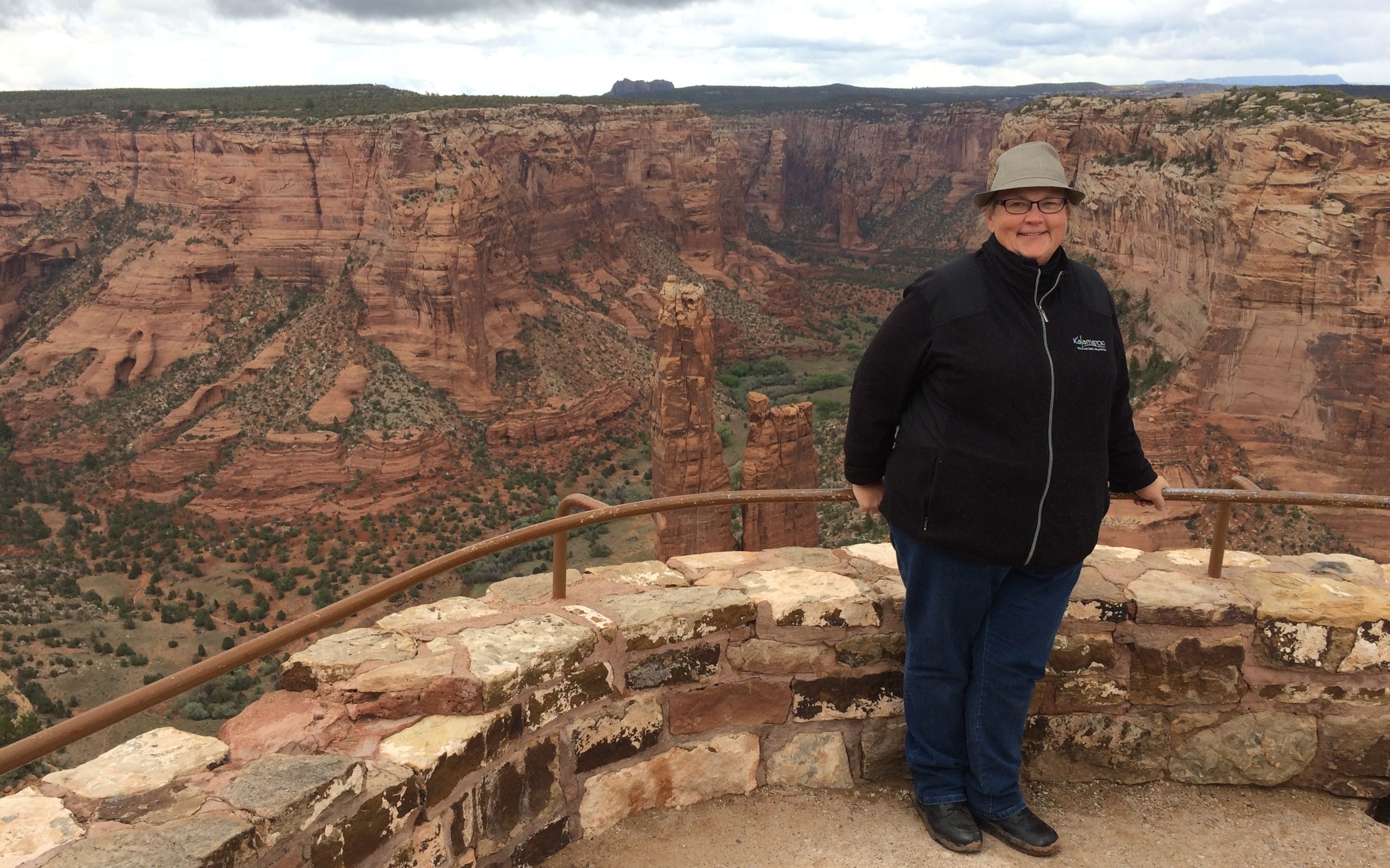
With my lack of fondness for heights, I was really happy that there were hand rails at the edge as well. Notice that I am holding on with both hands. That’s Spider Rock behind me.
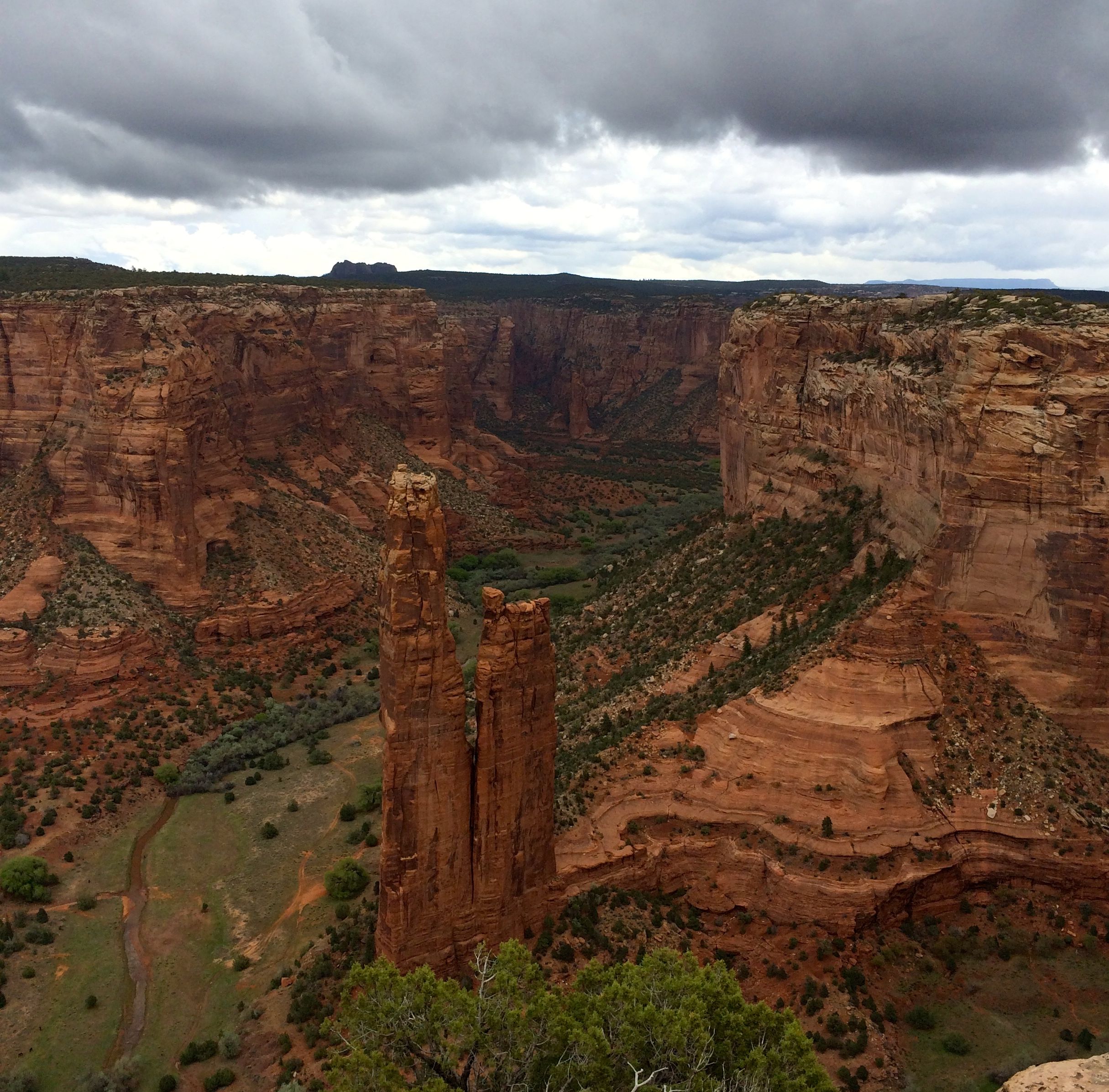
Here’s a view from a slightly different angle.
Those ominous looking clouds finally opened up – with snow!
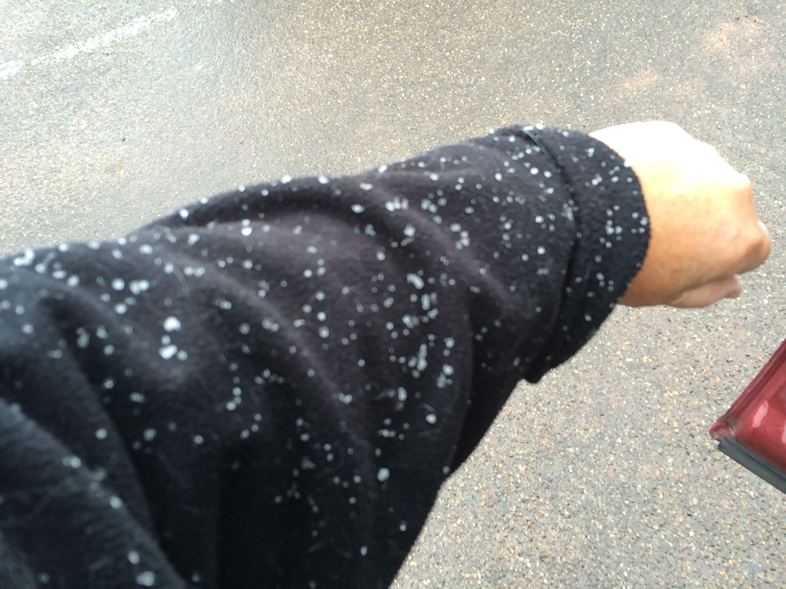
I was quite surprised.
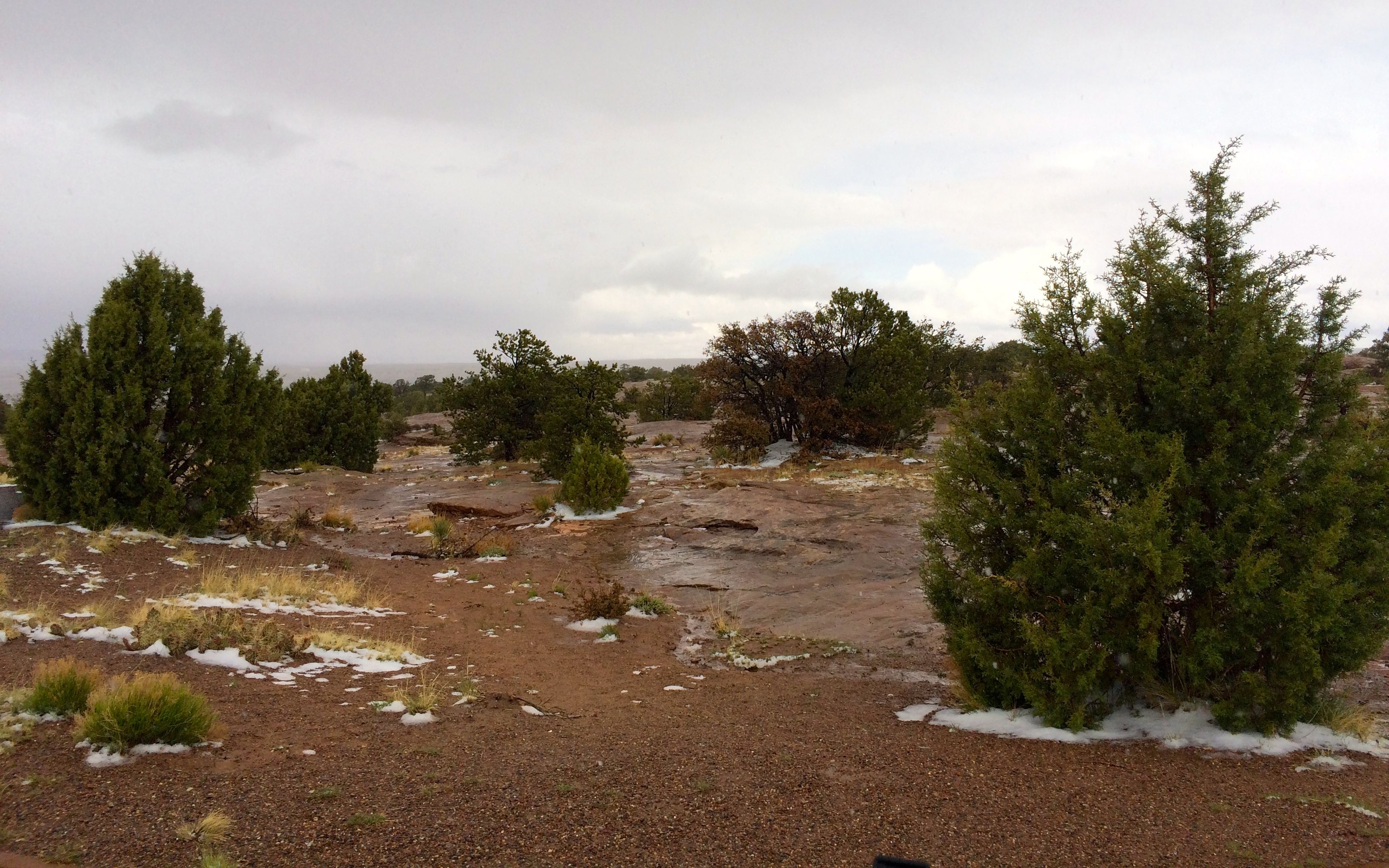
The snow was building up and sticking in places up on the rim.
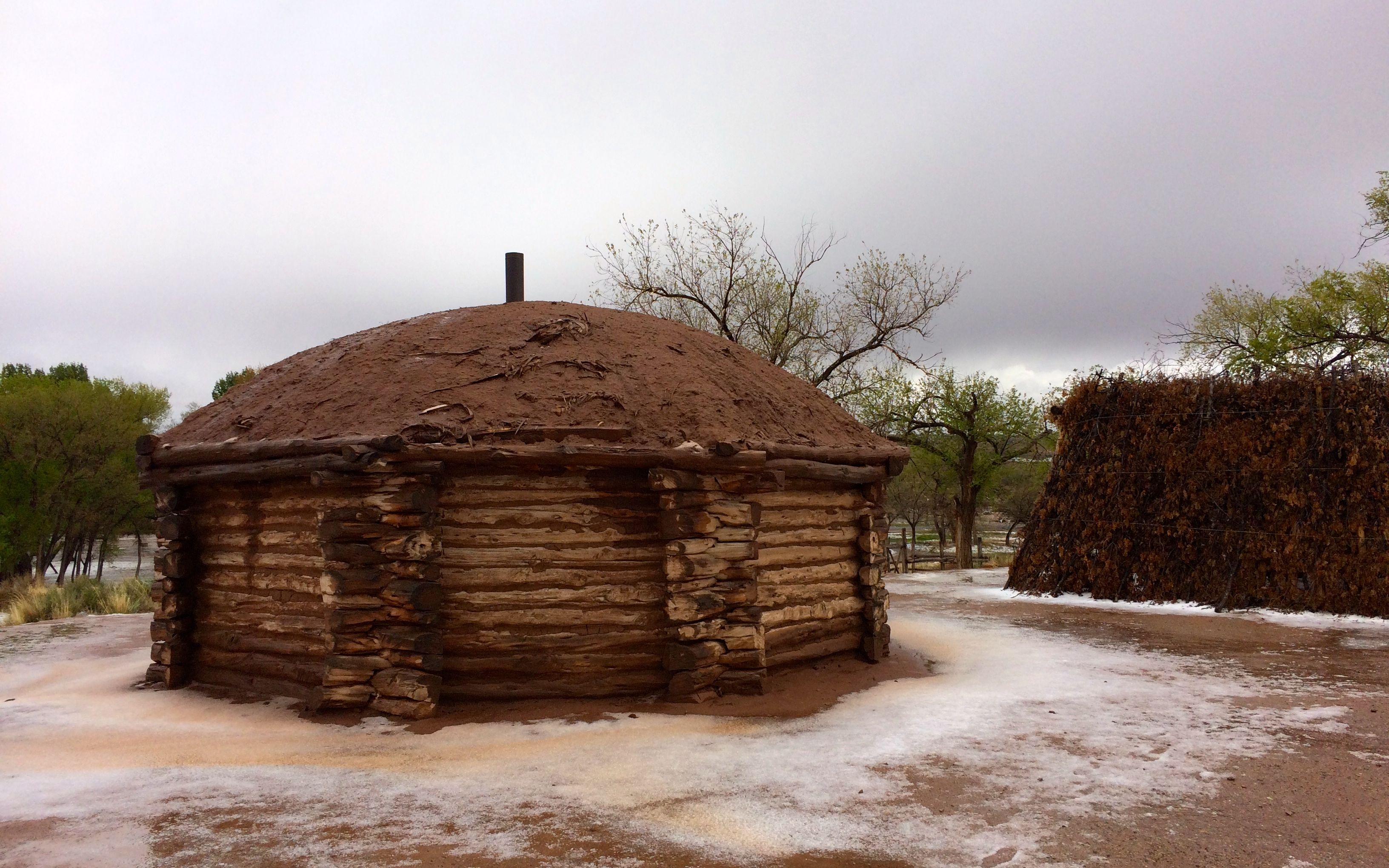
Back at the visitor’s center, there was even more snow. This is a traditional Navajo hogan. They are still in use today. I passed a many of them in the reservation.
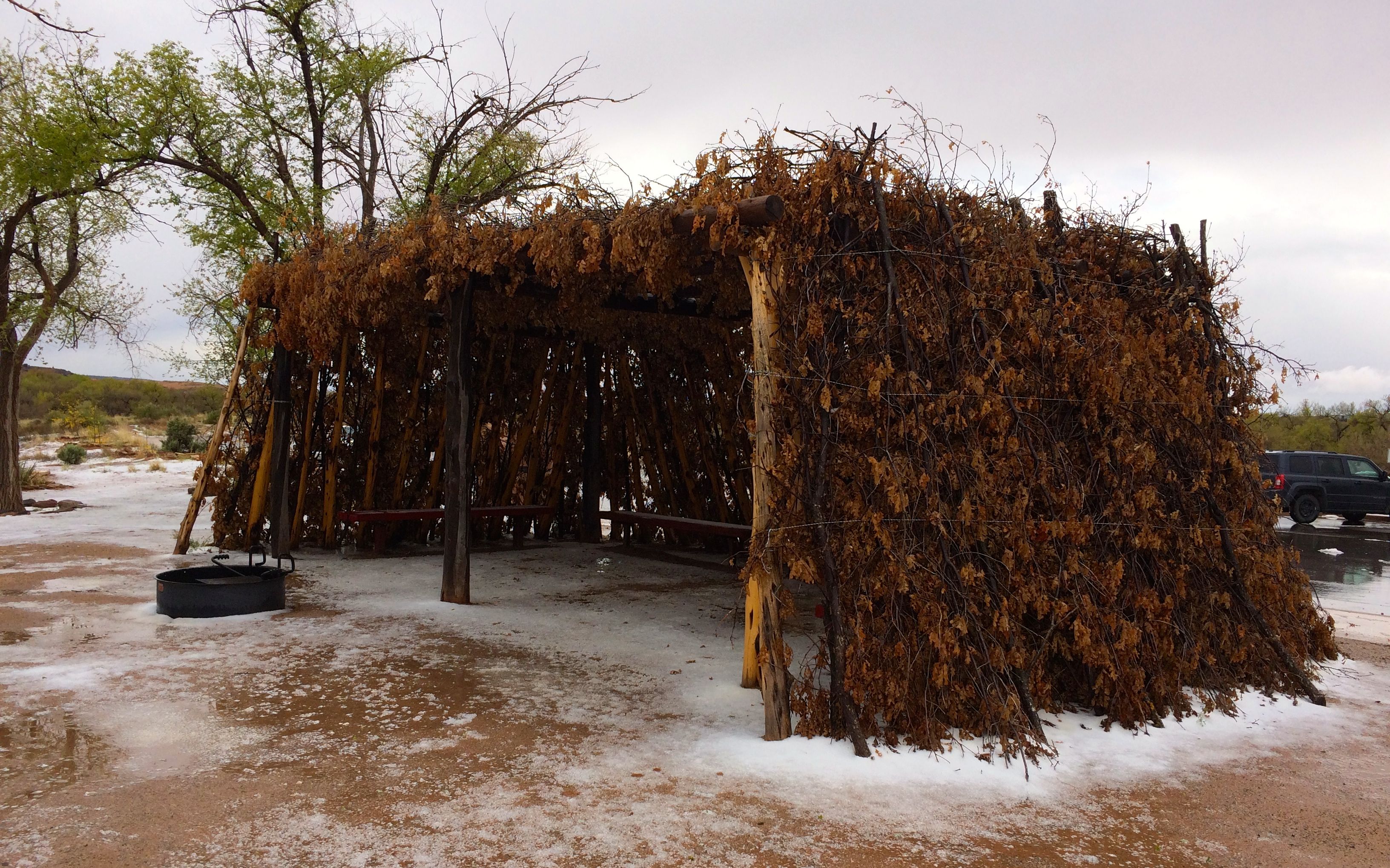
Next to the hogan was a typical shelter. Based on the film in the visitor’s center, it appears that they were used as a shaded area – a place to work in the summer months.
I stopped off back at the trailer and had a bite of lunch before setting out to tour the north rim.
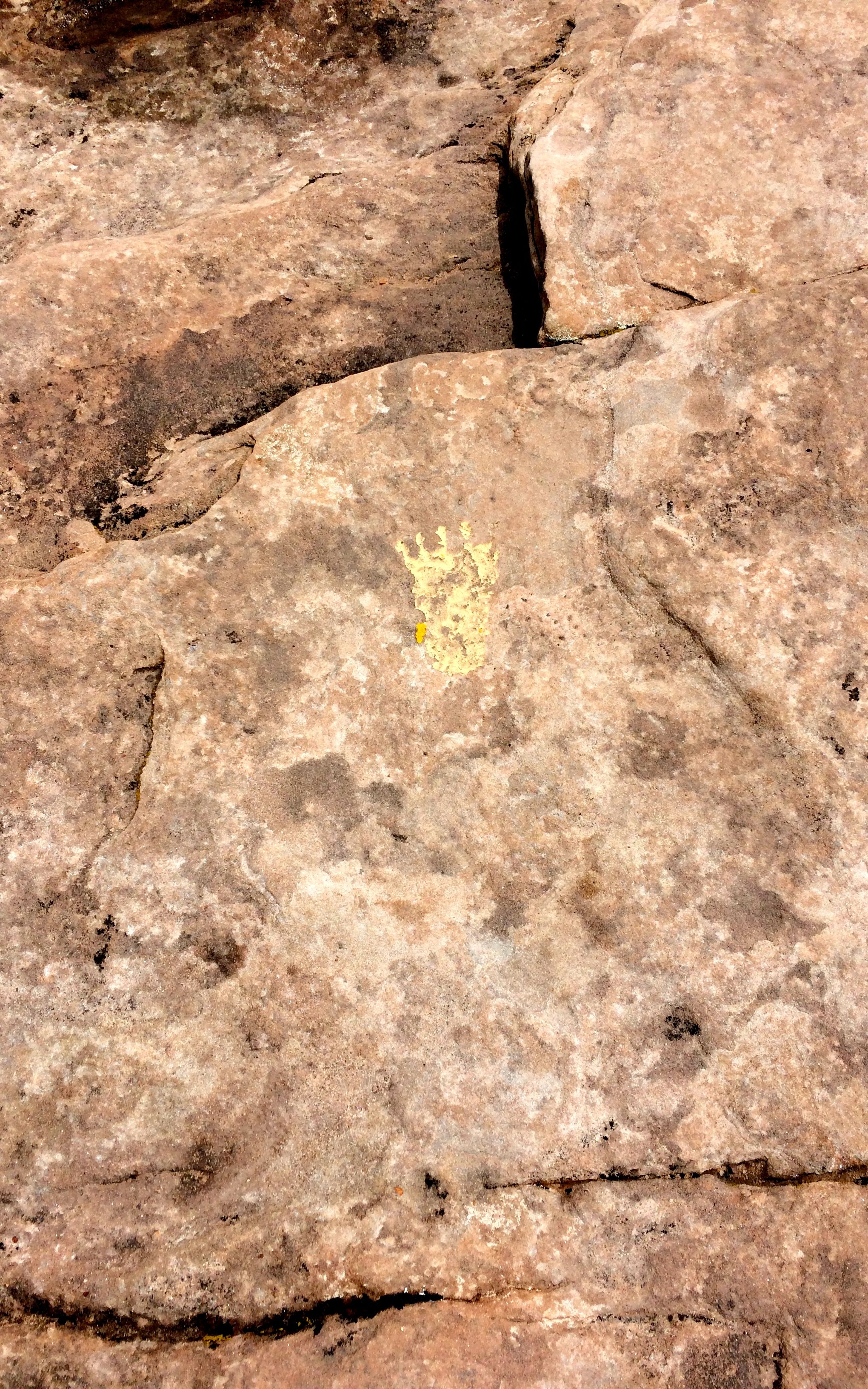
The trails from the parking areas to the overlooks were marked in different ways. Some had yellow footprints painted on the rocks here and there to show the way. Sometimes the yellow paint wore away and then there were only carved divots representing the toes.
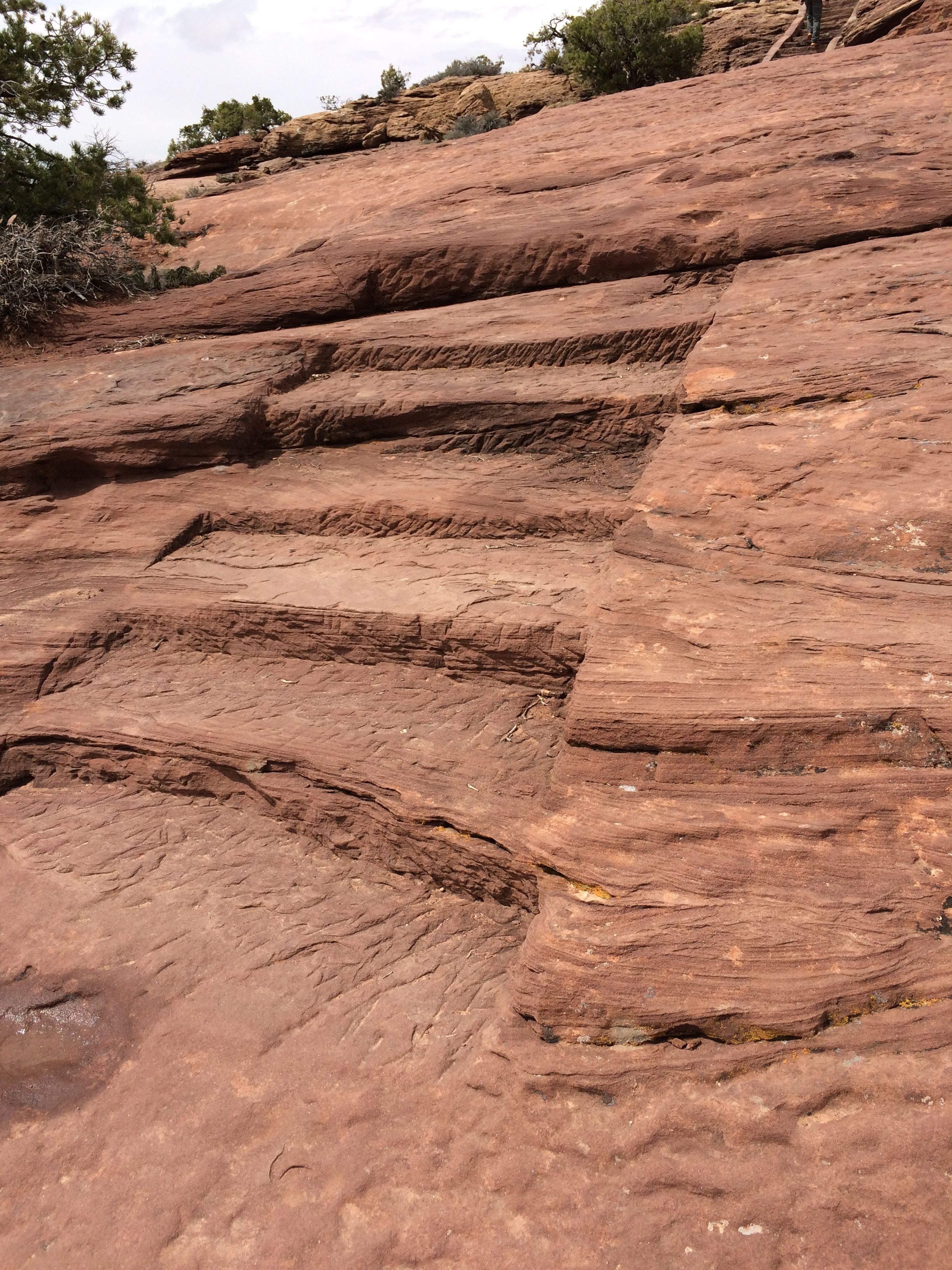
Sometimes the trails were carved into the rock where steps were needed to make it safer.
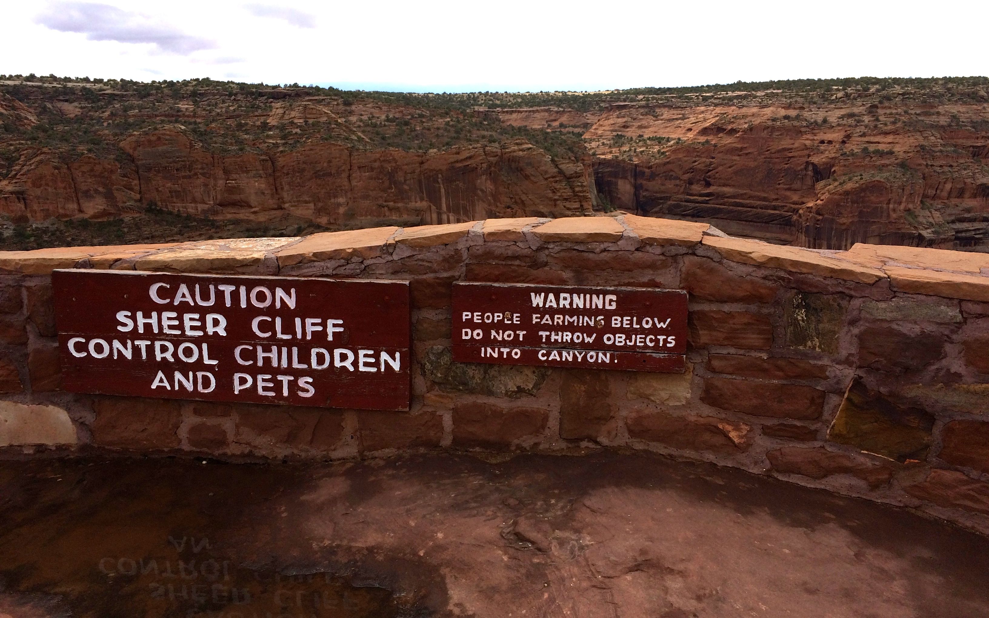
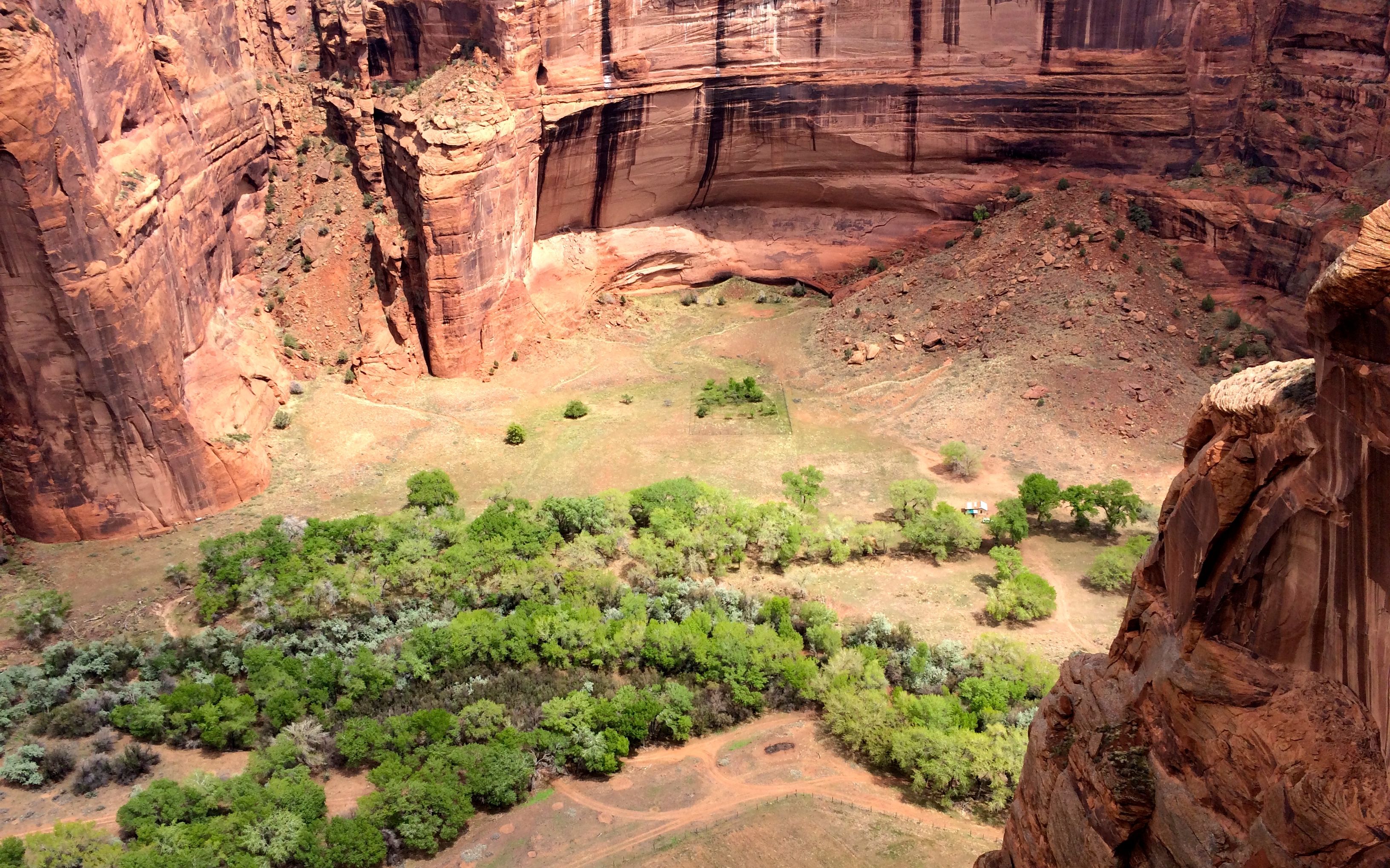
I appreciated the barrier. And, of course, I had to look over the edge to see if I could identify evidence of farming. I realized that it wasn’t quite the season to be out working in the fields.
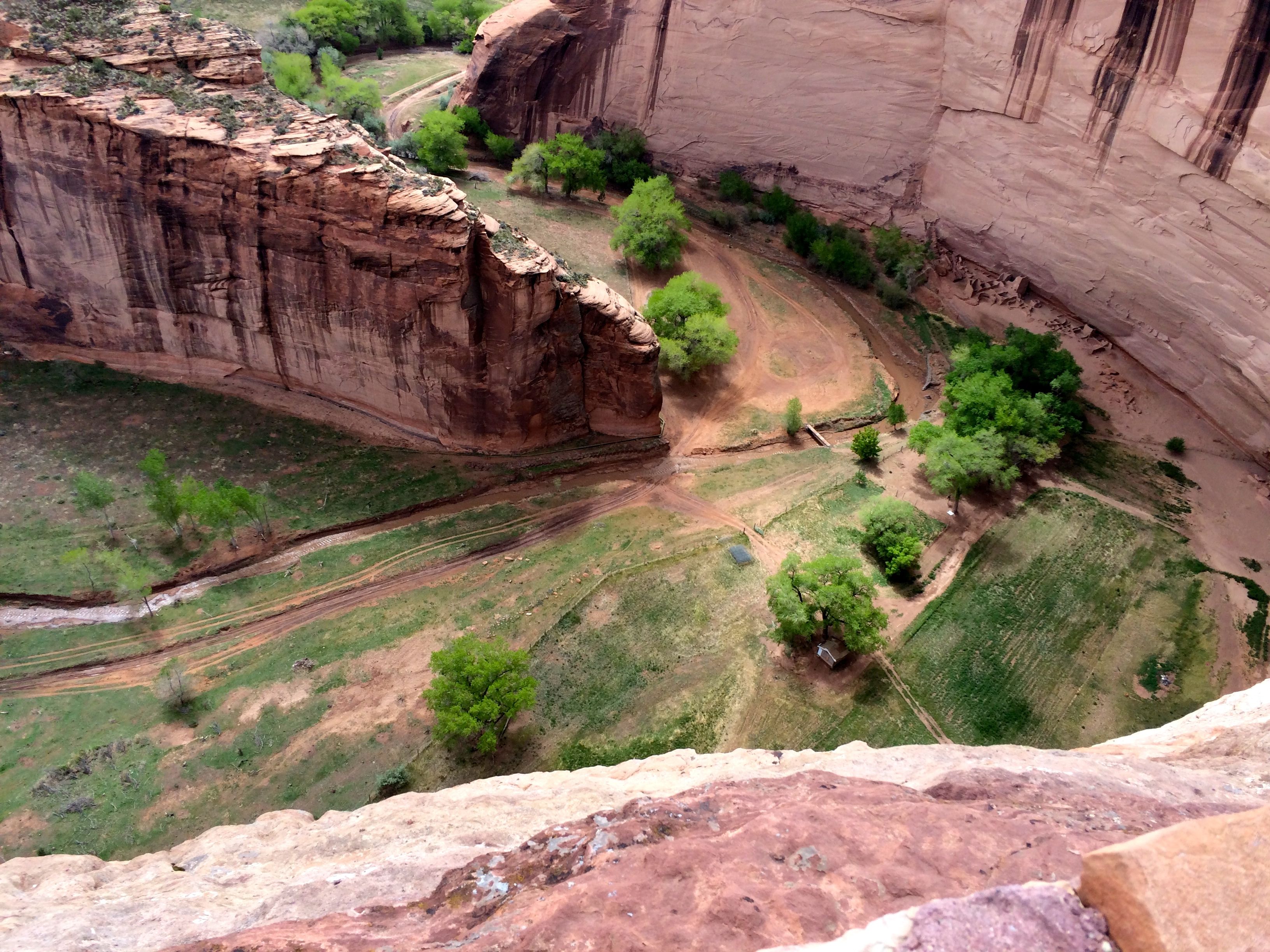
Oh, look! There are fields down there!
There are ruins down there, too.
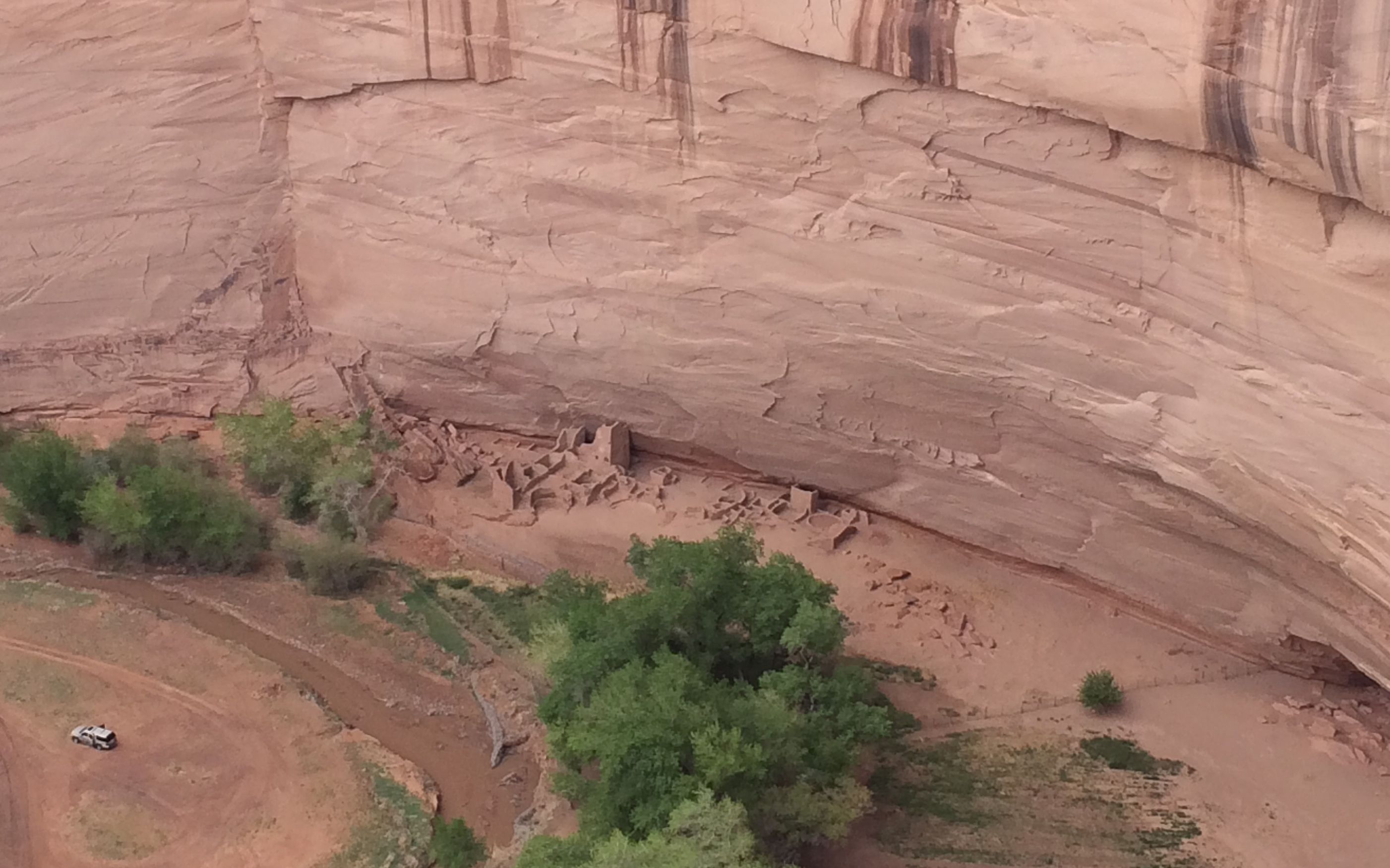
These are the Antelope House ruins.
At another stop, I came to the Navajo Fortress.
Even though you can’t tell from the photo, there is a cleft between the main part of the rock and the part in front. The Navajo could climb up and pull their ladders up after them and get away from the attackers.
Sometimes the trails aren’t marked so well.
The edges aren’t marked so well, either.
I have to admit that it kind of made my toes curl, as if I could hold on to the rock surface through the soles of my shoes.
The rocks below the rim are interesting.
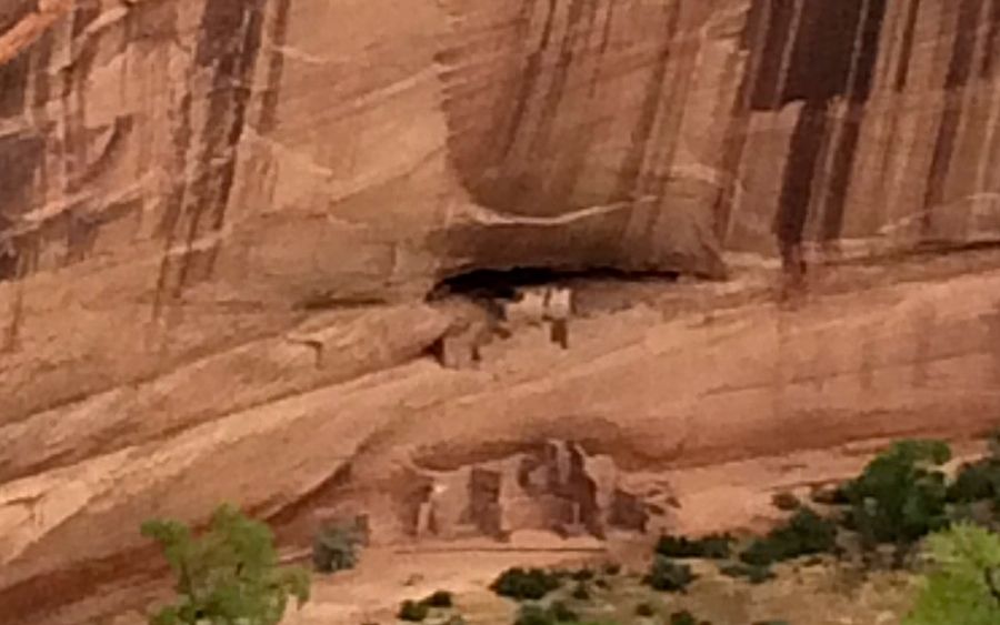
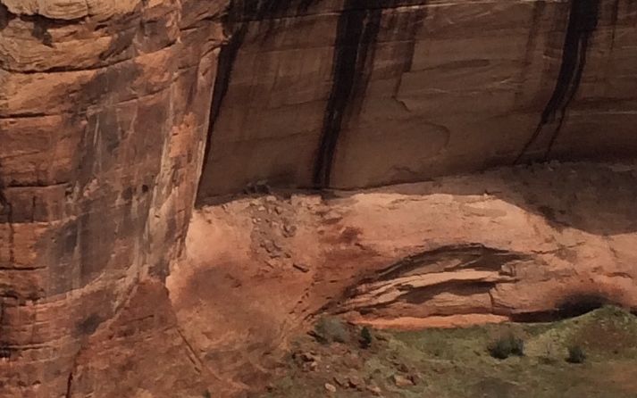
This site is called House Under the Rock or Mummy Cave.
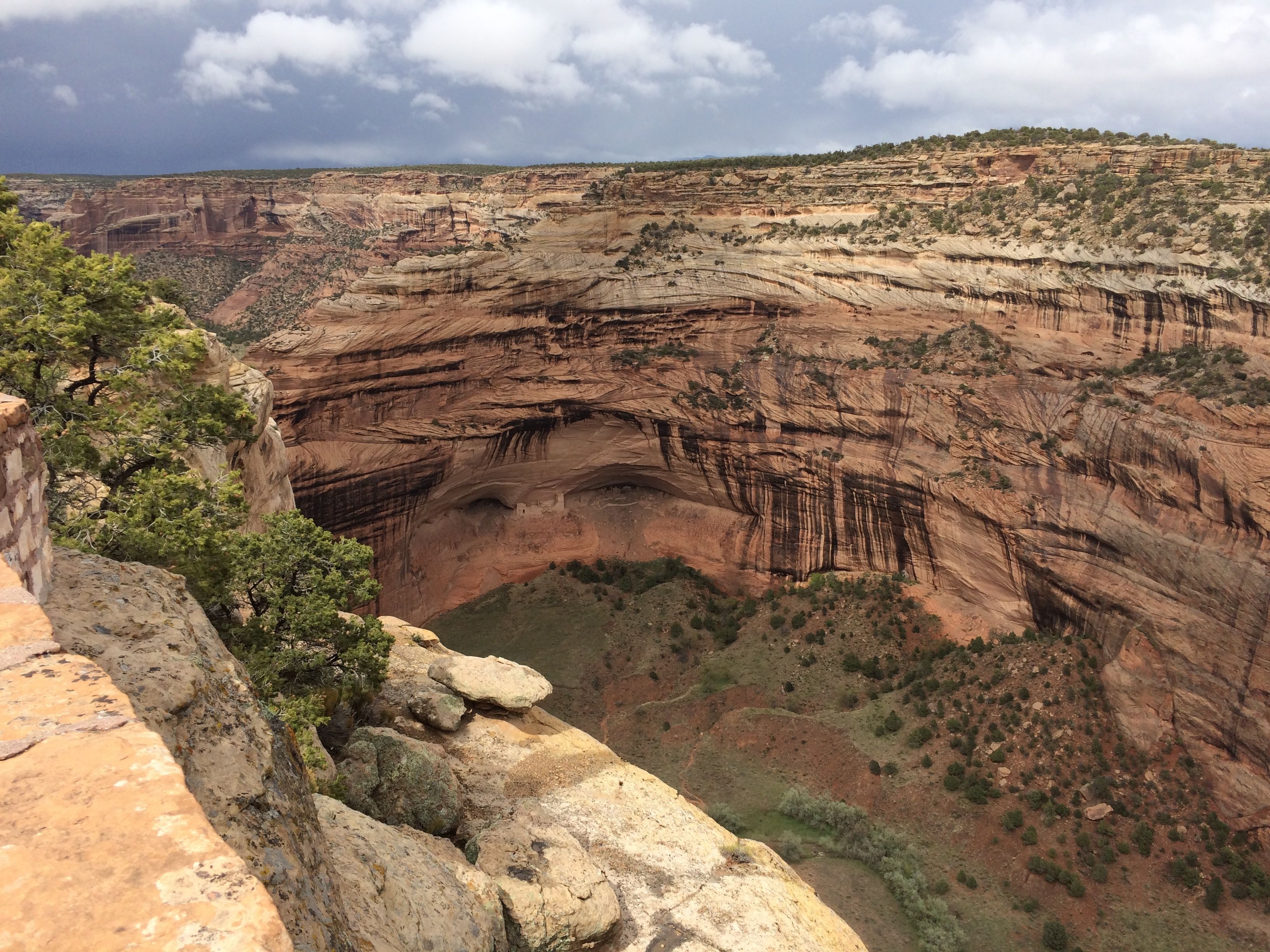
There! See it now?
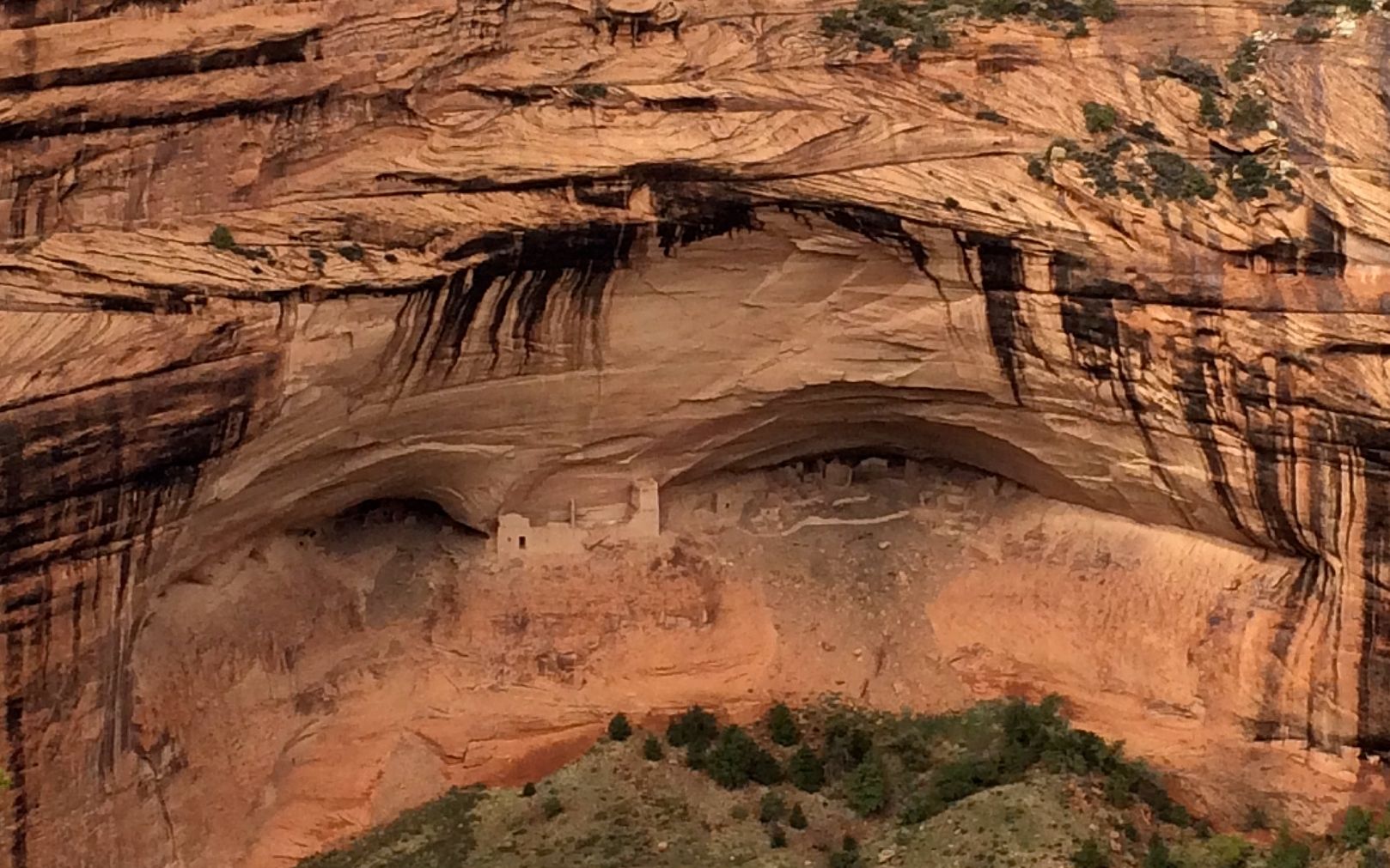
According to the information at the site, two mummies were discovered in a cave in 1880, and that’s when some people began calling it Mummy Cave. The Navajos refer to this site as House Under the Rock.
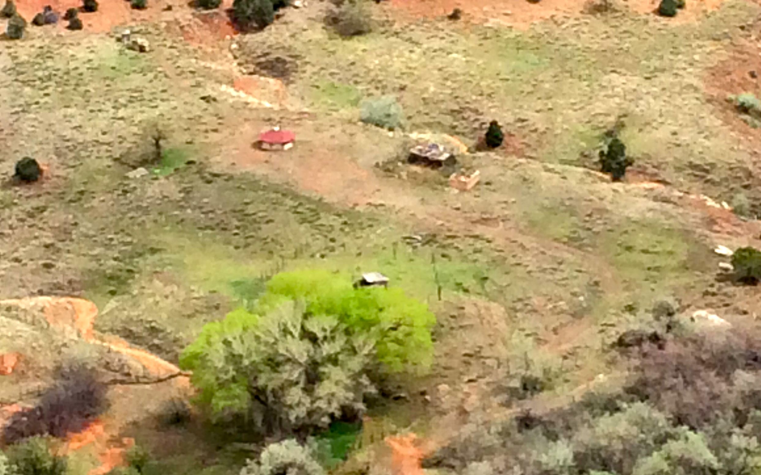
There really are farms all along the canyon floor. You can almost make out that the house with the red roof is built in the hogan style with eight sides.
This was my last stop on the north rim. It is called Two Fell Off. It is based on an incident when the Spanish were fighting the Navajo. An old woman fought off a Spanish soldier and they both fell to their deaths at this site.
By that time, I was chilled and ready for dinner. Back to Flo to heat up some chili and plan what I wanted to do next.