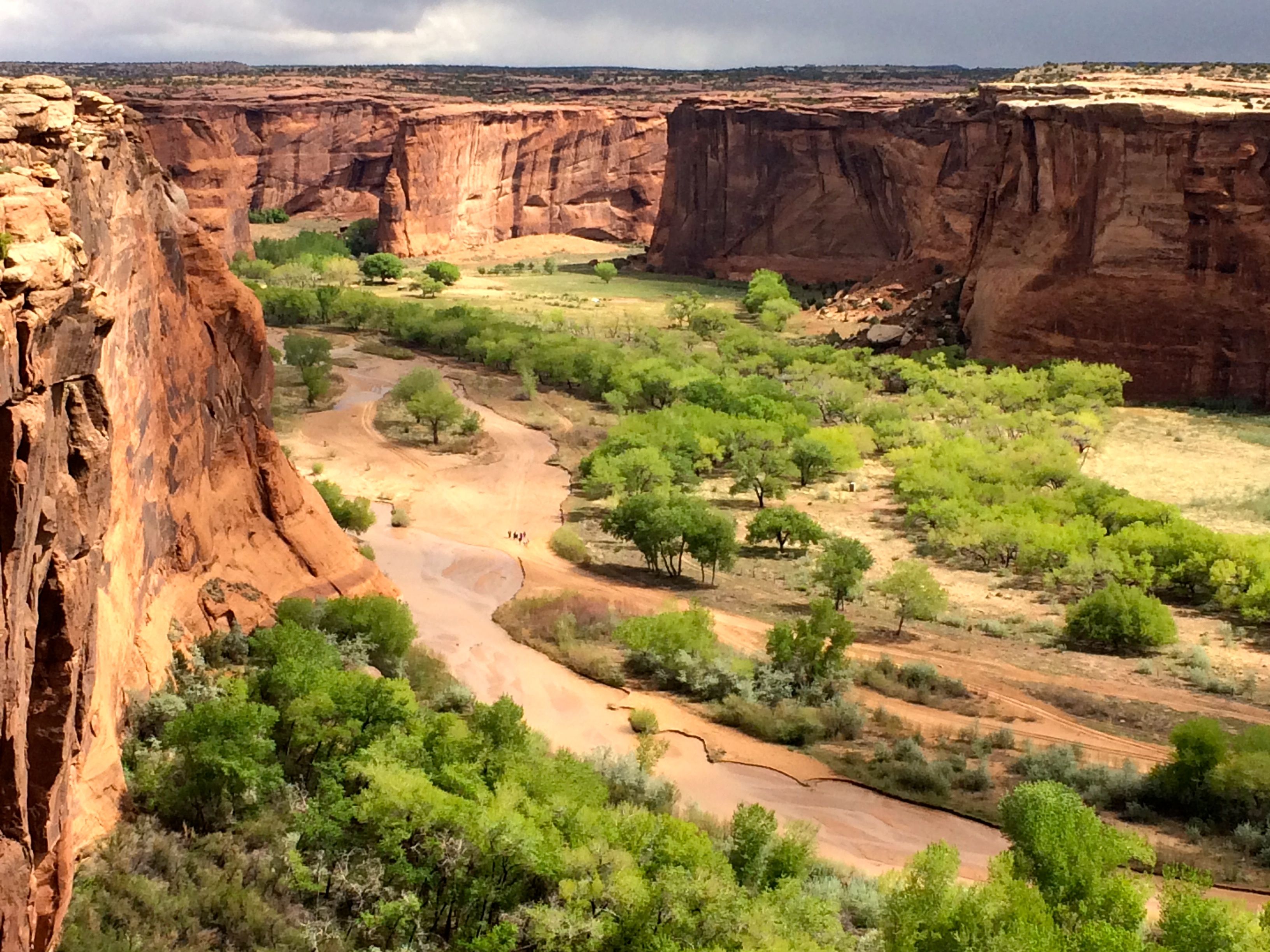
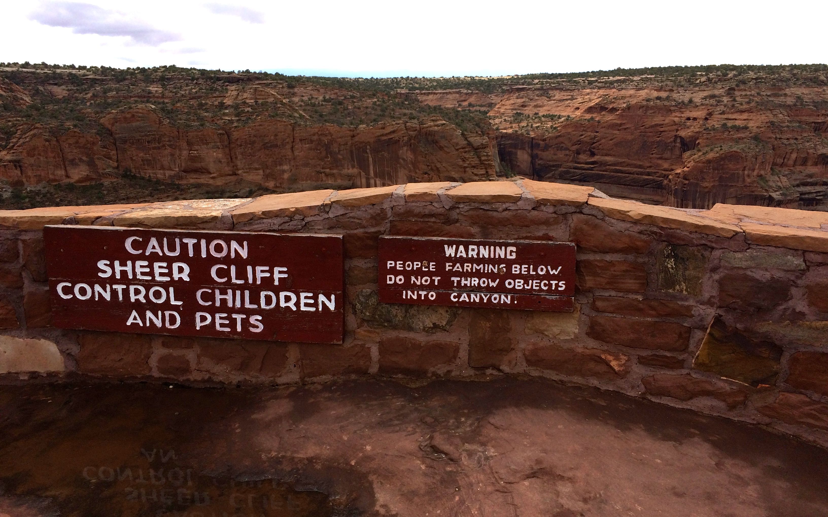
I have to admit that I had to tamp down a bit of resentment that we had to take a tour if we wanted to enter the canyon. Of course, the Navajo have a right to make a living and if it I were in the same situation, I would not enjoy have hordes of visitors walking around in my back yard. However, that being said, when the vehicle you are riding in looks like this:
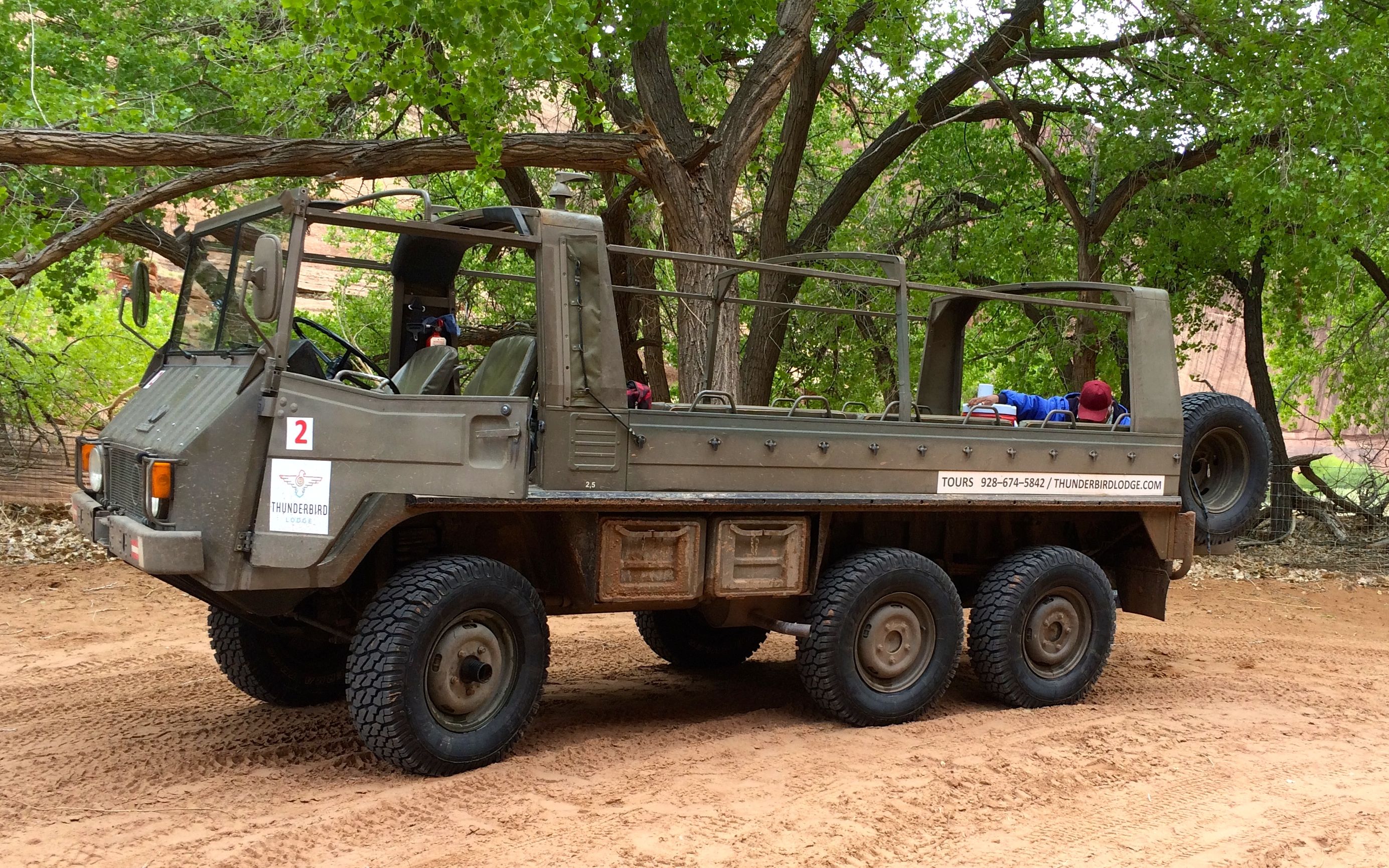
and you needed all the power and wheels it had, I am just as glad I wasn’t allowed to drive my truck into the canyon.
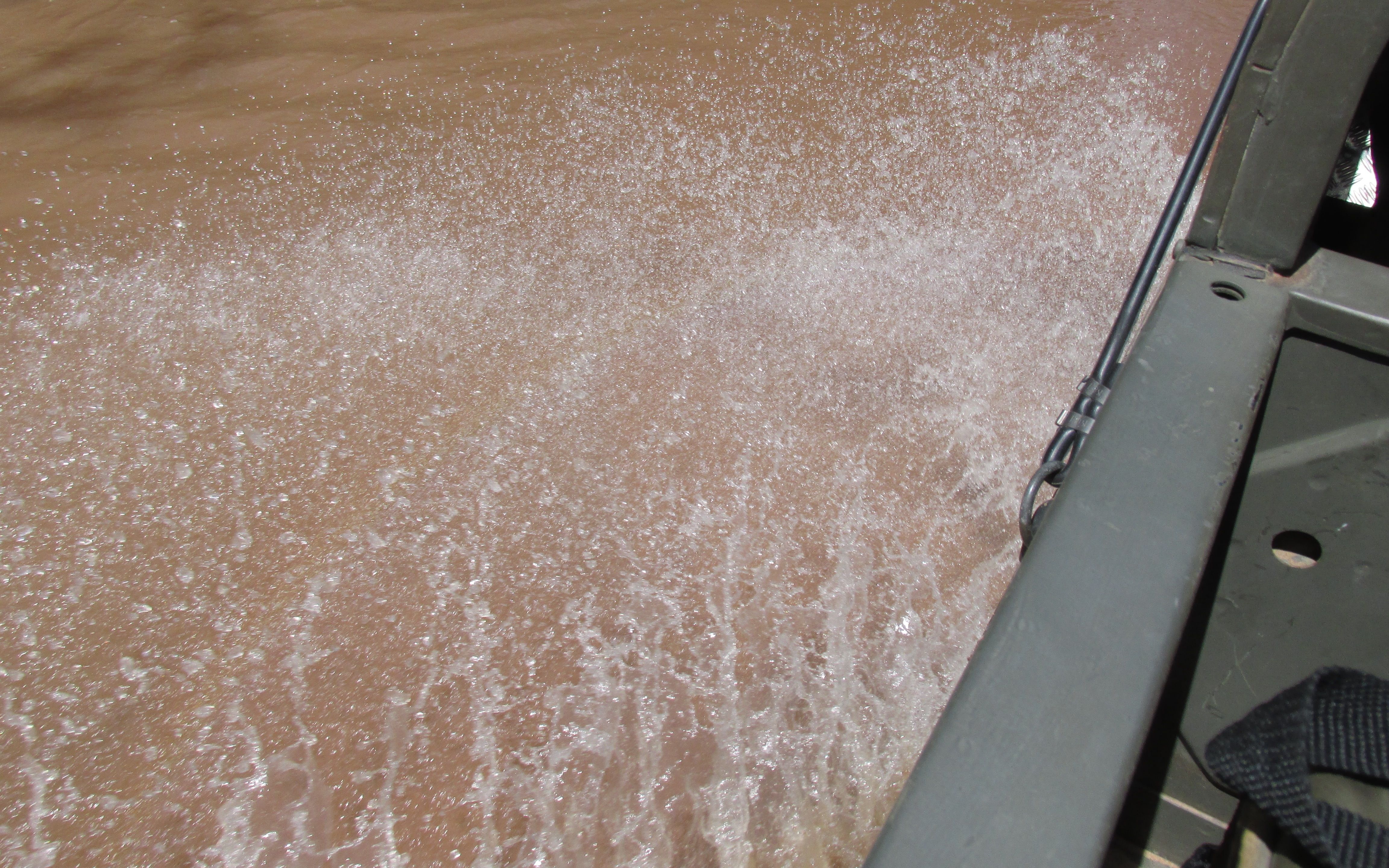
For one thing, this is what the roads looked like:
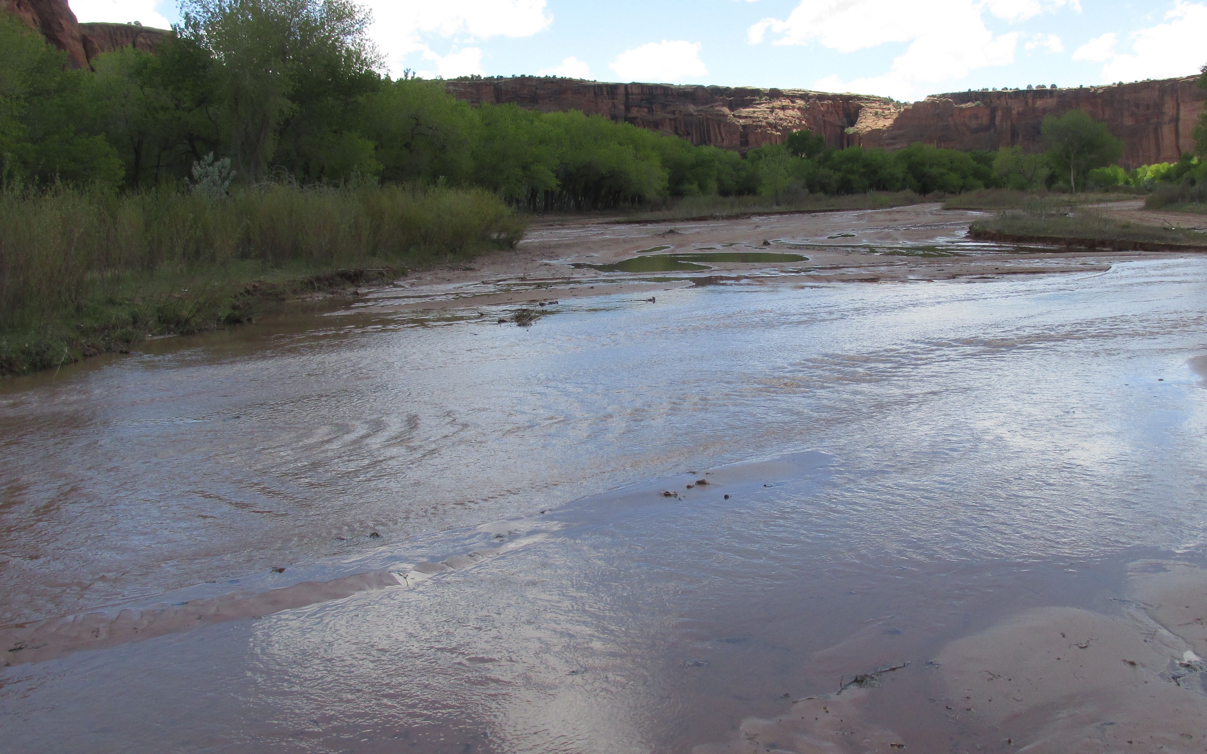
We drove right up the creek or river that was flowing down the canyon! Some places had more recognizable roads, but splashing through the water was the norm.
And I really appreciated the seat belts that were provided. It was not exactly smooth going.
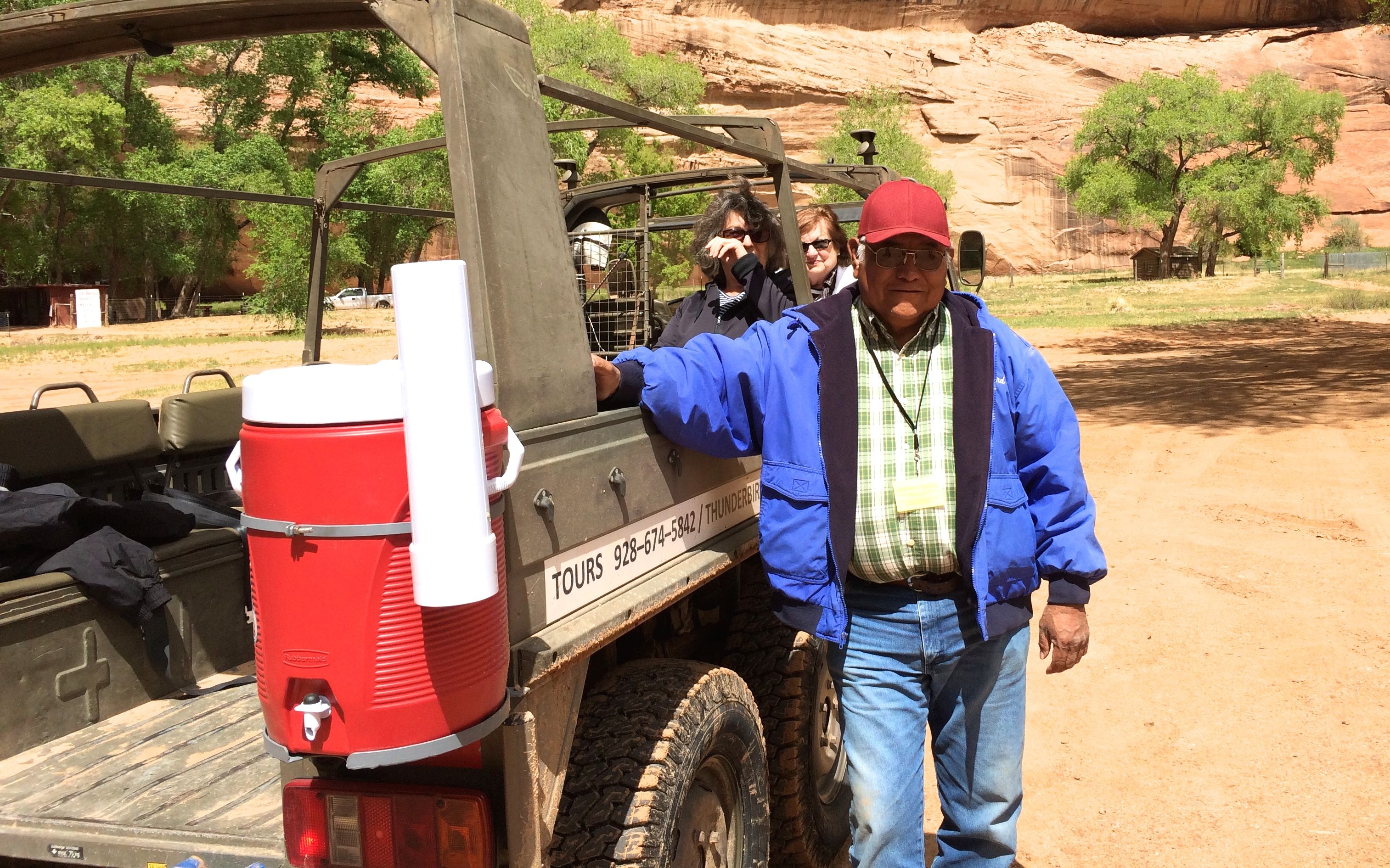
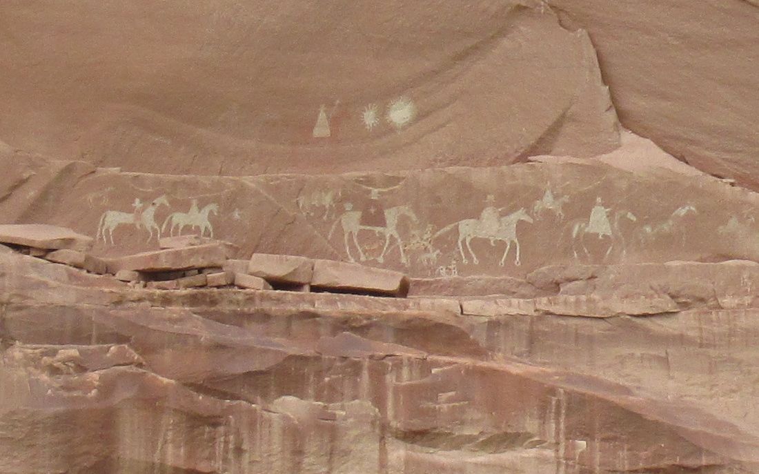
There were five of us on the tour and George was our guide. He did a good job of pointing out all of the main points along the way. The other people on the tour were from California, and they got to talking with him about the state. He told us that he was stationed in San Diego when he was in the Navy. Somehow it came up that his uncle had been one of the code talkers during World War II. We were all quite impressed.
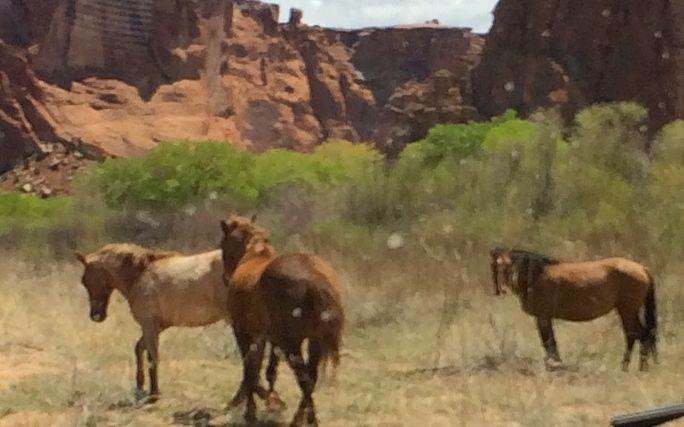
We passed herds of horses from time to time. I asked George if they were wild horses. He said that they belonged to families and that they were branded so that they knew whose horse was whose.
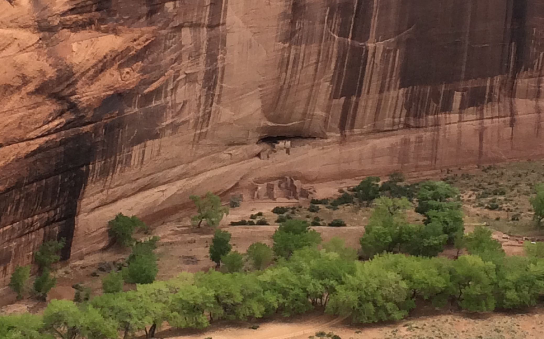
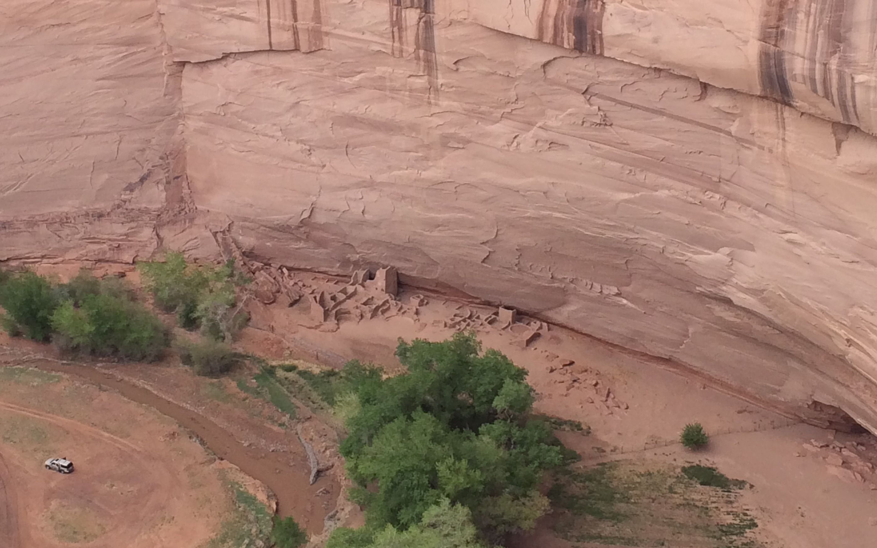
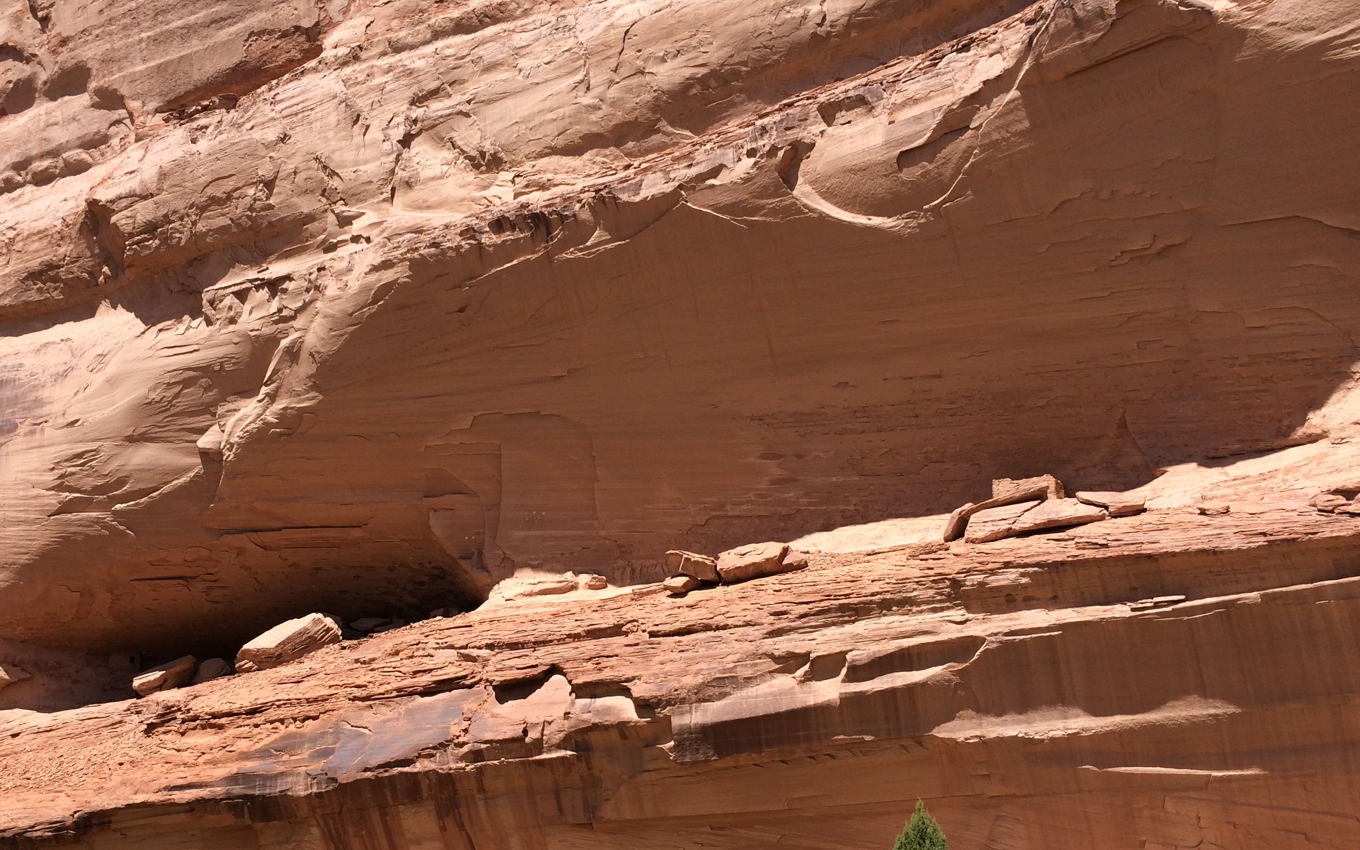
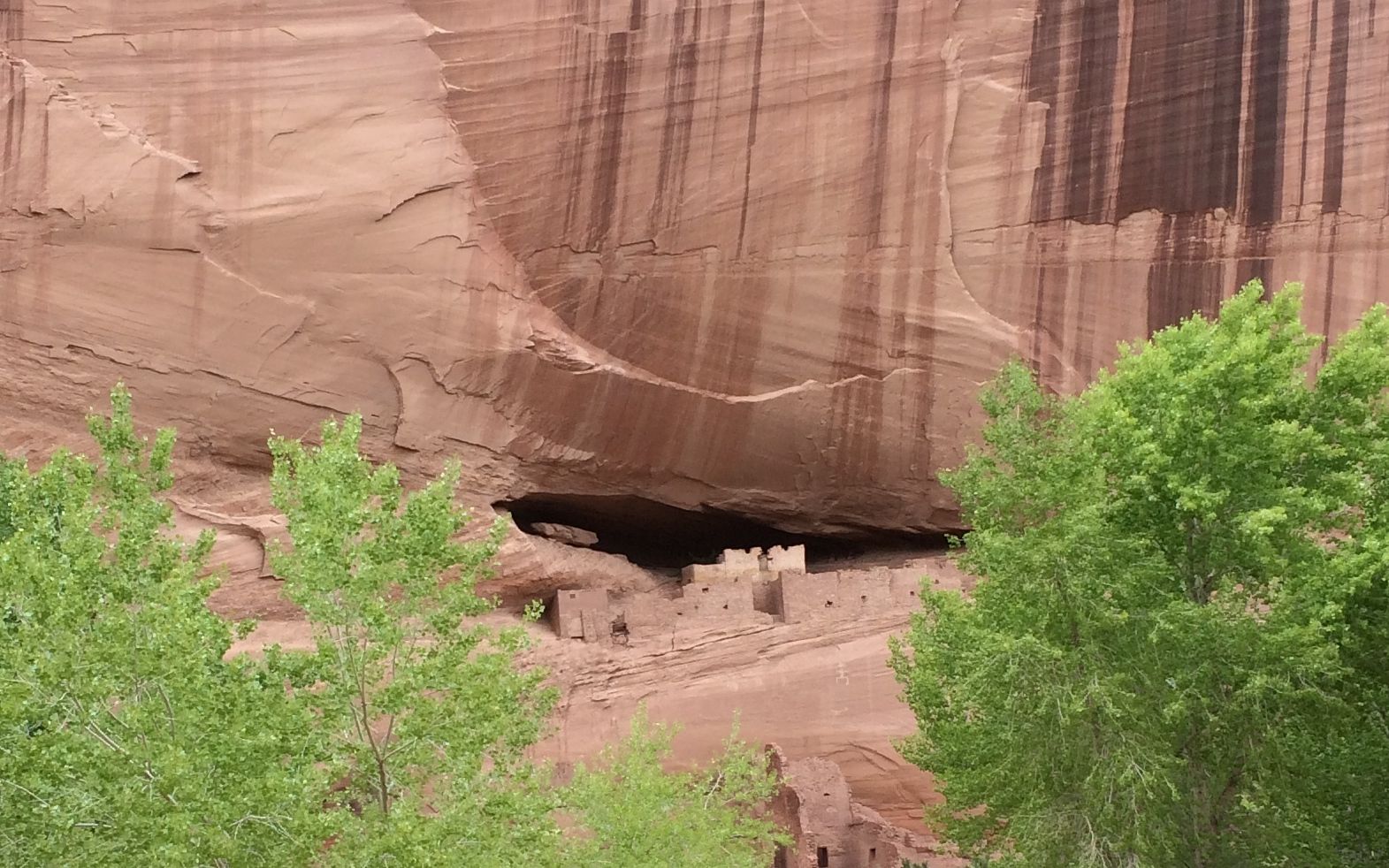
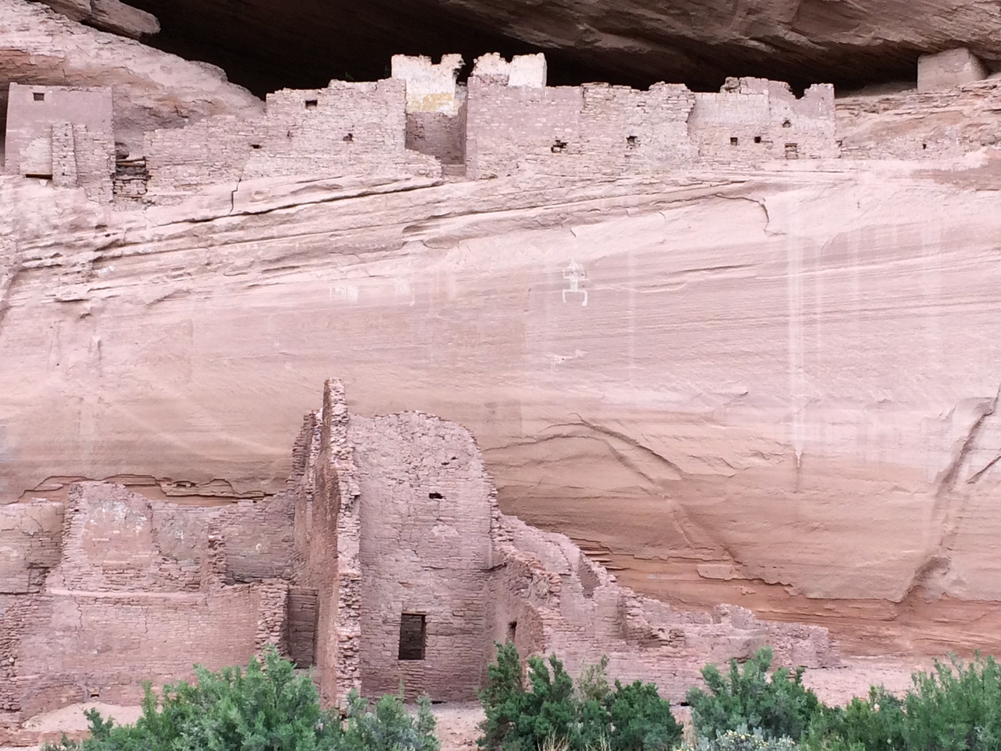
I was really surprised at how many ruins there were in the canyon. We passed by so many that George didn’t identify. The first one we stopped at was called “First Ruin.”
These are the ruins of the Anasazi. They were ruins when the Navajo arrived in the canyon.
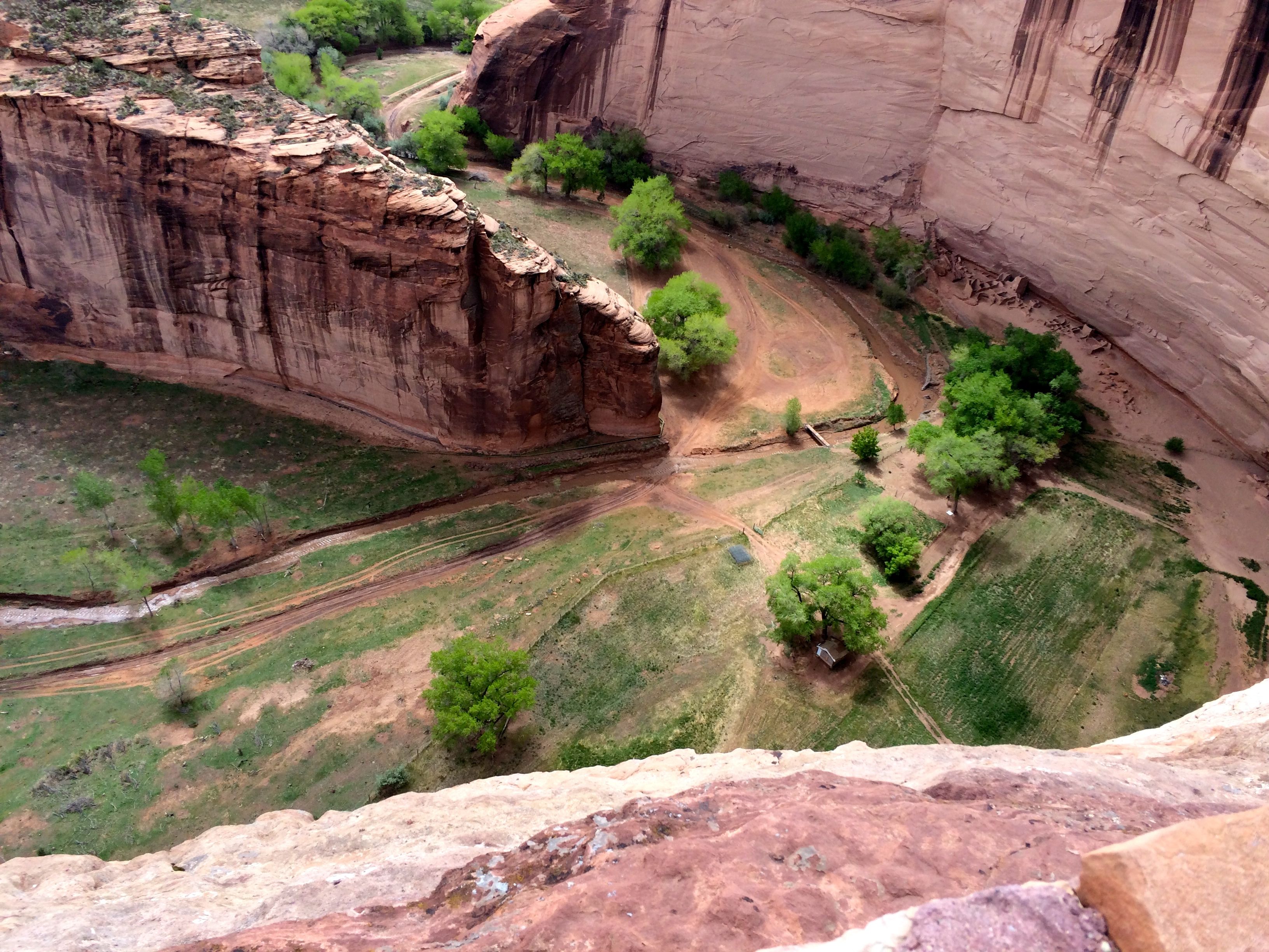
They would live up on the ledge and then farm the canyon floor below.
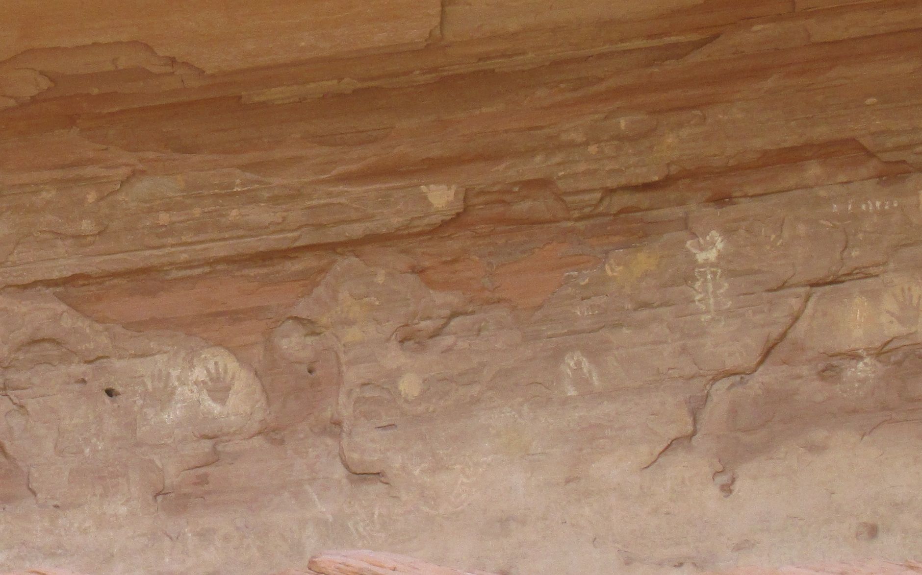
I almost thought George was kidding us when he stopped at this rock to point out the petroglyphs. But, if you look long enough and carefully enough, you start to see them.
This panel is on the left side. George told us that these were carved by the Navajo. You can tell, because they have horses.
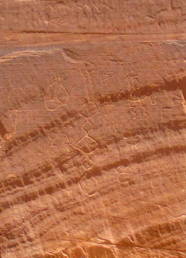
This panel is in the center. If I remember correctly, he said that these were carved by the Hopi.
These carvings were on the right. They look like more horses to me. The figure eight reminds me of the analemma – the path that the sun takes in the sky during the year.
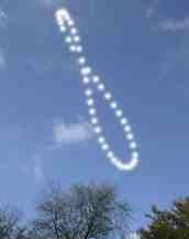
In fact, have you see the Tom Hanks movie where he tracks time by plotting the sunlight that comes through a hole in a cave?
I wonder if they were making some sort of a calendar?

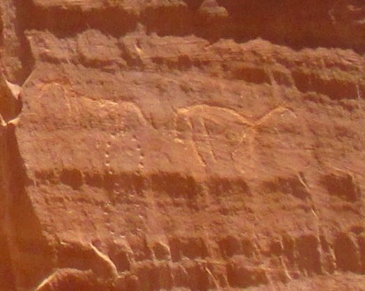
Our next stop was Kokopelli cave. It was filled with pictograms, including Kokopelli himself.
You can see hunch-backed Kokopelli playing his flute.
The inside of the cave was full of handprints that were created by taking the pigment in the mouth and spraying it around the hand.
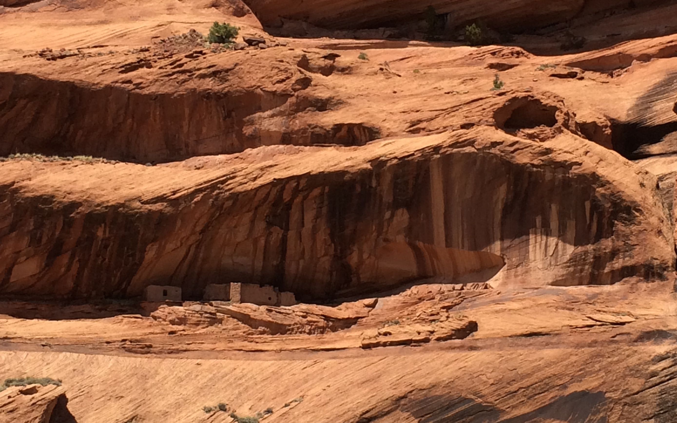
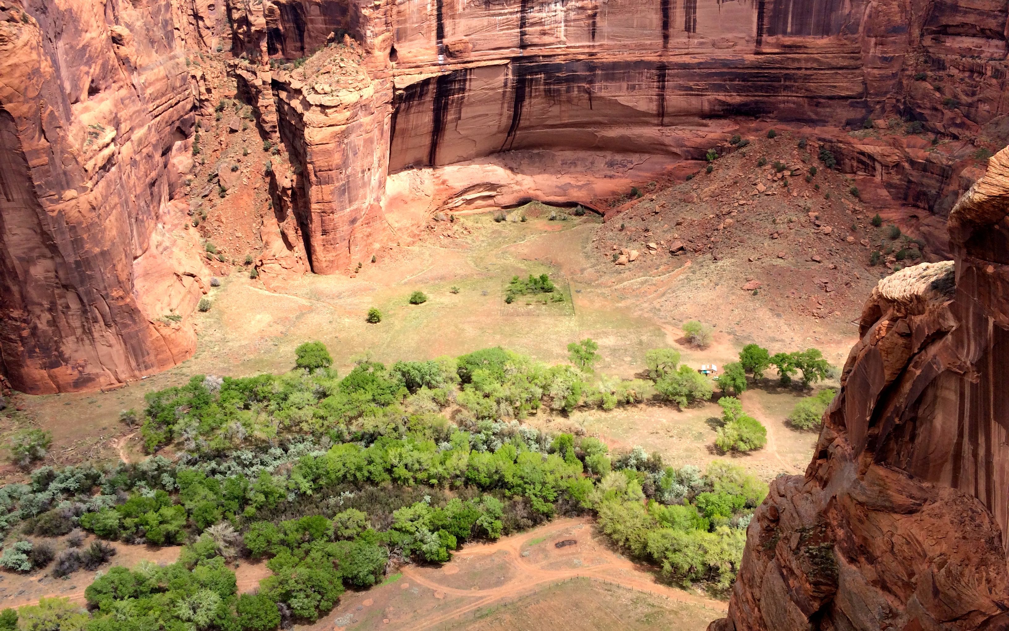
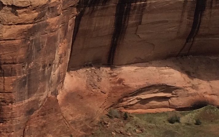
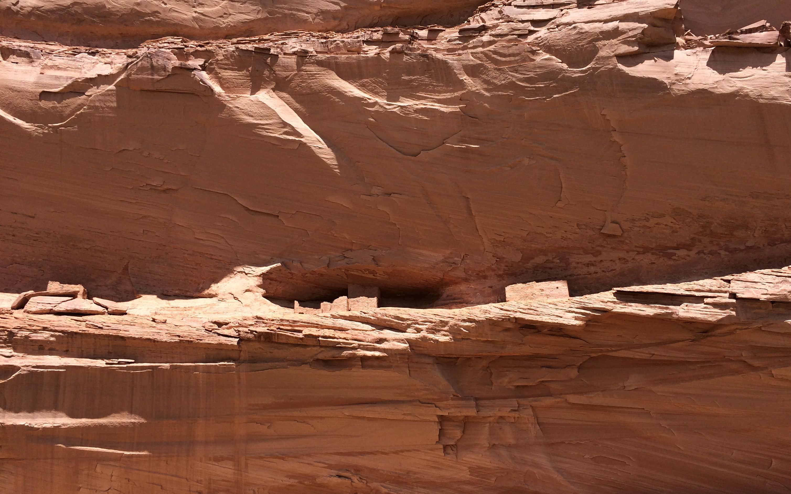
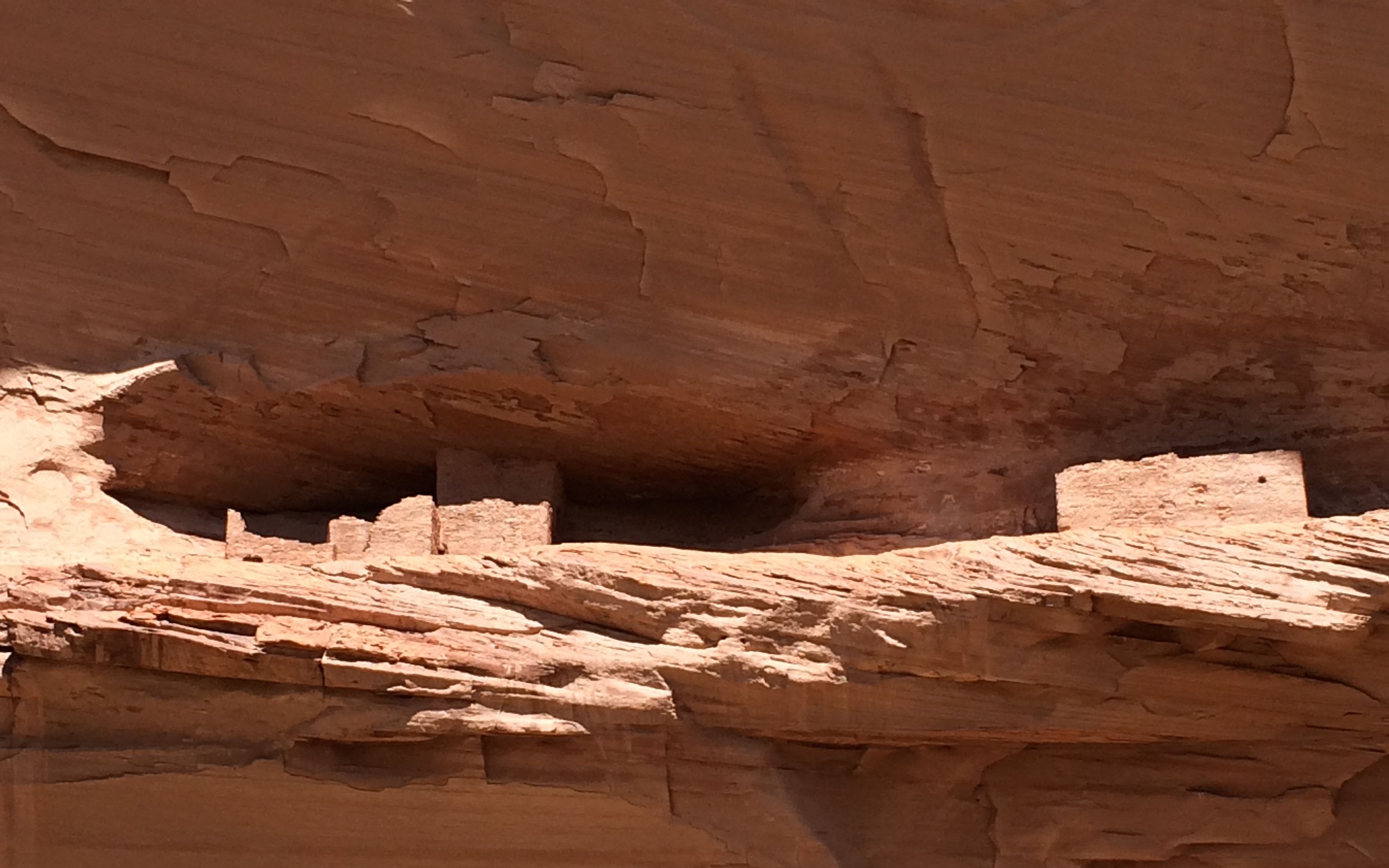
This is another ruin that we passed without explanation. I am surprised I managed to get a photo of it. The Anasazi located their building carefully, on the sides of the canyons that got the most sun.
I wish I had selected my seat in the vehicle with the same care. Every time we stopped to look at something, I had to unbuckle, stand up and turn to see what we were looking at.
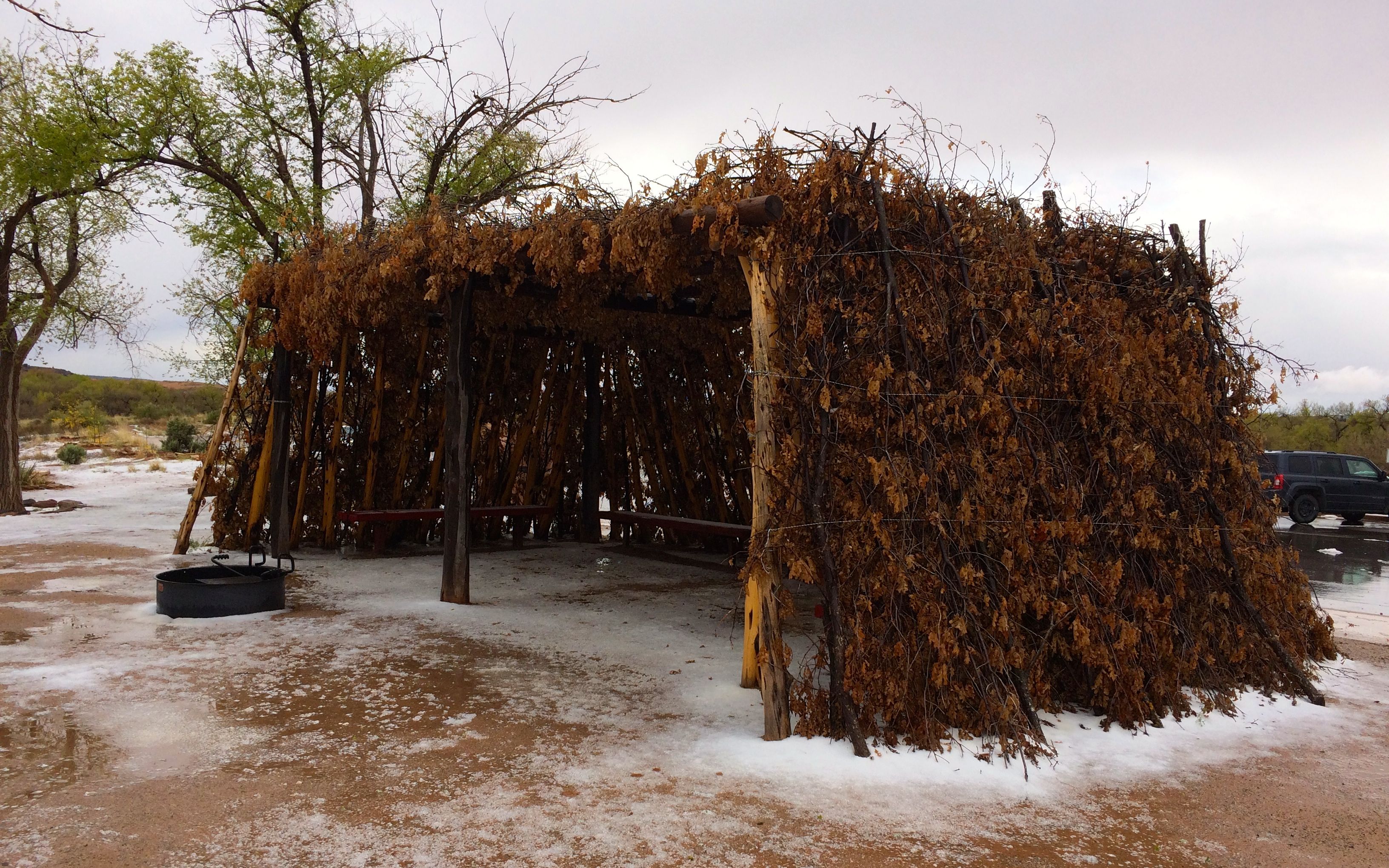
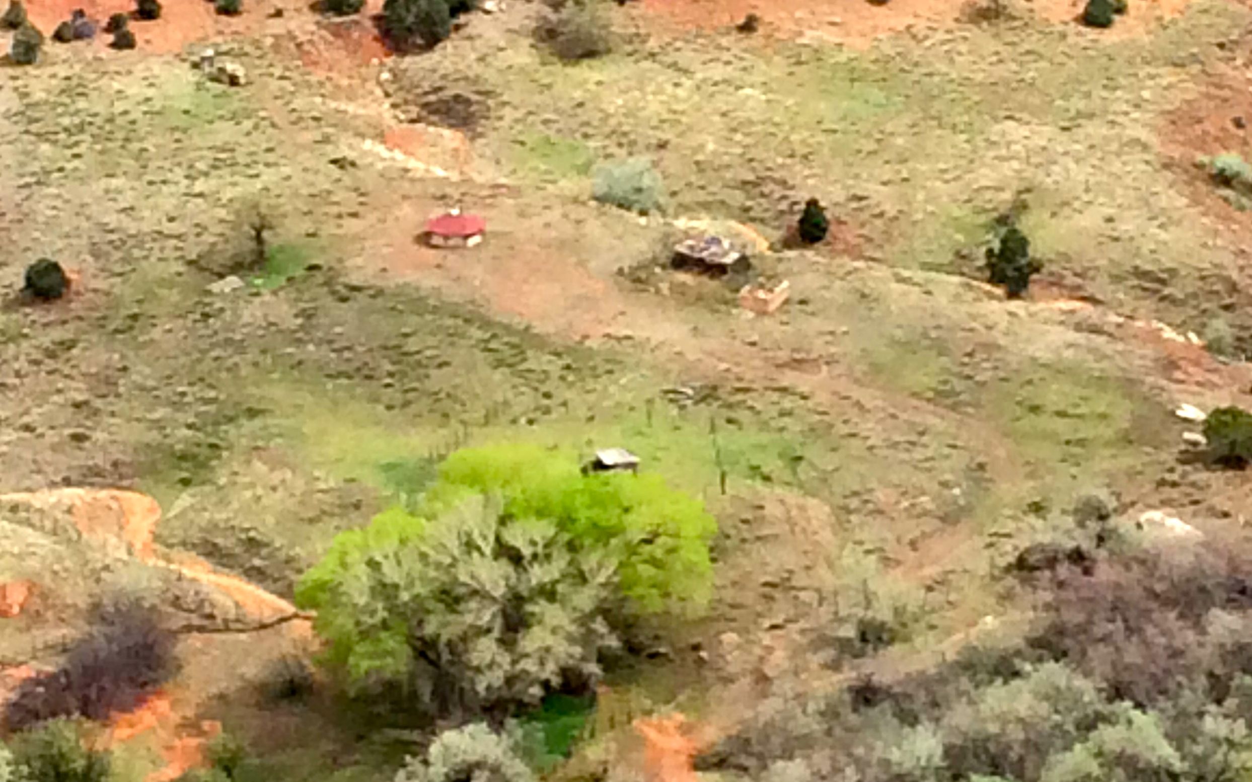
The Navajo today are also taking advantage of the sun. Their farms are down in the canyon, and they move down from the rim once the growing season starts.
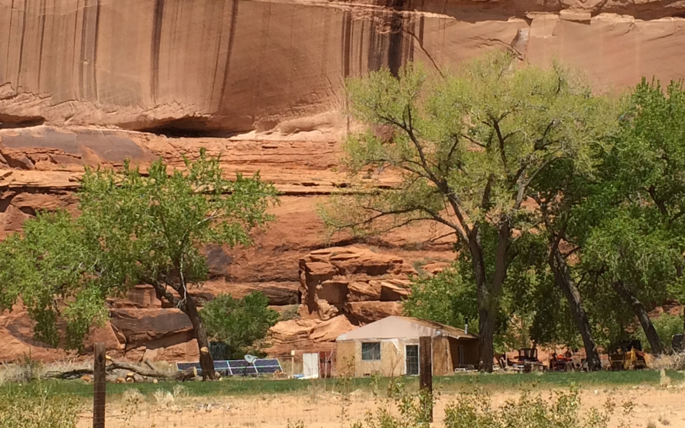
You can see that this house, which appears to be based on the hogan, has solar panels and a dish antenna. I don’t know what they pick up down here, but it must be something – otherwise why would they have a dish antenna?
I asked George about how the land was allocated. Did the Navajo nation divide it up? Did they sell it to the families? He told me that after the Navajo were driven out of the canyon and forced to walk to the US Army’s Fort Sumner concentration camp on New Mexico’s Pesos river in 1863, they began to return in 1866. When they got there, they staked their claims to the land. Eventually, ownership was formalized and families now have title to the land. If you would like to read more about The Long Walk, click here.
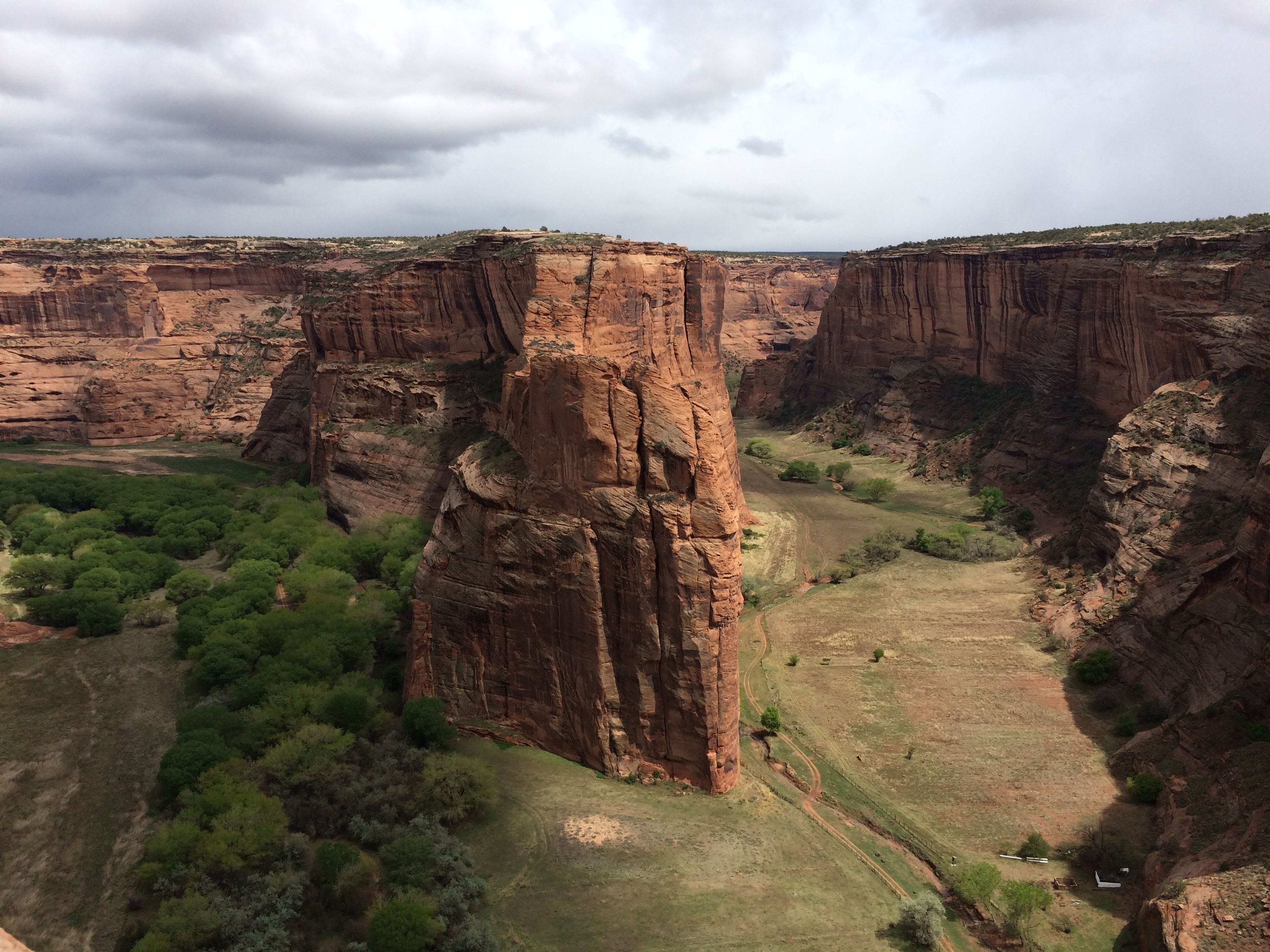
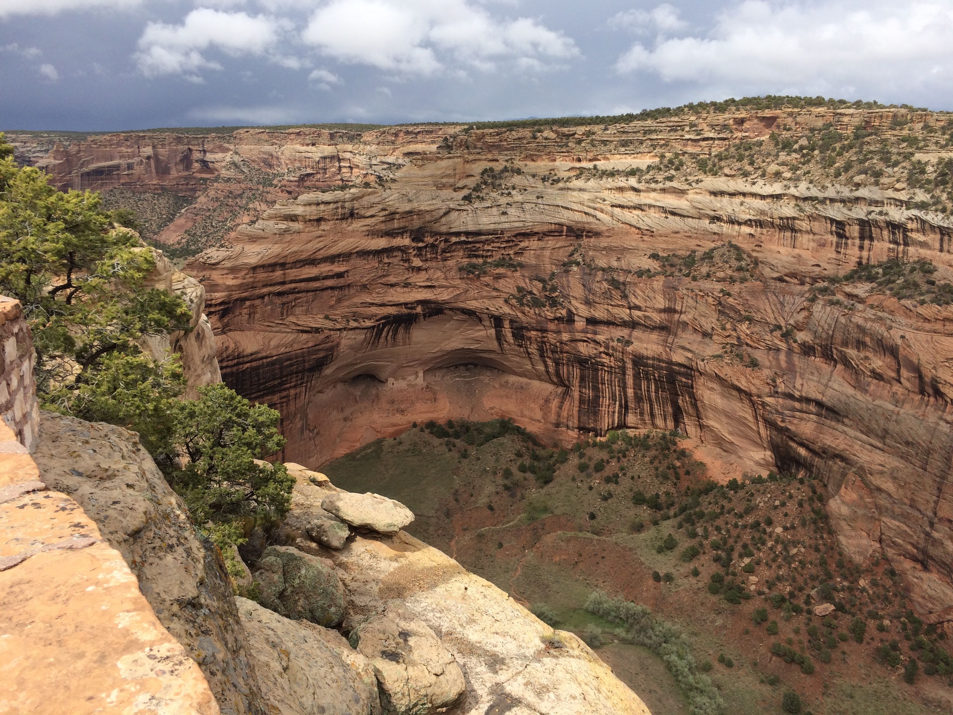
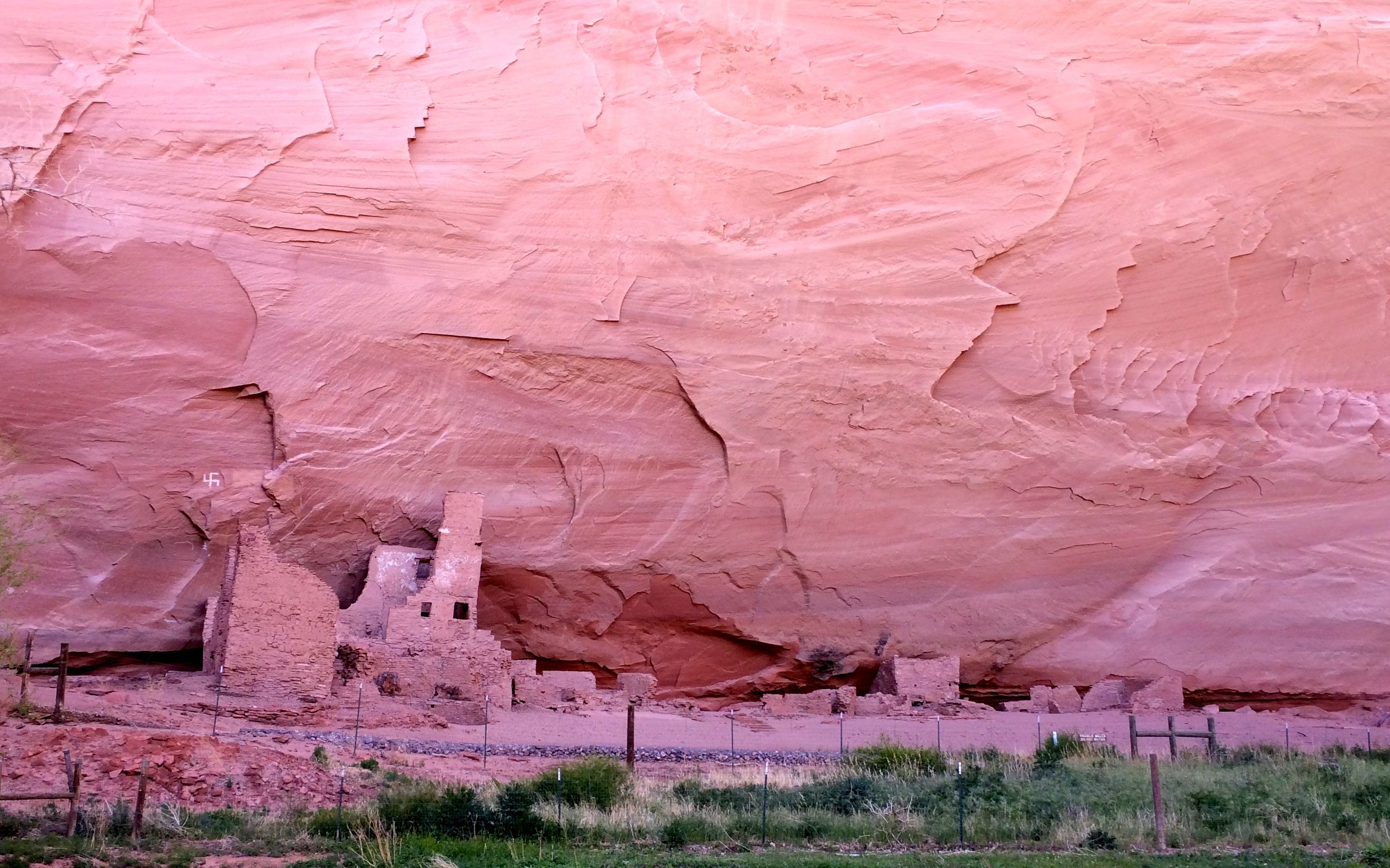
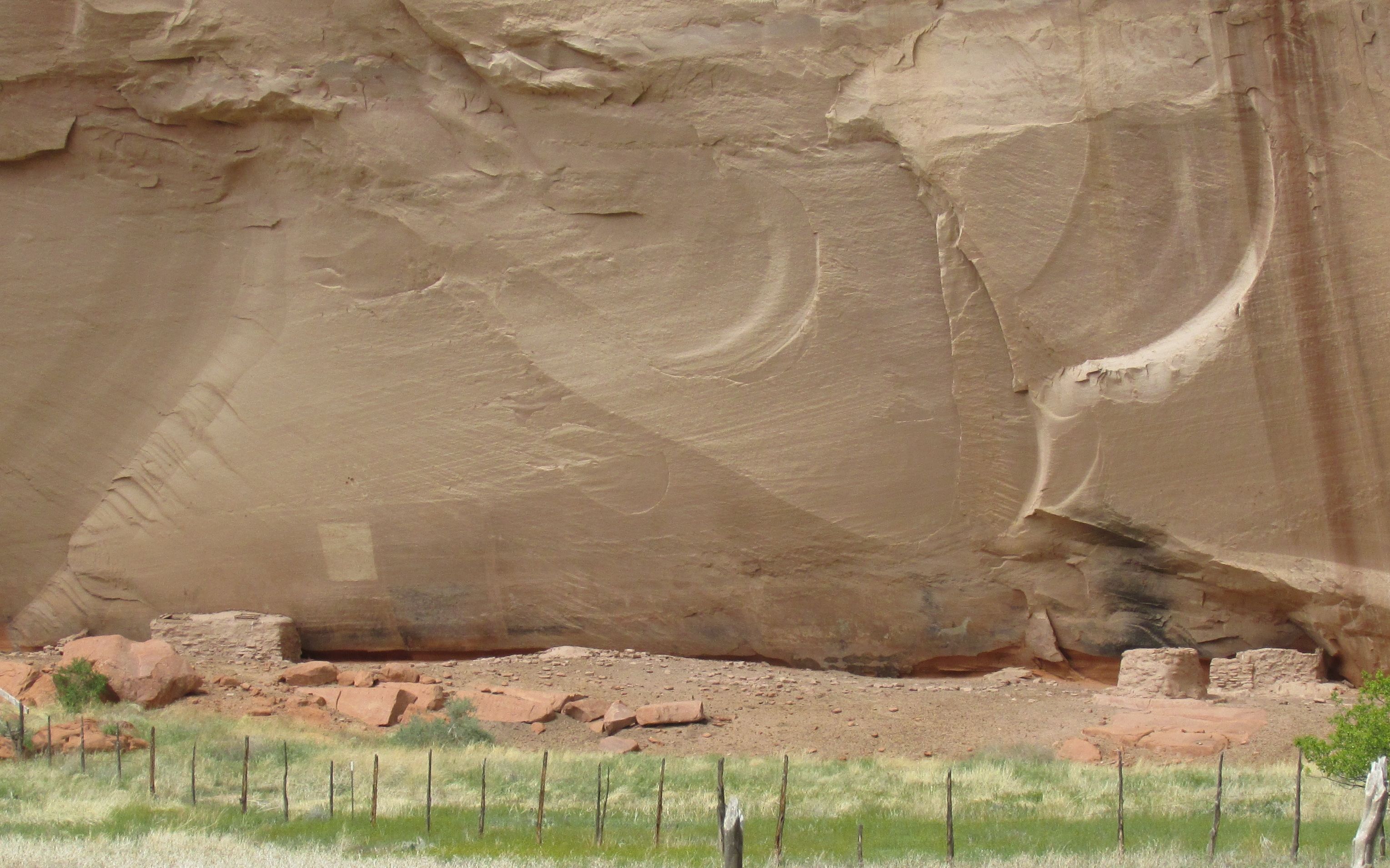
This is the Navajo fortress, where many of them hid when Kit Carson was trying to drive them out.
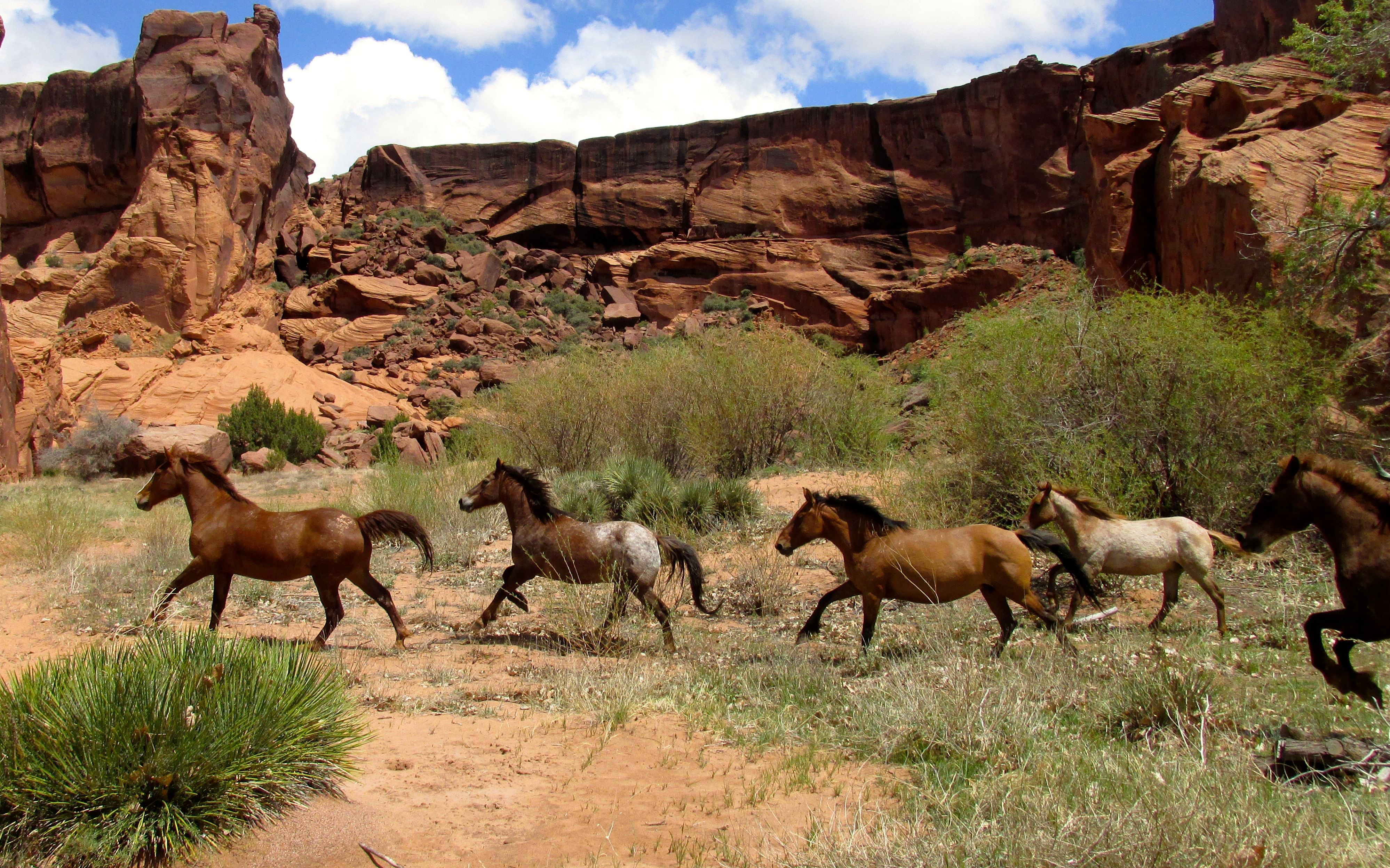
We continued along the way. It was always delightful when bands of horses would gallop past us.
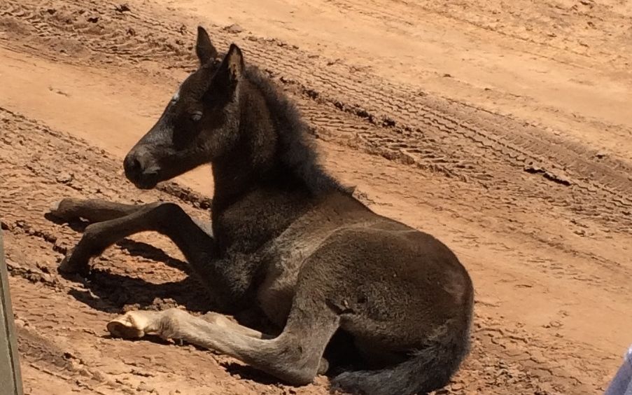
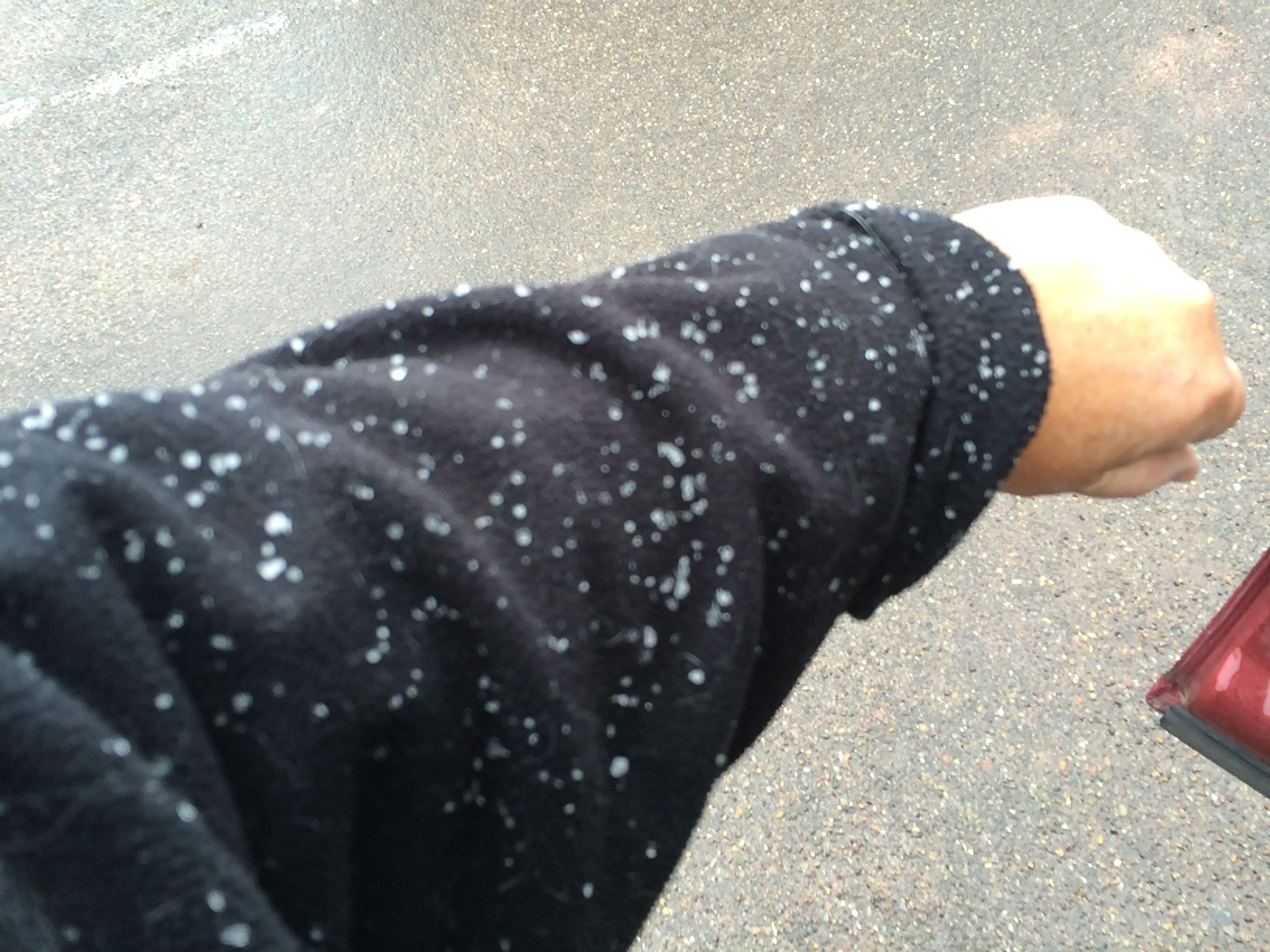
It was foaling season, as some of the young ones hadn’t quite figured out that the road isn’t a great place for a nap. George slowed down so we could get a shot of him. He did get to his feet and saunter away.
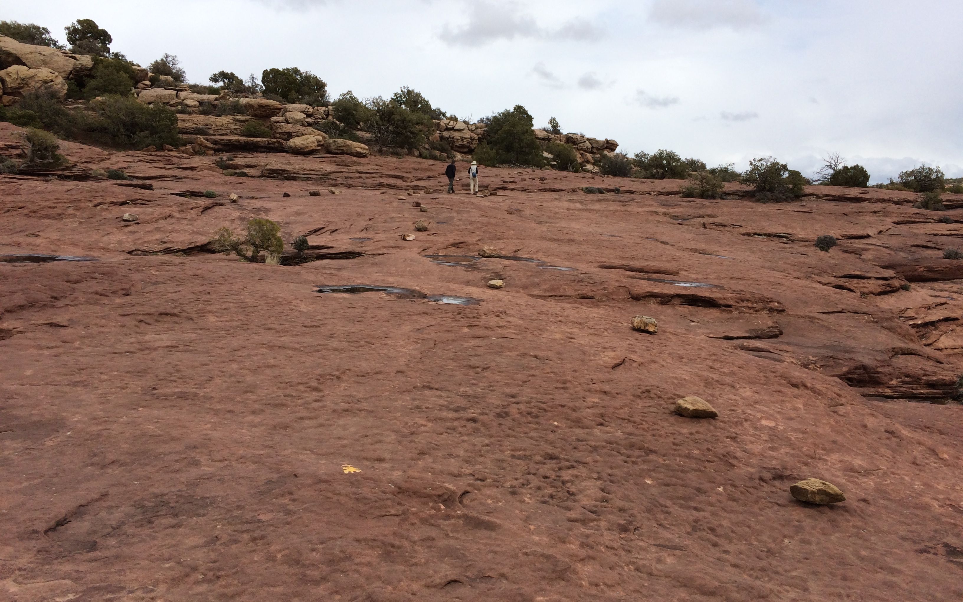
I tried to take notes on my phone, but that is hard to do that when you are bouncing all over the place. Forgive me if I can’t do some of these justice.
Channeling my best Jackie Kennedy from Vaughn Meader’s “The First Family”,
There’s this one,
And that one,
And that one over there.
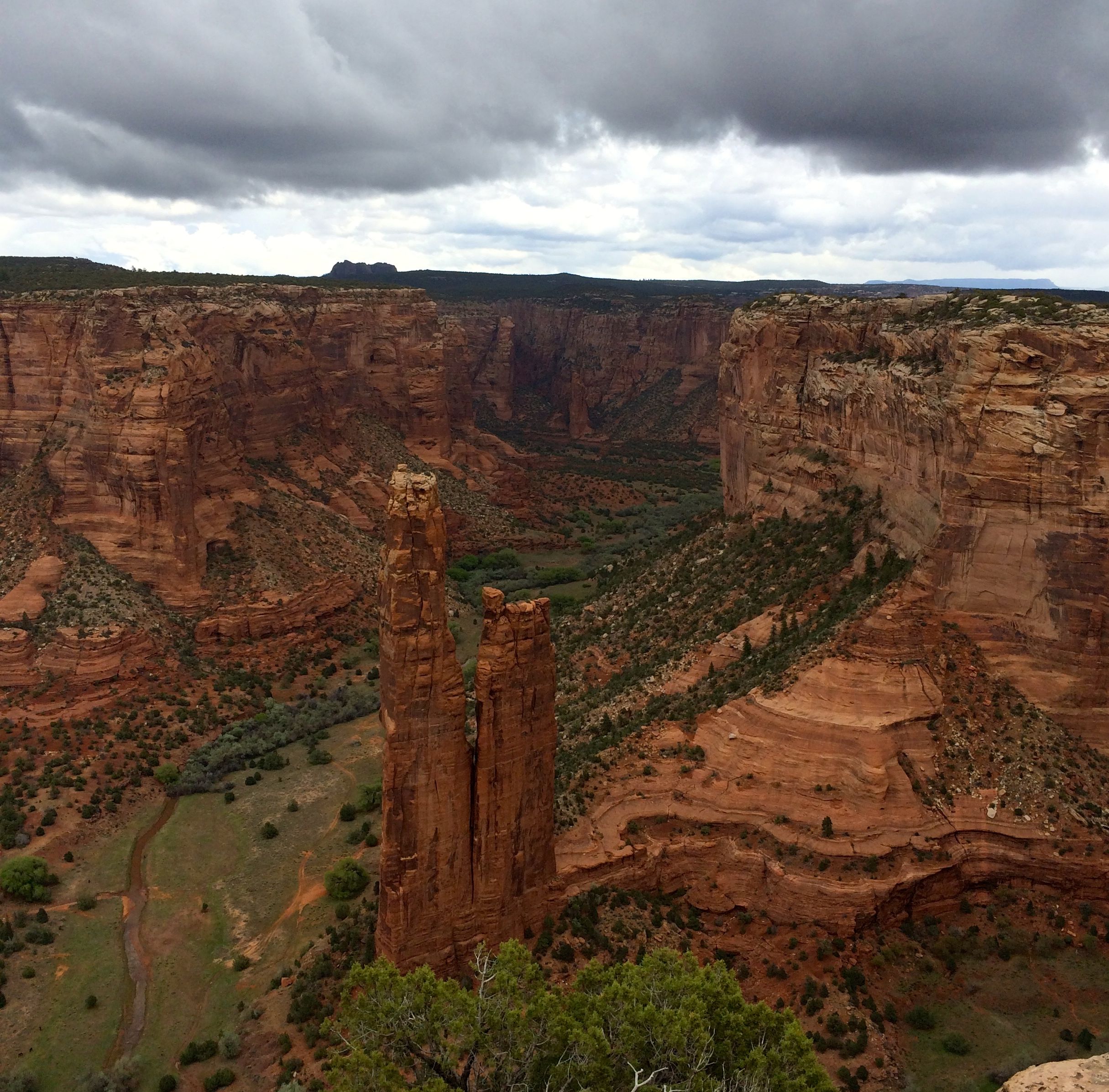
I did get some of the information recorded, though. This is Junction Ruin, which is at the junction of two canyons.
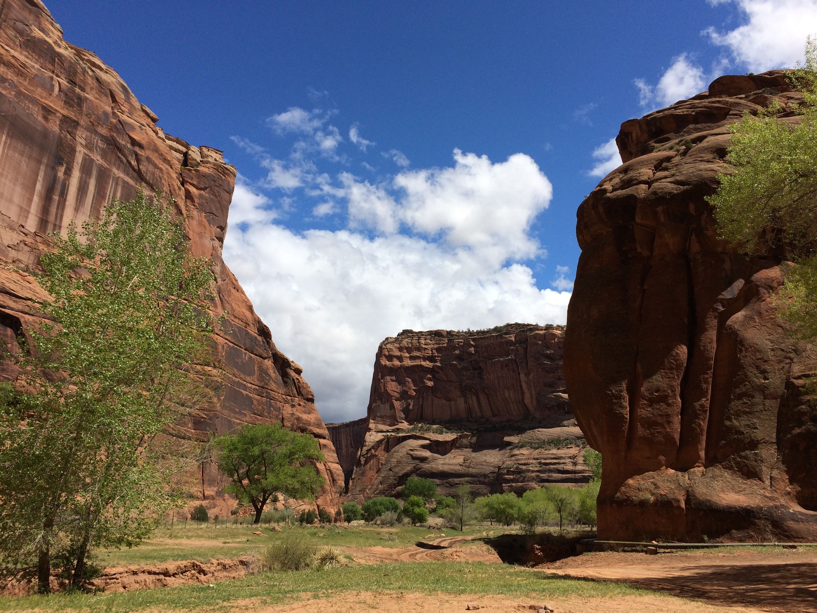
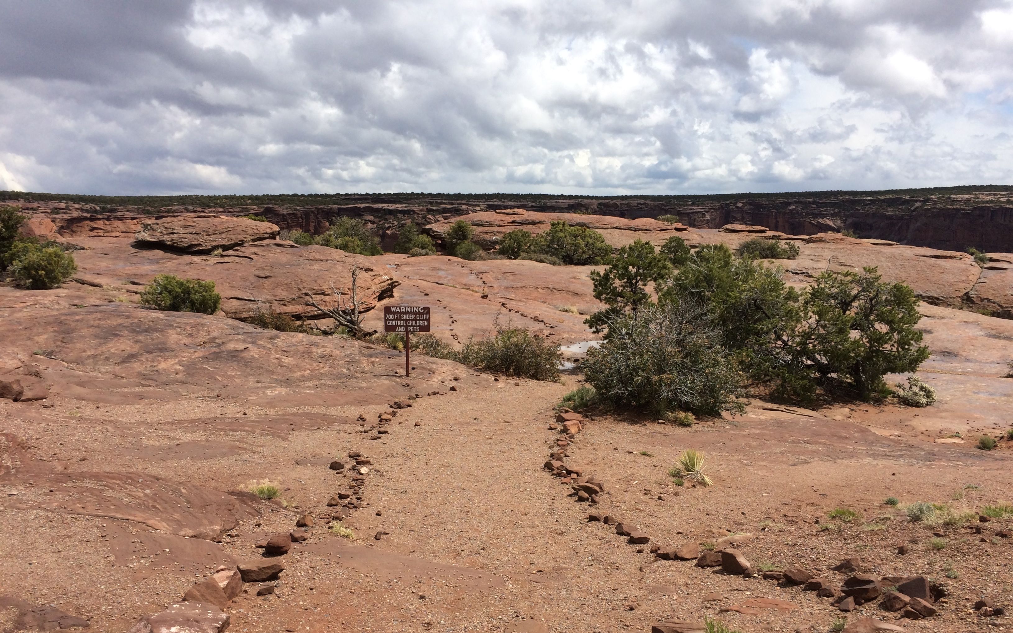
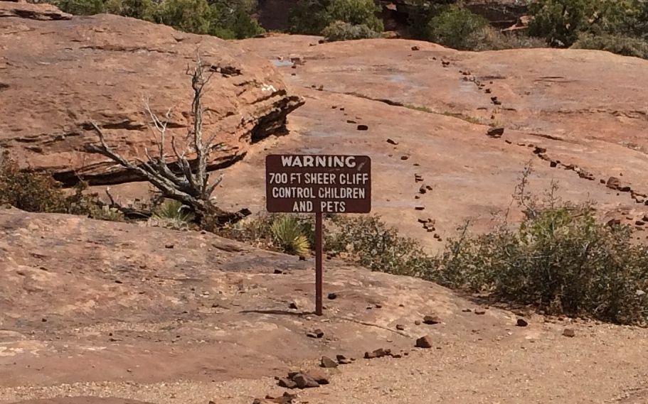
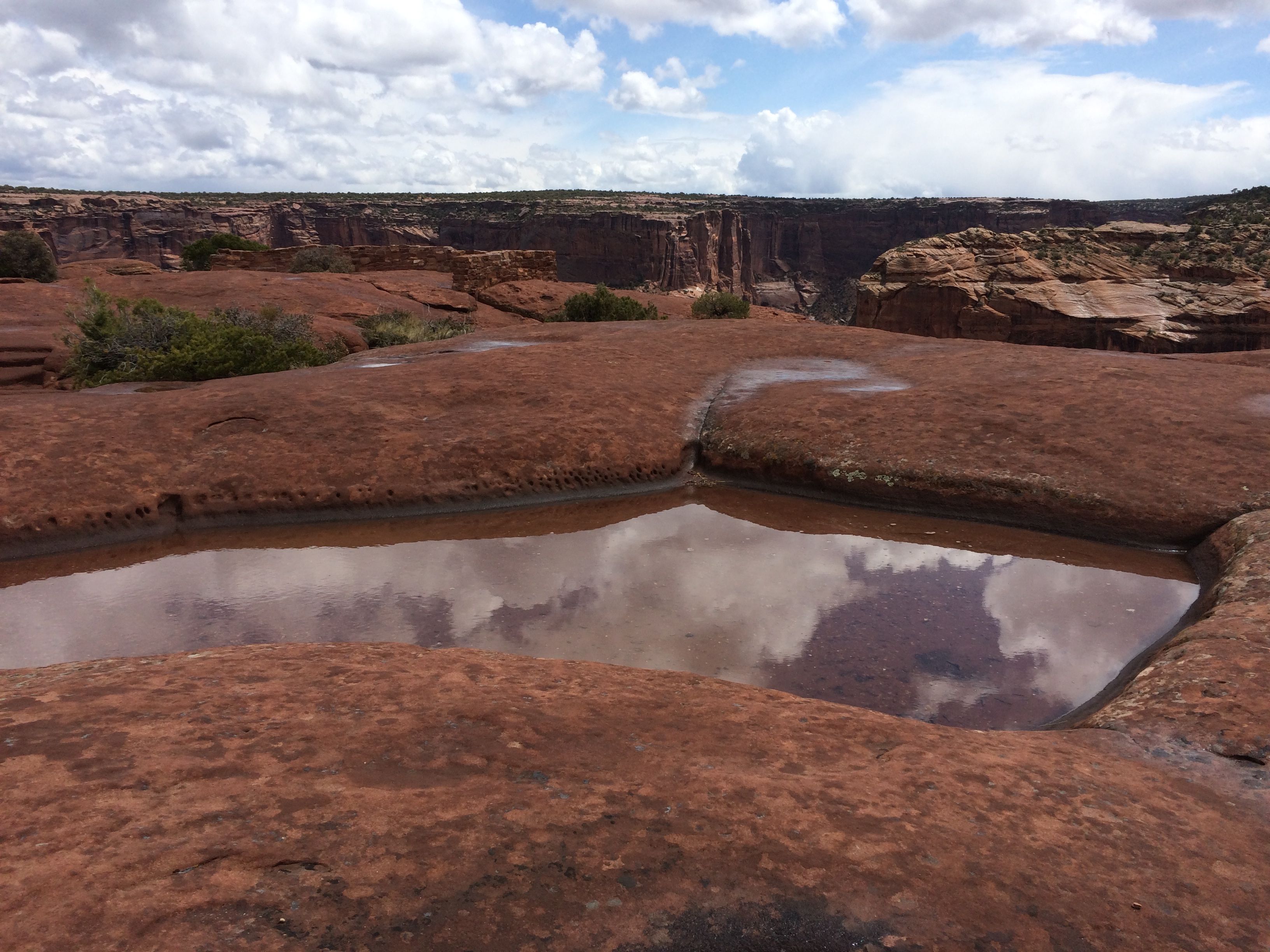
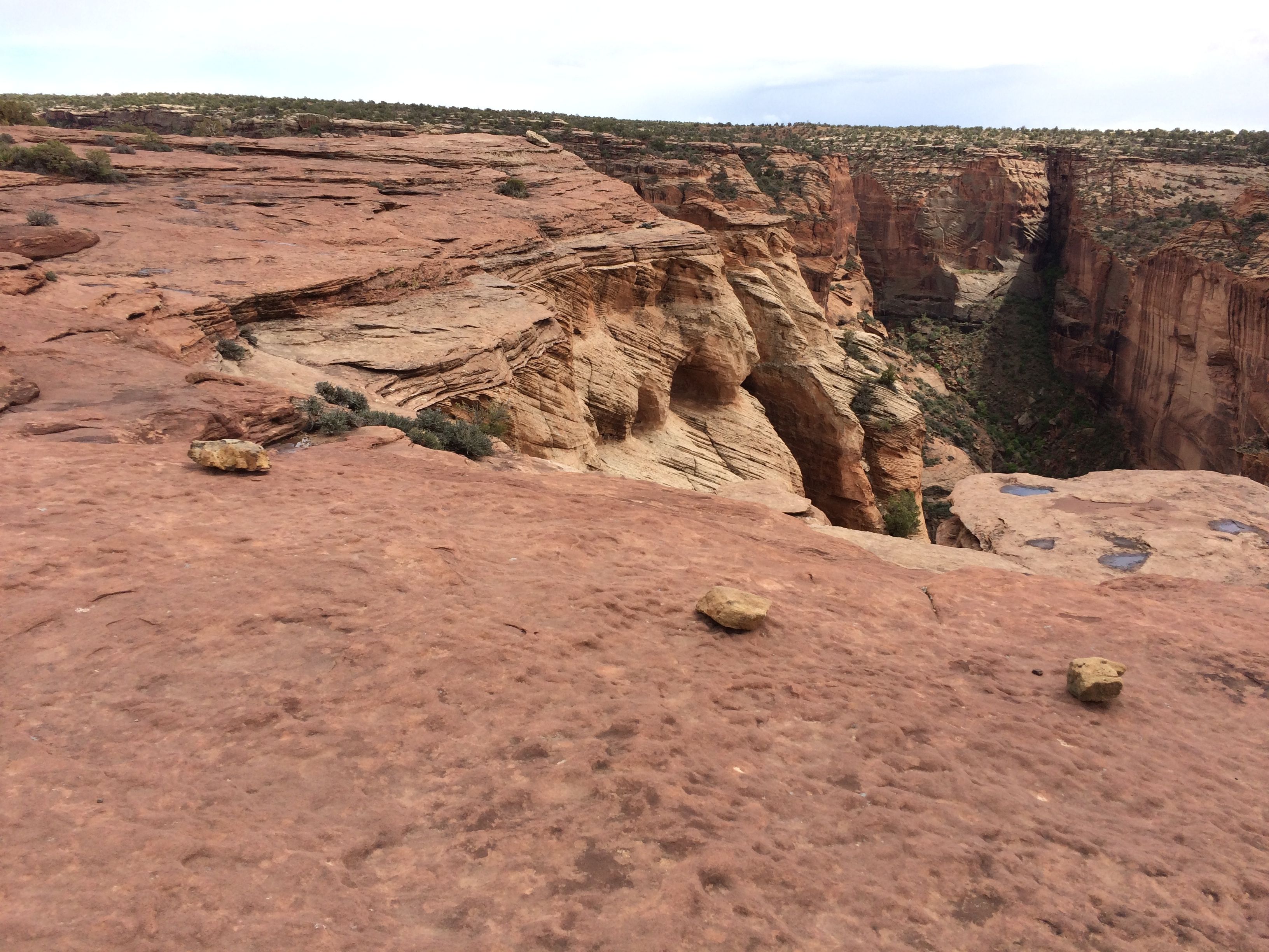
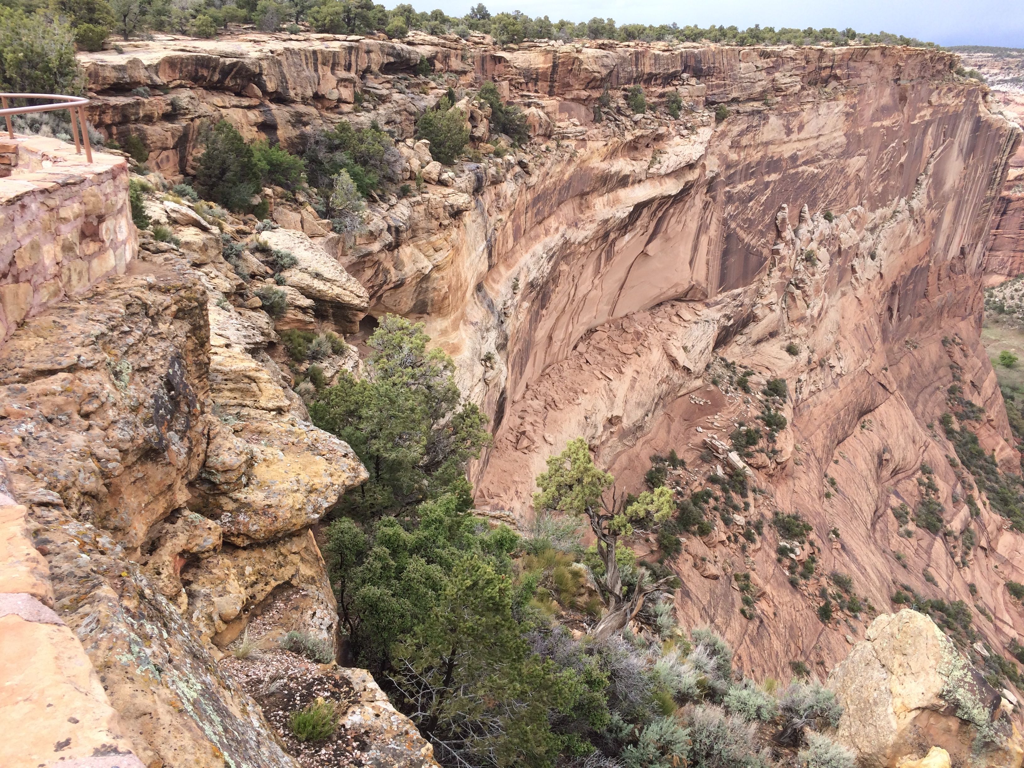
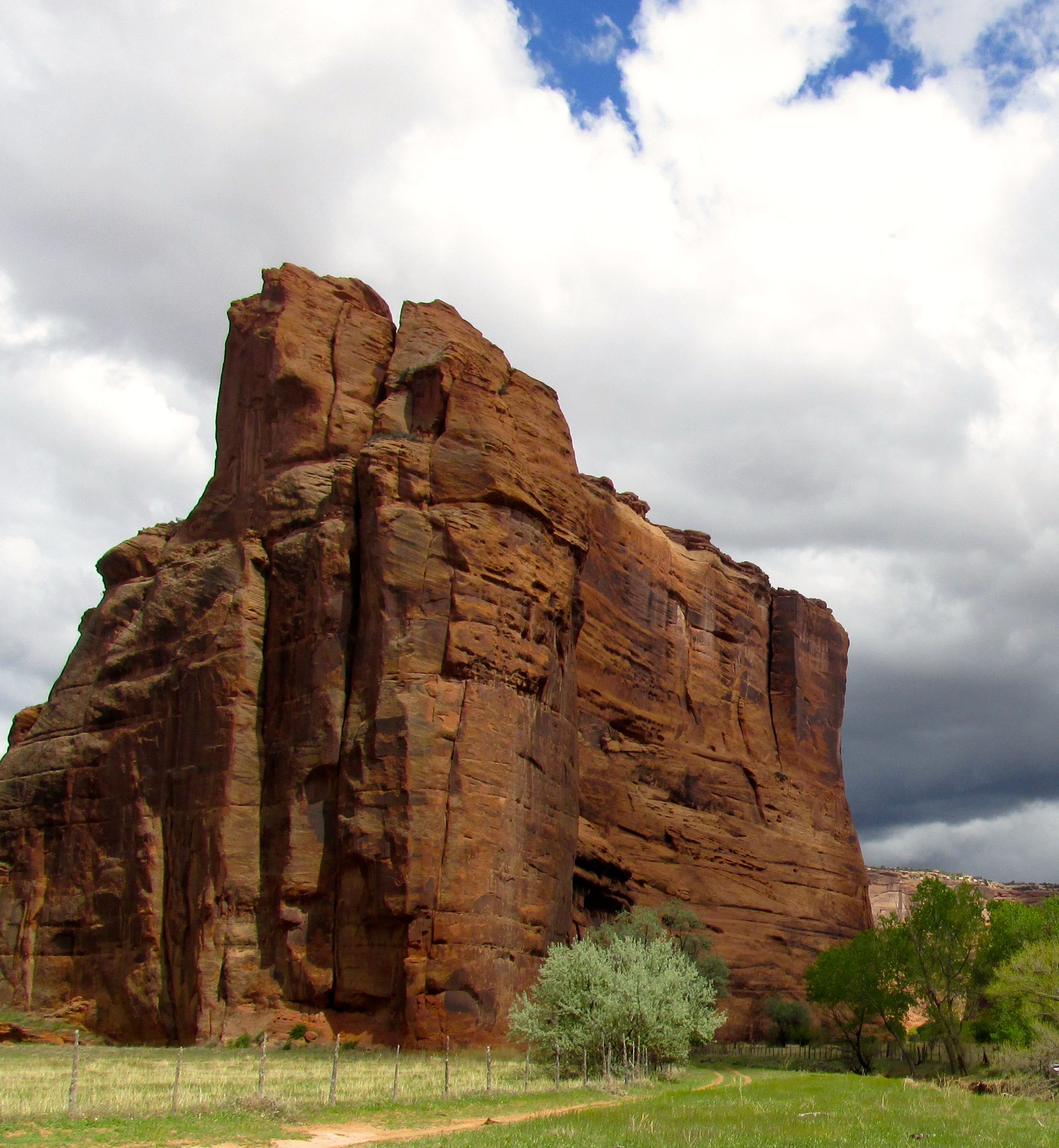
I can easily see how the Navajo could hide in Canyon de Chelly. It is really a series of canyons.
If you didn’t want to ride in the six-wheeled vehicle we took, there were other options. I think the most interesting alternative was on horseback.
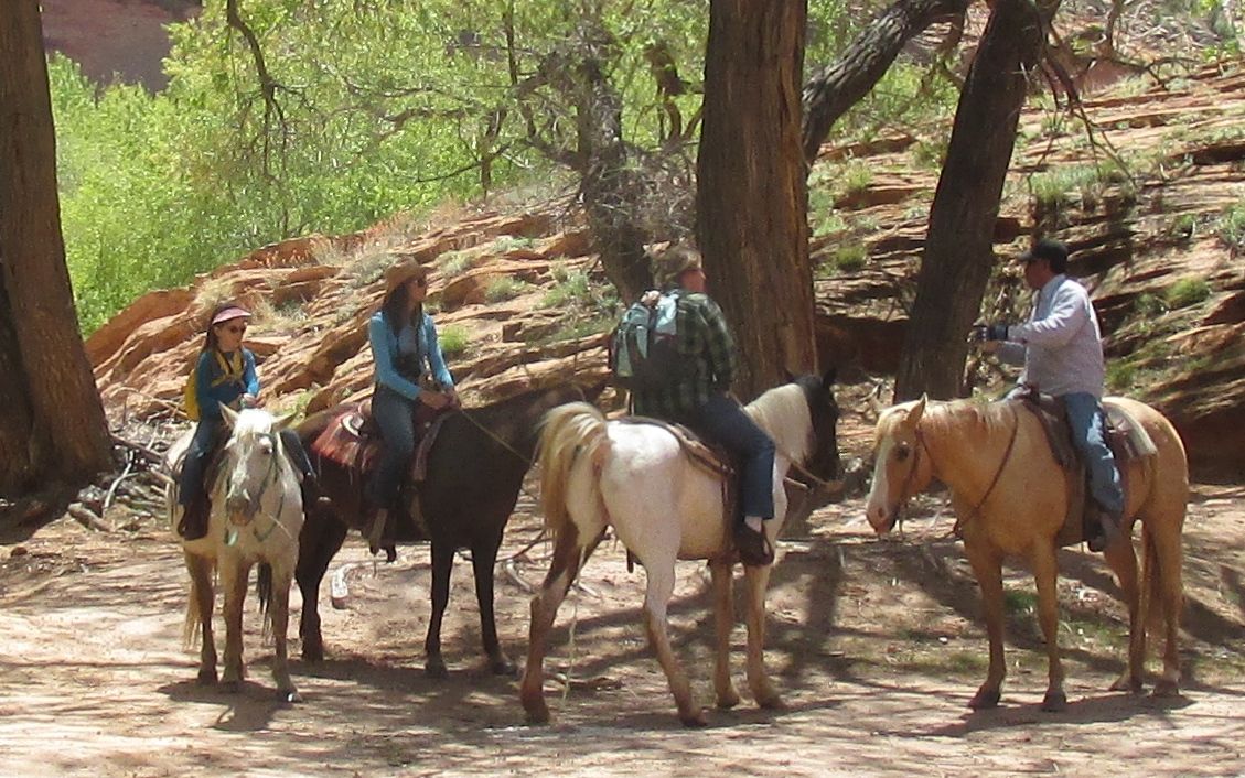
However, considering how tired and sore I was after my tour, I can’t imagine how I’d feel after a day-long horseback ride.
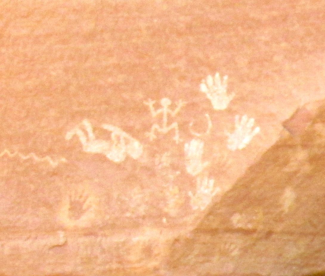
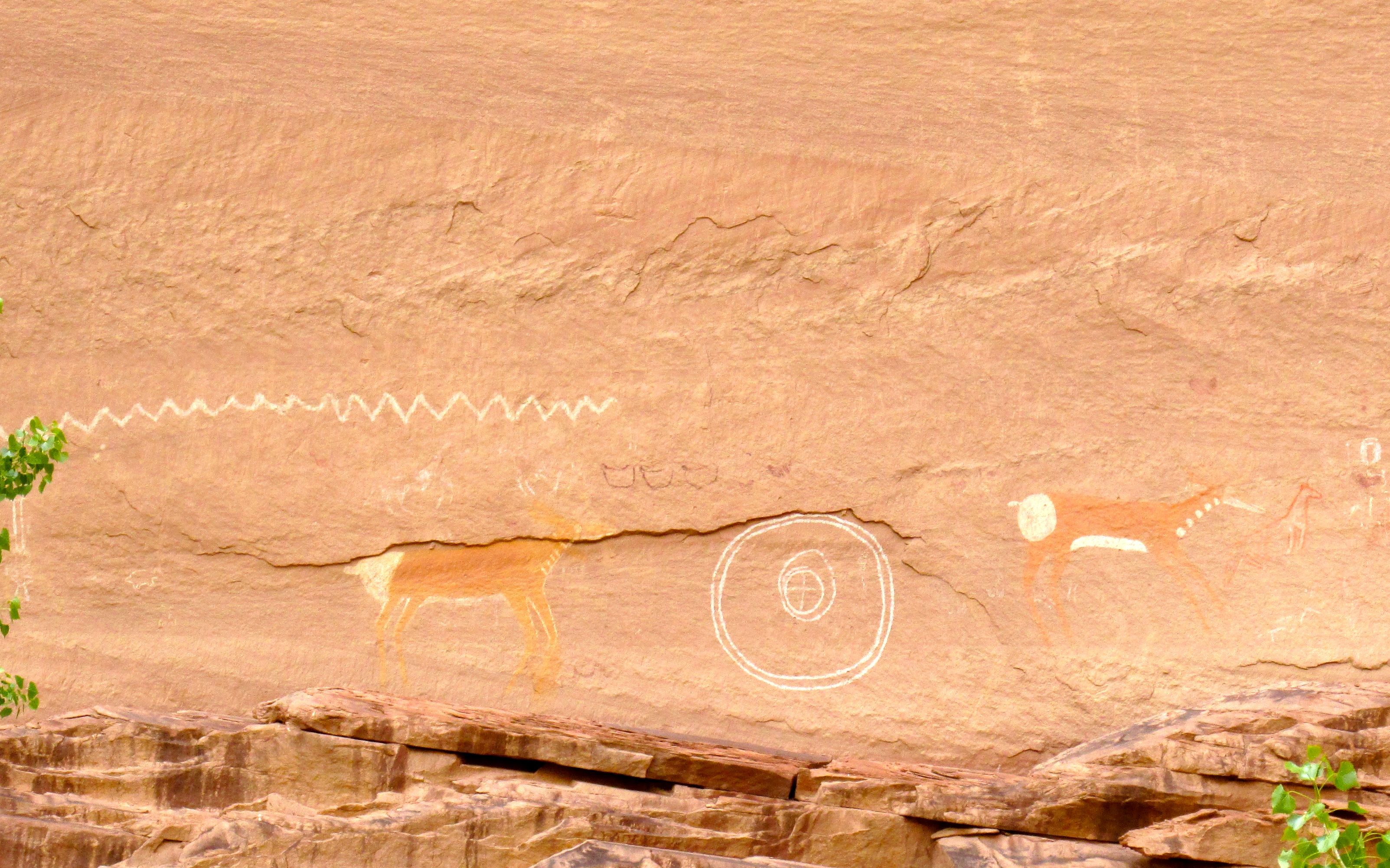
This is Antelope Ruin.
It is named after the pictograms on the canyon walls.
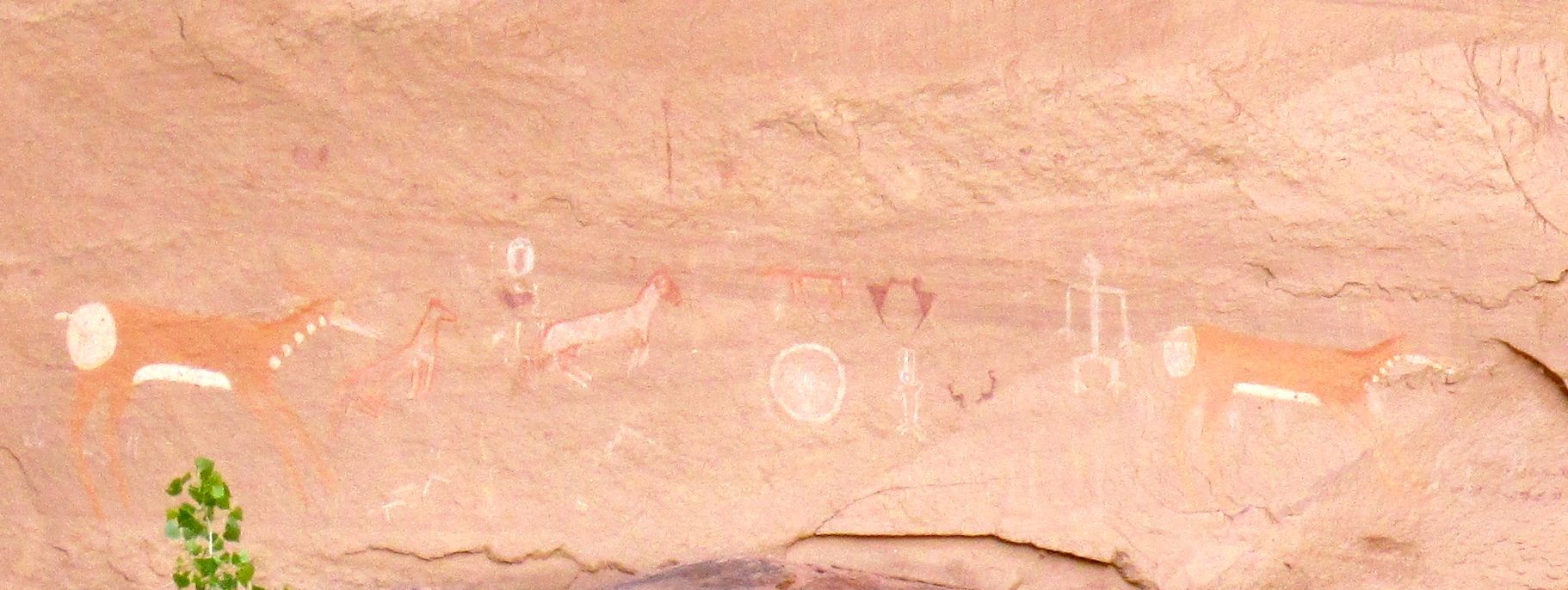 I believe George said that the Hopi made the white images first. When the Navajo took up residence, they added their own touches. Whenever you see horse, you know that it’s the work of the Navajo.
You can see the older Hopi work here. George said that the zig zag represents a snake.
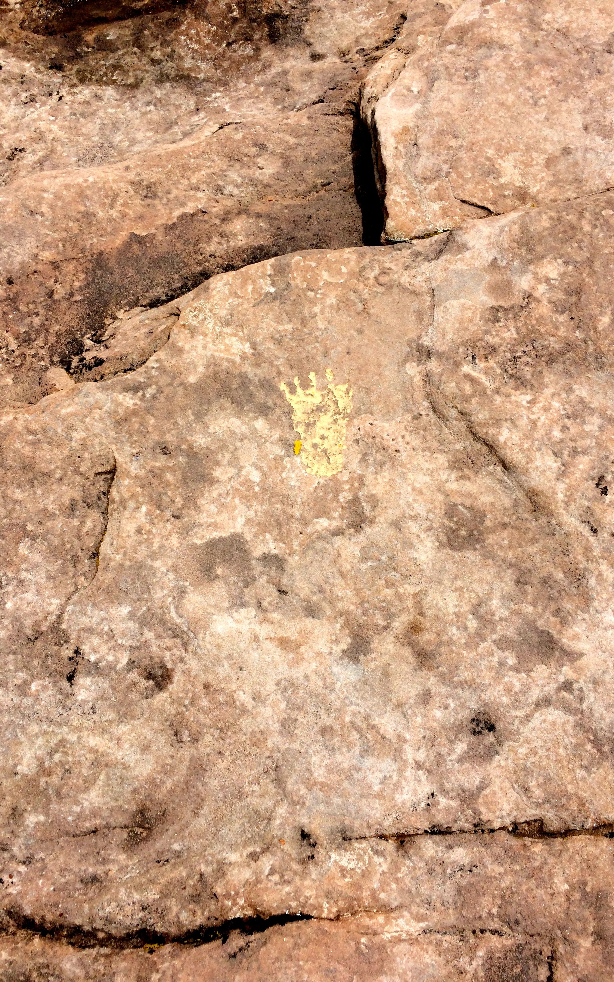
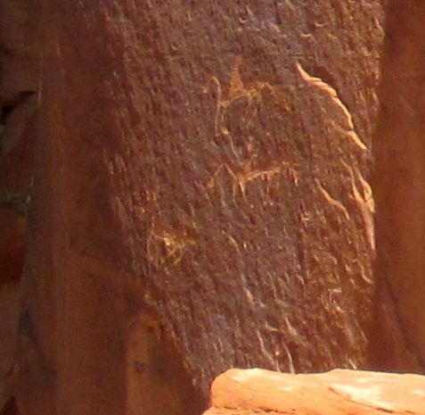
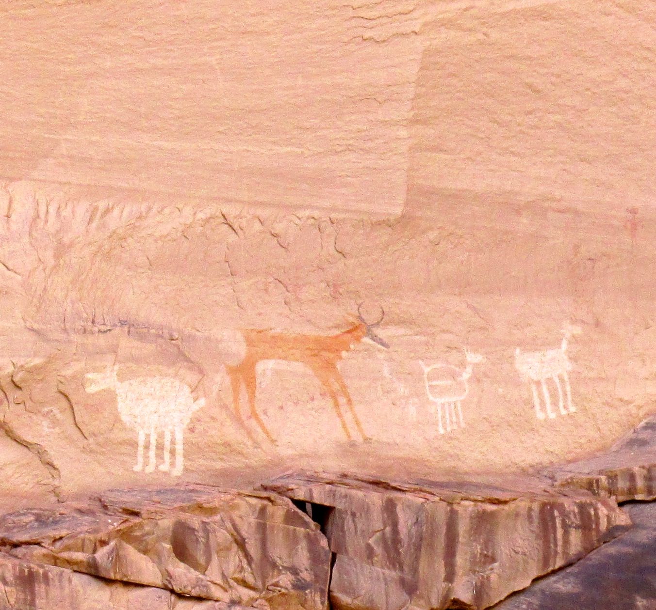
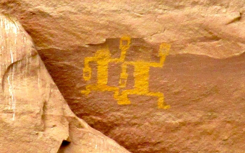
I am quite partial to pictograms and petroglyphs. I am not sure where in the canyon this one was from.
George said that it was from the time of the Spanish exploration.

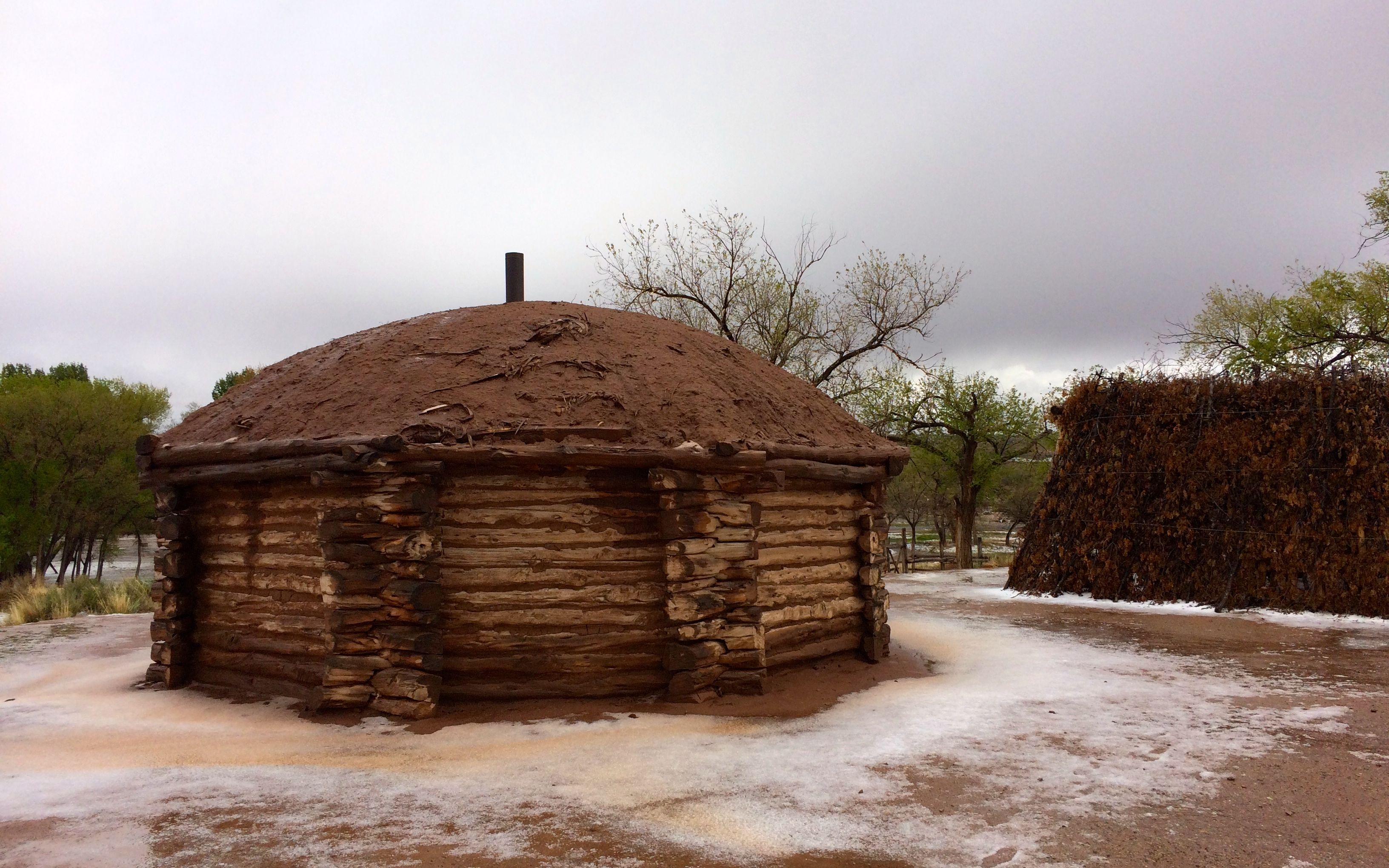
George told us that this was an old-style summer house. It looks to me like they reused some of the stones from the tumbled down ruins to build it. In the foreground is an orchard. If you look to the right of the house, you can see a loom that is used in weaving rugs.
Over to the left are storage rooms.
The canyon walls behind the house are decorated with pictograms.
I am not sure if these pictograms were from this location or not.
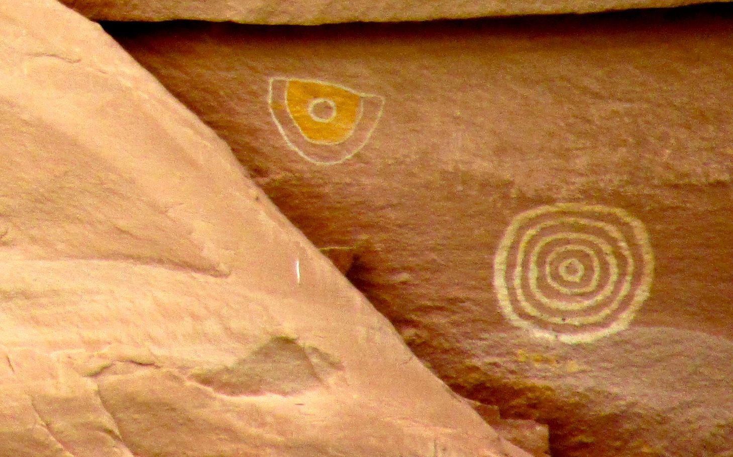
Just enjoy them.
I find this pair charming. I hope they are dancing for joy.
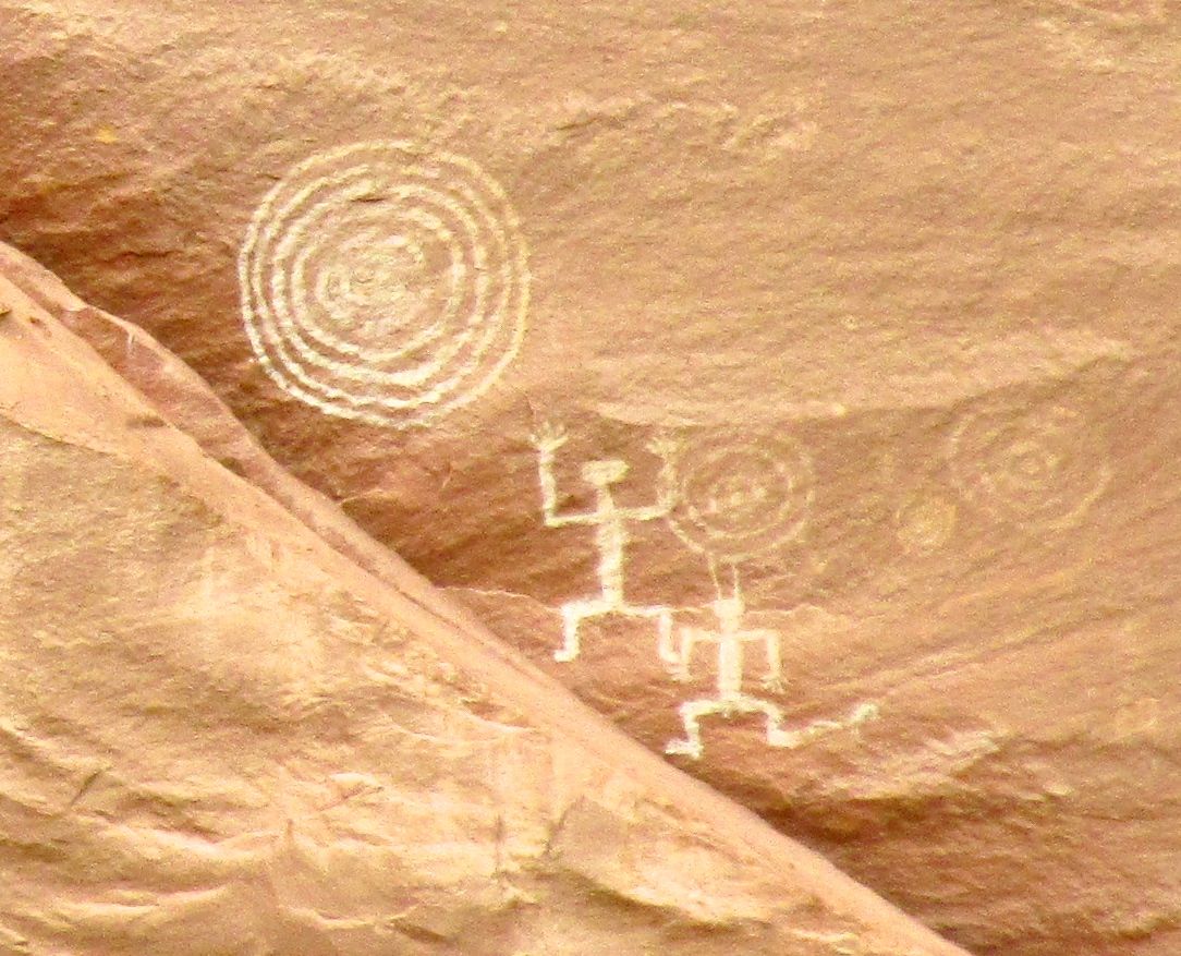
This fellow seems to be saying, “Raise the roof!”
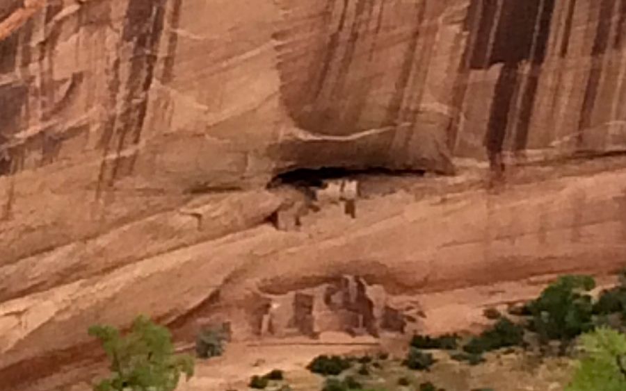
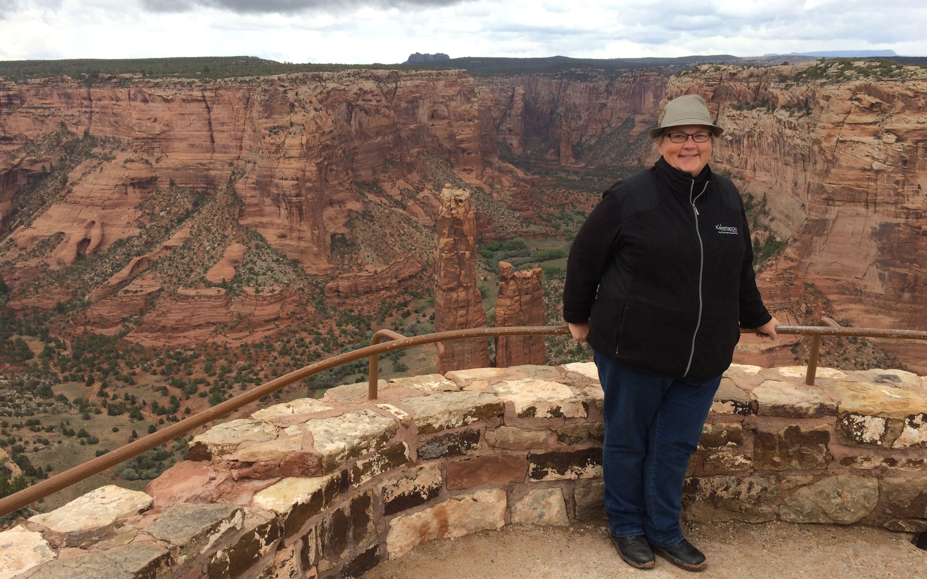
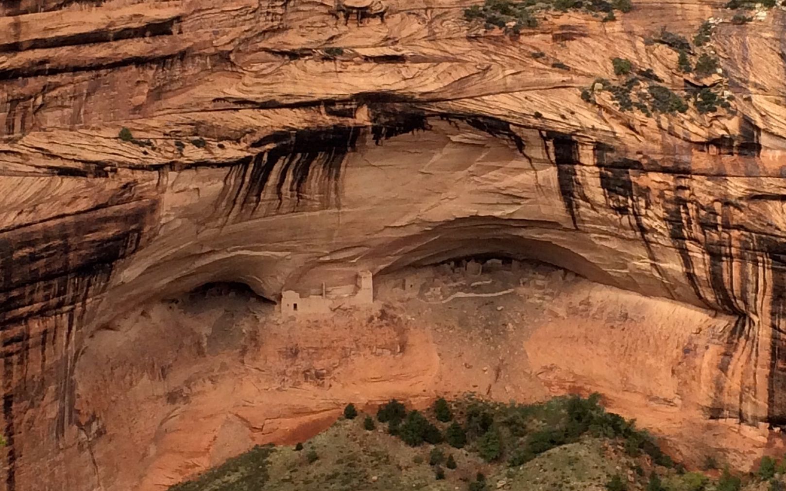
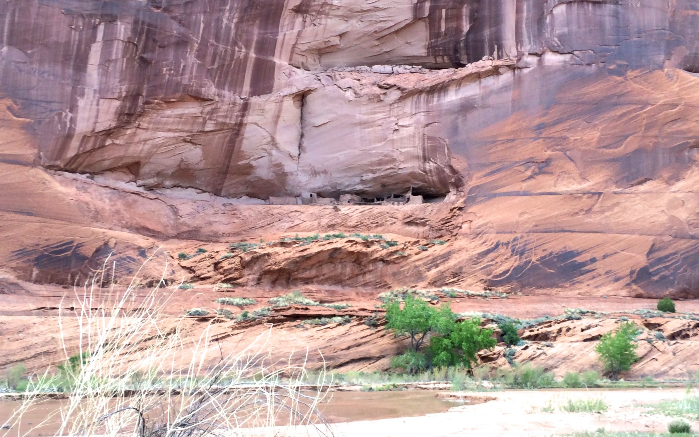
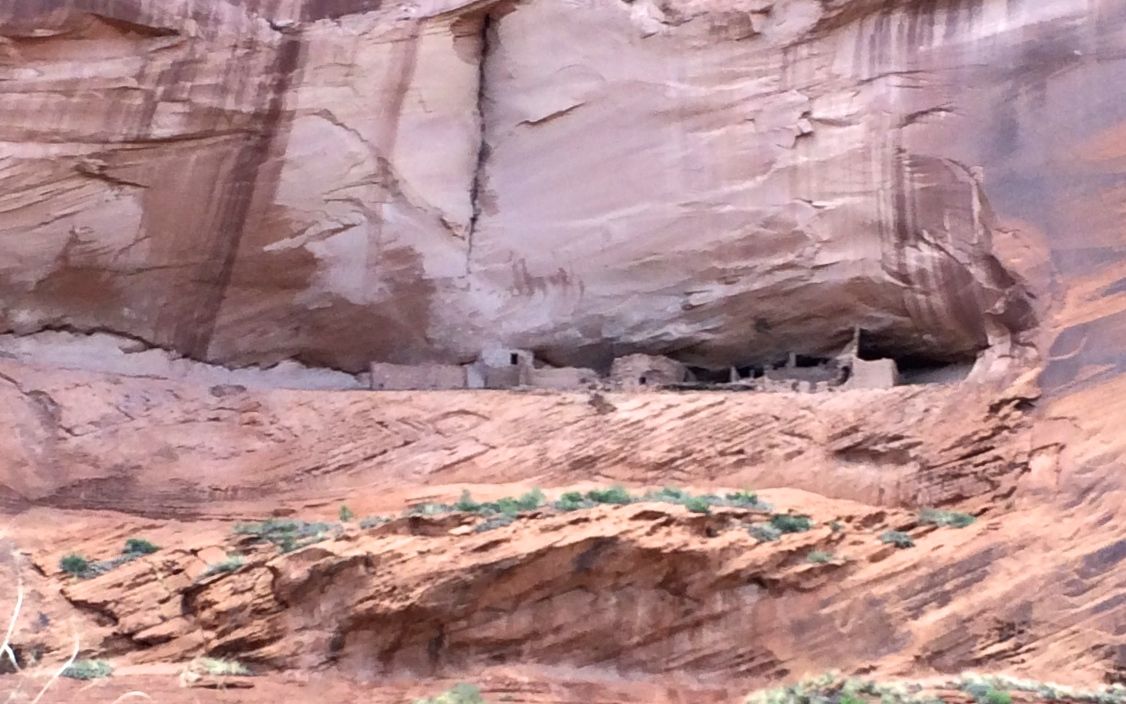
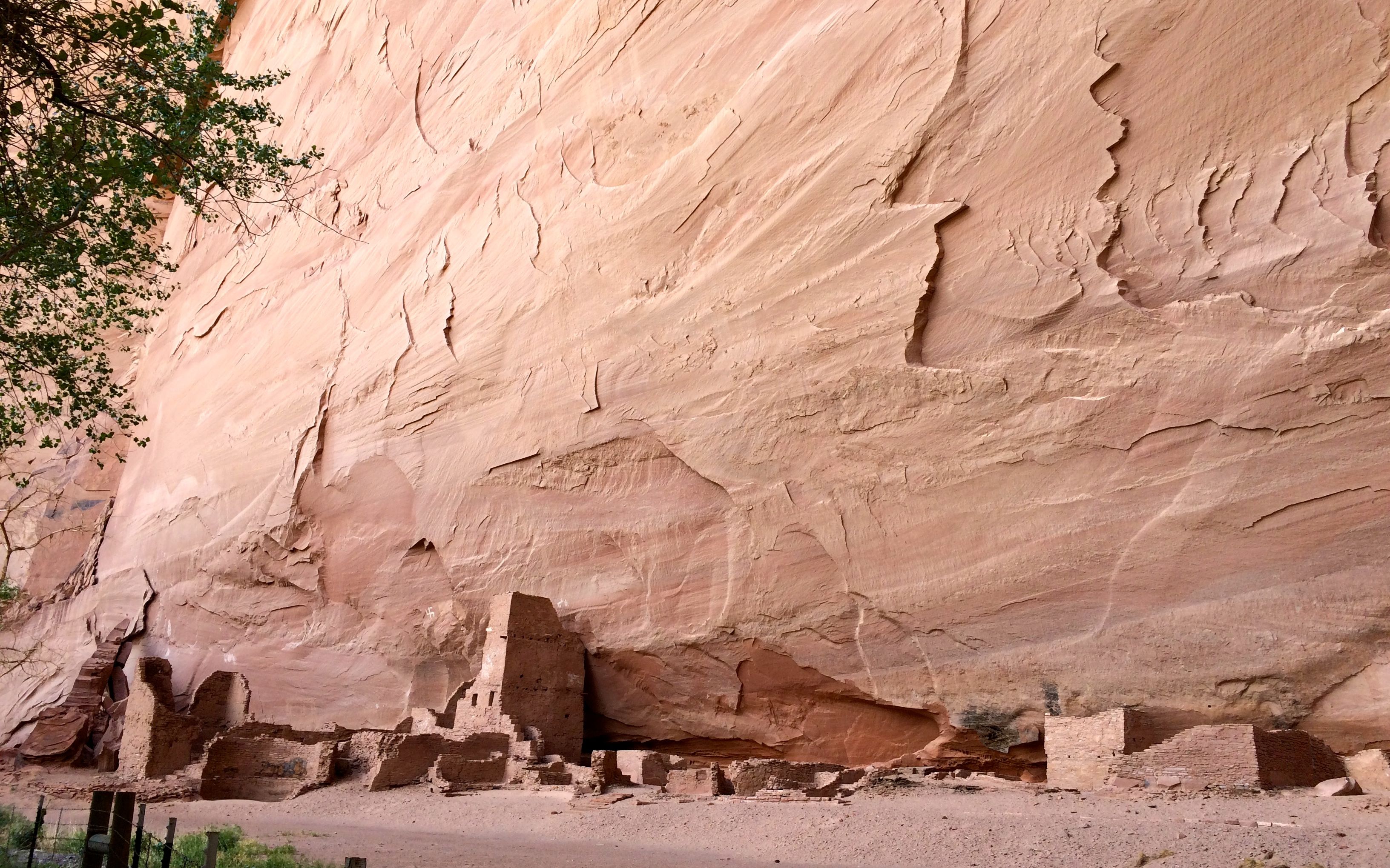
Our last stop on the tour was White House Ruin.
We only had a little time at this stop. There were some vendors there. the other people checked out their wares. I scampered over to get a better look.
I had one of the folks on the tour snap my photo.
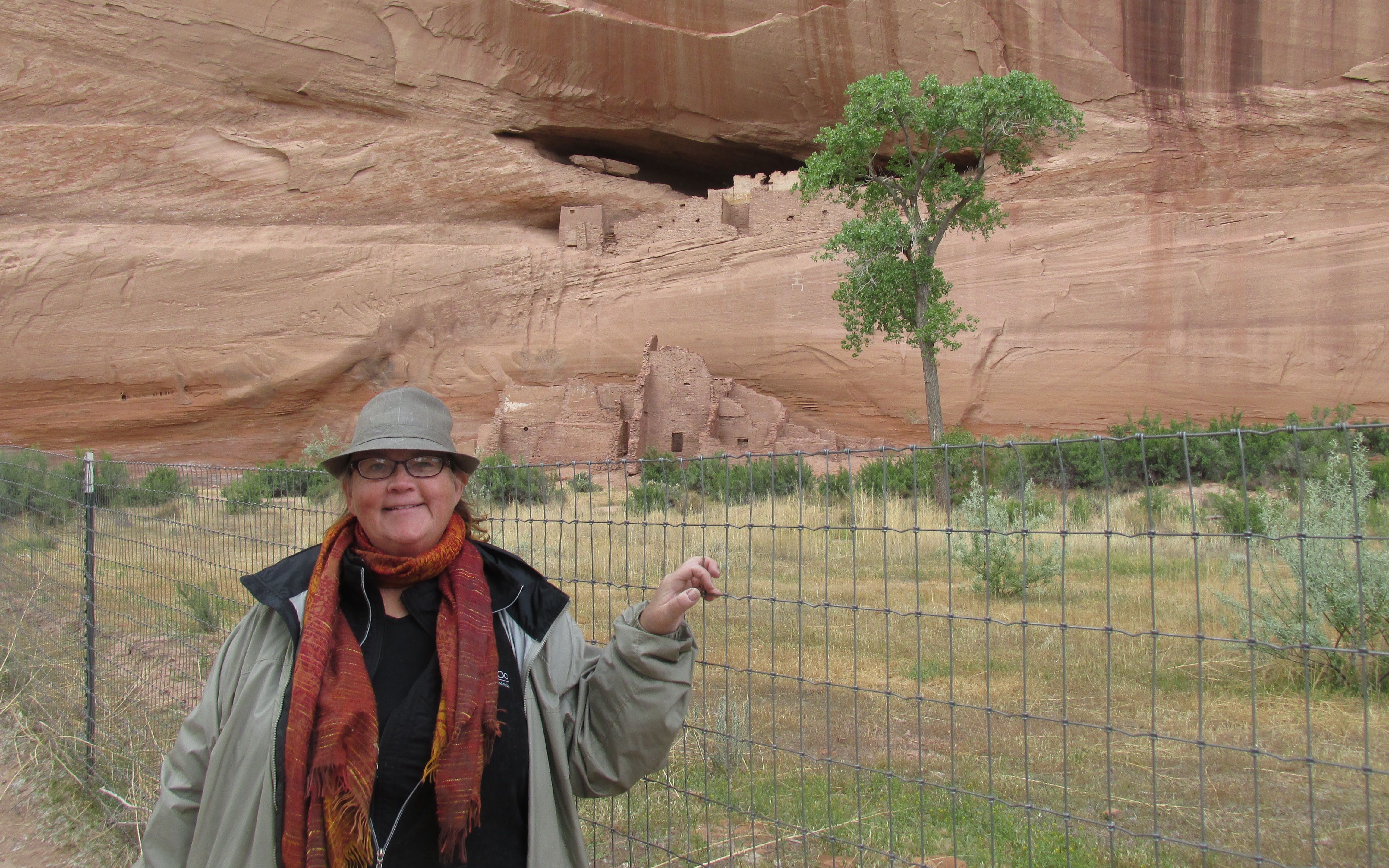
If you don’t have a picture, how can you prove it happened?
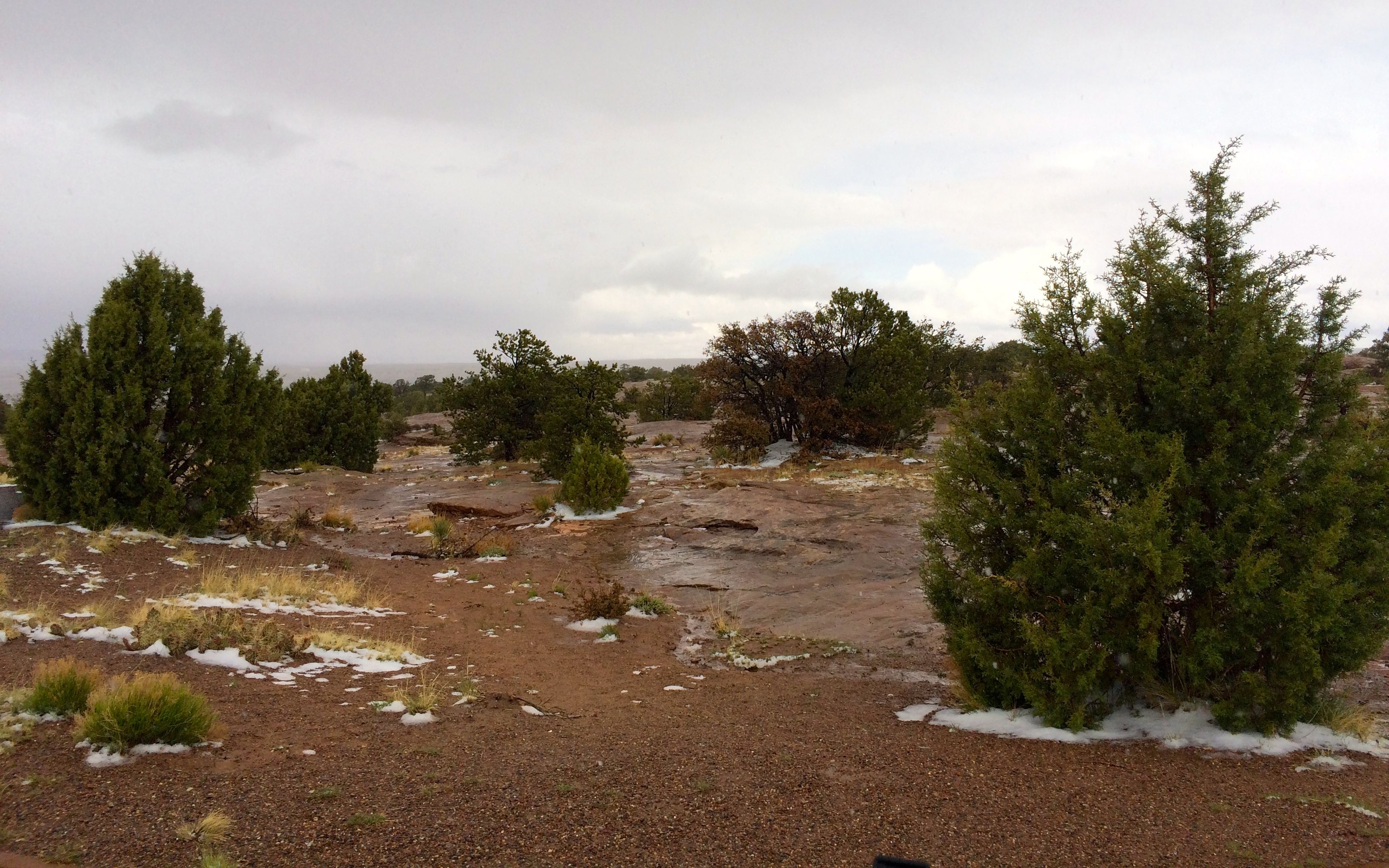
Then we headed back. It was getting chilly – but at least it wasn’t raining or snowing while we were out.
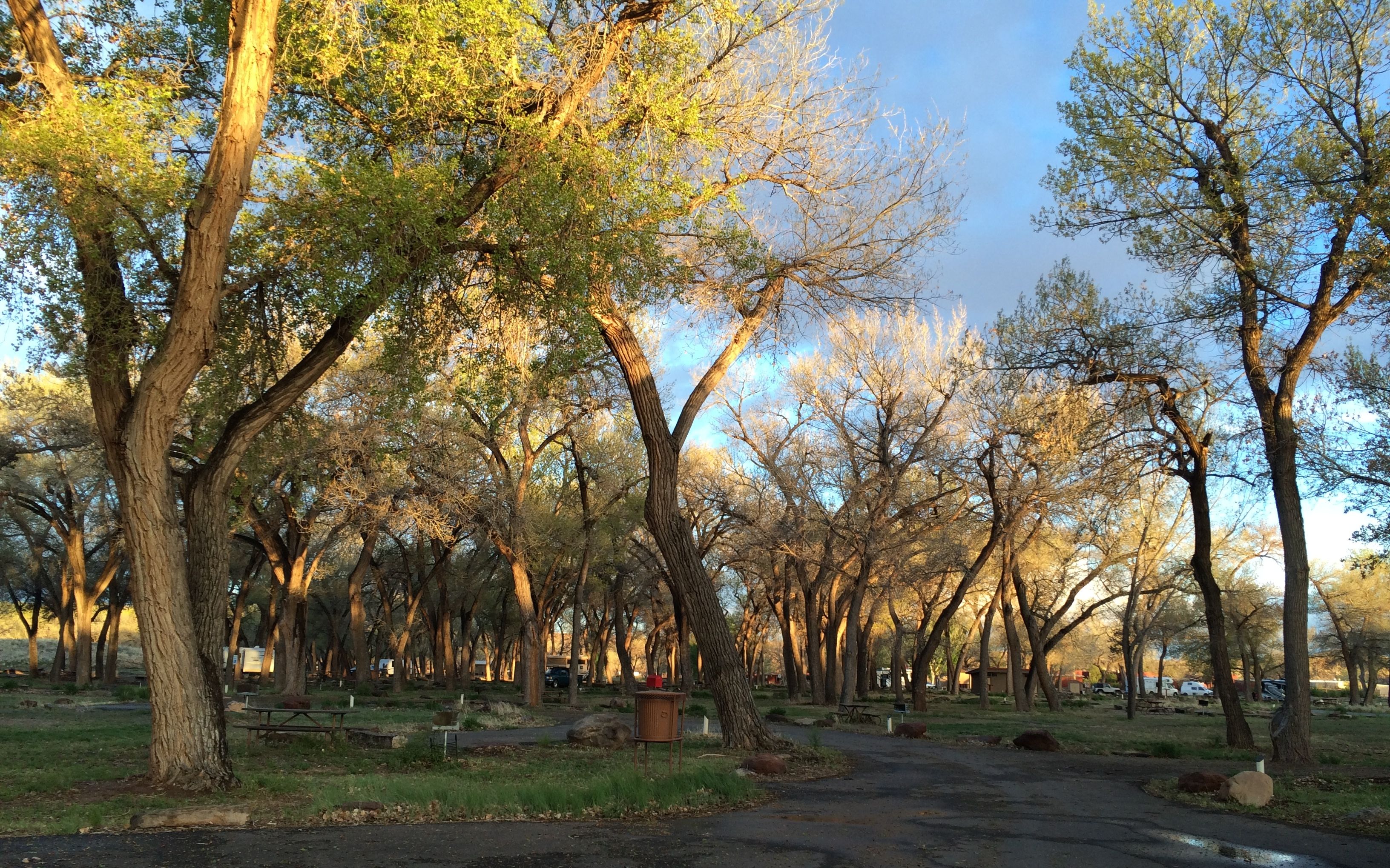
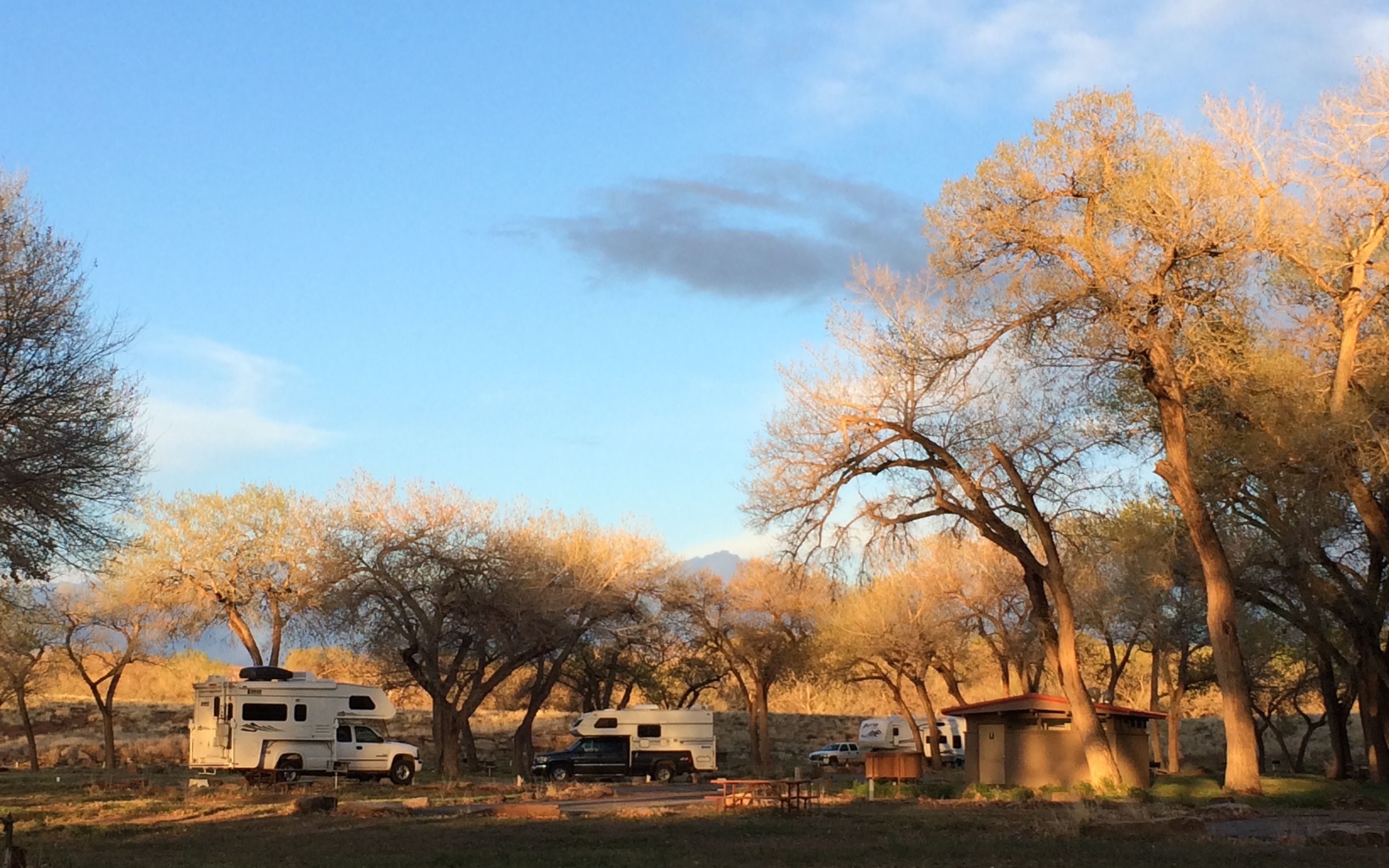
Back at the campground, it was time to get things ready to roll in the morning.
Next stop: The Petrified Forest!