I found some information about a hike that featured petroglyphs.
Be still my heart! I just love petroglyphs! This trail is part of the Santa Clara River Reserve and is managed by the Bureau of Land Management. If you are ever near St. George, Utah, and you want to see them, here is a link to the information about this trail as well as many others in the reserve. One of the trails is called “Suicidal Tendencies.” Not exactly my idea of a good time.
The trail left the trailhead and wound its way back and forth across the face of a hill.
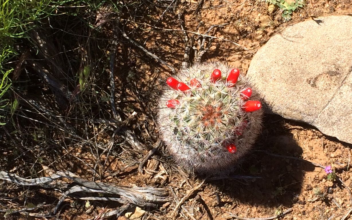
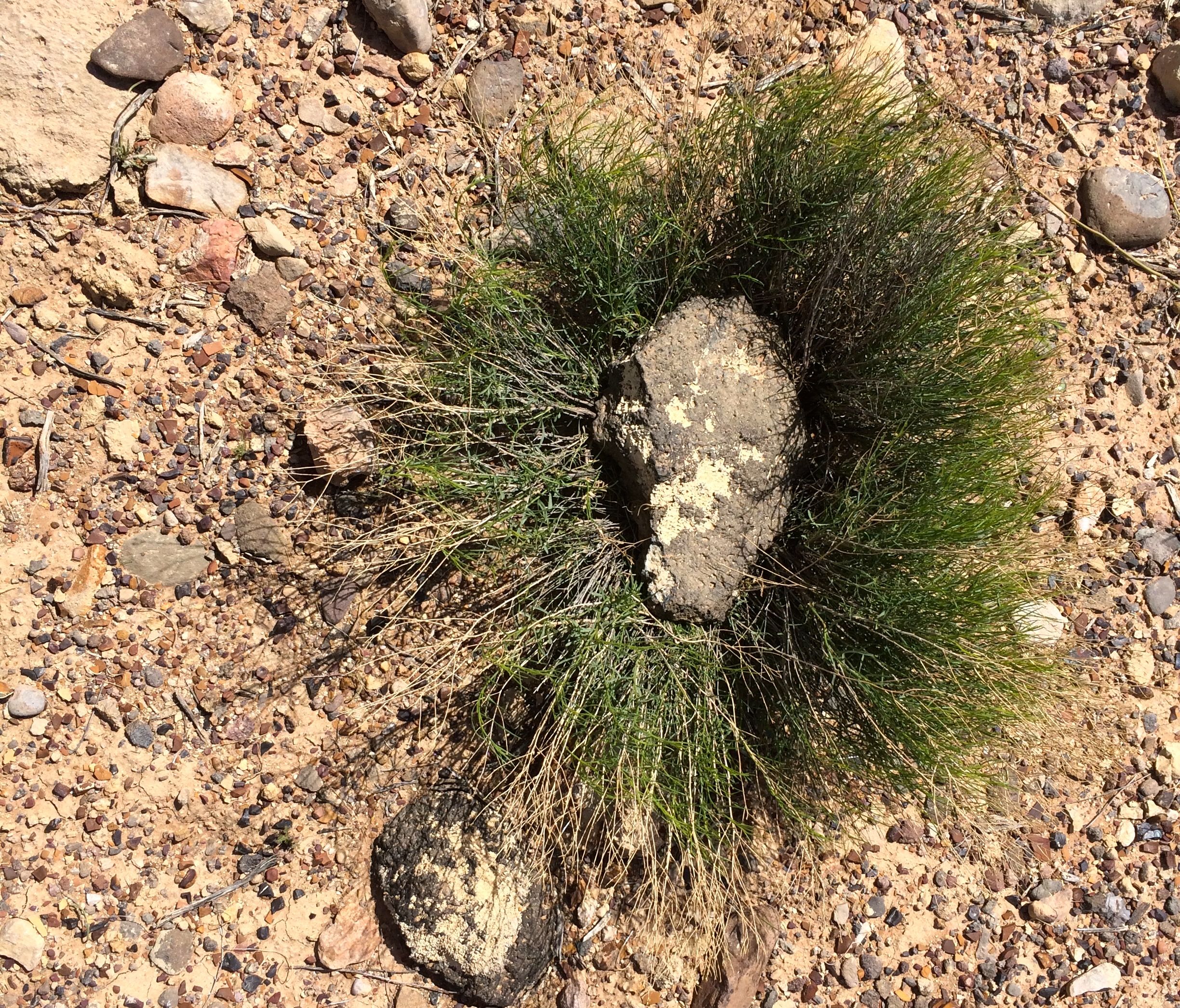
There were interesting plants along the way. This cactus looks like it had gone to seed. I imagine those red fruits would be really tempting to birds looking for dinner.
I wish some budding horticulturist would go around and label all these plants! I can identify about five desert plants. All I know is that this isn’t one of the ones I’m familiar with.
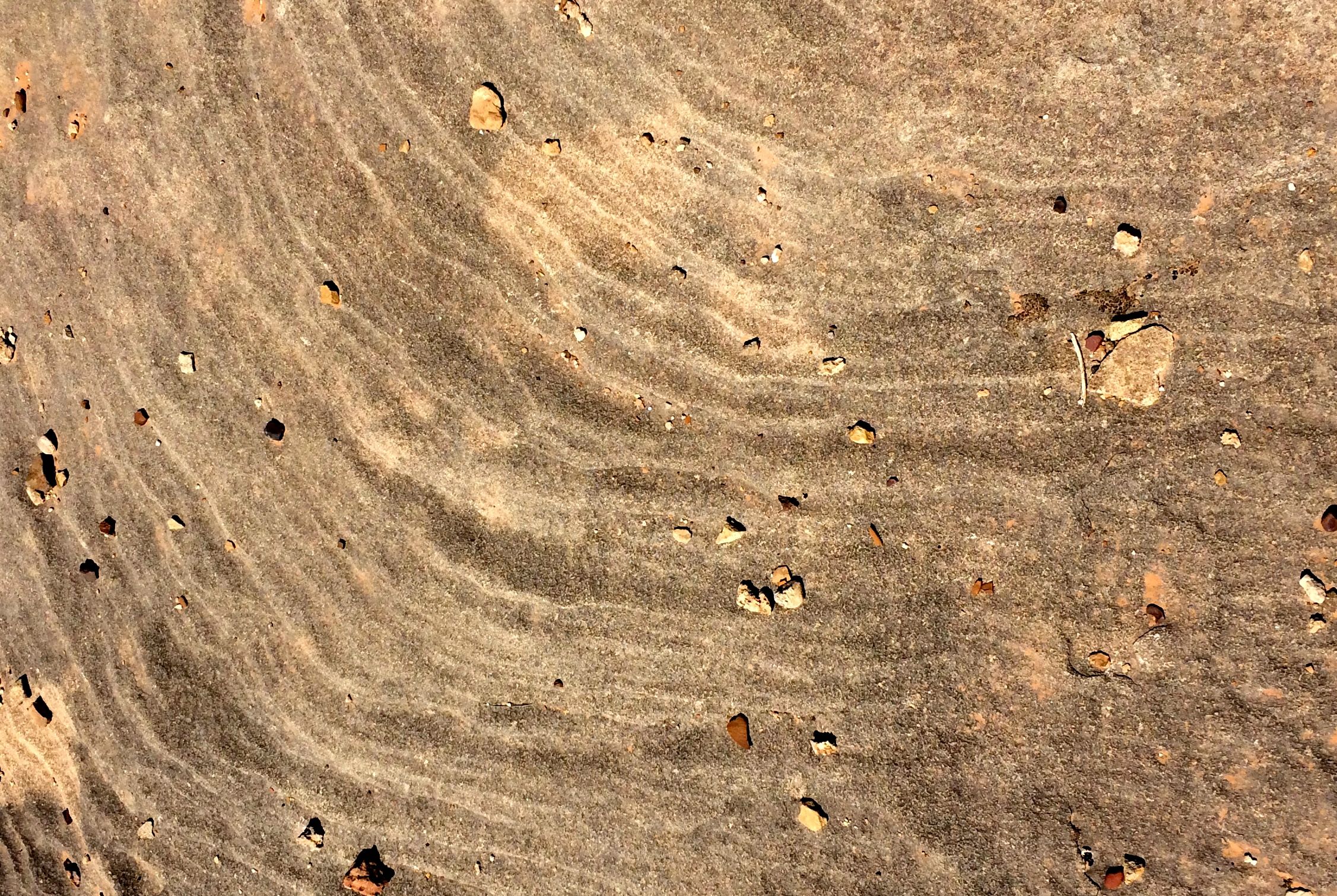
The rock was interesting, too. It had a rippled surface. I wonder if the ripples are from layers eroding irregularly or if they are the remains of rippled sand on the bottom of a lake.
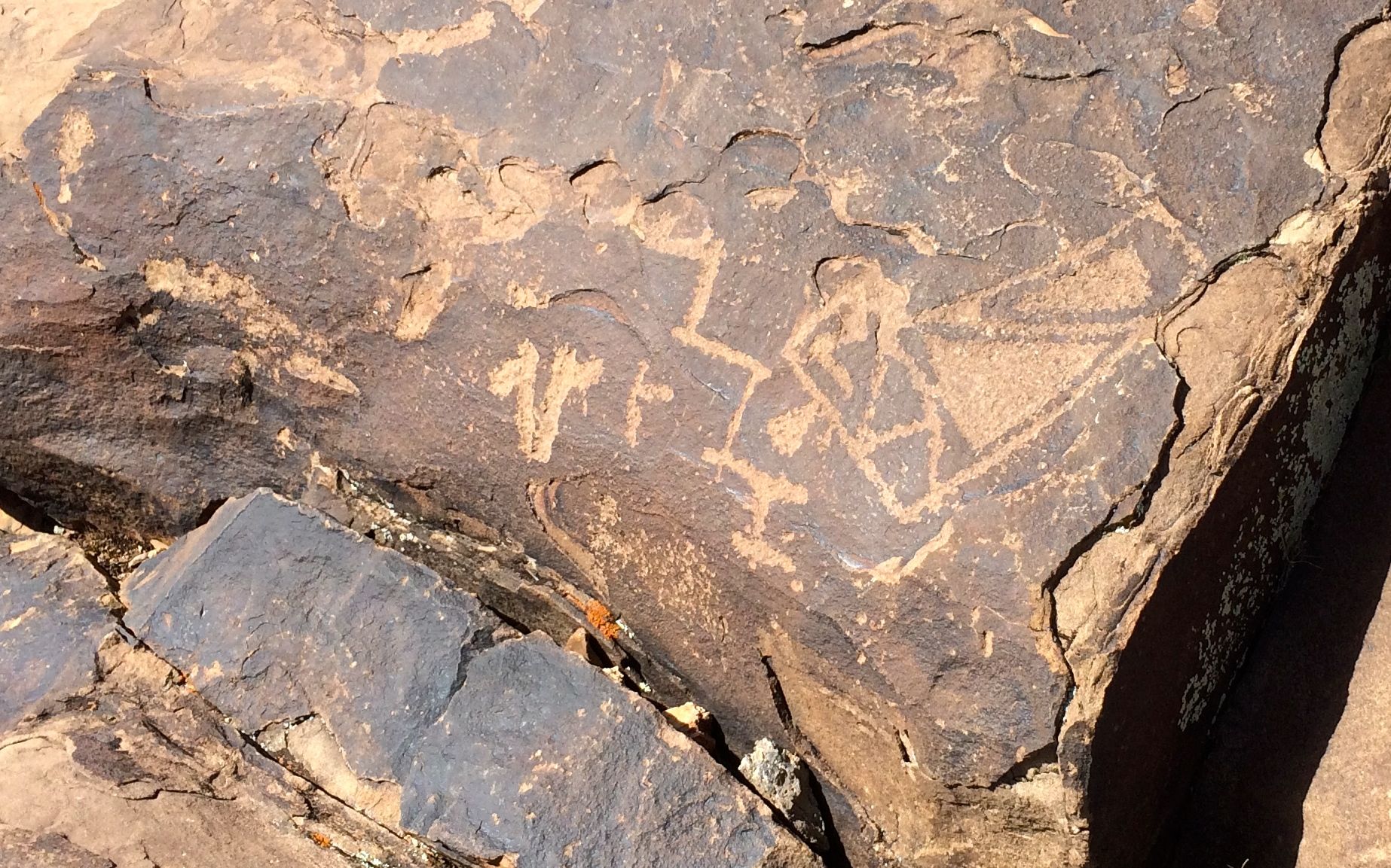
It seemed like forever, but I finally got to the top of the hill and I found petroglyphs!
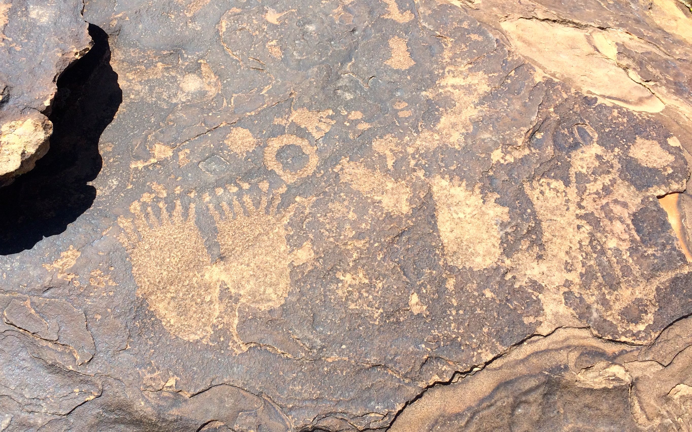
I love it when you get to encounter these things in their natural environment. They are just sitting there. No one has defaced them. They are there, the way the Anasazi left them.
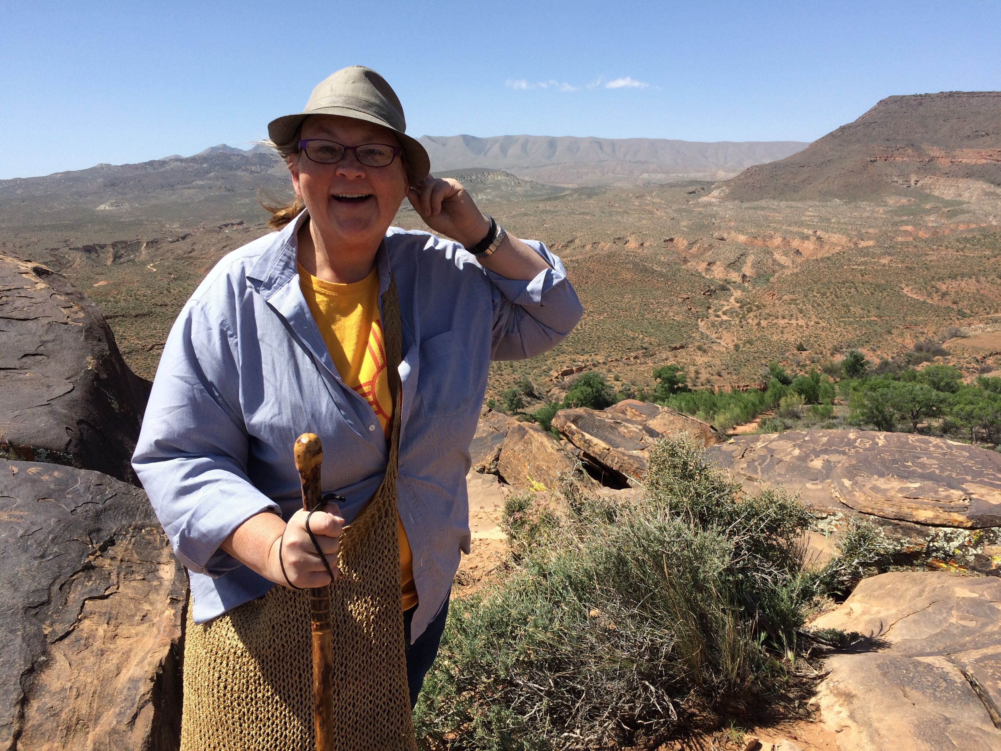
Here I am, at the top, and happy with my discovery. And, do you notice how far down the valley is? That is one thing that caught my attention.
I crawled around the rocks, enjoying the pleasure of discovery.
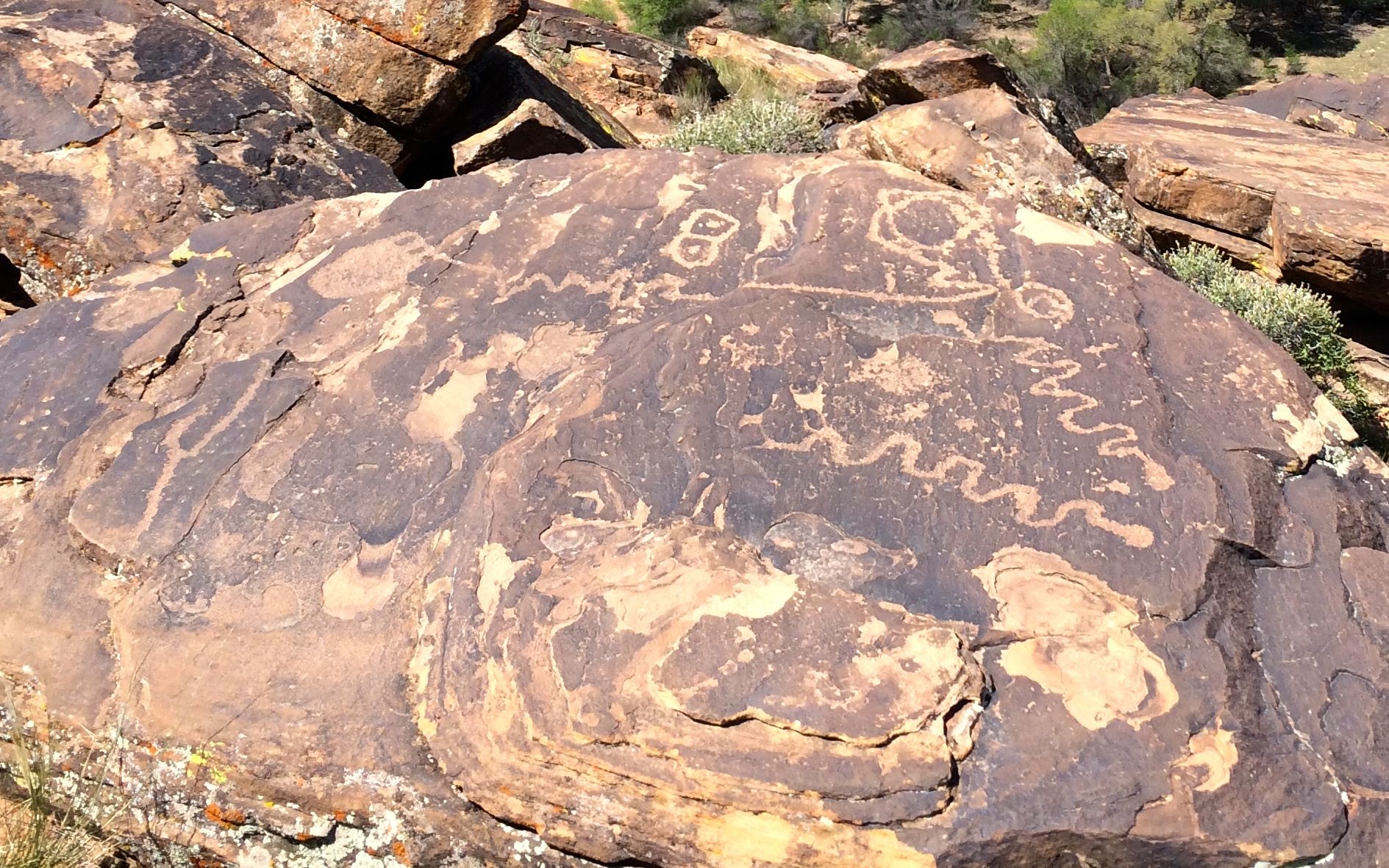
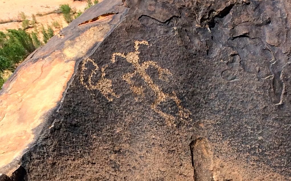
Some of these shapes I’ve seen before, like the snakes and the double circles with the dots in the centers.
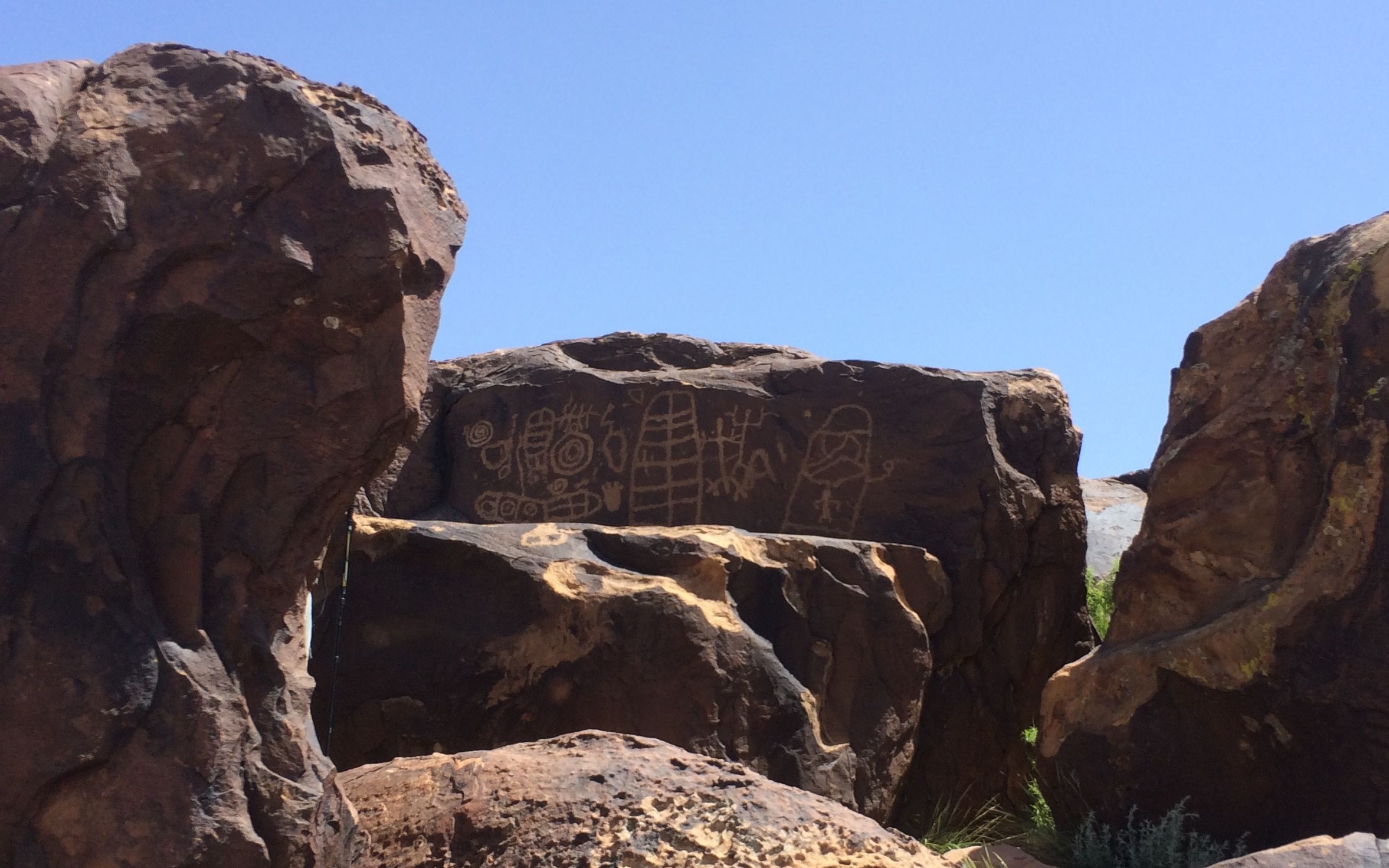
This was a new one to me. In fact, they almost look like they were done at different times.
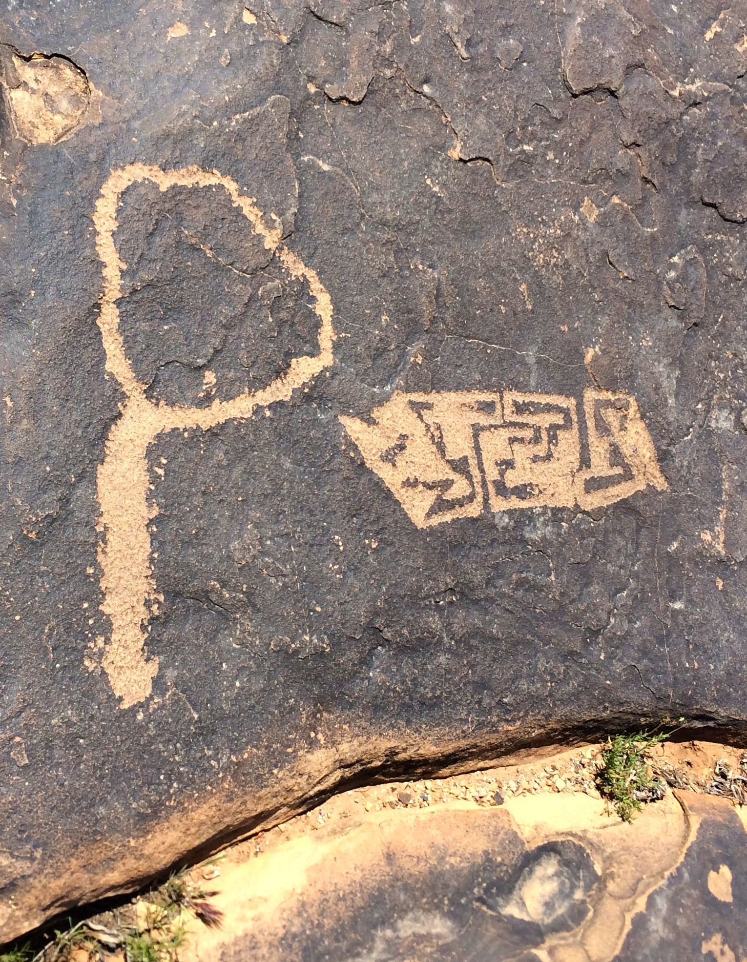
The one on the left reminded me of a mirror. The geometric designs on the right are interesting. It almost reminded me of a floor plan.
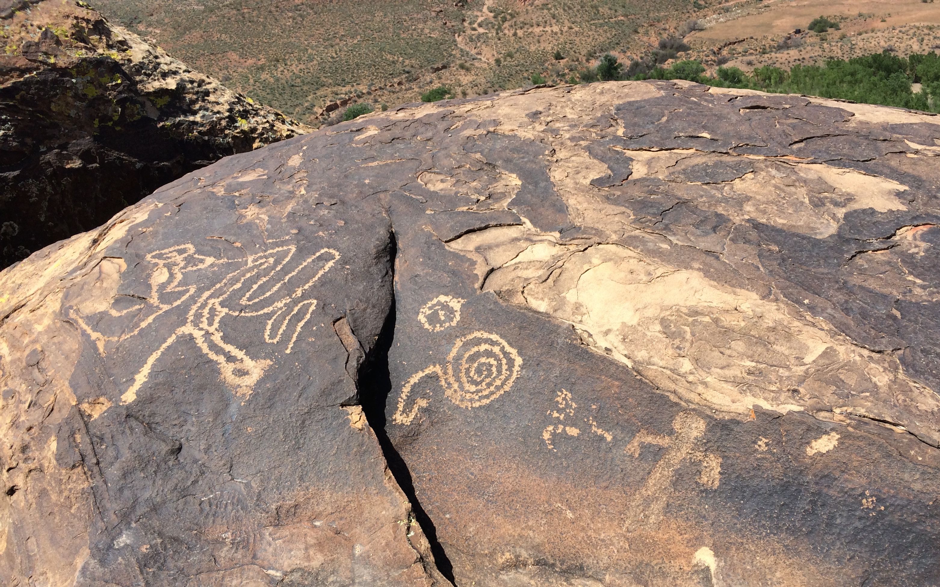
Of course there are spirals.

There always seem to be spirals.
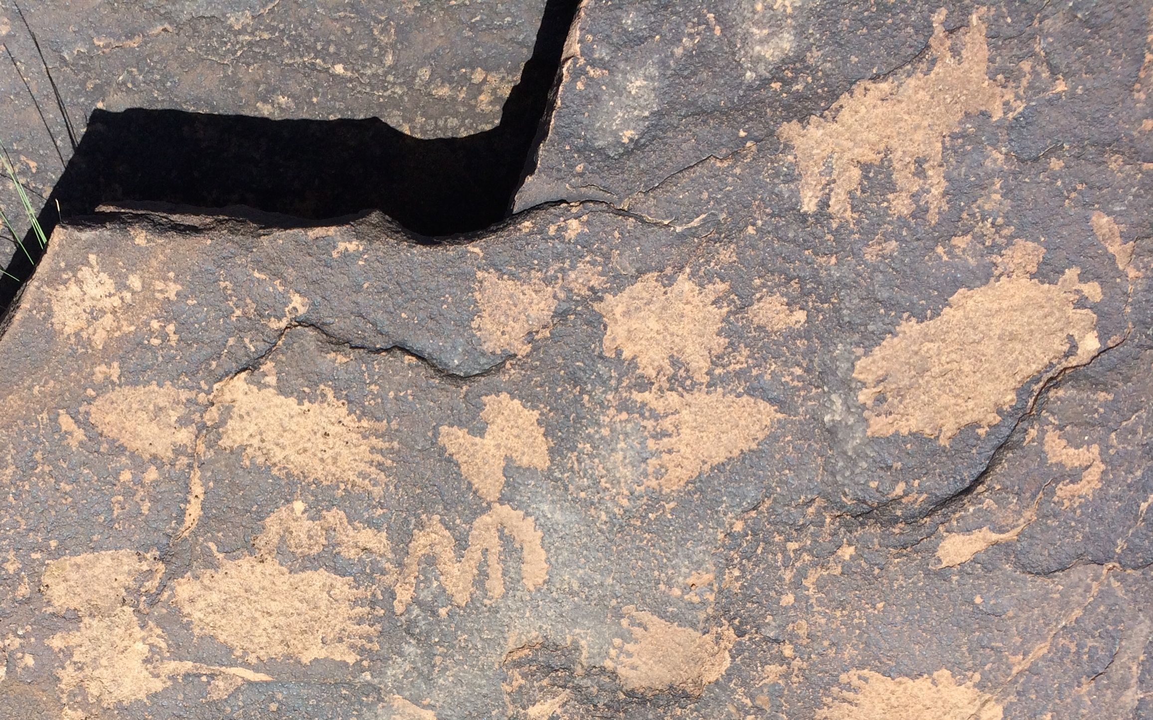
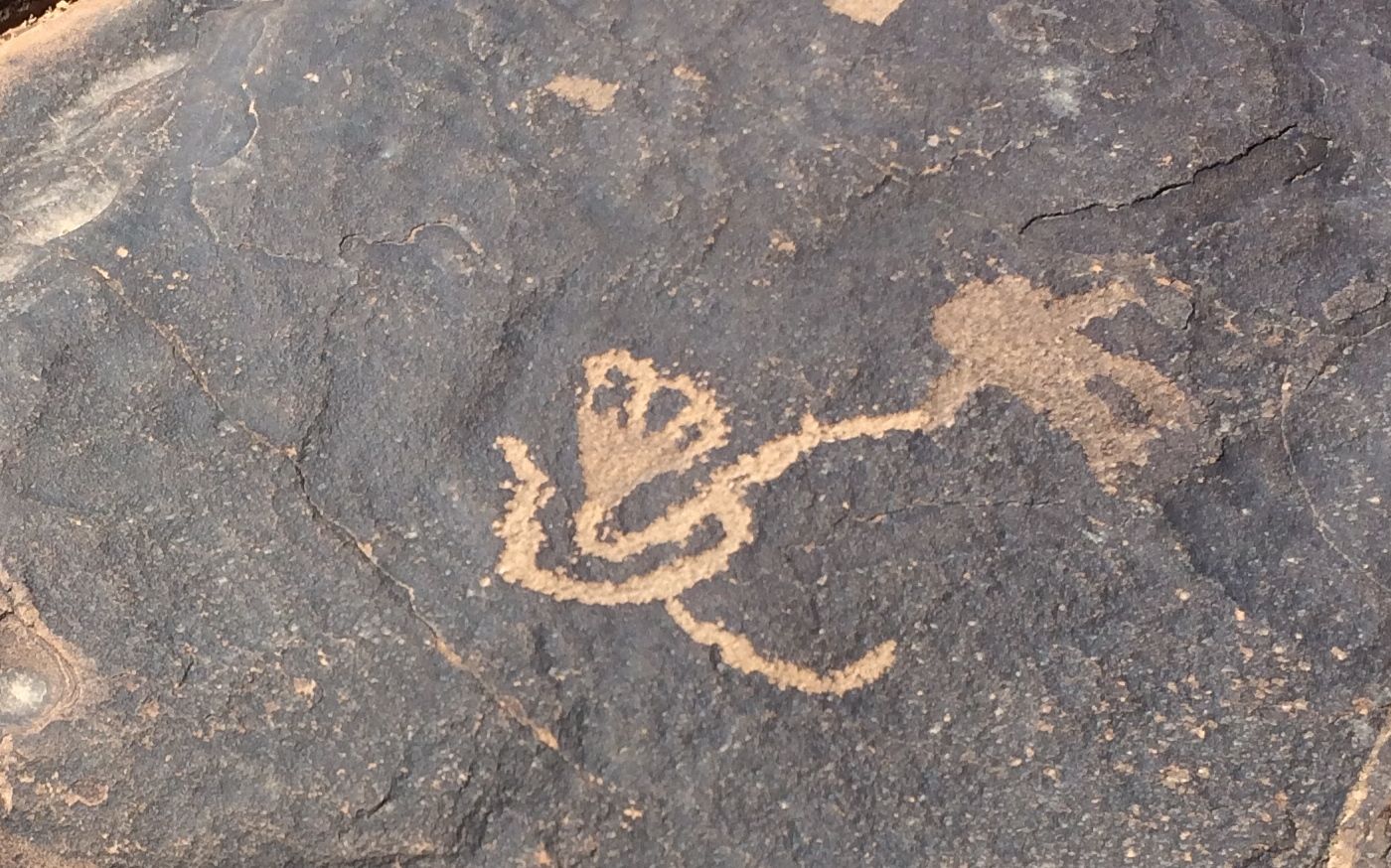
I wonder what the significance of the antenna-like protrusions are on this human-like figure?
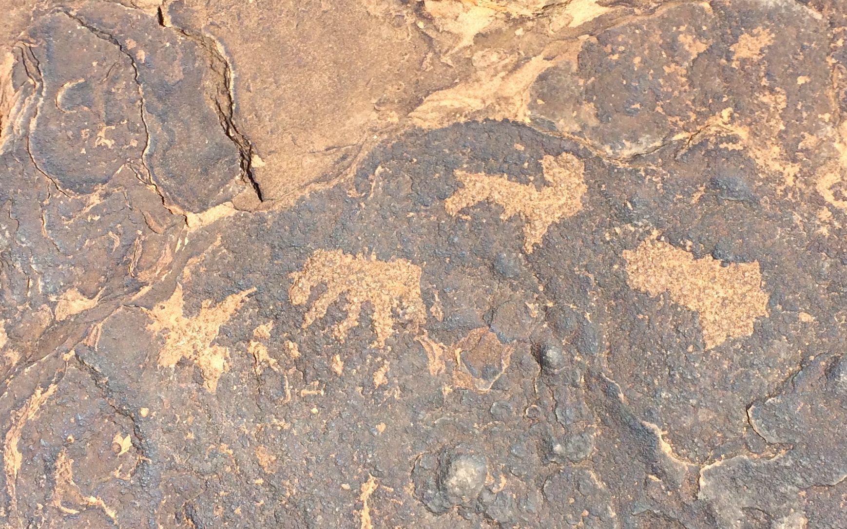
This little one was identified to me by a fellow petroglyph fan as a sheep’s head.
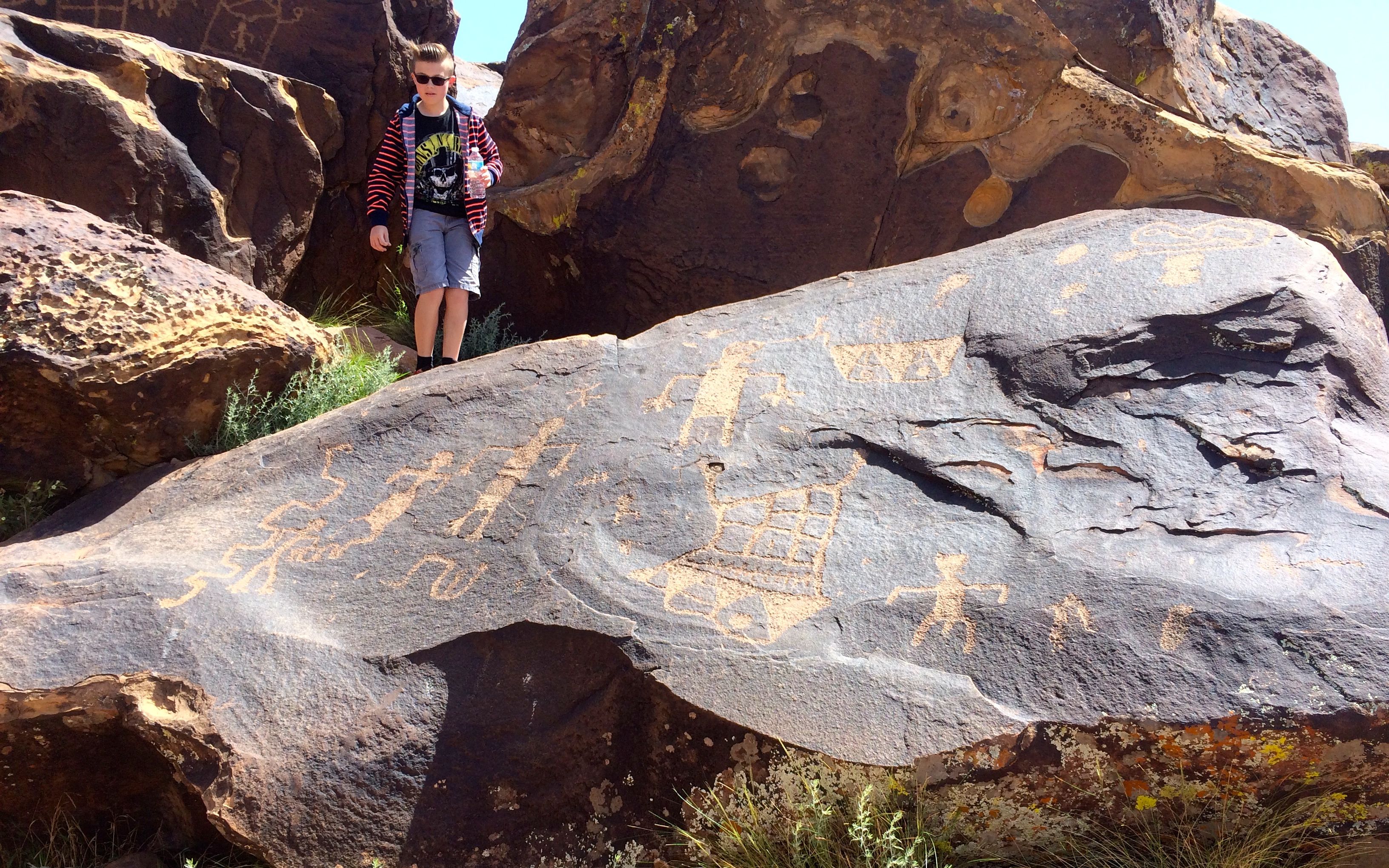
And here’s a shot with a person in it, just to give you a sense of scale.
It seemed like there were treasures to be found just about everywhere I looked. Whenever I was about to move on, I’d see another rock I needed to investigate.
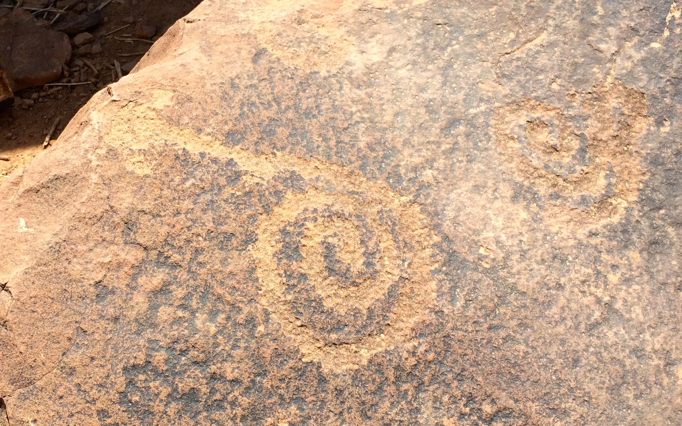
Oops! One more spiral!
This one kind of reminded me of some advanced math scratch pad. But, finally it was time to move on.
I saw some people coming over the ridge and I asked them if there was anything to see further down the path. They told me that there were more petroglyphs.
MORE petroglyphs?! I’m there!
I walked along for maybe another twenty minutes or half an hour.
I saw this interesting rock, that reminded me of a monk’s tonsured pate. It made me giggle.
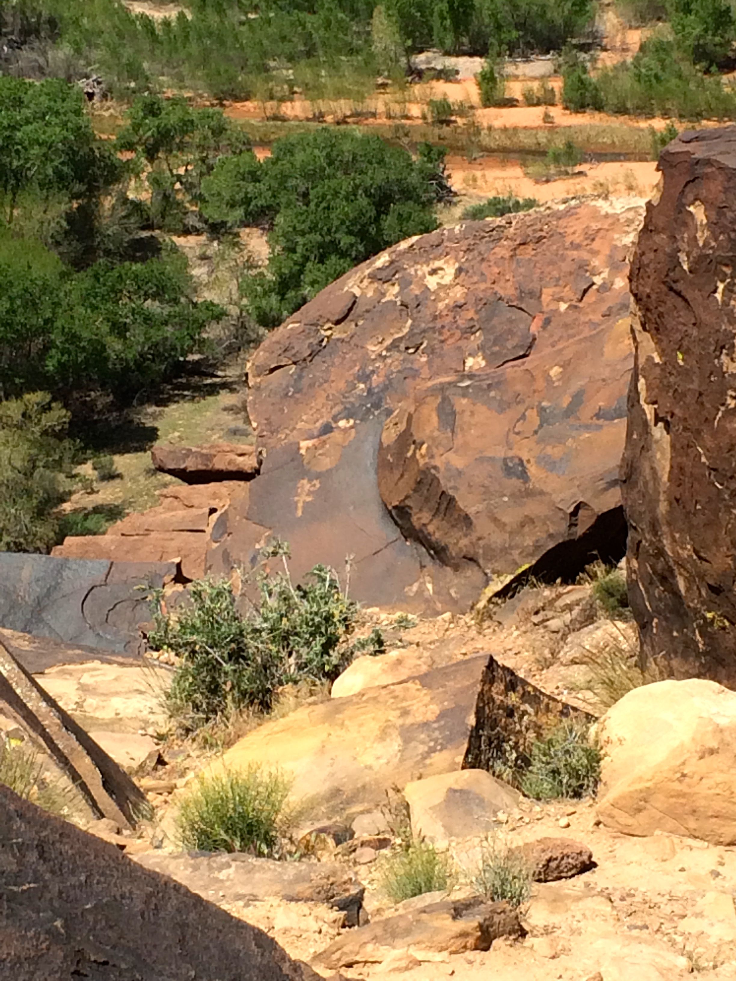
I didn’t see anyone else on the trail. The only place that petroglyphs might have been were on the side of the cliff. I was not about to scramble over the edge of the cliff – petroglyphs or no petroglyphs! Not by myself, at least.
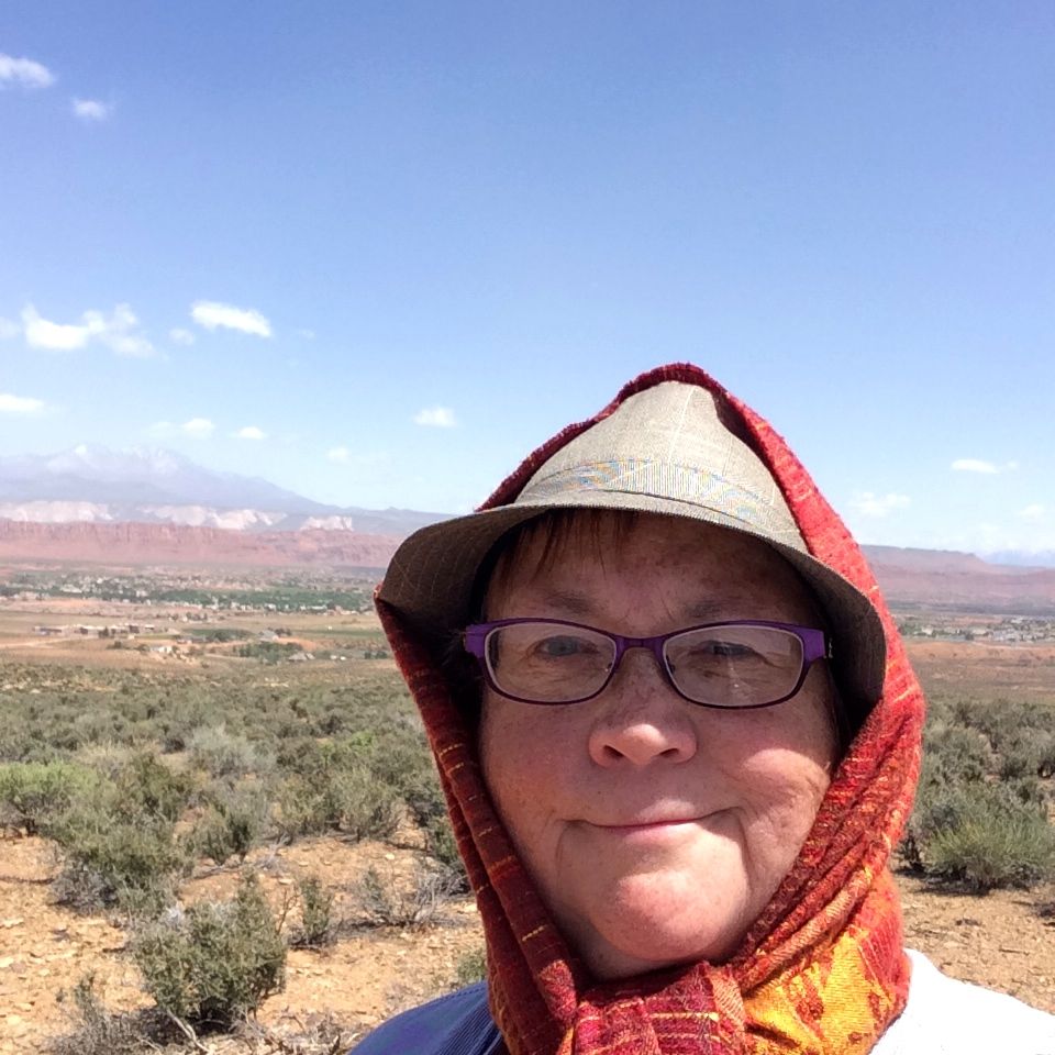
So I took a selfie to document my hike.
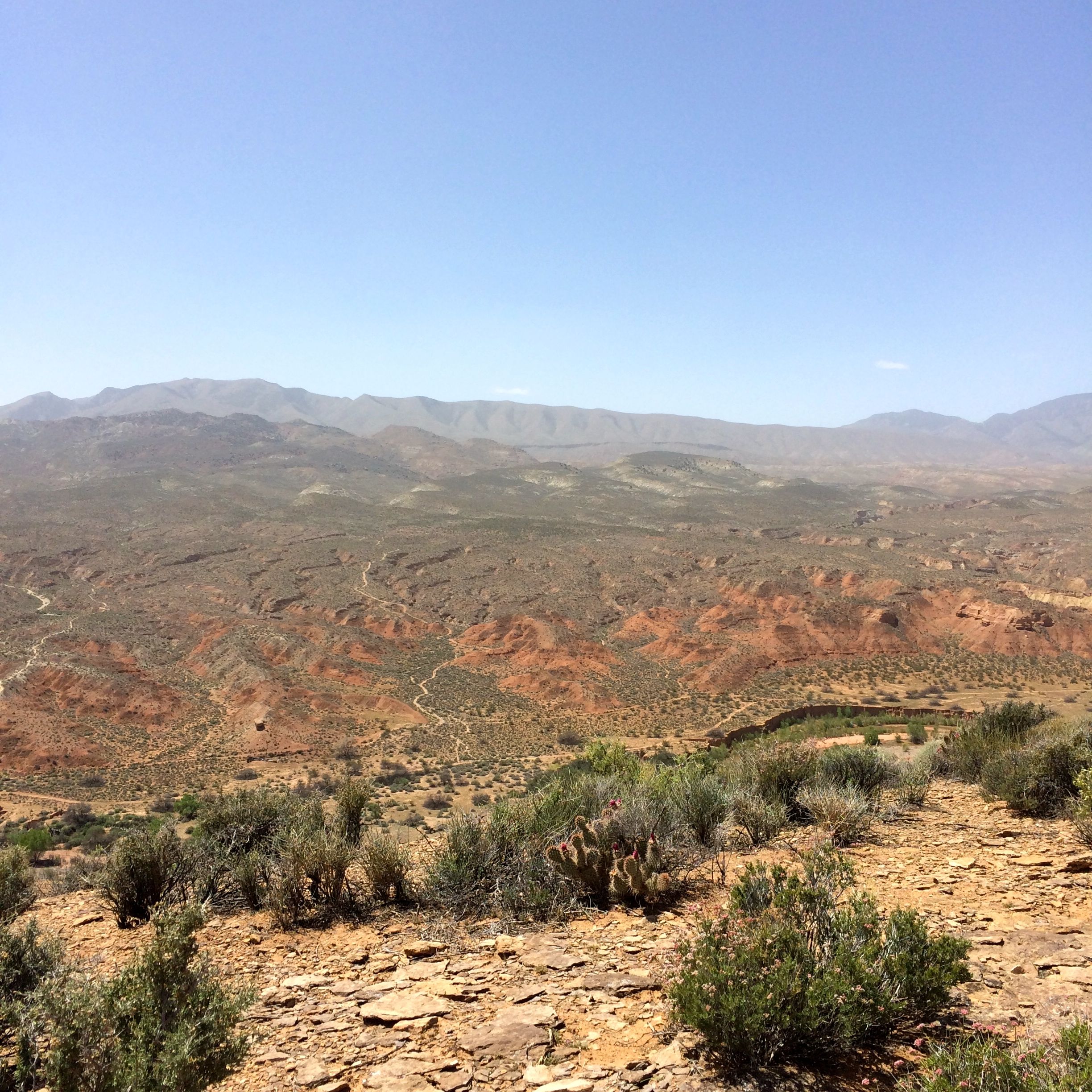
This was what I was looking at. It was a long way down!
And then I started back to the trailhead.
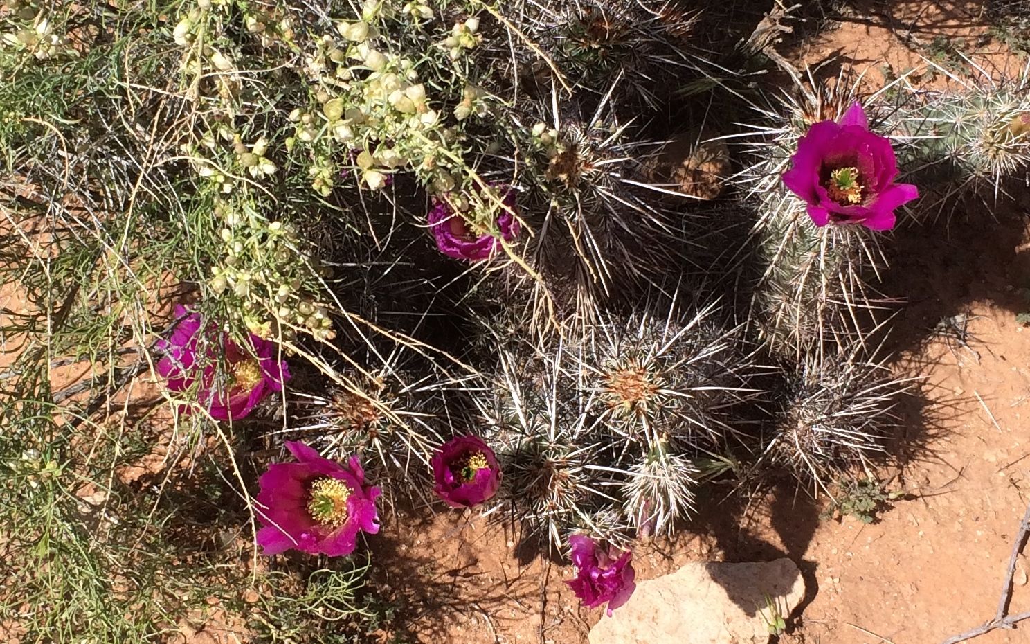
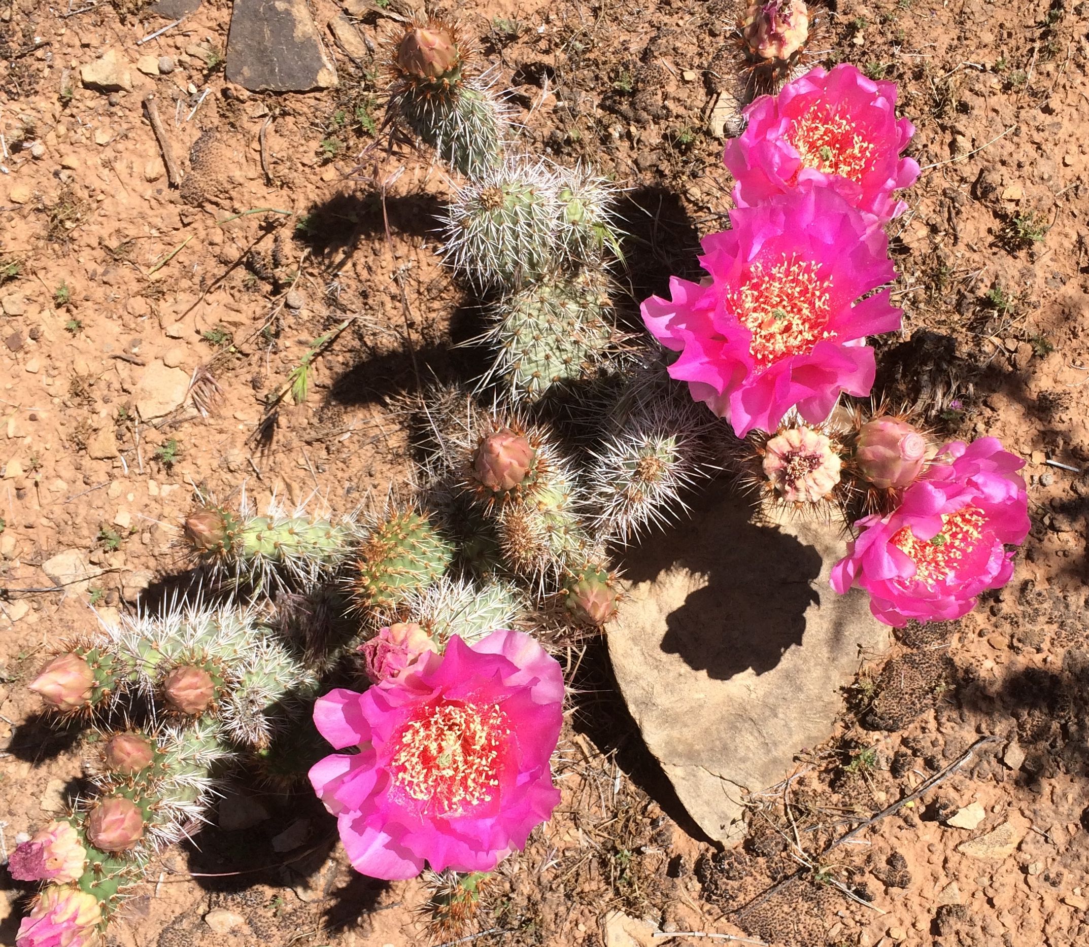
Of course, I had to document some of the pretty blossoms.
When I got past the original petroglyph site, I saw a sign that indicated that there were ruins at the top of a small rise.
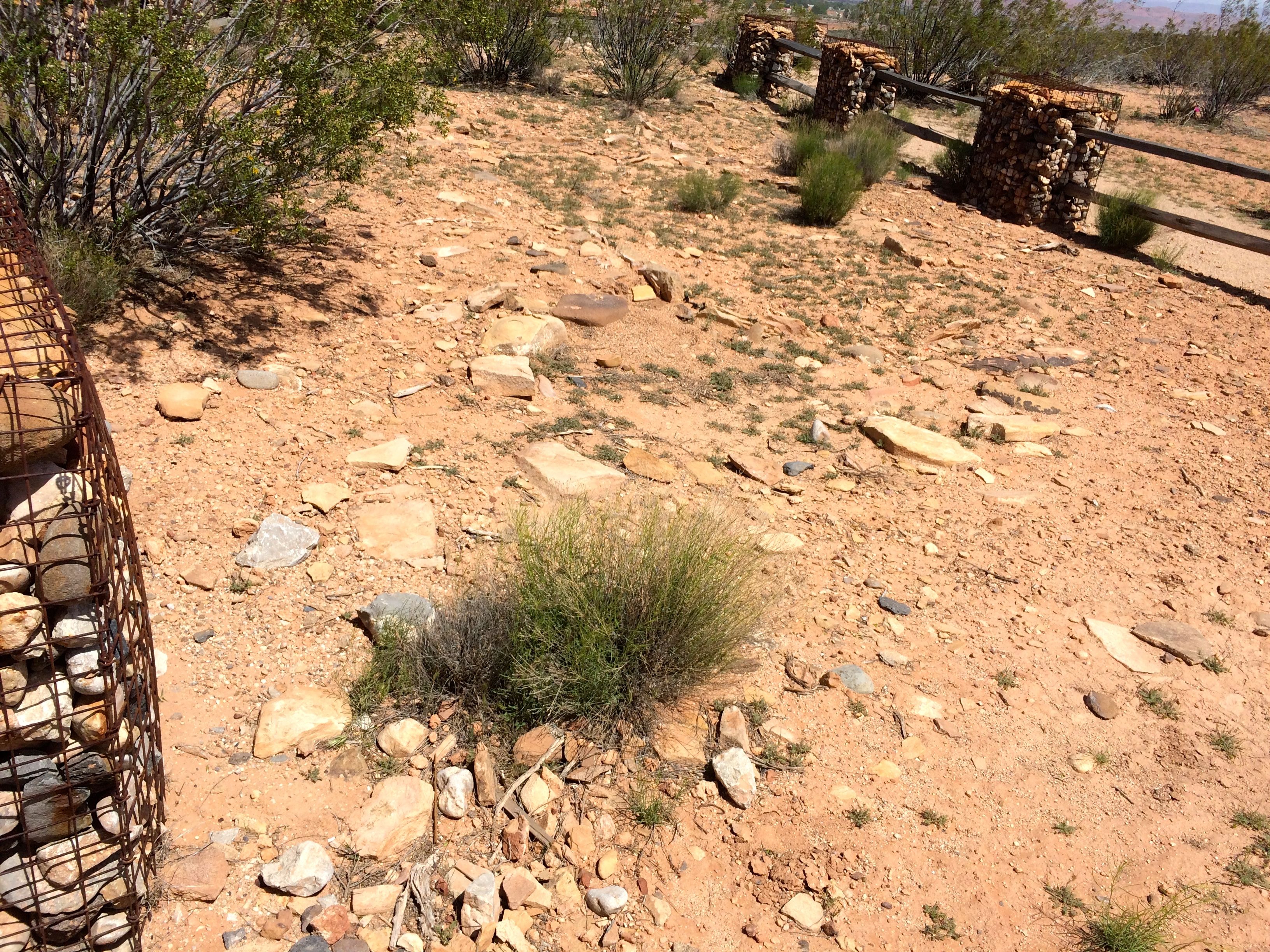
Apparently this had been a community. A team from a university excavated some of the rooms.
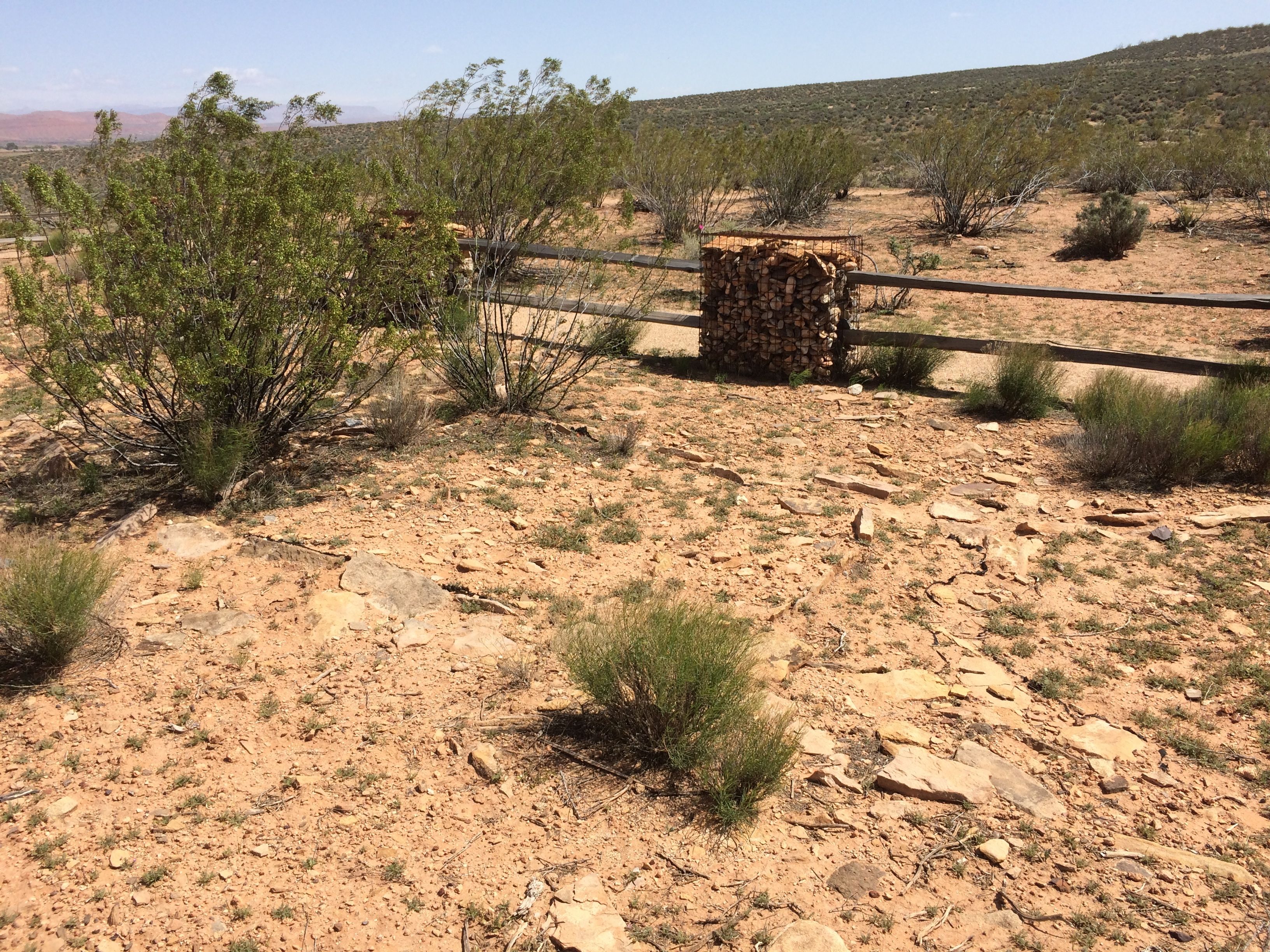
You can see the outline of a room fairly clearly in this photo. Unfortunately, before the site was secured, people on OHVs (which I used to call ATVs) had ridden over the site an created a great deal of damage.
After taking in what there was to see here, it was just a short, switchbacked trail back to my truck.
And then it was time to go have dinner.