Ho-Ho-Houghton, Michigan

Thanks to my friend Linda, who joined me for a day before the Copper Harbor adventure, I now know how to pronounce Houghton. It’s not HOW-ton; it’s not WHO-ton; it’s HO-ton. After all those years of teaching from Houghton Mifflin textbooks, I would have thought I’d have mastered it before this.

It snowed HOW much?!

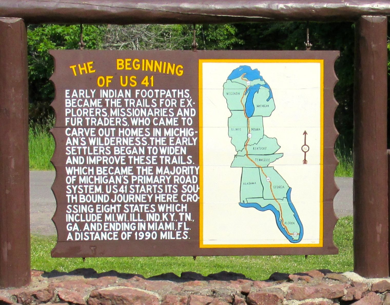
Driving back along US 41 from Copper Harbor to Houghton, I passed the snow gauge. The record was 390.4 inches in 1978-1979. That’s more than 32 feet! I guess I will stop feeling sorry for myself for the roughly 12 feet I shoveled during my last winter in Kalamazoo in 2013-2014.

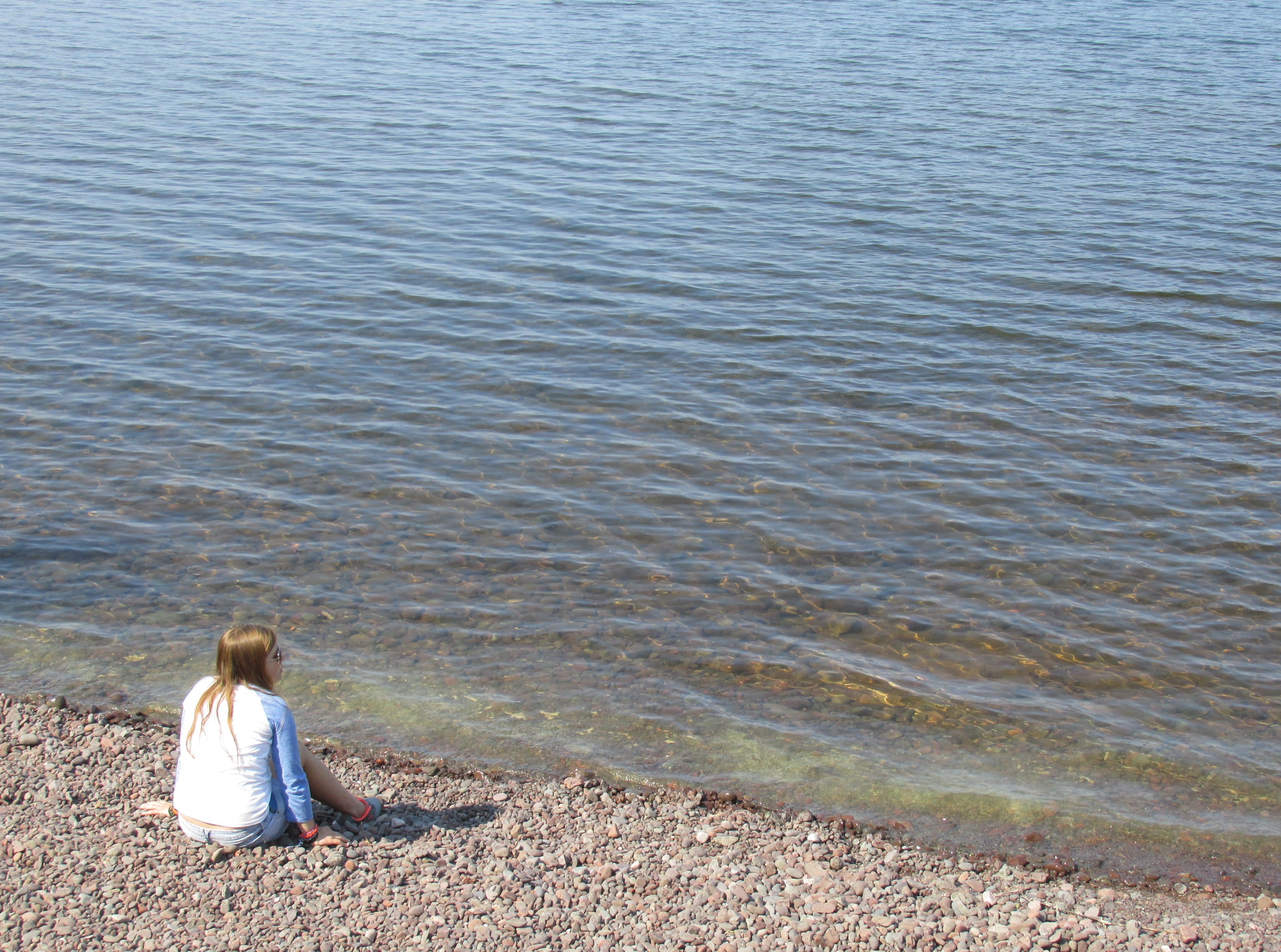
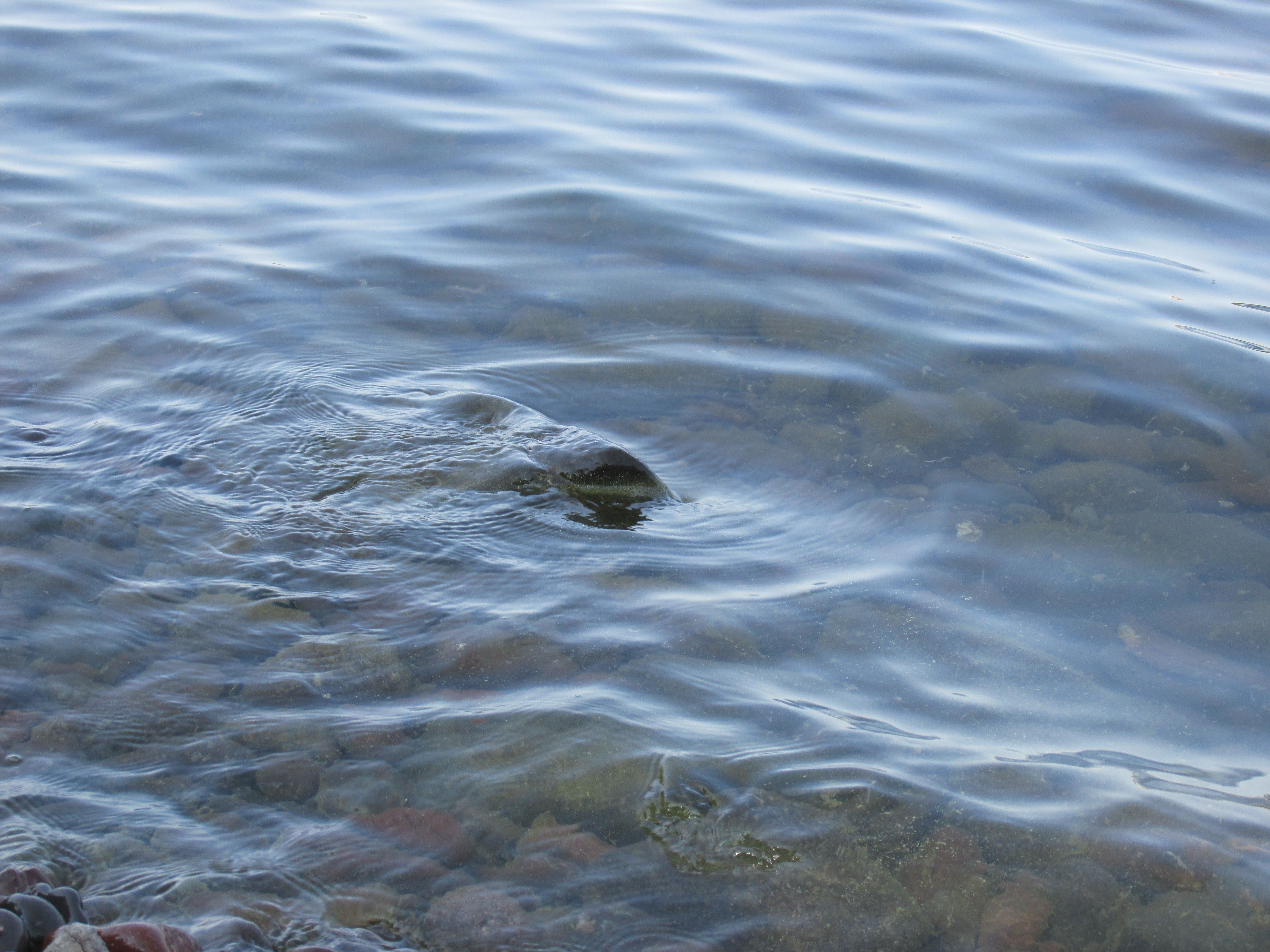
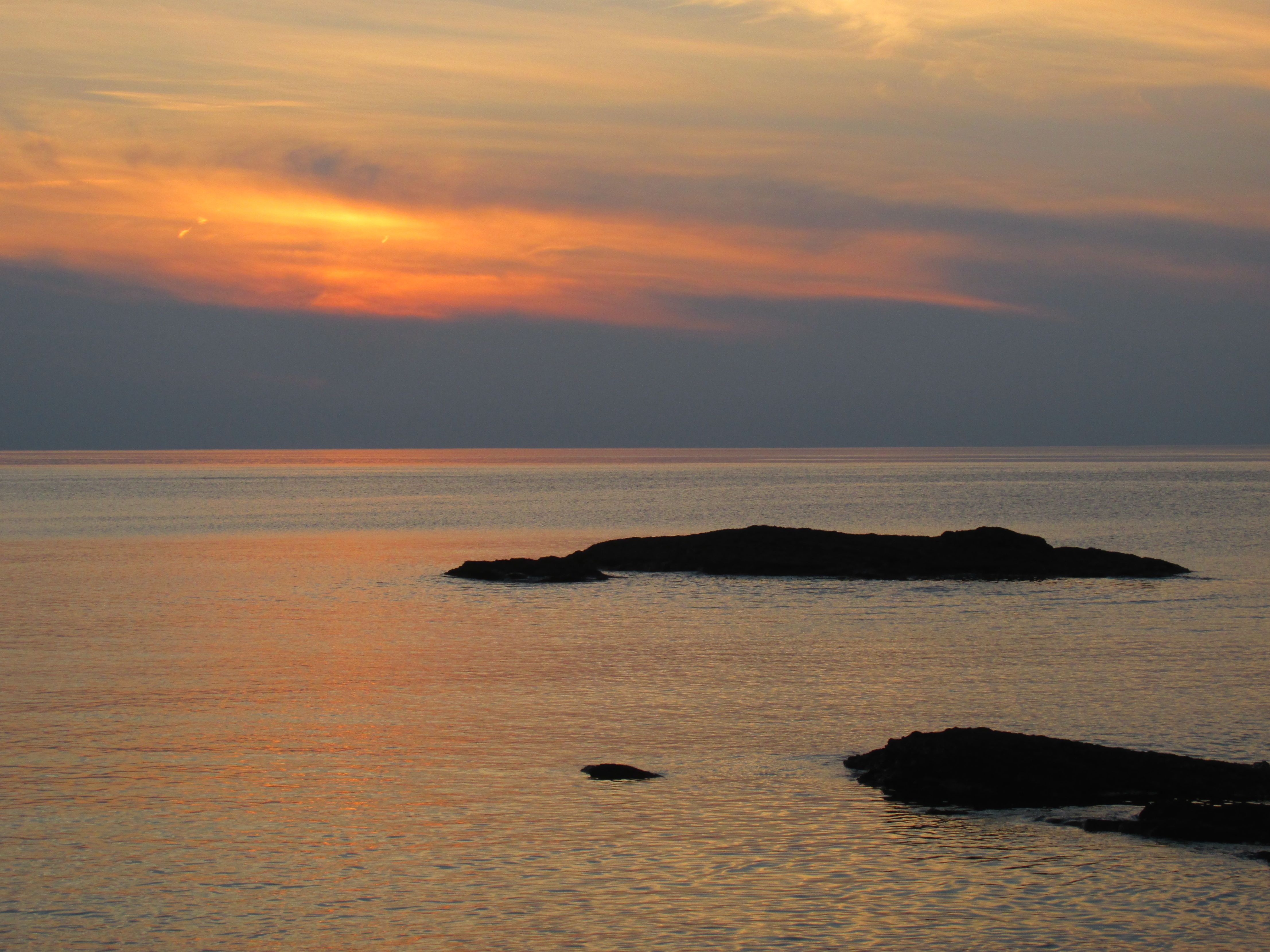
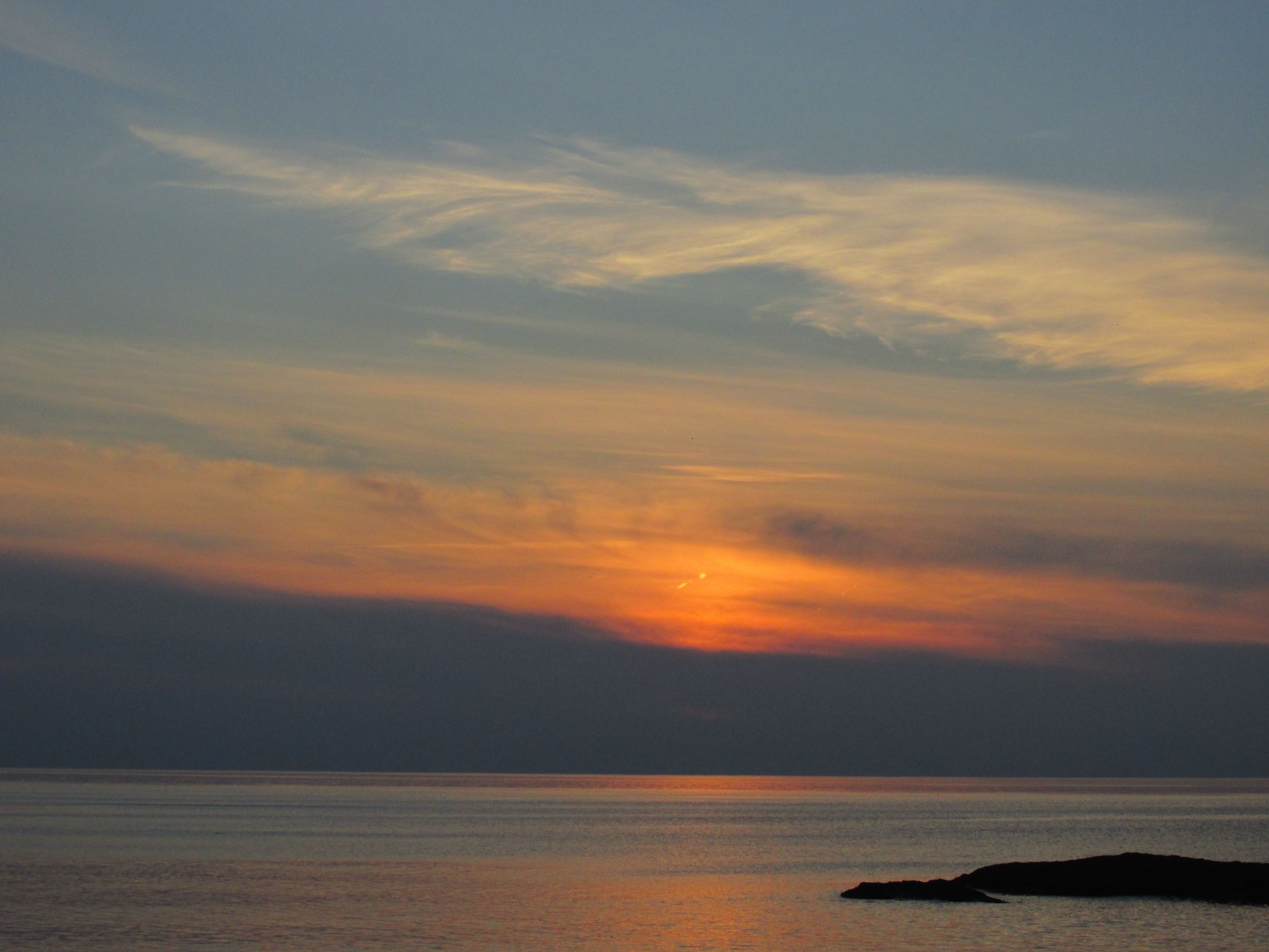
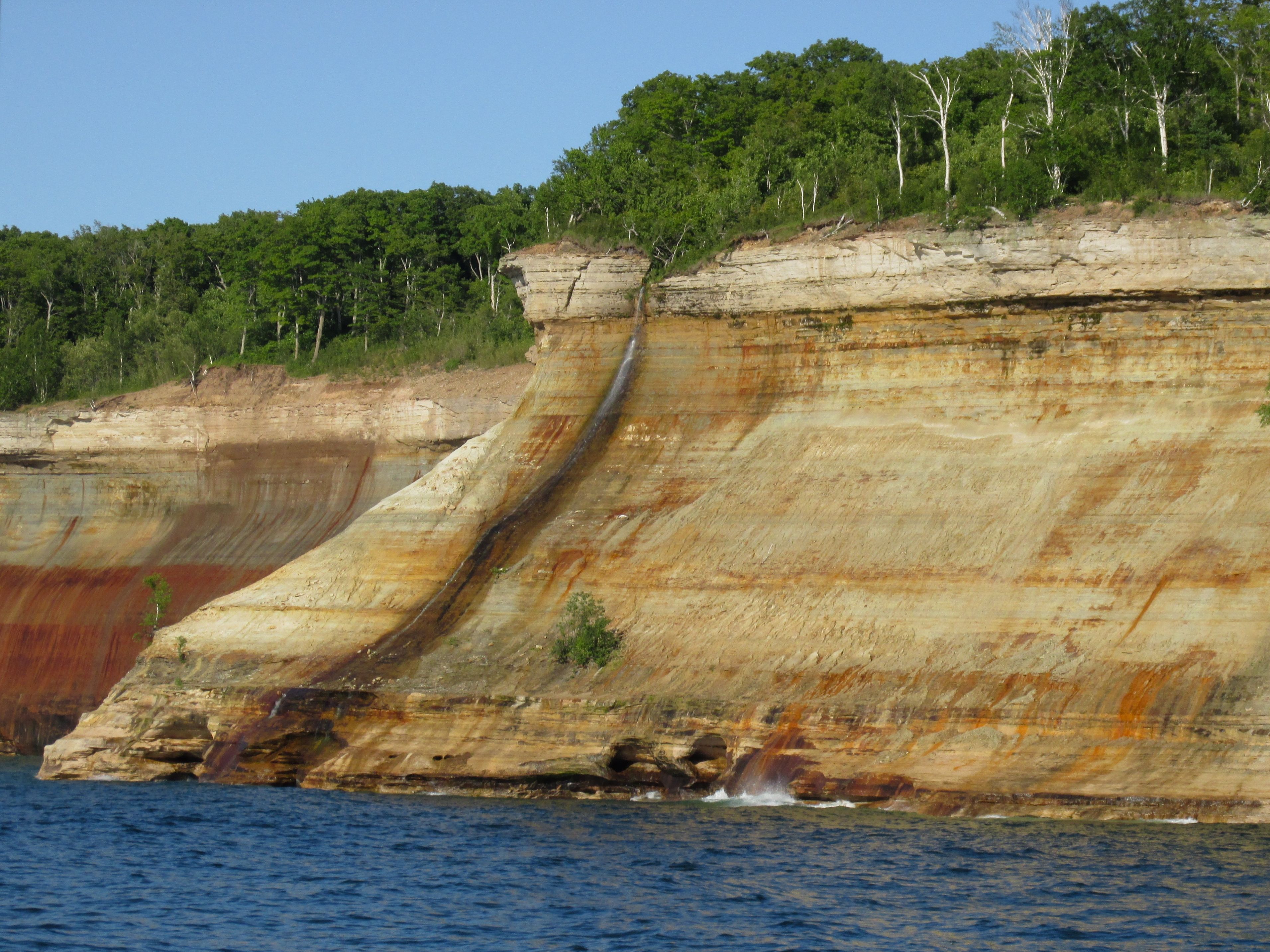
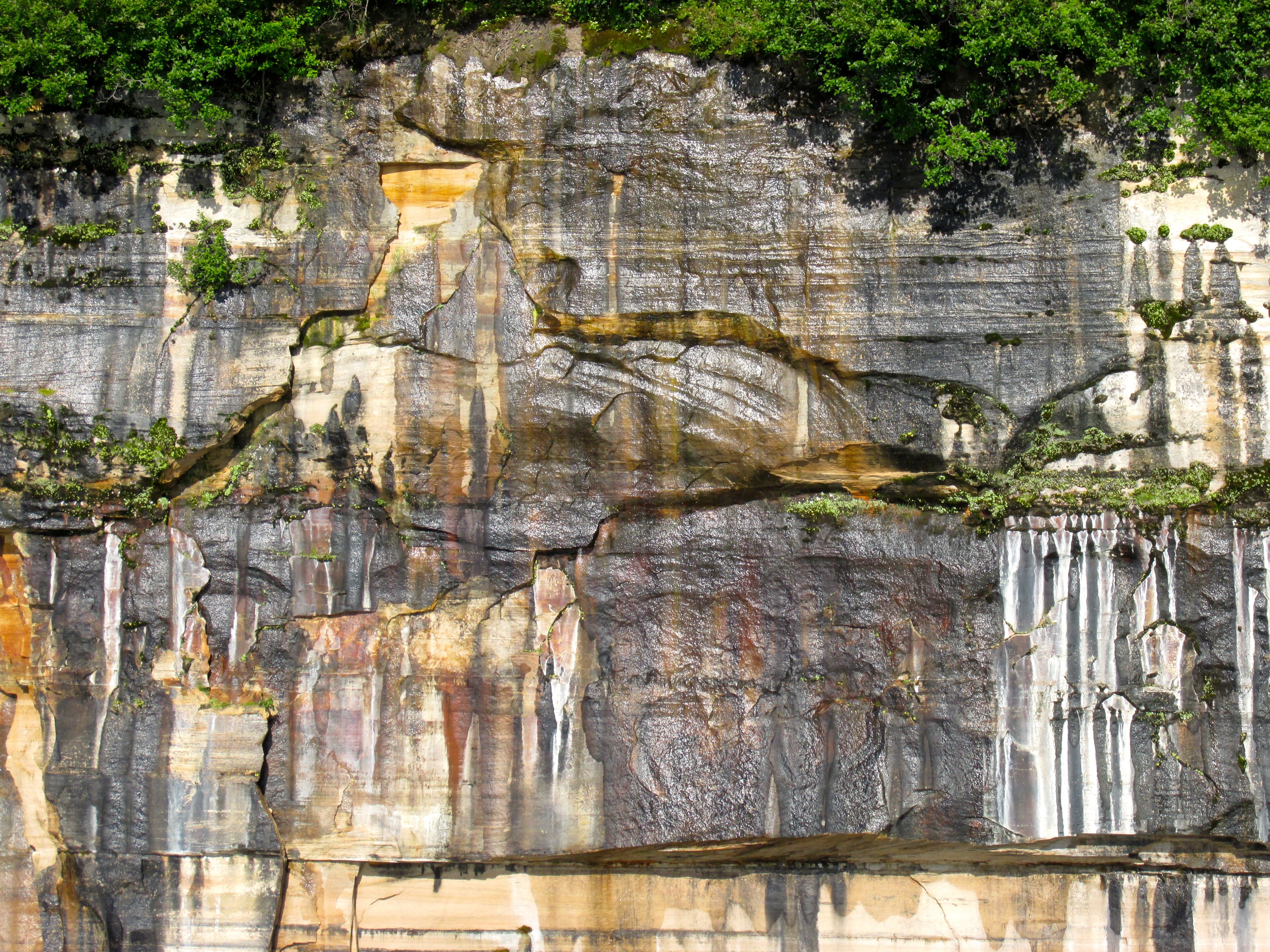
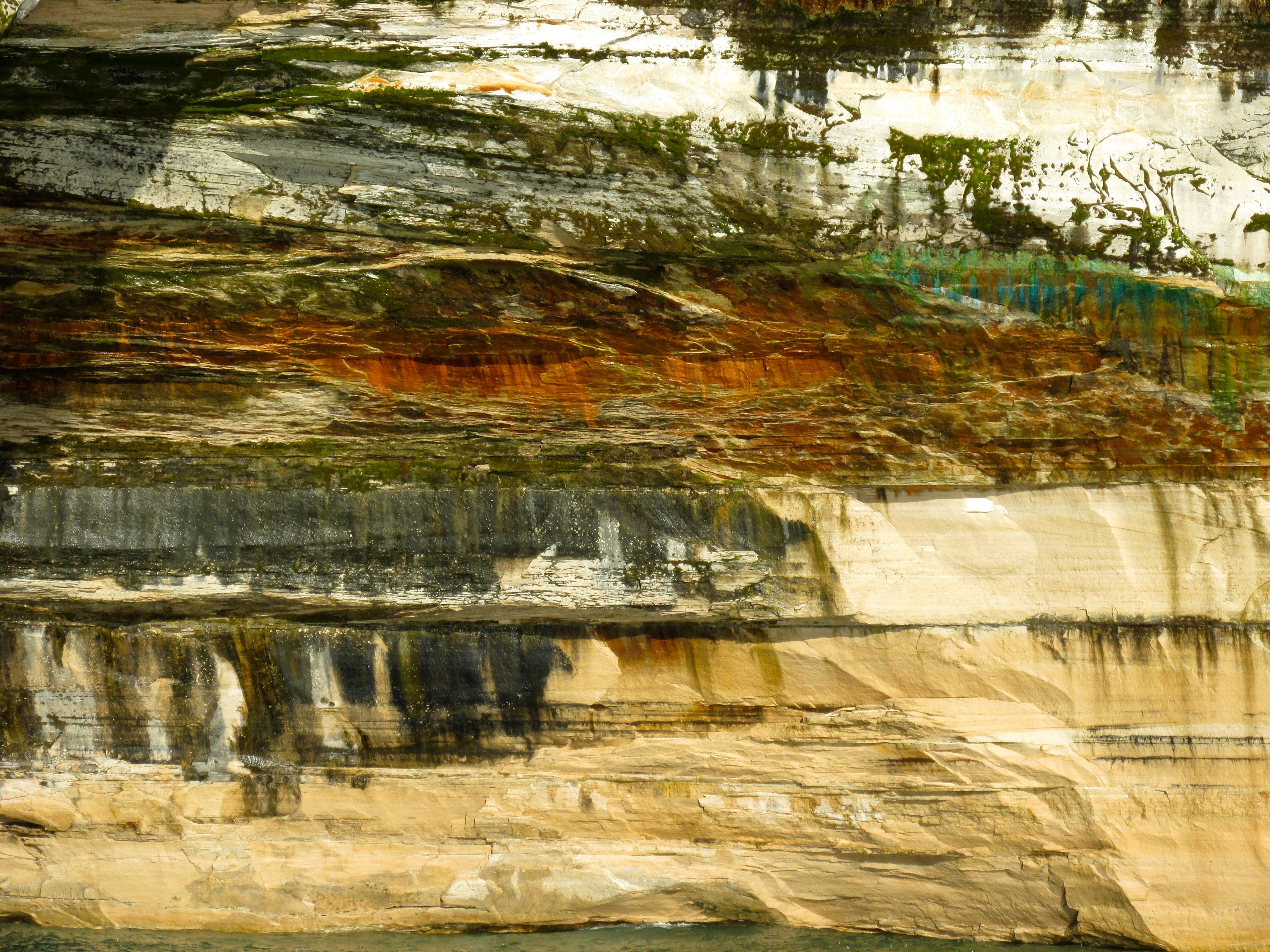
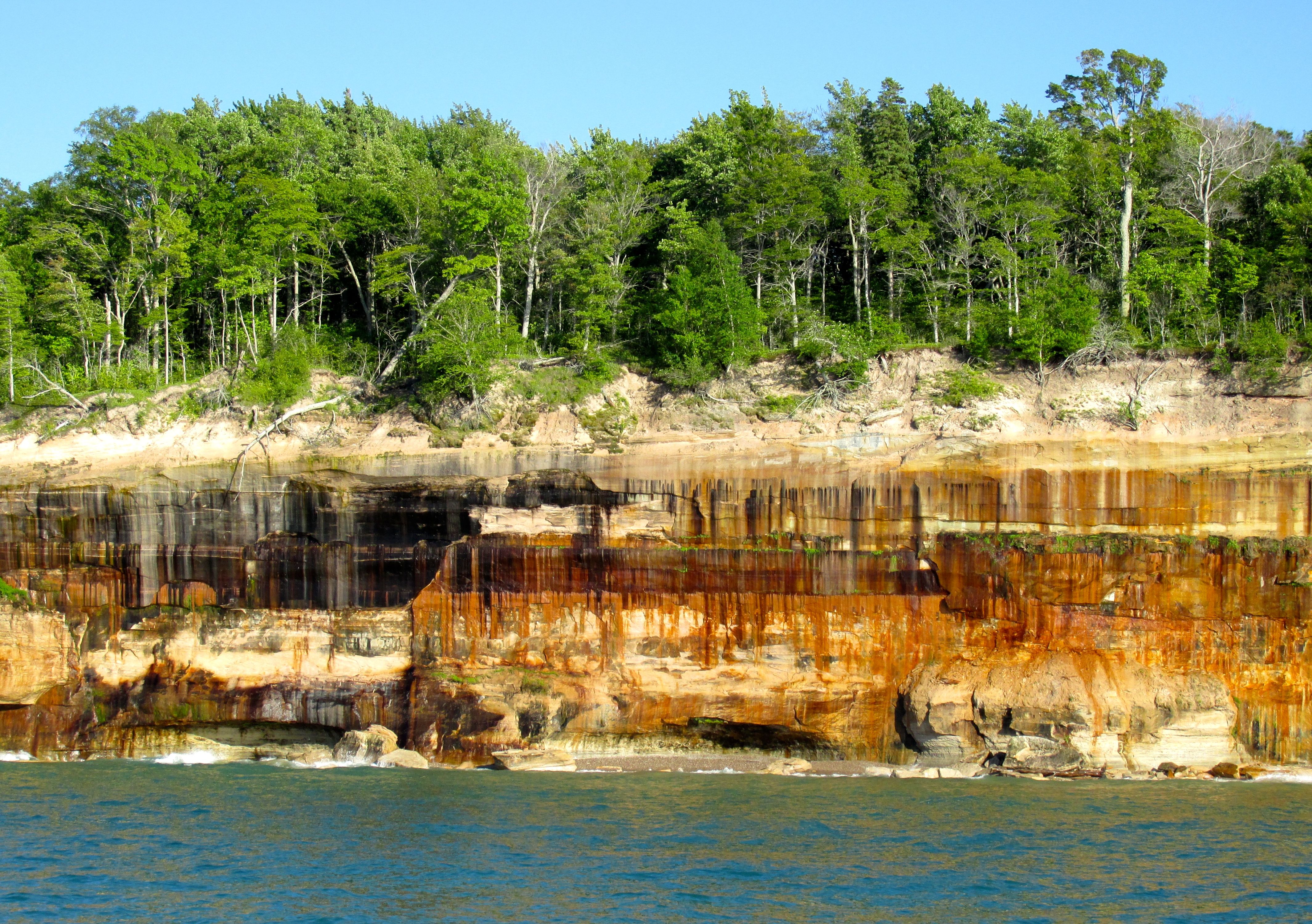
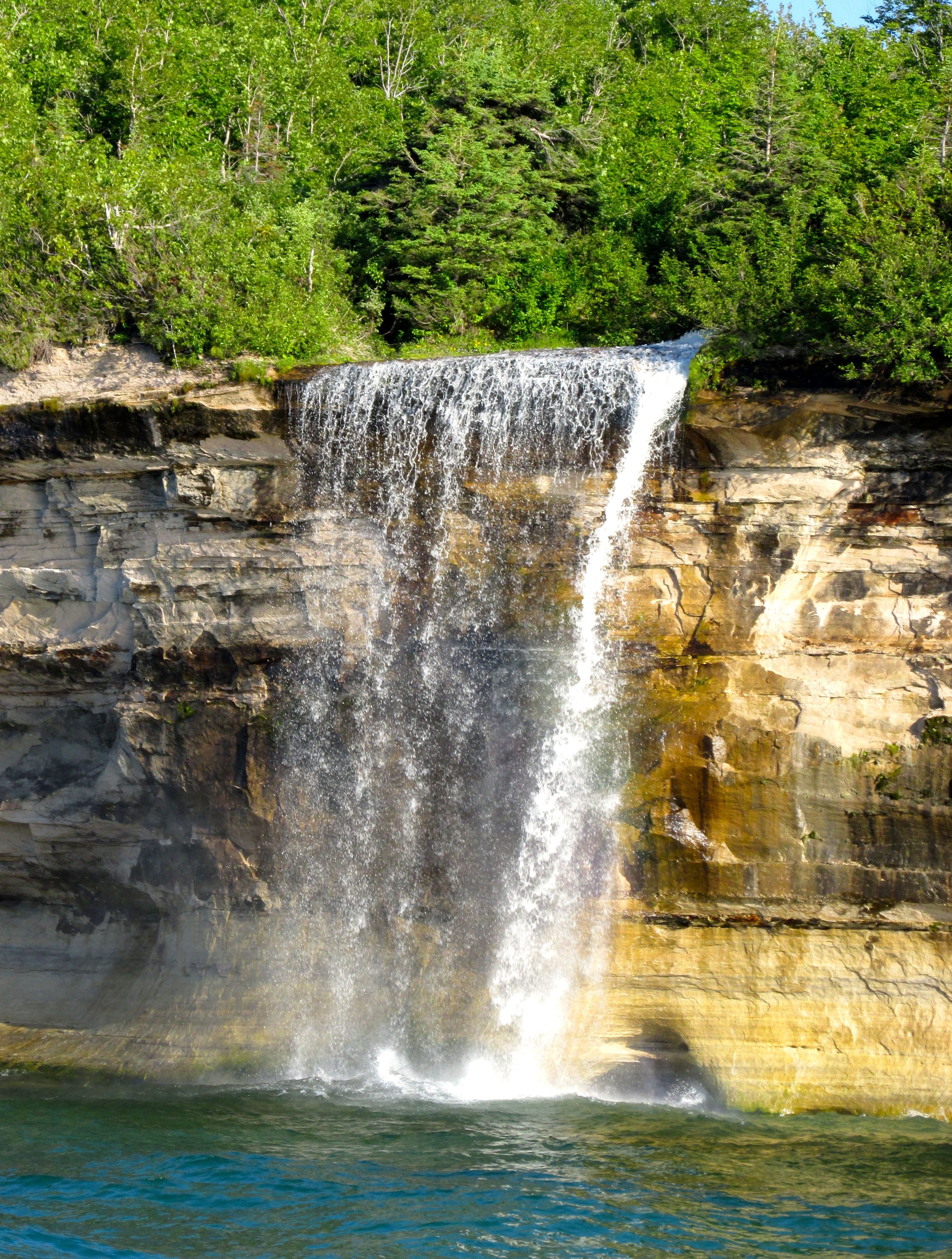
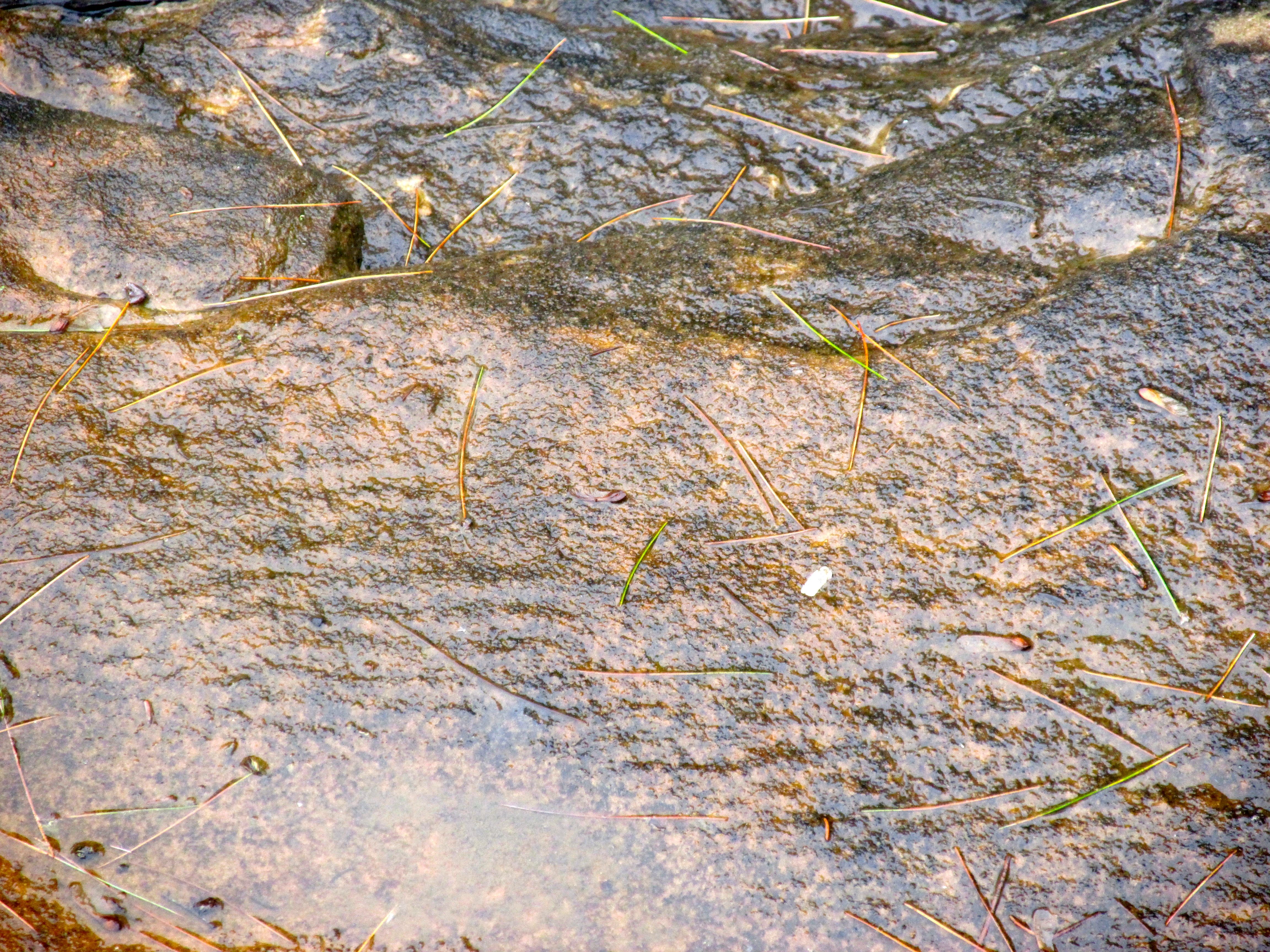
I camped at McLain State Park, just outside Houghton. I had a lovely site right on the shore.

The view from my campsite.
Rock piles
Rock piles

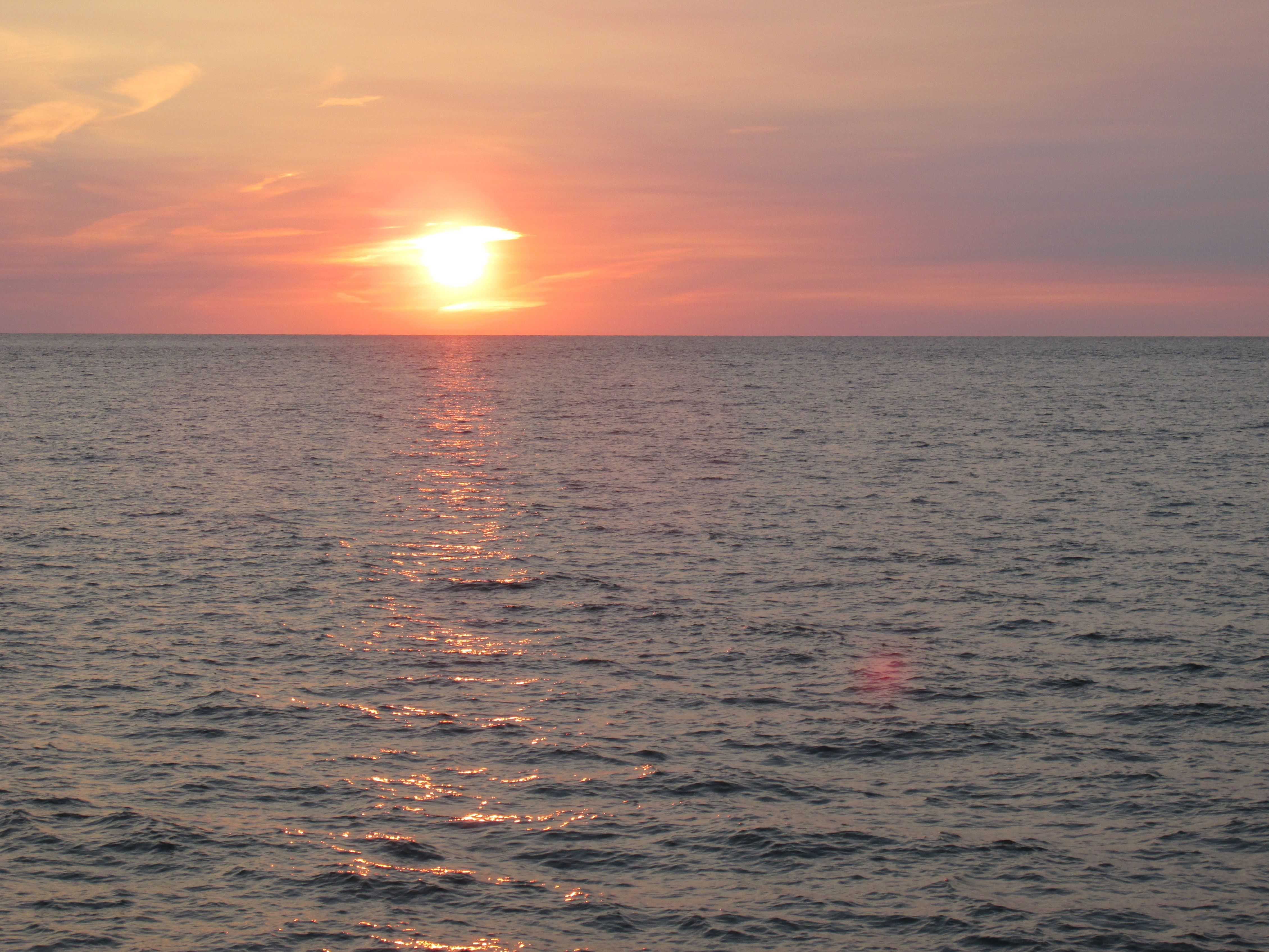
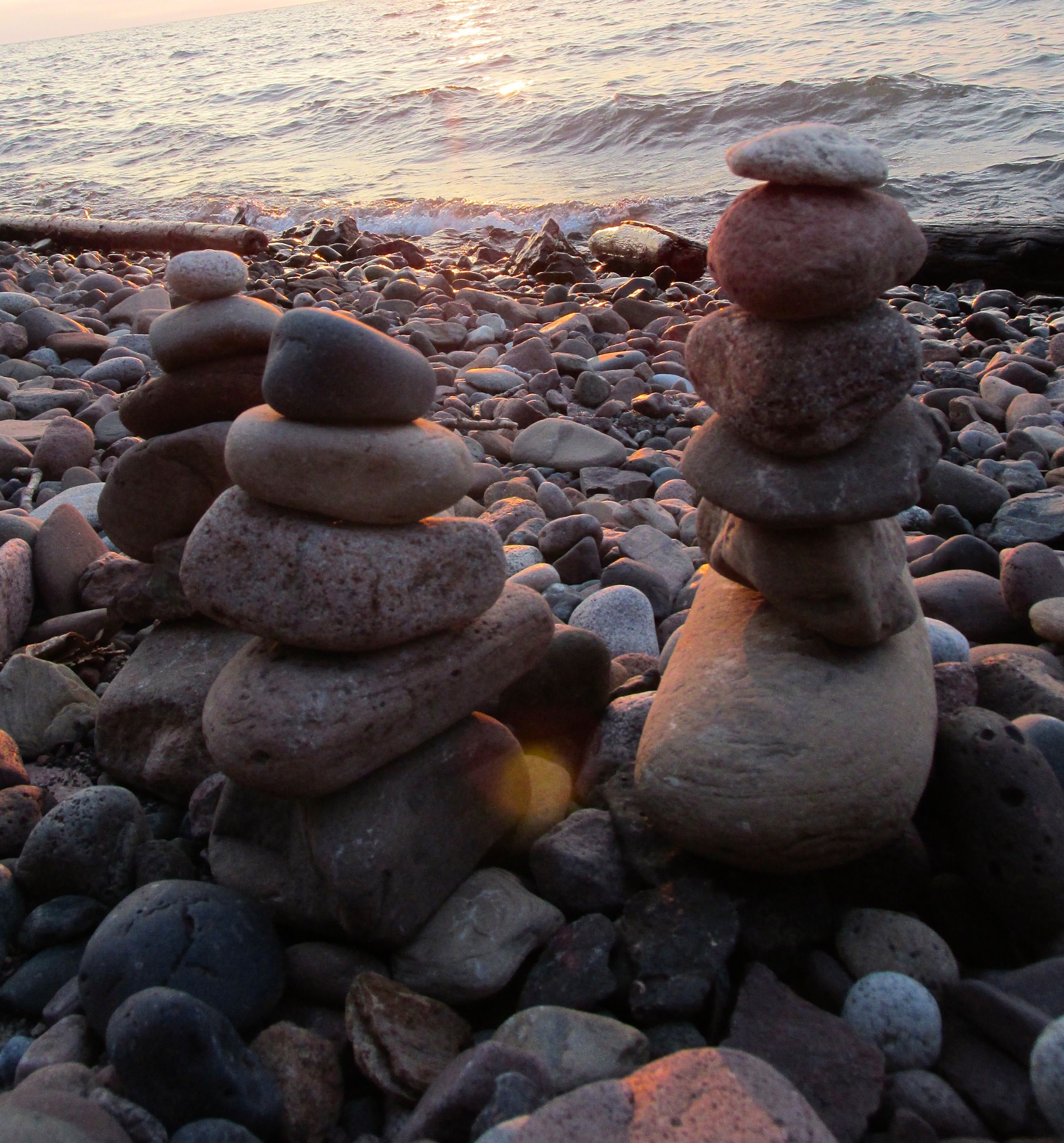
While waiting for the sun to set, I enjoyed the rocks. I collected a few and left these sentinels behind.

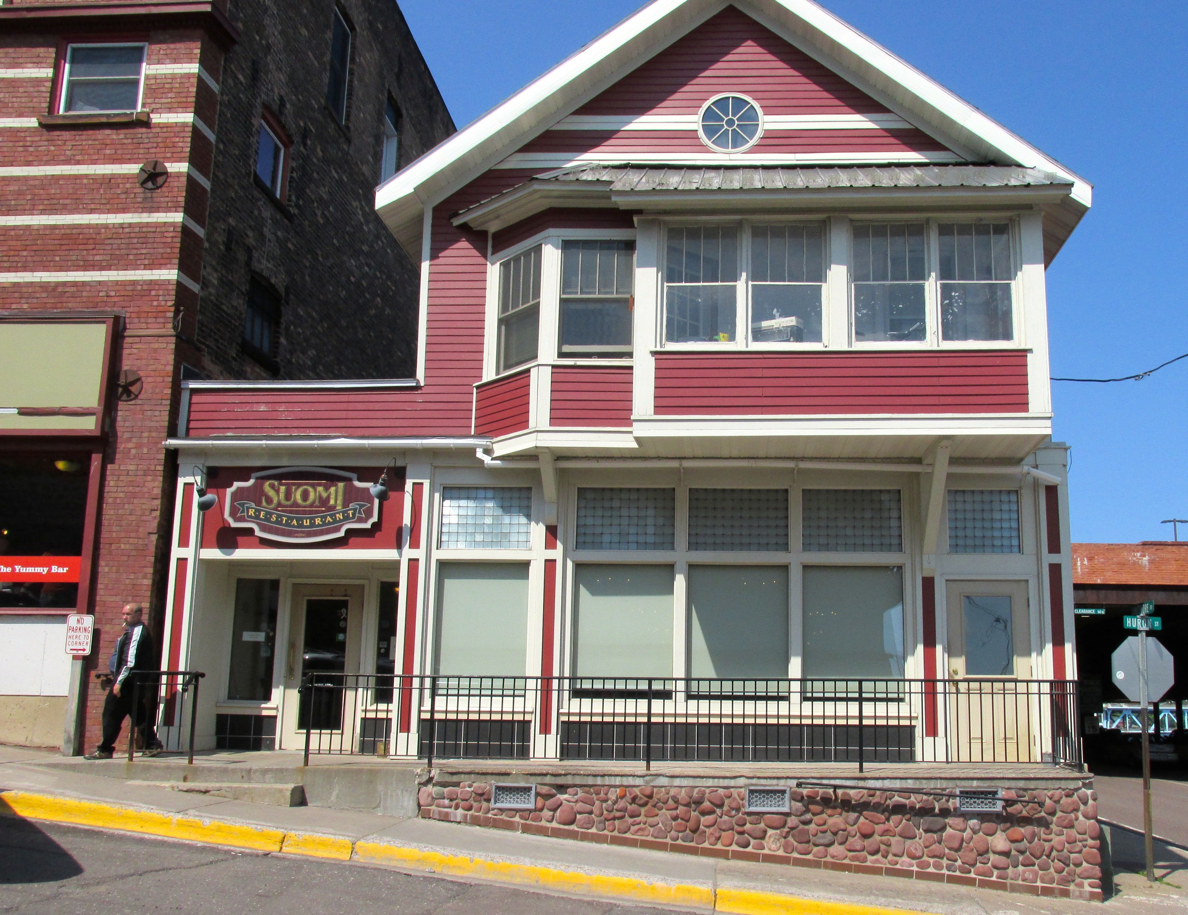
Someone I spoke with recommended Suomi Home Bakery and Restaurant, so I had to explore it. I was intrigued with the idea of a Finnish restaurant.

Suomi Home Bakery and Restaurant
Pannukakku with Nisu Toast

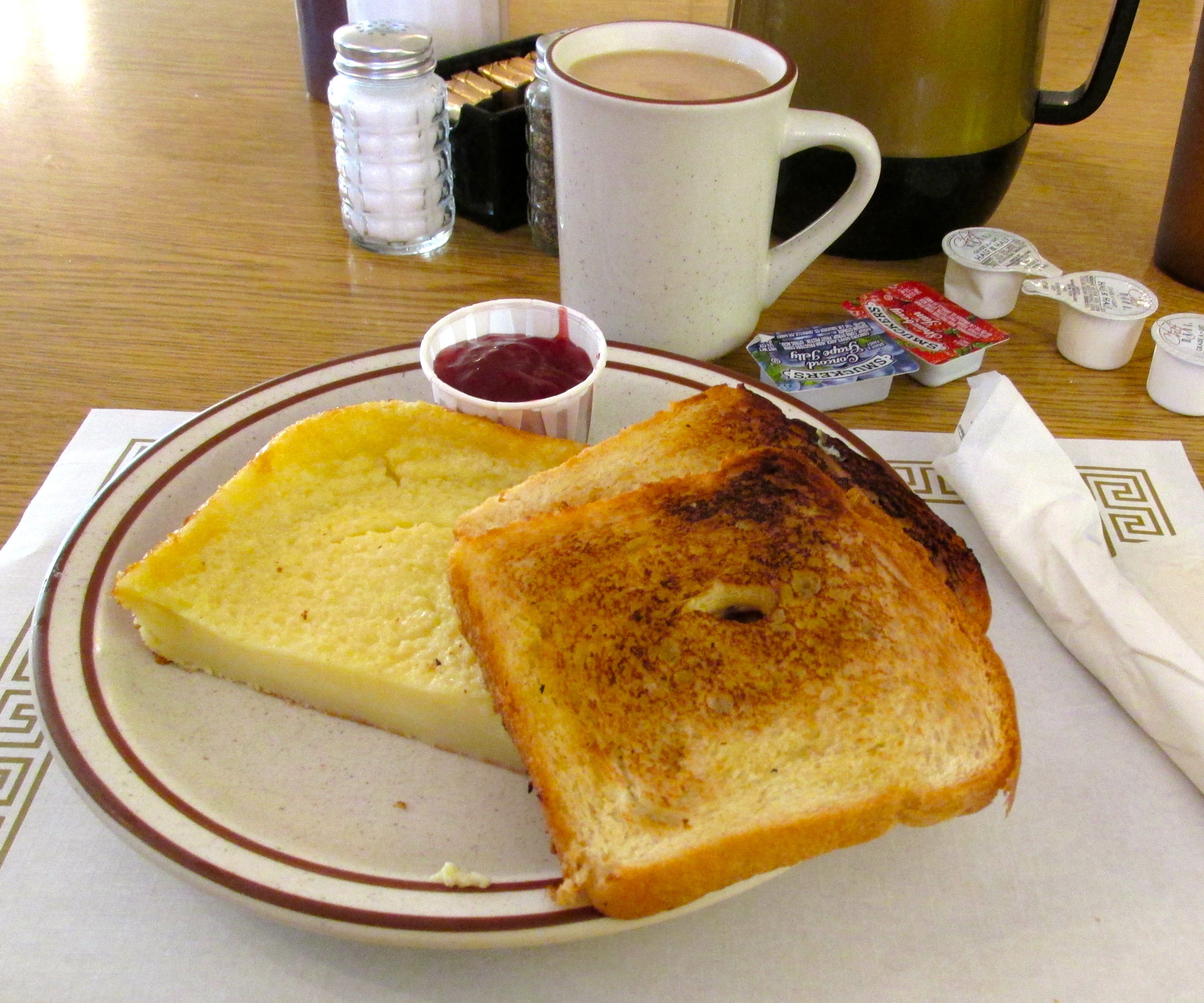
The pannukakku is on the left side of the plate. The menu describes it as an “oven-baked custard-like pancake.” It was tasty. The waitress asked if I wanted the Nisu with it, which is cardamom toast. I figured I might as well try that, too. I really liked that coffee was included in the price of the meal!

The restaurant is in a building that dates back to 1869. It started life as a furniture store and was the home of the Houghton Knights of Columbus for a time. The Suomi Cafe opened in 1967 and has changed hands several times. The current owner is a young woman named Jamie, who started at the restaurant as a waitress.

While I know that there were a number of visitors there, you can tell that this is a favorite local restaurant. There is a warm feel to the place. In fact, it drew me back for a repeat visit. Also, they list the soups  for the next day on a white board behind the cash register. The first day I stopped in, they were advertising beef stew for Thursday. The next day, they were promoting their clam chowder for Friday.

I didn’t return on Friday. I’m not a fan of the clam.

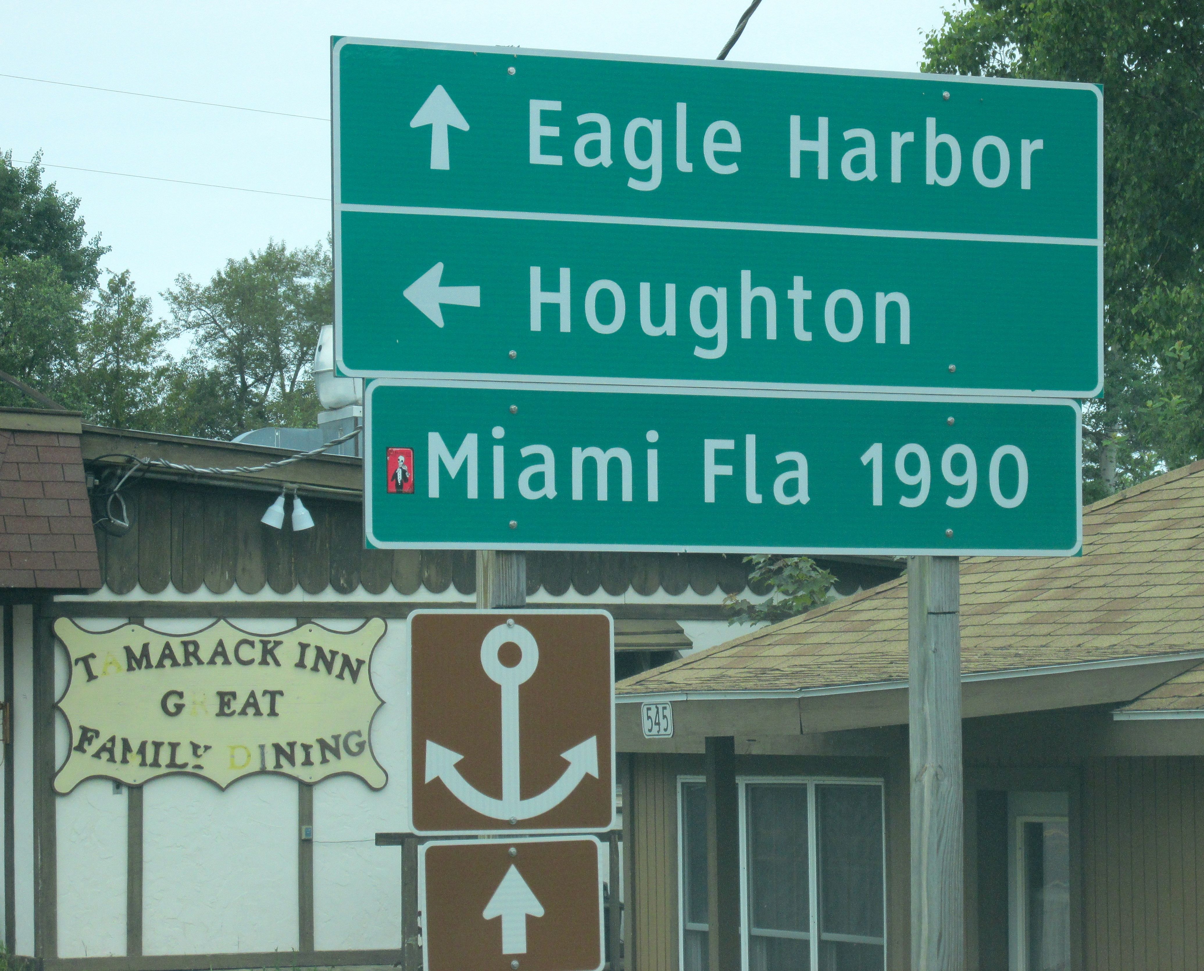
Houghton is a delightful town with interesting shops and restaurants. It’s home to Michigan Tech. A former student of mine just completed his freshman year there. Too bad Tyler was back home in Kalamazoo, or we could have had dinner together.

Michigan Tech was founded in 1885 as Michigan Mining School. That was in the height of the copper mining boom in the Upper Peninsula. I wanted to know more about the mining history, so I took a tour of Quincy Mine and Hoist.

Quincy Mine sign

That green hunk of rock under the sign is copper, and, according to Donna in the gift shop, it weighs about 1000 pounds. That’s a lot of pennies!

The nation’s first mineral rush took place here in 1843, six years before the California Gold Rush. Immigrants came from across the world came to take part in mining the copper that was in demand for the Industrial Revolution and for munitions for the Civil War.

This mine began operations in 1848 and was in operation for almost 100 years. It was the second largest copper mine in the Lake Superior region. They called it “Old Reliable” as it paid out dividends to its investors consistently from 1862 until 1920. According to the guide, labor unrest in 1913 and the development of less expensive strip mining in other states lead to the eventual closing of the mine in 1945.

Old No. 2 Hoist House

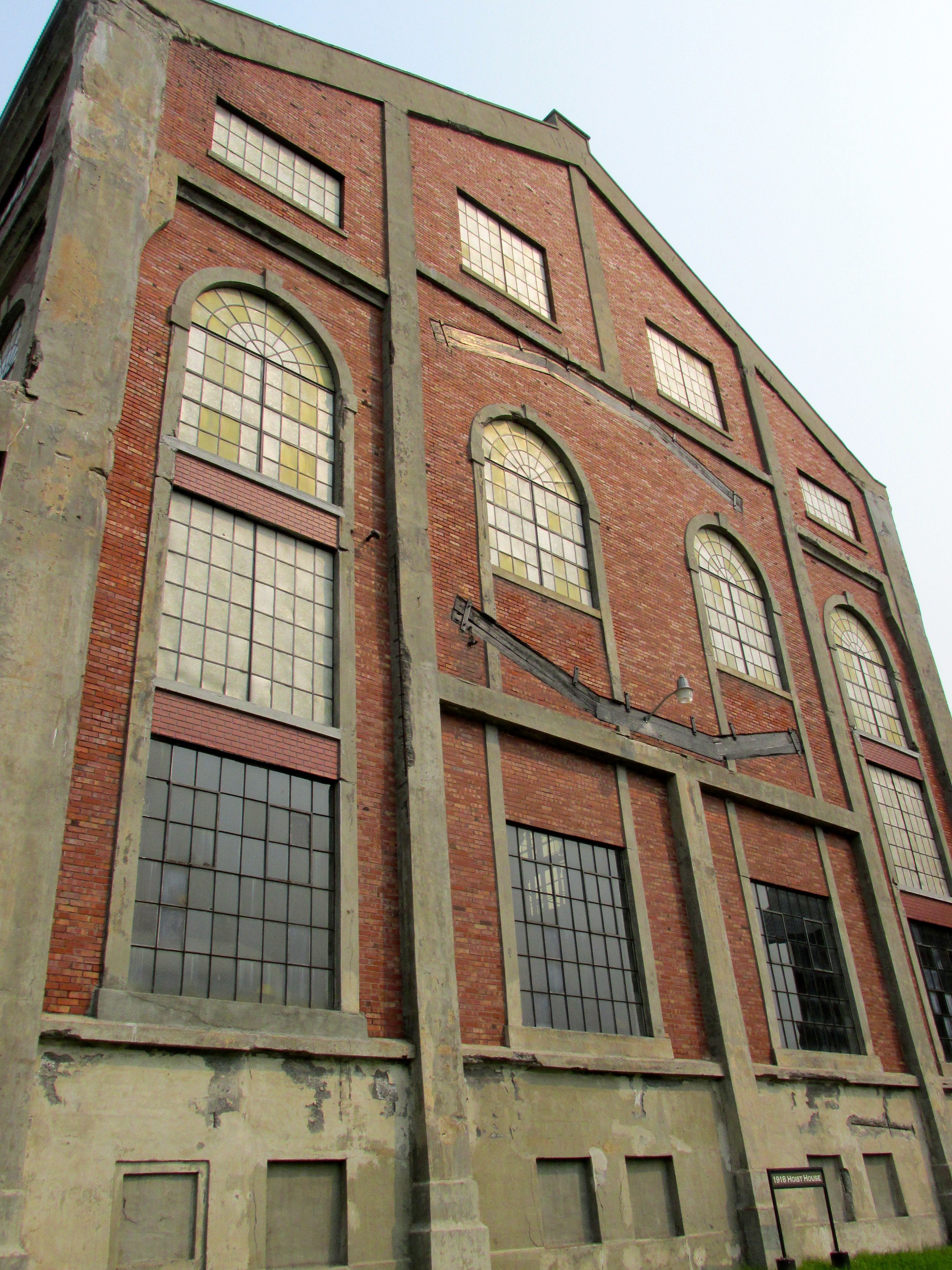
The first stop on the tour is the the Number 2 Hoist House. It was the pride of the company and a real showplace. It used modern construction techniques of cast concrete with rebar. It was a point of pride for the company; the building was faced with brick and imported Italian tile was used inside. Before we could go inside to see the Nordberg Steam Hoist, we all had to put on hardhats.

Nordberg Steam Hoist

The Nordberg steam hoist was a marvel of its time. It used the energy produced by the steam so efficiently that it lowered the cost of operating the mine.

The spindle used to wind the cable
Steel cable used in the mine

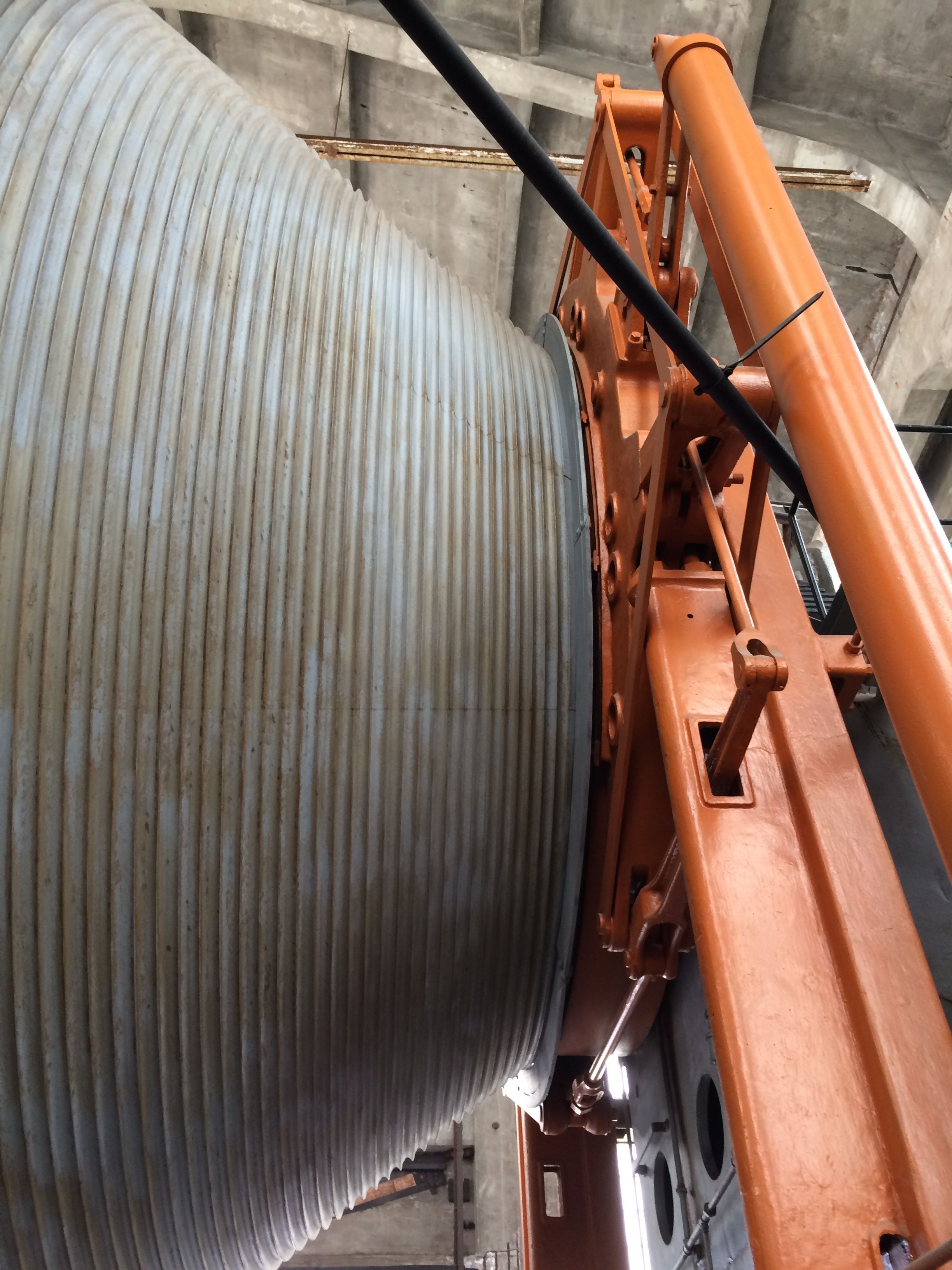
The cable wound around the spindle and ran over a series of wheels and pulleys to the shaft house. It lowered empty cars and pulled up loaded cars.

Rock car and man car

The miners would ride three to a seat on the car for as long as half an hour into the mine. The deepest part of the mine was 9,260 feet down the incline, which was 92 levels of mining. After the mine stopped operating, the mine filled up with water. Currently, all the levels beneath the seventh level are flooded.

After marveling at the Nordberg Steam Hoist, we donned heavy jackets that they had available for us and got on the cog wheel tram to descend to an entrance to the mine. Since it was almost 80º that day, sitting in the sunshine in heavy coats and hard hats was a bit uncomfortable, but necessary.

Temperature sign

Yes, it really was that cold inside the mine.

Current entrance to the mine

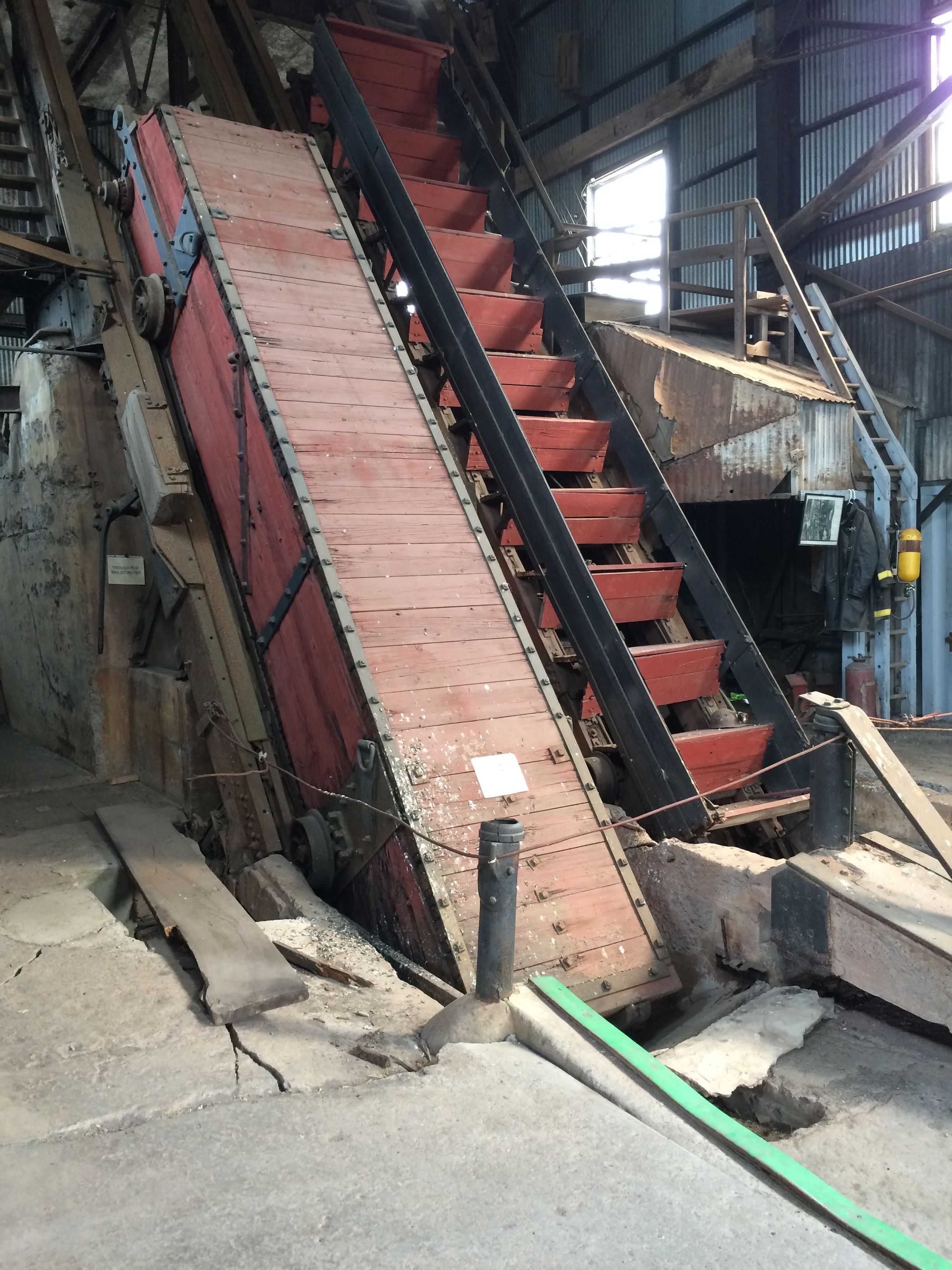
The entrance to the mine is through an old adid, which is an auxiliary opening to the mine. It might have originally been used for ventilation or getting rid of water, but it wasn’t for people and ore to enter and exit the mine. It was enlarged for the tour. Also, Michigan Tech used to hold classes in the mine, and they had a classroom built off to the side. Talk about your hands-on learning!

In the mine
In the mine

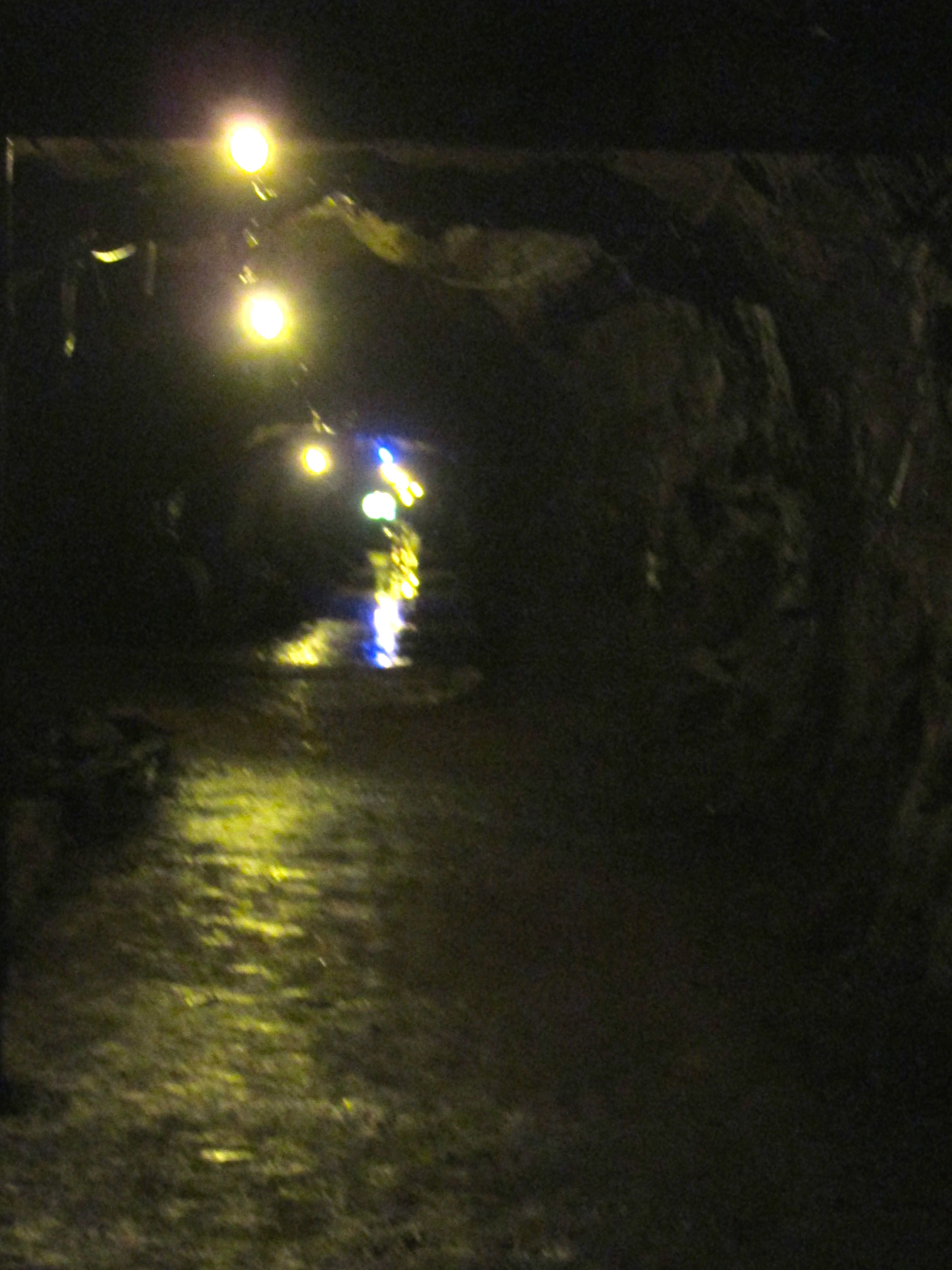
The electric lights were strung for the benefit of the tourists. The blue light indicates where US 41 crosses the tunnel, hundreds of feet above where we were standing. Miners worked with lights on their hard hats. According to the tour guide, in the early days, they worked by candle light.

The light of one candle in the darkness

Of course, the miners’ eye adjusted to the low levels of light. The tour guide was demonstrating how they drilled into the rock before power tools. There were teams of three. One held what I’d describe as a kind of drill bit and two wielded sledge hammers. They men with the hammers took turns hitting the end of the bit, while the miners holding the bit would give it a quarter  turn between each strike. All this hundreds of feet below ground by the light of one candle.

You would definitely want to stay on good terms with your co-workers.

She showed us improvements in mining equipment, which enhanced efficiency and lowered cost but put miners out of work. The most amazing feature of the section we toured was something called a stope. It was an inclined shaft that connected different levels of the mine. The one she showed us had been constructed before the Civil War. It ran at a consistent angle, connecting three levels in the mine. It was built by miners who never saw further than the light of one candle. Amazing!

After the tour, I wandered about the site a bit, AFTER I shed the heavy coat and the hard hat. I was assured that the coats were washed every six months and both the hats and the coats were sprayed daily. As a former teacher, I had to grit my teeth to make myself put on the hat. Images of head lice were dancing in my head. At least they weren’t dancing on my head.

Martin House at the Quincy Mine

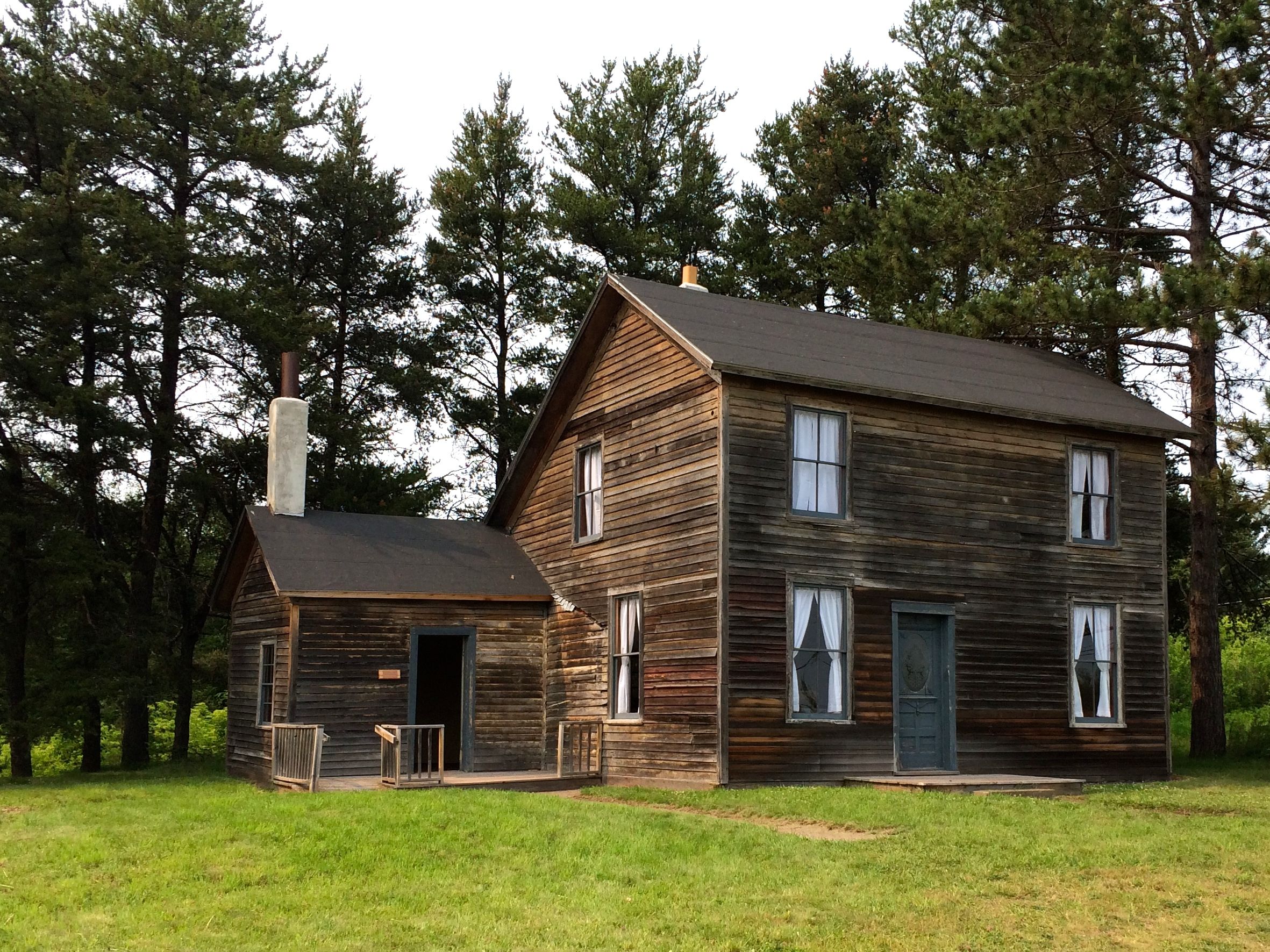
Most of the miners lived in company housing. This house was the residence of the Martin family from 1913 – 1925. Joshua Martin was the miner, but he got to spend little time in the house he worked so hard to provide for his family of eleven. He worked twelve hour shifts six days a week. According to the information in the house, Joshua worked for the mine for 35 years. He was killed in a mining accident in 1921. The family continued to live in the house for four more years. I found no explanation regarding why they were allowed to remain. It could be that the mine owners were being generous. Maybe. I find it more likely that one of the sons grew up and was working at the mine and that is why they were allowed to stay in company housing.

Interestingly enough, these houses are still in use today. One of the tour guides said that her house was an old company house. It had been updated, though, with modern conveniences, such as indoor plumbing.

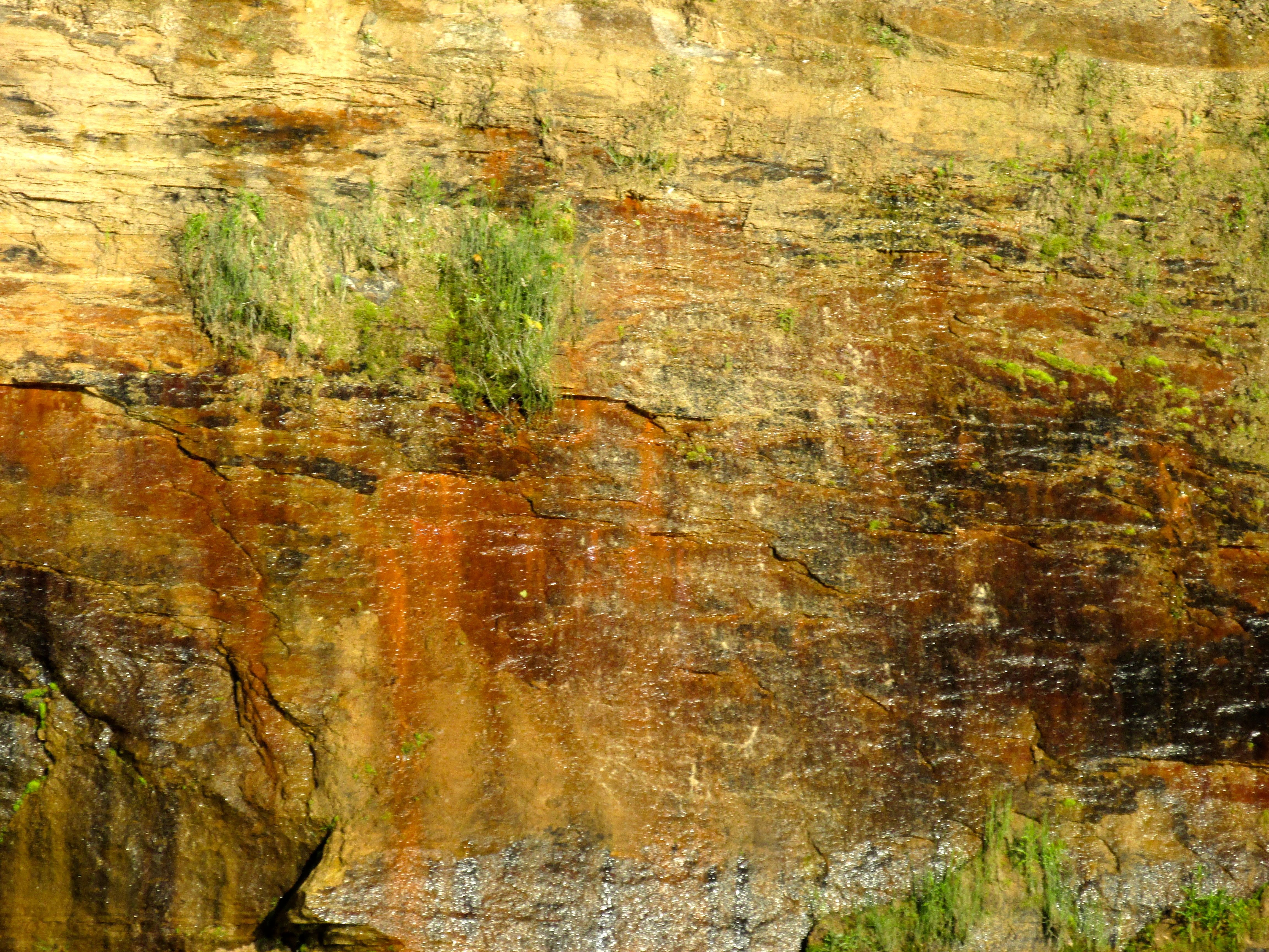
One of the features of the older mine buildings that I particularly enjoyed was the stone they were build from. It is a layered sandstone.

Bacon, anyone?
Bacon, anyone?

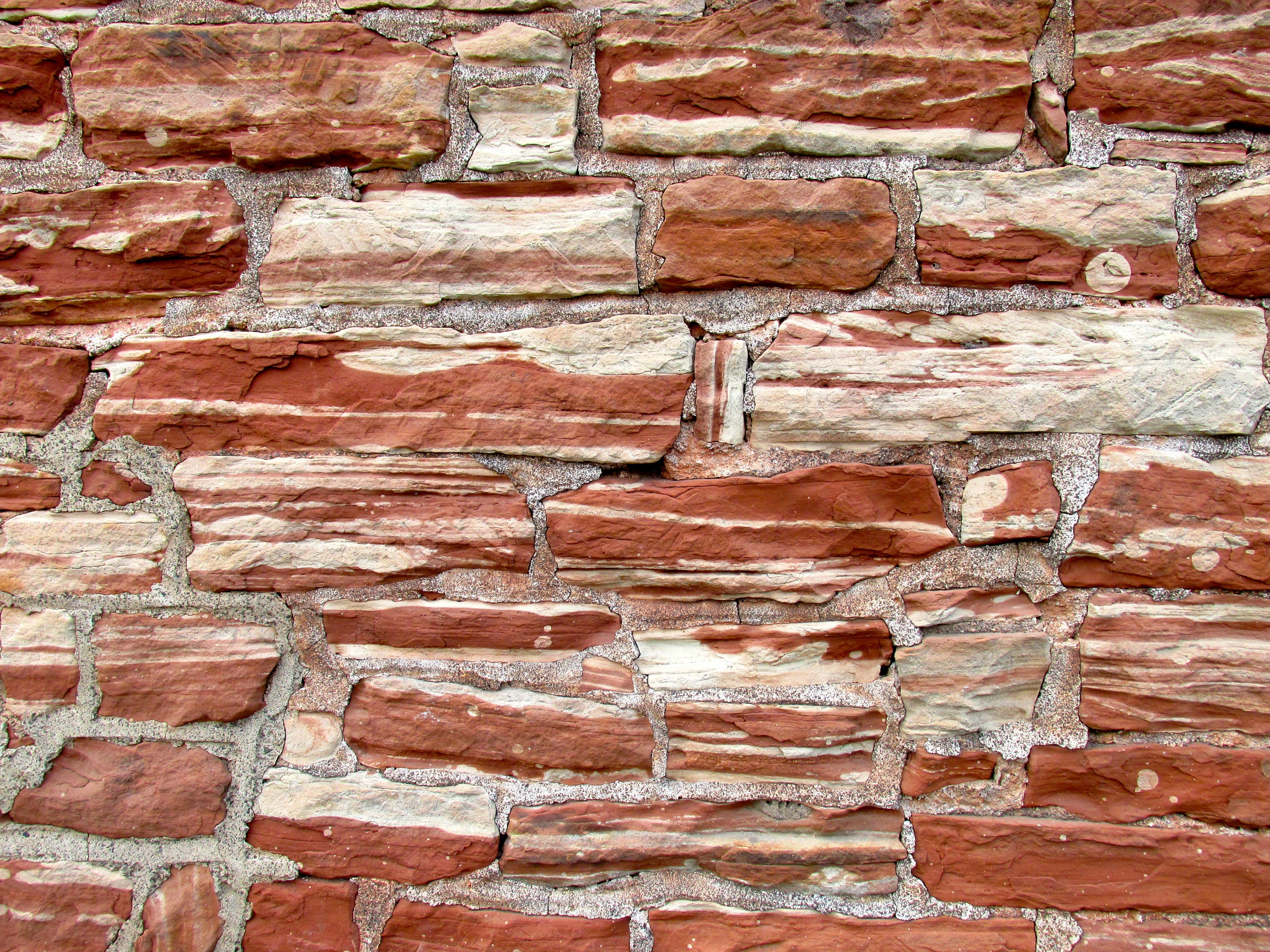
Tell me that it doesn’t look like bacon!

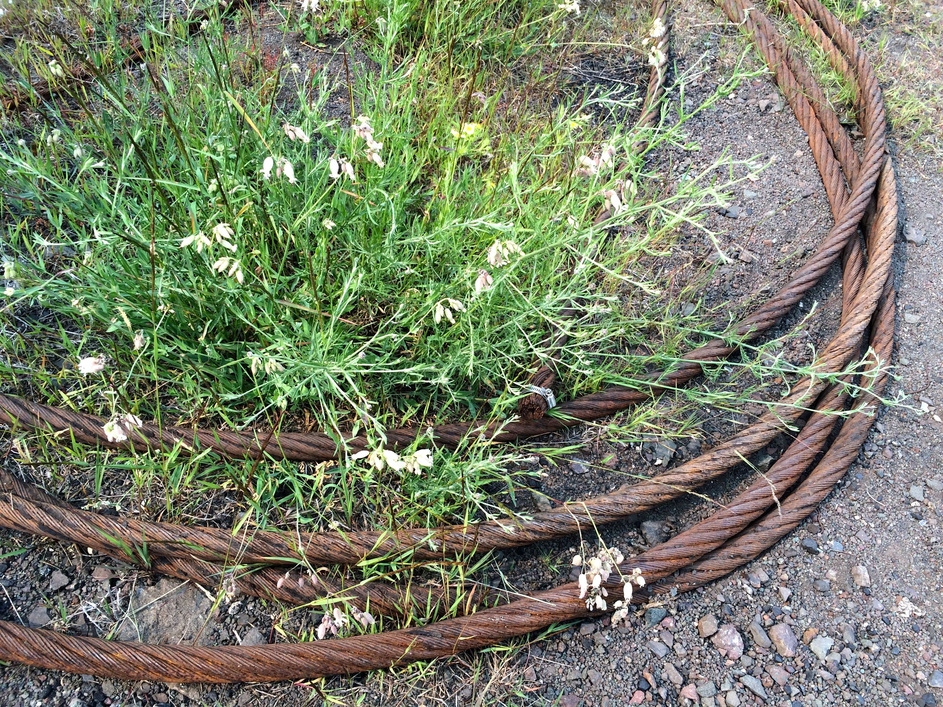
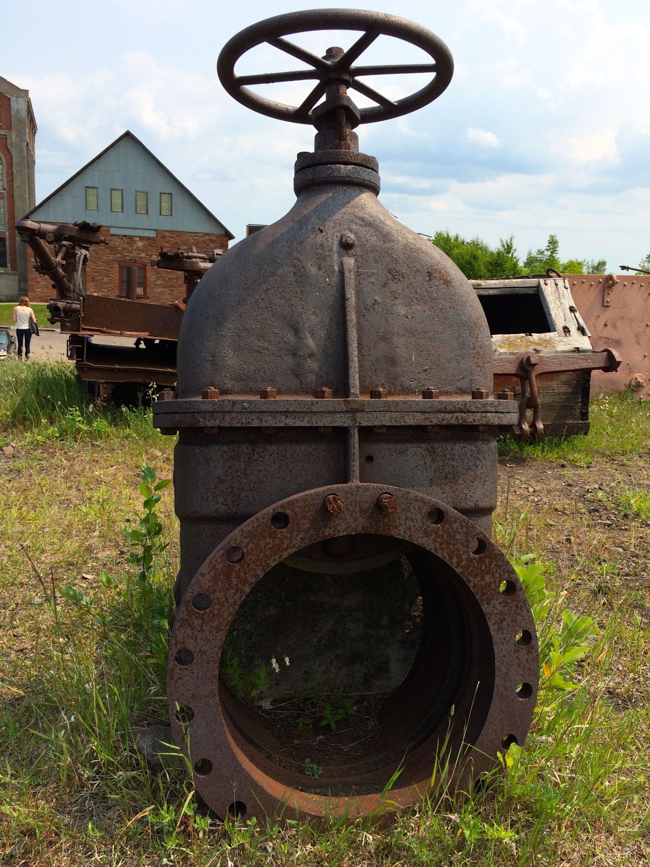
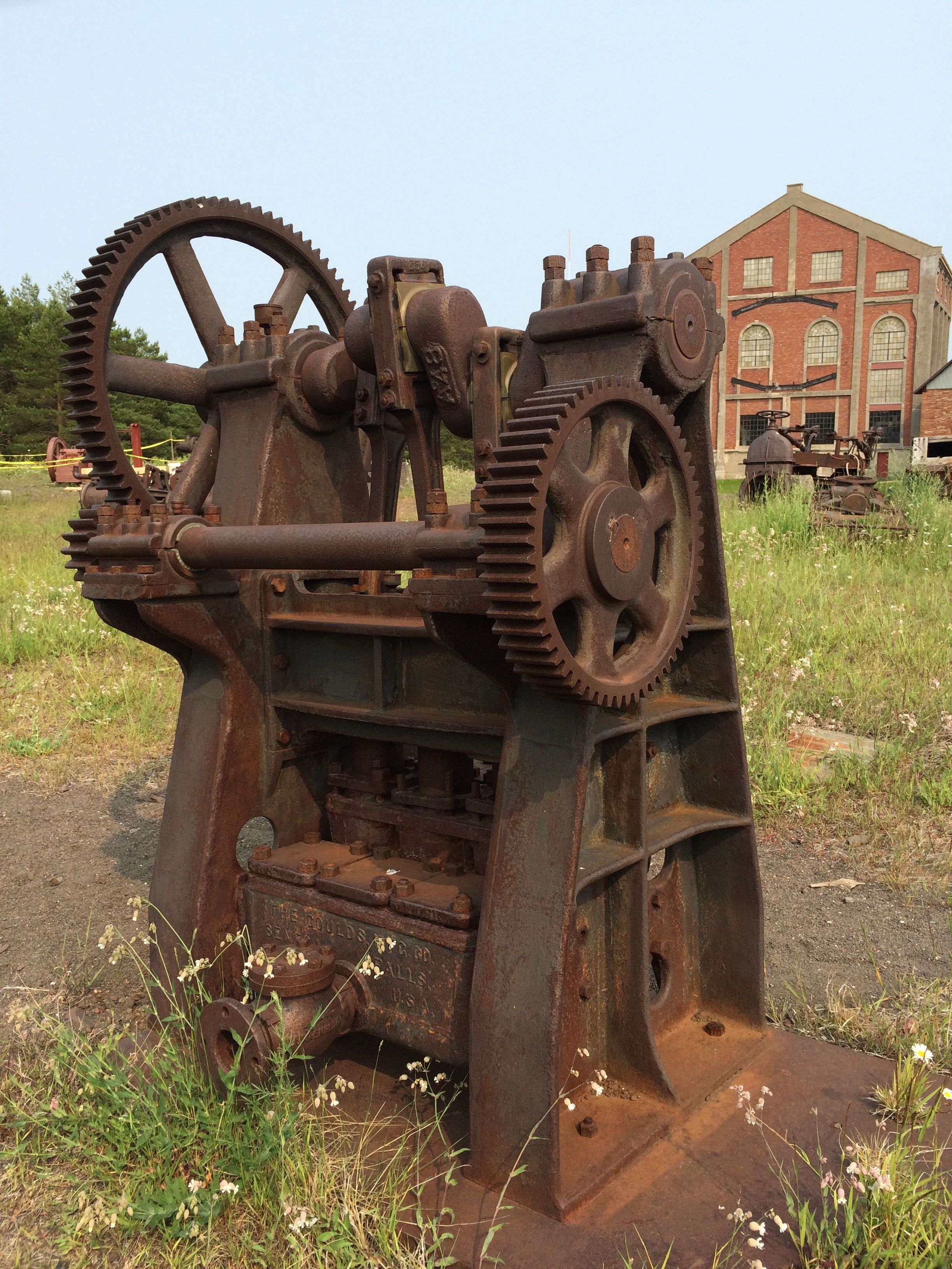
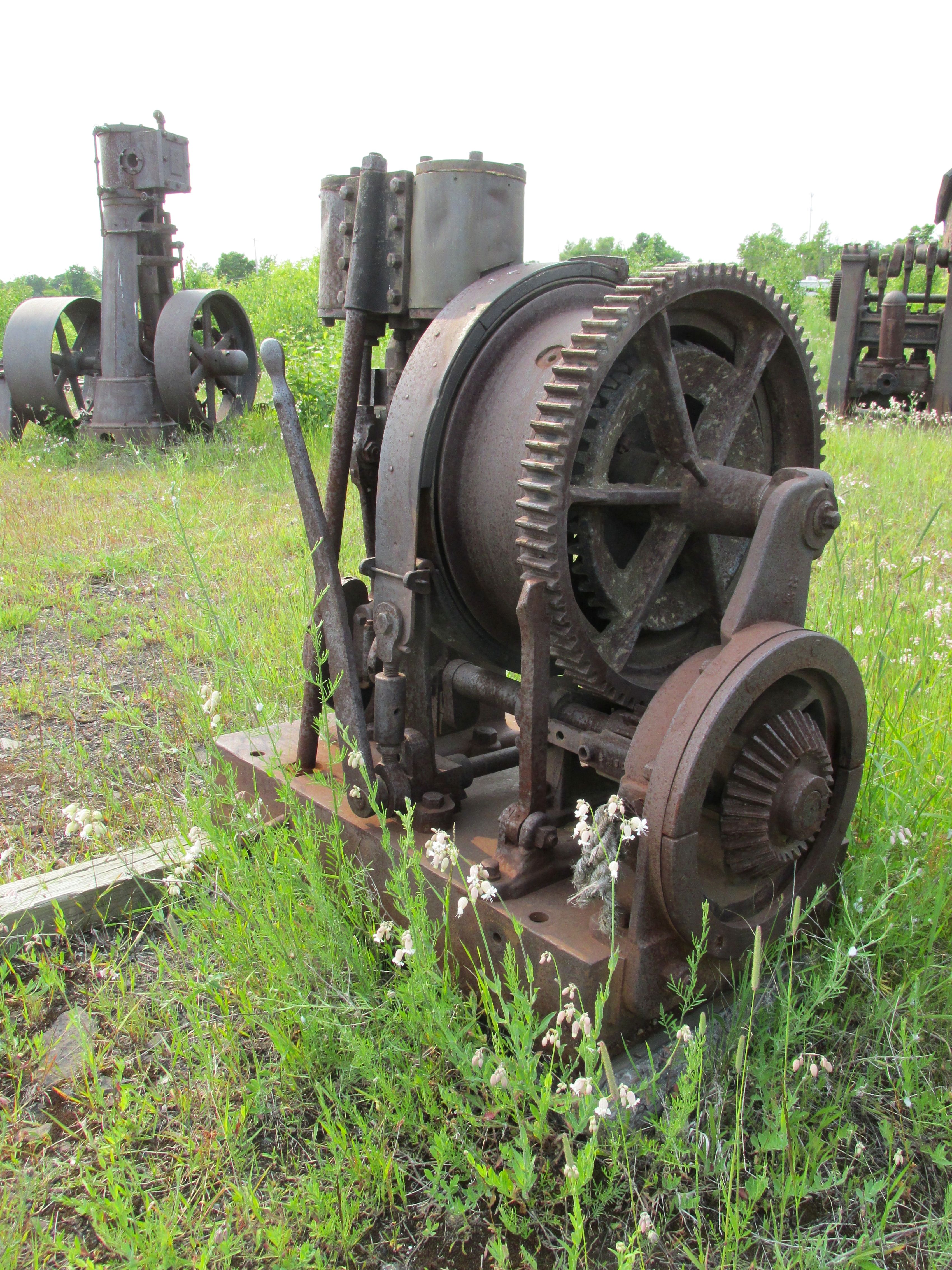
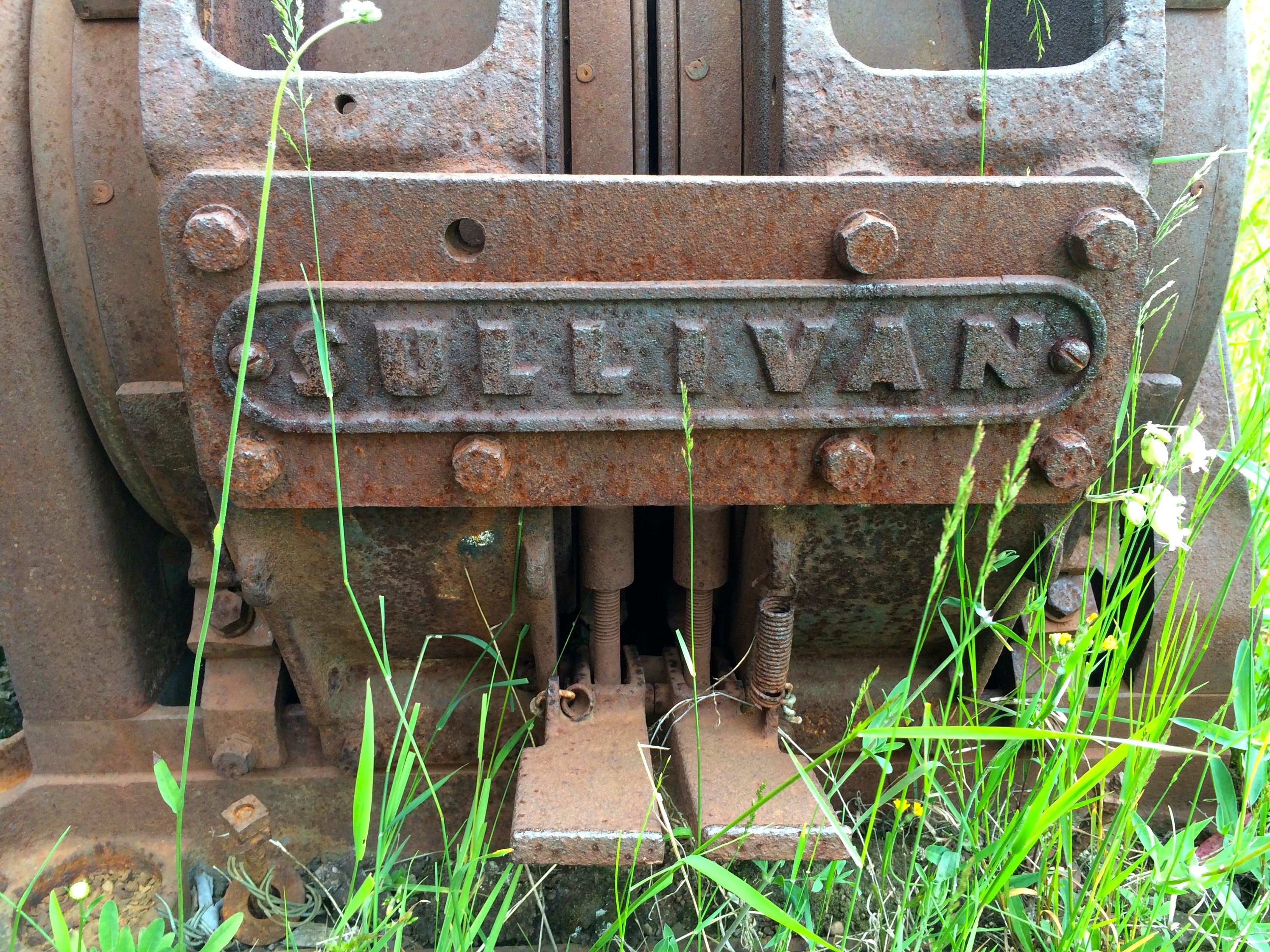
I also enjoyed the rusting machinery left outside.

Viking helmet
Viking helmet
Odd spinning wheel
Odd spinning wheel
Industrial era exercise machine
Industrial era exercise machines
Manufacturer's pride
Manufacturer’s pride

Then I left the mine. It was after hours, anyway.

Here is one thing that I was puzzling about in Houghton. They have a lift bridge. I understand that. What I don’t understand is that it seems to have two driving surfaces and I drove across both of them.

Low bridge
Low bridge
Not-so-low bridge
Not-so-low bridge

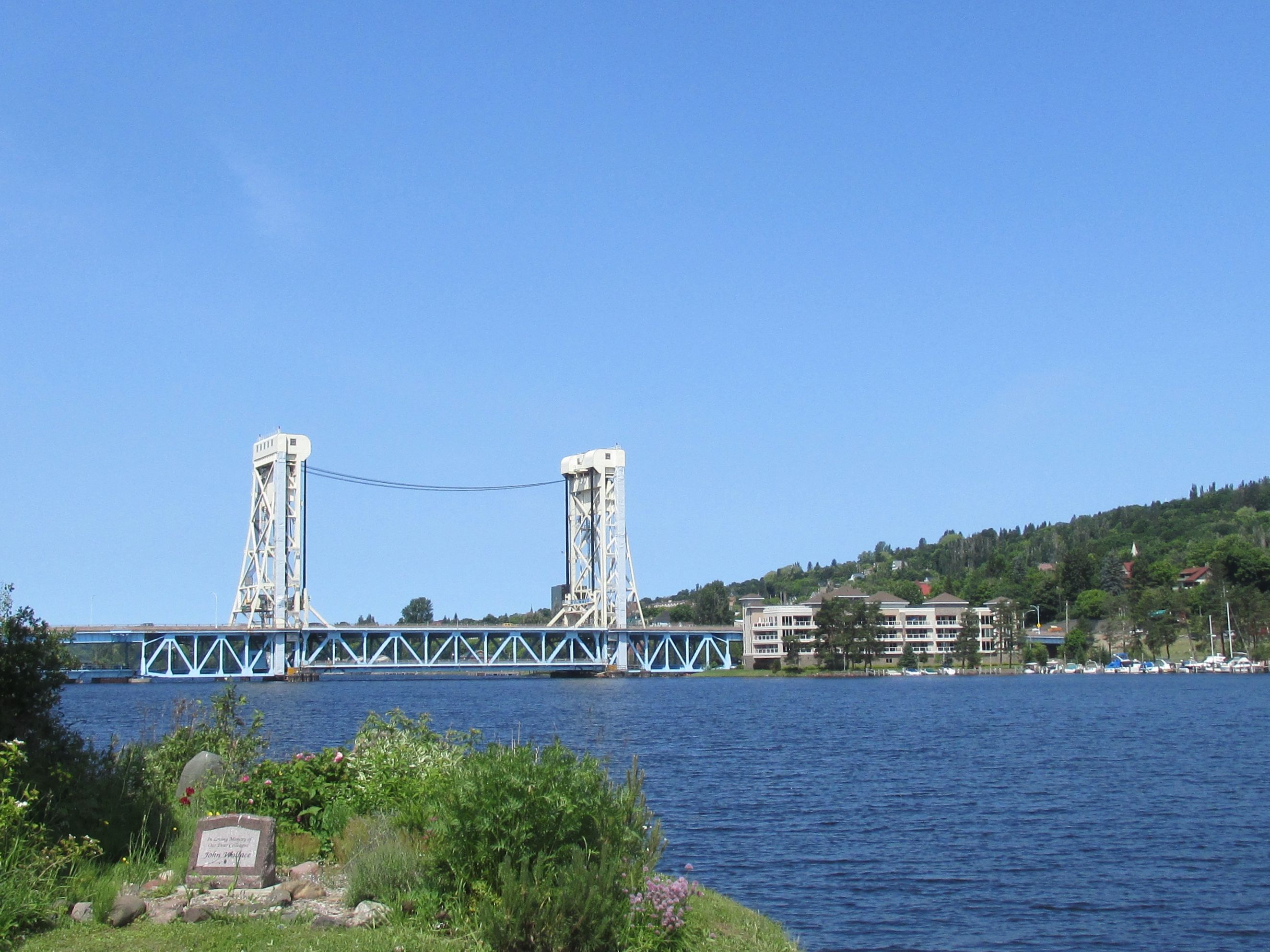
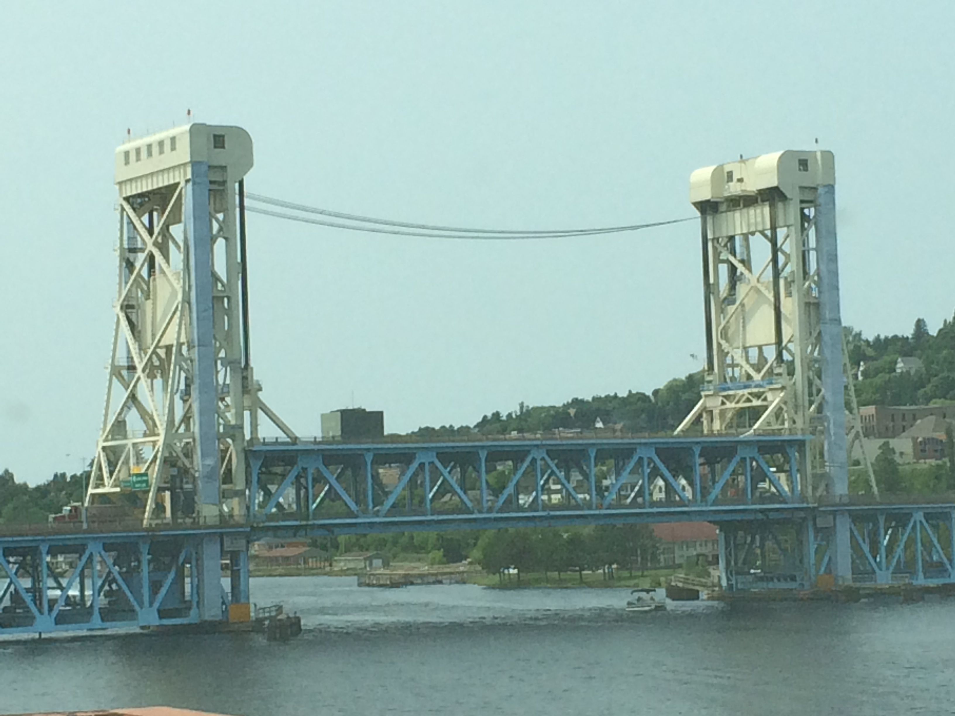
I am sure there is a reason. I am sure there is someone who could explain it. That person isn’t me.

Another interesting feature is that Hancock, the city opposite Houghton, is home to Finlandia University.

Finlandia University sign

Notice that little sign on the left side of the sign? Are you curious? I was.

Finlandia Sign explanation

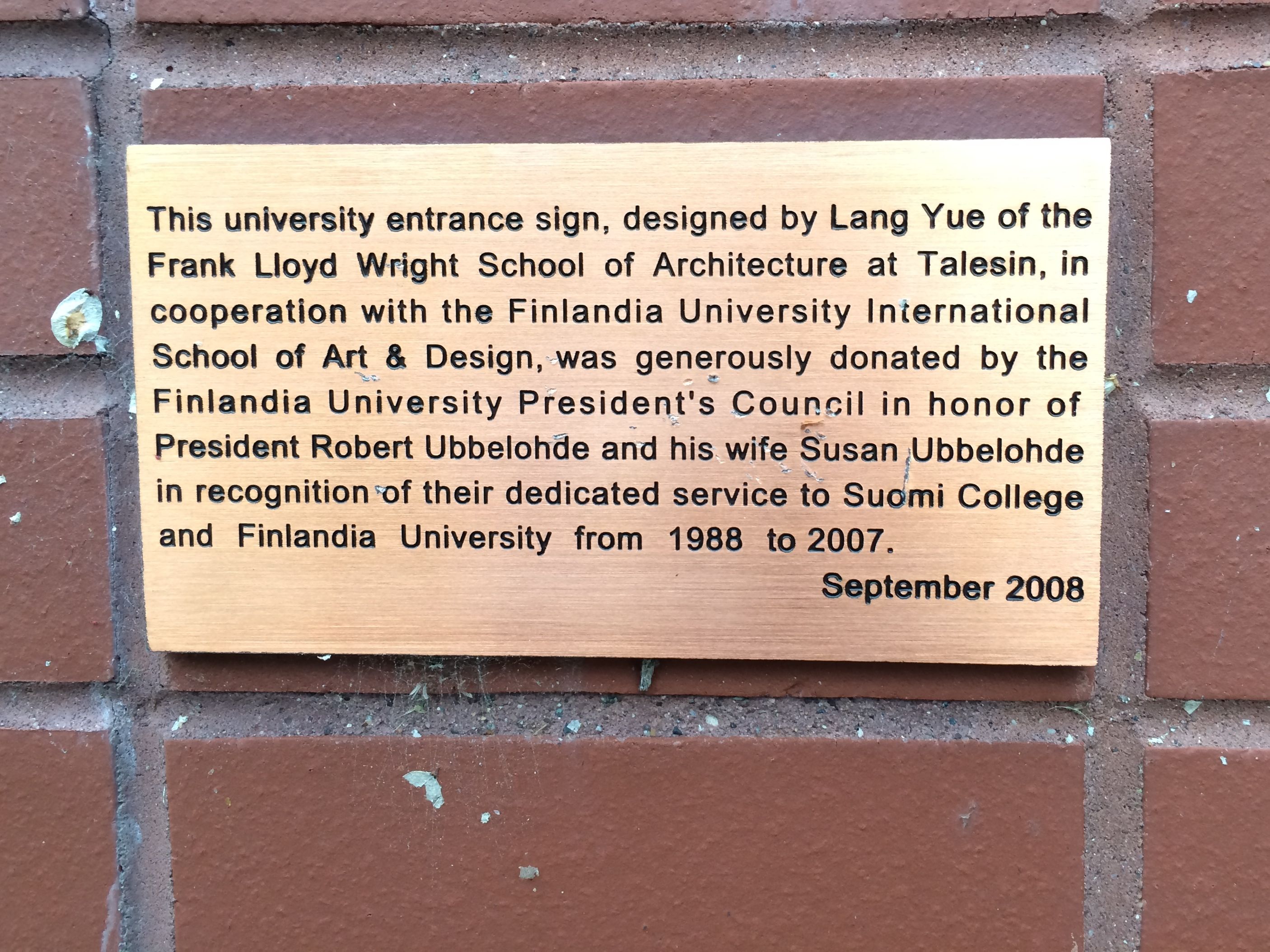
Everybody loves a little Frank Lloyd Wright.

Directly across the street is a restaurant I would highly recommend.

Hancock Restaurant

Gemignani’s Restaurant, on the corner of Quincy and Ryan. Or, as they say in Finnish, Yalta Katu and Kukkula Katu.Streeet signs

Yum!

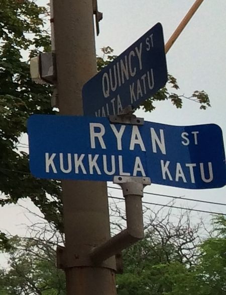
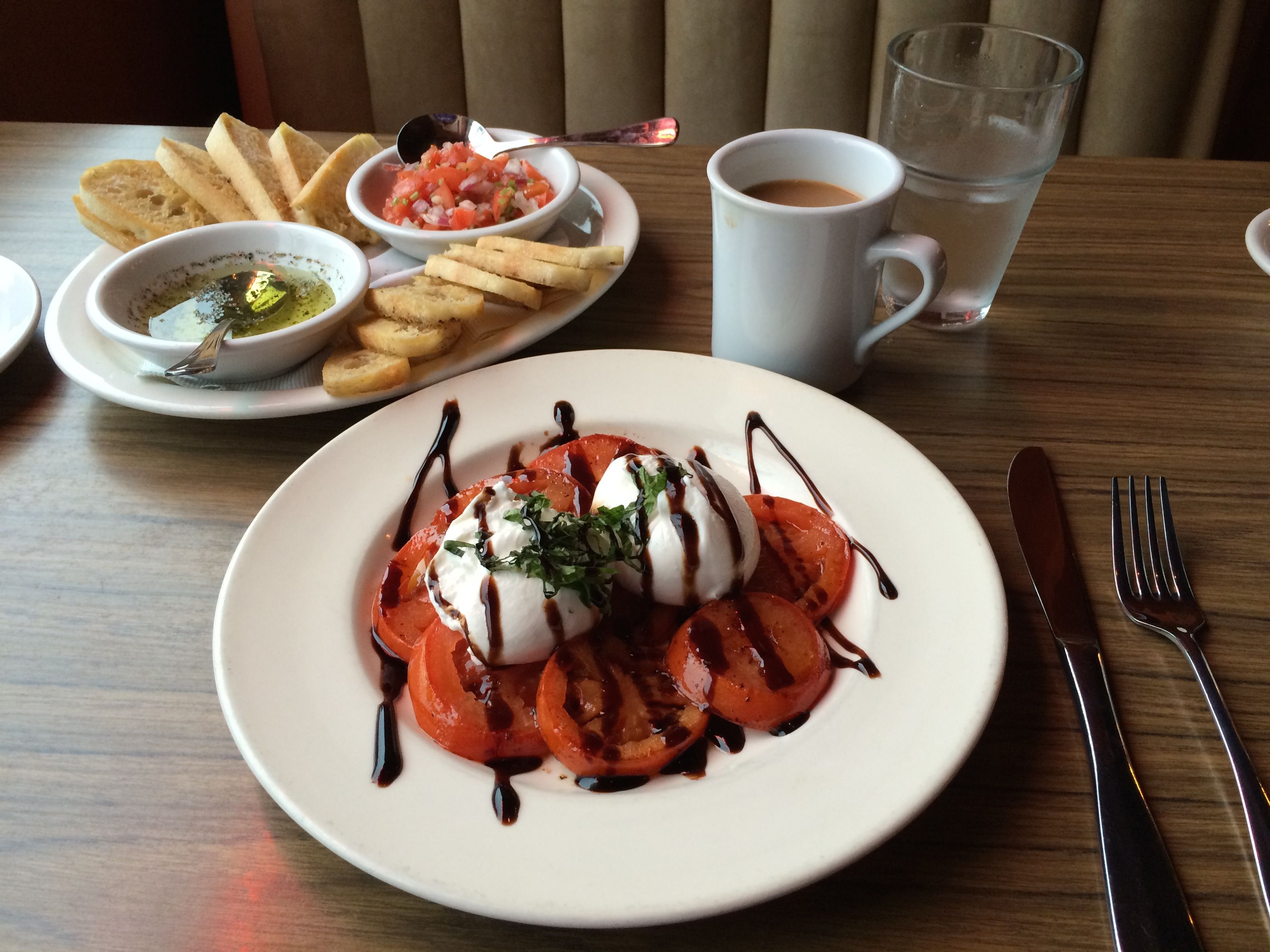
A delightful last dinner in the area.

Next stop, Porcupine Mountains Wilderness State Park.


Copper Harbor

I was at Fort Wilkins State Park for four days, but it was kind of a “down” time. I wasn’t disheartened, but did find out why black flies are so roundly reviled. I got a bite above my right eye, which swelled up mightily. I also got two on my neck.

One of these eyes is not like the other

I asked the locals what they do about them, and was told that they a) are used to them and b) they wear the Yooper Cologne – bug dope. Unfortunately, I didn’t think to apply any beforehand. A store keeper did offer to sell me something that she said would take the itch away. I didn’t buy it because it wasn’t itching, and the chemicals in the products didn’t sound like something I wanted near my eyes.

I did pop Benedryl on a regular basis, as I seemed to be having an allergic reaction to the bites. Either it was the Benedryl or “black fly fever” which I found referred to in an article published by Perdue University. It described the condition as “headache, nausea, fever and swollen lymph nodes” but they didn’t suggest a remedy. So, I just followed my body’s cue. I slept. And slept and slept some more.

In spite of my reduced tourism activity, I did managed to see a few things.

The road to Miami starts here

Since I plan to spend time in Florida this winter, it’s good to know that I am on my way.

Copper Harbor Light House

If there is a harbor, there must be a lighthouse. They give tours, but to get there, you have to take a boat ride. I wasn’t feeling perky enough to find out when the boat rides were, let alone actually take one.

Looking at the Copper Harbor Light House

So, I joined this young lady in looking at the light house from the shore.Rock in the water

The Copper Harbor Visitor Center was a very welcoming place. The volunteers there did their best to help all who came in. They had a computer that you could pay to use, but they let you use their wifi for free. Since there were no cell phone signals anywhere in the area, this was most welcome. They had some beautiful lighting fixtures which I think were appropriate for Copper Harbor.

Light in the Visitor Center

They had rest rooms open around the clock, a spigot for water and a bike wash rack! I had never seen bike wash rack before. These might be common, but I am not the most athletic type.

Bike Wash Rack
Bike Wash Rack

With all the rain we’d had, I think the bikers could use washing, too. I offered to rinse the guy off, but he declined my offer.

Just how did I get those black fly bites? Well, it happened on the first night, when I went to watch the sunset. It was gorgeous!

Sunset
Sunset

Sunset

No wonder I wasn’t aware I was being bitten.

January's destination
January’s destination

And now, I’m on my way, although I will take a few detours en route.

Pictured Rocks National Lakeshore, Munising, Michigan

Welcome to Munising

The jumping off point for visiting the Pictured Rocks National Lakeshore is Munising, Michigan, a lively little town of about 2,500. They also have a municipal campground with Wifi. With its location on the shore of Lake Superior, I had no trouble with mosquitoes. This was truly a blessing.

I wasn’t too sure that I was going to be able to take the tour. While the water inside the harbor was calm, sheltered by Grand Island, the lake outside the harbor was not. The day I arrived, they had to cancel the last tours of the day, and they told me to call in the morning.

The weather that night was wild. It rained, the wind blew so hard it made poor old Flo feel like a ship at sea, and it was cold. Between waves of weather, I went outside to look for the northern lights. I couldn’t stay out long, but I heard that they were spotted by people in the area. “See the Northern Lights” is still on my bucket list.

The morning was overcast and did not look promising. I called the cruise office around 11:00 and asked if they were going. They said they were, so I booked a ticket for later and took a nap.

When I woke up, the weather was glorious!

I drove into town, got my ticket and found a seat on the upper deck and got settled in.

Life vest demonstration
Safety first!
Safety first!

As we crossed the harbor, the water was very calm.

Smooth water in the harbor

There was a bit more wave action once we passed Grand Island, but it really was a smooth trip. Once we got out on the lake, though, there was a noticeable temperature drop.

Extreme hoodie overload

People started putting on all the clothes they had with them. This woman had three jackets with hoods attached.

Photo of me on the trip

I was also well-swaddled. Two jackets, a hat and the scarf I knit last winter. I wish I had thought to bring gloves. I had them in the truck.

beginning of the cliff

The cliffs started once we left the harbor. “Nice,” I thought, but hardly impressive.

more beginning

Getting more interesting.

The water is starting to get a little rougher.

Miner's

Interesting. Eroded cliffs. This one is called “Miners Castle.”

Painted Rocks

Captain Sliter told us that the brown comes from iron ore leaching through the sandstone. Black is from manganese, white is from calcium and the blues and greens are from copper.

Painted Rocks 3

Painted Rocks 4

Painted Rocks 5

Lover's Leap
Lover’s Leap

Painter Rocks 6

Painted Rocks 7

Cathedral Rock
Cathedral Rock

Notice the pine growing atop Cathedral Rock. All its water and nutrients come from the root that grows from the tree on top of the rock to the shore. Captain Sliter told us that there used to be a rock arch growing under the root, but it eroded away years ago. That is one tenacious tree!

Painted Rocks 11


Painted Rocks 10

These were the highlights of the Pictured Rocks, as far as I am concerned. What color!

Painted Rocks 12

The farthest point we went on our tour was Spray Falls.

Spray Falls

And then we turned around for the return trip.

Looking out at the lowest point in the United States

Now, I thought that Death Valley was the lowest point in the United States, but Captain Sliter informed us that the lowest point was really the bed of Lake Superior. The surface of the lake is about 600 feet above sea level, and the depth is about 1300 feet, which means that the bed of Lake Superior is about 700 feet below sea level.

Ship's bell

There is a lot of nostalgia for the old ways of doing things on ships. For instance, they have this bell, but I never saw or heard it used. Modern methods of piloting

I was pleased to see that they have modern methods of piloting available and they use them.

On the way back, we passed by the old lighthouse on Grand Island. It was built in 1867 and was in use until 1910.lighthouse 1867 Grand Island

And then we were back at the dock.

Sunset at the campThat night, we had a glorious sunset. And, in spite of the clear night sky, once again, I missed seeing the Northern Lights.

It’s still on the bucket list.


Let’s Go to the Falls!

Slowly I turn...
Slowly I turn…

No, not those Falls!

Tahquamenon Falls in Michigan’s Upper Peninsula.

Lower Falls
Lower Falls

Since I lived in Michigan for almost thirty years, I knew that Tahquamenon Falls were “up there” but I didn’t know much of anything about them, other than people said they were pretty spectacular. I am here to say that they are, indeed, remarkable.

For one thing, there are two sets of falls – the Upper Falls and the Lower Falls. The Upper Falls has one big drop, and the Lower Falls has five drops that cascade around an island. They have boats available for rent that you can row across a lagoon to the island and then hike around to see all the falls up close and personal. I satisfied myself with a stroll along the top.

Me at the Lower Falls

Another feature of these waterfalls is that the water is actually brown. The brown color comes from the tannins that leach from the cedars in the swamps surrounding the river.

The Upper Falls
The Upper Falls

Furthermore, there are mounds of naturally occurring suds in the river beyond the falls. This happens as a result of the soft water, the aeration caused by the falls and naturally occurring lignin proteins found in decaying organic matter, if I understand correctly. At least, that is what the sign said.

Naturally occurring foam

On the day I visited, the river was flowing at 4,751 gallons per second. Just for the sake of comparison, Niagara Falls flow rate is about 150,000 gallons per second. Still, this was pretty impressive for a relatively small river.

Lower Falls
Lower Falls

The rock that the river flows over is sandstone. There are a couple different types of sandstone, one is harder than the other. At one spot, they point out fossilized ripples from the floor of an ancient ocean that used to be here.

Ripples in the sandstone

I didn’t actually go down to the edge of the river due to the unwanted attentions of Michigan’s second state bird, the mosquito. If I kept moving, they kind of trailed behind me like a cloud. When I would stop to take a picture, or to admire the view, they would catch up and swarm around me. It was so remarkable that people along the trail told me that they saw it happening. I was dressed in protective clothing and had bug repellant and I don’t think I got one bite while I was at the falls. However, it wasn’t pleasant.

I stopped and spoke with a ranger at the Fact Shack near the Upper Falls. She was displaying a Lamprey Eel that that took from the river at the base of the Lower Falls. It is an invasive species that is native to the Atlantic Ocean. It’s now found in all of the Great Lakes – and the Tahquamenon River. It attaches itself to a host fish with its suction cup mouth until it eventually kills the host fish. This one was posing for its close up. Those teeth look fearsome.

The mouth of the lamprey eel

One thing that I appreciated about the trails to the river’s edge, especially around the Upper Falls, was that they told you how far down it was from the trail. Personally, I would appreciate warning signs like this in all areas of life. Who wouldn’t want to know how close to the edge they are?

Warning sign