Konnie and I made plans to visit the V bar V Ranch, near Sedona, to see the petroglyphs that were on display there. Unfortunately, Konnie was unable to join me, so I went by myself.
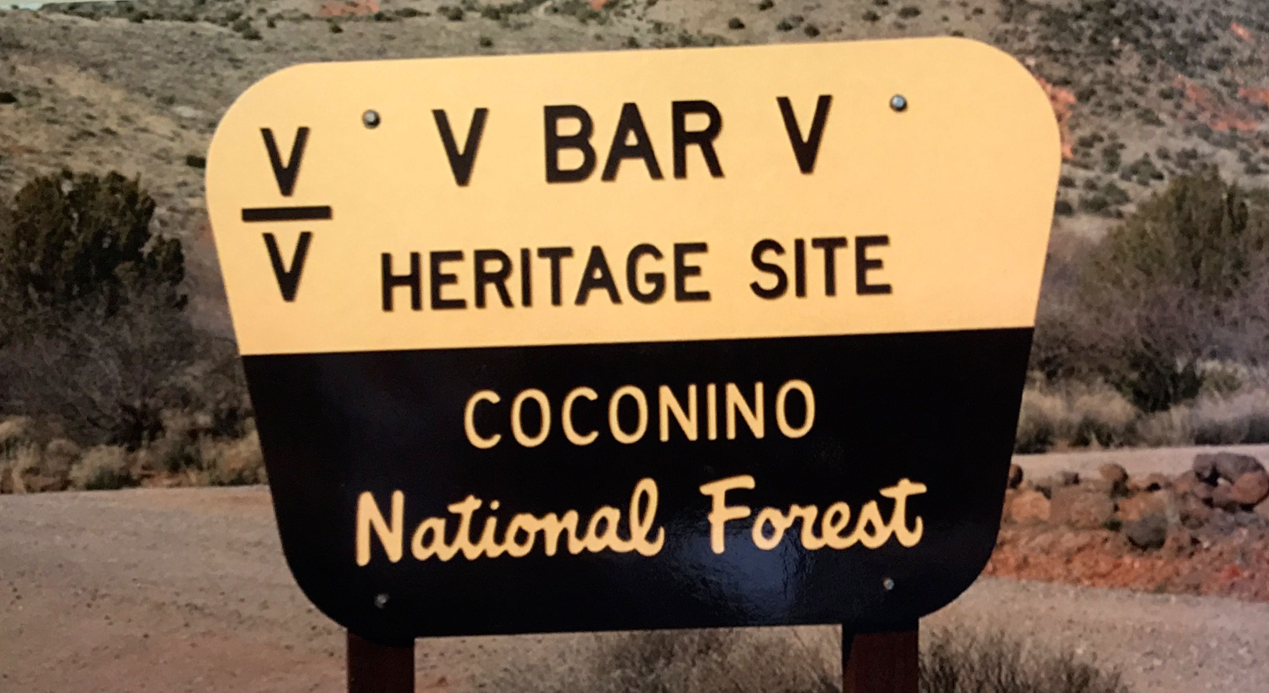
I gassed up ol’ Bart and set out bright and early for the 90 mile drive. Along the way, I gained about 3000 feet in altitude. I followed the directions and was happy to see the sign.
I pulled in to the parking lot and proudly displayed my America the Beautiful Pass. I like it when I can make more use of my $80 annual investment.

I passed under the gate and headed toward the ranger station. I checked in and assured the ranger that I had my pass properly displayed and went in search of petroglyphs.

There is not much left of the cattle ranch that was here. They don’t talk much about the ranch, except to say that the fact that this was a working ranch is part of the reason that the petroglyphs were so well preserved. I guess the cattle helped to keep people away.
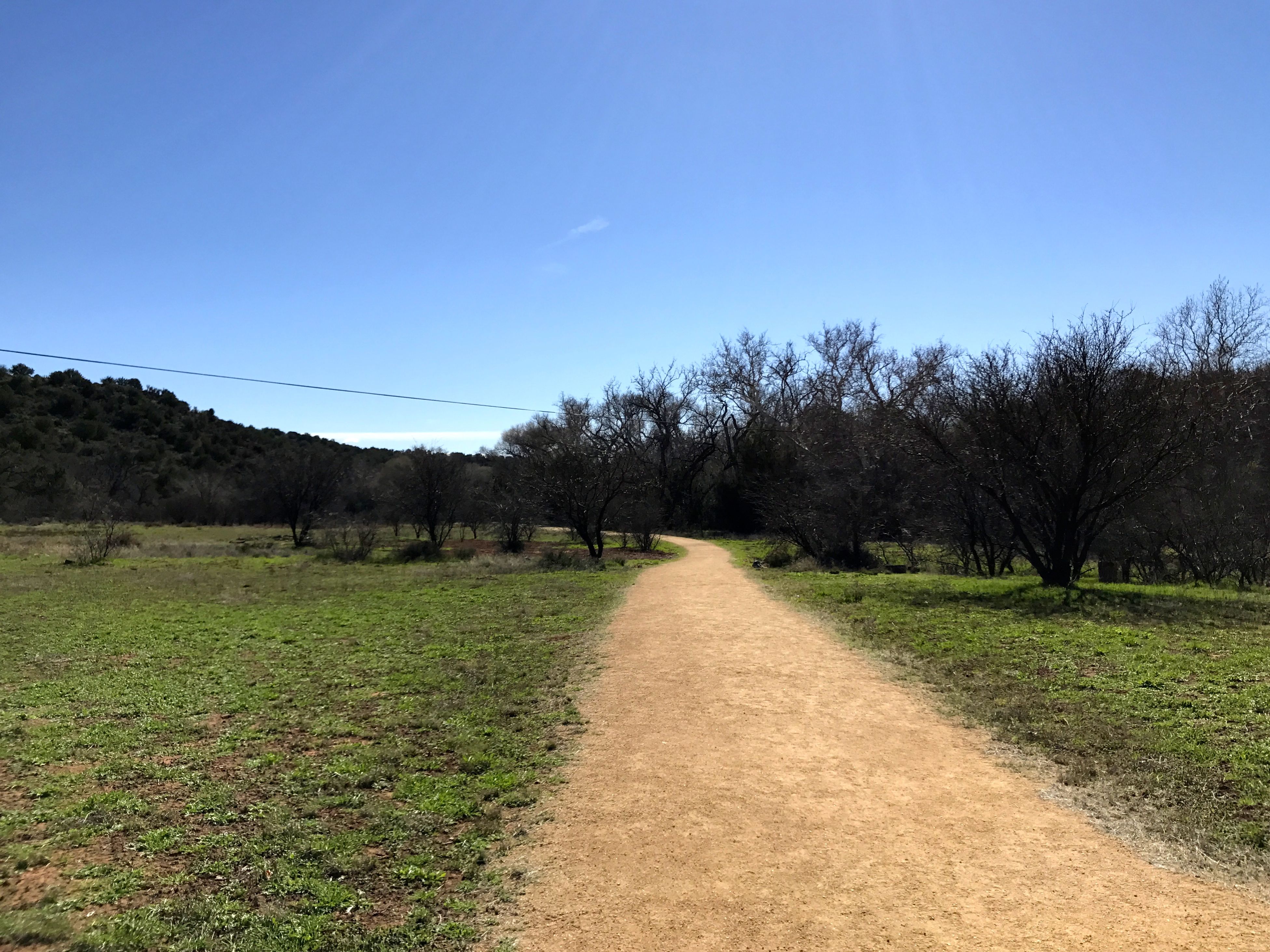
I didn’t know what to expect. My previous experience with petroglyph sites was that I should expect to walk among boulders. Walking down this level gravel path was unexpected.
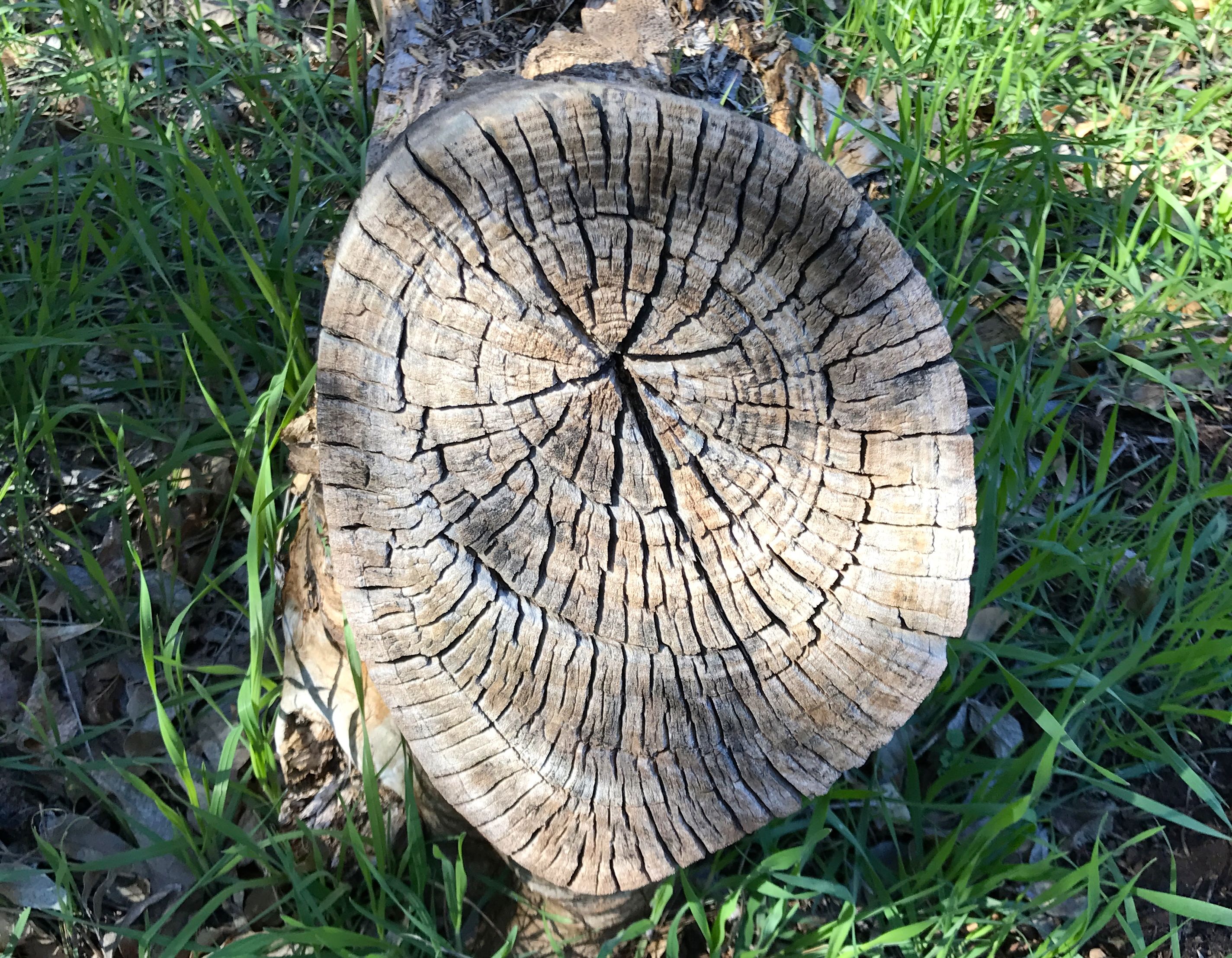
There are always things to see. This cut off branch caught my eye. I am amazed at how dry and cracked it is. I wonder how old it is.
So many questions!
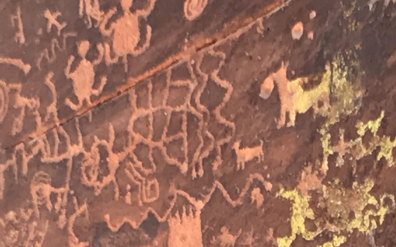
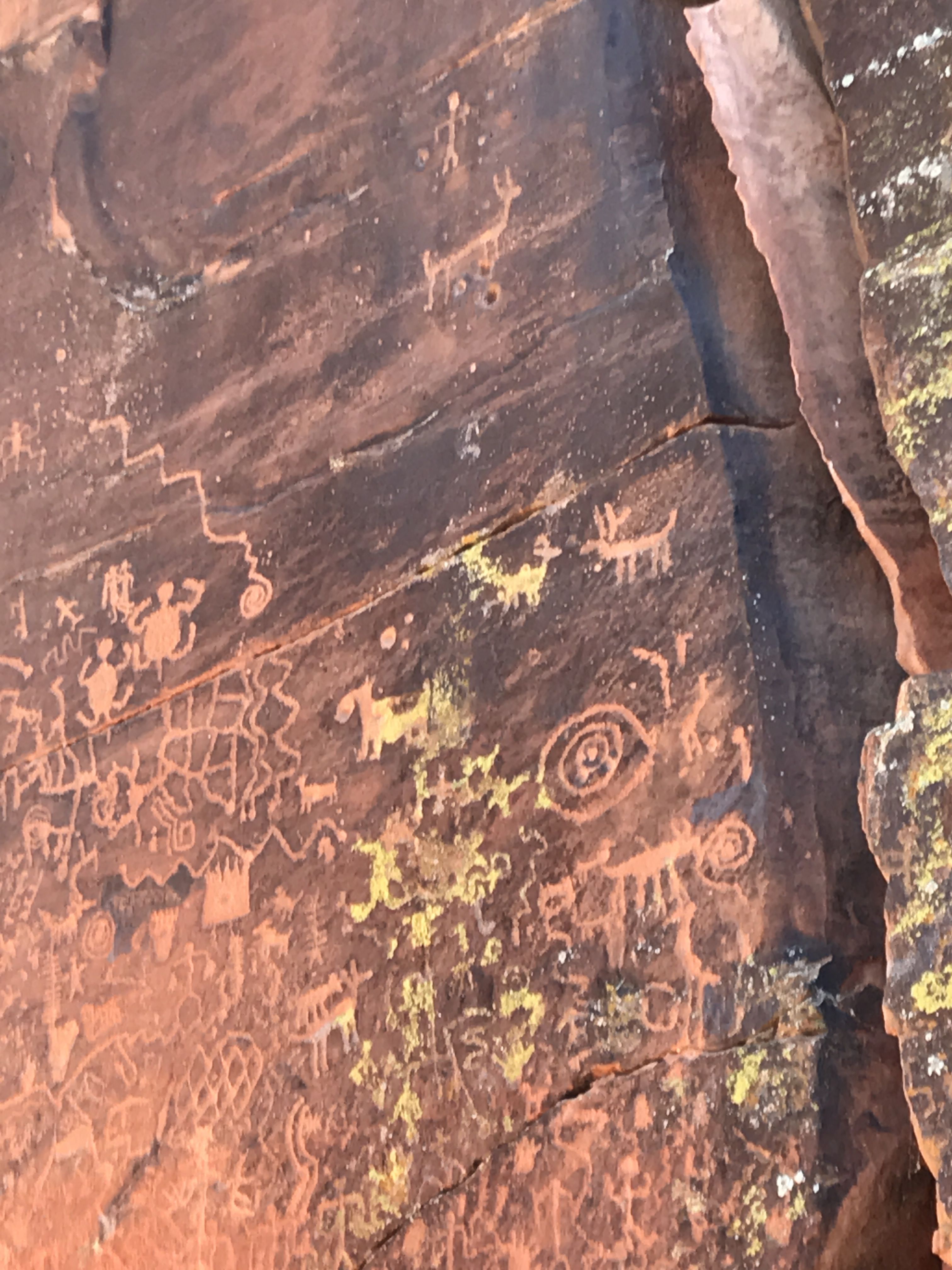
After a short stroll, I got to the petroglyph site. It was a cliff that was covered with 1,032 petroglyphs in 13 panels.
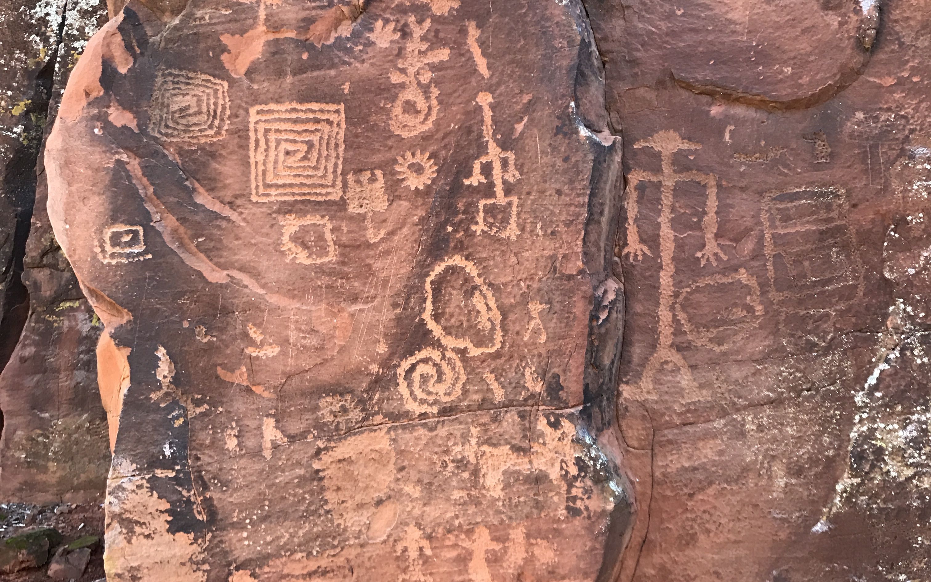
There was a marvelous docent there who took great pride in explaining what was known about the petroglyphs that were created by the Sinagua culture between A.D. 1150 and 1400. Actually, all that is known about this culture is what archeologists have put together by study of what has been left behind.
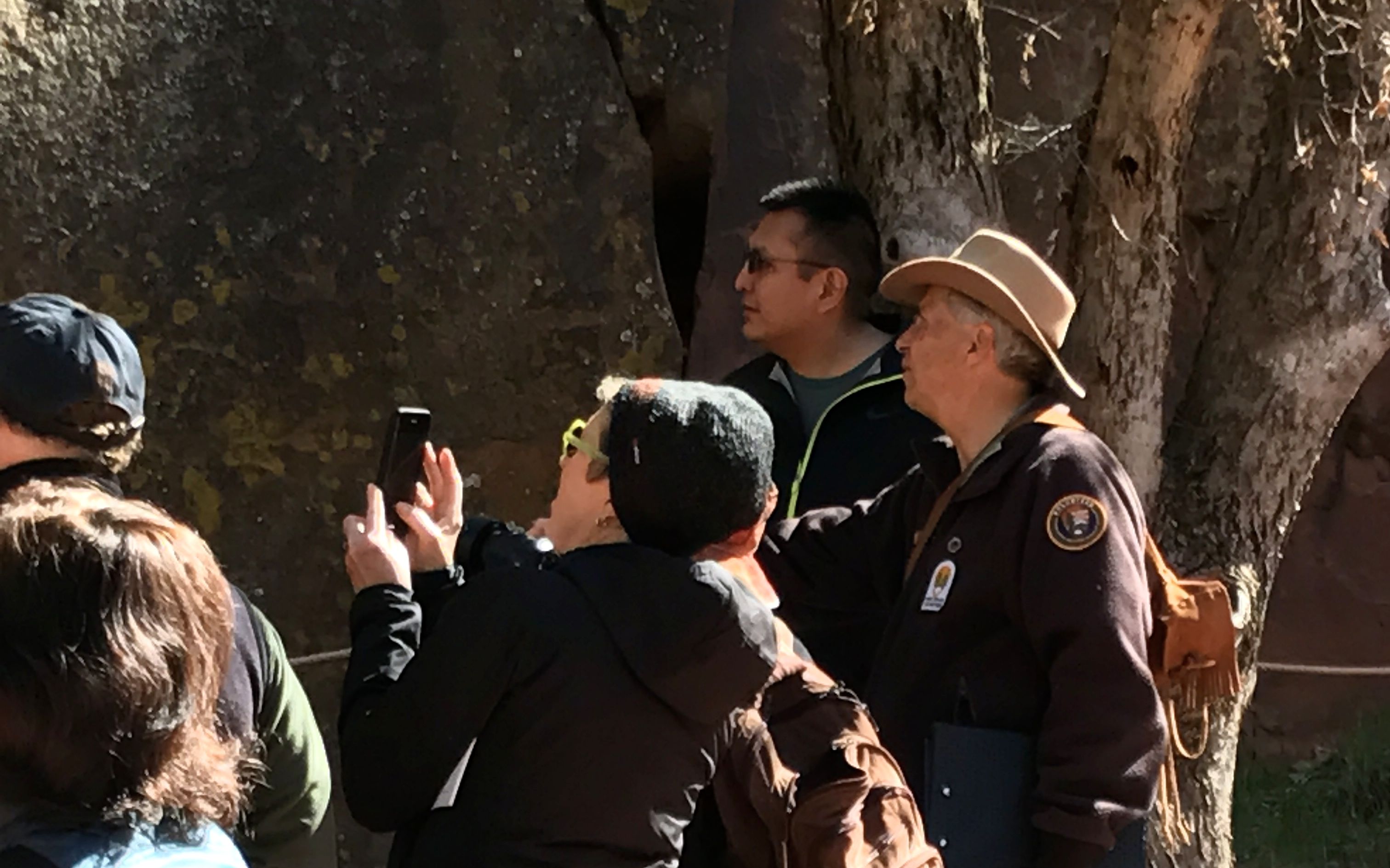
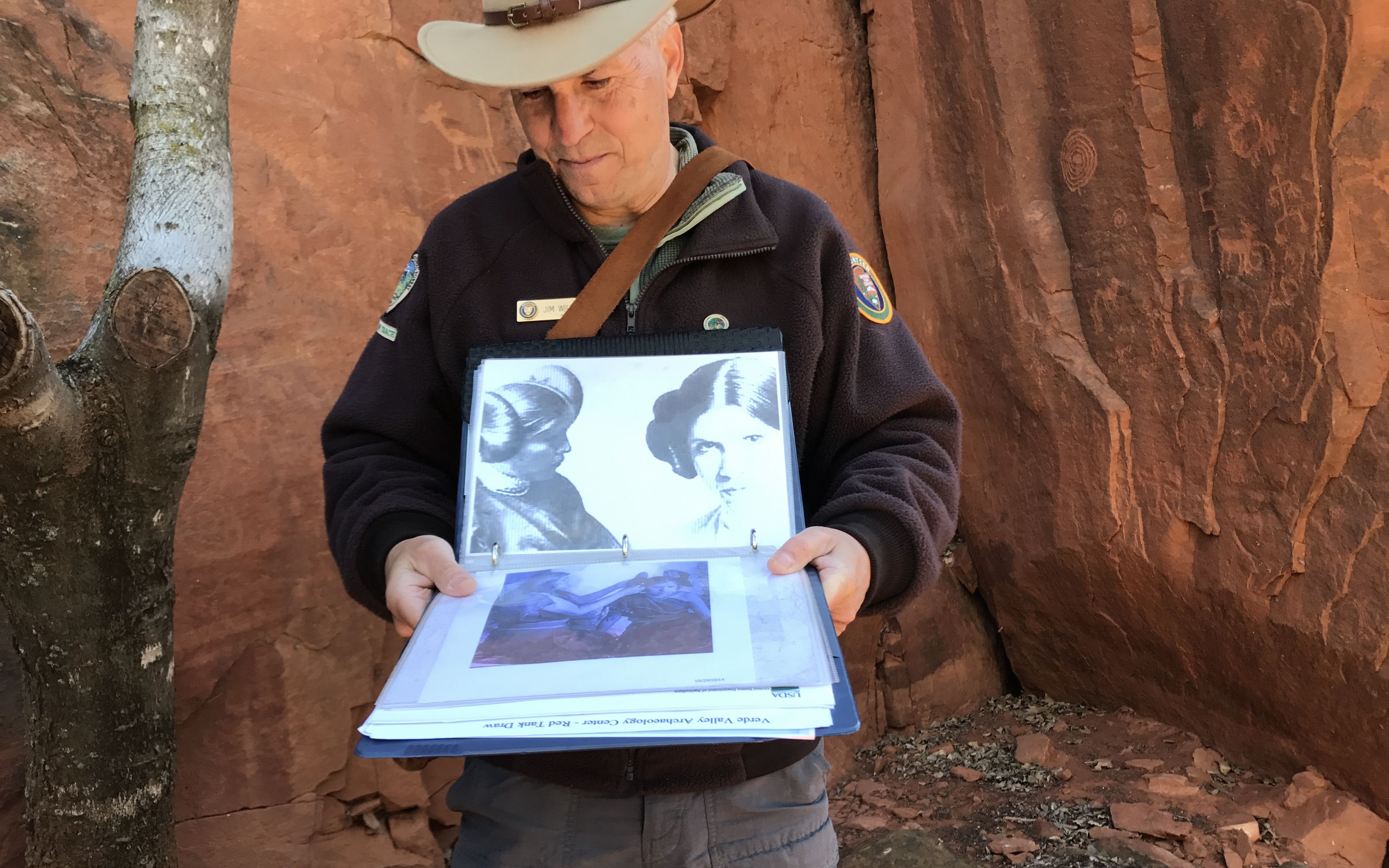
Jim, the docent, has his own methods, though. He takes advantage of every opportunity to talk with Indians about what they think of the symbols. Here he is, picking the brain of a visitor who identified himself as Hopi.
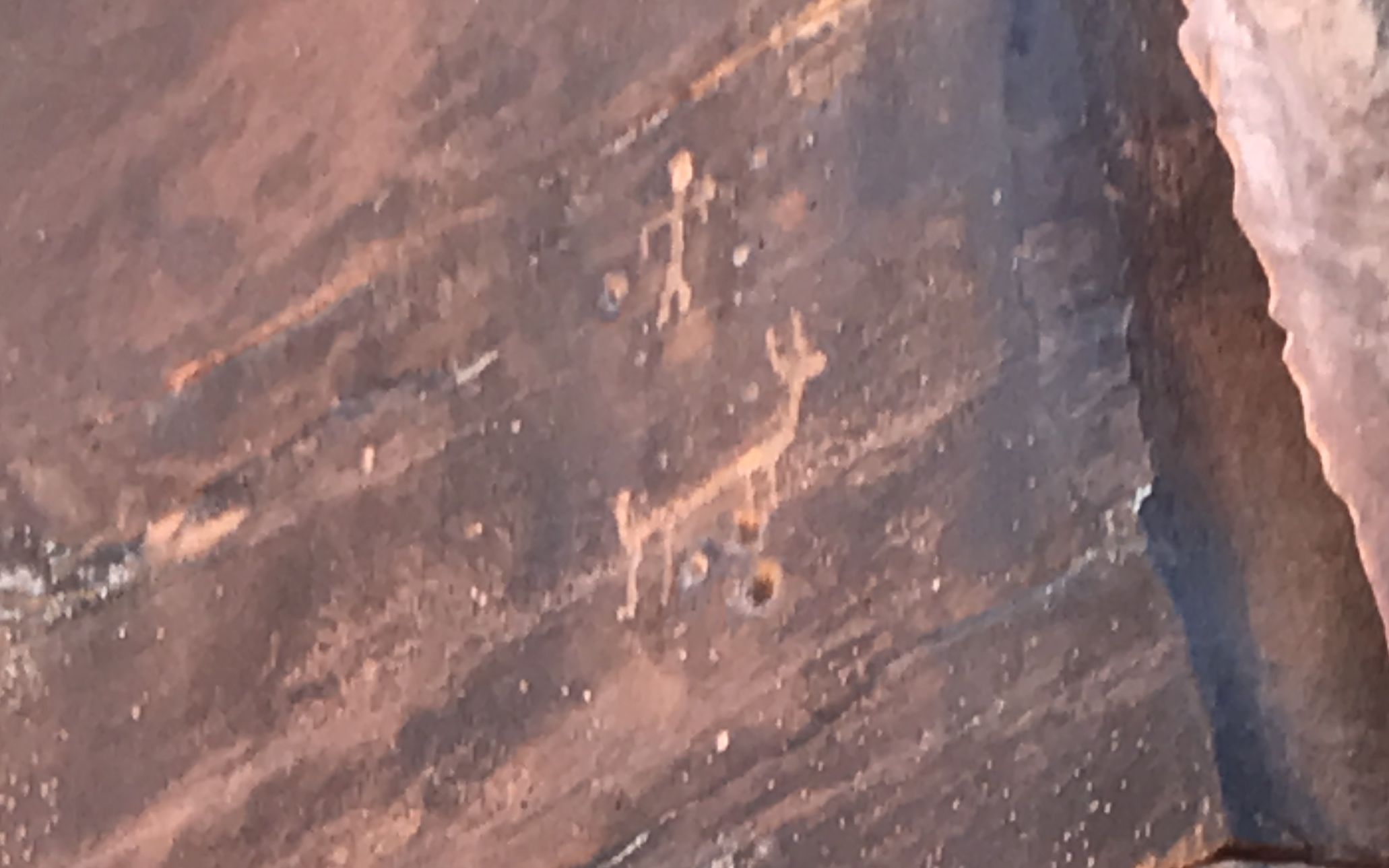
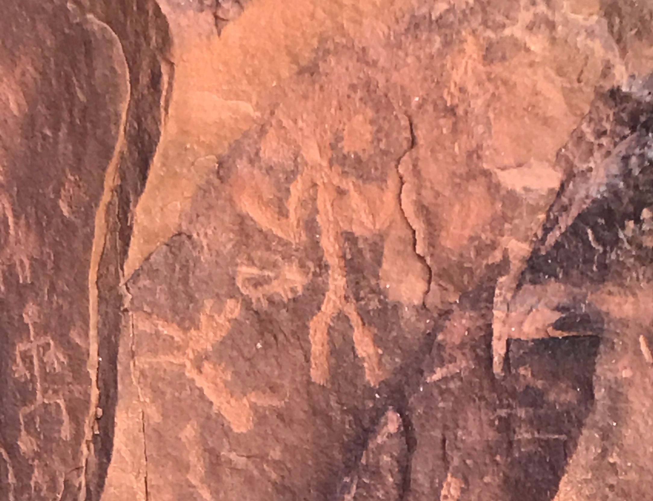
Jim told us that these forms were important. He identified the top figure as the Creator and the bottom one as an antelope. The holes are part of a calendar.
I snapped this photo from his notebook. You can see the two figures and the holes I mentioned earlier. Supposedly, this is from the solstice. I am not sure how the holes play into the calendar. Maybe they do at a different time of year.
The archeologists felt that this site was used primarily by priests or healers. As such, being able to tell when it was time to plant was important.
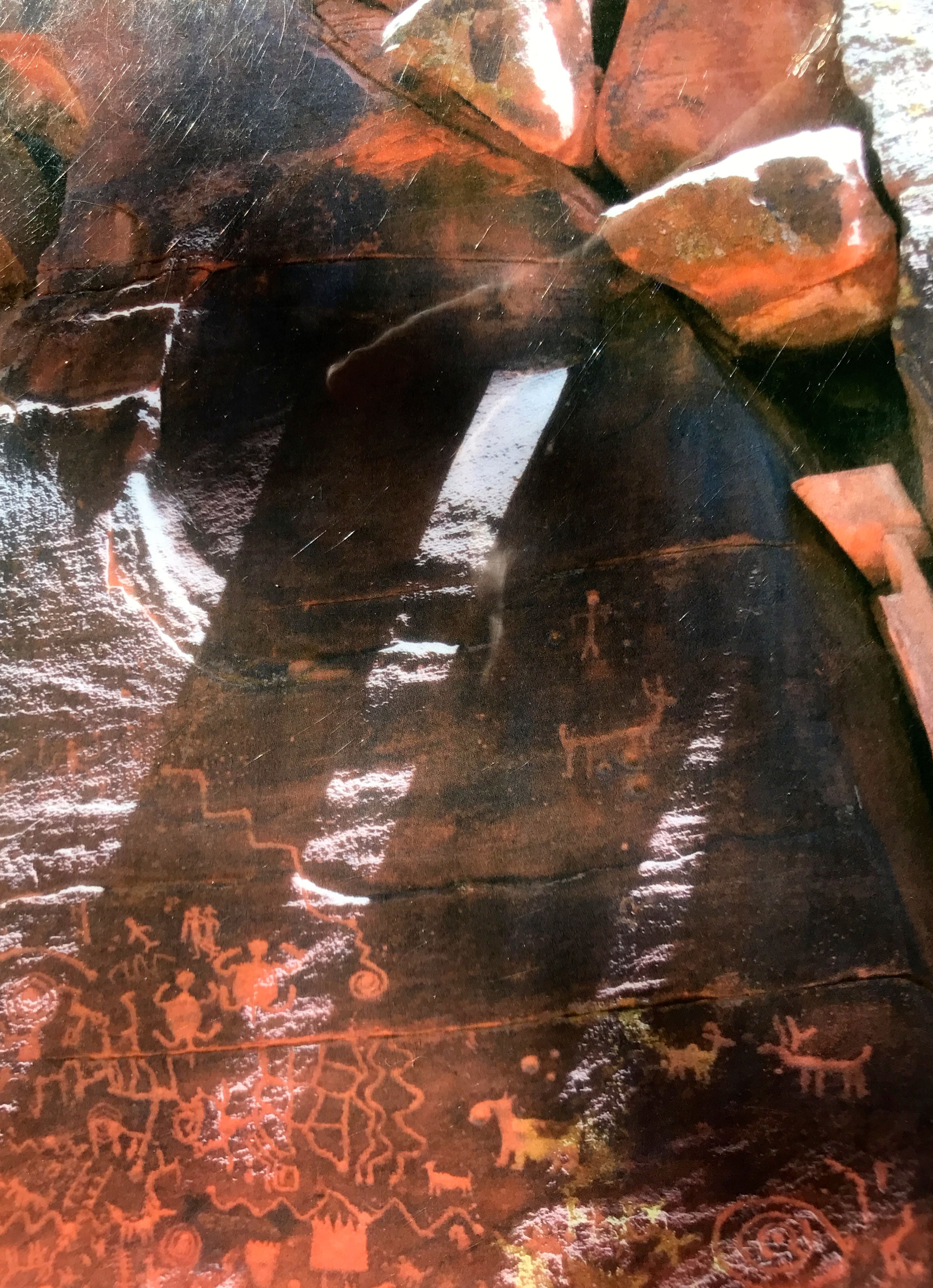
Jim told us that they think that the shapes in the center might be maps of fields. They used terraced fields, and archeologists have found indications that they farmed the hills around the site.
This petroglyph appears to be a map of the Verde River.
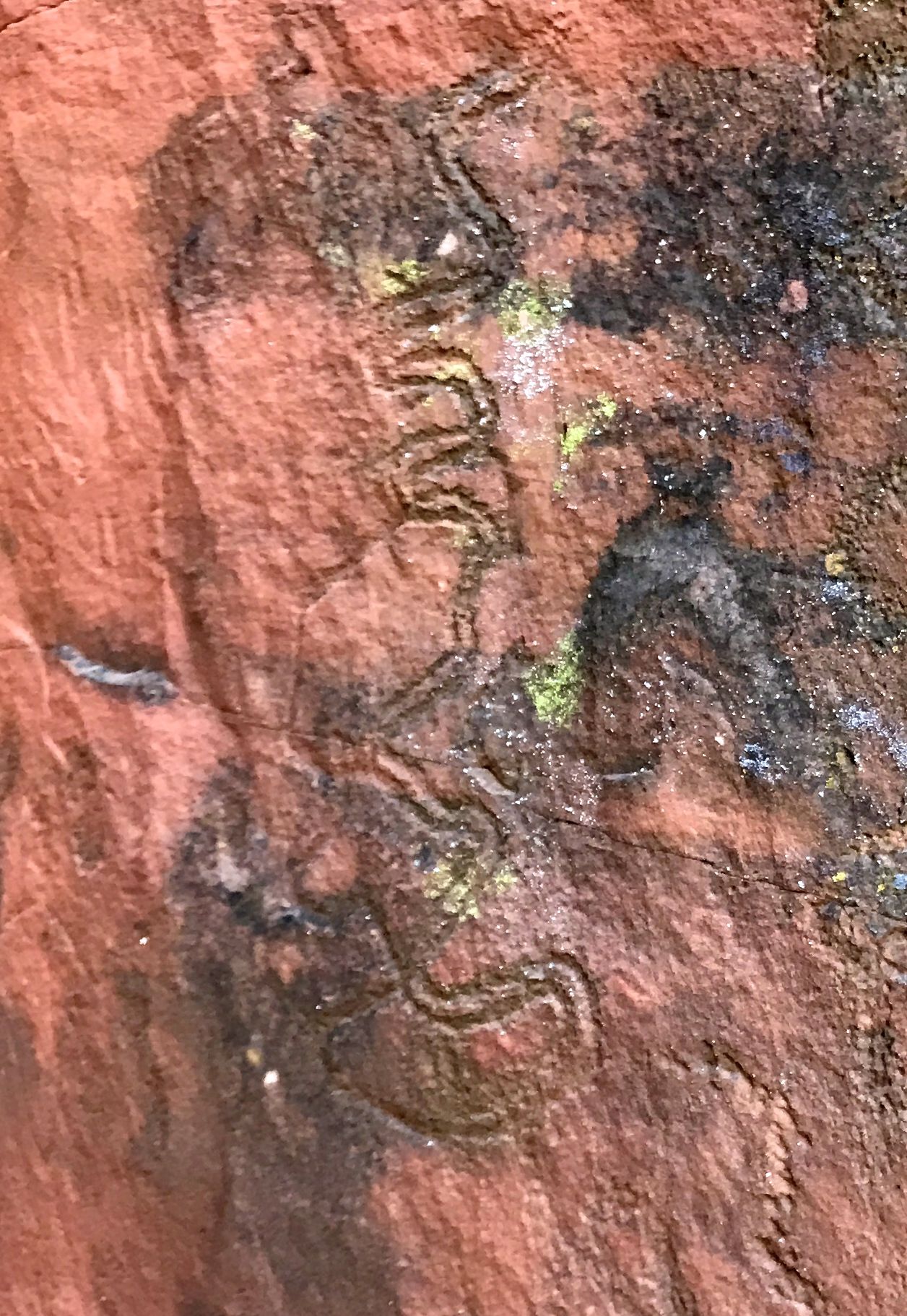
Are you doubtful? Here is a photo I took of Jim’s resource notebook.
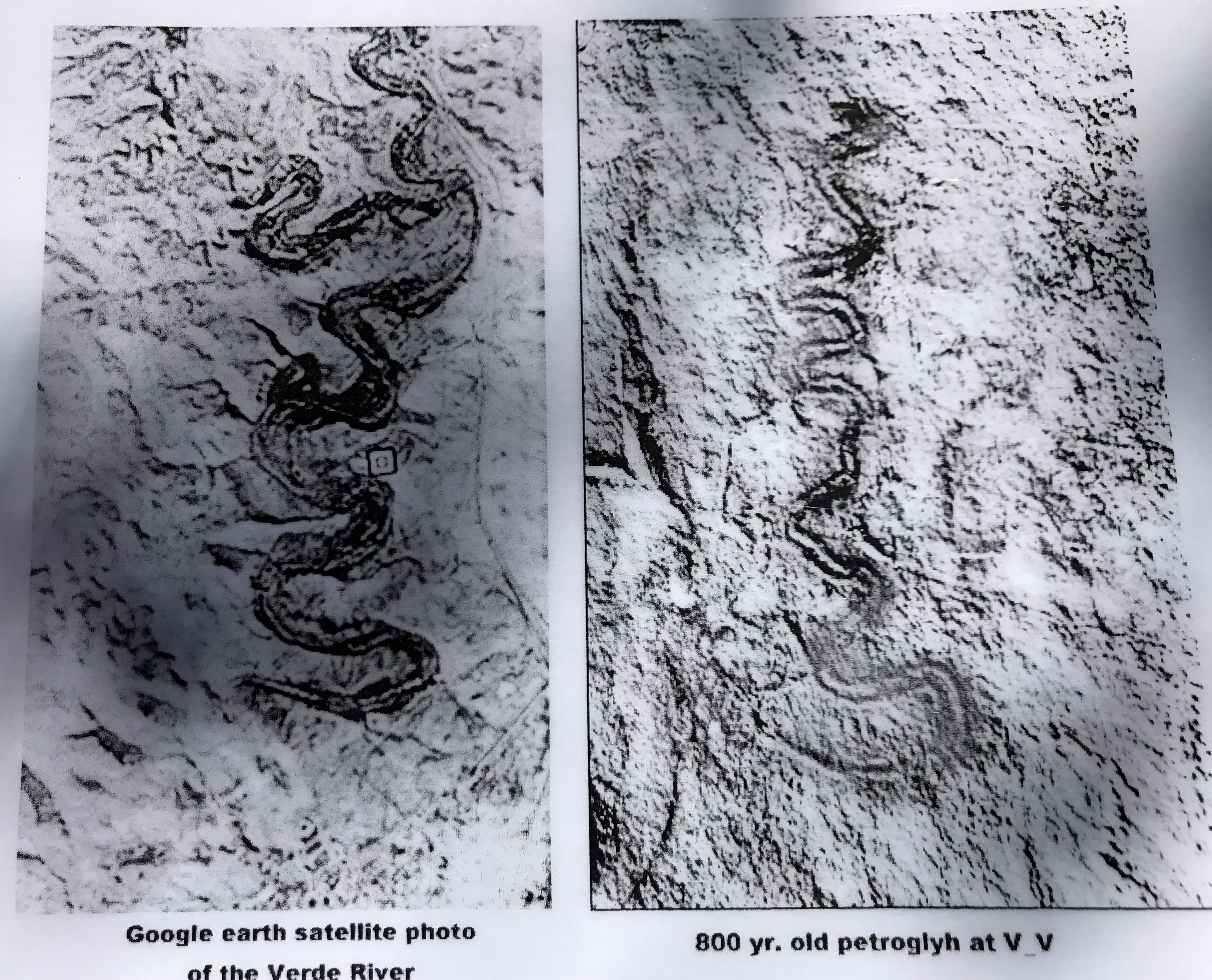
It sure looks like it could be a map of the river!
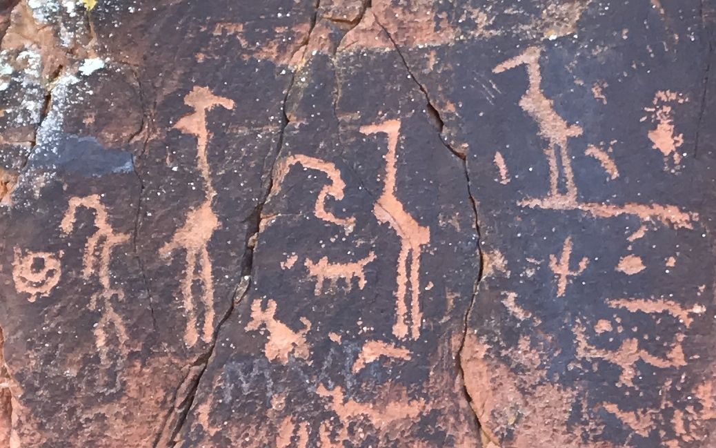
There were a lot of bird form glyphs as well as other zoomorphic forms.
There is one female form on the wall. You do kind of have to use your imagination, but you can make out her squash blossom hairdo.
Jim told us that there were actually more than 1,032 glyphs. The cliff went down more than five feet deeper. The soil had been deposited by the annual flooding of Wet Beaver Creek over the years. Archeologists have done exploratory trenches by the wall and found glyphs all the way down.
The thirteen panels of the site are quite tightly grouped.
In fact, this site so tightly grouped that the whole area is enclosed in a chain link fence. They are committed to preserving it for future generations.
And that is a good thing.