Custer State Park and Wind Cave

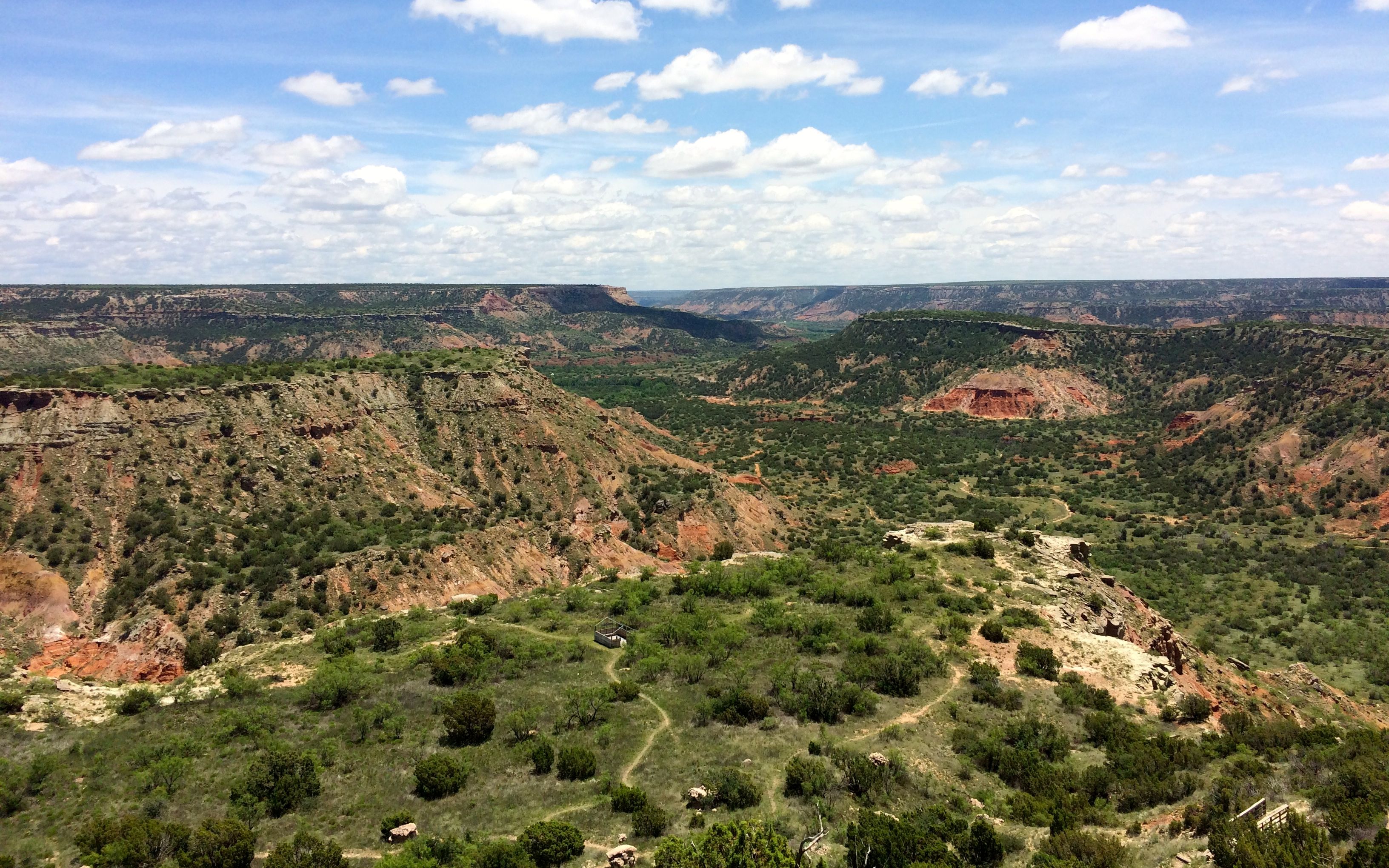
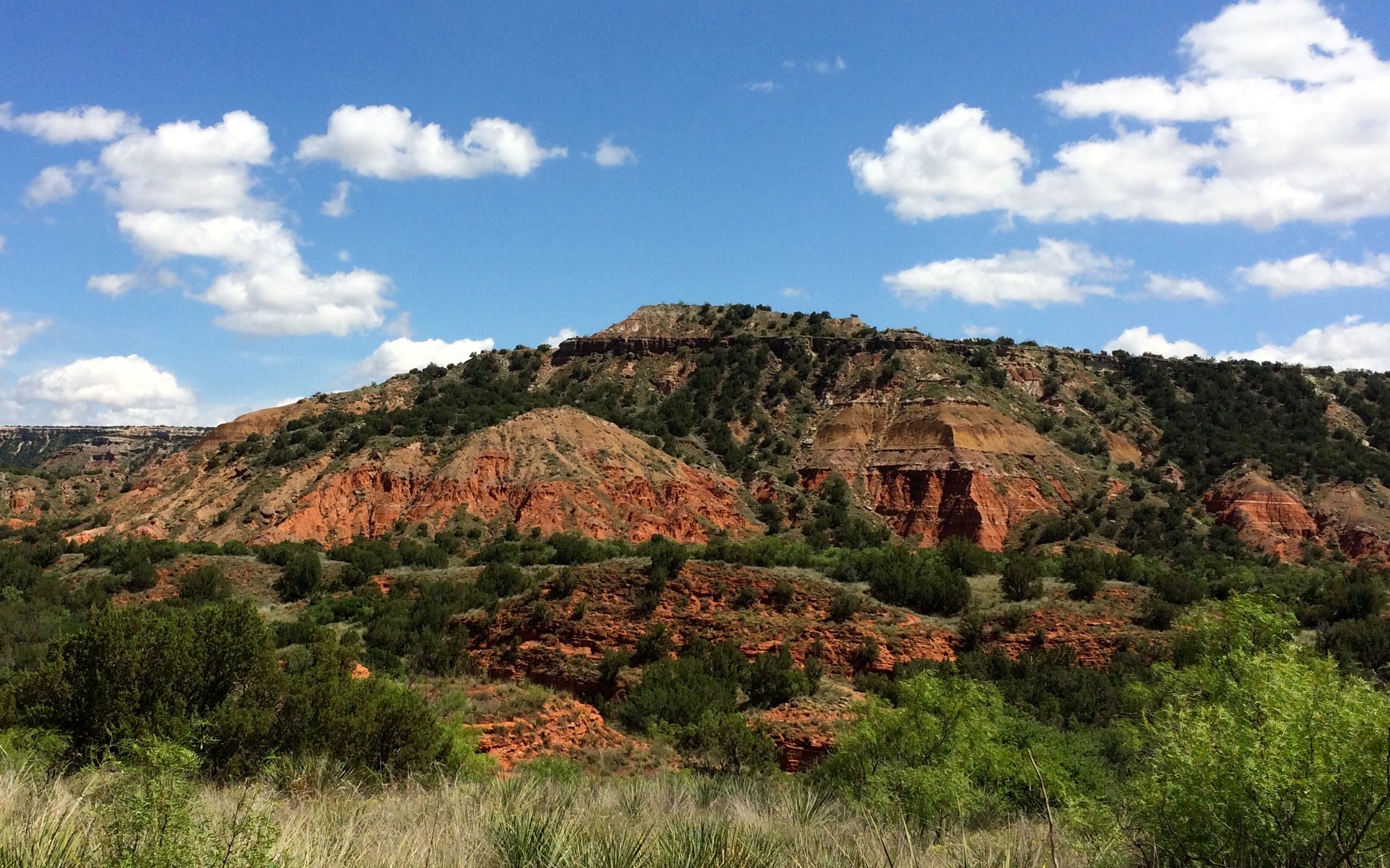
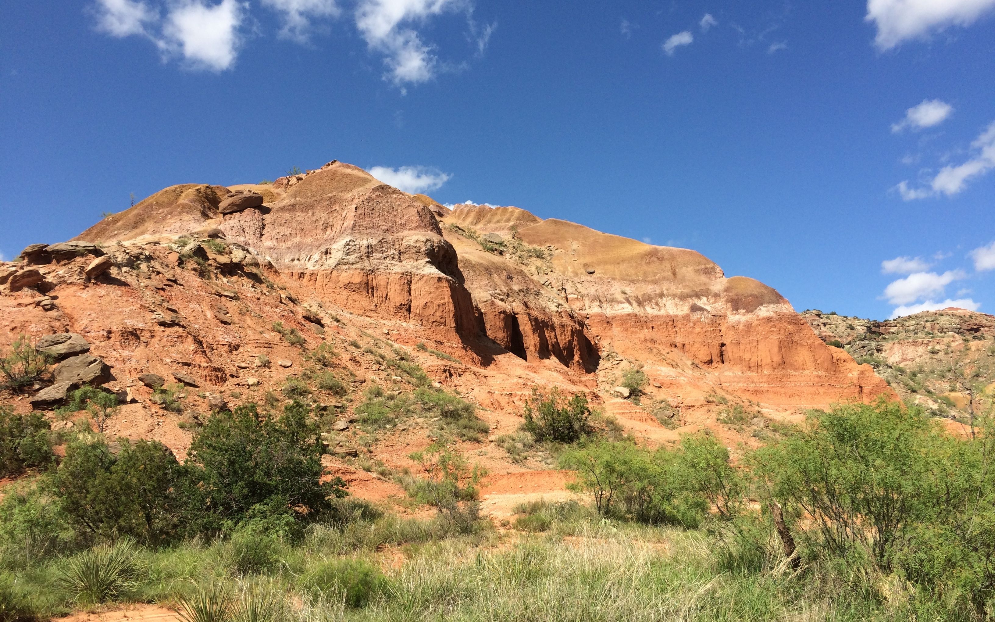
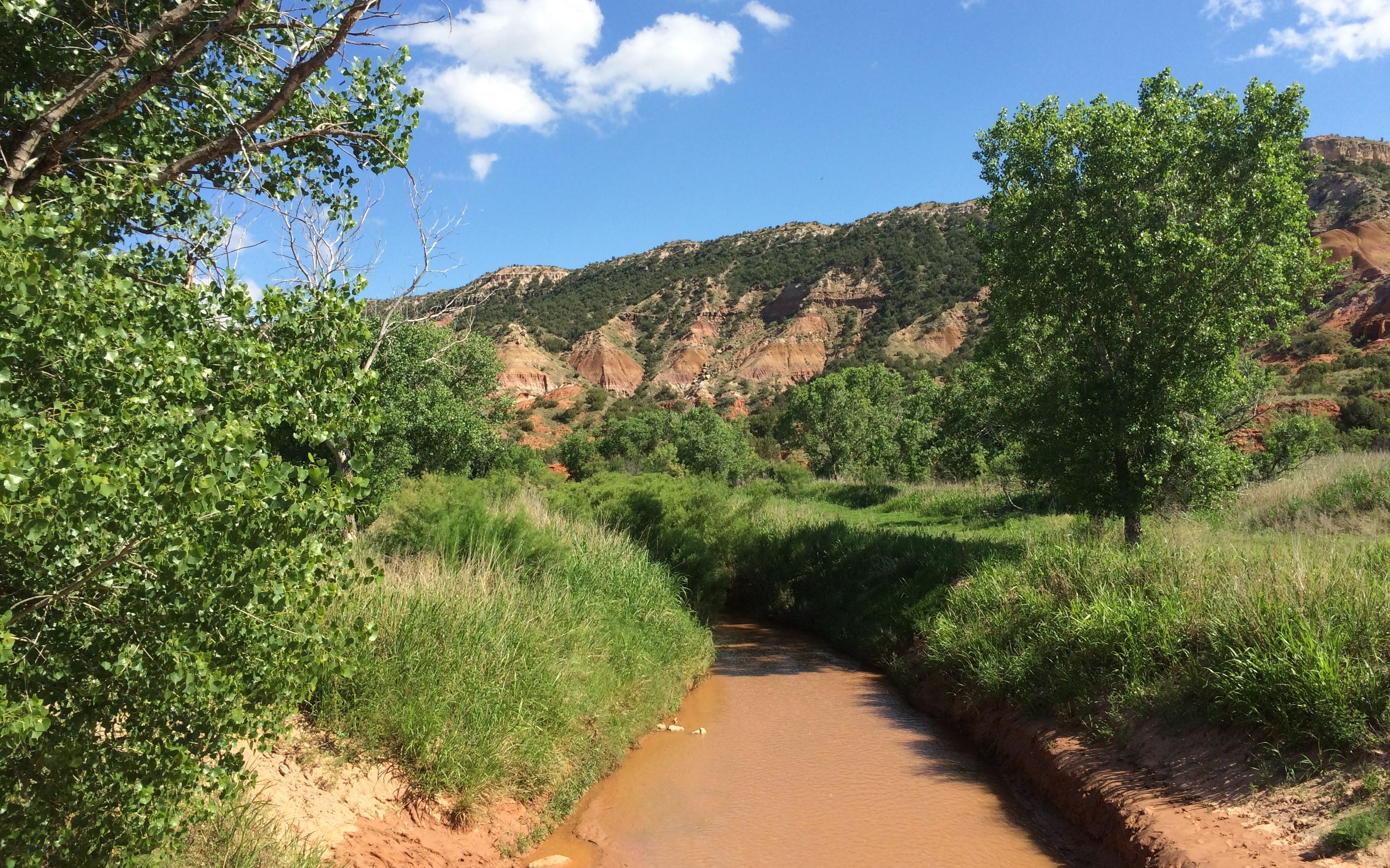
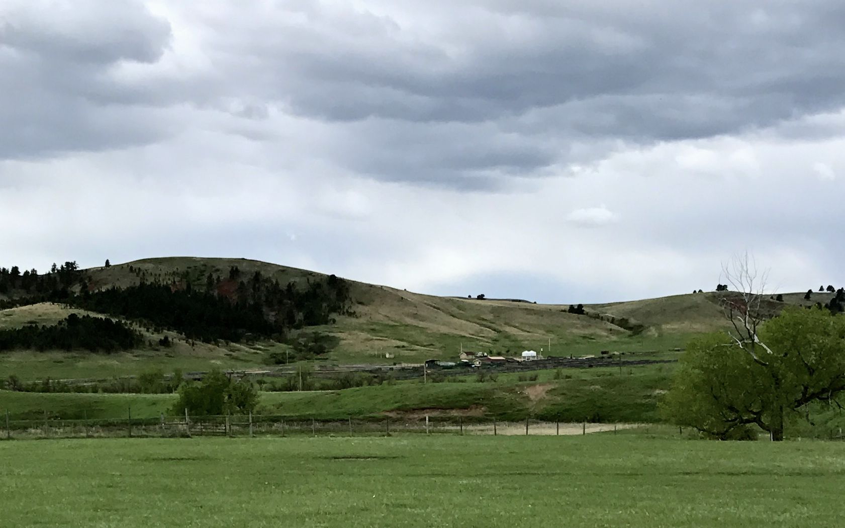
The next day dawned gloomy and overcast, but I headed out to explore Custer State Park and Wind Cave National Park.

People had raved about Custer State Park – mostly about the experience of camping there and the wildlife that you could see. What really captivated me was that they were having a free admission day. As a former teacher and a retiree, free is one of my favorite words.

In spite of it being a rather bleak day, but I set out to see what I could see.

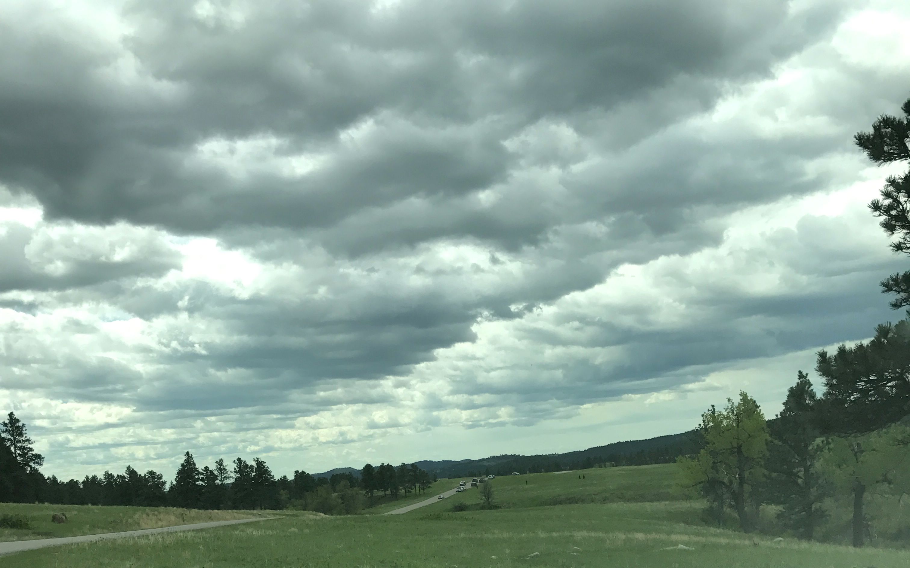
Driving along, looking at the prairie and the rather sparse trees seemed to be the thing to do. My eyes were peeled for buffalo, though.

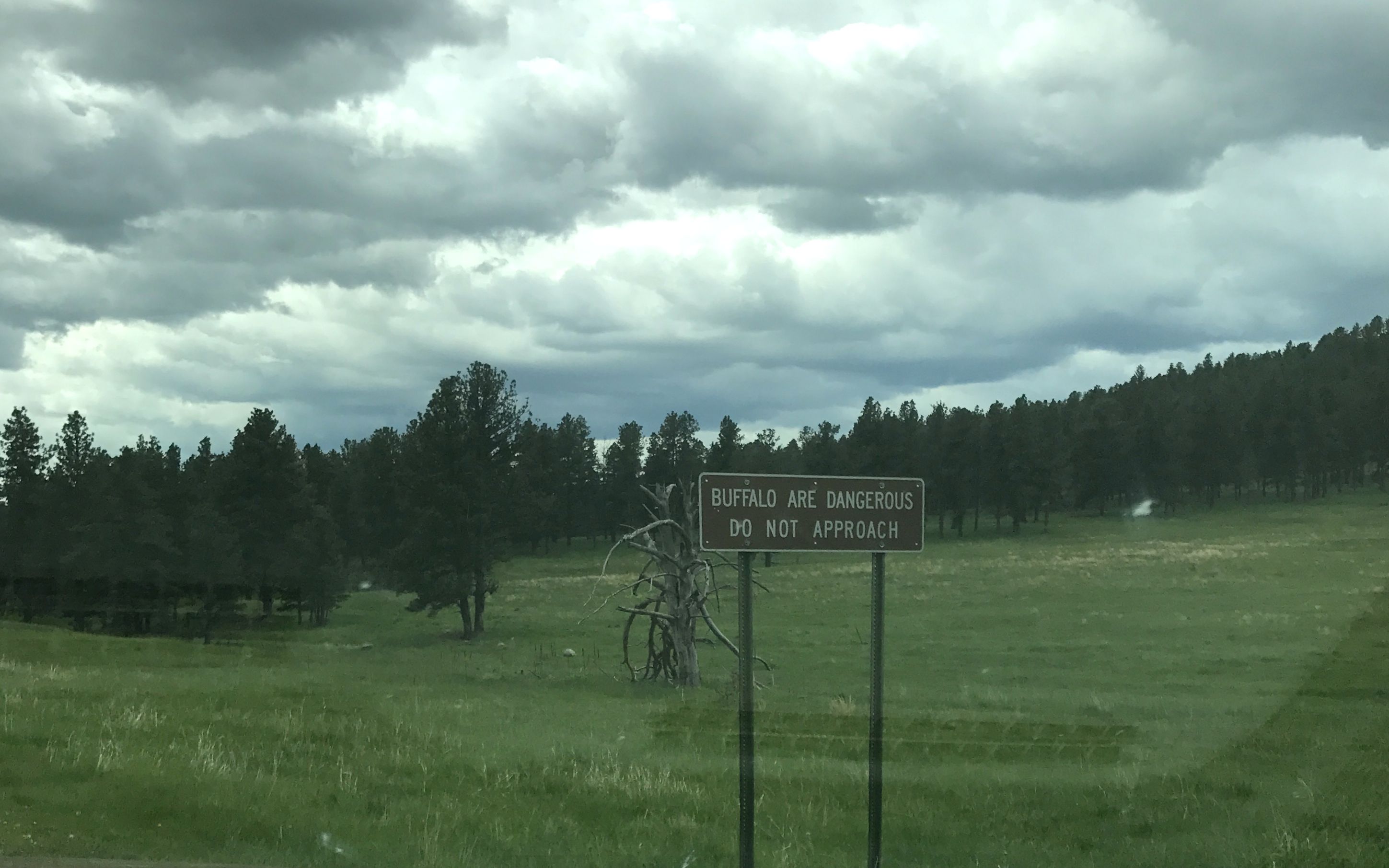
I thought this was an appropriate warning.

And why should you stay away from buffalo? Well, they stand nearly six feet tall at the shoulder and weigh nearly a ton.

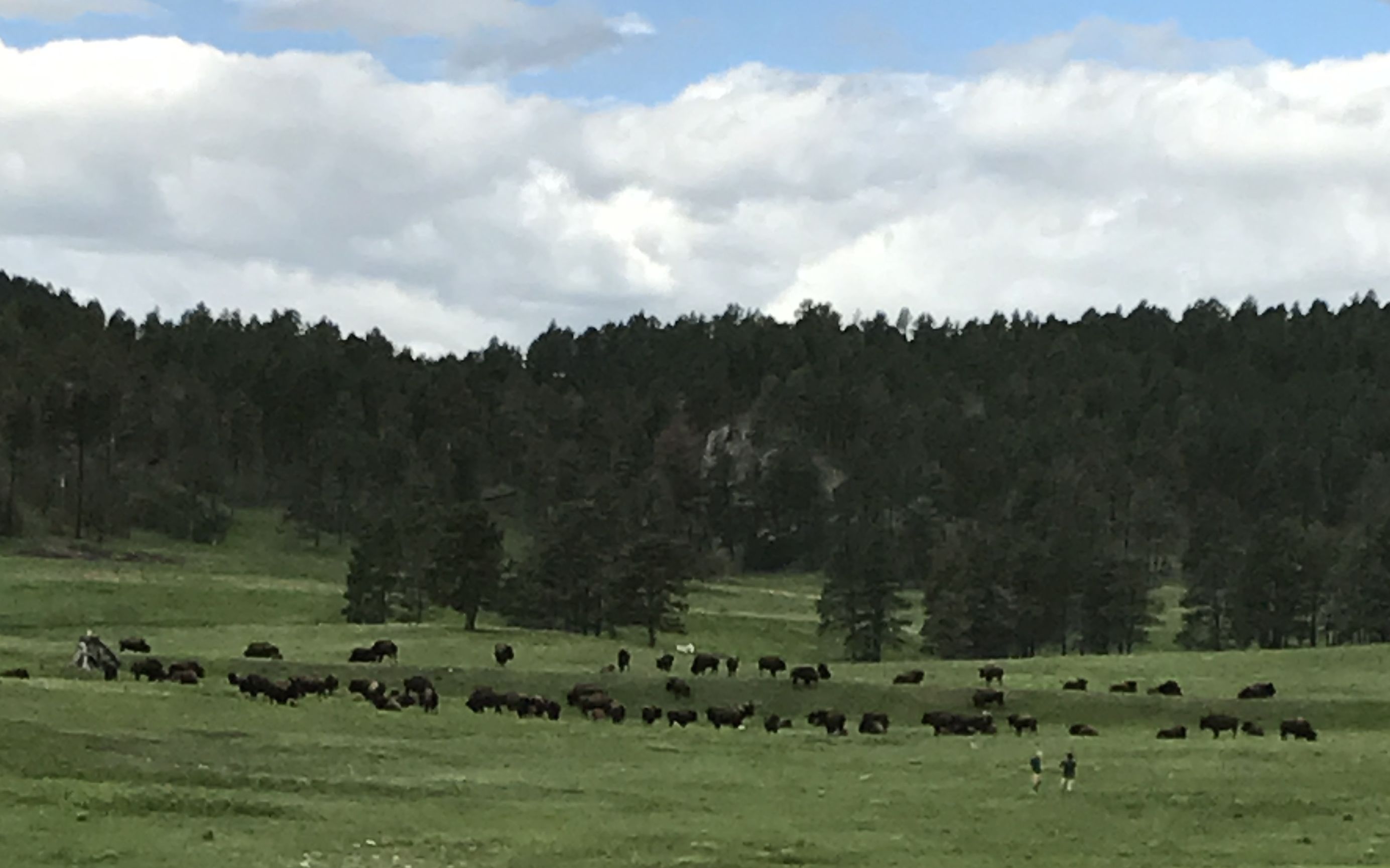
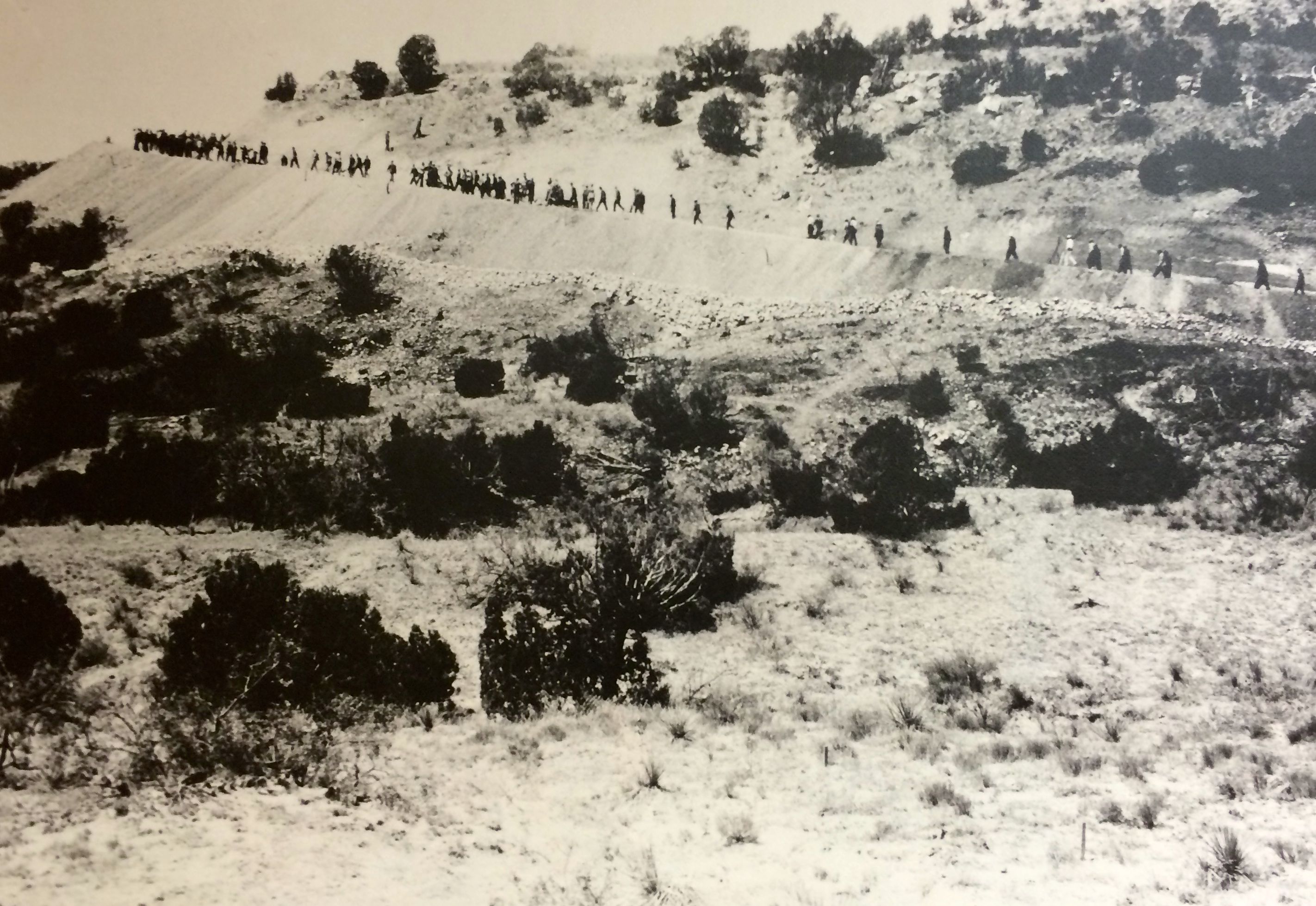
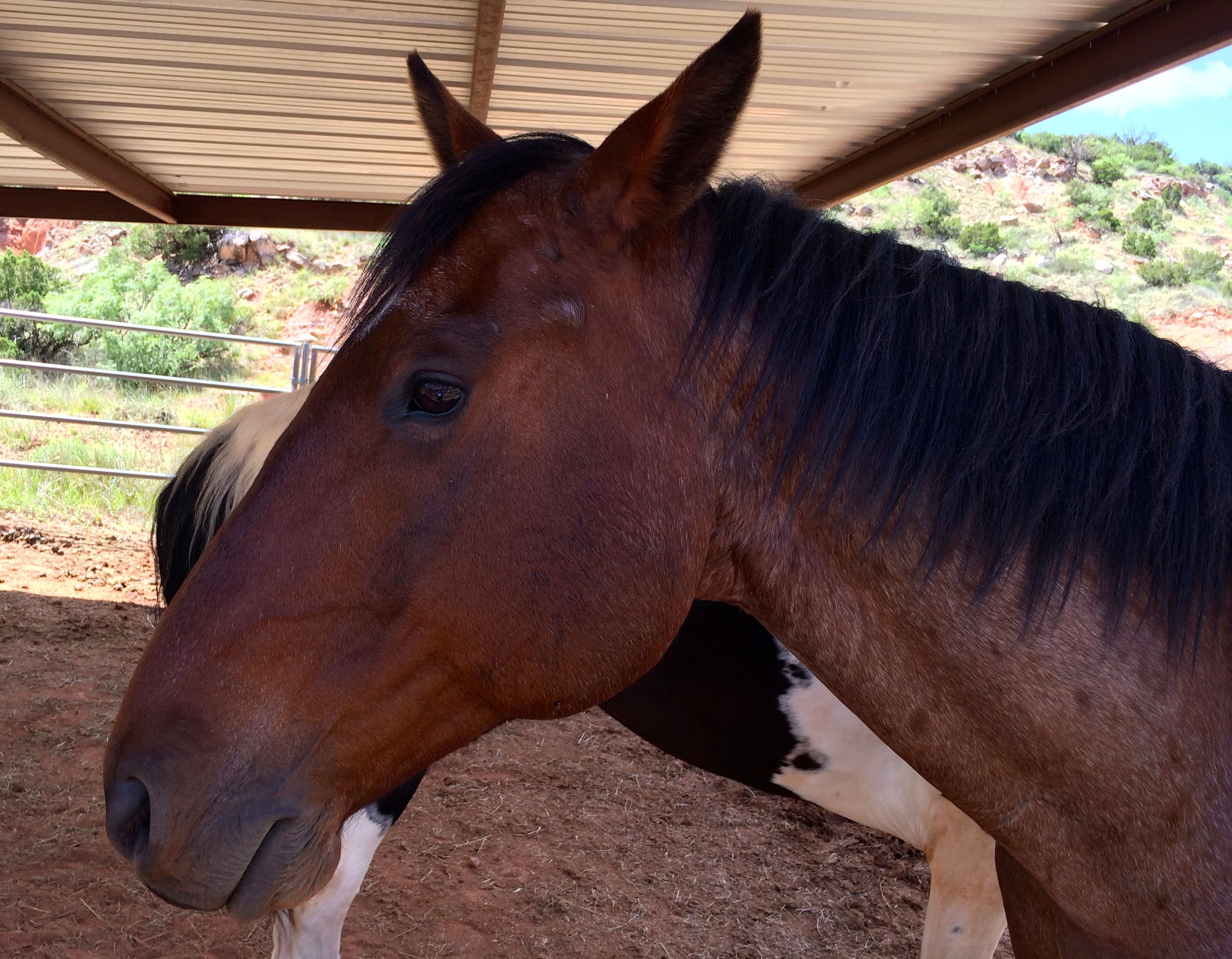
I finally came upon a herd of buffalo. If you look in the lower right quadrant of the photo, you might notice that there are two fellows who didn’t heed the warning on the sign. When the ranger came up he used his bullhorn to tell them to come away from the herd. They did head back to their cars, but I think they avoided the ranger.

These are the corrals that are used mainly in the fall when the annual buffalo roundup and auction are held.

The park herd averages about 1,450 animals after the calves are born. During the round up in October, the herd is bright into the corrals, calves are branded and females are vaccinated. Approximately 500 animals are sorted out for sale and then tested to make sure that they meet state livestock regulations.

The buffalo that will remain in the park are released. Those that are going to be sold remain in the corrals until the auction on the third Saturday of November. Buyers come from all over the United States and Canada to take part in the sale. They buy the buffalo for breeding stock or for slaughter.

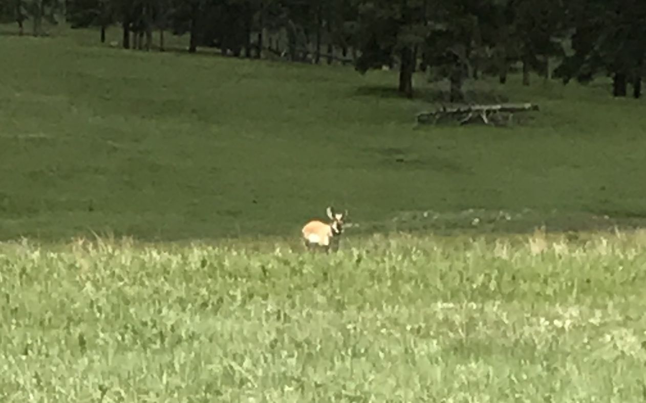
Quite frankly, the animals in Custer State Park are quite savvy and they keep their distance from the road.

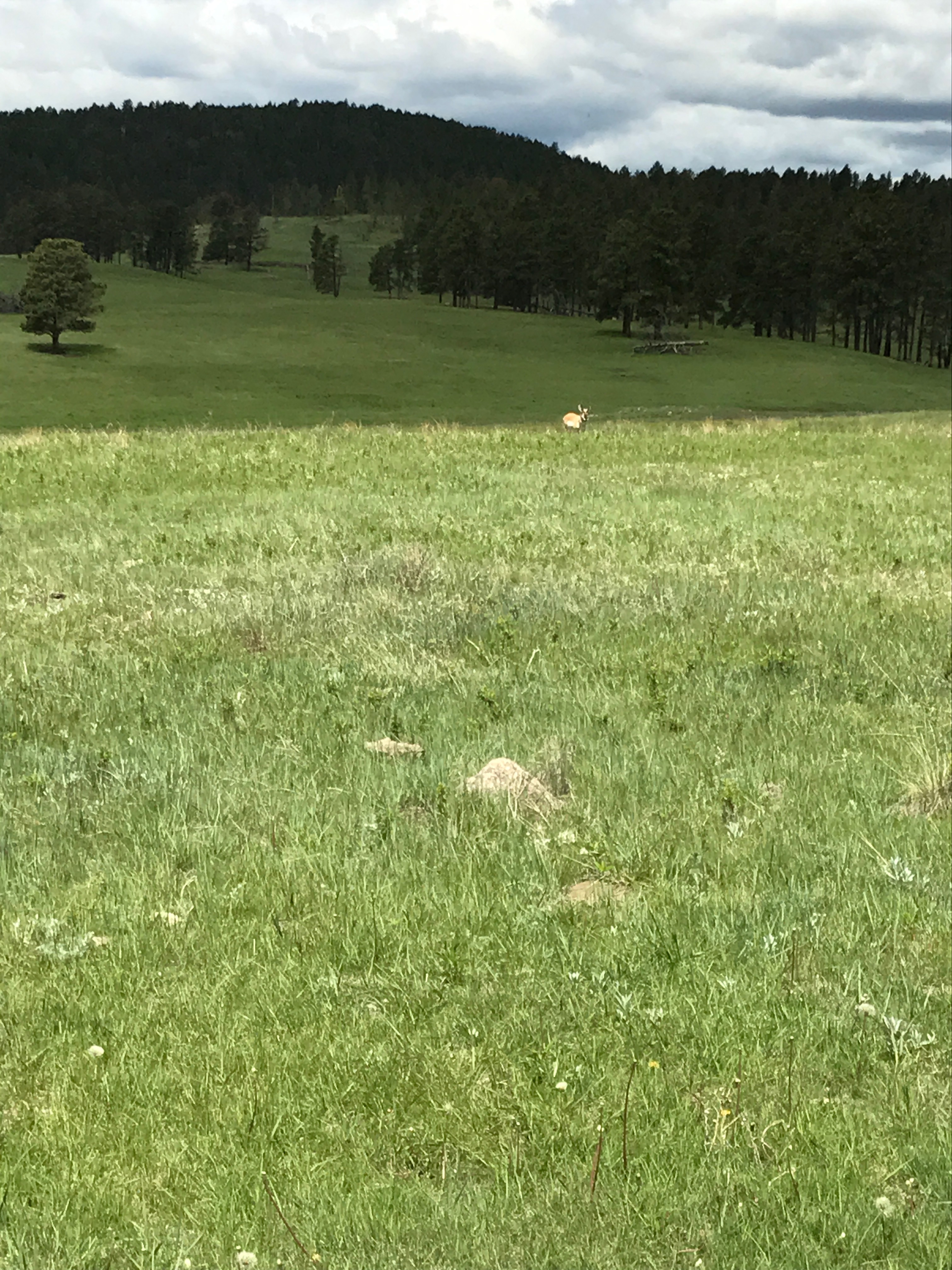
You can tell this animal – perhaps an antelope – stayed far back because I had to enlarge the photo to the point of distortion to be able to make it out.

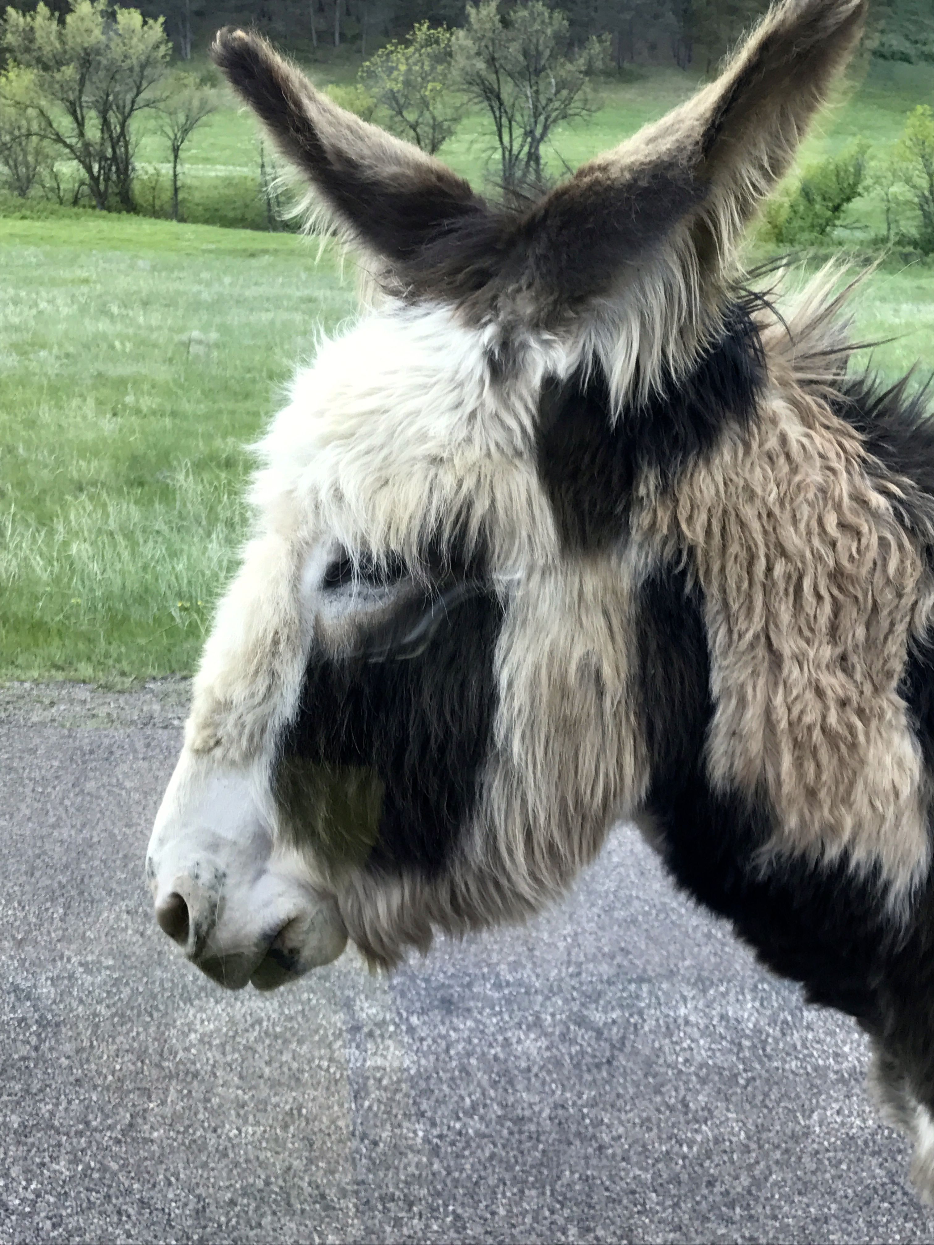
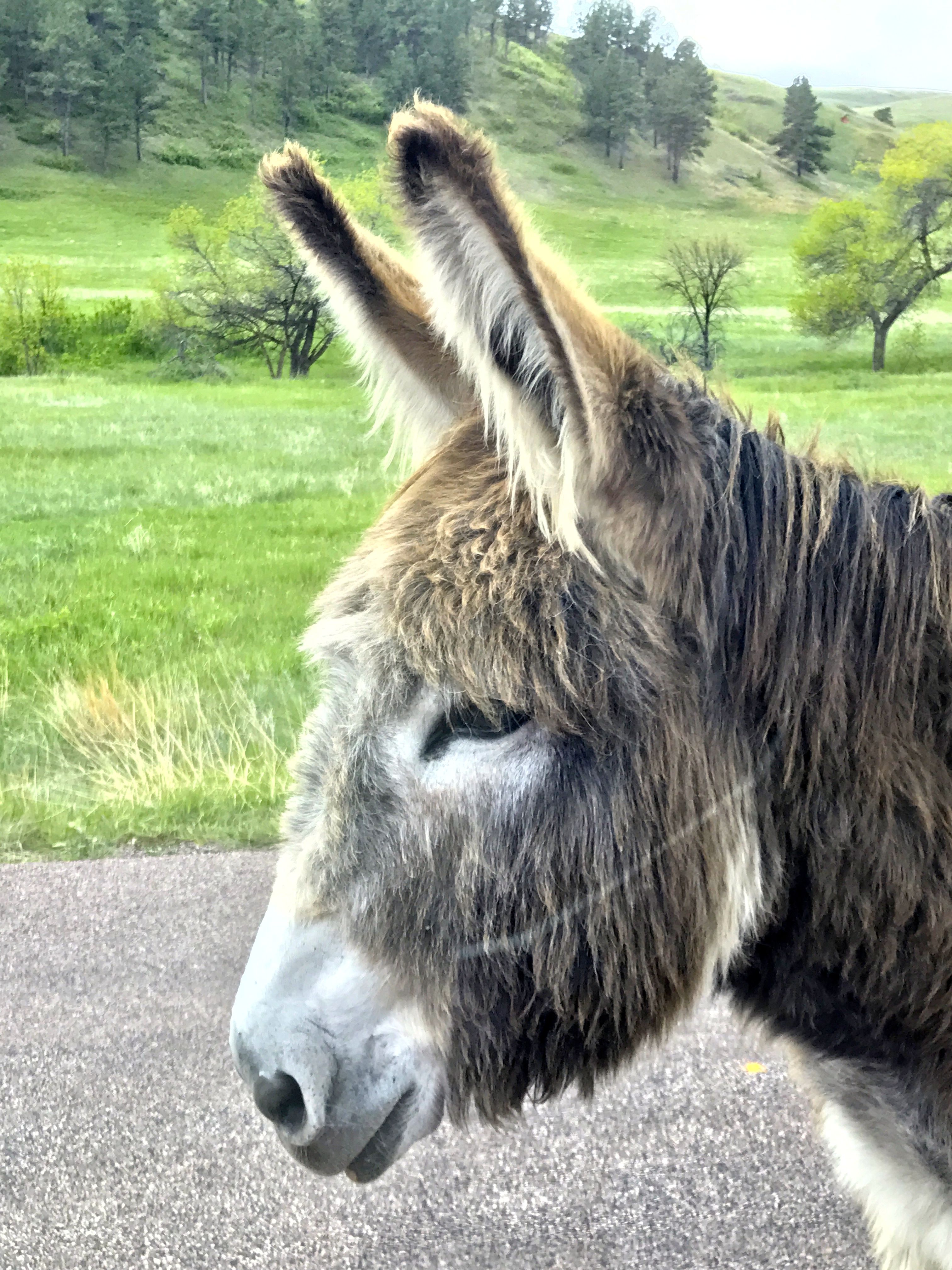
One breed of animal that doesn’t keep its distance is the wild burro.

They come right up to the cars and take whatever is offered. In fact, they stick their muzzles right into the cars.

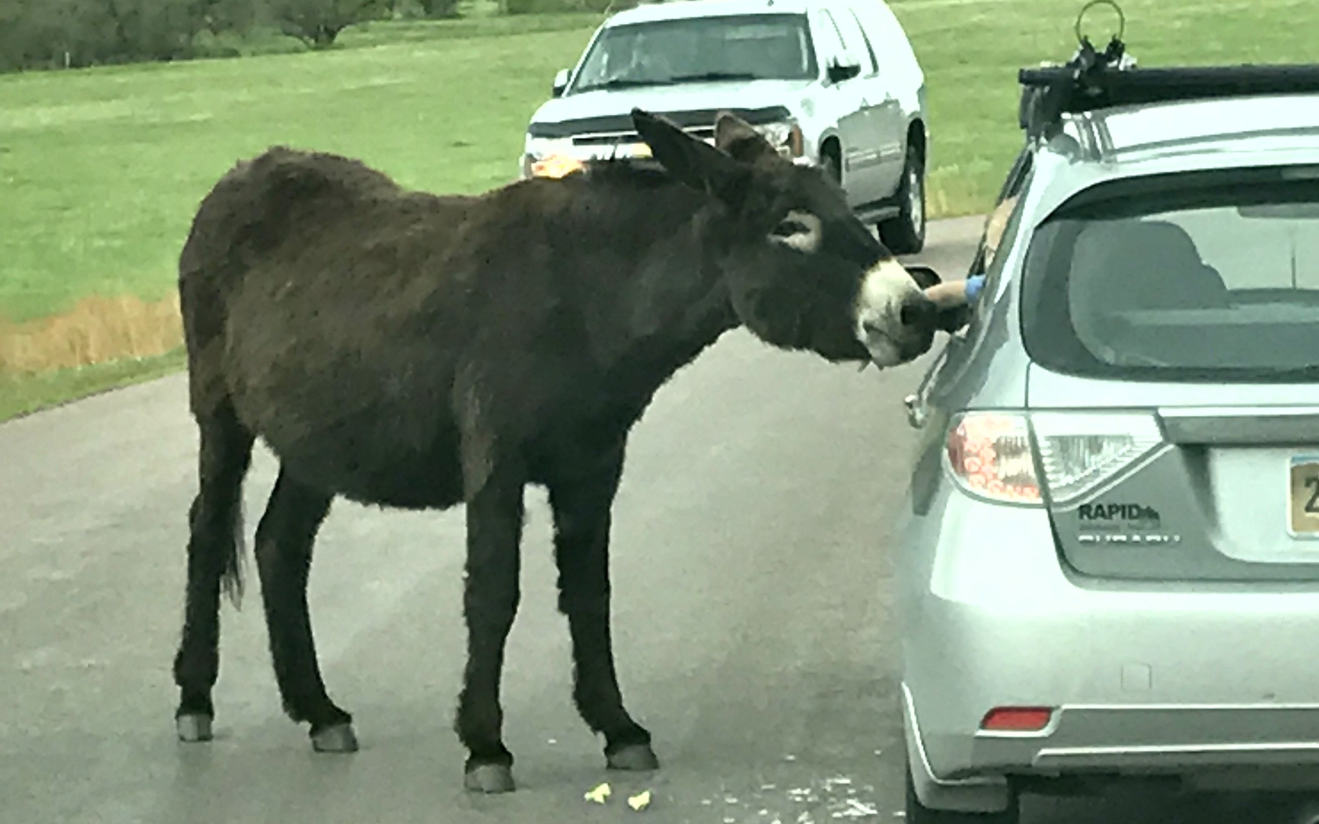
I watched in fascination as the car in front of me fed the burros bread. I couldn’t believe that they let their daughter stick her hands out of the car and touch the burro. They do have teeth, after all.

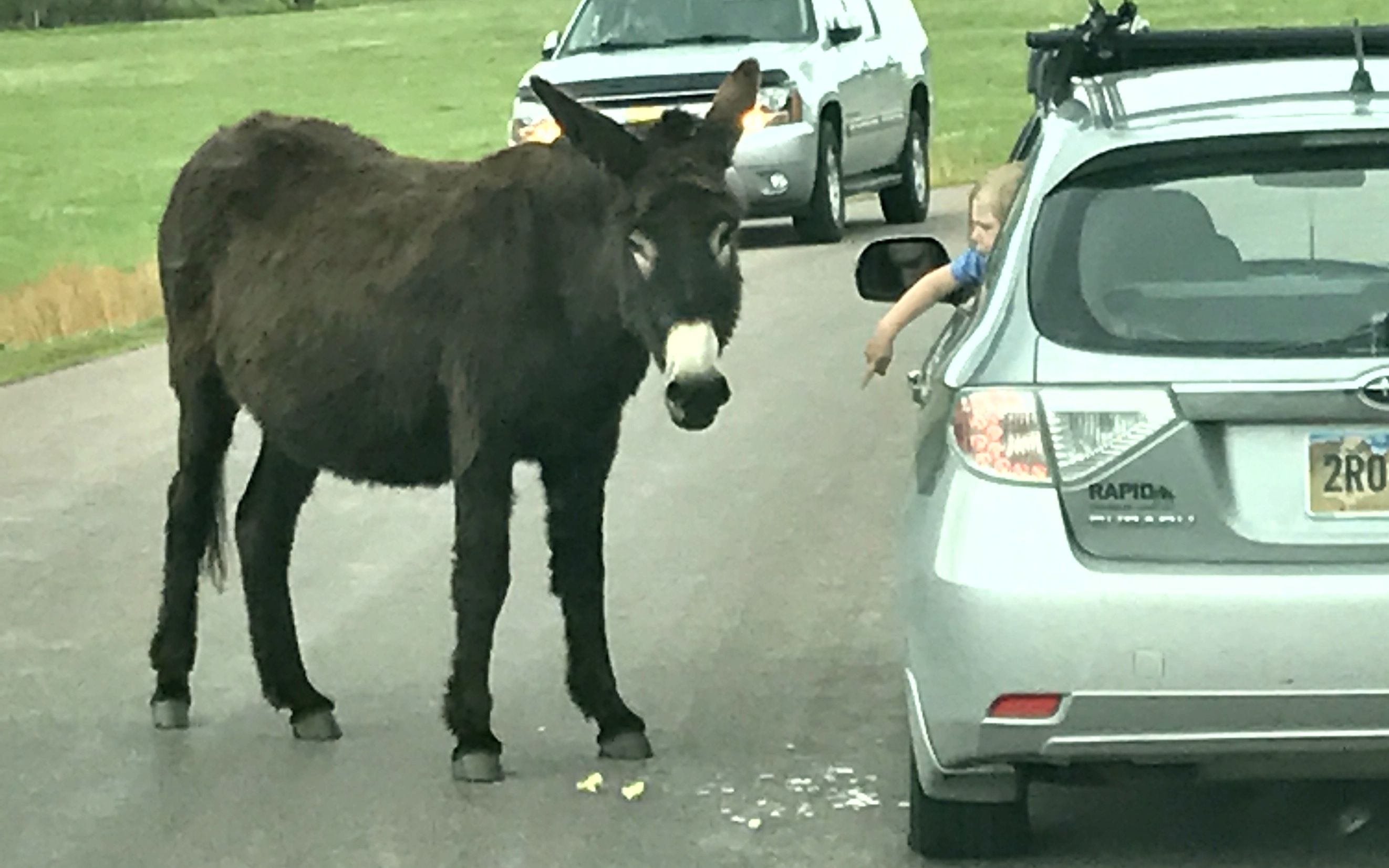
The burro had eaten all the bread they had and then the girl told it to eat the bread that had dropped on the road.

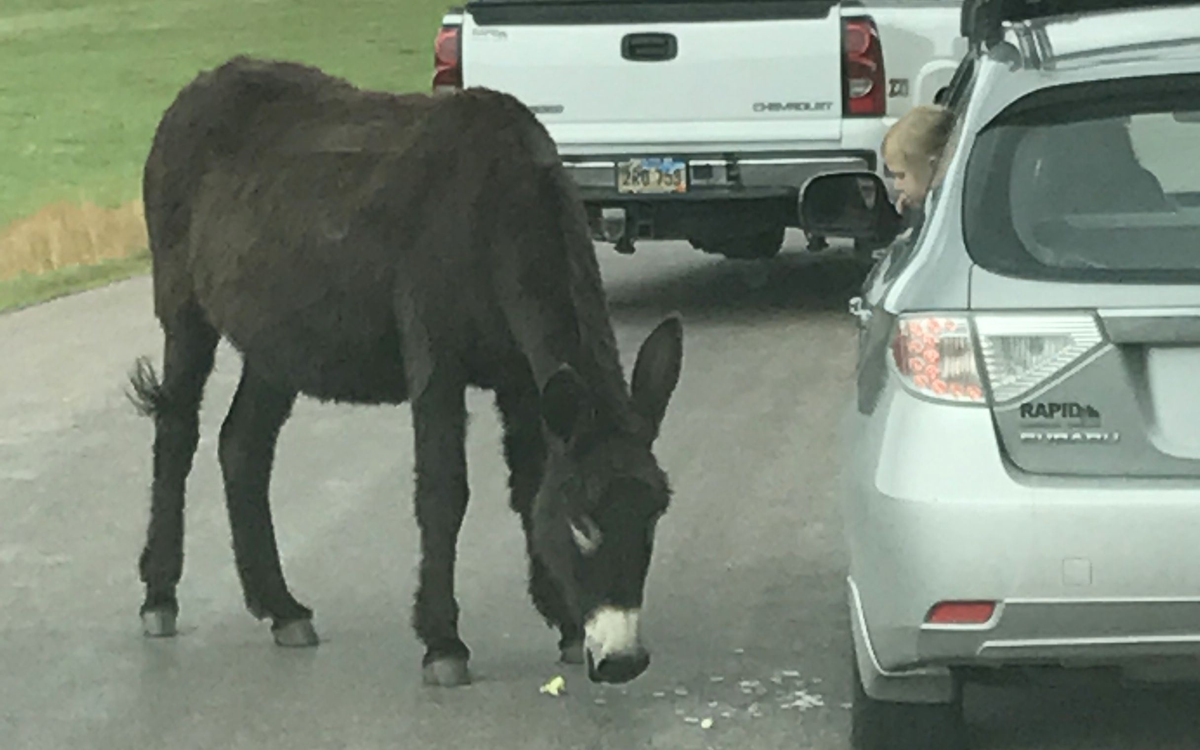
Then the girl watched as the it ate all the bread that had fallen on the road.

The burros came to visit me, too.

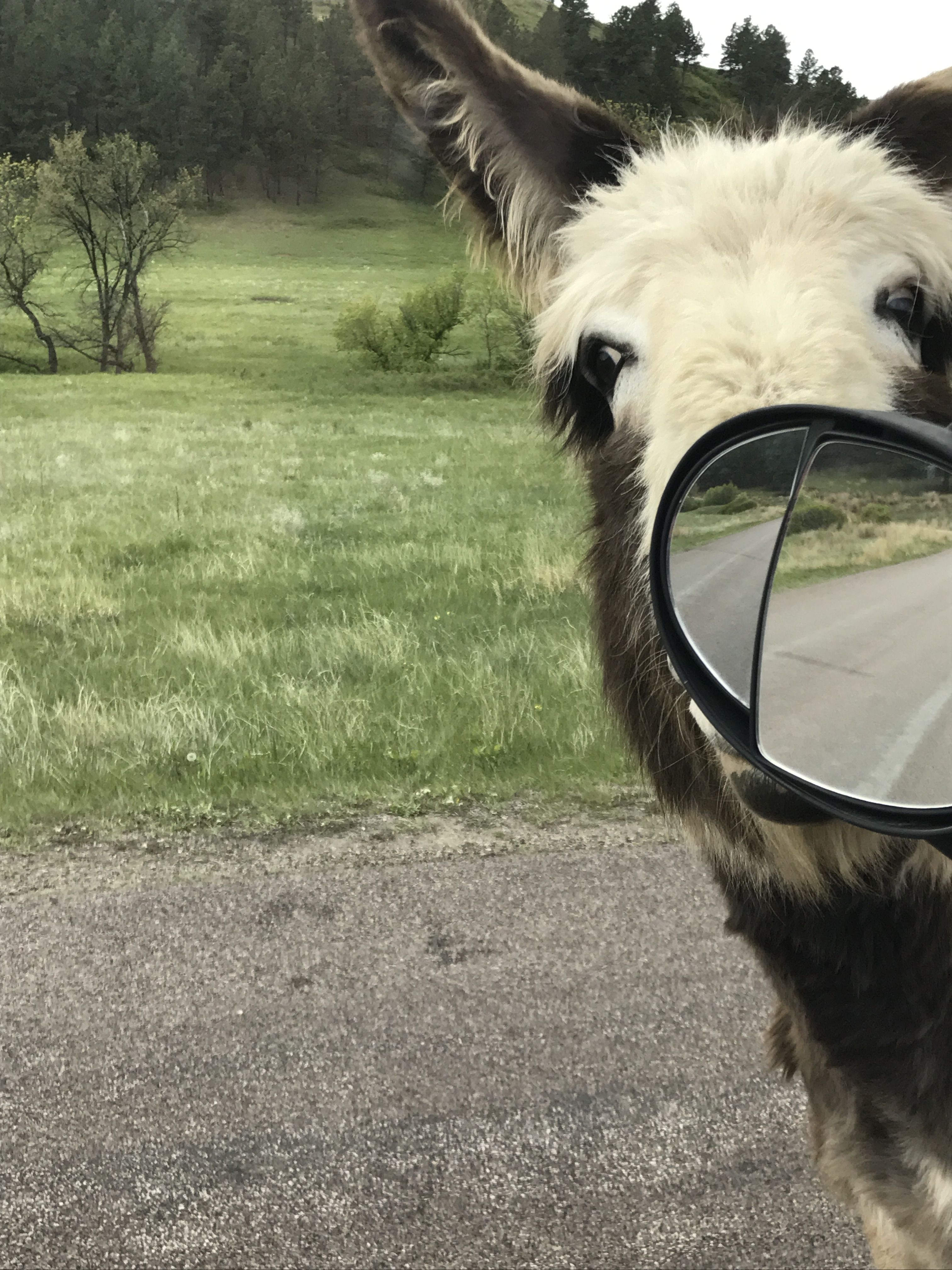
He was hoping for a handout.

When none was forthcoming, he moved on.

The one behind him didn’t even stop. He just gave me a side eye as he passed by.

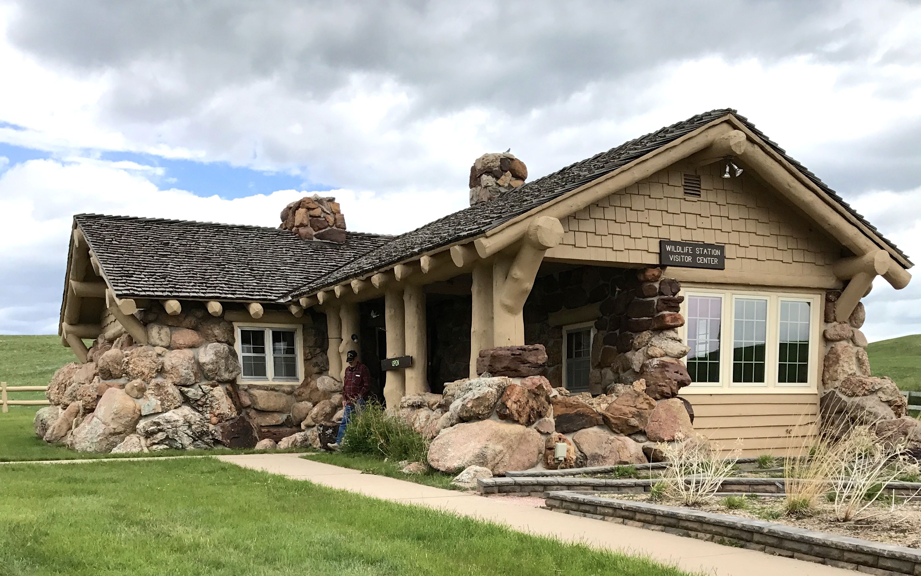
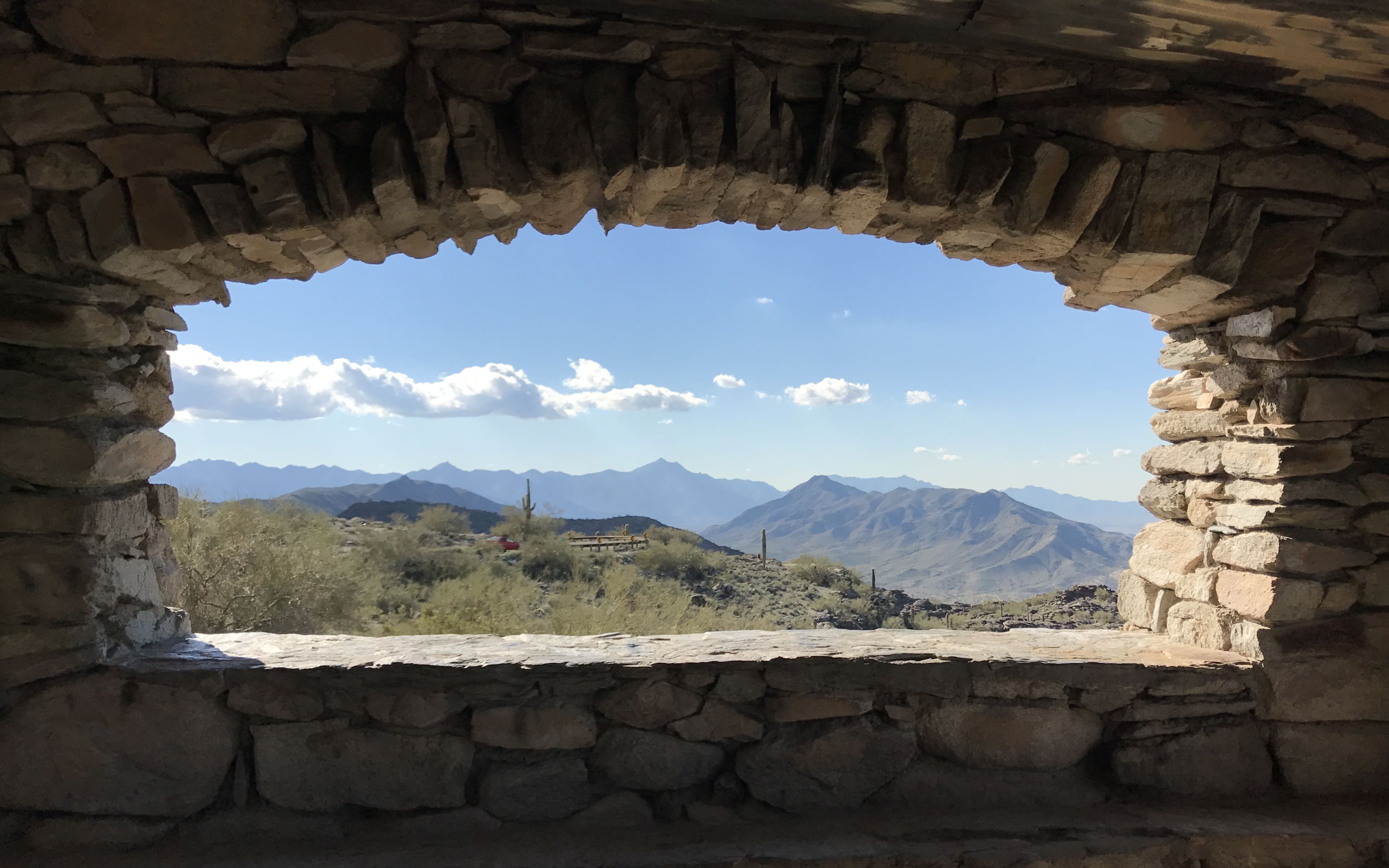
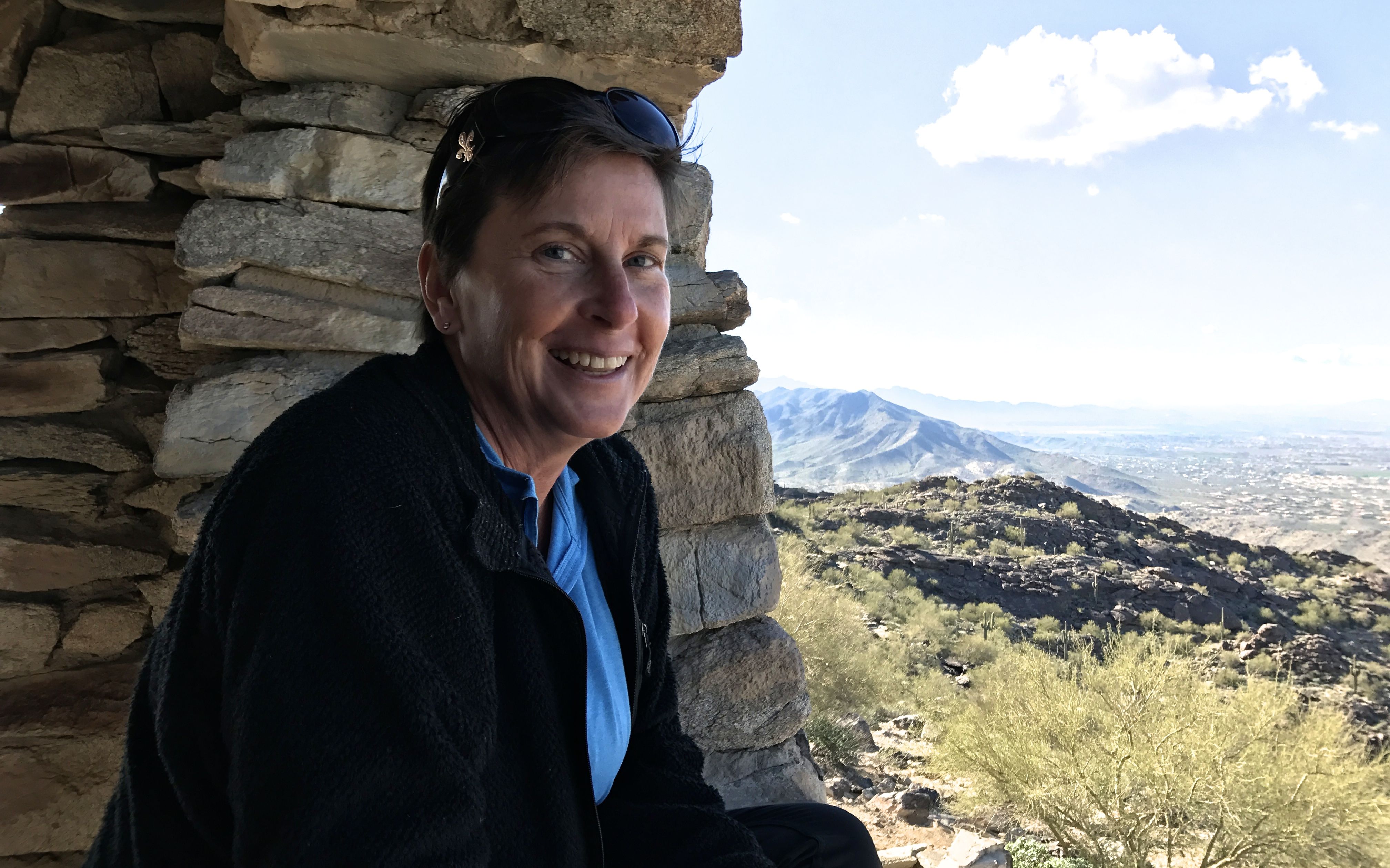
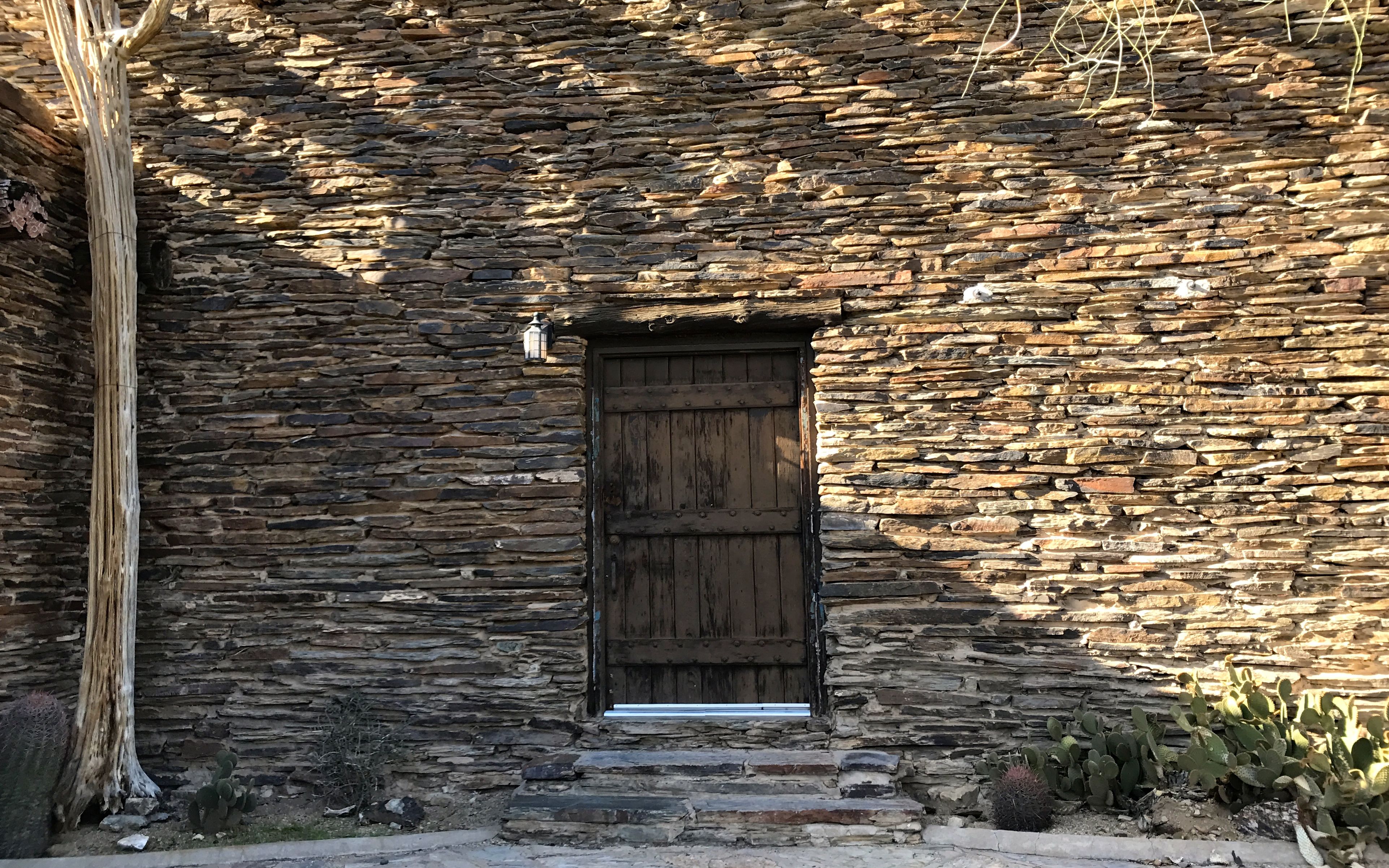
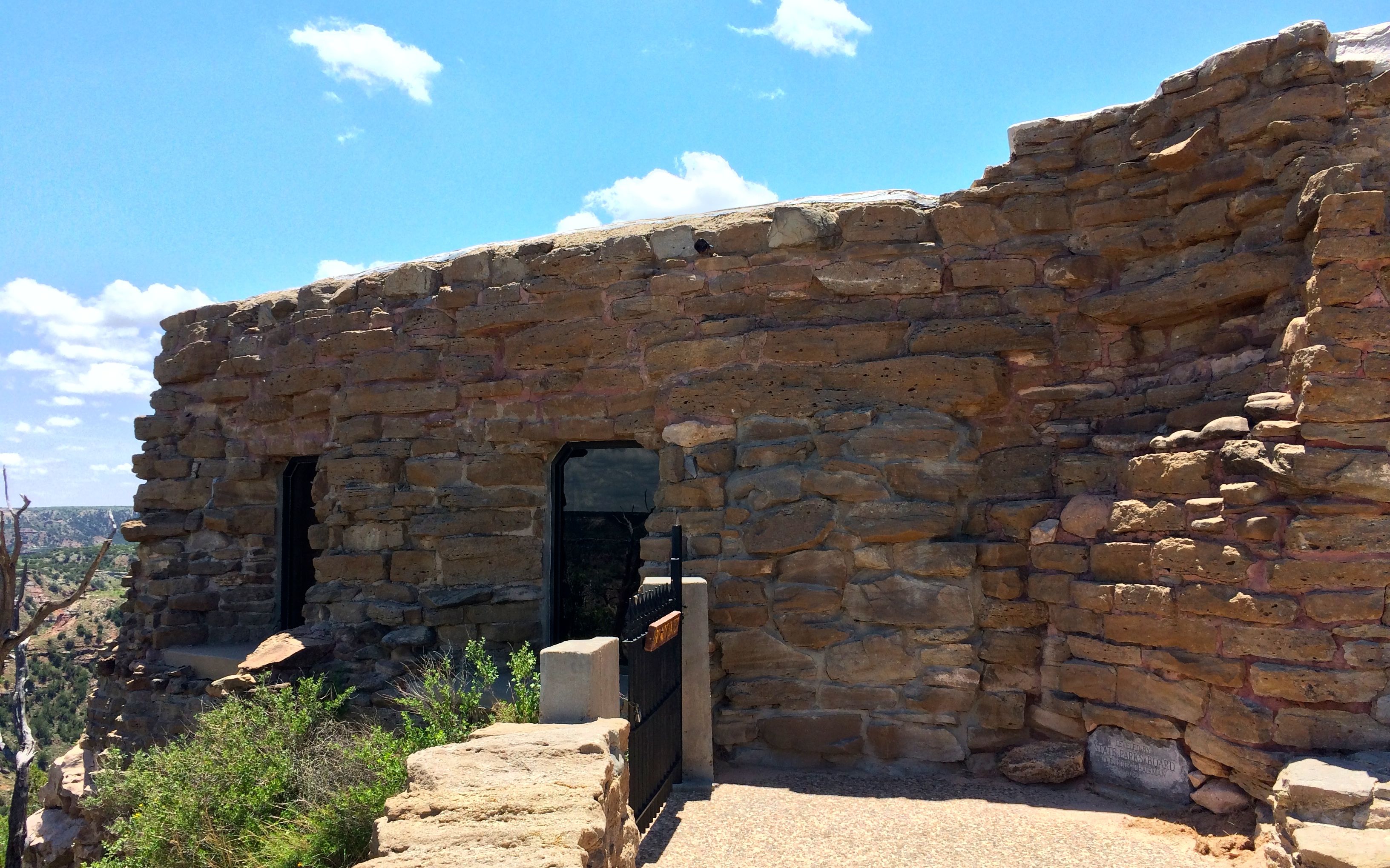
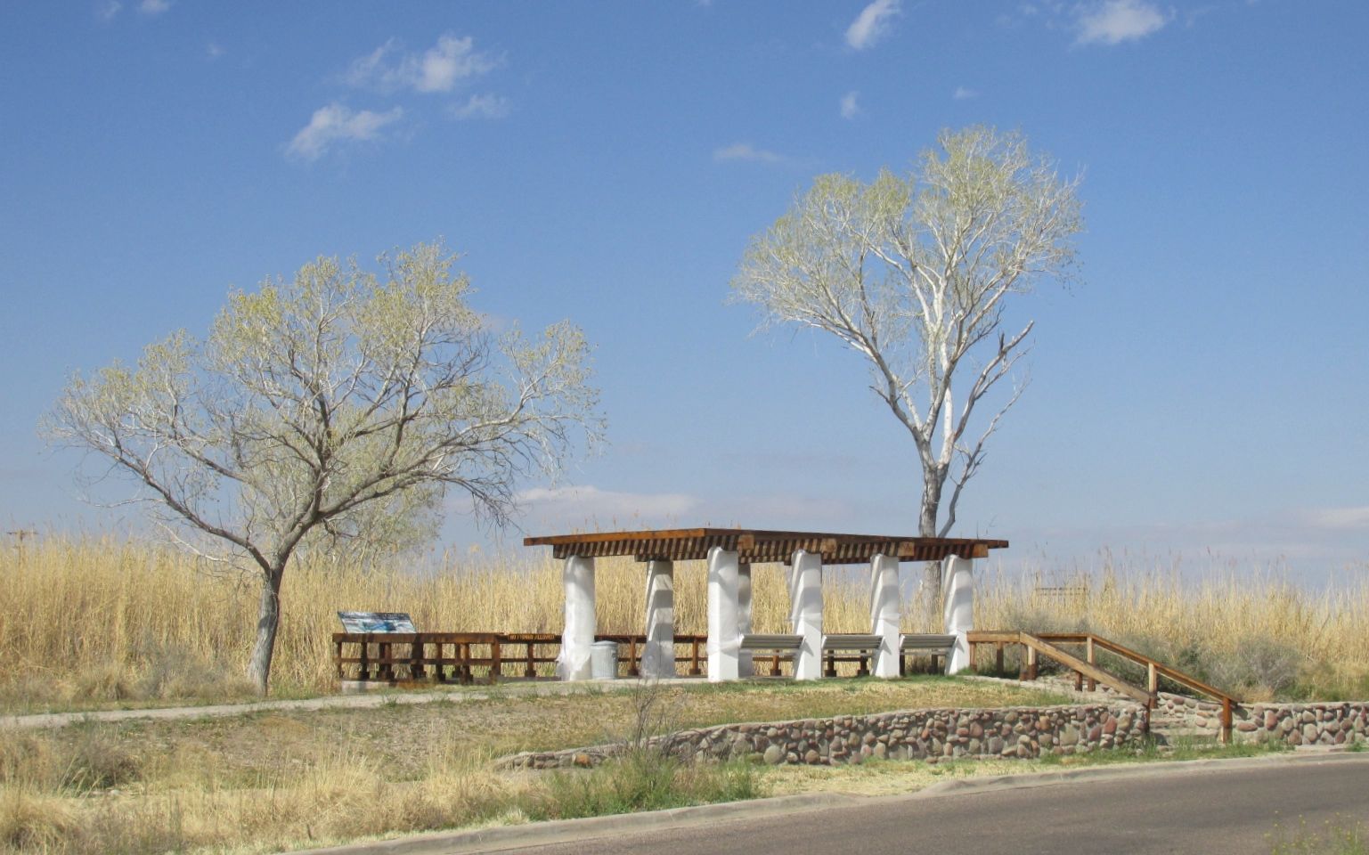
After a bit more driving, I came across this building. It’s labeled “Wildlife Station Visitor Center.” It was built by the Civilian Conservation Corps – the CCC – during the Great Depression. They used materials that were available locally.

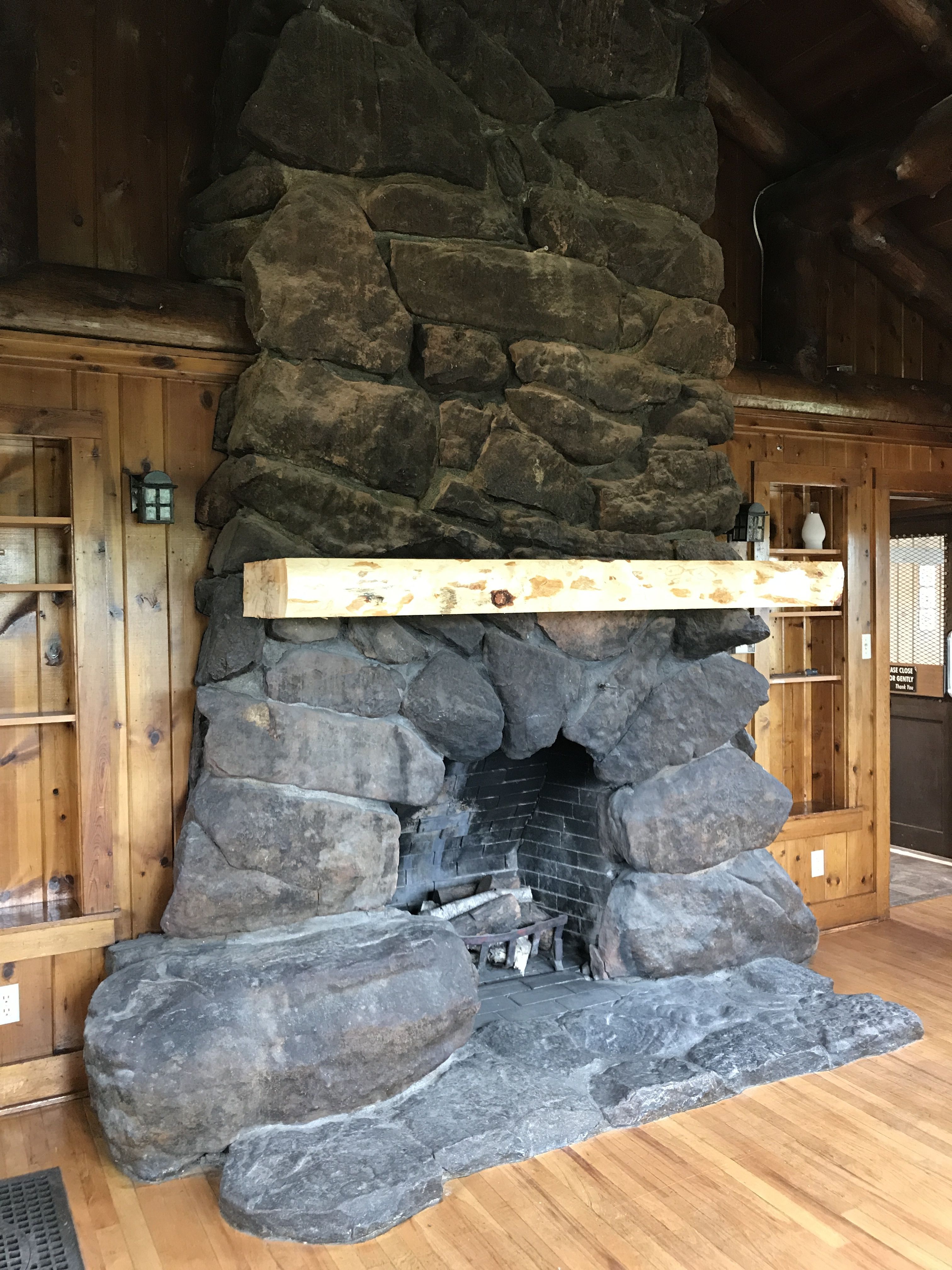
This fireplace is quite something, with its irregular boulders. If I remember correctly, this building had just undergone some renovation. A building like this is worth taking care of.

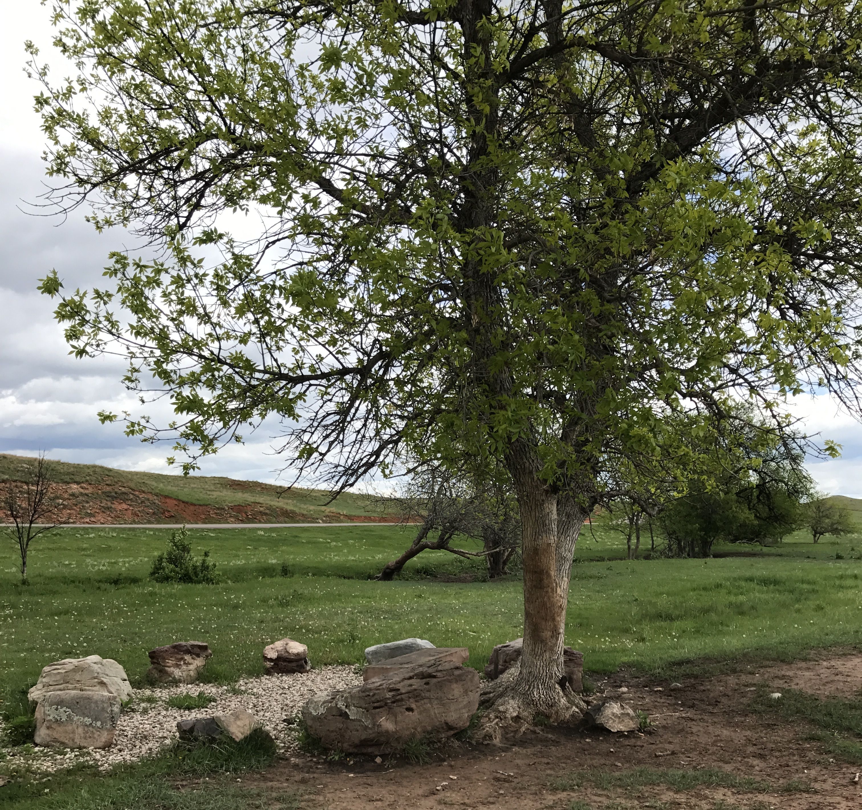
There was an interesting parking area that was dedication to the rutting season, which takes place between July and mid-September. I was too early in the year to watch the buffalo bulls fighting over breeding rights. Remember that my visit took place in May.

According to the information there, the bulls show dominance by making loud bellows or butting heads together. They display aggression by rubbing their horns against trees. Their hair sticks to the peeled bark and sap. In some cases the trees die from the damage. This tree looks healthy, but you can see where the bulls have rubbed against it.

There was also some information about the buffalo on the nickel.

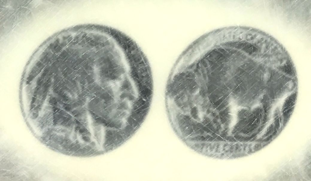
For many years between 1913 and 1938, the United States coined the buffalo nickel. The designer, James Earle Fraser, who was born in Minnesota, stated, “I found no motif within the boundaries of the United States so distinctive as the American Buffalo.”

Ironically, Fraser used a buffalo from the Bronx Zoo as his model.

I have a warm spot in my heart for these nickels. When I was a little girl, my father would take us out on little adventures. (When you are young, everything is an adventure.) One place we would stop is a little store that we would call a convenience store these days – or maybe a party store. Well, several times when we stopped there, Dad found these nickels in the parking lot and he gave them to me.

For my father’s 80th birthday, I bought him a 1928 buffalo nickel, which was the year he was born. I told him the story, and he was quite touched.

Back to our regularly scheduled tourism.

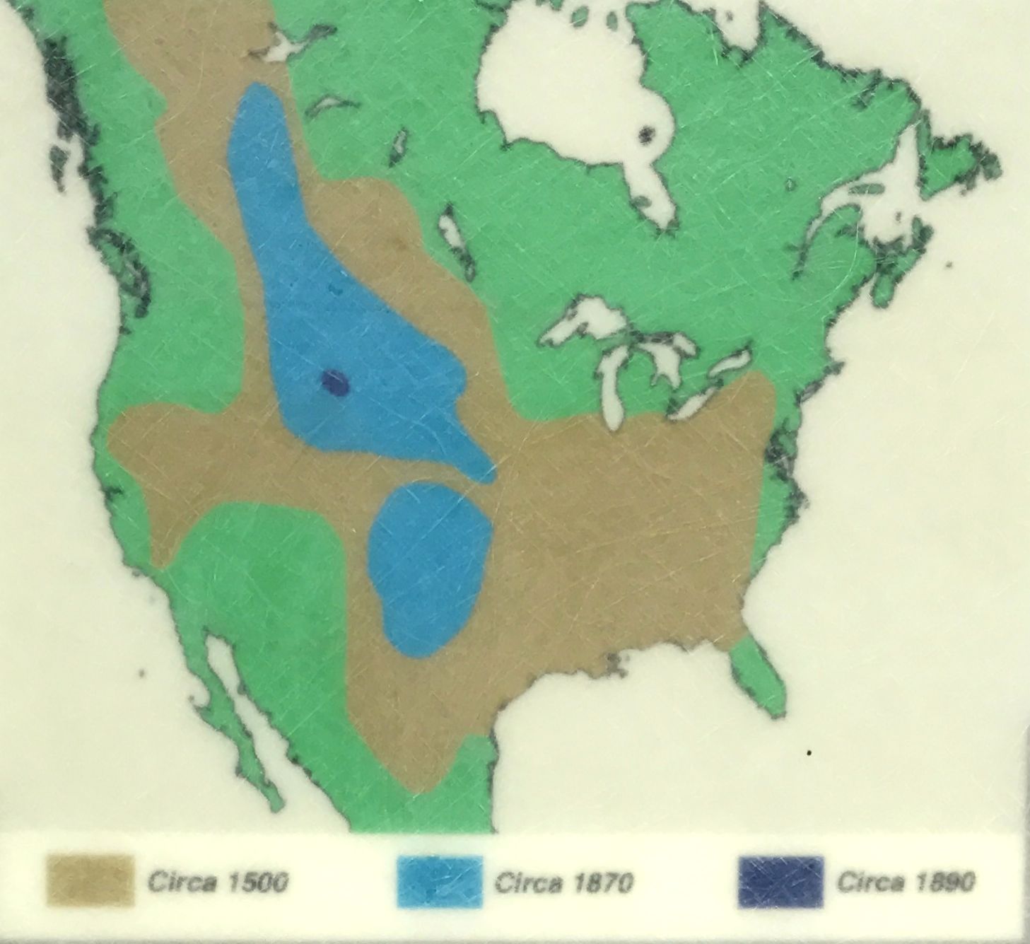
This map documents the shrinking range of the buffalo. The areas in bright green had none, so don’t worry about the fact that bright green isn’t represented in the key.

Amazing what we can do when we set our minds to it. (But not “amazing” in a good way.)

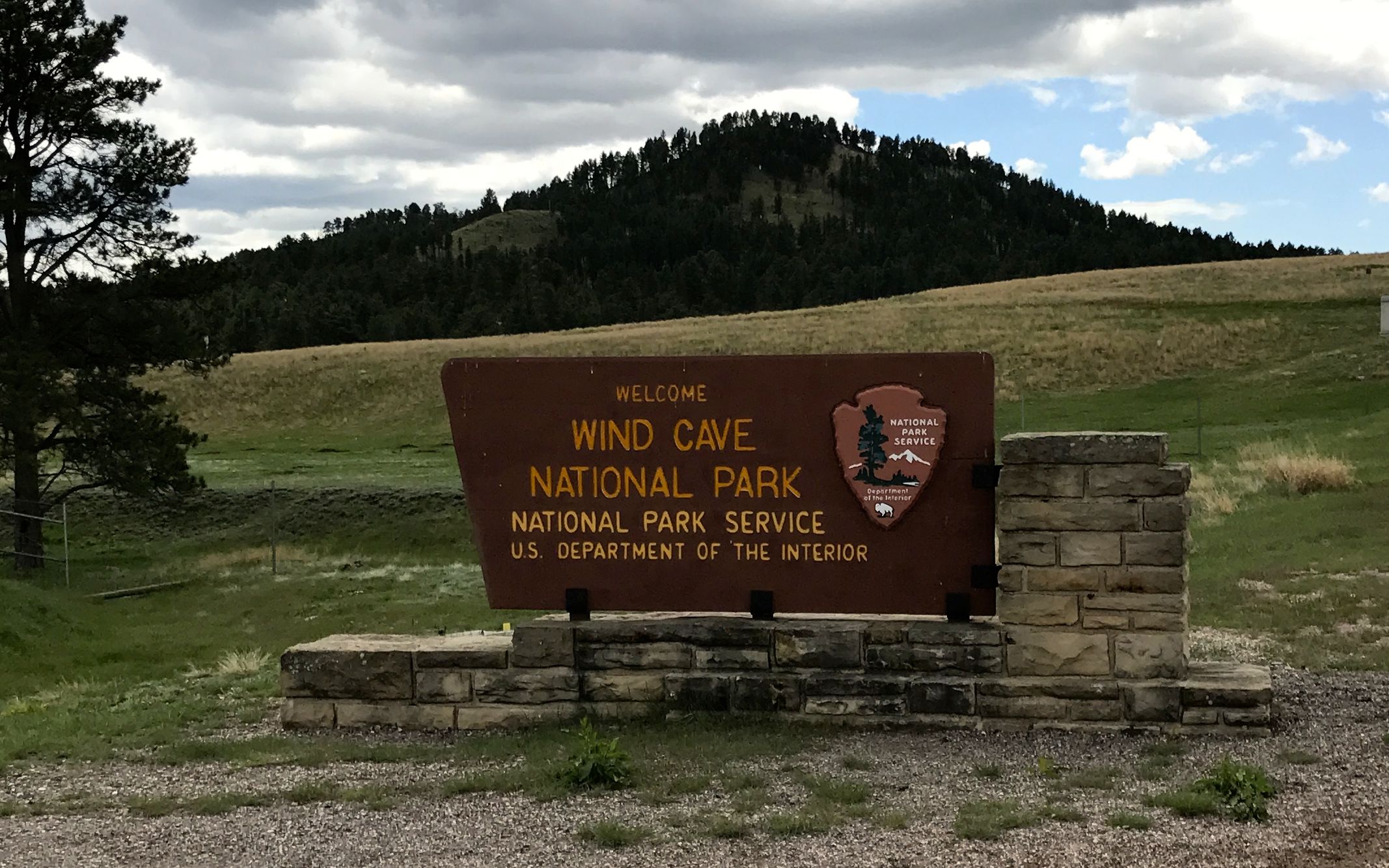
With that, I headed to Wind Cave National Park.

Oddly enough, the buffalo were up close and easy to see in that park. 

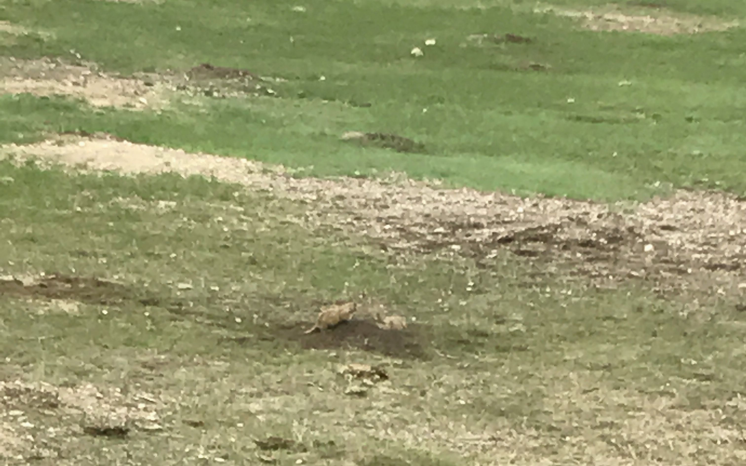
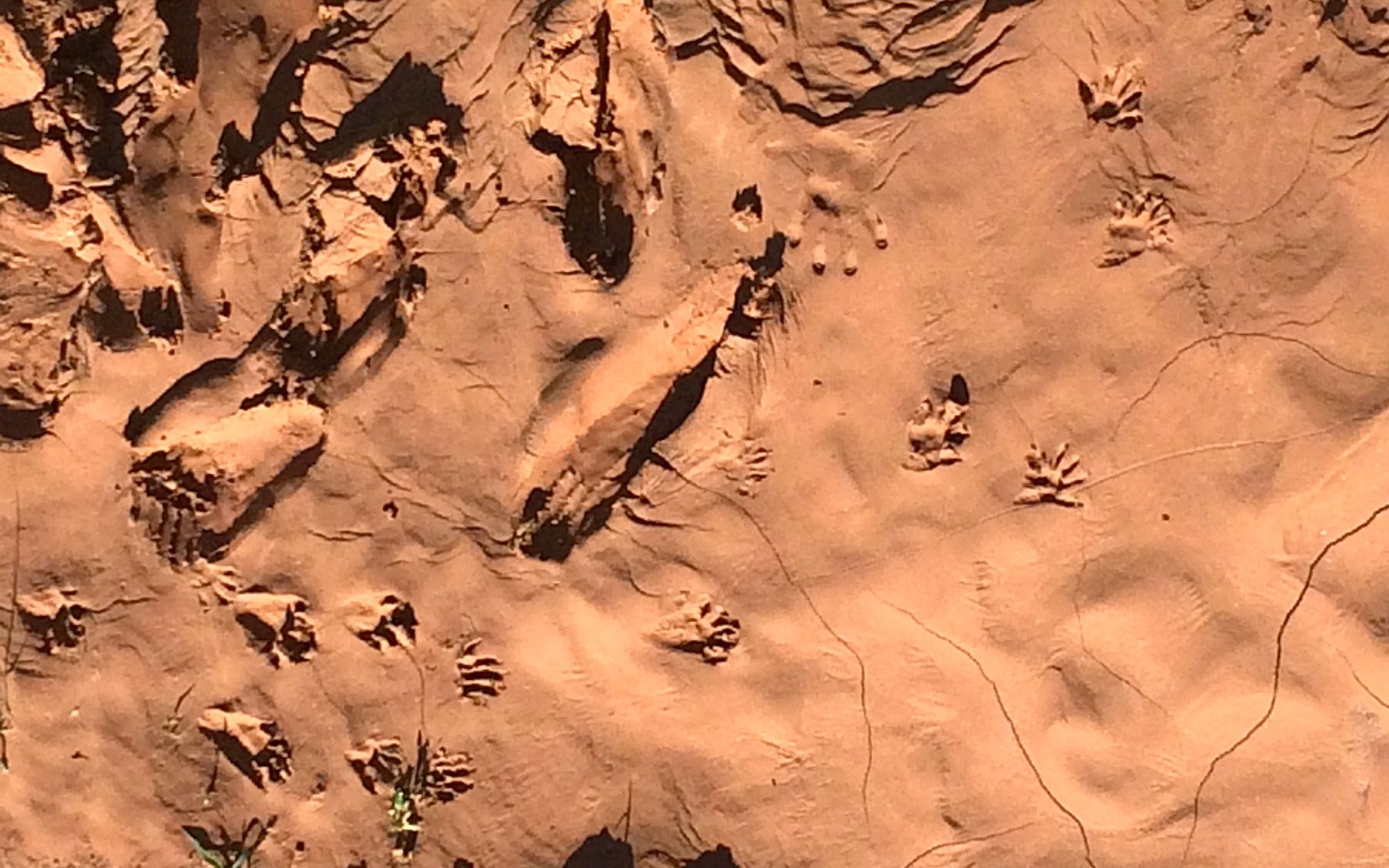
So were the prairie dog towns. If you look a little below the center of the photo, you can see a couple of them. They are fun to watch, but kind of hard to photograph with an iPhone.

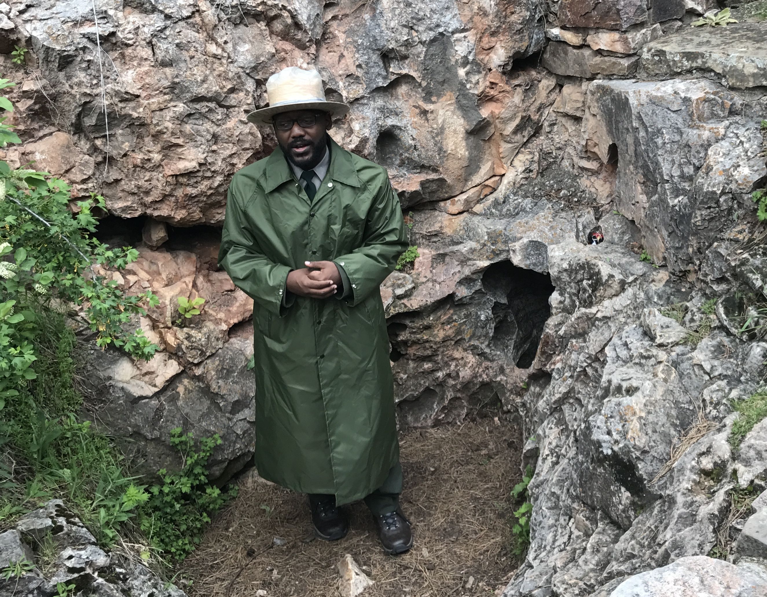
I signed up for the tour and Ranger Justin lead us over to the original entrance to the cave.

One of the interesting features of the caves found in this park is that they are said to “breathe.” When the air pressure is higher outside the cave that inside, air flows into the cave, raising the cave’s air pressure to match the outside pressure. When the air pressure inside the cave is higher than the outside press, the air flows out of the cave.

Justin demonstrated this by holding a light piece of cloth in front of the opening and I could see it moving as the cave exhaled.

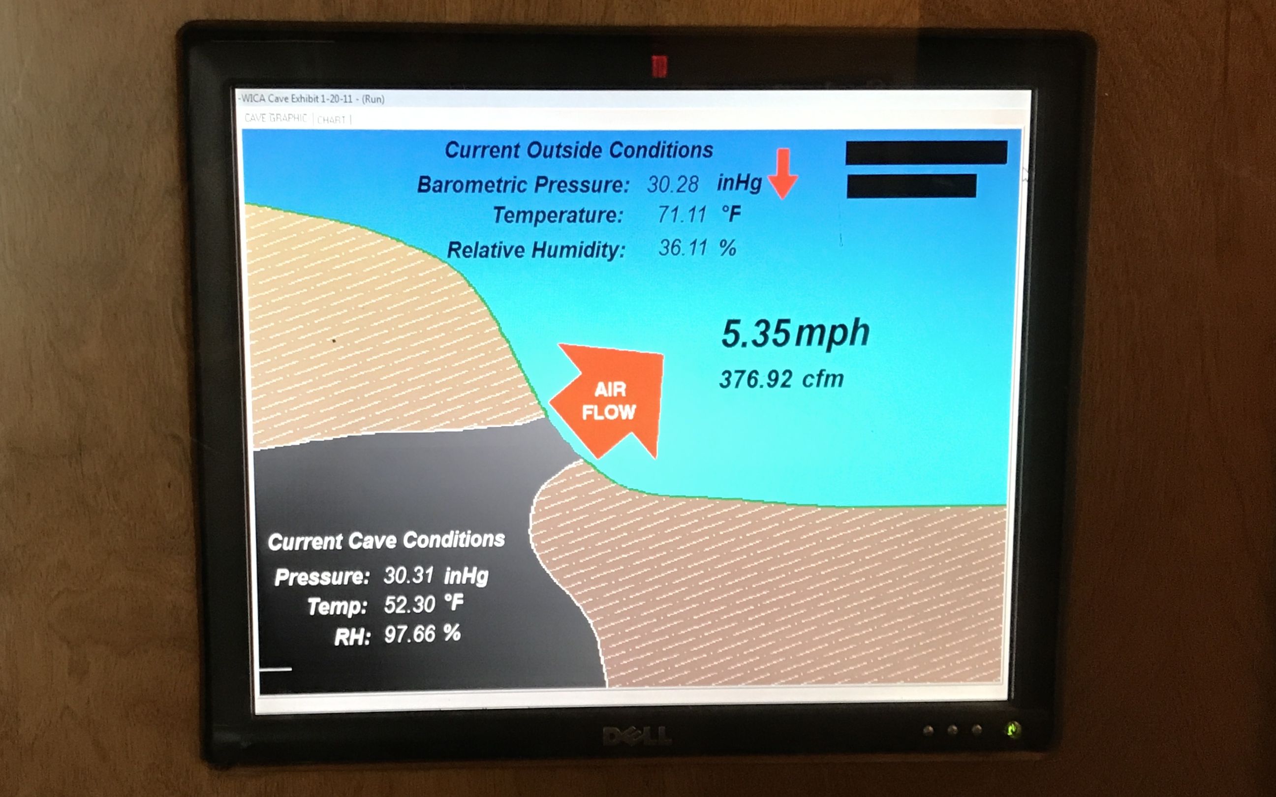
After the tour of the cave, I took a picture of this display in the museum area. So the air was flowing out at about 5.35 mph.

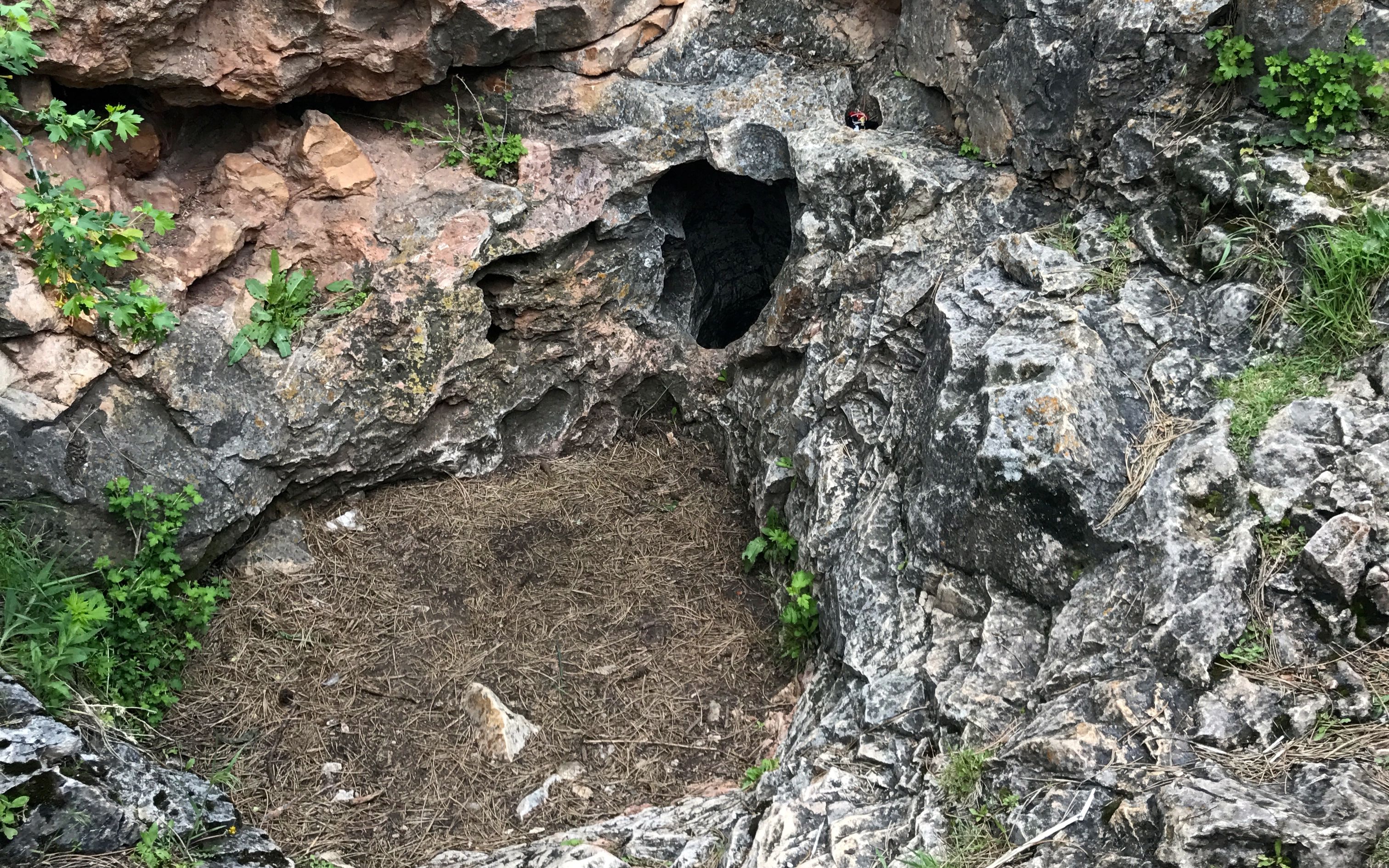
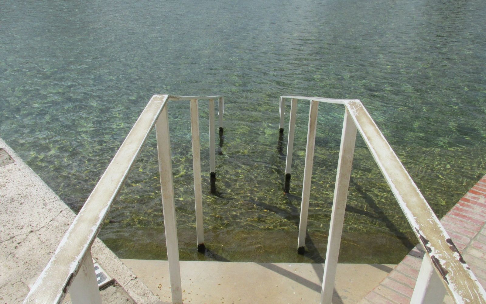
I am surely glad that they made another entrance to the cave. I wouldn’t not want to try to enter it that way.

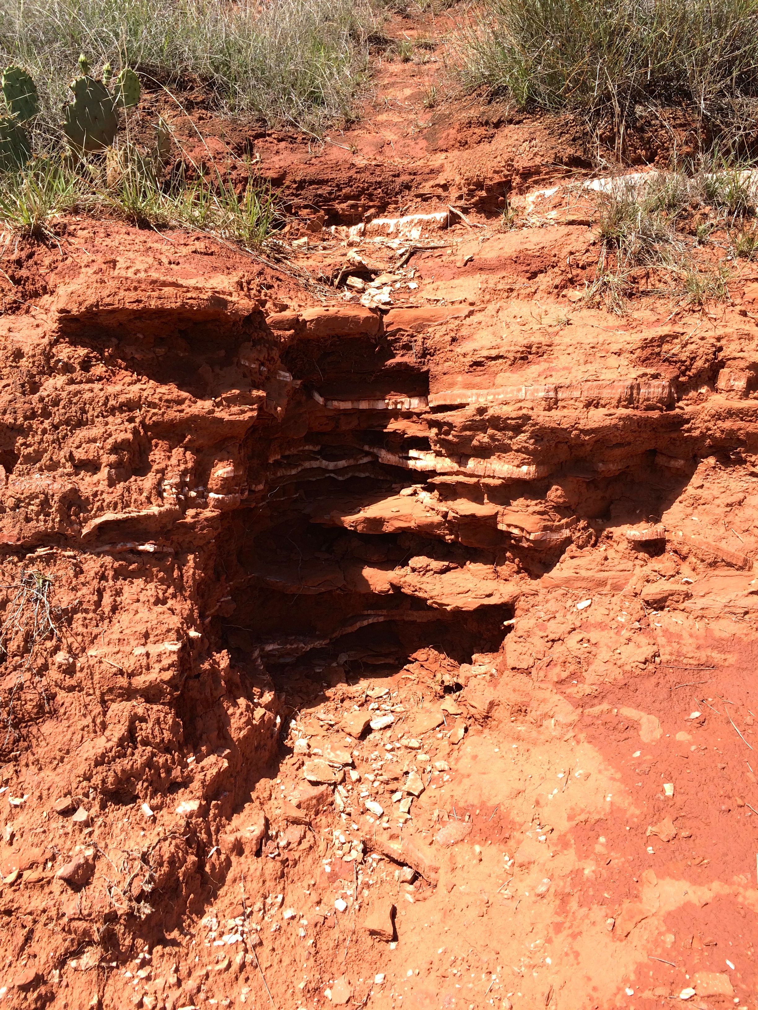
Wind Cave is famous for a formation known as “Boxwork.” In fact, if you want to see box work, this is the place to be, as approximately 95% of the world’s discovered boxwork formations are found in Wind Cave.

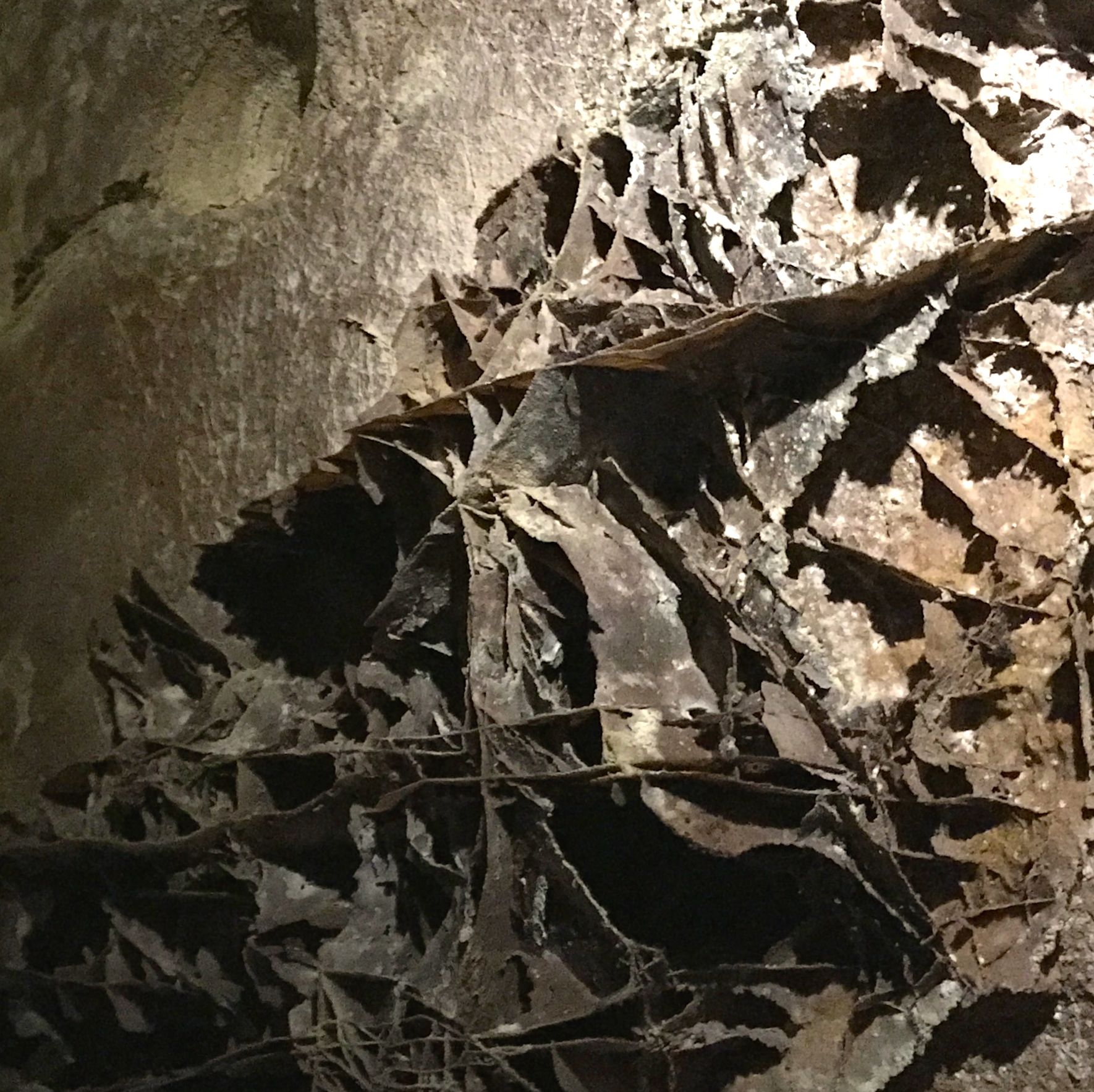
If I remember Ranger Justin’s information correctly, a softer rock formed and then cracked.

Calcite deposits formed in the cracks.

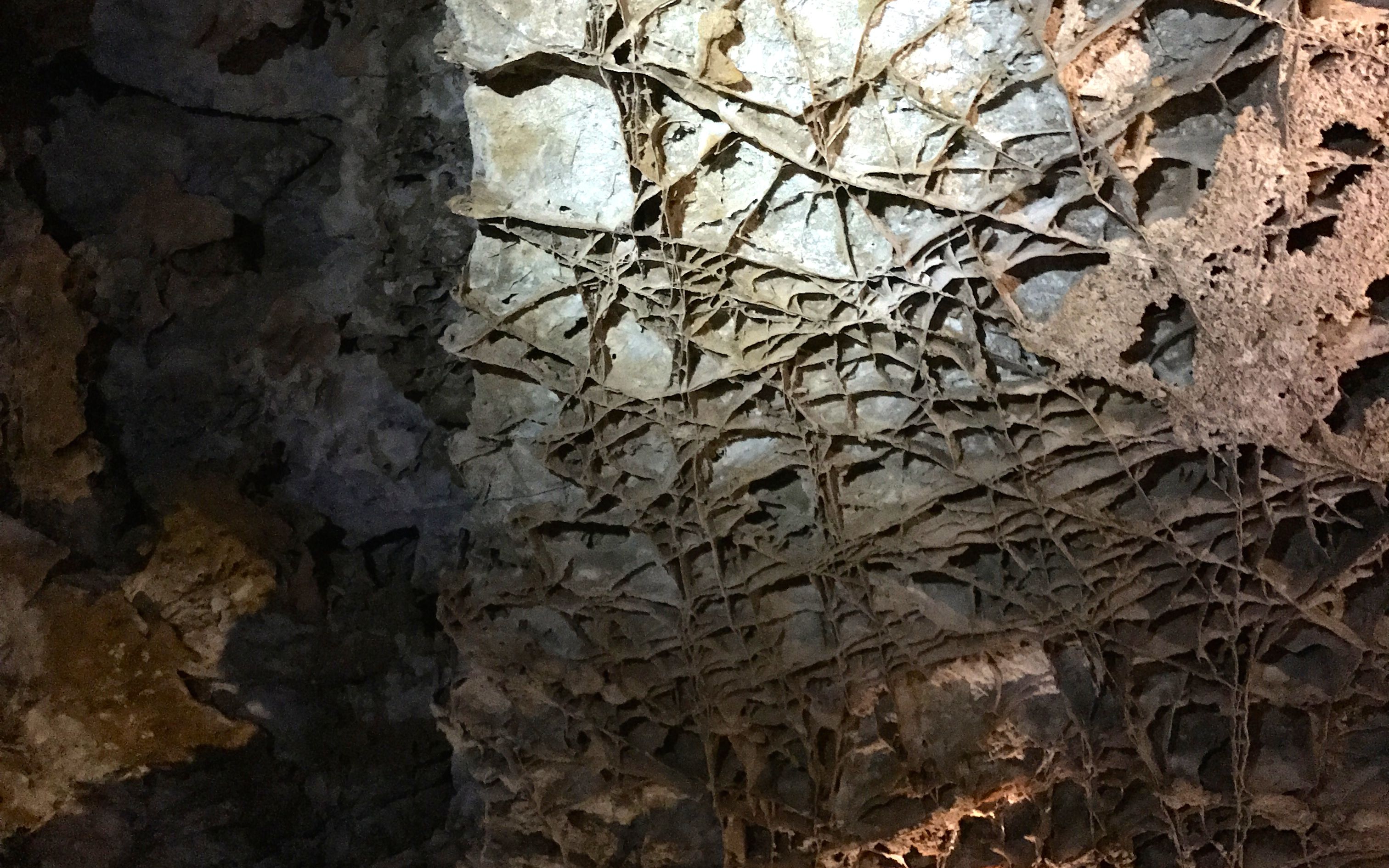
Eventually that softer rocks eroded away. I could be wrong, but that is what I remember.

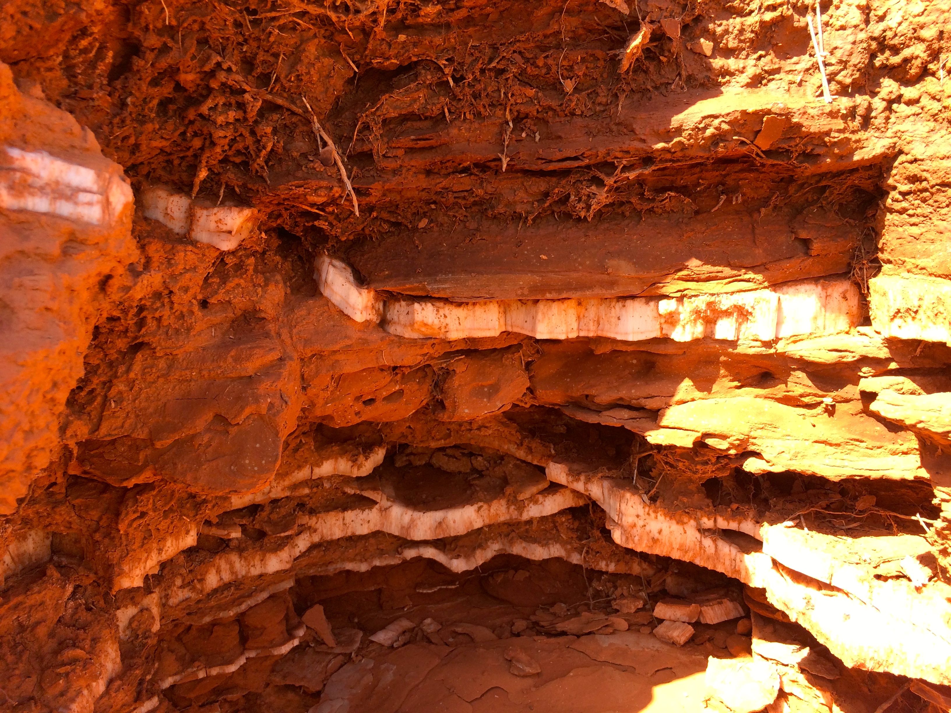
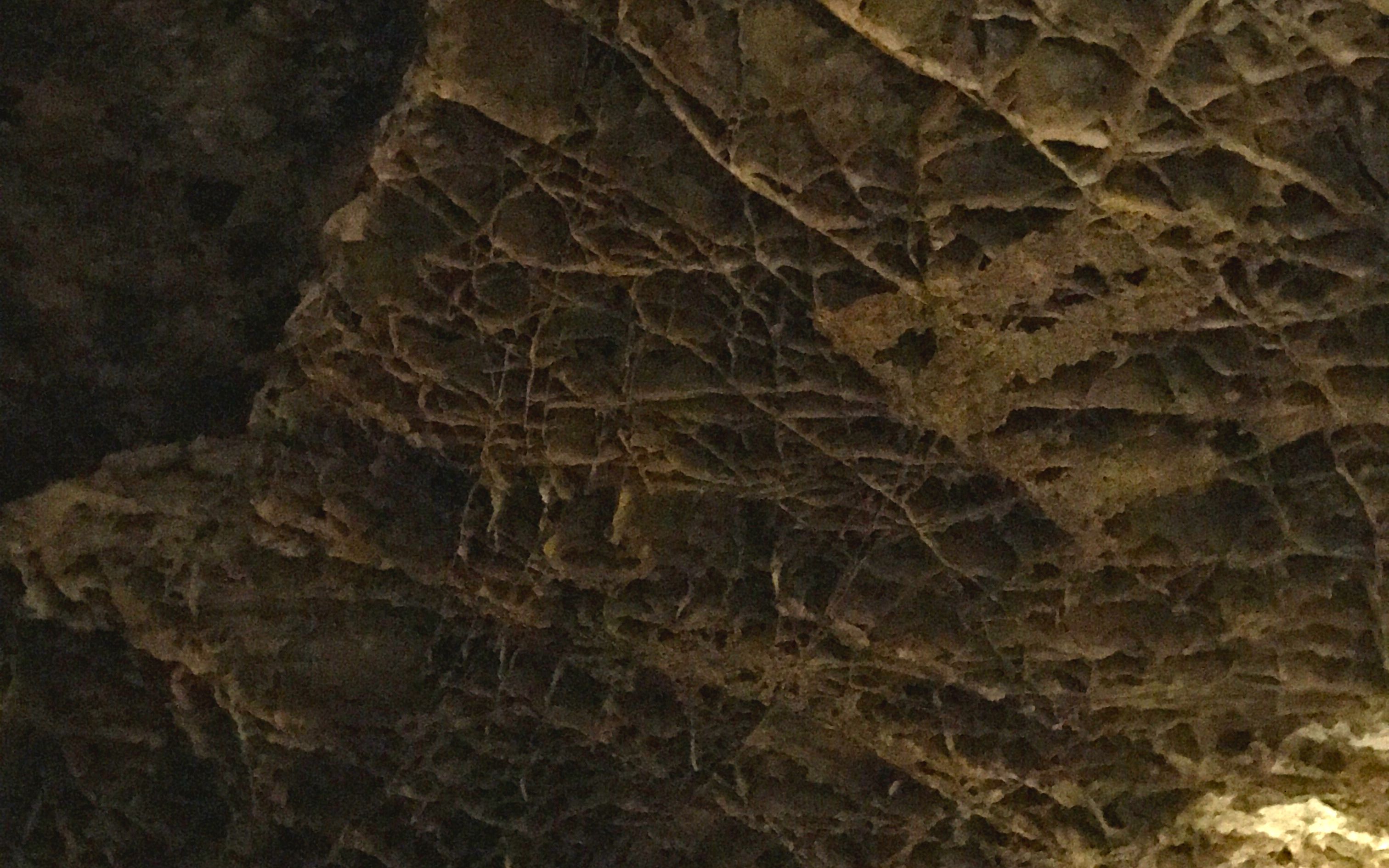
There are also other formations, such as this one that is called popcorn.

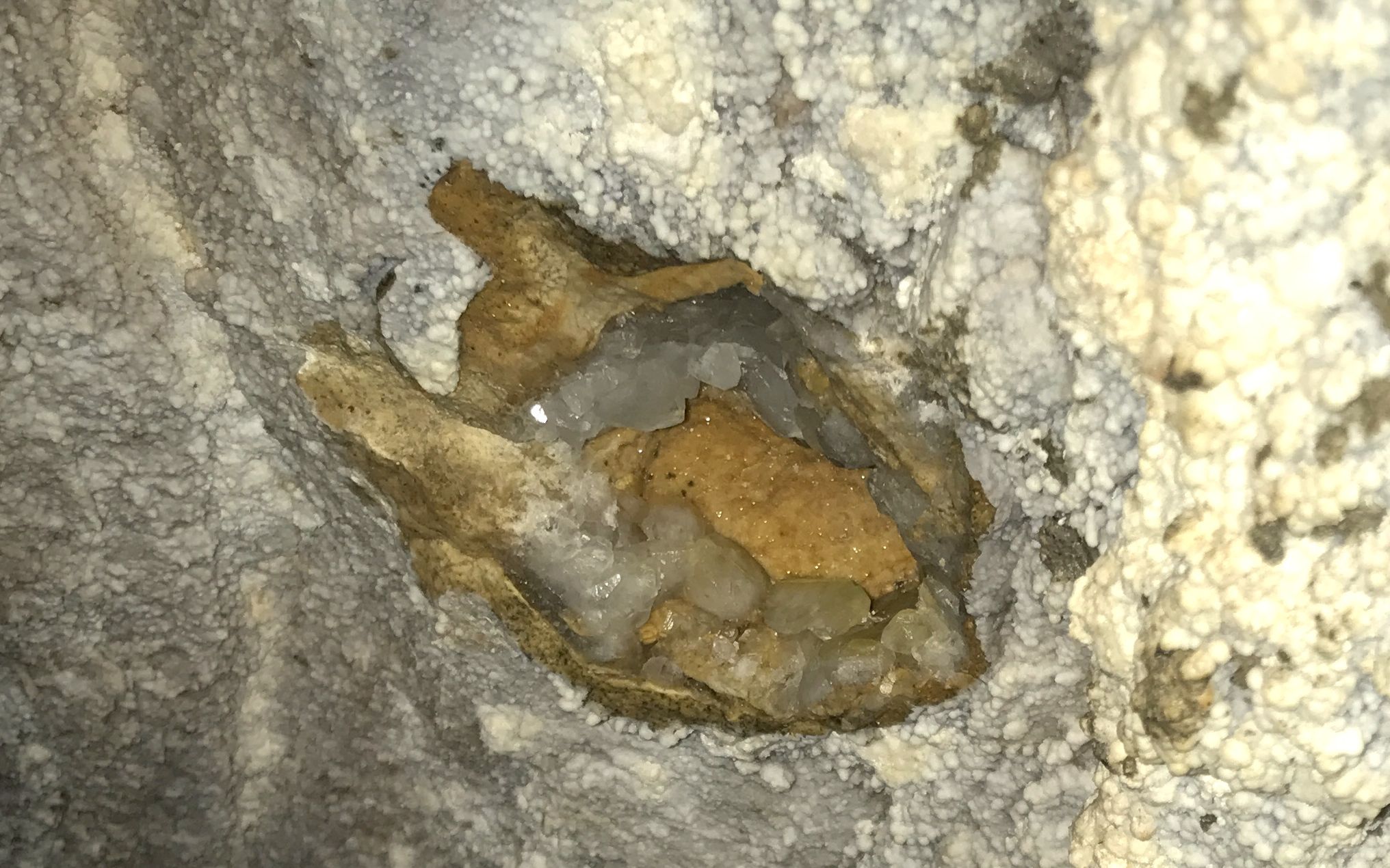
These crystals imbedded in the popcorn caught my eye.

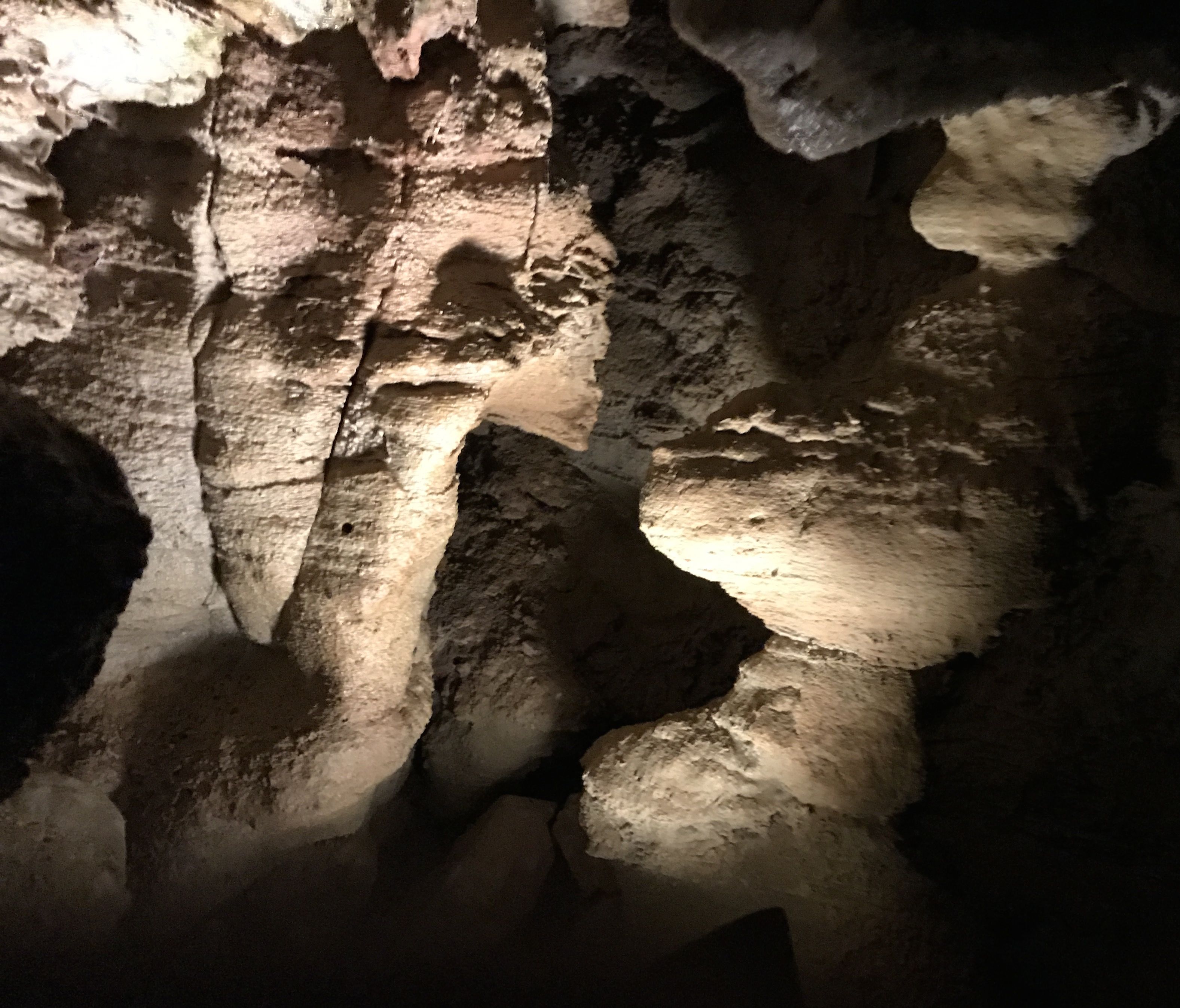
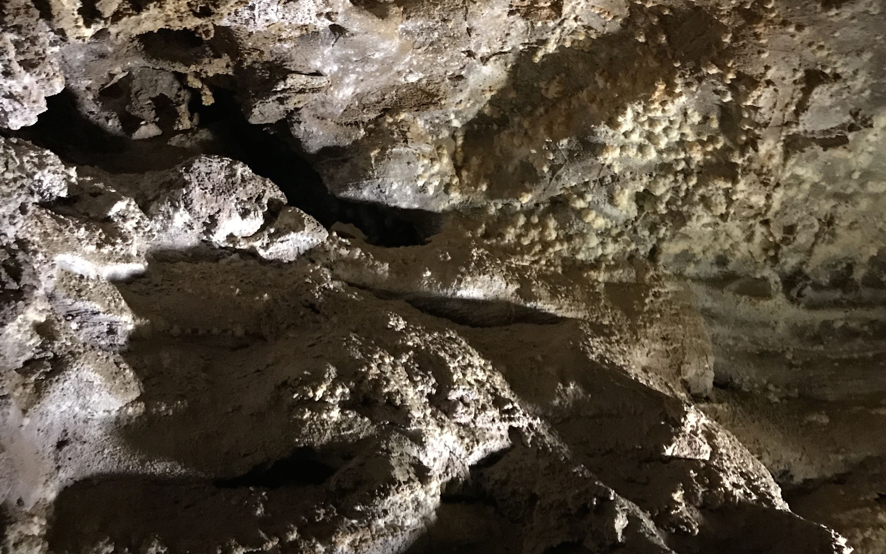
These rounded rocks were interesting, too. There didn’t seem to be the typical stalactite and stalagmite formations that are found in other caves.

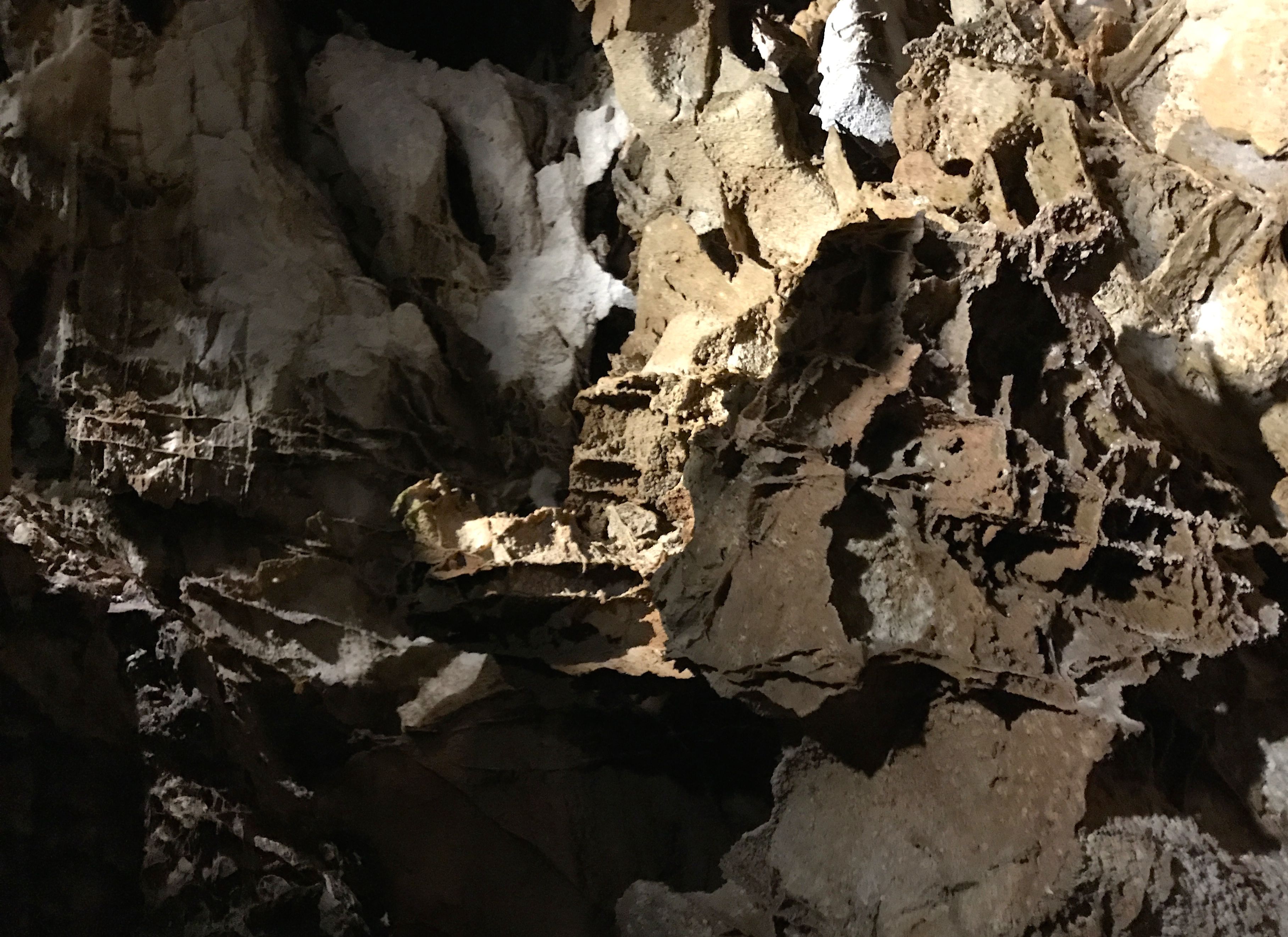
The walls seemed other-worldly.

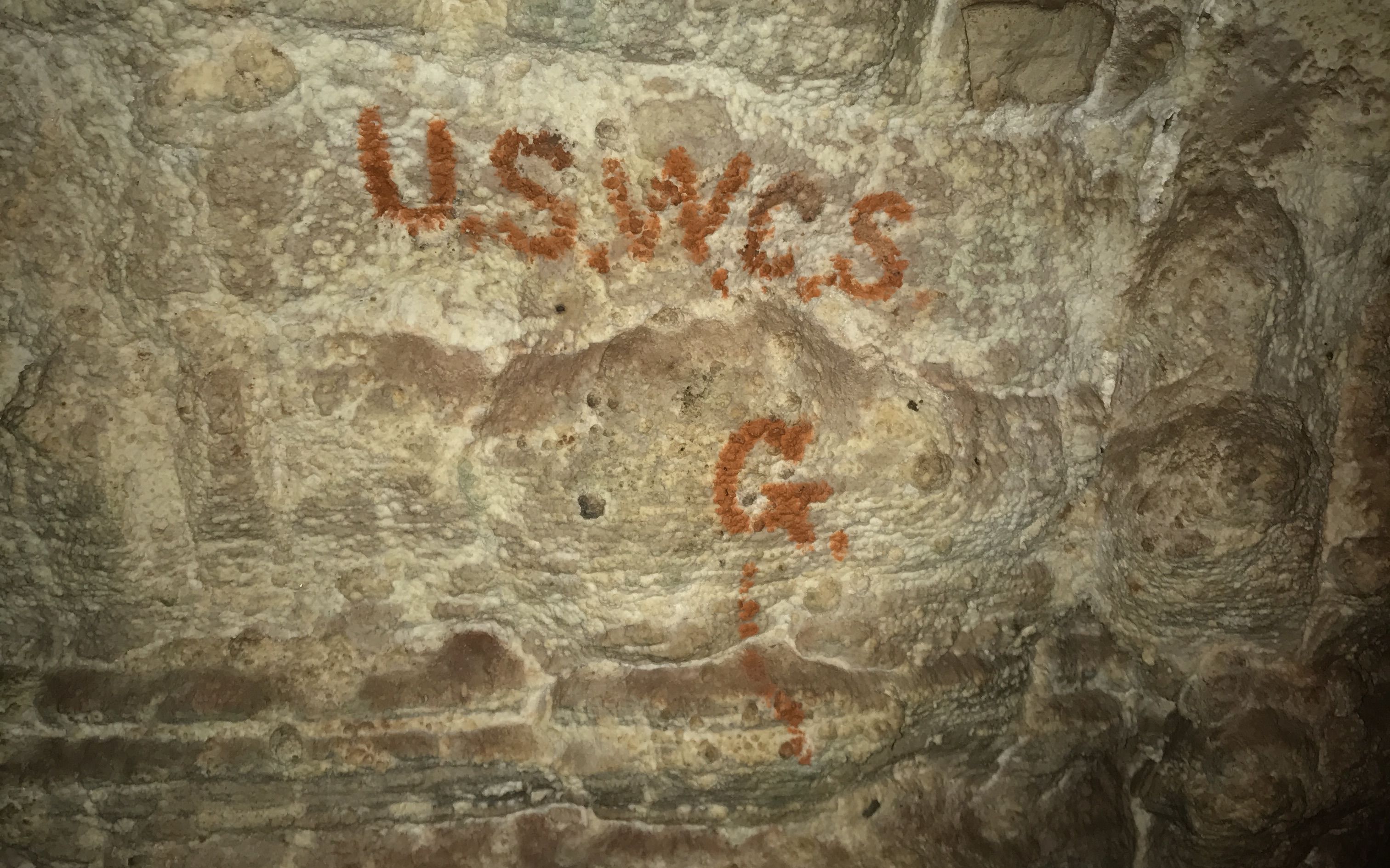
The cave is extensively surveyed, and this is the first marker the surveyors left, if I remember correctly.

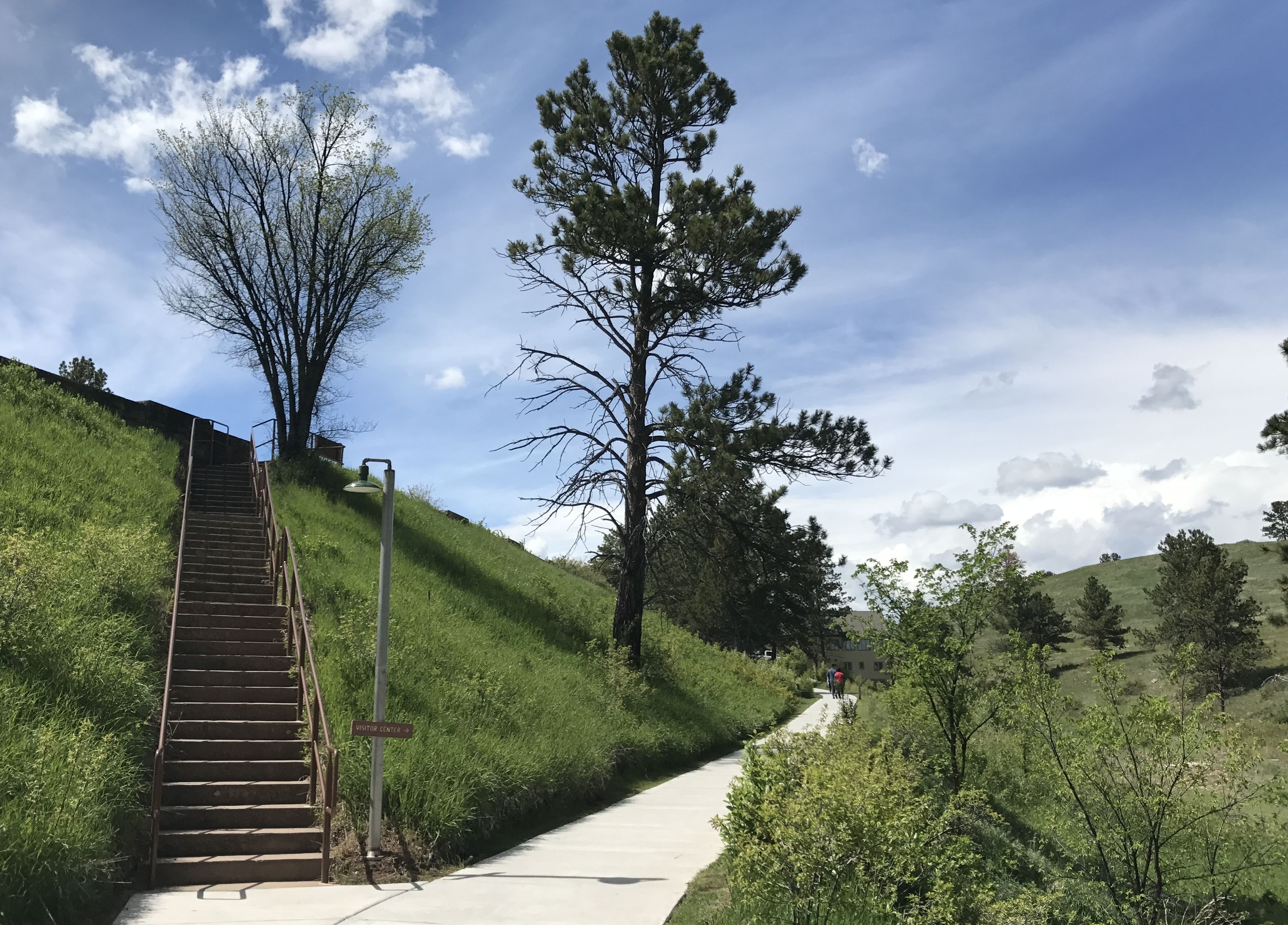
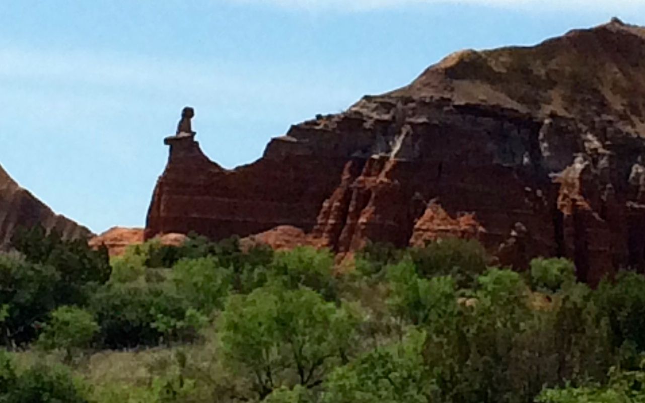
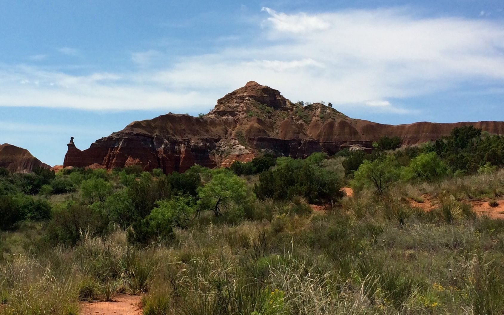
At the end of the tour, I was glad that the clouds had cleared and that there was some blue sky to be seen and that the clouds had cleared. I had a choice of paths to the headquarters and the parking area.

I am not a fan of stairs. I took the ramp up to Bart and headed back to Flo and Cora.

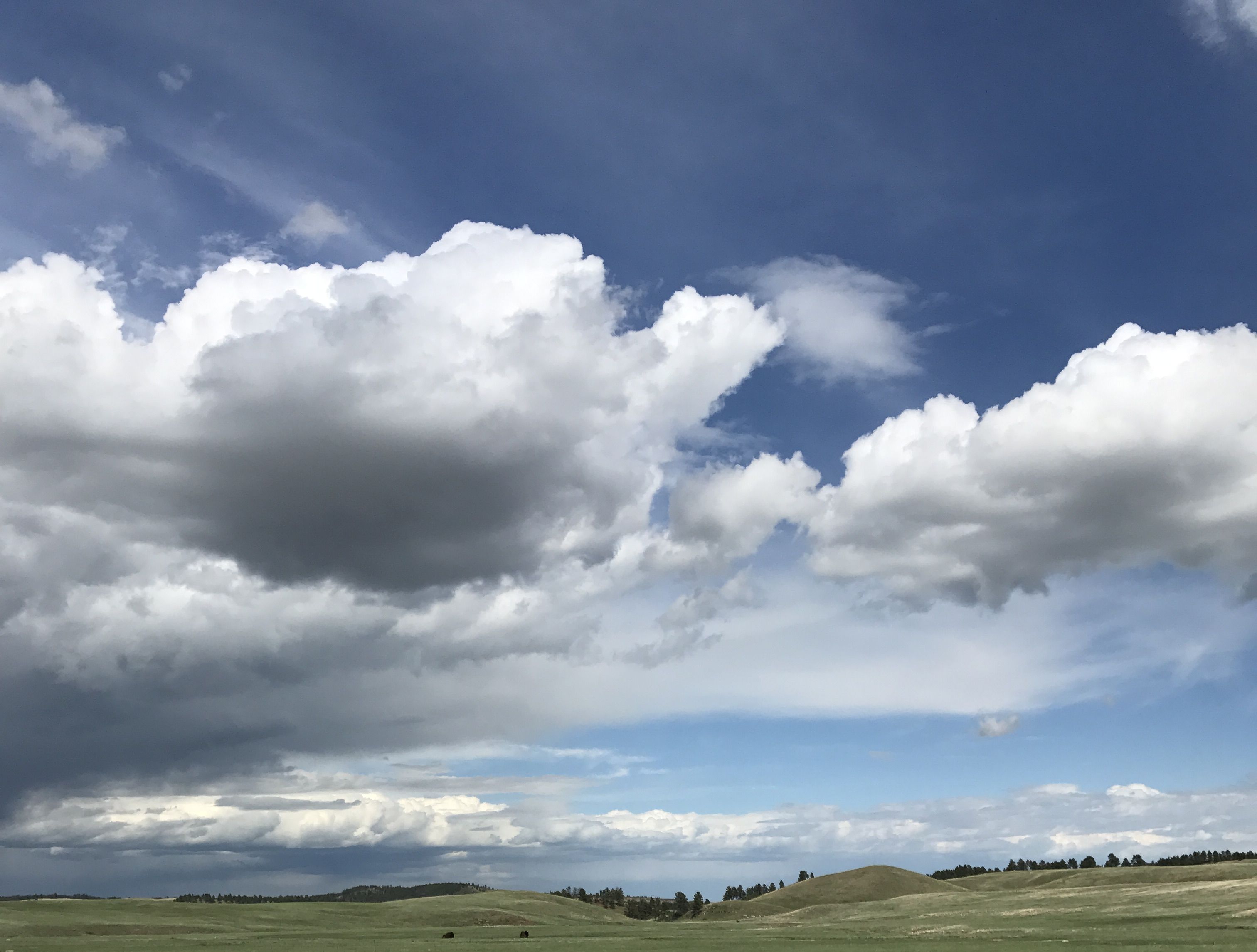
It turned out to be a lovely day after all.

South Mountain Park

Konnie and I were off on another adventure!

This time, we went to South Mountain Park, which is has the distinction of being the being the largest municipal park in the United States. It is more that 25 square miles! Oddly enough, it is classified as an urban park. It seems like it is no where near the city, but there you have it. It is one of the largest urban parks in the world.

Konnie was driving, and I was glad she was. The road to the Dobbin’s Lookout is 5.5 miles of steep sections and blind curves.

Dobbin’s Lookout rises more that 1,200 over Phoenix.

The view is spectacular!

We walked over to the shelter to check it out. What does that sign say?

Ah! Well, that’s one warning I didn’t need.

The view was nicely framed by one of the windows in the shelter.

Konnie sat in the window and drank in the view.

After taking in the sights, we headed back down to see what else we could see.

This beautiful stone building must have been a headquarters at one time.

I like this plaque. It’s so much more positive than a list of all the things that are prohibited.

After stopping at the old building, we went over to the current headquarters. It was closed – which seems to be the way it goes.

Konnie snapped a photo of me with a statue dedicated to America’s CCC boys. The Civilian Conservation Corps was the salvation of many families during the Depression. The $25 per month that the boys sent home made the difference in the survival of their families.

And after that, it was time for food!

Yum!


Palo Duro Canyon and TEXAS

Palo Duro Canyon State Park, near Amarillo, has several campgrounds. I was tempted to camp there. For one thing, I generally prefer staying in public facilities. It has been my experience that they are usually not as crowded. They are usually cheaper, too.

BUT the campgrounds in this park are at the bottom of the deepest canyon in Texas. To get to the campgrounds, you have to descend a 10% grade, switchbacking down the side of the canyon. Also, I heard that the campgrounds were muddy, which makes sense since they had had a bit of rain lately – and they were at the bottom of the canyon. Water does flow downhill, after all.  Also, if you descend a 10% grade switchbacking down the side of the canyon, you have to ascend a 10% grade switchbacking up the side of the canyon to get out.

I opted for the Palo Duro RV Park in Canyon, Texas, just ten miles from the park. It was only $25 and had a wonderful view of the interstate.

view from the trailer

That sign seems to be following me!

After my day of exploring the Alibates Quarries National Monument and the Cadillac Ranch, I just got settled in and prepared for the next day, when I would visit Palo Duro Canyon State Park.

The next day, I headed over to the park. I was happy to be able to make use of the Texas State Parks Pass that I had bought in February. I stopped off at the visitor center. They had an interesting display about the construction of the park, which was done by the CCC during the Great Depression. I had already stayed at one the Texas State Parks built by them, Balmorhea State Park, on my way west a few months ago. I have got to say that I am extremely in awe of the CCC. Not only did they build some wonderful parks, but the work they did and they pay they received was the salvation of many families during those dark days.

dining at the CCC

If I remember the numbers correctly, the men working in the CCC received $30 a month plus room and board. They got to keep $5 for themselves and the rest was sent back to their families.

building the road into the canyon CCC

Here’s a photo from the exhibit of them building the road down to the bottom of the canyon. They used dynamite, but, for the most part, it was just plain old hard work with picks and shovels.

The lodge

The visitor center is one of the buildings that the CCC built. It was originally the Coronado Lodge. Given the name, I assumed it must have been  hotel, but there was no information that I saw describing how it was used oringially. It seemed like a rather small building to be a hotel. However, it was solidly built and is still in use.

There was a great view from the parking area.

view into canyon from first overlook

When I arrived, the trails were closed due to the rain that they had received.

trail system closed

By the time I got to the floor of the canyon, they had determined that the trails had dried out enough for them to allow people back on them.

TEXAS sign

My first stop was not a trail; it was the ticket office of TEXAS. While I was parked at the Visitor Center and before I lost my cell phone connection, I called and ordered tickets for the show and for dinner beforehand. I stopped to pick up the tickets, but “will call” wasn’t open until 6:00. The woman I spoke with was very excited. This was opening night for the 51st season of the open air musical about the history of the Texas panhandle. On my way back to the truck, I stopped off to visit with some of the performers.

One of the stars of the show

I resisted the temptation to tell him to “break a leg”. That seemed like a bad thing to say to a horse.

I set out to explore. I drove through some of the campgrounds. They were in good condition, and they would have been fine to camp at – if only there wasn’t that 10% grade with switchbacks to negotiate.

I ended up at the Lighthouse trailhead parking lot. It seemed as good as any, and there was ample parking.

Lighthouse-Rock-profile

This was the goal of the hike. I didn’t make it all the way. I borrowed the photo from the Texas State Parks website. When you enter the trail, they provide a brochure with the signs of heatstroke and dehydration. It was hot, but I did have water, so I figured that I would give it a shot.

Trail up the hill

Some of the trails were kind of small footpaths. They seemed interesting, but I figured that they weren’t heading toward The Lighthouse.

Main trail

This one seemed more likely. It had definitely seen more traffic.

I tend to walk like a beachcomber. I walk a bit and then I stop and look at things. I bought one of those fitness trackers, and I continually get reports that my longest active time for a day was two minutes. That’s okay with me. I am walking to look at things, not just count steps.

what are those white layers?

Anyway, I was interested in the white layers that were exposed. I walked over to inspect them more closely.

Layers close up

They were very interesting! I found out later that the white layers are gypsum. I took a couple pieces with me so I could identify them. Since they were covered with the red soil, I soaked them in water. The water made them really easy to break apart. Remember the Mohs scale from my last post? Well, the only mineral on the scale softer than gypsum is talc!

indian rock

I walked on a bit until I came to a spot the trail guide told me was a place to view a hoodoo that looked like an Indian standing guard.

capitol dome ?

The taller formation is Capitol Peak. It was named for its resemblance to the Capitol Building in Washington D.C. There was a shelter at that spot, and I stopped and enjoyed the shade while I drank my water. I drank all the water I brought with me. I had more than half a gallon in my back pack! I figured that I had walked far enough if I felt the need to drink all my water by that point, so I headed back to the trailhead.

Spanish skirts

The formation across the valley is known as “Spanish Skirts”. At least, I think that’s what I was taking a picture of.

Layered rocks

There were lots of lovely layered rock formations. The colors don’t show up as vividly in the photos, but they were quite amazing.

Flood gauge

Speaking of amazing, I thought this flood gauge was worthy of a little examination. If you could see that the depth of water was three feet, you might be less inclined to try to go through. As they say out west, “Turn around. Don’t drown.”

What size stream could flood that high?

creek

It doesn’t look like much, does it? But, when you consider the size of the area that drains into the creek, I guess it makes sense that the water level could rise dramatically – and suddenly.

Raccoon paw prints

Looking into the mud on the banks of the creek, I could see what looks like raccoon paw prints.

I still had a little time to go before I could pick up the tickets for dinner and the show. I decided to stop off at the trading post for something to drink. I couldn’t help but notice these candies.

expensive candy

The bag is printed with the price, “2 for $1.59 or 89¢ each”. If you look careful at the orange sticker, it reads $1.29. I guess it’s all about supply and demand. As far as I was concerned, at that price I had no demand.

After nursing my diet Coke and enjoying the air conditioning for a while, it was finally time to go pick up my tickets.

TEXAS sign

It was time for TEXAS!

performer and his parents

While I was eating, I got to watch the excitement of performers on opening night. The young man in the white shirt came out to say hello to his parents. You could feel the happy, nervous energy he was exuding, and his parents were so proud of him.

After dinner I went to the entrance to the amphitheater to wait for them to open the gates. While I was there, I got to talking with a gentleman who had on the most gorgeous turquoise bolo tie. He told me that it had been his father’s and that he liked to collect Navajo jewelry. He showed me the bracelet he had on and said that he had just gotten a new one, but it was too big to wear with his dress shirt. Before he retired, he had been the director of history at the Panhandle-Plains Historical Museum.

You just never know who you are going to run into!

They opened the gates, and we went to take our seats. I ended up sitting next to the Cabbages of Hutchinson, Kansas. We got to talking about the PPHM (Panhandle-Plains Historical Museum) and they enthusiastically recommended it to me. I told them that I would give it a visit while I was in town.

While waiting for the show to start, I examined the stage. It looked like there would be some interesting scenery and set changes.

Stage left

The backdrop was the wall of the canyon.

The backdrop

I just couldn’t wait to see how all those doors would come into play!

Stage right

Unfortunately, I have no shots of the performance to share, as it was prohibited. But, you know how they say everything is bigger in Texas? I think that applies to musicals, as well. They have cast of 60 singers and dancers, at least six horses and a mule. There were three wagons, I think, a train, a cabin and a real, burning campfire that they moved out onto the stage. Oh, and the show ended with the Dancing Waters of TEXAS and fireworks.

Program

TEXAS! 

After the show, you know that 10% grade with switchbacks? Yep, time to reverse the process, this time in the dark.

Since I am reporting this to you, you know I made it out.

Balmorhea

My next Texas State Park stop down I-10 was  Balmorhea State Park, just outside Balmorhea, Texas. The reason I was attracted to the park was the pool. There is a 1.75 acre spring-fed pool! And the literature said that it was a steady 70º year round.

pool 2

The park was built by the CCC from 1935 – 1940. For those of you who aren’t familiar with the CCC, the Civilian Conservation Corps, was created by President Franklin Roosevelt in 1933 as part of the New Deal. Young men, ages 17 – 25 who qualified for public assistance were given jobs working on conservation projects. Clothing, food, medical care and lodging was provided and they earned $30 a month. They sent $25 of their wages home to their families.

When the CCC company arrived in 1934, the first things they built were barracks, a mess hall and a kitchen that would be their home for the next few years. There were as many as 200 men working on the site.

CCC

In addition to the enormous pool, they build a concession building, two bath houses, and San Solomon courts, which is a motel. They used local limestone and and made adobe bricks for their building materials.

lodge and canal

The water in the pool came from springs in the mountains. An information sign showed how the water seeped through the layers in the limestone and accumulated in a spring. The CCC channeled the water into the pool.

gates to regulate the water flow

The water left the pool and passed through channels that sends the water along to irrigate cotton and alfalfa fields in the valley. Although the park’s name sounds biblical to my ear, the name actually comes from four men’s surnames: E.D. Balcom, H.R. Morrow, Joe Rhea and John Rhea: Bal-mor-hea. These men formed an irrigation company in the area in the early 20th century.

la cienega

They have recreated some of the naturally occurring desert marshes that uses the water before heading to agriculture. They refer to these areas as “las cienagas” which is Spanish for the marshes. And, if you have ever been to Los Angeles, I’m sure you have heard of  “La Cienega Boulevard”. Imagine that! A street named for a swamp.

La Cienega sign

There was a lovely viewing platform for the marsh right across from my campsite.

looking over the cienaga

As I walked up, I thought I heard the wind rustling the reeds.

plastic wrap on the shelter

It turns out that they were in the middle of maintenance and the posts were wrapped in plastic. The park was well kept-up.

my site

My site  was very nice. In addition to a sheltered picnic table, my site had electricity and water AND cable! They also had wifi, in theory, but I could never find a signal. I could get a strong Verizon LTE signal, so all was good.

The views were lovely.

mountains in the distance

My main goal was to go swimming in that wonderful pool, and so I did, although I have no photo documentation of me in the water, so you will just have to take my word for it.

stairs into the shallow end

The water was cool and refreshing, and I was comfortable as long as the sun was out. There were signs warning about the slippery stairs. The stairs were a bit slippery because the water was fresh and untreated. It was absolutely delightful!

birds in the pool

I was swimming with the coots.

pool

The pool was huge! And, they put safety first by warning us that we shouldn’t run.

no running

No chance of that, though.

storm moving in

I swam about until the sun was obscured by the storm clouds moving in. I got out and got dry, just in time for a gorgeous sunset.

sunset

The next day, I hitched up and got ready to move further west. I met the most interesting fellow on my way out.

Ranger of the Lost Art

This is Ranger Doug, who is touring the National Parks in his totally refurbished Airstream. He told me that this is Airstream #3 and he has just completed an axel-up renovation. That photo next to him is his grandfather, who was a park ranger.

Airstream #3 1948

He is a retired dentist from Alaska who has a business selling silk-screened prints of the WPA National Park posters as well as modern posters “in the style” of the WPA posters.

He was heading to Big Bend National Park, which is south and I was heading west. I big him adieu and motored onward.

Next stop: Hueco Tanks State Park near El Paso, Texas.