Training Ground for World War I

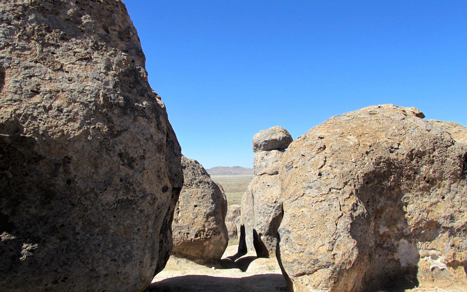
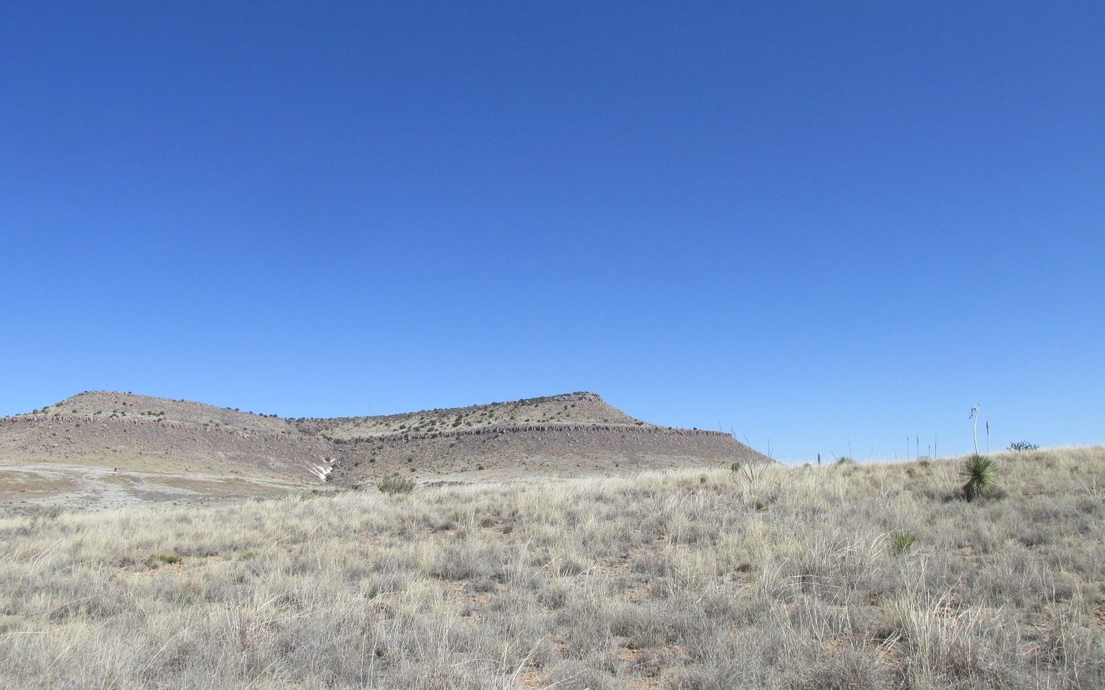
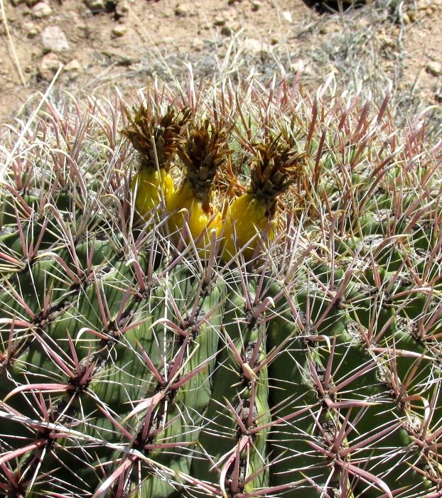
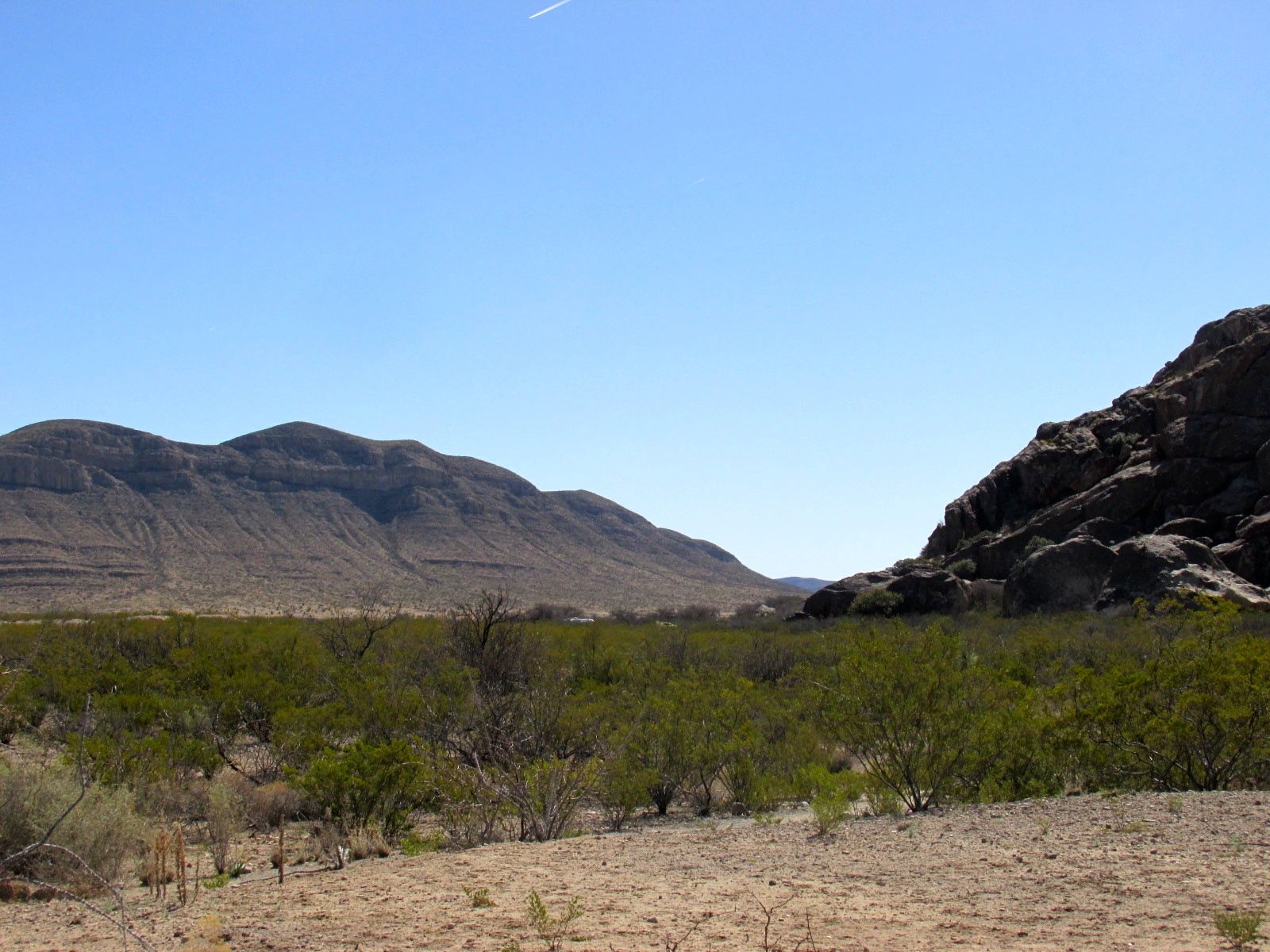
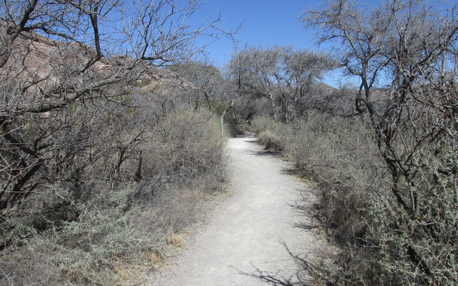
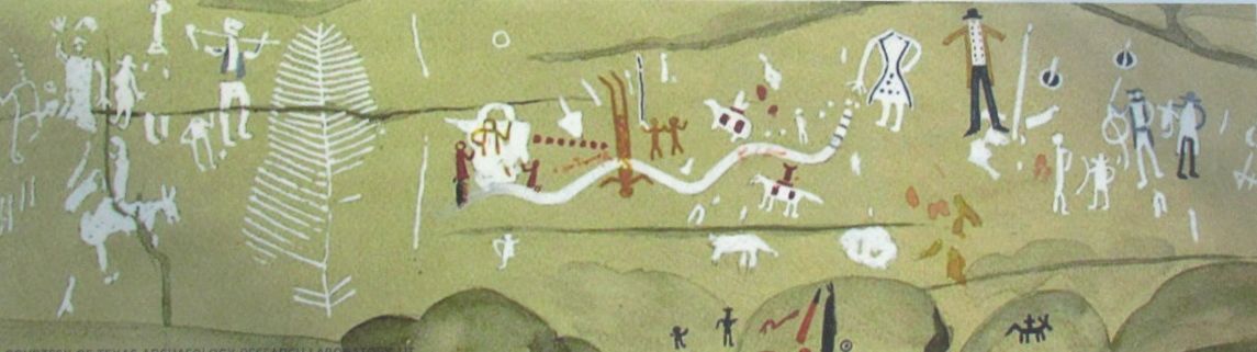
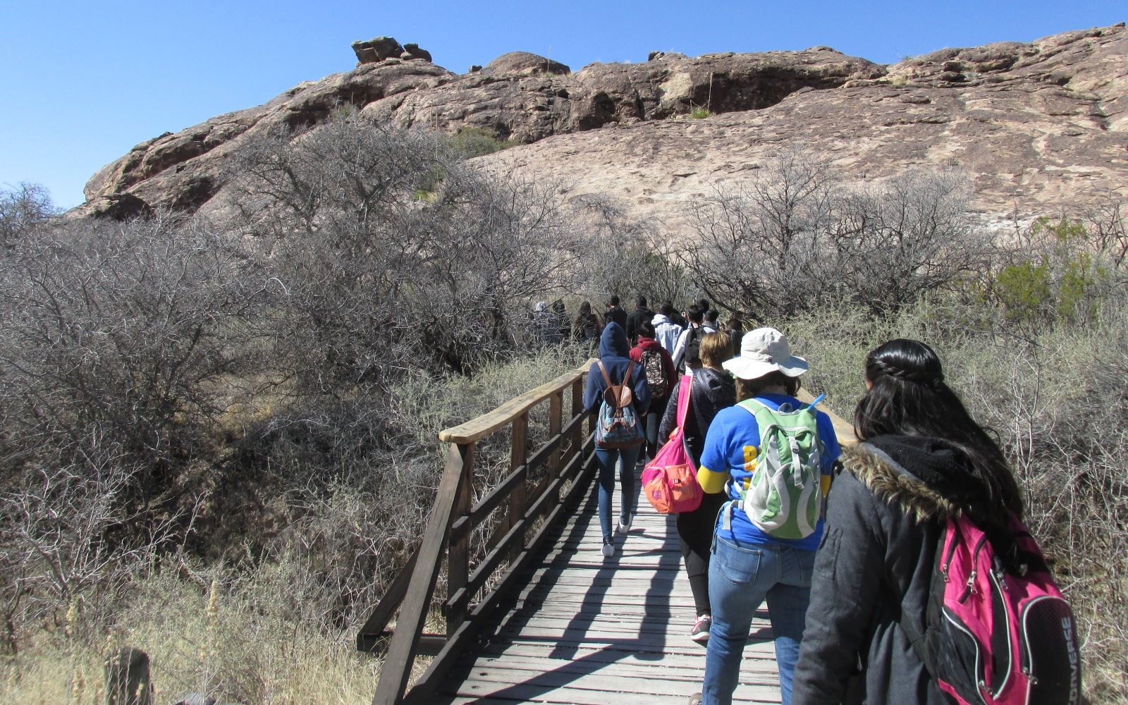
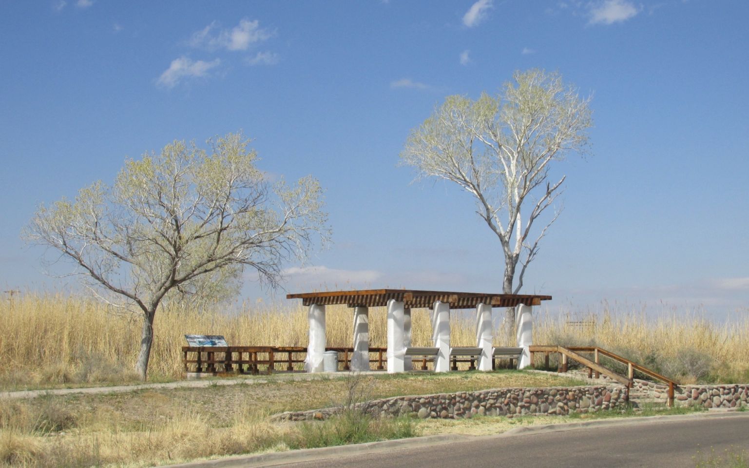
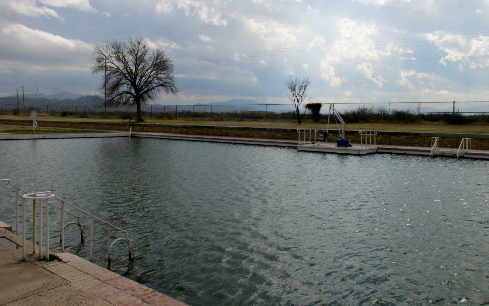
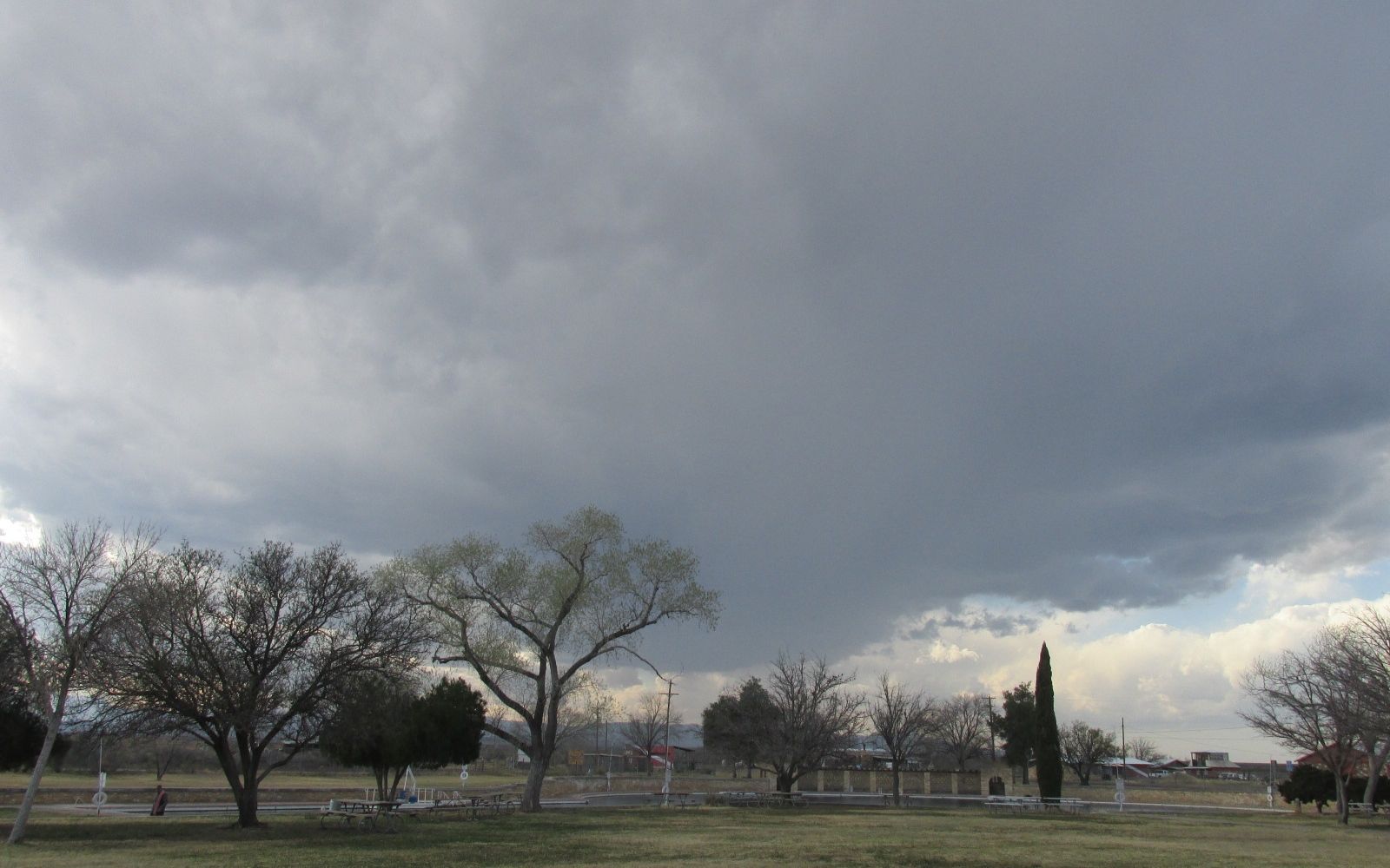
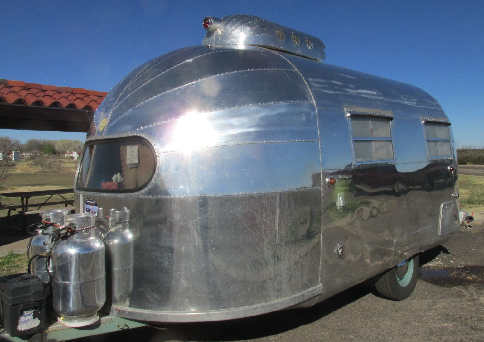
Pancho Villa State Park is quite a remarkable place. Some parks are notable for their beauty. This is not this park’s claim to fame. It’s a dusty, windblown plain. It does have a a sparse beauty, but what is remarkable about this place is its historical significance.

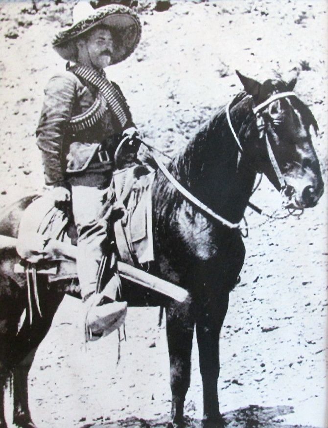
On March 9, 1916, Villa led an army of about 1,500 guerillas across the border to stage a brutal raid against the small American town of Columbus, New Mexico. Villa and his men killed 19 people and left the town in flames.

Pancho villa on a horse photo

According to the information at the park, this was the last time an enemy invaded the United States. Now, I think I have heard things about raids during World War II, but even if there were other attacks, this one is significant for many reasons.

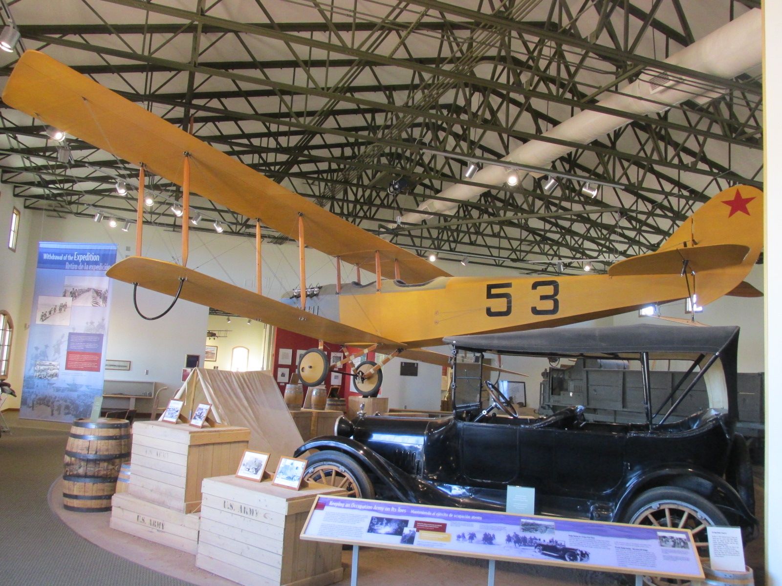
President Wilson ordered General John Pershing to lead 6,000 American troops into Mexico and capture Villa. For nearly two years, Pershing and his soldiers chased the elusive Villa on horseback, in automobiles, and with airplanes. The American troops had several bloody skirmishes with the rebels, but Pershing was never able to find and engage Villa.

These were the last major battles fought on horseback and the first battles that used automobiles and airplanes.

Plane and car

General Pershing ordered 250 Dodge Brothers touring cars after a successful skirmish involving three of the cars. Lieutenant George S. Patton, nine enlisted men and a scout killed three Villistas, including General Julio Cardenas. Pershing said that they couldn’t have done it on horseback. The interesting thing was that gas sometimes followed the automobiles packed on mules.

Four wheel drive auto co nameplate

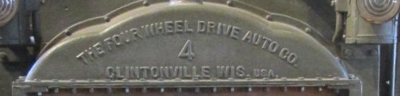
There were a variety of vehicles they were trying out. I wonder what ever happened to The Four Wheel Drive Auto Company of Clintonville, Wisconsin?

Tank prototype

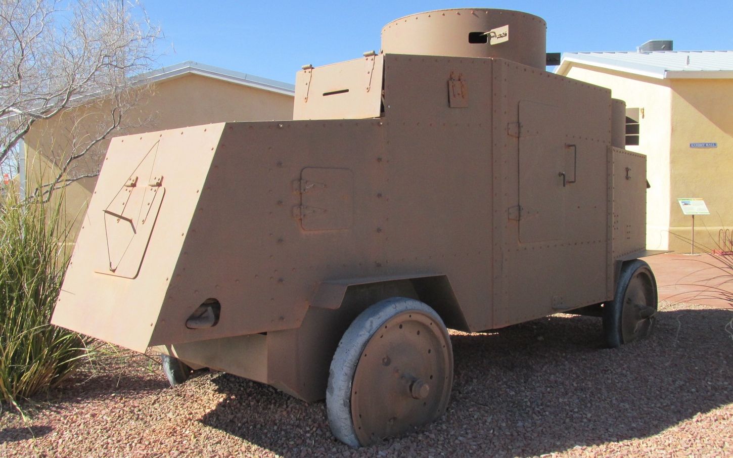
This was kind of a prototype of the modern tank. The little doors on it opened up so that the soldiers inside could fire their rifles.

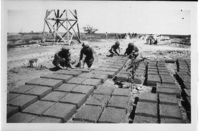
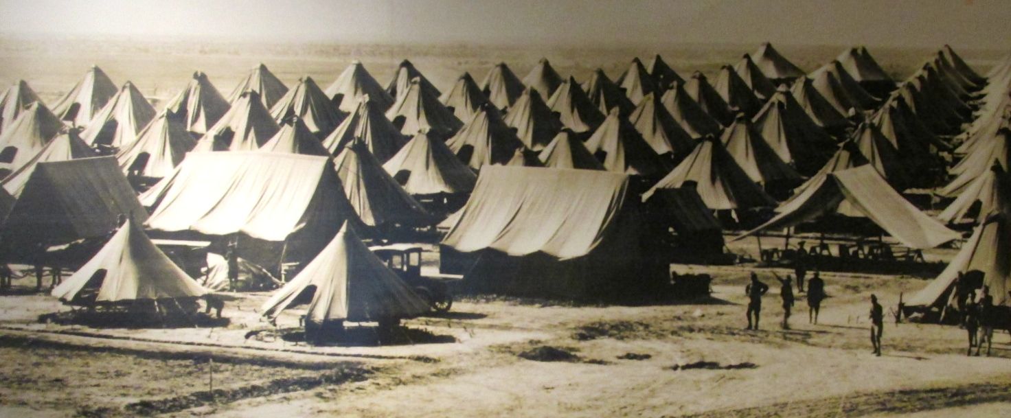
Camp Furlong grew quickly as Pershing assembled  his troops.

Camp Furlong photo of tents

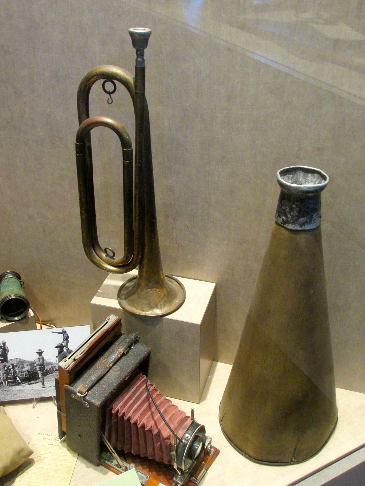
They used tried and true methods as well as taking advantage of innovations.

Homing pigeon crate
Homing pigeon crate

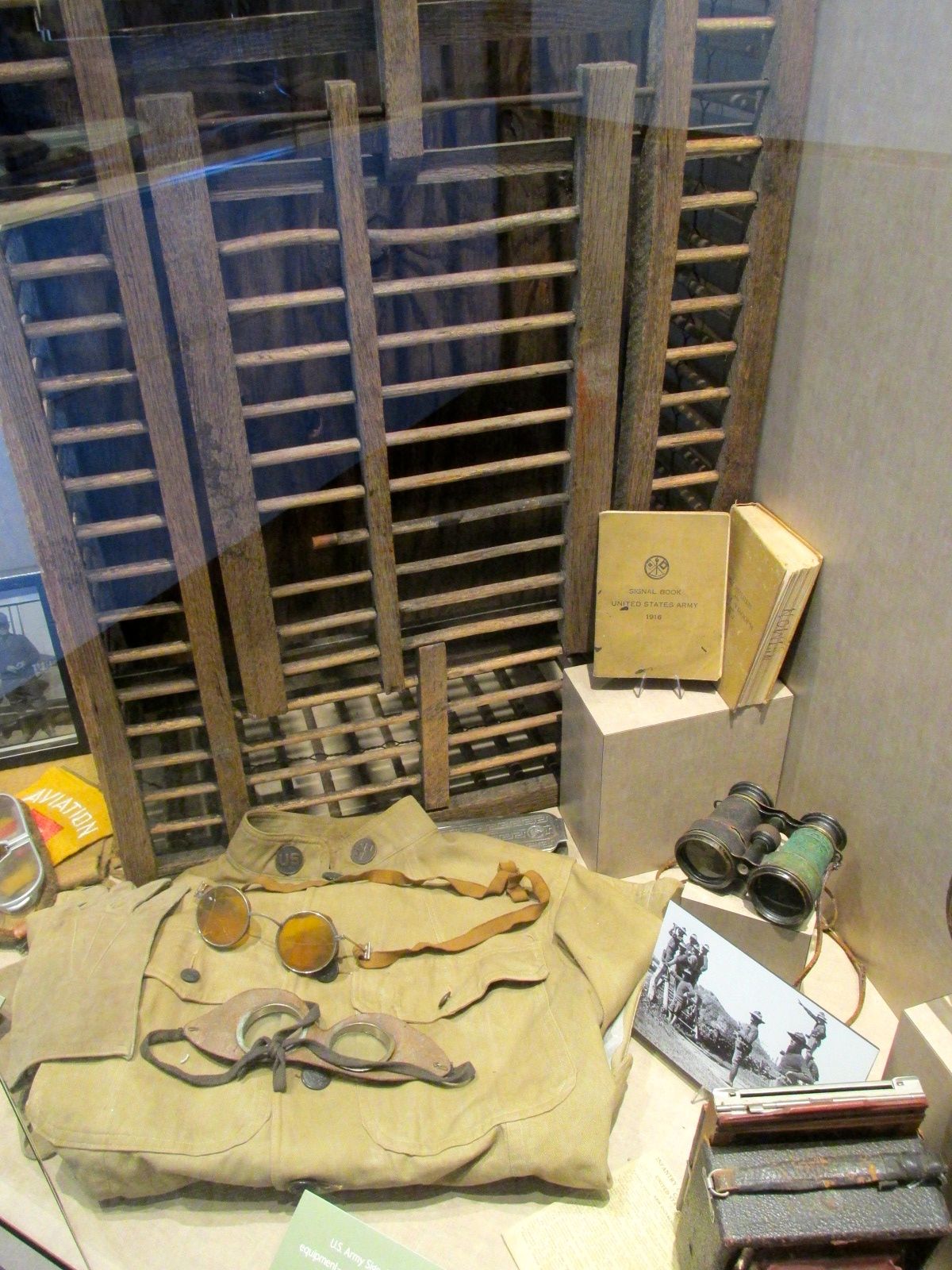
The signal corps used homing pigeons as well as flags, morse code, bugles and megaphones to communicate.

comunication equipment

They chased Pancho Villa’s army around Mexico for almost two years until Mexican president Carranza withdrew his permission.

Panco Villa's army moving about by train
Panco Villa’s army moving about by train

From what I’ve read, Villa’s army had whole families traveling with them and women were fighters, too.

Woman making tortillas in Pancho villa's army

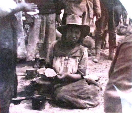
Even if women fought, they were still given the domestic tasks. Here’s a villista making tortillas. Some things never change.

political cartoon

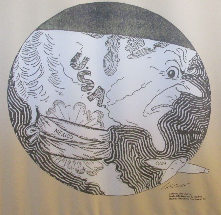
This political cartoon kind of sums things up.

Even if Pershing was never able to catch up with Pancho Villa, at the end of the excursion into Mexico, he had put together an organized and disciplined army just in time for the United States’ entry into World War I.

This is rather ironic. Germany had proposed an alliance with Mexico intended to keep the USA out of WW I. If you would like to find out more about this, look into the Zimmerman Telegram.

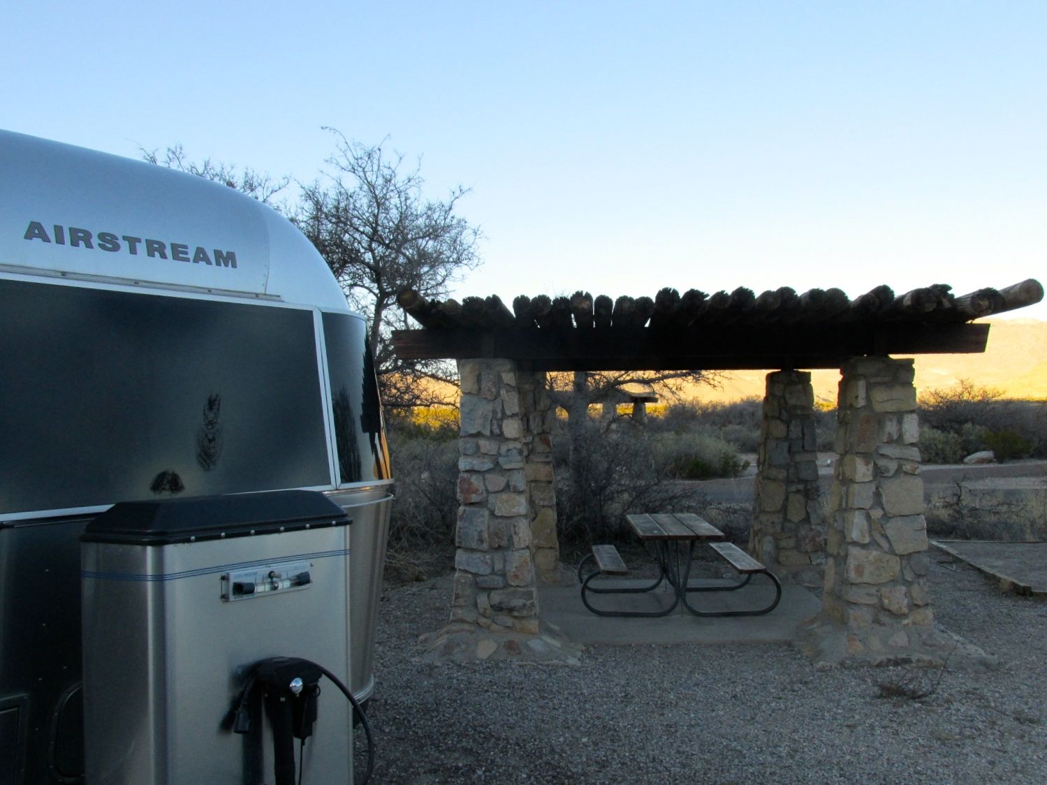
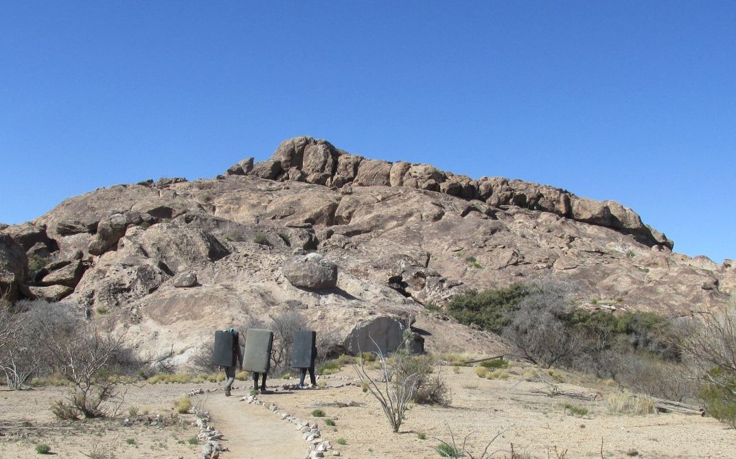
I was at the park just before the centennial of Pancho Villa’s raid. It is amazing what is left behind. My campsite was right across the road from the first military airbase. Cloth-covered biplanes flew from this spot to provide reconnaissance for the Army.

First airfield

Incidentally, air reconnaissance is still used in the area. Now a days, though, it is used to control the border.

Survelience balloon

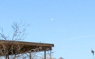
I didn’t have the right camera to capture a good image, but the white dot in the sky above the roof is some sort of blimp. I asked the volunteer at the museum about it, and he told me that is is packed with all sorts of sensing devices to monitor what is happening in the desert.

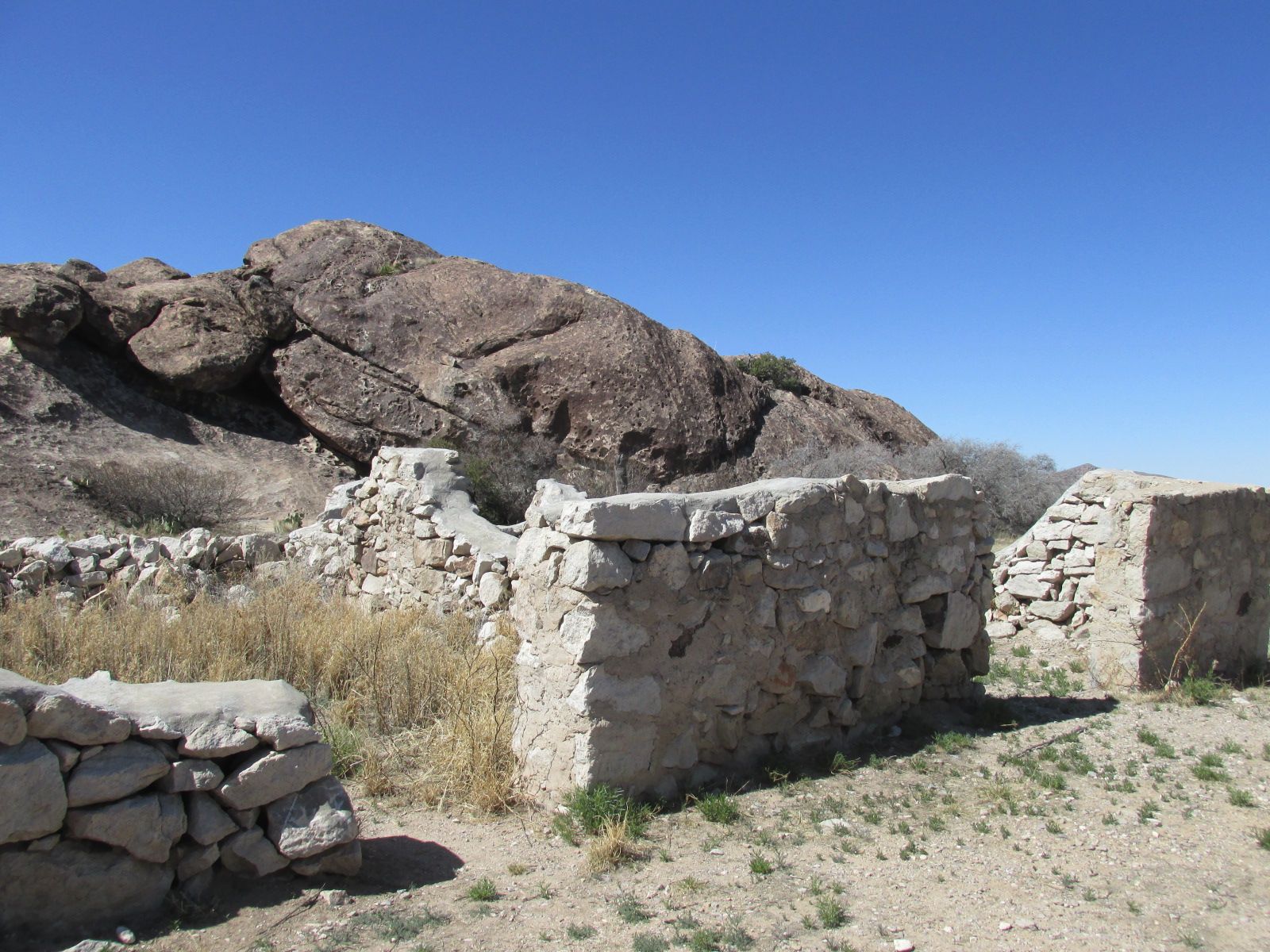
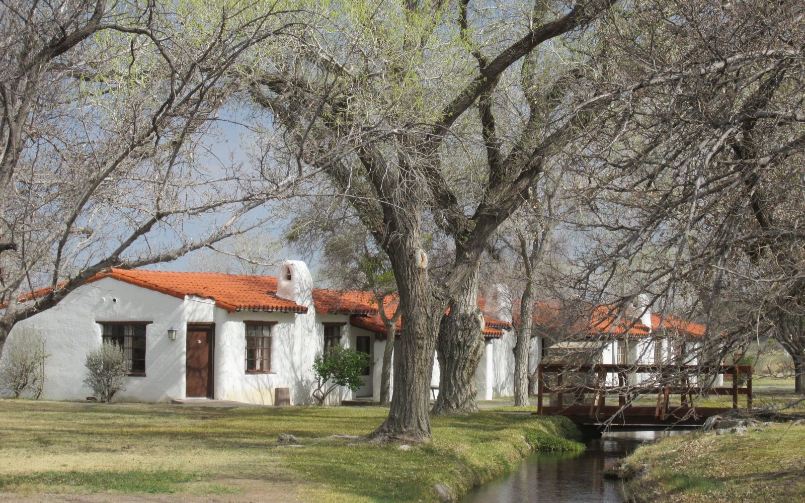
Some of the original Camp Furlong buildings from before the raid still stand. The remains of adobe structures are protected by shelters.

Judge Advocates Office Camp Furlong

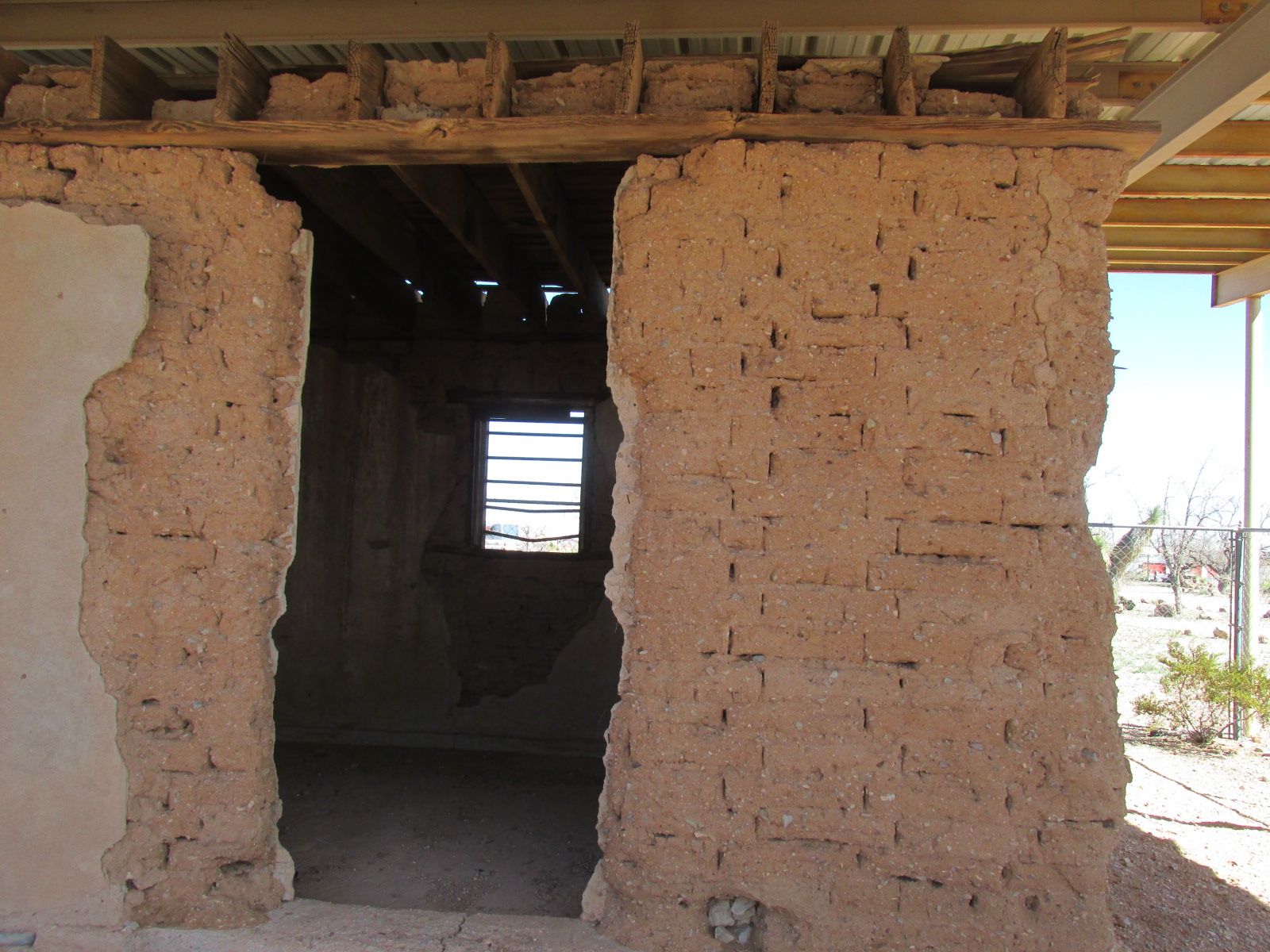
This is the Judge Advocate’s Office.

Headquarters builcing camp furlong

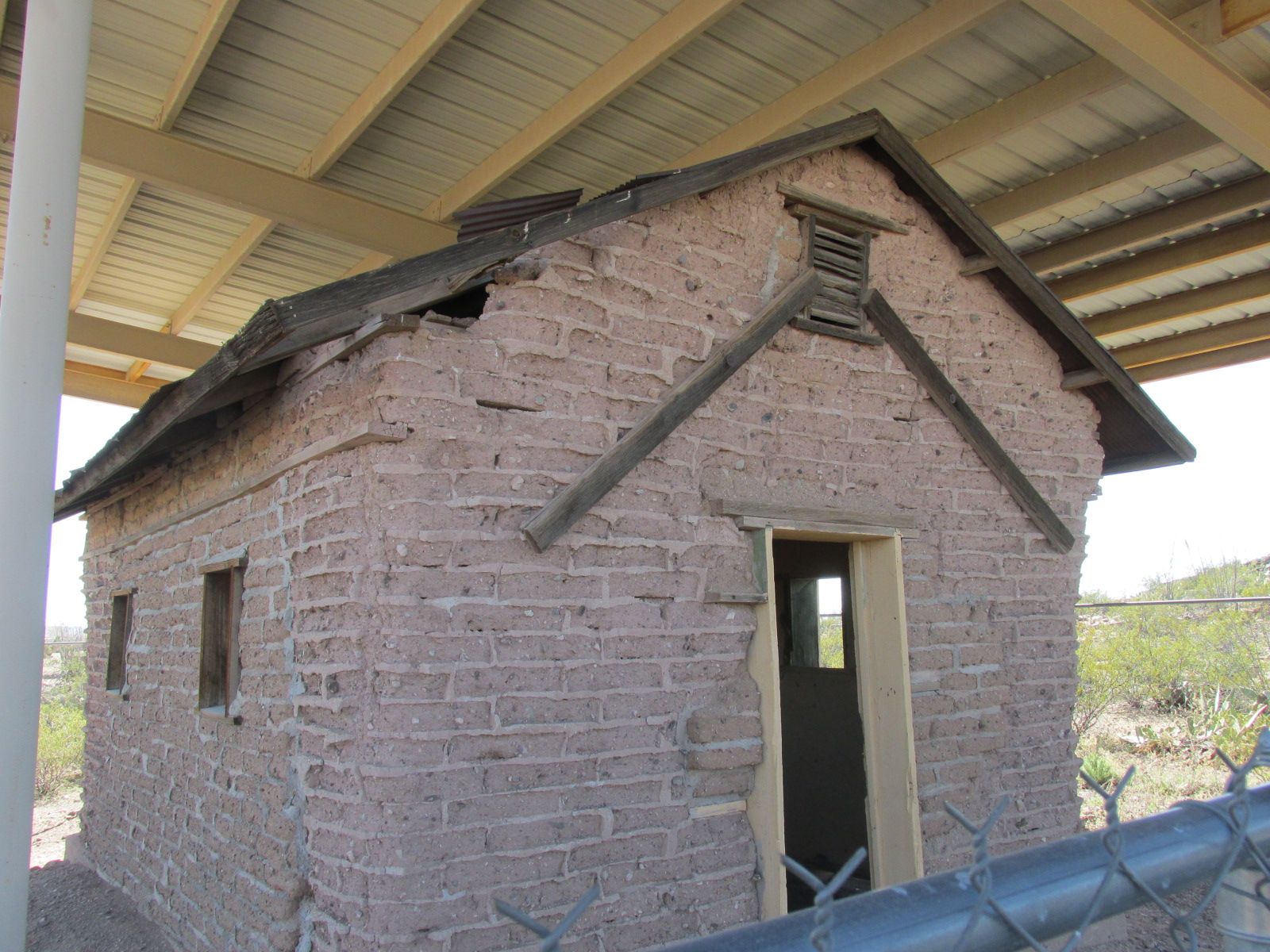
This is the Headquarters building.

Rusted wheel

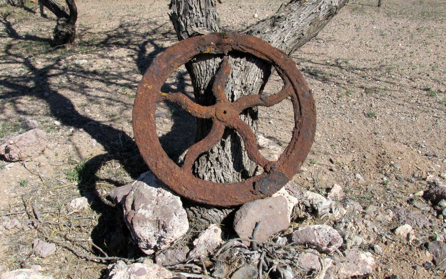
I imagine that someone dug up this rusted bit of machinery and just propped it against a tree.

Touring car with bullet holes

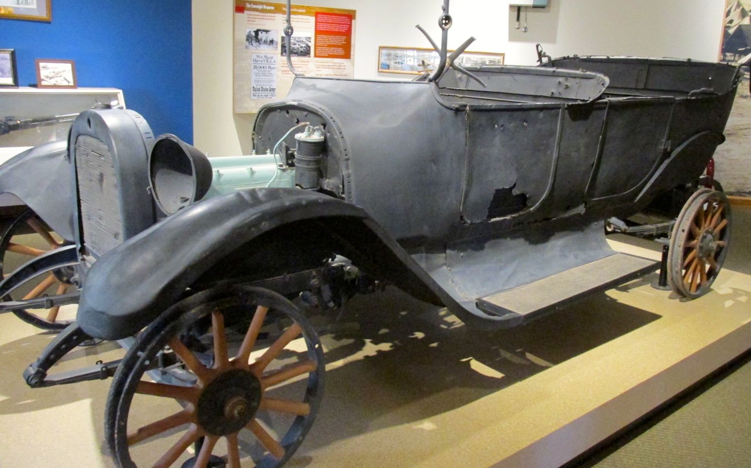
This car was inside the museum, as a testament to the violence of the raid. The driver was killed, and the family donated it to the museum.

Close up of the bullet holes

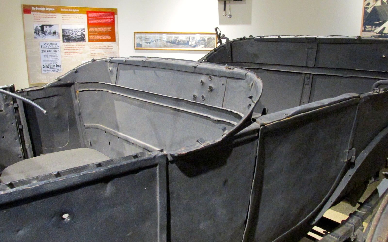
Just look at those bullet holes! It must have been quite an attack.

U.S. Customs House built 1901

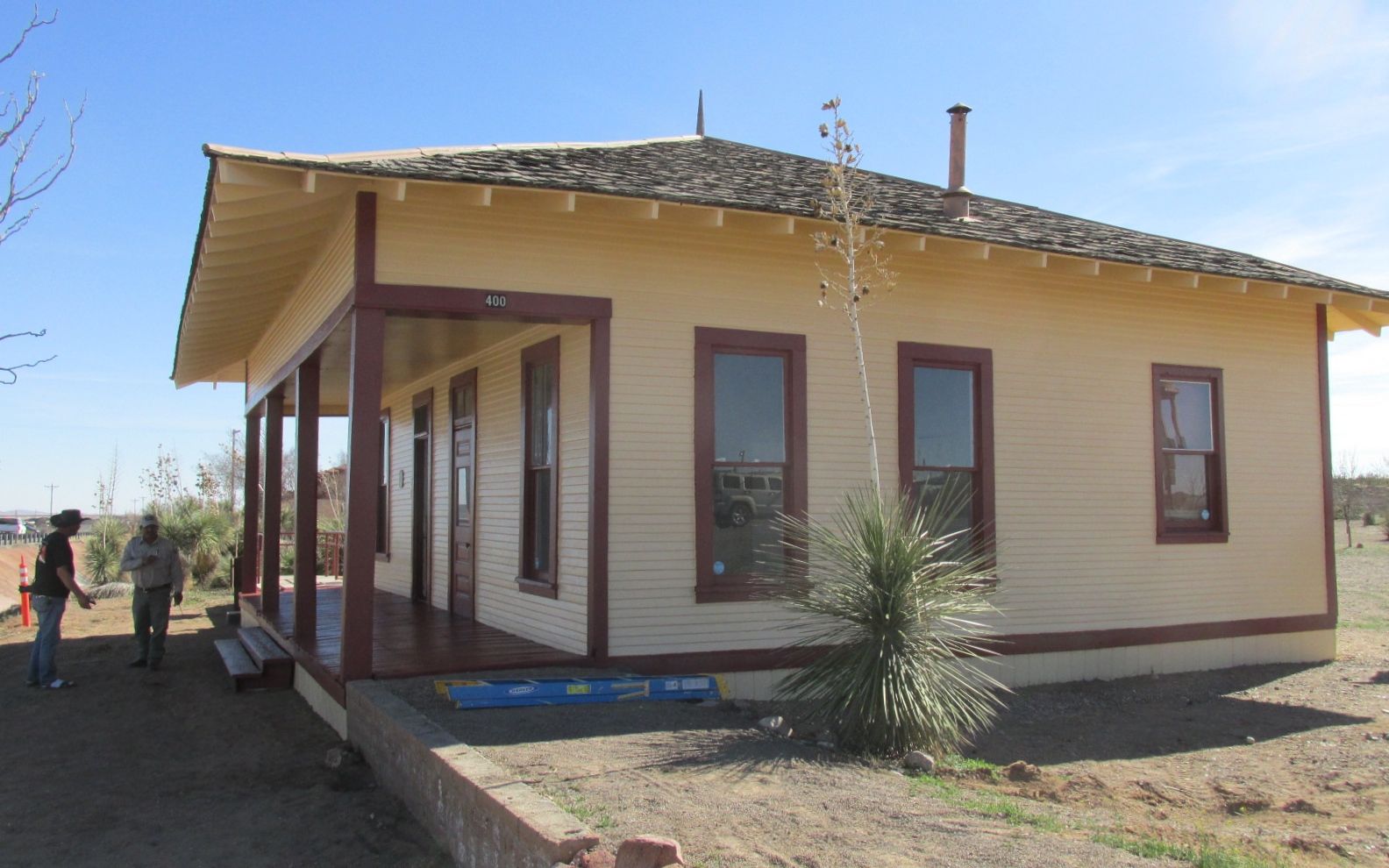
Other buildings in the park from the era are in better shape than the adobe ones. They were painting the U.S. Customs House while I was there.

Old US Customs house built 1901

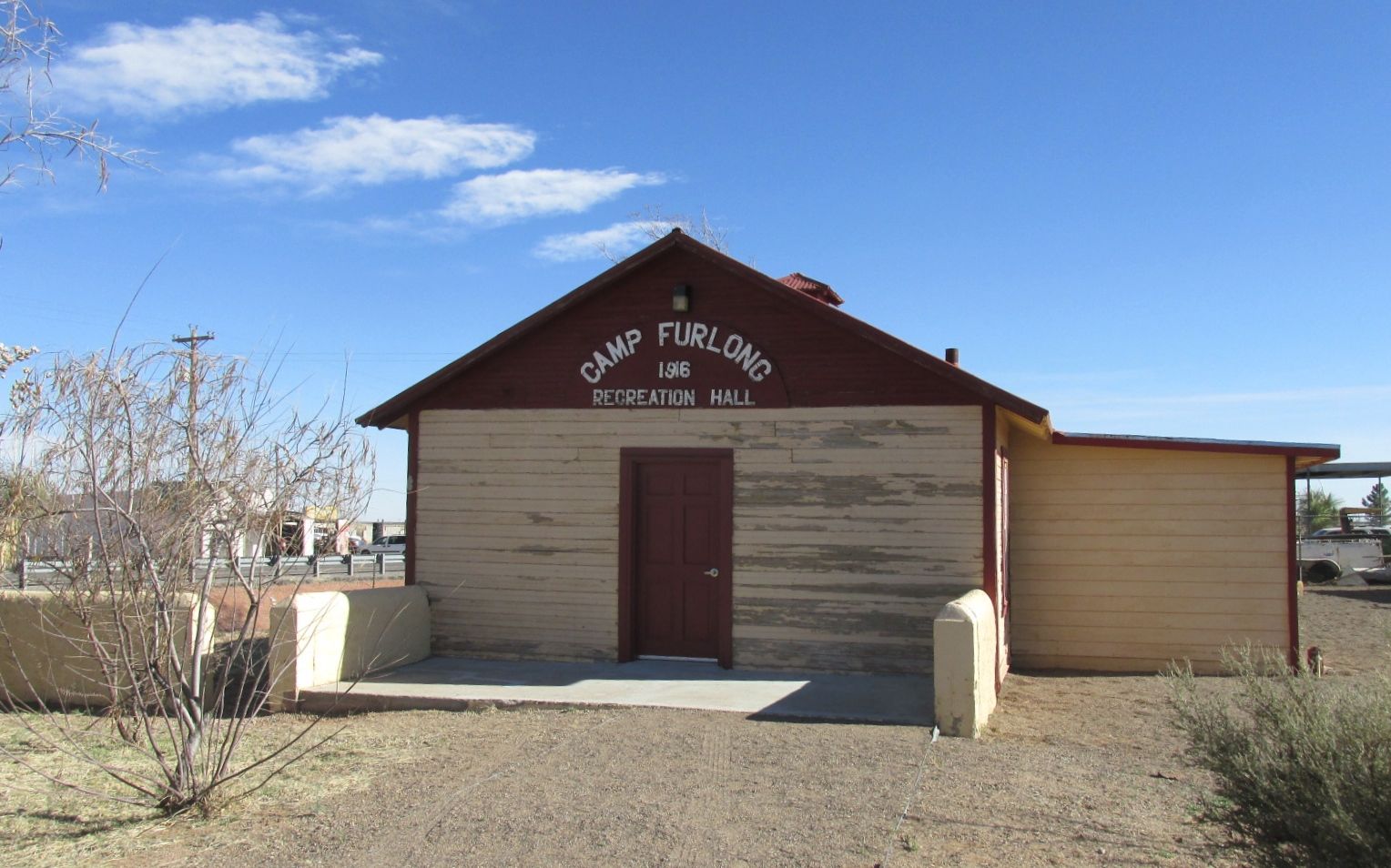
The Recreation Hall was also still standing, although not open to visitors.

Camp Furlong Rec Hall

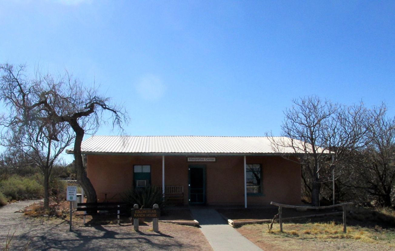
Just across the street was the Columbus History Museum.

Old Train Station

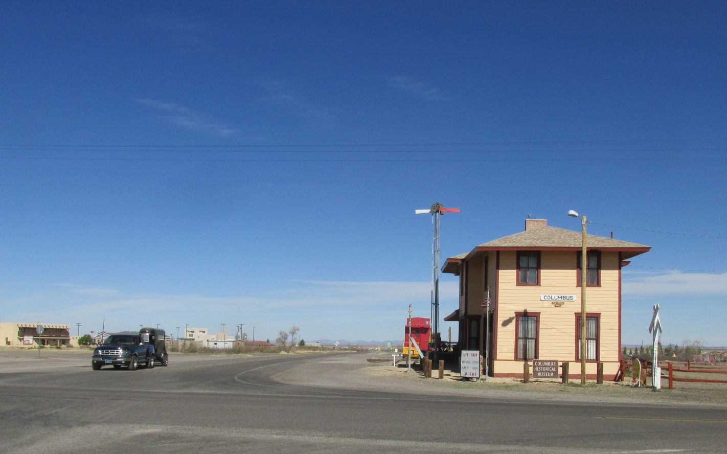
It was in the old train station. They have one train car left on a length of track. It was staffed by a work camper – a volunteer who works in exchange for a campsite. She was quite the traveler! At 80, she is still rolling strong. We complimented each other on not looking our ages and then I went through the three rooms in the museum.

The first room was dedicated to Pancho Villa’s raid.

SAfe from bank

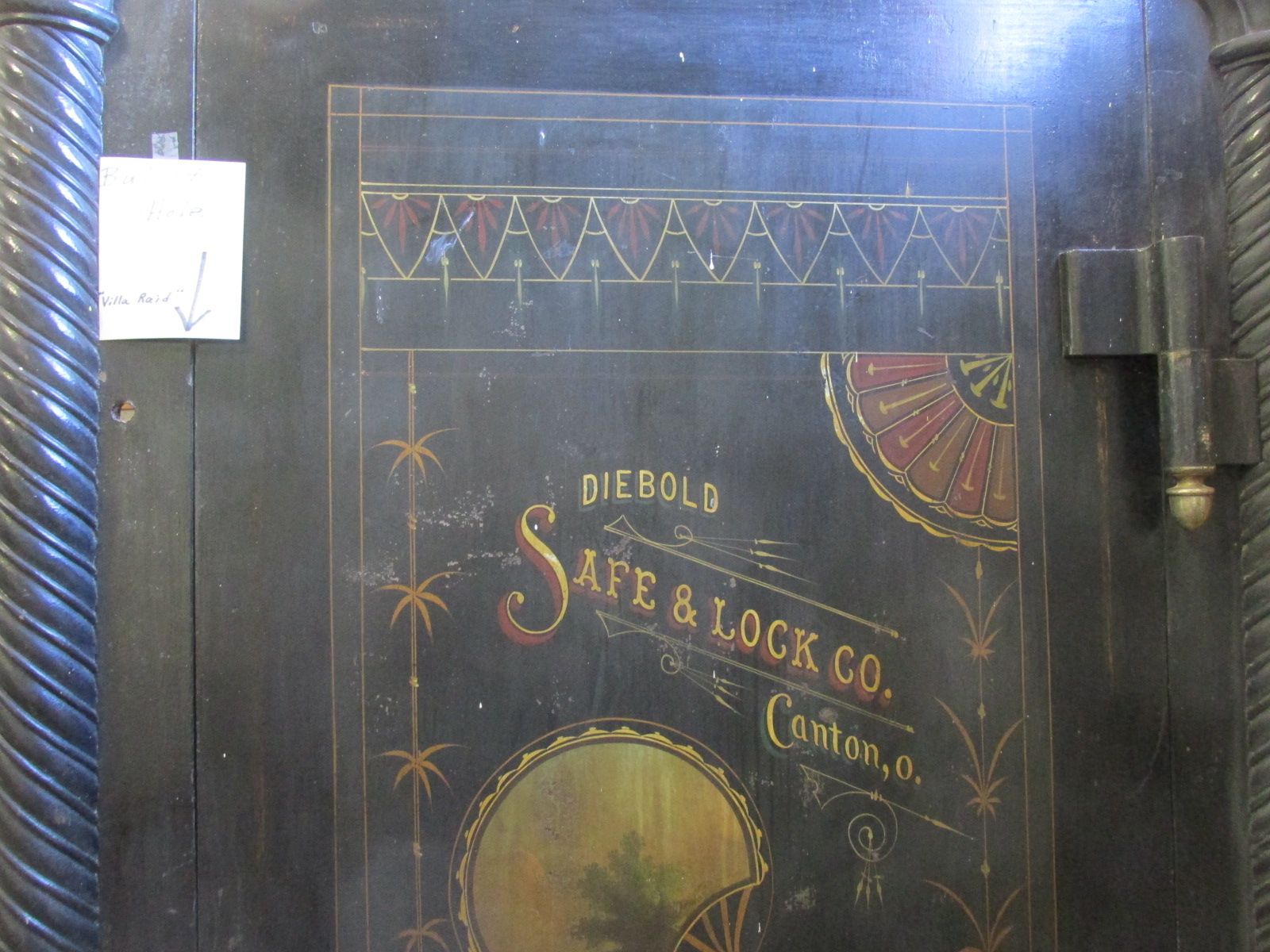
This is the door to the bank’s safe.

Safe with bullet hole marked

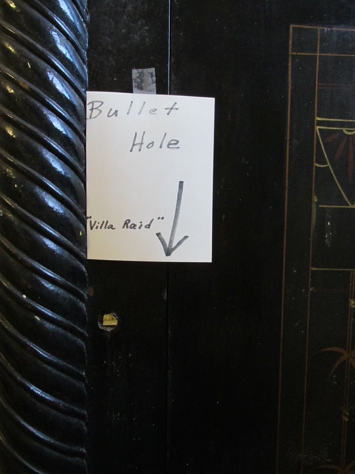
Complete with bullet hole.

toilet humor

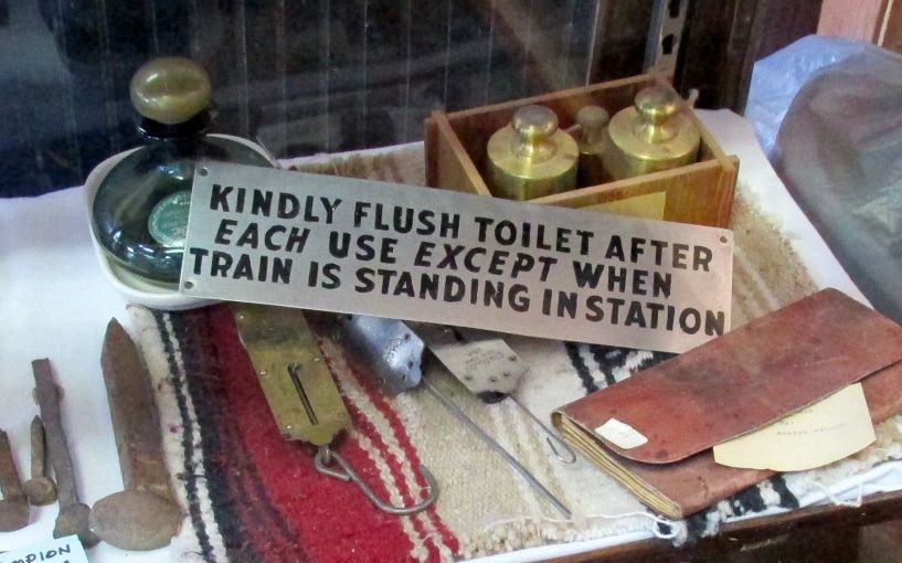
The middle room was dedicated to the railroad history of the area.

Fire Exteinguisers

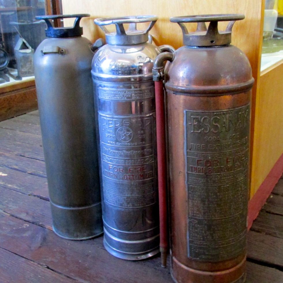
They had a nice collection of fire extinguishers. It reminded me of the lamp my father made for me out of the one that was in our house in Kenmore, New York.

The back room as dedicated to daily life. It is kind of disheartening to find things that you actually owned and used on display in a history museum.

Brownie Hawkeye

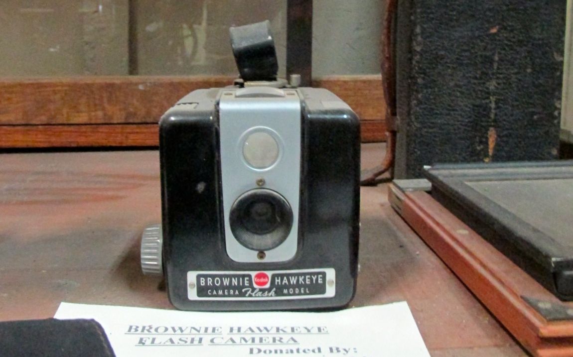
Just like this Brownie Hawkeye camera.

kitchen ware

And bits and pieces from kitchens.

Tools

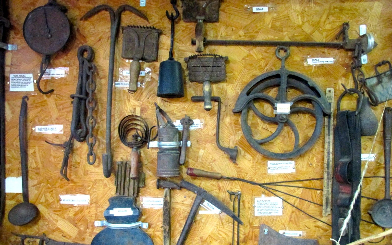
And tools. Or parts of tools.

Thumb cuffs and badge

And Stephan Birchfield’s thumb cuffs, badge and mouth harp from the 1930’s or 1940’s.

It’s one of those museums where you leave feeling like you have been looking through someone’s attic or garage.

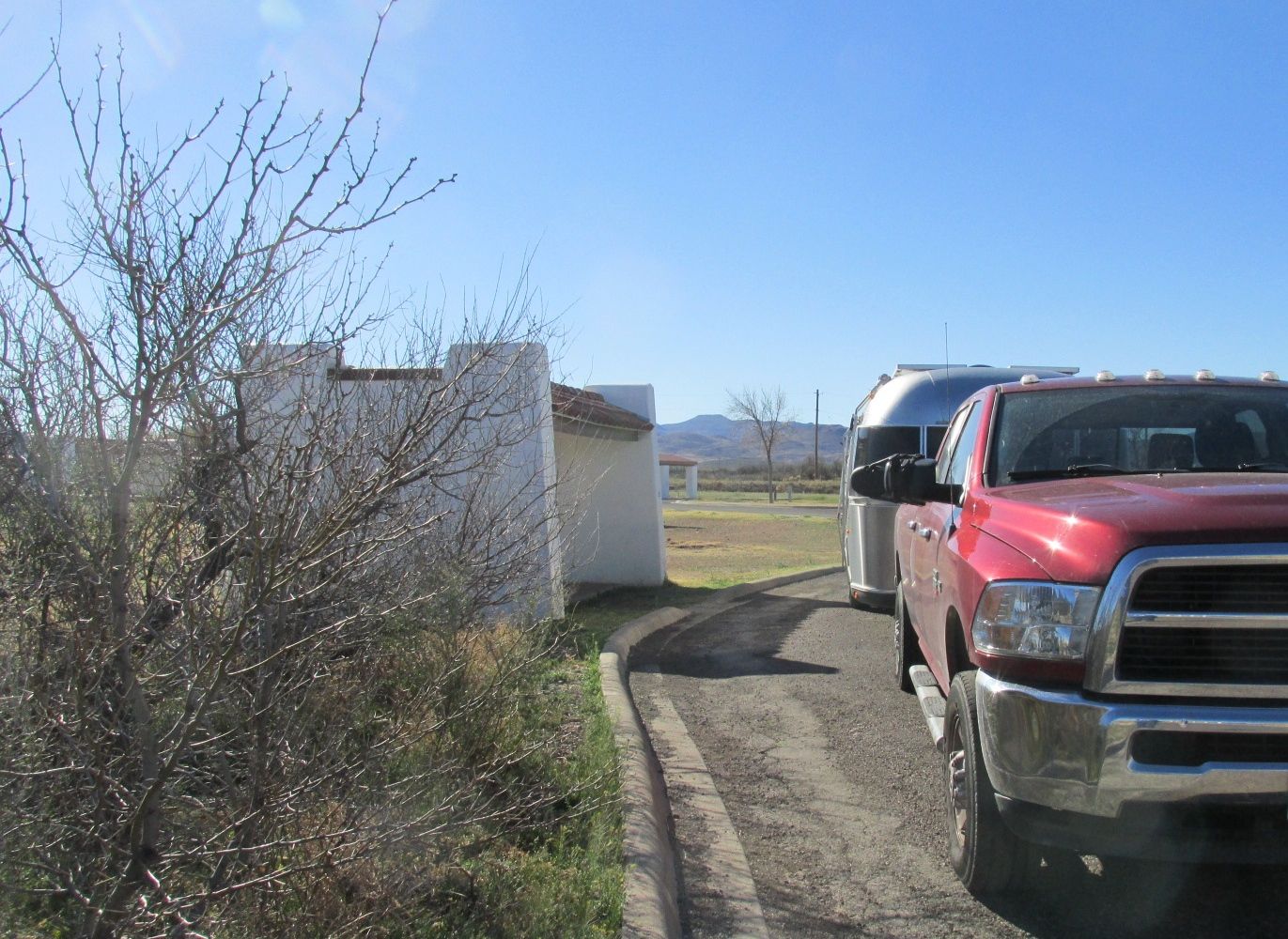
I worked my way back to my camp site.

Flo in the park

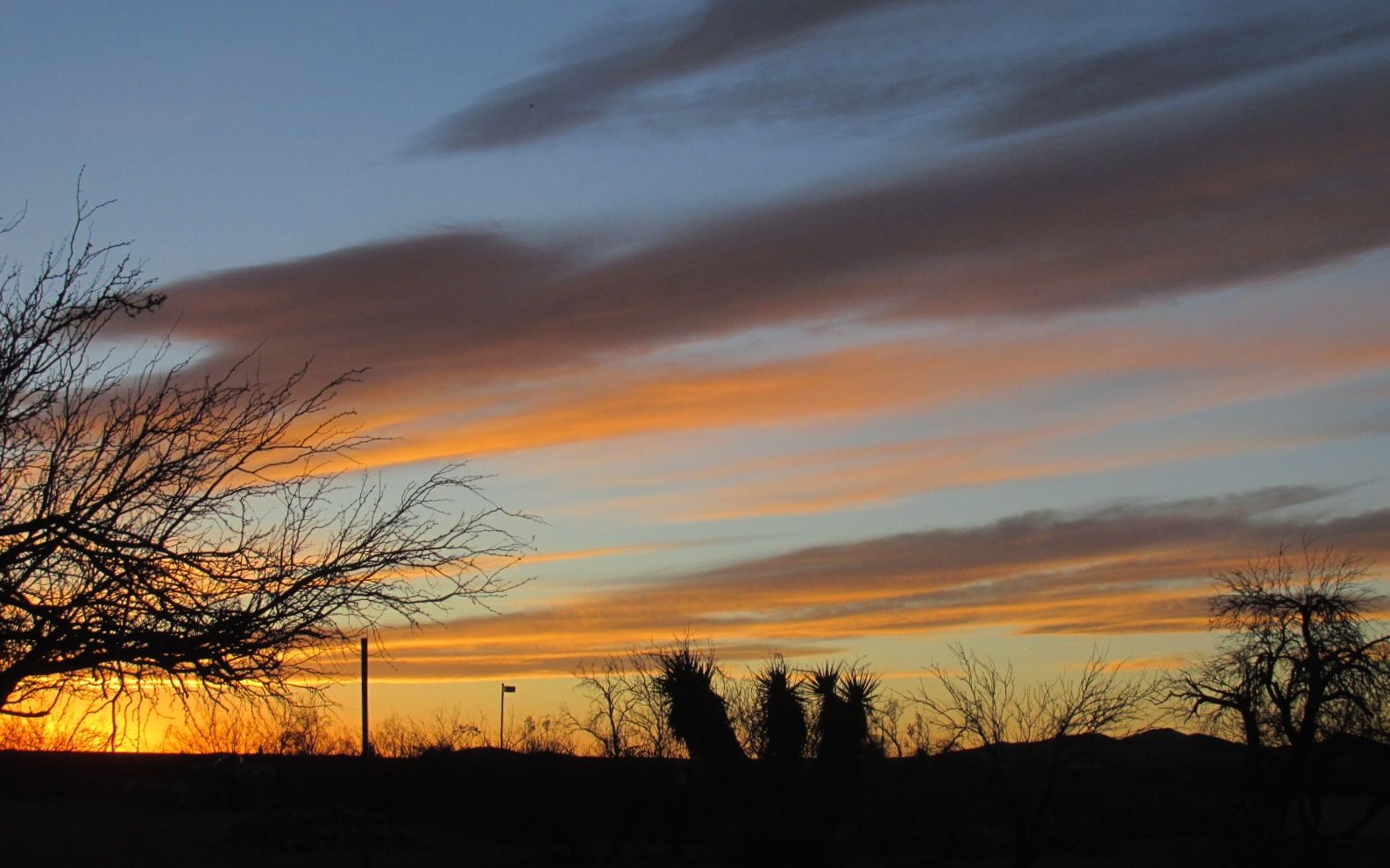
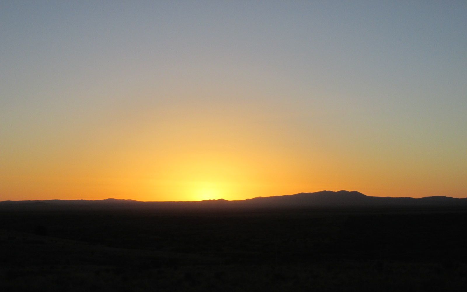
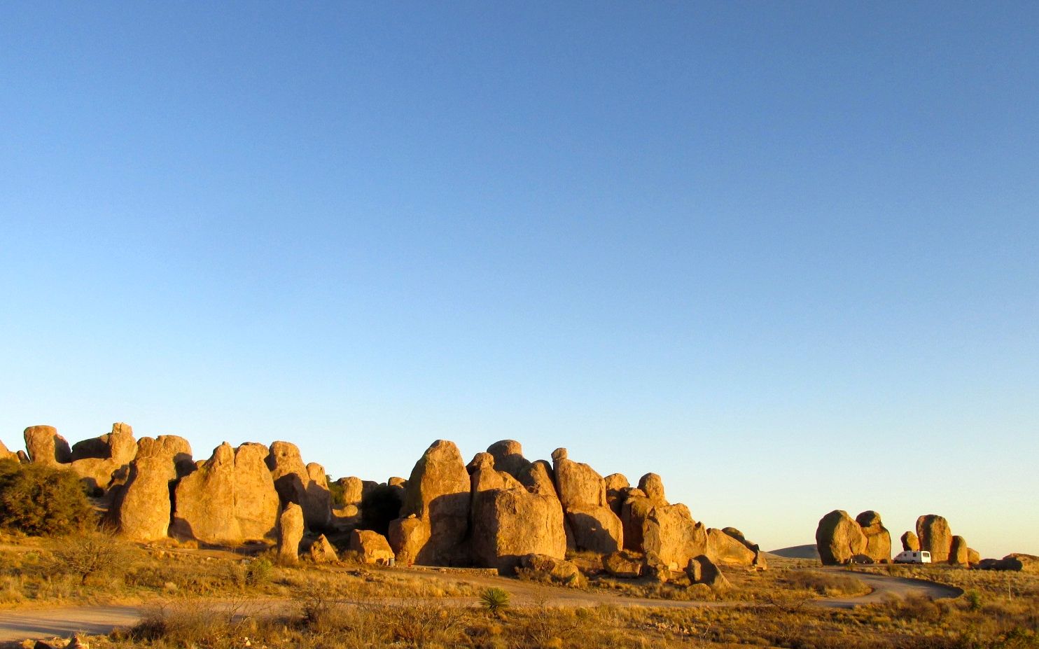
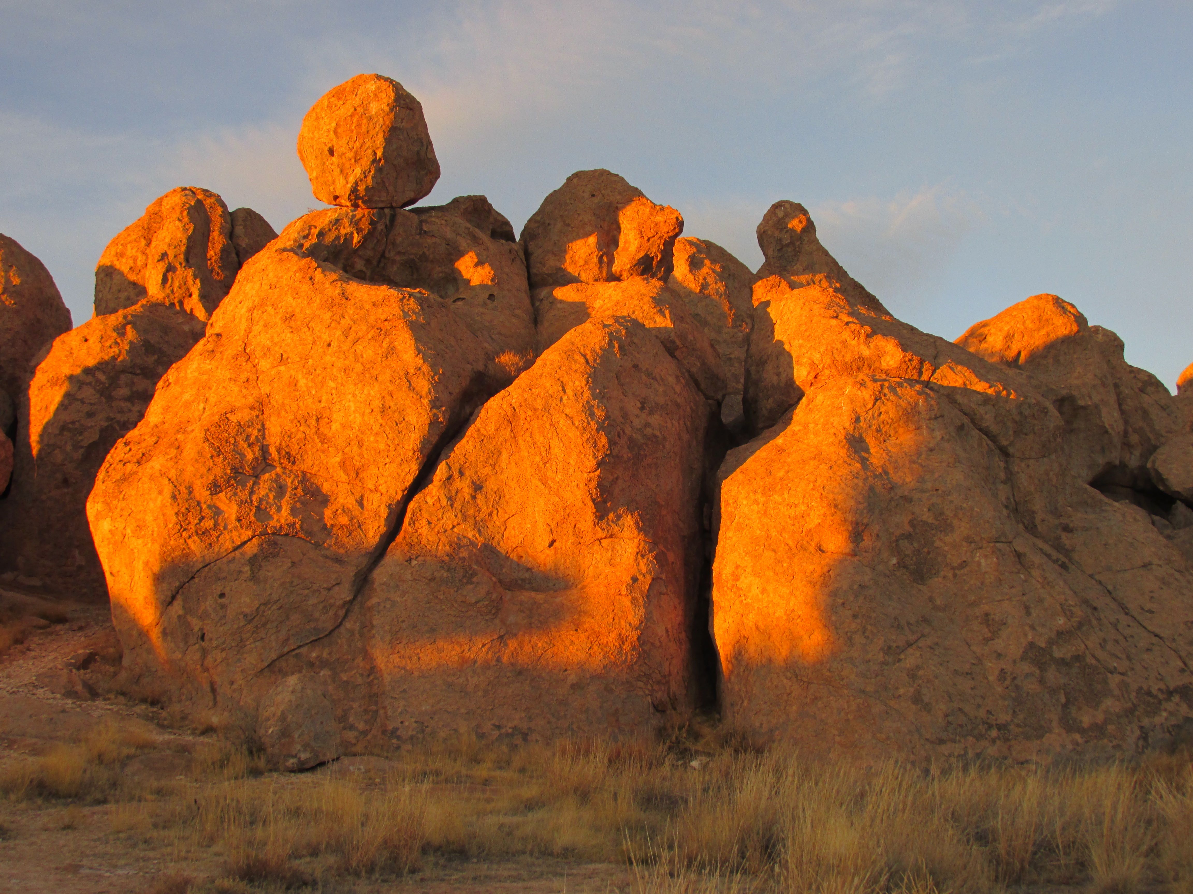
A good day of “touristing” and I was rewarded by another lovely sunset.

Sunset 2


City of Rocks

After I left Hueco Tanks State Park in El Paso, I climbed up and up and over the Organ Mountains and into New Mexico. Destination: City of Rocks State Park.

Welcome to New Mexico

I first discovered City of Rocks State Park last year. I was on my way west to help administer the National Assessment of Educational Progress in Tucson.

After spending the night in a Cracker Barrel parking lot in El Paso, I thought that I might spend the night in Deming. I drove through the town, but nothing grabbed my attention. I headed back to I-10 and figured that something would show up.

Just a mile or so down the road, I saw the sign for City of Rocks, and I thought it sounded interesting. I really loved my stay last year. This year, I decided to plan on stopping there. I turned off I-10 and headed north on US 180.

City of Rocks

My excitement built as I turned toward the park and saw the rocks ahead of me. Last year, I stayed at a one of the full-hookup sites. I just happened to pull in when someone was pulling out. I thought it would be cool to have one of the sites that were tucked around in the rocks. Well, this year, I got one of those sites!

pegasus campground

My site is tucked up in this group of rock.

Campsite 17

Of course, with such a cool site, I had to forego hookups. But, I had a tank full of water, plenty of propane and my batteries were charged. Who needs hookups?

sunset on horizon

This was my view of the sunset out my door. Such splendor!

I had a great time hiking among the rocks.

rocks 2

rocks 3

I met a guy walking toward me and we got to chatting. This is one of his favorite parks. He told me that he was hiking toward the big rock, and he pointed to his destination.

hike 1

“A big rock?” I asked him.

hike 2

“On the cliff,” he told me.

hike 3

I guess that is a big rock. I wished him a good hike and told him to wave to me when he got there.

Rock

But, back to my hike through the rocks.

eroding rocks

It’s interesting to see the erosion taking place. The rocks lose layers, due to the heating and freezing cycles.

flakked off rock

Here is a large flake. It is very tough. I couldn’t rub any bits off of it. When I dropped it on the rocks, it sounded almost like a ceramic tile hitting a floor. It kind of rang.

buns

Of course, the lichens also help break down the rocks.

huecos

I found this hueco on the top of the formation. I suppose it would be full of water if there had been any rain.

tree in the rock

In spite of a minimal amount of soil and rain, trees grow among the rocks.

cactus on the rocks

Cactuses grow there, too.

squeezed rocks

Man, I love these rocks!

sunset on rocks

Sunset is so delightful. The light warms up the rocks.

Sunset from 2015 2

Heading back to my campsite, I was impressed by the plume of dust kicked up by the truck. It sure is dry in the desert!

kicking up dust

The next day, I walked around and just enjoyed looking.

crows on the rock

The crows posed nicely for their photo.

Cactus fruit

I like those yellow fruits on the cactus.

plant with imprint

And, look at the impressions on the leaves.

Plant - joshua tree?

I think this is a yucca. I am fascinated by the spiky leaves.

While strolling about, I met a guy named Rick from New Hampshire. He spends the winter in the southwest in a little camper van. He loves this park, too, and offered to show the petroglyphs to me and another woman who passed by while walking her dog.

Rick and the woman with her dog

Petroglyph spanish cross

If you look at the right side of the rock, you will see a small cross. He said that was called a “Spanish Cross” and was put there by the Spanish explorers who were looking for gold and silver.

Petroglyph Kokopeli (rick from NH)

This one is Kokopelli, and it is tucked into a small hole. He had to pull a rock out that they keep there to protect it.

The last one was in kind of a cave – a sheltered area where the rocks leaned together.

petroglyph in %22cave%22

Now, I don’t know if these are authentic petroglyphs. When I have seen petroglyphs in other places, there have been masses of them. Here, there were only three, and they all seemed to be created by different cultures. But, you never know. And Rick enjoyed showing them to us.

The one downside of my time at City of Rocks is that the water pump in my trailer failed. But, I had several gallons of water with me, so I made do. It’s not a problem when I’m hooked up to city water. My next campground would have water and electricity at the site, so it wouldn’t be a problem. I’d figure out a way to get it fixed.

Then it was time to get hitched up and move out.

Adios Amigos

Hasta luego, City of Rocks!


Hueco Tanks State Park, El Paso, Texas

I had one day between leaving Balmorhea State Park in Texas and my reservation at City of Rocks State Park in New Mexico. The last time I was trekking westward on I-10, I ended up staying at the Cracker Barrel in El Paso. I could have done that again, but Hueco Tanks State Park and Historic Site sounded interesting.

Watch for snakes

I made my reservation and checked in at the ranger’s station. In addition to the “Watch for snakes” sign on the way in, there was a lovely assortment of brochures warning of other deadly dangers.

Brochures in ranger's station

At least there were no warnings about ticks and lyme disease. But, maybe that was on another rack.

They are serious about preserving the cultural and natural resources at the park. They have each visitor watch a fifteen minute video before they are allowed to enter the campground or walk on the trails.

Ranch house

The adobe ranch house, built by the Escontrias Family in the beginning of the twentieth century, is now used for showing the videos and explaining the resources of the city. Right next to the ranch house are the remains of the Butterfield Overland Mail station. The stage line ran from 1858 to 1859.

stagwcoach station ruins 2

After I watched the video, I got my card certifying that I had seen it. My certification is good for a year, so I was all set for my visit on the trails the next day. I could even return, if I happened to be in the area – provided that I don’t lose the card.

I made my way to the campground. It had a rather low-tech gate to insure our safety. You had to get out of the truck, slide the latch, swing the gate open, hook the gate so it didn’t swing shut and then drive through. After you drive through, you have to repeat the process. They do lock the entrance to the park at night, so I guess that ups the security level.

The ranger assigned me to a site that was hard to get into. That seemed odd, as the camp sites were mostly vacant. After a couple passes, the people in the campsite next door told me that they couldn’t get in that one either. They just picked their own site and then went back and told the ranger which one they were in. I decided to follow their lead, and got backed in easily to a sweet site with a shaded picnic table.

Campsite

Life on the road isn’t exactly a vacation. There are still things you have to do – tasks of daily living, as it were. I dropped Flo at the park and zipped back into El Paso and got Bart’s oil changed.

The landscape is interesting. Hueco Tanks is an igneous formation thrust up through sedimentary rocks.

Sedimentary to the left, igneous to the right

After a good night’s sleep, I set out to see the marks left by earlier inhabitants of the area. Although Hueco Tanks was not occupied continuously for 10 millennia, it is the only place in the region where every prehistoric and historic time period is represented, according to the literature. The secret to the popularity of this location is water, which collects in the “huecos” or holes in the rocks.

The access to the mountains is controlled. There are some trails that are open to the public, but there are other parts where you must have a guide. I opted for the “open to the public” option.

When I checked in at the ranger station and presented my certification that I had seen the video, I asked if I would have trouble identifying the trails. He drawled, “Well, if you can’t find the trails, then you have more than one problem.”

path

Smart Alek! Yes, the trails were easy to find.

However, you have to know that they were serious about people staying on the trails.

path with switchbacks

This path had some switchbacks in it.

stay on the path

They did not want you taking shortcuts. These ocotillo stems were really effective deterrents for anyone who might even think about getting off the path.

I was in search of pictograms. They are different from petroglyphs in that they are painted on the rocks, not scratched into them. Of course, paint fades and things get marked over, so I was not sure what I would be able to find.

pictogram 1

Here is one I found at the first spot.

pictogram 2

And another.

pictogram 3

And still another. It was hard to “read” the markings. The first one looked kind of like a mouth. There are supposed to be mask pictograms in the park. The others made me think of snakes or cactus.

I left the first site and walked over to another trail.

Chain Trail

I passed up the opportunity to ascend this path, aptly named the Chain Trail. It looked like more effort than it might be worth. Also, I could see numerous opportunities for tripping. I only had a short time before I needed to push on, anyway. There were other things to see!

Rock climbers setting out with their crash pads

I passed – or rather, I was passed – by a group of rock climbers. They carry those large “crash pads” with them as a safety measure. They encouraged me to give it a try. I laughed! Me? I think the best safety measure is not climbing rocks – especially if you need a crash pad! I wished them a good climb, and they scooted on ahead of me.

Rock climbers heading for the rocks

And, they’re off!

Graffitti part of the historical record

I found some more pictograms, but they were pretty much obliterated by the markings of visitors in the nineteenth century. But, even graffiti is a part of the historical record.

colored rocks

I found the different colored rocks to be eye-catching.

colored rocks with graffitti

Colored rocks with graffiti.

Colored rocks 2

I had one more site I wanted to see before I had to head back to the campground and get ready to leave.

Pickly pear

I was taken by the prickly pear. It would be interesting to see if those little nubs develop into the large lobes.

path with ladder

I was interested in this ladder. It was on the other side of a gate that restricted access to people with guides. A minute after I took this picture, a small group passed by. Those youngsters sure move fast! I tried to get a picture of them, but I couldn’t get them in frame.

There were more interesting rocks along the way.

Rocks

Lovely!

rocks 2

The last place I wanted to see was one that had a large pictogram. Just outside the site, there was a sign that had an artist’s rendering of it.

artist rendering of art

I knew that I wouldn’t be seeing it like this, but I did want to see what I could.

remaining pictogram 1

Yep, you can still make out the figures.

remaining pictogram 2

When you think about it, it’s kind of amazing that any natural pigments exposed to the elements would be visible.

I really would have liked to have seen the huecos, but they were in the areas that you needed to have a guide. However, I did see some huecos in the making.

Baby huecos
Baby huecos

I suppose that they would hold a gallon or so. That would be life-giving in the desert.

fieldtrippers

On my way back to the campground, I passed a couple of school-group field trips. I wonder how many field trips I’ve taken kids on in my 30 years of teaching? I smiled and waved and was happy it wasn’t me.

When I got back, an interesting rig pulled in to the site right across from me.

my new neighbors

It’s gotta be Texas!


Balmorhea

My next Texas State Park stop down I-10 was  Balmorhea State Park, just outside Balmorhea, Texas. The reason I was attracted to the park was the pool. There is a 1.75 acre spring-fed pool! And the literature said that it was a steady 70º year round.

pool 2

The park was built by the CCC from 1935 – 1940. For those of you who aren’t familiar with the CCC, the Civilian Conservation Corps, was created by President Franklin Roosevelt in 1933 as part of the New Deal. Young men, ages 17 – 25 who qualified for public assistance were given jobs working on conservation projects. Clothing, food, medical care and lodging was provided and they earned $30 a month. They sent $25 of their wages home to their families.

When the CCC company arrived in 1934, the first things they built were barracks, a mess hall and a kitchen that would be their home for the next few years. There were as many as 200 men working on the site.

CCC

In addition to the enormous pool, they build a concession building, two bath houses, and San Solomon courts, which is a motel. They used local limestone and and made adobe bricks for their building materials.

lodge and canal

The water in the pool came from springs in the mountains. An information sign showed how the water seeped through the layers in the limestone and accumulated in a spring. The CCC channeled the water into the pool.

gates to regulate the water flow

The water left the pool and passed through channels that sends the water along to irrigate cotton and alfalfa fields in the valley. Although the park’s name sounds biblical to my ear, the name actually comes from four men’s surnames: E.D. Balcom, H.R. Morrow, Joe Rhea and John Rhea: Bal-mor-hea. These men formed an irrigation company in the area in the early 20th century.

la cienega

They have recreated some of the naturally occurring desert marshes that uses the water before heading to agriculture. They refer to these areas as “las cienagas” which is Spanish for the marshes. And, if you have ever been to Los Angeles, I’m sure you have heard of  “La Cienega Boulevard”. Imagine that! A street named for a swamp.

La Cienega sign

There was a lovely viewing platform for the marsh right across from my campsite.

looking over the cienaga

As I walked up, I thought I heard the wind rustling the reeds.

plastic wrap on the shelter

It turns out that they were in the middle of maintenance and the posts were wrapped in plastic. The park was well kept-up.

my site

My site  was very nice. In addition to a sheltered picnic table, my site had electricity and water AND cable! They also had wifi, in theory, but I could never find a signal. I could get a strong Verizon LTE signal, so all was good.

The views were lovely.

mountains in the distance

My main goal was to go swimming in that wonderful pool, and so I did, although I have no photo documentation of me in the water, so you will just have to take my word for it.

stairs into the shallow end

The water was cool and refreshing, and I was comfortable as long as the sun was out. There were signs warning about the slippery stairs. The stairs were a bit slippery because the water was fresh and untreated. It was absolutely delightful!

birds in the pool

I was swimming with the coots.

pool

The pool was huge! And, they put safety first by warning us that we shouldn’t run.

no running

No chance of that, though.

storm moving in

I swam about until the sun was obscured by the storm clouds moving in. I got out and got dry, just in time for a gorgeous sunset.

sunset

The next day, I hitched up and got ready to move further west. I met the most interesting fellow on my way out.

Ranger of the Lost Art

This is Ranger Doug, who is touring the National Parks in his totally refurbished Airstream. He told me that this is Airstream #3 and he has just completed an axel-up renovation. That photo next to him is his grandfather, who was a park ranger.

Airstream #3 1948

He is a retired dentist from Alaska who has a business selling silk-screened prints of the WPA National Park posters as well as modern posters “in the style” of the WPA posters.

He was heading to Big Bend National Park, which is south and I was heading west. I big him adieu and motored onward.

Next stop: Hueco Tanks State Park near El Paso, Texas.

March Money

Well, March has been the most expensive month so far this year. But, sometimes things just need to be taken care of. Like tires.

firestone

Four of those bad boys set me back almost a grand. They did give me a break on the price because they took twice as long getting them on the truck as they originally quoted me.

In March, I spent $539.94 more than February and $351.46 more than January.  I visited two states – New Mexico and Arizona. I drove 1,688 miles.

So, here is the breakdown of where the money went:

  • Truck Expenses                    $994.52
  • Campsites                              $674.86
  • Other Purchases                   $506.29
  • Groceries                               $256.43
  • Gas                                          $243.35
  • Trailer Expenses                  $204.46
  • Eating Out                             $178.95
  • Tourism/Entertainment      $ 89.00
  • Clothing                                  $ 64.94
  • Food/Drink on the Go           $ 28.75
  • Tolls/Parking                          $ 21.35
  • Laundry                                  $ 10.00                   

TOTAL    $3,019.58

I had to pay $100 deductible on the water pump for Flo. Tolls from my travels in Florida in December finally came due, and I had to pay them.

What will next month bring? Well, I hope that I am done with truck and trailer expenses for a bit. I might be able to find some good boondocking, as I am heading west.

In the words of my brother, Scott, “It’s all good!”