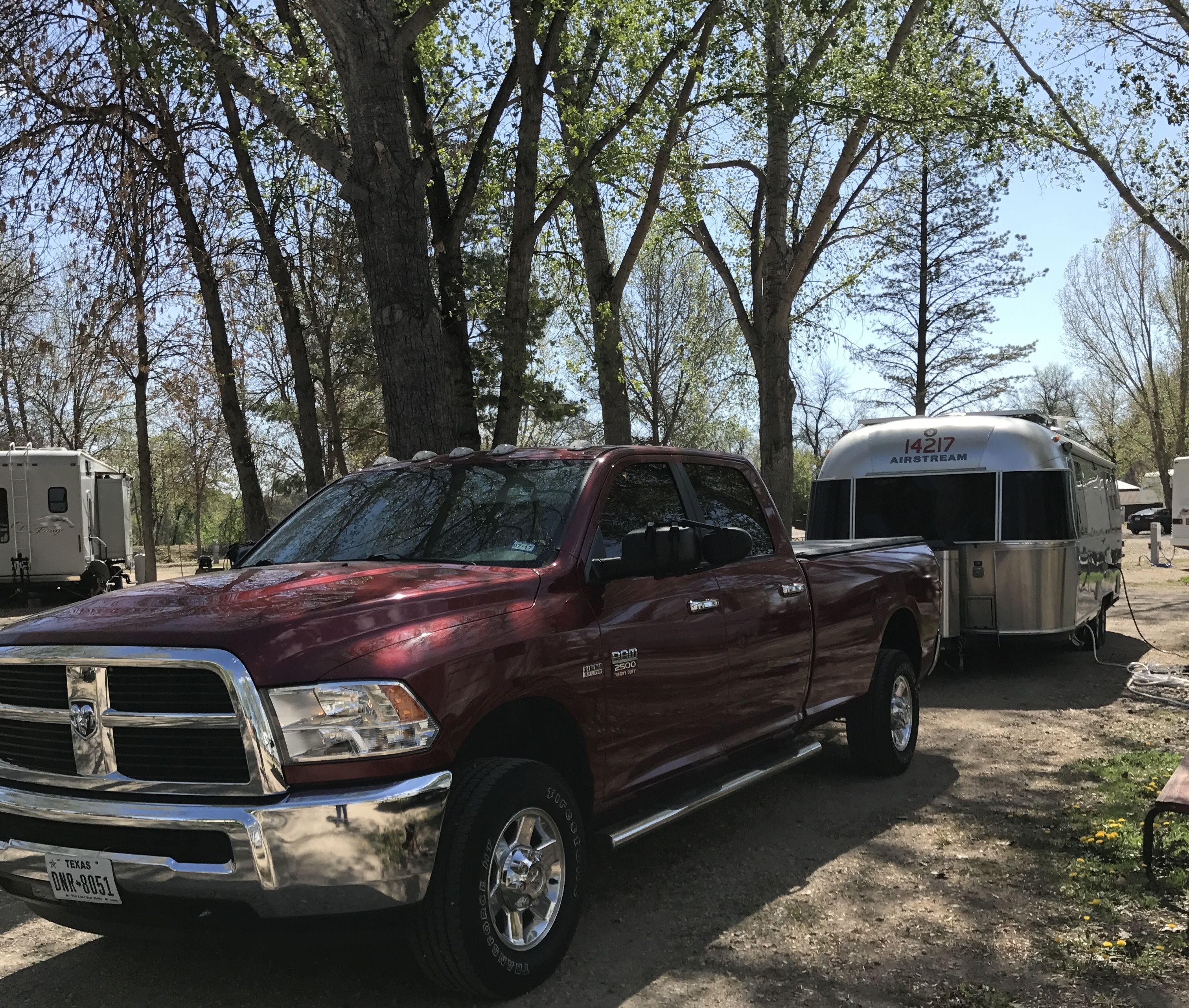
I hitched up and got ready to roll. Knowing me, I was probably on the road at the crack of noon. That’s one of the sweet things about doing things at your own speed. You get to operate on your own schedule.
I had some information that there was a free boondocking campsite in Dickinson, North Dakota. Apparently, I was operating on some old information. I went to the place that was identified. It didn’t strike me as a place I wanted to stay.
A popular topic of discussion in the RV community is what a person uses for protection when they are on the road. I had been rolling solo for more than three years at that point. I prefer to use my common sense. My common sense told me to move on, so I did.
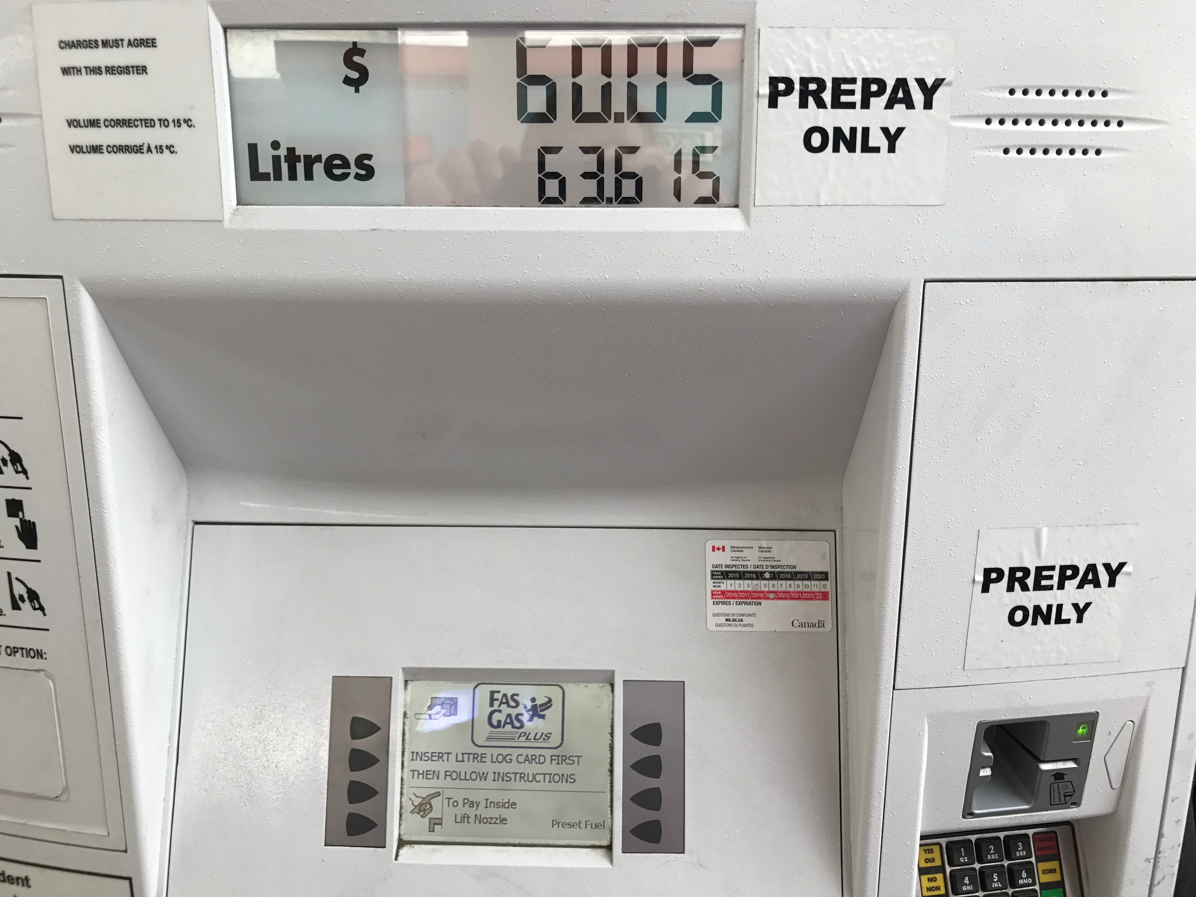
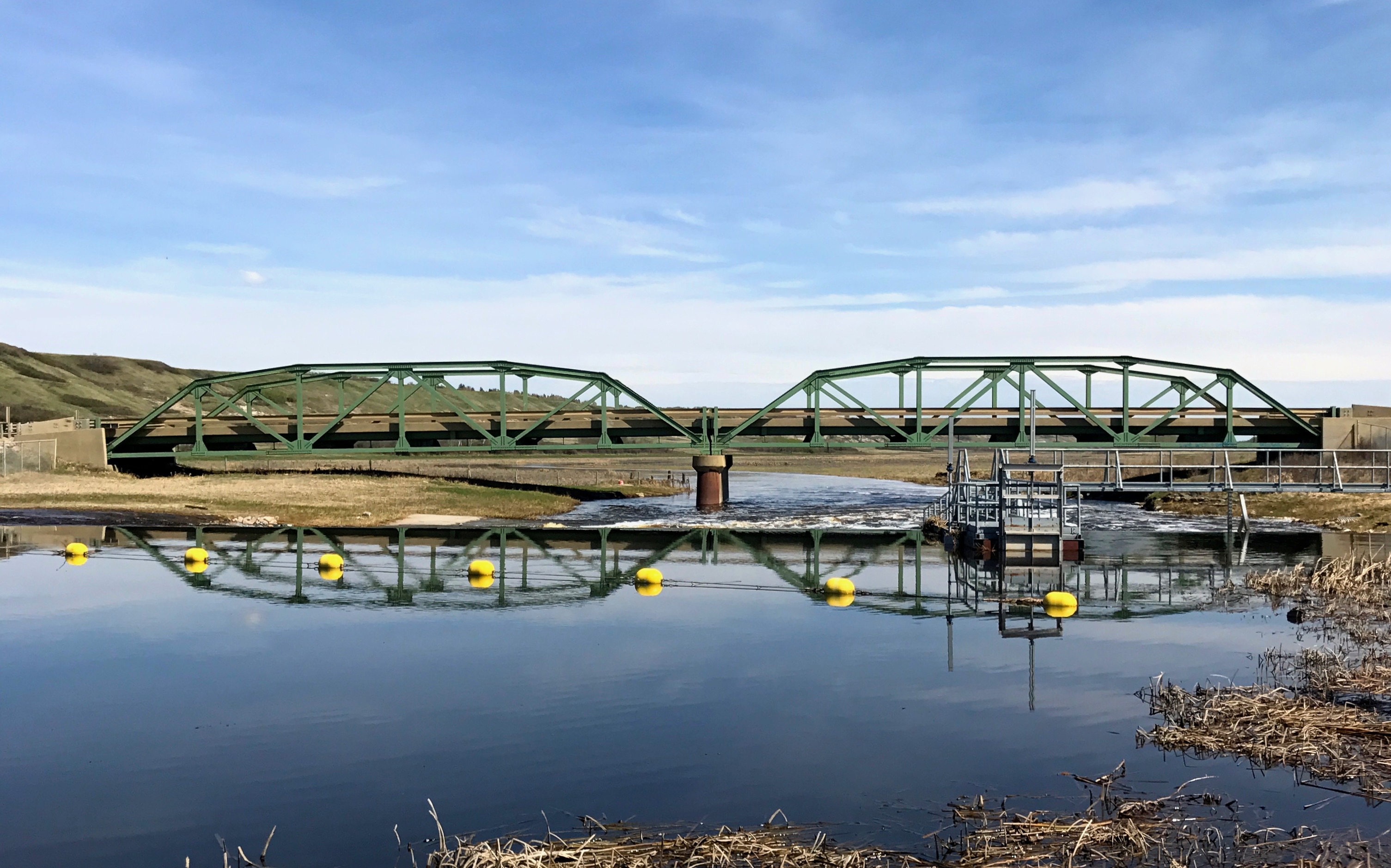
I had to shell out a few bucks for the Dickenson City Park, but at least I knew I was in a place where they expected to have campers.
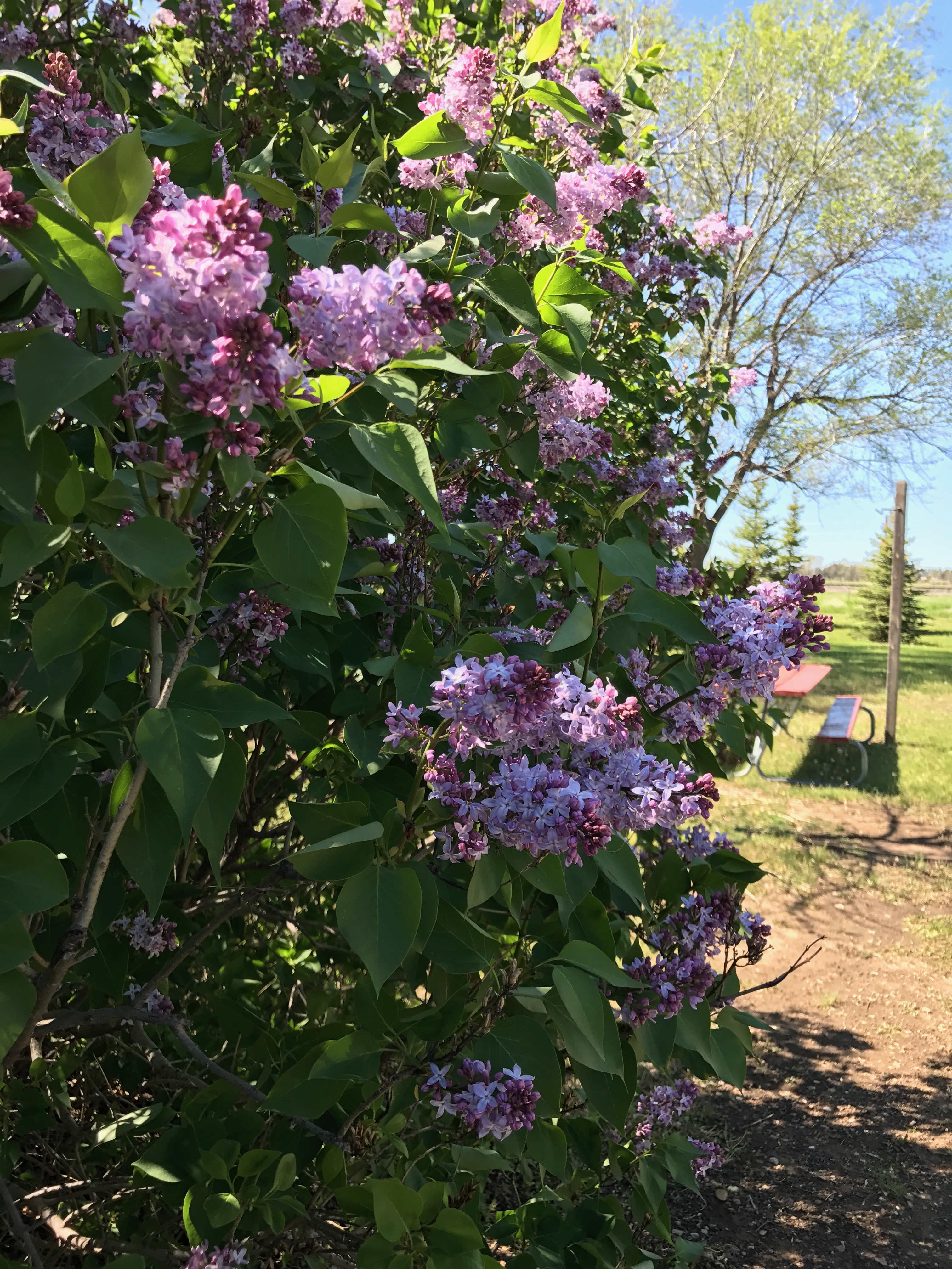
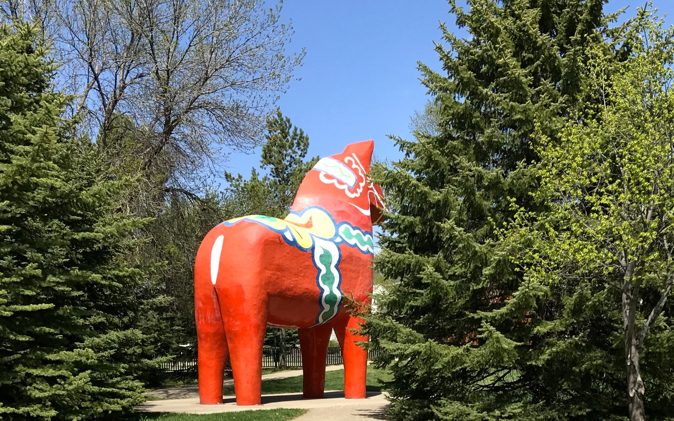
I was the only camper at the park, but they said that they were full up on the weekend. I enjoyed the lilacs. I think that was the first time I’d ever seen lilacs in a campground.
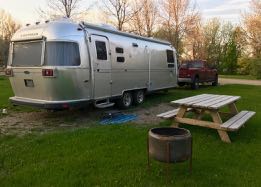
I didn’t even unhitch this time. I wanted to be ready to roll in the morning. I had a goal: Rapid City, South Dakota!
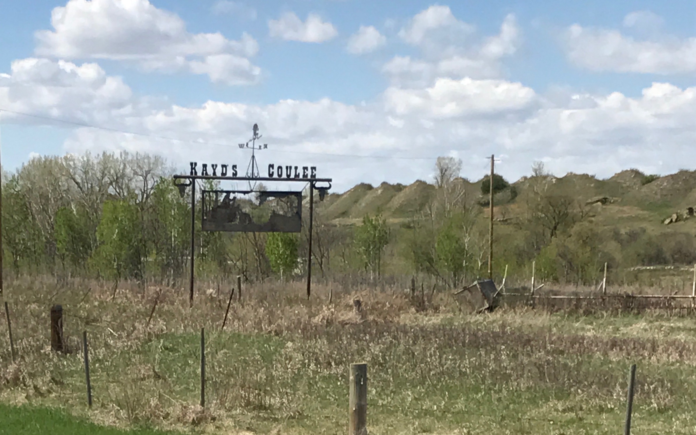
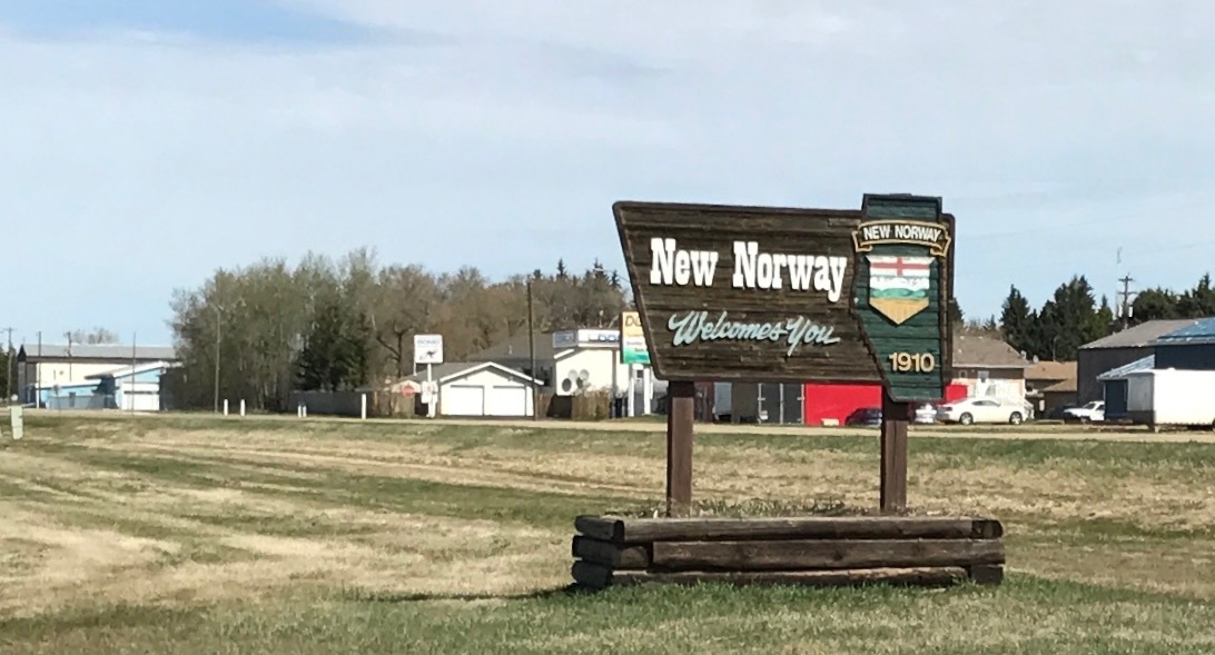
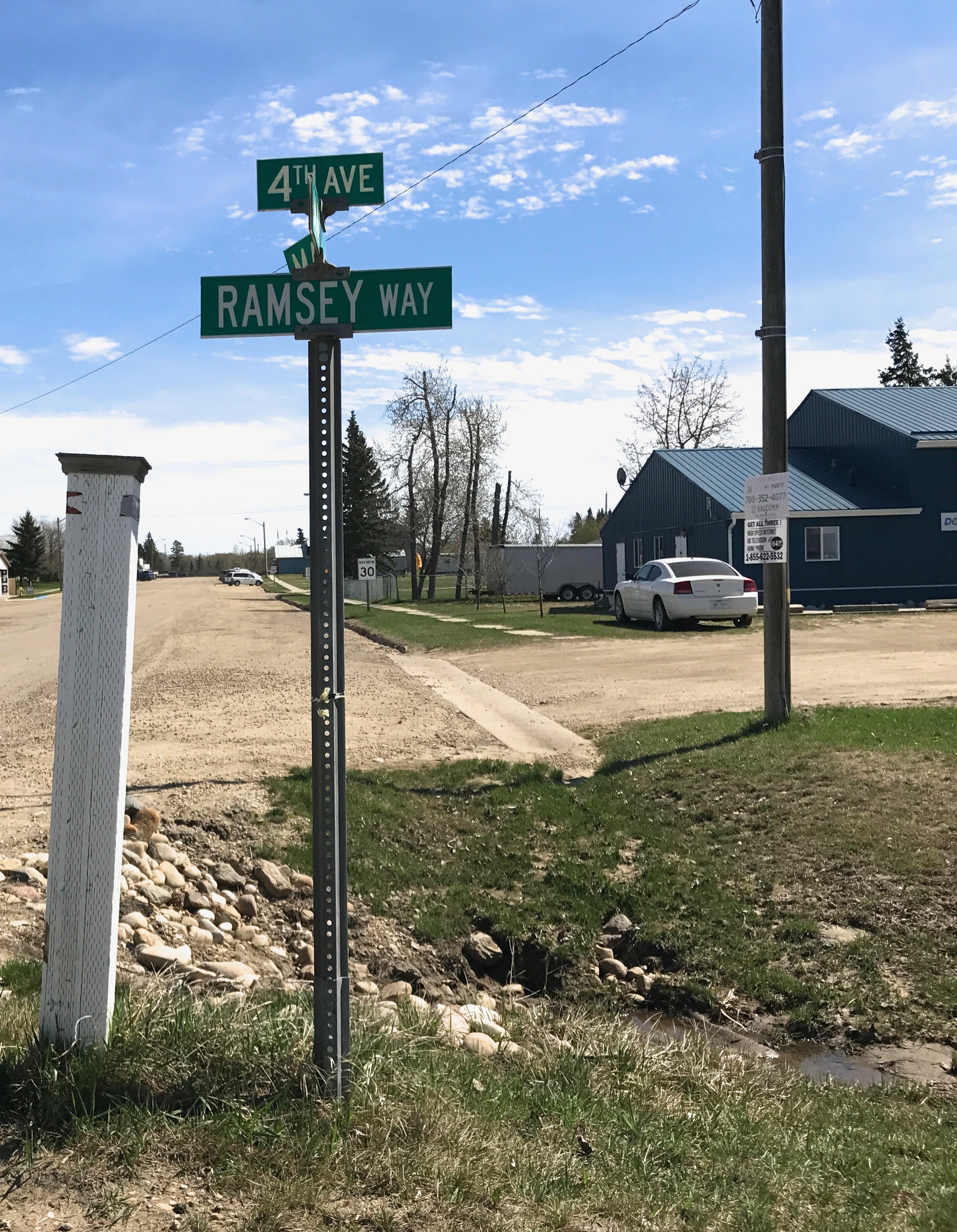
Heading down U.S. 85, I came to Buffalo, South Dakota. As a native Buffalonian, I had to stop for a few minutes to at least stretch my legs.
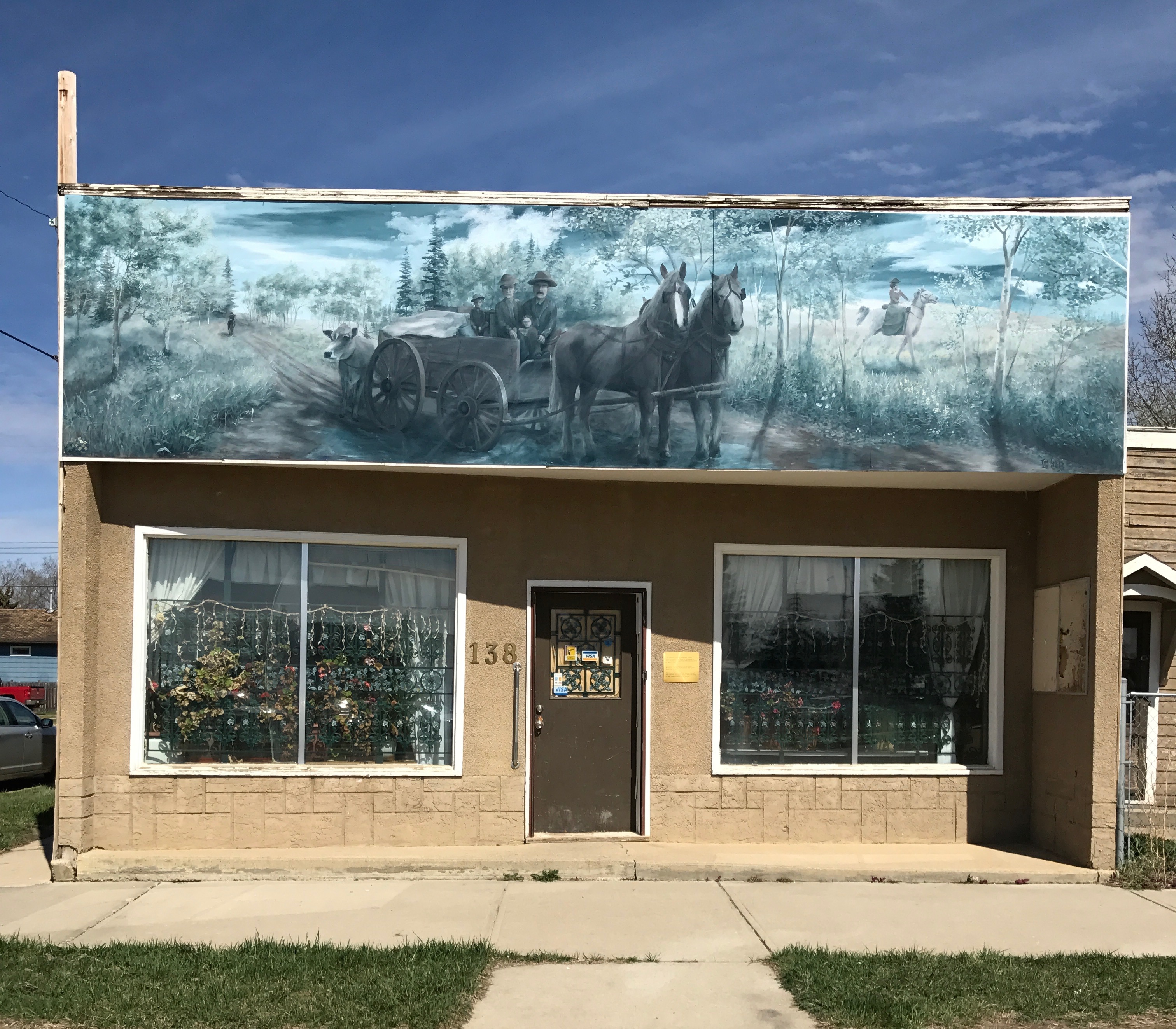
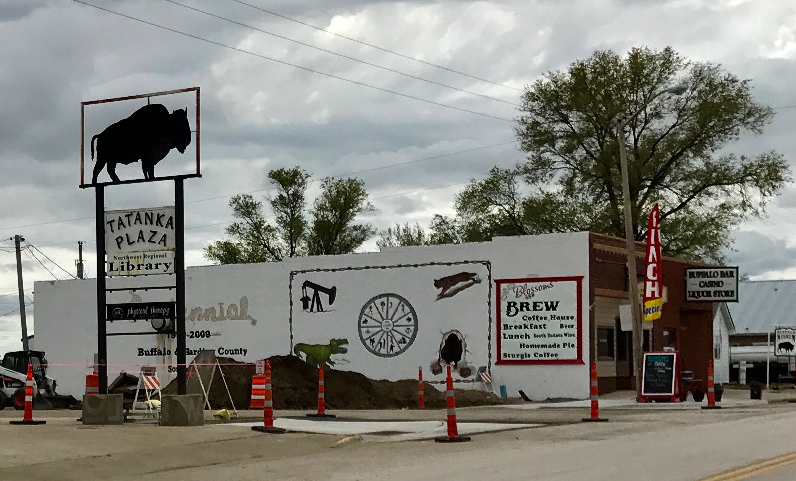 I must have been in the center of town. They had it all – a library, coffee shop, bar, casino and liquor store.
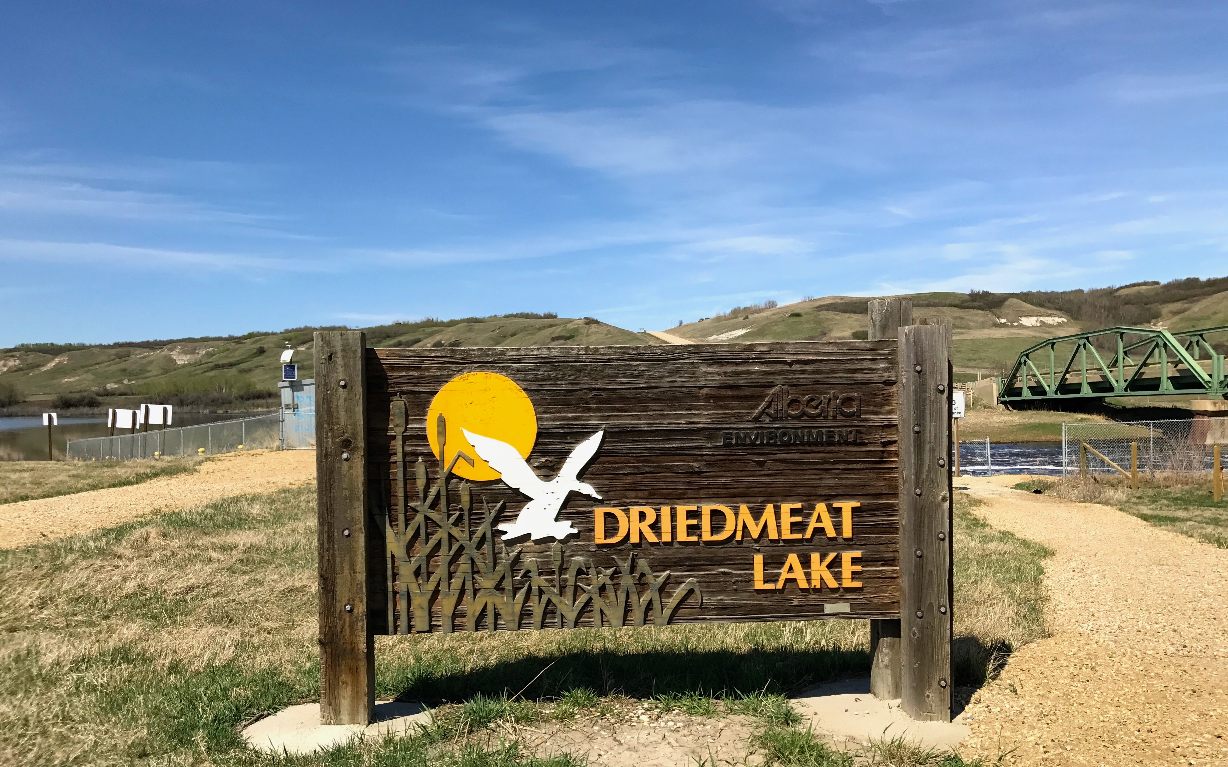
And right across the street was the park.
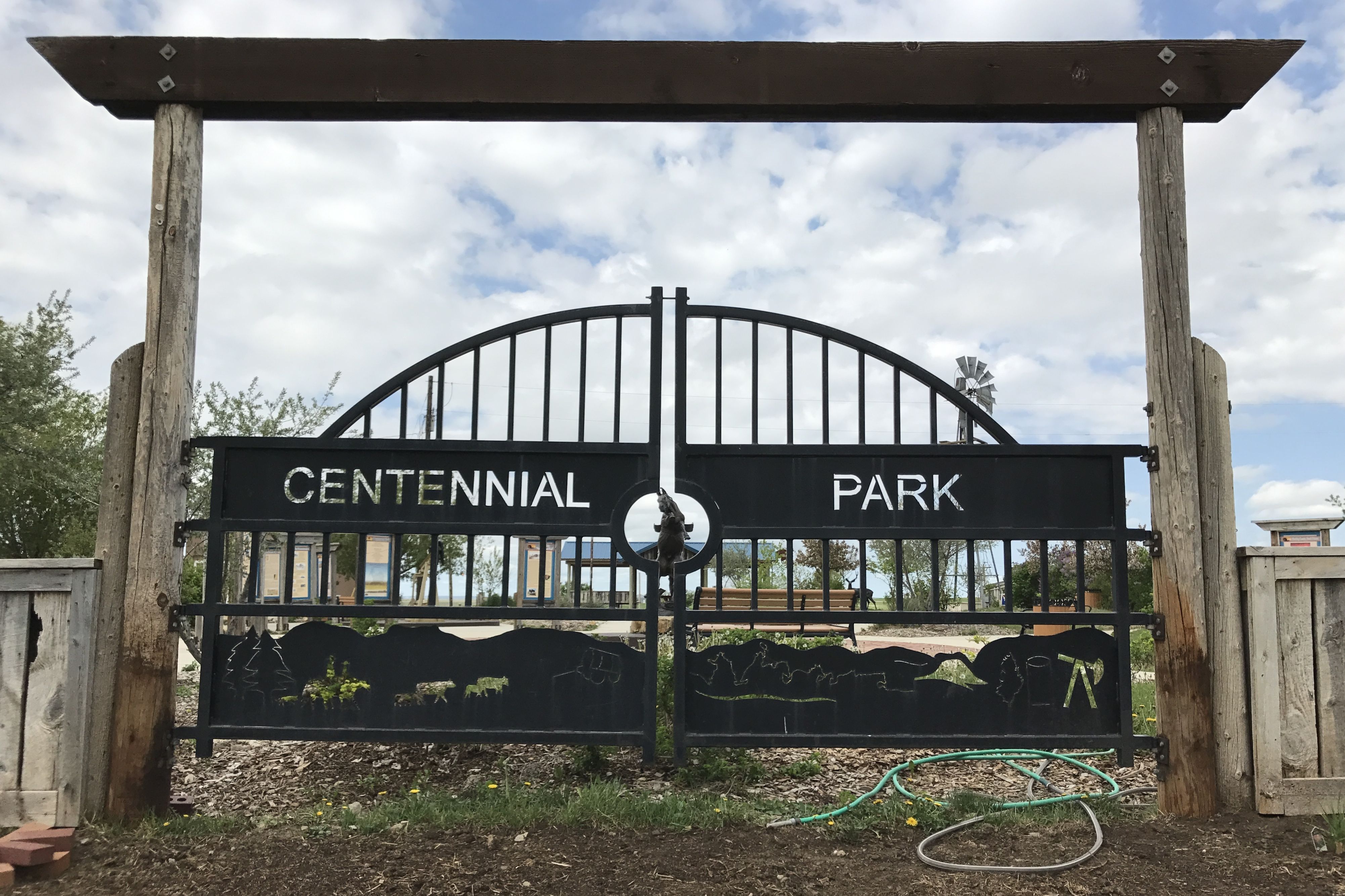
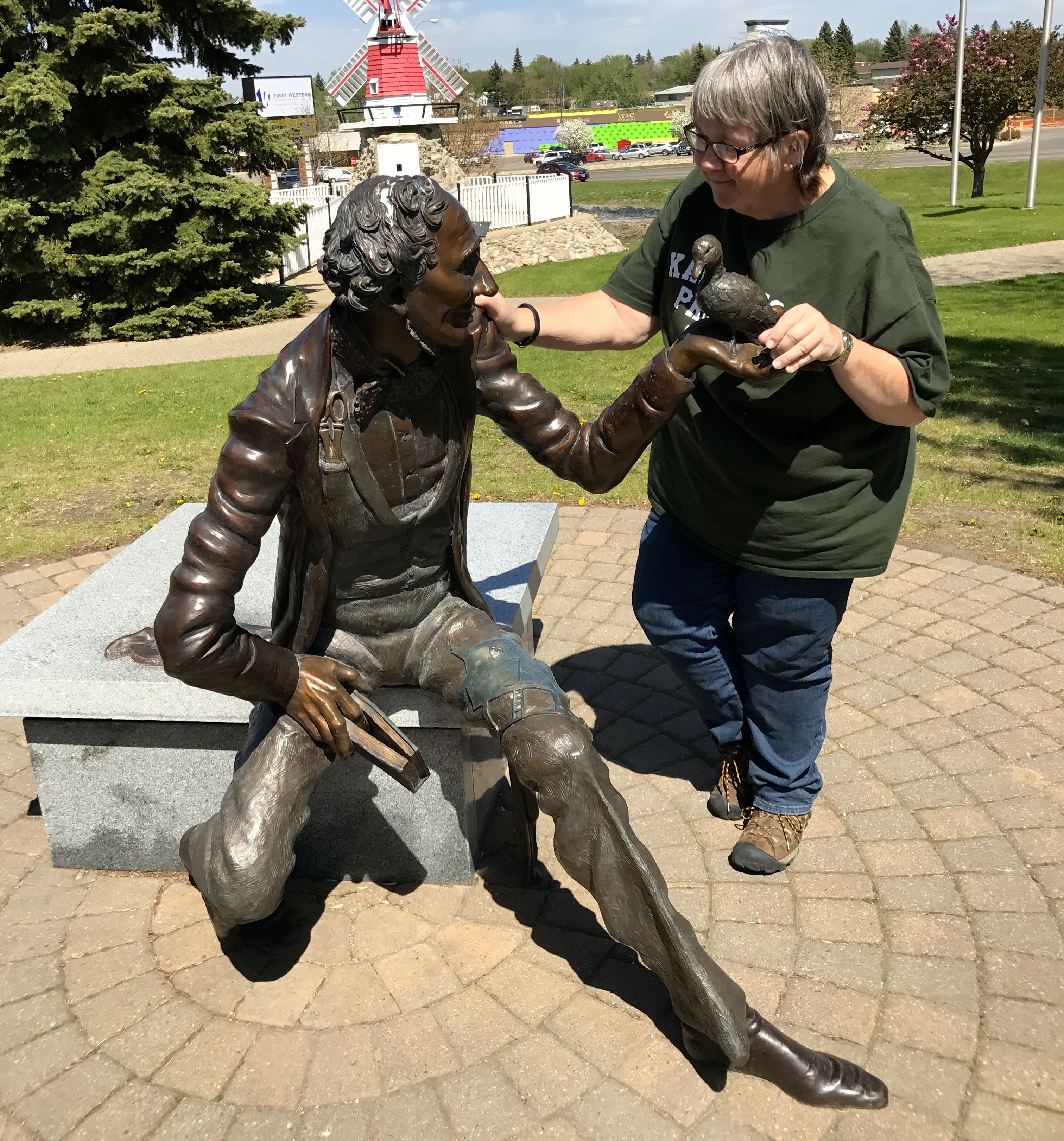
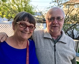
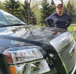
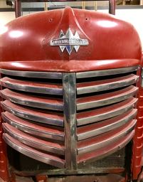
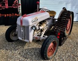
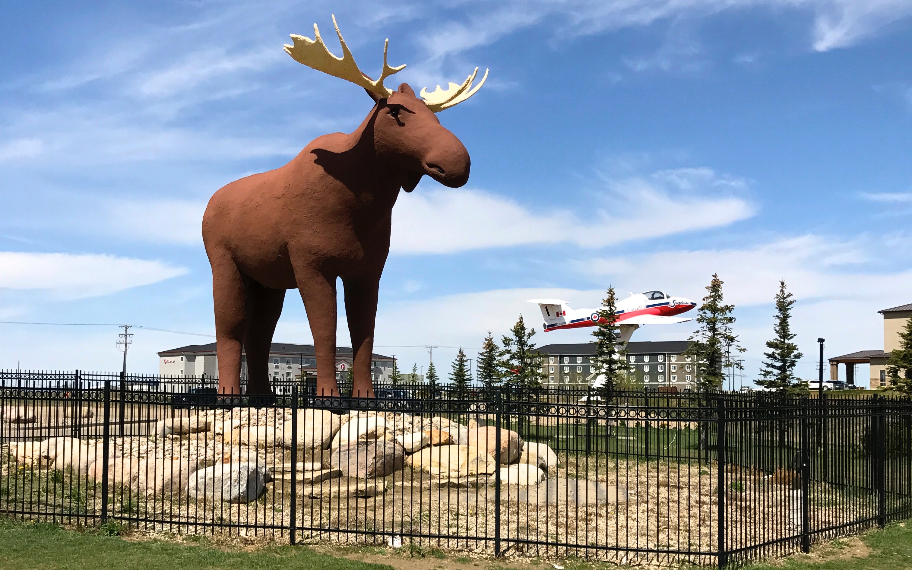
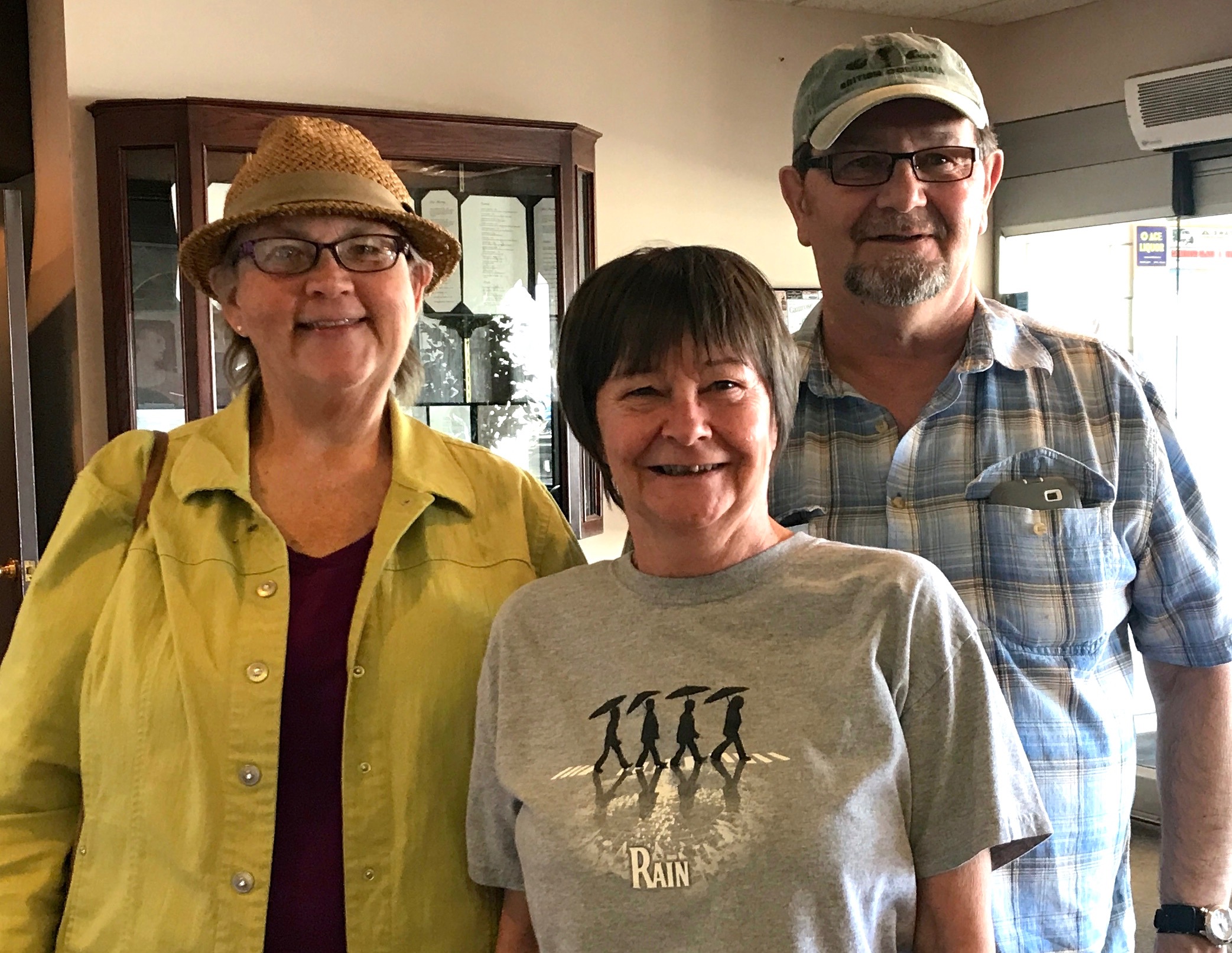
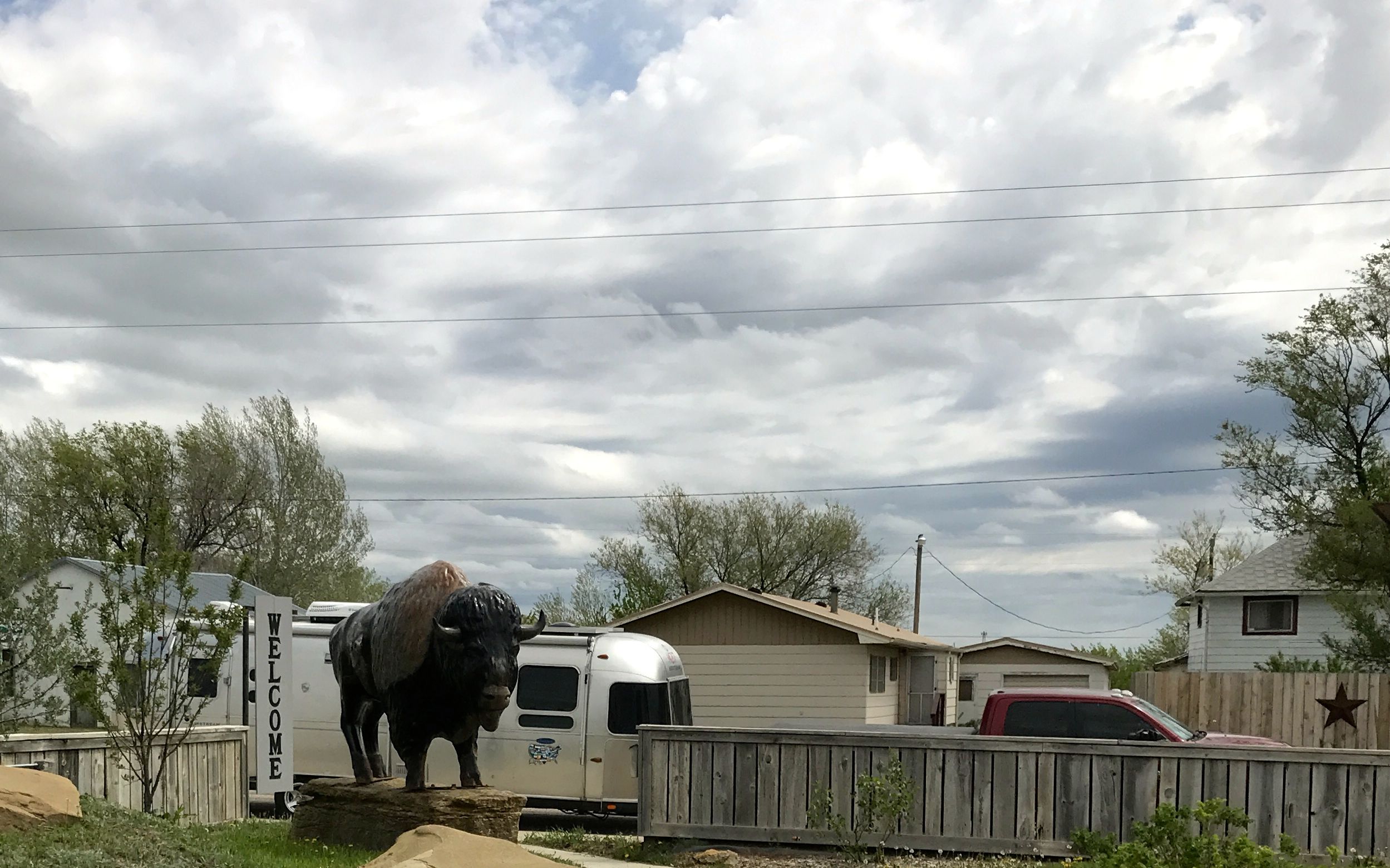
They were very proud of their heritage. I went inside the park to explore. I couldn’t resist the photo of the buffalo with Flo and Bart.
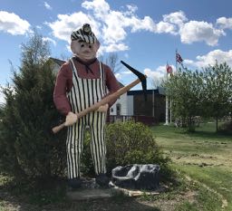
One source of much pride was Tipperary, the famous bucking horse, who lived from 1905 – 1932.
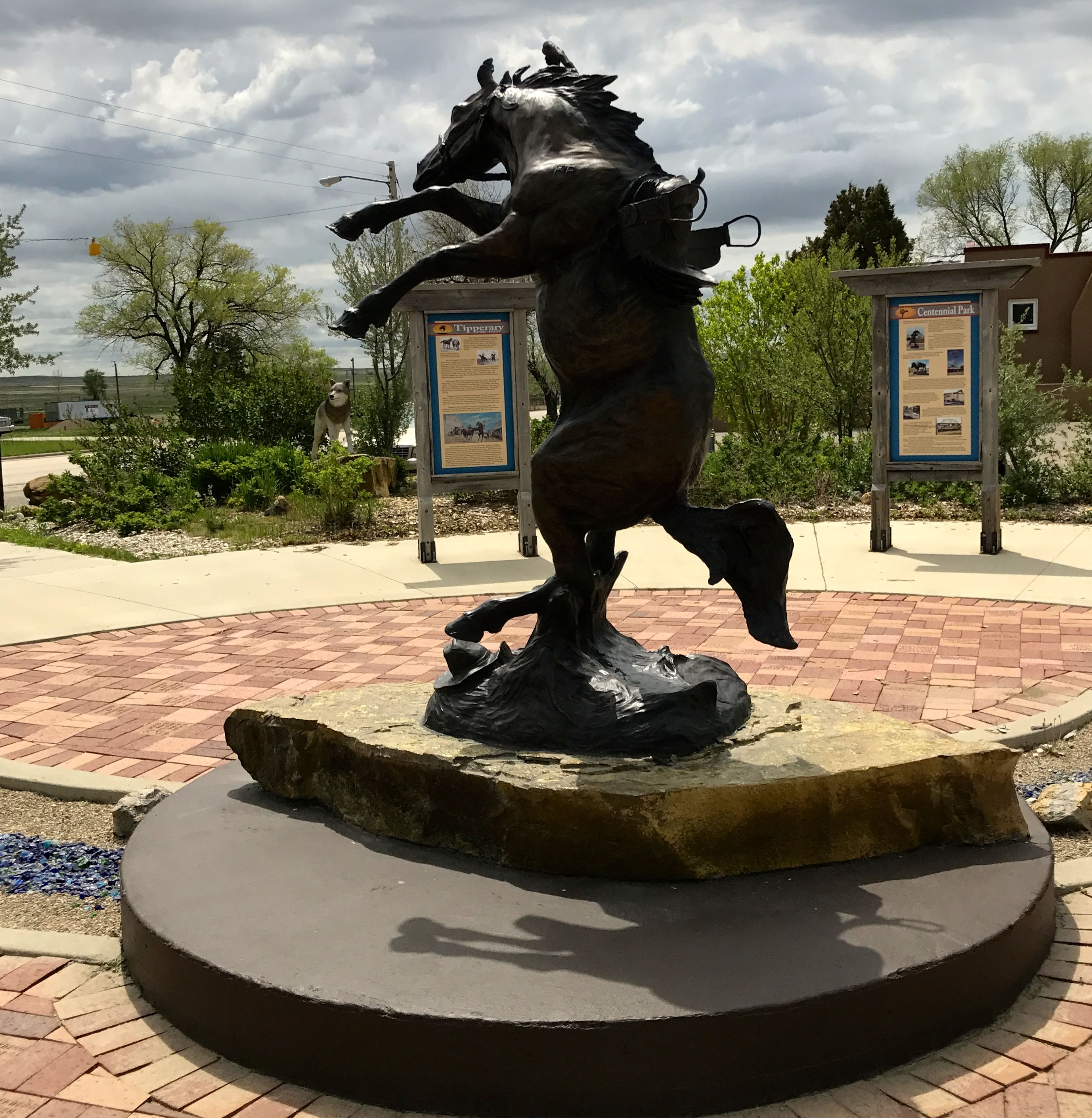
According to the sign, Tipperary bucked off 91 riders. Back then, there was no 8-second rule. The ride went on until the rider was bucked off or the horse stopped bucking. Horses weren’t trucked to the rodeos back when Tipperary was in the rodeos. According to the sign, they were “trailed,” which I assume meant that they were ridden, lead, or herded to the rodeo.
Uh, actually, I don’t suppose Tipperary was ridden. Who rides a bucking bronco?
He was raised by Ed Wickham, sold to Doc Latham and Mex Griffith and lost to Carr and Ridgeway in a poker game. Eventually, Charlie Wilson bought Tipperary to become part of the Wilson bronc string.
Charlie Wilson? That must be a common name! The first thing that came to mind was the 2007 movie, “Charlie Wilson’s War.”
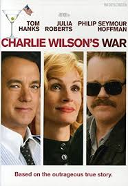
As the poster says, “Based on the outrageous true story” of the Texas politician, Charlie Wilson.

Imagine that! A Democrat from Texas!
Then, there is the singer, Charlie Wilson.
But, no, this was a man who lived before any of them, and he had broncos.
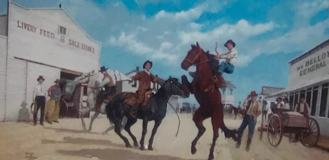
The statue of Tipperary was based on this painting that was commissioned by Alvin Cordell of Camp Crook. He was very interested in Tipperary and researched him extensively. Rather that write about what he learned, he commissioned Mick B. Harrison to paint this opaque watercolor that showed Tipperary in his famous bucking style.
Tipperary’s last rodeo was in 1926, when he was 21 years old. According to the information in the park, he continued to prance to the song, “It’s a Long Way to Tipperary,” even though he was getting on in years. He died in a blizzard in 1932, and his bones are said to be buried in Tipperary Park, not too far from Buffalo.
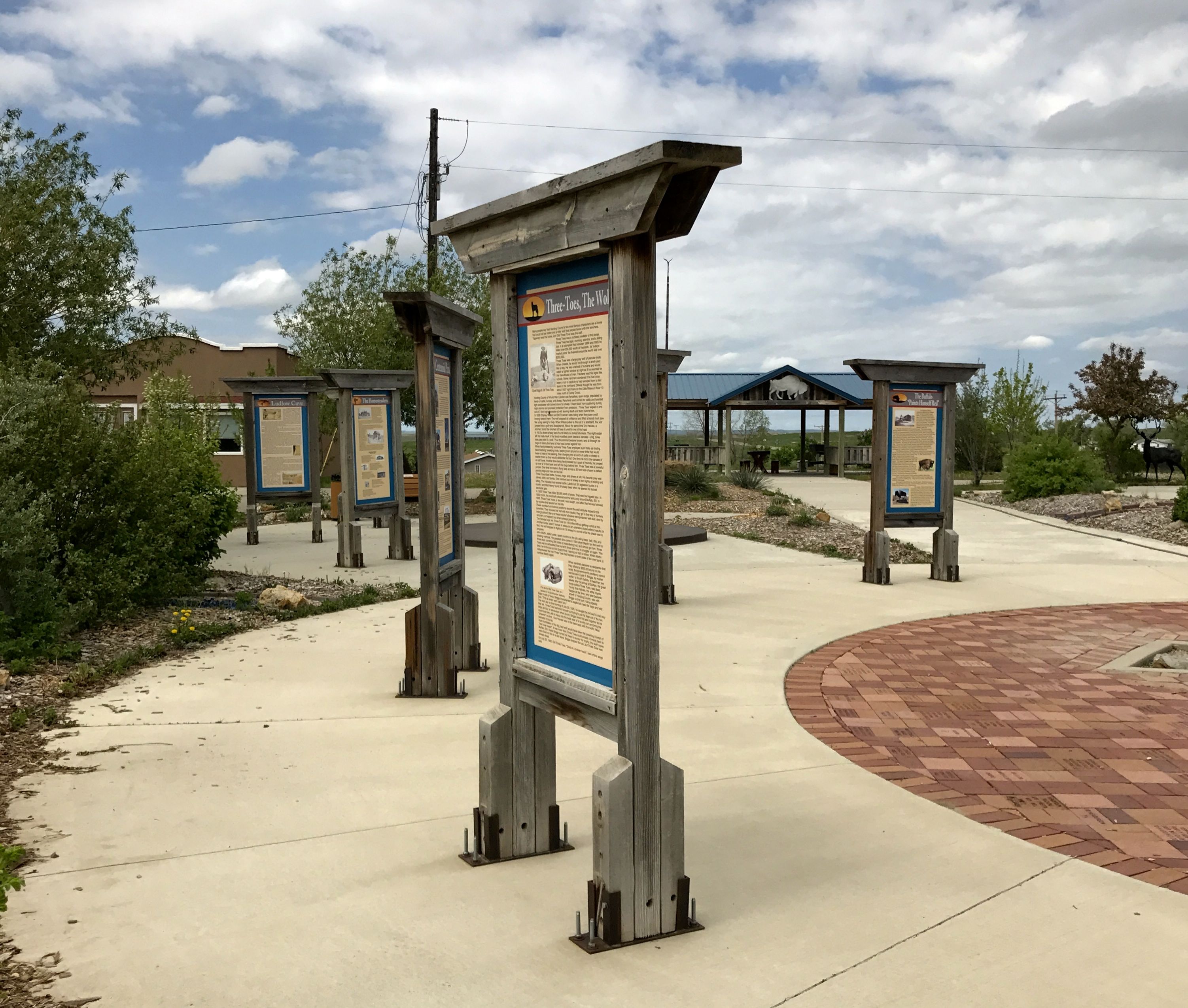
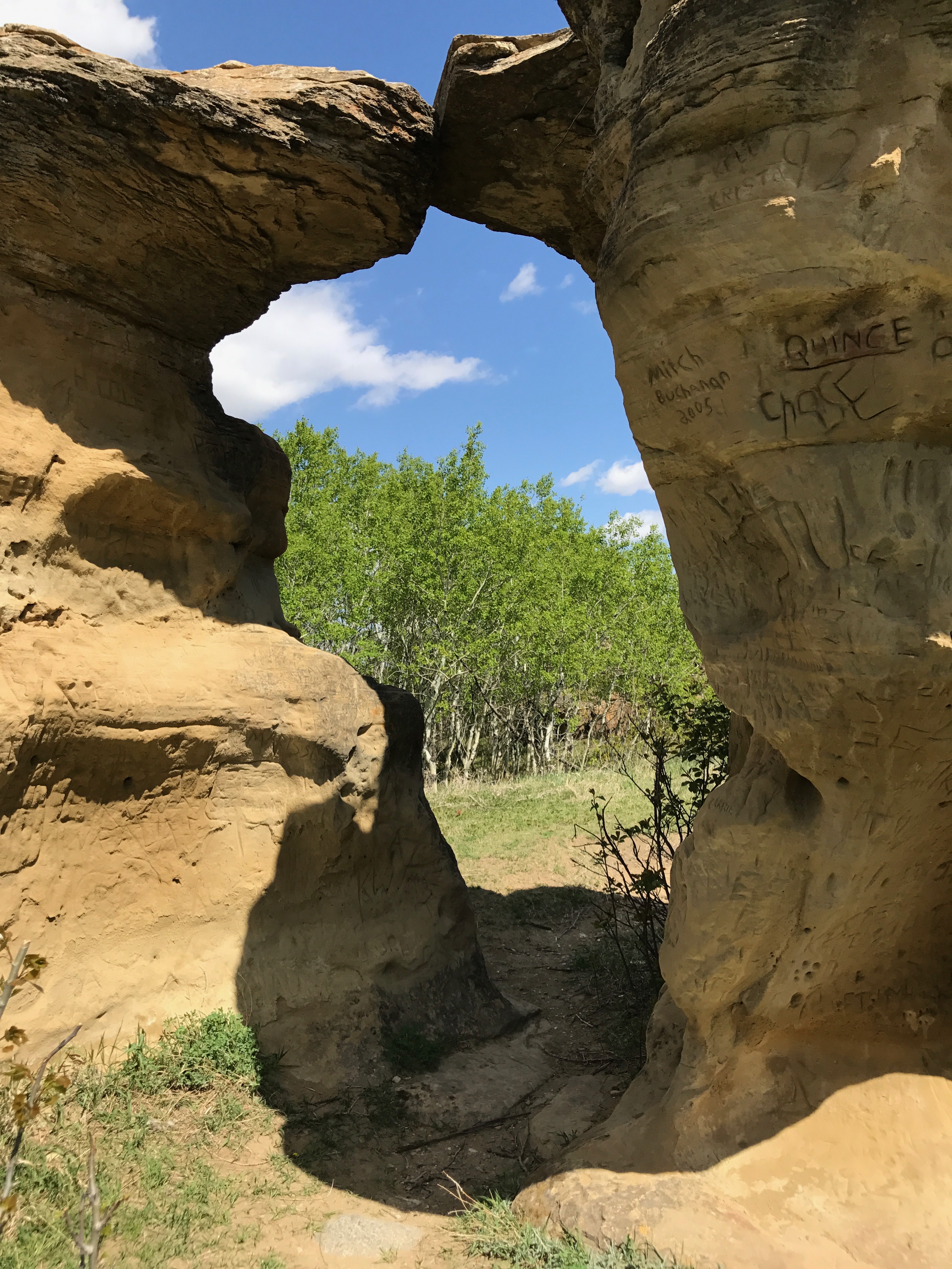
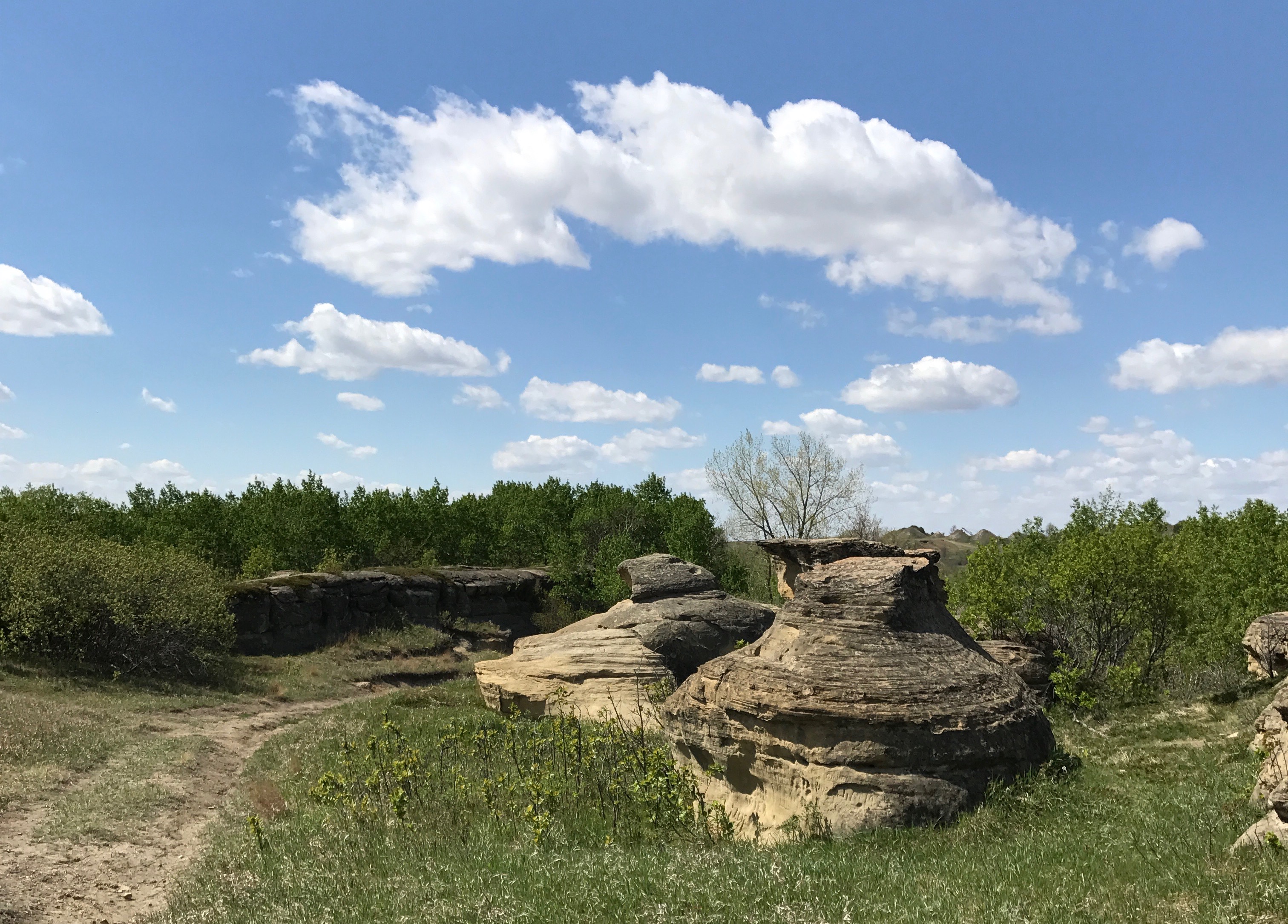
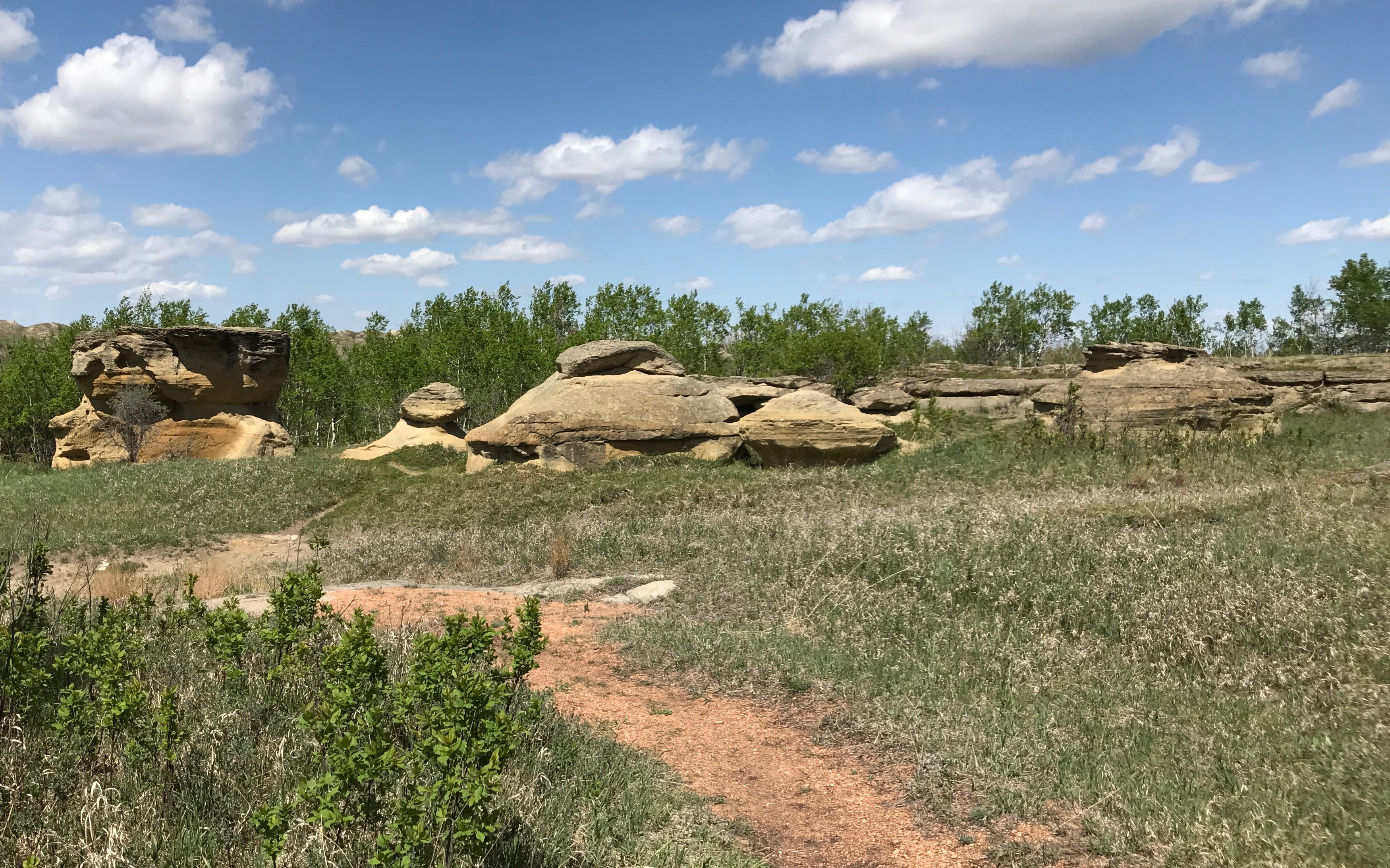
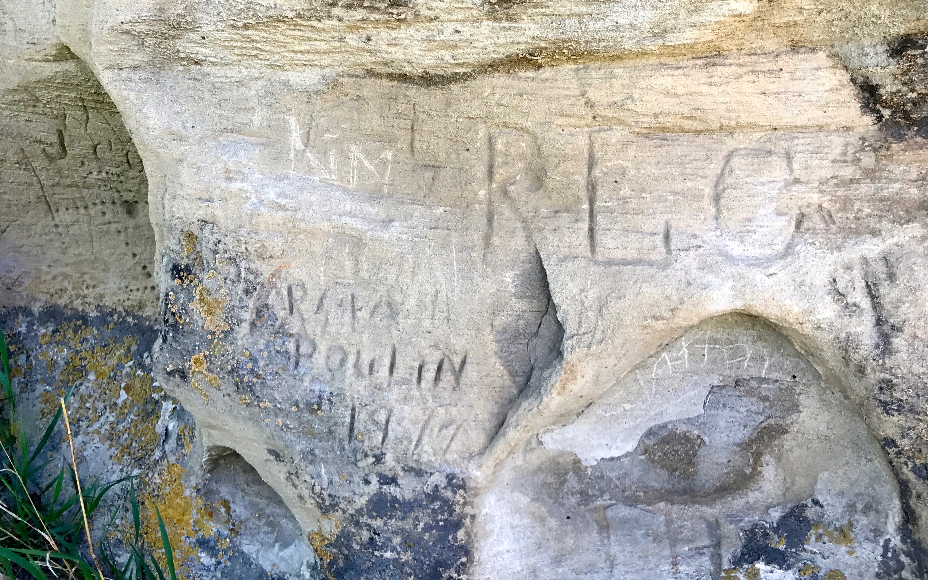
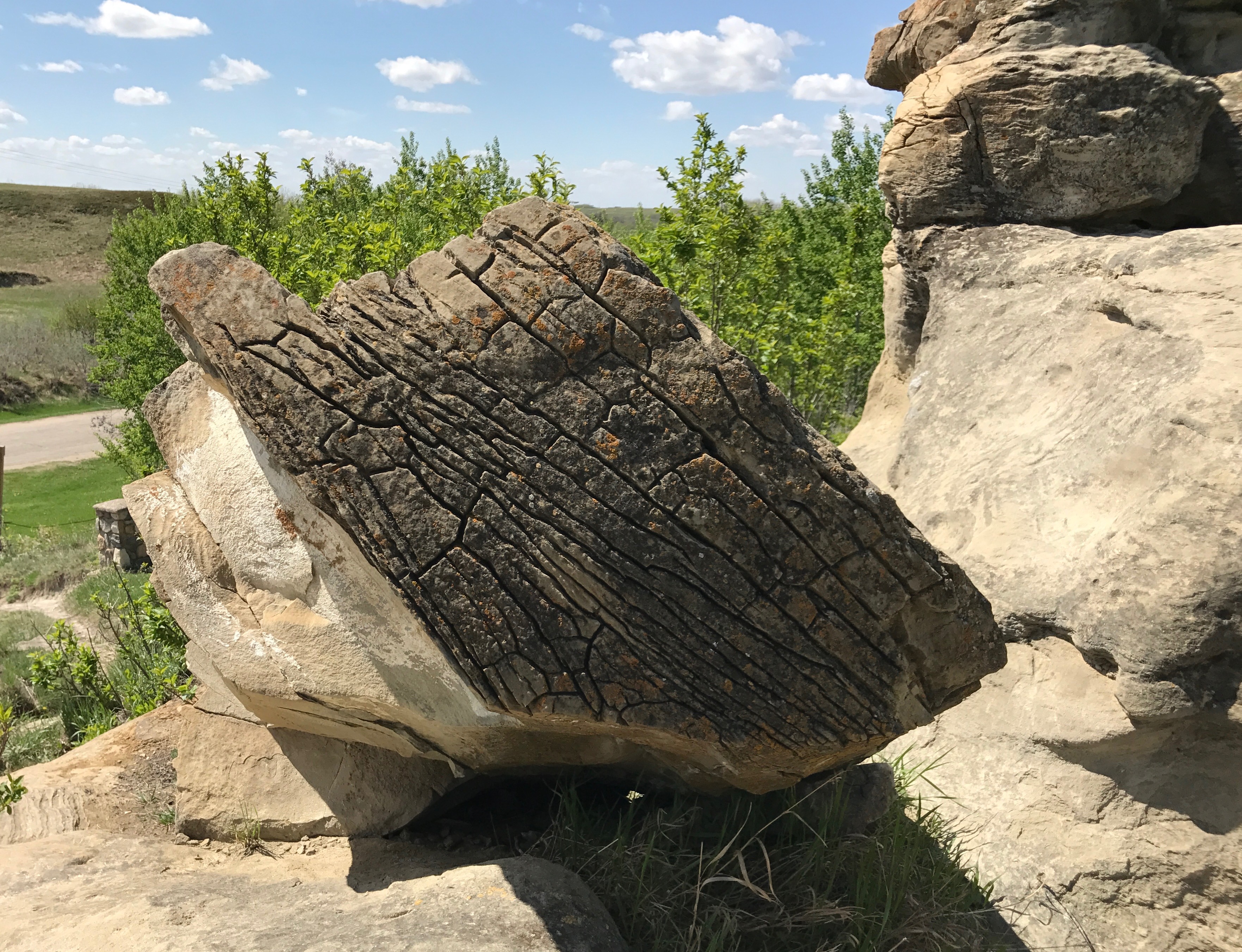
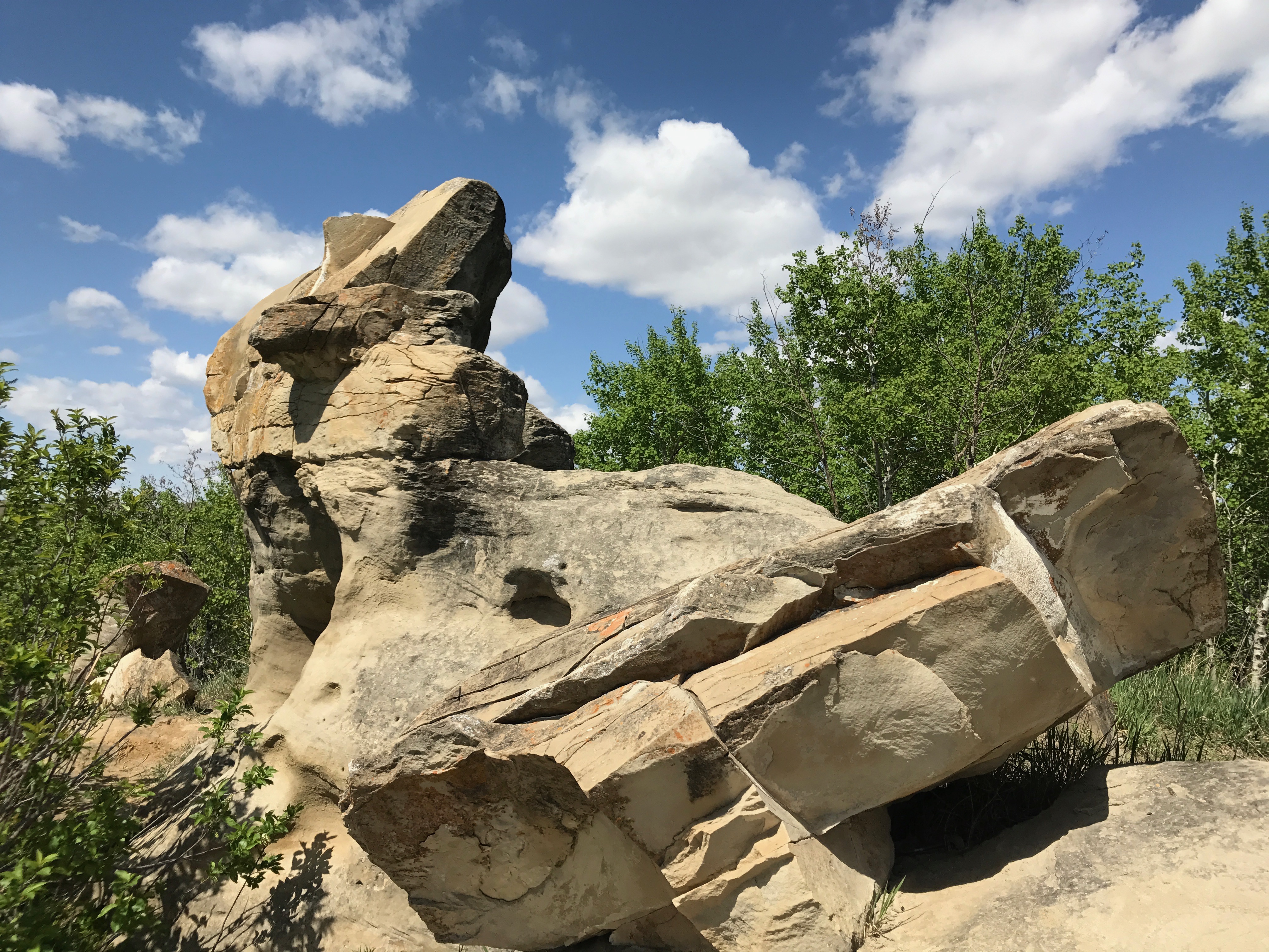
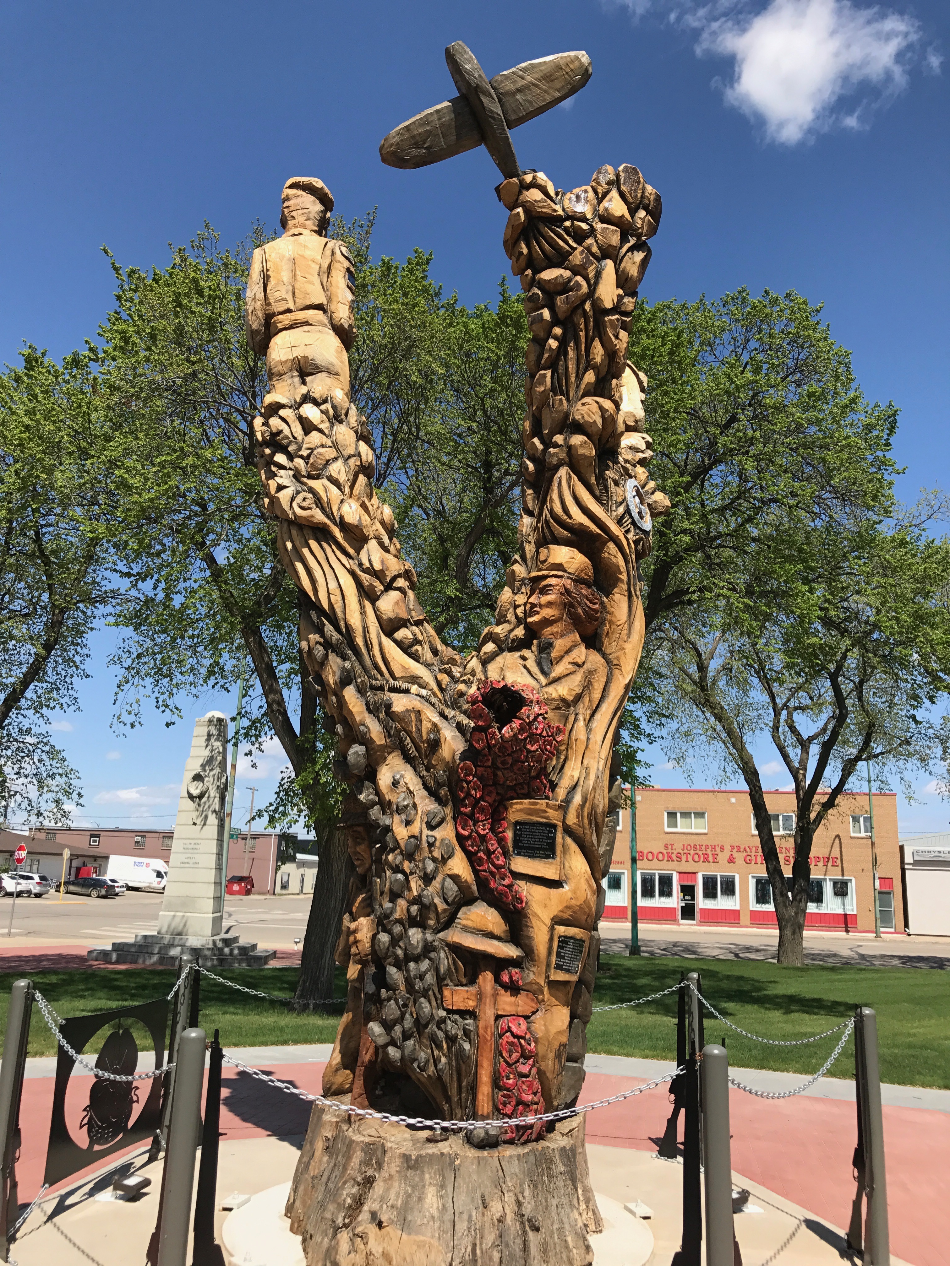
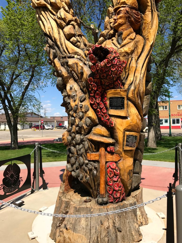
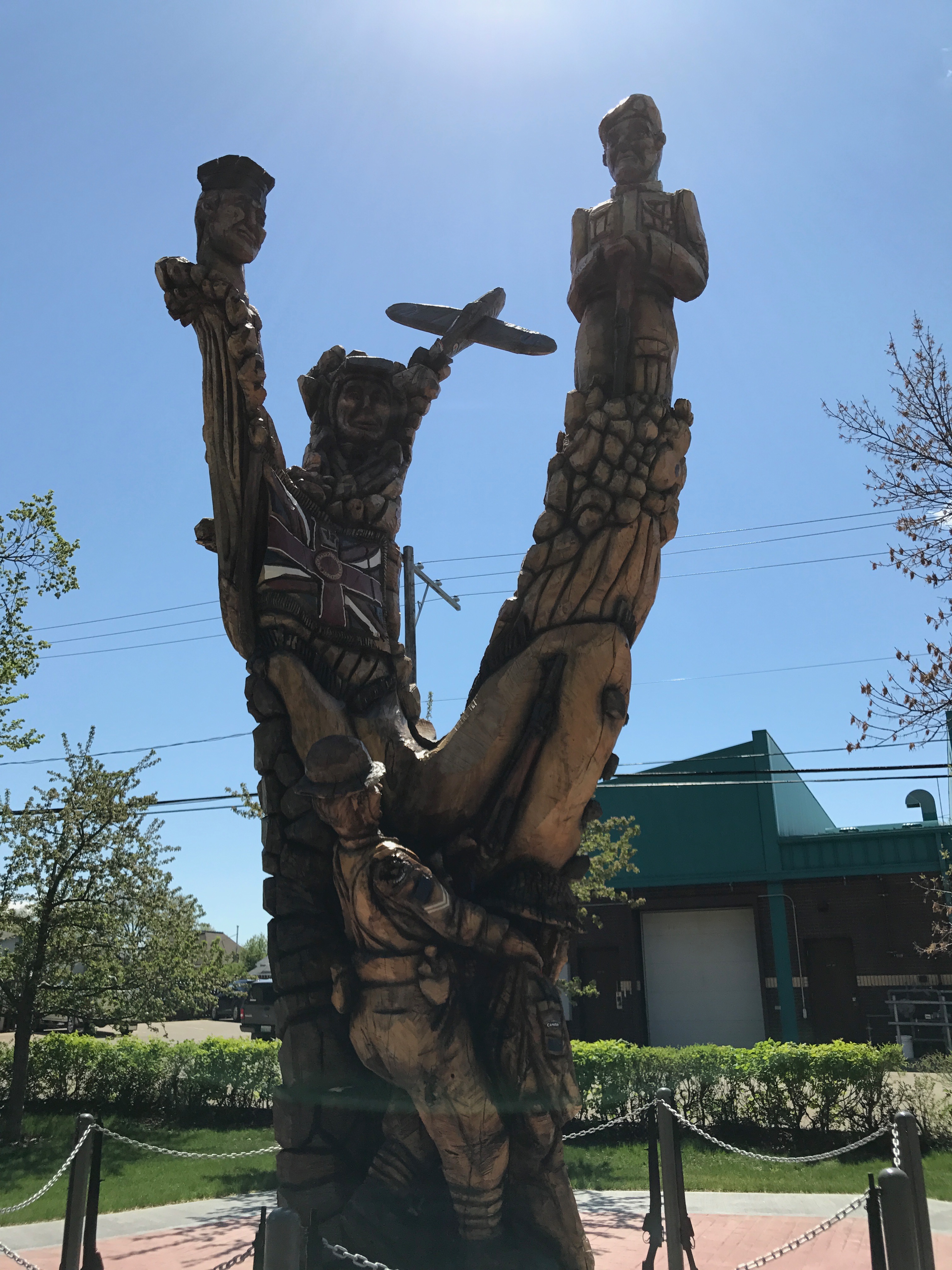
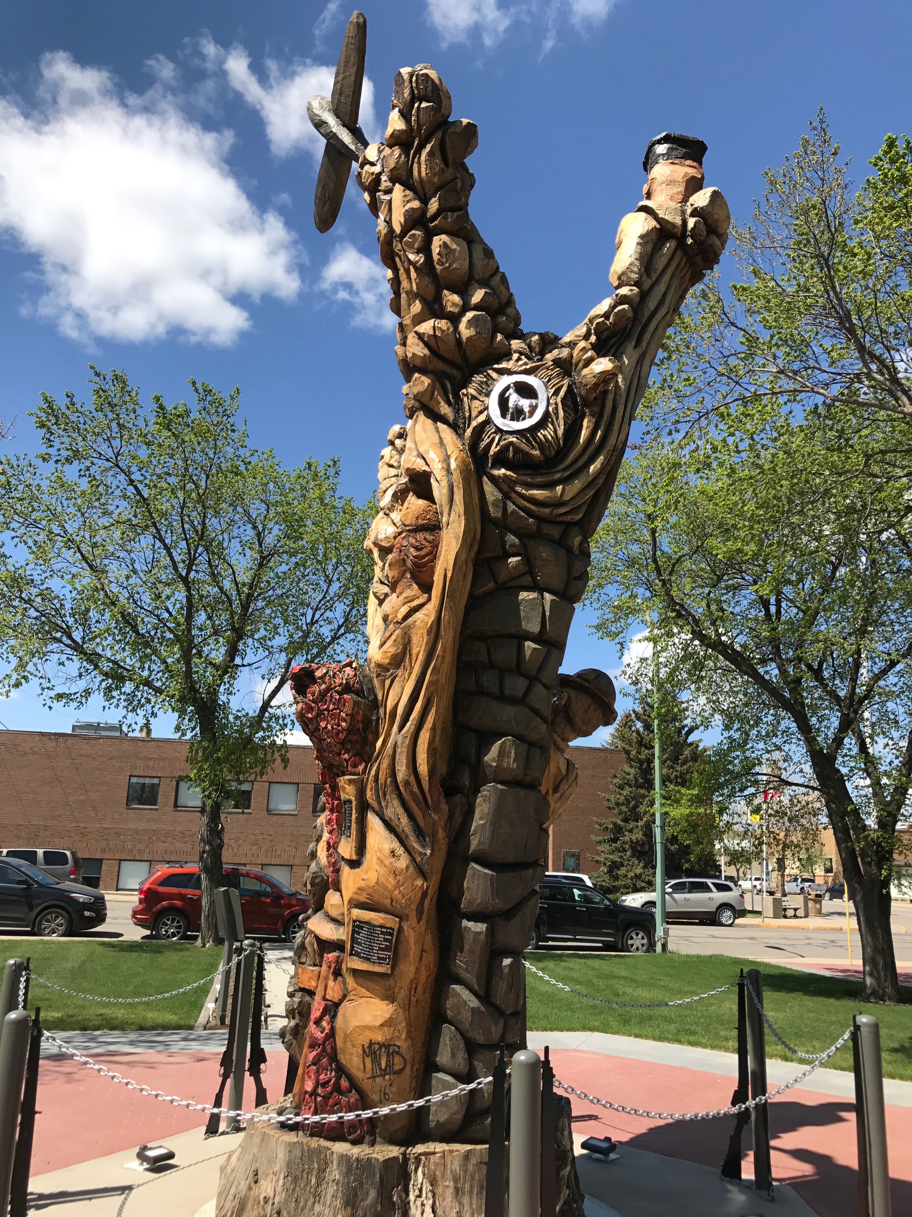
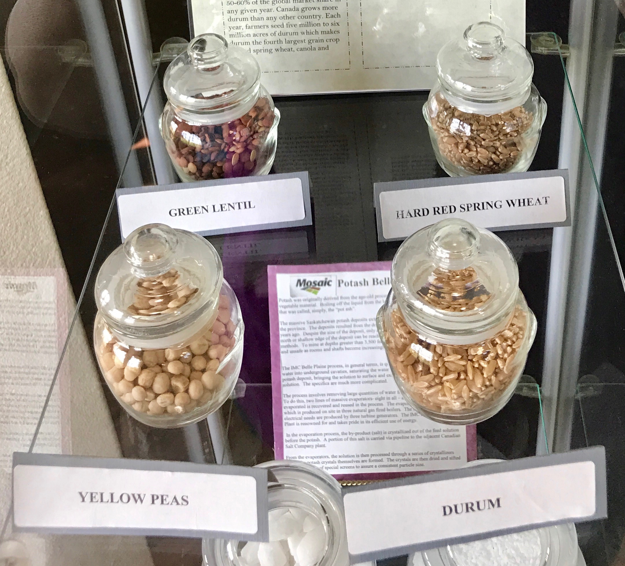
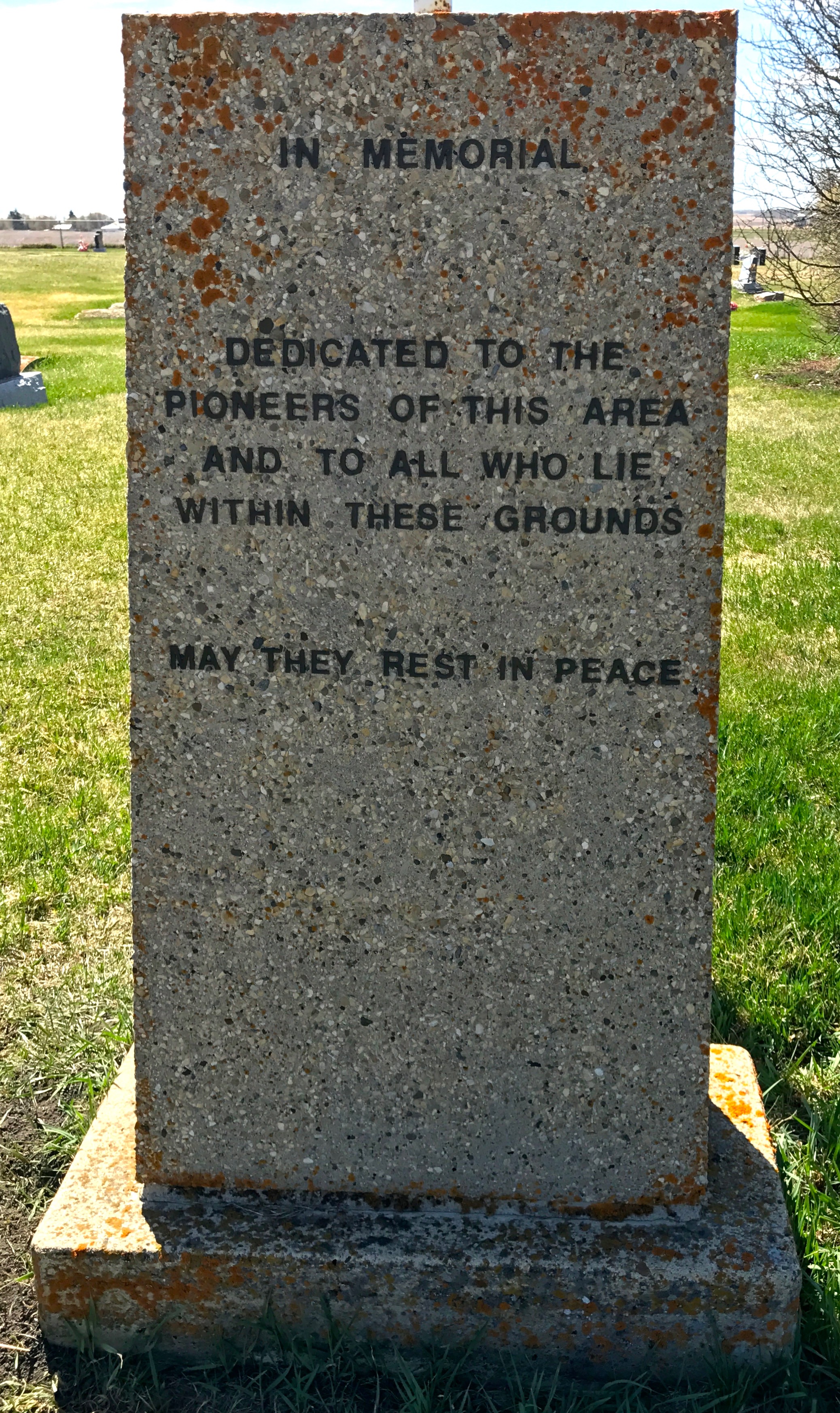
You can tell that this park is a source of pride for the people in the area. They took pains to explain everything there – as well as some things that weren’t. The legibility of the signs was really notable. I can’t tell you all the times I’ve tried to figure out what I was looking at and the sign was so faded, chipped and worn that I couldn’t read the information.
Rest assured. I am not going to recreate what is on all those signs.
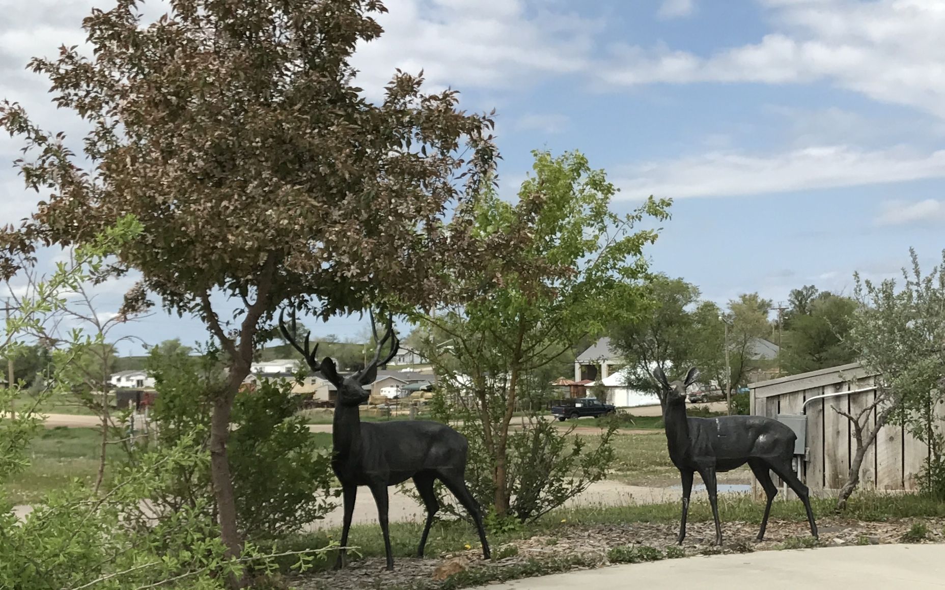
There were statues of the local wildlife. Deer…

a wolf…
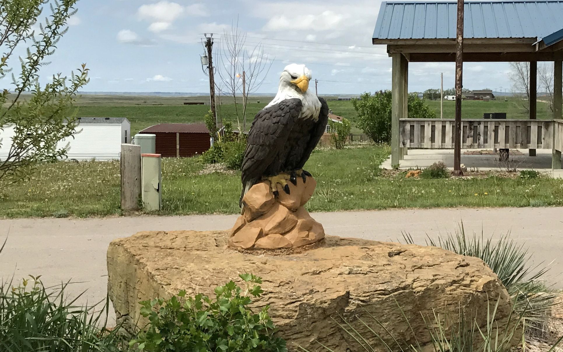
a bald eagle.
They took some pains to show visitors what is important to them.
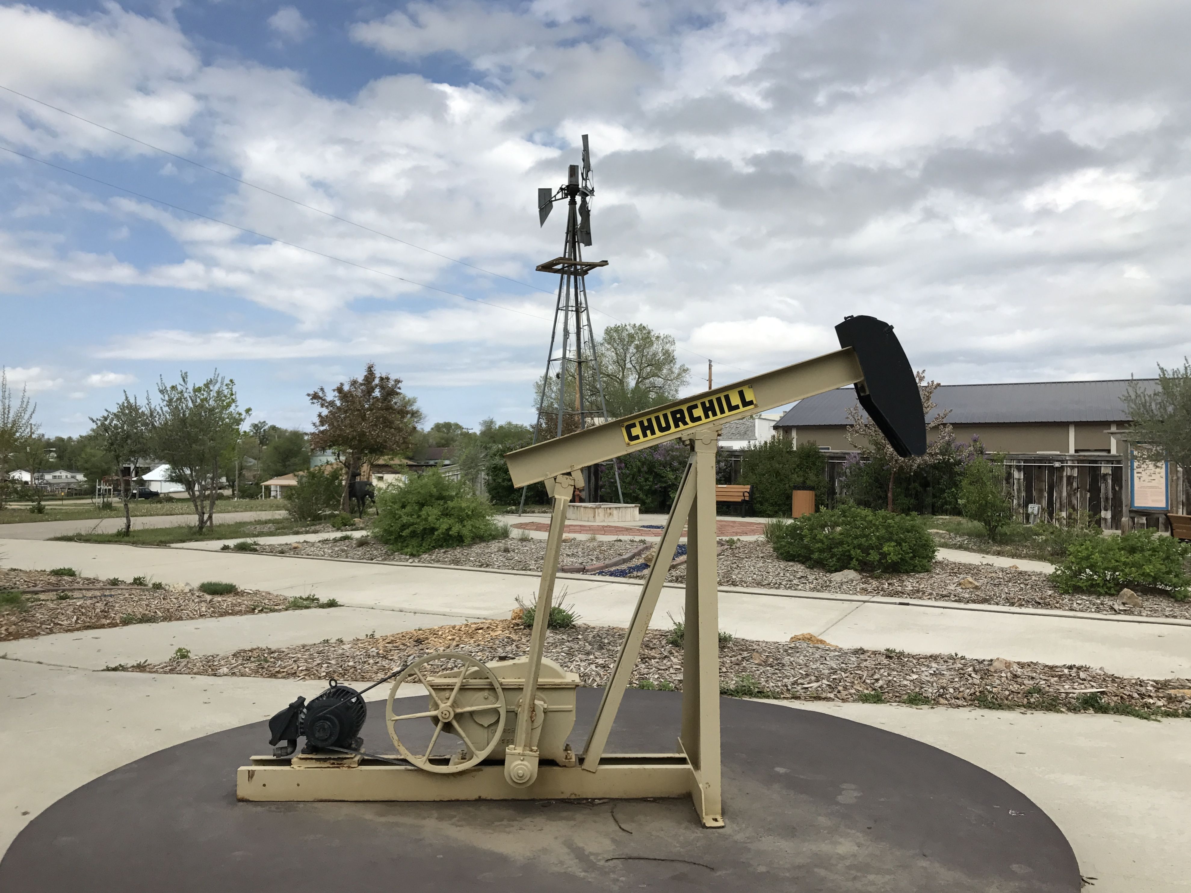
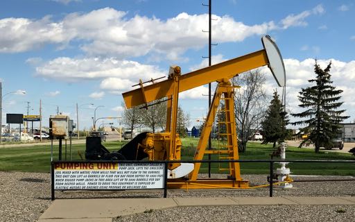
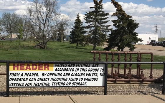
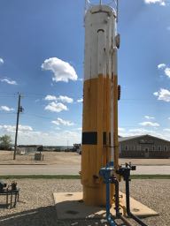
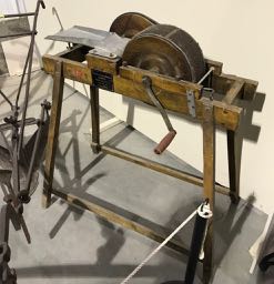
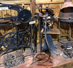
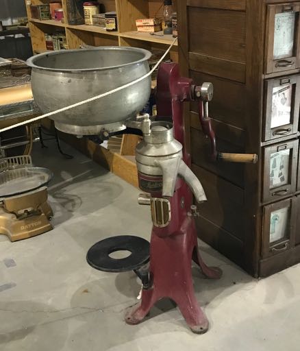
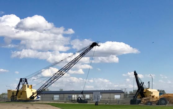
They included equipment that provided the energy for life out there.
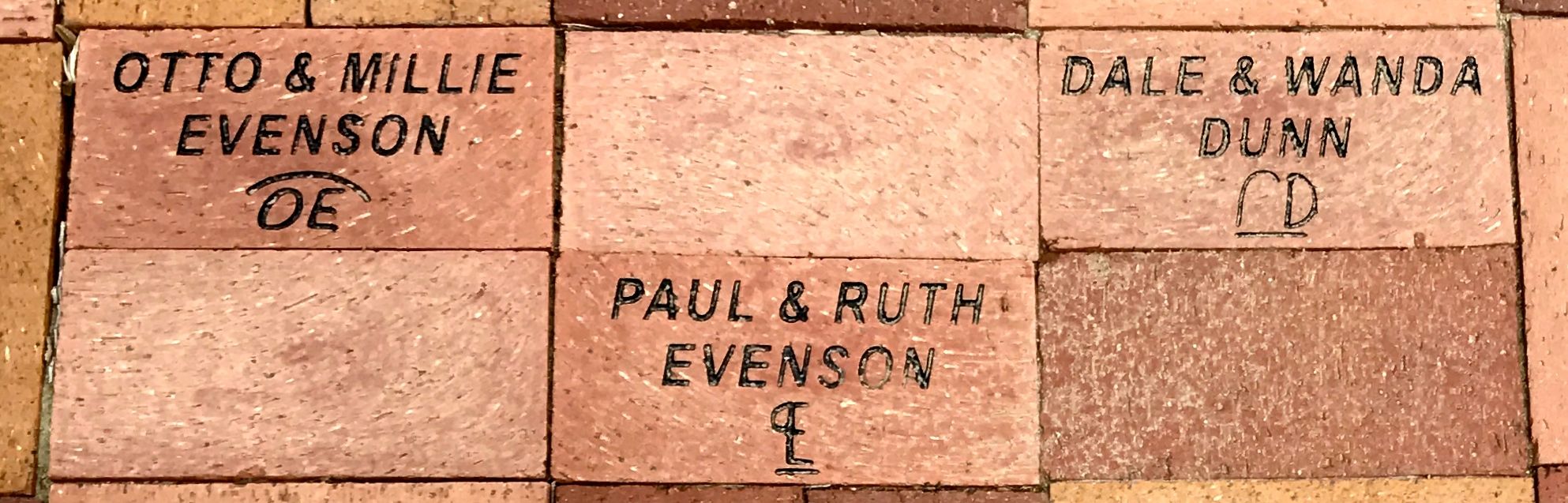
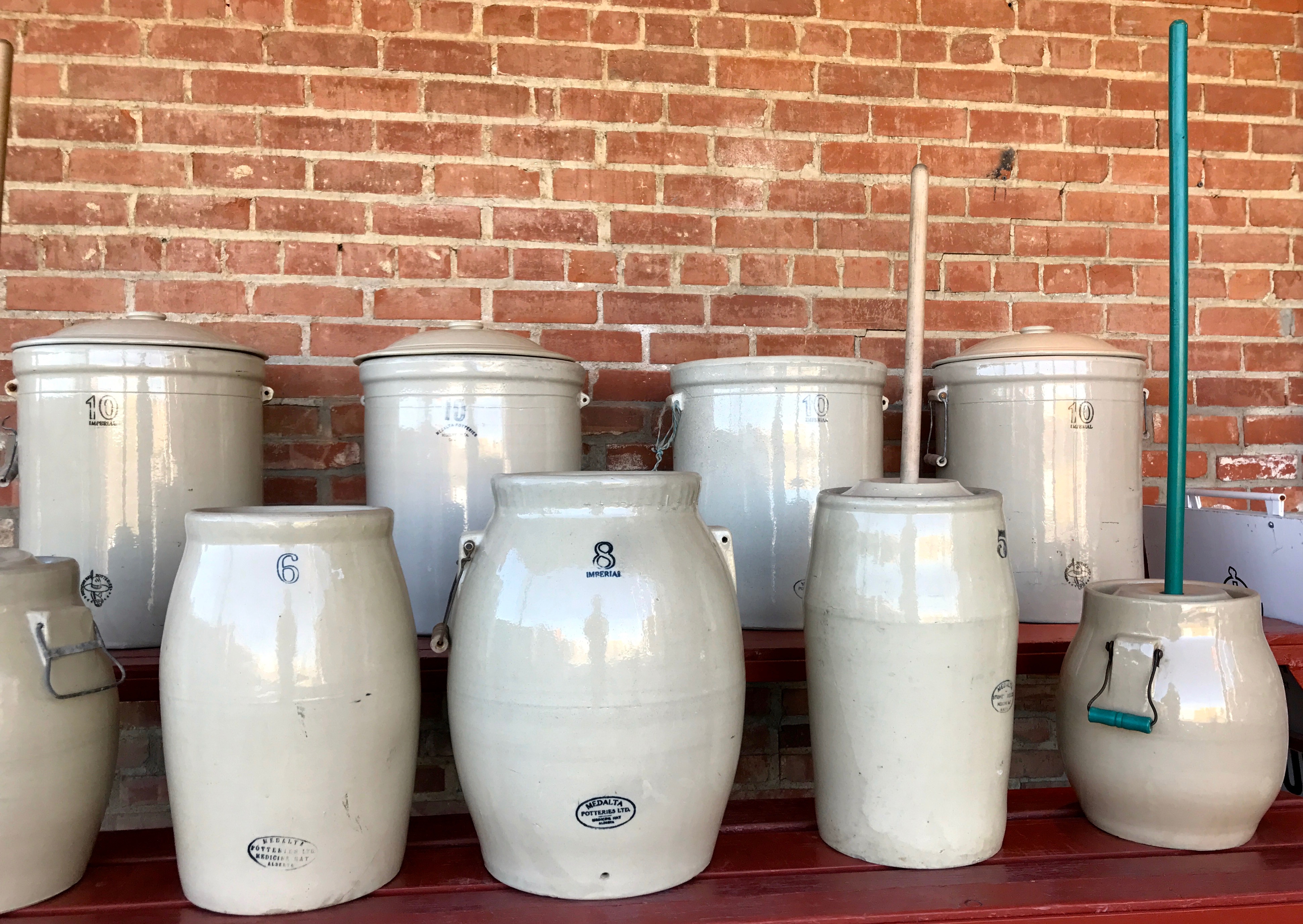
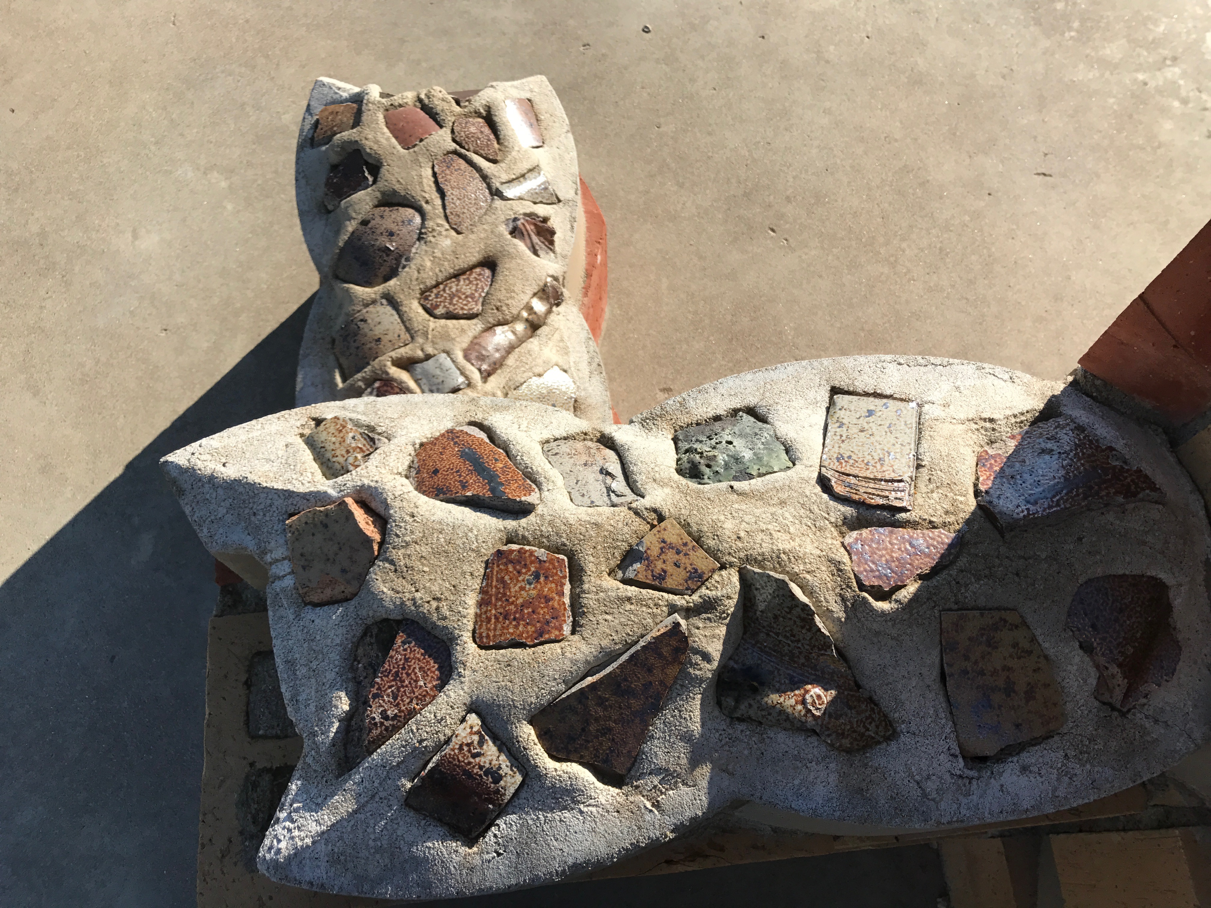
You may have noticed the bricks in the photo of the signs. I was impressed with these memorial bricks with brands included.
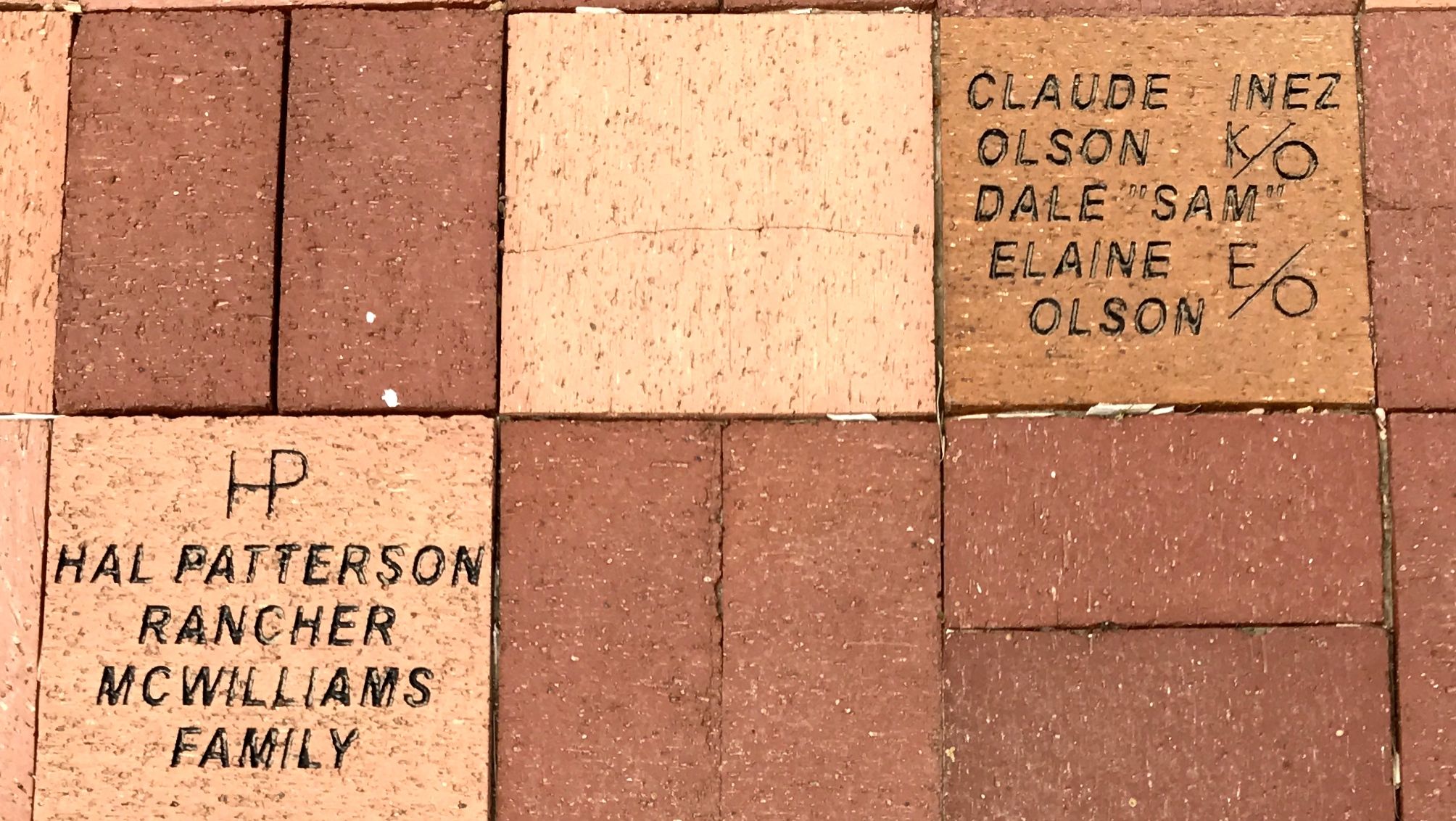
They really wanted to let visitors know what was important to them.
I wish I had more time to explore this tiny town – maybe grab a bite at Blossom’s Brew Coffee House or knock one back at the bar – but I was on my way to the Rapid City area. I didn’t have a campground picked out and the clouds kept coming and going. I got back into Bart and headed south down U.S. 85.
Next stop: Rapid City!