In reviewing the brochures I picked up at Bluff Fort, I found out that there were petroglyphs nearby.
Petroglyphs? Yes, please!
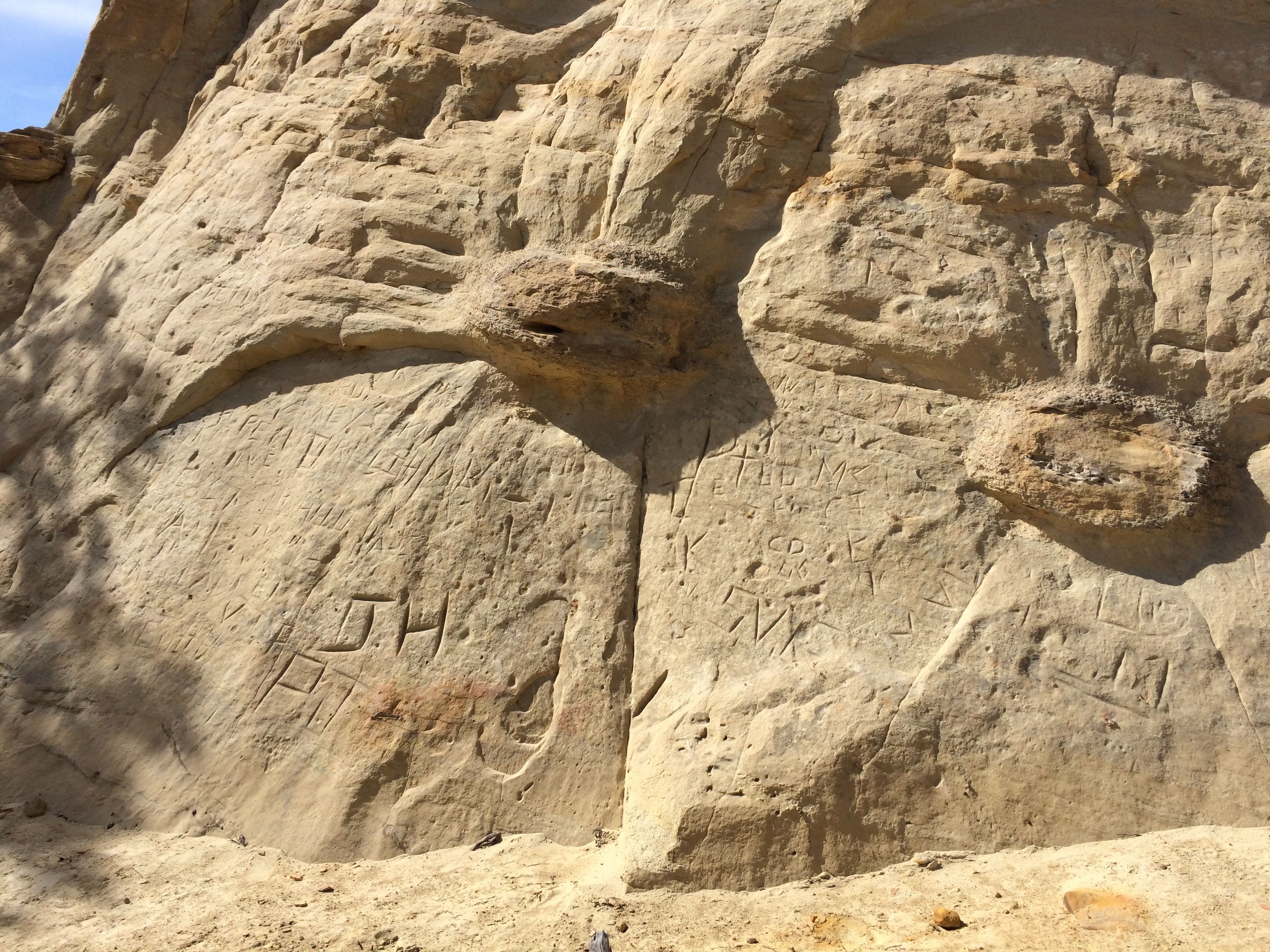
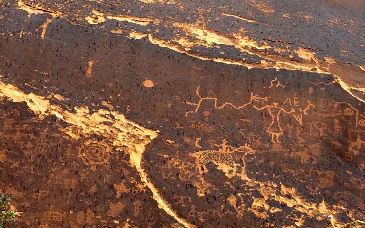
Actually, these petroglyphs weren’t in the most pristine condition.
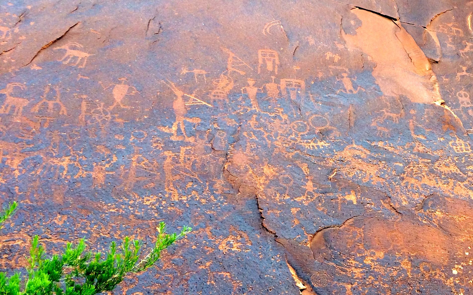
But there certainly were a lot of them.
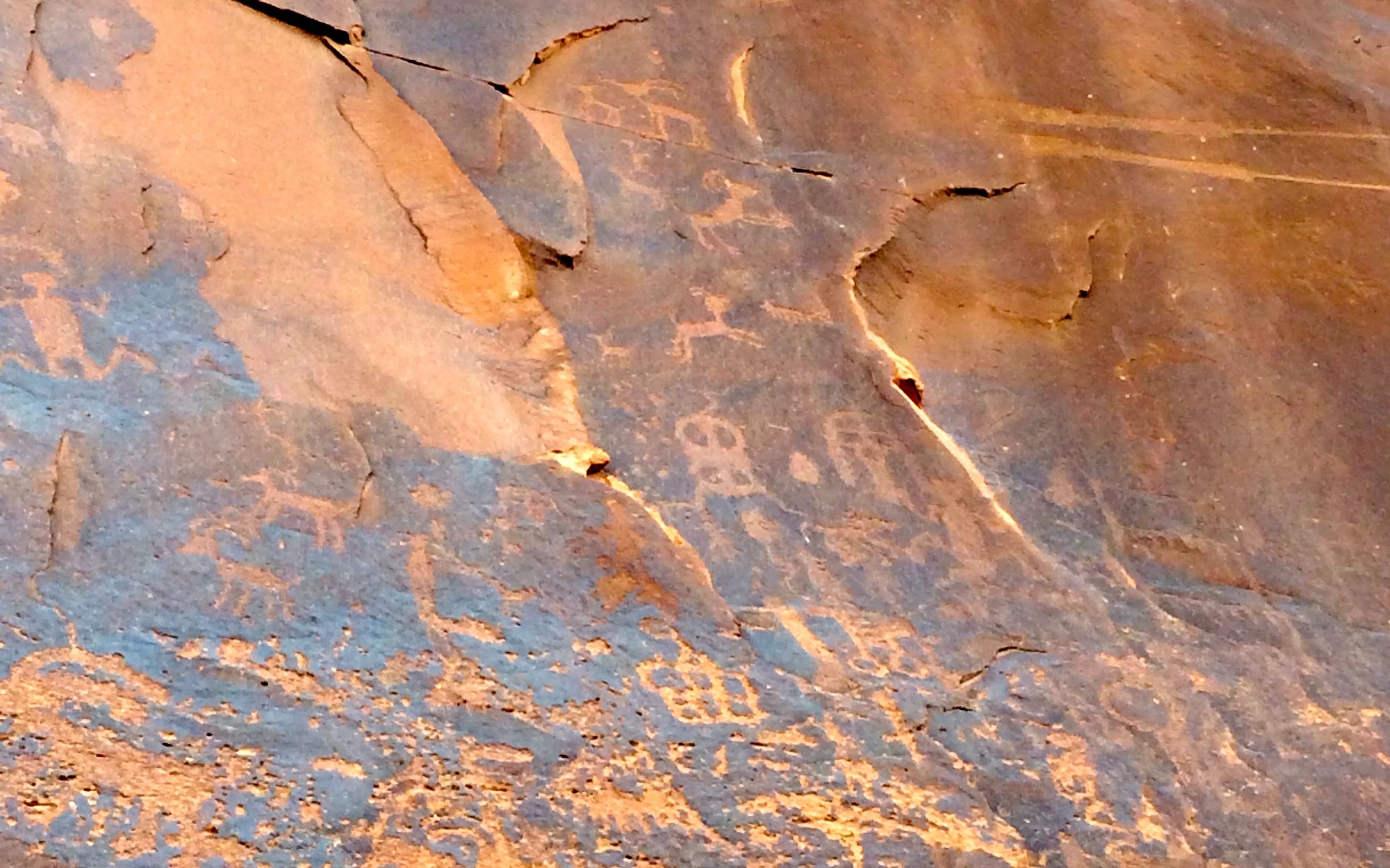
The naturalistic animal glyphs were new to me.
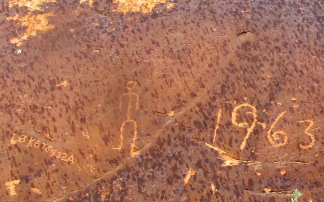
There a lot of glyphs that are of more recent creation.
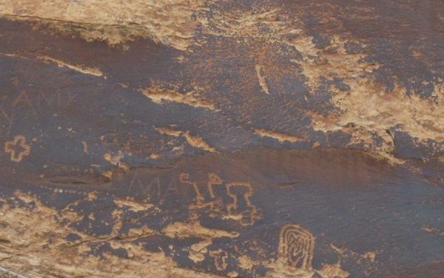
Some were created on top of others.
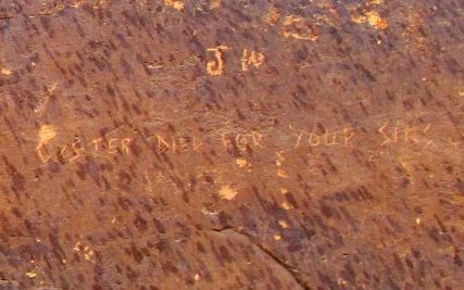
And there was even political debate taking place.
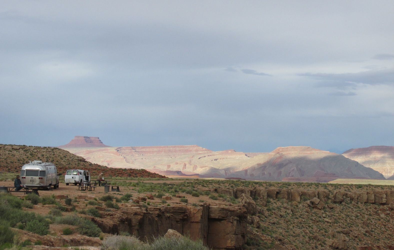
The petroglyphs were in a piece of land managed by the Bureau of Land Management. In addition to the petroglyphs, they have camping sites. One side is only for tents or maybe very small vehicles – but absolutely no trailers or fifth wheels. The other side has larger sites with easier access. The sites there are $15 a night, with no hook ups at the site, although water is available. They are first-come, first-served, just in case you want to camp there.
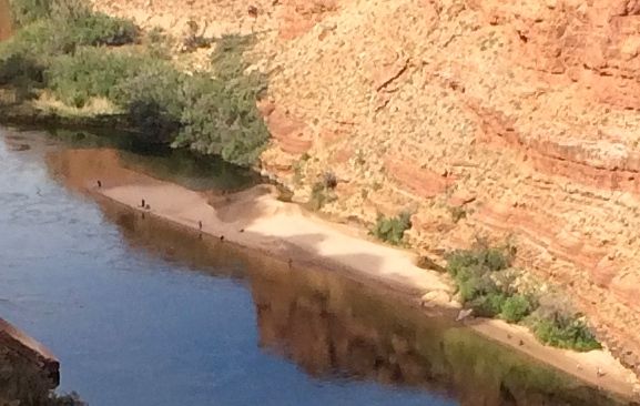
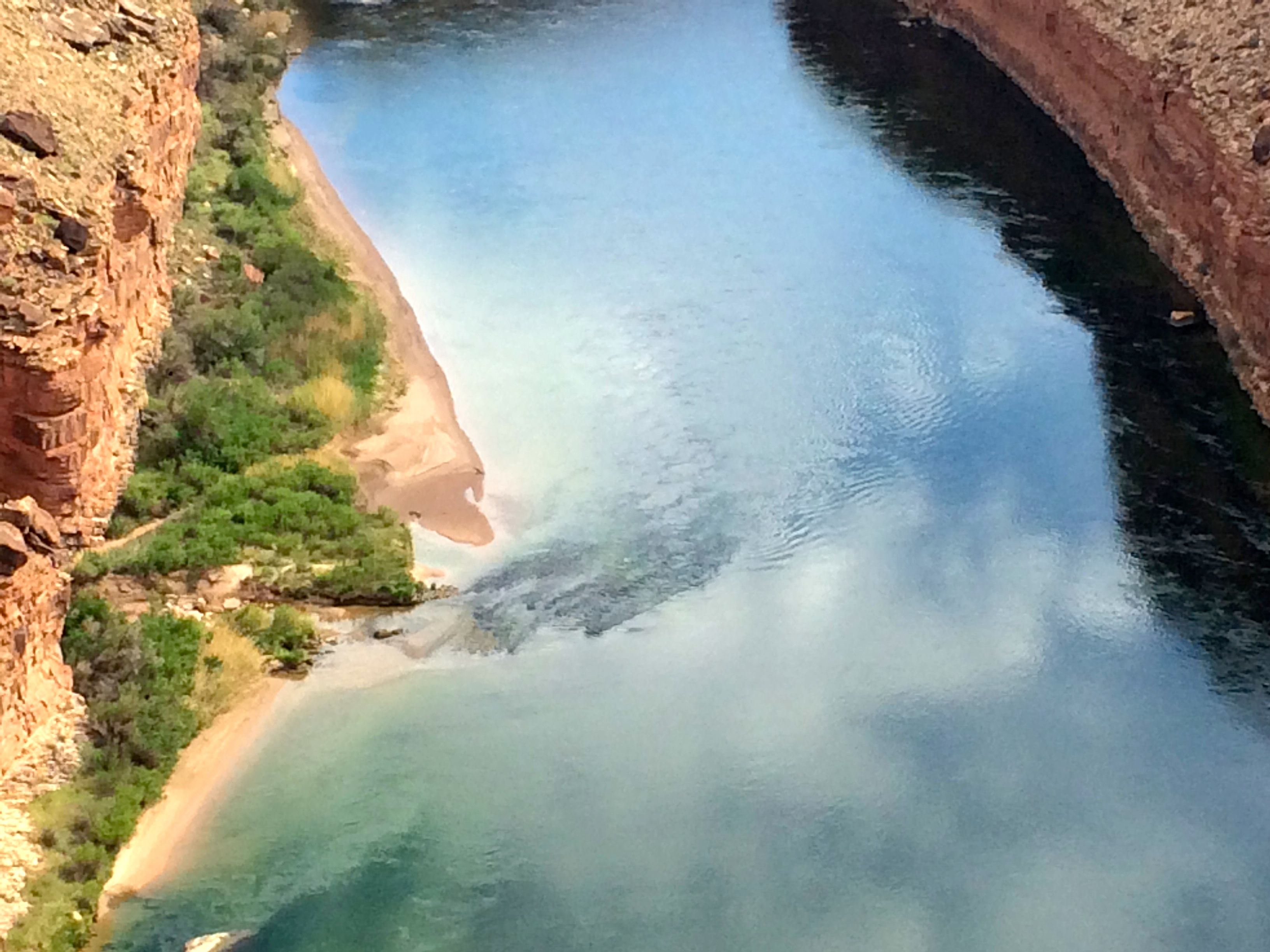
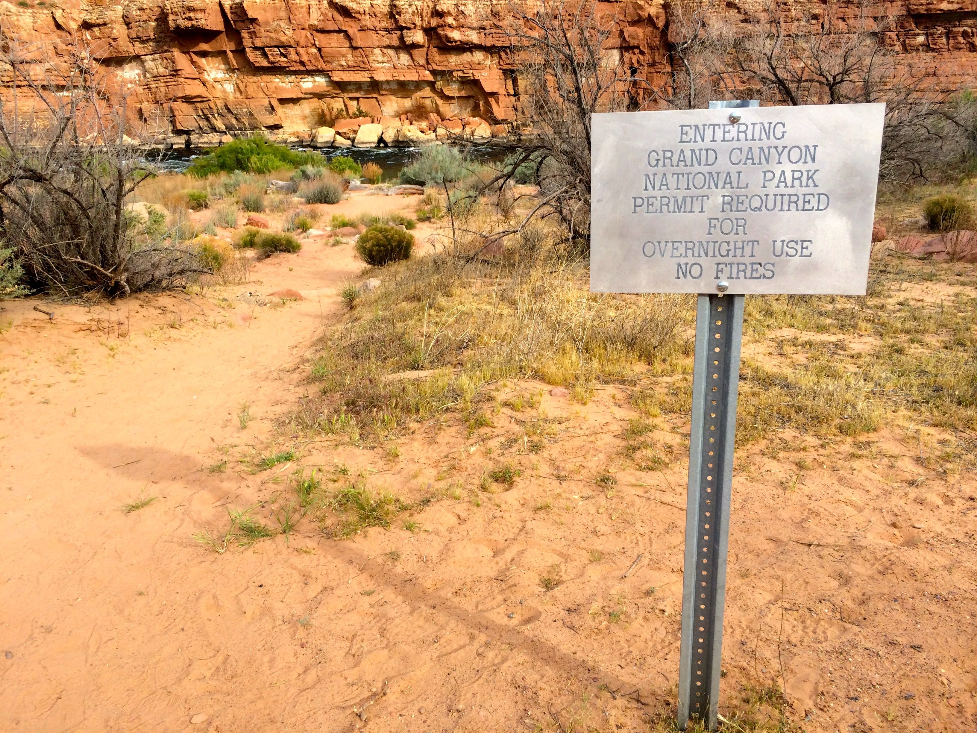
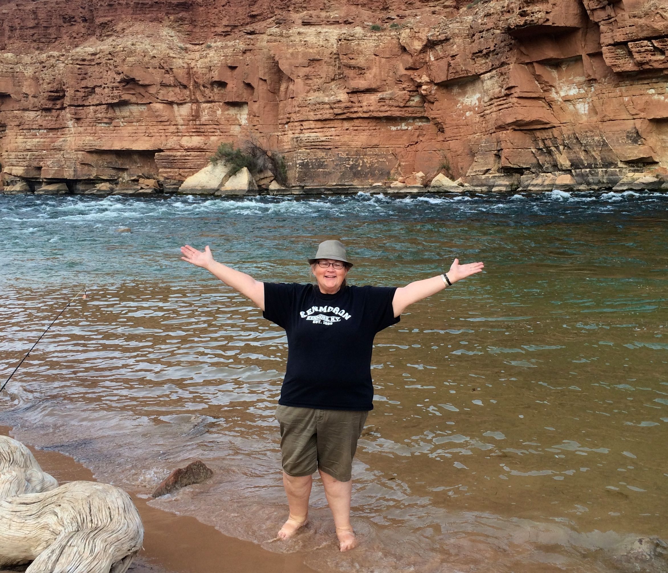
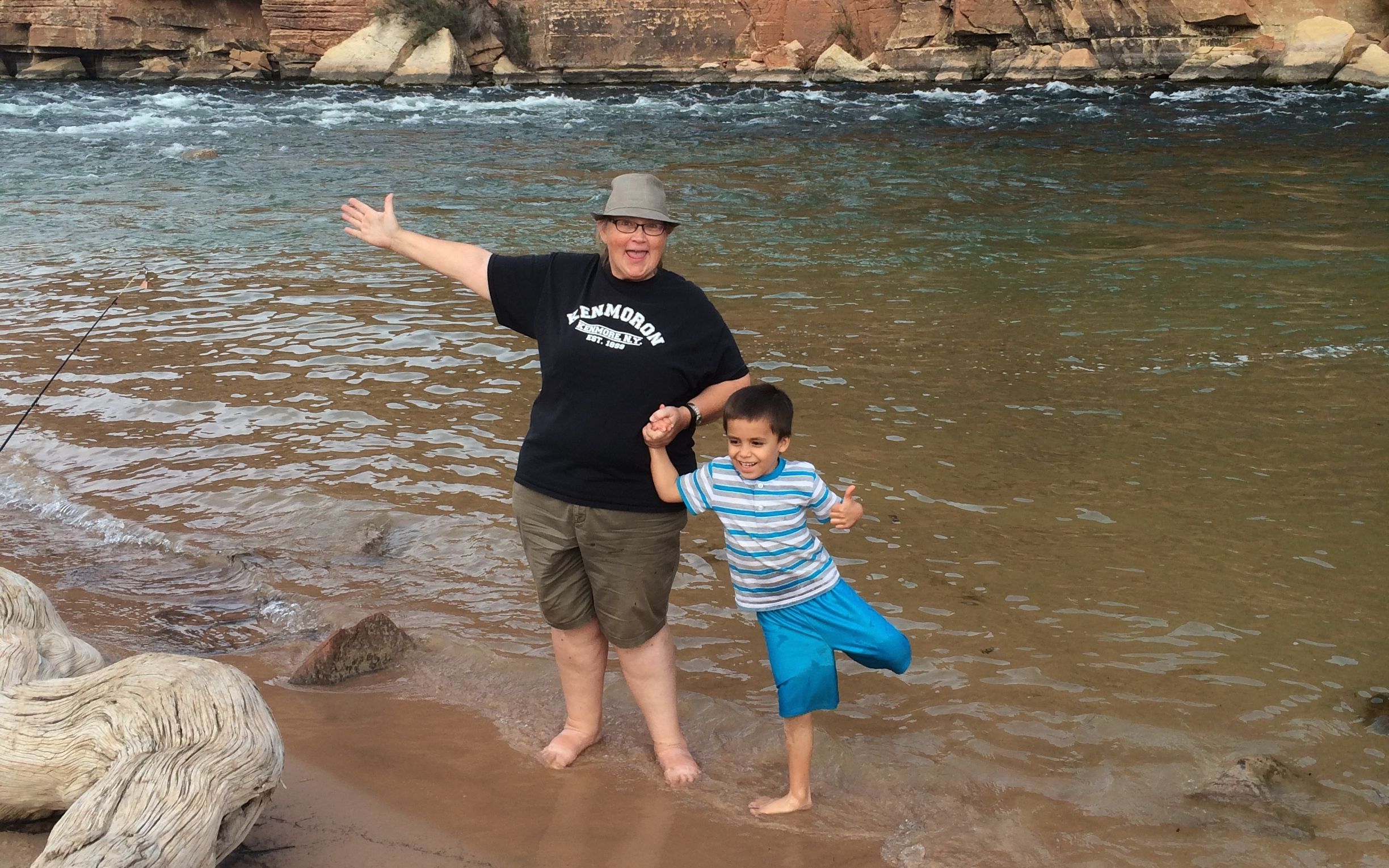
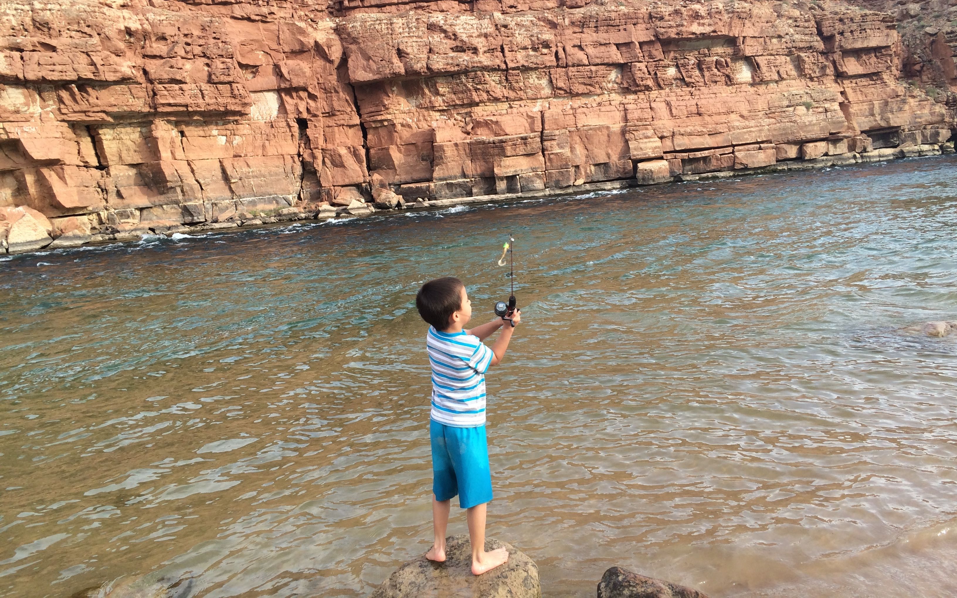
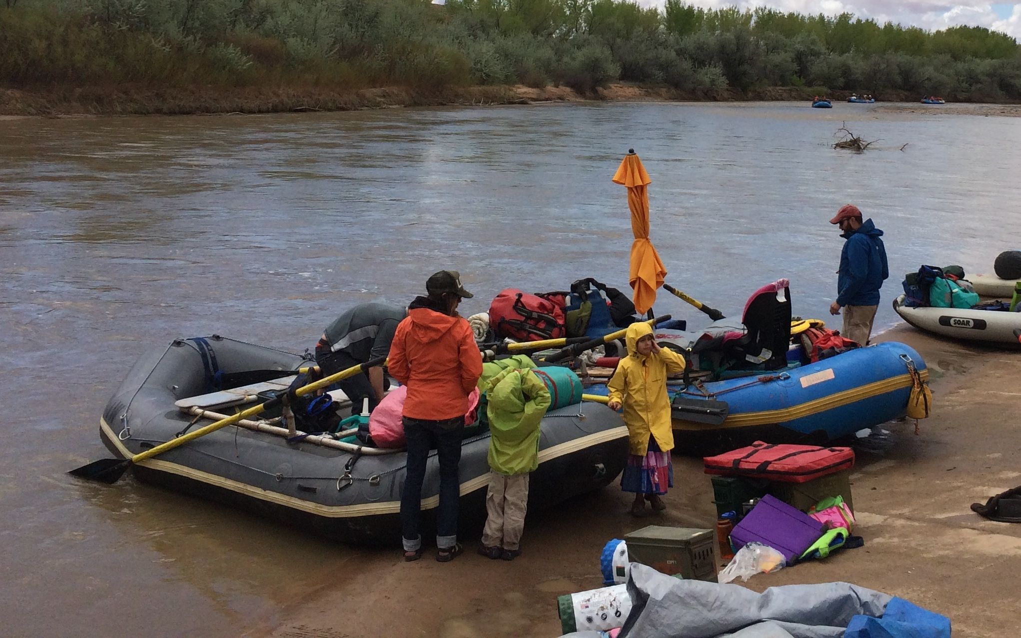
One of the big attractions of the site is the access to the San Juan River. There are rafting companies that take groups down the river.

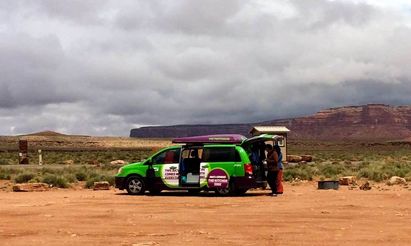
You can see that the people are packed for a camping trip.
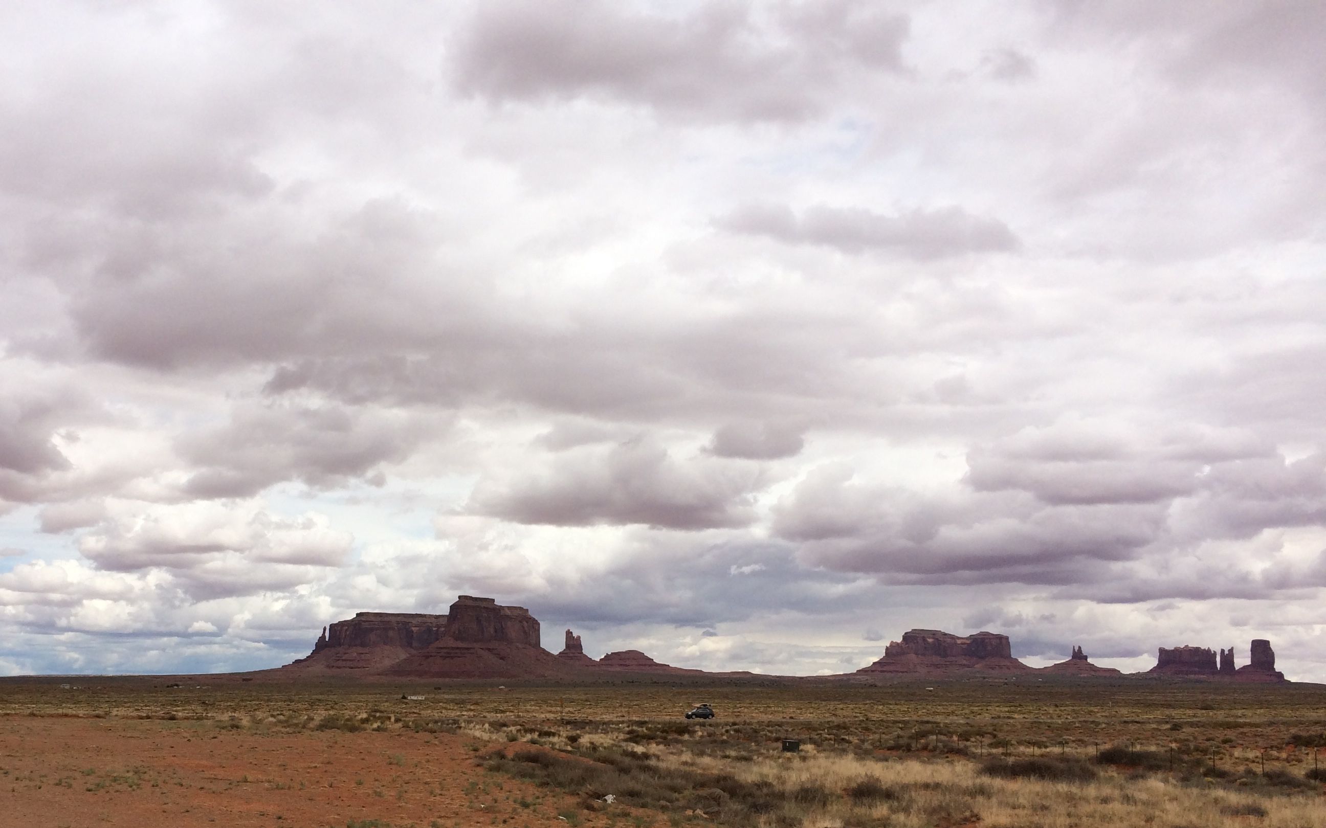
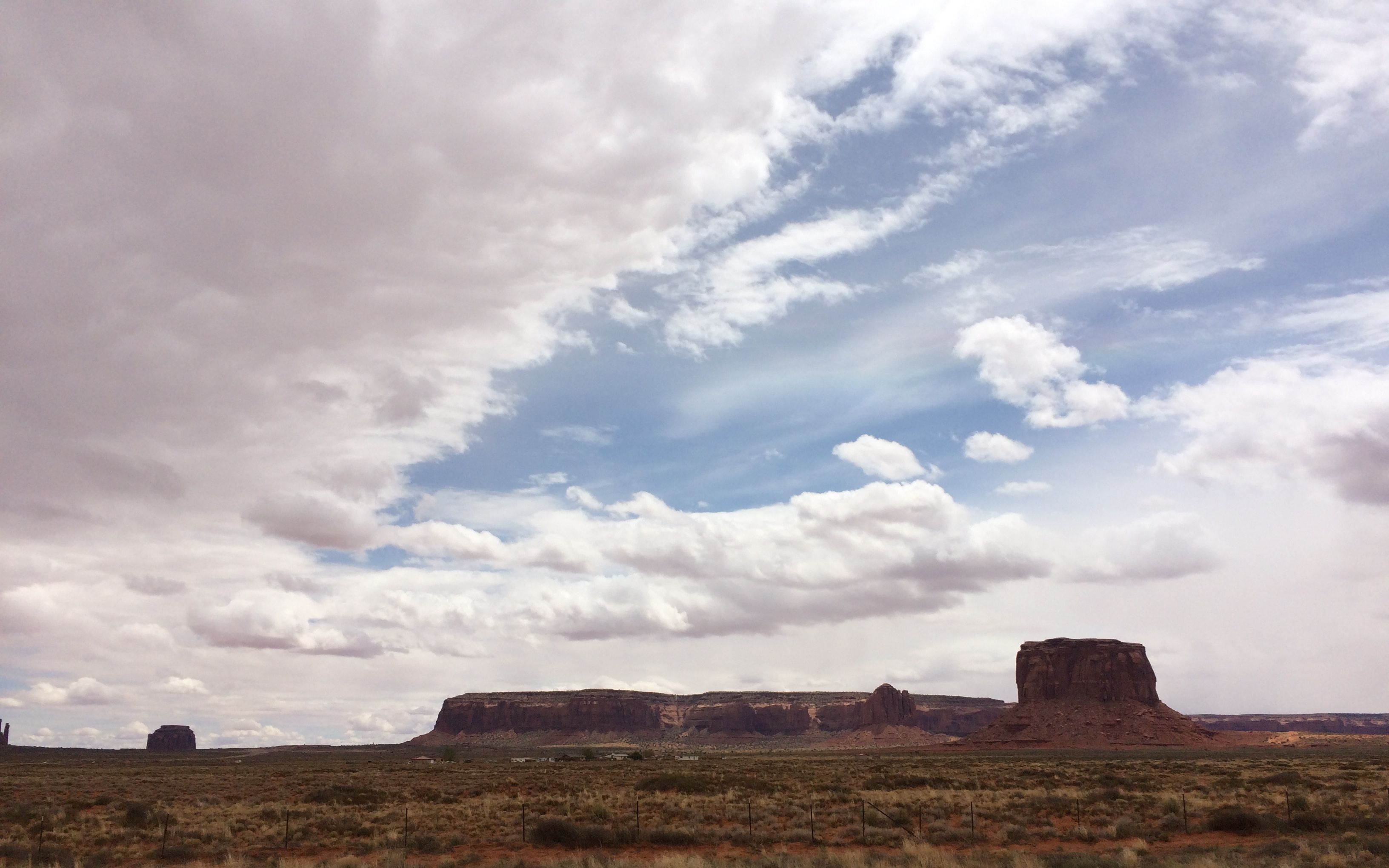
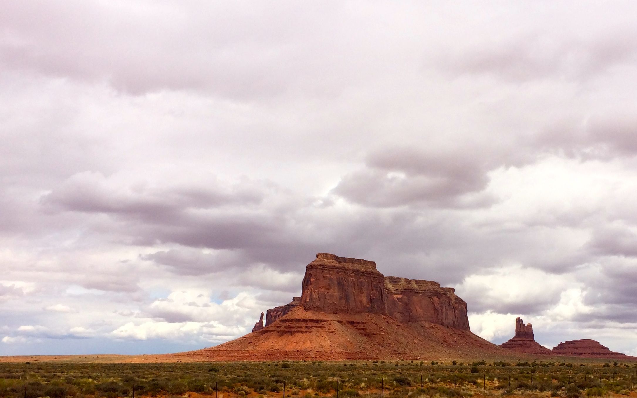
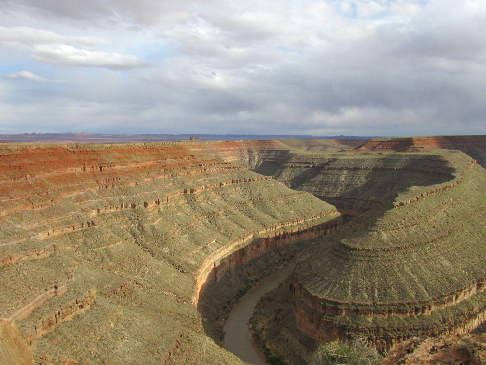
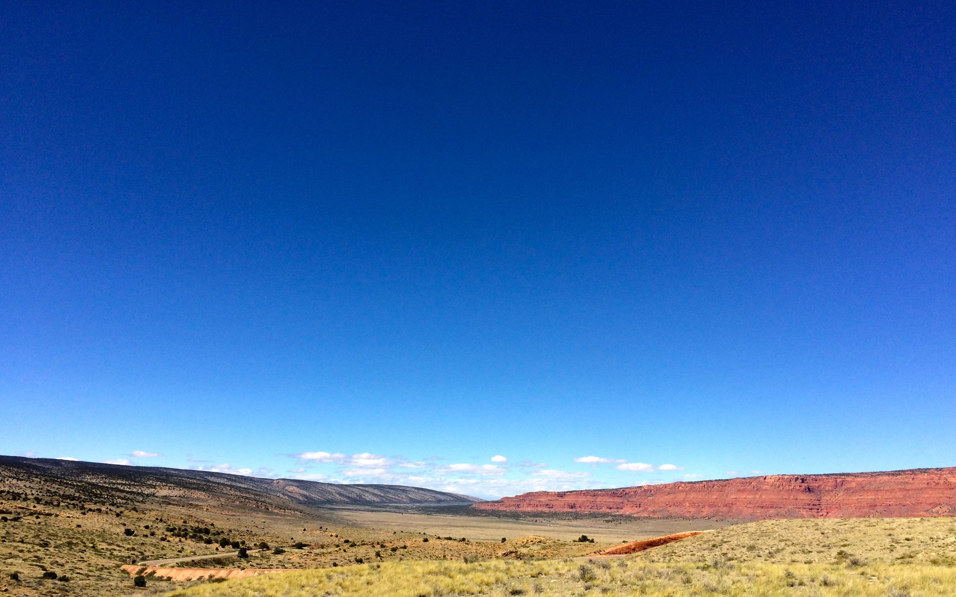
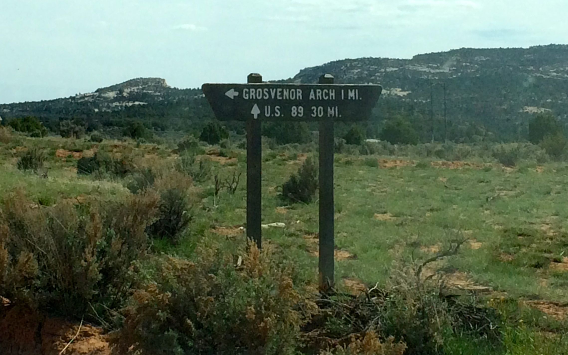
After taking in what was available to see at Sand Island I headed out for Natural Bridges National Monument, which was about 60 miles further down the road. As I said earlier, in “out west miles” that is right next door.
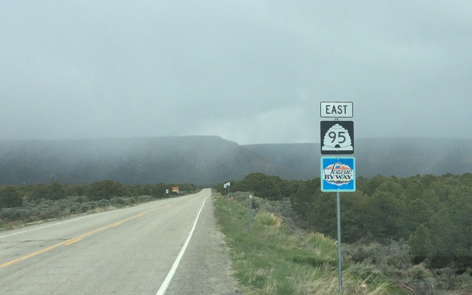
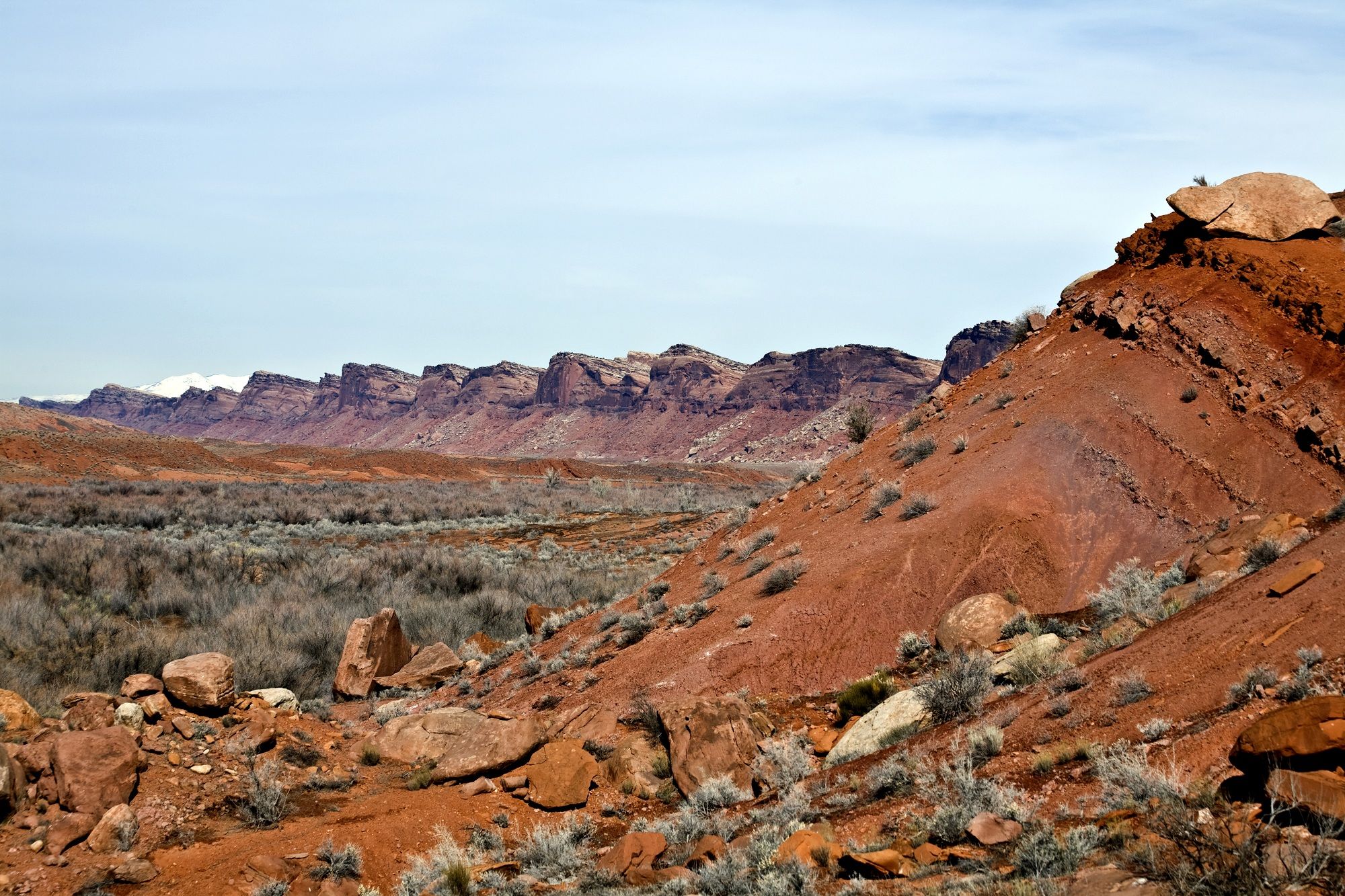
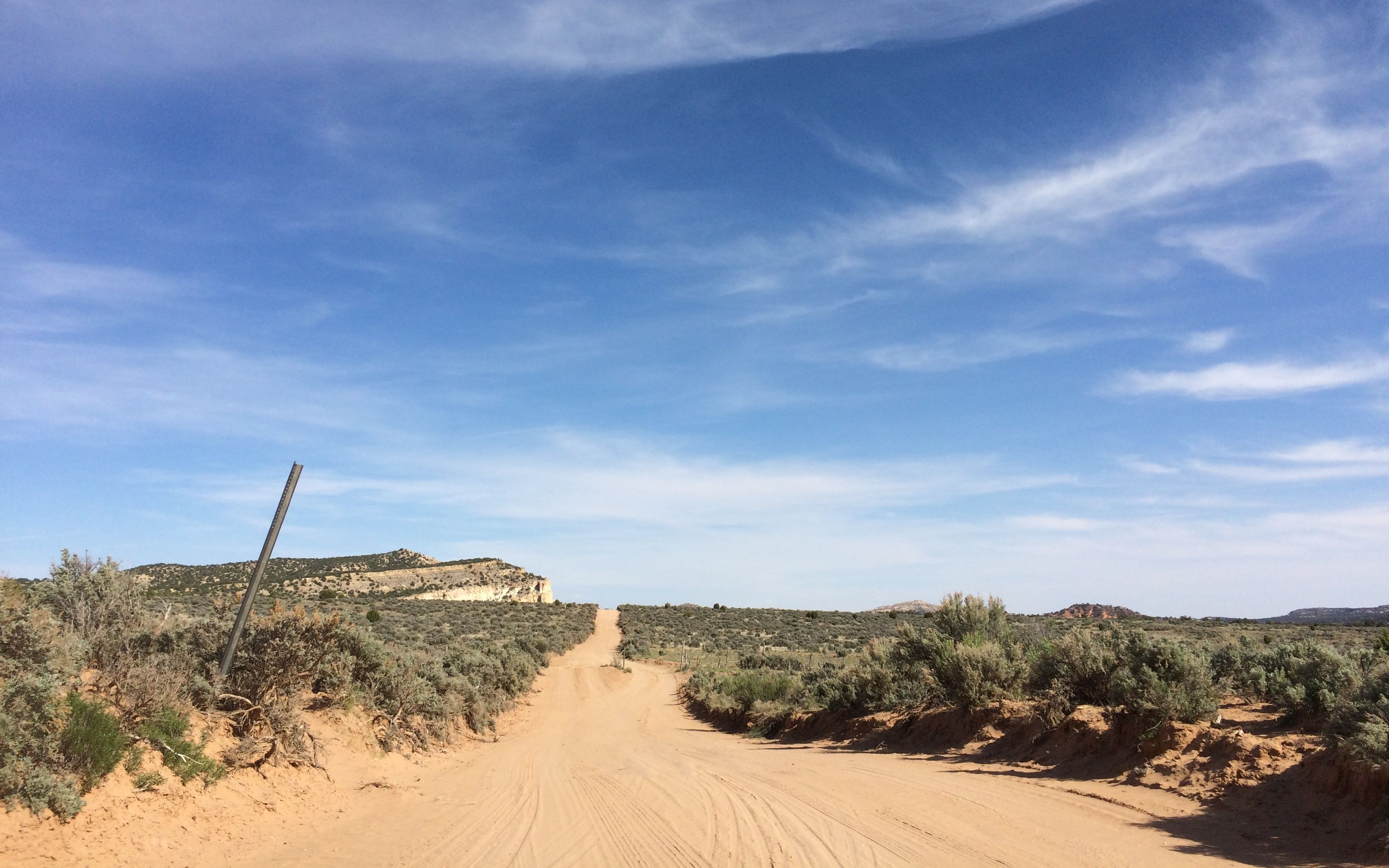
I drove north on highway 191 until I had to turn off onto highway 95. Oh, no! The dreaded “Scenic Byway” sign! That usually means both hands on the wheel and don’t take your eyes off the road. What good is a scenic byway if you can’t look at it?

After going up hills and down and turning right and left, (over and over) I finally arrived at Natural Bridges, which was declared a National Monument in 1908. It was Utah’s first National Monument.
The visitor center had a good video explaining how the arches were formed. There also displayed plants and their names. I always wonder about what I am looking at when I’m out hiking the trails.
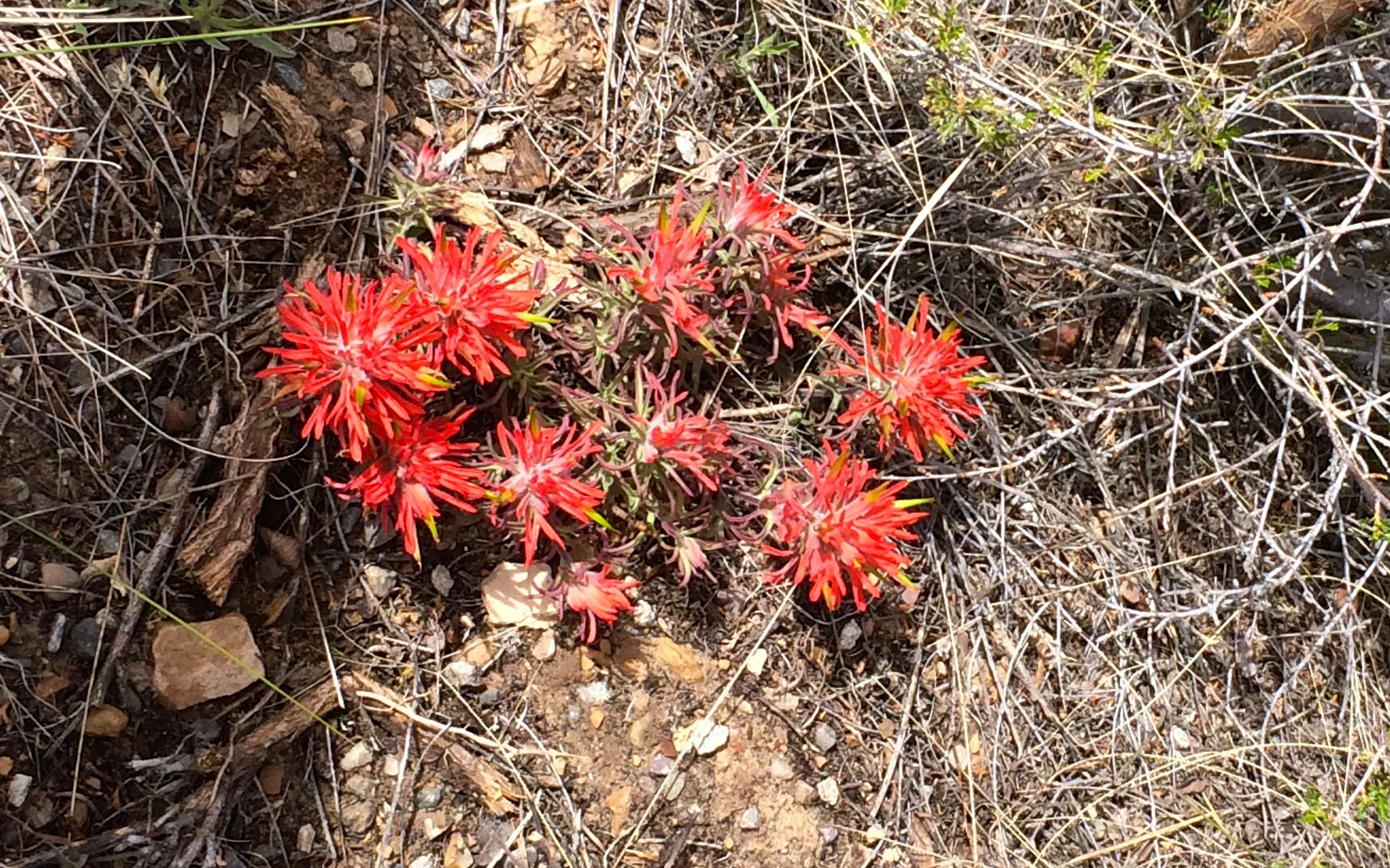
This is paintbrush.
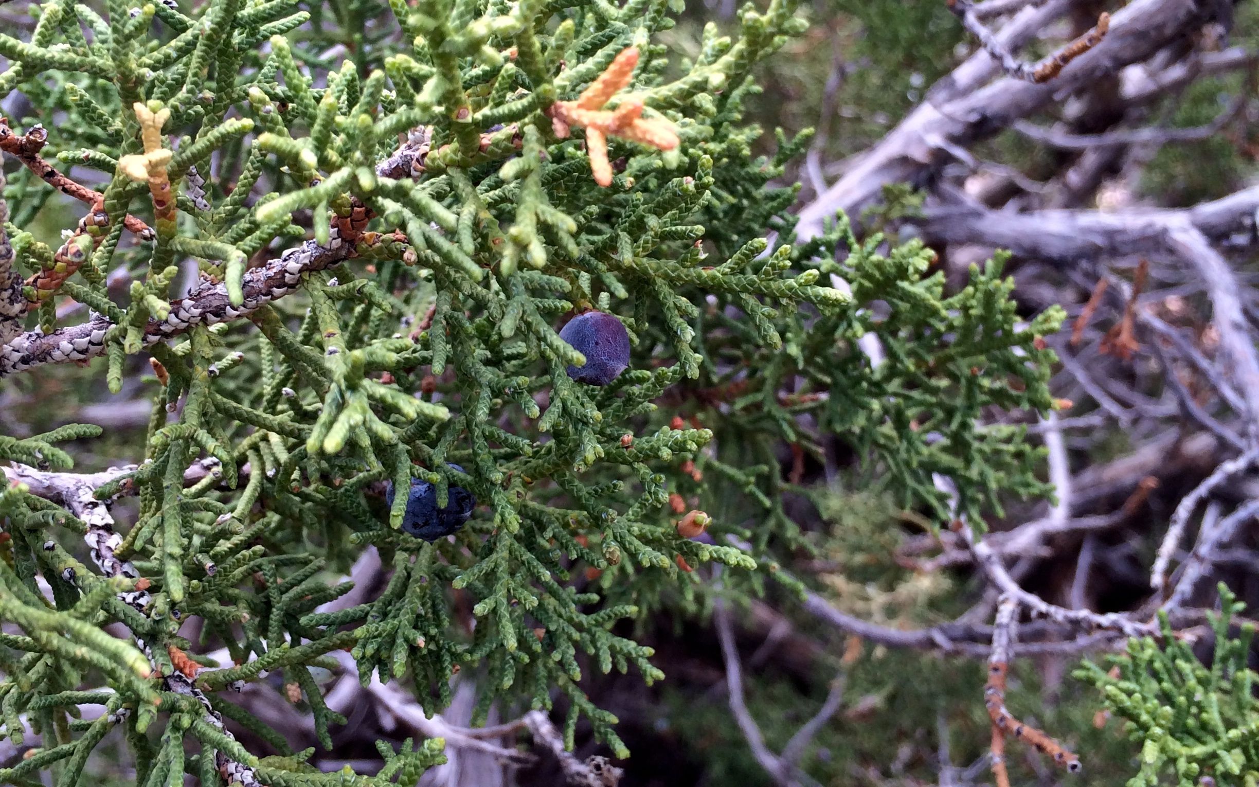
Juniper.
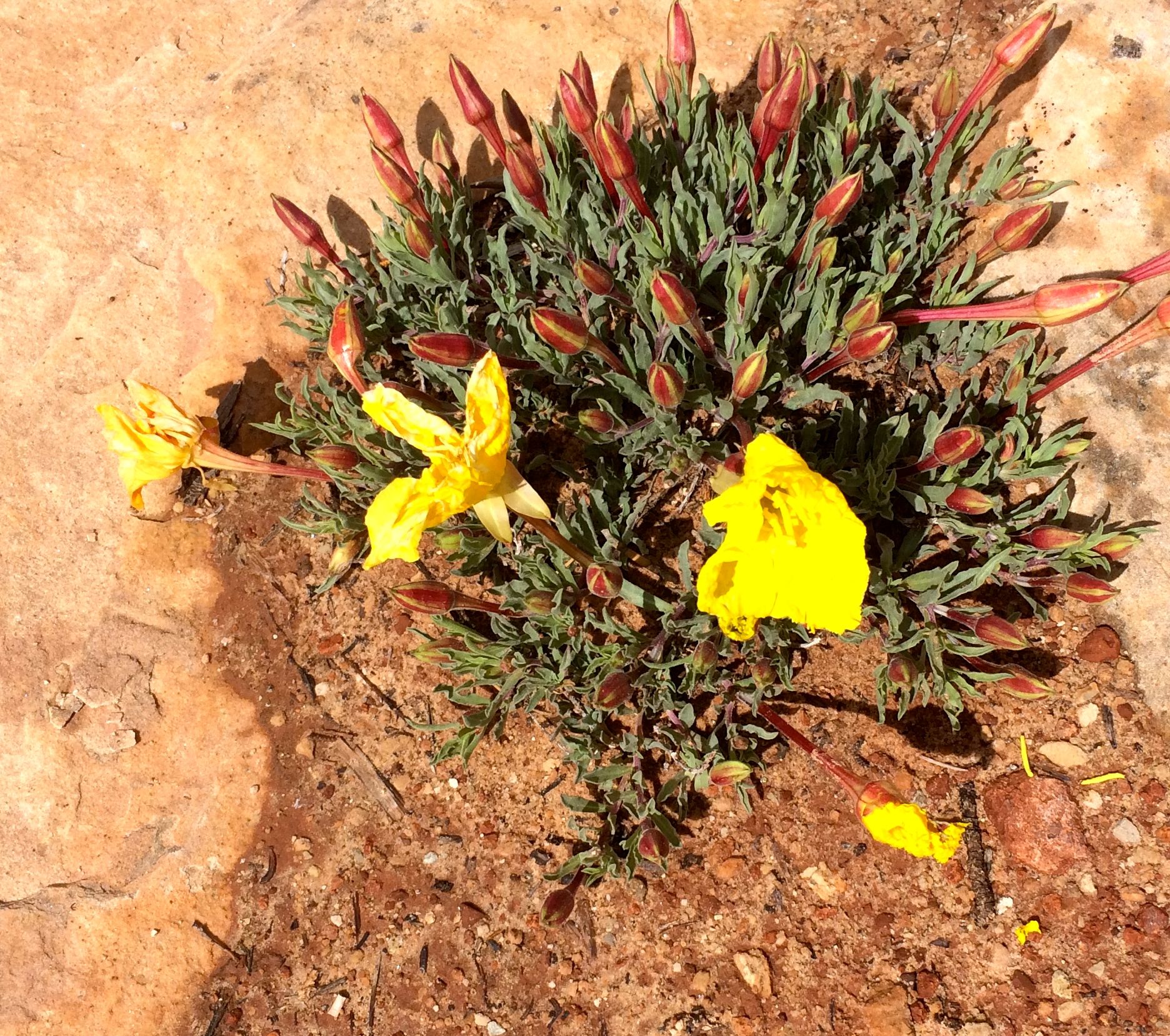
Yellow flowers with red buds.
Okay, so not everything was labeled.
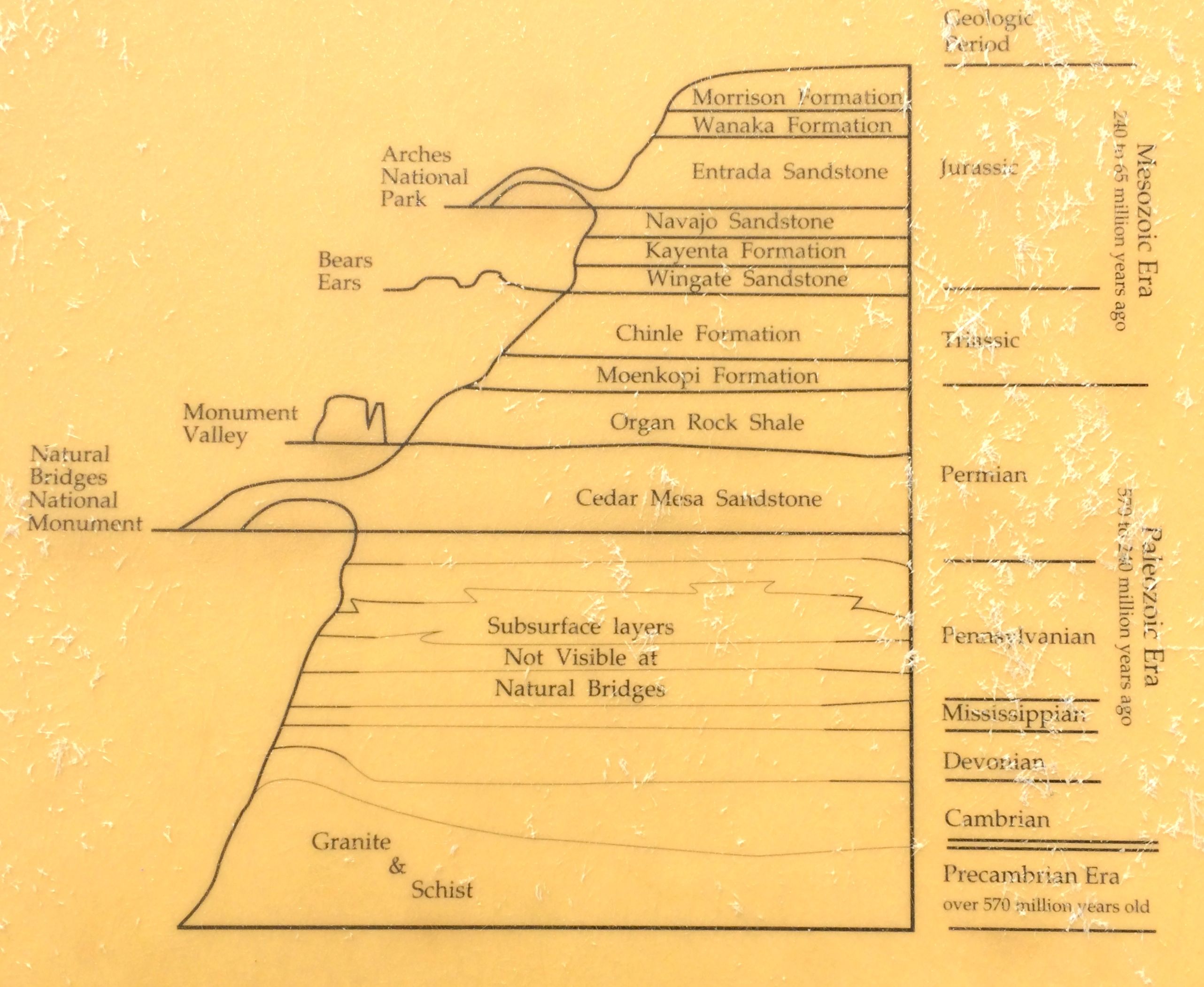
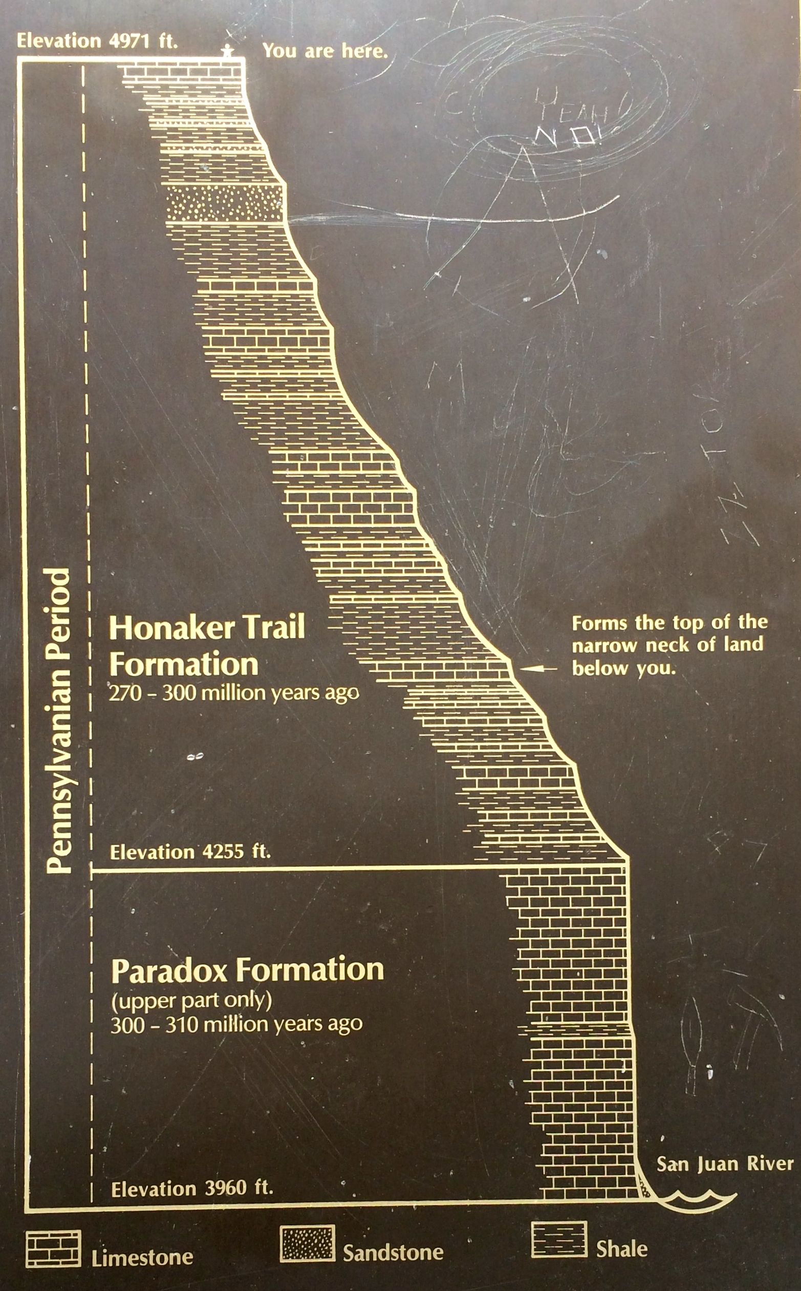
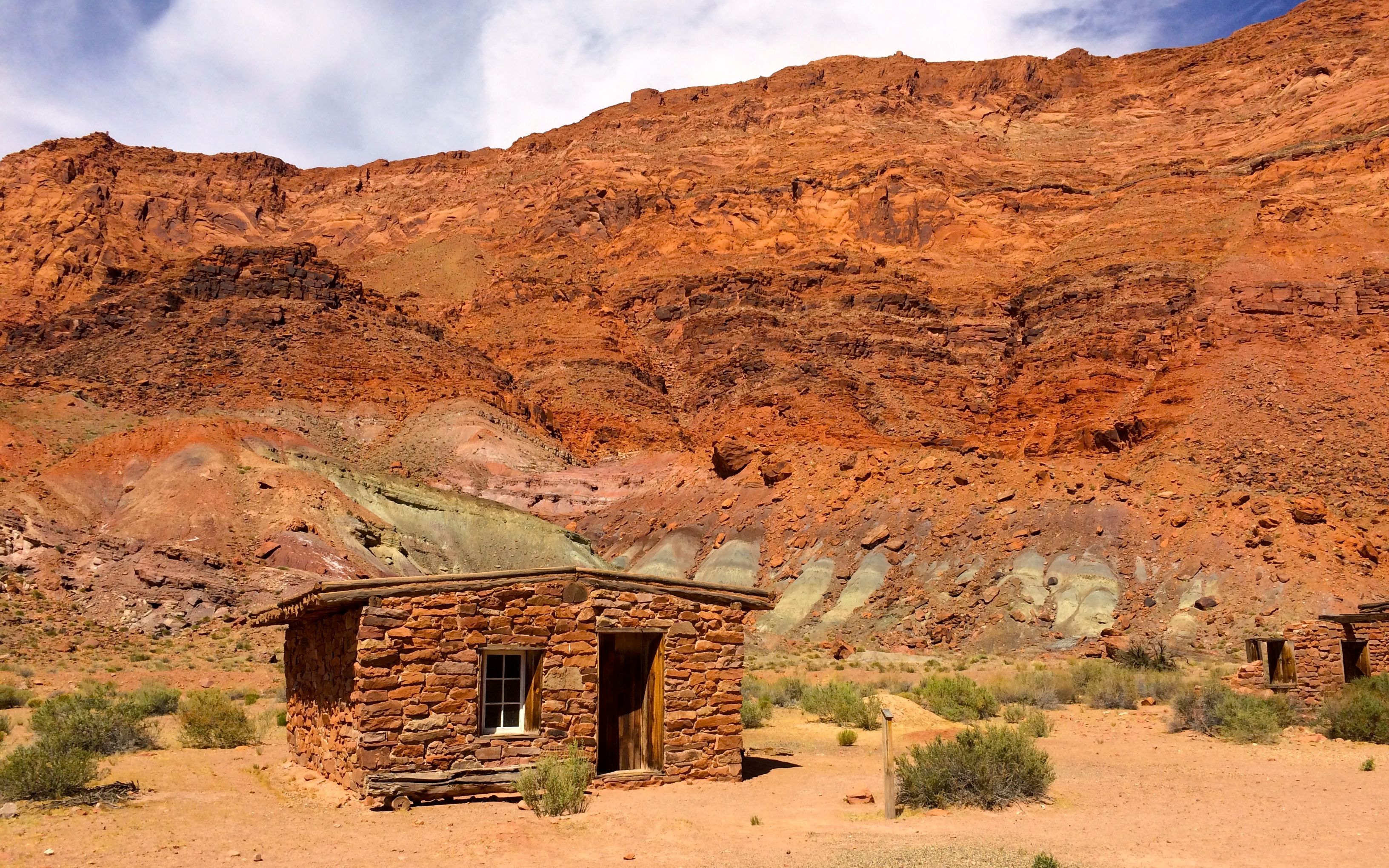
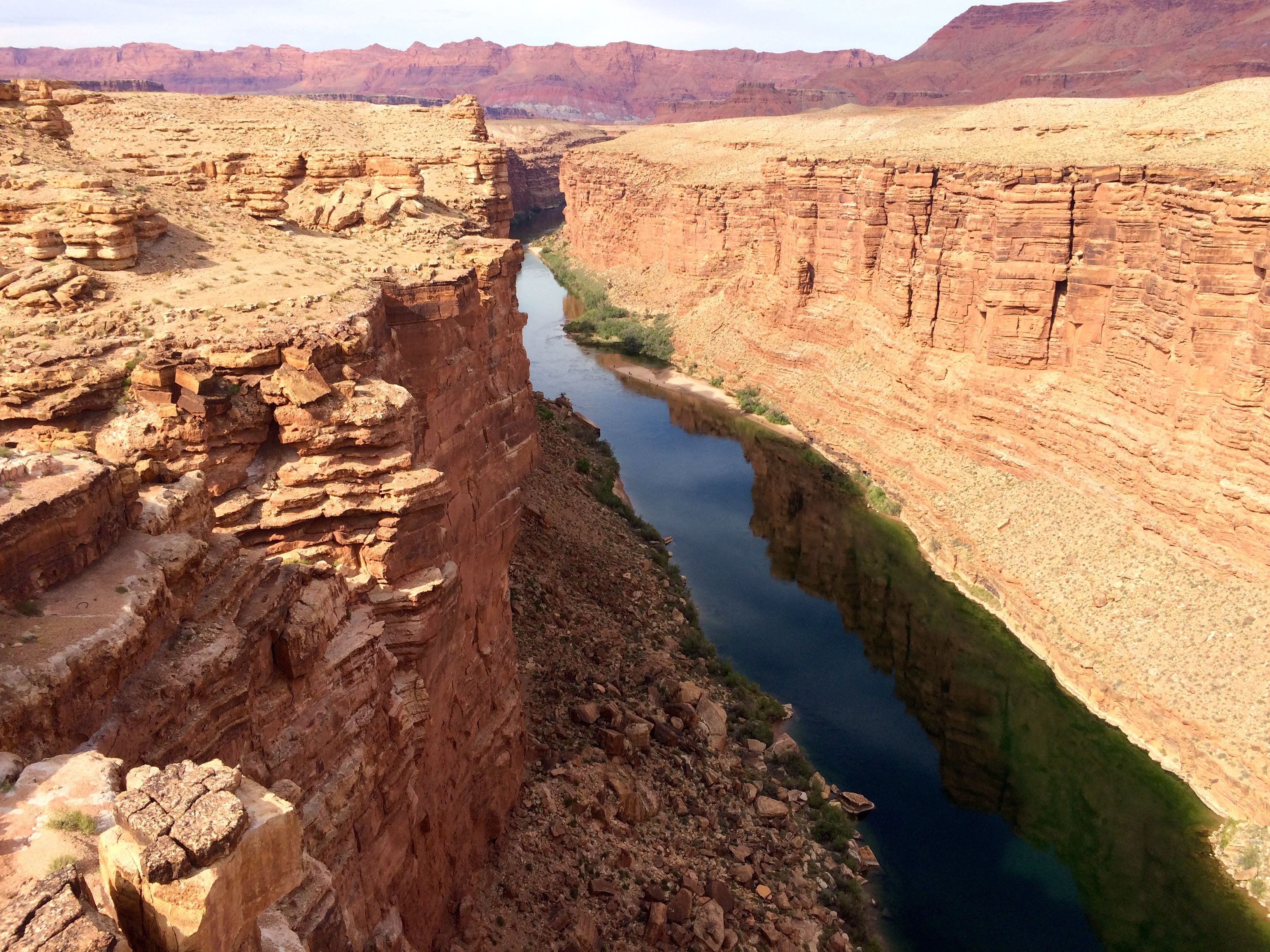
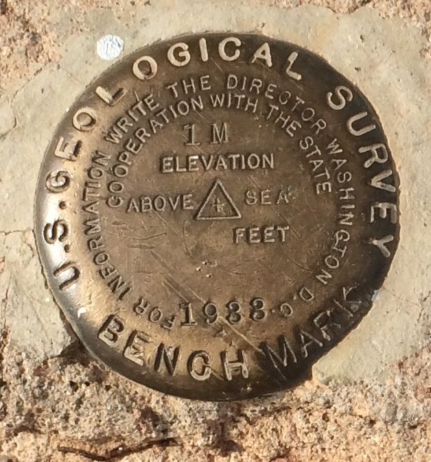
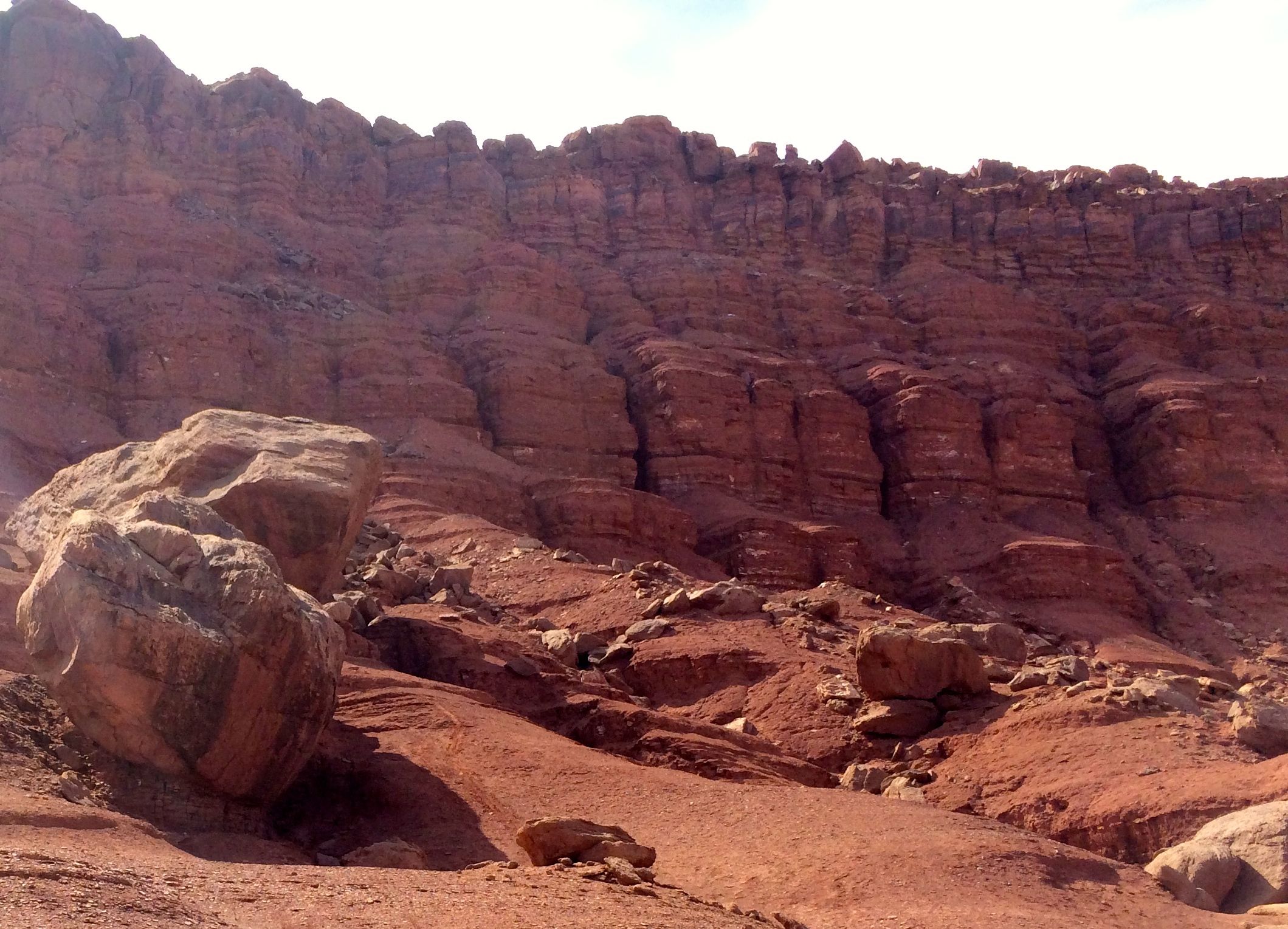
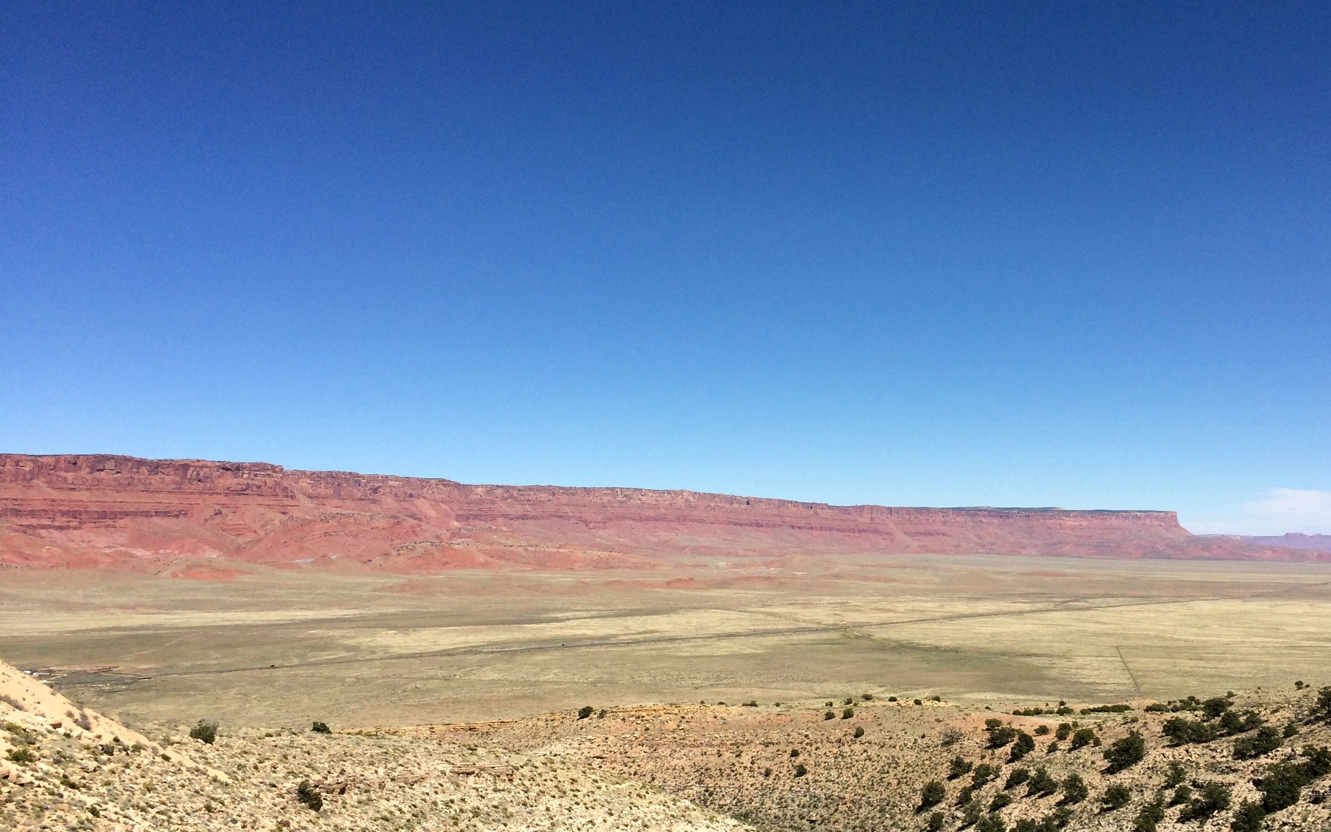
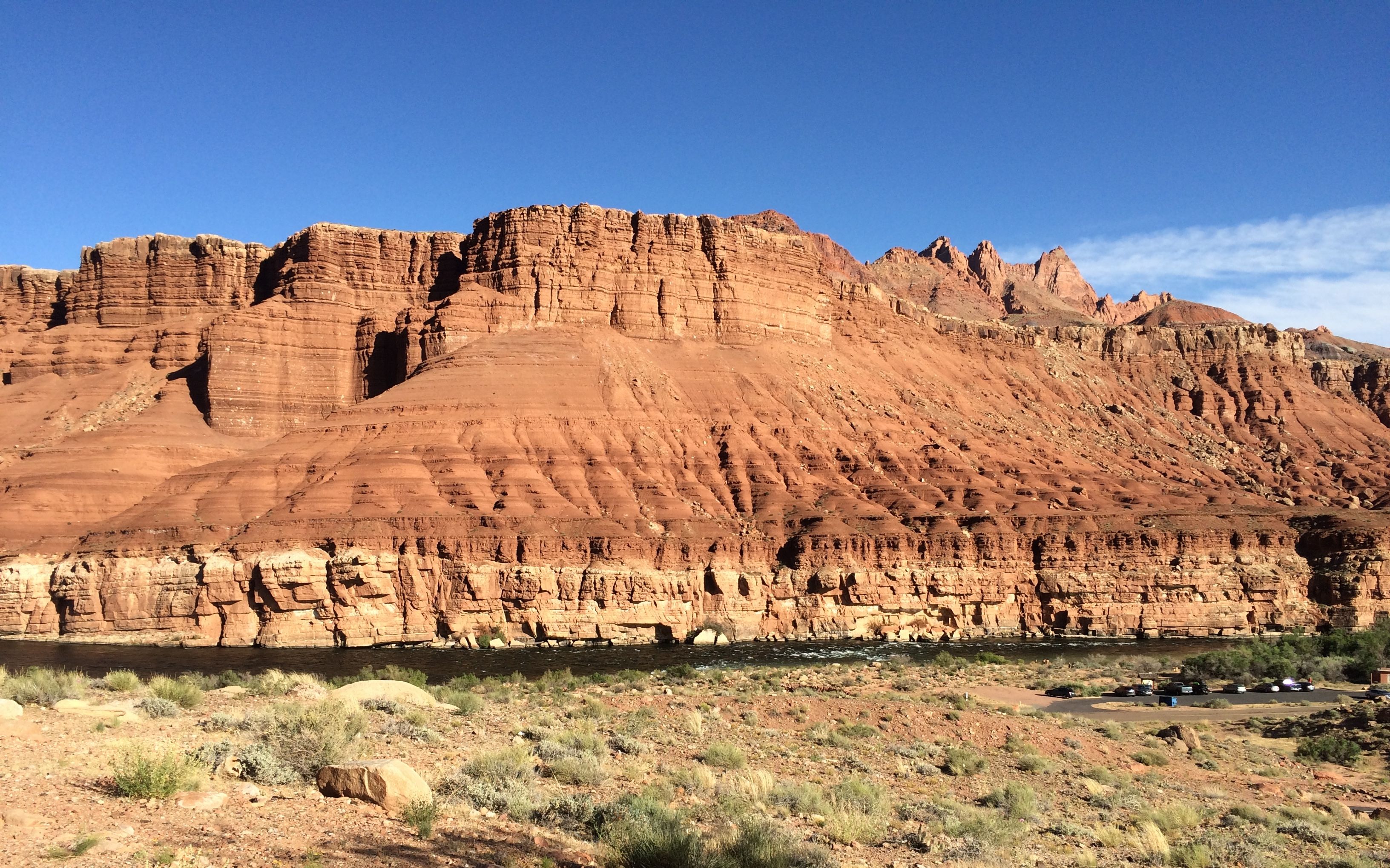
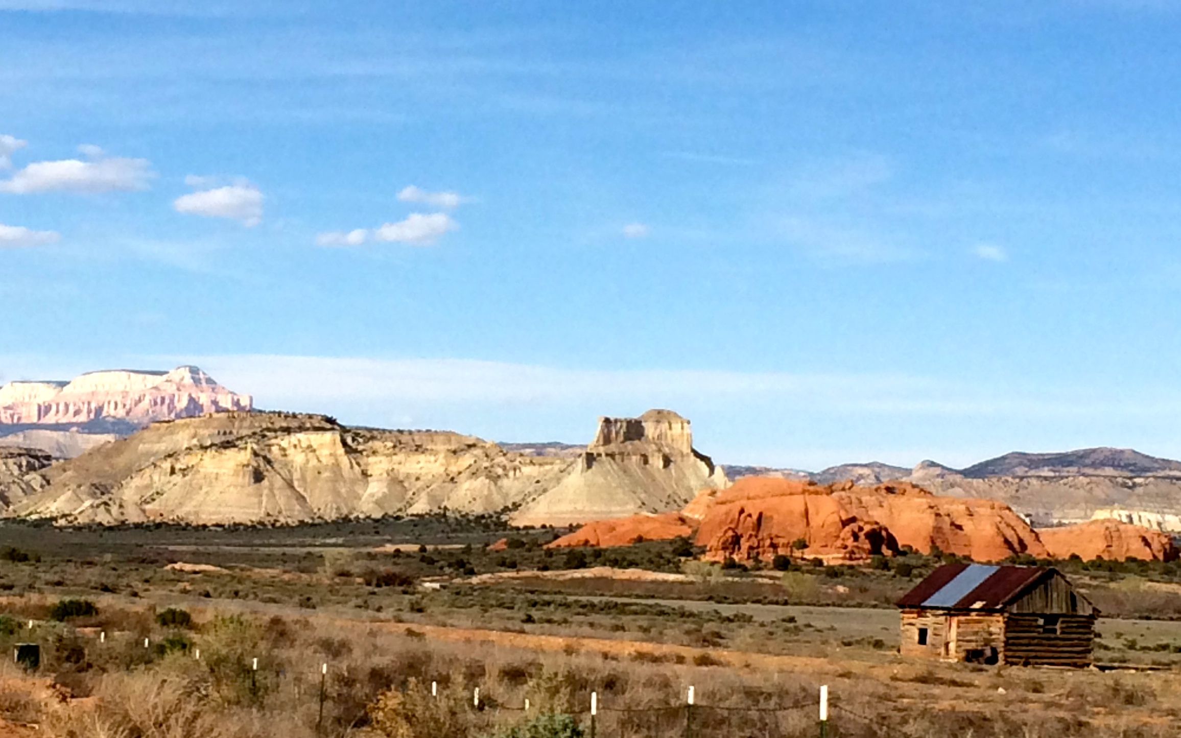
They had informative signage along the way. This park was in a layer above the chinle formation that I saw at Lee’s Ferry.
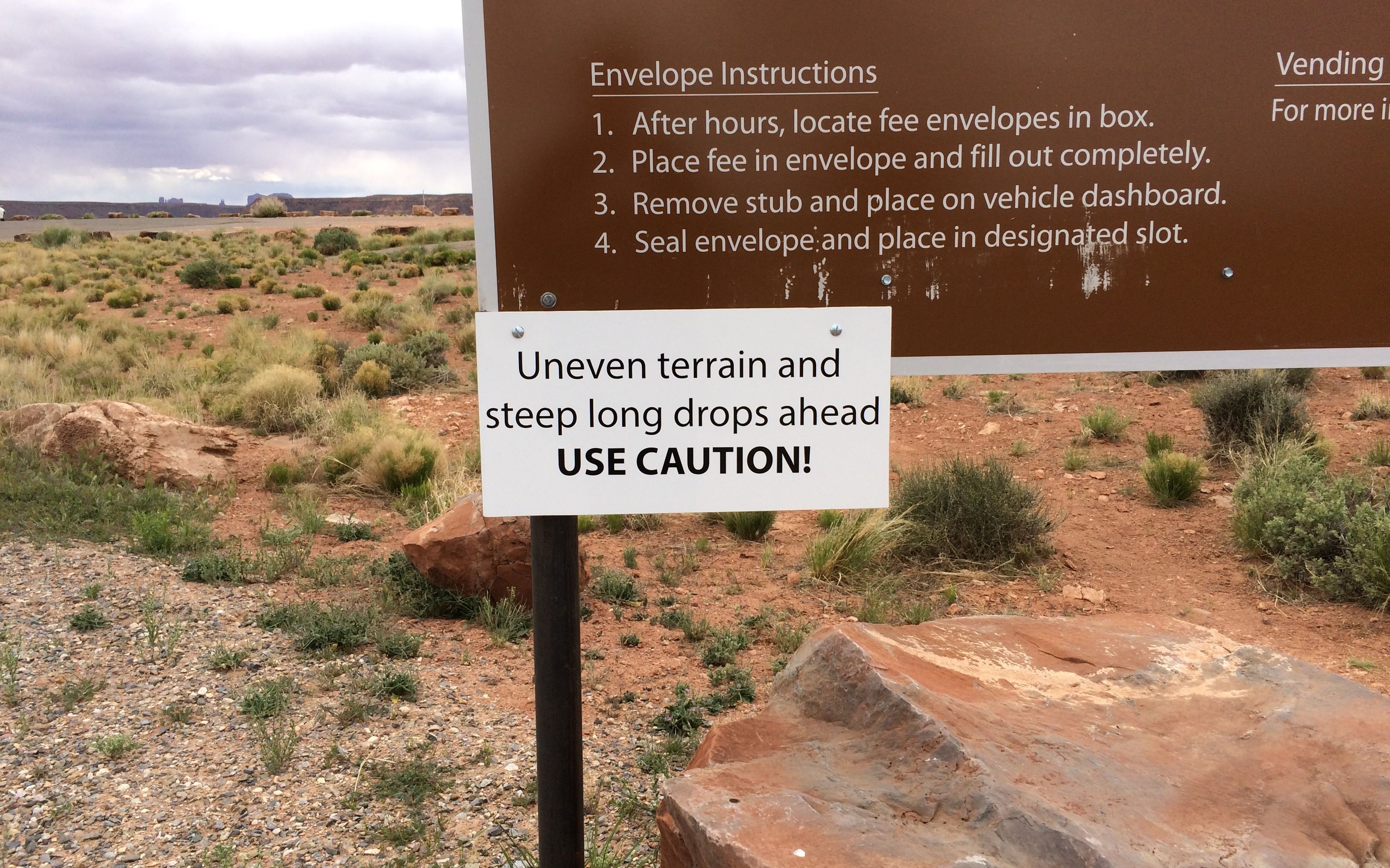
Unfortunately, the arches were not easy to see from the pull-outs. The information on the sign convinced me that I was not going to be hiking down to get a closer view.
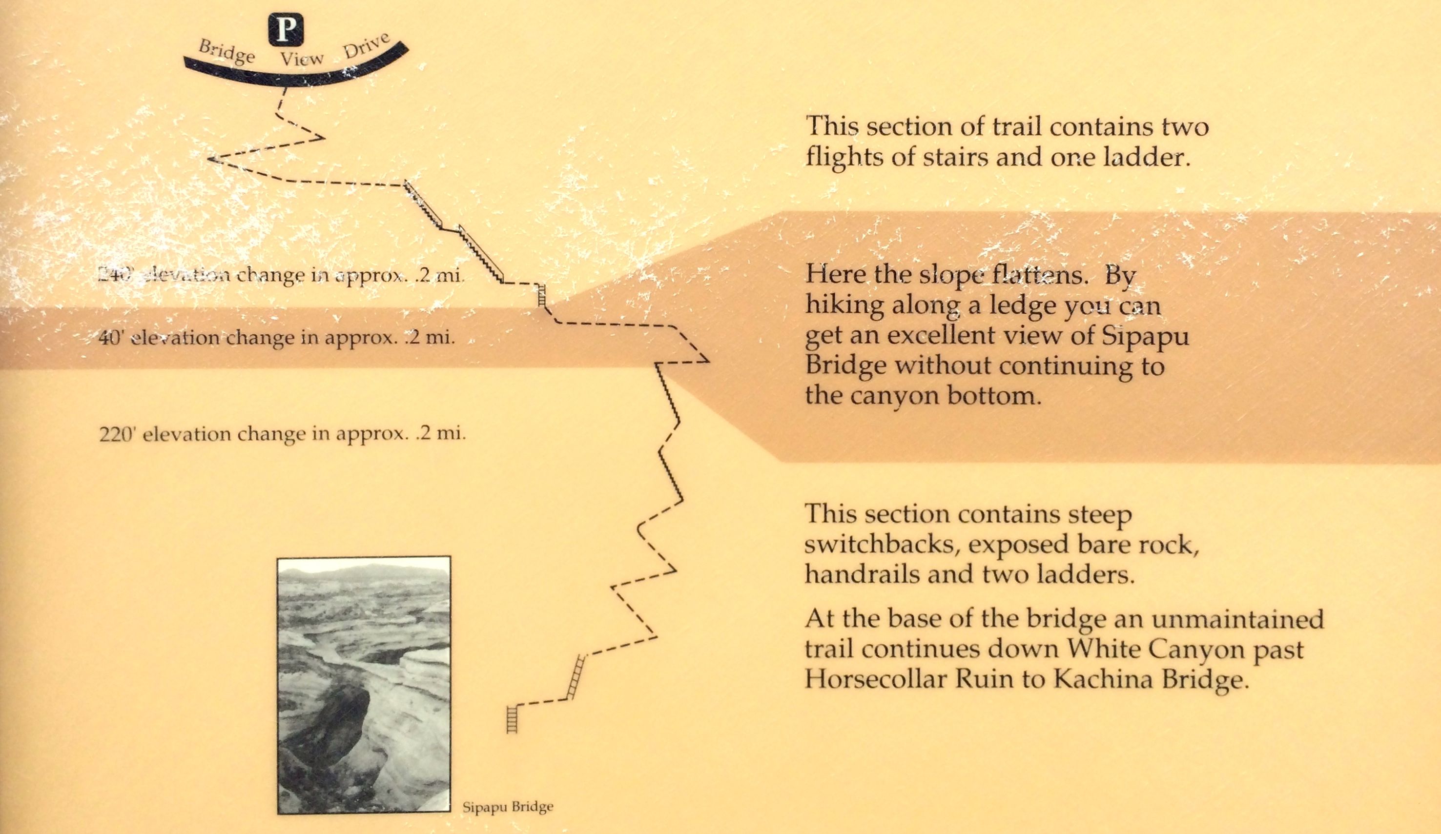
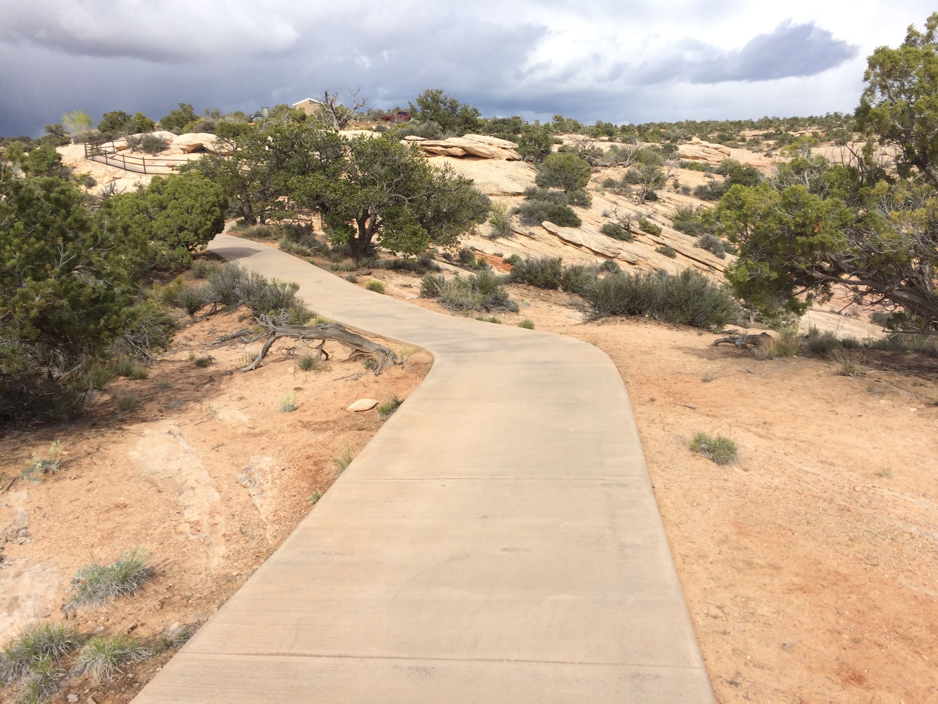
I am much more a paved path sort of hiker.
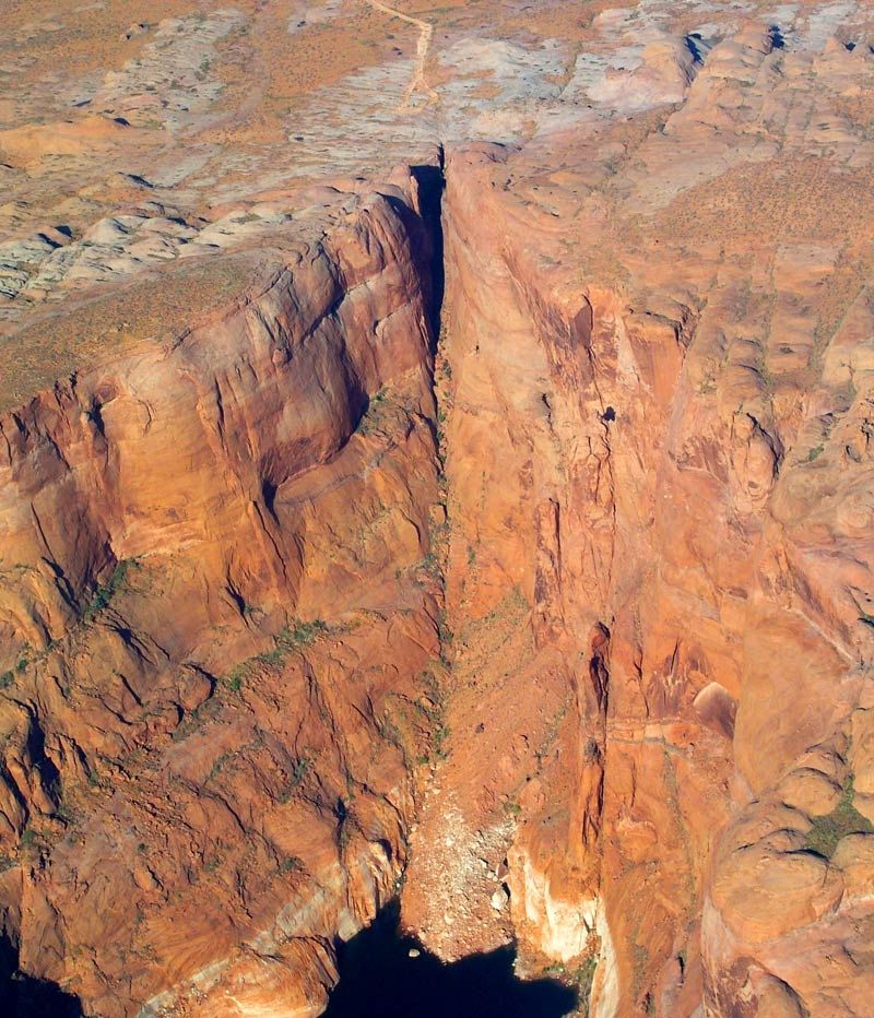
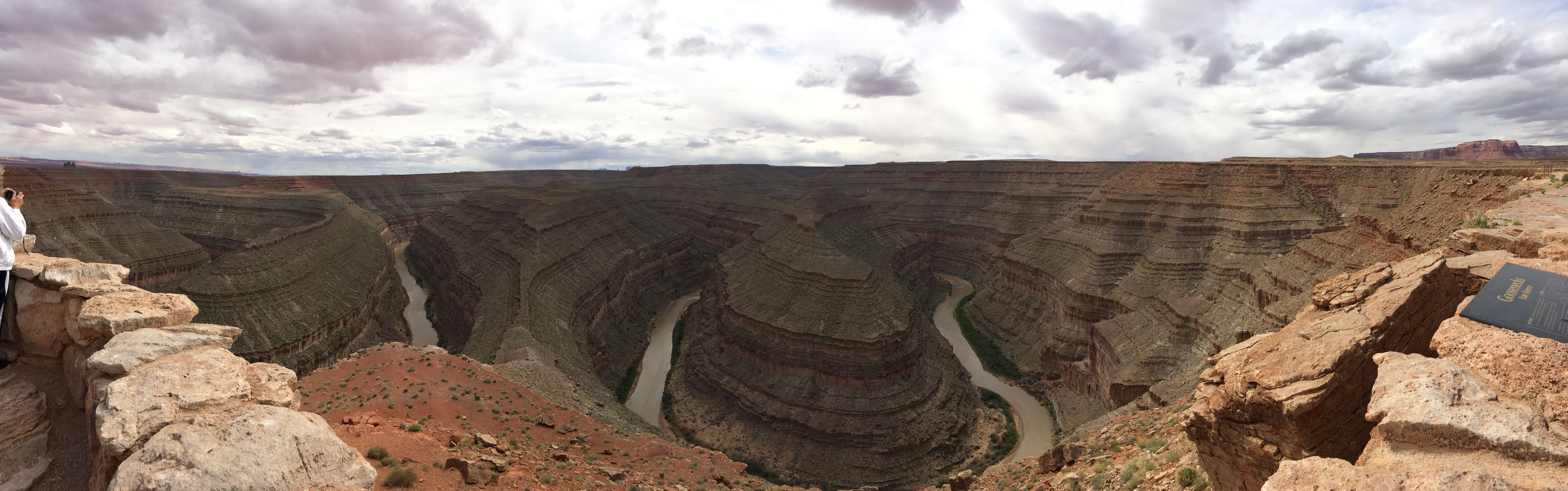
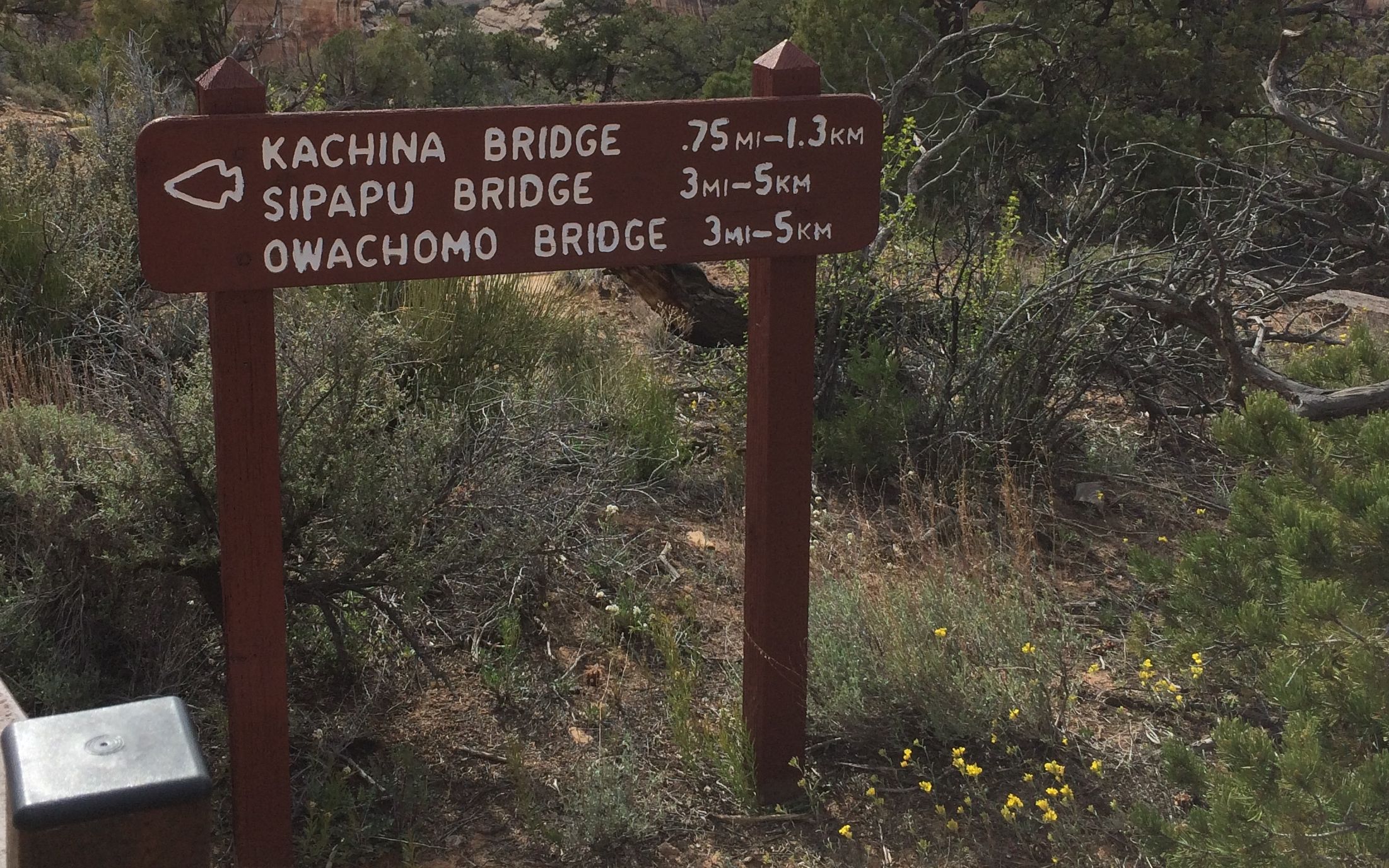
If you look carefully, you can pick out Kachina bridge.
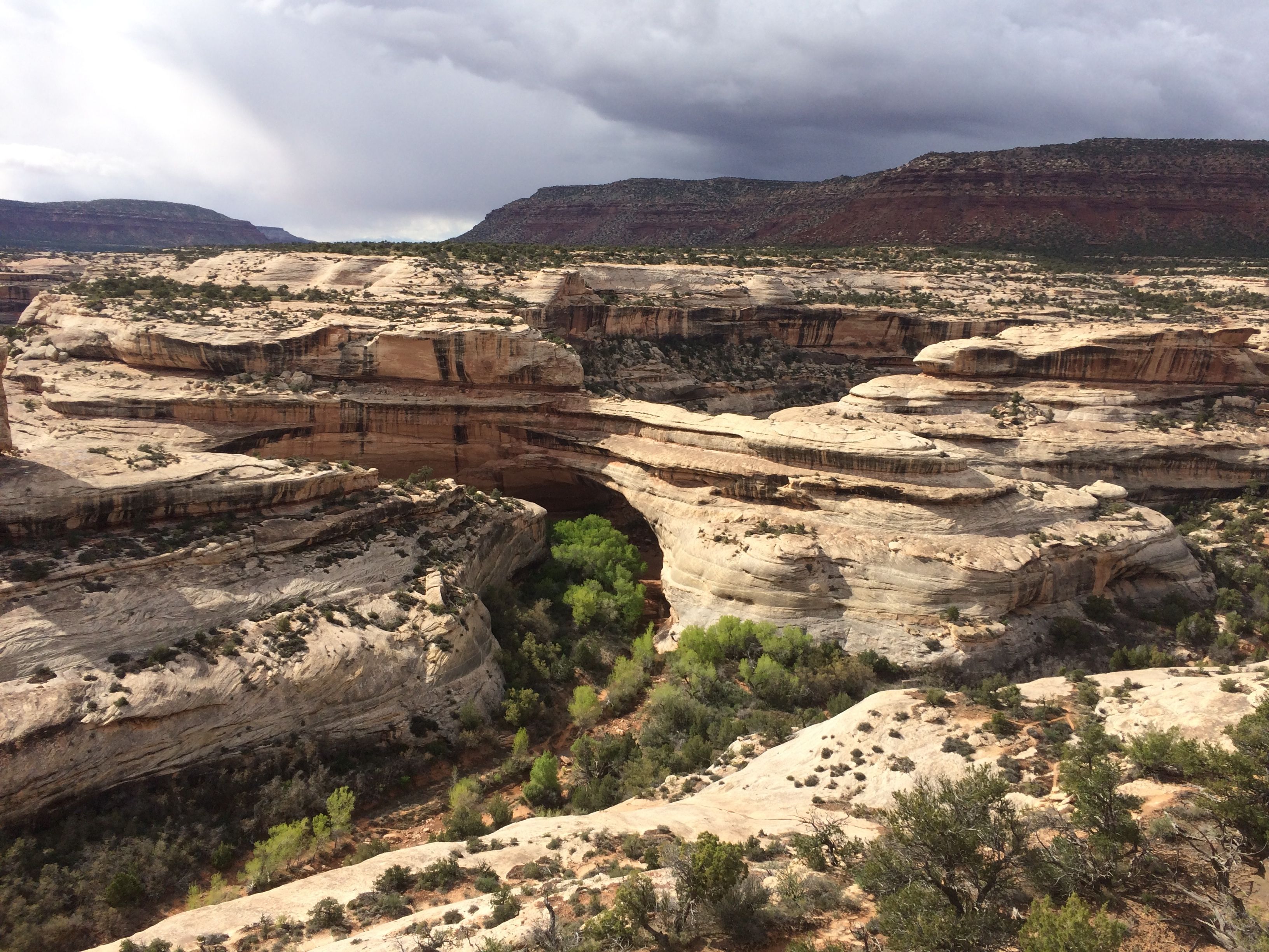
Here’s a map of the canyon in the photo.

This bridge is an old one. The river that originally formed it has changed channels and it no longer flows under it.
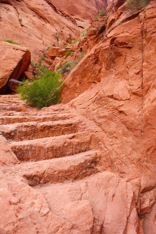
I did take one hike to an overlook.

I had to work my way across solid rock that had water-filled pot holes in them.
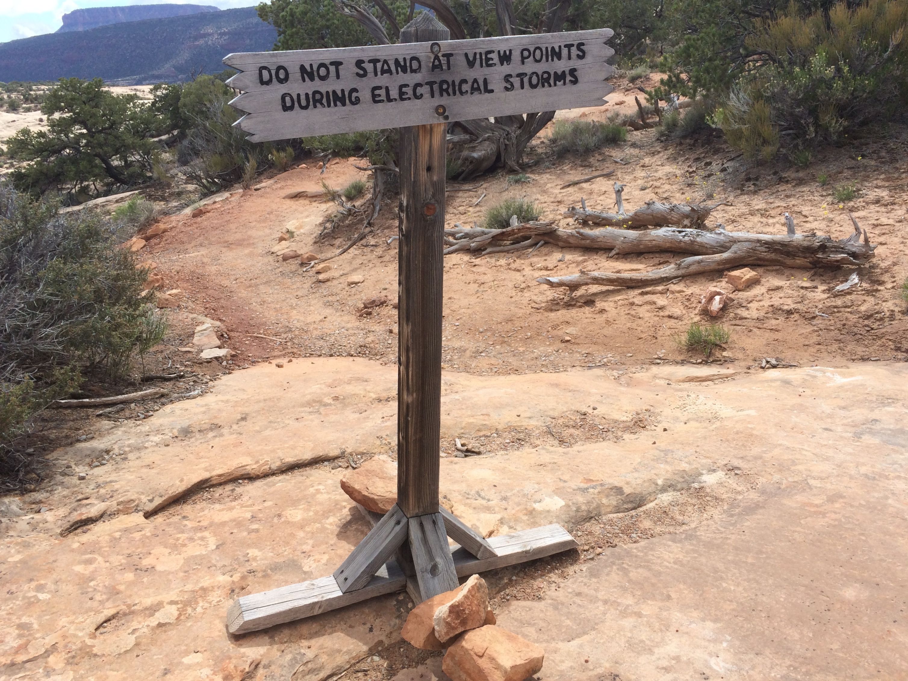
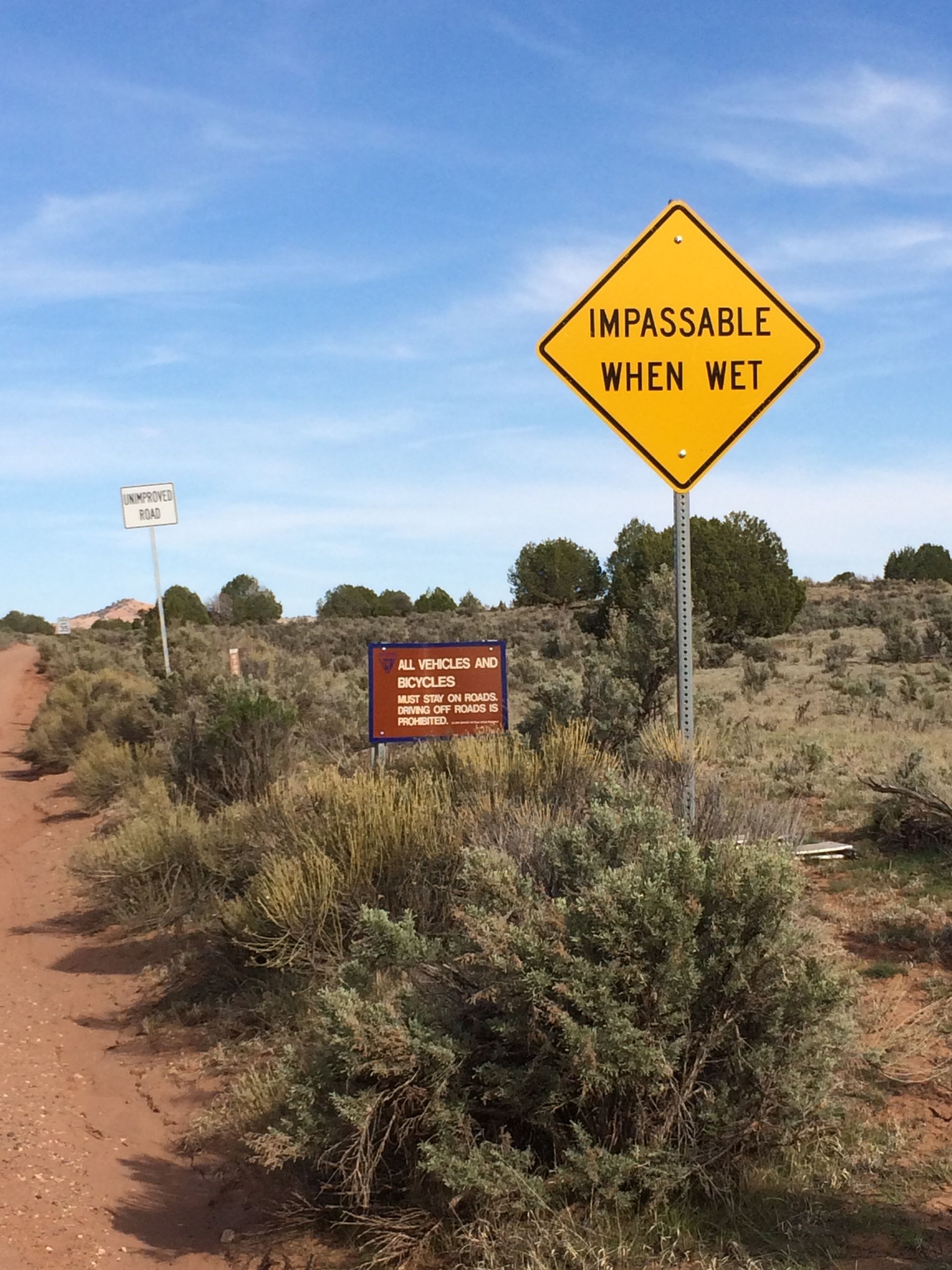
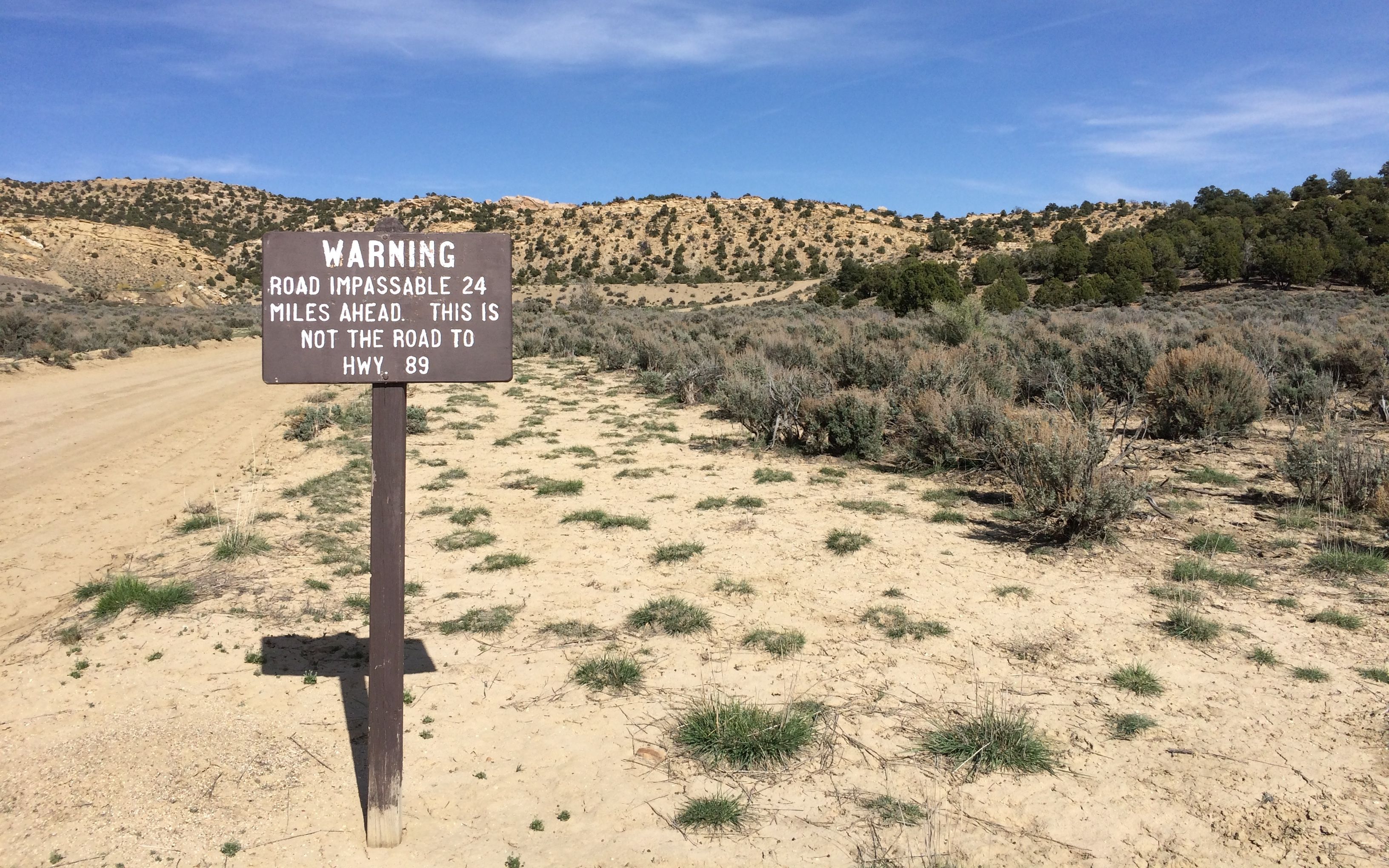
That was a sign that gave one pause.
Along the way, I stopped to chat with a gentleman who was hiking on the trail. It turns out that his name is Gordy and he is from Buffalo. He grew up on the Brinton Street, one street away from my aunt’s street. What a small world!
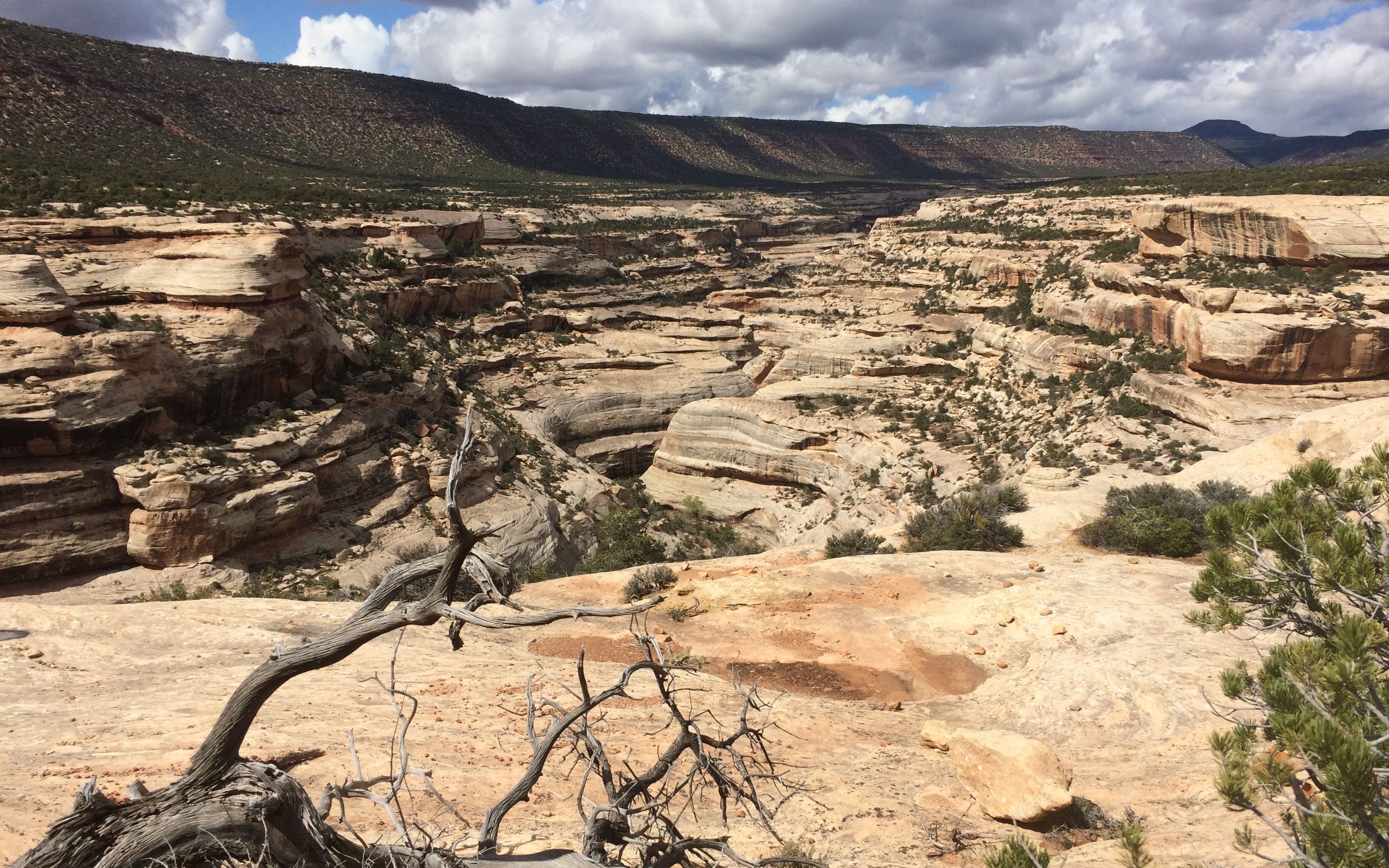
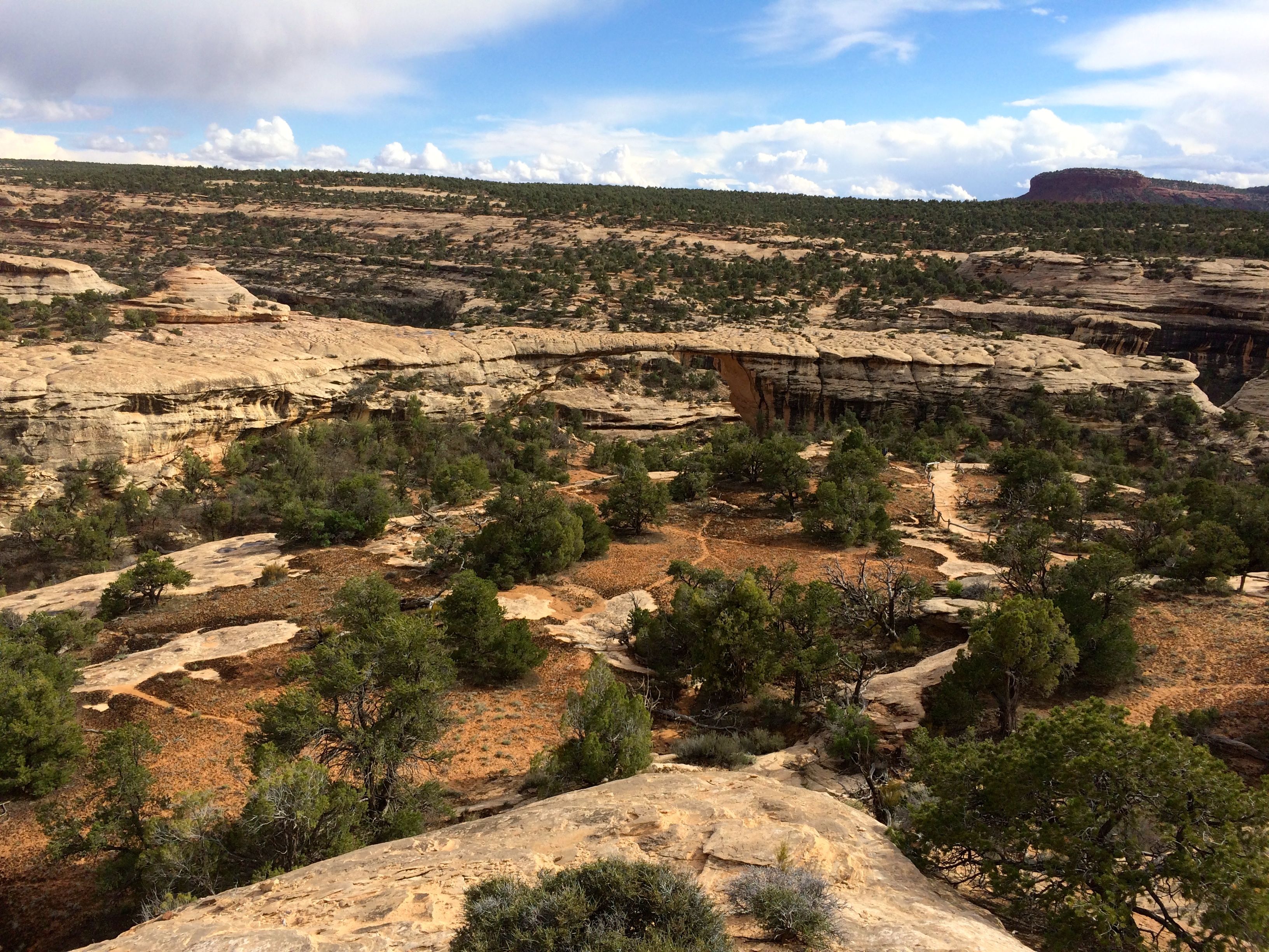
It’s really hard to see the bridges from above, but there is a bridge in there somewhere.
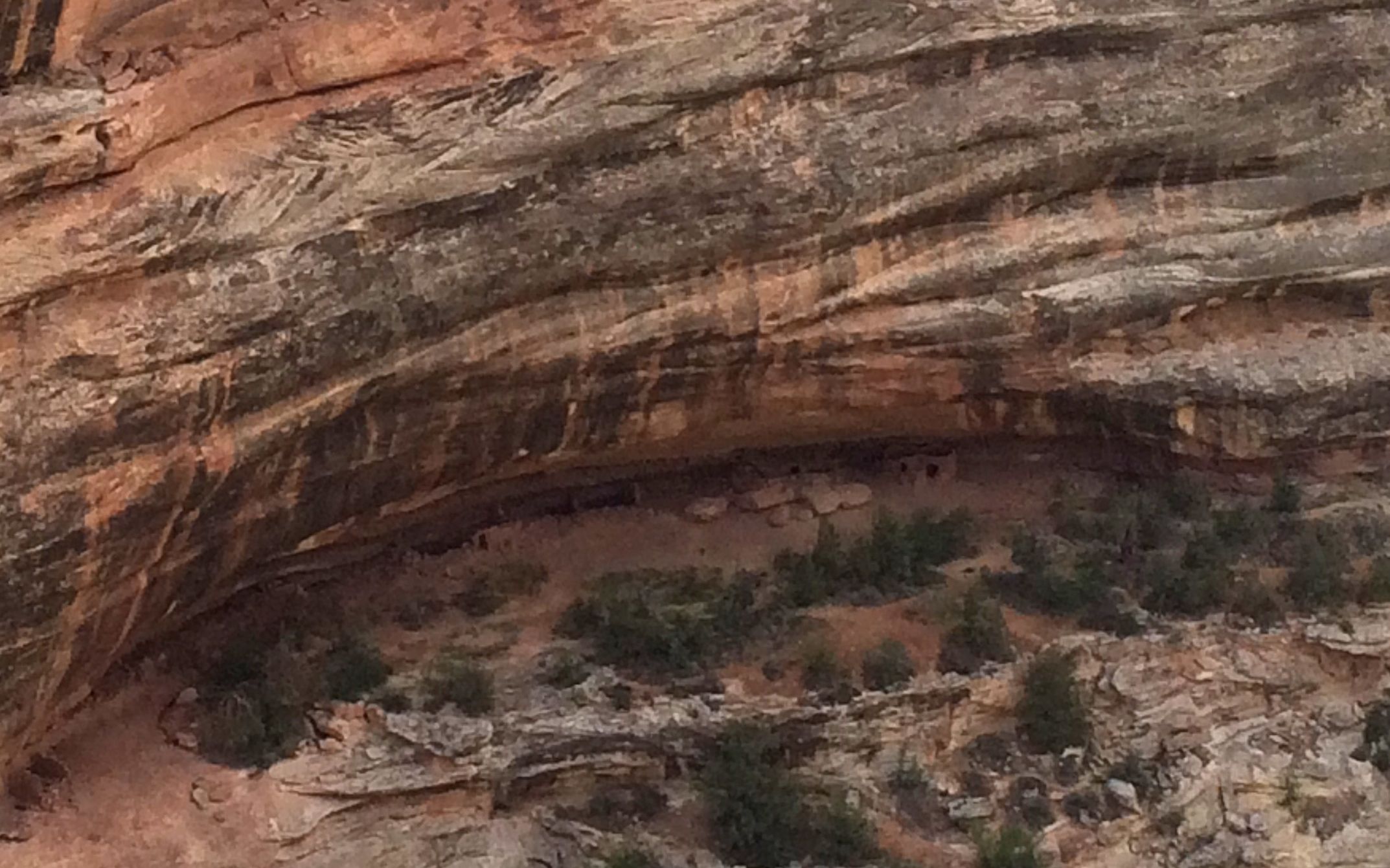
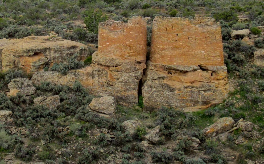
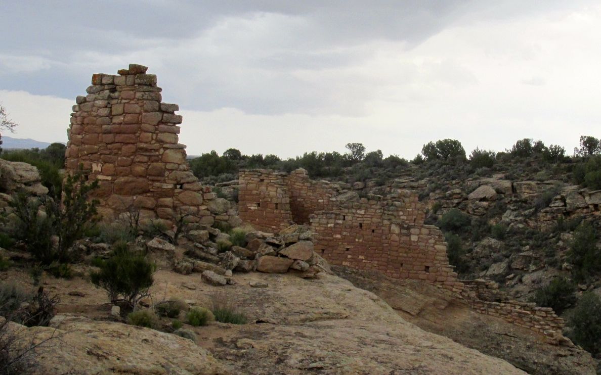
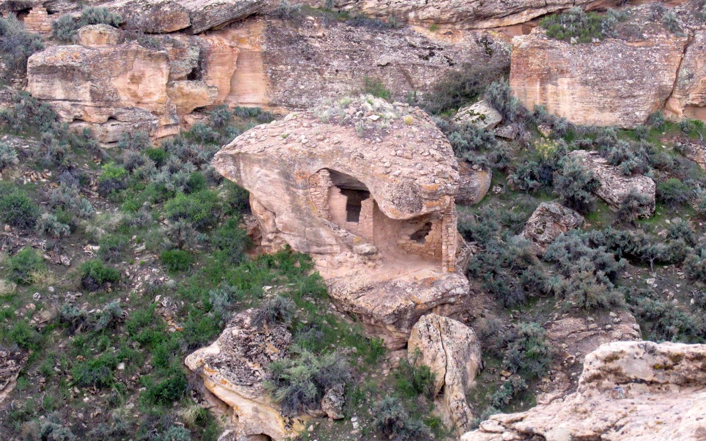
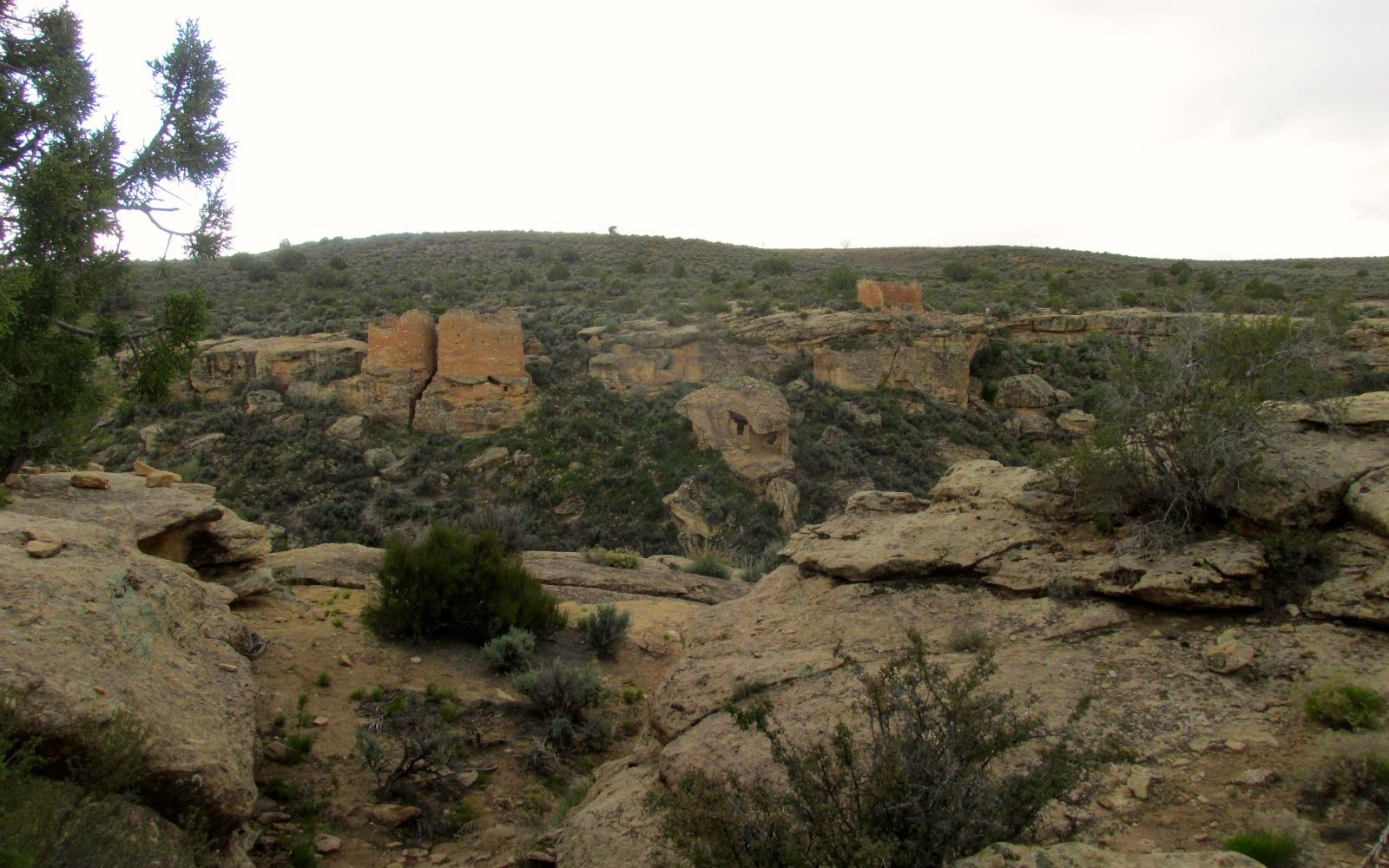
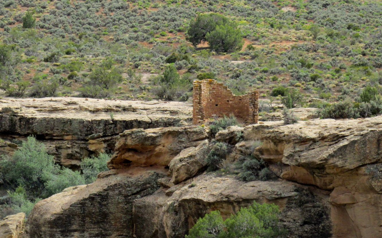
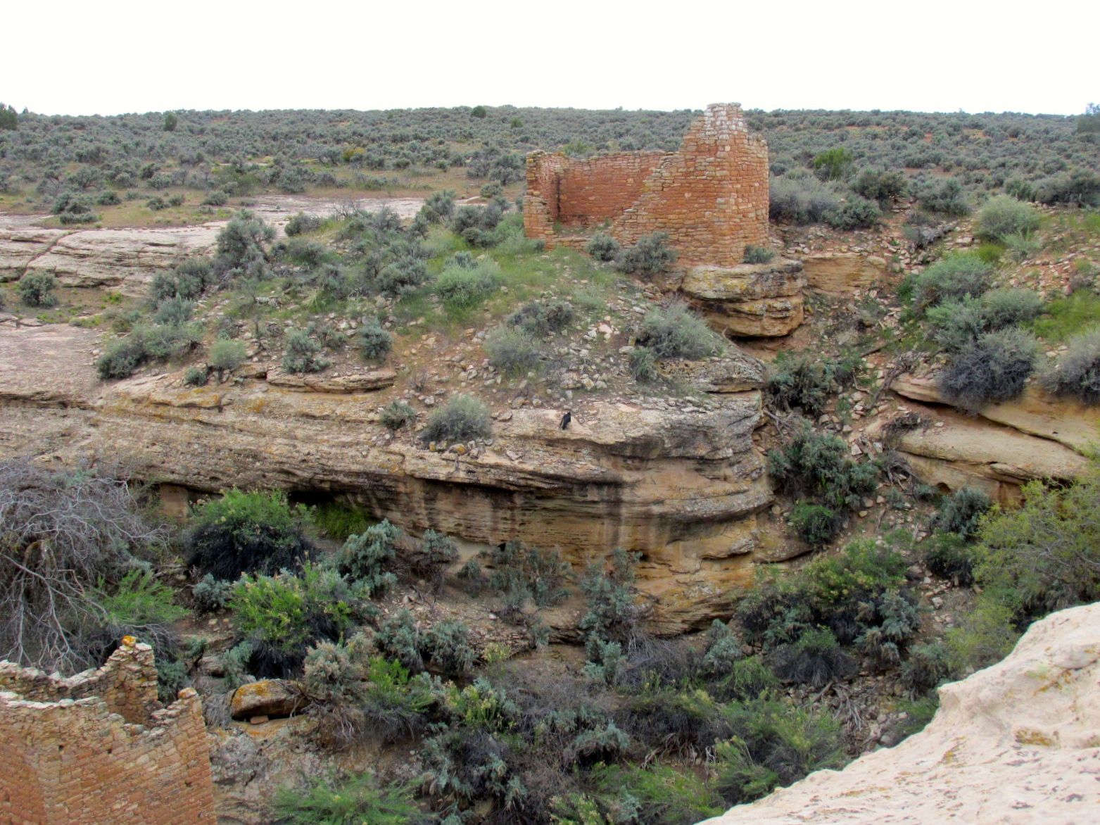
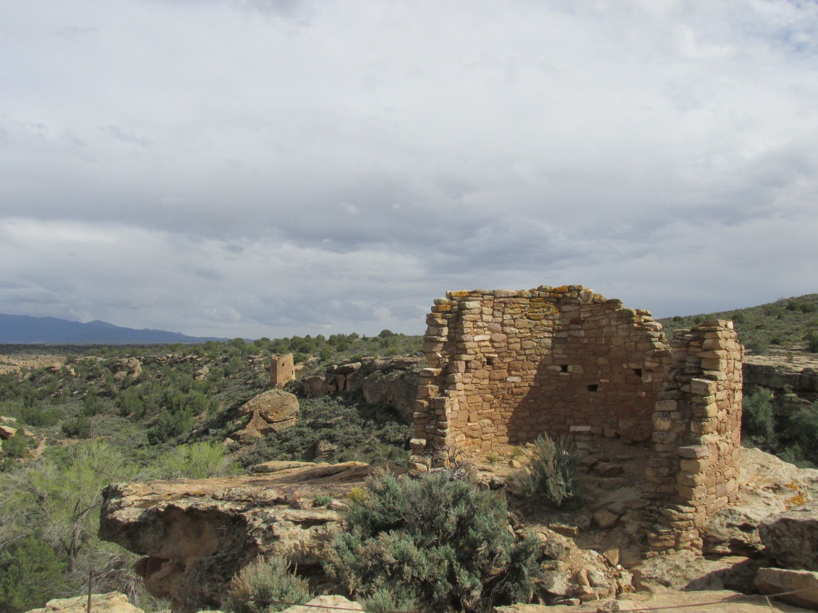
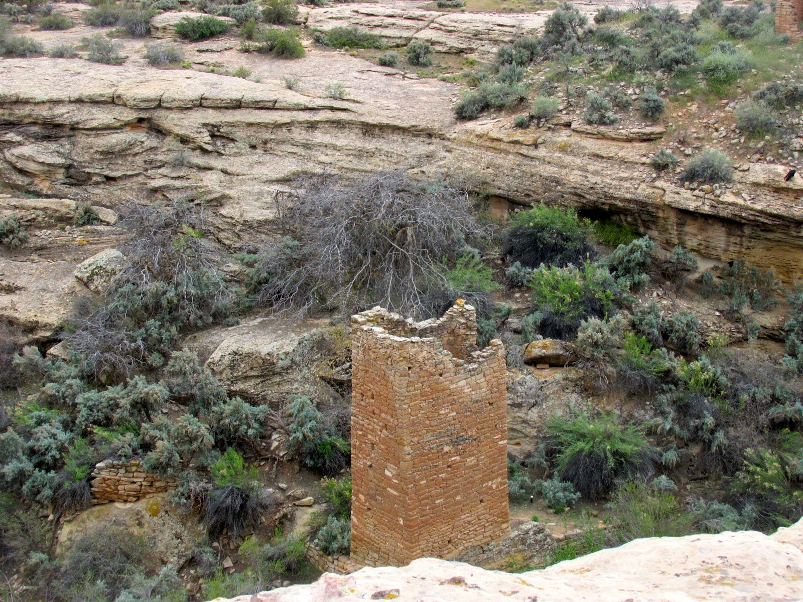
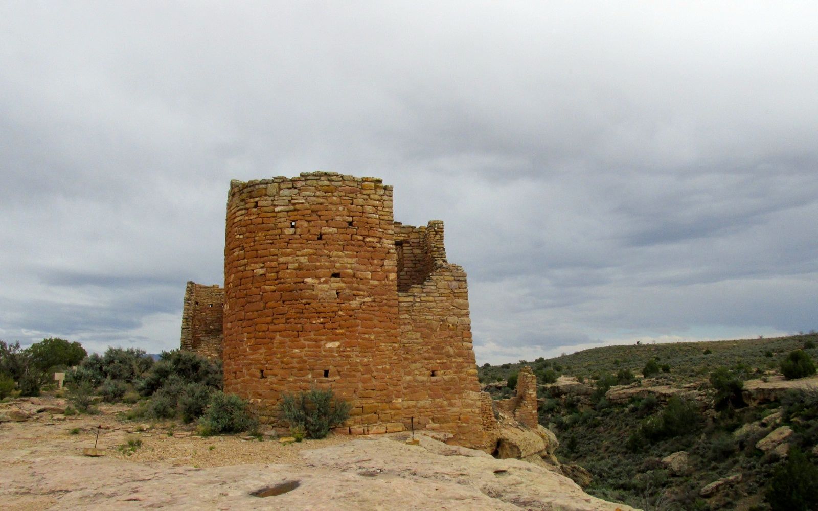
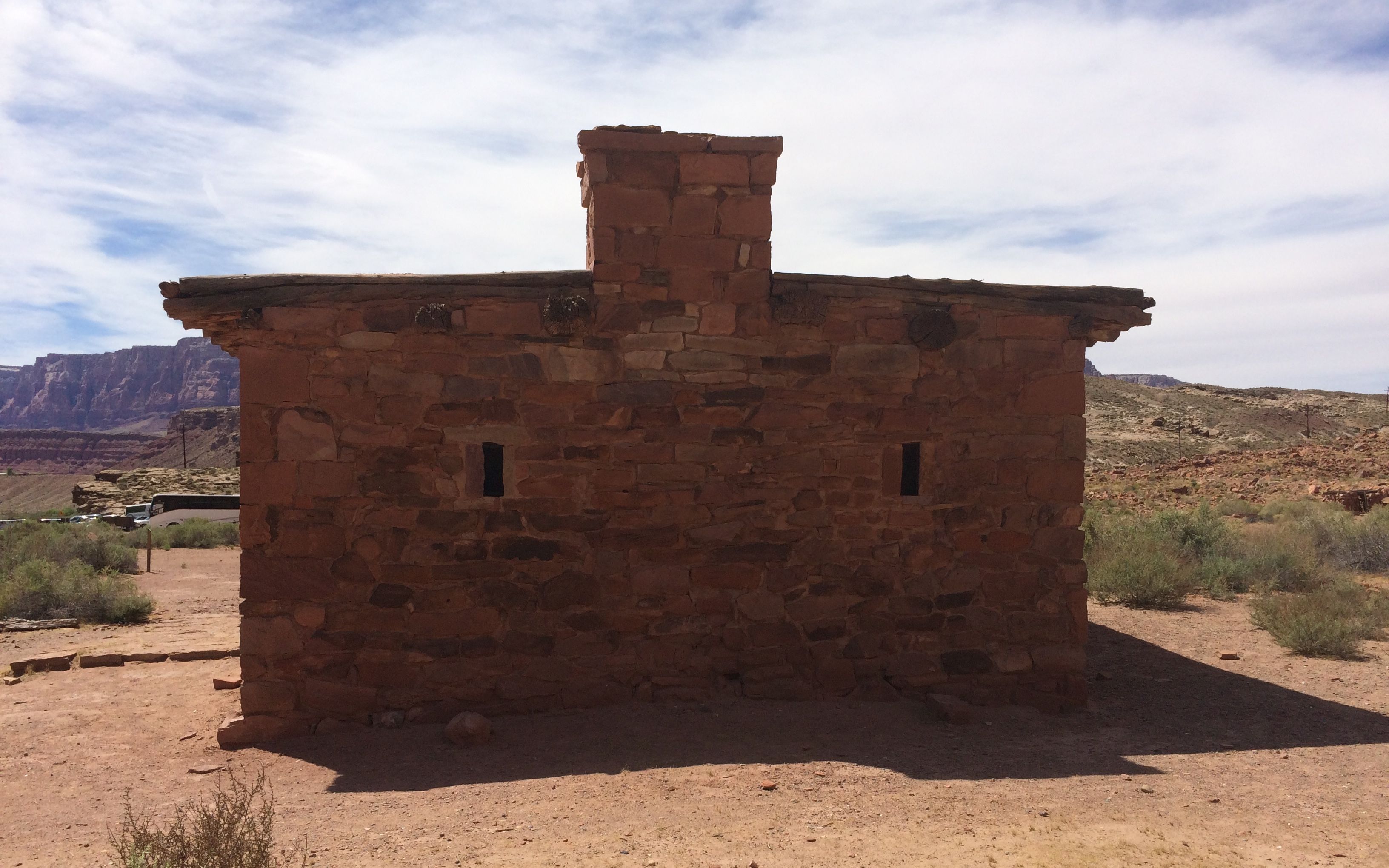
There are some ruins tucked into the cliff, too.
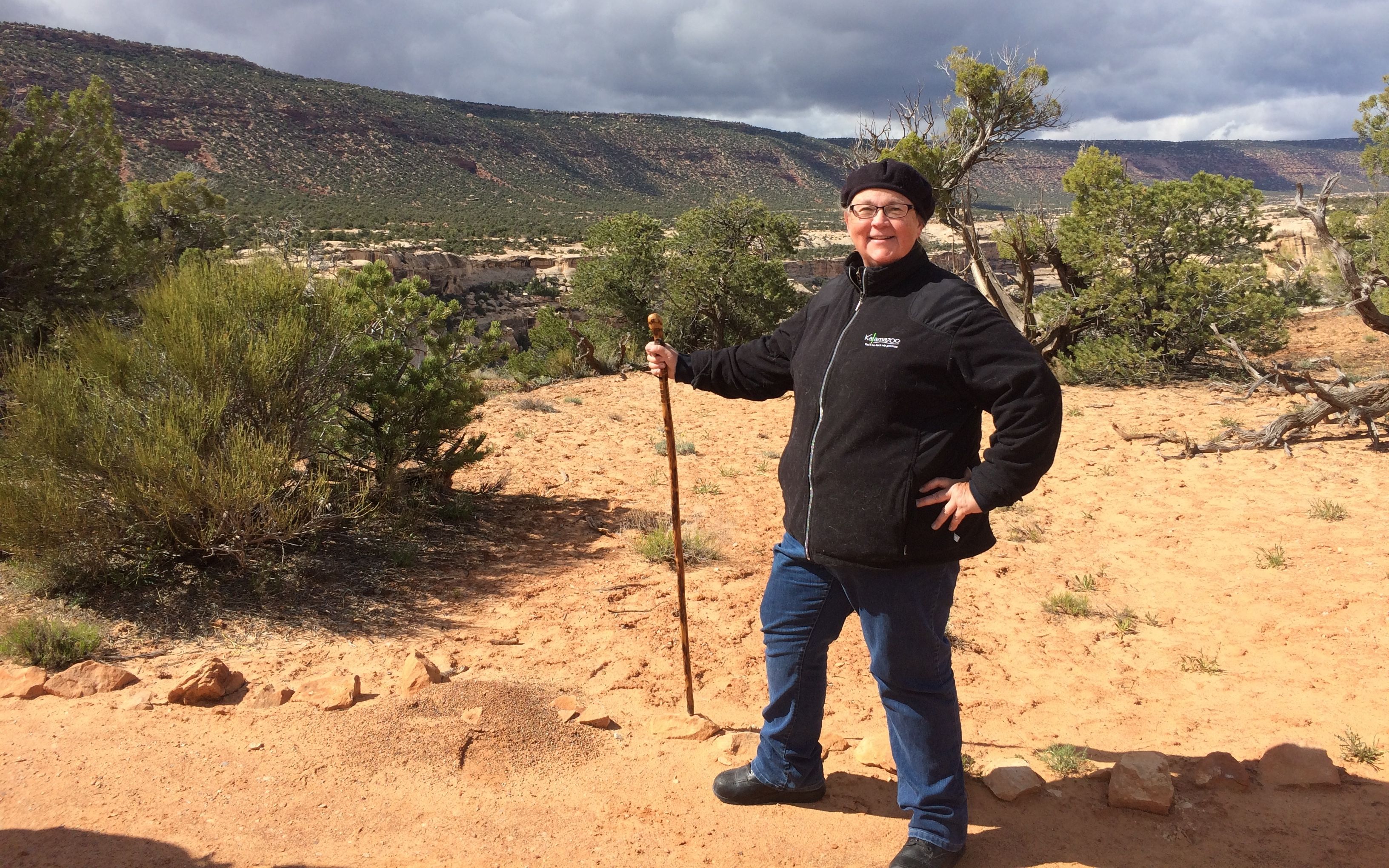
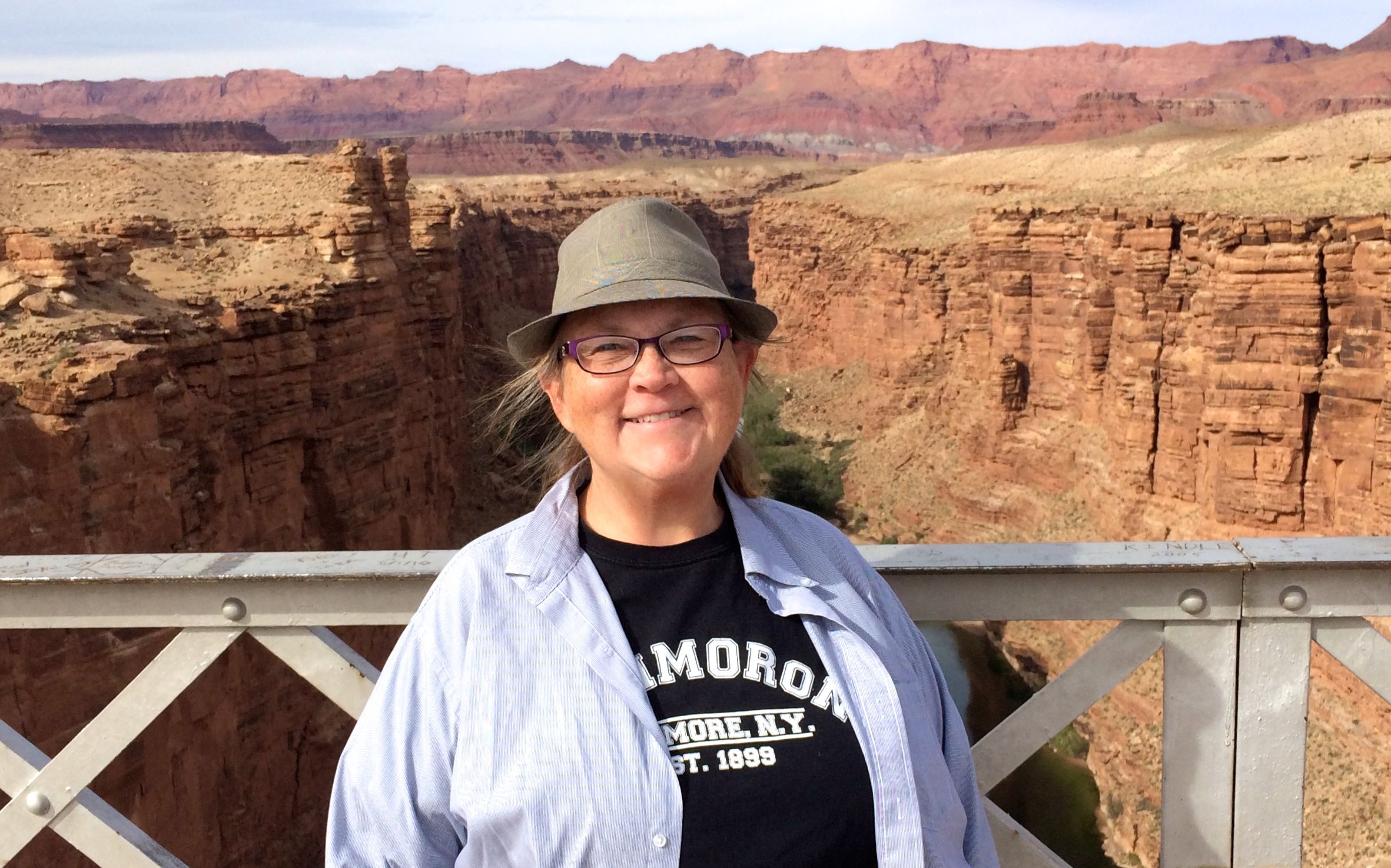
And, here I am, the happy hiker!
The trails were short, but the elevation changes were killers.
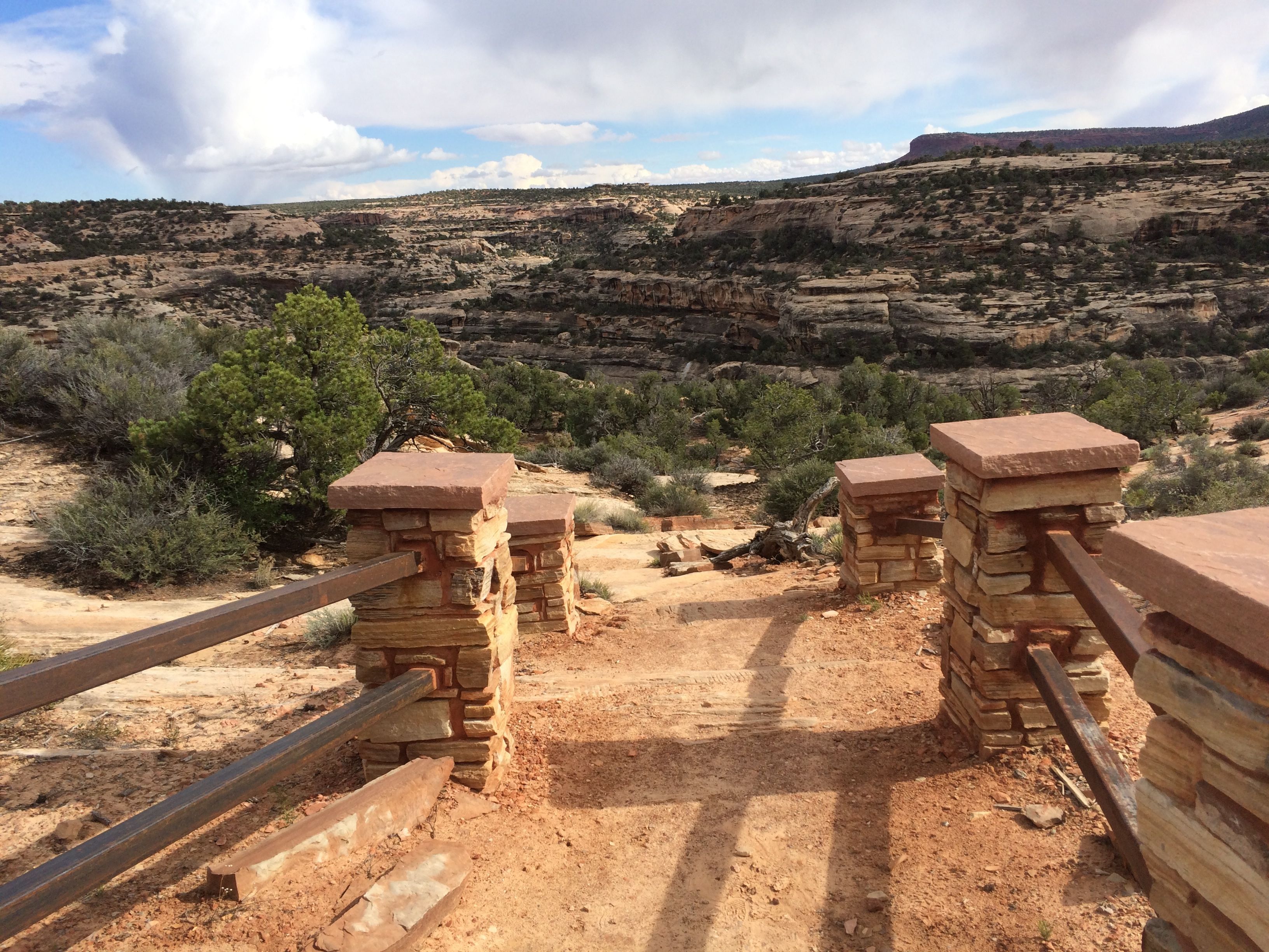
The trails start out deceptively civilized, but quickly change to a more vertical orientation.
There is one more bridge in this photo. It’s in the center and connects the two stone formations above the midline.

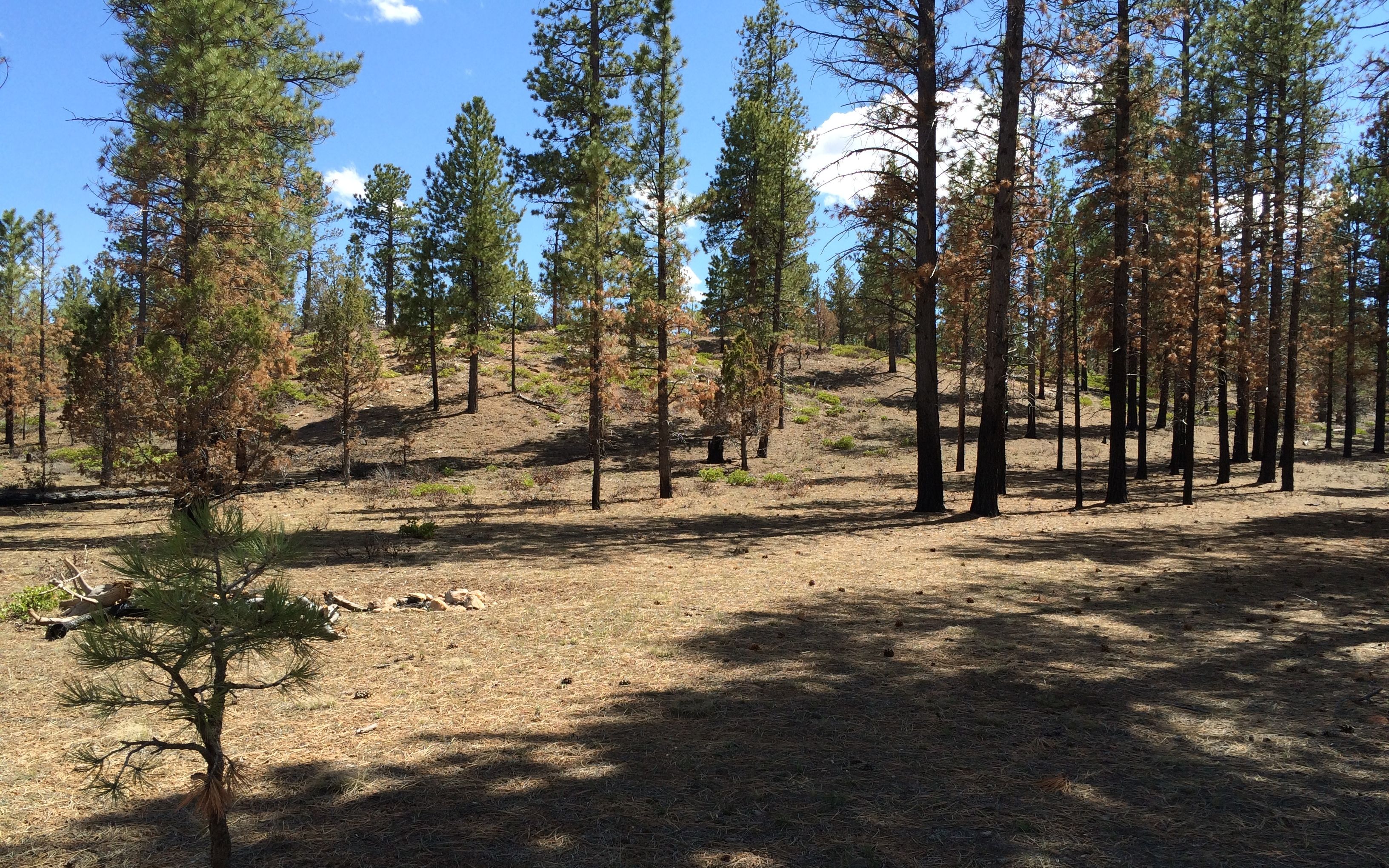
The last stop in the park was a sign for the piñon pine and Utah juniper pygmy forest. The trees grow slowly and these trees are actually quite old in spite of their short size.
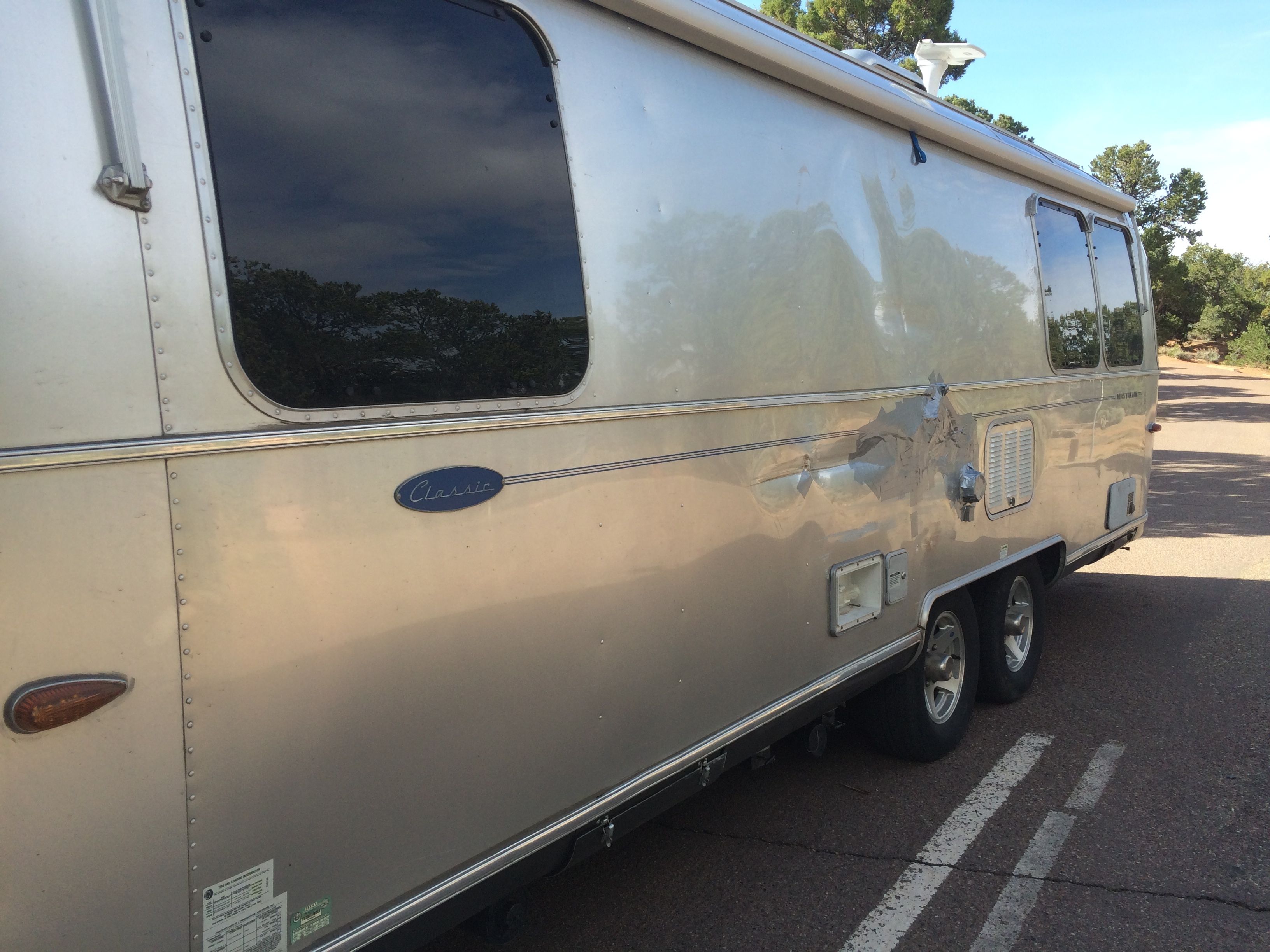
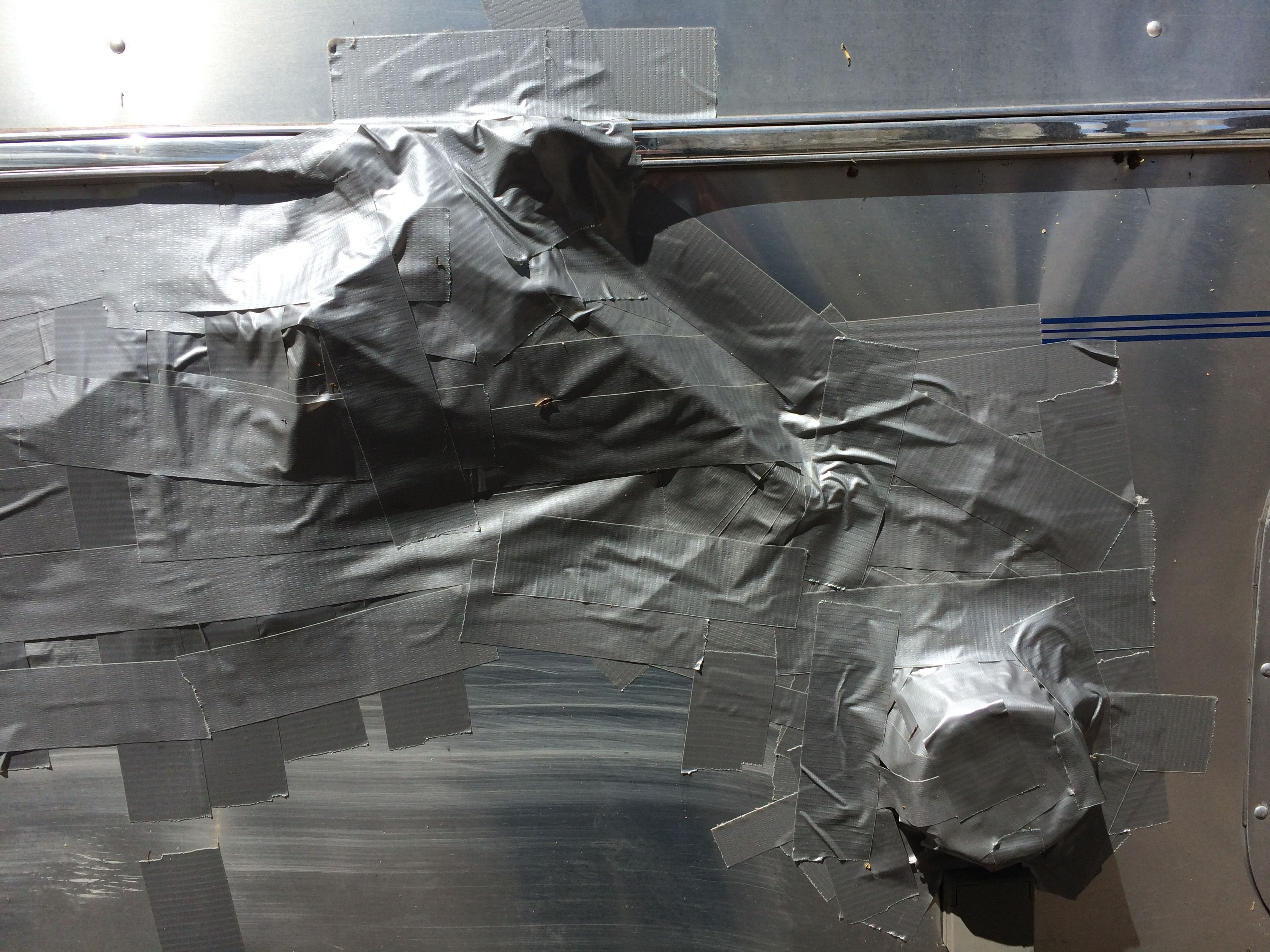
Then it was time to head over to Blanding for dinner. I hoped that they would have a stronger cell signal – and they did! I found a destination for the week before I had to take Flo the Airstream to Mesa, Arizona for repairs. I would be heading back to Sedona to take part in a HistoriCorps project!
The next day it was time to hook up and head out. Destination: Canyon de Chelly!