Gallup, New Mexico

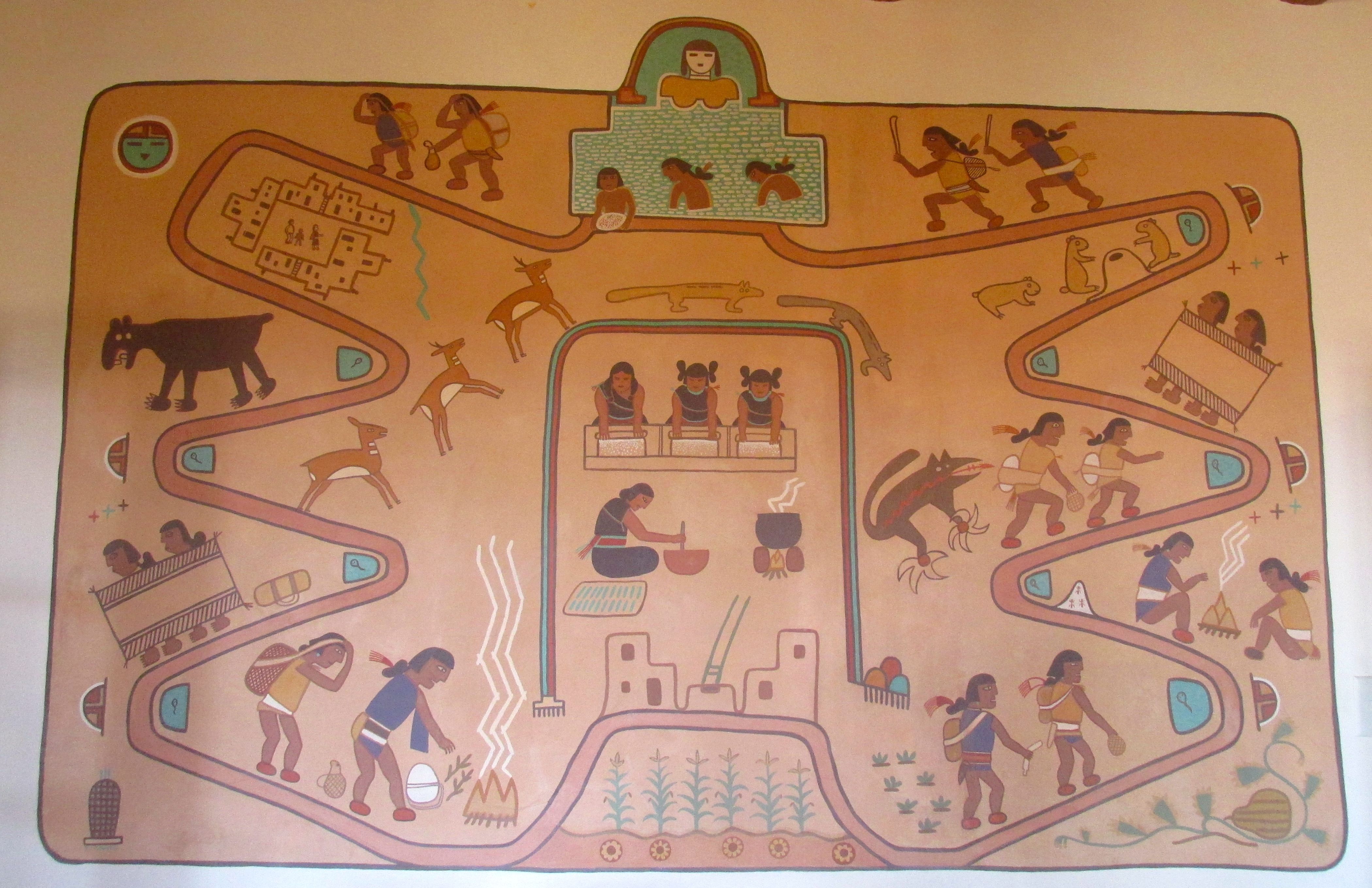
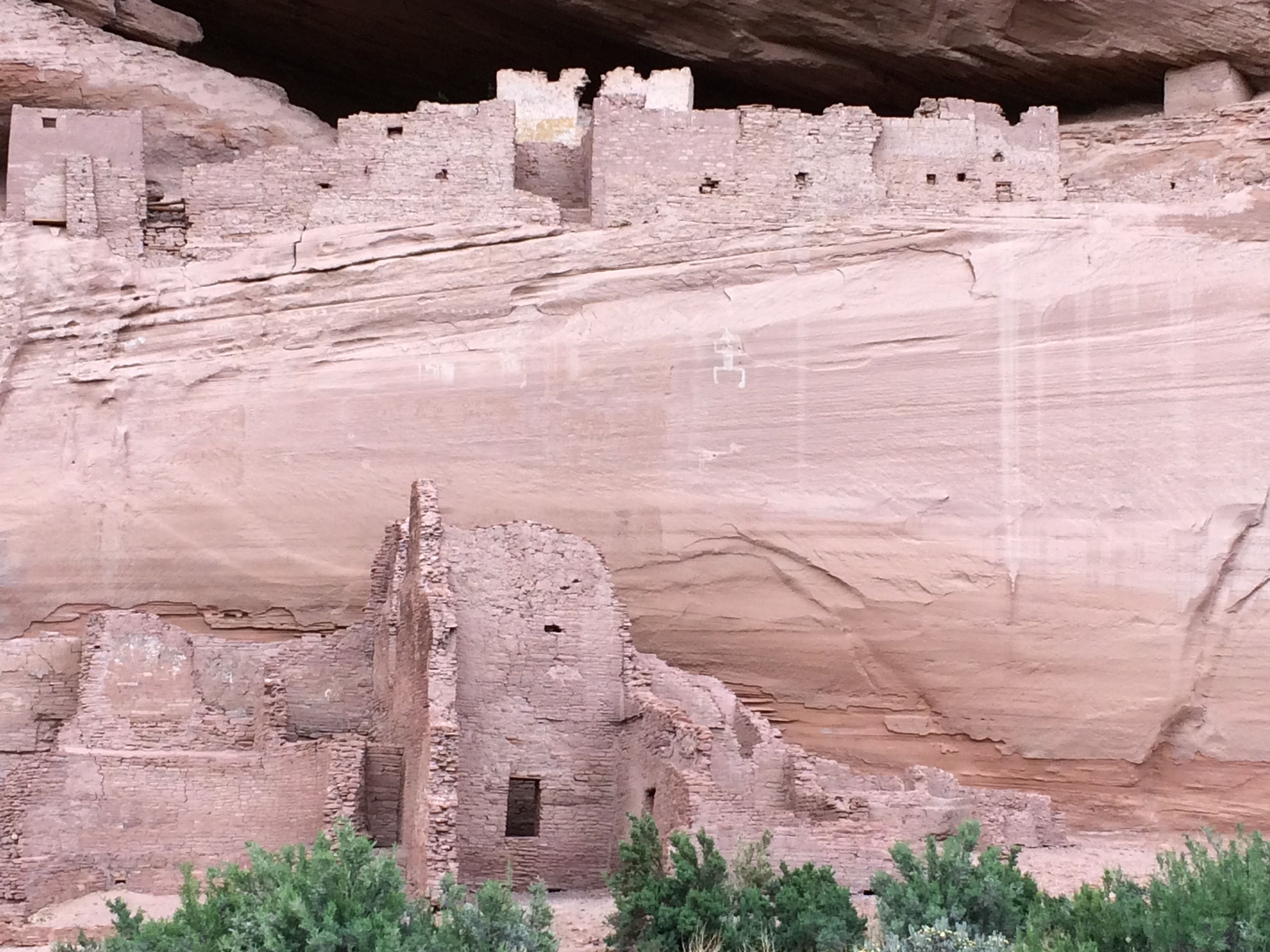
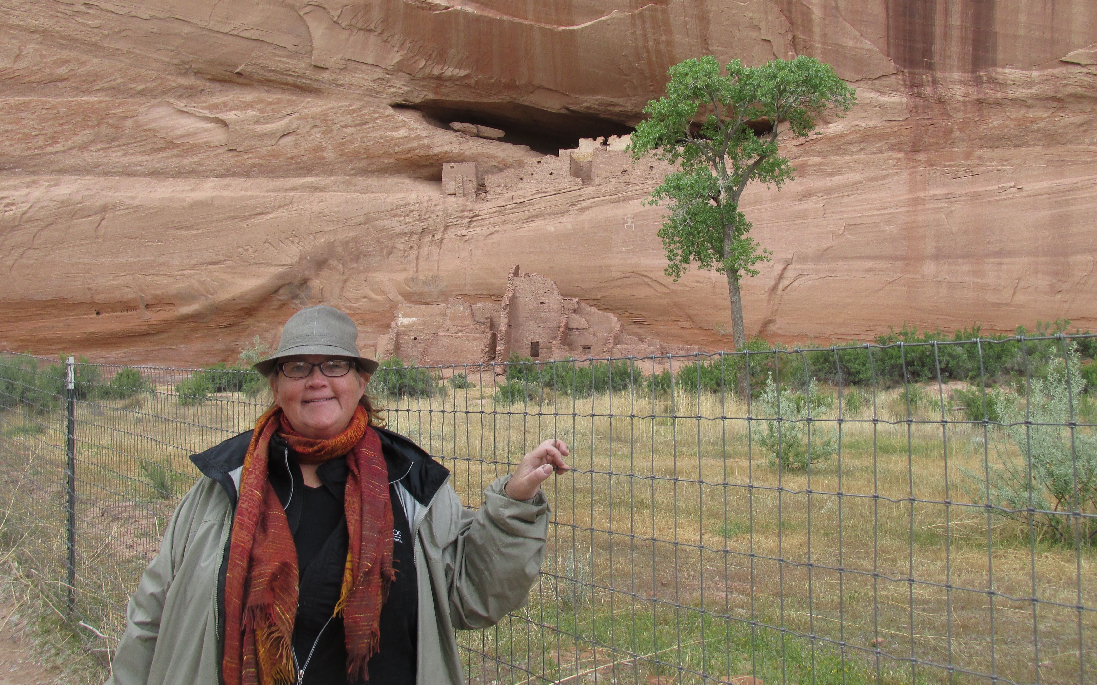
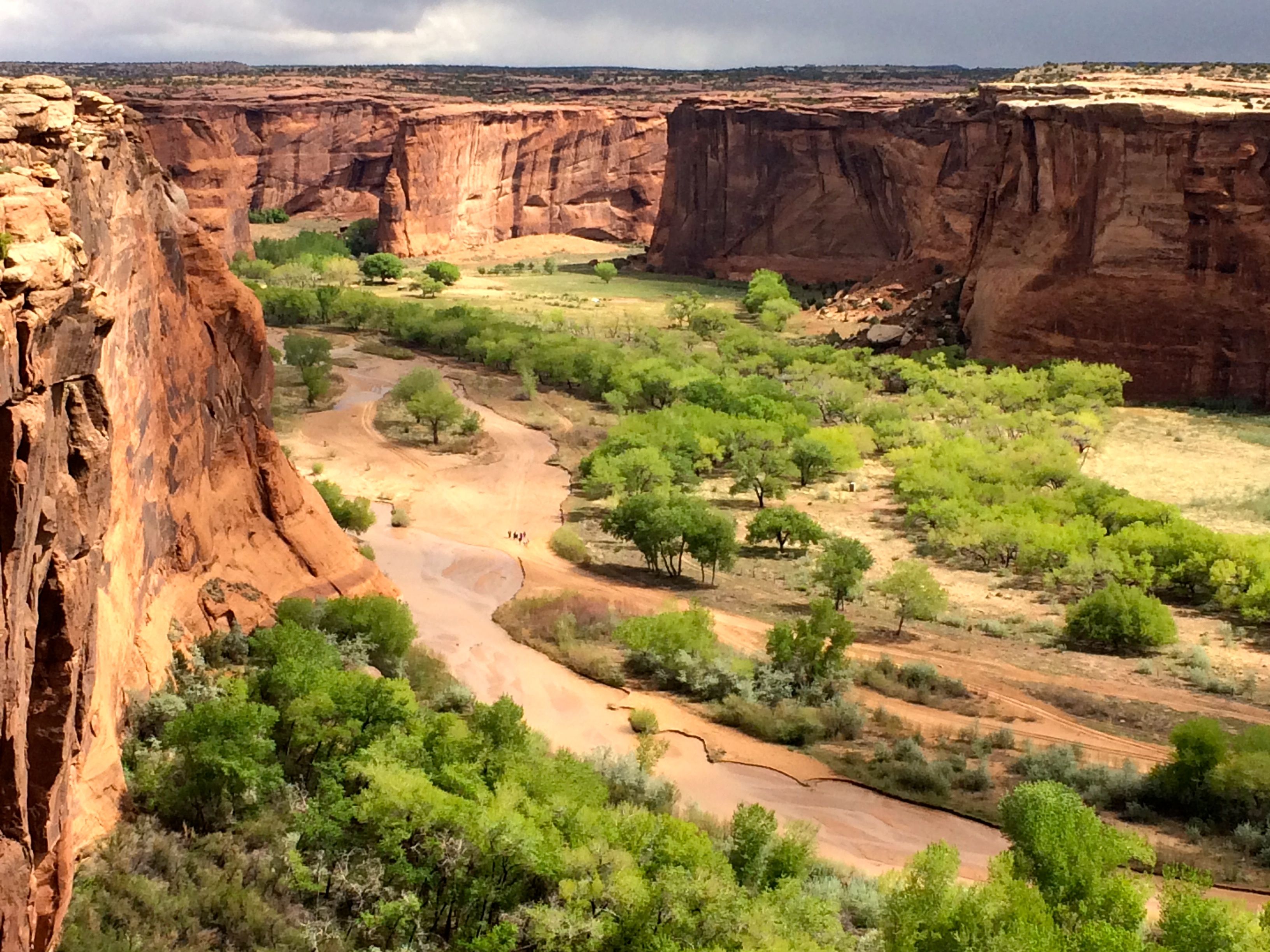
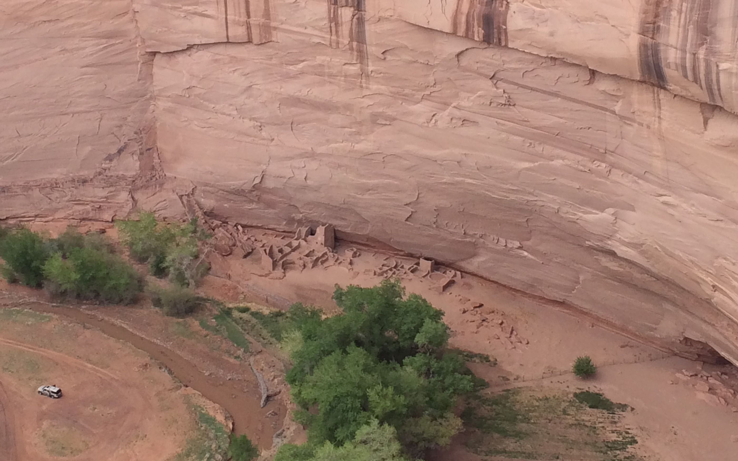
I decided that I was ready to leave Arizona behind me. I looked on the map and decided that Gallup looked good. I crossed the border and stopped at the tourism information office at the rest stop right across the state line.

The helpful information specialist helped me identify a campground and she assured me that I wouldn’t have trouble getting a spot in the part – Red Rock Park at Church Rock, on the outskirts of Gallup.

churchrock

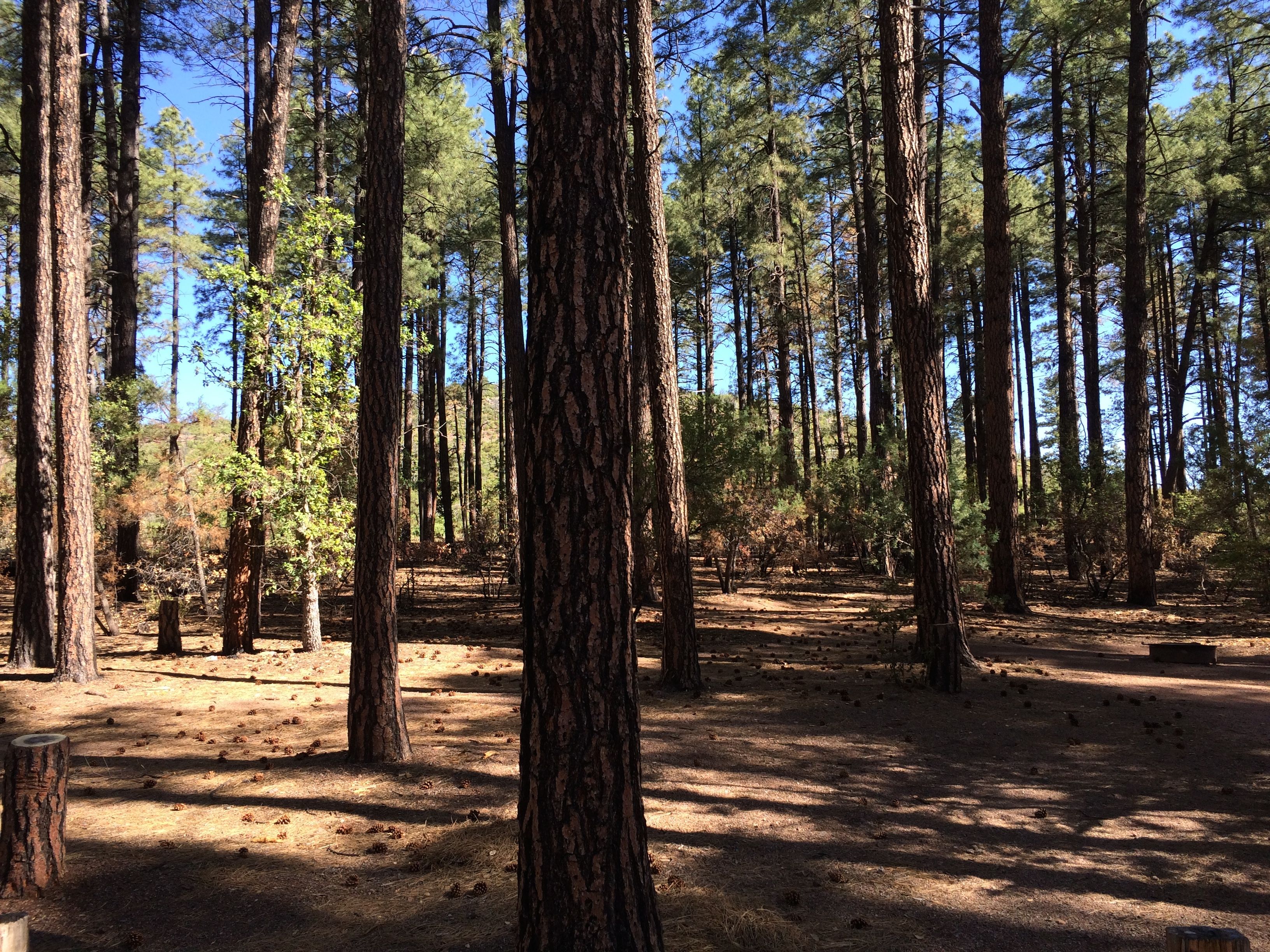
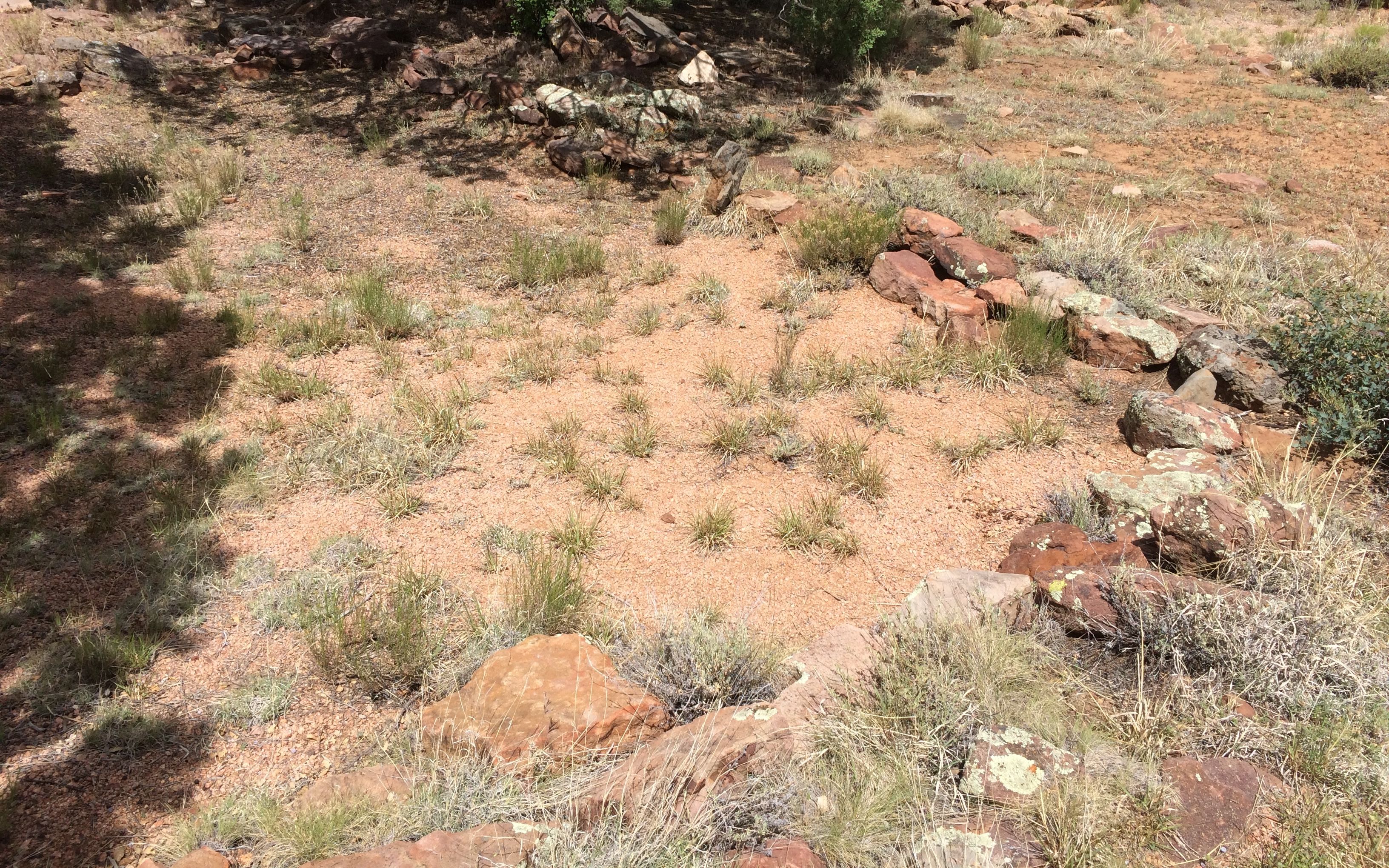
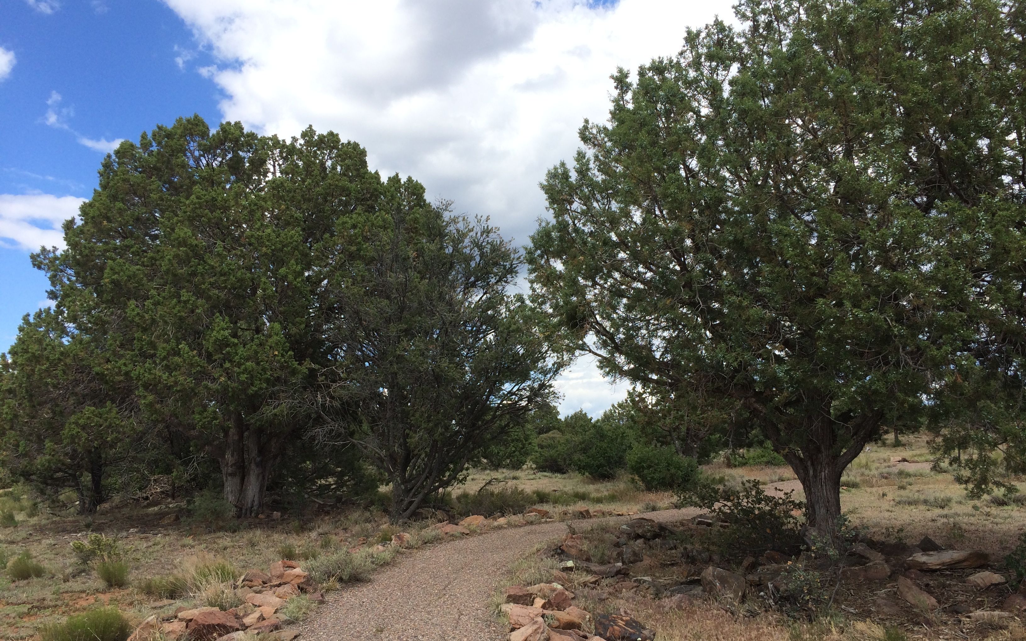
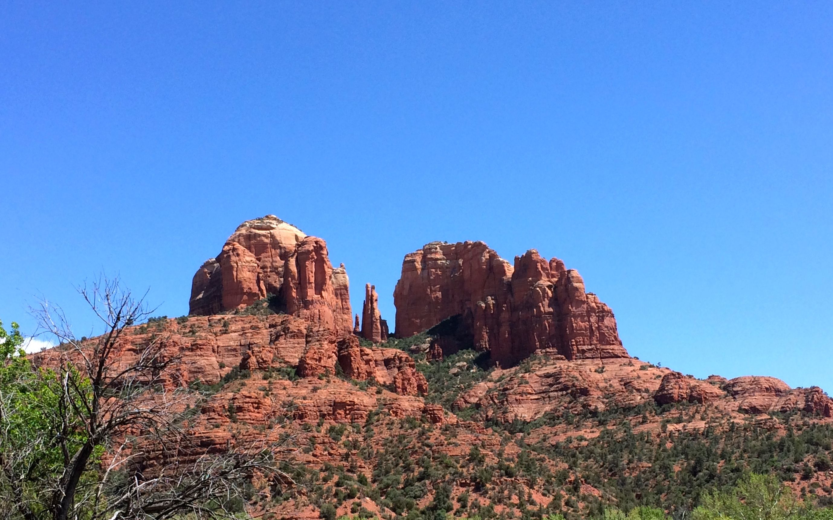
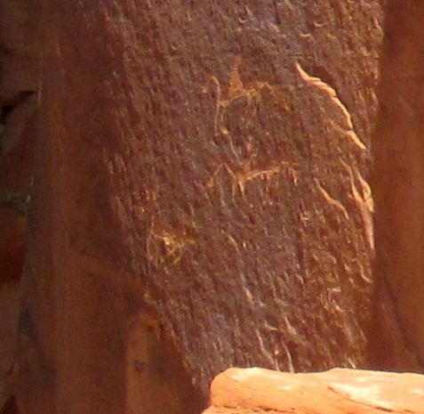
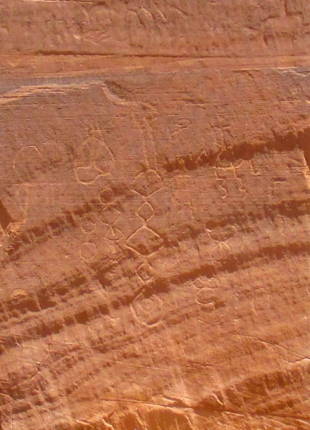
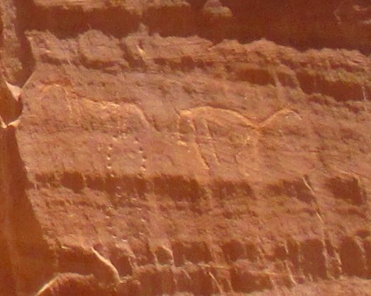
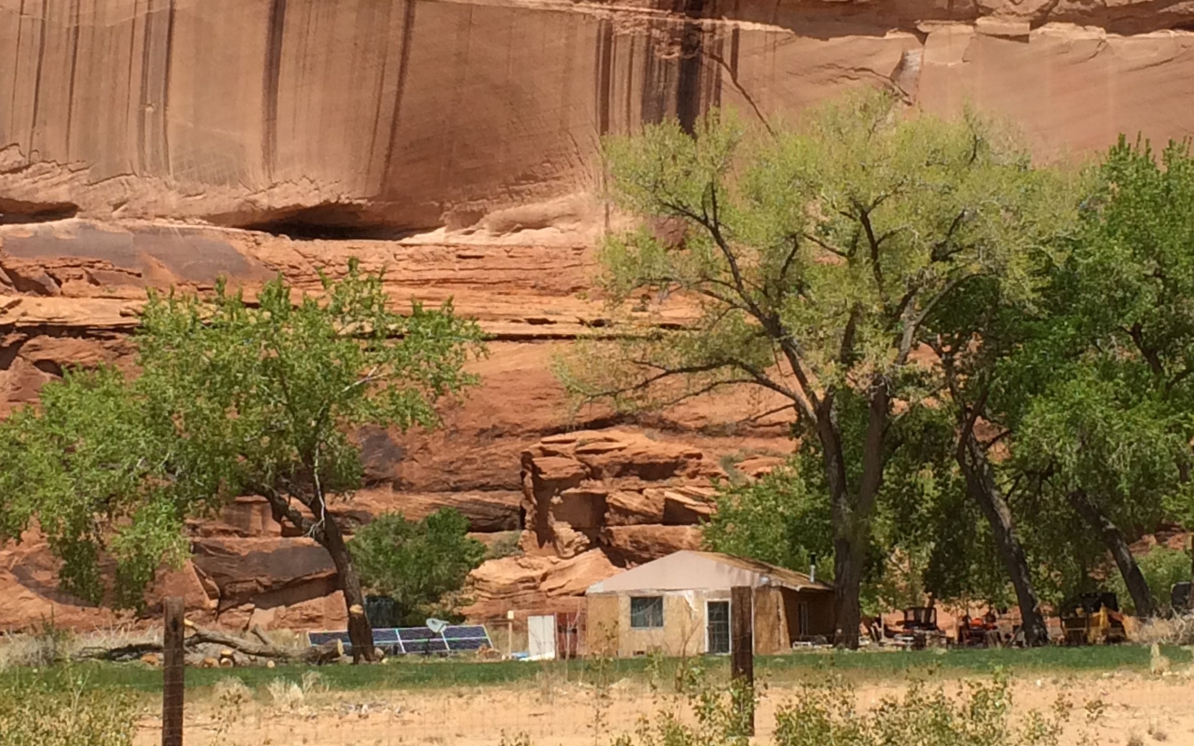
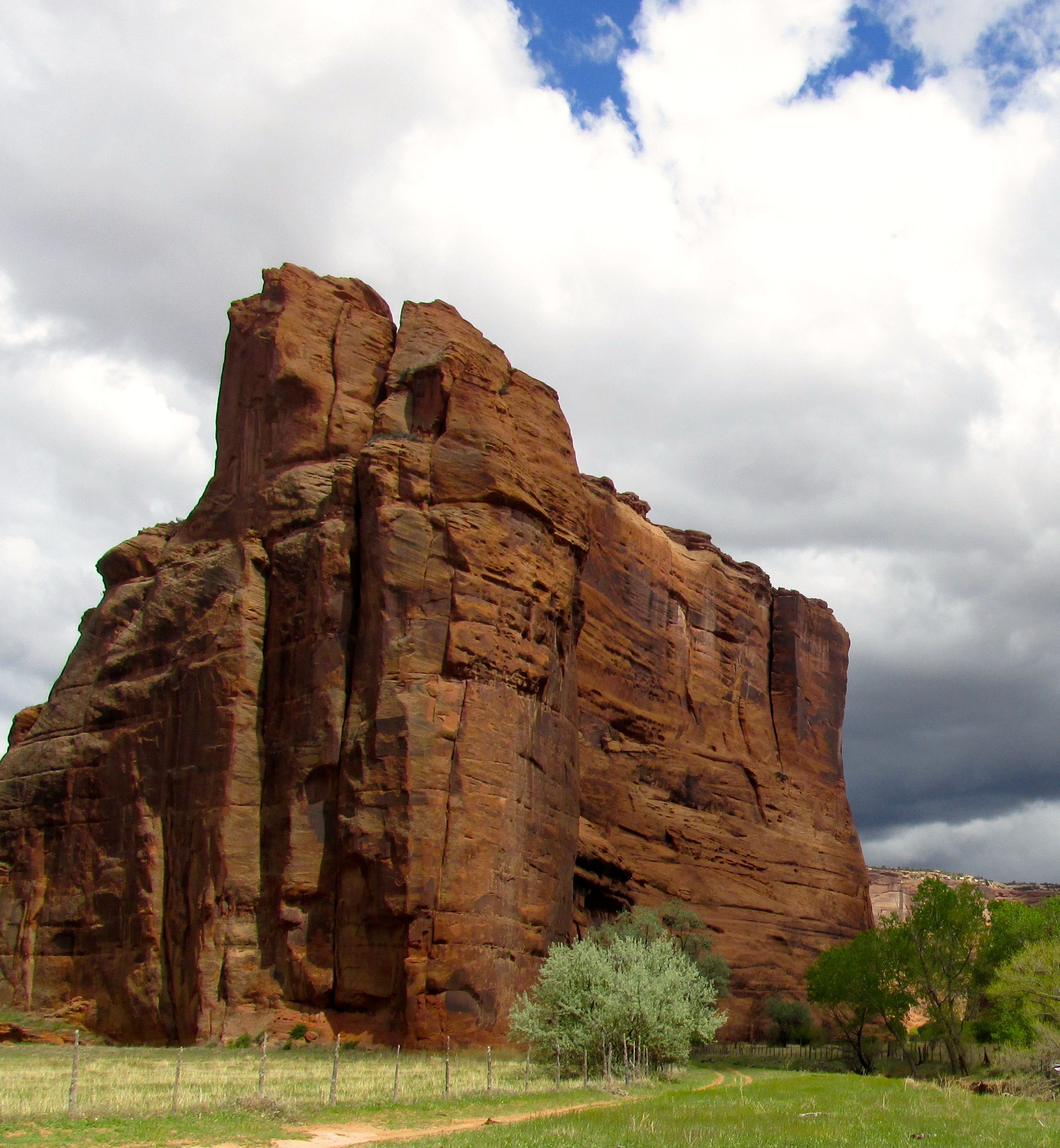
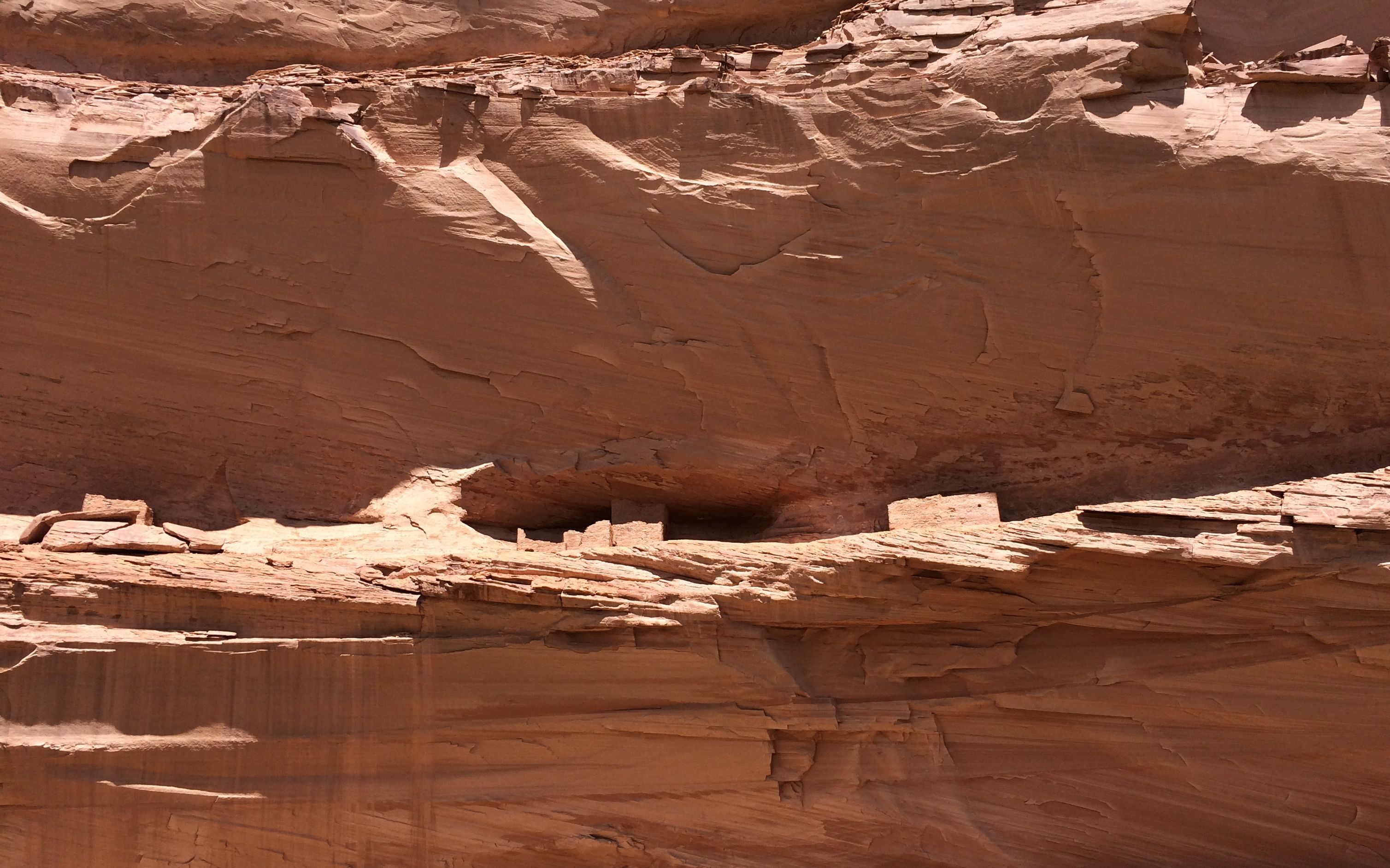
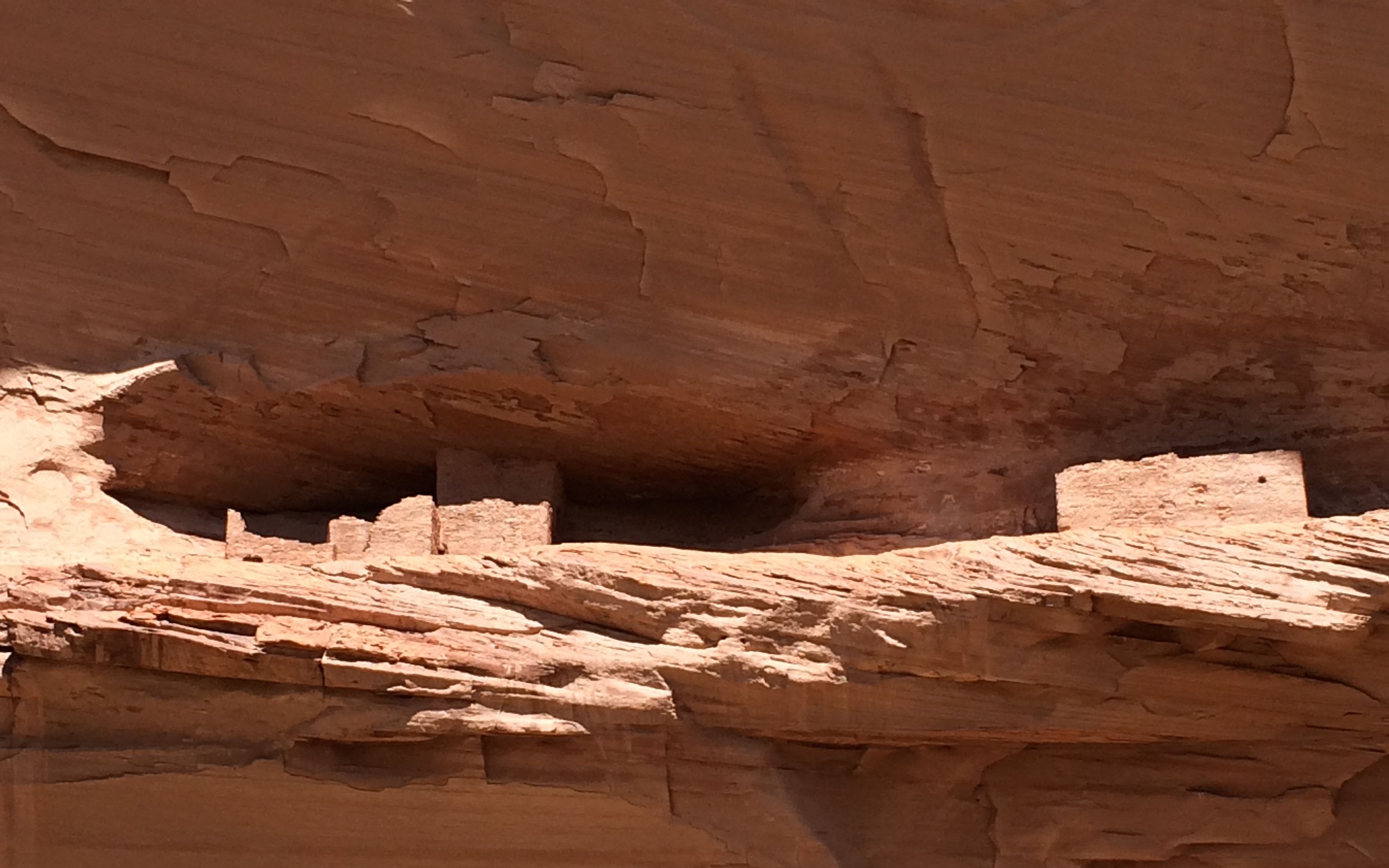
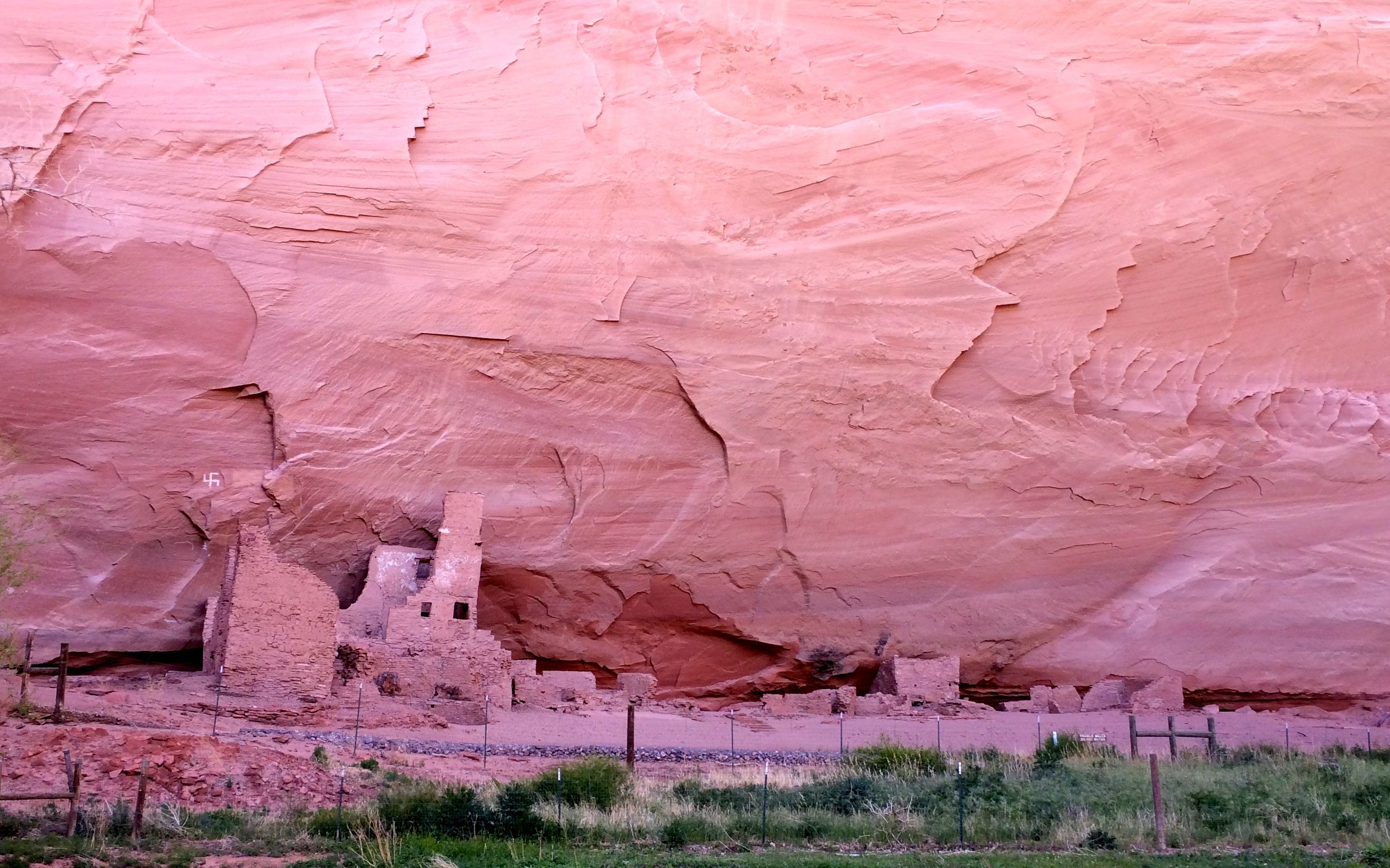
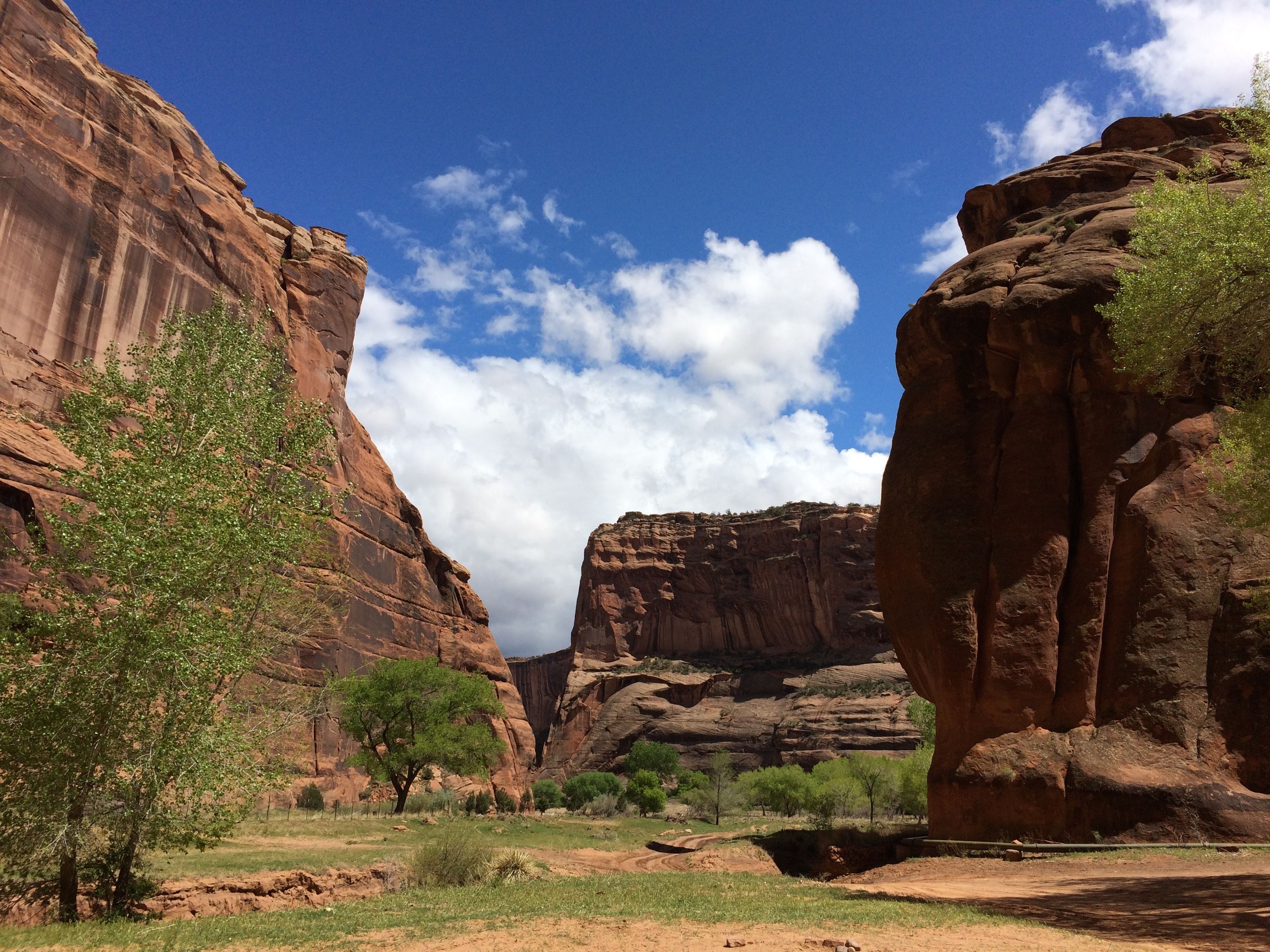
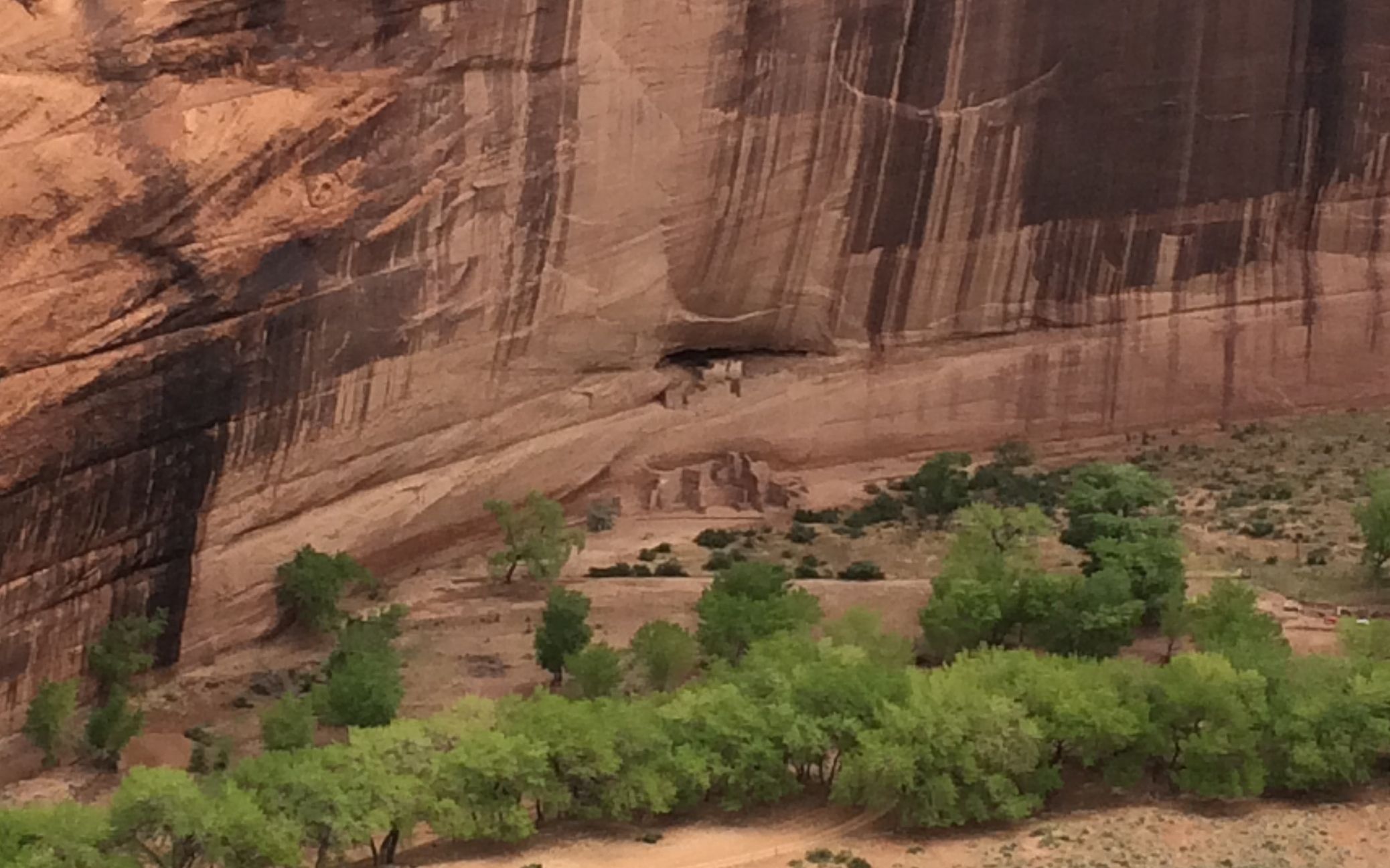
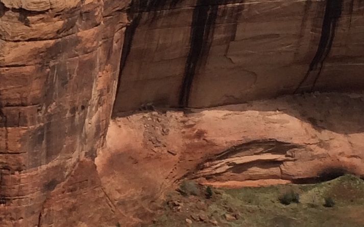
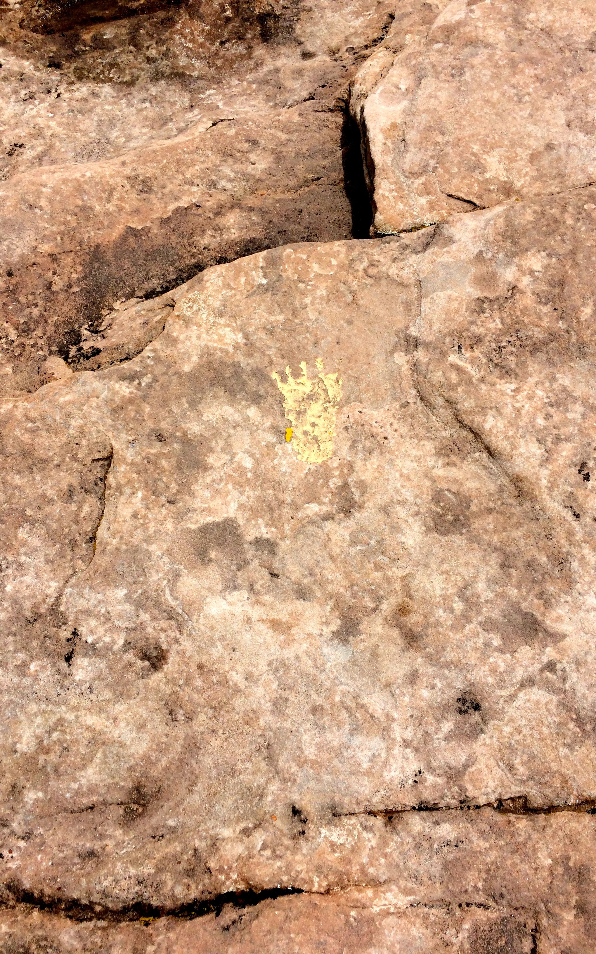
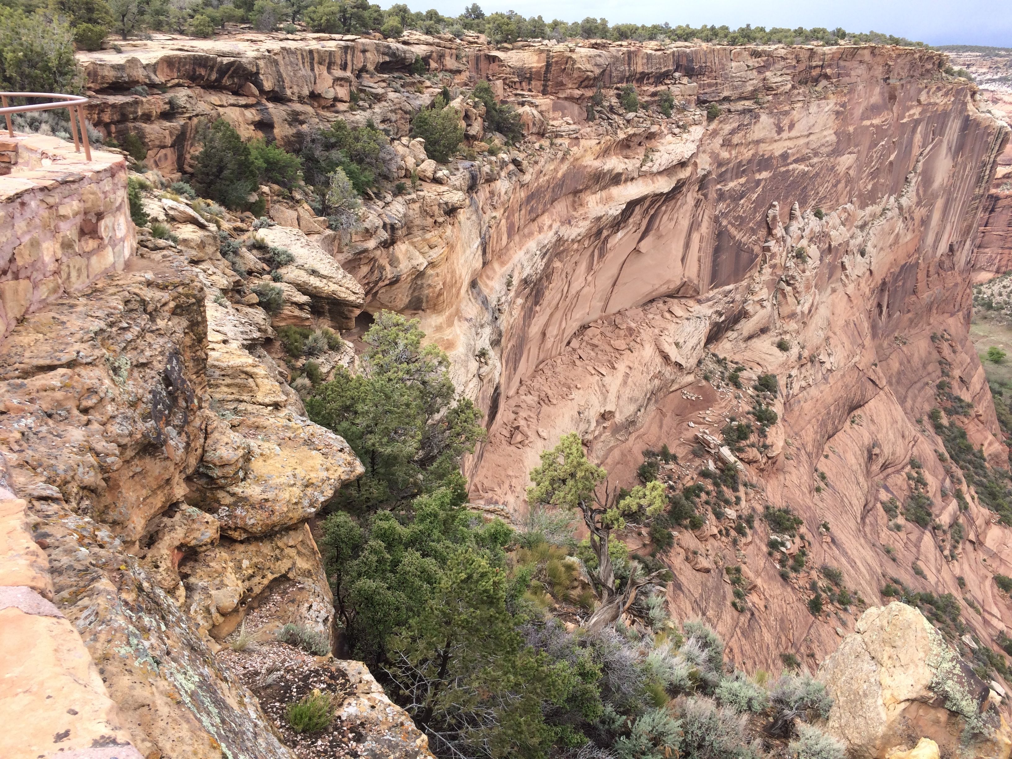
I could see Church Rock from my campsite! They said they had a trail to Church Rock. I decided to give it a shot.

Church rock Hiking trail sign

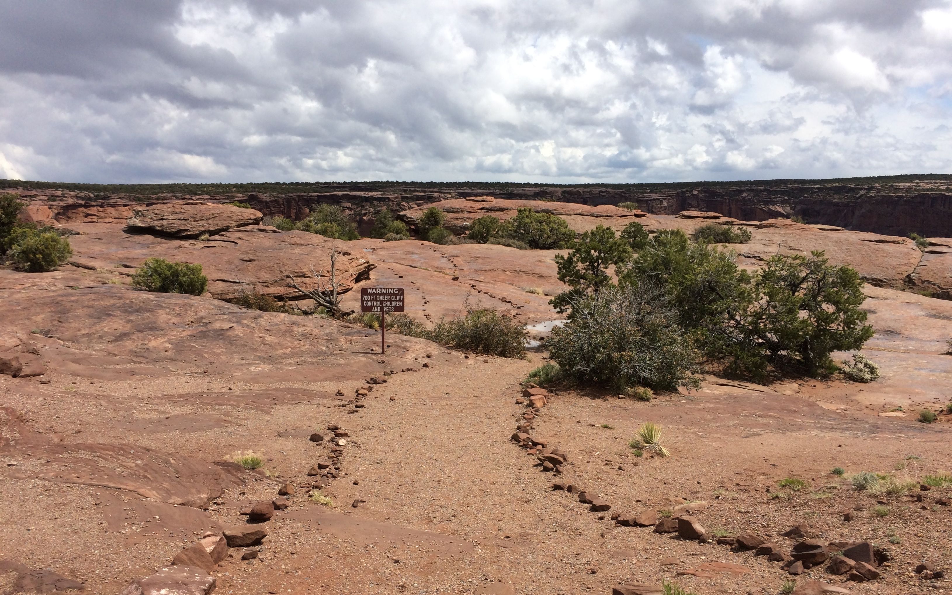
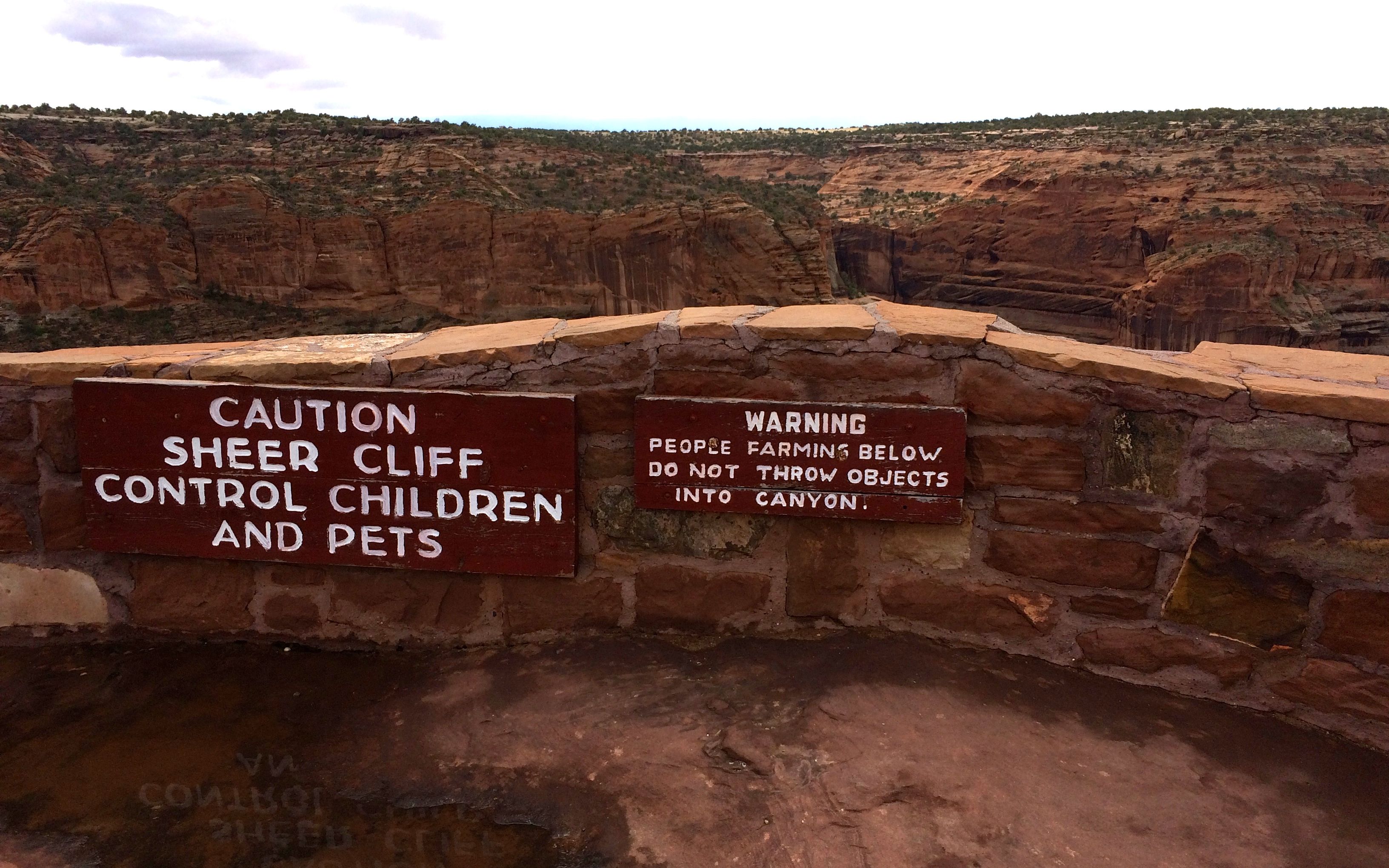
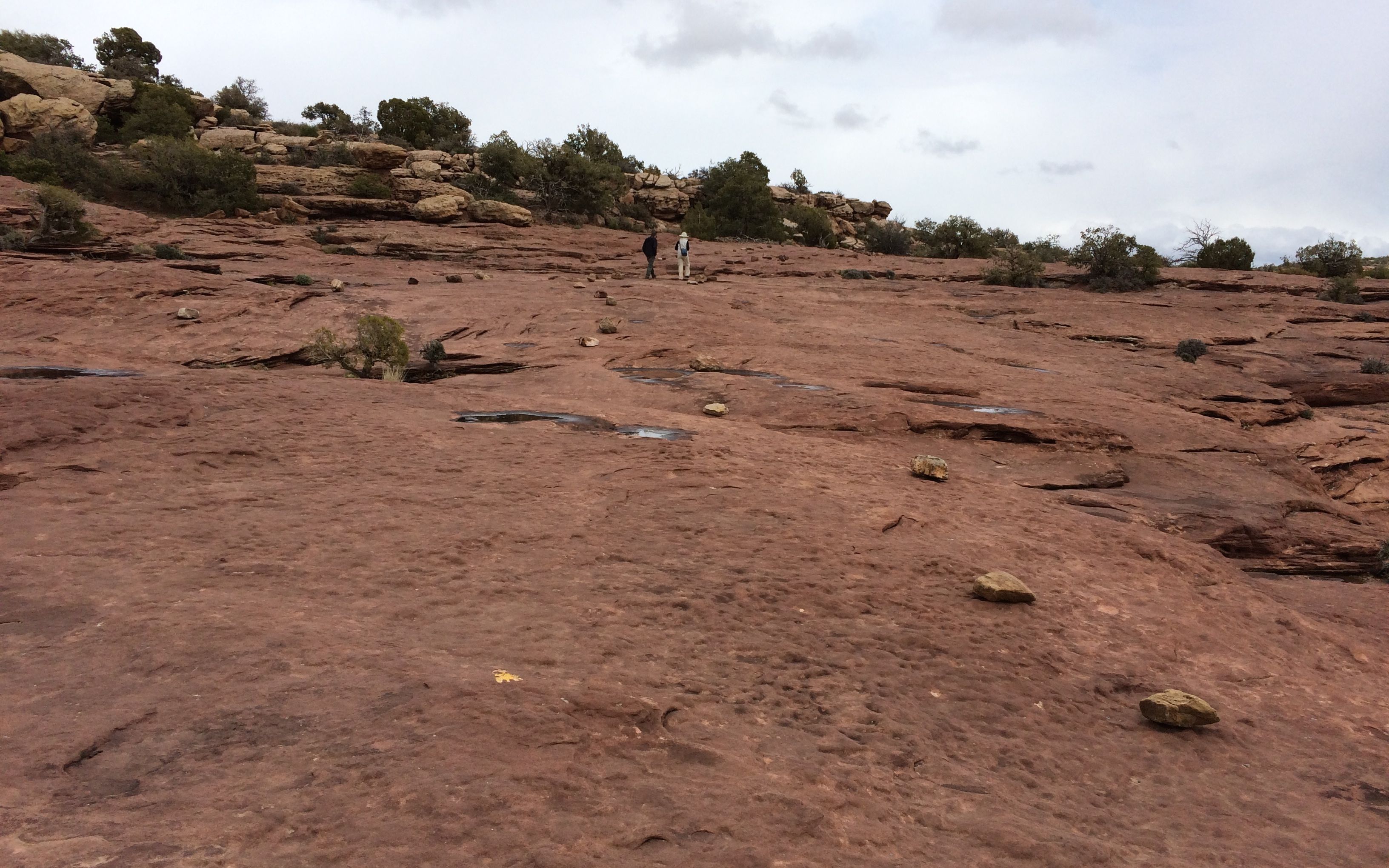
I walked along. I was prepared with a few bottles of water, a peanut butter and jelly sandwich,  my hat and my walking stick. The brochure about the trail warned about not going up something you can’t get down. I figured I’d give the trail a try – if it didn’t look like my cup of tea, I could always turn around.

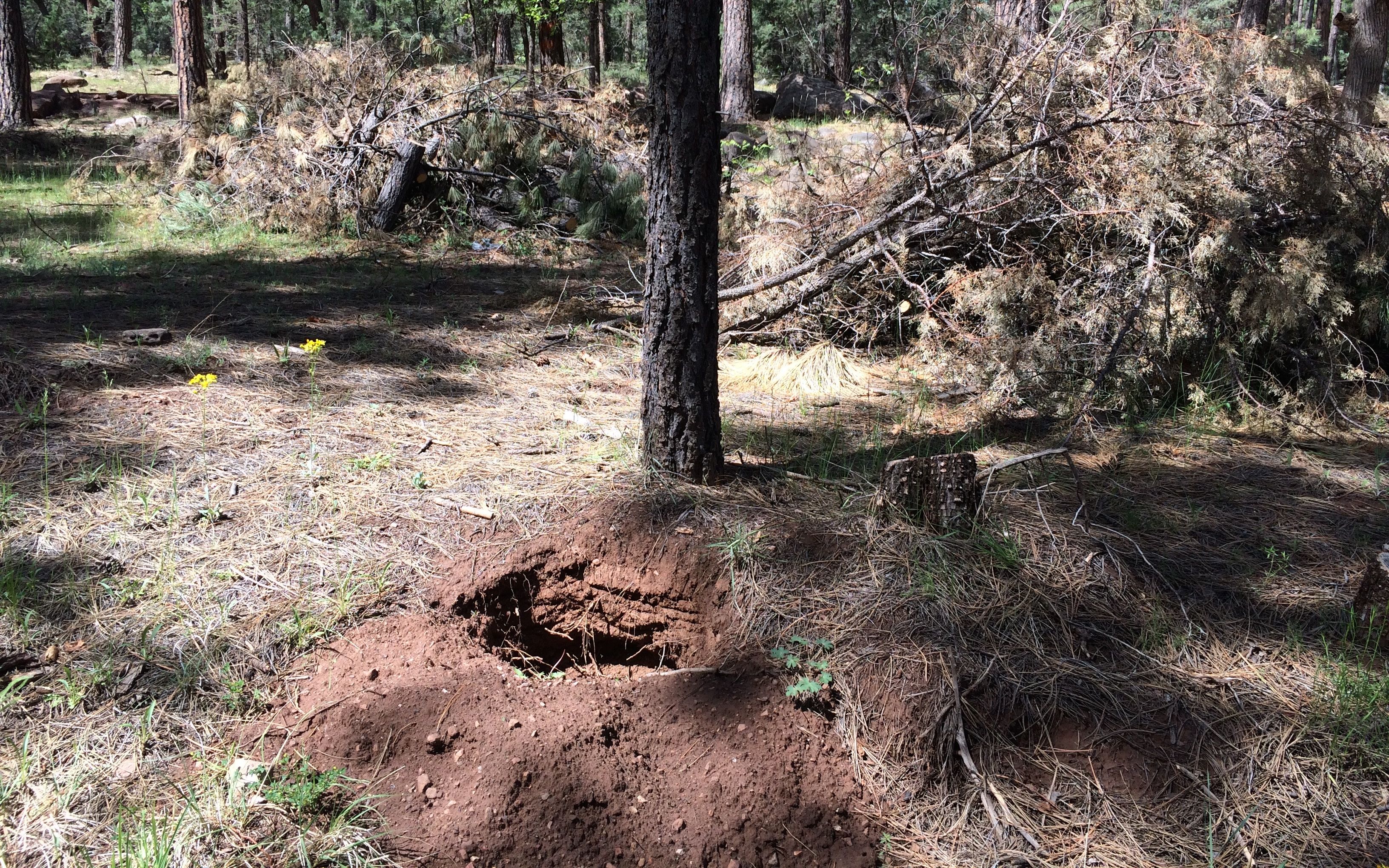
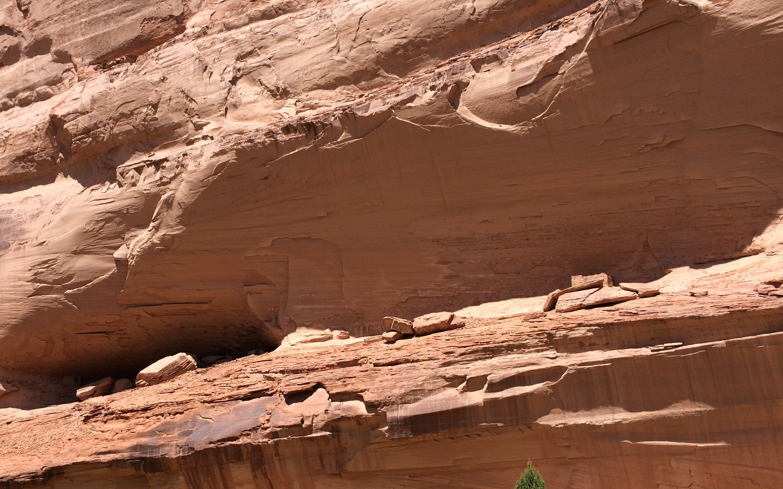
After about a quarter of a mile, the trail kind of disappeared. The rock wall let me know that wasn’t the way.

where did the trail go?

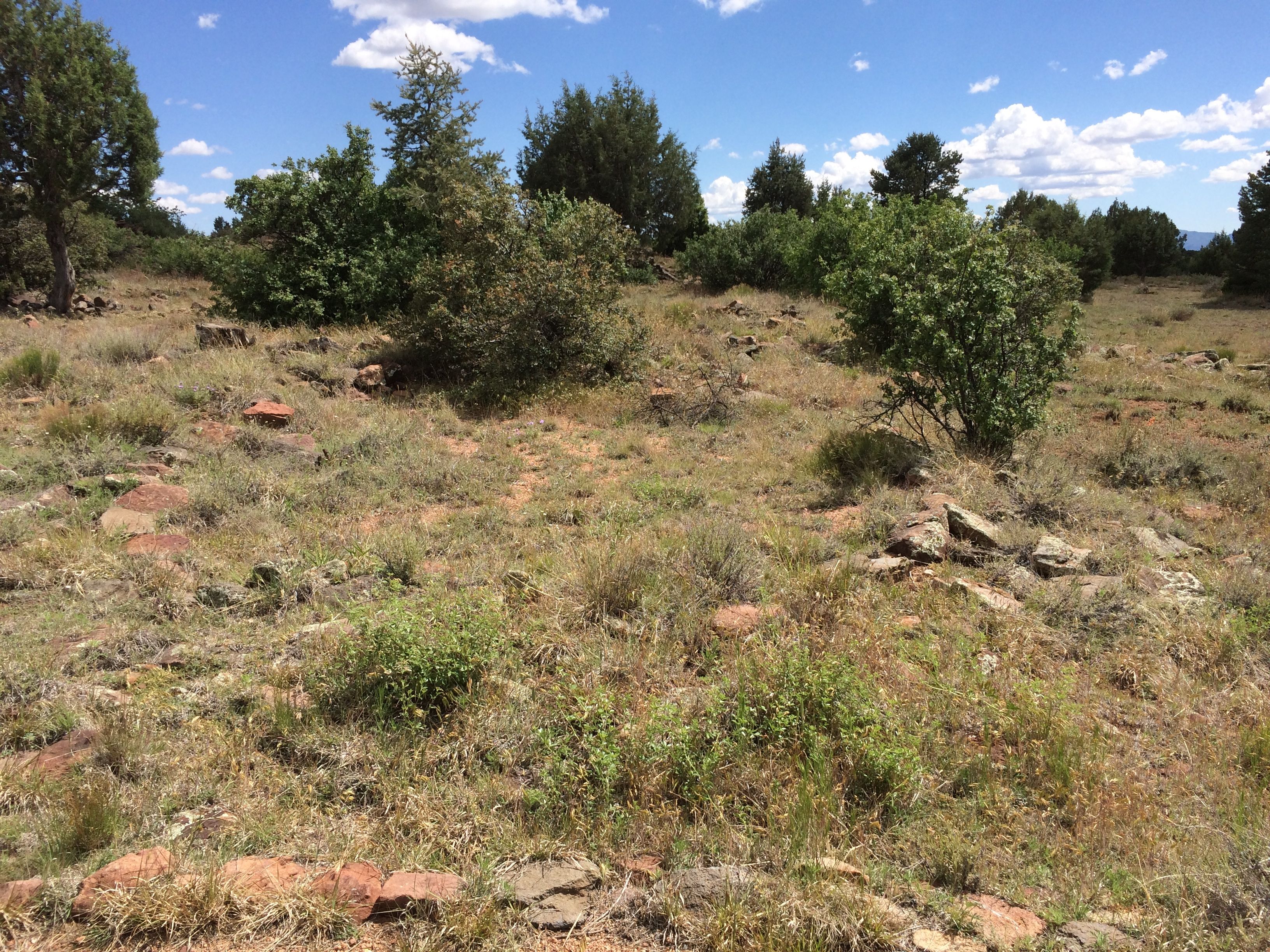
I looked over to the left.

not down there

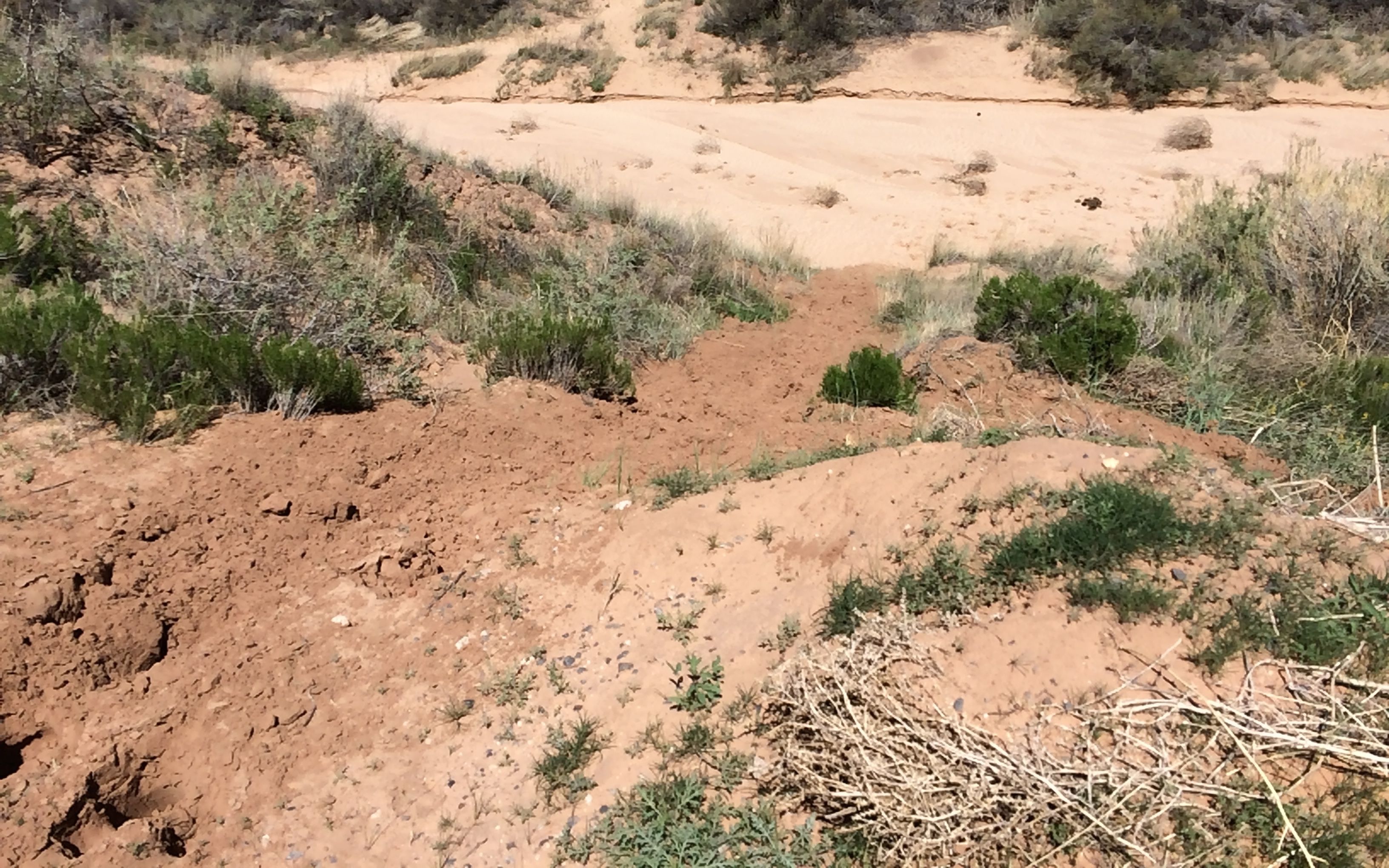
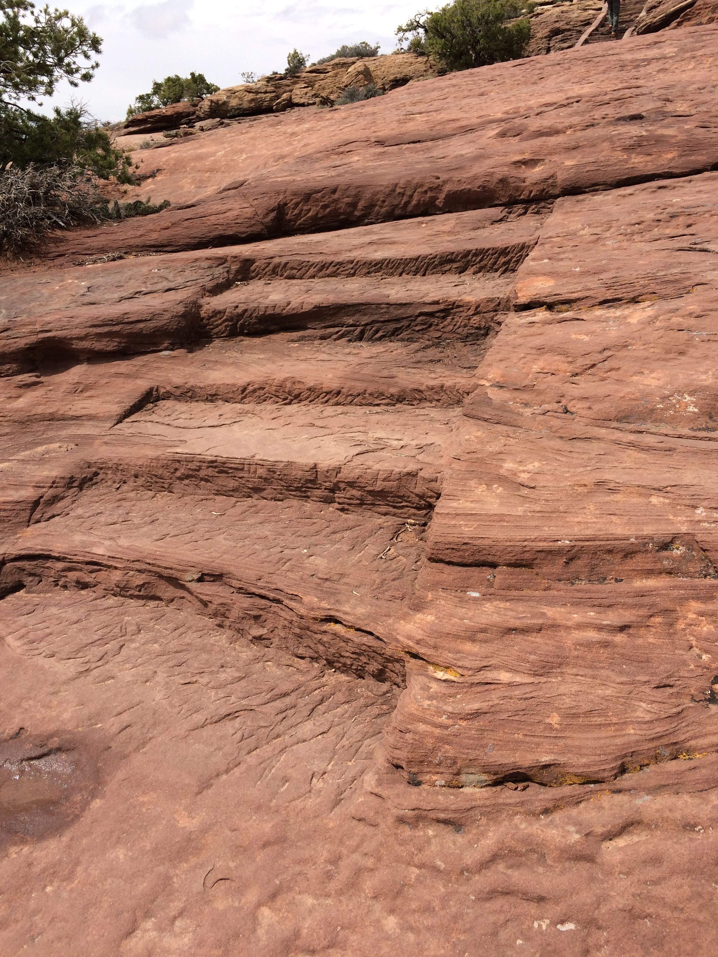
Uh…I wasn’t going to go down that way, either. Just then, an athletic young woman who had obviously done this trail before came up behind me. She said hello and then showed me the way over the edge. There were some steps cut into the rock.

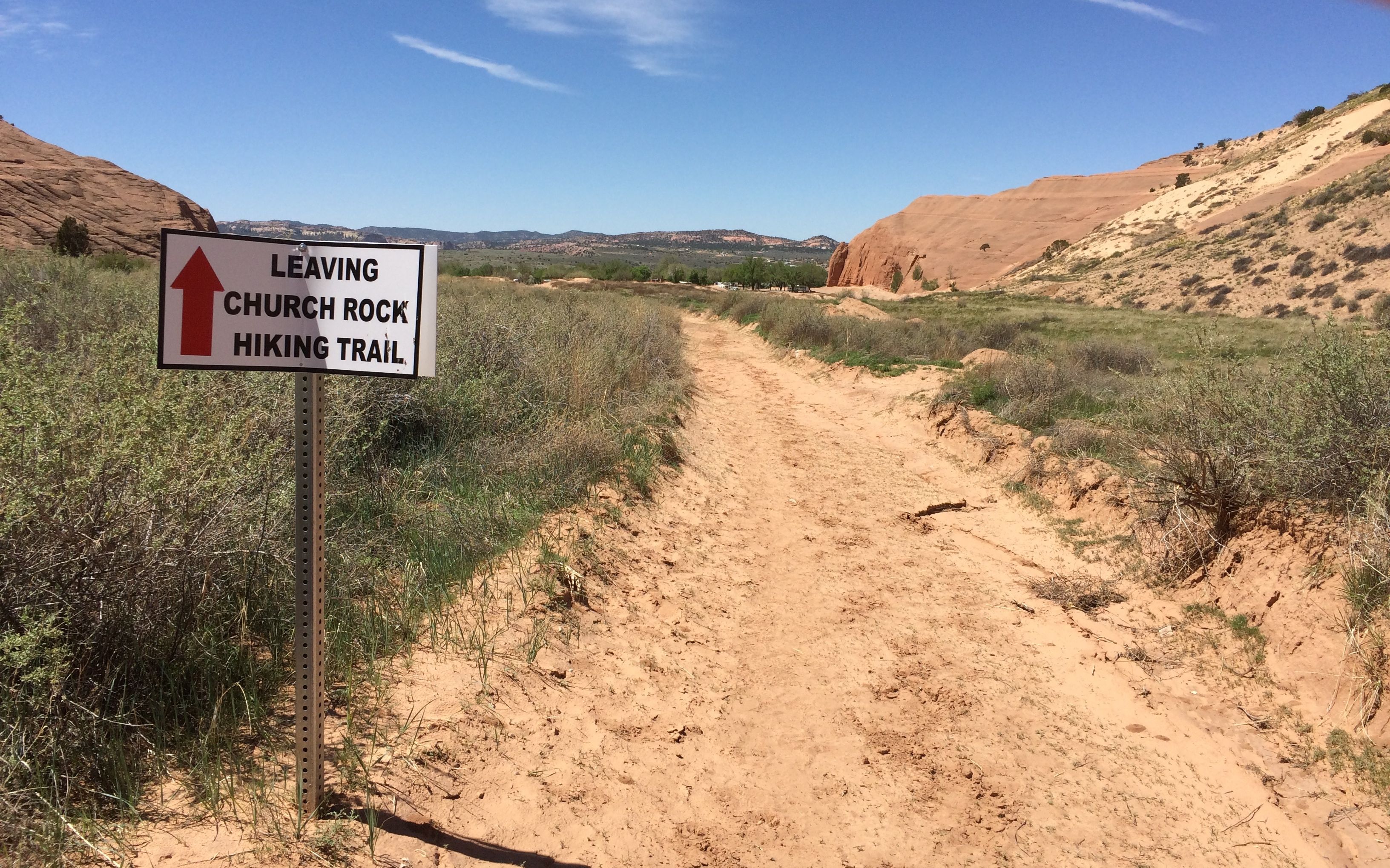
I followed in her footsteps. I walked a bit further and then came up to a series of steps made out of railroad ties and dirt. They weren’t really stable. I decided that I had gone as far as I was meant to go. I turned around and decided to find something else to do with my day.

leaving church rock hiking trail

In the tourist literature, it mentioned that Gallup had a flea market, so I decided to check that out.

flea market

It was on a dusty patch of land next to a railroad siding. but it was definitely the place to be. It was hard to find a parking spot.

Across the street, vendors were selling bales of hay.

Hay for sale

Some of the stalls had more permanent locations.

menu

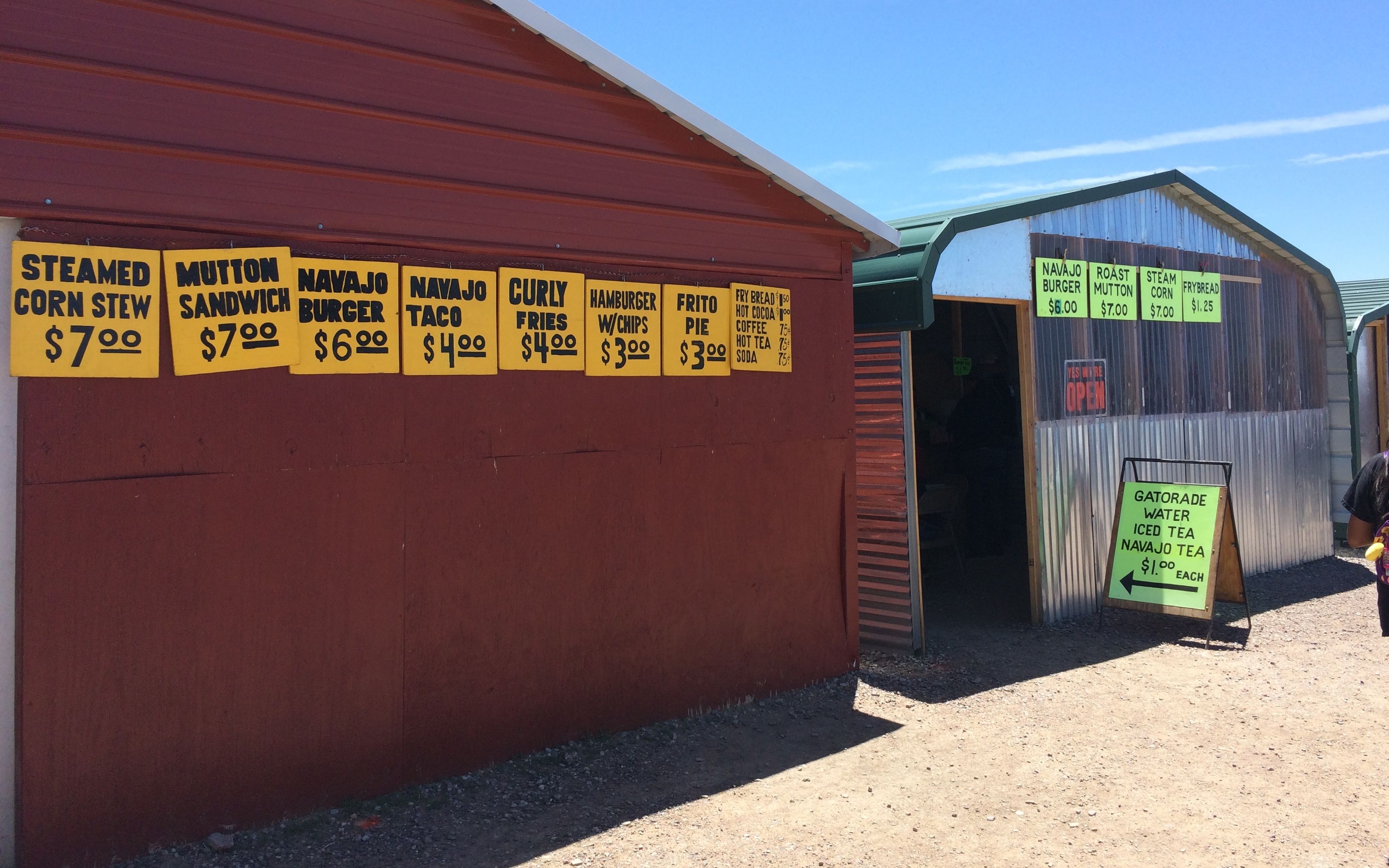
There were a number of food stalls that had some interesting offerings  – you know, things that aren’t found at McDonald’s.

pony ride

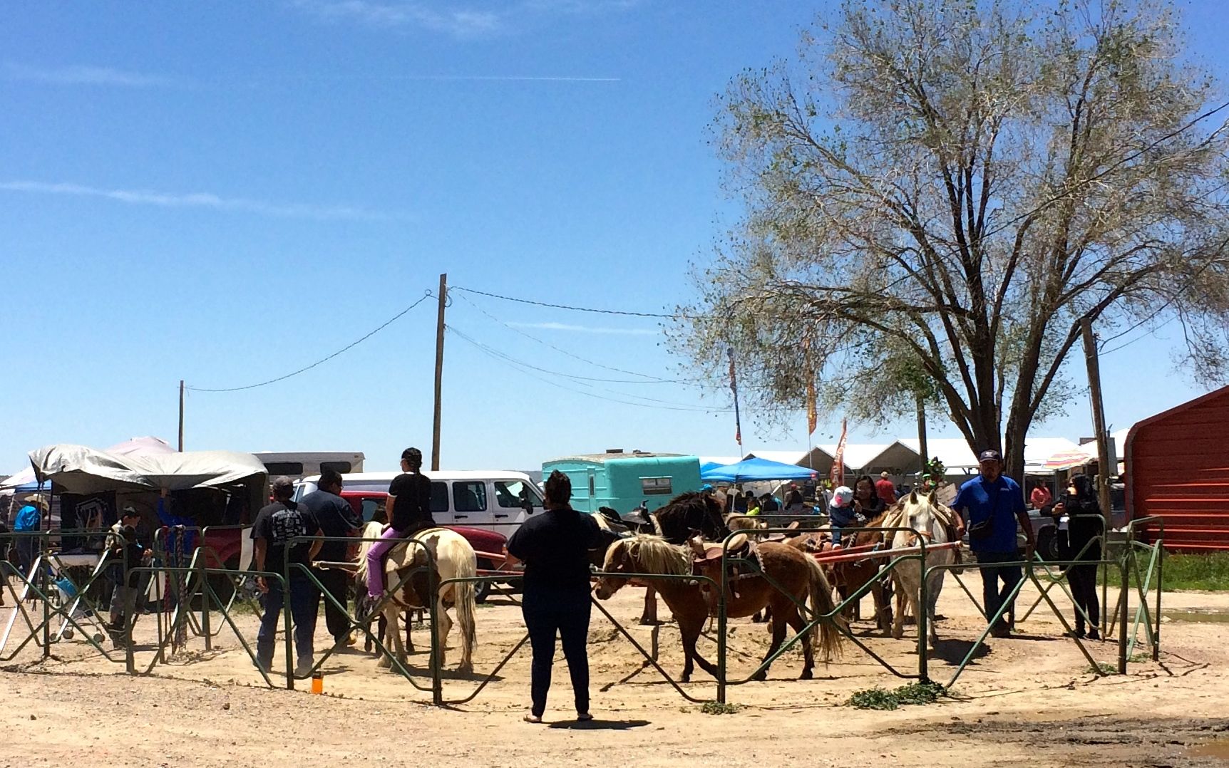
I think the pony ride looked like a lot of fun. The little kids were smiling – and so were their parents.

laid back busker

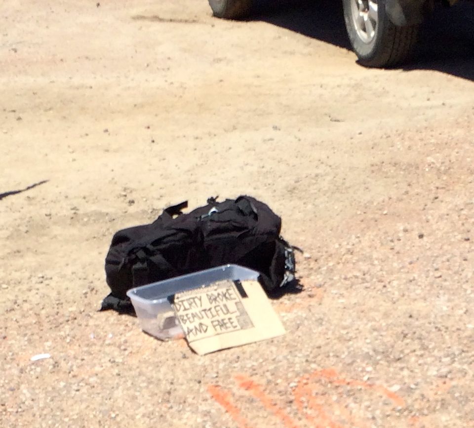
It was a pretty relaxed place. There was the most laid-back busker I’d ever seen. He put out his bag, box and sign and then was nowhere nearby. I did see him later on with his guitar, but there was no music happening. There wasn’t much money in the box, either.

Free library activites

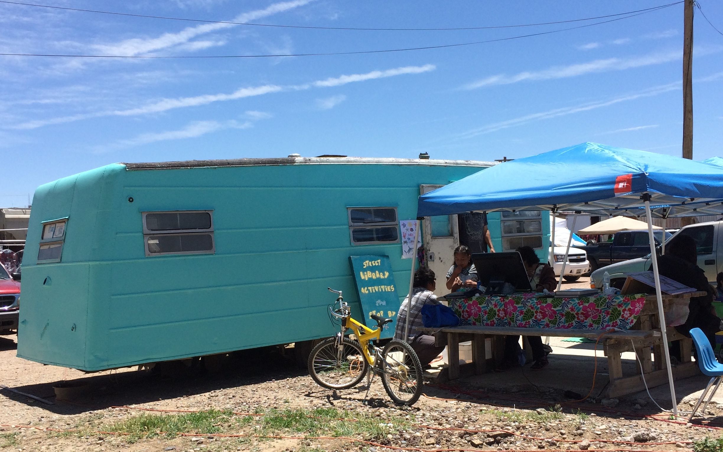
There was a turquoise-colored trailer that had free library activities for the people there. There was an older woman using a computer, and young families playing some games.

Travelite name plate

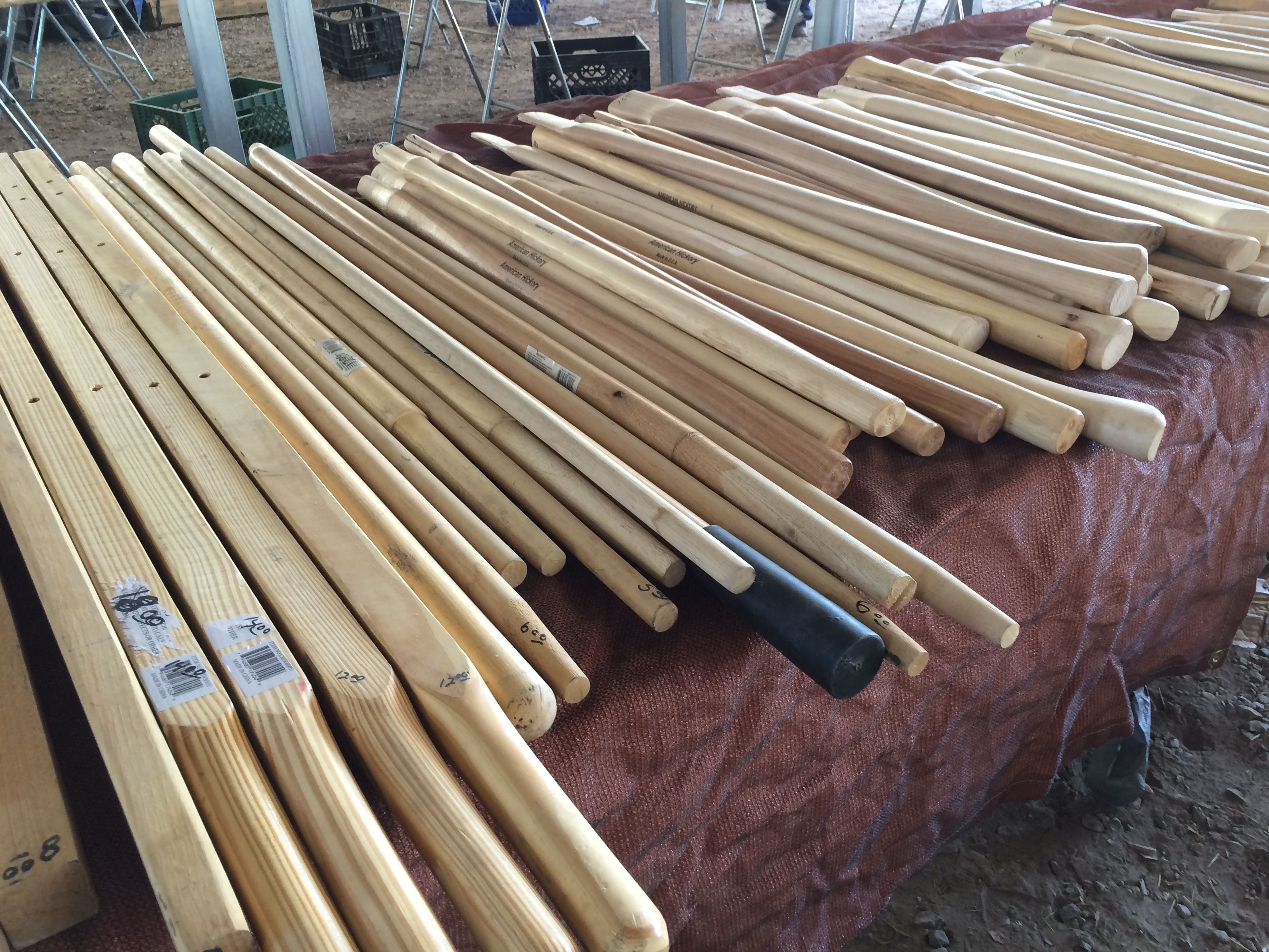
I wandered around, looking at all the different things for sale. I was drawn to a hardware tent. Tools are cool!

handles

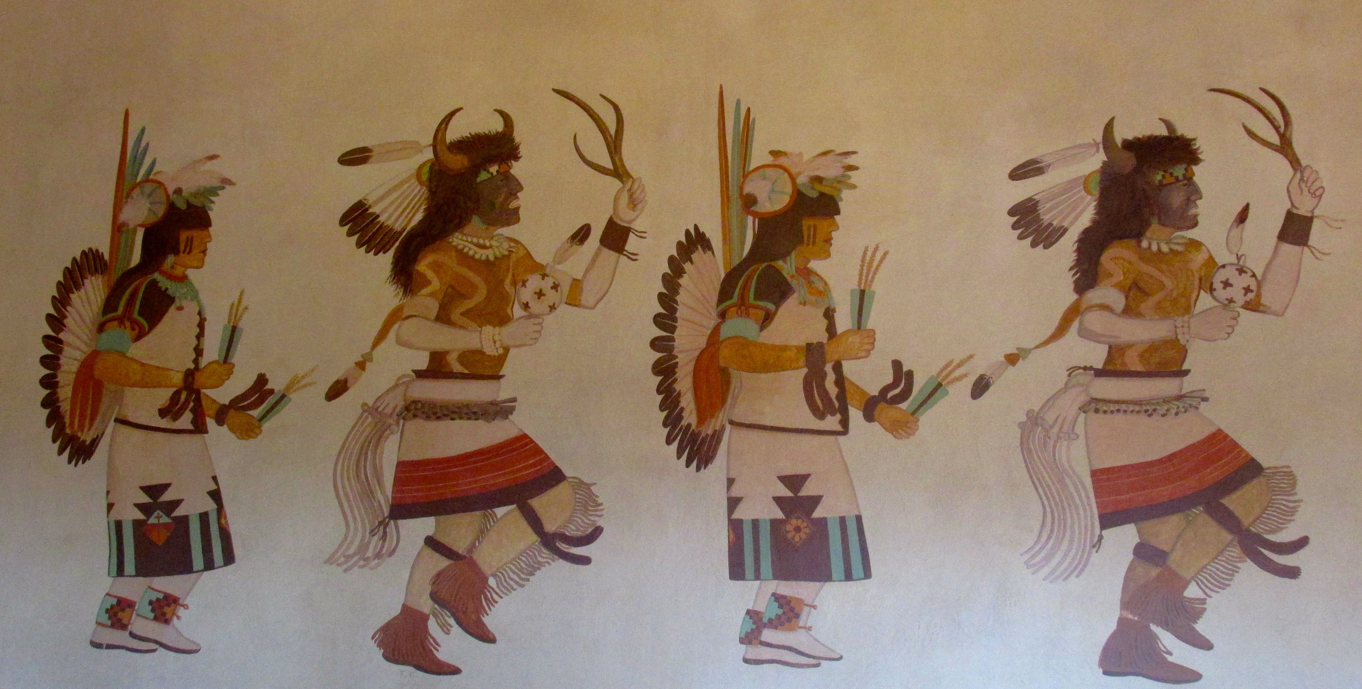
Jewelry is a big thing at the market. You know what I learned? Indians wear Indian jewelry! I always figured that Indian jewelry was along the line of Chinese fortune cookies – not very authentic. I learned something.

rock salesman

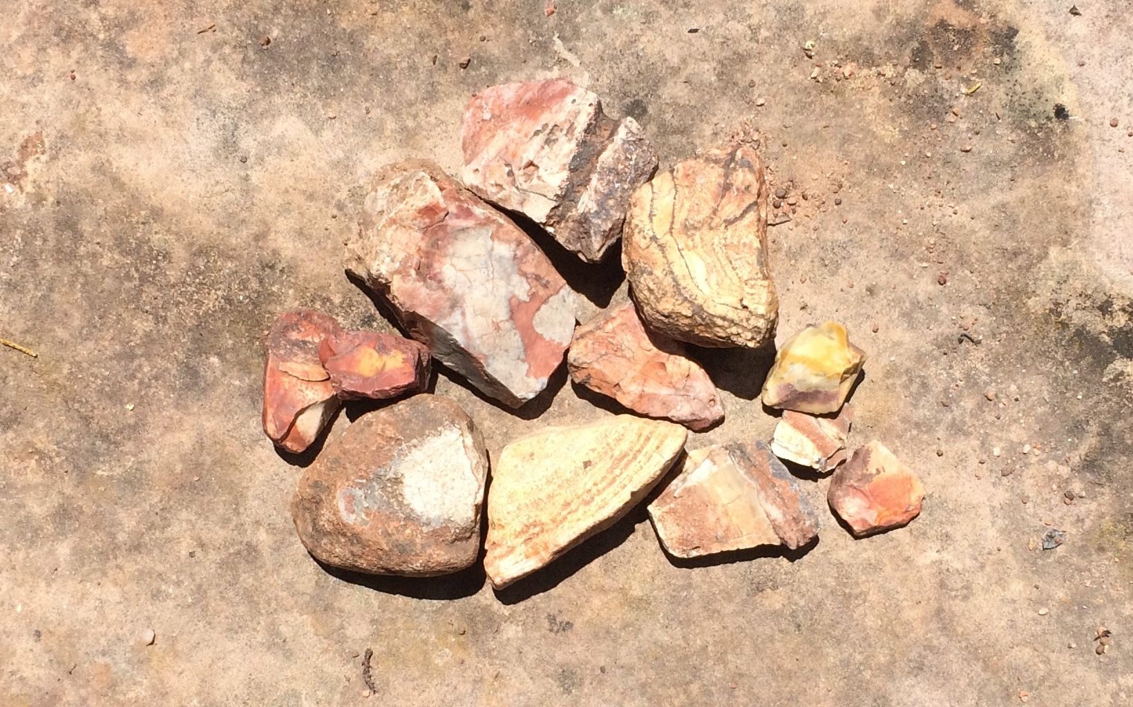
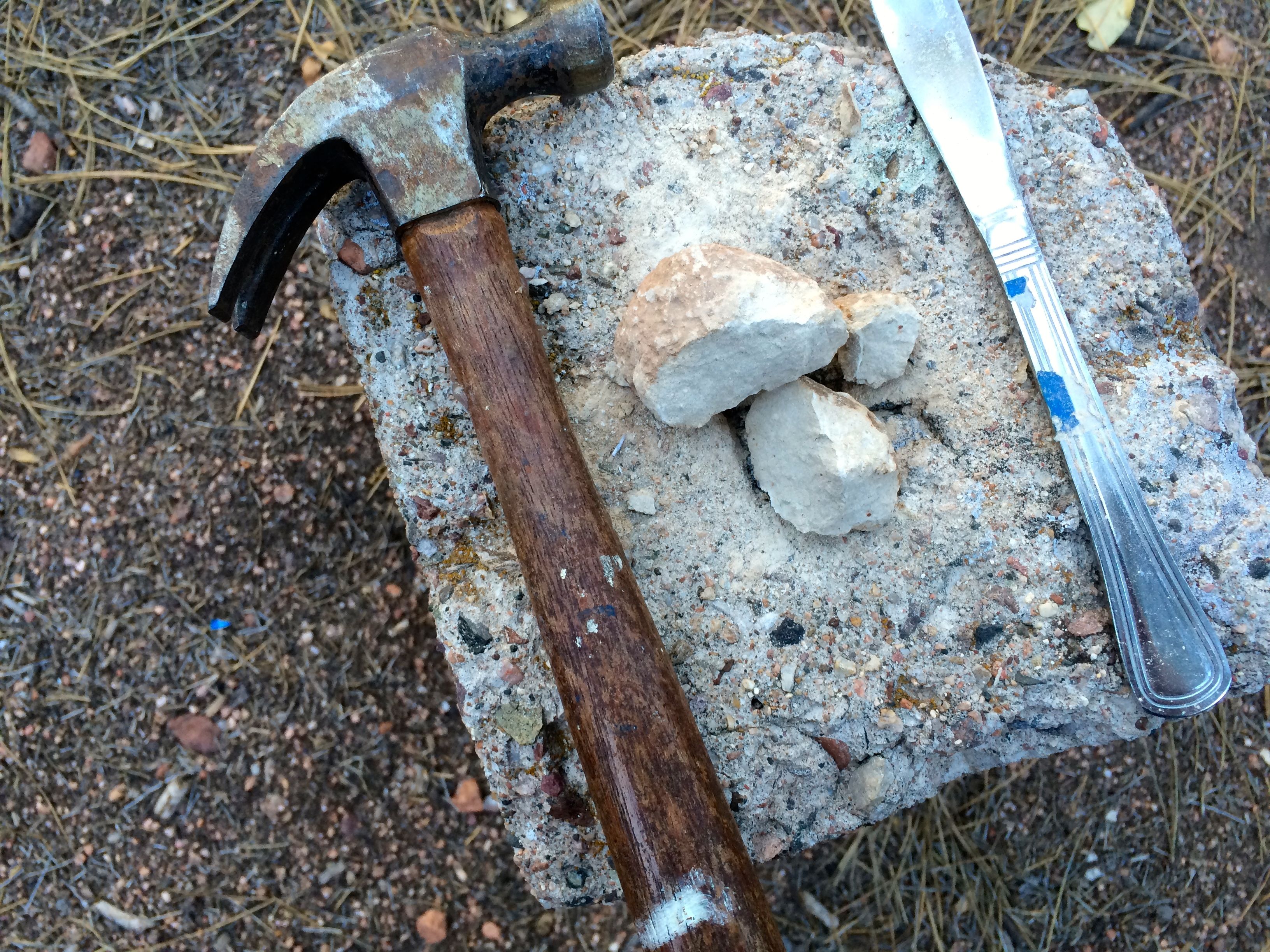
This gentleman was selling rocks and beads that he made from them. That turquoise machine on the trailer is polishing the rocks. He fed handfuls of rocks into the hopper. After the rough edges were polished off, he drilled holes in them and sold them by the string.

There was a vendor who had used DVDs for sale.She had an eclectic assortment and I joined the crowd sifting through them. They were three for five dollars, so I picked up three for times when I have electricity but no broadcast signal.

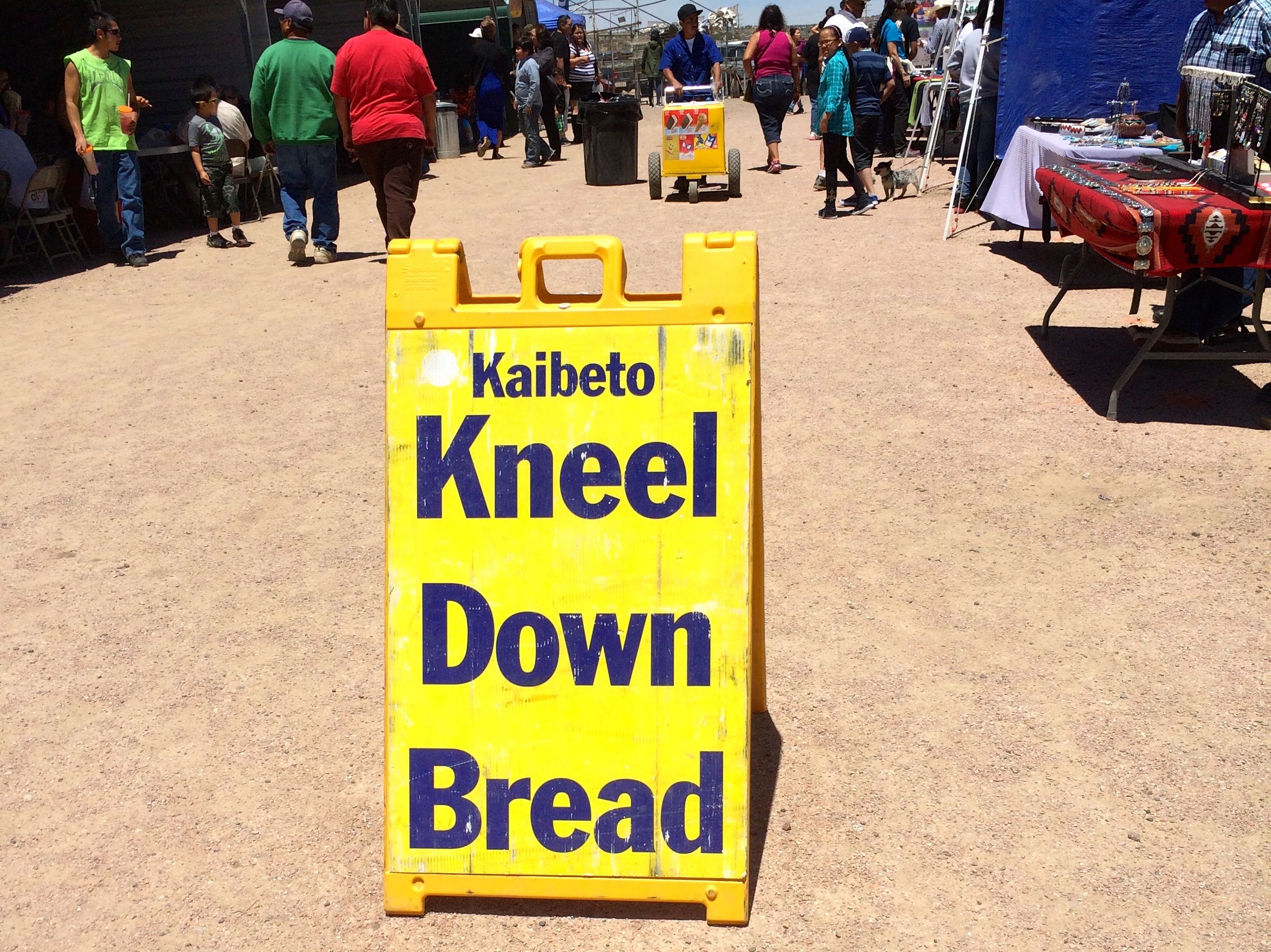
I bought some food to take home – cookies, Navajo tamales, cake and something called “Kneel Down Bread.”

kneel down bread sign

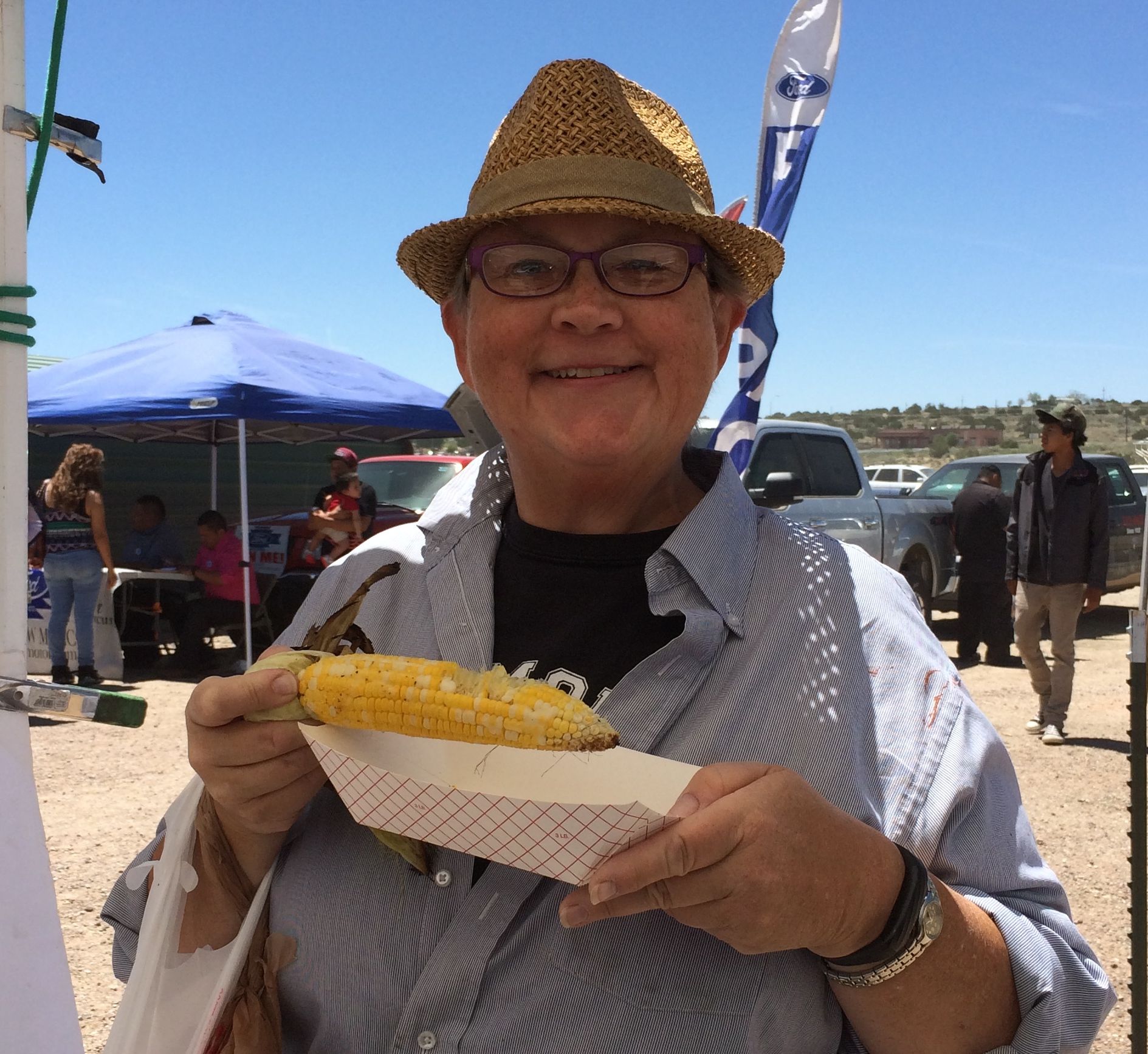
On my way back to the truck, I passed a a stand selling roast corn. The vendor had three ears left and I got one of them. I love corn!

Me with Roast corn

After I got back to the campsite, I took pictures of my purchases.

cookie

I bought three cookies for one dollar. I ate two of them before I got the picture taken. It seemed kind of like a biscuit that was topped with cinnamon and maybe a dash of nutmeg.

Navajo tamales

The Navajo tamales were huge! They were tied with strips of corn husks. When I ordered them, the vendor pulled them out of a pot of boiling water. I always thought tamales were steamed. I guess there is more than one way to make them.

cake

This was the cake. I asked the vendor if it was sweet. He looked at me as if I were crazy and said, “Of course it’s sweet. It’s cake.” I took a small taste of it. It wasn’t sweet. I didn’t care for it at all.

Kneel down bread

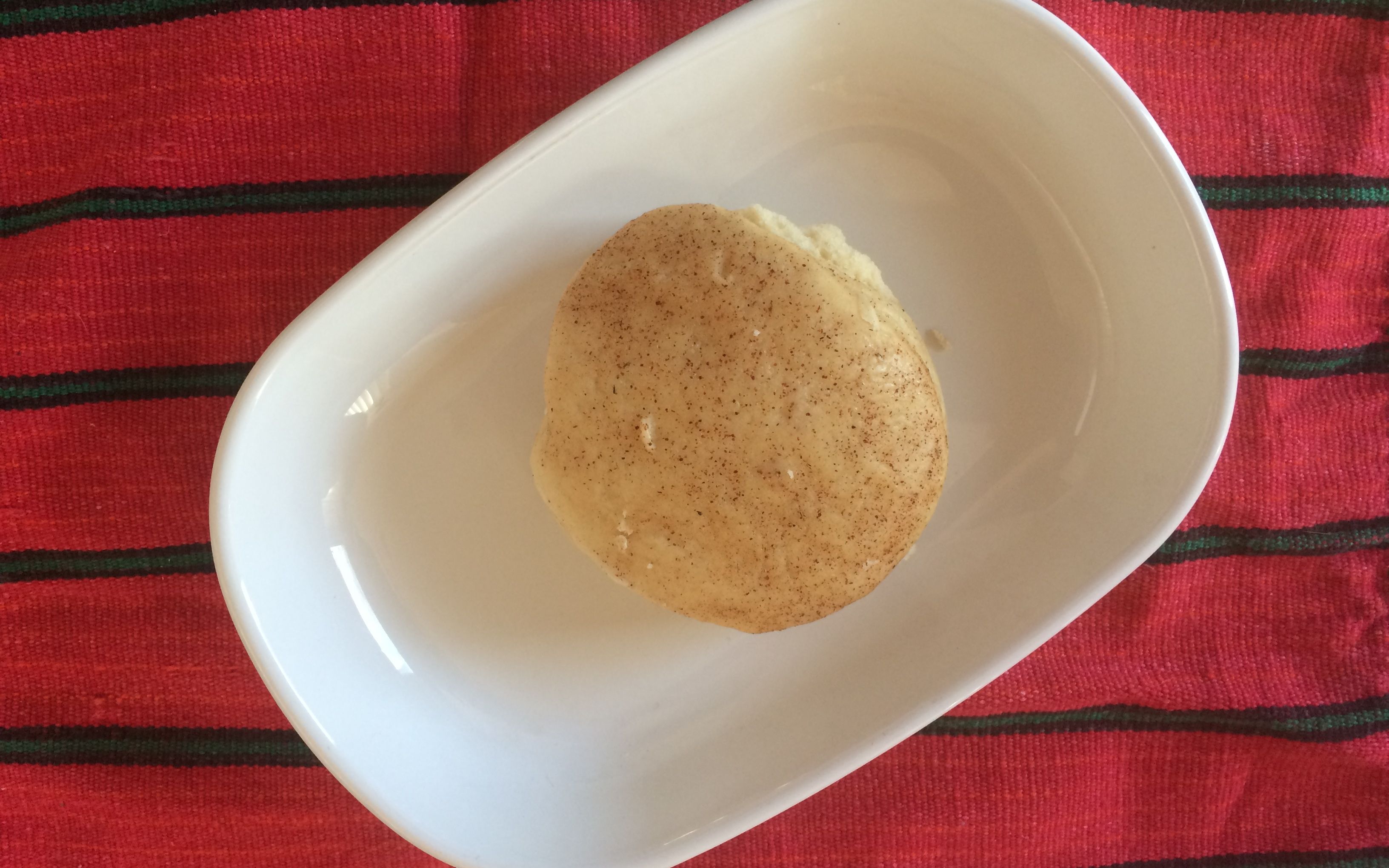
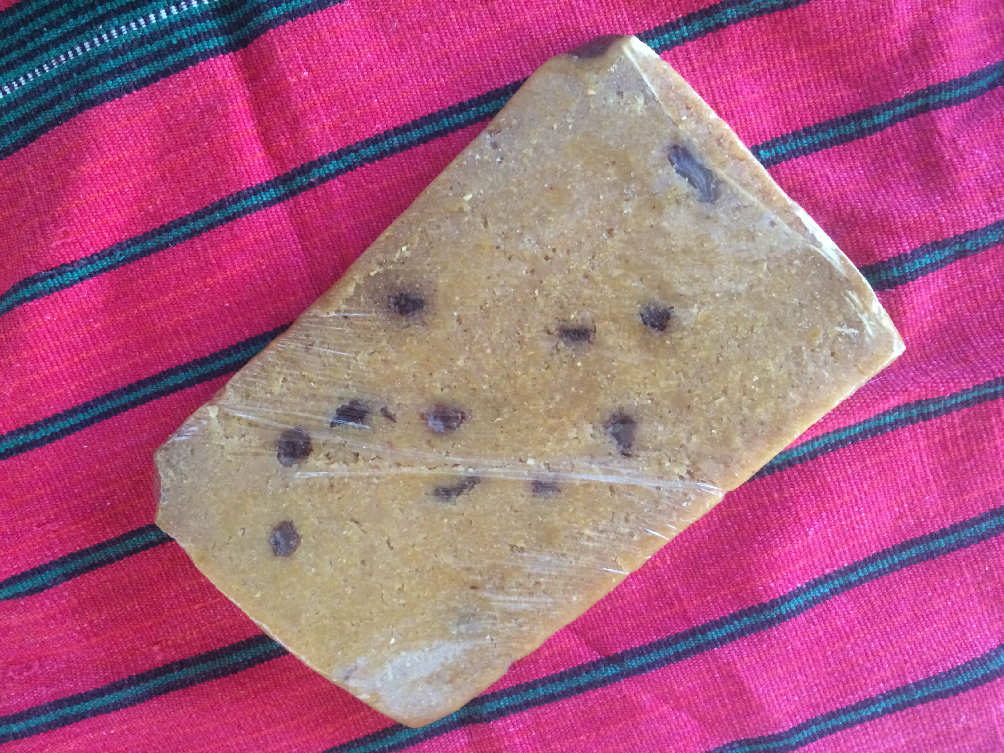
This is the kneel down bread. I rather liked it.

Kneel down bread peeled

It tasted like freshly ground corn. I do love corn!

DVDs

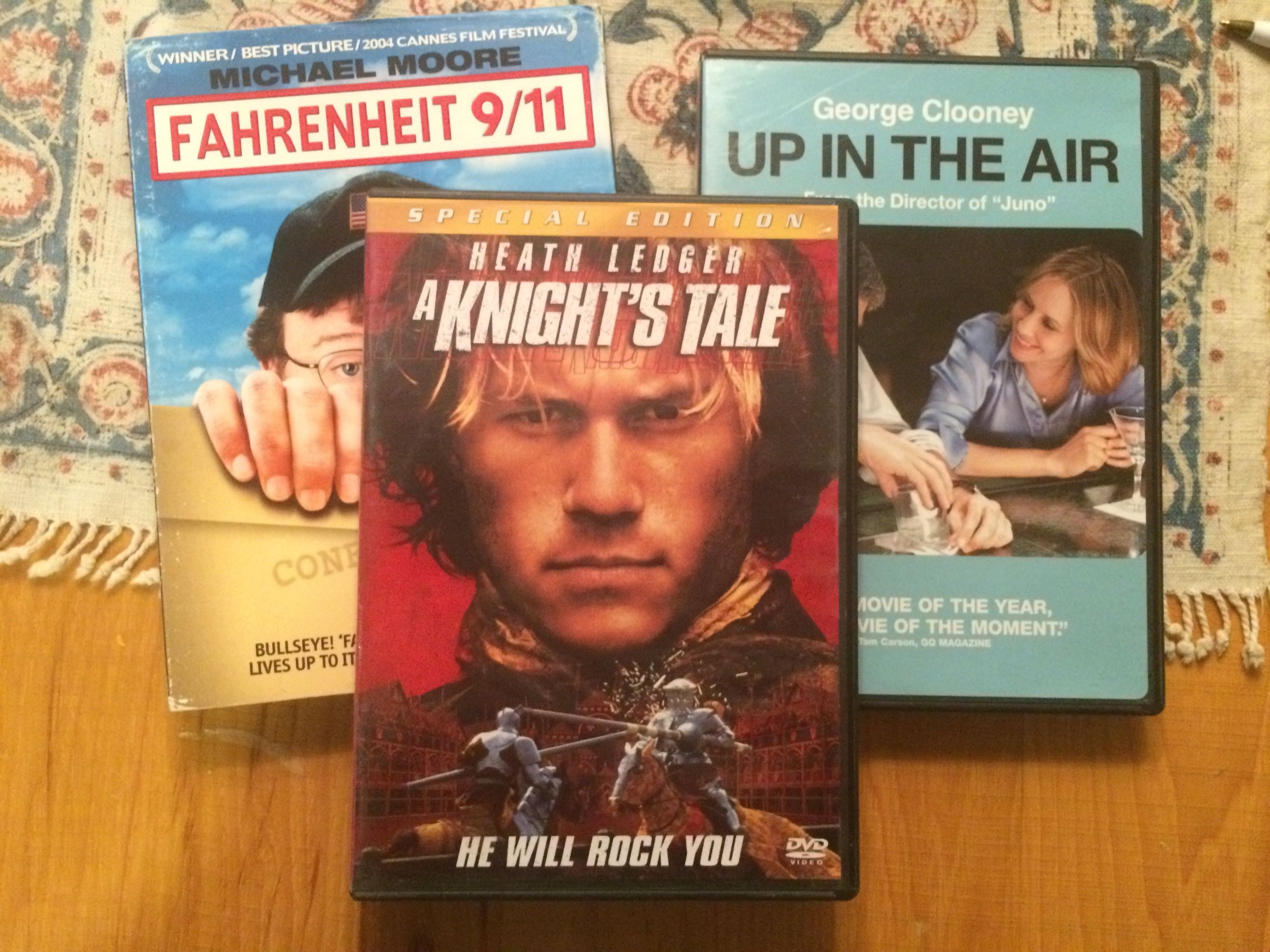
And here are the movies for those times when I just need a little entertainment.


Payson and the Ponderosas

After the overly exciting day getting into and out of the first campsite at Ponderosa Campground, I was glad to open my door on a beautiful new day.

The view from my door

There were a couple things I wanted to do, and both of them involved rocks.

My first stop was hunting for crystals at Diamond Rim Quartz Crystal Collection Site.

Diamond Rim Quartz Crystal Collection Site

Since it was after March 1, I was restricted to looking for crystals on the surface. The ranger at the ranger station recommended that I look in the washes. I parked and headed over to the wash.

I found a rock that looks like it has quartz crystals imbedded in it, but it’s larger than I wanted. It stayed in the wash for someone else.

Crystals inbedded in rock

It was a nice day for a walk in the forest.

forest by wash

It smelled very piney. I know pine forests smell piney, but there was a lot of logging taking place. On the way to the site, I passed several active logging locations. The remnants of previous logging were still visible here.

Slash pile
Slash pile

I found some beautiful rocks.

colorful rocks 1

I’m  more of a “catch-and-release” rock collector these days. When my pockets got full, I took a picture and left them in the wash.

rock bowl

This was an interesting rock in the bed of the wash. When I found it, it looked like it was filled with sugar-white sand. I started brushing it out, and found damp reddish sand at the bottom. It looks like the rock was gouged out by hand, with finger prints raking from the rim to the center of the rock.

someone dug for crystals

I pushed on, and discover this recent hole. Not only was it not back-filled, it was at the base of a tree. Now, maybe this isn’t a ponderosa – I didn’t think to do a tree ID – but it definitely isn’t backfilled and it looks like it was dug after March 1.

colorful rocks 2

I collected another pocketful of rocks. It was time for a little more “catch-and-release.”

I finally found my crystals!

crystals

I’m pretty sure that the one on the left is a crystal. The one on the right might be a piece of glass.

The map the ranger gave me said that there was an overlook at the end of the road I was on. I decided to drive up and take a look.

Diamond point lookout 2

What a view!

Diamond point lookout view 1

Believe it or not, there was great cell phone reception. Four bars LTE!

Great cell reception!

It would have been hard to be much closer to the towers!

My next rock-related activity was geode hunting. Konnie had shared an article about it that included a location, and the ranger marked the map where I might find them. I drove around and didn’t see any places that looked too promising. I finally found a small wash and got out to look around.

Interesting lichens

I found some interesting lichens. They almost looked like fractals.

fractal-61776251v

I poked around until I found a rock that looked most likely to be a geode.

my geode at McD's

I planned to crack it open when I got back to camp.

I drove on, intending to head back to Payson and then back to camp. I came across an archeological site.

Shoofly Village Ruins sign

This site had been a walled village that was occupied between 1000 and 1200 AD. There were about 80 rooms in the village and they were built in different styles.

The site was first recorded in 1930 by archeologist John Hughes, but further studies didn’t take place until 1984, when Dr. Charles Redman from Arizona State University lead a field program over a four year period.

Archeologists at Work

The evidence of the rooms are just outlines now.

Site the Archologists excavated

Some of the rooms are squarish.

corner of a room

Other rooms are more oval-shaped constructed in a style called “jacal”. From what I understand, these houses had a stone base with the walls constructed of “wattle and daub” – vertical poles were lashed together and then the walls were constructed of branches, grasses, mud and adobe.

neighborhood

There is not much to see anymore.

Apartment ruins

According to a sign, this pile of rocks is the remains of a two-story apartment building.

Ancient stump

This stump is so old that it looks like it might have started growing in the last days of the village.

Trees growing in the wall

The site is surround by the remains of the village wall. Trees grow in what is left of it.

Incidentally, I think I know where the name of the village came from. I was swatting flies away from my face the whole time I was walking the trail.

Survey marker

On my way back to the truck, I discovered another survey marker. More for my photo collection!

After I stopped off at a store, I headed back to the campsite. I couldn’t wait to see if I had found a geode!

I assembled the tools.

tools

I proceeded to work on splitting the rock. Geode? Node?

Not a geode

Nope. Just a rock.


June Expenses

At the beginning of last month, I had said that May was the most expensive month so far. I guess June heard that and took it as a challenge.

Just so July doesn’t hear, let me whisper, June is now the most expensive month this year.

If only the insurance hadn’t come due! If you don’t count that, then you could say that June was the least expensive month. But, I guess I kind of have to count insurance.

Here’s the breakdown of where the money went:

Other (which includes insurance)                       $3,467.10
Gas                                                                                   523.90
Campsites                                                                       400.94
Groceries and such                                                       201.29
Eating out                                                                         85.35
Tourism and entertainment                                         56.55
Food and drink on the go                                              20.89
Laundry                                                                            16.50
Clothing                                                                               6.62
Tolls and Parking                                                              2.55
RV                                                                                         0.00
Truck                                                                                   0.00

                                         TOTAL                               $4.781.69        

Yikes!          

I drove 2504 miles in June and visited seven states. (Texas, Oklahoma, Missouri, Iowa, Illinois and Michigan) I stayed in ten campgrounds, and actually had ten nights of free camping. Six nights were while I was taking part in an HistoriCorps Project to preserve George Washington Carver’s first school in Neosho, Missouri, and the four nights in Branson, Missouri were courtesy of a sales pitch for a camping membership group.

Groucho Marx as Prime Minister Rufus. T. Firefly in the 1933 film 'Duck Soup.' NO CREDIT --Original IPTC Information: Caption: Changed from no prior entry. Credit: Changed from no prior entry. Published in NYT 07/08/00 Published caption: Groucho Marx, an outsider who sees what's what, as Rufus T. Firefly in ''Duck Soup.'' Published Credit: Nocredit Published in NYTimes 12/28/01 WEEKEND section Published Caption: Groucho Marx in the 1933 comedy classic "Duck Soup," playing today and tomorrow at Film Forum. (Paramount Pictures) Published in NYT 11/09/04 Description: New DVD's Published in NYT 04/03/05 - TELEVISION Section Published Caption: Groucho Marx in ''Duck Soup.'' (Photo by Paramount Pictures) Published in NYT 05/25/05 Description: Arts, Briefly Published in NYT 03/10/06 - WEEKEND Section Published Caption: DUCK SOUP (1933). This was the Marx brothers' last movie for Paramount. Groucho (right) plays Rufus T. Firefly, the new dictator of Freedonia, who declares war against neighboring Sylvania over the love of Mrs. Teasdale (Margaret Dumont) -- well, the love of her money. Groucho and Harpo do the amazing mirror routine later adapted on ''I Love Lucy.'' The film is also a commentary on politicians and war. ''Go and break through the lines,'' says Rufus. ''And remember while you're out there risking your life and limb through shot and shell, we'll be in here thinking what a sucker you are.'' (Photo by Paramount Pictures)

In the words of Groucho Marx, “I wouldn’t want to belong to any club that would have me as a member.”


You’re Not Going to Believe This…

After my night at Mesa Spirit RV Resort, I returned to Desert Autoplex and both Flo and Bart got baths. Then, I entered Payson, Arizona in Google Maps on my iPhone and set out.

Don't they look pretty?
Don’t they look pretty?

It was only 75 miles and 10 gallons of gas north of Phoenix.

7 MPG

Along the way, I noticed mile marker 234 on Arizona route 87. Dad and I played a little game – well, I played it and he humored me – that whenever consecutive numbers would show up, like at 12:34, I’d say, “Hey, Dad! That’s good luck!”

So, when I noticed that mile marker, I said out loud, “I wish you were here, Dad.”

As plain as day, I heard the response, “I’m always with you.”

Boy, did I need him today!

I stopped in at the forestry office and spoke to a very helpful woman who identified some dispersed camping areas (i.e. “free”) and I went to investigate. I got a ways down the road she marked on the map and didn’t see anything that looked really good. I decided that these spots didn’t feel right. I always honor those sorts of feelings, so I managed to get turned around and back out to the main road. I had seen Ponderosa Campground about a mile back, and I knew they had sites available – I checked the campground info before I left Mesa – and I figured paying for a campsite seemed like a good idea.

I circled the campground a bit and finally found a site that looked big enough and was a pull-through.

In theory, it was big enough. I pulled in and was just about to pull around the curve, when I got the strong urge to stop and check. I got out and saw that my trailer tire was about an inch from getting hung up on a stump. I backed up, All looked clear, but I had another strong urge to stop and check.

I shifted into park, got out and saw that I was right against a smaller tree that was obscured by a large tree.

up against the tree

I swear I almost got sick. This is the same side I just got fixed!

I made myself stop and think. I walked around and looked at the lay of the land. With the tight turn of the site, I was really stuck. I decided to call AAA. I got through right away and explained the situation. They weren’t phased in the least. “So, you need an extraction?” I allowed as how I did.

The site was just a little too tight

They set me up with a service call, and I proceeded to wait.

In the meantime, the campground host, Don, came over to see if he could help. We tossed around ideas about what to do. Then another camper came by to get in on the fun. More ideas. More waiting.

Finally, Tom, my knight in shining armor arrived.

tow truck

He didn’t have any immediate ideas, so I shared the ideas we had come up with. He like the idea of using his winch to pull the tree away from the trailer and then having me drive out. Don was game to help direct, so there were plenty of eyes on the truck, trailer and all of the trees.

Getting ready to winch

He got the winch ready to go.

Getting the line in place

He pulled the cable over to the tree.

hooking it up

He got a strap looped around the tree and hooked to the cable.

pulling it away

And he pulled the tree away from the trailer!

With Tom and Don directing and watching what I couldn’t see, we finally waltzed Flo out of the campsite.

the damage

Damage? What damage?

Actually, if you look very carefully, right above the “S” you can see a slight wrinkle in the band.

I’ll take it!

Then, Don helped me get into a site that was easy to get into – and will be easy to get out of.

I am sure that Dad was there with me. How else would I have known to stop when I was about to run into a stump? How would I have known to stop when I snugged the trailer up against the tree?

With all the good people in the world to help when I need it and Dad watching out for me, I have nothing to fear!


Phoenix – Again

You know, even though all I needed to do was spend a few hours overnight in a parking lot, it doesn’t seem like that is an acceptable practice anywhere in the Phoenix area. I called a few of the places that usually let people overnight in their parking lots, and I couldn’t find a place. Cabela’s in Glendale said that they didn’t mind, but it wasn’t allowed in their town. I might get away with it, but then again, I might get woken up in the middle of the night and given a ticket.

Hmm. That was not an attractive alternative, so I booked another night at WestWorld of Scottsdale. In the morning, I packed the truck with  all the stuff Cora and I would need while Flo was in the shop, and then headed to Desert Autoplex RV in Mesa.

leaving Flo

Flo looked so lonely sitting there as Cora and I drove off. But, she was surrounded by other Airstreams, so I was sure they would treat her well.

I headed to my home away from home for the next week or so, Best Western Sundial in Scottsdale.

Exterior view

It was a reasonably priced hotel, but it was very nicely designed. According to the hotel manager, Jude, it was designed specifically for the site. It is on a rather small lot, but it makes good use of the space. The architect drew on the Arizona Biltmore for inspiration. You can check out my post on the tour I took, if you need to refresh your memory

hotle room

The rooms were comfortable. They had nice flat screen TVs and small refrigerators and very nice showers. (A little confession – this isn’t my room. By the time I got moved in, there was stuff all over. On the morning I left, I asked one of the housekeepers if I could take a quick photo of one of the rooms that was ready for guests.)

balcony

I had a balcony on the cool side of the building, with a nice view of the pool.

view from balcony

Even Cora enjoyed the view!

Cora checking out the view

One thing that gave me a chuckle was the Complementary Guest Towel. There were two paper towels on the vanity when I got there with the invitation to take it with me on my travels and use it however I like.

complementary guest towel

It didn’t make it out of the hotel. I used it in my room.

They also had a nice little laundry room available for guests. There was only one washer and one dryer, but probably most guests aren’t there long enough to need to do their laundry.

Corridor to laundry room

I really enjoyed the cosy feel of this hotel and the wonderful service that everyone provided.

Contrast it with this hotel on the opposite corner – the W.

W down the street

It was enormous, and the section on the second floor, right behind the palm trees, was their pool area. They played thumpingly LOUD music. It was so loud that I could hear it when I was in my pool. I’ll bet the people there didn’t enjoy their hotel half as much as I enjoyed mine.

When I wasn’t luxuriating in my comfy room, having breakfast down in the lobby or taking a dip in the pool, Konnie and I got together for some more adventures.

One day, we were hiking among the plants in the desert.

flora on a hike

If you take the time to look, there is beauty everywhere.

Trees in bloom still

The trees with the yellow flowers are still in bloom.

barrel cactus with flowers

The barrel cactus was in bloom,

Saguaro in bloom

And so were the saguaros.

We also stopped by a consignment shop. I wanted to replace the light blue shirt that I got paint on when I was working on the HistoriCorps project in Sedona. I found a reasonable replacement – not exactly what I had in mind – and a container for Cora’s cat food. I was tired of the looking at the old Folger container on the counter.

Cora container

It looks fine on my counter!

We also took at drive down to the Salt River.

Salt River Drive

The mountains were so rugged and beautiful.

IMG_1525

We finally got to the river.

Salt river konnnie

I was surprised that the river had such a vigorous flow. It seems like whenever I drive across a bridge over a river in Arizona, there is no water in it. In fact, people even go tubing here. We looked into renting tubes and taking part in the fun. That’s on the list for next time.

Salt river pop top

We even made a bit of an archeological discovery. An old fashioned pop top!

Another day, we took a trip out to Fountain Hills. Here’s the fountain.

FH me with the fountain

It goes off fifteen times a day, on the hour, depending on the weather. It rises from the center of a 28 acre lake to a height of 560 feet. It is five feet taller than Notre Dame Cathedral in Paris. It reaches 110 feet higher than the Great Pyramid in Egypt and is more than three times as high as Old Faithful Geyser in Yellowstone Park.

They have sculptures around the lake. Here is a small selection of them.

FH an all day job by Rasheas mukwaira
An All Day Job by Rasheas Mukwaira
Fred and Ginger
Fred and Ginger by Pat Mack

This was donated by two high school sweethearts who married in 1947 and after 65 years of marriage they bought their last home in Fountain Hills.

Second Mesa Maiden by Martha Pettigrew

While I was in town, it finally got hot. I mean, it was really hot!

Dry heat

But, as they say, it’s a dry heat. I decided to go for a walk one day. I got about two blocks before I realized that there was no real reason to go for a stroll in the middle of the day when the temperature was hovering around the century mark.

I decided that when I got my hair done for my godson, Paul’s, wedding last summer that I was not going to color my hair anymore.

good hair

This is a shot from last summer.

So, I had pretty much been letting it grow. I’d trim my bangs, but other than that, I was definitely going the low maintenance route.

haircut before

My hair had gotten quite long, but it was time to do something with it. I looked up a Great Clips and presented myself to the stylist. I told him that I wanted to cut away the color processed portions and to turn the remainder into something attractive. I told him that I was thinking a pixie cut, but I wasn’t too worried. After all, hair will grow.

New Hair cut

And this is what I got. I thought I would be grayer, but at least it’s all natural.

Konnie and I had one more adventure on tap. We were going to go scorpion hunting! This is an activity that takes place after dark. You use a black light flashlight and look at the base of plants and under rocks.

The first thing we had to do was to arrive at the park before 7:00. The gate closes at that hour, although you can get out of the park until 11:00.

Waiting for the sun to go down

So, we took a walk up a trail and waited for the sun to set.  It finally got dark and then the magic happened.

As Konnie shone the light, I could see the scorpions glowing between the cracks in the rocks. They had kind of a day-glo green color to them, although they look a different color in the photos.

Scorpion

Some of the rocks even fluoresce.

scorpion2

Scorpion3

And it that’s not freaky enough, take a look at the video!

https://www.facebook.com/reedhopson/videos/10206022885680355/

After that fun, my time in Phoenix was drawing to a close.

The great Airstream folks at Desert Autoplex RV did a marvelous job on getting Flo back in shape. They even washed Bart, so I looked really wonderful when I pulled off the lot. They did a great job of accommodating my schedule and I am happy to put them on my list of dealerships I am happy to recommend.

It’s time to roll north!


HistoriCorps and Crescent Moon Ranch in Sedona

When I had stopped off for dinner in Blanding, Utah, after visiting Natural Arches National Monument, I had a decent cell signal. I checked my mail and found out that HistoriCorps had a project that needed an extra hand in Sedona. Since it fit in with my schedule, I volunteered. I got a phone call the next day that they wanted  my help and could accommodate my trailer. That explains why I returned to Sedona so soon.

According to the HistoriCorps website, this is their mission:

“We are a nonprofit organization that provides volunteers, students and veterans of all skill levels with a hands-on experience preserving historic structures on public lands across America. Volunteers and students work with HistoriCorps field staff to learn preservation skills and put those skills to work saving historic places that have fallen into disrepair.”

The team I was to be part of was working on Crescent Moon Ranch. It is an historic ranch from the early part of the twentieth century. There were a variety of buildings we were going to work on. My work while I was there focused on the main house, which can be rented out.

The cabin

Do you remember my last visit to Sedona? I ended up having to camp quite a ways away. This time, I couldn’t have had a better site with a better view!

Cathedral Rock in the sun

This is Cathedral Rock. According to some information I found after the fact, if you follow the creek upstream, you will come to a vortex site known as Buddah Beach. Too bad I didn’t go upstream. I did take a stroll by Oak Creek after work one day, but I went downstream.

The first day, we took a tour of the site.

In addition to the cabin, there was a stone building.

Stone buiding

I’m not sure what its original purpose was. I think I heard someone say it was a blacksmith shop.

Examining an out building

The stonework was in pretty good shape, but some of the other parts were a little rough.

packing shed

Speaking of rough condition, this was the canning shed. Apparently the famers used to do a steady business selling their canned fruit. One of the old cottonwood trees fell on it and took out a good-sized chunk of the roof.

water wheel

The last building on our tour was an old water wheel. The wheel was still turning, but I think it was being turned by the wind. I didn’t see any water passing over it. The archeologist that was leading the tour said that when the ditch carrying water was cleaned out, the water did power the wheel.

unloading the trailer

After that, we got to work.

crack without caulk

My first job was to remove some inappropriate caulk from the masonry by the pergola at the front door. See that nice clean crack? I did that! Believe it or not, it took me hours to pry it out.

My second job was to work with Willie to stain one of the decks.

Photo copyright Willie Gorham

Here’s my partner in painting.

Willy painting

You will notice that Willie is wearing gloves and I am not.

my painted hands

This is what happens when you don’t wear gloves.

Selfie

And this is what happens when you don’t wear sunscreen and you feel like the tops of your ears are getting burnt.

I am not sure about who was leading the project, but there were three people who were making things happen:

Megan

Copyright Willie Gorham

Ruth

Copyright Willie Gorham

and Steve.

Copyright Willie Gorham

Good thing I’m not getting graded on this report.

There was a lot of work going on at the Canning Shed.

Copyright Willie Gorham

Most of it was off the ground work.

Copyright Willie Gorham

I don’t do off the ground. In fact, standing on the deck and staining was adventurous enough for me.

copyright Willie Gorham

The group of people who were taking part in the project while I was there was an interesting group.

First of all, there were the names. We had three men named William – although two went by Bill and one went by Willie. There were two Johns. There were even two Kims! They tried to call me Tex, because of my license plates, but that didn’t seem to stick.

We had a retired dentist and a retired FBI agent.  I’m not sure I’ve even met an FBI agent before – retired or not.

And, they were just overall nice people.

copyright Willie Gorham

It rained the last day I was there – I had to leave early to get to Phoenix to get Flo repaired. Luckily, the sun came out in time for a group shot.

copyright Willie Gorham

I’m looking forward to my next project with HistoriCorps. I will be working to help restore the first school George Washington Carver attended in Neosho, Missouri.


Standin’ on the Corner…

You know the the song…

https://www.youtube.com/watch?v=FhH3mRkKDX8

I was just a few miles away, so I had to stop in and visit Winslow, Arizona.

Actually what I really had to do was my laundry.

Winslow laundry center

The did have 31 machines. Many of them worked.

Recycle bin

Some of the dryers that didn’t work were repurposed into recycle bins. It wasn’t busy, so I managed to get my clothes cleaned and dried in short order.

No intoxicated people in for showers

I could even have exchanged books and taken a shower. Since I wasn’t intoxicated, I would have been permitted to take one. I knew I’d be able to take one at my next stop, so I skipped the shower.

Clothes done, it was time to find that corner!

Luckily, there was plenty of on-street parking. Of course, I did take up most of a block. I parked and strolled down the street.

Rt 66 on the street

And there it is!

Standing on the corner

I’m standin’ on the corner in Winslow, Arizona…

Next stop: Sedona, Arizona.


The Petrified Forest and The Painted Desert

The next day, I got hitched up and headed toward the Petrified Forest and Painted Desert. It was only a two hour drive, so I planned to see the park the same day.

I had been there before, in 1987, after my first year teaching in Kalamazoo. I had my first brand-new car and I did what any sensible person who likes to travel and drive would do: I drove to California.

Ah, I loved my car! It was a Dodge Lancer, and it looked like this:

Lancer the Wondercar

In fact, it even had a theme song, sung to the tune of Popeye the Sailor Man.

Lancer, the Wonder Car,
Takes me places near and far.
I drive and drive ’til there we are,
In Lancer, the Wonder Car.

Hmm…Maybe I need to come up with a song for Bart.

Anyway, back to this trip. I got to the park and stopped in the Visitors Center to see what information I could collect.

Petrified Forest Nationa Park sign

Then, I set out to explore.

Painted Desert

The Painted Desert was the first part I came to. When I was here before, I don’t remember the colors being so vivid. Perhaps the day was overcast.

Welcome to the Painted Desert Inn

The next stop was the Painted Desert Inn. It has just undergone a restoration, so it was quite something to see.

The original Inn was built of petrified wood in the 1920s. The Civilian Conservation Corps reworked the building in an adobe style in the late 1930s. It never had more than guest six rooms, and it appears that its main function was as a place to eat and take refreshment.

Soda bar at the Painted Desert Inn Harvey HOuse

The building is now used as a museum.

Lower Entrance with exposed petrified wood

Around the lower entrance, some of the petrified wood was left exposed.

Cat Petroglyph

A very striking cat petroglyph is in the lobby. I’d never seen such a naturalistic petroglyph before.

Fred Kabotie, Hopi Artist

There are murals there by Fred Kabotie. They represent various aspects of the Hopi Culture.

Three Peaks and Corn Planting
Salt Lake Mural
Salt Lake Mural
Hopi Buffalo Dance
Hopi Buffalo Dance

The furniture for the Inn had been built by the CCC. This chair had been restored to its former glory.

Original CCC chair

For an Inn with only six rooms, the building was fairly massive looking.

Painted Desert Inn from the back

I read in some of the literature there that there was a guest room that could be viewed. I asked the ranger about it, and he took me and several other visitors to see it.

Painted Desert Inn guest room door

It looks like the door was what I always heard called a “Dutch door”. The bottom could remain closed and the top part opened for ventilation or light.

Fireplace in guest room

The rooms had their own fireplaces, although there was a radiator in the room.

Sink in guest room with mouse trap

The rooms also had their own sinks.

Light fixture in Guest room

The light fixture was attractive, and the ceiling made use of the exposed wood and beams.

Other than that, there was barely enough room to change your mind. A bed, a chair and a nightstand or dresser would take up all the rest of the floorspace.

Painted Desert Inn west side detail

This is the view directly above the room. Those two vigas on the right side of the picture are right above the door.

US Geologic survey marker Painted Desert Inn

I found this benchmark for the U.S. Geological Survey in the gardens behind the Inn.

View from the Painted Desert Inn

This is the view from the patio. Quite attractive, don’t you think? Too bad it’s not possible to book a room there anymore.

Route 66 sign in cement

My next stop was Route 66.

Route 66 ran along side the phone poles

Route 66 ran right along the phone poles.

I found a tumble weed on Route 66

I found a tumble weed lodged against the fence. Luckily, another group of visitors came along just in time to snap my photo. I did leave the tumbleweed behind.

The next stop was Puerco Pueblo, which was right along near the banks of the Puerco River. There were petroglyphs!

Puerco Petroglyphs 1

There was a variety of styles on the rocks.

Puerco Petroglyphs 2

You can see more geometric designs as well as representational shapes.

Puerco Petroglyphs 3

People were represented, as well.

Puerco Petroglyphs 4

This bird looks like a fearsome creature.

Puerco Petroglyphs 5

This is an interesting combination of abstract and representational petroglyphs.

Puerco Petroglyph solar calendar

This little circular one is probably the most interesting, though. It’s actually a calendar. On the solstice, the sun shines on it through a space in the rocks. Then they knew it was time to plant.

Puerco Petroglyphs solar calendar photo showing light on the solstice

I snapped this photo from one of the signs. The arrow points to the sun shining on the calendar.

There were also ruins at this location.

Puerco ruins kiva

The sign said that this was a kiva. If you weren’t sure about what a kiva is, no worries! I looked up the definition for you: “An underground or partly underground chamber in a Pueblo village, used by the men especially for ceremonies or councils.”

Puerco ruins rooms 1

There were also rooms for living spaces.

Puerco ruins rooms 2

You can see more rooms here.

Puerco ruins rooms 4

There were more rooms. The signs said that we were walking over the ruins. I imagine there are many more discoveries to be made.

When I returned to the parking area, I had a happy surprise.

side by side Airstreams

Another Airstream had parked right next to me! I left them a card with a greeting. When we passed each other later on, we gave each other the Airstream salute. We flashed our lights and waved. It’s always fun to see another Airstream.

Teepees

The next stop along the way was a site called the teepees. Some day I will get a camera that allows me to zoom in better, but it you use your imagination, you can see why they were called the teepees.

Teepees 2

I gave you the teepees at this point, just so you could rest your eyes a bit. Next up: Newspaper Rock!

Newspaper rock overview

Newspaper Rock is actually a collection of rocks that tumbled down from the cliffs above. According to the information I have, the petroglyphs were created from 650 – 2000 years ago.

Oh, you can’t see them? Let’s see if I can zoom in a bit.

Newspaper rock close up

There are more than 650 designs pecked into the desert varnish exposing the lighter stone below.

Newspaper rock more

I haven’t stopped to count, but I don’t think I saw all 650 designs.

Newspaper rock again

On the other hand, maybe I did.

Newspaper Rock yet again Kokopelli?

Is that Kokopelli there? Might be!

Again, this was a location I originally learned about from Sister Jeanne in art history class. As far was I am concerned, that woman was a national treasure!

It’s time to move along. I’m at the Petrified Forest National Park, and so far the only petrified wood I’ve see has been in the gift shop and used in building the Painted Desert Inn. Where’s the forest?

Blue Mesa 1

Finally! Here’s some petrified wood at the Blue Mesa.

Blue Mesa 2

I wonder if all this petrified wood was lying here exposed when the Puebloans lived in the area?

Blue Mesa 3

If so, did they make use of it?

Blue Mesa 5

This one looks like it must have extended out from the earth for quite a while before it broke off.

yellow flower

I love it when I find a flower growing that I haven’t seen before. I don’t know what it is, although it reminds me of a poppy.

On to the Jasper Forest.

Jasper Forest 1

Do you see all the tree trunks lying about?

Jasper Forest 2

Since there are relatively small chunks of petrified wood here, I wonder if they were washed down by rain runoff. I wonder how long that would take in a desert?

Jasper Forest 3

Here’s a log still embedded in a rock formation.

Change happens slowly. Here is a photo of some logs taken in 1883.

Jasper Forest 1883

And the same logs in 2013.

Jasper Forest 2013

One last look at the Jasper Forest before moving on.

Jasper Forest 4

It would be a lot more impressive if we could actually walk up and touch all those logs, but I guess we have to preserve things for the future.

There were a few more stops in the park, but the parking areas were full. My eyes were also getting full, so I decided to see if the rumor was true. I read somewhere that there was free camping at the rock shops at the southern entrance to the park.

Free camping

YES!!! Free camping! Not only was the camping free, but they had petrified wool you could actually walk right up to and touch.

Petrified wood by my free campsite

This piece was right by my door. Beautiful!

They had petrified wood all over the place. It is Arizona’s state rock, after all.

Petrified wood at the campsite

I wonder when these trees actually started growing?

Petrified wood at my campsit round

How long did it take for the minerals to replace the wood?

Wood

And just where did these incredible colors come from?

Cyrstal forest museum

The sign says “OPEN” but the door said “CLOSED”.

Nevertheless, free camping, up close petrified wood, and kitsch abounding.

dinosaur statues

Who can beat that?

Teepee

Maybe they even offer free accommodations. I don’t know, but there are doors into the teepees. I had my own bed, though, so it didn’t matter to me.

Next stop: Winslow, Arizona!

Canyon de Chelly from the Canyon Floor

I have to admit that I had to tamp down a bit of resentment that we had to take a tour if we wanted to enter the canyon. Of course, the Navajo have a right to make a living and if it I were in the same situation, I would not enjoy have hordes of visitors walking around in my back yard. However, that being said, when the vehicle you are riding in looks like this:

tour vehicle

and you needed all the power and wheels it had, I am just as glad I wasn’t allowed to drive my truck into the canyon.

For one thing, this is what the roads looked like:

The road - stream

We drove right up the creek or river that was flowing down the canyon! Some places had more recognizable roads, but splashing through the water was the norm.

Going through the water

And I really appreciated the seat belts that were provided. It was not exactly smooth going.

David the guide

There were five of us on the tour and George was our guide. He did a good job of pointing out all of the main points along the way. The other people on the tour were from California, and they got to talking with him about the state. He told us that he was stationed in San Diego when he was in the Navy. Somehow it came up that his uncle had been one of the code talkers during World War II. We were all quite impressed.

We passed herds of horses from time to time. I asked George if they were wild horses. He said that they belonged to families and that they were branded so that they knew whose horse was whose.

horses1

I was really surprised at how many ruins there were in the canyon. We passed by so many that George didn’t identify. The first one we stopped at was called “First Ruin.”

The First Ruin

These are the ruins of the Anasazi. They were ruins when the Navajo arrived in the canyon.

The First Ruin close up

They would live up on the ledge and then farm the canyon floor below.

Petroglyphs first stop

I almost thought George was kidding us when he stopped at this rock to point out the petroglyphs. But, if you look long enough and carefully enough, you start to see them.

Petroglyps close up left

This panel is on the left side. George told us that these were carved by the Navajo. You can tell, because they have horses.

Petroglyphs close up center

This panel is in the center. If I remember correctly, he said that these were carved by the Hopi.

Petroglyphs close up right

These carvings were on the right. They look like more horses to me. The figure eight reminds me of the analemma – the path that the sun takes in the sky during the year.

analemma

In fact, have you see the Tom Hanks movie where he tracks time by plotting the sunlight that comes through a hole in a cave?

analemm-in-cast-away

I wonder if they were making some sort of a calendar?

Kokopelli Cave large

Our next stop was Kokopelli cave. It was filled with pictograms, including Kokopelli himself.

Kokopelli Cave kokopelli close up

You can see hunch-backed Kokopelli playing his flute.

Kokopelli cave with hand print glyphs

The inside of the cave was full of handprints that were created by taking the pigment in the mouth and spraying it around the hand.

Ruin

This is another ruin that we passed without explanation. I am surprised I managed to get a photo of it. The Anasazi located their building carefully, on the sides of the canyons that got the most sun.

I wish I had selected my seat in the vehicle with the same care. Every time we stopped to look at something, I had to unbuckle, stand up and turn to see what we were looking at.

The Navajo today are also taking advantage of the sun. Their farms are down in the canyon, and they move down from the rim once the growing season starts.

Summer home with solar power

You can see that this house, which appears to be based on the hogan, has solar panels and a dish antenna. I don’t know what they pick up down here, but it must be something – otherwise why would they have a dish antenna?

I asked George about how the land was allocated. Did the Navajo nation divide it up? Did they sell it to the families? He told me that after the Navajo were driven out of the canyon and forced to walk to the US Army’s Fort Sumner concentration camp on New Mexico’s Pesos river in 1863, they began to return in 1866. When they got there, they staked their claims to the land. Eventually, ownership was formalized and families now have title to the land. If you would like to read more about The Long Walk, click here.

Navajo fortress

This is the Navajo fortress, where many of them hid when Kit Carson was trying to drive them out.

Gallopping horses

We continued along the way. It was always delightful when bands of horses would gallop past us.

Foal in the road

It was foaling season, as some of the young ones hadn’t quite figured out that the road isn’t a great place for a nap. George slowed down so we could get a shot of him. He did get to his feet and saunter away.

Ruin

I tried to take notes on my phone, but that is hard to do that when you are bouncing all over the place. Forgive me if I can’t do some of these justice.

Channeling my best Jackie Kennedy from Vaughn Meader’s  “The First Family”,

Ruin tucked up on ledge

There’s this one,

Ruin tucked up on ledge 2

And that one,

Ruin tucked up on ledge 3

And that one over there.

Junction Ruin

I did get some of the information recorded, though. This is Junction Ruin, which is at the junction of two canyons.

Canyon view

I can easily see how the Navajo could hide in Canyon de Chelly. It is really a series of canyons.

If you didn’t want to ride in the six-wheeled vehicle we took, there were other options. I think the most interesting alternative was on horseback.

horseback tour

However, considering how tired and sore I was after my tour, I can’t imagine how I’d feel after a day-long horseback ride.

This is Antelope Ruin.

Antelope Ruin

It is named after the pictograms on the canyon walls.

Antelope pictogramsI believe George said that the Hopi made the white images first. When the Navajo took up residence, they added their own touches. Whenever you see horse, you know that it’s the work of the Navajo.

antelope ruin pictogram grouping

antelope ruins pictogram with circle and snake

You can see the older Hopi work here. George said that the zig zag represents a snake.

I am quite partial to pictograms and petroglyphs. I am not sure where in the canyon this one was from.

Navajo pictograms from the times of Spanish exploration

George said that it was from the time of the Spanish exploration.

summer house

George told us that this was an old-style summer house. It looks to me like they reused some of the stones from the tumbled down ruins to build it. In the foreground is an orchard. If you look to the right of the house, you can see a loom that is used in weaving rugs.

storage buildings

Over to the left are storage rooms.

The canyon walls behind the house are decorated with pictograms.

I am not sure if these pictograms were from this location or not.

circle pictograms

Just enjoy them.

dancing figures pictograms

I find this pair charming. I hope they are dancing for joy.

Raise the roof pictogram

This fellow seems to be saying, “Raise the roof!”

Our last stop on the tour was White House Ruin.

White hous ruins

We only had a little time at this stop. There were some vendors there. the other people checked out their wares. I scampered over to get a better look.

White hous ruins 2

I had one of the folks on the tour snap my photo.

Me at White House

If you don’t have a picture, how can you prove it happened?

Then we headed back. It was getting chilly – but at least it wasn’t raining or snowing while we were out.

Back at the campground, it was time to get things ready to roll in the morning.

Next stop: The Petrified Forest!


Canyon de Chelly from the Rims

My next stop was Canyon de Chelly National Monument, near Chinle, Arizona. The main reason I wanted to go there was because I remember studying it in art history back in college with Sister Jeanne. I owe so much of what I know about the world and world history to this woman!

First,  note on the pronunciation. Canyon de Chelly is pronounced “Canyon d’ Shay.”

I stopped in at the visitor center to stamp my passport and to inquire about camping. The Navajo Nation runs the campground that is right around the corner from the visitor center, so after checking things out, I headed over and set up camp.

Campground

Campsites are available on a first come-first served basis, but I think it was a little too early in the season to need to worry about getting a campsite.

Campground with mountain

I’ll bet the cottonwoods offer a much appreciated respite from the sun during the summer.

For those who may be interested, the sites cost $14 per night. There are no hook ups, but water and a dump station are available in the campground.

I kind of hunkered down for the night after I arrived. The next day, I headed out to take the drives around the north and south rims.

First, the south rim.

Tseyi overlook

There were many turn outs along the way. This is the Tseyi overlook.

White House ruins

The next stop was White House ruins overlook.

White House Ruins close-up

I tried to zoom in a bit. Actually, the ruins are kind of hard to spot from the rim. They are constructed of the same materials as the cliff, so they tend to blend in. This one is called “White House” because one of the rooms was plastered white.

Trail with warning sign

Some of the overlooks required a walk down a trail. The trails went across the rocks on top of the cliff, and the trails were lined with rocks.

Oh! There’s a warning sign. What does it say?

Warning sign close up

Always sound advice, whether or not there is a 700 foot sheer cliff ahead.

cool rocks

Cool rocks abounded.

Pot hole with clouds before the rain

As did pot holes filled with rain water. I took this one before it started raining.

Slidng house ruins with valley

The view from the overlook was Sliding House ruins. I know. Kind of hard to see. Let me try to zoom in a bit.

Sliding house ruins close up

It’s easy to see where the ruin got its name. It certainly did slide. There’s not much of it left.

The last stop on the South Rim was Spider Rock.

Walk to Spider rock - good sidewalk

I was pleased to see a nice smooth trail – with hand rails, even.

Me at Spider Rock

With my lack of fondness for heights, I was really happy that there were hand rails at the edge as well. Notice that I am holding on with both hands. That’s Spider Rock behind me.

Spider Rock

Here’s a view from a slightly different angle.

Those ominous looking clouds finally opened up – with snow!

Snow on my sleeve

I was quite surprised.

Snow on the ground

The snow was building up and sticking in places up on the rim.

Hogan at the visitor's center

Back at the visitor’s center, there was even more snow. This is a traditional Navajo hogan. They are still in use today. I passed a many of them in the reservation.

Open front shelter at the visitor's center

Next to the hogan was a typical shelter. Based on the film in the visitor’s center, it appears that they were used as a shaded area – a place to work in the summer months.

I stopped off back at the trailer and had a bite of lunch before setting out to tour the north rim.

Footprint trail marker

The trails from the parking areas to the overlooks were marked in different ways. Some had yellow footprints painted on the rocks here and there to show the way. Sometimes the yellow paint wore away and then there were only carved divots representing the toes.

Trail cut into rock

Sometimes the trails were carved into the rock where steps were needed to make it safer.

Signs People farming bleow

I appreciated the barrier. And, of course, I had to look over the edge to see if I could identify evidence of farming. I realized that it wasn’t quite the season to be out working in the fields.

fields below

Oh, look! There are fields down there!

There are ruins down there, too.

antelope house 2

These are the Antelope House ruins.

At another stop, I came to the Navajo Fortress.

Navajo Fortress

Even though you can’t tell from the photo, there is a cleft between the main part of the rock and the part in front. The Navajo could climb up and pull their ladders up after them and get away from the attackers.

Sometimes the trails aren’t marked so well.

trail markers stones

The edges aren’t marked so well, either.

trail marker stones by the edge

I have to admit that it kind of made my toes curl, as if I could hold on to the rock surface through the soles of my shoes.

alcoves in the cliff

The rocks below the rim are interesting.

This site is called House Under the Rock or Mummy Cave.

House Under the Rock or Mummy Cave (1880)

There! See it now?

House Under the Rock Close up

According to the information at the site, two mummies were discovered in a cave in 1880, and that’s when some people began calling it Mummy Cave. The Navajos refer to this site as House Under the Rock.

Farm in the canyon near House Under the Rock

There really are farms all along the canyon floor. You can almost make out that the house with the red roof is built in the hogan style with eight sides.

Two Fell Off

This was my last stop on the north rim. It is called Two Fell Off. It is based on an incident when the Spanish were fighting the Navajo. An old woman fought off a Spanish soldier and they both fell to their deaths at this site.

By that time, I was chilled and ready for dinner. Back to Flo to heat up some chili and plan what I wanted to do next.