After Pancho Villa State Park, it was time to head to Tucson to take care of business. I had to see my doctor, take care of getting that water pump fixed and get new tires for Bart..
Annoying business.
I have been to about ten different RV repair places during my two years on the road. Two of the least satisfying service experiences I have had have been in the Tucson area, and yep, I had another annoying RV service experience. I will not share the company that didn’t do what I wanted this time. (If you need to know, contact me and I will tell you privately.)
Instead, let me share my favorite RV service centers:
Anyway, I got to my RV park in Benson, SKP Saguaro Co-op, about 60 miles east of Tucson. I picked this location because they had a special deal for first time visitors – only $50 a week plus electricity. The second week was $110, and the electricity for the two weeks came in at $19.65. Fellow bloggers, Wheelingit, wrote a good review of the place, so rather than recreating the wheel, I’ll just refer you to their review.
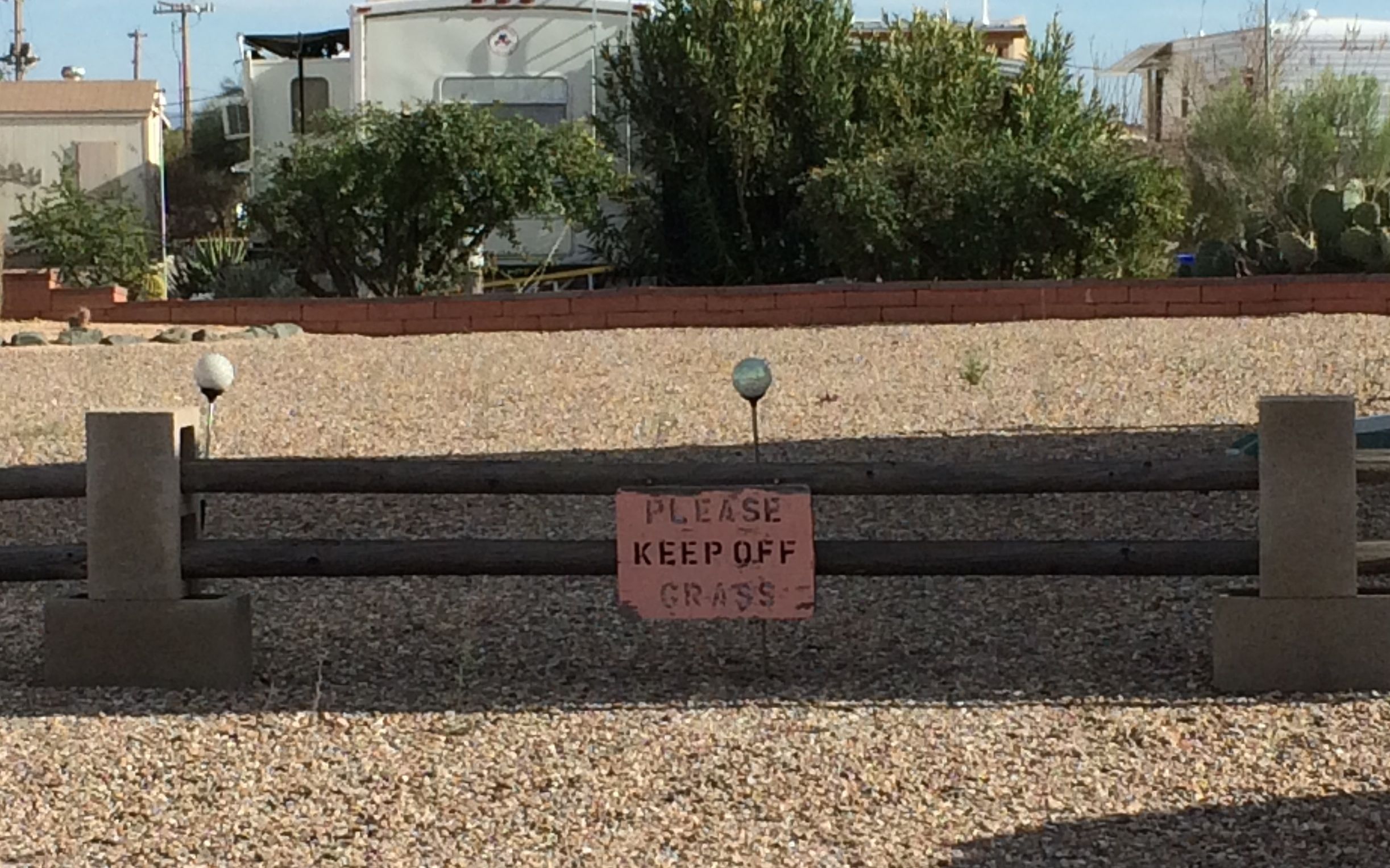
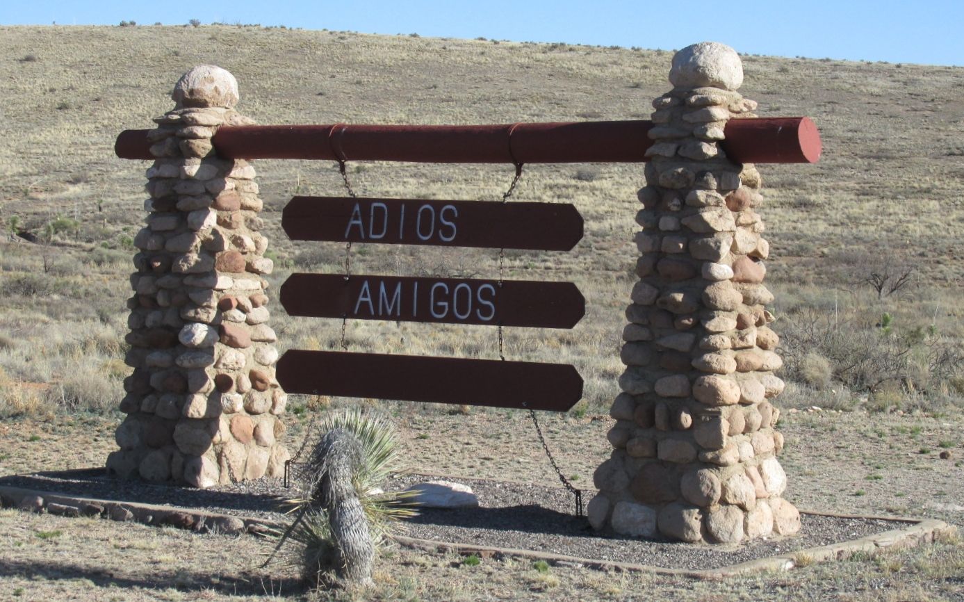
You can’t say that they don’t have a sense of humor at SKP Saguaro.
Actually, it is a very nice place, and I guess one shouldn’t expect acres of grass in a desert. Acres of gravel, maybe. They have a lovely clubhouse and the cheapest laundry facilities anywhere.
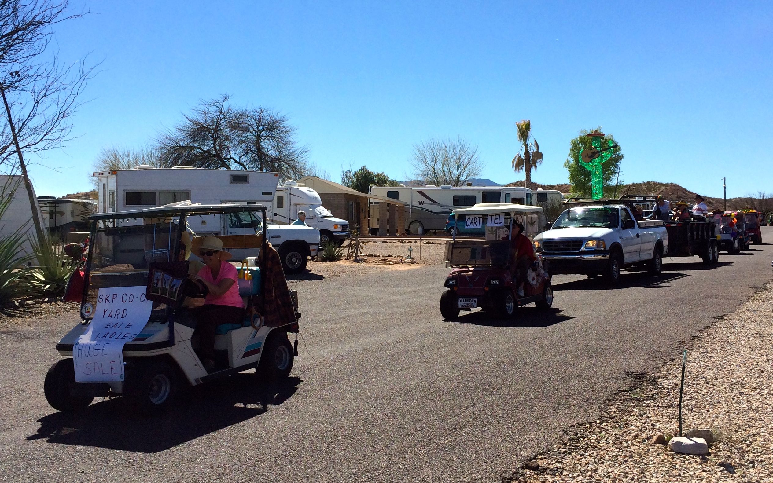
My stay coincided with Mexico Days. They had a parade around the park while I was there.
Golf cars on parade.
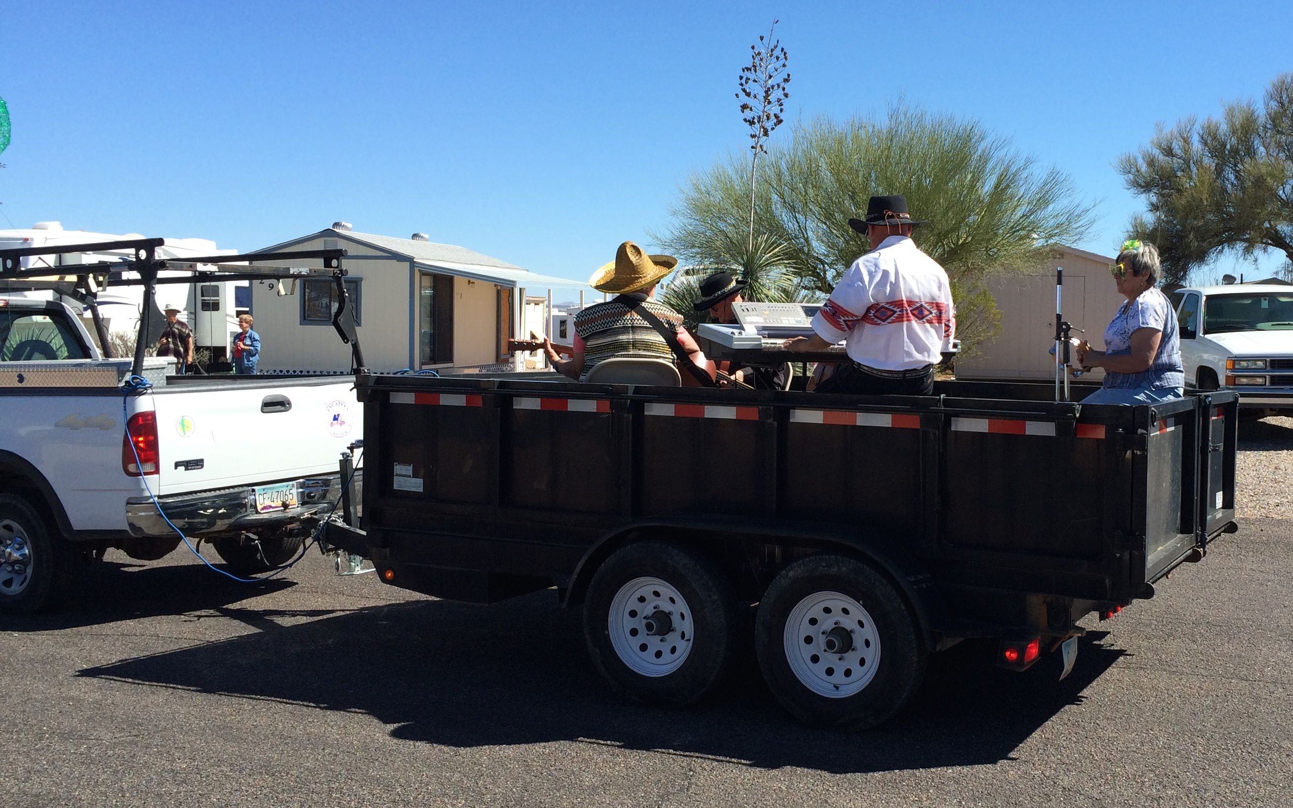
The parade was complete with rolling mariachis…
and a one-man clean-up crew at the tail end.
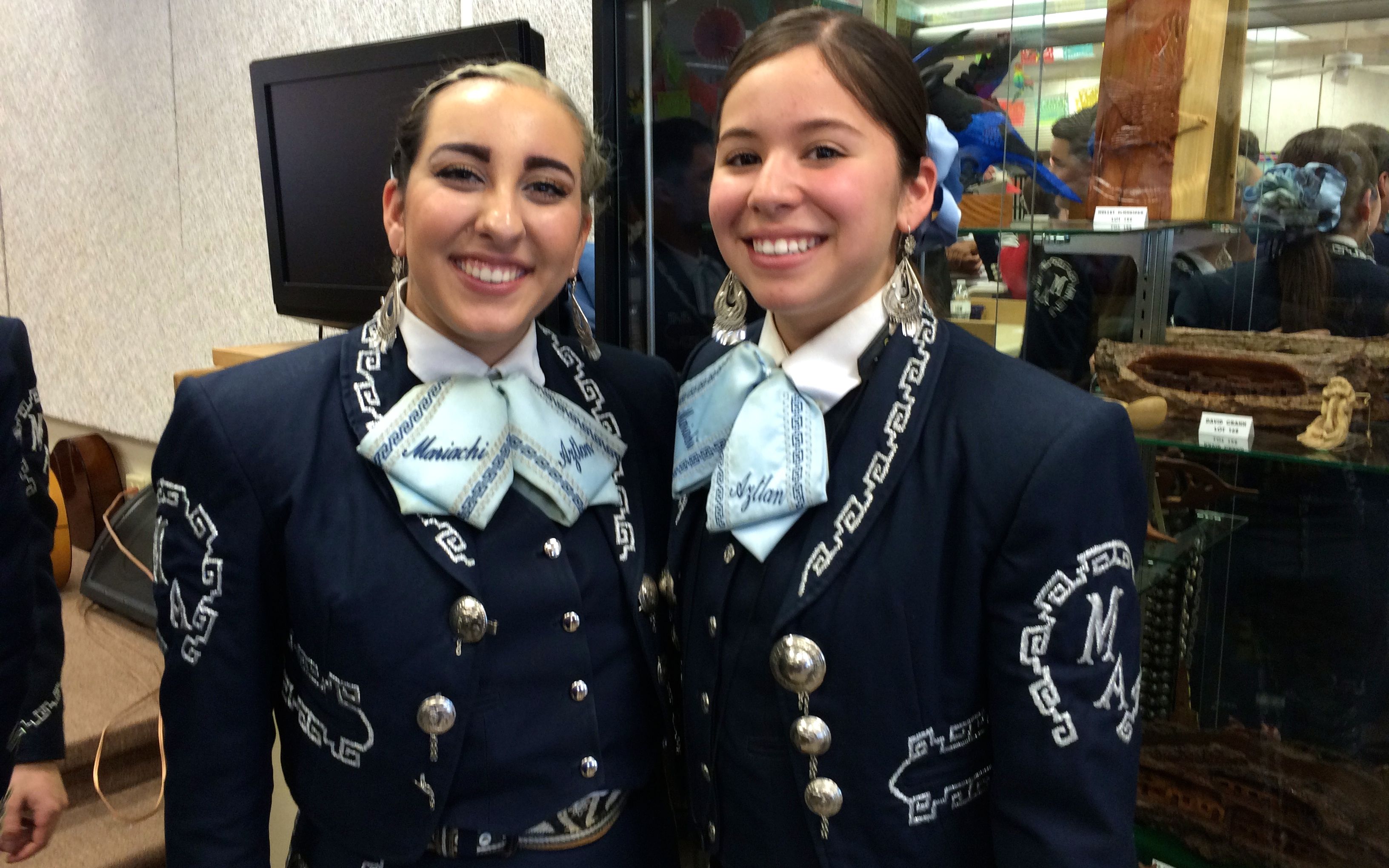
They had a real mariachi band in the club house that night.
I spoke to these young women after the concert, and they were delightful.
I explored the town of Benson a bit. Sometimes I just need to take a break from my cooking.
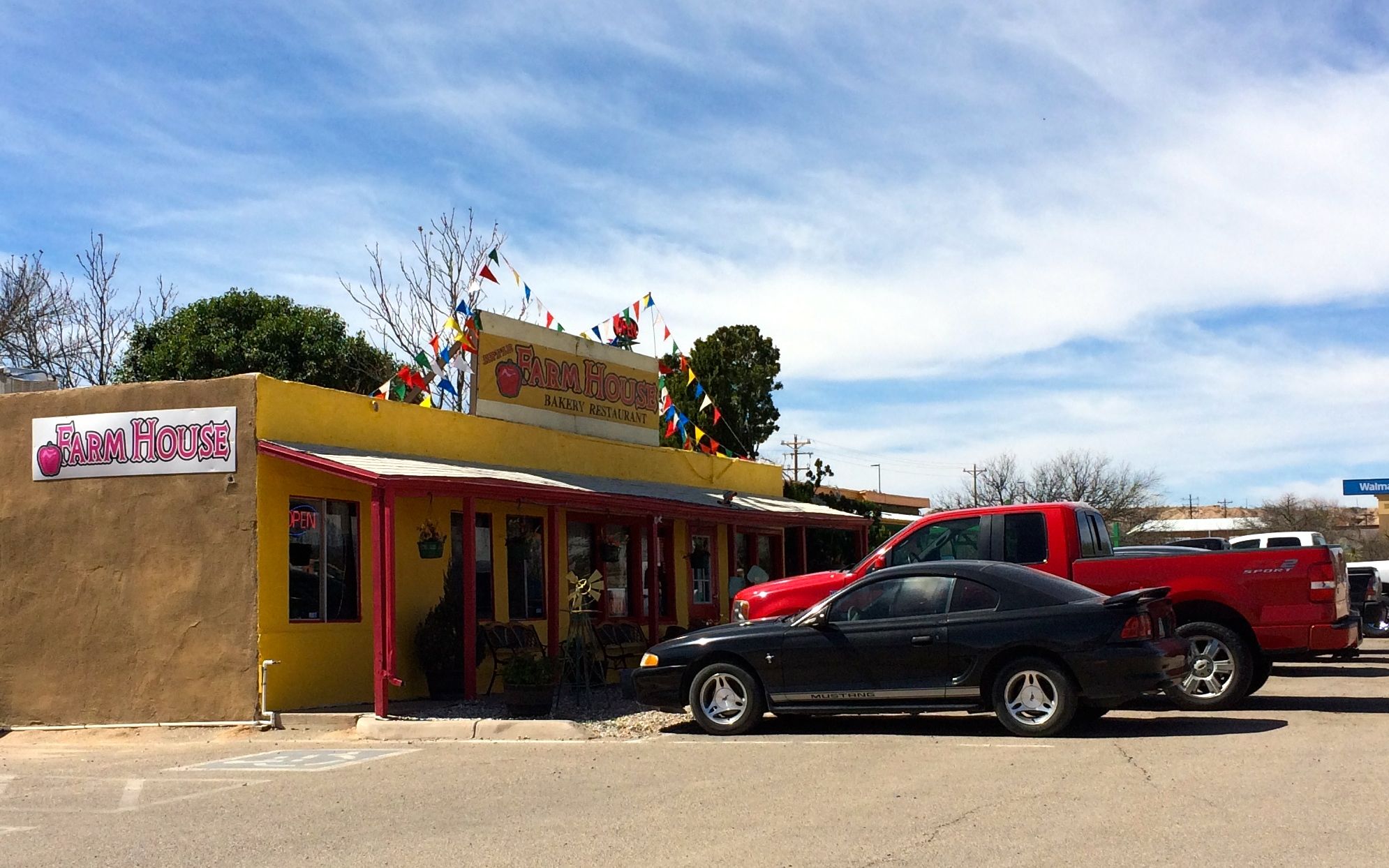
The first place I visited was The Farmhouse.
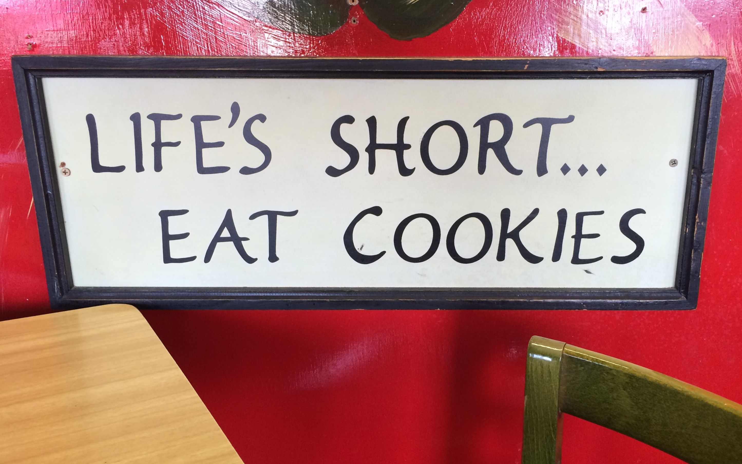
I liked their motto.
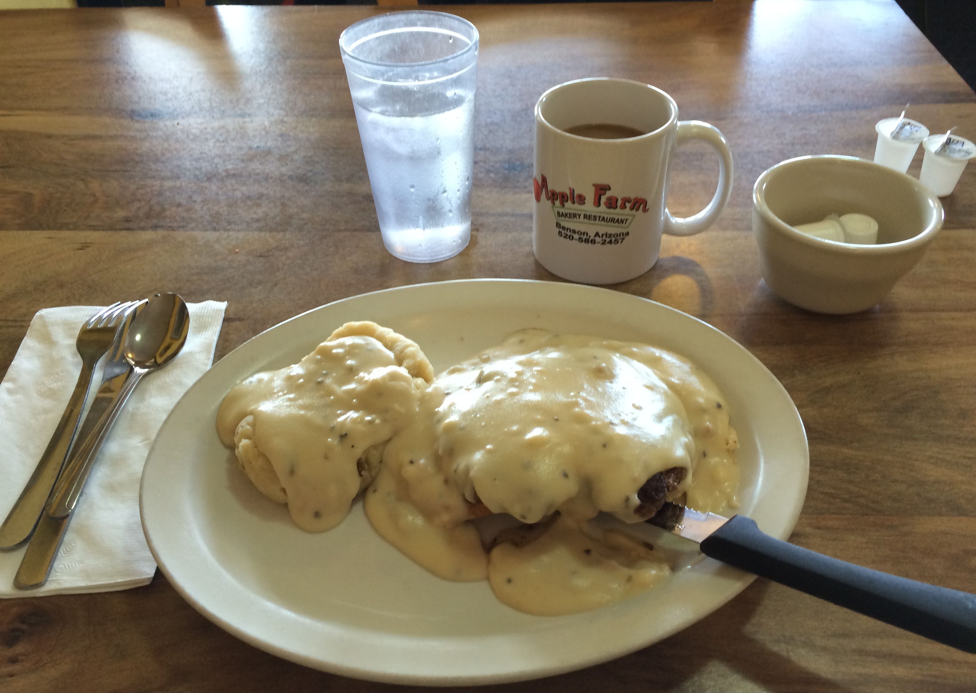
Lunch was a “down-home” plate of white. It was kind of an open-face hamburger and mashed potatoes smothered with sausage gravy. Every now and then I do try something different.
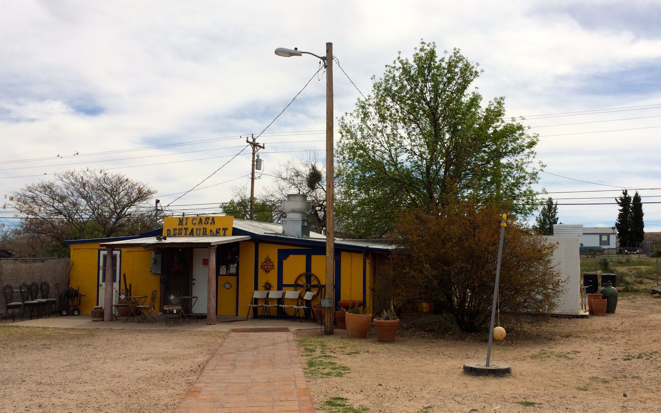
After the down-home Americana, it was time for something I was more familiar with – Mexican food.
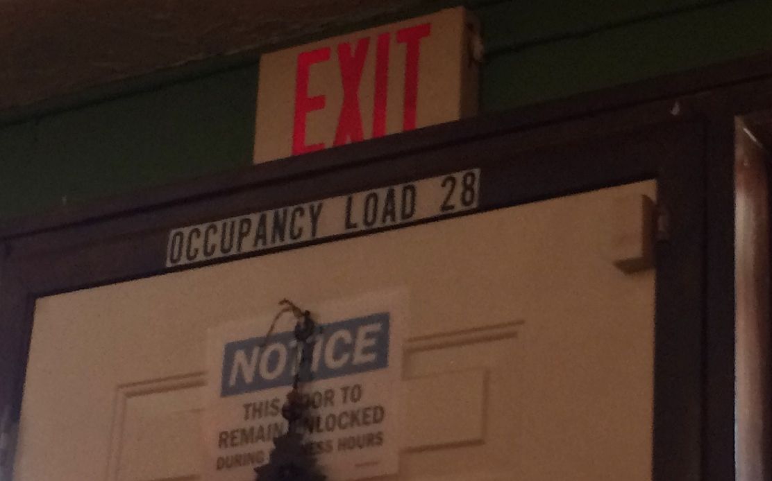
Pat, an Airstream buddy I met at South Llano River State Park in Texas, recommended this restaurant. I couldn’t believe this tiny building housed a restaurant. But, it had a sign, so I parked and gave it a shot.
Occupancy load 28? Wow! That’s a small restaurant!
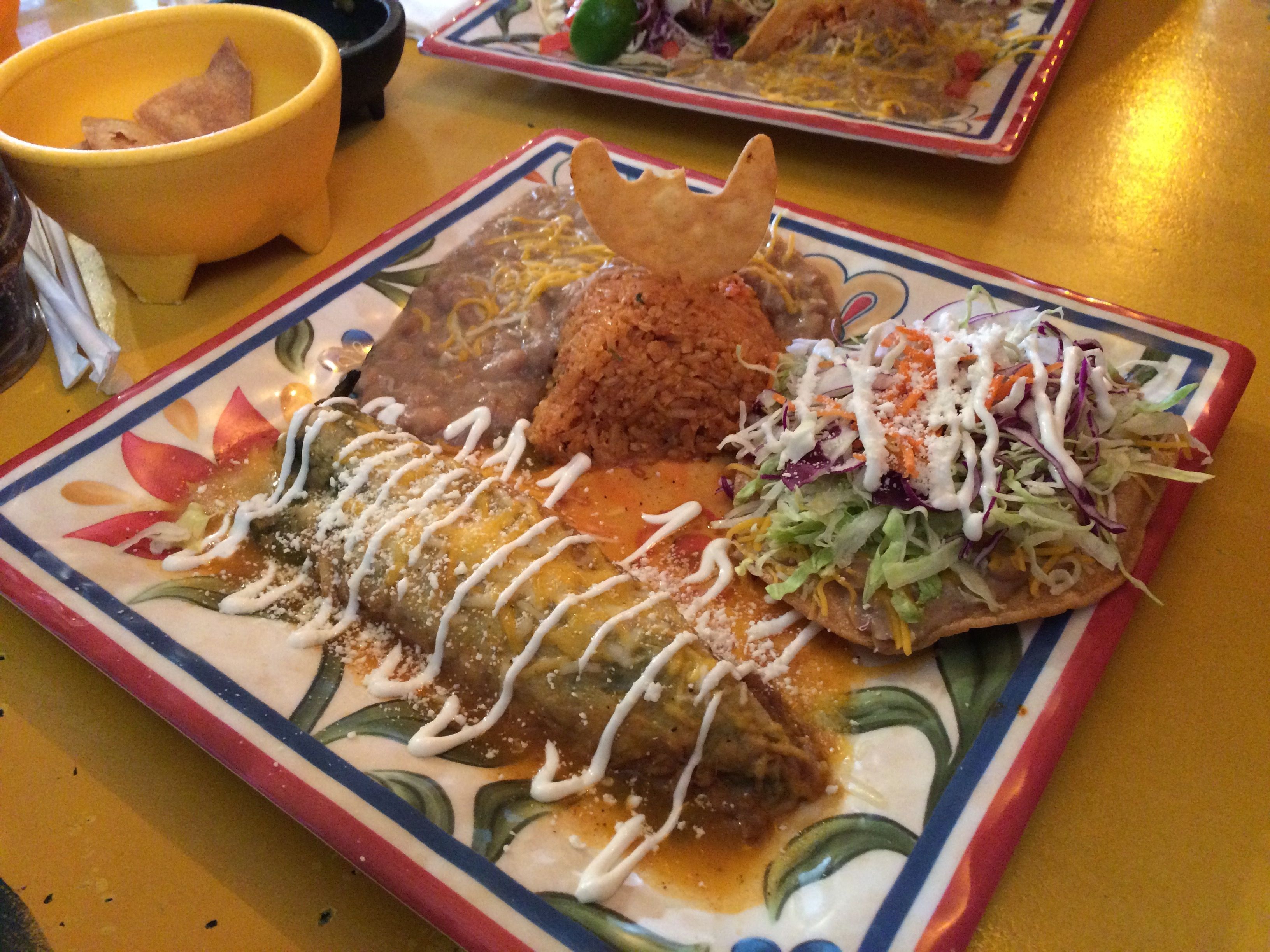
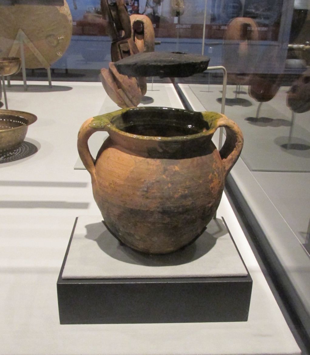
I ordered a chile relleno and a bean tostada. I liked the garnish I got. Although it is broken, you can tell that it is a saguaro cactus.
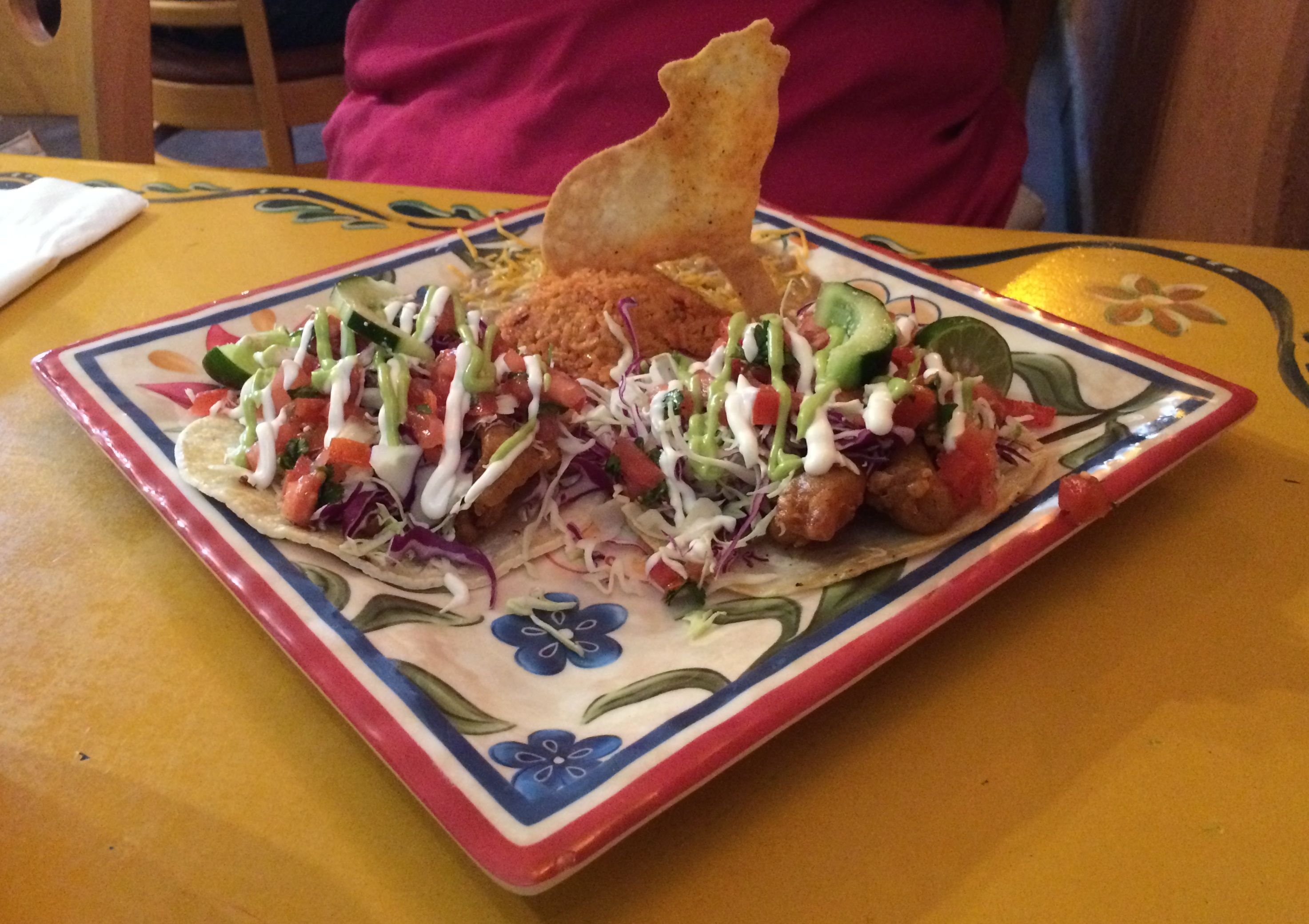
I shared my table with a couple of snowbirds that were staying in another RV park. Their garnishes were even cuter.
A howling coyote! I do appreciate an attractive plate.
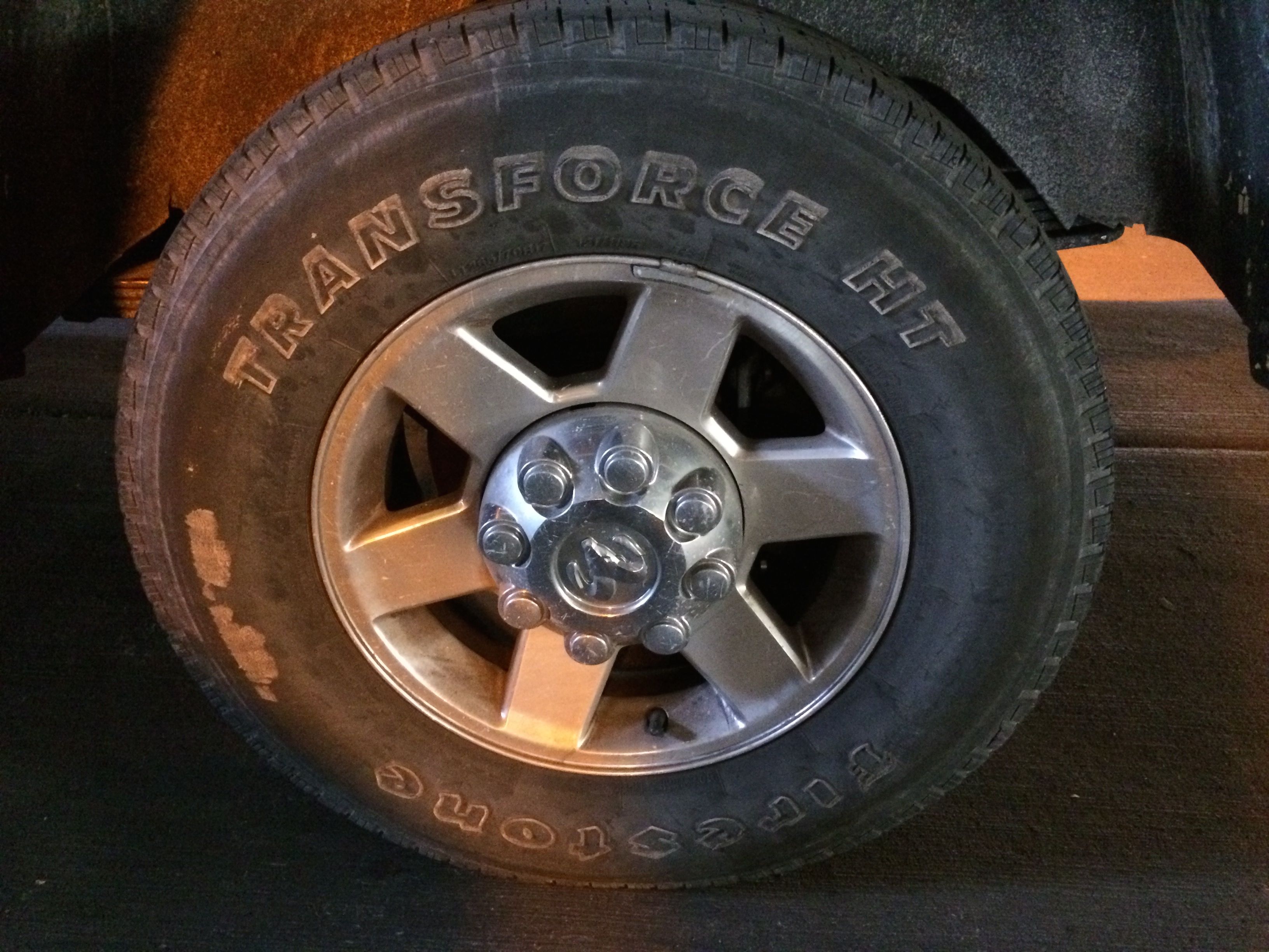
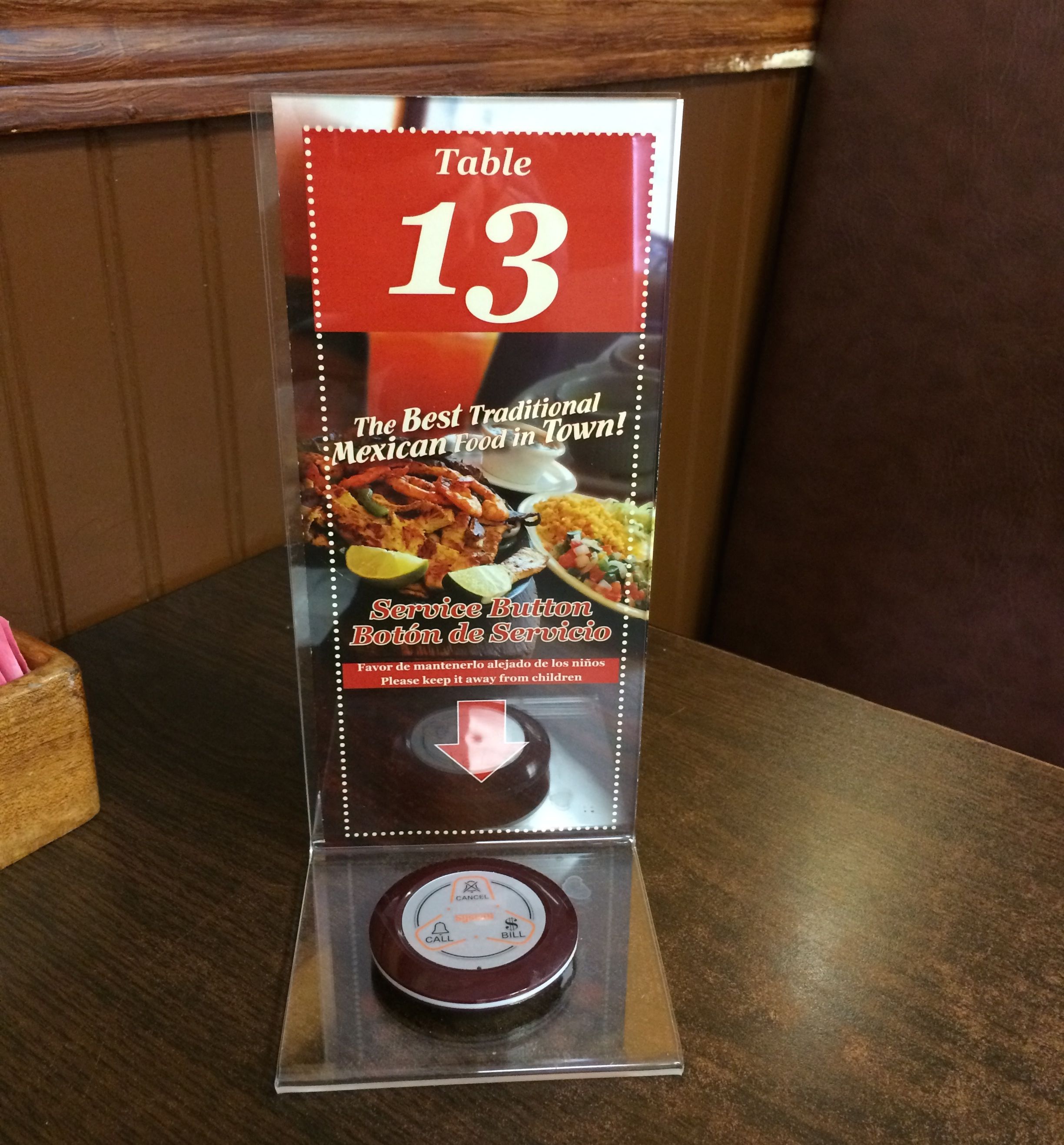
One other bit of business I had to take care of while I was taking care of business was getting new tires for Bart.
The old ones were getting kind of raggedy. Rubber was peeling off the sides from rubbing against curbs and the tread was getting low. Although I probably could have run them a little longer, I figure when you are towing a four ton trailer behind you, you want to have good rubber.
In keeping with the theme of “annoying business”, it took me three hours to get the tires. They told me it would take about an hour and a half, so twice as long was kind of a bit much. They gave me a discount on the tires in compensation for the inconvenience, which I thought was nice.
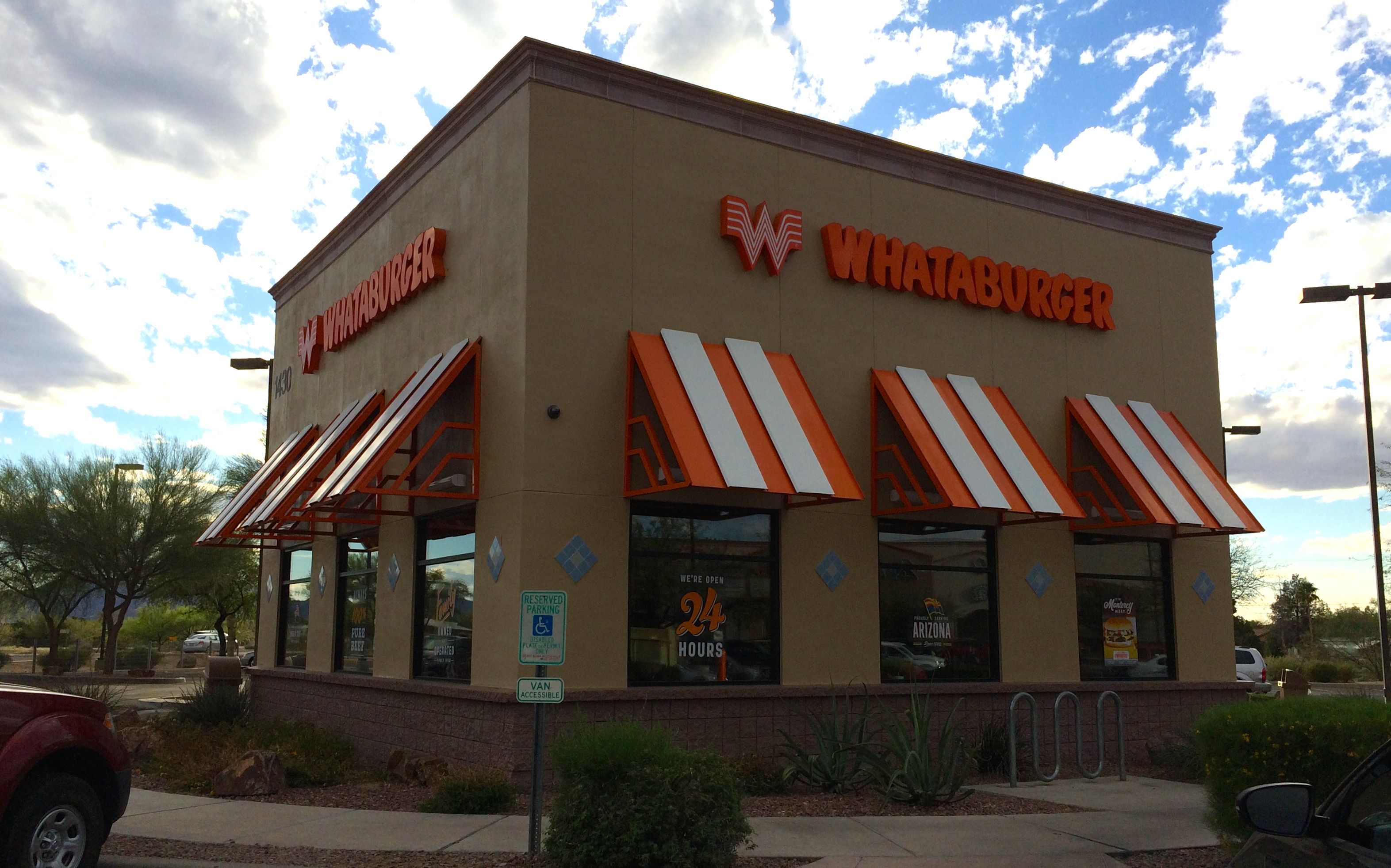
I took some of my savings and treated myself to a Whataburger meal before I left Tucson to return to Benson.
I had been looking forward to visiting Whataburger when I was in Texas, but didn’t make it.
Gooooood burger!
And I think the message on the cup was a good thing to keep in mind.
Pancho Villa State Park is just two miles or so from the border. After checking to make sure that my identification documents were adequate to get me back intothe USA, I made my plans to go to Mexico.
I had two objectives: get my teeth cleaned and then use those clean teeth to have lunch.
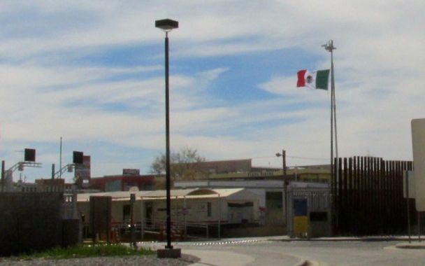
I walked across the border. It seemed odd not to have to cross a bridge to get into the neighboring country. After all, I grew up crossing between Buffalo, New York and Fort Erie, Ontario.
Here, though, I just parked and walked across. There’s mile 0.
I saw a sign for a dental clinic, so I made my way over there. Clean teeth was the first thing on my agenda.
It was kind of a “down home” office.
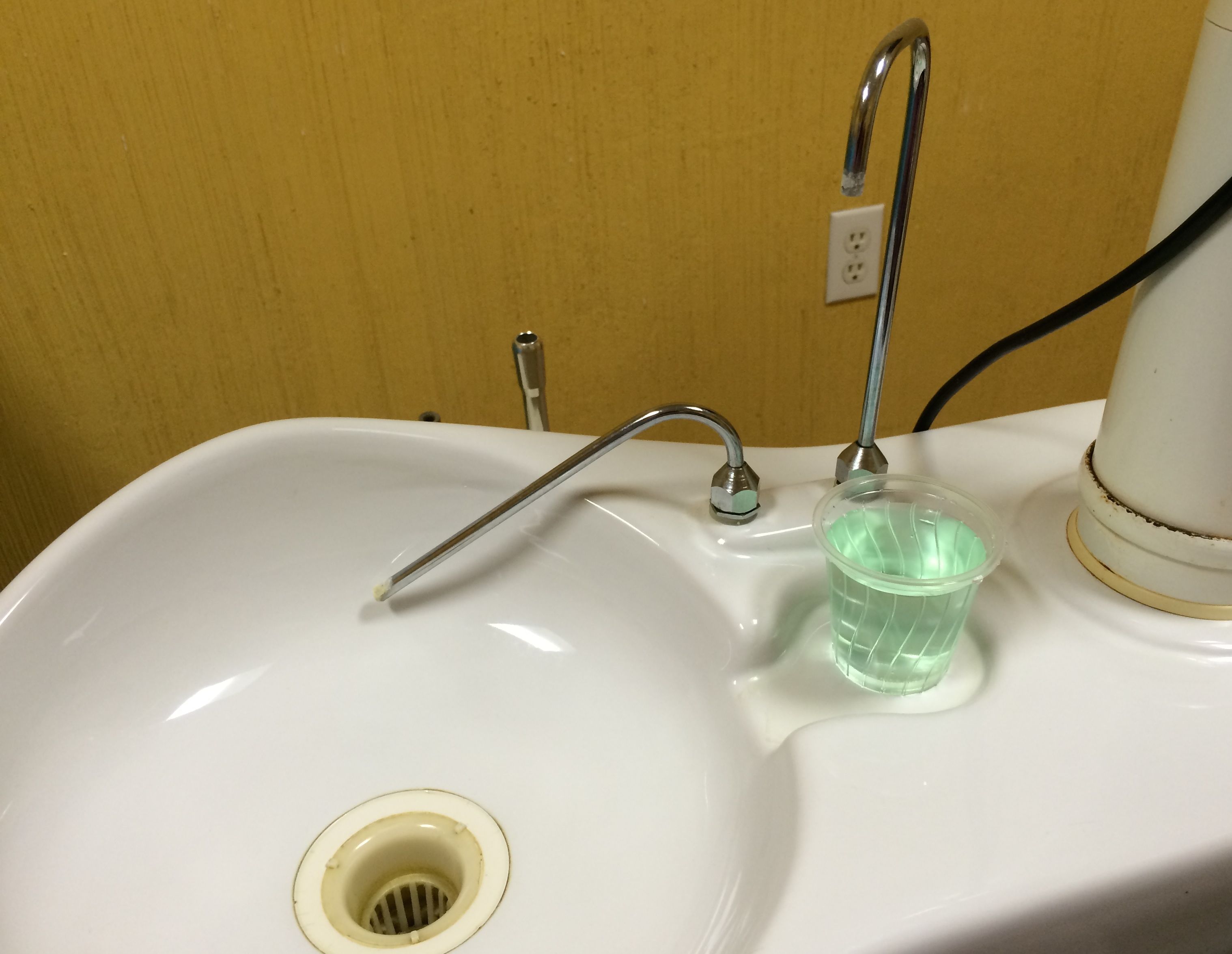
It had kind of old equipment, but everything went well. When I told the dentist that I had forgotten to take the antibiotic I needed to take due to my knee replacement, he went over to a nearby pharmacy and got me what I needed. The assistant got me a glass of water from a fresh bottle, and the cleaning went well.
I strolled about a bit and then headed over to The Pink Store, which had been recommended to me.
And, yes, it is pink!
Of course, there is absolutely nothing that I need, but I did have to look at what they had to offer.
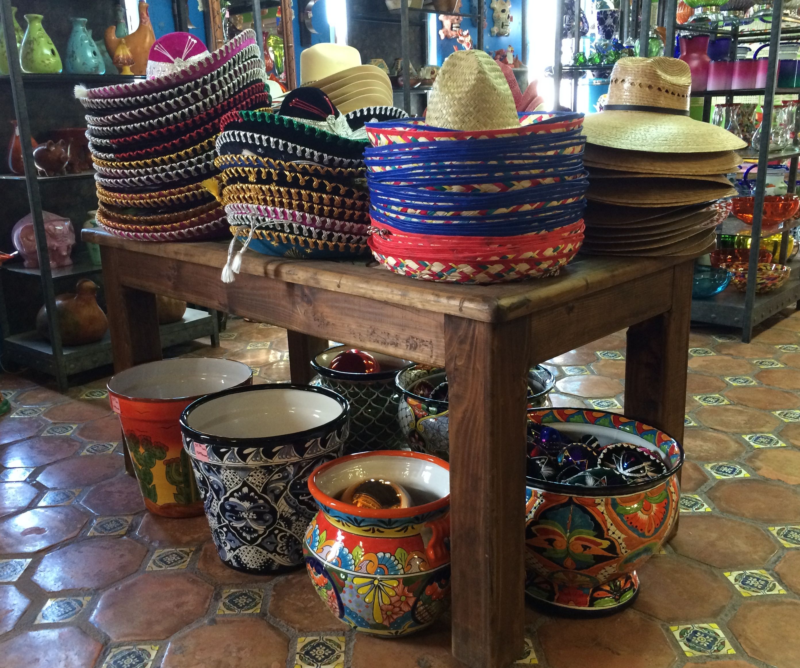
Hat and pots.
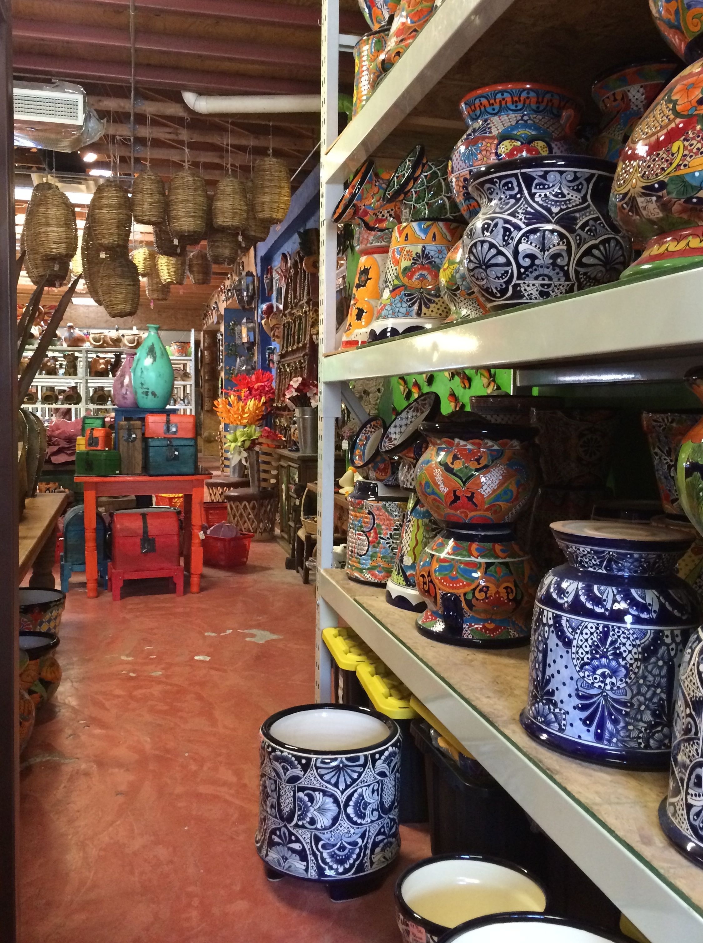
Pots and baskets.
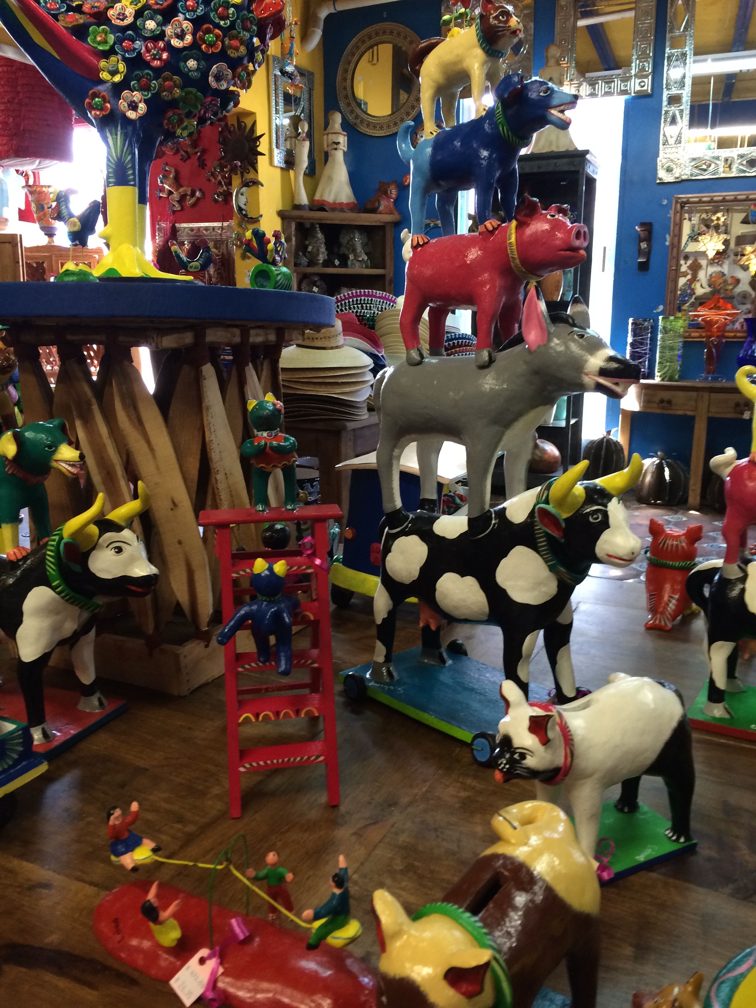
Whimsical statues.
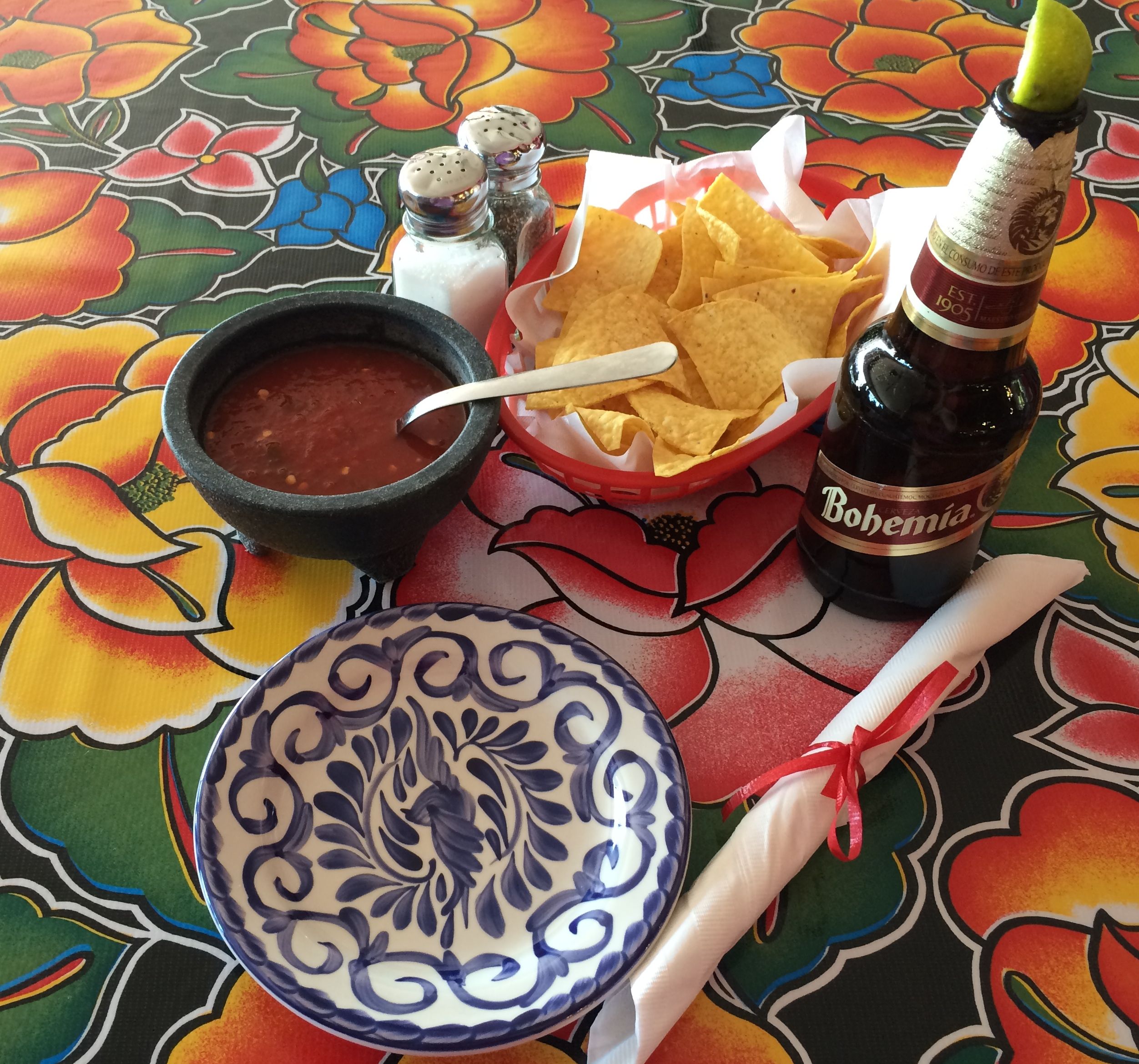
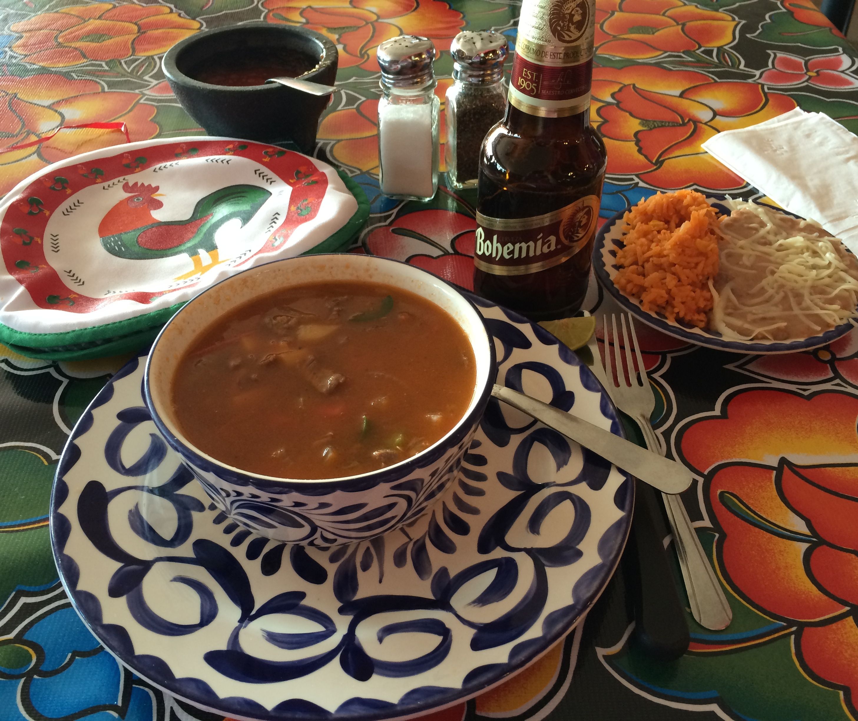
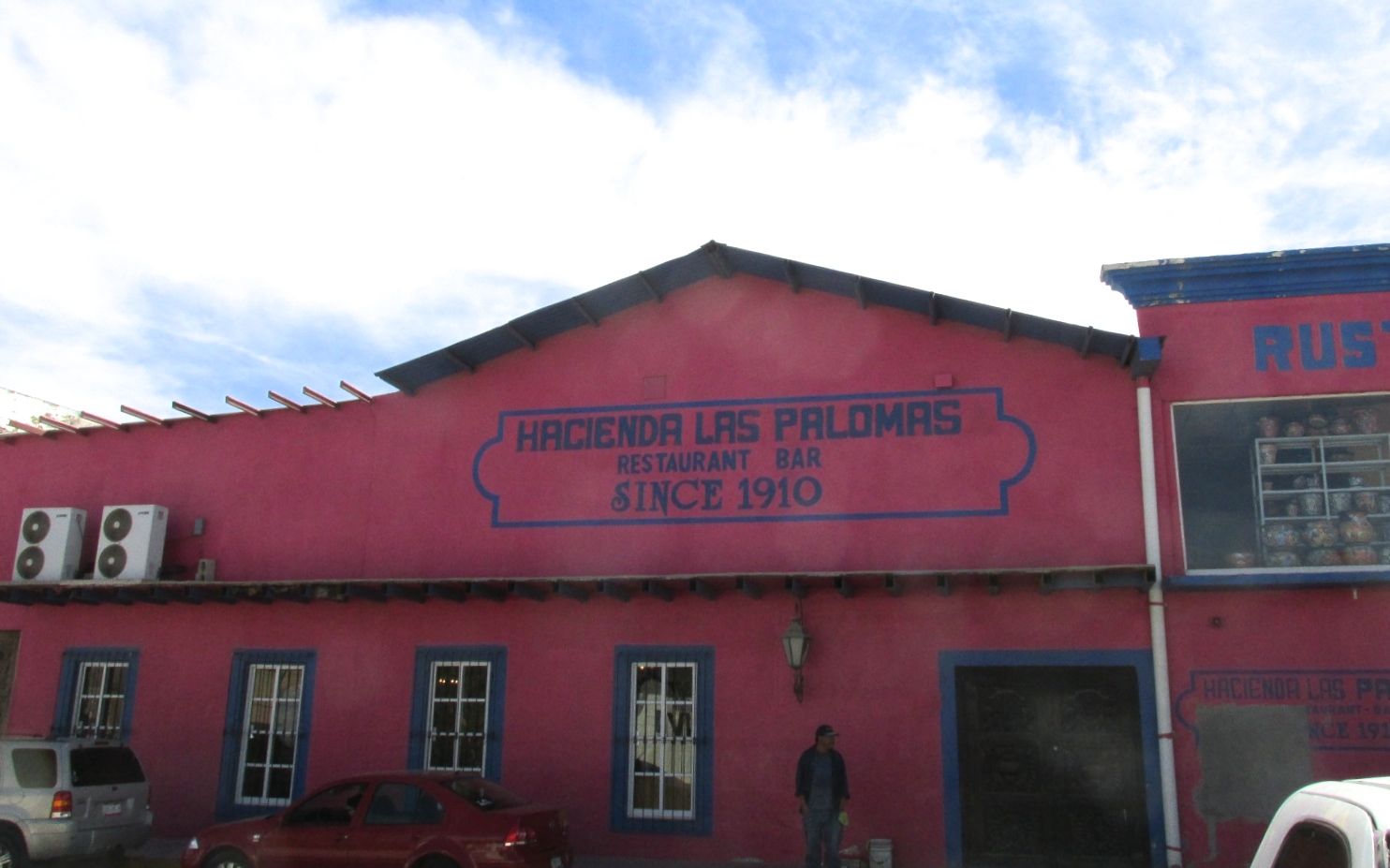
And then I found a spot for lunch at the back of the store.
I ordered a Bohemia beer and the waiter brought me chips and salsa. Delicious!
The General Guererro Caldillo was my choice for lunch, which was a spicy beef and vegetable stew. It came with beans, rice and tortillas. Again, delicious!
When I got outside, I saw that I had eaten in a restaurant that had been operating since 1910. I wonder if Pancho Villa had eaten there?
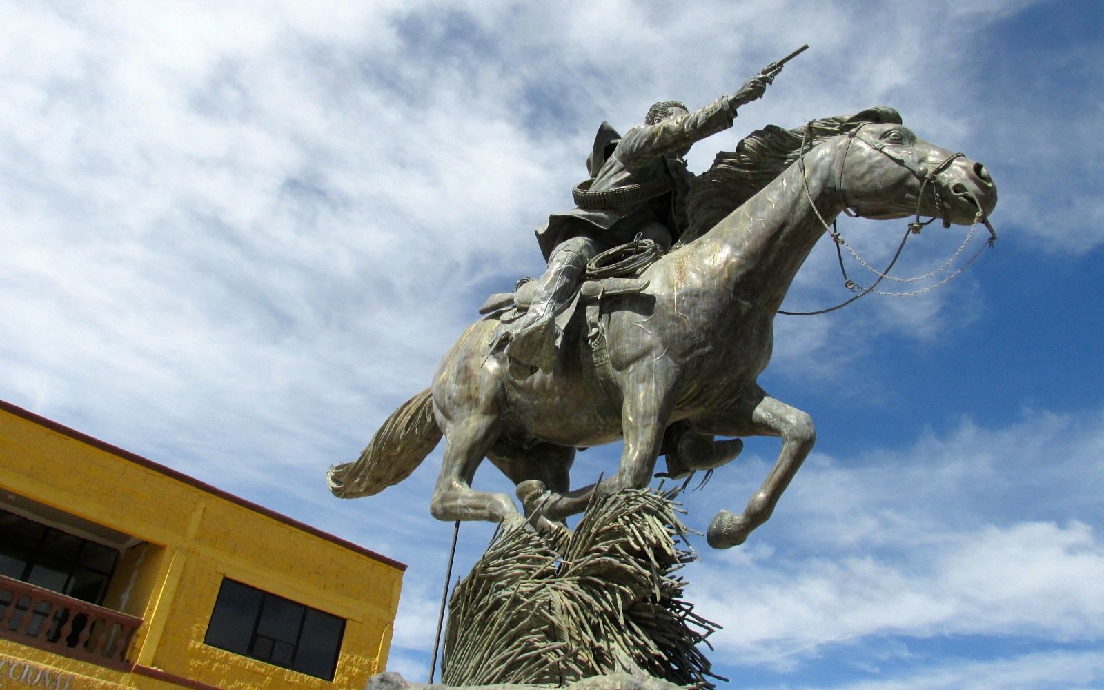
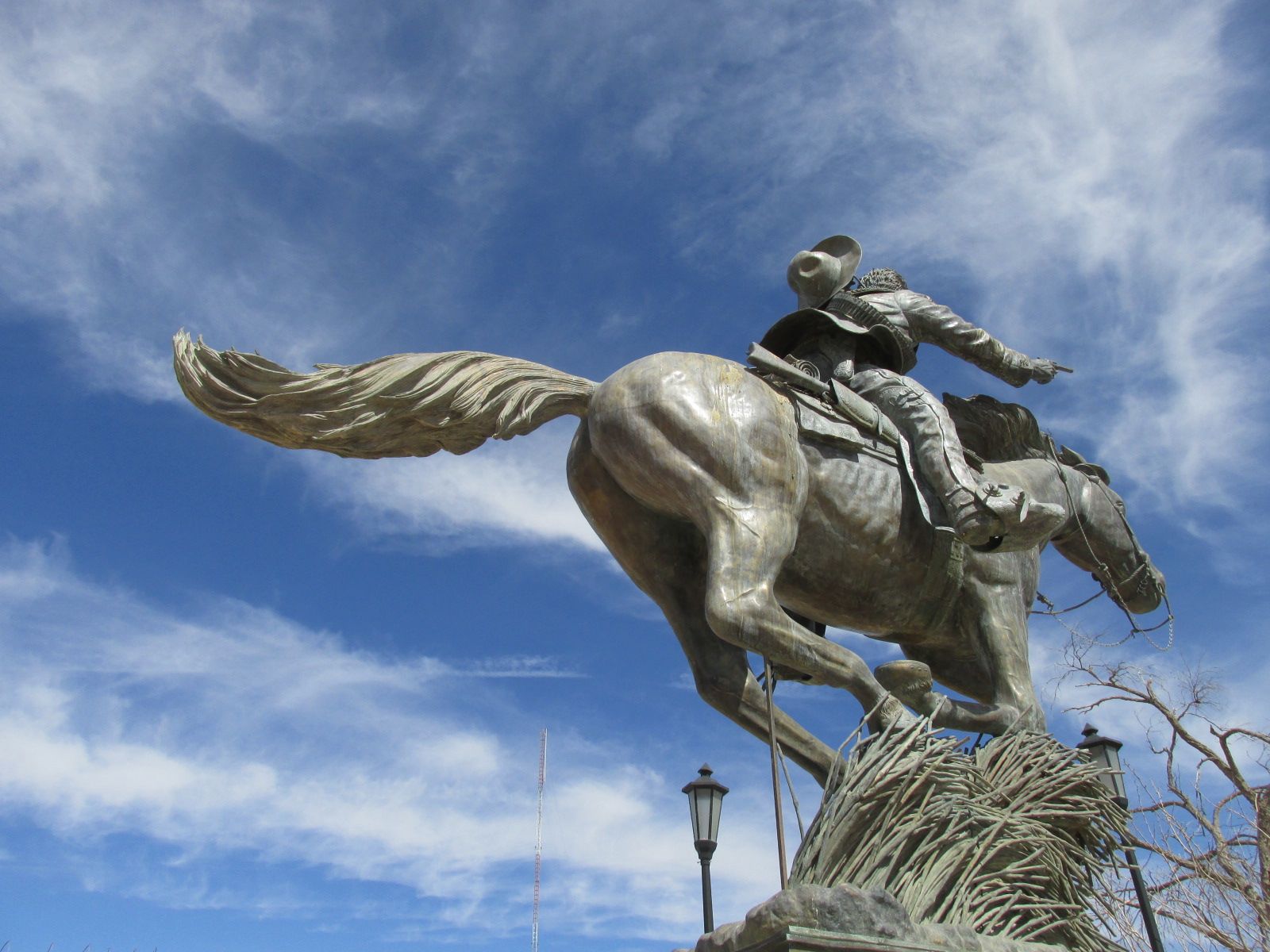
Speaking of Pancho Villa…
There is a statue of him in the square.
Quite a dynamic statue!
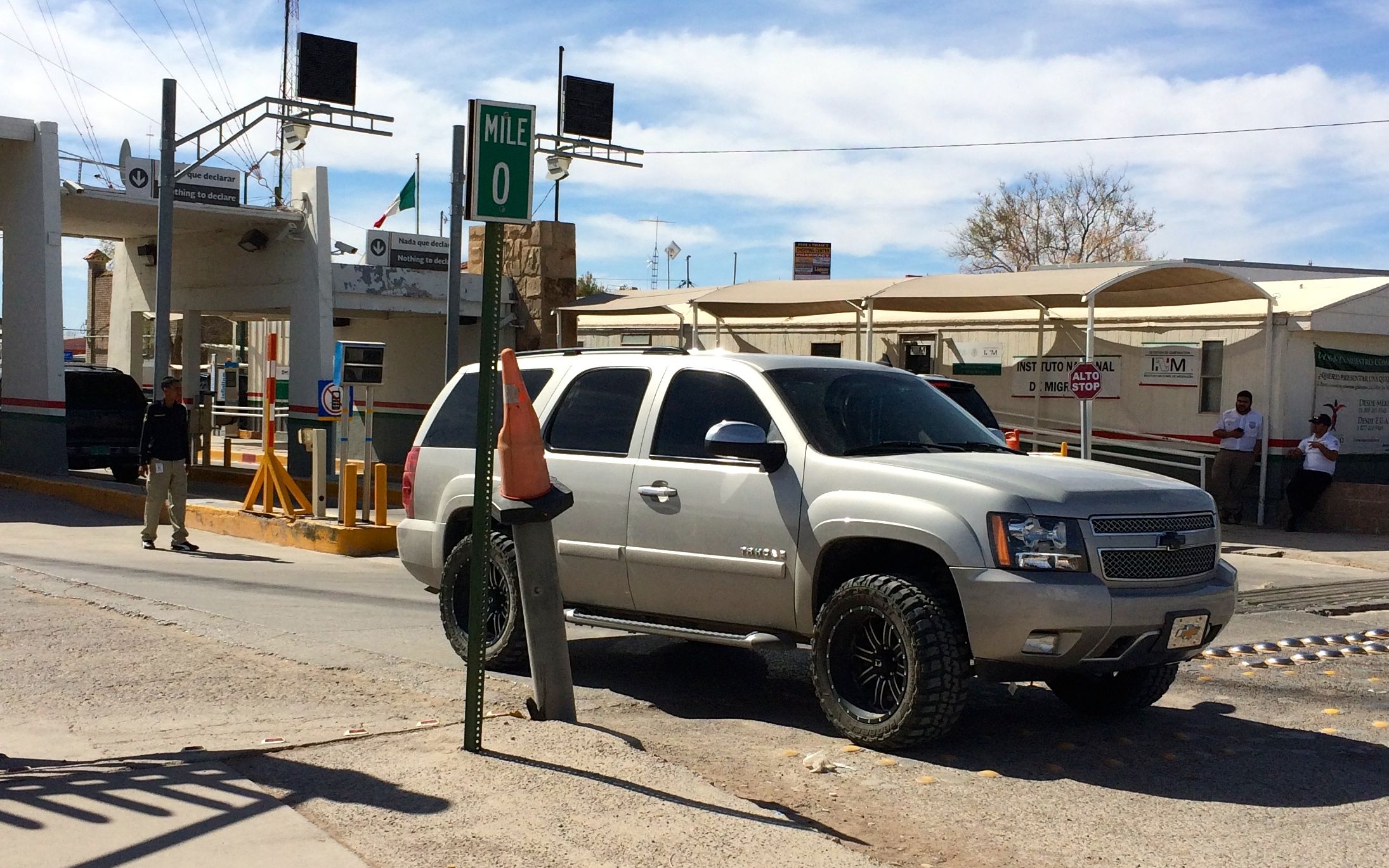
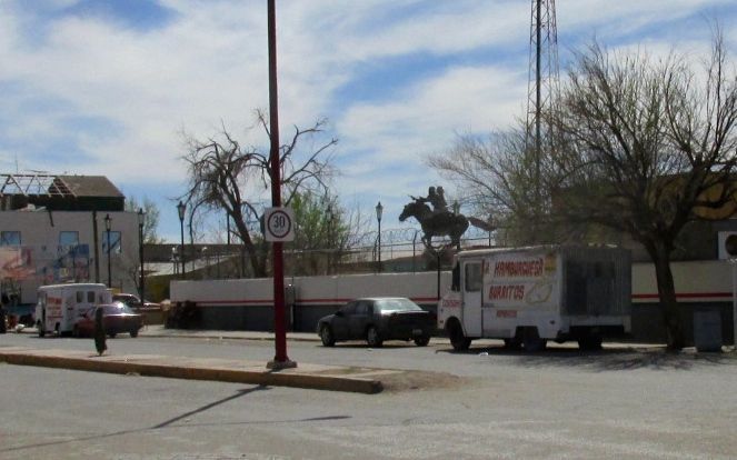
And then it was time to head back.
There were food trucks lining the street leading to the port of entry.
I crossed back over, had my papers checked, got in my car and headed back to camp.
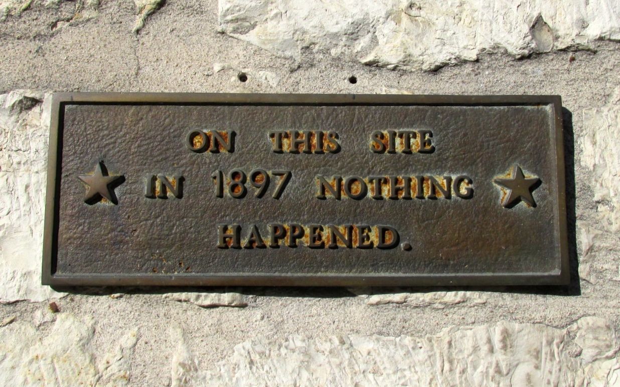
Pancho Villa State Park is quite a remarkable place. Some parks are notable for their beauty. This is not this park’s claim to fame. It’s a dusty, windblown plain. It does have a a sparse beauty, but what is remarkable about this place is its historical significance.
On March 9, 1916, Villa led an army of about 1,500 guerillas across the border to stage a brutal raid against the small American town of Columbus, New Mexico. Villa and his men killed 19 people and left the town in flames.
According to the information at the park, this was the last time an enemy invaded the United States. Now, I think I have heard things about raids during World War II, but even if there were other attacks, this one is significant for many reasons.
President Wilson ordered General John Pershing to lead 6,000 American troops into Mexico and capture Villa. For nearly two years, Pershing and his soldiers chased the elusive Villa on horseback, in automobiles, and with airplanes. The American troops had several bloody skirmishes with the rebels, but Pershing was never able to find and engage Villa.
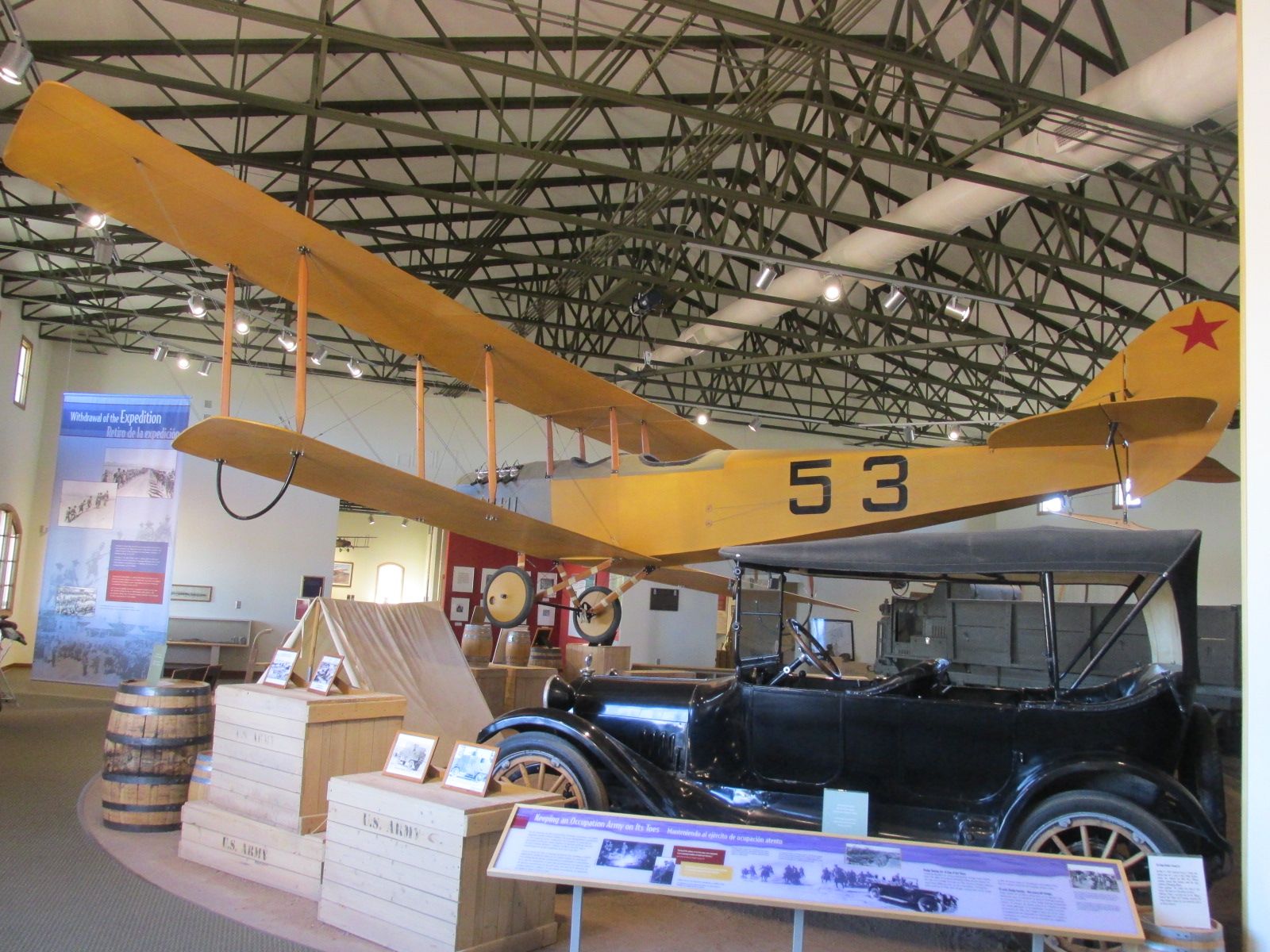
These were the last major battles fought on horseback and the first battles that used automobiles and airplanes.
General Pershing ordered 250 Dodge Brothers touring cars after a successful skirmish involving three of the cars. Lieutenant George S. Patton, nine enlisted men and a scout killed three Villistas, including General Julio Cardenas. Pershing said that they couldn’t have done it on horseback. The interesting thing was that gas sometimes followed the automobiles packed on mules.
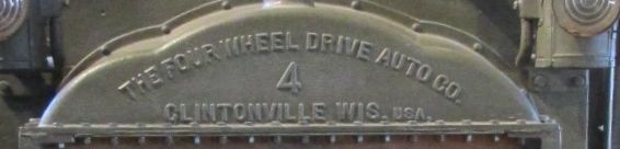
There were a variety of vehicles they were trying out. I wonder what ever happened to The Four Wheel Drive Auto Company of Clintonville, Wisconsin?
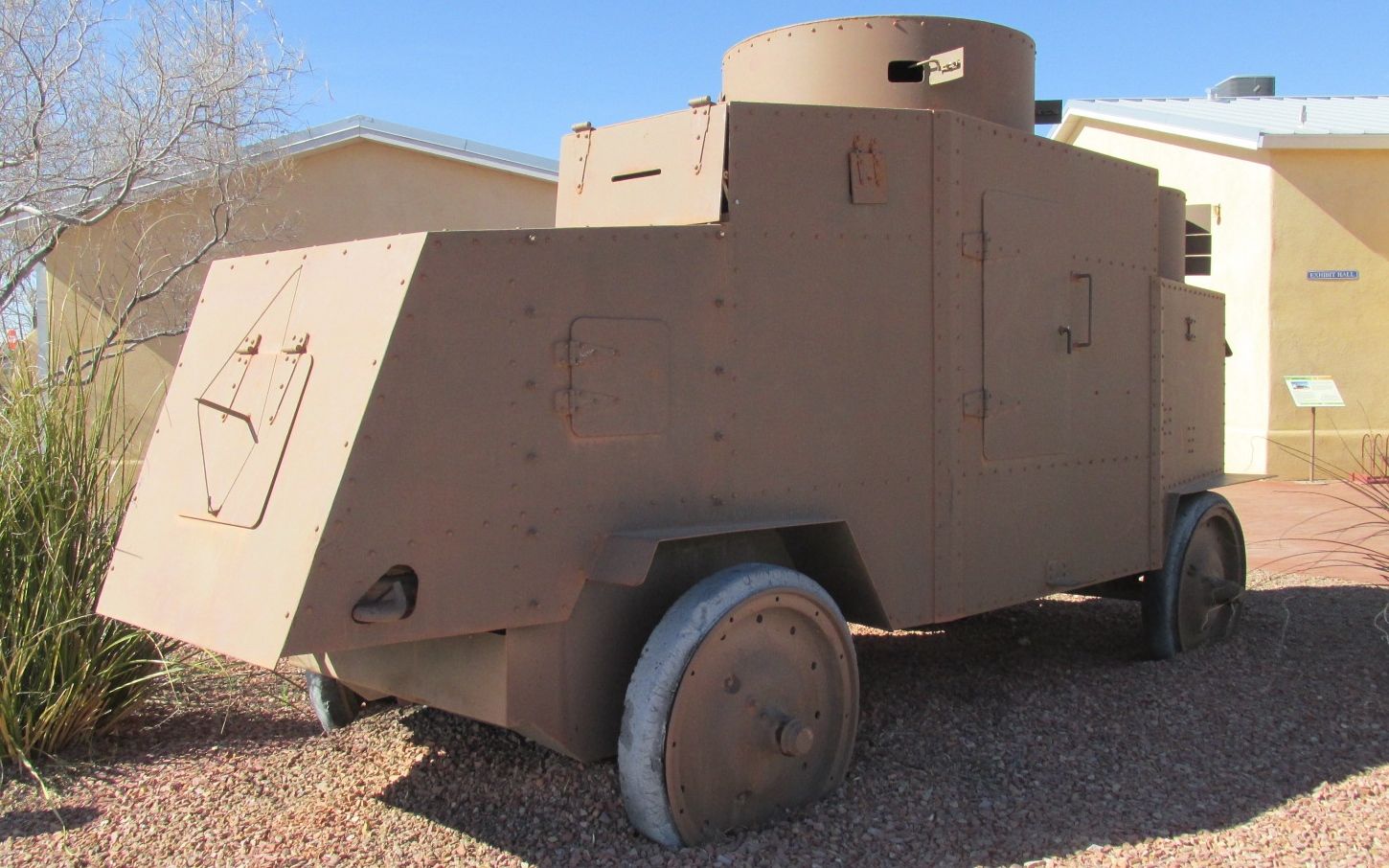
This was kind of a prototype of the modern tank. The little doors on it opened up so that the soldiers inside could fire their rifles.
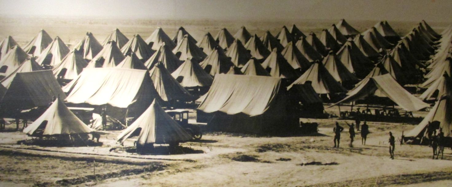
Camp Furlong grew quickly as Pershing assembled his troops.
They used tried and true methods as well as taking advantage of innovations.
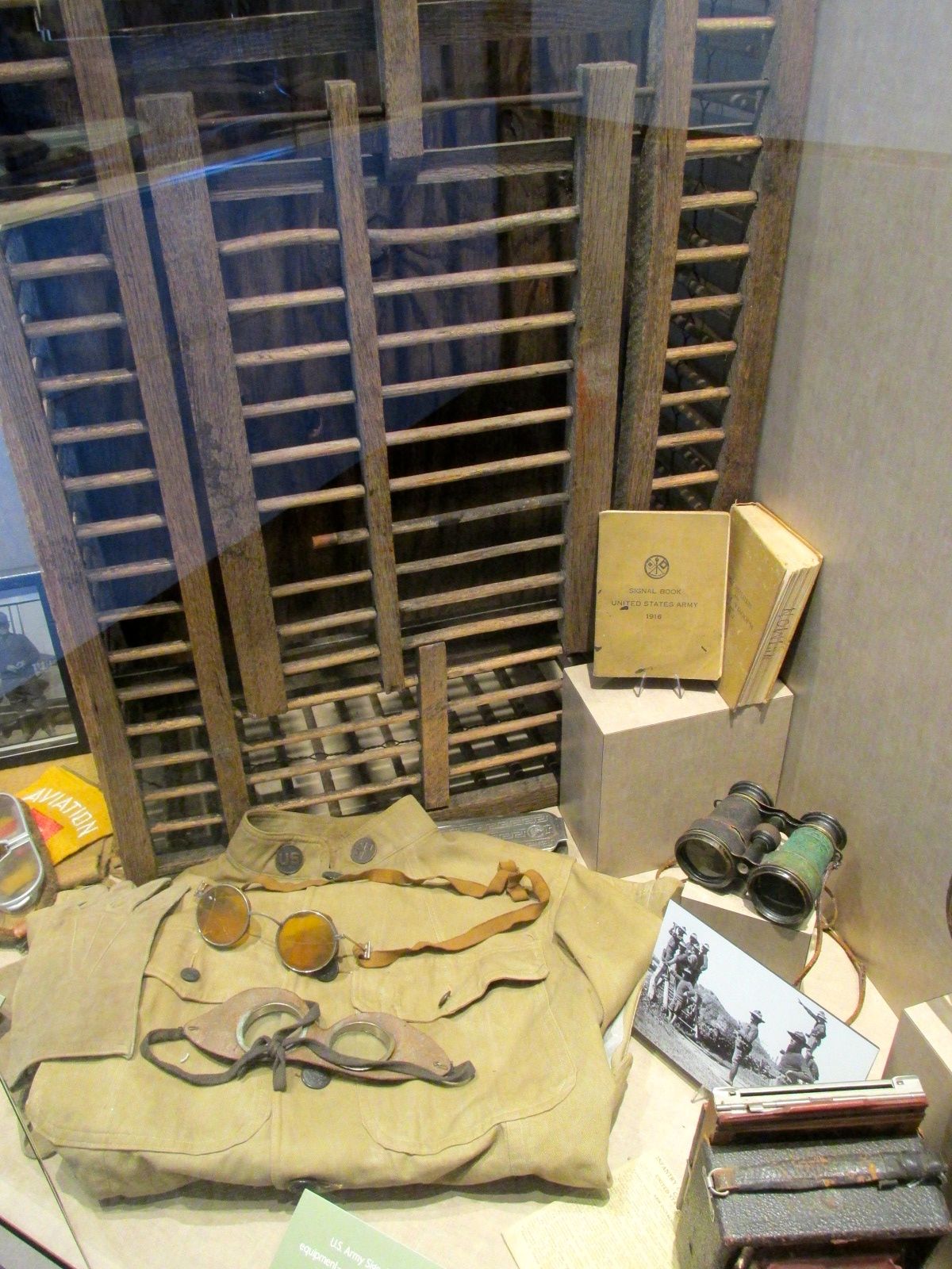
Homing pigeon crate
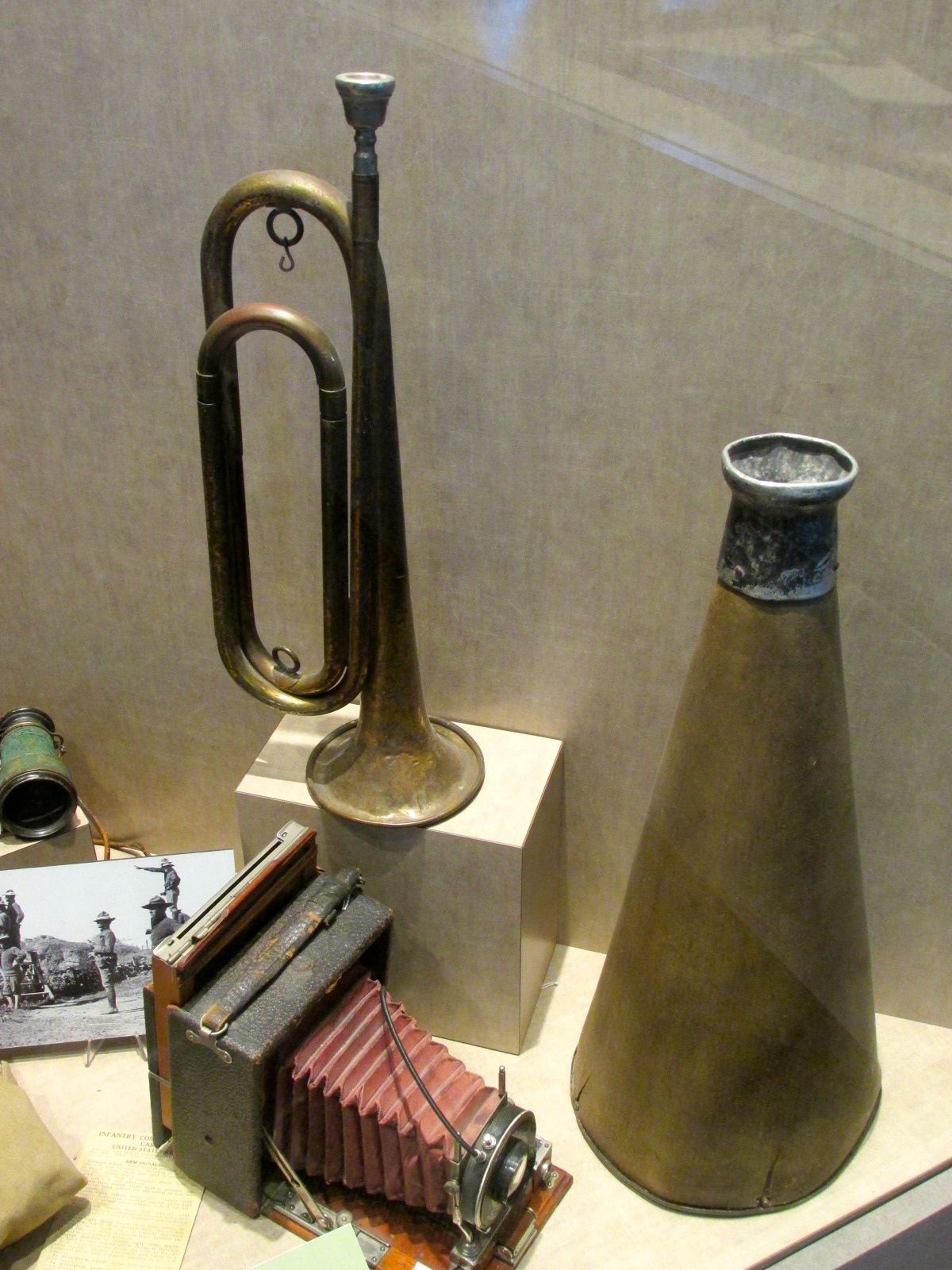
The signal corps used homing pigeons as well as flags, morse code, bugles and megaphones to communicate.
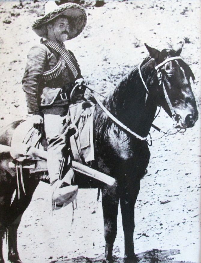
They chased Pancho Villa’s army around Mexico for almost two years until Mexican president Carranza withdrew his permission.
Panco Villa’s army moving about by train
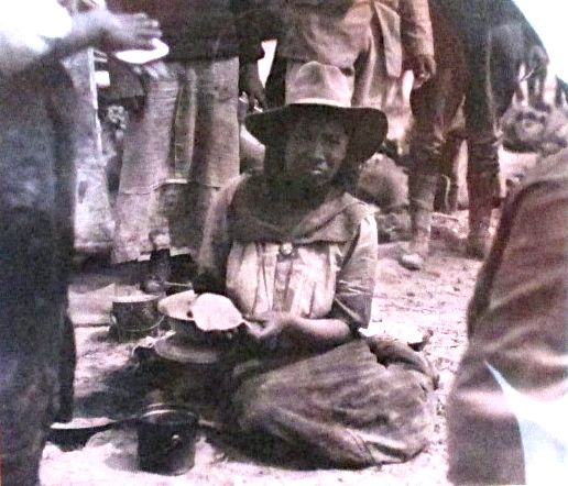
From what I’ve read, Villa’s army had whole families traveling with them and women were fighters, too.
Even if women fought, they were still given the domestic tasks. Here’s a villista making tortillas. Some things never change.
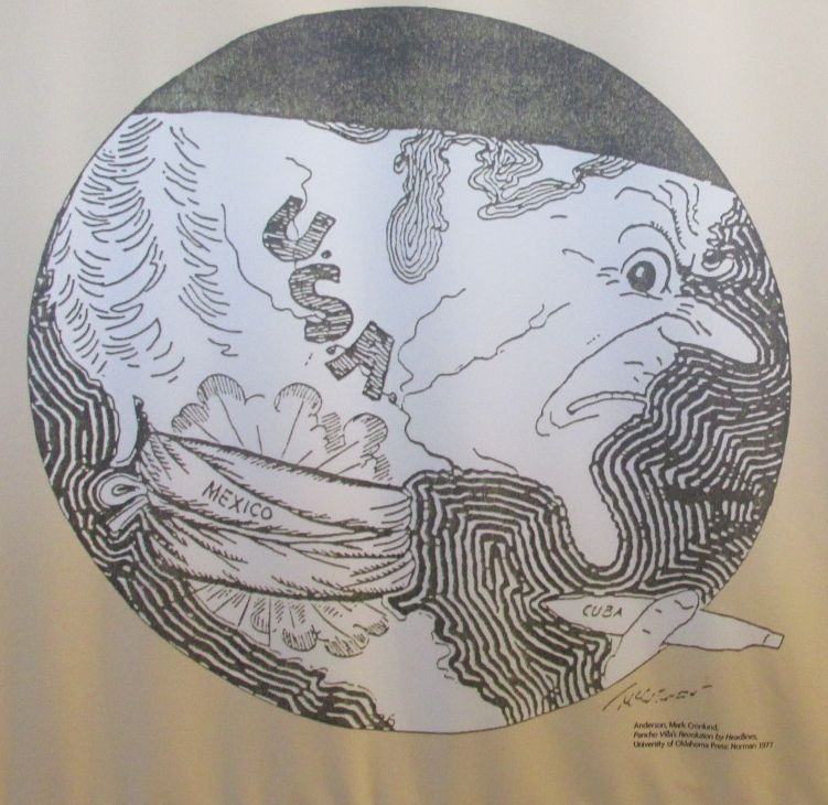
This political cartoon kind of sums things up.
Even if Pershing was never able to catch up with Pancho Villa, at the end of the excursion into Mexico, he had put together an organized and disciplined army just in time for the United States’ entry into World War I.
This is rather ironic. Germany had proposed an alliance with Mexico intended to keep the USA out of WW I. If you would like to find out more about this, look into the Zimmerman Telegram.
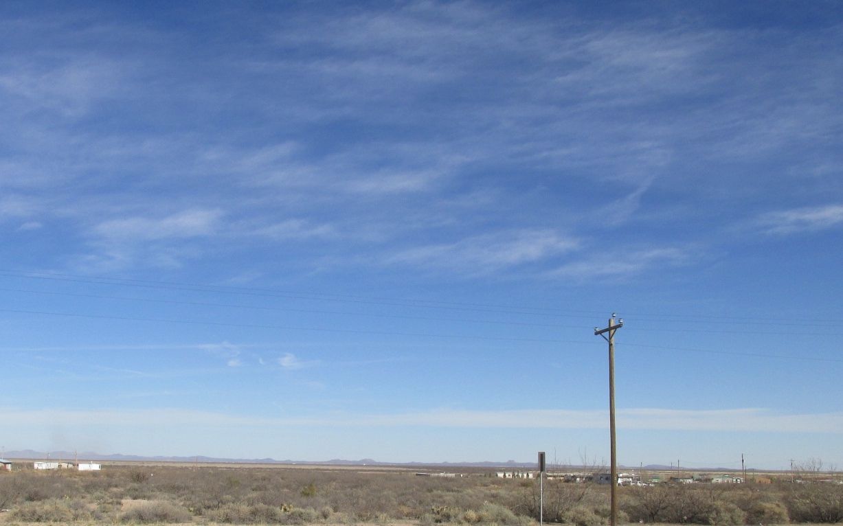
I was at the park just before the centennial of Pancho Villa’s raid. It is amazing what is left behind. My campsite was right across the road from the first military airbase. Cloth-covered biplanes flew from this spot to provide reconnaissance for the Army.
Incidentally, air reconnaissance is still used in the area. Now a days, though, it is used to control the border.
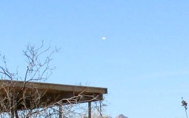
I didn’t have the right camera to capture a good image, but the white dot in the sky above the roof is some sort of blimp. I asked the volunteer at the museum about it, and he told me that is is packed with all sorts of sensing devices to monitor what is happening in the desert.
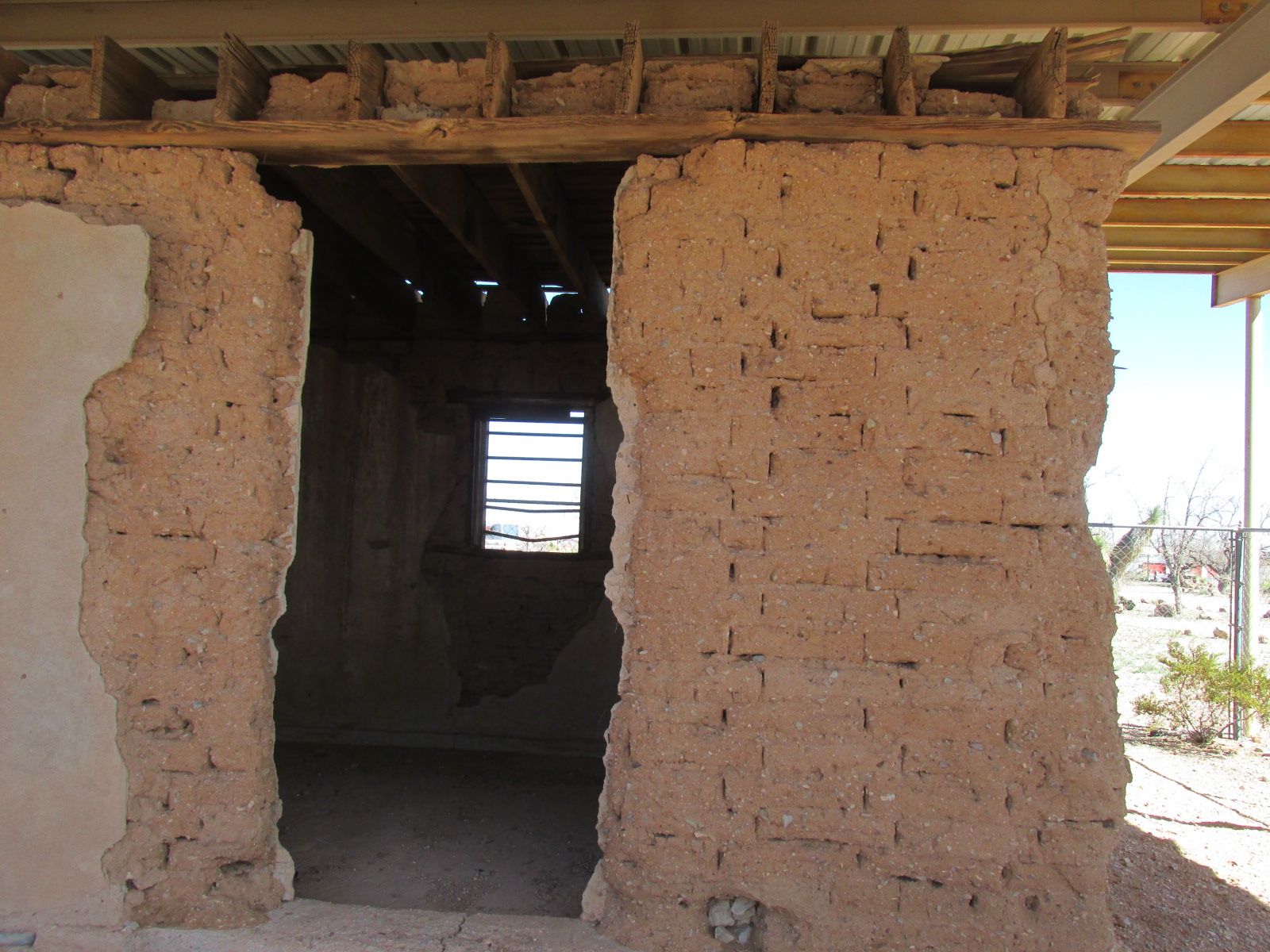
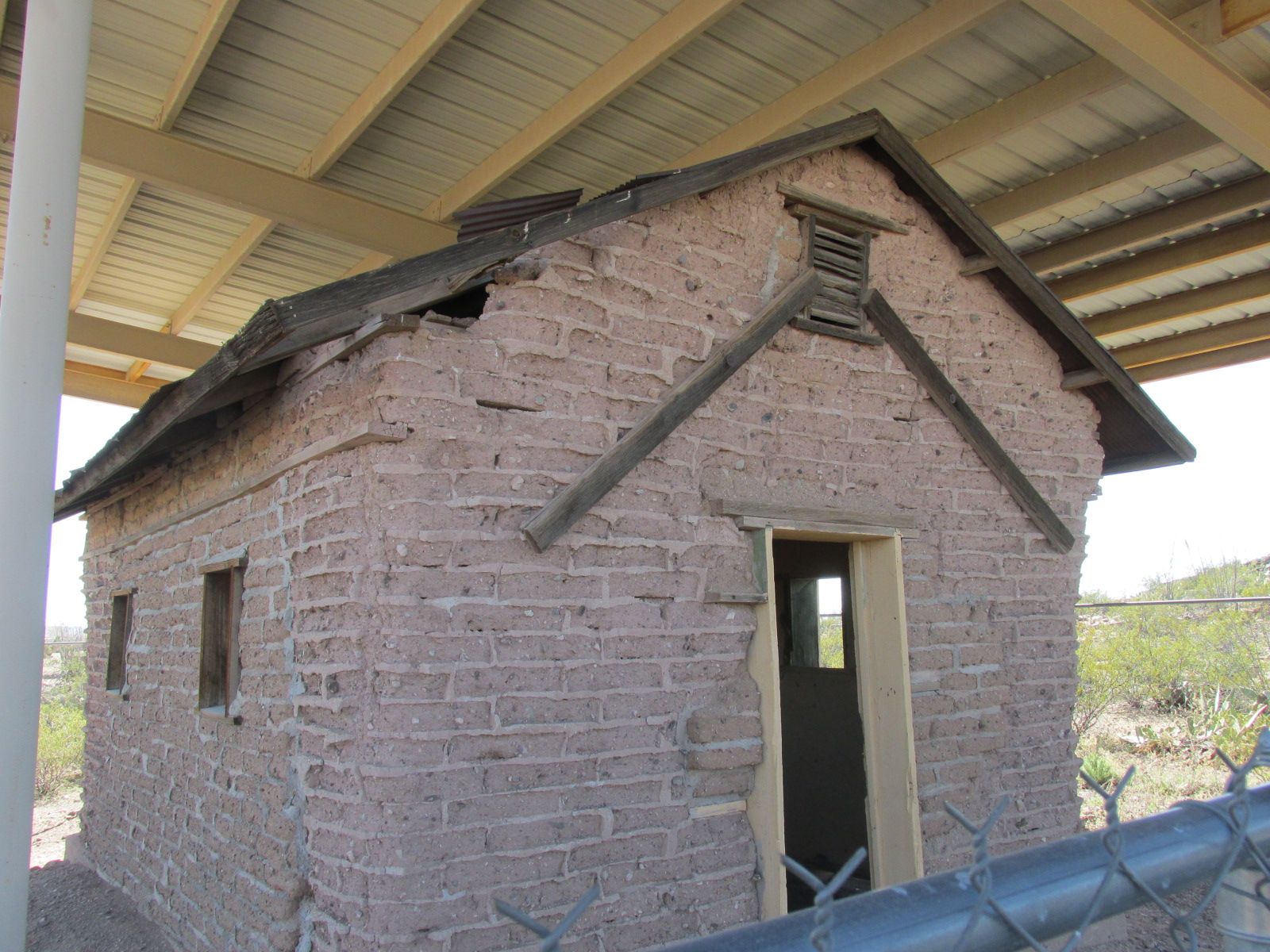
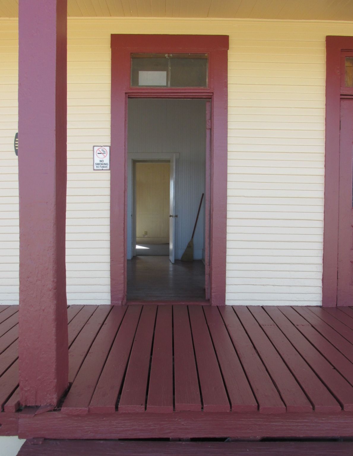
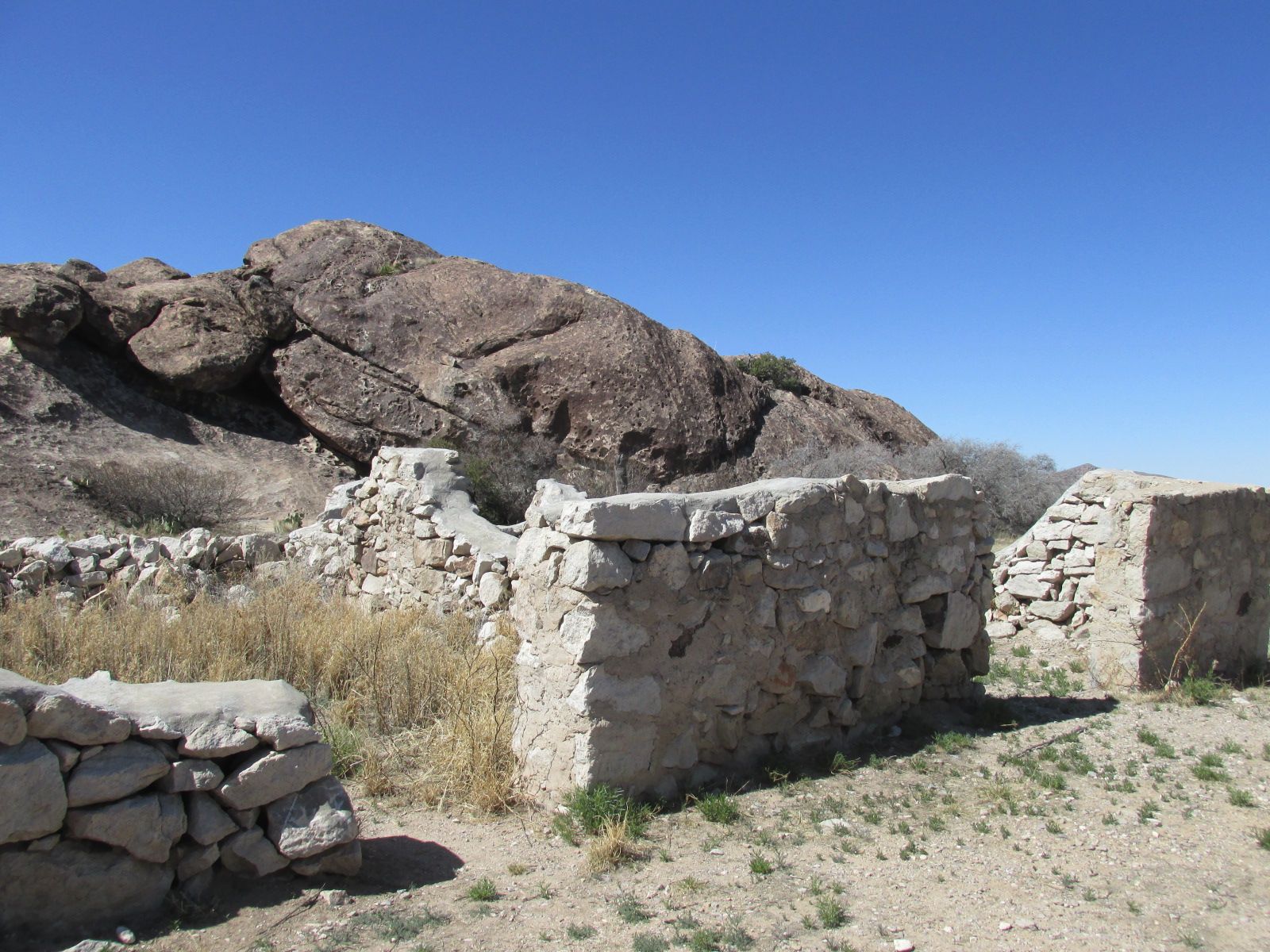
Some of the original Camp Furlong buildings from before the raid still stand. The remains of adobe structures are protected by shelters.
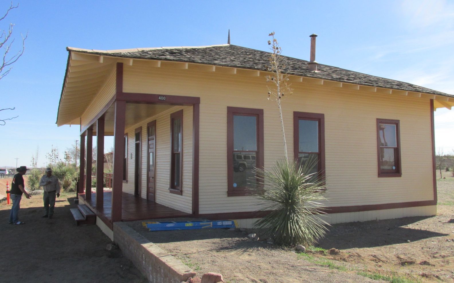
This is the Judge Advocate’s Office.
This is the Headquarters building.
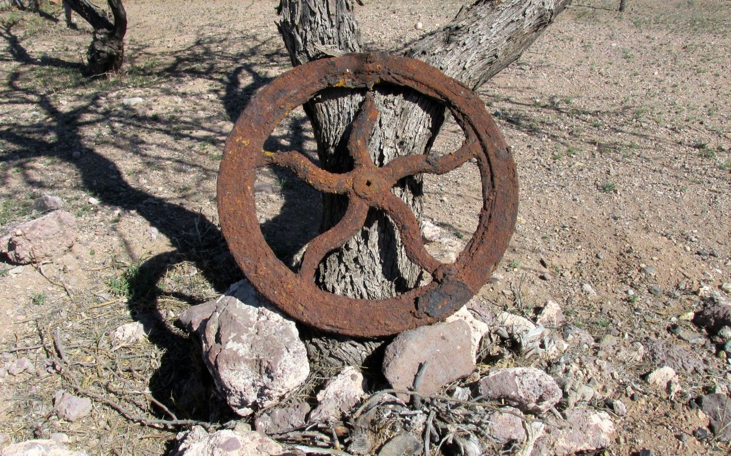
I imagine that someone dug up this rusted bit of machinery and just propped it against a tree.
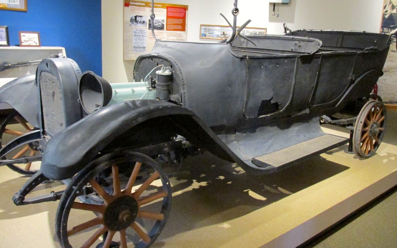
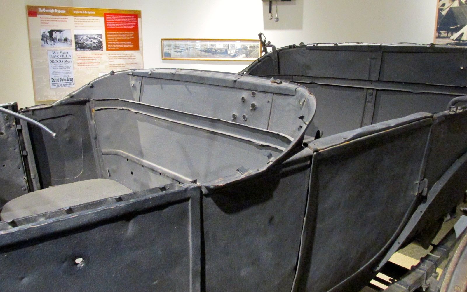
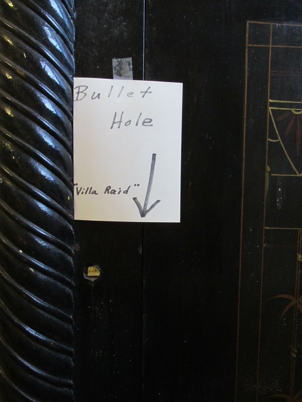
This car was inside the museum, as a testament to the violence of the raid. The driver was killed, and the family donated it to the museum.
Just look at those bullet holes! It must have been quite an attack.
U.S. Customs House built 1901
Other buildings in the park from the era are in better shape than the adobe ones. They were painting the U.S. Customs House while I was there.
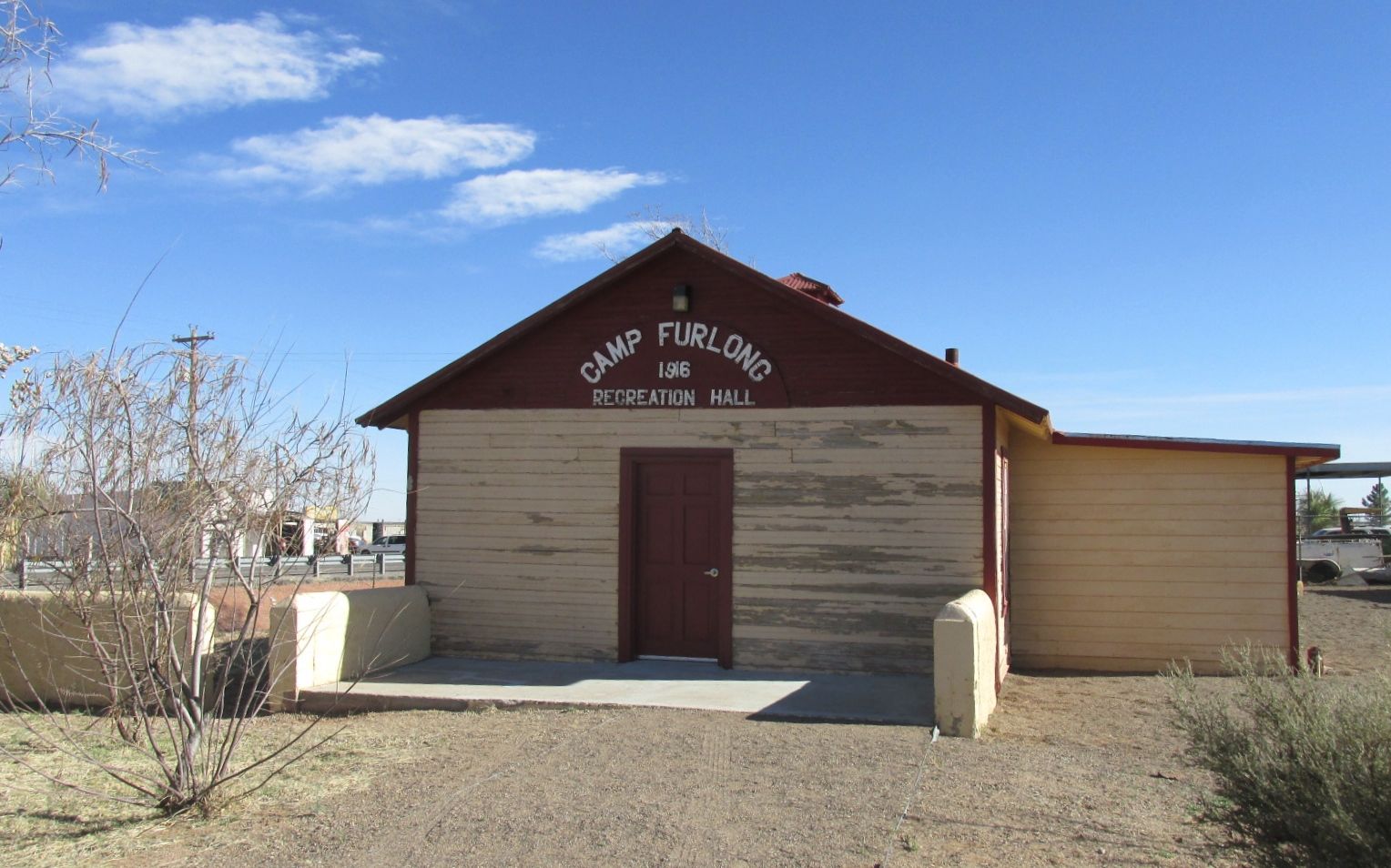
The Recreation Hall was also still standing, although not open to visitors.
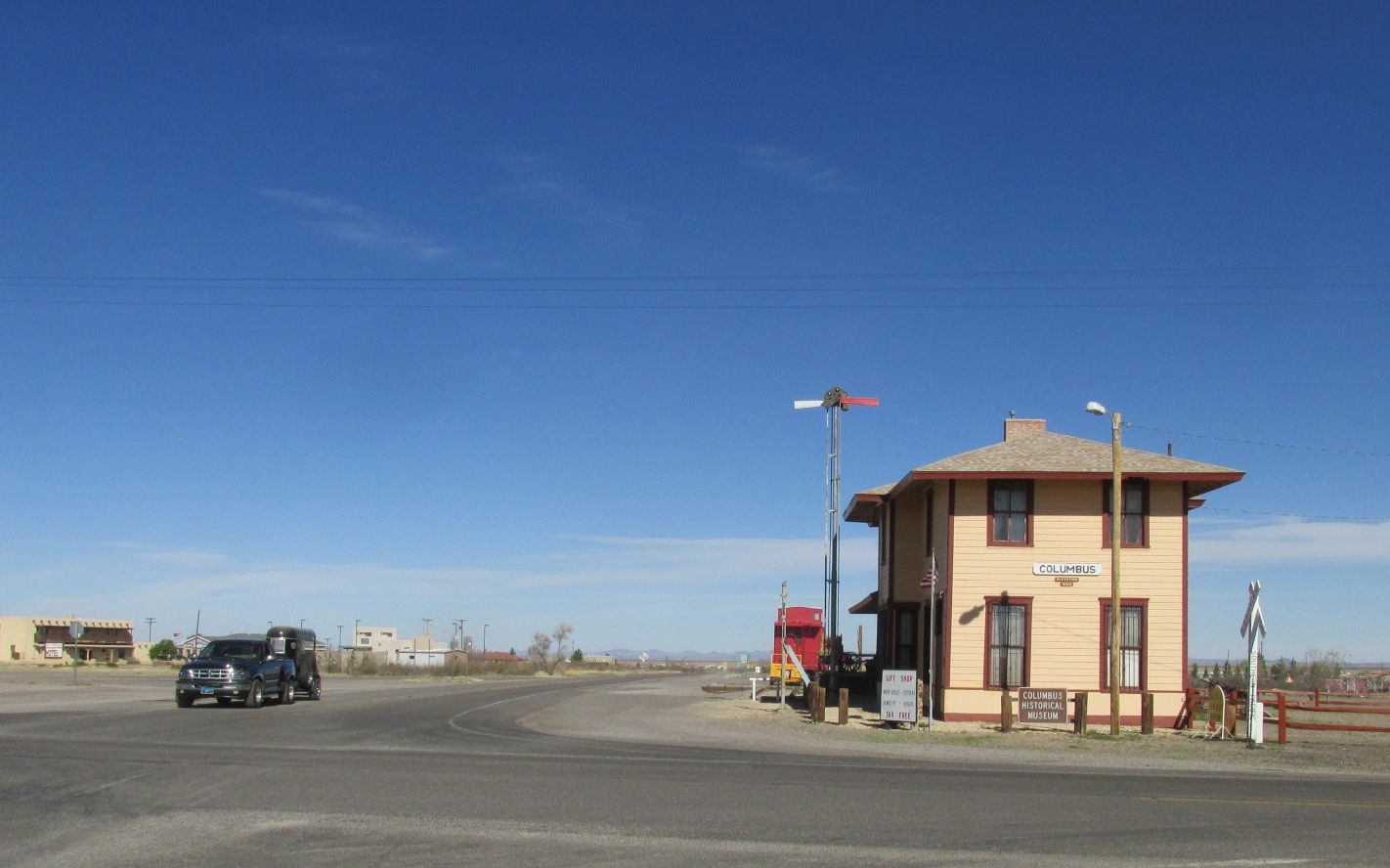
Just across the street was the Columbus History Museum.
It was in the old train station. They have one train car left on a length of track. It was staffed by a work camper – a volunteer who works in exchange for a campsite. She was quite the traveler! At 80, she is still rolling strong. We complimented each other on not looking our ages and then I went through the three rooms in the museum.
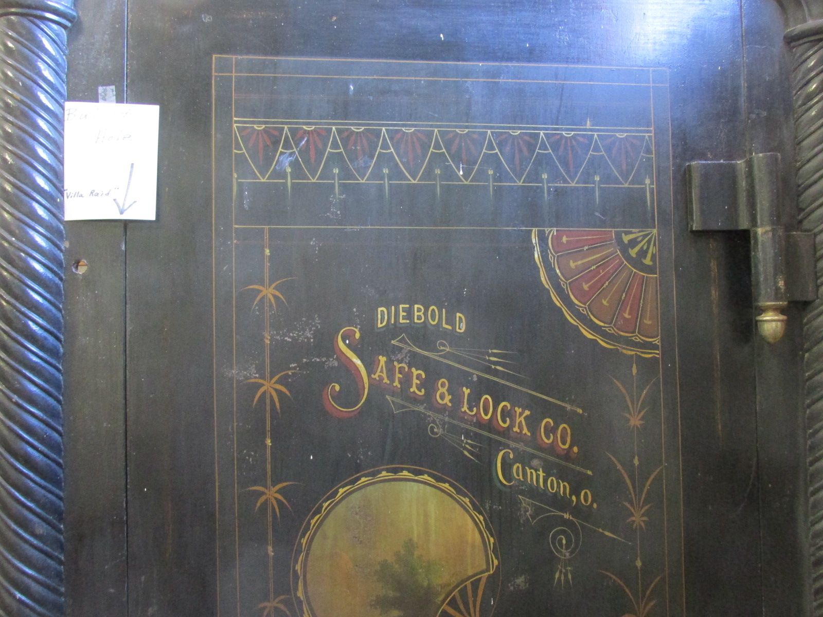
The first room was dedicated to Pancho Villa’s raid.
This is the door to the bank’s safe.
Complete with bullet hole.
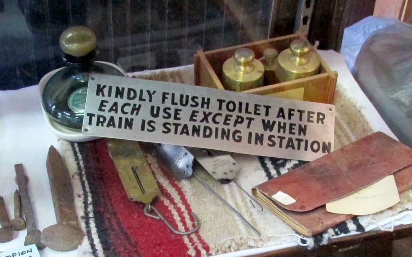
The middle room was dedicated to the railroad history of the area.
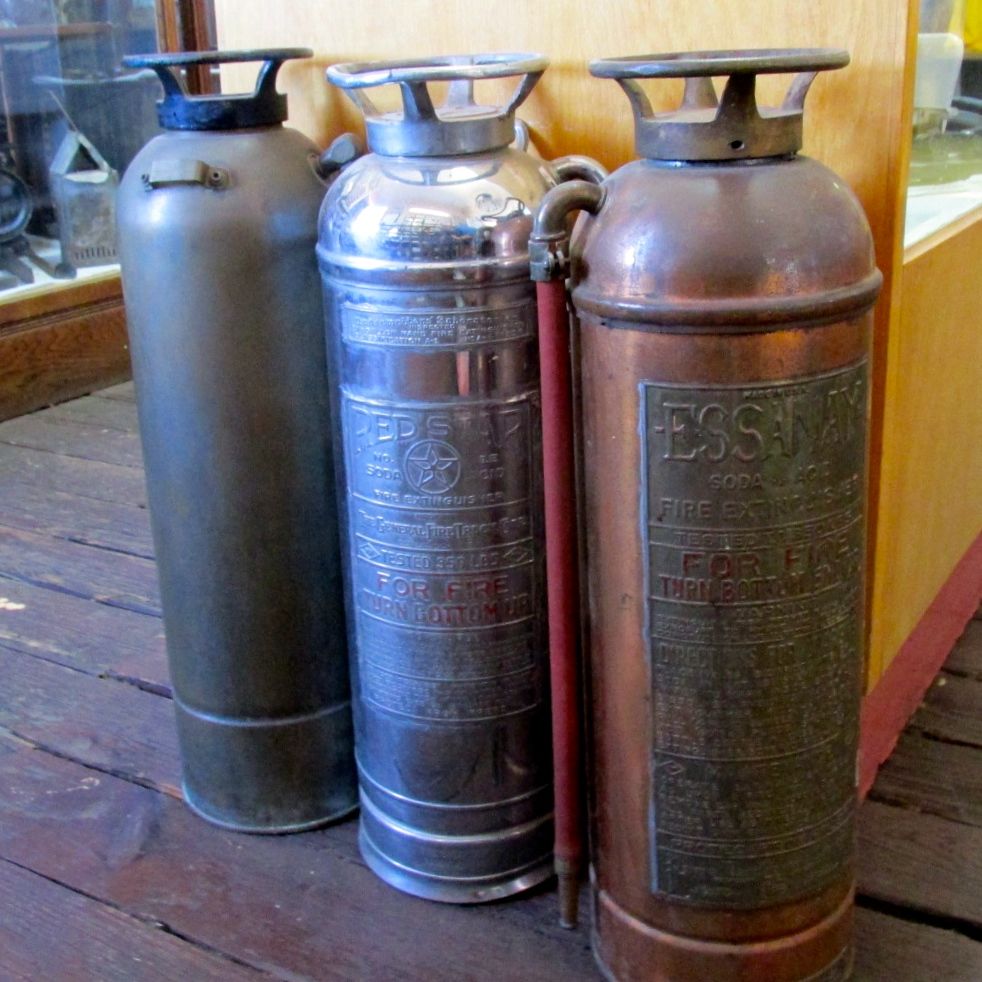
They had a nice collection of fire extinguishers. It reminded me of the lamp my father made for me out of the one that was in our house in Kenmore, New York.
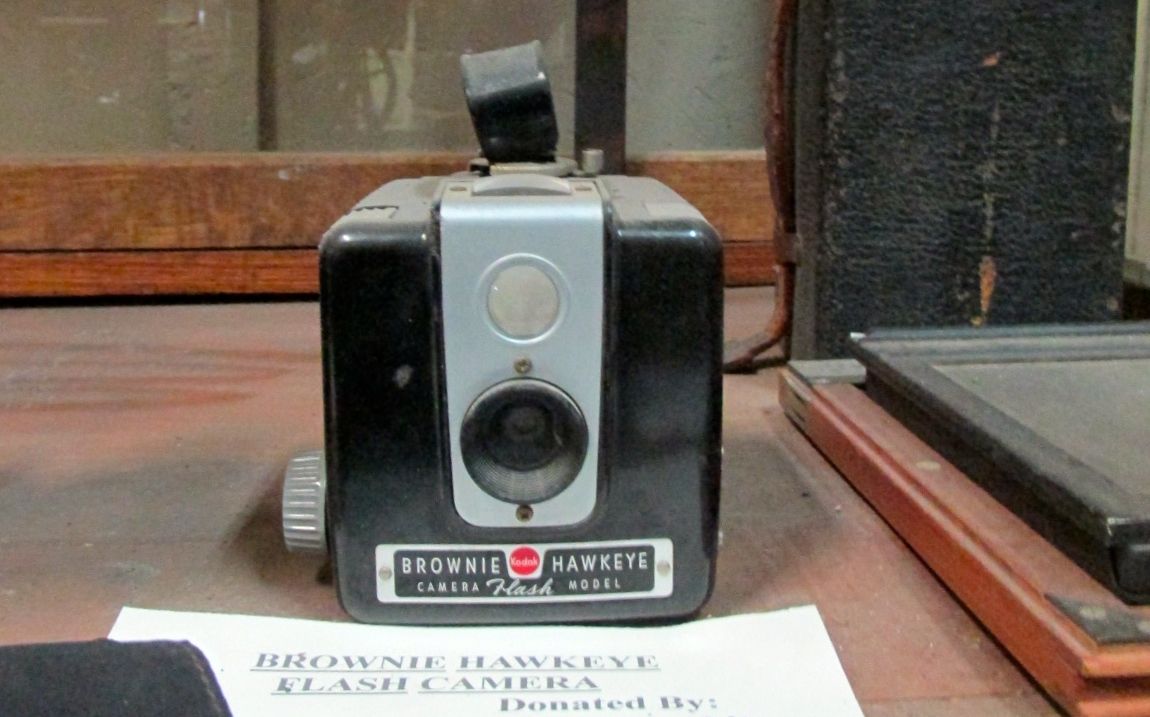
The back room as dedicated to daily life. It is kind of disheartening to find things that you actually owned and used on display in a history museum.
Just like this Brownie Hawkeye camera.
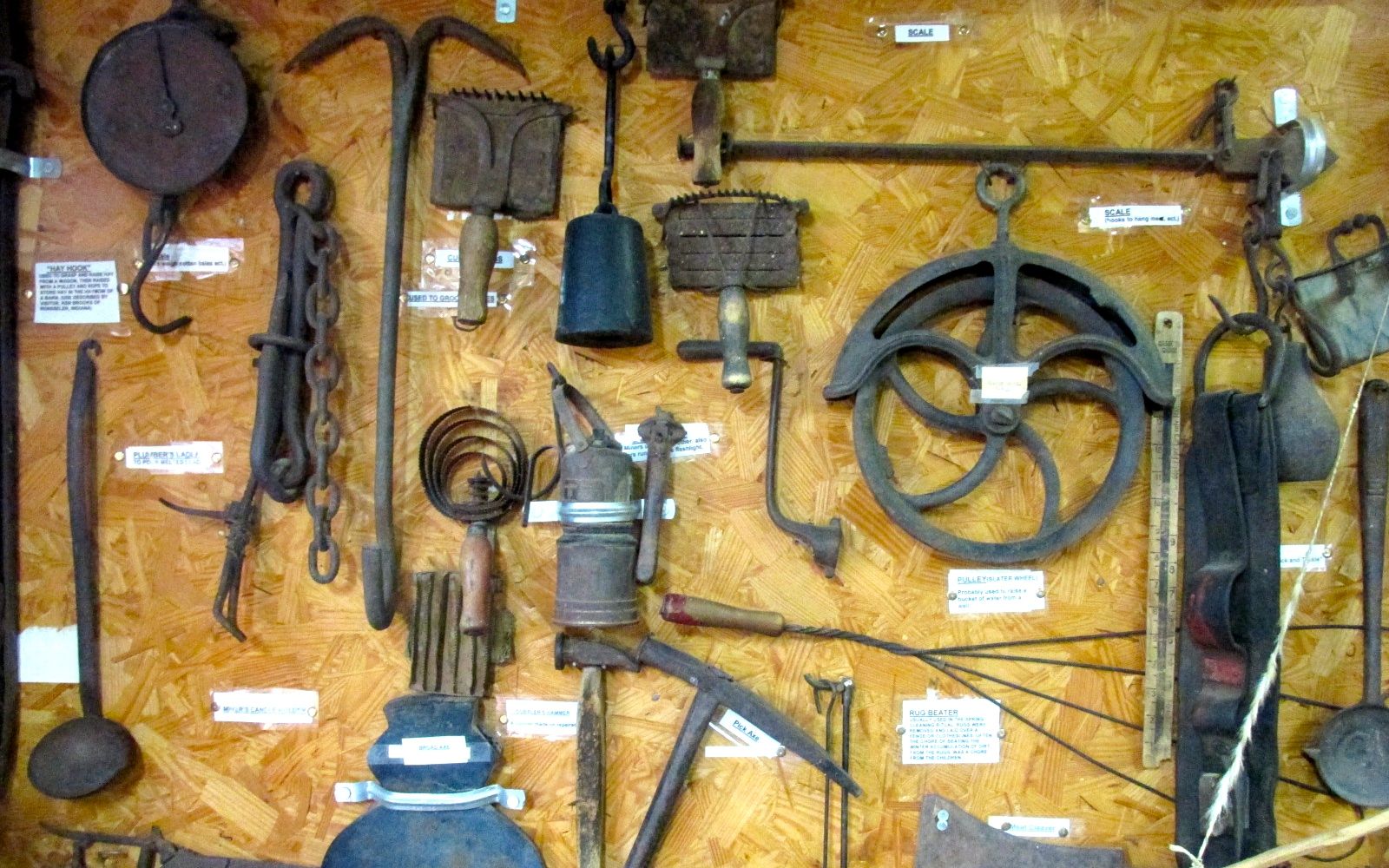
And bits and pieces from kitchens.
And tools. Or parts of tools.
And Stephan Birchfield’s thumb cuffs, badge and mouth harp from the 1930’s or 1940’s.
It’s one of those museums where you leave feeling like you have been looking through someone’s attic or garage.
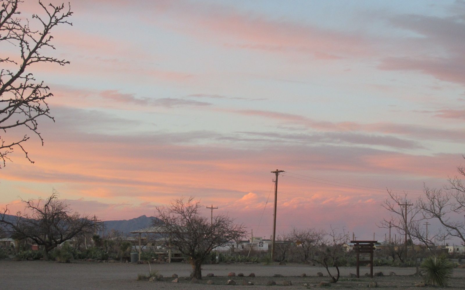
I worked my way back to my camp site.
A good day of “touristing” and I was rewarded by another lovely sunset.
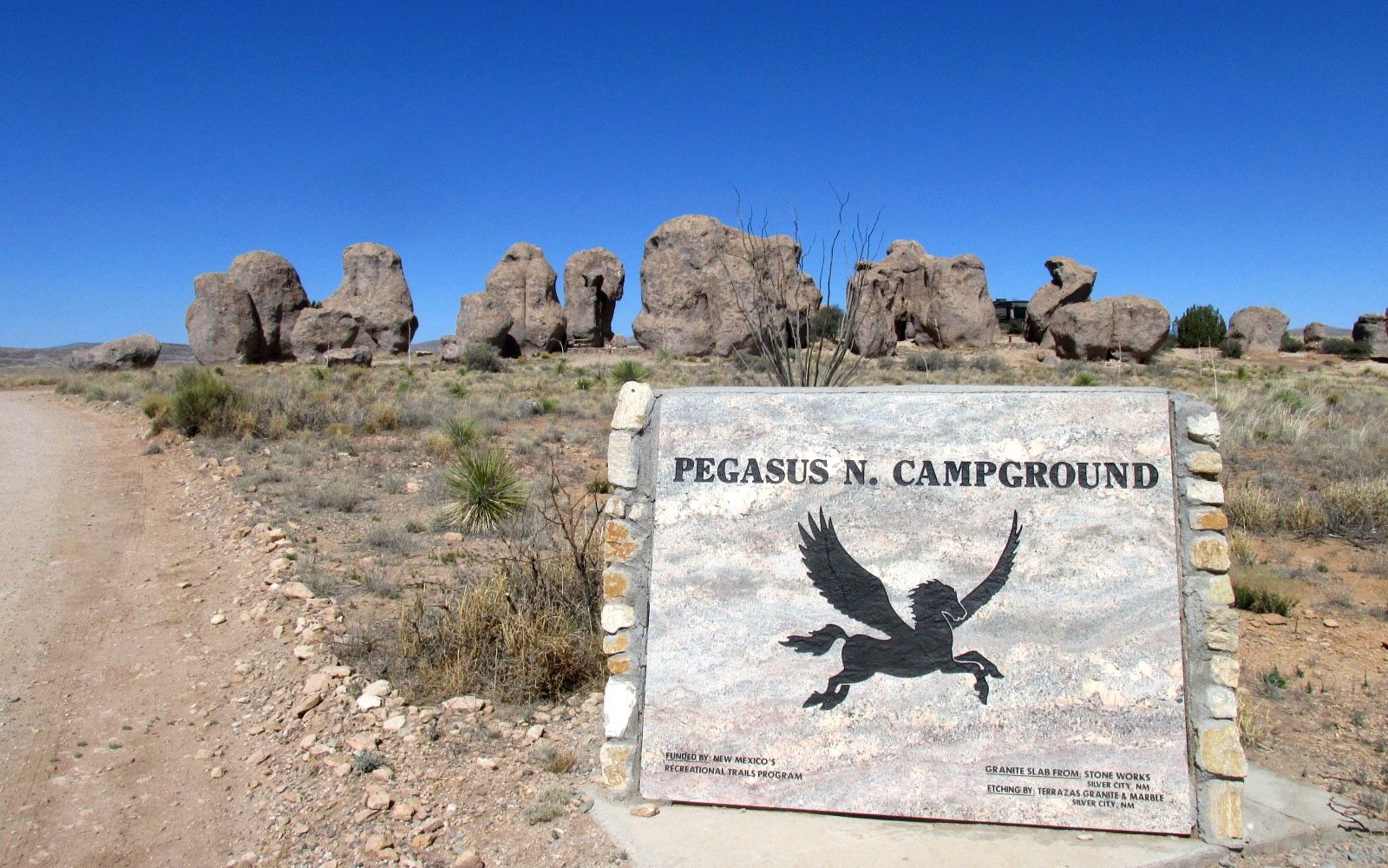
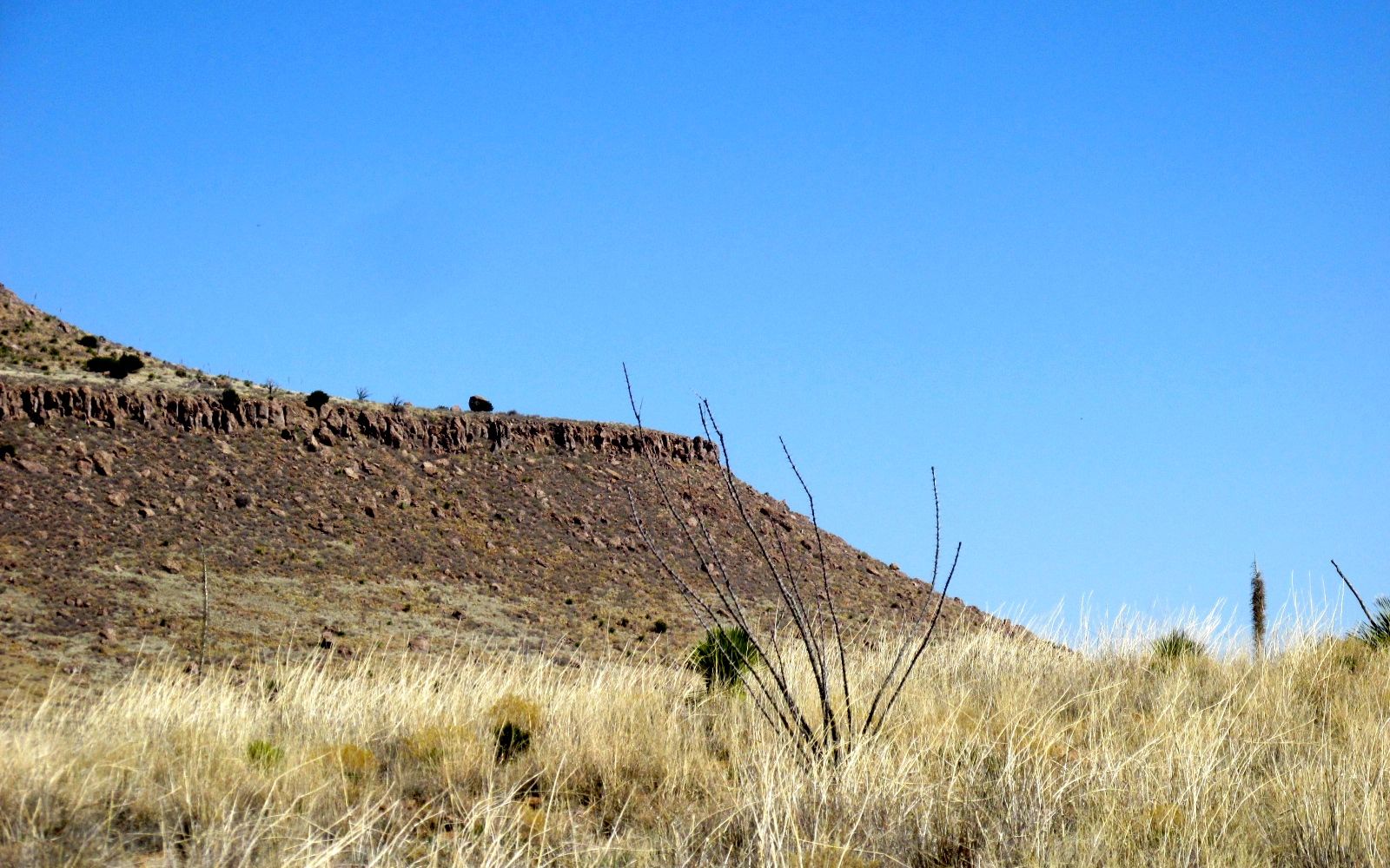
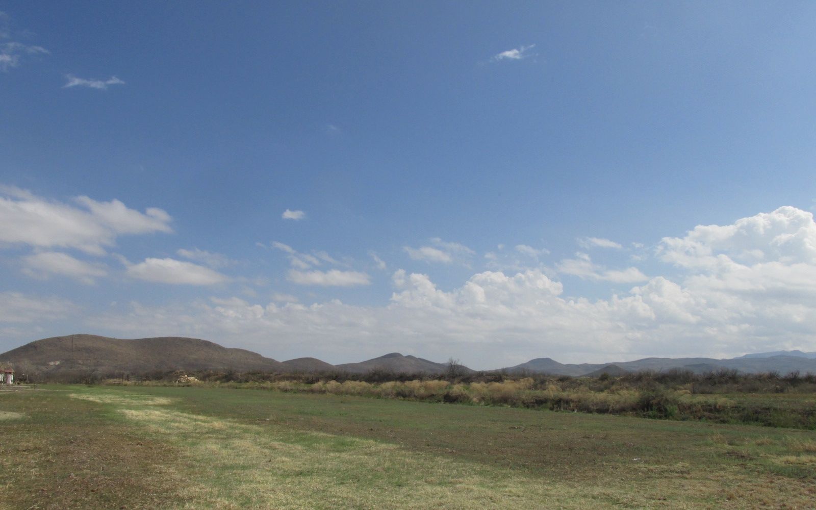
After I left Hueco Tanks State Park in El Paso, I climbed up and up and over the Organ Mountains and into New Mexico. Destination: City of Rocks State Park.
I first discovered City of Rocks State Park last year. I was on my way west to help administer the National Assessment of Educational Progress in Tucson.
After spending the night in a Cracker Barrel parking lot in El Paso, I thought that I might spend the night in Deming. I drove through the town, but nothing grabbed my attention. I headed back to I-10 and figured that something would show up.
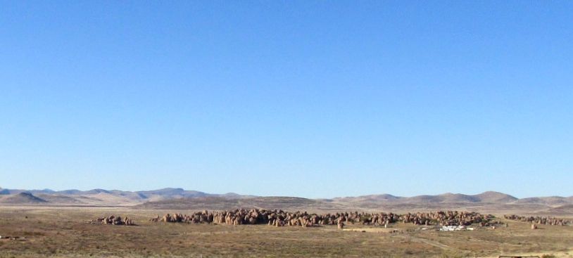
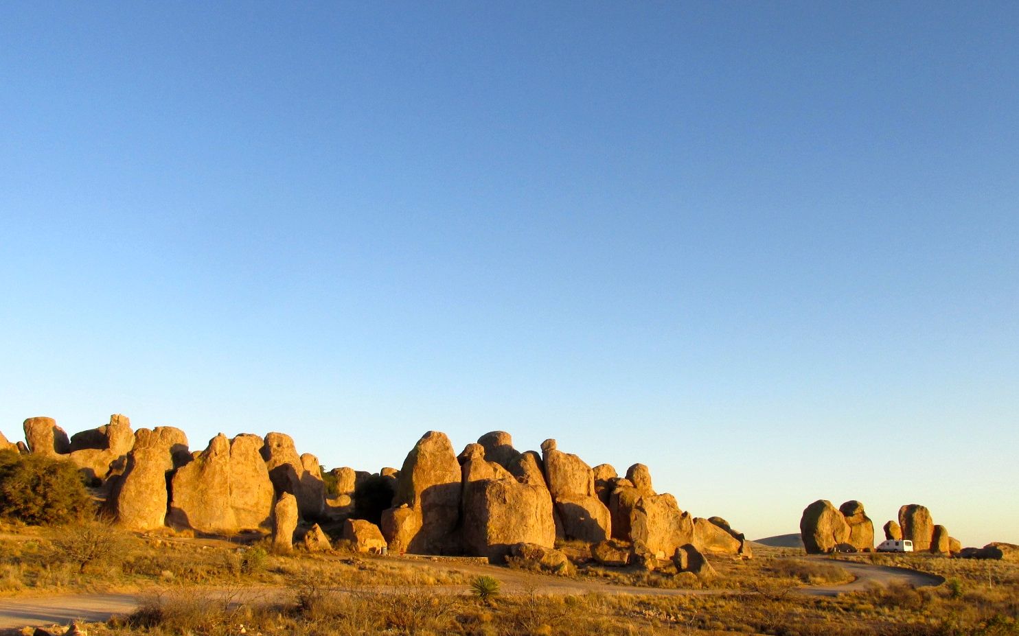
Just a mile or so down the road, I saw the sign for City of Rocks, and I thought it sounded interesting. I really loved my stay last year. This year, I decided to plan on stopping there. I turned off I-10 and headed north on US 180.
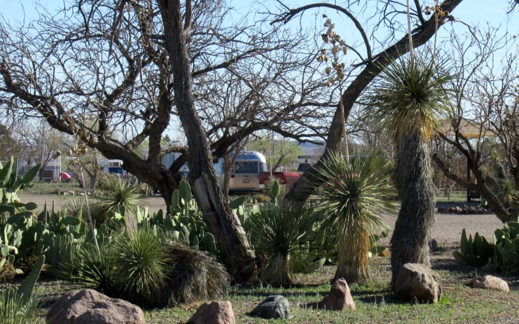
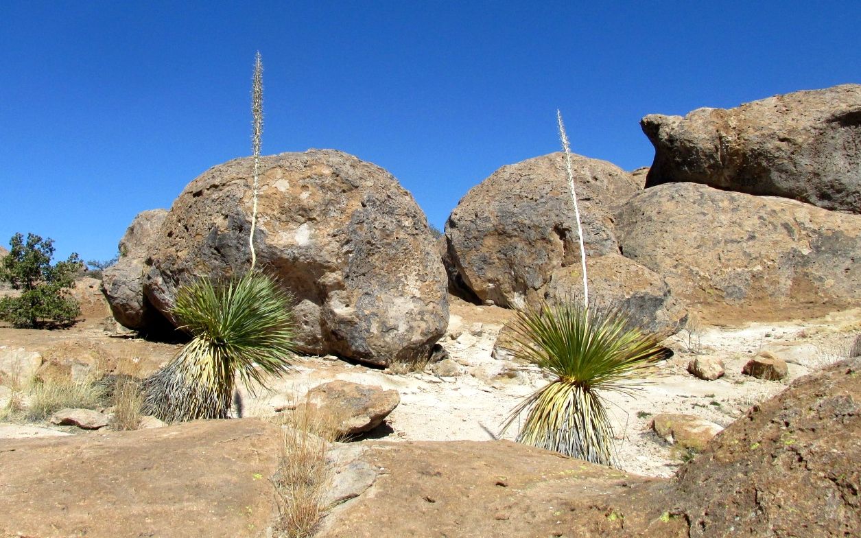
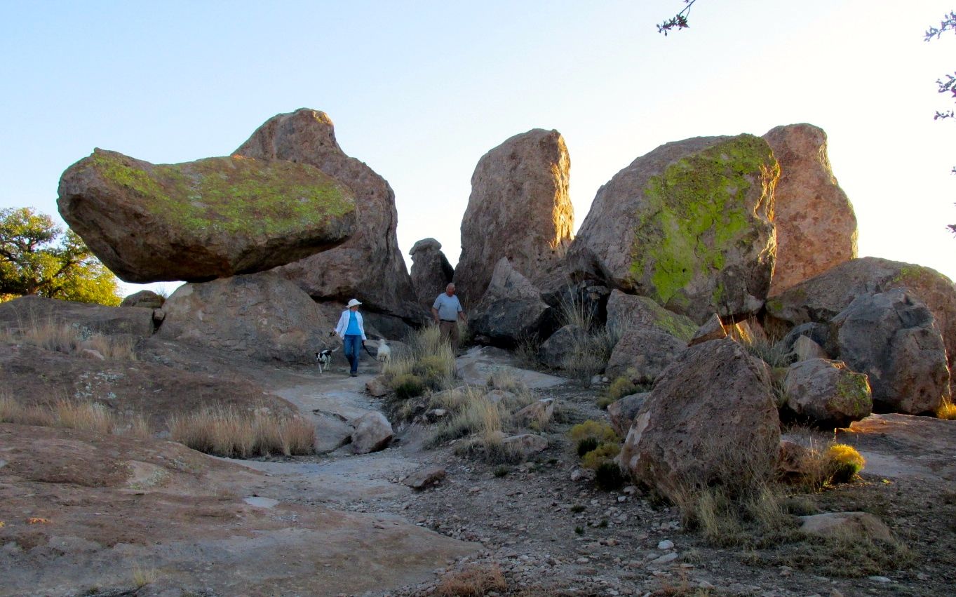
My excitement built as I turned toward the park and saw the rocks ahead of me. Last year, I stayed at a one of the full-hookup sites. I just happened to pull in when someone was pulling out. I thought it would be cool to have one of the sites that were tucked around in the rocks. Well, this year, I got one of those sites!
My site is tucked up in this group of rock.
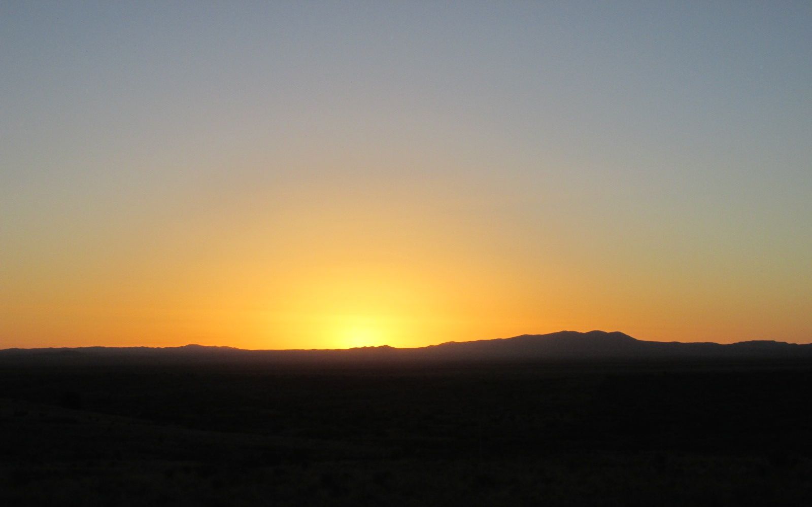
Of course, with such a cool site, I had to forego hookups. But, I had a tank full of water, plenty of propane and my batteries were charged. Who needs hookups?
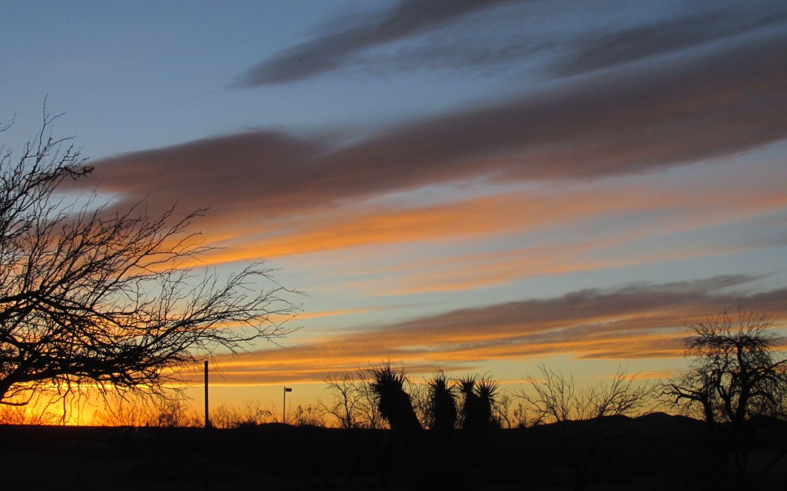
This was my view of the sunset out my door. Such splendor!
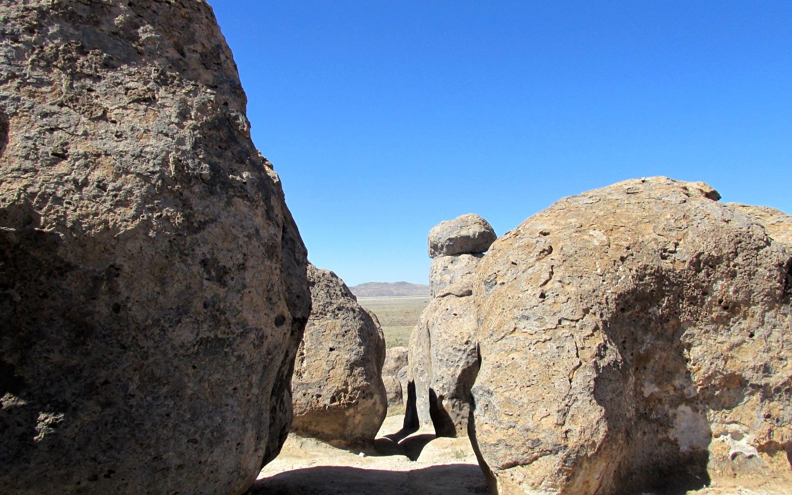
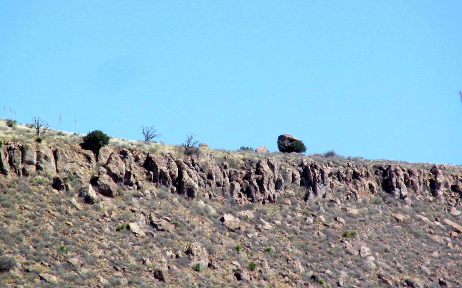
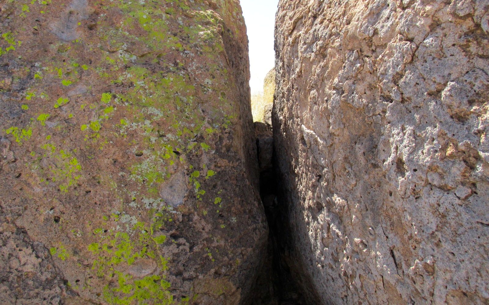
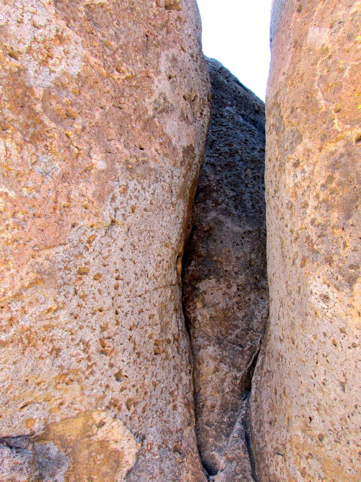
I had a great time hiking among the rocks.
I met a guy walking toward me and we got to chatting. This is one of his favorite parks. He told me that he was hiking toward the big rock, and he pointed to his destination.
“A big rock?” I asked him.
“On the cliff,” he told me.
I guess that is a big rock. I wished him a good hike and told him to wave to me when he got there.
But, back to my hike through the rocks.
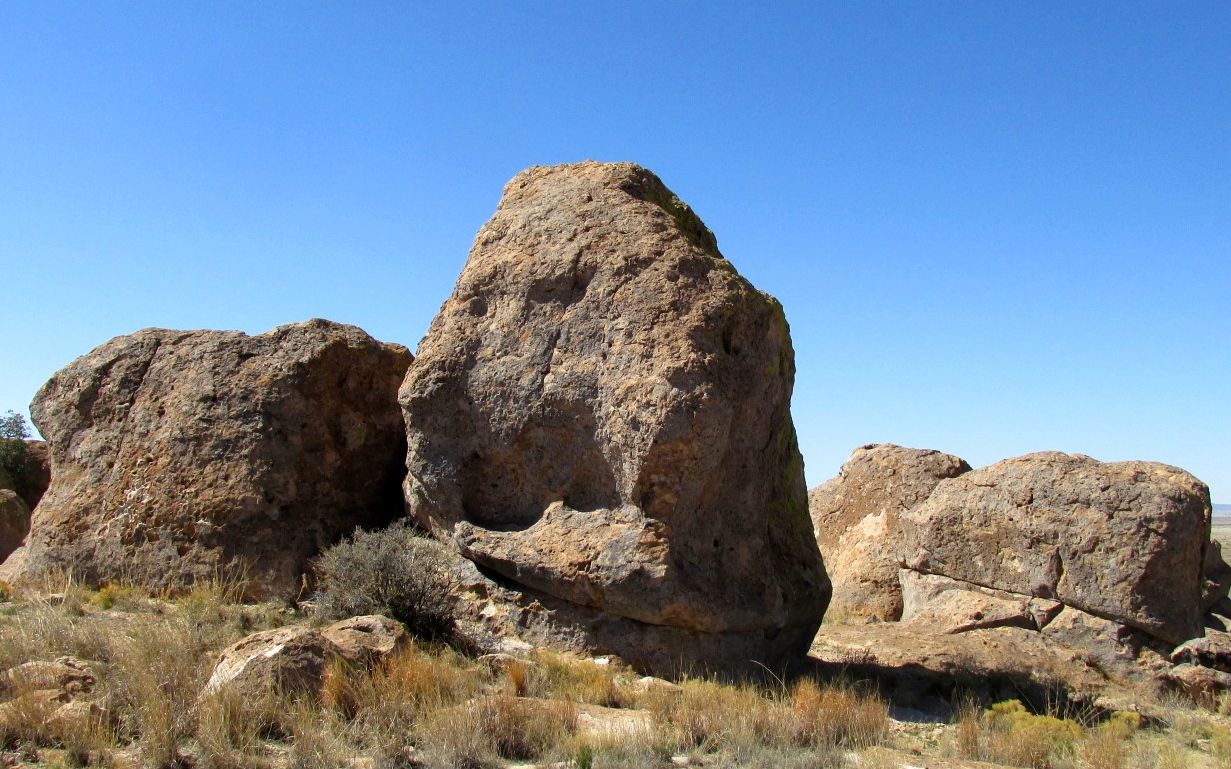
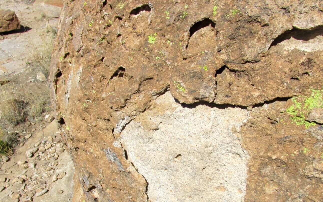
It’s interesting to see the erosion taking place. The rocks lose layers, due to the heating and freezing cycles.
Here is a large flake. It is very tough. I couldn’t rub any bits off of it. When I dropped it on the rocks, it sounded almost like a ceramic tile hitting a floor. It kind of rang.
Of course, the lichens also help break down the rocks.
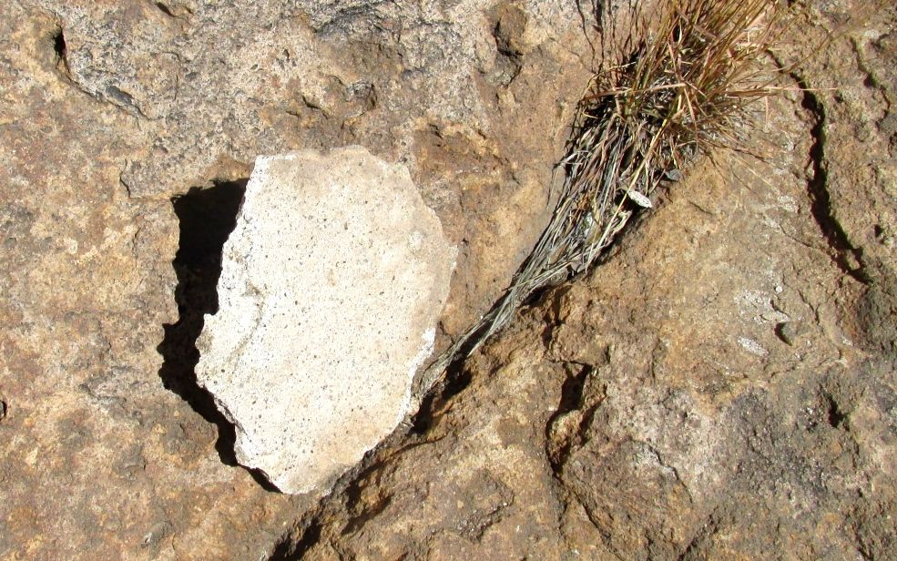
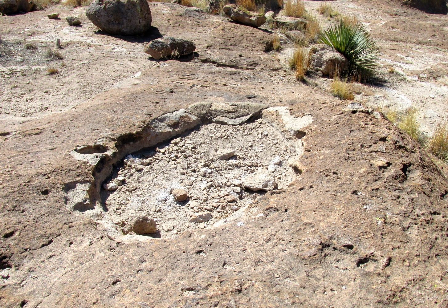
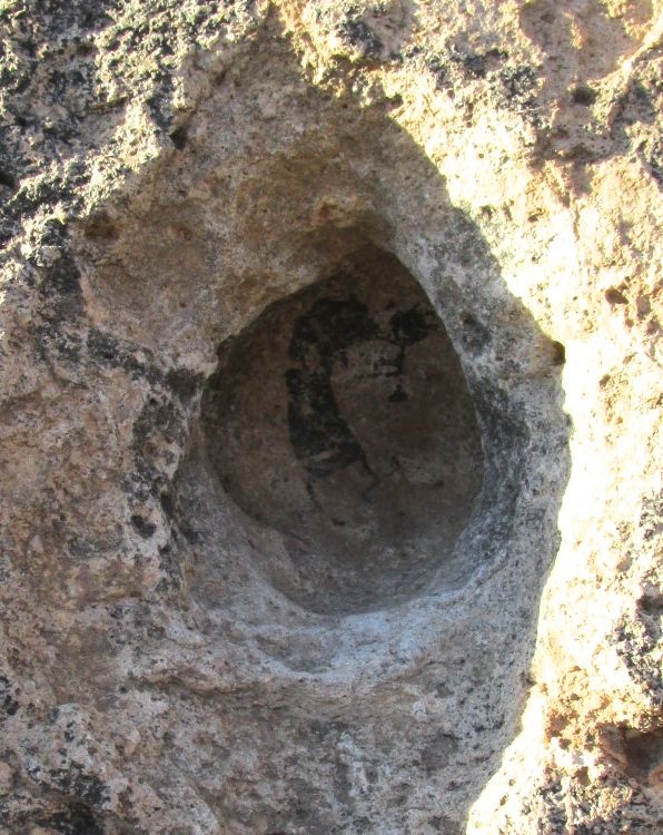
I found this hueco on the top of the formation. I suppose it would be full of water if there had been any rain.
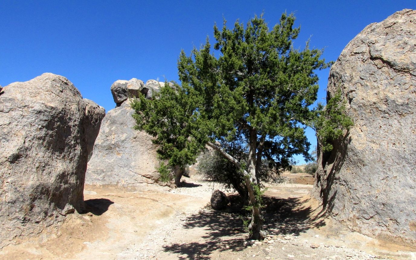
In spite of a minimal amount of soil and rain, trees grow among the rocks.
Cactuses grow there, too.
Man, I love these rocks!
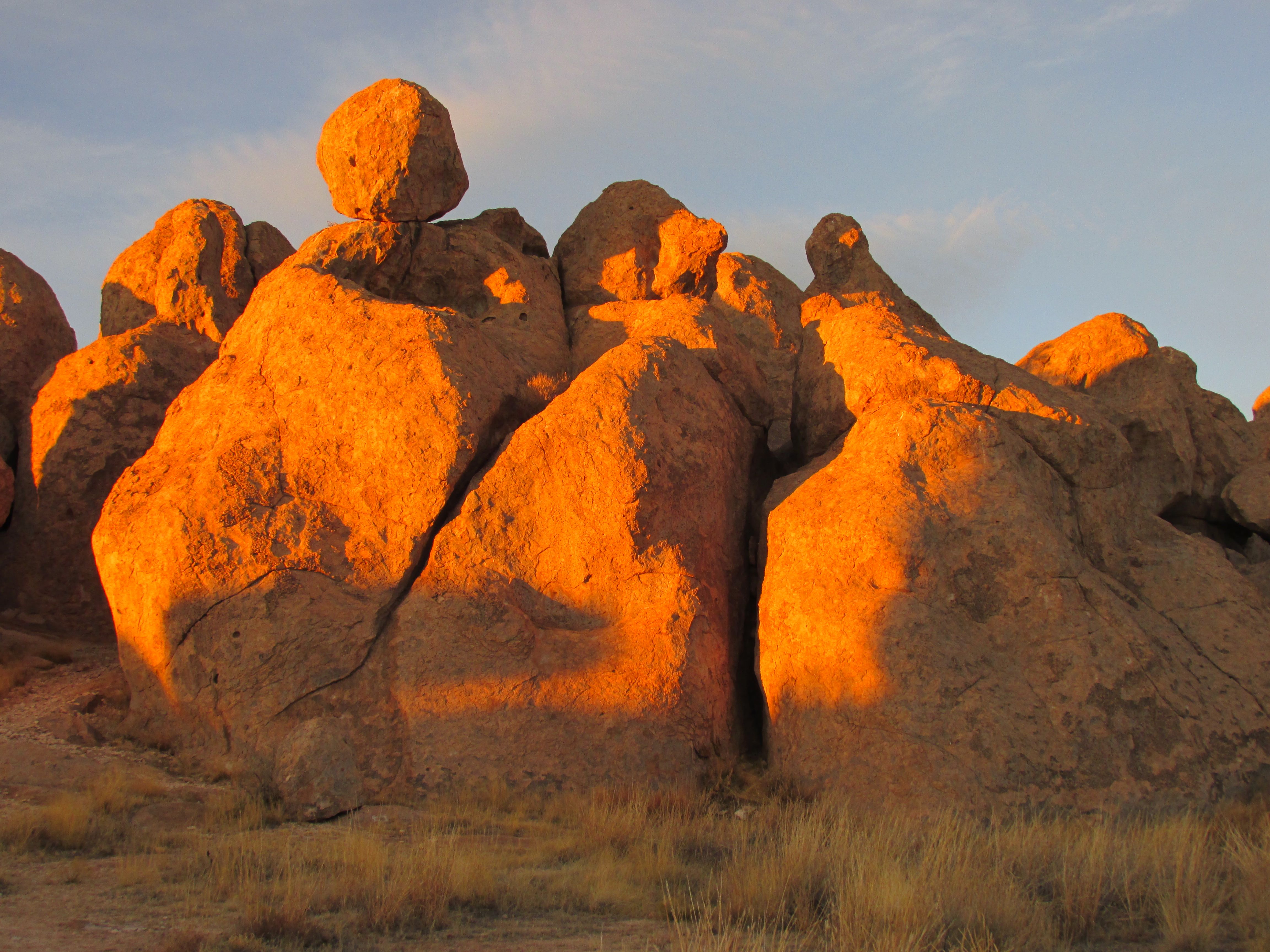
Sunset is so delightful. The light warms up the rocks.
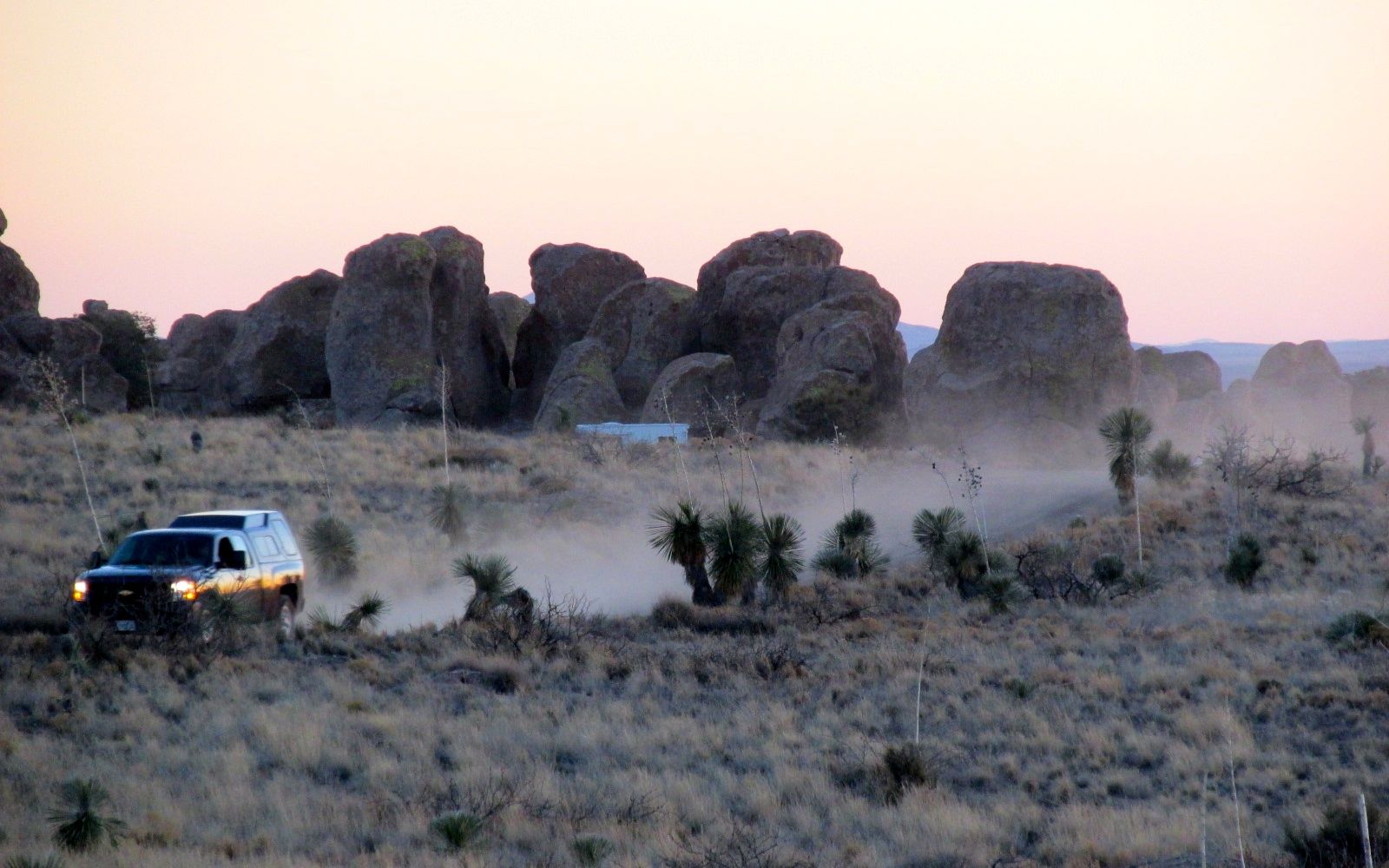
Heading back to my campsite, I was impressed by the plume of dust kicked up by the truck. It sure is dry in the desert!
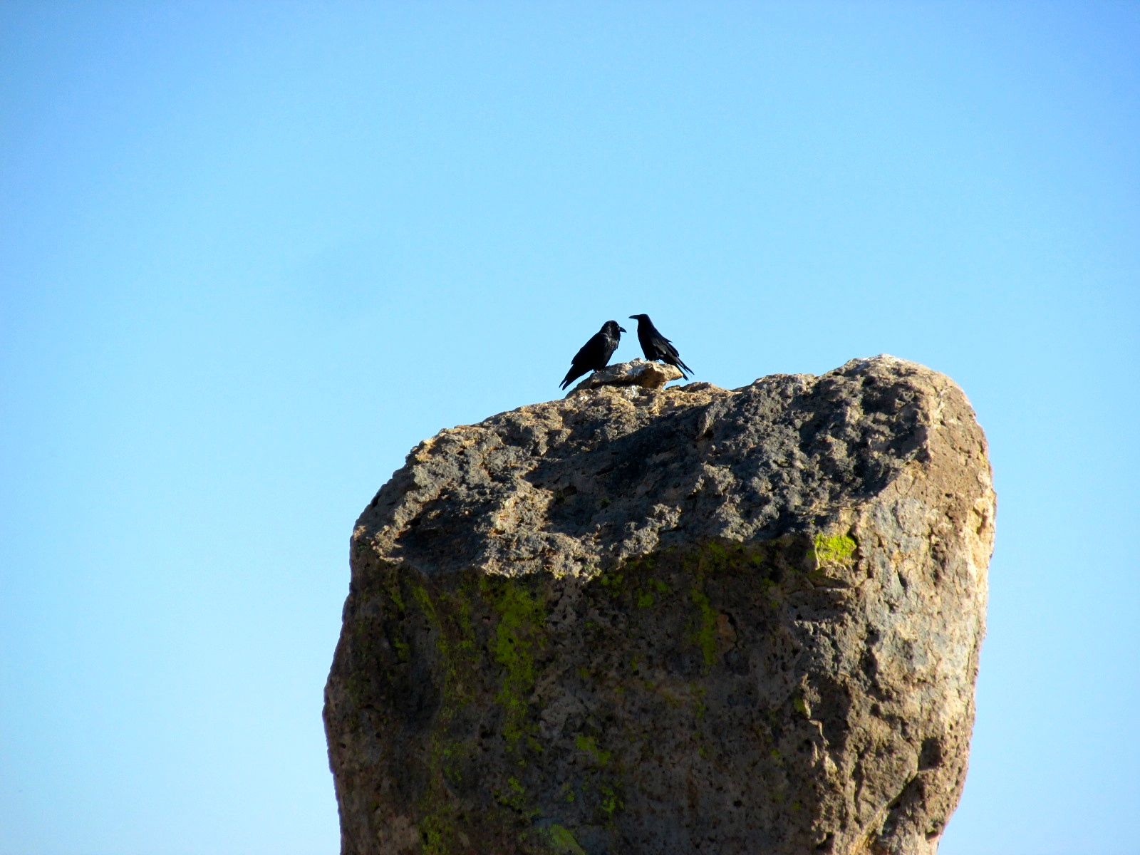
The next day, I walked around and just enjoyed looking.
The crows posed nicely for their photo.
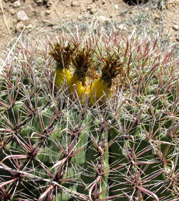
I like those yellow fruits on the cactus.
And, look at the impressions on the leaves.
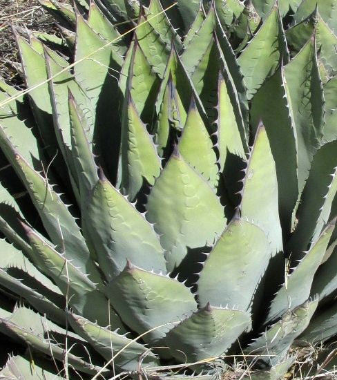
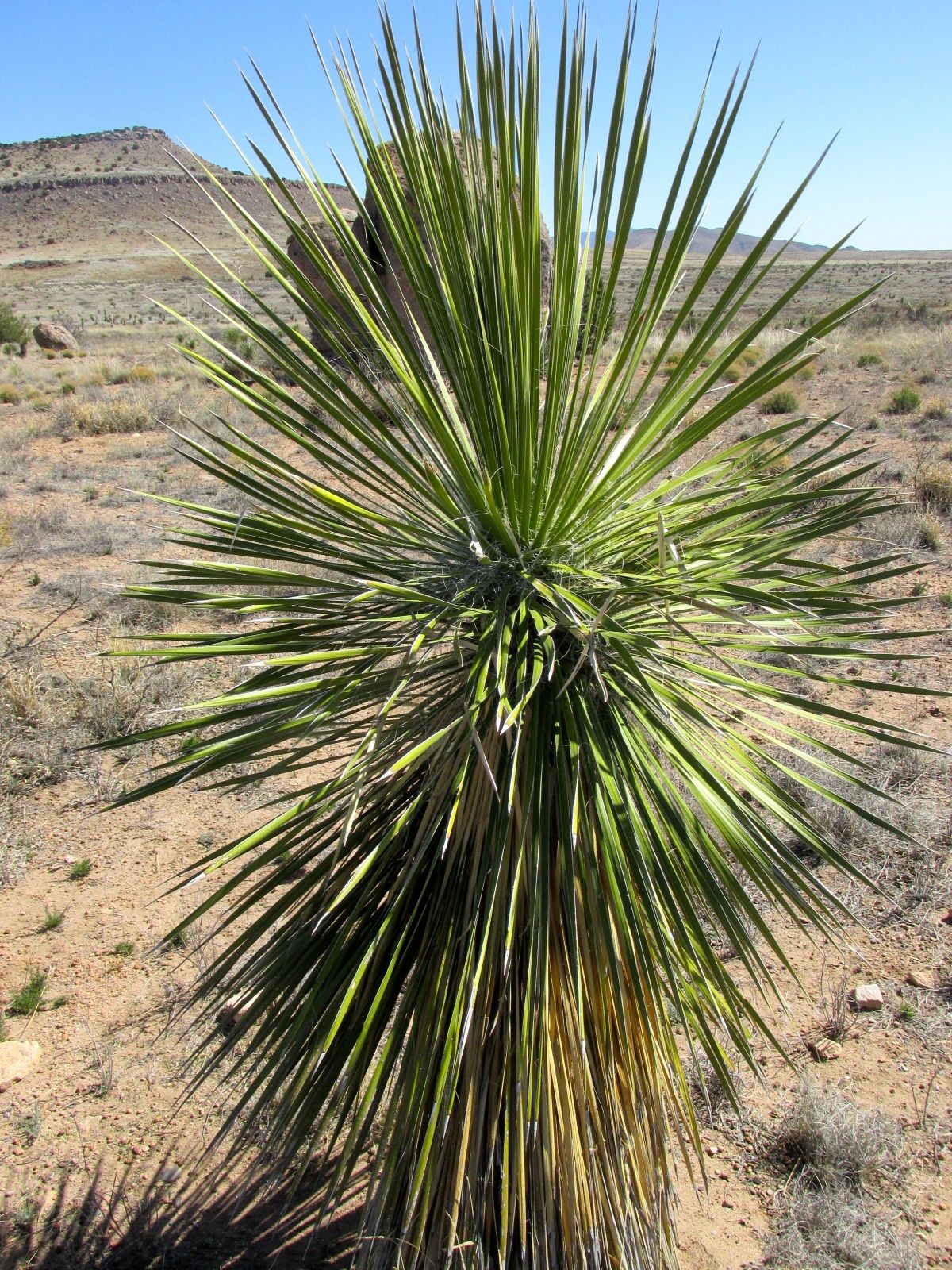
I think this is a yucca. I am fascinated by the spiky leaves.
While strolling about, I met a guy named Rick from New Hampshire. He spends the winter in the southwest in a little camper van. He loves this park, too, and offered to show the petroglyphs to me and another woman who passed by while walking her dog.
Rick and the woman with her dog
If you look at the right side of the rock, you will see a small cross. He said that was called a “Spanish Cross” and was put there by the Spanish explorers who were looking for gold and silver.
This one is Kokopelli, and it is tucked into a small hole. He had to pull a rock out that they keep there to protect it.
The last one was in kind of a cave – a sheltered area where the rocks leaned together.
Now, I don’t know if these are authentic petroglyphs. When I have seen petroglyphs in other places, there have been masses of them. Here, there were only three, and they all seemed to be created by different cultures. But, you never know. And Rick enjoyed showing them to us.
The one downside of my time at City of Rocks is that the water pump in my trailer failed. But, I had several gallons of water with me, so I made do. It’s not a problem when I’m hooked up to city water. My next campground would have water and electricity at the site, so it wouldn’t be a problem. I’d figure out a way to get it fixed.
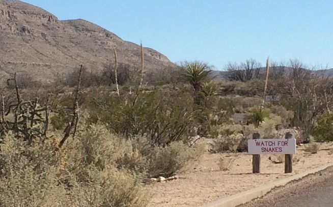
I had one day between leaving Balmorhea State Park in Texas and my reservation at City of Rocks State Park in New Mexico. The last time I was trekking westward on I-10, I ended up staying at the Cracker Barrel in El Paso. I could have done that again, but Hueco Tanks State Park and Historic Site sounded interesting.
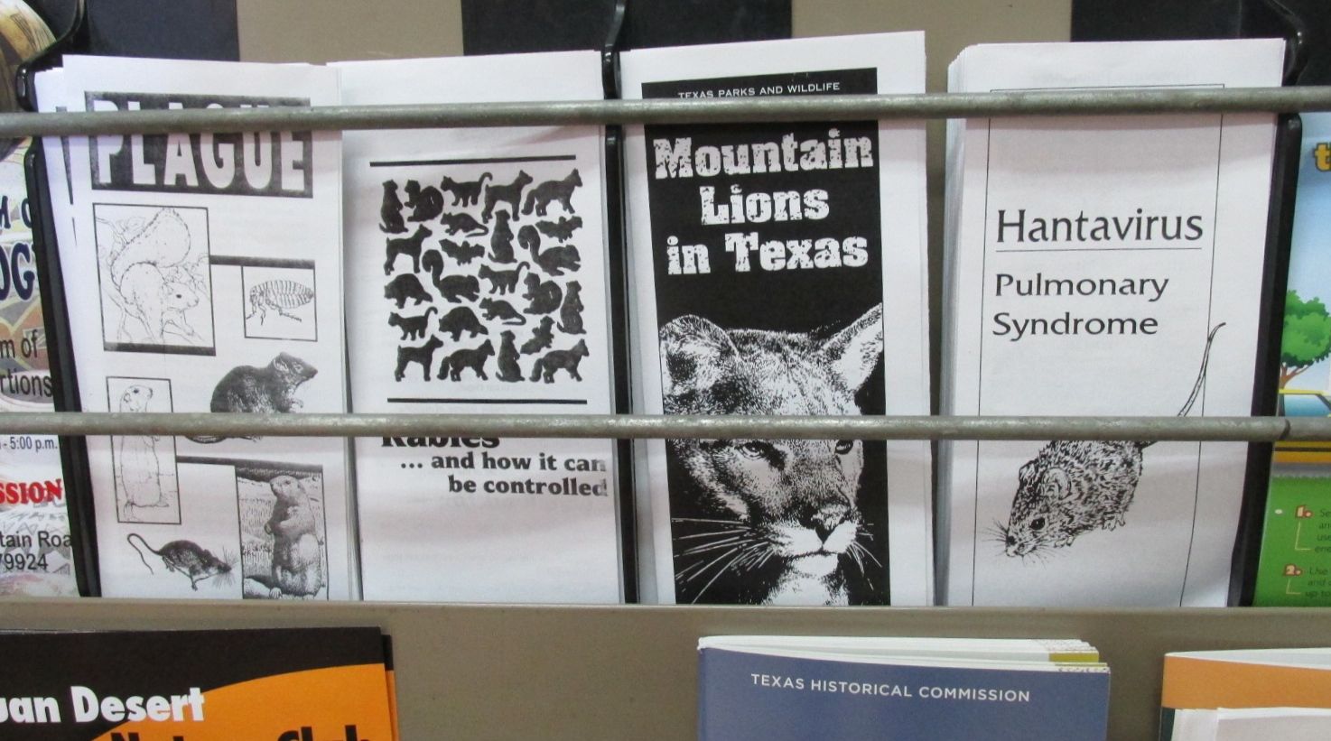
I made my reservation and checked in at the ranger’s station. In addition to the “Watch for snakes” sign on the way in, there was a lovely assortment of brochures warning of other deadly dangers.
At least there were no warnings about ticks and lyme disease. But, maybe that was on another rack.
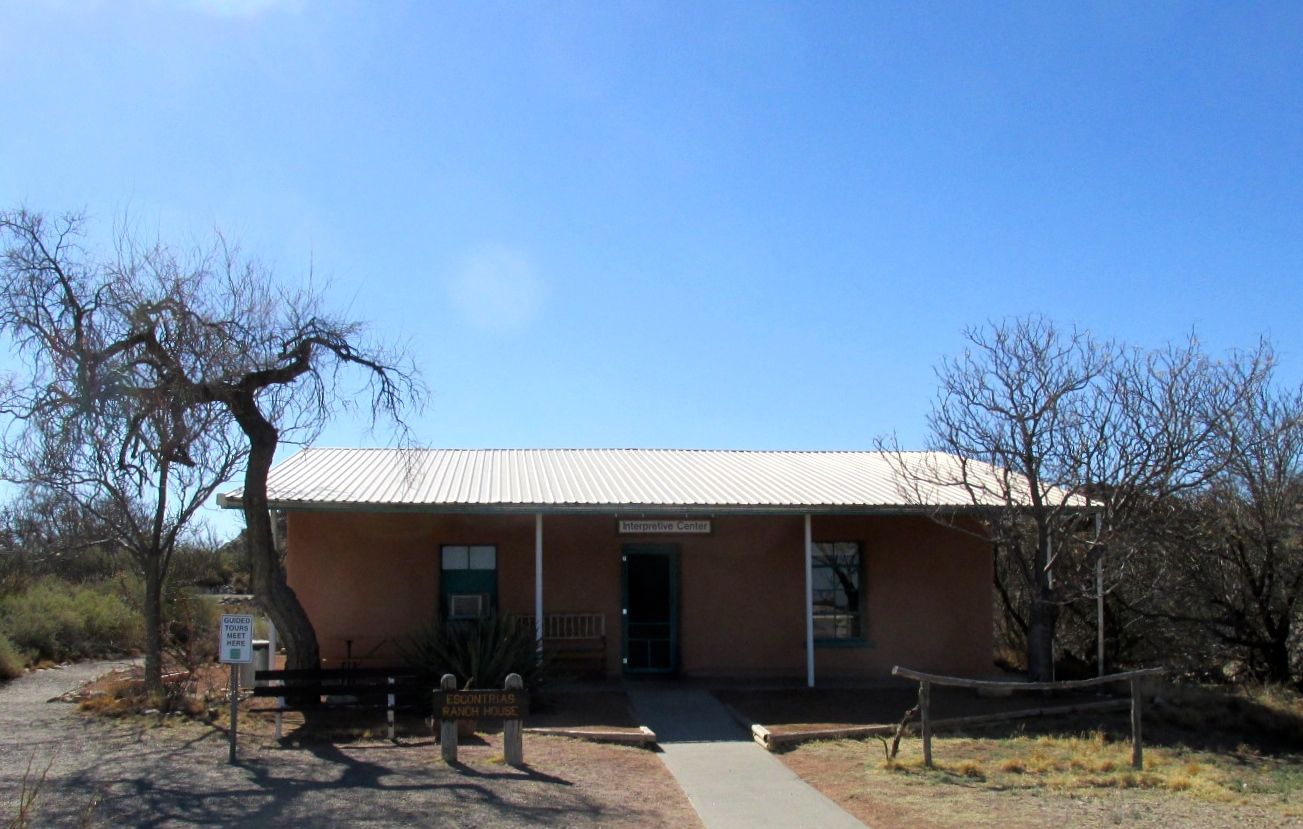
They are serious about preserving the cultural and natural resources at the park. They have each visitor watch a fifteen minute video before they are allowed to enter the campground or walk on the trails.
The adobe ranch house, built by the Escontrias Family in the beginning of the twentieth century, is now used for showing the videos and explaining the resources of the city. Right next to the ranch house are the remains of the Butterfield Overland Mail station. The stage line ran from 1858 to 1859.
After I watched the video, I got my card certifying that I had seen it. My certification is good for a year, so I was all set for my visit on the trails the next day. I could even return, if I happened to be in the area – provided that I don’t lose the card.
I made my way to the campground. It had a rather low-tech gate to insure our safety. You had to get out of the truck, slide the latch, swing the gate open, hook the gate so it didn’t swing shut and then drive through. After you drive through, you have to repeat the process. They do lock the entrance to the park at night, so I guess that ups the security level.
The ranger assigned me to a site that was hard to get into. That seemed odd, as the camp sites were mostly vacant. After a couple passes, the people in the campsite next door told me that they couldn’t get in that one either. They just picked their own site and then went back and told the ranger which one they were in. I decided to follow their lead, and got backed in easily to a sweet site with a shaded picnic table.
Life on the road isn’t exactly a vacation. There are still things you have to do – tasks of daily living, as it were. I dropped Flo at the park and zipped back into El Paso and got Bart’s oil changed.
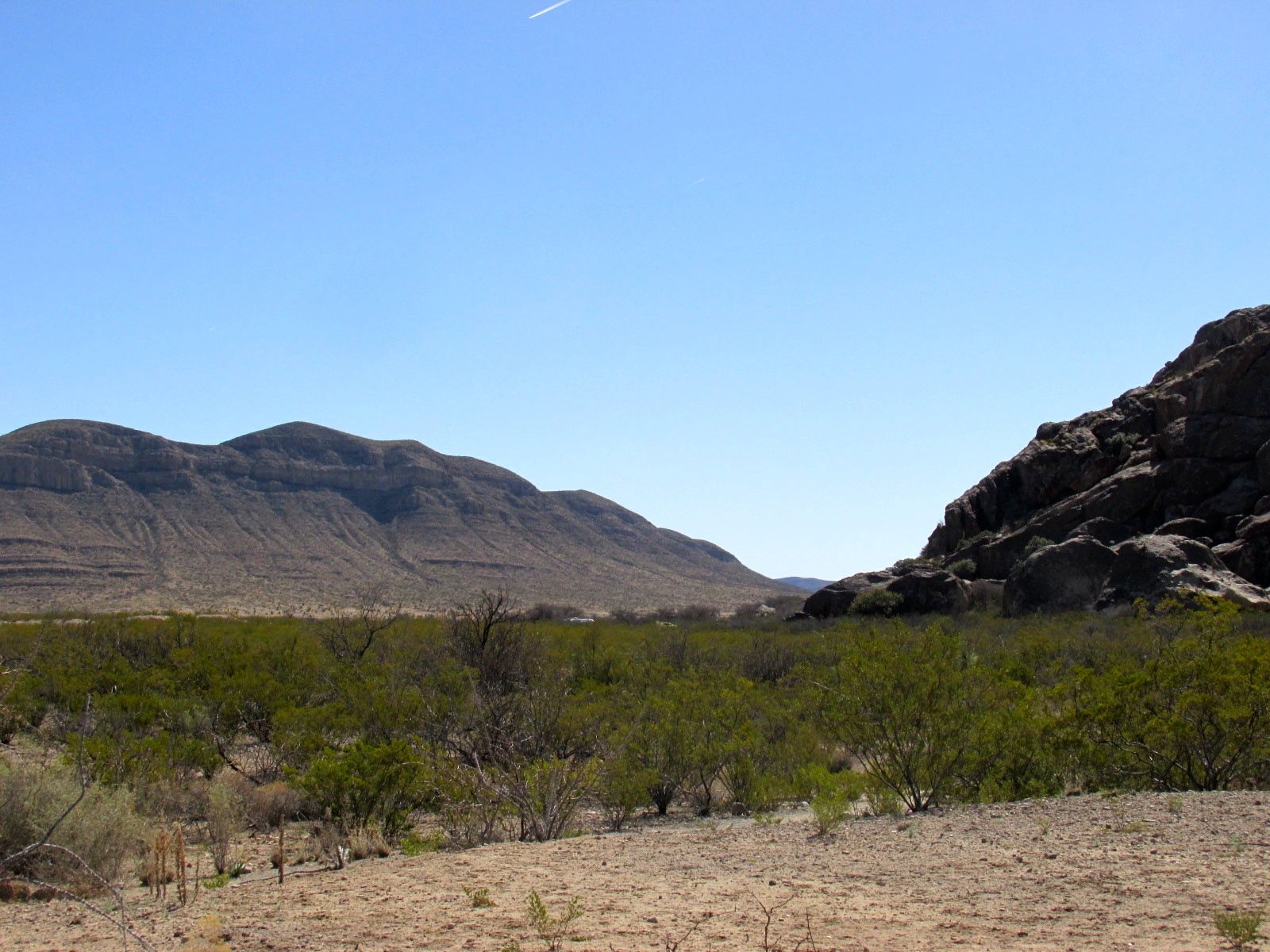
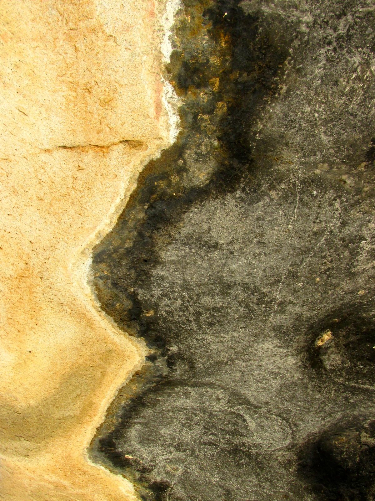
The landscape is interesting. Hueco Tanks is an igneous formation thrust up through sedimentary rocks.
Sedimentary to the left, igneous to the right
After a good night’s sleep, I set out to see the marks left by earlier inhabitants of the area. Although Hueco Tanks was not occupied continuously for 10 millennia, it is the only place in the region where every prehistoric and historic time period is represented, according to the literature. The secret to the popularity of this location is water, which collects in the “huecos” or holes in the rocks.
The access to the mountains is controlled. There are some trails that are open to the public, but there are other parts where you must have a guide. I opted for the “open to the public” option.
When I checked in at the ranger station and presented my certification that I had seen the video, I asked if I would have trouble identifying the trails. He drawled, “Well, if you can’t find the trails, then you have more than one problem.”
Smart Alek! Yes, the trails were easy to find.
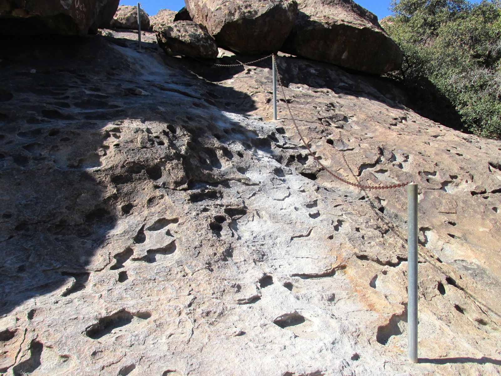
However, you have to know that they were serious about people staying on the trails.
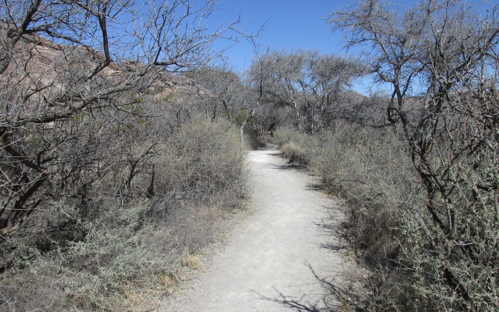
This path had some switchbacks in it.
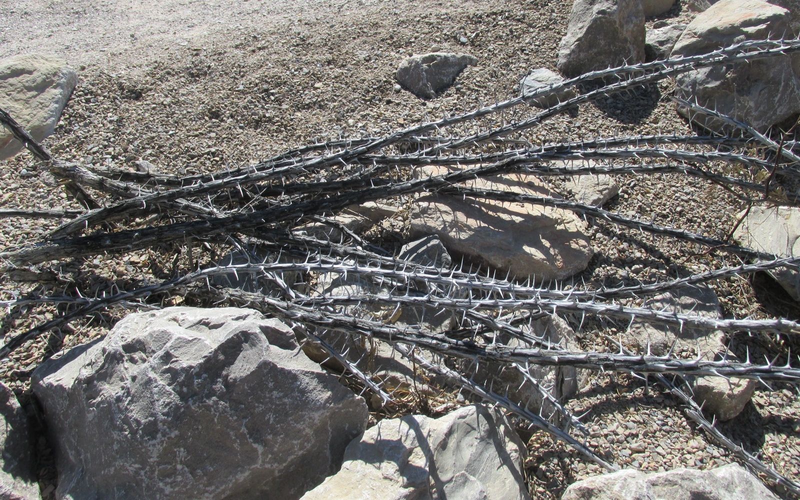
They did not want you taking shortcuts. These ocotillo stems were really effective deterrents for anyone who might even think about getting off the path.
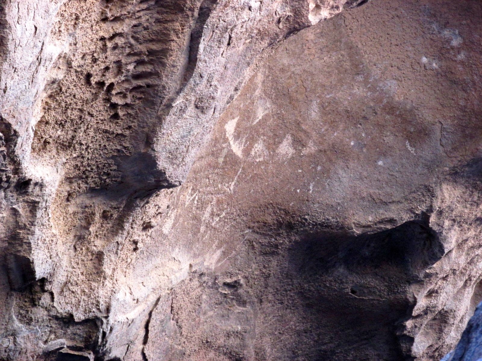
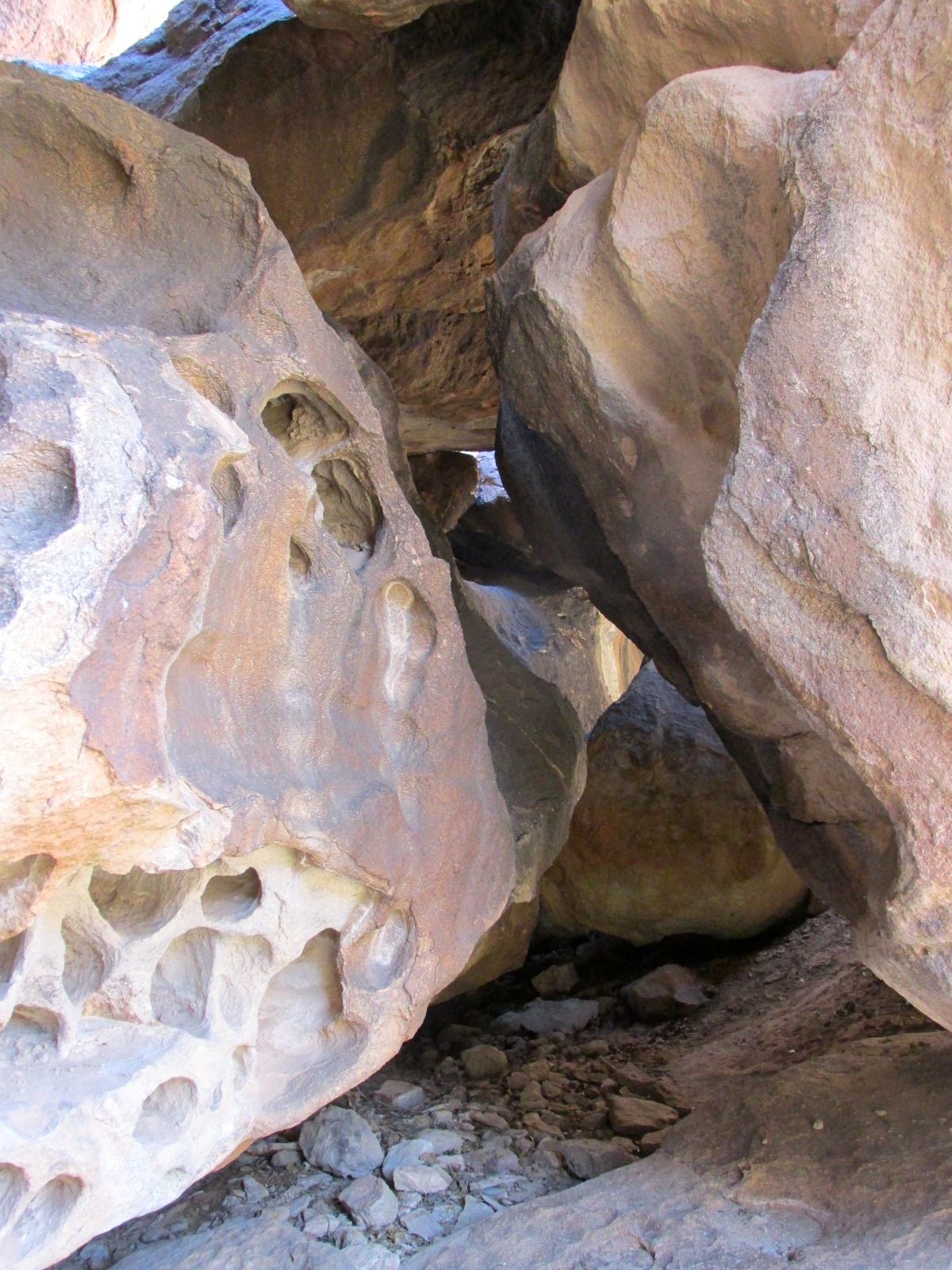
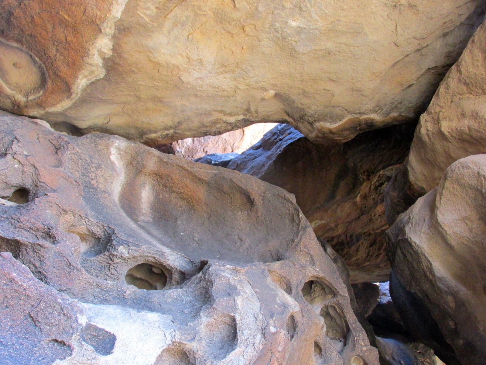
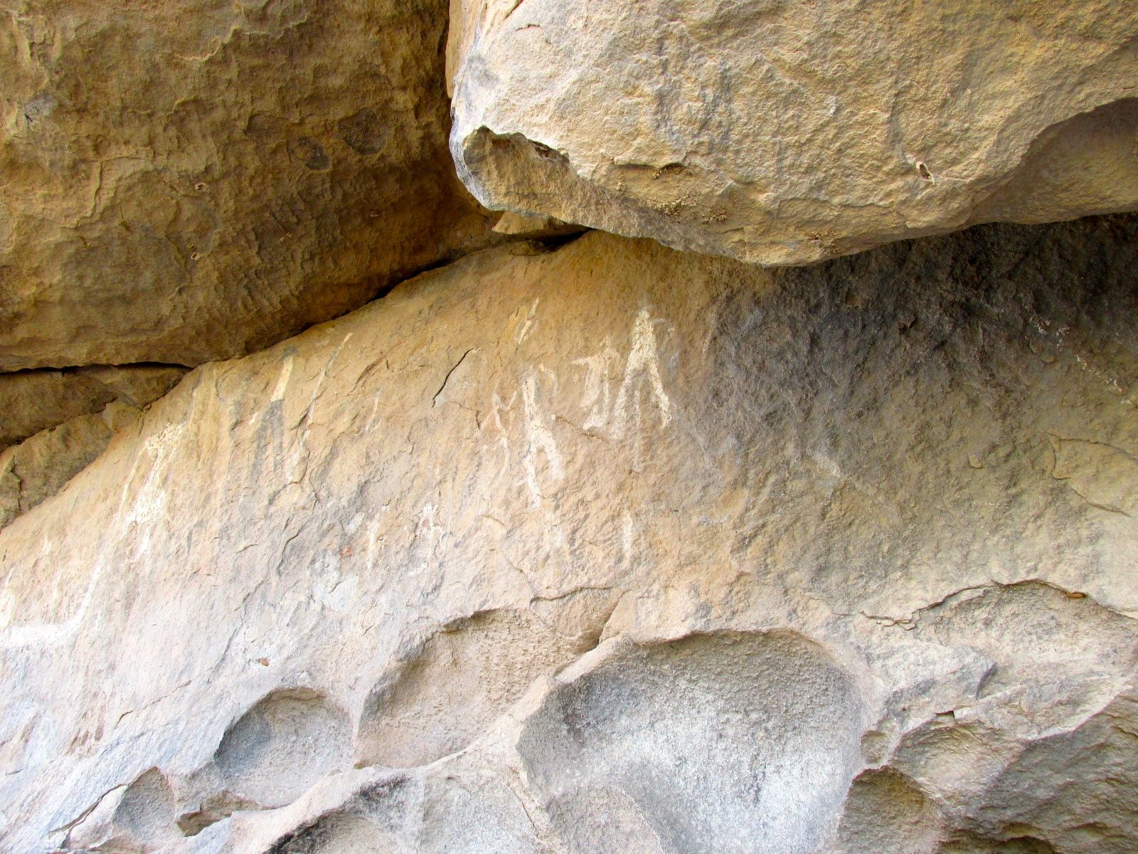
I was in search of pictograms. They are different from petroglyphs in that they are painted on the rocks, not scratched into them. Of course, paint fades and things get marked over, so I was not sure what I would be able to find.
Here is one I found at the first spot.
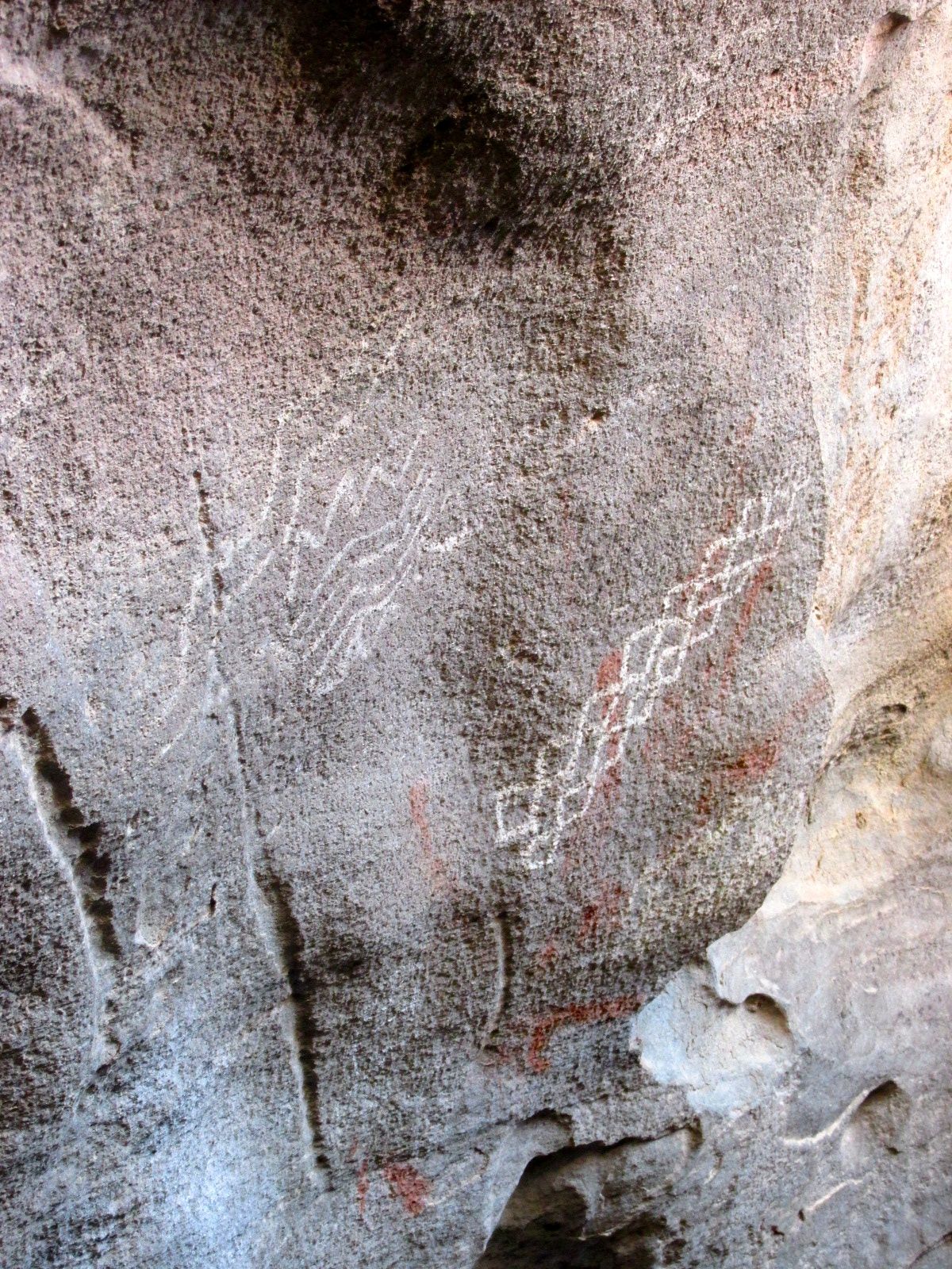
And another.
And still another. It was hard to “read” the markings. The first one looked kind of like a mouth. There are supposed to be mask pictograms in the park. The others made me think of snakes or cactus.
I left the first site and walked over to another trail.
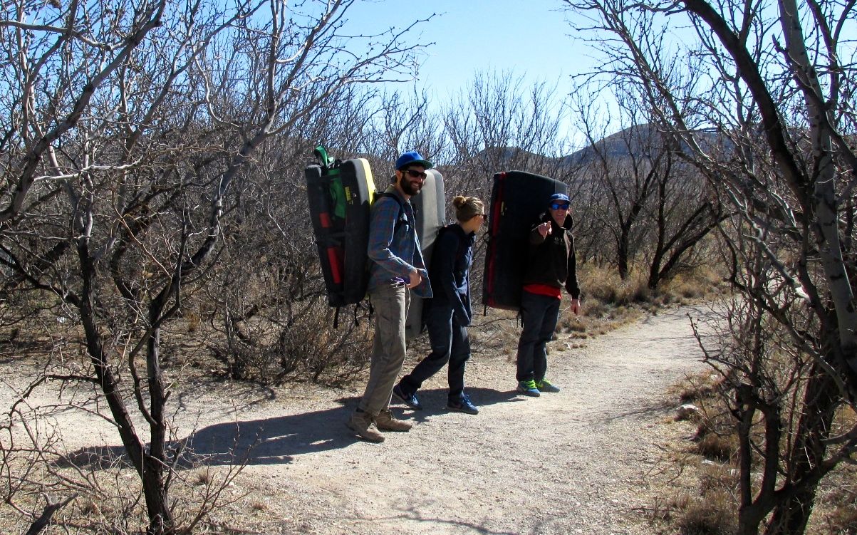
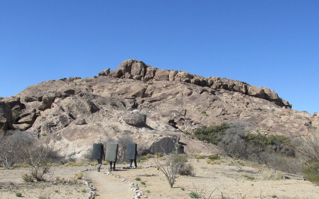
I passed up the opportunity to ascend this path, aptly named the Chain Trail. It looked like more effort than it might be worth. Also, I could see numerous opportunities for tripping. I only had a short time before I needed to push on, anyway. There were other things to see!
I passed – or rather, I was passed – by a group of rock climbers. They carry those large “crash pads” with them as a safety measure. They encouraged me to give it a try. I laughed! Me? I think the best safety measure is not climbing rocks – especially if you need a crash pad! I wished them a good climb, and they scooted on ahead of me.
And, they’re off!
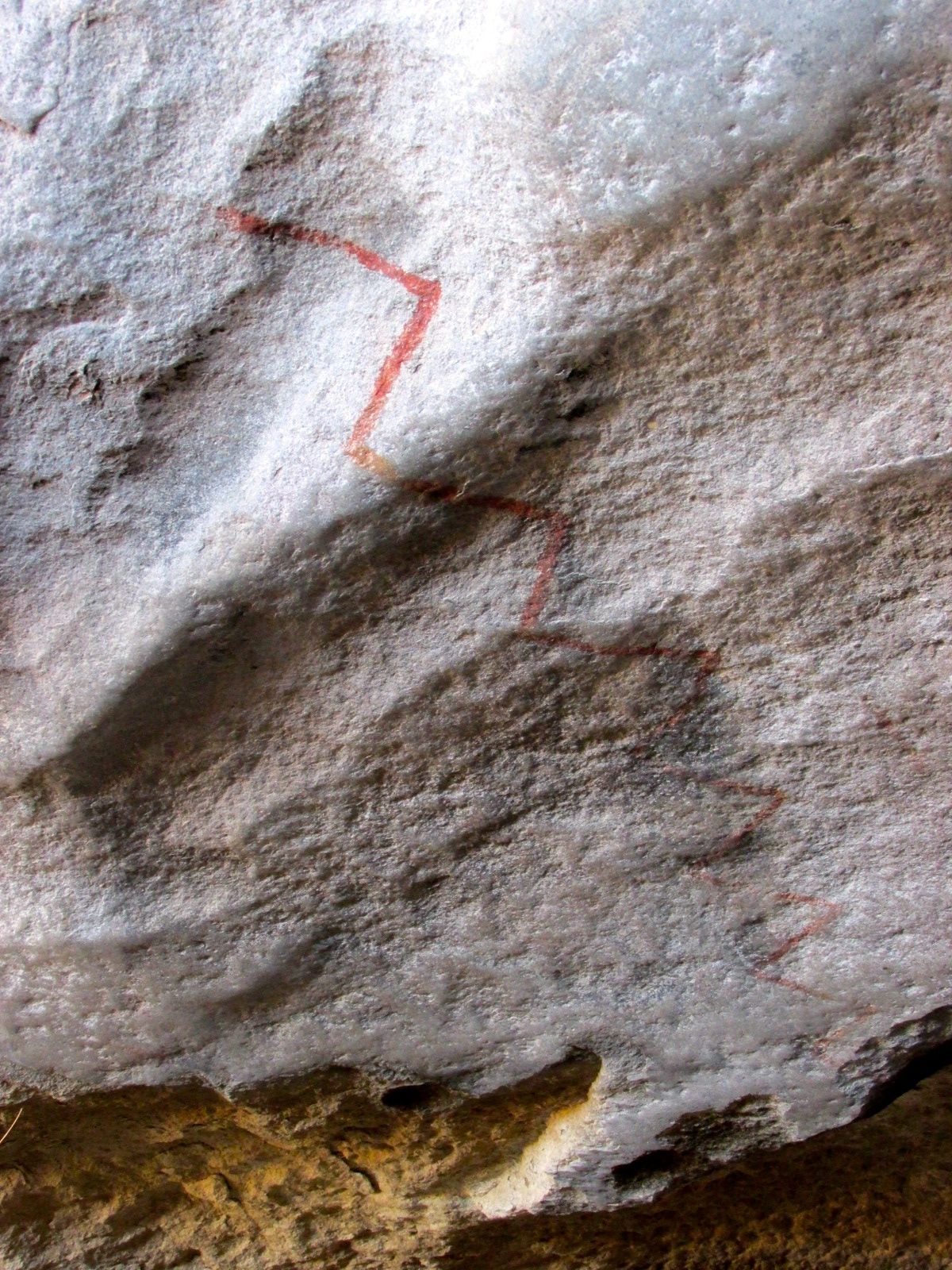
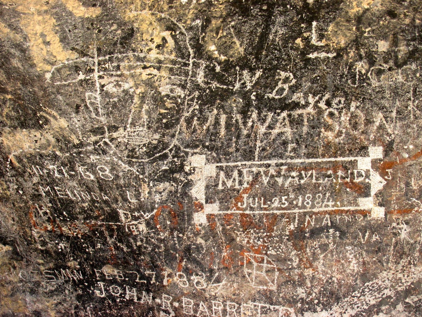
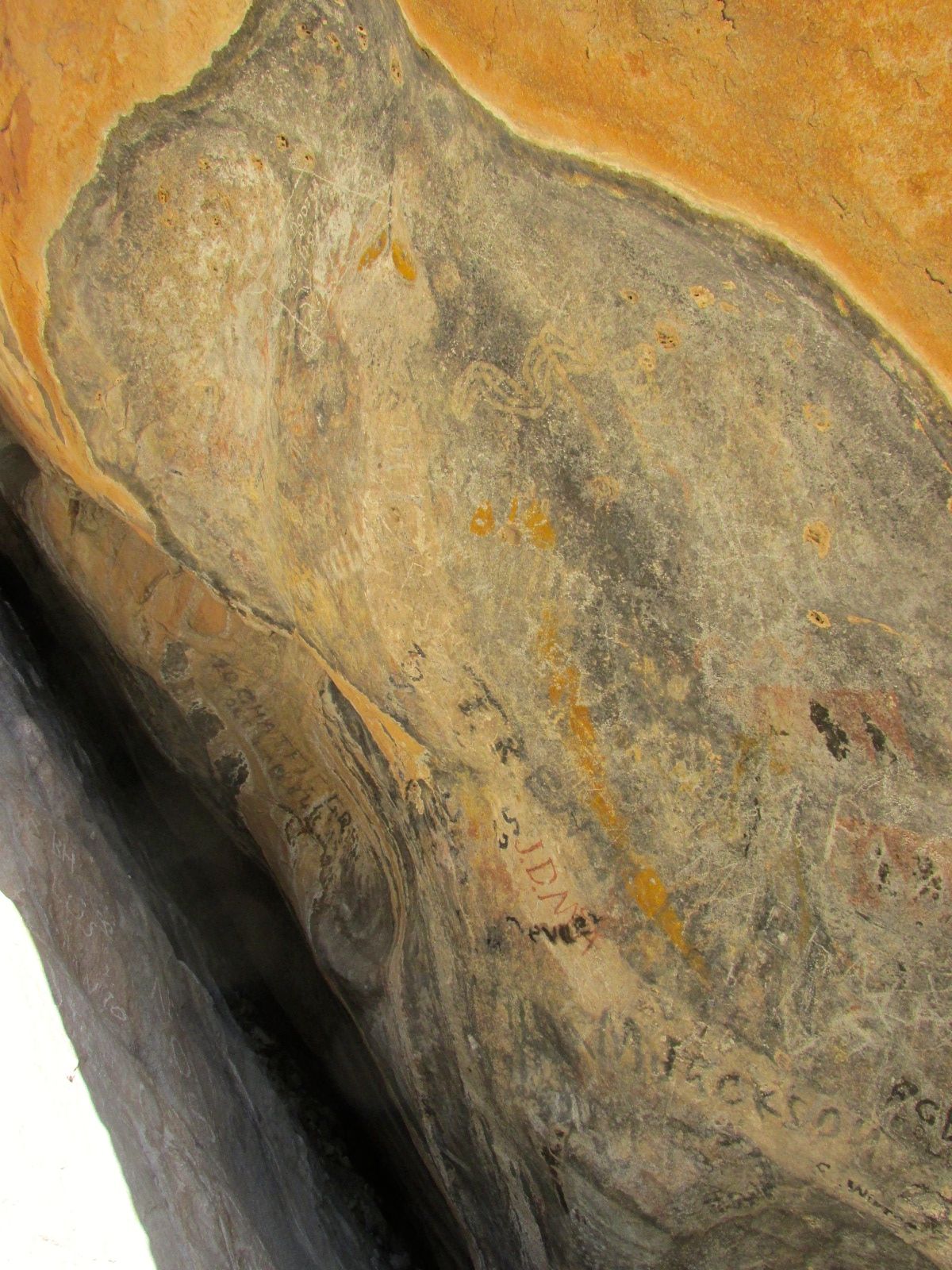
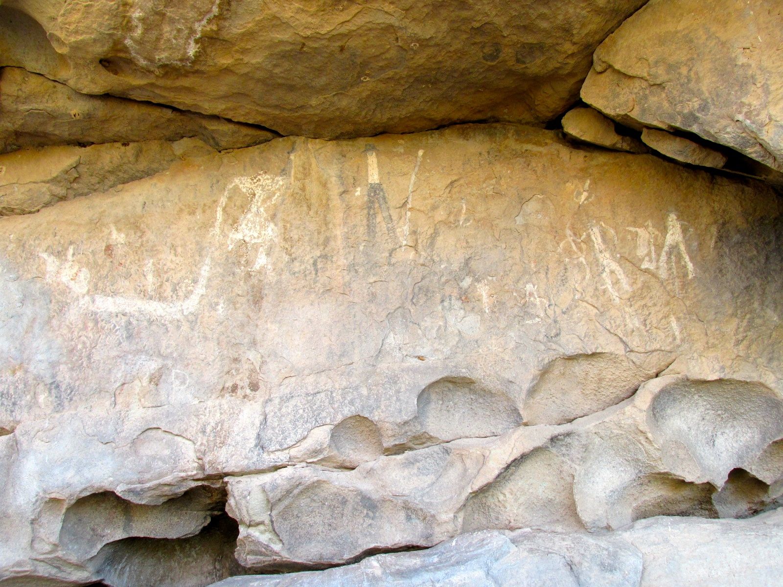
I found some more pictograms, but they were pretty much obliterated by the markings of visitors in the nineteenth century. But, even graffiti is a part of the historical record.
I found the different colored rocks to be eye-catching.
Colored rocks with graffiti.
I had one more site I wanted to see before I had to head back to the campground and get ready to leave.
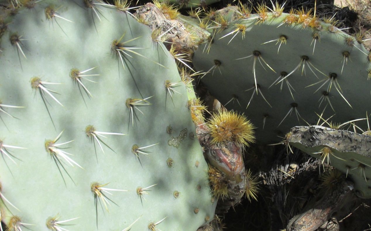
I was taken by the prickly pear. It would be interesting to see if those little nubs develop into the large lobes.
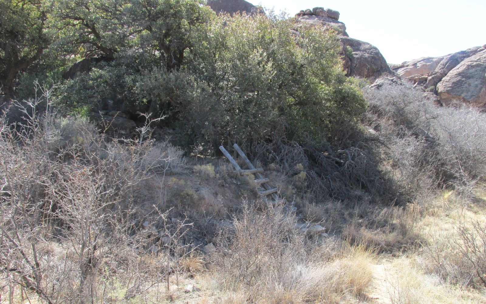
I was interested in this ladder. It was on the other side of a gate that restricted access to people with guides. A minute after I took this picture, a small group passed by. Those youngsters sure move fast! I tried to get a picture of them, but I couldn’t get them in frame.
There were more interesting rocks along the way.
Lovely!
The last place I wanted to see was one that had a large pictogram. Just outside the site, there was a sign that had an artist’s rendering of it.
I knew that I wouldn’t be seeing it like this, but I did want to see what I could.
Yep, you can still make out the figures.
When you think about it, it’s kind of amazing that any natural pigments exposed to the elements would be visible.
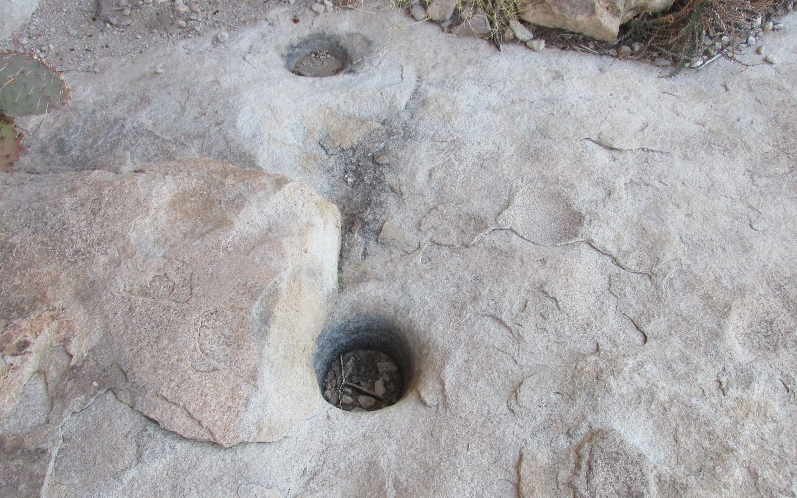
I really would have liked to have seen the huecos, but they were in the areas that you needed to have a guide. However, I did see some huecos in the making.
Baby huecos
I suppose that they would hold a gallon or so. That would be life-giving in the desert.
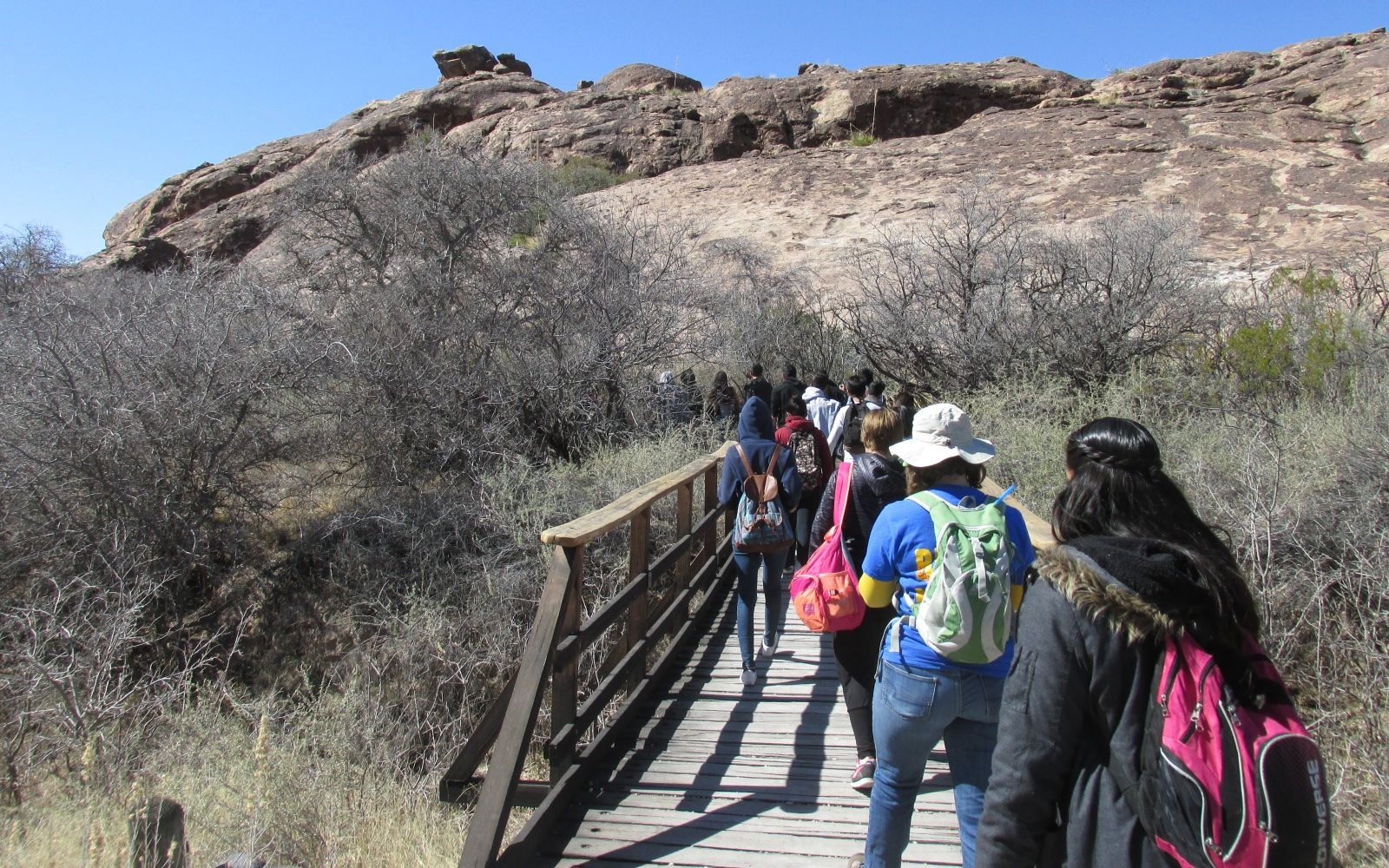
On my way back to the campground, I passed a couple of school-group field trips. I wonder how many field trips I’ve taken kids on in my 30 years of teaching? I smiled and waved and was happy it wasn’t me.
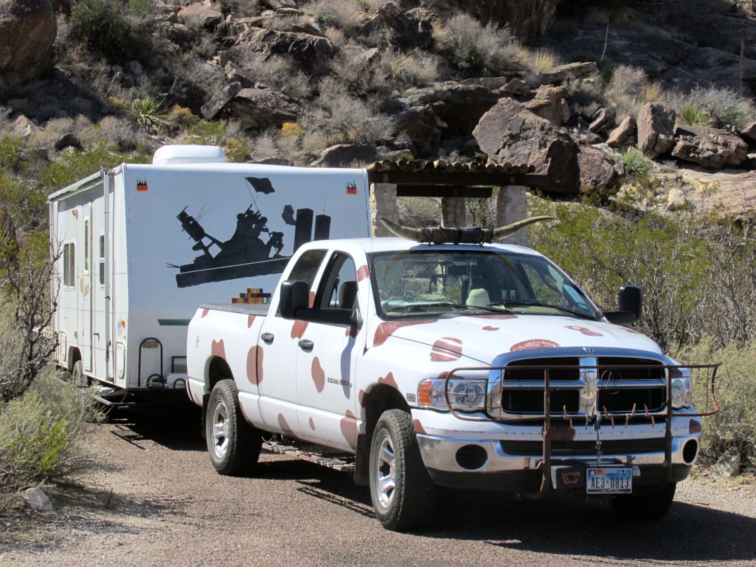
When I got back, an interesting rig pulled in to the site right across from me.
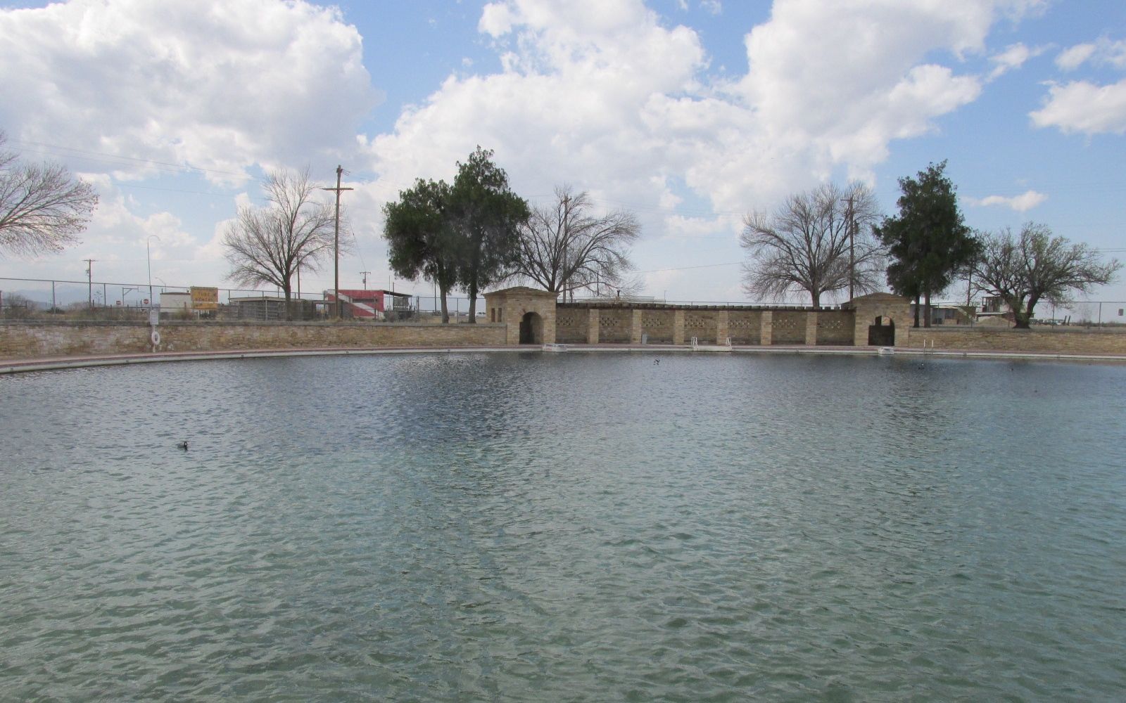
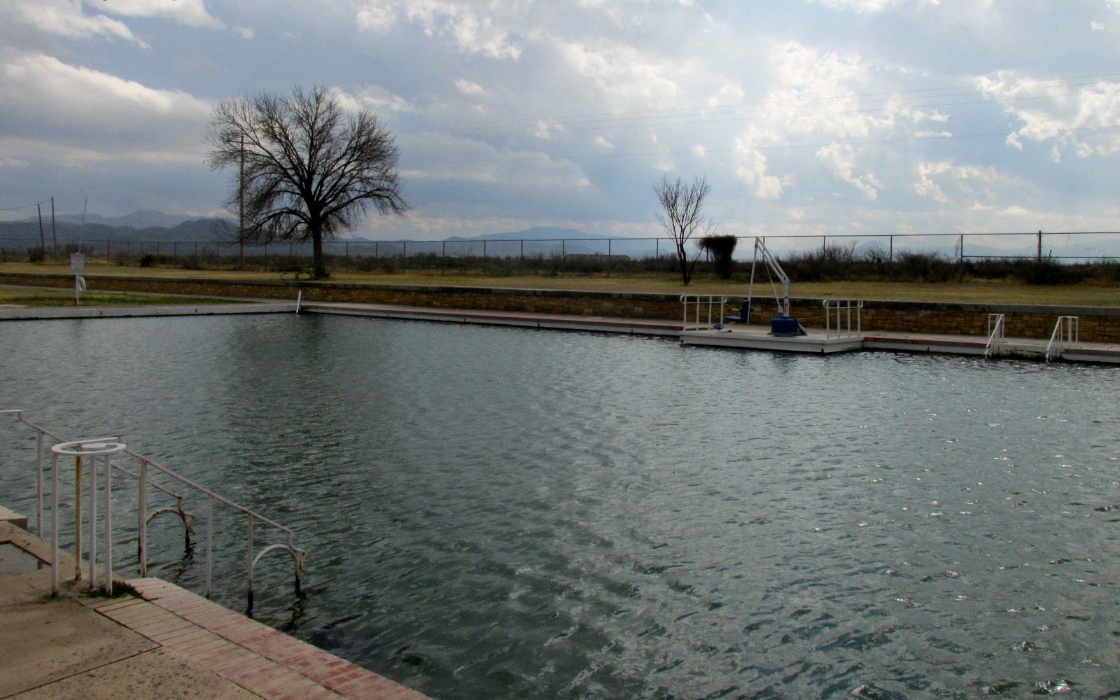
My next Texas State Park stop down I-10 was Balmorhea State Park, just outside Balmorhea, Texas. The reason I was attracted to the park was the pool. There is a 1.75 acre spring-fed pool! And the literature said that it was a steady 70º year round.
The park was built by the CCC from 1935 – 1940. For those of you who aren’t familiar with the CCC, the Civilian Conservation Corps, was created by President Franklin Roosevelt in 1933 as part of the New Deal. Young men, ages 17 – 25 who qualified for public assistance were given jobs working on conservation projects. Clothing, food, medical care and lodging was provided and they earned $30 a month. They sent $25 of their wages home to their families.
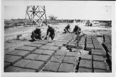
When the CCC company arrived in 1934, the first things they built were barracks, a mess hall and a kitchen that would be their home for the next few years. There were as many as 200 men working on the site.
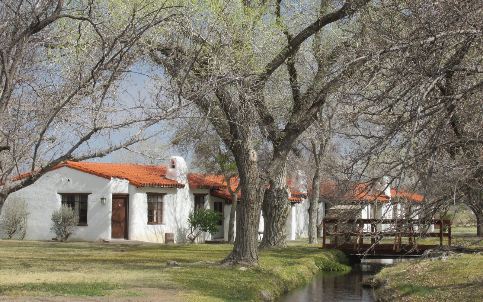
In addition to the enormous pool, they build a concession building, two bath houses, and San Solomon courts, which is a motel. They used local limestone and and made adobe bricks for their building materials.
The water in the pool came from springs in the mountains. An information sign showed how the water seeped through the layers in the limestone and accumulated in a spring. The CCC channeled the water into the pool.
The water left the pool and passed through channels that sends the water along to irrigate cotton and alfalfa fields in the valley. Although the park’s name sounds biblical to my ear, the name actually comes from four men’s surnames: E.D. Balcom, H.R. Morrow, Joe Rhea and John Rhea: Bal-mor-hea. These men formed an irrigation company in the area in the early 20th century.
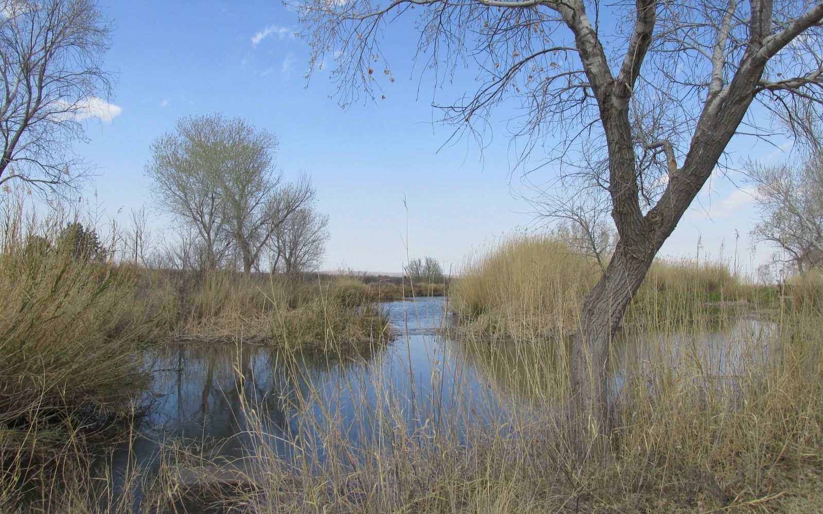
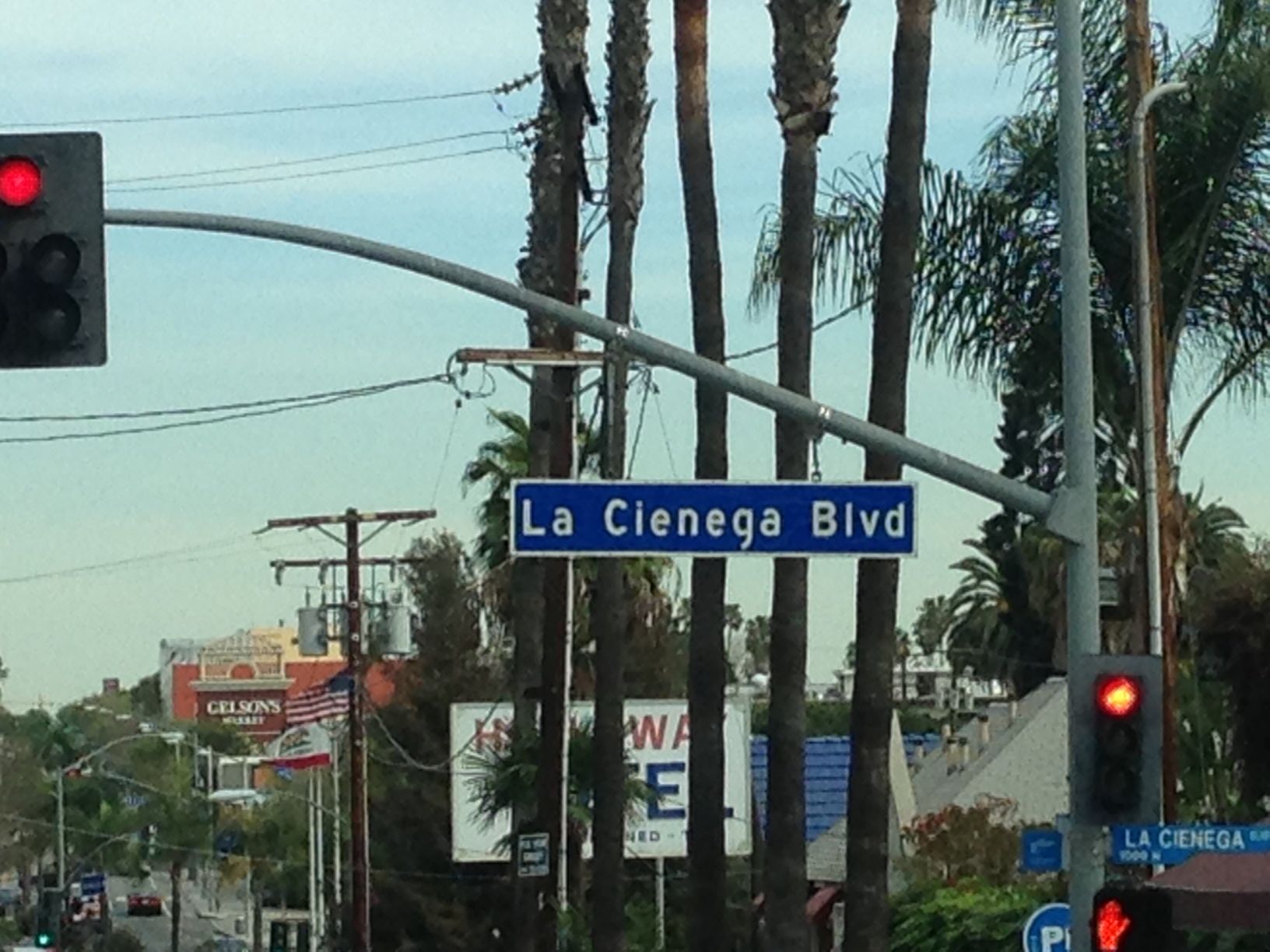
They have recreated some of the naturally occurring desert marshes that uses the water before heading to agriculture. They refer to these areas as “las cienagas” which is Spanish for the marshes. And, if you have ever been to Los Angeles, I’m sure you have heard of “La Cienega Boulevard”. Imagine that! A street named for a swamp.
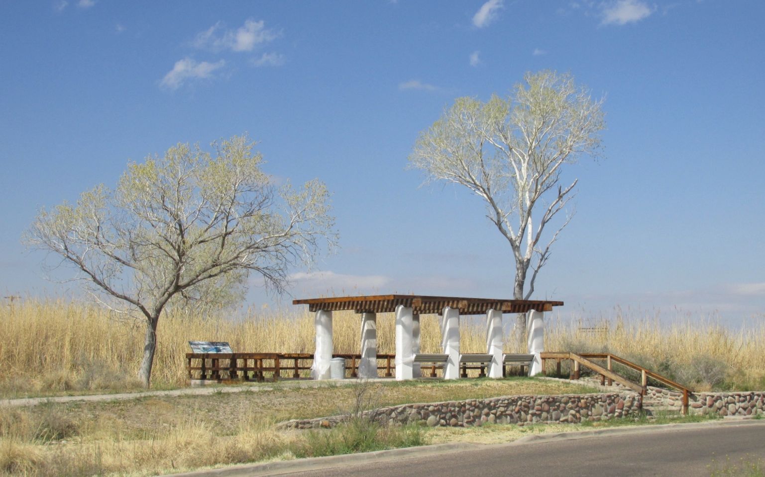
There was a lovely viewing platform for the marsh right across from my campsite.
As I walked up, I thought I heard the wind rustling the reeds.
It turns out that they were in the middle of maintenance and the posts were wrapped in plastic. The park was well kept-up.
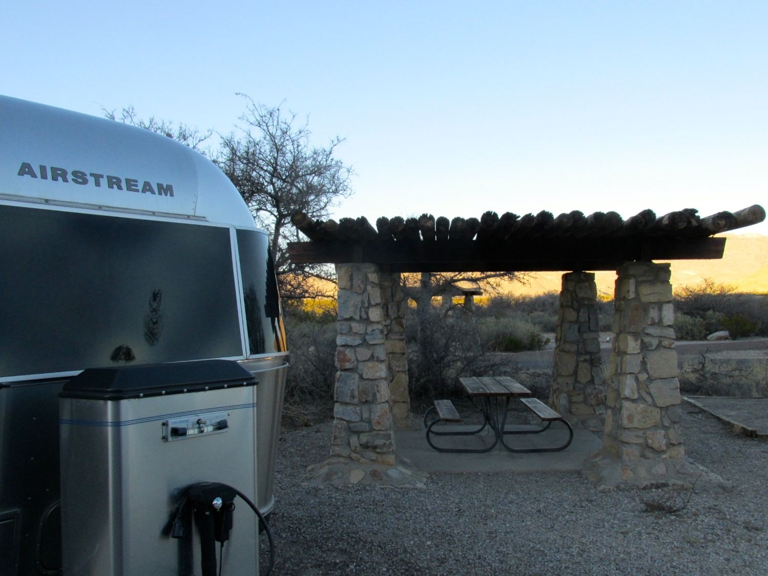
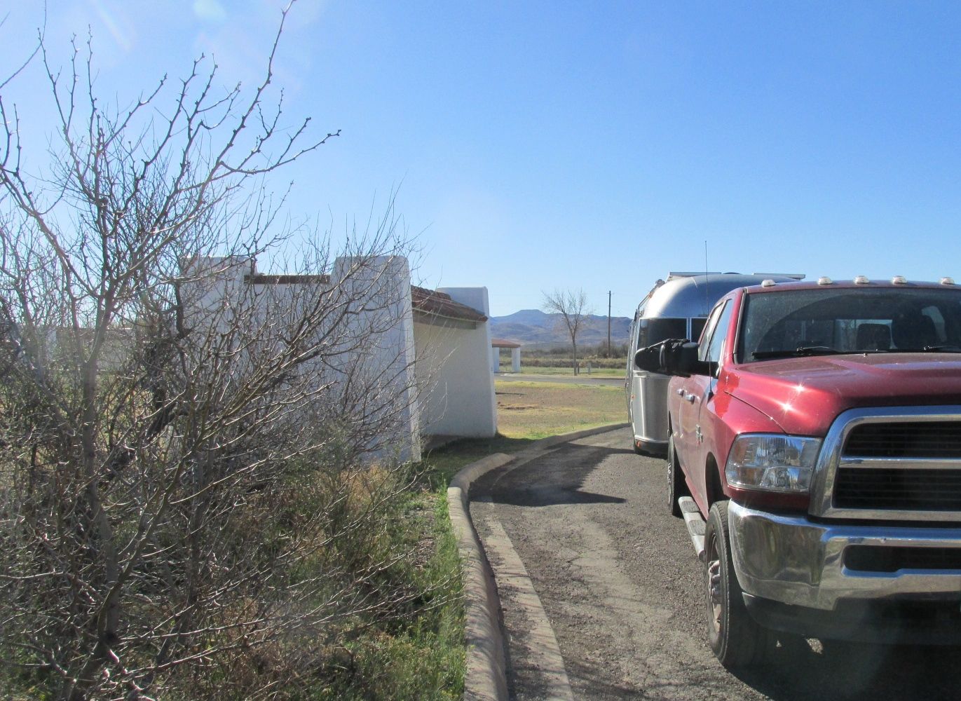
My site was very nice. In addition to a sheltered picnic table, my site had electricity and water AND cable! They also had wifi, in theory, but I could never find a signal. I could get a strong Verizon LTE signal, so all was good.
The views were lovely.
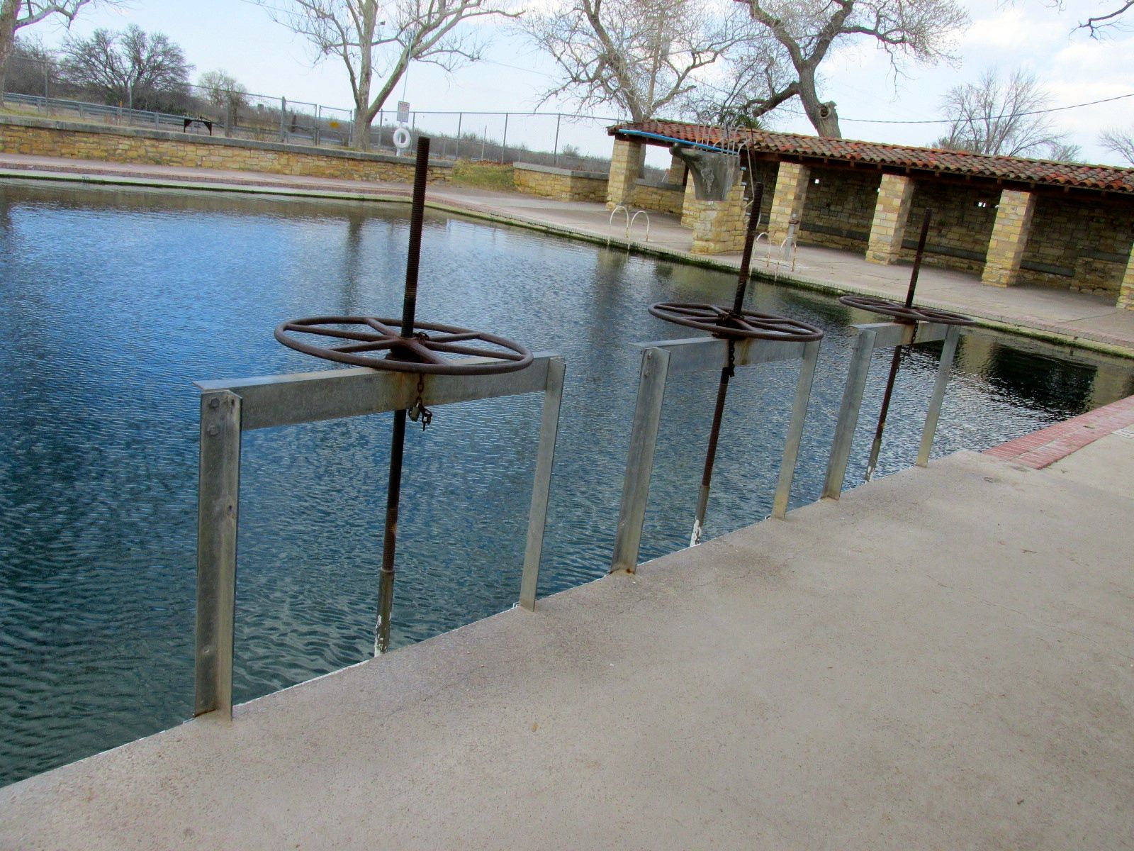
My main goal was to go swimming in that wonderful pool, and so I did, although I have no photo documentation of me in the water, so you will just have to take my word for it.
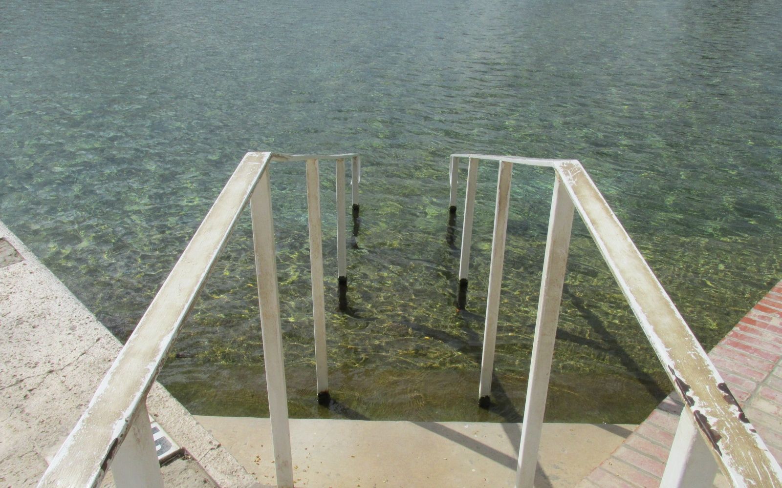
The water was cool and refreshing, and I was comfortable as long as the sun was out. There were signs warning about the slippery stairs. The stairs were a bit slippery because the water was fresh and untreated. It was absolutely delightful!
I was swimming with the coots.
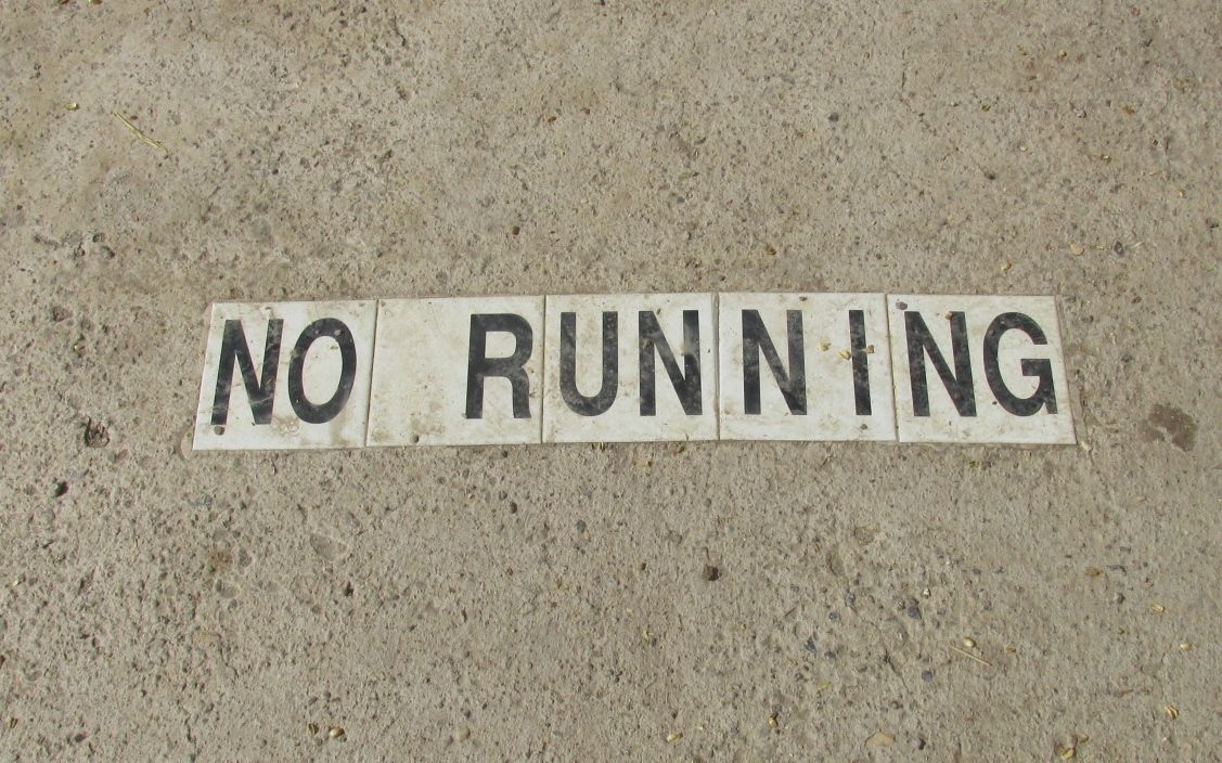
The pool was huge! And, they put safety first by warning us that we shouldn’t run.
No chance of that, though.
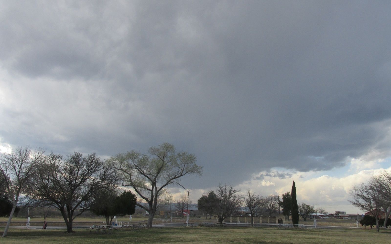
I swam about until the sun was obscured by the storm clouds moving in. I got out and got dry, just in time for a gorgeous sunset.
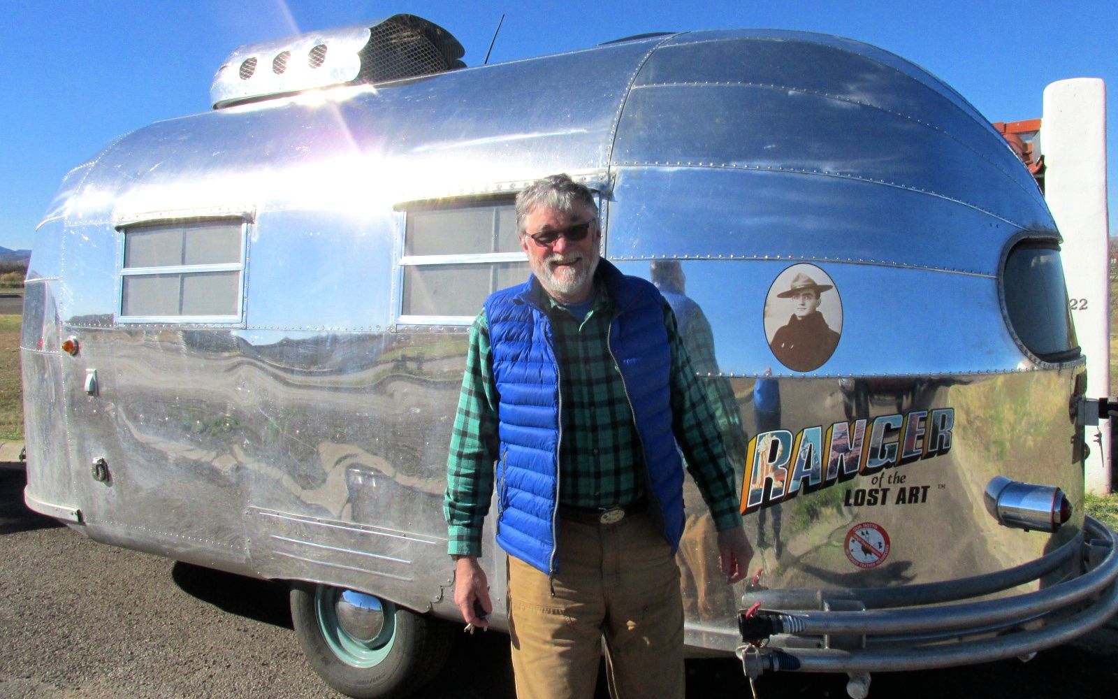
The next day, I hitched up and got ready to move further west. I met the most interesting fellow on my way out.
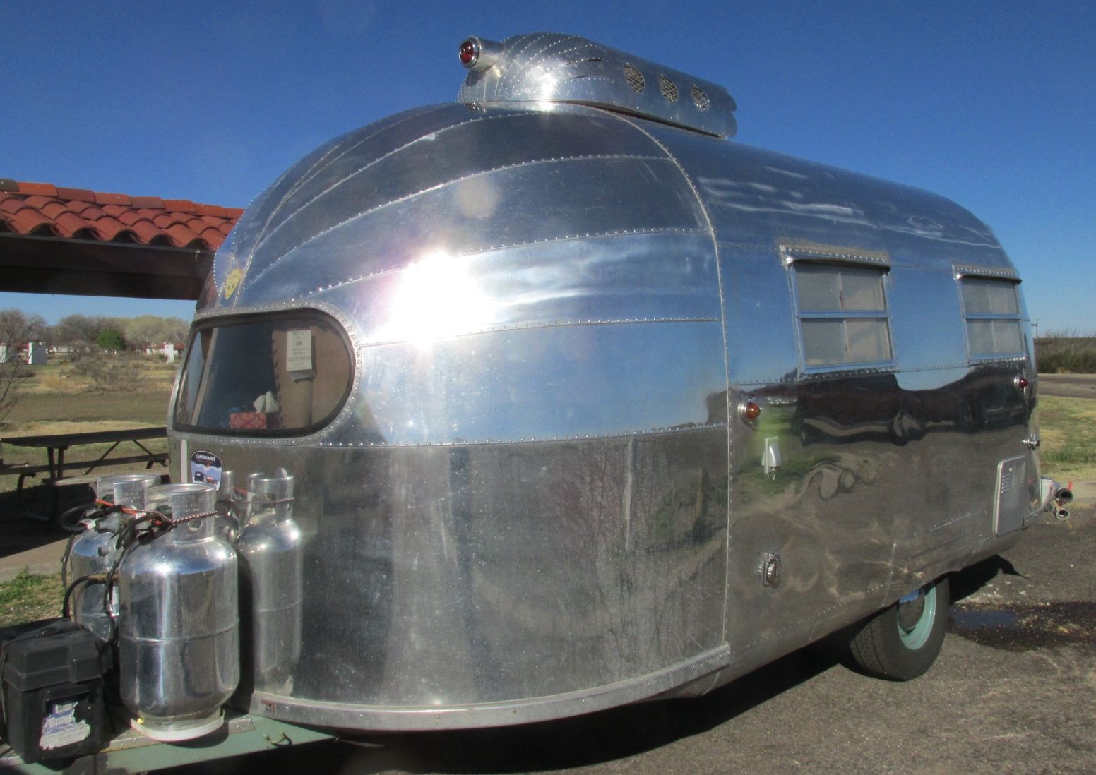
This is Ranger Doug, who is touring the National Parks in his totally refurbished Airstream. He told me that this is Airstream #3 and he has just completed an axel-up renovation. That photo next to him is his grandfather, who was a park ranger.
He is a retired dentist from Alaska who has a business selling silk-screened prints of the WPA National Park posters as well as modern posters “in the style” of the WPA posters.
He was heading to Big Bend National Park, which is south and I was heading west. I big him adieu and motored onward.
Next stop: Hueco Tanks State Park near El Paso, Texas.
Well, March has been the most expensive month so far this year. But, sometimes things just need to be taken care of. Like tires.
Four of those bad boys set me back almost a grand. They did give me a break on the price because they took twice as long getting them on the truck as they originally quoted me.
In March, I spent $539.94 more than February and $351.46 more than January. I visited two states – New Mexico and Arizona. I drove 1,688 miles.
So, here is the breakdown of where the money went:
Truck Expenses $994.52
Campsites $674.86
Other Purchases $506.29
Groceries $256.43
Gas $243.35
Trailer Expenses $204.46
Eating Out $178.95
Tourism/Entertainment $ 89.00
Clothing $ 64.94
Food/Drink on the Go $ 28.75
Tolls/Parking $ 21.35
Laundry $ 10.00
TOTAL $3,019.58
I had to pay $100 deductible on the water pump for Flo. Tolls from my travels in Florida in December finally came due, and I had to pay them.
What will next month bring? Well, I hope that I am done with truck and trailer expenses for a bit. I might be able to find some good boondocking, as I am heading west.
In the words of my brother, Scott, “It’s all good!”
I had planned to head to Mustang Island State Park on the Gulf of Mexico – near Corpus Christi – after Austin. Then I looked at the map and realized that it would be a whole lot of driving. If I didn’t have an appointment in Tucson, I might have made the trip.
But, sometimes plans are set in jello – not carved in stone.
I took at look at the map and decided to head for South Llano River State Park near Junction, Texas. It wasn’t far from I-10, which is the route I plan to take as I go west. The sites were easy to back into because the paved sites were outlined in white paint. Each site had a lovely sheltered picnic table and water and electricity hook ups. Incidentally, Llano is pronounce LAH-no.
I had a pleasant couple of days, and meeting some new folks is what made it special.
The first people I met pulled in with an Airstream right after I got set up.
We got to chatting and it turns out that they are from Buffalo, which is my hometown. In fact, they live near where I used to teach and not far from the apartment I shared with my friends back after I graduated from college. (a long, long time ago…)
They left the next day, but I have a feeling our paths may cross again.
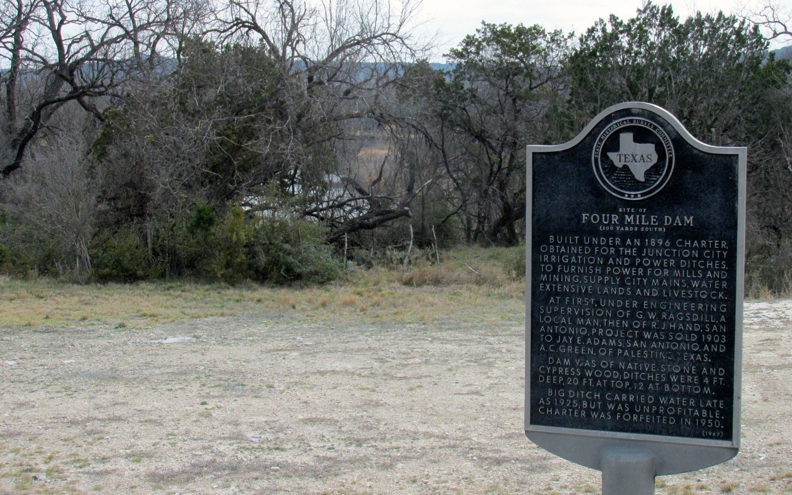
On my drive to the park, I noticed a lot of signs pointing out historical markers. There were four of them in the few miles between the intersection and the entrance to the park. I wondered if this was an historically significant area, so I decided to go see what they said.
Four Mile Dam
The first one memorialized a dam that is no longer there. I could get a glimpse of the river through the trees, but entrance to the site was prohibited.
John James Smith
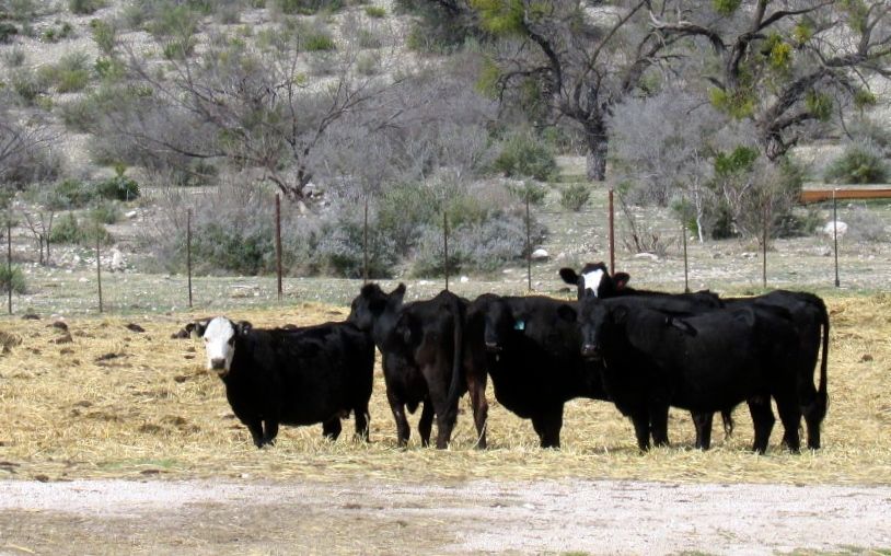
It sound like John James Smith was an interesting guy who came to Texas from Illinois in the 1840s. He served in Mexican War and served as a Texas Ranger. He also fought in the Confederate Army during the Civil War. He eventually settled here and lived until he died at the age of 102. I looked around, but it seems that the house is no longer standing.
Cows are still standing in the fields, though.
On to the next marker.
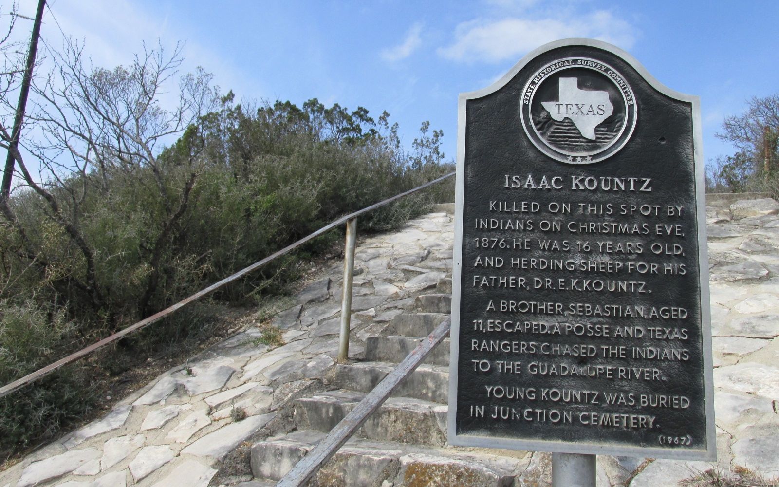
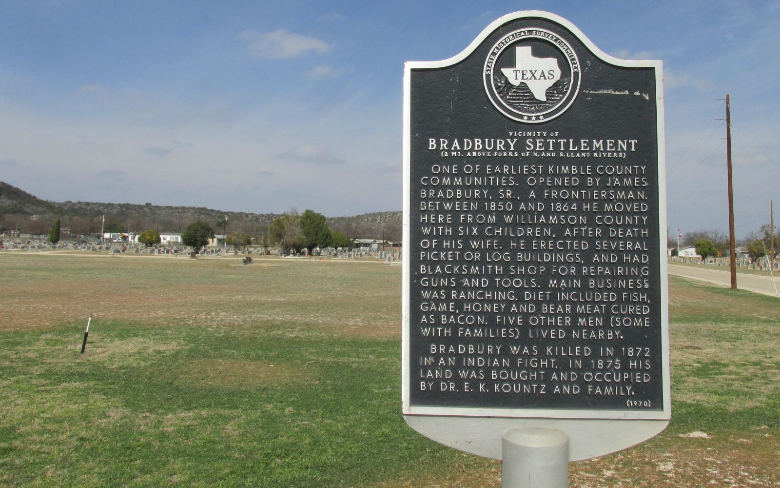
Isaac Kountz
Isaac Kountz was herding sheep for his father when he was killed by Indians. I noticed the stairs behind the marker and thought I’d see where they lead.
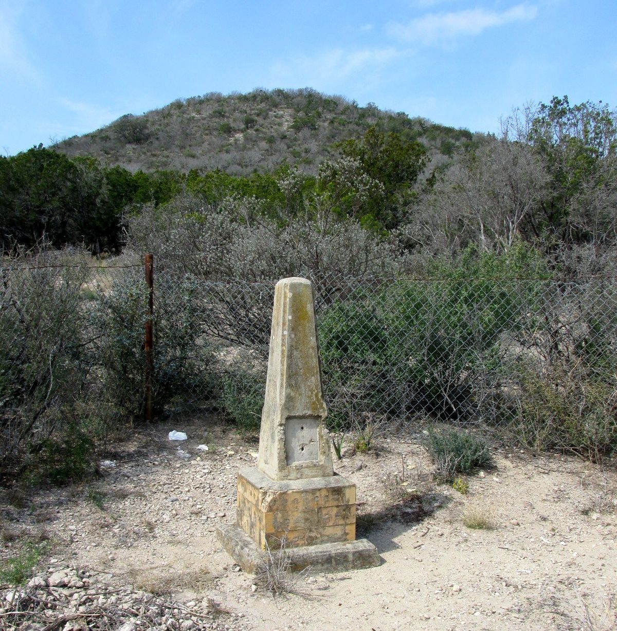
I imagine this marker was the original marker for Isaac Kountz. It looks like there might have been a plaque on the marker, but it’s not there any more.
This marker was right by the cemetery. At one time there was a settlement here. Now it looks a little dead.
Where’s that rim shot when you need it?
And that was the last marker. I kept driving to the grocery store. One of the things I read in a brochure I picked up said that there were 45 deer per square mile in Kimble County. That explains what they sell at the grocery store.
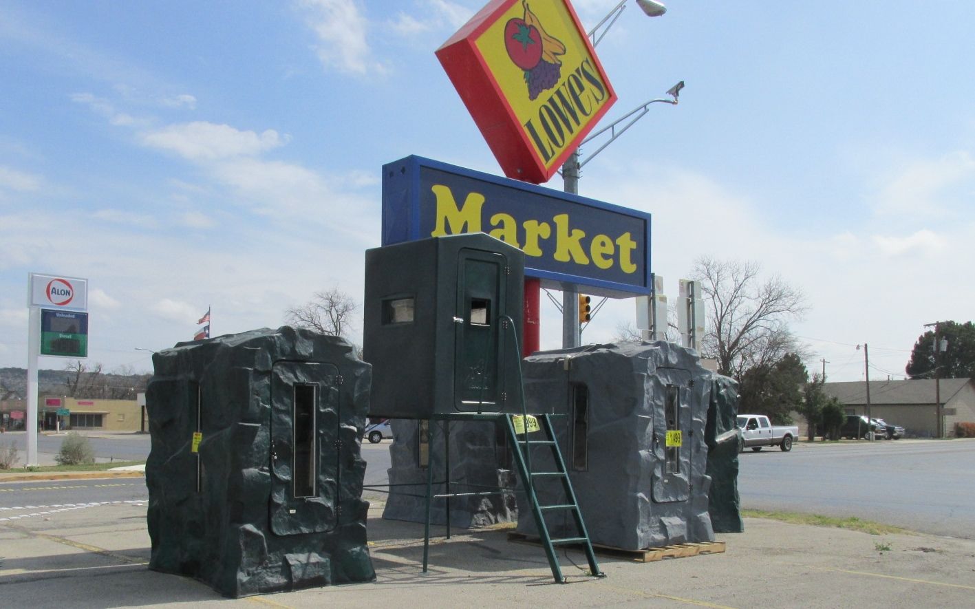
Hunting Blinds
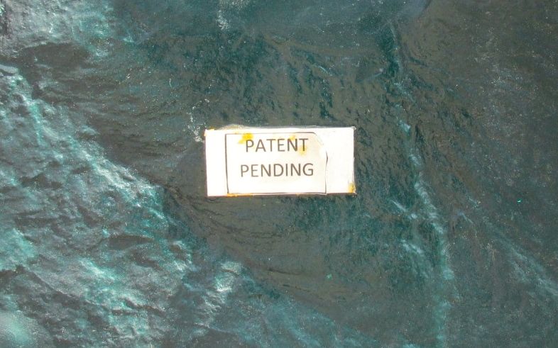
And it’s good to know that these are patented hunting blinds.
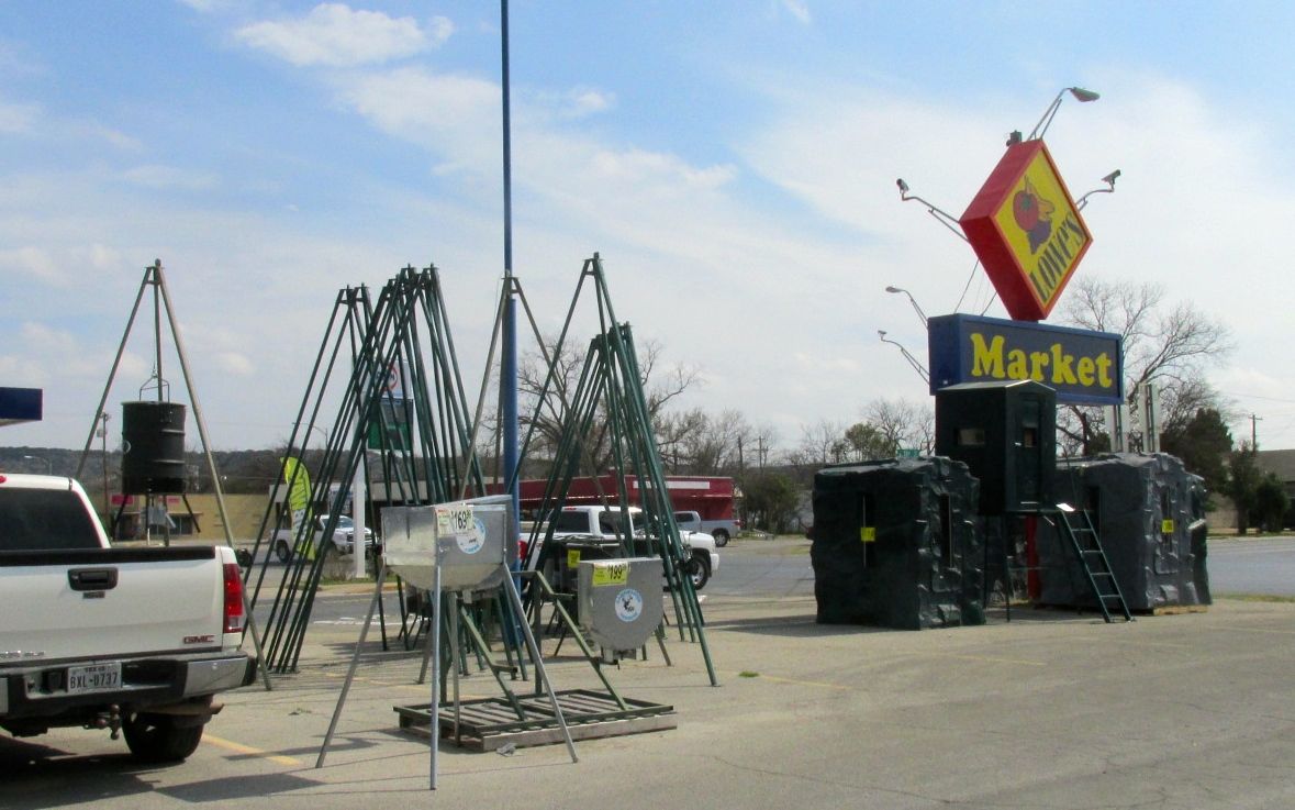
They had all sorts of devices for feeding deer, as well.
I never knew there were so many different ways to feed deer. It was very interesting.
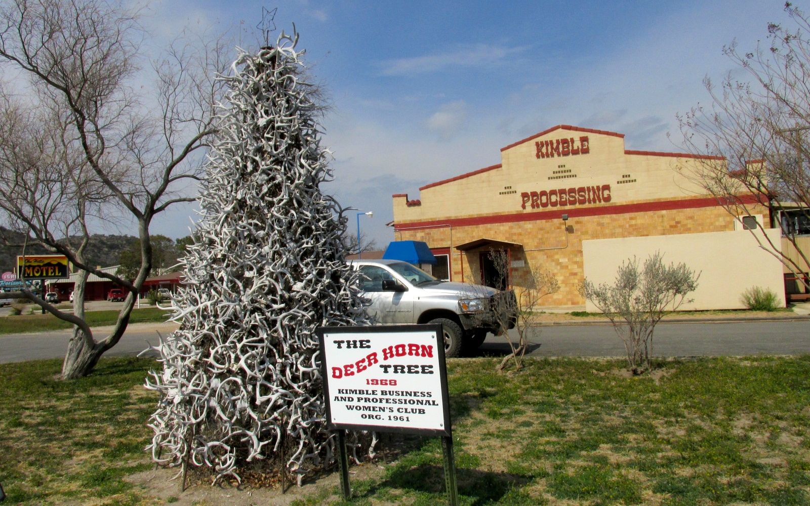
In the center of town was a Deer Horn Tree built in 1968 by the Kimble Business and Professional Women’s Club. It stands in front of the Kimble Processing plant, which seems to be a suitable location.
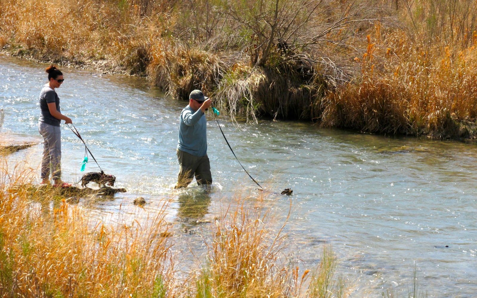
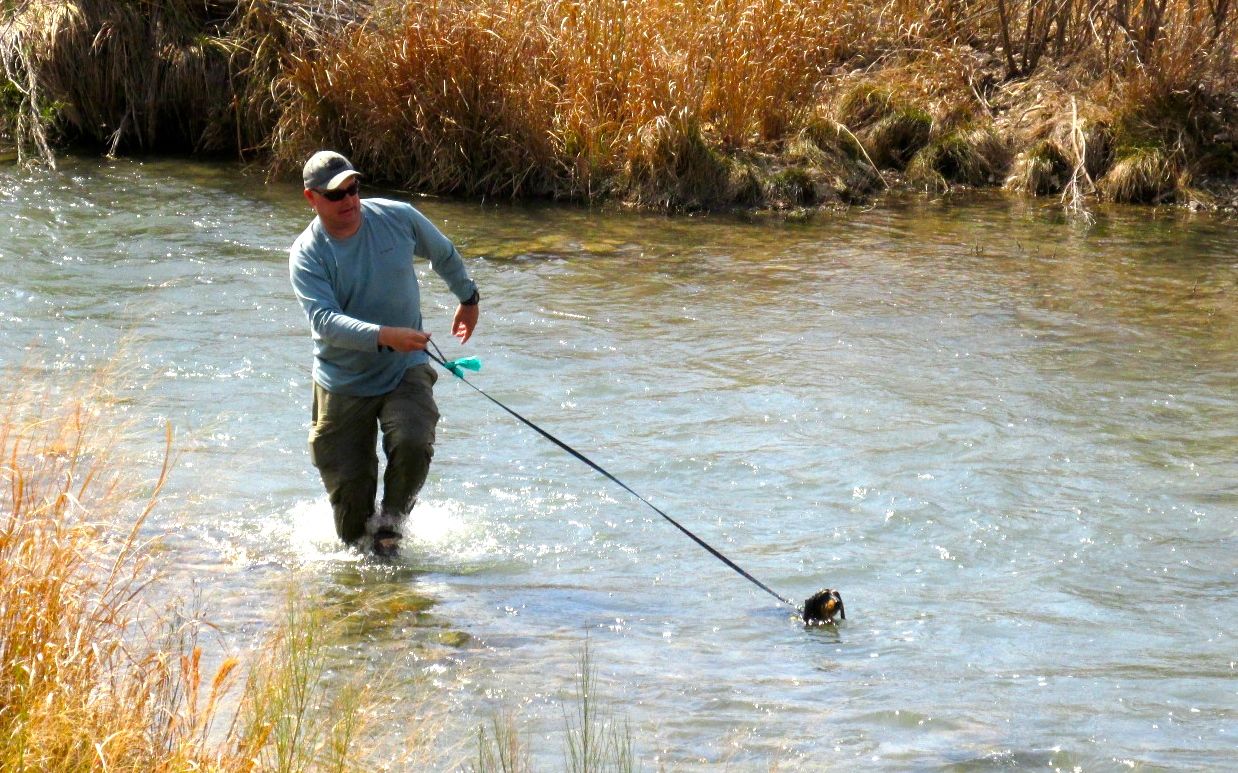
I stopped by the river on my way back to my campsite. I had never seen people taking their dogs for a swim!
Back at the campsite, a neighbor who saw me back in and realized that I was traveling on my own. she was impressed and came over to meet me. She ended up inviting me over for dinner with her partner and a friend who had come to camp for the night. They had the cutest Casita camper.
This is a photo of a Casita I found on the internet – not the one across from me. It was small but quite comfortable.
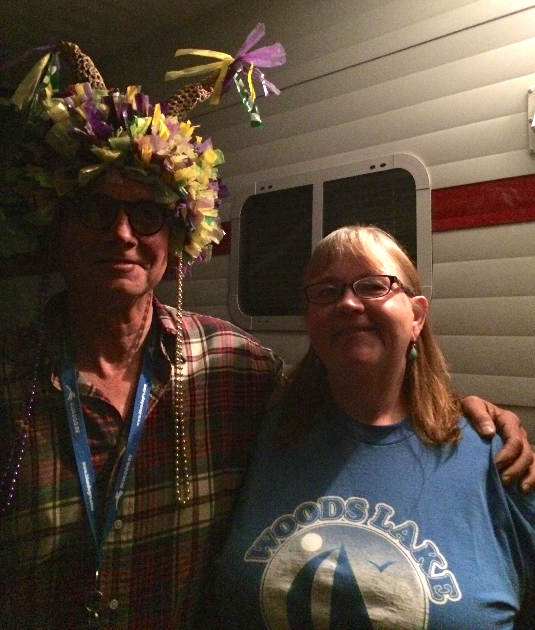
After dinner, another camper was rolling in. It was dark by then, but the white lines helped guide them in. They also had four people in their party, so they had plenty of spotters. We got to talking, and a rug they had in the entrance made me think of the hat I made for Mardi Gras. I went back to my trailer and got it to show them. The woman I showed it to said that her husband would love it, so I gave it to him.
So I met some lovely folks, spent a few nice days at a nice campground and saw some interesting things. I count that at a win. The next day, I packed up and hit the road for my next destination.
My next stop was The Bullock Texas State History Museum.
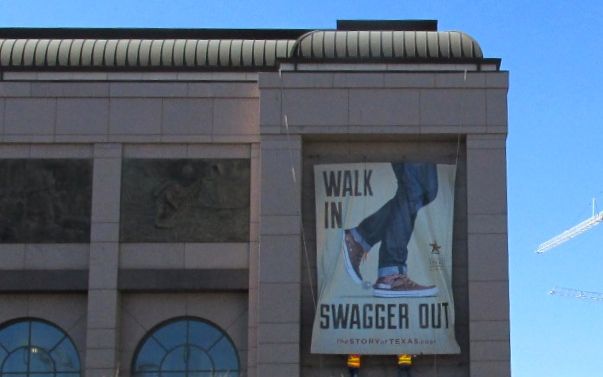
I got off the bus and swaggered in. I was greeted in the lobby by a table set up to welcome homeschoolers.
Uh…kids?
Apparently, though, they had already moved far enough ahead of me that I never really saw them, although I could hear them from time to time. No problems.
I paid my entrance fee and asked where I should start. The guy who sold me the ticket told me to start with La Belle.
LaBelle? What is that? Well, it was just across the lobby and so I figured I would go find out.
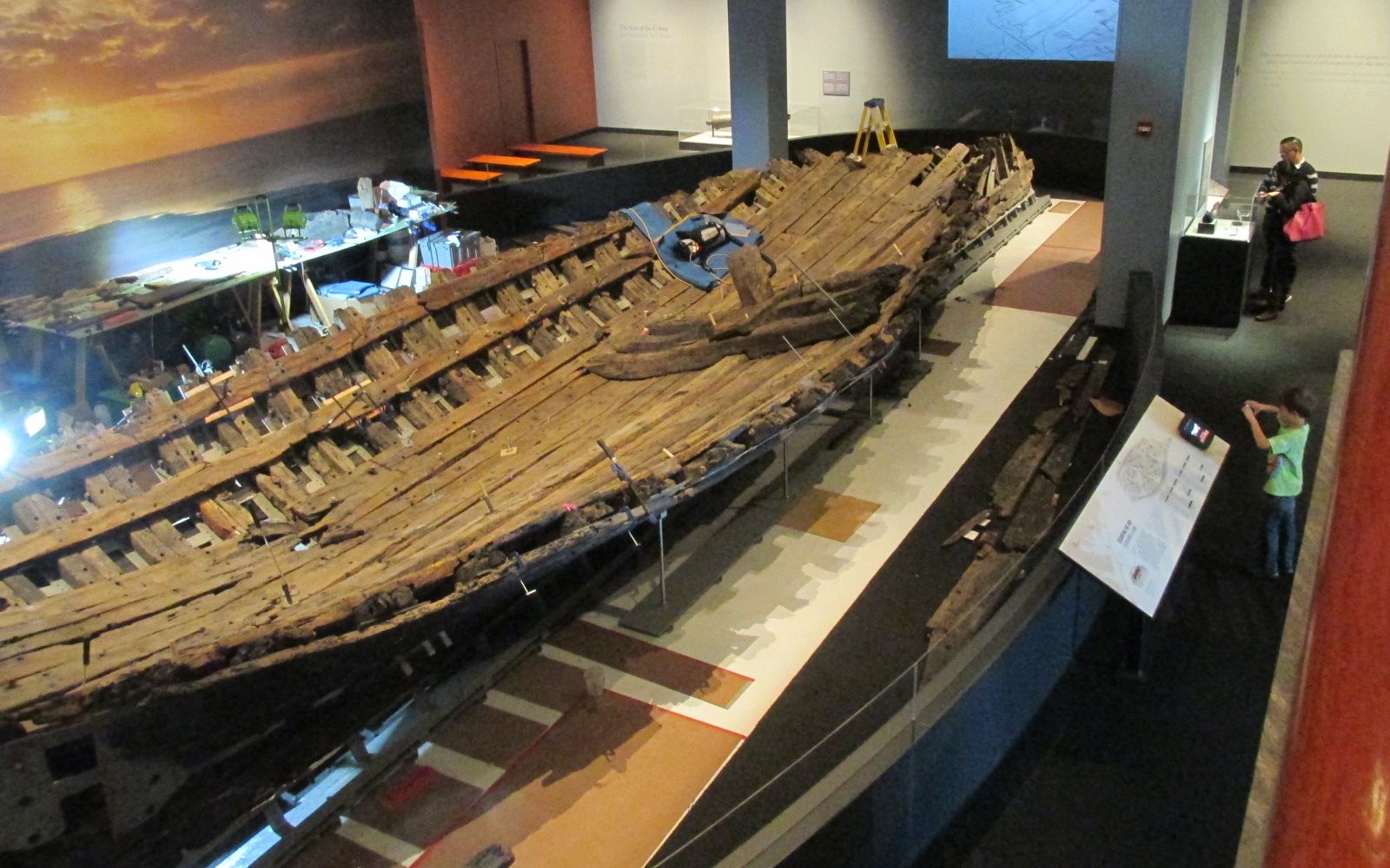
OH. MY. WORD!
LaBelle is a ship wreck – but not just any ship wreck. It is La Salle’s last ship! Robert de La Salle was a French explorer who explored the Great Lakes region, the Mississippi River and the Gulf of Mexico. He claimed the entire Mississippi River basin for France. He is significant for me because of his connection to Western New York and Michigan. I studied his exploration and the loss of his previous ships, especially The Griffin, in a course I took in 2009.
The Griffin was constructed and launched from Cayuga Island on the Niagara River. This is just a about six miles above the brink of the Falls – and only a little ways downriver from my hometown! Robert de la Salle is almost a hometown boy!
Well, la Salle lost his first ship in Lake Ontario at the mouth of the Niagara River. A storm came up, and everyone decided to sleep ashore. No one was left on board to save the ship – although they were able to retrieve some of the materials to be used in building the Griffin.
Then he lost the Griffin somewhere in Lake Michigan. This man had a poor track record with ships, even if he managed to claim a whole bunch of land for France.
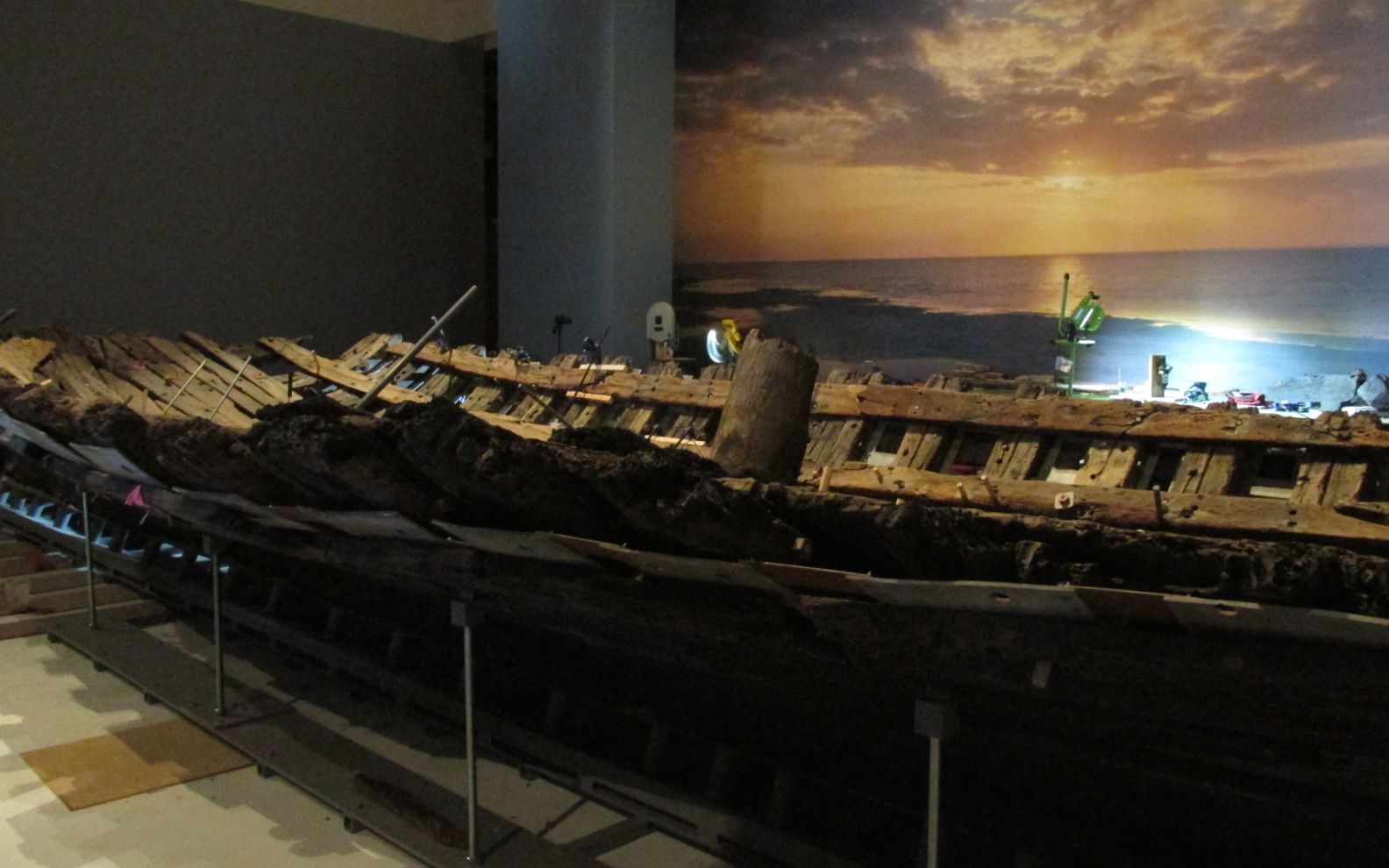
Here it was – his very last ship. It turns out that he sailed past his destination when attempting to establish a colony at the mouth of the Mississippi River, secure trade routes and locate the Spanish silver mines. He left this ship and some of the settlers and took off with a group of men to try to find the mouth of the Mississippi. On the way, his men mutinied and killed him.
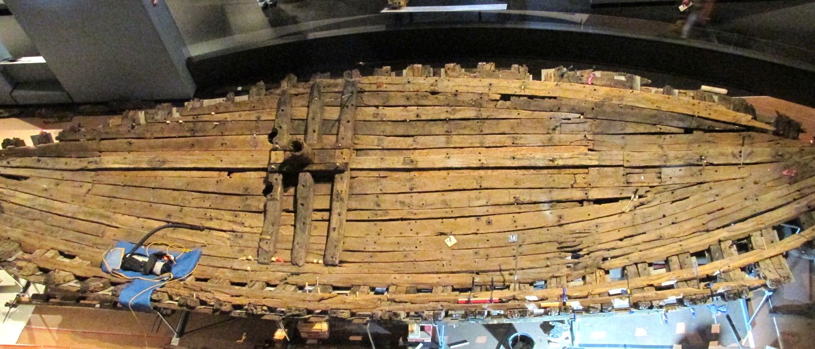
La Belle, the one remaining ship, wrecked in a storm and sank to the muddy bottom of Matagorda Bay. It rested there undisturbed for over 300 years until it was located in 1996.
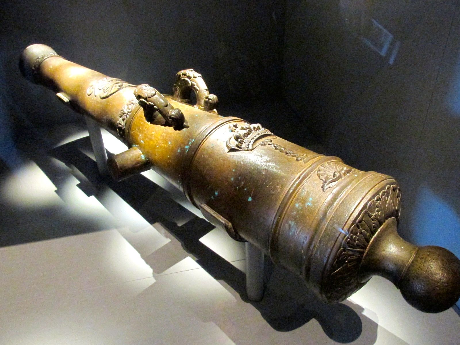
The water in Matagorda Bay is very muddy. The underwater archeologist, Chuck Meide, found this cannon said it was like searching by Braille. But, once he had these distinctive handles in his hand, he knew he had found LaBelle.
The excavation was quite a feat. They had to build a structure around it and then pump the water out. Understandably, there wasn’t much left of the ship after being underwater for 300 years.
It settled into the mud at an angle. You can see the remnant of the mast coming out of the hull at an angle.
They are carefully getting the pieces back in the right places. According to one of the guides there, it was like putting together a 600 piece 3-D jigsaw puzzle.
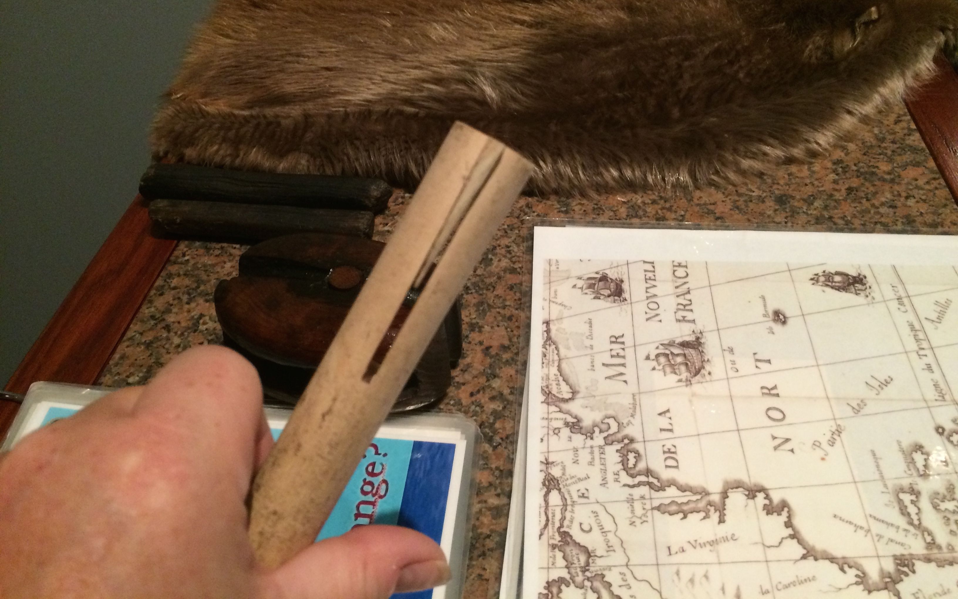
Pieces waiting to be assembled
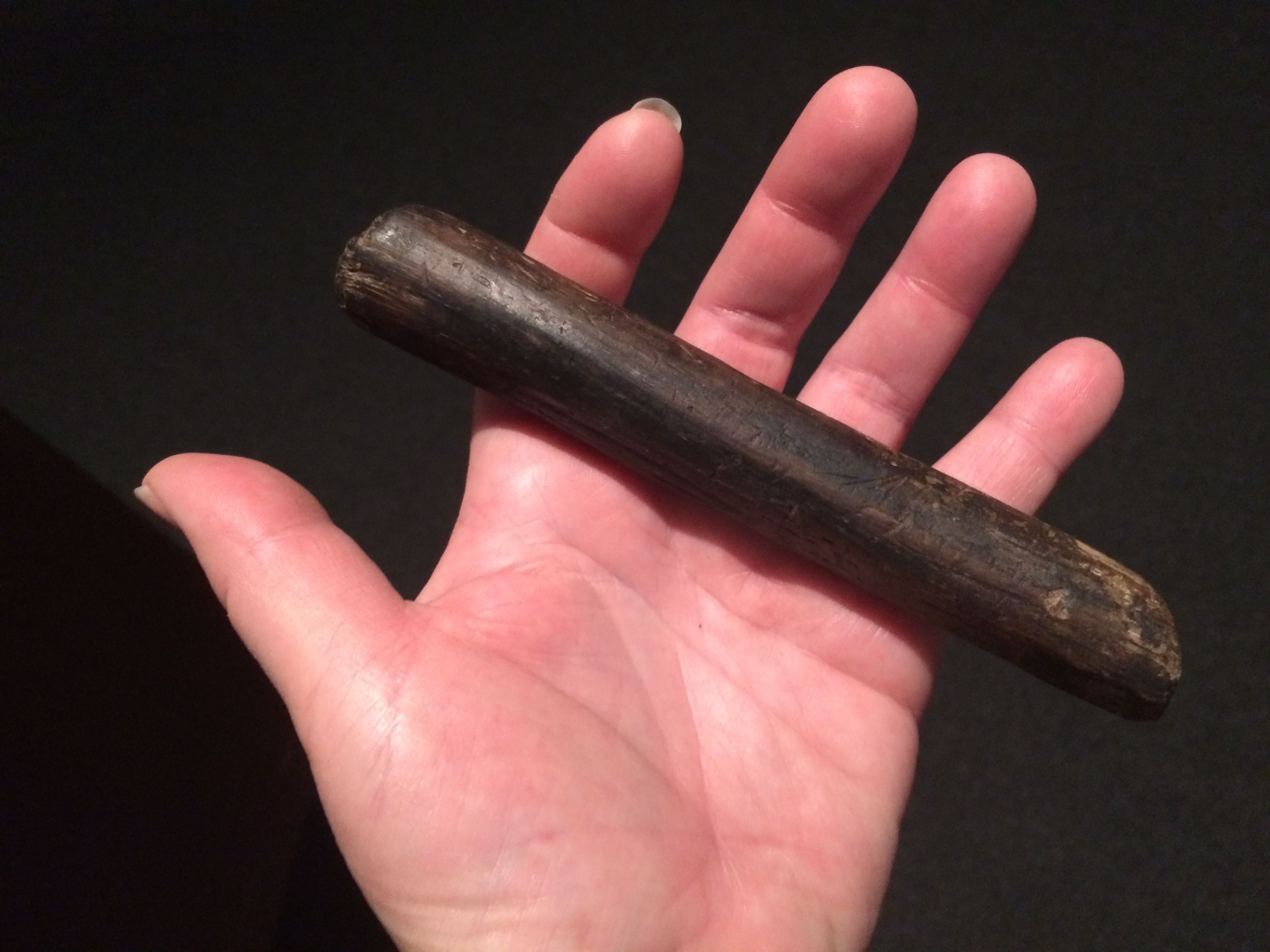
The guide let me hold one of the pegs that were used to hold the pieces together.
What a piece of history!
This is a peg that demonstrates how they work. The dowels were split and then a wedge was driven in to hold it tightly in the hole.
The hold of the ship was packed with goods that were going to be used in the settlement that was going to be established at the mouth of the Mississippi.
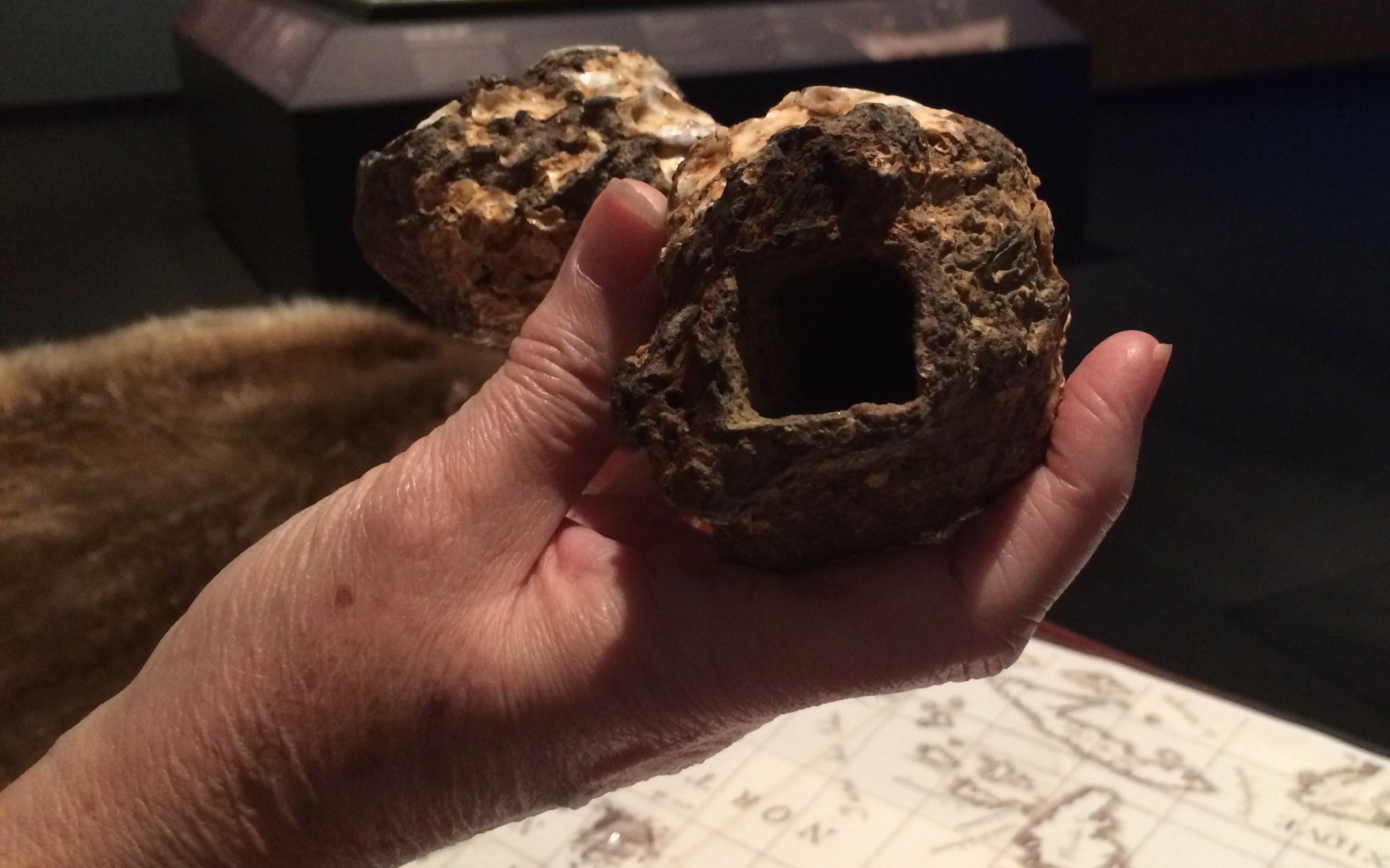
While wood pieces held up surprisingly well to being in sea water for all those years, iron pieces didn’t fare as well. The salt water ate it away, they became encrusted in the marine life that lived around them. They can recreate the metal parts by casting the negative space that was left.
One item that the guide pointed out as being exceptional was this clay pot. It was called a fire pot. It would be packed with black powder and a wick inserted through the top that would be secured to the pot. They would light the wick and throw it, much like a bomb or a Molotov cocktail. She said that this was unusual because usually all they would find were the leftover shrapnel when they were used.
I took the stairs up and got one more look at La Belle.
The next floor was dedicated to the history of Texas. I was so taken with the first floor that I didn’t have time to explore every exhibit thoroughly. I wanted to make sure that I got to hop on the bus when it came by again.
Of course, they had to remember the Alamo.
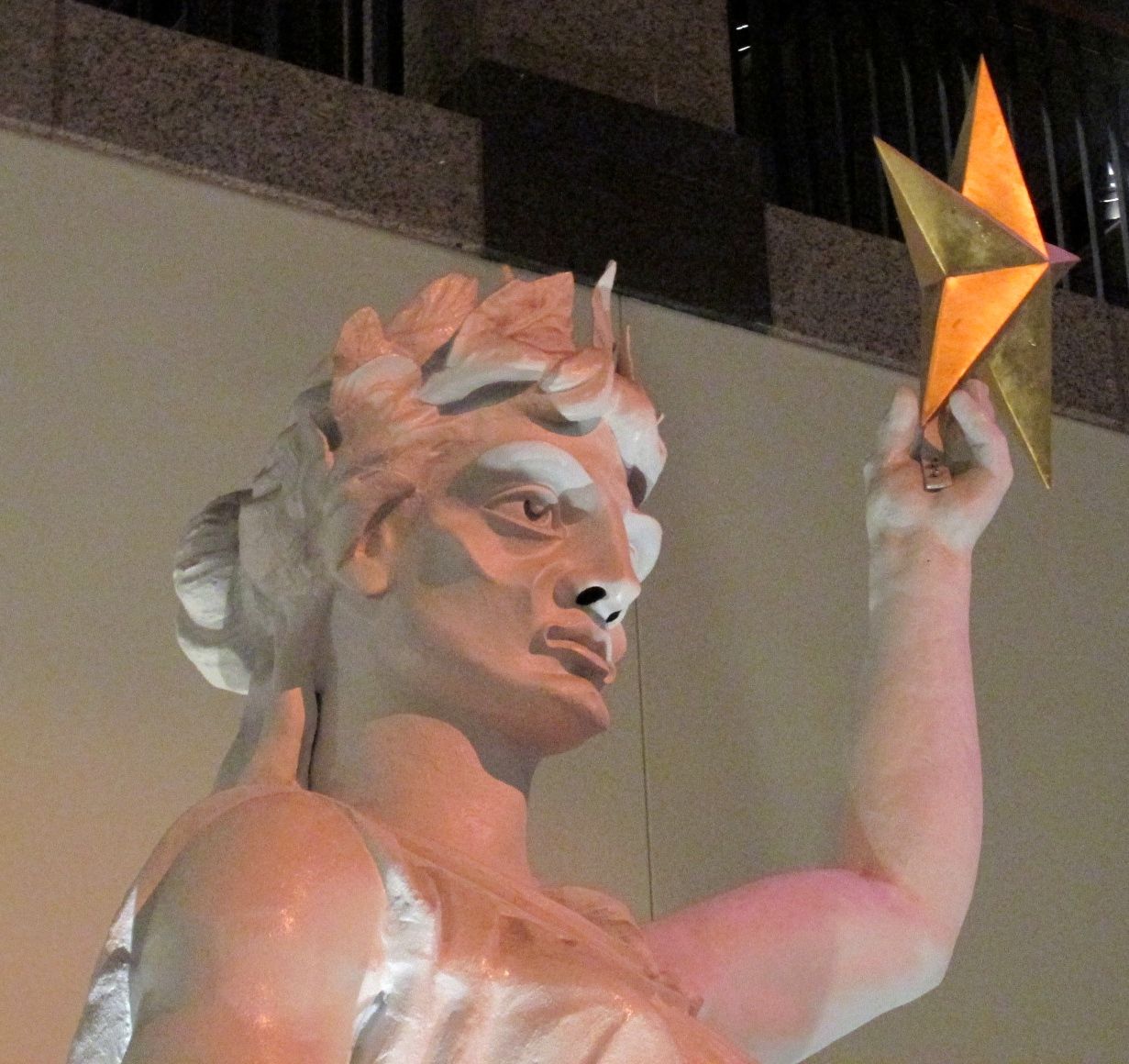
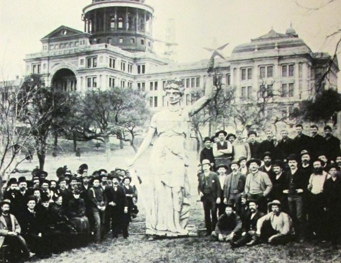
They had the original goddess from the top of the Capitol. It has been renovated; the sign said that there were holes right through her when they removed her from the Capitol. The features were exaggerated so that they could be “read” from the ground.
Here’s a photo from when she was originally installed.
I had to skedaddle to catch the bus. And catch it, I did. I even had a few spare minutes to peruse the gift shop.
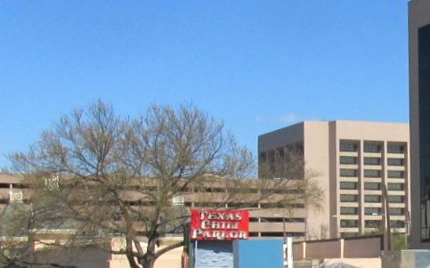
The tour guide pointed out the Texas Chili Parlor, which she said was featured in a Quentin Terrentino film. I don’t think I’ve ever seen one of his films, but at least now I have seen something that was featured in on of them.
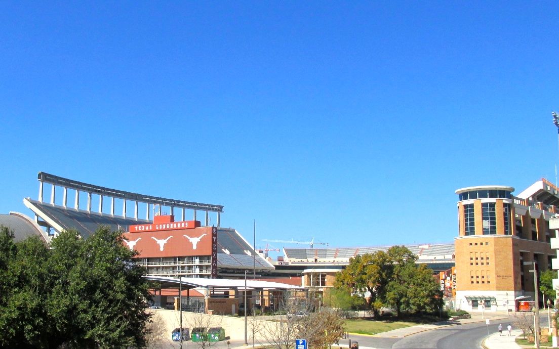
Then we passed through the University of Texas. We saw The Longhorn Stadium.
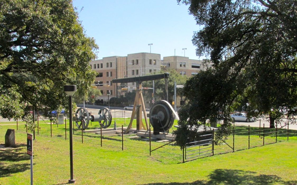
And the first oil well. Oil is what funded the growth of the University. They were given land in various parts of the state, and oil was found under that land. This was the well that started it off, and it has been moved to the university as part of it’s heritage.
We also passed the Moonlight Tower. They were popular ways to light cities in the 19th century in the United States and Europe. The Austin Moonlight Towers were purchased used from Detroit in 1894. The source of light came from six carbon arc lamps. The carbon rods would burn away and they would need to be adjusted and replaced during the night.
The workers would be hoisted up to the top to attend to the lights. The light was very bright, but they were exceeding time-consuming to maintain. In the 1920s, they were replaced with incandescent bulbs, and then mercury vapor lamps replaced them in the 1930s. The remaining Moonlight Towers are Texas State Landmarks.
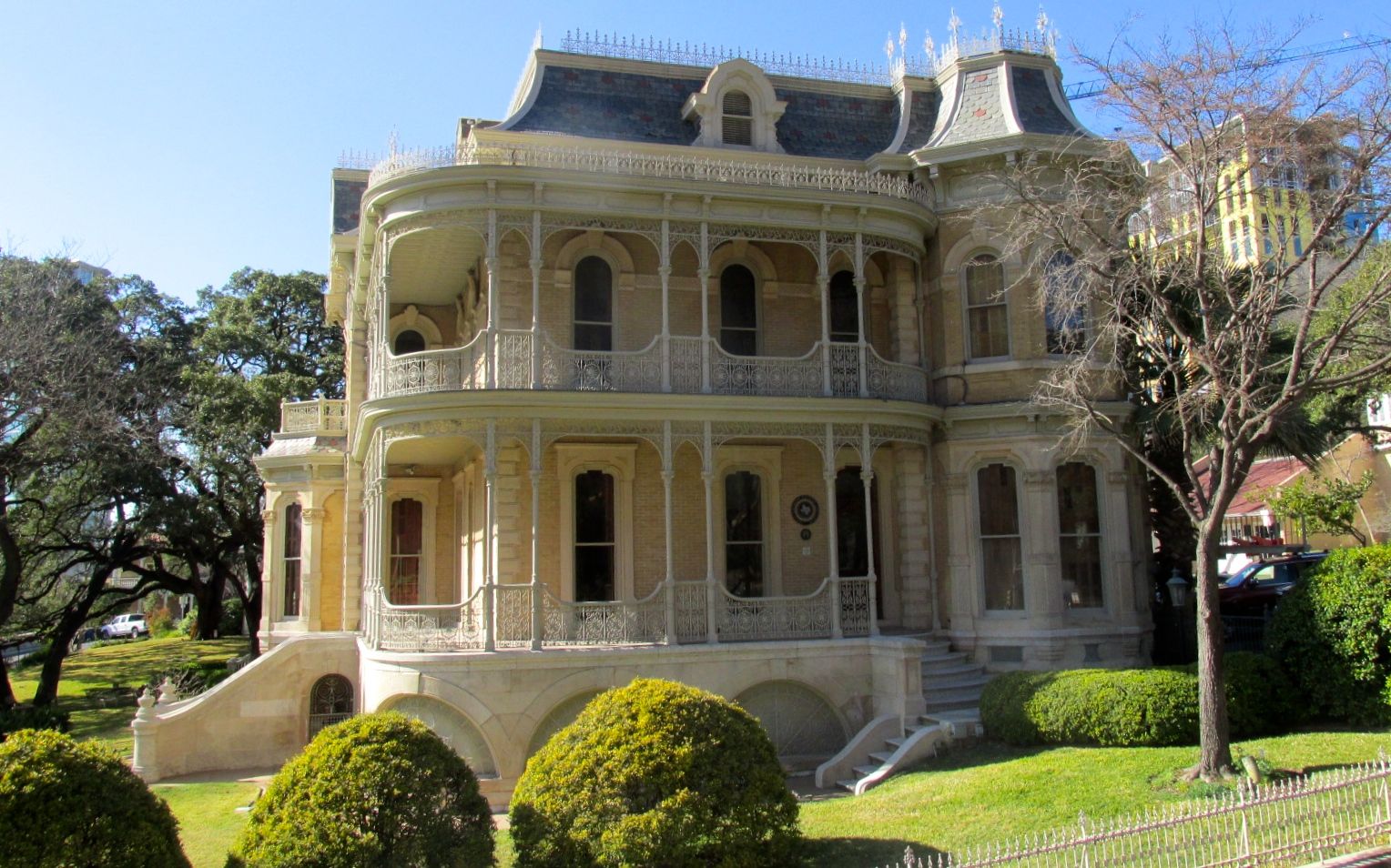
The guide pointed out this house. The interesting fact she pointed out was that there were amazingly few doors. In fact the only way to get on to the upper porch was through the windows. This was because taxes were based in part on the number of doors a house had.
We cruised though some interesting parts of town – fun stores, eateries and nests of food trucks. I have no photos to show, thought, because it was hard to frame up photos while moving in traffic on the top of a double decker bus.
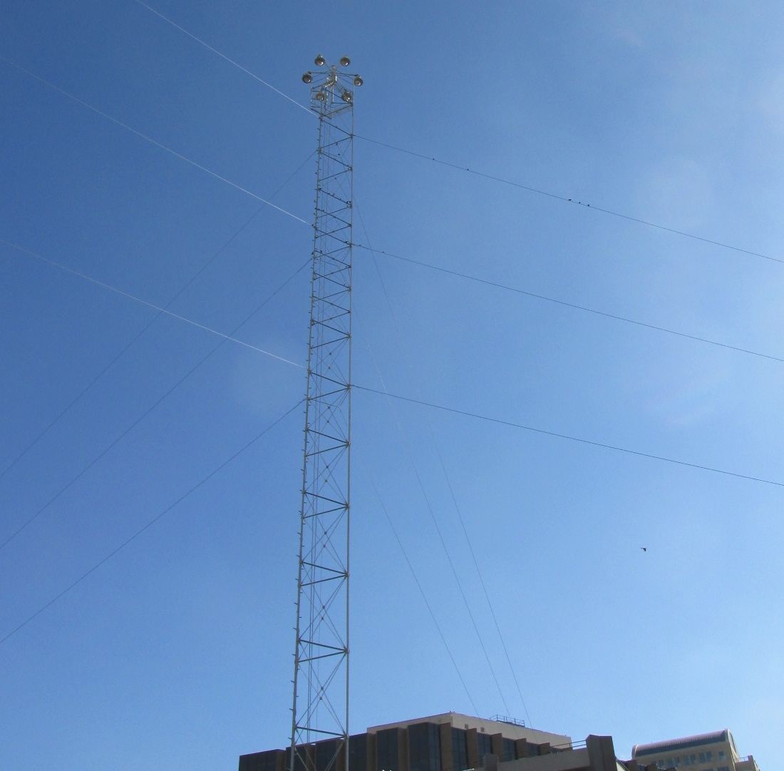
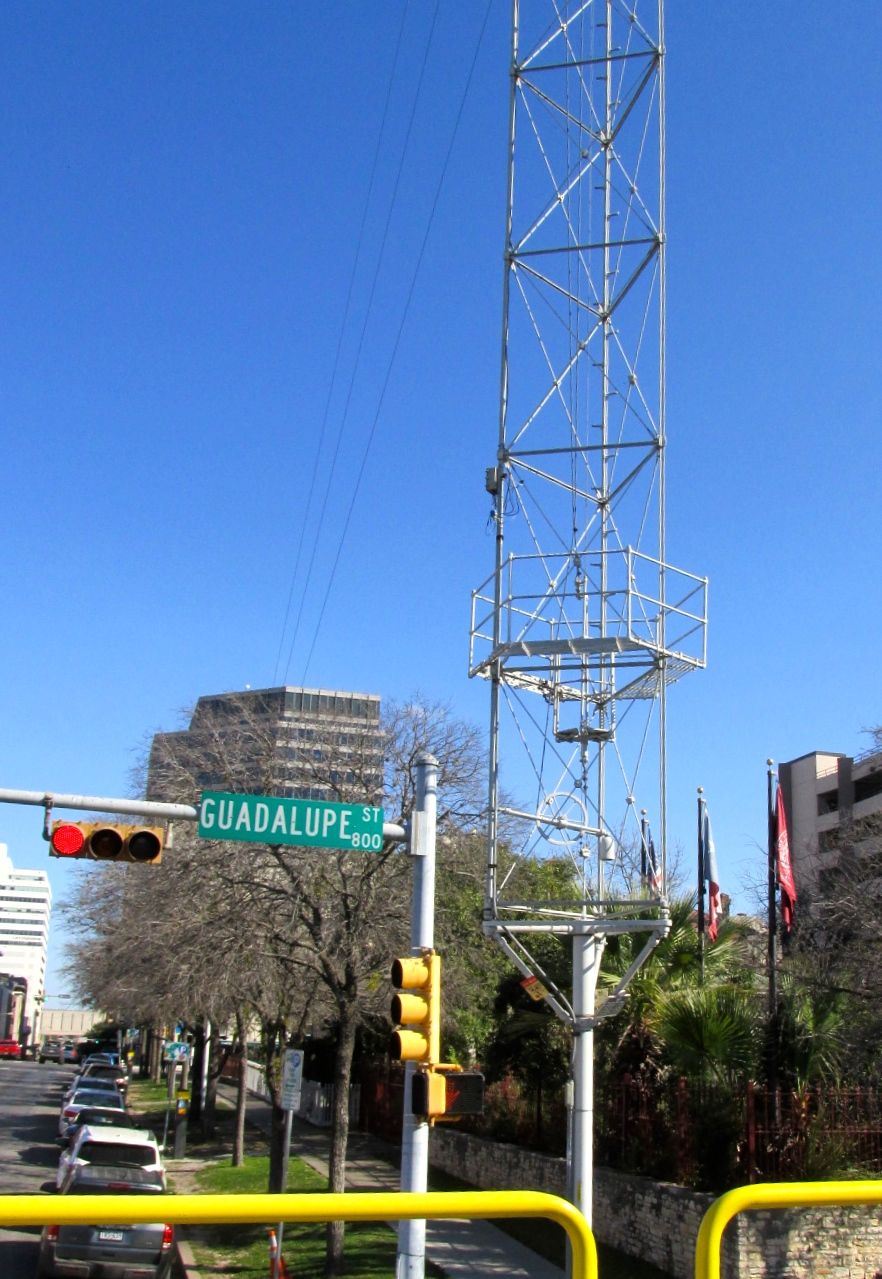
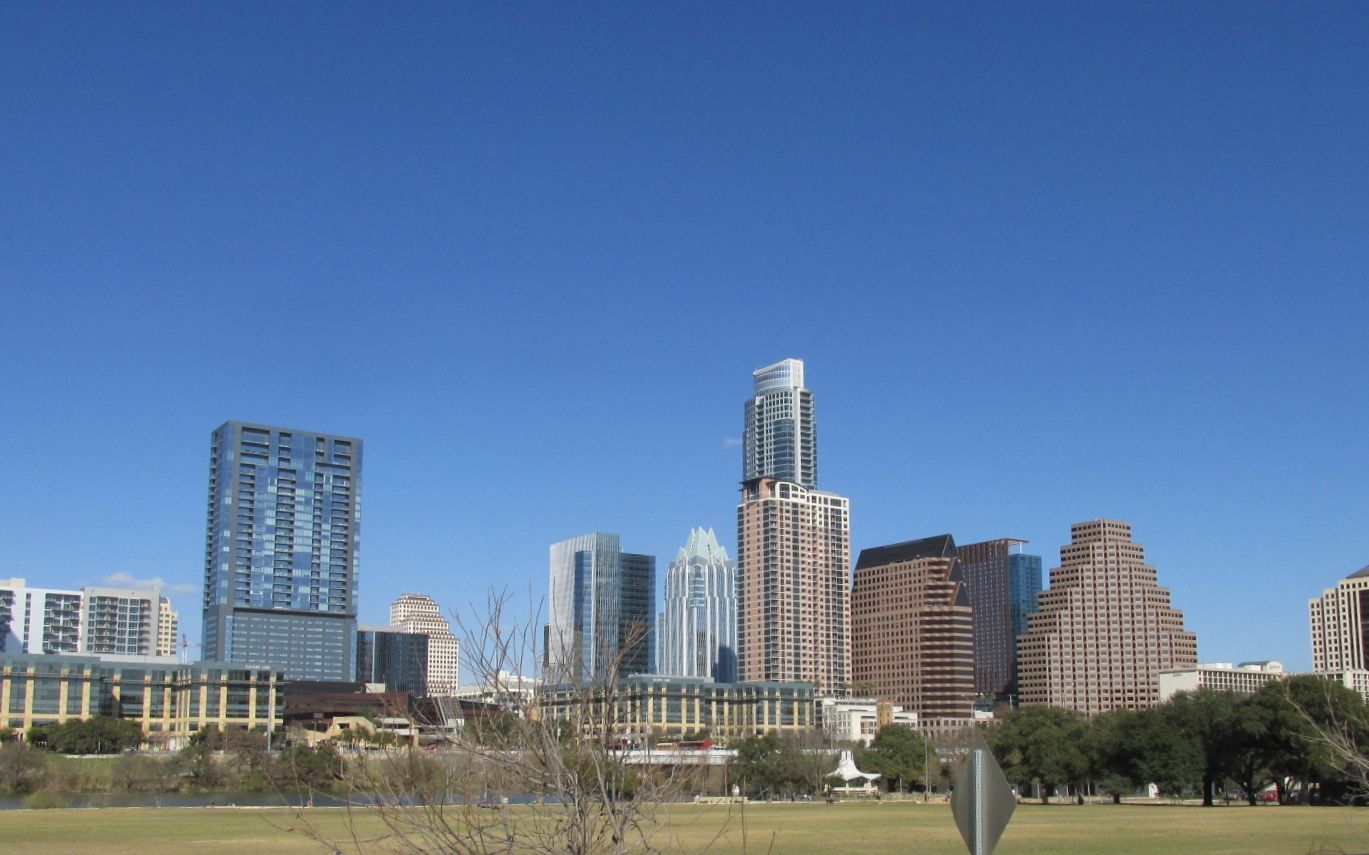
We headed back to the end of the tour and I was able to grab a shot of the skyline.
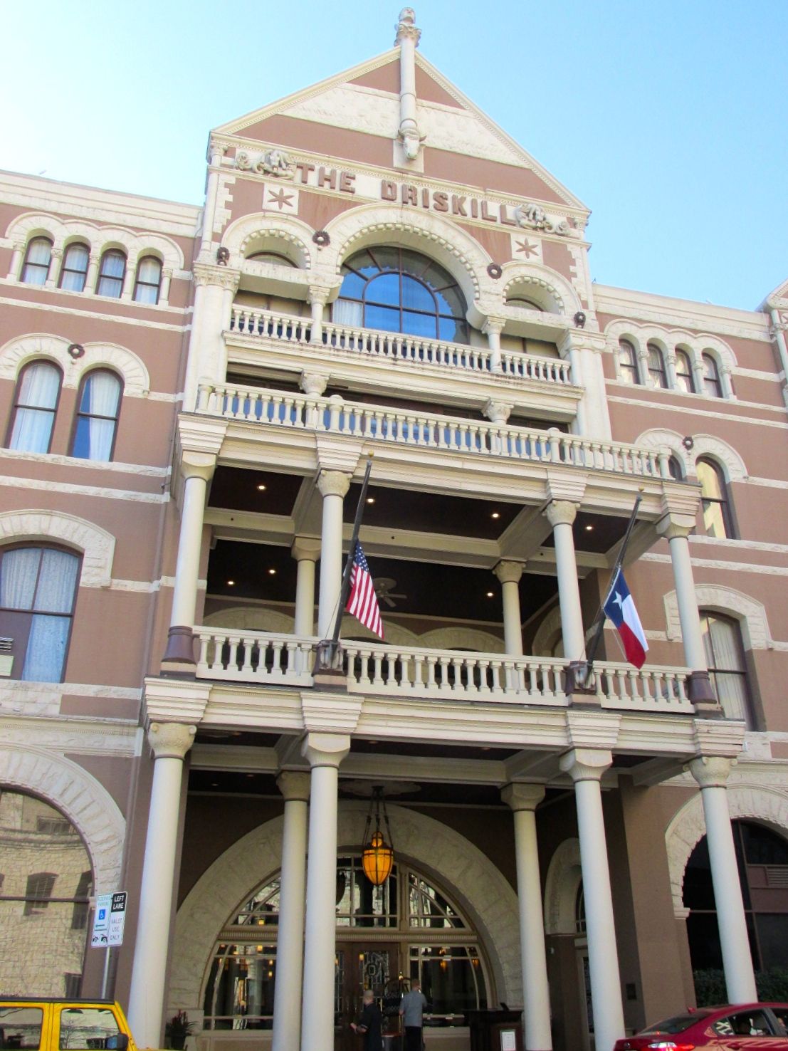
After the tour, I needed a bit of sustenance. I decided to treat myself to a light dinner at The Driskill, a Romanesque-style building that was completed in 1886. It was built by Colonel Jesse Driskill, a cattleman who spent his fortune building “the finest hotel south of St. Louis.”
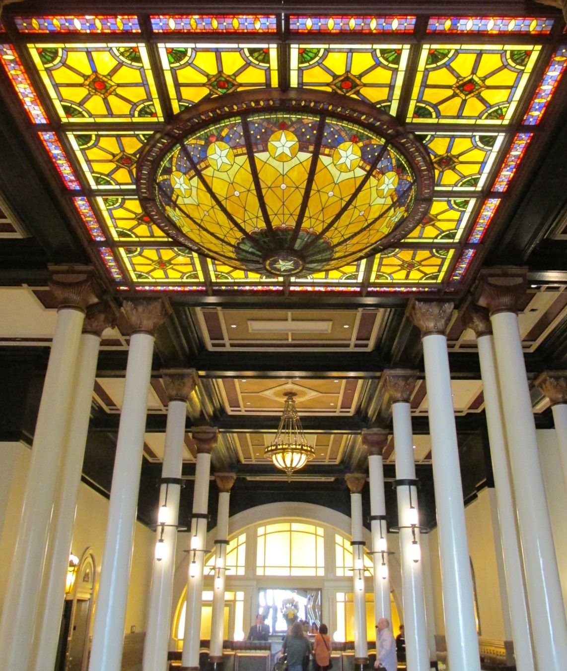
It was quite opulent. Here is the lobby.
I made my way to the Driskill Bar.
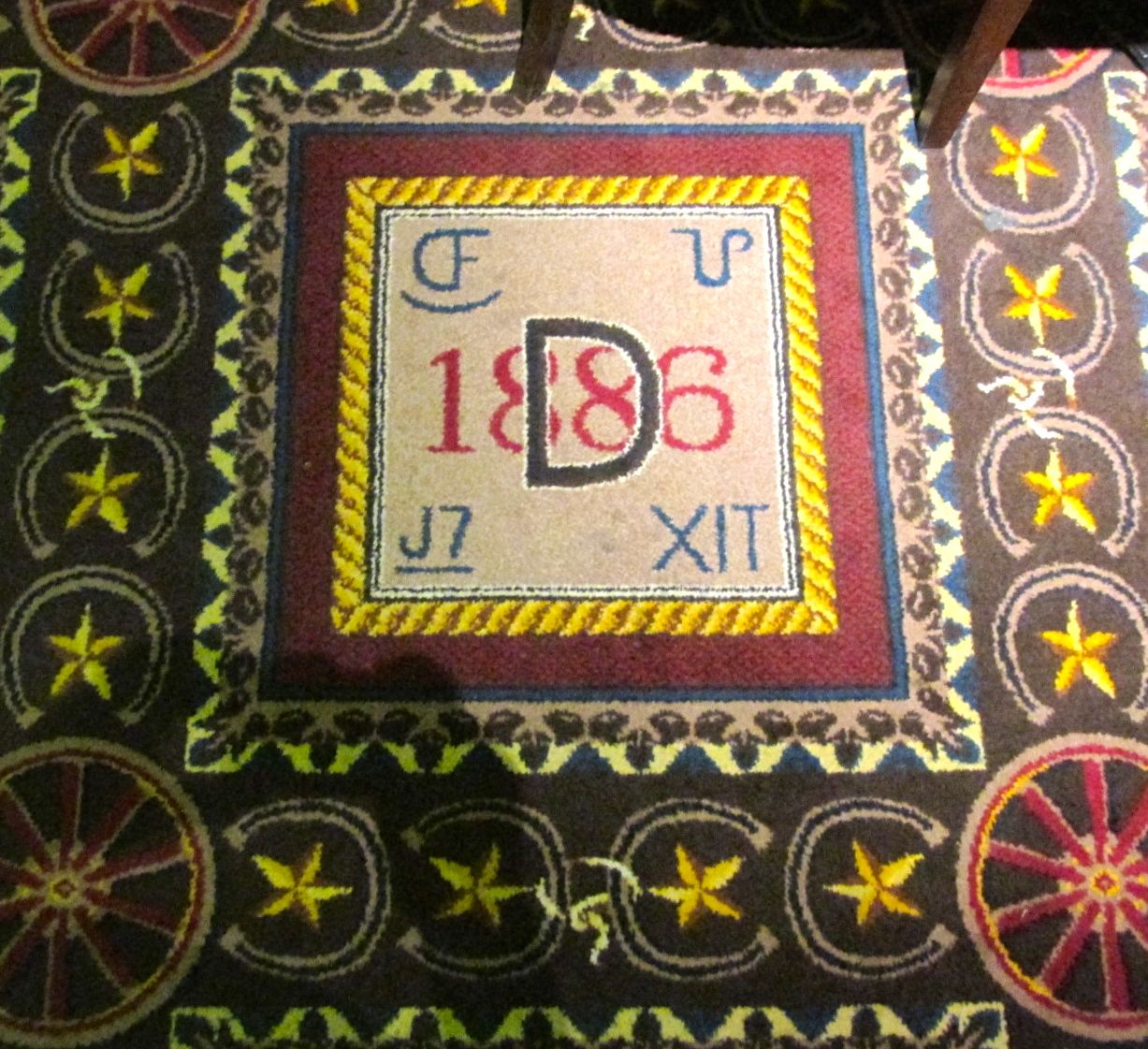
I walked down the special carpet that was full of significant designs.
There was a Texas Longhorn hanging over the fireplace. How Texan!
It was Happy Hour! I chose the white bean hummus and a local brew.
Suitable refreshed and refueled, I headed back to the garage to pick up ol’ BART.
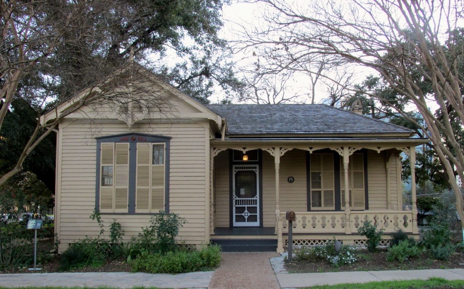
Along the way, I passed the O. Henry’s house. It was late in the day, so it wasn’t open. However, William Sidney Porter, better known as O. Henry, lived there between 1893-1895. The house was built in 1886 – the same year as The Driskill.
Next door to that house was the Susanna Dickenson-Hannig house.
Susanna Dickenson-Hannig and her daughter Angelina were among the few Texan survivors of the 1836 Battle of the Alamo. Her husband, Captain Almaron Dickinson was killed in the battle. Santa Ana interviewed her after the battle and gave her and each of the other survivors $2 and blankets and allowed them to return home to spread the word of the size of the army the Texan were up against.
This is the house that she shared with her fifth husband, Joseph Hannig. It was built in 1869 and she lived there until her death in 1883.
After a busy day of touring, this sign was a welcome sight.
The next day, it was time to hitch up Flo and get ready to roll.
I don’t know what I was thinking when I booked campsites. I must have forgotten about drive time and spending time setting up camp when I got there. And, then there are those “taking-care-of business” things. I had to go pick up some latches for my cabinets.
There was a smiling Airstream greeting me at the dealership.
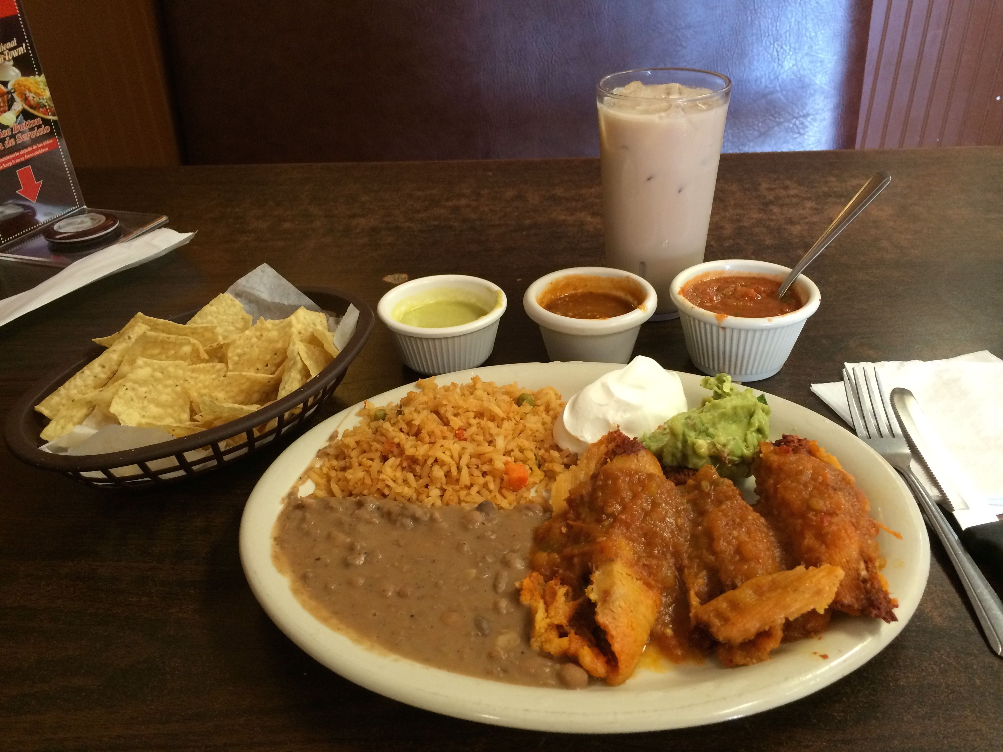
After a few more errands, it was time for lunch at Taqueria Arandinas.
Facebook friends had been giving me loads of recommendations for places I should eat, but I was hungry NOW! I consulted Yelp! and this place met the criteria.
It was close by.
Their tamales came highly recommended.
They had signs posted about free WIFI, but no one there seemed to know anything about it. Oh well…
The food was great. As a special treat, I had the horchata, and it was delightful.
When I had finished and wanted my bill, I followed the directions on the table card. I pressed the button to get the bill.
The waitress came over and told me that the receipts were kept at the register. Hmmm.
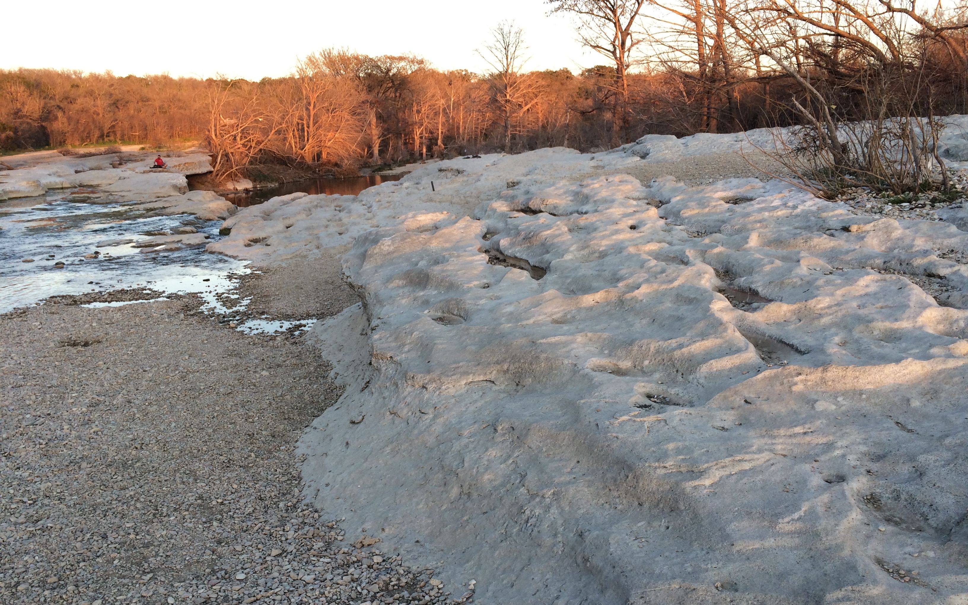
I got back to McKinney Falls State Park in time to take a stroll down to the falls.
I walked across some interesting limestone formations on the way to the lower falls. (The upper falls were closed due to damage from flooding a few months ago.)
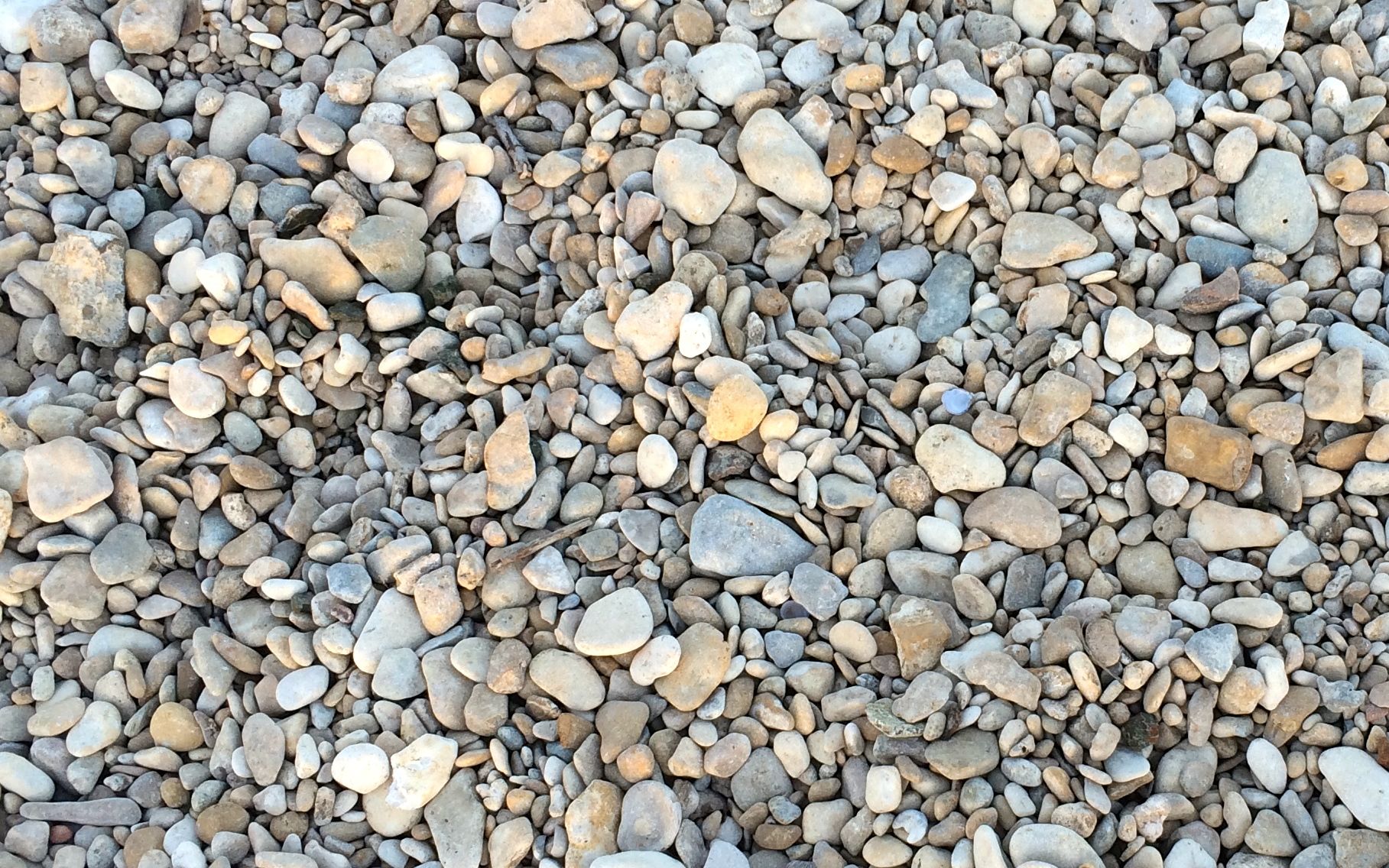
And there were some nice river rocks.
I enjoyed looking at them but I left them there. I had just gotten finished dumping a whole bunch of rocks I’d picked up in the last year.
I picked my way to the lower falls and enjoyed the falling water. And then it was back to the trailer to get ready for a big day of tourism.
I decided that the most logical thing for me to do would be to take a tour. After all, I hadn’t done the research and I sure didn’t want to have to maneuver the streets downtown with BART – not to mention trying to find parking!
Of my options, I decided to take Double Decker Austin, which left from the Austin Visitor Center. The Visitor Center conveniently had a parking garage above it. I got there early and the tourism specialist recommended Easy Tiger for a cup of coffee a few blocks away.
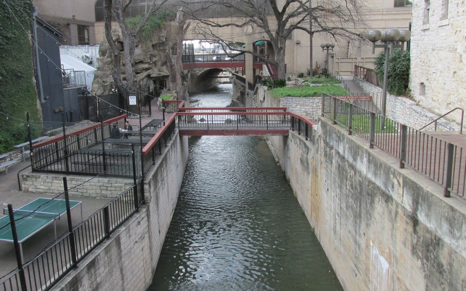
I snapped this photo of a river walk next to the bakery/coffee shop. I found out later that this river walk will one day extend from the state capitol to Lady Bird Lake.
The tour began on time. I opted to sit on the lower level for the first couple of stops because I was going to get off at the Capitol building. I heard that there were free tours – and you know how I love free!
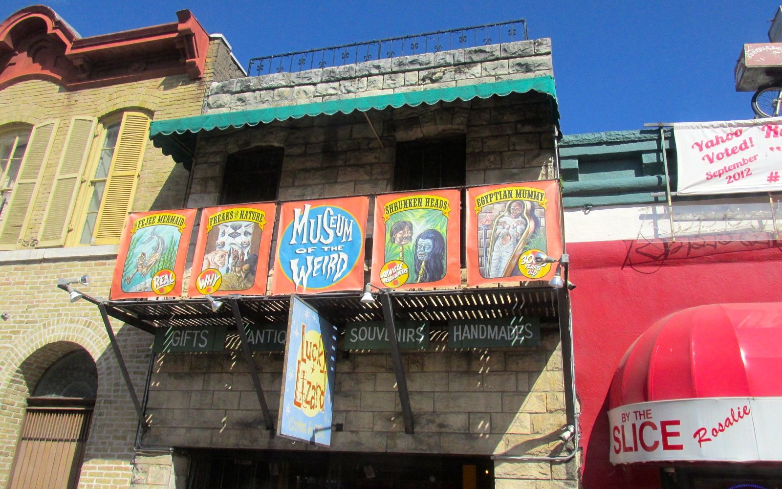
The first stop was the Museum of the Weird. Not my cup of tea, but the guide told us that Johnny Depp lived on the third floor when he was filming something or other. I wasn’t taking very good notes, but I did snap a photo.
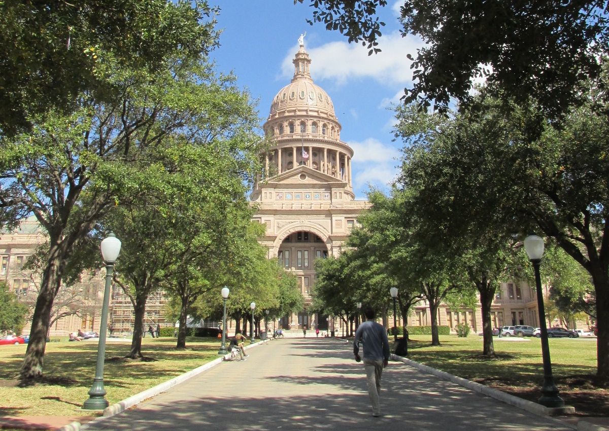
Next stop: the Capitol.
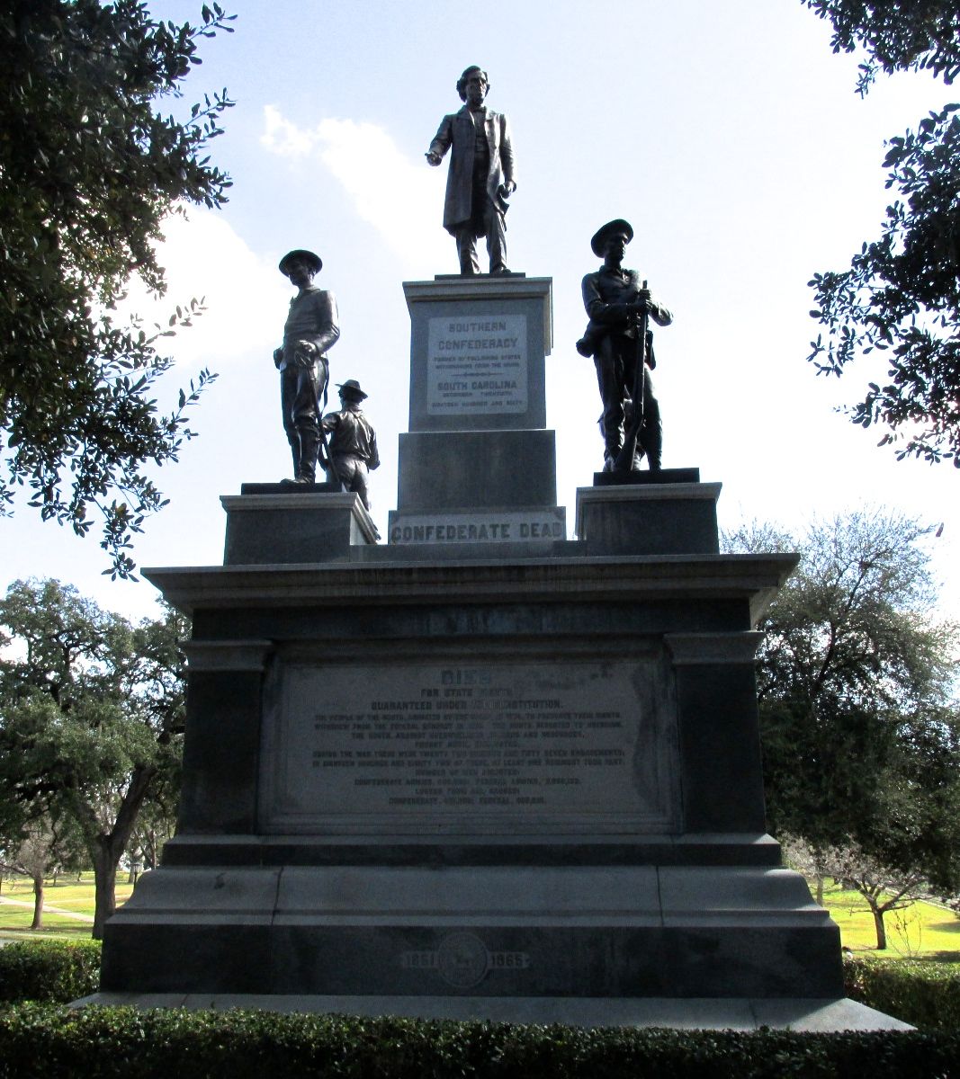
The grounds were beautiful! They were lush and green and had memorials placed around the campus.
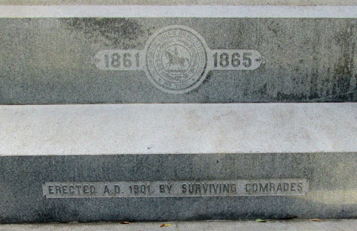
Just inside the gate, there was a statue to the Confederate War dead from Texas. This year, I have been very interested in what people remember about the past and when they choose to erect memorials.
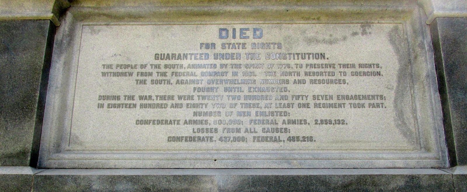
This is what the plaque at the base of it says:
“Died for state rights guaranteed under the constitution. The people of the south, animated by the spirit of 1776 to preserve their rights, withdrew from the federal compact in 1861. The north resorted to coercion. The south, against overwhelming numbers and resources, fought until exhausted. The the war, there were 22,057 engagements, in 1822 of these, at least one regiment took part. Number of men enlisted: Confederate armies 800,000 Federal armies 2,859,132. Losses from all causes: Confederate 437,000 Federal 485,216.
It was erected in 1901 by surviving comrades.
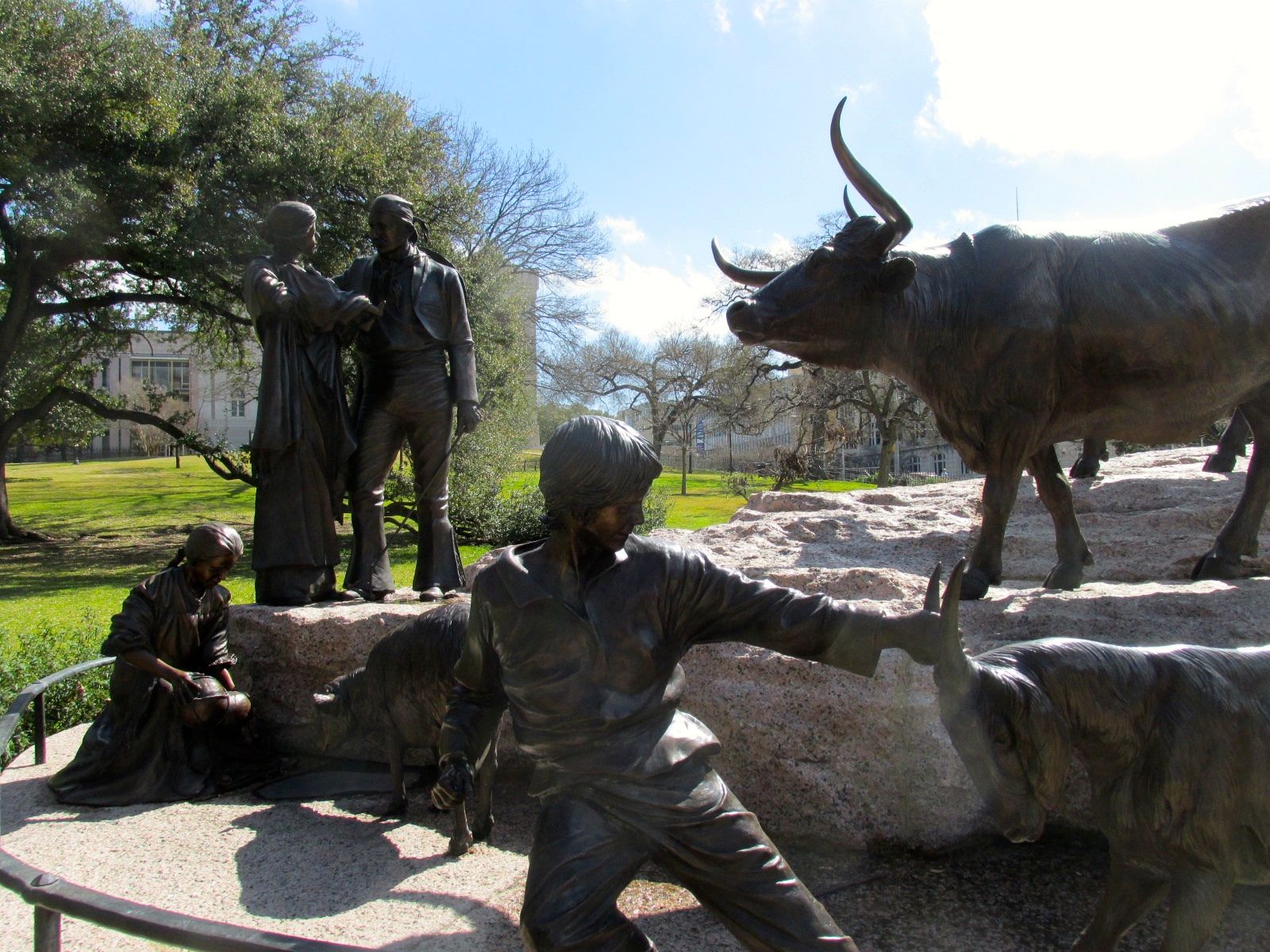
There was a dynamic grouping of bronze statues that seemed to highlight the history of the the settlement of Texas.
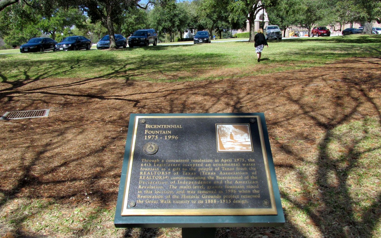
This was a perplexing marker. The REALTORS® of Texas sponsored an ornamental water fountain to celebrate the nation’s bicentennial in 1976. Do you see a fountain? No? Well, it was removed in 1996 as part of the Restoration of the Historic Grounds project that returned the Great Walk to its 1888-1915 design.
So, we have a sign commemorating something that isn’t there anymore.
I made my way inside the Capitol – in the side door and through the metal detectors. Of course, my shiny new knee set it off, so I had to get wanded. After that, I was off to see what I could see.
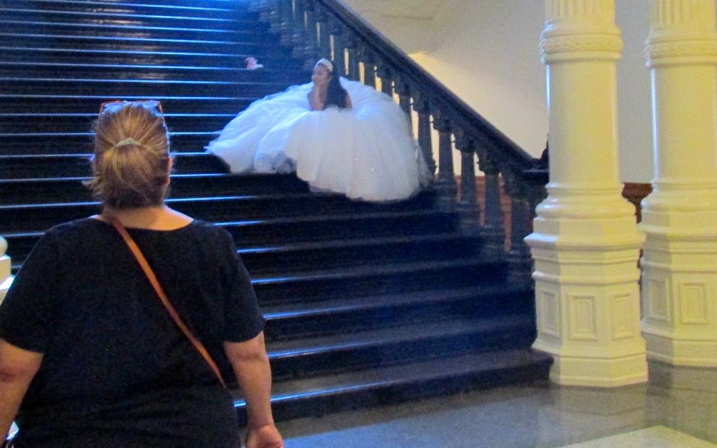
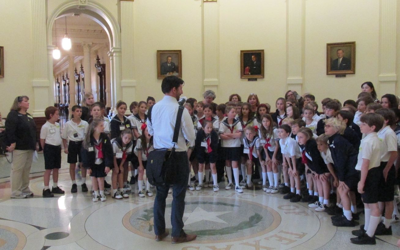
I happened upon a photo shoot for a young lady’s quinceañera. The whole family was there watching the photographer document her big moment.
I got to the rotunda, and there was another photo shoot going on. This time, a school field trip was having their visit documented.
And then I found a tour taking place! I just kind of blended in and joined them.
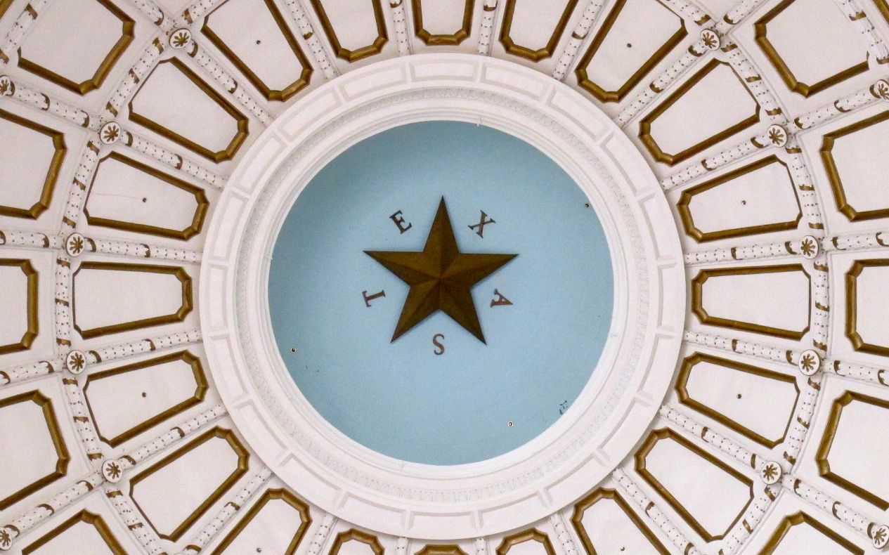
Capitol rotunda
The guide was very enthusiastic and really seemed to know a lot about the building, its history and Texas history. Unfortunately, I couldn’t hear her really well. So, I will share a few photos and put in a few remarks here and there.
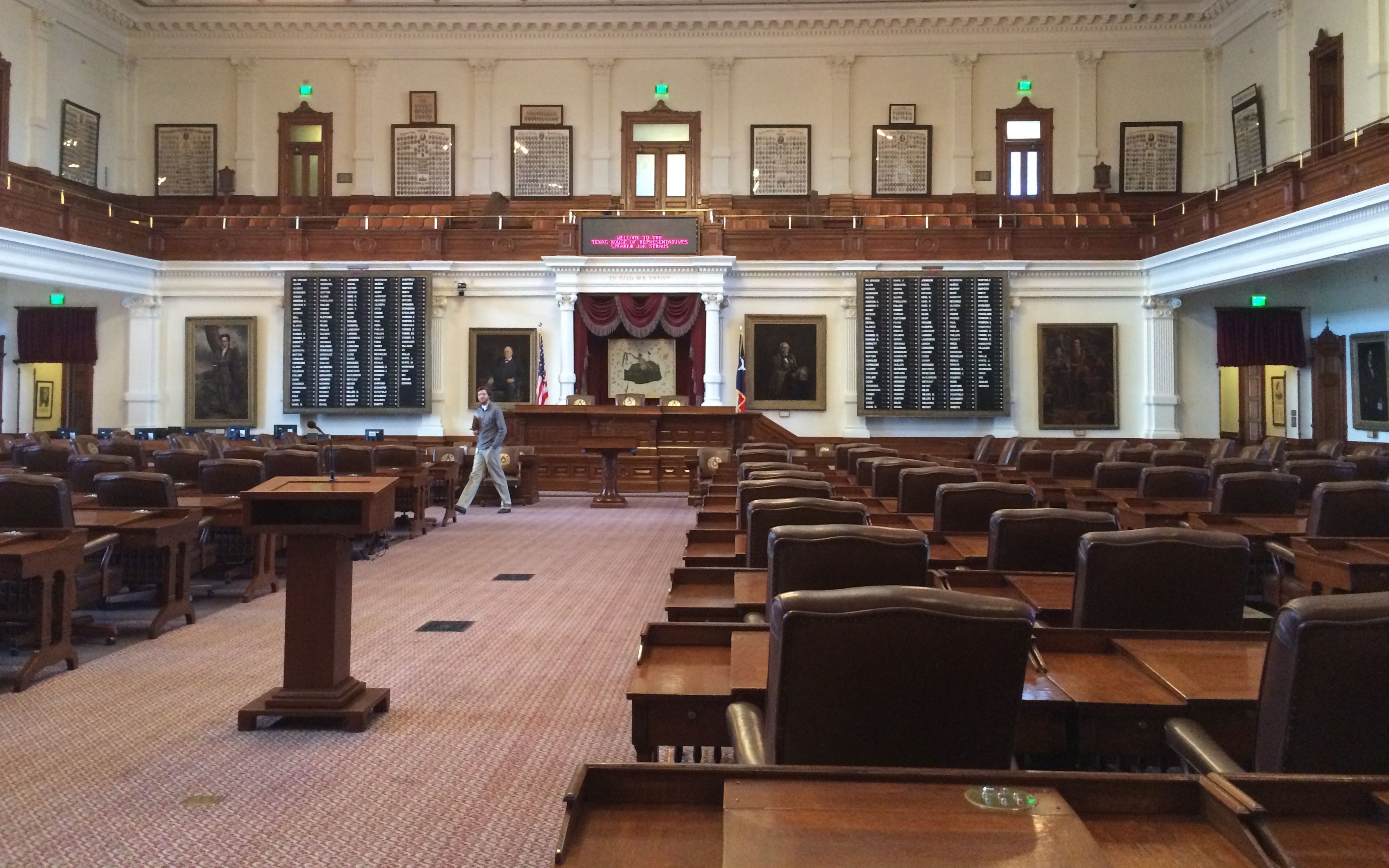
This is the House of Representatives. There are 150 members.
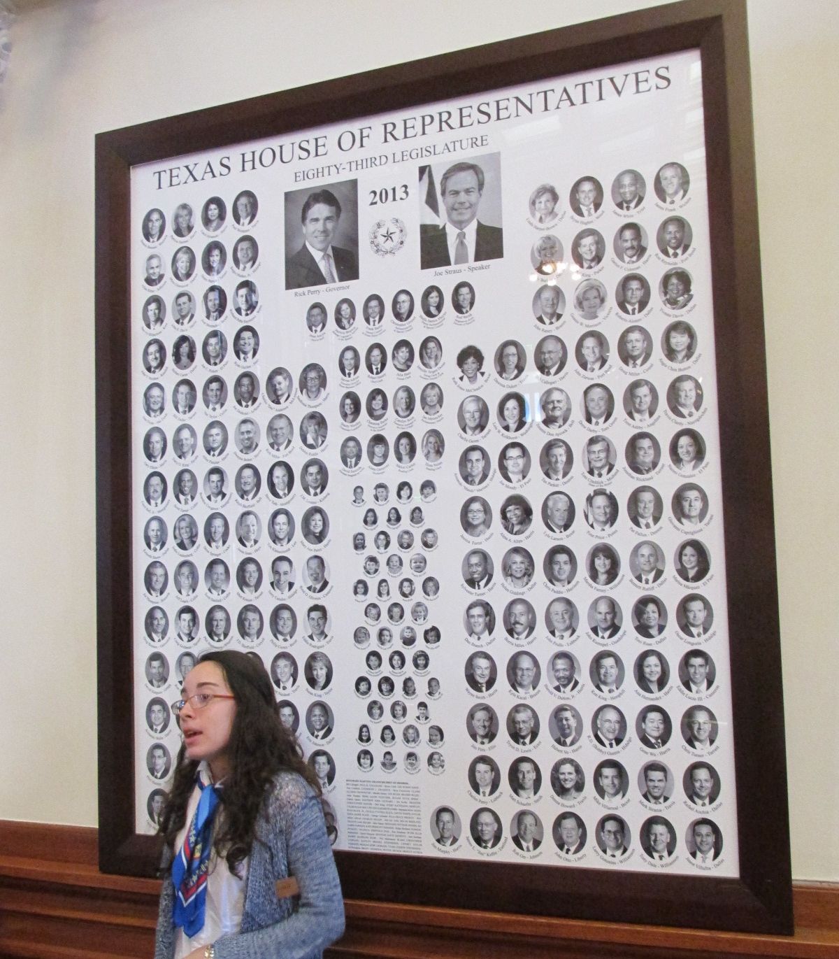
They make up a poster for the members each year. The Legislature meets beginning in January of odd-numbered years. The small photos are the children of the legislators. I suppose there is a poster of the 2015 class, but it wasn’t where we were standing.
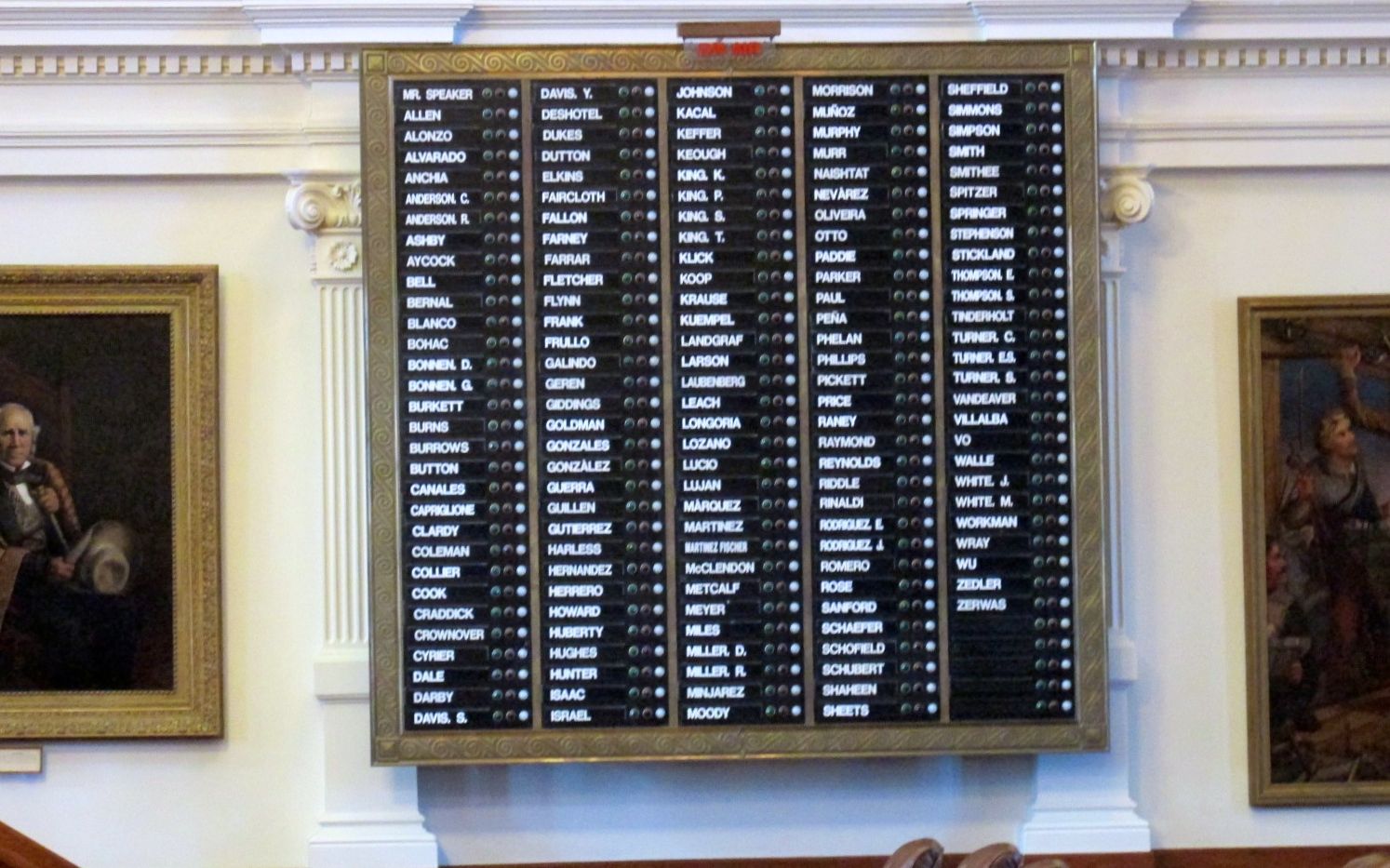
This sign is at the front of the room and has the names of all the members. It is used in voting, but I am not exactly sure how it works.
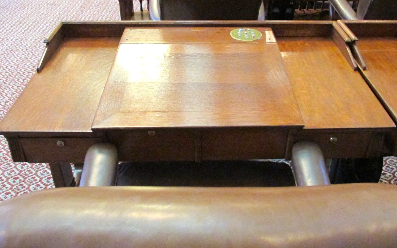
This is a desk that belongs to a representative. On the brass disk at the top of the desk are three buttons they use in voting. They can choose yes, no or abstain.
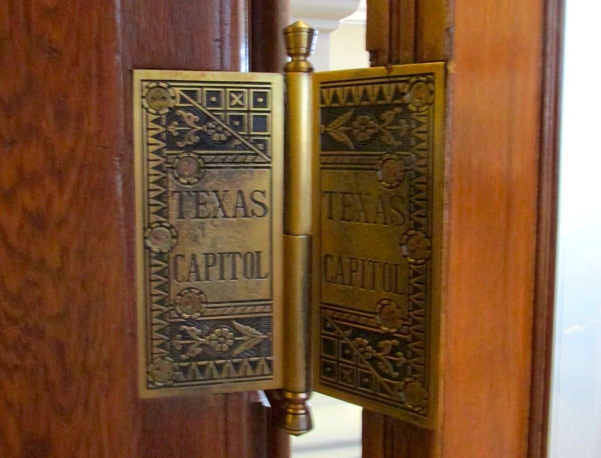
On our way out of the chamber, the guide pointed out the hinges on the doors. In addition to being amazingly works of decorative art, they each weigh eight pounds!
Now, let’s pause for just a moment.
Can you imagine how much brass went into building the Capitol? How much pink Texas granite? This is one of the tallest state capitols in the country and seven feet taller than the United States capitol. Oh, it was built at no charge to the government.
In one of the largest barters of recorded history, John V. Farwell and Charles B. Farwell, agreed to build the capitol for more than three-million acres of land in the Texas panhandle. They formed the XIT Ranch, which was the largest cattle ranch in the world.
The cornerstone for the building was laid on Texas Independence Day, March 2, in 1885. The building was completed and opened to the public on San Jacinto Day, April 21 in 1888. San Jacinto was the final battle in the Texas Revolution, when Texas won its independence from Mexico in 1836.
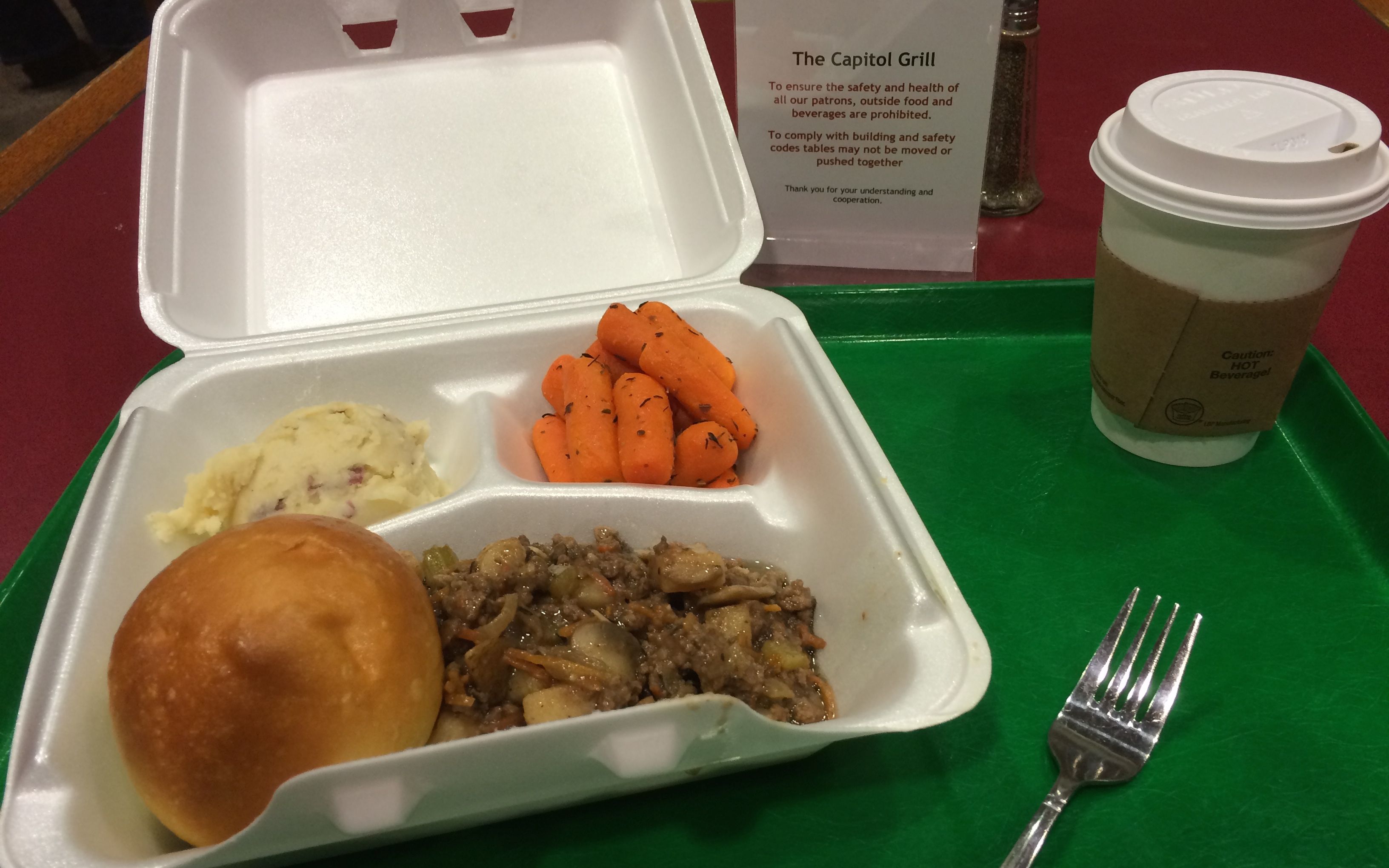
She guided us through different passages and we ended up in an extension. By then, I was hungry and more than ready for lunch in the Capitol Grill.
I opted for the beef bourguignon. It was tasty. Unfortunately, I ended up wearing it for the rest of the day.
I wandered over to the hop-on-hop-off bus stop to wait for my big red bus. I’ll let you wait with me until the next part of the tour.