Bryce Canyon National Park – Part Two

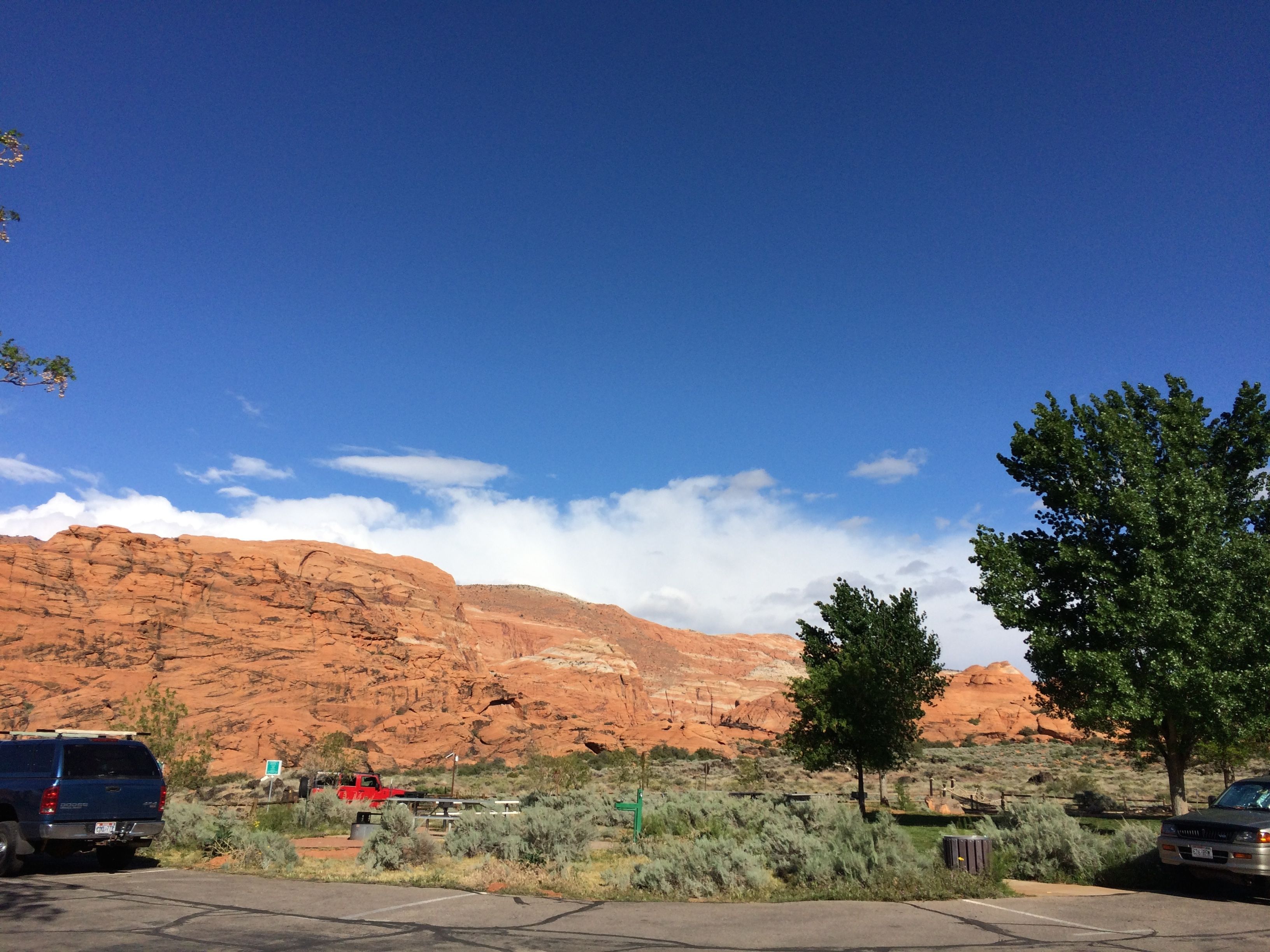
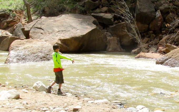
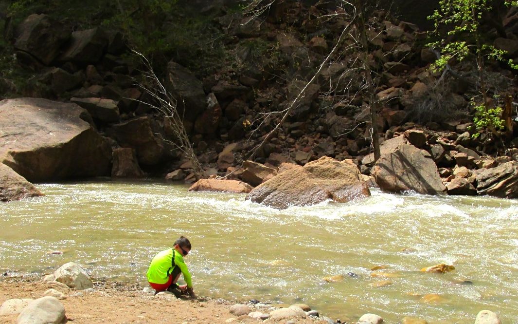
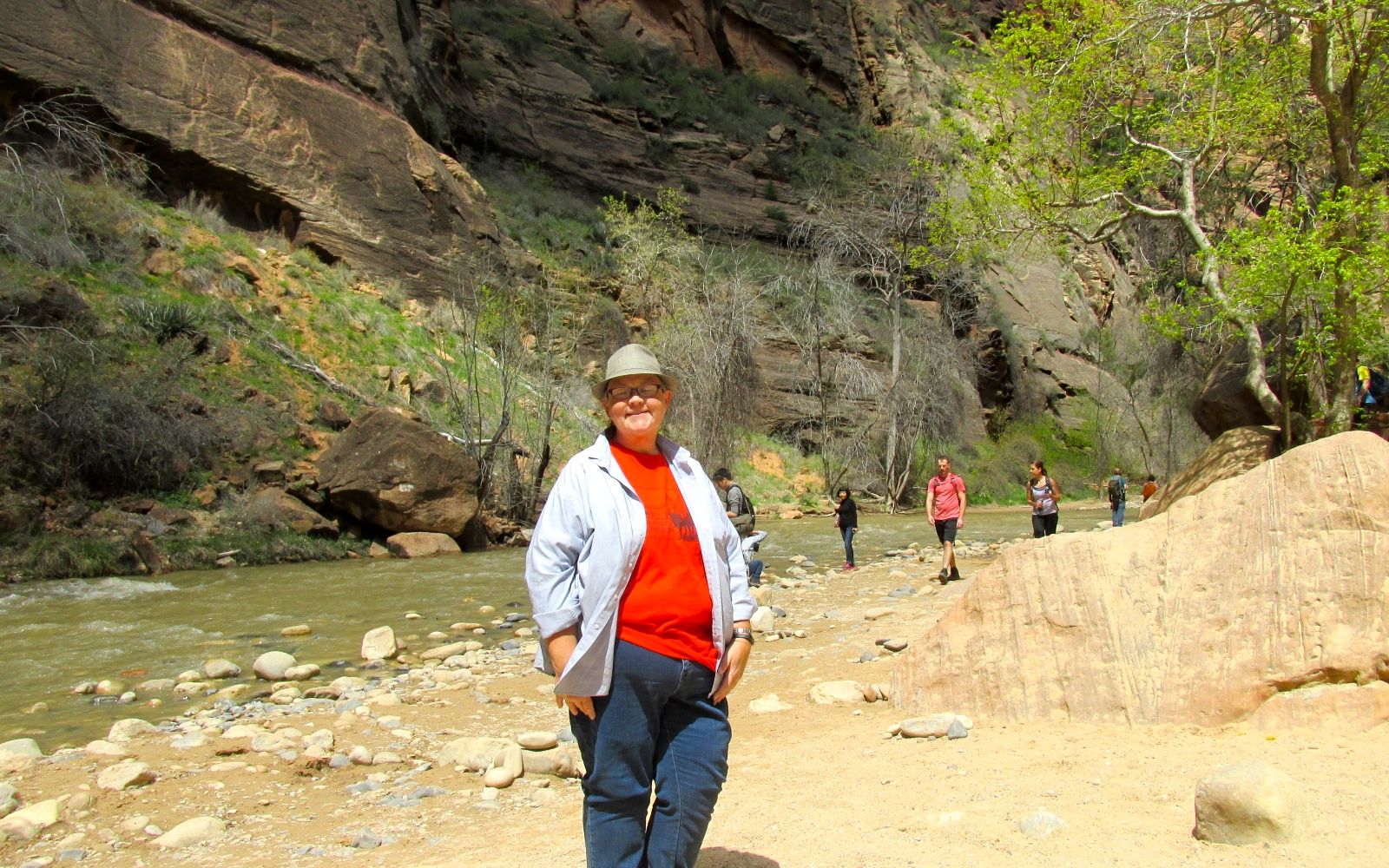
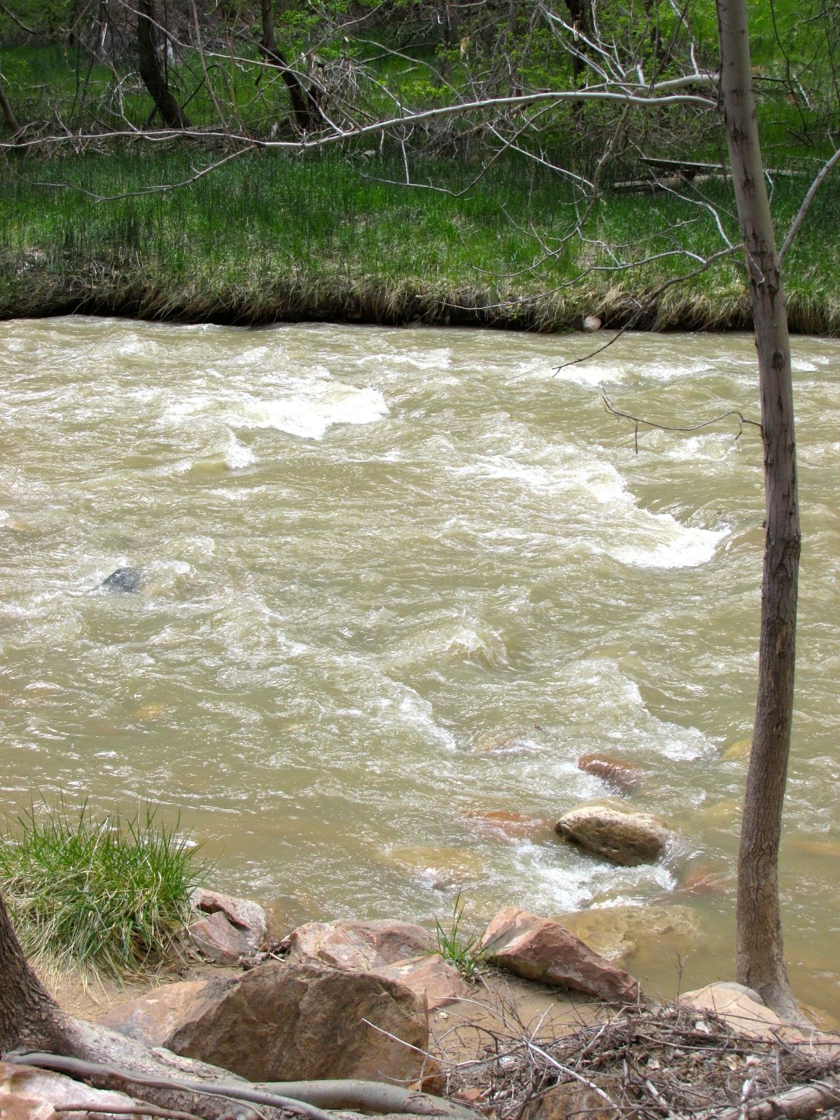
The next day, I got up and headed back to the park. I arrived at the entrance at the same time as carload of visitors from France. They asked if I would take their pictures. I love taking pictures of people, and they were happy to take mine, too.

Me by Bryce Canyon Sign

I stopped at the Visitors Center and asked the ranger for a map and advice for how to see the park. She recommended that I drive to the end of the park and then work my way back. I stamped my National Parks Passport and headed out.

The park is a compact 55 square miles, as compared with Zion National Park’s 229 square miles. Bryce Canyon National Park was first established as a national monument in 1923. Its name was changed to Utah National Park in 1924 and it received its current name in 1928.

Ebenezer-Bryce

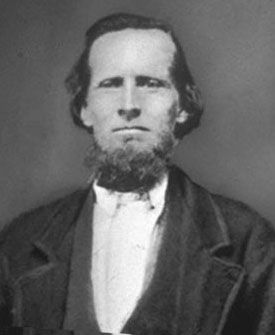
The park was named for Ebenezer Bryce, a Scottish immigrant and pioneer to the region. He converted to the Mormon faith and left Scotland at the age of 17. According to my sources, (Wikipedia) he was the only member of his family to convert to Mormonism and was “disowned” by his father.

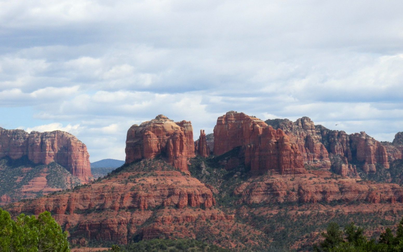
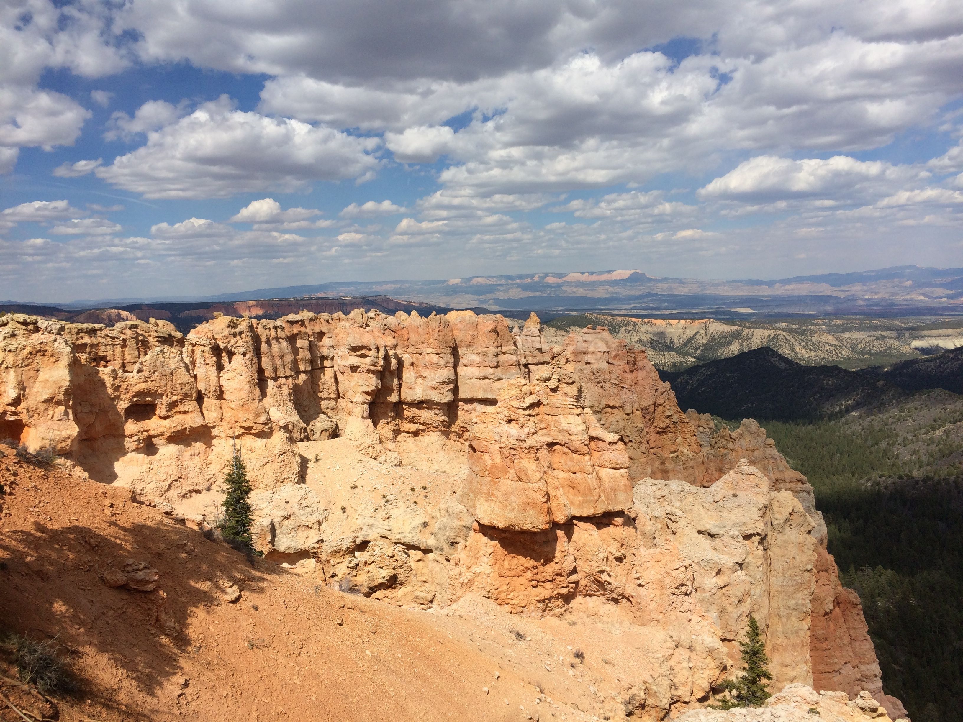
After driving to the end of the park’s road, I arrived at Rainbow Point.

Rainbow point elevation 9115

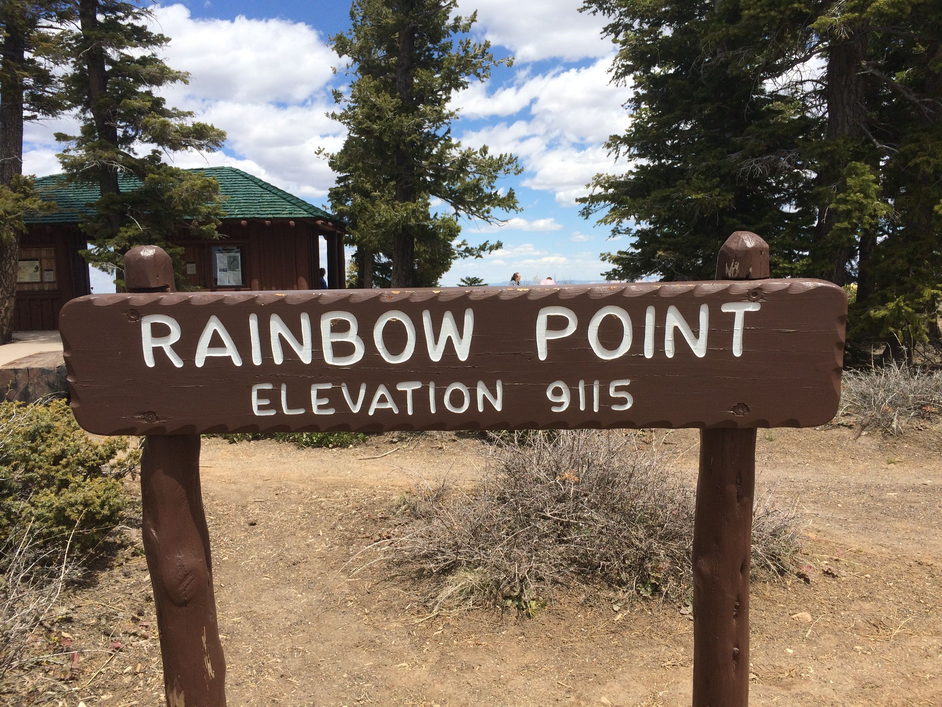
Wow! That’s some elevation! I walked over to the edge and looked at the view.

view 1

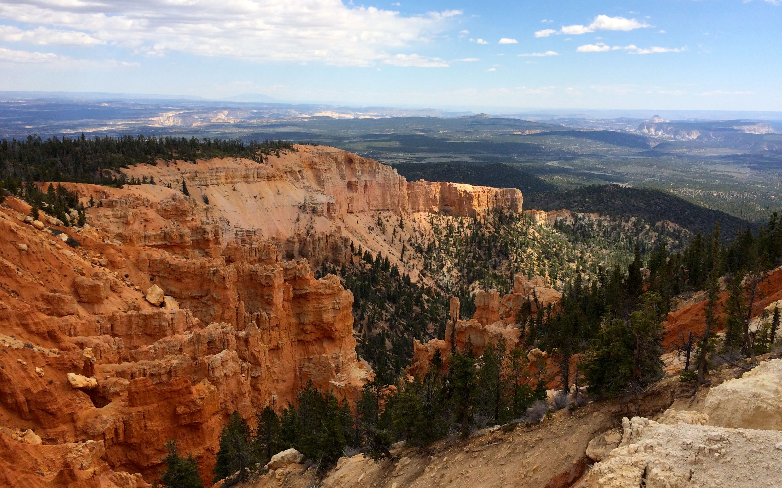
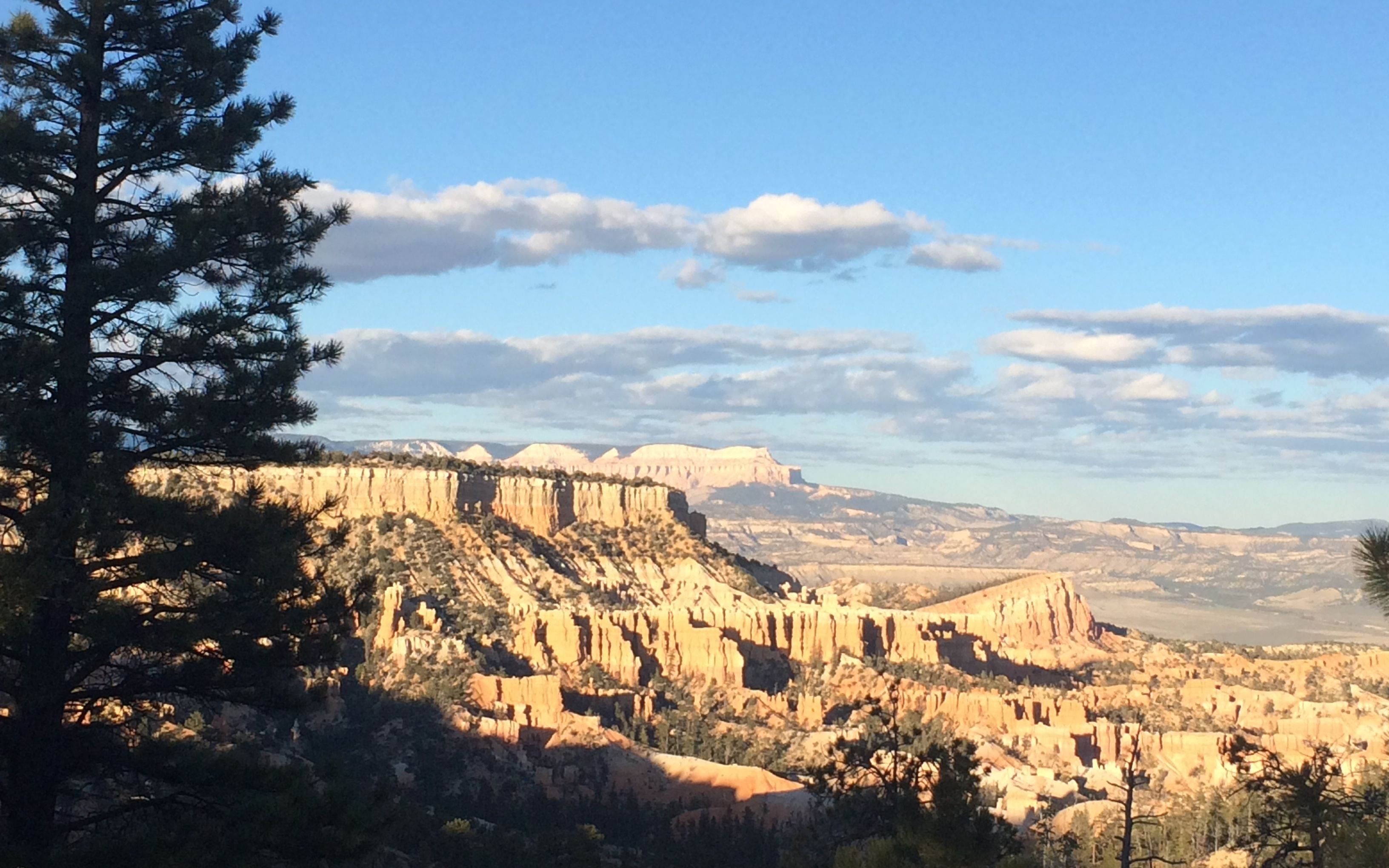
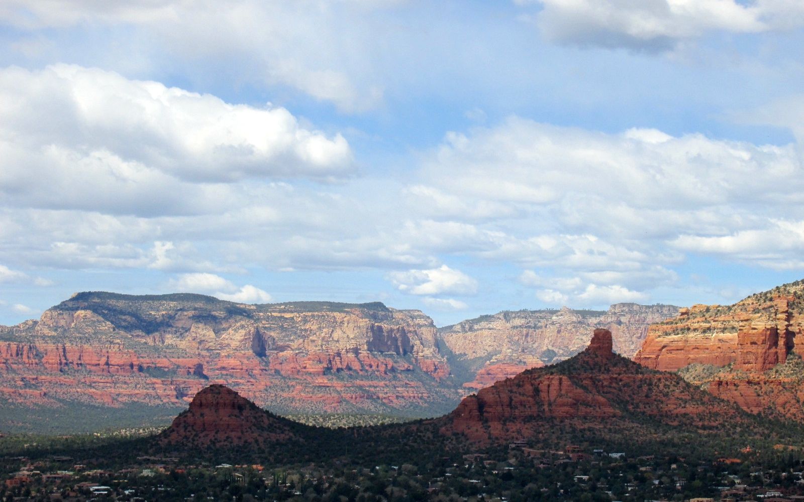
What a view! Spectacular!

view 2

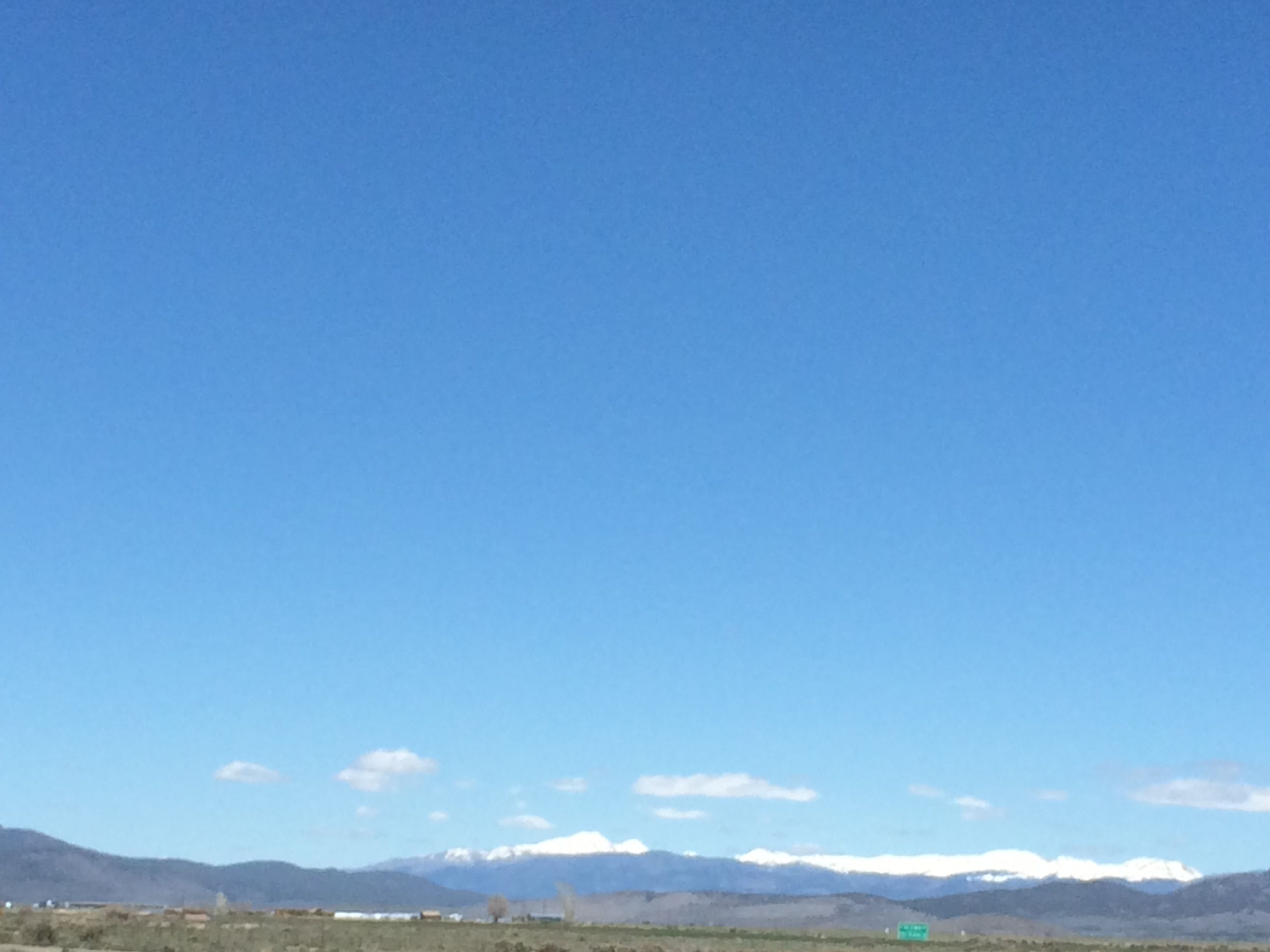
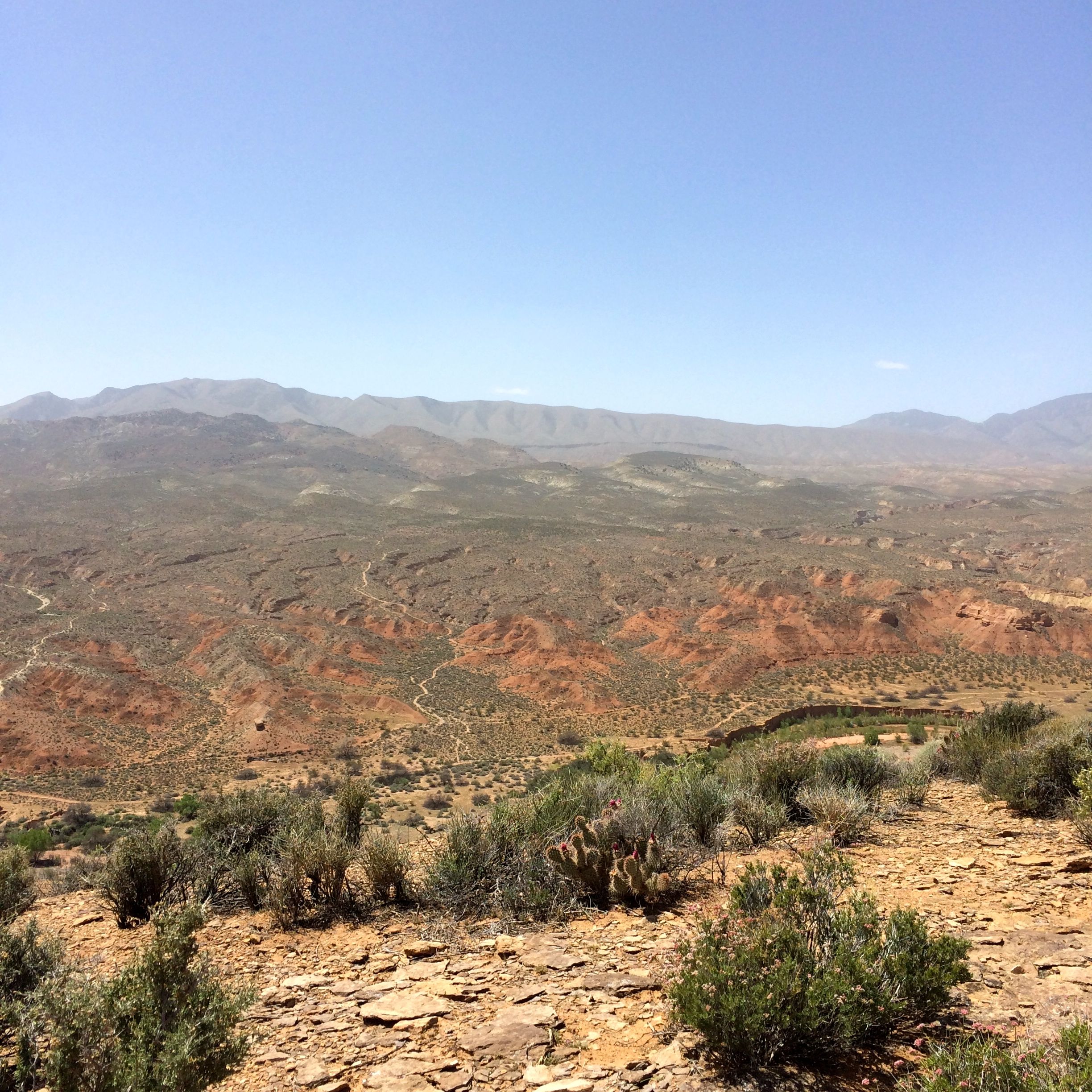
I don’t know how far I saw on that day, but according to the park information, on a clear day, you can see 150 miles and even identify landforms in Arizona. The air is so clear!

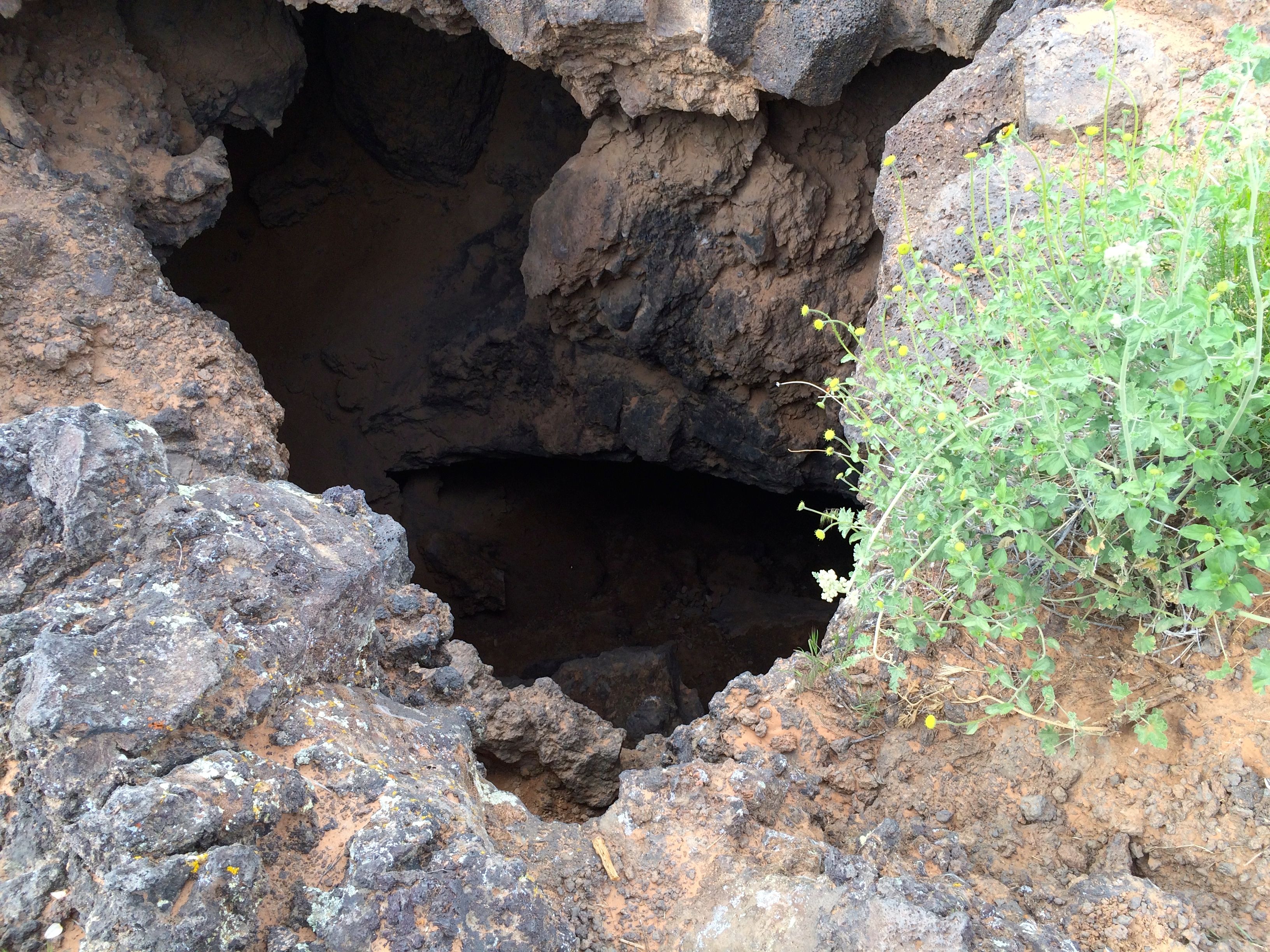
I decided to eat my peanut butter and jelly sandwich and drink my water before I hiked the Bristlecone Loop. They had these incredible benches that are made out of split trunks of enormous pines. I do wish I had a photo of the benches. In lieu of the bench photo, here’s a shot of the toilet paper array in the vault toilet.

toilet paper accumulation

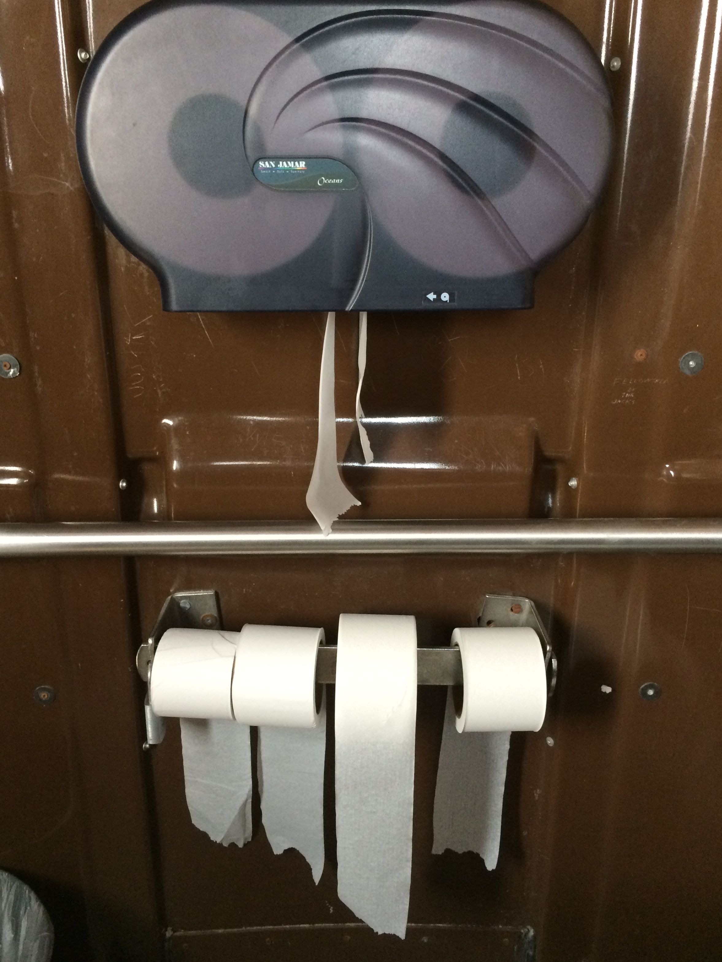
Something for everyone: over, under, left and right. Can’t say they don’t celebrate diversity!

Bristlecone loop sign

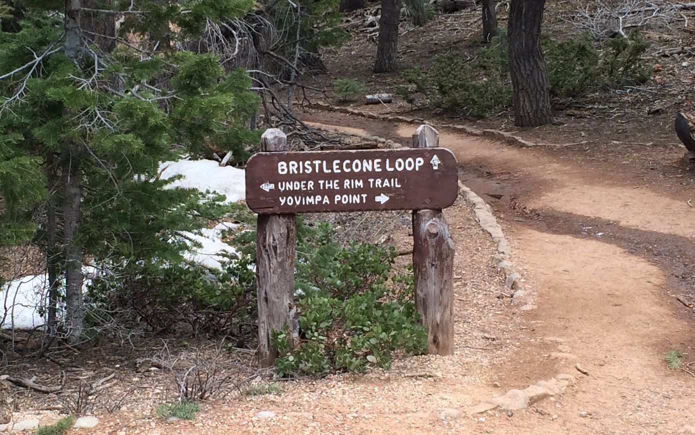
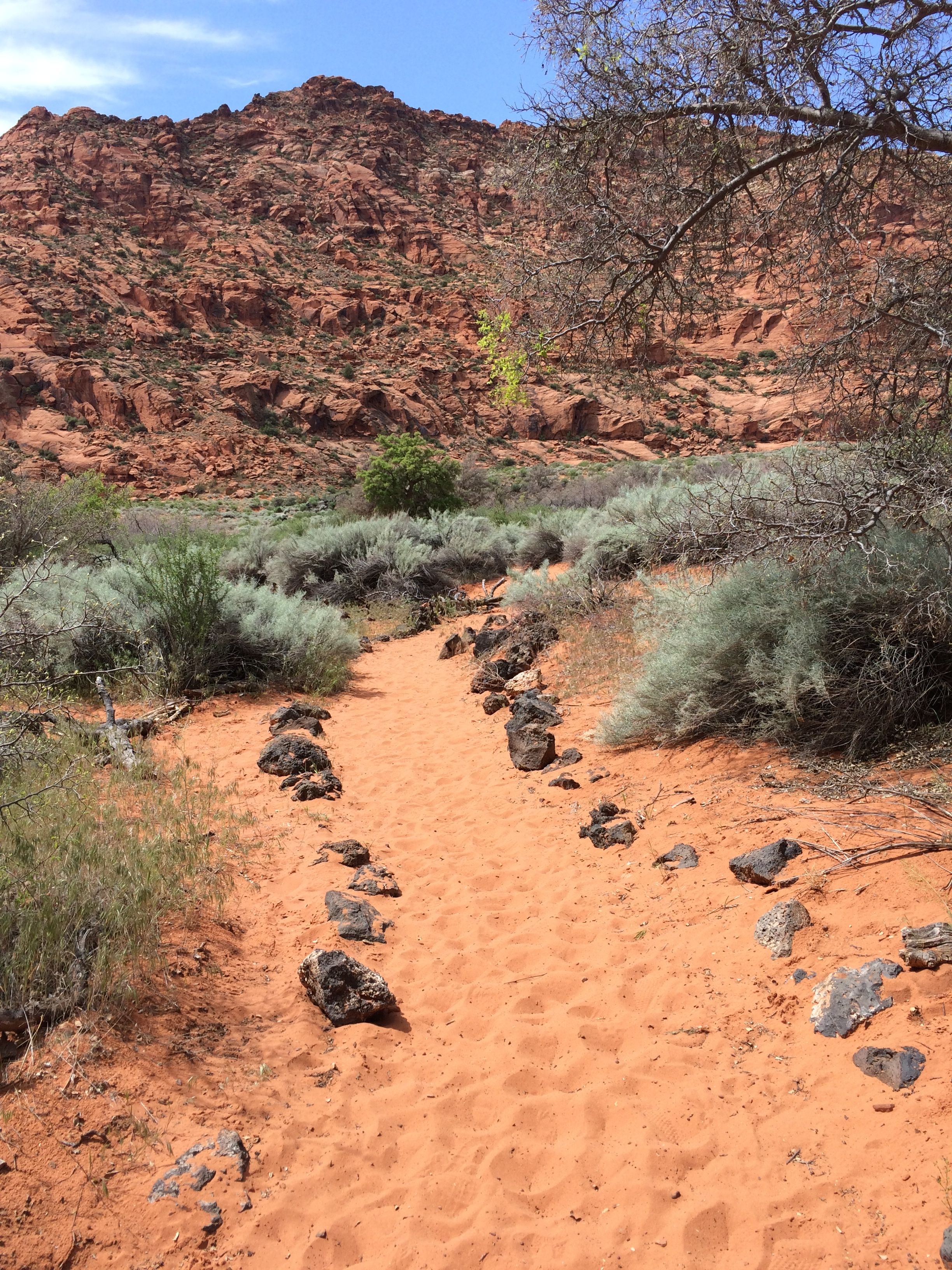
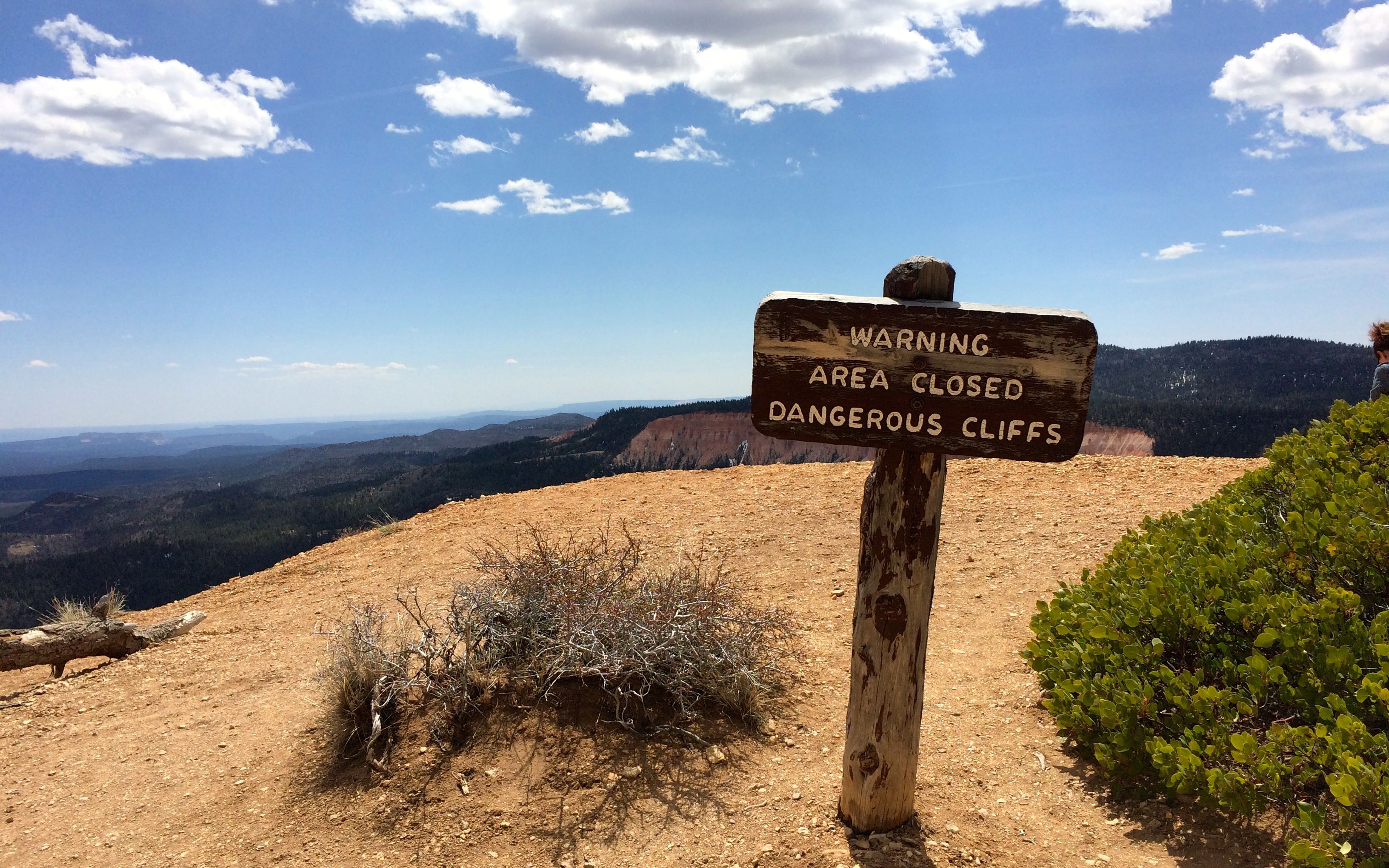
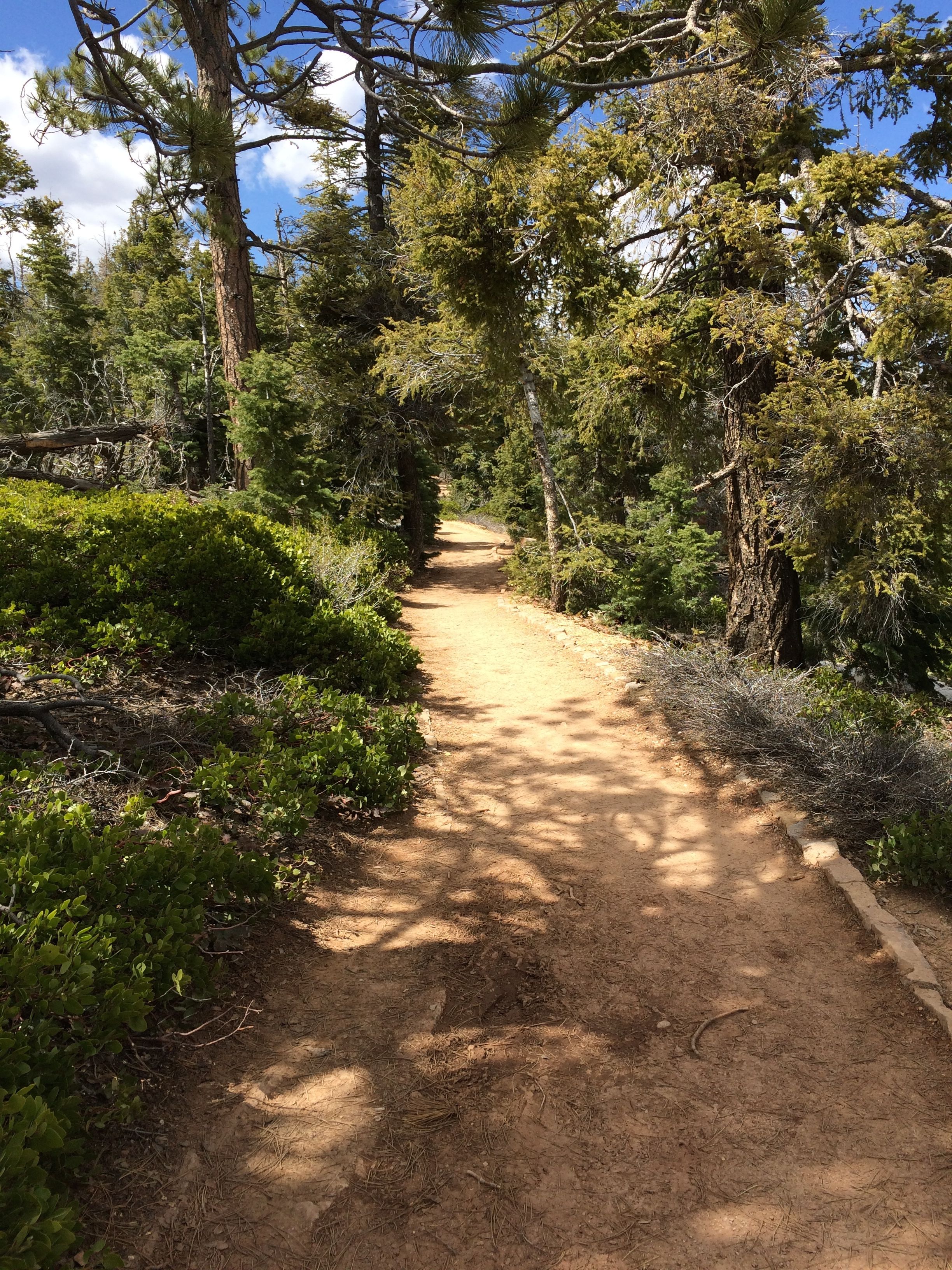
I headed down the trail to the Bristlecone Loop. I came to the sign and turned left. Anyone notice something about the sign? I wondered why I met so many people coming toward me. Oh, well.

Snow on the trail

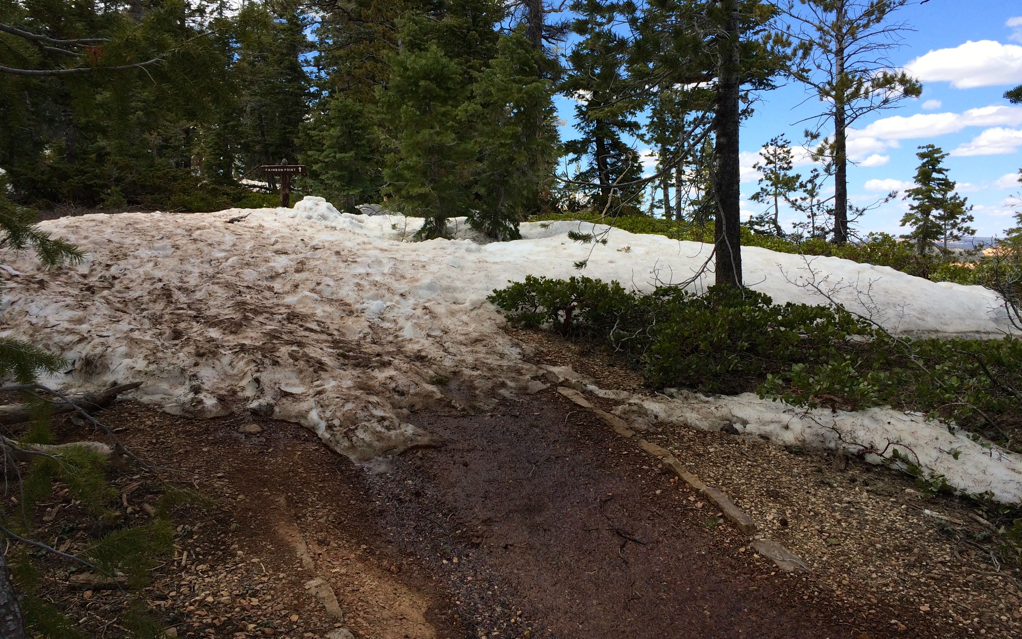
Winter hadn’t quite lost its grip up here above 9000 feet in the middle of April. There were a few patches of snow across the trail, but I managed to get around them without incident.

view 3

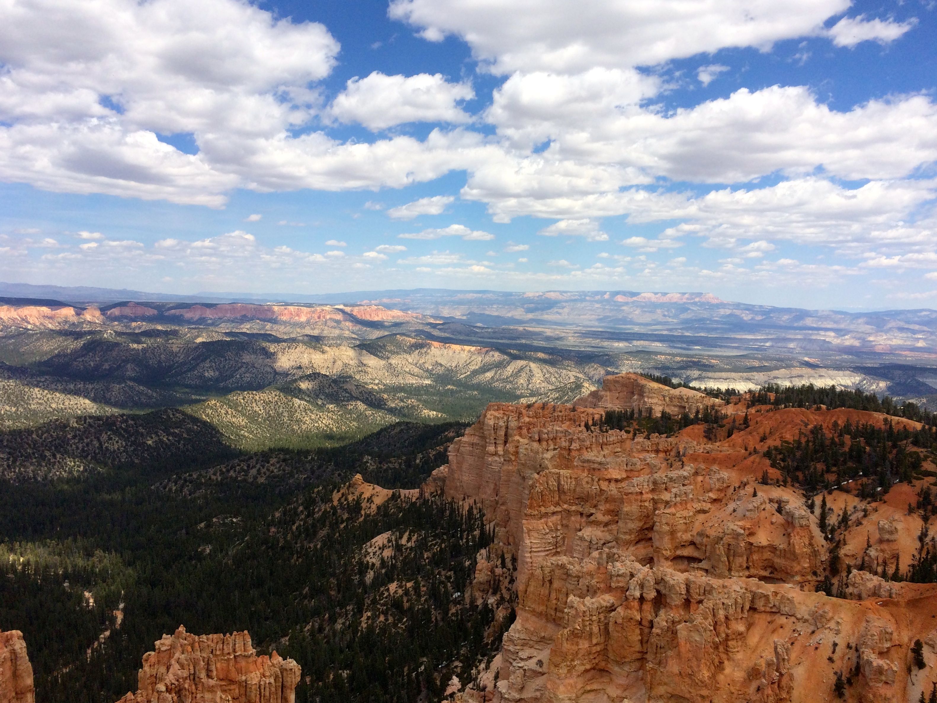
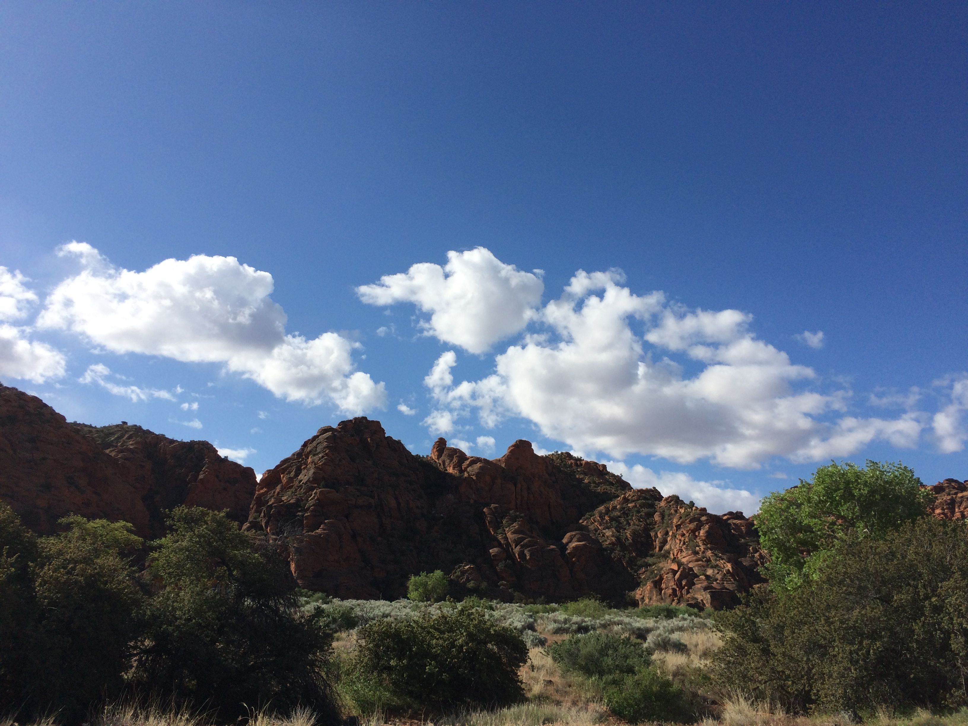
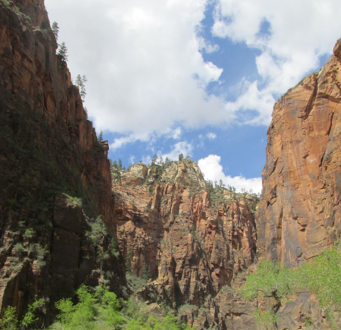
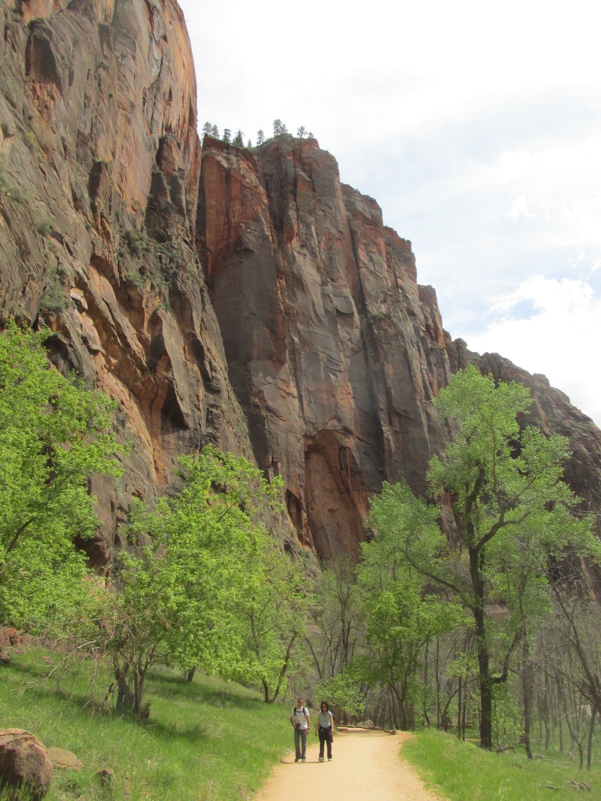
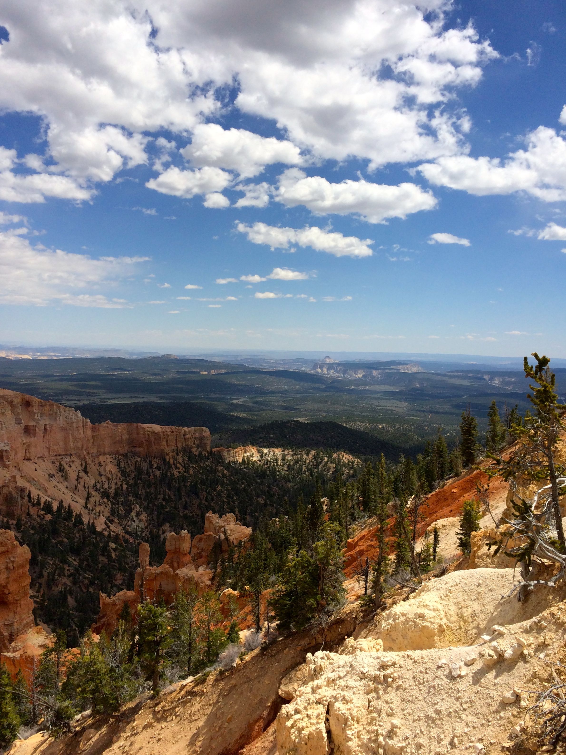
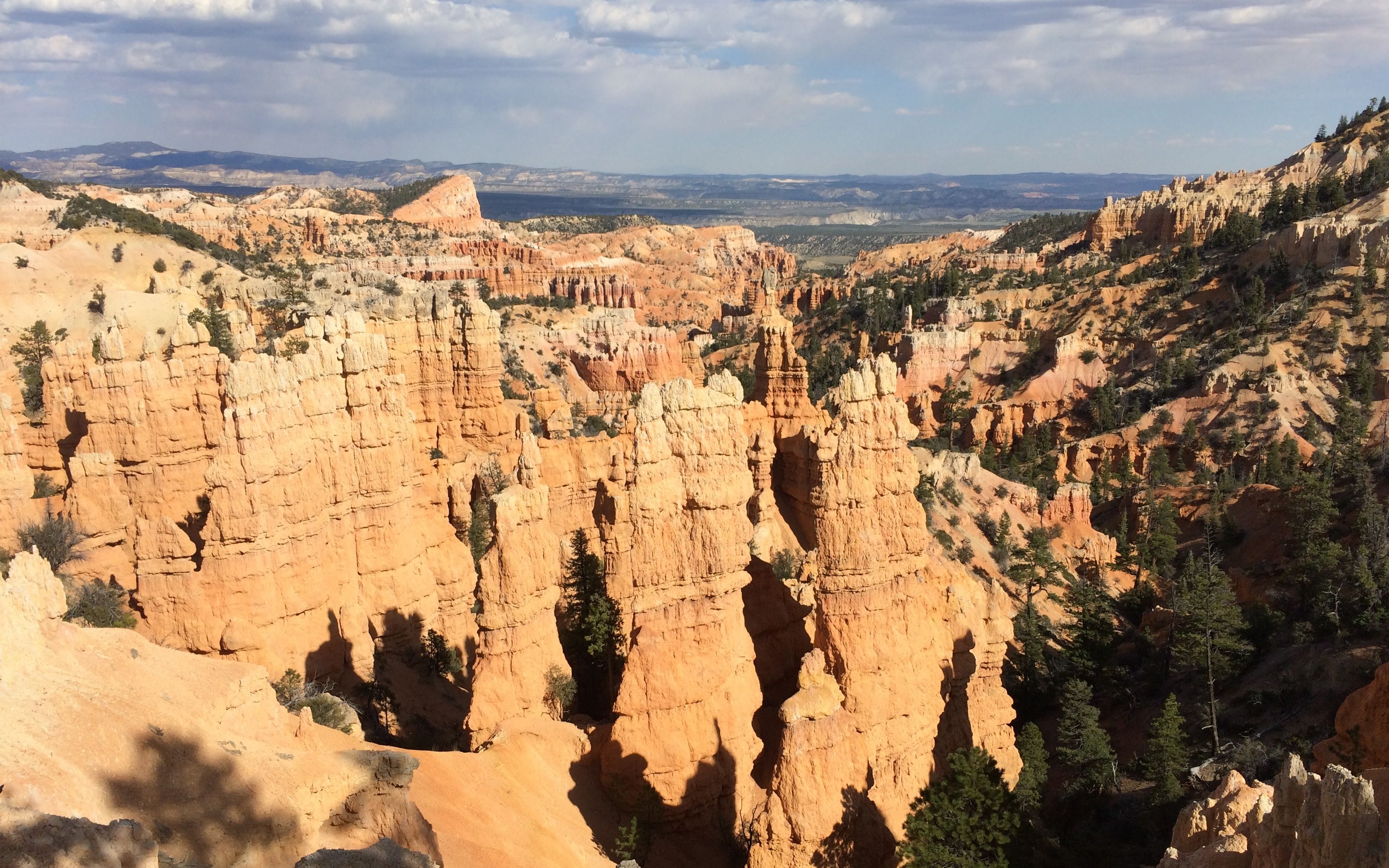
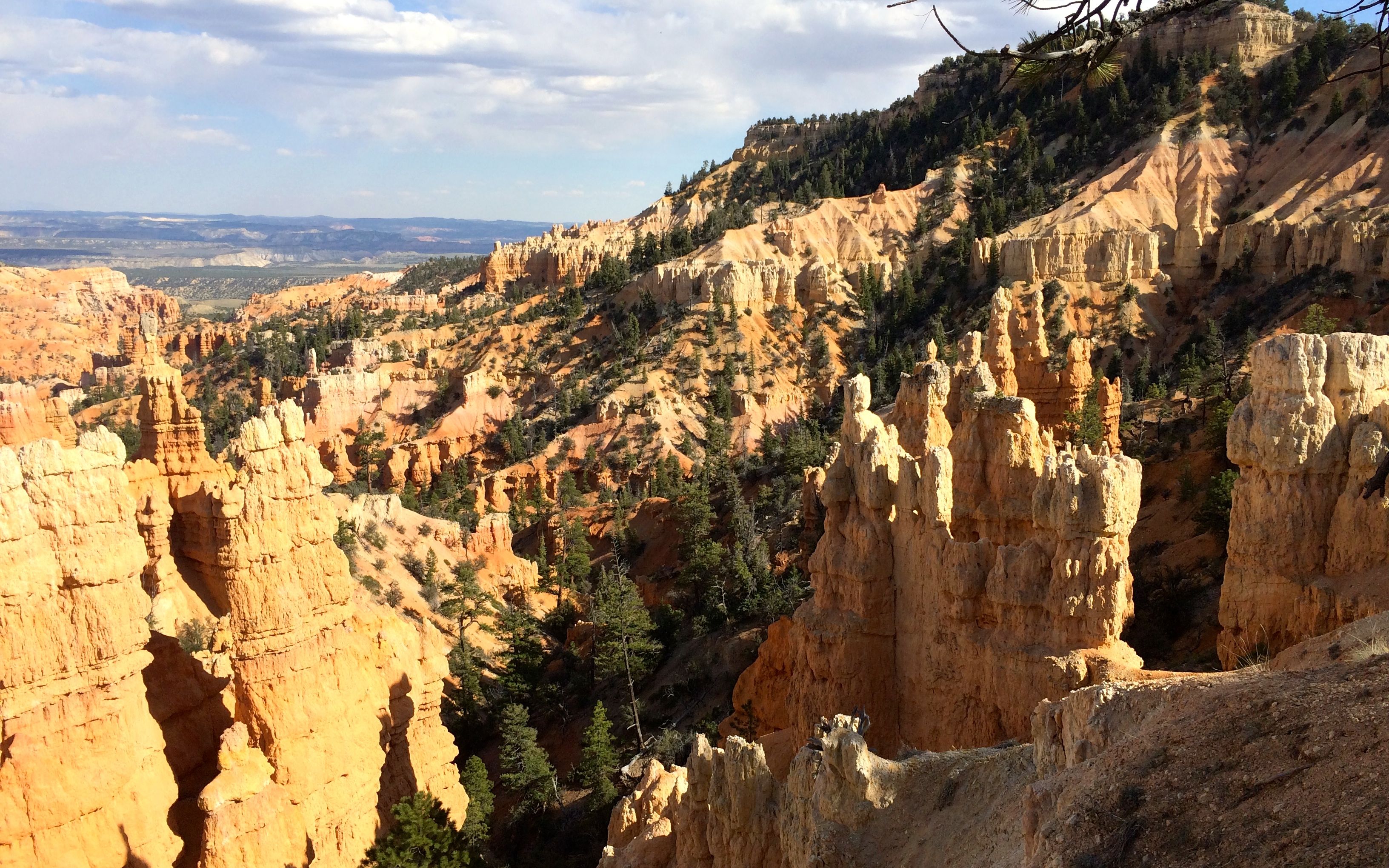
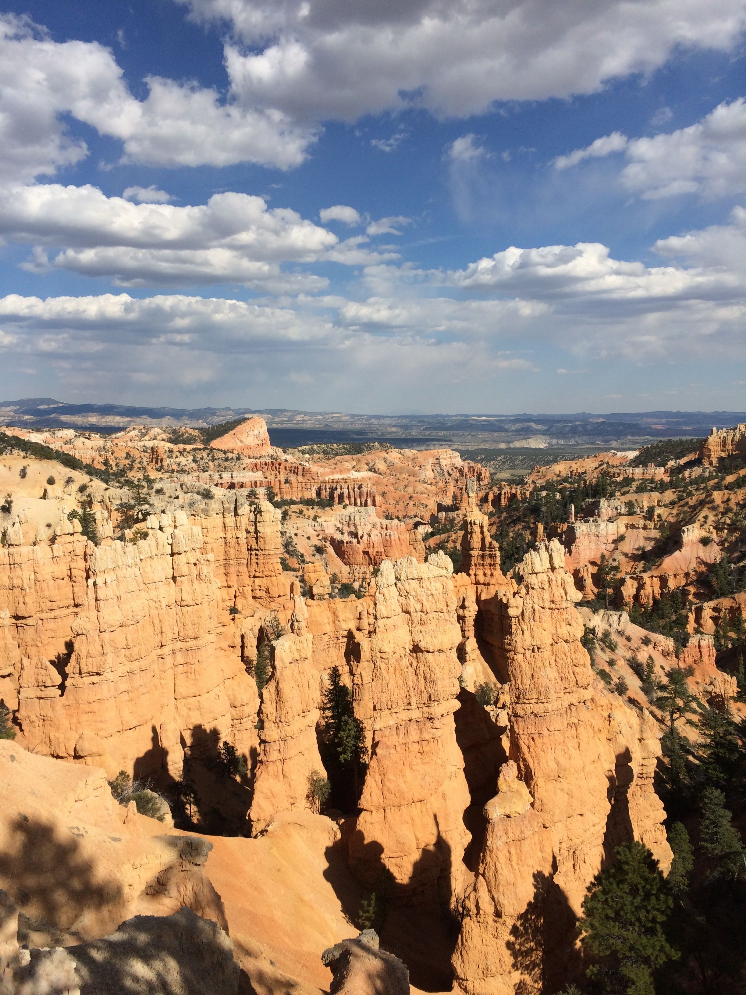
Every now and then, the trail would lead me back to the rim and another amazing vista.

View 4 hoodoos

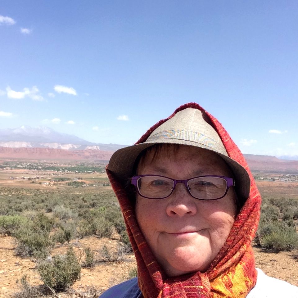
When I got to a place with a little shelter, I asked some of the people I met walking toward me to take my photo.

Better selfie

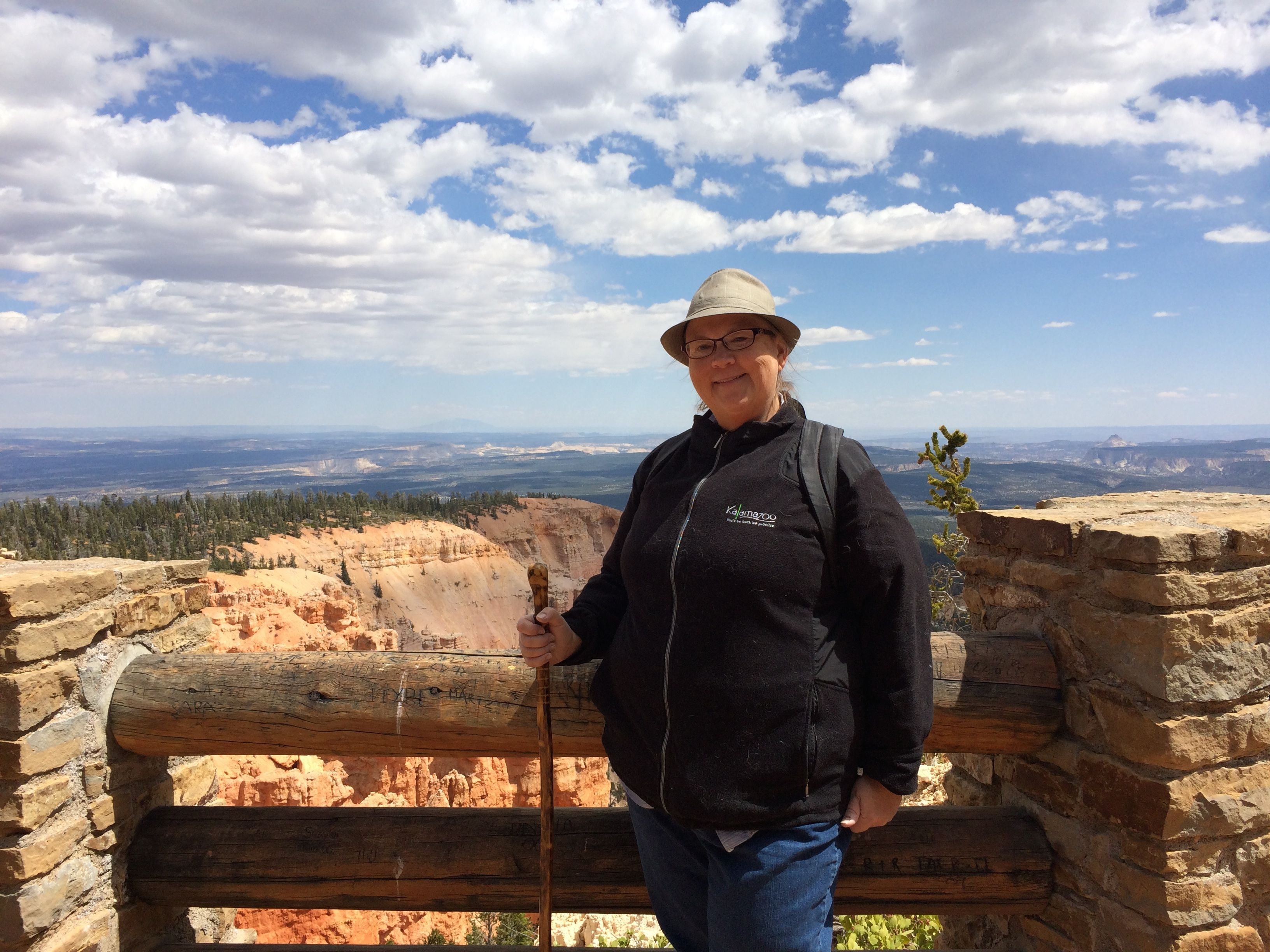
The woman noticed my Kalamazoo jacket and told me that she and her husband were married in Kalamazoo. I asked her where the wedding was, and she told me that it was in Crane Park. What a small world! I lived in the apartments across the street from that park. She and her husband were attending college in Kalamazoo when they met.

marker

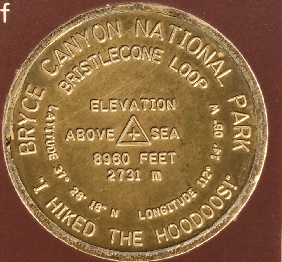
Here is the marker that was at the point. They have a program where kids can get a small reward for hiking at Bryce Canyon. No such program for adults, however.

Bristlecone pine close up

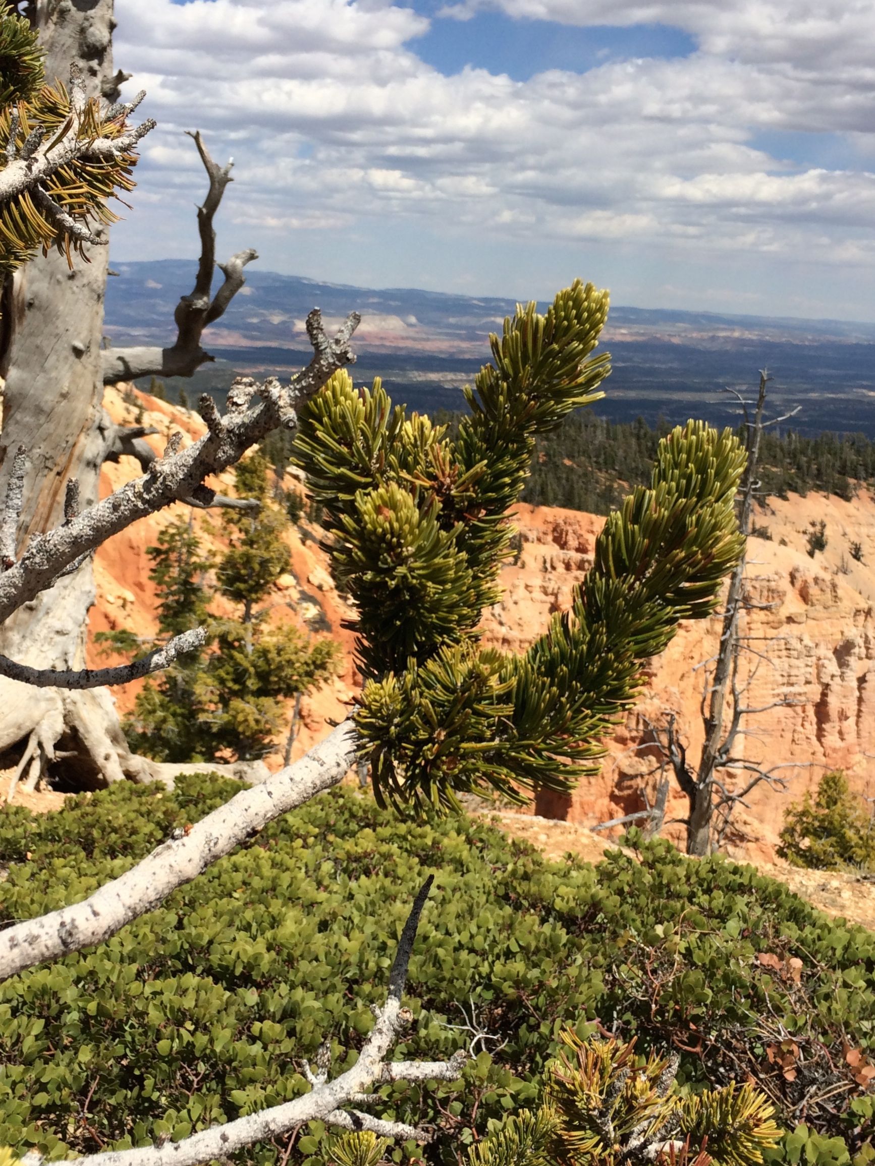
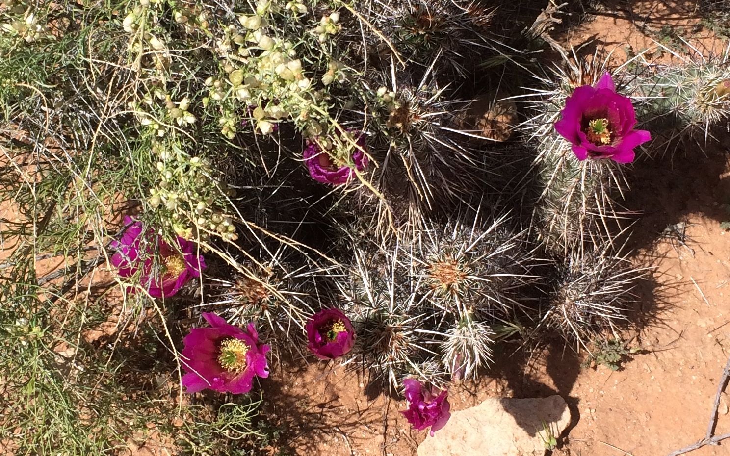
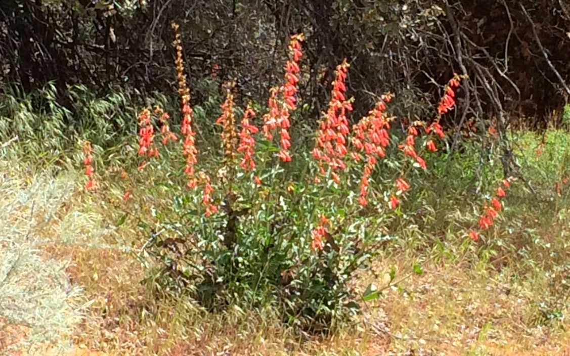
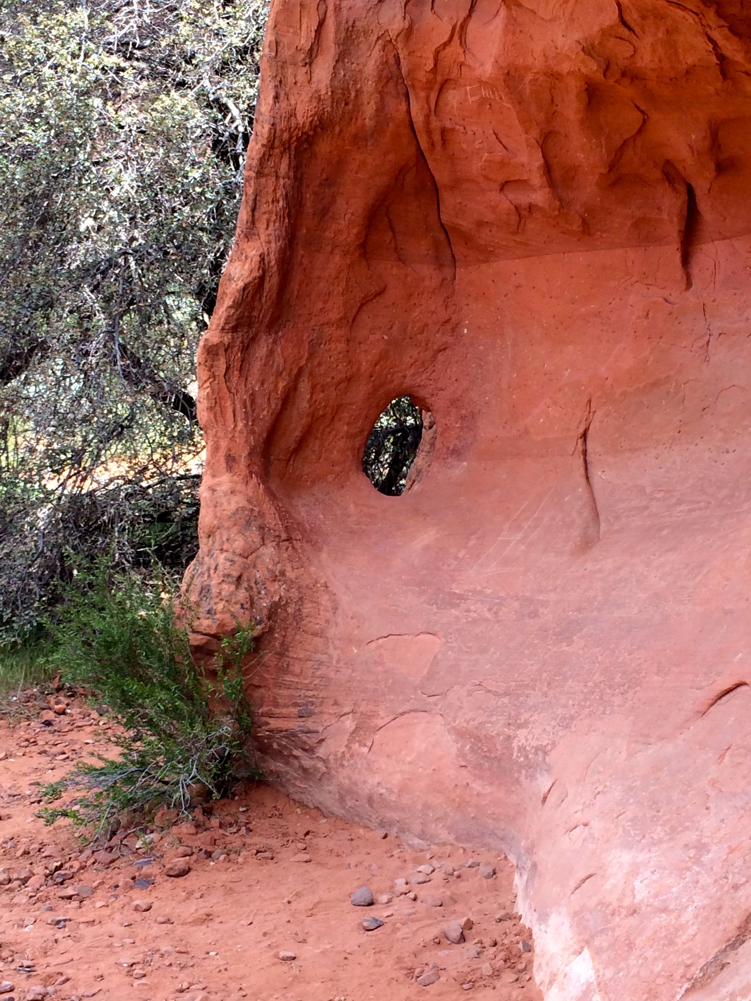
I always wondered what a bristlecone pine looked like. I think I may have found one.

Stump

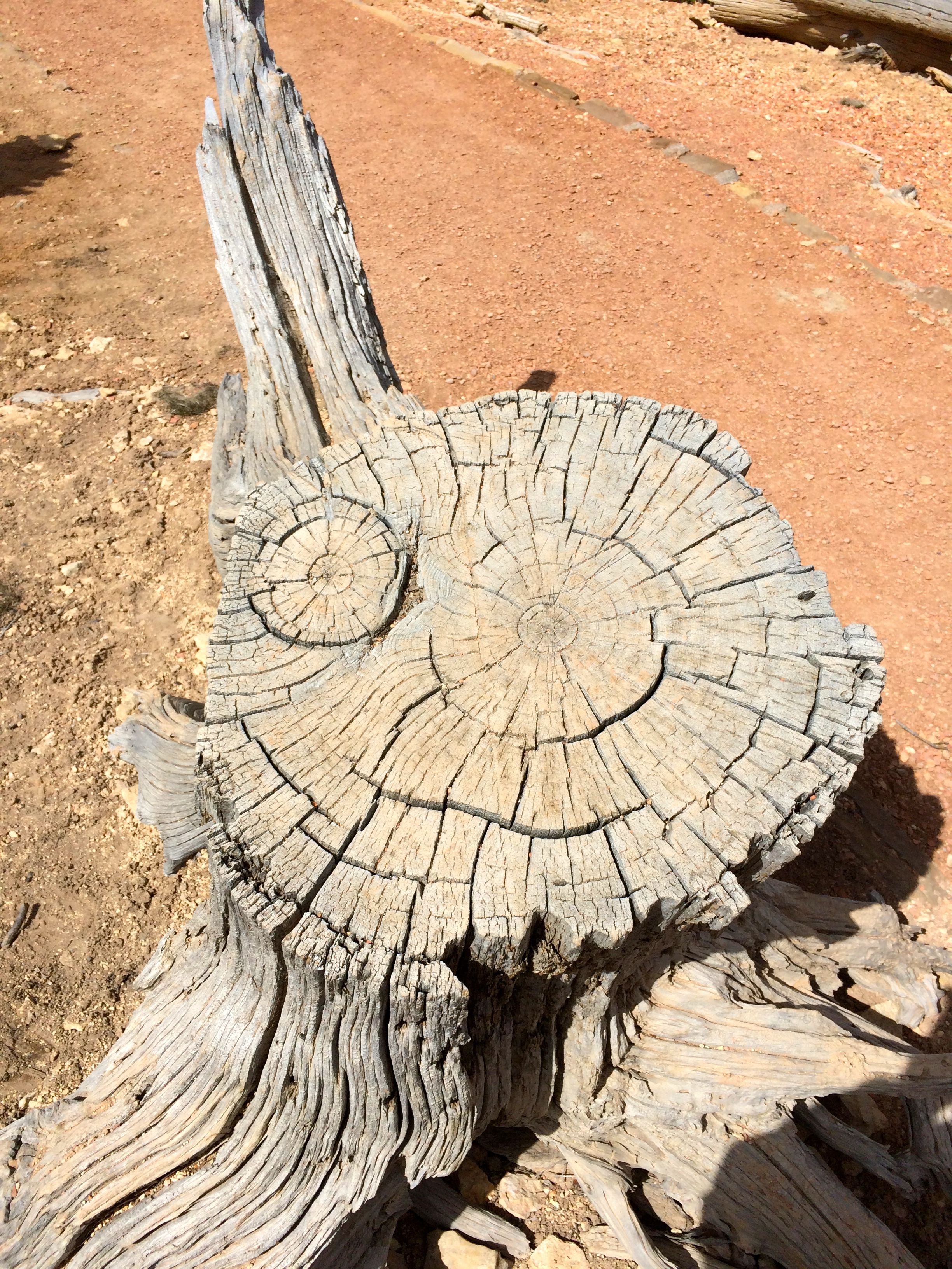
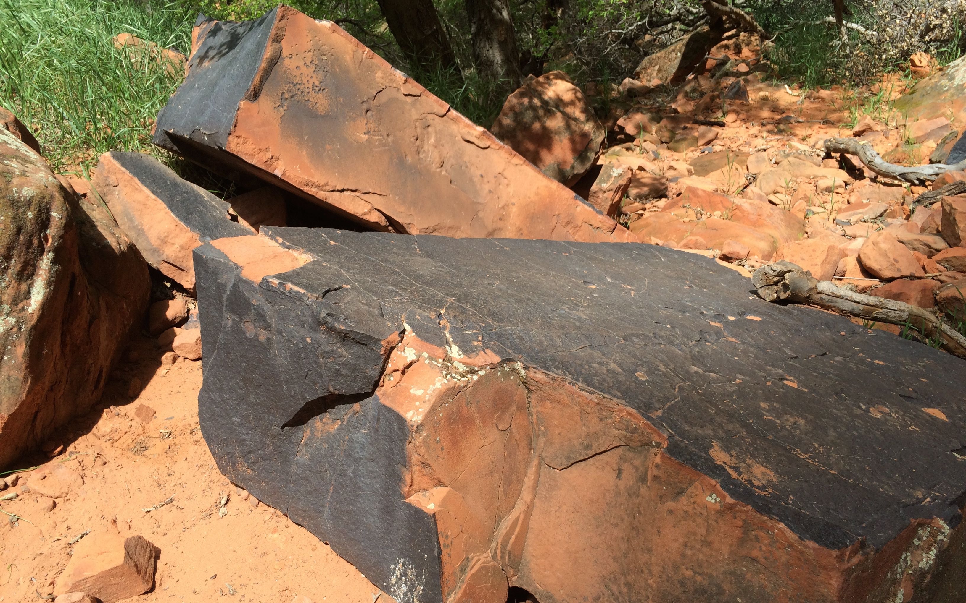
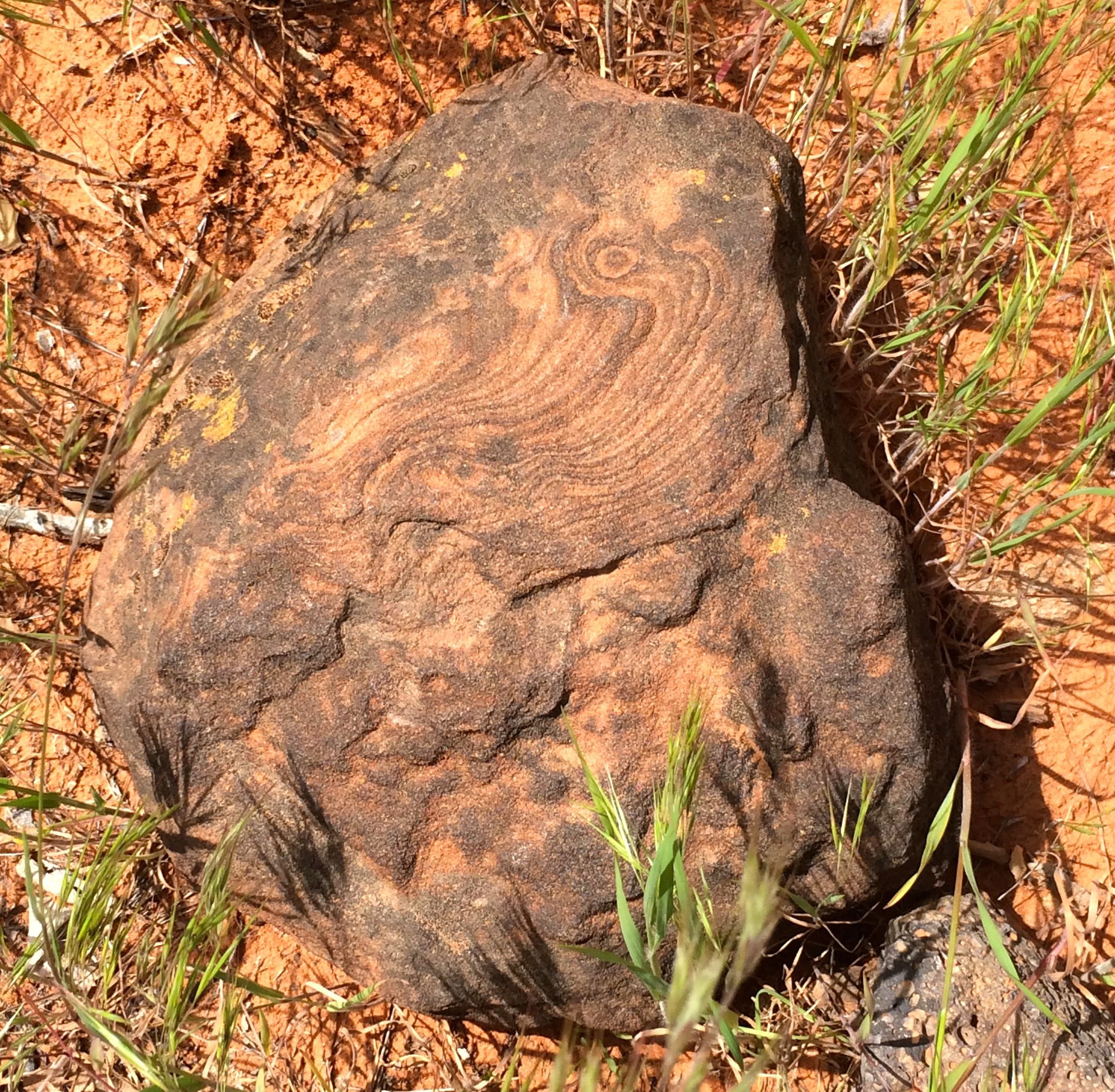
The trees are slow-growing at this altitude. Given the dryness, they don’t even decay that quickly. I wonder how long this stump as been sitting there. view 5 snow in the distance

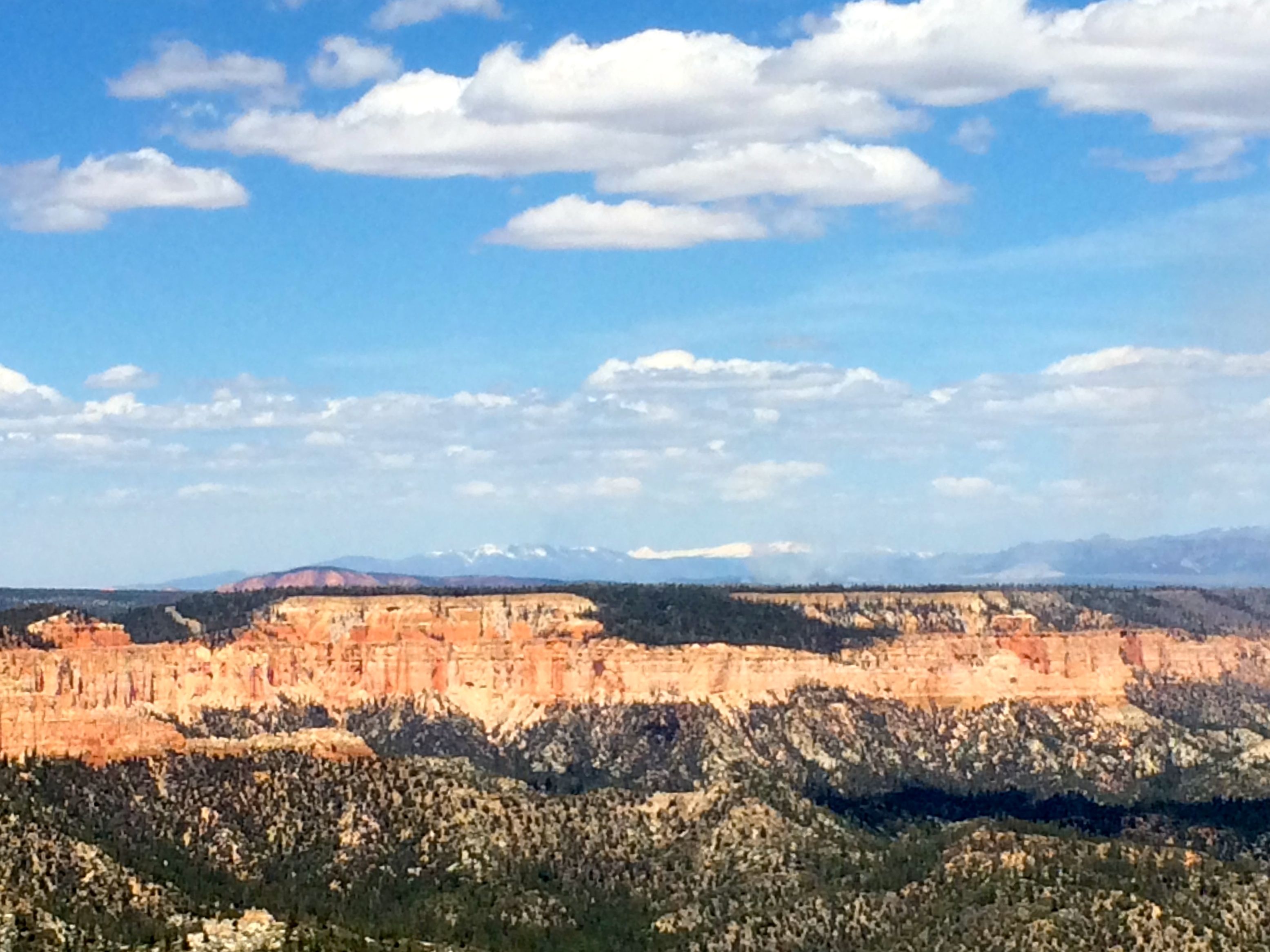
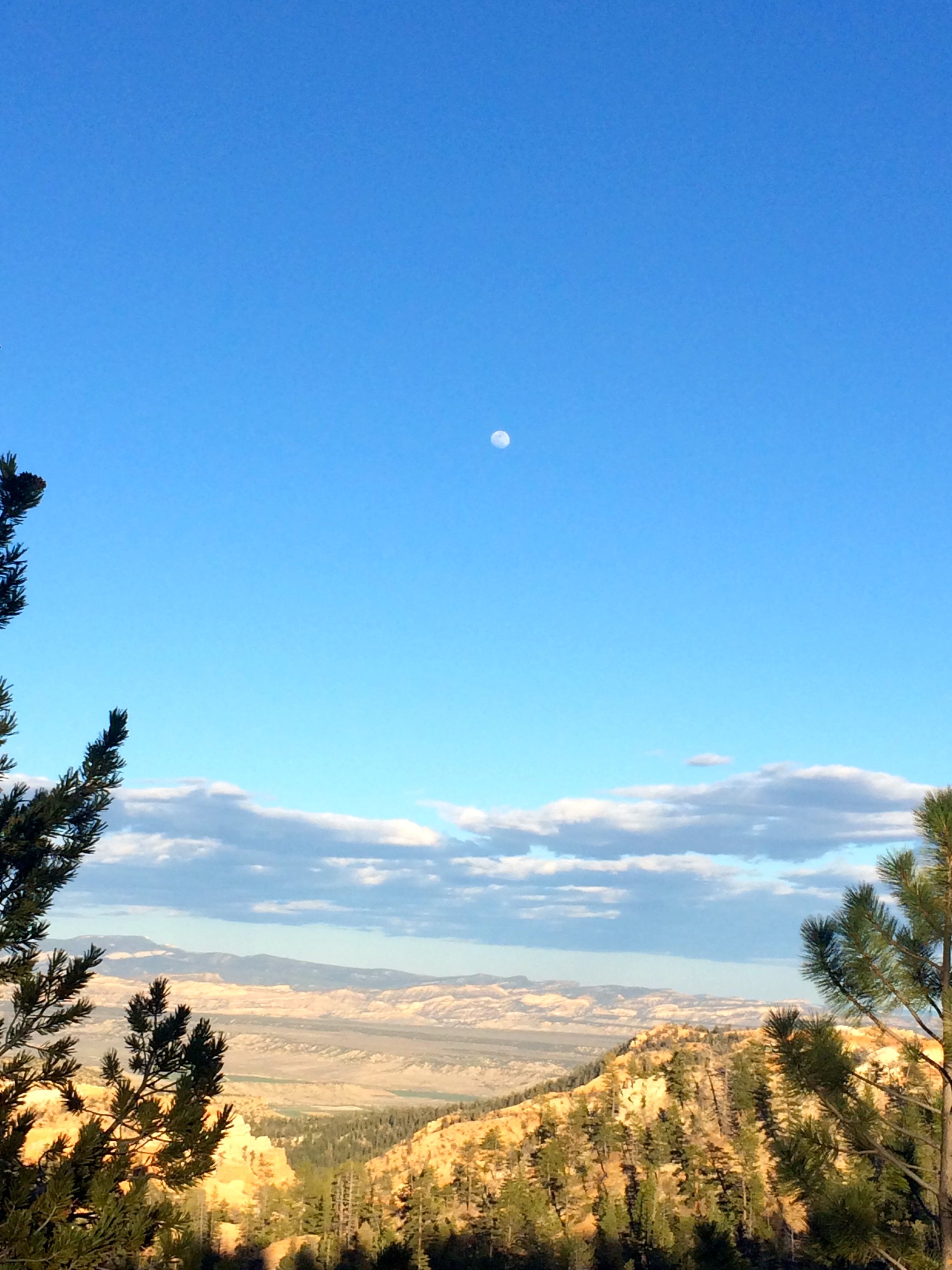
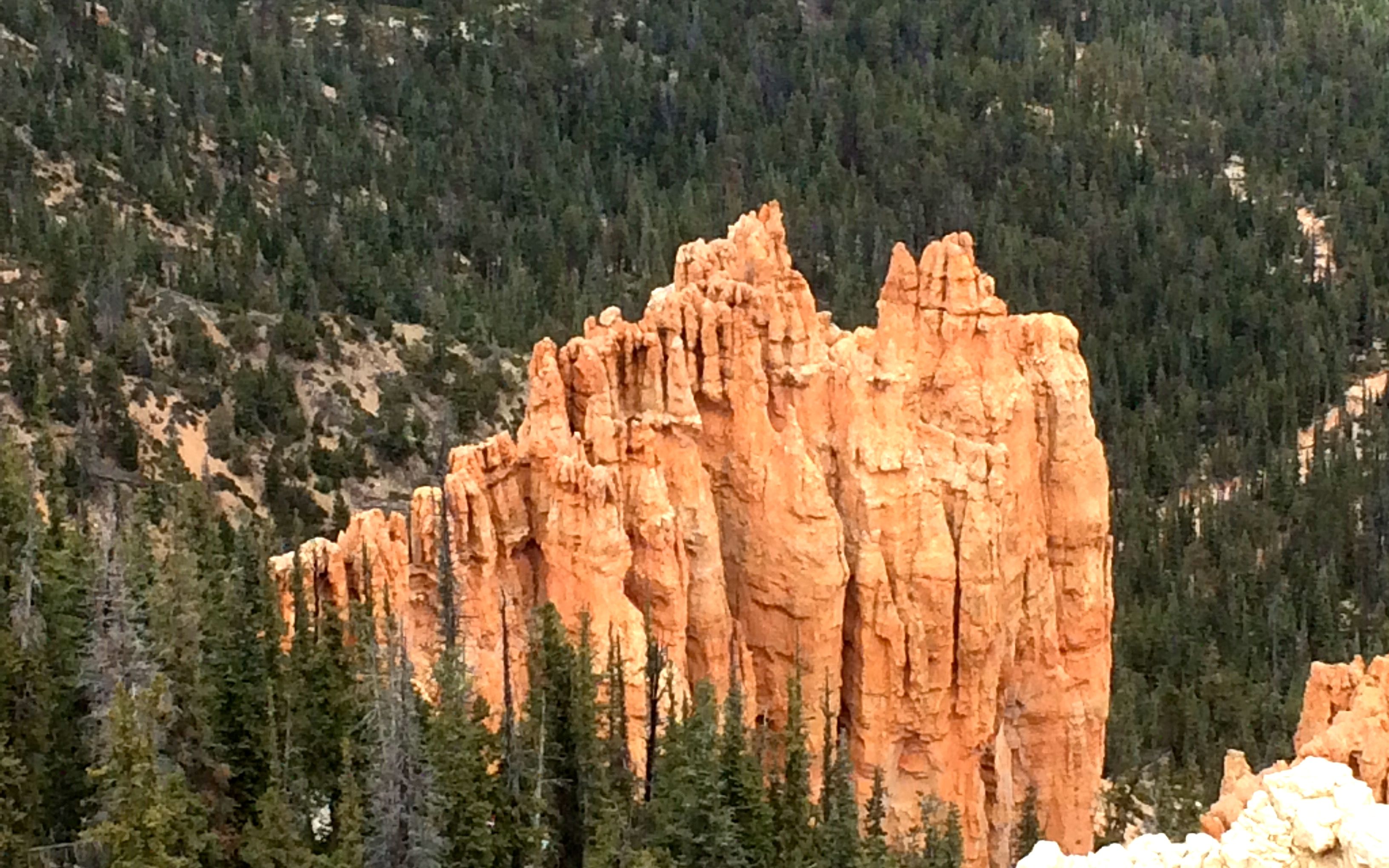
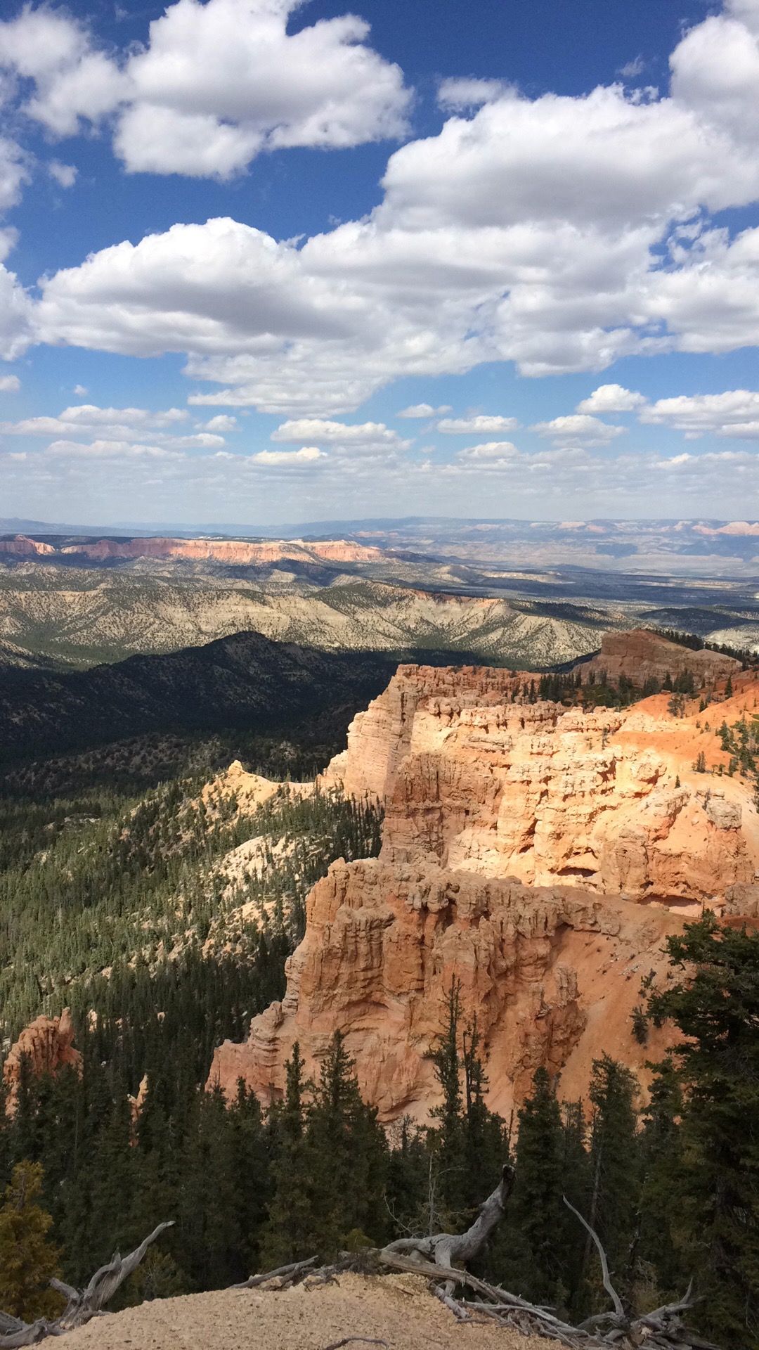
The views just continued.

Kalamazoo Promise picture

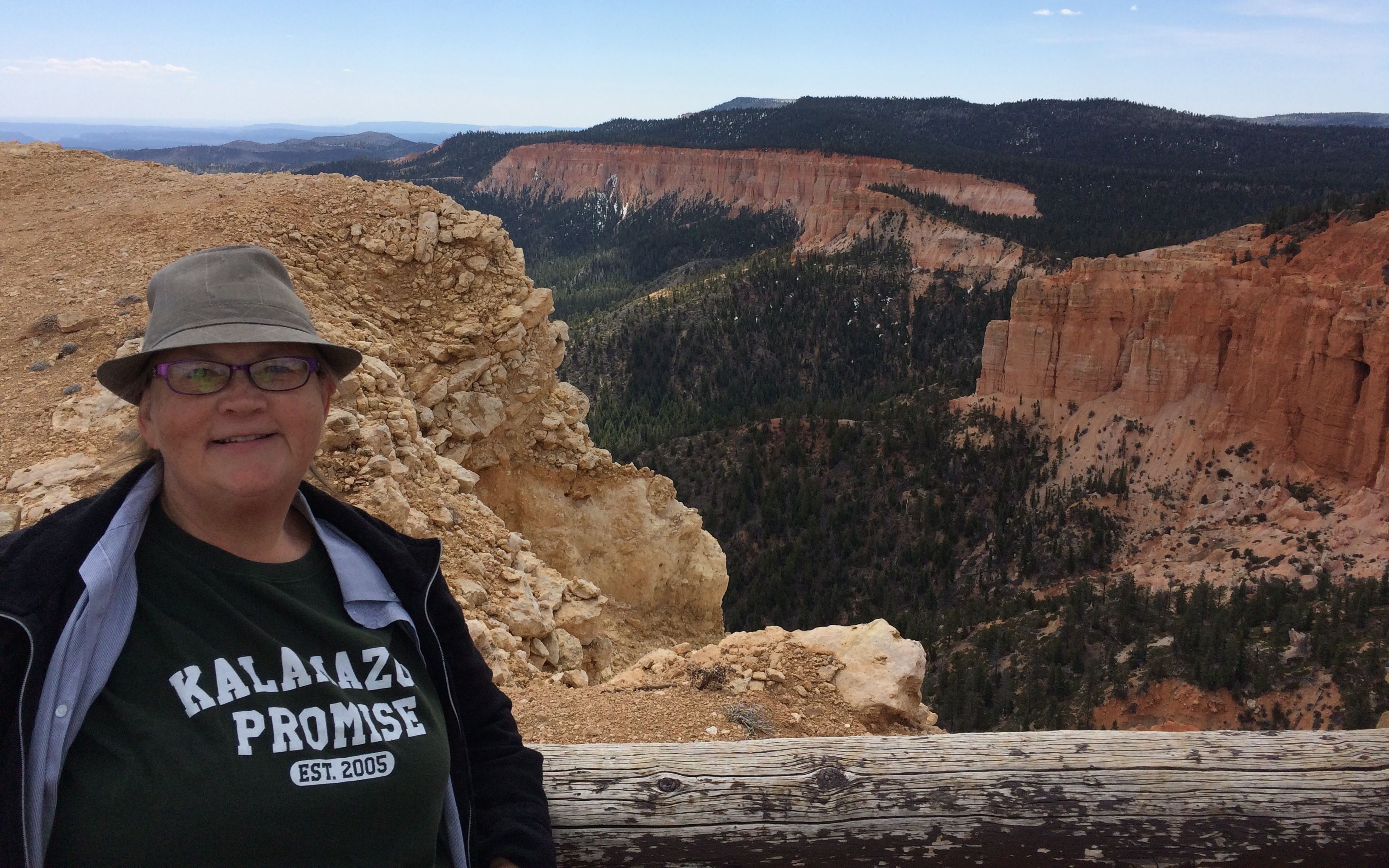
I got to another place for a photo-op and decided to display my Kalamazoo Promise tee shirt.

View 7

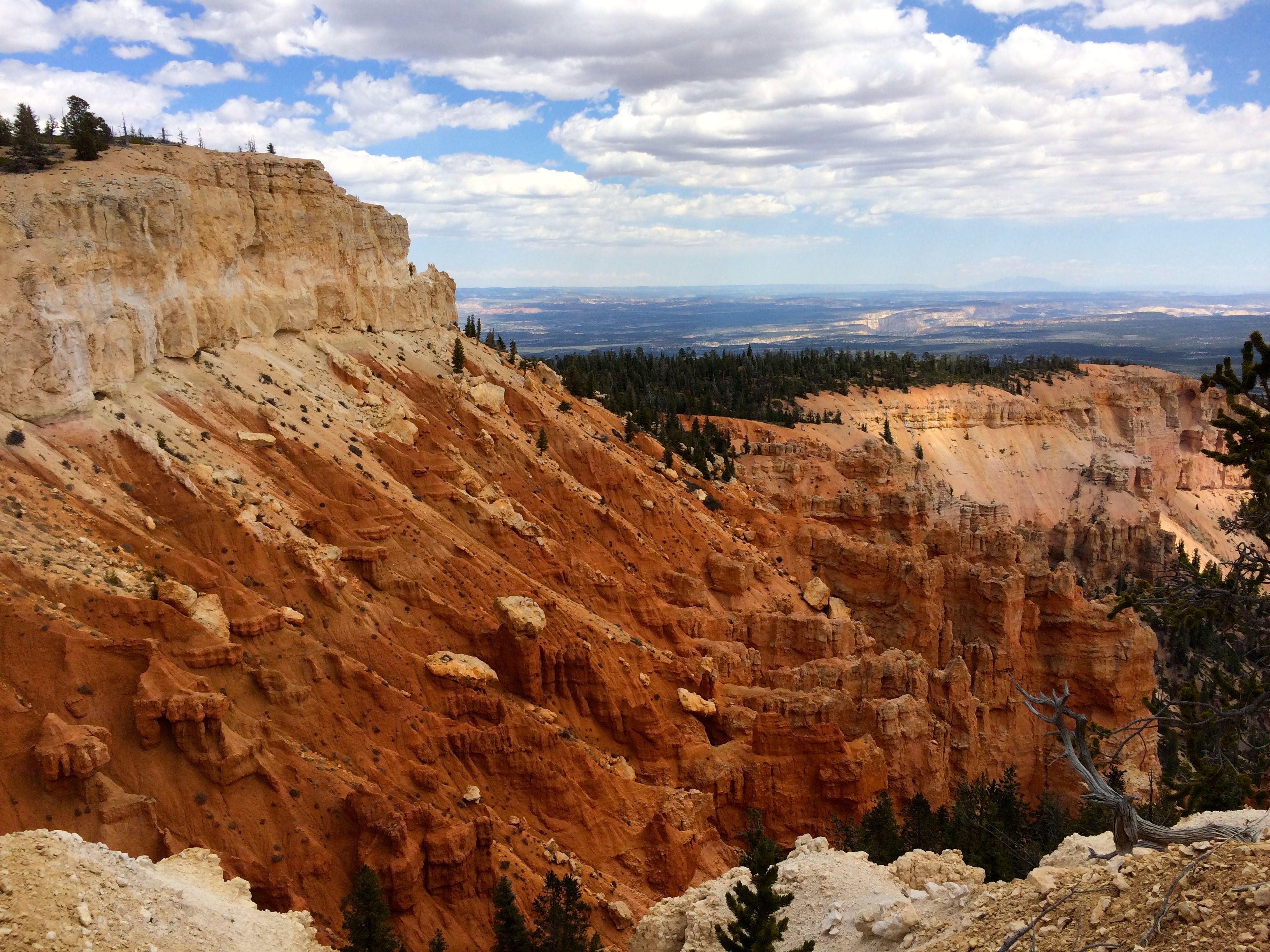
Views, views and more views.

Area Closed Dangerous cliffs sign

You know, you don’t need to tell me twice. Actually, after all the views, I was ready to see the rest of the park.

Path

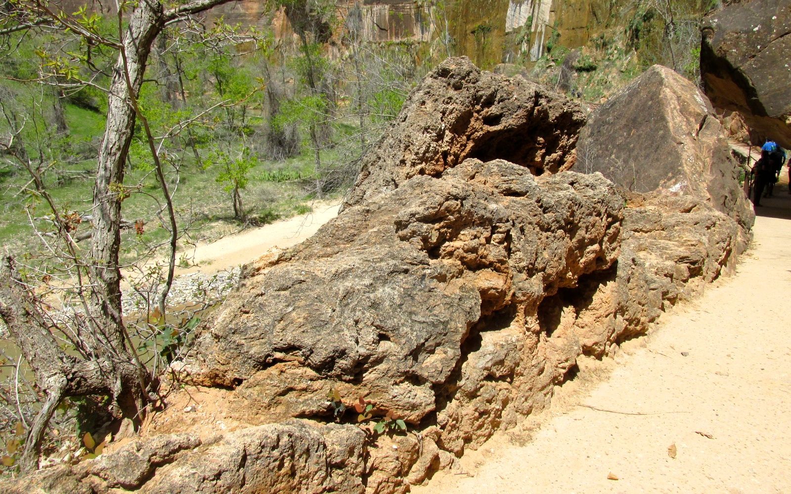
I headed down the trail and back to Bart. I started back toward the entrance to the park. There were pullouts all the way back.

Natural Bridge

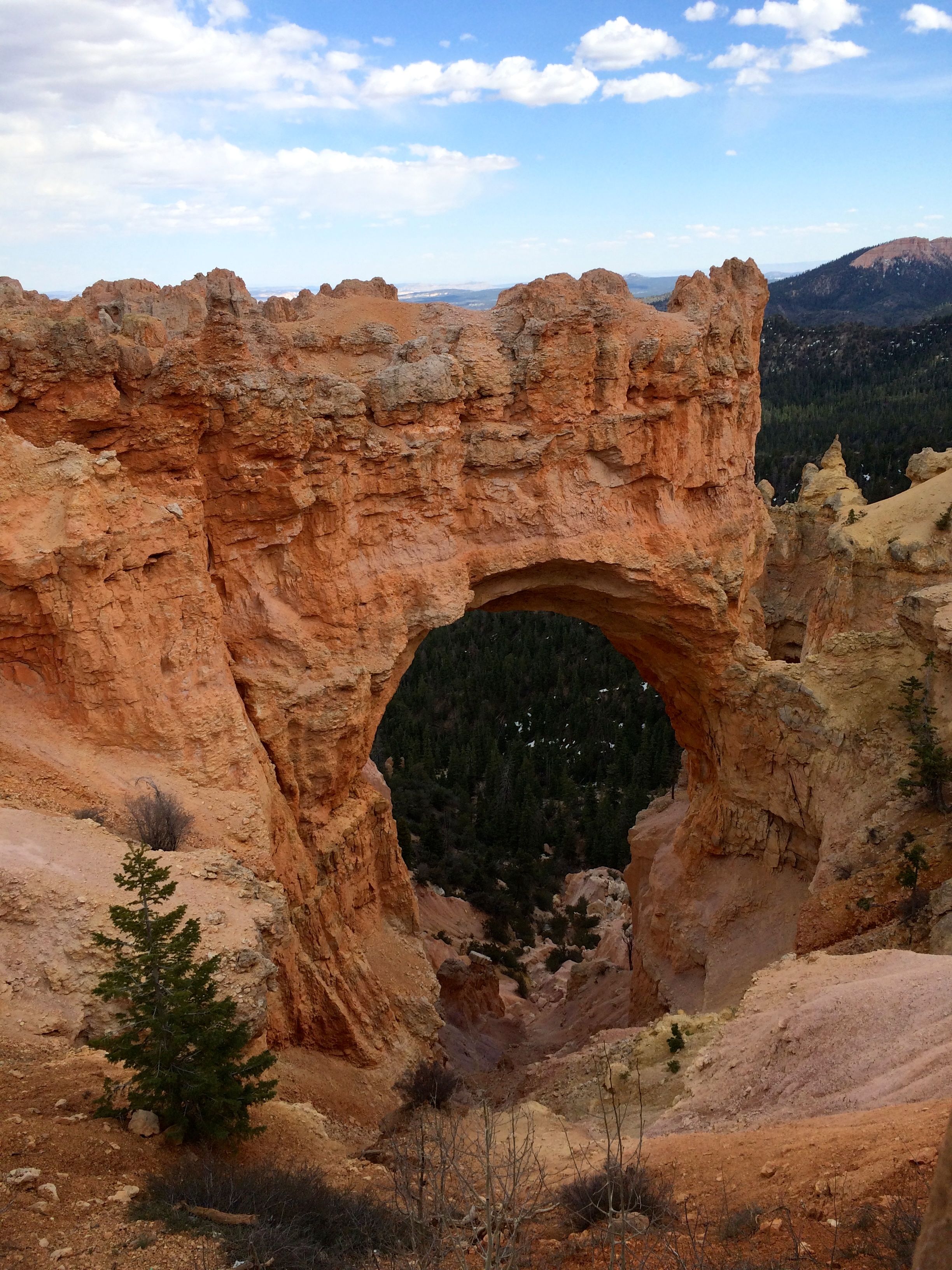
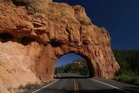
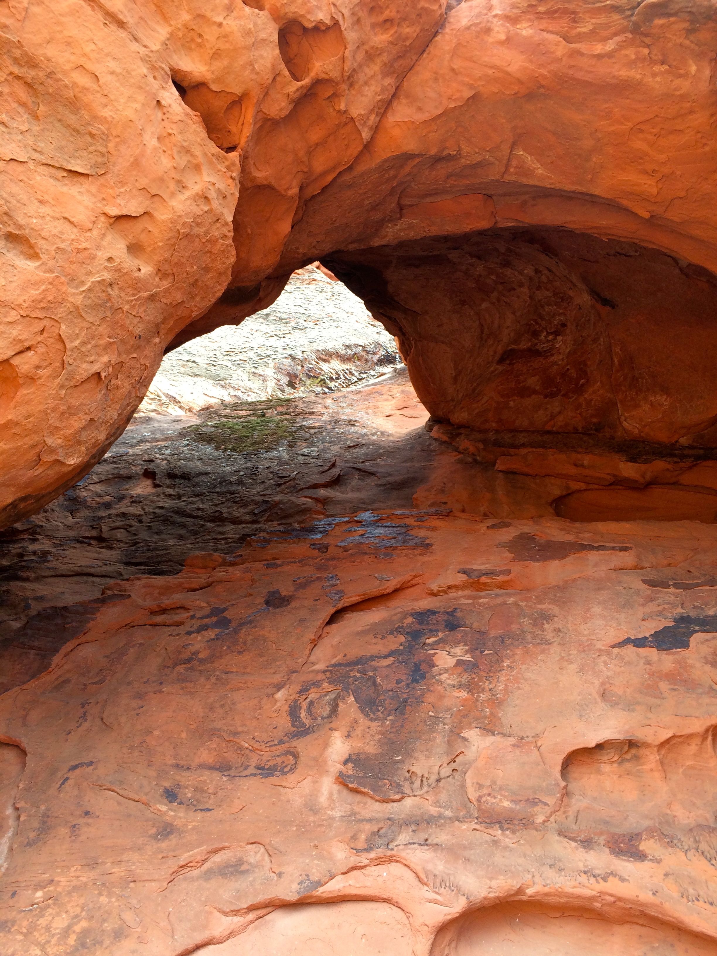
One of the stops was called Natural Bridge. It’s natural, but it’s not a bridge. Bridges are created by water flowing through them. This is an arch. It’s still impressive.

view 8

I drove and then pulled over to admire the views.

Black Birch Canyon

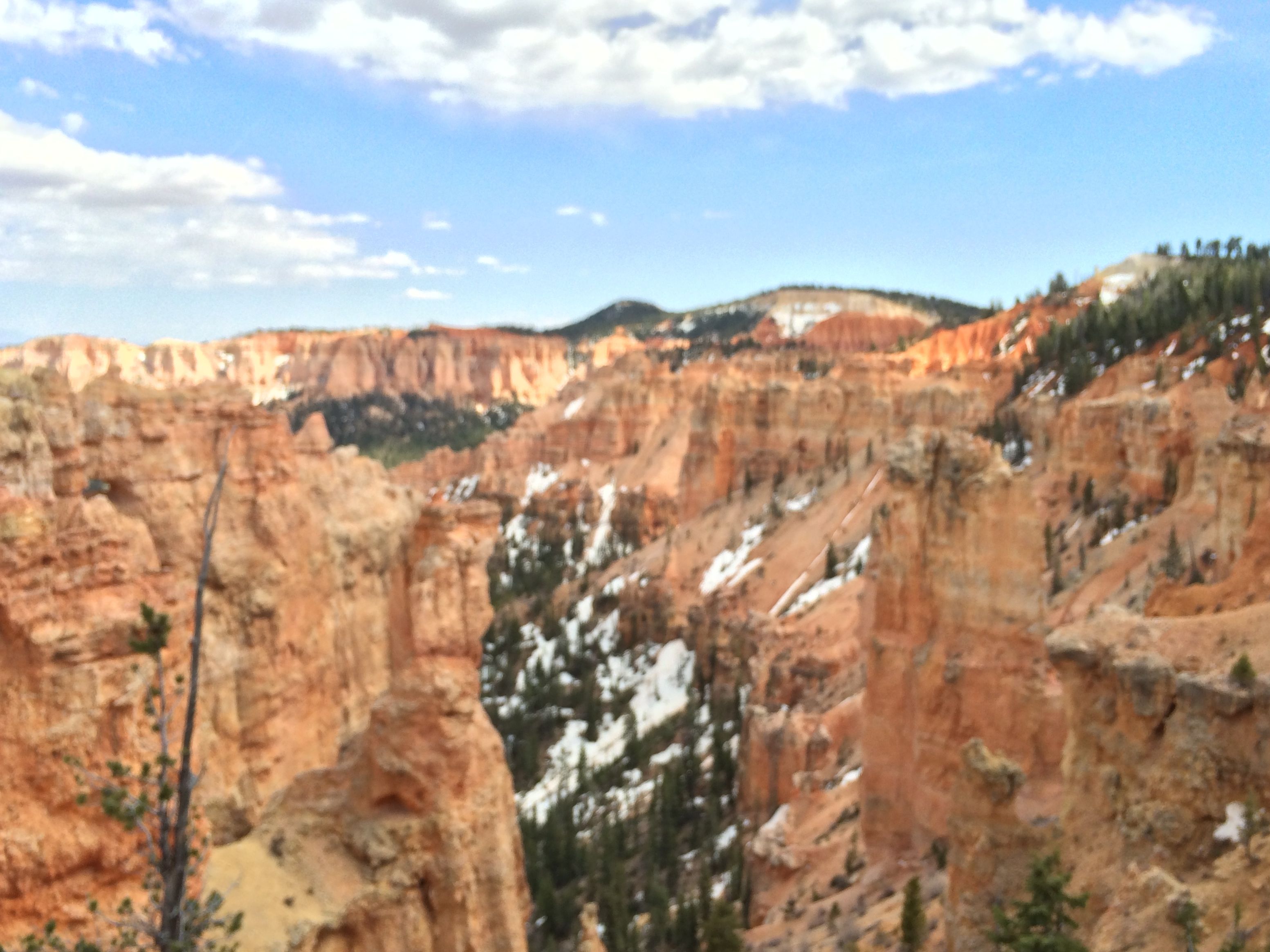
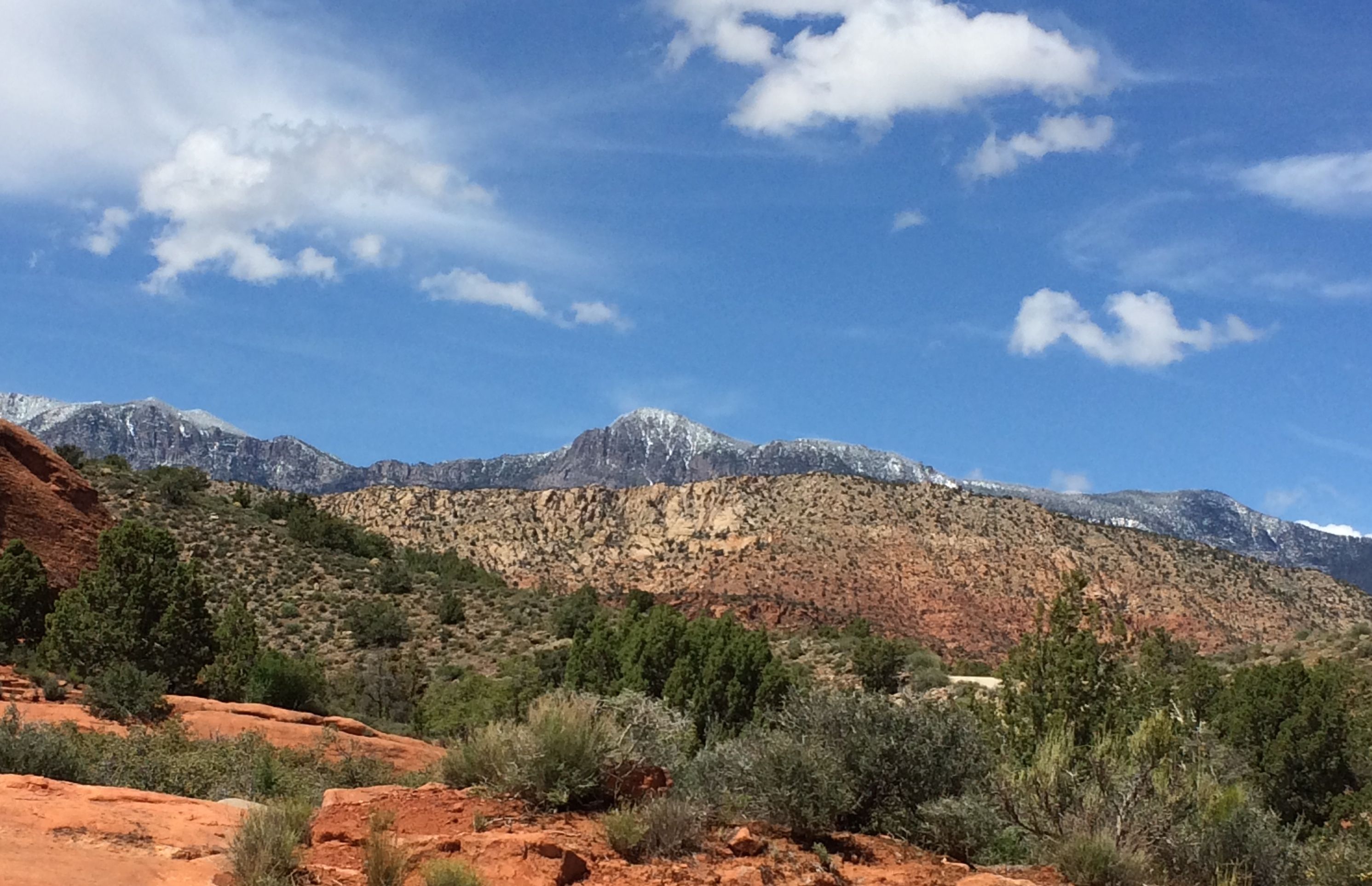
There was still snow in Black Birch Canyon.

view 9 hoodoos

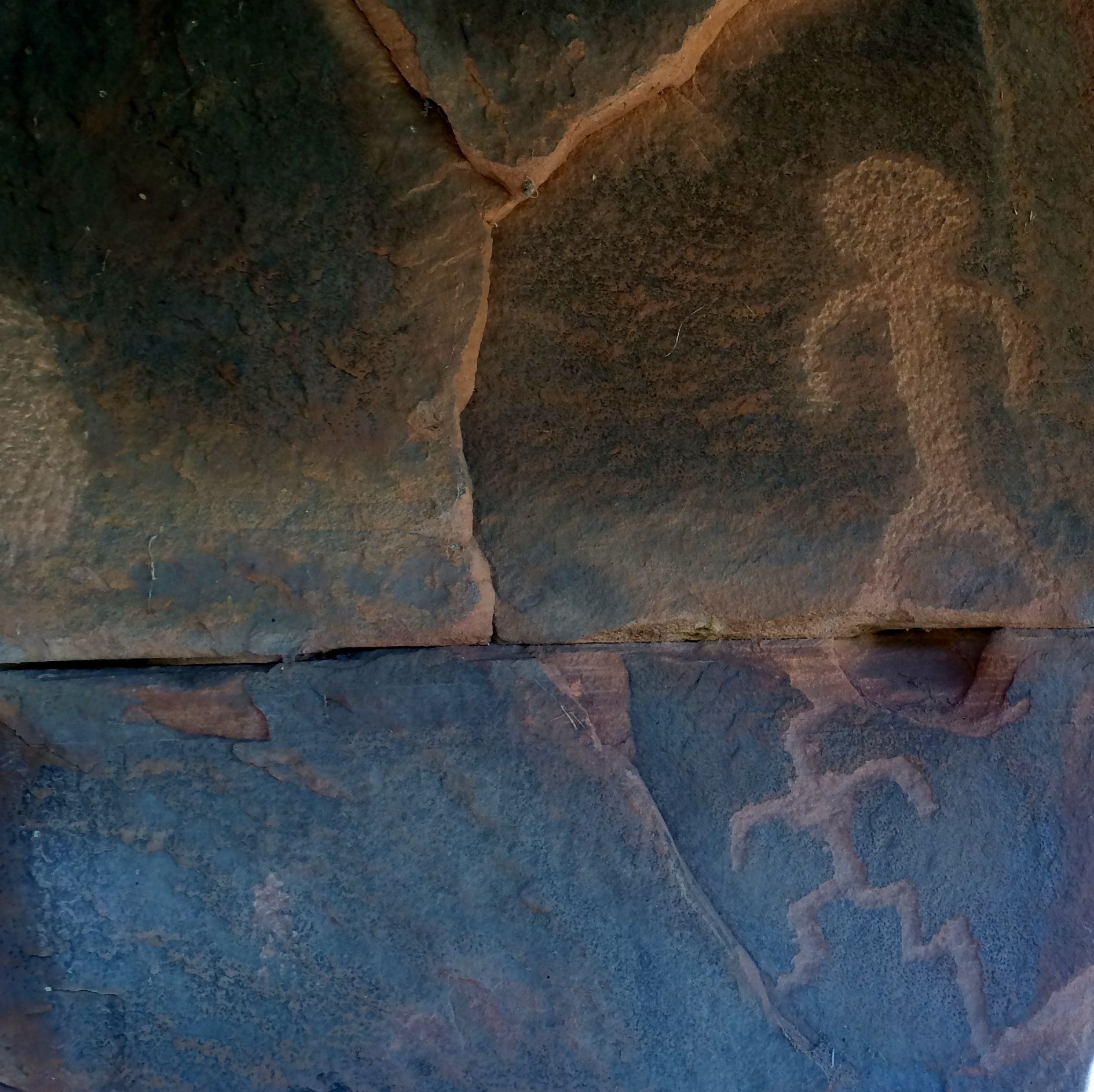
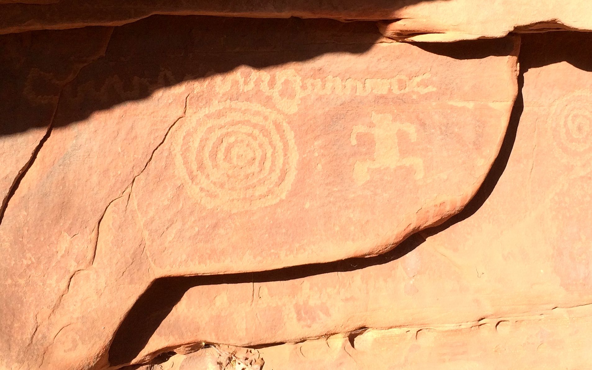
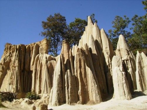
There were hoodoos galore. A hoodoo is a tall, thin spire created by erosion. (Just in case you wanted to know.) They actually occur in many places around the world. They first time I encountered something like this was in Momostenango, Guatemala. There they were called “los riscos.”

Los riscos de Momostenango

Ah, but back to Utah.

Compare BART with a motot home

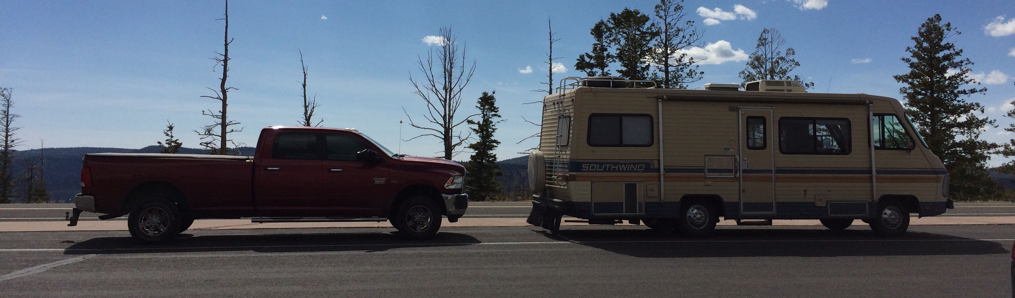
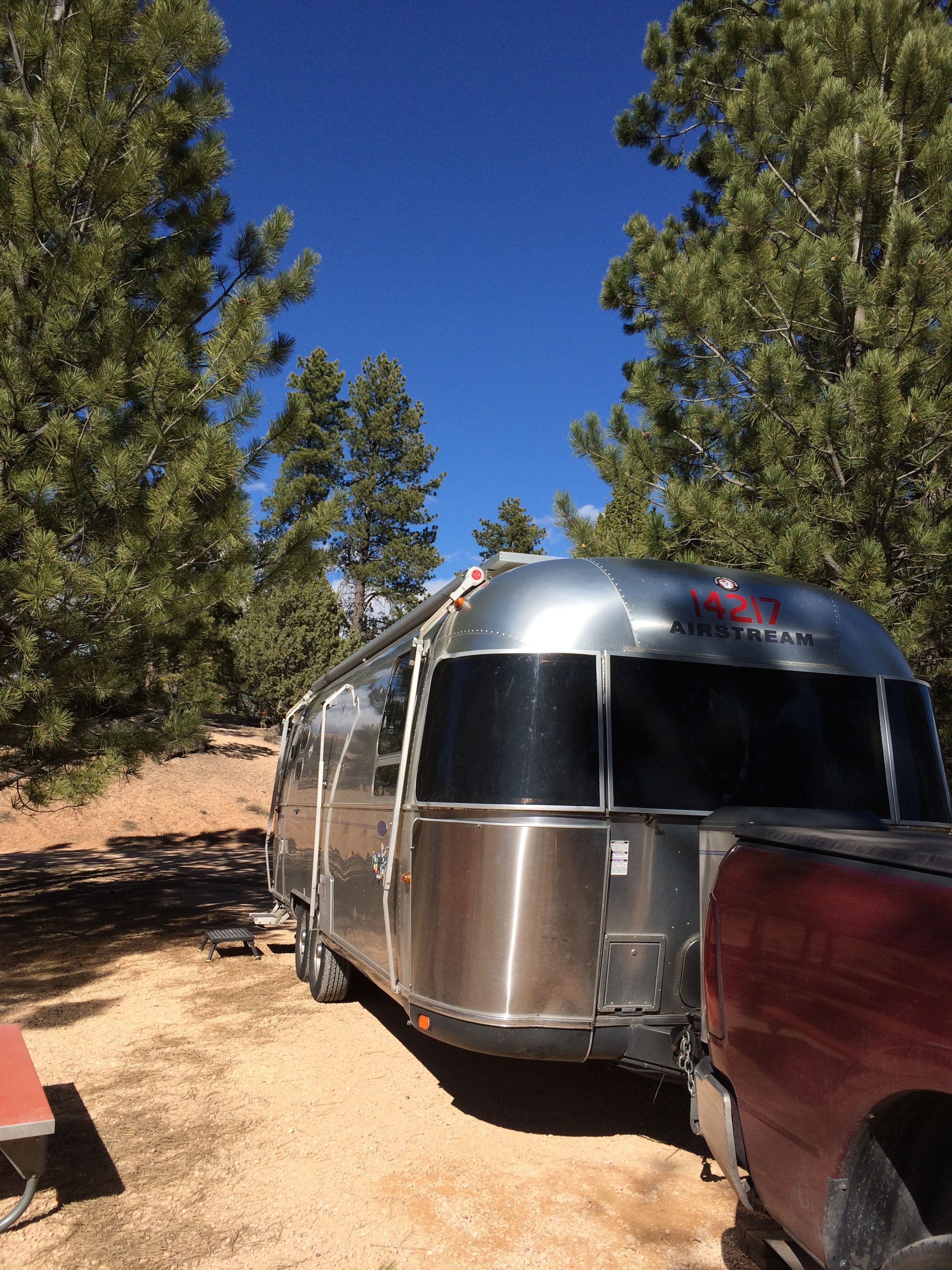
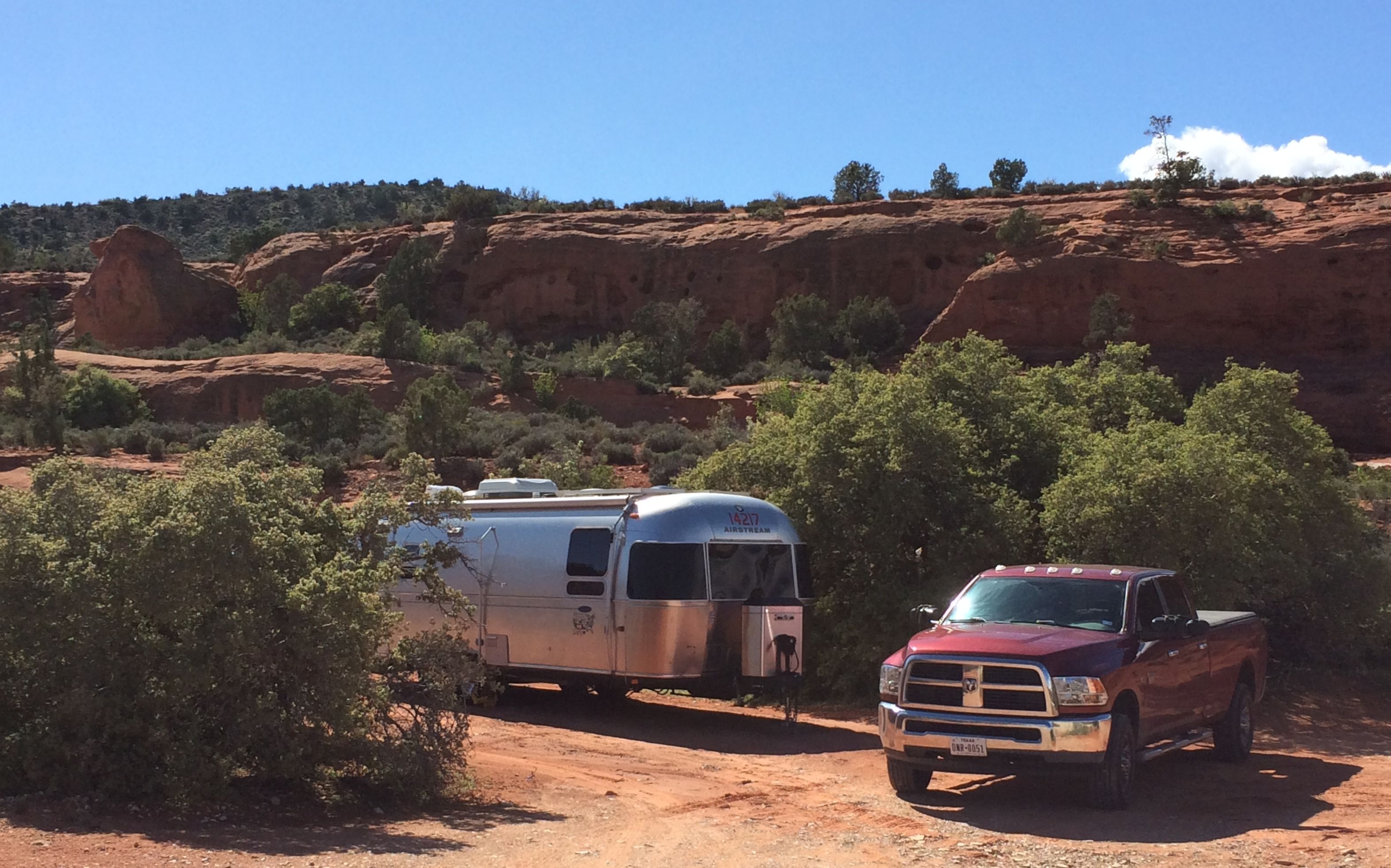
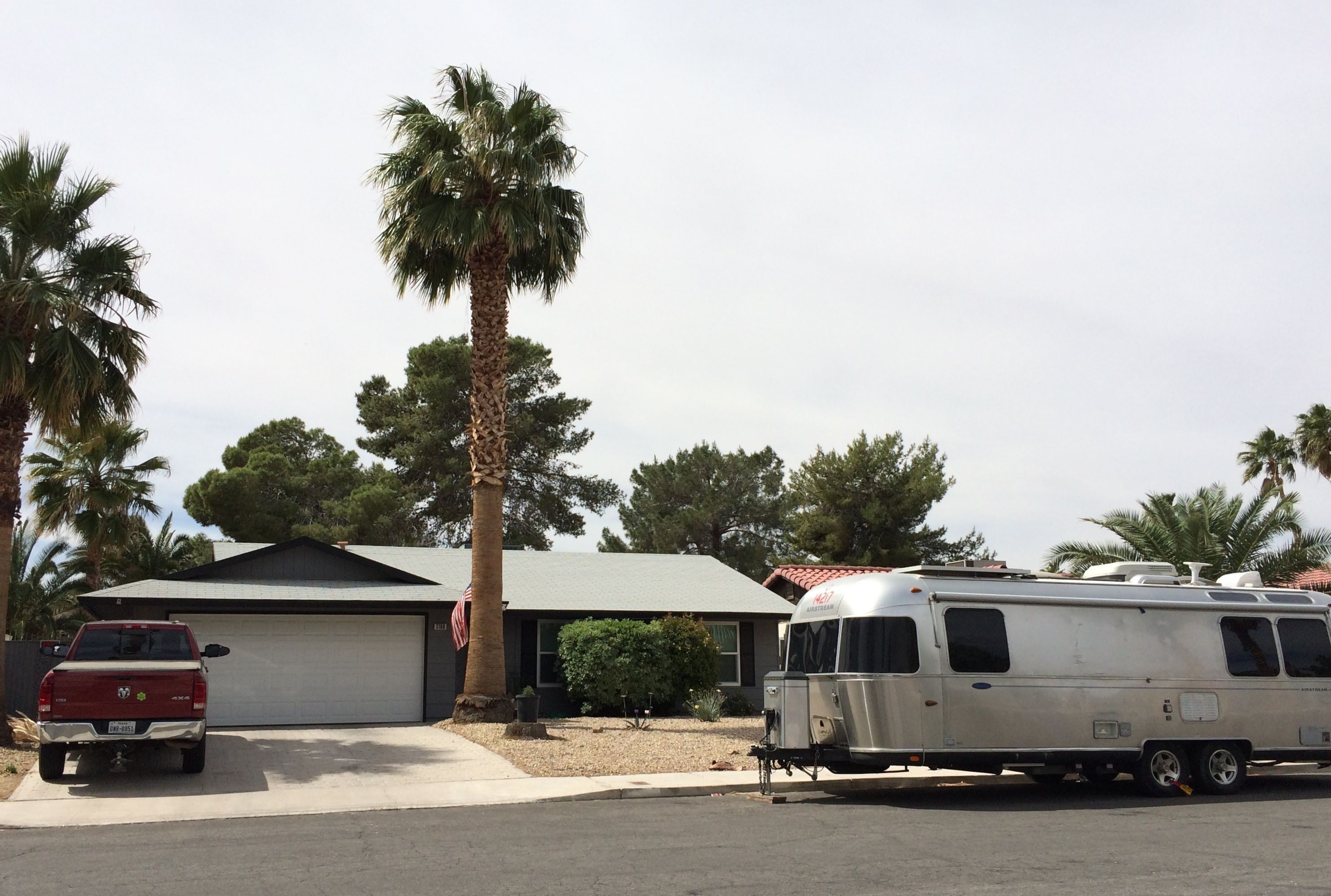
While I was driving back toward the entrance, I noticed RVs being driven on the same road. I was thinking that I was so glad that I didn’t have to drive something so large through the park. When the opportunity arose, I took a photo of Bart with one of them. Imagine my surprise when I discovered that they were about the same length – and Bart had a longer wheel base!

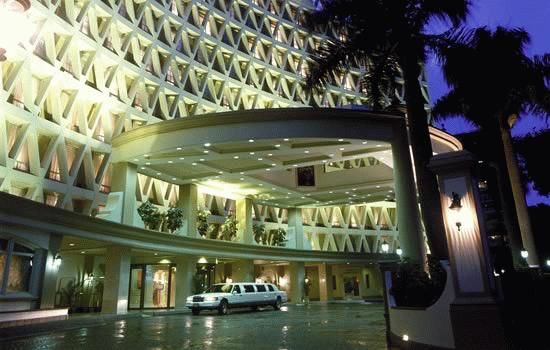
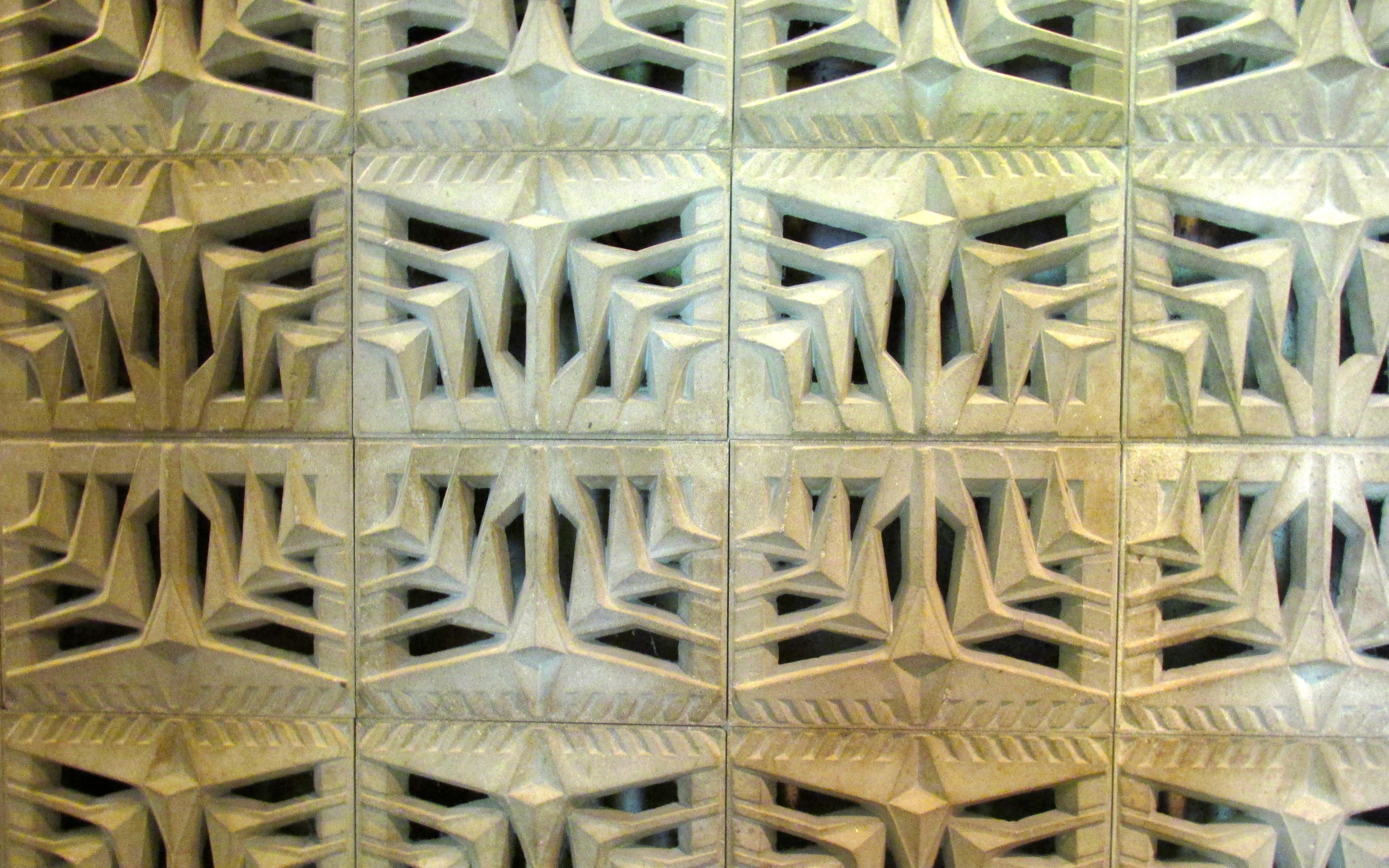
One of my last stops in the park was the Bryce Canyon Lodge. I do like an interesting hotel!

Bryce Canyon Lodge

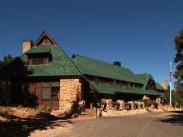
The Bryce Canyon Lodge was built in the mid-twenties by the Utah Parks Company, which was a subsidiary of the Union Pacific Railroad. This was part of the railroad’s project to develop tourist traffic to the national parks in Utah and Arizona by providing quality destination hotels at each park.

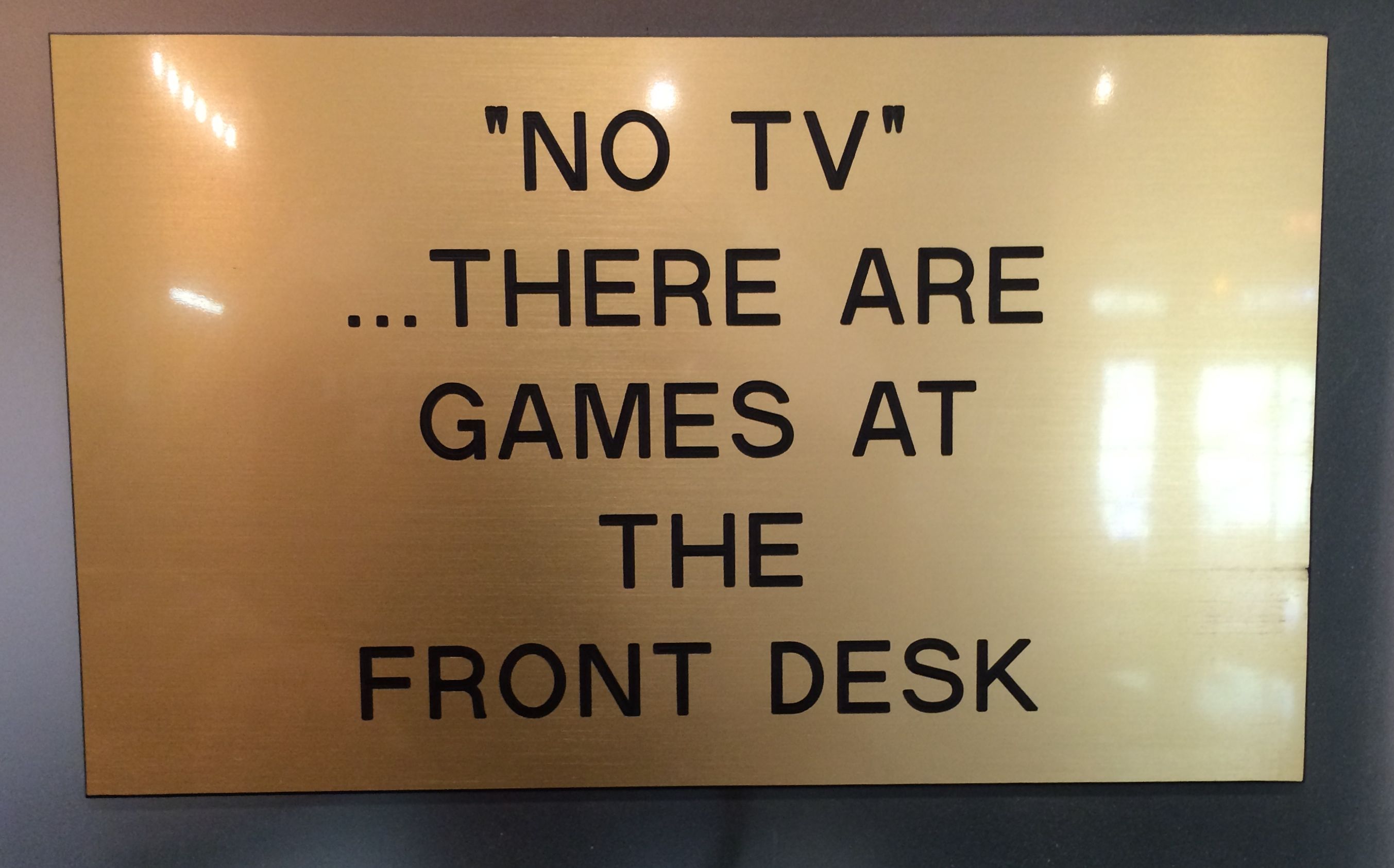
It is elegant, in a rustic way. I thought I might have dinner there. I looked over the menu and decided that I wasn’t hungry enough for a $35 dinner. I enjoyed looking around, though. I thought this was an interesting sign at the registration desk.

sign in lodge lobby - no TV

I actually saw families playing cards and sitting together reading in the lobby as they waited for the dining room to begin serving dinner.

I had one more stop to make before I returned to Flo for my dinner: Fairyland Canyon.

View 11 Fairyland

What a spectacular view!

View 12 Fairyland

My eyes were getting worn out from all the looking!

view 13 Fairyland

But one more shot before I head back to Ruby’s Inn and RV Park for dinner and to get rested up for the next day’s adventures.

Bryce Canyon National Park

At last it was time to head toward Bryce Canyon! I hitched up and rolled northeast on I-15. By the time I left the interstate, there was snow in the distance!

En route snow in the distance

It was a picturesque drive to Bryce Canyon City. It was fun going through Red Canyon. There were tunnels cut through rock fins.

Red canyon tunnel

I borrowed this shot from the internet. Obviously, I was busy driving when I went through the tunnels.

A short time later, I was at Ruby’s Inn RV Park and Campground. The air was so clean and clear and it smelled like Christmas. It was just so piney!

My campsite at Rudy's

I got set up and made myself a little dinner. With the wonderful weather and the picnic table at the site, I decided to dine al fresco.

That's not Folgers in my cup!
That’s not Folgers in my cup!

The sun was still up, so I decided that I couldn’t wait until tomorrow to see Bryce Canyon.

Bryce Canyon sign

The entrance to the park was less than a mile down the road, and you tell by the angle of the shadows that the sun was setting fast. There was no one at the gate, as they weren’t charging admission during the free week, and the visitor center was closed for the day.

I drove into the park, figuring that I would see a sign that would give me an idea about where to go. The first sign I noticed was for the North Campground. I drove in to see what the sites looked like. They were a bit cheaper than my site at Ruby’s, but they seemed kind of irregular. Most of the RVs I saw were propped up on all sorts of boards to level them out. My site was nice and level. Oh, and my site had electricity.

I drove around and finally came to a parking lot at a picnic area that was near the rim. I parked and took the trail to the rim.

Wow 1

WOW!

I kind of stood there slack-jawed for a few moments taking it all in. I walked the rim trail for a bit, until I noticed that the sun was getting kind of low and the temperature was dropping. Since I wasn’t dressed for the cold and I didn’t have a flashlight with me, I decided to head back to the truck.

Moon rise

One final look at the canyon and the moon rising. Back to Flo the Airstream and a good night’s sleep. More Bryce Canyon in the morning!


Petroglyphs? Yes, Please!

I found some information about a hike that featured petroglyphs.

Be still my heart! I just love petroglyphs! This trail is part of the Santa Clara River Reserve and is managed by the Bureau of Land Management. If you are ever near St. George, Utah, and you want to see them, here is a link to the information about this trail as well as many others in the reserve. One of the trails is called “Suicidal Tendencies.”  Not exactly my idea of a good time.

The trail left the trailhead and wound its way back and forth across the face of a hill.

Cactus fruits

There were interesting plants along the way. This cactus looks like it had gone to seed. I imagine those red fruits would be really tempting to birds looking for dinner.

Pink caactus flowers

I wish some budding horticulturist would go around and label all these plants! I can identify about five desert plants. All I know is that this isn’t one of the ones I’m familiar with.

lines in stone

The rock was interesting, too. It had a rippled surface. I wonder if the ripples are from layers eroding irregularly or if they are the remains of rippled sand on the bottom of a lake.

It seemed like forever, but I finally got to the top of the hill and I found petroglyphs!

seven fingered hands or paws

I love it when you get to encounter these things in their natural environment. They are just sitting there. No one has defaced them. They are there, the way the Anasazi left them.

Me laughing by petroglyphs

Here I am, at the top, and happy with my discovery. And, do you notice how far down the valley is? That is one thing that caught my attention.

Animals - maybe horses

I crawled around the rocks, enjoying the pleasure of discovery.

Petroglyphs - a bunch

Some of these shapes I’ve seen before, like the snakes and the double circles with the dots in the centers.

Petroglyphs many

Person with squiggle - differnt ages?

This was a new one to me. In fact, they almost look like they were done at different times.

Circle with tail and geometric design

The one on the left reminded me of a mirror. The geometric designs on the right are interesting. It almost reminded me of a floor plan.

boulder with multiple designs vista in back

Of course there are spirals.

spiral

There always seem to be spirals.

Alien?

I wonder what the significance of the antenna-like protrusions are on this human-like figure?

sheep shape

This little one was identified to me by a fellow petroglyph fan as a sheep’s head.

Panel with kid

And here’s a shot with a person in it, just to give you a sense of scale.

Upper panel

It seemed like there were treasures to be found just about everywhere I looked. Whenever I was about to move on, I’d see another rock I needed to investigate.

pair of spirals

Oops! One more spiral!

stairsteps and designs

This one kind of reminded me of some advanced math scratch pad. But, finally it was time to move on.

I saw some people coming over the ridge and I asked them if there was anything to see further down the path. They told me that there were more petroglyphs.

MORE petroglyphs?! I’m there!

I walked along for maybe another twenty minutes or half an hour.

Rock on a plant

I saw this interesting rock, that reminded me of a monk’s tonsured pate. It made me giggle.

I didn’t see anyone else on the trail. The only place that petroglyphs might have been were on the side of the cliff. I was not about to scramble over the edge of the cliff – petroglyphs or no petroglyphs! Not by myself, at least.

Selfie

So I took a selfie to document my hike.

What I am looking at

This was what I was looking at. It was a long way down!

And then I started back to the trailhead.

fushia cactus flowers

Of course, I had to document some of the pretty blossoms.

When I got past the original petroglyph site, I saw a sign that indicated that there were ruins at the top of a small rise.

Farmstead site

Apparently this had been a community. A team from a university excavated some of the rooms.

Farmstead view 2

You can see the outline of a room fairly clearly in this photo. Unfortunately, before the site was secured, people on OHVs (which I used to call ATVs) had ridden over the site an created a great deal of damage.

After taking in what there was to see here, it was just a short, switchbacked trail back to my truck.

And then it was time to go have dinner.

There’s No Canyon Like Snow Canyon!

After four days at my FREE site in Dixie National Forest near Leeds, I decided to move to Snow Canyon State Park. I had picked up a brochure for it, and it sounded like an interesting place.

Incidentally, it is not named for the wintry weather condition I have been doing my best to avoid. It’s named for Lorenzo and Erastus Snow, prominent pioneering Utah leaders.

Before I left my campsite near Leeds, however, I did call to ask when check-in time was. The cheerful, yet misinformed, volunteer told me that there was no formal check-in time. If you have a reservation, just come on in.

Well, that didn’t sound quite right to me, so when I got to the park and found a spot big enough for Bart and Flo, I pulled over and called again. This time, I was told that check-in time was at 3:00 and that the people in the spot were still there. No matter. I was parked by a trail called Pioneer Names. I figured that I’d take a stroll.

looking back toward the signatures

Now, I know you can’t see them, but inside that arch in the making are names written in axle grease. I headed up the trail and I found out what “scrambling” is. I didn’t do it, but I watched some youngsters  scramble up the sloped surface of the canyon. They were on all fours – hands and feet – going up and coming down. I’ll bet they got a good view of the names!

Signatures

This is the best photo I have of the signatures. See if you can make them out.

I continued along the edge of the canyon.

little purple flower

The spring flowers were in bloom.

orange flowers

I came across a hunk of the canyon that fell to the floor.

Fallen rocks with desert varnish

You can see the darkened surface that they call “desert varnish”. It’s what pictographs are usually pecked into. The ones I saw in Zion were in stone with a much lighter surface.

patterned rock

The rocks sure are interesting. this swirled pattern caught my eye.

Arch

And then I came upon this arch! I love surprises like this. I am sure nimble folks would scramble up through it. I was satisfied to admire it from the ground.

Arch in the making

Just over to the side there was an arch in the making. So far it was just a hole through a fin of rock, but one of these days, I am sure it will be a full-fledged arch.

path with rocks and sand

I followed the trail back to where I had parked Bart and Flo. It was time to check in to my campsite.

Campsite

These campsites are different from any I’d seen before. Of course I’d seen sites that were close together, but this was the first time I’d seen campsites that share a covered area.

Well, “shared” isn’t quite the right word, as there is a stone structure separating the two areas, so you do have your privacy. Kind of. Since you need to have your doors opening toward the patio, the RVs enter from opposite directions.

Oddly enough, the people sharing my patio were from Michigan, and they were also full-timers. The people on the other side were from Alaska and had just picked up their Bambi Airstream in Portland, Oregon. This was their first trip in it.

But, even if we were sort of packed in, there were still glorious views.

view from the back

This was the view from the back of my site…

view from the front

and this was the view from the front.

Unfortunately, I wasn’t able to get more than one day at Snow Canyon State Park, so I decided to make the most of it. After a late lunch, I headed out for the Lava Flow Trail. Toward the end of the park, I had an amazing sight. If I looked one way, I saw white hills and black hills.

black hills and white hills

When I turned and looked to other way, I had a completely different color scheme.

redhills rising out of green

Red rocks rising out of a sea of green.

I parked Bart at the trailhead and started down the Lava Flow trail.

path in the lava field

It’s a little more challenging than the Pioneer Names trail. In fact, it is rated as a “moderate” trail – a step up from the “easy” ones I’d been on so far!

lava field

What an amazing world! At one end of the park, you have sand. At the other end you have a lava field.

White hills

A lava field with white hills rising behind it.

Truth be told, I was a little uneasy on this trail. I did have my walking stick, but the trail was rugged and I just knew it would really hurt if I fell on the lava. Luckily, though, I didn’t.

What kept me going was the fact that there were lava tubes along the trail. I was really curious to see what they were. My curiosity kept me going and finally I got there.

lava tube 1

Actually, I walked right by it. I walked another quarter mile or so and then decided that I must have missed it. I saw it on my way back and walked over to look inside.

Lava tube 2

There were signs posted about how people could explore the lava tubes. Uh…

lava tube 3

After looking down inside, I knew that wasn’t ever going to happen.

However, as I was getting ready to head back, a couple came along. The woman was wearing wedge-heeled flip flops! Coming down that trail in them was a feat of balance I marveled at. THEN she and the guy she came with went right down the tube! Goodness! I can only imagine that they are locals and have done this many times before.

Right after they went down, I met another couple getting ready to descend. They had better footwear, but other than that, they seemed no more prepared. I guess I am just not one for adventure. Or, maybe I am just pain-averse.

Heading back, I had more time to appreciate the flora and fauna.

Pink cactus flowers

Pink prickly pear

orange flowers in lava field

Orange flowers

Pink flowers on a bush

Pink flowers on a bush

yellow flowers on a bush

Yellow flowers on a bush.

I am sure all of those plants have names, as do these creatures:

Lizard on a black rock

Lizard on a black rock

Lizard close up

Is this the same kind of lizard? I wish I knew!

The Lava Flow was the last trail I got to explore at Snow Canyon State Park. I had hoped to snag a “walk-in” site and stay another day, but they had nothing available that would work for me. So, in the rain, hail and wind, I got hitched up and headed out.

Back to St. George, Utah.

The Other Side of Zion

As I was saying, there are two sides to Zion: the drive-through side and the shuttle bus side. Today it was time for the shuttle bus side. My plan was to do the Riverside Walk.

I parked at the first lot I saw in Springdale, the town just outside the park. The bus came along just after I got out of the truck, and I was at Zion in no time at all. I walked through the gate, brandished my America the Beautiful pass (along with my drivers license, so they would know it was me) and headed to the park shuttle.

Along the way 1

The views along the way were spectacular.

Along the way 2

After a short ride, I arrived at the last stop, Temple of Sinawava. According to my research – and the recording that played on the ride up – Sinawava is the Paiute’s coyote spirit or god. The Temple of Sinawava is an amphitheater. Judging by what I have seen here as well as in other places, an amphitheater is a canyon that has widened out to a bowl shape.

I took advantage of the restrooms – on of the first things I learned on my full time travel is that one should never pass up the opportunity to use the restroom. Then I headed over to the trail.

Riverside walk sign

Unfortunately, I would have to satisfy myself with the Riverside Walk, and skip hiking through the icy cold water of the North Fork of the Virgin River. The Narrows was closed.

Narrows closed sign

The water was rushing along at a good pace. Closing the Narrows seemed wise. At some points, the river takes up the whole canyon, so you are basically wading or swimming as you go. At the narrowest points, according to the literature, the canyon is 20-30 feet wide. That would be a fearsome place to get caught during a flash flood!

There are a number of different habitats along the river. I was surprised to find a swamp.

Swamp

The information I read spoke of “hanging gardens”.

hanging gardens

I think these must be some of them, however I would probably just call them “plants growing in cracks in the rocks.”

Speaking of cracks in the rocks, I guess there is always danger of falling rocks when you are dealing with a cliff.

Look out for falling rocks 1

Look out below!

Look out for falling rocks 2

It looks like those rocks came from up there.

I did some research, and the mighty elk is Utah’s state animal. However, after my hike, I think that they should consider transferring that honor to the squirrel.

squirrel

In spite of hefty fines for feeding the wildlife, the squirrels must have had enough success with begging that they have no fear of people. All along the trail, people stopped to take pictures of them. They were quite engaging.

Flowers growing the the rocks

There is so much to look at. I enjoyed the various plants. It’s springtime, and many of them are in bloom.

Straight canyone walls

As I continued down the Walk, I noticed that the sides of the canyon seemed to be getting taller and more vertical.

icy conditions

Of course, “Safety first” is the motto – but I don’t thing there was much chance of icy conditions on the day I visited. It was very pleasant. Nonetheless, I did keep an eye out for the ice.

Blind arch

Ice is an important player in shaping the rocks. Here we have what Matthew told me was a blind arch. You can see the arch shape forming in the side of the canyon as the rocks break away due to the freeze/thaw cycle. If this happened in a narrow enough rock, you would eventually get an arch that went all the way through. In this case, I think what would happen is that the narrow canyon would widen into an amphitheater. I’m not a geologist, but I have my opinions!

Volcanic looking rocks

In my strictly non-professional opinion, I thought that these rocks looked almost volcanic. If so, I wonder how they got there?

down the canyon

The canyon got narrower and narrower the closer I got to the end of the Riverside Walk.

cobbles in the river

Looking down into the river, I saw the cobbles that gouged out the canyon when carried by the force of the water.

sandstone

They say that you can hear the cobbles grinding against the rocks when the current is strong enough. That would be something I’d love to hear.

Throwing rocks

I came across this youngster throwing rocks in the river. He looked like he was having such a good time. It was fun watching him. And I really appreciated his parents for giving him the time and space to have this experience. I didn’t see any signs prohibiting that activity. Maybe I missed them. Or maybe they count on people to use their common sense.

Reloading

I enjoyed watching him pick out the rocks he’d throw. His parents told him that he could throw one more. He picked up a largish one and dumped in the water with a big splash. Then he rejoined his parents and the continued on the walk.

me at the end of the trail

And here I am, at the end of the walk and the beginning of the Narrows. Too bad the water levels were so high. I am sure I would have done that trail, too. (NOT.)virgin river with trees

And so it was back along the river.

Rapids in the river

Watching the power of the water.

driftwood

Looking at the driftwood that had been carried in the floods – how long ago?

Riverwalk trail

Back to the Temple of Sinawava, where I’d catch the shuttle back to the park entrance.

One more visit to the restroom, though. They encourage drinking lots of water and they even provide stations for refilling your water bottle. The Zion Spring Water tasted good!

water station

I just had to follow the arrow to see what the Foot Wash Station looked like. I had seen “fuss bads” in Germany the summer I worked in a Girl Scout camp over there in 1976. (Forty years ago?!)

footbath

And this is what it was. Not that I needed to wash my feet after my rather leisurely stroll along the North Fork of the Virgin River. But I was ready to head back to camp.

New State, New Friend

Hello, Utah!

Utah added to the mapFinally! A new state to add to the map. My last new state was Florida, and that was some time ago.

Using a website, Campendium.com, I found some free camping in the Dixie National Forest, just a mile or so off I-15. Do I love the word, FREE? Yes, I do! There are no facilities, but I have my own water and toilet, and I make electricity with my solar panels. Who needs a campground?

My campsite in Leeds

You couldn’t pay for a view like this, either.

View from my campsite

Yep, that’s snow up there. I was warm enough where I was, though.

When you camp in a national forest without facilities, they call it “dispersed camping”. This area was different in that they had assigned places where you could set up camp. I grabbed the first one I came to. It looked good and there was room to maneuver. I am glad that I parked over to the side of my site, because there was at least one site behind mine.

campsite behind mine Dixie National Forest

I don’t think it would have been possible to have gotten a trailer up the road, but these folks did fine in their car.

On the cliff behind my site, there were some people practicing repelling. It was fun to watch.

Repelling the cliff

That is one activity that is definitely NOT on my “to-do” list!

The day after I got settled in at my campsite, I met up with a Facebook Friend.

facebook 2

I met Matthew through Airstream groups on Facebook. When he heard I was going to be in the area, he insisted on showing me around. Or, maybe I imposed and he was too much of a gentleman to refuse.

In any event, he spent a day running me around the area. What a great guy!

Matt with the Ponderosa Pine

Here he is, holding up a ponderosa pine in Zion National Park. Saint Matthew of the Tundra, I dubbed him.

Even after enjoying the magnificent view from my campsite, I think I must have said “Wow!” at least a hundred times.

View 1 A

Wow!

More layers

Wow!

wow shot

WOW!

At every turn, there was always something amazing.

In Zion National Park, there are two sides. One side you can drive through and one side where you park and take a shuttle to visit various spots in the canyon. Matthew drove me through the side with the tunnels.

Now, I have been through tunnels in mountains before, but these tunnels are really masterpieces of engineering. I have no photos to share with you, and I know it’s become an accepted truth that if there are no photos, it didn’t happen. Take my word. This tunnel is a marvel.

By George A. Grant, Photographer (NARA record: 1226390) - U.S. National Archives and Records Administration, Public Domain, https://commons.wikimedia.org/w/index.php?curid=17034363
By George A. Grant, Photographer (NARA record: 1226390) – U.S. National Archives and Records Administration, Public Domain, https://commons.wikimedia.org/w/index.php?curid=17034363

The tunnel was part of a 25 mile long road built to connect Zion with Grand Canyon National Park, Bryce Canyon, Cedar Breaks and the North Rim of Grand Canyon National Park. Work began in 1927 and was completed in 1930.

The tunnel itself is 5,613 feet long and follows the profile of Pine Creek Canyon at a consistent distance of 21 feel from the outside face of the rock to the center of the tunnel. the tunnel was built using mining technology. There are galleries that provide light and ventilation to the tunnel. As you are approaching the entrance, you can see the openings punctuating the canyon wall.

As proof that I actually went through the tunnel, we stopped to take a photo at the east entrance to the park.

Me at entrance to Zion

Ah, but before we exited the park, we stopped and saw a few things.

Checkerboard

This is the Checkerboard. With the vertical grooves and the horizontal layers of rock, it’s not to hard to see a checkerboard.

We also saw some big horn sheep scampering around on the rocks, but you’ll have to take my word for that, too. No photos.

Ah, but I do have photos of petroglyphs! We parked at a pull-out and then walked down an unmarked path. Matthew said that only locals know about it, and they don’t give information out about where they are. The NPS folks just shrug their shoulders when asked. “Petroglyphs? What Petroglyphs?”

Pictograph 1

I promised not to tell anyone where they are.

Pictograph 2

That’s easy.

Pictograph 3

Do you think I remember where they are?

pictograph 4

No, I don’t.

Best friends 2

We also made a stop at Best Friends Animal Sanctuary in Kanab, Utah. My photo didn’t turn out, so, here’s one from another blog. They took the tour, so if you are interested in animal rescue, click on the link. The people there were lovely and caring. What a beautiful spot for an organization like this.

Then next stop on our tour was Pipe Spring National Monument. Another stamp in my National Parks Passport!

Pipe Spring was an oasis in the arid region.  It’s located in the Arizona Strip, the northern part of Arizona separated from the rest of the state by the Grand Canyon.

The Kaibab Paiute lived there and used the water. They lived lightly on the land, building wikiups out of the local plants. They were hunter/gatherers and, if I understand correctly, would move about as the seasons dictated. The water flowing out of the spring must have made this a favored stopping spot.

Beginning in the 1850s, the members of the Church of Jesus Christ of Latter-Day Saints began to settle the area. They thought the water was just great, too. They thought it was so great that they built a fort right on top of it in 1872!

Pipe spring fort

They call this “Winsor Castle”, named after one of the managers of the ranch, Anson Perry Winsor. We weren’t there in time for a tour, but Matthew told me that the women lived in the front part of the fort and the men lived in the back part. I imagine that there is a courtyard or patio in the center, as there are those large doors on both sides.

the door on the other side

I’m a little perplexed by the door on this side, though. There doesn’t seem to be an access road to it. Maybe it was for ventilation?

Pipe Spring National Monument sign with grafitti


In 1923, the Pipe Spring ranch was purchased and set aside as a national monument to be memorial of western pioneer life. There is plenty of graffiti, which is now part of the historical record.

Pipe Spring

They have some cattle at the site. Figures I have to go to Arizona to see Texas longhorns.

pipe spring early cabin

There are also a couple of cabins that have been rebuilt, to give a little more information about how the settlers lived.

And that was our last stop on the whirlwind tour. Thanks for a great day, Matthew!

Rollin’ rollin’ rollin’

My next planned destination was Vegas, baby! But Vegas was about 300 miles and a traffic jam away.

Traffic jam 2

They started posting warning signs for the traffic jam as soon as I left I-17 and got on I-40. But, what could I do? I didn’t know the area and the maps I had didn’t show enough detail to plan a detour. Oh, and there was no cell service.

traffic Jam en route

At one point, everyone just turned off their engines and got out to stretch. Some guys played soccer. Some headed toward the bushes with kleenex in hand. I headed back to Flo. It’s nice to have your own restroom with you.

Eventually, we got moving again, and I ended up in Golden Valley, Arizona for a couple of nights.

Adobe RV park

It was quiet, reasonably priced and had good showers. I also used their very clean laundry facilities to get ready for the next portion of the trip. It was dry and had acres o’ gravel, but it filled the bill.

I rested up and got ready for the last part of the drive to my friend’s house. A few hours on the road and we were there.

Bart and Flo at Jim's

Cora and I accepted Jim’s offer of hospitality. What a novelty to sleep in a house! Cora enjoyed the experience, although I was a bit worried. For the first day or so, she spent a good deal of time hiding under Jim’s bed.

mentalist-show-gerry-mccambridge-poster-1200x1428

And Cora hiding under the bed became part of the act when we went to see Gerry  McCambridge’s act at Planet Hollywood on the Strip. When we entered the theater, we were each given an index card and a pencil. He addressed the audience via video while we were waiting for the show to start. He had us write our full names across the top of the card. After that, we were to write two questions we didn’t know the answer to that were personally relevant. The final thing we had to write was a piece of information that only we would know.

At one point, we were directed to collect our cards and put them in a box on the stage. We were sitting in the rear of the theater, so I collected them for our row as well as several rows in front of us and took them up to the box on the stage.

After several other parts of the show, which he did while blindfolded, he got to the cards. He reached in the box and started feeling them and crumpling them up. He first said that he was looking for a woman with the initials K M. (Jim says it was K D, but I’m telling the story!) So, he spoke with this woman for a bit – who was sitting at the other end of my row.

Then he said, “No, I’m looking for K M D.” There were a couple of us, and then he narrowed it down to me. He got my name, Jim’s name, the Airstream and that I was worried about finding a camping spot in Zion. He named Cora and that she was hiding under the bed. The only thing he didn’t mention that was on my card was “Ludlow 7334”, which was my first phone number from when I was a child.

Then, he asked the other woman if she was going to gamble tonight. She said that she wasn’t. Then he asked her if she’d like a good luck charm. She said no. He tried a couple times to get her to say yes to the good luck charm. I finally said, “Hey, I’d like a good luck charm.” I thought that he needed a way to end the segment of the show.

Well, he crumbled up the papers some more and then threw one out into the audience and told them to pass it to me.

mentalist card

It was the index card that I filled out! I was gob-smacked!

Now, the rest of the show was good, but I have to say that this was my favorite part!

If you are looking for a good act when you are in Las Vegas, I would recommend The Mentalist.

Jim giving Cora the brush

Cora did come out from under Jim’s bed. Unfortunately, she really enjoyed exploring the fireplace. My pretty white kitty was covered in soot! Jim did his best to try to brush it out of her coat. That got some of it. I washed the rest of it out with a washcloth. She didn’t seem to mind at all.

While I was in Vegas, we did some fun stuff, but the kind of stuff you do when you visit anyone. You go out to eat…

fortune cookie

Of course, the gaming industry probably wouldn’t be too thrilled to know that these messages are in the fortune cookies!

You visit friends. These women are Jim’s neighbors. Lea was celebrating her 90th birthday, and I got to join in the festivities.

Lea and Jean

While we were there, I got a hostess to take a photo of Jim and me.

Jim and me at the birthday party

We’ve hardly aged a bit since we taught at the American School of Guatemala back in the 1980s!

Guate pic

One of the things that was left on my Vegas “to-do” list was to get my picture taken at the world-famous “Fabulous Las Vegas” sign. Jim had some things to take care of, and I had an appointment at the Apple Store to have my phone looked at. When I was finished, I zipped over to the sign.

lining up for the vegas sign

The line was long! What was really holding things up was a wedding party that was doing all of their photos there. But, once they got back into their white stretch limo, the line started moving. Unfortunately, the sun was going down! Would I make it?

Me at welcome sign 2

YES! I did, but just barely.

Car wash slots and gas station

I like Vegas for the things that you just don’t see everywhere – like a combination gas station/car wash and 24 hour slot parlor.

Tennis players sculptures

And sculptures of tennis players waiting to cross the street.

Penn and Teller sign

We had one more show to attend – a taping of Penn and Teller’s “Fool Us”. They were taping the shows and they needed a live studio audience.

Penn and Teller Fool Us sign

I got tickets for me, Jim and his friend, Bill. We all managed to amuse ourselves with our phones while we waited.

Jim and Bill in line for Penn and Teller

The lines to get in were incredible! I think they had us split up into four LONG lines. We all got in, but we were seated just about as far up in the balconies as you can go. It was a good show.

The most unexpected part of my visit to Las Vegas was the rain.

A rainy day in Vegas

Luckily, there was a canopy over the gas pumps – and I was especially fortunate that Jim got out and pumped the gas for me.

The last full day I was visiting Jim, about 0.8 inch of rain fell. They usually get a little less than 4.25 inches of rain in a YEAR! The roads were flooded and it was a mess!

Flooded streets

The washes were awash! Eventually, the rain did drain away, and I was able to get hitched up and head out the next day without a problem.

Back of wllcome sign

On to Utah!


A Trip Back Through Time

After my day in Sedona, I decided that I wanted to see some of the remains of the earlier inhabitants of the region. My first stop of the day was Montezuma Castle National Monument, near Camp Verde, Arizona.

First stop, though, was the ranger station to buy my new pass for the National Parks. It costs $80 for the year and I really got my money’s worth last year. I can hardly wait until I’m 62 and then I can plunk down $10 for a pass for the rest of my life!

Waiting to greet me at the ranger station was Teddy!

Me and Teddy at Montezuma Castle

President Roosevelt included Montezuma Castle as part of the first four National Monuments under the Antiquities Act in 1906. Due to looting of the site, very few original  artifacts remained in the structure, but he still identified it as a place “of the greatest ethnological value and scientific interest.”

According to the brochure, Roosevelt’s decision assured the continued protection of one of the best preserved prehistoric cliff dwellings in North America.

It was just a short stroll to the castle from the ranger station.

Montezuma Castle horizontal

Well, it’s not really a castle, and it has nothing to do with Montezuma. Early anglos visiting the region knew the name, Montezuma, but it was a case of a little knowledge being a dangerous thing.

This is a 20-room high-rise apartment building that was constructed about 800 years ago by a group of people that have been named “Sinagua”. The ranger who gave the talk I attended said that these people moved on. They weren’t defeated in battle and there is no evidence of catastrophe. They just left. They didn’t leave a record of their name, but they did leave behind interesting information in their architecture and in other buildings.

The ranger who gave the talk told us that the “fresher” looking part of the dwelling is the result of resent restorations. The workers used the same materials from the creek bed that the original inhabitant would have used. The older parts have just been bleached by the sun for hundreds of years.

In addition to the 20 rooms in the the main structure, they also tucked rooms in other parts of the cliff.

Cave rooms

In 1933,  a 45-50 room, pueblo ruin was excavated. They uncovering a wealth of artifacts  which added to the information and understanding of the Sinagua people.

Creek at Montezuma's castle

This was a riparian community, along Beaver Creek. Life was good here for the residents of the “Castle” for about 400 years. So good that they had time to build  elaborate dwellings. They also traded for goods from a long ways away.

Silly me! I always marveled at how sea shells from the Pacific could be trade goods in Arizona. I envisioned a guy loading up his pack at the beach and heading for Arizona. Nope. These were smaller trades – a few miles at a time. Those shells passed through many hands before they got places like these. I was glad the ranger helped me discover the error of my thought process.

sycamore

Sycamores, just like these that still line the banks, were used in the building.

Originally, visitors to the National Monument were able to climb ladders and explore the rooms on their own. Right about the time when they discontinued the ladders, they came up with a diorama that allowed people to see what it would have been like for the people who lived there.

diorama

On my way out, this red cactus caught my eye.

red cactus flowers montezuma's castle

My next stop was Montezuma Well. This was a place I had never heard of before I got to the area. It was mind-blowing!

When I drove onto the site, the first sign I saw was for a pit house excavation. Beneath a roof, there were the remains of a pit house. You can see the poles that held up the roof.

Pit house montezuma well

It is built in the traditional Hohokam style, and dates to about one thousand years ago.

pit house illustration

This illustration was on the interpretive sign by the dig.

I got to the parking lot and got ready to see the well, which is in a limestone sinkhole. Now, you might think that the well would be on level ground. No. It was a little bit of a hike up a hill to get to the edge of the well.

Surveying marker

Along the way, I passed a surveying marker. I always think it is interesting to find these along the way.

Once up at the top, I found the well.

Montezuma well

It is a source of water that has been used for irrigation since at least the 8th century. Even during times of drought, there is a dependable output of water. A steady 1,500,000 gallons of water enters the well from underground springs.

The water is highly carbonated and contains high levels of naturally occurring arsenic. Fish don’t live here, but it has at least five species of life that are found only in this well. One of the species is a leech.

I hate leeches
I hate leeches.

When you don’t have any clue as to what you might find, you can be surprised and delighted.

Montezuma well cliff house

Just under the lip of the sinkhole, there are cliff dwellings! I’ll bet that these were very desirable places to live. Warmer in the winter and cooler in the summer – and you only had to build part of the house. The top and back was already taken care of – and sometimes even the sides.

There was a sign pointing to another house. The only drawback was that the sign pointed down a set of stairs on the inside of the sinkhole. I decided to start down. I could always turn around, right?

Montezuma Well lower cliff house

I made it all the way down the stairs and came to some more rooms. According to what I’ve read, there are about 50 rooms around the property.

Montezuma well graffitti

Of course, what would a ruin be without 19th century graffiti?

Actually, these ruins were mostly unknown to the rest of the country until Richard J. Hinton published Handbook to America in 1878. So, Duke Heflin, here, was pretty avant-garde in tagging this site.

Montezuma well from the other side

I paused on my way back up to take a picture from across the well of the first cliff houses I saw.

Montezuma well publo on top 2

Back up at the top of the hill, there are remains of a large pueblo.

Montezuma well pueblo on top

With its dependable supply of water, this must have been a great place to live.

The water exited the well into Wet Beaver Creek. These people directed the water into irrigation channels. Some of these channels can be still be seen today.

Montezuma well irrigation channels

My next stop was lunch. Touristic activities can take a toll on a person. I headed toward Cottonwood, Arizona. I had a hankering for some Mexican food, so I stopped in at Plaza Bonita.

Tamale

A delicious tamal, beans rice and tortilla chips – all for $8.61. That included the tip!

Thusly restored, I decided to head to Jerome. Konnie had mentioned that she thought it was an interesting place – or maybe she thought it might be interesting.  Anyway, I found it on the map and I pointed Bart in that general direction.

I don’t think I knew anything about Jerome, but as I climbed higher and higher, I figured that it must be an old mining town.

view from Jerome

When I finally finished with the switchbacks up the mountain, I pulled over and took this photo. Cottonwood was about 3000 feet above sea level. Jerome is about 5000 feet. As the crow flies, the two places are only about four miles apart, so you can imagine how much climbing was involved.

Luckily, Bart did all the climbing. I just had to keep my eyes on the road and maintain forward momentum.

Once I got up there, I saw a museum surrounded by rusting mining equipment, so my guess that it was an old mining town was confirmed. Since they wanted me to pay to see the rusting equipment and whatever displays they had inside, I opted not to visit. I headed toward the center of town and hoped that there would be an easy loop to head back down the mountain.

I saw lots of artsy places – studios, workshops and artisanal restaurants – since I had already eaten and I wasn’t too thrilled to be so high up, I headed straight back down.

Once back near Cottonwood, I saw a sign for Tuzigoot, that last park in the area about the Sinagua people. I turned toward it and saw it looming on a hillside.

pueblo long view

I got there with just fifteen minutes before closing, so I took a quick walk around the site. It turns out that it looked like this before the CCC started working on it in the 1930s.

Old photo of last place

Archeologists Louis R. Caywood and Edward H. Spicer directed the work here beginning in 1933. The original inhabitants didn’t leave a name for this place. The workers on the site named it Tuzigoot, from the Apache meaning “crooked water”. The pueblo is near a bend in the Verde River.

The site was inhabited between 1000 and 1400. According to the brochure I picked up, the village began as a small cluster of rooms. There were few exterior doors. The residents entered the buildings using ladders through roof openings. In the beginning, there were about 50 inhabitants. At its peak, around 400 people lived here.

Using the archeological tools available to them at the time, they used the stones at the site to replicate some of the 87 ground floor rooms.

ruins 3

In some places, there were second stories.

ruins 2

Based on the black and white photo of the ruins that they had on the sign, I think it required a great deal of archeological insight and imagination to figure out how the site had been used.

ruins 4

I gave the site a quick tour and managed to get out before they locked the gate. I had a busy day and I was ready to head back to Flo the Airstream to put my feet up.

The next day, it’s time to hitch up and hit the road.


Sedona

I hitched up Flo the Airstream and headed out of Phoenix. A little more that 100 miles and up I-17 was my goal. Oh, and about a 3000 feet increase in altitude.

Rest stop please keep off railing

You know, I didn’t really need that sign to warn me to stay off the railing at the rest stop. I was more than happy it was there.

Sedona was my goal, but the closest campground I could find was at Page Springs Campground in Cornville, which was only able half an hour away. I had a nice little spot right on the bank of Oak Creek.

Heron in Oak Creek

The sound of the creek babbling was so peaceful.

https://www.facebook.com/kalamazookim/videos/10153556171156989/

Unfortunately, I went to bed feeling well enough, but woke with a COLD! Bleh! As if the allergies I’d been enjoying hadn’t been enough. Well, I was only here for a short time, and I had touristic duties to attend to.

Getting close - scenic overlook enroute

I headed out for Sedona and noticed a sign for a scenic overlook. I pulled over and I could tell I was getting closer.

McDonalds

By the time I got there, I was parched from the cold, the altitude and the dry weather. McDonalds is always a good place for a drink, a bathroom and wifi. I did think the blue version of the golden arches was a nice “new age” touch.

After hydration was accomplished, I headed to the tourism office. I wanted to get some suggestions for some touristic activities that a person who was under the weather could accomplish.

tourist information

Only in Sedona would they have rack cards for metaphysical and spiritual features.

tourist info desk

I waited my turn. The young man who assisted me had a couple suggestions. The first one was a three mile hike. I repeated that I wasn’t feeling too well, and could he suggest a drive or something like that. He suggested that I head up to the airport and enjoy the view from there.

airport 1

Beautiful!

airport 2

It was fascinating to see how the rocks changed with the light.

Airport self portrait

It wasn’t too hard to find someone to take my photo. I took their photo, too.

Then I started feeling hungry. A friend had told me to look up a friend of his who has a winery there. I headed back into town and found Wes at Vino di Sedona.

Wes and me

And I had a bowl of spicy chicken tortilla soup.

Chicken tortilla soup

Delicious!

After lunch, it was time to explore a little more.

Creek view no creek access

I guess you can see the creek – you just can’t get to it.

red rock loop

There were a lot of beautiful rock formations. I just couldn’t stop to take pictures of them all.

After that, I was starting to feel like I needed to head back to camp. After all, tomorrow is another day!


Arizona Biltmore

Just one more post before I weigh anchor and head out of Phoenix. I couldn’t leave town before I saw the Arizona Biltmore.

I do like nice hotels. Dad used to tell me that Gramma would get all dressed up in her fur, gloves and hat and take the bus over to Buffalo from Crystal Beach. She’d go to the Statler Hilton, order tea and then write letters on the hotel’s stationery.

I used to do the same sort of thing back when I lived in Guatemala. Well, I’d do that except for the fur, gloves and hat.

camino_real_guate_5669 entrance

The special thing about the Arizona Biltmore is that Frank Lloyd Wright had a hand in the design. I called the hotel to reserve as spot on the tour. I had been told that the tours were free. It turns out that they aren’t. When I spoke to the woman checking us in, she told me that the tours were free for guests but $10 for the public. I was surprised and I told her that I thought they were free – that I read it on the website.  I mean, I would have paid $10. She told me that I could go for free, but she would be sure to check their site.

After our conversation and I had returned to the lobby, I realized that I wasn’t sure that I read it on THEIR website. Oh, well…I didn’t try to get in for free.

My guide for the tour was an interesting fellow that had been with the hotel for years. He told us that he started out as a lobby host because he spoke English, French and Arabic. He has been giving these tours for years.

The hotel was begun in 1928.  In order to beat the heat, they worked 24/7 and the construction was complete in six months. At the time of its construction, the McArthur brothers, who owned the Dodge dealerships in town, had purchased 1300 acres at 24 cents an acre. The hotel was eight miles outside of town. The town has since caught up to the hotel, and the land proved to be a good investment. 32 acres of the original 1300 are still part of the hotel.

The chief architect was Albert Chase McArthur, who was a student of Frank Lloyd Wright. Frank Lloyd Wright was signed on as an advisor. Our guide told us that Wright told them that he had a patent on the method used to make the blocks that McArthur designed and he charged them $10,000 for the rights to make the blocks. It turns out that he didn’t actually have a patent, and his active collaboration on the project ended after that misunderstanding.
Block pannels

Wright’s influence is visible through the design. McArthur must have been a good student.

The hotel was estimated to cost $1.1 to build. It ended up costing $2.25 million to complete. Additional funds were needed to complete it. William Wrigley invested in the hotel and eventually bought the McArthur brothers out.

Fountains by the entrance

The entrance was typical Wright. It was not overdone, like the photo of the entrance of the Camino Real. In fact, I had trouble finding the entrance when I arrived.  I am sure that Wright would feel that the task of designing the entrance had been accomplished.

Pilars in the lobby

Pillars in the entrance lobby added to the sense of separation from the outside and creates a privacy screen.

Saguaro forms and Cactus flowers

This stained glass piece is based on a Wright design called  “Saguaro Forms and Cactus Flowers”. He did it for Liberty Magazine in 1926. It was rejected as being too far out for them. Olgivanna Wright donated the design after the disastrous fire in 1973. A fire was started by a welder’s torch during the instillation of a sprinkler system. Taliesin Associated Architects renovated the resort over a record 82 days. Our guide told us that they took advantage of the fire to upgrade the hotel.

lobby looking toward the registration desk

The lobby has a cool, relaxed feel. Guest services, such as concierge and registration are tucked into the recesses.

mezzanine detail

The mezzanine ran around the lobby. Indirect lighting bounced light up and filled the interior with light. Doors to guest rooms were on the mezzanine.

Sinatra piano

The guide told us a special story about this piano in the lobby bar. Late one night there was a lot of loud music late at night. A guest called down to complain. Our guide told us that, normally, they would apologize for the inconvenience and tell them that they would take care of it. This time was different.  The manager encouraged the guests to come down to the lobby. He told them that they wouldn’t be sorry.

It turns out that the music makers were Frank Sinatra, Liza Minnelli and Sammy Davis Jr. who were singing after a concert!

After the lobby, our first stop on the tour was the Aztec Room, which was the ballroom. It was also used to show movies back when movies were on actual film. There was a small projection booth. Our guide made it sound like it was a job for small people. I guess it was a small projection booth!

Entrance to ballroom

The “textile block” can be seen around the entrance to the ballroom.

Dome of the Aztec Room

Here is the dome of the Aztec Room.

Our next stop on the tour was the dining room. Back in the day when the Wrigleys ran the hotel, only invited guests were allowed to stay. You had to have a personal invitation from the Wrigleys. Meals were served according to the schedule that was set by the hotel.

The entrance to the dining room had what the guide called “gliding stairs”. They were designed for women in ball gowns to be able to easily enter the dining room. Or course, all guests would dress for dinner.

gliding stairs

The dining room ceiling was done in gold leaf, which reflected the light from the windows.

Dining room ceiling

Opposite the bank of windows were large murals painted on Belgian linen.

mural

They were not stretched on a frame nor were they attached permanently to the wall.

Painting 2

They hung loose so that the fabric could expand and contract with the weather.

former orchestra nook

Above the dining room was an orchestra loft. It has since been repurposed as a sitting area.

Fireplace in mystery room

The next stop on the tour was the Mystery Room. The hotel opened during Prohibition. The gentlemen would come here in the evenings, according to the guide, to enjoy their illegal beverages and cigars.

Mystery room detail

An opulent setting for a speakeasy. There was a spotlight on top of the building. Officially, it was to guide people to the hotel. Our guide told us that if the sheriff came, they would shine the spotlight into the room through a skylight.

escape door in mystery room

The guests would escape through this door.

location of bar:bookshelf

Where this door is currently, they used to have a rotating bar. On one side, it was a bar. When the call came, they would rotate it and there was a bookshelf on the other side. When the sheriff would inquire about the purpose of the space, they would tell them that this was a reading room.Guestroom

Our next stop was a patio. Those are guest rooms. I guess I could have taken a closer look, but I didn’t want to invade anyone’s privacy.

Beacon

This is the beacon on top of the building that would alert the people in the Mystery Room that they needed to go somewhere else.

Wrigley mansion ballroom dome

The white building on the hill is the Wrigley Mansion. Our guide told us that it was available for tours. “Some other time,” I thought to myself. the dome in the foreground is the dome of the Aztec Room.

Jacaranda tree

In the garden right below the patio was a jacaranda tree. I am including it for two reasons:

  1. It was my favorite tree that I saw when I lived in Guatemala. The streets would be lavender canopies when they were in bloom.
  2. I love saying the name in Spanish: ha-ka-RAHN-da. Or, you can say it the way they say it in California: JACK-uh-RAN-da.

After this part of the hotel, it was time to see some of the grounds.

lawn Chess

Lawn chess has been a thing here since it opened. These are exact replicas of the original chess pieces.

And into the pool area.

First pool

This is the newer pool. As you can tell from the overcast skies, it wasn’t exactly pool weather.

reservable chairs

They were ready, though, just incase someone was brave enough to sit out to soak up the sun.

reserved sign

Just be sure that you have reserved a seat.

The second pool we visited was the first pool installed by Mr. Wrigley. It’s called the Catalina Pool, after Santa Catalina Island. Apparently, the Wrigleys owned the island. That’s a lot of chewing gum!

Catalina Pool

The closer pool was a wading pool.

No diving

No diving – for good reason!

1 ft

Originally the hotel had around 17 cottages. During expansion, several were taken down. They still have around a dozen.

cottage 1

Nice cottage, eh?

cottage 2

I think this is the one I would choose, if anyone cares to give me one.

Mountain view

And what a view!

wings of Phoenix

This sculpture is called “Wings of Phoenix”, by Heloise Crista,  the sculptor I saw at Taliesin.

parden patio 2

The Garden Patio is a popular site for weddings, according to our guide. You can also see the original wings. They are two stories and they are the lighter colored blocks.

Garden patio

Here’s a view of the other side.

Lobby water station

After the tour, I headed back to the valet parking. First, though, I stopped at the water station to rehydrate. What a classy way to present water!

And that’s all I have to say about Phoenix.