On the Road from Taos to Michigan

Flo in the mirror

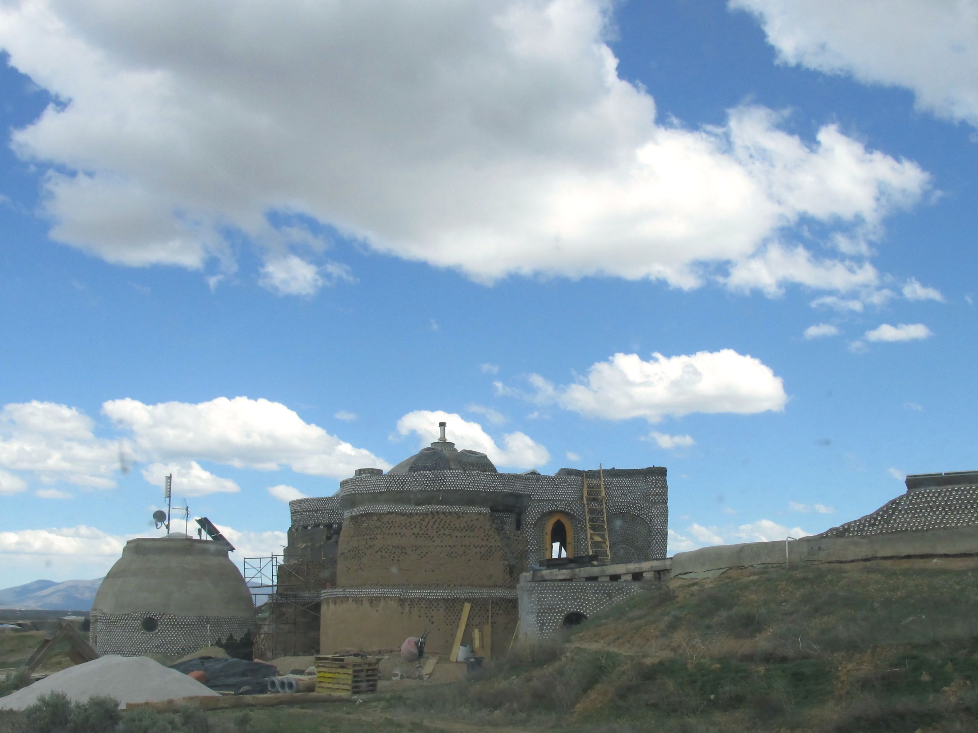
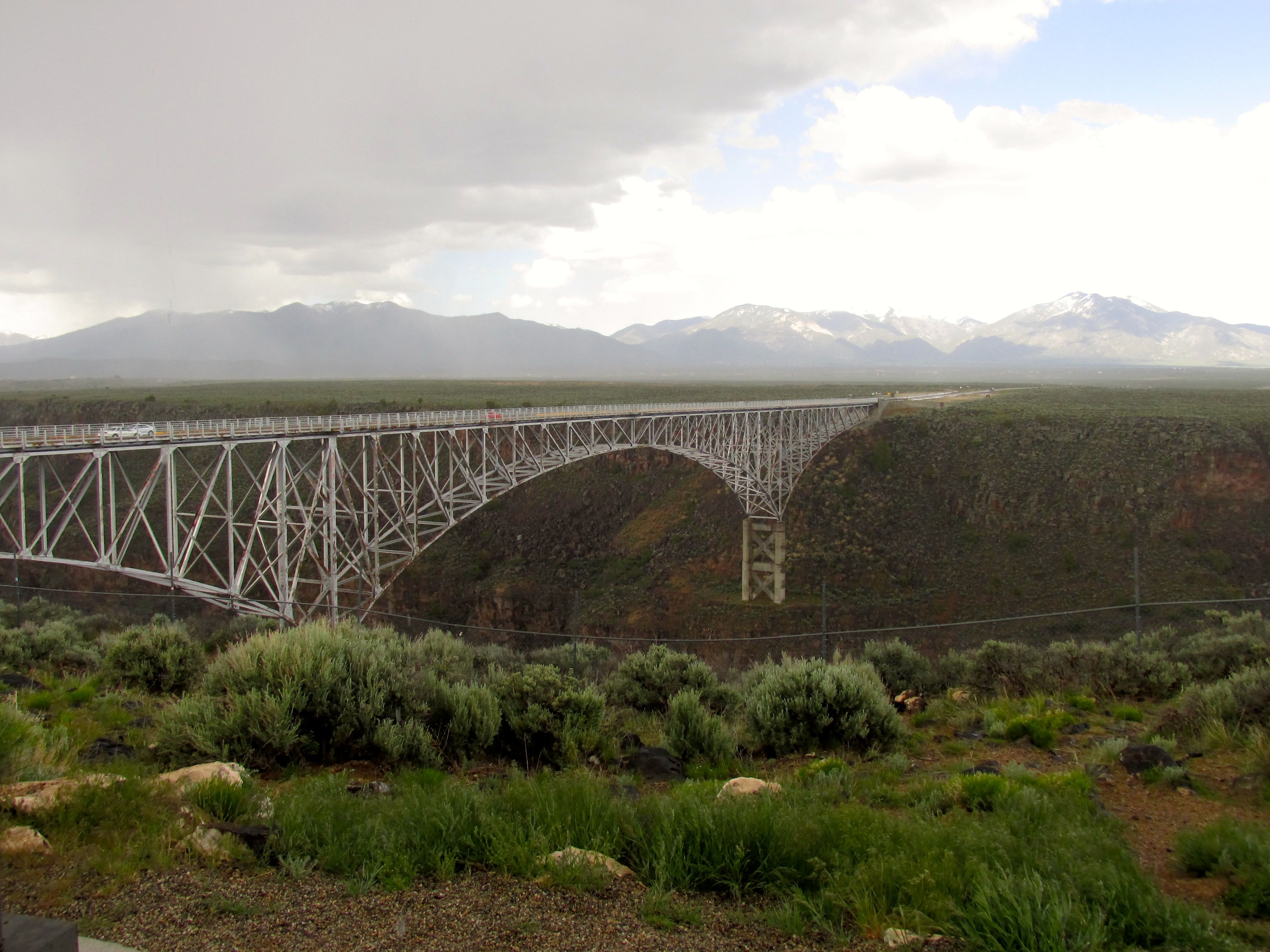
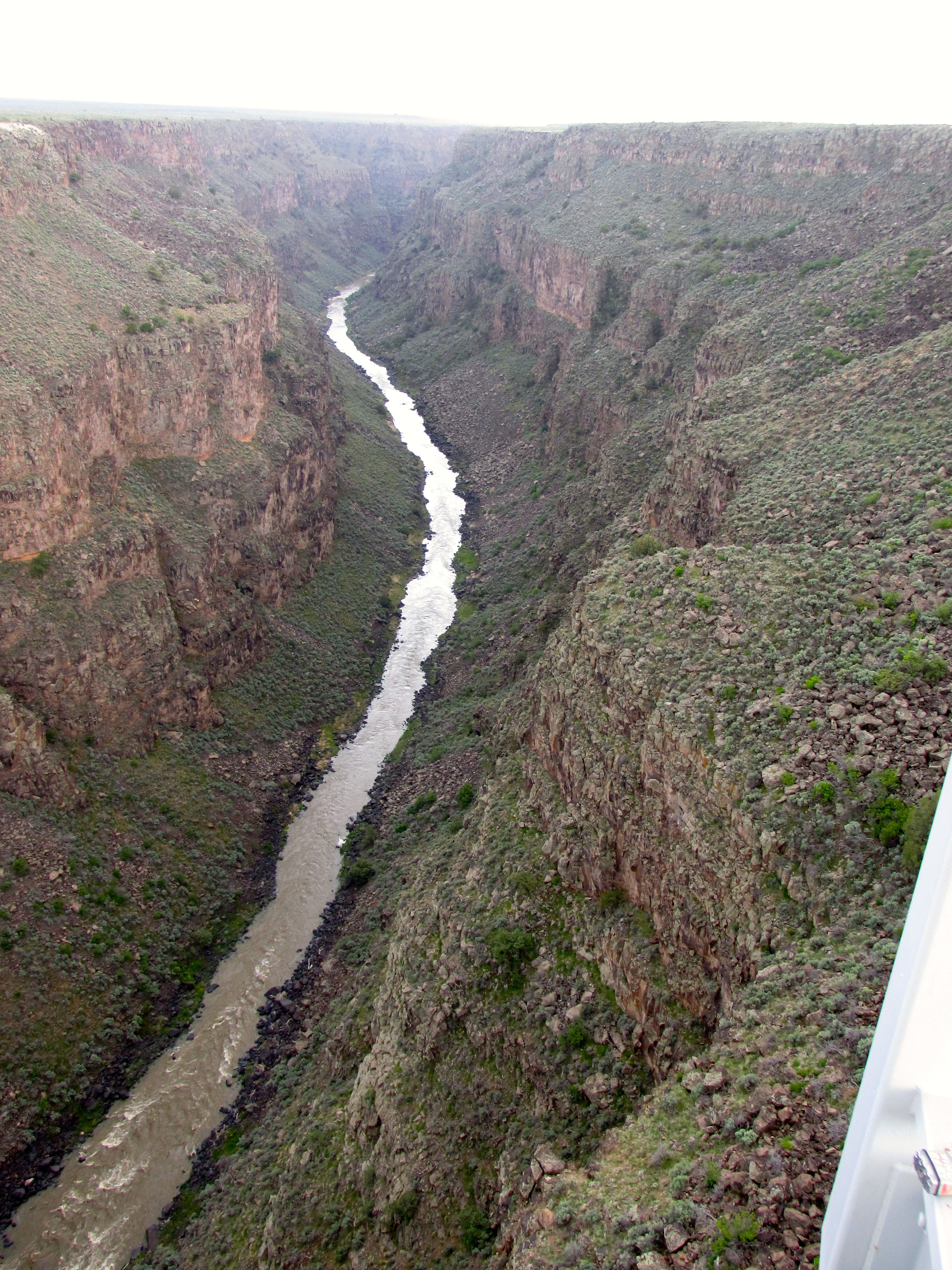
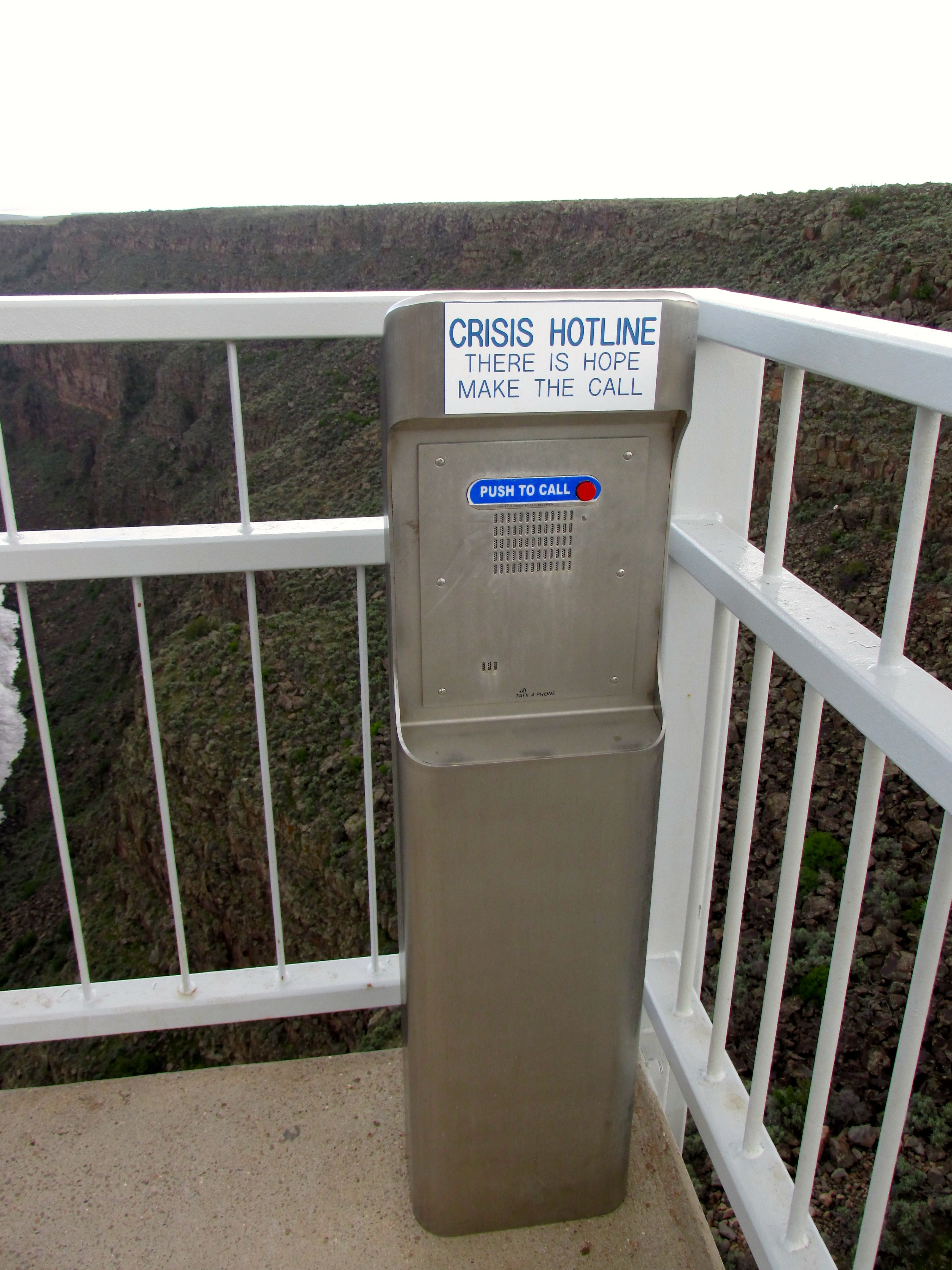
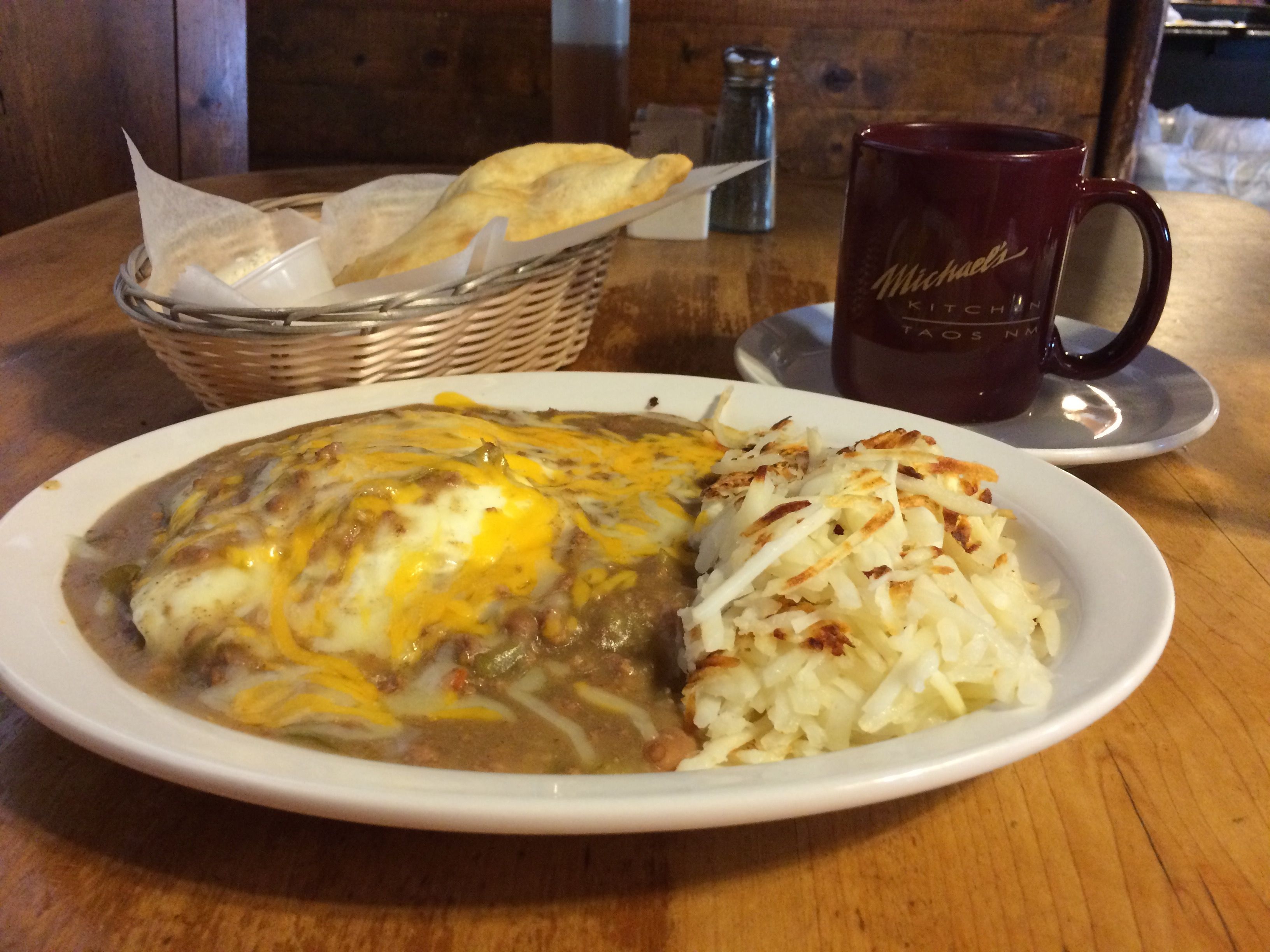
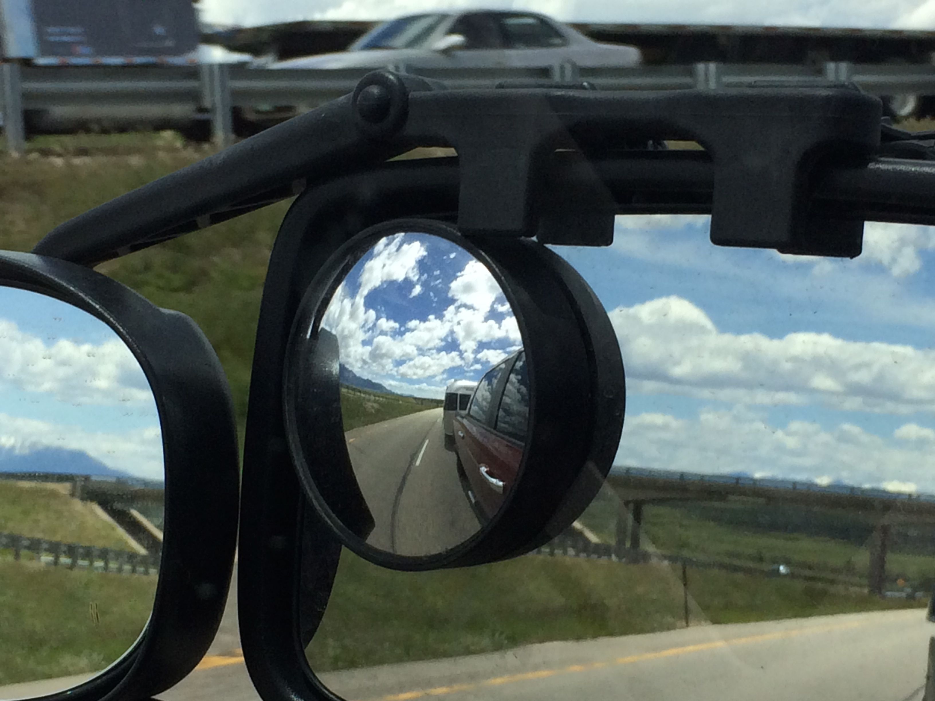
I hitched up Flo and began the long haul from Taos to Kalamazoo. It’s a trip of about 1500 miles, so it took several days.

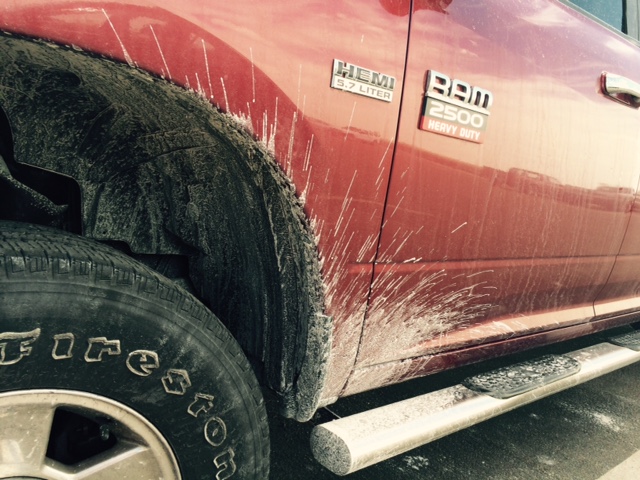
The first part of the trip was “scenic” which meant that I had both hands on the steering wheel and both eyes on the road. Needless to say, I didn’t see much of the scenery. But the roads were good and the traffic light.

By the time I got to Denver, the traffic was no longer light, but the drivers were incredibly courteous. I had people waving me in and letting me know that they were waiting for me. I wonder if all cities have citizens who are so generous during rush hour?

The view from my door at the Fort Morgan campsite

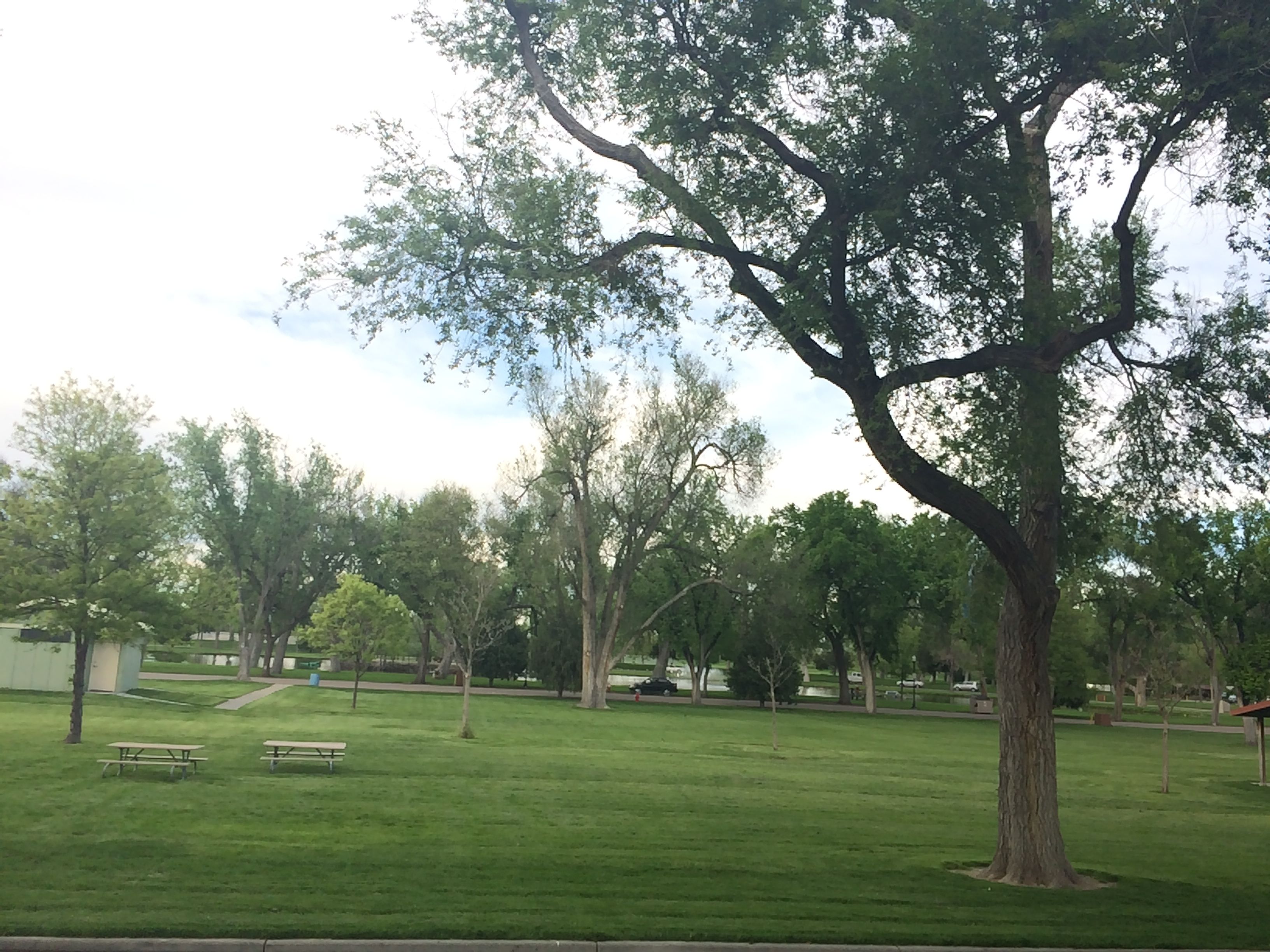
The first night, I stayed at a free – yes FREE – campground provided by the good people of Fort Morgan, Colorado. They set aside one parking lot in a large city park for people to camp in. They have a few 20 amp outlets for people who would like to plug in, and provide information about where to go for a dump station, water and showers. They allow people to stay for up to five nights. I only needed one night, and with my solar power and batteries, I didn’t need the electricity. I was touched by their hospitality.

The next night, I stayed at a municipal park in Utica, Nebraska. It was a small park a couple miles off I-80. I missed taking a photo of the view out my door because a neighbor was mowing his lawn and I wanted to respect his privacy. The next morning, it was raining. This site cost $10 and they had water and electricity and there was a pool in the park, if I had wanted to look into  it. Many of the smaller towns along the interstate in Nebraska have municipal campgrounds. I think this is mighty hospitable of them.

See the rabbits? (Cedar Rapids, Iowa)

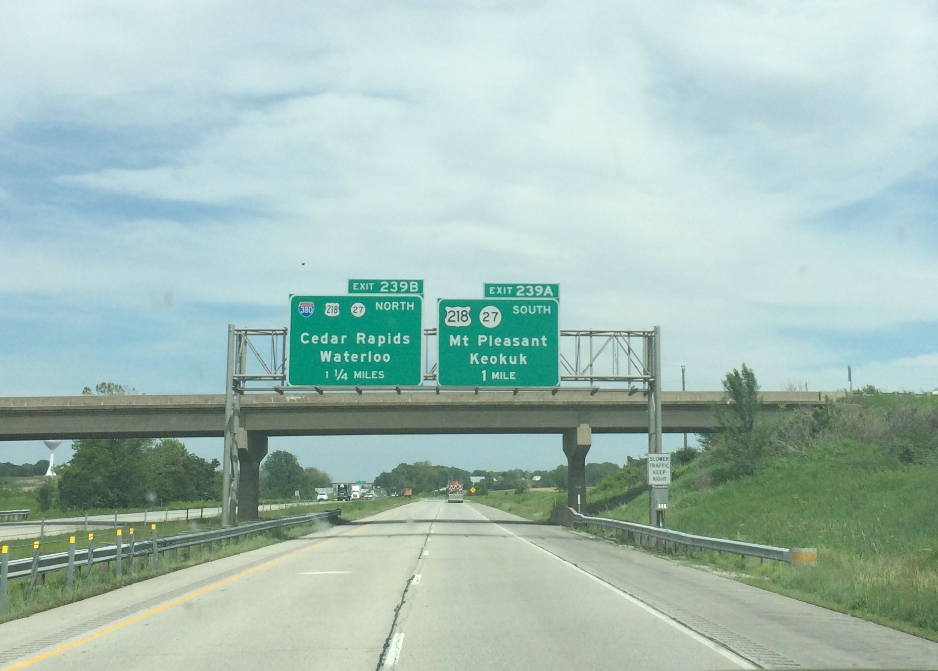
I drove across Iowa without spending the night. I loved the rolling hills. It almost seemed like a green ocean voyage.

The view from my door at Fisherman's Corner, on the banks of the Mississippi
The view from my door at Fisherman’s Corner, on the banks of the Mississippi

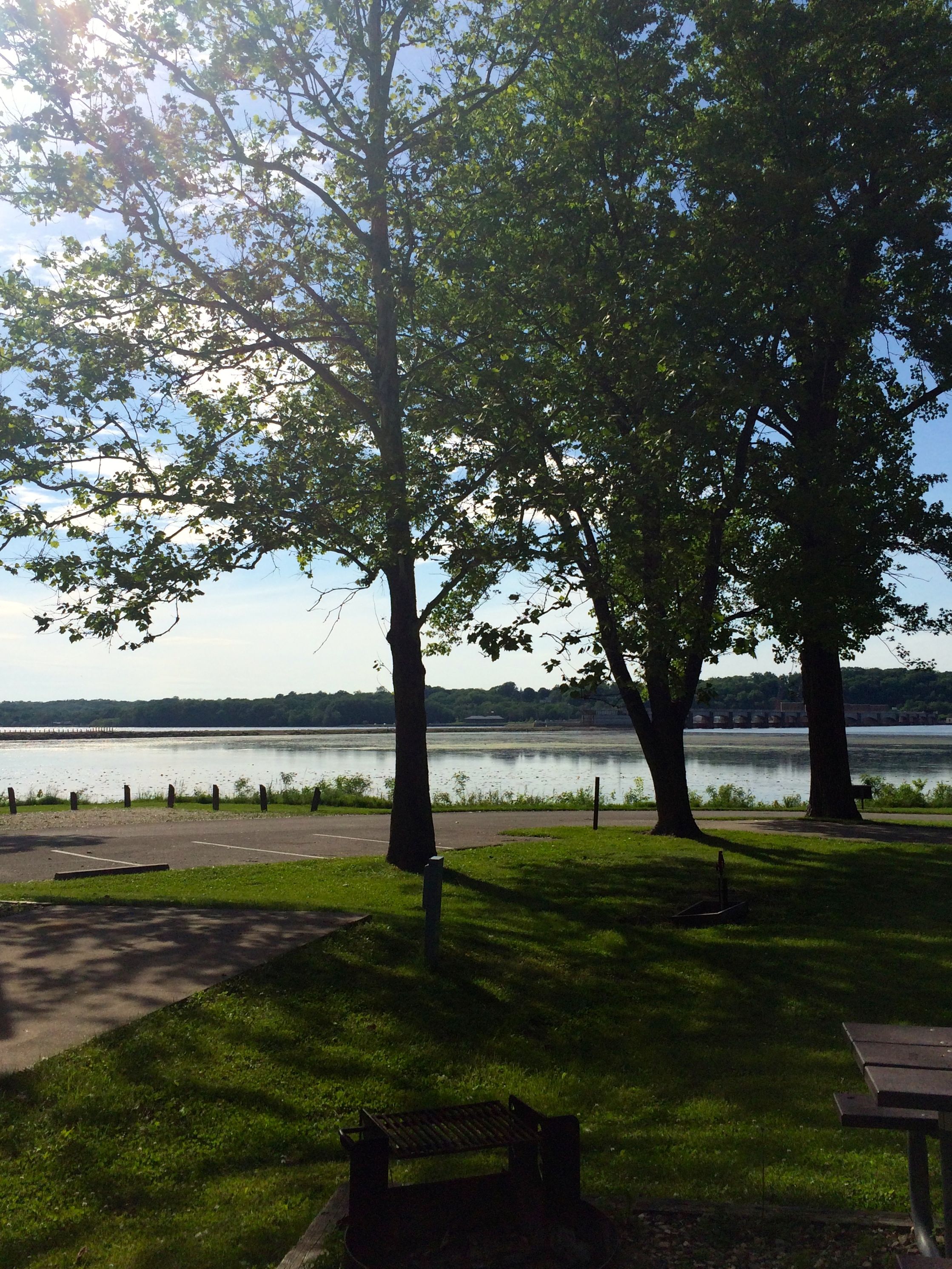
My third night of the trip was spent in Illinois on the banks of the mighty Mississippi at an Army Corp of Engineers facility, Fisherman’s Corner. It had water and electricity and provided a dump station. With my interagency pass, it was only $9 for the night.

I had wonderful luck with the weather on this trip. I kept hearing about the horrendous storms hitting all around, but I managed to settle into a trough between the fronts. My luck finally ran out in Indiana.

A view of the angry looking Lake Michigan from Indiana Dunes State Park.

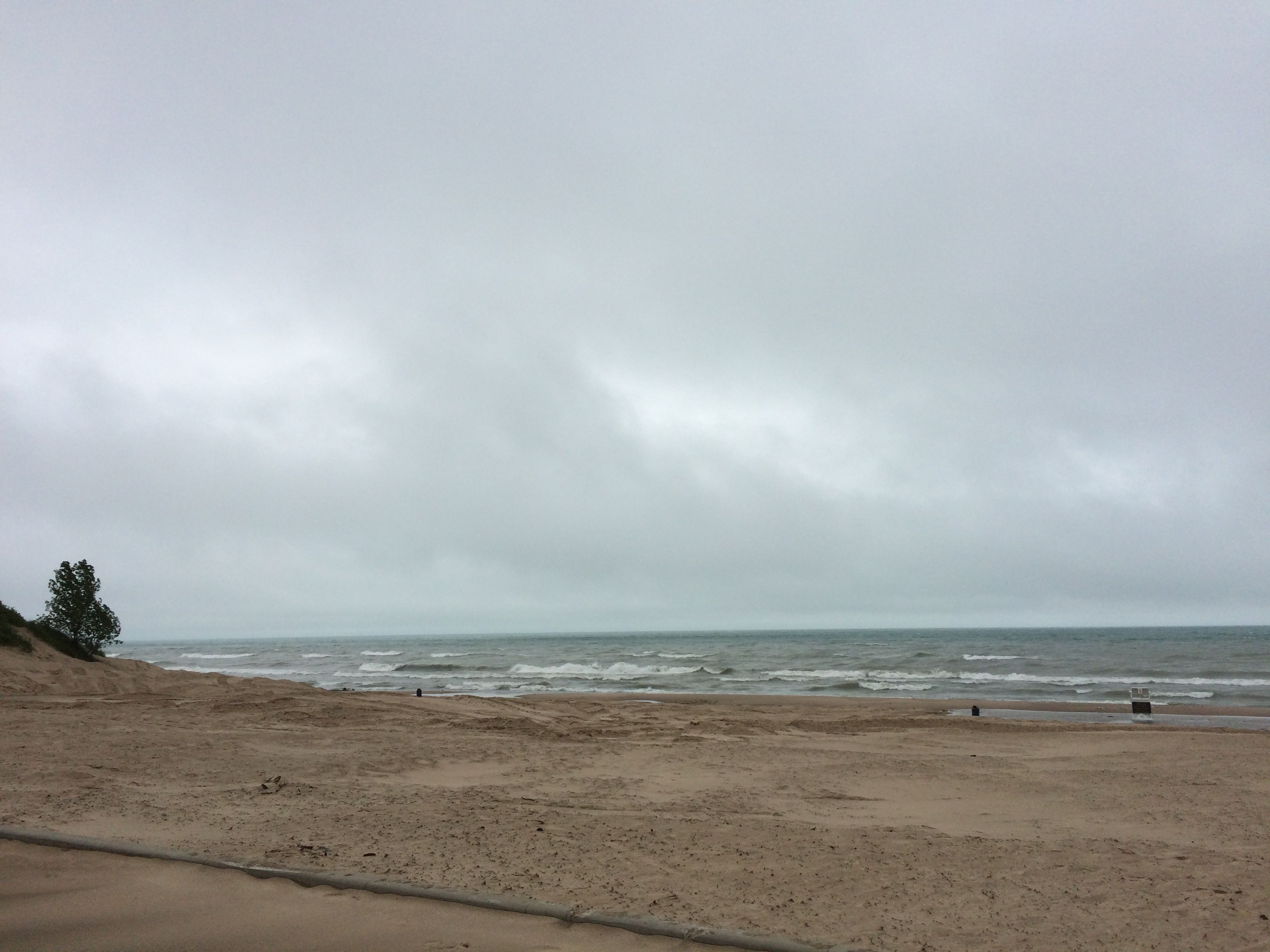
I spent two night at Indiana Dunes State Park and the weather was just miserable. I felt so sorry for all the tent campers there. I spent my time in the trailer, cleaning, resting and watching TV.

By the time I got all cleaned up and everything stowed away, it was time for the final hundred mile push down I-94 to Markin Glen County Park in Kalamazoo, and a visit to home and friends. And Doctors.

More about that in my next installment.


Taos Pueblo

Taos Pueblo is another site that Sister Jeanne, my art history teacher, introduced me to. It is a UNESCO World Heritage Site and a National Historic Landmark that is located about a mile outside of Taos. It’s a community of multi-storied adobe buildings that have been continuously inhabited for over 1000 years.

They tell visitors that the buildings have changed very little over the years. They have added doors and windows. Originally, access was by climbing ladders to the roof and entrance through square holes to descend into the rooms. The buildings within the pueblo do not have electricity, running water or indoor plumbing. Some people do have wood stoves, according to what I was told, but heating is done with small fireplaces.

TP 8

The pueblo is built on the banks of the Red Willow Creek, which is also called Rio Pueblo. The water was very high the day I visited due to all the recent rain.

The north building is the most frequently photographed part of the pueblo.

North building
North building
South Building
South Building

The walls of the buildings are close to a yard thick at the base and get thinner as they go up. The walls of the rooms at the top are around a foot thick. The roofs are supported with cedar beams, a layer of branches, a thick layer of mud and finished with adobe.

Each year, the buildings are refinished with another coat of mud. There is a great deal of similarity between the Earthships and Taos Pueblo in that they both use the materials they have on hand to create sustainable communities.

A stack of adobe bricks

In the center of the plaza are racks that they said are for drying food. They also provide nice shade. There is are ovens located conveniently throughout the pueblo. I like the idea of having one under shade.

Oven under the drying racks
!9th century church
!9th century church

There is a church on the plaza. It it is a replacement for a church that was destroyed by the United States military during the Pueblo Massacre of 1847.

Church destroyed in the Pueblo Massacre of 1847
Graveyard near the ruined church

The warm welcome I received from all the members of the Pueblo made me feel so sad about the treatment they received at the hands of the Spaniards and the United States.

May we all learn to live together in peace and with mutual respect.


Earthship

About ten miles outside Taos, near the edge of the Rio Grande gorge, is the headquarters of Earthship Biotecture. It’s an engineering and architecture organization that is dedicated to building self-sustaining dwellings out of recycled materials. You know those oh-so-difficult to dispose of tires? Those are the foundation of their buildings.

They are packed full of soil and then treated like bricks. They also use bottles and cans in their buildings, but I got the impression that they were not used for load-bearing walls.

They are mortared together with a mud mixture. When the building is complete, it is covered over with the same mud mixture. It seems like this mud is similar to cob or adobe.  The exteriors need to have the outer layer refreshed every few years.

T Earthship 1

Usually at least half of the building is in built into a hillside or has an extensive amount of earth built up around it for insulation.

T Earthship 7

The side that faces the sun is largely glass, to take advantage of solar heating. The sun passes through the glass and the heat is stored in the floor and walls of the interior and released throughout the night.

T Earthship 2

The angles of the glass walls are planned to allow for maximum heating during the winter and less heating during the warmer summer months. There is two-walled system of glass walls to contain and control the heat. The interior temperature of the living areas is controlled, at least in part, by skylights that open and close.

Closed skylight
Closed skylight

The ballast, which you can see on the left side, keeps the skylight open.

Open skylight
Open skylight

Rain water is collected and stored in cisterns beneath the house.

Collecting rainwater

Their are holes in the basin to strain out the larges pieces. There are additional filtering steps. There is also extensive water reuse, and reuse of grey water for plants and sanitation. Plants are an integral part of the design. They are used in water purification and part of the occupants’ food can be grown in the house.

These homes are designed to be completely off-grid, although they can design buildings that do hook up to utility infrastructure. As I understand it, electrical power comes from solar and wind and is stored in batteries. They have solid state inverters to change the DC power of the batteries to the AC power that is used to run appliances.

They had a video and a slide show that displayed the variety of structures they have built since they started in the early 1970’s. Michael Reynolds was the person who started Earthship.

They have quite a community growing around the headquarters, although those are in private areas that are not accessible to visitors. (But they can’t stop us from looking!)

Building going up!
Building going up!

Apparently you can rent a room in an Earthship to stay overnight. If I didn’t already have Flo the Airstream, I might have looked into it. They also have buildings for sale, and they will build one for you that suits whatever region you live in.

It was a wonderful visit, and I have to thank Sister Jeanne my art history professor from Daemen College for introducing me to it. She was a marvel and so cutting edge. She was teaching about this when it was just barely getting started.

If you want more information, look them up online.

www.earthship.com

On the way back to Taos, I stopped at the Rio Grande Gorge Bridge. The weather had changed dramatically from when I left Flo in the morning. In fact, while I was on the bridge, some very wet, sloppy white stuff fell from the sky. Brrr!

Rio Grande Gorge Bridge

The bridge is about half a mile from edge to edge. Depending upon who you talk to, it’s about 600 feet from the bridge to the river. Some people said 800 feet, some people said 900 feet. One thing isn’t up for debate: it’s a long way down.

My campsite is downriver someplace

The distance to the bottom kind of gave me pause. And, I guess encouraging people to pause was the idea behind these buttons.

T Bridge button

It made me stop and say a prayer for the people who have used the button – and those who didn’t.

The unnamed wet, white precipitation was coming down in earnest, so I decided to high-tail it back to Bart the truck and warm up.

Next entry: Taos Pueblo!


Taos!

I had been looking forward to visiting Taos for decades! Sister Jeanne, my art history professor at Daemen College, had taught me about several buildings there and I wanted to see them for myself.

St. Francis of Assisi in Rancho de Taos
Taos Pueblo
Taos Pueblo
Earthship
Earthship

In addition to the buildings I knew about, I couldn’t wait to see what else I could fine in this magical place.

One thing I was looking forward to was dining out. In addition to the buildings, I was reading about the good eating available in Taos. I was getting a little tired of eating in. Not only do I have to cook the food, but I have to clean up after myself. Since I live in about 250 square feet, it’s hard to ignore a mess in the kitchen.

The first day, I ate at The Alley Cantina, the oldest building in town. Well, part of the building is 400 years old. As with any good building, you keep repairing and rebuilding.

Tamales, pozole, and beans

My second day, I ate at The Farmhouse Cafe and Bakery. Everything was locally sourced, grass-fed, non-GMO, pesticide-free and handmade. I felt 75% more hip after that lunch.

Shepherd's Pie
Shepherd’s Pie

My third day, I ate at Michael’s Kitchen, a place a friend had recommended to me. You know it’s good when you have to wait in line for 20 minutes – and it’s not even a peak meal period.

Huevos Rancheros, Hashbrowns and a Sopapilla

My last dining experience was another recommendation – The Adobe Bar at the Taos Inn. I looked over the menu, and decided upon Nachos. They had small and large. I asked for the small size. The waiter recommended that I get half of a small. I’m so glad he did! I think I managed to finish half of the half order.

Half of a small order of nachos

Now that we have the dining out of the way, I’ll share more about the architectural features – in my next post.


Valley of Fire, Carrizozo, New Mexico

My next stop was another Bureau of Land Management site, Valley of Fires, near Carrizozo, New Mexico, just a little ways down the road from Three Rivers Petroglyph Site.

I pulled in and selected a great campsite with a view. Even better than the view was the sense of accomplishment I had when I backed it in on the first pass and didn’t hit anything.

View from my campsite

Actually, it wasn’t hard to select a campsite with a view. The campground was situated on a sandstone hill that the lava flowed around.

The lava flow has the distinction of being one of the youngest flows in the continental United States, which took place between 1,500 and 2,000 years ago.

The lava is between four and six miles wide and up to 160 feet deep. Due to the fissures in the surface and the dark color that holds the heat, there is a wide variety of plants in the valley. I read on one of the signs that there is double the number of kinds of grass plants here than in the surrounding desert.

A wide variety of plants

There is a paved path that goes through the lava field. That made the hike more like a stroll.

It has two types of lava: pahoehoe (pronounced pa-HOY-HOY)  and a’a (pronounced ah-ah) The pahoehoe is a “ropey” lava and a’a is blocky.

Pahoehoe
Pahoehoe

VF pahoehoe ropey 3

VF pahoehoe ropey 4

VF pahoehoe ropey 5

The pahoehoe really does look like ropes and bundles of cables that are cut into chunks.

VF a'a

This formation wasn’t labeled, but it fits the a’a description as blocky.

There were signs that encouraged us to hike on the lava field. I took a few steps, but it was not a comfortable walking experience, in spite of the fact that I had my best walking shoes on.

The signs say that they have a nice assortment of animals. I only saw a lizard, squirrels and rabbits. The squirrels and rabbits refused to pose for me, but the lizard didn’t mind posing.

VF lizard

Along the path, there was a 400-year-old juniper tree.

400 year-old juniper

Also, there were some lovely flowers in bloom.

VF red flower

VF orange flower

I finished my walk through the lava field and started on my way back to Flo the Airstream. You can see her parked up on top of the ridge.

VF campsite

I stayed the night and left in the morning for a couple of days in Albuquerque to take care of some business. The next post will be about Taos. Stay tuned!

More Petroglyphs? Yes, Please!

Just follow the path to the right.

The next morning, I decided to take the hike to the other petroglyph site that Lyn, the camp host told me about. “Just take the path too the right, and follow along the base of the hill and the fence. Go through the gate and keep going.”

That little line of rocks is the beginning of the trail. I walked toward where the gate was supposed to be.

Looking back at the camp site

I walked along the barbed wire fence until I came face-to-face with more barbed wire. For the uninitiated, this is a gate.

The gate
The gate

You lift the latch.

The latch
The latch

Drop the gate and walk through.

The open gate
The open gate

TRPS 3 gate latched again

Then, be sure to latch it up again.

Sometimes the trail was a little hard to see. In some places, there were rocks showing the way. In other places, there were just footprints in the dirt.

TRPS 3 people trail

But, human trails were easy to distinguish from the animal trails.

Animal trail
Animal trail

I wasn’t too certain that I was heading in the right direction, but I finally found a glyph.

First glyph sighting

It wasn’t an outstanding glyph, but at least I knew I was on the right path. The next glyph I found was amazing!

Second glyph - WOW!
Second glyph – WOW!

After that, I spotted them one after another.

Bird track glyphs
Bird track glyphs

TRPS 3 what is this

I loved this one. It reminded me of a Picasso work of art. I wonder what the creator intended?

TRPS 3 circles

There were more circles.

TRPS 3 hand print

A handprint. A universal way of leaving one’s mark from the caves at Lascaux and Chauvet in France around 30,000 years ago to Grauman’s Chinese Theatre in Hollywood.

TRPS 3 hand 2

TRPS 3 claw

Could this have been a mountain lion’s paw?

TRPS 3 circle cross

Another circle motif.

TRPS 3 wind glyph

I like to think of this as a symbol for wind. There certainly is enough of it here in the desert

TRPS 3 bird circles etc

What a nice collection of glyphs!

TRPS 3 fish

A fish?

TRPS 3 game controller

This looks like a video game controller to me.

TRPS 3 lots

This boulder had them on just about every surface.  I was having so much fun exploring and seeing what I could find. Of course, I know I wasn’t really discovering them. Countless people before me had been there, as well as many cows.

TRPS 3 laughin animal

I love this little laughing animal.

TRPS 3 large bear claw

This one looks like a bear claw.

TRPS 3 lizard

A lizard.

TRPS 3 collection of glyphs

Another lizard, claw and more circles.

TRPS 3 face

This one looks like a face or mask.

TRPS 3 abstract animal

Interesting geometric designs.

TRPS 3 double circles

Double circles.

TRPS 3 four circles 2

Quadruple circles.

TRPS 3 four cirlces

And more quadruples.

The end of my trail
The end of my trail

And finally, my exploration was over. I reached the end of my trail. There may have been  more, but I would save them for another visit.

Next up: Valley of Fires near Carrizozo, New Mexico.


Three Rivers Petroglyph Site, Tularosa, NM

If there is anything I like more than rocks, it’s rocks with  ancient art on them. I also just love surprises.

Tree Rivers Petroglyph Site was full of surprises. And rocks.

I’ve been to places that say they have petroglyphs. Maybe they do, but they are kind of remote, or not too visually exciting or covered over with more recent “petroglyphs.” (Also known as graffiti.)

The view from my campsite.

This site is run by the Bureau of Land Management. In addition to managing the trails, they have camping and picnic facilities. The campsite I had was first rate. It had electric and water hook ups and it was as level as could be. I just pulled in and set up – no jockeying about was required. And it was a pull-through site! No backing up required. The site even had a table with a shelter, a trash can and a grill. All this for $9 a night, with my America the Beautiful Interagency Pass.

I set up camp.  The winds were vigorous, but Lyn, the site host told me that the forecast was better for the next day, so I decided to wait to hike the trail.

This was the home of the Jornada Mogollon, a prehistoric indigenous culture, of which there are no known descendants. They made the petroglyphs over 600 years ago, and, according to the brochure I was given, over 21,000 petroglyphs were found  here and were documented by the Archeological Society of New Mexico’s Rock Art Recording School.

The Jornada Mogollon created these pictographs by pecking away the patina on the surface of the rock with another rock.

TRPS rock with patina chipped off

This rock has a surface broken off; you can see the difference between the patina and the rest of the rock.

TRPS 3 over all shot

There are all sorts of petroglyphs and you can walk right up to them. The website for this place says that the trail is rough and boulder-strewn. You can see that it is.

This way to the petroglyphs!

There are geometric shapes.

TRPS 6 circle close up

TRPS 18 glyphs all over

TRPS 16 circles

TRPS 2

There are animals, lizards and birds.

TRPS alpaca

TRPS 21 animal with blanket

TRPS 19 lizard

TRPS animal with spears

TRPS 20 bird

And faces and masks.

TRPS 14 face and symbol

TRPS 15 face

Speaking of faces, I met some lovely smiling people at.  the top of the trail. We sat in the shade of the shelter and chatted for a bit. Mari and Chris were just up for the day from Las Cruces. They were going to continue a little further, and I was heading back down. When we parted ways, Mari gave me her walking stick!

TRPS Madi and me walking stick

Now I match the hiker guy on the sign!

TRPS hiker sign

It’s easy to believe that there are more than 21,000 petroglyphs here! I wonder if there are more on those other rocks over there?

TRPS 11 More over there?

Incidentally, of all the things I saw on the trail, nothing could compare with what I saw in the parking lot.

TRPS keys

Yes, I dropped my keys. I did the trail again, and even called a locksmith. He was on his way when I found them.  I texted him and let him know that I was all set. He congratulated me on the find and wished me a good stay.

As exciting as this day was, the next day allowed me to cross something off my bucket list.


Get Crackin’!

Giant Pistachio

If you need a dose of roadside side attractions, may I suggest the World’s Largest Pistachio?

You can see it – and many of the ordinary-sized ones – at McGinn’s Pistachio Tree Ranch and Arena Blanca Winery, On highway 54 north out of Alamogordo.

If you need a more compelling reason than seeing an enormous pistachio statue, I have two words for you:

FREE SAMPLES!

That’s right, they let you try all the delicious pistachio concoctions that they have for sale. Pistachios in the shell, pistachios out of the shell, pistachio brittle, flavored pistachios – you name it! I’ll bet they had 25 different flavors and preparations there to try.

And, if pistachios aren’t you thing, how about wine? Yes, they had wine tasting, too.

Keep your eyes peeled for the rack cards advertising area attractions when you are in other business. I picked one up and got a free bag of pistachios with a purchase of more then $10.

What did chronically frugal Kim buy, you might ask. Well, let me tell you! They had plus sized tee shirts. And not only did they have larger shirts, they had them separated on their own racks. No pawing through size extra small wondering is they have one that fits!

They also give tours of the pistachio ranch. I missed the tour, but I’ll bet it is interesting.

If my post has you hankering for some pistachios, you can check out their website. www.pistachioland.com


What Color is the Sand at White Sands National Monument?

WS Me

Now, that might seem like a trick question. As you can see in the photo above, the sand is white at White Sands National Monument. And Grant is buried in Grant’s Tomb.

However, as I approached the site, I have to admit that I was a little concerned. I could see some white in the distance, but it looked more like snow drifts in a mall parking lot in March – vaguely white, but with lots of dark matter combined. When I got up to the Monument, I could see that the dark spots were desert plants growing in the white sand. Still, it wasn’t quite what I was expecting.

Dunes with vegetation

I stopped off in the visitor center, looked at the exhibits and saw a video about the dunes and how they are created. Then, I was off to see them for myself.

The first four miles of the Monument are a safety zone, which means there is no stopping. I assume that this has something to do with the fact that White Sands National Monument is smack-dab in the middle of the White Sands Missile Range. I didn’t ask.

The scenery is much like the picture posted above. White dunes sprinkled liberally with desert plants.

I came to a sign that gave me pause.

WS pavement ends sign

After the jarring rides I had after the pavement ended in Death Valley, I was a little concerned. However, I needn’t have worried.

WS Unpaved Road

The unpaved road was smoother than the asphalt! If you look to the side of the road, you can see that they have to plow the roads to keep them passable.

I stopped first to look at a display on the plant and animal life, but what I saw was a sign the made my heart sing!

WS sign encouraging play


“This area is reserved for Nature Study. For sand play and other recreational activities, please drive three miles down the road into the heart of the dunes.”

Oh, be still, my heart! Not only was I getting close to the heart of the dunes, but they were actually encouraging sand play! I jumped back into the truck and headed into the heart of the dunes.

After that, the white dunes that I was hoping to see came into view.

WS more dune sky and mountain

WS dune and sky

WS plowed sand 2

White sand as far as the eye could see!

WS sledding on the dunes

And there were people sledding on the dunes! I kind of wondered how they happened to have flying saucers with them in southern New Mexico. I found out afterwards that they sold them in the gift shop.

WS Sled info

I like how they will buy back  your sled and resell it. Used sleds are even cheaper than new ones. I was almost tempted to buy one, go back and give it a try. Then I reflected on my last sledding experience more than twenty years ago and thought better of it. The sand wasn’t particularly slippery. Maybe it was due to the rain they had recently.

Actually, the water table is very high here. In the visitor center, they showed that the water is only about a foot below the surface. I didn’t dig down to check it, but I could feel that the sand was much moister than the sand in Death Valley.

There were actually puddles on the sand. Bart looked really jaunty with the splatters from going through them.

WS splashed fender

One of the highlights of the experience at White Sands is sunset. They even have a ranger-lead stroll to experience sunset. I vowed to return for that.

But I will save that for another post.