Lake Bruin State Park

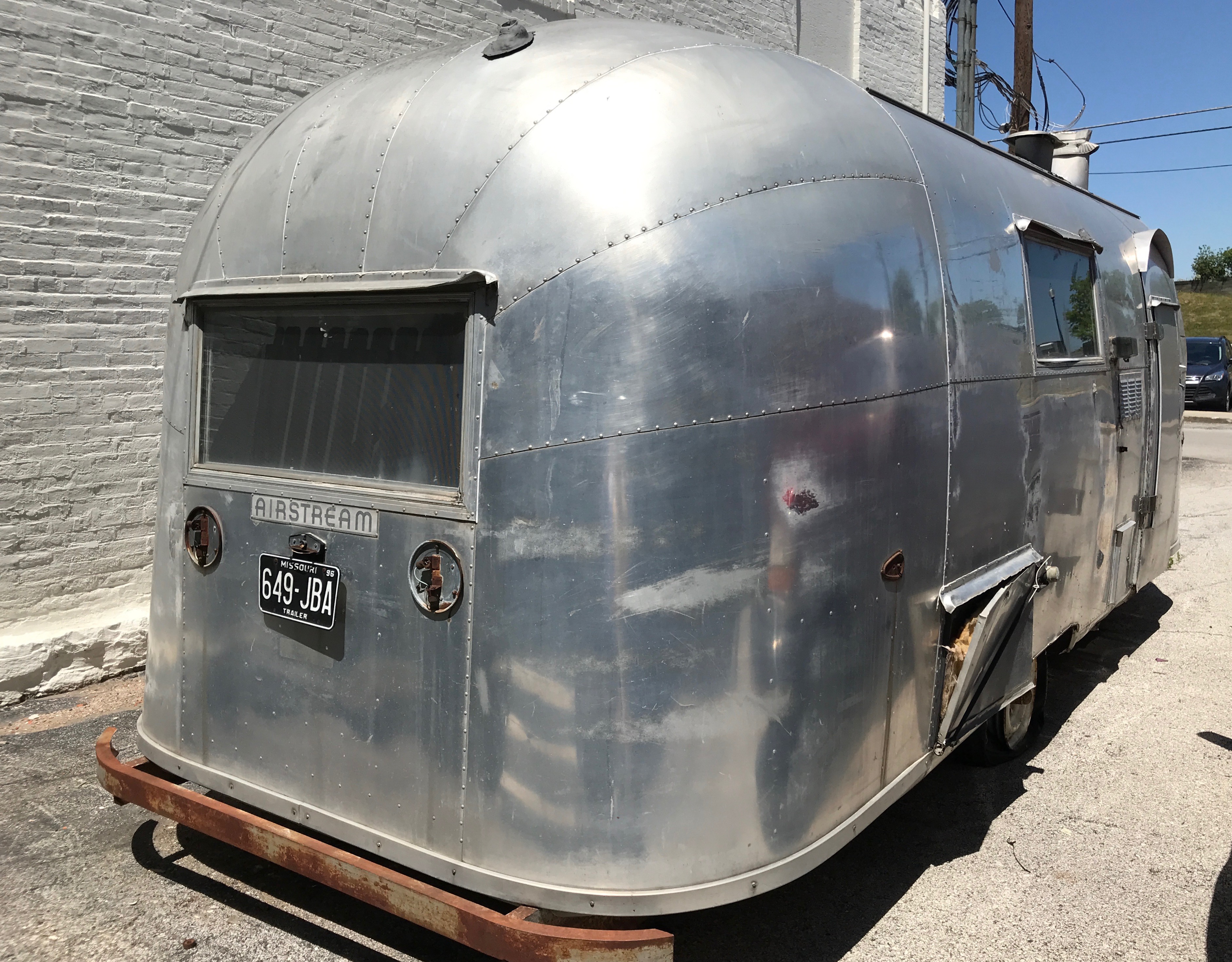
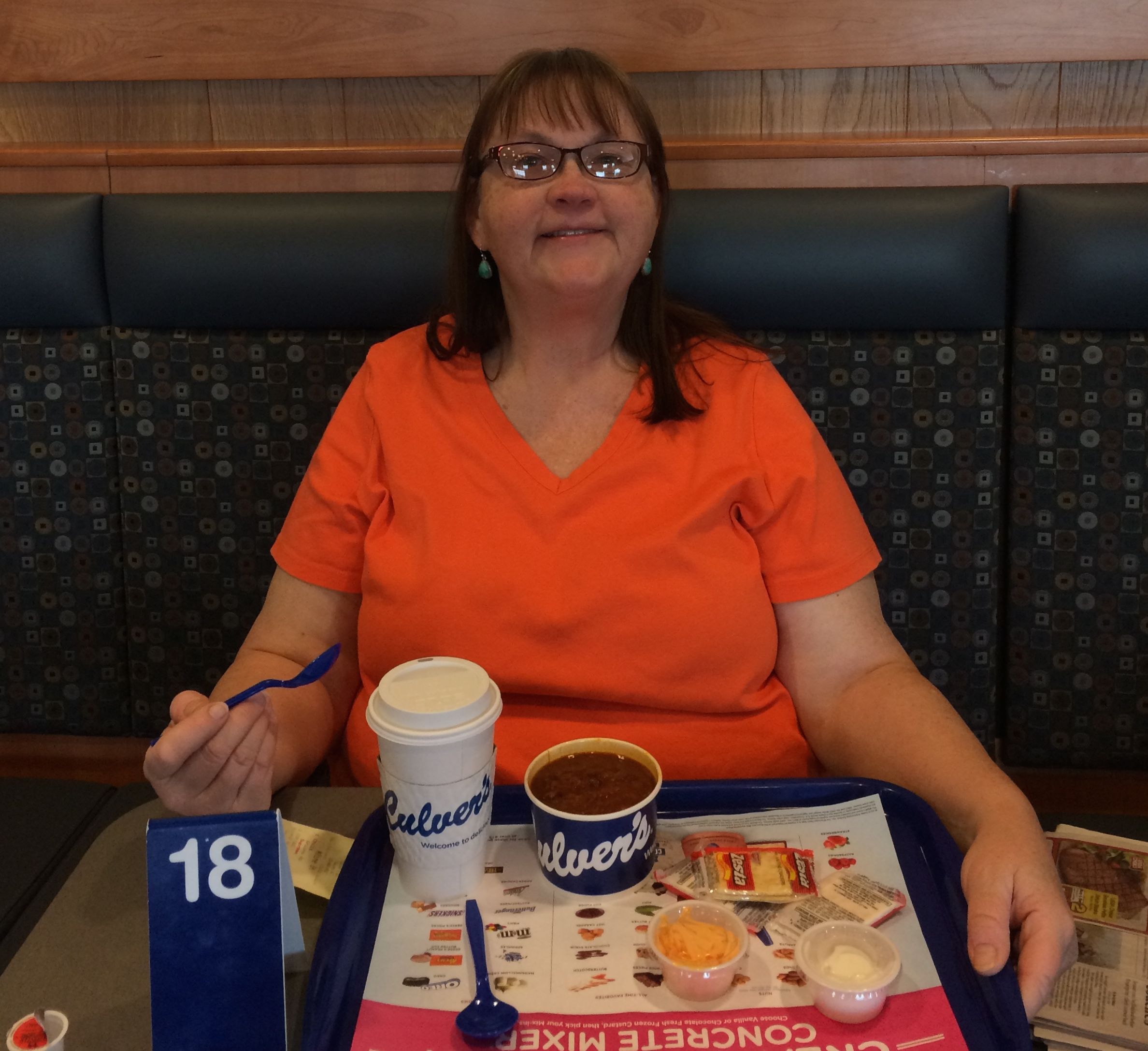
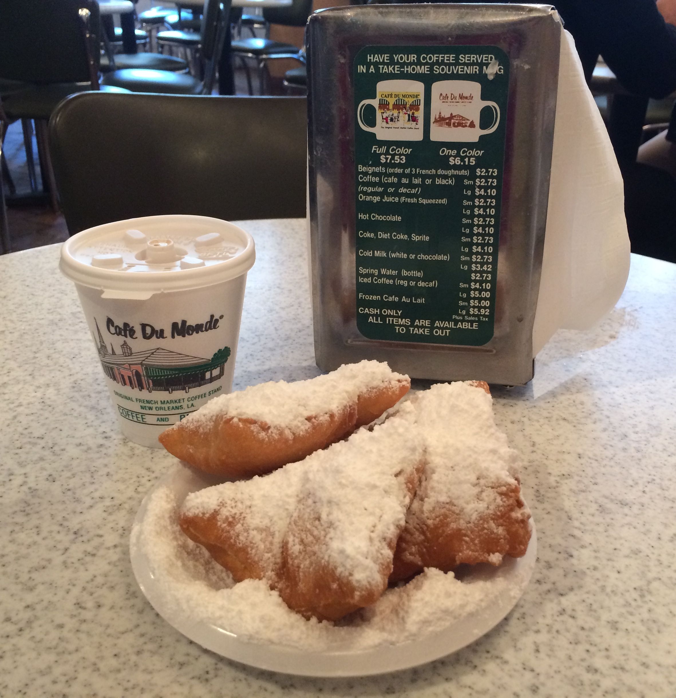
With so much free time on my hands, thanks to Covid-19, you might think I would have finished writing about my dinner trip to New Orleans in March by now. After all, I did get home almost three months ago.

But, if there is anything I excel at, it is letting time slip through my fingers.

Anyway, back to the trip.

I left Baton Rouge and made my way to  Lake Bruin State Park in Saint Joseph, Louisiana. I booked two nights so that I could take a moment and consider my options. I still thought I could practice social distancing and travel, but I wanted to rest and think thing through before deciding to either continue my travels or to head home.

I got there just after 5:00, and the staff had already packed it in for the night. Usually they leave the park pass and any campground information at the office for late arrivals, but that didn’t seem to be the custom here.

However, there were plenty of available campsites. In fact, there were only about six or so campsites that were occupied. I picked one that they had listed as reserved for late arrivals and set up camp.

I had dinner and decided to just hang out in the T@b. The weather wasn’t that great and I was kind of tired. I had been driving for days!

The next day, I set out to take a look at the campground. Not the only did they have campsites, they also rented cabins. I would have loved to take a look inside!

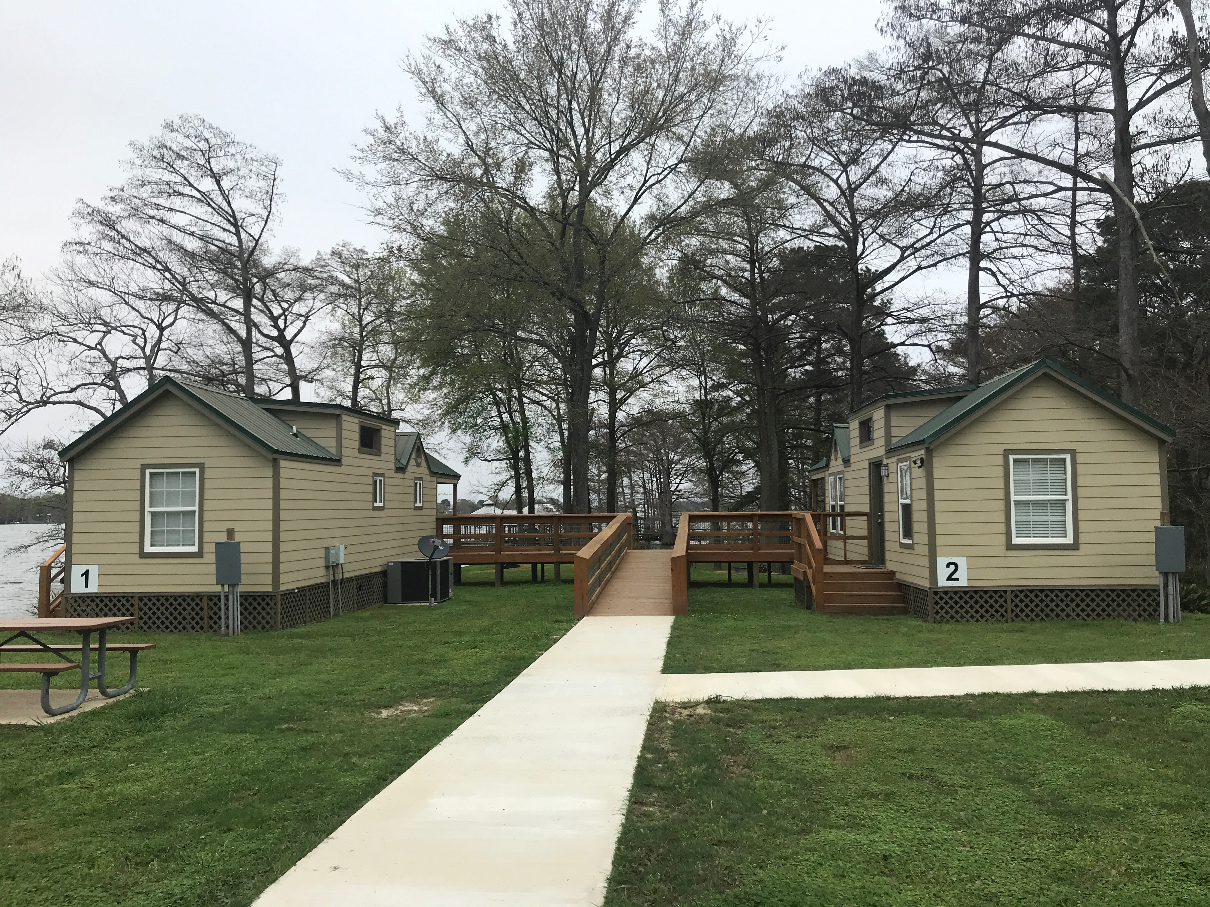
I’ll bet they are great for family reunions!

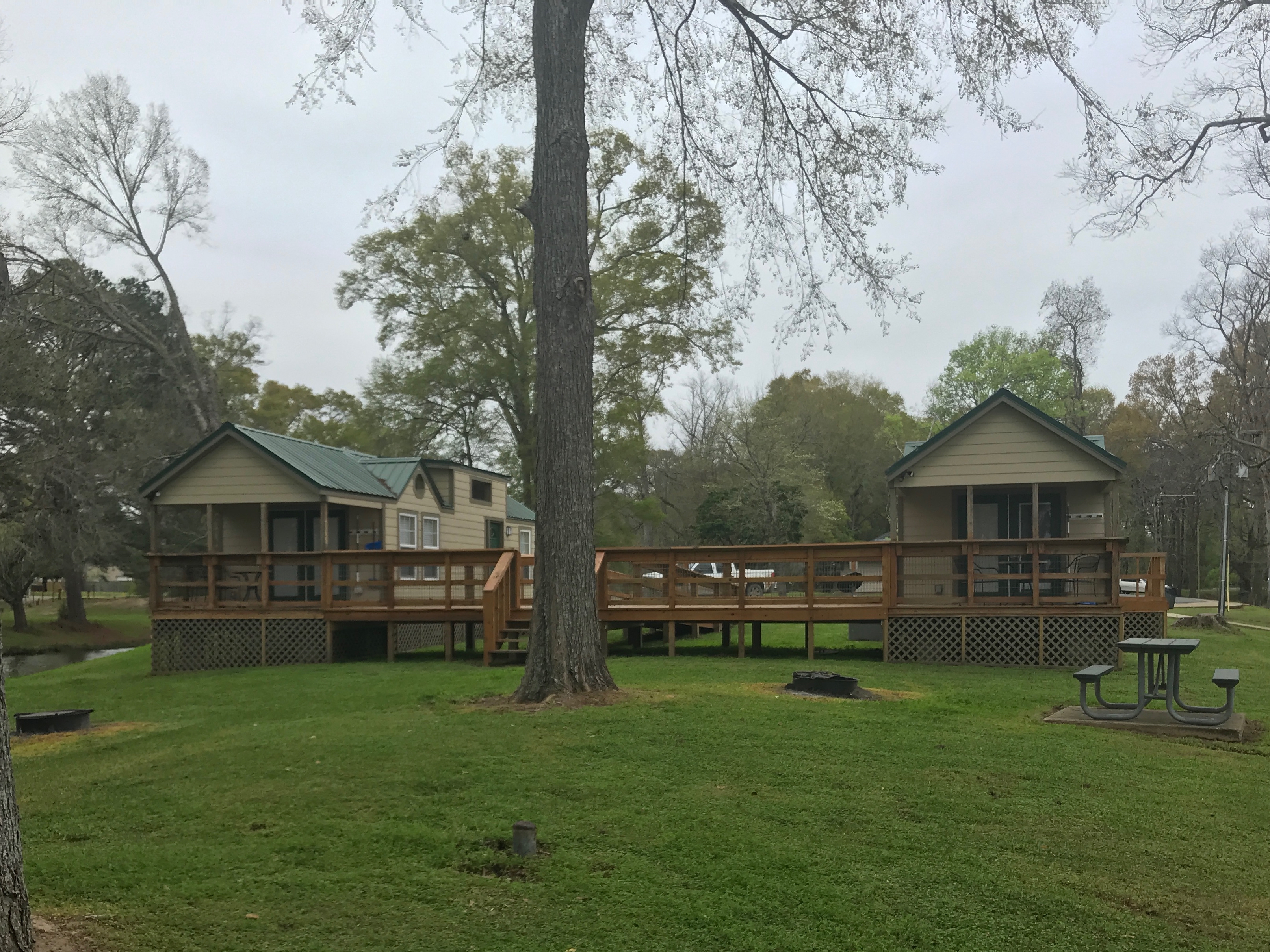
That connecting deck would make going back and forth really convenient, and I do love porches!

The main reason for the park is the lake. The water sounds so funny because I am standing on one of the several docks for fishing.

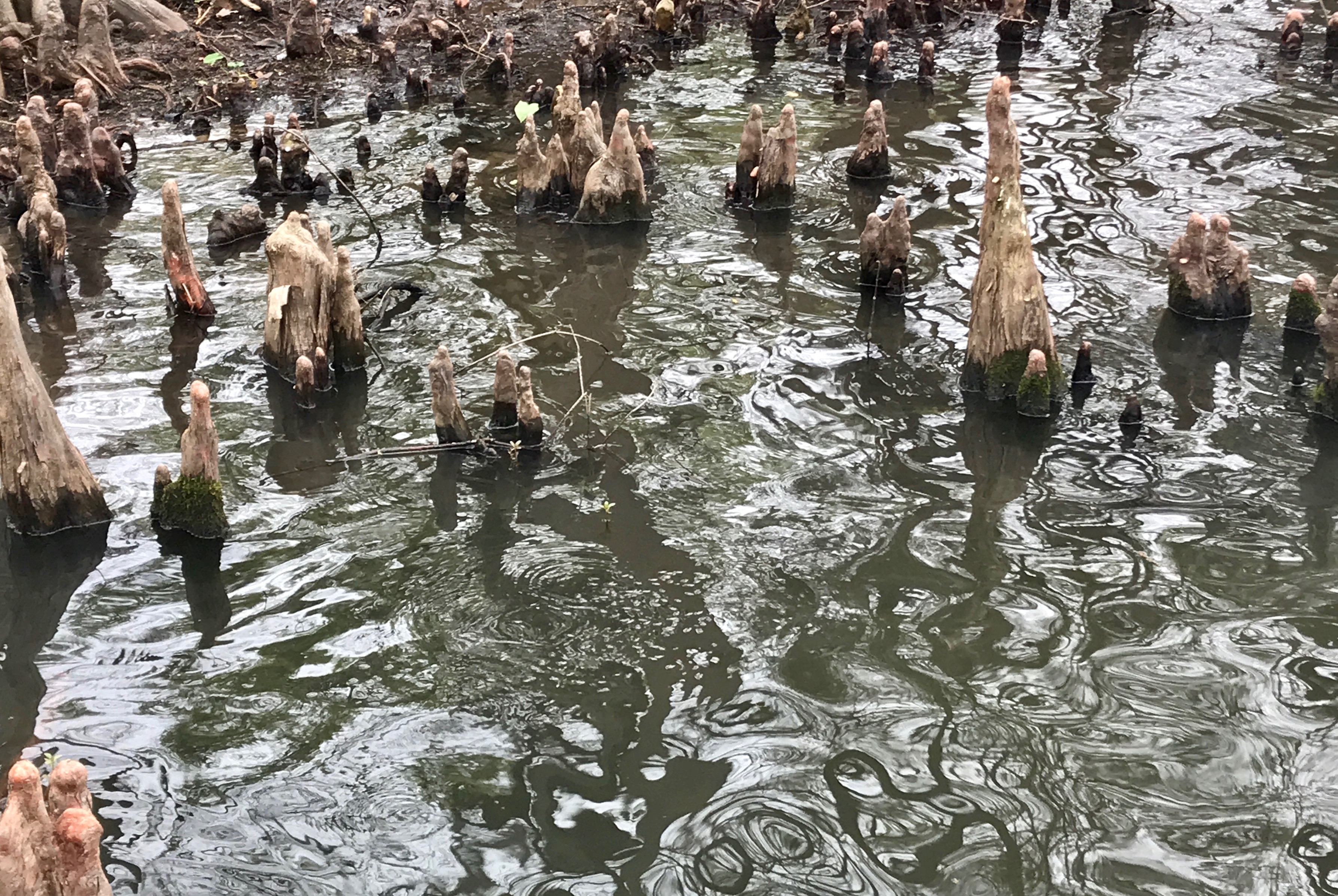
I was fascinated by the cypress knees. Auntie Lo used to have one in her living room. I wonder if my cousin Mark still has it? I’ll have to ask him next time I talk to him.

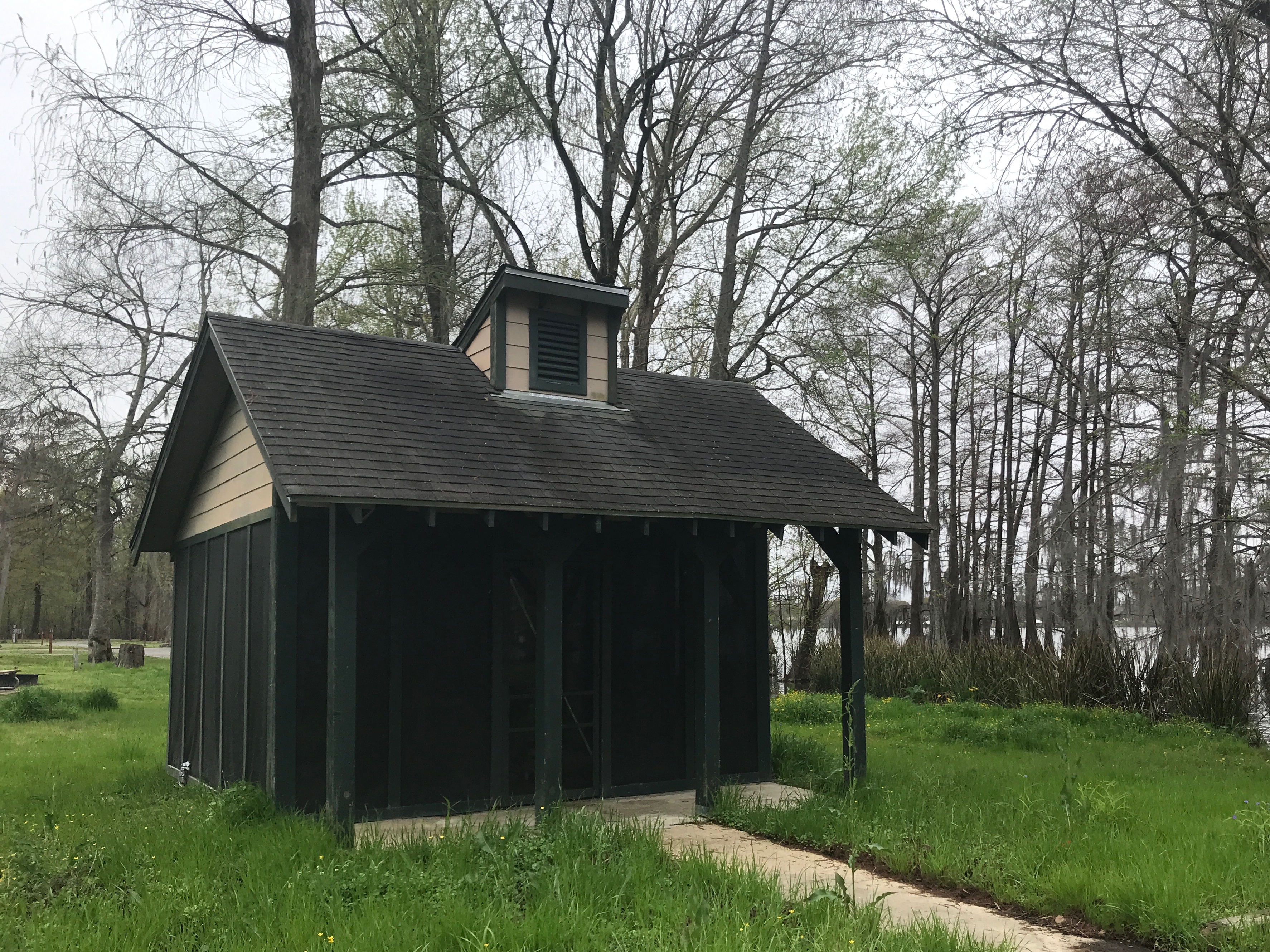
The people who stay here seem to be all about fishing. There are several docks for people to fish from, as well as places to moor boats. There is also this cute little shed for cleaning fish.

Brrr! Putting fish carcasses in a grinder?! I guess I’m really even more happy that I don’t like fish and that no one was there processing fish…

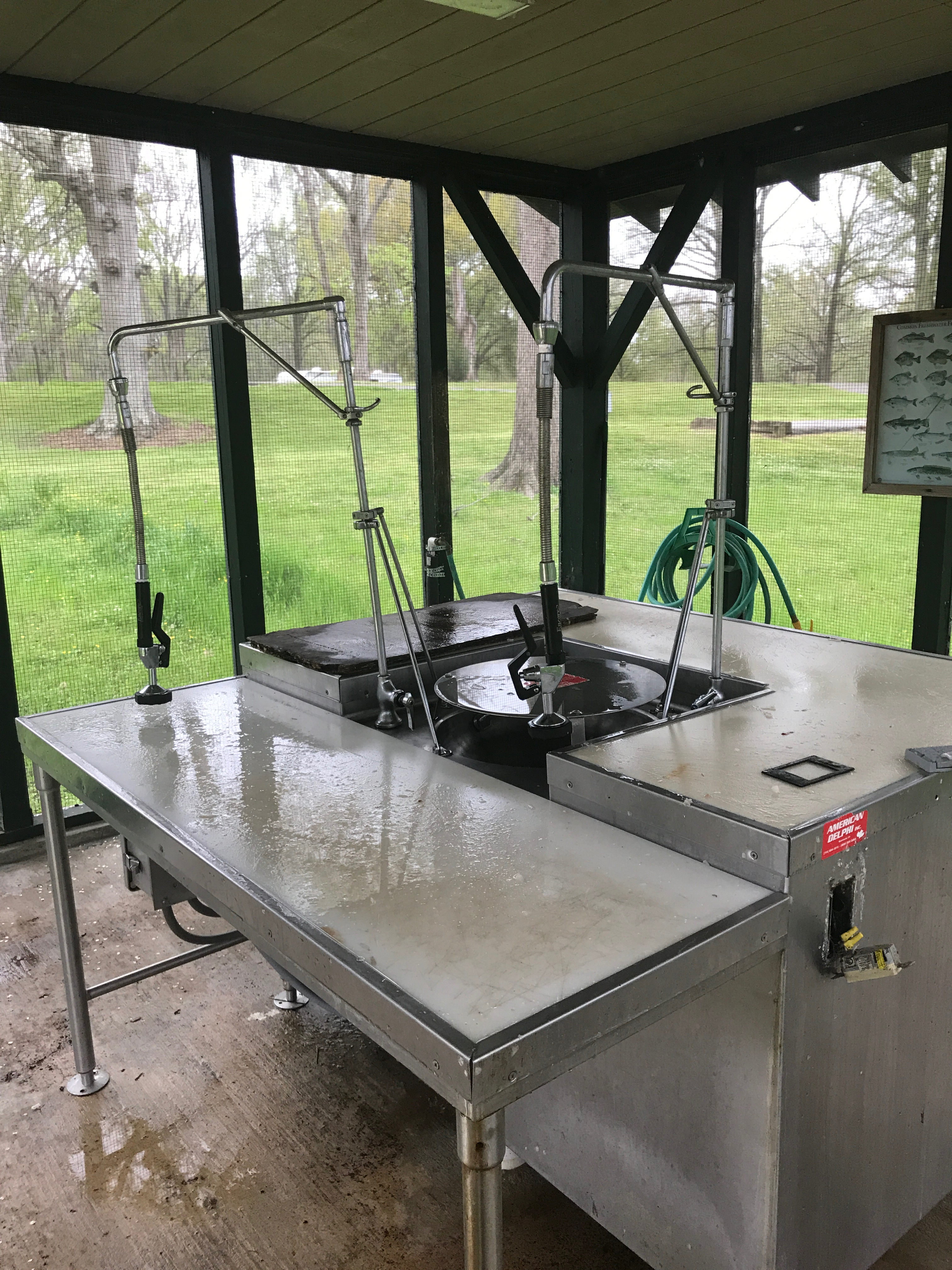
They do have quite the set up, though. The most I have ever seen at other parks is a can dedicated to fish “parts”. You know what they say…”Parts is parts.”

Now, if you wanted a deluxe campsite right by the fish shed, well you could have one. I imagine that you might have to book well in advance if you wanted to stay there during peak season.

This campsite had a little patio in addition to the requisite picnic table and fire ring… and a view of Lake Bruin.

I continued my stroll around the campground. Fish aren’t my thing, but I do like flowers.

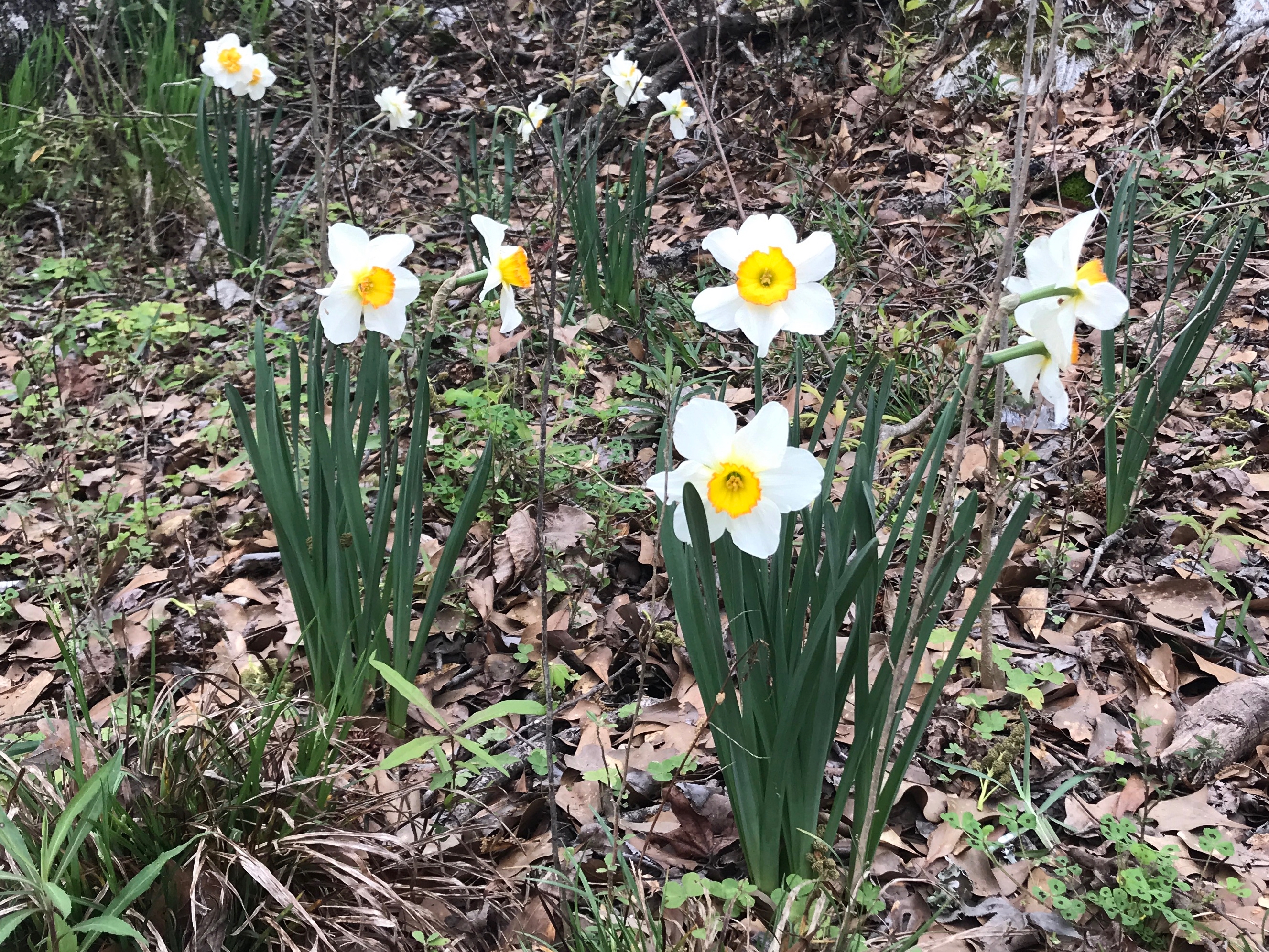
I always wonder how these cultivated-looking flowers get places you wouldn’t expect them. But, there they were, blooming merrily in the duff.

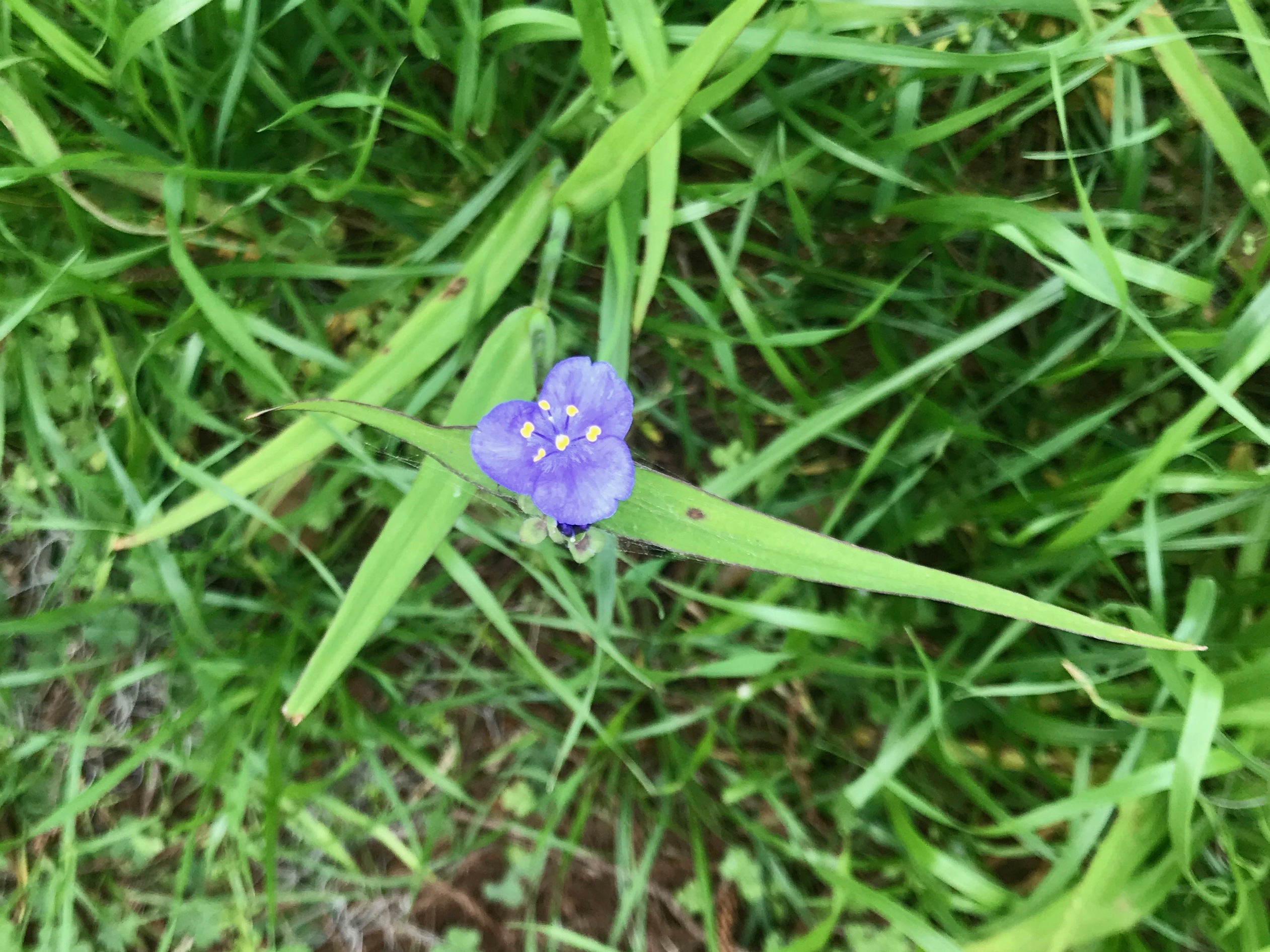
This one looked more at home.

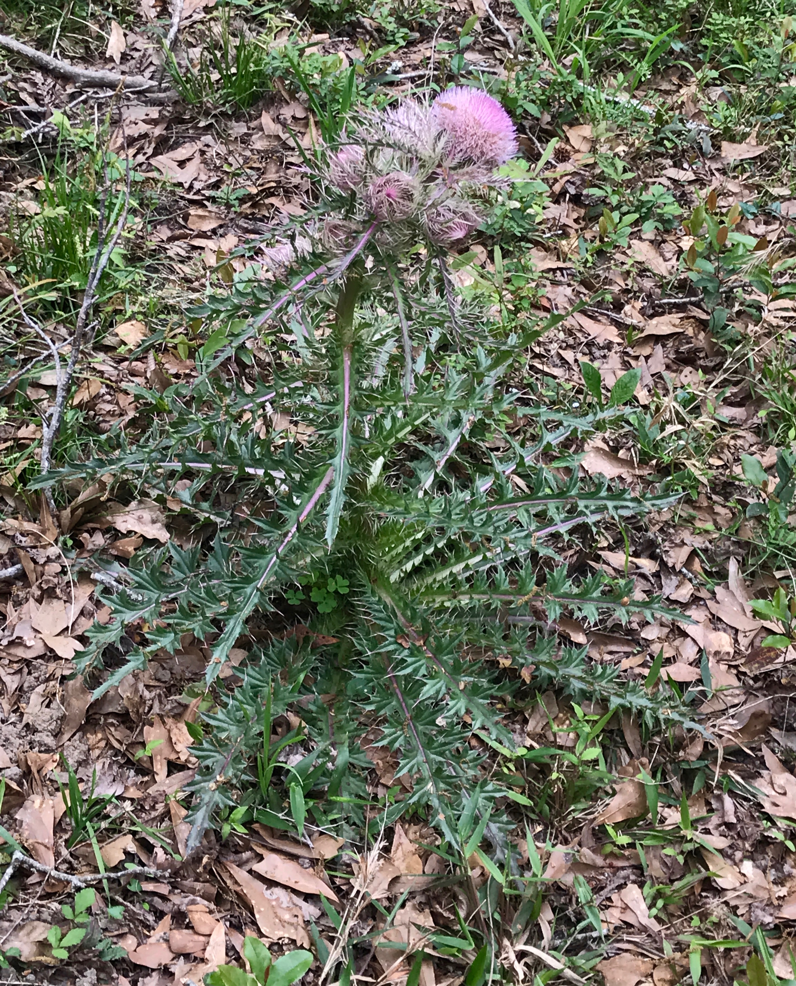
I was thrilled to find this plant so I could get a closer look. I had seen them along the various Interstates, but I couldn’t get a good view. It’s hard to do plant identification at 60 miles an hour.

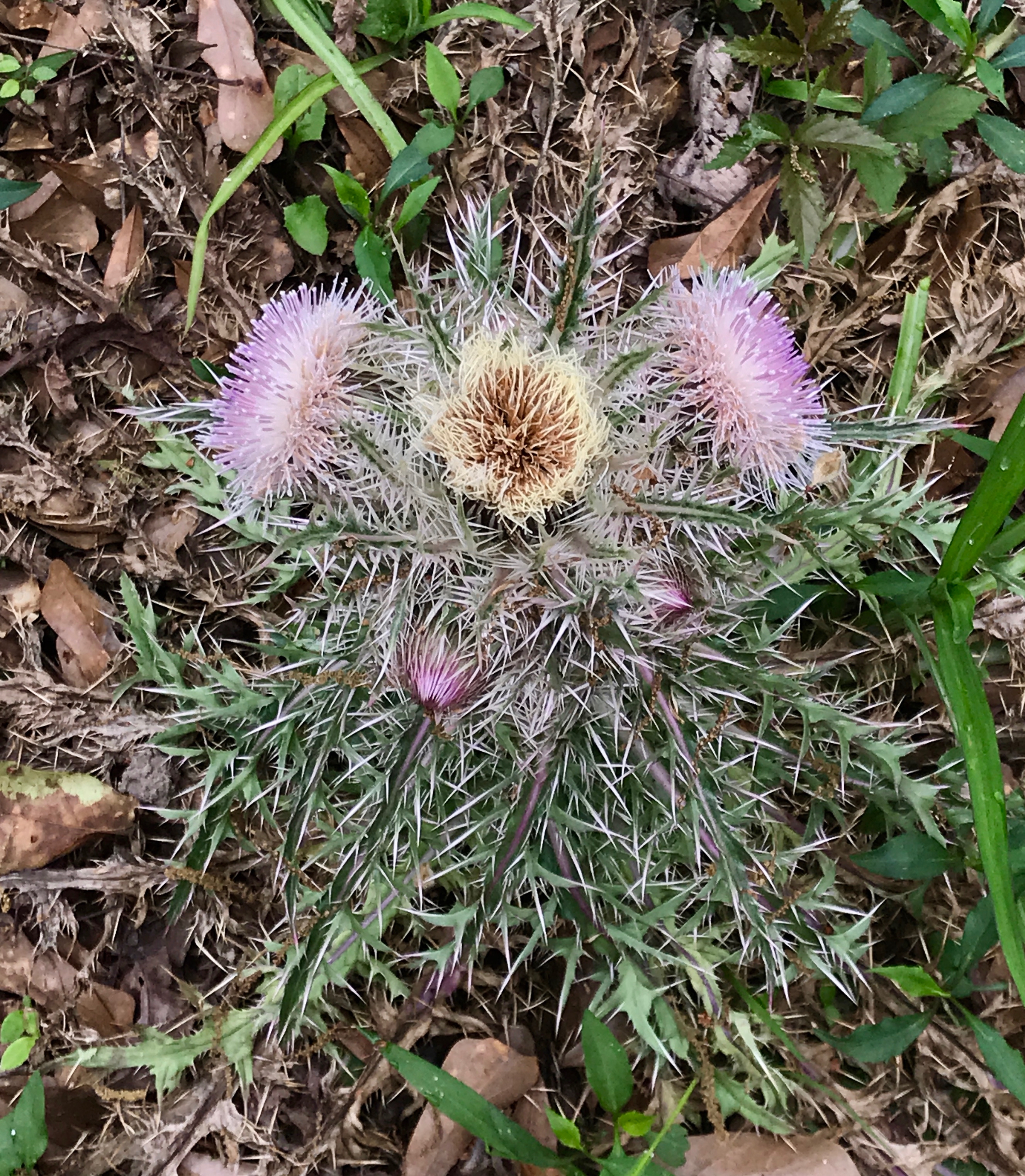
I was glad to be able to see it better, but it definitely looks like something you’d better not touch!

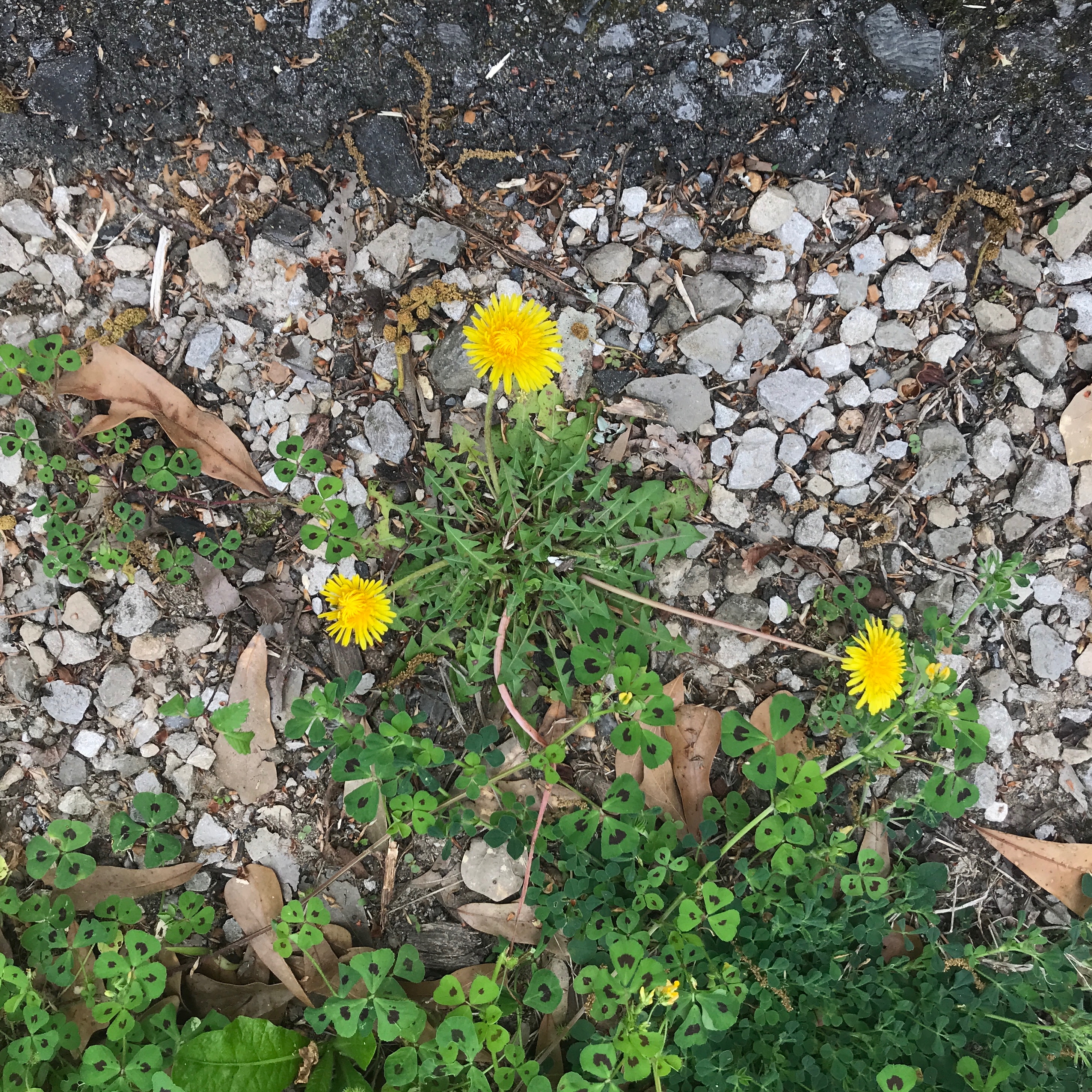
I happened upon a flower I could readily identify. Dandelions – the harbinger of spring!

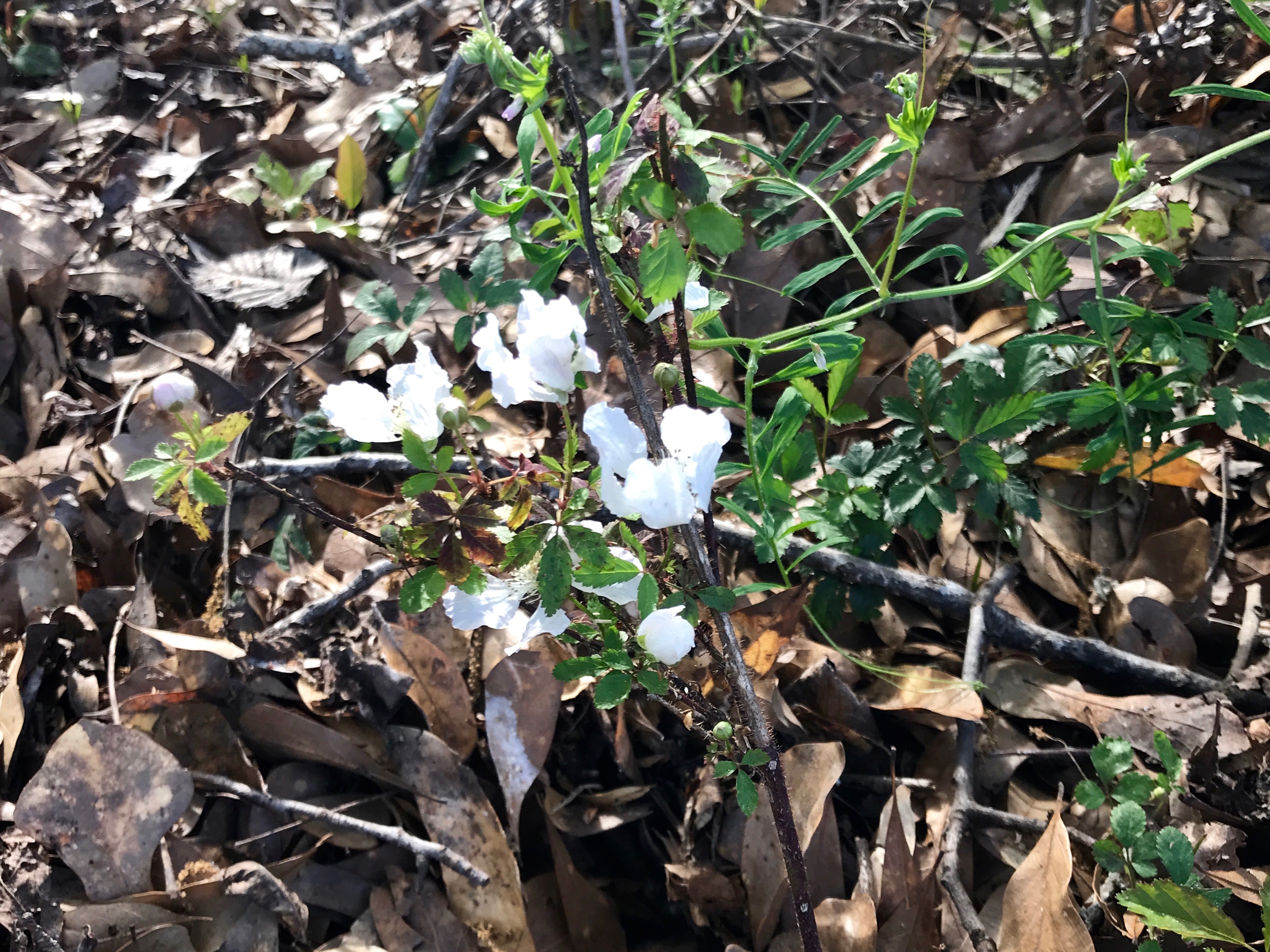
These little white blossoms on a vine by the side of the road outside the park. After I looped through the park, I decided to walk down the road a ways.

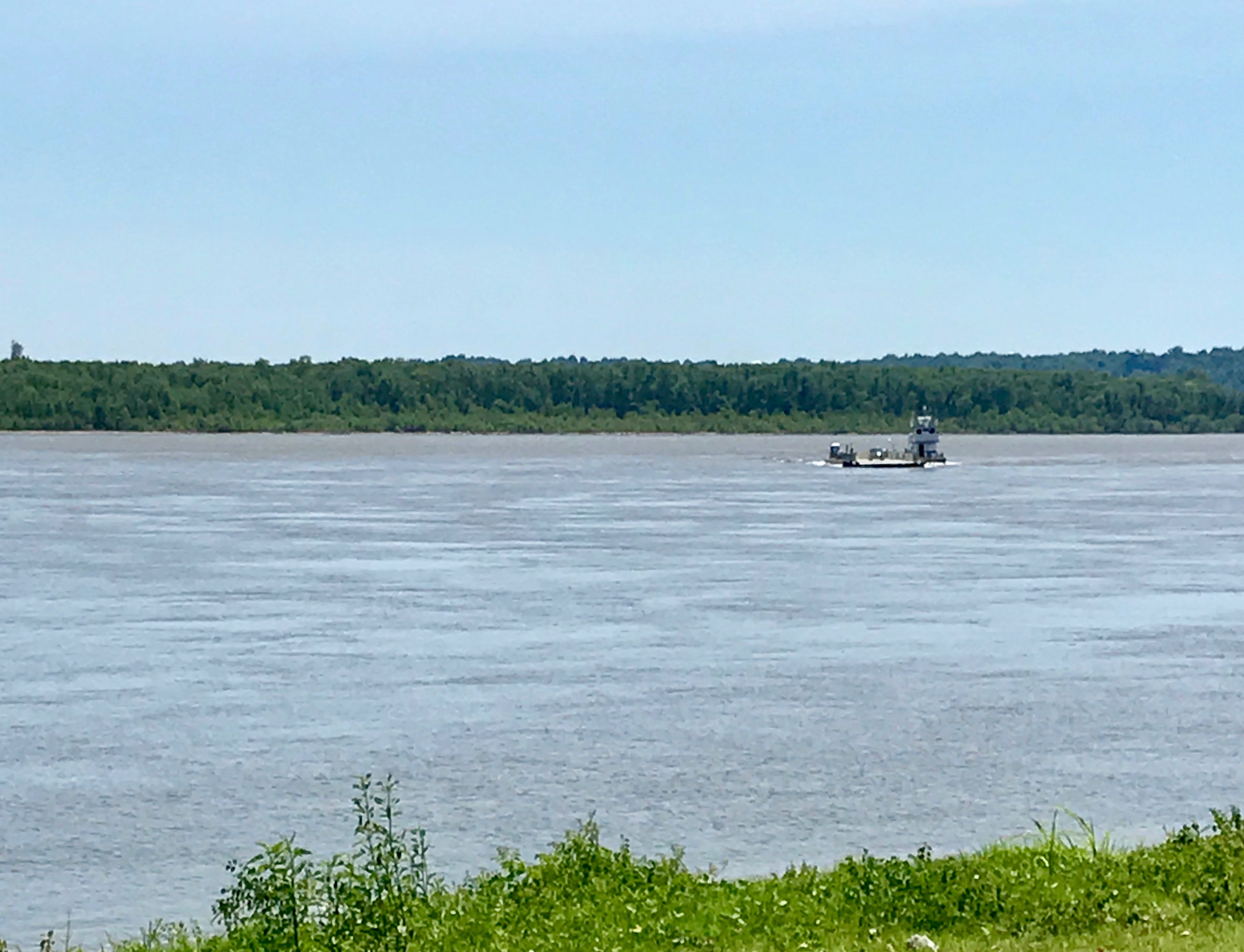
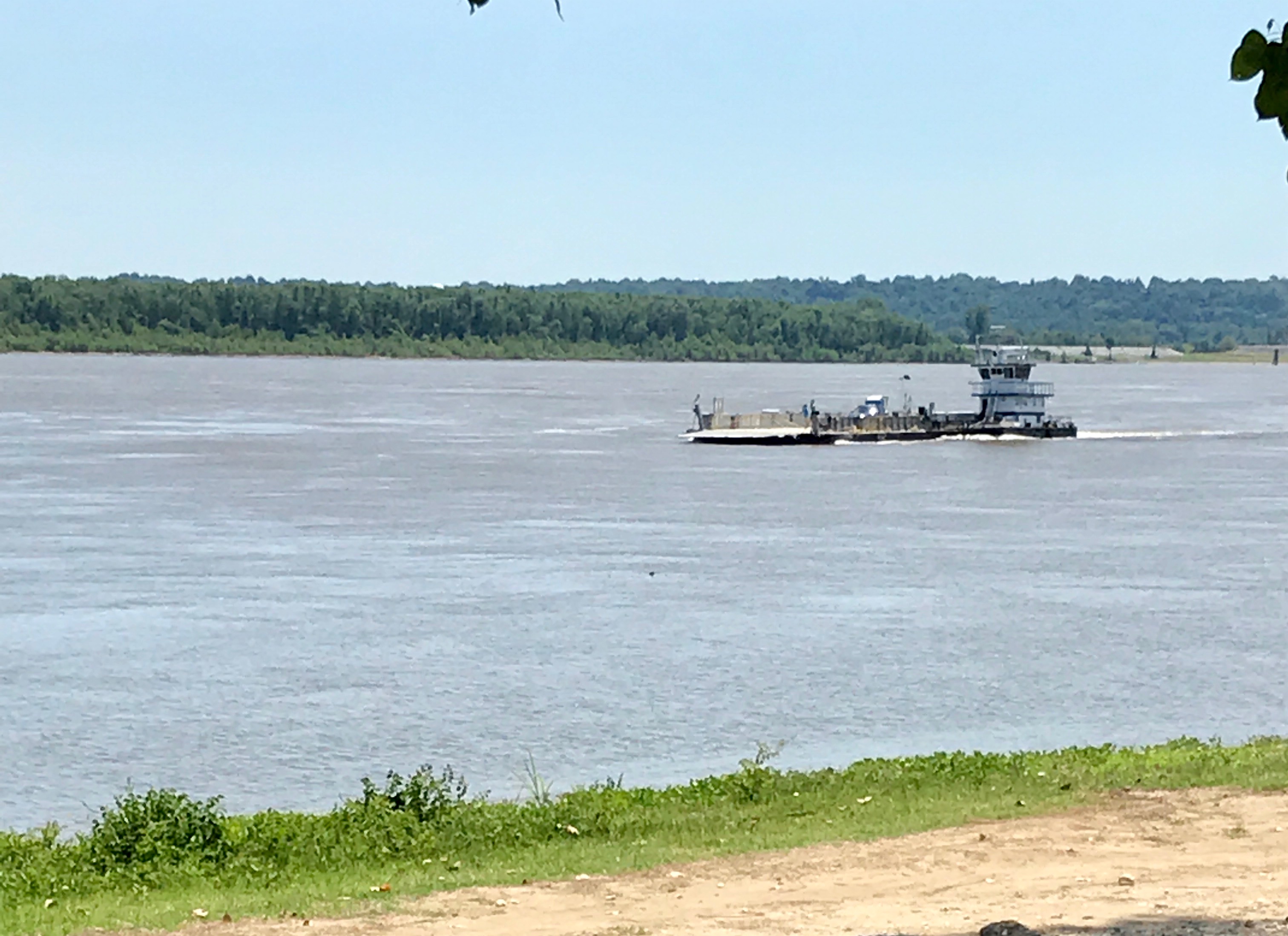
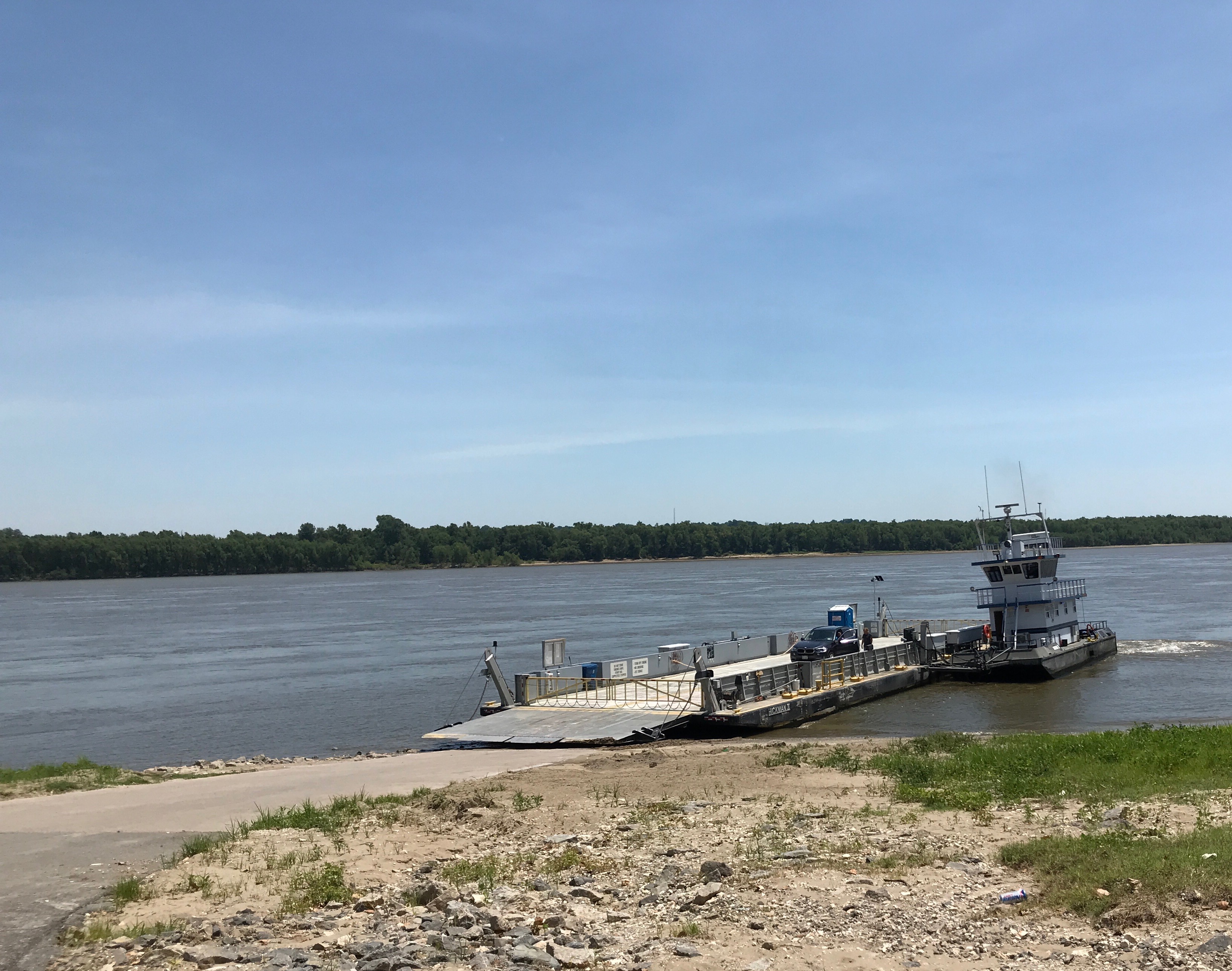
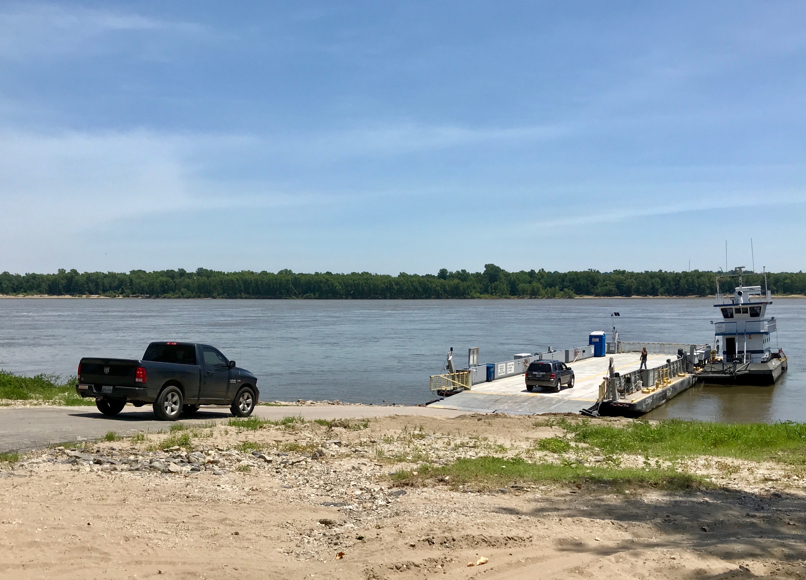
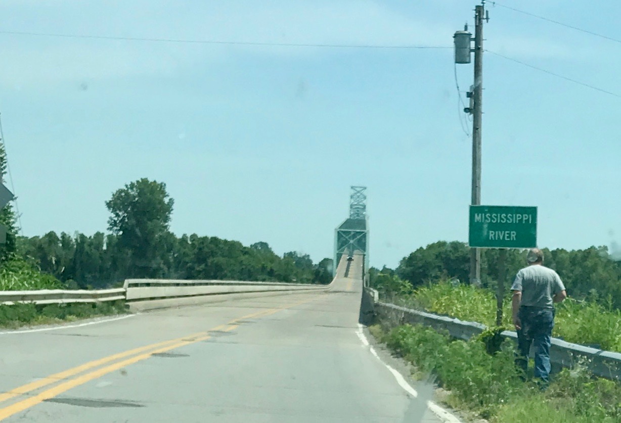
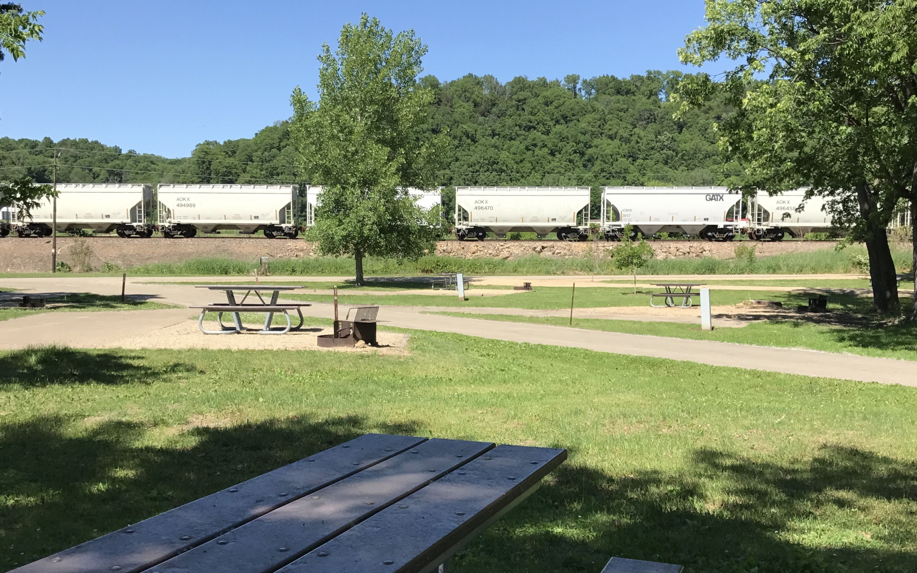
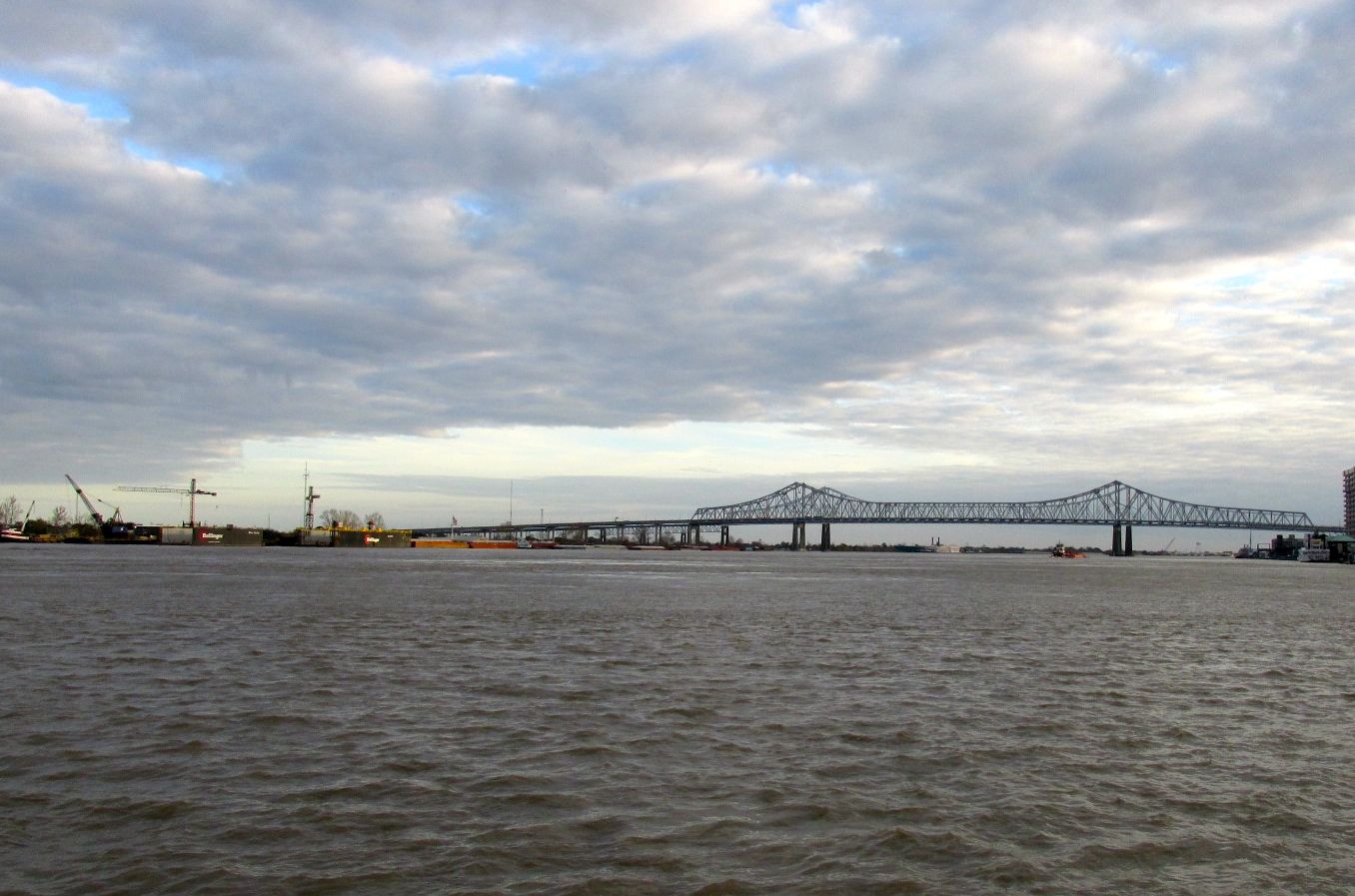
I noticed on Google maps that the Lake Bruin was near the Mississippi River.

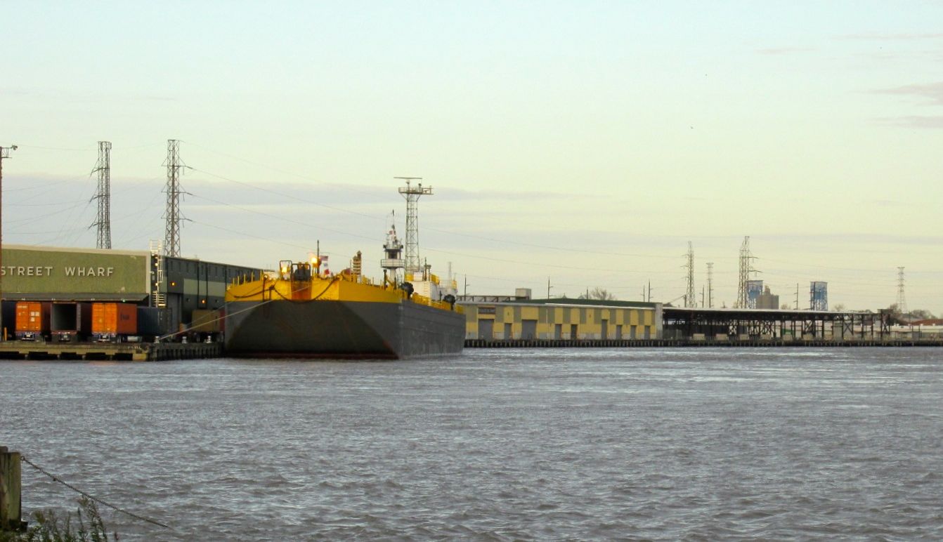
In fact, I could hear the heavy sound of diesel motors running from my campsite. I assumed that they were pushing barges up or down the river. I wondered if I could see the river.

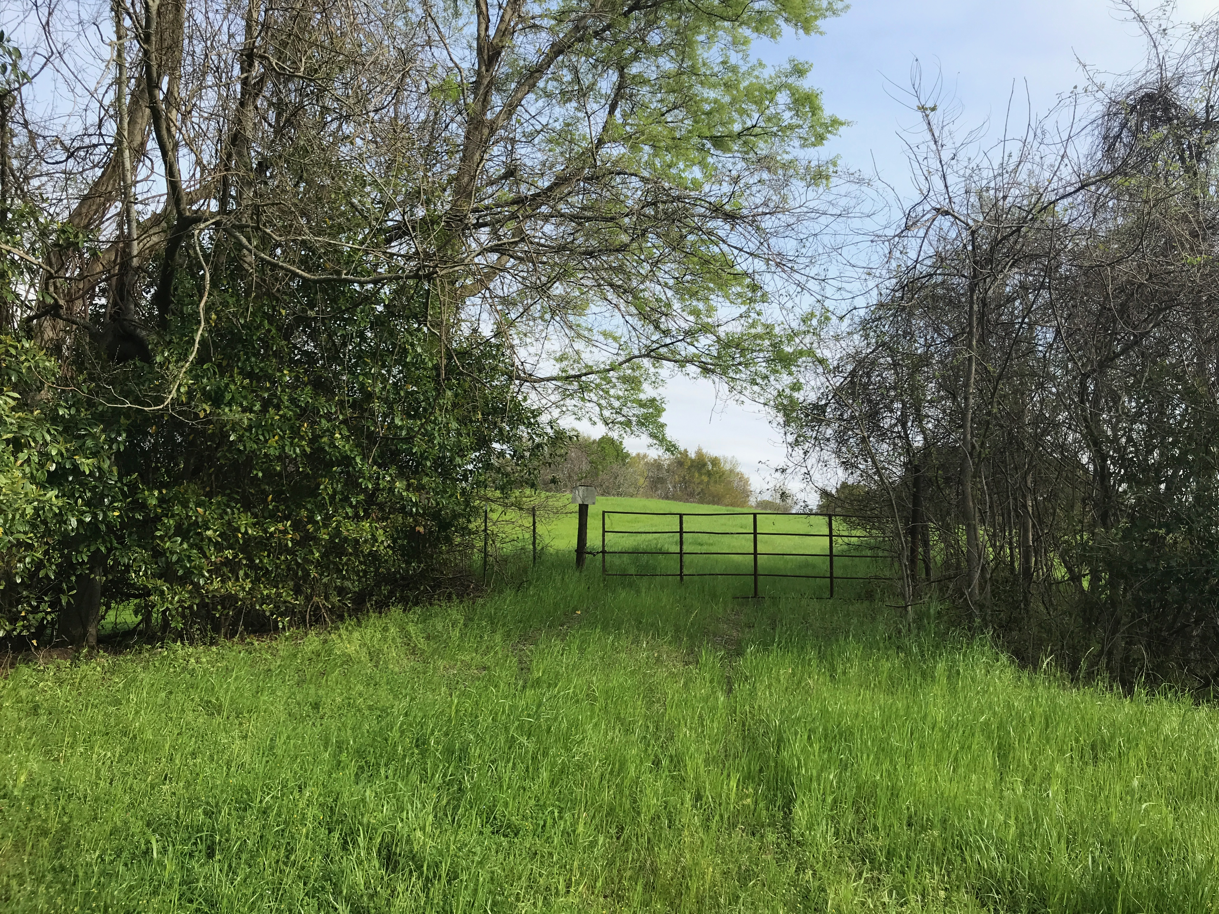
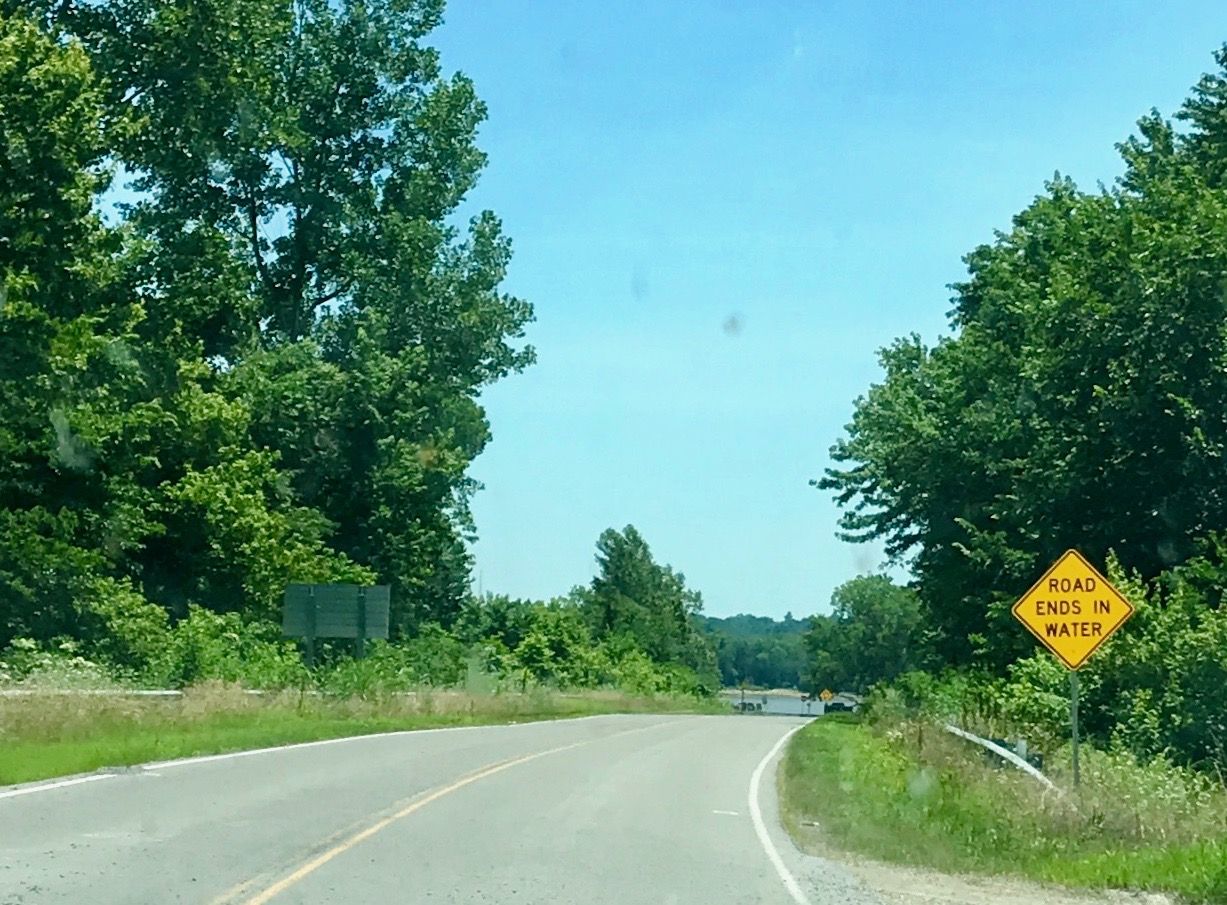
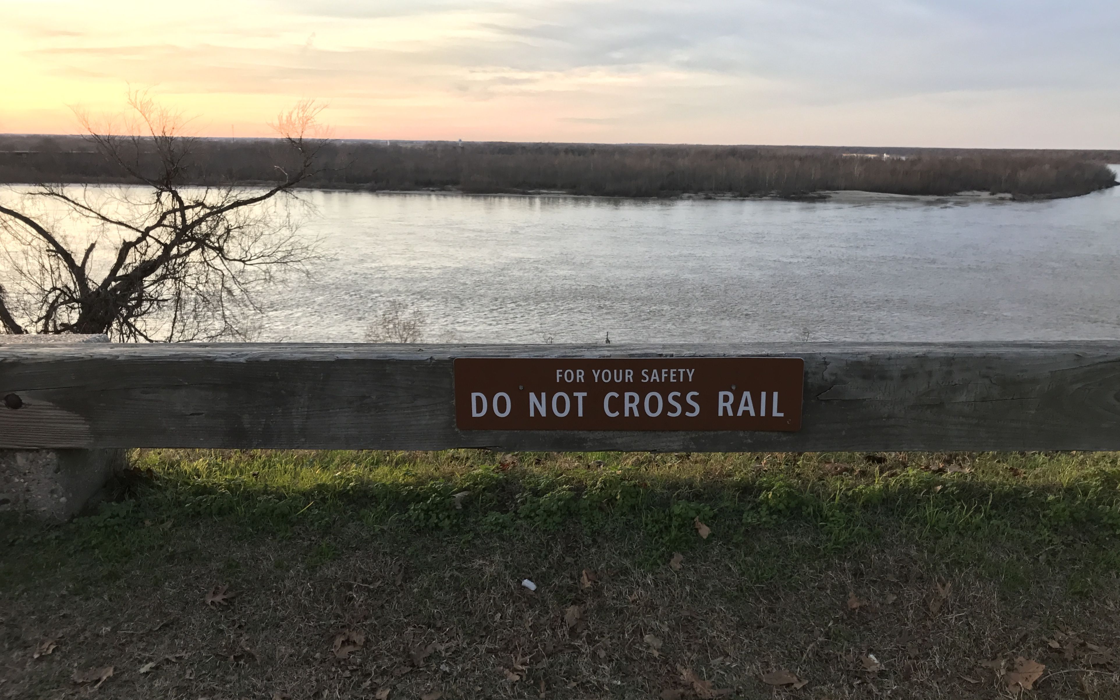
At the end of the road, I saw this gate. It looked like it guarded a way to get to the levee, so I went exploring. It didn’t have a “no trespassing” sign, although there might have been one there at one time or another.

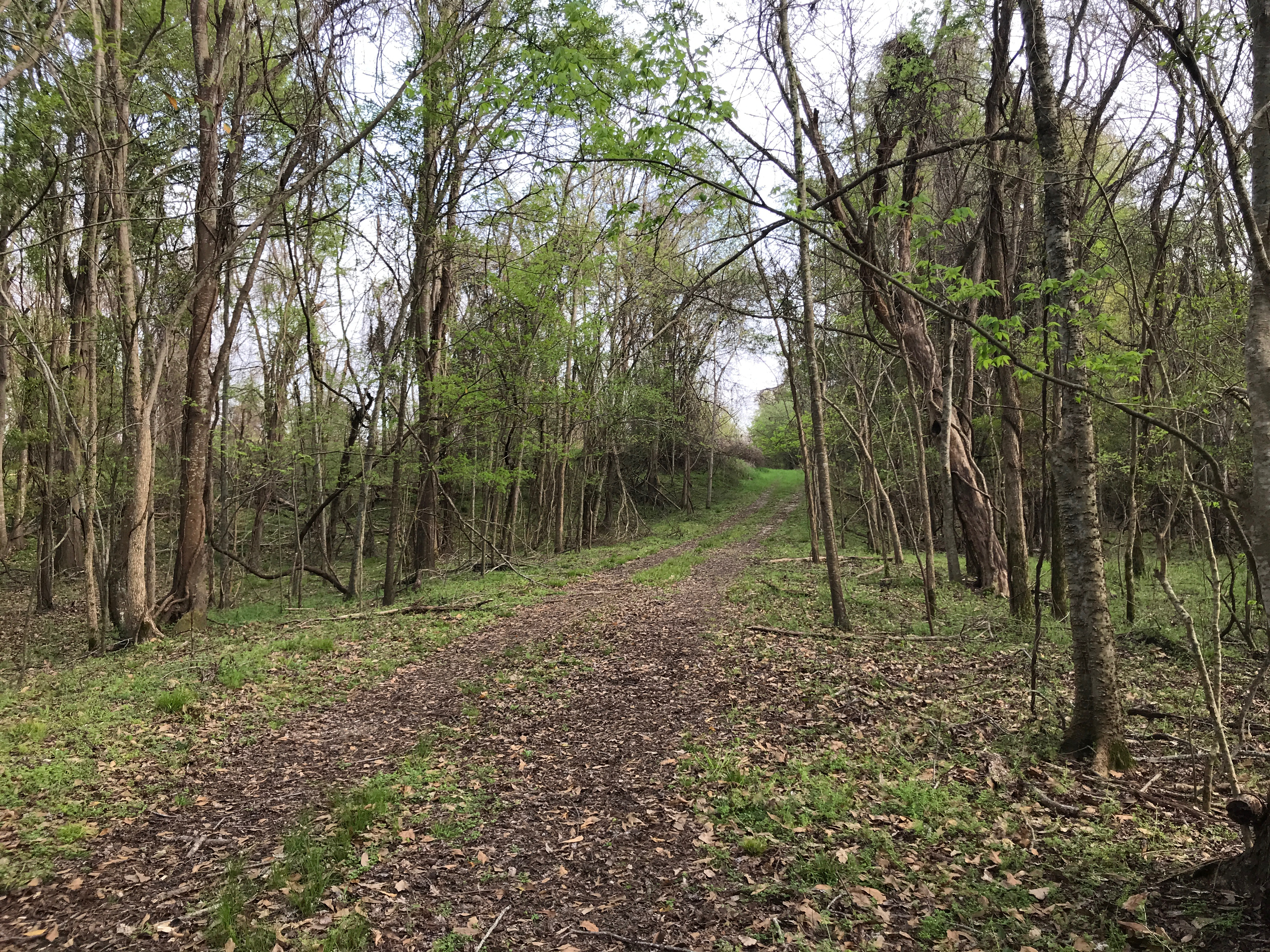
I went through a gap in the fence next to the gate and climbed up one slope of the levee and down the other side.

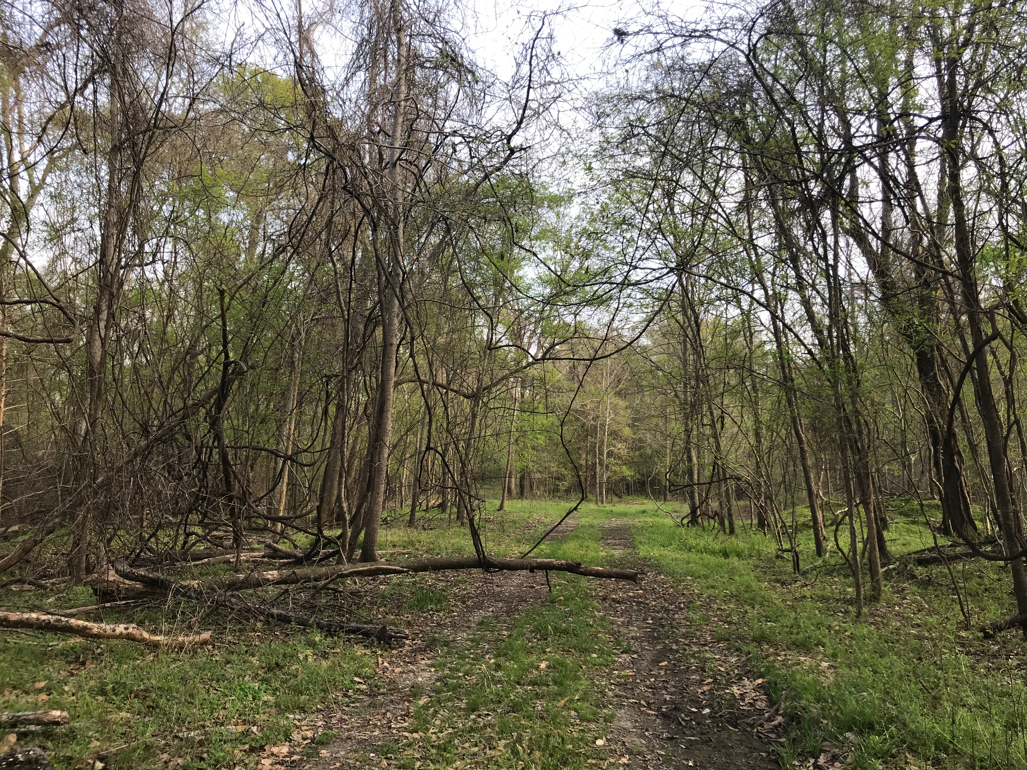
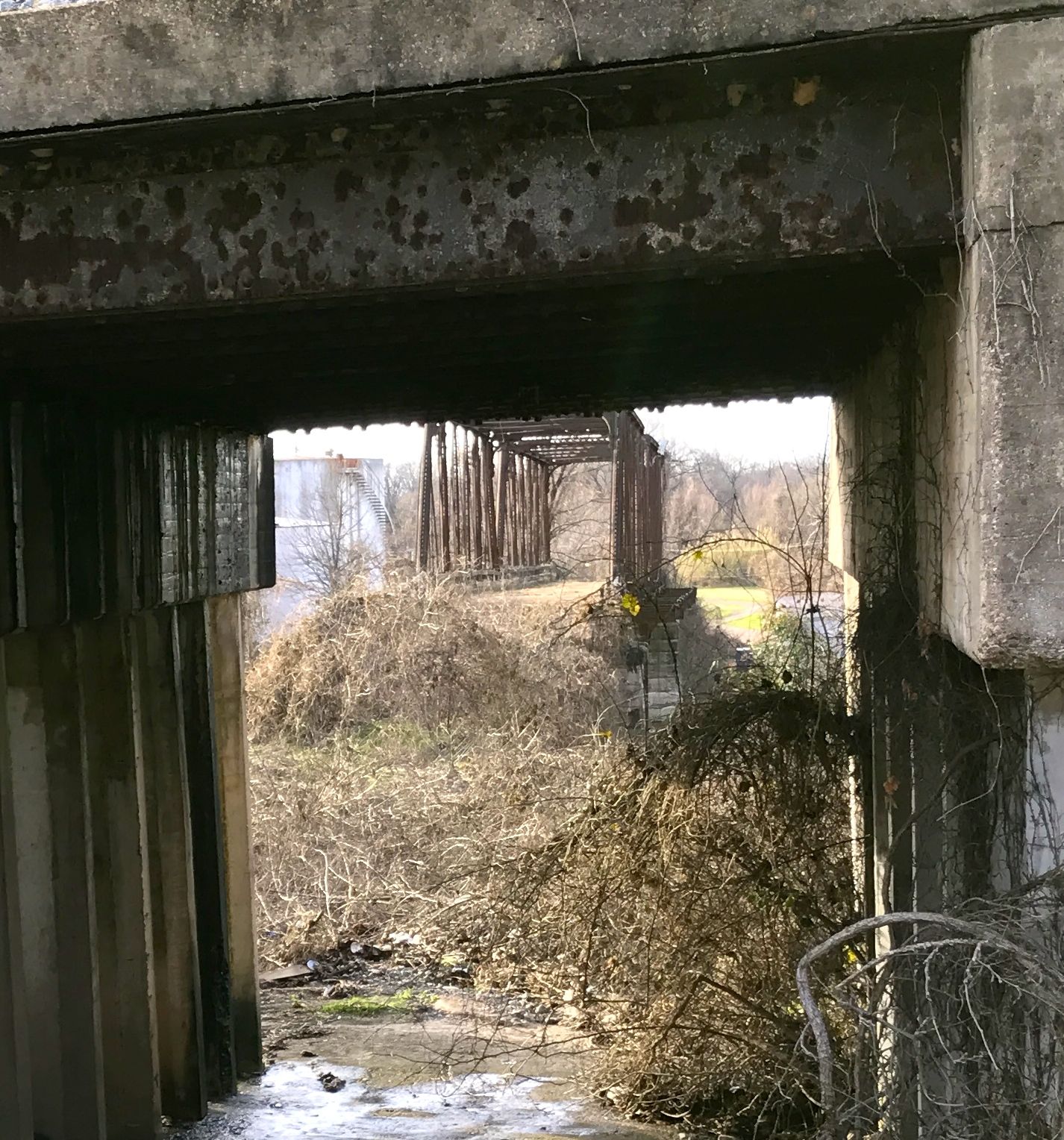
The road lead through some small trees. Judging by the branch suspended by the vine, the road is not used often.

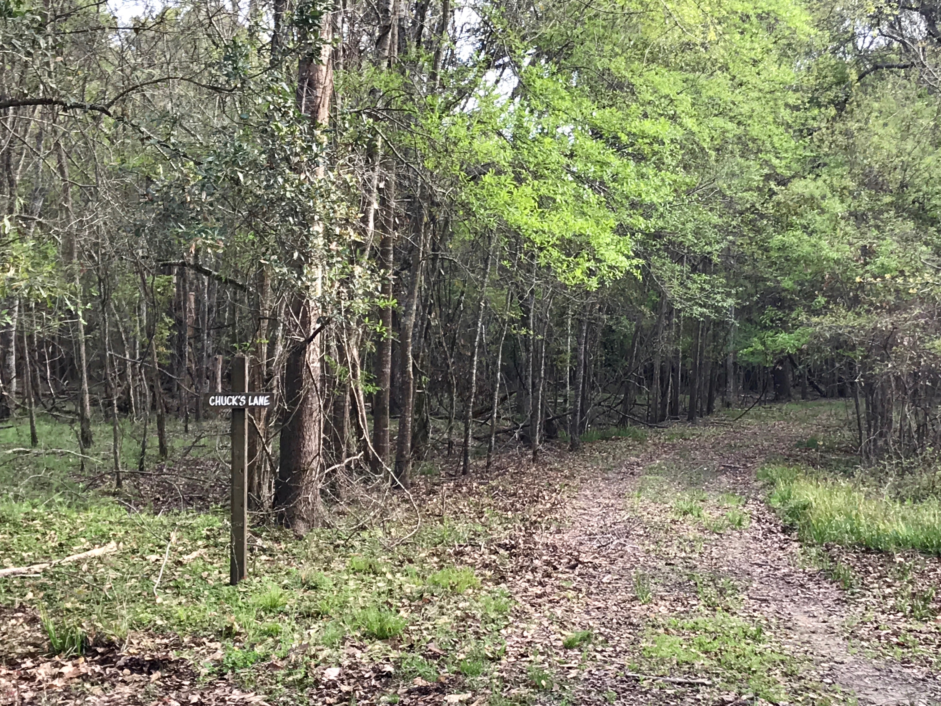
There was a sign that marked “Chuck’s Lane.” I didn’t want to run into Chuck, so I took the road to the left.

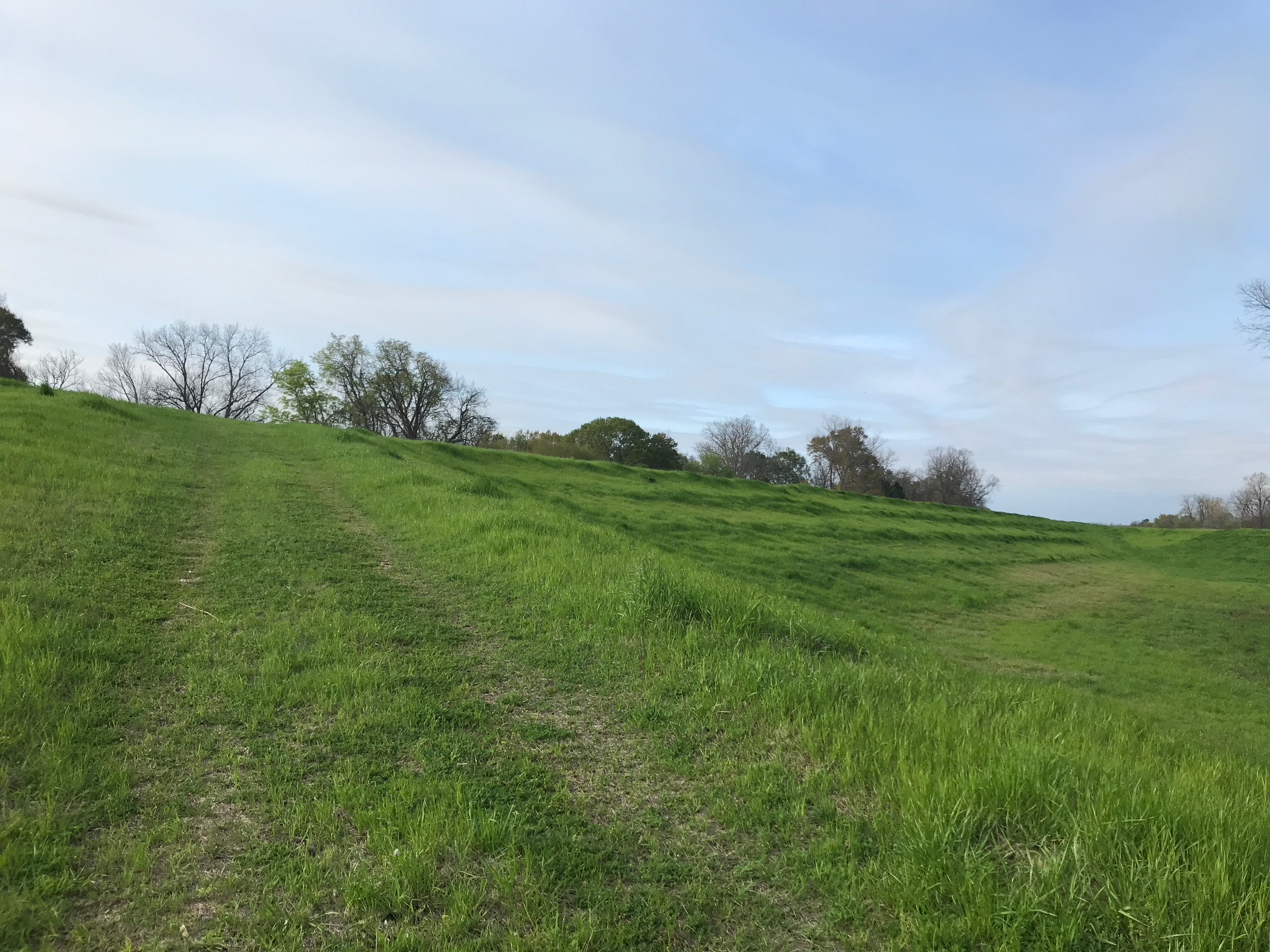
It climbed another small levee.

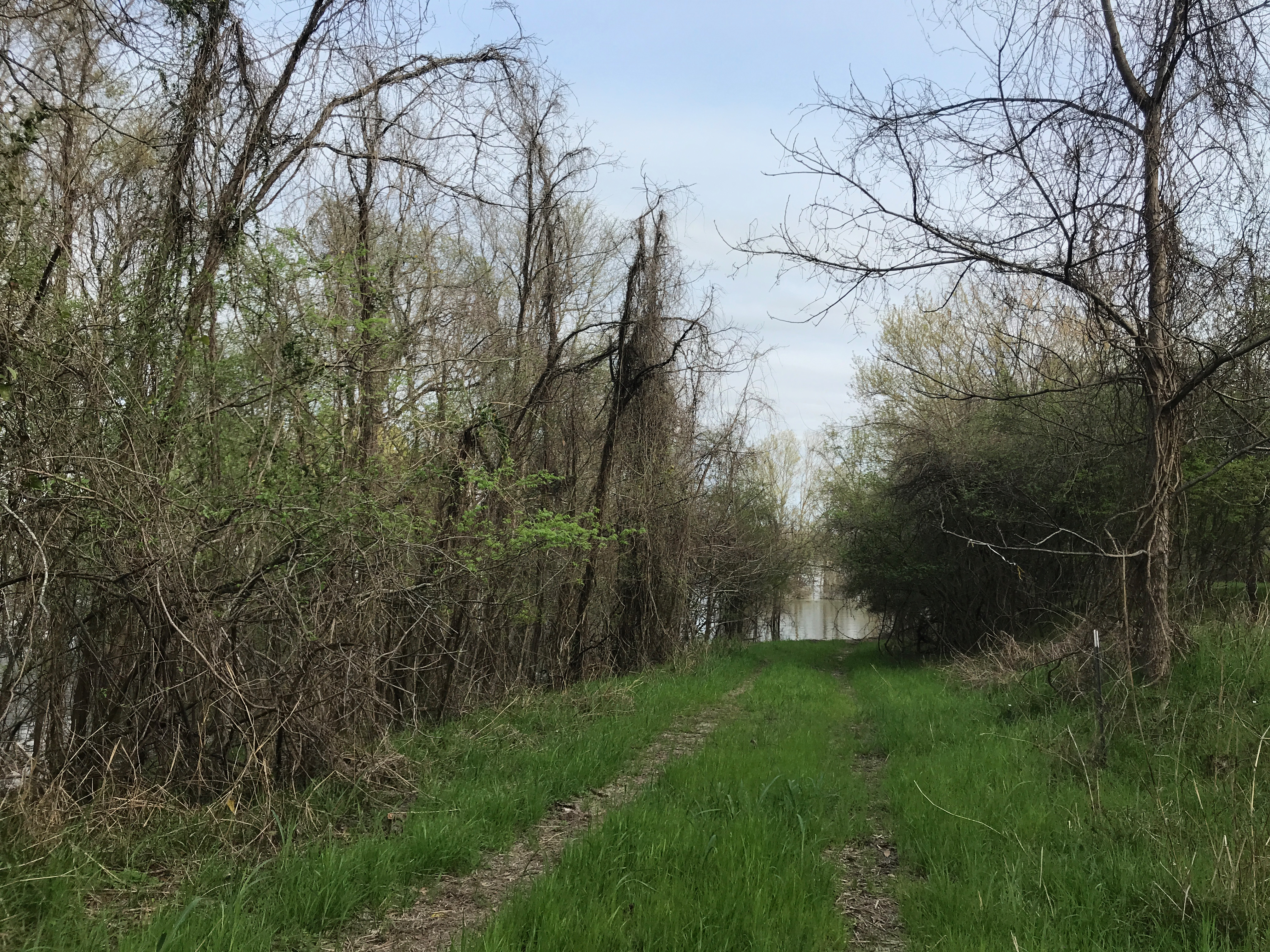
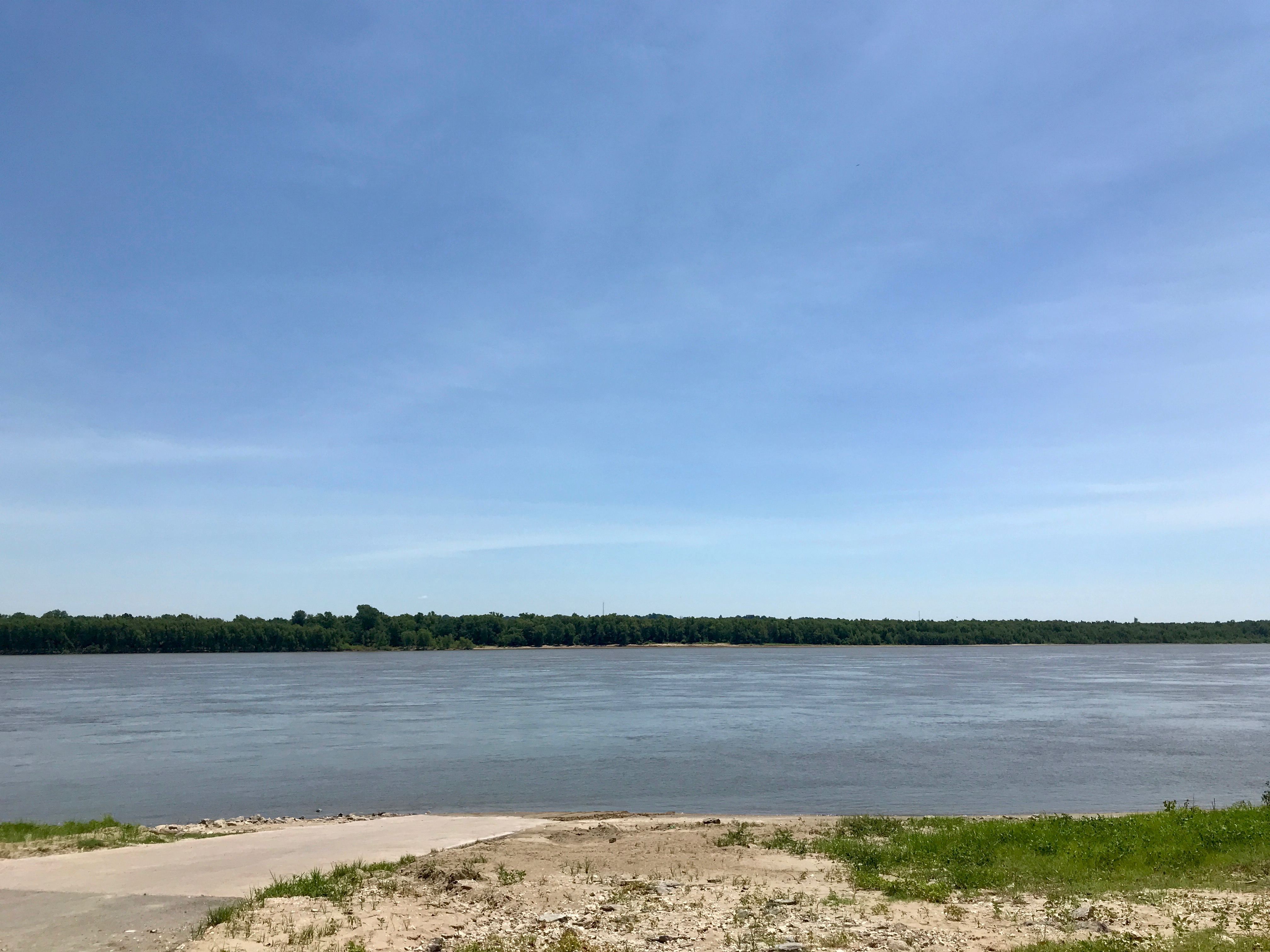
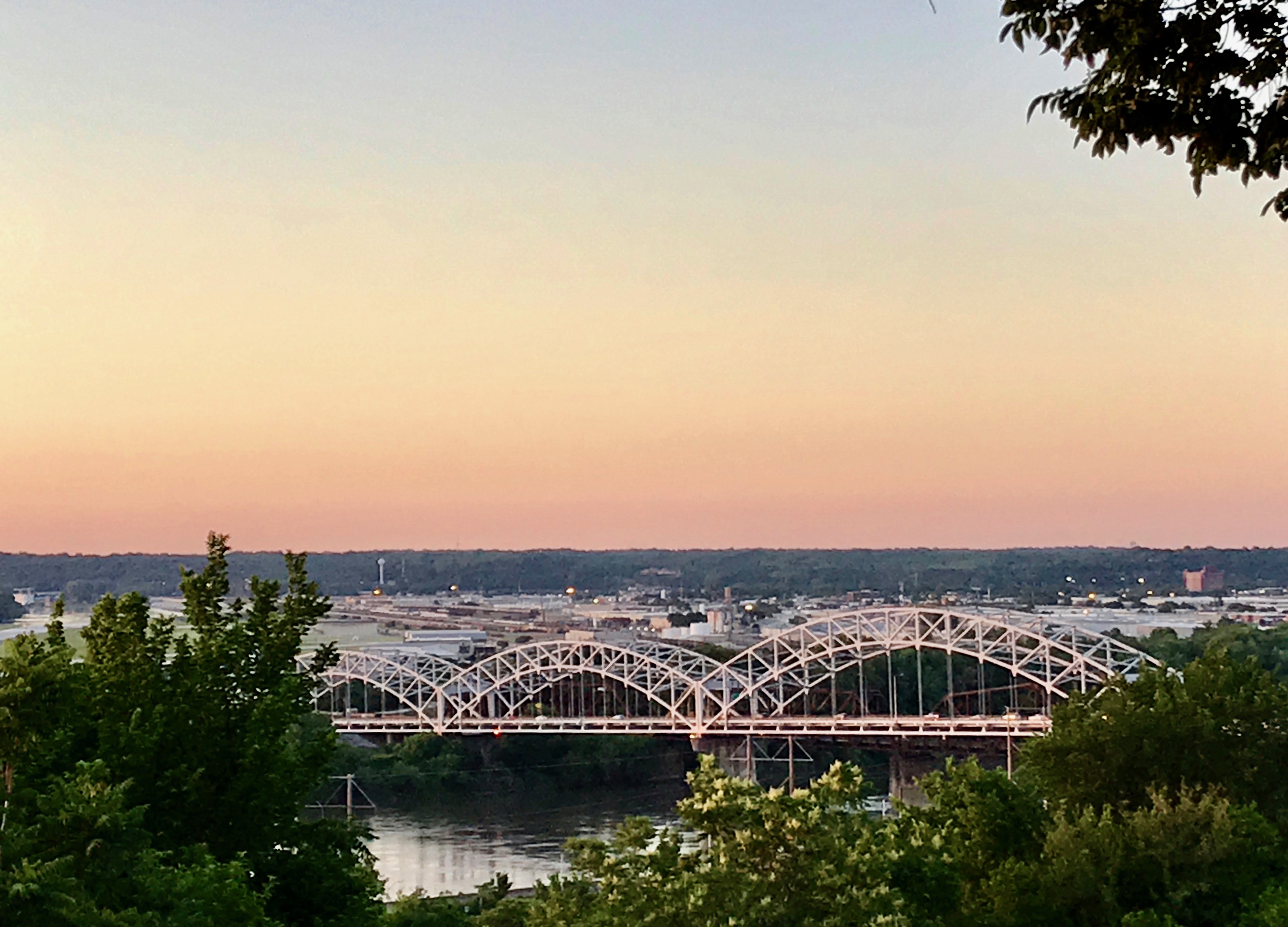
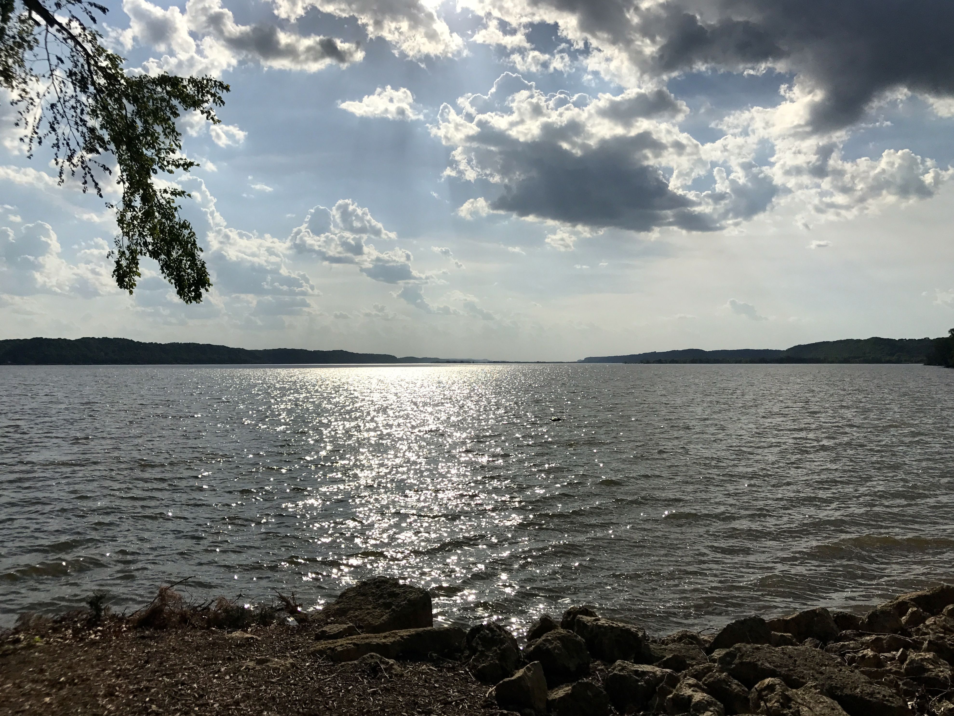
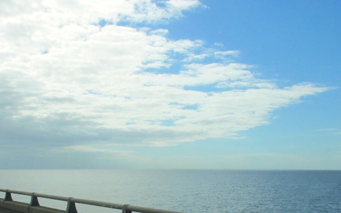
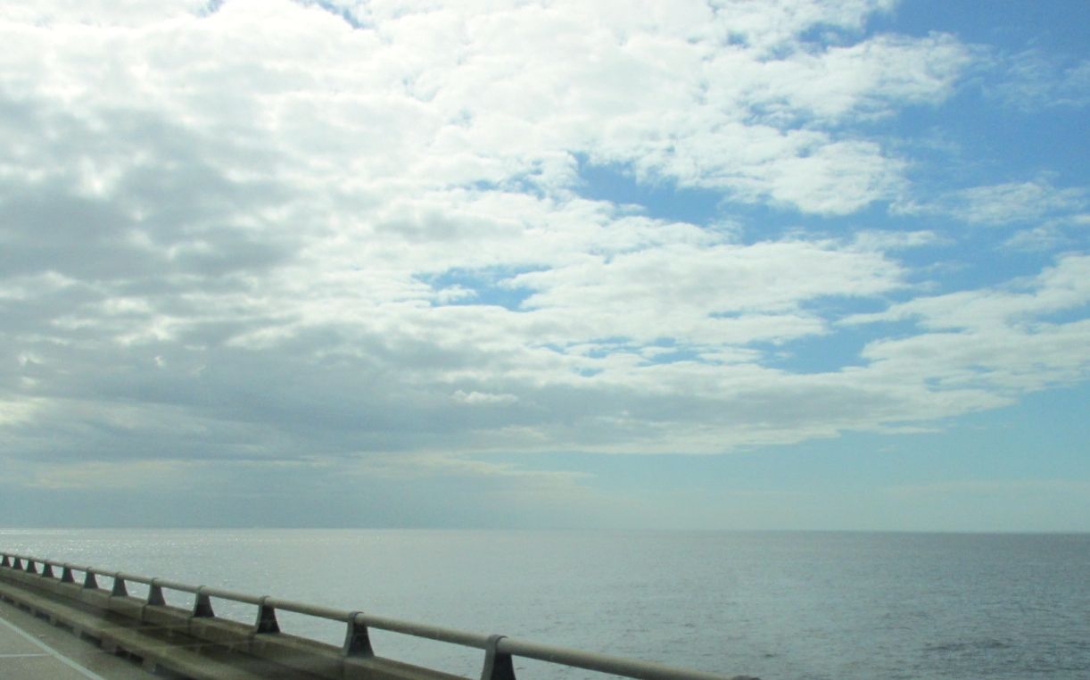
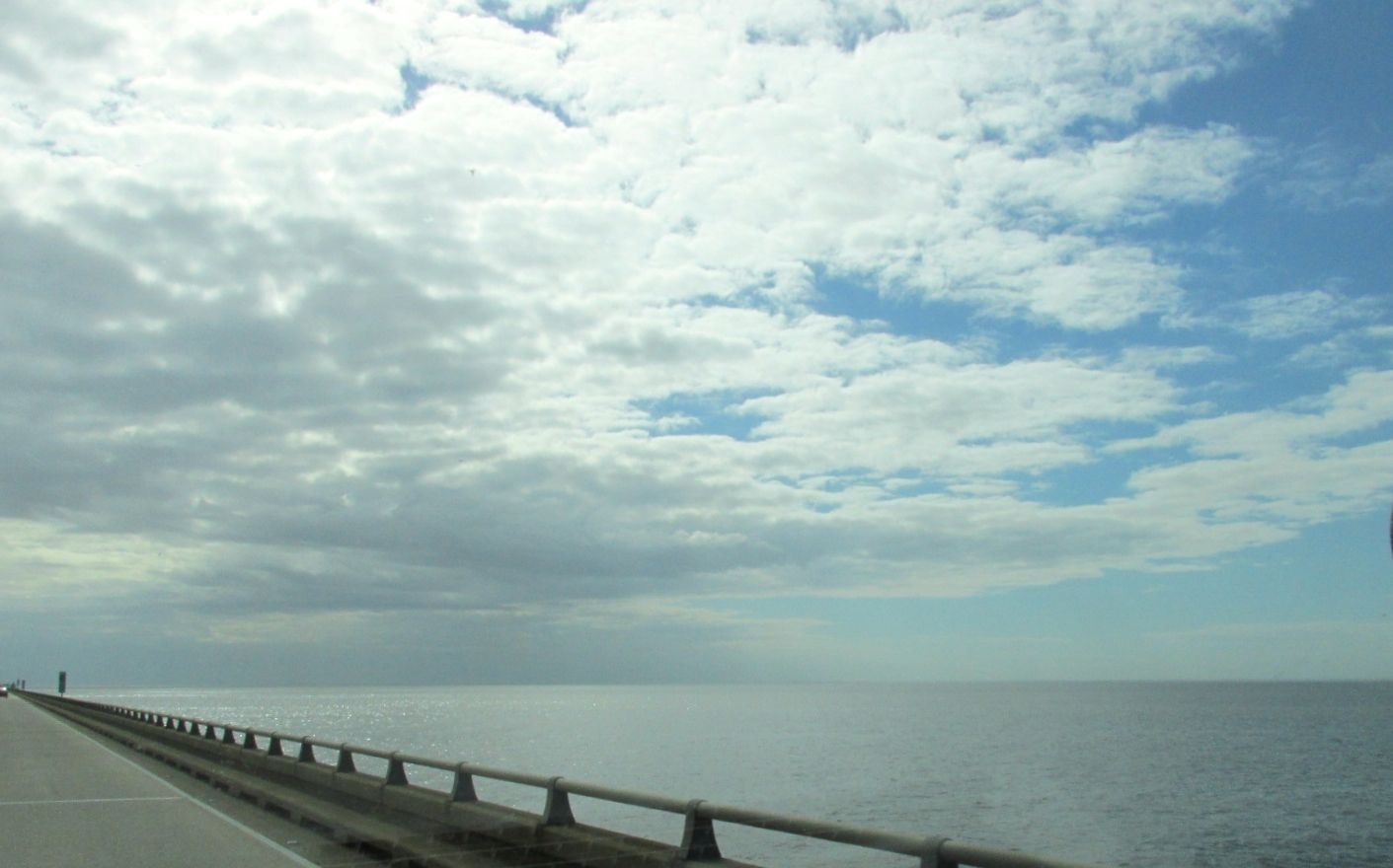
As I came down the other side, I could see the river!

The Gathering of Waters. The Big Muddy. Old Man River.

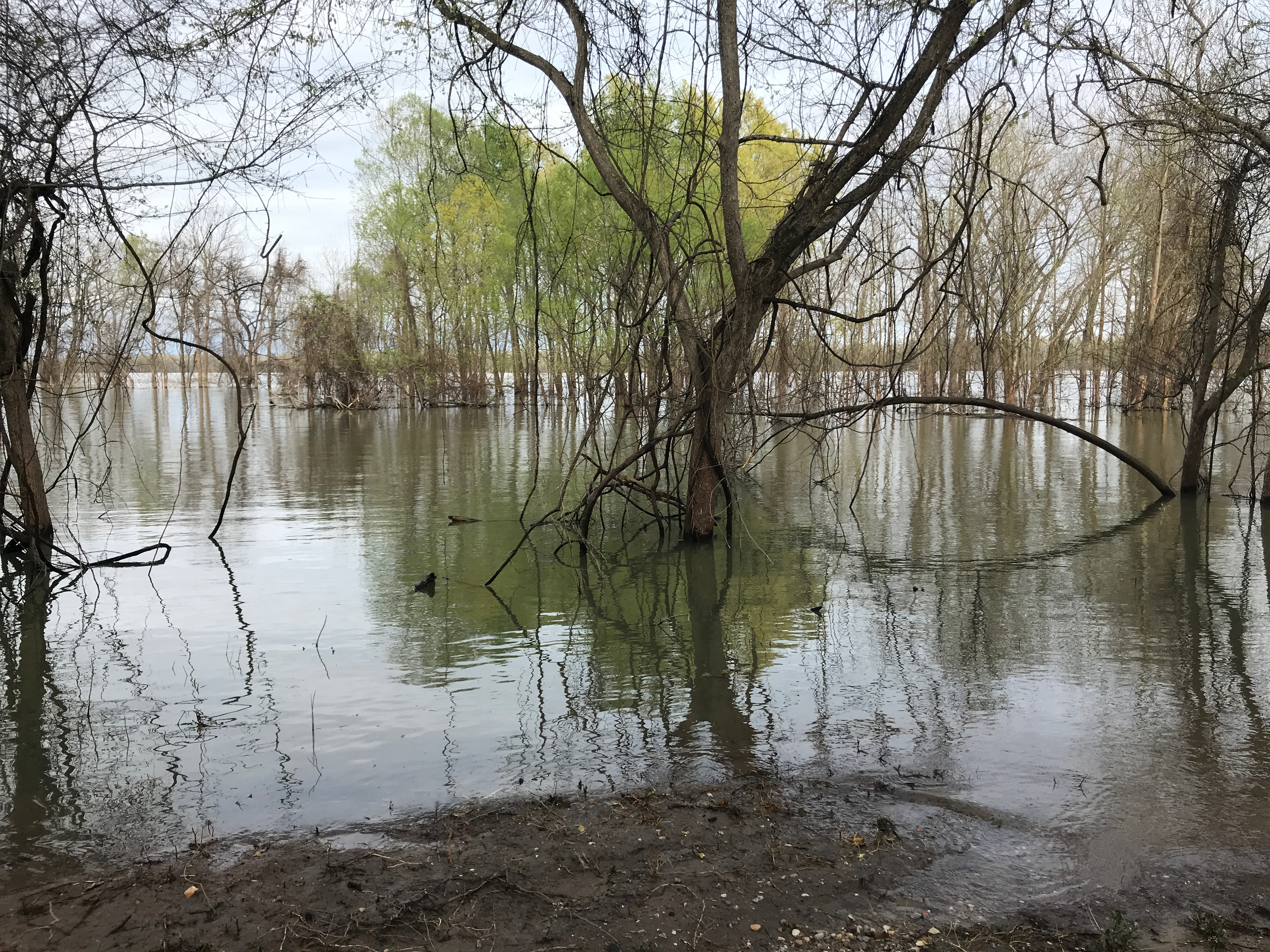
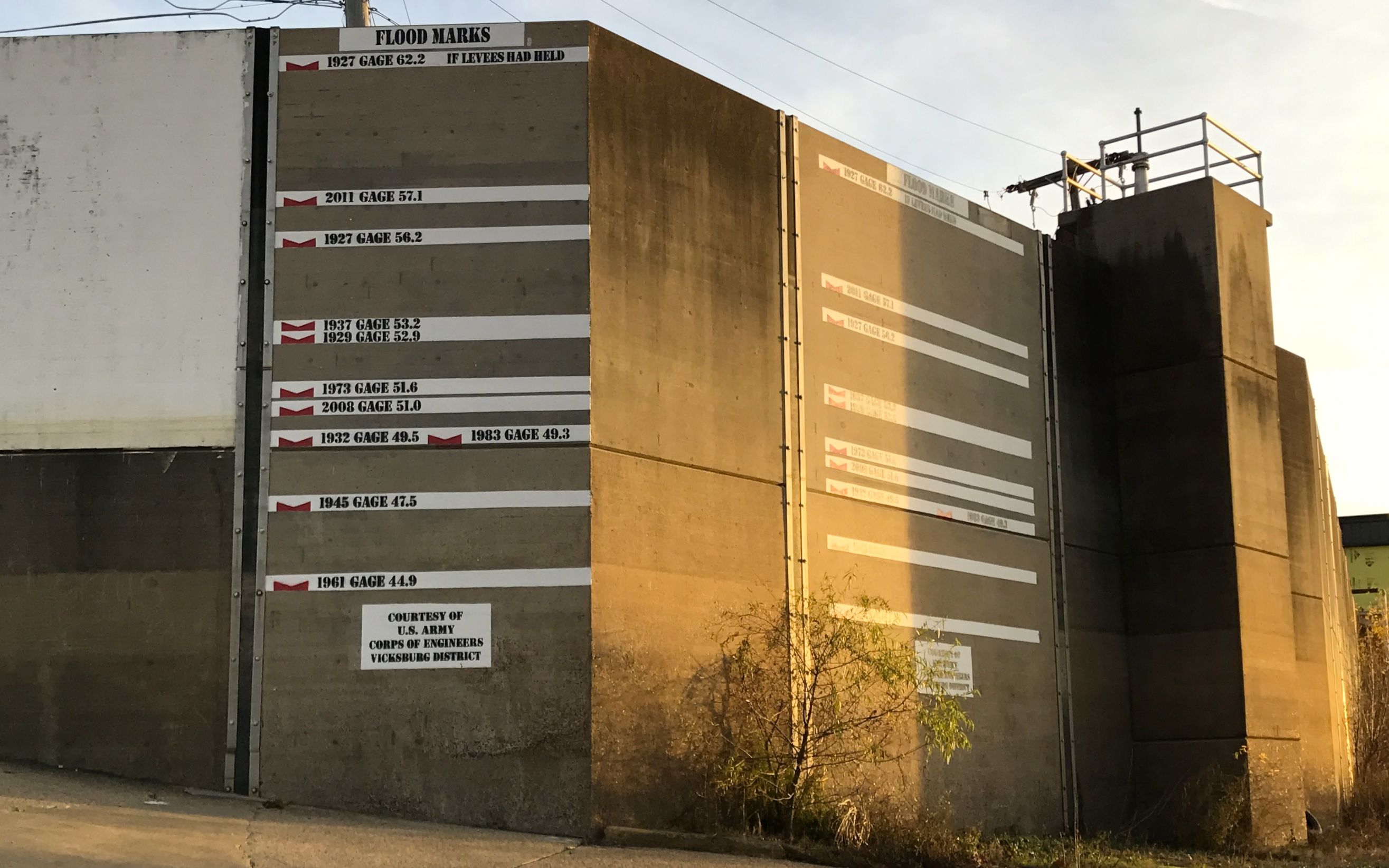
It looks like the river was running kind of high.

Well, I had made it to the river. Time to retrace my steps back to the campground.

I climbed up the levee closest to the main road.

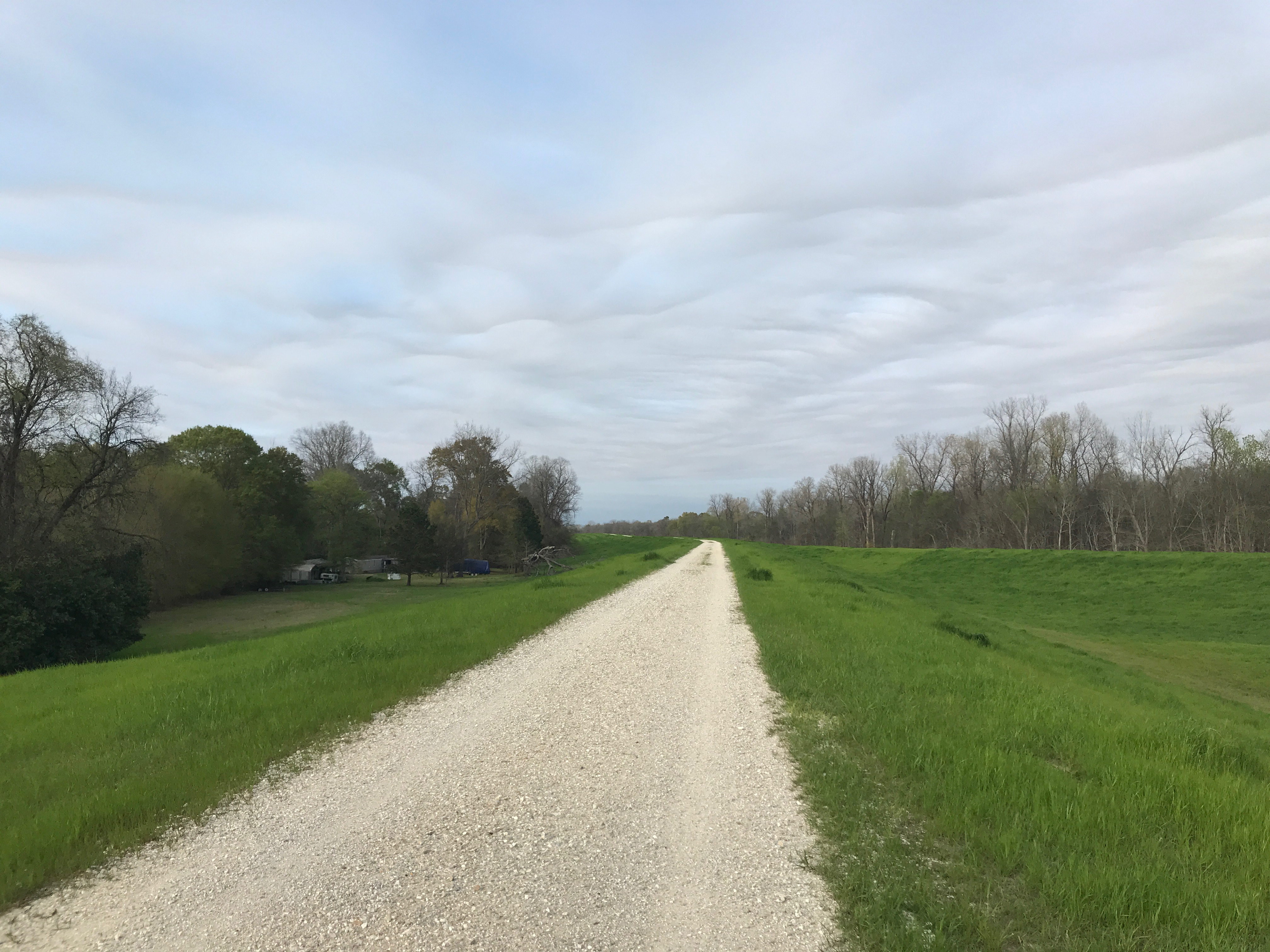
There is a road along the top of the levee. I imagine they need to check on the levee from time to time.

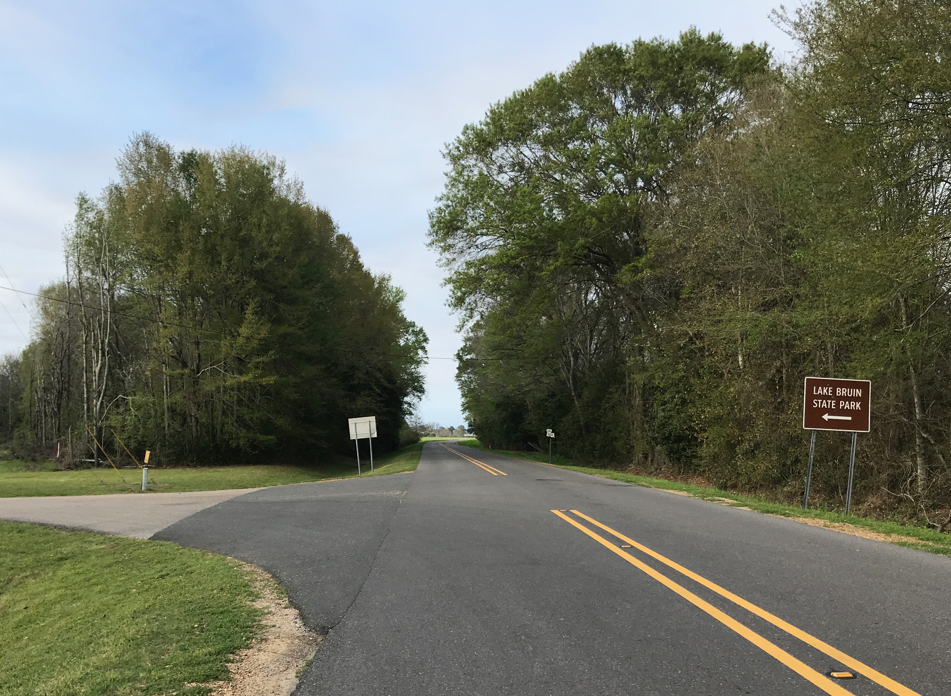
The sign pointed the way back to the park.

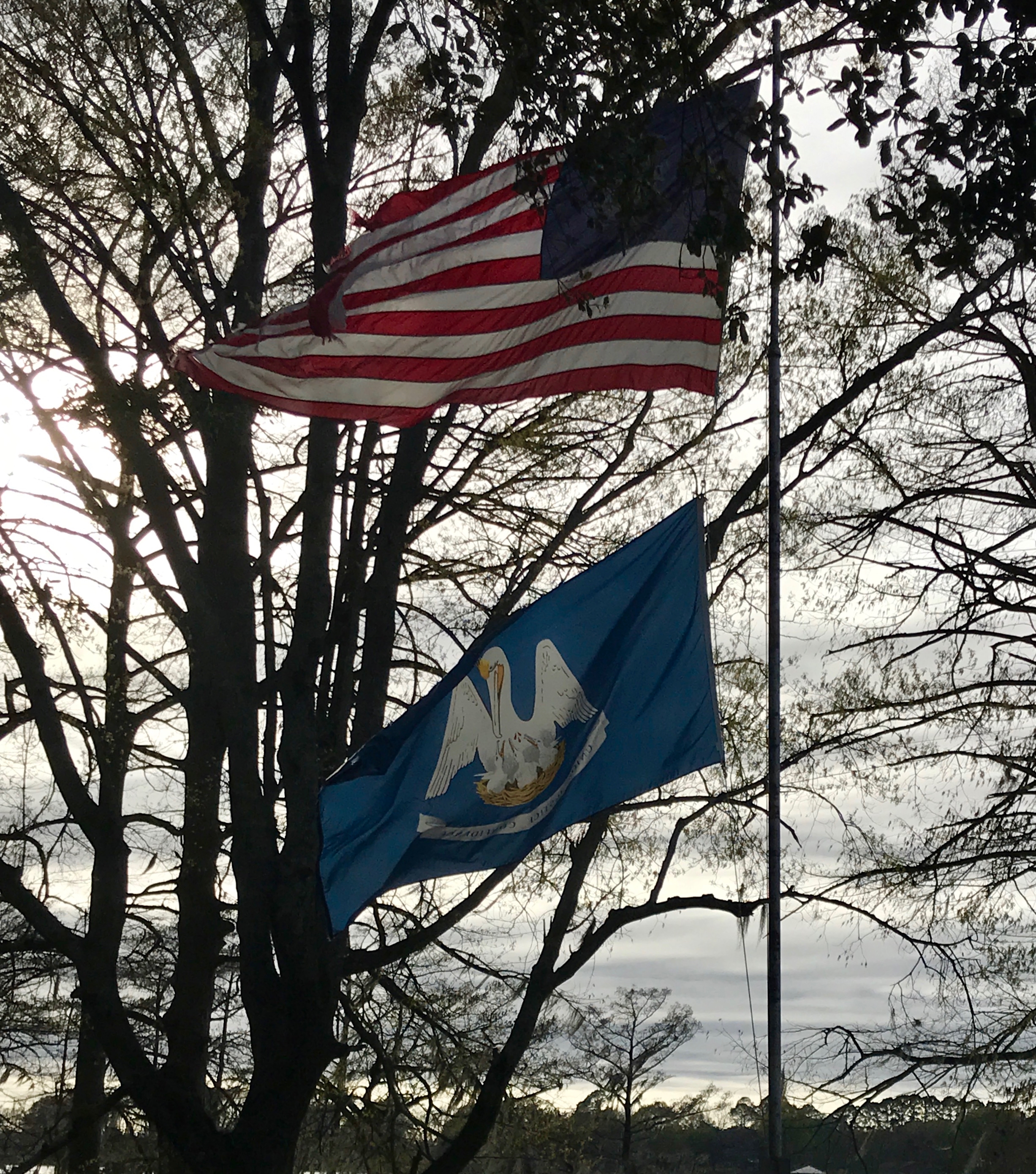
I managed to get a good shot of Louisiana’s state flag. I love the mother pelican feeding the babies! I checked, just to make sure I had the right bird. Well, I did, but according to State Symbols USA,  the mother bird is “nurturing its young by tearing at its own breast.” Ewww…

However, according to information on the website, pelicans DO NOT feed their young with their own blood.

“Pelicans do NOT tear at their own flesh to feed their young. This legend, which has taken on some religious significance as a symbol of self-sacrifice, dates back to at least medieval times. It may have begun as a result of misinterpretation of normal feeding behavior, in which the parent holds it bill down along its breast as young reach in to take fish from the parent’s bill or pouch. The truth is that pelican parents, facing starvation, would abandon their young and save themselves.”

I’m not sure if that makes me feel better or not.

Anyway, with the extra time I gave myself at the park to consider whether to continue traveling or return home, I came to the decision that there were enough unknowns that I might as well head for home.

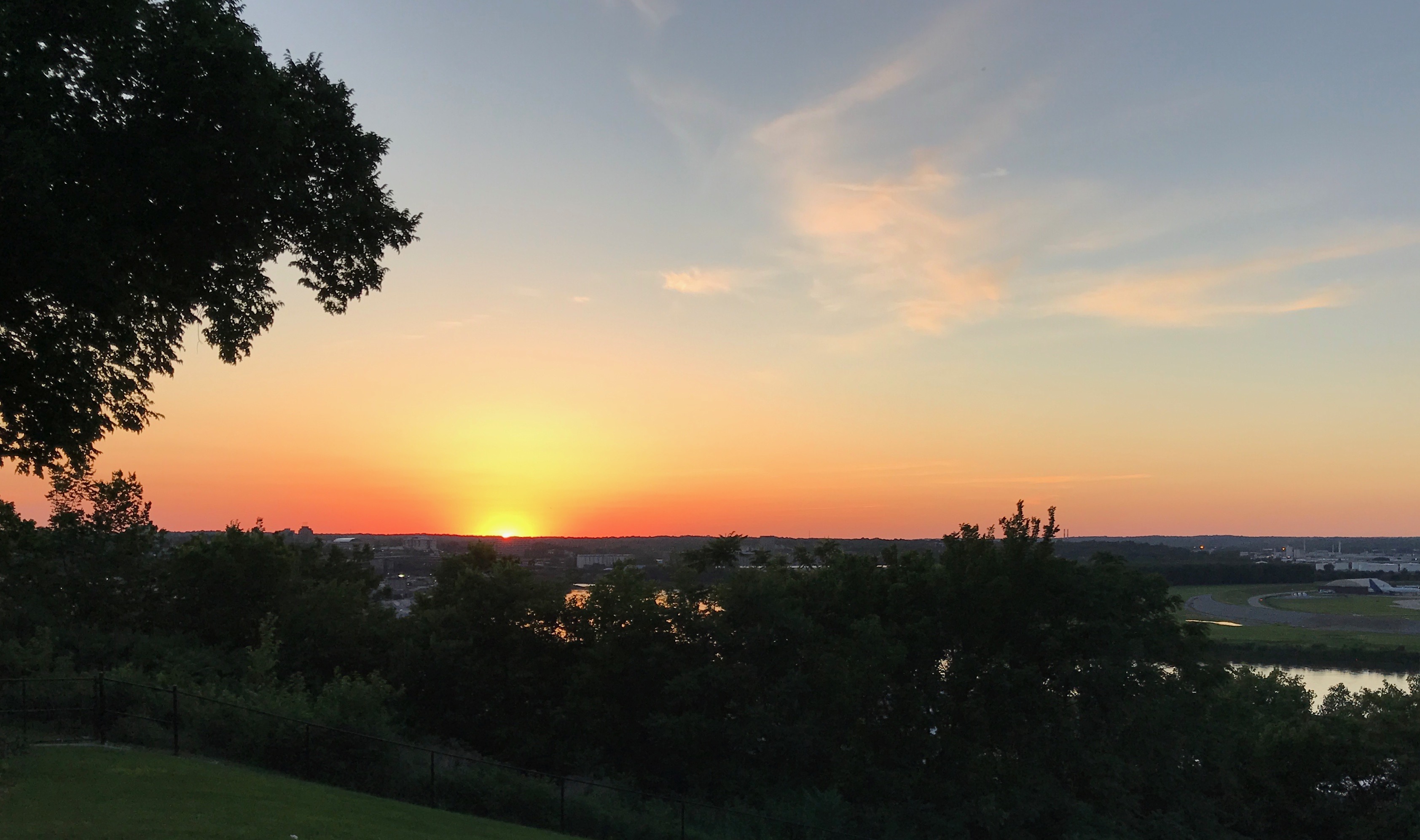
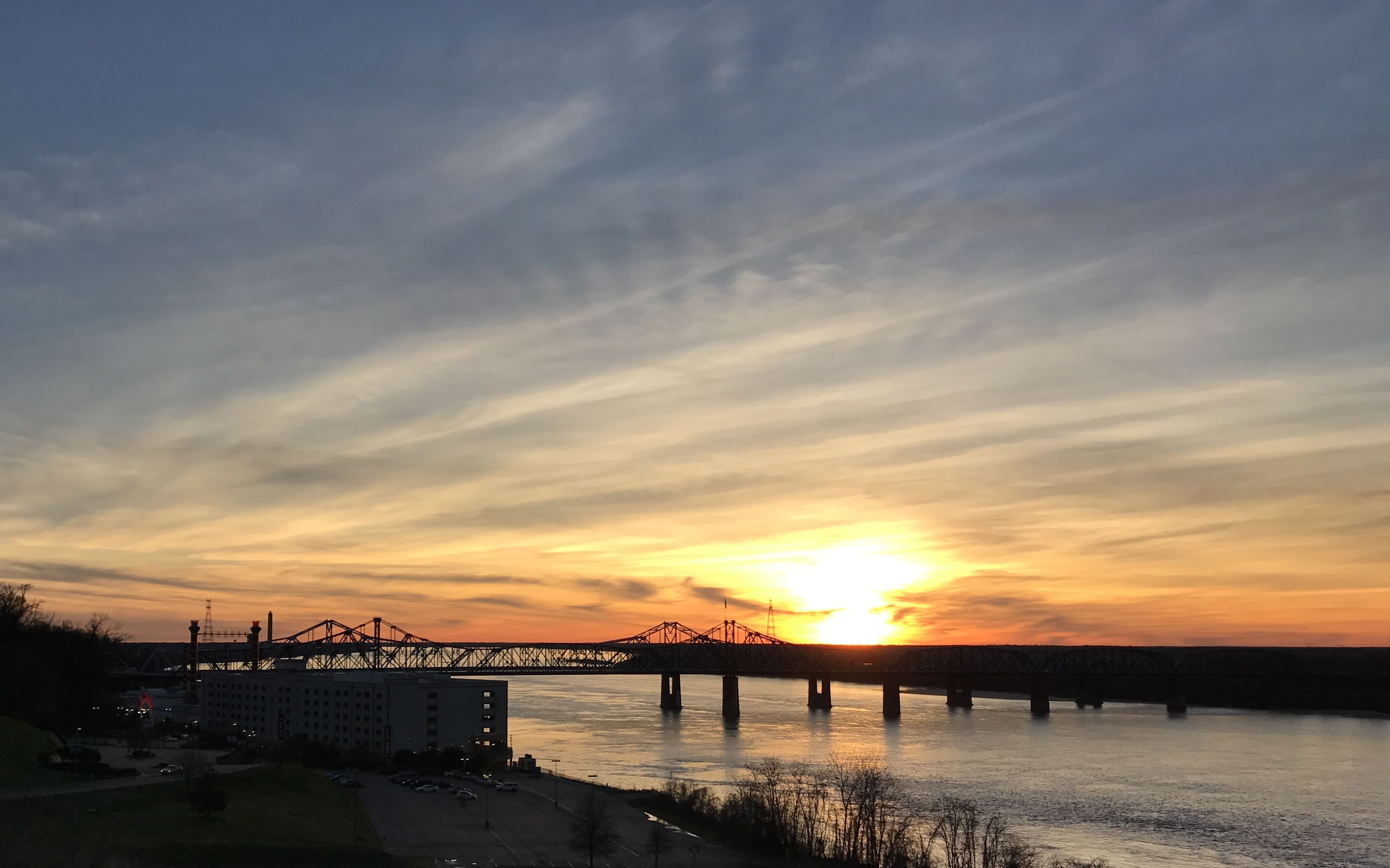
I was happy that there was a sunset to look at.

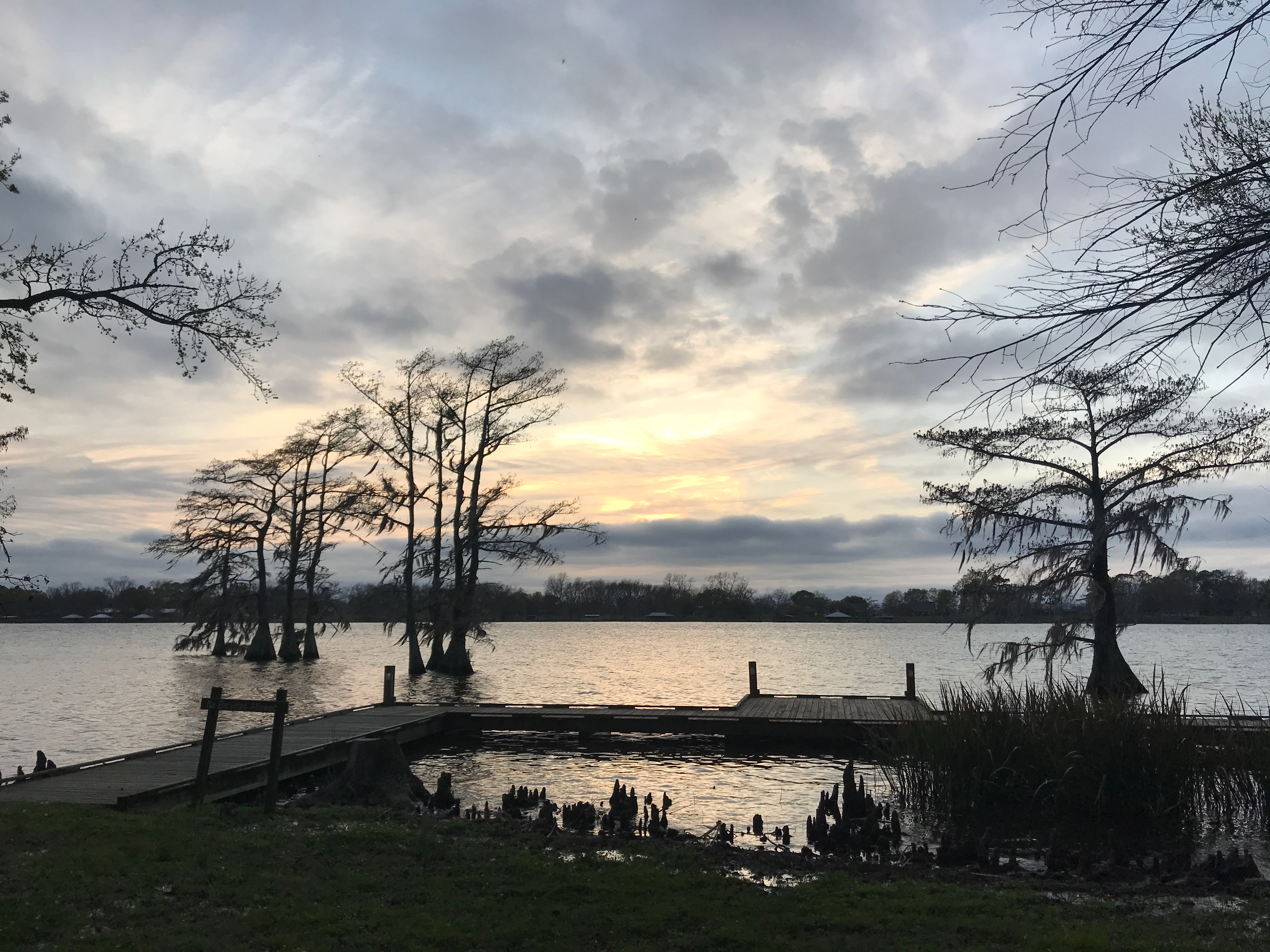
Here it is, over one of the several fishing docks.

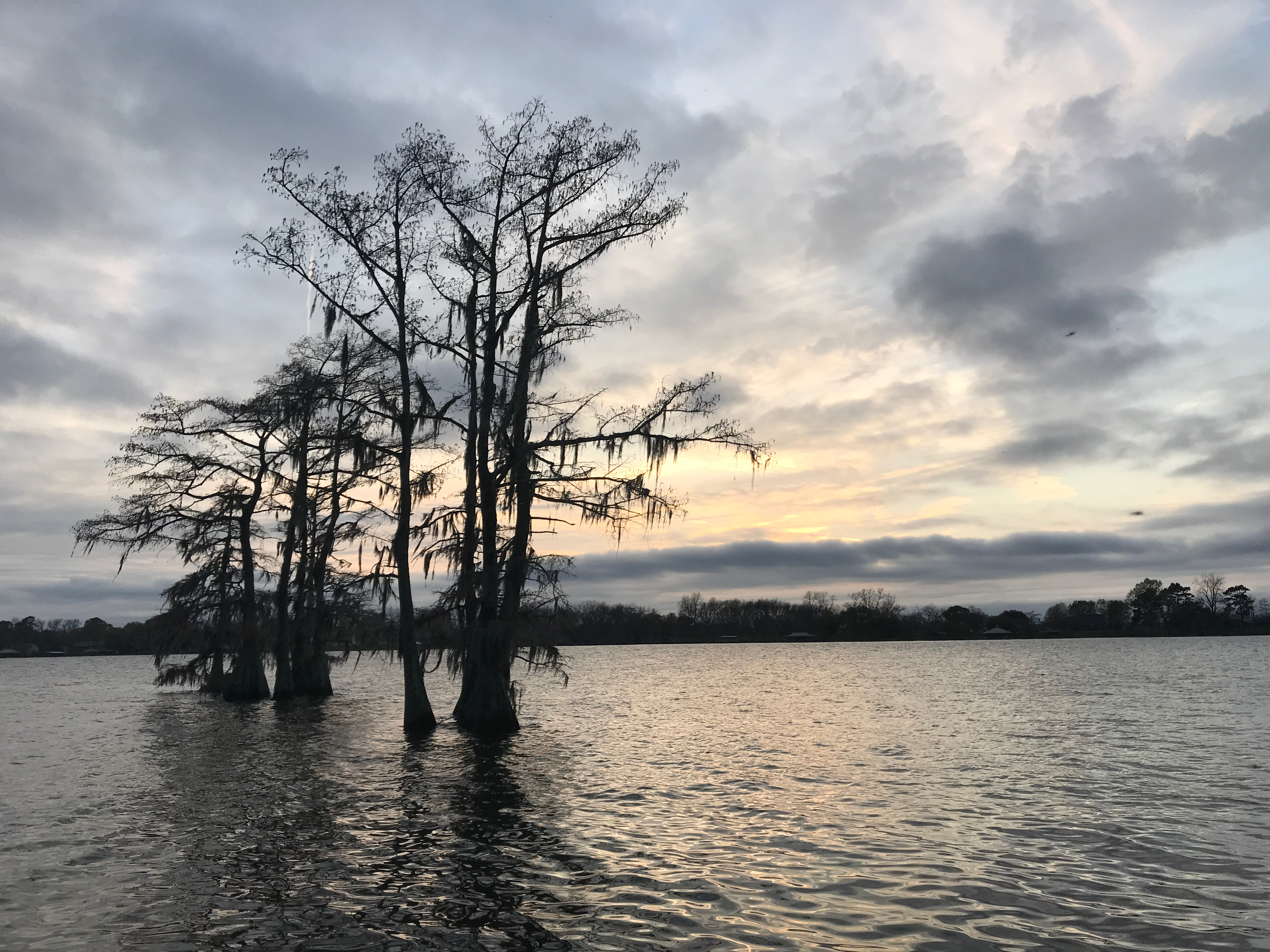
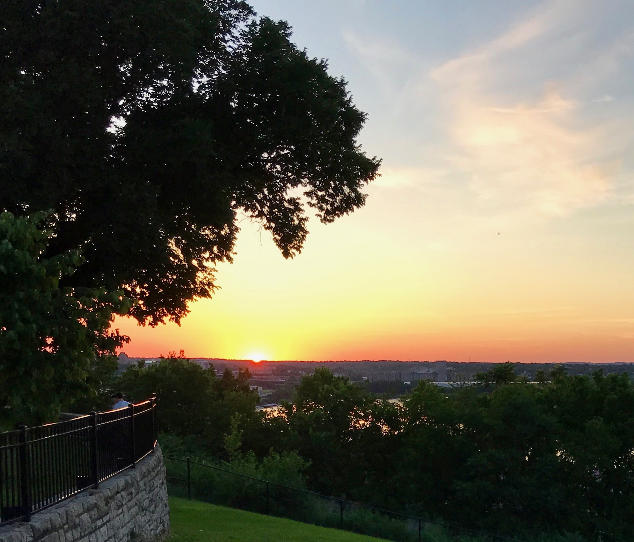
And a shot from the dock, as well.

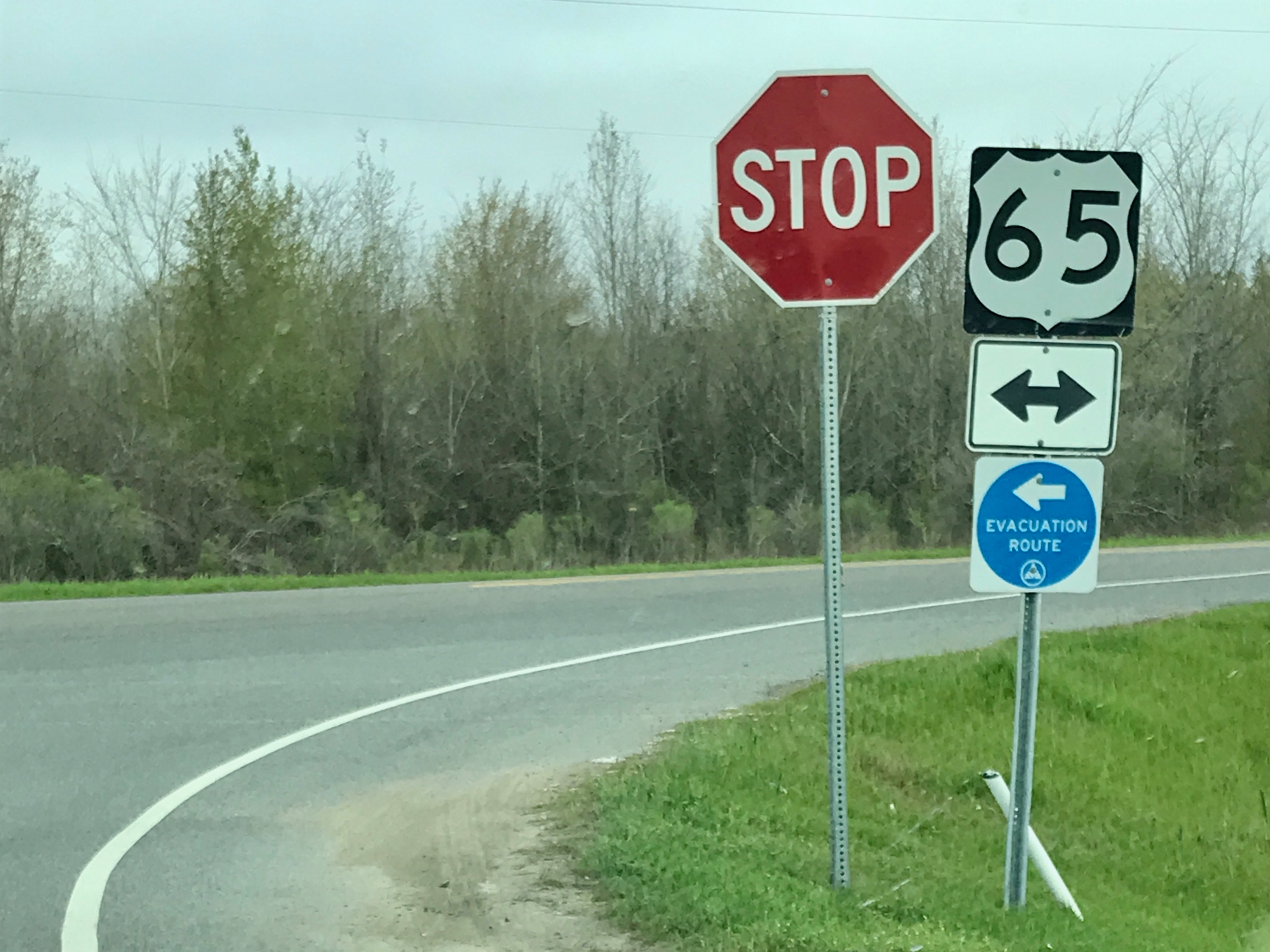
The next morning, I hitched up, emptied my tanks and headed out. I turned right at the corner and followed the directions to the Walmart in Vicksburg, Mississippi.

Yeah, I know…Walmart. I never shop there, but I had to rewinterize the trailer, as I was heading back to winter.

I entered through the doors near the grocery department, and marveled at the shelves that were picked clean. I did pick up a few things that I thought might be useful, if conditions were as grim at home.

I found the RV antifreeze and the funnel I use to put it in. I did flipped the levers, emptied the lines and added the antifreeze and then retraced my route.

I spent the night in the same Cracker Barrel I stayed in on the way down. I arrived late, but thought I’d grab breakfast in the morning.

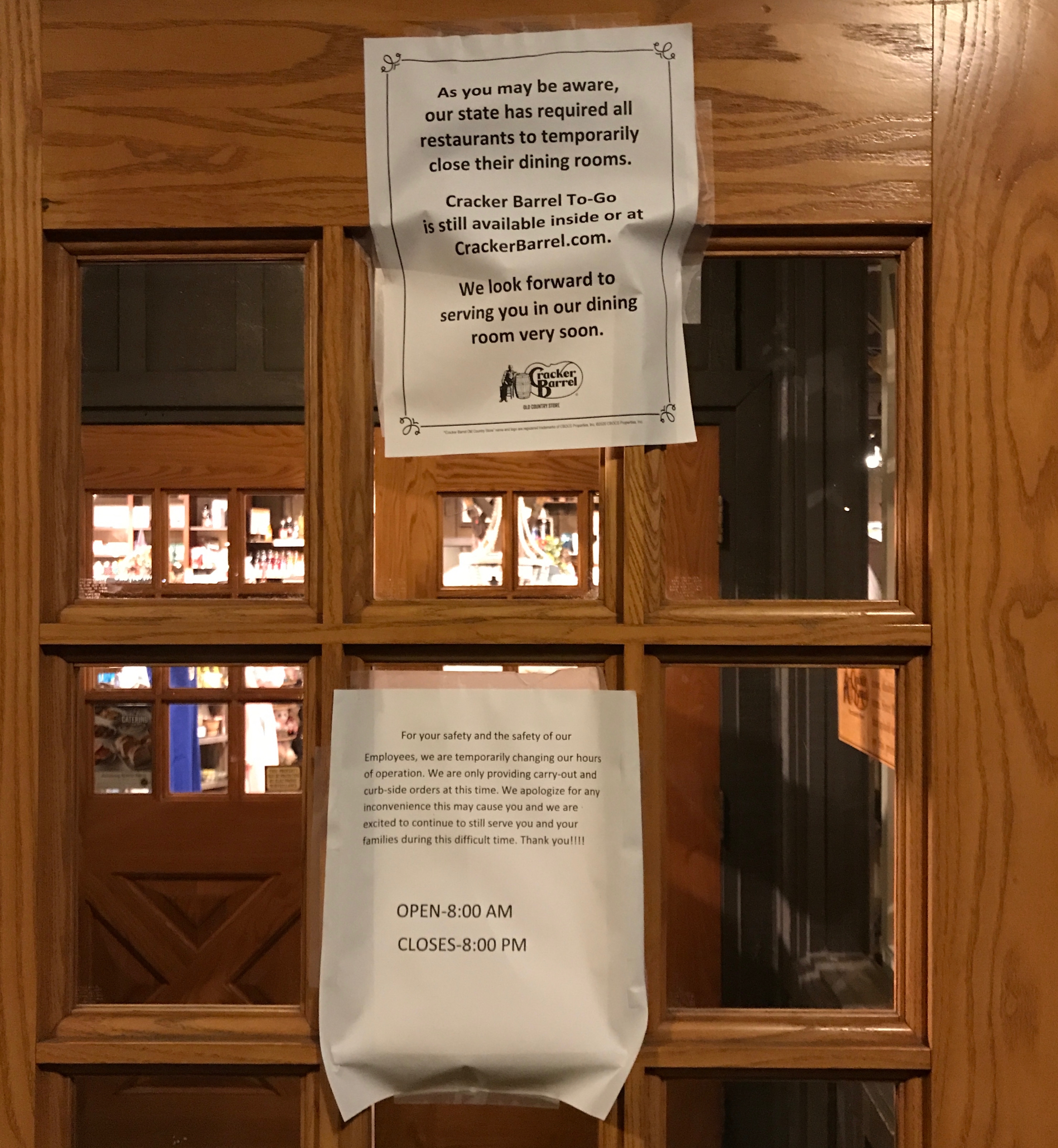
Uh, no breakfast this time.

I made do with the food I had with me. Heaven knows I had enough food! After all, I had brought along as much as I could, seeing as I had planned to be gone for about two months.

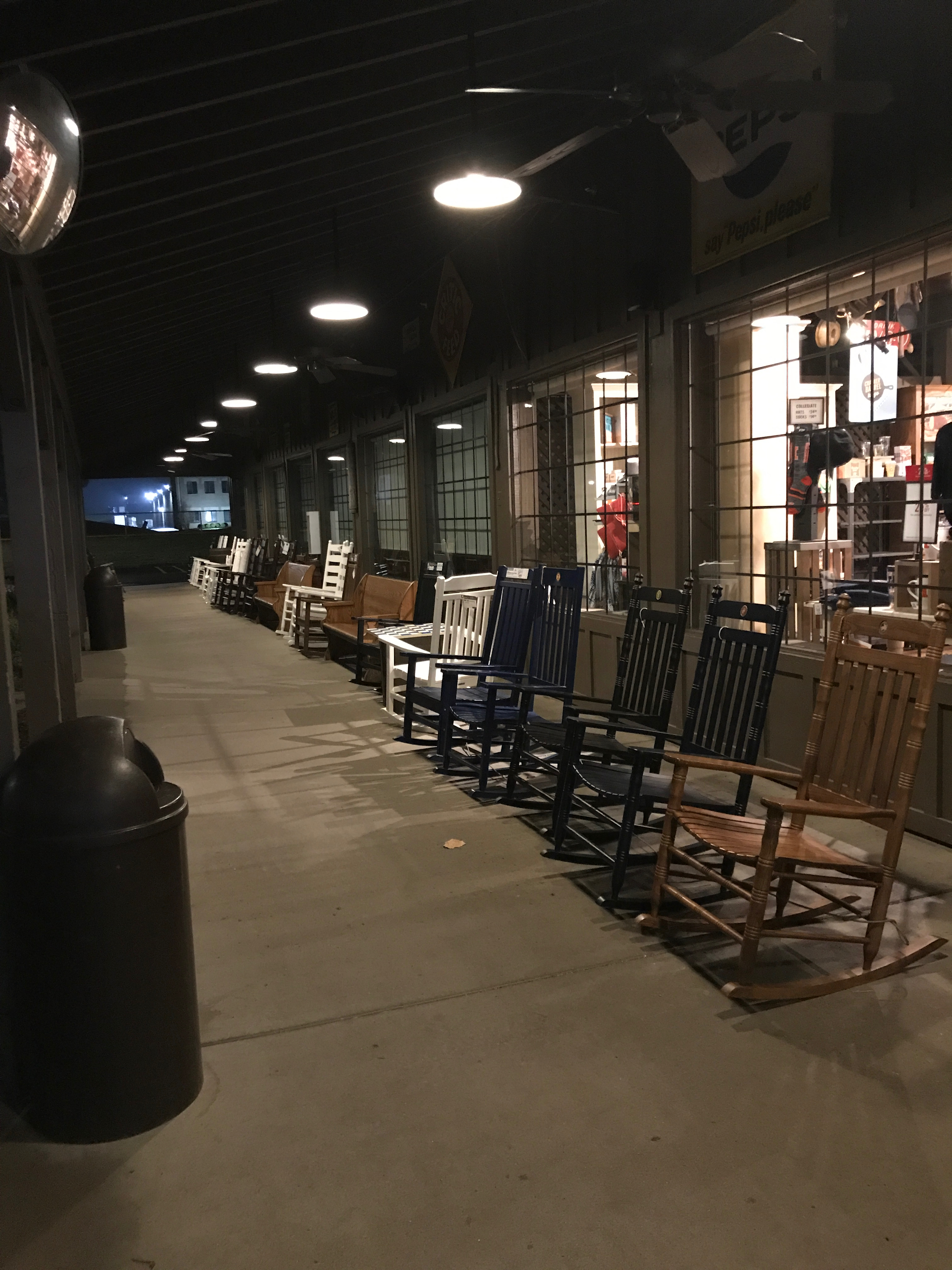
The Cracker Barrel front porch was eerie, sitting there empty, but with all the lights on.

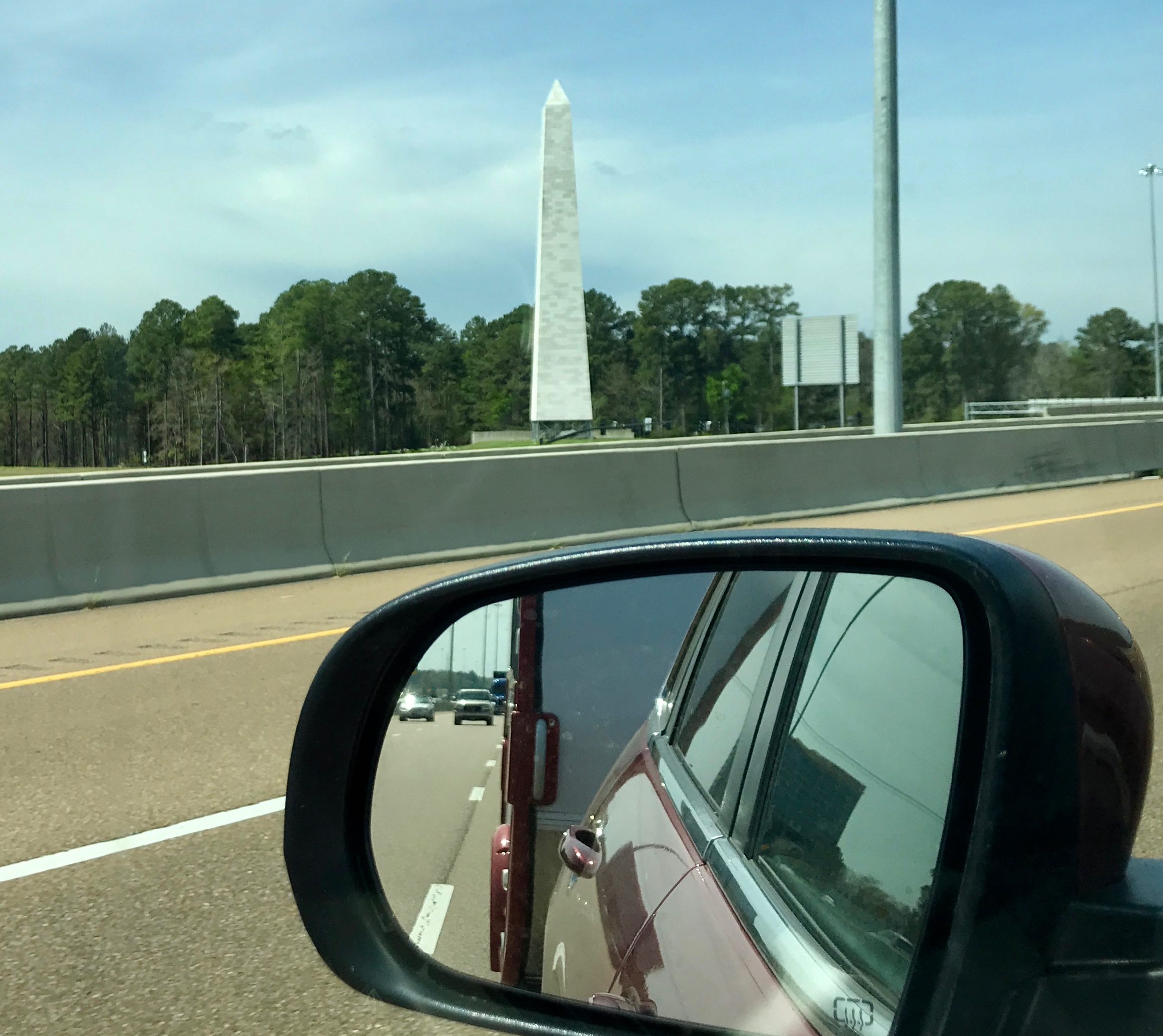
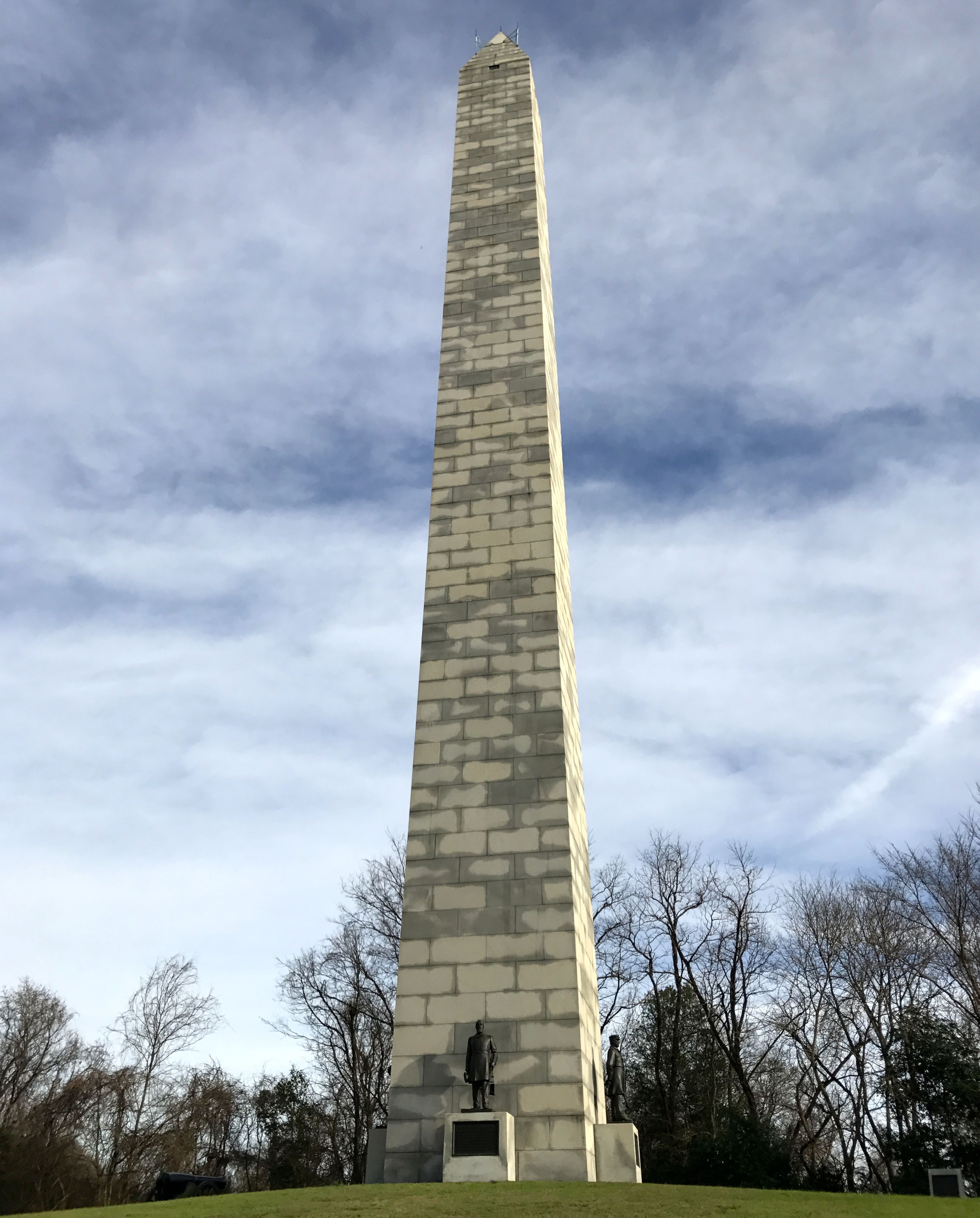
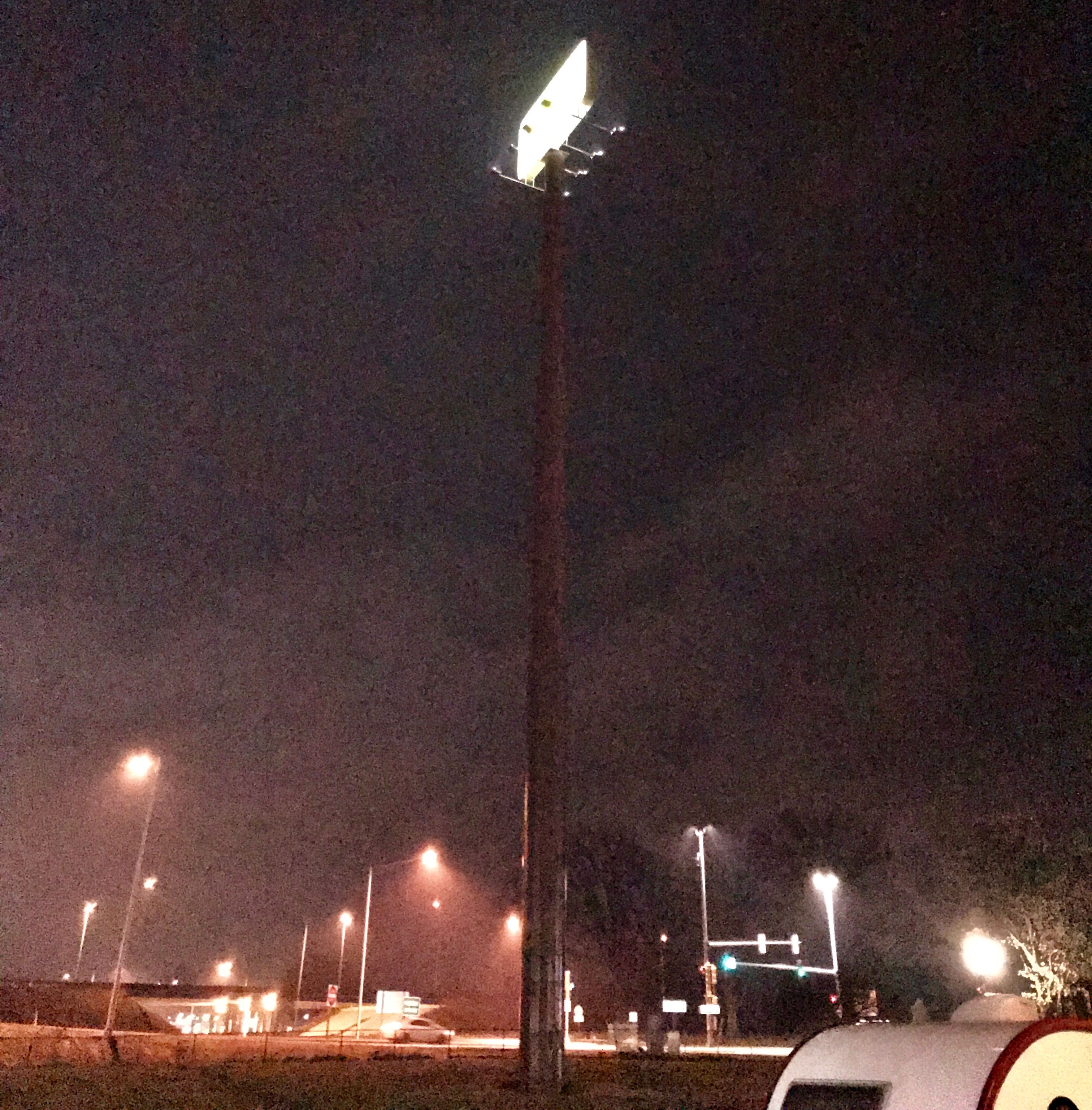
I’m not sure where this was, but someone I spoke with told me that they “hide” cell phone towers in obelisks.

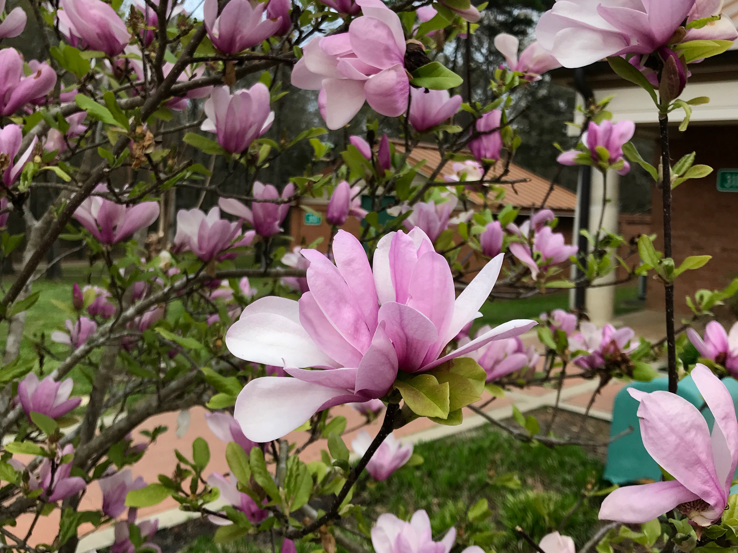
Although I had just prepared the trailer for winter weather, the flowers at the rest stops were still blooming.
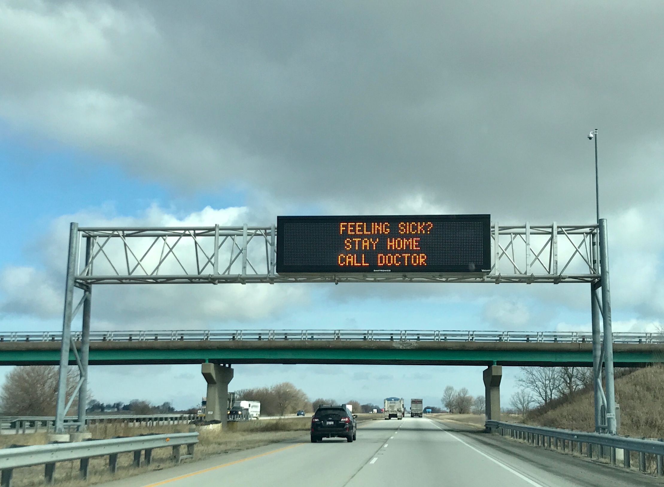
Good advice!

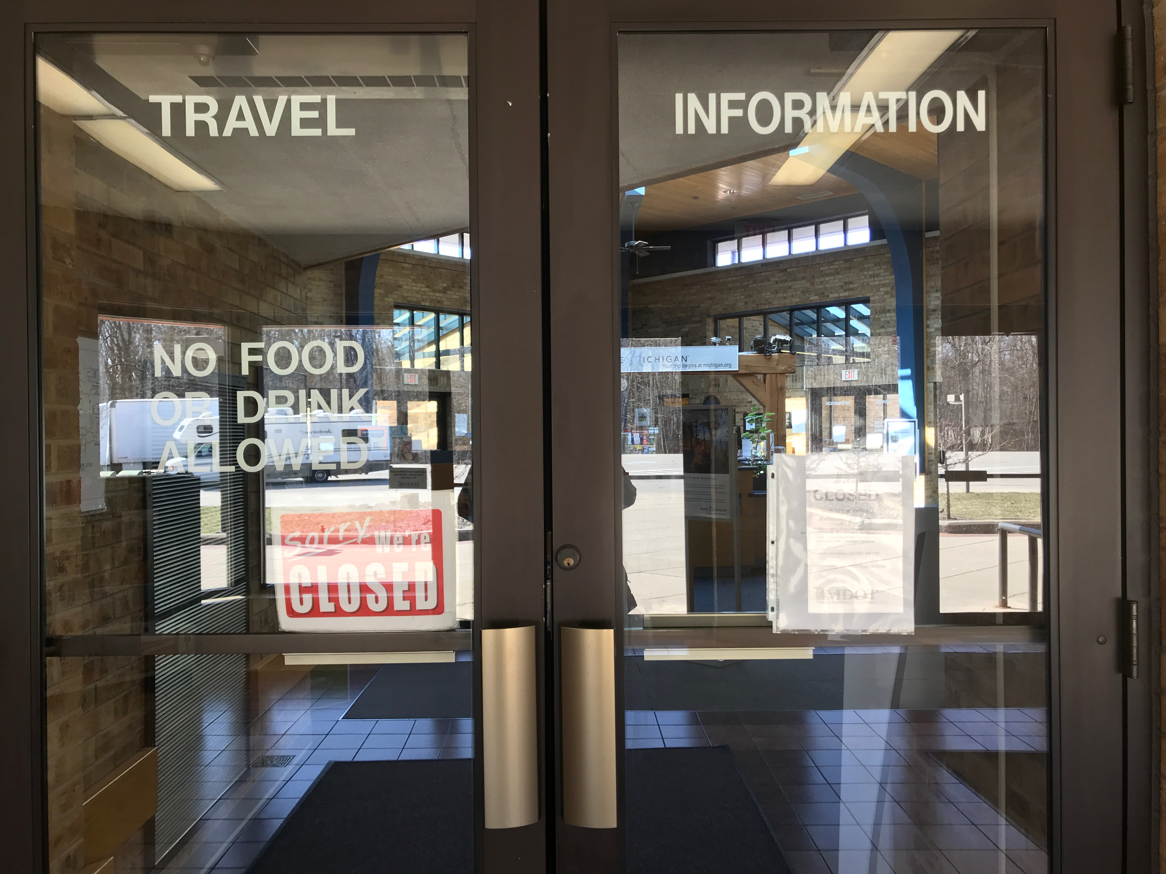
I got back to Michigan, and stopped to use the rest room at the Welcome Center.

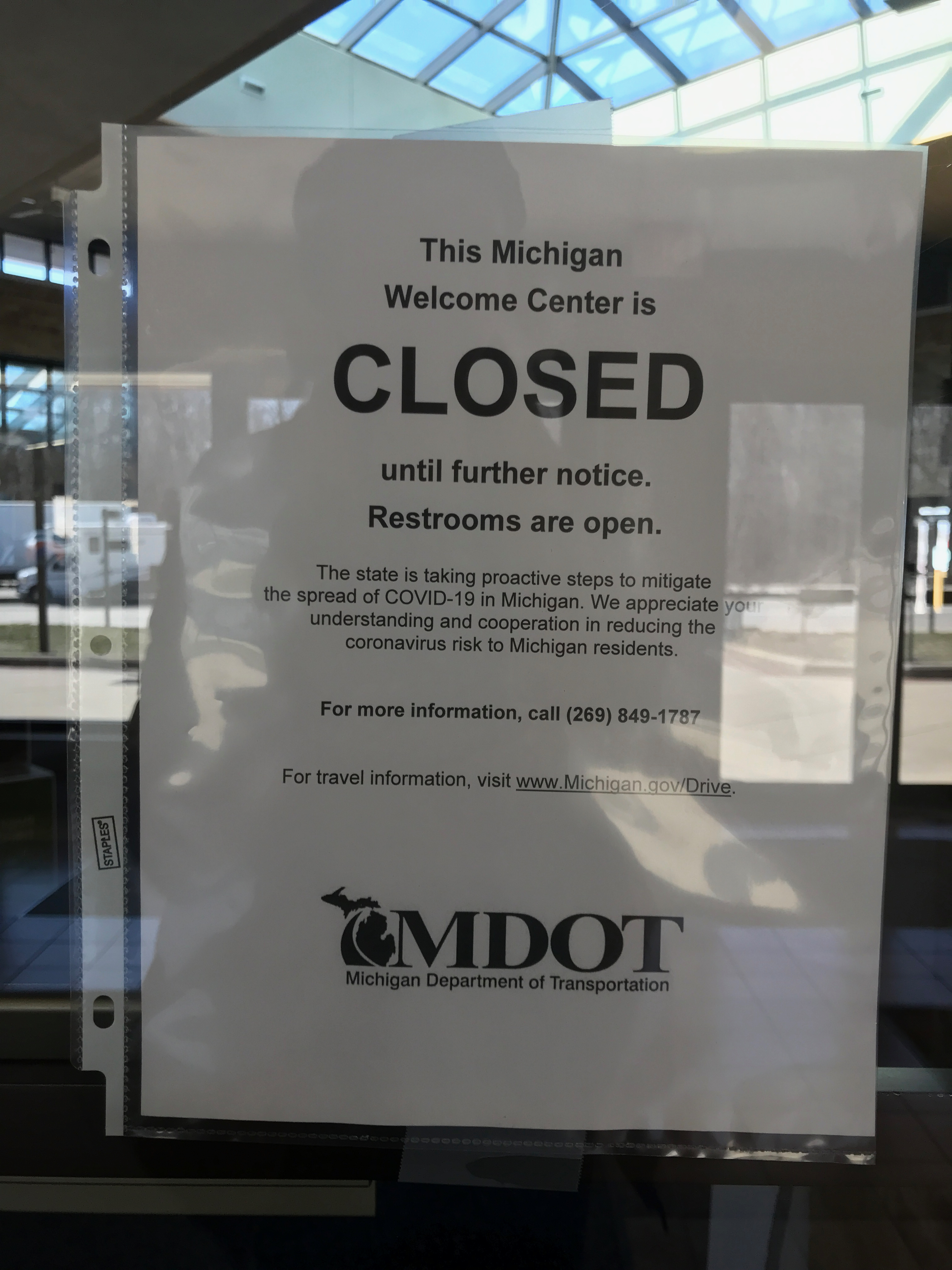
The Welcome Center was closed, but at least the rest rooms were open.

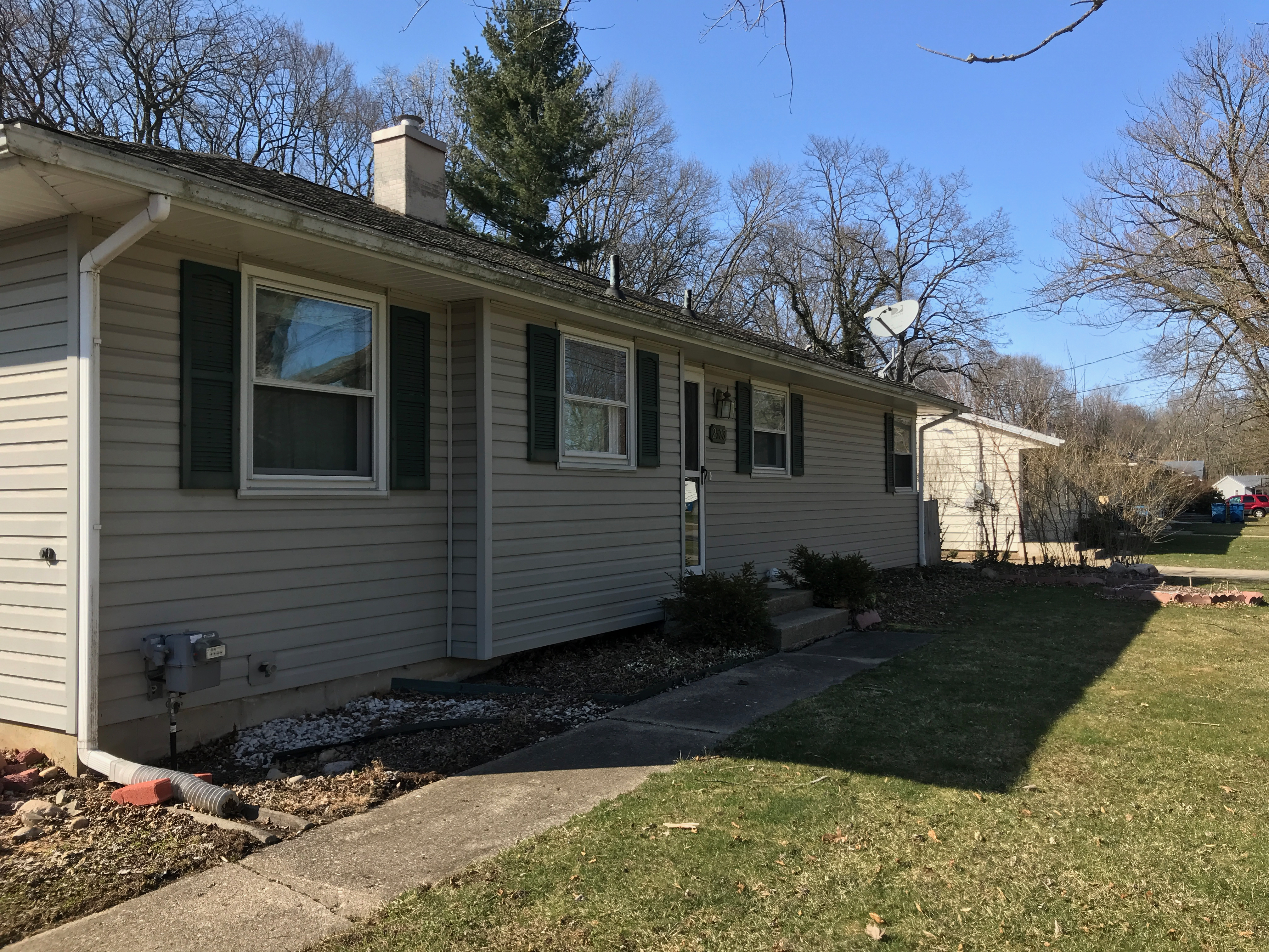
Another few hours, and I was home.

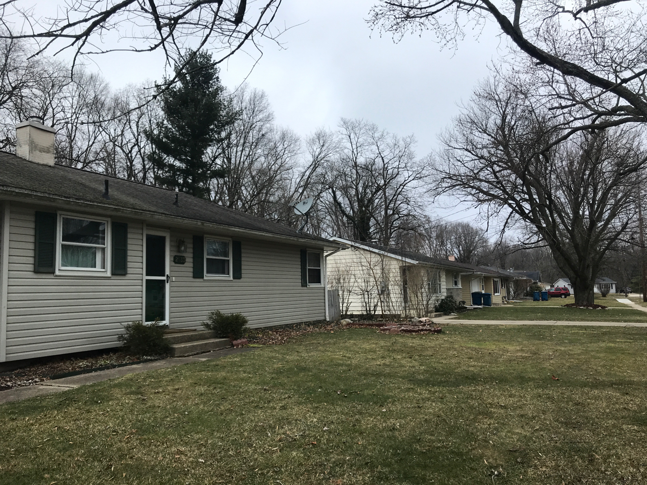
Not too much changed since I left a week before, but I do appreciate the blue sky.

And, the weather is a little warmer, too.

But, really, I think this is the longest trip I’ve ever taken to meet friends for dinner!


What’s That River Over There?

I do kind of miss paper maps, but I think I would have had a hard time finding maps that had enough detail to find some of the places I had to find. For instance, just before I ended up here, I once again found myself in the middle of nowhere. Oh, it was a farm, and there was even a grain bin, but it wasn’t what I was looking for. There was no one to ask; I guess they were all out working in the fields.

The facility I was trying to find had a phone number on the card and someone actually answered when I called. They gave me directions and I found them right next to this river. Unfortunately, they had a sign up prohibiting taking photos, so I can’t show you it, but they loaded the grain right into barges.

“What’s that river?” I asked the worker who gave me the sample. “The Mississippi,” was the response. I sure felt silly! I had forgotten where I was. Well, with all the zipping around I’d been doing, it’s a miracle I remembered what state I was in. (I was still in Missouri.)

With this intriguing sign, I had to investigate further.

It turns out that it lead to a ferry landing. I spoke to a few travelers who were waiting for the ferry to come. I think that was Tennessee on the other side.

After a bit, the ferry started across.

It’s getting closer.

They docked and the vehicles on board prepared to roll off.

Then the folks I had been chatting with rolled aboard and they got ready to head back across the Mississippi.

I took off and got ready to hit a few more facilities before close of business. With all the wheat I had been collecting, I wondered where it was. I finally found a field.

Look at those amber waves of grain!

I had to take a close up of the spike. The funny thing is that I wasn’t sure of the name of this part of the plant – in English. I knew it as “espiga” in Spanish, and I knew it translated to spike, but I never heard that term used in English. I finally broke down and looked it up. In addition to being called the spike, it’s also called the “ear” or “head.”

Somehow, I got turned around and ended up crossing the river into Illinois.

The Corp of Discovery sure did get around!

The river beds get around, too. This is a marker for a place that is in the Ohio River. I wonder how I missed that river?

But, it was time to head back across the river. Maybe I could find one more facility before close of business.

And, no, the next place I stayed was not as nice as the Motel 6 in Poplar Bluff.


Kansas City, Here I Come!

My goal was Kansas City. I had to be there the next day for my orientation as a seed courier, but that still left plenty of time for drive-by tourism.

My first stop was Hannibal, Missouri. I mean, I had been on the road for a couple of hours. It was time for a break.

I got off the interstate and looked for a likely spot to park and then find a restroom. Wouldn’t you know it? I find an Airstream!

It’s tucked away behind some stores.

The old gal looks like she’s had many adventures behind her. She even has a plate on! However, the plate is from 1996, and there aren’t any brake lights.

I suppose the lack of brake lights is fine, since I can’t imagine that she still has working brakes.

I’m including the identification tags, just in case you are into those sorts of things.

My goal, in my whirlwind visit to Hannibal, was to see what I would see of Samuel Langhorne Clemens’ childhood home.

You know, Mark Twain – the writer who gave us Tom Sawyer and Huckleberry Finn.

Mark Twain lived in Hannibal from 1844 to 1853, from about the age of nine to age eighteen. He lived house he lived in is now a museum. Of course, I was moving far too quickly to invest in a museum ticket. Maybe I’ll put that on my “Next Time” list.

He lived in that little white house.

Right next to a recreation of Tom Sawyer’s fence.

It is complete with a bucket of whitewash and some brushes.

His father’s law office was right across the street from the house. According to the sign in front – in case you can’t make it out – here young Sam Clemens (Mark Twain) saw a dead man on the floor one night. Sam went out a window, taking the sash along with him. “I didn’t need the sash,” he recalled. “But it was handier to take it that it was to leave it, so I took it. I wasn’t exactly scared, but I was – ah -considerably agitated.”

“Becky Thatcher’s” house is on Hill Street, too. Actually, it was the home of Mark Twain’s childhood sweetheart, Laura Hawkins.

Hill Street, where the Clemenses and Hawkinses lived, was paved with Missouri Block, made in Moberly, MO.

I decided that I should head down to the Mississippi River, a couple blocks away, to check it out.

I didn’t see any barge traffic, but there was a stern wheeler there, and I imagine they had some tourist excursions scheduled. What a beautiful day to be out enjoying the river!

I came across a sundial.

Incidentally, this is the easiest-to-read sundial I have ever seen! For one thing, it’s in a spot that isn’t shaded by trees.

Seeing the sundial reminded me that I did need to be on my way. Bladder empty and tank full, I pulled back on the interstate.

My next goal was Kansas City and the American Motel. If I had known ahead of time, that they were paying for my expenses in getting to the job, I might have chosen an establishment that was a little more…upscale. But, it was only for one night and it would do.

I dropped my overnight bag and went out to see what I could see. HISTORY Here sent me to Clark’s Point, overlooking the Missouri River.

Fun Fact: The Missouri River is the longest river in the United States, according to the United States Geological Survey. It starts flowing in the Rockies in Western Montana and empties into the Mississippi 2,341 miles later. The Mississippi is a close second, at 2,202 miles. It starts in Lake Itasca in Minnesota and empties into the Gulf of Mexico.

After that comes the Yukon River at 1,979  miles and the Rio Grande at 1,759 miles.

Near this site, the Lewis and Clark expedition stopped to camp in 1804. At that time, this was a good vantage point for the merging of the Osage and Missouri Rivers. Another source I saw said that they stopped there in 1806. Maybe they stopped on the way out and the way back.

Apparently, Lewis and Clark were not the only visitors to the river. Étienne de Veniard, Sieur de Bourgmont came through, too.

And since he was French, the sign was in English with a French translation on the other side.

It was an arduous journey, to say the least. The men of the Corps of Discovery had to tow the keelboat and the two pirogues that made up the flotilla against the river’s powerful current. If that wasn’t bad enough, they had to cut trees down along the way to be able to tow the boats. AND it was a hot day!

Just in case, you are curious, this is a replica of Lewis and Clark’s 55 foot keelboat.

To clear up any confusion, these are pirogies…

and these are pirogues.

It was a hard bit of travel, but they got to rest for two days. At this point, they had been on the river for a month and a half and they were about 367 miles from the mouth of the Missouri.

While they were camped at this spot, then crew got to gather paw paws, otherwise know as custard apples.

I know you just want to sing the song now…Pickin’ up paw paws, put ’em in your pocket…

According to the signage at the park, Clark recorded seeing “an immense flock of Carolina parakeets.”

This was the first documented sighting of the birds. Unfortunately, they are now extinct.

It was getting close to sunset. I strolled around the park, to see what I could see.

Gee…spending our country’s wealth on building infrastructure that is still in use more than 65 years later, and providing the dignity of work to the citizens.  What a novel idea!

As the shadows deepen, I came across this statue of James Pendergast.

The statue of Pendergast was flanked by two smaller statues. This one of a young girl.

On the left is a statue of a young boy.

Of course I had to look for more information. I couldn’t locate as specific links to feeding hungry children or, perhaps, arts programs. I mean, who wouldn’t like to make a nice ceramic bowl?

It turns out that James Pendergast was part of the “Pendergast Machine” run by him and his brother, Thomas. At the turn of the century, political bosses and their  machines that operated in large American cities enjoyed strong support among the poor and immigrants, who returned the favor by voting for the bosses’ preferred candidates. I think the best known “big boss” – at least to those of us east of the Mississippi – is Boss Tweed of New York City.

According to an article in the Social Welfare History Project, Many immigrants saw bosses and political machines as a means to greater enfranchisement. For immigrants and the poor in many large U.S. cities, the political boss represented a source of patronage jobs.

In 1887, James Pendergast became the Democratic committeeman from the first ward, and he was elected alderman in 1892. During the peak of his power, he not only hand picked this own mayor, James A Reed, but every other key office at City Hall. One of those occupants of the key offices in city hall was his brother, Thomas. He became Superintendent of Streets, which allowed him to hire 200 workers and buy material and equipment for the street paving program.

After James’ death in 1911, his brother Thomas took over running the Kansas City political machine, but that shall be covered in a later post.

I decided it was time to find a good vantage point for viewing the sunset.

Along the way, I came across this paver for the Riverfront Heritage Trail. But there was no time for that now.

The sun was setting!

I love that peachy glow off toward the northeast.

It’s going.

And it slides behind the horizon.

And tomorrow I go to work!


On to Wisconsin

I hitched up and headed out. I was thrilled to find this rest stop with loads of information about Wisconsin.Menomonie… Does that name make anyone else think of this Muppet bit?

I was singing it for days!
I reached a point when it was time for me to stop and stretch my legs.
Cheese!
After all, I was in Wisconsin, land of the Cheeseheads.
And ice cream!
Get a load of the nutritional information. “YOU WANT NUTRITION, EAT CARROTS.”
Igor the Rat met me at the door.
In spite of their persuasive argument for ice cream, I decided that I was more in the mood for cheese.
After a quick break I headed off for the day’s destination, Grant River Recreation Area. In spite of the name, it is on the Mississippi River.
I was a little leery of the signs that proclaimed “rustic road”. Curvy, rustic roads with a 27 foot trailer are not my favorite thing.
But the trip down the rustic, curvy road was worth it. This was an Army Corps of Engineers campground and it was lovely. My site was just a short stroll from the banks of the mighty Mississippi.Of course, train tracks many times follow river beds. My site was quite close to the railroad right of way.

It is kind of exciting when it rolls through. I am glad that I don’t live next to the tracks, though.


USS Cairo Gunboart and Museum

So, I left the Navy Memorial and continued along the road through the park.

I spied what looked like a circus tent, which piqued my curiosity. It turns out that it was the remains of the U.S.S. Cairo, the ironclad gunboat that was sunk by the Confederates in December of 1862.

The Cairo had the dubious distinction of being the first ship in history to be sunk by an electronically detonated torpedo. Within twelve minutes, the ironclad sank into 36 feet of water, but all the crew members survived.

The damage where the torpedoes struck was still apparent when they managed to raise the wreck in 1965. They had hoped to raise it intact, but they ended up having to cut it into three segments. Its remains were loaded on barges and taken to Ingalls Shipyard on the Gulf Coast in Pascagula, Mississippi where it was preserved.

In Pascagula, the armor was removed, cleaned and stored.

I can’t imagine that this wood is original, but I suppose parts of it are.

This iron piece that goes up and over is called a hog chain, and it served to stabilize the structure. The hog chain is part of the original ship.

The boilers cleaned up pretty well, I think.

There were walkways around the Cairo, and you could really examine what was left.

I was surprised at how well the metal stood up to a century in the water.

The American Society of Mechanical Engineers was also impressed with the design.

The fact that they were able to find, raise and restore as much of the ship as they did is pretty remarkable. Another thing that was remarkable was, that since the ship sank so quickly, all the artifacts were still there when they raised it.

All the bits and pieces of life about the Cairo were there. Tools, locks, keys and fasteners.

They found the bosun’s whistle.

The enlisted men’s mess was stored in a box and taken out for meals. The officers had nicer gear.

The signal bell to communicate with the engine was found.

They found the ship’s bell, too.

They found the pump and

handcuffs and shackles, just in case they were needed.

Really, it was an amazing museum. If you get to Vicksburg, I’d really recommend it. My time was growing short, so I snapped a few photos and left.

The Vicksburg National Cemetery was right outside the Cairo Museum. I took a drive through and appreciated the calm of the 116 rolling acres. 17,000 Union soldiers are buried here, and 75% of those interred are unknown. The cemetery has been closed to burials since May 1961, except for people who made arrangements before that date.

I picked my way through Vicksburg. I wanted to get down to the river, that played such a big part in its history.

I got down to an odd spot where they recorded the levels of flooding. It kind of reminded me of pencil marks on a door jam that recorded children’s growth – except a little different.

I am all about safety.

I found a sign that indicated that there was a scenic route. I don’t know if I got off the route at some point. This was interesting, although it wasn’t exactly scenic.

I passed a “riverboat” casino. I am pretty sure it was just a building designed to look like a riverboat.

And with the sun setting in the west, it was time to head back to the campground.  In the morning, I would be on the road again.

Next stop, Texas!


New Orleans!

One of my father’s stories from his time in the service was about taking the train from basic training  near Washington DC to the west coast to get to his post in Alaska. He woke up while he was crossing Lake Pontchartrain and couldn’t figure out where he was. There was water on each side of the train and it went on and on.

His birthday fell while I was staying at Fontainebleau State Park, and I decided to celebrate his birthday by driving across the causeway to New Orleans. Last year, I went to one of his favorite restaurant chains for dinner.

Dad's birthday celebration 2015 Tucson, Arizona
Dad’s birthday celebration 2015 Tucson, Arizona

This year, I decided to celebrate by driving across Lake Pontchartrain on the Causeway from Mandeville into the New Orleans.

causeway 1

The Causeway is about 24 miles long and skims along about 15 feet above Lake Pontchartrain.

causeway 2

It cost $3 to cross from the north side, in Mandeville, and no toll is collected on the return trip.

Causeway

The speed limit is 65 mph. Do you know how hard it is to take pictures while zooming along on a two-lane bridge 15 feet over the water? Well, at least it’s a straight road.

The bridge my father crossed back when he was in the service wasn’t as long as this one. It crossed from Slidell to New Orleans. At almost 6 miles long, it is the longest rail bridge over water in the world. At least, I think that is the bridge he crossed. When I was talking with a guy who was trying to sell me a tour, he said that the rail bridge collapsed. So, without digging deeper, I don’t really know.

I didn’t really know where I was going. I kind of worked my way toward the Tourist Information Office my all-powerful phone told me about.

Because Tuesday is already fat enough.

Luckily, I was stopped at an intersection, so I could take a photo of this billboard. It gave me a chuckle.

Streeetcar
Streetcar

I saw a streetcar – but I don’t think it was named Desire.

superdome

And the Superdome. It was right downtown! After living in Buffalo with Rich Stadium (now the Ralph Wilson Stadium) way out in Orchard Park, I assumed all stadiums were way out of town.

I finally got to the address that was listed as the Tourist Information Office, but there was no information to be had. There might have been a Tourist Information Office there at one time, but no longer.

So, I did the next best thing. I put “Cafe du Monde” into the search engine and got directions. I knew that was one place I wanted to go while I was in New Orleans. I found it!

Time to make the beignets

One on-line source said to to go around to the back and watch them make the beignets. And there they were, cranking them out.

After watching the production for a few minutes, I went inside to sample their wares.

beignets and cafe au lait

With their limited menu, it didn’t take long to order and my beignets and cafe au lait were on my table before I knew it. They sure weren’t stingy with the powdered sugar!

leftover powdered sugar

This is what was left over after I finished with the beignets.

Even though I ate as carefully as I could, when I left and got ready to cross the street, a fellow tourist smiled at me and said in a heavy drawl, “Either you been eatin’ beignets or you been doin’ cocaine.” I brushed off my face and he grinned and said, “I had ’em, too.”

I walked down Decatur Street. My wonderful phone told me that the Jean Lafitte French Quarter Visitor Center was just a few blocks down, so that is where I headed. I passed the usual assortment of businesses that seek to part tourists from their money.

Pralines
Pralines

I had to go in to sample the pralines. And, I made a discovery – the chocolate pralines tasted just like the fudge my mother made growing up. I could never figure out why what was being sold as “fudge” didn’t seem like Mom’s fudge. Now I know – she was really making pralines.

I got down to the visitor center and it was CLOSED. Dang! I was batting zero on tourism centers. So, I just decided to roam about for a while.

street scene 2

I admired the wrought iron balconies.

cathedral

The St. Louis Cathedral was on the other side of Jackson Square from Cafe du Monde. I got over there just past the time when they let visitors in. I was really batting zero!

mediums at large

Perhaps I should have consulted the fortune tellers that were stationed in the plaza in front of the cathedral.

street scene

It was starting to get cool, so I decided to head back to the campground. I headed toward the levee, which is where I had parked.

Working horse

I passed a string of carriages awaiting passengers. This one looked like he wanted to take a bite out of one.

I could really tell that New Orleans was on low ground. I had to ascend to the levee to get to the river’s edge.

Missisippi River and bridge

The view to the right.

shipping on the big muddy

The view to the left. I imagine this is where they import all the “throwables” for the Mardi Gras parades.

And then it was time to head back, but I knew that I would return.